During the early years of the German Protectorate, consideration had been given to building a third main railway in German East Africa. That railway would have run from Kilwa on the coast to Lake Nyasa (now usually referred to as Lake Malawi). Its name in Swahili is ‘Ziwa Nyasa’. [2]
In 1905. work got as far as the undertaking of a survey of the proposed line for 86 kilometres inland from Kilwa before the Maji-Maji rebellion brought the work to a close. In 1907, the length from Manda Bay on Lake Nyasa to Songea was surveyed. However, it was gradually becoming clear that the Southwest of German East Africa could best be reached by means of a branch line from the Mittelland Bahn.
This proposed alternative was intended to follow a route studied by Herr Denninger from the Central Line “to the Iringa Highlands, llongo and Mbeya. From Mbeya the projected line ran to Fife on the Rhodesian border. Thence a branch was planned to the north end of Lake Nyasa at Mwaya and another to Kasanga on Lake Tanganyika. The whole scheme involved some 1,250 kilometres of railway, through very difficult country requiring several rack sections, and it was estimated to cost 360 million marks (£18,000,000). [However,] the cost and the difficulties were too great and the scheme was abandoned.” [1: p101]
Hill continues:
“In 1907-1908 and 1910-1911 the possibility of reaching the navigable stretch of the Kilombero river from the Rufiji, or from Ruvu, Ngerengere, Mikese or Kilosa on the Central Railway, was investigated. From the Kilombero valley it was proposed to extend the line to Manda Bay on Lake Nyasa. In 1913 five million marks was allocated by the Reich for a scheme to make 125 miles of the Rufiji river navigable. In the years 1912-1914 a detailed survey was also made for a metre-gauge line from Lindi to Masasi through the Lukuledi valley with the idea of an eventual extension to the middle reaches of the Ruvuma. … In 1915, there was a reconnaissance survey for a railway joining the Mittelland Bahn with the Nordbahn. The routes examined lay between Mikese and Kilosa on the Central Line and between Korogwe and Mombo on the Northern Line. [1: p101]
Ultimately it was not until after WW2, that significant progress was made in constructing a metre-gauge line in the Southern Province. …. Hill says:
“The ill-fated East African Groundnuts Scheme had its origin in a world shortage of edible oils and fats which seemed likely to continue for a long time. Proposals for such a scheme were first considered by His Majesty’s Government early in 1946. After a thorough investigation and a most optimistic report which paid inadequate heed to several vital factors, including the notorious variation in the yield of the groundnut crop along the Central line, the scheme was approved. It was proposed, within a few years, to bring into cultivation over 3,000,000 acres of land in Tanganyika, Kenya and Northern Rhodesia. Nearly 80 per cent. of the total acreage projected was to be in Tanganyika. The first areas to be developed, at Kongwa and Urambo, were served by the Central line, but by far the largest area planned was in the Southern Province. This entailed the building of a new railway and a new port equipped with deep-water berths.” [1: p267-268]
Hill’s comments about the development and value of the Southern Province Railway can be found here, together with an assessment of how much we can accurately establish about the route of the line. [3]
The line finally opened in January 1954 but was to cease operations in February 1963 (or July 1962 according to one source. [9]) It outlasted the ill-fated Tanganyika Groundnuts Scheme by a few years in the forlorn hope that it would significantly enhance the economic prospects the South of the country.
Both steam (the RV Class/21 Class; G Class and NZ Class locomotives were used) and diesel locomotives were used (the 80 Class, 81 Class and 83 Class locomotives). [4][9] The diesel locomotive classes referred to in the Wikipedia article about the Southern Province Railway [4] and in David Burton’s book [9] are small diesel shunters. If correct, this suggests than main line movements were powered by steam until the closure of the line.
For more details of these three different classes of steam locomotive please click here. [7]
The diesels used on the Southern Province Railway were:
80 Class (later 32 Class) 0-6-0 Locomotives
80 Class No. 8004. [10]
81 Class (later 33 Class) 0-6-0 Locomotives
81 Class No. 8102. [10]
83 Class (later 43 Class) 0-8-0 Locomotives
83 Class No, 8306. [10]
A little more about these 3 classes of diesel locomotive can be gleaned here. [10] Were larger diesel locomotives in use on the Southern Province Railway? One website suggests that they were. [11] However, its illustrations seem to relate to the TAZARA railway and not the Southern Province Railway.
Passenger traffic existed between Mtwara and Nachingwea for which a second hand Diesel Motorized Units of the former Kenya and Uganda Railways was used. [4] The diesel motorized units of the former Kenya and Uganda Railways (KUR/KURH) notably included a small fleet of metre-gauge, 200-horsepower diesel railcars built by Wickham in 1939 and delivered in May 1946. These 58-seater double-bogie units were initially deployed on the Kisumu–Butere branch line before serving on the Southern Province Railway. Two of the class of three locomotives are shown below.
Metre gauge 200hp Wickham Rail Car No. 3, one of the three 58 seater railcars built for the Kenya & Uganda Railways Kisumu-Butere branch line. Works Nos. 2828-2830 ordered in January 1939 and finally delivered in May 1946. Fitted with Saurer BXDL engines, (c) Public Domain [5]Metre gauge 200hp Wickham Rail Car No. 2, numbered 2829 and delivered after WW2, (c) Public Domain. [6]
As the 20th century unfolded another line was to traverse the Southern Province – the TAZARA Railway. This will be dealt with in different article.
References
M.F. Hill; Permanent Way Volume II: The Story of the Tanganyika Railways; East African Railways and Habours, Nairobi, Kenya; Watson & Viney, Aylesbury & Slough, 1957.
https://en.wikipedia.org/wiki/Lake_Malawi, accessed on 29th May 2026. Lake Malawi is also known as Lake Nyasa in Tanzania and Lago Niassa in Mozambique, is an African Great Lake and the southernmost lake in the East African Rift system, located between Malawi, Mozambique and Tanzania.
East African Railways and Harbours was formed in 1949 through the amalgamation of Kenya and Uganda Railways and Harbours and Tanganyika Railways and Ports. Some locomotives which were ordered by Tanganyika Railways were delivered after the amalgamation. One of the EAR’s first actions was to develop a new numbering system which was applicable across East Africa. “Under the new system, tank engines were allotted Class number 10-19, tender engines 20-49 and Garratts 50 upwards. Diesels, then still only on order, were to become 80 upwards. Similar locomotives in service on both systems were taken together in one class, as was the case with the ED1 (KUR) and St (TR) classes, both becoming Class 11, Nos. 1105-1131 and 1101-1104 respectively.” [1: p70]
After initial experiments with the Giesl ejector from 1957 a large-scale programme was initiated in the early 1960s to fit all post-war main-line engines with this equipment.
Early EAR locomotives:
EAR 10 Class (formerly KUR EE Class) 2-6-4T Locomotives
These locomotives were retained on the lines of the old KUR.
EAR 11 Class (formerly TR ST Class and KUR ED1 Class) 2-6-2T Locomotives
In 1930, the TR received four 2-6-2T shunters (the same type as the KUR ED1 Class). These were designated as the ST Class. They initially had running numbers TR Nos. 11-14, later TR Nos. 103-106. The locomotives were supplied by Vulcan. Under EAR control the locomotives were numbered EAR Nos. 1101-1104. [1: p60]
TR No. 12 was later designated TR No. 104 and later still, EAR No. 1101. This is an ex-Works photograph taken at the Vulcan Works in the UK, (c) Public Domain. [31]
Many of the EAR Class 11 locomotives were adapted to burn oil fuel rather than wood or coal and were still in use in 1972. [1: p60]
EAR 12 Class (formerly TR SS Class) 2-6-2T Locomotives
These two locomotives were ordered by Tanganyika Railways but not delivered until 1950. They were the first superheated piston-valve shunters in East Africa and were a generally updated and modernised version of the EAR 11 Class. [1: p70]
A TR SS Class 2-6-2T locomotive delivered in 1950 became one of the EAR Class 12 locomotives. – No. 1202. It is seen here in its altered form with Giesl ejector shunting at Tabora, (c) Public Domain. [1: p69]
The two engines in this Class were “put to work in the harbour area in Dar es Salaam, from where they were transferred to Morogoro in the mid 1950s and eventually to Tabora in the early 1960s, where they are still in service. The 12 class are the only shunters with Giesl ejectors.” [1: p70]
EAR 21 Class (formerly TR RV Class) 4-8-2 Locomotives
For more details of this class of steam locomotive please click here. [28]
EAR 22 Class (formerly TR G Class) 4-8-0 Locomotives
TR Class G 4-8-0 Locomotive No. 210 (later 22 Class) – these locomotives entered service in1928. Hill tells us that these locomotives were obtained to work two specific lengths of railway – the Tanga Line and the Mwanza branch off the Central Line, (c) Public Domain. [9: p299]
For more details of this class of steam locomotive please click here. [28]
EAR 22 Class (formerly TR NZ Class) 4-8-0 Locomotives
The 24 Class were a larger and modified version of the experimental UR GC Class. [26]
EAR 25 Class (formerly TR MK Class) 2-8-2 Locomotives
The TR Mk Class was renumbered by the EAR to become the EAR 25 class, the eleven members of the class were built by Vulcan Foundry, in Newton-le-Willows, Lancashire, for the Tanganyika Railway (TR). They entered service on the TR in 1925–1927. [10] All of them were transferred to the EAR.
The eleven members of the Class were:
The eleven members of the original TR MK Class. [2]Vulcan Foundry ex-Works photo of TR MK 206. [2]
This class was a great success and the Class were still in use at the time Ramaer wrote his book, although he notes that they were now on borrowed time. “One problem with the design of the MK was the fact that the leading pony truck provided insufficient guidance on the sharp curves on the Dar-es-Salaam-Morogoro and the Malagarasi-Kigoma sections.” [1: p57]
EAR 26 Class (formerly TR ML Class) 2-8-2 Locomotives
The six members of the ML class (an improved MK design) were built in 1947 by W. G. Bagnall, in Stafford, England, and delivered to the TR. They were later operated by the TR’s successor, the East African Railways (EAR), as its 26 class. In 1952, six further members of the 26 class were delivered to the EAR. They had been built by Vulcan Foundry, of Newton-le-Willows and Robert Stephenson & Hawthorns of North East England and were numbered EAR Nos 2607-2612. [7]
The new locomotives were intended for use on the flatter sections of the Central Line between Dodoma and Tabora. According to Ramaer, these locomotives were still in use in 1972, provided with larger tenders than the MK/25 Class. However, they were “relegated to secondary duties, but their service record proved less favourable than that of the older 25s. They [were] definitely heavier on maintenance and their active life would probably end shortly, together with the 25 class, when both were replaced by new diesel locomotives.” [1: p70]
Former TR ML Class 2-8-2 No. 2608 with Giesel ejector and air brakes, one of the last designs of the TR, is seen heading a goods train out of Tabora, (c) Public Domain. [1: p71]
EAR 27 Class (formerly TR MR Class) 2-8-2 Locomotives
These locomotives were American-built. Many of these engines were built by various American manufacturers, including: Alco; Baldwin; and Davenport. These locomotives were known as ‘MacArthurs’. Those which ended up working on the Tanganyika Railways were manufactured in 1944. [1: p70] and arrived from Malaya in 1949. There were eight locomotives bought in this way which became the MR Class, running numbers 800-807. They were built by three different manufacturers and as a result had minor differences: Alco Nos. 800-802; Baldwin Nos. 803-805; Davenport Nos. 806-807. [1: p70]
TR 2-8-2 No. 802 of the MacArthur austerity class at Tabora in the early 1950s before its conversion to oil fuel. [1: p68]
Ramaer tells us that, “At first there were problems, and modifications were needed to water tanks and reversing gear, which was undertaken at Nairobi works because of the limited capacity of the shops at Dar-es-Salaam. An additional difficulty was posed by the fact that the engines had not been designed to burn wood fuel. Grates were rather small and no rocking or dropping equipment was available. This circumstance gave rise to criticism because of the high ash residue of the wood fuel and only after the locomotives were converted to burn oil was the problem satisfactorily solved. After conversion the MacArthurs by then classified EAR 2701-8, did reasonably well.” [1; p69] The class was expanded in 1950 under EAR control when eight more were purchased from Malaya and one in parts from Nigeria. The last of these locomotives in service was based at Tabora and had been kept running by cannibalising other members of the class.
Early Beyer-Garratt locomotives:
EAR 4-8-2+2-8-4 Garratt 53 Class (formerly TR GA Class)
Built in 1931 by Beyer, Peacock & Co., these 4-8-2+2-8-4 locomotives were the first Garratts on the Tanganyika Railway. Two of this Class continued in service during EAR years. In EAR days the two 53 Class locomotives “went to the northern part of the now united system, to be replaced on the Central Line by the newer 60 Class, but later they returned to Tanzania for transfer work in Dar-es-Salaam, where they were scrapped in the late 1960s.” [1: p61]
East African Railways publicity photograph of no. 5302 Iringa, c. 1953, (c) Public Domain. [3]
EAR 4-8-2+2-8-4 Garratt 55 Class (formerly TR GB and KUR EC1 Class) Locomotives
The Tanganyika Railway (TR) GB class were 4-8-2+2-8-4 Beyer-Garratt steam locomotives were originally ordered by the British War Department for service in Brazil, although not built. Later the design was used for locomotives for India and Burma. Four were acquired by the TR in 1946 from Burma. They later became members of the East African Railways (EAR) 55 class. [13][1: p64]
GB Class Garratt locomotive No. 753 entered service in 1948 immediately prior to the amalgamation of the TR and the KUR. [9: p307]
The Garratt locomotives that eventually made up the full 55 Class list were in use on the KUR and the TR. The full list is shown below:
The full EAR 55 Class list: as can be seen 4 of the Class served in Tanganyika, one of which (EAR No. 5505, ex-TR No. 752) is preserved at Nairobi Railway Museum. When serving in Tanganyika before the amalgamation of the two networks, these locomotives were numbered TR 750 – TR 753. [4]
EAR Designed/Purchased Steam Locomotives:
Despite having access to a broad spectrum of different locomotives from the two networks, the EAR was clearly in need of locomotives. It had available Class 54, 57 and 58 Locomotives but these were unsuitable as a base for further development [1: p71] Fuel was also a problem, wood was still in extentives use and coal supplies during WW2 were of relatively poor quality. The EAR decided that it should focus on oil-burning locomotives. Ramaer says that conversions started almost immediately, all EAR engines “were gradually converted to burn oil, a job which was completed by 1955.” [1: p72]
EAR made an initial decision to focus on steam-power for the immediate future.
EAR 13 Class 4-8-2T/4-8-4T Locomotives
These locomotives were probably not used to any great extent of the historic TR network within the EAR.
EAR 13 Class 4-8-2T Locomotive No.1301 as supplied in 1953. [1: p78]
Eighteen of these tank locomotives were built by North British and entered service in 1953. All of these locomotives were initially 4-8-2T locomotives but their performance was poor. They were prone to frequent derailments in sidings. The decision was taken to adapt them to be 4-8-4T locomotives.
The trailing ponies were changed to bogies recovered from old 50 Class Garratts from the KUR which were being withdrawn from that network. At the same time the side tanks were extended and lined up with the smokebox door. This required the repositioning of the compressor and the opportunity was also taken to enlarge the rear fuel tank slightly. [1: p78]
A superb study of a 13 Class 4-8-4T modified locomotive, (c) ETH-Bibliothek Zürich, Bildarchiv / Fotograf: Schmid, Walter / Com_L25-0840-0013-0008 and licensed for reuse under a Creative Commons licence (CC BY-SA 4.0). [6]
After Class 13, plans were in place for a further Class of shunting locomotive – the 14 Class but none were built in the end as a result of research into Diesel Shunters which could produce a greater tractive effort with a lower fuel consumption.
EAR 29 Class 2-8-2 Locomotives
Along with 30 Class and 31 Class locomotives and the 59 and 60 Class Garratts these were the last steam locomotives built for the EAR.
EAR 29 Class 2-8-2 Locomotive No. 2904 is an oil-burning locomotive built by the North British Locomotive Company in Glasgow. This photo was taken at the Moshi depot in Tanzania in 1968, (c) Basil Roberts and licensed for reuse under a Creative Commons licence (CC BY-SA 4.0). [7]
The 29 Class were derived from the Nigerian ‘River’ Class 2-8-2 Locomotives which were built to operate with low grade coal. The EAR version was oil-burning. Crews at times called these locomotives ‘Nigerians’. Two arrived with the EAR in 1951 and a further eighteen in 1952. These were reliable and effective locos with an axle load of thirteen tons and designed to be freight locomotives on the main line. Their performance gave rise to another order for eleven further 29 Class locomotives from North British in 1955. Ramaer tells us that, “These newer locomotives differ[ed] from the earlier ones in that they ha[d] spring-loaded intermediate buffing gear, later standardised on the 31 class 2-8-4s, and larger injectors than the first twenty engines. Externally, they [were] easily distinguishable for a larger smokebox door has been fitted than on the earlier engines. To reduce the weight on the trailing pony truck, already heavily stressed by the big Belpaire firebox, the compressors were repositioned to be in line with the smoke-box door, and in consequence some minor changes had to be introduced to the leading pony truck.” [1: p80-81]
One of the later 29 Class locomotives Ear No. 29 which shows the larger smokebox door, (c) Alexander Leisser and licensed for reuse under a Creative Commons licence (CC BY-SA 4.0). [8]
Ramaer says that “A point of some concern in the design of the 29 class was the relatively high axle load on the trailing pony, which caused the engines to lean back with heavy trains, with consequent loss of adhesive weight. To remedy this shortcoming, the EAR went in following designs to a wheel arrangement with a bogie under the fire-box, considered by many engineers to be the best possible solution for locomotives with a big and heavy firebox, as it improves riding and, indirectly, eases maintenance. The 2-8-4s thus evolved belong to two classes, 30 and 31, introduced in 1955-6 and built by North British and Vulcan, respectively.” [1: p81]
The 29 Class was ubiquitous across different sheds throughout the EAR territory. [1: p81-81]
EAR 30 Class 2-8-4 Locomotives
The 30 class is heavier than the 31 Class and is directly derived from the 29 Class. It has the same boiler, although adhesive weight is slightly lower than the 29 Class “as a result of the introduction of the bogie under the firebox. The bogie has American-inspired cast steel outside frames and was introduced following the example of the Canadian Pacific type 59 to improve riding. For the same reason, compensated spring gear on the coupled axles was reintroduced following the example of the pre-war 28 Class Mikados. These changes certainly resulted in better riding qualities.” [1: 81]
EAR 30 Class 2-8-4 Oil-burning Locomotive No. 3019 ‘Nyamwezi’ sitting at Tabora depot. The 26 members of the Class served their entire careers in Tanganyika/Tanzania. [9: p83] The Class was built in 1955 by the North British Locomotive Company in Glasgow, These locomotives primarily served on the Central Line in Tanganyika, now Tanzania, (c) Basil Roberts and licensed for reuse under a Creative Commons licence (CC BY-SA 4.0). [10]
The 30 class design included a large cast steel tender, running on six-wheel bogies, having a capacity of 1,950 gallons of fuel oil and 7,000 gallons of water. This, with Timken roller bearings [11][12] throughout has resulted in an engine capable of running long distances over the Central Line of Tanzania, on sections with unreliable water supplies, like Morogoro-Tabora. The 30 Class spent their full working life in Tanganyika/Tanzania. [1: p81-82]
EAR 31 Class 2-8-4 Locomotives
The EAR 31 class was a class of oil-burning 2-8-4 steam locomotives. The 46 members of the class were built in 1955 by Vulcan Foundry, in Newton-le-Willows, Lancashire, for the EAR. They were a lighter, branch-line version of the EAR 30 class, and worked from various sheds throughout the EAR system.[1: p80-82][9: p83][13]
EAR 31 Class 2-8-4 Oil-burning Locomotive No. 3110 ‘Bakiga’ at Nairobi in 1968. The 46 members of the Class served on branch lines across the full EAR network. The Class was built in 1955 and 1956 by the Vulcan Foundry in Newton-le Willows, Lancashire, (c) Basil Roberts and licensed for reuse under a Creative Commons licence (CC BY-SA 4.0). [13]
The Vulcan Works Magazine carried this ex-Works image of a 31 Class locomotive. The locomotives were Vulcan Foundry Works Nos. 2576, 2578-81 and 2583 & 84. [14]
The Vulcan Foundry magazine notes that these engines were designed for the lightest tracks on the EAR network: “The locomotives are required for universal use throughout East Africa, but in the first place are to be placed for duty in Kenya and Uganda. All are oil fired and forty-one have Westinghouse brakes, the other five being dual fitted with Westinghouse and Vacuum Brake Equipment, so that they will be available for service in Tanganyika when required. The locomotives will negotiate with ease, curves of 330ft radius, with 0.5in gauge widening and also I in 7.5 turnouts (equivalent to a curve of 350ft radius without gauge widening) and are suitable for operating on 3% gradients. … As on all recent East African orders, the locomotives are so arranged that they can be converted to 36in gauge in accordance with requirements for the future standardisation of the East African Railways. For the same reason the dragboxes [15][16] have been made to suit both the MCA Coupler (as fitted) and the Knuckle type Coupler. Wherever possible, detail parts have been made interchangeable with the “29” and “30” classes, but a smaller boiler and slightly smaller cylinders have been provided.” [14]
Later Beyer Garratt Locomotives:
EAR 57 and 58 Class
These locomotives were not used in Tangayika/Tanzania. For more detail, please click here. [17]
EAR 59 Class
The axle loads of these locomotives were too high for the relatively light rail used in Tanganyika/Tanzania. They were used, as intended, on the old KUR network. For more detail, please click here. [17]
EAR 60 Class
Introduced in 1953, these 4-8-2+2-8-4 locomotives were used extensively on the Central Line between Dar -es-Salaam and Morogoro
Class 60 Garratt 4-8-2+2-8-4 locomotive No. 6019 at Tabora depot, Tanzania, in 1968. [5]
The EAR 60 class, also known as the Governor class, was built for the EAR as a development of the EAR’s earlier 56 class. The 29 members of the 60 class were ordered by the EAR from Beyer, Peacock & Co. The first 12 of them were built by sub-contractors Société Franco-Belge in Raismes (Valenciennes), France, and the rest were built by Beyer, Peacock in Gorton, Manchester. The class entered service in 1953-54. Initially, all members of the class carried the name of a Governor (or equivalent) of Kenya, Tanganyika or Uganda, but later all of the Governor nameplates were removed. [5]
Initially, the first locomotives were ordered as an extension to the 56 Class – 5607 – 5618. Compared with the 56 Class, the Franco-Belge locomotives had more water and less oil capacity. It was only just before delivery that it was decided to classify them separately. As we have noted, the remainder of the Class was built in the UK by Beyer-Peacock. Raemer reports:
“With an axle load of only eleven tons, the 60 class is, with the 55 and 56 classes, the standard light Garratt on the system, taking all the lighter mixed traffic. It was on one of these engines, No 6029, that the first test with the Giesl ejector was made, No 5805 following suit. Today, all 60s have this equipment. Originally the 60 class carried the names of the Governors of Kenya, Tanganyika and Uganda, but later the nameplates were removed. At present, [1972] only No. 6001 still carries a name Umoja (Unity). They are straightforward engines, with the well-tried Belpaire firebox, a working pressure of 200lb/sq in and 16×24in cylinders, developing a tractive effort of 43,520lb. They, too, have roller bearings on all axles, but somewhat surprisingly plate frames of wartime origin were retained, like the 55 and 56 classes. Although the 60s are quite good engines, they never came came up to the level of the 56s, especially where the free steaming quality of the boilers is concerned.” [1: p78]
EAR Diesel Locomotives used in Tanganyika/Tanzania
I have written extensively on the various Diesel locomotives used on the EAR network, for more detail, please click here. [18] The EAR operated a progressive fleet of diesel locomotives in Tanganyika (now Tanzania) starting in the 1950s, featuring key classes such as the 83, 84 & 85 Class hydraulic shunters and later mainline diesel-electrics.
There were a significant number of different diesel locomotive classes on the EAR , but records that I have come across do not specify which of these locos were stabled at which depots. It is difficult in many cases, to be sure which classes of loco were used on the lines in Tanganyika/Tanzania. The fleet included:
32 Class (previously 80 Class): please see notes below about the 80 Class locos.
33 Class (previously 81 Class): please see notes below about the 81 Class locos.
34 Class (previously 82 Class): please see notes below about the 82 Class locos.
35 Class: Andrew Barclay 0-6-0 locomotives.
61 Class: These locomotives were supplied by the German manufacturer Henschel & Son.
71 Class (previously 91 Class) Diesel-Electric Locomotives: supplied by English Electric.
72 Class (previously 92 Class) Diesel-Electric Locomotives: supplied by English Electric.
79 Class Locomotive: only one of these locomotives was built.
80 Class (later 32 Class):
81 Class (Later 33 Class): Supplied by the Drewry Car Co., these versatile internal combustion locomotives handled secondary and transfer tasks during the early phase of internal combustion transition.
82 Class (Later 34 Class):
83, 84, 85 & 86 Classes (Later 43, 44, 45 & 46 Classes): Introduced from 1955 onwards, these light and medium diesel-hydraulic locomotives (built by manufacturers like Hunslet, Andrew Barclay, and North British Locomotive Company) took over shunting and lighter duties on the Tanganyika Central Line.
86 Class (later 46 Class):
90 Class (later 87 Class) English Electric types: from around 1960, powerful diesel-electric units gradually supplemented and replaced heavy steam power (like the 30 and 60 classes) on main trunk routes connecting Dar-es-Salaam, Tabora, and Kigoma. Dieselization in Tanganyika in the late 1950s and 1960s dealt a blow to the continued use of steam-power as they were more effective on handling steep gradients and overcame water scarcity issues inherent to steam operations across the territory.
91 Class (later 71 Class) Diesel-Electric Locomotives: supplied by English Electric
88 & 92 Class Canadian supplied Diesel Electric locomotives, of which there were 20 No. 88 Class and 15 No. 92 Class locomotives.
More about each Class of Diesel Locomotive
A little more information about each of these classes of diesel locomotive can be found in the paragraphs below. For more information and more images than are included in this article please click here. [18]
EAR 35 Class Locomotives
These were Andrew Barclay 0-6-0 diesel shunters.
The EAR 35 Class of 0-6-0 shunters had a cast list of at least eight. This is EAR No. 3508. The photographer is not known. [18]
EAR 43 Class (originally 83 Class) Locomotives
These locos were built by the North British Locomotive Company.
EAR 83 Class 0-8-0 Locomotive, EAR No. 8306. The photographer is not known. [18]
EAR 44 Class (originally 84 Class) Locomotives
This 0-8-0 class was also built by the North British Locomotive Company.
EAR 84 Class 0-8-0 Locomotive, EAR No. 8401. The photographer is not known. [18]
EAR 45 Class (originally 85 Class) Locomotives
Still another North British 0-8-0 class of loco.
EAR 85 Class 0-8-0 Locomotive, EAR No. 8504. The photographer is not known. [18]
EAR 46 Class (originally 86 Class) Locomotives
The 46 Class (originally 86 Class) 0-8-0 central cab locos were built for the EAR by Andrew Barclay Sons & Co.
EAR 86 Class 0-8-0 Locomotive, EAR No. 8619. The photographer is not known. [18]
EAR 61 Class Locomotives
Once the decision had been taken not to build a new class of Beyer Garratt locomotives which would have been 61 Class locomotives. The Class number was used for a series of Henschel-built Bo-Bo shunters.
61 Class Henschel-built Bo-Bo shunting locomotive, EAR No. 6107, photographer not known. [18]
EAR 71 Class (previously 91 Class) Locomotives
See the 91 Class below.
EAR 72 Class (previously 92 Class) Locomotives
The East African Railways (EAR) 72 Class consists of 10 diesel-electric locomotives built by English Electric at the Vulcan Works in Newton-le-Willows in 1971 and 1972. They featured a 1-Bo-Bo-1 wheel arrangement and a 1,240 horsepower rating tailored for lightweight tracks across the whole EAR network. For more details about this locomotive please click here. [24]
EAR 72 Class (previous 92 Class) Locomotive No. 7209, photographer not known. [18]
79 Class Locomotive
Only one of these Co-Co locomotives was built. No. 7901 was supplied as an experimental type by AEI Lister-Blackmore. Looking at the export market in the late 1950s British Tomson-Houston (BTH), with Clayton and Lister-Blackstone commissioned the Explorer CM-gauge prototype, which was ready in 1959. This featured a Lister-Blackstone engine, BTH electrical equipment and mechanical parts by established partner Clayton. [25]
EAR 79 Class Locomotive No. 7901, photographer not known. [18]
80 Class (later 32 Class)
The Class 80/32 0-6-0 locos were built for the EAR by John Fowler & Co Engineers of Leathley Road, Hunslet, Leeds, West Yorkshire.
[18]
81 Class (Later 33 Class)
Supplied by the Drewry Car Co., these versatile internal combustion locomotives handled secondary and transfer tasks during the early phase of internal combustion transition.
[18]
82 Class (Later 34 Class)
[18]
83, 84 & 85 Classes (Later 43, 44 & 45 Classes)
Introduced from 1955 onwards, these light and medium diesel-hydraulic locomotives (built by manufacturers like Hunslet, Andrew Barclay, and North British Locomotive Company) took over shunting and lighter duties on the Tanganyika Central Line. Please see 43, 44 and 45 Classes above.
86 Class (later 46 Class)
Please see the 46 Class above.
EAR 88 Class Locomotives
There were 20 diesel-electric locomotives built by the Montreal Locomotive Works (MLW) in this Class. These were lighter weight versions of the 92 Class. These locomotives had a 1-Co-Co-1 wheel arrangement and were designed to handle intense tractive effort demands across the challenging terrain of Kenya, Uganda, and Tanzania.
EAR 88 Class Locomotive built by Montreal Locomotive Works (MLW). These locomotives worked across the whole EAR network, photographer not known. [18]
EAR 90 Class (later Class 87) Locomotives
There were 44 of this Class built by English Electric by the end of the 1960s. They worked across the whole EAR network.
Masai tribesmen inspect an English Electric-AEI Class 90 diesel electric loco, East African Railways No. 9007, 1960. This image was shared on the Commonwealth Heritage Forum on Facebook on 6th October 2023. [19]
Some notes about English Electric Twelve cylinder diesels and the EAR 90 class written by Steve Palermo: [20]
“EE generally designed locomotives to meet individual railway requirements, using standard components. Nevertheless, established designs were often adapted for other customers, and this is apparent in the 12-cylinder sequence, which accordingly could be described as being a series of quasi-standard locomotives. A greater degree of standardization is apparent in EE’s sequence of 6-cylinder models, though.
“The list of EE 12-cylinder models, in chronological order of first appearance, is:
1. Queensland Railways (QR) 1200 class, 10 built. 2. New Zealand Railways (NZR) Df class, 10 built 3. Malayan Railways (KTM) 20 class, 26 built 4. QR 1250 class, the first EE Australia variant, 17 built 5. Sudan Railways 1000 class, 65 built 6. East African Railways 90 (later 87) class, 44 built 7. British Railways (BR) 37 class, 309 built 8. Western Australian Government Railways (WAGR) C class, 3 built 9. Rhodesian Railways DE3 class, 16 built 10. QR 1270 class, 30 built 11. WAGR K class, also Goldsworthy Mining A class, 17 built 12. QR 1300 class, 45 built 13. WAGR R and RA classes, 18 built 14. AIS D34 class, 1 built 15. Ghana Railways & Harbours 1851 class, 16 built 16. Tasmanian Government Railways (TGR) Z class, 4 built 17. QE 2350 class, 16 built 18. TGR ZA class, 6 built
“The total number of EE 12-cylinder locomotives built was thus 653, of which 496 were of UK origin, and 157 came from Australia. …
“BR, with 309 of its 37 class, was the biggest user of EE 12-cylinder models. Next came QR, with a total of 118 spread over 5 basic models, although there were subvariants. QR was also the first operator to buy 12-cylinder EE locomotives, so are more detailed study of the group logically starts with the QR 1200 class, which then conveniently links to both the later UK and the Australian models. At least basic information on most classes is reasonably available, and of course the BR 37 has been the subject of many treatments in the literature.
“The EAR 90 class was the second English Electric 12CSVT-engined model to be delivered, but the first to be ordered. The initial order, for 8 units was announced in October 1958, and an increase to 10 units was announced in March 1959. This was EARH’s first order for line-service diesel locomotives. A 13.5 ton maximum axle loading was imposed, to enable the locomotives to work northwest of Nairobi to Nakuru and Kampala [and elsewhere on the EAR network], as well as between Mombasa and Nairobi, which section alone would have allowed a higher axle loading. This axle loading constraint required a multi-axle design, as it is unlikely that EE could have built a compliant 12-cylinder Co-Co model. Unsurprisingly, EE used a 1-Co-Co-1 wheel arrangement. The resulting locomotive was largely a new design, although it included features drawn from the QR 1250 class (body style and general layout) and the Rhodesian Railways (RR) 16-cylinder DE2 class (running gear and in-frame fuel tank). What it was not, though, was simply a 1-Co-Co-1 variant of the QR 1250 with 12CSVT in place of 12SVT engine.
“Nevertheless, the QR 1250 makes a useful yardstick for comparison purposes. The EARH 90, at 51’0″ over headstocks, was a little longer than the QR 1250, at 49’6”. This extra length was most likely required to accommodate the more complex running gear, although it probably also gave a bit more space to accommodate the dynamic braking unit and a higher capacity cooling group. The total wheelbase was 41’6″, as compared with 40’0″ for the QR 1250. The equipment layout for the most part followed established EE practice. The nose compartment housed the leading bogie traction motor blower, which was motor-driven. The T-shaped main equipment cubicle was immediately behind the cab; then came the dynamic braking unit, which was mounted high & just below the cantrail – with a crosswise orientation, fan-shaft horizontal. Then came the generators, the engine, followed by the radiator compartment with mechanically-driven vertical-shaft fan, and finally the rear-compartment, housing the air compressor, mechanically-driven from the radiator fan gearbox, and the trailing bogie traction motor blower.
“The running gear was based upon that of the RR DE2, which had proved successful in service. Thus, the bogie frames were one-piece castings by Henricot. Because the EARH 90 was shorter, the axle spacings were all reduced by 6 inches. Each bogie had an overall wheelbase of 17’6″, with a rigid wheelbase of 12’0″ equally distributed, and the two inner bogie axles were separated by 6’6″. The pivot centres, placed between the pilot and outer driving axles, were 37’10” apart. Consistent with EE’s thinking about maximizing the advantages obtainable from the 1-Co-Co-1 wheel arrangement where it was necessary to use same, the axle spacings were chosen to obtain maximum bending moment relief, so reducing vertical railhead forces. As this required relatively close coupling of the bogies, a conventional suspended fuel tank was precluded, hence the use of an in-frame fuel tank, an EE feature that went back at least as far as the New Zealand Railways De class. The main bogies were interconnected by a lateral spring control mechanism that helped ensure optimum wheel flange angles in curves, so reducing lateral railhead forces. One way of looking at this is that the coupling allowed the leading bogie to pilot the trailing bogie into curves, the leading bogie itself being guided by its own pilot truck. Wheel diameters were the same as on the DE2, namely 28½” pilot and 37½” driving. The main bogies had three-point load transfer from the mainframe, with a resiliently mounted pivot between the pilot axle and the outer driving axle, and a pair of coil spring bearers between the centre and inner driving axles. Equalization for each bogie was continuous from pilot truck axle to inner driving axle. This was a change from the DE2 bogie, which was equalized in two groups, although the casting did make provision for full equalization should it have been required. As with the DE2, the driving axle springs were of the leaf type interconnected by equalizing bars, but at the fixed attachment points, rubber bushes were used in place of the auxiliary coil springs used on the DE2. All three traction motors on each bogie faced outwards, consistent with high-adhesion bogie practice. EE claimed that this bogie design virtually eliminated intra-bogie weight transfer, whilst the wide pivot spacing minimized inter-bogie weight transfer. I have never seen the benefit quantified in the same way that EE Australia did for its high-adhesion Co bogie first used on the Western Australia Government Railways R class, but taking the latter as indicative, EE’s view could well have been that a 1-Co-Co-1 locomotive with 81 tons adhesive weight would for practical purposes match a similarly-powered 90 ton Co-Co with more-or-less conventional bogies, whilst offering lower dynamic railhead forces as well as (fairly obviously) lower static railhead forces. EE certainly made much of the capabilities of it own-design 1-Co-Co-1 running gear (here one needs to be careful to exclude the non-EE design bogie that it was forced to use, against its better judgement, for the British Rail 40 class) and noted that its good performance had been verified by the railway administrations using it.
“The 12CSVT Mk II engine had three manually adjustable governor power settings that allowed optimization for altitude, bearing in mind that the route embraced the range from sea level to 9136 ft elevation. 1840 hp (gross) was available up to 5500 ft, 1800 hp up to 7800 ft, and 1775 hp up to 9136 ft. One assumes that the settings were chosen according to which part of the EARH system the locomotives were assigned. The main generator was the EE822 model, and the six traction motors were the new EE537 4-pole model, connected in permanent series-parallel (2S3P) with two stages of field weakening. I have not been able to verify the gear ratio, but most probable was 72:15, fairly standard for the EE537 motor. The 45 mile/h maximum service speed would not have required faster gearing. The overhung auxiliary generator, model number unknown, was of 48 kW capacity.
“The EARH 90 was fitted with the by-now standard EE air-throttle control system, with the EE governor and the new hydraulically operated load regulator. The two driving stations were fitted with EE’s then-standard two-lever control stands. The throttle lever also operated the dynamic brake according to the standard EE 3-notch protocol. The main driving station was on the right hand side. There was a second driving station on the left-hand side, but this was not diagonally opposite and reversed as might have been expected. Rather it seems to have been arranged to allow bidirectional operation during shunting operations.
“The braking system was air for the locomotive and train, EARH being an air-braked road. However, the design made provision for the retrofitting of vacuum train brake equipment if required. At the time, it was evidently still thought possible that the EARH system would be converted from metre to Cape gauge to align with the rest of Southern Africa. The same conversion would also have required a (retrograde) change from air to vacuum brakes, the latter being the Southern African standard, with at least a period of dual-braking capability being required. One can wonder how vacuum brakes would have performed at 9000 ft altitude. Also, it is not immediately apparent as to where the vacuum exhausters would have been accommodated on the 90 class, bearing in mind that both the large compressor and the dynamic braking equipment would have been retained. Perhaps EE was thinking in terms of using a combined exhauster-compressor unit in place of the air compressor.
“I have not been able to find definitive information about the type of air braking system fitted to the EARH 90 class, other than that the initial batch had Westinghouse UK equipment. Had an American-type “schedule” system been fitted, most likely it would have been noted in the trade press descriptions. So more likely is that the braking system followed British precepts, with physically separate driver’s valves for independent and train brake control, and an electrically operated. independent-release-after-automatic-application function. Certainly EARH did not have a history of using schedule systems on its steam locomotives, late examples of which were fitted with Westinghouse No. 4 automatic brake valves and Gresham & Craven Mk IV locomotive steam brake valves. The layout diagrams show that the two driver’s brake valves are somewhat separated, with that for the automatic brake being to the driver’s right, and that for the independent brake a little to the left, ahead of the control stand. Clasp brakes were fitted to the driving wheels, withy one brake cylinder per wheel. The pony truck wheels were unbraked.
“Another unknown is the electrical capacity of the dynamic brake unit. For the second series, the peak braking effort is shown as 30 000 lbf at approximately 21 mile/h, which suggests around 1200 kW. The second series is said to have had a greater dynamic braking range than the first series, so it is possible the latter had a smaller capacity unit. As described, it is stated that the locomotive brake is interlocked with the dynamic brake so that both cannot be applied simultaneously. A literal interpretation suggests that the 90 was fitted with a conventional lockout system. But if so, it was a departure from established EE practice. In its previous diesel-electric locomotive dynamic braking installations, EE had used an anti-compounding system, in which the dynamic brake was released if locomotive brake cylinder pressure reached a predetermined level, typically 23 lbf/in².
“The EAR 90 was equipped for multiple unit operation. There was a central EE elbow-style jumper socket at each end on the front sheet, along with three “plug-in” hose connections arranged in a triangle. Most probably these were for respectively main reservoir, engine speed control and independent brake. The 90 was MU compatible with the later and smaller EE-built 91 (71) and 72 classes, but beyond that EAR did not seem to be concerned to establish a single common MU standard. Later diesel locomotives from other builders were equipped with control and MU systems that were more-or-less their respective builder’s standards.
Notwithstanding the 13.5 tons axle loading specification, the first series were built to a slightly lower 12.8 tons number, giving an adhesive weight of 76.8 tons. The total weight was 97.5 tons. The continuous tractive effort is consistently quoted as 44 500 lbf, although there is some variety in the corresponding minimum continuous speed, which is variously reported as 11.5, 11.7 and 12¼ mile/h. The top speed is usually reported as 45 mile/h, but this would have been a track limited speed, as the expected 72:15 gearing would have allowed 60 mile/h, and there is no reason why the running gear would not have accommodated this on suitable track.” [20]
EAR 90 Class Locomotive on an East African 70c Stamp, issued on 5th April 1971; size: 44 x 28 mm; designer: Rena Fennessy; printers: Harrison & Sons Ltd. [21]
EAR 91 Class (later 71 Class) Class Locomotives
Built in 1967/1968, these locomotives were powered by an 8CSVT MkII engine with 1350hp for traction and weighed 68 tons. 10 were built. two batches of 10. In 1971-72, another 10 similar, but slightly heavier, units arrived, and were denoted the 92 class (later known as the 72 class). All were used in branch line service. These had a 1-Bo-Bo-1 a drawing of the side elevation of these locomotives can be seen here. [23]
EAR 91 Class (later 71 Class) locomotive No. 9101, photographer not known. [18]
Original EAR 92 Class Locomotives
See 72 Class above.
EAR 92 Class Locomotives
There were 15 locomotives in the Class. They were Canadian-built 1-Co-Co-1 diesel-electric locomotives manufactured by Montreal Locomotive Works (MLW) – heavier versions of the 88 Class! They were not suitable for the lighter rails in Tanganyika/Tanzania.
EAR 92 Class: These locomotives were purchased specifically for work only on the line West from Mombasa.
In this image the locomotive is in charge of a rake of empty tanks heading for Mombasa. [22]
Other locomotives in Tanzania
The Tazara Line operated independently from the metre-gauge network in Tanzania. It will be covered in another article. Writing in 2026, I am aware of the progress being made in Tanzania to develop a standard-gauge railway network. This too will be the subject of a future article.
References
R. Ramaer; Steam Locomotives of the East African Railways; David & Charles, Newton Abbot, 1974.
The Timken Roller Bearing Company was one of the first to introduce roller bearings for railroad cars. Railroad cars owned and operated by the Atchison, Topeka and Santa Fe Railway were some of the first to use roller bearings rather than “oil waste journal” boxes. Henry Timken, a German immigrant, invented an improved bearing and founded the company in 1899. It was later renamed The Timken Company. The first locomotive to use roller bearings made by Timken was Timken 1111, a 4-8-4 built by Alco in 1930. The locomotive was used on 15 American railroads for demonstration runs, and was purchased by the Northern Pacific Railroad, the last railroad to try the specially-built locomotive, in 1933. It operated in regular service on the NP until retirement in 1957 and was subsequently scrapped. Some British steam locomotives also used roller bearings. The LMS Turbomotive was fitted with Timken roller bearings, and they were also retrofitted to some of the LMS Coronation class. [12]
A dragbox is a substantial, often cast metal, part of a locomotive to which the coupling mechanism is attached to allow the locomotive to pull a train. [16]
Locomotives used during the EAR years from 1948 onwards will be covered in Part 16 of this series of articles.
The featured image for this article is Tanganyika Railways 2-8-2 No. 802 of the MacArthur austerity class at Tabora in the early 1950s before its conversion to oil fuel. [1: p68]
This is an overall view of Tanga Railway Station in 1908 during the the years of German East Africa. The station served as the coastal terminus of the Usambara Railway (Usambarabahn or Usambara Eisenbahn (UE)), which was constructed starting in 1893.The photograph was taken by German photographer Carl Vincenti it shows a train, headed by an unidentified early German steam locomotives, preparing to set off inland, (c) Deutsches Historisches Museum, (Inv. No. BA 90/5791)/Carl Vincenti and licensed for reuse under a Creative Commons licence (CC-BY-SA 3.0). [15]
Locomotives in the Years of German East Africa:
UE Class 0-4-2T Locomotives
The Tanga Line (or Usambarabahn) was constructed over a relatively long period, starting in 1893, reached Korogwe in 1905 and Moshi in 1912. Initially the line was operated by five 0-4-2 tank locomotives. Ramear tells us that these five locomotives were built in 1893 by Vulcan (Vulkan) of Stettin. They were built to a standard design which Vulcan had standardised for use in Germany. [1: p19]
UE Engine No. 1 with an early passenger train ready for departure at Tanga Railway Station. This locomotive is the first in a class of 5 0-4-2T locomotives used on the Usambarabahn (c) Public Domain. [16][1: p19]UE No. 2, one of a class of five 0-4-2T locomotives built by Vulcan of Stetting in 1893, (c) Public Domain. [1: p18]
UE Nos. 6-10 Mallet Class of 0-4-4-0T Locomotives
A vintage postcard view of an Usambara Eisenbahn 0-4-4-0T mallet type steam locomotive, one of five built by Arnold Jung (No. 414-418) in 1900 and in charge of a mixed train. These locomotives were UE Nos. 6-10, later Nos. 601-605. [17]Another view of an Usambara Eisenbahn 0-4-4-0T Mallet type steam locomotive in charge of a passenger train which is waiting to depart at Tanga Railway Station. [18]Another view of a Mallet type steam locomotive in charge of a mixed train which is waiting to depart at Njussi Railway Station. [22]UE Mallet 0-4-4-0T No. 8 with a passenger train at Mombo, (c) Public Domain. [1: p20]
UE Nos 11-14 Class 2-8-0T Locomotives
After the line was improved with curves being increased to 200m radius, 8-coupled locomotives became feasible. Ramaer tells us that “Four tank locomotives with a 2-8-0T wheel arrangement were built for the UE by Messrs Orenstein & Koppel in 1908 to a standardised tank engine design used on all German colonial railways in Africa. … They were a distinct improvement over the Mallets. Although they were designed to burn coal, the high price of imported coal meant that they remained on wood fuel, which must have given problems with fireboxes and ashpans.” [1: p19-20] Sadly these locomotives seem not to appear on the Wikipedia list of Orenstein & Koppel locomotives. [23]
For an illustration of this type of locomotive please see the OAEG 2-8-0T below.
UE Nos. 15-16 & Nos. 17-18 Class 2-8-0 Locomotives
An Orenstein & Koppel (O&K) 2-8-0 locomotive which was one of a class built between 1908 and 1910 for the Usambarabahn. This specific locomotive is UE No. 15. [19]
These 2-8-0 tender locomotives were a significant improvement over the tank engines with a same wheel arrangement – with the side tanks removed and water carried in the tender the boiler size and weight could be increased. These were the last locomotives to eb supplied to the Usambarabahn and it operated with these locomotives well into the years of World War 1. [1: p20]
OAEG 0-4-0T Locomotives
Henschel of Kassel supplied 4 of these locomotives intended for the work of building the line. A further 4 of these locomotives were supplied, to the same design by, Henschel in 1909. [1: p21] In between these two batches of locomotive (in 1907) another 0-4-0T locomotive was put into service, the origins of this locomotive are obscure and it did not match the Henschel-built locomotives. Ramaer presumes that this locomotive was taken over from the contractor, Holzmann & Co. It was built by Markmaschinen (Works No. 26) in 1893. [1: p21, p27]
Ramaer notes that the Henschel engines “could be used as both coal and oil burners, and … had a bunker capacity of ton of coal besides 300 litres (66 gallons) of fuel oil. Their water capacity was 2 m³ (440 gallons). These little engines had a comparatively long life, surviving the war and the subsequent change to British management, and the last did not go out of service before the early 1930s.” [1: p23]
OAEG 0-4-0T Locomotive No. 2 with a line building train at Ugaga (later known as Malagarasi), (c) Public Domain. [1: p21]
OAEG Henschel Mallet Class 0-4-4-0T Locomotives
Just as the Usambarabahn needed to invest in more powerful Mallet types of locomotive which could also accommodate the tight curves on the line, so the OAEG to ordered five comparable Mallet 0-4-4-0Ts, four of which were supplied by Henschel in 1905 and put in service during the first half of 1906 with the fifth following in 1907; like the 0-4-0s they were built for either coal or oil fuel. The OAEG found these Mallets not to be as effective as had been hoped and decided to order Mallets from Henschel with a different wheel arrangement. [1: p23]
OAEG Henschel Mallet Class 2-4-4-0T Locomotives
Henschel supplied a second batch of four locomotives in 1908 as 2-4-4-0Ts with larger boilers and cylinders. They also had a higher working pressure of 14 atmospheres (at) (200lb/sq in) in comparison to 12 at (170lb/sq in) for the earlier engines. While the bunker capacity had been increased from 1.2 to 2.2 tonnes of coal, oil fuel had been discarded. [1: p23]
Mallets proved to be expensive to run and the OAEG realised that if it were to be able to use suitably powered locomotives for the train loads envisaged, it would need to improve the alignment of the later sections of the Mittellandbahn and upgrade to trackwork. This allowed the OEAG to consider using rigid-bodied 8-coupled locomotives.
OAEG 2-4-4-0T No. 27, in the last Mallet class to be built for German East Africa. This locomotive appears in the Wikipedia list of Henschel steam locomotives. [24] It also appears in R. Ramaer’s book (although possibly a slightly different image) [9: p23] and A.E. Durrant’s book about Mallets. [25: p66]
On the whole, the Mallets were not as successful as had been hoped, so it was something of a relief for the OAEG that it was able to use much larger radius curves once the more difficult topography close to the coast gave way to much flatter country. The OAEG was able to look at rigid-framed locomotives. With the invention of the Gölsdorf system [26][27] which allowed spring-controlled side-play in coupled axles at the end of the 19th century. Eight-coupled engines became more feasible. The OAEG took advantage of this innovation and began to introduce eight-coupled locomotives. Ramaer tells us that “The first solution tried was the 0-8-2 tank, built with the pony truck under the fuel bunker to make adhesion independent of diminishing supplies to the maximum possible extent, besides making riding somewhat more comfortable for the crew. High prices for imported coal from Europe had made the railway look for a cheaper alternative and these engines were the first to be built for wood fuel. Henschel supplied them in 1909 as works numbers 9301-2, running numbers 47-8.
OAEG 0-8-2T Locomotives Nos. 47 and 48
One of two OAEG 0-8-2T locomotives supplied to the OAEG by Henchel. This is No. 48, (c) Public Domain. [1: p24]This is the same locomotive but with elements easier to see as the image has a darker hue, (c) Public Domain. [28]
Ramaer tells us that “The first solution tried [by the OAEG] was the 0-8-2 tank, built with the pony truck under the fuel bunker to make adhesion independent of diminishing supplies to the maximum possible extent, besides making riding somewhat more comfortable for the crew. High prices for imported coal from Europe had made the railway look for a cheaper alternative and these engines were the first to be built for wood fuel. Henschel supplied them in 1909 as works numbers 9301-2, running numbers 47-8.” [1: p23]
OAEG 2-8-0T Locomotives Nos 41-44 (also UE 11-14)
A Borsig-built 2-8-0T. These locomotives served on the OAEG Mittellandbahn, Ramaer tells us that there were 20 of these locomotives in use in East Africa. [1: p24 & 25]
Ramaer tells us that “Simultaneously, Borsig and Orenstein & Koppel introduced an alternative [to the 0-8-2T] and more logical solution in the shape of six 2-8-0T engines, also built for wood fuel. Both types, with only 5½ and 5 cubic metres water capacity respectively, normally carried auxiliary tenders for both water and firewood, besides hoses on the engine to allow for taking water en-route. … From this class and a comparable, but compound engine, supplied, also by Orenstein & Koppel, to South West Africa and Togo, a standardised 2-8-0T locomotive was developed, which was supplied to all German colonial lines in Africa. … Besides serving on other railways, it worked on the Usambarabahn, as described above, and was built for the OAEG by Borsig, O & K, Hanomag (or Georg Egestorff, as this firm was originally known) and Maffei to a total of eighteen engines in 1909-10. Including the engines of the first batches by O & K and Borsig of six locomotives, the total of the Einheitstenderlok (standard tank locomotive) classes amounted to twenty-four engines by the end of German rule.” [1: p25]
These locomotives were far better than the 0-8-2T locos, particularly in respect of their performance at speed. This was of some importance when maximum speeds were raised to 45km/h, and planning envisaged 60km/h (36mph) for the Dar es Salaam-Kigoma mail trains. “The standard tanks were a good, straightforward design and were kept in service for a fairly long period under British management; the last ones … being withdrawn in 1951.” [1: p25]
The series was made up of Orenstein & Koppel locomotives (Works Nos.3223-3226) built in 1909, OAEG Nos. 41-44; Borsig locomotives (Works Nos. 7143-7144) built in 1909, OAEG Nos. 45-46; Henschel locomotives (Works Nos. 9301-9302) built in 1909, OAEG Nos. 47-48; Borsig locomotives (Works Nos. 7153-7155) built in 1909, OAEG Nos. 49-51; Orenstein & Koppel locomotives (Works Nos.3312-3314) built in 1909, OAEG Nos. 52-54; Borsig locomotives (Works Nos. 7552-7555) built in 1910, OAEG Nos. 55-58; Hanomag locomotives (Works Nos. 5845-5948) built in 1910, OAEG Nos. 59-64; Maffei locomotives (Works Nos. 3628-3631) built in 1910,OAEG Nos. 63-66. [1: p27]
OAEG 2-8-0 Locomotives Nos 101-120
An ex-Works photograph of one of a series of Hannoversche Maschinenbau Hanomag’s 2-8-0 locomotives built for the Ostafrikanische Eisenbahngesellschaft (East African Railway Company). No. 120 was Works No. 6666 of 1913 and was intended for use on the Mittellandbahn running West from Dar-es-Salaam. This locomotive was provided with a tender built by Borsig of Berlin. The locomotive was in use from 1923 to 1937. [20]
Numbered 101-120 these locomotives were built in three batches, 101-110 (6080-89) in 1911, 111-115 (6597-6601) in 1912 and 116-120 (6662-66) in 1913. The class was intended to include a total of 22 locomotives, but only 20 were built. The locomotives were primarily intended to support the construction and operation of the Central Line (Mittellandbahn or Tanganjikabahn) running from Dar es Salaam to Kigoma. Following World War I and the transition of the region to British administration, the engines entered service with the Tanganyika Railway Company, remaining in use into the late 1920s and 1930s. One of the Class is shown below with its Borsig tender.
An Hanomag 2-8-0 Locomotive with Borsig tender, (c) Public Domain. [21]
These were the largest and most powerful OAEG locomotives. They were put into service only after the eastern sections of the Mittellandbahn had been relaid with 55lb rail which would accommodate a ten ton axle load. Ramaer says that these locomotives were 46.2 tonnes (45.5 tons) in weight: “On level lines, these engines handled 500-ton trains, and on 1 in 55 gradients 250 tons at 10 1 km/h. Three carried feedwater purifiers/pre-heaters on top of the boiler. In their day, for the narrow gauge, they were advanced locomotives, and in the early post-war years, enginemen commented favourably upon those that survived. Nevertheless, the fact that they were not in line with British engineering practices presumably was the reason that all were scrapped in the period between the wars. The first ones went in the early 1920s, but the last survived until 1937, where it was in use on the Mwanza line. Without doubt the bulk of the class disappeared much earlier than would have been the case if the line had continued under German management.” [1: p25]
OAEG 2-8-0 Locomotive No. 107, one of the first batch of locomotives supplied by Hannoversche Maschinenbau Hanomag. When built these were the heaviest locomotives in East Africa. [1: p25]
One significant problem on the Mittellandbahn was the availability of water for the locomotives
Locomotives under British Management:
Under British administration the Tanganyika Railway started operation on 1st April 1919. It gained a series of different locomotives of German origin and some which the British forces had brought into Tanganyika during the first world war. Much of the German network had been destroyed by the retreating German forces. Ramaer says that around 4 miles was shaved off the journey between Dar-es-Salaam and Kigoma as the opportunity was taken to realign sections of the line to smooth out the worst curves.
Ramaer says that “Of the German locomotives, four classes were initially put into service on the Central Line, 14 of the Hanomag-built 2-8-0 tender locomotives of the former class 101-20 and now classified GG for German Goods, 22 2-8-0Ts, the German Einheits-vlok, now called class GT, for German Tank, 2 0-8-2 tanks and 6 0-4-0T pugs, dating back to the earliest years of the line, when the DKEBBG had used them for line building purposes. Later on, a total of seven 0-4-4-0T and 2-4-4-0T Mallets were also reconditioned.” [1: p53-54]
Only 5 German locos were salvageable on the Tanga Line: “three of the Orenstein & Koppel-built 2-8-0 tender locomotives of the German series 15-18 and two of the standard 2-8-0 tanks. Many of the Hanomag engines on the Central Line needed new cylinder castings, as the Germans had destroyed them in an attempt to prevent subsequent use of the engines. The new castings were made at the Parel works in Bombay of the former Great Indian Peninsula Railway and mostly fitted at Tabora, where the Germans had installed the main workshops for the Central Line. Thus 14 engines could be reconditioned, Nos 102-3, 105-6, 108, 111-17, 119-20.” [1: p54]
“The two 2-8-0 tender classes disappeared after a fairly short life in comparison to other, British-built locomotives on the system. The first engines went in the early 1920s, when money was made available to buy new engines from Britain. The remaining Hanomag locomotives were laid up in about 1932, after the arrival of the new class GA Garratts. One, however, was temporarily brought back into service in 1937, equipped with an electric headlamp, to work the engineering train on the lightly laid Mwanza line, which was very susceptible to washaways, and was always troublesome to operate from the locomotive point of view. All the Mallet tanks were derelict at Tabora works in 1930-31 and were subsequently sold as scrap to Japan.” [1: p54]
TR GT 2-8-0T Class Locomotives
It seems that, of the German fleet, only the 2-8-0T locos had a significant life under British control. Numbered 101 and 102 they were finally scrapped at Nairobi works in 1951.
TR GT Class 2-8-0T in use as a shunter at Tanga. This and its sister locomotive were Orenstein & Koppel locomotives and were the last two German locomotives to be in use on the network in Tanganyika, (c) Public Domain. [1: p53]
In March 1916, while the four members of the class were on their way to India, they were commandeered to assist in the British invasion of German East Africa, where they entered service with the Tanganyika Railway (TR), still carrying their NGSR lettering and numbers 1095–1098. In the early 1930s, they were officially classified as the TR’s NZ class (the NZ being a reference to “Nizam”), and renumbered as 200–203. [4]
The class was later operated by the TR’s successor, the East African Railways (EAR), as its 22 class, numbers 2201–2204. In the late 1940s, two of them were transferred to the Southern Province Railway, [5] the isolated network developed to support the ultimately unsuccessful Tanganyika Groundnuts Scheme. Nos 2202 and 2204 were scrapped in 1952, and 2201 and 2203 in 1956. [4]
TR DL Class 4-8-0 Locomotives
The abbreviation ‘DL’ stands for ‘Development Loan’. The locomotives first carried running numbers 200-205 and later 300-305. They had piston valves and superheater rather than the slide valves and saturated steam of the Nizams.Ramaer says that, “They were derived from the lighter engines of the Nigerian Railways’ Emir Class. Like them, they had narrow fireboxes which were found to be less suitable for wood burning, so that the DLs were used mainly on the section between Dar-es-Salaam and Morogoro, where coal was available.” [1: p56]
TR No. 301 was a TR DL Class 4-8-0 locomotive. It was originally numbered ‘TR No. 201. This Class were the first British locomotives to be built for the TR. They entered service in 1923, (c) Public Domain. [9: p297]The TR DL class, later known as the EAR 23 class, was a class of 4-8-0 steam locomotives derived from the Nigerian Railways Emir class. The six members of the class were built by Beyer, Peacock & Co. in Gorton, Manchester for the Tanganyika Railway (TR). They entered service on the TR in 1923, and were later operated by the TR’s successor, the East African Railways (EAR). No. 2302 was originally numbered TR No. 202 and later TR No. 302, (c) Basil Roberts and licensed for reuse under a Creative Commons licence, (CC BY-SA 4.0). [8]
The DLs were survivors. Ramaer records that they were still is use in 1972 as EAR Class 2301-2306, although it was expected that they would be set aside in 1973. [1: p56]
TR MK 2-8-2 Class Locomotives
To resolve the problem of the DLs’ narrow fireboxes, a new locomotive design was ordered with a 2-8-2 wheel arrangement. The MK Class had a larger boiler and wider firebox. ‘MK’ was short for ‘Mikado’ which was the standard name across the world for 2-8-2 locomotives.
MK Class 2-8-2 Locomotive No. 407. This class of locomotive entered service in 1925-1927. [9: p299]
Later known as the EAR 25 class, the eleven members of the class were built by Vulcan Foundry, in Newton-le-Willows, Lancashire, for the Tanganyika Railway (TR). They entered service on the TR in 1925–1927. [10]
The eleven members of the Class were:
The eleven members of the original TR MK Class. [10]Vulcan Foundry ex-Works photo of TR MK 206. [10]
This class was a great success and the Class were still in use at the time Ramaer wrote his book, although he notes that they were now on borrowed time. “One problem with the design of the MK was the fact that the leading pony truck provided insufficient guidance on the sharp curves on the Dar-es-Salaam-Morogoro and the Malagarasi-Kigoma sections, and the design of the Bissel truck [29] left something to be desired.” [1: p57] The solution was a redesign for the next class of locomotive – the RV.
TR RV Class 4-8-2 Locomotives
The RV Class were a redesign of the MK Class – the only significant changes were the extending of the frames by 2 ft 9 in., to accommodate the leading bogie of the 4-8-2 wheel arrangement. Ramaer says that, “As a result of this change it was found necessary to extend the smokebox to keep the cylinders at least roughly in line with the blastpipe and chimney.” [1: p57] The design creted problems – “the greater length of the smokebox created vacuum problems, resulting in insufficient boiler draught. In consequence the RVs were poor steamers and this manifested itself clearly in their early days when they worked the mail trains on the Central Line. They were particularly bad on the Dar-es-Salaam-Morogoro and Kigoma-Kazuramimba sections with ruling gradients of two percent and more, although the below-average quality of firewood on the western section also had something to do with these poor performances.” [1: p57-58] They were nor popular with the train-crews.
At the time of writing of Ramaer’s book (1972?), these locomotives were working out their lives on lighter duties from Morogoro shed and were unlikely to continue in use beyond 1973. [1: p58]
TR G Class 4-8-0 Locomotives (including 4 No. NW Class 4-8-0 Locos)
TR Class G 4-8-0 Locomotive No. 210 (later 22 Class) – these locomotives entered service in1928. Hill tells us that these locomotives were obtained to work two specific lengths of railway – the Tanga Line and the Mwanza branch off the Central Line, (c) Public Domain. [9: p299]
These locomotives were a redesign of the NZ Class. Ramear says: “The four Nizam 4-8-0s obtained in 1916 served as the prototype for the TR’s own G class, a very similar unsuperheated, slide-valve engine, thirteen of which were supplied by Stephenson and Nasmyth Wilson and put in service in 1928-31. They were again closely similar to the original BESA-designed 4-8-0s for India and thus provide, as the last 4-8-0s built for the TR, a direct link with the first engines of this wheel arrangement to see service in this part of the world. The first eight were supplied to the Tanga Line in 1928 and released F class engines 96 and 720, which had become very expensive to maintain. One of the new Gs, unassisted, could handle the mail trains, a marked improvement over the old and obsolete six-coupled engines. The G had an axle load of only 8-8½ tons, a necessity on the light track of the Tanga Line. The reason for their obsolete concept is not quite clear, however, if we remember that these engines were built at the same time as the KUR EA class Mikados. Their original running numbers 20-32 were later changed to 204-16, as the locomotives were considered to be direct descendants of the NZ class locomotives 200-3. After the amalgamation in 1948 the G class engines were renumbered 2205-17 and gradually taken out of service.” [1: p58]
The EAR grouped a number of locomotives into the 22 Class in the late 1940s or early 1950s. This manoeuvre grouped ex-Tanganyika engines alongside a slightly newer batch of 1930 Nasmyth Wilson locomotives (Works Numbers 1588–1591) which also operated as Class 22s. [6]
The Tanganyika Railways Class G included four locomotives from a group initially known as NW Class 4-8-0s but others as well. We have noted above that the NZ Class of locomotives became EAR2201-EAR2204 (not Class G) and that the NW Class (included in Class G) later became EAR2214-EAR2217, two of which are pictured above. Others in Class G were to become: EAR2205 – EAR2209 Stephenson built locomotives (1927) Works Nos. 3959 -3963; EAR2210 – EAR2213 Stephenson built locomotives (1929) Works Nos. 3990-3991 & 4011-4012. [6]
All of the Class 22 locomotives were scrapped between 1956 and 1970. [6]
Renumbering
This table shows the revised numbering in use by the TR in the 1930s and the later EAR numbering scheme.
“The TR changed all running numbers in the early 1930s to a much more logical and consistent system. … Each class started at a round figure in series blocks of hundreds.” [1: p59]
TR ST Class 2-6-2T Locomotives
In 1930, the TR received four 2-6-2T shunters (the same type as the KUR ED1 Class). These were designated as the ST Class. They initially had running numbers TR Nos. 11-14, later TR Nos. 103-106. The locomotives were supplied by Vulcan. Under EAR control the locomotives were numbered EAR Nos. 1101-1104. [1: p60]
TR No. 12 was later designated TR No. 104 and later still, EAR No. 1101. This is an ex-Works photograph taken at the Vulcan Works in the UK, (c) Public Domain. [31]
Many of the EAR Class 11 locomotives were adapted to burn oil fuel rather than wood or coal and were still in use in 1972. [1: p60]
TR Sentinel GSL 50 Class Shunters
The TR GSL class locomotives were 0-4-0T geared steam locomotives designed for shunting and light duties. Built by Sentinel Waggon Works in Shrewsbury between 1929 and 1931, these locomotives were primarily used for shunting in yards and short-haul operations. A total of eight locomotives were built. They feature a side-tank design with geared drive, providing better traction on tight curves and low-speed manoeuvres, while the 0-4-0T Whyte notation reflects a rigid wheelbase for stability in confined spaces. [14]
A GSL Class Sentinel Shunter. Hill tells us that 8 of these small locomotives were purchased in 1930. They served in various roles until they were scrapped by the EAR in the early 1950s, (c) Public Domain. [9: p301]
Procurement of the GSL class occurred in the late 1920s amid broader post-war modernization initiatives across East African railways, with the Tanganyika Railway ordering eight units (which it numbered 50-57) to bolster yard operations as traffic volumes rose. Economic considerations favoured geared designs for their lower maintenance costs and suitability to tropical conditions, where conventional engines often suffered from corrosion and overheating. [14]
Ramaer tells us that, “Among their duties in the [1930s and 1940s] they were used as shed pilots, particularly for hauling out larger engines from the German-pattern roundhouse sheds to the turn-table, an arrangement frequently used at Central Line depots. After the war, they began showing signs of age and as newly built steam shunters were not readily available, they were replaced by diesels, the first on the TR. The last Sentinels, although outmoded, served at Tabora until the middle 1950s before being scrapped.” [1: p60]
TR GA 4-8-2+2-8-4 Garratt Class Locomotives
GA Class 4-8-2+2-8-4 Garratt No. 302 at the head of the Dar-es-Salaam -Kigoma mail train. [1: p60][9: facing p230]
The TR GA class, later known as the EAR 53 class, was a class of 4-8-2+2-8-4 Garratt-type articulated steam locomotives. The three members of the class were built in 1930 by Beyer, Peacock & Co. in Manchester for the Tanganyika Railway (TR). They entered service in 1931, and, with one exception, were later operated by the TR’s successor, the East African Railways (EAR). The class list is shown below. [11]
The GA Class numbered only three locomotives. [11]
The design of the GA class locomotives was based upon that of the Kenya-Uganda Railways (KUR) EC2 class, which was built at about the same time by the North British Locomotive Company for the (KUR). The main design difference was that the GAs had higher, narrower front tanks than the EC2s. With their reduced water capacity, the GAs also had a lower axle loading, which made them suitable for operation over the World War I-damaged bridges on the Central Line in Tanganyika. [11]
GA Class 4-8-2+2-8-4 Garratt No. 700 which was brought into service between Dar-es-Salaam and Morogoro in 1931. [9: p303]
Upon entry into service in 1931, the GA class locomotives were allocated numbers 300–302. Each of them was also given a name: the first two carried the names Arusha and Iringa, respectively, after the locations of the TR’s big road depots, and no. 302 was named Bukoba. Later, the GAs were renumbered 700–702. [1: p61]
GA Class 4-8-2+2-8-4 Garratt No. TR 301 was coal-fired and can be seen here being refuelled at Tanga. [9: facing p198]
It was the TR’s general policy to allocate tender locomotives to standard duties, and use its Garratts only for the most demanding tasks. The GA class therefore normally worked between Dar-es-Salaam and Morogoro, the heaviest part of the Central Line. [12: p184]
The GA class’s operating costs were markedly lower than those of their predecessors. Even during the Great Depression, when traffic volumes greatly declined, they were of great operational benefit. Following the outbreak of World War II, they became indispensable. [1: p60]
Unfortunately one member of the class, TR No 702 Bukoba, was derailed by a washaway near Mikese during a night of bad weather in 1944. The crew was saved, but the locomotive was almost completely submerged and had to be scrapped. [1: p60]
In 1949, the TR and the KUR were merged to form the EAR, which took over the two survivors, classified them as its 53 class, and renumbered them 5301–5302. [1: p61]
The EAR also equipped the two survivors with a French-style ACFI feedwater heater, one of which had already been fitted to the last member of the KUR EC1 class, no 66. However, the feedwater heaters were later removed, partly because they achieved only limited improvement in thermal efficiency, and also as they had caused similar maintenance problems to those experienced by the KUR. [1: p61]
In the 1950s, the EAR 53 class locomotives were replaced on the Central Line by the new EAR 60 class locomotives, and therefore transferred to the northern part of the EAR system. Later, they returned to what had become Tanzania, to carry out transfer work in Dar-es-Salaam. They were withdrawn and scrapped there in the late 1960s. [1: p61][12: p184]
East African Railways publicity photograph of no. 5302 Iringa, c. 1953, (c) Public Domain. [11]
TR GB 4-8-2+2-8-4 Garratt Class Locomotives
The Tanganyika Railway (TR) GB class were 4-8-2+2-8-4 Beyer-Garratt steam locomotives were originally ordered by the British War Department for service in Brazil, although not built. Later the design was used for locomotives for India and Burma. Four were acquired by the TR in 1946 from Burma. They later became members of the East African Railways (EAR) 55 class. [13][1: p64]
GB Class Garratt locomotive No. 753 entered service in 1948 immediately prior to the amalgamation of the TR and the KUR. [9: p307]
The Garratt locomotives that eventually made up the full 55 Class list were in use on the KUR and the TR. The full list is shown below:
The full EAR 55 Class list: as can be seen 4 of the Class served in Tanganyika, one of which (EAR No. 5505, ex-TR No. 752) is preserved at Nairobi Railway Museum. When serving in Tanganyika before the amalgamation of the two networks, these locomotives were numbered TR 750 – TR 753. [13]
The six members of the ML class (an improved MK design) were built in 1947 by W. G. Bagnall, in Stafford, England, and delivered to the TR. They were later operated by the TR’s successor, the East African Railways (EAR), as its 26 class. In 1952, six further members of the 26 class were delivered to the EAR. They had been built by Vulcan Foundry, of Newton-le-Willows and Robert Stephenson & Hawthorns of North East England. [7]
TR BB Class Locomotives
Four 4-6-0 tender locomotives were found at El Shatt, at the southern end of the Suez Canal opposite Suez. These engines were originally built in 1926 at Ajmer works in India for the Bombay, Baroda and Central India Railway (BB&CI Railway) and “during the war nine were taken to Egypt to serve on the metre gauge Qena-Port Safaga railway from the upper Nile to the Red Sea. The 4-6-0s were found lying idle at El Shatt in 1945 and four were initially taken over by the TR in 1947-8.” [1:p67]
Ramaetr tells us that, “They were not successful in Tanganyika, in fact they were considered poor engines; the round-top fireboxes gave trouble and non-standard parts had been used in their construction. Hence, the five remaining engines were not taken over, while the four that had come to the TR as class BB (for BB&CI), Nos 270-3 later EAR 2001-4, were used mainly for shunting and occasional banking duties. They led a somewhat shadowy existence and even a good photograph of them does not seem to exist, the only one known showing No 272 with its old TR number being cut up at Dar es Salaam about 1957-8.” [1: p67]
Engines of the TR 2-6-0 BB Class being dismantled at Dar-es-Salaam in 1958. [1: p68]
TR MR Class 2-8-2 Locomotives
These locomotives were American-built. Many of these engines were built by various American manufacturers, including: Alco; Baldwin; and Davenport. These locomotives were known as ‘MacArthurs’. Those which ended up working on the Tanganyika Railways were manufactured in 1944. [1: p70] and arrived from Malaya in 1949. There were eight locomotives bought in this way which became the MR Class, running numbers 800-807. They were built by three different manufacturers and as a result had minor differences: Alco Nos. 800-802; Baldwin Nos. 803-805; Davenport Nos. 806-807. [1: p70]
TR 2-8-2 No. 802 of the MacArthur austerity class at Tabora in the early 1950s before its conversion to oil fuel. [1: p68]
Ramaer tells us that, “At first there were problems, and modifications were needed to water tanks and reversing gear, which was undertaken at Nairobi works because of the limited capacity of the shops at Dar-es-Salaam. An additional difficulty was posed by the fact that the engines had not been designed to burn wood fuel. Grates were rather small and no rocking or dropping equipment was available. This circumstance gave rise to criticism because of the high ash residue of the wood fuel and only after the locomotives were converted to burn oil was the problem satisfactorily solved. After conversion the MacArthurs by then classified EAR 2701-8, did reasonably well.” [1; p69] The class was expanded in 1950 under EAR control when eight more were purchased from Malaya and one in parts from Nigeria. The last of these locomotives in service was based at Tabora and had been kept running by cannibalising other members of the class.
TR Sentinel Railcars
[9: facing p198]
“In 1929, two Sentinel rail cars were put into service between Moshi and Arusha in the North of Tanganyika. Although they were appreciated by the travelling public, they failed to attract sufficient traffic to make them an economic proposition on this section of the line.” [9: p199]
These railcars were manufactured by the Sentinel Waggon Works in Shrewsbury, in partnership with Cammell Laird. They were innovative geared steam-powered cars which were intended to increase service frequency and passenger convenience.
References
R. Ramaer; Steam Locomotives of the East African Railways; David & Charles, Newton Abbot, 1974.
M. F. Hill; Permanent Way Volume II: The Story of the Tanganyika Railways; East African Railways and Habours, Nairobi, Kenya; Watson & Viney, Aylesbury & Slough, 1957.
A.E. Durrant; The Mallet Locomotive; David & Charles, Newton Abbot, Devon, 1974.
The Gölsdorf axle system is used to achieve quiet running and low wear-and-tear when negotiating curves. The axle system comprises a combination of fixed axles and axles that can slide transversely, all within a single, rigid locomotive frame. The system was invented by a young Austrian locomotive builder, Karl Gölsdorf, around the end of the 19th century. The first locomotive to use this principle entered service in 1897. [27]
The Bissell truck (or Bissel truck) is a swiveling bogie or pony truck assembly fitted on steam locomotives. Patented by American engineer Levi Bissell in 1857, its genius lies in placing the pivot pin behind the truck and just ahead of the front driving wheels, shortening the rigid wheelbase and allowing the wheels to smoothly navigate uneven curves. [30]
The featured image for this article is GB Class Garratt Locomotive 4-8-2+2-8-4 which entered service in 1948. [1: p307]
During WW2, the financial position of the railways in Tanganyika improved considerably, due in no small part to movements of troops and refugees and a significant increase in goods traffic. In 1940, the number of journeys made by passengers was 511,809 which produced a revenue of £93,478. In 1945, the number of journeys made by passengers was 1,524,087 which produced revenue of £345,650. Throughout the system there was a shortage of passenger rolling-stock and many third-class passengers were carried in goods wagons. Goods traffic amounted to 236,512 tons in 1940 and 357,359 in 1945. The revenue derived from it increased from £469,228 to £638,536. made by passengers was 511,809 which produced a revenue of £93,478. In 1945, the number of journeys made by passengers was 1,524,087 which produced revenue of £345,650. Throughout the system there was a shortage of passenger rolling-stock and many third-class passengers were carried in goods wagons. Goods traffic amounted to 236,512 tons in 1940 and 357,359 in 1945. The revenue derived from it increased from £469,228 to £638,536.
German enterprise in Tanganyika had been allowed to proceed unchecked in the years prior to WW2, but at the advent of the war, all enemy aliens were interned and as a result the ‘Custodian of Enemy Property’ had to deal with “36 sisal estates, 180 coffee estates, 29 tea estates, 231 mixed farms and 14 cocoa-nut plantations, a total of 490 agricultural properties. In addition, there were 91 German-owned businesses and 49 German-owned mining properties in the Territory. German-owned sisal estates accounted for nearly one-third of the Territory’s production, and 24 of them were leased, on a royalty basis, to tenants approved by the Tanganyika Sisal Growers’ Association. In 1938, the German-owned coffee estates had produced 2,000 tons out of a total output of 5,000 tons from European-owned estates. They were nearly all in the Moshi, Arusha, Oldeani and Mbosi districts. The disorganisation of the world’s markets made it very difficult to lease the coffee estates, and only 30 out of the total of 226 had been leased by the end of 1940. The 29 German tea estates in the Southern Highlands, 24 around Mufindi and 5 around Tukuyu, were leased to the Kenya Tea Company, a subsidiary of Brooke Bond. Altogether the Custodian took over 1,739 personal accounts and 720 business and estate accounts. In the first year of the war-i.e. up to 31st August 1940 – the total of estate receipts was £460,632 and of payments £250,278.” [1: p255]
Hill continues:
“For farmers and planters 1940 was a good year, despite the the difficulties imposed by the war, the limitations of overseas markets for certain types of produce and the restriction of shipping, especially for sisal. The production of sisal was 101,810 tons, compared with 103,248 tons in 1939, but only 78,528 tons, valued at £1.5 million, could be exported. In 1939, 93,110 tons valued at £1,223,477 were exported. At the end of 1940 stocks of of sisal unshipped amounted to 46,566 tons compared with a normal stock of 13,000 tons. Exports of coffee and cotton were surprisingly well maintaimed, but the groundnuts crop was only 8,185 tons as compared with exports exceeding 23,000 tons in 1936 and 1937. The production of gold amounted to 291.511 ozs., valued at £1,213,334, of which 36,809 ozs., valued at ₤309,196, were produced by the Geita Gold Mining Company. The output of diamonds (6,211 carats) was valued at £13,614
“The total volume of Tanganyika’s trade in 1940 was very satisfactory and second only to 1937. For the first time the value of domestic exports exceeded £5 million. although a considerable part of the total production could not be exported during the year. The import trade was greatly reduced by the difficulty of securing supplies, the cessation of building and development, and the removal of German consumers. The favourable balance of visible trade rose to £2,640,000. Despite the difficulties, local trading conditions were sound and much of the trade was on a cash basis. The absence of the former competition of German merchant firms was an aid to traders in adjusting their operations to wartime conditions. In the July of 1940 the Compulsory Service Ordinance introduced conscription for all British subjects and protected persons. By the end of the year, nearly all adult male Europeans who were not in the Forces were either employed in essential occupations or were too old for military service. On 14th June 1941, 450 Europeans, 330 Asians and 17,500 Africans were on military service with the East Africa Command.
“By the end of 1940 the scope of the control of essential supplies was extended to include general supplies. The General Manager of the Railways was responsible both for the control of supplies and for the operation of price control. By means of an import control, the imports of non-sterling goods were reduced to £1,135,462 in 1940 as compared with over £1.8 million in 1938.
“Early in 1940 the Sisal Controller, Major Sir William Lead, visited London to discuss the problems confronting the industry. The requirements of the United Kingdom and France were about 80,000 tons a year, and the rest of East Africa’s output was very hard to sell. With the collapse of France, the Continental markets were closed, and it was essential to devise a scheme for the restriction of output. The British Government agreed to guarantee a market for 100,000 tons of East African sisal during the year 1940-1941 at a controlled price, and the sisal planters agreed to restrict production by one-third. The restriction scheme, which came into operation on 1st November 1940, provided a quota of 76,570 tons of sisal from Tanganyika and 23,430 tons from Kenya and Uganda. The restriction scheme did not last for long. Within a year the maximum output of sisal was required and steps were taken to raise production to 108,000 tons a year.
“Towards the end of 1940 the East Africa Command called on Tanganyika for a rapid increase in supplies of meat, rice, onions and potatoes to the Army. In September a timber control was established on an East African basis under Major F. W. Cavendish-Bentinck, who was represented in Tanganyika by the Conservator of Forests as Deputy Controller. By the end of the year all sawmills were working at full capacity to meet military orders. The Shume concession of the Tanganyika Forests and Lumber Company was terminated in September, and the land, buildings and machinery were requisitioned. The forest was then worked by a South African Forestry Company, a military unit, until the April of 1941, when the Shume sawmill was closed down.
“By the end of 1940 Tanganyika’s General Revenue Balance was £705,984, a result which confounded the pundits and showed how rash it is to predict the economic reaction to a set of unprecedented conditions.
“In 1941 the revenue of the railways and the ports increased to £841,616, whereas expenditure was held down to £431,928, a remarkable achievement. After payment of loan charges (£313,137), the railways were left with a surplus of £96,551, the largest since 1927. The liability of the railways to the Government of Tanganyika was reduced to £299,096, which included a sum of £55,000 to cover the holding of Government stores. The Acting General Manager, Mr. L. E. Steventon, reported that the number of miles run per engine failure was again disappointing. ‘The majority of failures,’ he wrote, ‘were caused by the inexperience of young African drivers who are being employed as a result of heavy wastage of older men. Difficulty is being experienced in obtaining the right type of learner-driver and also in retaining their services after training has started. Training of African drivers and artisans has continued as satisfactorily as can be expected under present difficult conditions.’ A number of these drivers who remained in the Railways’ service later proved very satisfactory.
“Mr. Steventon also reported that the track had been maintained to a standard which permitted good running at the maximum speed in force. There were some bad sections in the Dodoma district, but on the coastal sections running was improved by the laying of earth ballast. One of the solutions to the problem of carrying more traffic without an increase of engine power was to regrade or realign the more steeply graded sections of the line. … In 1944, realignment and regrading was started between Morogoro and Mkata to reduce the gradient to 1%, compensated for curvature, and this work was completed in 1946. Regrading at Kidete and Saranda was also undertaken and completed in 1944. The increased traffic of the war years also made it necessary to restart the ballasting of many sections of the main line, although the demands on rolling stock often made it difficult to move the ballast from the quarries to the line.
“In the January, November and December of 1941 there were serious washaways in the Dodoma district, especially between Kms. 473 and 489, around Manyoni and in the Mukandokwa valley, which caused serious delays to traffic. As a result of a wash-away in January, a new bridge was built at Km. 473. It was completed in November, a few days before the temporary diversion was washed away. In addition to coping with its own problems, the Engineering Department also undertook the construction of an internment camp to house 3,000 men at Tabora. The camp, built in four months, was needed to house Italian enemy subjects removed from Abyssinia and Italian Somaliland. In the following year, a similar camp was built at Kigoma.” [1: p255-257]
“Towards the end of 1940, the East Africa Command called on Tanganyika for a rapid increase in supplies of meat, rice, onions and potatoes to the Army. In September a timber control was established on an East African basis under Major F. W. Caven-dish-Bentinck, who was represented in Tanganyika by the Conservator of Forests as Deputy Controller. By the end of the year all sawmills were working at full capacity to meet military orders. The Shume concession of the Tanganyika Forests and Lumber Company was terminated in September, and the land, buildings and machinery were requisitioned. The forest was then worked by a South African Forestry Company, a military unit, until the April of 1941, when the Shume sawmill was closed down.
“By the end of 1940, Tanganyika’s General Revenue Balance was £705,984, a result which confounded the pundits and showed how rash it is to predict the economic reaction to a set of unprecedented conditions.
“In 1941 the revenue of the railways and the ports increased to £841,616, whereas expenditure was held down to £431,928, a remarkable achievement. After payment of loan charges (£313,137), the railways were left with a surplus of £96,551, the largest since 1927. The liability of the railways to the Government of Tanganyika was reduced to £299,096, which included a sum of £55,000 to cover the holding of Government stores. The Acting General Manager, Mr. L. E. Steventon, reported that the number of miles run per engine failure was again disappointing. ‘The majority of failures,’ he wrote, ‘were caused by the inexperience of young African drivers who are being employed as a result of heavy wastage of older men. Difficulty is being experienced in obtaining the right type of learner-driver and also in retaining their services after training has started. Training of African drivers and artisans has continued as satisfactorily as can be expected under present difficult conditions.’ A number of these drivers who remained in the Railways’ service later proved very satisfactory.
“Mr. Steventon also reported that the track had been maintained to a standard which permitted good running at the maximum speed in force. There were some bad sections in the Dodoma district, but on the coastal sections running was improved by the laying of earth ballast. One of the solutions to the problem of carrying more traffic without an increase of engine power was to regrade or realign the more steeply graded sections of the line. … In 1944, realignment and regrading was started between Morogoro and Mkata to reduce the gradient to 1%, compensated for curvature, and this work was completed in 1946. Regrading at Kidete and Saranda was also undertaken and completed in 1944. The increased traffic of the war years also made it necessary to restart the ballasting of many sections of the main line, although the demands on rolling stock often made it difficult to move the ballast from the quarries to the line.
“In the January, November and December of 1941 there were serious washaways in the Dodoma district, especially between Kms. 473 and 489, around Manyoni and in the Mukandokwa valley, which caused serious delays to traffic. As a result of a wash-away in January, a new bridge was built at Km. 473. It was completed in November, a few days before the temporary diversion was washed away. In addition to coping with its own problems, the Engineering Department also undertook the construction of an internment camp to house 3,000 men at Tabora. The camp, built in four months, was needed to house Italian enemy subjects removed from Abyssinia and Italian Somaliland. In the following year, a similar camp was built at Kigoma.” [1: p255-257]
From 1942 until the amalgamation with Kenya and Uganda Railways in May 1948, the Tanganyika Railways made substantial profits. Hill tells us that:
“For the year 1942 the gross revenue of the railways and the ports was £1,115,927, while expenditure was only £504,642. After paying loan charges, the working profit was £296,009. At long last it was possible to inaugurate a proper Renewals Fund, and it was opened with an appropriation of £100,000. The liability to the Tanganyika Government was reduced to £84,509. The railways’ profits for the rest of the war years were £267,122 in 1943, £276,332 in 1944 and £225,441 in 1945. These satisfactory results enabled allocations to the Renewals Fund of £220,000 in 1943, £237,150 in 1944, and £193,900 in 1945. Of the allocation in 1942, £20,000 was specifically ear-marked for the new road services. Although it was not possible to place the Renewals Fund on an economic basis, it was realised that unless full renewals’ contributions were made in respect of the road vehicles which had a high value and a short life, the road services would soon be in serious financial difficulties.
“In 1944. the financial position of the ports had so improved that it was possible to contribute £10,000 to a Ports Renewals Fund, in addition to contributions of £200,000 to the Railways’ Renewals Fund and of £27,500 to the Road Services’ Renewals Fund. In 1945, the contribution to the Railways’ Renewals Fund had to be reduced to £150,000, but the contribution in respect of the ports was maintained at £10,000, and the allocation to the Road Services’ Renewals Fund was increased to £35,900. This was an important step towards a sounder financial position, but there was still a deal of leeway to be made up. In 1940, the General Manager had stated that the arrears of renewals, in respect of British assets alone, amounted to £1,272,782,
“The improvement in the railways’ financial position during the war years was based on a much wider range of traffic than formerly. The traffic returns for 1945 showed that no single item provided a dangerously large percentage of the revenue as had been the case in the years when copper had been the mainstay of the Central line. During the war the Congo traffic increased substantially, but in 1945 it represented only 159,278 of a total revenue of nearly £1.5 million.
“When the finances of the ports were separated from those of the railways in 1939, the gross earnings amounted to £123,075, the expenditure to £96,658, including debt charges, and the excess of earnings over expenditure was £26,517. These results remained much the same during the next two years, but in 1942 they started to improve, and by 1945 the gross earnings had reached a figure of £214,297. Expenditure, including debt charges, was £159,183, and the excess of earnings over expenditure was £55,114. The substantial growth of traffic strained the ports in the same way as the railways. Unfortunately the ports had also to cope with the difficulties caused by the convoy system. The arrival of ships in bunches made smooth working at Dar-es-Salaam difficult and threw a great strain on the storage accommodation at the port. As shippers had no knowledge of the arrivals and sailings of vessels, far more exports had to be stored in the port area than was normal, so a low storage rate was introduced. In 1944, at Dar-es-Salaam Malindi Wharf, a new shed which provided an additional 13,000 square feet of storage space, was constructed.
“In 1941, it was decided that the arrangements under which the Tanganyika Landing and Shipping Company, the Administration’s cargo-handling contractors at the ports, were working gave too favourable terms to the contractors. A new agreement was therefore reached whereby all revenue accruing from the handling of cargo was paid to the Tanganyika Railways, and the Tanganyika Landing and Shipping Company was paid on the basis of the actual cost of the work which they performed, plus a percentage for profit. The new agreement came into force on 1st January 1942, and resulted in a substantial increase of the gross earnings of the ports of Dar-es-Salaam and Tanga. The net receipts increased from £24,080 in 1941 to £48,251 in 1942.” [1: p258-259]
In 1942, a service of first class safari cars which seated 7 passengers, and were built on a 10-cwt. chassis, was introduced between Morogoro and Korogwe. The fares charged were double the normal second class fare on the ordinary bus. In 1943, very heavy demands were made on this service for the carriage of passengers, including troops. As a result, it was necessary to divert all ordinary goods traffic to the sea route between Tanga and Dar-es-Salaam and to carry only passengers and baggage by road.
Hill explains that the Morogoro Road Service brought in some considerable revenue. The Railway’s profits from the venture, after payment of interest, loan charges and renewals contributions, were:
The result of this was that the Government asked the Railways to run further road services. [2][3] Hill describes the growth of road service during WW2 as remarkable and he provides figures to support his assertion:
Road Services provided by the Railways between 1941 and 1946. [1: p260]
More details about the road services provided by Tanganyika Railways and the later East Africa Railways and Harbours can be found here. [2]
The railways were also expected to expand their services on water, both at the coast and inland. In 1942, a river service was set up in the Kilombero valley at the Governments assistance. This was a loss making service which ran for just three years before it was closed. In 1940, a ferry service to local ports and islands based at Mwanza was started which was based on vessels leased from the Custodian of Enemy Property.
By 1944, Hill tells us that: The policymakers of Tanganyika Railways were beginning to envisage what life might be like in the coming peace. “Between the two world wars Tanganyika’s status as a mandated territory under the League of Nations was undoubtedly a hindrance to economic development. As the repute of the League of Nations waned, fear that Tanganyika would be restored to Germany had waxed. As a result, capital investment was small and few commercial concerns were prepared to accept the political risk in addition to the hazards common to enterprise in an undeveloped country. These political fears and a policy of undue caution and, at least to some extent, of restriction, retarded the development of agriculture and curtailed the alienation of land for European settlement between the two world wars.” [1: p261]By 1944, Hill tells us that:
Hill continues:
“In the May of 1944 Mr. J. R. Farquharson, the Chief Engineer of the Tanganyika Railways who had been seconded as Controller of Road Transport, completed an able review of transport in Tanganyika. Mr. Farquharson’s main conclusions and recommendations were:
(i) A Transport Authority should be established to operate all state transport services, to undertake the licensing, regulation and supervision of other internal transport services, and to negotiate with transport operators between Tanganyika and other countries.
(ii) Railway revenue from internal traffic could be estimated as increasing by £15,000 a year from a level of £610,000 in 1941. A new agreement should be negotiated in respect of transit traffic to and from the Belgian Congo, To be rid of injustices to Tanganyika, a new agreement should be negotiated in respect of traffic between the Northern and Lake Provinces and the coast.
(iii) The annual cost of maintaining Tanganyika’s roads was £150,000 and the revenue raised from road users was less than £100,000. The usual unit was a vehicle of three tons’ capacity. The road transport industry was in the hands of ‘small’ men, usually owning from one to three lorries. The real cost of operating lorries was 70 cents per vehicle-mile.
(iv) The future of road-rail relations was the main transport problem. The disparity in marginal costs of rail and motor transport was about 2 cents and 20 to 30 cents respectively. Control should be exercised over road routes parallel to railway lines, but free competition should be allowed within de-fined traffic areas.
(v) A new railway should be built, at an estimated cost of £900,000, between Morogoro on the Central line and Korogwe on the Tanga line. Another new railway should be built, at an estimated cost of £2,400,000, between Morogoro and Mbeya, with the possibility in mind of stopping at a point beyond Ifakara.
(“Mr. Farquharson then wrote: ‘The financing of the losses on these two railways in their early years is well within the capacity of the railway services but, in the interests of the general welfare, it might be desirable to finance the losses in whole or in part from general revenue. Future investment in the road system should be the subject of further consideration by the proposed Transport Authority in the light of decisions made regarding railway developments. The proposed railway links, apart from their beneficial effect on the local economy, will be of great value for defence purposes and will greatly assist in the development of an African economy. All railway, port and other engineering works should be planned as a continuous programme, so that the best use is made of personnel and equipment, and the level of activity is suited to the needs of Tanganyika’s economy’.”) [1: p261-262]
Farquharson’s list continues:
“(vi) While the Shipping Conferences served a most useful function for overseas traffic, their control over local movements on the East African coast and their use of the deferred rebate system in respect of local shipments had been contrary to the welfare of Tanganyika. Deferred rebates should be prohibited and the Transport Authority should operate two coastal steamers.
(vii) Two deep-water berths should be constructed at Dar es Salaam at an estimated capital cost of £400,000. One deep-water berth and one coastal berth should be built at Tanga at an estimated cost of £300,000. Coastal berths should also be built at Lindi and Mikindani. The annual charges on a capital expenditure of some £800,000 could be met without difficulty from the revenue of the ports.
(viii) A motor-launch service should be operated along the Tanganyika shore of Lake Nyasa and much improved services established on Victoria Nyanza.
(ix) Internal air services should be co-ordinated with other internal transport services and operated in the interests of East Africa rather than to suit the convenience of operators on international routes.” [1: p262-263]
Farquharson also drew attention to a ‘Memorandum on the financial and economic aspects of the transport facilities serving the Lake Province of Tanganyika’, which was dated November 1940. Hill quotes the last two paragraphs of that memorandum which read:
“Finally it may be argued that amalgamation of the three East African territories or amalgamation of the two East African railways or both would settle the question raised in this memorandum; from that premise it could be reasoned that there would be little point in reaching a settlement on this particular problem if one of the amalgamations mentioned is likely to take place at some not-too-distant date. Amalgamation, per se, would not really solve the difficulties, and in fact a proper appreciation of this frontier problem is required to ensure that, if the railways are amalgamated, all parties will receive equitable treatment. The consideration given to all the factors and the solution proposed in this memorandum would, in fact, assist greatly in any later negotiations regarding closer union. Amalgamation may take a number of forms: e.g. (i) complete union of territories and the railways (as in South Africa); (ii) federation of territories with separate state railways (as in Australia); (iii) federation with amalgamation of the rail system; (iv) amalgamation of railways with separate states (as in Kenya and Uganda at present). With the first solution it would be necessary to consider the East African railways as a homogeneous transport system and apply the same rate structure throughout. If the union took place with no change in total traffic, the new rate level would be generally higher than the present Kenya-Uganda-rate level. It could be argued that this would be caused by the amalgamation with a low-traffic, high-cost line, but principally it would show that the present low Kenya-Uganda rates had been obtained partly because of the traffic to and from the Northern and Lake Provinces of Tanganyika. With the second solution each territory would give to the federal body only certain of its rights as a separate political entity, and with separate railway systems it would still be necessary to negotiate equitable agreements as between the federal authority, the separate territories and the railways. With the third solution it would also be necessary to negotiate equitable agreements between the railway system, the states and the federal authorities. With the fourth solution it would still be necessary for the separate terri tories to have equitable arrangements with the single administration, otherwise the latter would have the power to affect state policies.
“It can be seen, therefore, that no matter what the future may hold as regards the development of the East African transport administrations, nothing is gained by any postponement in considering the question raised in this memorandum. For forty years the Kenya-Uganda system has enjoyed almost all the transport revenue from one of the richest parts of the Territory, though the Territory itself has had its own transport route available since 1928; a settlement is now required which will safeguard the interests of Tanganyika and its inhabitants after the termination of the existing agreement.” [1: p263-264]
Hill mentions that “At long last, a decision was taken to cut the annual losses on the branch line from Manyoni to Kinyangiri. The section from Singida to Kinyangiri was taken up in 1944 and a triangle installed at Singida. In 1947 the section from Manyoni to Singida was also taken up and an unfortunate venture finally closed.” [1: p264]
Hill goes on to state that:
During 1944, orders were placed in the United Kingdom for a number of new covered wagons and tank cars, but by the end of 1947 only 22 new covered wagons had been delivered. Apart from a few shunting engines, no new engines nor passenger coaches were ordered, and the existing stock proved sufficient to cope with the traffic offering until 1947. In that year there was a decline in the volume of passenger traffic.
In 1945, there were eleven washaways on the Central line, and one of them was a serious blow. Near Mikese, one of the three Garratt engines was wrecked beyond repair and had to be written off, eight wagons were derailed and seriously damaged, and the line was blocked for four days. … In the same year Mr. A. E. Hamp, after thirty-three years of notable service to East Africa, retired as General Manager of the Tanganyika Railways and was succeeded by Mr. J. R. Farquharson. At the conclusion of his Annual Report for the year 1945, Mr. Farquharson wrote:
“It may be that the volumes of passenger and goods traffic of 1945 will not be exceeded for many years. Passenger traffic by rail rose from 35 million passenger miles in 1939 to 136 million in 1945. Public goods traffic rose from 45 million ton-miles in 1939 to 81 million in 1945. These services can look with pride on the part they have played in carrying, without any increase in rolling stock, the burdens which have resulted from the war.
“At the end of the year traffic was still rising, but the completion of demobilisation in 1946 will result in some diminution of the passenger traffic. In this period of rapid change it is difficult to forecast the position of the services during the next few years. It is hoped that, though revenues may fall, it will be possible to adjust working expenditure to such an extent as will enable a healthy net revenue position to be maintained. If this can be done, the capital investment so necessary to enable these services to play a full part in the development of the Territory can safely be undertaken.”
“In 1944, Sir Reginald Robins, the General Manager of the Kenya and Uganda Railways, had predicted that peace would bring “a considerable diminution of the demands made on the railways and a consequent fall in the revenue.” In his Annual Report for the year 1946, Sir Reginald wrote: “Few, if any, of those connected with business and shipping could foresee the amazing recovery in the import of goods from overseas. It was remarkable how quickly the momentum of the United Kingdom’s export drive gathered speed, and even more remarkable how ships in such numbers were diverted, on the completion of their tasks of carrying troops from overseas theatres of war, to cargo services.”
“The predictions of the two General Managers were wide of the mark, although they were in accord with the majority of well-informed opinion at the time. Perhaps there was too great a tendency to think in terms of 1919, and to under-estimate the release of spending power in search of goods which followed six years of war. In the case of Tanganyika, Mr. Farquharson could not foresee, at the time, the tremendous demands which the East African Groundnuts Scheme would impose on the railways.
“In the December of 1945, a non-Parliamentary paper on Inter-Territorial Reorganisation in East Africa proposed inter alia, a complete amalgamation of the Kenya and Uganda Railways and Harbours with the Tanganyika Railways and Ports Services, and the establishment of a Railways and Ports Advisory Board for the combined services. Unfortunately, the political implications of the paper provoked a controversy which distracted public attention from the proposals concerning the railways and harbours. It was unfortunate that these issues were virtually ignored in a contentious political argument, for there is no doubt that the paper offered a logical solution of many persistent problems. In the upshot the amalgamation of the two transport systems was postponed for more than two years.
“During 1946 there was a small decrease of first-class travel on the Tanganyika Railways, but an increase of third-class travel, caused mainly by the large number of troops carried after demobilisation, a movement completed in July, and the carriage of 5,600 members of the Ismailia community to Dar es Salaam during July and August to attend the Jubilee celebrations of H.H. the Aga Khan. The goods traffic increased, from 357.359 tons in 1945 to 373,823 tons in 1946. Financially the railways did very much better than during the last year of the war, and the net profit of £310,984 was the highest yet recorded and enabled £203,060 to be allocated to the Renewals Funds. For the time being, the passenger traffic passed its peak in 1946, but there was to be a further rapid increase from 1948 onwards. There was no check to the mounting volume of goods traffic for several years ahead.
“In his Annual Report for 1946, Mr. Farquharson wrote: “There are indications that goods traffic had reached or was approaching a post-war peak, but the decision of His Majesty’s Government to proceed with the Groundnuts Scheme in areas served by the existing lines has completely altered the traffic prospects during the next few years. The estimated traffic for the areas exceeds the capacity of the existing goods wagons and arrangements are in train to obtain second-hand stock from military sources and to procure supplies of new stock from the United Kingdom. Until these additional wagons are available, congestion will occur on the Central line.” [1: p264-266]
Hill continues:
“In the June of 1946 the Charter of the United Nations was adopted by the Security Conference held in San Francisco. Article 75 of the Charter stated:
“The United Nations shall establish under its authority an international trusteeship system for the administration and supervision of such territories as may be placed there-under by subsequent individual agreements. These territories are hereafter referred to as Trust Territories.” [1: p266]
Article 77 stated:
“1. The trusteeship systems shall apply to such territories in the following categories as may be placed thereunder by means of trusteeship agreements:
(a) Territories now held under mandate.
(b) Territories which may be detached from enemy states as a result of the Second World War; and
(c) Territories voluntarily placed under the system by states responsible for their administration.
“2. It will be a matter for subsequent agreement as to which territories in the foregoing categories will be brought under the trusteeship system and upon what terms.” [1: p266]
By an Agreement with the United Nations His Majesty’s Government undertook to administer Tanganyika as a Trust Territory. The Agreement required that the Territory should be administered for the benefit of all sections of the population, irrespective of race or religion. The terms of the Agreement [could not] be changed without the consent of the Government of the United Kingdom. The recognition that the British Government intended to administer Tanganyika until the ultimate goal of self-government be reached, and that the rights and interests of all communities would be secured and protected, led to a greater measure of confidence in the political future and a consequent increase of capital investment.
Hill continues:
“For some years before the war consideration had been given to a long-range development programme. In December 1937, a Central Development Committee was appointed to examine and report on methods whereby development by native and non-native enterprise could best be encouraged and assisted. The outbreak of war interrupted the Committee’s work, but its admirable report, for which Sir George Sandford was largely responsible, was published in 1940. … During the war it was impossible to implement many of the Development Committee’s recommendations, but towards the end of 1943 a programme of post-war planning was drafted. A special development branch was set up in the Secretariat to re-examine, in collaboration with a Planning Committee, the position in the light of the changed conditions and circumstances. At the end of 1944 a memorandum entitled ‘An Outline of Post-War Development Proposals’ was published. The programme outlined in this memorandum was designed as the framework within which development should be carried out and not as a complete plan in itself. In 1946 it was decided that the planning and direction of development should no longer be regarded as part of the Secretariat’s functions and that the responsibility should be transferred to a separate organisation which could pay undivided attention to them. A Development Commission was, therefore, appointed. In September 1946, the report of the Commission, setting forth a ten-year development and welfare plan for the Territory, was published. It was approved by His Majesty’s Government in January 1947, subject to the provision of additional funds for African education and to the setting up of machinery to provide financial assistance for African farmers. The estimated cost of the plan was £19,186,000. The urgent need for the improvement of Tanganyika’s road system was recognised, and over £3.5 million was allocated for the realignment and reconstruction of certain main roads to bitumen standard and for the improvement of subsidiary roads. The ill-fated East African Groundnuts Scheme had its origin in a world shortage of edible oils and fats which seemed likely to continue for a long time. Proposals for such a scheme were first considered by His Majesty’s Government early in 1946. After a thorough investigation and a most optimistic report which paid inadequate heed to several vital factors, including the notorious variation in the yield of the groundnut crop along the Central line, the scheme was approved. It was proposed, within a few years, to bring into cultivation over 3,000,000 acres of land in Tanganyika, Kenya and Northern Rhodesia. Nearly 80 per cent. of the total acreage projected was to be in Tanganyika. The first areas to be developed, at Kongwa and Urambo, were served by the Central line, but by far the largest area planned was in the Southern Province. This entailed the building of a new railway and a new port equipped with deep-water berths.” [1: p266-268]
For more about the Southern Line and the Groundnuts Scheme, please click here [4] and here. [Part 12]
The railways also sought to provide effective transport for minerals extracted across the country:
Mwadui Mine (Williamson’s Diamonds Ltd) – in 1947, a 9 mile ‘siding’ was provided from the Mwanza Branch to serve the Mwadui Mine.
Mpanda (Uruwira Minerals Ltd) – a branch line from Kaliua on the Central Line to Mpanda was opened in August 1950.
“During the years 1946 to 1948, the road services continued to operate under very difficult conditions, with inadequate workshop facilities and an unsuitable fleet of vehicles. Many of the lorries had been bought during the war, and they were worked hard without thought of a long life. Early in 1948, the Road Services’ fleet of vehicles consisted of 250 assorted units, but many had been fully depreciated and were waiting their turn to be scrapped. Nevertheless, the mounting volume of traffic was carried, rates were kept at a reasonable level and the revenue earned by the Road Services steadily increased. In 1947, the surplus, after repayment of loan charges, was £23.303. but it was becoming clear that the provision for renewals (£27.450 in 1947) was inadequate. Orders were placed for large diesel-engined units which later became the mainstay of the freight service by road.” [1: p270]
“During 1947, a new passenger road service was started between Arusha and Dodoma, a passenger and goods service was started between Arusha and Oldeani, and when the Singida line was closed, it was replaced by a road service between Singida and Itigi. … It was decided in 1946 that the railway should run its own catering services. Previously the catering in the dining cars had been undertaken by contractors and the railway’s hotels at Dodoma and Tabora had beenleased to private concerns. In May the hotel at Dodoma was taken over and completely rebuilt to cope with the passenger traffic which had been greatly increased by the road service.” [1: p270-271]
Hill continues:
“Between the May and November of 1947 six new M.L. 2-8-2 engines arrived from the United Kingdom. Although they were adequate to meet immediate needs, it was clear that more engines would be needed to meet the estimated volume of traffic in 1948 and 1949. There was no prospect of obtaining new engines in under three years. Again a widespread search was made for metre-gauge engines which were for sale. Four new Garratt locomotives, suitable for operation on the Central line, were found at Rangoon and bought from the War Office. They arrived at Dar-es-Salaam in the May of 1948 and gave excellent service. Sixteen American-built ‘MacArthur’ engines were also bought from the Malayan Railway, which was then taking delivery of new engines from the United Kingdom.
“After some delay the first shipment of eight ‘MacArthur’ engines was received late in 1948. One was erected to ensure that they were capable of giving satisfactory service. The trial was sufficiently encouraging to warrant confirmation of the order for the remaining eight engines. It was first planned to erect these engines as they were needed, as the 430 wagons obtained from Shaiba and El Shatt came into service and as additional staff was available. Later it was decided to provide a margin of engine power more quickly and an erecting team was flown from Nairobi to tackle the task of erection.
“These ‘MacArthur’ engines were supposed to be of the same American design, but they had been manufactured by three different firms and each had changed certain details of the design. Generally, they were a rough war-time production. The construction of the tender water-tanks was weak and they had to be rebuilt. The valve-gear and the reversing gear was also re-designed, and most of the new parts were made in Nairobi and fitted in Dar-es-Salaam. Due to the limited capacity of the Dar-es-Salaam workshops, six of the engines were dismantled and brought to Nairobi, where they were completely overhauled and the new parts fitted. The ‘MacArthurs’ were not well suited to burning wood fuel, but after they were converted to oil firing their performance greatly improved. Although built only to meet a war-time need, they have given reasonably good service on the Central line – so much so that they are not due to be scrapped until 1963.
“In addition to the four Garratt and 16 ‘MacArthur’ engines, four engines, built at the Ajmer workshops in India and found lying idle at El Shatt, were bought at a nominal price. They were intended only for secondary and departmental use and as an insurance against delay in the delivery of other units. These four second-hand engines met a limited need and were in use until 1957.
“The tonnage handled at the port of Dar-es-Salaam increased from 270,000 tons in 1945 to over 439,000 tons in 1947 and over 504,000 tons in 1948. The Groundnuts Scheme imposed a very severe strain on the facilities, equipment and staff of the port, although its capacity was considerably increased to cope with the mounting traffic. Heavy cargoes for Kongwa had to be off-loaded over a lighterage wharf. There were not enough lighters, quay space, shed space and stacking grounds and many of the cargoes arriving for the Groundnuts Scheme were awkward to handle. In the upshot much of the equipment, then regarded as an urgent need at Kongwa or Urambo, was never used. A shipment of fertilisers was dumped at the back of the port area and railed up-country over a period. As late as 1952 a large quantity of these fertilisers was still lying unused in the open at Urambo. In addition to the demands of Kongwa and Urambo, normal import traffic increased rapidly during the post-war years and the transit traffic to the Belgian Congo was also heavy.
“Despite all the difficulties, the Tanganyika Railways earned a record profit in 1947. The combined earnings of the railways and the ports were £1,883,996. Expenditure was £1,252,289. After paying loan charges of £307,214, the net profit was £318,493 and allocations to the Renewals Funds were £287,450. The liability of the railways under the various loans was £4,348,465 and the accumulated sinking fund was £978,533.” [1: p271-272]
In the last 8 to 9 pages of his narrative, Hill tells the story of the final months of the independent existence of Tanganyika Railways and Ports Services. Public opinion became positively disposed to an inter-territorial reorganisation in East Africa. By 1st January 1948 the East Africa High Commission and the East Africa Central Assembly were established.
On 21st April 1948, the General manager of Tanganyika Railways and Ports Services proposed the amalgamation of the Tanganyika Railways and Ports Services with the Kenya and Uganda Railways and Harbours. In doing so he outlined the advantages and the disadvantages of the proposal. He said:
“In the first place, I would stress … the essential geographic and economic unity in these territories. … Secondly, it appears to me that both inside and outside the Territory the present strength of the finances of the Tanganyika Railways and Ports Services has been underestimated. … Thirdly, I should like to mention briefly the position regarding the lines being built principally in connection with the Overseas Food Corporation. The branch now under construction from Msagali to Kongwa and Hororo is being financed from railway funds with no guarantees from the Corporation. The questions of finance and guarantees in connection with the Port Works at Mikindani and the railway being built from the port to the groundnut areas have recently been discussed with Sir Charles Lockhart, a director of the Corporation. Provisional agreement has been reached in terms which are generally in accord with standards prescribed in the motion which was approved by a neighbouring legislature when considering the question of amalgamation. I would add that though the Groundnuts Scheme has added considerably to the present transport problems, it should be remembered that this big increment of traffic, leading to a spread of fixed costs and hence in the long run to lower rates for other users, has brought long-term benefits which should not be under-estimated.
“Advantages likely to accrue from amalgamation … the application of a uniform rating structure. … The new tariff … will, subject to the qualification that variations may be necessary from other causes, be generally be below the present Tanganyi8ka level. … Of much more fundamental importance … is the gain which will accrue to East Africa as a result of the removal of the break in tapered rates. … [There is an] almost universal policy of tapering goods rates, i.e, as distance increases the charge per mile decreases. With two railway systems in East Africa there is a discontinuity … in the rate at the inter-change point, so that charges for goods passing from one system to the other are generally higher per mile than movements of the same distance over one system. … The internal movement of traffic is certain to increase, and the increasing inter-territorial movements will be greatly facilitated by the uniform tariff. It would in practice be very difficult for two administrations to operate a uniform tariff, as this would in effect prevent either administration from controlling its own revenue.
“The second major advantage of amalgamation is the ability of the larger system to withstand reduction in earnings arising from droughts or from depressions in specific industries. This in turn leads to greater financial stability and consequent capacity to pursue a steady financial policy and to plan development projects farther ahead than would otherwise be possible. This is a matter of great importance if the transport services are to be well planned to meet adequately the needs of East Africa.
“The amalgamation will facilitate the adoption of the rolling stock standards (as regards the dimensions, the form of braking and the type of coupler), the structure gauge and most important the track gauge already agreed for the whole of Southern Africa. The policy of standardisation is being followed now but it will become more effective under one administration. It seems probable, with the developments now envisaged in Africa, that the question of converting the East African lines from metre gauge to 3 feet 6 inches will have to be tackled during the next ten or perhaps twenty years when a junction is effected with the Rhodesian system. The change of gauge will be a fairly lengthy process, will involve a number of temporary diversions in traffic flows and will be greatly facilitated if the lines are under a single direction.” [1: p272-275]
We can plan for but never fully anticipate the future! While the railways were under colonial control many of these arguments hold sway, but considerably less so once the various countries gained their independence. Ultimately, also, the change of gauge was not to occur. The TAZARA carried the 3ft 6 in gauge through to Dar-es-Salaam but no attempt was made to convert the East African network to a common 3ft 6in gauge! Plans in the twenty-first century are for a standard-gauge network rather than a narrow-gauge network.
Farquharson contines:
“The relatively minor advantages of amalgamation may be listed – better designed timetables for passengers, simpler tariffs for users and quicker adjustment of engines and rolling stock to meet changing traffic demands.
“Some possible disadvantages [Include]: … the increase in size of the organisation might produce, at least in the early stages, some reduction in efficiency; … the transport administration might pursue policies as regards its organisation and the quality of its services which were detrimental to Tanganyika.
“In my view the advantages clearly outweigh the disadvantages, but nevertheless it has been considered expedient to specify certain safeguards which should ensure that as far as practicable the possible disadvantages will not be experienced. The Territory will, of course, have through the machinery being set up a substantial voice in the policy to be followed by the unified undertaking. In addition, it is proposed that the unified undertaking should not assume control until the arrangements for, firstly, representation on the various advisory bodies and, secondly, the organisation of the new undertaking (so far as it concerns Tanganyika) have been accepted by the Tanganyika Government. … Joint undertakings of this type may be of three types: firstly, those in which the constituents obtain approximately equal benefits; secondly, those in which the constituents obtain widely varying benefits, and thirdly, those in which some parties receive substantial benefits while others incur net losses. It is fully expected that the new undertaking will be of the first type, but all parties will gain substantially. One factor, however, may tend to influence public opinion in Tanganyika towards the view that the new undertaking will fall into the third category. I refer to the question of part of the import and export needs of the Northern and Lake Provinces being met through the port of Mombasa rather than through the ports of Tanga and Dar es Salaam. In fact, the unified railway will, except perhaps in times of stress, not be greatly interested in which route is used. The Territory, apart from the railway, has a considerable interest in moving the bulk or all of the traffic through Tanganyika and will be free, as it always has been, to take such action as is considered appropriate to safeguard the interests of the Territory. It may then be argued that any action by Government in this direction would be contrary to acceptance of the view that East Africa has an economic unity. Though the territories form a geographic and economic unity, they have varying forms of British administration. Tanganyika in particular is specifically required to safeguard the interests of its inhabitants and the Territory as a component of the East African unit is clearly entitled to take such action as appears necessary to safeguard its interests provided such actions are not detrimental to the interests of East Africa as a whole. … The diversion of traffic from Mombasa to Tanganyika ports would not appear to be detrimental to theEast African economy.” [1: 275-276]
Some objections to the proposal were placed and some amendments were tabled, an adjournment was also proposed. The British Government made it clear that amendments/adjournments would not be acceptable. That the objections on constitutional grounds had no merit. “The proposed amalgamation is, the Secretary of State has advised, entirely consistent with Article 5(b) of the Trusteeship Agreement which permits administering authorities to establish common services between Trust Territories and neighbouring territories under His Majesty’s control. The Secretary of State is confident that in carrying out their responsibilities the High Commission will be constantly aware of their duties to promote the economic interest of the inhabitants of Tanganyika. The Secretary of State adds that an efficient transport system is vital to all these interests, as indeed it will be to the benefit of the whole future of East Africa.” [1: p276-276]
The motion as tabled by Mr Farquharson was carried, as were similar motions in the Legislative Councils of Kenya and Uganda. An order was made on 1st May 1948 amalgamating the two separate companies into one transport system to be known as the ‘East African Railways and Harbours’. A Commissioner of Transport was appointed, Sir Reginald Robins, and in his first annual report he wrote:
“Much has been done in a short time towards achieving the main objective of amalgamation, i.e. to weld the transport system into one closely integrated homogeneous organisation designed to provide the maximum transport facilities for the people of East Africa at the lowest real cost and on a non-profit basis.
“There have been exchanges of views and methods by technical officers, designed to secure a standard of the best methods to be adopted. Assistance has been rendered where it is most required by drawing on the pool of experts created by amalgamation. Work has been started on the preparation of a common tariff and common conditions of service. Comprehensive Transport Legislation is in the course of preparation; transport developments in Tanganyika have been financed from the joint resources.
“But much remains to be done. The problems falling on the East African Railways and Harbours are immense, the resources limited. Great developments are taking place in Tanganyika, still greater developments there are contemplated with the posibility of surveying and building of new railways. Great developments are in hand in Uganda which will make heavy demands on the transport system in connection with the hydro-electric scheme at Jinja, and the possible development of the copper mines at Kilembe. Yet, as is shown in the General Manager’s report, the system is still short of sufficient equipment to deal adequately with present demands. The financial question is also a very serious one; all the fluid resources are being used and temporary borrowings incurred to finance existing projects, mainly in Tanganyika. There are restrictions and difficulties in raising fresh capital, yet daily fresh demands are made involving additional transport developments which cannot be financed from the existing resources of the Administration. If these restrictions and difficulties persist, there will be no alternative but to restrict some of the development projects in the three East African territories in spite of the demand for the full development of the Colonial Empire as a contribution to world recovery. In almost every development scheme transport is the key, and it is absolutely essential that the fitting of the transport system to deal with any development should precede the inauguration of the scheme and not to put the transport question last in such considerations, or even to develop the transport system at the same time as the major scheme. That will only lead to difficulties and failure. These arguments, which are related to finance, apply with equal force to the supply of transport equipment.
“Among the other problems which still remain to be settled are the introduction of a common braking system for the two sections, replacement of the present out-of-date coupler by a modern and stronger coupler, the provision of a rail connection between all sections of the amalgamated system, and decisions as to the conversion of the system from metre to 3 foot 6 inch gauge. For financial and supply reasons, some of these projects must be regarded as long-term projects, but, nevertheless, work is proceeding on them.
“Immense tasks face the Transport Administration. Immense tasks faced the two systems in the war, but they were met and overcome. The Commissioner is convinced that the present tasks will be met and overcome in the same spirit, provided that the tolerance, support and encouragement of the people who use the transport system are forthcoming. He is satisfied that the staff is as anxious as he is to provide the best possible transport system in East Africa, and he would like to pay a tribute to them for their loyalty and help during the difficult period of amalgamation. He also gratefully acknowledges the help and assistance he received from the Governments of Kenya, Tanganyika and Uganda.” [1: p278-279]
Hill’s narrative ends with the amalgamation. His book contains two Appendices which are included after the References and Notes below.
Referencesand Notes
M.F. Hill; Permanent Way Volume II: The Story of the Tanganyika Railways; East African Railways and Habours, Nairobi, Kenya; Watson & Viney, Aylesbury & Slough, 1957.
Snowden writes: “In October 1940 the Tanganyika Government asked the Tanganyika Railways and Port Services (TR&PS) to run a road service between Morogoro on the Central Line and Korogwe on the Tanga Line, a distance of 178 miles. The TR&PS were asked to run this service because a lack of shipping and the irregularity of sailings meant that it was becoming increasingly difficult to move goods between Tanga and Dar-es-Salaam. ‘This has proved most successful,’ Mr Robins (General Manager) wrote, ‘and in view of the decrease of coastal shipping services has fulfilled a most useful function. The service became an integral part of the transport services at the end of the year. The rather primitive facilities will be improved as opportunity permits.’ … In 1942, a first class bus service, using a number of 7 -seater safari cars built on 10-cwt chassis, was introduced between Morogoro and Korogwe. The fares charged were double the normal second-class fare on the ordinary bus. This service proved extremely successful and by 1943 demand was so heavy, especially for carrying troops, that all ordinary goods traffic was diverted to the sea route between Tanga and Dar-es-Salaam – only passengers and baggage were carried by road. … In 1942 the TR&PS were asked by the Government to provide a road service from Dodoma to the Southern Highlands. This service was inaugurated on 1st January 1943. At the time there was a shortage of vehicles in Tanganyika and consequently the railways had to purchase second-hand vehicles. Many of them were in a bad state of repair, there was a shortage of spares, roads were bad, the drivers poorly trained and there was a lack of suitable workshop facilities for proper maintenance. Despite these difficulties, by 1944 the service was able to carry not only the normal traffic to and from the Southern Highlands but also large quantities of food for famine relief, labour to and from the sisal and rubber plantations and provide transport support for the refugee camps in the Southern Highlands. In 1944, a road service was started from Mombo to Lushoto, … During the years 1946 to 1948 the Road Services continued to operate under very difficult conditions with inadequate workshop facilities and unsuitable vehicles. Many of the vehicles had been bought during the war, had been worked hard and were in poor condition. Although in 1948 the Road Services’ fleet consisted of 250 assorted vehicles many had been fully depreciated and were waiting their turn to be scrapped. Despite these problems, the volume of traffic carried increased, rates were kept at a reasonable level and the revenue earned steadily increased. Orders were placed for large diesel-engine vehicles that later became the mainstay of the road service fleet. … During 1947, a new passenger road service was started between Arusha and Dodoma, a passenger and goods service between Arusha and Oldeani and when the Singida line was closed it was replaced by a road service between Singida and Itigi.” [2]
The featured image for this article shows a Tata Chemicals locomotive at work on the metre-gauge line near Magadi. [9][cf. 6]
A. Railways Africa recently reported:
East African Governments Ramp Up Rail Investment in 2026/27 Budgets
“East Africa’s latest budget allocations show rail moving higher up the public investment agenda, with governments linking railway development to logistics efficiency, urban mobility and regional trade competitiveness. Kenya, Uganda and Tanzania are each approaching the sector from different starting points, but the common direction is clear: rail is being positioned as a strategic infrastructure tool, not only a transport asset.
Africa Star Railway Operation Company (Afristar) is the company that runs the SGR in Kenya, it is a subsidiary of the China Road and Bridge Corporation (CRBC). It has been the operator of Kenya’s Standard Gauge Railway (SGR) since its launch. However, the Kenya Railways Corporation (KRC) has been gradually taking over these operations, with full control expected in 2027. [10][11]
“The figures also point to a wider corridor logic across the region. Uganda’s Malaba–Kampala SGR, Tanzania’s continued SGR construction and rehabilitation programme, and Kenya’s rail allocations all sit within the broader ambition of improving inland connectivity, reducing logistics costs and strengthening access between ports, production centres and landlocked markets.
“East African governments are significantly increasing investment in railway infrastructure in their 2026/27 national budgets, with Kenya, Uganda and Tanzania allocating billions of shillings to expand rail networks, modernise transport systems and improve regional trade connectivity.
“In Kenya, Cabinet Secretary for the National Treasury, John Mbadi Ng’ongo, announced a proposed allocation of KSh38.4 billion for railway projects as part of the government’s transport infrastructure programme.
From Naivasha to Malaba, construction of the SGR expansion was due to start in July 2026. [12] The project will reshape logistics, lower transport costs and boost connectivity across counties. This project stands as a symbol of progress and long-term economic planning in motion.
“The allocation forms part of a broader effort to improve public transport and logistics infrastructure.
“To improve urban mobility, the government has also proposed KSh582 million for the Nairobi Bus Rapid Transit (BRT) Project, aimed at reducing traffic congestion in the capital.
“Meanwhile, Uganda has continued prioritising railway development through substantial infrastructure spending.
“Finance, Planning and Economic Development Minister Henry Musasizi announced the commencement of the construction of the 273-kilometre Standard Gauge Railway (SGR) linking Malaba and Kampala.
“Once completed, the railway is expected to reduce the cost of transporting containers from Mombasa to Kampala from approximately US$3,500 to US$1,600, while cutting transit times from five days to one day.
“Musasizi revealed that the rehabilitation of the Tororo–Gulu Metre Gauge Railway has reached 66% completion, while works on the Kampala–Mukono section have been completed.
“Uganda has allocated Shs8.79 trillion for transport infrastructure development in the next financial year, with priority given to the construction of the Malaba–Kampala Standard Gauge Railway and completion of the metre gauge railway rehabilitation programme.
“In Tanzania, the government has allocated 1.27 trillion Tanzanian shillings for the construction and rehabilitation of railway infrastructure, including 1.12 trillion shillings dedicated to the Standard Gauge Railway programme.
“The government said construction of the Dar es Salaam–Dodoma SGR sections, covering Lots 1 and 2, has been completed and is now operational.
“According to Finance Minister Ambassador Khamis Mussa Omar, the government views the Standard Gauge Railway as a key component of its broader economic transformation strategy.
“The railway, together with Msalato International Airport, will support the development of Dodoma into a modern administrative capital, a regional transport and logistics hub and a centre for sustainable urban development.
“Tanzania also plans to continue implementing the TAZARA Railway Revitalisation Project and advance construction of the Standard Gauge Railway from Dodoma to Mwanza and Isaka to Kigoma.
“According to the government, these projects are expected to stimulate economic activity across multiple regions by improving transport efficiency, strengthening regional trade corridors and leveraging Tanzania’s strategic geographic position.” [1]
In 2009, the East African Community produced the East African Railway Master Plan, [3] a proposal for upgrading the railways serving Tanzania, Kenya, and Uganda, and building new railways to serve Rwanda and Burundi. Evidence of progress in development of SGR routes is manifest, but the pace of development has been relatively slow.
B. On Sunday 28th June 2026, The East African reported:
Uganda locks funds for joint SGR as Kenya plan stalls
President William Ruto and his Ugandan counterpart Yoweri Museveni during the official launch of the Kisumu-Malaba Standard Gauge Railway at Kibos in Kisumu County on 21st March 2026, (c) Alex Odhiambo, Nation Media Group. [2]
“Uganda expects to conclude financing arrangements for its €2.7 billion ($3 billion) standard gauge railway (SGR) project within the next few months after securing a major funding commitment from the Islamic Development Bank (IsDB), bringing the long-delayed infrastructure initiative closer to financial close than at any point in the past decade.” [2]
“But Kenya, with which Kampala is building the cross-border project, is struggling to raise about $4 billion for the extension of its line from Naivasha in the Central Rift to Malaba on the border, with the Treasury confirming the project will not proceed under public private partnership as earlier advised.” [2]
C. Magadi Soda Works and Branch line
Thanks to ‘Class442’ on RailUKForums [4] for pointing this out.
Tata-Owned Locomotive Catches Fire
A locomotive operated by Tata Chemicals Magadi Ltd, which transports soda ash from Lake Magadi to Mombasa, caught fire on 1st July 2026, at or near Simba station in Kajiado County. The branch line between Magadi and Konza where it encounters the Nairobj-Mombasa metre-gauge line is managed as a private line by Magadi Ltd. It was a company locomotive that caught fire while travelling on the main line near Simba.
This MapCarta extract shows the town of Simba at the left side of the image, with both the metre-gauge line (MGR) and the more modern standard-gauge line (SGR). The MGR railway station is in the town. The SGR station is about 4 kilometres East of the town of Simba. [5]
Online (Instagram Video) can be found on these links:
First responders were local people. They took a number of photographs of which this is one. Flames engulfed the train as emergency responders and members of the public worked to contain the fire. [6]
Kenya Digest reports:
“A cargo train fire at Simba Station has prompted investigations as authorities work to determine what caused the incident and assess the extent of the damage. The train, operated by Tata Chemicals Magadi Ltd, caught fire on June 1, 2026, leading to an emergency response along the Magadi rail corridor.
Kenya Railways confirmed the incident in a statement issued late Wednesday night, saying the cargo train burst into flames while carrying out its normal operations.
Emergency teams were quickly sent to the scene to contain the fire, support recovery efforts, and begin assessing what may have led to the incident.
According to preliminary findings released by Kenya Railways, the fire is believed to have started after mechanical damage affected the locomotive’s fuel tank.
Officials suspect the damage caused fuel to leak before it ignited, resulting in the blaze. However, the corporation stressed that these are only early findings and that investigations are still underway to establish the exact cause of the fire and the sequence of events.
Kenya Railways said investigators are examining all available evidence before reaching a final conclusion. The corporation noted that more details will be made public once the investigation has been completed.
The railway operator also confirmed that it is working closely with Tata Chemicals Magadi Ltd, the owners of the cargo train, as both parties seek to understand what happened. Management teams from both organisations are coordinating recovery operations while technical experts continue inspecting the affected locomotive.
The cargo train operates along the Magadi rail corridor, an important industrial railway that has served the region for many years.
The line plays a key role in transporting soda ash and other industrial cargo from Magadi to different parts of the country, supporting manufacturing and other economic activities.
By the time the incident was reported, no casualties had been officially confirmed. The absence of reported injuries was welcomed, although the fire has raised fresh questions about the condition of industrial locomotives and the importance of regular maintenance to reduce the risk of similar incidents.
The latest fire also comes at a time when the government is continuing efforts to revive and modernise Kenya’s metre-gauge railway network. The rehabilitation programme is intended to improve transport options for businesses and passengers while making greater use of existing railway infrastructure across the country.
Kenya Railways has assured the public that it remains committed to establishing the facts surrounding the incident.
Officials have urged patience as technical assessments continue, saying a comprehensive report will provide a clearer picture of what caused the fire and whether any additional safety measures will be required to help prevent similar incidents in the future.” [6]
‘Class442’ points out that this is not the first incident associated with Magadi Ltd. Two years ago on 9th July 2026, there was an accident on the Magadi-Konza line.
Kenya Railways noted that the train in the accident that claimed one life, was operated privately by Tata Chemicals Magadi Limited. [7]
Maria Silantoi of Swala Nyeti reported in July 2024: “According to witnesses and police, on 9th July 2024, the train carrying 59 passengers was heading towards Kajiado town from Magadi when it rolled backwards along a steep section of the track. Local residents believe the accident was caused by a combination of factors, including rampant vandalism of the railway line and poor visibility due to recent heavy rains. Concerns have been raised about the increasing frequency of such vandalism by scrap metal dealers, who reportedly evade capture by patrolling officers. … The ill-fated train service provided a vital and affordable public transport option for residents in remote villages of Kajiado West Sub-county, offering a Sh70 fare for a journey of approximately 135 kilometres. This service was established specifically to address the transportation challenges faced by these local communities. Previously, reaching Kajiado through the Kiserian-Isinya route could cost up to Sh700 and take as long as four hours. … The tragedy highlights the urgent need for improved railway infrastructure security and maintenance in the region. This incident serves as a stark reminder of the importance of prioritizing safety measures to prevent such devastating accidents on crucial public transport routes.” [8]
D. Biza Kenya reportson 2nd July 2026
Construction of the Malaba Extension Begins
The 475-kilometre Naivasha-Kisumu-Malaba SGR project forms a vital section of the Northern Corridor transport network, which is expected to boost trade with East African countries and cement Kenya’s role as the region’s logistics hub. [12][13]
Kenya Railways has officially commenced construction on the 475-kilometre Naivasha-Kisumu-Malaba Standard Gauge Railway, with the Sh700 billion project now underway in Narok County, which hosts approximately 100 kilometres of the corridor.
The project is divided into Phase 2B (Naivasha-Kisumu), covering 264 kilometres with an 8.69-kilometre branch line to Kisumu Port, and Phase 2C (Kisumu-Malaba), covering 107 kilometres through Siaya, Vihiga, Kakamega and Busia counties.
The entire Naivasha-Malaba extension is targeted for completion by June or August 2027. Land acquisition is ongoing, with compensation planned for over 3,500 landowners. [12]
The featured image for this article is a photograph of East African Railways (EAR) Class 30 steam locomotive No. 3019 ‘Nyamwezi’ at Tabora depot on the Central Line, Tanzania in 1968. Class 30 locomotives were oil-burning 2-8-4 steam locomotives. Built in the 1950s by the North British Locomotive Company in Glasgow, the 26 engines in the Class were named after indigenous tribes across Kenya, Uganda, and Tanganyika (now Tanzania). They were known as the ‘Tribal Class’ of locomotives, (c) Basil Roberts and licensed for reuse under a Creative Commons licence (CC BY-SA 4.0). [44]
The line from Dar-es-Salaam to Kigoma. was known during the German Protectorate as the Mittelland Bahn. “In the March of 1895 the Colonial Department of the German Foreign Office, the Deutsch Ost Afrikanische Gesellschaft and the Deutsche Bank formed a committee to consider plans for a central railway from the coast to Lakes Tanganyika and Victoria. In the June of 1896 the committee submitted a report to the Chancellor, which recommended the immediate construction of a 75-cm-gauge railway from Dar-es-Salaam and Bagamoyo to Morogoro, as the first section of a line to the Lakes. The committee suggested that the construction be entrusted to a reliable firm and that the Reich should offer such aid and subsidies as would induce German high finance to support the development of German East Africa. The report stated that the country which the railway would open up offered ‘all the foundations for marvellous … economic development’.” [1: p84]
So, initial plans were for a 750mm-gauge railway heading inland from Dar-es-Salaam. “In 1894 and 1896 an army engineer, von Schlobach, had found a good crossing of the Ruvu at Mafisi and studied alternative routes from there to Morogoro and Kisaki-north and south of the Uluguru Mountains and the possibilities of navigation on the lower Ruvu. Von Schlobach’s report referred to the Mackinnon Road which had been started in 1876 by Sir William Mackinnon and Sir Thomas Fowell Buxton and ran seventy miles west from Dar-es-Salaam. At the same time as von Schlobach’s survey, a reconnaissance was undertaken of the second section of the railway from Morogoro to Tabora.” [1: p84]
“By the September of 1896, the formation of a company to undertake the building of the railway was almost completed when events took a sudden and unfavourable turn. Herr Kayser, the director of the Colonial Department of the Foreign Office, who had been a strong supporter of the building of the Central Line, suddenly retired. His successor thought differently and urged that the Usambara Bahn be built first. The troubles, financial and otherwise, which beset that railway caused the Central Line project to be pigeon-holed for three years. In the October of 1899, the Kolonial Rath (Colonial Council) resolved that the Central Line be built and urged that an adequate sum for its survey be included in the Budget for 1900. In November 1901, this resolution was confirmed. The Kolonial Rath advocated ‘a railway policy fully conscious of its aim to counter the competition of neighbouring colonies’, and the enactment by the Reichstag of the necessary legislation to enable an early start on the building of the railway.” [1: p84-85]
Hill continues:
“In 1903 the Deutsche Bank formed a syndicate which financed another survey of the alignment between Dar es Salaam and Morogoro. In 1904 the Kolonialwirtschaftliche Komite a group representative of agricultural, commercial and industrial interests in the German colonies – submitted to the Reichstag a memorandum on the importance of building the Central line as a fillip to the increased production of cotton. The argument was won and the Reichstag passed the legislation enabling the building of the railway. On 29th June 1904, the Ost Afrikanische Eisenbahn Gesellschaft was founded in Berlin with a capital of 21 million marks. On the following day the Imperial Government granted the Company the rights of a corporation and a concession to build and run a metre-gauge railway from Dar-es-Salaam to Morogoro. The Reich guaranteed the payment of 3 per cent. interest on the Company’s capital. The concession also entitled the Company to select from a zone, 100 kilometres wide on either side of the railway, 20 square kilometres of land for each kilometre of the railway, and to a free grant of the land selected. The Company also received sole prospecting and mining rights over an area of 1,150 square kilometres, in not more than three blocks, within the 200-kilometre zone. A subsidiary company, the Ost Afrikanische Land Gesellschaft, was formed to administer the Railway Company’s land. Until 1912, the Land Gesellschaft was also concerned with a company which sought to attract tourists by building hotels at Dar-es-Salaam, Tabora and Kigoma; and from 1907 onwards, the railway’s workshops in Dar es Salaam supplied the town with electric light and power.
The Railway Company gave the contract for the construction of the first section of the line to Phillip Holzmann & Co., of Frankfurt-am-Main, a firm of international repute which had recently built the first section of the Baghdad Railway in Asia Minor. Many of the staff of Holzmann & Co. and several of the sub-contractors who had worked in Asia Minor were transferred to German East Africa. Construction started on 9th February 1905, and serious difficulties were soon encountered during the rainy season. The ranges of hills, inland from the coast, composed of clays and marly sandstones, proved to be treacherous, and the crossing of the plain on either side of the Ruvu, which flooded every rainy season, required a greater number of girder bridges on deep foundations than had been expected. There was also a shortage of labour, caused by the outbreak of the Maji-Maji rebellion. Arrangements were made to import indentured Chinese labour, but the difficulty was more sensibly overcome by recruiting large numbers of African labourers, mainly Wanyamwezi. By the standards of the day they were well paid and well fed, their rations including a generous measure of Bombay rice. The Wanyamwezi, cheerful and sturdy, were the mainstay of the labour force and their output of work was a major factor in the progress of the line. At first the rate of construction was by no means spectacular, for the 80 kilometres to Ruvu were built at a mean annual progress of 32 kilometres – at least a great improvement on the Tanga line. Thereafter the advance was far more rapid. Morogoro station was opened to traffic on 16th December 1907, nearly seven months sooner than the date stipulated by the contract. The 200 kilometres of the railway from Dar-es-Salaam to Morogoro were built at the rate of 67 kilometres a year.” [1: p85-86]
There was, in 1905 and 1906, a large rebelliion against German rule . The Maji-Maji rebellion broke out in the Matumbi Hills, near Kilwa in July 1905 and spread throughout the southern part of German East Africa. A hut-tax had been imposed in 1897 with the primary aim of forcing natives to work for planters so as to raise the money to pay the tax. The Reichstag seems to have accepted that the primary cause of the revolt was a reckless increase in the hut-tax and the enforced labour of those who failed to pay it. This was exacerbated by the poor treatment of workers on the plantations and often the ruthless cruelty of the planters. Hill highlights a number of features of the rebellion:
“First was the alliance between several tribes who had not previously been known to co-operate on any basis. Whereas the Germans had always recognised the risk of revolt by a single tribe and were prepared for it, they regarded a concerted conspiracy by several tribes as too improbable to be seriously considered.
“Secondly, the tribes which took part in the rebellion had previously been regarded as peaceable and as most unlikely to cause trouble. It was fortunate that the more war-like tribes – mindful maybe of the experience of the Chagga, the Wagogo and the Wahehe kept aloof from the rebellion.
“Thirdly, the preparations for the rebellion, started more than a year before the out-break at Kilwa, were conducted with such secrecy that no German administrator, soldier, missionary or planter heard a whisper of what was brewing and the Government was taken completely by surprise. The first conspirators were the chiefs and medicine men of two of the smaller tribes, who drew their relations, blood-brothers and fellow clansmen into the conspiracy, and the meetings at which their plans were discussed were held under oath of secrecy.
“The fourth, and the most remarkable feature, gave the revolt the name of the Maji-Maji rebellion. [‘Maji’ is the Swahili word for water] Throughout the disaffected area the natives were convinced that anyone armed with a certain medicine became invulnerable to bullets because the medicine turned them to water. This belief created the dangerous delusion that the Germans could easily be defeated, as the fire power of their weapons would be of no avail. It is not clear whether the story was invented by the original conspirators to spur the tribes into rebellion or whether they themselves were misled by the medicine’s fame.
In any case, the natives were convinced that in the Rufin river there lived a great medicine man in the form of a water monster, and that he dispensed medicine which gave protection against famine, disease and every sort of evil. The original medicine was a mixture of ground maize, sorghum seed and water. Some drank it, some sprinkled it on their bodies, others carried it about in a small tube of bamboo. Before the outbreak at Kilwa the fame of the medicine was widespread and thousands of natives walked far to obtain it from medicine men. The Germans were well aware of this, but it was done so openly that they never suspected that the natives regarded the medicine as more than a protection against the calamities of African life. They never guessed that the natives were also convinced that rifles fired against those protected by the medicine would only spout water, or that the bullets, if fired, would trickle like water from their bodies. The medicine was regarded as far superior to German arms and it was also believed to make women invisible so that they could avoid capture.
“With cries of ‘Maji-Maji’ or ‘Hongo, hongo’ (medicine man), the rebels flung themselves on the German troops. Those whose courage failed were sprinkled with the medicine which soon restored it. In the extreme south-west the natives were also told that if they looked back the medicine would lose its power. How belief in the medicine survived the many and drastic proofs that it was useless against the Germans’ bullets is a mystery. The natives were completely under the influence of the medicine men who, during the early months of the rebellion, concocted one new medicine after another and also asserted that those who seemed to be dead were merely sleeping and would soon arise again with greater strength and courage. … Apart from the underlying causes there is some similarity between the Maji-Maji rebellion and the Mau Mau revolt which broke out in Kenya in 1952. … [However,] by the spring of 1906 the Germans had suppressed the revolt in most of the affected area, but around Songea the task of liquidating the last of the rebel gangs was not com-pleted until the January of 1907. Realising that the extermination of the gangs did little to damp the fire of revolt among the tribesmen, the Germans adopted a ruthless policy designed to make the people realise the consequences of rebellion. They employed a form of total warfare which devastated a vast area of the country. Villages and crops were burnt in order to create widespread famine which became the most potent weapon of the Germans’ armoury. The loss of life in battle, and by the hangman’s rope and bullet in executions, was severe, but it was small in comparison with the death roll caused by famine. It was estimated that about 120,000 natives died as a result of the Maji-Maji rebellion. For many years afterwards an empty and devastated countryside bore witness to the German way of suppressing a revolt in Africa. At least it was effective in subduing the population, for after 1907 there was rarely need for German troops to provide aid in support of the civil power.” [1: p91-93]
Wikipedia tells us that the “Estimates of the numbers who died in the Maji-Maji rebellion vary between 75,000 and 300,000, overwhelmingly from famine. [3: p495] The end of the war was followed by a period of famine, known as the Great Hunger (ukame), caused in large part by the scorched-earth policies used by governor Gustav Adolf von Götzen to suppress the rebellion. These tactics have been described by scholars as genocidal. [4: p310][5: p243] The name may have been the origin of the term for the ‘Mau Mau rebellion’ in Kenya five decades later.” [2]
Returning to the construction of the Mittelbahn, Hill comments that the building of railways through undeveloped country almost invariably provokes controversy and the Central line was no exception:
“Between Dar es Salaam and Morogoro the railway followed a route well to the north of that originally proposed and it was argued that the change was made solely to suit the convenience of construction and without regard to the prospect of development in the country through which the railway passed. There was also criticism of the alignment between Dar es Salaam and Morogoro and of the standard of construction. This criticism was largely justified by [events], for in 1912 extensive realignments on this section were financed by savings from the estimated cost of the line between Tabora and Kigoma. The original light rails – 40-32 lb[/yard] – were then replaced by rails weighing 43-141 lb[/yard], but the job was not finished by the outbreak of the First World War. A section of the track between Dar es Salaam and Morogoro was re-laid with a heavier rail weighing 56-14 lb[/yard].” [1: p86]
Hill illustrates the tendancy to criticise by quoting and article from the Koelnische Volkszeitung of 13th March, 1907:
“This line has been for a long time the stepchild of railway planning in Africa. Obstacles of many kinds have been placed in its way. The construction of this line was justified at the time by declaring that it would open up a part of the colony where existed large acreages of fertile land, cultivated by natives who lived in numerous prosperous villages. Those who sponsored the building of the line stated that it would not cross wild or unpopulated areas, but districts which were already showing an exceptional degree of development. Colonel Gerding, the traveller, described this country, its fertility and the villages in the most glowing colours. Shortly before the Reichstag granted the required funds, in the spring of 1904, it became known, purely by chance, that the Colonial Administration had allowed the Construction Company to follow an entirely different route from the one which had originally been adopted. Concerning the suitability of this new route no information was available and the situation gave rise to certain suspicions. Later the Administration admitted the facts and reassured the Reichstag by the statement that the change of route would in a similar degree permit the exploitation of an area equally fertile and advanced as the one recommended by Colonel Gerding. This explanation, however, was not universally accepted. In fact, some people were of the opinion that the Construction Company would make an additional profit of two or three million marks, as the new alignment would be considerably shorter. On the other hand, they said, the railway could not possibly be of the maximum usefulness, as almost half of the planned alignment would traverse the wholly infertile Makassa steppe.
“Our correspondent, who travelled extensively in the area, confirms the above opinion. He also mentions various misgivings which he had when observing the actual construction work. He writes:
“‘When I travelled from Morogoro to Dar es Salaam in 1906 I had ample opportunity to study the construction work in progress. I was surprised to learn that the northern alignment, which traverses a totally unsuitable and desert-like area, had been given preference over the originally planned southern alignment which would have served fertile and well-populated country. For example: between Morogoro, Km. 224. and Pugu, Km. 22, I found fresh water in three places only-Ngerengere, Ruvu and Pugu. Apart from these localities the line will run through uncultivable and waterless desert. During the rainy season the steppe becomes waterlogged, the waterline reaching the crest of the embankment. Marching through the region of the southern alignment I came across fresh water every 15 or 20 kilometres. All that country was under cultivation. It is quite correct to say that the adopted alignment will be shorter than the original one, but this will be the only advantage resulting from the change.
“I noticed that the Europeans employed by the Construction Company, mainly Greeks, appeared to be without any previous experience of railway construction. The execution of the work suffers accordingly. To give an example: trees, which were an obstacle to the progress of the construction, were felled in a most amateurish fashion and, or so it seemed, easiest to the natives. Many of the trees had been amputated by their crowns; trunks and roots had not been dealt with and were left standing on the embankment. These trees will, of course, go on growing and prove a danger to the earthworks. Also a great deal of dead timber was still lying on the embankment and has only superficially been covered with earth. Due to the heavy rains this will, without a doubt, lead after a while to a breaking away and a sinking in of the earthworks. In my opinion the actual embankment has been constructed at far too steep an angle, and in any case it consists mainly of dry and loose mud which will be washed away. The culverts are not at all adequate; they will soon be blocked and consequently endanger the earthworks. The tunnel constructed at Km. 27 has collapsed three times already and cost several lives. At Km. 18, I noticed that the walls of a 15-metre-high bridge consisted of unmortared stonework not built to resist the pressure of the surrounding ground. In fact this bridge threatened to collapse at several points. Coral rock, which was used as ballast, from Km. 1 to Km. 22, is totally unsuitable for this purpose, as it pulverises rapidly. Suitable ballast could have been transported from the interior but this was not done. The site of the projected station at Morogoro has still not been fixed, which makes it difficult to allocate land to private buyers’.
“So much for our correspondent’s report. He is by no means hostile to colonial railway projects and he has a great deal of experience of local conditions. We hope that Herr Demburg, the Secretary for the Colonies, will soon go out to East Africa, as it is understood he will do, so that he can gain first-hand experience of conditions there, We would give expression to our hope that he will also study there matters connected with the railway project.” [1: p86-88]
Hill assesses the comments made by the unnamed correspondent above, as overstated. Although he accepts that the tunnel (actually from Km. 25.5 – 25.6) had caused a great deal of trouble. He goes on to say that:
“In 1906, the Secretary for the Colonies wrote to the Governor and asked for a full report. As no tunnel of such a length had previously been built in the German colonies, the Secretary thought that full use should be made of the experience gained. Plans and drawings of the tunnel were sent to Berlin. It is difficult to believe that the earthworks were quite as bad as the correspondent alleged, although the Greek sub-contractors on the line were constantly criticised in the Press and by their few German competitors. In 1906, the Railway Company requested the Governor to instruct the District Commissioner at Bagamoyo to arrest and remove a Greek contractor who was said to be at large in the Ngerengere area. He and a partner had contracted to build the earthworks from Km. 140 to Km. 150, but they proved incapable of doing the job satisfactorily. In consequence the contract was cancelled. One of the partners accepted the decision, but the other refused to leave the site and stirred up the native labourers to the extent that several knife fights had occurred. The Railway stated that so far only natives had been involved, but it was feared that worse would happen if the contractor were not removed. Whatever were their failings, there is no doubt that the Greek sub-contractors got on well with the natives and that they were largely responsible for maintaining the large labour force employed on construction which, at peak periods, varied between 15,000 and 20,000 men. The Press and the few German sub-contractors were prejudiced against the Greeks, but the impartial judgement must be that without them the Central Line could not have been so quickly or so cheaply built.” [1: p88]
Hill also points out that the German authorities found dealing with an indigenous labour force complicated after the Maji-Maji rebellion. He provides, as an example, an official report of October 1907 which deals with the suitability of various tribes for employment:
“The Wasagara, who live in the country between Morogoro and Kidete, are inter-bred with immigrants from the coast, and they should on the whole be willing to take on railway employment, but the number of suitable workers from this tribe will never be great.
“The Wagogo in habit the country between Kidete and Kilimatinde. They were thought to be cunning and thieving rascals, but the experience of the writer of this report, when he travelled unarmed and alone through their country, was that they were a peaceable and well-mannered people. The men are tall and strongly built and still wear only skins. Treated well, they should make very good workers.
“The Wanyamwesi and the Wasukuma had taken a liking to construction work and if treated decently these tribes will provide a good source of labour supply.” [1: p88-89]
Hill then indicates that the report goes on to point out that the Government had the duty to introduce an extensive programme of protection for workmen and to ensure that natives were treated in accordance with it. The main points of such an enlightened programme should be:
“Labour should only be signed on by reliable recruiting agents licensed by the Government.
“Labour should be formed into fairly large gangs, led by a picked and intelligent African.
“In order to ensure compliance with labour regulations, both employers and workmen should appear in person before a District Commissioner when being signed on and discharged. Written records should be kept of the terms of contracts. If a native wishes to prolong the period of his contract he should appear before a District Commissioner to whom he should make known his intention. District Commissioners should approve all contracts and regulations concerning wages.
“Doctors, medical orderlies and hospitals should be available to deal with sick workmen. There should be a scheme of workmen’s compensation. In camps, good food and drinking water should be available, as natives prefer a full belly at the end of a working day to a higher wage at the end of a contract.
“If workmen were properly protected and handled, District Commissioners could encourage their people to sign on as workers with an easy conscience and in the knowledge that their districts would not be depopulated. They would be able, in good faith, to tell their people, through the headmen, that it was in the interests of all to build a railway and that the natives themselves would benefit.” [1: p89]
Hill notes also that the report was clear that no force should be employed when recruiting indigenous labour. However he also notes a strongly paternalistic attitude towards the local population:
Natives “should be treated carefully and like children. [They] are not yet great friends of work. They should be told that even in Germany people have to shoulder a certain burden when a new railway is constructed, i.e. their land may be confiscated. The African contribution should be to offer their muscles to help construct the permanent way which is mainly built for their benefit, while the taxpayer at home will have to carry for many years to come the far heavier burden of paying for its construction in hard cash.” [1: p89-90]
Whilst the comments immediately above are somewhat disingenuous and perhaps misleading, there had seemingly been a significant change in attitudes after the Maji-Maji rebellion. Reforms had been introduced and German administrators were becoming more conscious of the need/duty to concern themselves with the rights and interests of native people. Action was taken against Colonial officers that failed to understand the necessity of change.
After the rebellion, the colonial leadership was changed to reflect a more enlightened even if still paternalistic attitude to the governance of the protectorate. The control of the colonial administration in Berlin was moved from the Imperial Chancellor and handed to a new Colonial Office which was placed in the hands of a Dr Dernberg, a banker and economist who immediate after his appointment, travelled to Africa and, to broaden his experience travelled on the Uganda Railway from Mombasa to Kisumu. On arriving in German East Africa, he announced his intention to extend the Mittelland Bahn from Morogoro to Lake Tanganyika. His plans were approved by the Reichstag on 18th May 1908. on 12th July 1908 an agreement was signed between the Railway Company and the Colonial Government. The Company retained all its concessions and was awarded a loan of 80 million marks which was the estimated cost of the extension of the line to Lake Tanganyika.
Hill tells us that:
“As security, the Dar-es-Salaam – Morogoro section of the railway was mortgaged to the Colonial Government. As each section of the extension was completed it was also mortgaged, and 95 per cent. of the Company’s original sharecapital was purchased by the Colonial Government. In consequence the Mittelland Bahn virtually became a state railway operated by the Ost Afrikanische Eisenbah Gesellschaft as a public utility company. This point became of great importance in the settlement, arising from the Treaty of Versailles, after the First World War.
“Dr. Dernburg’s financial plan ensured that funds for the construction of the railway were available when required, and so the delays which had held up the progress of the Tanga line were avoided. The definite decision that the railway be extended to Lake more satisfactory manner than previously, and contractors were assured of work for several years ahead, all of which led to a radical improvement of the rate of progress and of the standards of alignment and construction. From Morogoro to Kigoma heavier rails – 56.12 lb. per linear yard – and sleepers of excellent design were used.
“The Railway Company, in anticipation of the agreement, had arranged for the survey beyond Morogoro in 1906 and 1907. Between Morogoro and Tabora the railway closely followed the old Arab slave route. The only diversion of any importance was the climb up the double step of the “Rift Wall” at Saranda on the ruling grade of one in fifty. The Railway Company also anticipated the signing of the contract for the building of the line, for whereas construction started from Morogoro on 16th June 1908, the contract was not signed until the following month. On 8th July, the Railway Company complained to the Governor that they had received no news of the signing of the contract and that a Railway Commissioner had not been appointed although the Governor had suggested Herr Allmaras. The Company pointed out that unless these matters were quickly settled the construction of the line would be delayed and 2,000 labourers would be idle. The response was a cable from the Colonial Office stating that the contract had been signed in Berlin and authorising the Governor to appoint a Commissioner to represent the interests of both the Government and the Railway Company. On 13th July 1908, the Company agreed to the Governor’s nomination of Allmaras, and he was appointed Eisenbahn Kommissar, a title later changed to Eisenbahn Referent. Railhead was at Tabora on 24th February 1912, and the station was opened to public traffic on 1st July 1912, more than two years ahead of contract time.
“On 12th December 1911, the Reichstag had formally approved the extension from Tabora to Lake Tanganyika. There was considerable doubt about the most suitable terminus on the Lake and alternative surveys aimed for Kigoma, Karema and Bismarckburg, at the southern end of Lake Tanganyika. After the surveyors had found a comparatively cheap and technically admirable way of descent from the central plateau to the Luiche delta, it was obvious that Kigoma, with its well-protected harbour, was the right choice. The Mittelland Bahn reached Kigoma on 1st February 1914, fourteen months ahead of contract time. The rate of progress was greatly aided by the introduction of a mechanical method of plate-laying. Over the 1,048 kilometres from Morogoro to Kigoma, the mean annual progress was 190 kilometres, while the section from Tabora to Kigoma was built at the rate of 266 kilometres a year. The port installations were not finished by the outbreak of the First World War, but they were sufficiently advanced to permit the use of Kigoma as a naval base. By an agreement with the Colonial Government dated 1st April 1913, the Railway Company became responsible for operating the Dar-es-Salaam dockyard, the fleet of coastal steamers and the marine services on Lakes Tanganyika and Nyasa. One of the two steamers ordered by the Railway Company, the Graf von Goetzen was commissioned in time to play a small part in naval operations on Lake Tanganyika. This ship of 1,575 tons was originally built in sections in Germany and assembled at Kigoma. She had an adventurous youth, which ended by scuttling off the mouth of the Malagarasi river. At the end of the war the Belgians salvaged the Graf von Goetzen and towed her back to Kigoma. There she sank at her moorings and lay at the bottom of the lake until she was again salvaged by British engineers. Re-named Liemba the original name of Lake Tanganyika-she was re-conditioned at a cost of £30,000 and [then] played a notable part in the traffic across and around the Lake.” [1: p93-95]
The first train to arrive at Kigoma. [1: facing p94]
Hill notes that construction of the Mittelland Bahn provided nowhere near the same difficulty as was faced by the engineers working on the Uganda Railway. For much of its length, it crossed relatively flat land, generally at around 4,000ft above sea level. Difficulties were encountered crossing the plain either side of the River Ruvu, crossing the Mkata plain, and the Nyahua and Malagarasi rivers. These were all drainage arteries, flooded during the rains, and the heavy black clays made matters more awkward. The building of the bridge over the River Malagarasi was the most notable engineering feat. The 50-metrecentral truss-girder was assembled on pontoons at low water and floated into position on rising flood waters.
One of the spans of the bridge over the River Malagarasi being floated into position. [1: facing p94]
The key problems which were encountered by, or which beset, the Mittelland Bahn were very similar to those encountered by the engineers building and running the Uganda Railway, these included:
Sparsity of population over much of the route: “two thirds of Tanganyika [then German East Africa and now Tanzania] is entirely uninhabited and … two-thirds of the population is concentrated on one tenth of its surface. Along the way of the Central Line there is a fairly high density of population around Dar es Salaam, south of Morogoro and around Dodoma. There is a comparatively small pocket of population at Tabora, and another concentration of people around Kigoma, mainly to the north-east. From Manyoni to Tabora and thence to within a few miles of Kigoma the population is very small and widely scattered. In those circumstances, the maintenance of an adequate labour force was a constant cause of anxiety. It was exceedingly difficult to keep the labour force supplied with food and water and to avoid heavy wastage from sickness in a countryside where tsetse-fly and mosquitoes were dangerous and unrelenting enemies.” [1: p96]
Water was also a problem: There was “either ‘water, water everywhere or not a drop to drink’ or to use, as flood and drought chased each other down the seasons of the year. In the dry lands between Dodoma and Kigoma the transport of food and water to the construction camps was largely undertaken by Sikh and Punjabi contractors, who bought large numbers of native donkeys from Unyaturu, Usandawe and Masailand and, despite the menace of tsetse-fly, made good use of them as pack animals. It was not just a matter of supplying the gangs with drinking-water. In order to maintain a reasonable rate of progress it was essential that bridges and culverts be built well ahead of the plate-layers. That meant the transport of many thousands of tons of cement and water for the masonry.” [1: p96]
Hill tells us that:
“The total cost of the Mittelland Bahn was approximately 111 million marks, involving an interest burden of 4.4 million marks/year at the rate of 4% guaranteed by the Reich. The balance sheets of the Railway Company showed a surplus of revenue over expenditure, exclusive of interest charges, which increased from 94,000 marks in 1908 to 1,778,000 marks in 1913. This surplus was decreased by payments to a Renewals Fund, which rose from nothing in 1908 to 816,000 marks in 1913. During the three years 1911, 1912 and 1913, nearly half of the railway’s revenue was derived from the carriage of construction material, so the prospect of the Mittelland Bahn paying its way after railhead had reached Kigoma was remote. The Railway Company was never able to make more than a small contribution to the interest charges of 4.4 million marks a year which had to be met by the Colonial Government with the aid of the Reich’s guarantee. Early in 1914, the rolling-stock of the Mittelland Bahn consisted of 63 engines, 44 of which were tank engines, 30 passenger coaches, 319 goods wagons, 29 water-trucks, 4 cranes, 39 derricks and 98 trollies. The station accommodation was of a very high standard, Undoubtedly the Mittelland Bahn contributed to the development of the country, but in German times the economic advantage derived from it was considerably less than from the Nordbahn.” [1: p96]
Hill goes on to report on a febrile atmosphere which affected the German authorities as they looked further to the West. The planned Cape to Cairo line and the growing number of British immigrants to the country to the West of Lake Tangayika led to fears that major work would be undertaken by the British to connect much of the area beyond the Lake to the Kisumu to Mombasa line. Concerns were expressed by the German Consul that without further significant rail investment between Lake Tanganyika and Lake Kivu it would be unlikely that the British would be dissuaded from taking the Cape to Cairo line through the areas of Belgian influence and particularly through Stanleyville (modern Kisangani).
The German Consul’s assessment was quoted by Hill:
“”There remains the problem of a link with the Cape to Cairo route. As far as the goods traffic on the Mittelland Bahn is concerned, one has to consider the present economic situation in the area to the north-west of Lake Tanganyika and to the west and north-west of Lake Kivu. A projected extension from Tabora to Ujiji would greatly benefit from any economic development in that area, especially if supported by a feeder line Usumbura to Ishangi and a steamer connection, Ishangi-Kissenji-Bobandana. It is impossible to connect Lake Tanganyika and Lake Kivu by steamer traffic via the River Russusi but only by railway. Such a railway would probably persuade the British to build a link with their own north-south system. Germany has a great interest in such a link, and to ensure that the Cape to Cairo route shall not go through Stanleyville or anywhere else in Belgian territory. If the Cape to Cairo route were eventually to cross Belgian territory, this would only strengthen the British influence in Katanga and the Province Orientale. The construction of a railway from Usumbura to Ishangi and steamer traffic on Lakes Kivu and Tanganyika could make Germany master of the central part of the Cape to Cairo route and also capture for Germany the traffic from the eastern parts of Province Orientale to the south of the Equator. Traffic would go via Ujiji and Dar es Salaam in preference to the more expensive route via Cairo. Germany will, however, be unable to prevent part of the traffic in the Walikali area from making use of the Lake Victoria – Mt. Sabino line and thence to the Mombasa line. By constructing the Usumbura – Ishangi line Germany would be able to capture whatever remains of this traffic. This would also prevent Britain from constructing an extension of their railway from Mt. Sabino via Lake Kivu to Lake Tanganyika.
“For Germany the most favourable solution of these problems would be to divert the British altogether from Lake Kivu and persuade them to use for their Cape to Cairo route the connection via Ujiji and Tabora and a railway to be constructed by Germany from Tabora to Mwanza. However, there appears to be little hope for this solution any longer.” [1: p98-99]
Apparently the Belgian authorities were also alarmed by the increasing number of British settlers in the Katanga region. They were seeking to encourage settlement by Belgian subjects and were hoping to link Katanga with central Congo by rail so as to ensure the transport of minerals to Antwerp on traffic routes solely under Belgian control. They appeared to have accepted that a mistake had been made when they favoured the construction of a rail link between Katanga and Rhodesia.
The German authorities were clearly not willing to be content with the building of the Mittelland Bahn. “The influx of capital had given a false sense of prosperity and imports had risen from £559,403 in 1903 to £1,697,085 in 1909. They continued to rise, and reached £2,515,000 in 1912. A large part of the imports was directly or indirectly concerned with the construction of the railway. There had also been a remarkable increase of exports, which rose from £214,802 in 1900 to £655,904 in 1909 and to £1,570,000 in 1912, but most of them came from around Tanga and along the coastal belt and did not provide a commensurate increase of revenue to the railways.” [1: 99-100]
Hill continues:
“On Rufita Hill at Tabora was the headquarters of a large and efficient organisation for the building of railways. There was a strong feeling that the services of these should not be lost to German East Africa. The tendency to over-estimate the economic potentialities of the country and the urge to develop ‘dormant wealth’ were stronger than ever. There seemed to no difficulty in obtaining the necessary capital from Germany, and so the only question was not whether to build railways but where to build them.
“The north-west corner of Deutsch Ost Afrika, the mountain lands of Ruanda and Urundi, was the most attractive prospect for a railway. There lived nearly half the population of German East Africa in country barely touched by the German economy. In the three Residencies of Ruanda, Urundi and Bukoba, the people were ruled by their chiefs or Sultans, under the light supervision of the German Residents, and they paid virtually no taxes. A line from Tabora to the eastern border of Ruanda-Urundi would be about 500 kilometres long and two-thirds of it would cross easy country. Once the elbow of the Kagera river was reached, there was the great attraction of several hundred kilometres of navigable waterway. Towards the end of 1912, the Governor, Dr. von Schnee, who had just succeeded von Rechenburg, set off with Allmaras, the Railway Commissioner, to examine the prospect for himself. He was followed by a reconnaissance party of surveyors and engineers. During the dry season of 1913, a party of sixteen engineers employed by the contractors prepared detailed plans and estimates. These were submitted to the Colonial Office early in 1914, together with a memorandum which pointed out that the taxes which could be collected from the natives of Ruanda and Urundi would provide an adequate and legitimate financial return on the capital investment. The memorandum also noted that technical and economic reasons, including the avoidance of competition with the Uganda Railway, made it desirable to reach Ruanda direct by railway rather than by crossing the Lake from Mwanza. The scheme was quickly approved and 17 million marks were provided by the 1914 budget. Construction from Tabora started forthwith and the work proceeded after the outbreak of war and during 1915. The earthworks and bridges of the first 120 kilometres were completed and 40 kilometres of rails, which arrived in the last ship to reach Dar-es-Salaam, were laid. In 1917, the Belgians removed 29 kilometres of these rails to continue their Katanga railway to the Lualaba. The sleepers were stacked at Tabora. There remained a short branch of 11 kilometres into a fuel area north of Tabora.” [1: p100]
Later in his book, Hill notes some population figures:
“In the March of 1913, the native population of German East Africa was estimated as 7,641,800, of which 3-5 millions lived in Ruanda-Urundi. The white population was 5,336, of which 4,107 were of German nationality and 90 were British – the British investment in German East Africa was about £1.5 millions. In 1912, the white population also included 268 so-called ‘Colonial English’, mainly from South Africa. The Asian population was nearly 15,000. In 1914, the white population included some 3.500 adult males. Of these about 450 were Government officials, 260 were officers and NCOs of the Defence Force, 450 were missionaries, 300 were engineers and 809 were planters. [1: p109]
Returning to Hill’s account of the railways in German East Africa, Hill says:
“Towards the end of 1913, the proposal to continue the Tanga line to Lake Victoria was finally abandoned. In 1912, the Director of the Railway Company had written: “It seems advisable to leave to the Uganda Railway the further development of the German regions along Lake Victoria. …. More important and mainly for strategic reasons would be the construction of a railway to Lake Nyasa.” In the following year, the Governor wrote: “The valuable districts along Lake Victoria are already opened by the Uganda Railwa. … Vast areas of the Protectorate are still awaiting development. For this reason the good British communications on the Lake must be utilised and rail-ways should be built in other directions.” When war came, the situation changed, and in 1915 German engineers surveyed a line from Isaka, on the route of the Ruanda Railway, to Mwanza.” [1: p100-101]
Hill also notes that, “In 1915, there was a reconnaissance survey for a railway joining the Mittelland Bahn with the Nordbahn. The routes examined lay between Mikese and Kilosa on the Central Line and between Korogwe and Mombo on the Northern Line.” [1: p101]
After many reversals in the first two years of war a British offensive commenced in March 1916 under the leadership of Lieut-General J. C. Smuts. The campaign was reported by Hill as being successful but only “at a terrible cost in human life and suffering.” [1: p146]
British troops entraining for a journey to the front line from a military siding in Nairobi. [1: facing p148]
The Mittelland Bahn was an essential supply line for German forces resisting a British advance from the North and rather then engaging in direct fighting the German command engaged in a series of strategic manoeuvres which were effectively a manage retreat. Destruction of important structures on the Northern line meant British endeavours had to focus on rebuilding damaged infrastructure which slowed any advance. This is not the place for a retelling of the story of the war. Hill devotes many pages to this and refers readers to other works such as the second volume of The History of the Royal Army Service Corps. [1: p157][7]
By the end of 1916, Hill reports:
“The railways, the ports and the principal settled areas of German East Africa had been occupied. Nearly two-thirds of the country was in Allied hands. Nevertheless, Lieut.-General Smuts had not gained any decisive military success against von Lettow-Vorbeck. The summary of the campaign-in The Official History of the Great War, ‘Military Operations, East Africa,’ expresses these views:
“Faced by a wary and able opponent, he [Lieut.-General Smuts] had judged shrewdly and planned skilfully. But in effect his operations, while they had finally wrested from German possession a vast tract of territory, had amounted virtually to a succession of turning movements, resolutely carried through in the face of constant hardship and privation, effectively manœuvring the Germans into continual retreat at little cost in British battle casualties, but falling short, despite all efforts, of the ultimate aim of defeating the enemy.
“Throughout, the Commander-in-Chief had been hampered by the continuously increasing difficulties involved in moving and maintaining his troops on a scale un-precedented, in point of time, numbers and distance, in any previous military operation conducted in similar conditions of climate and terrain.” [1: p164]
The British reached the Mittelland Bahn in July 1916 and discovered that although bridges and rolling stock had been destroyed by the retreating German forces, the permanent way was largely intact. We have noted elsewhere the way in which the narrow-gauge trolley line from Mombo to Handeni was very successfully made operational by using converted road vehicles. [8]
“The South African Pioneers and Motor Transport Companies resorted to a [similar] device. … As the first step towards opening the line, the bridges were only repaired sufficiently to carry motor vehicles. Napier lorries, weighing five to six tons loaded, were used as tractors to pull trailers and open trucks, carrying ten tons of supplies. The 2nd Division was thus able to use the railway almost at once and the rail tractors made it possible to supply the division along the 120 miles of line between Dodoma and Kilosa. It was not for several months that the bridges were restored to a fit state to carry heavy steam locomotives.
With the arrival of the main force at Morogoro and the capture of Dar es Salaam, the same device was used to get the railway going between the two places. The Motor Transport workshops at Mombo and Nairobi converted lorries into rail tractors as fast as possible and eventually 35 of them were shipped to Dar es Salaam from Tanga and Mombasa. The four railway units of Sappers and Miners – the 25th, 26th, 27th and 28th Companies, which formed the Railway Battalion, commanded by Lieut.-Colonel C. W. Wilkinson of the Royal Engineers – tackled the repair of the bridges and the permanent way. The report of the Director of Railways, Sir William Johns, stated:
“On the establishment of through communications for tractors between the Army and the base at Dar es Salaam, the second step was to strengthen the repairs up to heavy engine standard. This duplication and even triplication of repair work delayed the advent of the locomotive to some extent, but the proper feeding of the Army was the first consideration and the rail tractors were successful in dealing with that. In spite of the delays at the port, the first engine and train reached Ruvu on October 4th. Simultaneously the first tractors reached Dar es Salaam from the west and supplies began to go forward from the base. After a few days, the tractors began working from Ruvu westwards, locomotives filling the dump from Dar es Salaam. On the 21st [October], the locomotives began forming a dump some 30 miles beyond Ruvu. On the 27th the Ngerengere river was crossed and a new dump formed on the west bank…. The section of line from Ngerengere to Morogoro (53 miles) was an exceptionally heavy one, with numerous deep nullah crossed by high bridges, all of which had been seriously damaged by the enemy. It was not, therefore, till the 24th of the following month (November) that the train reached Morogoro. Meanwhile the tractors had done their work and the Army was being well fed. The gradual advance of the locomotive had enabled military operations to be resumed in the Dodoma area, tractors released from the lower section being available for transport of supplies farther westward.”
“On the general subject of railway construction in the field, Sir William Johns pointed out the great advantage of the metre gauge standard in East Africa. It was capable of carrying its own constructional material simultaneously with supplies for a large army. ‘The experience of the campaign,’ he wrote, ‘showed that in easy country – and much of the alignment is easy – a metre-gauge line can be laid at the rate of a mile a day and feed an army of 30,000 men.'” [1: p167-168]
Hill concludes his chapter on the war with these comments:
“The magnificent achievement of the technical troops employed on the repair of the Central line is best illustrated by the fact that in little more than three months they restored over 300 miles of vital railway to a state capable of carrying the supplies of Lieut.-General Smuts’ forces advancing south of the line.” [1: p169]
As a result of the Treaty of Peace with Germany, signed on 28th June 1919, Germany renounced all her rights over German East Africa. The Allied powers agreed a mandate which permitted the British to administer the territory which was named the ‘Tanganyika Territory’. Only the small territory of Ruanda-Urundi was placed under Belgian administration.
Hill explains that:
“When the civil administration assumed responsibility for the Tanganyika Railways on 1st April 1919, an immense task of repair and reorganisation had to be tackled and the prospect of the railway system paying its way was dubious and remote. The Northern line (351.7 kms.), henceforth known as the Tanga Railway, had been severely damaged by the Germans. All ten of the major bridges, with aggregate spans of 260 metres, and 23 minor bridges, with aggregate spans of 160 metres, were blown up: most of the water tanks and pumps were destroyed; 30 miles of track were picked up and thrown into the bush, and 60 sets of points and crossings were damaged.
“The Voi-Kahe line (149 kms.) lay mainly within Kenya. It was essentially a military railway built for purposes very different from the working of open-line traffic on a commercial basis.
“On the Central line (1,244 kms.) most of the damage was between Dar es Salaam and Dodoma. The retreating Germans blew up 92 major bridges with aggregate spans of 2,200 metres and 14 minor bridges; more than 100 sets of points and crossings were destroyed, and most of the watering stations were damaged. As already related, temporary repairs were soon effected. The Tanga line was opened for through traffic in the August of 1916 and the Central line was again being worked in the February of 1917. … Nevertheless, the physical damage done to the lines was by no means made good while they were under military control. All efforts were naturally concentrated on military objects and the railway service was regulated accordingly. The maintenance of the permanent way and of buildings was only undertaken in so far as it was necessary. The civil administration, therefore, had to repair the deterioration and destruction of the war, … sort out the consequent confusion and … build up an organisation suitable for peace conditions. The task was not aided by the failure to appoint a substantive General Manager until late in 1920, … nor by the fact that the section of the Central Railway from Tabora to Kigoma was not handed over by the Belgians until the April of 1921. …
“During the last two phases of the East African campaign three lines were built to carry supplies to the forces. From the Central line a branch, 25 kilometres long, was built from Dodoma towards the Great Ruaha, but the rails were soon picked up as they were needed elsewhere. A short tramline in-land from Kilwa was also soon picked up. The Lindi line originally ran from Mingoyo to Mtua. It was later extended for about 44 miles down the creek towards Lindi and then from Mtua through Ndanda to Masasi, giving a total length of about 90 miles. The rails varied in weight from 12 lb. to 20 lb. to the lineal yard, and the steepest grade was 1 in so up from the coast and 1 in 33 down to the coast.” [1; p179-180]
Our focus here is on the Central line. Repairs commenced on the line in 1919. Permanent repairs to the line were completed by the end of 1922, with the exception of a few structures. A great deal of bush clearance had to be undertaken. Repairs to station buildings and staff quarters were required but funding constraints meant that only the most urgent repairs were undertaken.
Towards the end of April 1919, a very serious flood “occurred west of Kidete station on the Central Railway. Nearly four kilometres of the line were under water and for six weeks not a single vehicle was able to travel over this section of the line. That capricious old lady, Mother Africa, then went from one extreme to another, from flood to drought. Another factor which adversely affected traffic on the Central line during 1919 was a famine which afflicted a large part of central Tanganyika. The removal of foodstuffs from the famine-stricken area, which stretched for about 340 kilometres along the railway, was prohibited for the greater part of the year. The loss of down traffic was largely compensated for by the up traffic of foodstuffs dispatched from Dar es Salaam for the relief of the famine. These factors made it very difficult for the Railway Administration to estimate the probable traffic in a more normal year. An official report stated:
“Traffic on the Central line is confined to a few stations, the majority not even paying the wages of the staff, and the country for the most part appearing unproductive. As many stations as possible have been closed and only those kept open which are necessary to avoid excessive runs and to provide crossing places. There are 36 stations open and 18 closed.” [1: p181-182]
Rolling stock on the Central Line
Hill tells us that:
“On the Central line the Tanganyika Railways inherited from the Germans, 20 German goods engines (2-8-0 type) of which six were derelict; 22 German tank engines (2-8-0 type) of which six were derelict; two German tank engines (0-8-2 type); seven German Mallet engines (0-4-4-0 type), of which two were derelict and five were laid up, and six German shunting tank engines (0-4-0 type). In addition there were nine engines of British manufacture which had been brought over from India during the war. Four of them were G-class (Indian) ABR engines (4-8-0 type); one was an F-class (Indian) (0-6-0 type) and four were G-class (Indian) Nizam engines (4-8-0 type). In 1922 the four G-class ABR engines and the F-class engine were packed for return to India. The German goods engines, with bogie tenders, were capable of pulling a maximum load of 16 four-wheeled vehicles over all sections of the line. The German tank engines had less tractive effort and less boiler capacity, and they were only suitable for use on the plateau to the east and west of Tabora. It was estimated that the locomotive stock was sufficient to work one train each way per day between Dar es Salaam and Tabora. By the end of 1921 one passenger train and one goods train ran once a week in each direction between Dar es Salaam and Kigoma, and a mixed train ran once a week in each direction between Dar es Salaam and Tabora. In addition a water train ran once a week along the length of the line. It was also estimated, with unwarranted optimism, that the German goods engines would last for another twelve years, the tank engines for ten years, and that new engines would not be required until and unless the traffic increased to more than a train a day between Dar es Salaam and Tabora, in addition to fuel and construction trains.” [1: p182]
Hill tells us that a significant amount of money was spent on reconditioning the German engines. None were satisfactory and all were scrapped as soon as money was available to buy new British engines.
Other rolling stock was also in poor condition across the three maintenance depots in Tanganyika, 30 wagons had to be completely rebuilt, 400 underwent heavy repairs and 190 light repairs.
Hill says that the German passenger stock was not divided into compartments. The seating was sometimes arranged with a centre gangway and sometimes with a side corridor. Lighting was generally by acetylene or oil-burning lamps. These coaches were renovated, divided into compartments and fitted with electric lighting.
In 1923, the first 38 miles of the Central Line out from Dar-es-Salaam were re-laid with 55-lb British standard track. Also in 1923, six new 4-8-0 tender superheated DL Class locomotives were imported and set to work on the Central Line along with 21 bogie wagons of 25 tons. The workshops were completing new brake vans and passenger coaches.
The DL Class 4-8-0 locomotives were the first British locomotives to be built for the Tanganyika Railways They went into service in 1923. The DL class locos were later known as the EAR 23 class. Their design was derived from the Nigerian Railways Emir class. The six members of the class were built by Beyer, Peacock & Co. in Gorton, Manchester. (c) EAR&H. [1:p297][9]
In 1926, eleven new Mikado engines (2-8-2) were imported from the UK. Two shunting engines were imported in 1927 and seven more in 1929.
An MK Class 2-8-2 Locomotive. These ‘Mikado’ locos went into service in circa 1926. The eleven members of the class were built by Vulcan Foundry, in Newton-le-Willows, Lancashire, (c) EAR&H. [1: p299][10]
Much of the history of the Central Line during the British mandate, until the start of World War II, is covered here. [11] Another article covers the years of World War II and its aftermath, this can be found here. [12]
The Mittelland Bahn (The Central Railway) from Dar-es-Salaam to Mikese
Very early proposals for a railway running out of Dar-es-Salaam can be seen on the plan immediately below. The year is 1891, some considerable time before the substantive MGR was built.
In the 21st century, the metre-gauge railway (MGR) terminus in Dar-es-Salaam is at the Kamata Karaikoo Station, located in the Gerezani area of the Ilala Municipal Council. This temporary MGR station sits about 1.2 kilometres short of the original, closed Central Railway Station. It is one of three different terminus stations in Dar-es-Salaam.
The other two stations are:
The modern Standard-Gauge Railway Terminus which sits adjacent to the old Metre-Gauge Railway Terminus – Central Railway Station.
The Tazara Railway Terminus in Dar-es-Salaam is located in the Vingunguti area of the Ilala Municipal Council, along Julius Nyerere Road near the Mfugale Flyover and the TAZARA Authority Houses.
The original MGR Central Station was a substantial building which opened in 1906.
This relatively modern map extract predates the coming of the SGR and highlights the two main arms of the MGR. This extract comes from a paper published in June 2024. [17]This is the MGR network at the port of Dar-es-Salaam as it appears on MapCarta’s mapping. Top-left of this map extract the old MGR Central Railway Station has been replaced by the SGR facilities. There are also interchange facilities with the Tazara railway in the Main Quay area of the docks. One Tazara siding runs North-South on the East side of Kilwa Road bottom-centre of this image. The other arm of the Tazara network enters bottom-right, to the East of Nelson Mandela Road and then runs parallel to the MGR siding along Main Quay. Bothe the SGR and the Tazara railways will be the subject of future article in the series about Tanzania’s railways. [20]This map of Dar-es-Salaam shows the line of the MGR (and SGR) as it leaves the city centre and heads Southwest. This is an extract from a map based on ‘A Survey of Dar es Salaam’ by J. A. K. Leslie, published in 1963. [21]
We will follow the line in some detail below, but before we do so, here are two extracts from a map compiled, drawn, and printed by the E. A. Survey Group of the British Army in February 1942 which show the Central line heading West from Dar-es-Salaam through Ruvu to a little to the West of Ngerengere. These two map extracts will be used as a reference against which the remainder of this article can be checked.
Two extracts from a single map sheet (SB375) compiled, drawn and printed by the E. A. Survey Group of the British Army in February 1942. These were partially revised and reprinted by 157(E.A & S.R.) Base Survey Coy E. А. E. May 44 Revised and reprinted by N°1 (EA) Reproduction Sec. E.A.E. June 1946. [22]The SGR now sits on what were the running lines of the MGR. The various MGR workshops and sidings remain on the North side of the SGR. a single metre-gauge line heads West from these facilities on the North side of the SGR. The SGR is at high level and just to the west of this extract from Google’s Satellite imagery, the MGR passes under the modern line. [Google Maps, June 2026]
Leaving the City Centre, the MGR (and now also the SGR) crossed what are now Nkrumah Street and Msimbazi Street and then entered Kamata Railway Station as shown on the Google Maps extract below: …
The MGR (and now also the SGR) cross what are now Nkrumah Street and Msimbazi Street and then enter Kamata Railway Station. [Google Maps, June 2026]A closer view of the two railway lines and the two road crossings. The MGR line from the workshops passes under the SGR at the extreme right of this extract from Google’s satellite imagery. It runs next to the MGR line from Malindi Wharf and Main Quay and heads West on the South side of the SGR. The SGR crosses both roads at high level whereas the MGR has a level-crossing at each road. [Google Maps, June 2026]This is the road-crossing at Nkrumah Street. The line from the workshops is more distinct than that serving the port, presumably it currently sees significantly more traffic. [Google Maps, June 2026]
This next image shows the road-crossing at Msimbazi Street. The SGR is at the top of the image, the MGR road-level crossing has the two lines referred to above. The line from the port runs across the bottom of the image. That from the workshops, to the North of the line serving the port. [Google Maps, June 2026]
Kamata railway station is now the terminus for passenger services on the MGR. It sits in the shadow of the high-level SGR line. In this image an MGR locomotive is shunting MGR stock at the station. [Google Streetview, June 2026]Looking into the site of Kamata Railway Station from Msimbazi Street. Pedestrians are crossing the two MGR lines and the SGR passes overhead, (c) Herbert Moshi (2022). [Google Maps, June 2026]
Looking East at Kamata Railway Station. Commuter coaches sit on one of the two lines through in the station, (c) Isaya Thomasi, 2020. [Google Maps, June 2026]
Looking West at Kamata Railway Station with commuters waiting in the evening sun for their train home, (c) Herbert Moshi (2020). [Google Maps, June 2026]
Another evening photograph, this was taken in January 2025. It shows a train on the SGR, a commuter train on the MGR and some stock set aside in a metre-gauge siding, (c) Assistmaster26. [Google Streetview, June 2026]
The Kamata Railway Station site as it is shown on Mapcarta’s mapping. Two line on the North side of the station (at high level) constitute the SGR. The rest of the station and the sidings to the West are part of the MGR. Kamata Railway Station is the terminus for all MGR passenger services running on the Central Line. [23]The yard and workshops at Kamata Railway Station. [Google Maps, June 2026]
The Shauri Moyo Street Level-Crossing. [Google Maps, June 2026]
The Kigogo Road Level-Crossing. [Google Maps, June 2026]
The MGR marshalling yard at Kamata is full in this satellite image. Careful inspection will see abandoned wagons in the top-right of the image. [Google Maps, June 2026]
Abandoned rolling stock adjacent to the MGR at Kamata. [Google Maps, June 2026]
For more about the railways in Dar-es-Salaam please click here. [46]
The high-level SGR and the MGR run immediately adjacent to each other on their way out of Dar-es-Salaam. The MGR runs through Bungoni Railway station. …
Bungoni Railway Station is the first halt on the MGR line leaving Dar-es-Salaam. This satellite image appears to have picked up a commuter train heading into Dar-es-Salaam on the MGR. At this point the MGR is flanked on both sides by SGR lines. The lower of the two SGR lines was still under construction when this satellite image was taken. it leads down towards Main Quay. [Google Maps, June 2026]
Just to the West of Bungoni Railway Station the SGR port branch bridges the MGR and joins the line from the SGR Central Railway Station. [Google Maps, June 2026]
The Nelson Mandela Road MGR Level-Crossing in Bungoni. [Google Maps, June 2026]
Immediately to the West of Nelson Mandela Road is Buguruni Railway Station, (c) Kaiza Bananga (2018). [Google Maps, June 2026]
To the West of Buguruni Railway Station, the MGR passes under the high-level SGR. The is a branch line heading North away from the MGR main line at that point.
After passing under the SGR, a branch line leaves the MGR to the North and serves three stations – Relini, Mabibo and Ubungo Maziwa. [Google Maps, June 2026]
The next few images take us on a diversion along the commuter line in the above satellite image. …
The full length of the branch line to Relini, Mabibo and Ubungo Maziwa is shown on this extract from the MapCarta mapping of Dar-es-Salaam. [20]
The three stations on this short branch are: Relini, Mabibo and Ubungo Maziwa which are shown below: …
Relini Railway Station – Note the trailing stub siding which serves the adjacent container terminal including Africa Global Logistics Tanzania’s base. [Google Maps, June 2026]
A commuter train at Relini Railway Station, (c) JoJane (2018). [Google Maps, June 2026]
Mabibo Railway Station. [Google Maps, June 2026]
A commuter train at Mabibo Railway Station (c) Innocent Samuel Majule (2022). [Google Maps, June 2026.
Ubungo Maziwa Railway Station. [Google Maps, June 2026]
Two photographs of Ubongo Maziwa Railway Station, (c) Hussein Iddy (2021). [Google Maps, June 2026]
We return now to the MGR Central line heading West away from Buguruni Railway Station.
The main access road into Vingunguti from Julius K Nyerere Road bridges bothe the MGR and the SGR. [Google Maps, June 2026]
Beyond the flyover, the SGR and MGR continue in parallel on a West-Southwest bearing towards Karakata Railway Station.
Another commuter train has been picked up on Google’s satellite imagery just to the East of the construction site for the Nija Panda Road bridge. Karakata Railway Station sits just to the West of the bridge. [Google Maps, June 2026]
Karakata Railway Station is the Airport Station on the MGR The Airport sits to the South of Julius K. Nyerere Road which itself is just off this satellite image to the South. [Google Maps, June 2026]
Another flyover carries a road over the two railways in Kipwa. [Google maps, June 2026]
Through Ukonga, the SGR continues to run in a West-Southwest direction without deviation. The MGR, however deviates to the North for a short distance following the contours of the ground.
The MGR deviates to the North to follow the contours. [Google Maps, June 2026]
This extract from the MapCarta mapping highlights the deviation to the North by the MGR that is shown on the satellite image above. It is only for a short distance following the contours of the ground. The SGR goes into cutting along this length. [20]
A view from a MGR commuter train somewhere to the East of Pugu. [27]
Gongo la Mboto Railway Station is little more than a halt. The MGR is still on the North side of the SGR. [20][Google Maps, June 2026]
Another view from a passenger train somewhere on the MGR Central Line, probably also a commuter train to the East of Pugu. [27]
A short distance further to the Southwest the SGR enters Pugu Railway Station. There is a significant length of line with multiple tracks approaching Pugu Station and for a short distance beyond. The MGR follows a more sinuous route tracking the contours into a much smaller MGR Pugu Railway Station.
Both of the flags for the railway stations in Pugu are towards the left of this extract from MapCarta. The MGR station is in the top-left of this image. [20]This satellite image focusses in on the location of the two railway stations in Pugu. The MGR station is top-left and the SGR station buildings are bottom-right. [Google Maps, June 2026]this is the first of a few images which focus-in on parts of the above satellite image. Here we have the road crossing on the MGR which is at the top-right of the satellite image above. Note the abandoned rail vehicles which sit in the top-left quadrant of this image. Both to the Southeast to the Northwest of the road crossing a series on sidings branch away from the running lines. Most of these sidings appear to be overgrown and disused. [Google Maps, June 2026]That series of sidings mentioned above lead to predominantly overgrown sidings with what appears to be a range of abandoned goods vehicles. One set of industrial premises (on the left of this image) may well still be in use. In the bottom-left, the footbridge for the SGR Railway Station can be seen. [Google Maps, June 2022]A closer view of these buildings on the left of the last image shows a number of locomotives which my be in storage, suggesting that these buildings are probably railway workshops. The Business Insider reported in March 2026 that “Tanzania Railways Corporation (TRC) [had] taken a significant step toward building domestic industrial capacity in the railway sector after beginning assembling Metre Gauge Railway (MGR) locomotives locally. This move … positions the country among the few in Africa undertaking such technical work. The project, currently underway at the Pugu Railway Workshop in Dar es Salaam, marks the first time locomotives for the MGR network are being assembled within Tanzania. Officials say the initiative could reduce reliance on imports while strengthening local technical expertise in the rail industry.” [24]The full length of Pugu’s MGR railway station site.An extract from MapCarta shows the site of the station. [20]
Pugu Metre-Gauge Railway Station in 1910. This image was shared by Jack Mutahanamilwa on the Tumetoka Mbali (Tukumbuke Facebook Group on 23rd July 2024. [25]
West of Pugu, the two railways (MGR and SGR) follow the same corridor with the MGR’s route being dictated by the contours of the land and the maximum gradients that steam engines on metre-gauge track could accommodate. The SGR alignment take a more sinuous form. [26]
Just to the West of Pugu MGR station the metre-gauge line turns North and crosses a murram road. [Google Maps, June 2026]
The MGR crosses the Msimbazi River on a steel two-span bridge. A substantial structure is necessitated by high flows during rainy seasons. [Google Maps, June 2026]
Further West the MGR crosses from the Dar-es-Salaam Region to the Pwani region, crossing a bridge over one of the tributaries of the Msimbazi River. [Google Maps, June 2026]
A short distance further West the MGR crosses the SGR service road at level and passes under the SGR. The substantial bridge seems to allow either for and additional metre-gauge line, or for possible flash flooding. [Google Maps, June 2026]
After passing under the SGR, the MGR heads away to the South following the valley of the Msimbazi River, and so for a while follows a significantly different path to the SGR.
In the Kisarawe area and still following the Msimbazi River, the line is crossed by a relatively minor road which heads North to pass under the SGR. [Google Maps, June 2026]
This next extract takes us as far West as Mpiji. The MGR [passes under the SGR at the right side of this extract from MapCarta. The MGR’s path remains dictated by the contours of the land, the SGR is able to smooth out what were once very significant factors in the building of the metre-gauge line. [26]
Still traveling West following the Msimbazi River which is now much decreased in volume, the MGR passes under the SGR again. [Google Maps, June 2026]
Now in the Kiluvya area and North of the SGR, the MGR crosses another murram road. [Google Maps, June 2026]
There is a passing loop at Mpiji which on this extract from Google’s satellite imagery, appears to be occupied by a train of bogie wagons. [Google Maps, June 2026]The same area as it appears on MapCarta. [26]From Mpiji to Soga the MGR and SGR take closer order. [26]
A series of culverts/bridges are provided along the length of both the MGR and SGR to allow for flash flooding in wet seasons. This pair are a little beyond Mpiji where the two lines are much closer together again. [Google Maps, June 2026]
More flood relief culverts/bridges on the MGR and SGR. These last two satellite images and the passing loop at Mpiji age in the vicinity of Bokomnemela. This location is just to the South of a semipermanent lake which overtops in the wet season. [Google Maps, June 2026]
Still in Bokomnemela but further West, another pair of culverts The MGR still runs to the North of the SGR along this section of the route. [Google Maps, June 2026]
Now in the Soga area, another flood relief channel is crossed by a culvert (MGR) and a more substantial structure (SGR). Again, these structures are just to the South of a lake which will overtop in the wet season.[Google Maps, Juna 2026]
Soga is the location of the next stations on both the MGR and the SGR. The long passing loop at the MGR station has a significant amount of bogie goods wagons in storage. [Google Maps, June 2026]
The same location as it appears on the MapCarta mapping. [26]
The MGR station buildings at Soga.[Google Maps, June 2026]
The SGR station building at Soga. [Google Maps, June 2026]
To the West of Soga a bridge has been built over both lines between two murram roads. [Google Maps, June 2026]
Further to the West, a murram road crosses the MGR but not the SGR. [Google Maps, June 2026]
Approximately halfway between Soga and Ngeta, a dry riverbed is crossed by both lines. A relatively small culvert carries the MGR, a larger structure carries the SGR. [Google Maps, June 2026]
The latest Google Maps satellite image covering the Station at Ngeta on the MGR shows construction work underway on the SGR. Note the murram road crossing the MGR just to the West of the station site. [Google Maps, June 2026]MapCarta shows the SGR at this location as being complete. There is no SGR station at Ngeta but there is a passing loop of significant length on the MGR. [26]From Makotopola/Ngeta to Ruvu. [26]
This extract from Google’s satellite imagery shows the murram road at the top-left of the satellite image above. It appears here and in the wider image above that a train has just passed through Ngeta Railway Station on the MGR heading West. [Google Maps, June 2026]
MapCarta shows another road a short distance further Northwest which crosses both railways. [26]
OpenStreetMap shows two separate bridges over the lines at the same location. [28]
Bing’s older satellite imagery only shows the line of the SGR marked but not built. It too shows a road crossing the two lines as above.All these extracts suggest that the road carried over the two lines by bridges built as part of the construction work on the SGR is a new road alignment, rather than a pre-exiting road. [29]
At Kikongo, the MGR passes to the North of the town, the SGR to the South. There is a branch line heading North from the MGR which can just be made out on the satellite imagery. [Google Maps, June 2026]
This MapCarta extract shows the two lines (MGR and SGR) more clearly and it is easy to see the branch line head North. Neither line appears to have a station at Kikongo. [26]
The branch line noted above extends only about 3.5 km North of the MGR main line, to Hua Fu Steel Company Ltd. [30]
Continuing West from Kikongo both the MGR and the SGR reach Ruvu in a relatively short distance, the MGR following a more circumspect route to keep gradients within tolerable limits. Both lines cross a tributary of the Ruvu River.
This two span girder bridge carries the MGR over the tributary.Southwest of the bridge it appears that the MGR runs on a causeway/embankment with relatively marshy land on either side and with a number of culverts to provide relief in the wet season. [Google Maps, June 2026]
On the approach to Ruvu, the MGR and SGR return to running relatively close to each other. In this satellite image, the MGR runs across the top-left corner, The SGR runs from top-right to middle bottom. It has a significant number of long sidings parallel to the runnign lines at this location. [Google Maps, June 2026]
If you were to wander back along the SGR from Ruvu Station to the limits of the station site where lines begin to diverge heading West. This would be the view you would see, (c) Patrick joseph (January 2026). [Google Maps, June 2026]
Ruvu SGR railway station sits to the East of the town. The MGR is running parallel to the SGR a mater of a few 10s of metres to the North. [Google Maps, June 2026]
To the West of the station platforms of the SGR Station a significant culvert permits wet season water flow from the North. At the top-right of this image, the much smaller aperture structure supporting the MGR can be seen. [Google Maps, June 2026]
If you were to wander forward towards the town of Ruvu, along the SGR line beyond the platform limits, at the point where the various tracks come together, this is the view you would see, (c) Patrick joseph (January 2026). [Google Maps, June 2026]
A short distance to the West of the SGR station, trains on the MGR enter the Ruvu MGR Station limits and a series of loops alongside the main line allow for passing traffic and for storage of goods vehicles.
The full length of the Ruvu MGR Railway Station. [Google Maps, June 2026]Ruvu MGR Railway Station as it appears on MapCarta’s mapping. [26]
A closer aerial view of the old station buildings at Ruvu MGR Railway Station. [Google Maps, June 2026]
This satellite image shows the proximity of the town of Ruvu to its MGR station. [Google Maps, June 2026]
The access road into Ruvu from the South is bridged by the SGR and forms a level-crossing with the MGR. [Google Maps, June 2026]
This is the next length of the Central Line – running West from Ruvu to Kwala. Close to Ruvu the MGR and the SGR cross the Ruvu River. Close to the centre-top of this map, the line which heads North to meet the Tanga Line can be seen leaving the MGR. Both the SGR and the MGR run through Kwala but only the MGR has a railway station in the town. [31]Just to the West of the town of Ruvu, the main channel of the Ruvu River is bridged by both the MGR and the SGR. Both railways have had to make their own provision for accommodating wet season river flows. This satellite image shows the river in dry season. but West of the main channel a series of culverts/bridges are provided to accommodate wet season flows. [Google Maps, June 2026]This extract from the OpenStreetMap shows the main river channel and bridges in the bottom-right. Across the full length of this image a series of structures can be seen on both the MGR and the SGR to allow for peak water flows. [32]This extract from Google’s satellite imagery shows the area during the wet season. As is very clear the provision of so many channels to permit the river’s wet season flow to pass Southwest to Northeast under the two railways is essential! [Google Maps, April 2026]
This extract from OpenStreetMap shows the length of the MGR running through the junction with the link to the North. [32]
Approximately the same area in the wet season! Again illustrating the need for so may structures in the flood plain of the river! This extract from the satellite imagery provided by Google shows one of the SGR‘s significant structures, bottom-right. [Google Maps, April 2026]
The metre-gauge branch railway between Ruvu and the Tanga line in the North of Tanzania is covered in a separate article in this series. It can be found here. [33]
As this satellite image indicates, the junction between the Central Line and the later-built link line was once a triangular junction which allowed for train movements in all directions. [Google Maps, June 2026]
Further West the MGR reaches Kwala Railway Station. …
MapCarta shows a passing loop and sidings are present at the MGR Railway Station at Kwala. [31]
But the location bears closer inspection in the light of the development of the Ruvu ICD to the West of Kwala. MapCarta fails to pick up the existence of a branch line which leaves the MGR to the East of the Kwala Railway Station, and, as the image immediately below shows, gradually diverges from the MGR.
Kwala Railway Station was, until recently, not much more than a rural backwater, but in the 21st century it has become an important location on the MGR. In this satellite image a line can be seen leaving the MGR to the North of the main running line. [Google Maps, June 2026]That line can be seen here to the North of the MGR running line. [Google Maps, June 2026]And, as the MHR turns away to the Southwest, the branch line continues West. [Google Maps, June 2026]The line runs into the Ruvu ICD! Details of the site appear below. [Google Maps, June 2026]This image shows the Northeast of the Ruvu ICD site with the line we have just been following entering the site from the East. [Google Maps, June 2026]Ruvu ICD is not noted on MapCarta, but sits just to the West of Kwala. [37]
West of Kwala, both the MGR and the SGR approach the Southwest corner of Ruvu ICD (Ruvu Inland Container Depot). A tarmac road crosses both lines. It bridges the SGR and crosses the MGR at level. [Google Maps, June 2026]
The Ruvu ICD is a major 500-hectare dry port project located approximately 60 km from the Dar es Salaam port. Developed in partnership with SUMA JKT and the Tanzania Ports Authority (TPA), it is designed to relieve congestion at Dar es Salaam. It acts as a specialized holding and processing area for shipping containers, easing the operational burden on coastal port facilities. [34][35][36]
The tarmac access road crosses the MGR at a level crossing. [Google Maps, June 2023]
A murram road crosses the MGR to the Southeast of the Ruvu ICD. [Google Maps, June 2026]
This is another dry water channel which is some distance to the West of the Ruvu ICD. The relatively small bridge structure carrying the MGR is dwarfed by the civil engineering for the culvert under the SGR. [Google Maps, June 2026]
The MGR and the SGR continue to follow the same transport corridor as they head West. This extract from Google’s satellite imagery shows a train heading East on the SGR. [Google Maps June 2026] A closer view of the Marshalling Yard which sits to the West of the Ruvu ICD. MapCarta has yet to show the point-work. [37]Google Maps satellite imagery does not show detail over much of the length of the marshalling yard. A satellite pass with greater definition in the future will improve this. A the right side of this image a short head-shunt is visible on the South side of the SGR running line. The MGR remains on the North side of the MGR and is separated from the SGR marshalling yard by a thin line of vegetation. [Google Maps, June 2026]
To the West of the marshalling yard there is a significant length of the MGR before the next stations at Kidugalo, Ngerengere, and then at Mikese. Both the SGR and the MGR appear on the extract from MapCarta below.
The SGR and the MGR continue to follow the same corridor with the MGR being more beholden to the profile of the land. [38]
The grainy image showing the marshalling yard is typical of what Google Maps offers over the next kilometre or so. Further West Google’s satellite imagery has not been refreshed since the SGR construction commenced. Over the next few kilometres, the satellite images only show the much older MGR Central Line. The detail is less distinct than seen on the satellite images above.
Typically the line follows the contours across relatively open ground and its route is punctured by a series of culverts designed to manage water flows in the wet season. This image shows one of these. [Google Maps, June 2026]
This changes once again as the line closes in on the village of Magindu.
The point at which the satellite imagery improves and is more up-to-date. in these next satellite images the SGR appears to still be under construction, so a new satellite pass will be needed to bring details of the line(s) fully up-to-date. [Google Maps, June 2026]
Both the MGR and the SGR curve to the North to avoid the centre of the village of Magindu. [38]
The village of Magindu and the SGR and MGR. [Google Maps, June 2o26]
A few kilometres West of Magindu, the two lines leave Pwani Region and enter Morogoro Region. The lines pass through Kidugalo. The station at Kidugalo sits on the Northeastern edge of a Sisal plantation.
Kidugalo was a junction station, a branch curved away from the Northwest end of the station site and headed South to serve the Sisal Plantation. Only a short sub of the branch remains as its line is crossed by the SGR. [39]Google Maps is of little help in envisioning what Kidugalo Station site is like, as at the time the satellite images were taken, cloud covered the station site. The route of the old branch line can be seen to the left of this photograph as it turns away to the Southwest and leaves the image towards the bottom-left. [Google Maps, June 2026]This extract from the Bing satellite imagery shows the station site. The old branch line can be see turning away from the MGR main line in the top left of this image. [40]
The Sisal Plantation was served by its own narrow-gauge lines. It was built and operated by the Karimjee Jivanjee family, it utilized small locomotives to transport raw sisal from the fields to estate decortication factories. The estate was bought by the family in June 1920. It was a plantation of both Sisal and Rubber of 292 hectares in size which was purchased for £6,250 sterling. [41]
“By 1924, the firm had acquired six sisal estates and eventually became the third largest sisal producer in the world. The extensive nature of Karimjee Jivanjee Estates’ plantation work can be gauged from the fact that it employed a large army of labourers, numbering between 12,000 and 15,000. It also employed forty European managers, assistants, and engineers comprising English, Germans, Greeks, Italian, Dutch, Swiss, Indian, and Sri Lankan internationals.” [41] Along with the expected industrial buildings, the family provided a hospital with a European nurse in charge. [41]
The narrow gauge lines on the estate were probably of 2ft-gauge. Like many narrow-gauge sisal lines established during the colonial era, use of the Kidugalo railway declined in the latter half of the 20th century. The introduction of synthetic fibres caused the global sisal market to crash, forcing estates to cut costs, neglect track maintenance, and eventually transition their transport needs entirely to road vehicles.
There is little detail available on line about this specific plantation and its railway. However, careful inspection of Google satellite imagery shows that many of the roads on the plantation follow the alignment of the historic railway.
More information about narrow gauge line used on plantations in Tanzania can be found here [43] and here. [42]
Returning to the MGR main line to the West of Kidugalo, the MGR and the SGR run across the North edge of the Sisal plantation before the SGR crosses the Ngerengere River, with the MGR remaining on the North bank of the river and running across the North side of the town of Ngerengere.
The town of Ngerengere with the MGR running round its northern flank on the North side of the Ngerengere River. The MGR bridges the river towards the left side of this satellite image. [Google Maps, June 2026]
The main road North out of Ngerengere crosses the MGR at a level-crossing, just to the East of the Ngerengere River. [Google Maps, June 2026]
The Ngerengere River bridge on the MGR is a truss girder bridge. [Google Maps, June 2026]
The Ngerengere River bridge on the MGR, (c) Joseph Gibson (October 2021). [Google Maps, June 2026]
Another road-crossing on the MGR, this time to the West of the river and on the Northwest side of the town. [Google Maps, June 2026]
To the West of Ngerengere, the two railways come very close together for a short distance. One of the SGR construction camps was placed at this location.
The Yapi Merkezi SGR Construction Camp and both the MGR and the SGR railways. [Google Maps, June 2026]
The Ngererngere River or a tributary of it continues to flow along side the MGR over some distance, on the North side of the line until the MGR bridges it again.
Two MGR bridges over the river. [Google Maps, June 2026]
Another MGR bridge over the river. [Google Maps, June 2026]
Further West, the next crossing of a river sees the MGR cross a tributary by means of the culvert. [Google Maps, June 2026]
Still the same river, and another bridge carrying the MGR. Throughout this last sequence of bridges the SGR line has remained on the South side of the river. [Google Maps, June 2026]
Another more modern structure. [Google Maps, June 2026]
Another culvert over a stream bed which clearly allows for west season water flows. [Google Maps, June 2026]
A further culvert on the MGR’s approach to Mikese Railway Station. [Google Maps, June 2026]
The town of Mikese sat some distance North of the MGR and over time a significant community grew up around the Railway Station, Kalungwana Mills and the Hospital. That community can be seen on this satellite image, the town was off to the North of this image. Both the two railways appear on this image. The MGR is at the top of the image, the SGR at the bottom of the image. The MGR station building can be be made out centre-top of this image. [Google Maps, June, 2026]The MGR Station at Mikese had a passing loop . This is how it appears on MapCarta. [45]Mikese MGR Station. [Google Maps, June 2026]A much closer view of the MGR station buildings at Mikese. [Google Maps, June 2026]
References
M.F. Hill; Permanent Way Volume II: The Story of the Tanganyika Railways; East African Railways and Habours, Nairobi, Kenya; Watson & Viney, Aylesbury & Slough, 1957.
John Iliffe; The Organization of the Maji Maji Rebellion; in The Journal of African History, Volume 8 No. 3, 1967, p495–512.
Dominik J. Schaller; From Conquest to Genocide; in A. Dirk Moses (ed.); From Conquest to Genocide: Colonial Rule in German Southwest Africa and German East Africa. Empire, Colony, Genocide: Conquest, Occupation, and Subaltern Resistance in World History. War and Genocide. Volume 12 (1st ed.); Berghahn Books, New York City, 2010, p310. …. “It is doubtlessly appropriate—probably even important—to understand the German suppression of the Maji-Maji Revolt as genocidal.”
Klaus Bachmann & Gerhard Kemp, Gerhard; Was Quashing the Maji-Maji Uprising Genocide? An Evaluation of Germany’s Conduct through the Lens of International Criminal Law; in Holocaust and Genocide Studies Volume 35 No. 2, July 2021, p243. …… “If the German command’s strategy was to destroy entire settlements (crops, harvests, and food), kill civilians along with combatants, coerce the surrender of entire groups through deliberate starvation, and to intentionally deprive ethnic groups of the leadership that was crucial to their survival — then Germany’s conduct in East Africa deserves the label of genocide.”
Stanleyville is the former name of Kisangani, the capital of Tshopo Province in the Democratic Republic of the Congo (DRC). Established as a trading post in 1883 and named after Sir Henry Morton Stanley, it remains the largest city in the tropical Congo Basin woodlands.
John Fortescue; The Royal Army Service Corps. A History of Transport and Supply in the British Army. Volumes I and II; University Press, Cambridge, 1930-1931.
Hua Fu Steel Company Limited, is an importer and exporter of steel. Between Mar 2025 and Feb 2026, the company recorded an import turnover of $4.09M and export turnover of $517.89K. During that period, the company sourced 93 import shipments and supplied 21 export shipments. Imports were primarily sourced from China and Zambia, while exports were distributed to Mozambique.https://www.marketinsidedata.com/en/company/hua-fu-steel/2cab40ef326069fc9f97572ca0222c47, accessed on 3rd June 2026.
The first length of the rail route from Tanga to Dar-es-Salaam is the length of what was the Usambarabahn (the Tanga Railway) from Tanga to Moshi and on to Arusha.
That length of the route was covered fully in Part 2 of this series of articles. [1] Highlights from the first part of that article are included here for the sake of completeness.
A significant source of information about Tanzania’s Railways is M. F. Hill’s book Permanent Way Volume II: The Story of the Tanganyika Railways. [2] This book is only available second-hand or possibly from libraries. It was written before the construction of the link line between Tanga and Dar-es-Salaam. In the context of this article it is useful as background material.
UnitedRepublicofTanzania.com has a page dedicated to this link line which it refers to as the ‘Ruvu Link Line’. It says: “The Ruvu Link Line serves as a vital junction, linking the Central Line, which runs from Dar es Salaam to Mwanza, and the Tanga Line, which connects the port city of Tanga to [Moshi and Arusha]. This strategic positioning allows for the efficient distribution of goods and resources throughout the country, enhancing Tanzania’s overall economic competitiveness.” [23]
A length of the Ruvu Link Line. [23]
“In recent years, the Tanzanian government has made significant investments in the Ruvu Link Line, with the aim of modernizing and expanding the infrastructure. This includes the ongoing rehabilitation of the existing track, the construction of new stations and maintenance facilities, and the introduction of more efficient locomotives and rolling stock.” [23]
The journey from Tanga to Dar-es-Salaam begins at Tanga Railway Station on Ring Street, Tanga.
The significant locations along the first stretch of the Tanga Railway (or the Usambarabahn or Usambara Railway) are highlighted on the adjacent schematic map of the line. [6]
The first location that we can easily establish on the satellite images below is the village/town of Maweni, nearly 11 kilometres from Tanga Railway Station.
Pongwe is only a few kilometres along the line. Again no obvious location can be seen on satellite images for any halt/station. Mkanyageni Halt (Reder’s Halt) is also not obvious on the satellite imagery.
Muheza, a more significant township, has an easily identifiable railway station!
Muheza is a more significant township and it has a clearly identifiable railway station! The location of the station is shown on the larger scale extract from Google’s satellite imagery below. It is close to the point where the A14 turns South away from the line. [Google Maps, March 2026]
Muheza Railway Station sits close to the centre of the town. [Google Maps, March 2026]
The station location was caught on camera in the late 19th century. It can be found among a series of photographs held by the Getty Foundation, here. [8] The picture is annotated, “Muheza station on Usambara Railway, Usambarabahn, German East Africa, Tanzania, 1890s, 19th Century.”
Muheza Railway Station as shown on MapCarta. [15]
The line runs through or close to a series of villages – all of which are covered in Part 2 of this series of articles. [1]
This satellite image centres on the junction between the Tanga line and that from Dar-es-Salaam which sits to the West of Mianga the line from Tanga sweeps left and then right and joins the line from Dar es Salaam. The line then heads East-northeast, leaving this image at the top-left. [Google Maps, March 2026]
This closer view of the junction is taken from Google Earth. The black lines approximate to the two railway routes but are several metres, at least, out of position. The junction is named on the Schematic map of the line below – Murasi Junction and is recorded as being 65 km from Tanga. [Google Earth, March 2026]
The most notable location at the top of this section of the schmatic map of the line is the railway junction between the line from Tanga and that from Dar es Salaam. – Murasi Junction. Travelling on from Murasi Junction the next location recorded is the town of Mnyusi. [6]
Mnyusi River Bridge {Google Maps, March 2026]
Mnyusi sits at the centre of the satellite image below. The line runs along the Southwest side of the town. There is a significant culvert/bridge carrying the line over the local river.
The town of Mnyusi sits on the Northeast side of the railway line. To the Northwest of the bridge/culvert shown above, there is a passing loop and possibly old station buildings. Trains from Tanga for Dar-es-Salaam, and from Dar-es-Salaam for Tanga, will probably have reversed at this location or at Murasi Junction with the locomotive running round its train. [Google Maps, March 2026]
Returning to the railway junction from Mnyusi, Dar-es Salaam trains left the Usambarabahn to head for Ruvu. [6]
The Usambara Railway heads away to the North from the line to Ruvu which headed southeast from the junction. [14]
The Usambarabahn (the Usambara Railway, Northern Line or Tanga Line) existed in splendid isolation under German rule and between the two world wars. No connection was made to the central line and Dar-es-Salaam until August 1963! [10] The line was built, primarily, to provide a through connection between all parts of the East African railway system, one particular benefit being the possibility of moving rolling stock between sections which have peaks of traffic at different times of year. [11]
By that time, Tanganyika was independent of British rule. Tanganyika became independent from the British on December 1961 and Zanzibar became free through a revolution on 12th January 1964. Tanganyika and Zanzibar united on 26th April 1964, forming the United Republic of Tanzania.
The story of the construction of this line was told at a meeting of the Permanent Way Institution in 1964. [12]
The first 6 to 7 km of the line South to Ruvu, as it appears on OpenStreetMap’s mapping. [14]Approximately the same area as it appears on Google Maps satellite imagery. The Pangani River runs diagonally across this satellite image, from close to the top-left to close to the bottom-right. The railway line bridges the river just below the centre of the image and a little to the right. [Google Maps, April 2026]
Just a short distance Southeast of the railway junction, a minor road (more like a track) bridges the line.
The same location on Google’s satellite imagery. [Google Maps, April 2026]
The Pangani River Bridge: this bridge is probably of the same type as that over the Wami River. That bridge appears in an article by K. Rahmani which is in Appendix 1 below. That bridge is a multi-span girder bridge (4 No. 60ft spans) [Google Maps, April 2026]
This image shows work being undertaken as part of the planning for the construction of the railway. Depth readings are being taken along the line of the railway at the location of the future Pangani River bridge. [12: p58]
The next significant structure on the line is this bridge over the A14 (Google)/T13 (OpenStreetMap)
“About 600 culverts, in both Armco and Precast concrete, totalling some 11 miles if laid end to end, were laid. The largest size was 12 ft 6 in diameter in Armco. Eleven major bridges were built over the Mnyusi. Pangani, Mbuzi, Msangasi, Mligaji, Mvavi, Wami, Usigwa, Mkombezi, Mbiki and Msua rivers. One 30 ft span bridge was built over Mililengwa river and two 60 ft span bridges were built over Tanga-Korogwe and Dar es Salaam-Morogoro main roads. All the bridges, except Pangani bridge which is a 116 ft span of the Callender-Hamilton type, are plate girders with reinforced concrete deck slabs. Although only two of the rivers – Pangani and Wami – flow all the year round, the other rivers have a heavy flow during the two rainy seasons, short and long. Four of the rivers including the Wami which has a bridge of four 60 ft spans, were diverted from their original courses.” [12: p58]
The next length of the line on OpenStreetMap [16] and on satellite imagery [Google Maps, April 2026]
Over some distance the railway follows the shared boundary between Muheza and Korogwe districts.
The next length of the line on OpenStreetMap [17] and on satellite imagery. [Google Maps, April 2026]
The railway crosses the Pangani River again close to the centre point of this image. The bridge is shown in greater detail below. [Google Maps, April 2026]
The next bridge over the Pangani River: this appears to be a Warren Truss Girder Bridge. [Google Maps, April 2026]
The next length of the line on OpenStreetMap [18] and on satellite imagery. [Google Maps, April 2026]
To the South of the bridge over the Pangani River, the Mhamba Swamp Road crosses the railway.
The Mhamba Swamp Road Level Crossing. [Google Maps, April 2026]
The next length of the line on OpenStreetMap [19] and on satellite imagery. [Google Maps, April 2026]
Continuing to run South the line continues to follow district boundaries, by the bottom of the next OpenStreetMap extract it is the mutual boundary between Muheza and Handeni districts. …
The next length of the line on OpenStreetMap [20] and on satellite imagery. [Google Maps, April 2026]
There are no obviously significant structures or locations on this length of the railway. [20] [Google Maps, April 2026]
The next length of the line on OpenStreetMap [21] and on satellite imagery. [Google Maps, April 2026]
The line continues South although it takes a more significant turn to the East to follow the contours of the land. [21][Google Maps, April 2026]
The next length of the line on OpenStreetMap [22] and on satellite imagery. [Google Maps, April 2026]
The line continues South. [22][Google Maps, April 2026]
Two Google satellite image extracts cover the same length as the adjacent map extract. [Google Maps, April 2026][24]
The next length of the line. [25] [Google Maps, April 2026]
The image immediately below shows the road crossing marked by the ‘X’ on OpenStreetMap. [Google Maps, April 2026]
The line continues South. [26][Google Maps, April 2026]
The hospital flagged on the image above is Gendagenda Hospital. The area around it is shown on the next image below. [Google Maps, April 2026]
Gendagenda Hospital , the adjacent level-crossing and a settlement which OpenStreetMap notes as being centred on a number of milling machines. [Google Maps, April 2026]
There is little to say about each length of the line as we head South. [27][Google Maps, April 2026]
The relatively flat land over the next sections of the route of the line means that its path can be straight. [28][Google Maps, April 2026]
Another straight length of the line. [29][Google Maps, April 2026.
As the topography changes the line seeks the easiest gradients. [30] [Google Maps, April 2026]
Two satellite images allow us to see the line following the course indicated by OpenStreetMaps. [Google Maps, April 2026]
The line bridges the Mafret River. [31]
After bridging the river the line runs into Mkalamo. [31][Google Maps, April 2026]
The town of Mkalamo. The location of a passenger halt is not clear, if indeed one existed. The most likely locations are immediately North or South of the road which crosses the line. [Google Maps, April 2026]
The most likely locations for a halt at Mkalamo are immediately North or South of the road which crosses the line. [31]
A close inspection of the satellite imagery shows a passing loop to the straddling the road-crossing. [Google Maps, April 2026]
The pointwork at the North end of the passing loop.The pointwork at the South end of the passing loop. Note two similar structres sloe to the points North and South of the station/passing loop. [Google Maps, April 2026]
The location of the road-crossing at Mkalamo is slightly obscured by cloud. In addition the satellite images in this area of Tanzania are not of a particularly high resolution. [Google Maps, April 2026]
South of Mkalamo, the line crosses the Makalamo Road. [32][Google Maps, April 2026]
The Makalamo Road crossing. [Google Maps, April 2026]
South of Mkalamo, the railway line continues running South. [33][Google Maps, April 2026]
Two obvious watercourses can be seen on the satellite images above. The first appears to be culverted under the line as no bridge is visible. The second is spanned by a small girder-bridge.
The small girder bridge carrying the line over the second watercourse. [Google Maps, April 2026]
Here the line turns away from the boundary of the Saadani National Park. [34][Google Maps, April 2026]
It appears as though the quality of the satellite imagery reduces as the line turns into the national park.
The line turns for a short while to the East and crosses the a river which outfalls into the Indian Ocean at Buyuni Kitopeni. [35]
Cloud cover on the satellite imagery from Google means that it is difficult to follow the line on the satellite imagery.
Approximately at the centre of the OpenStreetMap extract above, this length of the line is visible. The riverbridge is approximately at the bottom right of this image, perhaps just beyond the bottom right. [Google Maps, April 2026]
A much closer focus on the bridge location. The low resolution of the satellite imagery means that we can only just perceive the straight lines of the bridge parapets. [Google Maps, April 2026]
On this next extract from the satellite imagery the line can just be made out at the top-left corner. Hidden by cloud cover, it curves round to the East before turning South once again. It can be seen curving to the Southeast and leaving the extract at the bottom-right corner in shadow. [Google Maps, April 2026]
Covered by cloud, the line heads Southeast before curving East and then South. The changes of direction appear bottom-right of the OpenStreetMap extract above and at the top of that below.
The line tuns South and continues in a southerly direction. [36]
This image shows the line appearing from the cloud cover and turning first West and then close to South. The bridge show toward the top of the OpenStreetMap extract is inconveniently covered by cloud.The bridge towards the bottom of the OpenStreetMap extract can be seen below.
An enlarged setion of the Google Maps image above shows a small structure carrying the line over an unidentified watercourse. [Google Maps, April 2026]
The Mvave River is crossed before Mvave Railway Station is reached. [37][Google Maps, April 2026]
The Mvave River Bridge. [37]The Mvave River Bridge. [Google Maps, April 2026]Road Crossing North of Mvave station. [37]The murram road crossing to the North of Mvave Railway Station. [Google Maps, April 2026]
Mvave Railway Sation. [37][Google Maps, April 2026]
Mvave Railway Station is relatively remote and the topography to the South of the station is flat.
The line runs almost due South from Mvave. [38][Google Maps, April 2026]
The same trajectory is followed on these next extracts.
Almost due South again. [39][Google Maps, April 2026]
The trajectory remains the same down the upper part of these next extracts. [40][Google Maps, April 2026]
The line continues South through Matipwili and across the Wami River. [41][Google Maps, April 2026]
Matipwili and the Wami River. [Google Maps, April 2026]
Matipwili Village Railway Station. [Google Maps, April 2026]
Road-crossing at the North end of the Station site. 9Looks like a misplaced flag for a supermarket!). [Google Maps, April 2026]The Station building at Matipwili Village. [Google Maps April 2026]
The line South from Matipwili station curves to the Southeast and back towards the South before crossing the Wami River.
The Wami River crossing. [Google Maps, April 2026]
A enlarged view of the bridge over the Wami River. [Google Maps, April 2026]
Wami River Bridge. [41]
South of the Wami River the lines curves to the Southeast. [42][Google Maps, April 2026]
The line then reverts to its southerly course and maintains this bearing across open scrubland through to Kidomole Railway Station and beyond. [43][Google Maps, April 2026]
The railway continues on the same bearing. [44][Google Maps, April 2026]
And continues on the same bearing over this next length. [45][Google Maps, April 2026]
The railway crosses the T35 at Kidomole. [46][Google Maps, April 2026]
A closer view of the ‘station’ at Kidomole. Neither of these images shows any station facilities at Kidomole. It would appear that it was little if anything more than a location to hold the train. or perhaps a request stop? [46][Google Maps, April 2026]
The T35 (Bagamoyo Road) level-crossing at Kidomole. The road is paved. [46][Google Maps, April 2026]
The railway to the South of Kidomole adjusts its alignment a little to the West and runs at a bearing just to the West of South as the OpenStreetMap extract covering the broader length of the line (above) and that below show. [46][47]
The line is now on a bearing just to the West of South. [47][Google Maps, April 2026]
The line continues South on the same bearing. [48][Google Maps, April 2026]
A slight change in direction means that the line travels towards the South-southwest. [49][Google Maps, April 2026]
A slight change in direction at the bottom of the last extract means the line reverts to a course closer to South. [50][Google Maps, April 2026]
The watercourse is not named on OpenStreetMap but it appears to be a tributary of the Ruvu River. [50][Goog;e Maps, April 2026]
After crossing the river, the line turns a little further to the Southwest and a little more towards the bottom of these extracts. [51][ Google Maps, April 2026]
Next we see the line crossing the T1/A7 road before continuing to head South, this time on a meandering course. [52][Google Maps, April 2026]
The T1/A7 is crossed by means of one of the few bridges over roads on the line. [52][Google Maps, April 2026]
Open StreetMap does not show the watercourse just South of the road – in the Google Maps satellite image it appears to be in flood. [Google Maps, April 2026]
A watercourse is shown on OpenStreetMap and Google’s satellite imagery, some significant distance South of the road. South, too, of the electricity supply cables which cross the line of the railway.
The watercourse is not named. [52][Google Maps, April 2026]
On the next OpenStreetMap extract, the line runs Southwest. {53]The same area on Google’s satellite imagery. [Google Maps, April 2026]The approach to Ruvu manages to seem relatively complex! The line Mnyusi enter to p left and forma a junction with the metre-gauge line from Dodoma, which runs across the extract from left to right, passing through Ruvu Railway Station and heading on towards Dar-es-Salaam. The pcure is complicated by the presence of the new Standard-Gauge Railway (SGR) which has a separate station for Ruvu a little to the East of the metre-gauge station. [54]The same area as it appears on Google’s satellite imagery. [Google Maps, April 2026]
The junction between the Dodoma to Dar-es-Salaam railway and the Mnyusi to Ruvu link line. The Ruvu River was in flood at the time of the Google satellite image was taken. The bridge to the Southeast of the junction would often span a dry watercourse with the bridge over main river much closer to Ruvu. [54][Google Maps, April 2026]
A series of usually dry watercourses are bridged by both the metre-gauge line and the SGR before both cross the main channel of the River Ruvu. [54]
Just short by at bridge from the length of the two railways as are shown on the OpenStreetMap extract above. [Google Maps, April 2026]
The last length of the metre-gauge line to Ruvu Station. [54]The last length of the metre-gauge line to Ruvu Station. [Google Maps, April 2026]Ruvu Metre-Gauge Railway Station with the SGR to the South. Ruvu Town is to the Northwest of its station. [54]The Metre-Gauge Railway Station runs East-West across this image and the SGR towards the bottom of the image. [Google Maps, April 2026]
We finish our journey here in Ruvu. The remainder of the journey from Ruvu to Dar-es-Salaam will be covered in reverse in the articles about the Central Line which will follow in due course. Please don’t forget to have a look at the Appendix (which follows the refernces for this article. The Appendix covers the construction of the Mnyusi to Ruvu Line.
M.F. Hill; Permanent Way Volume II: The Story of the Tanganyika Railways; East African Railways and Habours, Nairobi, Kenya; Watson & Viney, Aylesbury & Slough, 1957.
Appendix 1: K. Rahmani; Construction of the Mnyusi-Ruvu line; in the Permanent Way Institution Journal, No. 82, 1964, p55-62.
CONSTRUCTION OF THE MNYUSI-RUVU LINE EAST AFRICAN RAILWAYS AND HARBOURS
CONTRIBUTED BY K. RAHMANI, B.A., B.Sc. (EDIK.), A.M.I.C.E., A.M.A.S.C.E. (Associate Fellow)
The 117 mile long Mnyusi-Ruvu line which provides a direct railway link between Tanganyika, Kenya and Uganda was opened by Mr. Julius Nyerere, President of Tanganyika on 17th August 1963. (Figure 1). [12: p55]
HISTORY
The necessity of a railway to connect the Central and Tanga lines was felt by the Germans before the 1914-18 War for reasons of railway operating as well as from a general administrative and strategic point of view. [12: p55]
[12: p56][12: p56]
A reconnaissance was made in the neighbourhood of Morogoro for the purpose of finding as short a connection as possible between the Central and Tanga Railways taking into consideration economic development as well, and to determine the choice of a suitable point of junction the sections from Morogoro to Kilosa on the Central Railway and from Korogwe to Mombo on the Tanga Railway were surveyed. Various alignments were considered and are briefly described below: [12: p57]
Ngeregere-Maurai-134 miles; branching from the Central Railway about 12 miles east of Morogoro and continuing towards Maurui. A junction at Ngeregere was considered in view of Ngeregere becoming a possible junction for a future Nyasa Railway.
Morogoro-Maurui-148 miles; Had its object getting nearer to Ngugu mountains.
Mkata-Maurui-160 miles. It was considered together with Kimamba to Maurui, 180 miles, to open up best areas and serve Ngugu and Tuliani.
The 1914-18 war put a stop to the construction of the link but the Germans made a temporary connection by a tram line from Kimamba to Mombe using the tracks of sisal estates.
4. Morogoro-Korogwe; Kilosa-Korogwe – After the war in 1921, the Tanganyika Railways made a reconnaissance for those two routes but the first was considered very close to the coast and consideration was given to opening up country more attractive than that lying between Morogoro and Korogwe, i.e. along the route Dodoma-Kondoa-Arusha, a rough reconnaissance of which was made in 1922. The project rested there till 1932 when further reconnaissance was made, but construction could not be started because of the economic depression of the thirties and the Second World War.
In 1948, however, a further survey of the route Morogoro-Korogwe was undertaken but funds could not be made available for the construction due to urgent expenditure elsewhere as a result of the amalgamation of the Tanganyika, Kenya and Uganda Railway Systems.
Its findings were that the link would be 195 miles long and cost about £5 million. In 1951, an engineering survey was made between Morogoro-Korogwe. This was ruled out on economic grounds not only because of the high initial investment but because of poor revenue returns. The project was shelved,
5. Mayusi-Ruvu – The project was reconsidered again in 1958 in the light of the fact that the peak crop seasons of the 3 countries occurred at different times and it was not possible to move the rolling stock throughout the system to meet the demand for it. It was realized that if a facility existed for such movement of the rolling stock, this would not only obviate the provision of more rolling stock but the savings because of the economic use of the rolling stock could be offset against the total cost of the construction. On the basis of this, a decision was taken in 1958 to construct the link. It was considered that if the line was constructed closer to the coast it would decrease the length and the cost. Thus a survey undertaken in 1958 confirmed that the link between Mnyusi and Ruvu would be only 117 miles long and would cost just over £2 million. This scheme was approved. (Figure 2).
CONSTRUCTION
Construction was started in 1960. Headquarters of the whole construction were established at Pangani Falls, about 50 miles from Tanga, in August 1960. The total length of 117 miles was divided into five sections for the purpose of the earthworks to be constructed under contract. Sections I to V were 27.5, 48, 4, 26 and 11 miles long respectively. It was also decided to start the construction from both the north and south ends. The north party was to cover initially sections I and II, ie. up to mile 75.5, and the south party was to cover sections III, IV and V. i.e. from mile 75.5 to mile 117.
Headquarters for the northern section were at Pangani Falls but then moved to Mkalamo when the work proceeded. Headquarters for the southern section were at Kwaraza, about 10 miles along the track from Ruvu, and then moved to Wami during November 1962.
Contract for the earthworks including culverts for section I was awarded to Messrs. Stirling Astaldi Ltd. and the work was started on 1st September 1960. The contractors for the section V at the south end were Messrs. East African Enterprise Ltd. and the work began in October 1960. [12: p57]
FIGURE 3 Soundings being taken in Pangani River using a dug-out canoe. During the early stages of the construction of the bridge here, a crocodile would sit on a rock in the river and supervise work. [12: p58]
Contractors for section II were Messrs. Douglas Smith Ltd., and for sections III and IV, Maula, Dad and Rose Ltd. [12: p58]
CLEARING
Clearing for the entire earthworks included 28.5 million square feet of light bush and 52.5 million square feet of thick bush and forest including 4,000 trees of 2 ft to 5 ft diameter and larger. [12: p58]
EARTHWORKS
The earthworks consisted of 850,000 cubic yards of hard and soft rock and 2.5 million cubic yards of earth, the highest bank being 95 ft and the deepest cutting 45 ft in rock. Excavation to catch water and side drains involved 100,000 cubic yards of earth and 15,000 cubic yards of soft rock. [12: p58]
BRIDGES AND CULVERTS
About 600 culverts, in both Armco and Precast concrete, totalling some 11 miles if laid end to end, were laid. The largest size was 12 ft 6 in diameter in Armco. Eleven major bridges were built over the Mnyusi. Pangani. (Figure 3), Mbuzi, Msangasi, Mligaji, Mvavi, Wami, Usigwa, Mkombezi, Mbiki and Msua rivers. One 30 ft span bridge was built over Mililengwa river and two 60 ft span bridges were built over Tanga-Korogwe and Dar es Salaam-Morogoro main roads. All the bridges, except Pangani bridge which is a 116 ft span of the Callender-Hamilton type, are plate girders with reinforced concrete deck slabs. Although only two of the rivers – Pangani and Wami – flow all the year round, the other rivers have a heavy flow during the two rainy seasons, short and long. Four of the rivers including the Wami which has a bridge of four 60 ft spans, were diverted from their original courses. (Figure 4). [12: p58]
FIGURE 4 Four 60ft-span plate girder bridge at Wami
In addition, two 11 ft diameter Armco trolley under-passes, three trolley over-passes and various pipe culverts were constructed. The latter were provided as a result of the 1961 floods when the openings provided in the original design proved quite inadequate. [12: p59]
COMPACTION
The earthworks contractors gave the finished formation. Most of the bank compaction was done during the construction of the earthworks by routing heavy machinery over the banks, but the compaction of the top layer was done by using a rotavator and vibratory, pneumatic-tyred and sheepsfoot rollers. A density of 95% was obtained. Soil stabilisation was also necessary at various sandy and clay locations. Black cotton soil, which was used for some banks, compacted very well under slightly wet conditions. [12: p59]
BALLASTING
A total of 4.5 million cubic yards of stone ballast was laid. The ballast was railed from two stone quarries at Ngeta near Ruvu and another near Pangani River. The contractors for breaking the stone at both these quarries were Messrs. Tanganyika Engineering Contracting Company Ltd. Some ballast was also obtained from Mweni Prison near Tanga. The ballast was dumped from trains at convenient places near the rail head. Then the formation was pre-ballasted using road transport. A grader was used to level the ballast on the formation. When, however, due to extreme weather conditions, the roads were impassable the track was post-ballasted soon after track-laying. [12: p59]
FIGURE 5 The track-laying gantry at work. [12: p60]
TRACK-LAYING
The new line is laid to metre gauge – the standard for the system. 55 lb and 50 1b second-hand rails with steel trough sleepers were used in the construction. In previous railway construction in the territories, all plate-laying was done by hand, but on this job mechanized track laying was done for the first time. A track-laying gantry was locally manufactured, using an open bogie truck. Track sections … were pre-fabricated in permanent-way depots, loaded on open bogie trucks and transported as a train (with the engine pushing) to the construction site where the track-laying gantry had been left on the last rail length laid the previous day. Sets of nine panels of track were loaded on top of each other in each bogie wagon. Before the start of the day’s work, these panels were jacked up and rollers were placed under the bottom panels which were resting on the track laid on the bogie wagons. At the same time short pieces of rails joined the gaps over the couplings of the wagons to give an uninterrupted track over the entire train length. The set of 9 panels in the wagon next to the track-laying gantry was pulled forward to the gantry by means of a winch. The top panel was then lifted up by means of another winch, slid forward on rollers, lowered and then bolted into position at the end of the track on which the track-laying gantry was standing. The locomotive then pushed the gantry to the next panel and the process was repeated. Up to a mile of track was laid in a matter of four hours by unskilled African labourers. The method proved so successful that it has been adopted on the other construction work being done by the East African Railways. (Figure 5). [12: p59-60]
PACKING AND BOXING
The track-laying was followed by a packing gang who aligned, lifted and packed newly laid track. This was later followed by a gang with a Matisa Tamping chine for the final packing and boxing. [12: p60]
SUPERVISION
Apart from the various contractors’ own staff, all the supervision was departmental. This comprised a Resident Engineer, two Section Engineers with 2 Assistant Engineers, an Engineer-in-Charge for staking out assisted by an Assistant Engineer, Inspectors of Works, Permanent Way Inspectors, Surveyors, Plant Foremen, Office Staff, and further staff up to a total of 1,000 Artizans and men who were responsible for the construction of all bridges (except the two rail-over-road bridges built by contractors), for the construction of station buildings and staff quarters, ballasting, plate-laying, water supply and other miscellaneous works. There are six stations including the the two end stations and over 150 staff quarters were constructed. [12: p60-61]
FIGURE 6 The link-up at Mvavi Bridge, Mile 62, on 4th March 1963. [12: p61]
The oil fuel installations at Wami consisting of two tanks of 42,000 gallons capacity, and ancillary works, were constructed by contract. [12: p61]
FLOODS
The unprecedented rains of 1961 put back the work by six months as some of the completed work was washed away. The remedial work caused a 30% increase in the cost of the construction. At one time the flood waters in the 4 mile long Wami flood plain (section III) completely cut off the staff employed on the construction of the bridge and Wami station and food had to be dropped by air; but later, due to the threat of the rising flood, the staff had to be rescued using an Army helicopter. The highest water level of Wami River rose to an all-time record in April 1963. This flooding caused further damage and delay. [12: p61]
COMPLETION
In spite of these set backs, track-laying of the 117 miles was completed and the link-up on 4th March, 1963, at the Mvavi bridge, Mile 62, was a scene of great rejoicing amongst the staff. (Figure 6). The formal opening of the line, however, had to be delayed as the Mvavi and Mligaji (mile 55) bridges were not completed and had been by-passed. Although the terrain through which the railway was constructed was infested with big game e.g. lion, elephant, leopard, buffalo, hippo, giraffe, pythons, no accidents were reported. The biggest nuisances were snakes, mosquitoes, tsetse and horse flies and adverse weather and road conditions. Nevertheless the morale of the staff was very high at all times.
COST
The low cost of construction of £2.9 million is due to three factors:
The entire land was Crown Land and only £5,000 was paid as compensation for crops and houses.
Second-hand Permanent Way material ex re-laying on other sections was used throughout.
The Moshi-Arusha railway line is a 86 km extension of the Usambara Railway (Usambarabahn) in northern Tanzania, It was initially built between 1911 and 1929 and rehabilitated in 2018–2019, the metre-gauge line connects the Northern zone to the port of Tanga, and mainly serves as a freight corridor for agriculture and industrial goods.
The line from Tanga entered Moshi from the South and met the line from Arusha before entering the Railway Station at Moshi. The route of that railway is covered in an article on this blog which can be found here. [1] The history of the Usambara Railway can be found here. [4]
This photograph was taken in 1916 and shows the original station building which was expanded over the years as the photographs below show, Note the wide platform with a well defined edge and the ballast surrounding the rails on the right of the image, (c) Public Domain. [9]
Two aerial videos can be found here [7] and here. [8] The first of these two videos looks Northeast towards the end of the line which sits next to the Tanzania Coffee Curing Company Ltd.
The extreme northeast end of the railway in Moshi, Northeast of the passenger station the final buffers of the line sit beside the Tanzania Coffee Curing Company Ltd. [Google Maps, April 2026]
This satellite image shows the Coffee Company’s building (at the top of the image) and the railway station buildings (at the bottom-left). The factory dwarves the station buildings both in plana and when seen from the ground.
Some excellent photographs of the station site in Moshi can be found here. [6]
The line from Tanga runs into Moshi from the South. It meets the line from Arusha immediately to the Southwest of Moshi Railway Station site. Our journey starts at the railway station in Moshi and we head out following the line to Arusha, roughly parallel to Nyerere Road and Nyerere Avenue as the roads are named on OpenStreetMap. Google Maps names the road Mawenzi Road. [2]A similar area to that shown on the Openstreetmap map above. [Google Maps, March 2026]The Pangani River Bridge on the line to Arusha. [Google Maps, April 2026]
After crossing the Pangani River to the Southwest of Moshi, the line turn to the West, but only for a short distance before again turning to the Southwest as shown on the map below.
The small extract from Google’s satellite imagery shows a typical length of the line heading West away from the Pangani River. [Google Maps, April 2026]Travelling away from the Pangani River, the line first heads West, and after crossing another river not marked on the map, it then turns Southwest and maintains the bearing until it crosses the Weruweru River and turns to head in a generally southerly direction. It then crosses the Kikafu River and continues South into Weru Weru before swing round to the West. [5]The next river bridge is mentioned in the notes under the OpenStreetMap extract above. [Google Maps, April 2026]The Weruweru River bridge. [Google Maps, April 2026]The Kikafu River bridge. [Google Maps, April 2026]On a bearing just to the North of West, the line continues toward Arusha. The trace of the line on Google Maps becomes much more faint as it runs on the North side of Longoi, Kawaya and Chekimaji. The resolution on the satellite imagery in this area is less good but a river bridge can be seen at Longoi. [5]The river bridge at Longoi. [Google Maps, April 2026]Beyond Chekimagi, the line continues in a West-northwest direction, running North of the centre of Rundugai and North of Kindigani. To the Northwest of Rundugai, a culvert carries the line over a usually dry stream bed. [5]The smaller structure on the approach to Rundugai is supplemented by some concrete culverts to accommodate the stream/river in spate. [Google Maps, April 2026]The culvert to the Northwest of Rundugai. [Google Maps, April 2026]The next notable location along the line is Sanya Station (Kikuletwa). There is a murram road crossing just to the West of the station and the remains of a bridge over the Sanya River. The line continues to head West, crossing another murram road. Just at the left of this image three roads can be seen converging, all murram roads, one of which is the Kia – Sanya Station road. [5]Satellite images are relatively indistinct and show very little at the site of the station (Kikuletwa). The small settlement named Sanya Station sits to the South of the station. [Google Maps, April 2026]The remains of the bridge spanning the Sanya River. [Google Maps, April 2026]This map extract shows the next length of the line. The Kia – Sanya Station Road runs along the South side of the railway to meet the Kilimanjaro Airport Road (shown yellow on the map. Makai Mapya and Malula are on the South side of the line. The T2/A23 road is to the North. The next town to the West is Kingori which can be made out at the left side of this image. [5]Looking East from the tarmacked Kilimanjaro Airport Road, back along the line towards Moshi, the Kia – Sanya Station can just be picked out on the right of the image, heading away East to the horizon. Very little of Tanzania is covered by Google’s Streetview imagery, but some roads associated with Kilimanjairo are covered. [Google Streetview, July 2022]Looking West along the line from the same road-crossing. [Google Streetview, July 2022]Kingori is shown on the right side of this next OpenStreetMap map extract. The railway no longer follows a straight course as it winds its way along the contours of the land. Two culverts in close proximity allow the passage of water in the rainy season. [5]The two culverts mentioned above sit over dry river beds. [Google Maps, April 2026]The line follows a general bearing just to the South of West as it runs to the South of Kikatiti. The road South from Kikatiti curve to the Southwest before turning South once again to cross the railway line. To the West of the road-crossing the line begins to drift Northwest. [5]The murram road from Kikatiti enters this satellite image at the centre top, crosses the line of the railway and leaves the image centre-bottom. The road from Kikatiti to the railway is also know as the road to Maroroni. That road turns sharply to the left once it has crossed the railway and follows the line on the railway’s South side. It then can be seen on the map extract above, turning away to the Southwest. [Google Maps, April 2026]This map extract shows both the T2/A23 and the railway and a blue square marks Usa Railway Station, Arusha. Just to the east of the station the railway bridges the Usa River. [5]The Usa River bridge. [Google Maps, April 2026]
A closer view of Usa River Railway Station on the OpenStreetMap mapping. It shows a passing loop and short siding. [5]
Usa River Railway Station as it appears on the Google satellite imagery. The passing loop can be made out, but there appears to be little evidence of the siding. What is very noticeable, in these last two satellite images, is that as we approach Arusha we are now travelling through more fertile land than that which we have been travelling through from Moshi. [Google Maps, April 2026]Another branch of the Usa River is bridged to the West of the Railway Station. [Google Maps, April 2026][5]Another branch of the Usa River is bridged. [Google Maps, April 2026]Yet another branch of the Usa River is crossed by the railway just downstream of where it is bridged by the Old Moshi Road. [Google Maps, April 2026]And one further branch of the Usa River is bridged before the railway crosses the Arusha By-pass Road. [Google Maps, April 2026]The level-crossing at the Arusha By-pass Road. [Google Maps, April 2026]A short distance further West, the line crosses the Old Moshi Road which also bears the name Nyerere Road. [Google Maps, April 2026]The line wends its way through the suburbs of Arusha, From the East, there are two river crossings and one major road crossing in short succession. The second of the two river bridges crosses the Tengeru River. [5]There is very little to see at the first of the streams crossed by the railway. [Google Maps, April 2026]The bridge over the Tengeru River. [Google Maps, April 2026]The road crossing of Nelson Mandela Road (according to OpenStreetMap, but also known as Nyerere Road and Old Moshi Road. [Google Maps, April 2026]The level-crossing at Naberera Road. [Google Maps, April 2026]
A little to the West of the Naberera Road the line crosses a small stream. [Google Maps, April 2026]
A more significant stream runs under the railway in a narrow ravine. Which appears close to the left of the map extract above and on the right of the map extract below. [Google Maps, April 2026]
This final map extract takes us to the Railway Station in Arusha and the end of the line. [5]
The sequence of extracts from Google Maps satellite imagery below takes us to the station in Arusha. ….
This extract from Google’s satellite imagery cover the first length of line to the Northwest of the ravine noted at the West end of the previous OpenStreetMap image. [Google Maps, April 2026]This second extract takes us further into town. [Google Maps, April 2026]This third extract continues the journey West-northwest towards Themi Hill. [Google Maps, April 2026]The fourth extract brings us close to Themi Hill. [Google Maps, April 2026]The line curves round the Southwest side of Themi Hill. [Google Maps, April 2026]
Continuing to curve round to the North, the line passes to the West of Themi Hill, (left). It then continues North (below) passing Kilimanjaro Mills on its right. [Google Maps, April 2026]
This next extract from Google’s satellite imagery shows the railway curving round towards the West and crossing the Themi River. A closer view of the bridge is shown below. [Google Maps, April 2026]
A short distance to the West, the railway crosses the Naura River (Ilboru-Sinoni River on Google Maps) as shown below.
The Iboru-Sinoni or Naura River Bridge is only a short distance to the East of Arusha Railway Station. [Google Maps, April 2026]Careful inspection of this extract from OpenStreetMap’s mapping will show faint dotted lines marking now disused lines serving the Industrial area to the South of the station. One branch left the main line to the East of Five Star Petroleum Station heading east and then curving round to the West alongside Relini Street and then running on the North side of that road almost to the Left side of the map extract where it terminated in two sidings. There are two sidings on the North side of the main line close to the station buildings , there was once a branch/siding which left the main line to the South of these. It divided into two, with one short siding remaining in the station area, the other crossing Sinoni Avenue and then terminating in two sidings. These also provided a head shunt for another line running across the South side of the station site almost as far as the left side of this map extract. There were then a series of sidings adjacent to the station buildings and a turning triangle to the South of these. [5]Arusha Railway Station. [5]Arusha Railway Station seen from the West, (c) Allan Kaitila (June 2021). [Google Maps, April 2026]The same view but without the locomotive, (c) Harald Ulver and licensed for reuse under a Creative Commons Licence (CC BY-SA 4.0). [10]
Some excellent monochrome photographs of Arusha Railway Station can be found here. [11]
Arusha Railway Station building seen from the South with Mount Meru in the background (August 2024). Notice the steel sleepers and rails in the foreground of the photograph, (c) Harald Ulver and liceinced for reuse under a Creative Commons Licence (CC BY-SA 4.0). [12]
At the Kenyan end of this line it formed a junction with the Mombasa to Nairobi line at Voi. Two articles on this blog feature Voi. The first looks at the line traveling from the coast to Voi and particularly at the length of that line between Mazaras and Voi. That article can be found here. [1] The second looks at the length of that line running from Voi towards Nairobi and particularly at the length of the line between Voi and Ulu. That article can be found here. [2]
The featured image for this article shows a Class 59 Beyer-Garratt locomotive, No. 5902, Ruwenzori Mountains taking on water at Voi Station, (c) EAR&H. [2]
Voi is the largest town in Taita-Taveta County in southern Kenya, in the former Coast Province. It lies at the western edge of the Taru Desert, south and west of the Tsavo East National Park. The Sagala Hills are to the south. [3] It is also a junction station with a branch-line leaving the Nairobi-Mombasa line to head into Tanzania. Stations on that branch-line are Mwatate, Bura, Mashoti, Maktau, Murka, Ziwani and Taveta, all in Kenya. The line connected with the Tanzanian main-line at Moshi/Kahe, close to Mt. Kilimanjaro.
Photographs of the area and the Kenyan main line close to Voi can be seen in the two articles above [1][2]
Voi Metre-gauge Railway Station sits on the North side of Voi River. The Standard-gauge Railway station sits to the South. [Google Maps, April 2026]Both stations appear on this extract from MapCarta’s mapping. [5]
The line from Voi towards Tanzania was constructed during the hostilities of WW1.
This photograph shows the intense preparations for the campaign in East Africa at Voi Railway Station (c) Public Domain. [4]
The branch line to Moshi/Kahe left the Metre-gauge railway (MGR) between Mombasa and Nairobi to the West of Voi MGR Station.
Just to the Northwest of the level-crossing over the road into Voi from the Mombasa Road (A109), the branch line left the MGR main line. [Google Maps, April 2026]
The two images above look along the MGR mainline from the level-crossing. The image on the left looks back towards Voi MGR station, that on the right looks ahead towards Nairobi. The branch line to Moshi/Kahe cannot be picked out on the image on the right as it is hidden by the bushes/grass ahead. [Google Streetview, July 2024]
A very short distance beyond the junction, the branch line turns away to the Southwest. Its route crosses the Standard-gauge Railway (SGR) at 90°. The crossing point can be seen on the left of the extract from the satellite imagery.
This next extract shows the route of the branch line,. The length in red shows the line of the old railway, sections of it are either buried or have been lifted. At Mombasa Road 9A109) only a short length of track is visible. [Google Maps, April 2026]The crossing at Mombasa Road
Looking along the branch line at the crossing at Mombasa Road (A109): the image on the left looks back Northeast towards the MGR main line. The image on the right looks ahead along the line towards Moshi. [Google Streetview, July 2024]
The route of the old railway is relatively easy to pick out on this extract from Google’s satellite imagery. The line runs alongside a minor road heading Southwest to take up a position adjacent to the A23 road.
Just beyond the bottom-left of this image the line crosses a minor murram road to the North of the A23.
This murram road can be seen at the top-right of the next extract from the satellite imagery. The line can be seen crossing the road in this image from Google Streetview. [Google Streetview, July 2024]
The route of the old railway sits on the Northwest side of the A23 and can be picked out between the two roads shown grey on this satellite image.In this view looking West from the A23, the line can just about be made out as a straight line running approximately across the centre of the image. [Google Streetview, August 2022]
After some distance running close to the A23, the line begins to diverge from it and then crosses a metalled side road as shown in the images below.
The line and the A23 begin to diverge and the railway crosses a metalled side road close to the A23. The side road is named – Taita-Taveta University Avenue [Google Maps, April 2026]The level-crossing on Taita-Tavita University Avenue seen from the Northwest. The junction with the A23 can be seen beyond the vehicle in the image. [Google Streetview, August 2022]The railway and the A23 follow the same corridor as the land drops gradually away. The line is more of a slave to the contours than the road. The railway route enters top-right and leaves the sateelite image just above the bottom-left corner. [Google Maps, April 2026]The intermittent red line marks the route of the railway. Towards the left of this satellite image, the line bridges the River Voi. [Google Maps, April 2026]
On the left below is a closer look at the Voi River Bridge. [Google Maps, April 2026] On the right is a view along the C104 which appears in the bottom left of the satellite image above.
Looking West on the C104, the railway tracks can be seen either side of the road. [Google Streetview, October 2021]
Running Southwest, the line crosses the C104 in the top corner of the next extract from Google’s satellite imagery below. …
The line crosses the C104 at the top-right of this image and runs diagonally Southwest. It can be seen as a fainter line on the nNorth side of what is recorded by Google as a road. In the bottom left corner the line curves to the South and leaves the image just to the right of the bottom-left corner of the image. [Google Maps, April 2026]
The image on the left below is the next length of the line which runs South to cross the A23 at an ungated crossing. [Google Maps, April 2026] On the right at the top is the closer view of the crossing at the A23. [Google Maps, April 2026] Then below on the right the view North from the A23. [Google Streetview, August 2022] …
The last image at this location shows the railway heading South from the A23. [Google Streetview, August 2022]Just South of the A23, the line curves away from South to head Southwest once again. It can be seen entering this satellite image at the top-right and then runs diagonally across to close to the bottom-left corner of the image. [Google Maps, April 2026]Perhaps difficult to pickout at certain points on the satellite imagery, the line of the railway has been highlighted by the two red lines. It runs from the top-right of this next extract from Google’s satellite imagery to the bottom-left, running roughly parallel to the A23. [Google Maps, April 2026]Again, in this next satellite image, the line runs diagonally from top-right to bottom left. The greener lined area in the bottom half of this image will be a sisal plantation. The railway runs between this area and the A23. [Google Maps, April 2026]Close to Mwatate (which is just off this satellite image to the West (left)), the line turns southwards. [Google Maps, April 2026]On this next extract from Google’s satellite imagery, the line passes through Mwatate Railway Station on the right side of the image and then wanders sinuously across the image. The intermittent red lines show the route of the line where the image itself, at this scale, is less clear. This is a similar area on OpenStreetMap’s mapping. It shows the location of Mwatate Railway station and the town it is named after. The route of the railway is shown as a dotted line. [6] The station is located inside a private sisal farm and not available to the public. [7]Mwatate Railway Station Building, (c) Chao Tayiana Maina. [7]
The station nameboard, (c) Chao Tayiana Maina. [8]
Following on from the last satellite image this next extract shows the line continuing in a generally westerly direction. It continues to seek the easiest route as so curves around following the contours, entering top-right and leaving the image just above the bottom left corner. [Goggle Maps, April 2026]Still heading West, the line runs from the bottom-right to the top-left of this satellite image and leaves the image close to the A23. [Google Maps, April 2026]Continuing West the line follows the A23 but then turns away to the South towards the left of this image. A red line has been added to show the curve of the line, where difficult to distinguish at this scale. It follows the curving grey line to the left edge of the image. [Google Maps, April 2026]Still heading West, the line curves sinuously across this next extract. It enters adjacent to the grey road just above the bottom-right corner of this image and leaves following the red line at the left of the image. [Google Maps, April 2026]After a relatively tight radius curve at the right side of this image, the line runs due West alongside the A23. [Google Maps, April 2026]Looking Southwest from the A23, the line can be seen across a wide sandy strip before the bushland begins. [Google Streetview, August 2022]Again, intermittent red lines mark the route of the line where it is least obvious. [Google Maps, April 2026]
These ruins sit close to the line and appear to have been built to serve the line. They can just be made out towards the left edge of the satellite image immediately above. [Google Maps, April 2026]
The same building(s) as seen from the A23. [Google Streetview, August 2022]Continuing West, the route of the line is relatively easy to pick out. A couple of red line ensure that the eye follows the correct route. [Google Maps, April 2026]
At a slightly larger scale, this extract shows the line turning to the Northwest. Even at this scale the trace is faint, so intermittent red lines are provided to direct the eye. [Google Maps, April 2026]
Two extracts take the line further Northwest. (left image first, then the right). [Google Maps, April 2026]
A more West-northwest alignment is followed now, with the line once again close to the A23. [Google Maps, April 2026]The is the line seen from the A23 at the bottom-right of the satellite image above. [Google Streetview, August 2022]The railway continues to run relatively close to the A23. [Google Maps, April 2026]On this next extract the line runs bottom-right to top-left relatively close to the A23. [Google Maps, April 2026]And again here, the line runs bottom-right to top-left relatively close to the A23. [Google Maps, April 2026]And again here, the line runs bottom-right to top-left relatively close to the A23. [Google Maps, April 2026]The line reaches Maktau Railway Station at the top-left of the image. [Google Maps, April 2026]
The station sign and the main station building seen from the old railway. [13]
The blue square marks the location of Maktau Railway Station. [12]
The station buildings seen from the A23. [Google Streetview, April 2024]Railway line close to Maktau. [21]The line leave Maktau in a generally westerly directi, on, running parallel to the A6/A23 but a short distance to the South[Google Maps, April 2026]The line continues to head West, the intermittent red lines clarify its path. [Google Maps, April 2026]The line turns further away to the South. [Google Maps, April 2026]It then returns to its westerly trajectory. [Google Maps, April 2026]The railway and the road converge over this next length of the line, [Google Maps, April 2026]Now much closer together, the road and the old railway run parallel to each other. Both are running in a West-southwest direction, [Google Maps, April 2026]The line continues to run West-southwest while the road turns to the West. [Google Maps, April 2026]The line continues West-southwest. [Google Maps, April 2026]It then turns to the Northwest. [Google Maps, April 2026]And then sweeps round to the South-southwest. [Google Maps, April 2026]The general direction of travel is still westerly, but the line turns to the Northwest. [Google Maps, April 2026]The line continues Northwest. [Google Maps, April 2026]It then turns back closer to the West. [Google Maps, April 2026]Road and rail begin to converge once more. [Google Maps, April 2026]A murram road leaves the A23 and crosses the old railway, then running parallel to if for a distance. [Google Maps, April 2026]This extract from Openstreetmap,com’s mapping shows the next length of the railway which, running Northwest, crosses the A6/A23 (on the right of this map extract) and then runs away to the North of the road before turning West, [14]
This satellite image extract shows the point where the railway crosses the modern A6/A23 towards the bottom-right of the image, The line can then be seen heading North to cross a watercourse. Google Maps, April 2026]
Travelling West-northwest the line crosses the route of the Ziwani-Mtito Andei road which seems to have had a variety of alignments over time. Three crossing points are marked. The most westerly of these appears to still be in use today. Two photographs appear below. [15]The crossing point on the Ziwani-Mtito Andei road. [Google Maps, April 2026]
Two photographs taken on the Ziwani-Mtito Andrei road. That on the left looks back East, that below looks West along the line. [Google Streetview, April 2024]
Further West, this is the next length of the line. [16]And this is the next length of the line, bearing first to the Northwest, then South-southwest, then Northwest again. The line can be seen crossing the E697 road towards the left of this extract. [17]Little seems to remain of the bridge which once spanned the waterway, shown on the map above. [Google Maps, April 2026]
Two photographs taken from the E697 level-crossing; that on the left was taken facing East, that below was taken facing West. [Google Streetview, April 2024]
Further West again, the line crosses the Taveta-Laset road before running under the A6/A23. The bridge carrying the main road appears in the bottom-left corner of this map extract. [18]
On the left, a view looking back east along the old railway and below the view looking Southwest along the line. [Google Streetview, April 2024]
The bridge carrying the modern A6/A23 across the line of the old railway. [Google Maps, April 2026]Looking back, East-northeast along the line of the old railway. There appear to no obvious traces of the line, although, admittedly, photographs only look out from the bridge deck and the A23. [Google Streetview, April 2024]Looking Westsouthwest towards Taveta along the line of the old railway. Again, appear to no obvious traces of the railway. [Google Streetview, April 2024]Taveta as shown on Openstreetmap.com. The Railway Station is marked by the blue square. [11]The red line shows the route of the old railway through Taveta, [Google Maps, April 2026]The road crossing at the Northeast end of Taveta Railway Station site. [Google Maps, April 2026]Looking Northeast from the crossing of the A6 at the Northeast end of the Taveta Railway Station site. [Google Streetview, August 2022]Looking Southwest into the Taveta Railway Station site. While the water tower is visible, the station building is hidden behind the sheds on the right of this image. [Google Streetview, August 2022]Looking Southwest into the Taveta Railway Station site again, this time from just to the Southeast of the rail crossing. While the water tower is still visible, the slight change in the camera location allows the the station building to be seen on the right of this image. [Google Streetview, August 2022]Taveta Railway Station site as shown on Openstreetmap.com. [11]The same area on Google’s satellite imagery [Google Maps, April 2026]
Taveta Railway Station Nameboard, (c) Chao Taylana Maina [10]
This next extract from the mapping of Openstreetmap,com shows the line of the old railway running Southwest from Taveta Railway Station (again shown by the blue square), then to the Southeast of Taveta Sisal Airport. []
Two images which are typical of the length of line shown on in the map extract above, The first is on the left the second on the right. [Google Maps, April 2026]
This next extract from Openstreetmap shows the next length of the line. [20]
This sequence of extracts from Google’s satellite imagery shows the line running across the map extract above. The first two, on the left and below show the line in the first quarter of the map from the right. The third image is from a location at the third point from the left. The fourth, fifth and sixth images show locations on the left half of the map. [Google Maps, April 2026]
The last six images are extracts from Google’s satellite imagery which come from the length of the old railway shown on the map extract above, [Google Maps, April 2026]This next extract from Openstreetmap shows the line travelling Southwest and crossing the Kenya/Tanzania border (the pink line), [22]
The next four satellite images are relatively typical of the route of the railway across the map extract above.
The line can be seen heading from top-right to bottom-left across this satellite image, [Google Maps, April 2026]Similarly, here, the line runs top-right to bottom-left. [Google Maps, April 2026]
Bridges under the line have in many cases been washed away. The image below shows one such location – here as elsewhere, the railway tracks and metal sleepers span the gap but unsupported.
On the left, railway tracks left spanning a gap where a bridge once sat. Below, the railway crosses the international border. [Google Maps, April 2006]
In Tanzania, the route of the railway line follows the border between Moshi Rural and Mwanga provinces in Tanzania. [23]Approximately the same area as it appears on satellite imagery in the 21st century. The route of the old railway is marked by the grey line, approximately at the centre of this image, the route of the line crosses a water course. [Google Maps, April 2026]
Another example of a river crossing where the the superstructure of the bridge/culvert has been washed away, [Google Maps, April 2026]
The old railway route can be seen crossing the Whona River in the top-right of this next image, then turning to the West and crossing the T2/B1 on the South side of Ghona and then heading away West and then Southwest. [24]Approximately the same length of the line as appears on the map extract above. The line follows the grey line across the image from the top-right corner along the South side of Ghona, but where the road turns sharply to the South, the lie continues on the same westerly bearing before curving to the Southwest close to the edge of this image. [Google Maps, April 2026]
Now in Tanzania, no Google Streetview images are available.
The bridge crossing the Whona River still stands. Just to the Southwest of this bridge the railway curves round to the West and passes on the South side of Ghona. [Google Maps, April 2026]
The crossing point on the B1/T2 to the South of the centre of Ghona. Either side of the crossing little is visible of the rails and sleepers of the old railway, but immediately adjacent to the road (on its East side) a short length is visible. [Google Maps, April 2026]
The line heads Southwest from Ghona running to the Southeast of Kiterini. [24]This satellite image covers the first half of the map immediately above. The line continues in a Southwest direction from the top-right of this image to close to the bottom-left where it turns to the West. [Google Maps, April 2026]
The remainder of the length of the line covered by the Openstreetmap extract above. [Google Maps, April 2026]
The line continues Southwest through Ngasinyi. [25]A similar area shown on Google’s satellite imagery. The line runs from the top-right to close to the bottom-left of the image. [Google Maps, April 2026]The line runs Southwest down to the Usambarabahn (the Tanga Line) at Kahe. [26]Approximately the same area again, The route of the old railway enters at the top-right apex and runs diagonally on the same bearing to what was a triangular junction with the Tanga Line which runs Northwest across the bottom-left corner of the image. [Google Maps, April 2026]
The route of the Usambarabahn from Tanga to Moshi can be followed here [27]
NB: Given the way in which some of the images in this article have been displayed, this article is best read/viewed on a laptop or desktop computer rather than a mobile phone. If you need to read it on a mobile, it may be sensible to read it in landscape rather than portrait view.
The featured image is an early German photograph of a train on the Usambarabahn at a typical station location.Thecsoecific location was not recorded.
There is a description of the route of the Usambara Railway or the Tanga Line on-line on the United Republic of Tanzania website: “As the train departs Tanga, it slowly climbs through the rolling hills and lush forests of the Usambara Mountains, offering breathtaking views of the surrounding countryside. Along the way, the train passes through several small towns and villages, each with its own distinct character and cultural traditions. … One of the highlights of the Tanga Line journey is the crossing of the Pangani River, which is spanned by a impressive steel bridge. This engineering marvel, constructed during the German colonial era, is a testament to the ingenuity and determination of the railway’s builders. … As the train continues its journey inland, it winds through the fertile agricultural regions of the Kilimanjaro and Meru districts, passing by vast coffee and sisal plantations. The final destination, the town of Moshi, is nestled at the base of the majestic Mount Kilimanjaro, the highest freestanding mountain in the world.” [5]
“One of the must-see attractions along the Tanga Line is the Lushoto town, a charming community community nestled in the heart of the Usambara Mountains. This picturesque town is known for its traditional architecture, vibrant markets, and stunning views of the surrounding peaks. … Another highlight of the Tanga Line journey is the Amani Nature Reserve, a protected area that is home to a diverse array of plant and animal life. Visitors can explore the reserve’s hiking trails, spot a variety of bird species, and learn about the region’s unique ecosystem. … As you continue your journey, you’ll also have the chance to visit the Vugiri Falls, a stunning waterfall that cascades over the rugged landscape, and the Nduruma River, a popular spot for birdwatching and outdoor recreation.” [5]
Notable cultural and natural attractions close to the line include: the Kilindi Palace, a former royal residence that now serves as a museum showcasing the history and traditions of the Kilindi people; the Magila Monastery, a historic religious site that dates back to the 19th century; various traditional villages; the Mkomazi National Park, a protected area that is home to a diverse array of plant and animal species; the Usambara Mountains, a stunning mountain range that is home to a rich array of endemic plant and animal species; the region’s diverse habitats, from wetlands to forests, provide a rich and varied birdlife for enthusiasts to discover.
In 2018, the Government of Tanzania invested 5.7 billion Tanzanian shillings to rehabilitate the line. As of July 2019, diesel powered cargo trains were leaving Tanga Railway Station again. Passenger transport between Tanga and Arusha was planned to start in September 2019, but has not been commenced as yet. [6]
The line has its terminus in the Port of Tanga. It leaves the Port of Tanga (Hafen von Tanga) to run towards the station. On the satellite image below it can be picked out curving round from the port to the station on Ring Street.
The Port of Tanga is at the top of this extract from Google’s satellite imagery. The station is at the bottom-left of the image on Ring Street. The line can be seen curving between the two. [Google Maps, March 2026]Tanga Railway Station appears in the bottom-left of this MapCarta image, superimposed in red on the map is the line that ran down to the port. It would appear that the line of the railway has been built over at, at least, one point – buildings of the Malindi Hotel sit over the line of the railway. [14]
An early photograph of the port can be found here. [9] The linked postcard image is annotated, “Vintage illustration after a photograph, Usambara Railway, Usambarabahn, German East Africa, at Tanga, Tanzania, 1890s, 19th Century.”
The significant locations along the first stretch of the Tanga Railway (or the Usambarabahn or Usambara Railway) are highlighted on the adjacent schematic map of the line. [6]
The first location that we can easily establish on the satellite images below is the village/town of Maweni, nearly 11 kilometres from Tanga Railway Station.
Pongwe is only a few kilometres along the line. Again no obvious location can be seen on satellite images for any halt/station. Mkanyageni Halt (Reder’s Halt) is also not obvious on the satellite imagery.
Muheza, a more significant township, has a railway station!
The next sequence of images shows the line heading out into the suburbs of Tanga, alongside the A14 and running to the North of the airport before drifting away to the South of the A14.
This series of satellite images show the railway line heading Southwest out of the city of Tanga. for a distance it ran alongside the A14 [Google Maps, March 2026]
Beyond the city limits, the line continues in a south-westerly direction. For the sake of space a smaller scale is used in the satellite images that follow below. …
Maweni is the first identifiable location which appears on the schematic map of the line, even so, it is not possible from Google Maps to identify the location of any halt/station. [Google Maps, March 2026]Pongwe is the next identifiable location which appears on the schematic map of the line, it is not possible from Google Maps to identify the location of any halt/station. [Google Maps, March 2026]The line leaves Pongwe and heads Southwest away from the A14. [Google Maps, March 2026]It turns West from Southwest as it runs into Ngomeni with its Sisalana Cordage Factory, again there is no identifiable location for a railway station. [Google Maps, March 2026]This next length of the line shows it meandering through the landscape, being bridged by the A14 before returning to run close to the A14 but on its North side. {Google Maps, March 2026]Still heading generally in a south-westerly direction, the line runs alongside the A14, passes through Lusanga and heads on towards Muheza. [Google Maps, March 2026]Muheza is a more significant township and it has a clearly identifiable railway station! The location of the station is shown on the larger scale extract from Google’s satellite imagery below. It is close to the point where the A14 turns South away from the line. [Google Maps, March 2026]
Muheza Railway Station sits close to the centre of the town. [Google Maps, March 2026]
The station location was caught on camera in the late 19th century. It can be found among a series of photographs held by the Getty Foundation, here. [8] The picture is annotated, “Muheza station on Usambara Railway, Usambarabahn, German East Africa, Tanzania, 1890s, 19th Century.”
Muheza Railway Station as shown on MapCarta. [15]
The next satellite image extract picks up the railway at the western edge of Muheza close to its secondary school and sees it still running generally in a Southwesterly direction. …
The route of the railway can be picked out as a faint lighter line running top-right towards bottom-left of this extract before turning a little closer to Southsouthwest, leaving the extract at its southern edge. Tengeni is not marked on the satellite image at this scale but is the point where the line of the railway crosses a road at around the two-thirds point across the extract. There is no obvious railway halt at this location. Historically it was an important location on the Usambara Railway because it was the point where the 750 mm gauge Sigibahn met the Usambarabahn. [Google Maps, March 2026]The line continues on this next extract from Google’s satellite imagery. It can be seen entering the extract at the top-right apex, turning first towards the south-southwest before meandering towards the A14 at the third point across the image. It then runs parallel to and on the North side of the A14. Leaving the extract, just to the West of the A14. [Google Maps, March 2026]The line, again, enters this extract in the top-right corner a short distance away from the A14. I have not been able to identify the location of the Mambo Leo Halt. The line runs sinuously just to the Northwest of Mshangalikwa and heads away from the A14 to the West. [Google Maps, March 2026]
There is no obvious location along the line for Kihuhwi but there is a possibility that Zannetiberg Halt was close to what is now the Zeneti Medical Centre. which sits just beyond the western side of the extract immediately below.
The line crosses this extract in an East to West direction from the mid-point on the left of this extract to the bottom-left apex. [Google Maps, March 2026]The line enters this extract just to the Northeast of Zeneti Medical centre, crossing the road to the East of the medical centre at a level-crossing. After a short distance heading West, the line turns to runSouth-southwest towards the location of Mianga Primary School. Close to the school, the line curves to the West and leaves the extract from Google’s satellite imagery just above the bottom-left of the image. [Google Maps, March 2026]Heading West from Mianga the line sweeps left and then right and in doing so joins the line from Dar es Salaam. The line then heads East-northeast, leaving this image at the top-left. The junction is at the centre of this image. [Google Maps, March 2026]
This closer view of the junction is taken from Google Earth. The black lines approximate to the two railway routes but are several metres, at least, out of position. The junction is named on the Schematic map of the line below – Murasi Junction and is recorded as being 65 km from Tanga. [Google Earth, March 2026]
The most notable location at the top of this section of the schmatic map of the line is the railway junction between the line from Tanga and that from Dar es Salaam. – Murasi Junction. Travelling on from Murasi Junction the next location recorded is the town of Mnyusi. [6]
Mnyusi sits at the centre of the satellite image below. The line runs along the Southwest side of the town. There is a significant culvert/bridge carrying the line over the local river.
Mnyusi River Bridge {Google Maps, March 2026]
The town of Mnyusi sits on the Northeast side of the railway line. To the Northwest of the bridge/culvert shown above, there is a passing loop and possibly old station buildings. [Google Maps, March 2026]A closer view of the passing loop at Mnyusi. There is a group of three structures which might be, or might have been, railway structures. These are shown in closer detail below. [Google Maps, March 2026]
Three buildings align with the railway at Mnyusi and appear to have been station buildings. [Google Maps, March 2026]
Beyond the passing loop the line continues to head Northwest along the Northeast flank of the Pangani River valley, as can be seen on the next satellite image below.
Mnyusi Railway Station, as shown on MapCarta. [16]The line form Tanga and Dar es Salaam enters this extract from Google’s satellite imagery at the apex at the bottom-right of the image. It runs Northwest to leave the extract centre-top. [Google Maps, March 2026]Again, the line enters this image at the bottom-right apex and runs Northwest, leaving the image at the top, just to the left of centre. [Google Maps, March 2026]In this next extract from Google’s satellite imagery the line again enters bottom-right and runs Northwest to a point just below the top of the image. It then swings round to the West. It runs to the North of a small settlement which is known as Old Korogwe and continues West towards Korogwe itself. Two of the locations noted on the schematic route of the line, Magunga Siding and Luengera Halt have been passed without being noticed! [Google Maps, March 2026]
The next extract from the satellite imagery takes the line through Korogwe. The settlement was reached by the line from Tanga around the turn of the 20th century. The construction of the line to the West of Korogwe commenced in 1903. [10]
The line from Tanga approached Korogwe from the East. The railway station
Old-Korogwe Railway Station in May 2022, (c) Vincent Christian. [Google Maps, March 2026] The image below shows the station in the early 20th century. [11]
St. Michael and All Angels Cathedral, Korogwe in 2017. (c) Yohana Joseph Mzuri. [Google Maps, March 2026]
Korogwe is the seat of the Anglican Diocese of Tanga and has a cathedral church dedicated to St. Michael and All Angels. [17] Towards the end of 2025, the Anglican Church of Tanga marked 25 Years as a Diocese and 177 Years of Christianity in the Region.
Another view of St. Michael and All Angels’ Cathedral at Korogwe, (c) Public Domain. The photograph was taken by ‘Acognat’. [18]
Korogwe had a population of 62,032 in 2022. as well as its Cathedral, the town has a teacher training college and a number of secondary schools. [12]
Korogwe Railway Station and the Pangani River as shown by MapCarta. [13]
The town of Korogwe has developed to the West of the railway station. The line curves round the South side of the town.
The railway line runs to the Southeast of the Cathedral and to the South of Korogwe town, crossing the B1 at a level crossing. [Google Maps, March 2026]In this next extract from Google’s satellite imagery, the line enters on the right, just below the top corner close to Korogwe Girls High School and almost immediately bridges the Pangani River. After crossing the river the line runs West as far as Matondoro Primary Scholl before curving tightly round to the North. [Google Maps 26th March 2026]The Pangani River Bridge at Korogwe as it appears on MapCarta. [19]
After turning to the North, the line ran along the West side of the Pangani River and began to turn away to the West. [Google Maps, March 2026]
The next extract shows it heading West on the opposite side of the Pangani River to Msambiasi. [Google Maps, March 2026]
An S-curve interupts the westerly direction of the line, before the line passes through the station at Maurui and turns North to cross the Pangani River once again. Then the line takes a position alongside the B1 travelling Northwest. [Google Maps, March 2026]
Maurui Railway Station [Google Maps, March 2026] and MapCarta. [19]
MapCarta shows both Maurui Station and the bridge over the Pangani River. [19]
The Pangani River Bridge. {google Maps, April 2026]
This next extract follows the line Northwest to Makuyuni. The railway sits adjacent to the B1/T2 throughout this length. [Google Maps, March 2026]
Lutindi Railway Station (?) as it appears on modern satellite imagery {Google Maps, March 2026] Nothing is shown at this location on MapCarta, other than the services (Kilimajaro Motorway Fast Food, Korogwe). Despite the presence of a significant small settlement on the Southwest side of the line, Lutindi is some way to the Northeast of the line.
The line continues Northwest alongside the B1/T2 towards Makuyuni. Note the divergence of road and rail at the top of the extract. [Google Maps, March 2026]
As this next extract from the satellite imagery shows, the separation of road and rail is only enough to allow the railway to pass to the West of Kwasunga. It enters this extract at the bottom arrow, and leaves at the top arrow. In between, the line crosses the B1/T2, as shown below. [Google Maps, March 2026]
On this next extract the line enters at the bottom of the image to the East of Kwasunga and heads North through a couple of shallow bends to exit at the centre-top of the image still on the East side of the B1/T2. [Google Maps, March 2026]
Two arrows again assist in locating the pints at which the line enters and exits this satellite image. The town of Makuyuni is at the top of the extract. the line at road cross below the centre of this image. [Google Maps, March 2026]
This extract from Google’s satellite imagery focusses on the town of Makuyuni. The railway line can be seen entering the image centre-bottom to the West of the B1/T2. It leaves the image top-left to the West of the road. {google Maps, March 2026]
Makuyuni Railway Station is little more than a single-building halt to the Northwest of the town. [Google Maps, March 2026]
The same location on OpenStreetMap. [20]
From Makuyuni the line continues to follow the same bearing – heading North-northwest towards Moshi. … Population density is higher here and the satellite image shows significant areas of farmland. The line enters the image a little to the West of the B1/T2, it diverges from the road to pass to the West of Maduma before then crossing the road once again close to the flag for Kivilicha Primary School. It runs North from that crossing to pass to the East of the flag for Kwampunda Primary School. [Google Maps, March 2026]
On the next extract from the satellite imagery below, the line can be seen more clearly.
The line enters the image to the immediate East of Kwampunda Primary School and then traverses a well cultivated area before passing through Chekelei where, once agin, the railway crosses the B1/T2.
This next extract shows the line running roughly parallel to the B1/T2 in a North-northwest direction. [Google Maps, March 2026]
The line enters this next extract from Google’s satellite imagery immediately to the East of the flag for Mwelya Primary School. It contiues to keep company with the B1/T2, leaving the image to the West of the road. [Google Maps, March 2026]
The town of Mombo appears on this next extract from the satellite imagery. The railway remains to the West of the road but takes much closer order as it runs past the town. It remains close to the road across the remainder of the image.
Across the next extract (below), the railway remains close to the B1/T2, still on its West side. Mombo is a town of relatively significant side. Its population in 2012 was 17,093. That figure increased to 24,080 by the time of the 2022 census. Close to the top of this image road and rail move apart to allow room for Mombo Railway Station. [Google Maps, March 2026]
As this MapCarta image shows Mombo station was large enough to warrant a passing loop on the railway line. [21]Google satellite imagery also shows a turning triangle at Mombo railway station. The station building is towards the top of this extract on the East side of the line. [Google Maps, March 2026]
Continuing North from Mombo Railway Station the line crosses the B1/T2 once again and skirts the Northeast edge of the Mombo Forest Reserve. [Google Maps, March 2026]
The level-crossing to the West of Mombo. [Google Maps, March 2026]
Leaving the forest reserve behind the line closes in on the B1/T2 once again and runs on its Northeast shoulder. On this map extract the line enters at the bottom-right apex and leaves at the top-left apex. [Google Maps, March 2026]The railway is still following the road on this next extract from the satellite imagery. [Google Maps, March 2026]A couple of fields separate road and rail over this next length of the line. [Google Maps, March 2026]Closer order is resumed across this satellite image extract. [Google Maps, March 2026]Road and rail run parallel on this next satellite image. [Google Maps, March 2026]Slightly more interest in this extract from the satellite imagery. Road and rail separate for a short distance before once again resuming closer order! [Google Maps, March 2026]Road and rail remain close through Mazinde and its railway station. [Google maps, March 2026]
MapCarta shows that Mazinde Railway Station is more like a Halt, just s coupls of buildings and no passing loop or goods yard. [22]
Northwest of Mazinde, road and rail continue close together. [Google Maps, March 2026.
Road and rail remain close through Mkumbura. Mkumbura was the location where the Mkumbara to Neu Hornow Cableway/Ropeway, which operated during the German colonial period, met the Usambarabahn. The story of the Cableway can be found here. [23]
Mkumbura Rail Station as shown by MapCarta. [24]
A much closer view of the location of Mkumbura Railway Station. [Google Maps, March 2026]The line continues North-northwest alongside the B1/T2 as far as a point East of Kwemdimu Secondary School. There the BI/T2 begins to drift away from the railway to the Northwest. The railway leaves this extract from the satellite imagery at the centre-top of the image. [Google Maps, March 2026]
Over these two extracts from Google Maps, the line continues heading North-northwest. [Google Maps, March 2026]
The line gradually turns to the North over these two extracts before turning back to the Northwest. The arid landscape appears to be used for Sisal farming. [Google Maps, March 2026]
The line then continues to the Northwest across this next extract. [Google Maps, March 2026]Just a short distance further to the Northwest, the line curves round to head Southwest. [Google Maps, March 2026]The curve then reverses and the line take close order to the B1/T2 once again. [Google Maps, March 2026]And the main road soon begins to drift away again. [Google Maps, March 2026]The line runs from the bottom-right corner of this extract to the top-left corner. The road running to its Southwest is the R293 Langoni-Mkomazi Road. [Google Maps, March 2026]
The line enters the next extract adjacent to the road in the bottom-right corner of the image and follows the road North. At the top of this extract, the road turns East and crosses the railway. The line leaves the image centre-top. [Google Maps, March 2026]
The level crossing at Mkomazi, [Google Maps, March 2026] and below on OpenStreetMap. [25]
Mkomazi Railway Station sits just to the North of the level-crossing shown on the last 3 images. [Google Maps, March 2026][26]
Beyond Mkomazi Railway Station, the railway loops round through West to South. [Google Maps, March 2026]
The line runs South before beginning to curve back through West to North as shown below. [Google Maps, March 2026]
The modern B1/T2 crosses the line by means of a bridge. [Google Maps, March 2026]
The line turns through Southwest to West and then North before running Northeast. As it does so it passes through Buiko Railway Station which is shown on the MapCarta extract below. [26][Google Maps, March 2026]
Beyond Buiko, the railway is back near the Pangani River but running at the top of the eastern/northern valley side. [Google Maps, May 2026]
The line can be seen on this extract from Google’s satellite imagery running Northwest, then West and then Northwest again. [Google Maps, March 2026]The line can still be seen running along the northeastern flank of the Pangani River Valley, seeking as far as possible to keep gradients to a minimum, it follows the contours just above the valley. [Google Maps, March 2026]Taking slightly closer order with the B1/T2, the line continues generally to the Northeast. [Google Maps, March 2026]The line enters this extract from Google’s satellite imagery in the bottom-right corner of the image and leaves centre-top. [Google Maps, March 2026]
The line plots a lonely journey Northnorthwest across these two satellite image extracts. [Google maps, March 2026]
Civilisation of some sort beckons at the top of this next extract. The town is Heraru. Its station sits to the southwest of the town. It is marked by the grey flag on the small image immediately below.
Hedaru Railway Station has a passing loop but otherwise few facilities. [27]
Hedaru Railway Station Building, (c) Beppe Mambretti and shared on Google Maps, May 2021.
As can be seen on this larger extract from Google’s satellite imagery, Hedaru is a relatively significant sized town. The population of Hedaru was 22,972 according to the 2022 national census. [28][Google Maps, March 2026]
Hedaru Station is marked by the red flag on the first of these two images which begin the journey further North and West along the line. [Google Maps, March 2026]
The railway continues to the Northwest, entering this extract in the bottom-right corner and leaving close to the top-left. [Google Maps, March 2026]
The line continues Northnorthwest towards Mkanya and Same. [Google Maps, March 2026]
The landscape is quite barren – the occasional school appears on the maps but otherwise only limited evidence of habitation.
The line then passes through what appear to be Sisal plantations that surround Makanya. [Google Maps, March 2026]
Makanya had a population of 12,980 in 2022. [29] Its railway station was at the South East end of the town.
Makanya Railway Station – two loops off the mainline allowed for trains to pass each other. [30][Google Maps, March 2026]
Beyond Makanya the road and railway run together through the Sisal plantations. Google Maps, March 2026]
The railway and road run close together as they continue North. [Google Maps, March 2026]
The line is now flanked by two roads which gradually converge until all three run close together past Hembua and Masandare Primary Schools. [Google Maps, March 2026]
The line continues North close to the B1/T2 [Google Maps, March 2026]
The journey continues North towards Same. [Google Maps, March 2026]
Same’s population in 2012, was 25,794 inhabitants, in 2022, the number had risen to 34,322. [31] The town is close to the Mkomazi National Park. The railway station is just right of centre towards the top of this satellite image. the majority of the town sits to the North and east of the railway station. [Google Maps, March 2026.
Same in February 2020 (c) Thomas Kimaro. [Google Maps, March 2026]
The two photographs immediately above show Same Railway Station in February 2020.
The station building sits back from the railway tracks with Station Street in between the building and the railway. [Google Maps, March 2026.
These two maps show Same Railway Station in relation to the town of Same. The MapCarta [32] extract on the left shows three lines running through the station. The OpenStreetMap image [33] shows a little more of the town.
The line heads Northwest out of Same. There is about 100 kilometres to go to reach Moshi and [Google Maps, March 2026]
The line is now following the contours to avoid the heaviest gradients. [Google Maps, March 2026]
The B1/T2 is still following the line. [Google Maps, March 2026]
The next town is Lembeni [Google Maps, March 2026]
Careful inspection of the image above shows the line swinging East and then curving round to the West through the town.
Lembeni Bridge and Railway Station [Google Maps, March 2026] [34]
Lembeni Railway Station. [Google Maps, March 2026]
Two views of the rail bridge over the B1/T2 at Lembeni. That on the left was taken by Kassimu Miraji, that above was taken by Allan Kaitila [Google Maps, March 2026
The next extract from the satellite imagery takes the line as far as Kisangara. [Google Maps, March 2026]
Not being able to identify the location of the Railway Halt at Kisangara. One of these two ungated-crossings is as good as any other possible location. [Google Maps, March 2026]
The next location along the line is Mwanga which has no railway station. It does have a bus station! Mbuyuni Halt must have been close to the village. [Google Maps, March 2026]
Kisangiro has its own halt on the railway with a passing loop. [35][Google Maps, March 2026]
Kisangiro Halt was a distance South of the centre of the village at a location where the railway diverged from the road, running West-northwest on the South side of the greener area visible in the top-left of the larger extract above.
The line heads Northwest carful inspection of the image shows it running from South of the greener area and the bottom-right of the image diagonally across the image to the top-left corner. The road runs North. [Google Maps, March 2026]Again, careful inspection of this image shows the line running from the bottom-right corner to the top-left. In doing so it crosses the
The bridges over the Rivu River appear to be a Warren Truss Girder Bridge and a large concrete culvert which takes a lesser branch of the river. [Google Maps, March 2026]
The next significant location along the railway is the town of Kahe which sits at the top of this extract from Google’s satellite imagery. Kahe Railway Station was a junction station. Southest of Kahe Railway Station, the line to Voi in Kenya diverged from the Usambarabahn! [Google Maps, March 2026]Kahe Railway Station is centre-left on this satellite image. The line from Kenya enters at the top-right corner of the image and runs diagonally towards the bottom-left.A similar area on the mapping provided by Openstreetmap.com, which shows the line from Voi meeting the Usambarabahn. [39]
Kahe Railway Station. [36] [Google Maps, March 2026]
The line between Voi and Kahe can be followed here. [40]
We continue North-northwest from Kahe Railway Station. …
Chekereni lies to the Northwest of Kahe and is at the top-left of this next satellite image. This area of Tanzania is noticeably more fertile. [Google Maps, March 2026]Again, the line runs bottom-right to top-left. [Google Maps, March 2026]This next extract from Google’s satellite imagery takes us into the suburbs of Moshi. The line enters bottom-right once again. It leaves the top of the image close to the centre. [Google Maps, March 2026]The railway station in Moshi is a terminus. The line to Arusha heads away to the Southwest. The line from Tanga and Dar-es-Salaam enters from the South. [Google Maps, March 2026]The lines are much clearer on this extract from the OpenStreetMap mapping. [37]
This extract from MapCarta shows the track layout in the vicinity of Moshi Railway Station. [38]
We have reached the end of what was the Usambarabahn. The extension to Arusha came much later. We have also noted, as part of this article, the point where the line between Moshi/Kahe and Voi in Kenya met the Usambarabahn. We will come back to both of those lines on another occasion.
References
M.F. Hill; Permanent Way Volume II: The Story of the Tanganyika Railways; East African Railways and Habours, Nairobi, Kenya; Watson & Viney, Aylesbury & Slough, 1957.
Hans Wettich; The development of Usambara under the influence of the East African Northern Railway and its private branch lines, with special consideration of the Mkumbara-Neu-Hornow cableway; Simion, Berlin 1911. Reprint from: Proceedings of the Association for the Promotion of Industry 90 (1911), Issue 6; via https://publikationen.ub.uni-frankfurt.de/frontdoor/index/index/docId/11924, accessed on 24th February 2026.


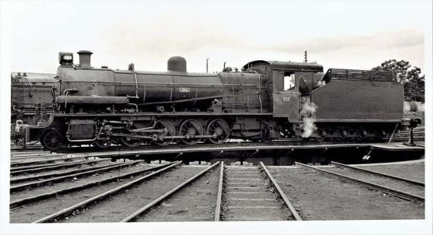
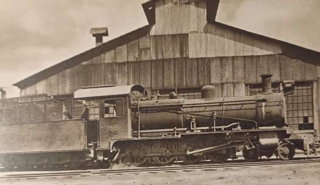
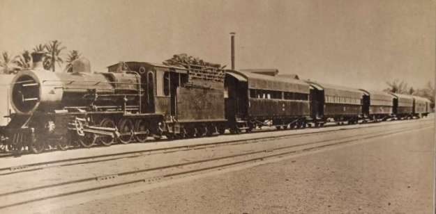
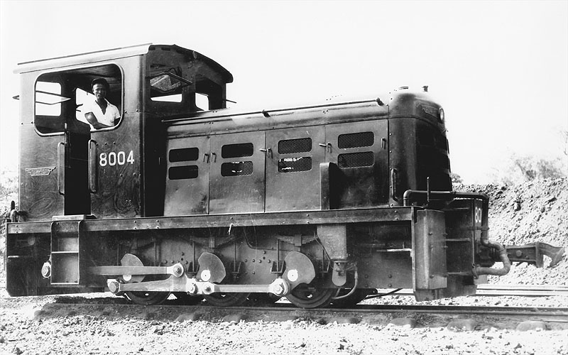
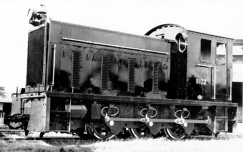
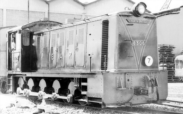


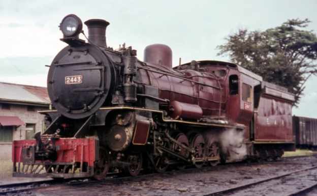
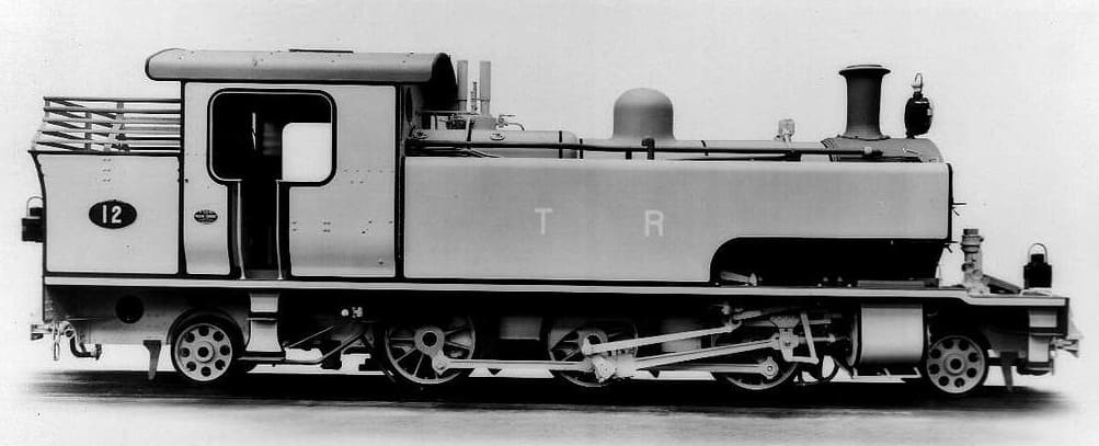
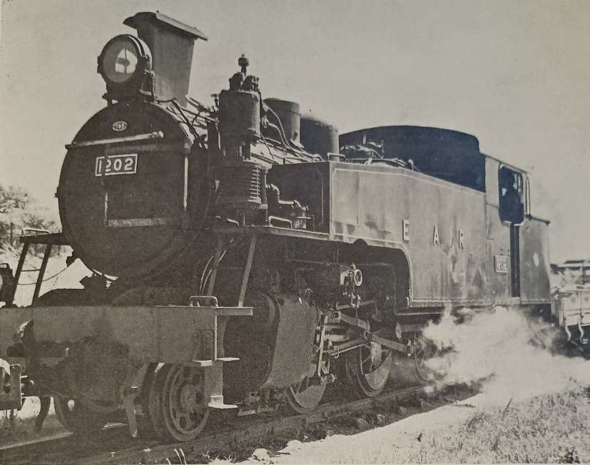
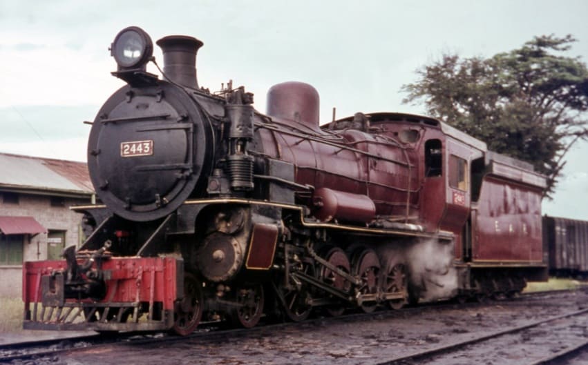
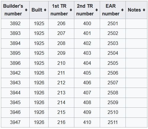
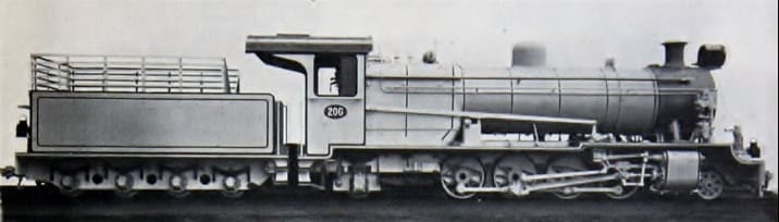
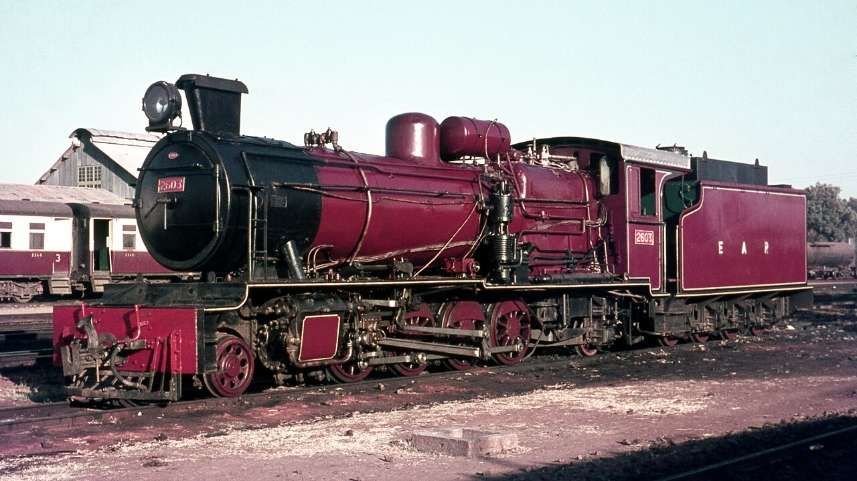
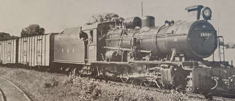
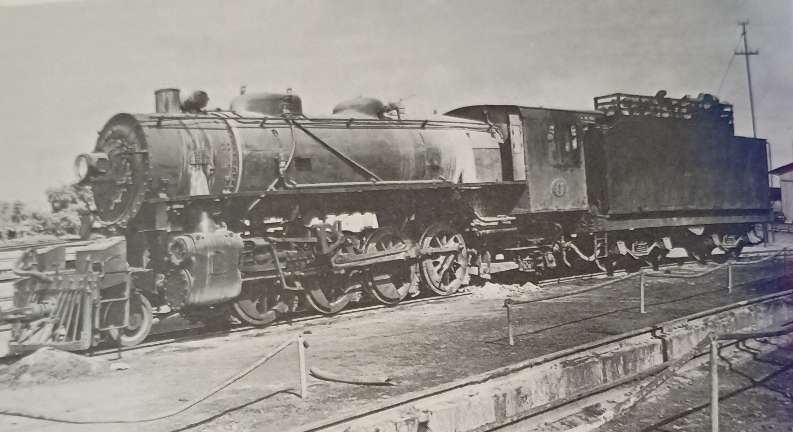
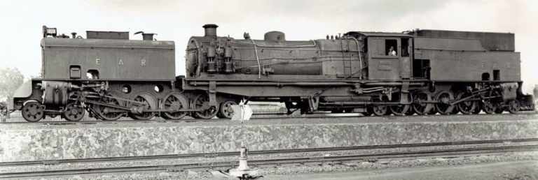
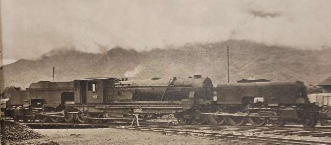
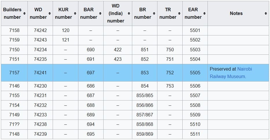
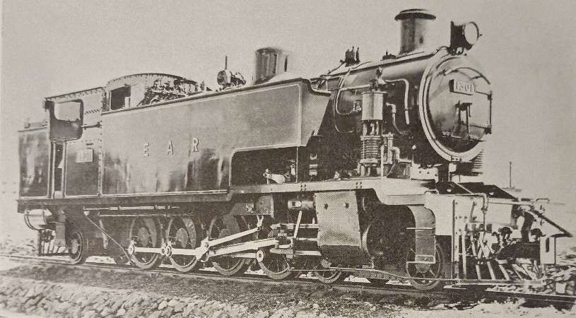
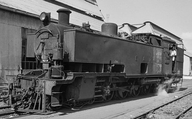
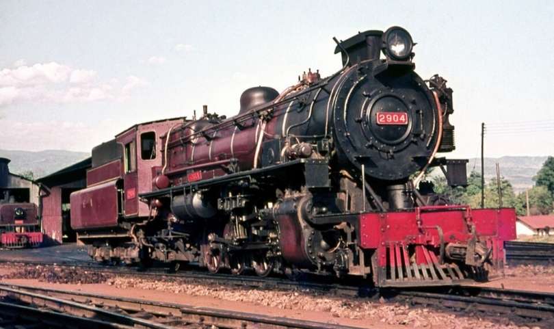
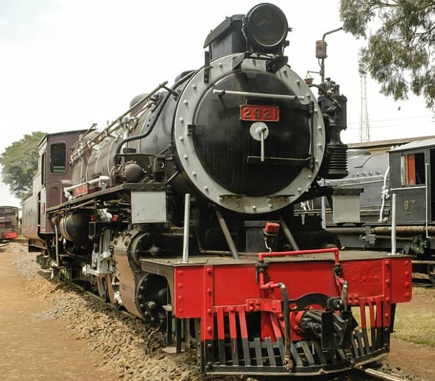

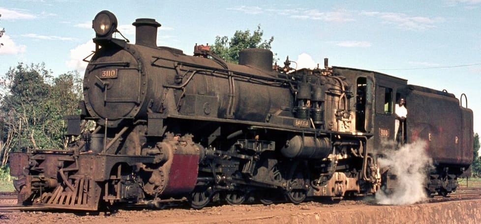
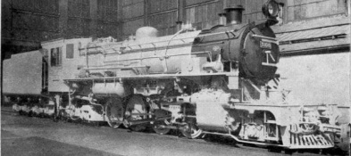
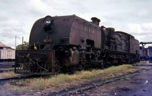
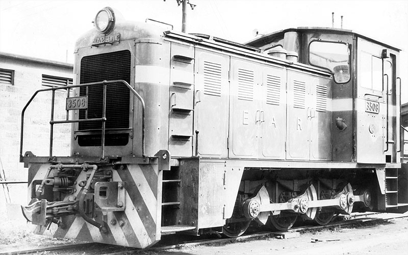
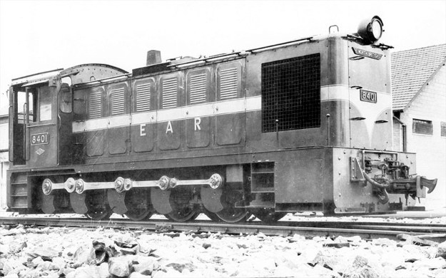
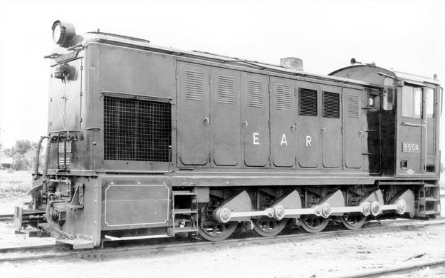
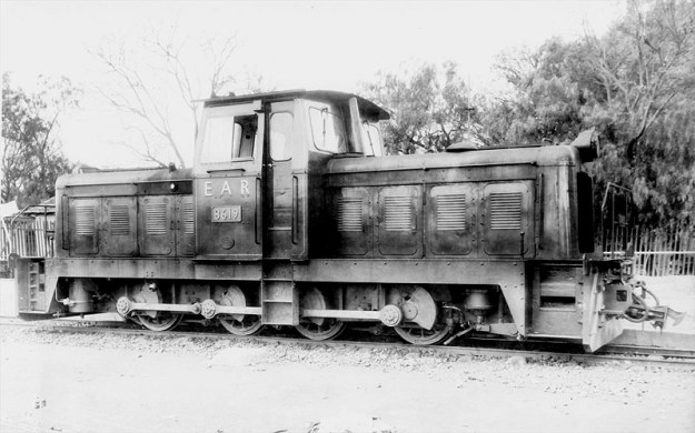
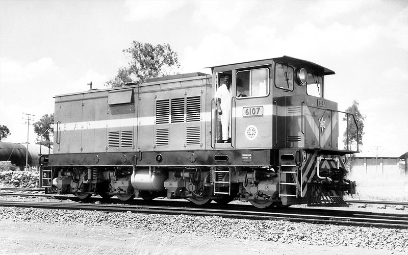
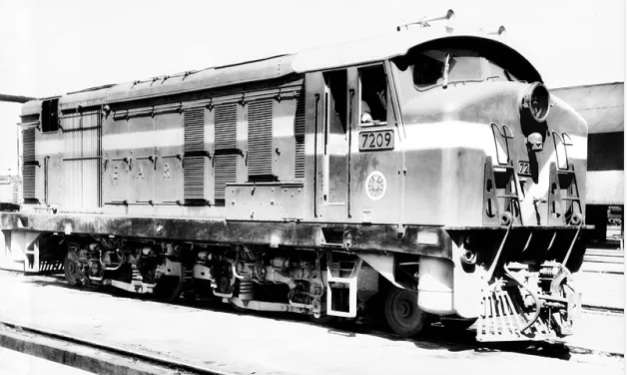
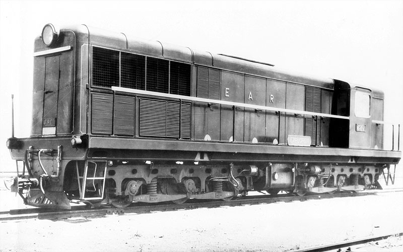
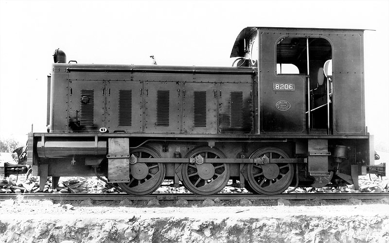
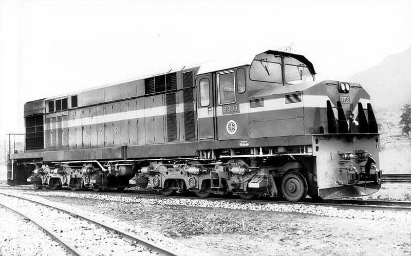
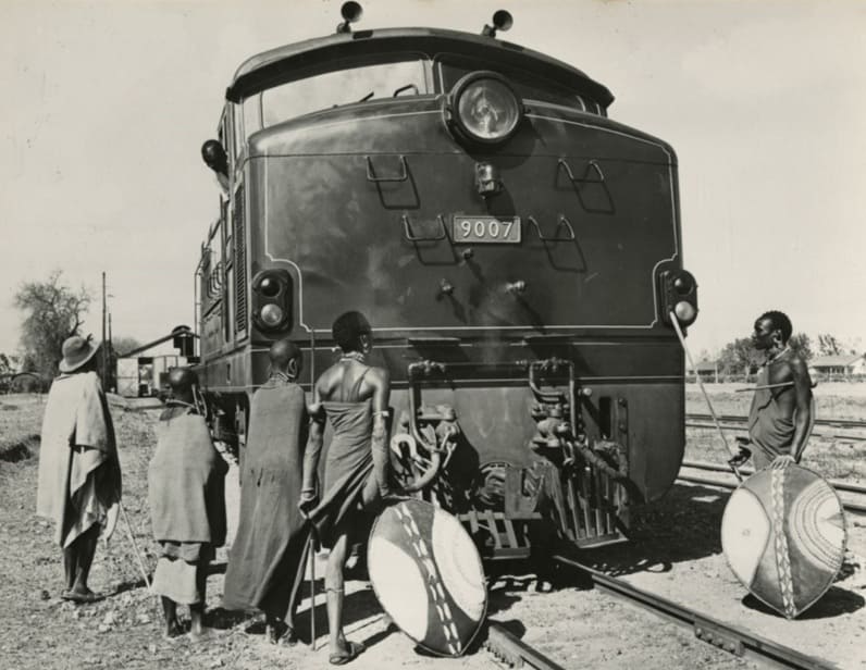
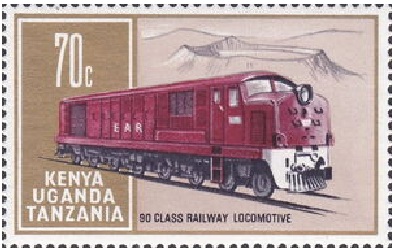
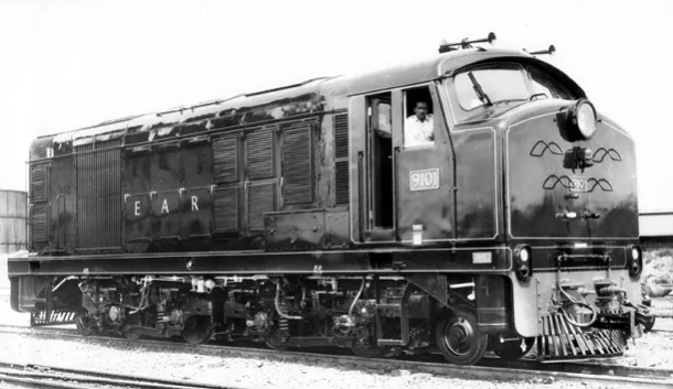
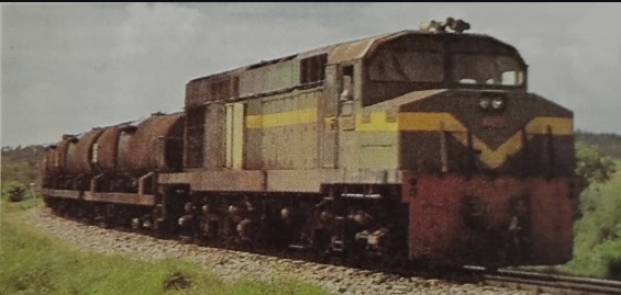
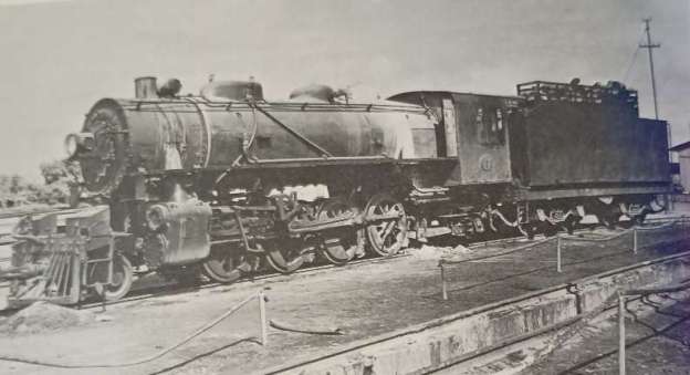
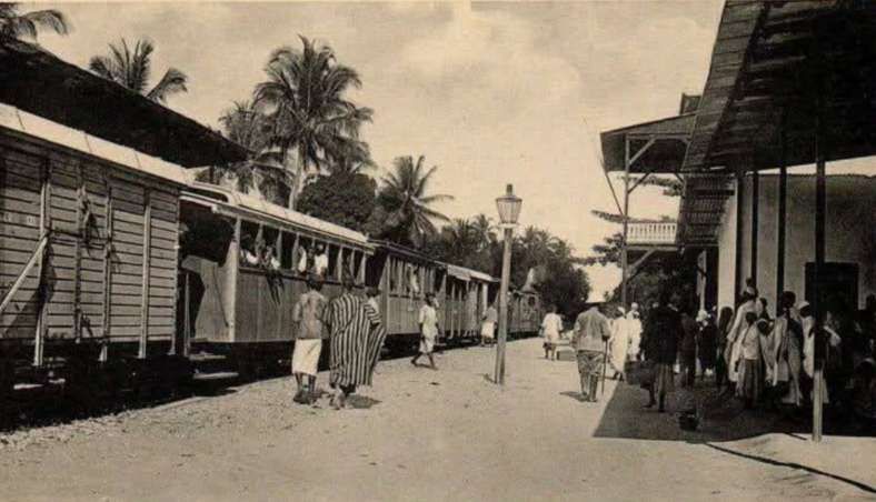

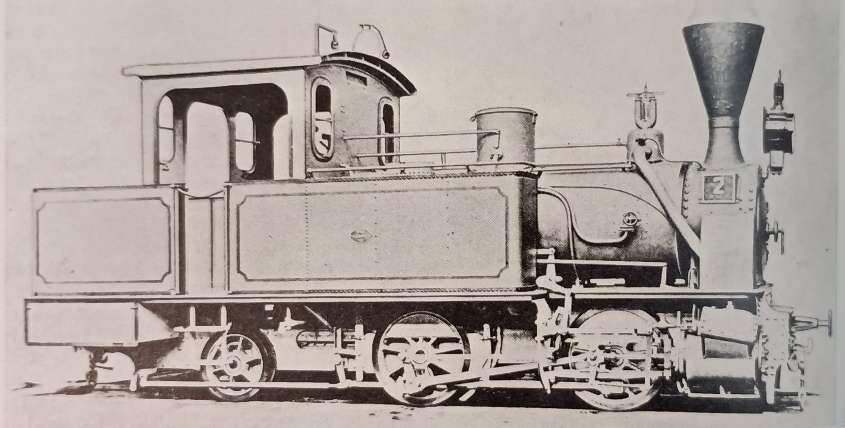
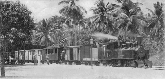
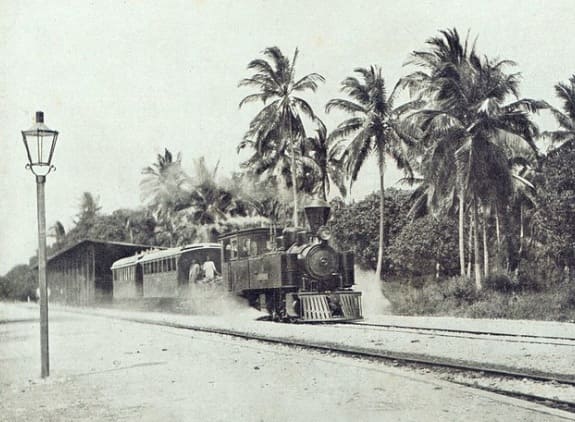
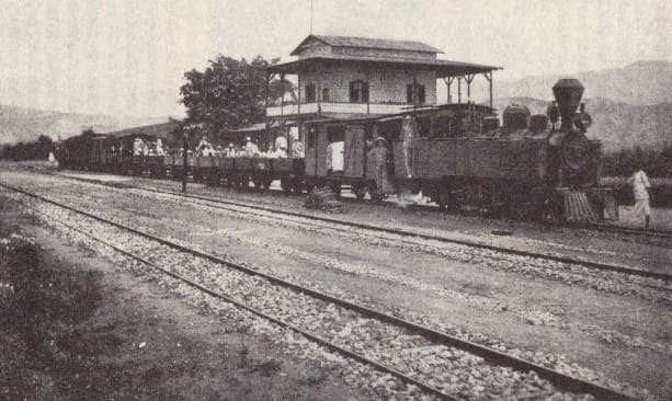
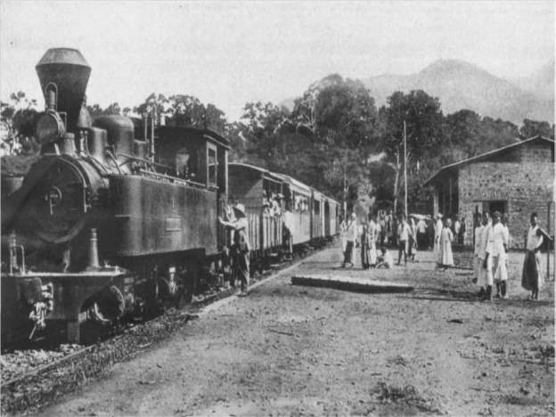
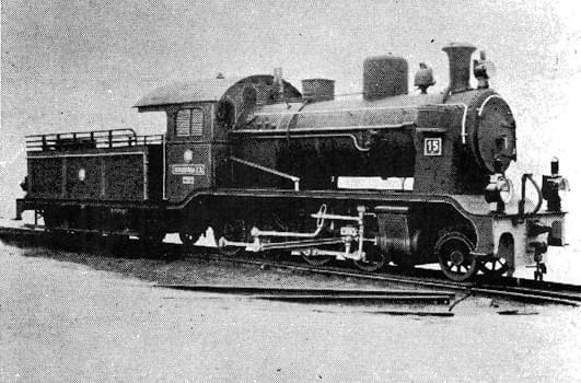
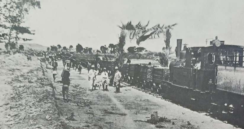
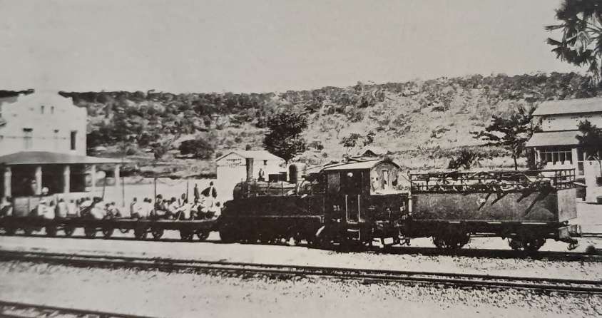
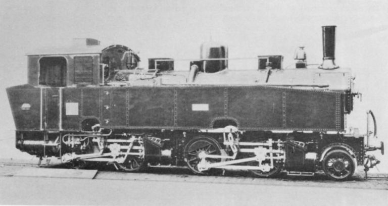
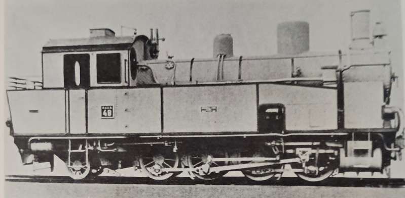
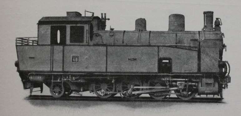
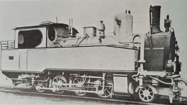
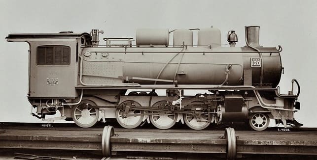
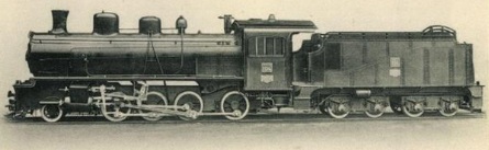
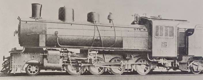
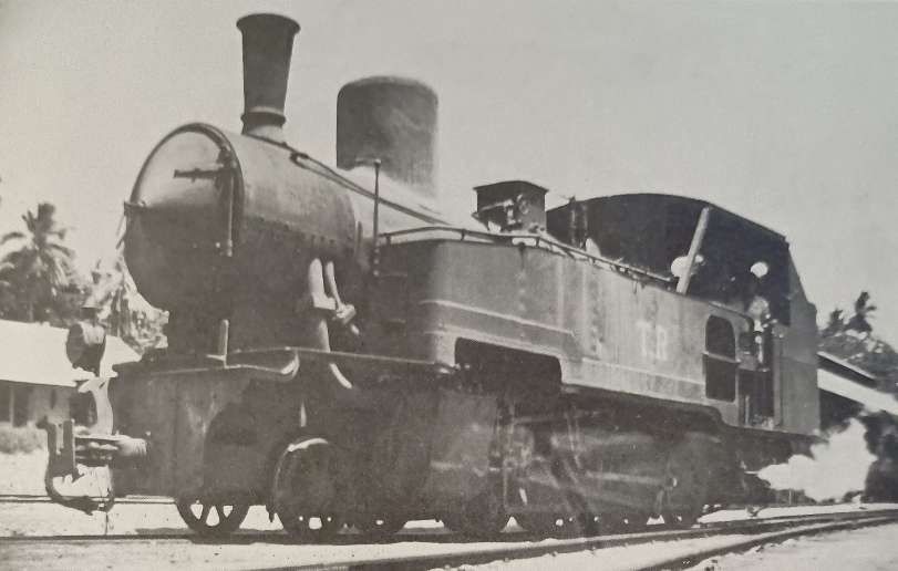

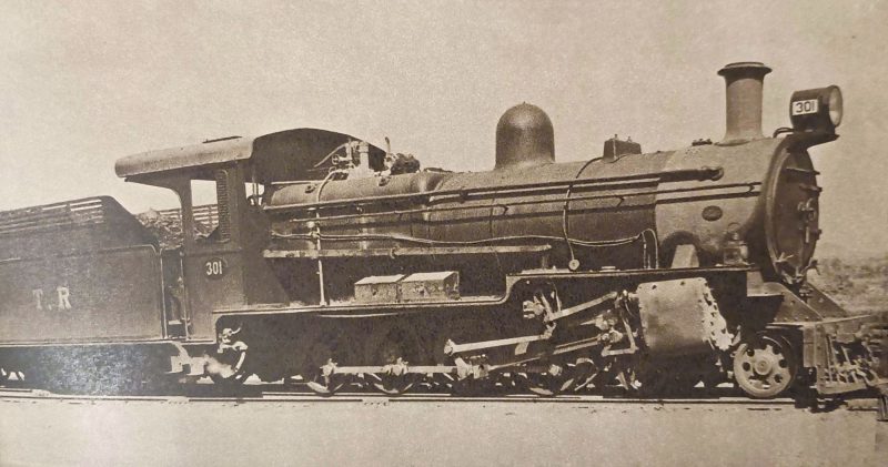
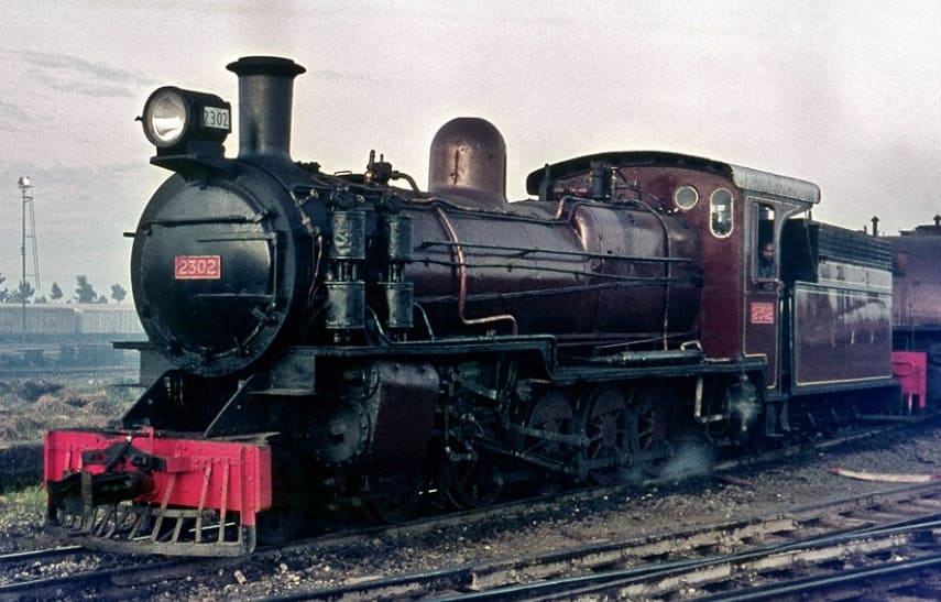
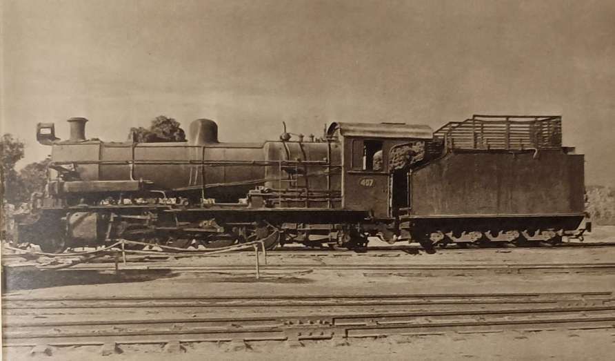
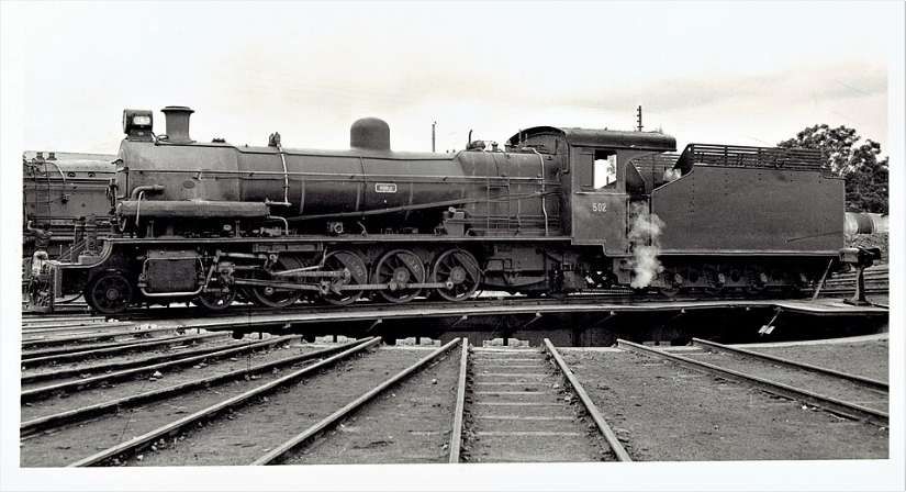
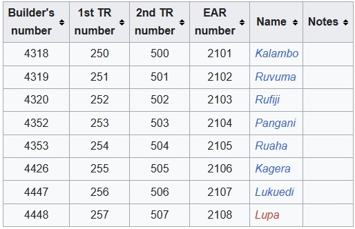
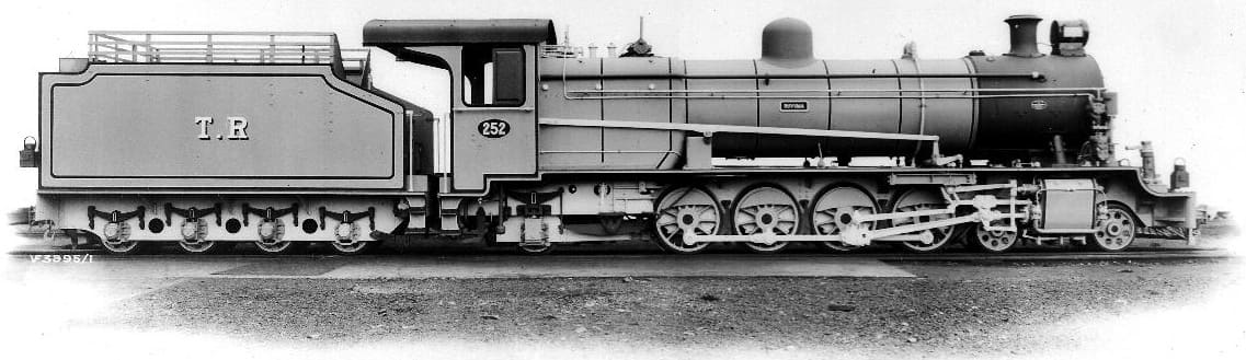
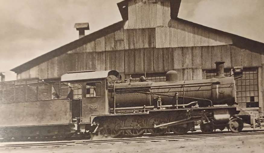
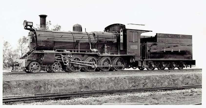
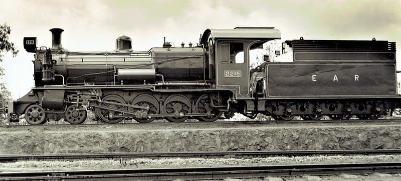
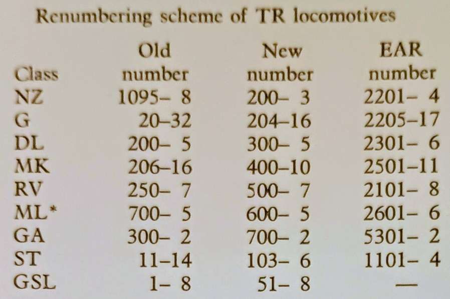
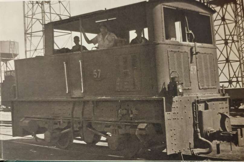
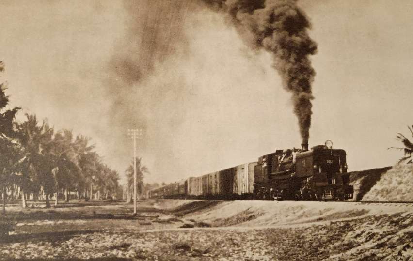
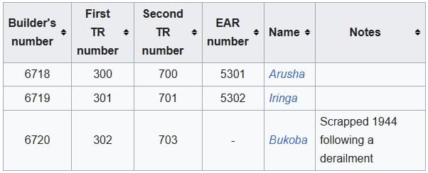
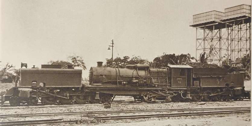

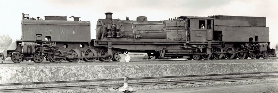
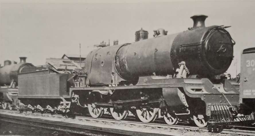
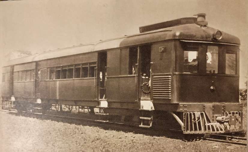
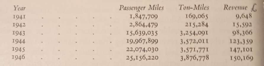
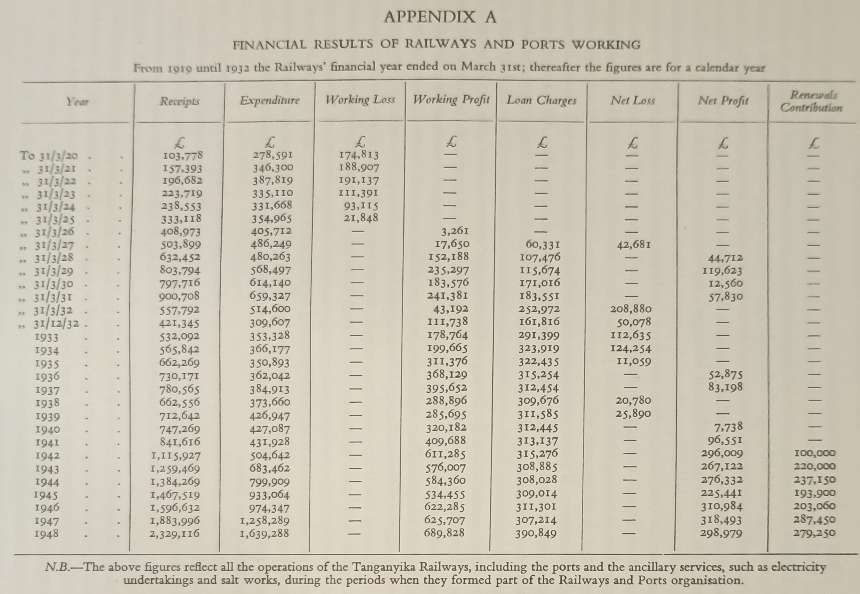
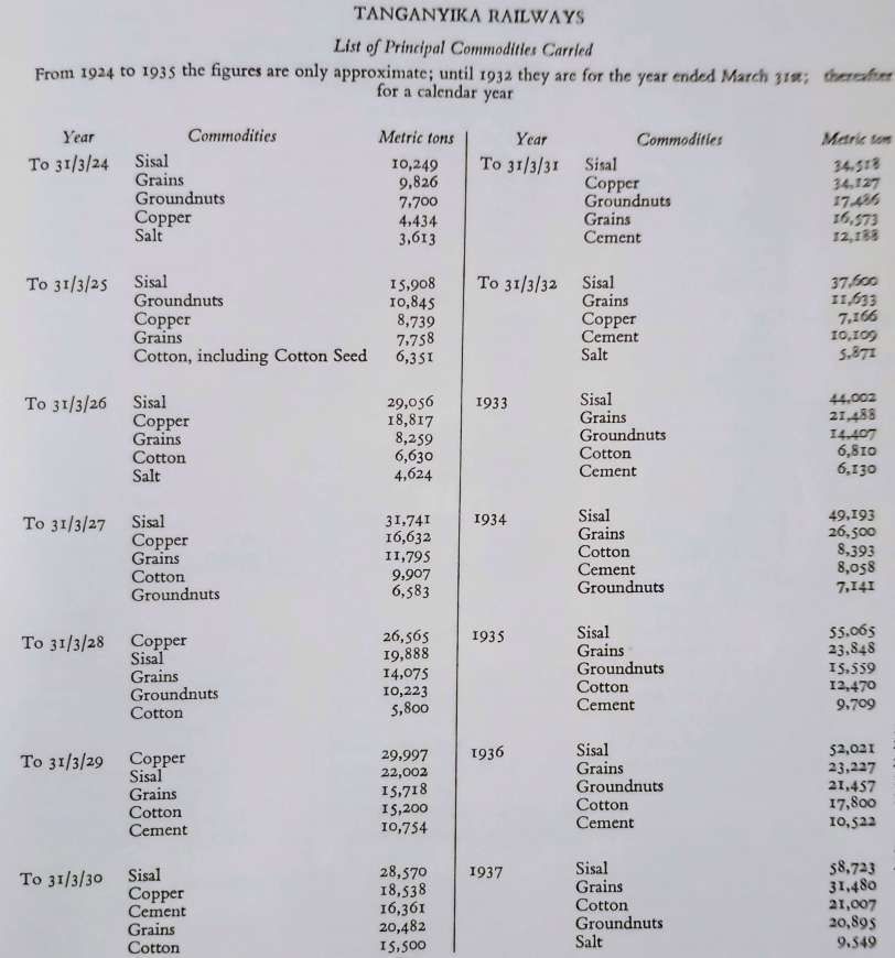
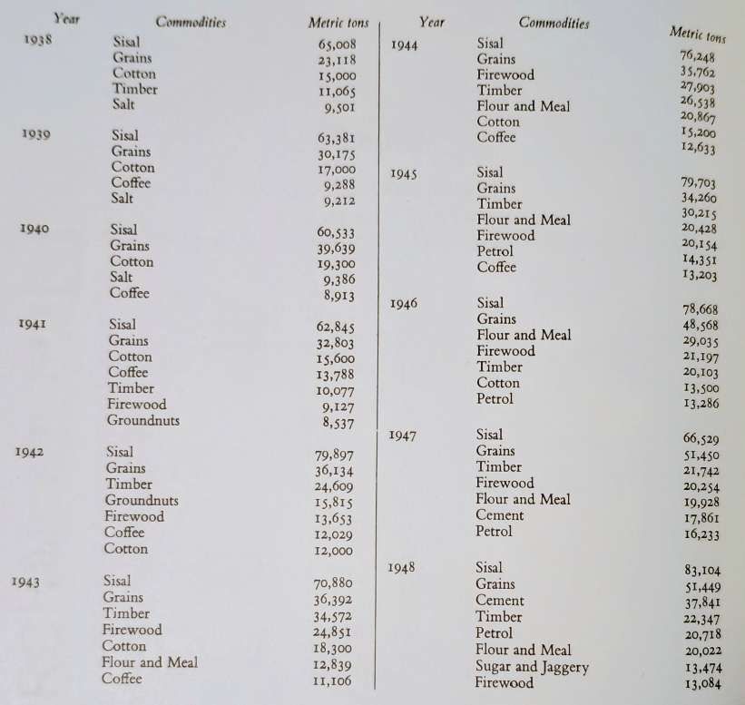


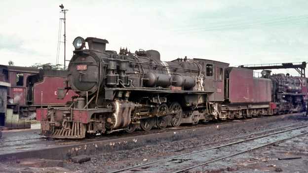
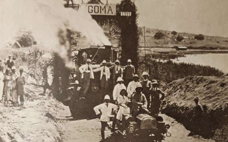
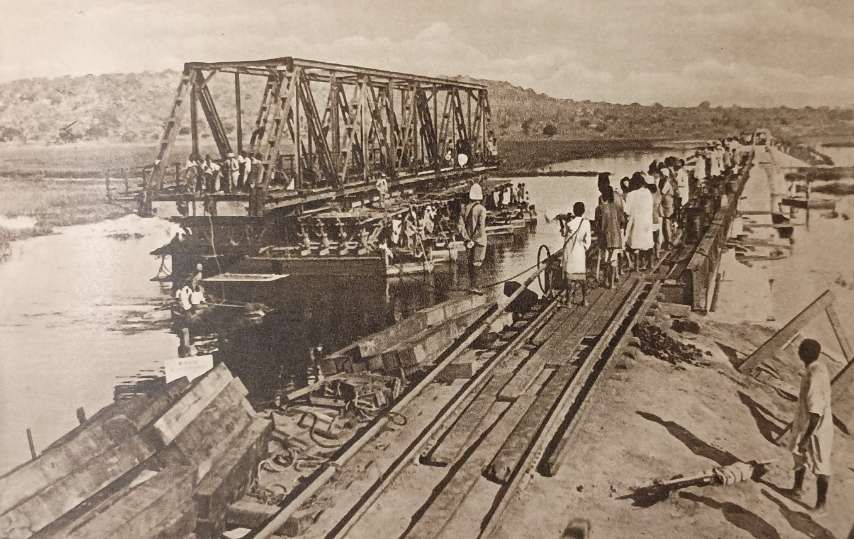
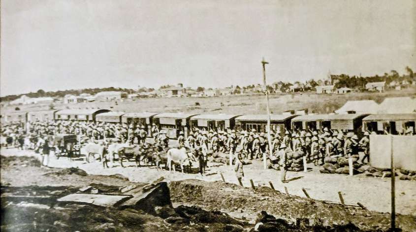
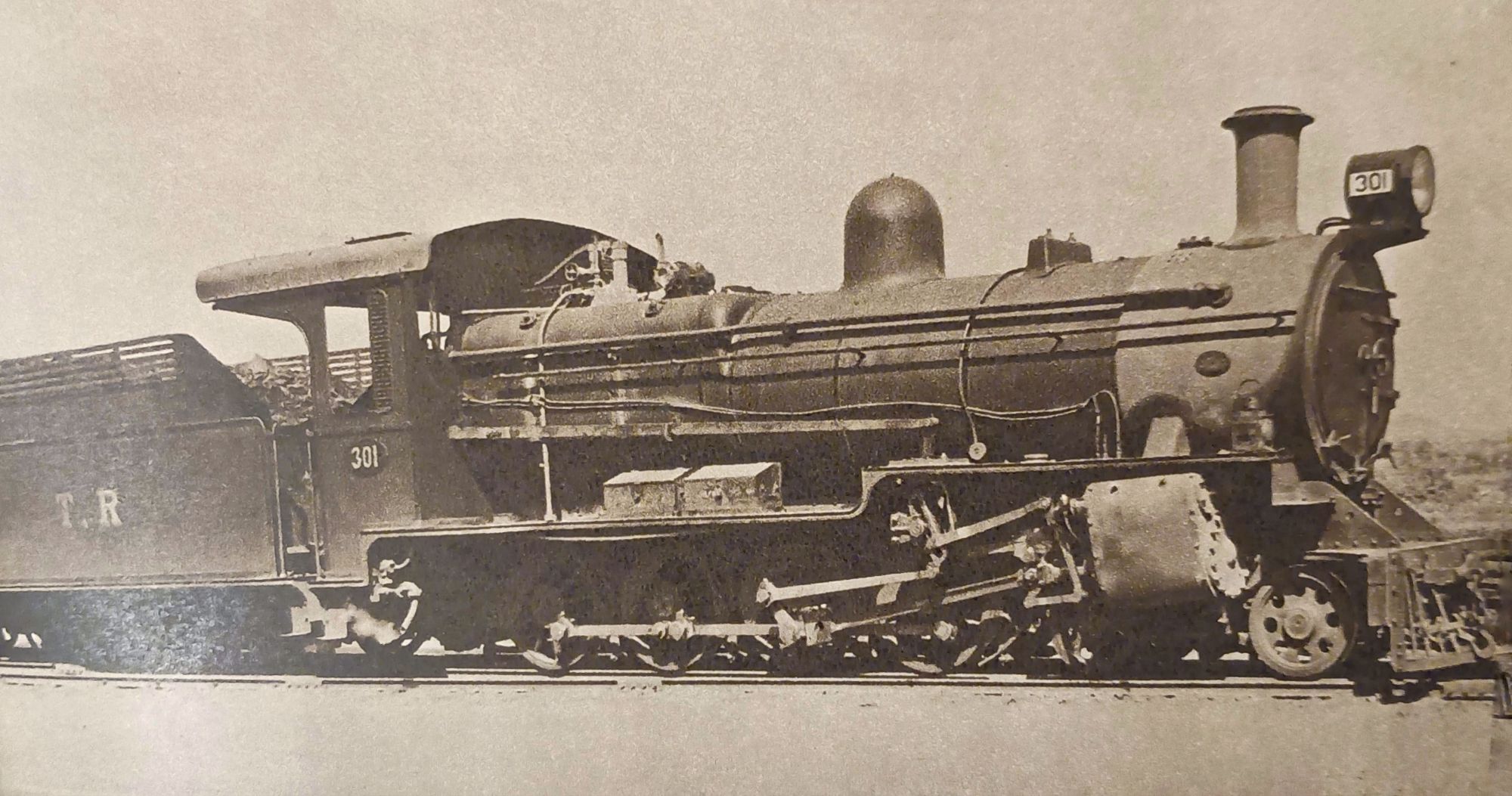
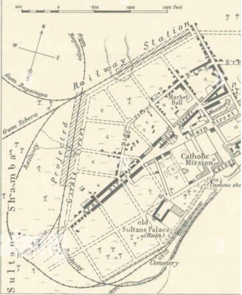
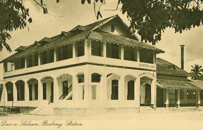
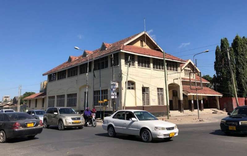
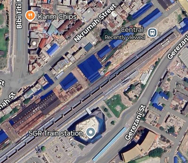
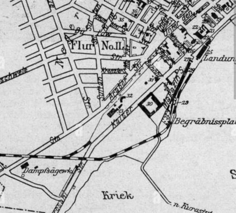
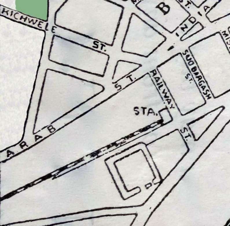
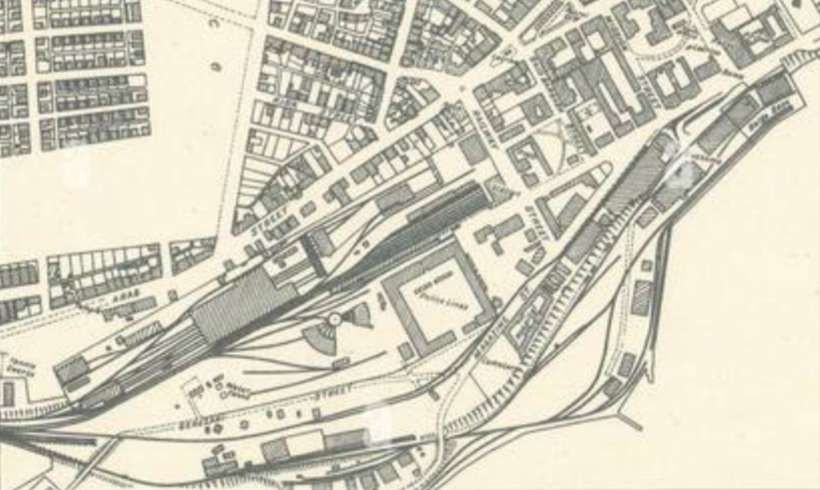
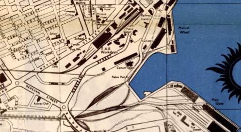
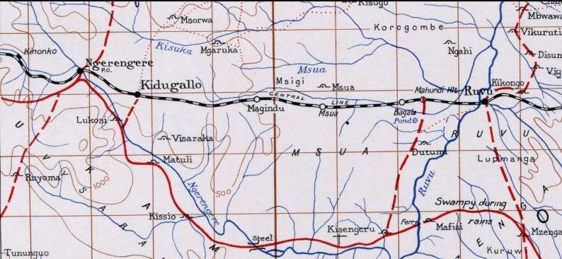
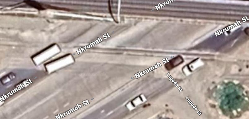
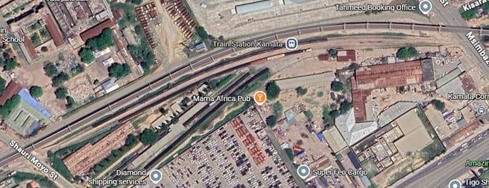
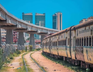
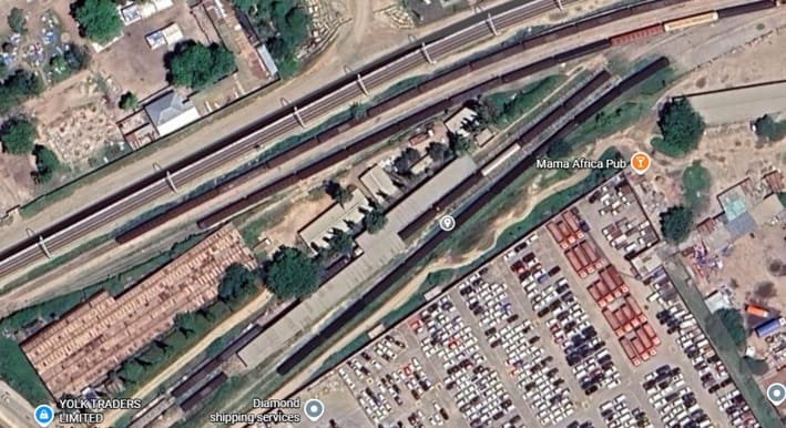
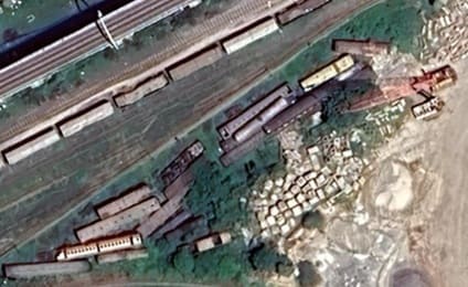
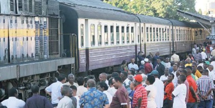
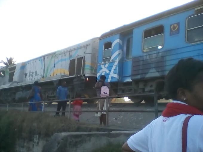
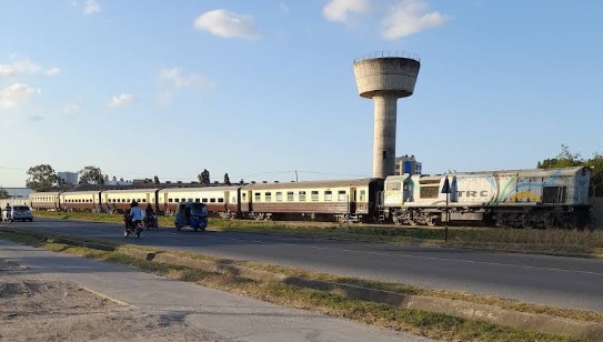

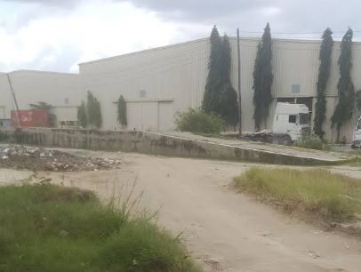
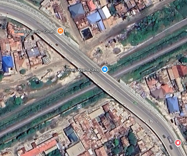
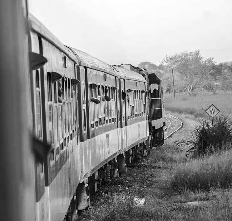
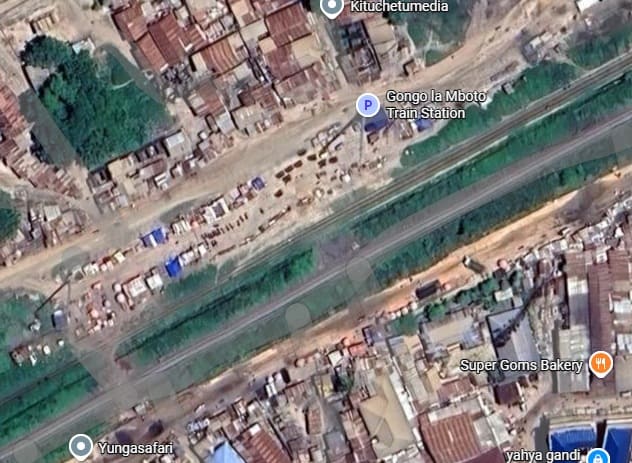
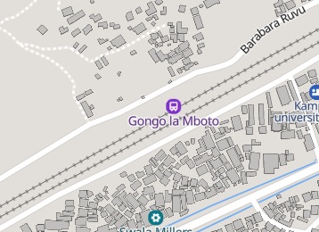
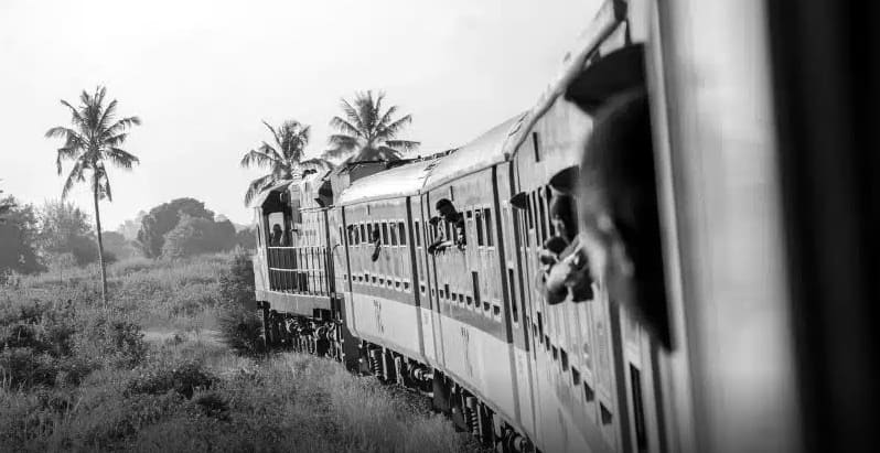
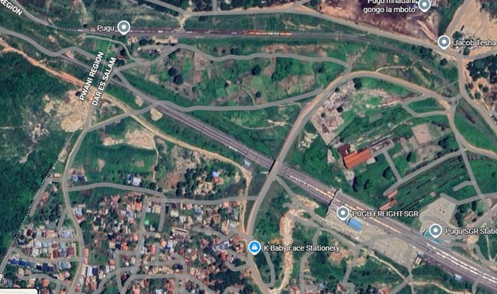
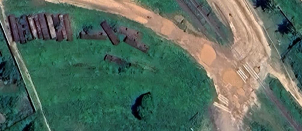
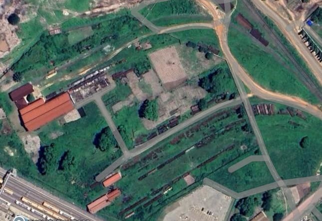
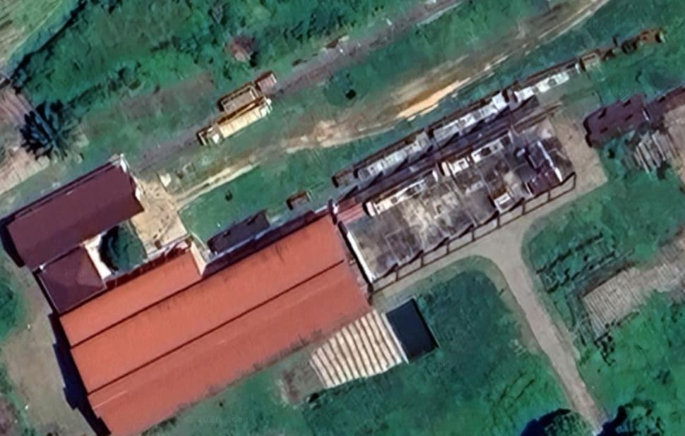
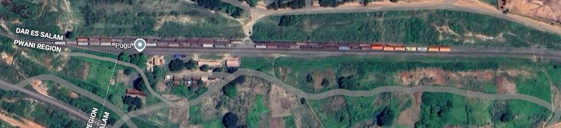
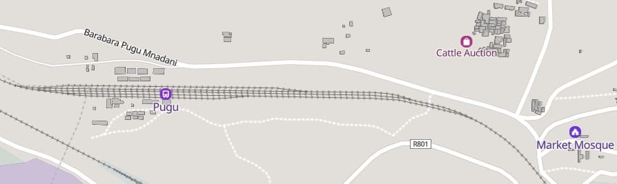
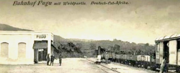
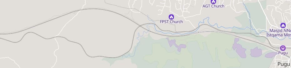
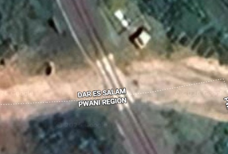
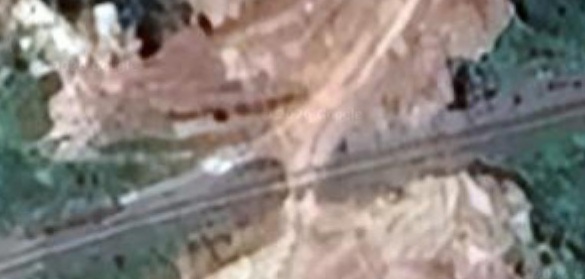
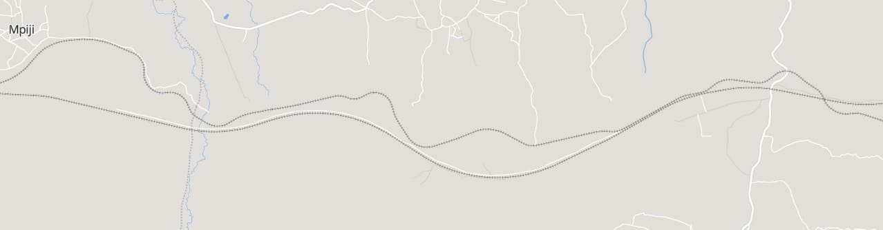
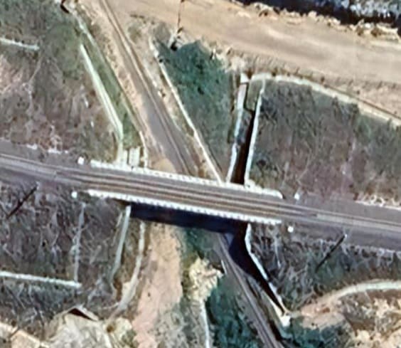
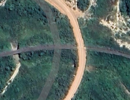
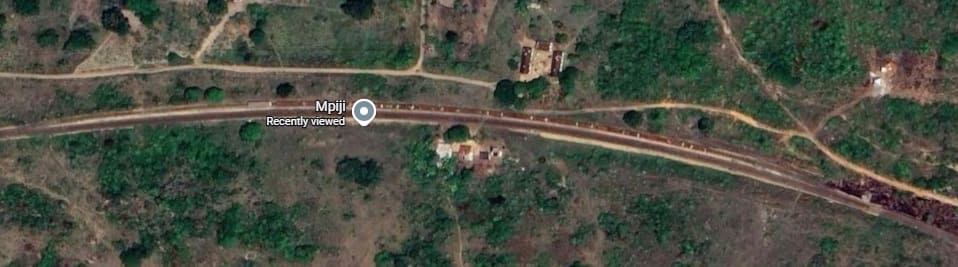
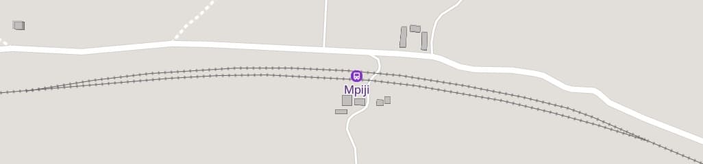
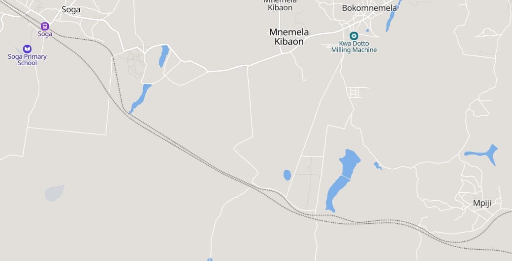
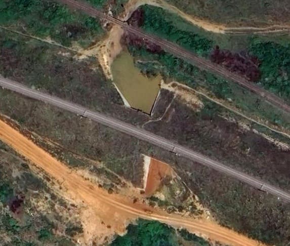
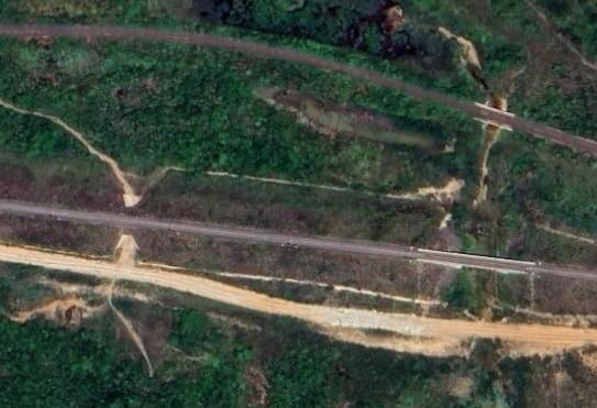
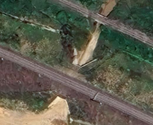
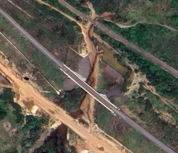
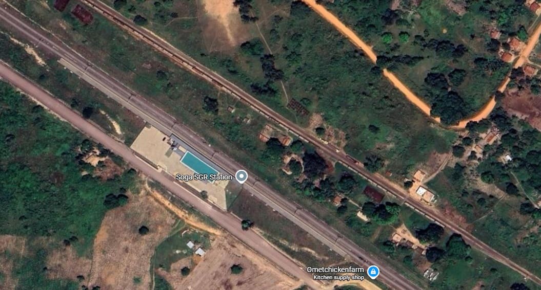
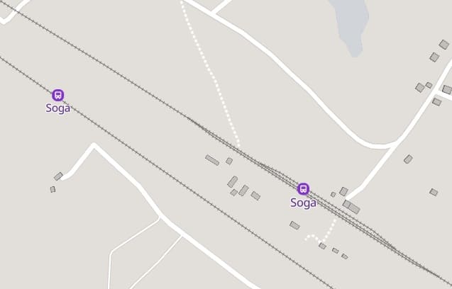
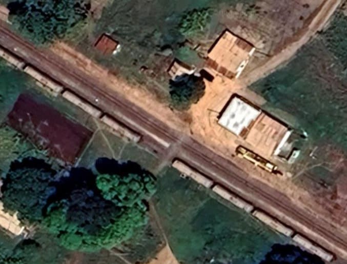
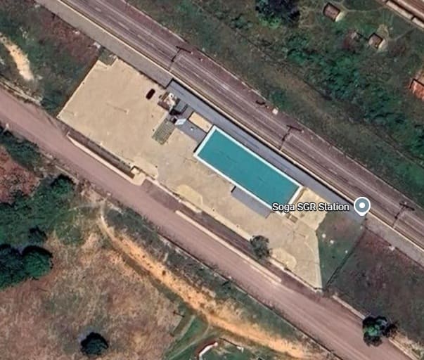
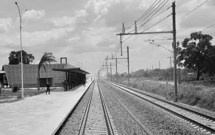
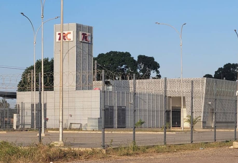
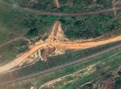
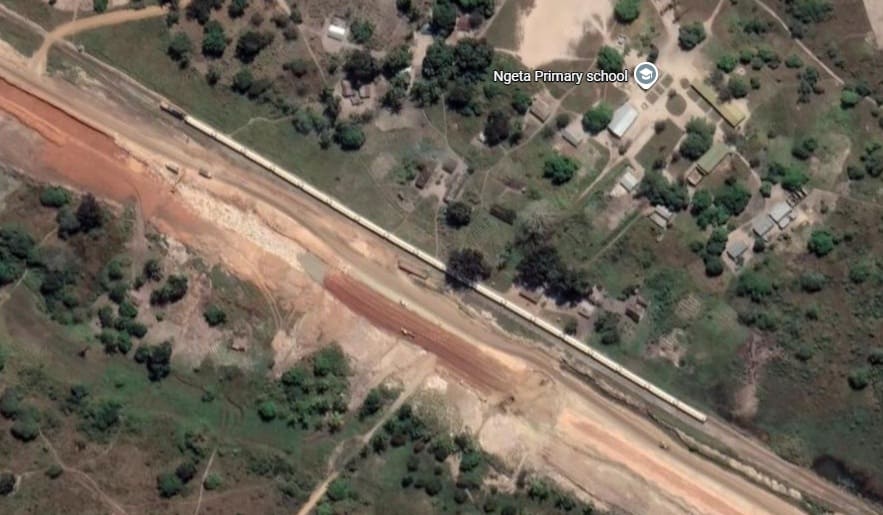
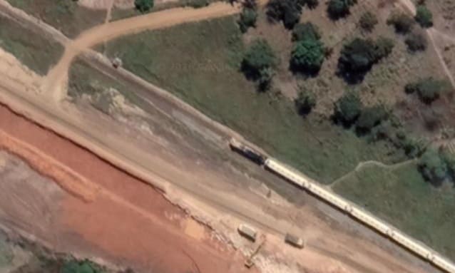
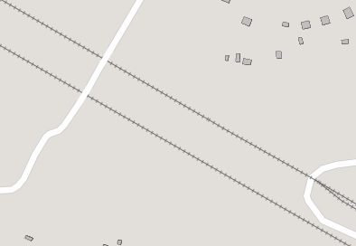
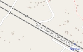
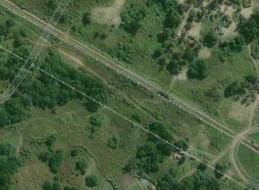
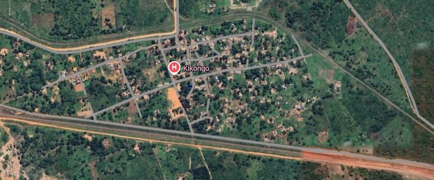
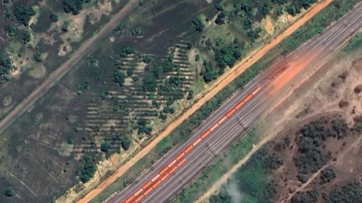
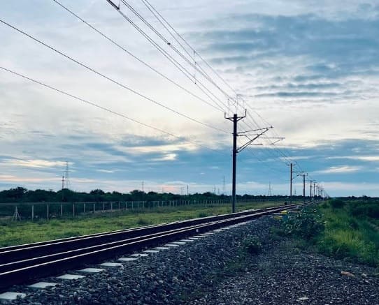
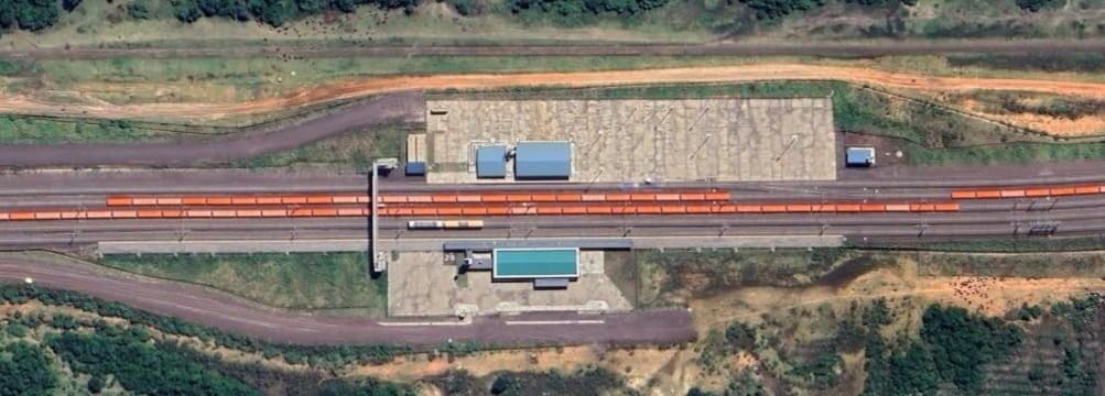
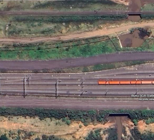
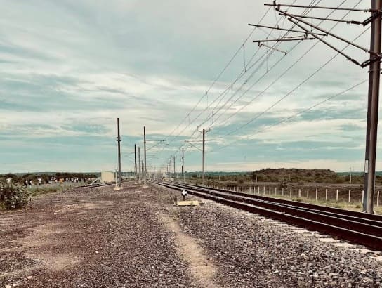
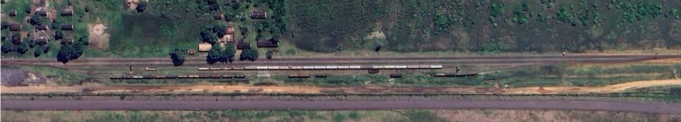
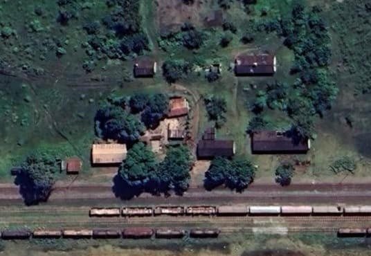
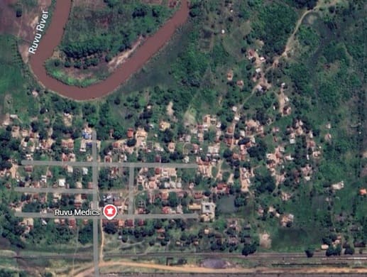
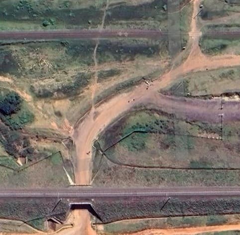
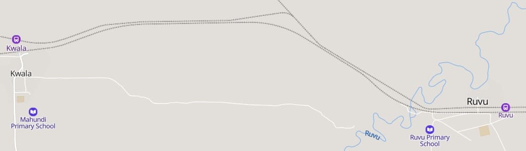
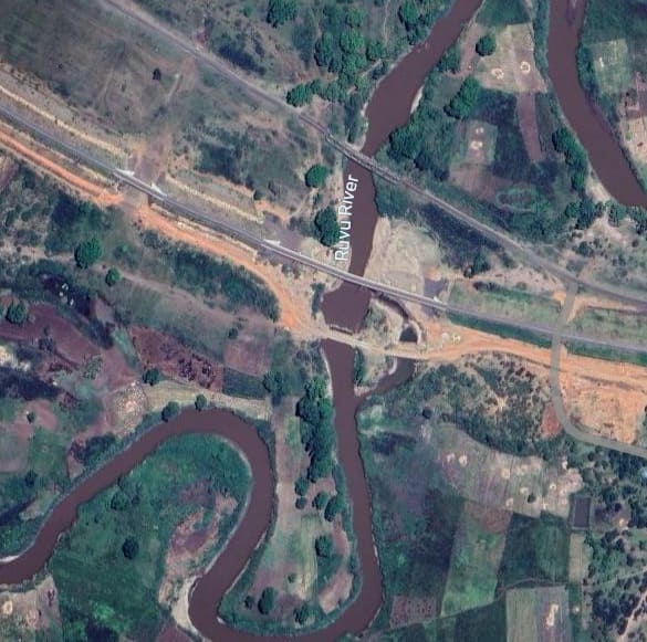
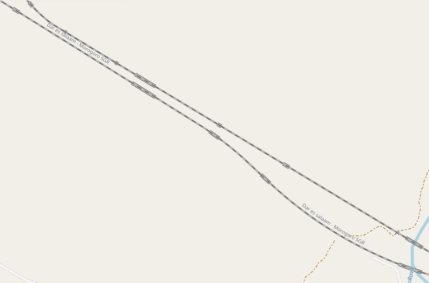
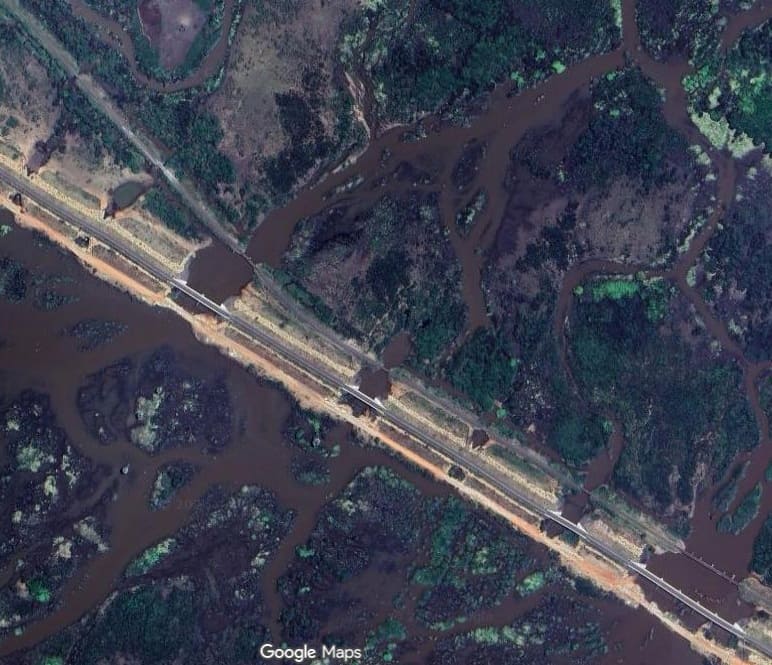
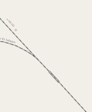
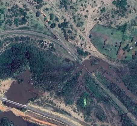
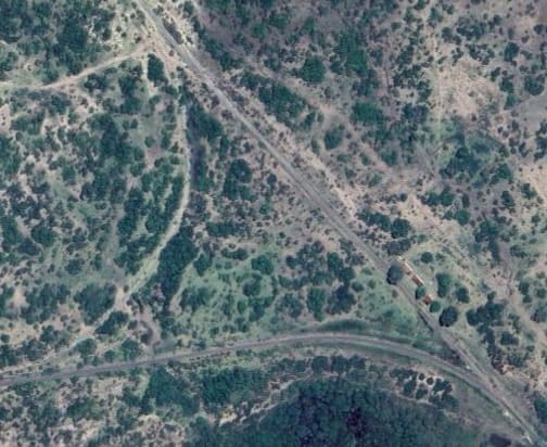
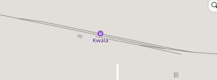
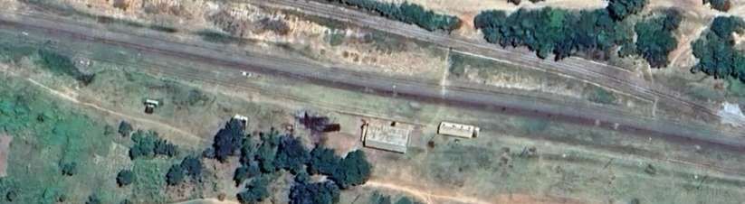
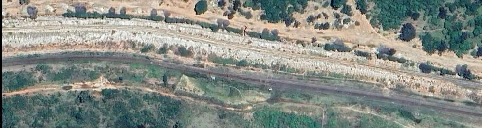
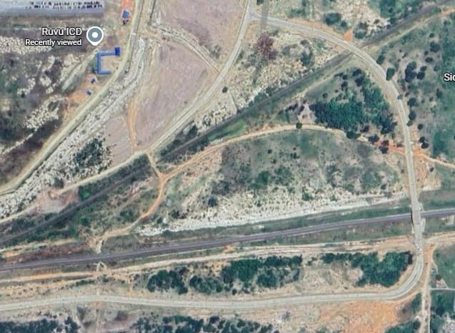
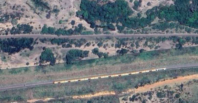
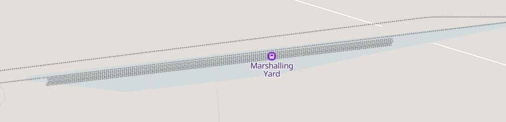
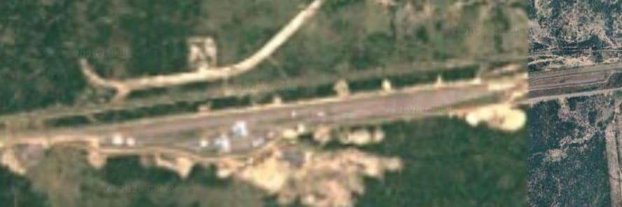
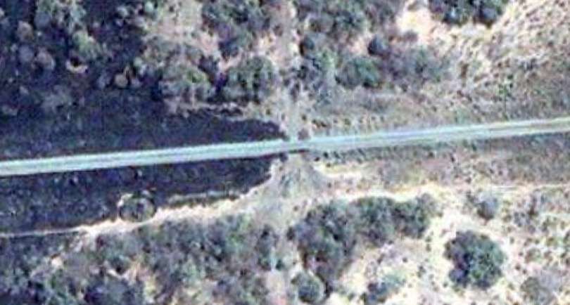
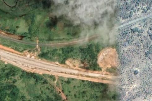
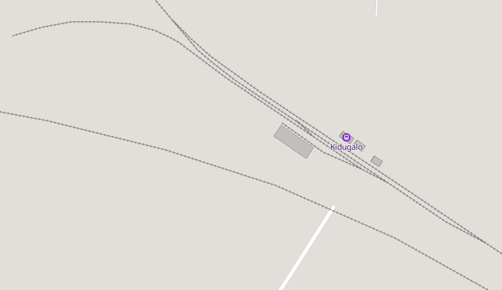
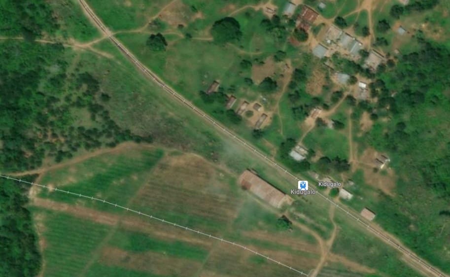
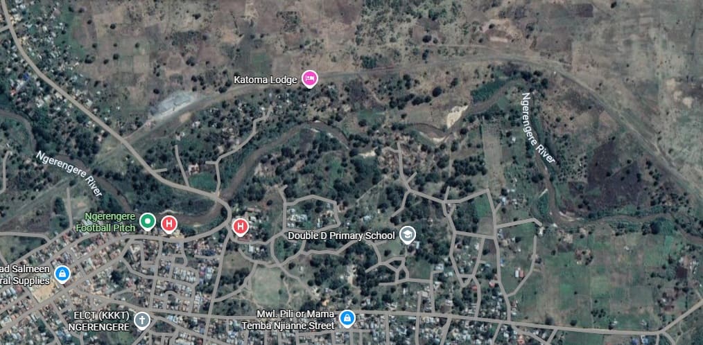
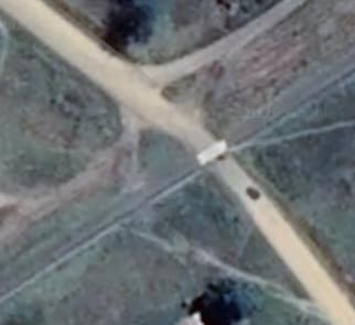
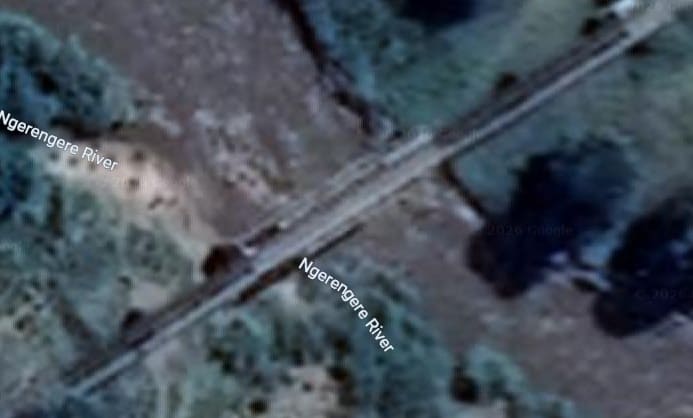
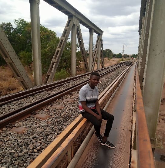
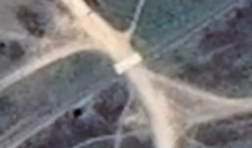
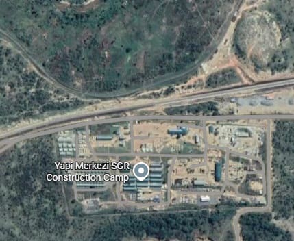
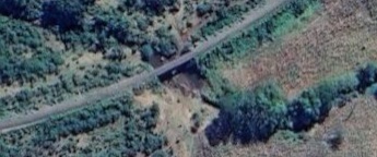
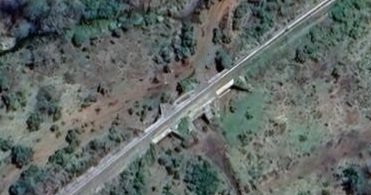
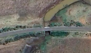
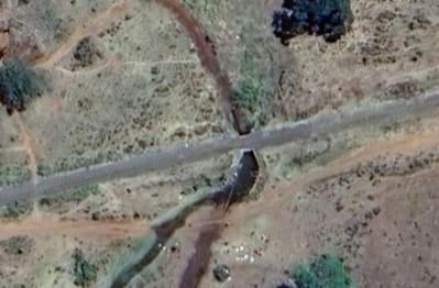
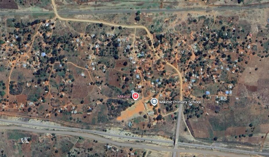
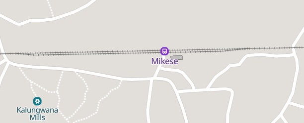
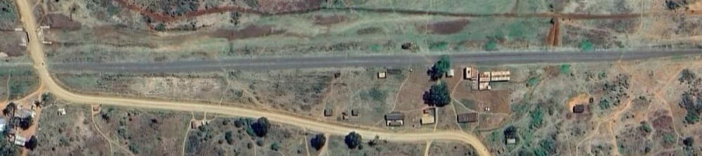
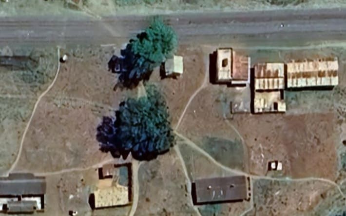
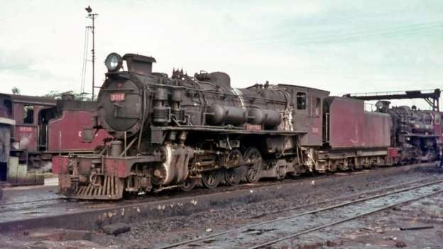
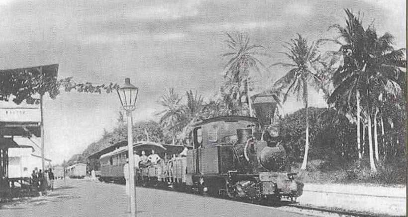

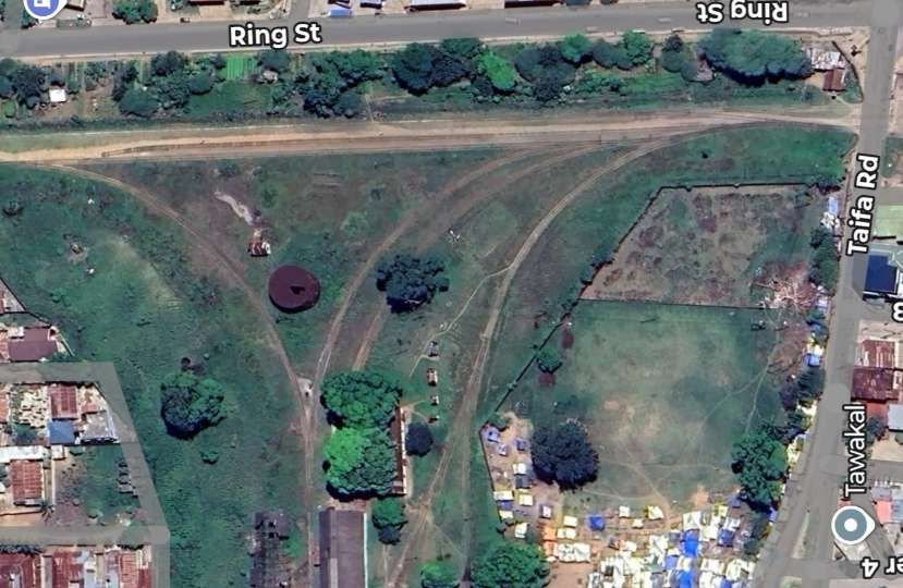
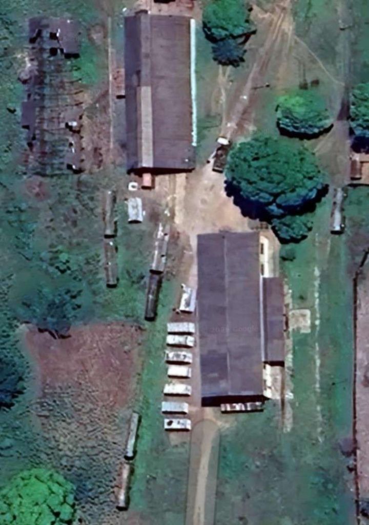
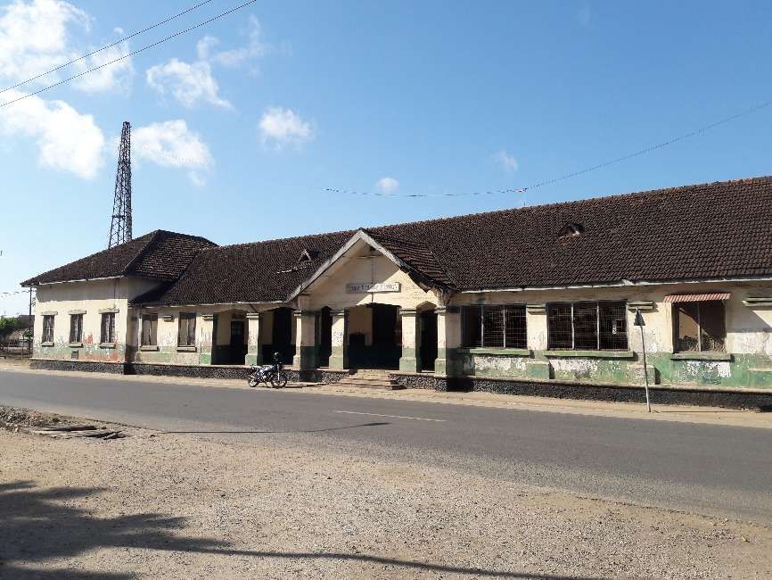
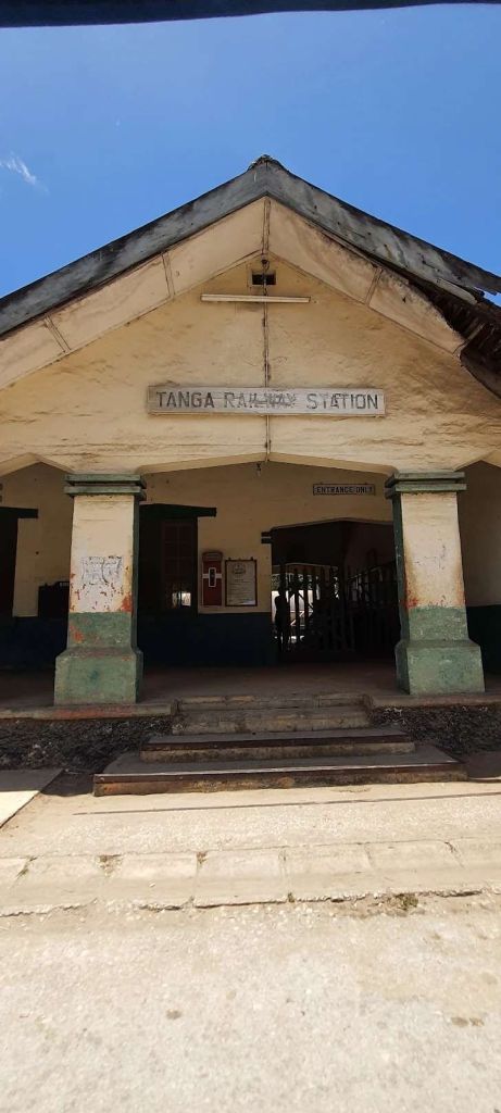
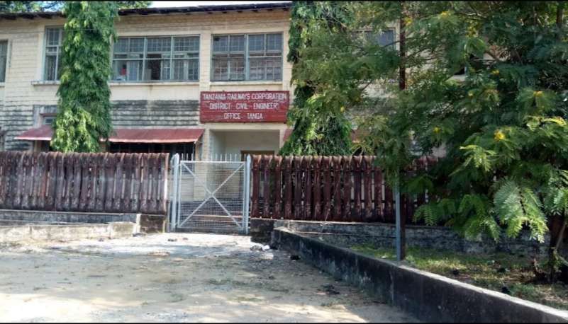
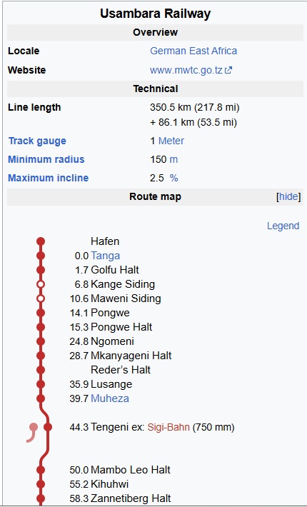
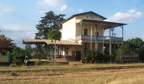
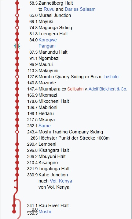

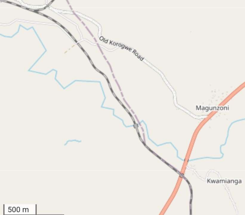
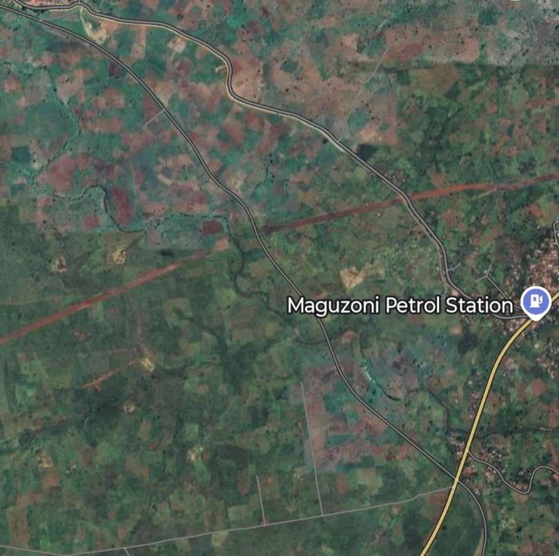
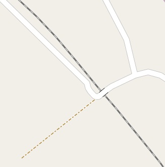
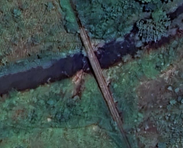

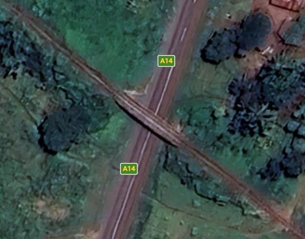
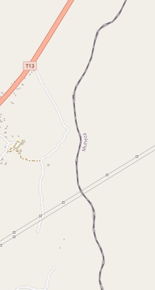
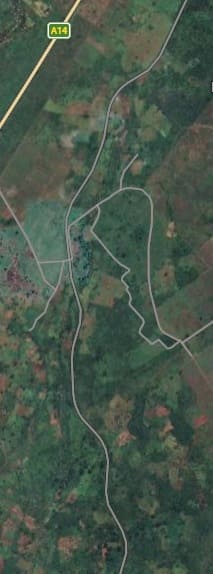
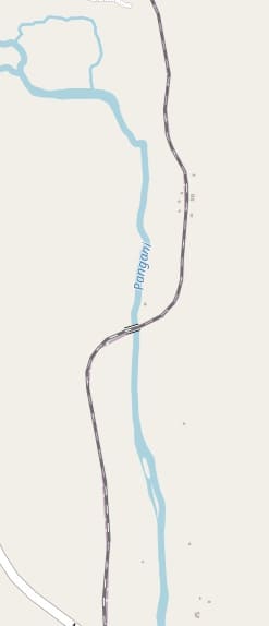
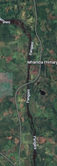
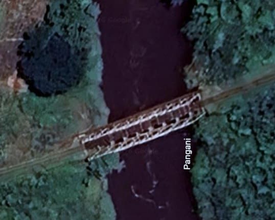
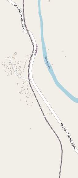
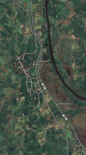
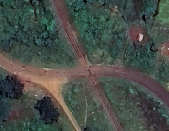
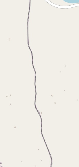
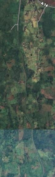
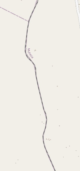
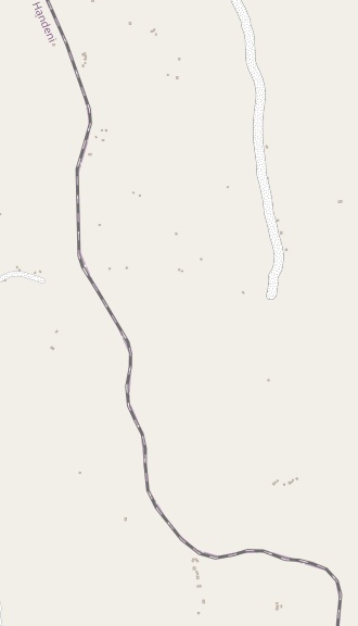
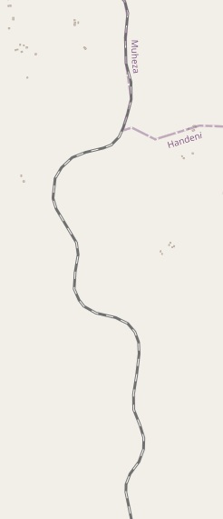
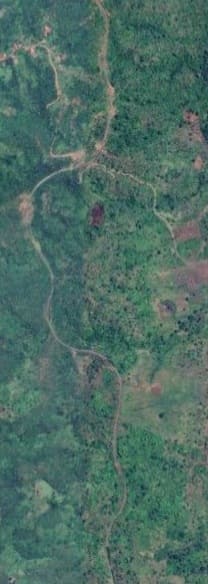
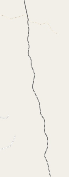
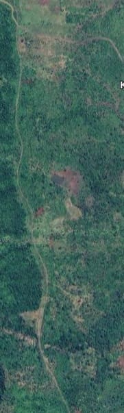

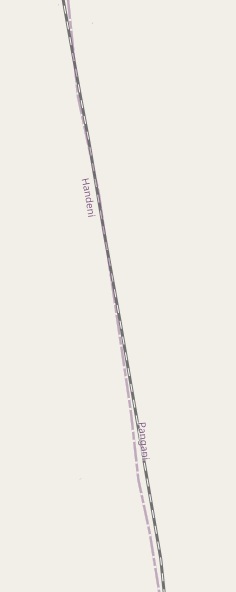
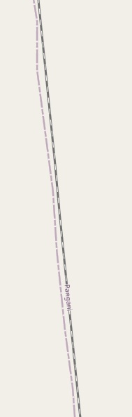
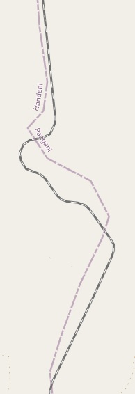
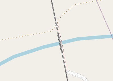
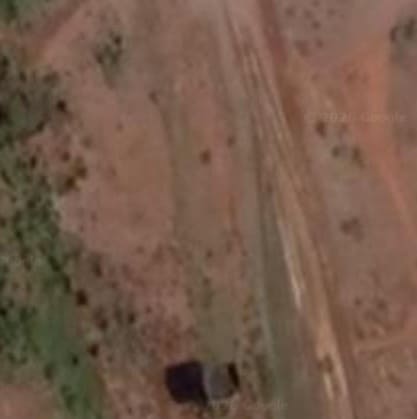
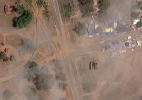
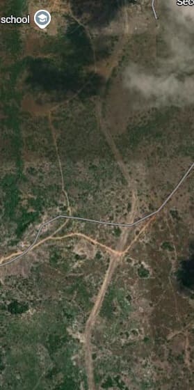
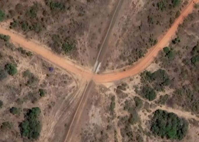

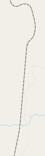
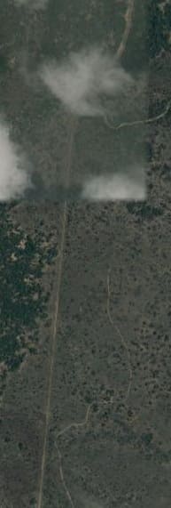
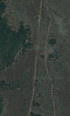
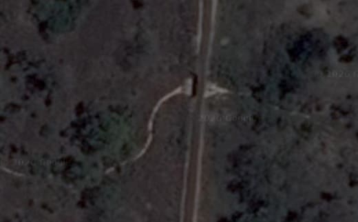
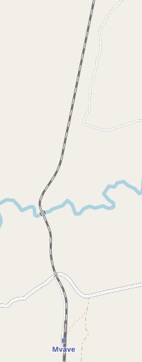
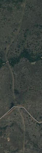
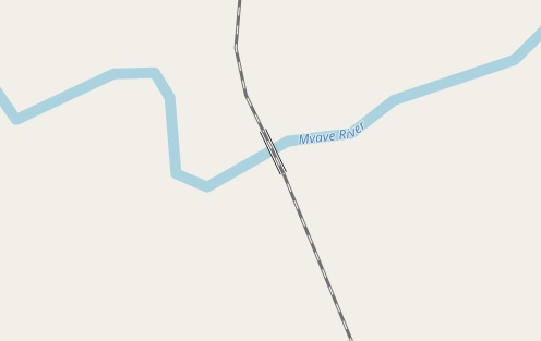
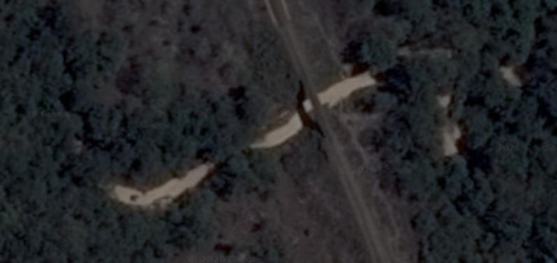
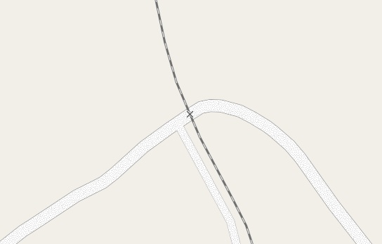
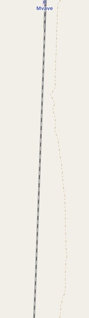
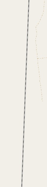
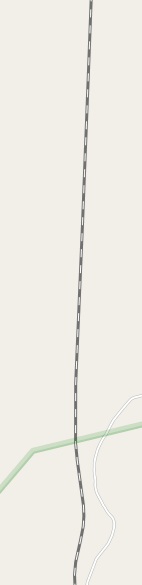
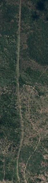
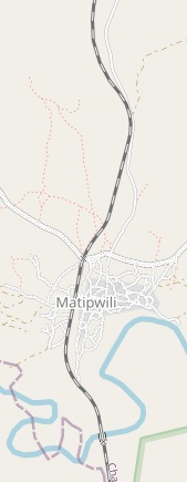
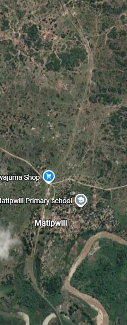
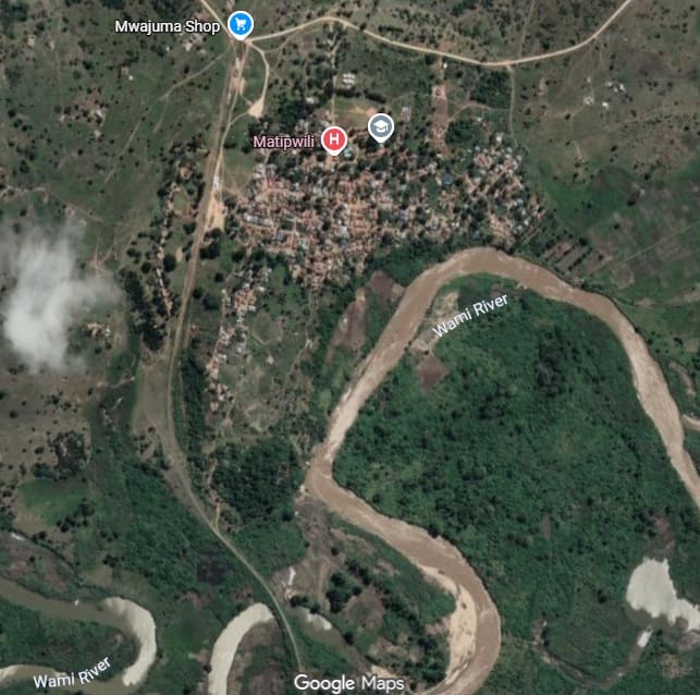
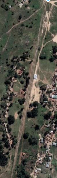
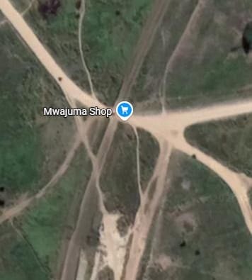
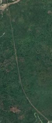
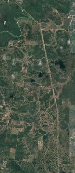
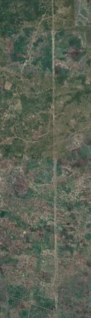
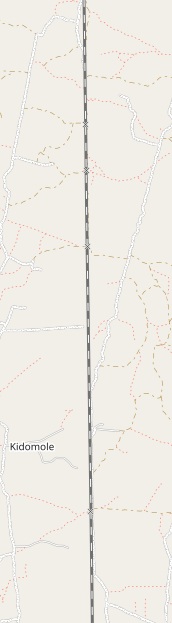
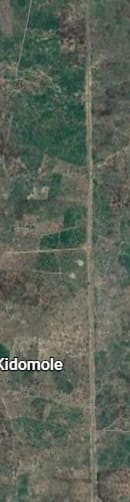
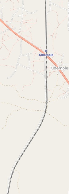
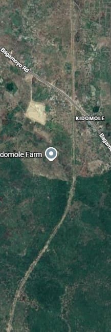
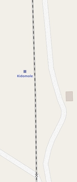
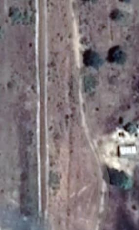
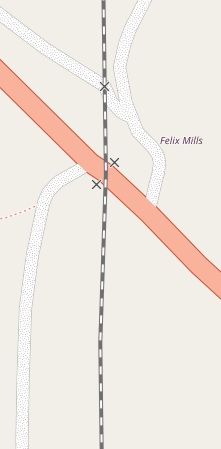
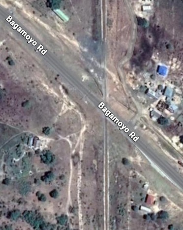
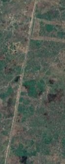
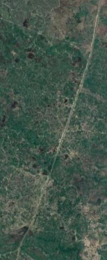
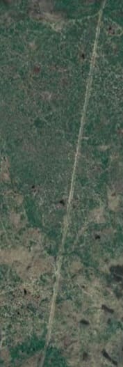
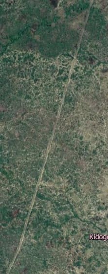
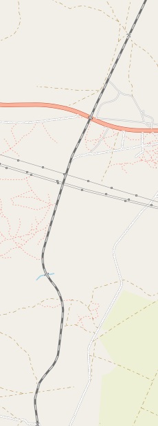
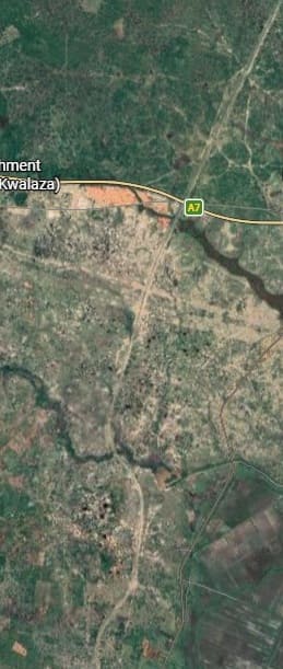
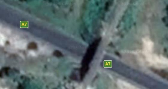
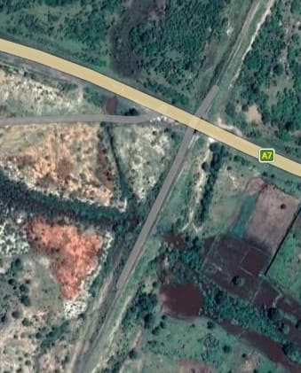
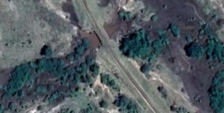
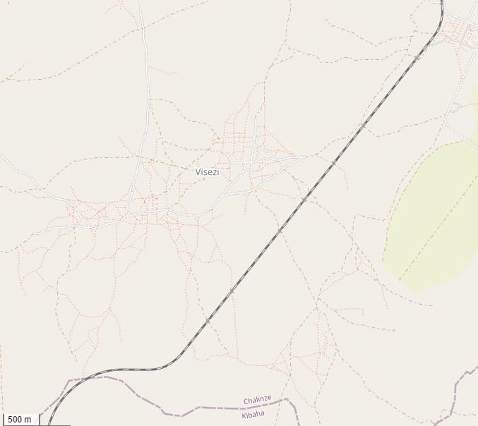
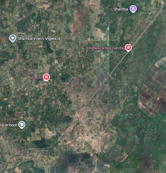
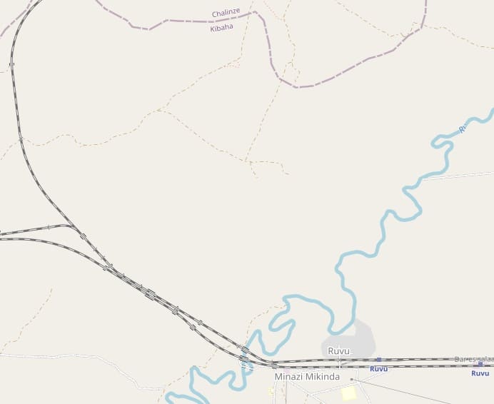
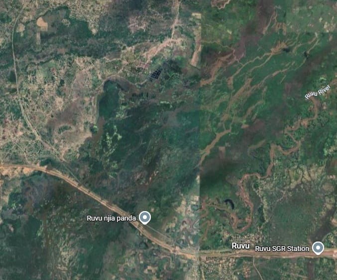
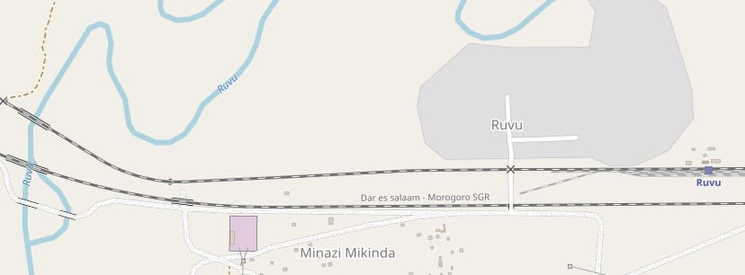
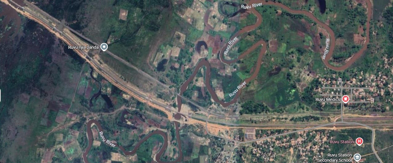
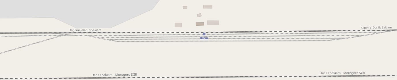
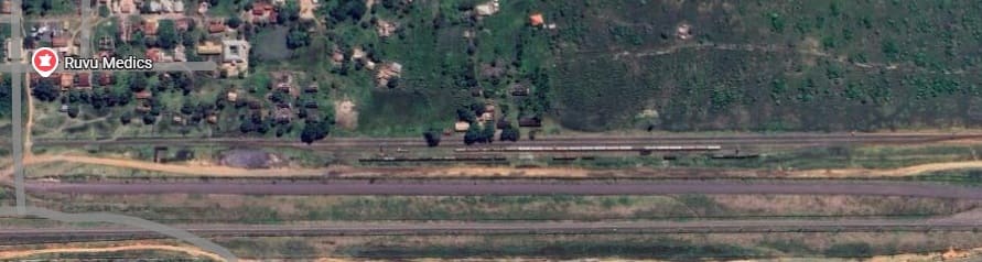
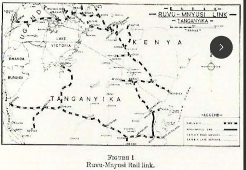
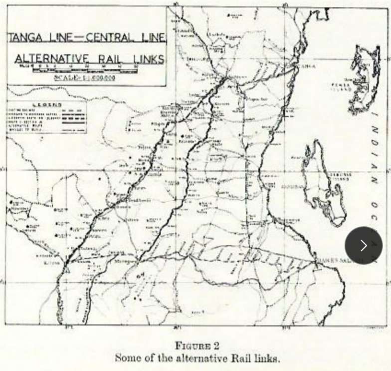
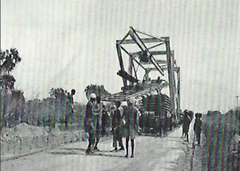
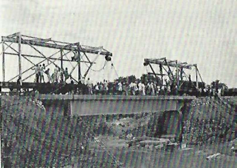
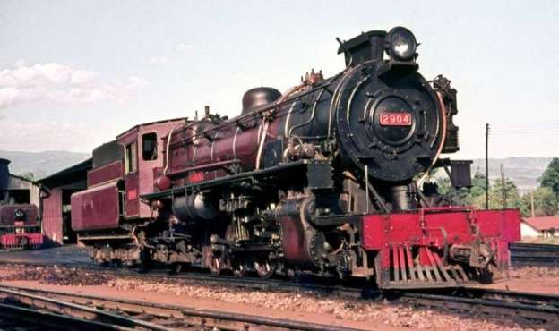
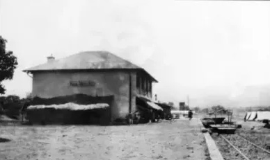
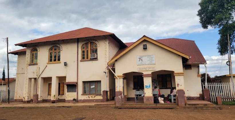
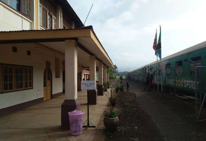
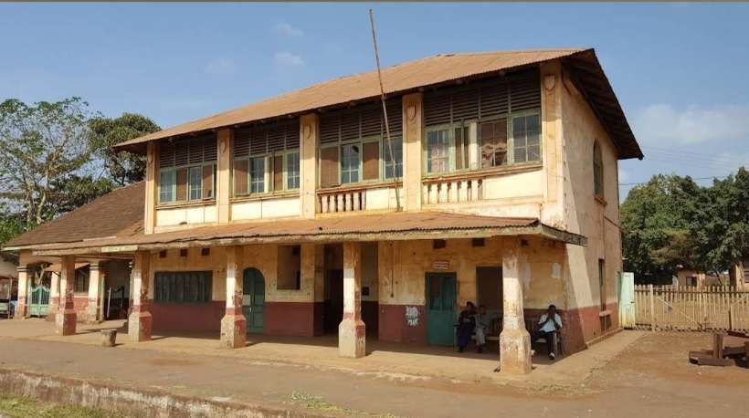
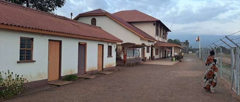
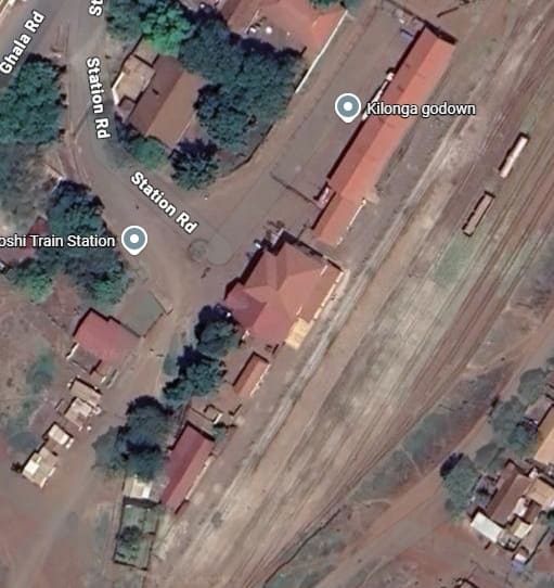

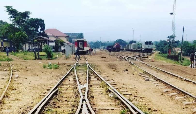
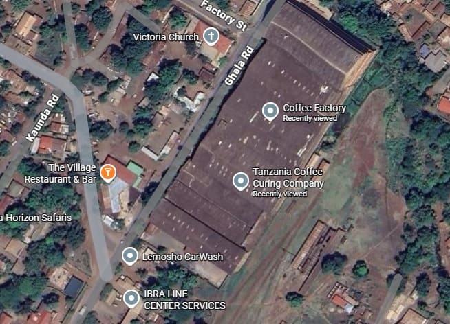
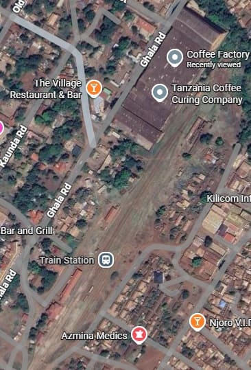

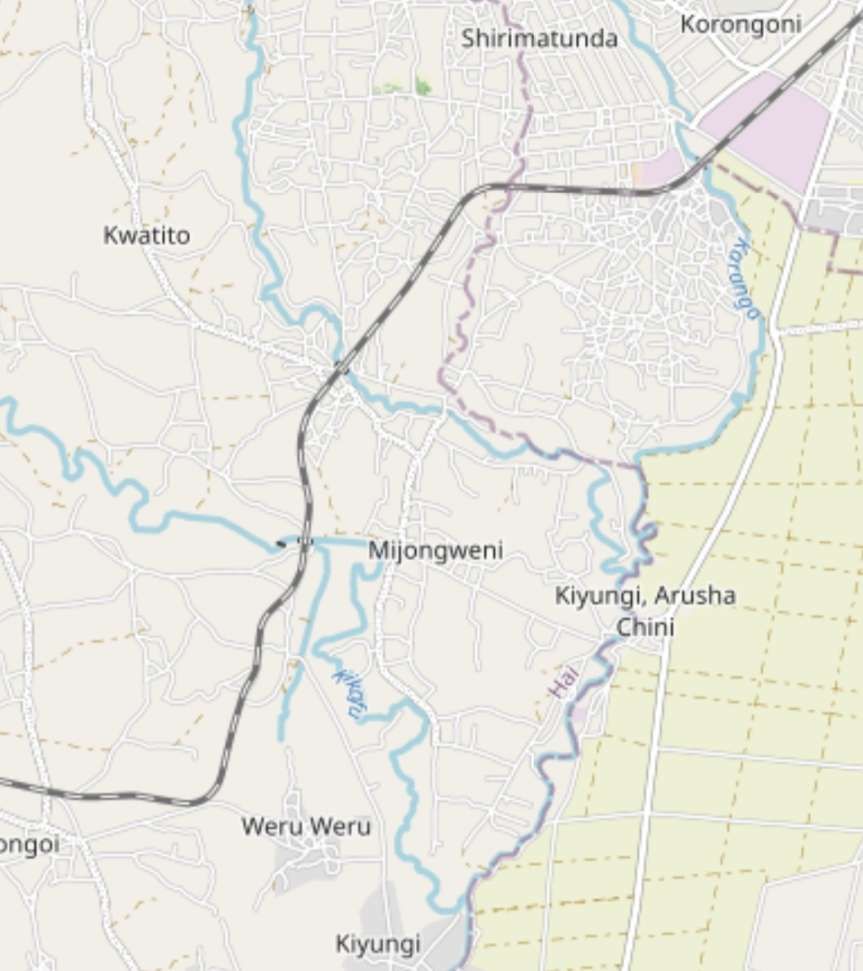
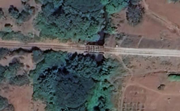
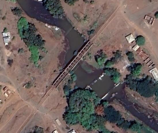
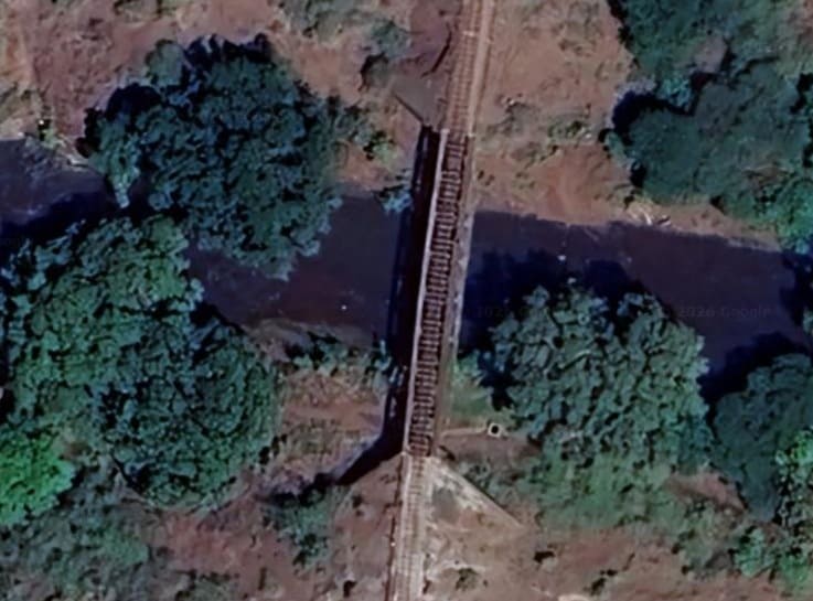
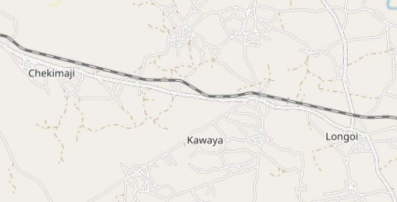
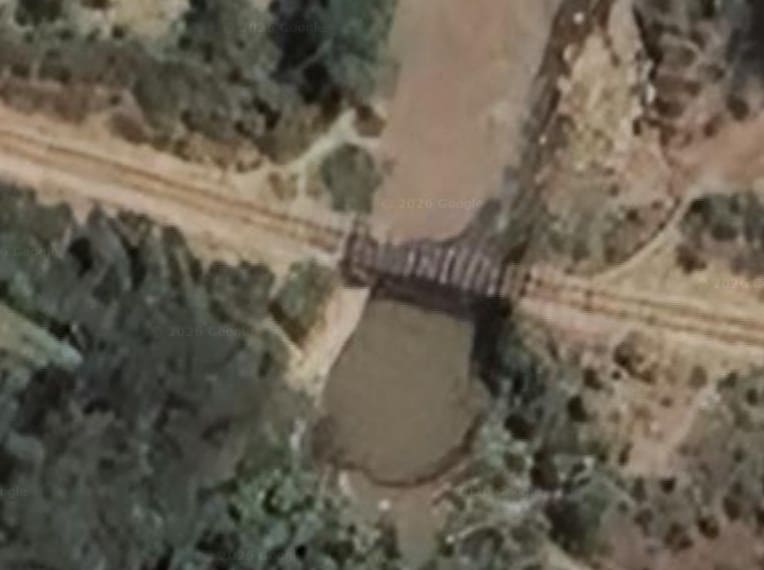
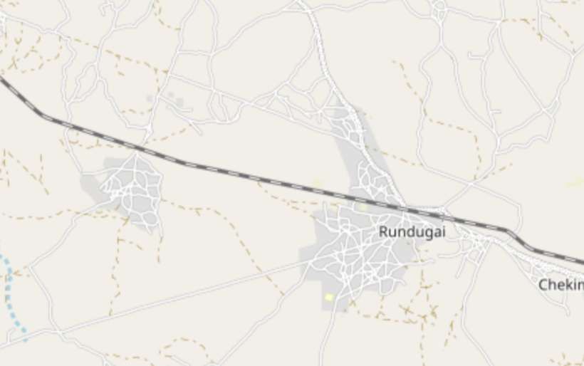
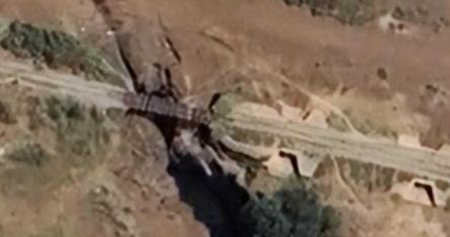
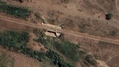
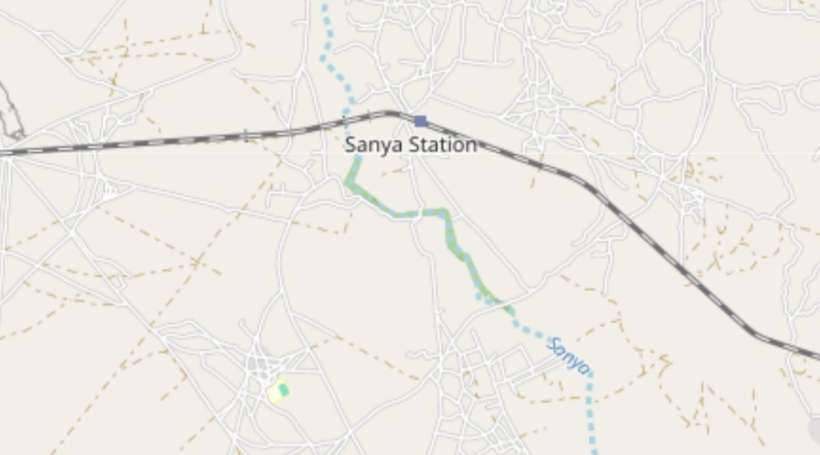
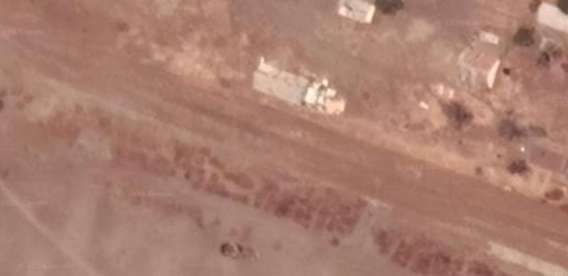
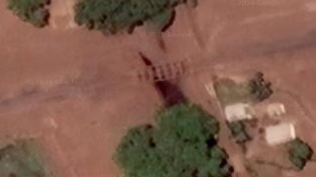
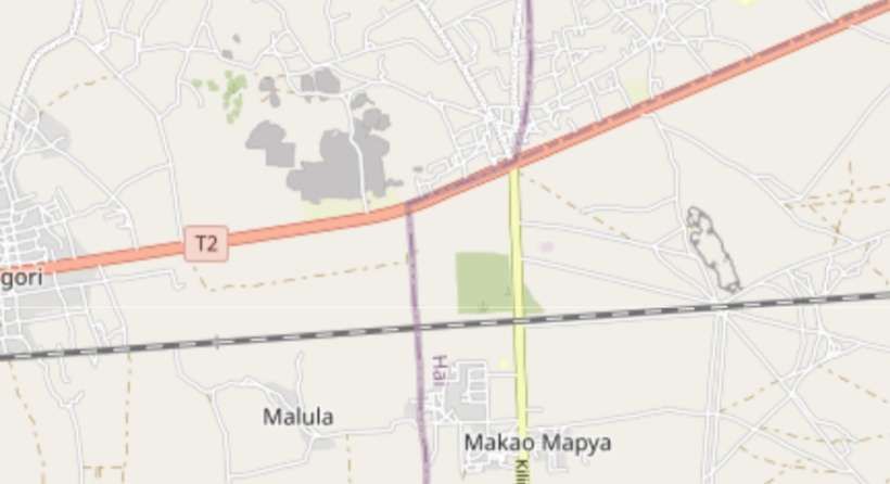
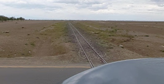
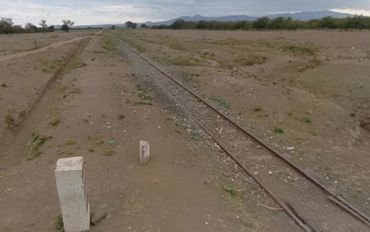
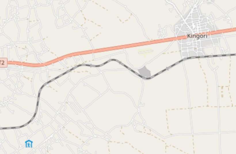
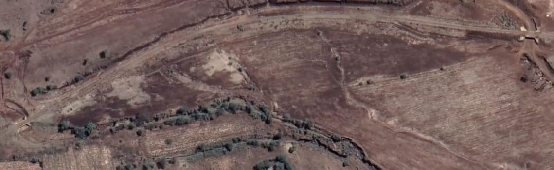
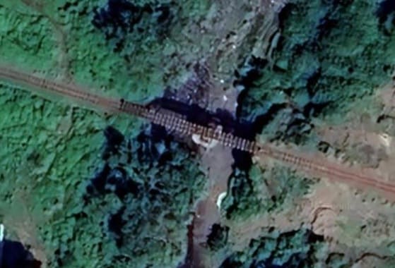
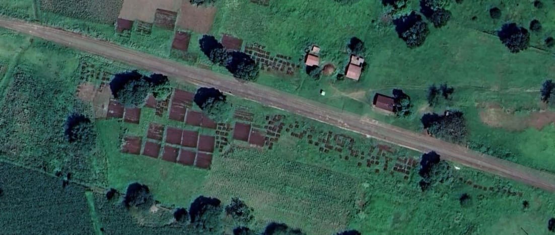
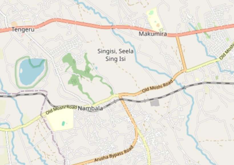
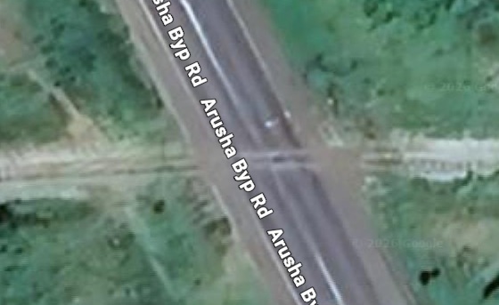
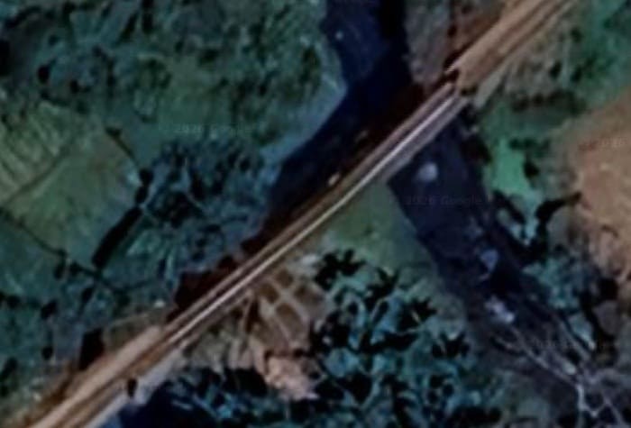
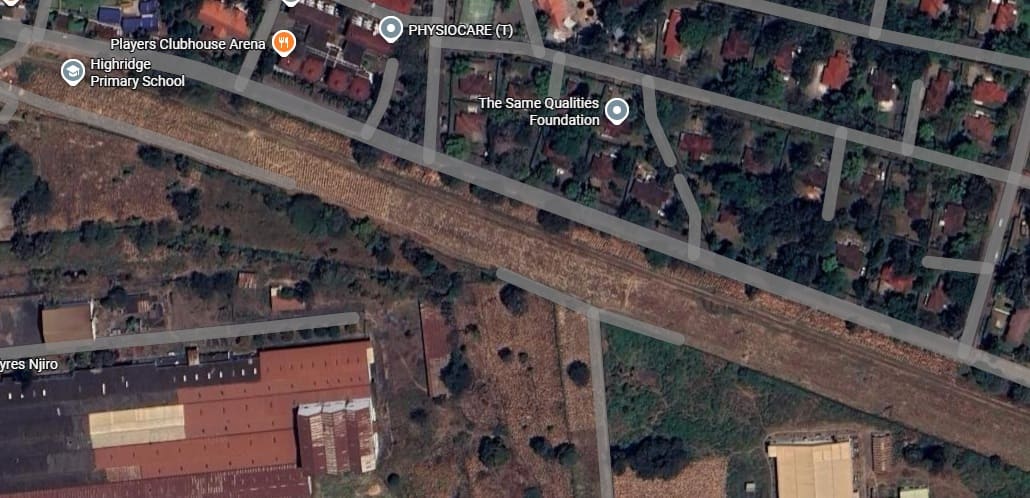
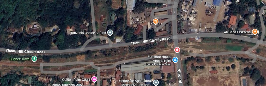
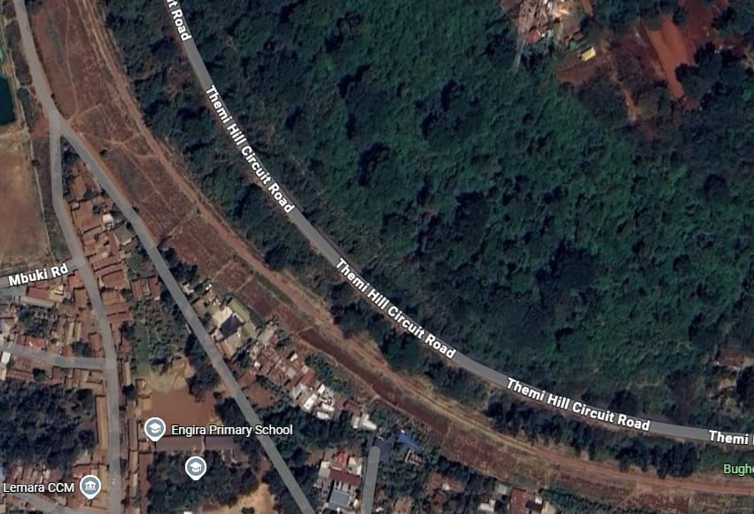
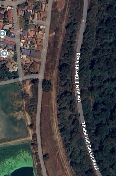
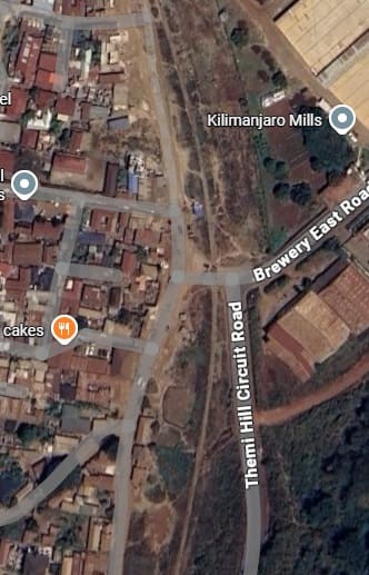
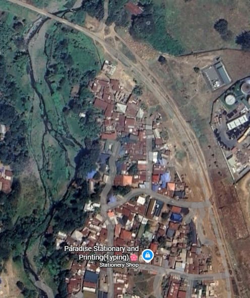
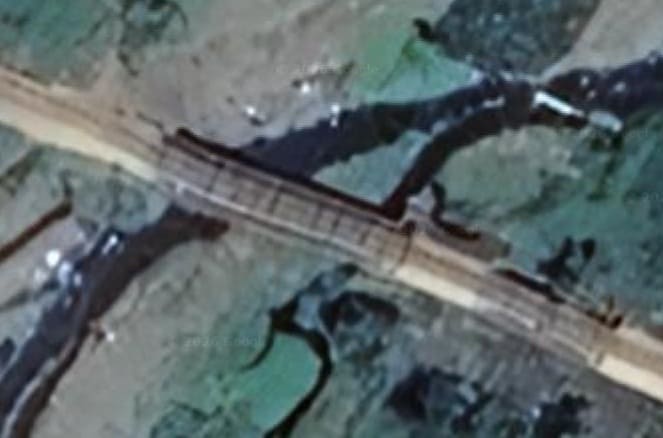
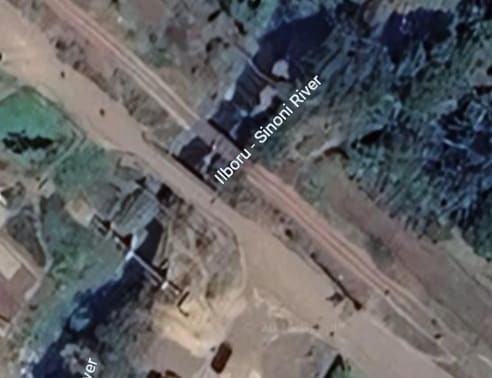
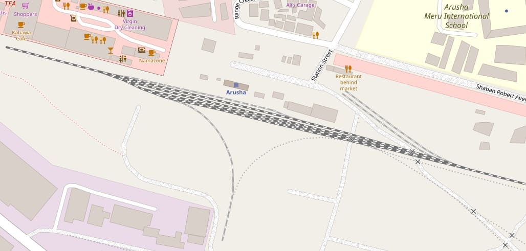
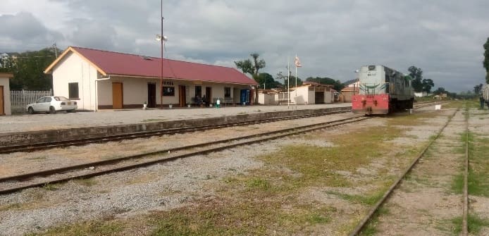
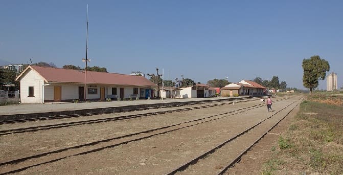
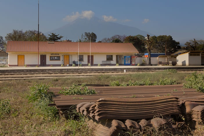
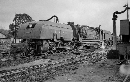
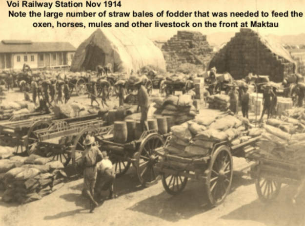
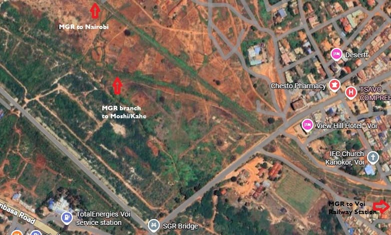
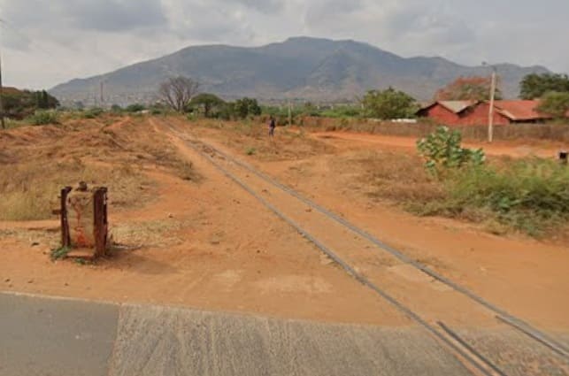
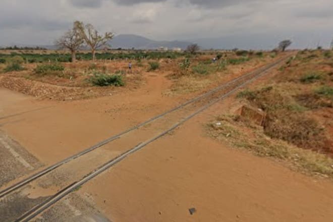
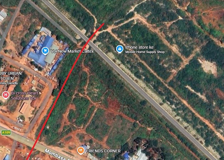
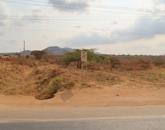
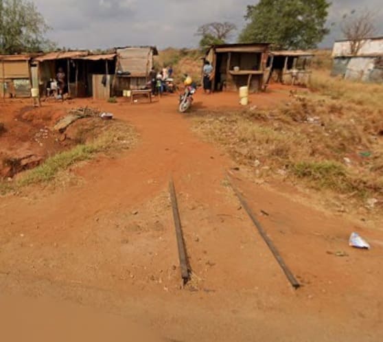
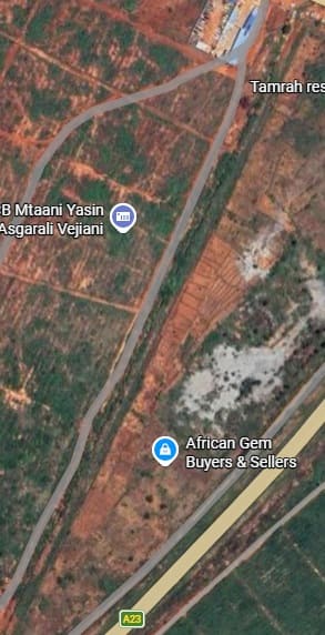
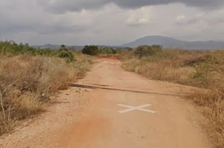
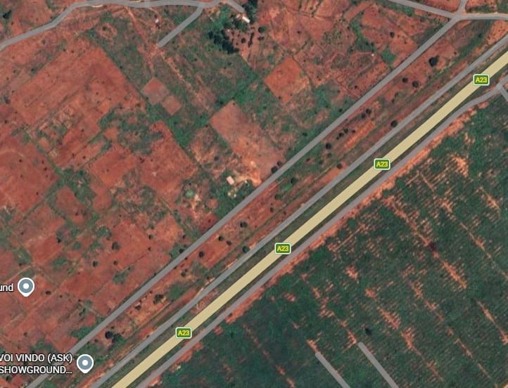
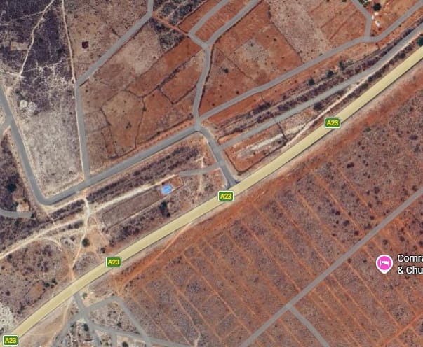
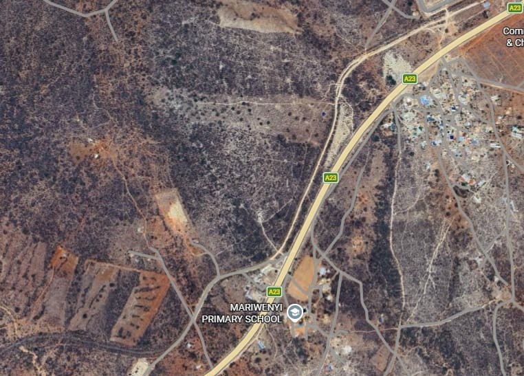
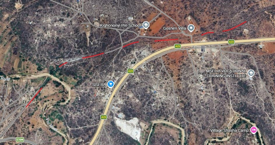
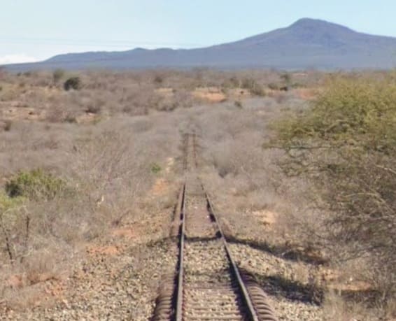
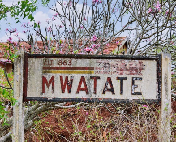
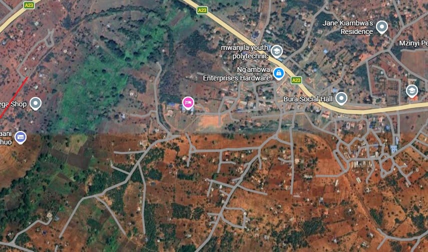
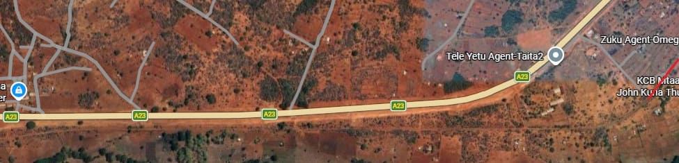
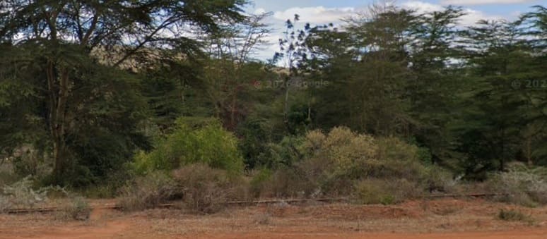
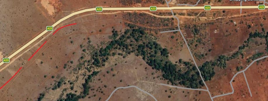
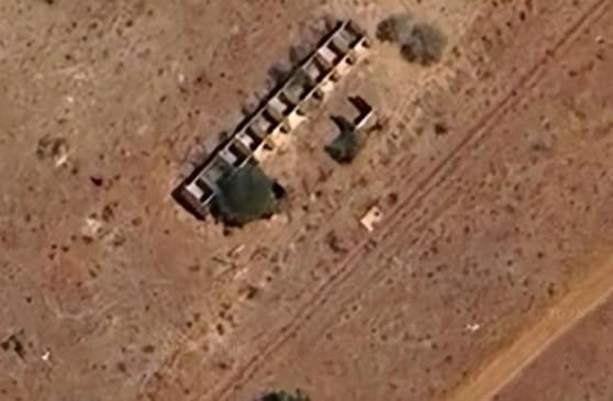
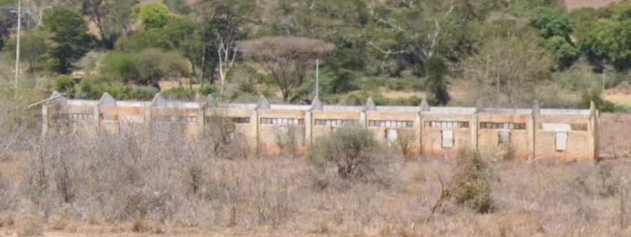
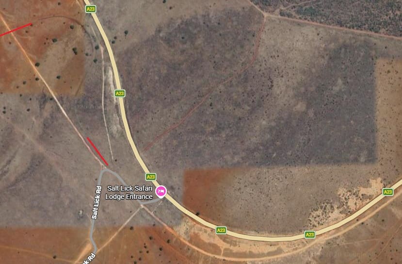
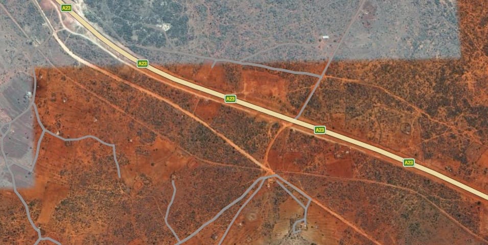
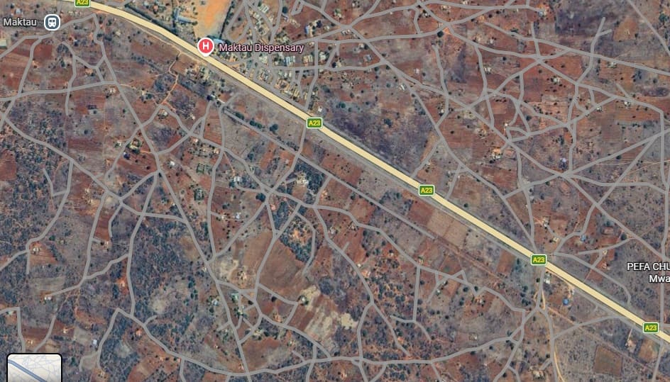
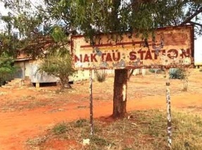
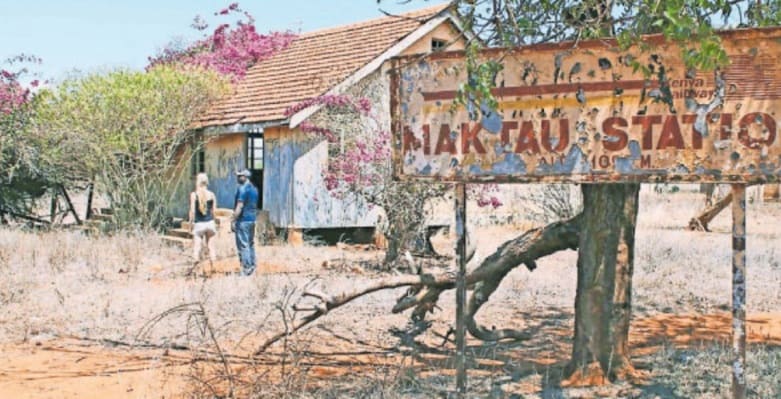
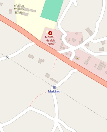
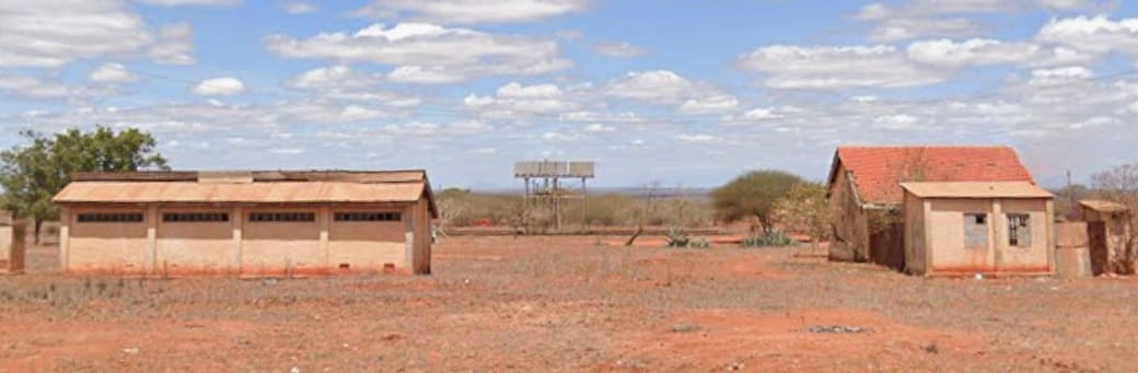
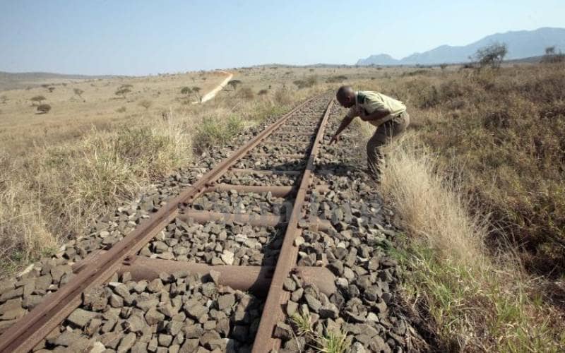
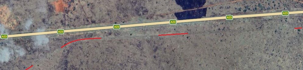
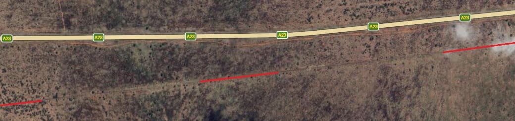
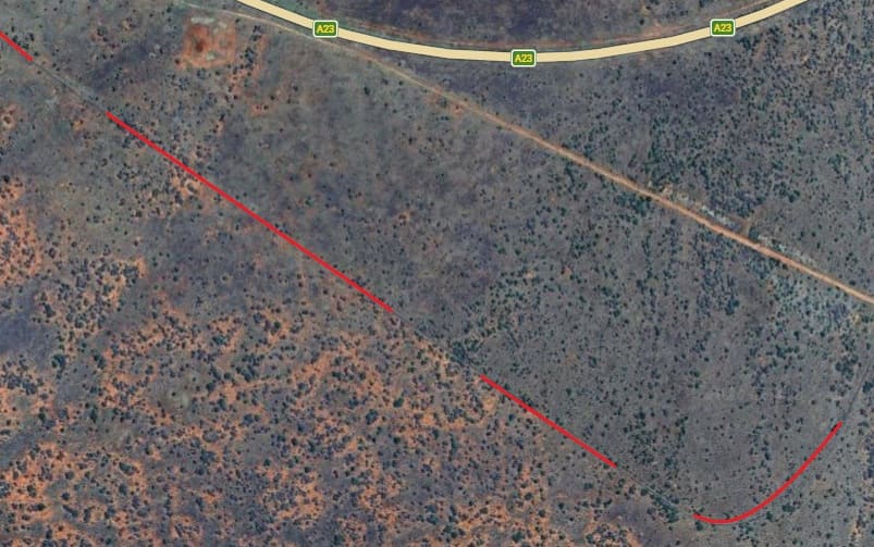
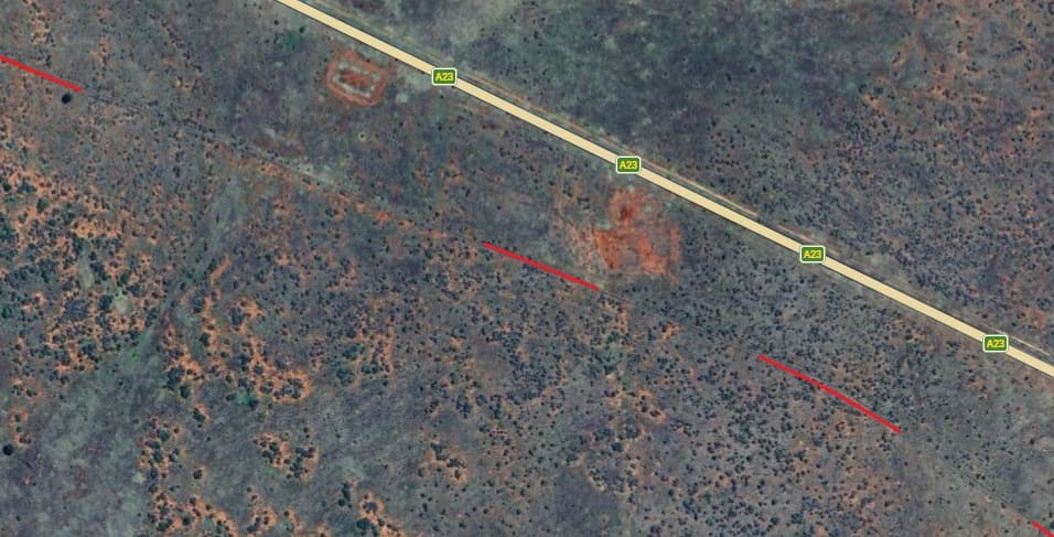
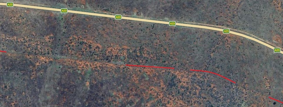
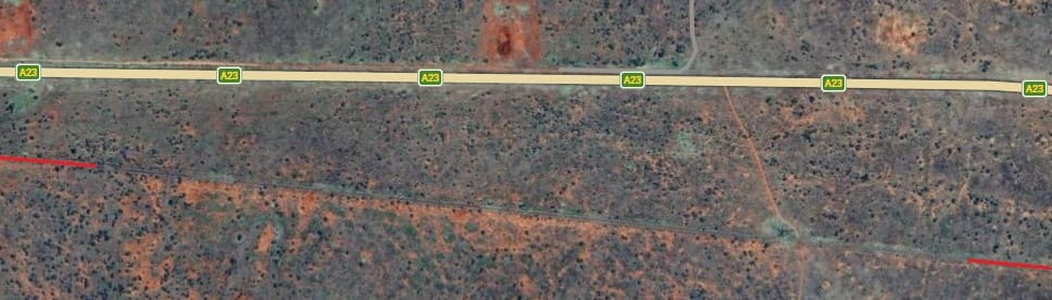
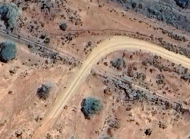
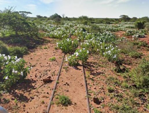
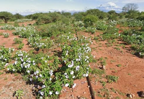
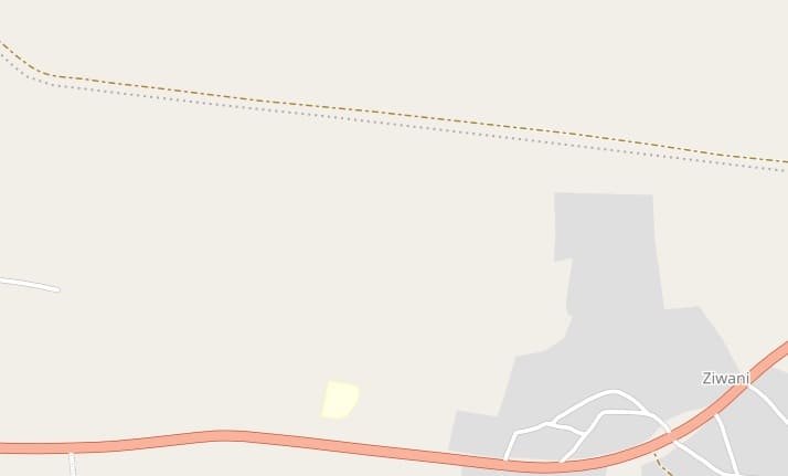
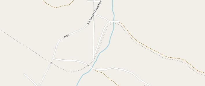

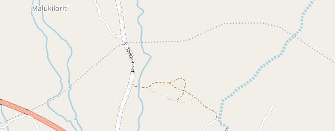
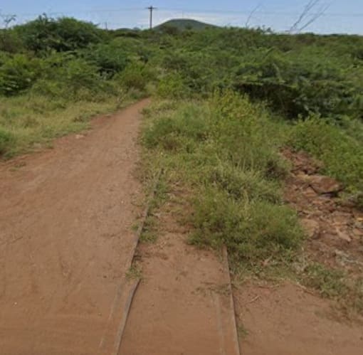
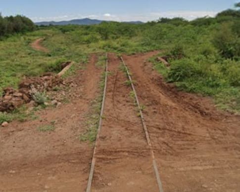
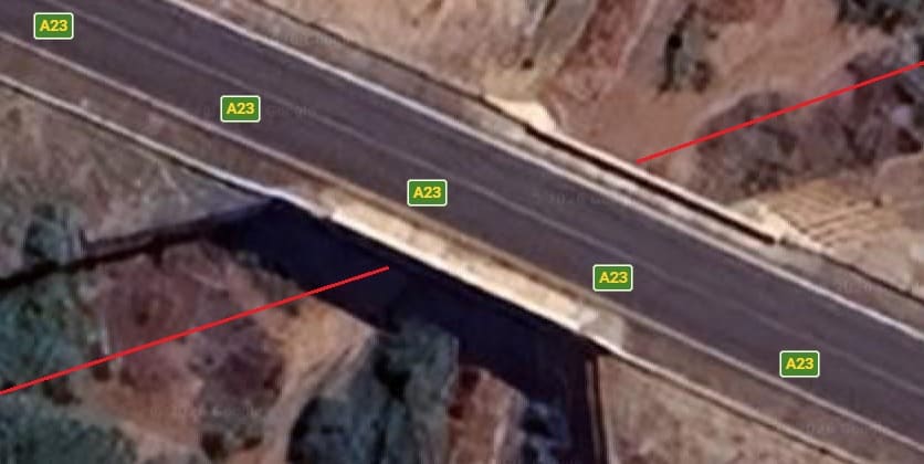
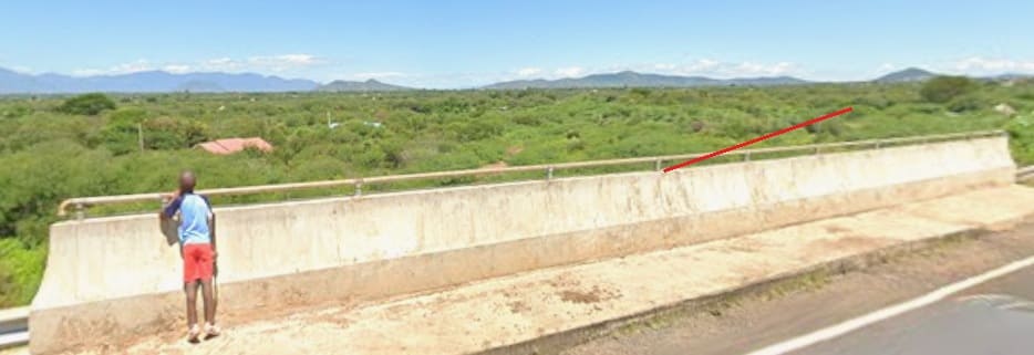
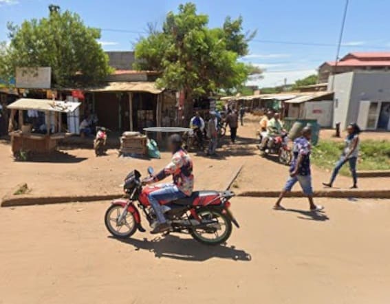
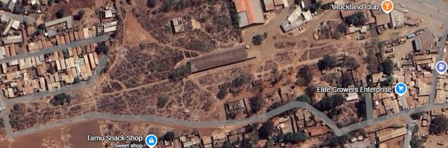
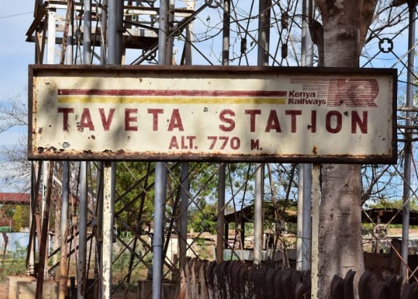


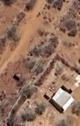
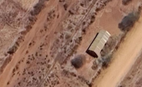
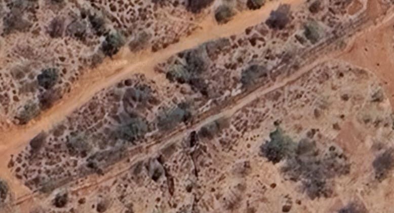
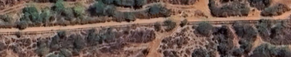
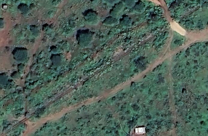
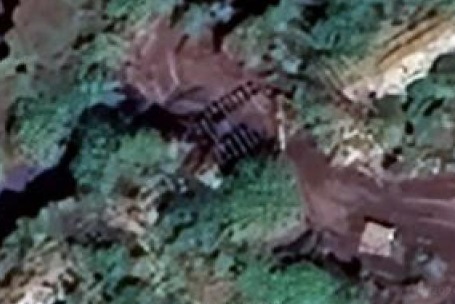
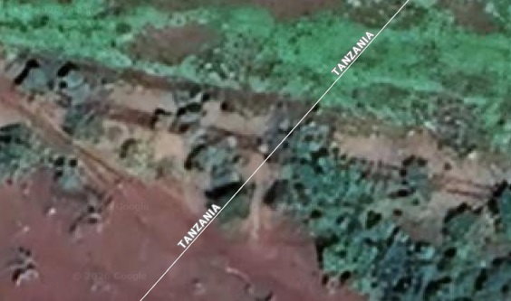
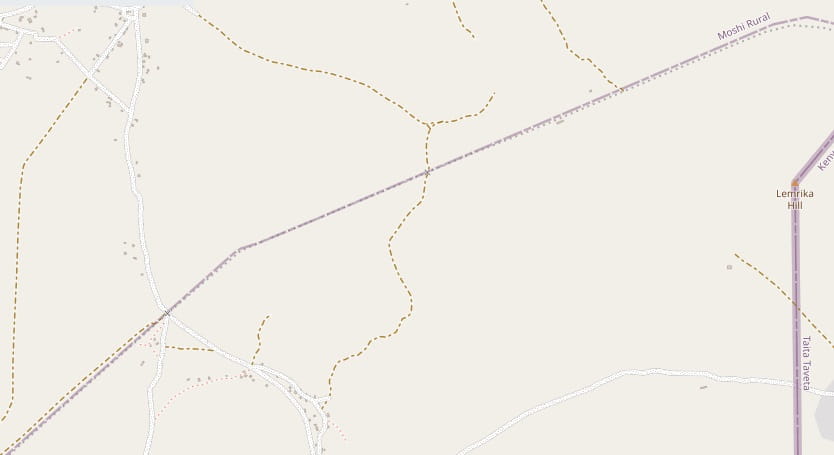
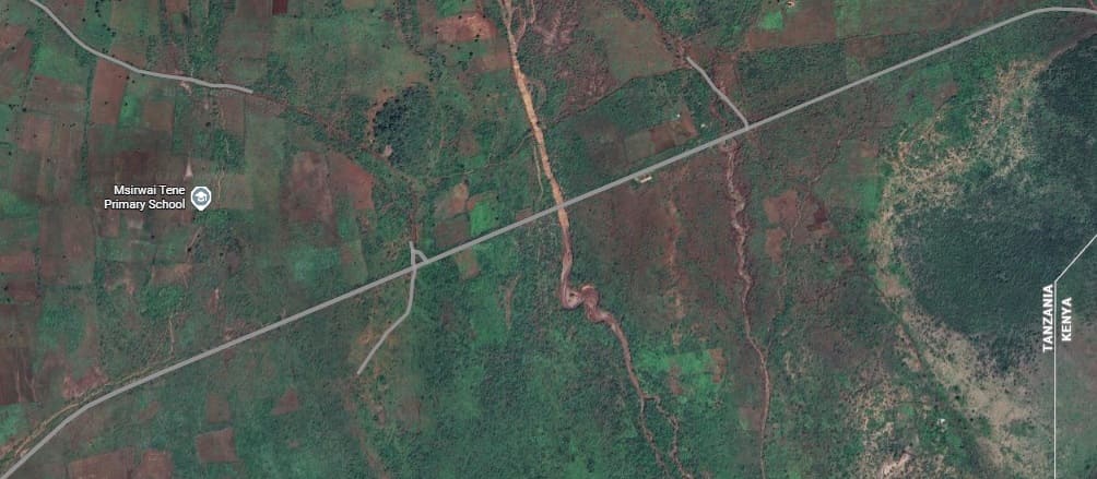
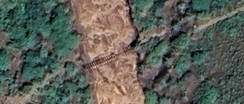
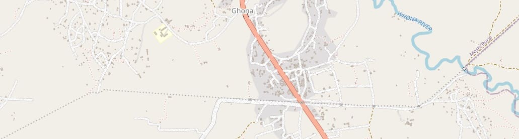
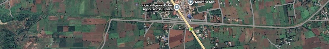
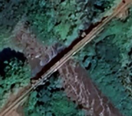
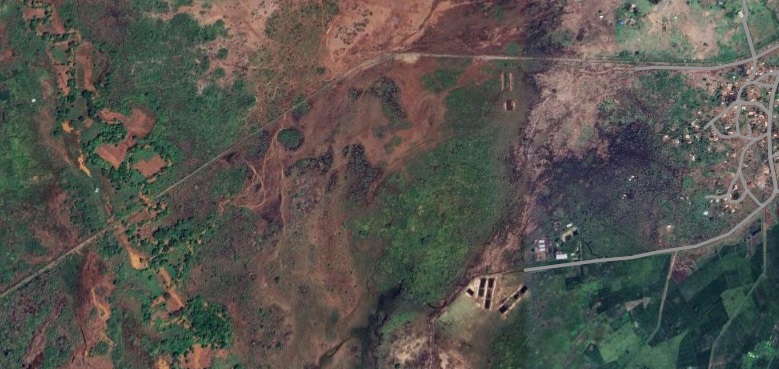
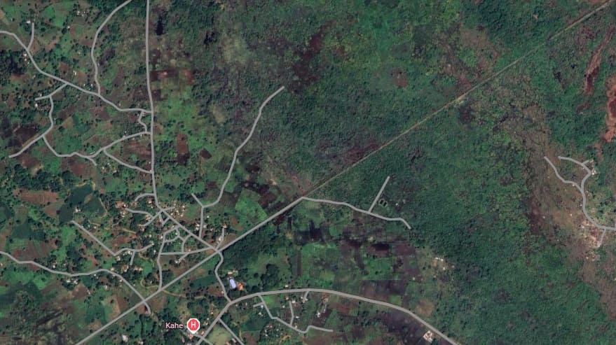
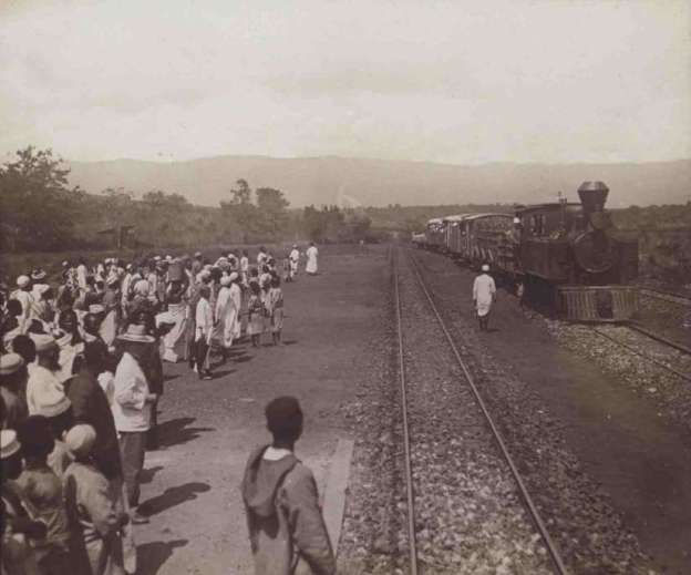
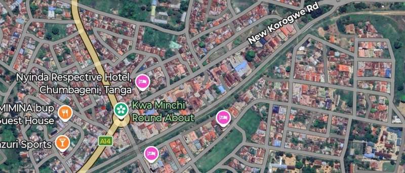
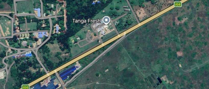
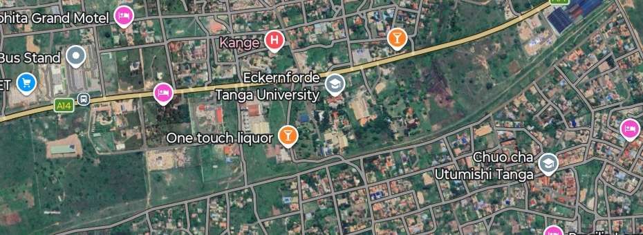
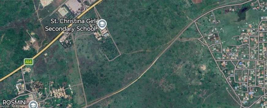
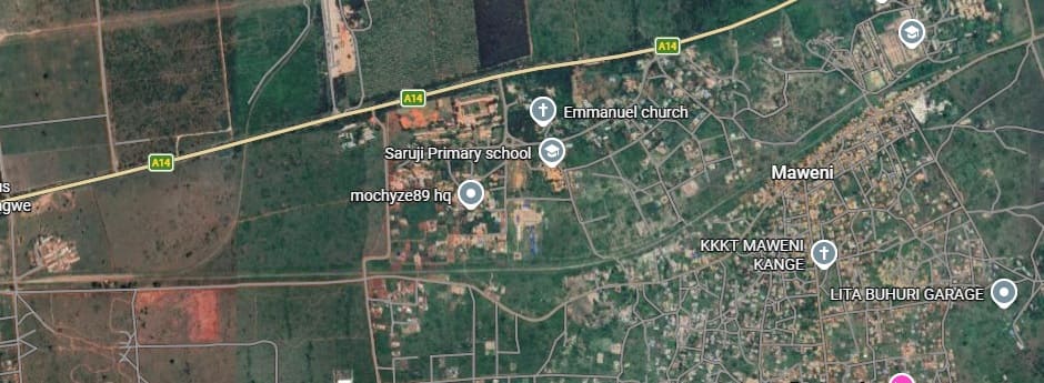
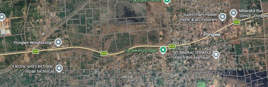
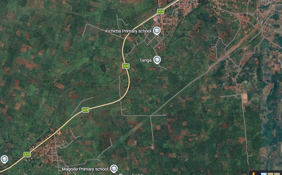
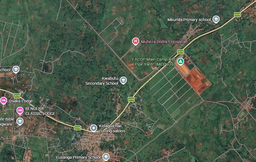
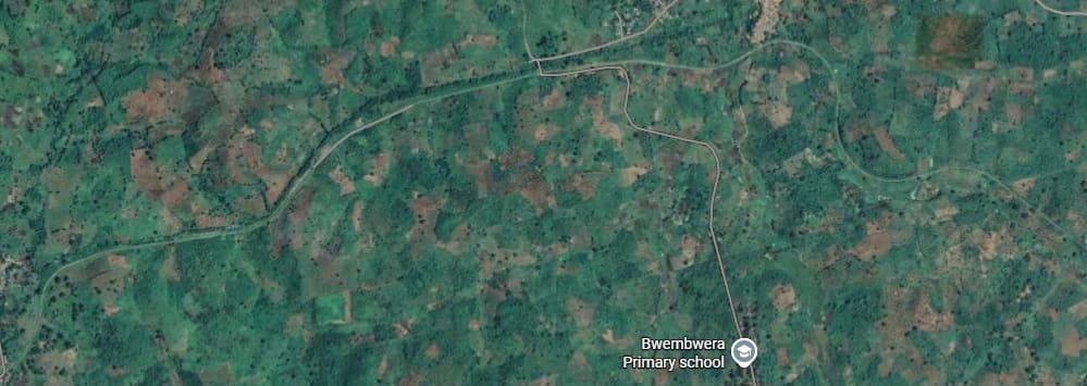
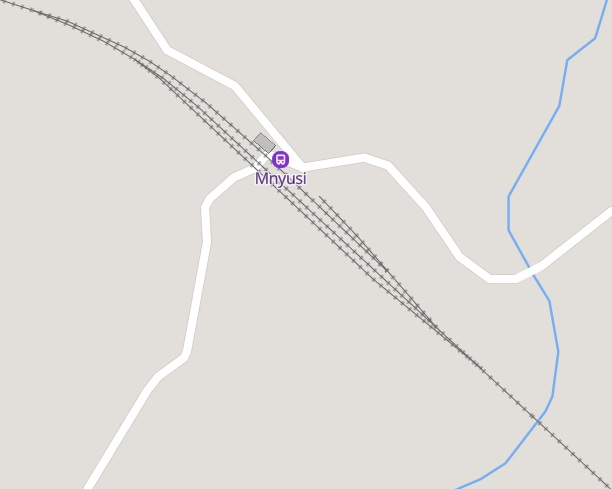
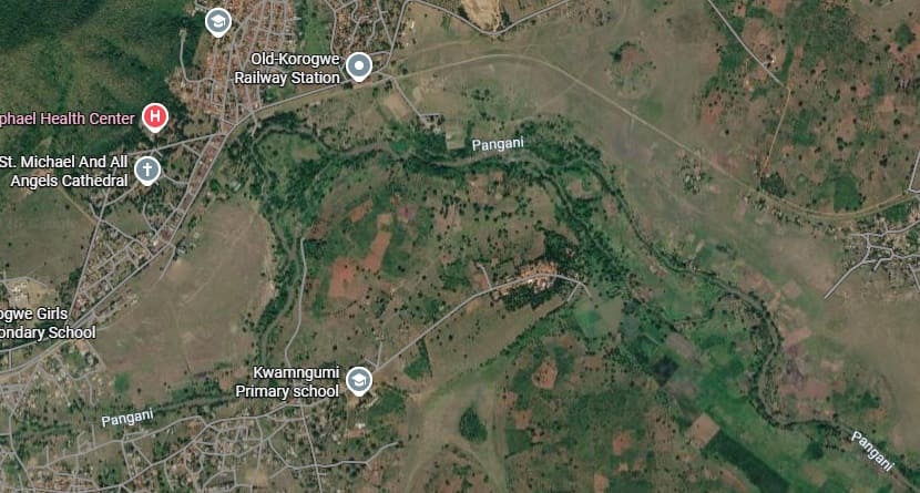
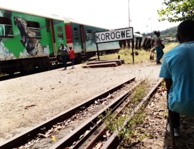
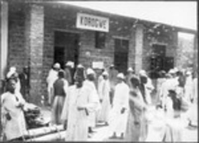
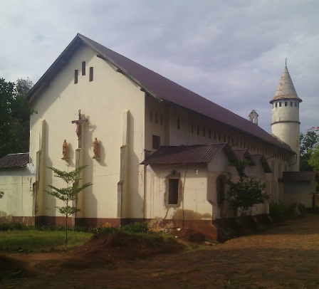
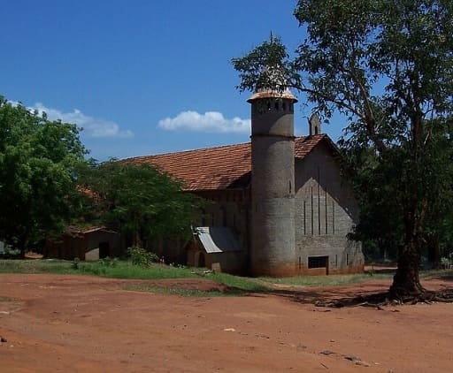
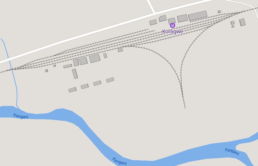
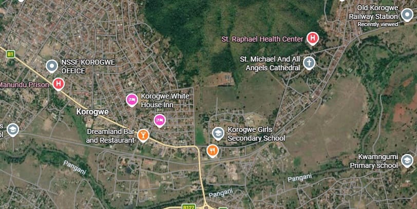
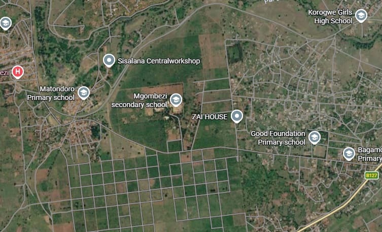
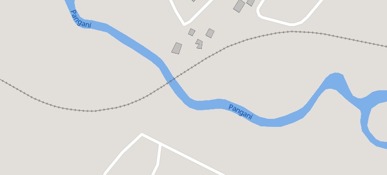
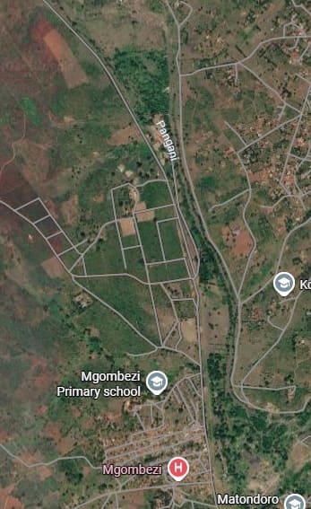
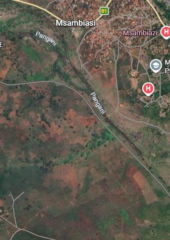
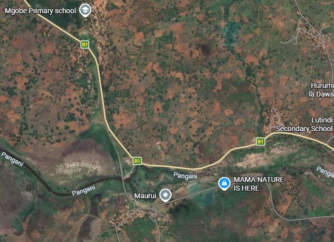
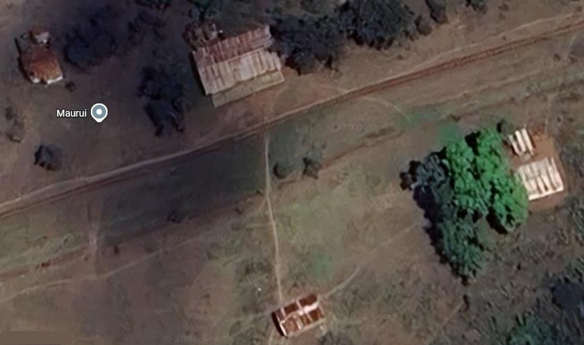
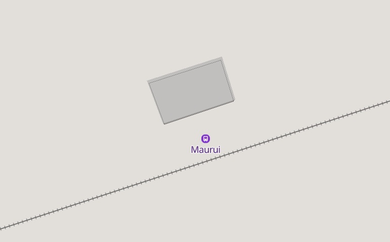
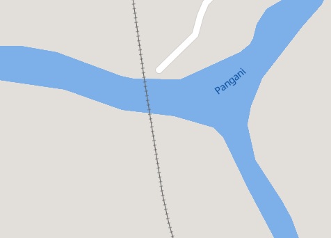
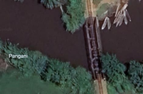
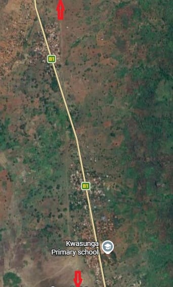
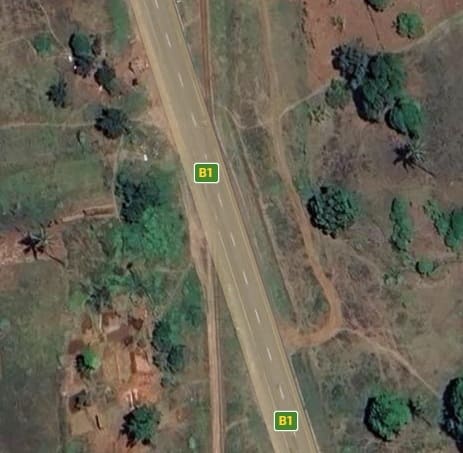
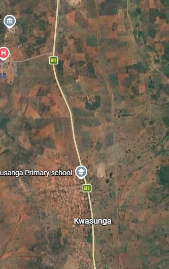
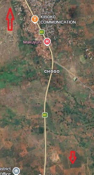
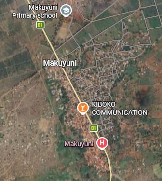
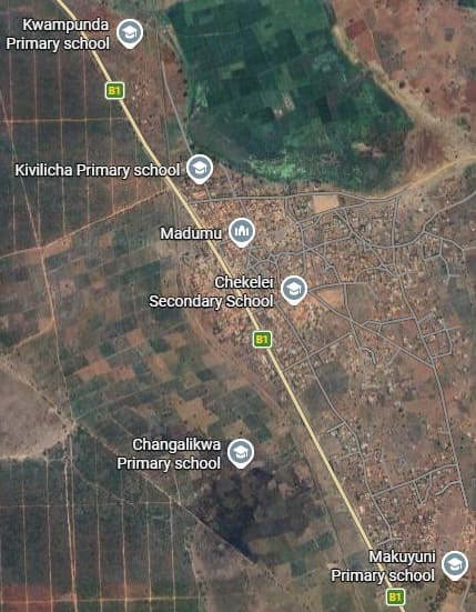
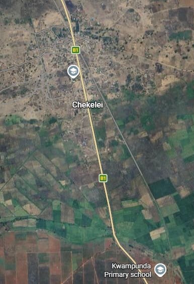
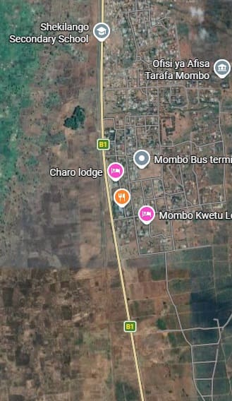
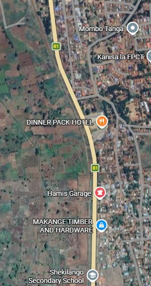
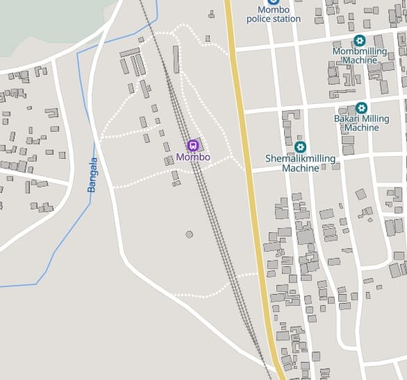
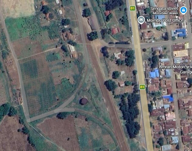
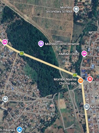
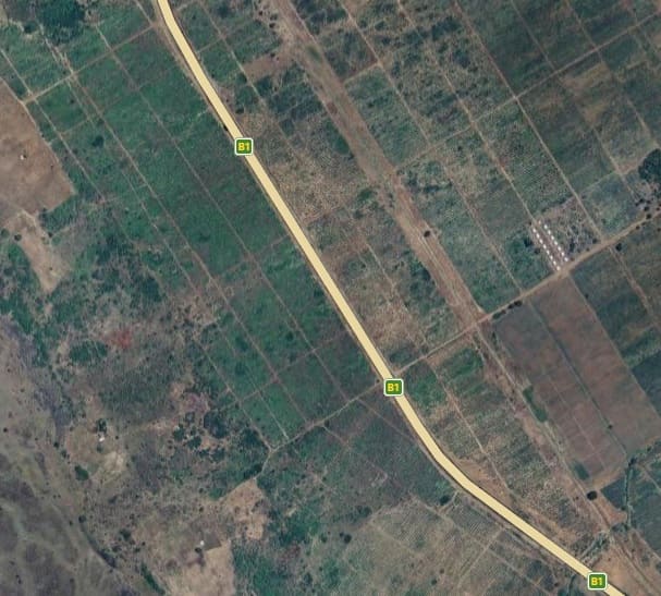
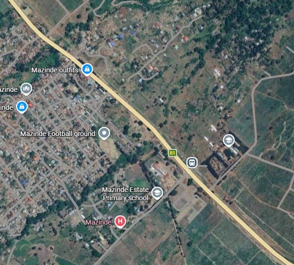
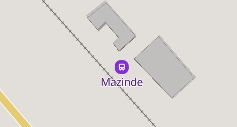
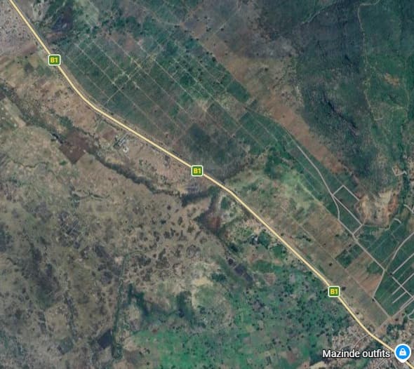
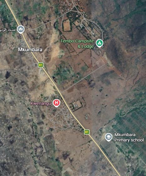
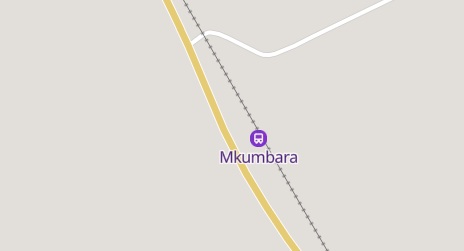
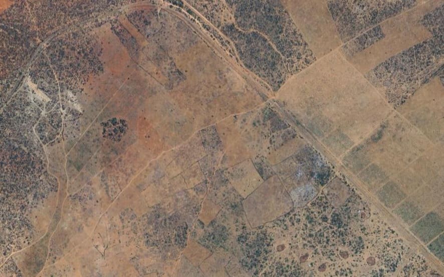
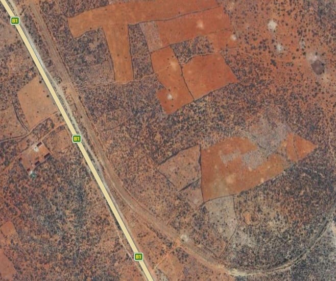
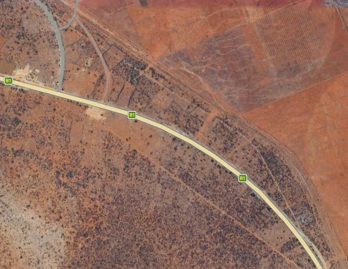
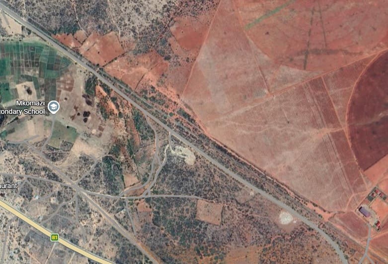
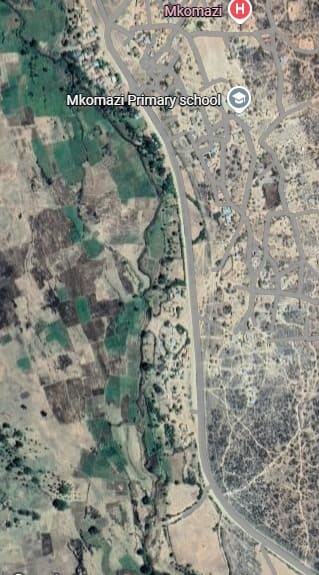
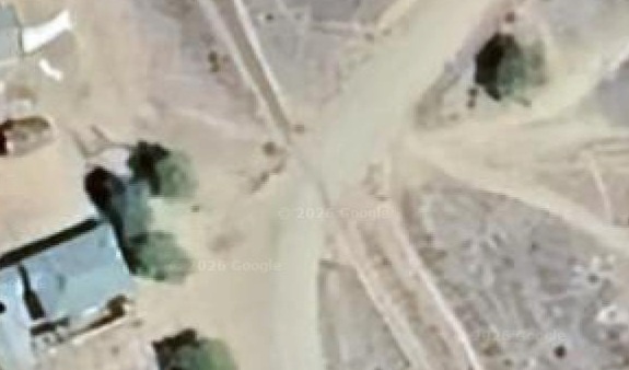
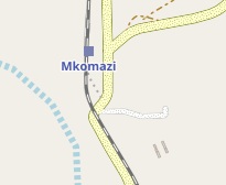
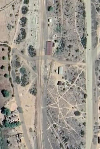
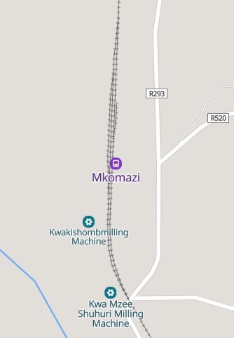
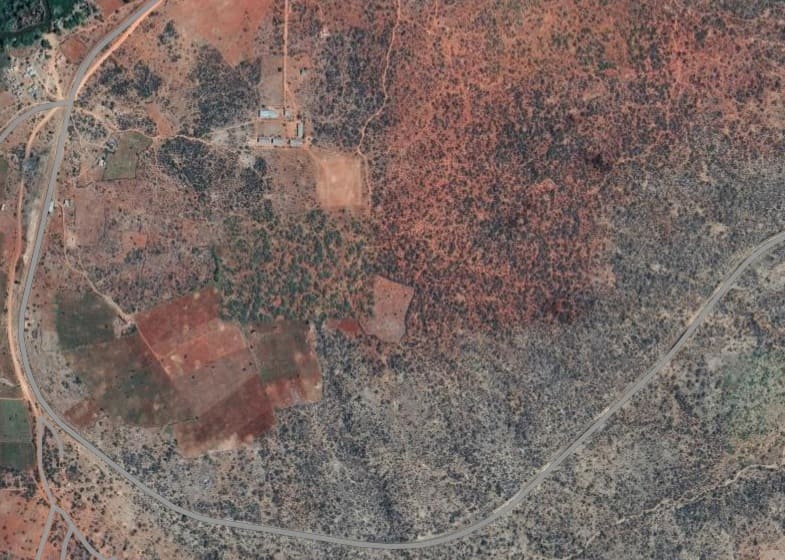
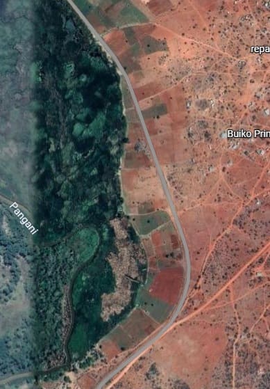
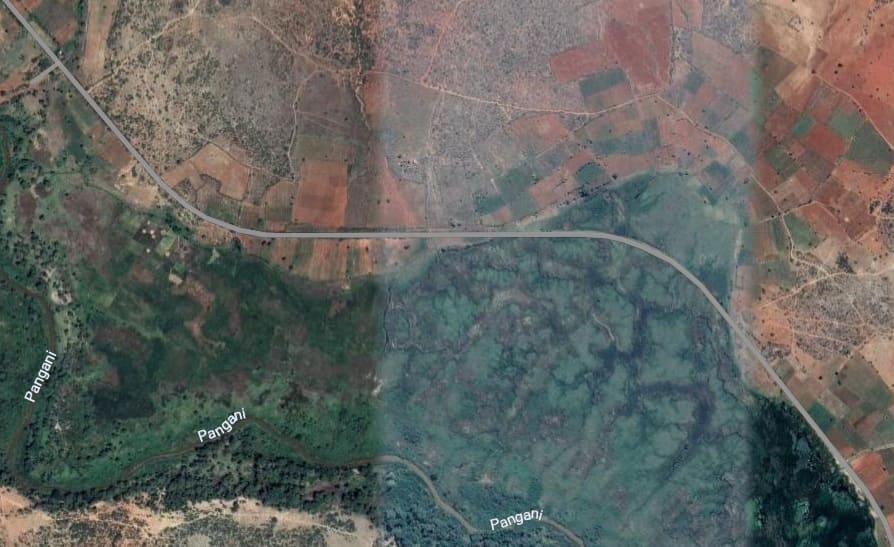
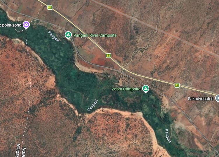
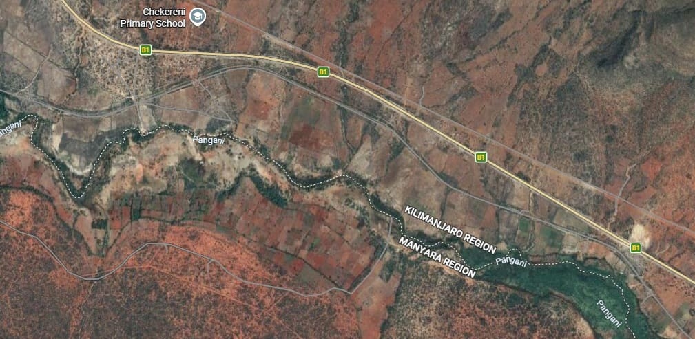
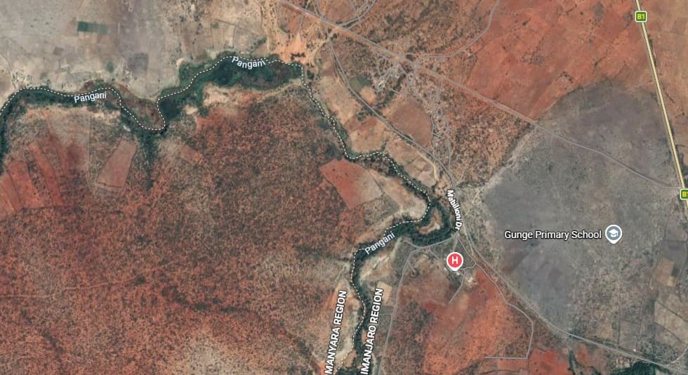
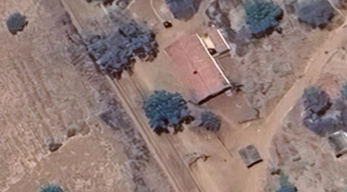
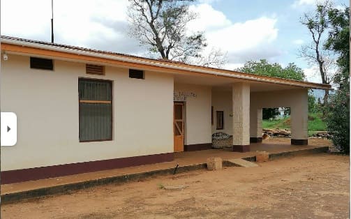
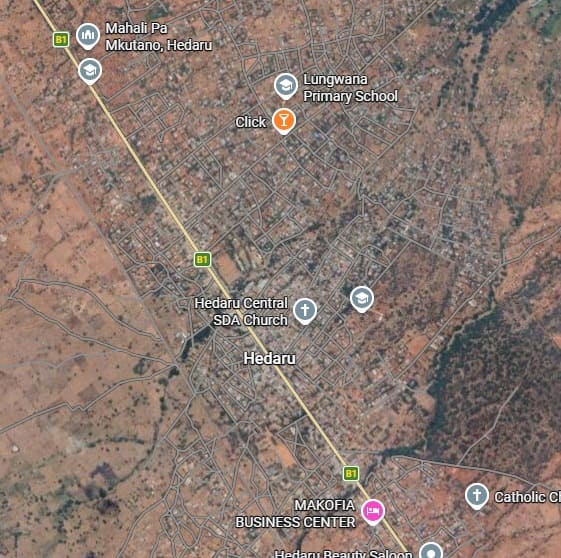
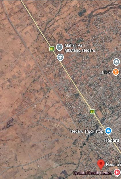
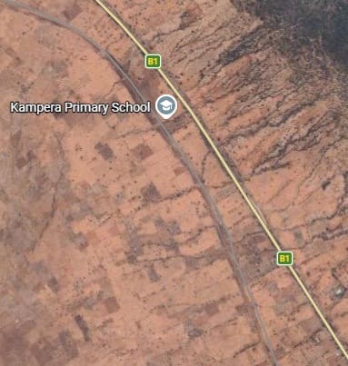
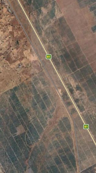
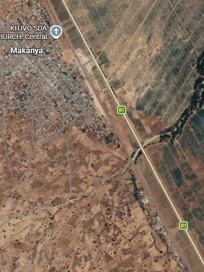
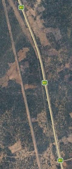
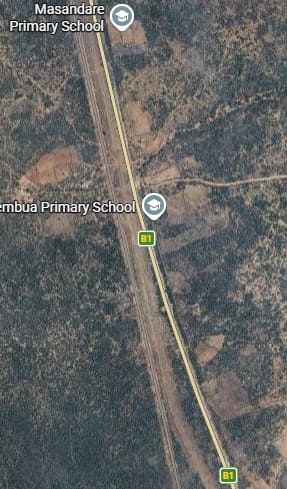
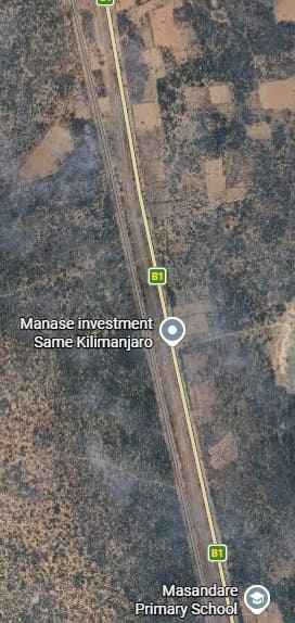
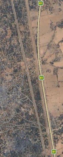
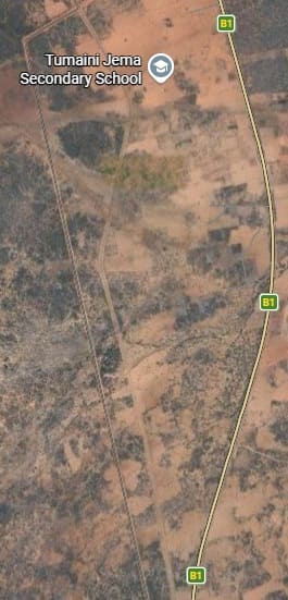
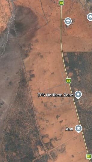
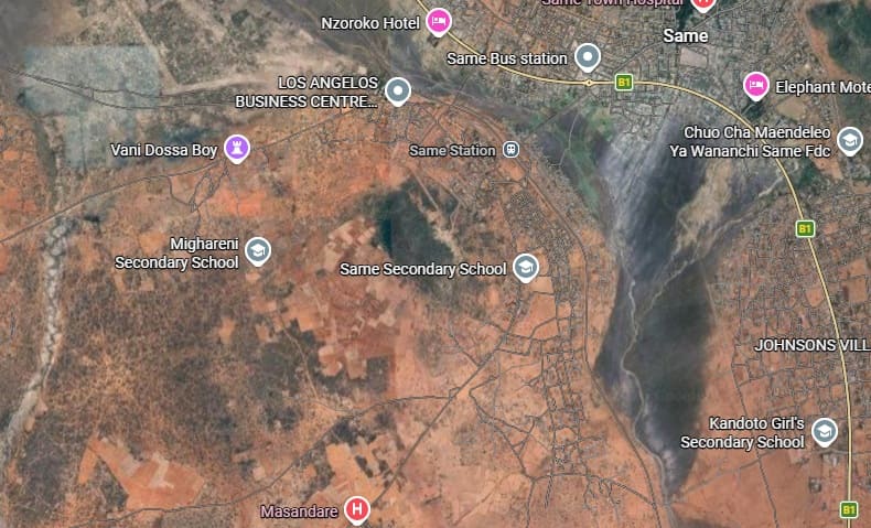
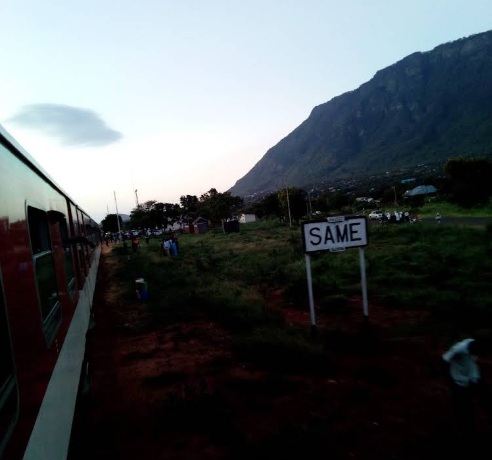
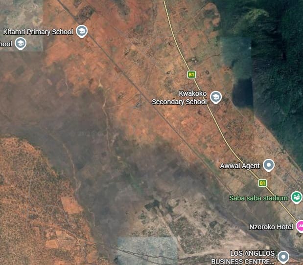
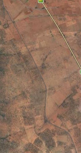
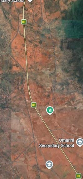
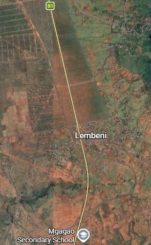
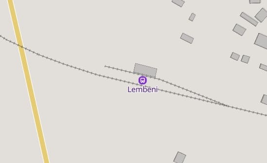
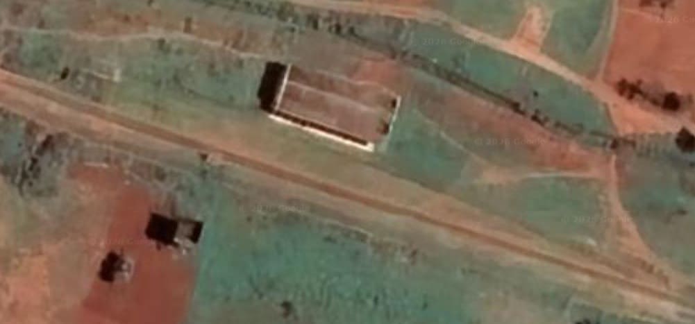
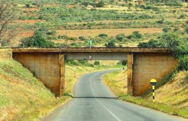
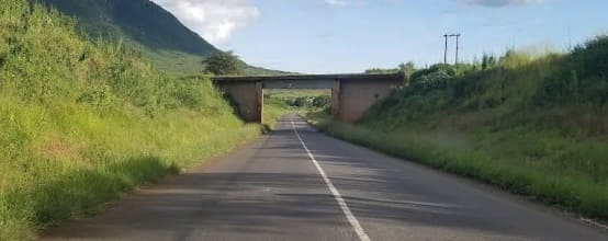
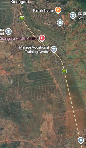
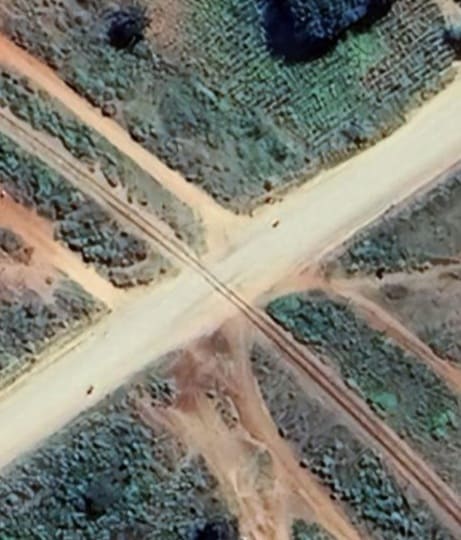
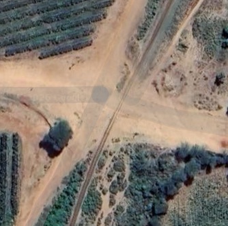
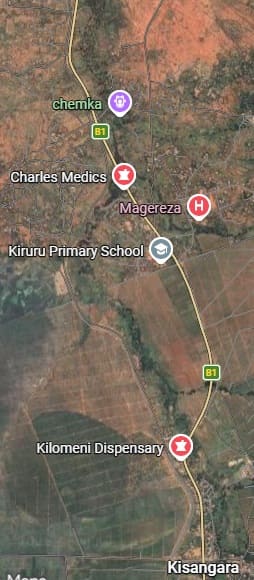
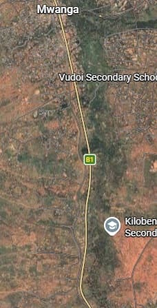
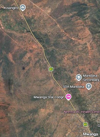
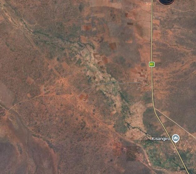
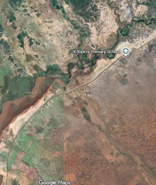
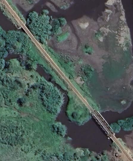
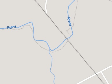
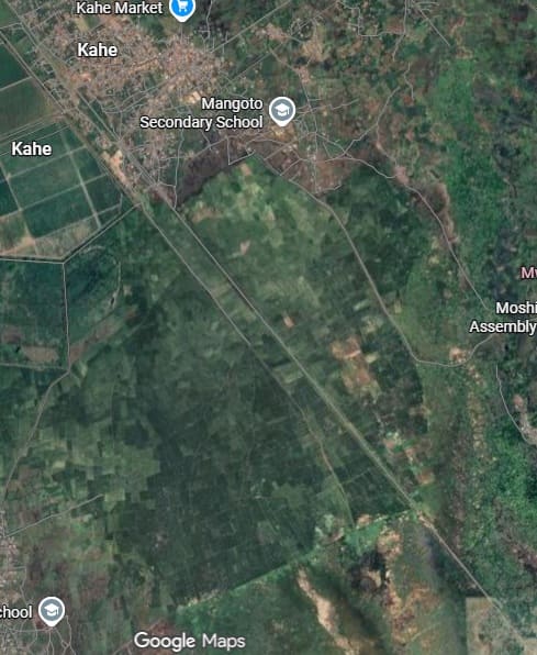

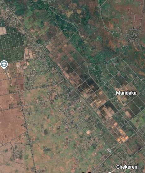
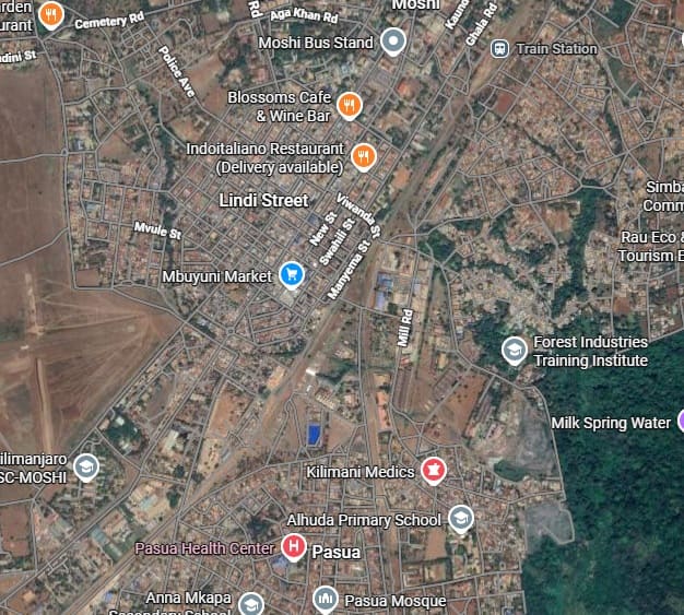
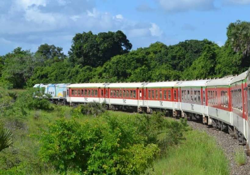
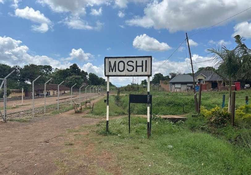


.jpg)
.jpg)