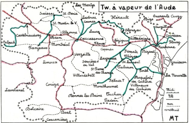
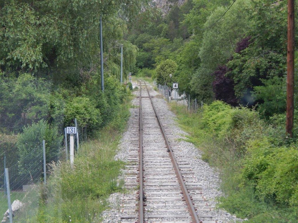
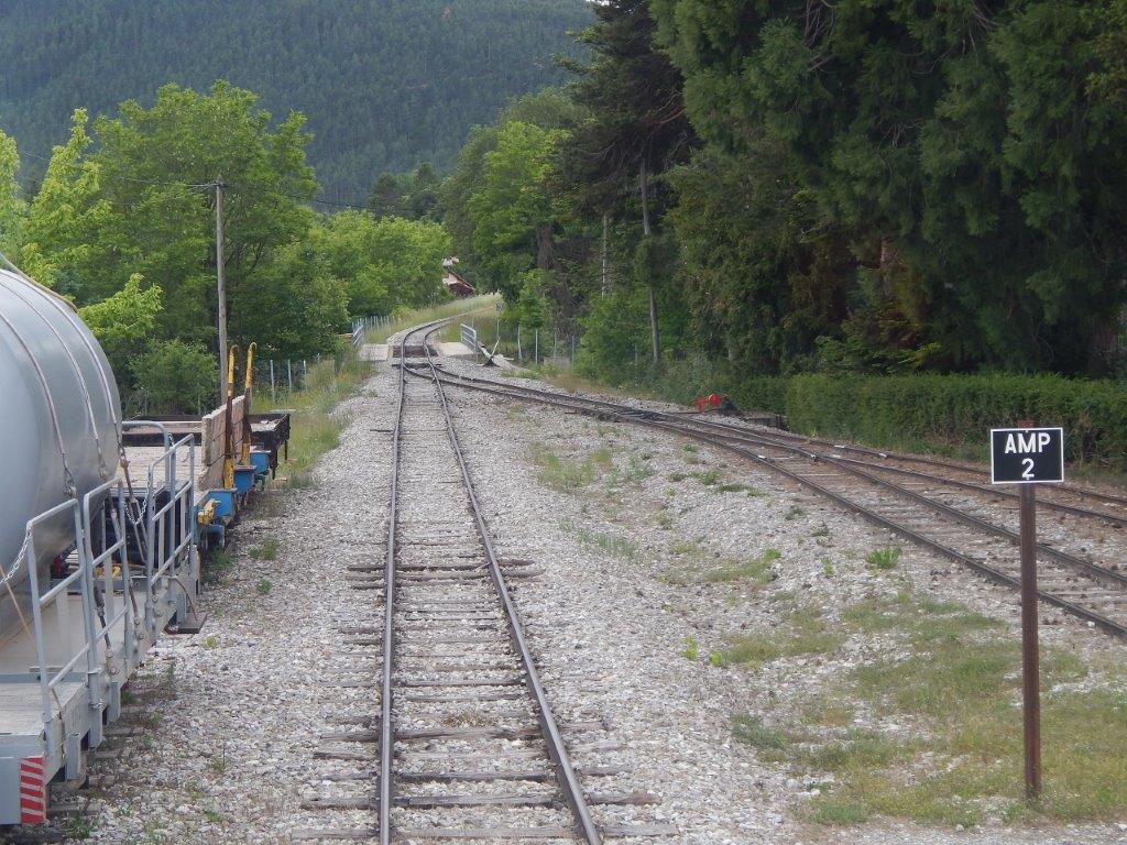
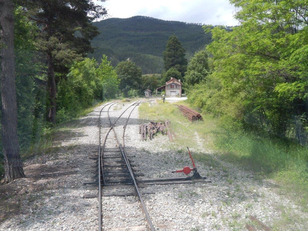
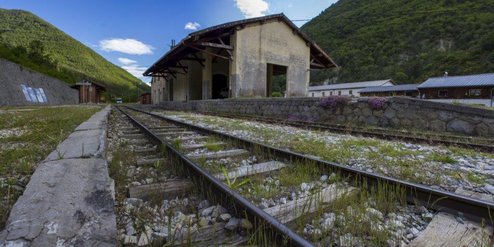
The tramway from Belpech to Castelnaudary was about 40.5 km long and for much of its length followed the shoulders of the different roads that it shadowed! It was known as the Tramway de la Piege.
The village of Belpech is an old medieval village located at the foot of the slopes of the Lauragais in the Piège, it is adjacent to the department of Ariege. [1]. It has a population, in the early 21st Century, of about 1300 people.
Castlenaudary is a larger town on the main railway line between Bordeaux and Sete, and on the Northeast side of the A61 motorway. Castelnaudary is a market town, and the capital of the territory of Lauragais. The town is located 50 kilometres (31 miles) southeast of Toulouse, about midway along the route from that city to the Mediterranean. This route has been used since at least Roman times, and today carries road, motorway (A61), rail and canal links. Castelnaudary is the main port of the Canal du Midi to which it owed a period of prosperity in the 17th century when agricultural and manufactured produce became easier to export. The Grand Bassin in the town is the largest open area of water along the length of the canal, and is today its major pleasure port. Castelnaudary’s population early in the 21st Century is between 11,000 and 12,000. [2]
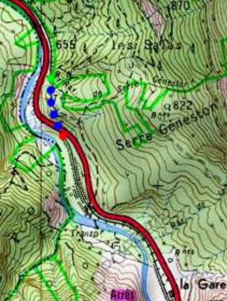
The old tramway took a circuitous route between Belpech and Castelnaudary, partly because of the landscape through which it travelled but also because of the need to connect to various centres of population, the largest of which, on the route, is Salles sur l’Hers.
Salles sur l’Hers is a small population centre of around 500 persons. [3]
There were halts or stations at Belpech, Tresmezes, Blazens, Plaigne, Pecharic-le-Py, le-Py, Pesquiès, Pech-Luna, Mayreville, Peyrefitte-sur-l’Hers, Sainte-Camelle, Saint-Hubert on the way from Belpech to Salles-sur-l’Hers.
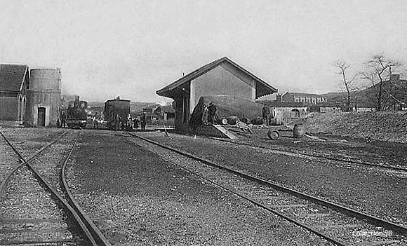
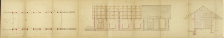
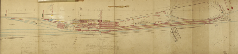
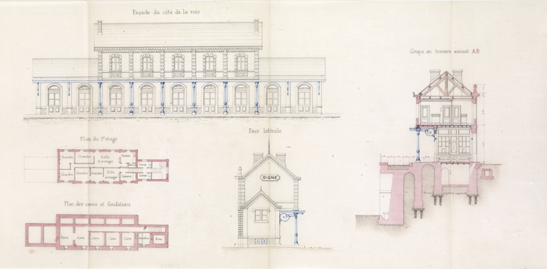
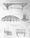
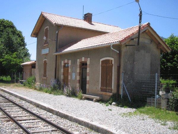
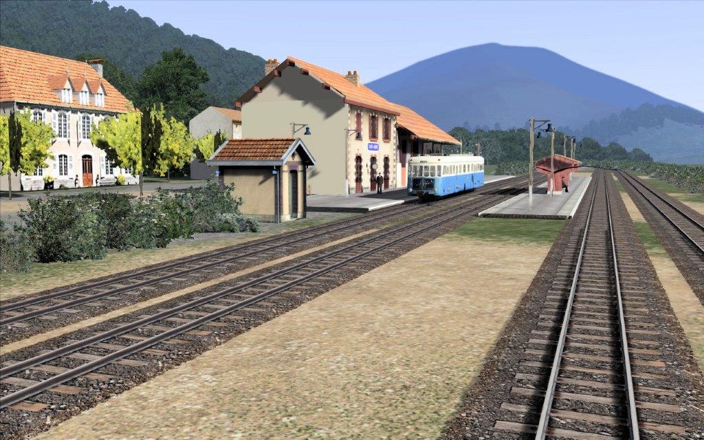
 We start the journey at Belpech Station. A schematic drawing of the station is adjacent to these notes. [4]
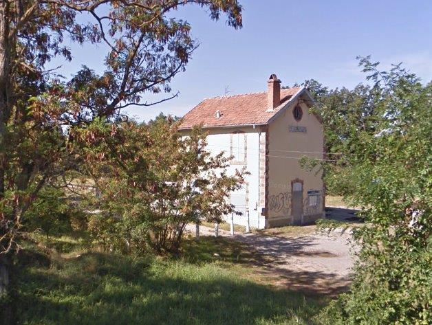
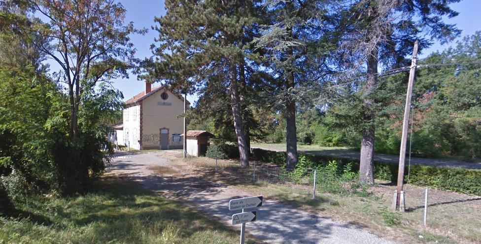
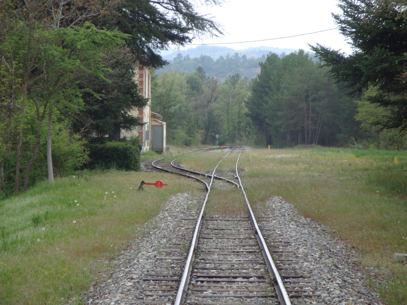
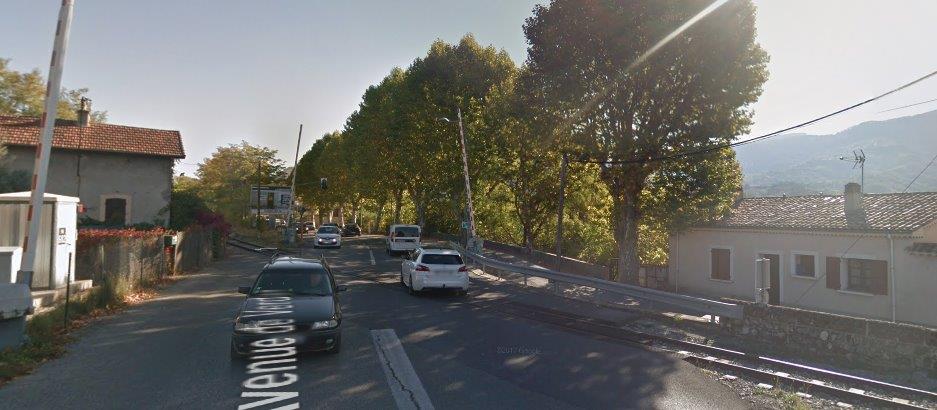
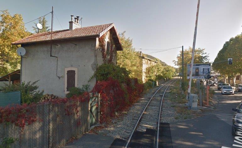
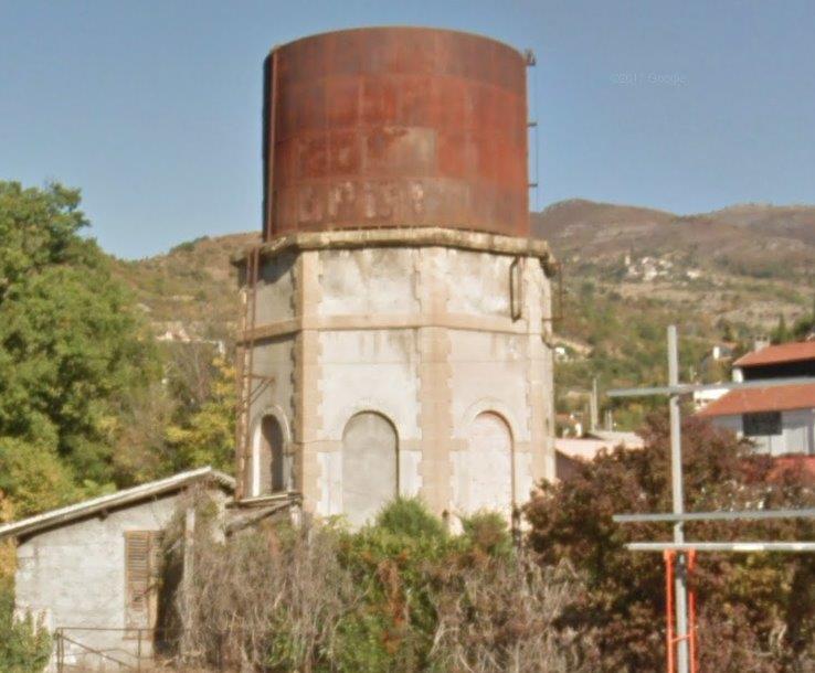
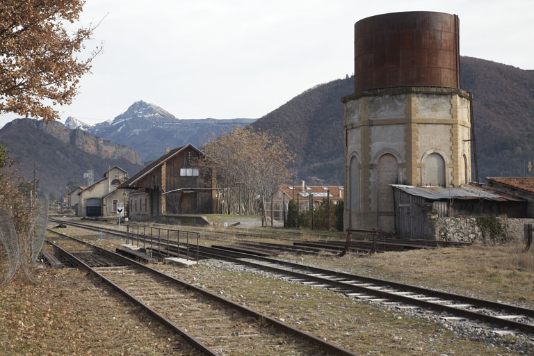
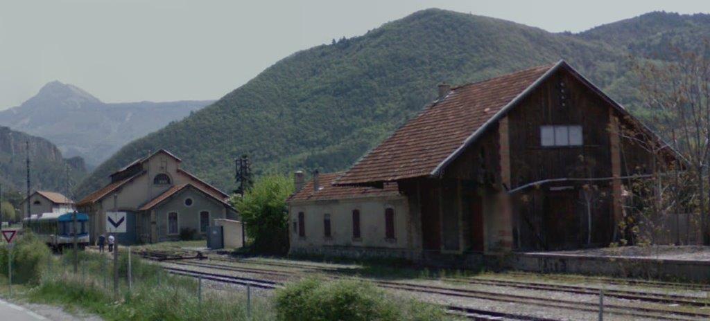
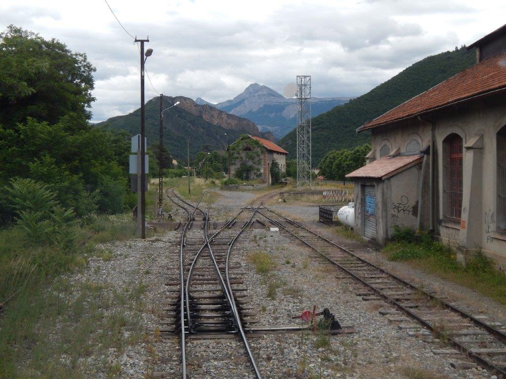
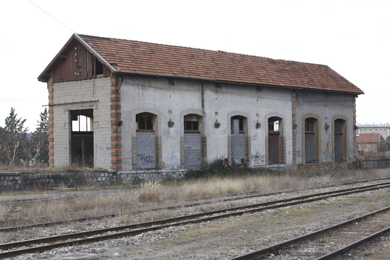
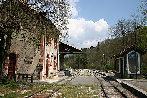
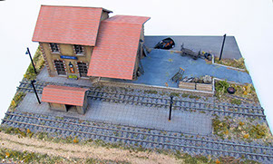
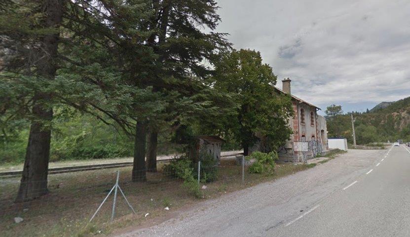
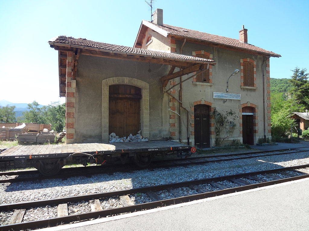
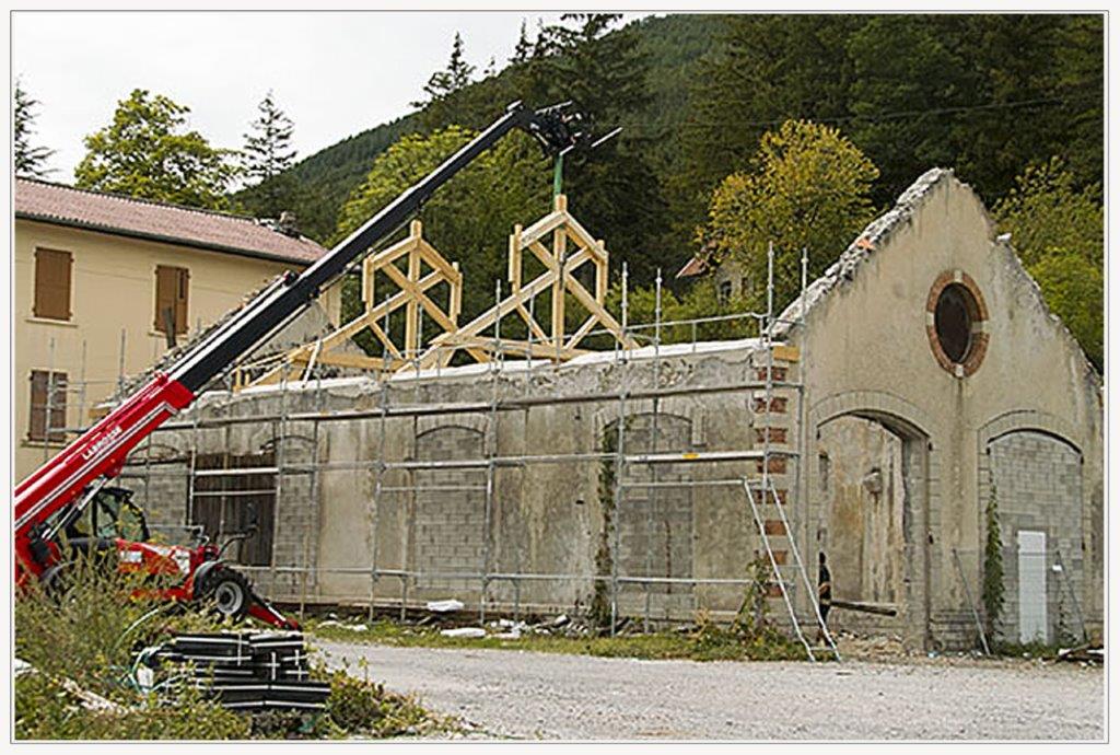
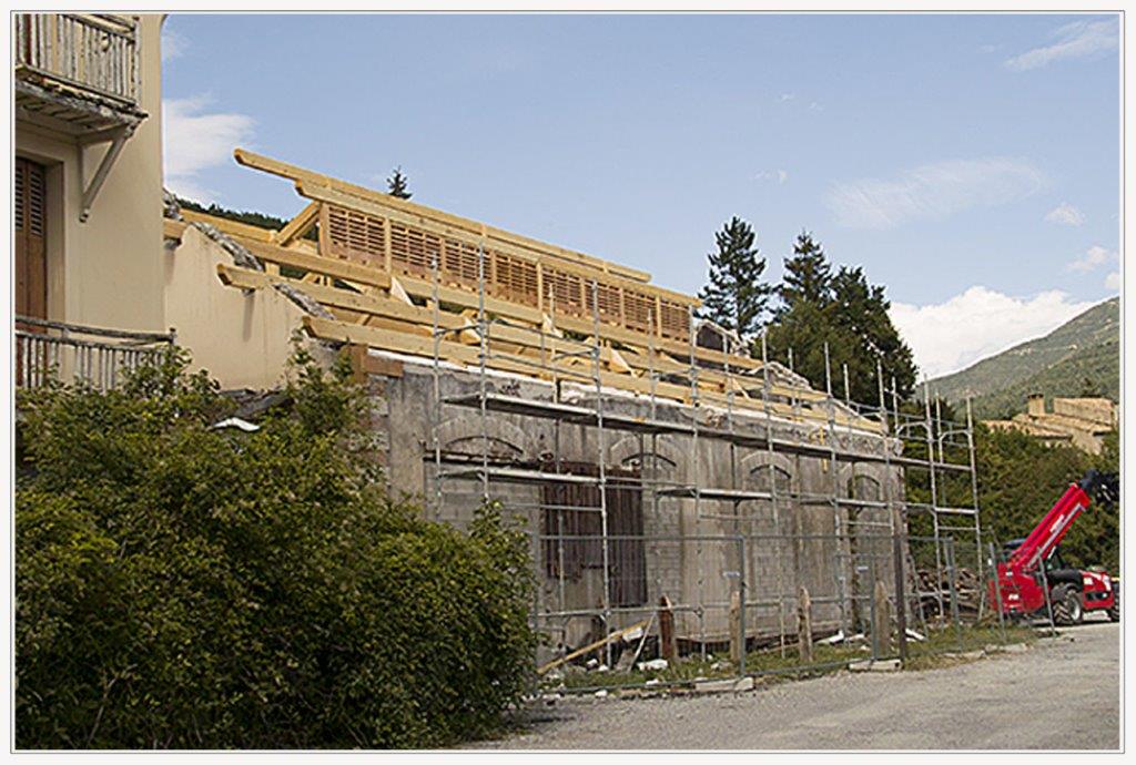
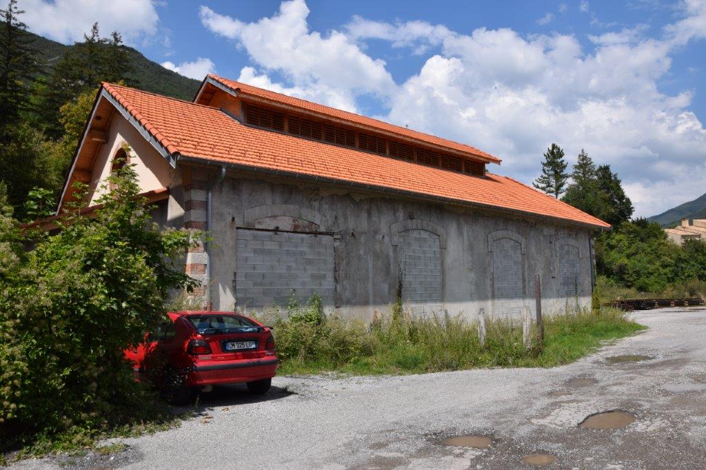
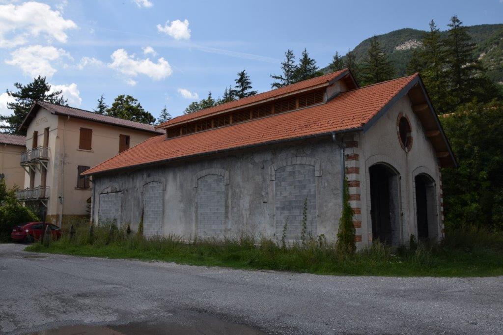
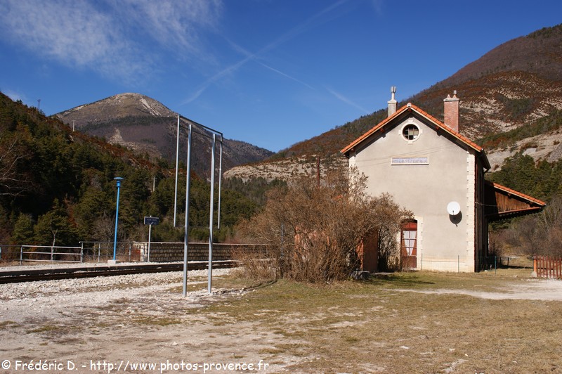
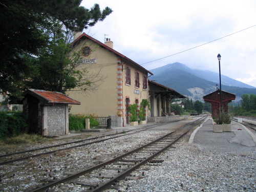
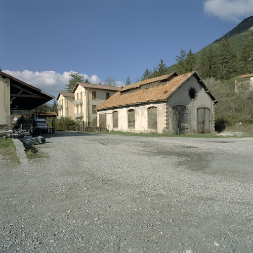
The station was located on the south side of the village. The line was not primarily designed for passenger transport and the facilities at Belpech Station bear this out. The platform was provided for the unloading of wagons rather than for pedestrian access to carriages.
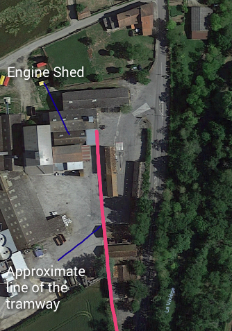
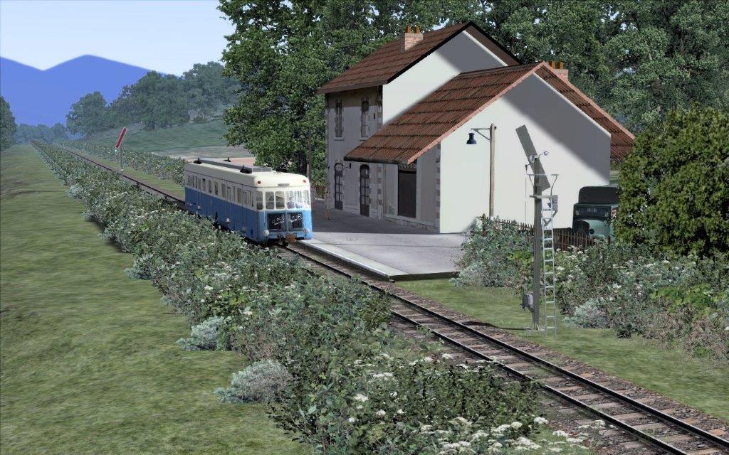
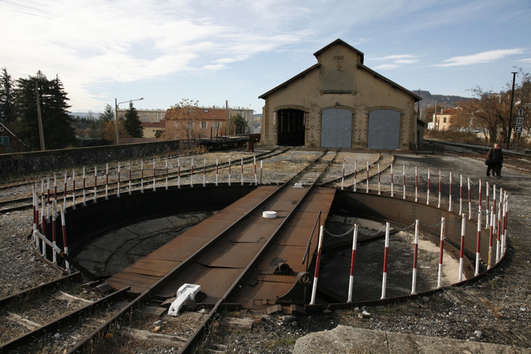
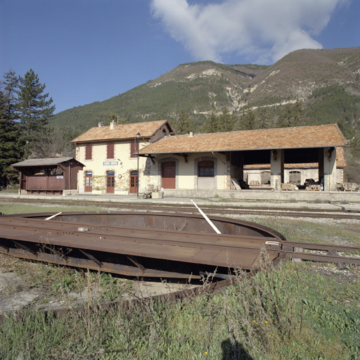
In the image below, the goods facilities are centre stage, with the water tower appearing to the left and with the engine-shed beyond. The station site was compact and necessitated small turn-tables to permit access for locomotives to the shed roads.
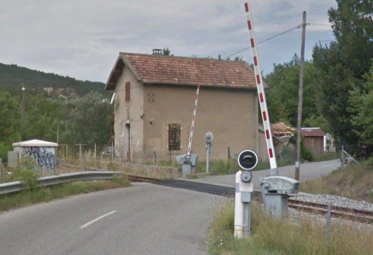
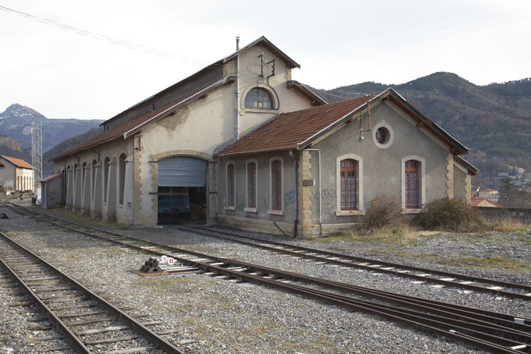
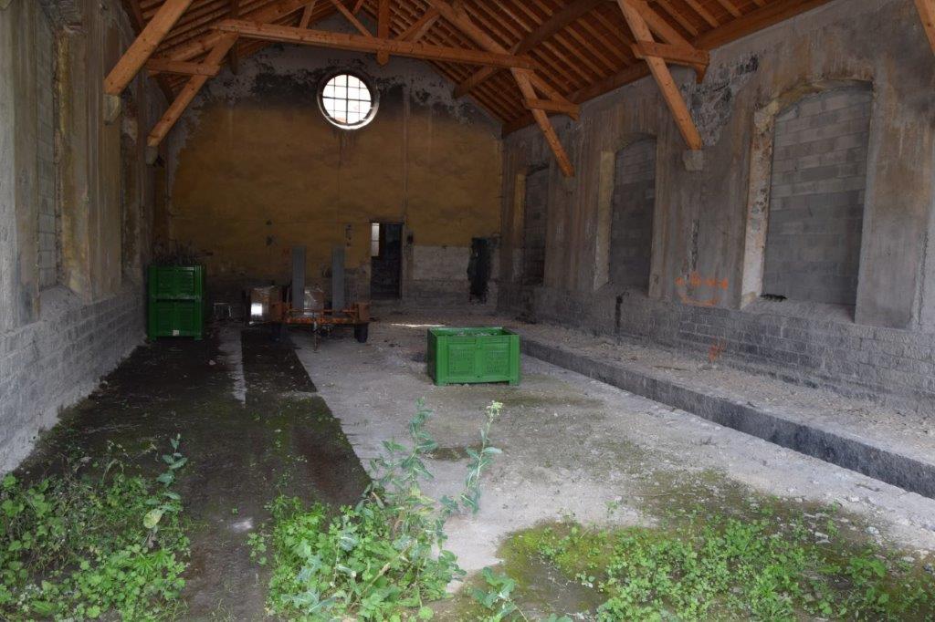
The station has almost entirely disappeared and its site was occupied in 1934 by “La coopérative de Hers, Vixiège et Razes” which is now the “Société Coopérative Agricole Arterris”. The engine-shed apparently still exists but has been incorporated into a complex of other buildings and only the gable-end can be picked out. [6]

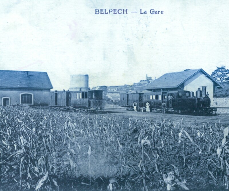
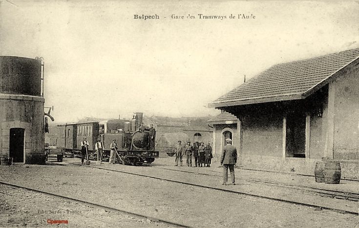
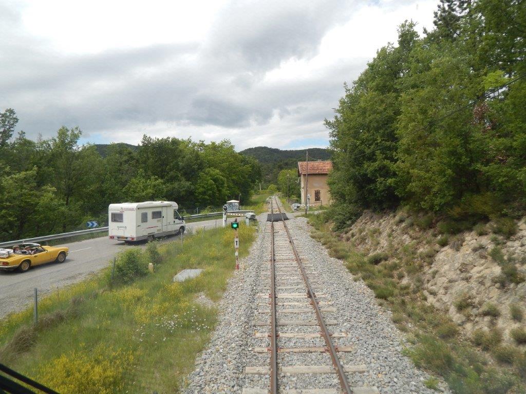
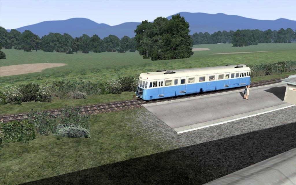
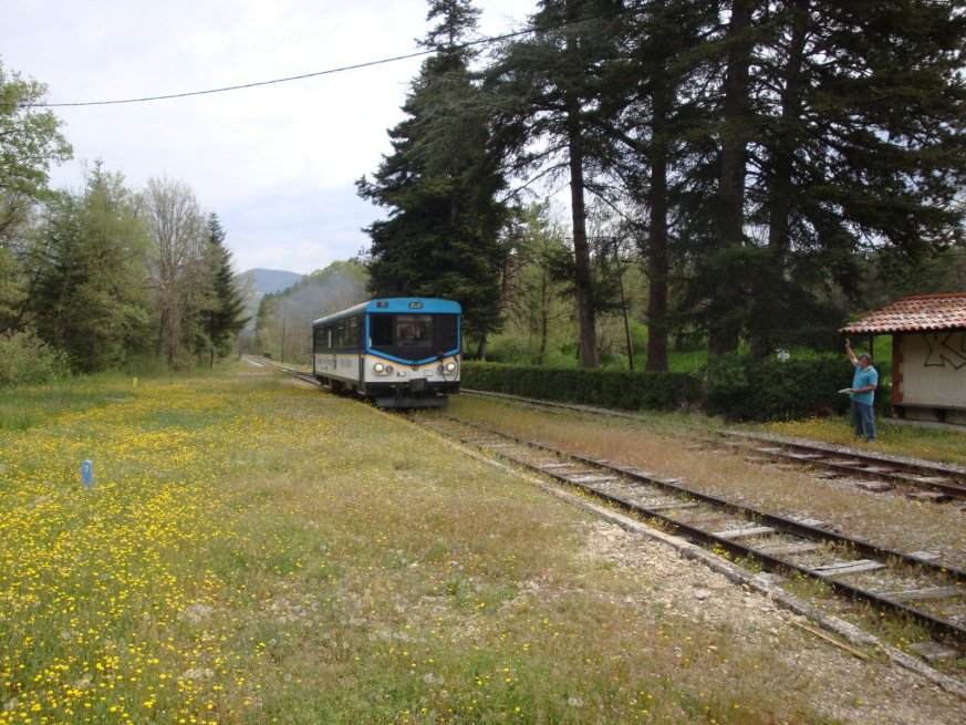
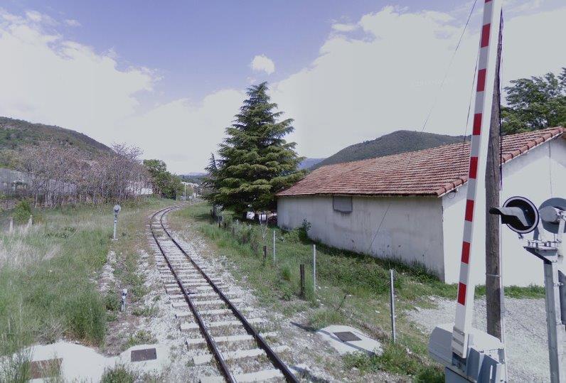
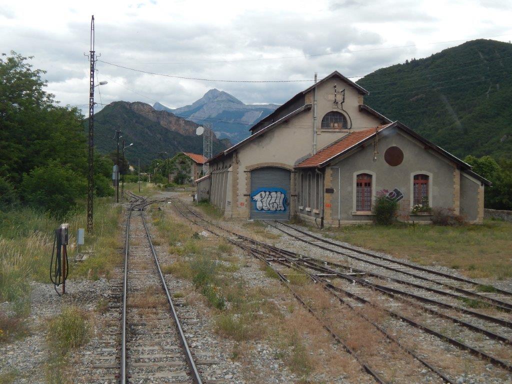
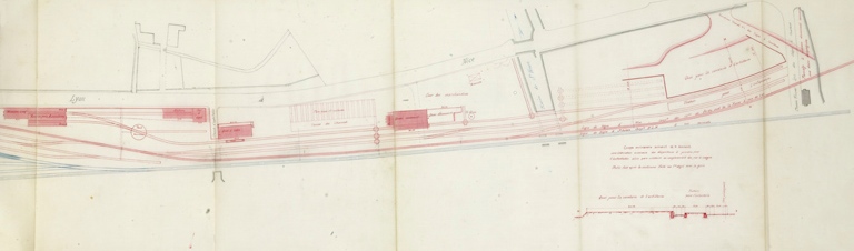
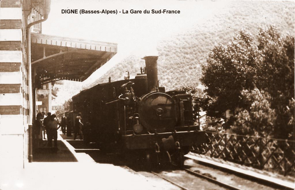
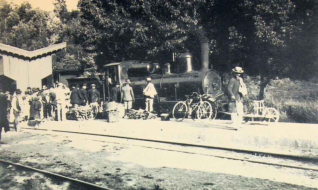
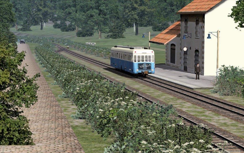
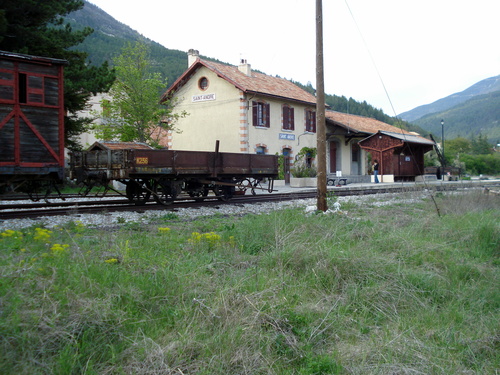
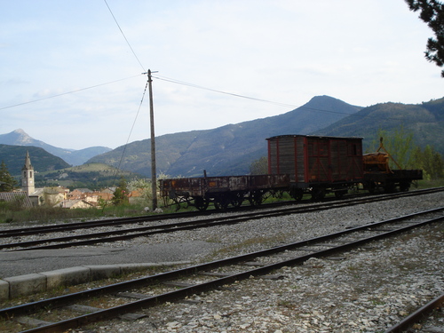
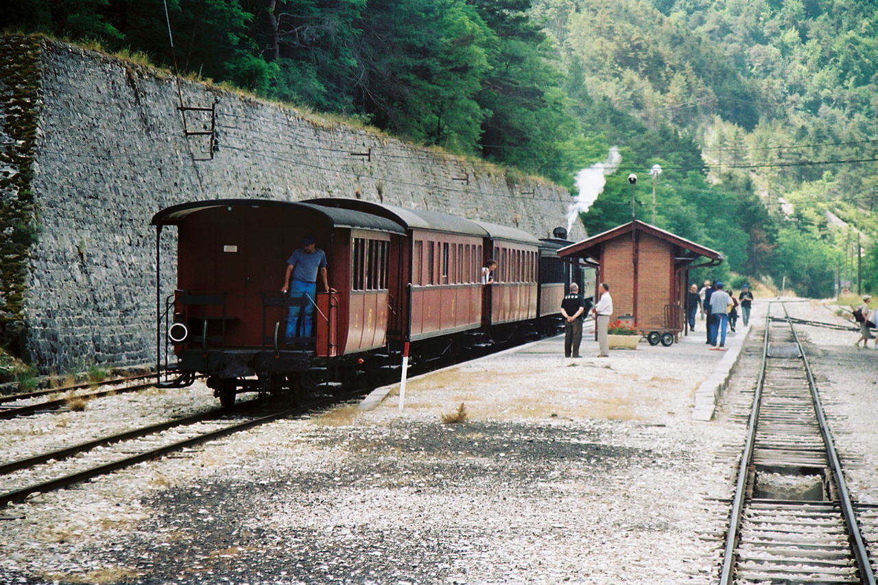
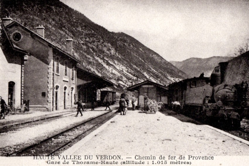
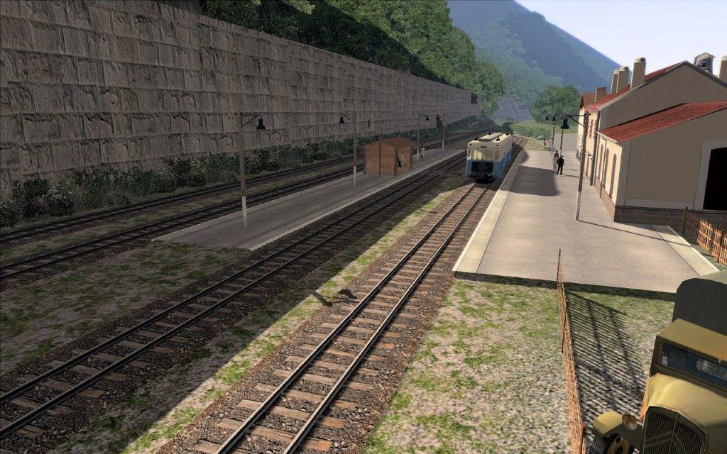
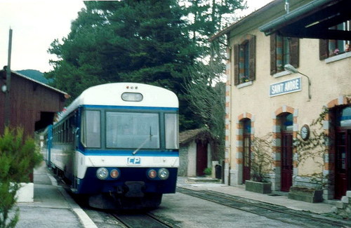
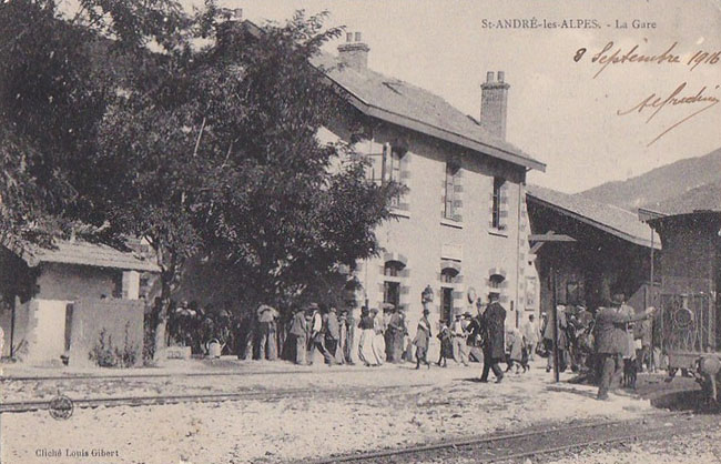
 The Belpech station is located at 40.5 kilometer point. The waiting train is consisting of the No. 26 locomotive, a coach and a van. The train is located on one of the two tracks equipped with turntables which allowed access to the engine shed which is located behind the water tower. The water tower on the left, the station in the centre, and the hall on the right offer a complete picture of Belpech railway facilities. [12]
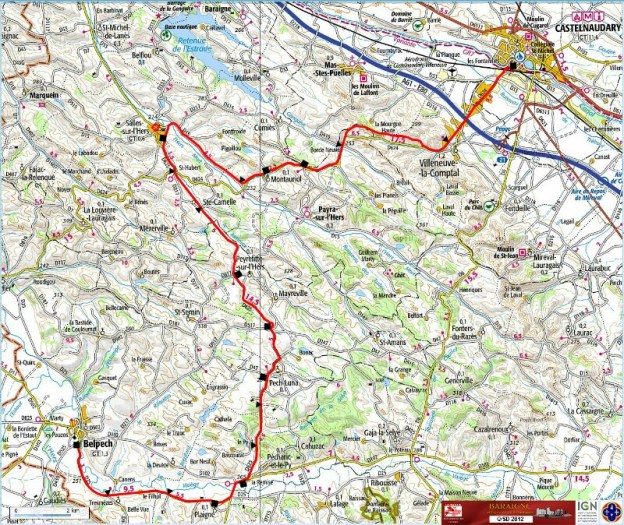
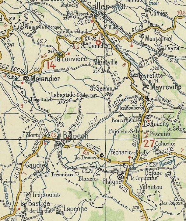
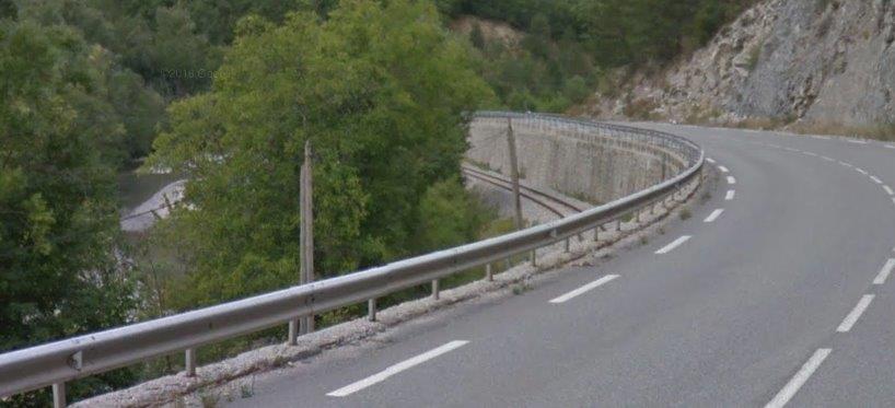
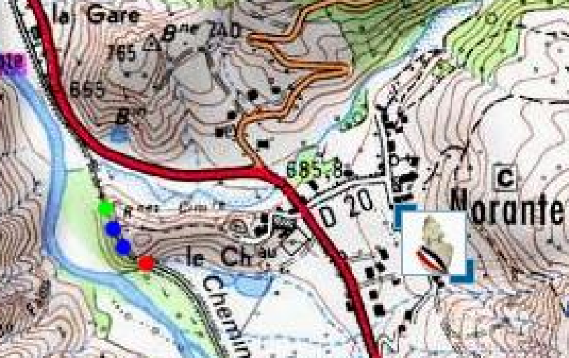
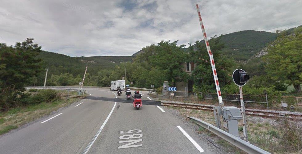
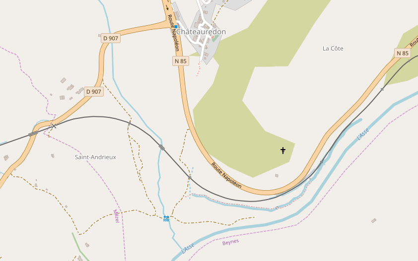
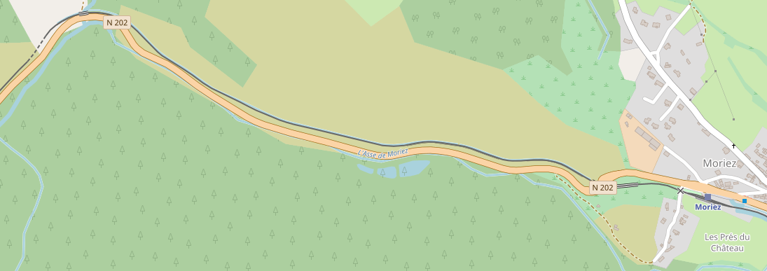
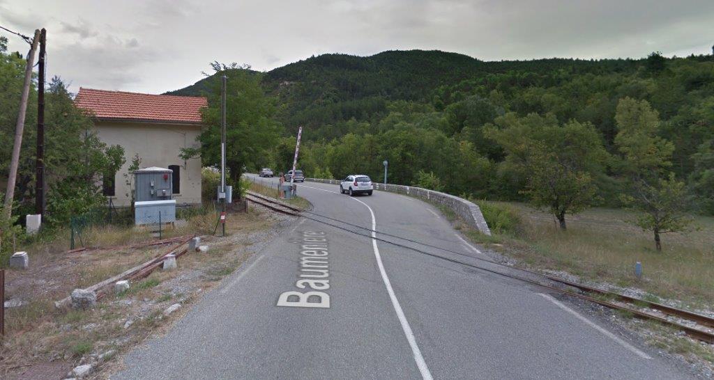
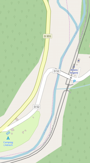
 The 1930s Michelin map below shows the tramway marked as a castellated black line alongside the IC25 (now D25) south of Belpech and on the south side of the River Vixiege. Careful study of the map allows the station site in the village to be picked out. [5] Leaving the station the tramway ran on the west side of the IC25 for a short distance before crossing to the opposite side of the road just before it turned eastward. The trams then ran on the north shoulder of the road until it met the GC15 at Plaigne. On the way they passed through the halts at Tresmezes and Blazens.

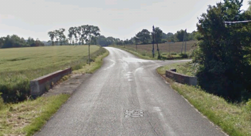
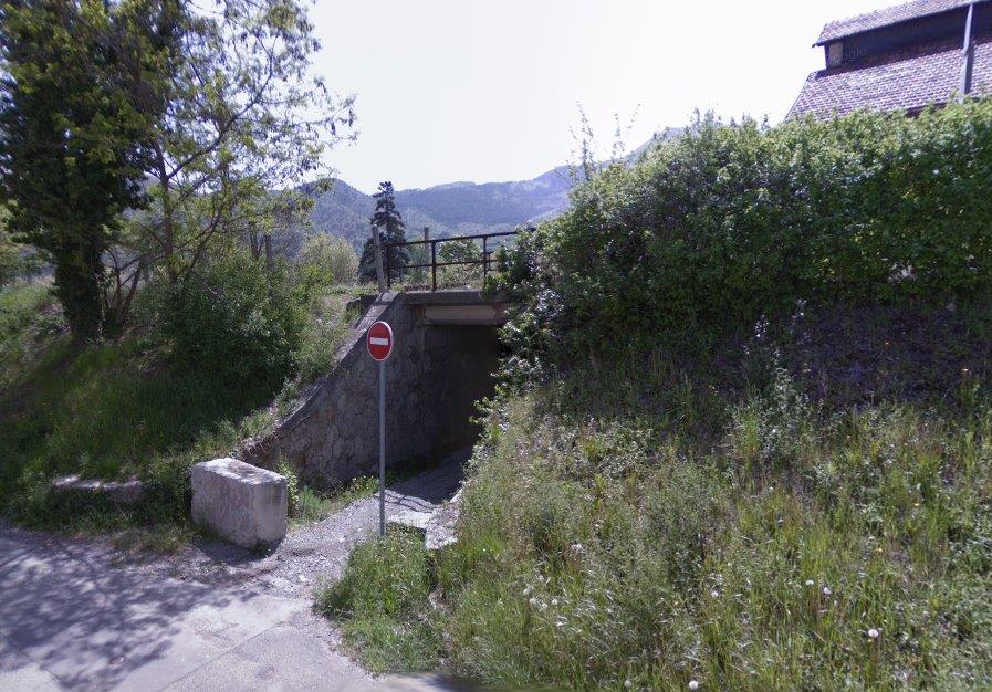
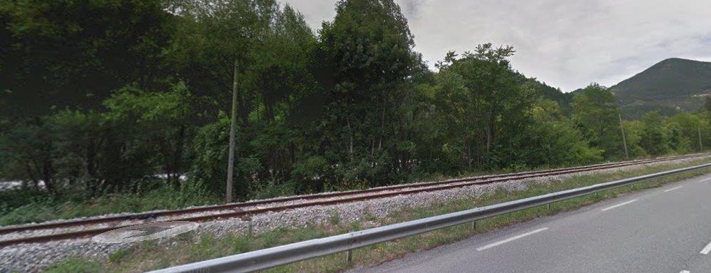
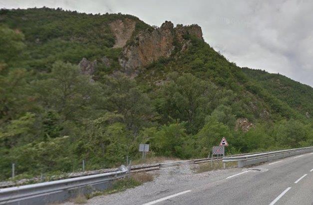
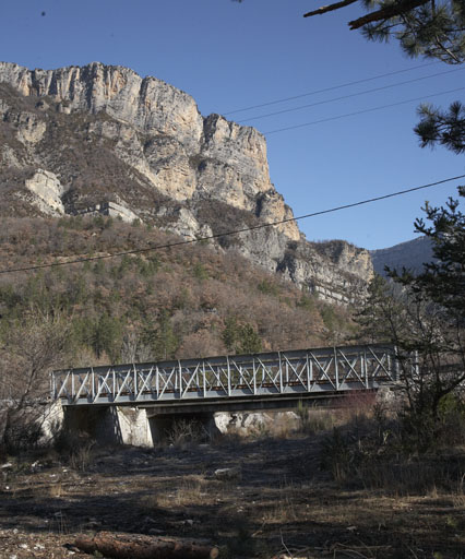
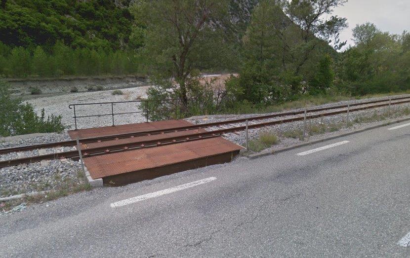
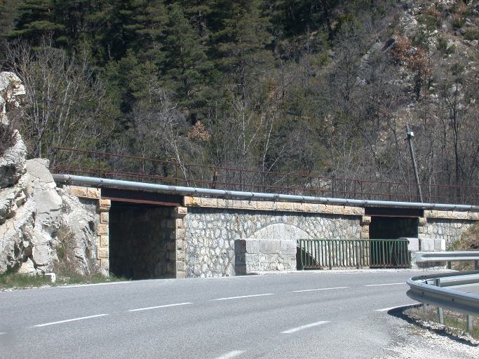
 Evidence of the existence of the tramway between Belpach and Plaigne is sparce. This image may be the best evidence we can find. At this point on the road we know that the tramway was on the north (left) side of the road. The culvert is wider on the left than on the right which suggests room left for the tramway.
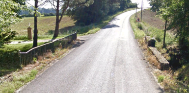
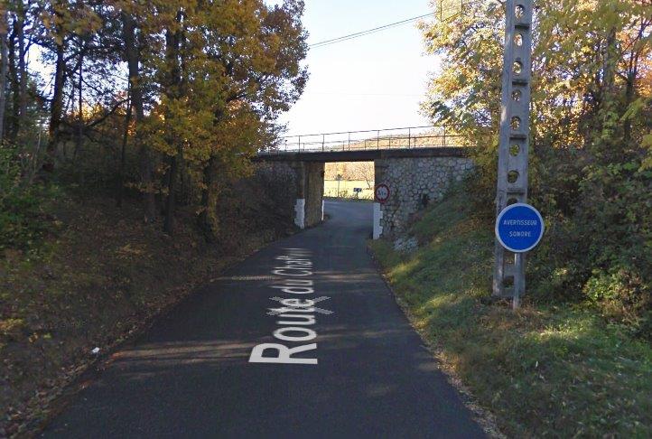
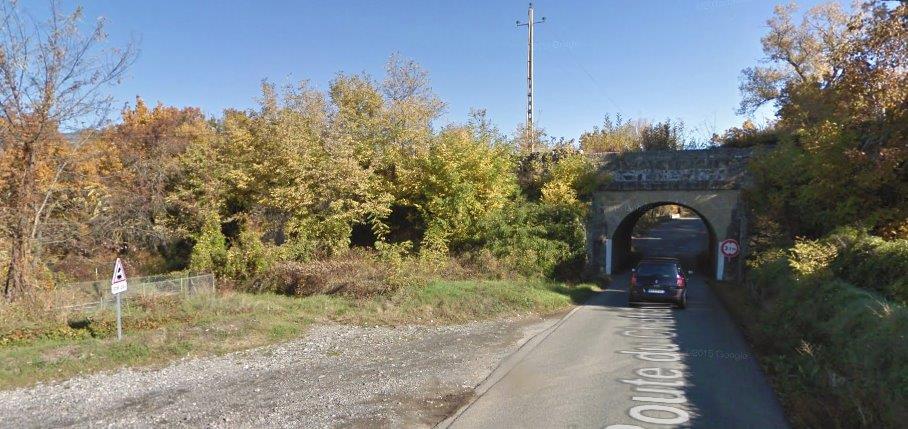
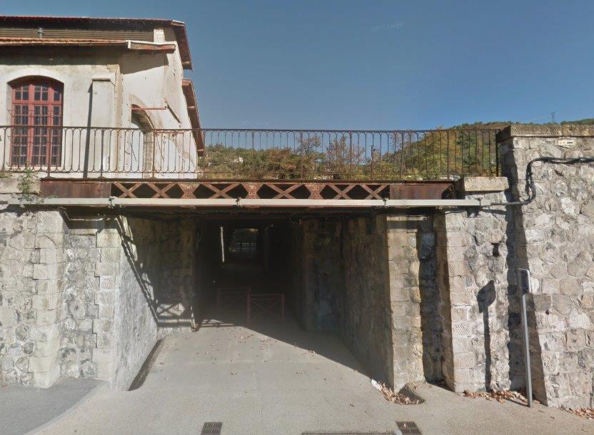
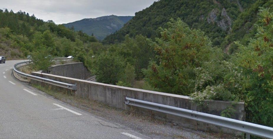
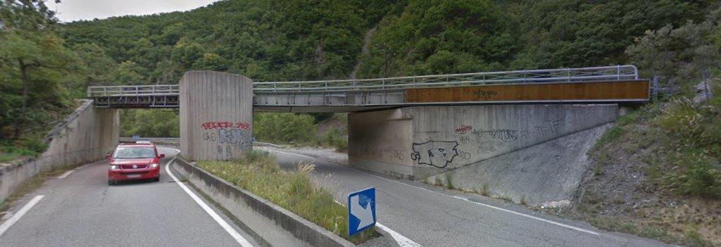
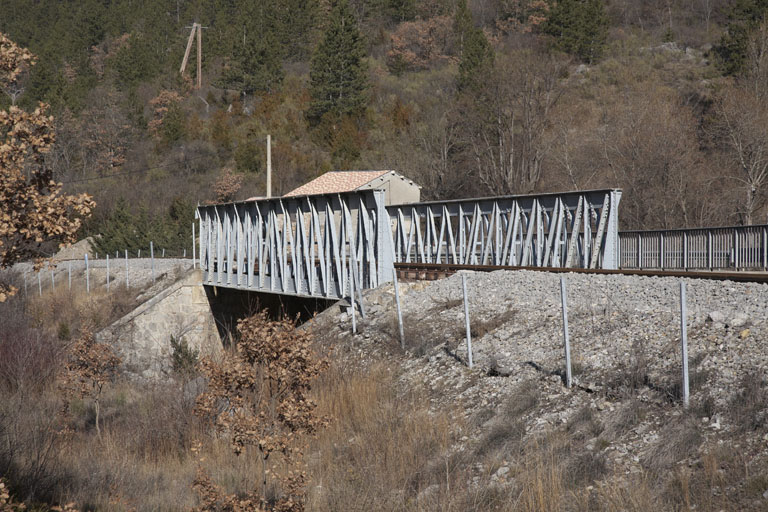
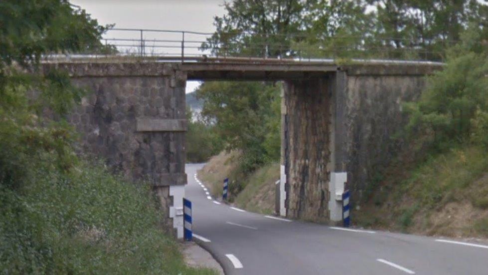
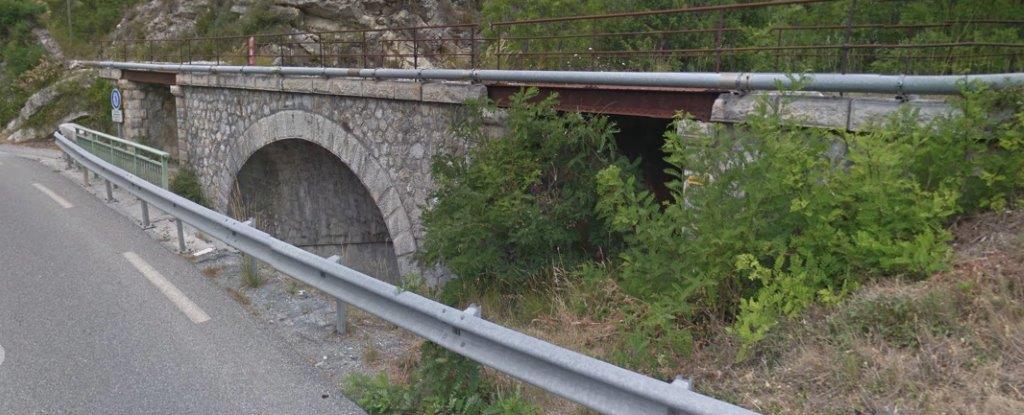
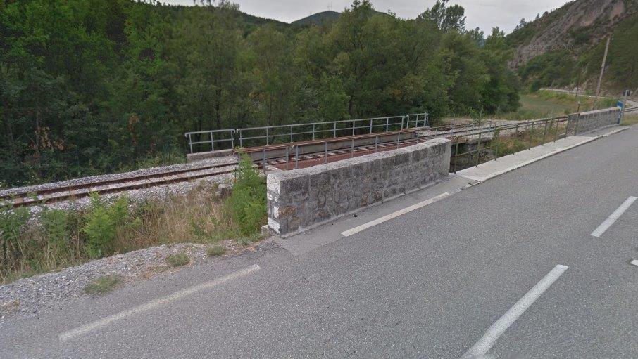
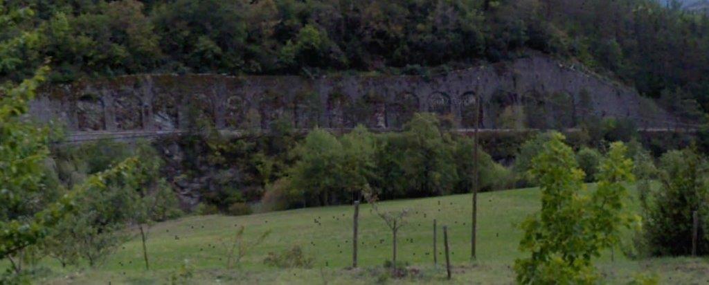
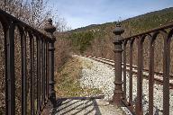
Further evidence is visible at another bridge closer to Plaigne where the parapet next to the old tramway line is completely different to that on the south side of the road – more ornate and more fragile!
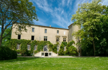
 The bridge above is immediately adjacent to the Chateaux de Commanderie which is now a hotel and conference facility.
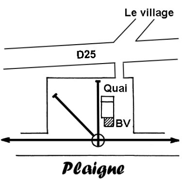
Plaigne is a small village of a little more than 100 people. It is situated to the south of what is now the D25.
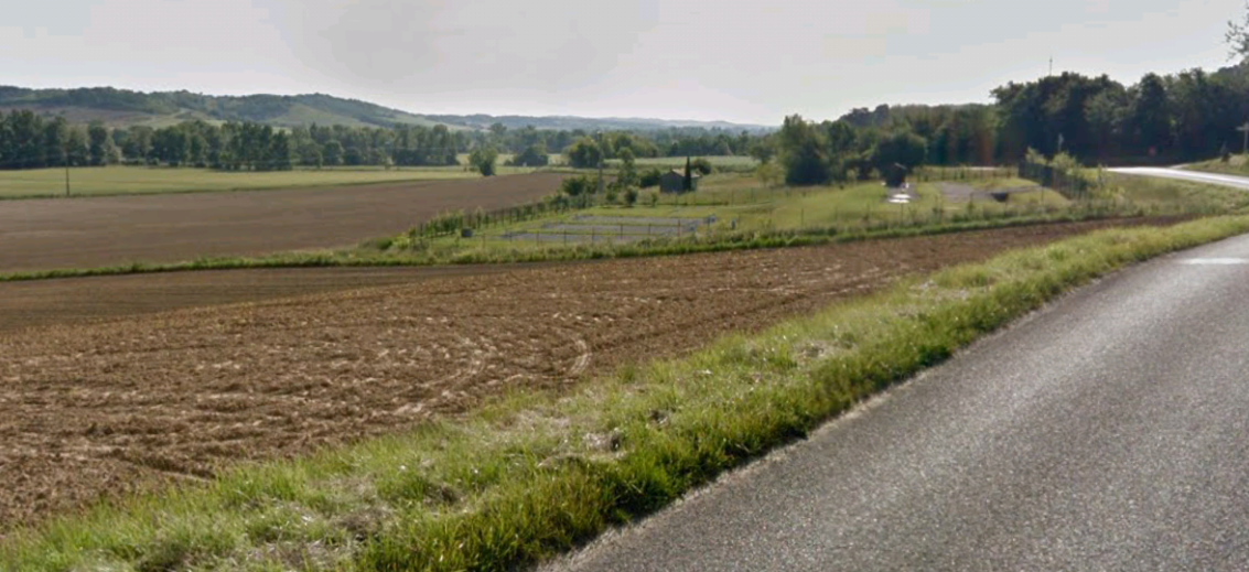
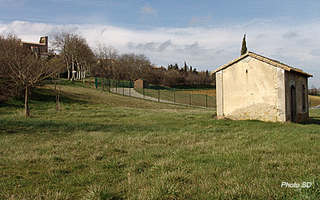
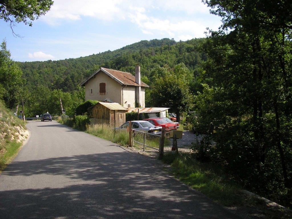
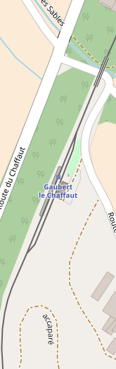
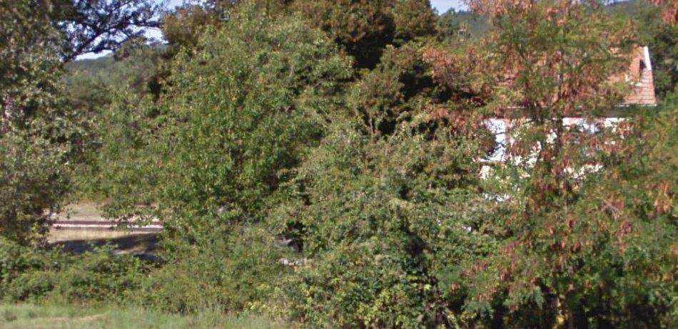
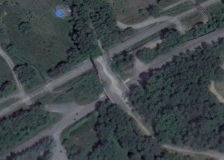
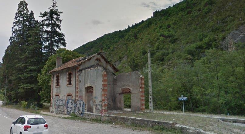
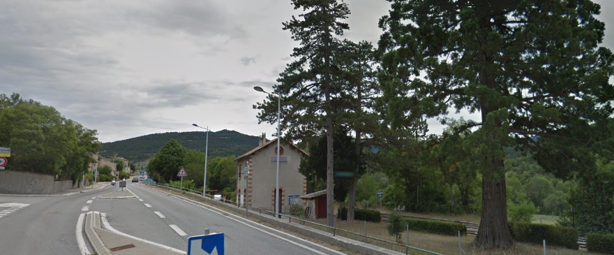
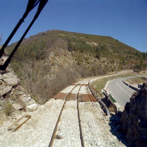
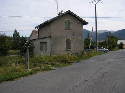
Close to Plaigne, the tramway formation and the IC25 (D25) diverge for about 700 metres. The small station building remains in the middle of a field to the north side of the D25. The line of the Tramway runs to the left of the fence in the centre of the image below. The station building can be picked out at the centre top of the picture with the Cyprus conifer adjacent to it. The image comes from Google Streetview.
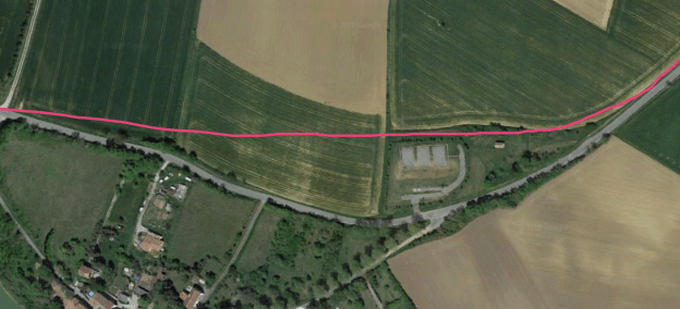
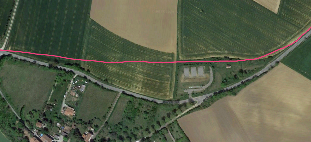
 The pink line above shows the tramway route. The village of Plaigne is immediately to the south of the satellite image. The station building stands isolated just to the south of the tramway alignment. The adjacent sketch plan shows the limited facilities at the station. [4] The plan is inverted with North at the bottom.
A turntable was used rather than points to ensure that the facilities remained compact. Here as at Belpech, no passenger facilities were provided.

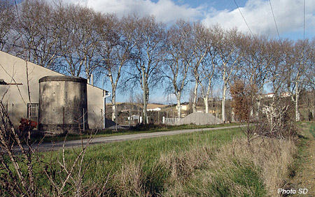
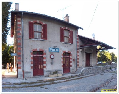
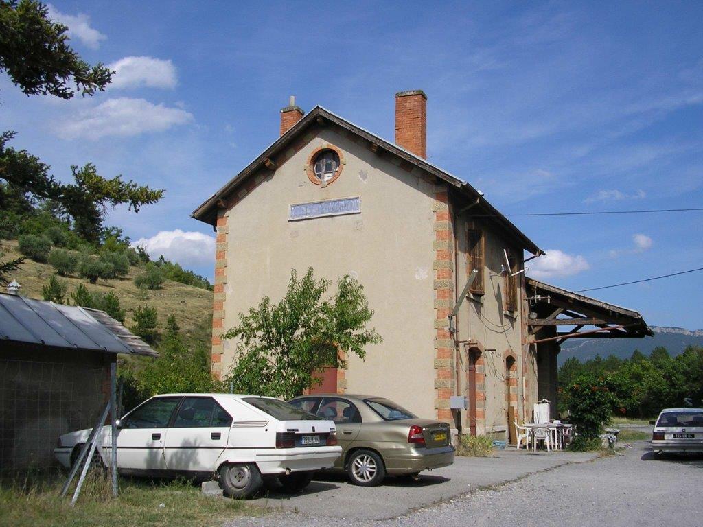
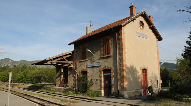
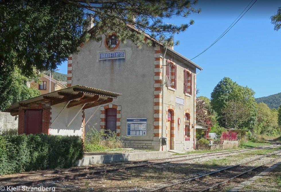
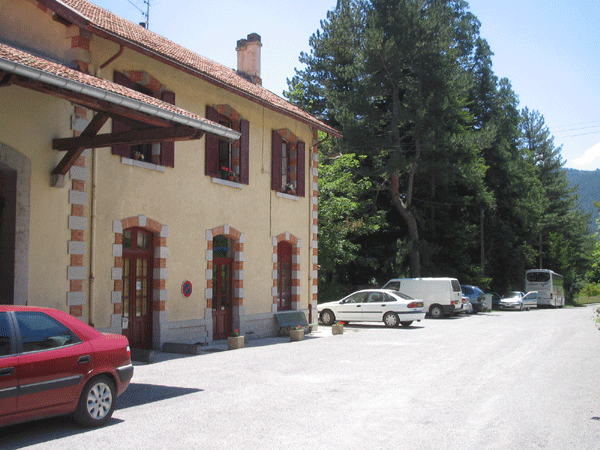
 In this modern view of the station building the view mirrors the older monochrome image immediately above. The D25 runs across the picture in front of the silver birches. [6]
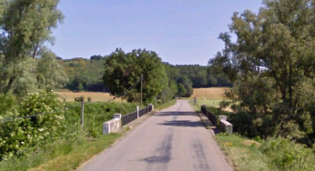
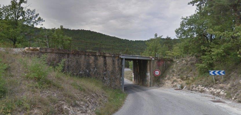
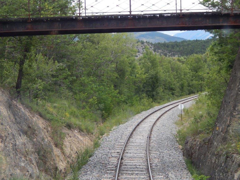
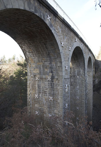
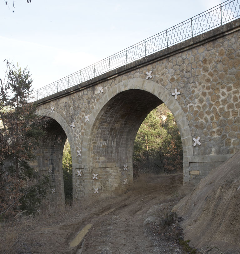
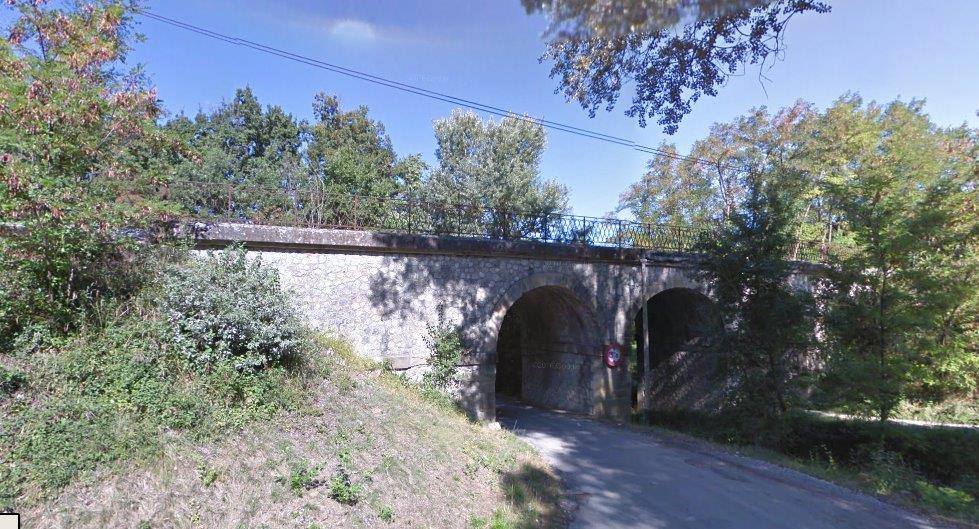
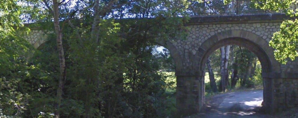
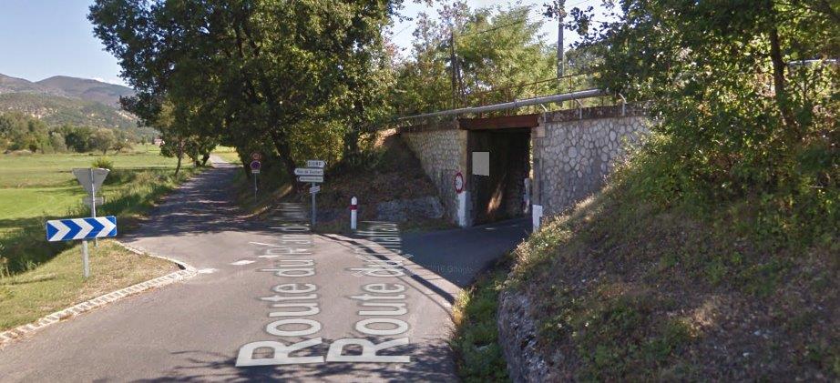
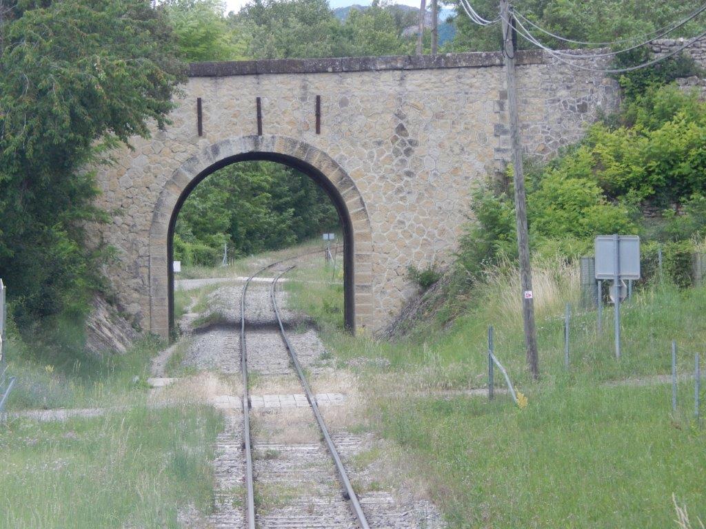
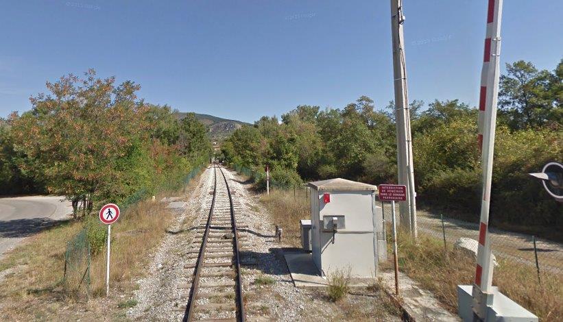
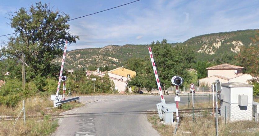
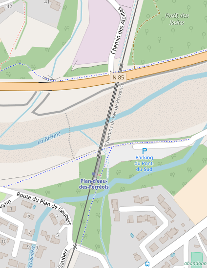
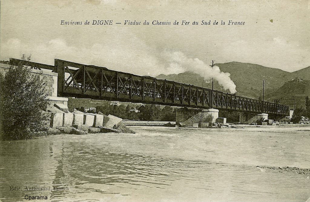
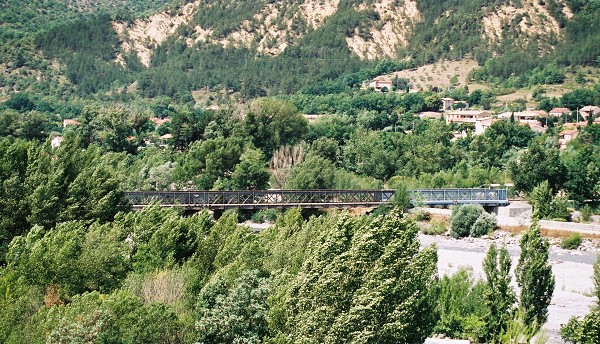
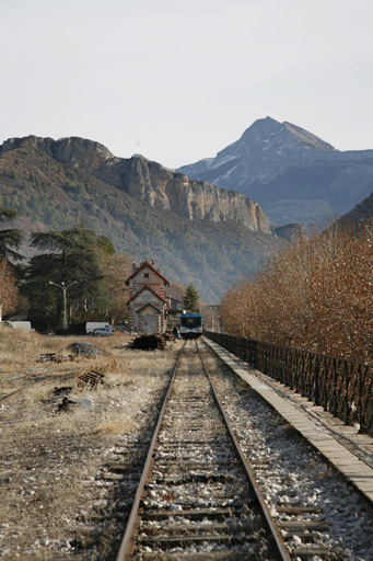
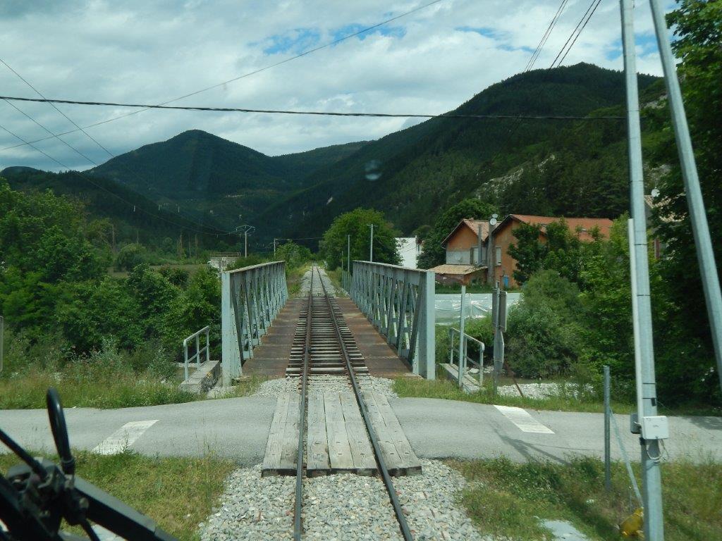
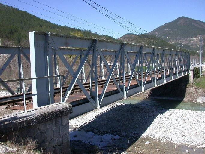
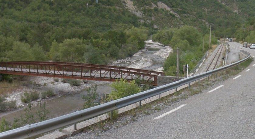
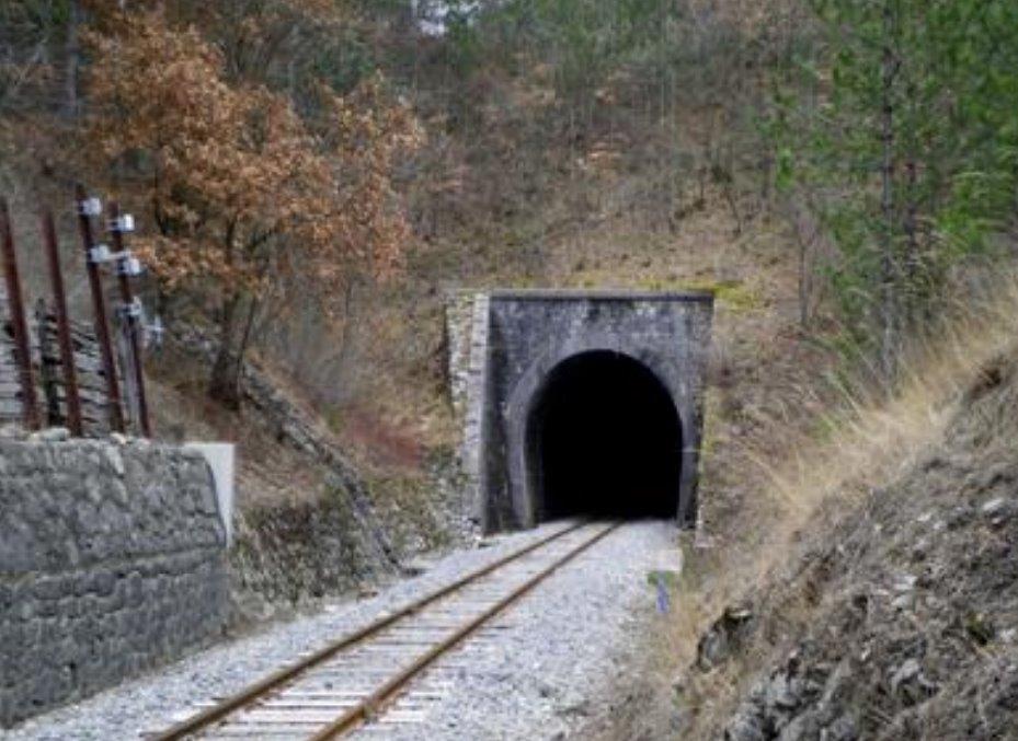
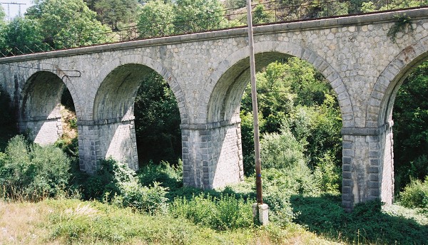
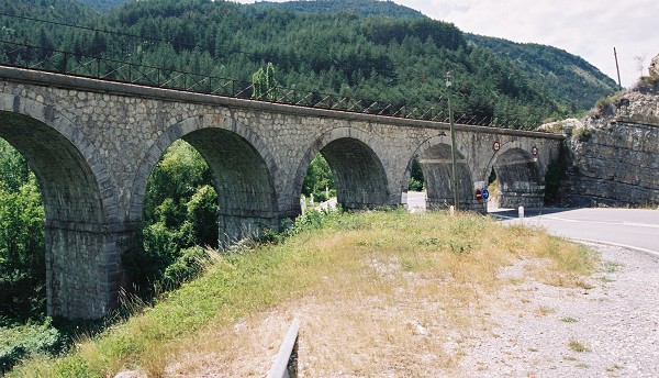
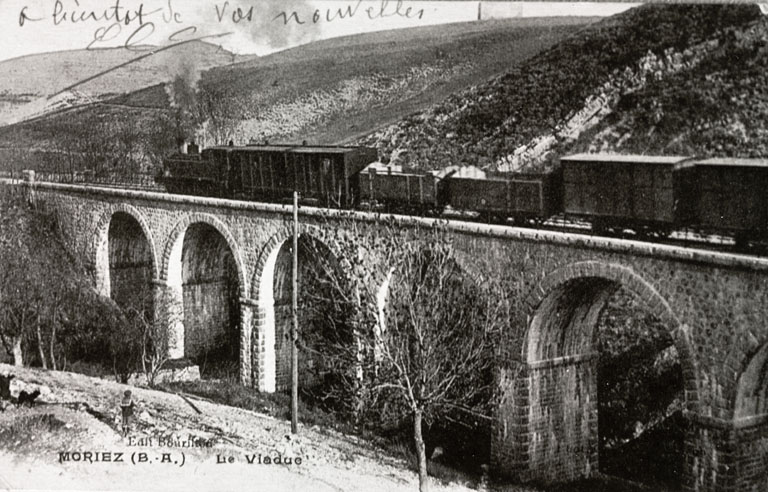
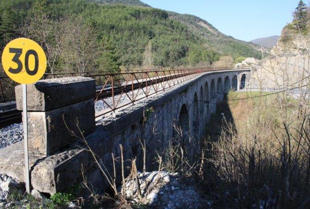
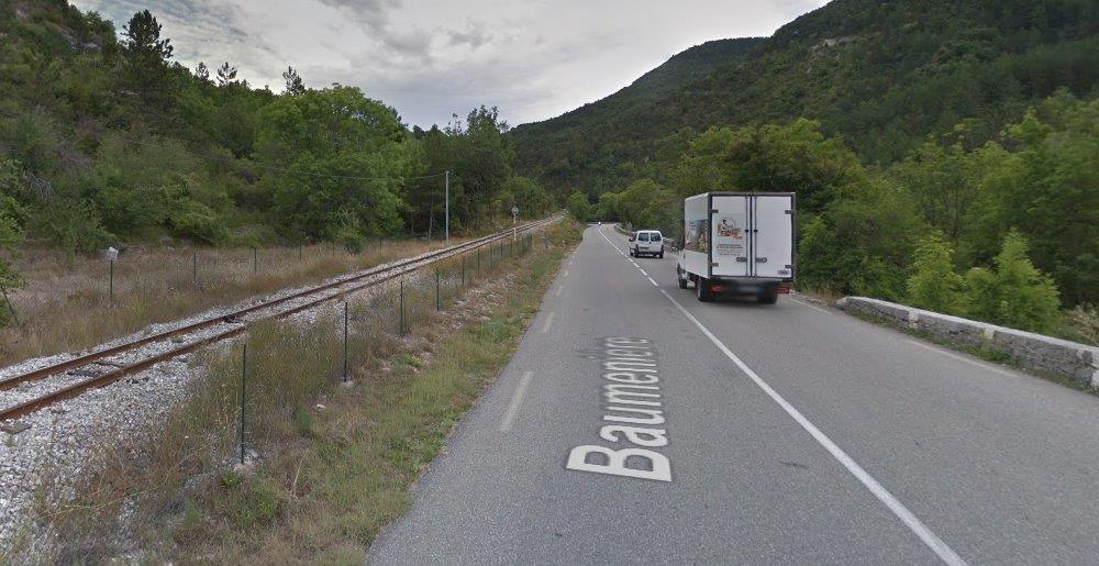
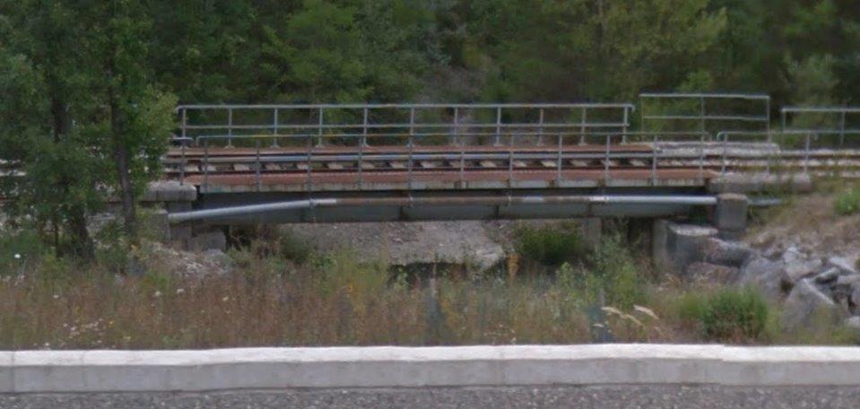
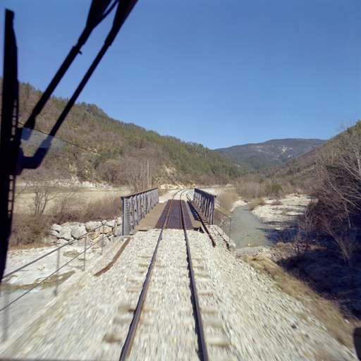
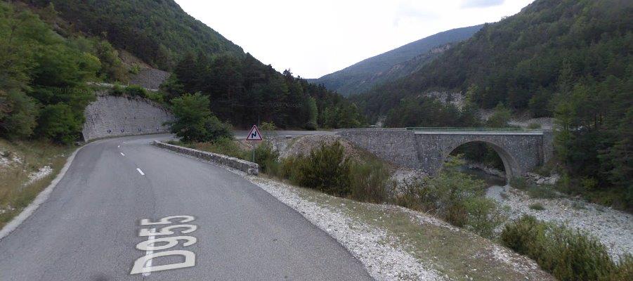
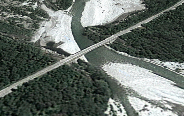
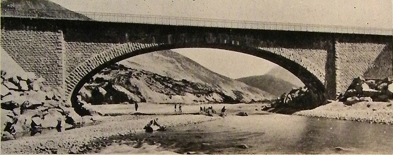
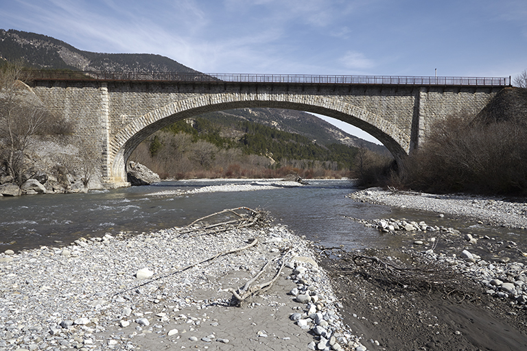
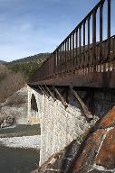
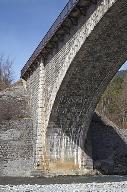
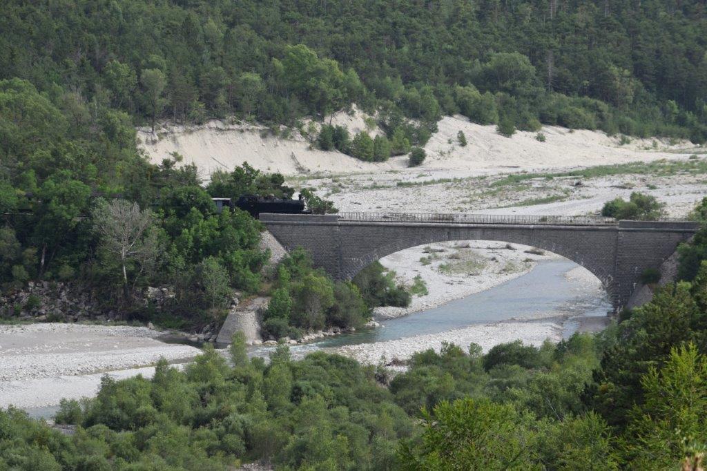
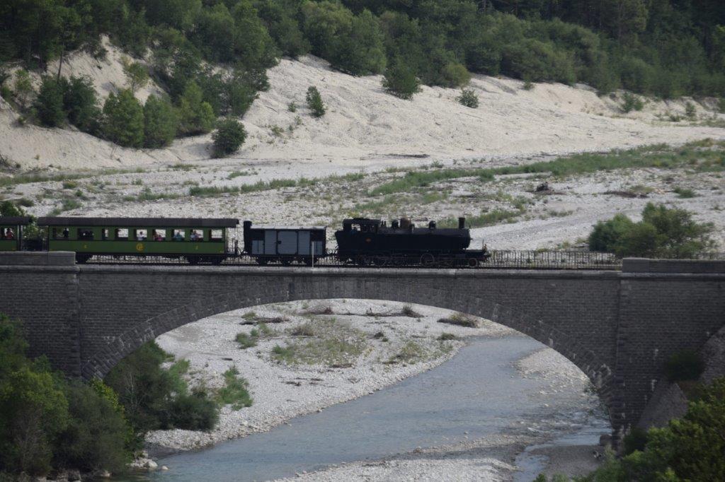
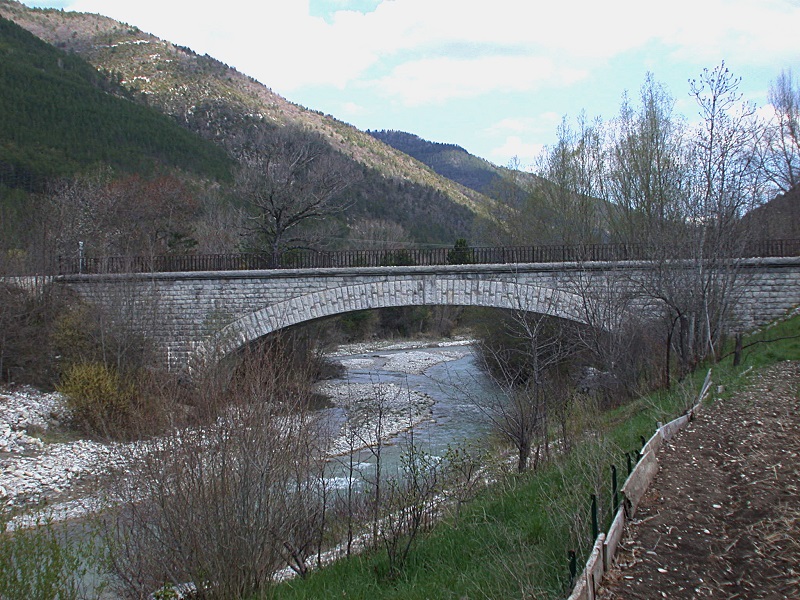
 Just beyond Plaigne the D25 meets the D625, the erstwhile GC15. The tramways allegiance to the D25 is shattered by the opportunity to cross the River Vixiege and head north along what is now the D625. The tramway and road cross the river on a three-span masonry arch viaduct and head north. My wife and I were able to travel the length of the tramway from Plaigne to Salles sur l’Hers on 10th September 2018. The material that follows has been confirmed first hand.
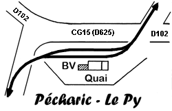
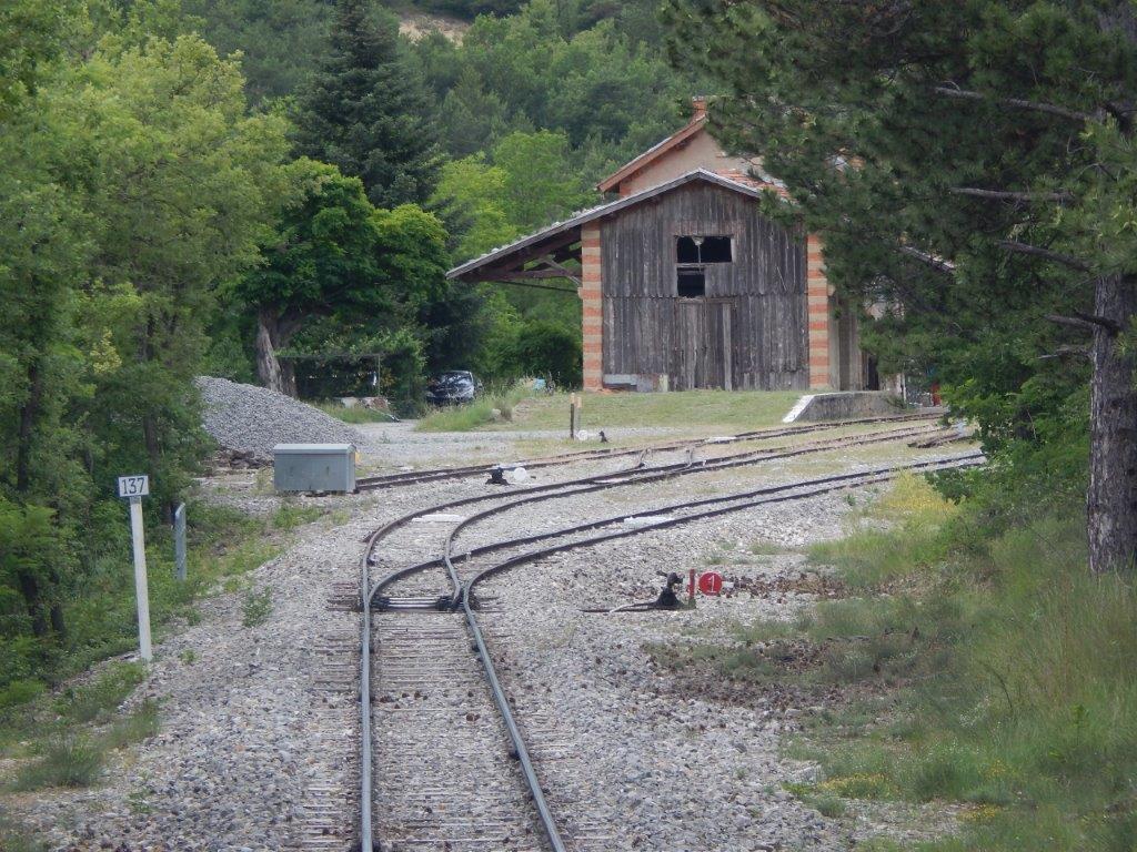
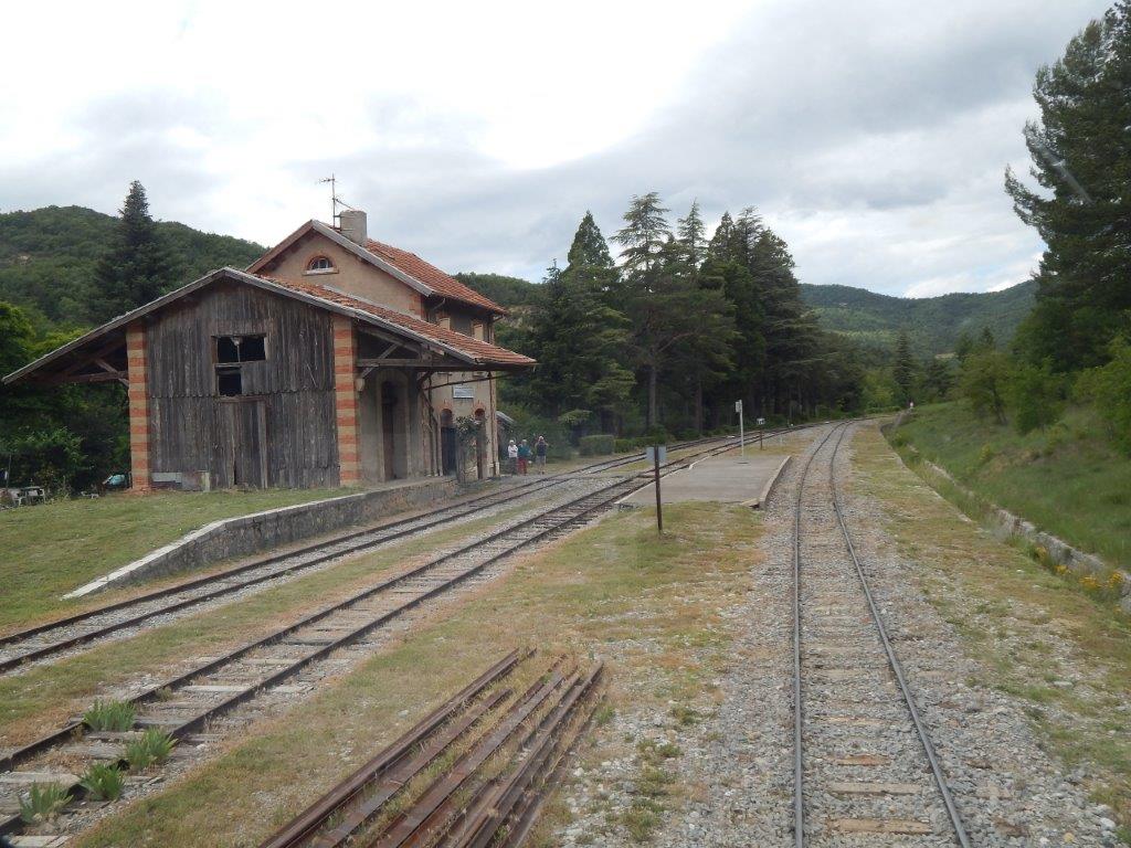
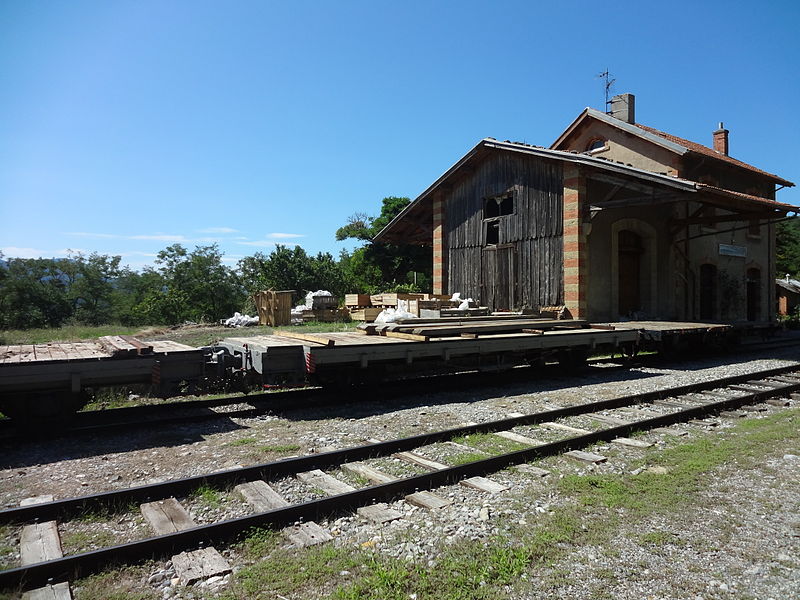
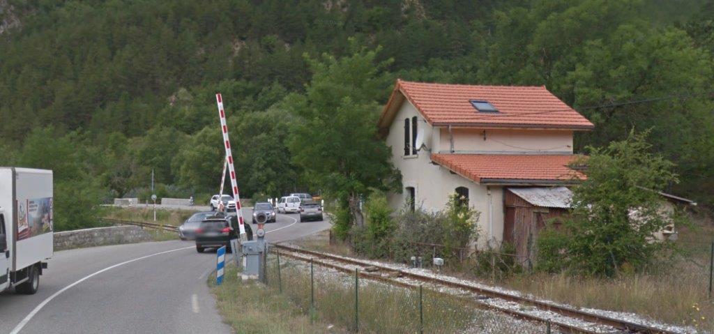
 Not so far north of the river the tramway reached Pecharic et le Py. This time the sketch map in oriented as one would expect with North at the top. [6]
The station layout allows for two trams to pass, although, once again the provision for passenger traffic is minimal.
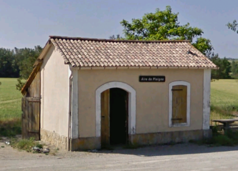
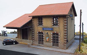
The village is tiny, the population in 2008 was 29! [7] The station building at Pecharic et le Py taken from a vehicle approaching from Paigne.
 Pecharic et le Py Station facilities in the early years of the 21st Century.
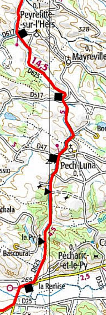
 At the East end of the passing loop, the tramway crossed the GC15 (D25) so as to be on the West side travelling North. From Pecharic et le Py, the tramway and road travelled in a generally northerly direction through a series of halts and stations which included, le Py (halt), Pech-Luna, Mayreville and Peyrefitte-sur-l’Hers.
The images below show the stations, starting with that at Pech-Luna. The first photograph shows the approach to the station site. The tramway was on the left (west) side of the road and the tiny hamlet off the picture to the right. The open areas in the picture was the station area. All structural evidence of the tramway has been removed and a bus shelter sits forlornly awaiting the next service.
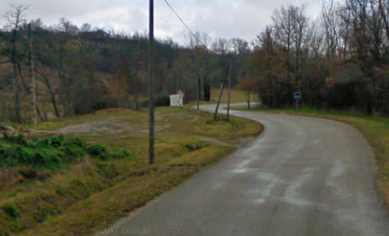
The next stop at Mayreville served a similarly small hamlet which, like Pech-Luna, was situated to the east of the road. Pech-Luna is a hamlet of around 100 persons, Mayrevellie, of around 70. [9] Peyrefitte-sur-l’Hers is a hamlet of about 75 people. [10]
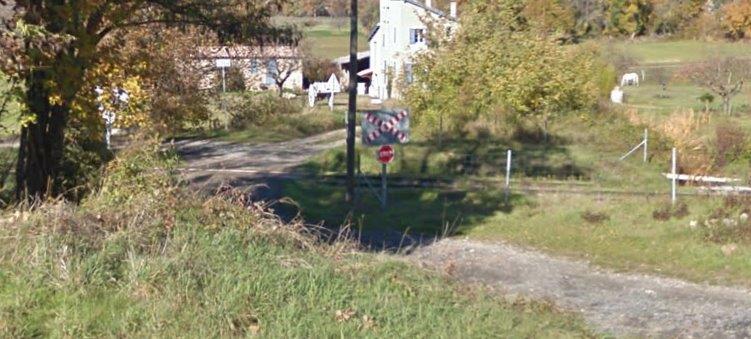
He remains of Peyrefitte-sur-l’Hers Station are on the East side of the D625, so by this stage, the tramway has switched from the western shoulder of the road to that on the eastern side. The facilities at Peyrefitte-sur-l’Hers included a loop which allowed trains to pass easily. The approach to the station at Pech-Luna from the South.
 The sketch plan of Pech-Luna Station shows similar facilities to other stations on the route. North is approximately to the left of the sketch.
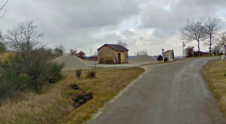
 The remains of the station at Mayreville.
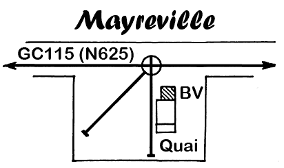
The station facilities at Mayreville were at right-angles to the line. North is once again to the left of the sketch. Passengers were not provided with a platform.
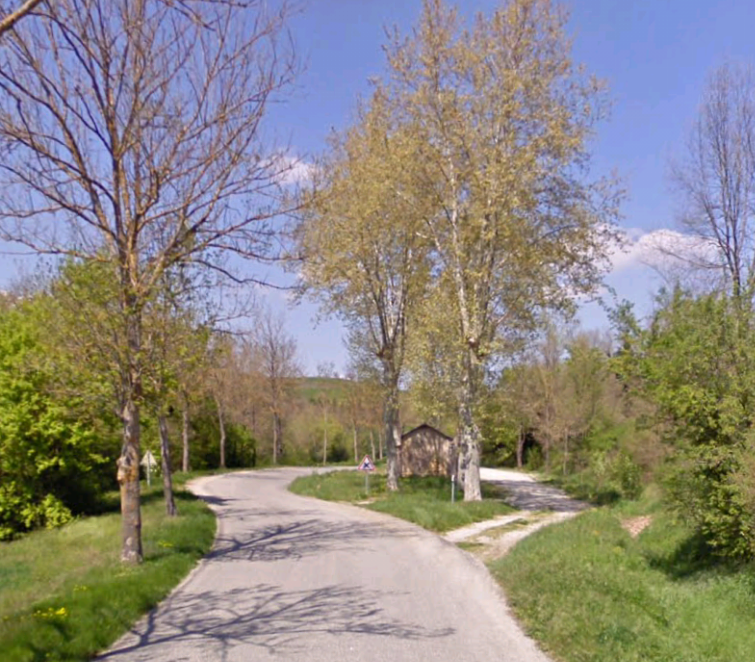
 The two images immediately above show Peyrefitte-sur-l’Hers Station site in the early 21st Century. The trams ran on the east (right) side of the road as shown in the first image which is taken from a moving vehicle approaching the site from the South.
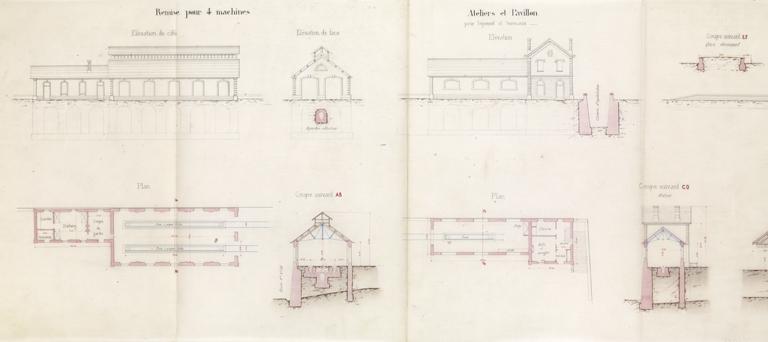
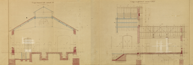
Routinely the stations on the line were built to a standard design, either at right-angles to the tramway or parallel to it. There was a small ticket office and and a goods platform. Unless provision was made for a passing loop the station buildings were usually at right-angles to thee tramway and consisted of a single track, with turntable that supplied a 6m x 9m goods platform and a shelter/ticket office of 6.59m x 4.08 m. [4]
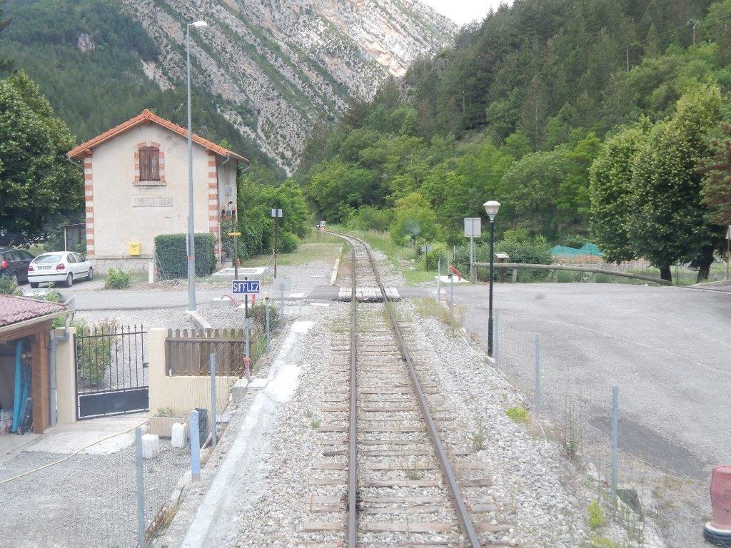
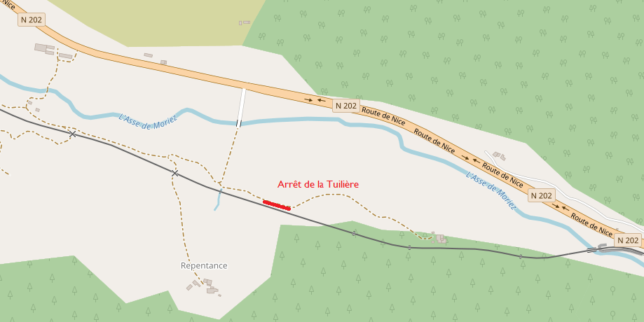
Beyond Peyrefitte-sur-l’Hers, the tramway and road turn westward towards Salles-sur-l’Hers. On the way to Salles, two halts were offered to travellers at Sainte-Camelle and Saint-Hubert.
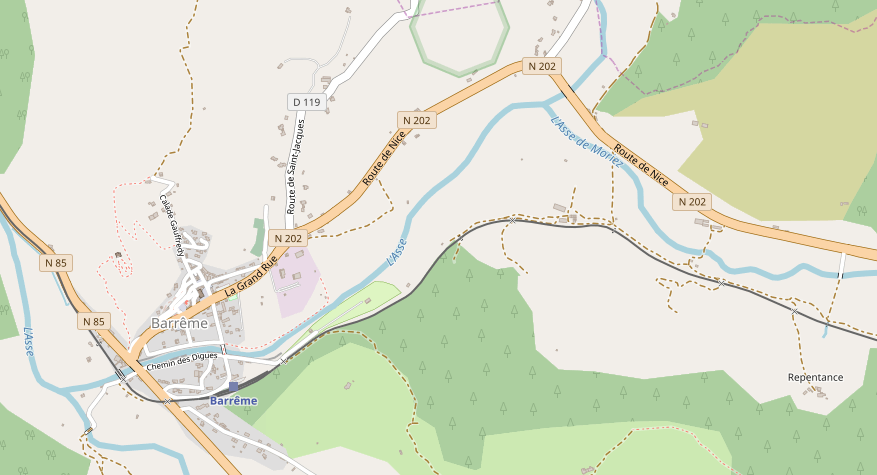
What might be of significant interest is that the original plans for the tramway bypassed the village of Salles-sur-l’Hers. The dotted line, following the D624, on the map above was the originally proposed route. The station for the village would have been at Saint-Hubert, a distance of some 1.8km from the village. Salles’ residents and the village council protested the proposals.
The initial response of the powers-that-be was that plans were too far advanced to be changed. The evolution found was for the villages of Salles to fund the deviation by purchasing the necessary land. In the light of this the route of the line was revised in 1898 to include Salles-sur-l’Hers. [4]
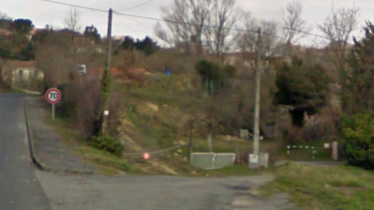
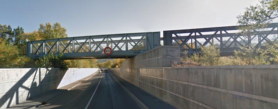
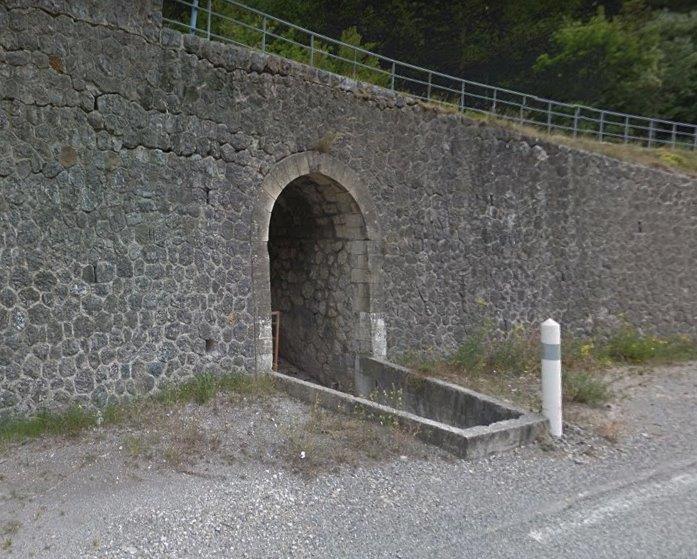
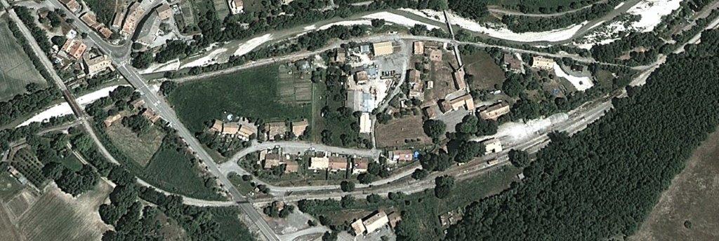
The tramway from Peyrefitte-sur-l’Hers followed the northeastern shoulder of the GC15 (D625) towards the village before deviating to the right down what is now a green-lane. In the Google Street view image below the rout can be seen on the right with a yellow and black painted metal hurdle preventing vehicular access. Trams crossed the River Jammas on a bridge which is still in use by the footpath and then headed across the south side of the village to reach the station site.
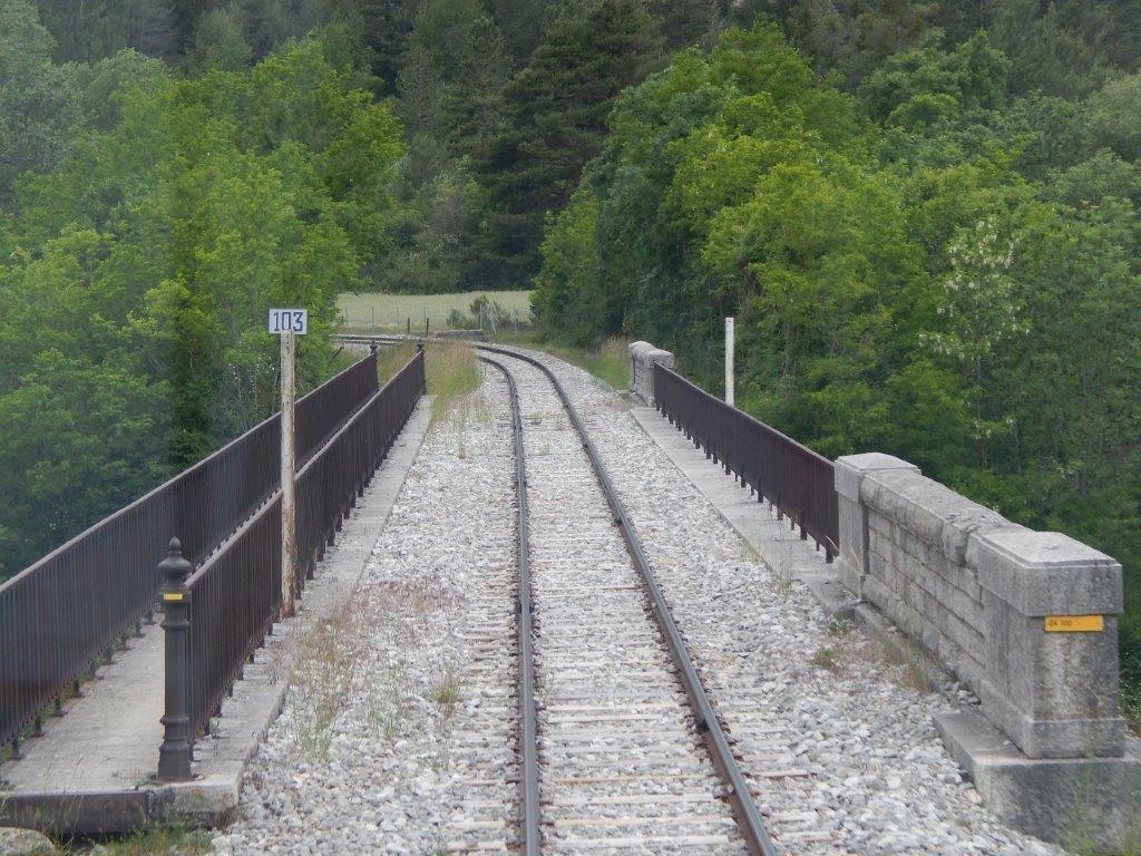
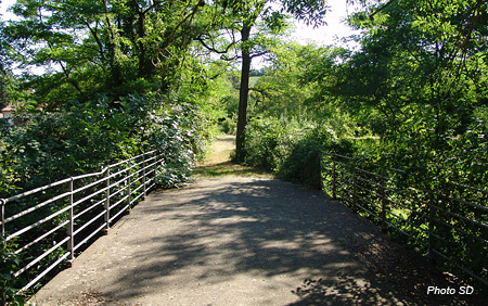 The bridge over the River Jammas and the green-lane beyond. [6]
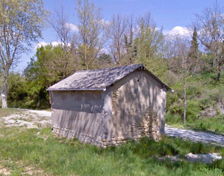
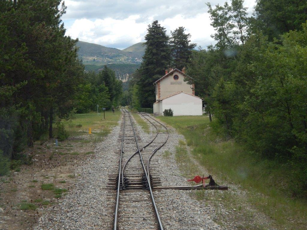
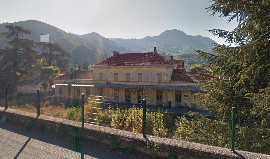
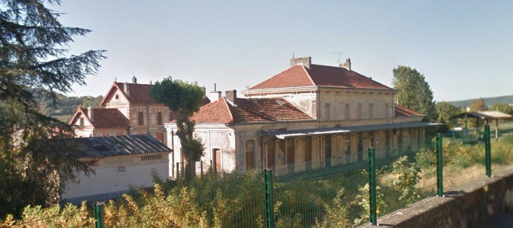
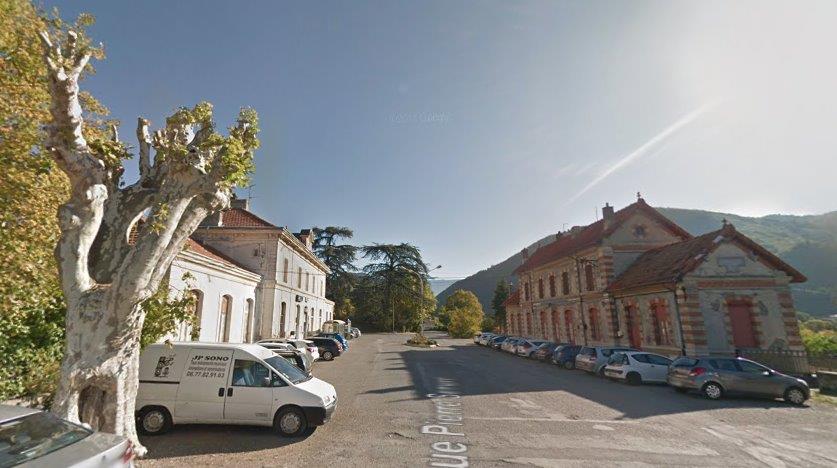
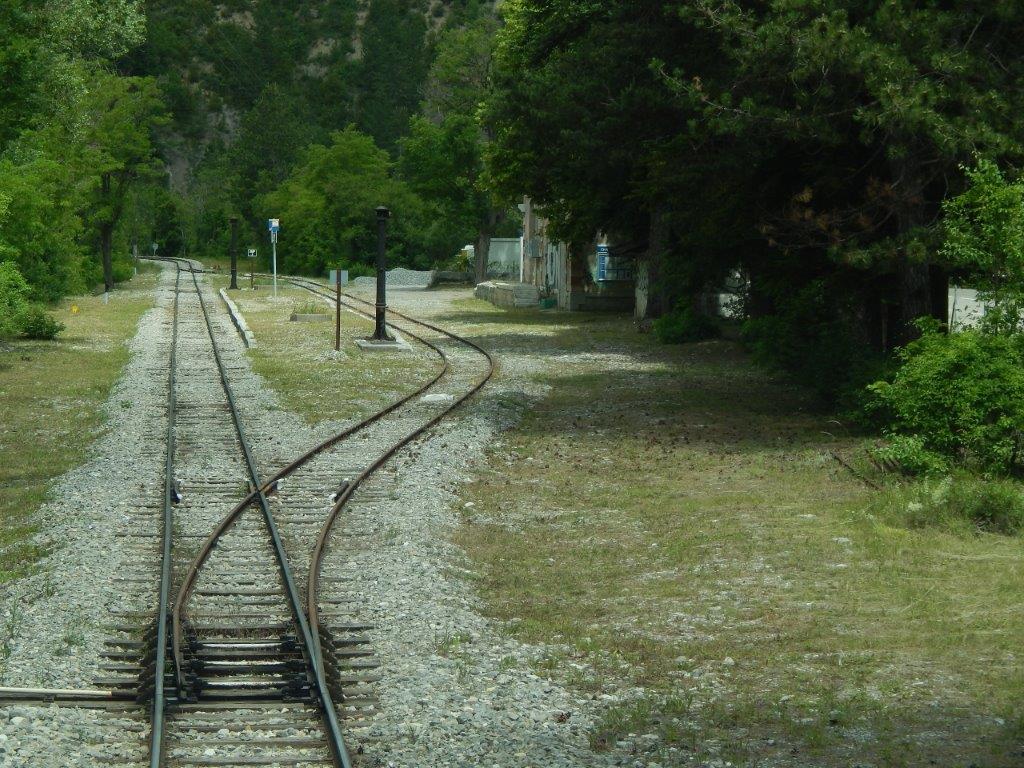
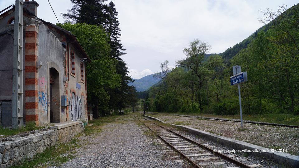
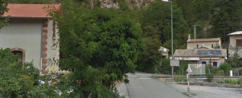
 The site of the Station as it appears in the early 21st Century. [6]
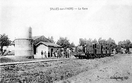
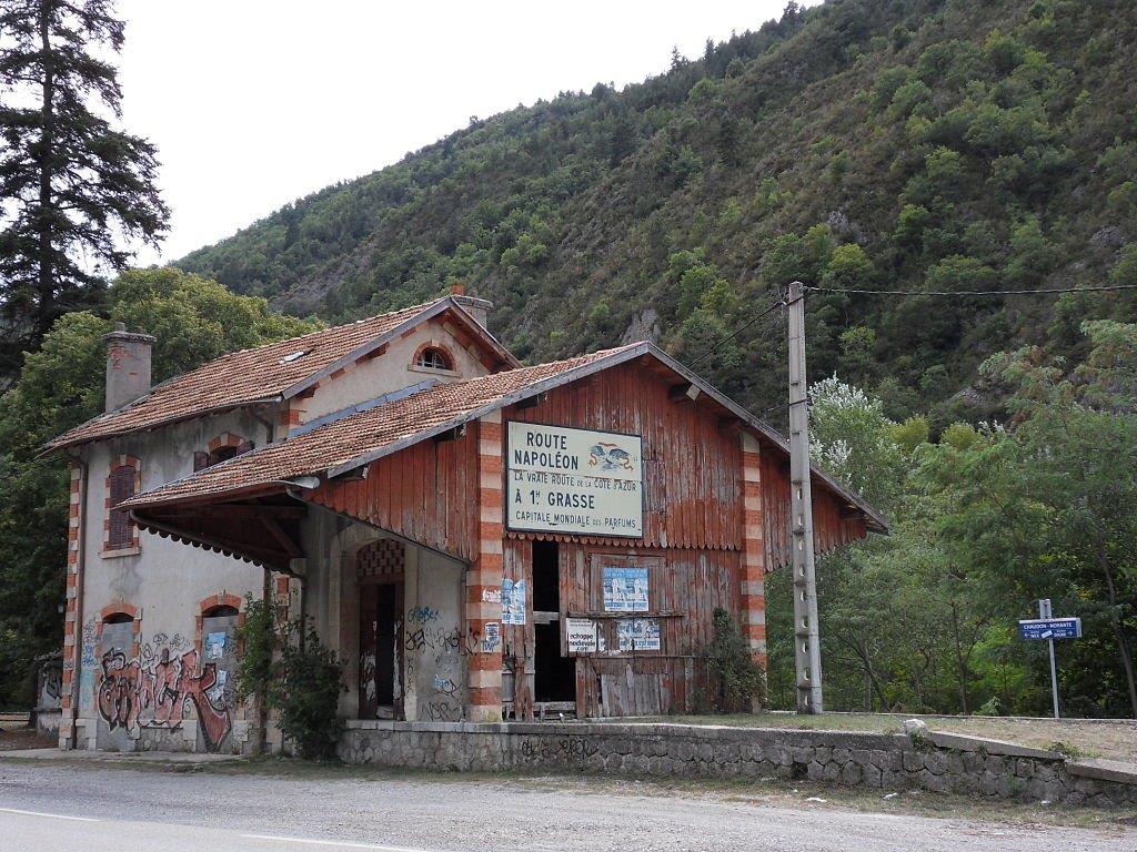
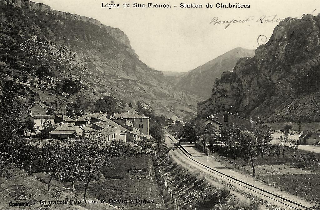
 An early view of the station site taken from approximately the same position as the modern image above. [6]
The sketch plan below has been oriented to best suit its position on the webpage from which it is taken. [6]
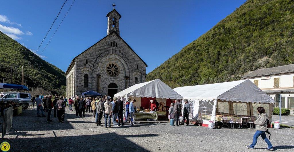
 The village of Salles-sur-l’Hers is to the North and West of the station. On the sketch plan, this means that it is to be found off the bottom side of the image! It has a population of around 600 persons and is the largest village on the old tramway between Belpech and Castelnaudary. It made little sense for the original tramway plans to bypass the village.
We take a rest here before travelling on along the line.
References
1. https://fr.m.wikipedia.org/wiki/Belpech, accessed on 28th August 2018.
2. https://en.m.wikipedia.org/wiki/Castelnaudary, accessed on 28th August 2018.
3. https://en.m.wikipedia.org/wiki/Salles-sur-l%27Hers, accessed on 28th August 2018.
4. http://sgdelestaing.pagesperso-orange.fr/English/ETram1.htm, accessed on 27th August 2018.
5. http://forum.e-train.fr/viewtopic.php?f=4&t=40082&start=15, accessed on 26th August 2018.
6. http://sgdelestaing.pagesperso-orange.fr/Francais/Tramway4.htm#Epilogue, accessed on 28th August 2018.
7. https://en.m.wikipedia.org/wiki/Pécharic-et-le-Py, accessed on 29th August 2018.
8. https://en.m.wikipedia.org/wiki/Pech-Luna, accessed on 29th August 2018.
9. https://en.m.wikipedia.org/wiki/Mayreville, accessed on 29th August 2018.
10. https://en.m.wikipedia.org/wiki/Peyrefitte-sur-l%27Hers, accessed on 29th August 2018.
11. https://en.m.wikipedia.org/wiki/Salles-sur-l%27Hers, accessed on 29th August 2018.
12. Michel Vieux (ed: Roger Latour); Tramways à vapeur de l’Aude – Le petit train des vignes.

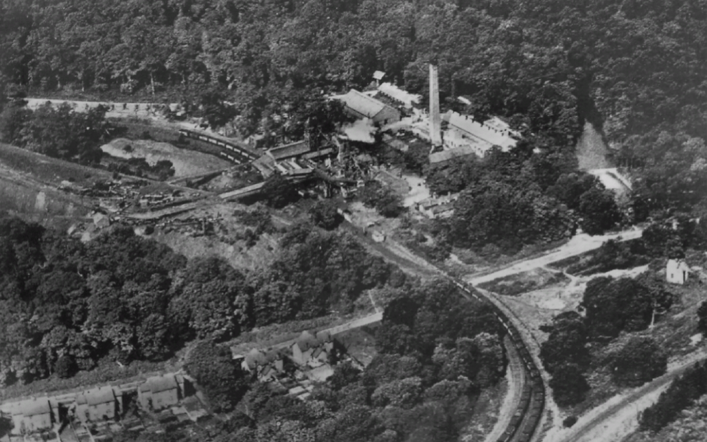 This view is one of the aerial views of the Colliery included in the magazine article [1] It shows the backs of the Cannop Villas in the lower left-hand corner. The railway sidings into the colliery are also clearly visible. They ran alongside the old Wimberry Branch of the Severn and Wye Railway. This was the original terminus of the railway when built as broad-gauge in 1868. It served the collieries and quarries in the Wimberry Slade. An interchange wharf existed off the top left of the picture where the old Wimberry Tramway was truncated and terminated. The later Severn and Wye ‘mainline’ can be seen in the bottom right of the image. It did not arrive until 1872, having been built as part of the Mineral Loop. The colliery slag heap can be seen on the left of the picture. [1]
 This view was taken by E. Runicles from the colliery slag-heap looking north, and is part of a collection held by Ian Pope. It shows the general setting and layout of the colliery which was heavily camouflaged by the trees of the forest. Pope points out that Cannot was known as ‘the colliery in the woods’ as trees were to be found right up to the colliery buildings and, indeed, in and amongst them. This was a stipulation of the Crown who prior to the opening of the colliery had recently constricted a new road between Lydney and Mierystock, which was intended to allow access for tourists to the centre of the forest. The last thing they wanted was an unsightly colliery immediately alongside the road. The large corrugated iron building in the centre of the picture contains the screens where coal was sorted and graded before being loaded into railway wagons. Four sidings passed through the screens which allowed four grades of coal to be loaded into wagons. To the right of the screens are two wooden head frames, one over each colliery shaft. The bridges coining out over the Wimberry Branch allowed waste material from the shafts or screens to be taken up the tip. The brick chimney stands behind a row of 10 ‘Lancashire Boilers’ which provided the colliery with steam power for the widening engines and for electricity generation. [1]
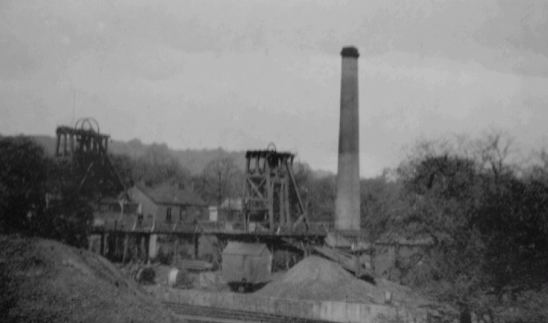 In this image we can see the ‘land sales’ wharf, where local merchants or businesses could bring a cart or lorry and collect coal directly from the colliery. The coal would have passed through the screens and been loaded onto a railway wagon which then was emptied at the wharf. This was also a point where materials brought into the colliery by rail could be unloaded. This would have included things like steelwork, pipes, etc. Pit props went into an area off the empty wagon sidings and would have been unloaded there. The building in the centre is the main winding-engine house. [1]


