
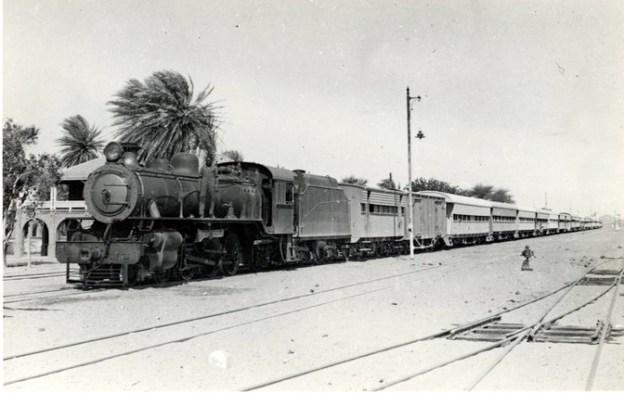
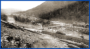
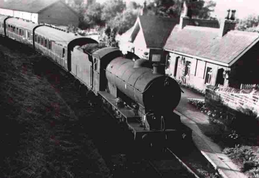
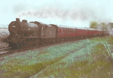
The featured image above is a 1946 photo of War Department steam locomotive No. 2807 (later Sudan Railways No. 243) at Abu Hamed Railway Station. [44]
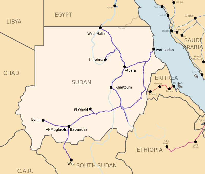
Wikipedia tells us that “Sudan has 4,725 kilometres of narrow-gauge, single-track railways. The main line runs from Wadi Halfa on the Egyptian border to Khartoum and southwest to El-Obeid via Sannar and Kosti, Sudan, with extensions to Nyala in Southern Darfur and Wau in Western Bahr al Ghazal, South Sudan. Other lines connect Atbarah and Sannar with Port Sudan, and Sannar with Ad Damazin. A 1,400-kilometre line serves the al Gezira cotton-growing region. There are plans to rehabilitate rail transport to reverse decades of neglect and declining efficiency. Service on some lines may be interrupted during the rainy season.” [7]
It seems as though much of the network still exists although it is in need of major maintenance work. In July 2021, Global Construction Review informed us that Sudan was planning a $640m scheme to bring its rail network back into use. [8]
The African Development Bank (ADB) offered a $75m grant towards the cost, and China State Construction Engineering and several Gulf firms were interested in becoming involved with the project. The first action will be to undertake around $17m of emergency repairs to lines that are in use. This would then be followed by renewing abandoned lines, most of which are in the south of the country. The intention would be to reconnect the cities of Madani, Kosti and Sennar, as well as Nyala in Darfur. It will also establish a cross-border connection to Wau in the Republic of South Sudan. [8]
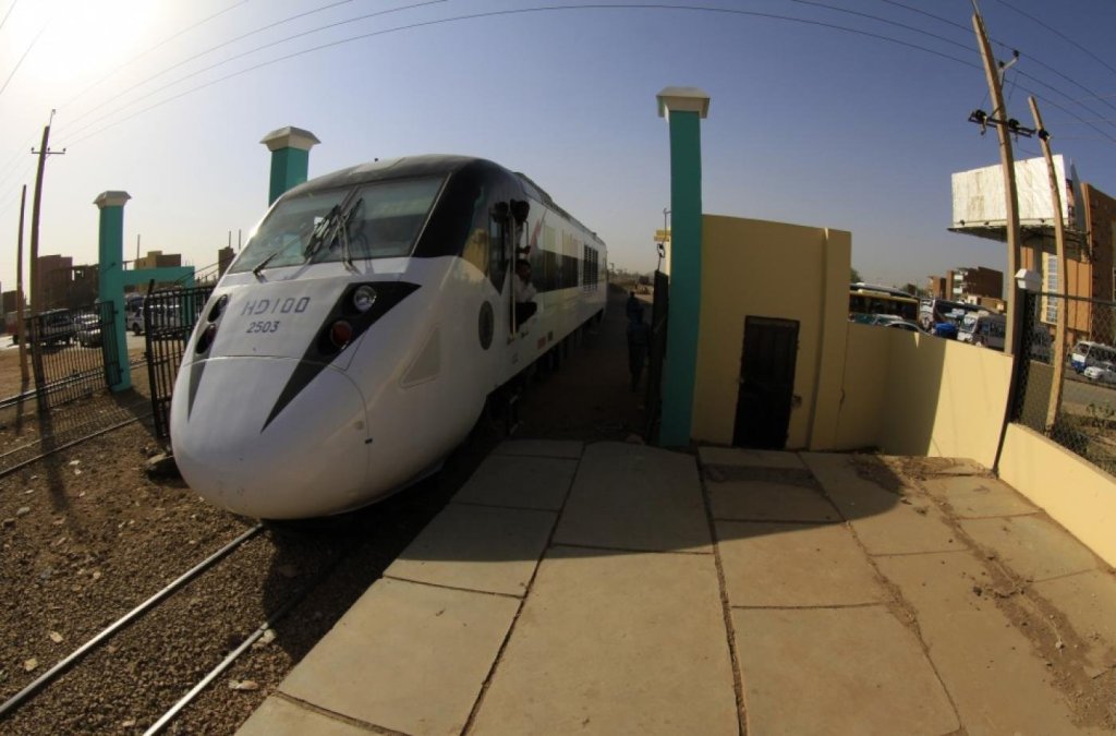
However, Sudan already had a fleet of modern train-sets. A service was started which linked Port Sudan to Khartoum in 2014 using sleek new modern units. The Nile Train runs between Port Sudan, Atbara and the capital, Khartoum. China lent Sudan nearly $1.1 billion toward the $1.5 billion project. [9] These new trains run on the old 3ft 6in (1067mm) gauge rails which have been improved where required.
A new standard gauge railway between Addis Ababa, Ethiopia and Khartoum is planned said the International Rail Journal (IRJ). In 2020, the African Development Bank (ADB) awarded a $US 1.2m grant to the government of Ethiopia, covering 34% of the study’s $US 3.4m cost. The NEPAD Infrastructure Project Preparation Facility (Nepad-IPPF) will provide $US 2m with the governments of Ethiopia and Sudan each set provide $US 100,000 to cover the remaining cost. [10]
The agreed route between the two capitals includes a branch to Port Sudan on the Red Sea. The study will assess the project’s technical, economic, environmental and social viability as well as possible alternative financing arrangements, including the use of public-private partnerships (PPP). [10]
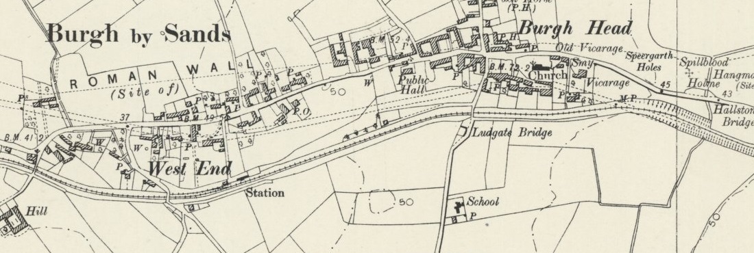
The first railway in Sudan
There was a number of false dawns in the bringing of steam power (both river and rail) to Sudan. [12: p1-1] The appointment of Sir John Fowler as engineering consultant to Khedive Isma’il was probably highly significant. It was Fowler who, in a report about surmounting the First Cataract on the Nile in 1873, first recommended the 3ft 6in gauge (1067mm) for railways in Sudan. [12: p11] Fowler was appointed consulting engineer for the railway. His work began in Egypt, addressing the surmounting of the First Cataract by constructing an incline to carry ships past the obstruction. As part of the construction work he built a section of railway which he expected would become part of a much longer system. That section of railway was built “in 1874 from the foreshore at Aswan to el-Shellal, a distance of 14.5 kilometres. … Work on the building of a railway depot and track began at ‘Anqash, a site slightly north of the old village of Wadi Halfa, in 1870.” [12: p12] More about this section of line later. …
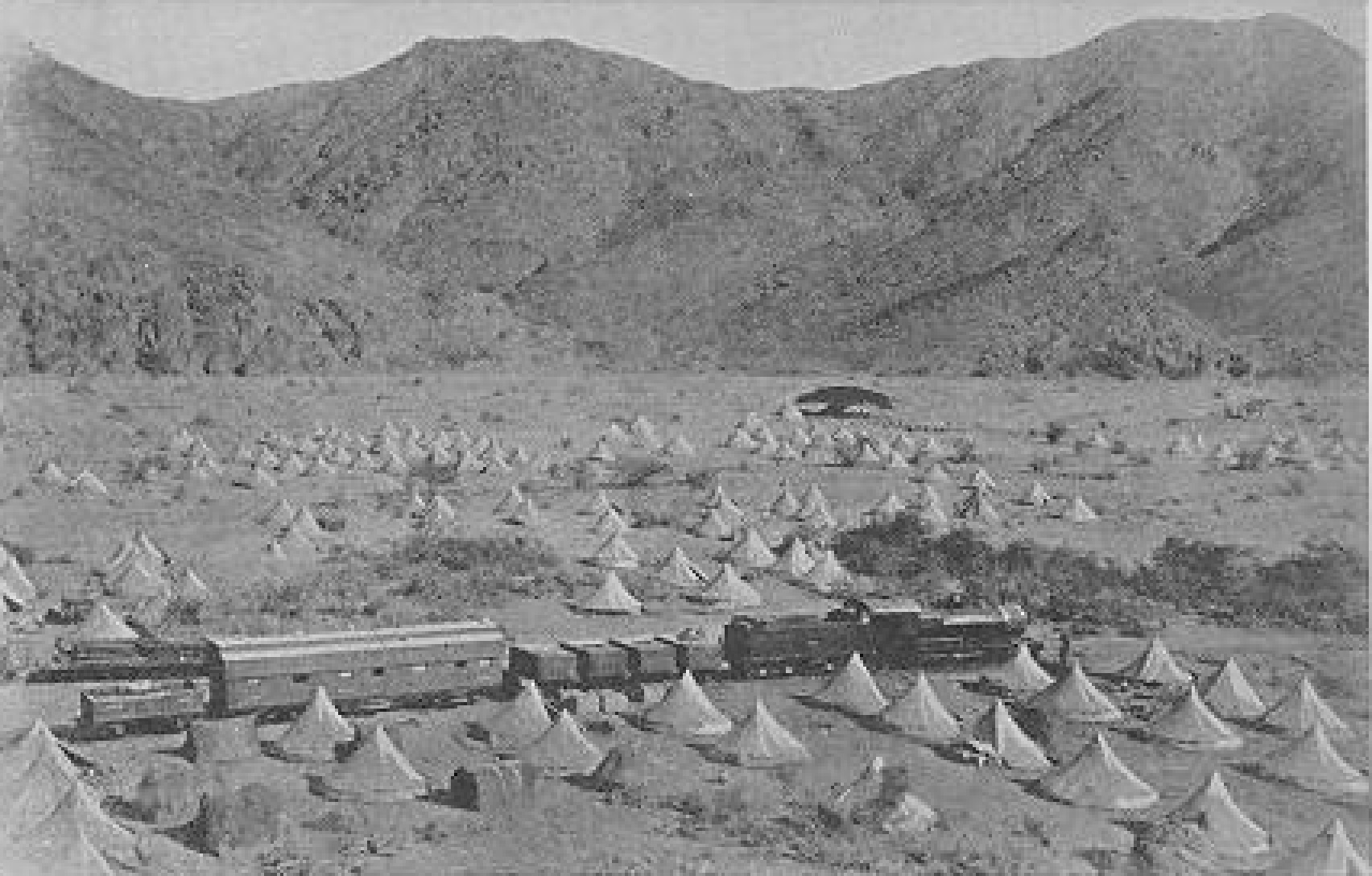
The Sudan Railway was inaugurated on 15th February 1875 in the midst of a dust storm at Wadi Halfa, just south of the present border between Egypt and Sudan. [12: p12] By 10th April 1875, 8 kilometres of embankment had been built and railway headquarters buildings were completed. Administrative and financial difficulties meant that the railhead reached Saras, only 54 kilometres from Wadi Halfa, with the preliminary works of embankments and cuttings a further 47 kilometres ahead before General Gordon was appointed Govenor General of Sudan. [12: p12-13]

Gordon disliked the railway because the cost burden primarily fell on Sudan. He suggested alternatives which were considerably cheaper. [12: p14]
Ultimately, this short section of railway was a commercial failure. “With its southern terminus at Saras hemmed in by the cataracts of Hannik and Kajbar it scarcely skimmed the Nile Valley traffic between Egypt and the Dongola and Kordofan Provinces. The ‘Ababda contractors continued to carry the bulk of the Sudan Nile Valley traffic over the Korosko-Berber desert road until the fall of Berber in 1884 to the Mahdist forces.” [12: p16] Heavy troop movements in connection with the Mahdist revolt produced only paper credits and, by 1883, Mahdist raids ultimately meant that any movement outside the defended perimeter of Halfa Camp ceased and revenue dropped to nothing. [12: p17]
The next development was the construction of a military railway which consisted of “the original Wadi Halfa-Saras line of 1875 with two extensions: the first from Saras to ‘AKasha in 1884-85, and the second from ‘Akasha to Kerma in 1896-97.” [12: p18] This work extended the length of the line to 327 kilometres. Given that it was the only transport link available, the authorities ran a public service until 1905 when the line was abandoned. Writing in 1965, Hill said that the only traces remaining of the railway were “some of the sand embankments, some cuttings through the granite rock, a few stone bridge abutments and some lengths of twisted rail.” [12: p18]
During this time, much thought was given to possible future arrangements, and particularly to the gauge of the line. There was a debate about the various benefits of metre-gauge against the 3ft 6 in gauge. Kitchener favoured the 3ft 6in gauge. His biographers suggest that this was because he wanted to support the Cape-to-Cairo project. More prosaically, his position on gauge related to the availability of rolling stock at ‘Akasha. [12: p20-21]
The second of the two extensions above was well-planned and construction saw the railhead extending at a rate of over a kilometre a day! [12: p22]
Returning to that 14.5 kilometres of line which John Fowler built close to the First Cateract. Although Fowler advocated a 3ft 6 in line for the route along the Nile, Hill says that he built that short section to standard-gauge. [12: p23] In 1881, it was converted to dual gauge ” by the simple expedient of laying a third rail to enable engines borrowed from the 3ft 6ins gauge railway at Wadi Halfa to draw standard gauge wagons.” [12: p23]
The short section of dual gauge track was replaced by 3ft. 6in track when the Upper Egyptian Railway reached Aswan in 1895. But was relaid again in 1926 when the Upper Egyptian Railway was converted to standard-gauge as far as Aswan. [12: p23]
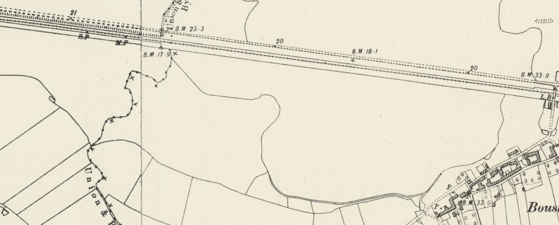
Kitchener eventually decided a route for his military railway which ran directly across the desert from Wadi Halfa to Abu Hamad – at this time the route along the Nile was abandoned. [12: p24] The ‘direct’ line was laid under miltary protection and “at the utmost possible speed and with the utmost economy of means.” [12: p24] The summit of the line was reached in July (166 kilometres from Wadi Halfa) and by November the line was back by the Nile at Abu Hamad. The next stretch to the mouth of the Atbara river was completed by July 1898. [12: p25]
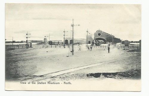
In October 1898, after the battle of Omdurman, the railway crossed the river Atbara, initially by means of a temporary bridge which was replaced within a matter of months by a permanent structure. The railhead reached Shendi in June 1899 and arrived at the Blue Nile opposite Khartoum at the end of 1899. This was the location of the terminus and has become known as Khartoum North Station.
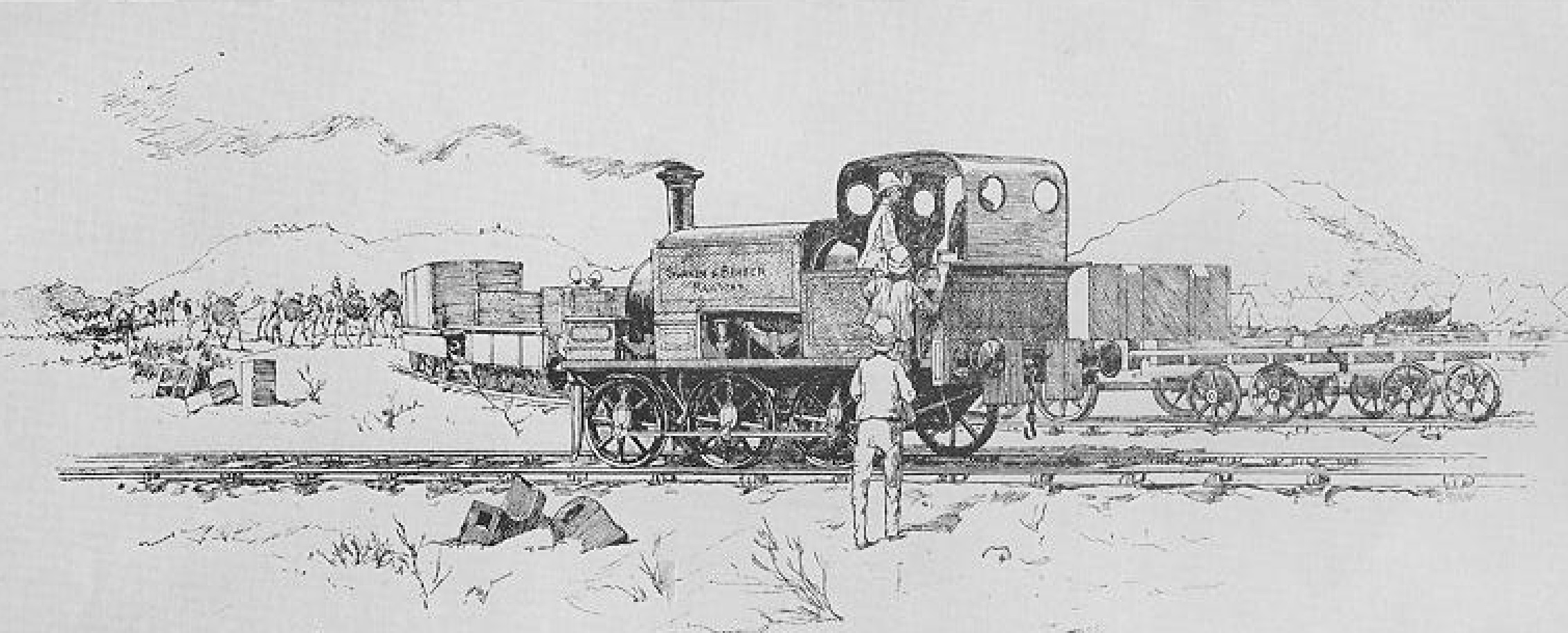
As an aside, Hill also relates the tale of the Suakin-Berber Railway (running East-West from the Red Sea) which had been considered for many years but only saw a serious attempt at its construction when the Mahdist revolution occurred. In June 1884 the British Government took some preliminary steps to facilitate the construction of the railway. Some minor work was undertaken and worked commenced and then ceased on an 18in. gauge line. In 1885, the British War Office decided to pursue the construction of the line. Initially a metre-gauge line was considered. This was adapted in favour of a standard-gauge line. [12: p34-38]
The contractors worked on supplying the planned works and a large amount of materials were on site at Suakin on the Red Sea coast by the end of the first quarter of 1885. By 20th March the line had crossed the causeway from the depot to the mainland and was nearing the outer fortifications. Despite regulars Mahdist raids, by mid-April the railhead was progressing at around a mile a day and 8 miles of mainline had been constructed. Logistics became a serious problem as the railhead move forward. Raids became more frequent and it became increasingly difficult to defend the line. In the end, it was pressures elsewhere in the world which meant that the British Government needed the troops for other campaigns and on 22nd April 1885 it decided to halt all work on the line. It was not until 2nd May 1885, when the railway had reached Otao, that work finally ceased. General Graham inspected the work and commented that it was roughly laid and the first shower would destroy large sections of it. The coming of the rains proved him right. [12: p41-44] The whole endeavour was ill-conceived and badly managed.
Khartoum North
The line to Khartoum North took a number of years to turn a profit (1913 was the first year in which receipts exceeded expenditure). In 1906 railway headquarters and workshops were transferred from Wadi Halfa to Atbara. The growing Sudanese economy revealed that existing rolling stock and track was unequal to demand. As the railway network was expanding, opportunities were taken to lay heavier duty rails (75lb rail began to be used) and parts of the original line to Kahtoum had 50ib rail replaced with 75lb rail.

Early in the life of the line, the journey from Wadi Halfa to Khartoum took 55 hours. This was improved to 34 hours. By 1912, two express luxury trains were running twice-weekly between the two terminals. [12: p50-53]
On the whole, the railway map between Wadi Hailfa and Khartoum has changed little over the years. A section of track which was troubled by drifting sand was re-laid closer to the Nile in 1902 (close to the Fifth Cateract). [12: p57] And, as we have noted above, Khartoum North Railway Station is long-gone. A replacement station has been provided on the line running South to the Blue Nile Bridge (Bahri Railway Station).
The Red Sea Railway and the founding of Port Sudan
The economic development of the Sudan was hindered at every turn by the tortuous routing of its imports and exports. Goods consigned by rail from an Egyptian port to Khartoum required no less than four transshipments on the way: at the port of entry, at Luxor and el-Shellal and again at Wadi Halfa. ” [12: p67]
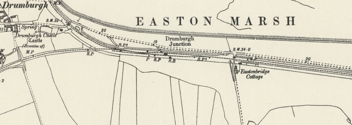
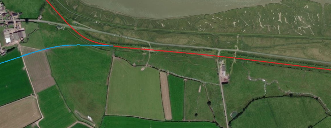
Initially the British Government thought that Suakin was the solution to these and other problems and started to work on the basis of a line which led from there into the interior. Just 50 km down the coast, there was a far superior location for a harbour. In time this was realised to be the better option. The preliminary construction work and depot at Suakin was to have a significant and valuable role in the construction of a new line, but that line was first planned to run along the coast to Mersa Shaykh which was to be come Port Sudan and from there inland through Sinkat to join the Sudan Military Railway at Atbara. That route was not used either. Surveyor eventually recommended a route which ran through the Kamob Sanha Gorge and Tehamiyam to Atbara. It had the easiest gradients of the options considered did not require tunneling and only had one particular section which was difficult for construction (a cutting through 1,000 metres of granite at Kamob Sanha). Added benefits were the ease of making a connection to Kassala and a juction on the Nile Valley line closer to Khartoum. [12: p70]
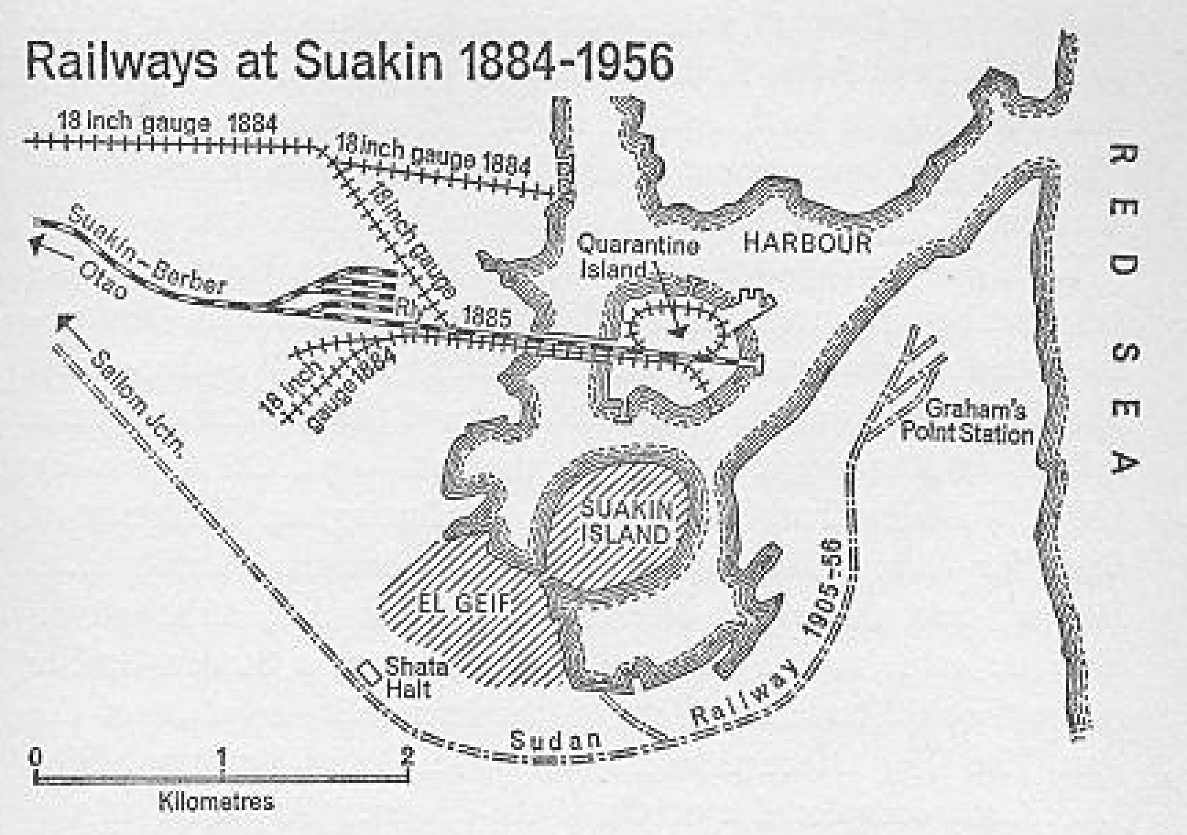
The first train from Khartoum steamed into Suakin on 16th October 1905 to a new terminus at Graham’s Point. By the end of the year a connection had been completed to the site of what was to be Port Sudan. [12: p71]
Back to Khartoum …
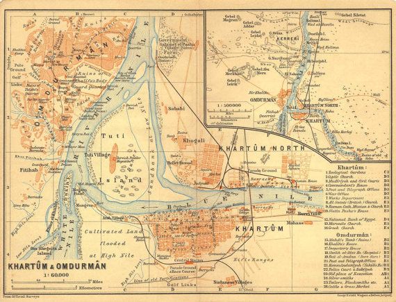
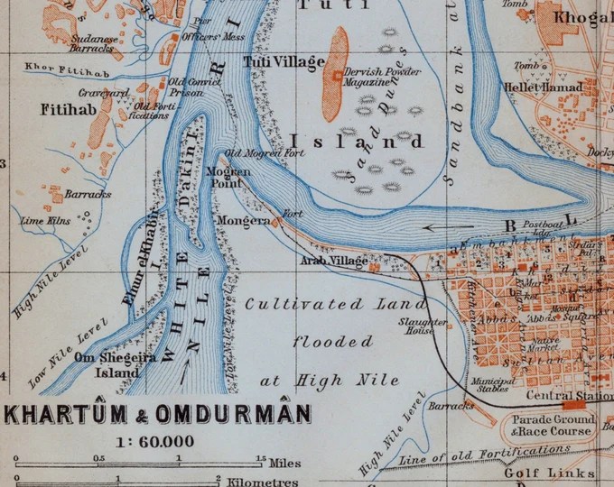
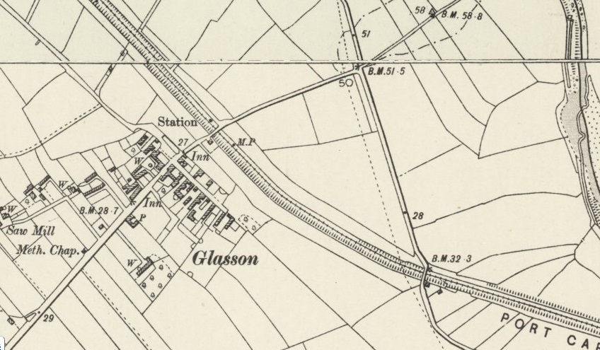
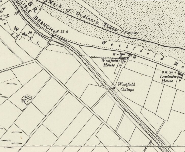
First an early plan from 1905, showing the 3ft 6in gauge line and its terminus on the North bank of the Blue Nile. …

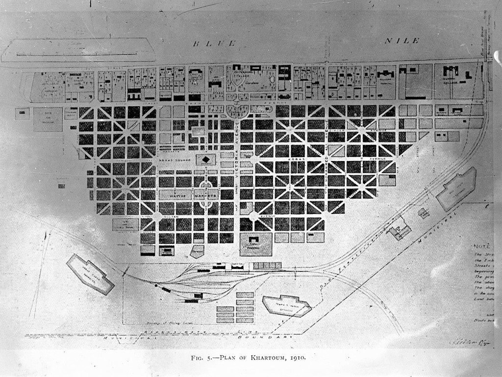
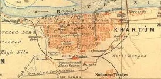
Next a plan showing Khartoum in 1910. …
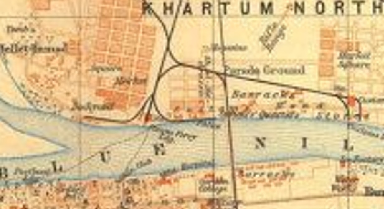
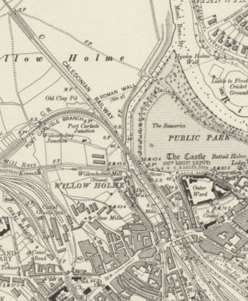
Next, a plan from 1914 showing the enlarged network of 3ft 6in gauge railways in the city. At this time Khartoum North Station is still in use. …
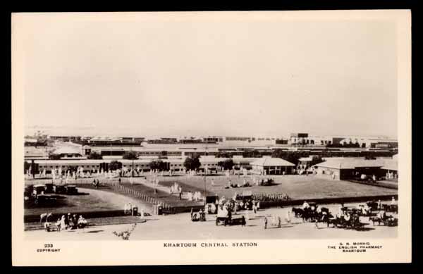
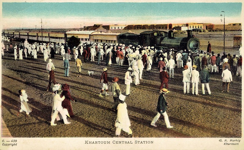
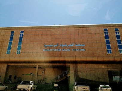
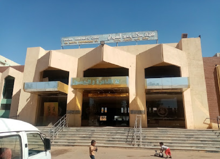
Khartoum Central Station
We will start our ‘then & now’ review of the railway lines in Khartoum with a look at Central Station. …
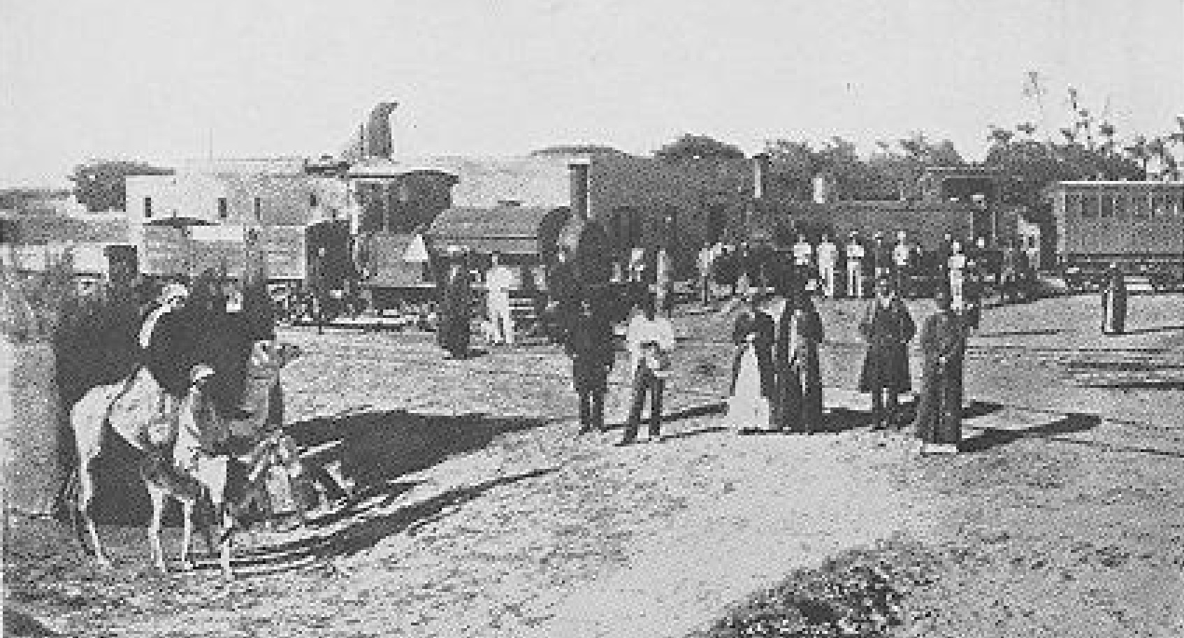
Some very early images of Khartoum Central Station. Each image is embedded and links directly to the site from which it was sourced. …
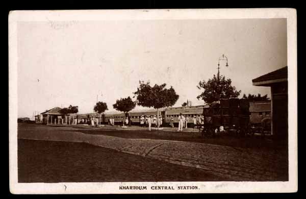
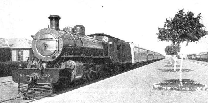
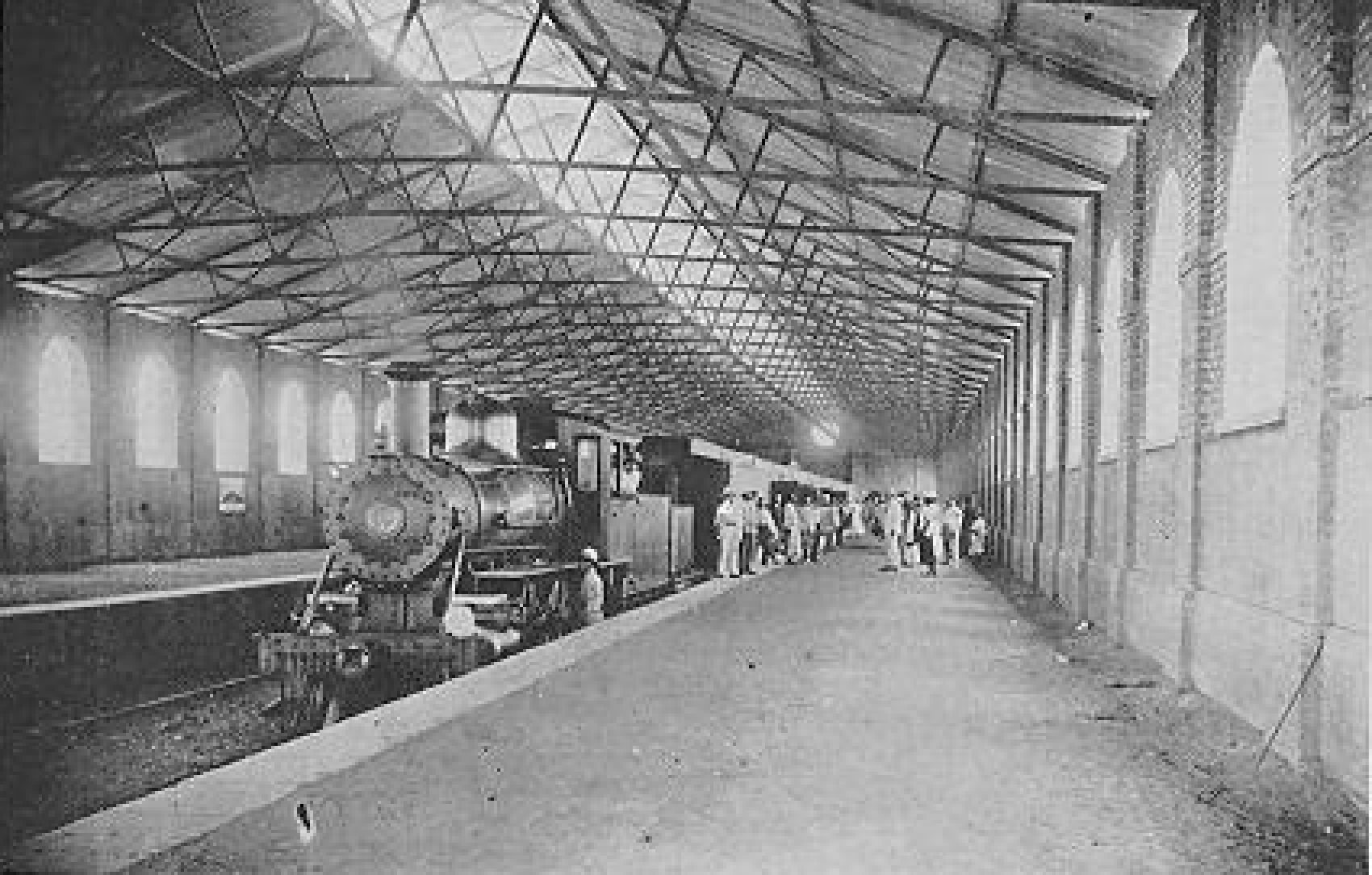
Modernity That Disturbs the Silence of Age-old Temples.” the cation on the picture reads: “KHARTOUM STATION, with its wide platforms pleasantly laid out with trees, is a refreshing charts to the traveller after his 250-mile trip across the Nubian desert. Although situated on the banks of the Nile, the town lies 1,200 ft above sea-level, and its station is the most important on the Sudan main line,” © Railway Wonders of the World. [20]
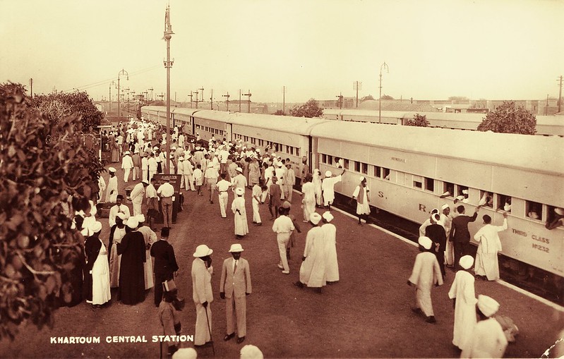
Some modern images of Khartoum Central Station. …
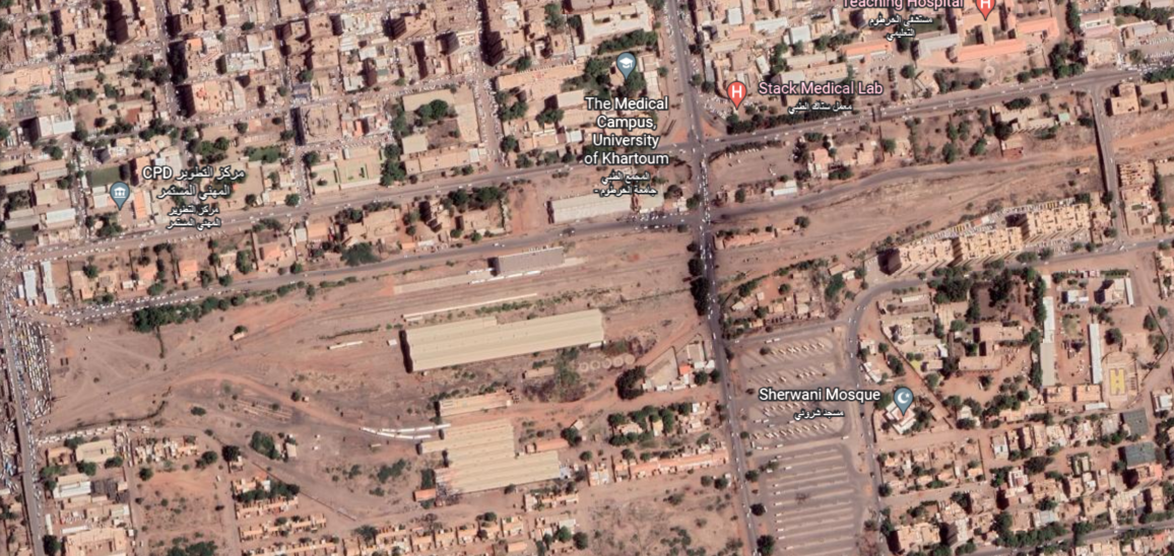


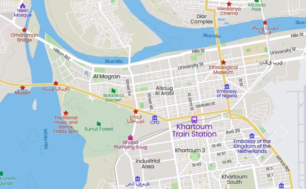
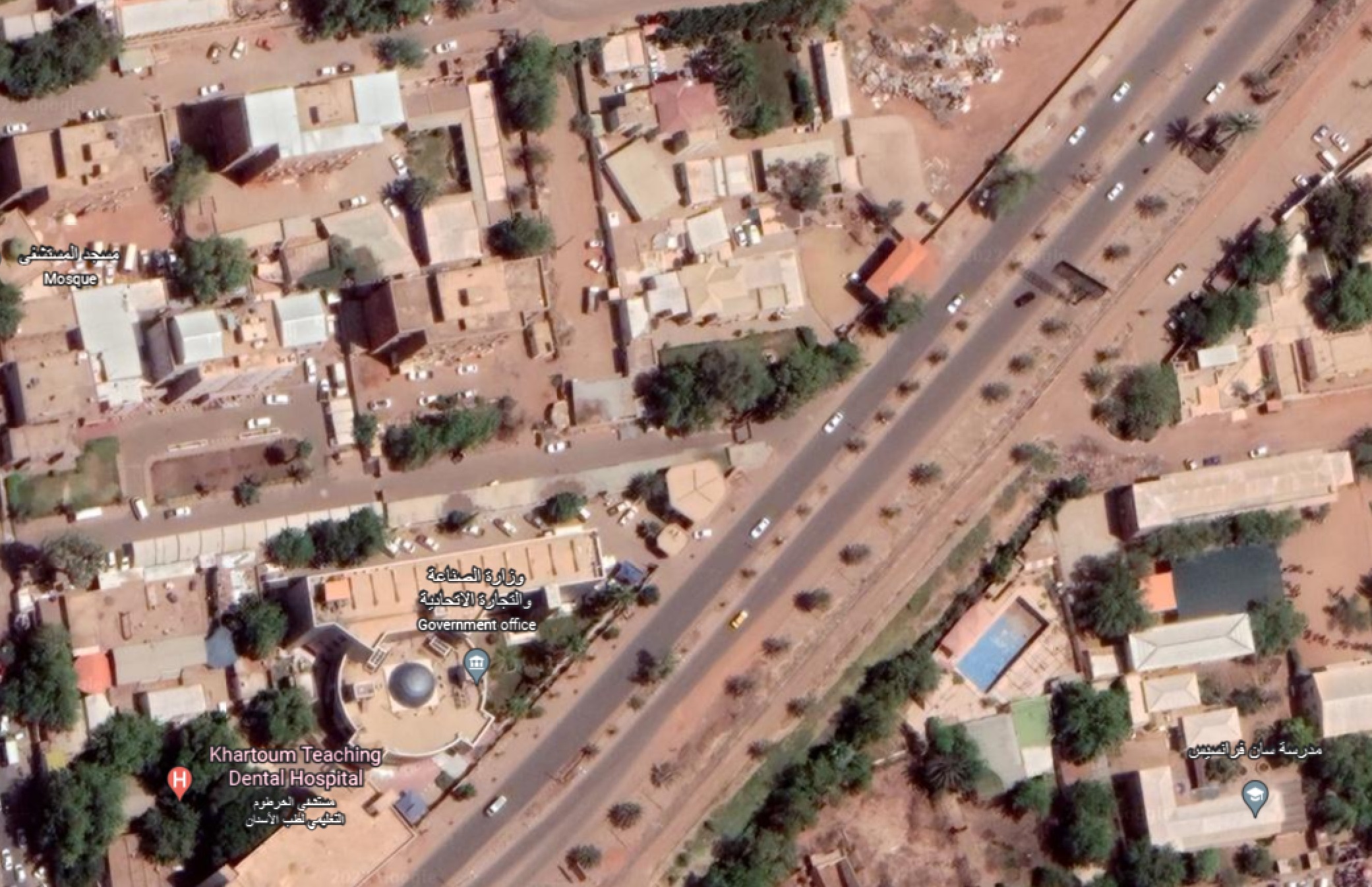
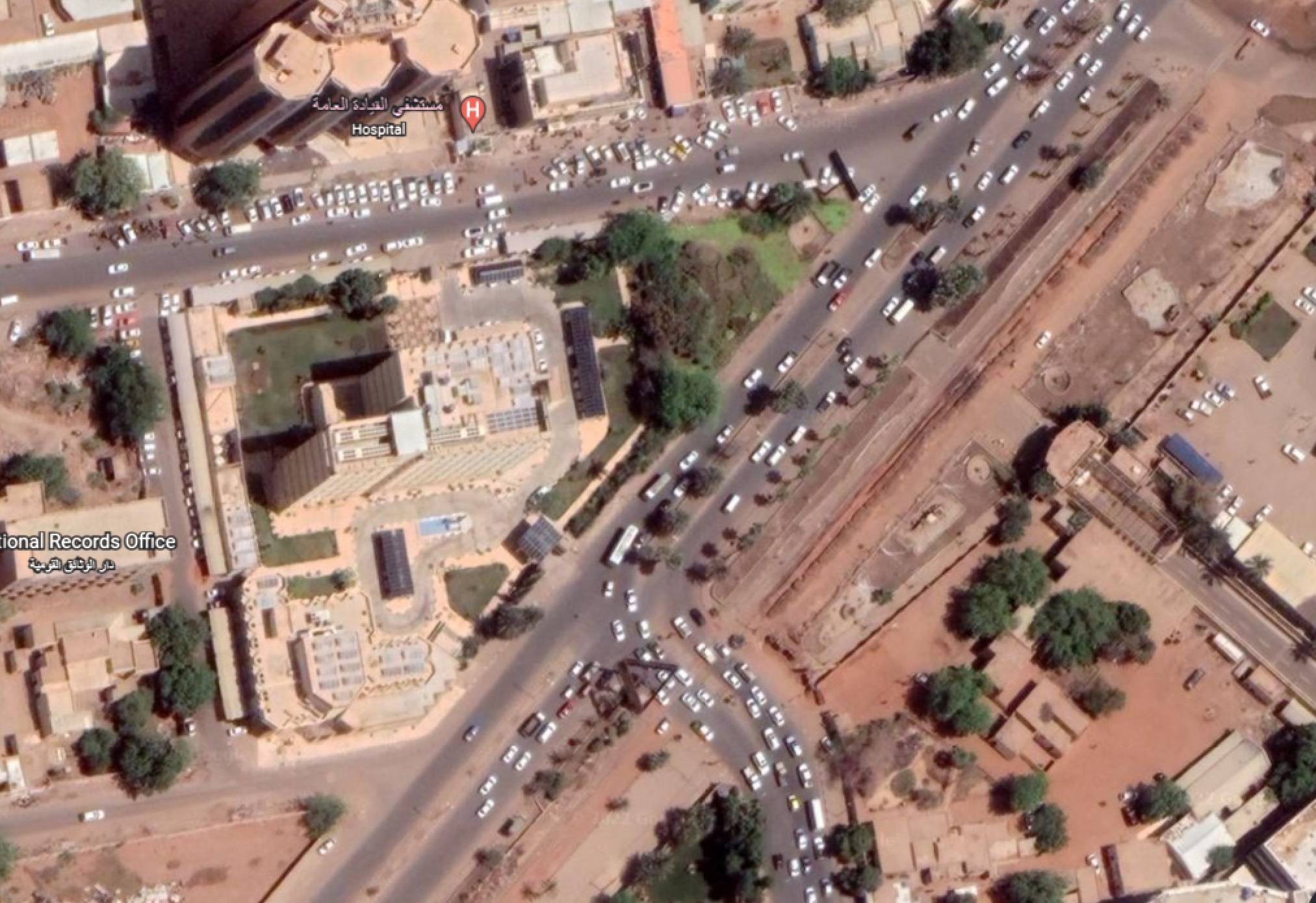
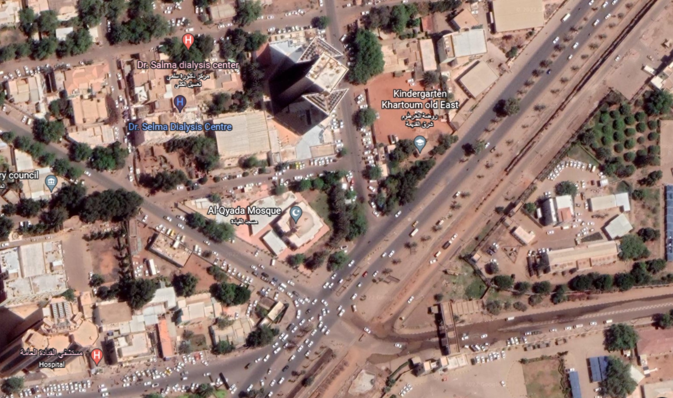
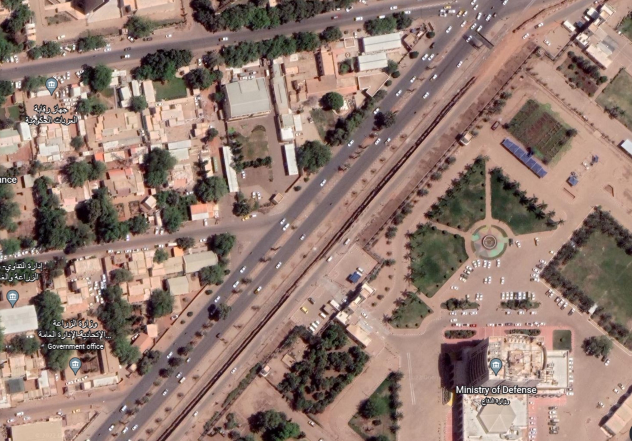
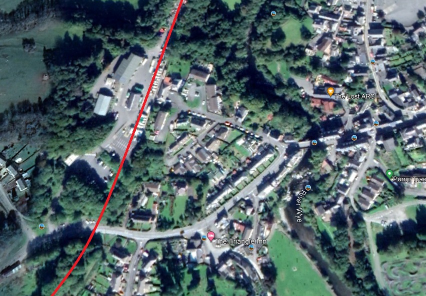
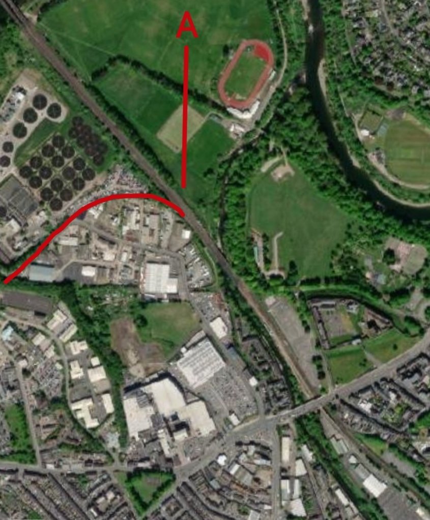
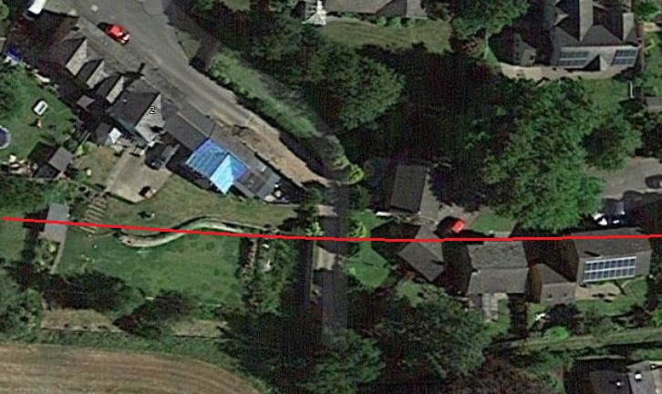
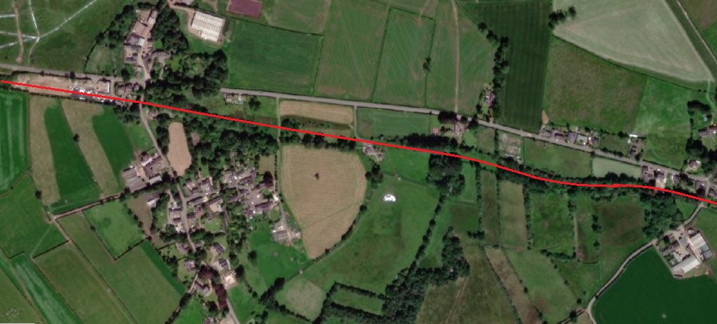
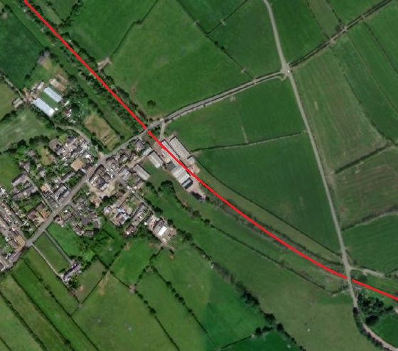
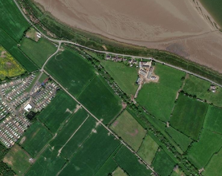
These next images show the route of the line between Central Station and the Blue Nile Bridge. All the satellite images are extracts from Google Earth. The line runs Northeast towards the Blue Nile.
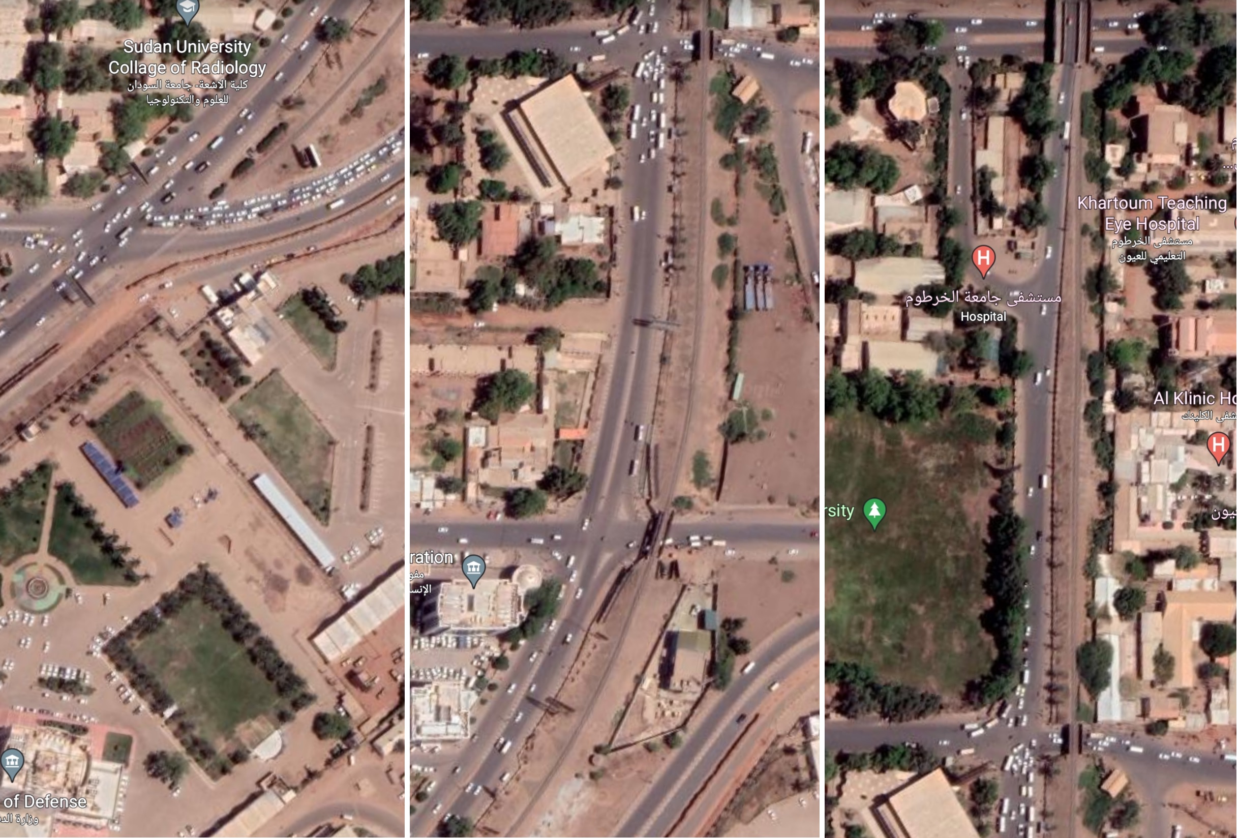
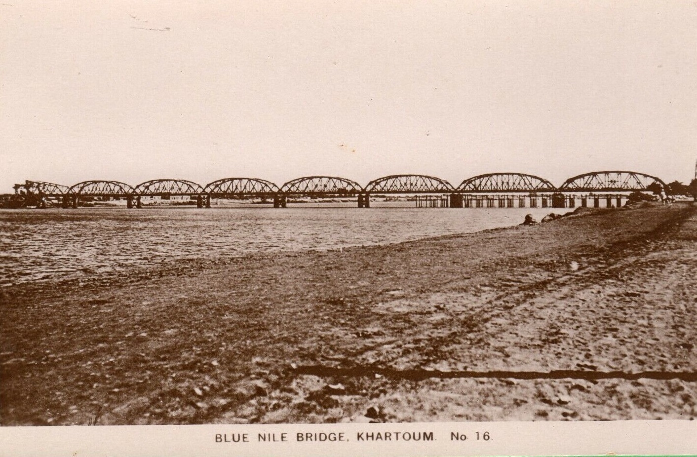
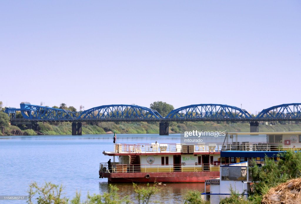
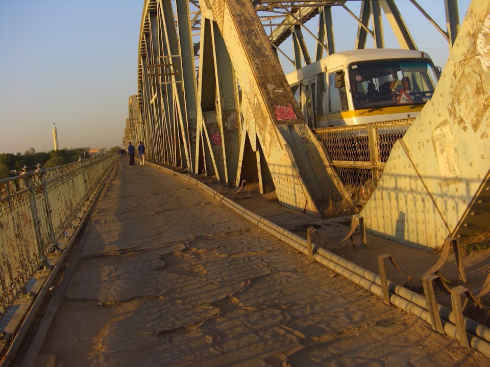
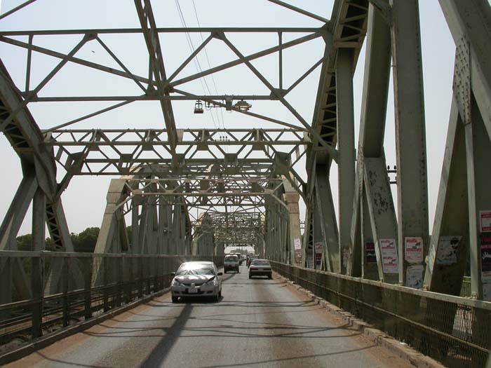
Blue Nile Bridge
Bahri Station (Khartoum North)
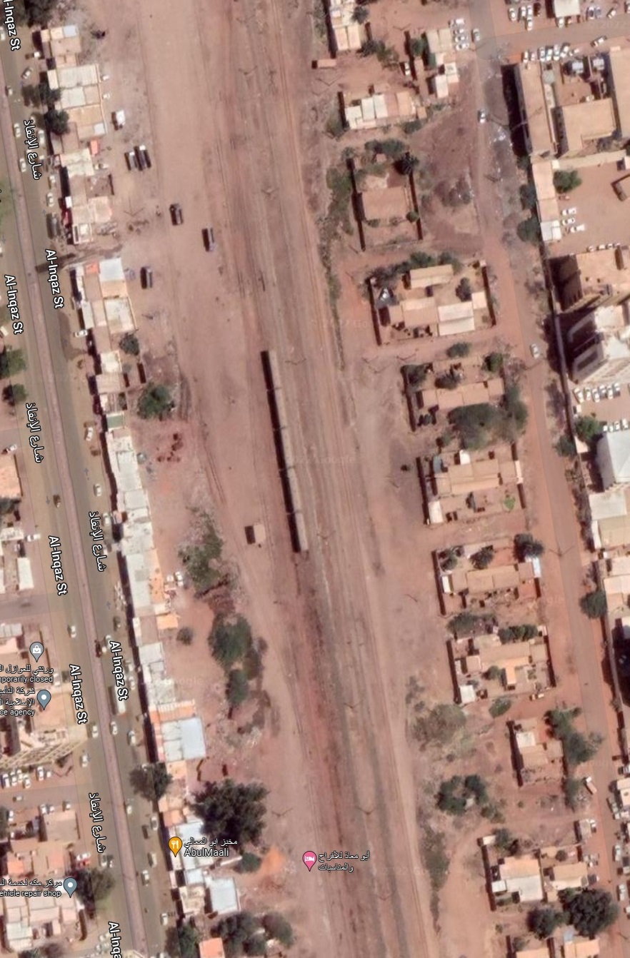
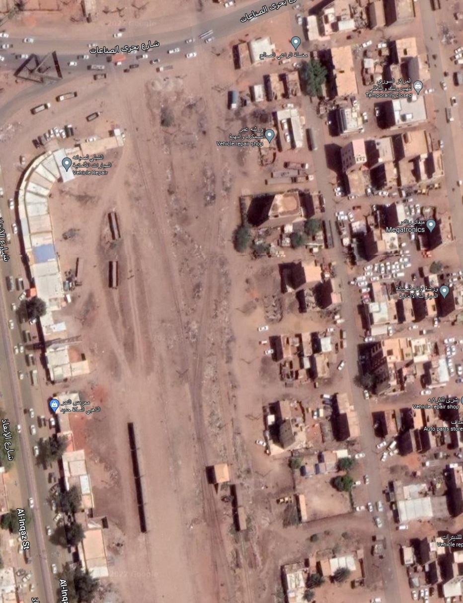
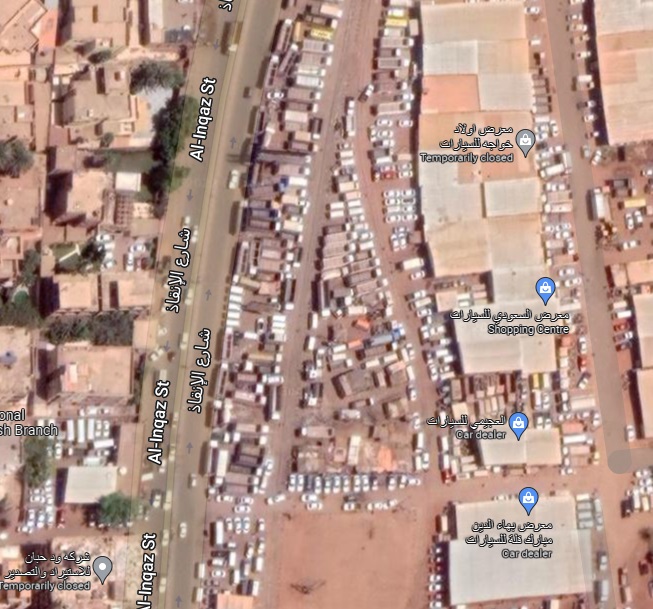
North towards Atbara
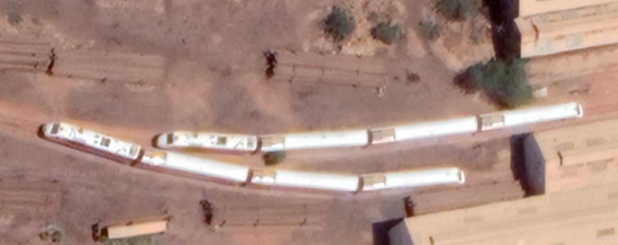
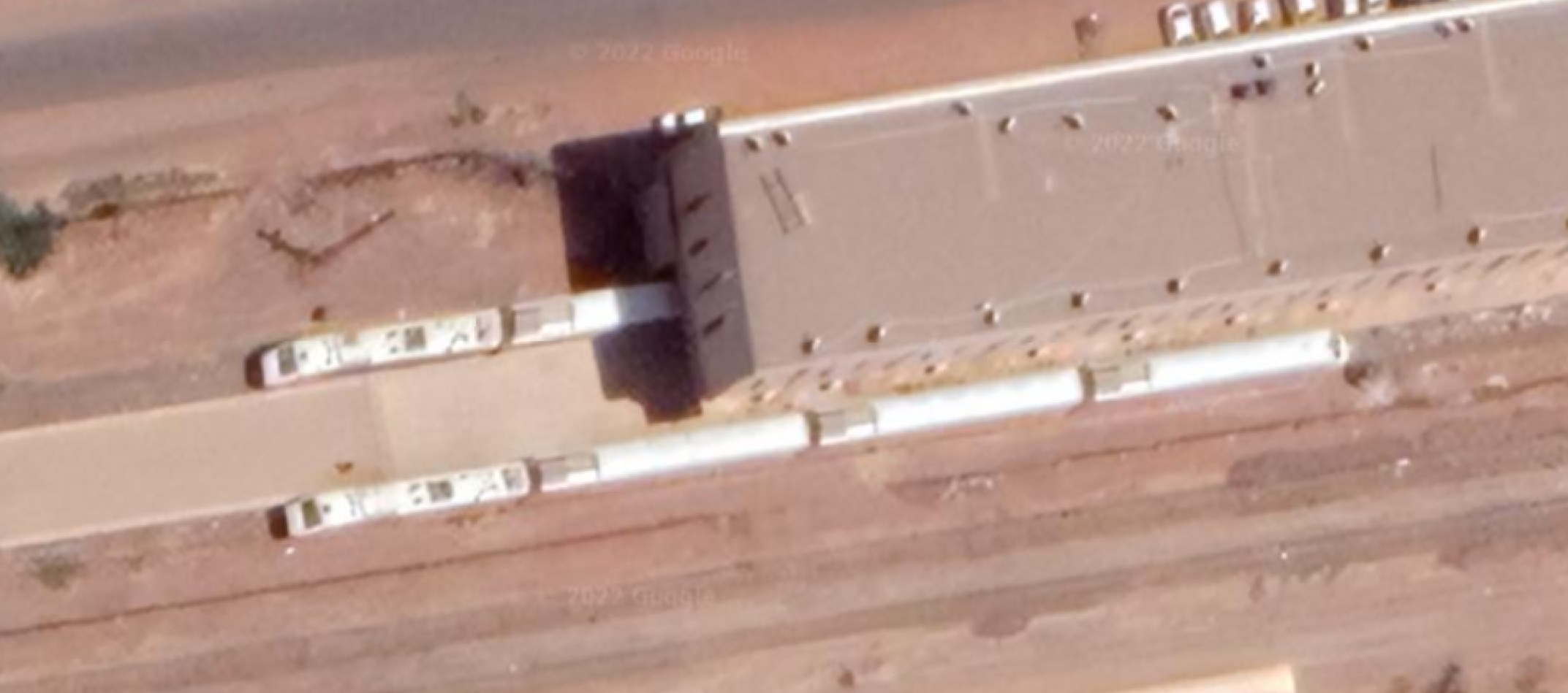
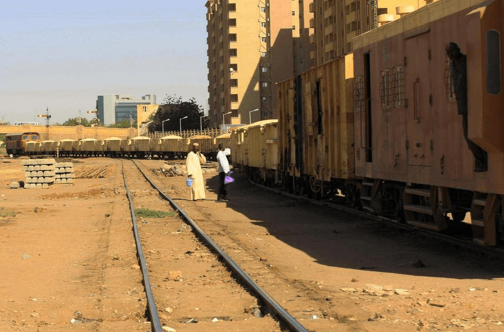
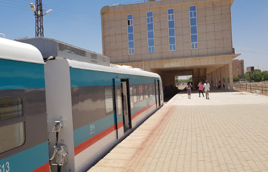
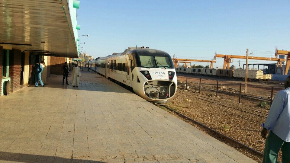
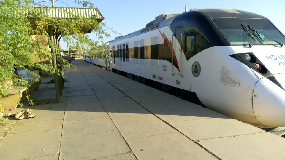
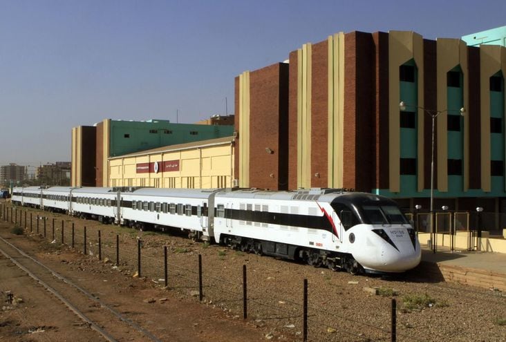
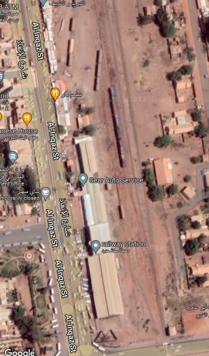
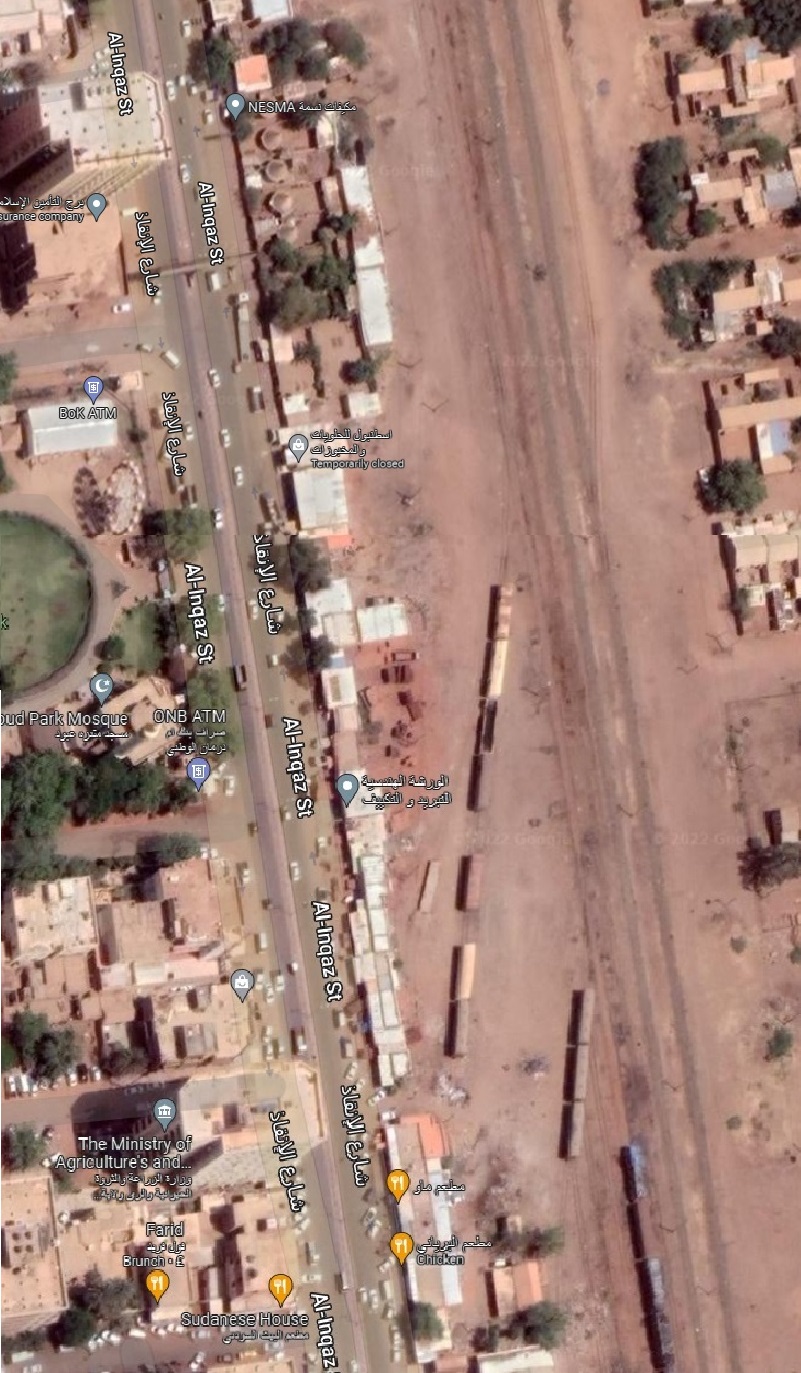
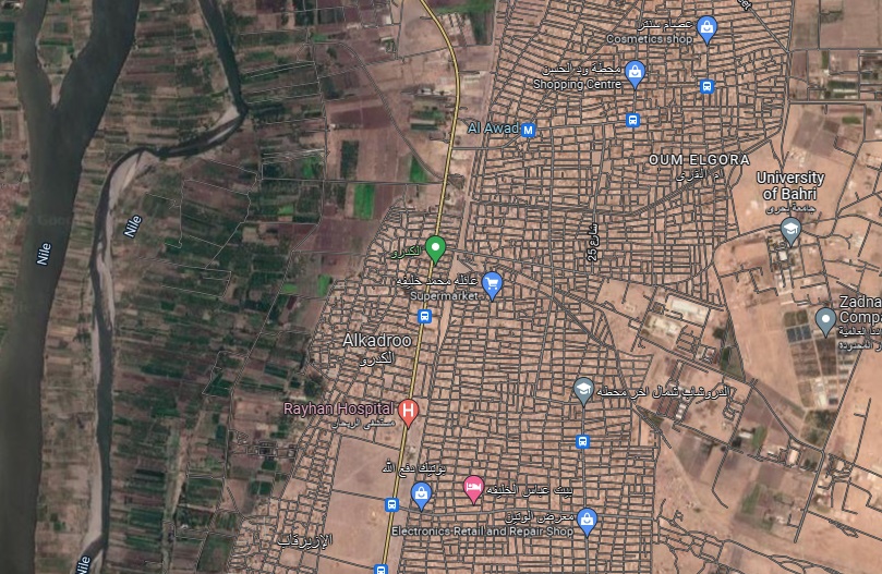
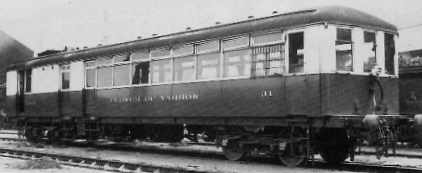
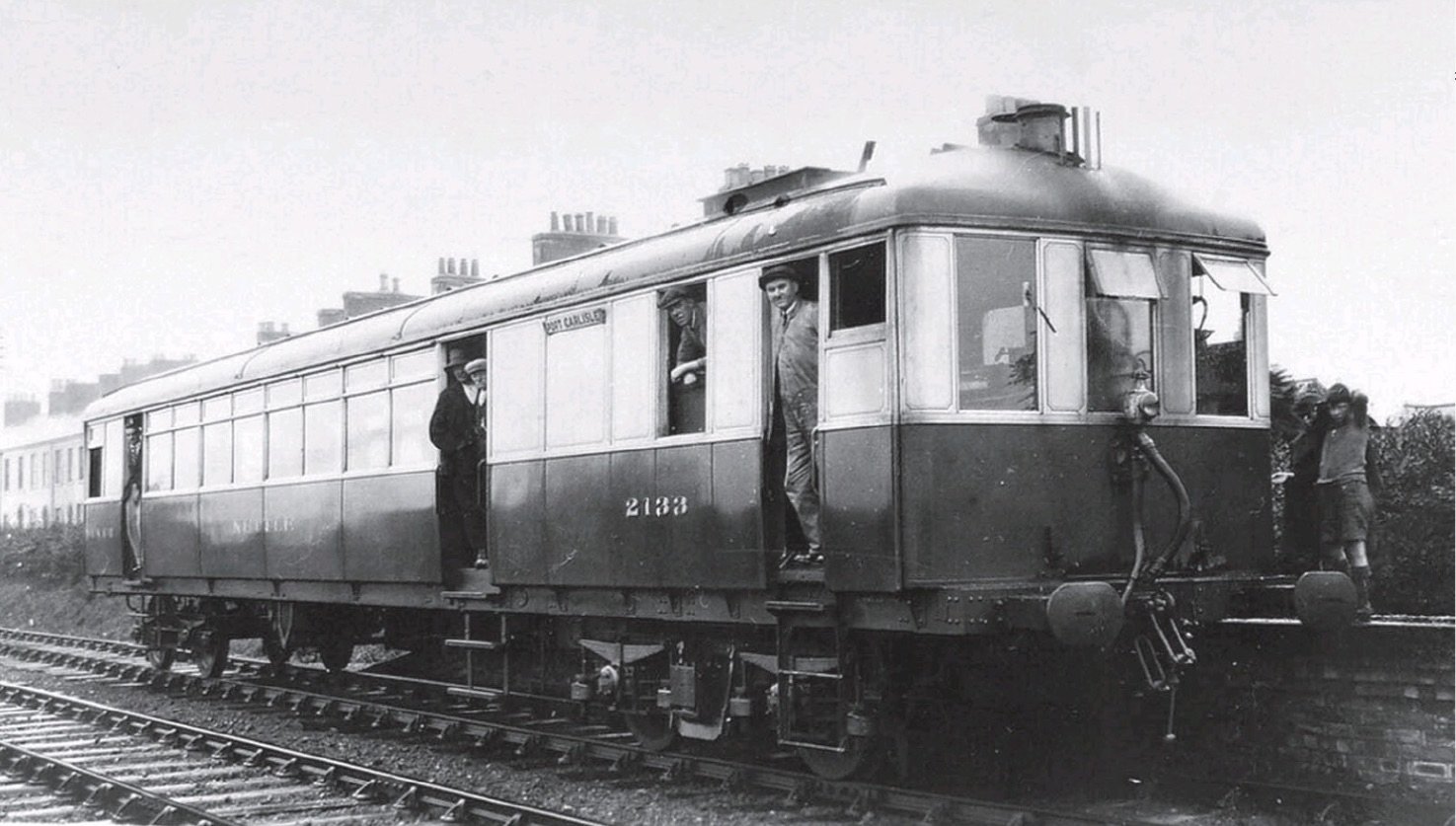
Bahri Railway Station (Khartoum North) was, in 2014, the terminus for the new Nile Train service. The service runs from Port Sudan to Khartoum by way of Atbara and is provided by four-car DMU trainsets. I have struggled to date to identify technical details for these units. They are supplied by Chinese manufacturers. The first sets arrived in 2014, further sets arrived in 2018. [31]
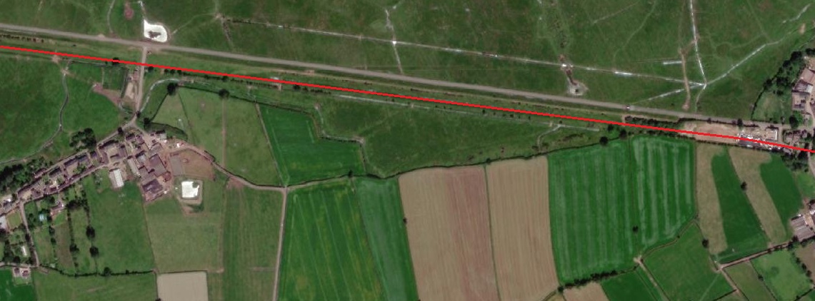
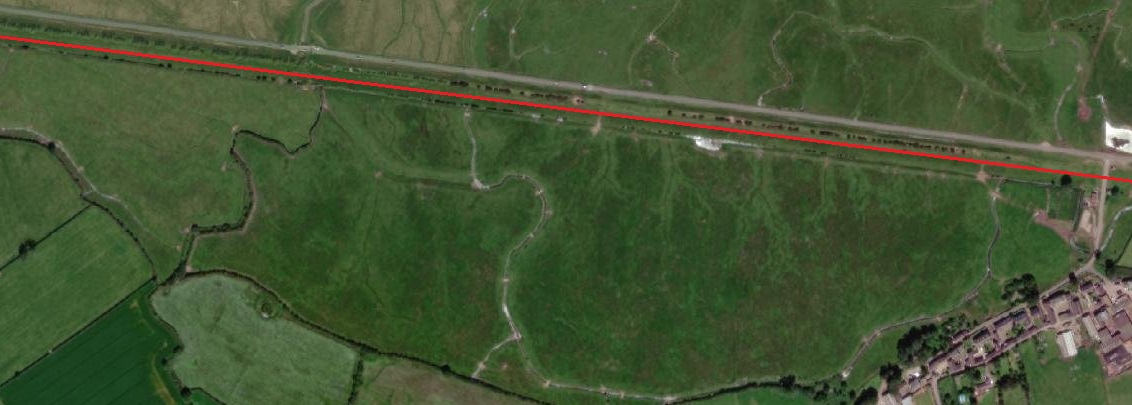
North of Bahri Railway Station the 3ft 6in gauge line travels North towards Atbara. Train speeds are low and the journey as far as Atbara takes about twice the time a bus needs to complete the journey, but trains are comfortable, safe, air-conditioned and cheaper than the buses. … “Every Nile Train service is almost full with an average passenger load of around 280. … Passenger Hannah Ali Mohammed, 35, said, ‘I think most people travelling between Khartoum and Atbara will stop using buses and change to this … train.’ … Student Ahmed Al-Haj Omer, 23, said … ‘It’s safer. There are a lot of bus accidents on the road between Khartoum and Atbara.’ … A bus ticket also costs about 50 per cent more than the £4 train trip. [32]
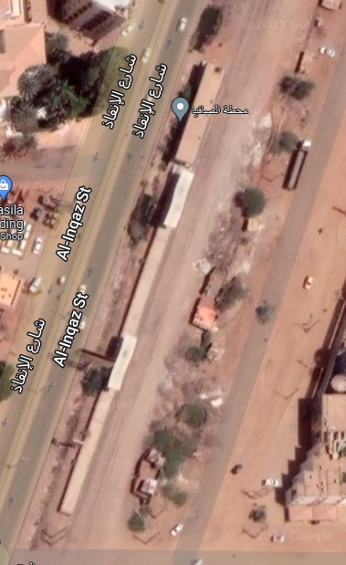
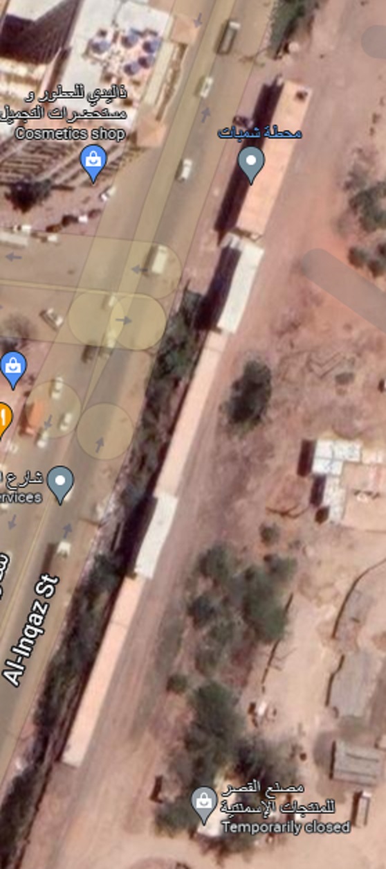
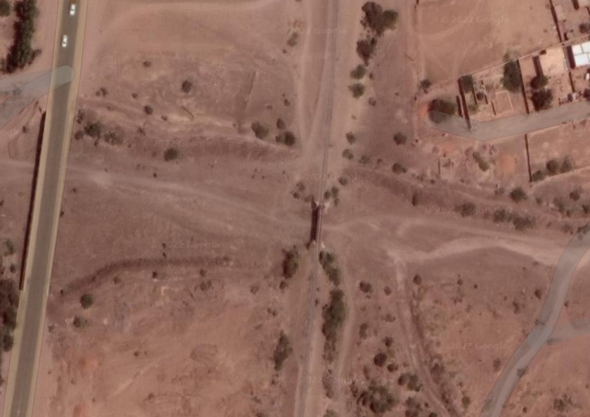
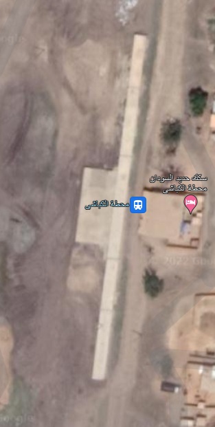
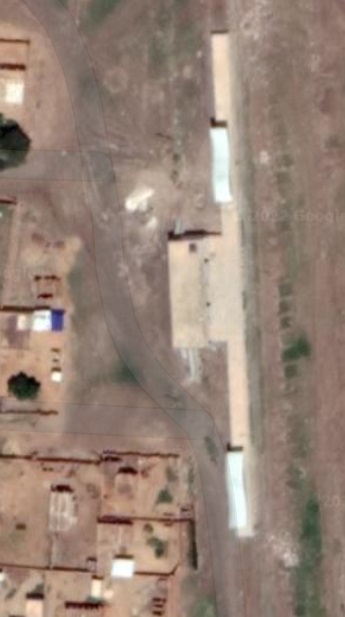
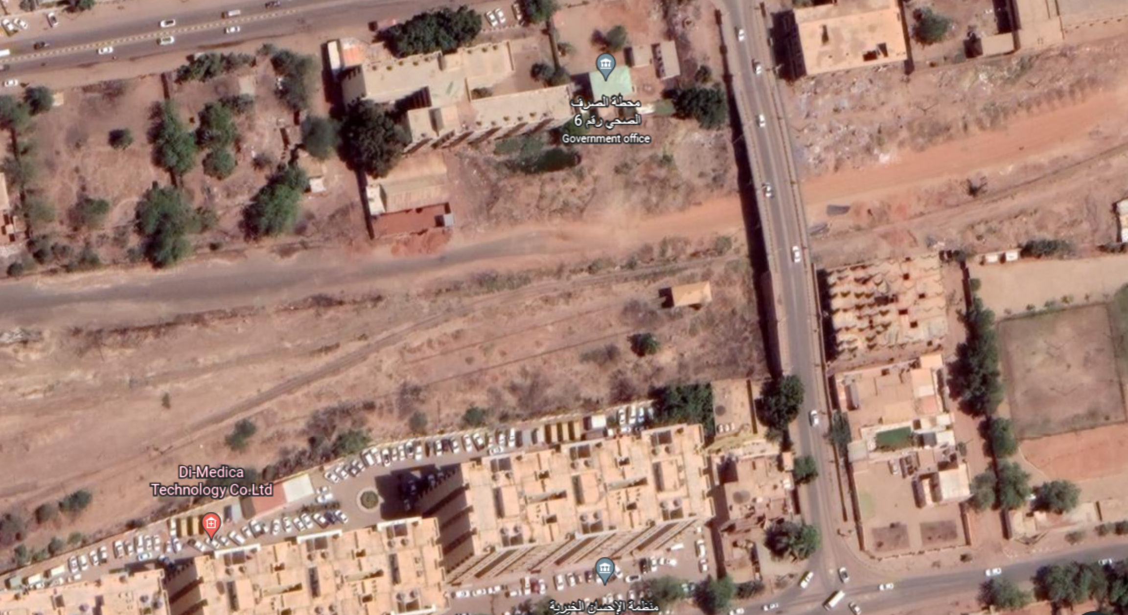
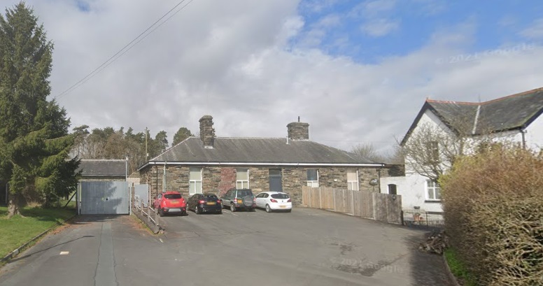
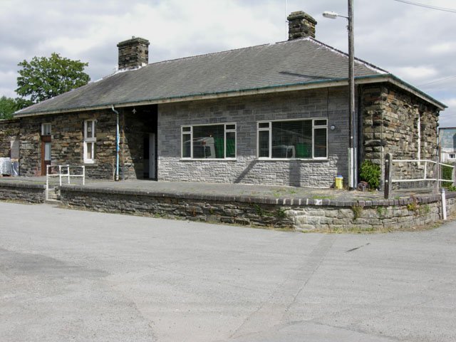
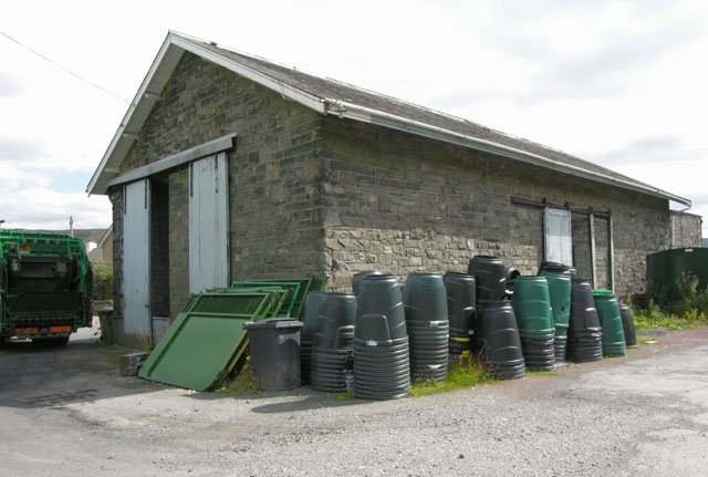
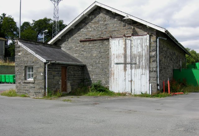
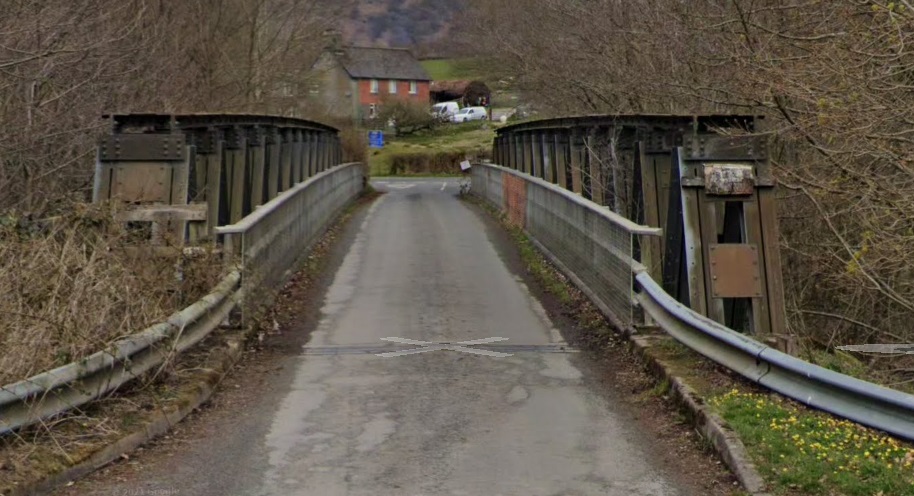
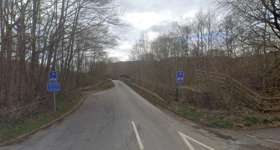
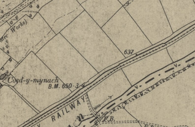
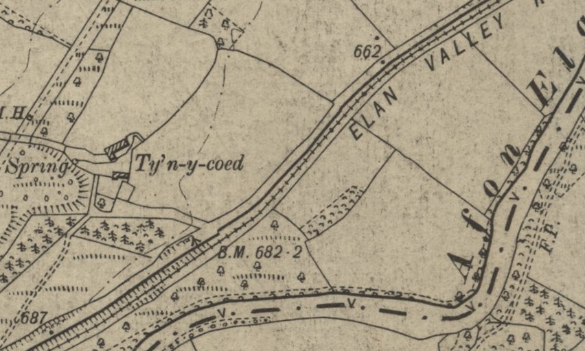
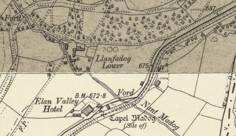
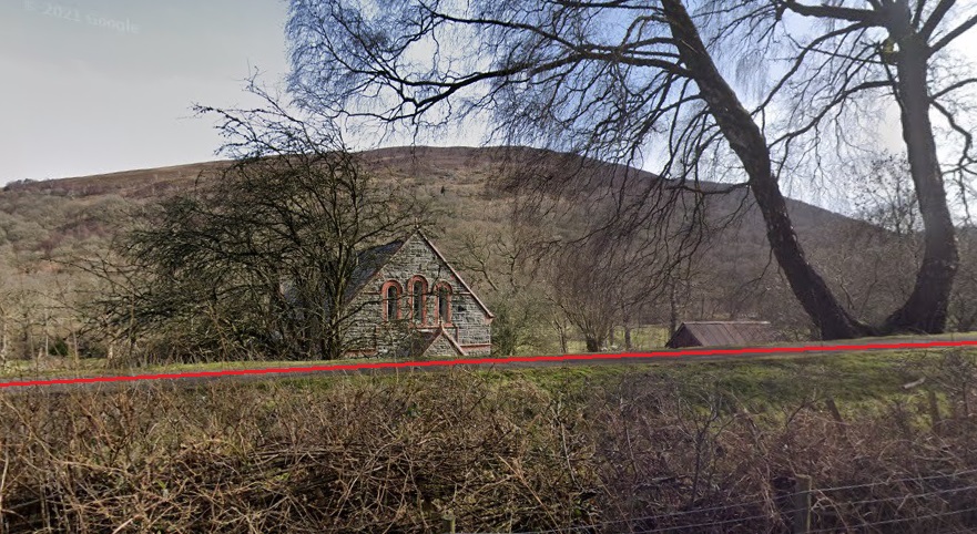
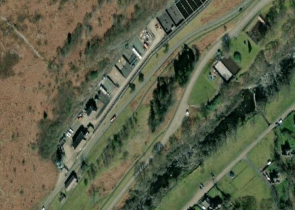
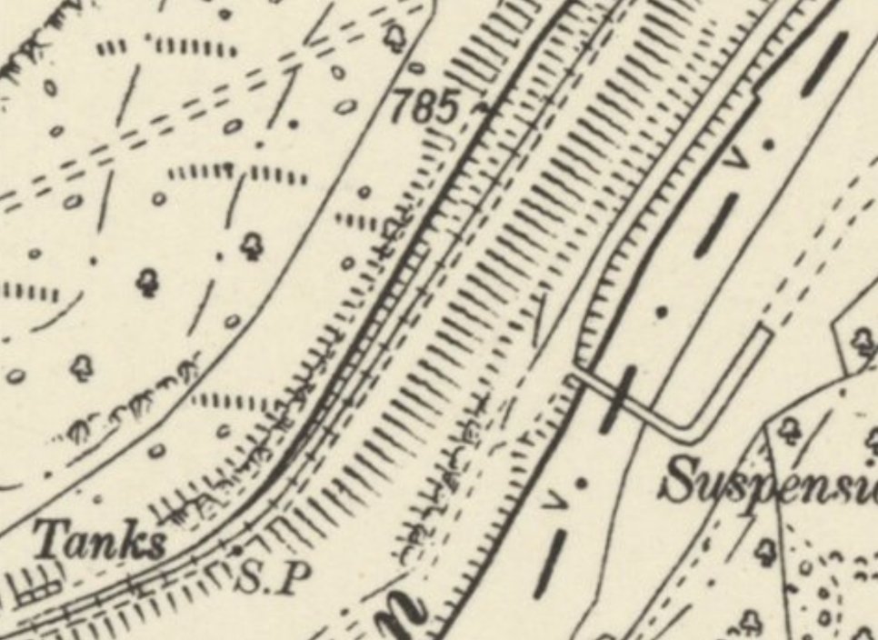
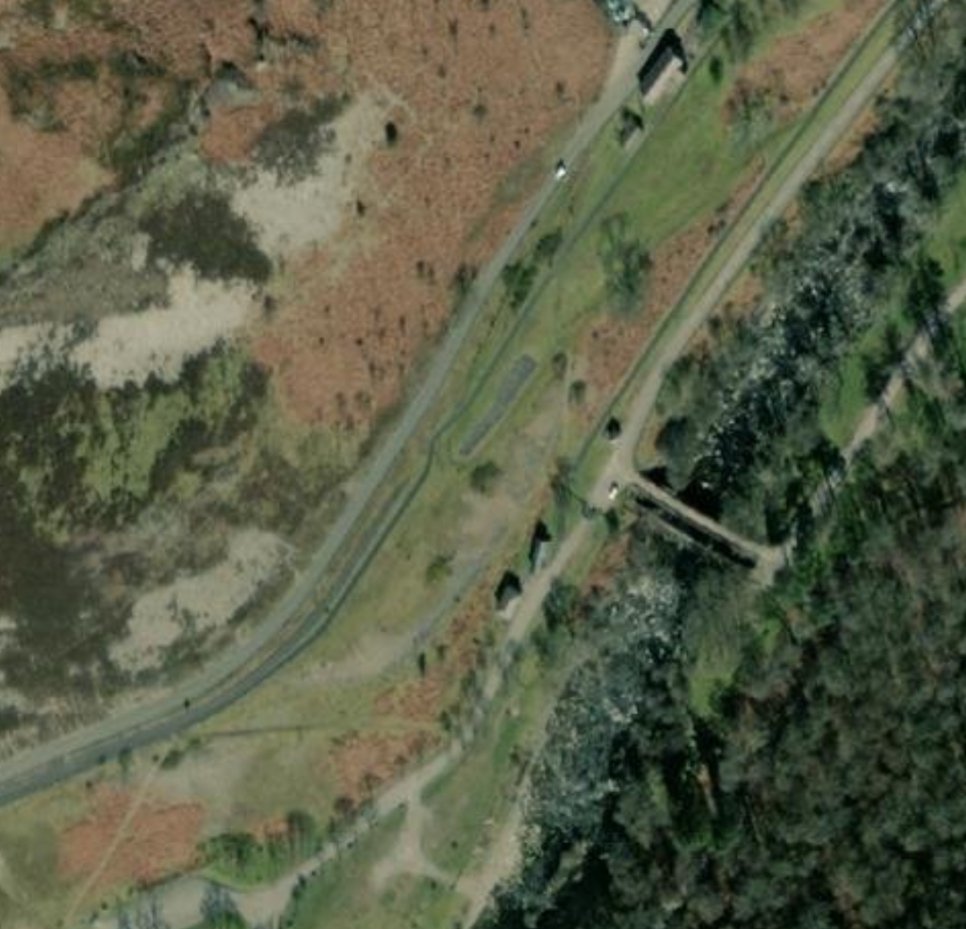
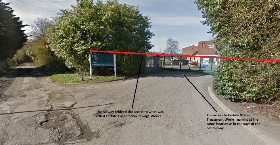
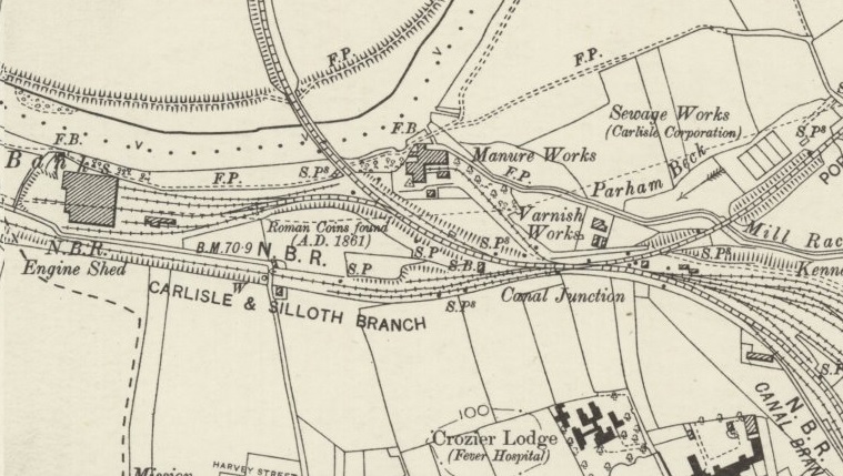
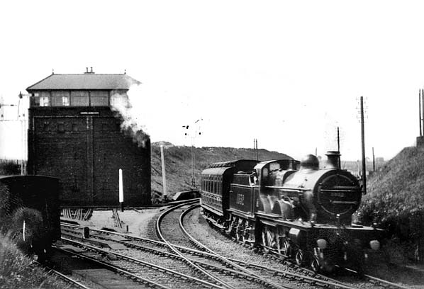
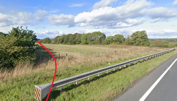
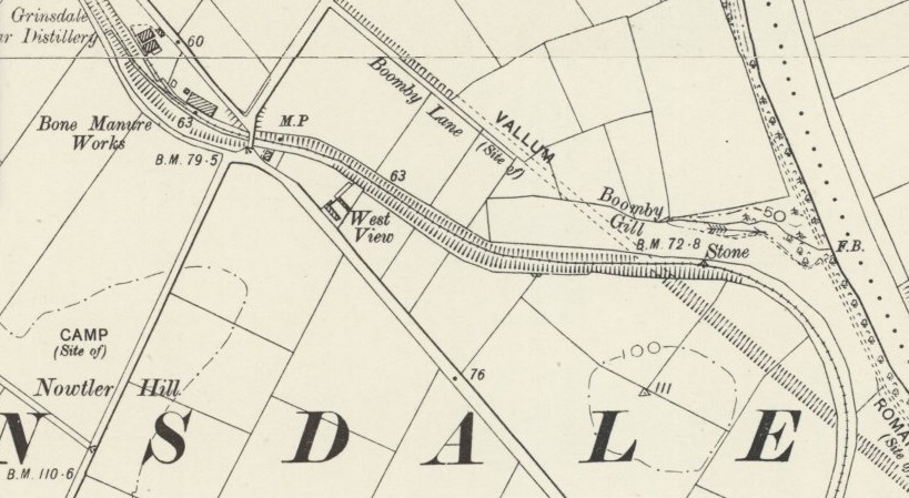
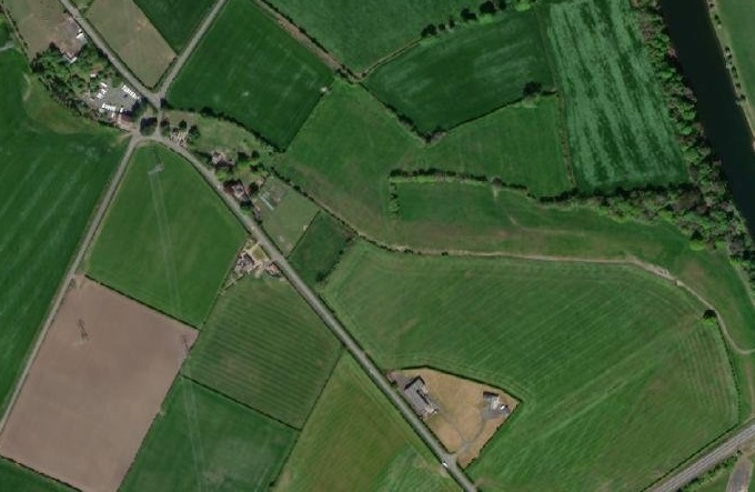
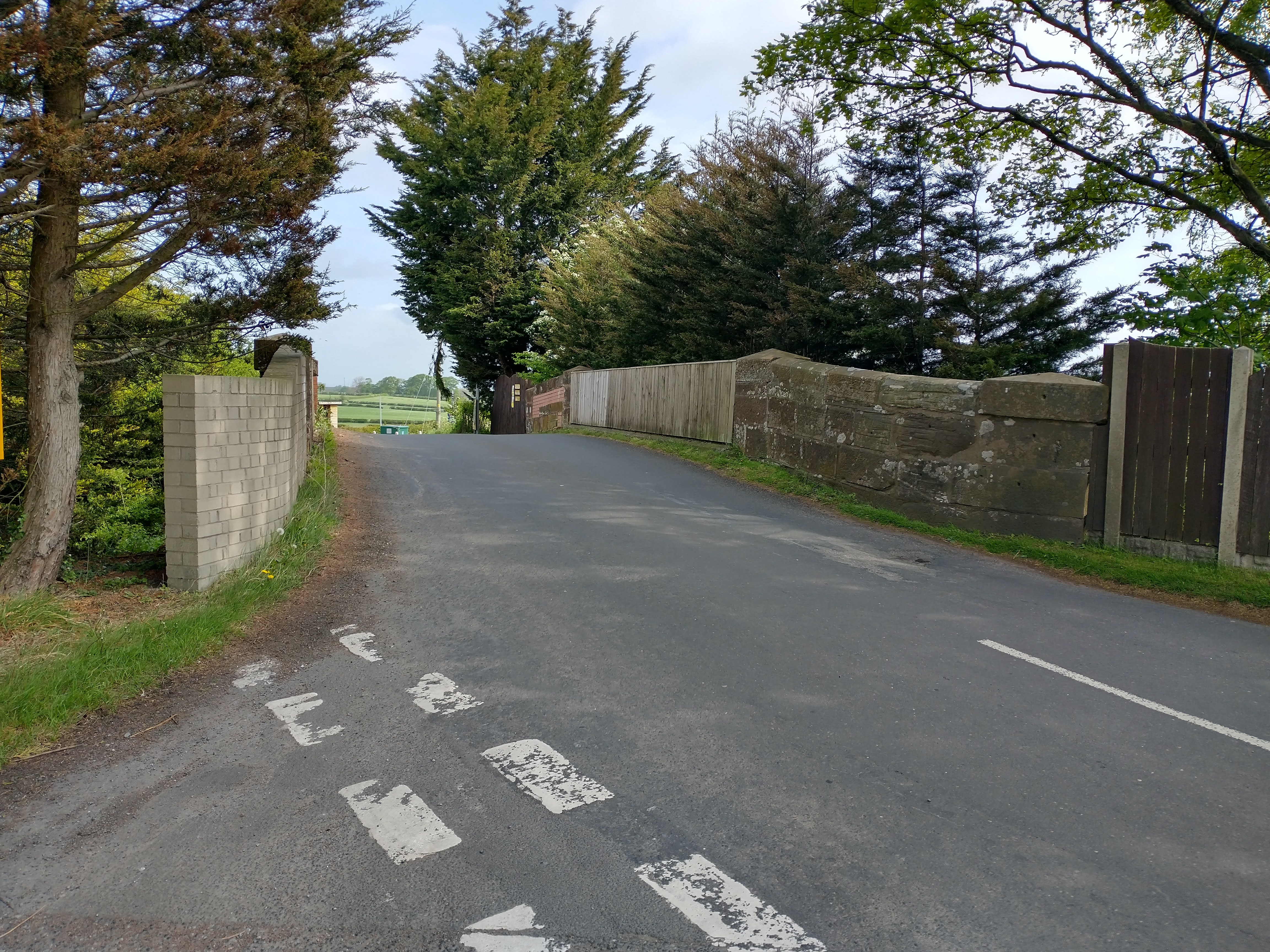
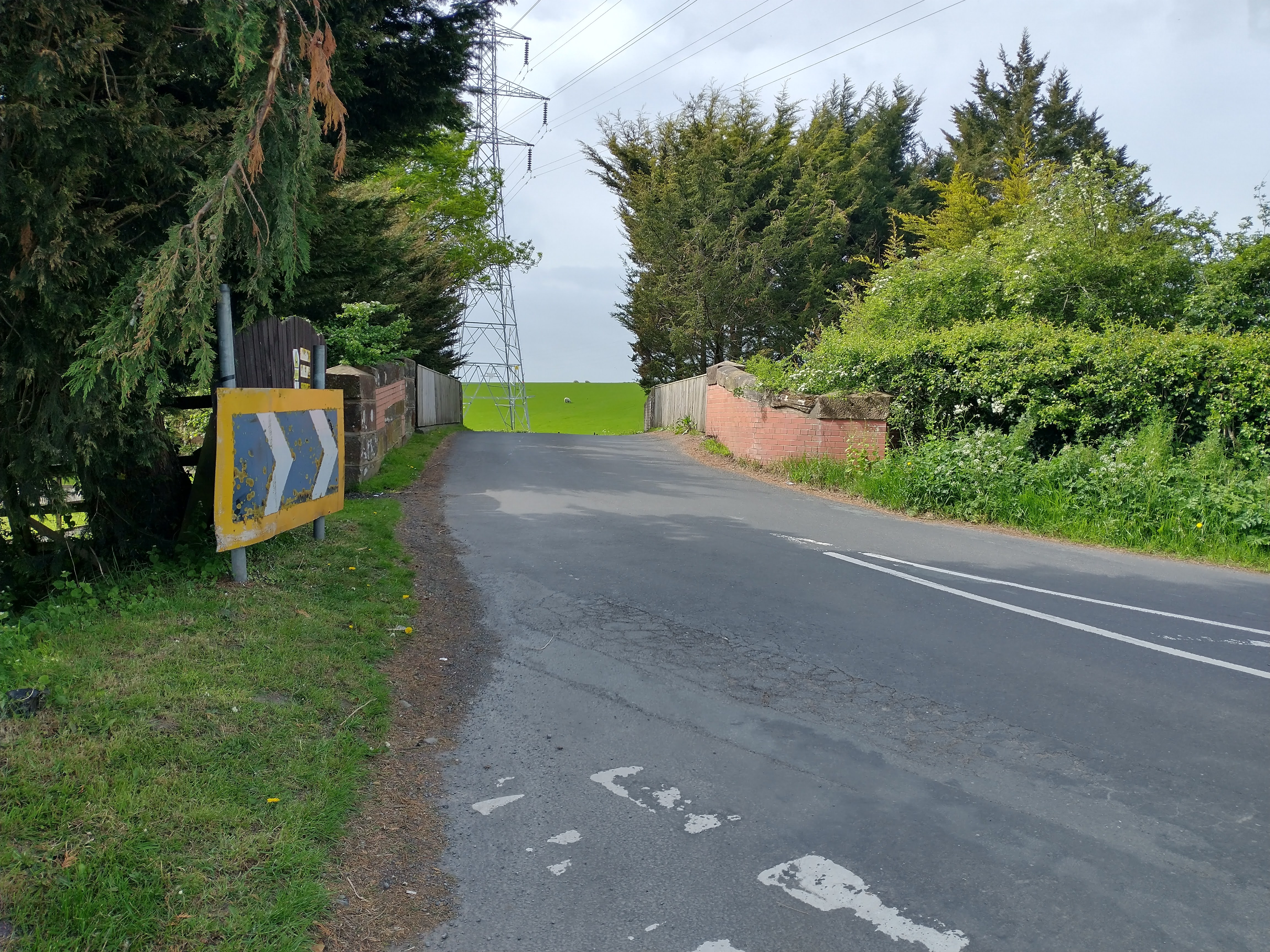
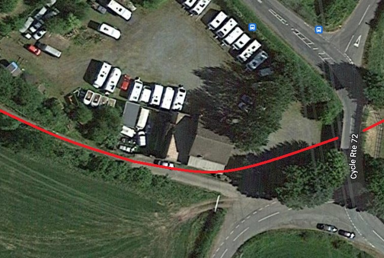
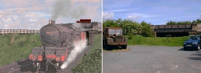
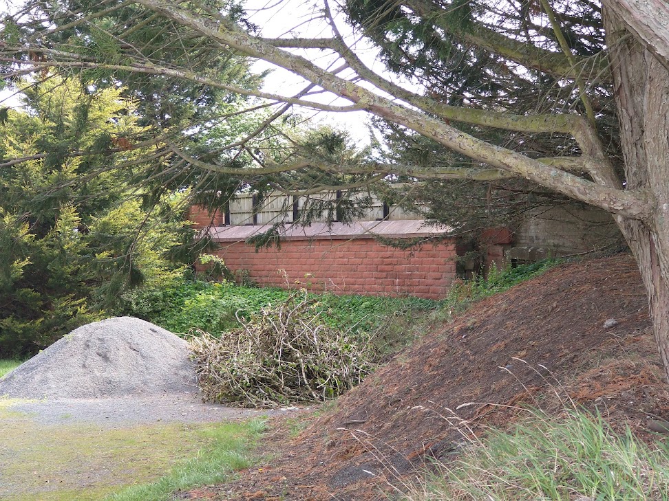
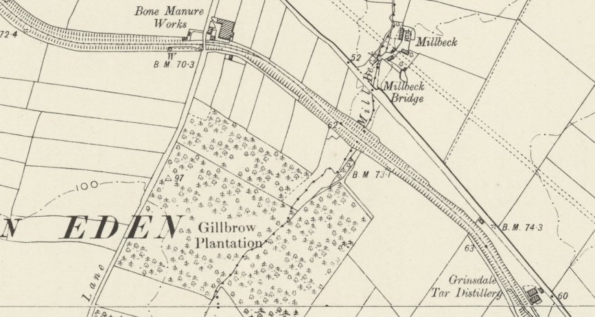
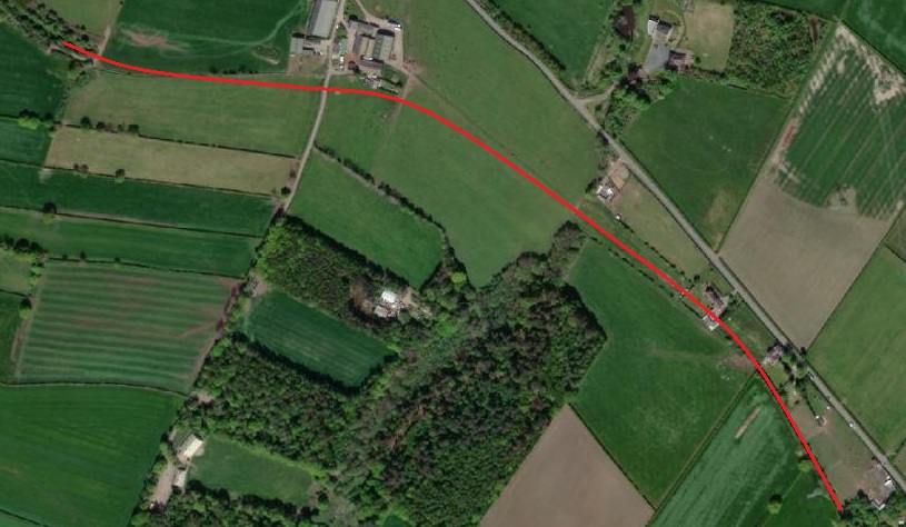
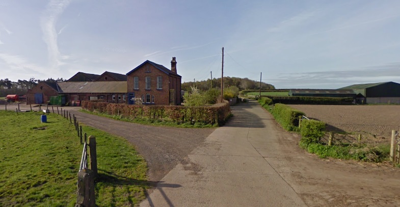
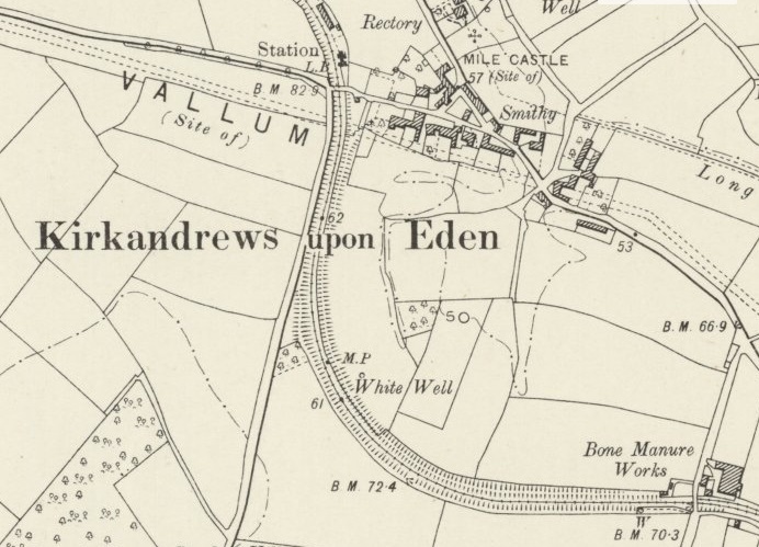
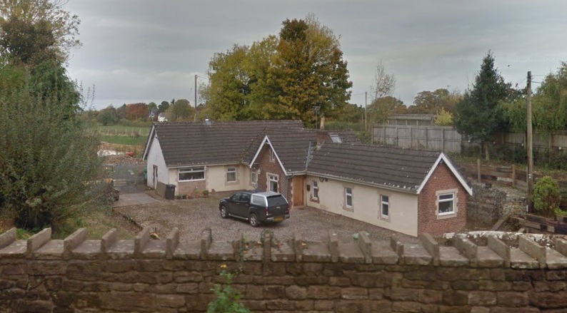
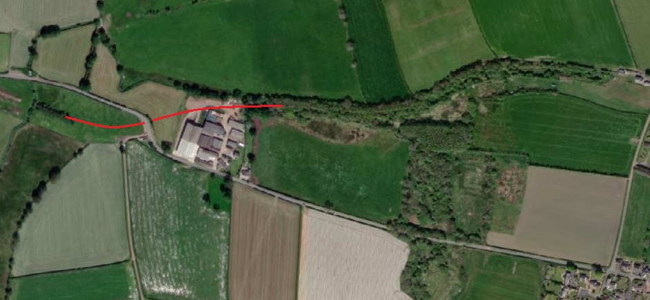
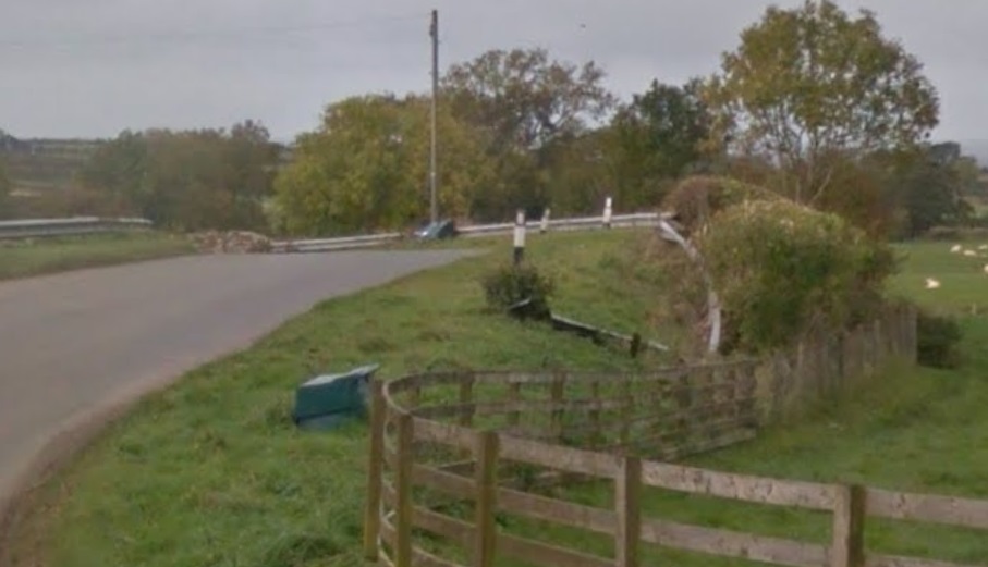
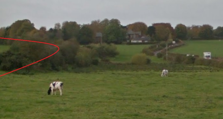
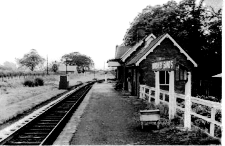
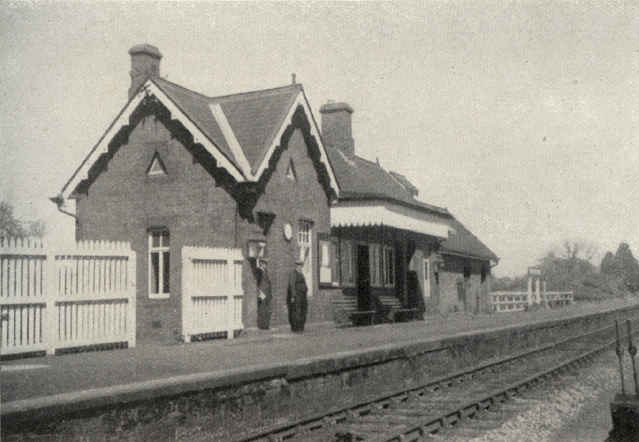
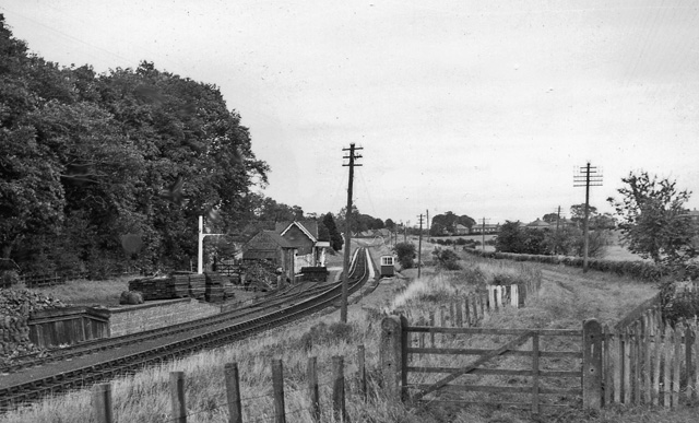
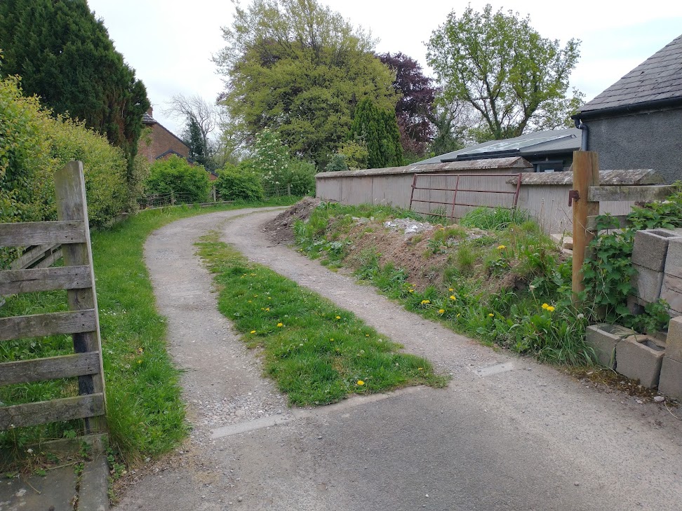
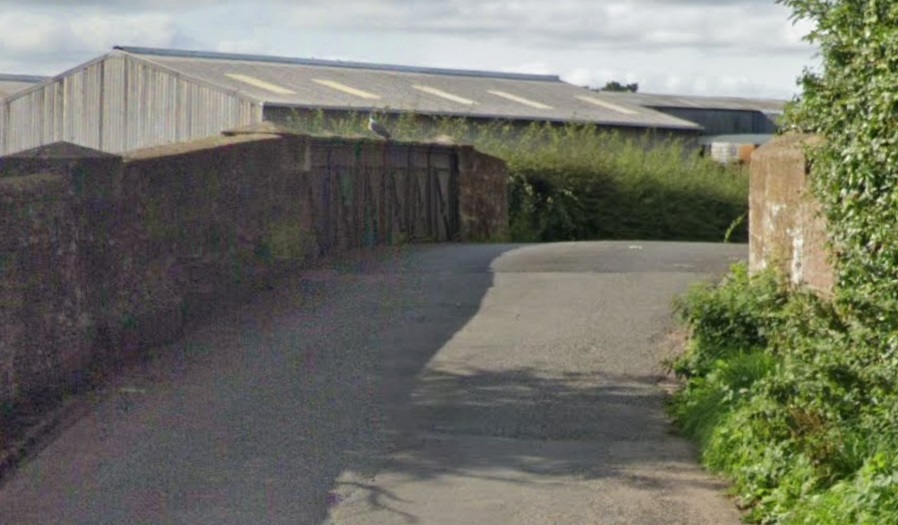
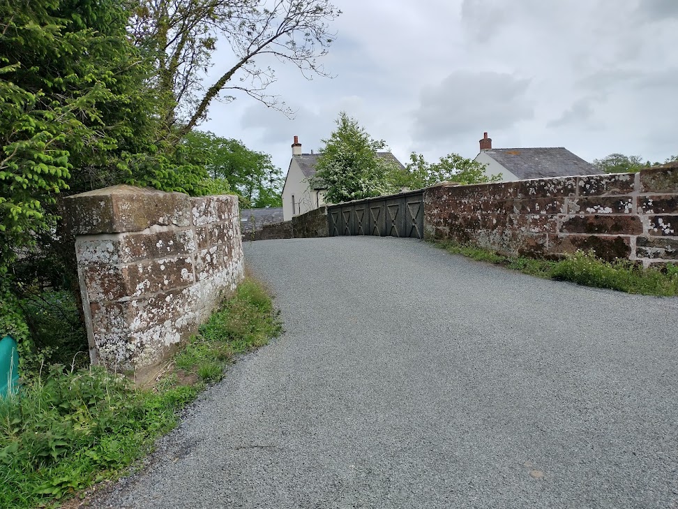
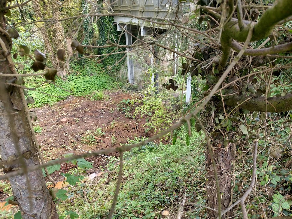
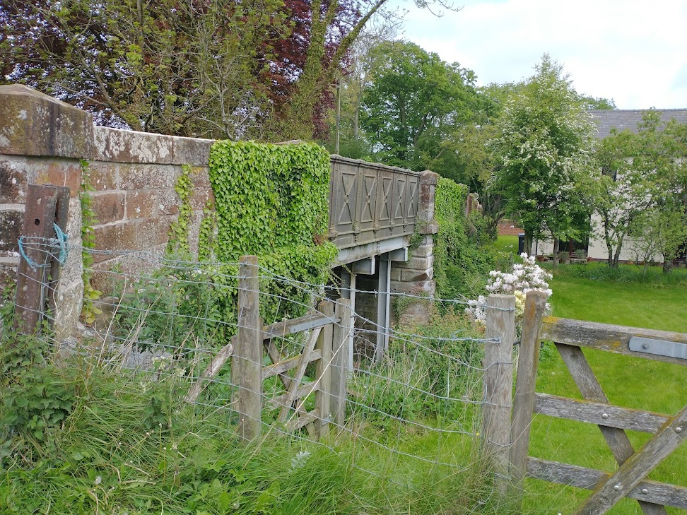
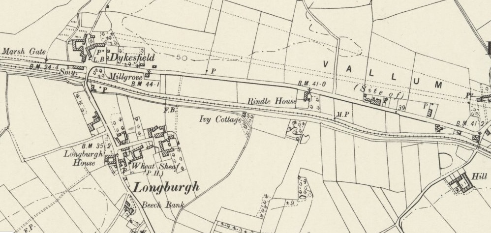
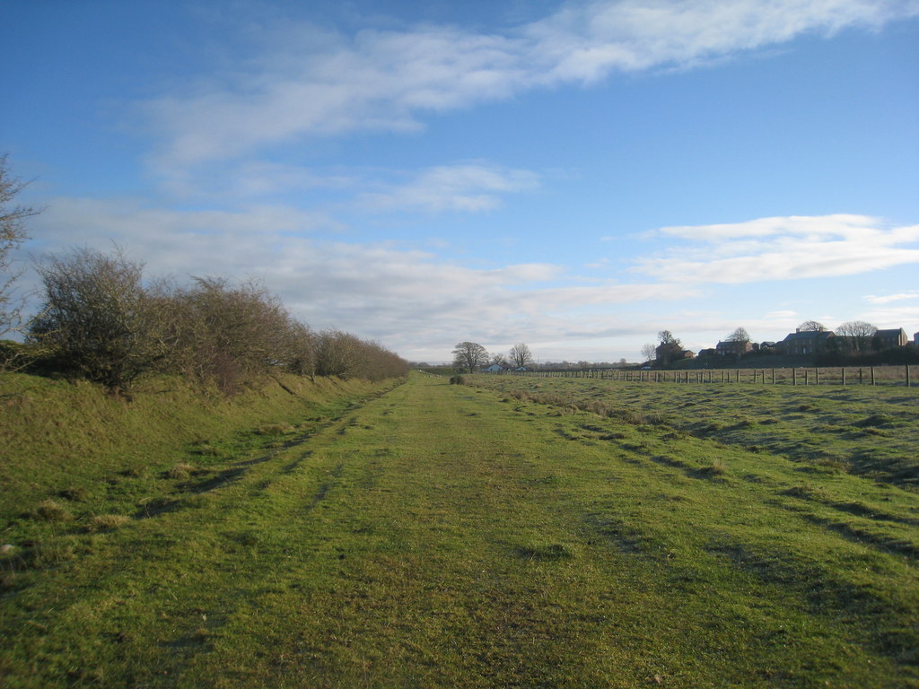
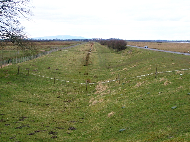
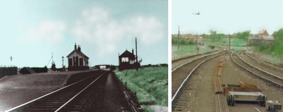
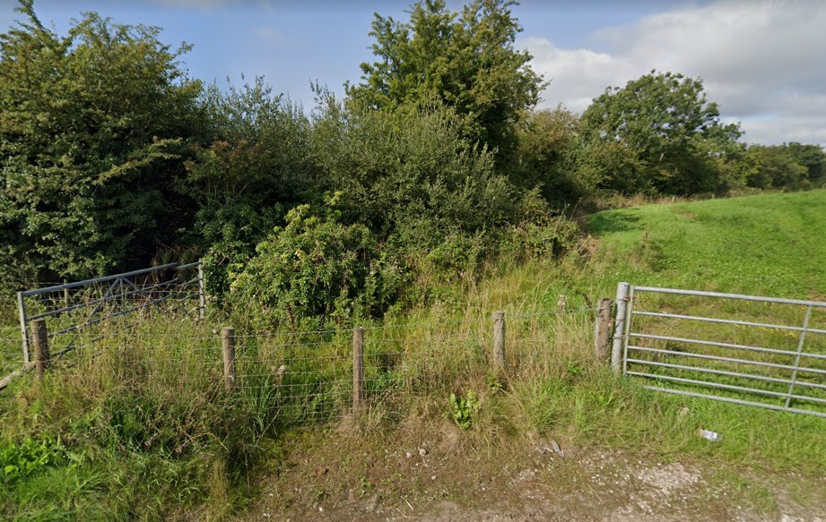
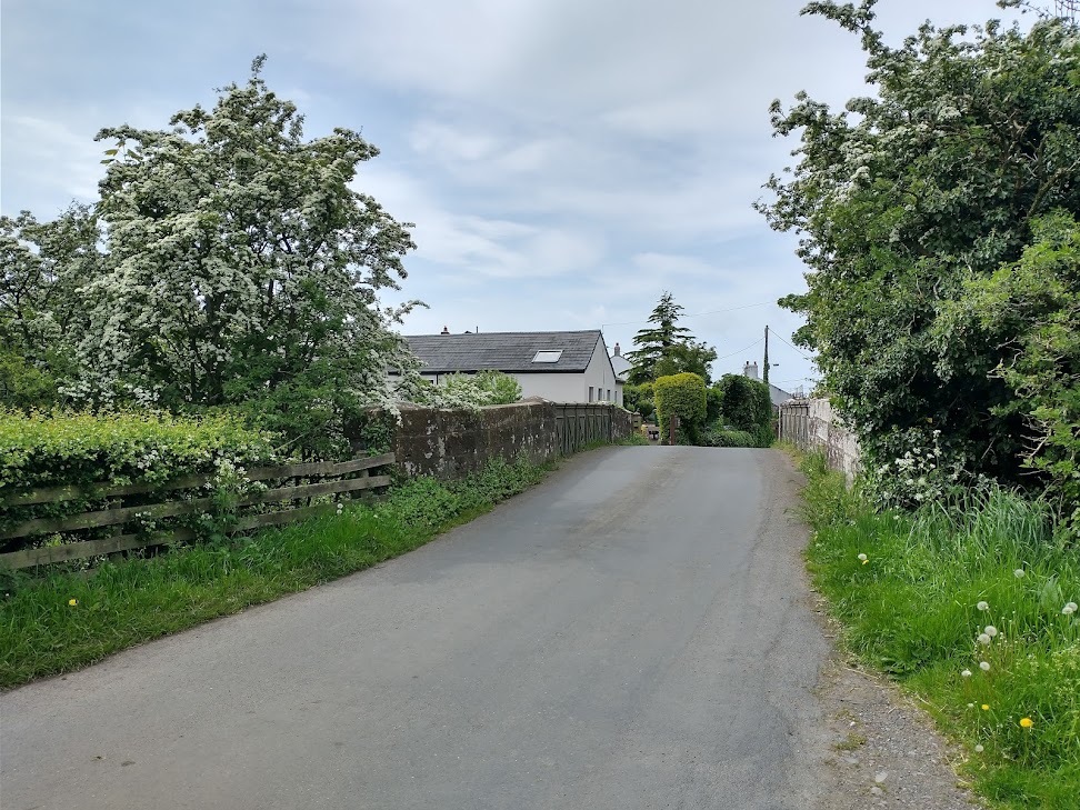
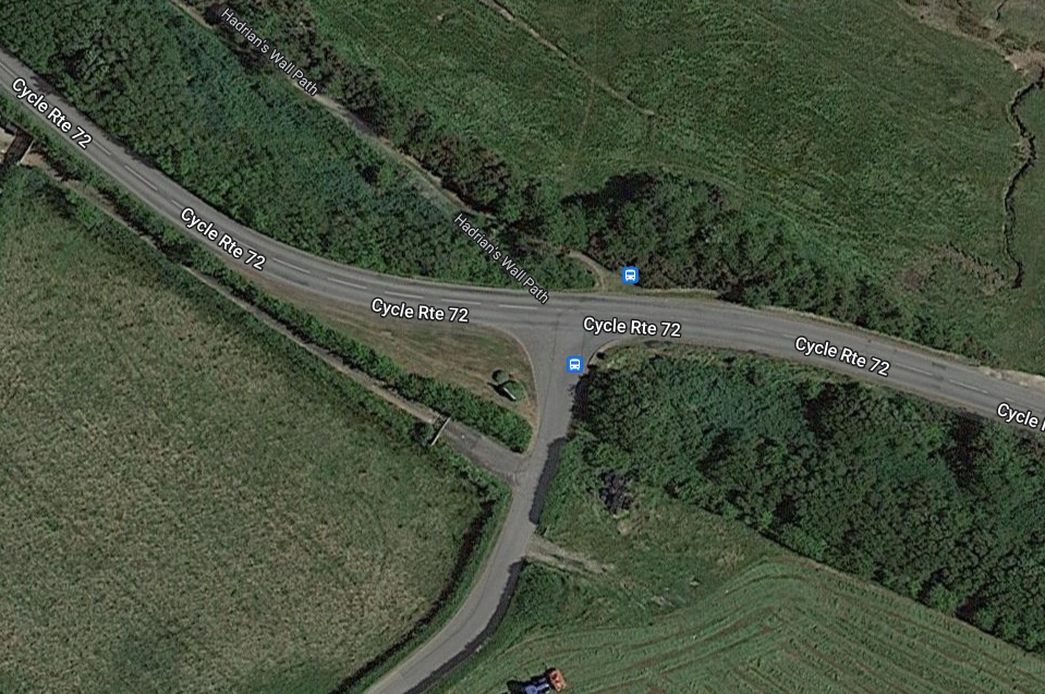
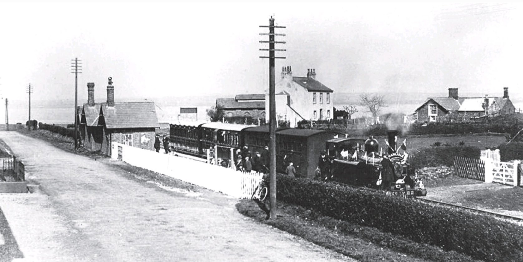
Further stations follow on the journey North. El-Gaili is the last before open desert. Further north the station buildings which remain are older, for example that at Ed Dowyab, as shown below.

Shendi is reached just a little further along the banks of the Nile.

Given that our focus is meant to be on the railways of Khartoum. it is at this point, just over 200km from Khartoum, that we leave the line heading North to Atbara.
Lines South from Khartoum Central Station
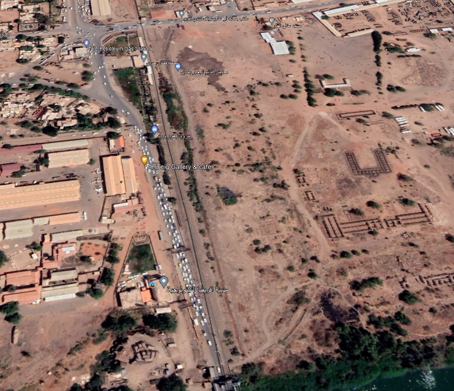
Historically there were junctions at either end of Khartoum Central Station. At the East End a line branched away to the Southeast following the West bank of the Blue Nile to Wadi Madani and beyond. The route of that line is shown below by a thin red line. In the 21st century, its route is beneath one of the main arterial roads into and out of Khartoum (Africa Street).

The ‘live’ line which leave Khartoum Central Station heading South West along side the White Nile, eventually crosses the southern suburbs of the city to rejoin the line heading Southeast close to the Blue Nile. This line can be seen marked on the satellite image above.
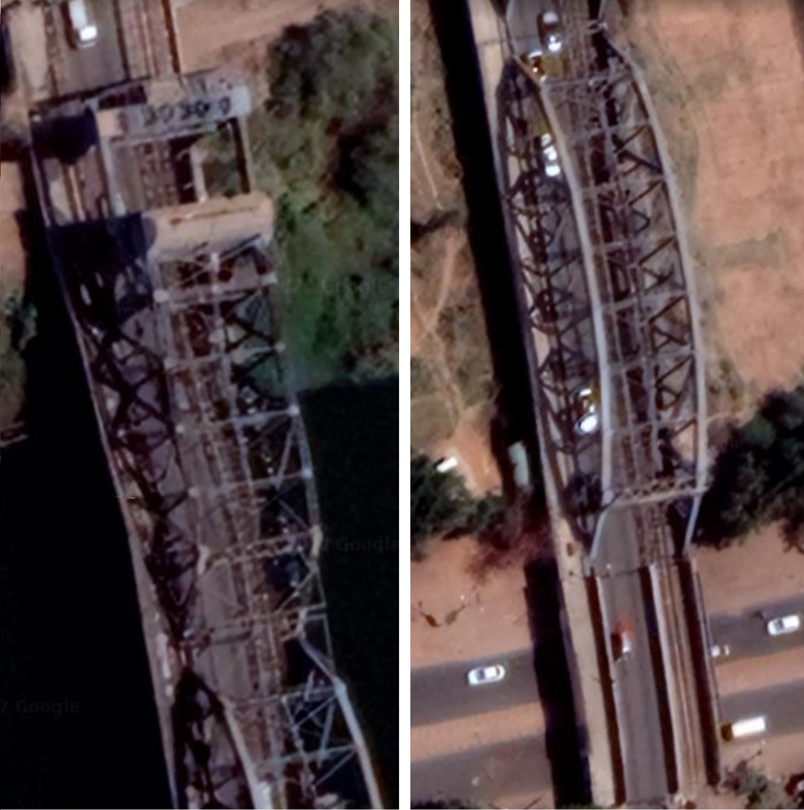
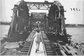
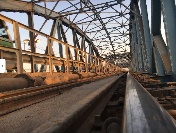
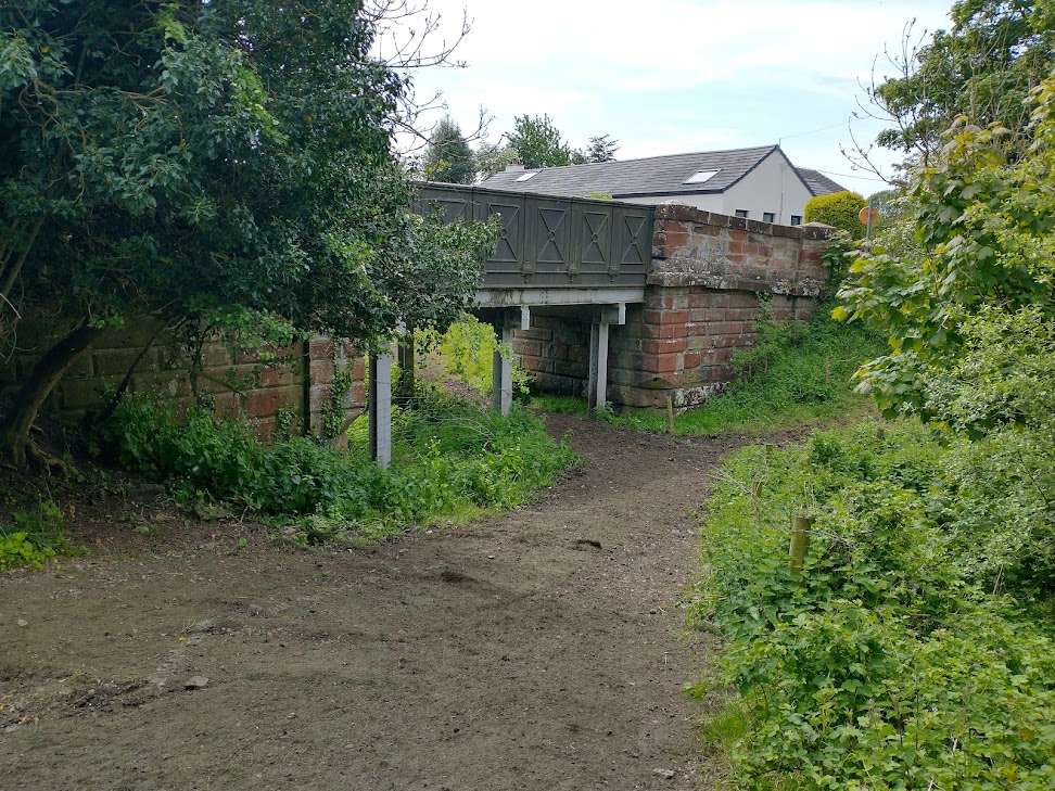
The Blue Nile Bridge was built when General Sir Francis Wingate [34] was Governor-General of Sudan. It was decided to “bring the railway over the Blue Nile … and to build it along the West Bank of the river to Sennar. Here the line would turn West, cross the White Nile at Qoz Abu Jum’a and head for el-Obeid. … The Sudan Government signed a contract with the Cleveland Bridge& Engineering Com[pany … for the building of a bridge to carry road and rail together … with a rollinglift span for the passage of river craft and seven spans of 218ft each. … Work on the bridge began in 1907. … Passenger and goods stations, a locomotive and carriage and wagon depot and marshalling yards were laid out at what were then the southern limits of the city, and opened in 1910.” [12: p79]
Hill stated in 1965, that it was “only recently that Khartoum Central [had] become a through station. In 1964, the section of the Gezira line between Khartoum Centra; and Soba via the airport was pulled up releasing valuable land for urban development.” [12: p80] Trains from the South now run along a line built from the West end of Khartoum Central through the marshalling yard South to Shagara Station and eastward to Soba.
Hill notes that the Cleveland Bridge Company also constructed the bridge over the White Nile at Qoz Abu Jum’a. The railhead rached that bridge in 1910 and the first train crossed the White Nile at that location on 24th December 1910. [12: p80] This line allowed the economic potential of the Gezira (cotton) and Kordofan (gum arabic) to be exploited.
Consideration of this line and others in the South will have to be left for a future article. … We return to looking at the railways on the South side of Khartoum City Centre. The plan immediately below schematically represents the key elements of the network as it was at the end of the Second World War. Two short lines ran from the West end of the Station, to Abu Se’id on the West side of the White Nile and beyond El Lamab on the East bank of the White Nile.


The line to Abu Se’id
The short line to Abu Se’id which is shown on the extract from the British Survey of Sudan from 1945 suggests that the line crossed the White Nile but was not extended any further. Looking back through available maps we can see that the line from Central station had been extended to the vicinity of the Blue Nile close to the confluence of the two rivers.
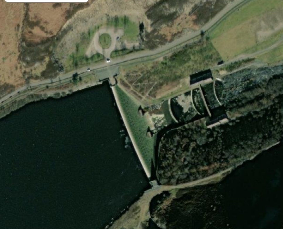
The Old White Nile Bridge (also known as the Redemption Bridge or the Omdurman Bridge) is a steel truss bridge in Sudan on the road connecting Khartoum on the White Nile to Omdurman. The bridge was built between 1924 and 1926 by Dorman Long from Teesside, England: it is 613 metres long and is supported by seven pairs of round columns. [43] If the 1945 map extract is to be believed the 3’6″ line was extended from its position on the map immediately above this paragraph to cross the White Nile at the bridge.
However, we already know that provision was made for an electric tramway to replace an earlier steam railway and that this new electric system was in use in the 1930s. It seems as though the line shown on the 1945 map is probably a minor cartographical error. Please see later articles about Khartoum’s railways and trams.
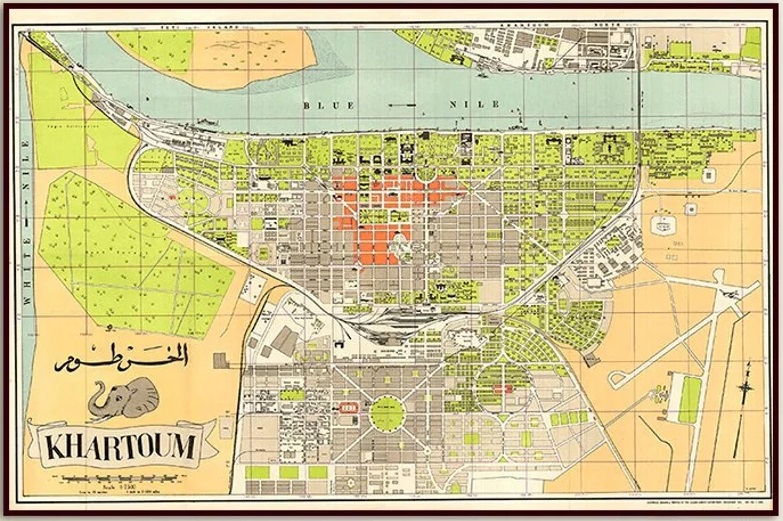
We do know that later in the 20th century the route of the 3’6″ railway Northwest of Central Station was revised and even later abandoned. In the next image, the area is shown on a 1950s map of Khartoum. …


The line to the White Nile beyond El Lamab
Satellite imagery bears little resemblance to the 1945 British Survey of Sudan. The large island in the White Nile which features so prominently in the 1945 survey does not exist. The only place name similar to ‘El Lamab’ is Al Lamab which is an area to the East of the Airport close to ten Blue Nile.
Logic would suggest that the current railway follows the route shown in 1945. An estimation of the distances involved would place the point where the present railway turns to the East in the vicinity of the end of the railway drawn on the 1945 map. The satellite image below suggests that the line used to terminate on the South side of Wad Ageeb which appears on the East bank of the White Nile close to the bottom of the image.


Final Comments
We have looked at all of the 3ft 6in gauge railway lines in Khartoum as best we can. There are a number of things which would benefit from further investigation.
- The line north to Egypt and the line to Port Sudan (both 3’6″ gauge)
- Lines to the South of Khartoum (3’6″ gauge)
- the Steam Trams in Khartoum in the early 20th century (narrow gauge)
- the Electric Tram network of the 1930s (3’6″ gauge)
- Industrial lines in Sudan which probably include the lines noted on the South bank of the Blue Nile close to its confluence with the White Nile, but definitely do include a narrow gauge railway serving the cotton industry to the Southwest of Khartoum in Gezira (narrow gauge)
- the motive power and rolling-stock on Sudan’s Railways.
These will need to wait for further articles.
References
- https://www.hoogeduinpostcards.com/webshop/supplies-and-books/HGP-127175–british_sudan%2C_khartoum%2C_central_station.html, accessed on 30th May 2022.
- https://www.hoogeduinpostcards.com/webshop/supplies-and-books/HGP-133060–british_sudan,_khartoum_central_station.html, accessed on 30th May 2022.
- https://www.flickr.com/photos/124446949@N06/26623563727, accessed on 30th May 2022.
- https://www.flickr.com/photos/124446949@N06/28748857288, accessed on 30th May 2022.
- https://www.ebay.co.uk/itm/164897885629?mkcid=16&mkevt=1&mkrid=711-127632-2357-0&ssspo=7o9wvntyQeW&sssrc=2349624&ssuid=afQhrar7TGK&var=&widget_ver=artemis&media=COPY, accessed on 29th May 2022.
- https://mapcarta.com/N1137222499, accessed on 30th May 2022.
- https://en.wikipedia.org/wiki/Rail_transport_in_Sudan, accessed on 30th May 2022. (Wikipedia notes that the article was written in 2010).
- https://www.globalconstructionreview.com/sudan-plans-640m-scheme-bring-rail-network-back-us, accessed on 30th May 2022.
- https://edition.cnn.com/2016/11/21/africa/gallery/chinese-african-railways/index.html, accessed on 30th May 2022.
- https://www.railjournal.com/africa/ethiopia-sudan-standard-gauge-project-study-secures-funding, accessed on 30th May 2022.
- https://www.dailymail.co.uk/travel/article-2609516/amp/All-aboard-The-sleek-new-Nile-Train-reviving-travel-war-torn-Sudan.html, accessed on 30th May 2022.
- Richard Hill; Sudan Transport; Oxford University Press, London, 1965.
- https://www.gettyimages.co.uk/detail/photo/blue-nile-road-and-railway-bridge-and-barge-blue-royalty-free-image/1156580717, accessed on 30th May 2022.
- https://commons.m.wikimedia.org/wiki/File:1905_map_Khartoum_and_Omdurman_by_Thomas_Cook.png, accessed on 31st May 2022.
- https://www.worthpoint.com/worthopedia/early-postcard-khartoum-north-railway-168547051, accessed on 31st May 2022.
- https://www.amazon.com/Antiguos-Maps-Khartoum-Africa-Measures/dp/B07ZN4N2XG & https://www.etsy.com/uk/listing/650248829/vintage-map-of-khartoum-old-khartoum-map?ref=share_v4_lx, accessed on 31st May 2022.
- https://m.facebook.com/groups/KITGB/permalink/10150397711998077/?sfnsn=scwspmo&ref=share, accessed on 31st May 2022.
- https://www.flickr.com/photos/124446949@N06/14751533676, accessed on 31st May 2022.
- https://pbs.twimg.com/media/EdIicXwWkAMZGpt?format=png&name=medium, accessed on 1st June 2022.
- Through Desert and Jungle: Modernity That Disturbs the Silence of Age-old Temples; Railway Wonders of the World, 1935; https://www.railwaywondersoftheworld.com/through-desert-jungle.html, accessed on 1st June 2022.
- https://sudantelegraph.com/news/the-designated-governor-of-khartoum-inspects-the-transportation-train-and-issues-a-number-of-directions, accessed on 1st June 2022.
- https://lh5.googleusercontent.com/p/AF1QipP6AeZOtQKfBv7EZMuHdHqtPlXcuHWAXqB86Eo8=w408-h306-k-no, accessed on 1st June 2022 via Google Earth.
- http://www.noblesgroupco.com/wp-content/uploads/2019/08/real-estate-station-block.jpg, accessed on 1st June 2022.
- https://lh5.googleusercontent.com/p/AF1QipMtDfC7hY7WEKmPDwlNm1eZD9-Gcngu8OYWu6mM=w408-h306-k-no, access on 1st June 2022 via Google Earth.
- https://lh5.googleusercontent.com/p/AF1QipNOPvzNAtgI1eNVFAJbyKrY7bwNl7J3xzo_OyJf=h720, accessed on 1st June 2022 via Goggle Earth.
- https://lh5.googleusercontent.com/p/AF1QipM7v0W1vaGWDQJ-k_FLfEmv4OCx3x2byhIhN8KU=h720, accessed on 1st June 2022 via Google Earth.
- https://lh5.googleusercontent.com/p/AF1QipMjrT0FsIjTpZIm75bJ0HnO_e-h7WUcErme5fyf=w408-h306-k-no, accessed on 1st June 2022 via Google Earth.
- https://goo.gl/maps/AU4nUPUJUEremFoJA, accessed on 1st June 2022 via Google Maps.
- https://foursquare.com/v/khartoum-north-train-station/4fb3c10ee4b0e9a98d447f42, accessed on 1st June 2022.
- https://www.abc.com.py/fotos/sudan-un-pais-en-ruinas-inaugura-moderno-sistema-ferroviario-1237054.html, accessed on 1st June 2022.
- https://www.crrcgc.cc/en/g7389/s13996/t290245.aspx, accessed on 1st June 2022.
- https://www.dailymail.co.uk/travel/article-2609516/All-aboard-The-sleek-new-Nile-Train-reviving-travel-war-torn-Sudan.html, accessed on 1st June 2022.
- https://www.britishempire.co.uk/images2/khartoummaplarge.jpg, accessed on 2nd June 2022.
- https://en.wikipedia.org/wiki/Reginald_Wingate, accessed on 2nd June 2022.
- https://www.andyexplores.com/blog-1/time-travel-by-train, accessed on 2nd June 2022.
- https://www.gettyimages.co.uk/detail/news-photo/sunset-in-khartoum-late-january-1983-showing-former-british-news-photo/976735458?adppopup=true, accessed on 2nd June 2022.
- https://lh5.googleusercontent.com/p/AF1QipM60TToYt26idHcLOLRYaAc_rF-KNQ669flKEbI=h720, accessed on 2nd June 2022 via Google Earth.
- https://picryl.com/media/sudan-khartoum-bridge-across-the-wihte-nile-to-omdurman-looking-through-entire, accessed on 2nd June 2022.
- https://picryl.com/media/sudan-khartoum-bridge-across-the-white-nile-to-omdurman, accessed on 2nd June 2022.
- https://lh5.googleusercontent.com/p/AF1QipOKuoJ9r6W2EzUTqpuJrMZf7fR7iXG27vaJC4jm=h720, accessed on 4th June via Google Earth.
- https://www.wikiwand.com/en/Architecture_of_Sudan, accessed on 4th June 2022.
- https://www.etsy.com/listing/974653405/1914-antique-map-of-khartoum-and, accessed on 2nd June 2022.
- https://en.wikipedia.org/wiki/Omdurman_Bridge, accessed on 4th June 2022.
- A Sudan News image sourced from Twitter, https://twitter.com/sudan_tweet/status/816618607631368192?lang=fi, accessed on 4th June 2022.


