
The travel section of the Saturday Guardian Magazine on 23rd May 2023 included a few pages about train journeys in Europe (pages 72 to 77). This is the fifth part of a look at those pages. …
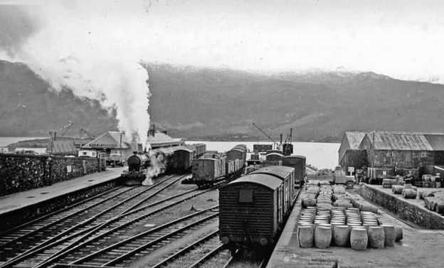
The featured image for this article is a view looking Southeast towards the buffers at Kyle of Lochalsh Railway Station and across the Kyle to Skye in 1939, the ferry to Kyleakin is off scene to the right. A train is leaving for Dingwall and Inverness, managed by an ex-Highland 4-6-0 locomotive, © Walter Dendy and licensed for reuse under a Creative Commons Licence (CC BY-SA 2.0). [14]
Nicky Gardner, lead co-author of the guidebook ‘Europe by Rail’, has championed slow travel across the continent’s most scenic routes. Her writings highlight sea-hugging railways where travellers can take in spectacular coastal panoramas, deep fjords, and dramatic cliffs right from the carriage window. The short Guardian article featuring a few such routes was written by her and is directly quoted here.
5. Europe’s Best Coastal Train Lines
A. Scotland: Coast to Coast
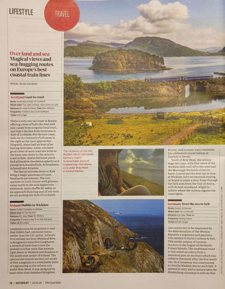
The first line Nicky Gardner chooses to highlight is operated by ScotRail. Travelling the Inverness to Kyle of Lochalsh line will set you back £32 for a single ticket The journey is 83 miles and takes 2hrs 40mins. There are 4 trains a day (only two on Sundays). Sit on the right side first and then switch to the left. …
Nicky Gardner writes:
“There is only one rail route in Britain offering views of both the west and east coasts from a regular local train, and that’s the line from Inverness to Kyle of Lochalsh. For the east coast, look out for Cromarty Firth away to the right as the train approaches Dingwall, about half an hour after leaving Inverness. Later, you have good views of west coast sea lochs as the train runs down to the Atlantic coast at Kyle. And in between you’ll find alliterative desolation aplenty as it pauses at Achnashellach, Achnasheen, Achanalt and Attadale.
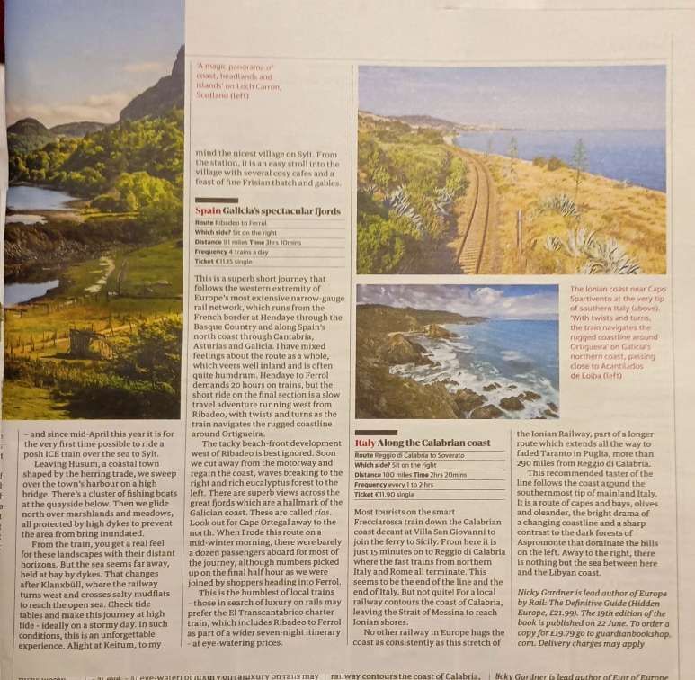
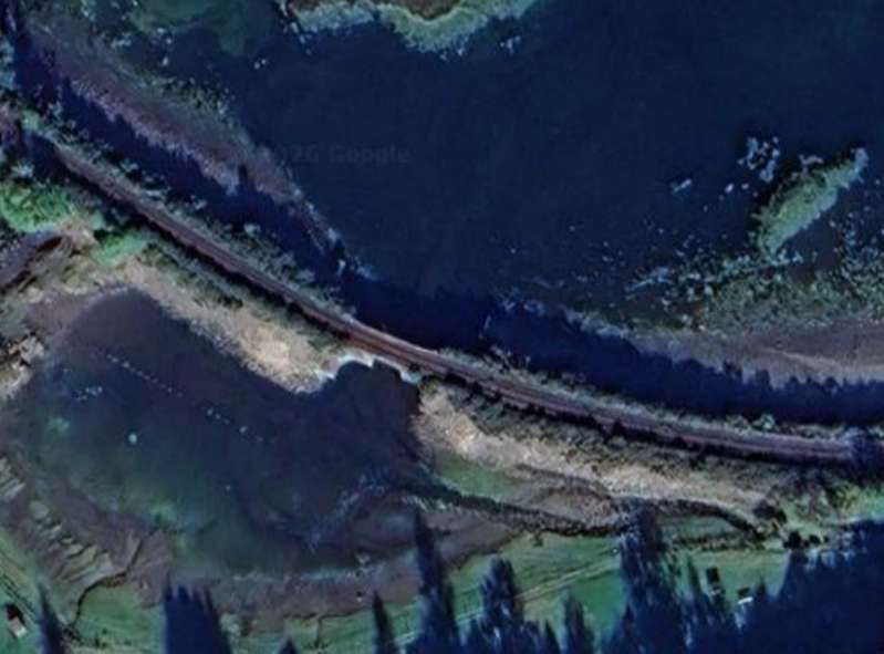
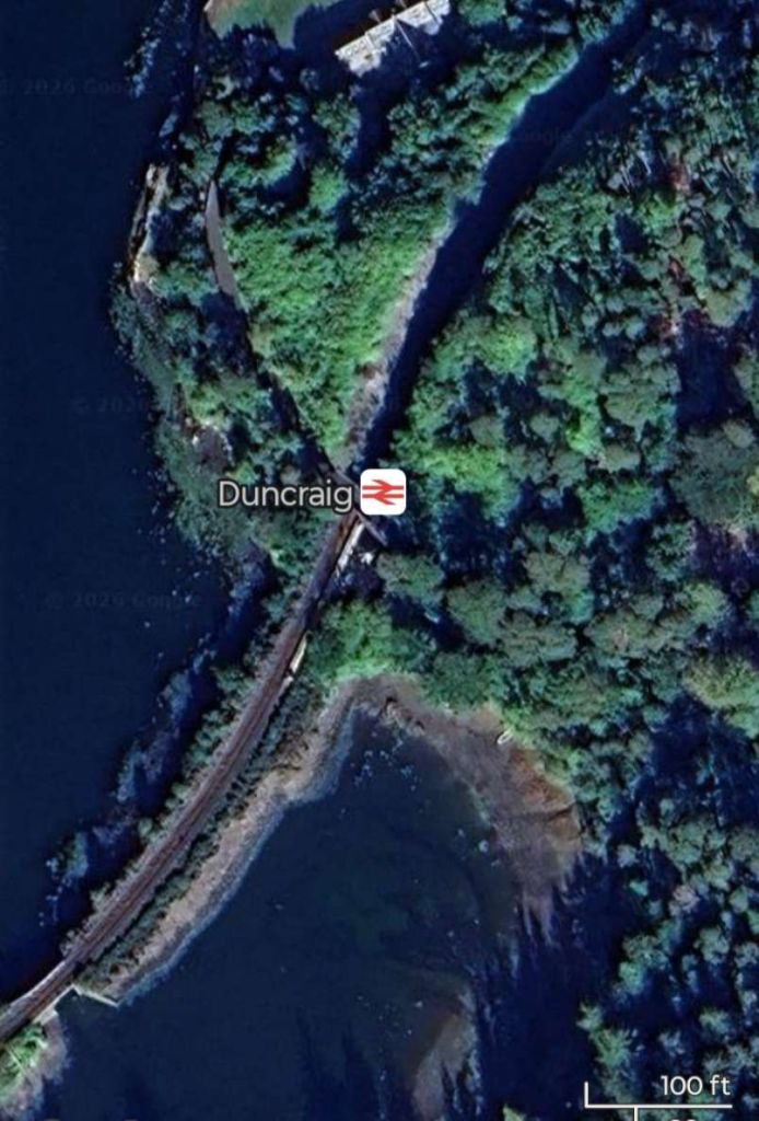
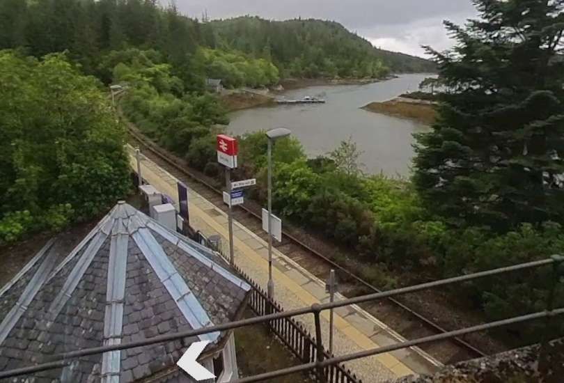
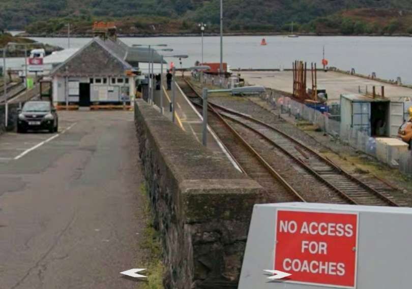
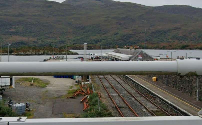
“The last 20 minutes down to Kyle bring a magic panorama of coast, headlands and islands. The sun sparkles on Loch Carron with glorious views north to the wild Applecross peninsula. Seals shuffle for safety as we approach Duncraig and all too soon we are pulling into Kyle of Lochalsh.” [1: p76]
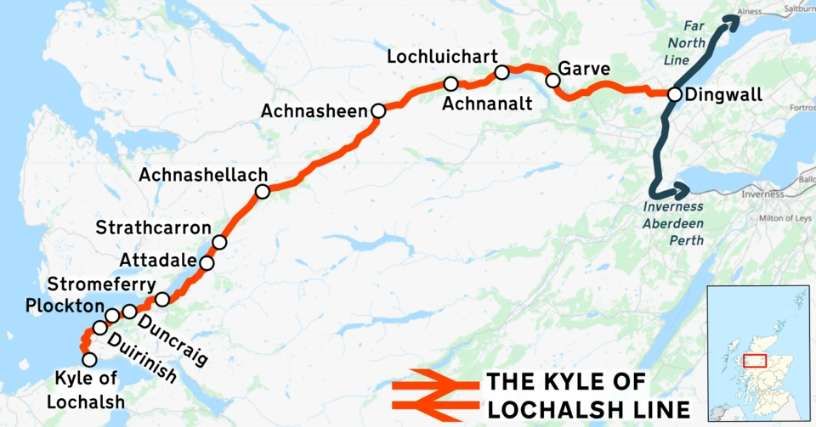
“The Kyle of Lochalsh line is a primarily single-track railway line in the Scottish Highlands, from Dingwall to Kyle of Lochalsh. Many of the passengers are tourists, but there are also locals visiting Inverness for shopping, and commuters. All services are provided by ScotRail and run beyond Dingwall to Inverness. In the past there were some through services to and from Glasgow, Edinburgh or Aberdeen. None of the 63-mile (101 km) line is electrified, and all trains on the line are diesel-powered, as are all other trains in the Scottish Highlands.” [2]
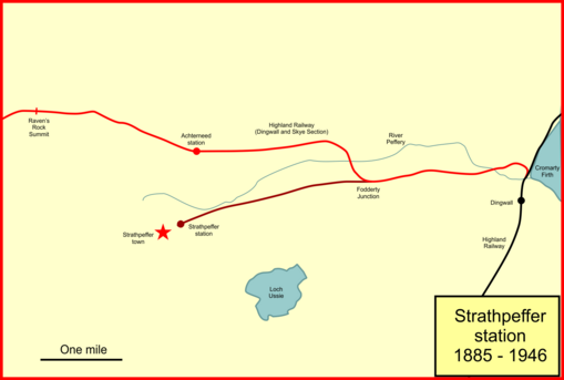
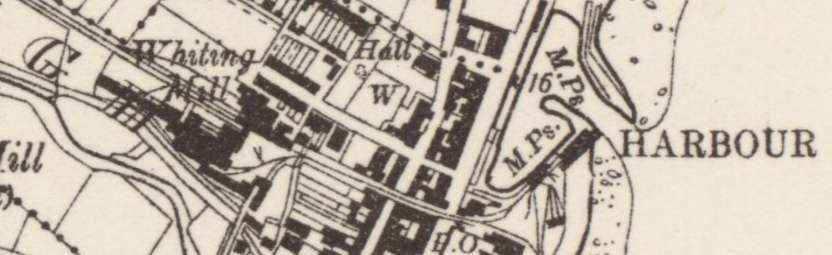
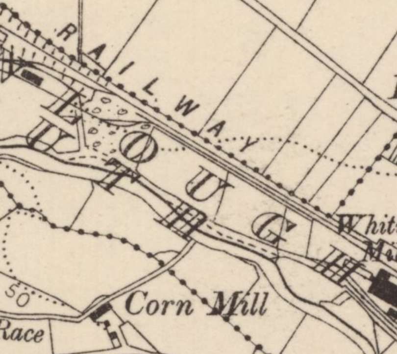
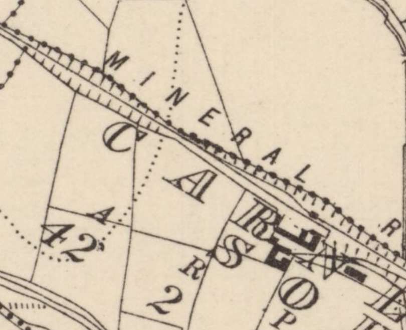
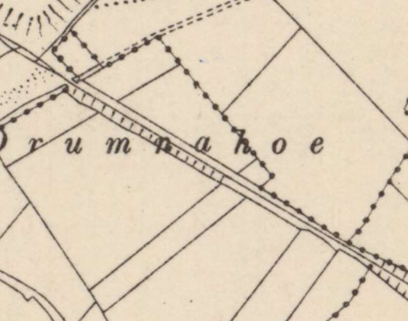
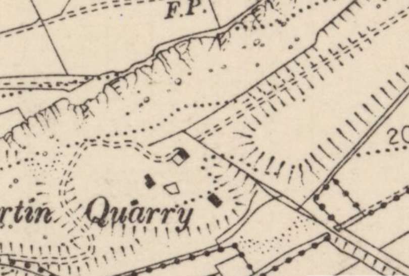
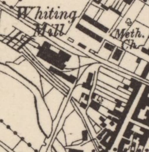
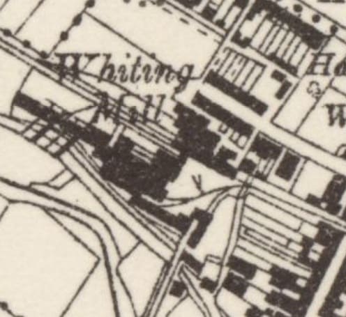
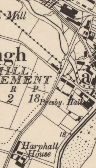
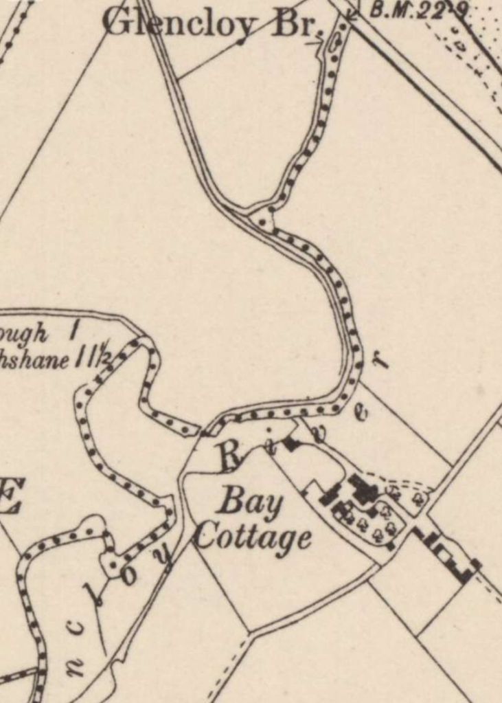
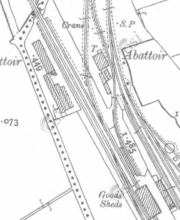
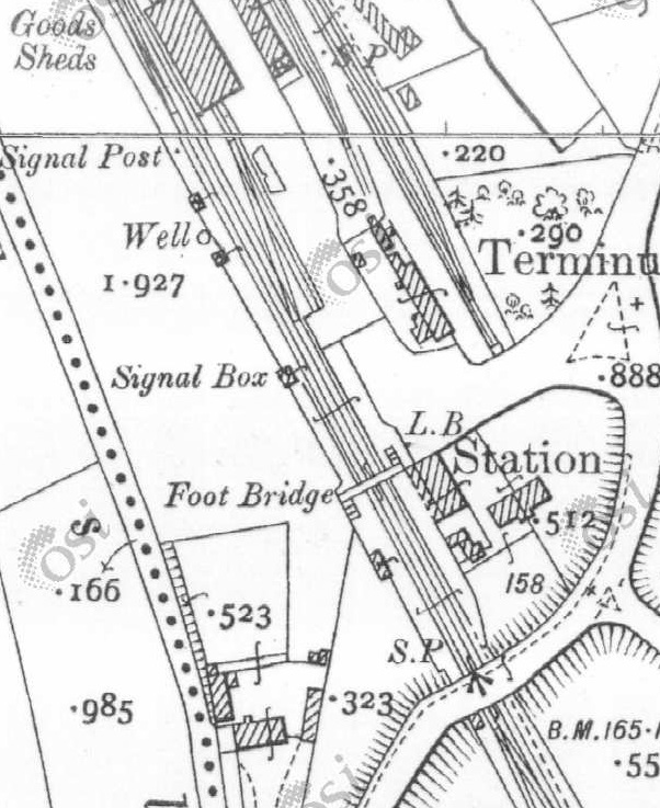
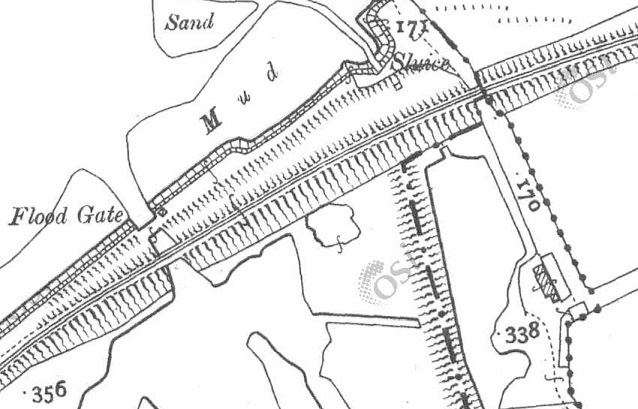
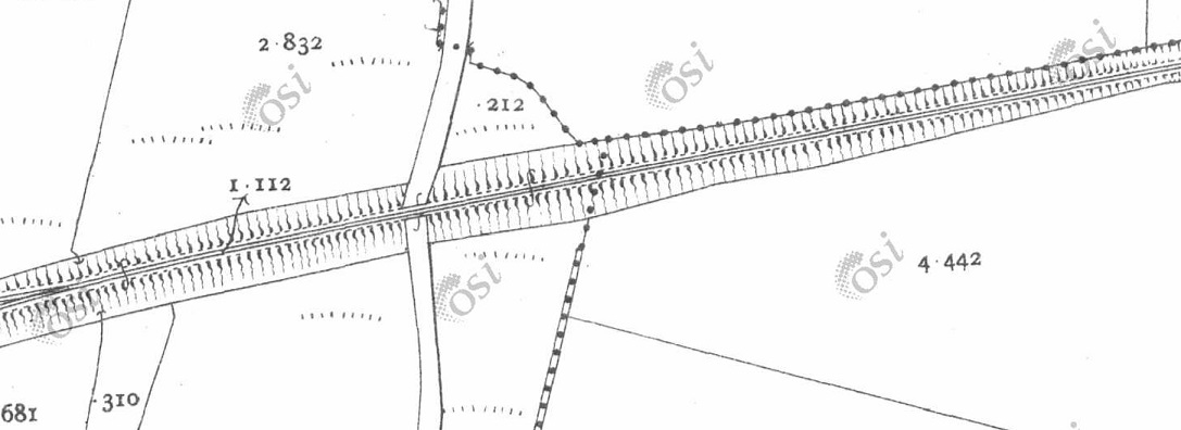
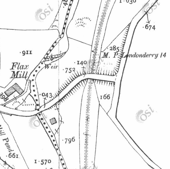
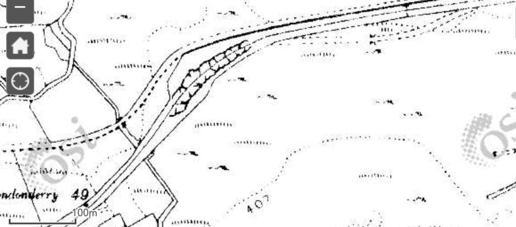
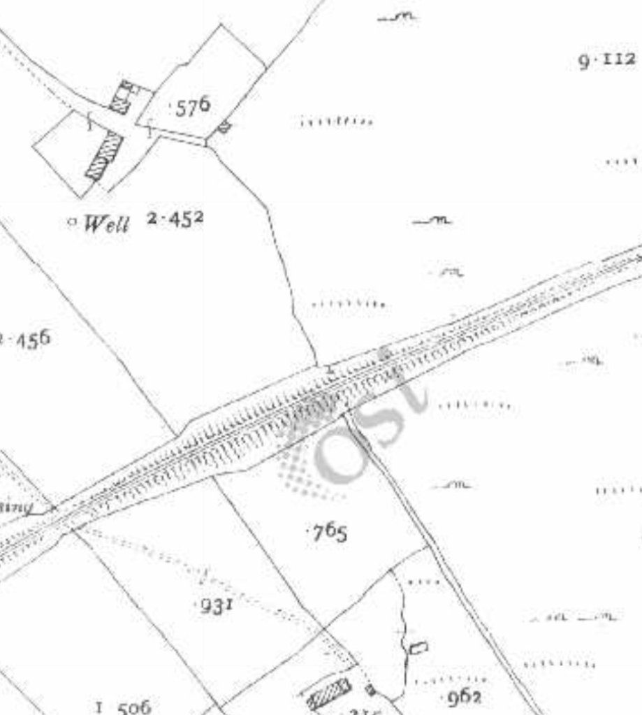
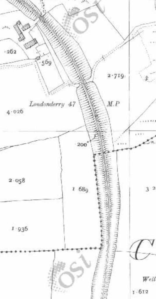
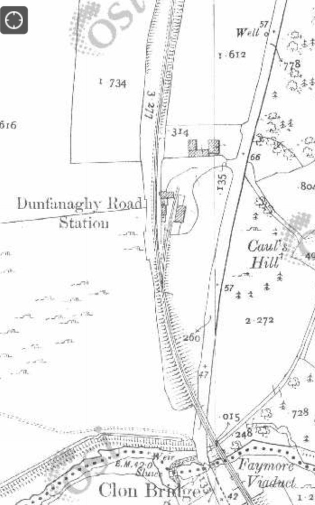
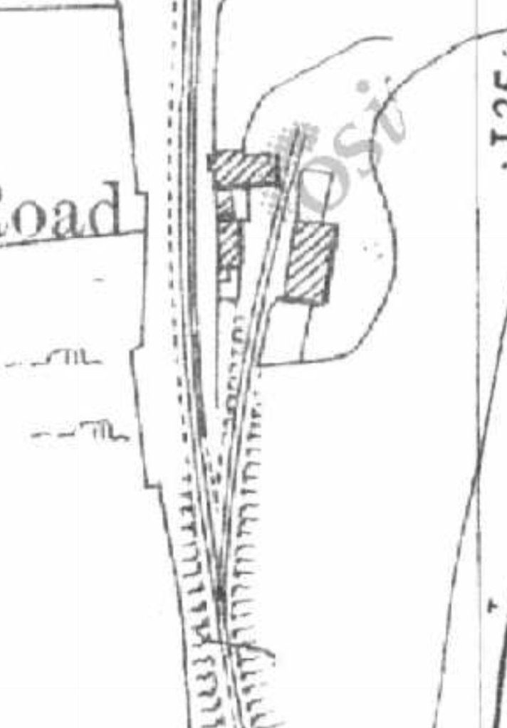
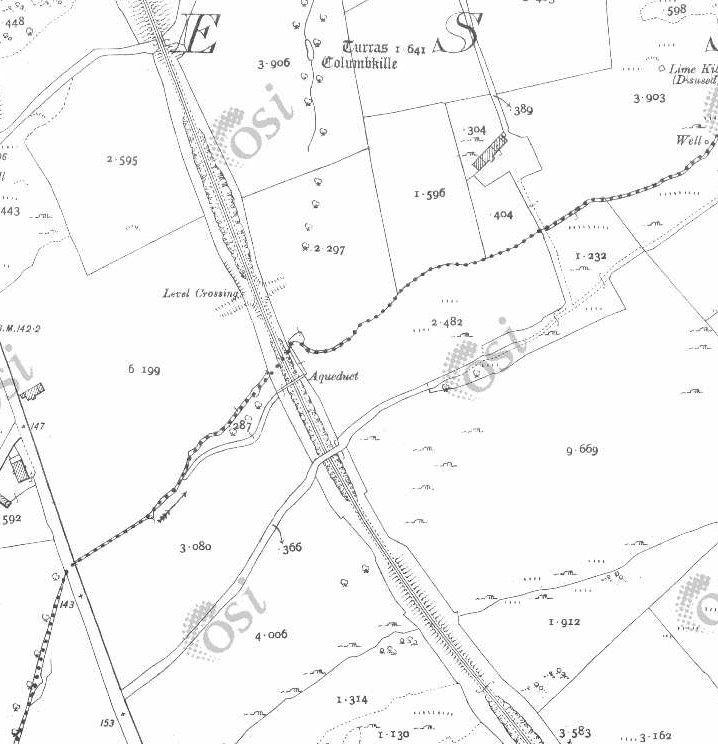
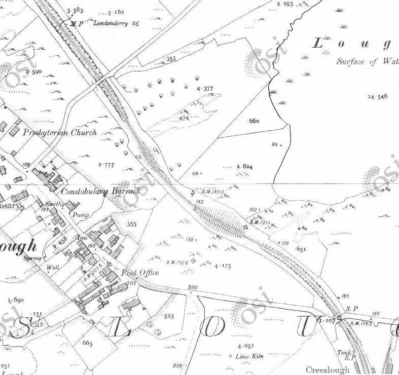
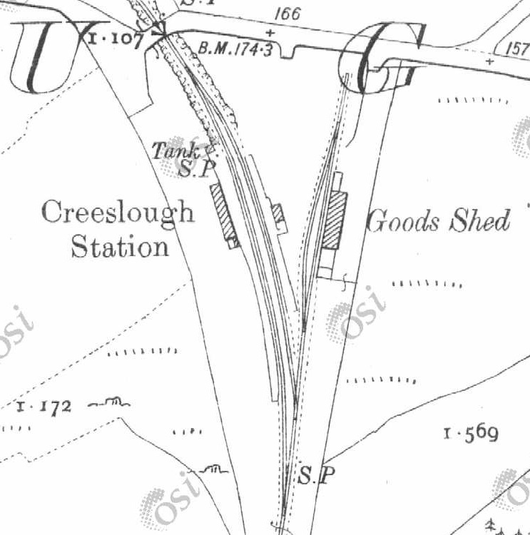
When the first section of the Dingwall & Skye Railway opened on 19th August 1870 the area around Strathpeffer area became much better connected. However, because of the resistance of a local landowner, the Dingwall & Skye railway was pushed further North and had to run up a steep gradient (1 in 50) to a much higher line on the valley side. The new line had a station named ‘Strathpeffer’ but it was 2 miles from the spa on a relatively steep road. It would have been so much better had the line been able to follow the valley floor. With Strathpeffer’s rise in popularity it became necessary to build a branch line into the village.
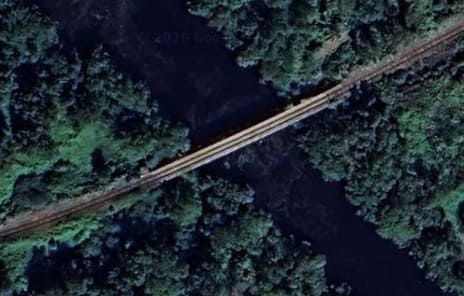
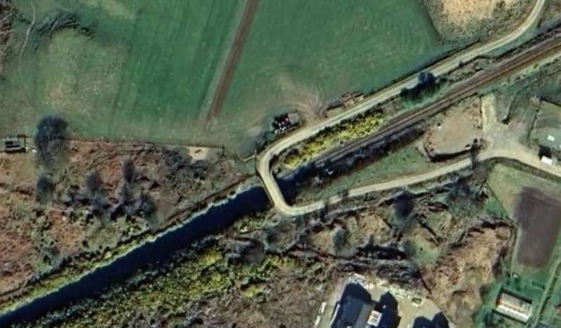
The railway bridge over the Black Water at the East end of Loch Garve. The line runs along the South shore of the loch before turning Northwest and running into Garve Railway Station. [Google Maps, June 2026]
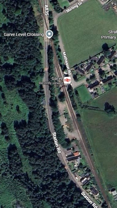
Garve Railway Station. [Google Maps, June 2026]
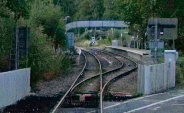
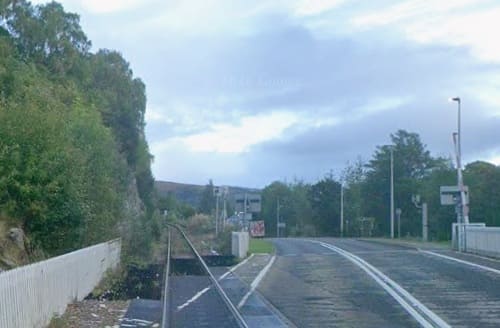
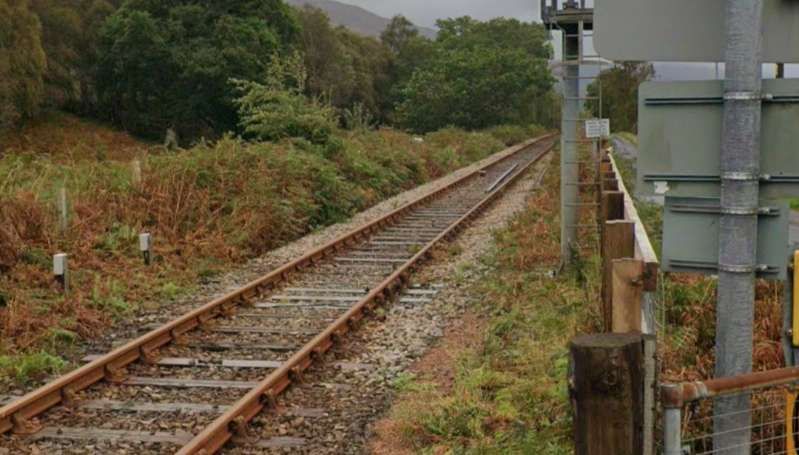
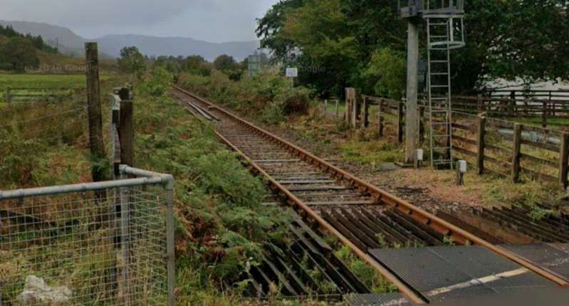
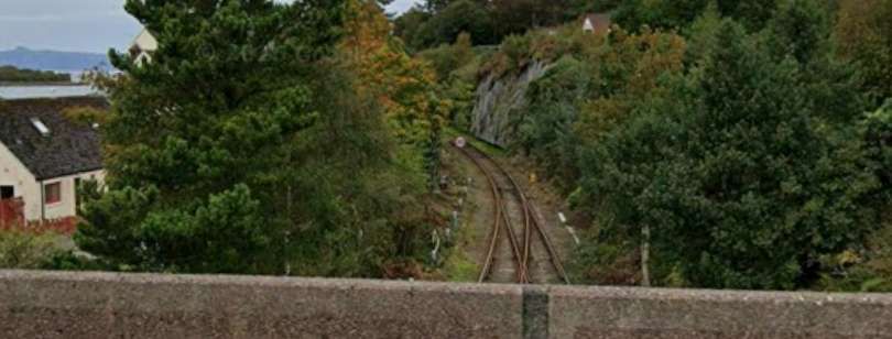
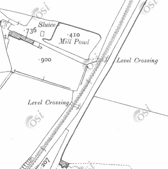
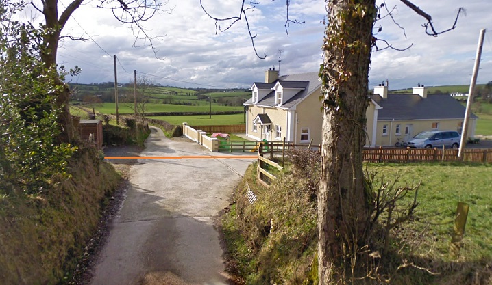
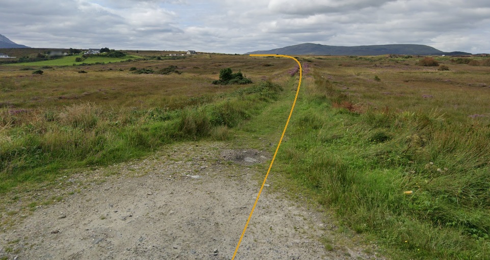
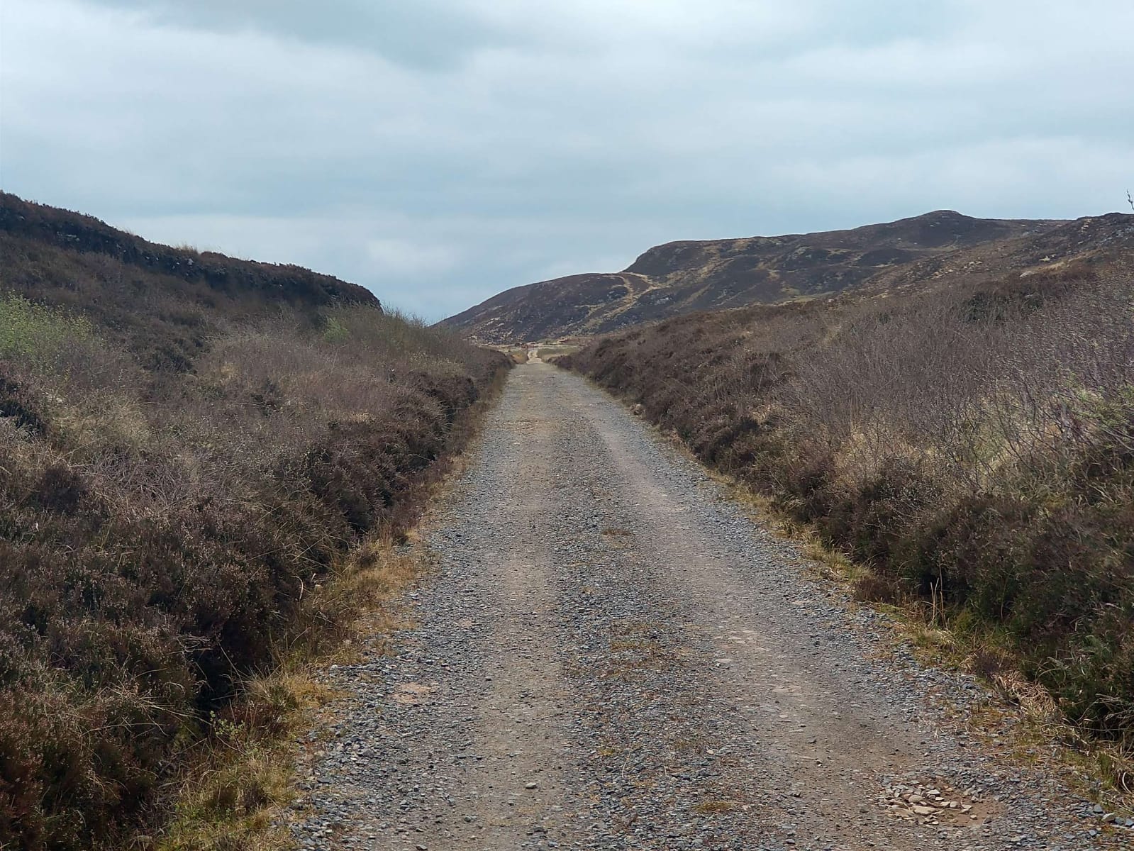
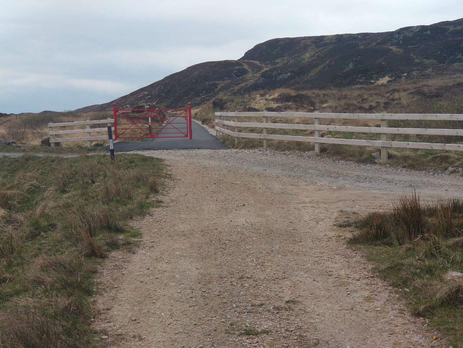
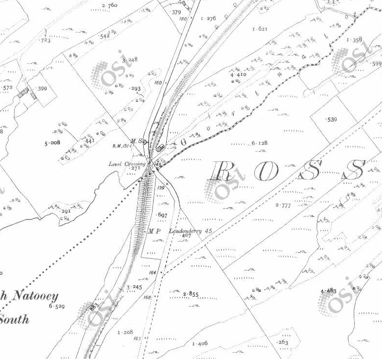
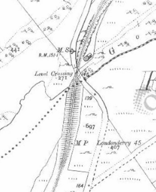
Looking ahead along the line towards Kyle of Lochalsh from the level-crossing on the A835 at Garve. [Google Streetview, September 2025]
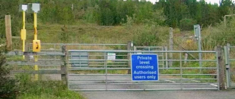
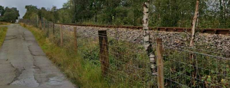
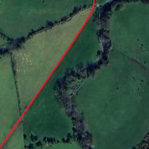
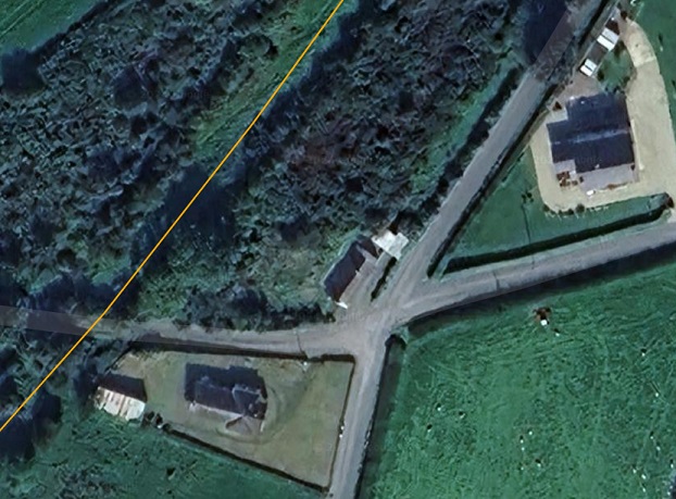
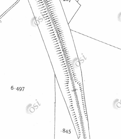
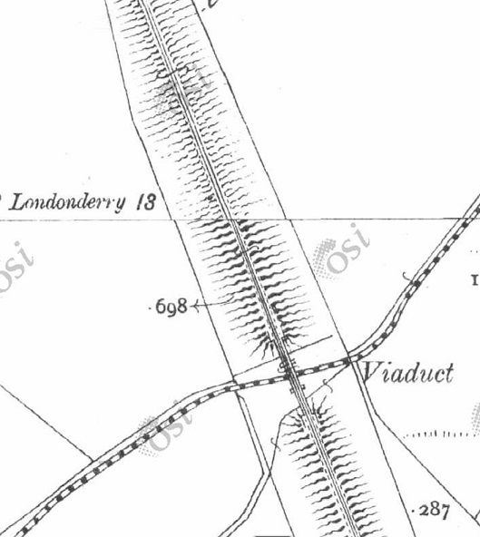
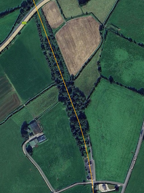
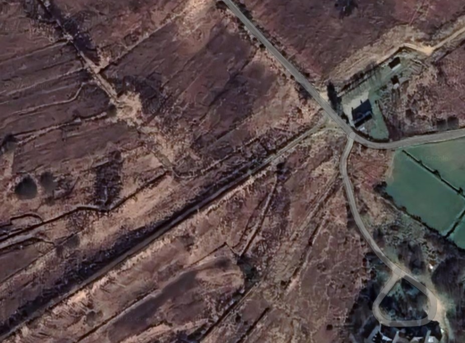
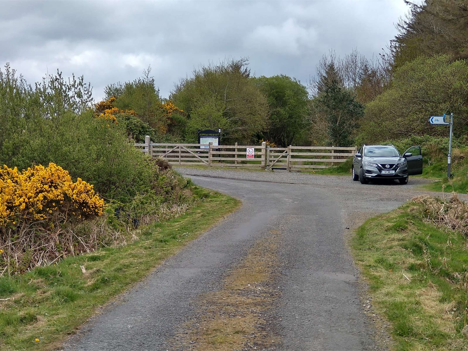
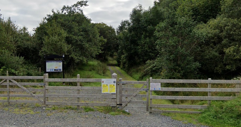
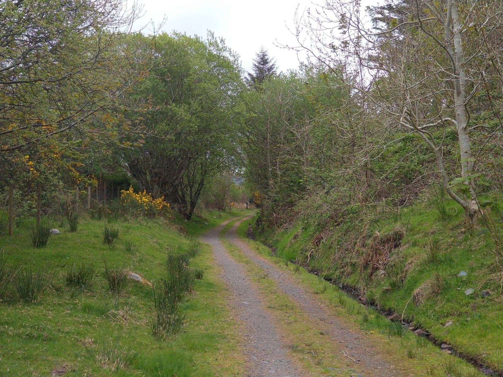
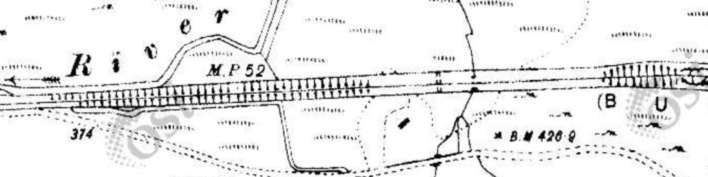
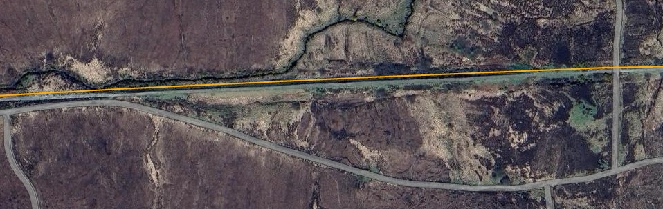
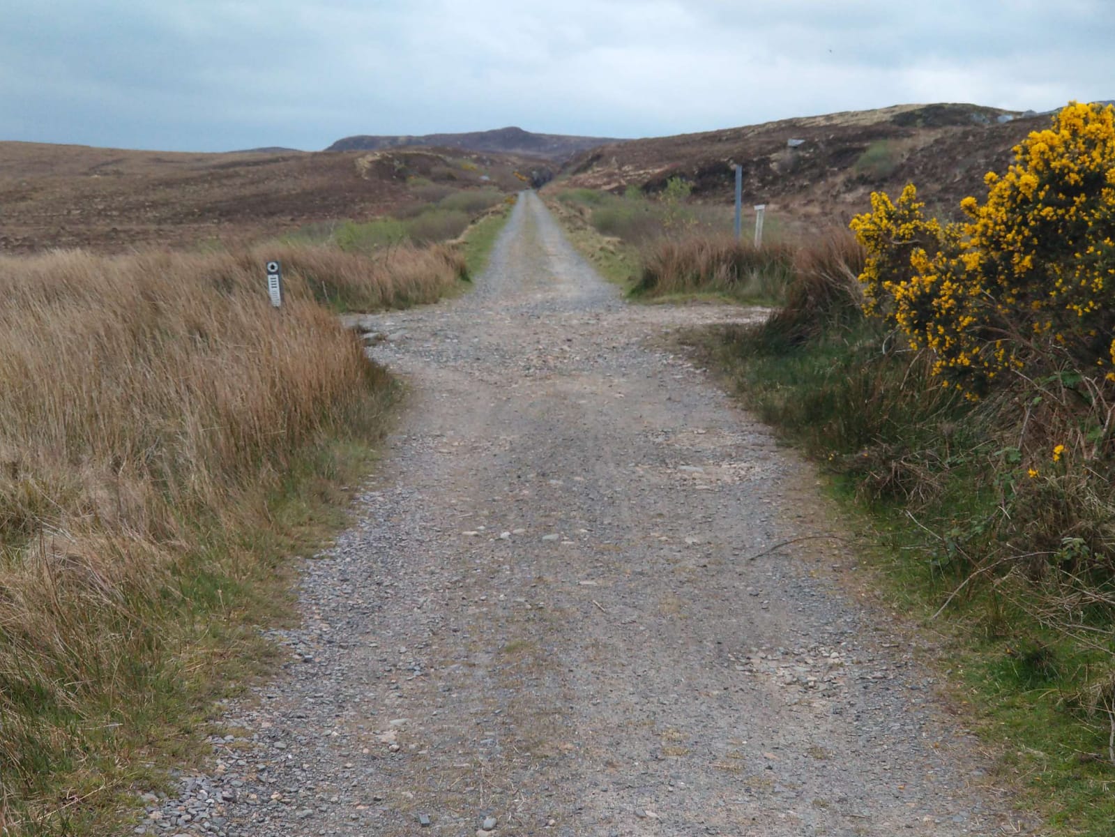
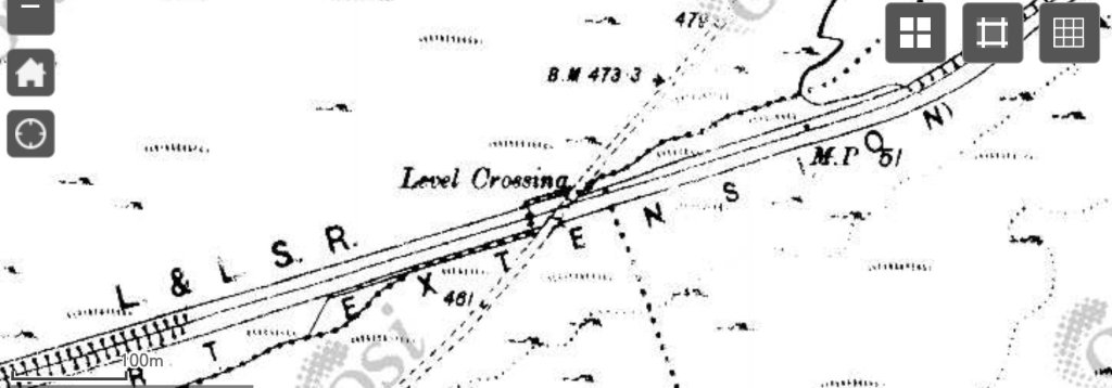
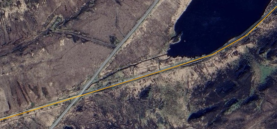
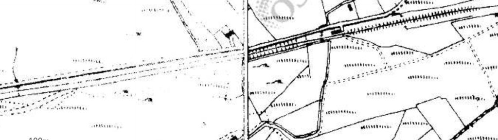
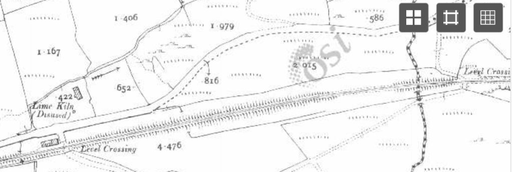
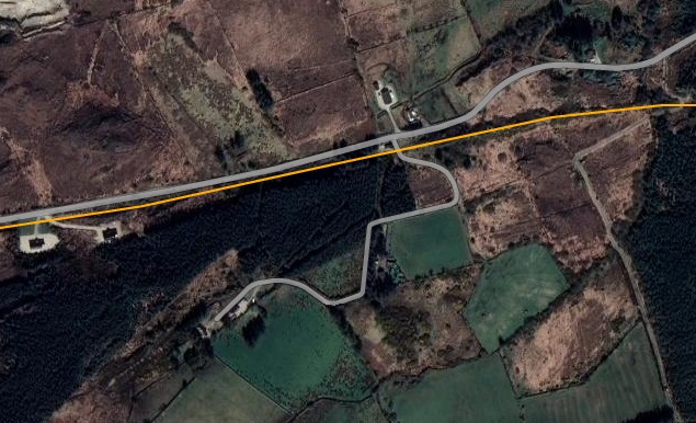
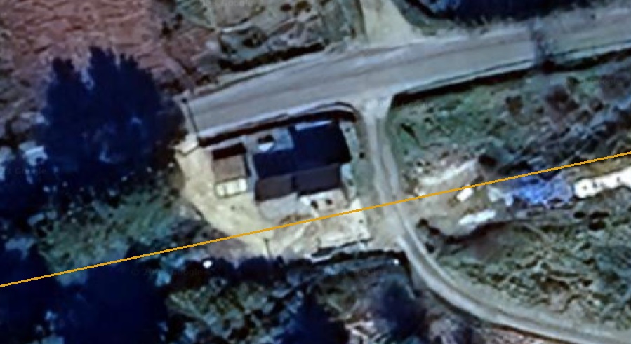
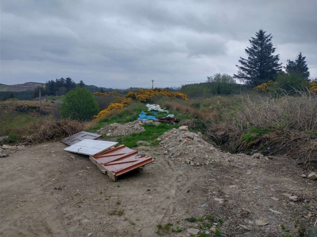
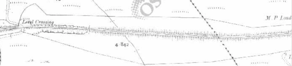
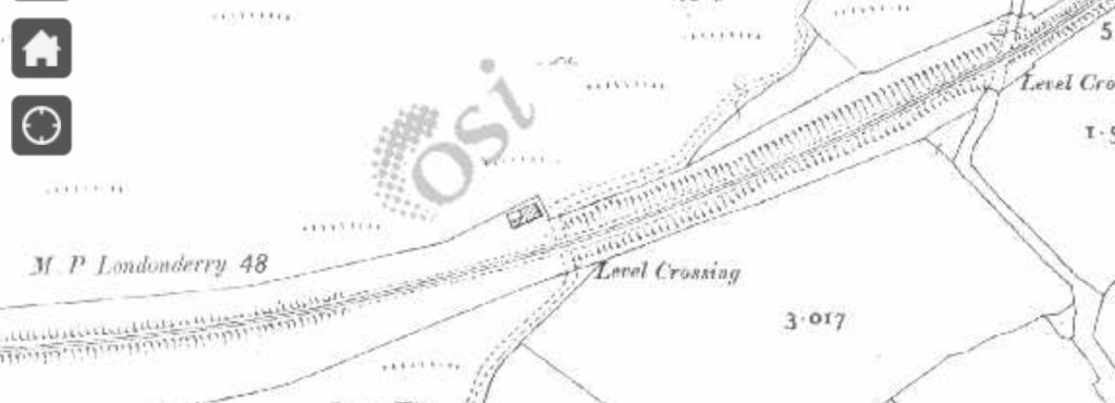
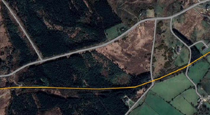
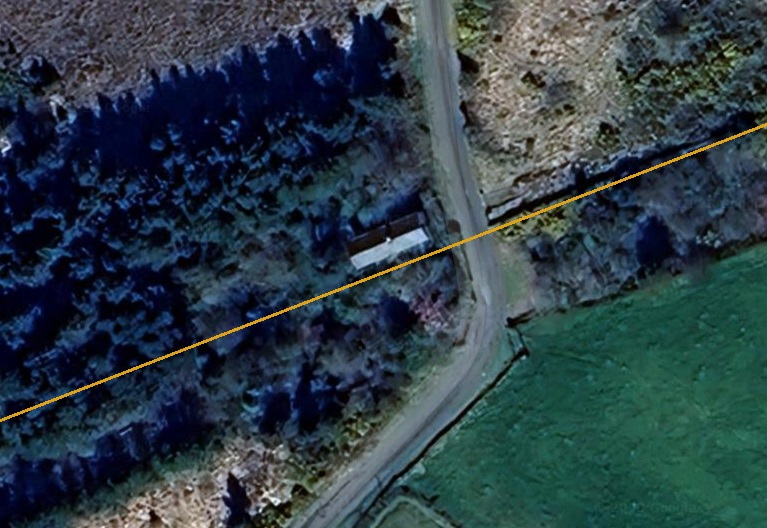
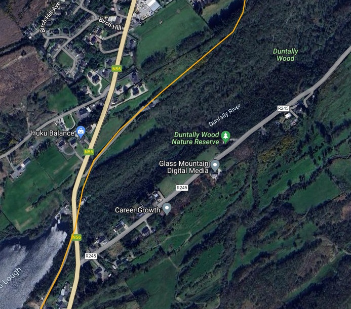
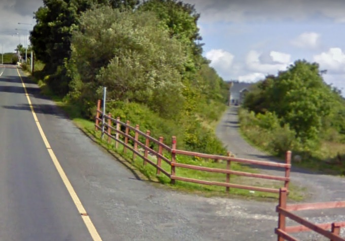
The line runs alongside the A835 and then the A832. Alongside the A832, it crosses this forestry access road. A short distance to the West of this crossing the A832 turns away to the Northwest. [Google Streetview, September 2025]
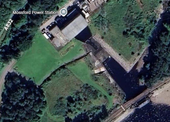
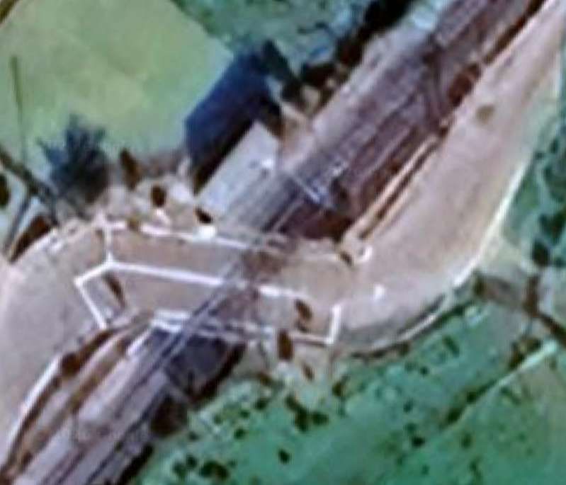
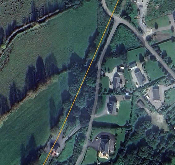
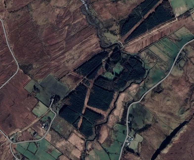
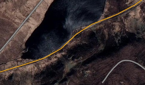
The line then turns to the Southwest to meet the North shore of Loch Luichart and runs West along the North shore before crossing the outfall from Mossford Hydroelectric Power Station. The line can be seen in the bottom-right of this satellite image. [Google Maps, June 2026]
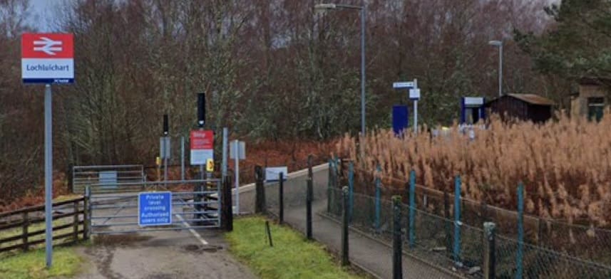
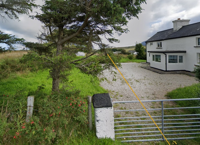
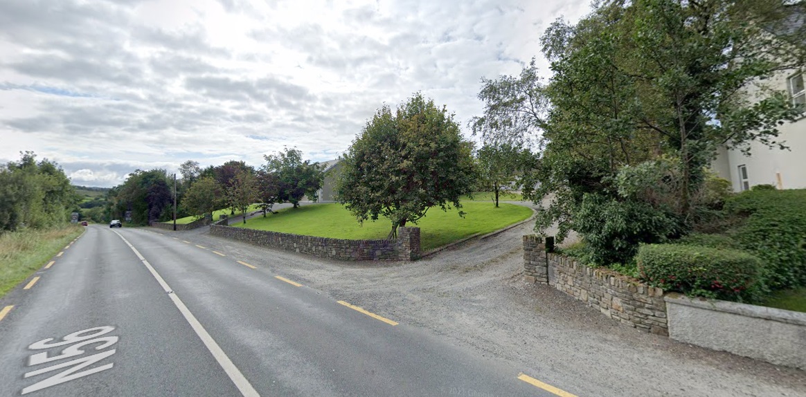
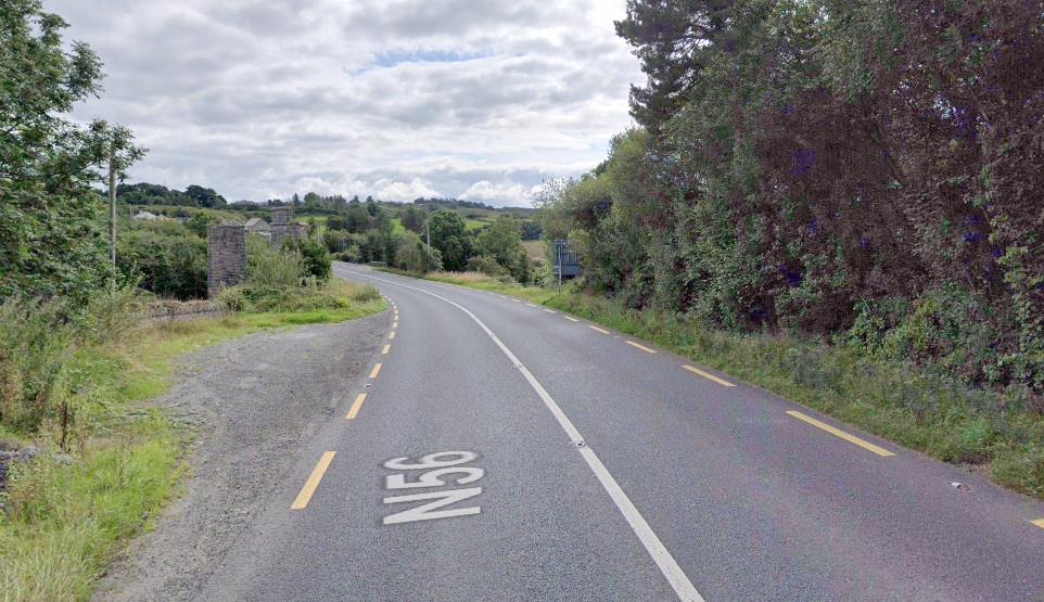
Loch Luichart Railway Station seen from the approach road looking Southwest towards the station. The station sits above the North shore of the Loch at its western end. [Google Streetview, December 2021]
The original station at Lochluichart (called Lochluichart High) was opened by the Dingwall and Skye Railway in August 1871. It sat at a lower level than the present station.
Soon thereafter the line crosses the River Bran. In the 1950s the Conon Valley hydro-electric scheme raised the water level of Loch Luichart which required the railway line to be diverted onto higher ground and a new station to be erected. [Google Maps, June 2026]
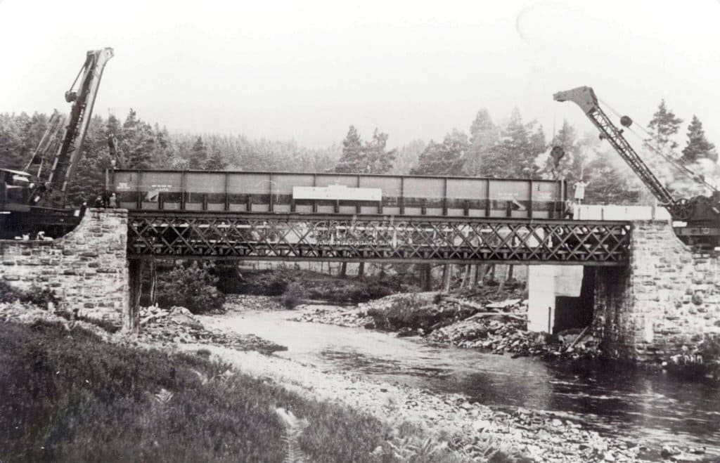
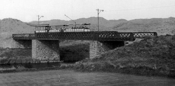
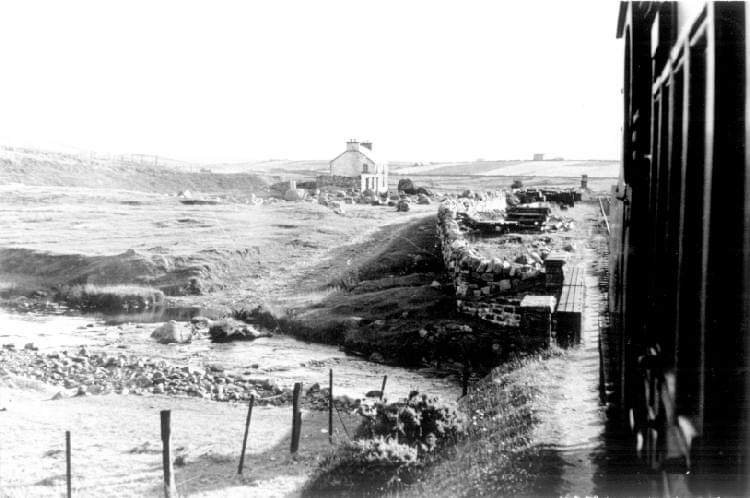
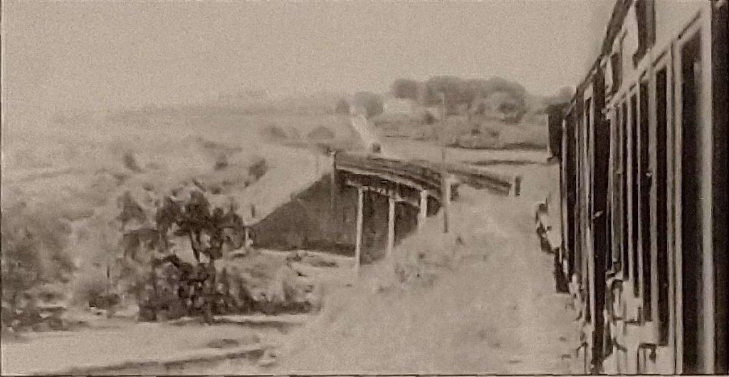
The new line was known as the Lochluichart Diversion. It required a replacement bridge over the river. This image shows construction work on the bridge in the 1950s, (c) Am Bailie. [4]
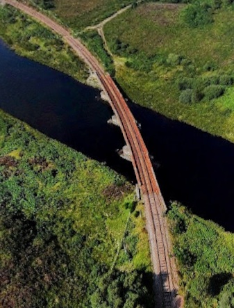
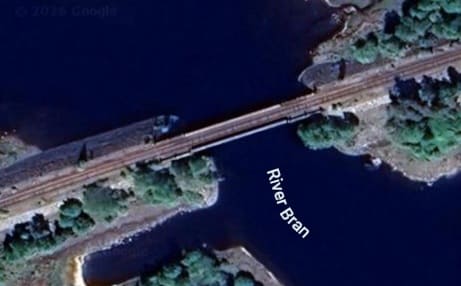
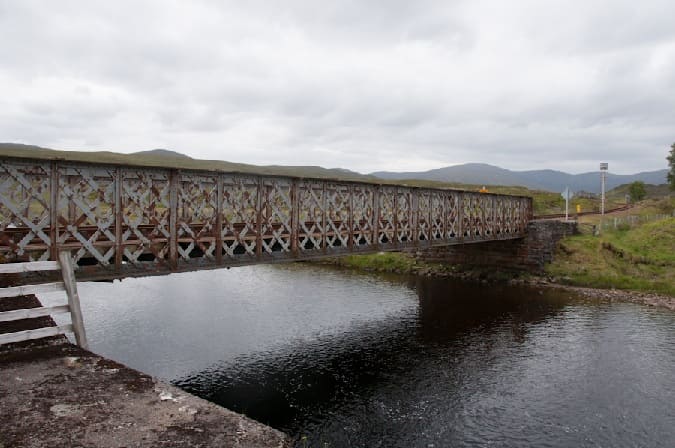
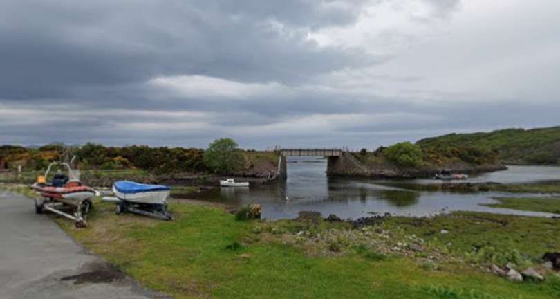
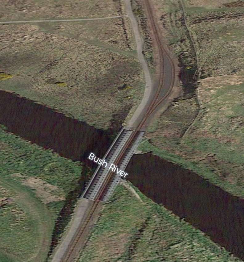
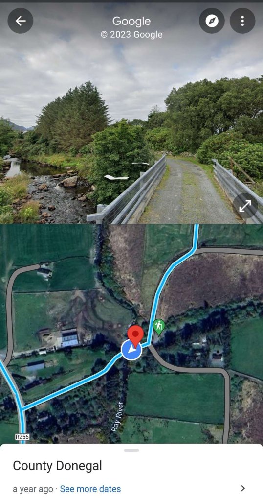
The line ran on the South shore of Loch a’ Chuilinn before turning Northwest to cross the channel of the River Bran at its western end. A satellite image is below. [Google Maps, June 2026] The adjacent image is a drone’s eye view of the same bridge, (c) Brian McInally (August 2021). [Google Maps, June 2026]
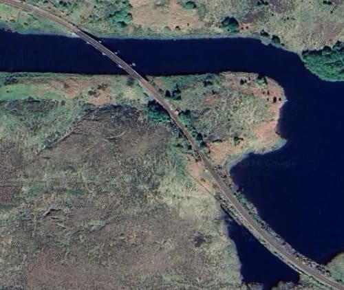
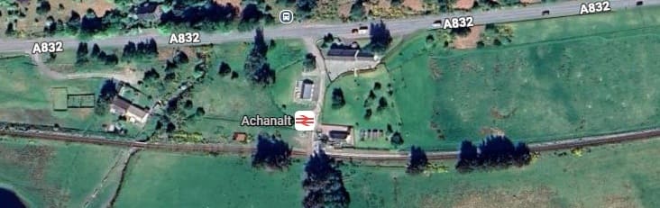
Now on the North bank of the River Bran, the line runs West passing Loch Achanalt and through then request stop of the same name.
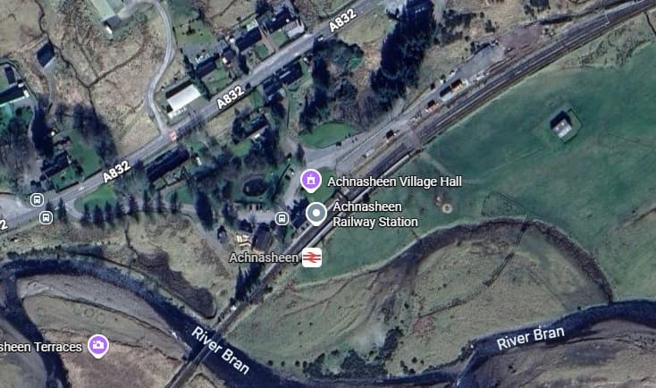
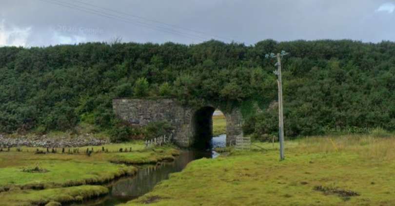
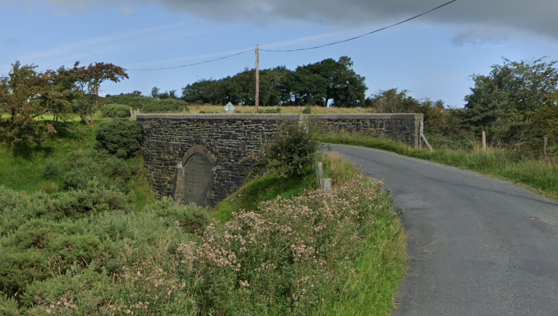
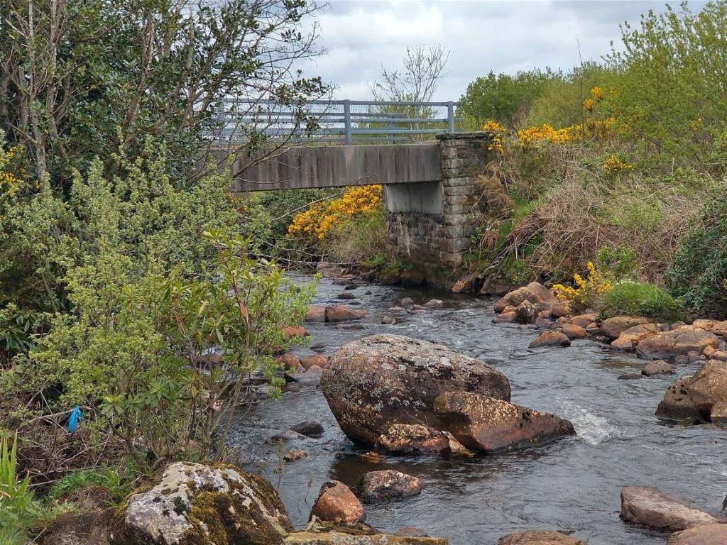
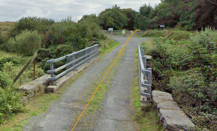
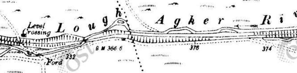
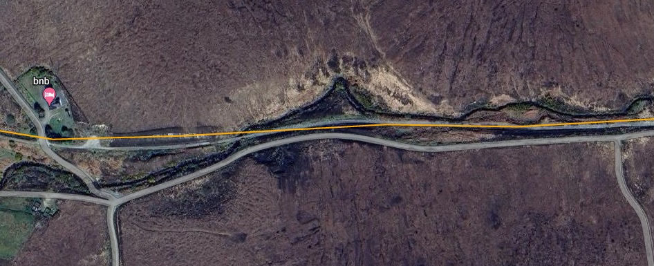
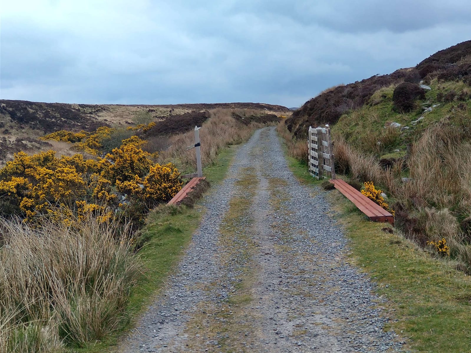
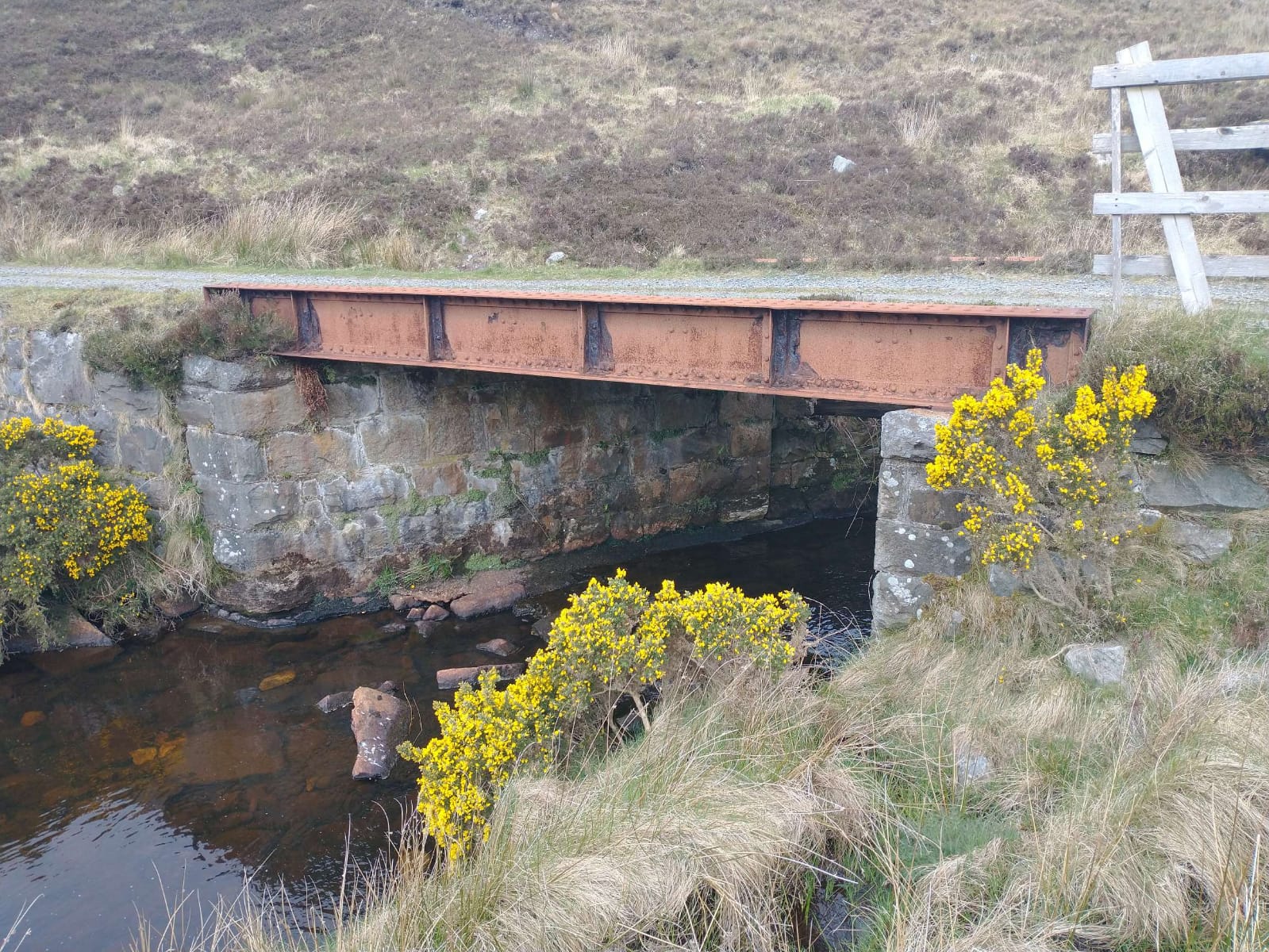
Achnasheen Railway Bridge spans the River Bran at the Southwest end of Achnasheen Railway Station. It is a single lattice-girder span of unusually light construction, with masonry abutments. [5]
Then, parallel to the A890, the line runs down the East side of Loch Gowan and continues to follow the River Bran upstream, crossing the River once again on a much smaller structure.
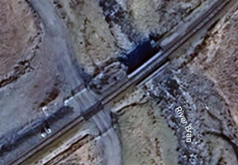
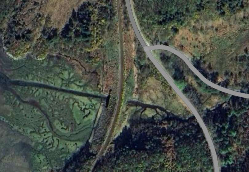
After the line bridges a tributary of the River Bran, this next bridge over the River Bran itself encounters a much smaller river! [Google Maps, June 2026]
The A890 runs to the North of Loch Scaven, the railway on the South side of the Loch. Both continue West-southwest across moorland and woodland.
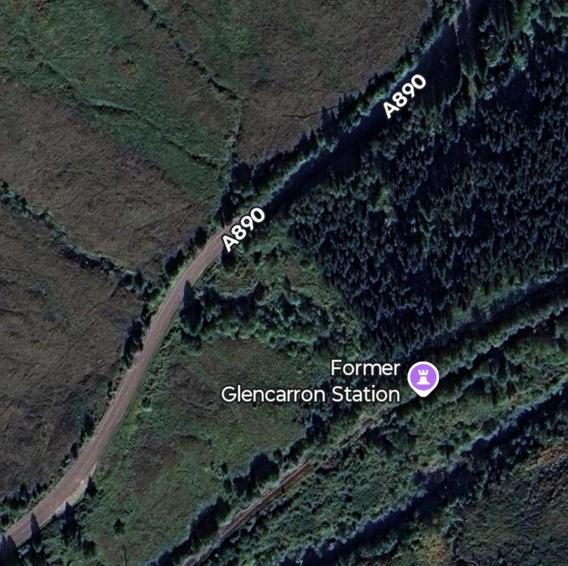
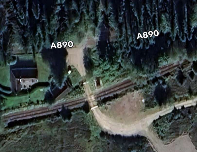
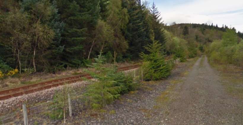
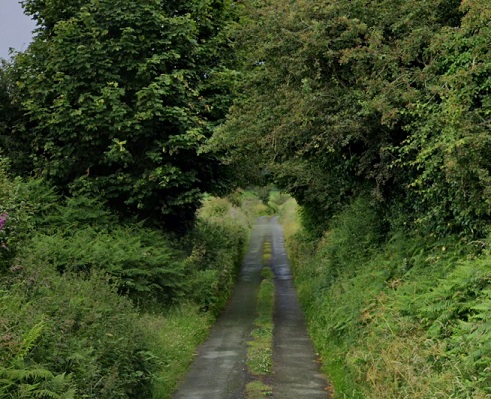
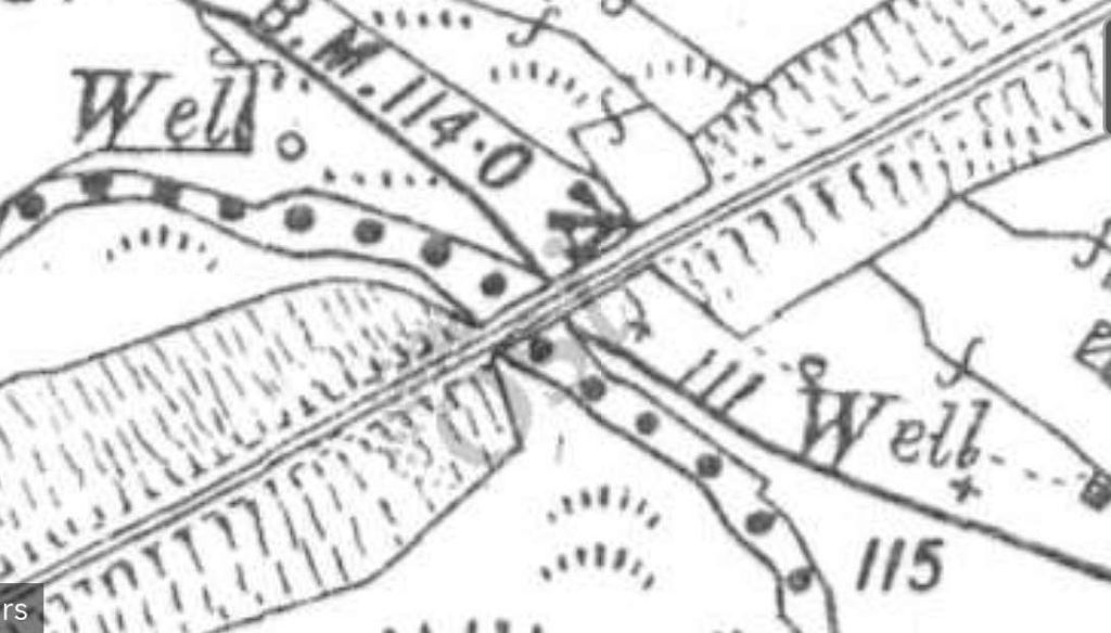
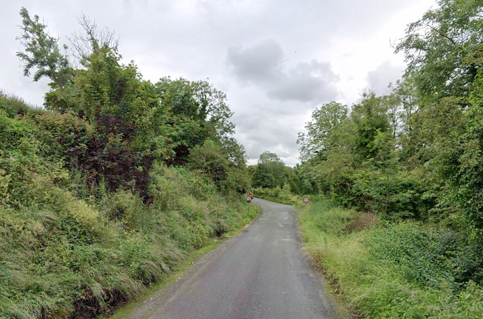
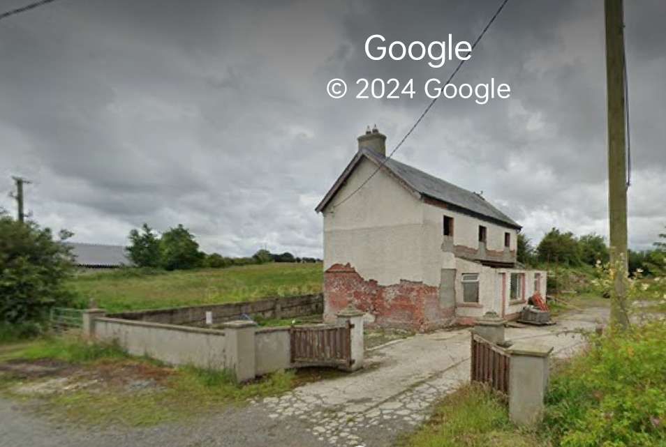
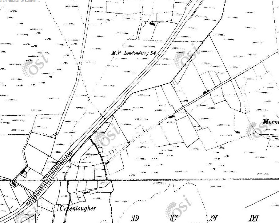
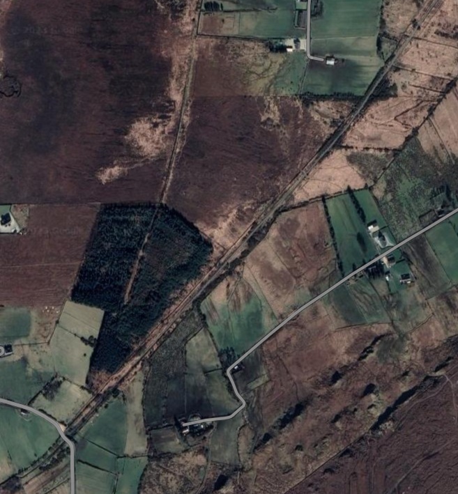
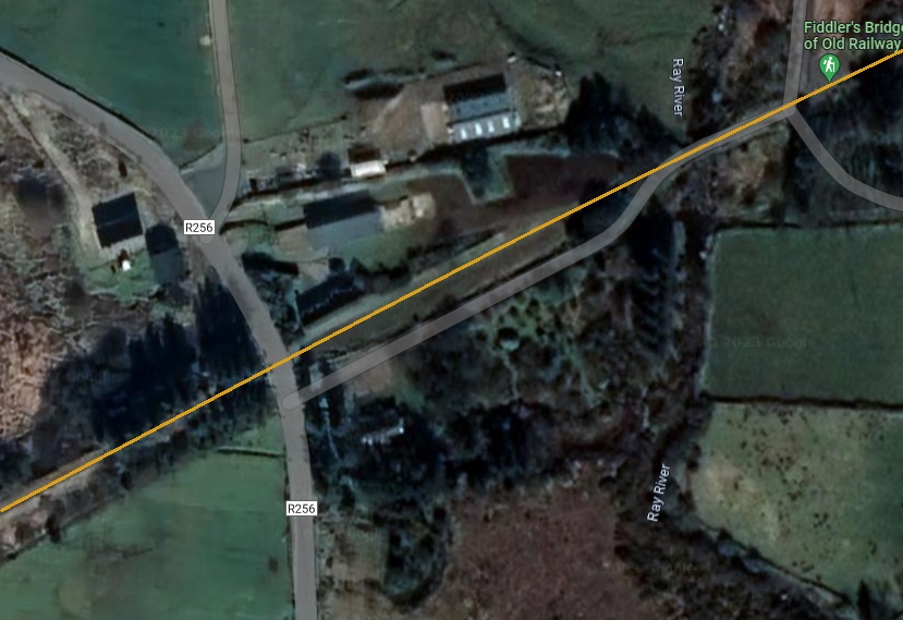
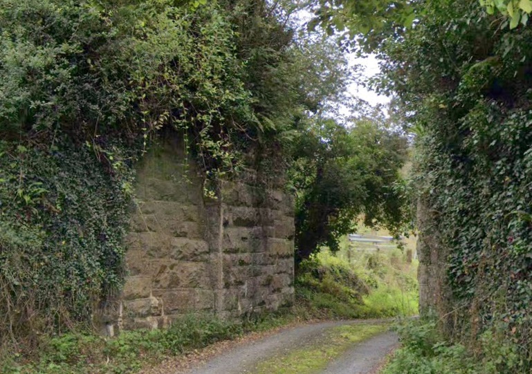
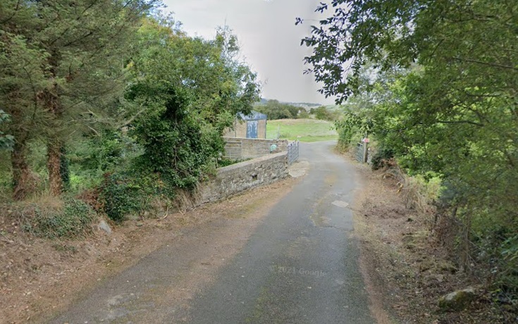
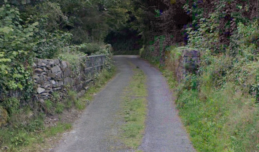
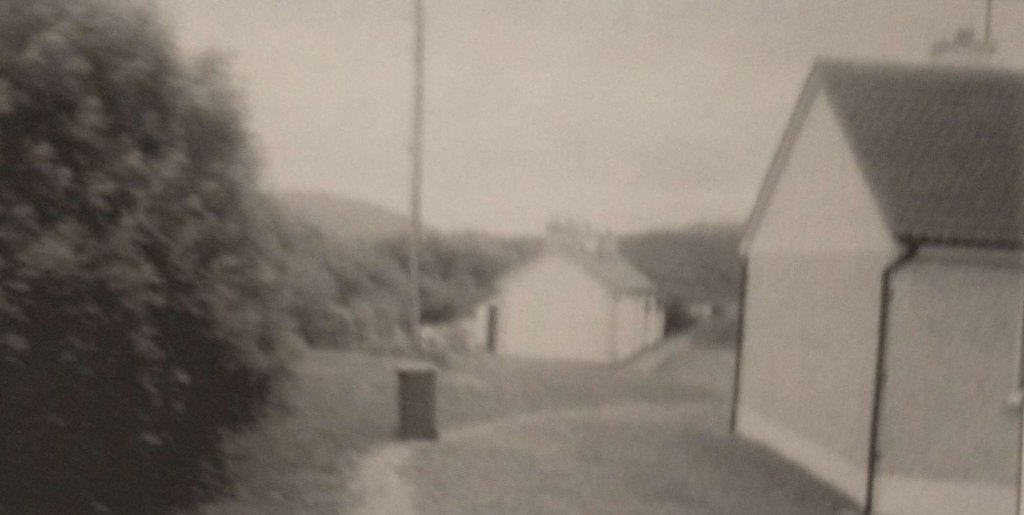
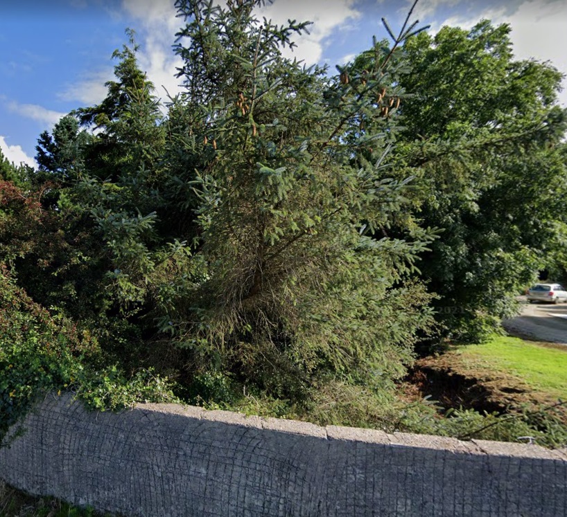
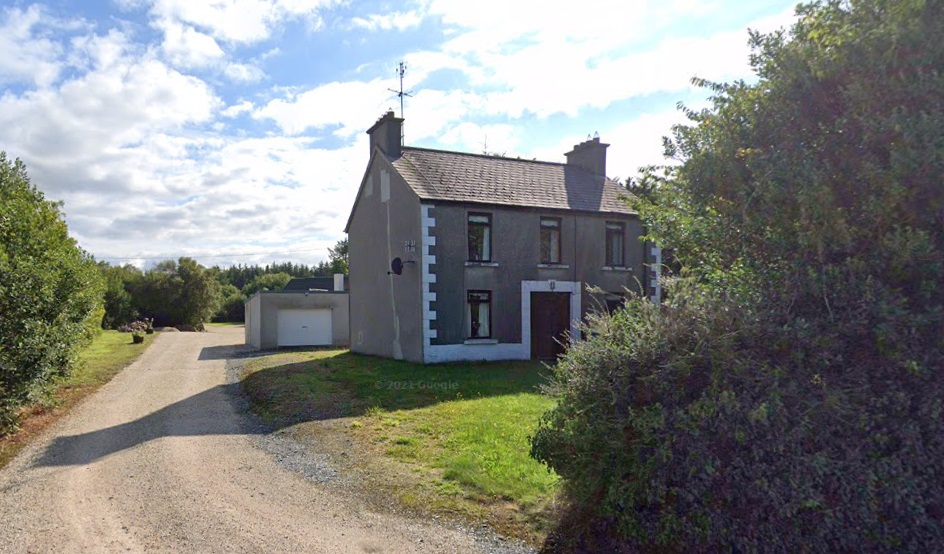
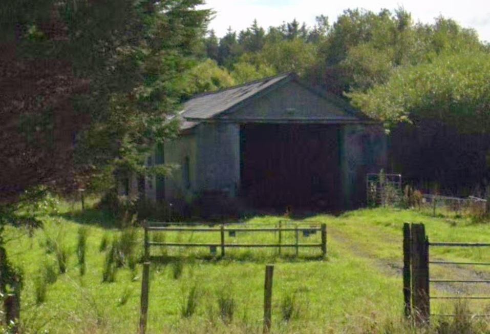
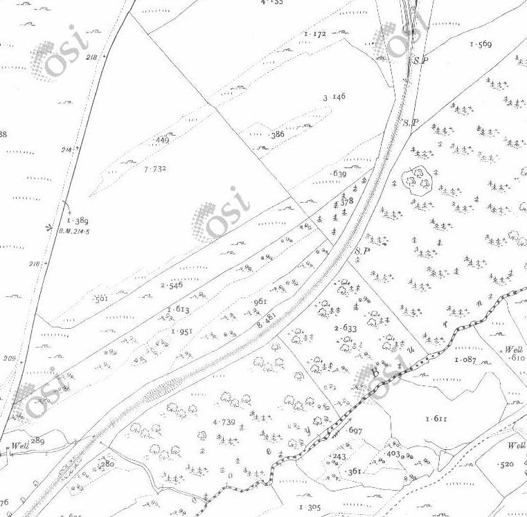
The former Glencarron Railway Station is surrounded by woodland. The station was known as Glencarron Platform. [6]
Glencarron Platform was opened in 1873 on the Highland Railway’s line from Dingwall to Kyle of Lochalsh, this remote station closed in 1964. It had originally been for the sole use of the landowner but was later opened to all travellers. [7]
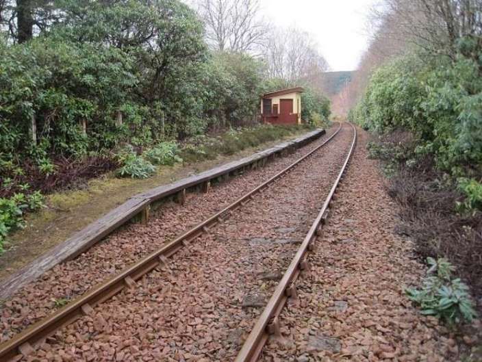
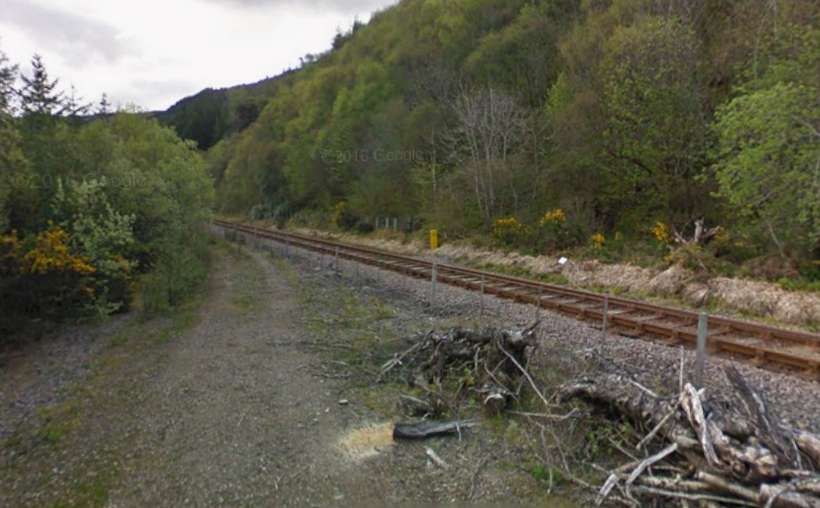
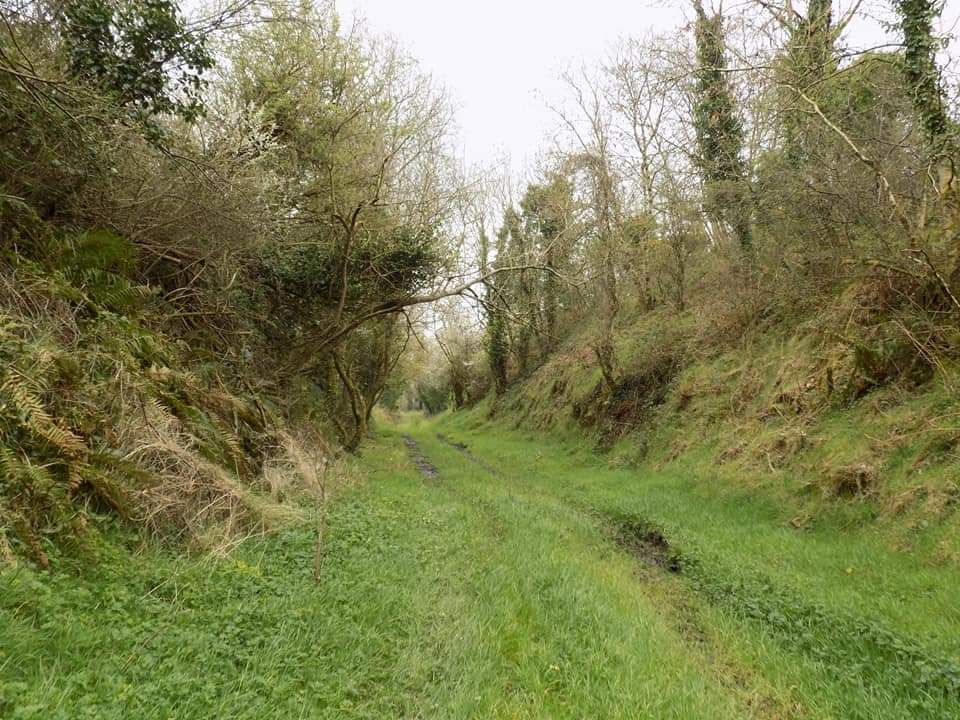
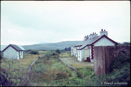
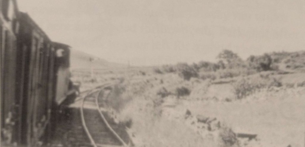
This view looks south west from the trackside at Glencarron Platform, towards Achnashellach and Kyle in 2015. 51 years after official closure, somebody appeared to be looking after it, © Nigel Thompson and licensed for reuse under a Creative Commons Licence, (CC BY-SA 2.0). [7]
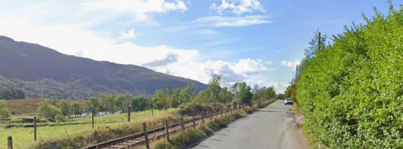
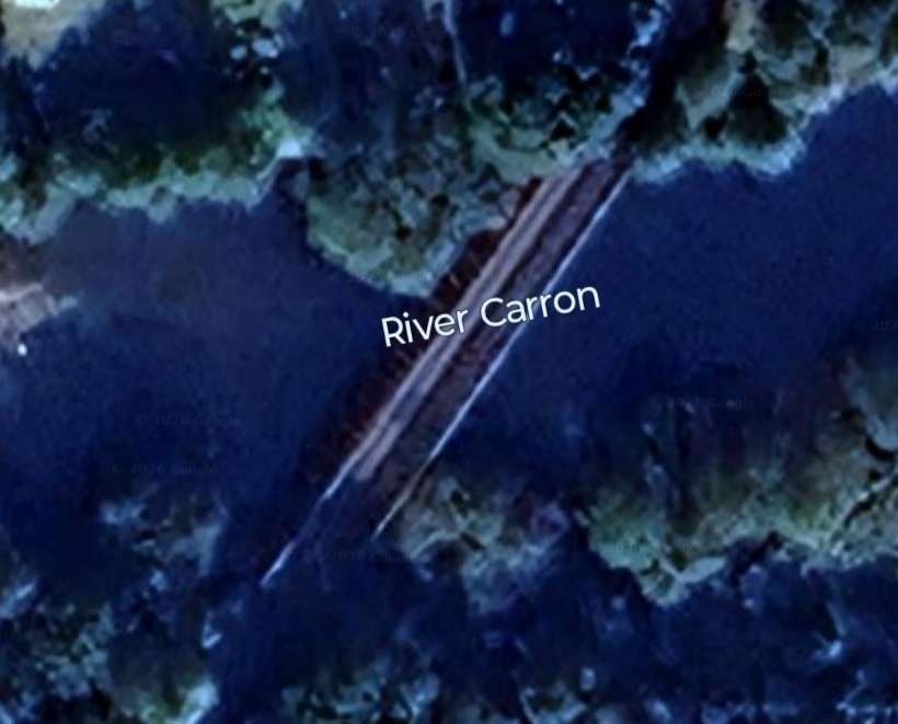
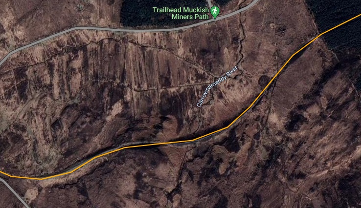
Southwest of Glencarron Platform the railway followed the A890 down the valley of the River Carron. The Road was Northwest of the line, the river was to the Southeast of the line.
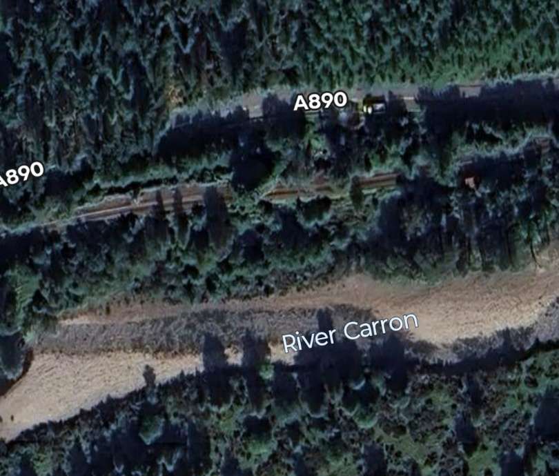
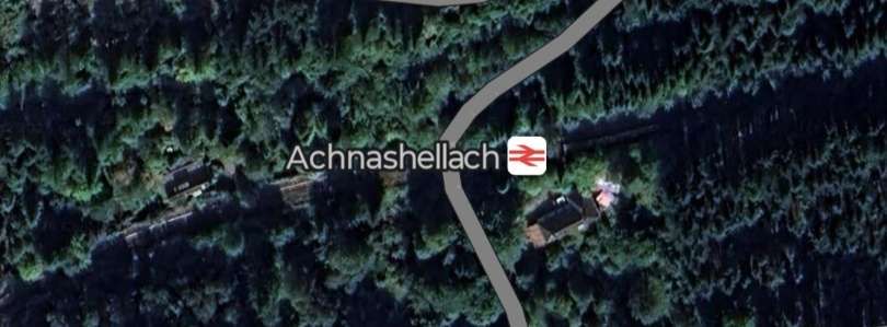
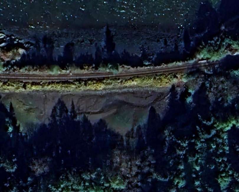
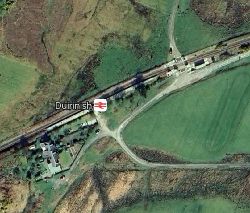
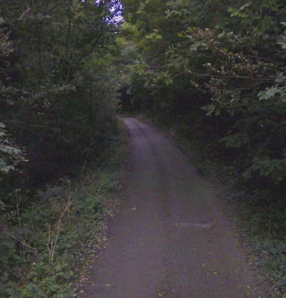
The valley of the River Carron is heavily wooded and the line disappears at times under the canopy. Even Achnashellach Railway Station is difficult to make out from above!
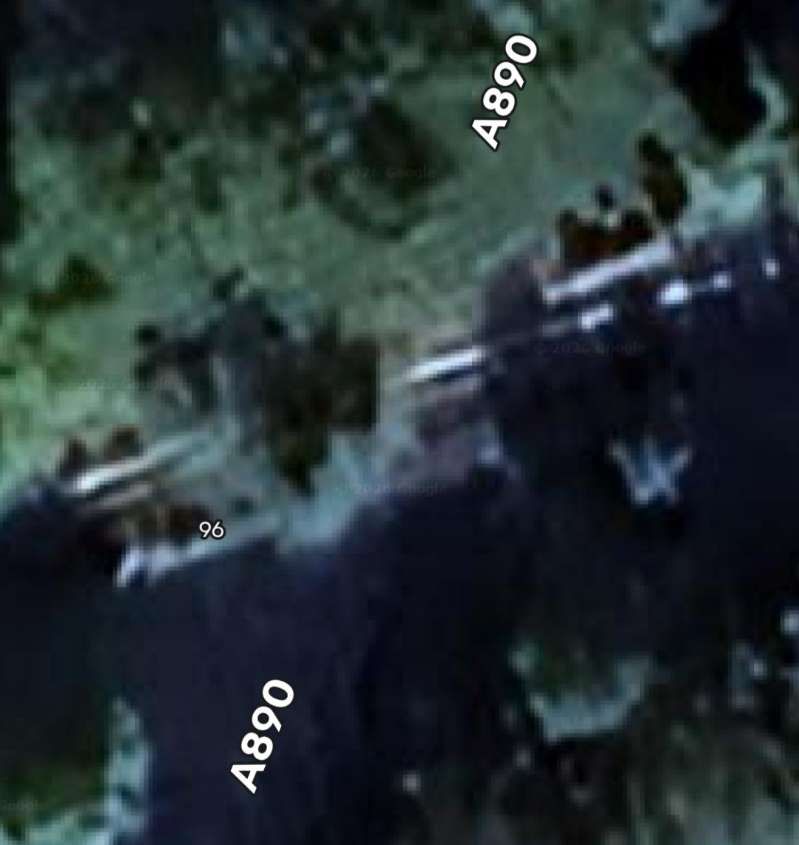
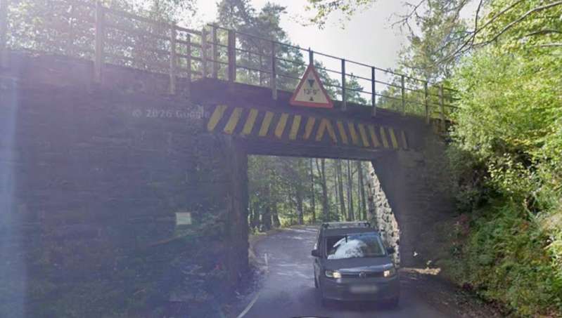
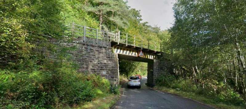
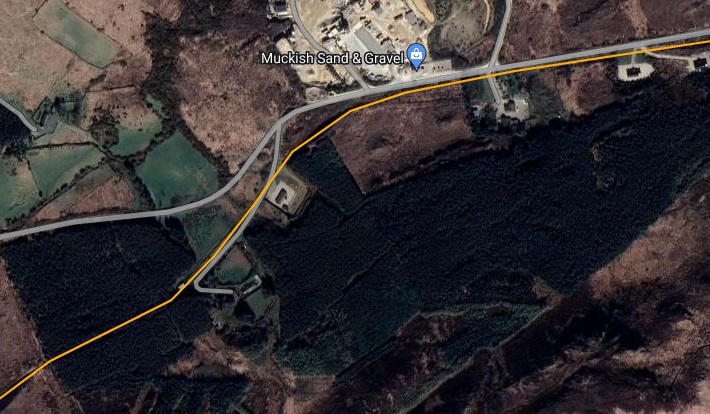
The A890 and the railway run to the Northwest of Loch Dugaill at the Southwest end of the loch the railway crosses the A890 again.
The road and the railway run in close proximity for quite a distance.
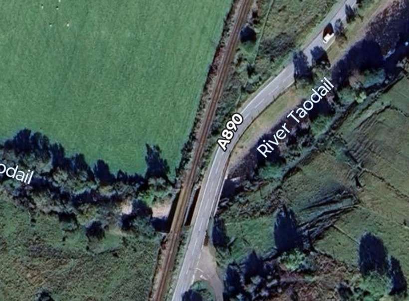
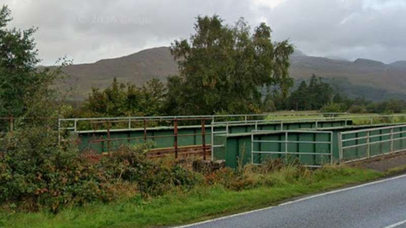
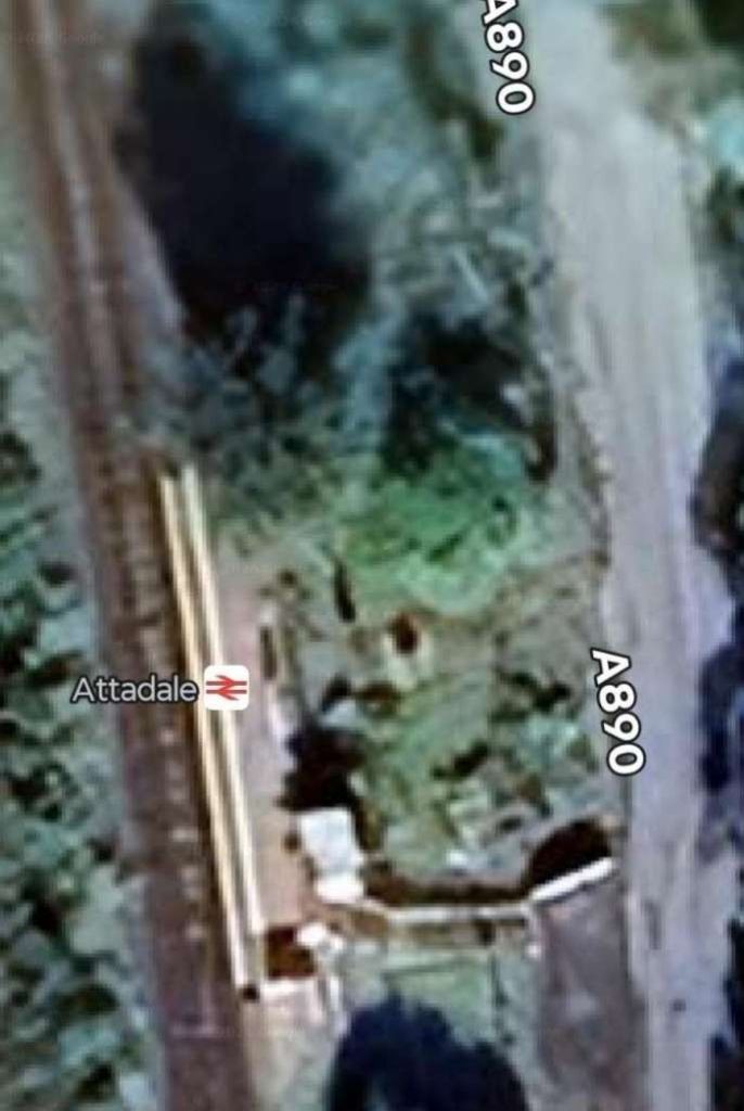
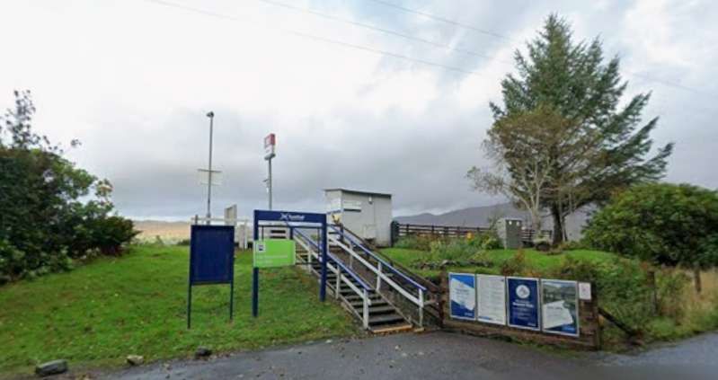
Both road and rail are close once again at Attadale Railway Station which served/served the Attadale Estate and Attadale Gardens. [Google Maps, June 2026]
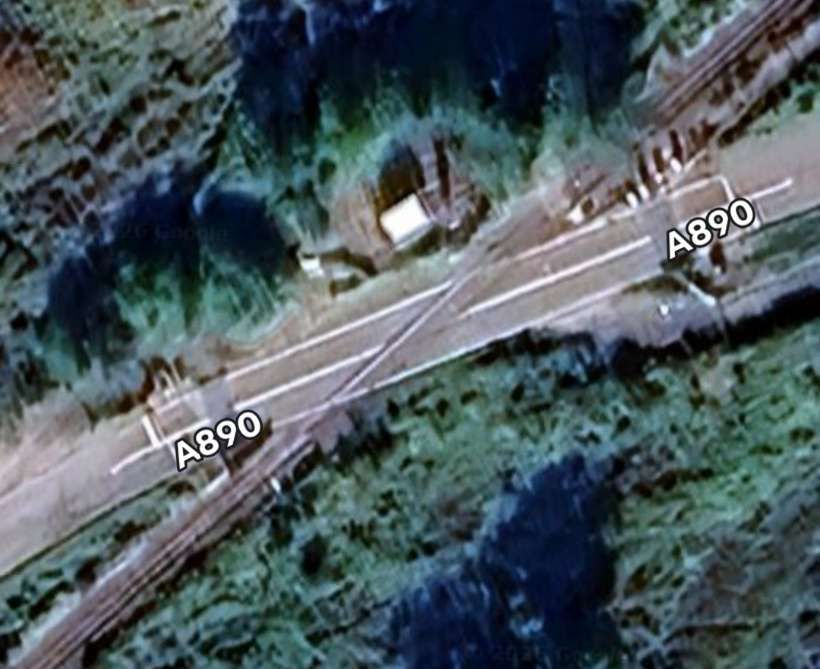
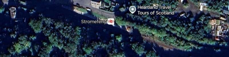
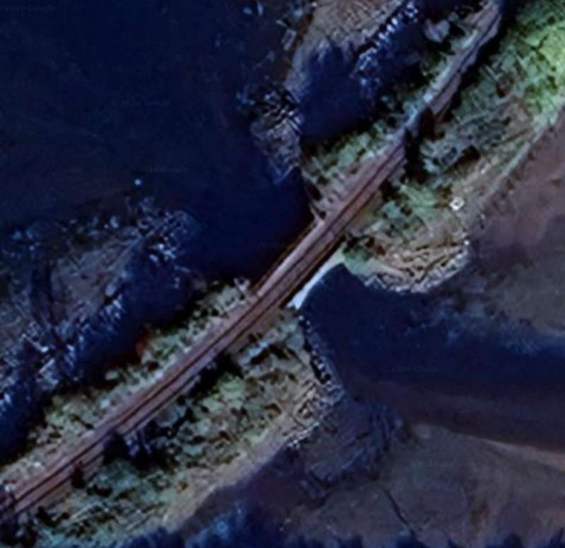
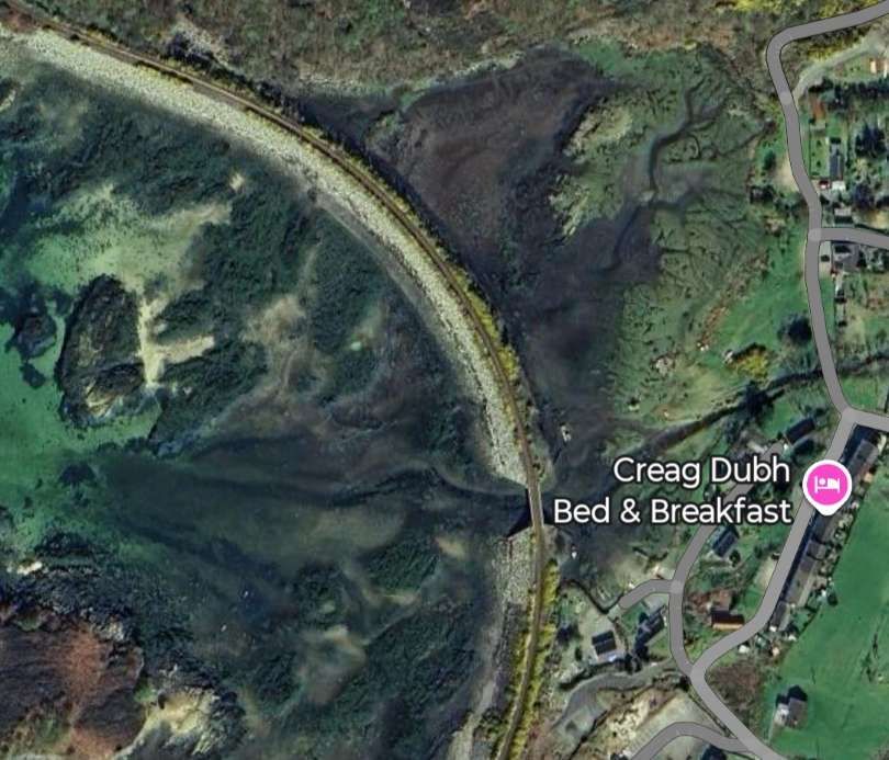
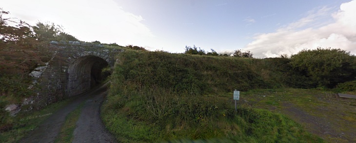
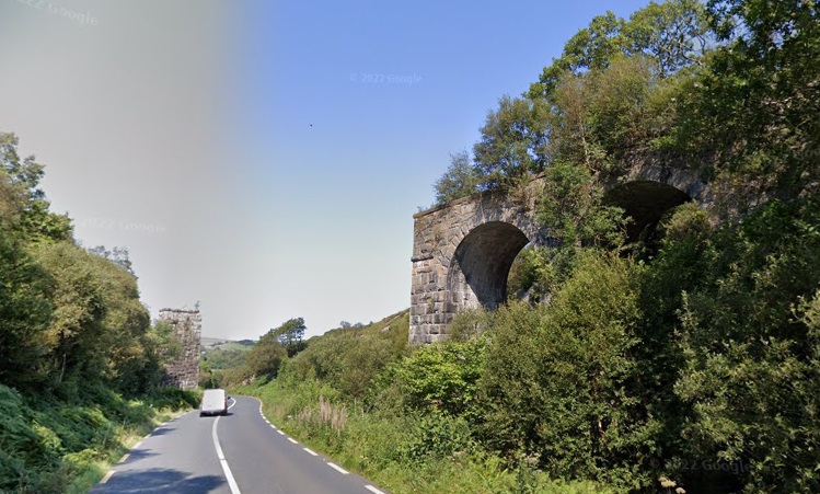
The road and railway remain close together for a distance to the South of Attadale Station, passing through Stromeferry Tunnel.
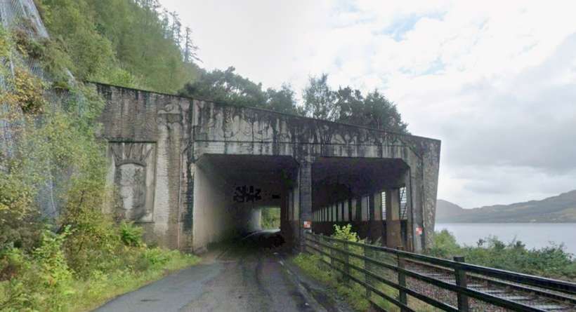
The tunnel is a concrete structure which covers both the railway and A890, it protects the railway and road from the cliff above. The tunnel was built in the 1970s. When the Stromeferry Bypass road opened, it met the older road from Strathcarron and in doing so resulted in the closure of the Strome Ferry crossing from Stromeferry to North Strome Pier. [10]
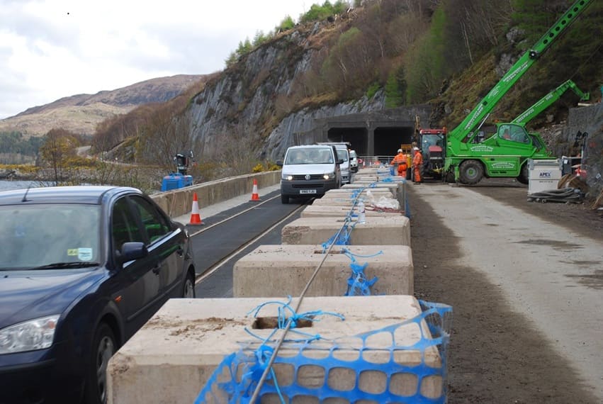
The cutting back of the cliff face for the road resulted in instability and the surface was netted to prevent rockfalls. [11]
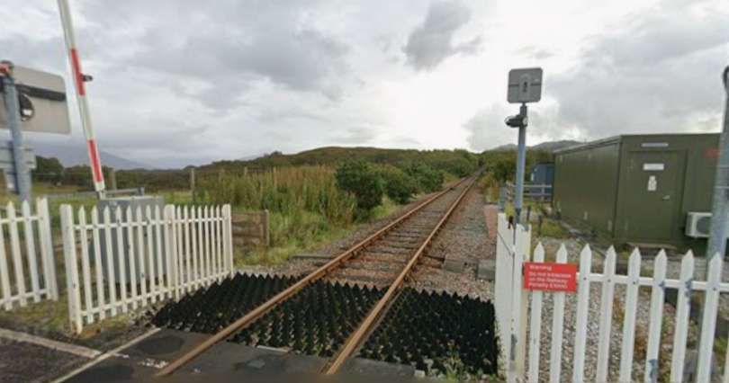
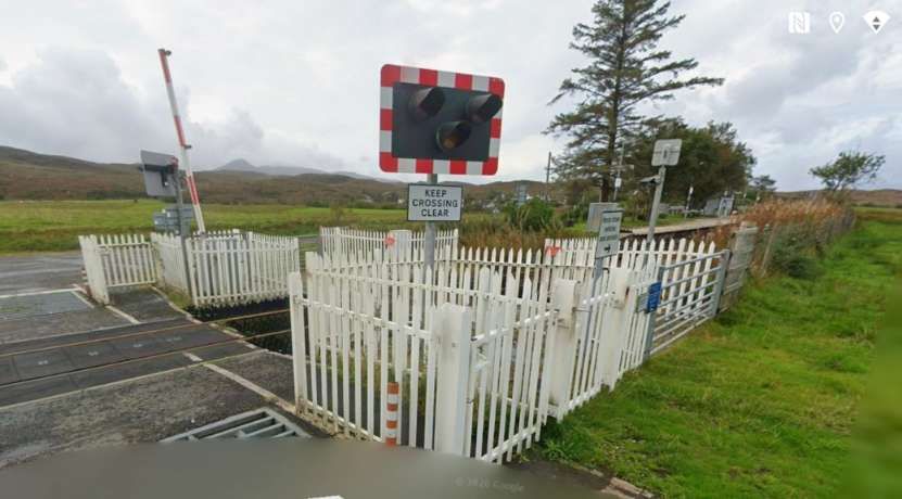
Work became necessary on the cliff face, the space for doing this needed the road traffic to be diverted onto the line of the railway. Matting was placed on the railway to allow this and an arrangement that interlocked the railway signalling with the road traffic lights. [11][12]
Since 2012, the Highland Council have been consulting with local people and drawing up a number of plans to alleviate the rockfall problem in the future. “Widening the existing route is now seen as a complete non-starter, although netting on the cliff faces, and regular monitoring of their condition, have kept the road open. The two main proposals remaining are … to redirect the road around the back of the hills from Attadale to Glen Udalain, or to build a bridge at Strome. This second option would also see the pretty lochside village of Lochcarron bypassed, with a new road around the back on the hillside, although doubtless this could be put back as a long term aspiration, with the bridge still built. In both of these options the present road below the cliff would then be converted to a rock trap to protect the railway, with the two ends remaining open for local access.” [13]
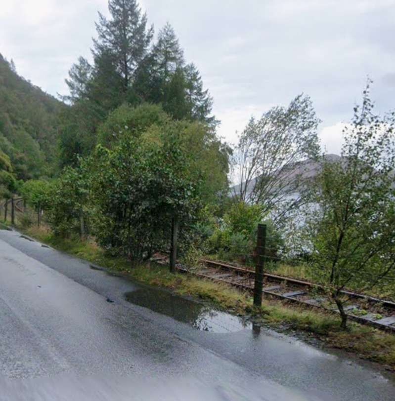
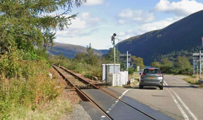
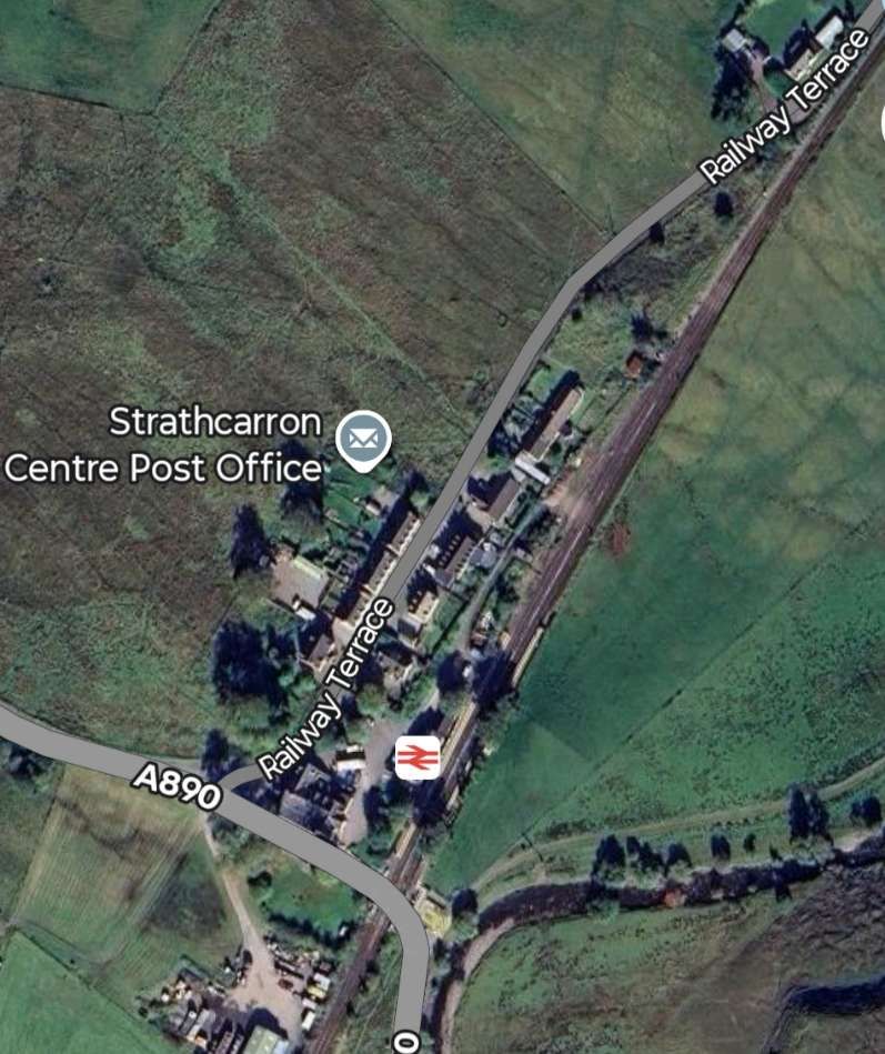
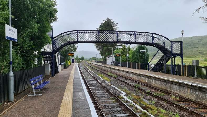
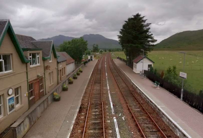
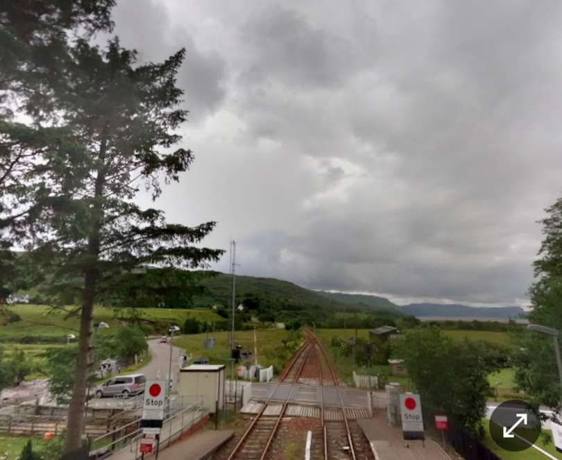
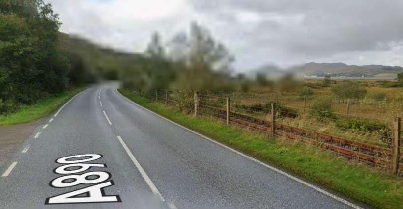
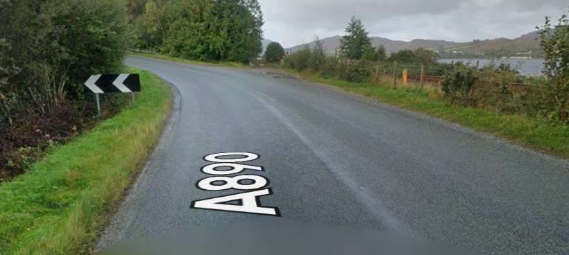
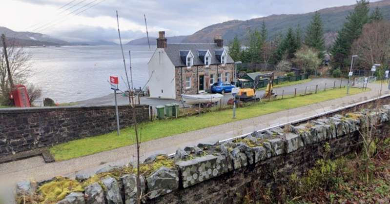
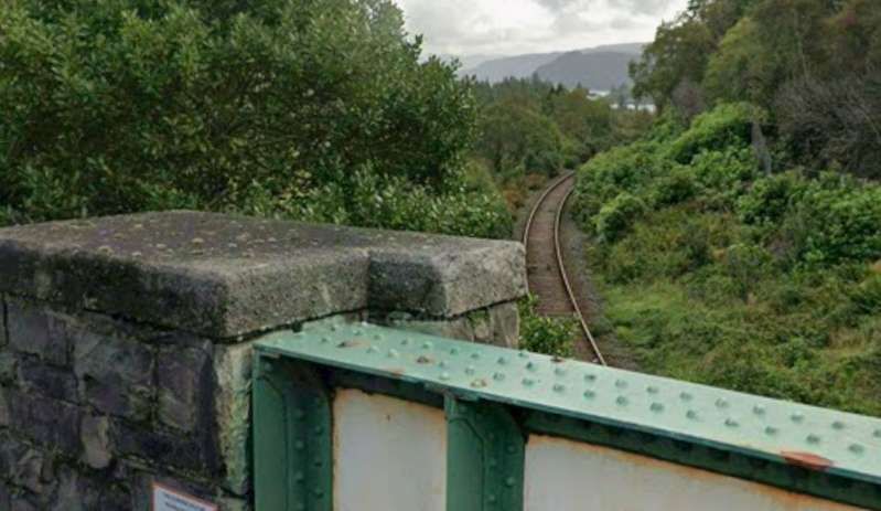
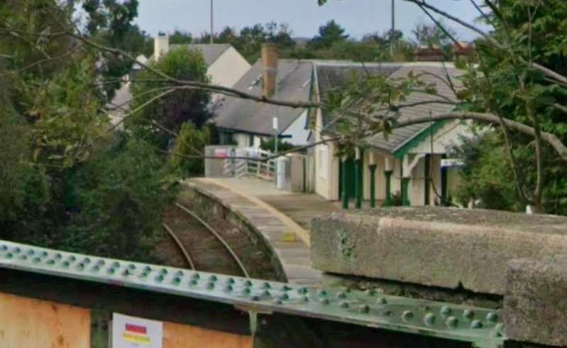
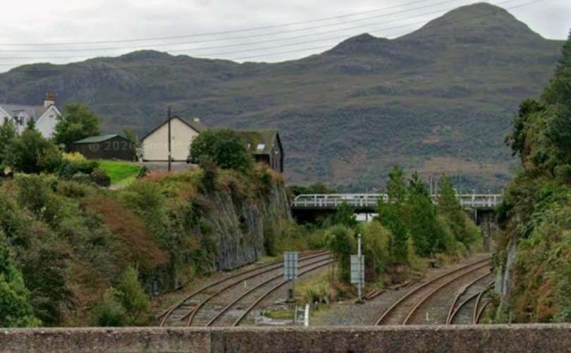
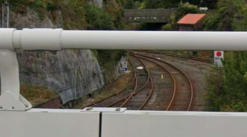
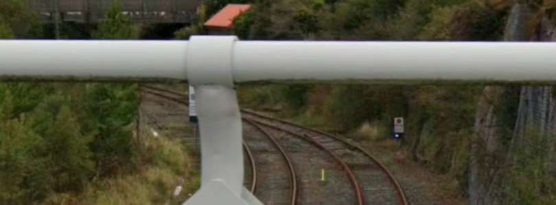
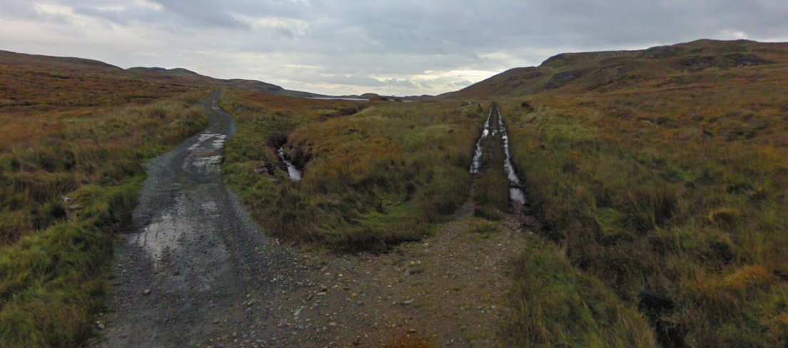
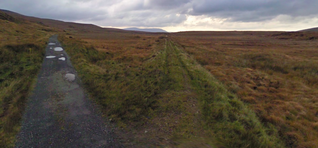
Southwest of the Strathcarron Tunnel road and rail run close together along the shore of the loch. [Google Streetview, September 2025]
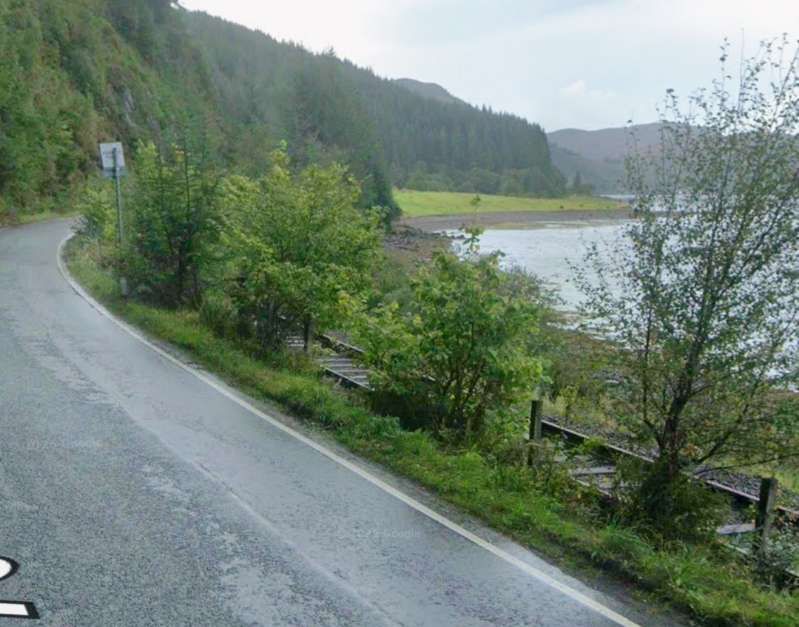
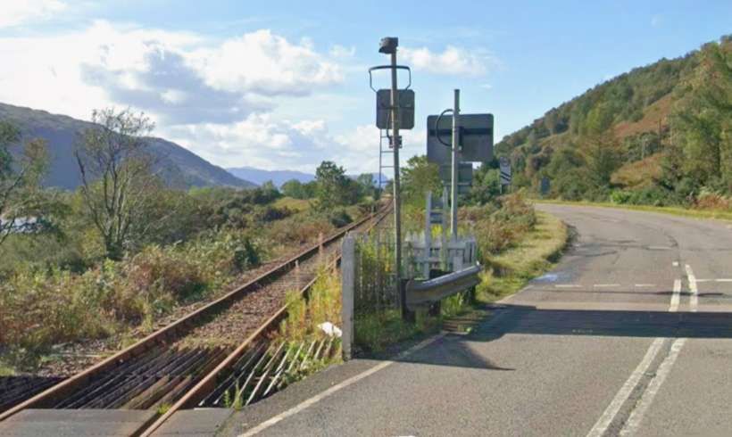
The close alignment continues for some distance further to the Southwest. [Google Streetview, September 2025]

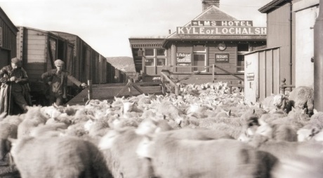
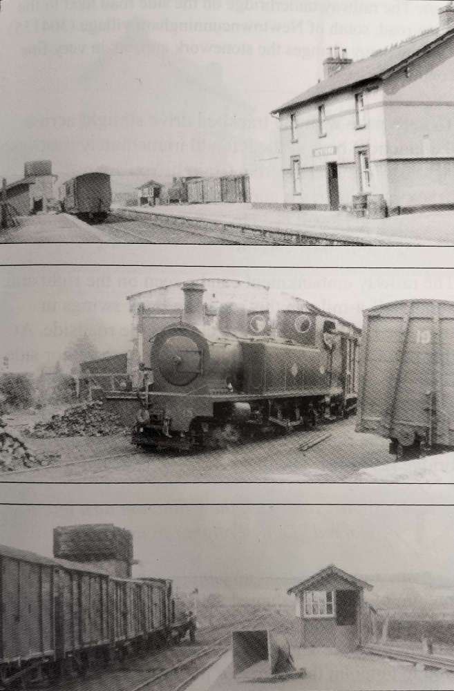
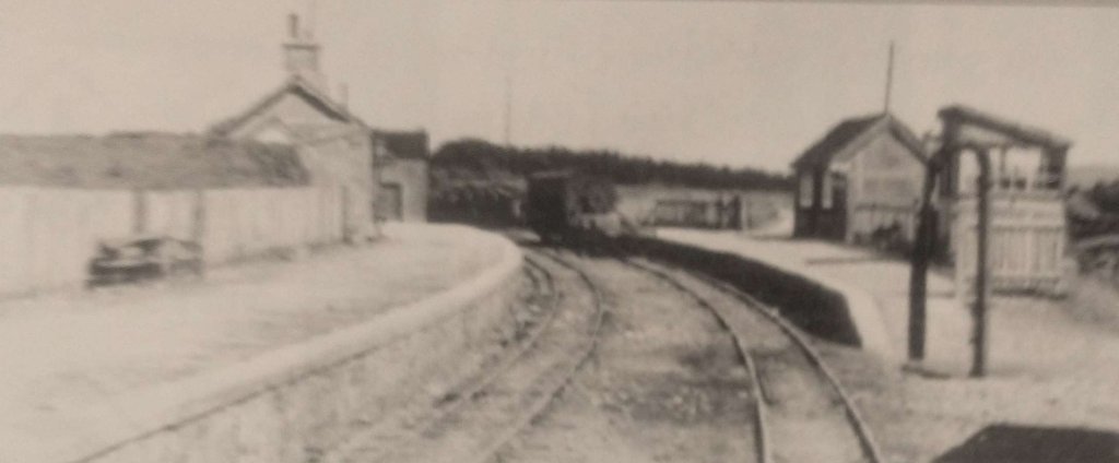
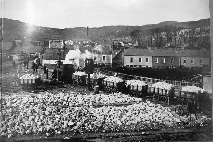
Sheep ready to be loaded onto a train in the years between WWI and WWII. This is one of a number of images of the Kyle line held by the Museum in Kyle of Lochalsh station building. [15]
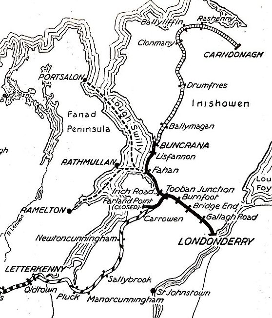
B. Ireland: Dublin to Wicklow
Irish Rail operates the Dublin Connolly to Arklow line. The 50 mile journey takes 1hr 45mins and costs only €8.85. There are 6 trains each day with 3 on Saturday and Sunday. Make sure to sit on the left.
Nicky Gardner writes:
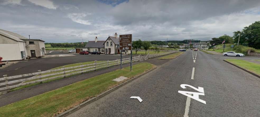
“Londoners may be surprised to read that Dublin had commuter trains earlier than the UK capital. Ireland’s first railway ran from Westland Row to Kingstown (now Dún Laoghaire), a stretch of track that is now the prelude to a fine route that extends right down to Wexford and Rosslare in the south-east corner of Ireland. The spectacular coastal section just south of Dún Laoghaire is a remarkable piece of engineering as the railway cuts under Bray Head. It was designed by none other than Isambard Kingdom Brunel, and in many ways resembles his celebrated coastal railway at Dawlish in Devon.
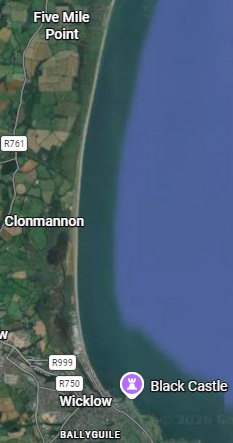
“South of Bray Head, the railway hugs the coast, with fine views of the Wicklow Hills well off to the west and the Murrough Wetlands closer to hand. Coastal purists may opt to stop at Wicklow, but I recommend staying on board to enjoy a short foray through the hills and down the Vale of Avoca, with its lush woodland. Alight in Arklow where the railway regains the coast again.” [1: p76]
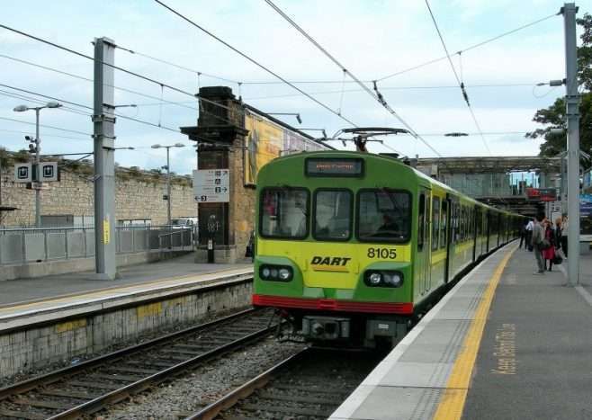
The line to Dún Laoghaire (and beyond) is part of the Dublin DART network. It is a fast, frequent, and electrified commuter rail system. Originally it ran only along the coast of the Irish Sea, connecting Malahide and Howth in north County Dublin through the city centre down to Greystones in County Wicklow. The DART servesd32 stations and consisted of 53 route kilometres of electrified railway (46 km (29 mi) double track, 7 km (4.3 mi) single), and carried to up 23 million passengers per year. [16] That original network ahs been expanded.
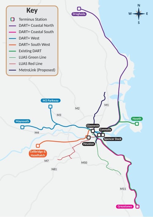
The adjacent image shows the expanded DART network with the original line shown in green. The route that Nicky Gardner highlights is the line shown Magenta and Green to the South of the centre of Dublin with its terminus at Greystones in Co. Wicklow. [16][17]
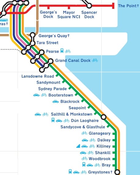
Leaving the centre of Dublin, the Southbound DART follows the coast closely all the way to Greystones. Each of the stations on the route South from Connolly Street Railway Station is shown on the extract from Dublin’s schematic transport map above. [17]
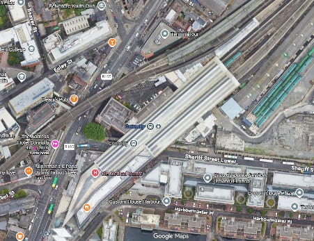
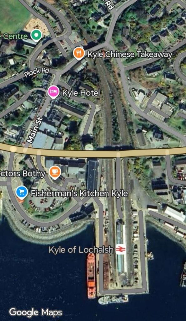
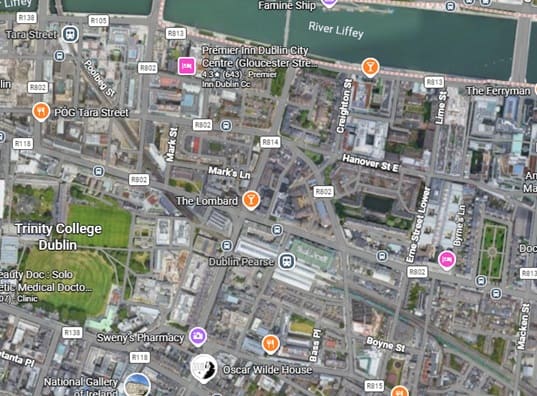
Connelly Street Railway Station – the DART platforms serving the line to the South are those at the top-right of the image, with the DART leaving the image on the lower left. The DART runs on a viaduct above the city streets. [Google Maps, June 2026]
Leaving Connolly Street Station heading South, trains on the DART cross the River Liffey at high level The Bridge is known as the Cumann na mBan Bridge, this utilitarian steel-truss viaduct connects Connolly Station on the northside to Pearse Station on the southside. Designed by John Chaloner Smith (engineer to the Dublin, Wicklow and Wexford Railway), the bridge was built between 1889 and 1891. It consists of wrought iron lattice girders on a double row of piers with five spans. The viaduct is approximately six metres above street level and supports two railway tracks. [18]
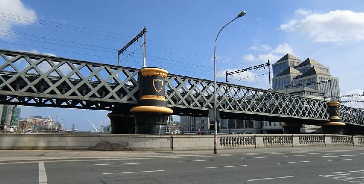
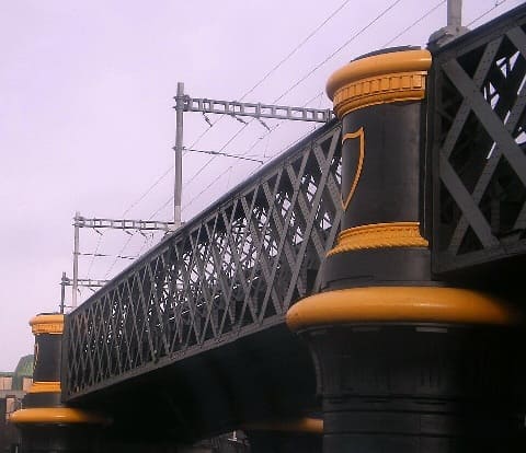
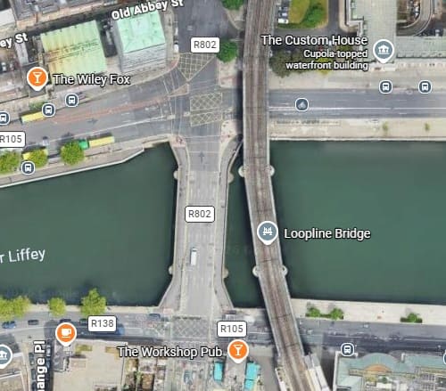
A closer photograph of the bridge taken in 2008, (c) KGGucwa (Public Domain) [19] and (below) a satellite image showing the bridge. [Google Maps, June 2026]
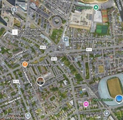
The line continues heading Southeast through Grand Canal Dock Station and Lansdowne Road Station. Just to the South East of Lansdowne Road Station the DART crosses the River Dodder (just off the image to the bottom-right). [Google Maps, June 2026]
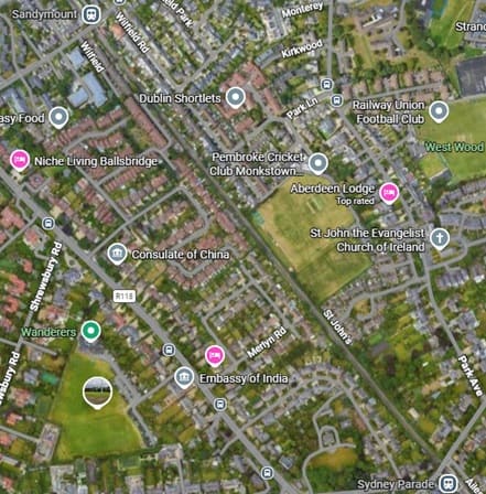
The next two stations are Sandymount (top-left) and Sydney Parade (bottom-right). [Google Maps, June 2026]
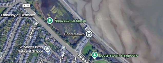
[Google Maps, June 2026]
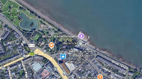
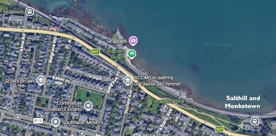
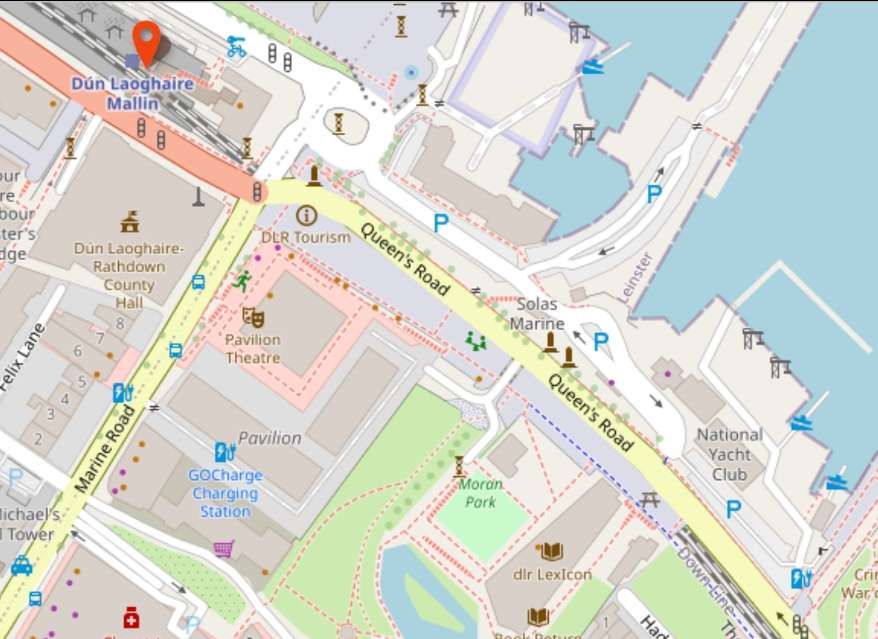
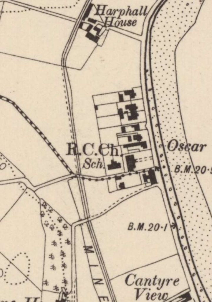
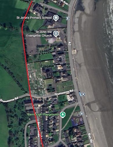
Nicky Gardner’s focus is on the length of the line to the South of Dún Laoghaire. Immediately to the Southeast of the Station the line passes in tunnel under the central sea front area of the town.
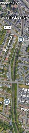
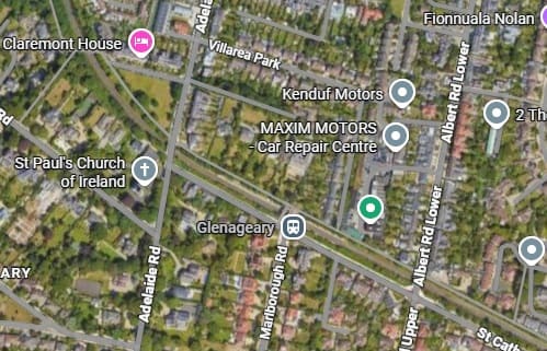
Leaving the tunnel to the South East of Dún Laoghaire, the line first head South and passes through Sandycove & Glasthule Station. [Google Maps, June 2026]
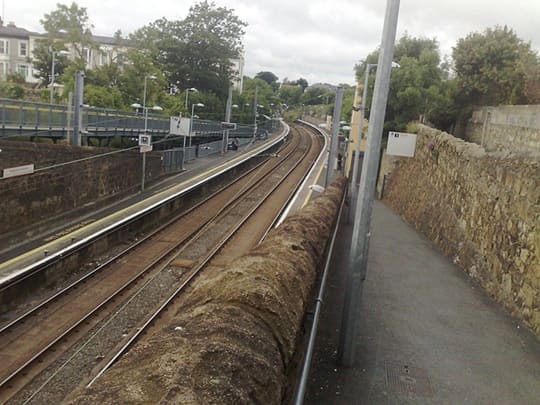
Glenageary Railway Station looking Southeast, (c) Doug Lee and licensed for reuse under a Creative Commons licence (CC BY-SA 2.0). [24]
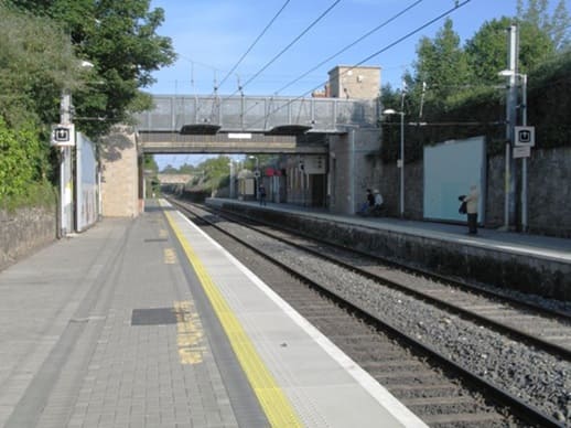
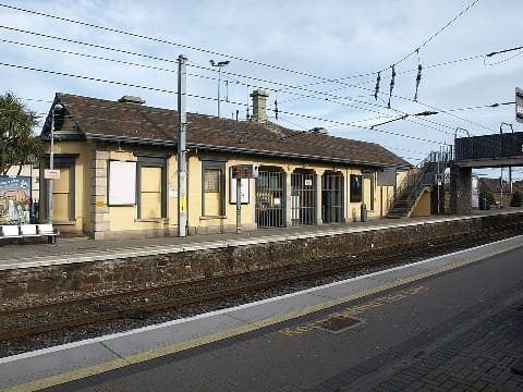
Dalkey Railway Station seen from the Southwest, (c) Andrewrabbott and placed in the Public Domain. [25]
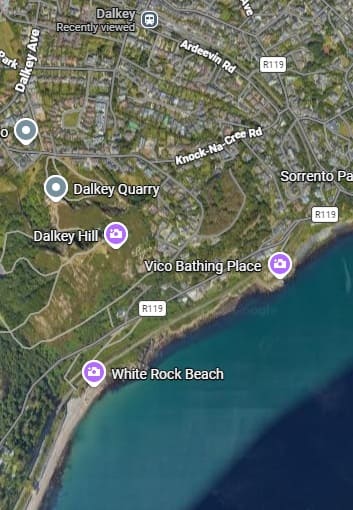
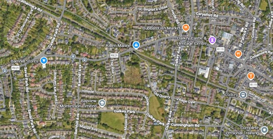
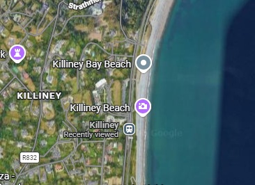
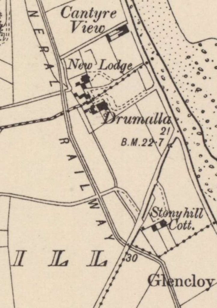
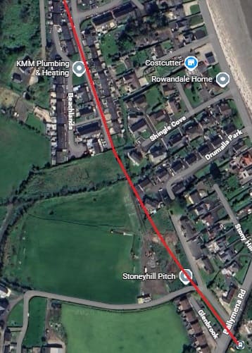
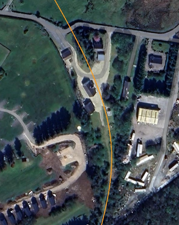
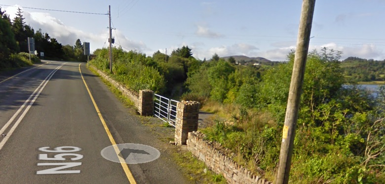
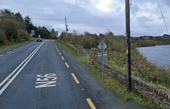
South of Dalkey the line turns through South to South West and follows the coast towards Killiney, shown below. [Google Maps, June 2026]
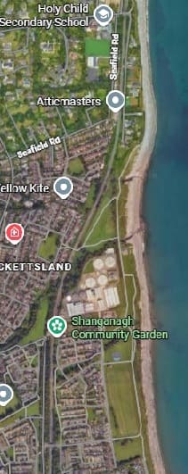
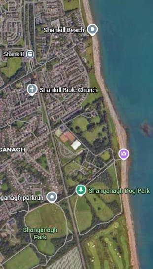
Further to the South the line passes through Shankill Railway Station heading South. [Google Maps, June 2026]
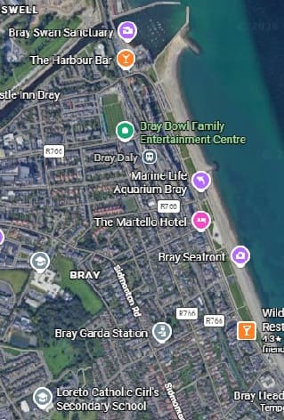
The line continues South from Shankill Railway Station through Woodbrook Railway Station and then Bray Daly Railway Station.
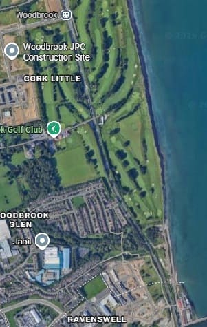
Woodbrook Station is at the top of the first of these images, Bray Daly in the top half of the second. [Google Maps, June 2026]
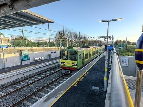
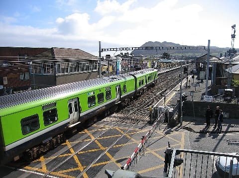
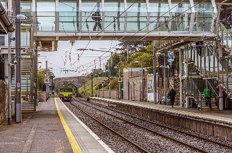
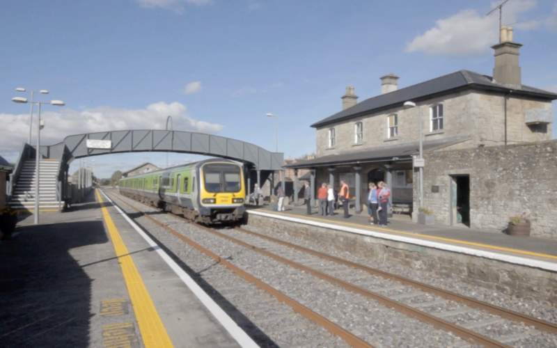
Bray Daly Railway Station looking South with an IE 29000 Class DMU heading South across the level-crossing at the North end of the Railway Station. [28]
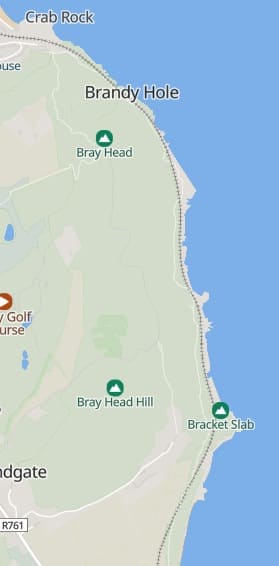
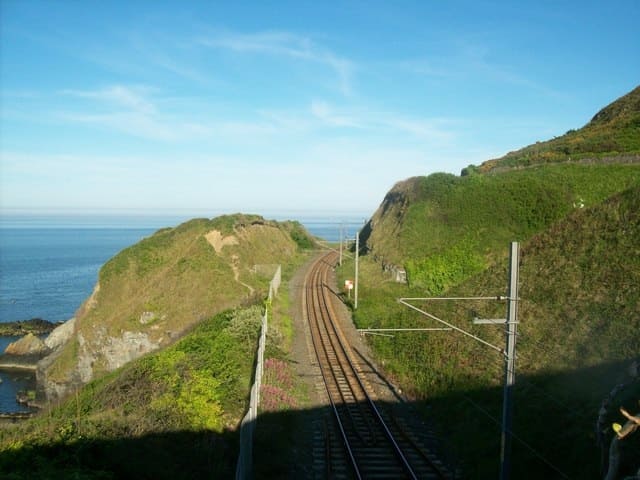
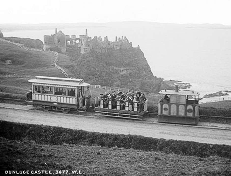
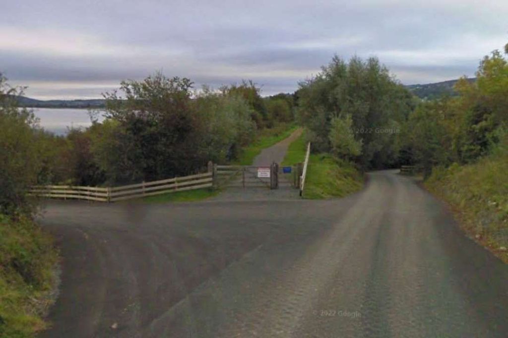
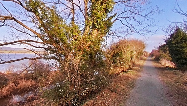
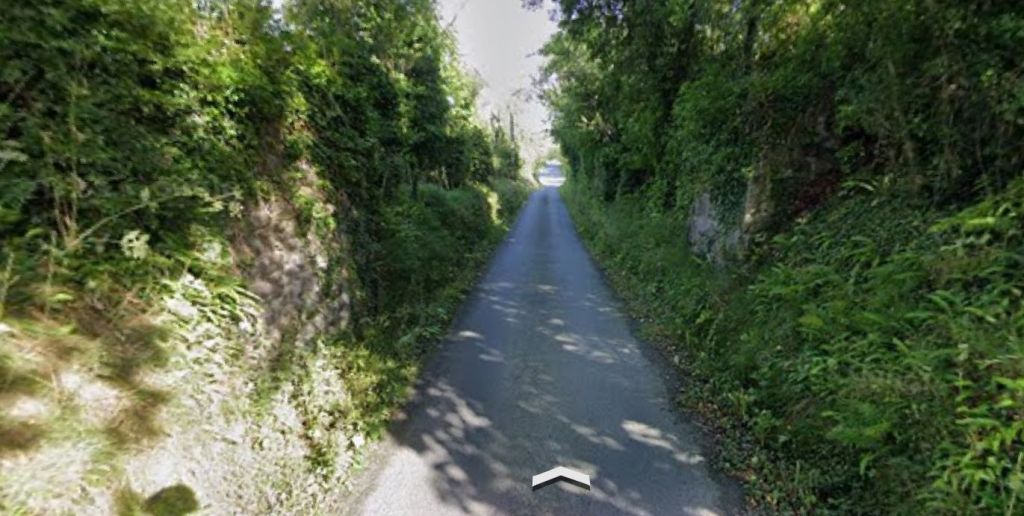
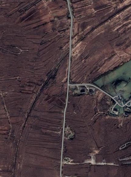
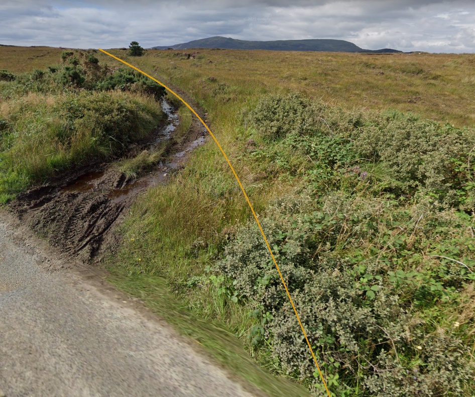
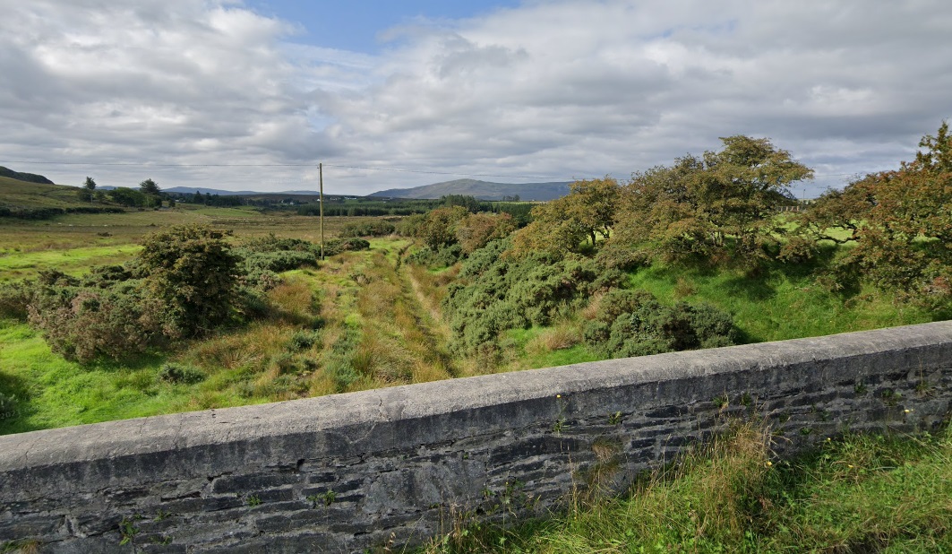
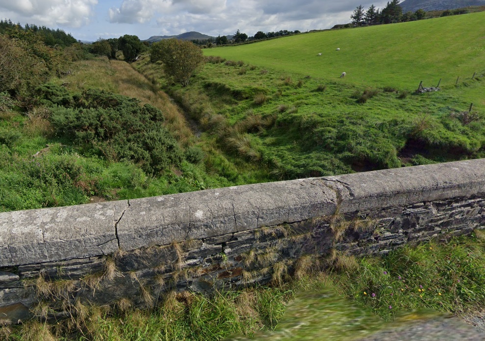
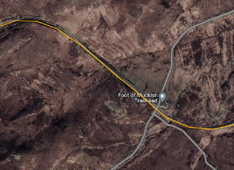
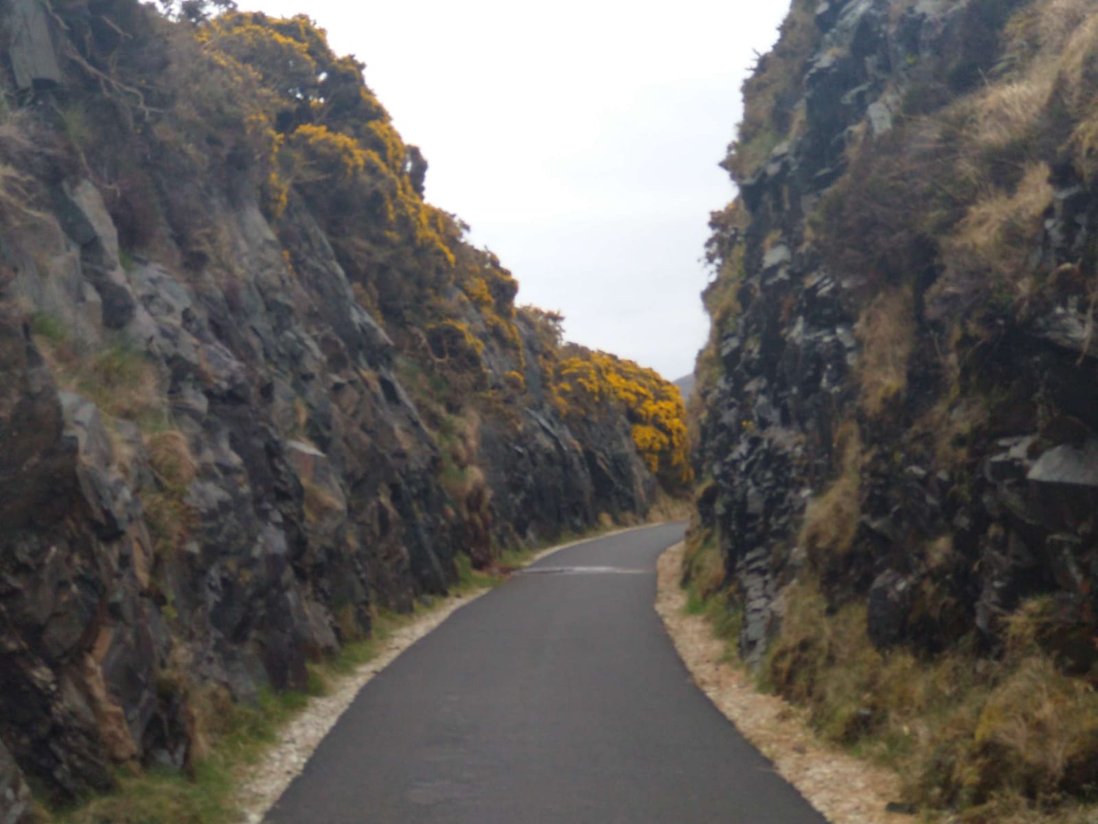
South of Bray Daly Railway Station trains run through storage sidings which hold trains during off-peak hours to provide a peak hour service North through Dublin. As the line heads South through these sidings the line become a single track and heads East at first to run alongside the sea and then curving around Bray Head. The single-track line clings to steep cliffs, offering dramatic views of the Irish Sea as it weaves through historic tunnels. A series of photographs of this next length of the line can be found here. [29]
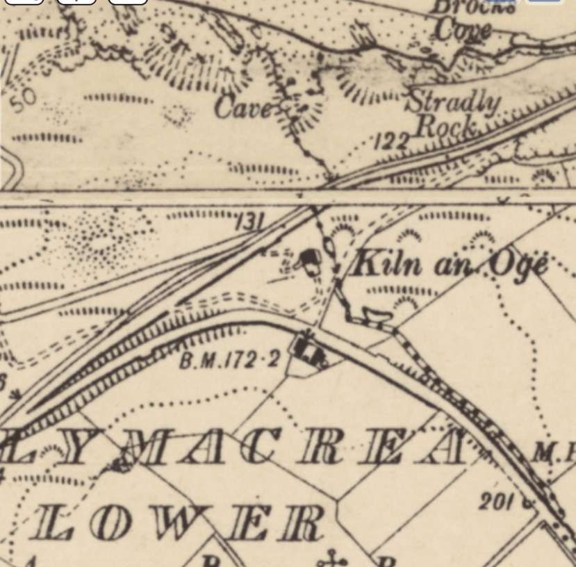
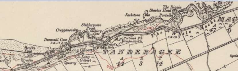
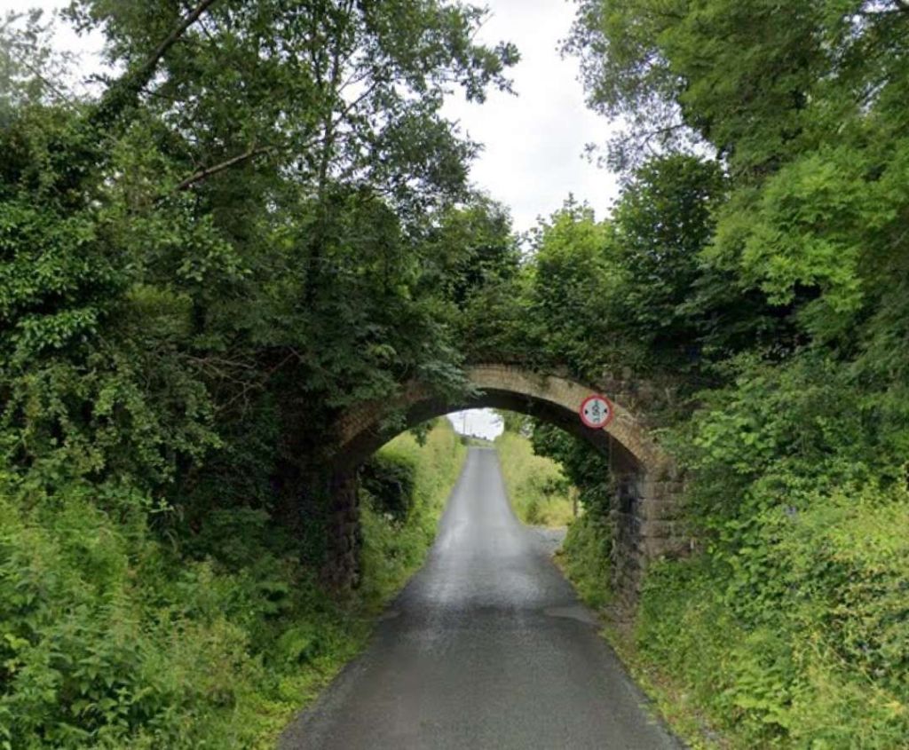
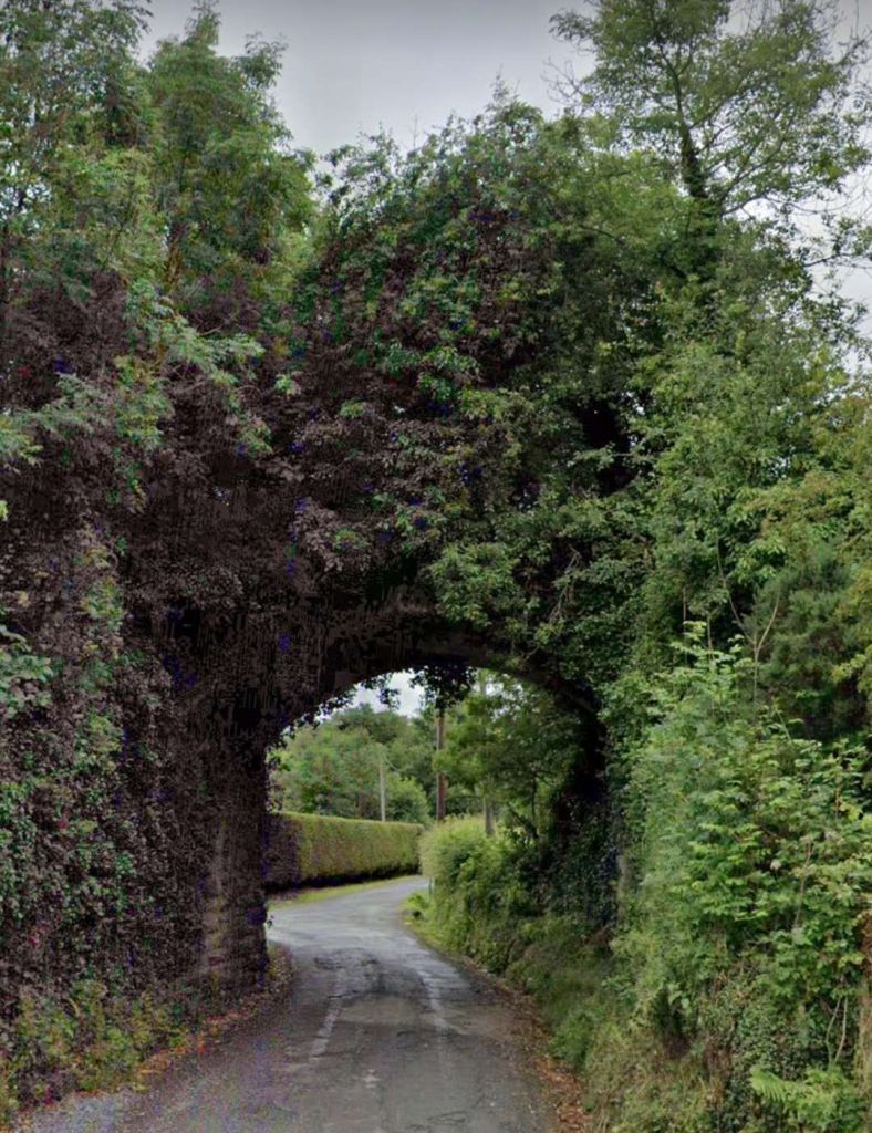
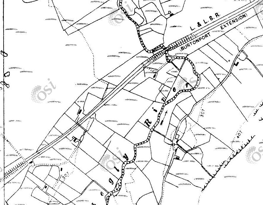
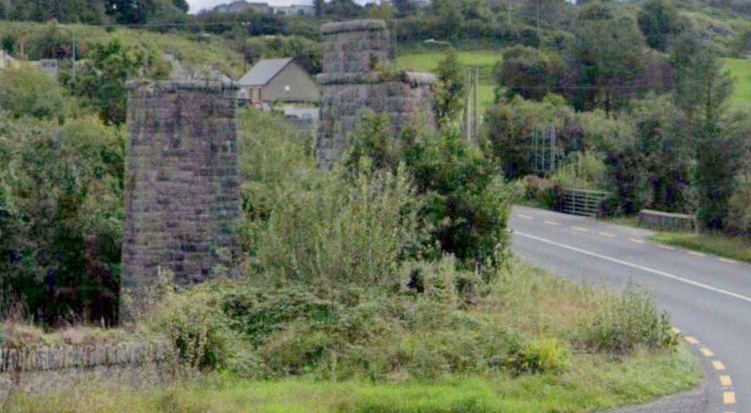
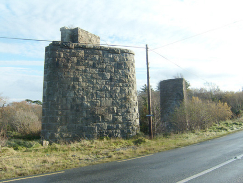
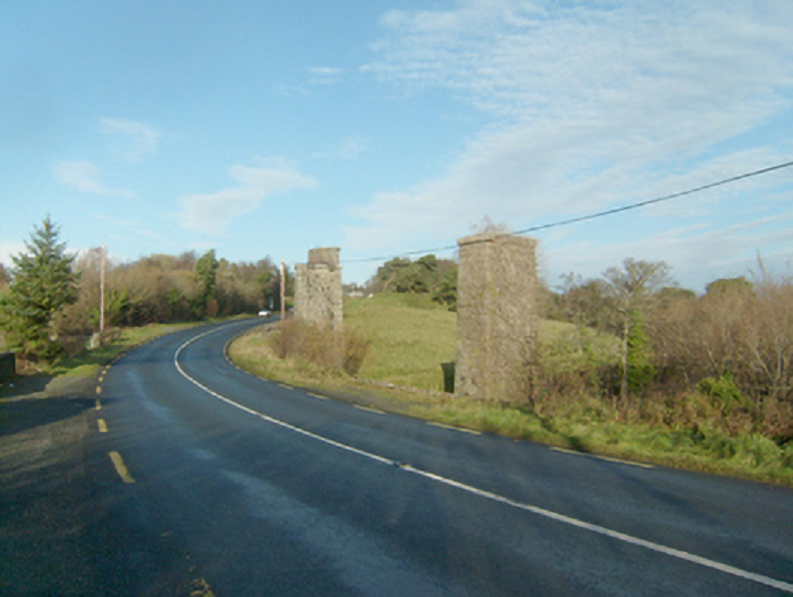
“The route around the headland was surveyed and engineered by … Isambard Kingdom Brunel, who at the time was engaged with the construction of the Dublin & Wicklow Railway’s line from Bray to the county town of Wicklow further south. The section of line around the headland from Bray to Greystones was first opened in 1855. The line featured several engineering structures, including tunnels and several wooden trestle built viaducts. High maintenance costs and constant damage from the sea resulted in several deviations from the original 1855 route, the first of which involved the construction of new tunnel (No.1) in 1876, however a section of the 1855 alignment was retained as ‘Worthington Siding’ until 1882. The second occurred in 1879 between No.2 and 3 Tunnels, and the final deviation was implemented as late as 1917, which involved the construction of the longest tunnel (No.4) at 1,042 yards long at the southern end of the headland.” [29]
“All of the deviations eliminated the Brunel’s viaducts and cliff sections, the line now taking on the name Brunel’s Folly due to the route’s reconstructions. Today there are four tunnels in total, including some smaller nameless ones. A well maintained pathway between Bray and Greystones overlooks the majority of the railway line.” [29]
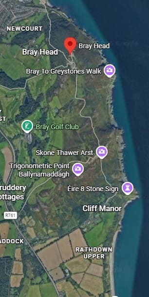
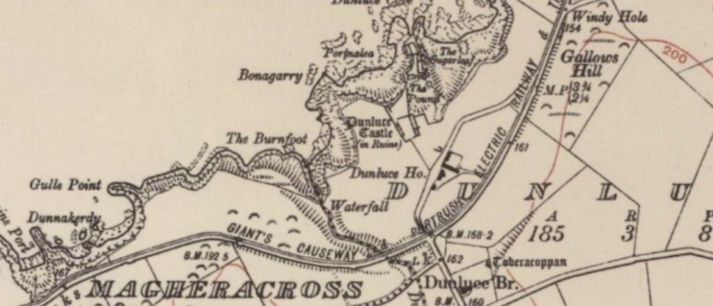
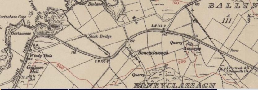
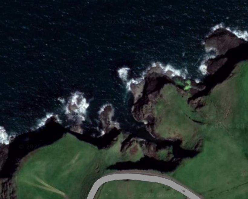
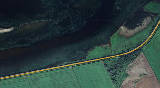
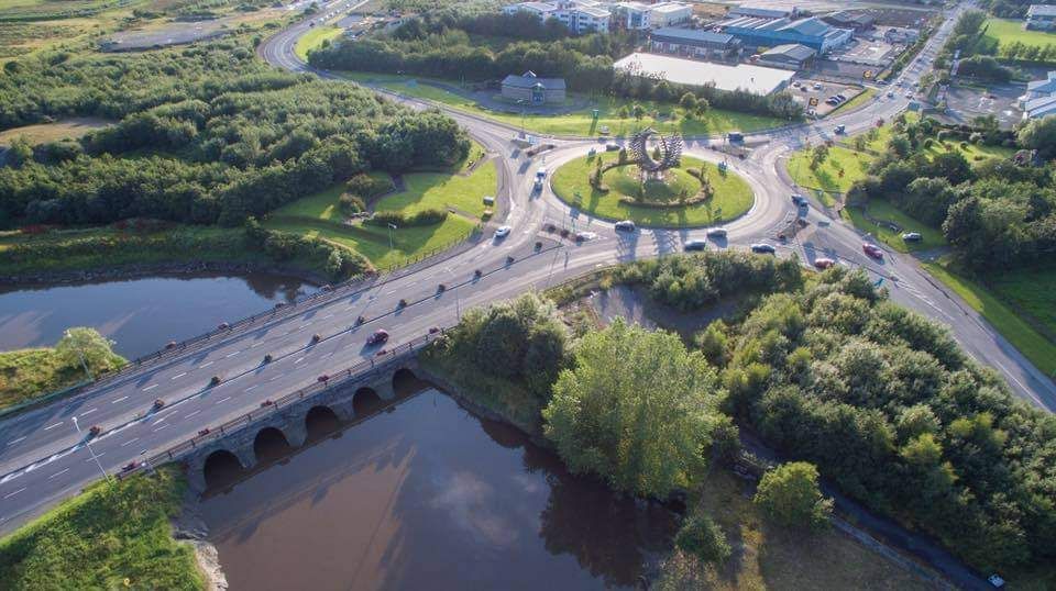
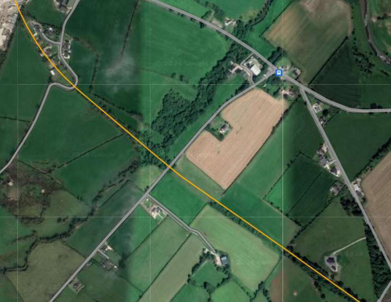
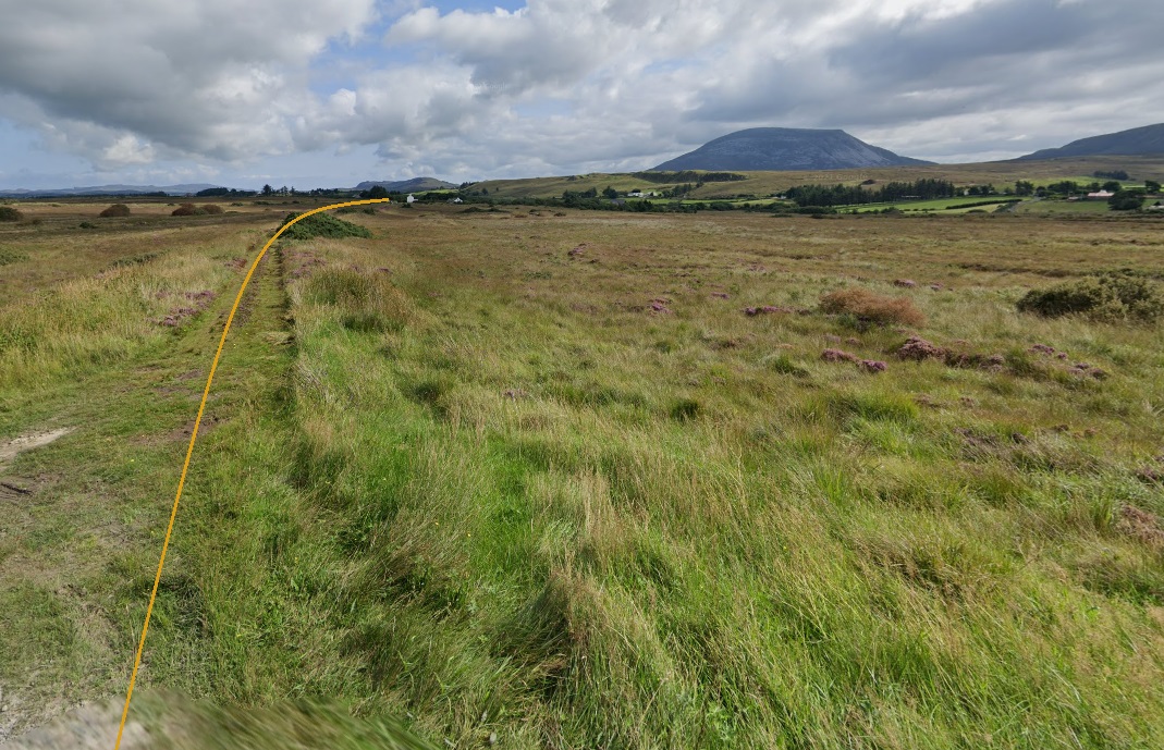
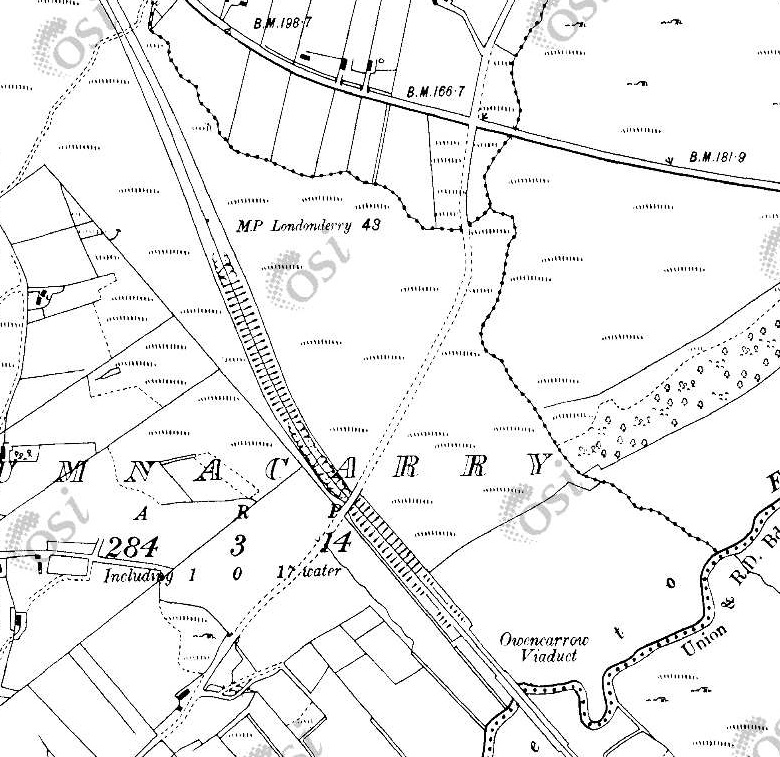
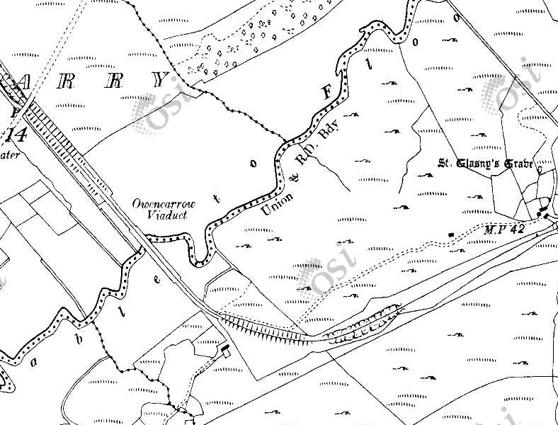
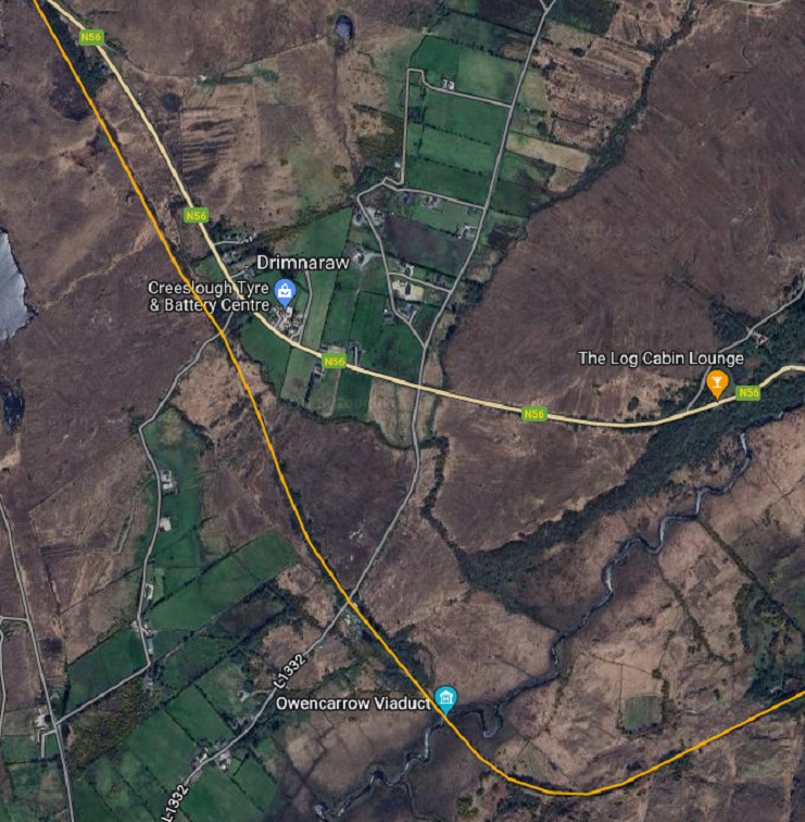
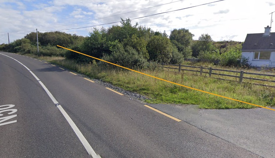
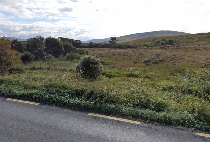
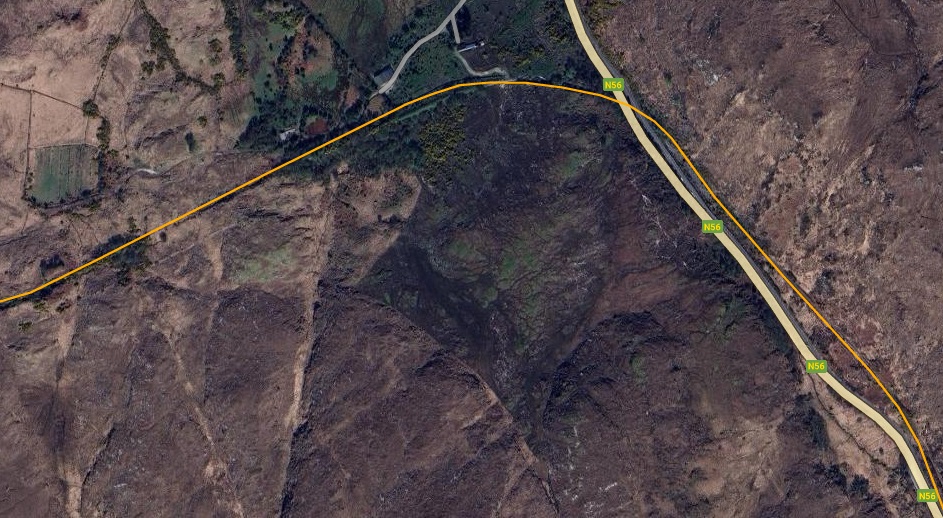
Bray Head: the railway ran close to the sea around the headland. [Google Maps, June 2026][30]
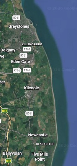
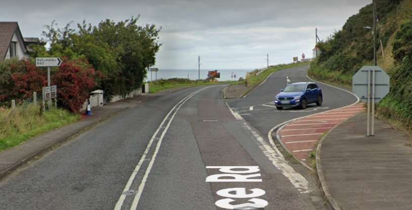
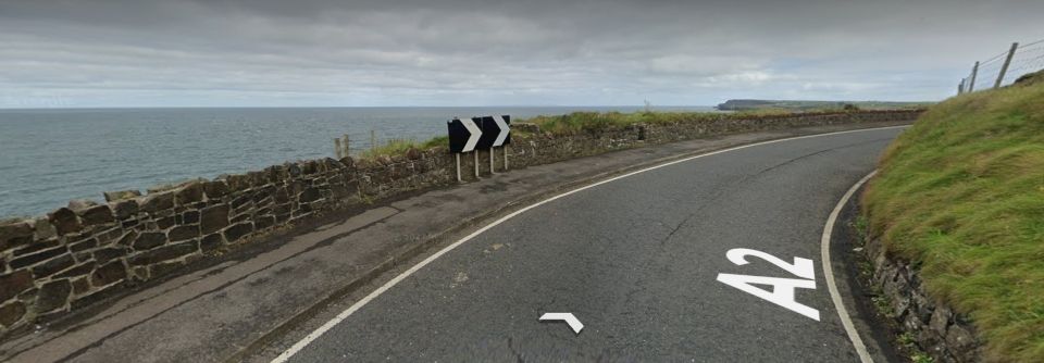
The railway is somewhat less dramatically sited as it heads further South, through Greystones and on to Wicklow. [Google Maps, June 2026]
Perhaps it is worth noting that this journey only costs €8.85 single or €17.70 return!
C. Germany: Over the Sea to Sylt
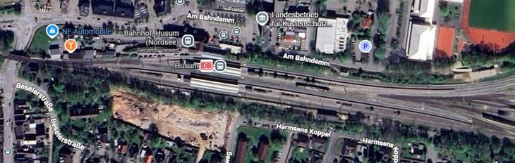
Nicky Gardner suggests that it is best to sit on the left of the train as it leaves Husum to travel to Keitum. A 44 mile journey will cost €21.60 single and take an hour to complete. Trains on the Marschbahn line run hourly and are operated by Deutsche Bahn (DB). [32]
She writes:
“One cannot fail to be impressed by the determination of the Weimar Republic’s engineers and planners who needed to build a railway to Sylt. This sandy outpost of German territory is the largest of the North Frisian Islands. The traditional route to Sylt relied on a ferry from a mainland port on territory which was ceded to Denmark after the first world war. So a causeway was constructed across the Wadden Sea to reach Sylt. It opened in 1927, and a century later the Hindenburg causeway is still car-free – and since mid-April this year it is for the very first time possible to ride a posh ICE train over the sea to Sylt.
“Leaving Husum, a coastal town shaped by the herring trade, we sweep over the town’s harbour on a high bridge. There’s a cluster of fishing boats at the quayside below. Then we glide north over marshlands and meadows, all protected by high dykes to prevent the area from being inundated.
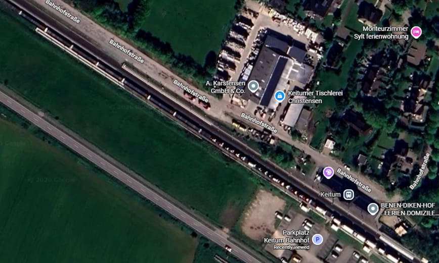
“From the train, you get a real feel for these landscapes with their distant horizons. But the sea seems far away, held at bay by dykes. That changes after Klanxbüll, where the railway turns west and crosses salty mudflats to reach the open sea. Check tide tables and make this journey at high tide – ideally on a stormy day. In such conditions, this is an unforgettable experience. Alight at Keitum, to my mind the nicest village on Sylt. From the station, it is an easy stroll into the village with several cosy cafes and a feast of fine Frisian thatch and gables.” [1: p76-77]
The line to Sylt runs North out of Hamburg. As the train glides gently through the flat expanse of Schleswig-Holstein, picturesque views of green meadows and the Kiel Canal open up. Shortly before arrival, the route offers an unforgettable panorama: the Wadden Sea stretches out before you with its characteristic tidal creeks. [32]
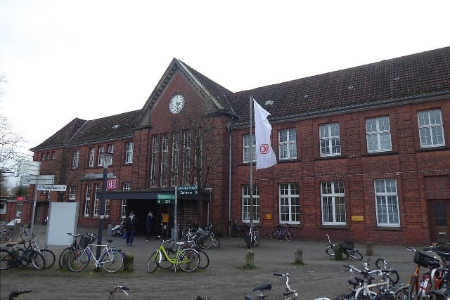
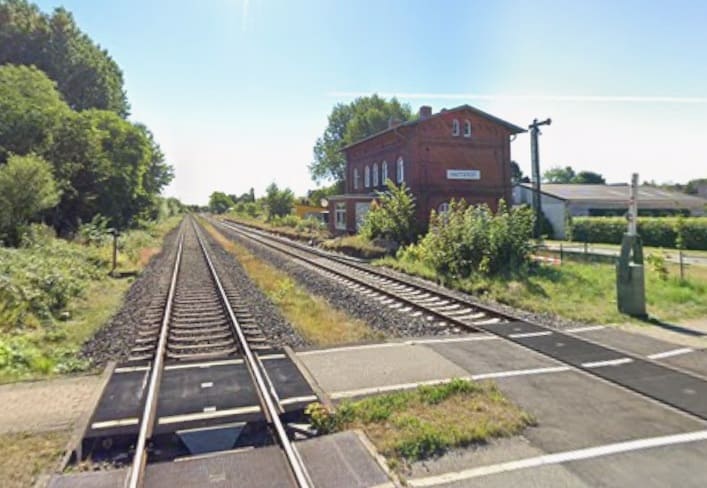
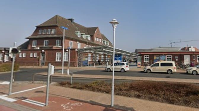
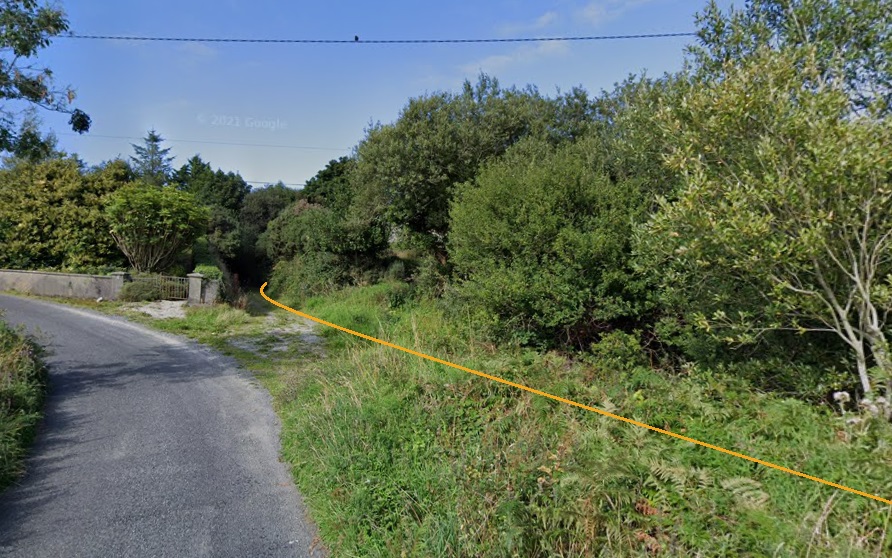
[Google Streetview, August 2022]
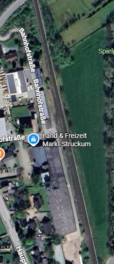
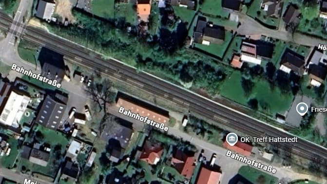
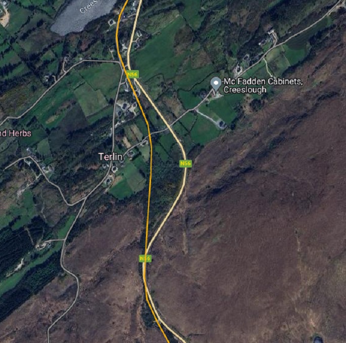
The next station on the line is in Struckum – although, as can be seen below it appears no longer to be in use as a station. [Google Maps, June 2026]
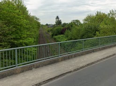
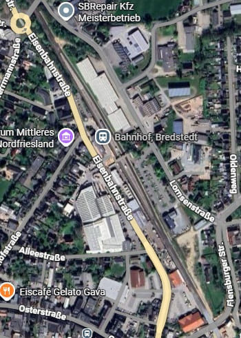
The next station is only a short distance further North in Bredstedt. [Google Maps, June 2026]
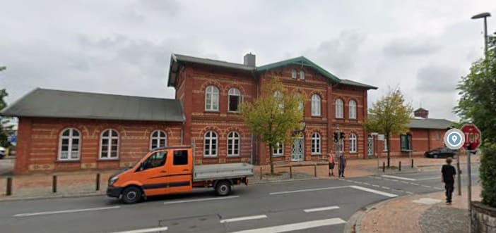
[Google Streetview, September 2023]
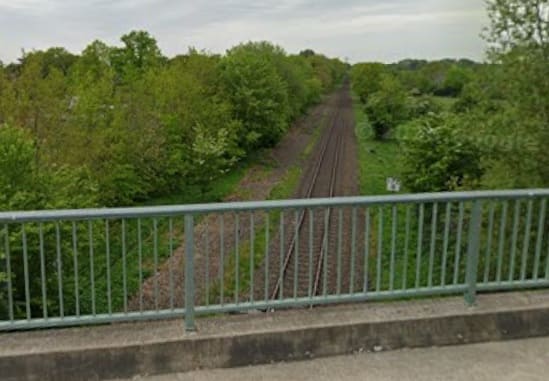
[Google Streetview, May 2022]
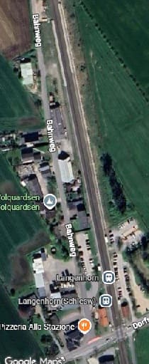
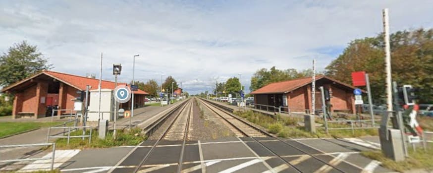
The next station is at Langenhorn. [Google Maps, June 2026]
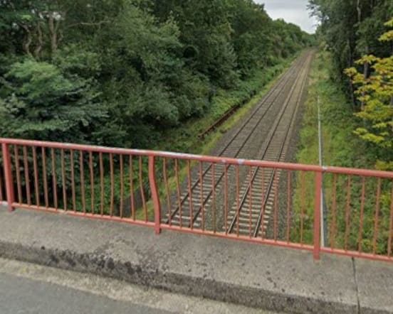
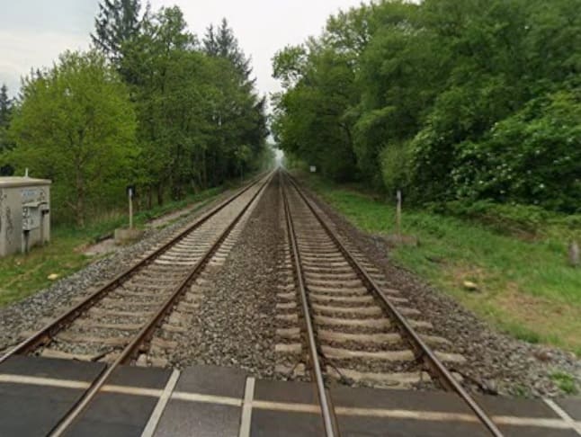
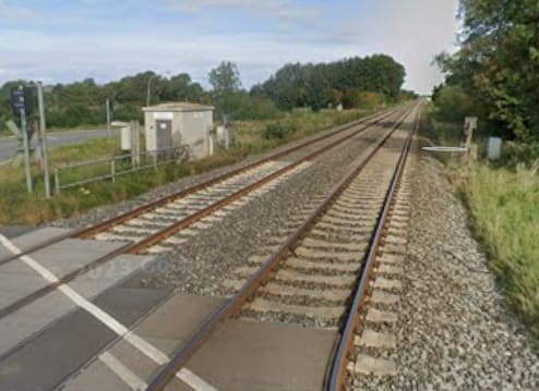
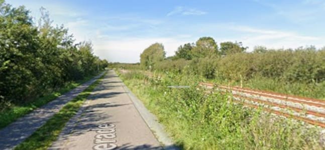
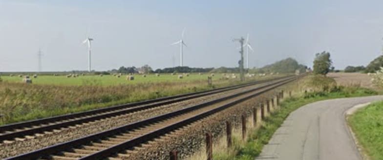
The line continues on a straight alignment just to the West of North. The next image shows the view North along the line at the Dorpstraat level-crossing in Bargum.
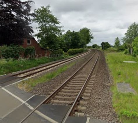
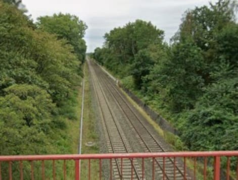
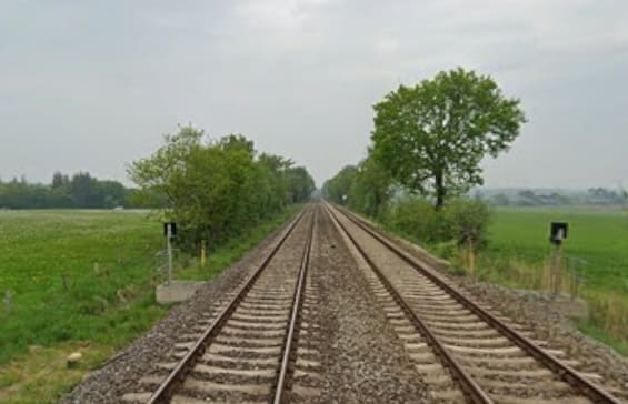
The view North from the railway-crossing on Dorfstraße at Stedesand. [Google Streetview, June 2022]
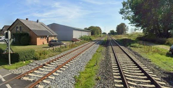
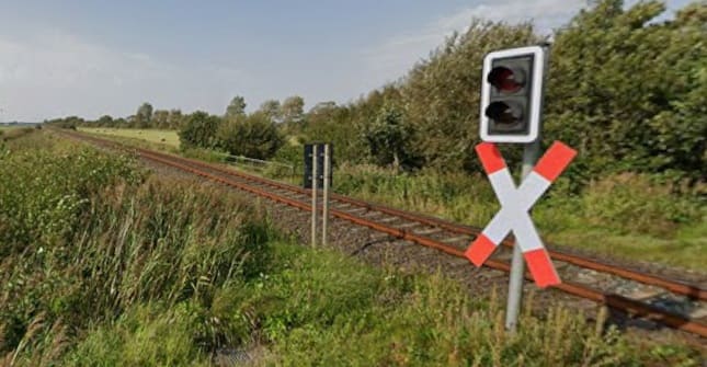
Looking Southeast from the level-crossing on Dorfstraße in Risum-Lindholm. [Google Streetview, September 2023]
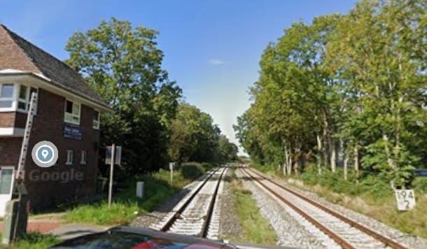
Looking Northwest at the same level-crossing. [Google Streetview, September 2023]
[Google Streetview, September 2023]
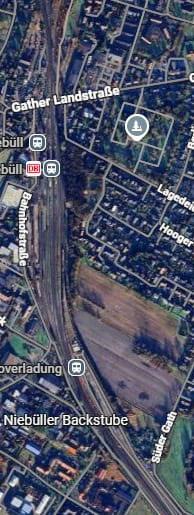
The next railway station at Niebüll is in two parts. There is the normal passenger facility towards the top of the adjacent satellite image. To the South of this station is the loading point for the SyltShuttle at Niebüll – Niebüll Autoverladung. It is the point that vehicles travelling to Sylt are loaded onto the shuttle trains – ‘Blue’ or ‘Red’ [Google Maps, June 2026]
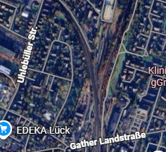
North of the Railway Station in Niebull a junction divides the single line heading North from the line serving Sylt which head Northwest. [Google Maps, June 2026]
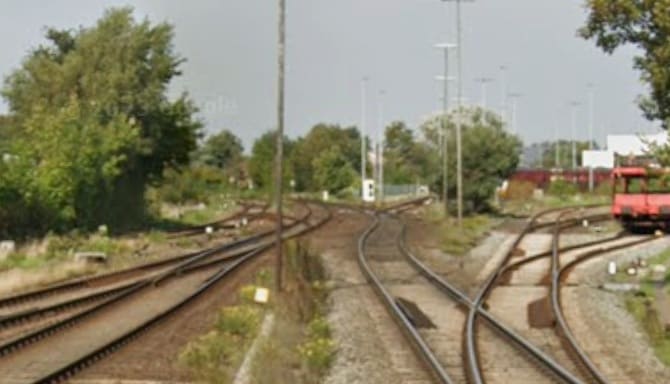
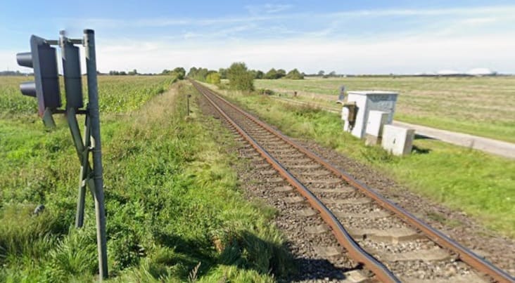
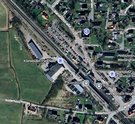
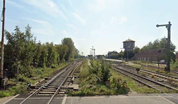
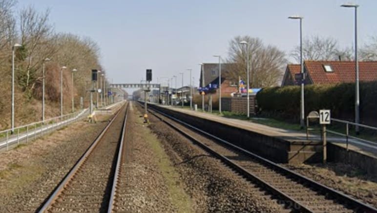
Klanxbüll, Schleswig-Holstein is the final station on the mainland before the embankment/causeway that takes the railway across the Wadden Sea. [Google Maps, June 2026]
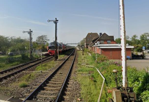
Klanxbüll, Schleswig-Holstein as seen from the level-crossing at the Southeast end of the station site. [Google Streetview, September 2023]
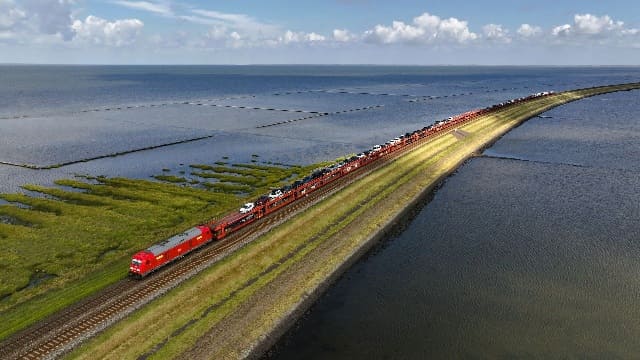
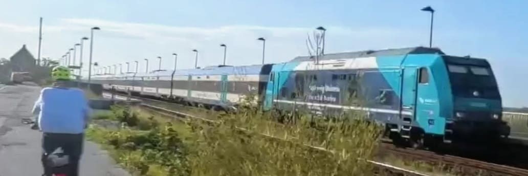
A drone’s eye view of the shuttle service operated by DB (the Red Train) which crosses the embankment leading to Sylt. [35]
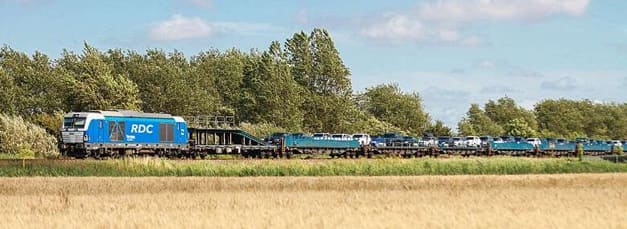
The Blue Train covers the same route – it is operated by RDC Deutschland (Railroad Development Corporation). [36]
[Google Streetview, March 2022]
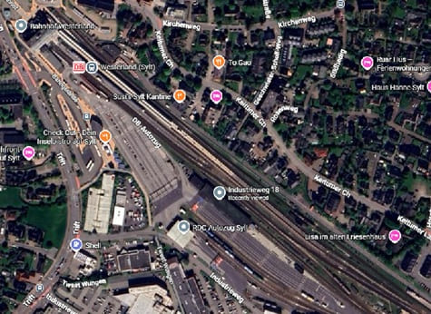
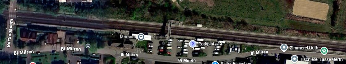
Westerland Railway Station on Sylt. Car trains unload and load here. [Google Maps, June 2026][Google Streetview, March 2022]
Westerland is the end of the line and the last kilometre or two from Keitum to Westerland are not particularly scenic. It seems as though Nicky Gardner is happy to get off the train at Keitum. The flat landscape and the significant crossing of the Wadden Sea by train are positive attributes of a line, that to me at least, seems to be less than Nicky Garner promises it will be.
The next article in this series will be the last. It focuses on a line in Northern Spain and a line in Southern Italy.
References
- Nicky Gardner; Over Land & Sea: Magical Views and Sea-Hugging Routes on Europe’s Best Coastal Train Lines; in Saturday (the Guardian Magazine), 23rd May 2026, p76-77.
- https://commons.wikimedia.org/wiki/File:Strathpeffer_1885.png, accessed in March 2025.
- https://en.wikipedia.org/wiki/Garve_railway_station, accessed on 4th June 2026.
- https://www.ambaile.org.uk/asset/27725, accessed on 4th June 2026.
- https://www.kweimar.de/Bilder_XML.php?ket=HL947#nowhere, accessed on 4th June 2026.
- https://en.wikipedia.org/wiki/Glencarron_Platform_railway_station, accessed on 5th June 2026.
- https://www.geograph.org.uk/photo/4413959, 5th June 2026.
- https://en.wikipedia.org/wiki/File:Achnashellach_Station_Nov2019.jpeg, accessed on 5th June 2026.
- https://www.geograph.org.uk/photo/7531766, accessed on 5th June 2026.
- https://www.facebook.com/share/p/1DDYwfmA2y, accessed on 5th June 2026.
- https://www.railscot.co.uk/locations/A/Avalanche_Shelter, accessed on 5th June 2026.
- https://www.networkrailmediacentre.co.uk/news/new-system-signals-changes-for-stromeferry-motorists, accessed on 5th June 2026.
- https://www.sabre-roads.org.uk/wiki/A890/route, accessed on 6th June 2026.
- https://www.geograph.org.uk/photo/5128618, accessed on 7th June 2026.
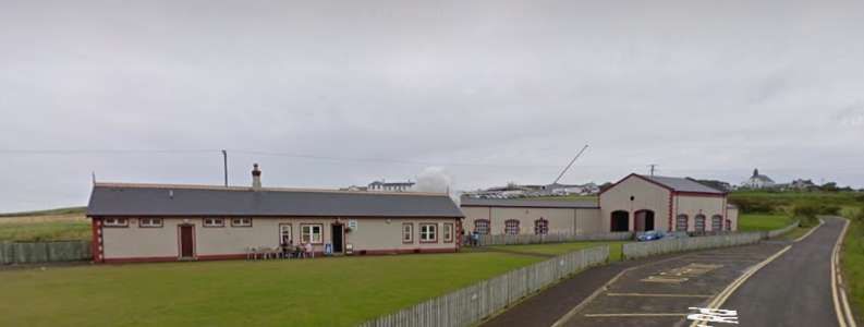
- https://www.kylestationmuseum.org/about/the-kyle-line, accessed on 7th June 2026.
- https://en.wikipedia.org/wiki/Dublin_Area_Rapid_Transit, accessed on 7th June 2026.
- https://www.dublinpublictransport.ie/dublin-train-map, accessed on 7th June 2026.
- https://en.wikipedia.org/wiki/Loopline_Bridge, accessed on 7th June 2026.
- https://commons.wikimedia.org/wiki/File:Butt-railway-bridge.JPG, accessed on 7th June 2026.
- https://commons.wikimedia.org/wiki/File:Loopline_Bridge.JPG, accessed on 7th June 2026.
- https://www.ouririshheritage.org/content/knowyour5k/dun-laoghaire-mallin-railway-station-3, accessed on 7th June 2026.
- https://en.wikipedia.org/wiki/D%C3%BAn_Laoghaire_railway_station#/media/File%3ADART_Dublin_train_2023_(3).jpg,, accessed on 7th June 2026.
- https://en.wikipedia.org/wiki/Sandycove_and_Glasthule_railway_station, accessed on 8th June 2026.
- https://commons.wikimedia.org/wiki/File:Glenageary5.jpg, accessed on 8th June 2026.
- https://commons.wikimedia.org/wiki/File:DalkeyRailwayStation.JPG, accessed on 8th June 2026.
- https://commons.wikimedia.org/wiki/File:Killiney_station.jpg, accessed on 8th June 2026.
- https://en.wikipedia.org/wiki/Woodbrook_railway_station#/media/File:Woodbrook_Station,_Northbound_DART_02.jpg, accessed on 8th June 2026.
- https://en.wikipedia.org/wiki/Bray_Daly_railway_station, accessed on 8th June 2026.
- http://eiretrains.com/Photo_Gallery/Railway%20Stations%20B/Bray%20Head/IrishRailwayStations.html, accessed on 8th June 2026.
- https://mapcarta.com/37562730/Map, accessed on 8th June 2026.
- https://www.geograph.org.uk/photo/1323345, accessed on 8th June 2026.
- https://int.bahn.de, accessed on 8th June 2026.
- https://www.sylt.de/en/anreise-mobilitaet/bahnanreise, accessed on 8th June 2026.
- https://en.wikipedia.org/wiki/Husum_station_(Germany)#/media/File:P1020943_Bahnhof_Husum_2019.jpg, accessed on 9th June 2026.


.jpg)
#/media/File:P1020943_Bahnhof_Husum_2019.jpg)