The November 1899 edition of The Railway Magazine carried a short article about the L&LSR which was not heavy on technical detail. It mostly reads as though it were a holiday brochure rather than an article in a railway journal. None-the-less, the article is still of interest, particularly for the fact that it was written during the period when the L&LSR was expanding.
A map of the L&LS Railway in 1899, before its significant expansion. I was particularly drawn to this map as my wife and I spent our main holiday this year in Rathmullan directly across Lough Scilly from Buncrana. I have still to complete a series of articles about the L&LSR between Derry and Cardonagh. [1: p461]
Chisholm starts his article: the L&LSR “is one of those excellent little lines constructed on the narrow gange principle, which are to be found in all parts of Ireland. The country has the benefit of light rail ways It is with one of these lines that the present article is intended to deal. It is to be hoped that the following notes respecting the L&LSR will prove interesting to readers.” [1: p461-464]
Chisholm then spends a number of paragraphs explaining how best a traveller from the mainland to Derry.
I found his outline of the route from London interesting as it highlighted the number of railway companies whose rails the journey would cross. “Leaving London (Euston or St. Pancras) the passenger is taken to Carlisle, the ‘Clapham Junction of the North’. The journey is continued to Stranraer on the Portpatrick and Wigtownshire Joint Railway, owned by the London & North Western, Midland, Caledonian, Glasgow & South Western, Companies. The steamers run alongside the harbour station, Stran raer. The boats are well built, and are fitted with the latest improvements, The joint companies are financially interested in this steam boat service, as is also the Belfast and Northern Counties Railway. The time occupied in crossing is approximately two hours. Larne harbour station also adjoins the steamer pler, … A narrow gauge train awaits the arrival of the boat, and by this train the traveller is taken to Ballymena, It is necessary to change here into the broad gauge ‘Londonderry Express’, which speedily runs to the city on the banks of the Foyle.” [1: p464-465]
At that time, Derry “consist[ed] of two towns, one on each side of the River Foyle. The waterside station of the Belfast and Northern Counties Rail- way is on the eastern bank. The river is spanned by the stately Carlisle Bridge, a fine structure, which can truly be termed ‘[Derry’s landmark’. … The [L&LSR’s] station was on the western bank of the river. On entering it and viewing for the first time the rolling stock therein, the Londoner’s thoughts [would] immediately fly to the London and South Western Railway. The carriages before him [were] painted almost exactly after the style of that Company’s coaching stock. In addition to this, [the L&LSR] Company paint their engines a bright grass green – another prominent ‘South Western’ feature.”
The featured image for this article shows L&LSR Locomotive No.1 J.T. Macky which was built by Black, Hawthorn & Co., of Gateshead in 1883. At the time of Chisholm’s article this locomotive was only around 6 years old. In a surprising digression from the more general nature of his article, Chisholm provides quite some detail about this locomotive. “It was named after the then Chairman of the Company. Mr. Fred. Dawson, the … General Manager of the Company, … supplied the [Chisholm] with the leading dimensions of ‘J.T. Macky’. It [was an 0-6-2T loco], a six-coupled engine with a two-wheeled pony truck at the rear. The diameter of the coupled wheels [was] 3 ft. 6 in., the diameter of the trailing wheels being 2 ft. 2 in. The gauge of the line [was] 3 ft 0 in. ‘J. T. Macky’ [had] cylinders 13 in. by 19 in.; a total heating surface of 592 square feet. …(112 tubes); a steam pressure of 140 lbs. per square inch, and a total length over the buffers of 27 ft. The total weight of the engine in working order [was] 23 tons 3 cwt.” [1: p462]
L&LSR Locomotive No. 1 ‘J.T. Macky’. [1: p463]
It is clear that Chisholm was quite taken by this locomotive: “The locomotive is extremely handsome, being painted … brought green picked out with black and white stripes. A bright brass dome is mounted on the top of the barrel.” [1: p462]
In 1899, Chisholm claimed that the L&LSR owned ten locomotives the first four named, respectively, J.T. Macky, Londonderry, Donegal and Inneshowen. The remaining engines bore numbers only. J.T. Macky, Londonderry, and Donegal were numbered ‘1’ to ‘3’ and were all 0-6-2T locomotives supplied by Black, Hawthorn & Co. Inneshowen was numbered ‘4’, supplied by the same company it was an 0-6-0T. I have only found evidence of a further four locomotives having been supplied to the L&LSR by 1899: No. 5(A) and No. 6(A), both supplied by Robert Stephenson & Co. in 1873, both 2-4-0T locomotives; and No. 5 and No. 6, both supplied by Hudswell Clarke in 1889, both 4-6-2T locomotives. [3]
Chisholm continues: The L&LSR consisted of “two branches. … The longer branch extend[ed] to Letterkenny, and the shorter to Buncrana. [At that time] the company work[ed] and own[ed] 14.5 miles of line.” [1: p462-463]
Chisholm goes on to write about the L&LSR’s expansion plans. Looking forward from the end of 1899, he says: “It aspires to greater things, … there are now being made extensions of great importance.The first of these is a line from Letterkenny to Burtonport, 49.5 miles. An extension from Buncrana northwards to Carndonagh (see map) is also now being undertaken. The latter will be 18.5 miles long. It will be seen that when these extensions are completed, the Lough Swilly Railway will be a comparatively big concern.” [1: p463]
From this point in his article, Chisholm sells the area around the L&LSR as a holiday destination. “The scenery in and around … County Donegal is exceptionally fine. … Buncrana has truly been described as a lovely spot. It is an ideal holiday resort. A fine building – the Lough Swilly Hotel – has been erected, where tourists will find excellent accommodation. The Lough Swilly Railway is fully alive to the fact that the district served by its line is essentially a resort for the tourist. With this view, [the Company] has introduced a number of facilities for holiday makers. For example, cheap tickets are issued daily between Londonderry and Buncrana – the fare for the double journey being only one shilling. The tickets are available by all trains. The passenger has not to get up at an unearthly hour in the morning to catch a special train. … There has also been introduced, … passengers proceed by rail from Londonderry to Buncrana, thence to Fahan, by steamer from Fahan to Rathmullan, by coach from Rathmullan to Rosapenna, Dunfanaghy, Gweedore, Dungloe, Glenties, Ardara, Carrick, Killybegs, thence by rail to [Derry]. ” [1: p463]
A train from Derry arrives at Buncrana. The Locomotive is L&LSR No. 4, ‘Innishowen’. [1: p464]
In Chisholm’s concluding remarks, he comments that “the railway is a thoroughly up-to-date concern. … The management is … thoroughly enterprising. The railway … is an interesting and well-managed line; the scenery in the district it serves can truly be described as amongst the grandest in the British Isles.” [1: p464]
References
A J. Chisholm; The Londonderry & Lough Swilly Railway; in The Railway Magazine, London, November 1899, p461-464.
My completed articles about the L&LSR can be found on this blog on the following links:
This next series of five extracts from the 25″ OSI survey show the Lough Swilly Railway heading North away from Newtowncunningham Railway Station.
The series of five map extracts above show the Lough Swilly Railway to the North of Newtoncunningham and parallel to Back Shore Road. [3]This extract from railmaponline.com’s satellite imagery shows the railway heading North from Newtowncunningham Station, alongside Back Shore Road, and covers the same length of the line as shown in the five map extracts above. [2]A track can be seen on the satellite image above crossing the line of the old railway as it curved round toward Moneygreggan. This photograph shows that lane. The photograph is taken from Back Shore Road running parallel to the line of the railway at this point. The track at this point was probably provided after the closure of the railway. It gives access to what was the old line of the road prior to the construction of the railway. With the construction of the railway the road was diverted to cross the railway further to the North. [Google Streetview, July 2021]This enlarged extract from the OSi 25″ survey shows the changes made at the location of the photograph immediately above. [3]This extract from the railmaponline.com satellite imagery shows the same location as the map extract immediately above. [2]
The next three images show the bridge in Moneygreggan which carried Back Shore Road over the line just to the North of the location above.
The road bridge constructed to carry Back Shore Road over the Lough Swilly Railway north of Newtoncunningham. [My photograph, 9th May 2024]The view South across the bridge parapet in the direction of Newtown Cunningham Station. [My photograph, 9th May 2024]The view North across the parapet of the same bridge. [My photograph, 9th May 2024]The next location worth noting along the line is a bridge over another minor road which headed West from Back Shore Road [3]The same location, this time on the satellite imagery from railmaponline.com. [2]The lane and the embankment are shrouded by trees. The line crossed the lane very close to its junction with Back Shore Road. [Google Streetview, July 2021]The next crossing of the line was for what was once a through route of sorts but which now is really no more than a farm access track. On the OSi 26″ survey this appears to have crossed the old railway by means of an over bridge. [3]Railmaponline.com’s satellite imagery shows the rail route in the 21st century shrouded in trees. [2]This image looks West along the access road in 2011. Hidden in the trees over the line of the Lough Swilly Railway there are some masonry remains which might be parapet walls for a bridge. Either side of the track the undergrowth and tree cover is dense.[Google Streetview, August 2011]
A series of three further extracts from the 25″ OSi survey show the next length of the Lough Swilly Railway as it turned to the East.
This section of the line ran North from the access road noted above. Back Shore Road crosses the old railway at a level-crossing at the top of this map extract. The stream that has followed the road North emptied into the Lough by means of a stone arch under the of railway. A photograph taken by Willie Rodgers of the stone-arched bridge carrying the old railway over the stream can be seen below. [3]Then curving round to the Northeast, the line crossed a long embankment over part of Lough Swilly. Open water was to the Northwest of the line, a lagoon and saltmarsh prone to flooding was to the Southeast of the line. [3]This extract from the 25″ OSi survey shows the line leaving the embankment and curing further round to the East. [3]The same length of the Lough Swilly Railway as shown in the three map extracts immediately above, as it appears on railmaponline.com’s satellite imagery. What was saltmarsh to the Southeast of the line has been reclaimed and is now in use as arable land. [2]Looking Southwest along the line of the embankment in the 21st century. Back Shore Road ends today in a small unmetalled carpark and a gate into the farmland visible to the top-right of this photograph. [My photograph, 9th May 2024]The small unmetalled carpark at the end of Back Shore Road. The route of the old railway is marked by the orange line heading out onto the embankment. [Google Streetview, July 2021]The stone-arched bridge at the Southwest end of the embankment which carries the route of the L&LSR over the drainage stream which empties into the Lough at this point. This image was shared on the Londonderry & Lough Swilly Railway Facebook Group by Willie Rodgers on 19th November 2021. [5]Looking Northeast along the line of the Lough Swilly Railway from a point 100 metres out along the embankment form the carpark noted above. [My photograph, 9th May 2024]
An aerial image taken by Michael Roulston in February 2021 looking Southwest along the embankment and showing the curve of the old line on its Southwestern approach can be seen by following this link: https://maps.app.goo.gl/vEEn4ViuBhW5QiTD6
A photograph taken by David Hughes in July 2020 from a point about halfway along the embankment can be found on this link: https://maps.app.goo.gl/zb85mGUaBZRqafHa6
A similar photograph taken by David Hughes on the same day shows the view along the embankment from the location of the sluice gates. The railway began to curve away from the line of the embankment at this point. The photograph can be found on this link: https://maps.app.goo.gl/o6TbpWy19muqJypu8
This enlarged extract from the 25″ OSI shows the old railway curving away from the straight line of the embankment. [3]The railway curved away from the straight line of the embankment. [Google Maps, May 2024]This view looks South from just to the North of the Northeast end of the embankment. The L&LSR can be seen curving away to the East and crossing the access road to the location of the photographer via a stone-arched bridge. [Google Streetview, September 2010]A better image of the bridge seen above, also taken from the North. This image was shared on the Londonderry & Lough Swilly Railway Facebook Group by Willie Rodgers on 19th November 2021. [5]The same bridge, seen this time from the South. This image was shared on the Londonderry & Lough Swilly Railway Facebook Group by Willie Rodgers on 19th November 2021. [5]The same structure seen from further to the South along the lane. The tree line to the right of the bridge marks the line of the Lough Swilly Railway. [Google Streetview, September 2010]The next significant location was a little further to the East where another minor road crossed the lien fo teh railway on a bridge. This enlarged extract from the 25″ OSi survey shows the location. [3]This enlaregd extract from the railmaponline.com satellite imagery shows the same location in the 21st century. [2]This view from the South shows the bridge parapets in place in the 21st century. The L&LSR cutting has been infilled and returned to arable use. [Google Streetview, July 2021]
The next three extracts from the 25″ OSI survey show the line turning first to the Northeast and after a short distance reaching Carrowen Railway Station.
These three extracts from the 25″ OSI surveytake us as far as Carrowen Station. [3]This extract from railmaponline.com’s satellite imagery covers the same length of line as appears in the three map extracts immediately above. [2]When the L&LSR was in use it was bridged by a minor road which linked roads to the North and South of the line and provided access to the complex of buildings shown on this enlarged extract from the 25″OSi survey. [3]A wider view of the same location in the 21st century as provided by railmaponline.com’s satellite imagery. Both the road and the old railway have been ploughed back into the landscape. [2]Approaching Carrowen Railway Station, the line was carried over a road close to Carrowen School. [3]Railmaponline.com’s satellite imagery shows the same area as covered by the map extract above. [2]Trees appear to form an arch over the narrow road at the point where the L&LSR was carried by a bridge across the road close to the site of what was Carrowen School. [Google Streetview, July 2021]An enlarged view of Carrowen Railway Station as shown on the 25″ OSi survey. [3]The Station site as shown on an enlarged extract from railmaponline’s satellite imagery. The old station househas been extended out across the line of the railway. [2]Carrowen Station Hose and platform viewed from the West. The building was not of the same design of other larger station houses that we have encountered in our journey along the line of the L&LSR. This photograph was shared on the Londonderry & Lough Swilly Railway Facebook Group by Conor Harkin on 27th April 2022 courtesy of Fahan Inch & Burt Parish. [6]The modern private dwelling on the site of Carrowen Station House includes the original station house It is seen here viewed from the village road to the East of the L&LSR. The photograph looks along the old station approach. The extension to the right of the building sits over the formation of the old railway. [Google Streetview, July 2021]This next extract from the 25″ OSi survey shows the old railway heading North-northeast away from Carrowen Railway Station and bridging a local road. [3]The same length of the line as it appears on modern satellite imagery. The rail-over-road bridge was sited at the top-right of the image. The bridge has gone a a minor realignment of the road carriageway has taken place. [2]Looking Northwest through the location of the bridge. The bridge and the line’s embankments have been removed. The orange line indicates the approximate line of the L&LSR. [Google Streetview, July 2021]Continuing North-northeast, the L&LSR ran through two level crossing close to Drumgowan. [3]the location of each of the crossings can easily be picked out on the modern satellite imagery of railmaponline.com. [2]This photograph taken from the closest metalled road shows the first crossing encountered. It was about 50 t0 100 metres down the lane at the centre of the image. The approximate line of the L&LSR is shown as an orange line beyond the trees. [Google Streetview, July 2021]From a very similar location to the last photograph but this time looking North-northeast. The line of the L&LSR crossed the field to the right of the photograph and ran through the trees which appear left of centre towards the top on the image. The track on the left of the image meets the line o0f the old railway at the first of the trees and then runs along what would have been the formation of the old railway to the coast of Lough Swilly, this can be seen on the next satellite image below. [Google Streetview, July 2021]
The next three extracts from the 25″ OSi survey show the L&LSR curving round to the East to run along the side of Lough Swilly. The earthworks of the earlier line from Derry to Farland Point can be seen to the North of the line.
The station at Farland Point opened on 12th December 1864 when the Londonderry and Lough Swilly Railway built its line from Londonderry Middle Quay railway station to a terminus at Farland Point. The L&LSR owned ferries which operated from Farland Pier. [7]
The L&LSR curved round to the East to run along the side of the Lough. Close to the flood gates earthworks from an abandoned line serving Garland pier would have been visible from trains running between Letterkenny and Derry. [3]
John McCarton comments on the Londonderry & Lough Swilly Railway Facebook Group: “The Londonderry and Lough Swilly Railway Company opened a railway service from Derry to Farland Point (Inch Level Wildlife Reserve today) in December 1861. From Farland Point, a paddle steamer service took train passengers acrossLough Swilly, to Ramelton or Letterkenny.Paddle steamers were chartered in from existing Lough Foyle and Clyde companies to inauguratethis new service. In September 1864, theline was extended from Tooban Junction to Buncrana, with a spur to Fahan, extending Into sidings at the pier for the transportation of goods and passengers to and from the paddle steamers.The ferry service moved to Fahan in 1866, which then became the hub for the L&LSR’s passenger and freight services, to Ramelton, Rathmullan and Portsalon.” [8]
These two extracts from the OSi 25″ survey show the L&LSR running along the South side of what became Inch Wildfowl Reserve. [3]This railmaponline.com satellite image covers the same length of the old railway as the two map extracts immediately above. [2]Looking East along the line of the old railway about 200 metres further along the embankment, (c) Roy Smyth. [Google Streetview, January 2023]Looking East-northeast along the line of the old railway as it curves with the embankment towards the Northeast, (c) Roy Smyth. [Google Streetview, January 2023]Looking Northeast at a point close to the right side of the railmaponline.com satellite image above, (c) Roy Smyth. [Google Streetview, January 2023]
The next few map extracts follow the old railway heading Northeast towards Tooban Junction Station. …
These three extracts form the OSi 25″ survey show the remaining length of the embankments alongside Lough Swilly as the line heads Northeast towards Tooban Junction. After turning to the Northeast the line can be seen running on a secondary embankment to the East of that facing the sea. [3]This extract from the railmaponline.com satellite imagery shows the length of the L&LSR covered by the three map extracts above. [2]Looking back to the Southwest along the L&LSR formation from the Inch Wildfowl Reserve car park. The railway ran along a low embankment to the East of the main embankment and to the East of the modern walkway. [Google Streetview, September 2010]Looking Northeast along the L&LSR formation from the Inch Wildfowl Reserve car park. The line ran, approximately, along the tree line close to the centre of this photograph. [Google Streetview, September 2010]Looking Northeast along the L&LSR formation again. (The line ran to the right of the path ahead.) As is evident in these last few images, the old railway was protected from the worst of the weather over Lough Swilly by a high embankment. We are closing in on the curve taking the line into Tooban Junction Station, (c) Roy Smyth. [Google Streetview, January 2023]
Inch Wildfowl Reserve
The story of the Wildfowl Reserve is told on its website: [9]
“Inch Lough is a brackish lagoon cut out from Lough Swilly by embankments, and penned between Inch Island and extensive flat agricultural polders (slobs) on the mainland of County Donegal by a third long embankment.
Historically there was a large area of Lough Swilly between Inch Island and Burt, which lies at the foot of Grianan Mountain (the site of the famous Iron Age hillfort, Grianán of Aileach). In 1836 it was proposed to claim this shallow expanse of tidal estuarine mud from the lough. Work started around 1840 and was complete by 1859.
The first stage was the construction of the Tready Embankment across the centre of the area, from Tooban Junction near Burfoot in the east, to Farland Point in the west. It would also serve as the route of the Londonderry and Lough Swilly Railway – a narrow-gauge line connecting Carndonagh and Derry in the north-east, with Letterkenny and Burtonport in the far west. The line operated between 1863 and 1953.
North of Tooban was a point where the mainland was close to Inch Island, and where a causeway, the Inch Embankment, was built to link the island to the mainland.
The third stage was to construct a parallel embankment in the west, between Farland Point and the island, the Farland Embankment, or as it is now generally called, the Farland Bank.
So between these three embankments and Inch Island there was a section of water cut off from Lough Swilly, and also from the mud flats to be drained. This area would be kept as a holding tank, to receive the waters drained from the south and keep out the tidal extremes of Lough Swilly. Thus Inch Lough was created, and over the years has become steadily less salty.
South of the Tready Embankment, between it and Grianan Mountain, all that area of Lough Swilly now isolated from the tidal waters could be drained through a complicated system of large and small drains, to create agricultural land. This huge expanse of flat polderland is locally known as The Slobs, or more formally as Inch Level. The drainage was not initially very successful. Until the late 1950s the patchwork of small fields were very marshy, and included some areas of unambiguous marshland.
At that time, industrialist Daniel McDonald, started to buy up the small properties and by 1961 had amalgamated all into Grianán Estate, the largest arable farm in Ireland at around 1200ha. The fields could then be enlarged and the drainage system re-vitalised.
There have been a few changes of hands since then. Most notably, a consortium of businessmen bought the estate in 1980 and announced plans to drain the northern half of the lake. A local campaign was immediately launched to resist this – mainly defending Inch Island’s status as an island, but concerned also about the threat to wildlife from the loss of half of the lake. The consortium claimed that the scheme proved to be technically unviable, and whether or not that was the real reason, or they were overwhelmed by the strength of the opposition, they abandoned the scheme and sold up in 1989.
An Grianan Farm is now in the hands of Donegal Creameries plc., and managed as an organic dairy farm. Parts of it are leased to local farmers. In 2002 the National Parks and Wildlife Service took on a thirty year lease of Inch lough and its surrounding wet grasslands. Since then, NPWS along with various stakeholders have developed the site, with ongoing work in conservation management, community involvement, and development of visitor infrastructure. The aim now is to sustainably develop Inch Wildfowl Reserve for the future, integrating conservation with community and farming, whilst allowing limited access for the public.” [9]
This extract from the 25″ OSi survey covers the next length of the line. Included in this extract is Tooban Junction and its station and the start of the branch to Cardonagh. [3]An enlarged extract focussing on Tooban Junction. The L&LSR line to Derry is the more northerly of the two line leaving the right of this image. The other line is a long storage line or headshunt. [3]This extract from the railmaponline.com satellite imagery covers the same length of the L&LSR as shown in the map extracts immediately above. It centres on the location of Tooban Junction Station. [2]Facing Northeast along the L&LSR formation again. This time on the curve round to the location of Tooban Junction Station, (c) Roy Smyth. [Google Streetview, January 2023]Facing East along the line of the old L&LSR through the location of Tooban Junction Station from the modern footbridge over the drainage channel. Note the signal post with two arms which stands on the station site, This is a reconstruction by Buncrana sculptor John McCarron as part of the Ghosts of Tooban Junction project, (c) Roy Smyth. [Google Streetview, January 2023]Tooban Junction Station seen from the West. This image was shared by Donegal Railway Heritage Museum in their Facebook Page on 6th February 2020, (c) Edward PattersonLooking West at Tooban Junction on 20th April 1953. The line to Letterkenny is to the left of the water tower, that to Cardonagh is to the right. This photograph was shared on the Fahan Inch & Burt Parish Facebook Group on 6th September 2015. [16]
The ‘Disused Stations’ website has a series of pages focussing on Tooban Junction Station. [10][11][12][13] These pages include a history of the station and a number of photographs of the station from various sources. Click here to visit the first of these pages.
Ernie’s Archive includes a number of photos of the station. [14] Click here to access these images.
Wikipedia notes that “the station opened on 9th September 1864 when the Londonderry and Lough Swilly Railway built their line from Londonderry Middle Quay to Farland Point. It closed for passengers on 23th October 1935. Freight services continued until 10th August 1953.” [17]
We take a break at Tooban Station and await the next train!
https://en.wikipedia.org/wiki/Tooban_Junction_railway_station, accessed on 27th May 2024. However, note comments made in response to this article by Martin Baumann: “The Derry to Buncrana line saw passenger services on bank holidays after regular services had ceased. The last day this happened was 6th September 1948. … Freight traffic ceased on 8th August 1953, not the 10th but it was possible to travel on freight services as the Swilly had no Goods Brake Vans so a Passenger Brake with some seats was always in the formation.”
Letterkenny once had two railway stations immediately adjacent to each other. One was the terminus of the County Donegal Railways Strabane to Letterkenny branch. The other was a through station on the Lough Swilly (when operation in the first half of the 20th century it’s formal title was the ‘Londonderry & Lough Swilly Railway’).
The two railway stations in Letterkenny lay side by side. That to the North was the terminus if the County Donegal Railways branch which connected Letterkenny to Strabane. That to the South was the Lough Swilly station through which passed trains between Burtonport and Derry. OSi 6″ to 1 mile last series. [3]The same area as shown on the railmaponline.com satellite imagery. Contrary to what appears on the image, both railway lines ran on the South side of Ramelton Road. That shown in Orange is the Lough Swilly line. [4]
In an East-Southeast direction, the two companies’ lines ran parallel for some distance, before the Co. Donegal line headed away to the South through Convoy and Raphoe before crossing the border at Lifford and meeting the other Co. Donegal lines at Strabane. The Loch Swilly found its way to Derry via Tooban Junction where a significant branch line to Buncrana and Cardonagh left the line to Derry.
To the West, the Lough Swilly’s Burtonport Extension Railway meandered across the moors and between small villages nearer the coast.
Three articles cover the Strabane to Letterkenny branch of the Co. Donegal Railways. They can be found on the following links. ….
The Lough Swilly’s line between Derry and Letterkenny was built in stages and included a change of track gauge from 5ft 3in to 3ft.
“The railway was initially planned as the Derry and Lough Swilly Railway Company when an application for incorporation was filed in 1852, … The company opened its first line, a 5 ft 3 in (1,600 mm) link between Derry and Farland Point, on 31st December 1863. A branch line between Tooban Junction and Buncrana was added in 1864 and much of the Farland Point line was closed in 1866.” [1][2: pxiv]
Wikipedia’s history of the railway company goes on to say that “in 1883, the 3 ft (914 mm) narrow gauge Letterkenny Railway between Cuttymanhill and Letterkenny was opened and the L&LSR connected with it by reopening the Tooban Junction – Cuttymanhill section of its Farland Point line. The L&LSR worked the Letterkenny Railway, and in 1885 it converted its track from 5 ft 3 in (1,600 mm) gauge to 3 ft (914 mm) narrow gauge to enable through running. In 1887, ownership of the Letterkenny Railway passed to the Irish Board of Works, which continued the agreement by which the L&LSR operated the line.” [1][2: pxiv & p3]
“Carndonagh was reached by an extension completed in 1901 and Burtonport by a one completed in 1903. Both lines were constructed as joint ventures with the UK Government, with ownership and liabilities shared between the two parties. During this period the company did not make a profit, and struggled to meet its debts.” [1][2: p2 & p3]
Letterkenny to Newtoncunningham. The L&LS railway is shown on this extract from OSi mapping of the mid-20th century. [3]
The first map extract from OSi mapping which appears close to the top of this article shows the Co. Donegal and the Lough Swilly stations in Letterkenny. The 6″to 1 mile series as digitised is not the clearest mapping. An earlier 25″ to 1 mile series shows only the Lough Swilly line but is of a higher quality.
Ernie’s Railway Archive on Flickr has a range of photographs of the L&LS Letterkenny Railway Station site from the 1950s, the links are embedded here below, click on each link to see the image in Ernie’s Railway Archive on Flickr:
https://flic.kr/p/2nMqBvu – The L&LSR Station site from the East in 1952. The carriage shed is closest to the camera on the right of the image. The locomotive shed and turntable are hidden behind the carriage shed. At the centre-top of the image, the Goods Shed can be seen.
https://flic.kr/p/2nM8xYs – The Goods Yard of the L&LSR in 1952. Beyond wagons L&LSR No. 124 and L&BER No. 73 the Goods Shed and the passenger station building can be seen.
https://flic.kr/p/2nWyB5y – The L&LSR Goods Yard in 1952. The side elevation of the Goods Shed is visible beyond the wagons in the yard. Prominent in the picture is L&LSR Wagon No. 71.
https://flic.kr/p/2nCR8dg – L&LSR No. 12 is featured in this image from 1952. No. 15 is just poking its nose into the shot on the left.
https://flic.kr/p/2kHNdD9 – L&LSR No. 8 is being turned on Letterkenny’s turntable on 27th June 1952.
https://flic.kr/p/BWoyiF – L&LSR No3 at Letterkenny. On the left, the image is framed by the wall of the Goods Shed. The crossing gates at the West end of the station are visible beyond No. 3’s train. The passenger facilities are on the right. Note the coach acting as a brake van for the train. (c) JW Armstrong/ARPT
https://flic.kr/p/BvajsP – L&LSR No. 12 in the Engine Shed at Letterkenny, (c) JW Armstrong/ARPT
https://flic.kr/p/2ma5Lo3 – The L&LSR Station at Letterkenny on 1st July 1959 after the rails had been lifted. The Goods Shed door is closed (on the left) and the station buildings are on the right.
https://flic.kr/p/2k1hGvQ – The L&LSR operated a daily goods service by lorry after the closure of the line. A company rail lorry bearing the number plate IB7024 is shown standing where trains would once have passed, adjacent to the station building at Letterkenny. The photograph was taken on 23rd August 1954.
Other photographs of Letterkenny’s L&LSR railway station can be found on Flickr or elsewhere on line:
Dave Bell and Steve Flanders describe the use of the bridge arches in the 1980s like this: “The present owner of the filling station has made good use of the … bridge by bricking up one side and building a garage against the other. In effect he now has a garage with three bays, the roof of which is actually the side road.” [18: p47] There are two pictures of the arched bays in Bell and Flanders book.
Kerry Doherty also very kindly supplied this photograph which shows the arches of the old bridge inside the garage facility, (c) Dave Bell. [17]
A short distance to the South East the CDR branch crossed the Lough Swilly and turned away to the South.
A short distance to the East of the over bridge the Lough Swilly line crossed another road at a level crossing.
The site of the level-crossing as shown by Google Maps [May 2024]At the site of the level-crossing, this view looks back towards Letterkenny along the line of the old railway. [Google Streetview, August 2021]Also at the level-crossing this view looks ahead to the Southeast along the line of the railway. [Google Streetview, August 2021]
A few hundred metres to the Southeast the line crossed Clanree Lane at the level.
Anticipating that the Sallybrook Station House would’ve been fully renovated, we drove down the access road and discovered that no further work had been undertaken since the July 2031 photo was taken. Two pictures of the building are included here.
The station forecourt side of Sallybrook Station building, [My photograph, 10th May 2024]Looking West along the line of the Lough Swilly Railway along the platform side of the Station building. [My photograph, 10th May 2024]Looking Northwest from the minor road across the level-crossing at Sallybrook Station. [Google Streetview, July 2021]Looking ahead, East, at Sallybrook Station, towards Newtoncunningham. [Google Streetview, July 2021]The next extract from the 25″ OSi survey shows the length of the line immediately yo the East of Sallybrook Station. Land levels are such that the Lough Swilly Railway [passed over the next road. [15]Google Maps shows the same location in the 21st century. [Google Maps, 15th May 2024]Looking North along the minor road which appears in the map extract and the image above. The trees to the right and left of the road mask the embankment which carried the old railway. The bridge at this location has been removed. [Google Streetview, October 2021]
This next series of extracts from the 25″ OSi survey shows the Lough Swilly Railway crossing opens country between Sallybrook Station and Newtoncunningham Station.
The seven map extract above show the Lough Swilly Railway traversing open country/farmland in a generally Northeasterly direction. [15]This satellite image from Google Maps shows that same length of the line as covered by the seven extracts immediately above. Field boundaries remain as they were at the time of the 25″ OSi survey. Over parts of this length of the line, hedgerows which used to flank the old railway have disappeared. [Google Maps, 16th May 2024]This next extract from the 25″ OSi survey shows the point at which Castleblaugh crossed the line. [15]A similar area to that shown on the map extract immediately above as it is shown on Google Maps satellite imagery in the 21st century. [Google Maps, 16th May 2024]Looking East along Castleblaugh, the only indication of the old railway at this point is the crest in the road alignment at the point where the road bridged the line. [Google Streetview, July 2021]
From Castlebaugh heading North to Milltown much of the old railway formation has been ploughed back into the landscape. The next few 25″ OSI survey extracts show the line as it was.
The eight extracts from the 25″ OSi survey show the length of the railway between the road bridge carrying Castleblaugh and that at Milltown. [15]The length of the Lough Swilly Railway from Castleblaugh to Milltown as shown on railmaponline.com’s satellite imagery. Much of the formation of the old railway has been ploughed back into farmland. [4]The Flax Mill at Milltown and the road bridge over the Lough Swilly Railway. [15]Railmaponline.com’s satellite imagery shows the same area close to the old flax mill, as it appears in the 21st century. [4]The bridge at Milltown as it appears in the 21st century. This view looks from the East over the bridge towards the location of the flax mill. [Google Streetview, July 2021]Looking South from Monad Road along the line of the old railway. The curtting at this location has been infilled and only the bridge parapet remains visible. [Google Strettview, July 2021]Looking North from Monad Road along the line of the Lough Swilly Railway towards Newtoncunningham. More of the cutting of te old railway can be seen in this direction. [Google Streetview, July 2021]
The next 4 extracts from the 25″ OSi survey cover the length of the line as far as Mason Lodge and the overbridge at that location.
Four extracts from the OSi 25″ survey take us as far as Mason Lodge and the bridge over the line at that location. [15]The length of the line covered by the four map extracts above as it is shown on railmaponl;ine.com’s satellite imagery. [4]An enlarged extract from railmaponline.com’s satellite imagery focussed on the location of the bridge over the line adjacent to Mason Lodge. [4]Looking West across the old bridge over the Lough Swilly Railway adjacent to Mason Lodge. This 21st century image shows the bridge parapets still in place. [Google Streetview, July 2021]Looking South along the old railway the cutting is heavily overgrown in the 21st century. [Google Streetview, July 2021]Looking North over the bridge parapet in 2021a private property straddles the old formation with the line running close to the hedge in the foreground and through the out-building ahead. {Google Streetview, July 2021]From a point a little further to the North on the minor road which ran parallel to the old railway, it is possible to make out the stone arch which carried the road over the line. It is masked by the landscaping of the private garden. [Google Streetview, July 2021]The line continued Northward in cutting. [15]As this next extract from the 25″ OSi survey shows, where the cutting came to an end and before the line ran North onto embankment there was a further road crossing, this time at level. [15]This extract from railmaponline.com’s satellite imagery covers the same length of the old railway as the two map extracts immediately above. The bridge close to Mason Lodge appears at the southern edge of the extract, the level crossing noted above appears at the top of this image. [4]This photograph shows the view looking West across the line of the old railway at the location of the lvel-crossing. [Google Streetview, March 2011]Looking South along the line of the Lough Swilly Railway from the levle-crossing noted above, the formation continues to be defined by boundary hedges although, in the 21st century, it is in private hands. [Google Streetview, March 2011]Looking North from the location of the level crossing. The approximate route of the old railway is shown by the orange line. [Google Streetview, March 2011]This next extract shows that the line North of the level crossing was on a relatively significant embankment. [15]Continuing to the North, this next extract from the 25″ OSi survey shows a significant viaduct which carried the line over a stream. [15]The line then crossed a more significant road by means of another bridge. This road was to become the N13 linking Letterkenny to Derry. [15]The location of the level-crossing appears at the bottom of this next extract from railmaponline’s satellite imagery, the N13 at the top and the viaduct location just above the centre of the image. [4]Looking Northeast along the N13 through the location of the bridge which carried the Lough Swilly Railway over the road. [Google Streetview, November 2022]Looking South from the N13 the rail embankment has been removed for some distance from the modern road, but the embankment can be seen in the distance. Railway land at this location was wide enought o accommodate the full width of the embankment and remains delineated by the modern hedges seen in this image. [Google Streetview, November 2022]Looking Northwest from the N13, the embankment has not been removed. The stonework of the bridge abutment and the springing at the base of the arch which spanned the old road before its widening can clearly be seen. [Google Streetview, November 2022]The two extracts from the 25″ )Si survey show the southern approach to the station at Newtowncunningham. [15]Newtowncunnigham Railway Station as shown on the 25″ OSi survey. The station was sited in the area known as Moyle. [15]The site of Newtowncunningham Railway Station as shown on railmaponline.com’s satellite imagery. The bridge at the North end of the station has been removed and the road realigned. The Station House and the Water Tower remain. The Station House in private hands. [4]
(c) National Inventory of Architectural Heritage (@niah_ireland [Instagram], @NIAH_Ireland [Twitter])
Two views of Newtowncunninham Railway Station House, now in private ownership, (c) National Inventory of Architectural Heritage (@niah_ireland [Instagram], @NIAH_Ireland [Twitter]). [22]
Newtowncunningham Station Water Tower. The National Inventory of Architectural heritage describes this as a “freestanding single-bay two-storey former railway water tower associated with Newtowncunningham Railway Station, built c. 1883, having rendered platform over surmounted by timber-clad metal water tank.” (c) National Inventory of Architectural Heritage (@niah_ireland [Instagram], @NIAH_Ireland [Twitter]). [22]
The Station House seen from the road. [My photograph, 9th May 2024]
We complete this article here at Newtowncunningham Railway Station. The next article in this series will look at the line from Newtowncunningham to Derry.
In 2020, Kerry Doherty of Ballindrait very kindly sent me a series of pictures of the Co. Donegal Railways Strabane and Letterkenny Railway route. Each of these, in this article, bears the reference number [17].
Dave Bell and Steve Flanders; The Londonderry and Lough Swilly Railway: A Visitor’s Guide; County Donegal Railway Restoration Society.
Images of traffic on the line when it was still operating seem to be few and far between. I am continuing to look for images and may post an addendum if sufficient come to light in due course.
The 1940s 1″ OSi mapping below shows the length of the covered in this third article.
This first segment covers Cashelnagor Railway Station via Falcarragh Railway Station to Lough Agher. [2]This next segment runs from Lough Agher via Dunfanaghy and Creeslough Railway Stations, across the Owencarrow Viaduct and through Barnes Gap. [2]Our starting point for this part of the journey along the Burtonport Extension Railway is at Cashelnagor Railway Station. This is an extract from the 25″ OSi mapping of the early 20th century. [2]A very similar area as covered in the map extract above. This is how the site of Cashelnagor Railway Station appears on the satellite imagery provided by Google Earth [May 2023]Cashelnagor Railway Station viewed from the crossing location to the South of the Station in April 2023. As we noted in the lst article about the line, the station building has been refurbished and is in use as a holiday let. [3][My photograph, 24th April 2023]
The length of the line from Cashelnagor Railway Station to Falcarragh Railway Station is best seen on the 6″ OSi mapping of 1901 as one sheet of the 26″ mapping covering the route is not available on line. The quality of the reproduction of the map extracts below is not as good as it might be, but it is the best available at present. [2]
The 6″ OSi mapping shows the old railway heading almost due North away from Cashenagor Railway Station. [2]A similar length of the old line as it appears on Google Earth in 2023. [Google Earth, 31st May 2023}At Milepost 56 (56 miles from Derry) the line begins to curve round to the East. [2]Another Google Earth satellite image which shows the route of the old line as it appears in 2023. [Google Earth, 31st May 2023]Looking back Southwest from the minor road which appears on the Google Earth satellite image above. The route of the old railway is shown by the superimposed yellow line. [Google Streetview, August 2021]At the same location, looking Northeast along the route of the old railway. The minor road on which we are standing was no more than a track in the days when the railway was operating. The map extract above shows it petering out after crossing the line. It linked in to another track to the North of the line. [Google Streetview, August 2021]The old railway crossed the Tullaghobegly River on embankment while running in a Northeasterly direction. We are on the next OSi 6″ map sheet from 1901 and the detail is a little easier to make out. In the bottom left of the extract there is a track crossing the old railway. [2]This extract from the Google Maps satellite imagery shows the same length of the old railway as the map extract above. The Tullaghobegly River is easy to make out running across the image from South to North. The old railway route is still clearly visible as well running from the lower left of the image to the top-right. [Google Maps, 31st May 2023]This enlarged extract from Google Maps satellite imagery shows the minor road crossing the line of the old railway which appeared in the bottom-eft of the image above. [Google Maps, 31st May 2023]Looking back Southwest from the minor road shown on the Google Maps extract above. [Google Streetview, August 2021]From the same location, looking Northeast towards Falcarragh Railway Station, with the line of the old railway superimposed. The house here is not recorded as a crossing keeper’s hose so the track will have crossed the line at an ungated crossing. [Google Streetview, August 2021]The railway bridge over the Tullaghobegly River still stands in 2023. We did not get a photograph of this bridge when we walked to Falcarragh Railway Station. [Google Maps, 31st May 2023]
“The Tullaghobegley River (also known as the Bawaan River) flows for some 9 miles, emptying into Ballyness Bay and thence to the sea. The source of the river is Lough Altan at the base of Mount Errigal in Glenveagh National Park. … The Tullaghobegley, though small, is a productive salmon and sea trout fishery recording around 300 salmon per season. The river fishes from June onwards. During spates there are some nice pools above the Main Road Bridge, above the old Railway Bridge and at Meendarragh.” [4]
The railway continued in a Northeasterly direction, running to the Northwest of Creenlougher and on past Milepost 54. [2]A similar area on Google Maps satellite imagery to that shown in the extract above. Note the bridge over the old railway in the bottom-left of this image. [Google Maps, 31st May 2023]Looking North from the road which bridged the old railway, at the bridge which still carries that road. AS can be seen, the arch has been infilled with concrete. [Google Streetview, August 2021]Looking back to the Southwest from the road bridge at Creenlougher. {Google Streetview, August 2021]Looking Northeast from the bridge over the old railway at Creenlougher in 2023. [Google Streetview, August 2021]Curving a little to the East, the railway approached Falcarragh Station at Fiddler’s Bridge. [2]A very similar area to that shown on the map extract above, as it appears on Google Maps in 2023. [Google Maps, 31st May 2023]A closer view of Falcarragh Railway Station from above. The line of the old railway is superimposed. The station building was immediately adjacent to the road with the goods shed behind it (to the North), both are still in use in 2023. [Google Maps, 31st May 2023]This station layout appears in Dave Bell and Steve Flanders book about the Londonderry and Lough Swilly Railway. The layout of the station is such that should it have been required to allow a train from the opposite direction to pass, laying back into the goods loop, or pulling into the goods loop would be possible. [5: p77]The view Southwest along the old railway from just to the West of the R256. [My photograph, 27th April 2023]The view East across the R256 into the site of Falcarragh Railway Station. [My photograph, 27th April 2023]The view East along the line if the old railway from the location of the level crossing on what is now the R256. [My photograph, 27th April 2023]This photograph shows Falcarragh Railway Station after final closure of the line in 1947. It was shared by Joe Begley on the Memories of Falcarragh/Gortahork Facebook Group on 30th January 2018. [9]Falcarragh Railway Station as seen in the early 2000s. This picture was included in E. M. Patterson, Joe Begley and Steve Flanders book about the line. [6: p167]A similar view to the monochrome image and the early 2000s image above as the Station appears in 2023. [My photograph, 27th April 2023]
“Falcarragh railway station served the village of Falcarragh, 4 km (2.5 mi) away. … [It] opened on 9th March 1903 when the Londonderry and Lough Swilly Railway opened their Letterkenny and Burtonport Extension Railway, from Letterkenny to Burtonport. It closed on 3rd June 1940 [to passenger traffic] when the LLSR closed the line from Tooban Junction to Burtonport in an effort to save money.” [7] Final closure to all traffic occurred on 6th January 1947. [8]
Two further views of Falcarragh Railway Station in April 2023. Notice the Station Nameplate now on the platform face of the building. [My photographs, 27th April 2023]The house facing the Railway Station. [My photograph, 27th April 2023]The Falcarragh Goods Shed/Store as shown in Patterson, Begley and Flanders book. This view is from the East. [6: p167]The view of the old goods shed/store and the passenger station building from the R256 looking East. [Google Streetview, November 2022]The approach to Falcarragh Railway Station from the East. The ford across the River Ray is to the left of the line. The station buildings were on the other side of the line facing the house visible in the distance. This photograph was shared on the Memories of Falcarragh/Gortahork Facebook Group on 30th January 2018 by Joe Begley. [9]The same location as it appears on Google Maps/Google Streetview on 2nd June 2023 on my mobile. The top half of this image is the view at the location marked by the red flag and looking in the direction of the white on blue arrow indicates in the bottom half of the image. We are looking West across the bridge over the River Ray. The trees on the left camouflage the house opposite the Station, those immediately beyond the bridge hide the Station site.[Google Streetview, August 2021]This is the only picture that I have been able to find which shows the old railway bridge from river level. It was shared by Carmel Boyle on the Memories of Falcarragh/Gortahork Facebook Group on 24th September 2021. [11]The River Ray Bridge viewed from the South, on the old road where it forded the river, in 2023. [My photograph, 27th April 2023]Looking East from the throat of the ols railway station across the moderm road bridge which replaced the old railway bridge. [Google Streetview, August 2021]The OSi 6″ Map shows the old railway heading sinously East from Falcarragh. [2]RailMapOnline shows the route of the old railway East of Falcarragh Railway Station. [10]The view East from the bridge over the River Ray. Pedestrian access is permitted beyond the fence line ahead. [My photograph, 27th April 2023]Looking East along the old railway formation. [Google Streetview, August 2021]The old railway continues to run East. [My photograph, 27th April 2023]Two level crossings and a relatively significant structure appear on the next extract from the 6″ OSi mapping of 1901. As will be seen on the Google Maps extract below, the first of these, approximately at the centre of this image, seems to be of lesser importance in the 21st century than it was at the beginning of the 20th century. The second, more Easterly, of the two crossings seems to be on a slightly more used track in the image below. The building adjacent to the crossing is a B&B now. [2]The old railway formation continues East. [10]The fenceline marks the end of the permissive length of the route over private land. The building in the distance is the B&B marked on Google Maps to the right of the satellite image immediately above. [My photograph, 27th April 2023]Closer to the B&B the line crosses a moorland river. the low parapet walls belie the substantial nature of the structre. [My photograph, 27th April 2023] The bridge carrying the old line across a moorland river, (The Lough Agher River). [My photograph, 27th April 2023]The line continues in an Easterly direction. [2]The moorland river/stream (The Lough Agher River) crossed to the West of the B&B closely follows the old railway formation; passing under it once again through the bridge shown below. [10]Two images of the bridge which we noted on the RailMapOnline.com image above. The first is taken looking East, the second looks from the South across the line of the old railway. [My photographs, 27th April 2023]Looking Southeast from the line of the Burtonport Extension close to the right edge of the RailMapOnline.com image above. The ropad/track heading South appears both on the above satellite image and on the left side of the one below. [My photograph, 27th April 2023]The old railway continues eastward. [2]The old railway continued East as this next RailMapOnline.com satellite image shows. [10]Looking East at the point where a track crosses the line of the old railway. This location appears at the right side of the satellite image above. [27th April 2023]Walking these long straight sections of the old line takes time. The distant hills only gradually appear closer. [My photograph, 27th April 2023]The view North from the track running on the South side of the old railway. The very shallow embankment carrying the line at this point can just be made out. This image comes from a point on the track at the right-hand edge of the RailMapOnline.com image above and the left-hand side of the satellite image below. [Google Streetview, October 2009]The old railway turned to the Northeast just beyond the small bridge shown in images below. [2]Another moorland stream is crossed on this next length of the route of the old railway, as shown on RailMapOnline.com, and the line turns to follow as East-Northeast alignment. [10]This picture is taken looking East from the bridge over the moorland stream mentioned above. The line curves towards the North ahead taking an East-Northeast alignment. [My photograph, 27th April 2023]The view from the Northwest of the culvert/bridge which takes the stream under the old railway formation. [My photograph, 27th April 2023]The view from the Southeast of the same culvert/bridge. [My photograph, 27th April 2023]Further round the curve seen ahead on the view along the line across the stream culvert/bridge above. [My photograph, 27th April 2023]Now beyond the curve, the line ran straight towards Lough Agher ahead. a careful study of the phto will shw that the line is crossed by a fence line ahead. [My photograph, 27th April 2023]This next extract from the 6″ OSi mapping of 1901 shows a further straight length of the line crossing a moorland track at a shallow angle by means of an ungated crossing and then following the southern shoe of Lough Agher which appears in the top-right of the extract [2]As this satellite image shows, alongside Lough Agher the line curved further to the Northeast and followed the shore of the lough. As we will see below the route of the old railway is metalled to the East of the moorland road shown here. [10]Approaching a moorland lane which crosses the old railway route at a shallow angle we reached the length of the old line which had very recently been metalled. Lough Agher is just beyond the horizon at the left of the image. [My photograph, 27th April 2023]A similar view to that shown above looking along the line of the old railway. This time from 2009. Lough Agher can just be seen close to the horizon in the centre of this image. This and the following image are provided to give an indication of the dramatic change in the accessibility which has been achieved in recent years. [Google Streetview, October 2009]Looking back West towards Falcarragh in 2009! [Google Streetview, October 2009]The line followed the southern shore of the lough. [2]A similar area as shown on the satellite imagery provided by RailMapOnline.com. [10]The mettalled track follows the southern shore of Lough Agher. [My photograph, 27th April 2023]The powers that be have provided some excellent amenities along the route. [My photograph, 27th April 2023]At the Northeast end of the Lough the railway curved round from its Northeasterly trajectory towards the Southeast. [2]A similar area as shown on the modern satellite imagery with the route of the railway superimposed in yellow. [10]These two images show the metalled footpath on the old railway line approaching the Northeast corner of Lough Agher. The line curves round between the two hills directly ahead of the camera in the second shot. [My photographs, 27th April 2023]The line beginns to curve round to the Southeast. [My photograph, 27th April 2023]The 6″ OSI survey of 1901 shows little in the way of features around the old railway as it ran first in a Southeasterly direction and then began to curve round to the Northeast again. [2]The same area as shown by RailMapOnline.com with the route of the old railway shown in yellow on the Google satellite imagery. [10] The Foot of Muckish Trailhead provides a some parking and access to a number of local footpaths. [10] Examples of the walking available can be found here. [12]
The Foot of Muckish Trailhead provides a some parking and access to a number of local footpaths. Examples of the walking available can be found here. [12] The sequence of photographs immediately below follow the tarmacked trail to the car park at the Muckish Trailhead.
The sequence of photos above shows the route of the old railway as it appears in the 21st century, approaching the Muckish Trailhead and car park. [My photographs, 27th April 2023]The information board at the Muckish Trailhead. [My photograph, 27th April 2023]A few metres beyond the information board stands a trail marker for the tarmacked length of the old railway formation. [My photograph, 27th April 2023]The view ahead to the Northeast along the line of the old railway which runs on shallow embankment for much of the next kilometre. [My photograph, 27th April 2023]A panoramic view looking South from adjacent to the Muckish Trailhead Car Park with Muckish Mountain right-of-centre and the old railway embankment visible across the middle of the image. [My photograph, 27th April 2023]The 6″ OSI survey of 1901 now shows the old railway meandering Northeast on embankment. [2]This RailMapOnline.com extract shows the same area as it appears in 2023, as the map extract above. [10]A view of the old railway embankment from the Muckish Miner’s Path Trailhead. The line of the embankment is below the horizon and just above the top of the signpost. [Google Streetview, August 2021]Still 49km from Derry, the line continued East-northeast.The same area, once again, as in the map extract above. [10]
Before moving on, it is worth noting that Begley and Saunders [6] number the next two crossing-keeper’s cottages differently from Bell & Saunders [5]. In order to reflect both of these opinions the Bell & Saunders numbers are referred to in brackets below.
These two extracts from the OSi historic mapping show the next length of the old railway. The first is from the 6″ survey and shows Gatehouse No. 12 (14) just to the East of the join between two map sheets. The second covers a length eastwards from a point just to the West of Gatehouse No. 11 (13). It is taken from the 25″ survey. [2]This satellite image from RailMapOnline.com shows the same length of the old railway as covered by the two images above. Gatehouse No. 12 (14) is just to the right of centre and guarded access across the line on the lane which meanders around to the South of the route of the old line. [10]Gatehouse No. 12 (14) as shown on Google Maps with the old line superimposed. [Google Maps, June 2023]Two images of Gatehouse No. 12 (14) as it appeared in 2021. [Google Streetview, August 2021]Gatehouse No. 12 (14) in 2023. [My photograph, 27th April 2023]Looking back to the West along the old railway formation with renovation being undertaken at Gatehouse No. 12 (14) which encroaches across the line if the railway. [My photograph, 27th April 2023]Looking East along the old railway formation from the track outside Gatehouse No. 12 (14). [My photograph, 27th April 2023]The 25″ OSi survey of 1901 shows the old line continuing first in an Easterly direction and then turning to the Northeast. [2]RailMapOnline.com shows the same length of the old line as the two map extracts above. [10]A much closer view of Gatehouse No. 11 (13) as seen on Google Maps satellite imagery. [Google Maps, June 2023]Gatehouse No. 11 (13) at the turn of the 21st century. [6: p166]Gatehouse No. 11 (13) in 2023. The site around the building was relatively rundown. [27th April 2023]This sequence of three map extracts from the OSi 25″ mapping show the line maintaining its Northeasterly direction of travel. [2]The same length of line is represented by this single extract from RailMapOnline.com’s satellite imagery. [10]These two map extracts are both taken from the OSi 25″ 1901 Survey. They show the line curving round from an Northeasterly trajectory to a Southerly one. [2]The last two map extracts from the 25″ 1901 OSi Survey are covered by the scope of this satellite image, the old railway route is shown again by the yellow line. [10]The old line continued South. This extract from the 25″ OSi survey of 1901 shows both Dunfanaghy Road Station and Faymore Viaduct. [2]The same location in 2023 as shown on RailMapOnlone.com’s satellite imagery with the route of the old railway superimposed. [10]Dunfanaghy Road Railway Station as shown on the 25″ OSi mapping of the turn of the 20th century. The station had no passing loop, but did have a single goods siding which could be used to allow trains to pass. [2]The view Southwest from the N56 into what was Dunfanaghy Road Railway Station. [Google Streetview, August 2021.Faymore Viaduct seen in 1937 from a train which has just left Dunfanaghy Road Station heading for Letterkenny. [5: p70]A little further South on the N56, we get a first view of what remains of Faymore Viaduct. [Google Streetview, August 2021]The two remains stone piers of Faymore Viaduct. [Google Streetview, August 2021]Two images of the remaining parts of Faymore Viaduct. [13]
The National Inventory of Architectural Heritage records the structure as follows:
Faymore Viaduct is now a “series of freestanding piers formerly supporting multiple-arch railway viaduct, built c. 1903, formerly carrying the Letterkenny to Burtonport section of the Derry (Middle Quay) to Burtonport railway line over road and the Faymore River. Viaduct now out of use with railway deck now removed (closed 1947). Piers constructed squared and snecked stonework with drafted margins to corners, and with projecting stringcourse to girder level. Spans road (N56) and Faymore River in the rural landscape to the north\north-west of Creeslough.
This series of impressive piers that formerly supported a long railway viaduct that spanned the road and the Faymore River. The piers are well-built using good-quality mildly rock-faced and snecked stone masonry that is a feature of Victorian and Edwardian railway engineering and architecture in Ireland. The piers now stand almost like pieces of sculpture, and are interesting features of some historic merit in the scenic rural landscape to the north\north-west of Creeslough. The viaduct was originally built to serve the Letterkenny to Burtonport section of the Derry (Middle Quay) to Burtonport railway; this section was built by the Letterkenny to Burtonport Extension Railway Company and was opened in 1903. This railway line was built to the 3 foot narrow gauge, a feature of many of the former railway lines in Donegal. The railway line was closed from Gweedore to Burtonport in 1940 but the Letterkenny to Gweedore section remained in use until 1947. This former railway forms part of a group of structures associated with this railway line in the area, and is an integral element of the built heritage and transport history of County Donegal. It was probably built to designs by Taggart Aston of Belfast who was responsible for the design and construction of many of the bridges on the Letterkenny to Burtonport narrow gauge railway line.” [13]
To the South of the River Faymore the old railway line continued in a southerly direction towards Creeslough Railway Station just a short distance to the South.
This series of three map extracts, from the 25″ OSI mapping of 1901, show the length of the line from Faymore Viaduct (at the top of the first extract) to Creeslough Railway Station which just creeps onto the bottom-right corner of the third extract. [2]This satellite image from RailmapOnlime.com shows the same length of the old railway as appears in the three map extracts above. [10]
At Massinass a side road leaves the N56 and would once have passed under the old railway. The bridge abutments still remain.
The abutment of the old bridge remain. This view is from the West. [Google Streetview, August 2021]The same bridge but from the East. [Google Streetview, August 2021]
This picture of Creeslough Railway Station is embedded from Andrew Lance’s flickr stream. This is the view from the North end of the station some time after closure. [18]The view South from the road bridge along the cutting that defined the throat of Creeslough Railway Station. The rock cutting is now filled with vegetation. [Google Streetview, August 2021]Creeslough Railway Station site, seen from the East, as it appeared in 2021. The old railway line curved round behind the house and garage seen here. [Google Streetview, August 2021]The good shed is still standing. This telephoto image was taken from the road to the North of the station site and is as a result not as sharp as it could be. [Google Streetview, August 2021]The view South from Creeslough Railway Station taken from the train. The engine is No. 12 and it heads the 8.30am service from Burtonport to Letterkenny on 24th June 1937. [5: p68]
South of Creeslough Station the line curved round to the Southwest and then back towards the Southeast heading for the Owencarrow Viaduct which was the site of a notorious railway accident in the early 20th century. [14] The first three map extracts below are taken from the 25″ survey of 1901. The next map sheet at that scale is not available online at present. The subsequent map extracts come from the 6″ OSi survey of the early 20th century.
These two map extracts show the old railway heading Southwest and then running along the East shore of Lough Natooey South (named Creeslough on modern satellite imagery).This RailMapOnline.com satellite image covers the same length of the old railway as covered by the map extracts above.This Google Streetview image from 2009 shows the route of the old railway. The photo looks North from the point where the old railway line met the old mainroad, now the N56). The drive on the right of the picture follows the line of the old railway. In later images the vegetation has grown considerably to mean that this view is not available in the 2020s. [Google Streetview, August 2009]
For a short distance, the old railway and the old road ran alongside each other and then the railway crossed the old road at a level crossing with an adjacent crossing-keepers cottage (No. 10), which can be seen on the enlarged map extract, before then running along the shore of the Lough Natooey South (Creeslough).
Taken on the same day as the last photograph but a little further South on the N56, the route of the old railway can be seen running away from the road. Creeslough (or Lough Natooey South) can be seen on the right side of this image. [Google Streetview, August 2009]A very similar view in 2022. The track which follows the old railway formation can still be seen beyond the galvanised steel gate. [Google Streetview, November 2022]South of the Lough, the line crossed a minor road junction as shown on this extract from the OSi 25″ Survey of 1901. Crossing-keeper’s Cottage No. 9 can be seen to the South of the road junction. [2]From this point southwards there is no 25″ OSi Survey Sheet. Only 6″ OSi survey mapping is available for the next section of the old railway. This 6″ extract shows the road and railway running close together. The track from the N56 to Terlin crosses the old line on the level at an ungated crossing. At the bottom of this extract, road and rail run immediately next to each other. [2]This satellite image shows the same length of the line as covered on the two map extracts immediately above. [10]A view North along the formation of the old railway from the minor road which has a junction with the N56 just off to the right of the image on the opposite side of the old railway. [Google Streetview, August 2021]
South of the junction mentioned above the line and the road ran immediately next to each other, as shown below.
The National Inventory of Architectural Heritage describes the structure as being a:
“Former railway viaduct taking former Letterkenny to Burtonport line over road, erected c.1903, comprising two rusticated arches to southeast and two freestanding rusticated stone piers to northwest, formerly carrying steel girders. Rusticated stone voussoirs forming round arches, with coursed rusticated masonry with drafted margins to spandrels and extending to low parapet having concrete copings with string course at springing level of arch to northwest. Coursed rusticated piers with drafted margins and ashlar rusticated copings. Set adjacent to, and crossing, N56 road to south of Creeslough.
This is an impressive structure of considerable architectural, social and technical significance to the region. The remains of the Barnes Gap Viaduct represent the latest expansion of transport networks in the late nineteenth/early twentieth centuries. It was built to carry the Letterkenny to Burtonport railway line, which opened in 1903 and closed in 1947. The viaduct exhibits high-quality stone masonry and the robust texture of the rusticated stonework enhances the visual aesthetics of the structure in the landscape.” [17]
This brings us to the end of this length of the old railway. In the next post we will continue on towards Letterkenny.
Dave Bell & Steve Flanders; Donegal’s Railway Heritage Guide No. 2, The Londonderry & Lough Swilly Railway: A Visitor’s Guide to the old railway and all the bits that can still be seen; County Donegal Restoration Society, Donegal Town, Co. Donegal, 198….. The Donegal Railway Heritage Trust hold the copyright of this book and images are used here with the kind permission of Jim McBride, a director of the Museum Trust.
Joe Begley, Steve Flanders & E.M. Patterson; The Lough Swilly Railway: Revised Edition; Colourpoint Books, Newtownards, 2017.
On 28th February 2022 the Donegal Railway Heritage Centre announced that, with funding provided through the “Creative Ireland” programme administered by Donegal County Council, they completed the production of a map of County Donegal showing some of the main Donegal railway heritage still to be seen across the County and into Northern Ireland.
Niall McCaughan, Manager of the railway Museum stated: “In recent years there has been an increased interest in railway heritage, locally, nationally and internationally. Here in Donegal is no different, but the uniqueness of the railways that operated across Donegal has a special place in the hearts of the local population, not to mention too the international interest it rightly deserves. Although much of our great railway heritage has disappeared over the decades, there still is surprising a lot about, hidden in plain sight and some of Donegal’s railway heritage is still in operation for different purposes, including as the Bus Éireann bus station in Letterkenny and their depot in Donegal town, both previously part of the Donegal railway network. This includes Station buildings, halts, Gatehouses, bridges, etc. With this in mind, we have produced a simple easy to read folded “Heritage Trail” guide for the county, as well as some locations just across the border.” [1]
I picked up one of these leaflets at the Heritage Centre in Donegal Town. It is a really well-prepared fold-out map with a significant number of important locations on both the Londonderry and Lough Swilly Railway (which served the Northern half of County Donegal from its station in Derry) and the Co. Donegal Railways network.
If you are planning a holiday in Co. Donegal then writing off for one of the leaflets would be worthwhile. They are supplied free, provided the buyer covers postage and packing costs. Alternatively, the leaflet is also available to download as a .pdf file, here. [2]
This is a low resolution copy of the map which forms part of the heritage trail leaflet. Each of the numbered locations has its own short note and photograph on the reverse side of the leaflet. [2]Just a few of the locations highlighted in the leaflet. [2]
This is an excellent leaflet providing a great way to plan a trip round Co. Donegal to find railway heritage and to enjoy Donegal’s wonderful scenery. Don’t get so focussed on the railway history that you miss the superb beaches and the rugged moorland scenery.
The leaflet’s suggested stop-off points can supplemented by some excellent railway walking.
The first 6 km of the line from Burtonport (on the L&LSR [3]) is an easily accessible, well-maintained walk. Full details of the walk and associated historic photographs can be found on this link:
A further excellent walk, part metalled, runs between Falcarragh Railway Station and the Foot of Muckish Trailhead, also on the L&LSR, which can be found within this link:
Lough Connell, Meenderrynasloe, Co. Donegal. The old railway ran along the North side of the lough. Parking is available at the West end of the lough. [Google Maps, 5th June 2023]
It is also possible to follow other lengths of the line which are part of other walking trails or which require a little more adventurous spirit. The full length of the Burtonport Extension of the L&LSR is covered by the series of of which the three above are a part.
On Saturday 3rd June 2023, I attended the Craven Arms and District Model Railway Circle Annual Show at Ludlow Racecourse. The visit did not disappoint. …
One of the layouts on display was Glenties in 00n3 by Alastair Knox. A general view of the layout appears as the featured image above [My photograph, 3rd June 2023]
Having just been in Donegal for a few weeks, the presence of the Glenties layout at the Show was a pleasant surprise.
The track layout seems correct but the buildings appear to have been a little compressed to keep the layout within the available space. The stock seems to be mainly from Backwoods Miniatures. [4]
Railcar No. 12 approaches the station throat at Glenties. [2]Railcar No. 12 crosses the stream on the approach to Glenties Railway Station. [My photograph, 3rd June 2023]No. 3A, a 2-6-4T locomotive crosses the road on the way into Glenties Station. [3]Phoenix shunting the goods yard at Glenties. [3]Railcar No. 12 trundles into the platform at Glenties. [My photograph, 3rd June 2023]Railcar N0. 12 brings its short train to a halt at Glenties Railway Station. The station buildings on the model have been condensed in the model form from their size in real life. This can be seen when comparing images of the model with the pictures at the end of this article. [My photograph, 3rd June 2023]No. 12 is now being turned ready for departure for Stranorlar. The turntable at Glenties saw a lot of use as all of the railcars used on the Co. Donegal network only had a driving position at one end. [my photograph, 3rd June 2023]No. 12 heads to the station throat before setting back onto its short train of wagons. [My photograph, 3rd June 2023]No. 3A has just left its train in the goods yard to be marshalled by Phoenix and awaits clearance to run back past the train and to then be serviced and turned in the loco depot. [My photograph, 3rd June 2023]No. 3A on the turntable at Glenties. [My photograph, 3rd June 2023]Glenties Railway Station after closure, (c) Roger Joanes. This picture is included here under a Creative Commons Licence (CC BY-NC-ND 2.0). [5]
The main station building remains in use in Glenties as a B&B. Pictures from the booking.com website for the property appear below.
As can be seen here, the actual buildings at Gentlies were longer and wider than the model could accommodate. The passenger station on the model appears to have been compressed in length and width but not in height. [1]A view along the station platform in the 21st century. [1]
The line from Stranorlar to Glenties is covered in the two articles below:
00n3 is “the description given to modelling 3 ft (914 mm) narrow gauge railways in 4 mm scale with 12 mm (0.472 in) gauge track. 3 ft (914 mm) prototypes were common in Ireland and the Isle of Man, but the scale is not generally used outside the British Isles. 12 mm (0.472 in) gauge track is the same as that used in TT scale and HOm, so some components used for those scales can be used.” [6]
These two images are stills from a video of the Glenties layout taken at the Liverpool Model Railway exhibition in 2022, https://www.youtube.com/watch?v=PZT3hYrtfiE, accessed on 9th June 2023.
Kincasslagh Road Railway Station as seen in Joe Begley’s article about the January 1921 ambush. [1]
The next four photographs come from Dave Bell and Steve Flanders book,’The Londonderry and Lough Swilly Railway: A Visitor’s Guide‘. [2: p82]
The passenger building at Kincasslagh Road Station as it appeared in the late 1980s. [2: p82]The view Southwest through the site of the Station from what was once the level crossing. [2:p82]Stepping beyond the pillars which supported the crossing gates, this view again looks Southwest through the site of the Station. [2:p82]The old road and level crossing at the site. The road was diverted to the East of this location. The building on the left is the Crossing Keeper’s Cottage (No. 21). [2:p82]
The undergrowth at this location, (and possibly the garden planting too) has grown significantly in the last 30 years.
These pictures featured at the end of the first article about the Burtonport Extension. [My photographs, 23rd April 2023]
We start this part of the journey with a short time to reflect at Kincasslagh Road Railway Station. The station was the location of the first action in the War of Independence in 1918. The memorial shown below sits on the road at the Northeast end of Kincasslagh Road Station.
The English text on the memorial reads: TO COMMEMORATE THE FIRST ACTION IN THE WAR OF INDEPENDENCE, WHEN THE IRISH VOLUNTEERS RESCUED TWO COMRADES, JAMES WARD & JAMES DUFTY FROM BRITISH TROOPS THIS PLACE ON THE 4TH DAY OF JANUARY 1918.
Joe Begley has written an excellent piece on a later ambush which occurred on 12th January 1921 and the events that surrounded it. [1] That ambush took place in a cutting to the Northeast of Kincasslagh Road Railway Station, known locally as Paddy Ghráinne’s Cutting.
An extract from OSi mapping as shared by Joe Begley. The location of Kincasslagh Road Railway Station is marked in the bottom left of the image. The cutting where the 1921 action took place is marked top-right. [1]The same area as shown on the map extract above but now on modern satellite imagery. [Google Maps, 30th April 2023]The cutting where the January 1921 action took place, Paddy Ghráinne’s Cutting. [Google Streetview as shard be Joe Begley][1]
Joe Begley explains that the area close to Kincasslagh Road Railway Station was often in the news in the War of Independence and this latest episode brought a temporary end to services on the Burtonport Extension. [1]
Looking back through the site of Kincasslagh Road Railway Station. The garage sits on the line of the old railway. The old railway crossing is hidden behind the undergrowth beyond. The Crossing Keeper’s Cottage (or Station House) can be seen just above the vegetation to the left of the garage. [Google Streetview, April 2022] The view Northeast along the old railway from the newer road crossing its route. A road ran parallel to the old railway on its South side. Much of the next length of the old line is overgrown. Google Streetview, April 2022]Looking Northeast from a point to the East of Kincasslagh Road Railway Station. The old railway ran alongside the road on the left side of the picture. Its route has been reclaimed by nature. [Google Streetview, April 2022]
The satellite image above shows the route of the old railway in today’s landscape. Leaving Kincasslagh Road Railway Station in a Northeasterly direction the line passes through cuttings and over low embankments curving first towards the North and then back to the Northeast. Just before it reaches the cutting where the 1921 action took place it crosses a minor road at level.
I have searched a widely as I can and have only found a couple of images of rolling stock on this section of the line, both relate to the same incident in February 1923.
It is difficult to make out the line of the old railway as it runs North on the East side of Crolly village. RailMapOnline.com can be a real help in these circumstances. An extract from their map base with the line shown in orange is provided below.
RailMapOnline.com is able to show the line of the old railway imposed onto Google Maps satellite imagery. The bridge which has been demolished was close to the concrete works at the bottom of the image. The bridge in the picture above is seen between houses across the N56 from the petrol station. [11]
Not every sheet of the 25″ OSi mapping is available through the OSi historic maps portal so for the next length of the Burtonport Extension Railway we need to rely on the 6″ OSi mapping.
The old railway ran high above the village of Crolly. The road rose as it travelled North and by the top of this map extract road and railway were at the same level. [3]The same area is shown the base Google Map satellite imagery used by RailMapOnline.com. The route of the old railway is again shown by the orange line. [11]
On its way Northeast the old line crossed what would have been an unmetalled road aas shown on the satellite image above. That track is in the 21st century a metalled minor road as shown below.
As we have already noted the Clady Canal feeds water to the Clady Power Station. The Clady Hydroelectric Station is a 4.2 MW power station situated in the Gweedore area of Co. Donegal.
“Construction started in 1954, with the station going into full operation in 1959, when it also synchronised to the Donegal 38 kV network. Two lakes form the basis of this hydro scheme: Dunlewey Lough and Lough Nacung are situated in a valley 61m above sea level and are drained by the Clady River, which enters the sea at Bunbeg.” [18]
Both of the lakes were enlarged to create the storage capacity needed to run the station. Dunlewy Lough through the construction of the Cung Dam at the promontory between the two lakes. The Clady River has been partially diverted by Gweedore Weir into a 2.5 km canal which runs across country to the rim of a deep valley which forms the tidal estuary of the Gweedore River. This is the canal that we have noted. As we will see, its route conflicts with what was the route of the Burtonport Extension Railway.
“A 500m steel penstock carries the water from that canal down to the generating station at sea level. … Overall, the normal range of storage is from 60.96m OD (Ordnance Datum) to 63.70m OD. Gweedore Weir has also raised the level of Lough Nacung with a storage range from 60.96m OD to 61.57m OD. … The powerhouse is equipped with a horizontal Francis-type turbine, coupled to a generator with a capacity of 4.2 MW.” [18]
This next extract from the 1906 6″ OSi survey shows the old railway line reaching the Station at Gweedore. [3]This satellite image covers approximately the same area as the map extract above. The Clady Canal runs adjacent to the N56 and from the left edge of the image to the access bridge at the centre of the image follows the line of the old railway. East of that point the line slips away in a Northeasterly direction,, heading for what was its bridge over the River Claddy to the North. [Google Maps, May 2023]The minor road bridge over the Clady Canal. To the right of this bridge the route of the old railway slides away to the North. [Google Streetview, September 2021]The view West along the Clady Canal from the North end of the bridge in the last photo. The old railway and the canal follow a similar line to this point. [My photograph, 3rd May 2023]The view East from the North end of the same bridge. The old railway route and canal gradually separate from this point. The canal curves away to the right and is crossed by the N56. The railway heads towards its bridge over the River Clady. [My photograph, 3rd May 2023]This enlarge extract from the 6″ mapping shows the bridge on the approach to the Station from the West. A level crossing took the line over what is now the R258 and the line ran through the station. The track layout shown on this OSi map extract is not correct. A passing loop was provided at the station and there were also goods facilities. [3]A similar area on the modern satellite images provided by Google Maps. The immediate area of the station has been redeveloped but some signs of the old railway and it’s station remain.The abutments of the railway bridge over the River Clady seen from the Northeast and looking along the side of the old bridge towards the Southwest. [My photograph, 3rd May 2023]The Southwest abutment of the bridge over the River Clady seen from alongside the Northeast anutment. [My photograph, 3rd May 2023]This photograph shows the station throat as seen from the lattice girder bridge over the River Claddy in the 1950s. A road (now the R258) crossed the line between the bridge and the station. The Goods Shed can be seen on the left of the image. A waiting shelter is the next building to the right. The dark structure to the right of centre is the water tower. This photograph was shared on the Burtonport Heritage Facebook Group by Joe Begley on 31st August 2020. [12]Looking East through Gweedore Railway Station before the closure of the station and the lifting of the railway tracks. The waiting shelter can be seen on the left with the water tower beyond. This photograph was shared by Joe Begley on the Lower Rosses/Gweedore History Discussion Forum Facebook Group on 19th November 2016. [13] The waiting shelter at Gweedore Railway Station survived the dereliction of the site through to the present day. This is an undated photograph. It was shared by Joe Begley on the Lower Rosses/Gweedore History Discussion Forum Facebook Group on 19th November 2016. [13] It also appears in the book about the line that Joe Begley co-authored with Steve Flanders and E.M. Patterson. 4: p169]This modern photograph shows the station site in May 2023 as viewed from the West. The Goods Shed appears to have been replaced by houses, the western end of the station appears to be in the grounds of a newer property which can just be seen on the right side of the image. Carefully preserved in the grounds of that property is the waiting shelter noted in the three images above. The platform edge has been retained as a dwarf wall in front of the waiting shelter. [My photograph, 3rd May 2023]This photo was shared on the Burtonport Old Railway Walk Facebook Page on 26th November 2011 with the following comment: “‘An Mhuc Dubh’, the Black Pig, at Gweedore Station – very very hard to imagine, when you look at the wild countryside, that big trains like this used to travel back and forth to Derry every day. We will never see their like again.” [21]Looking West through Gweedore Railway Station before the closure of the station and the lifting of the railway tracks.bThe station name is carried by the building on the left. The wooden structure on the right probably houses a ground frame which controlled the points in the vicinity of the station. This photograph was shared by Joe Begley on the Lower Rosses/Gweedore History Discussion Forum Facebook Group on 19th November 2016. [13]Looking West through Gweedore Station in the early 1970s. At that time the platforms remained, if grassed over. The two buildings noted below are present as is the watchtower, This photo was shared as a comment by Pete Leigh on a post on the Londonderry and Lough Swilly Railway Facebook Group in April 2022. [16] This picture shows the building of which a gable end fronted onto the platform on the South side of the railway station. In 2017, Joe Begley and Steve Flanders commented that this building was still present along with the waiting shelter shown above. [4: p169] As can be seen in the image below it has survived at least until 2023! This photograph was shared by Joe Begley on the Lower Rosses/Gweedore History Discussion Forum Facebook Group on 19th November 2016. [13]A slightly wider angle view of the station site from the East. The building on the left in this image is on the left of the older image above. The platform has gone on both sides of what would have been the running lines where the articulated lorry trailer is standing. [My photograph, 3rd May 2023]The East end of Gweedore Railway Station with Errigal in the distance. This photograph was shared by Liam O Siadhail on the Lower Rosses/Gweedore History Discussion Forum Facebook Group on 18th November 2016. [14]Leaving Gweedore Railway Station heading East. This photograph was shared on the Lower Rosses/Gweedore History Discussion Forum Facebook Group by Séimidh Ó Dubhthaigh on 15th October 2015. [15]This photograph shows Locomotive No. 2 at the East end of Gweedore Railway Station. The loco is possibly running round a train or shunting at the station. This picture was shared as a comment about the picture immediately above, also by Séimidh Ó Dubhthaigh in October 2015. [15]This photograph is my attempt to replicate the three monochrome images above in May 2023. The track ed of the old railway East of Gweedore Railway Station is overgrown with gorse bushes. [My photograph, 3rd May 2023]
Beyond Gweedore Railway Station, the line of the old railway has become overgrown. It runs along the North side of the N56 for some distance.
It seems as though the An Chuirt Hotel has expanded and that its site now includes what was once railway land. The Errigal View Pet Zoo also straddles the line of the old railway.
The An Chuirt Hotel and the Errigal View Pet Zoo. The line of the old railway is illustrated by the orange line at either side of this Google Maps image. [Google Maps, 3rd May 2023]
Immediately to the East of the Errigal View Pet Zoo two larger properties straddle the route of the old railway.
It seems that there were two crossings close together at the bottom of the slope to the left of the road. These can be seen on the map extract to the left below, either or both may have been gated but I have not been able to establish whether either were.
It is possible to see the more northerly of the two crossings from the road close to the Crossing Keeper’s Cottage and I have provided a photo below which also shows the route of the old railway in orange.
The location and f one of the crossings adjacent to Crossing Keeper’s Cottage No. 14. [Google Streetview, September 2021]
North of the Cottage the minor road splits with one arm crossing the railway on a stone arch bridge and the other heading towards Cashelnagor Railway Station passing on the Southeast side of Lough Doo.
The stone arch of the bridge can be seen through the trees on the left of the road as one approaches by road from the South. [My photograph, 24th April 2023]The bridge parapets seen from the East. [My photograph, 24th April 2023]The South face of the structure seen from the Southwest corner. [My photograph, 24th April 2023]Looking South over the bridge parapets back towards Lough Trusk. [My photograph, 24th April 2023]Looking North over the bridge parapets. The railway cutting is overgrown. [My photograph, 24th April 2023]The railway continues North on the West side of Lough Doo. The 25″ OSi mapping is still unavailable for this length of the line on-line. This is the 6″ OSi mapping of 1906. When we reach Cashelnagor we will be able once again to view the 25″ mapping. [3]This satellite image covers much the same area as the map extract above. Both the old railway route and the present day road can be seen either side of Lough Doo at the bottom of the image. [Google Maps, 4th May 2023]Looking back Southwest along the old railway towards Lough Doo. [Google Streetview, March 2010] This length of the route is in private hands, despite this it seems as though the Google camera car covered the metalled track South from Cashelnagor twice in 2010.At the end of the metalled length of private road, looking Northeast towards Cashelnagor. [Google Streetview, March 2010]About 200 metres further Northeast. [Google Streetview, March 2010]And again, a further 200 metres Northeast. [Google Streetview, March 2010]Cashelnagor Railway Station comes into sight on the horizon. [Google Streetview, March 2021]Cashelnagor Railway Station features towards the top of this 1906 6″ OSi map extract. [3]Cashelnagor Railway Station as shown on the 25″ OSi mapping. It had reasonably substantial buildings, both passenger and goods, and stood in a remote position high in the moorland if Co. Donegal. [3]The station site as it appears on Google Earth. In 2923, the passenger facilities have been restored and now provide a unique holiday rental property. The outline of the old goods shed is still marked [Google Earth, May 2023]Looking back to the Southwest along the line of the old railway from the road outside Cashelnagor Railway Station. [My photograph, 24th April 2023]Cashelnagor Railway Station as it appeared in 2010. [Google Streetview, March 2010]
The next few photographs show Cashelnagor Railway Station as it appeared in the late 1980s/early 1990s.
The four monochrome photos above are courtesy of Steve Flanders and Dave Bell and are used with the kind permission of Jim McBride acting on behalf of the Donegal Railway Heritage Centre. [2]
Joe Begley very kindly sent this next series of photos by email. They represent the condition of the buildings in 2004.
Dave Bell & Steve Flanders; Donegal’s Railway Heritage Guide No. 2, The Londonderry & Lough Swilly Railway: A Visitor’s Guide to the old railway and all the bits that can still be seen; County Donegal Restoration Society, Donegal Town, Co. Donegal, 198…
Joe Begley, Steve Flanders & E.M. Patterson; The Lough Swilly Railway: Revised Edition; Colourpoint Books, Newtownards, 2017.
Joe Begley very kindly sent me a number of photographs as attachments to an email which were taken during the preparation of the book immediately above.
On Saturday 22nd April 2023, I had the pleasure of dropping into the Railway Heritage Centre in Donegal Town. We had planned a holiday in Co. Donegal in 2020 but we were foiled by the COVID-19 lockdown. This visit was well overdue.
The Donegal Railway Heritage Centre records and celebrates “the operations of the County Donegal Railways Committee which operated two narrow-gauge railways in County Donegal from 1863 until 1959. The County Donegal Railway Restoration Society restored the centre, which opened in 1995 and is housed in the old station house in Donegal Town. Today, it operates as a visitor attraction comprising a museum, information centre and shop. On display are rolling stock, historical artefacts and an audio-visual presentation on the railways’ history.” [1]
Over the period of lockdown quite a lot happened at the Heritage Centre.
The most significant event was the home-coming of No. 5, ‘Drumboe’, the Co. Donegal Railway Joint Committee 2-6-4T Locomotive on 9th October 2021. This locomotive was originally built by Nasmyth, Wilson and Company [2] in 1907 and served on the railways of Co. Donegal until the end of 1959. Now cosmetically restored, ‘Drumboe’ has pride of place at the entrance to the Heritage Centre.
No. 5, ‘Drumboe’ in service at Barnesmore Gap in the late 1950s. [5] [My photograph, 22nd April 2023]‘Drumboe’ underwent an extensive restoration job in Whitehead, Co. Antrim. The locomotive is shown here at the Works prior to being returned to Donegal. [3]‘Drumboe’ on its way home. [4]‘Drumboe‘ settled in its new home. It is undercover to protect it as much as possible from the elements! The text on the display board reads: Built in 1907, Nasmyth Wilson/Manchester. Drumboe’s original name was No. 17 Glenties. She was renamed in 1937 to No. 5, Drumboe. In 1907/8 the CDRIC ordered 5 new modern steam locomotives to deal with the growing traffic as the CDR network expanded. They were called the Class 5 locomotives and numbered 16-20. All of them were 2-6-4Ts: the numbers stand for the wheel arrangement and the T for tank engine. On the evening of 31 December 1959 Drumboe hauled the very last train from Stranorlar to Strabane and back as the CDR finally closed as a railway. [My photograph, 22nd April 2023]
Preparing for Drumboe’s arrival at the Heritage Centre required a significant re-organisation of the centre’s outside exhibits. All are now protected from the worst that the elements can throw at them by a series of different roof structures. Just a few photographs from 222nd April 2023.
The Red Van in its new location: the text on its display board reads: Built in 1887, Metropolitan Carriage & Wagon Company for the Clogher Valley Railway. Red Vans only transported goods. They were for lighter use, up to the capacity of 2 tons. The Clogher Valley Railway (1887-1941) was a 37 Mike long narrow-gauge railway in County Tyrone and County Fermanagh. After the closure of the Clogher Valley Railway in 1942 the County Donegal Railway (CDR) bought all the red vans. These covered vans were converted to run behind the CDR Railcars. Our red van retains its original wooden chassis from 1887 and all original metalwork. [My photograph, 22nd April 2023]The Grey Van(No. 84) in its new display position: the text on its display board reads: Built in 1893, the Oldbury Carriage & Wagon Company. The grey vans were used for heavy freight up to 7 or 8 tons this could be the transport of livestock or general goods. Grey vans were normally only used in steam hauled freight trains. Our grey van 84 was built as a sliding door van.It was withdrawn in 1960 and sold off before being rescued by the NWIRS (North West Irish Railway Society) in the early 1990s. Grey Van 84 was stored in Derry where it was set on fire in the early 2000s. After the closure of the Foyle Valley Railway it was moved to Donegal town. [My photograph, 22nd April 2023]Coach No. 58</strong>: the text on its display board reads: Built in 1928, Coach 58 was built on a second-hand frame 41 feet and 3 inches in length. The CDR bought this coach along with two others in January 1952 from the NCC numbering them 57-59. Formerly Coach 318 became CDR 58. Coach 58 was one of the three most modern on the whole of the Irish narrow gauge lines. It came to the County Donegal Railway on the closure of the NCC (Northern County Committee) lines near Larne in 1950. Though Coach 58 was built on an original chassis from 1879, it provided modern accommodation for Donegal excursions, and later on as a railcar trailer until the railway closed. [My photograph, 22nd April 2023]: the text on its display board reads: Built in 1928, Coach 58 was built on a second-hand frame 41 feet and 3 inches in length. The CDR bought this coach along with two others in January 1952 from the NCC numbering them 57-59. Formerly Coach 318 became CDR 58. Coach 58 was one of the three most modern on the whole of the Irish narrow gauge lines. It came to the County Donegal Railway on the closure of the NCC (Northern County Committee) lines near Larne in 1950. Though Coach 58 was built on an original chassis from 1879, it provided modern accommodation for Donegal excursions, and later on as a railcar trailer until the railway closed. [My photograph, 22nd April 2023]Railcar No.15 passenger unit: the text on the railcar body’s display board reads: Built in 1936, Walker Brothers & the Dundalk Works (GNR). Railcar 15 was the first articulated Railcar. This means that the driver’s cab was separated from the railcar body. The railcar cost £2,275, seated 41 passengers and could transport a weight of 12 tons. The County Donegal Railway pioneered the use of diesel railcars introducing the first one in 1931. The passenger unit of railcar 15 survives here at the museum, restored after a period of dereliction following the railway’s closure in 1959. Railcar 15 was withdrawn in 1960 and was sold at auction in 1961.The body of Railcar 15 was acquired by the CDRRS in 1995 and moved to Donegal Town. [My photograph, 22nd April 2023]
On entering the museum, which occupies the ground floor of the old passenger station building, one has the opportunity to look at an excellent model railway which depicts Donegal Town Railway Station and Inver Station. Inver Station was on the branch from Donegal Town to Killybegs. All six of the pictures immediately below were taken by me on 22nd April 2023.
As well as this working model a number of other models of railway vehicles are on static display. Just a couple of examples here. The first is a Walker Brothers Railbus, the second is Phoenix a unique diesel shunter. Both of the pictures below were taken by me on 22nd April 2023.
Phoenix was built by Atkinson-Walker Wagons Ltd of Preston in September 1928 as one of their Class A3 engines. After a short trial on the Clogher Valley Railway, it was found to be totally unsuitable. No buyer to be found and the engine lay idle at Aughnacloy coach and wagon shed until 1932. It was bought by Henry Forbes for the County Donegal Railway and converted at the Great Northern Railway’s Dundalk workshop to diesel power. It was fittingly named the “Phoenix” and worked on the County Donegal Railway till its closure in 1959. It can now be seen in the Ulster Folk & Transport Museum.
The major part of the indoor space at the Heritage Centre is dedicated to a series of displays centring on the different stations on the network. Each includes a track plan and a series of photographs of the location. Carefully placed around the Centre are artifacts and railwayana from the Co. Donegal Railways.
Of particular interest to me were the track plans of the various stations on the network. Some of these are shown below. Much of the text attached to each station plan comes from the Heritage Centre’s displays …
Donegal Town Railway Station was opened in 1889 and closed in 1959 it was about 19 miles from Stranorlar. The West Donegal Railway was opened between Stranorlar and Lough Eske (Druminin) on the 25th April, 1882. From 1882 to 1889, the journey between Stranorlar and Lough Eske took some 40 minutes and then passengers transferred to horse-drawn road cars for the last four miles down into Donegal. The fare was 6 pence. The final section to Donegal town was inspected on the 9th of September 1889 and opened on the 16th of September 1889. [My photograph, 22nd April 2023]Killybegs Railway Station opened in 1893 and closed in 1959. The journey from Killybegs to Donegal was 19 miles. The line out to Killybegs from Donegal Town was the result of government intervention some forty years after the famine. For the promotion of the local food industries (agriculture, fishing and food processing) a good transport infrastructure was needed. Railway travellers were reminded of their arrival in Killybegs by the intense smell of the fishmeal factory when entering the town. The Killybegs line served the local communities it passed with regular passenger and freight. In summer it was often the destination for excursions from Derry and Strabane. There are many fond memories of steam-hauled specials cautiously winding their way along the Atlantic coast. There is very little evidence of the station in Killybegs in the 21st century. Killybegs is now a thriving port which has seen major redevelopment. [My photograph, 22nd April 2023]Stranorlar Railway Station was opened in 1863 and was due to close in 1959, however, it remained open to goods until 6th February 1960 because road improvements necessary for lorries had not been completed by 31st December 1959. It was 13 miles from Strabane. Stranorlar Station was first constructed as a branch from the GNR station at Strabane. With the construction and operation of the West Donegal Railway to Donegal Town the station became an important junction. Stranorlar was at the heart of the Co. Donegal Railway network. The extensive layout of Stranorlar reflected its key role in all of the operations of the railway and it was the headquarters for all administration and the running of the system. Skilled jobs specific to the railway were signalmen, drivers, guards and shunters. Stranorlar Station and the associated offices, depots and fitters’ shops was a major employer. Practical skills included engineering, joinery, coachbuilding, foundry work, smithies and clerical workers. [My photograph, 22nd April 2023]Glenties Railway Station opened in 1895 and closed in 1952. It closed to passengers in 1947 and all traffic 1952. Glenties is 24 miles from Stranorlar. I have covered the branch in two previous articles.
The line never paid its way and services were lightly used at all times though there were occasional heavy workings associated with market days. Hugging the valley floor and in company with the river and road it continued north-westwards from Stranorlar. Proceeding on through the now bleak and windswept moorland the line continued alongside Lough Finn down into Glenties Station.
I have covered the branch to Glenties in two previous articles.
Letterkenny Railway Station was opened in 1909 and closed in 1959. The Strabane and Letterkenny Railway began life to promote the prosperous farmland north-west of Strabane. Letterkenny to was 19 miles. It was intended to facilitate trade and agriculture in the area of south-east Donegal north of the Finn Valley. Letterkenny was also served by the Lough Swilly Railway to Derry and Burtonport. [My photograph, 22nd April 2023]
I have covered the line between Strabane and Letterkenny in a series of three previous articles:
Strabane Railway Station opened in 1863 and was due to close in 1959, however, it remained open to goods until 6th February 1960 because road improvements necessary for lorries had not been completed by 31st December 1959. Strabane was approximately 13 miles from Stranorlar. Strabane to Stranorlar was the first stretch of line in Co. Donegal. The line was built by Finn Valley Railway as 5’3″ gauge. It was re-gauged to the narrow (3′) gauge in the summer of 1894 over only one weekend to match with the rest of the Donegal network! The partition of Ireland in 1922 led to serious delays and other complications for the Railway. All of its extensive freight traffic and all passengers had to clear through customs at Lifford (Republic of Ireland) and Strabane (Northern Ireland). [My photograph, 22nd April 2023]Derry Railway Station was opened in 1900 and closed.in 1954. It was just under 15 miles from Strabane. The County Donegal Railway’s own line to Derry improved the handling of the substantial through goods traffic of imported coal from the Foyle quayside to the many customers throughout the system. This station was adjacent to the twin-deck Craigavon Bridge which, at its lower level, gave rail access to Derry’s three other railway stations and the Harbour Commissioners’ own lines. The Derry line was always steam worked for both passenger and freight services. This was to gain maximum benefit from cheaper coal in Northern Ireland and to save depleting stocks at the company’s depot at Strabane. [My photograph, 22nd April 2023]
The featured image shows No. 14 on the turntable at Burtonport. The photograph was taken in April 1940 and was shared by Joe Begley on the Burtonport Heritage Facebook Group on 21st October 2020. [15]
In April 2023 we stayed close to Burtonport, adjacent to Loch Meela, in Co. Donegal. On the first full day of our stay, we walked the Burtonport Old Railway Walk. [1] A 6km length of the Burtonport extension of the Londonderry & Lough Swilly Railway has been made into an accessible path. The weather was great and the walk very enjoyable. We were impressed by the investment in the walk made by the local community and Donegal County Council.
After the closure of the line it seems that it remained undisturbed for many years. Apparently, in 2009, however, “there was a heavy snowfall, and some of the old railway line was cleared to access water mains that needed repairing. The remaining section was later cleared and gradually developed as a walkway with the support of the local community. A massive effort has gone into creating this beautiful and peaceful walk.” [1]
This first length of the old railway extends from Burtonport as far as Kincasslagh Road Station and, apart from a short length close to the latter, can be walked with relative ease.
The route of the old railway between Burtonport and Kincasslagh Road Station as shown on historic mapping provided by the Ordnance Survey of Ireland dating from the early 1940s. The latter station was located to the East of Lough Waskel, to the top right of this map extract. [6]The map displayed on the information board in Burtonport shows the length of the old railway covered in this first article. [My photograph, 23rd April 2023]
The whole of the Burtonport Extension features in a guide written in the late 1980s by Dave Bell & Steve Flanders. [2] In that guide, they provide a series of relatively low resolution monochrome photographs of the railway in operation and as they found it in the 1980s. This article is the first in a series looking again at the line and what can be found along its route.
At Burtonport, Bell and Flanders provide a station plan and a number of photographs from before closure and at the time of their survey.
Bell and Flanders describe arriving at the station from the South in the 1980s by car, the old trackbed now being a narrow road: “You drive through a small cutting before entering the railway’s terminus at Burtonport. … Just before the station itself you drive through a fish processing plant then, suddenly, on the left, you can see the engine shed, recognisable by its characteristic round-top windows and door.” [2: p83]
They go on to describe the station as they found it on their visit: “In the middle distance is the terminus station itself with a length of platform still in existence on the right-hand side of the road. The station house and offices still stand but are now derelict. They and the [engine] shed are now the only railway structures left at Burtonport. … Originally a siding ran along the quayside so that fish vans could be loaded directly from the fishing boats. Burtonport is still an important centre for Ireland’s fishing industry but today refrigerated articulated lorries haul the catches to their markets. It’s also from here that the ferry service runs to Aran Island, known as Arainn Mhór, Big Aran.” [2: p84]
Kincasslagh Railway Station and Crossing Keeper’s Cottage No. 21 are now in private hands. This article finishes with some older pictures of the site and some taken in 2023.
Kincasslagh Railway Station looking Southwest along the line towards Burtonport The Goods Shed is to the left and the passenger facilities are towards the end of the platform on the right. The station was built in 1913 and closed with this length of the line in 1940. This image was shared on the Burtonport Heritage Facebook Group by Patrick Boner on 15th February 2013. [12]The remains of the Goods Shed in the 21st century, seen from the public road to the South. [My photograph, 23rd April 2023]A 1959 view through the site of Kincasslagh Railway Station from Southwest of the Goods Shed seen in the right foreground. The Crossing Keeper’s Cottage is partially masked by the Goods Shed and the passenger facilities are on the left. This photo was taken in May 1959 by Michael Davis and was shared by Patrick Boner on the Burtonport Heritage Facebook Group on 1st September 2018. [13]A view looking Northeast through the site of the station from the location of the goods shed. The passenger building is on the left and crossing keeper’s cottage on the right. The photograph was taken in 1965 by Michael Davis and was shared by Patrick Boner on the Burtonport Heritage Facebook Group on 3rd September 2018. [14]This satellite image is at a slightly larger scale than similar images above it shows the location of what was Kincasslagh Railway Station. [Google Maps, 28th April 2023]The passenger station building and platform as they appear in the 21st century. The site is very well maintained. [My photograph, 23rd April 2023]Crossing Keeper’s Cottage No.21. [My photograph, 23rd April 2023]The view from what used to be the Level Crossing, looking Southwest into the site of the station. [My photograph, 23rd April 2023]Turning through 180°, this is the view Northeast from the old level crossing location. The modern road is ahead beyond the gorse bushes.The view Southwest from the modern road. The Crossing Keeper’s Cottage is just visible above the gorse. The garage is on the line of the old railway. [My photograph, 23rd April 2023]This is a memorial adjacent to the line of the old railway to the first action in the War of Independence. [My photograph, 23rd April 2023]
The next article in this short series can be found on this link:
Dave Bell & Steve Flanders; Donegal’s Raulway Heritage Guide No. 2, The Londonderry & Lough Swilly Railway: A Visitor’s Guideto the old railway and all the bits that can still be seen; County Donegal Restoration Society, Donegal Town, Co. Donegal, 198…
Jim McBride; The Lough Swilly Remembered; County Donegal Railway Restoration CLG, 2021. Illustrations from this book are reproduced here with the kind permission of Jim McBride.
Joe Begley, Steve Flanders & E.M. Patterson; The Lough Swilly Railway: Revised Edition; Colourpoint Books, Newtownards, 2017.
Teelin Pier, Co. Donegal. … [My photograph, 26th April 2023]
What happened to the proposed extension to the Killybegs branch of the Co. Donegal Railways to Teelin Pier?
The short answer is that it did not really get beyond the imaginations of a few folk in the Glean Cholm Cille (Glencolumbkille) and Carrick area of Co. Donegal.
There was a government scheme which provided support to fishermen in the area, first in the Congested Districts Board establishing Teelin as the principal fish-curing station and then in supplying fisherman with large fishing smacks (and associated gear). [1]
Local parties could not countenance this investment going to waste for the want of a short railway extension from Killybegs. Revd C. Cunningham of Glencolumbkille expressed the feeling of a meeting of the Glencolumbkille and Kilcar Industrial Committee, held at Carrick, Co Donegal when he said that “with such efforts being made to make Teelin a fishing centre of unequalled importance with a fleet of first class fishing vessels, it was sad to reflect that the rich harvest which would naturally be expected from the broad Atlantic shall be in a great measure fruitless through the want of this short extension.” [1].
He went on to argue at that meeting that should the extension from Killybegs to Teelin be made “not only would existing industries be re-invigorated but others would be developed, and thus the people instead of having, in case of failure of crop, to appeal for relief to the Government, would become self-supporting, happy and independent.” [1]
It seems that the authorities turned a deaf ear to the appeals of local people. The reason given in histories of the line, for the failure to extend the line beyond Killybegs is that the topography would have required serious civil engineering features making it too expensive to construct. [1]
However, some maps of the Co. Donegal Railways show a dotted line between Killybegs and Teelin Pier, following the coastline. A typical example is shown below. …
The Railways of County Donegal. This map of the lines in Co. Donegal includes those which were considered as possible extensions and shows them as dotted lines. The line between Killybegs and Teelin Pier is shown bottom-left of this image. [2]
But … What if? … What if it had been built soon after the completion of the line to Killybegs? I am given some encouragement in following this flight-of-fancy by the publication in 2022 of the Donegal Railway Heritage Trail by the Donegal Railway Heritage Centre which seems to show a line from Killybegs to Teelin Pier, not as a possible or proposed line but as a line which seemingly got built. [4]
Is my flight-of-fancy possible?
I guess that I want to be able to imagine a parallel universe in which every proposed railway line not only was built, but remains in operation today.
Is there anything else that might encourage my flight-of-fancy? … I think there might be! Here are a few things to contemplate ….
1. Have another look at the photograph at the top of this article which shows Teelin Pier as it was in April 2023 when we visited. What might the substantial stone structure be which sits just in from the right edge of the image, if not the base of a long disused water tower? Might it not be good to imagine one of the Co. Donegal locomotives idling alongside the water tank while it’s crew refill it’s tanks for the long run through to Killybegs and on to Donegal?
2. And, just peeping into the same image is another building. The photograph below shows that building close to the “water tower” base. What might it be if not an engine shed?
Teelin Pier buildings in April 2023. [My photograph, 26th April 2023]The same building before it was re-roofed recently. [3]
Yep, it does look very much like a typical small engine shed. Might the plastic panels in the corrugated iron roof have marked locations where steam and smoke were allowed to vent as an engine was being prepared, early in the morning, for its next duty on the line?
3. Close to the road to Killybegs (R263), to the East of Carrick there is an old stone bridge which clearly carried an earlier incarnation of the R263 but could so easily have carried a 3ft-gauge railway as well! The two images below are taken from Google Streetview …
Please understand, this is just a ‘what-might-have-been’ and understand too that even if it had been true, these little indications of a possible old railway would probably be all that remained in the 21st century.
What I do need to do to complete this short fairytale is to look again at the three possible indications of the presence of an old railway and clarify their actual use, and then to allow Dr. E.M. Paterson a final word …
1. The stone base for a water tank. That might just be what it was, although with no railway connotations. It is more likely that it was an ice house, needed to allow fish catches to be preserved for onward transport. [3]
2. The engine shed. Sadly, the origins of this building are well documented and have nothing to do with any old railway. It is a detached gable-fronted single-bay single-storey former coastguard boathouse, built in 1871, originally associated with Teelin Coastguard Station. Now in use as a private boathouse. When surveyed it was described as having a “pitched corrugated metal roof. Roughcast rendered finish over rubble stone construction with rock-faced ashlar sandstone block-and-start quoins to the corners of the front elevation (north) with dressed margins. Single segmental-headed window opening to the centre of each side elevation (east and west) having rock-faced ashlar sandstone block-and-start surrounds with dressed margins, cut stone sills; openings now blocked. Segmental-headed carriage-arch to the front elevation (north) having rock-faced ashlar sandstone block-and-start surrounds with dressed margins, and with replacement timber double-doors.” [3]
Obvious, really, when you see the same building from a different angle ….
The view, from Teelin Pier, of the two structures discussed above. The use of the building on the right as a boathouse is emphasised by the ramp which would have permitted the launch of a coastguard vessel and which makes the building ideal for its private use today.
3. The stone bridge did indeed carry a previous incarnation of the R263 but never saw use as a railway structure!
Dr E.M.Paterson tells us that Barton’s 1896 map of the Co. Donegal railway network, “drawn on a scale of 4 miles to 1 inch and measuring 30 in by 22 in, shows four probable Government Railways, none of which was built as shown. … [The fourth of these] was a westerly extension of the Killybegs branch … out to the coastal villages of Kilcar and Teelin, where there was a ‘government’ pier. … Had the Killybegs-Teelin extension been constructed, it would have been a spectacular one, reaching into some of Donegal’s wildest scenery and ending near the mighty sea cliffs of Slieve League, which rise 2,000 ft above the Atlantic. It would justifiably have rivalled the Valentia branch and the Mallaig extension of the West Highland Railway.” [5: p31-32]

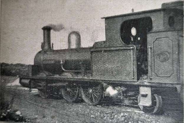
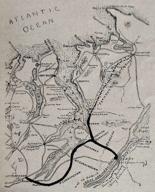
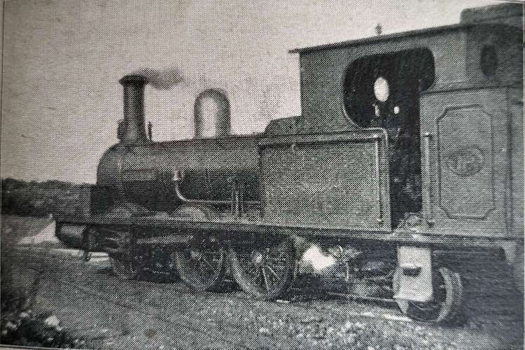
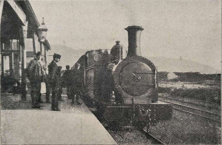


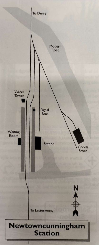
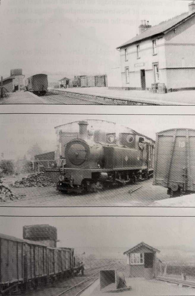


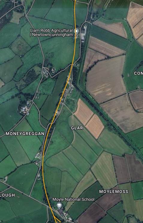


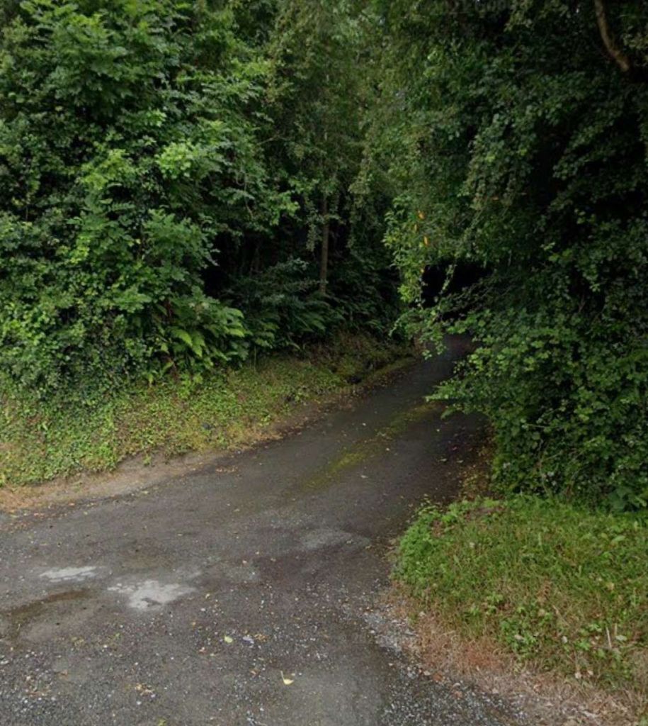

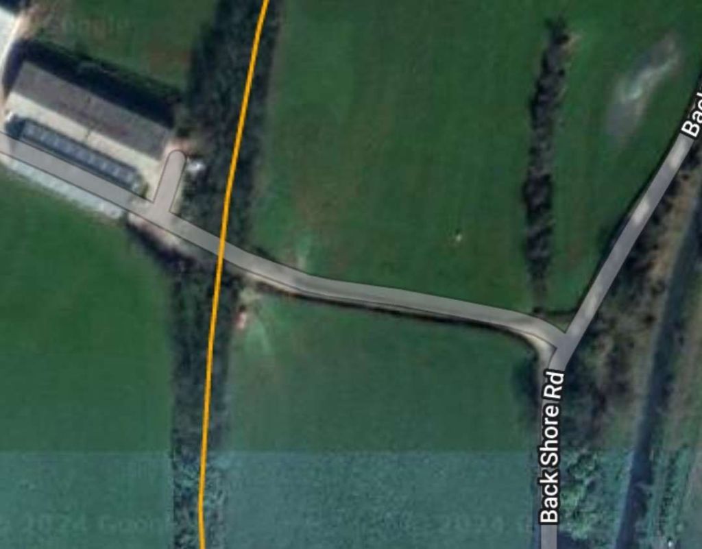


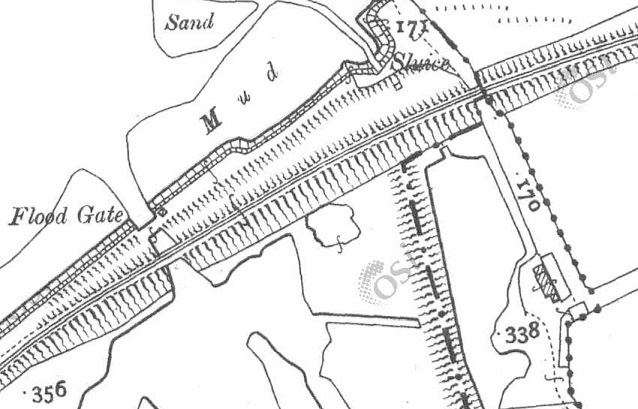

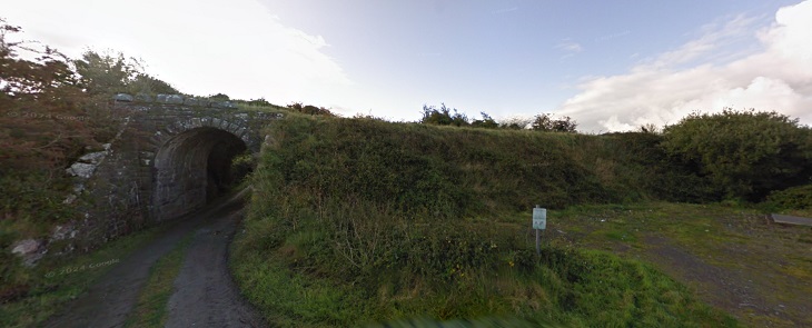


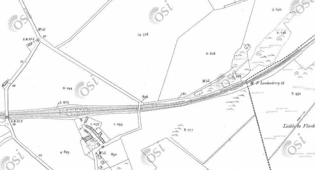

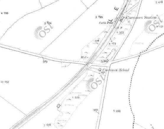


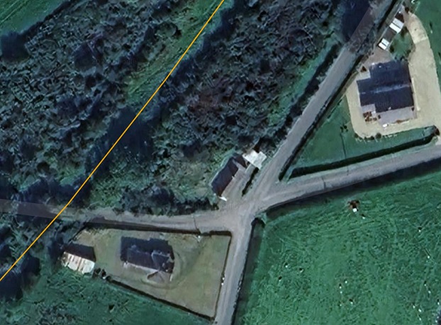
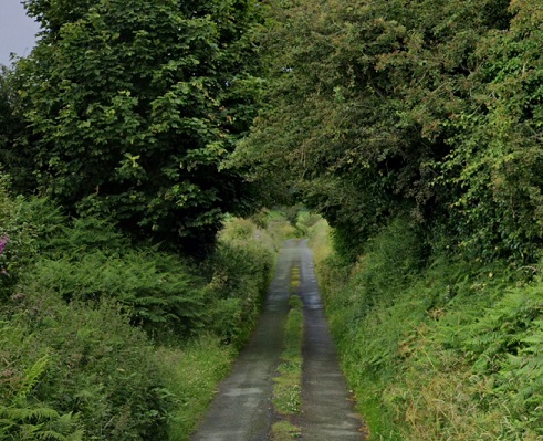


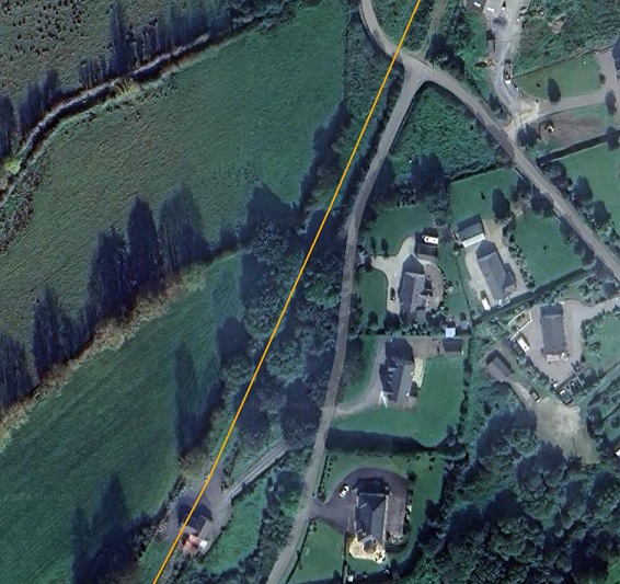


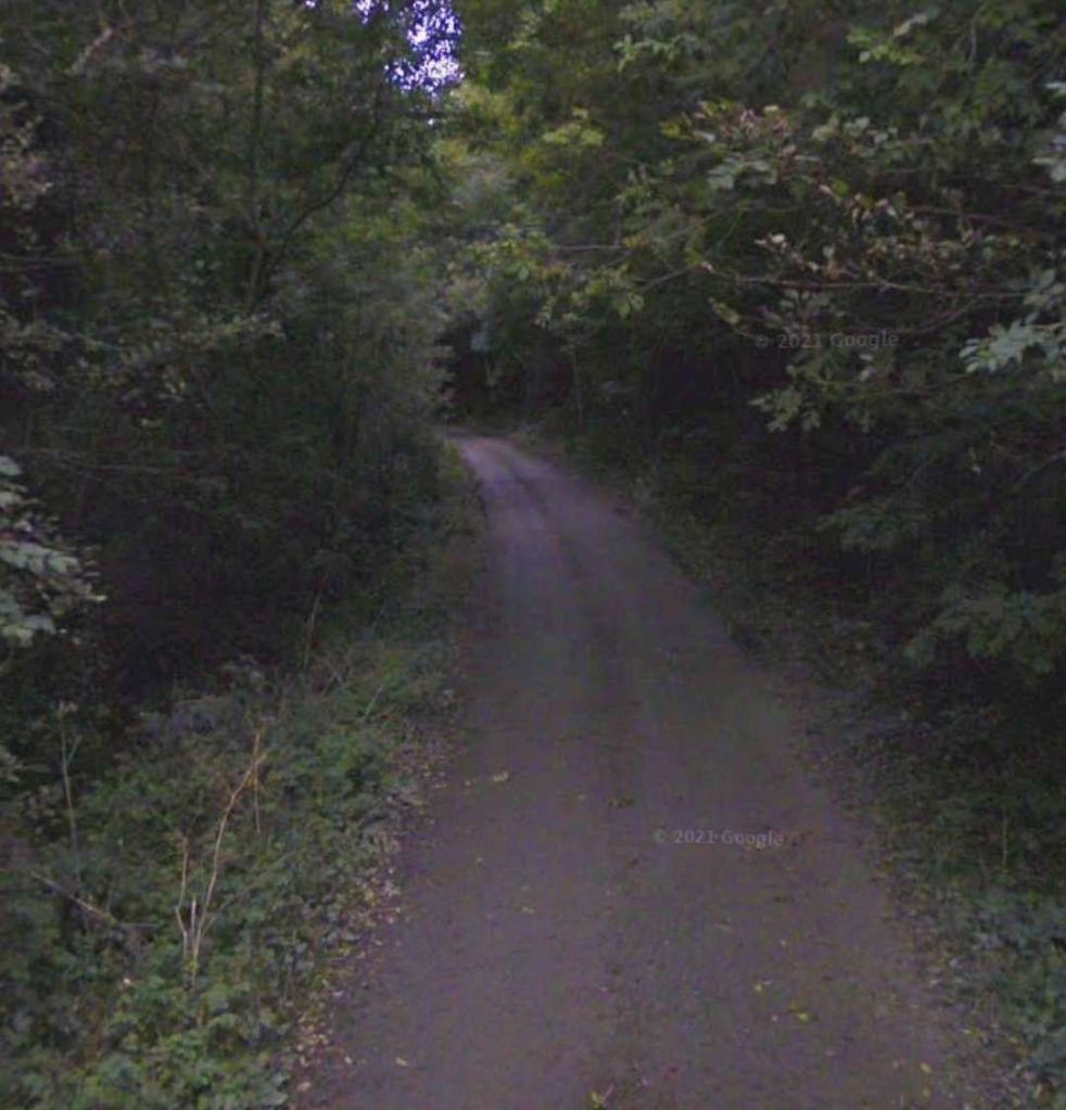
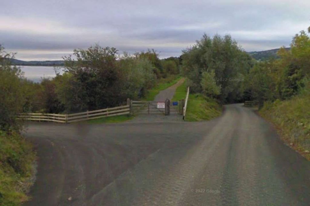


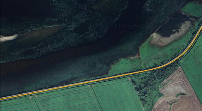
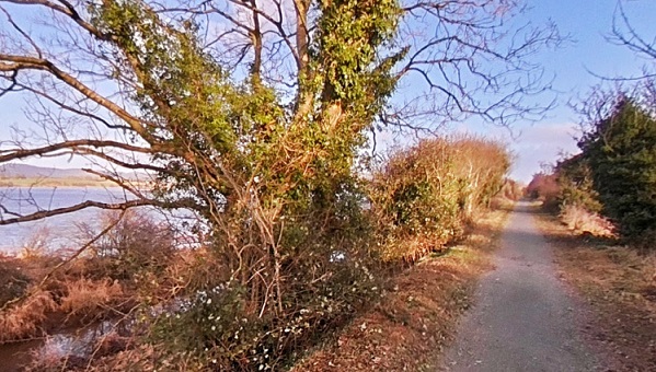


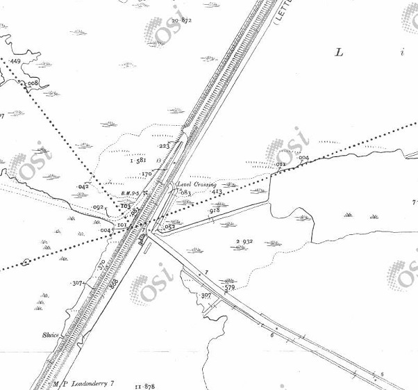


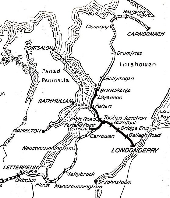

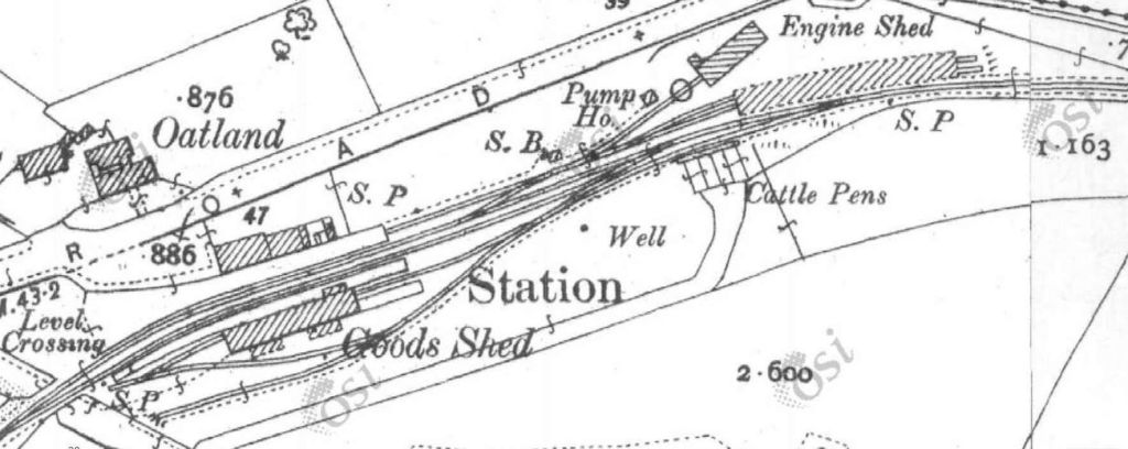


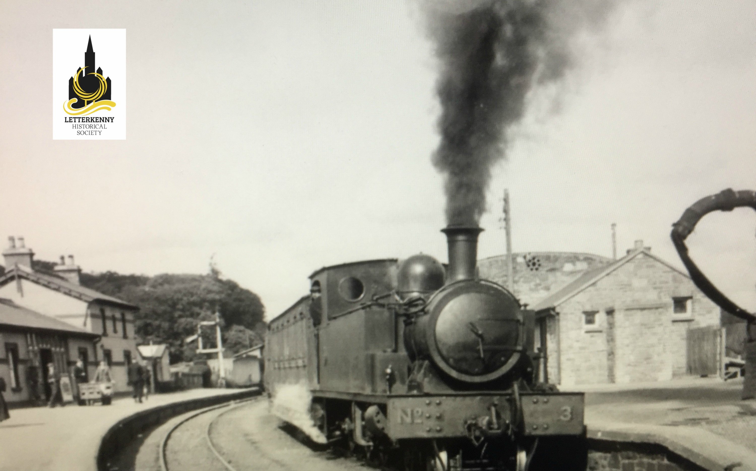


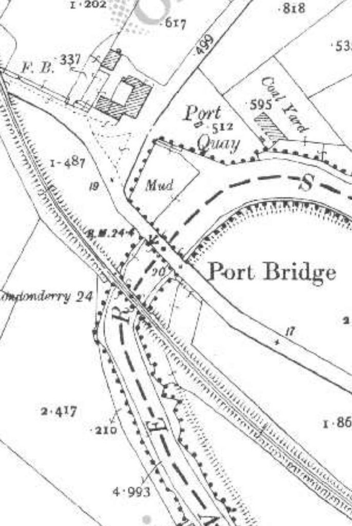


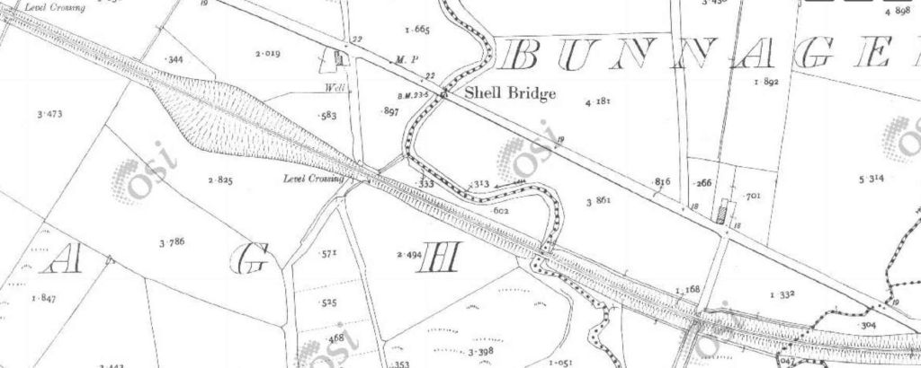
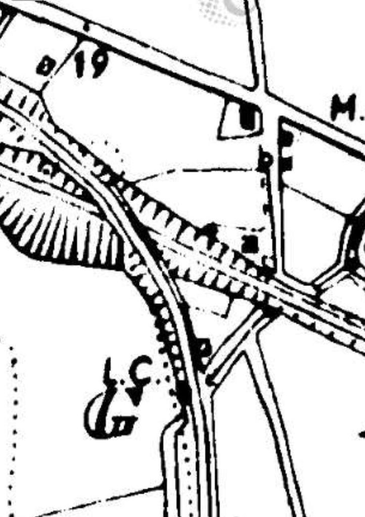
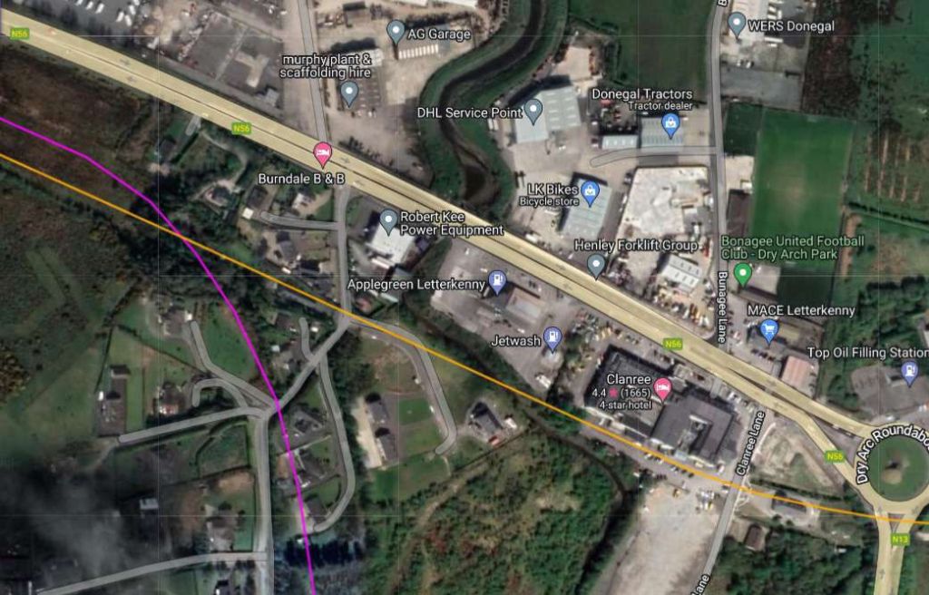


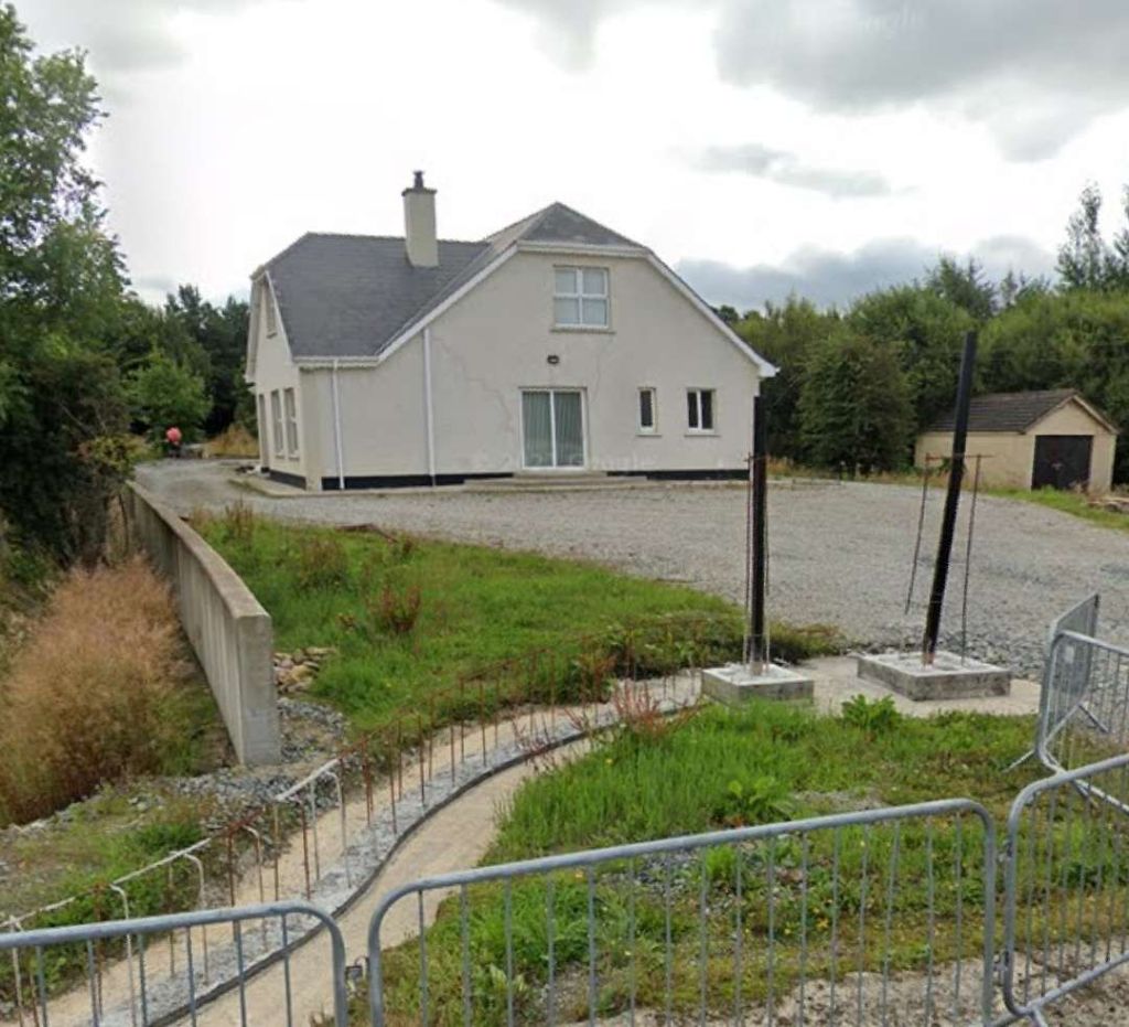


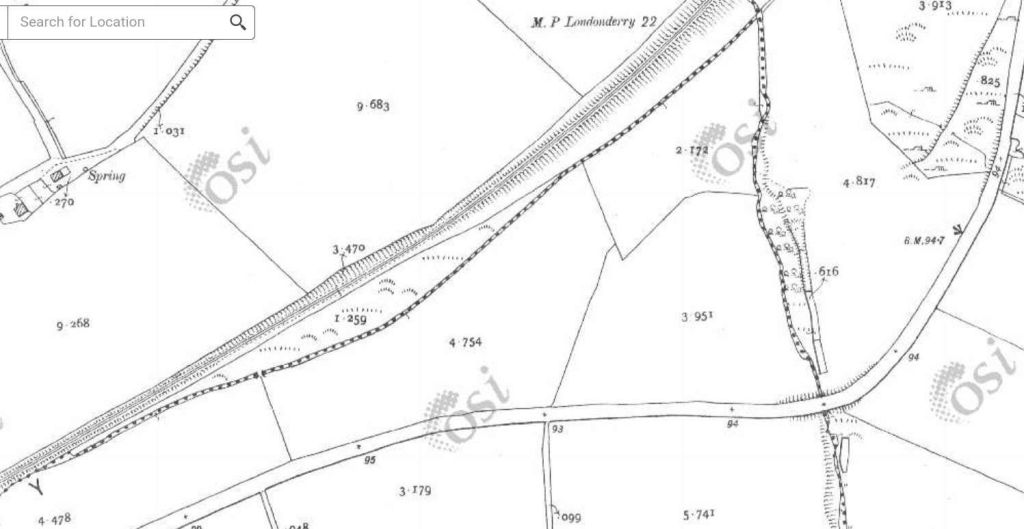


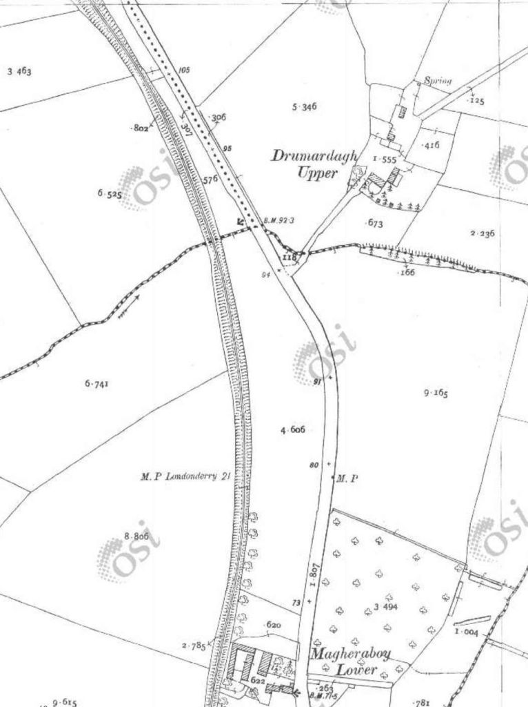
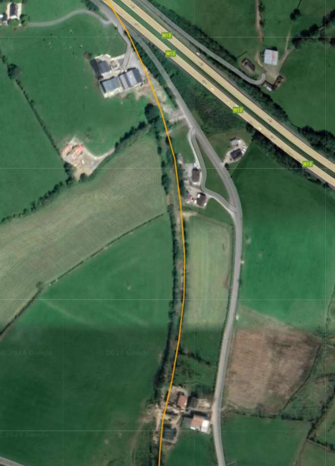


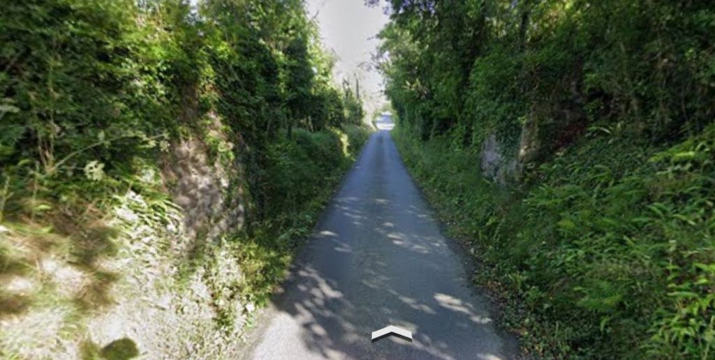


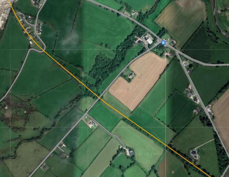
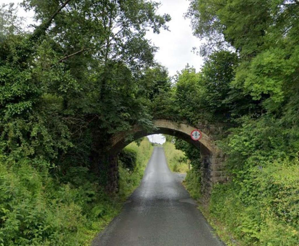


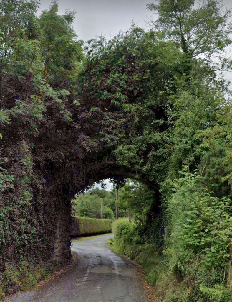


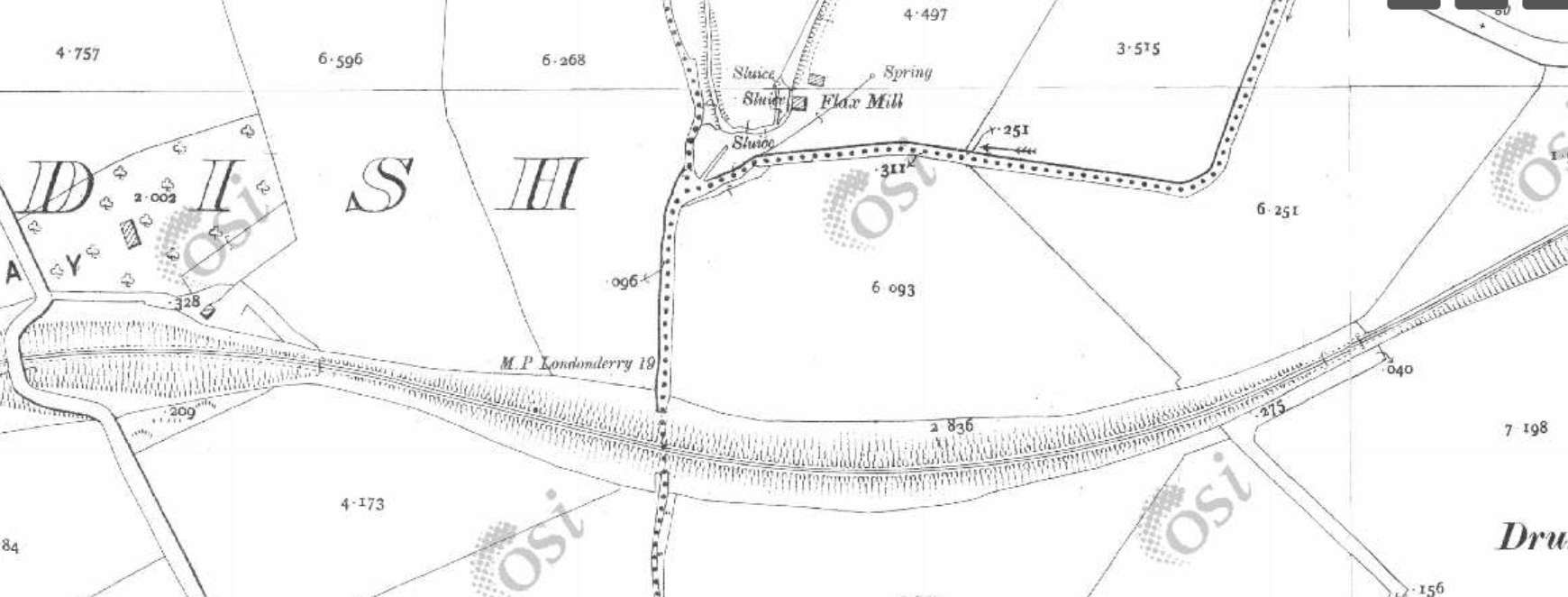


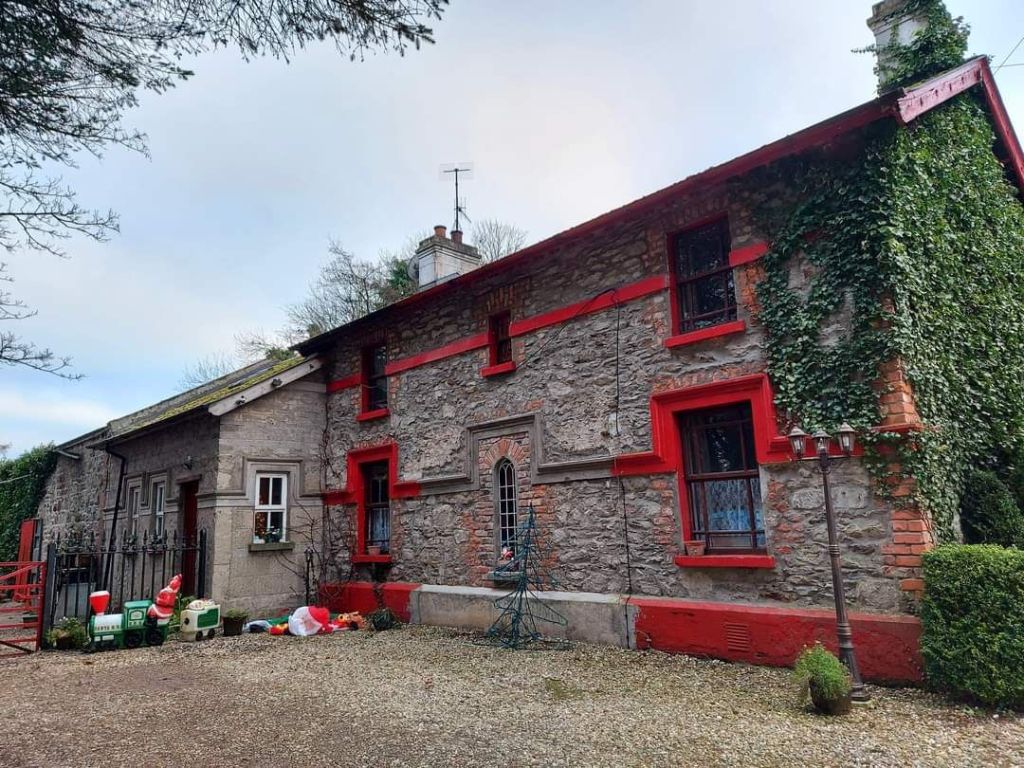
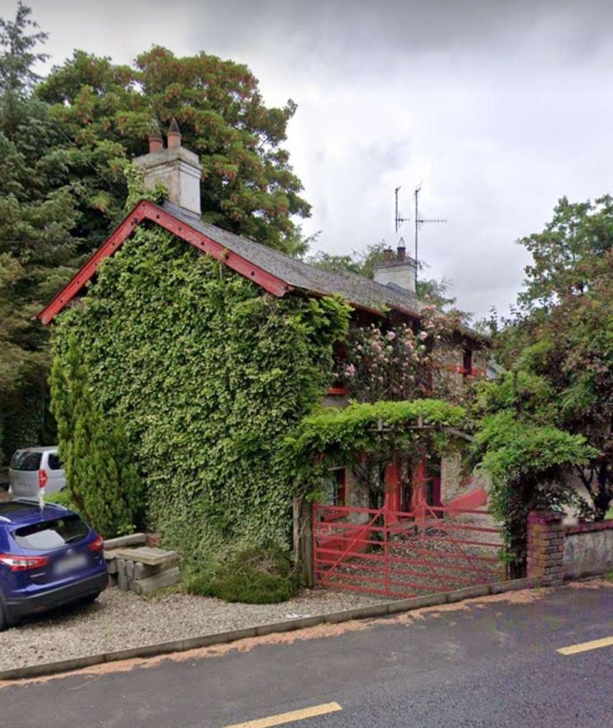

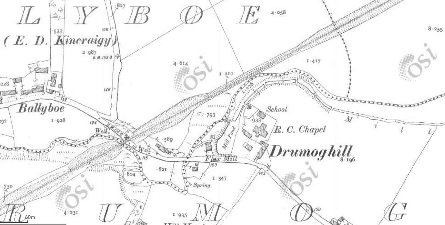

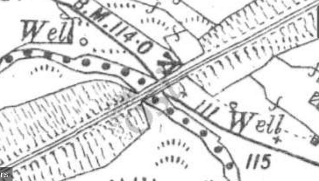
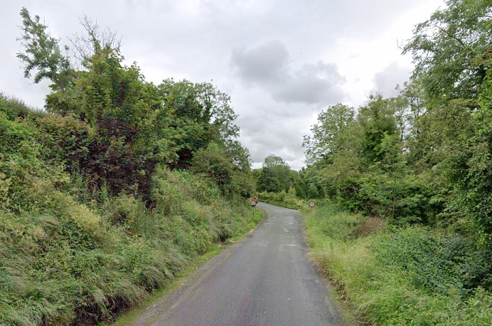

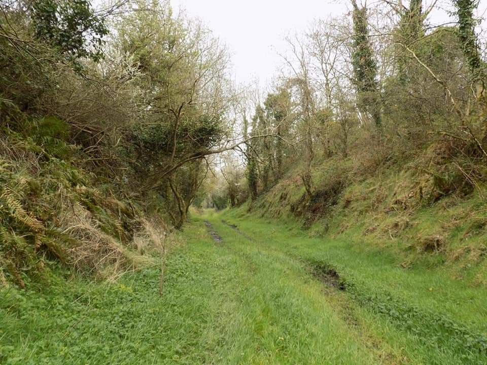


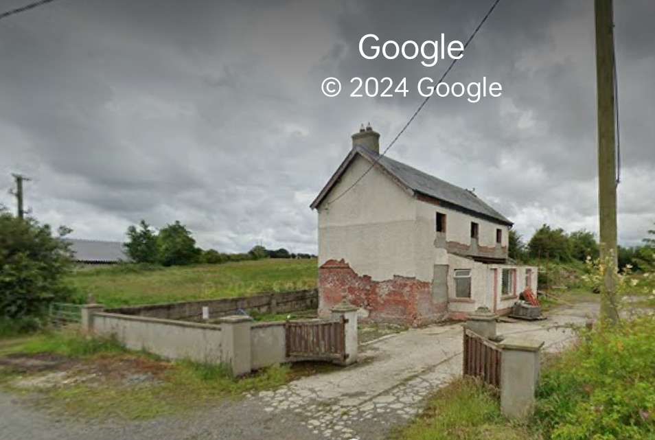


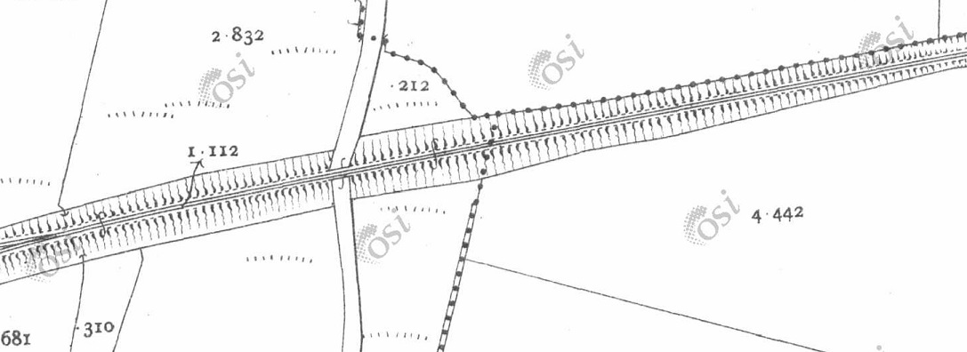


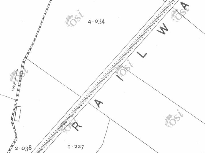


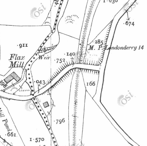


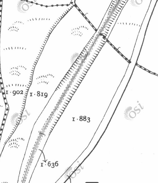

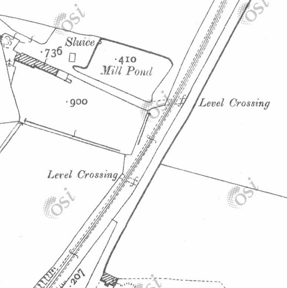


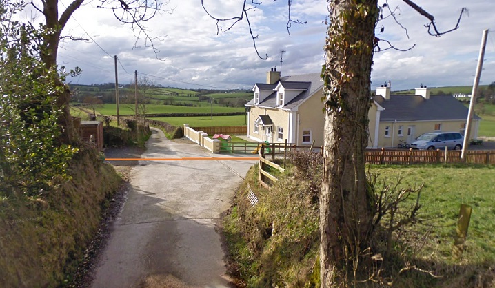


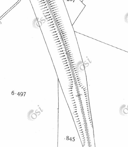
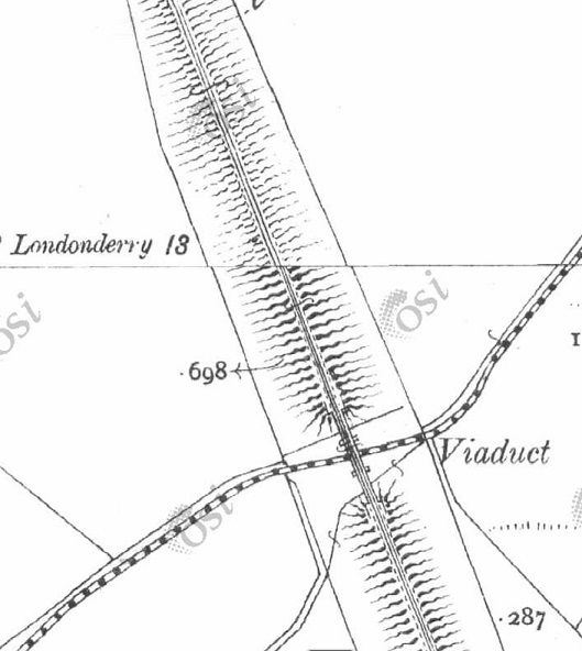

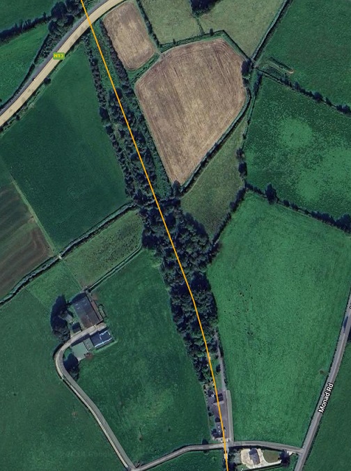


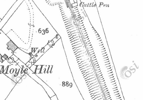


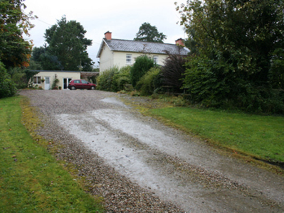

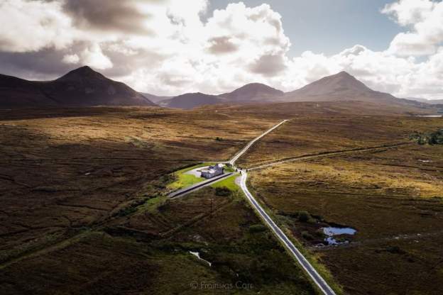
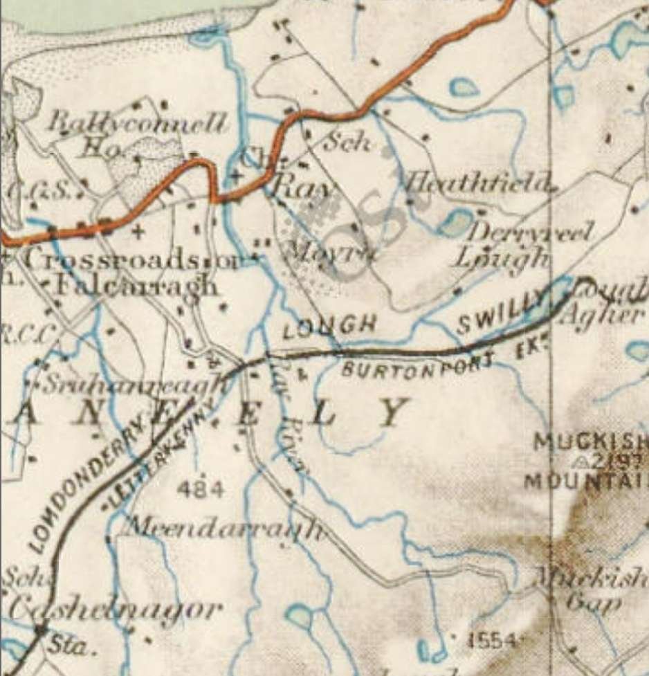
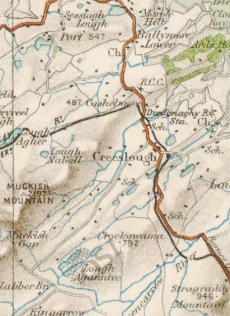
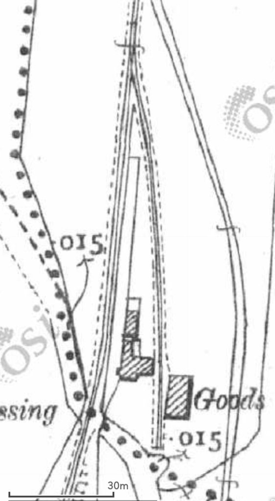
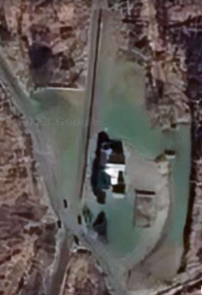

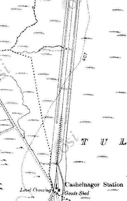
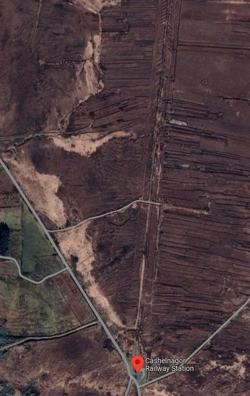
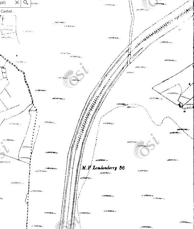
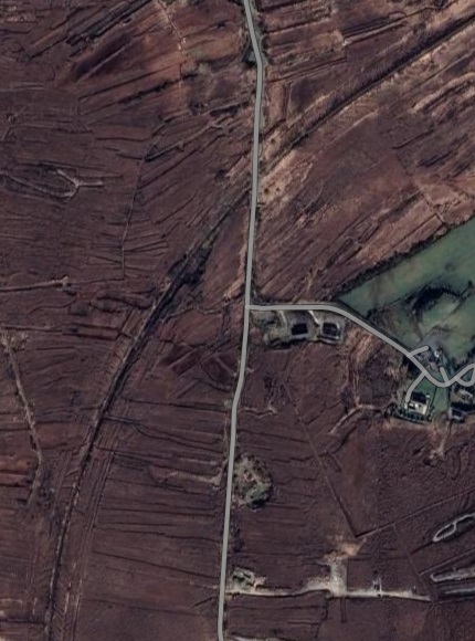
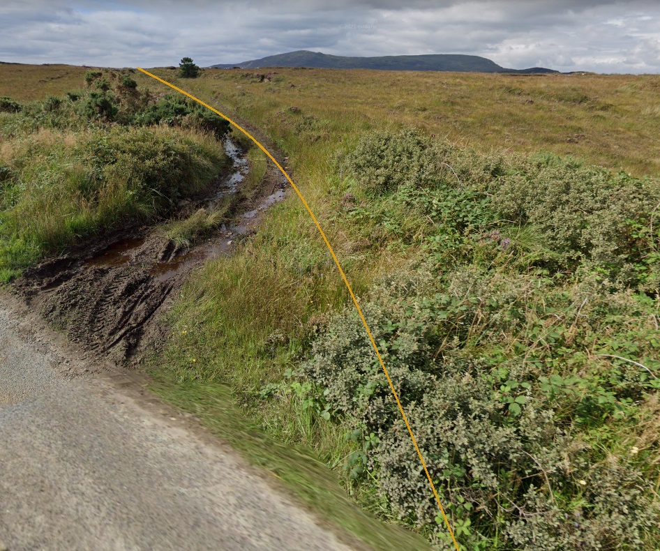
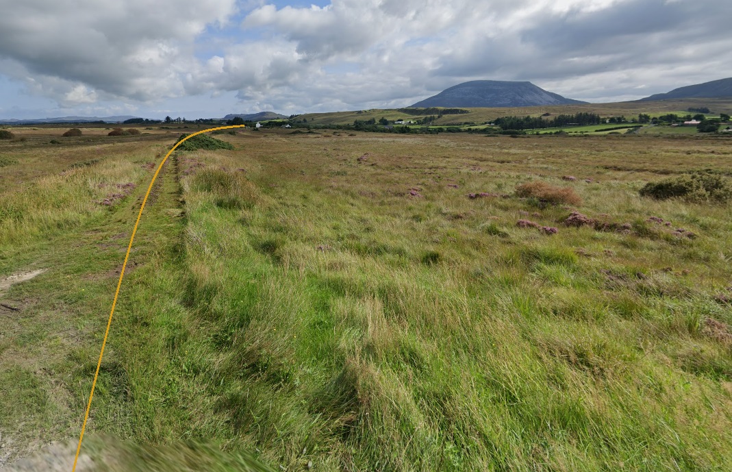
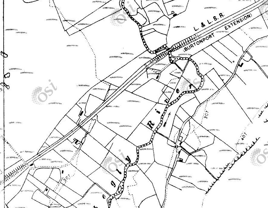
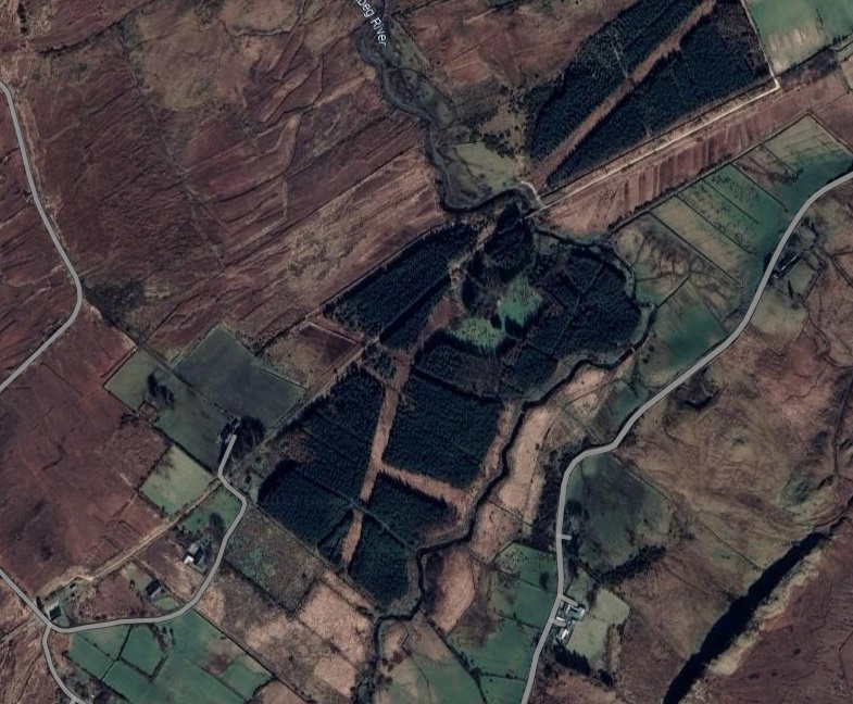
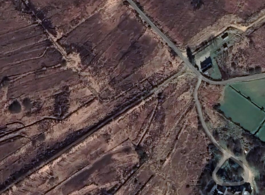
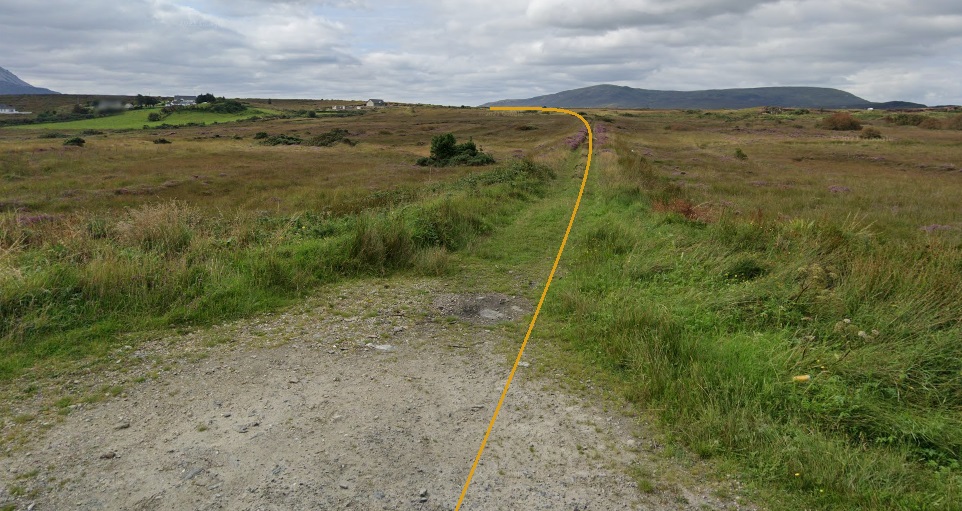
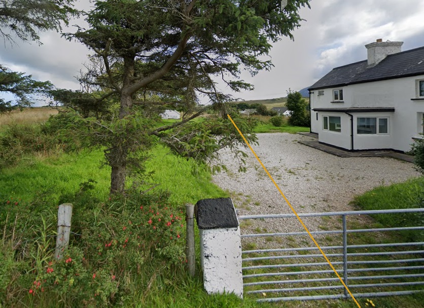
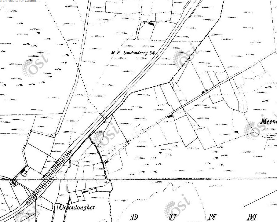
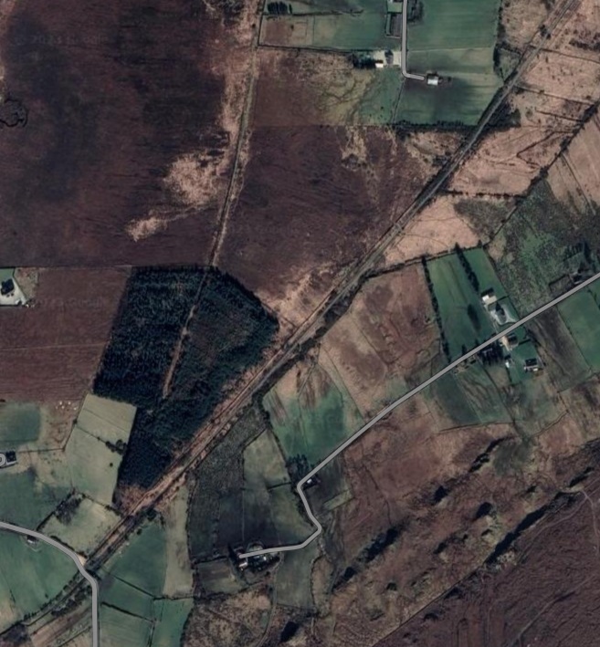
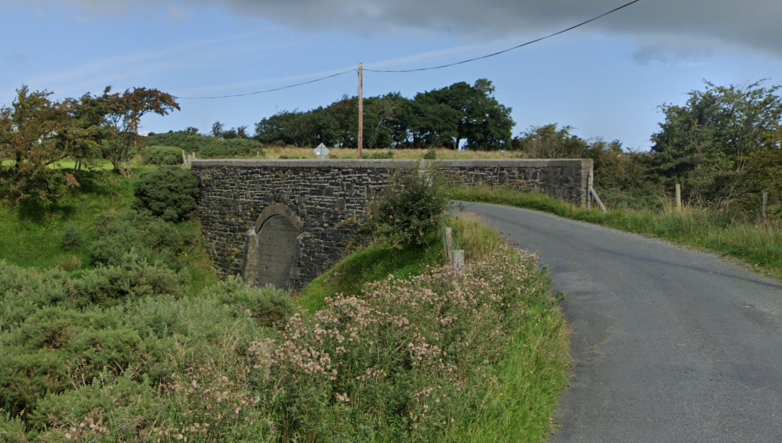
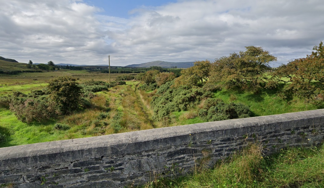
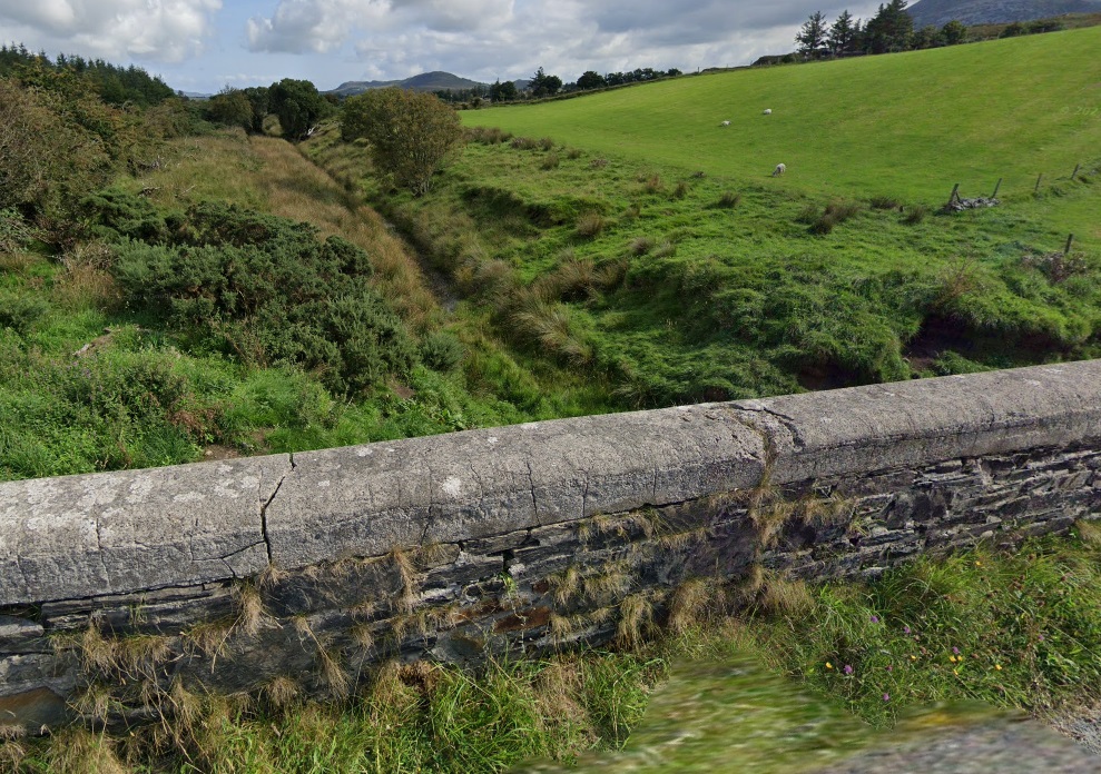
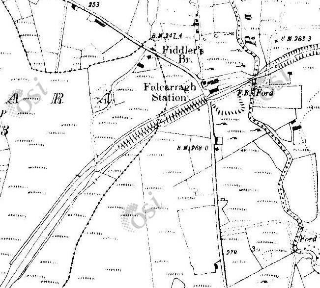
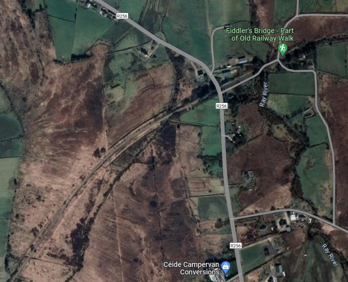
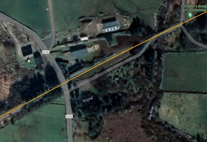
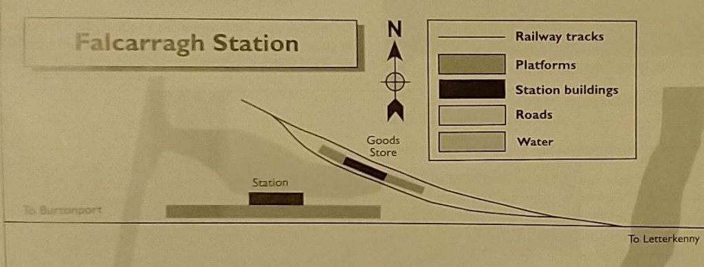
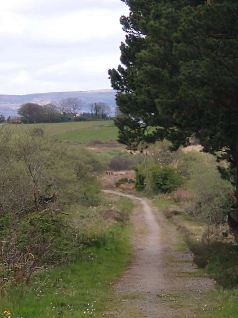
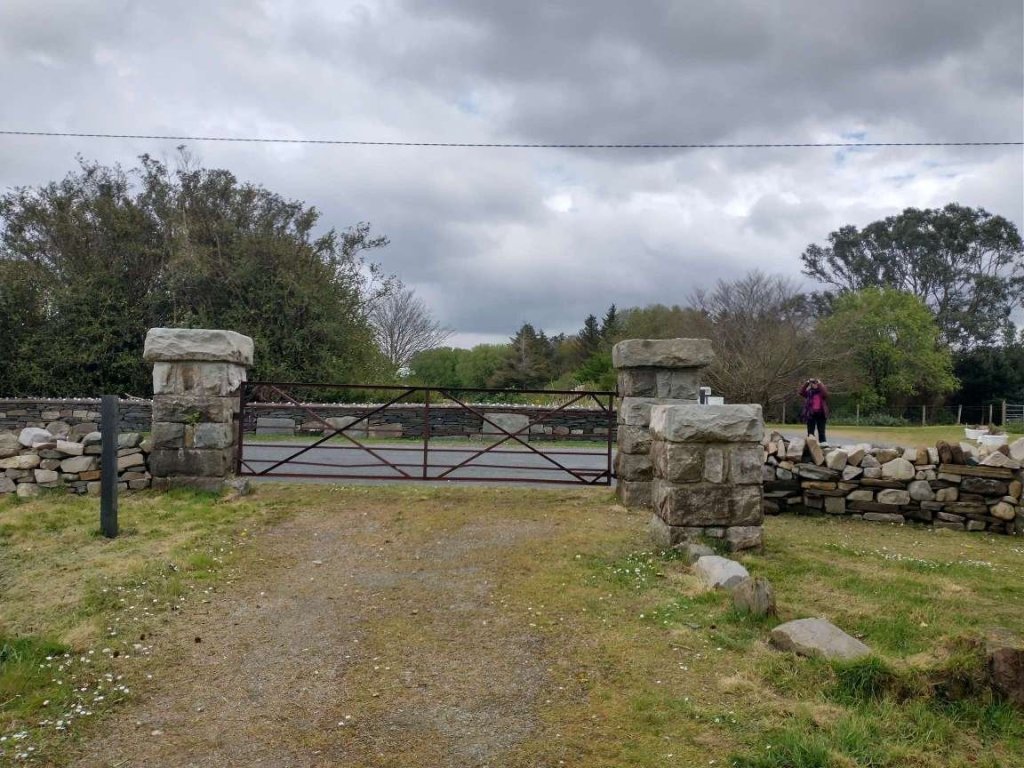
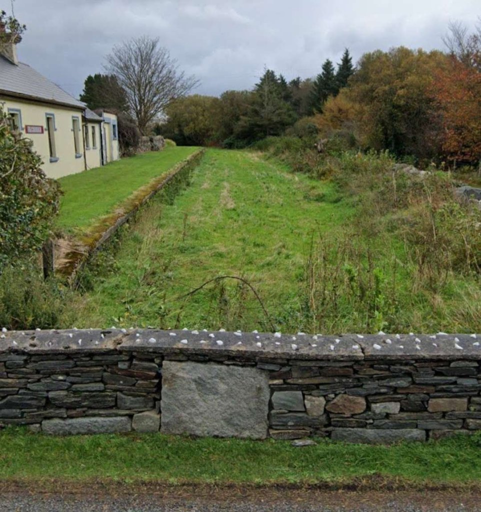
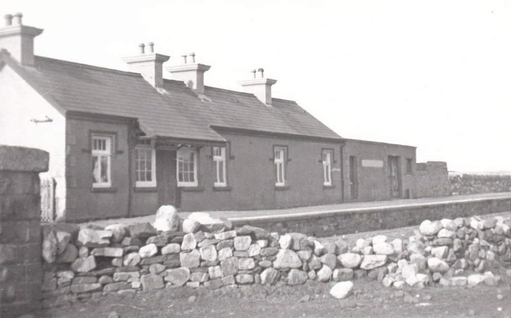
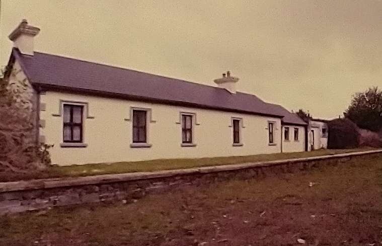
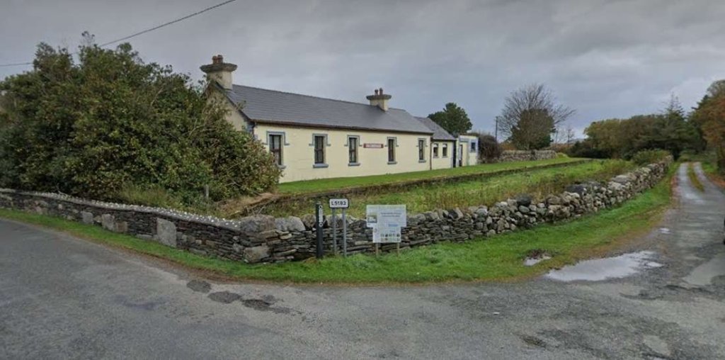
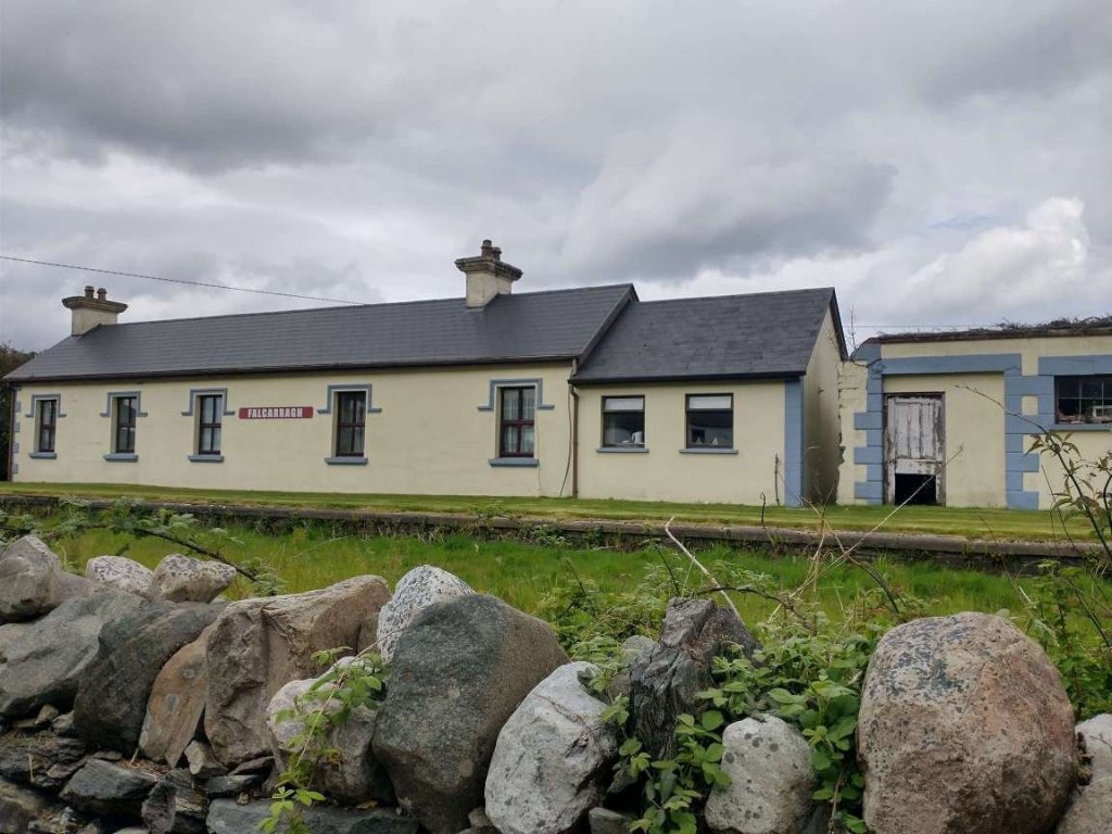
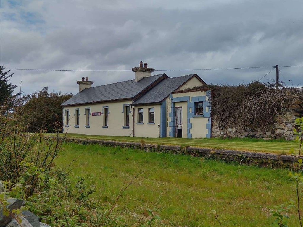
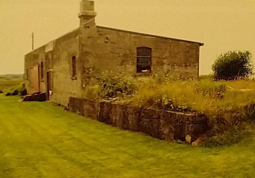
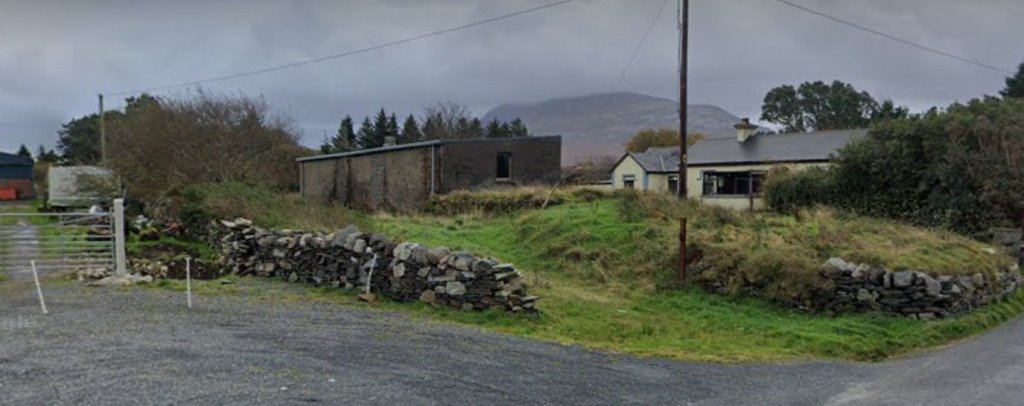
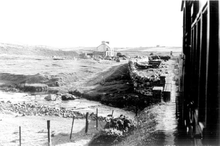
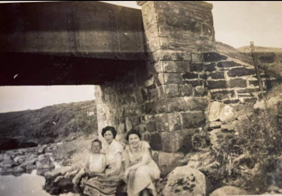
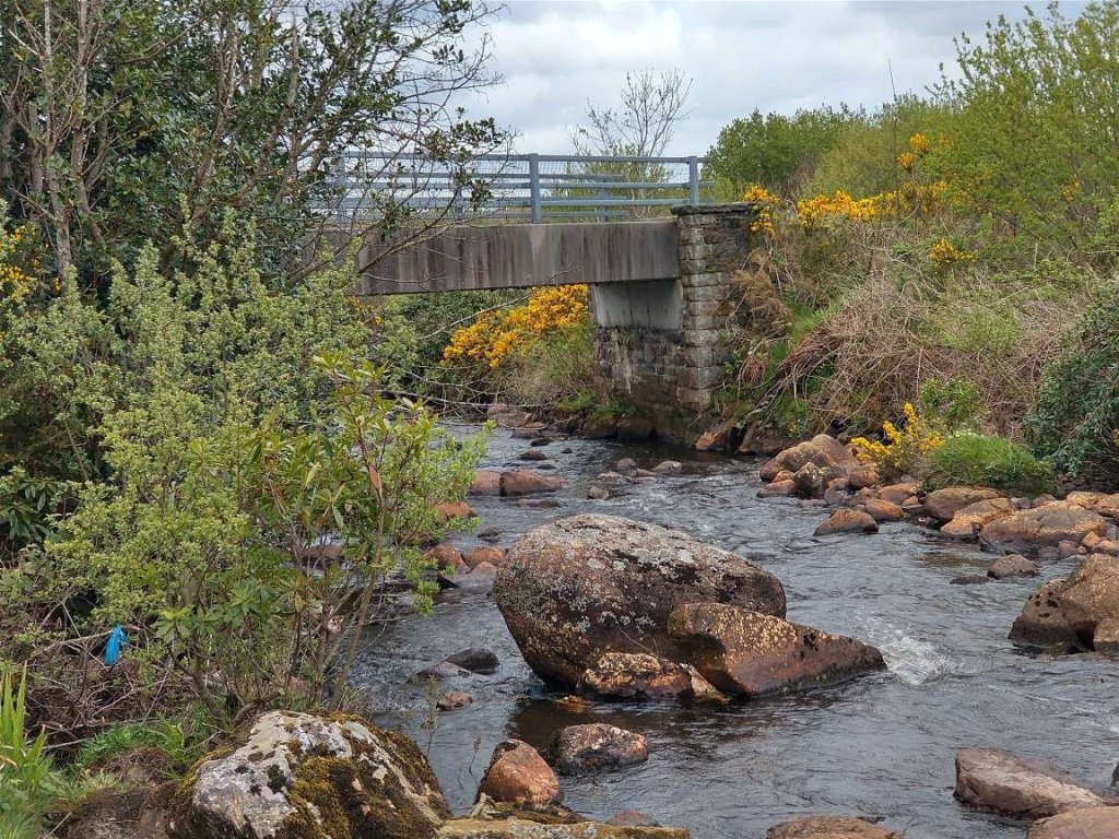
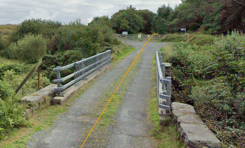
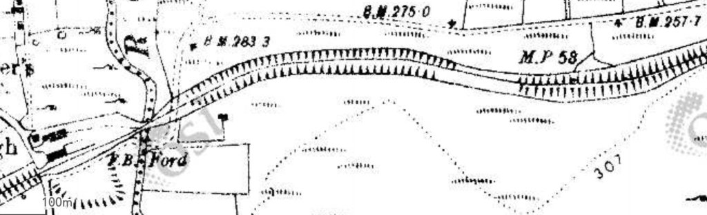
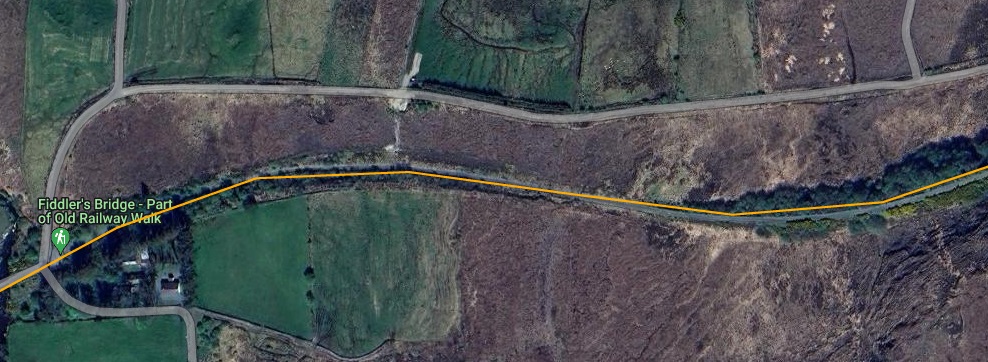
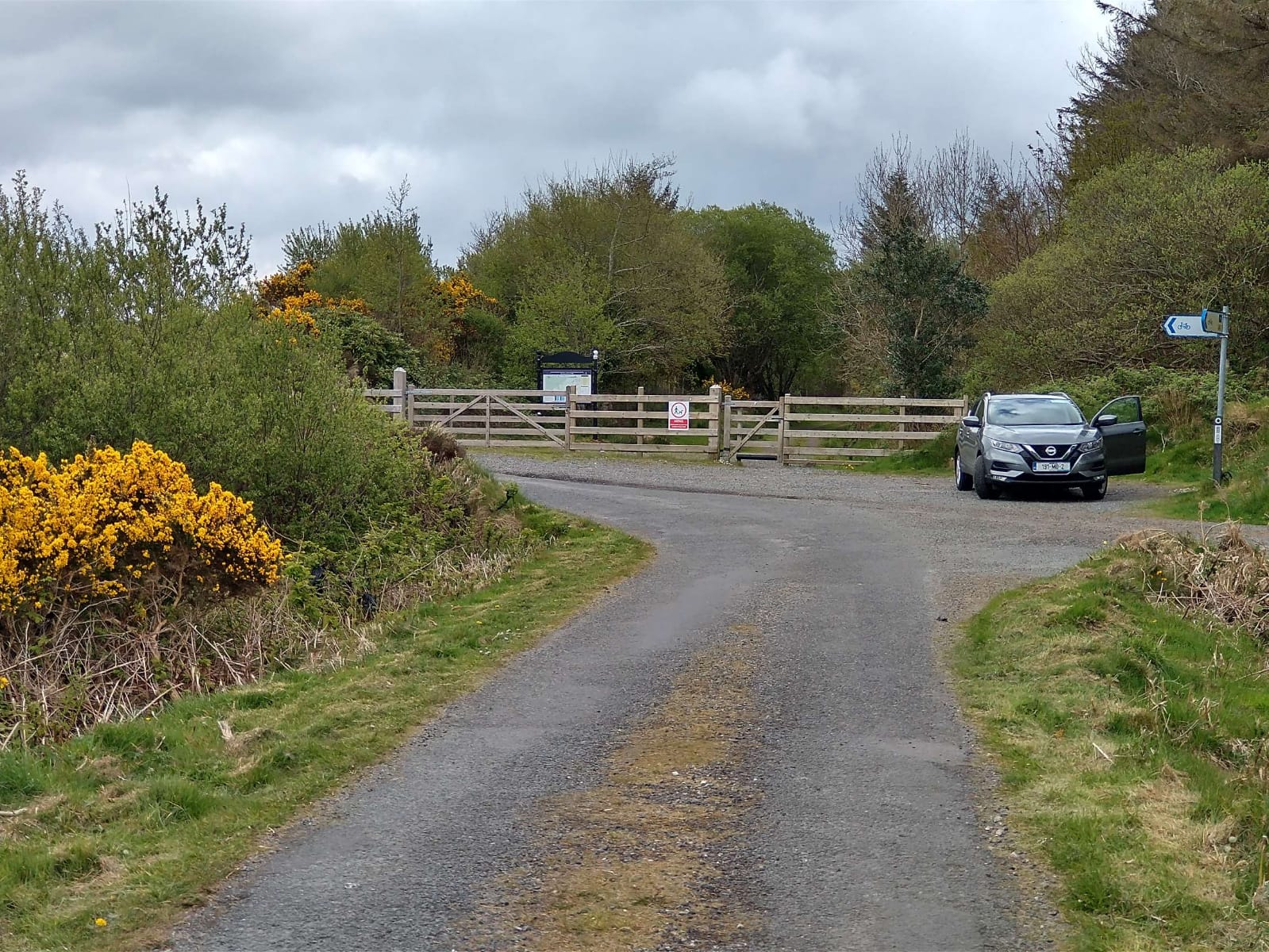
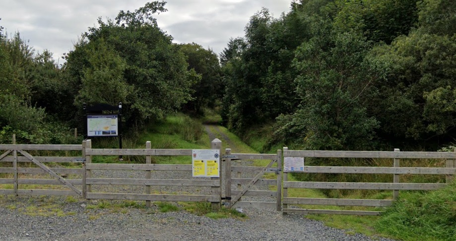
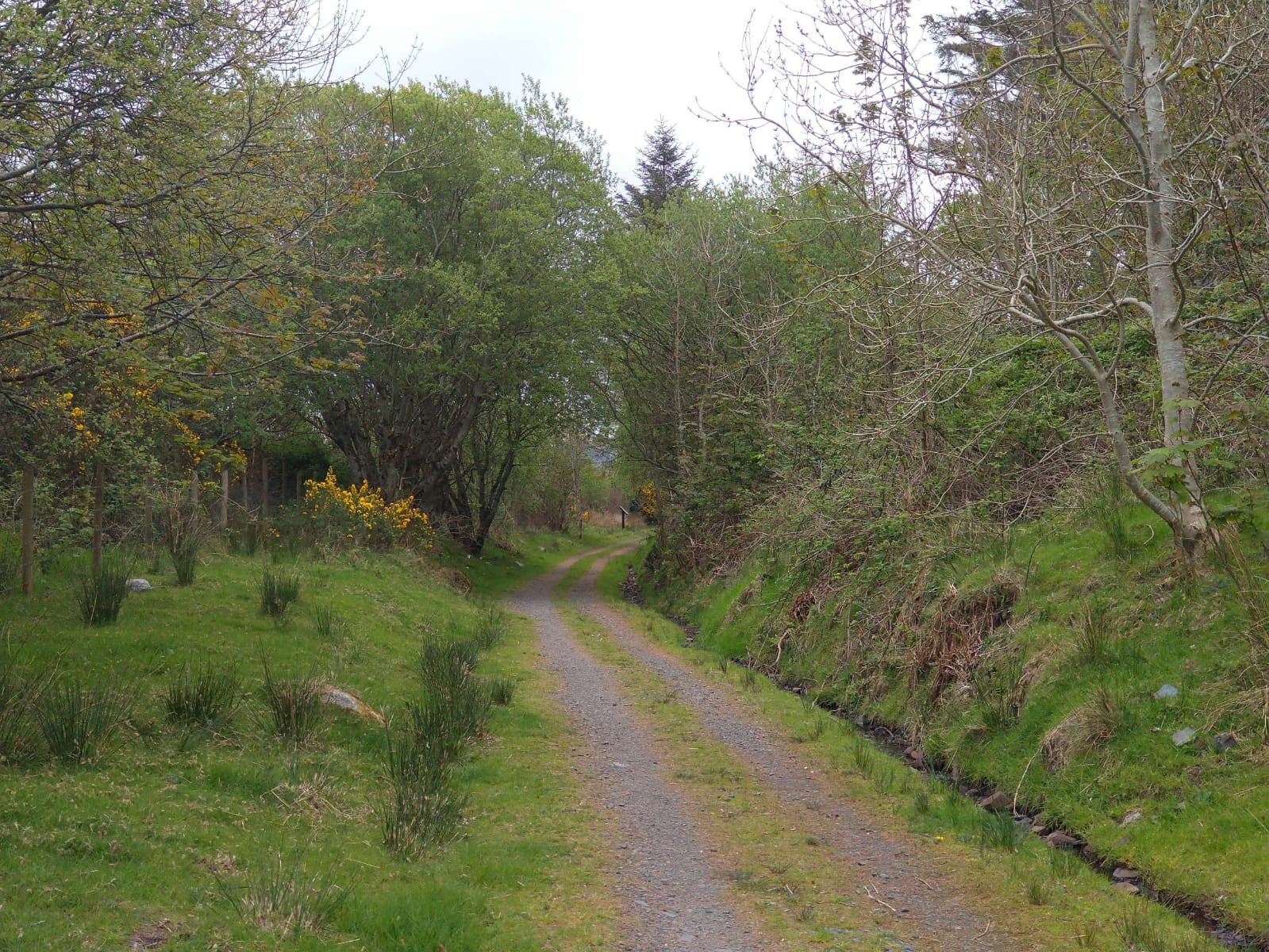
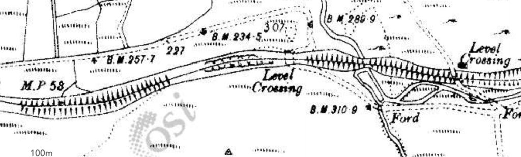
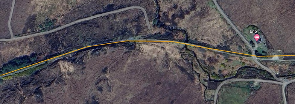
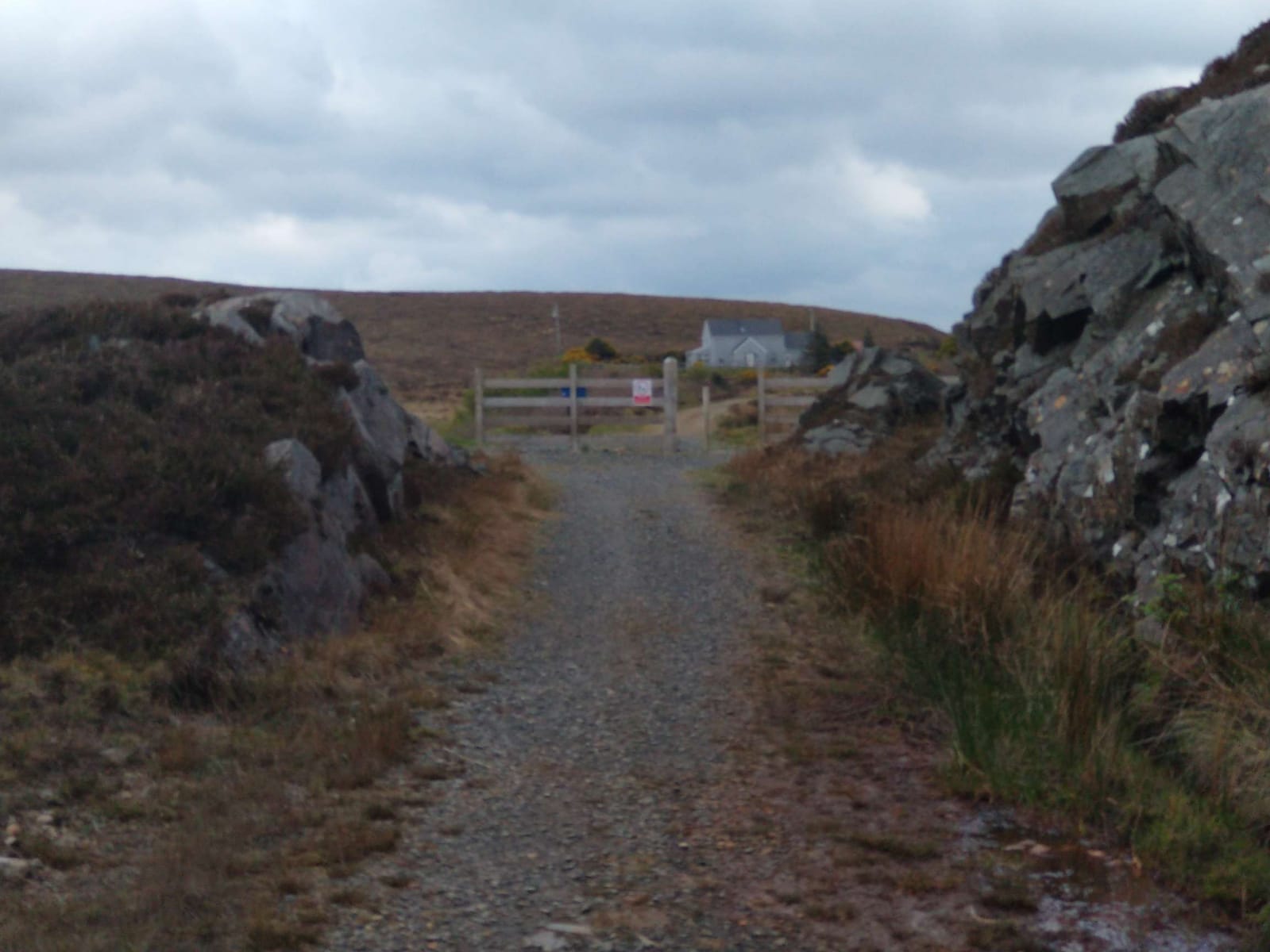
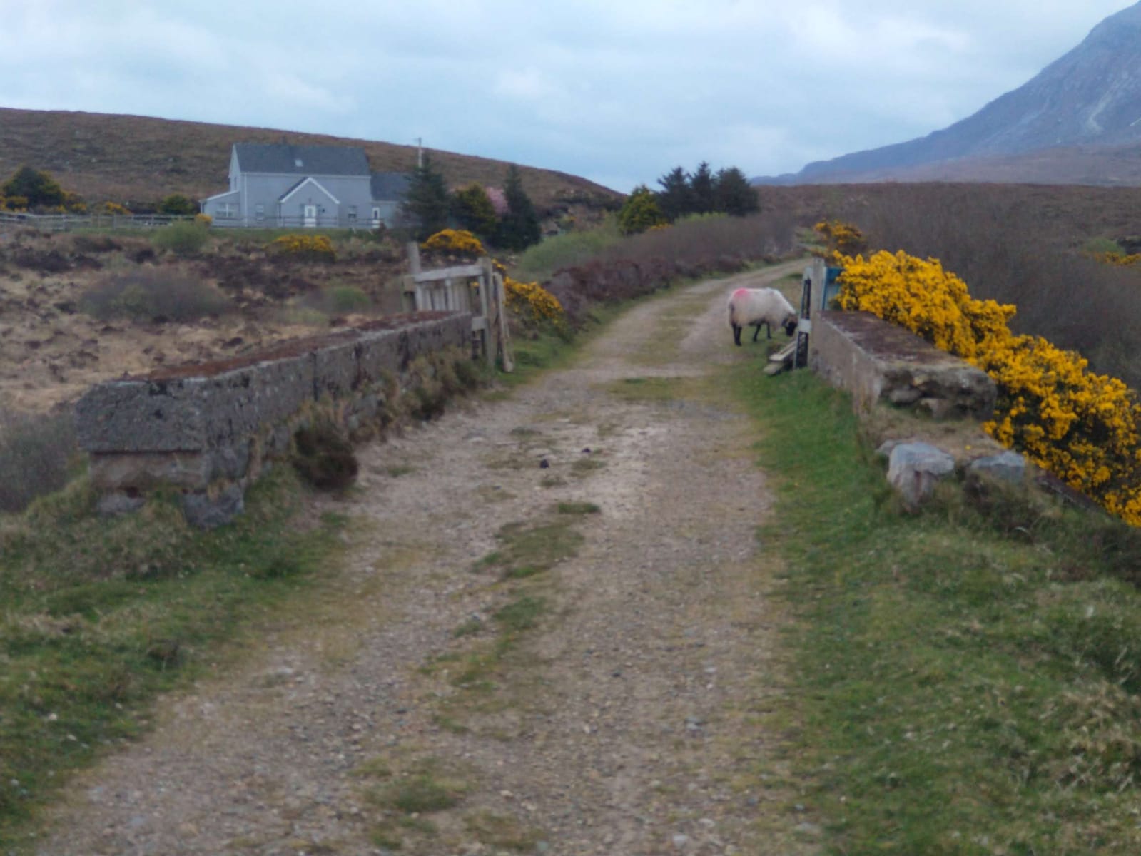
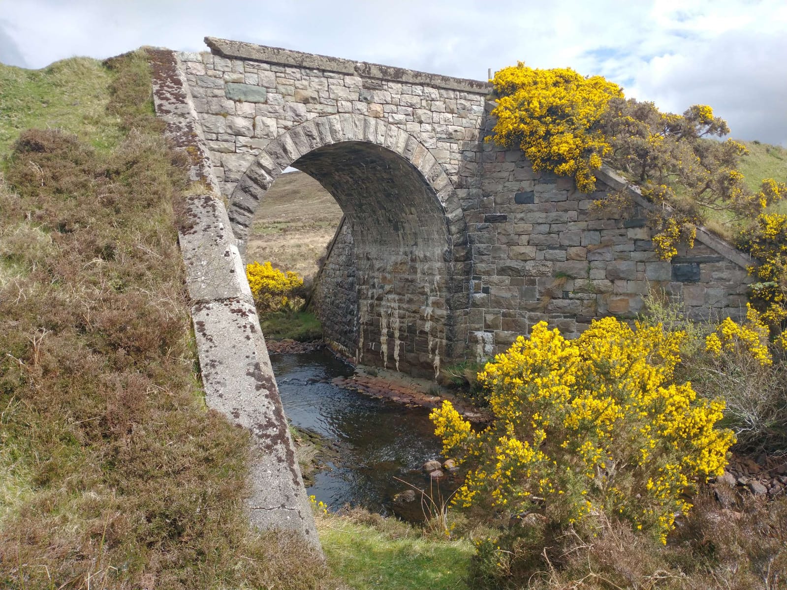
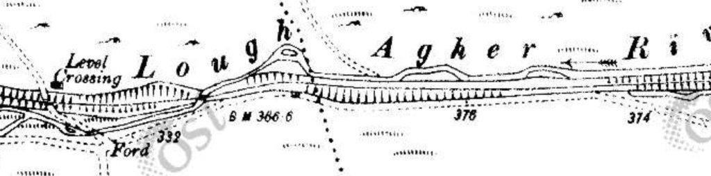
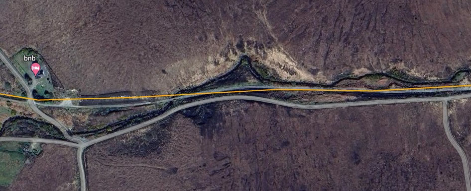
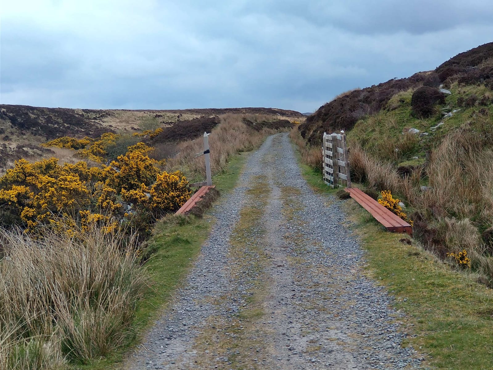
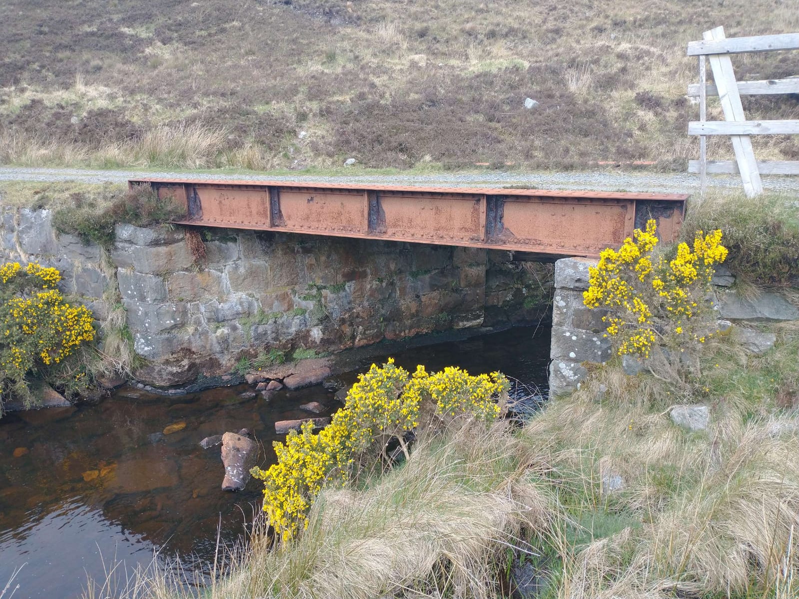
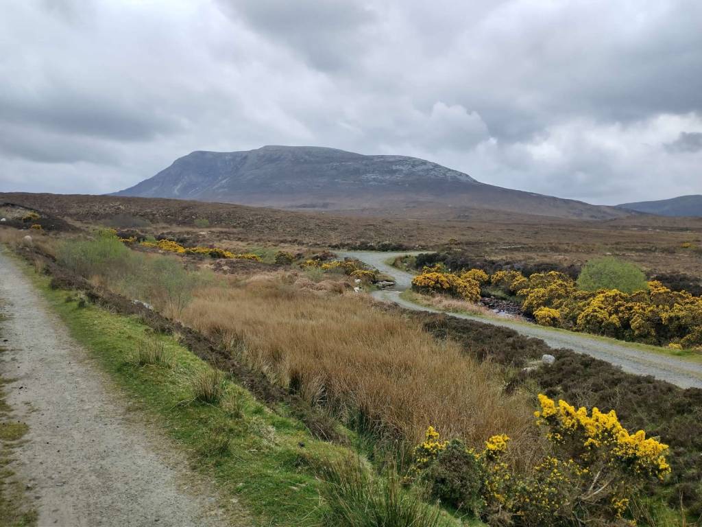
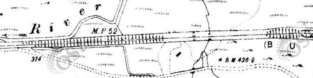
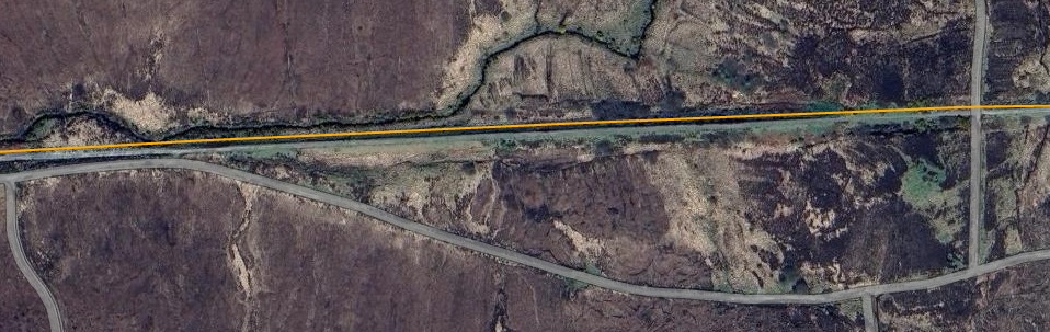
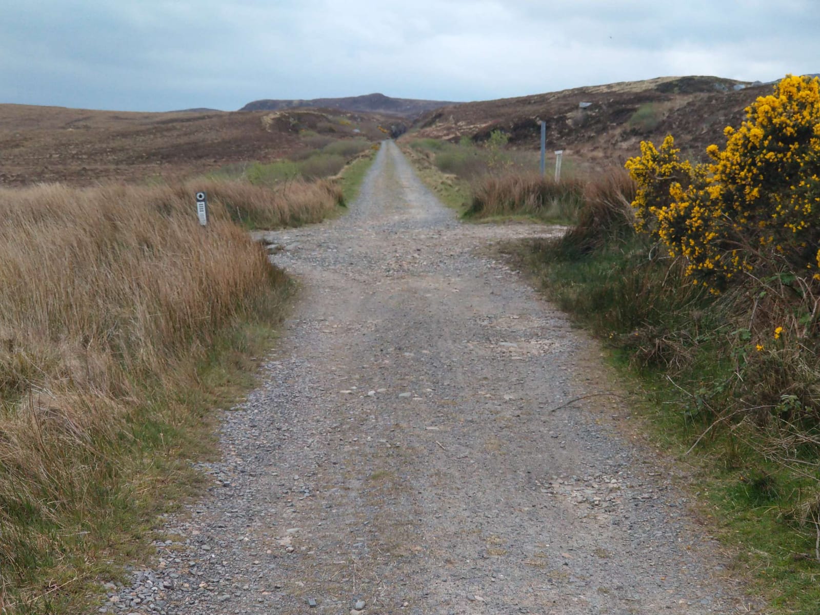
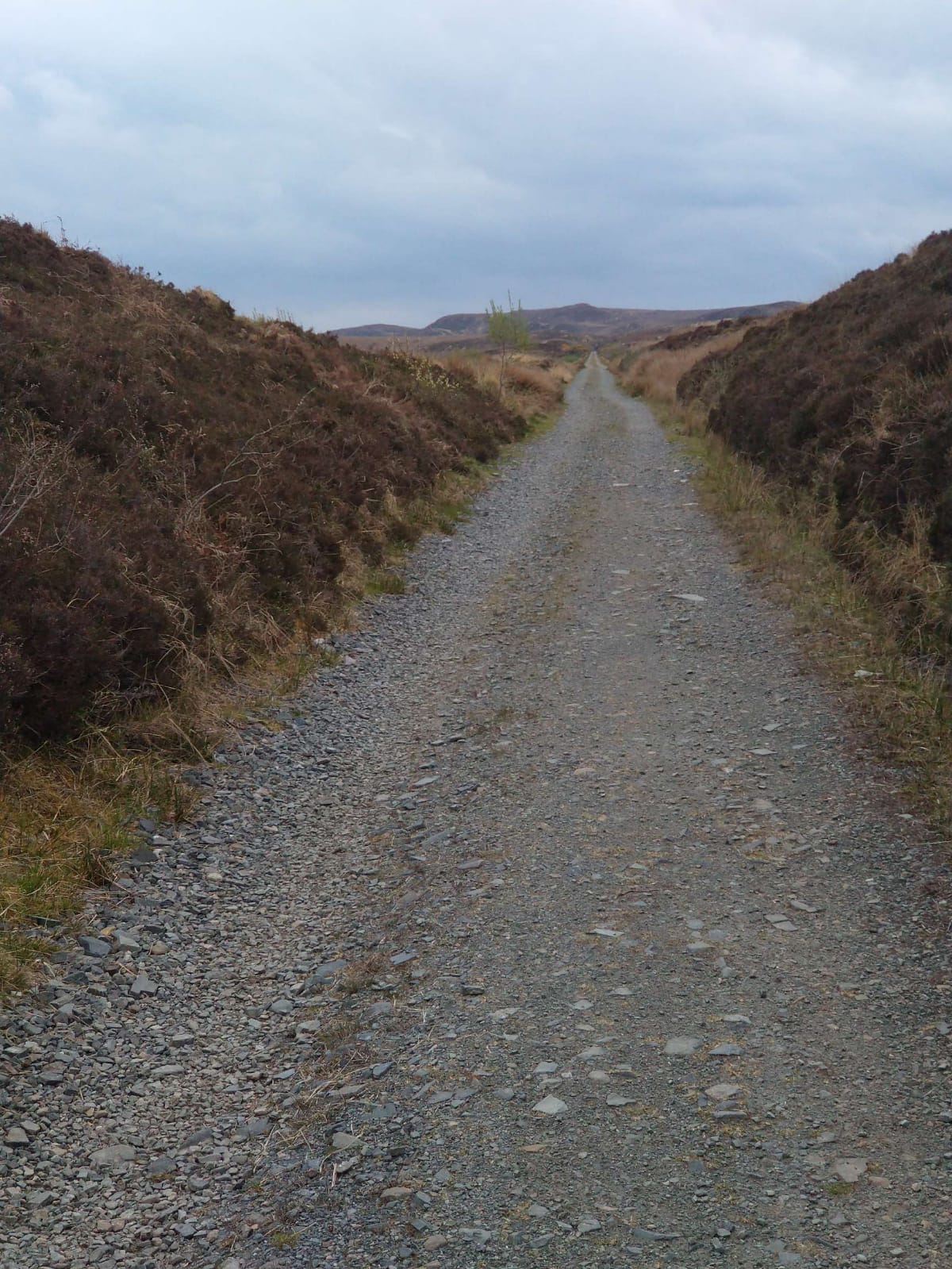
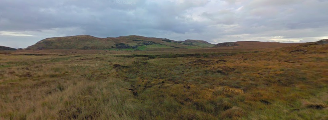
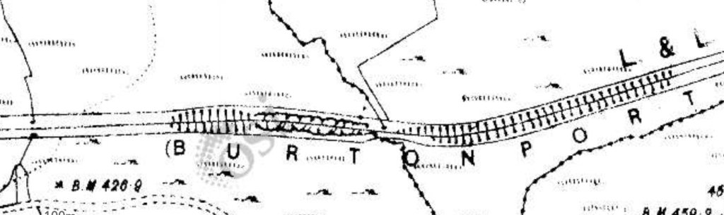
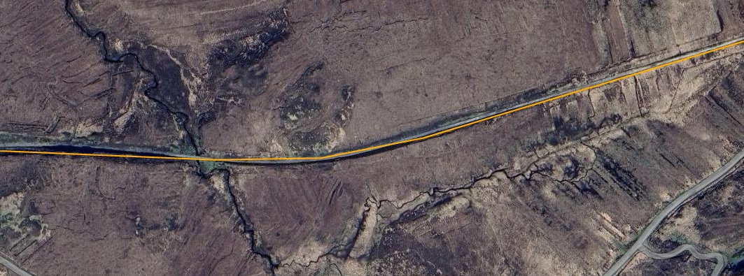
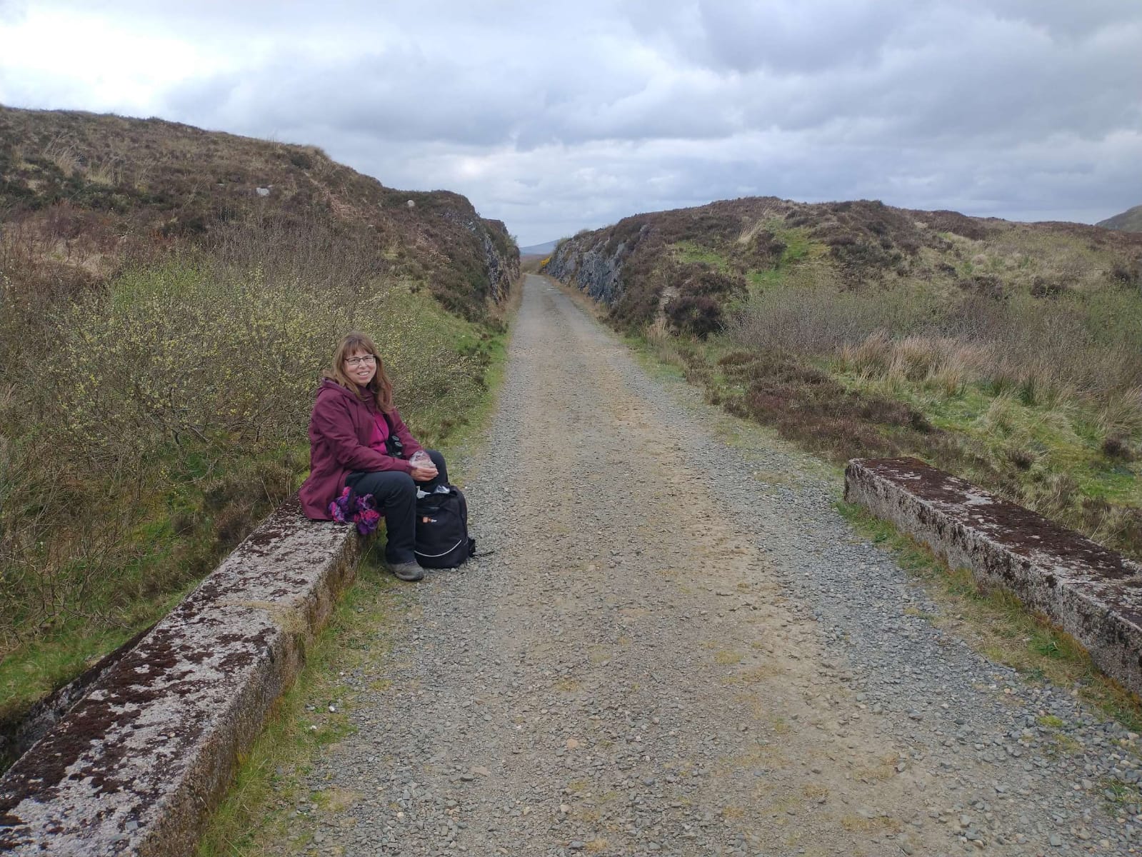
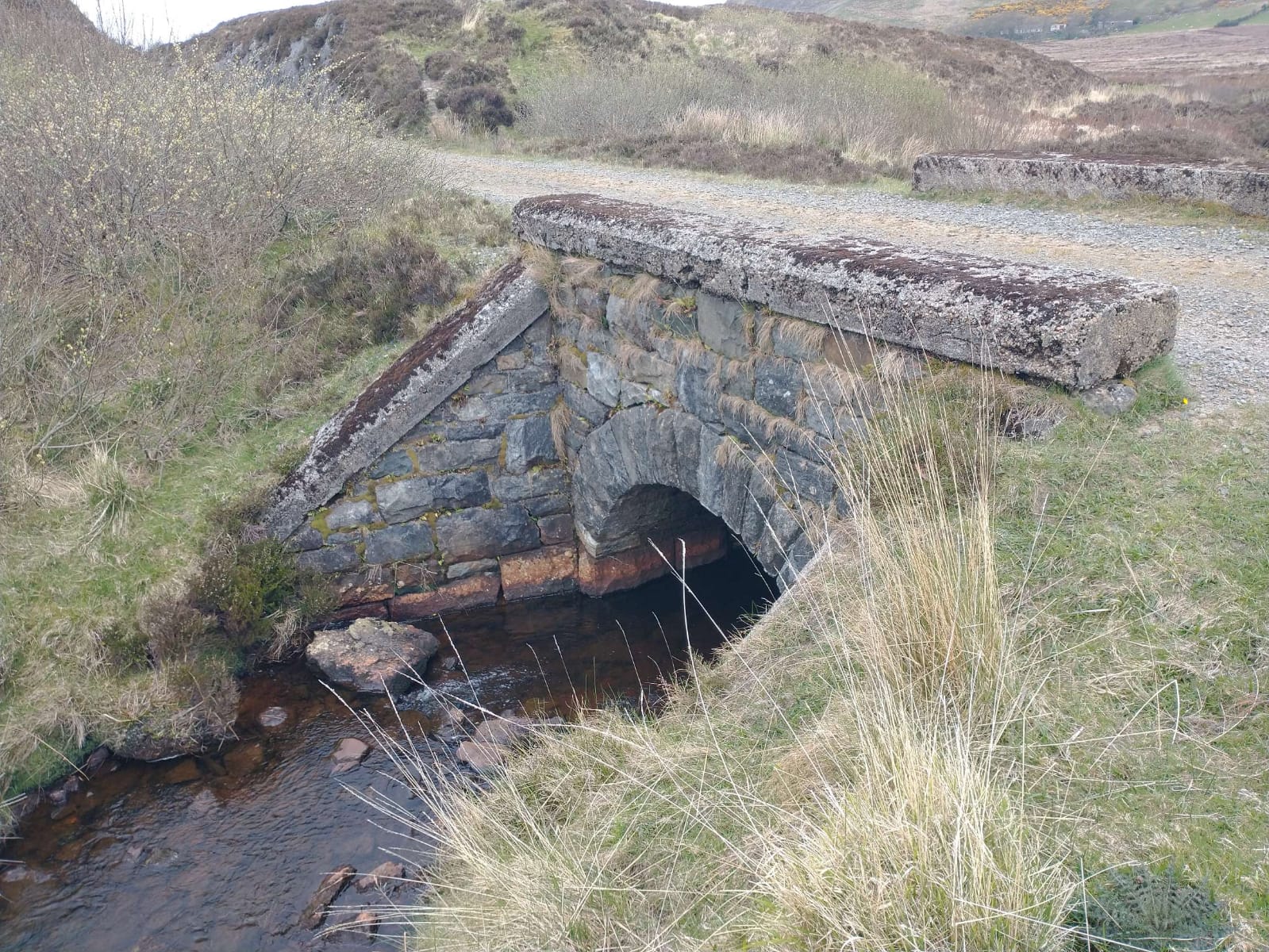
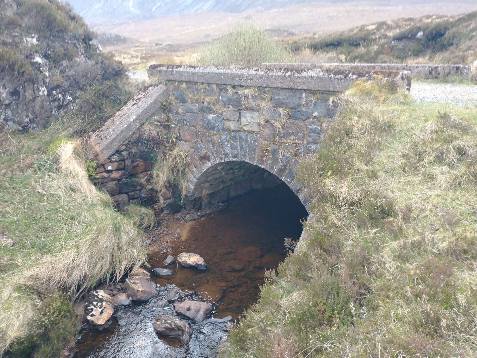
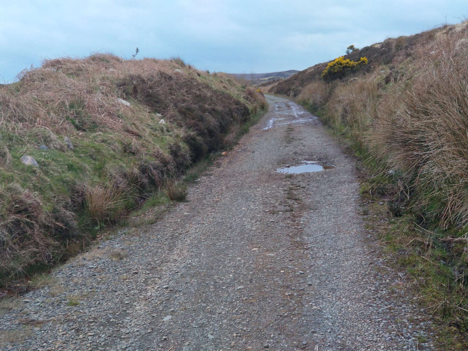
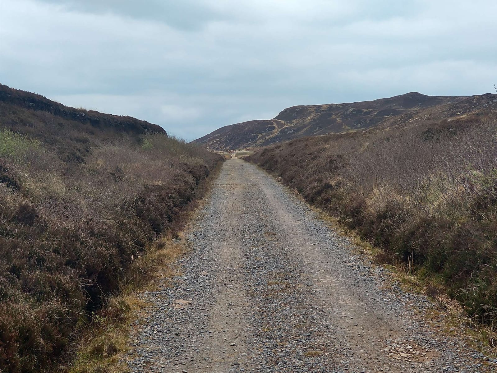
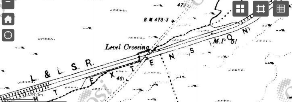
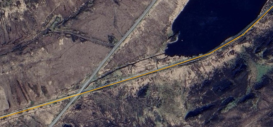
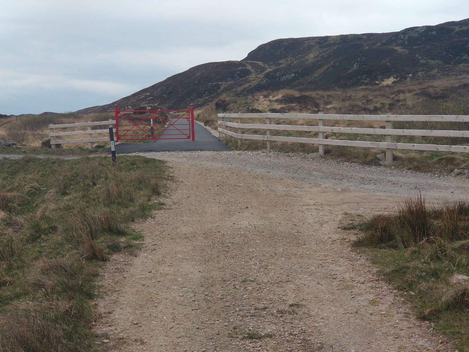
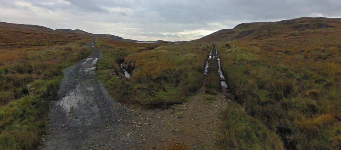
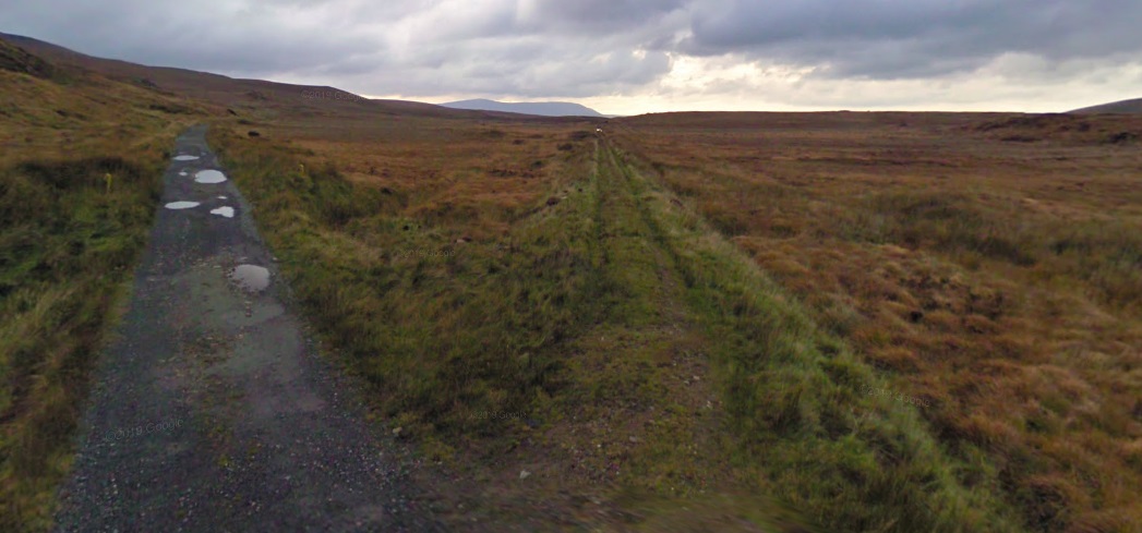
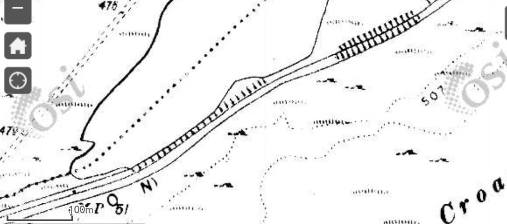
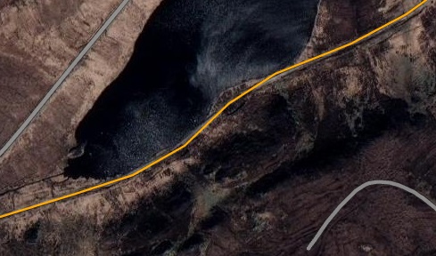
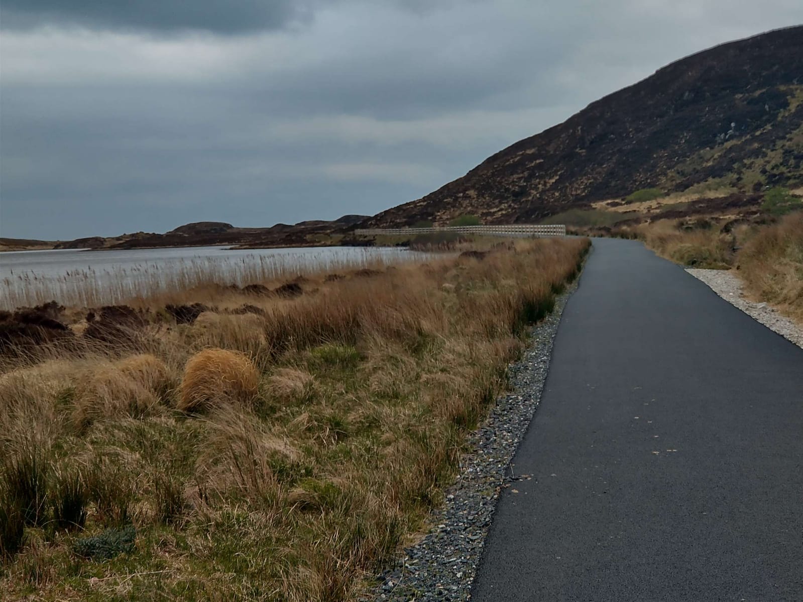
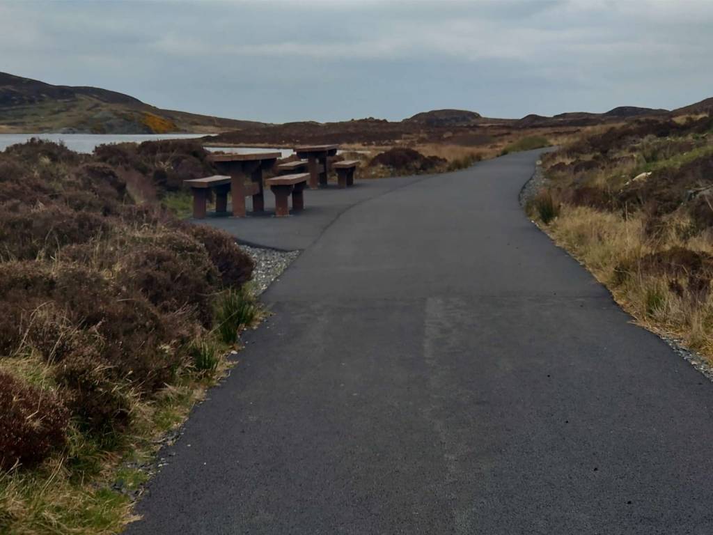
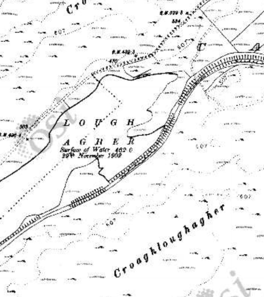
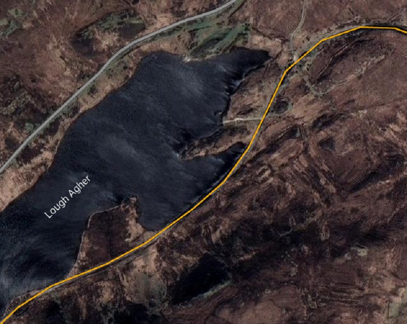
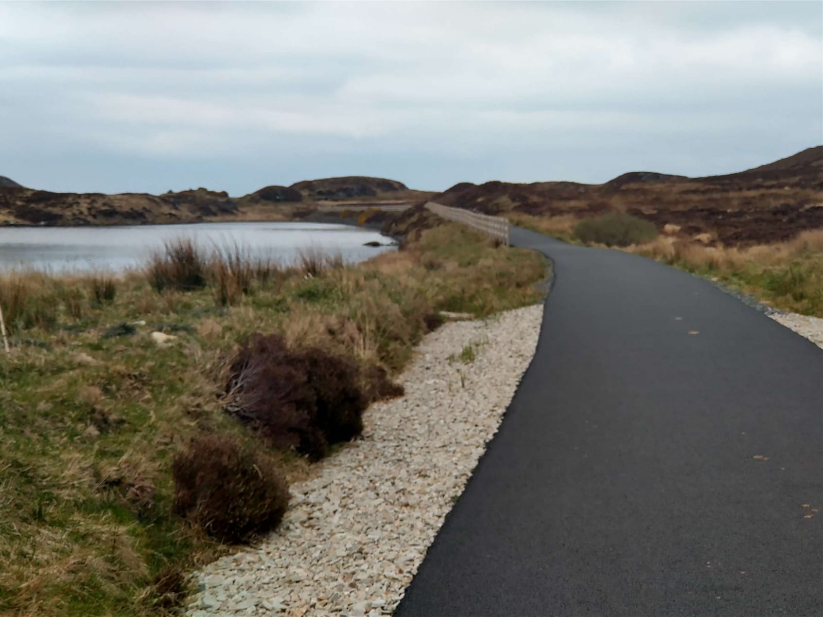
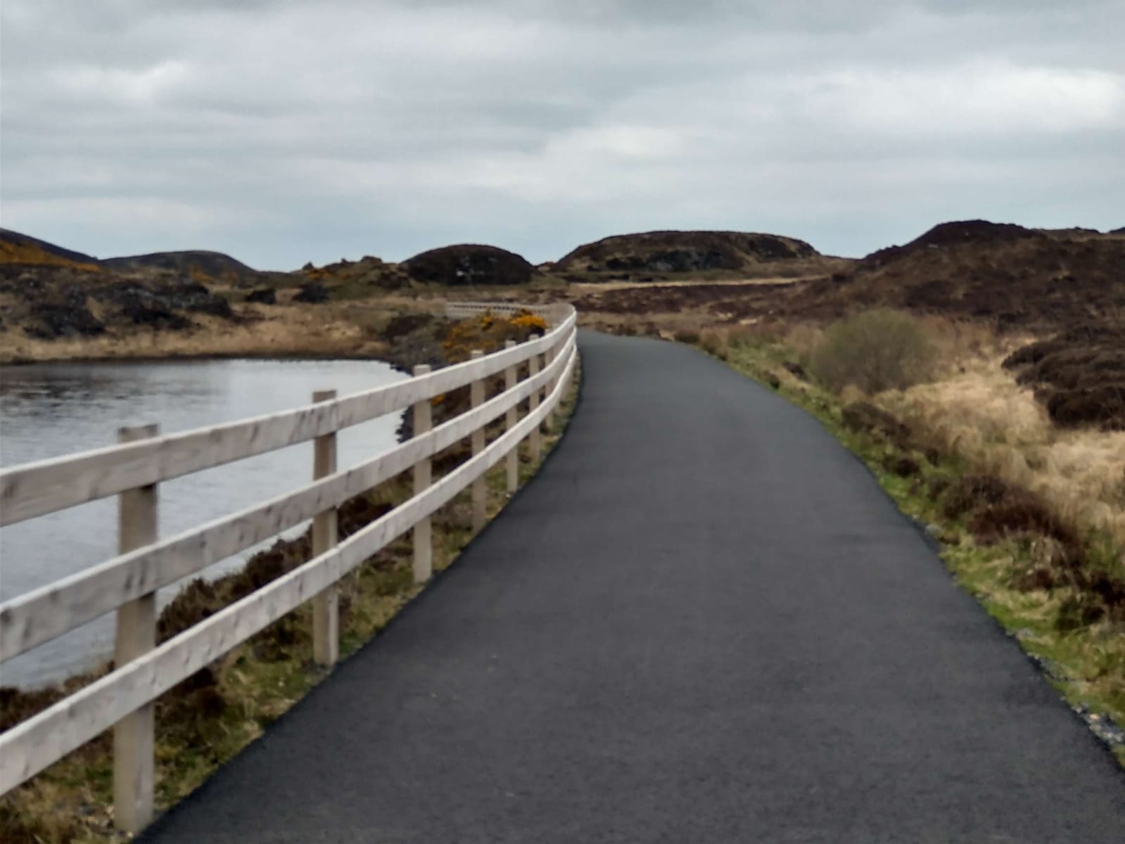
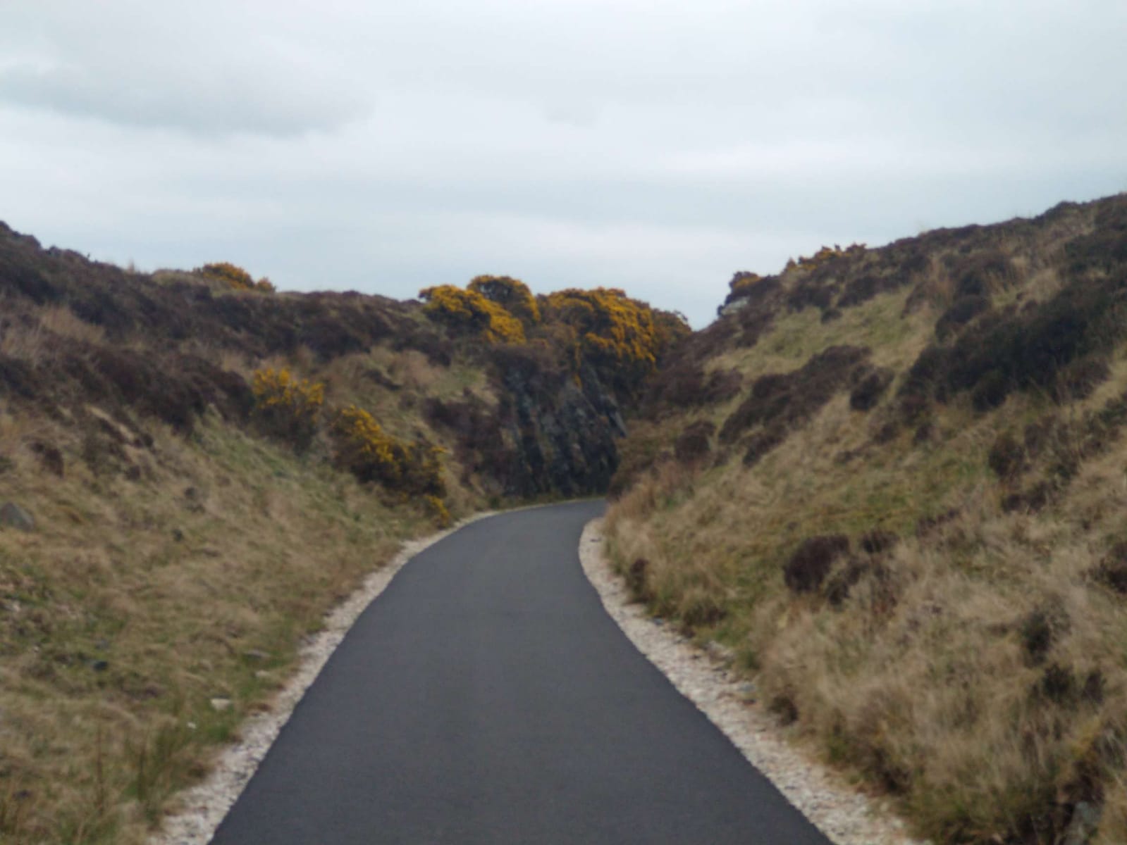
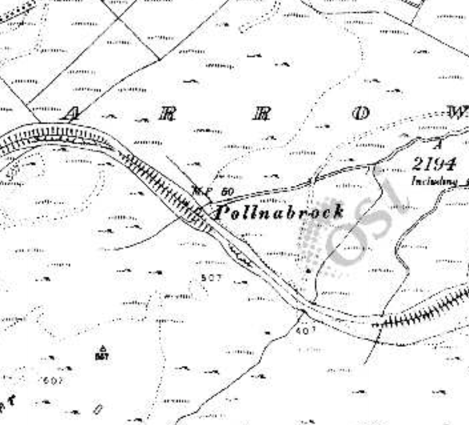
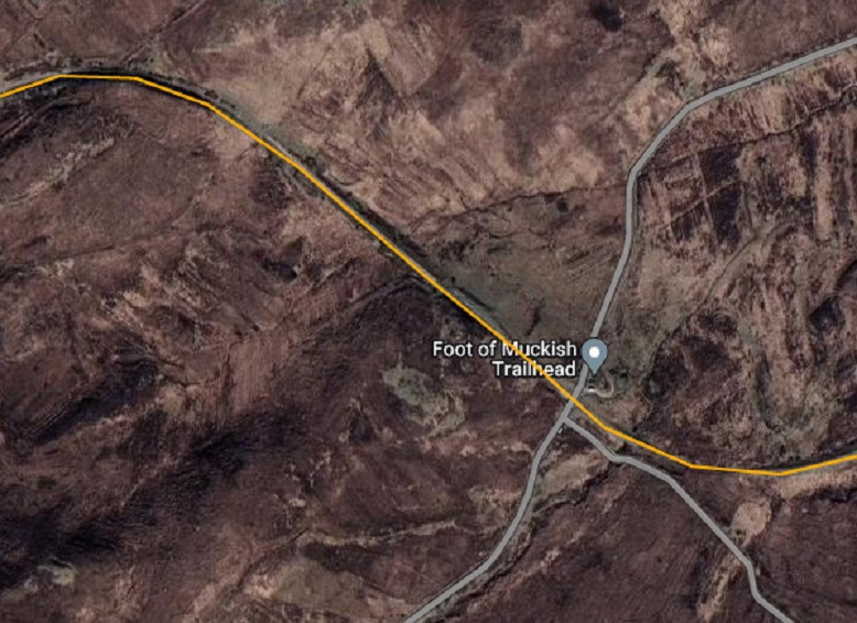
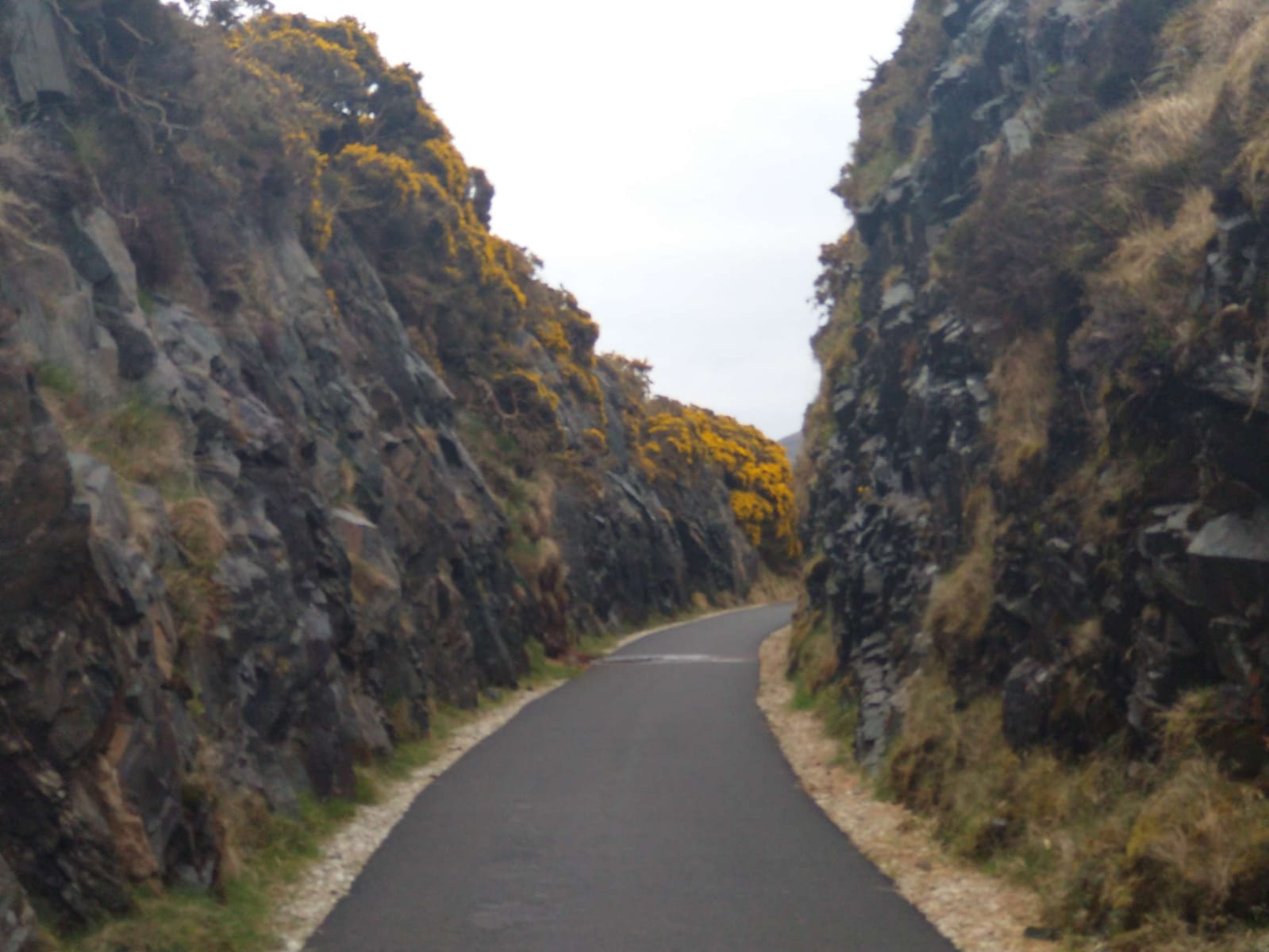
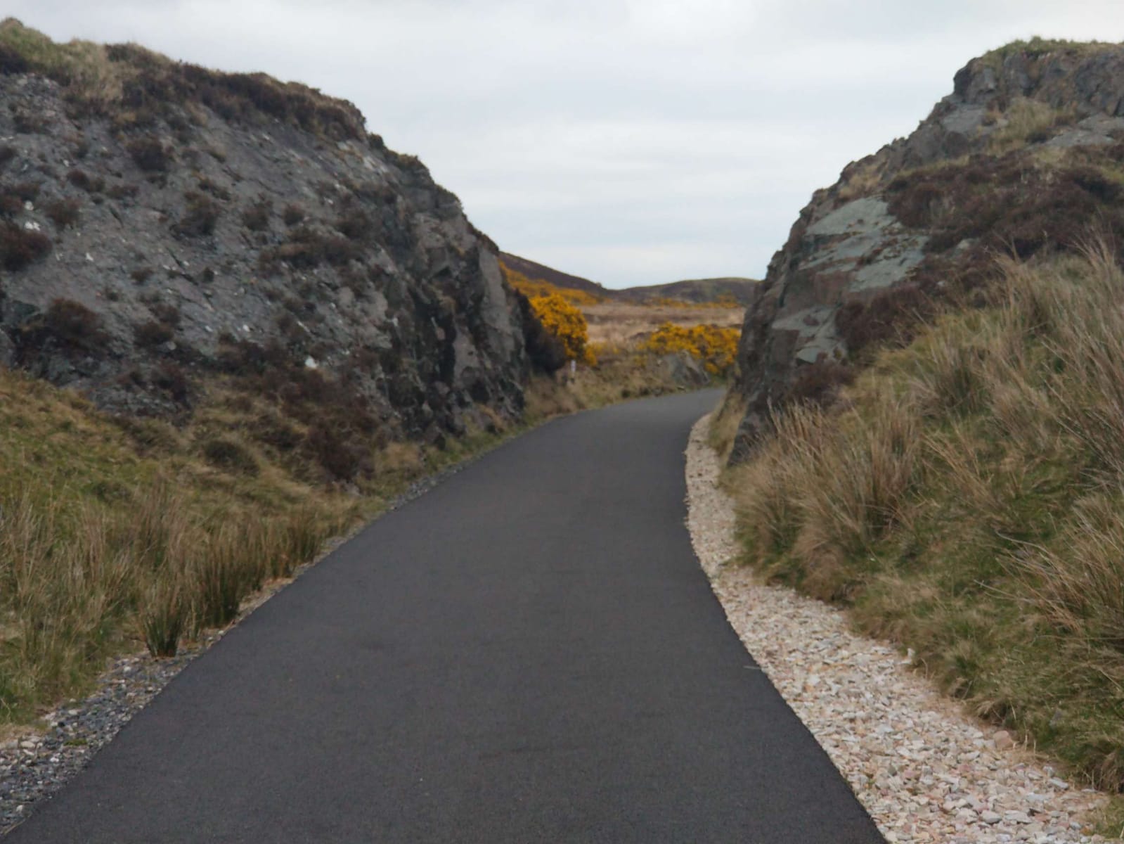
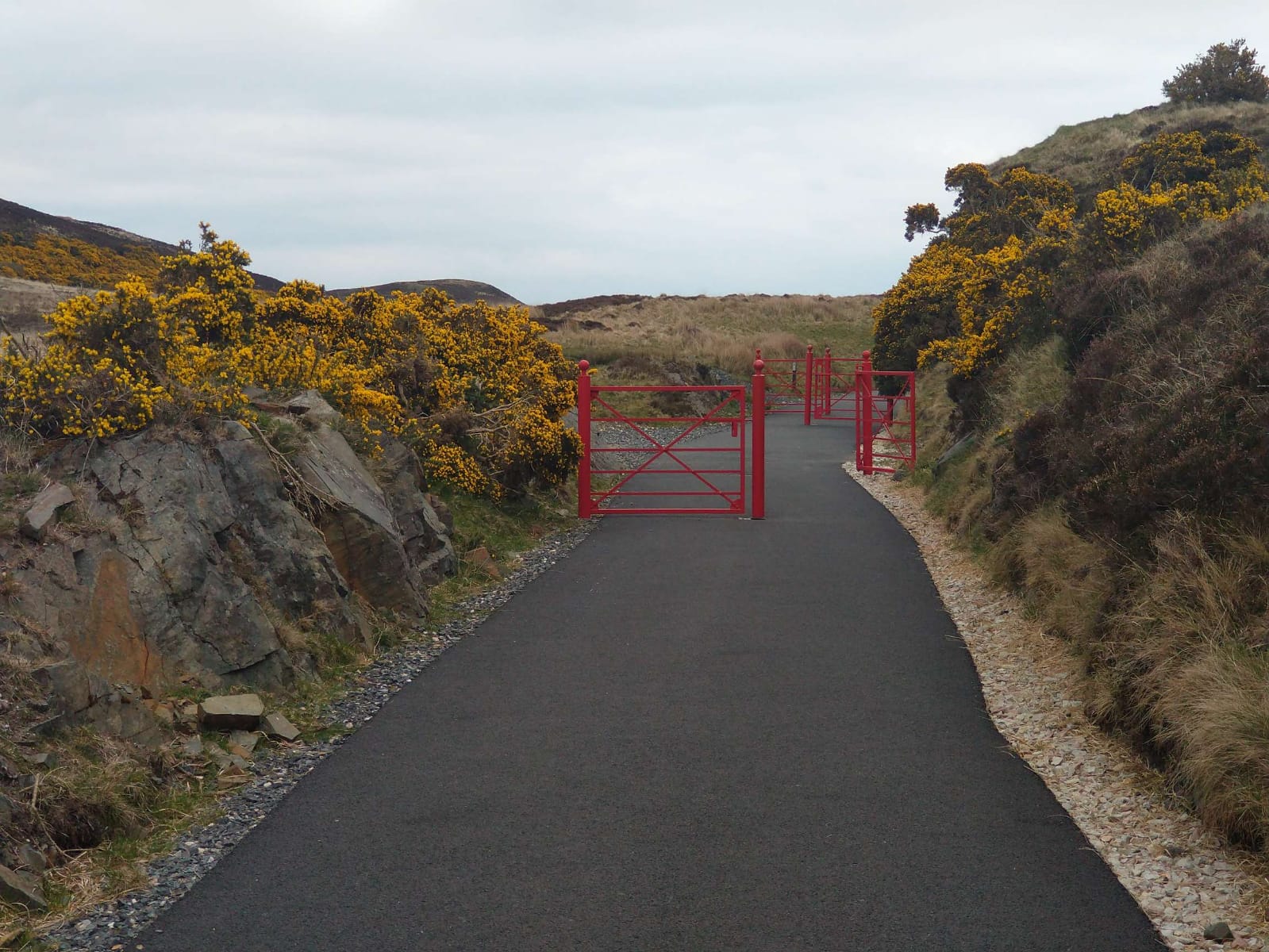
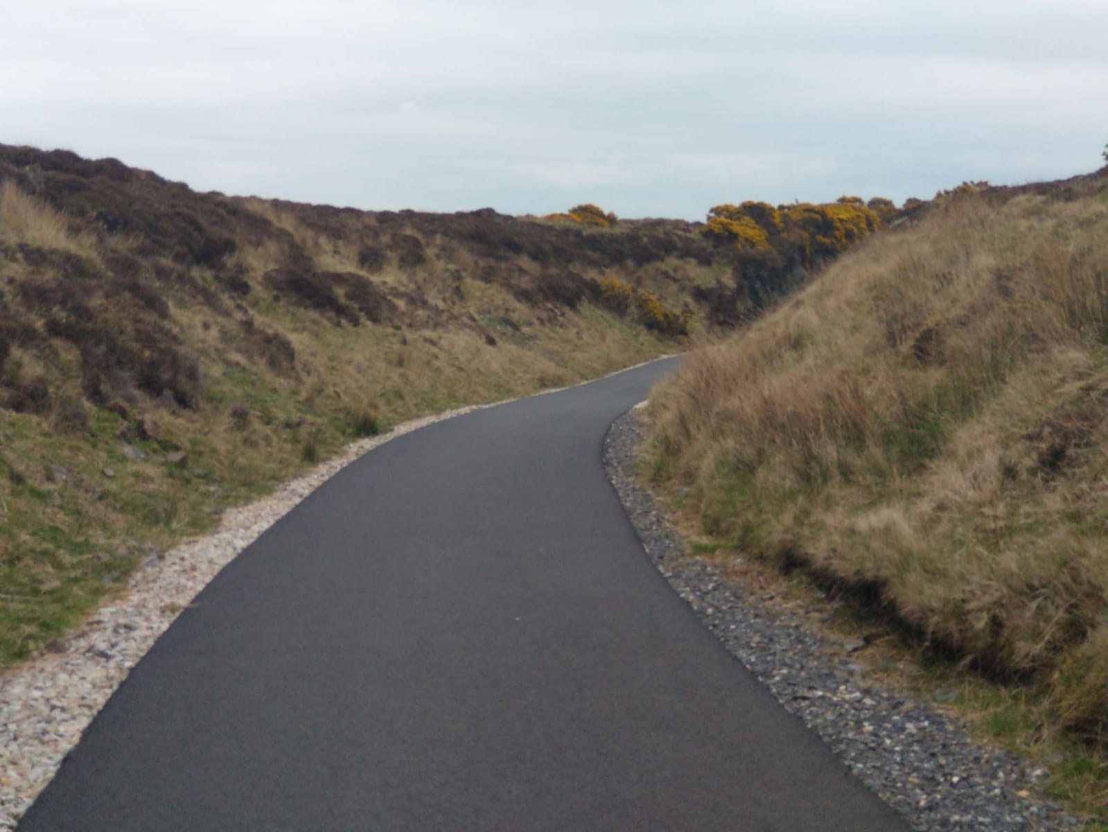
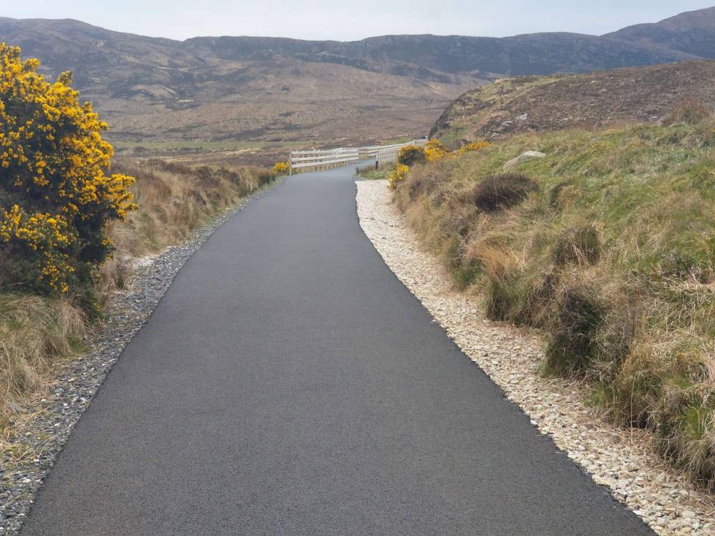
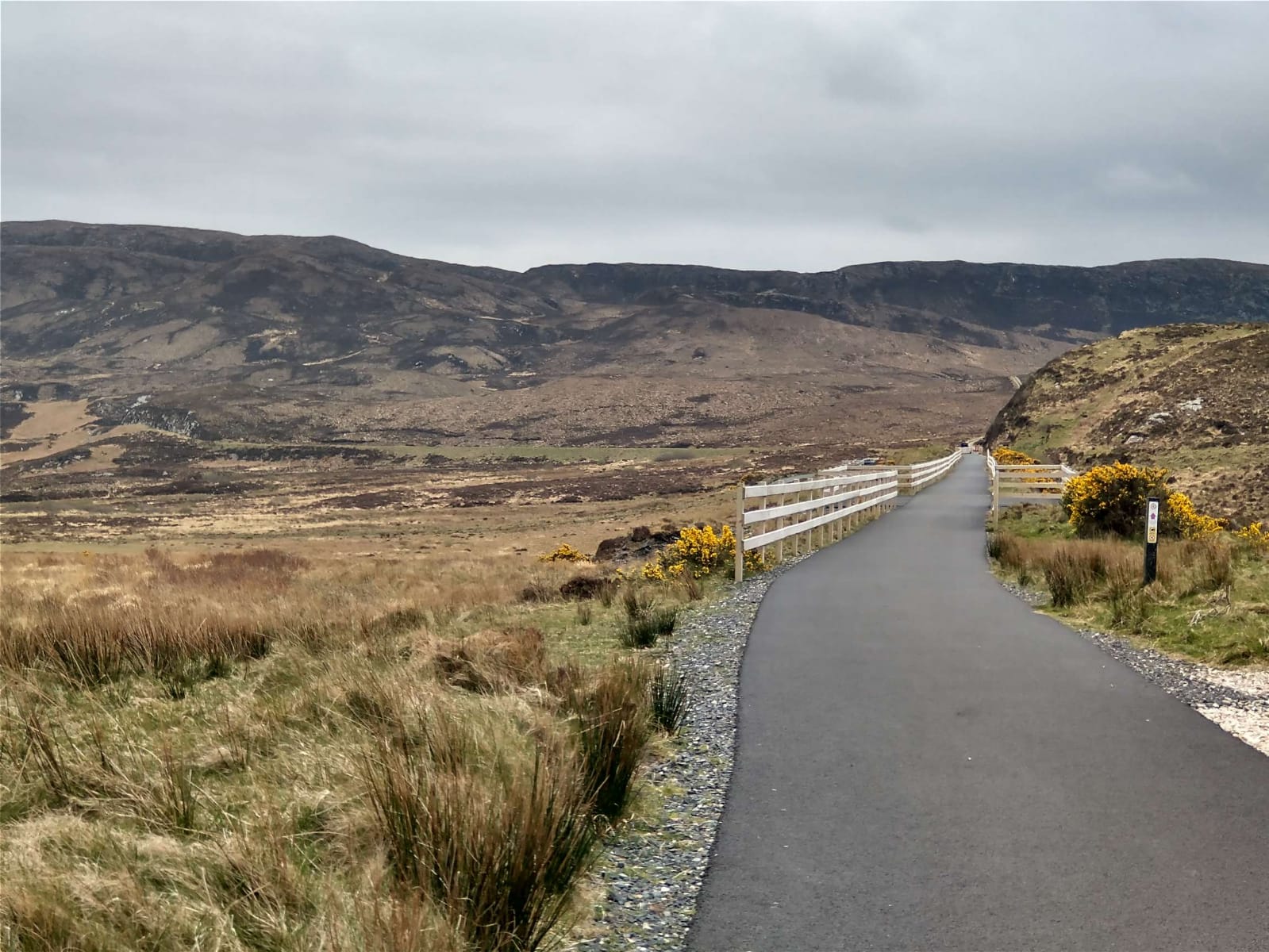
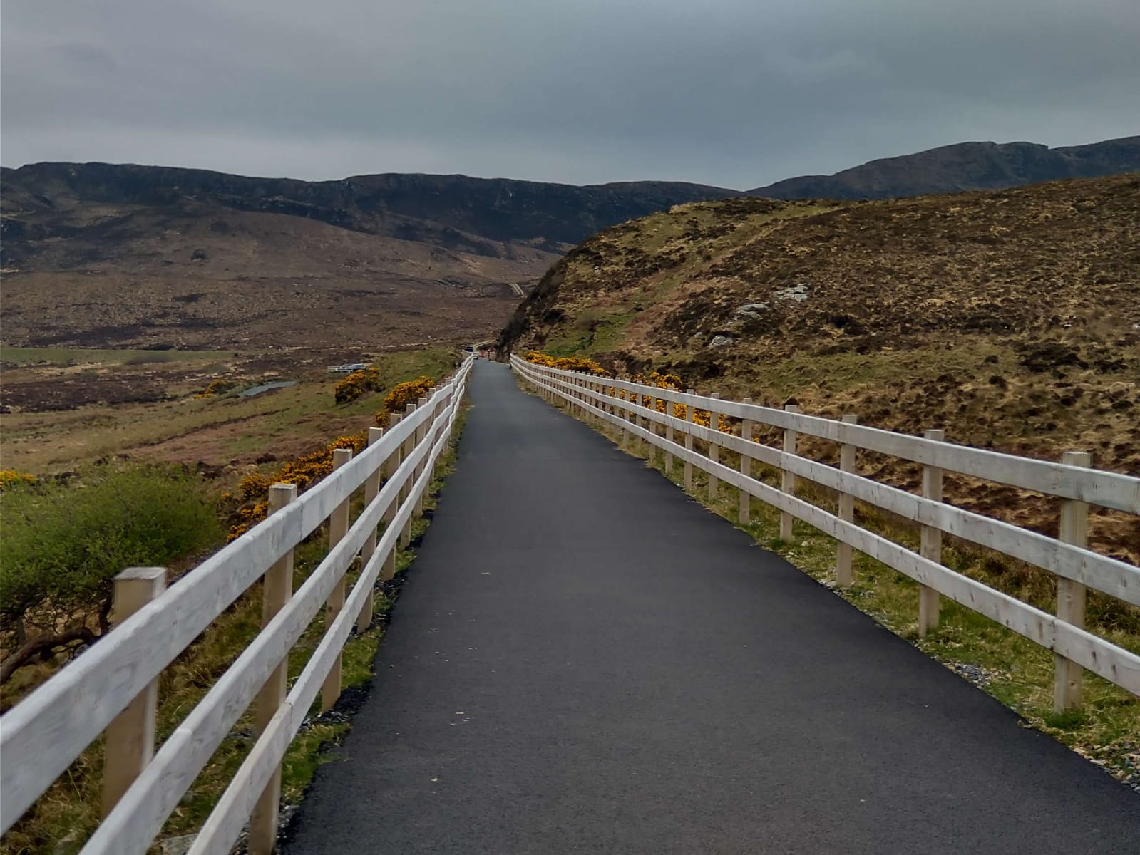
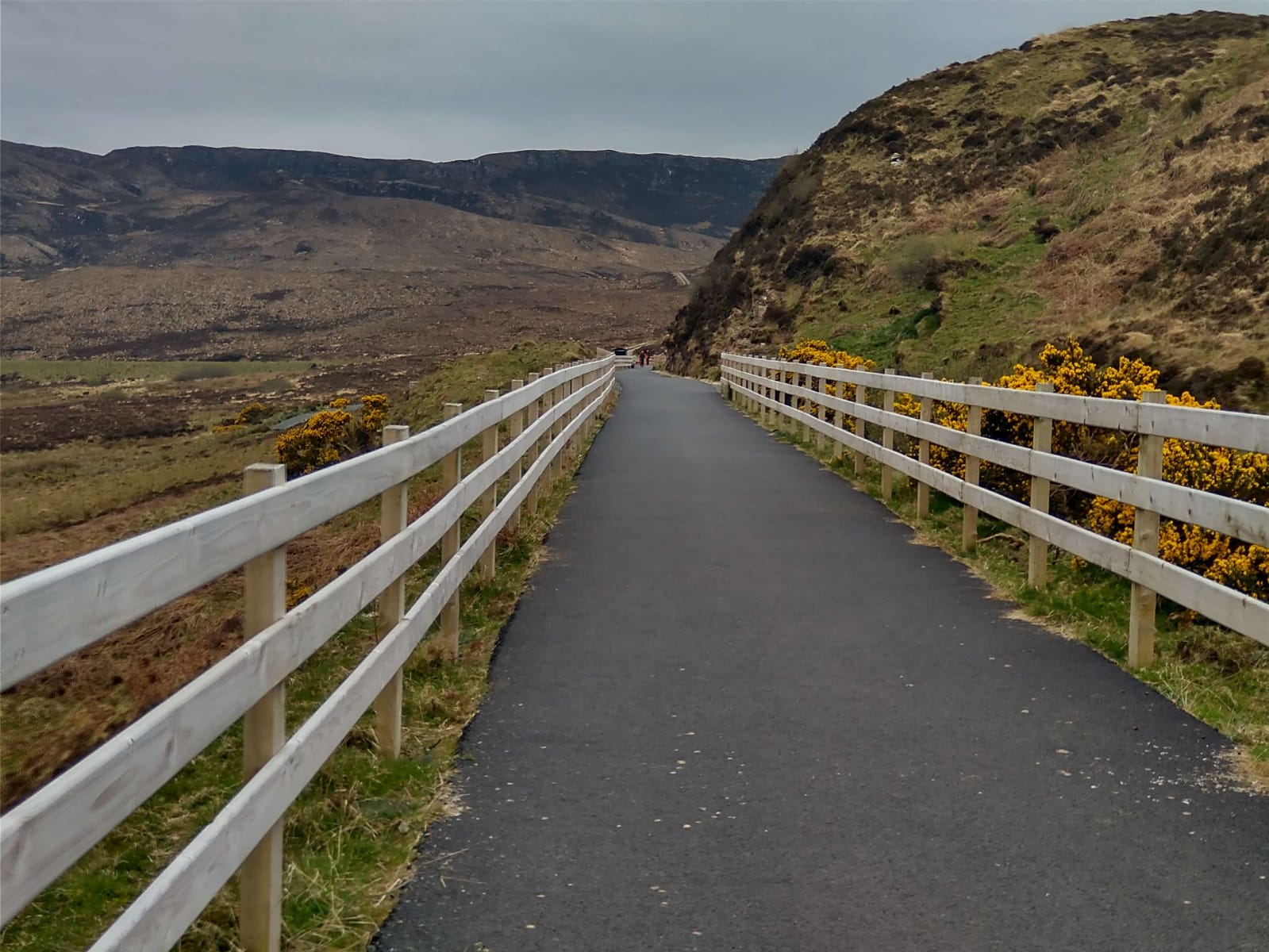
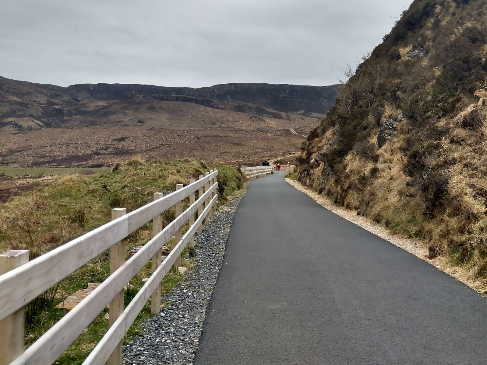
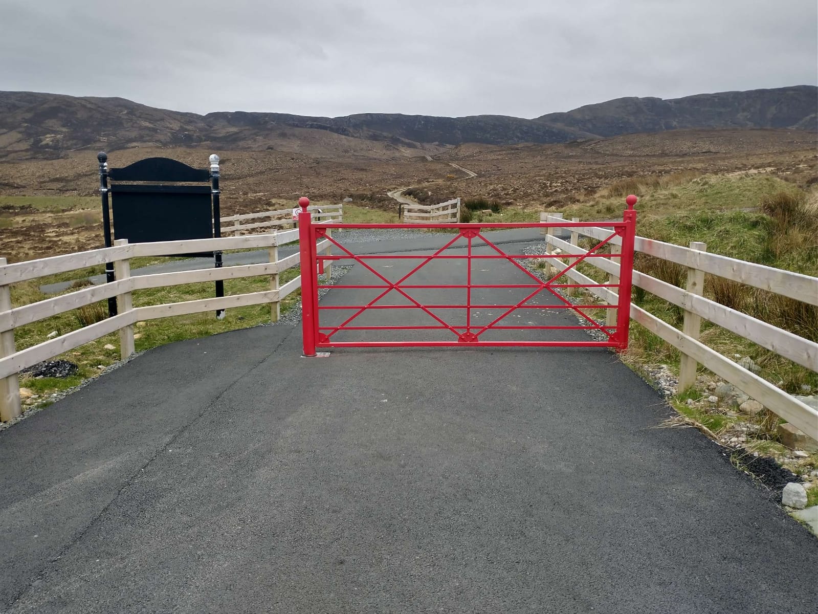
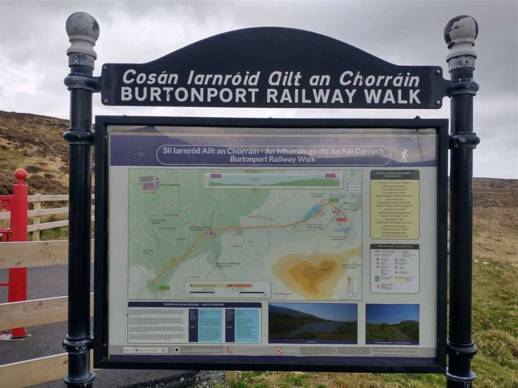
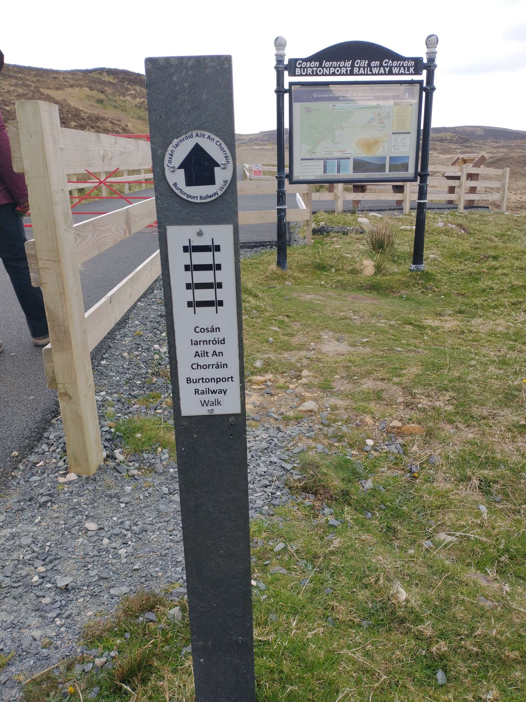
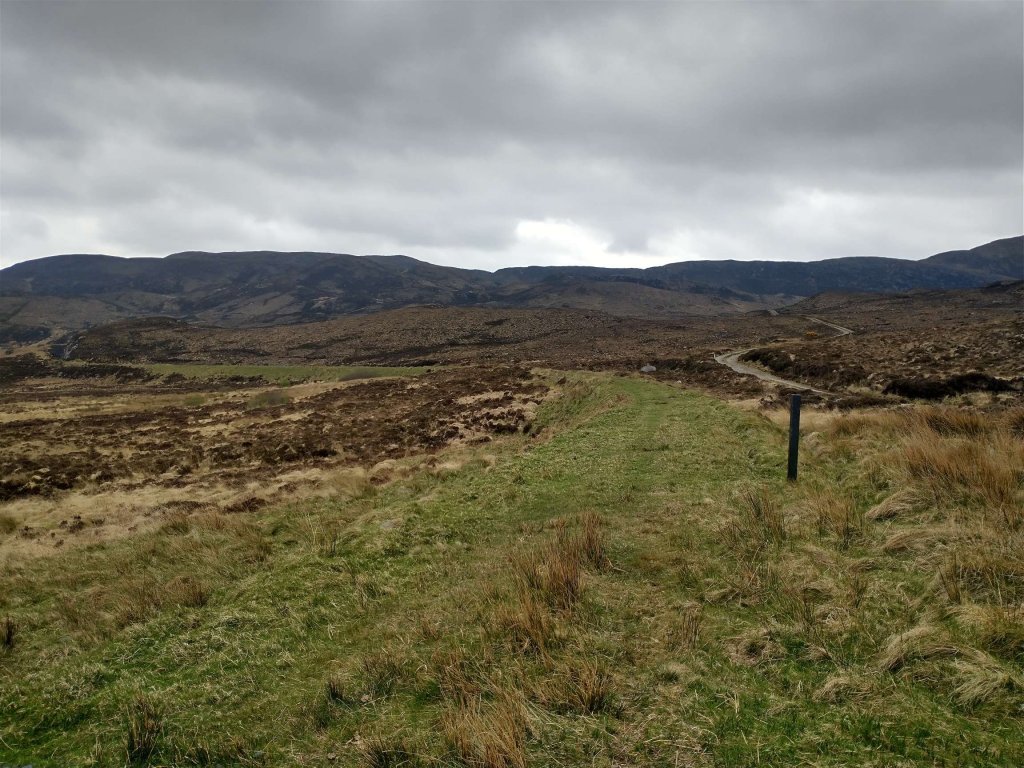
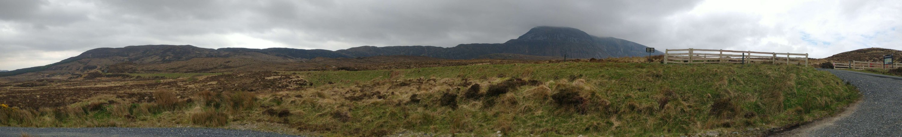
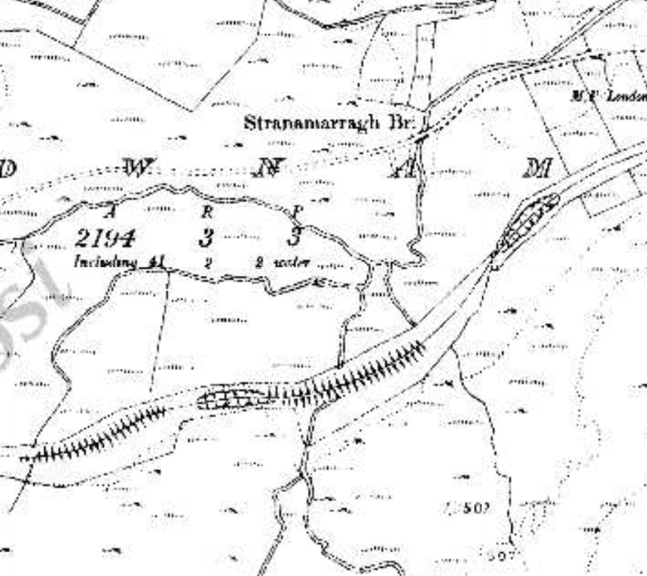
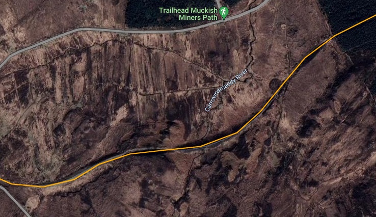
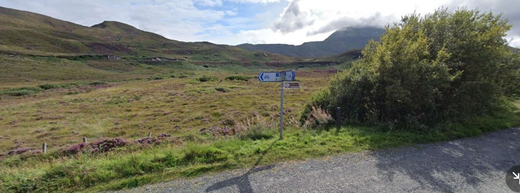
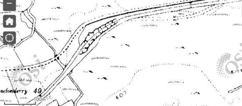
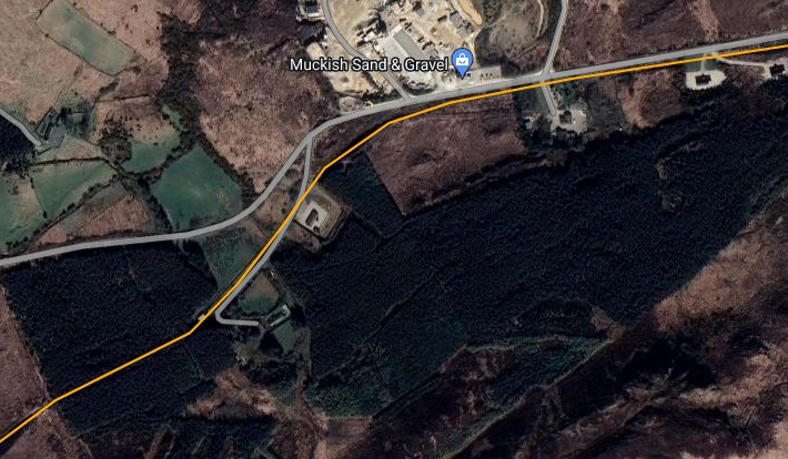
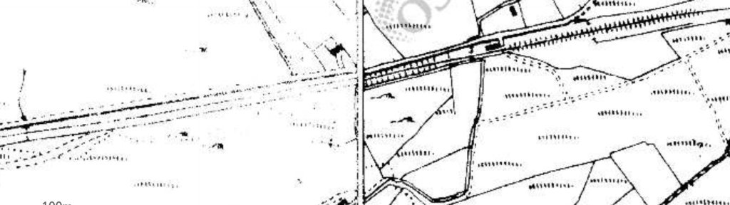
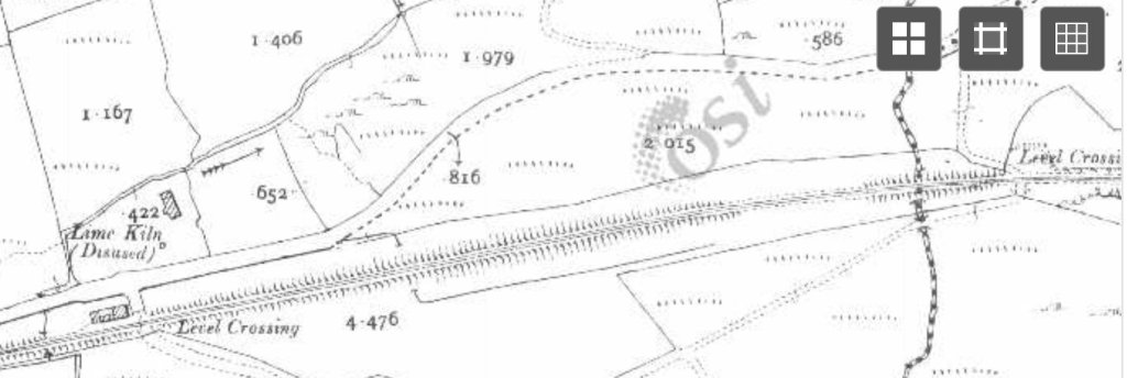
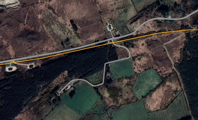
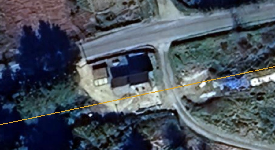
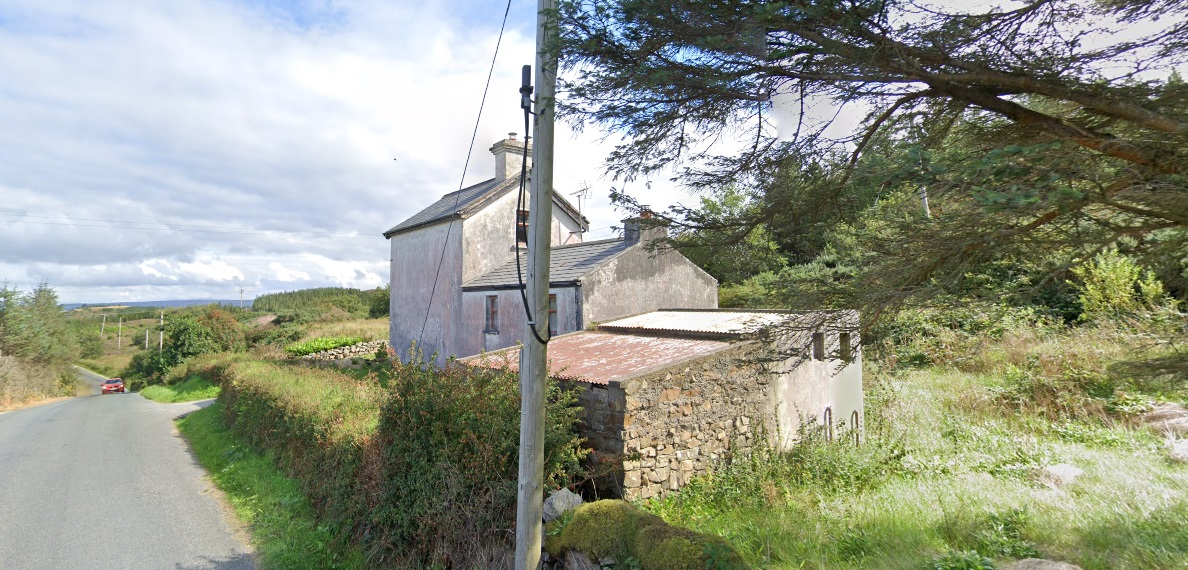
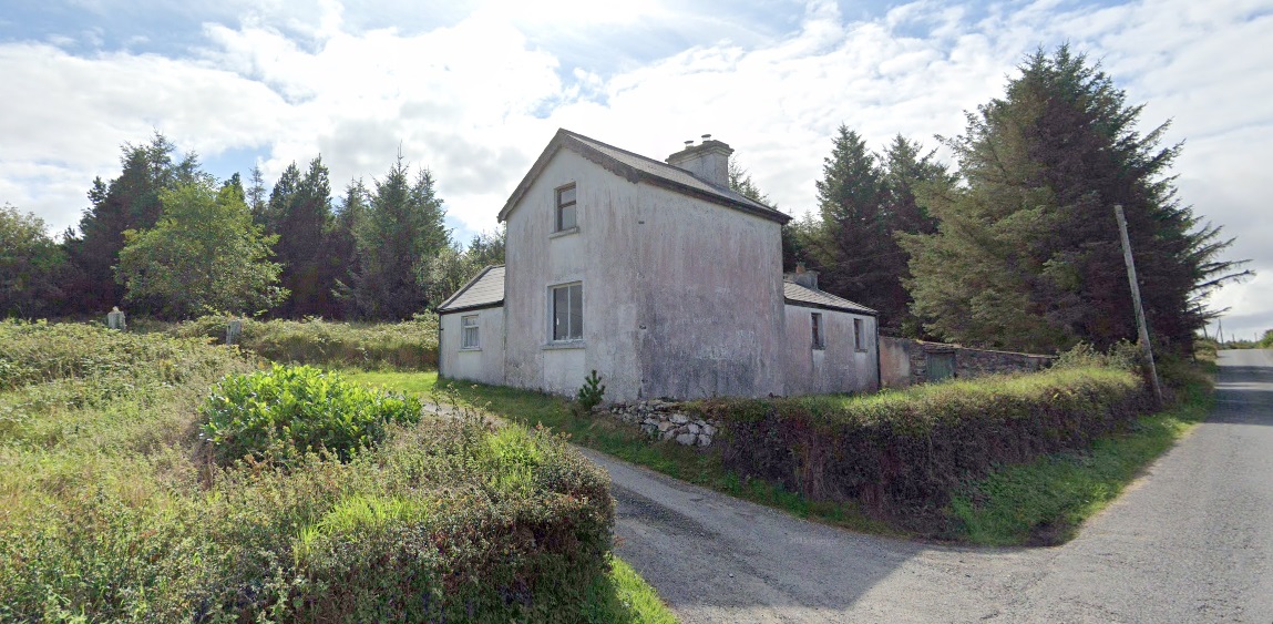
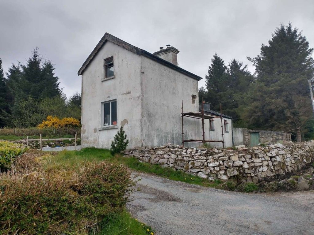
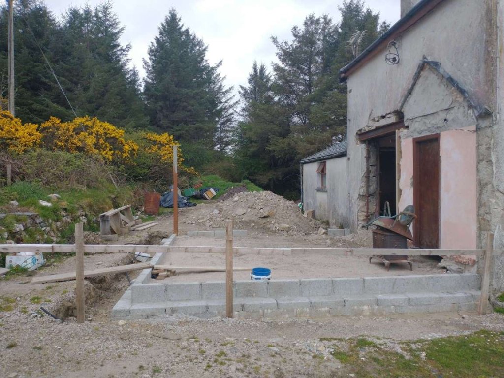
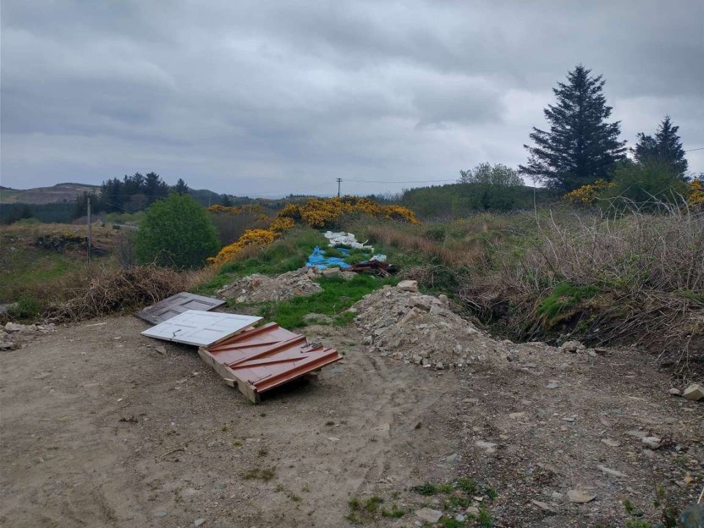
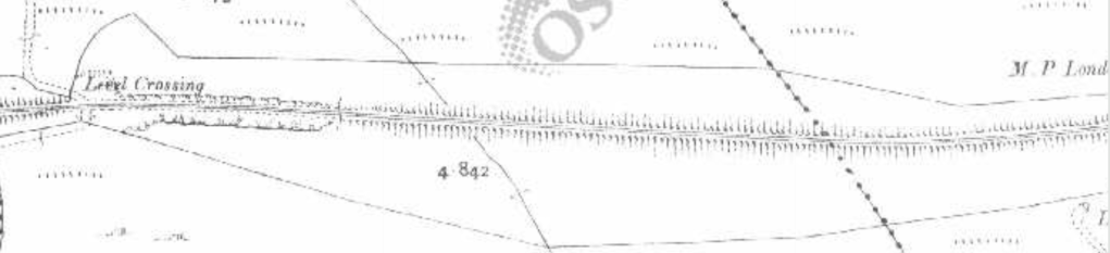
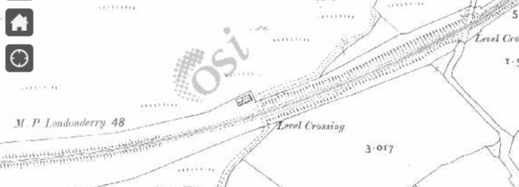
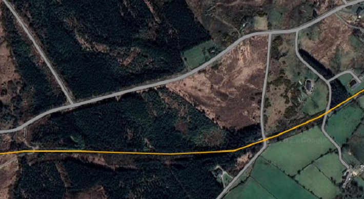
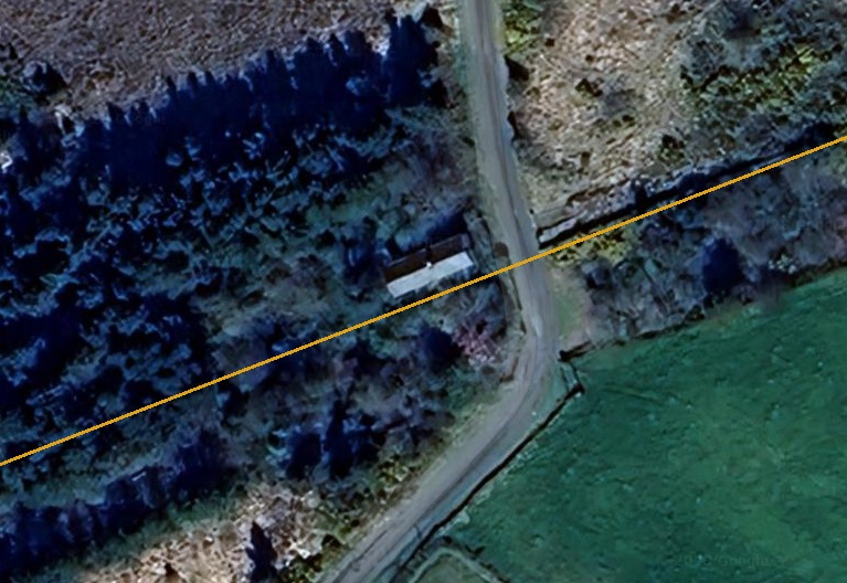
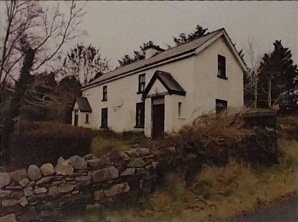
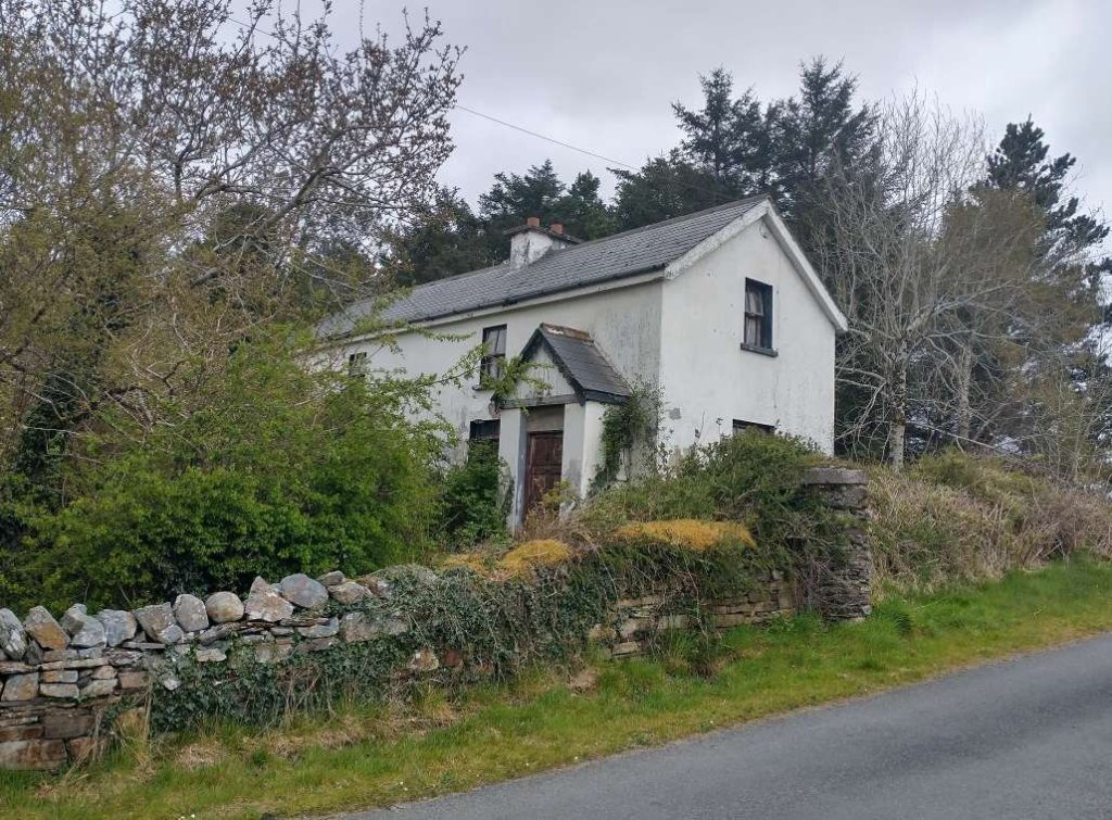
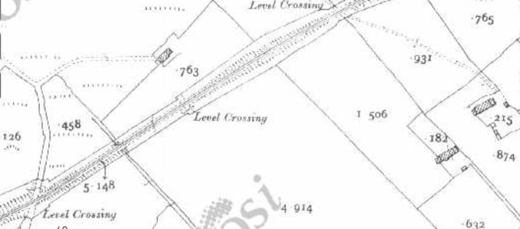
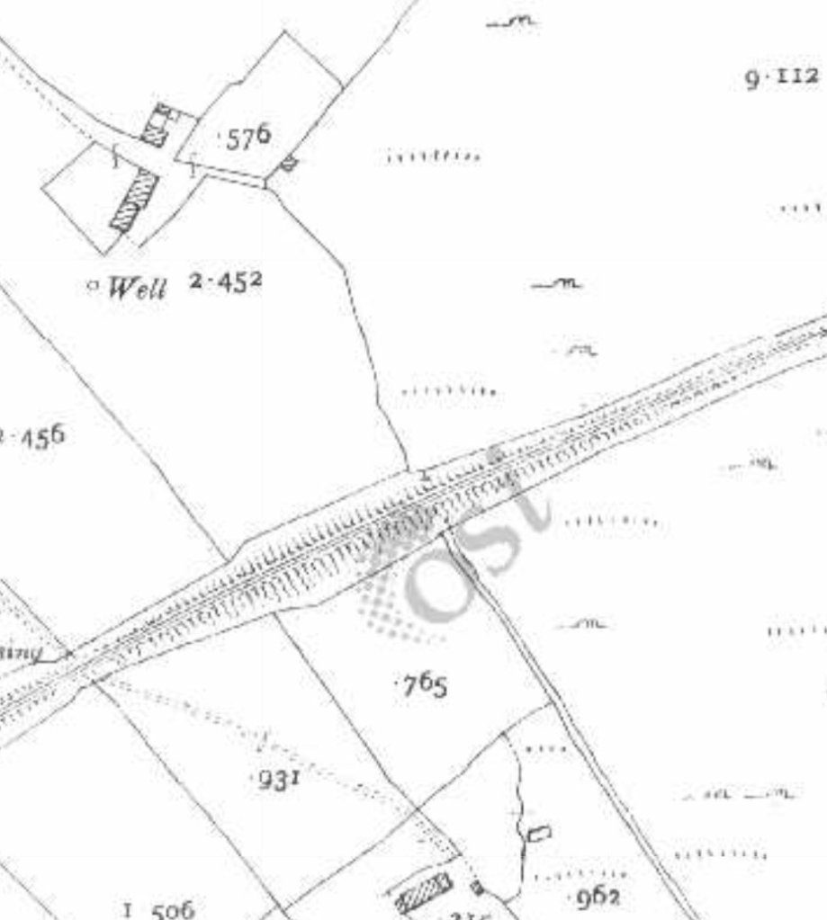
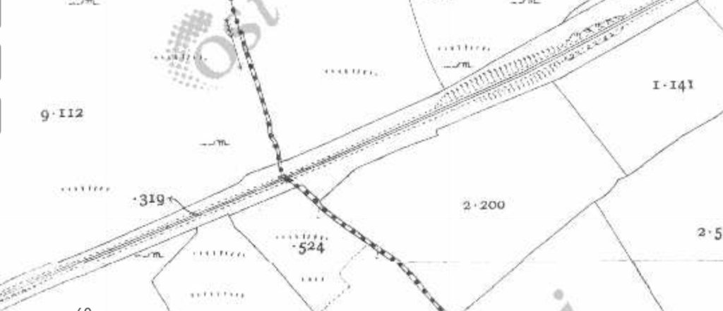
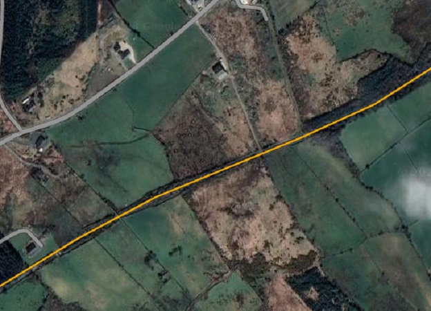
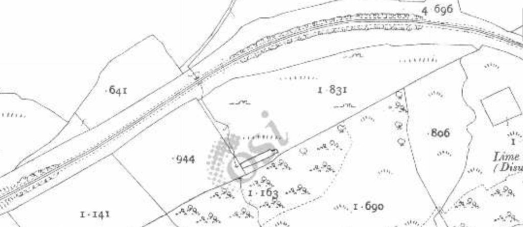
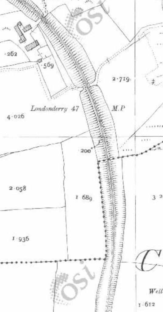
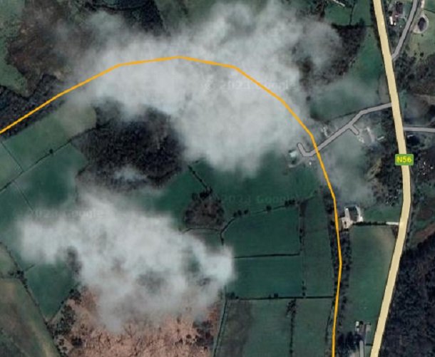
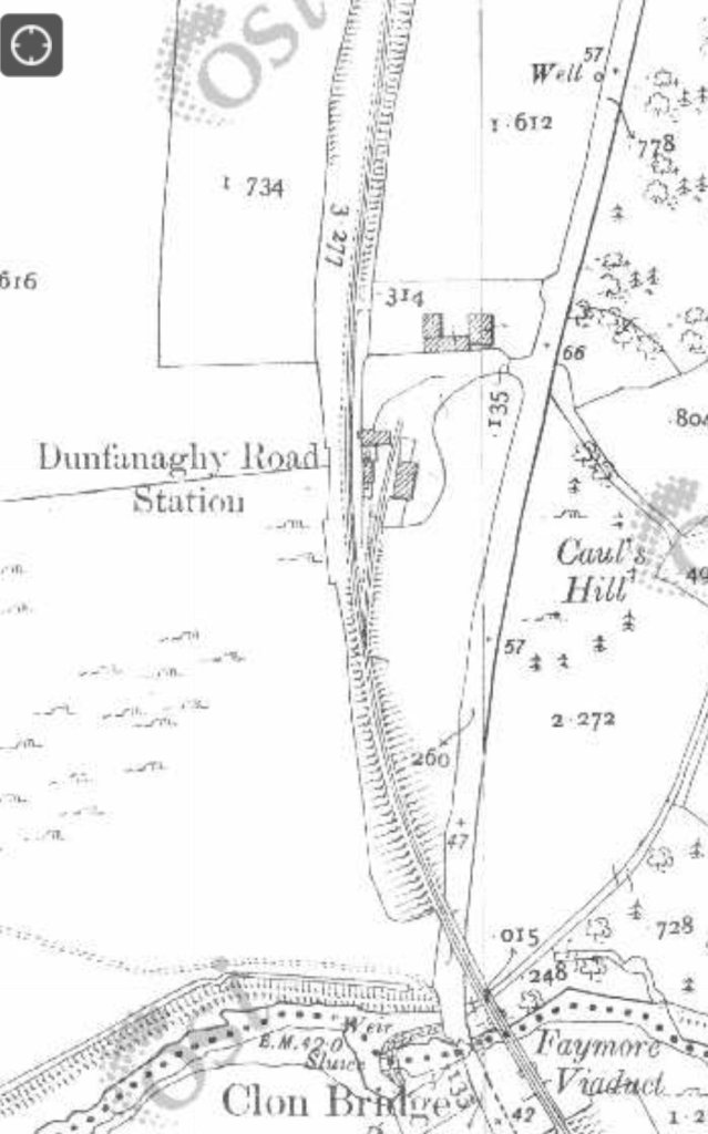
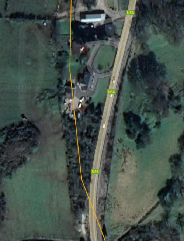
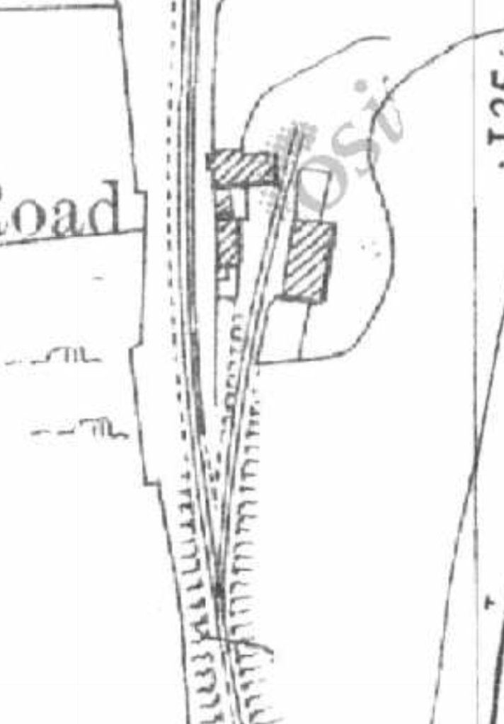
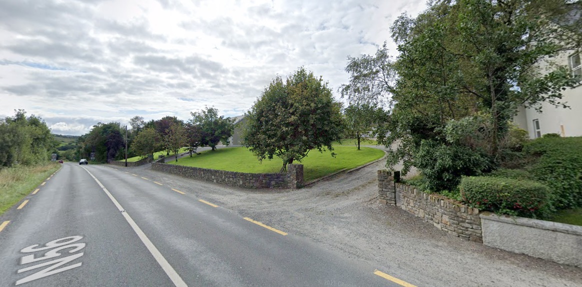
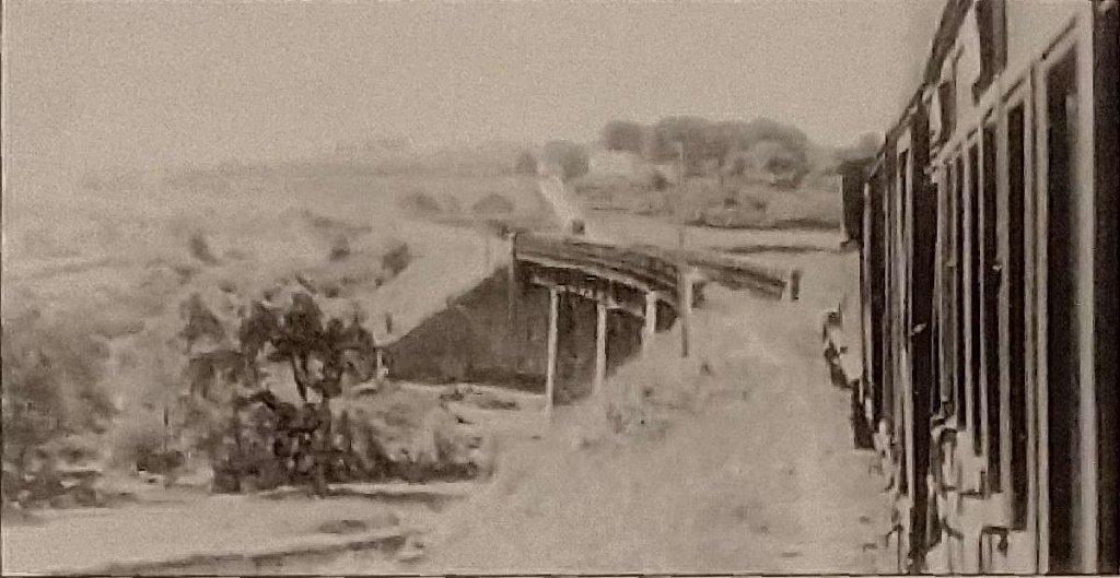
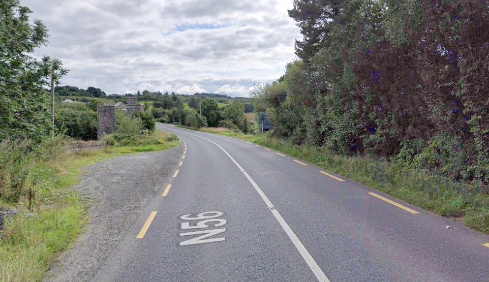
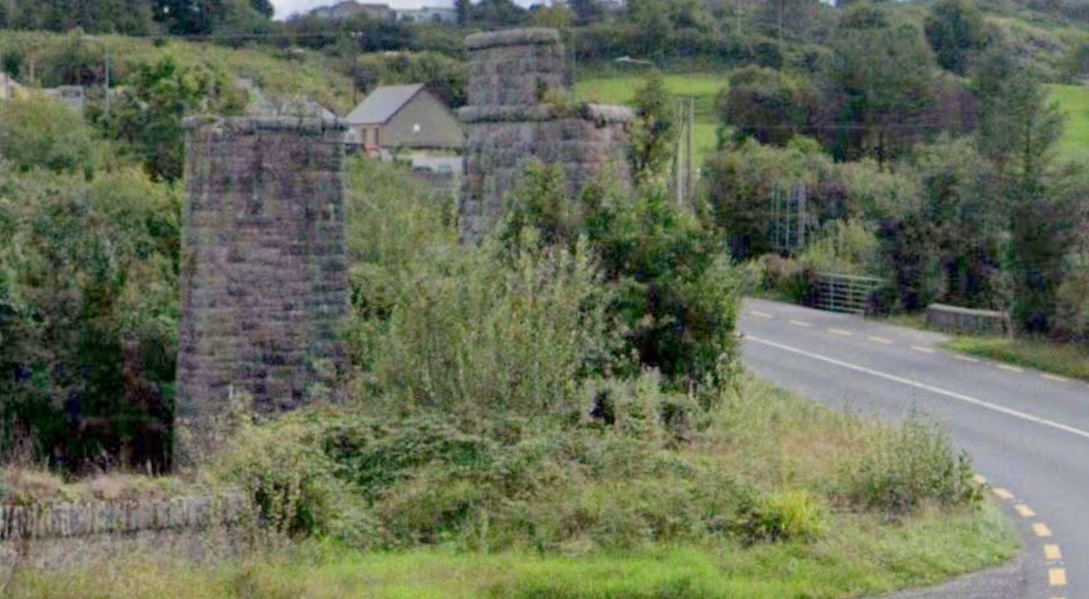
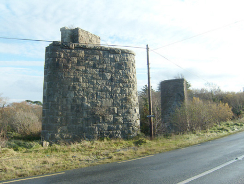
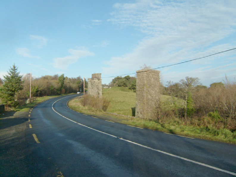
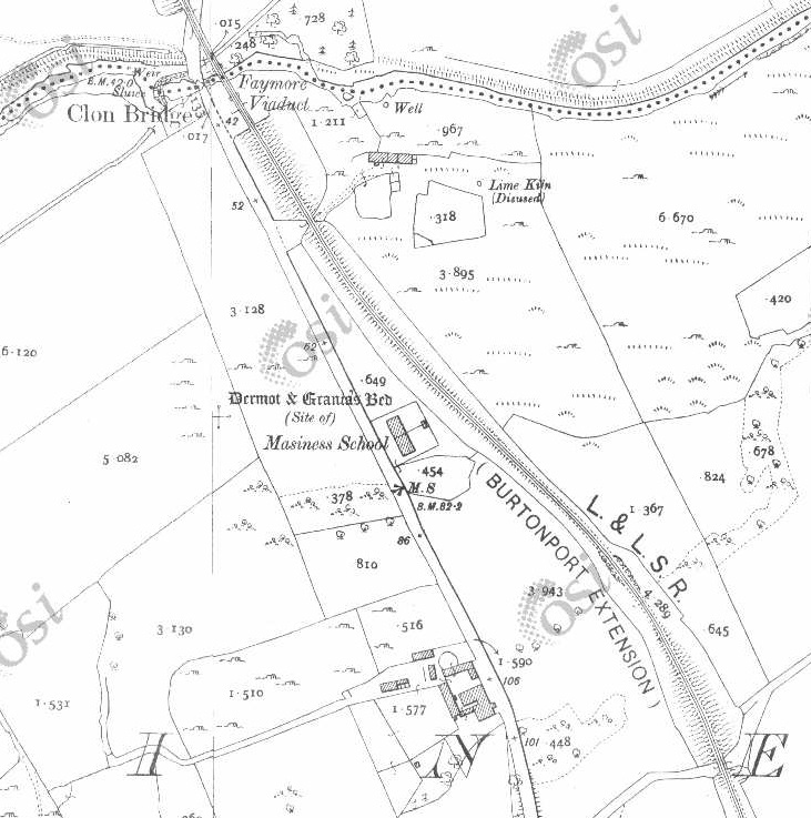
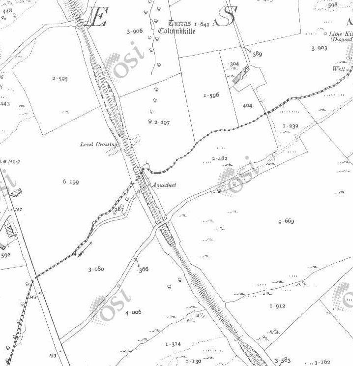
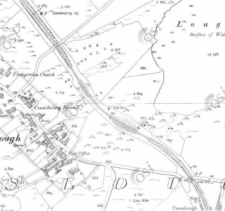
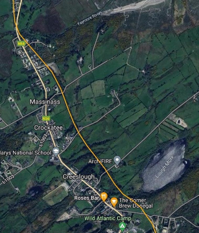
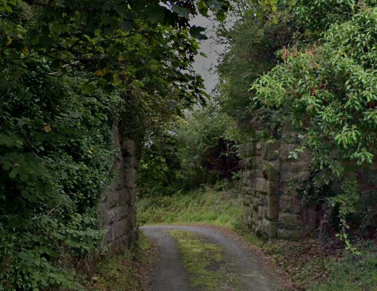
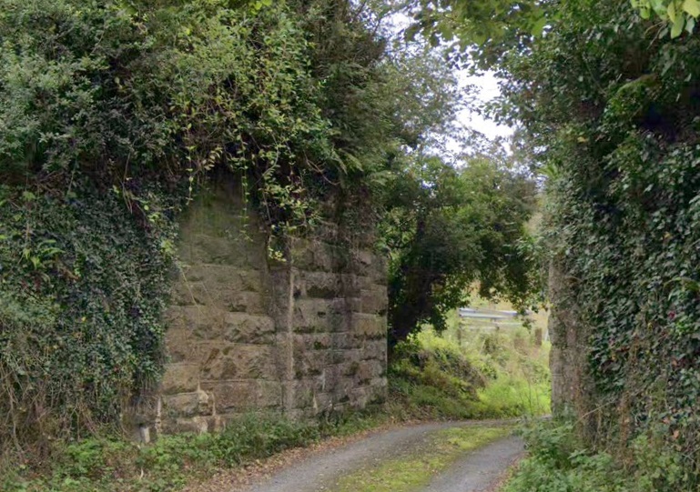
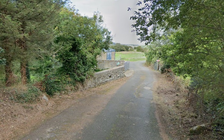
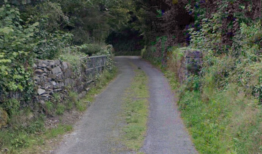
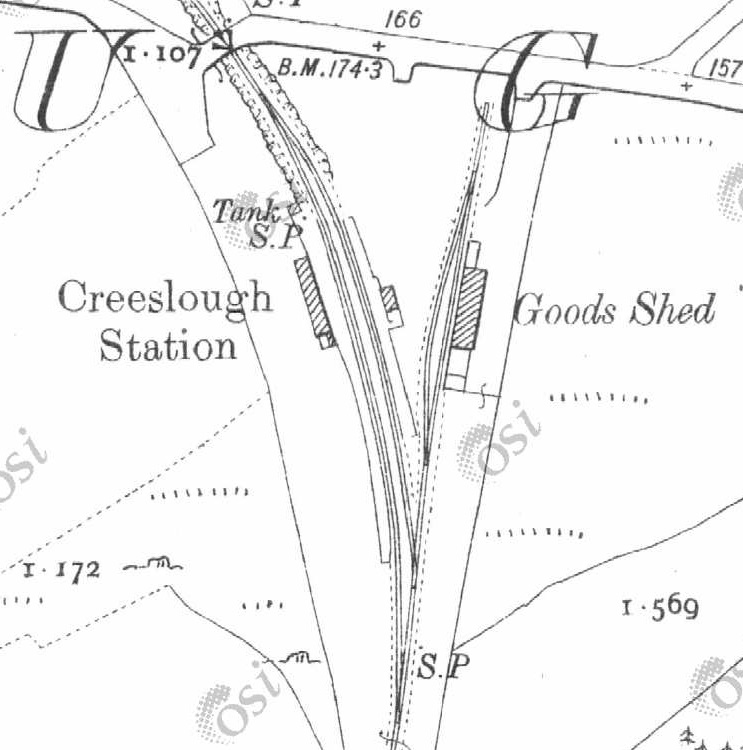
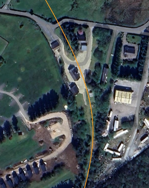
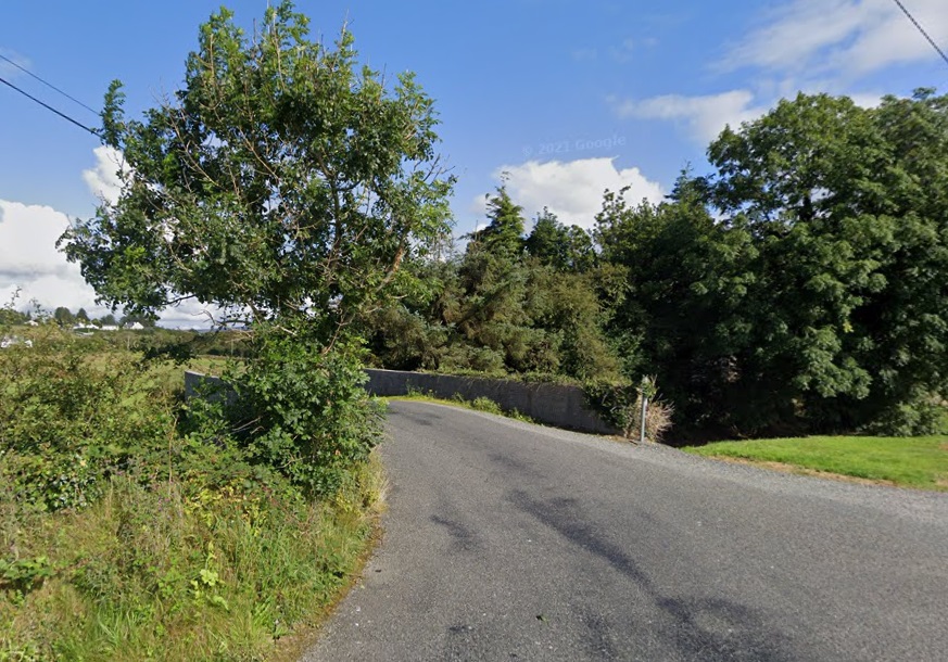
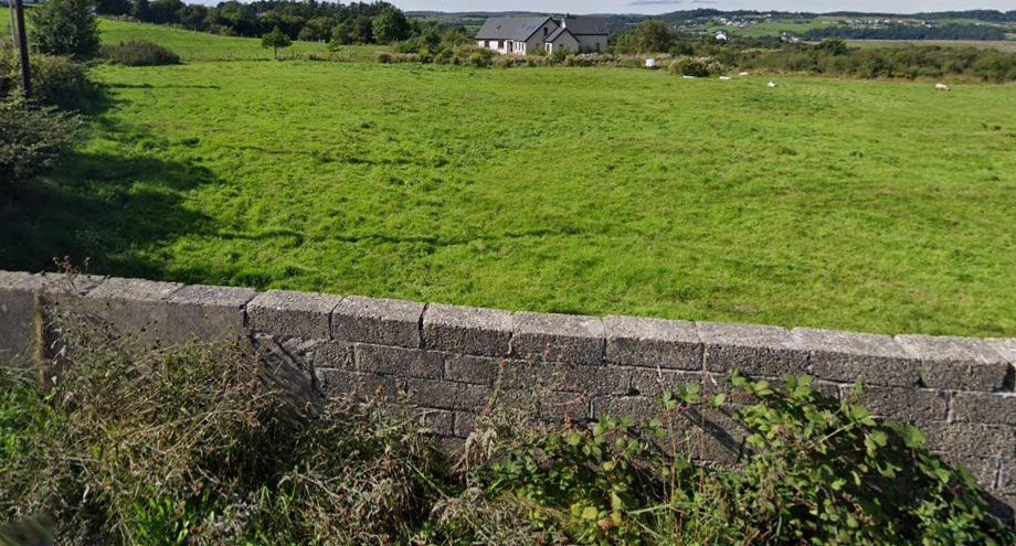
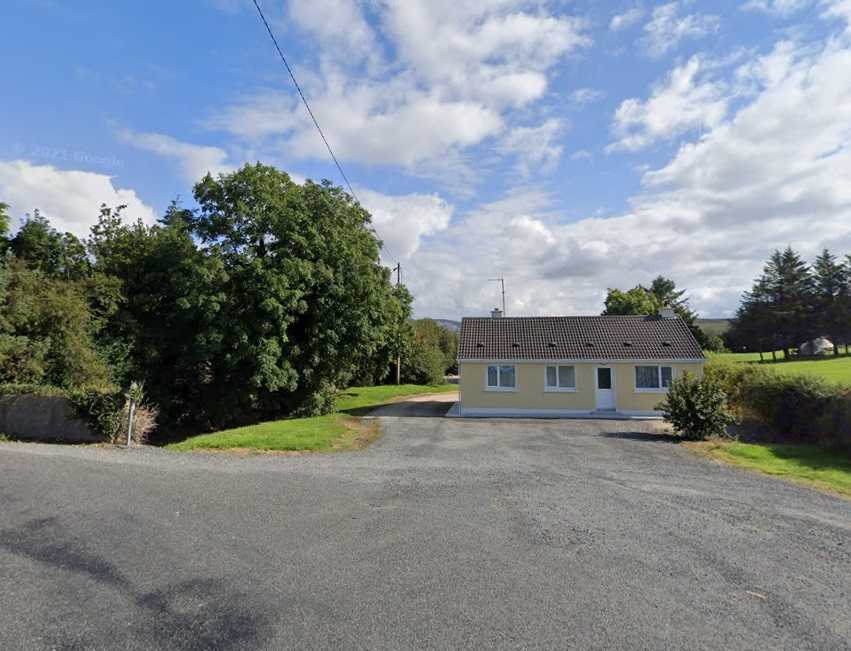
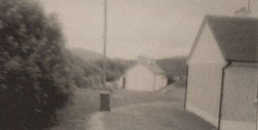
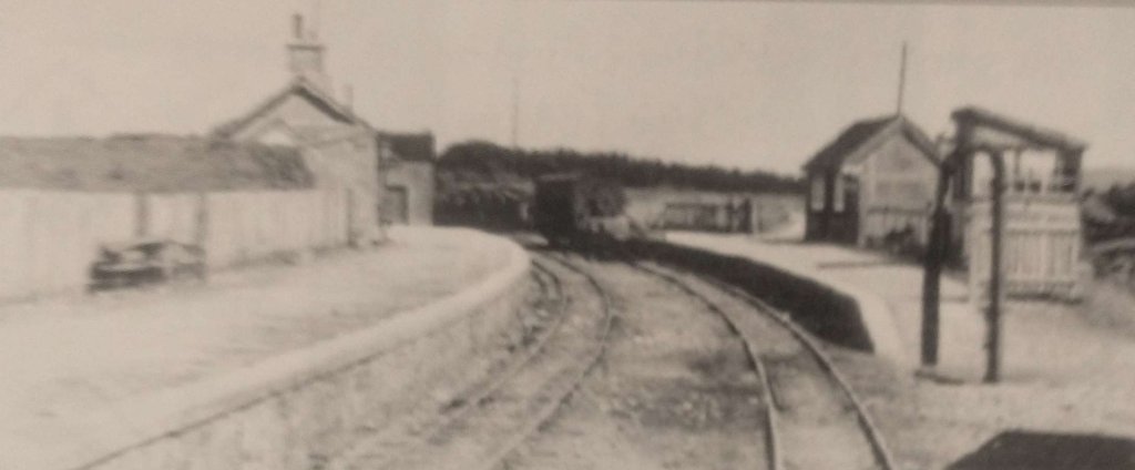
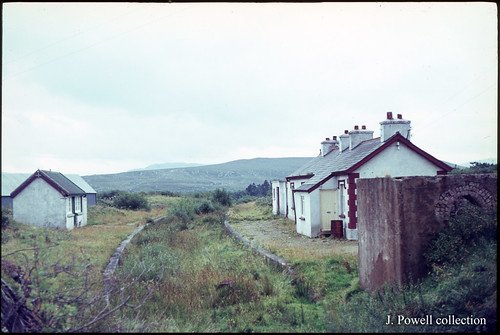
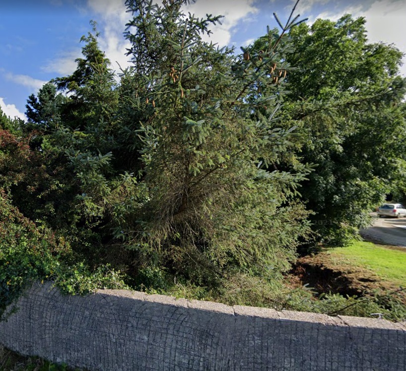
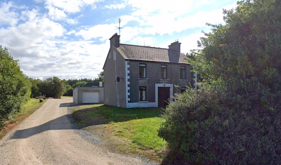
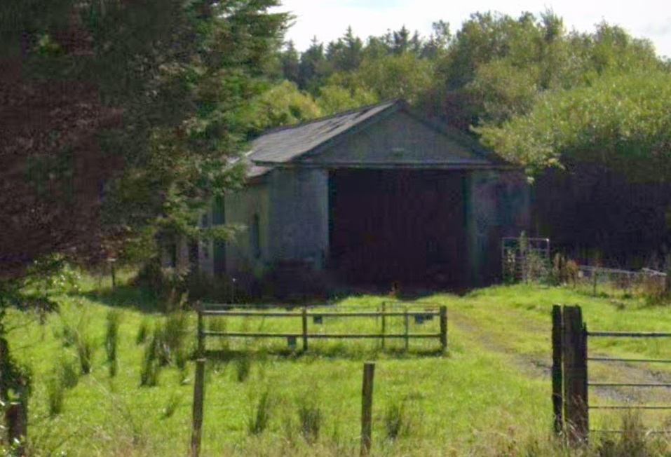
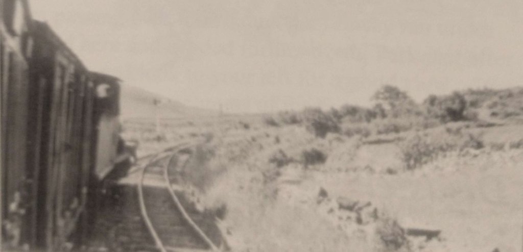
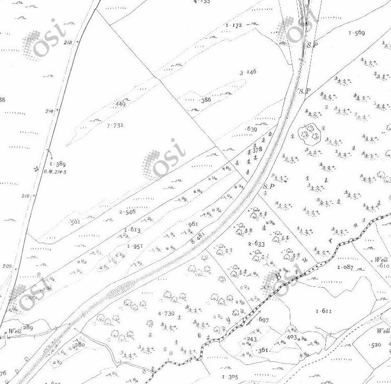
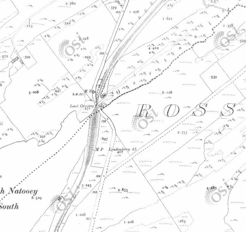
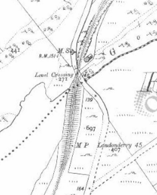
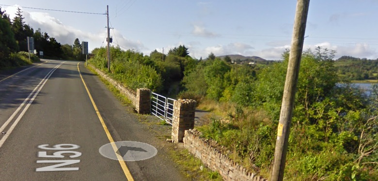
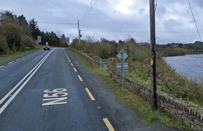
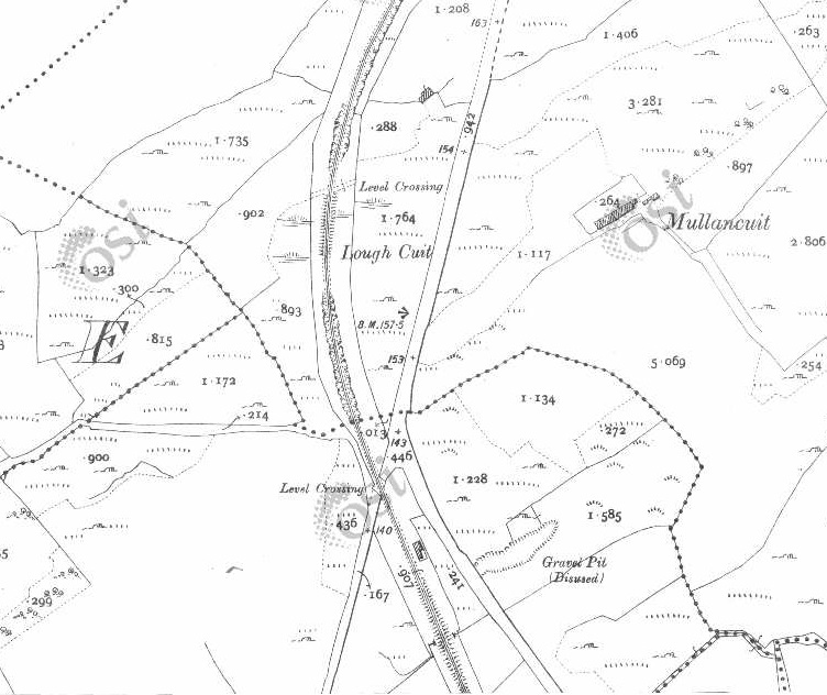
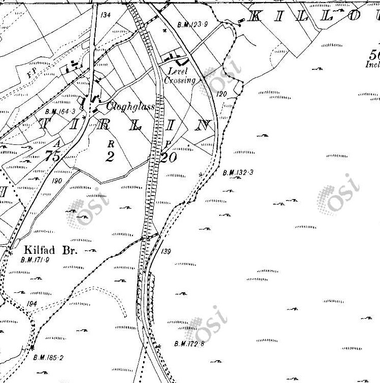
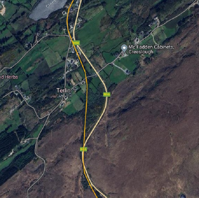
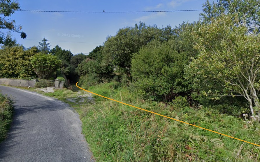
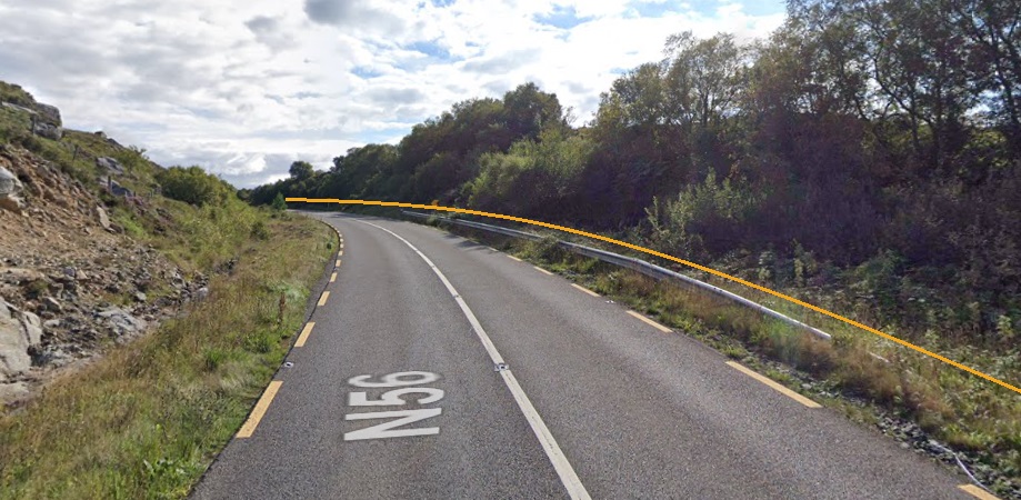
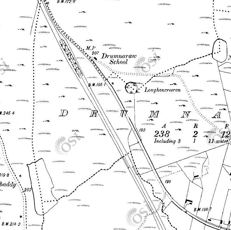
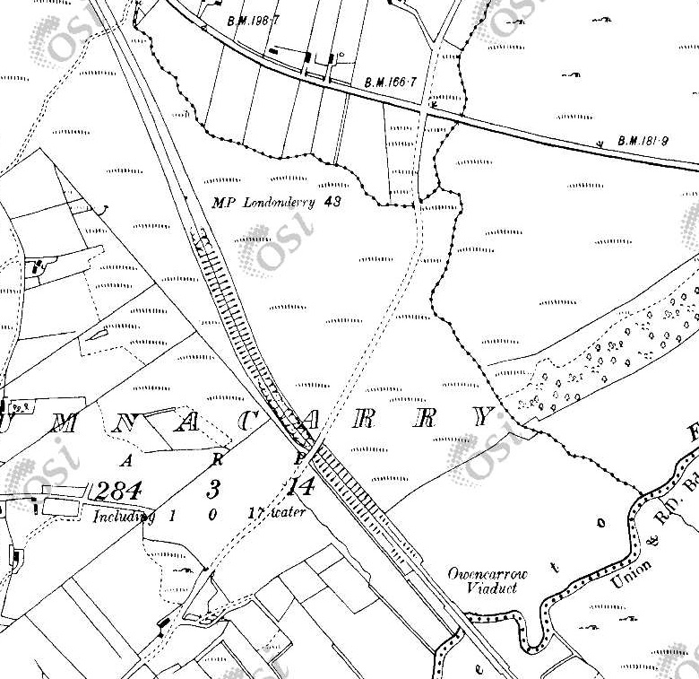
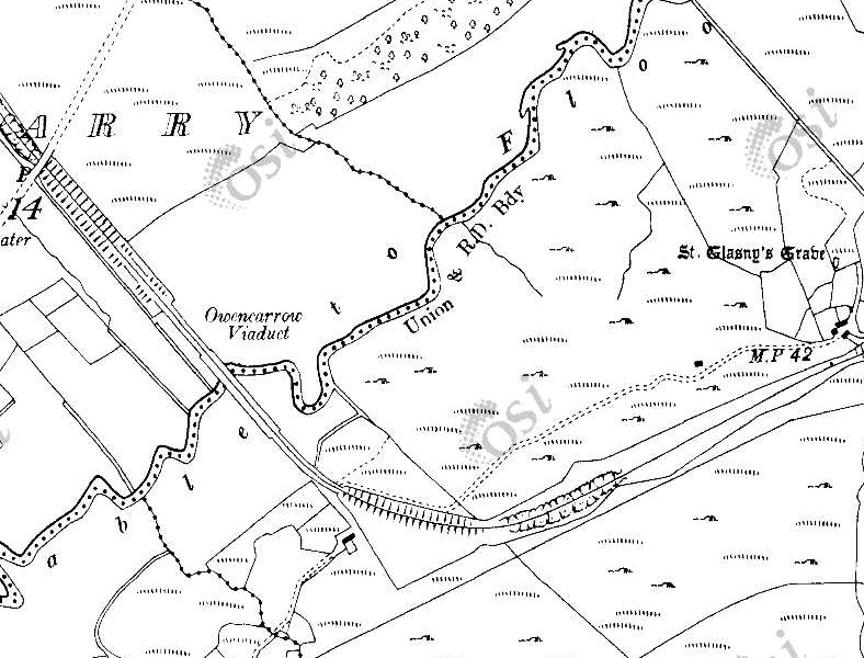
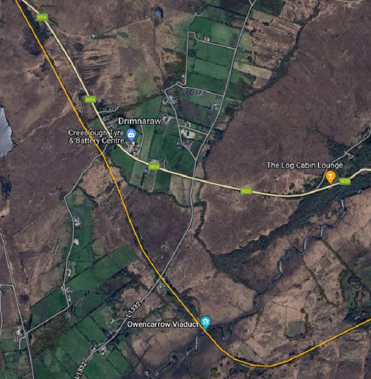
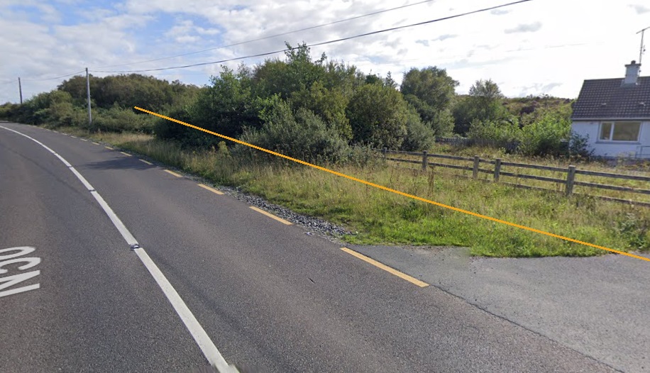
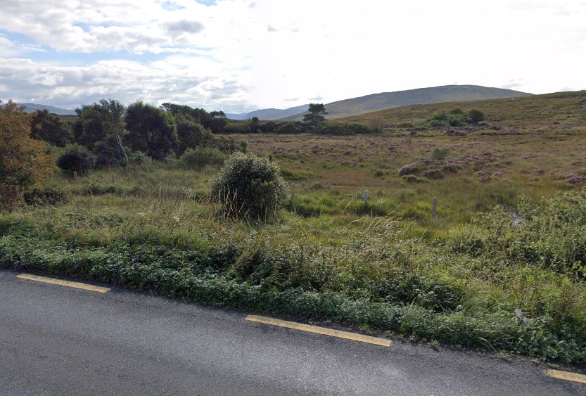
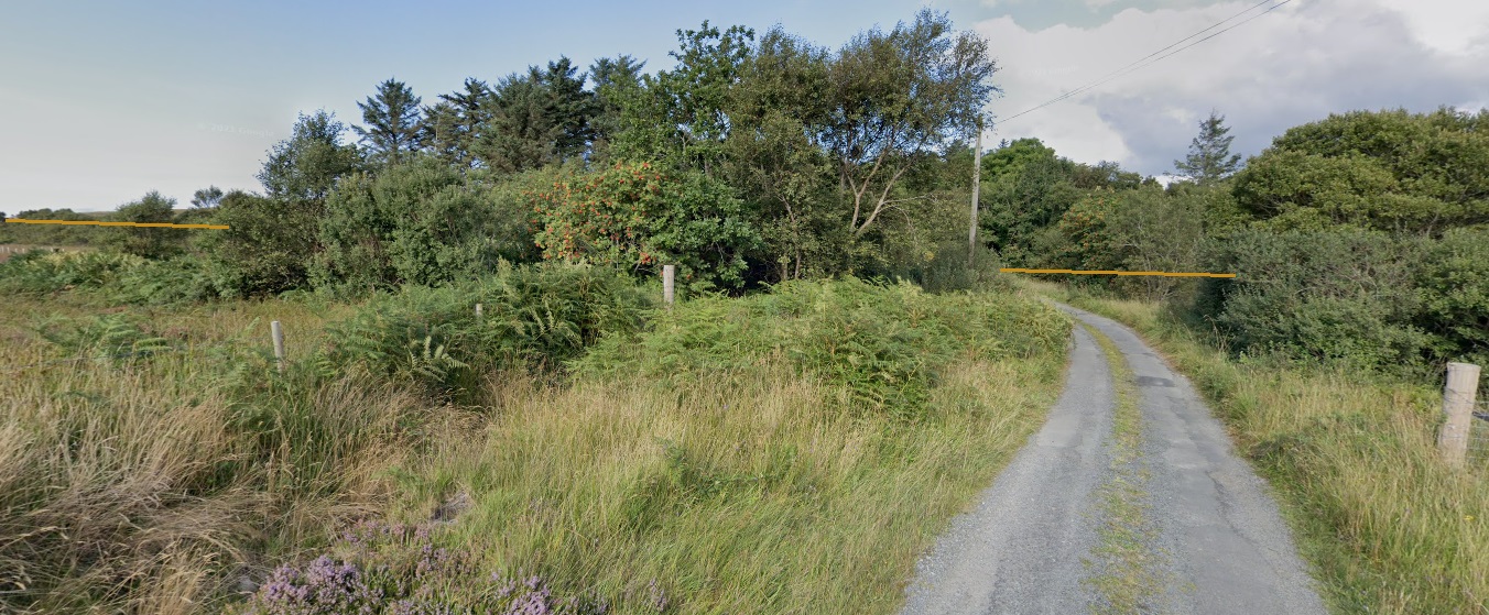
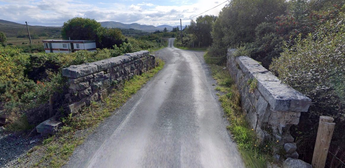
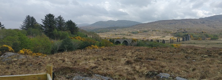
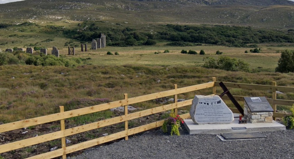
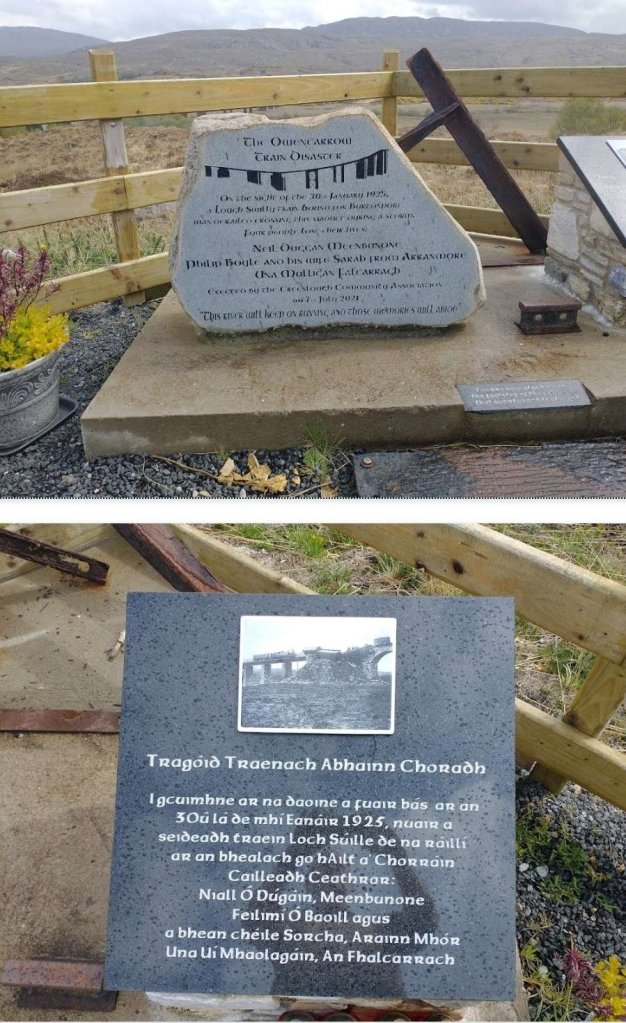
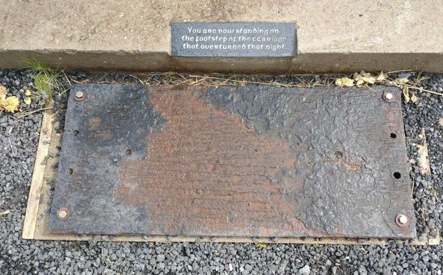
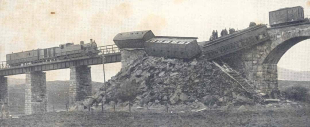
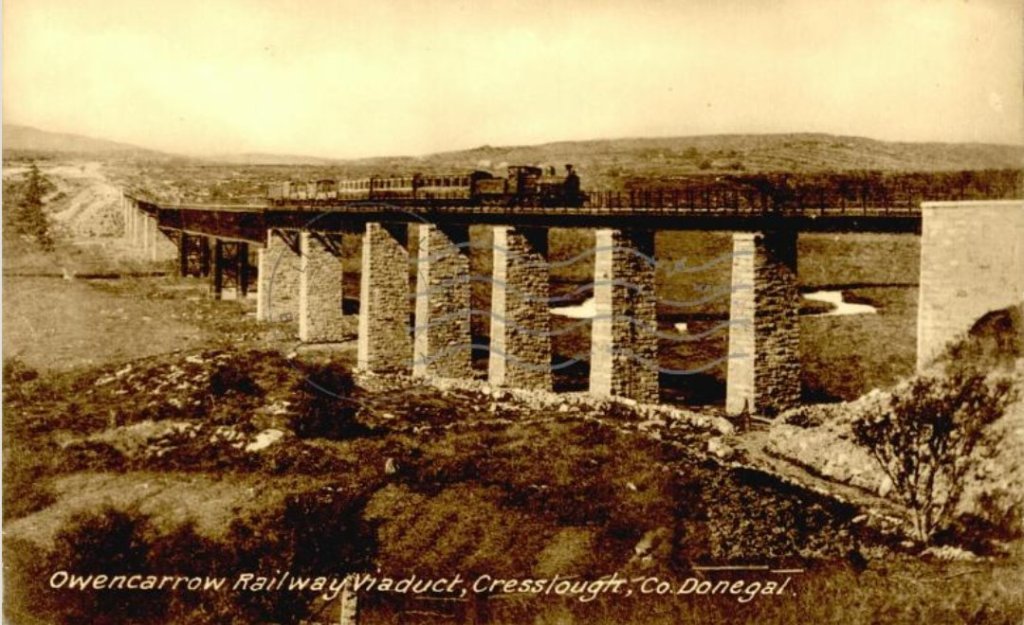
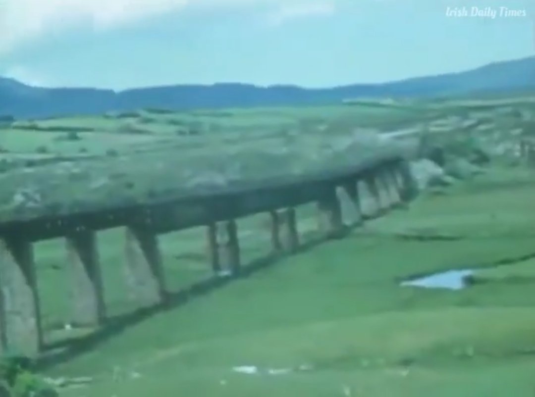
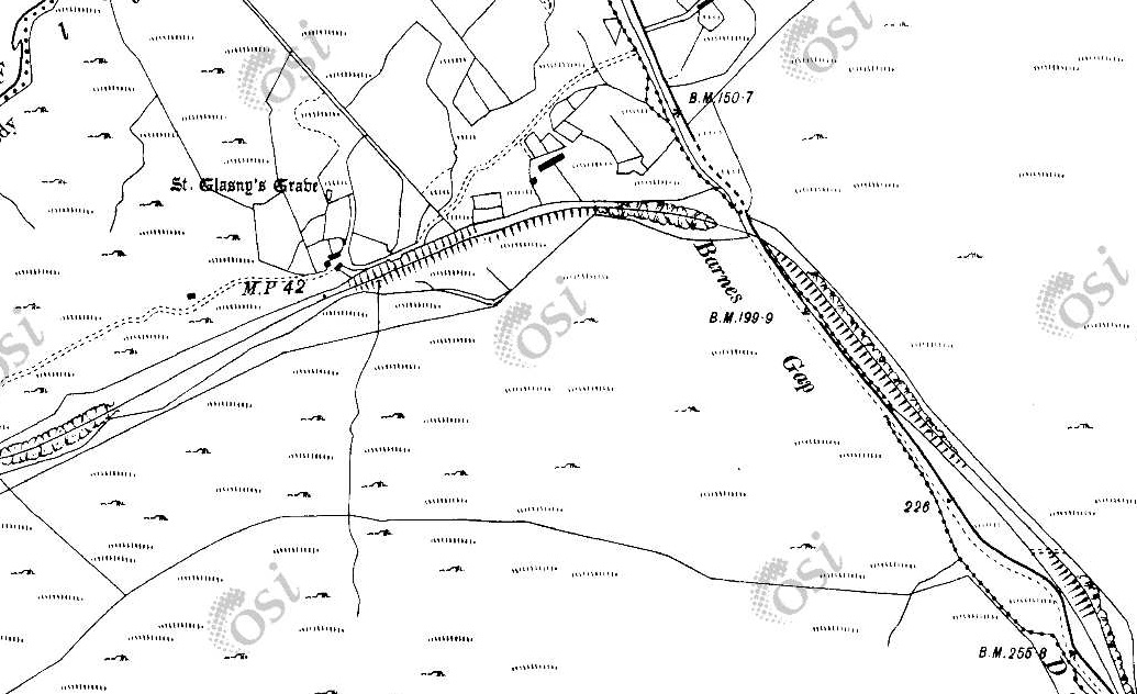
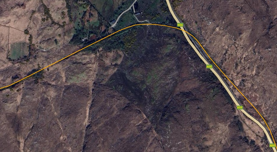
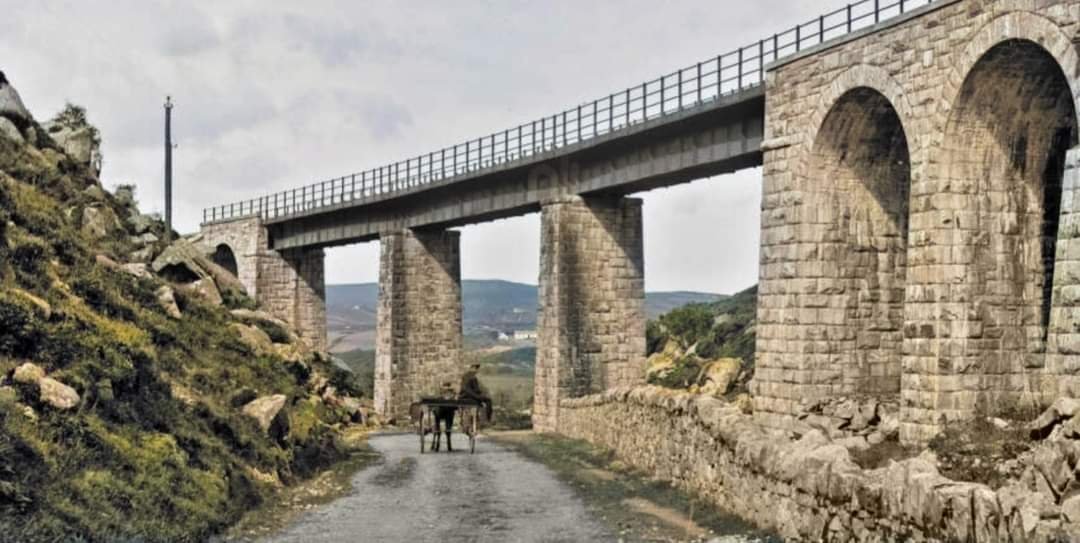
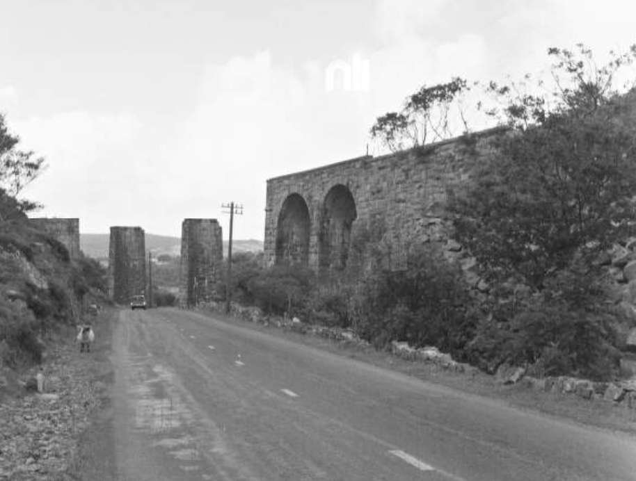
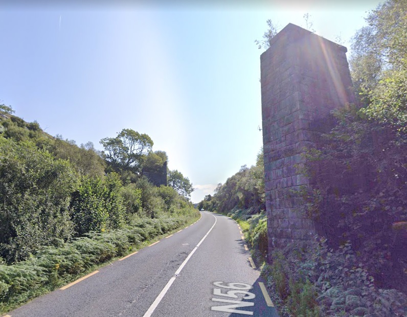
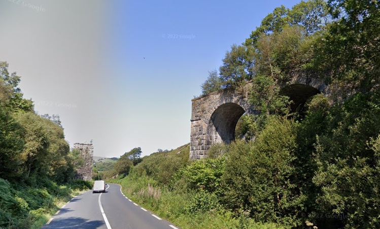

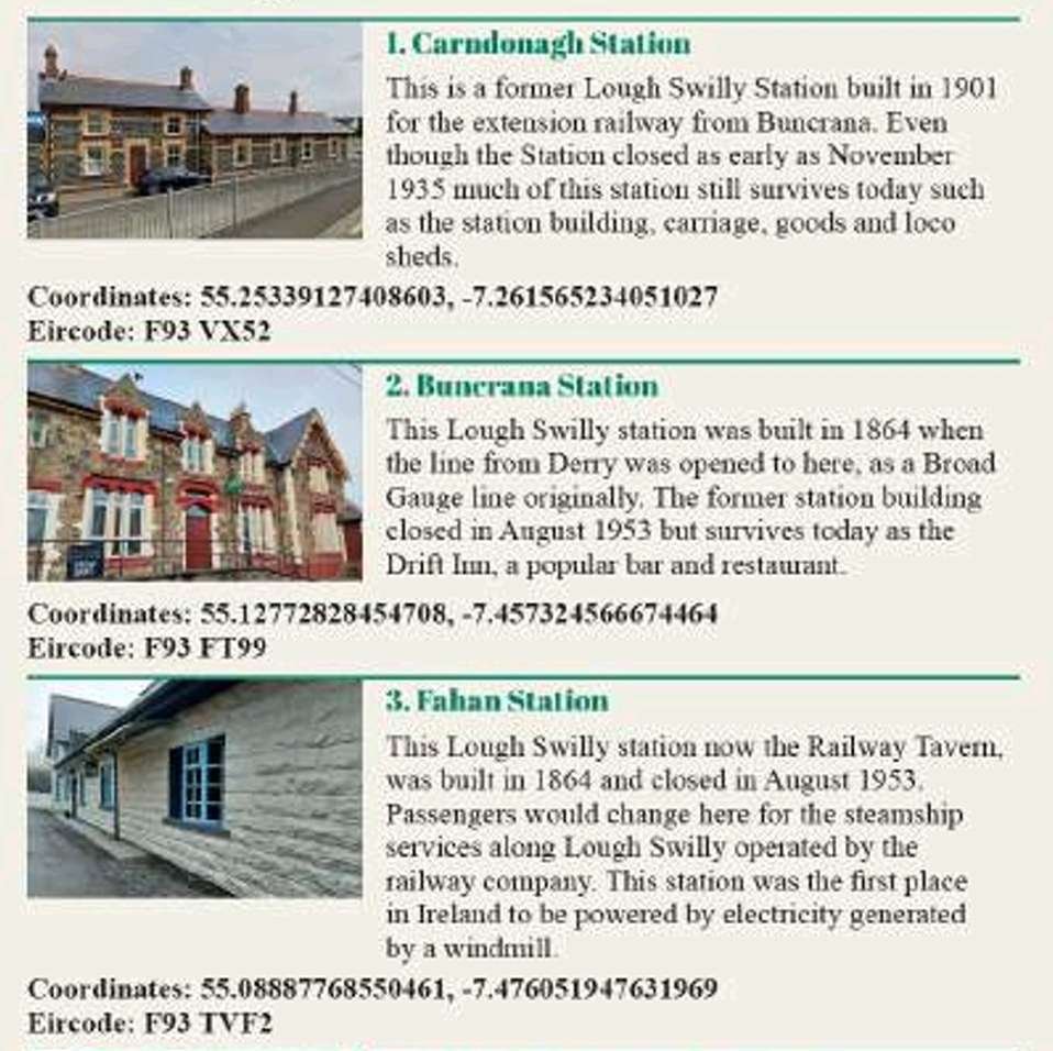
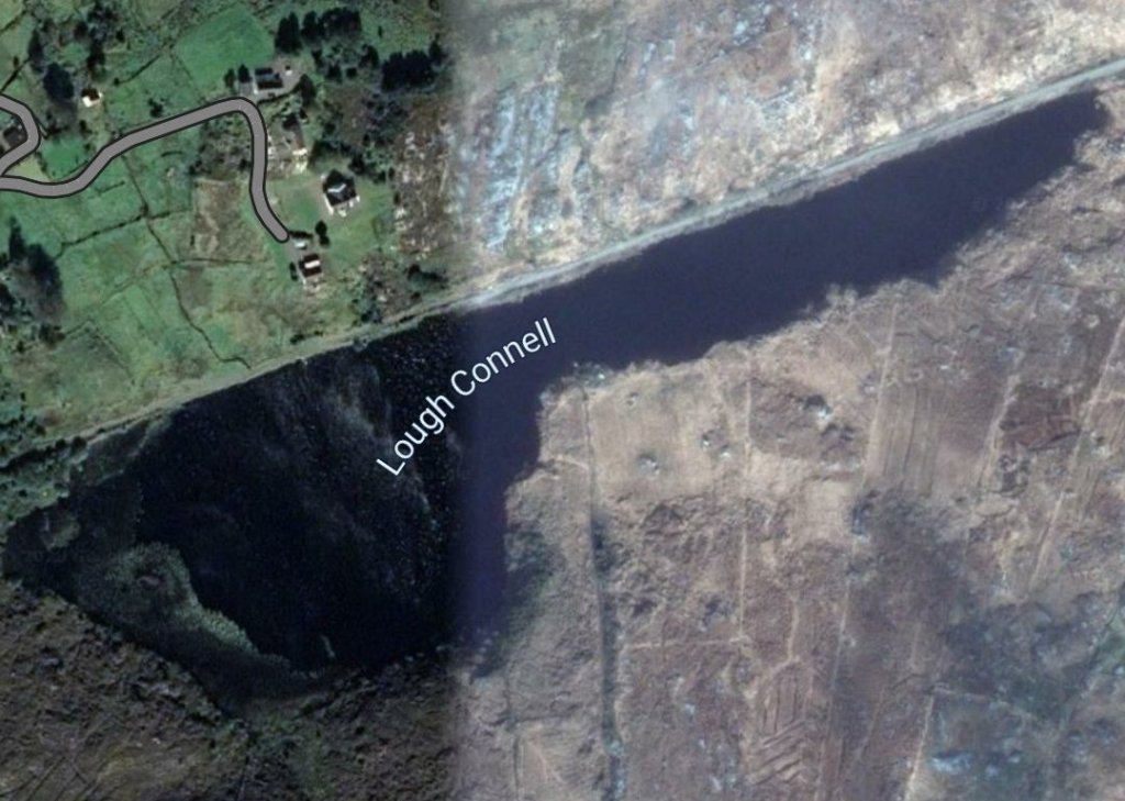
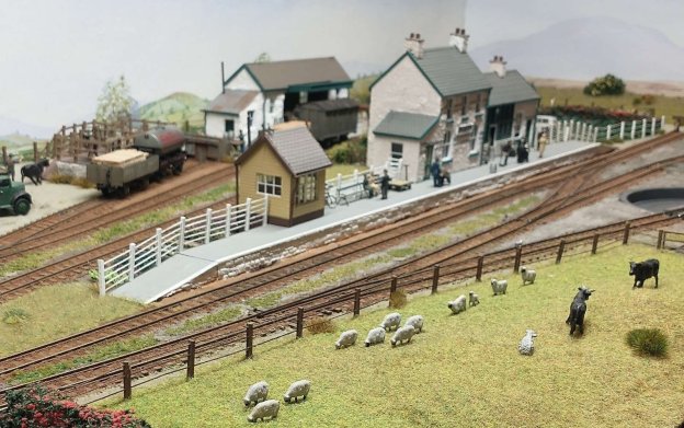
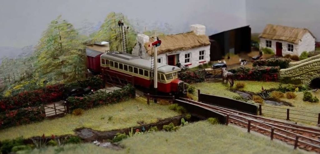
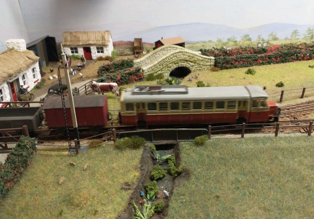
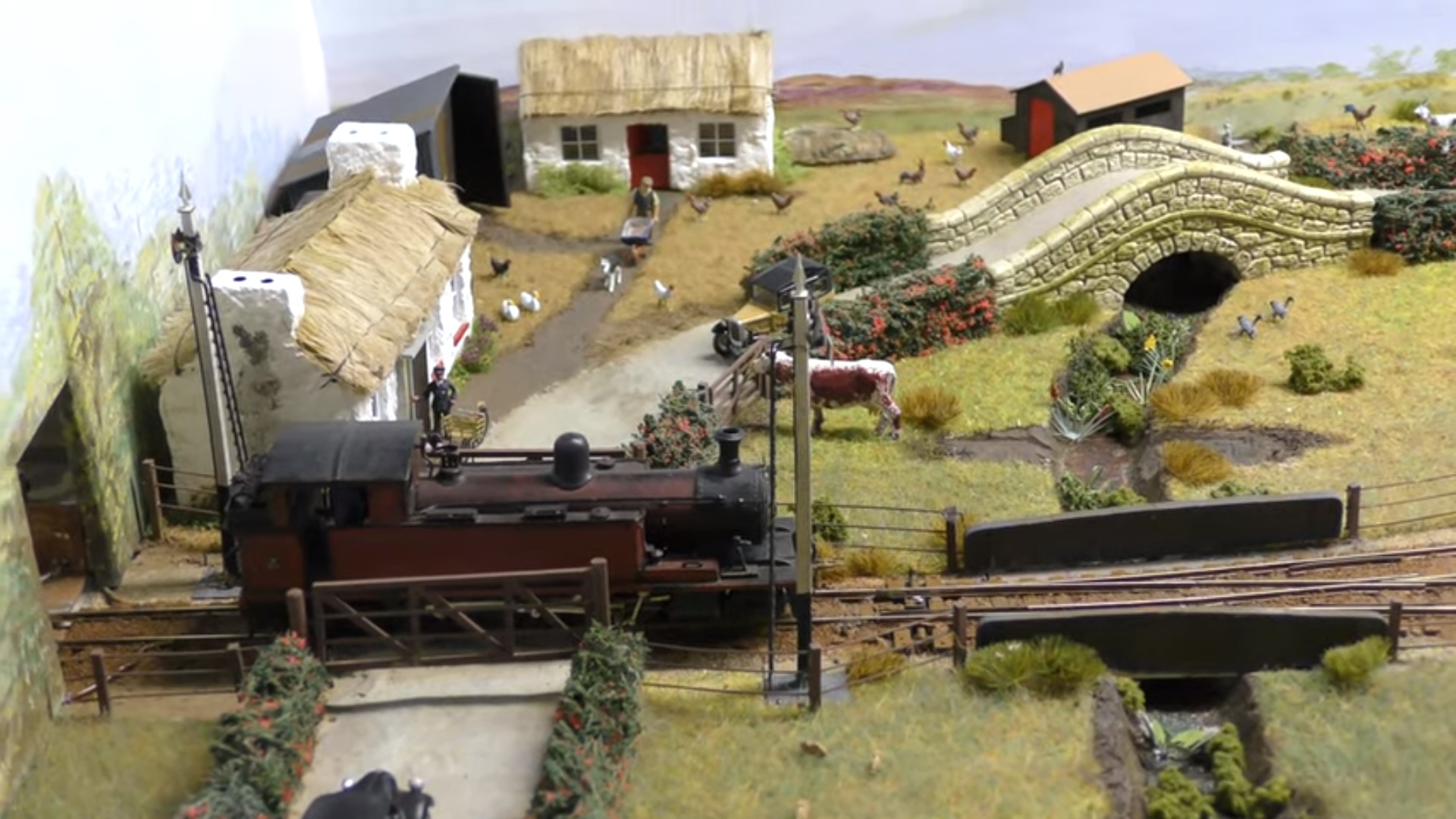
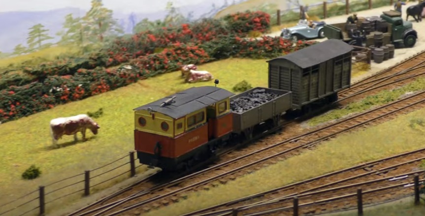
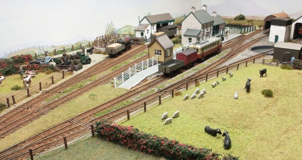
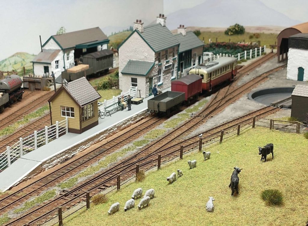
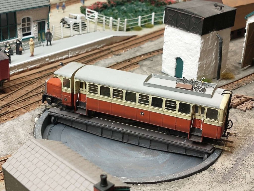
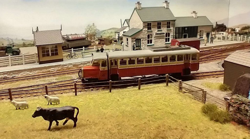
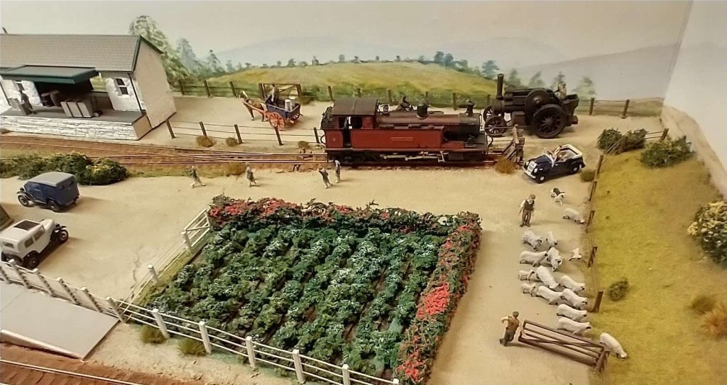
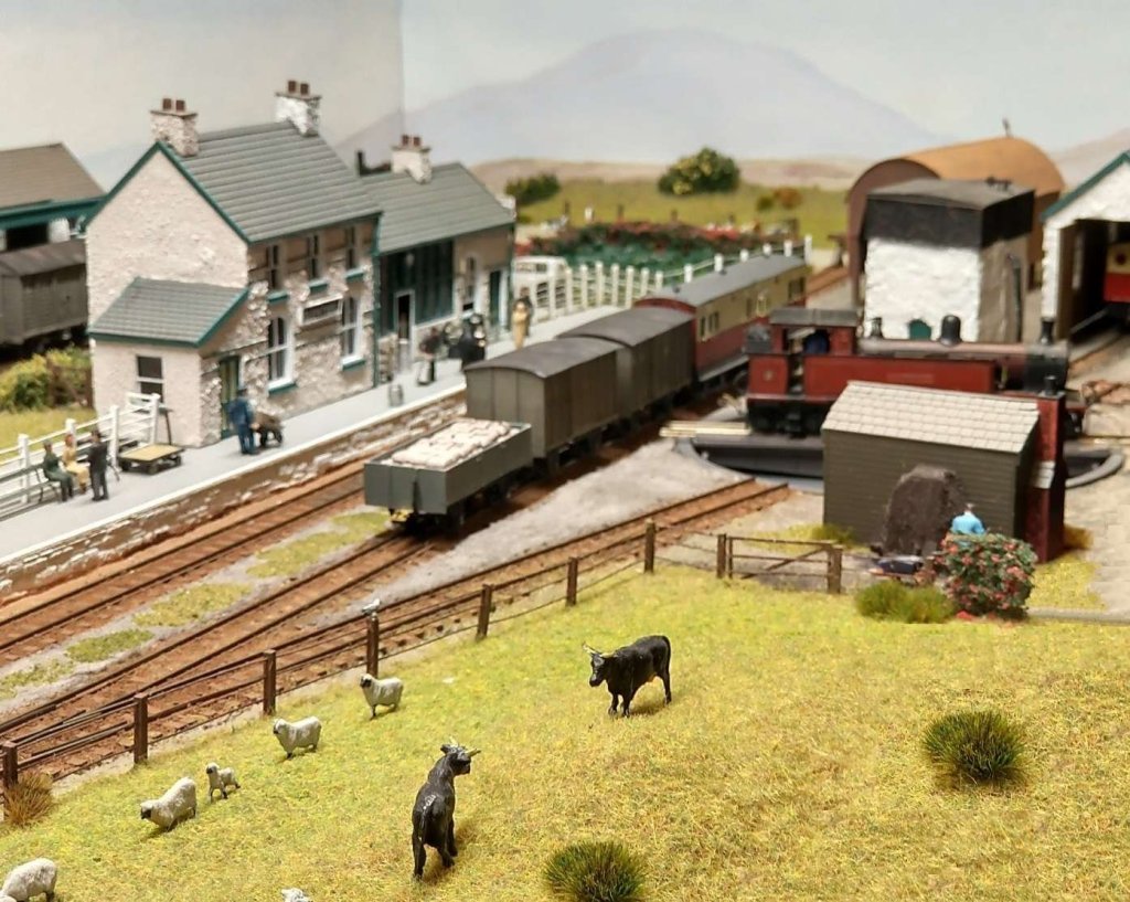
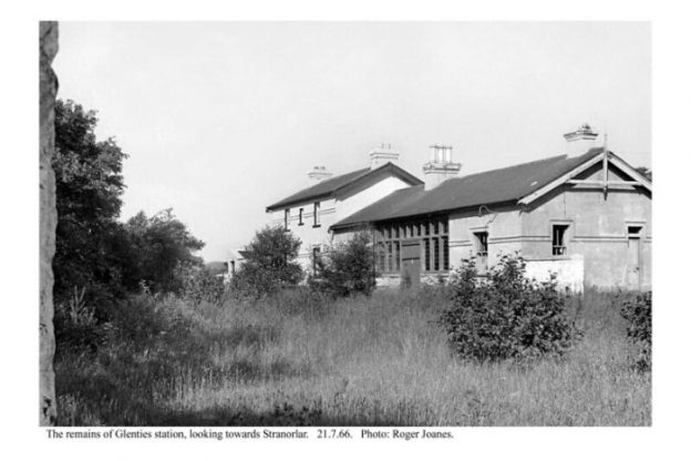


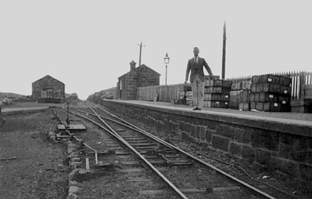
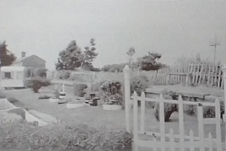
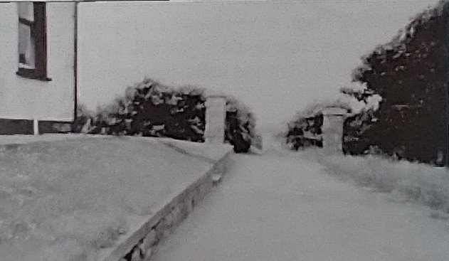

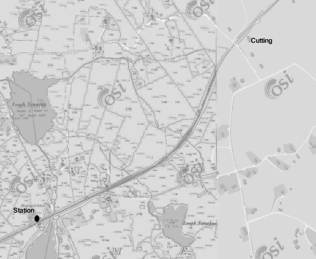
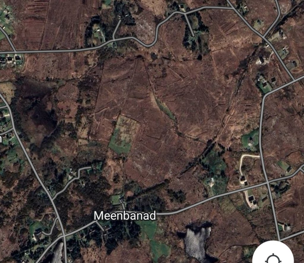

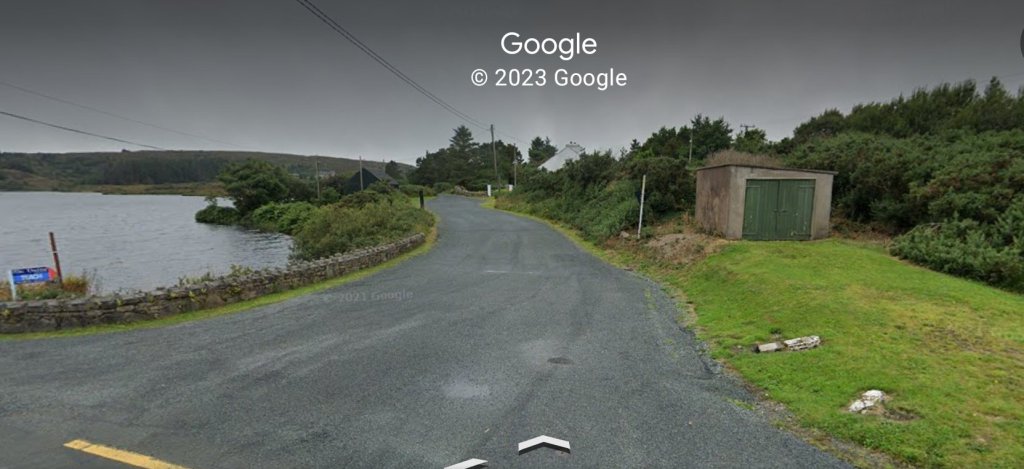
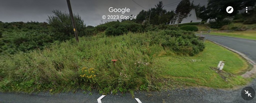
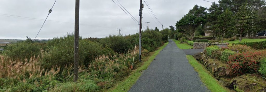
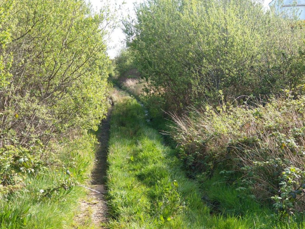
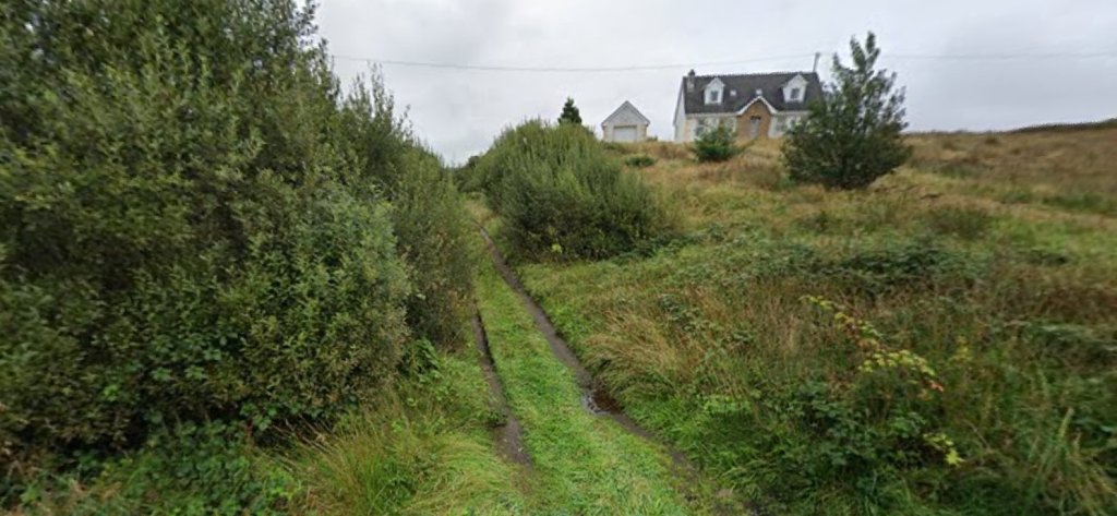
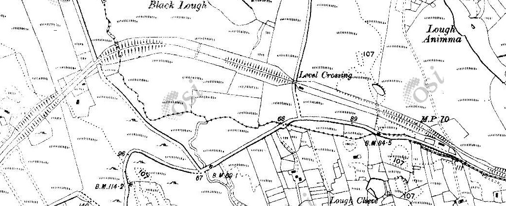
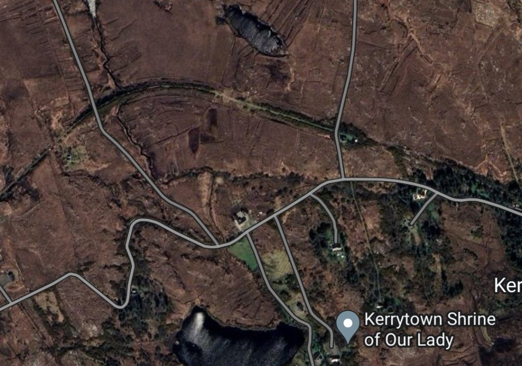
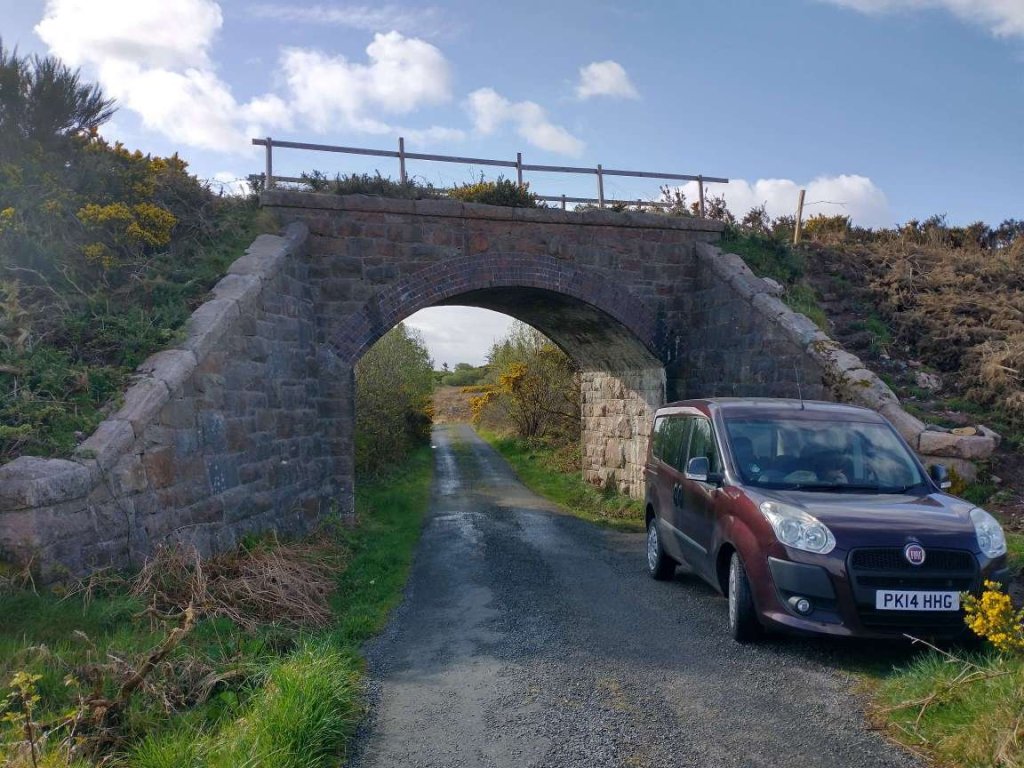
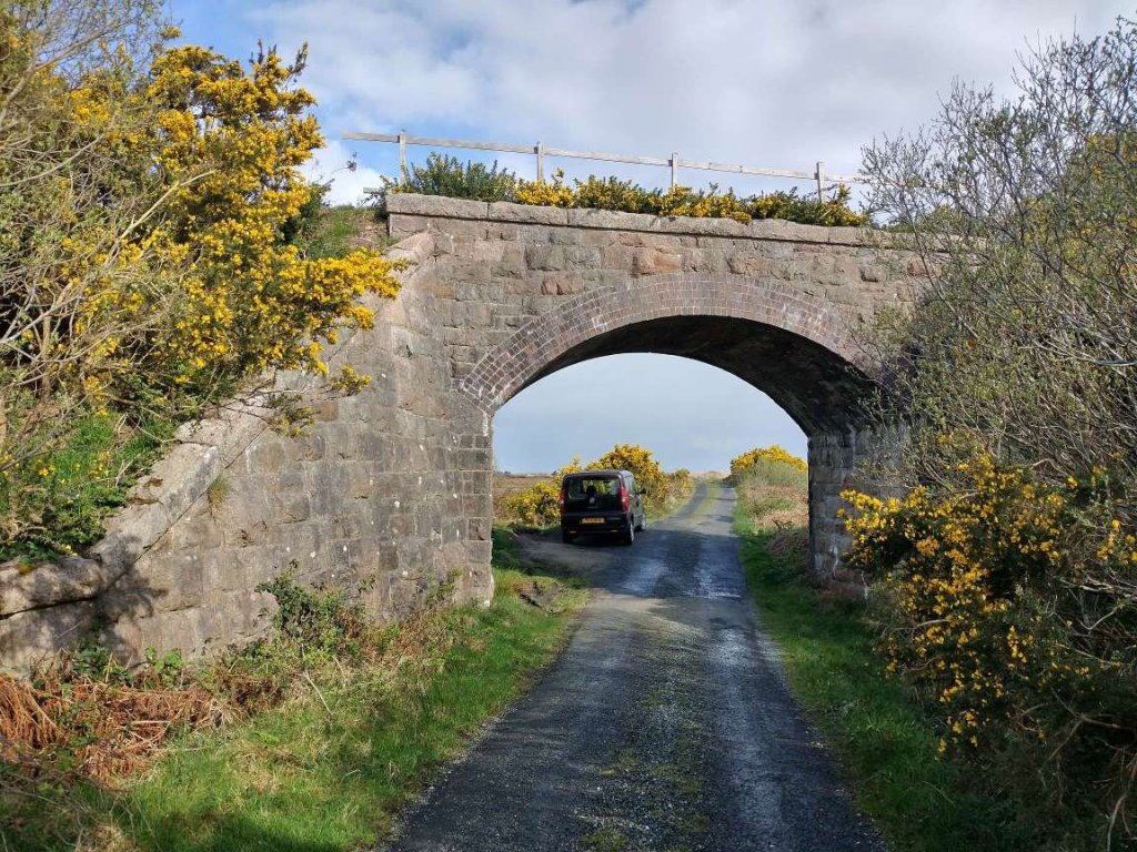
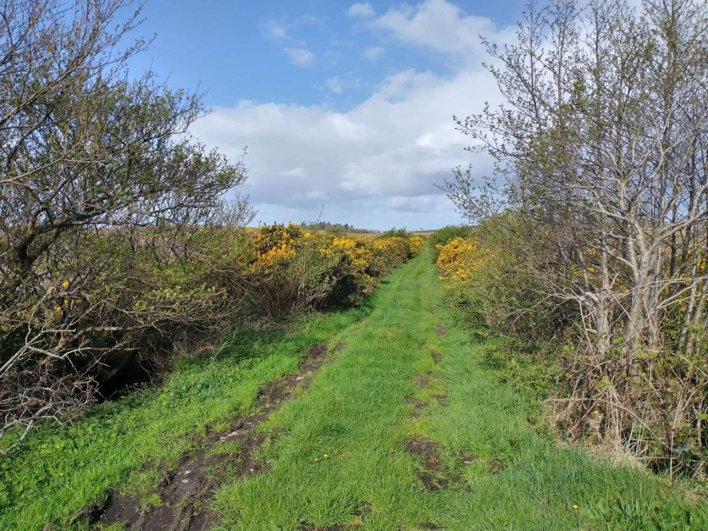
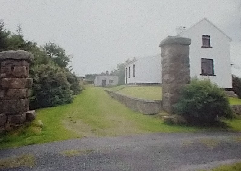

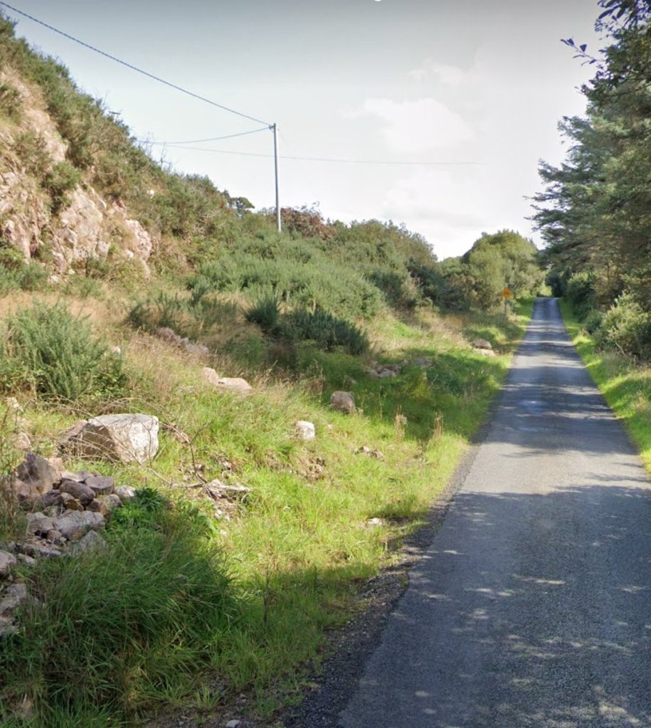
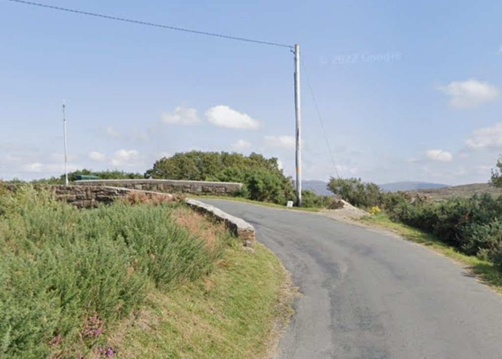
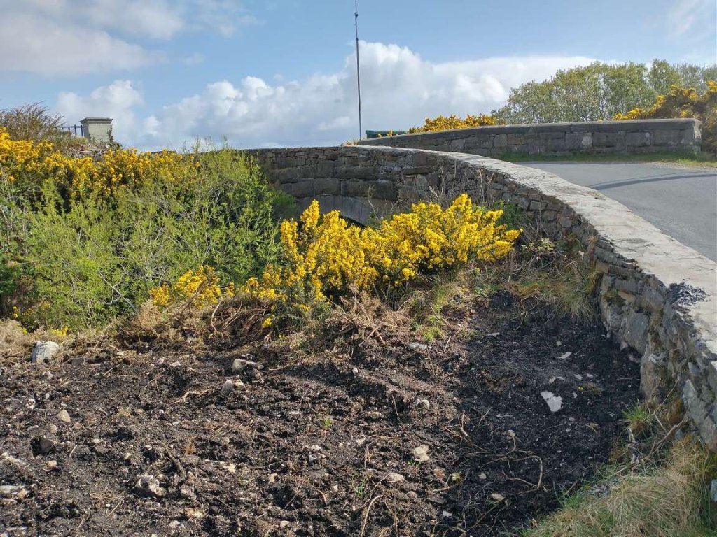

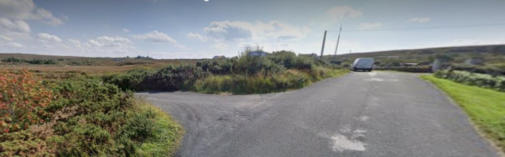
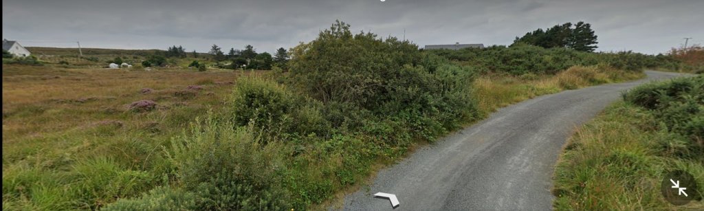
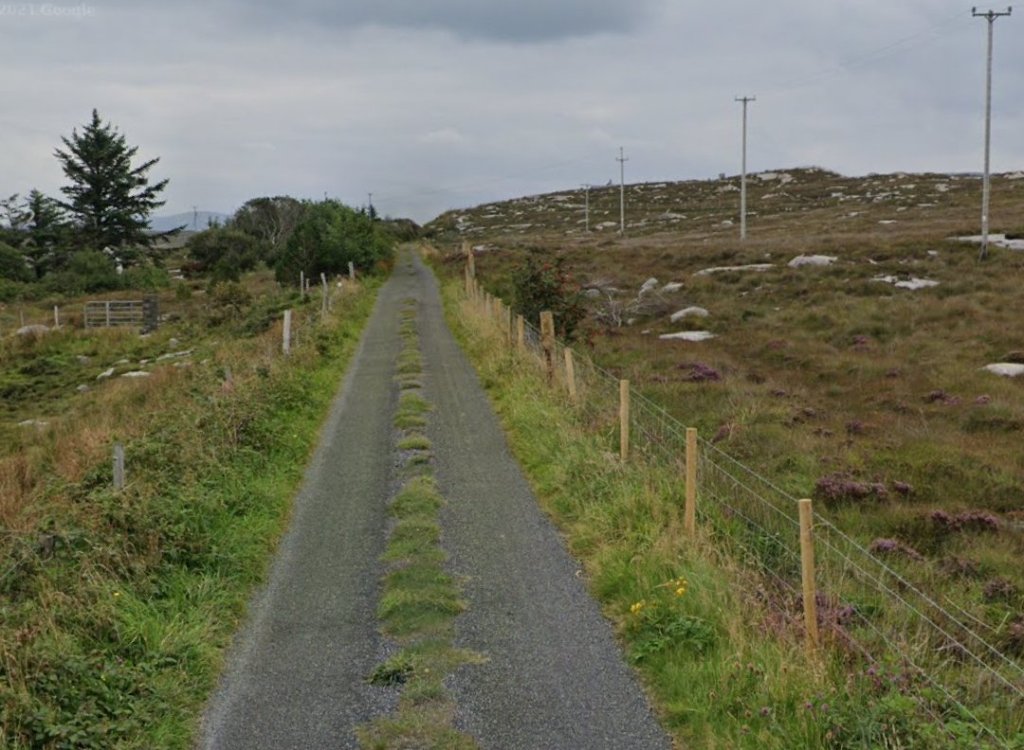
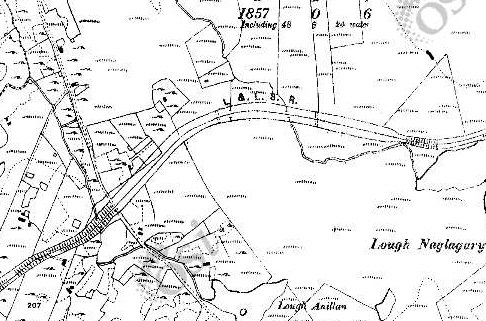
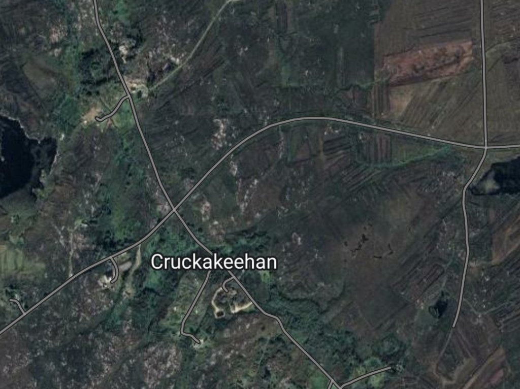

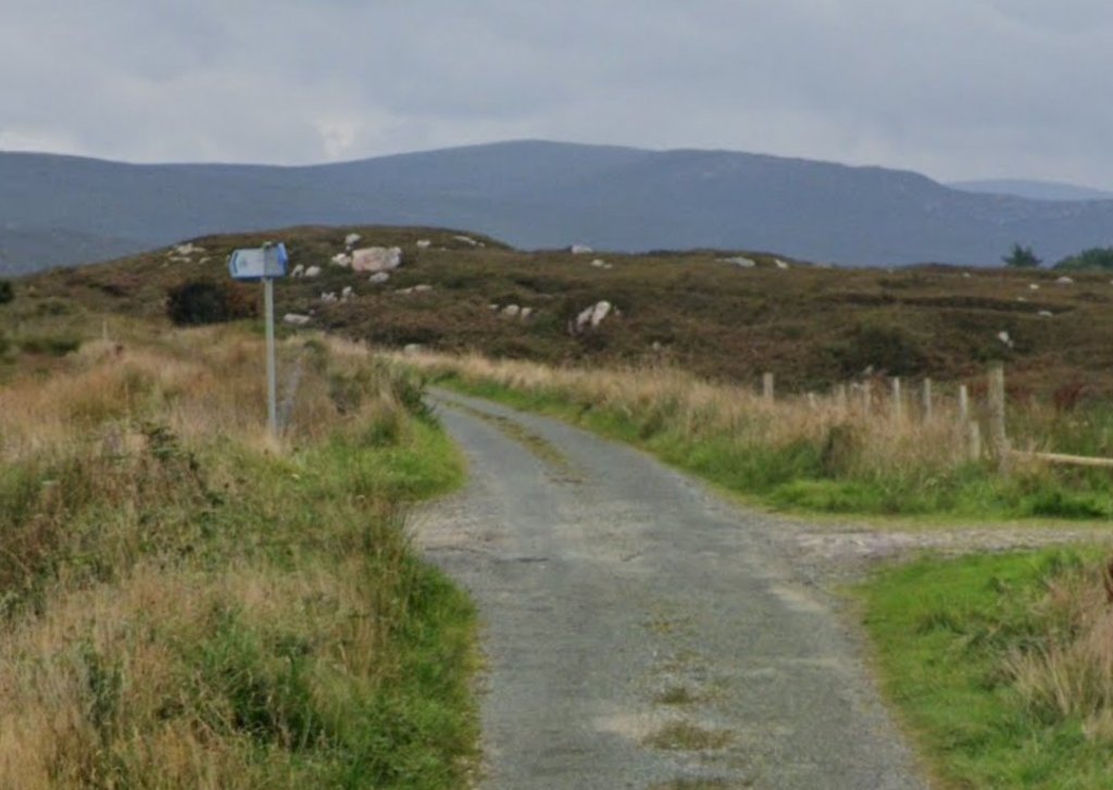
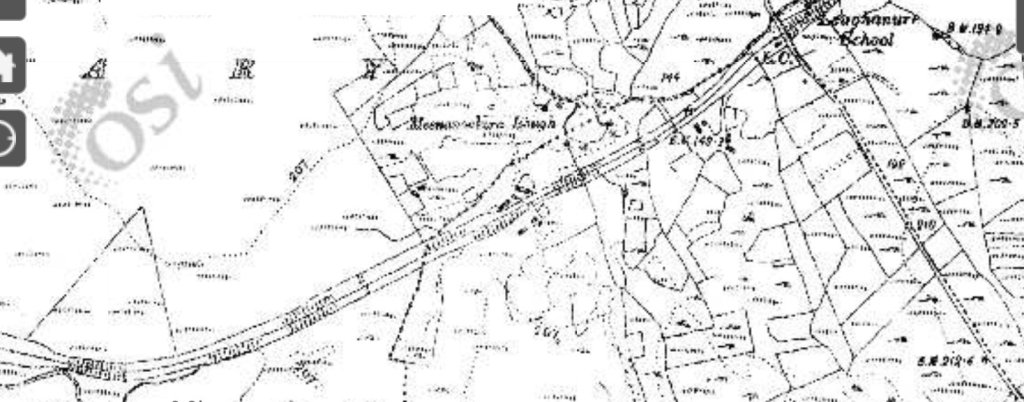
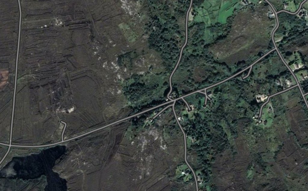
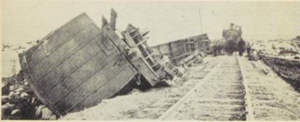
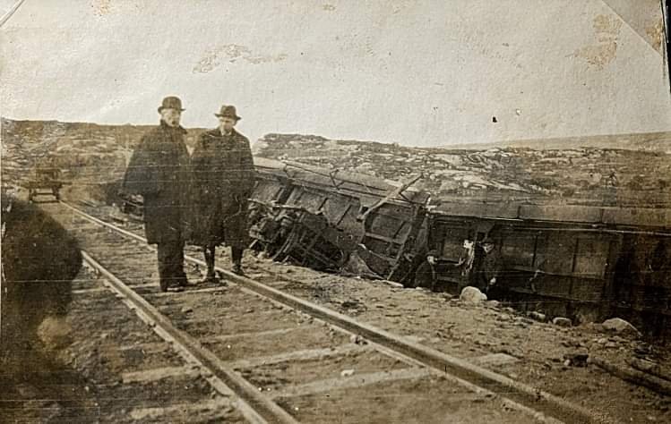
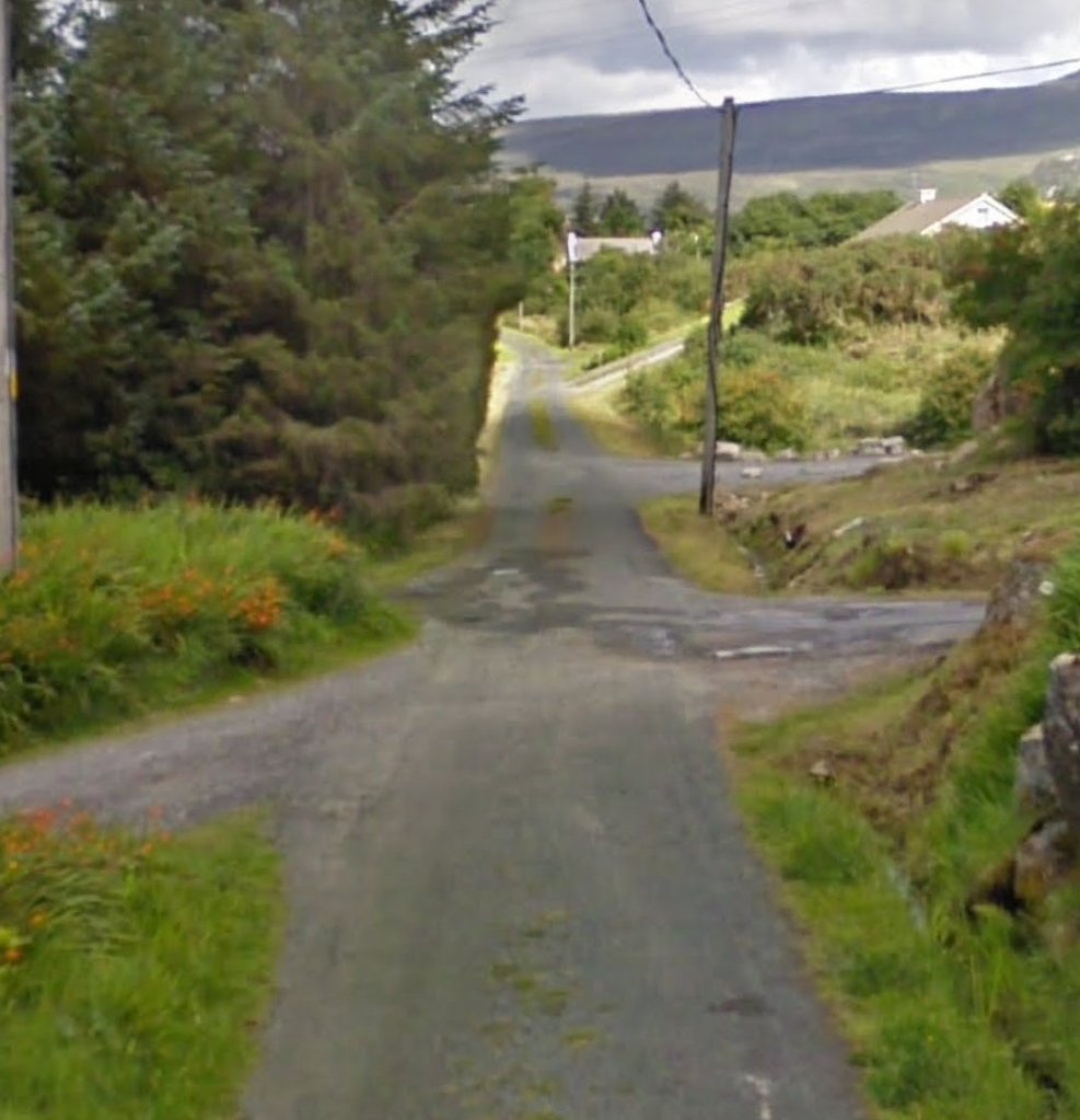
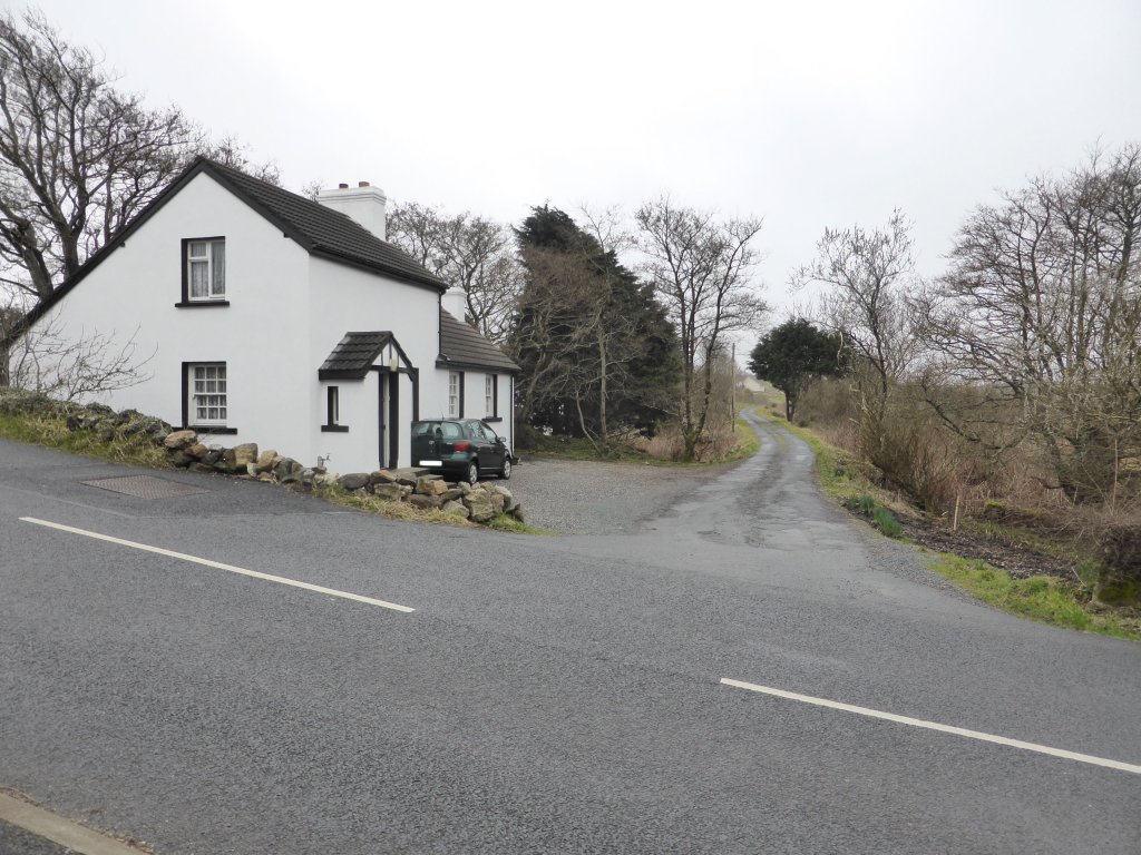
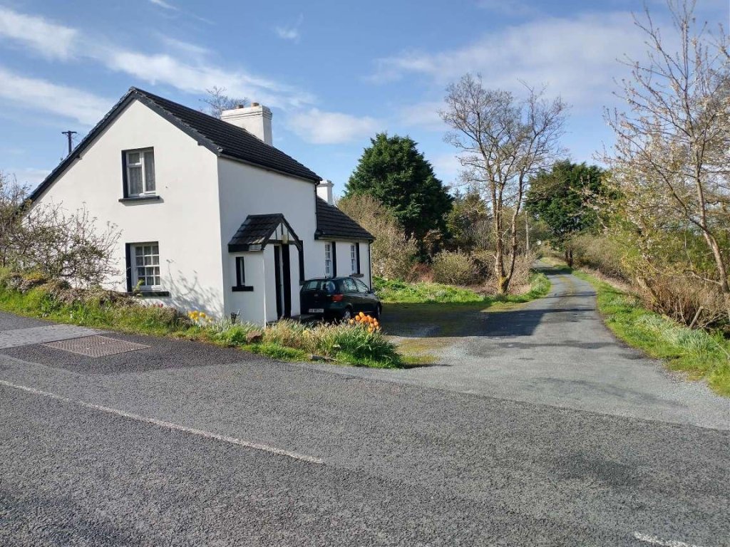
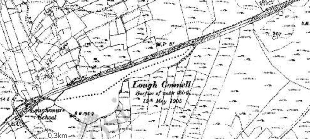
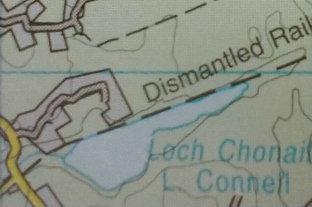
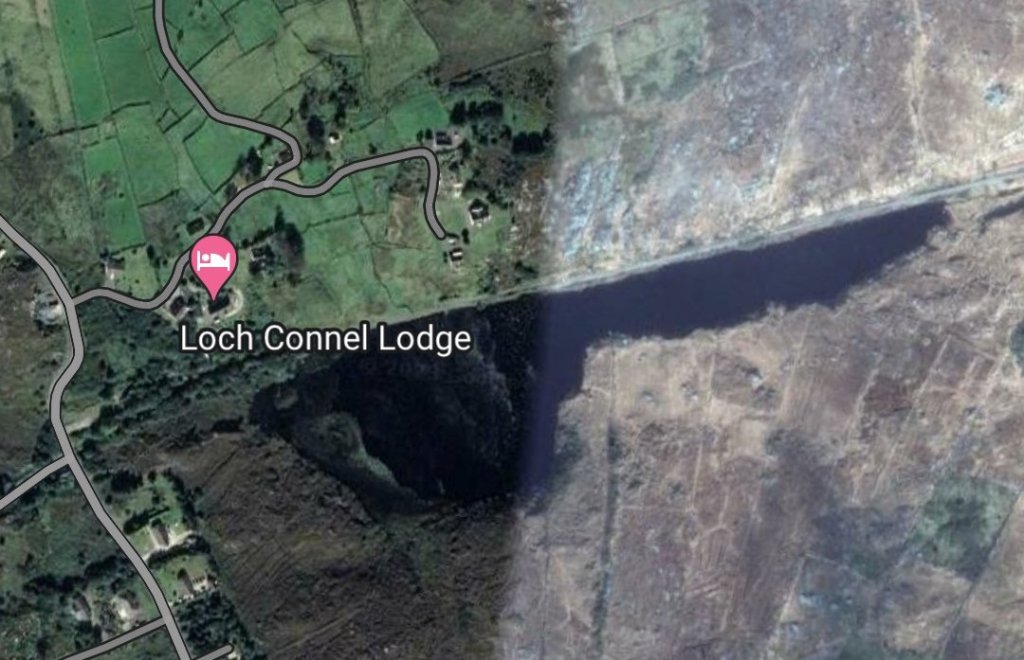
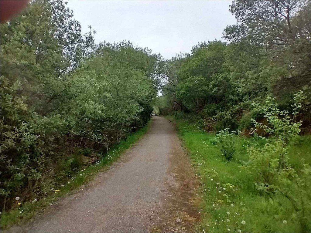
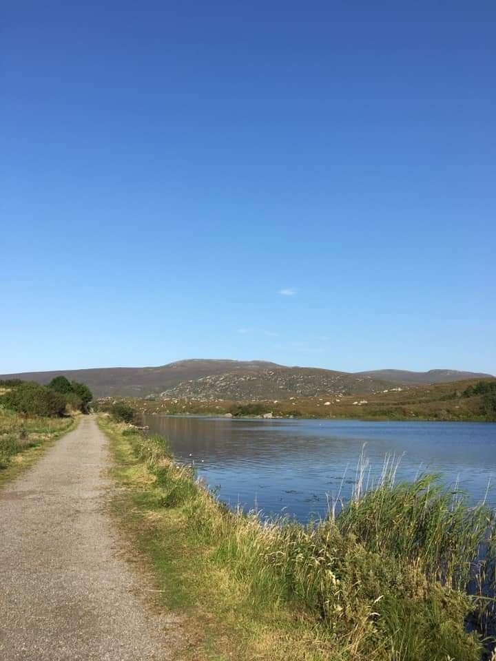
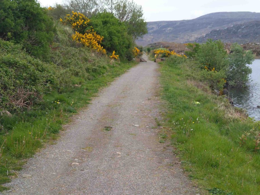
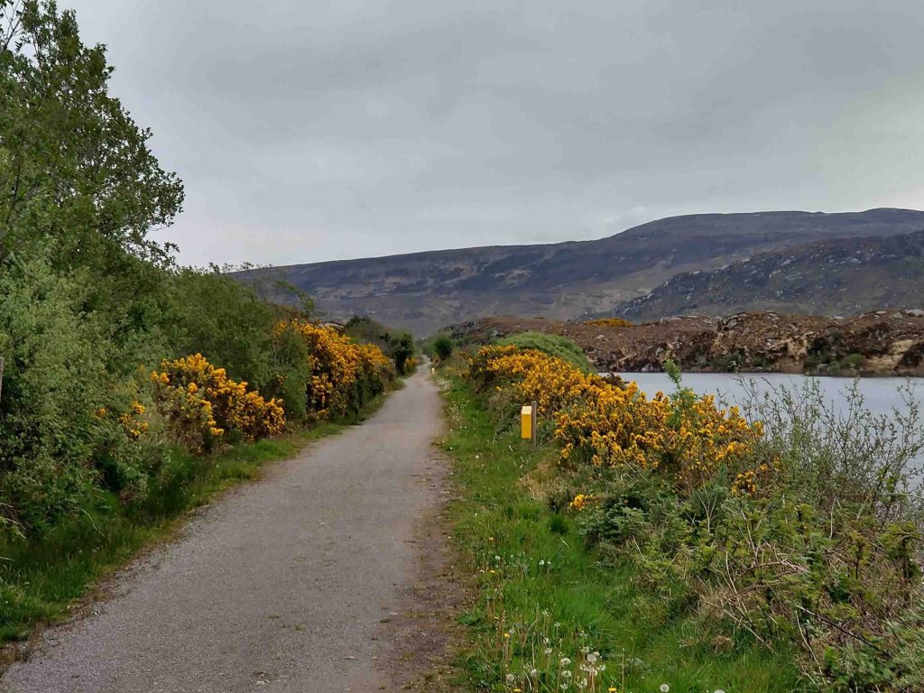
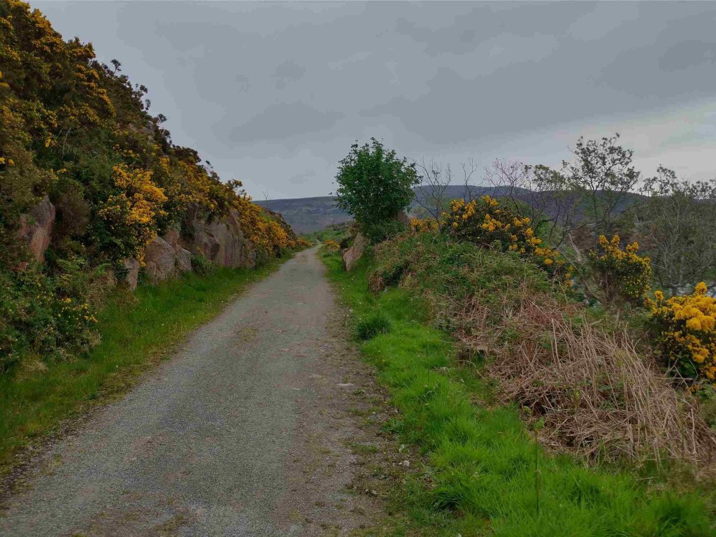
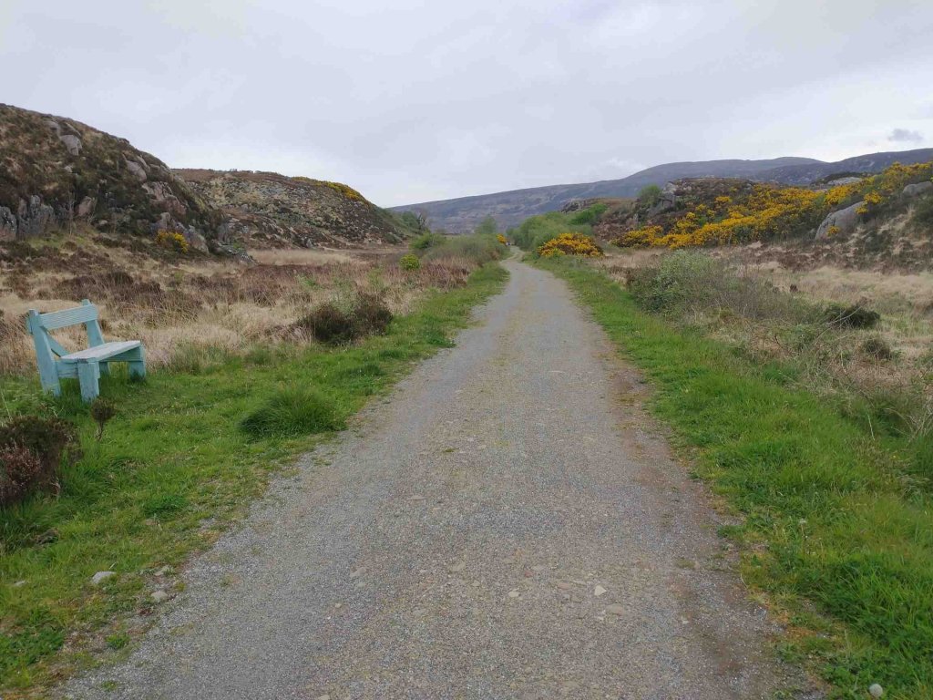
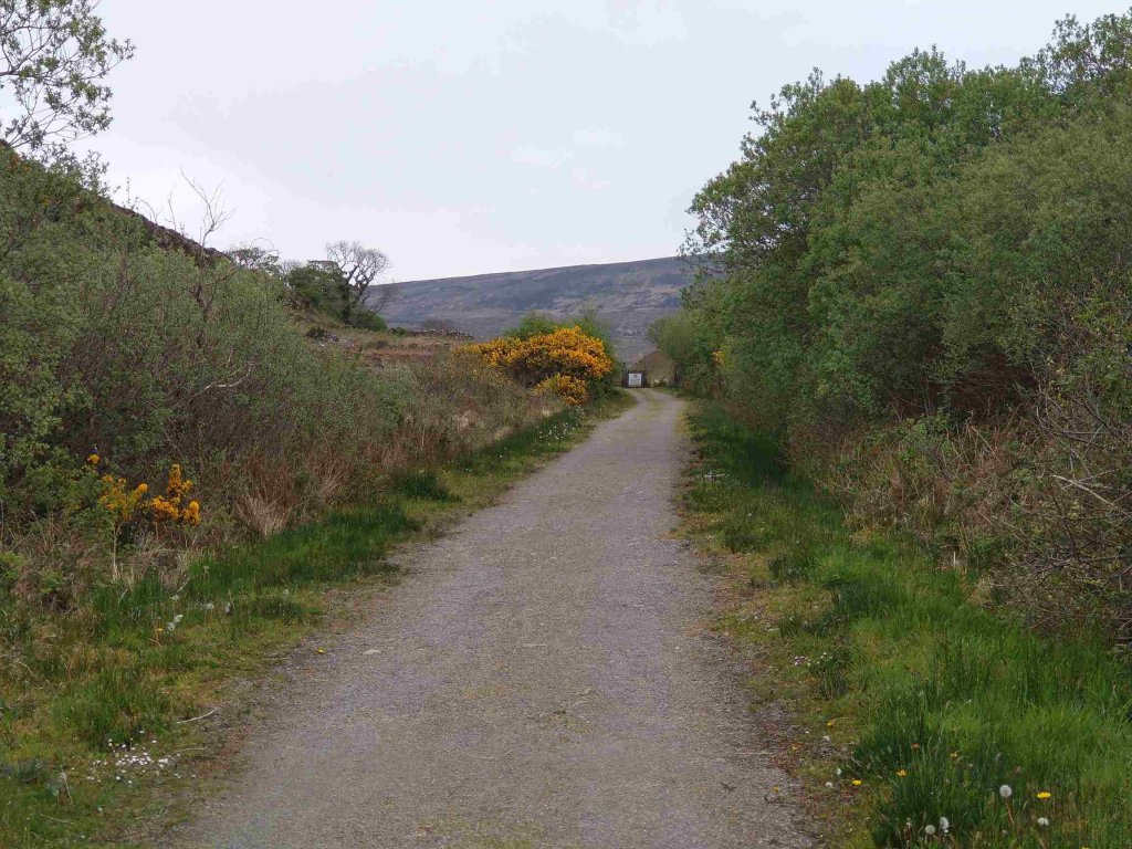
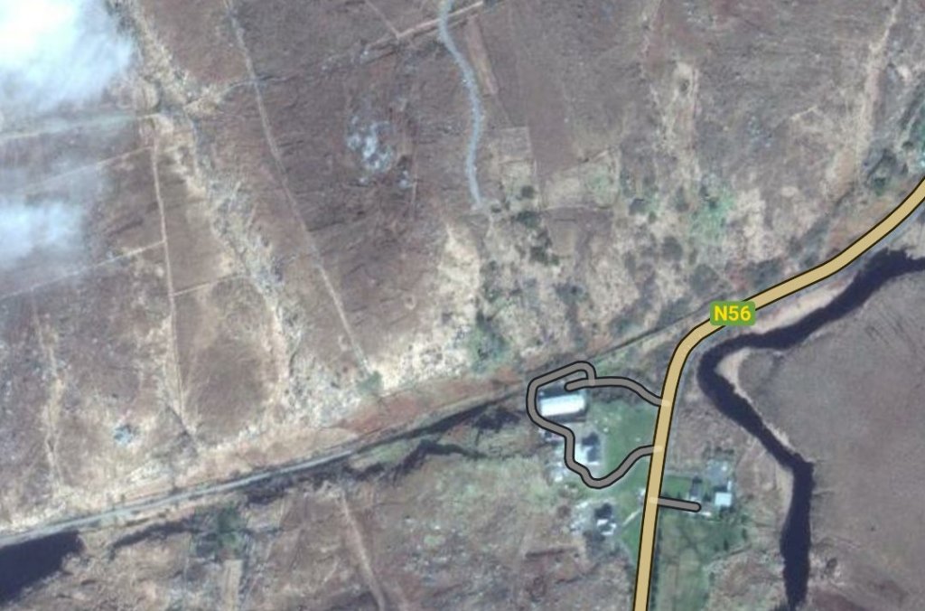
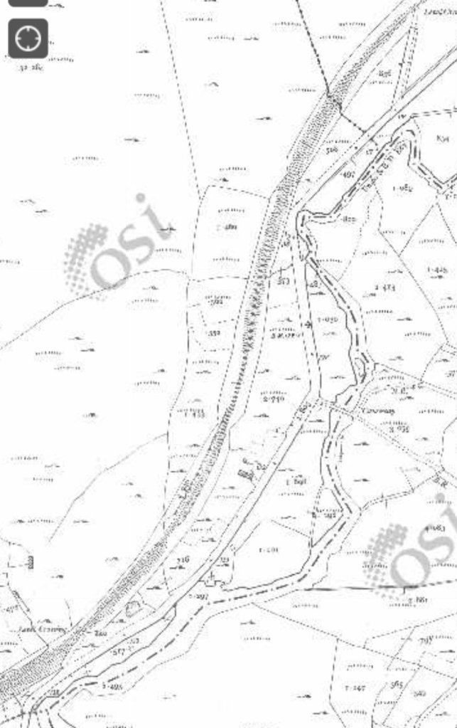
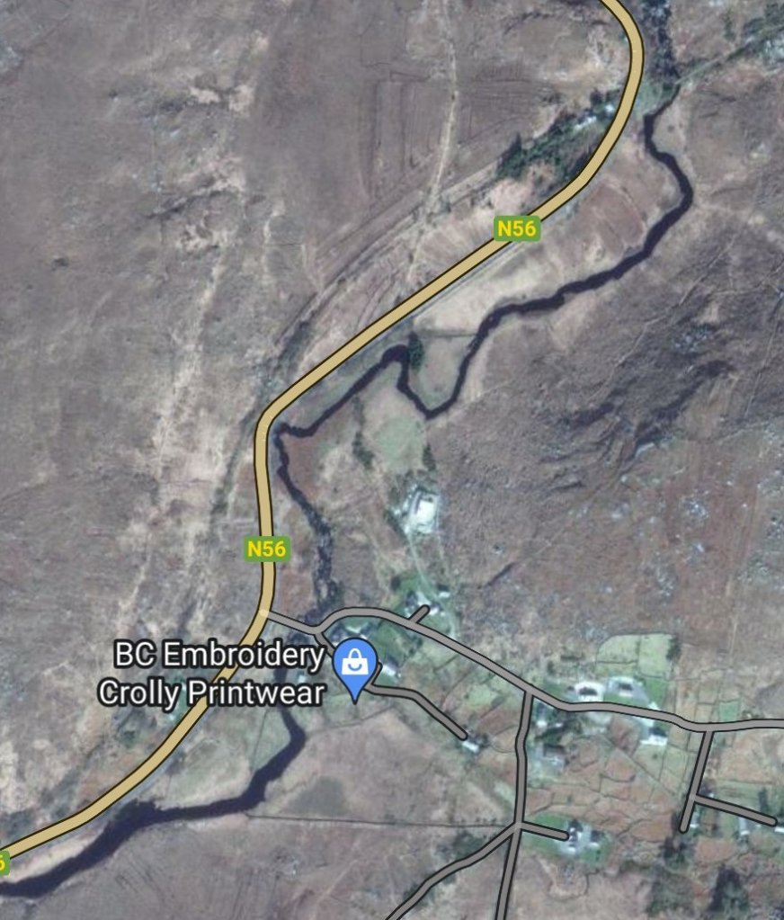
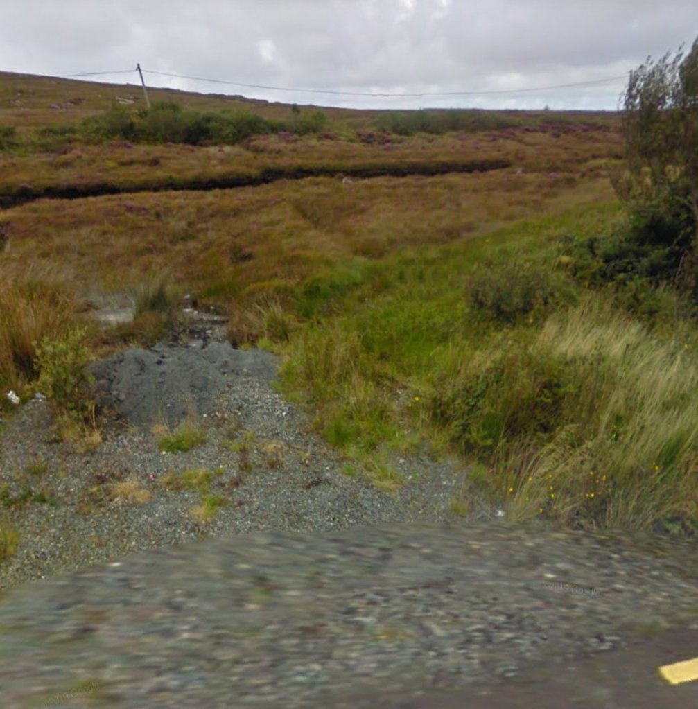
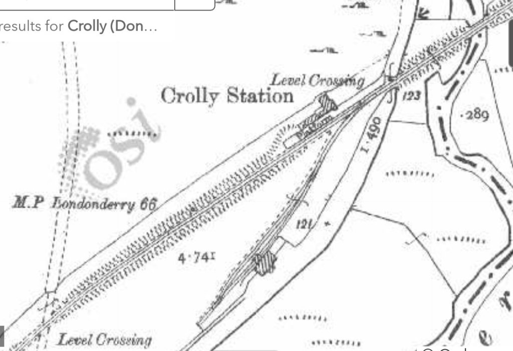
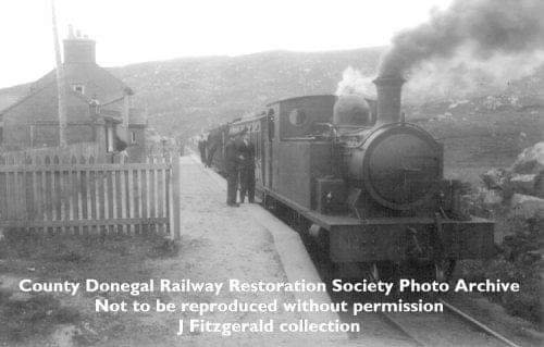
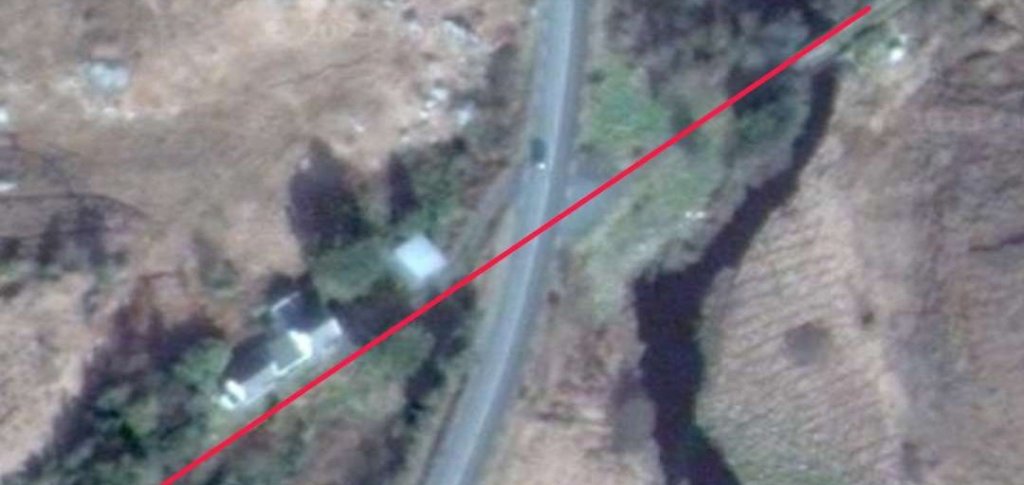
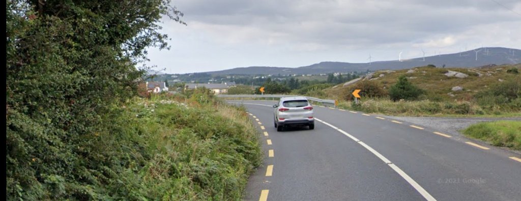
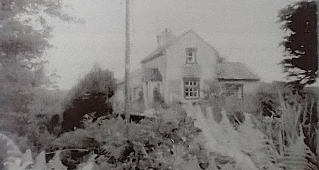
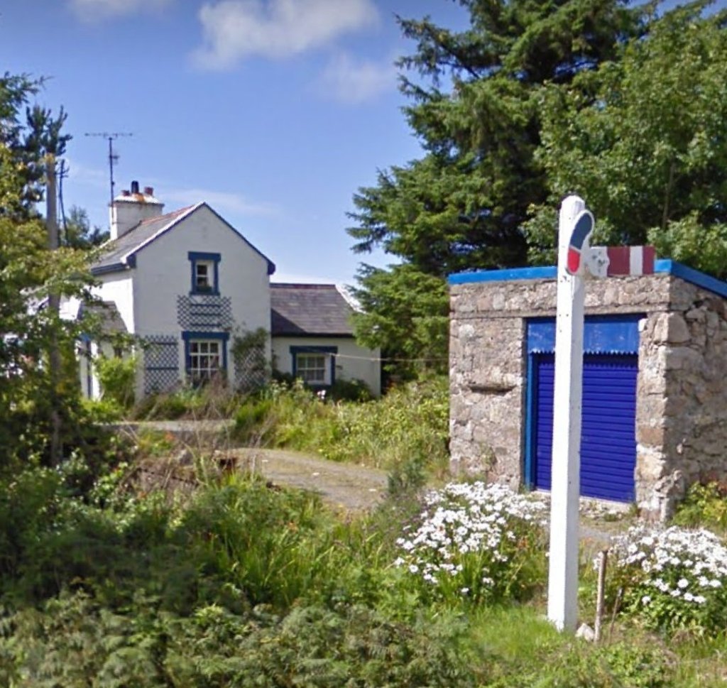
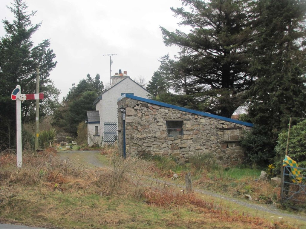
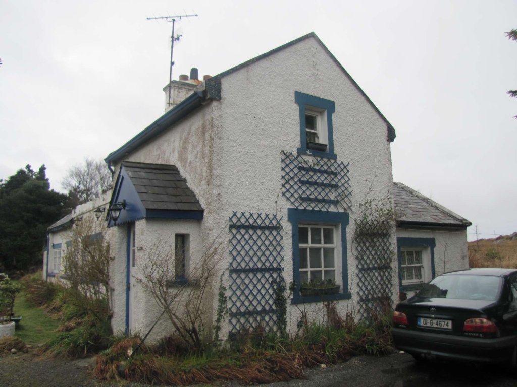
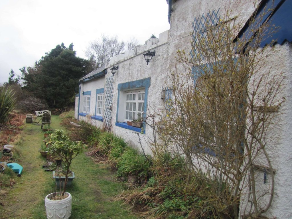
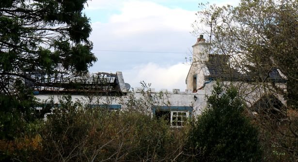
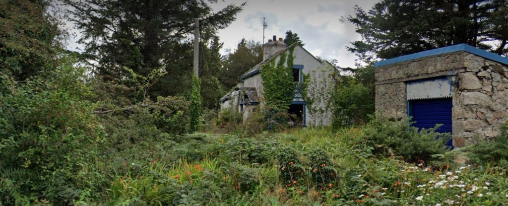
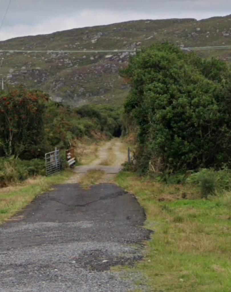
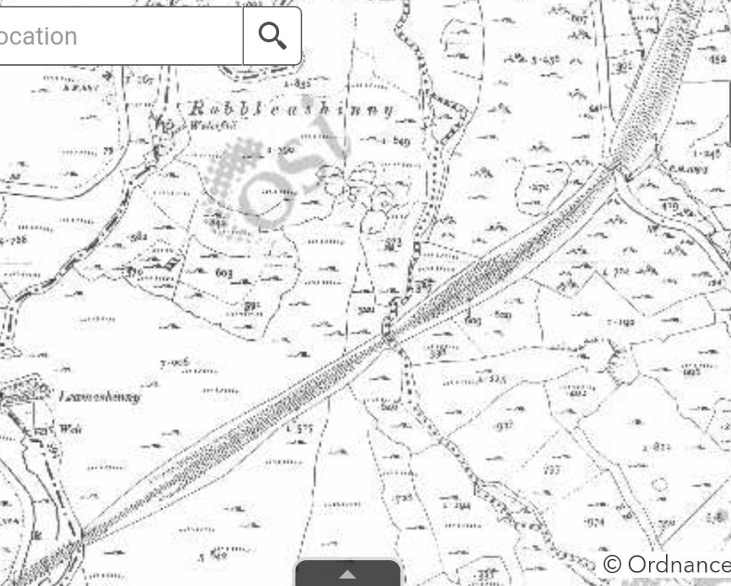
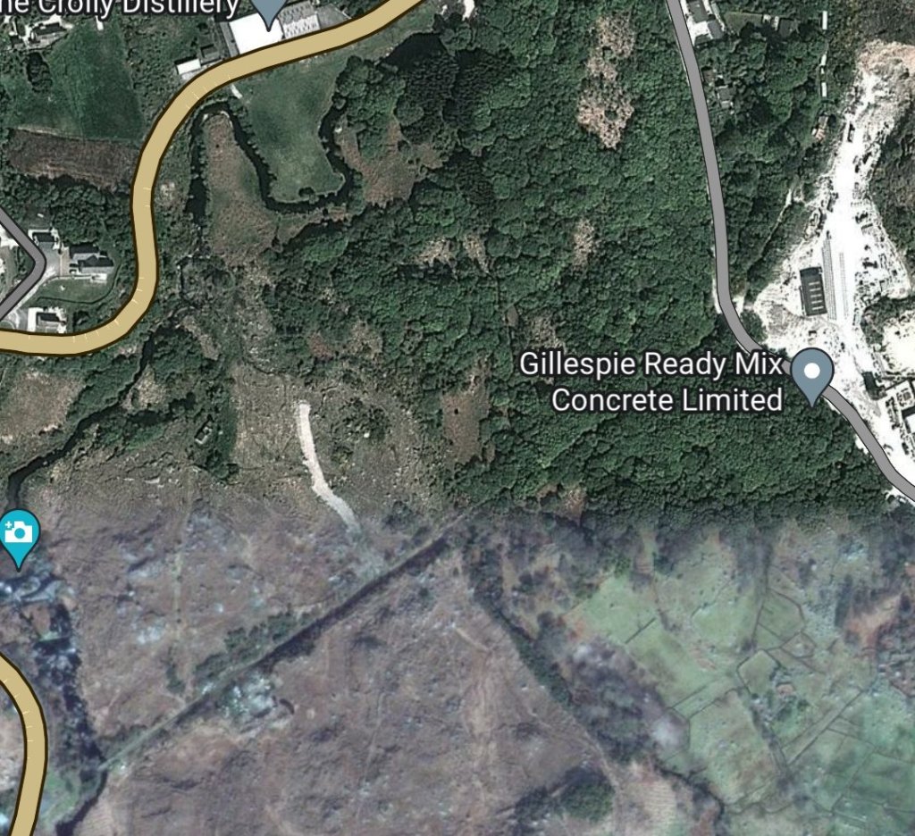
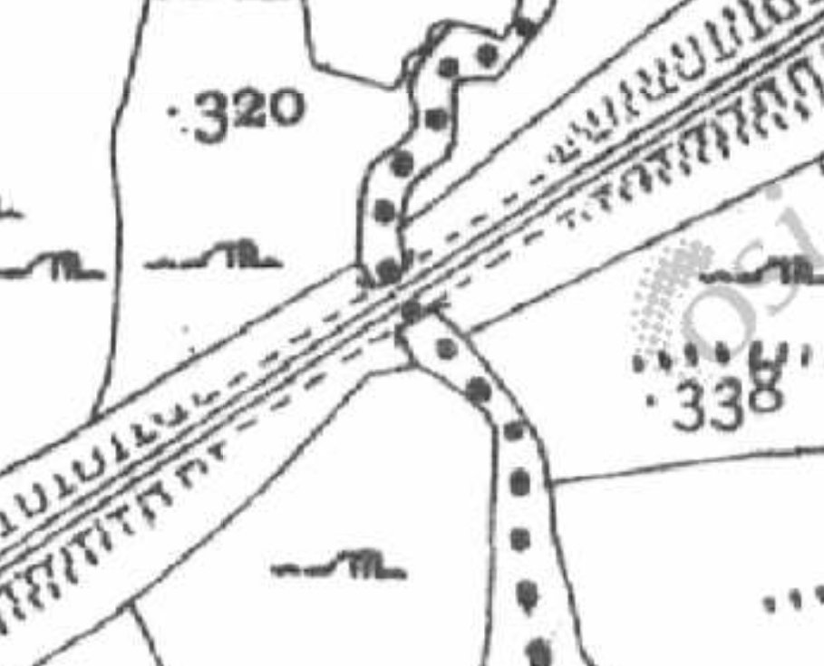
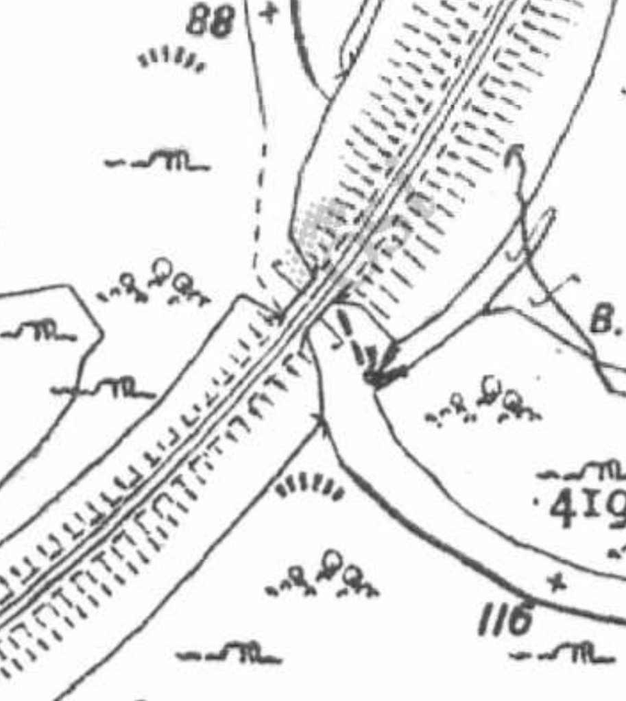
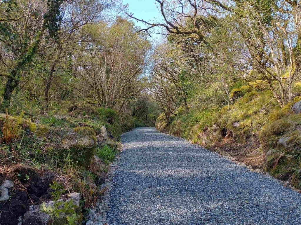
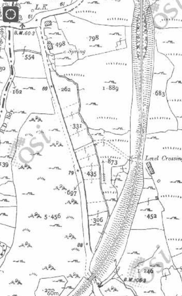
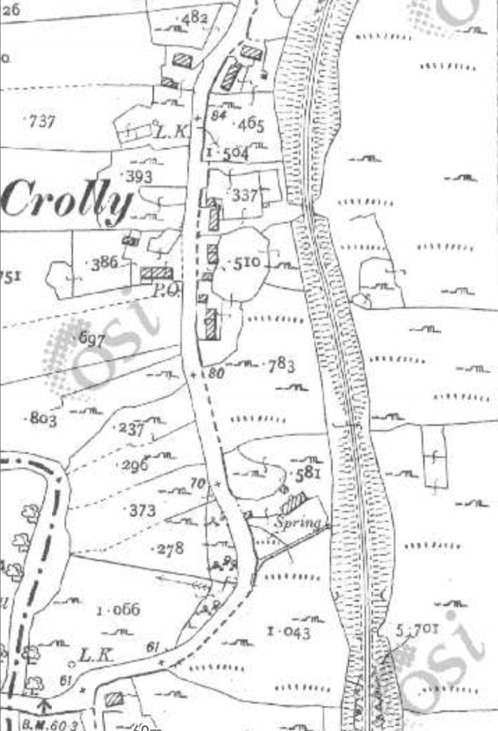
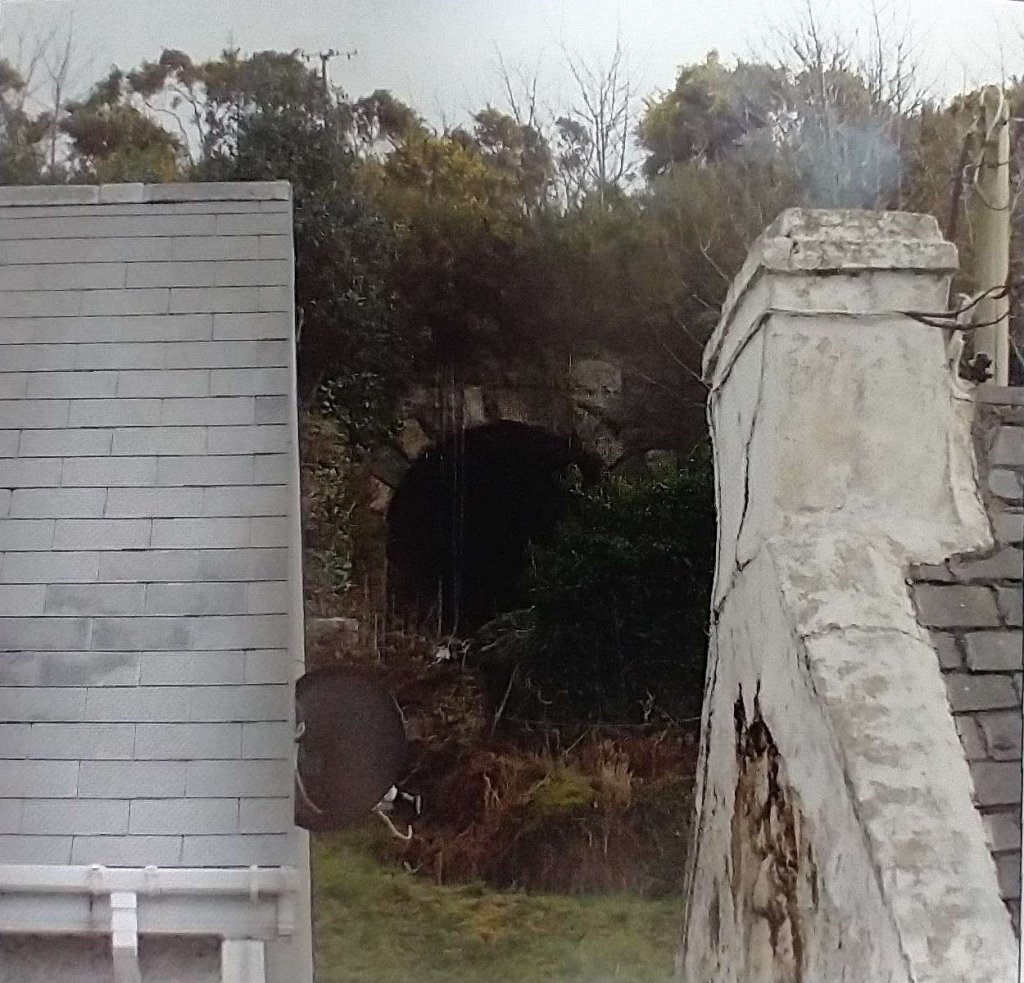
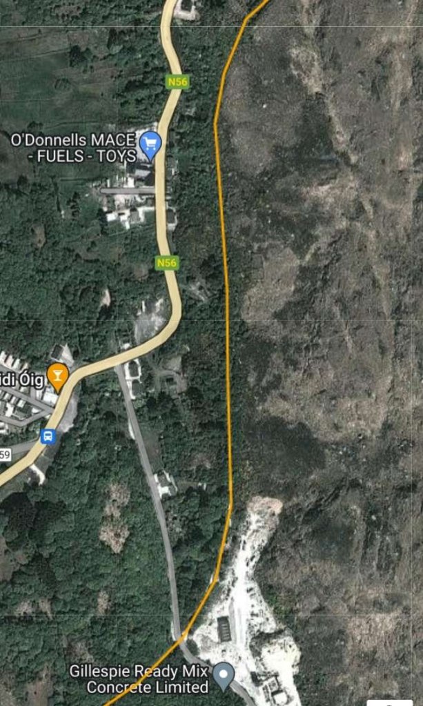
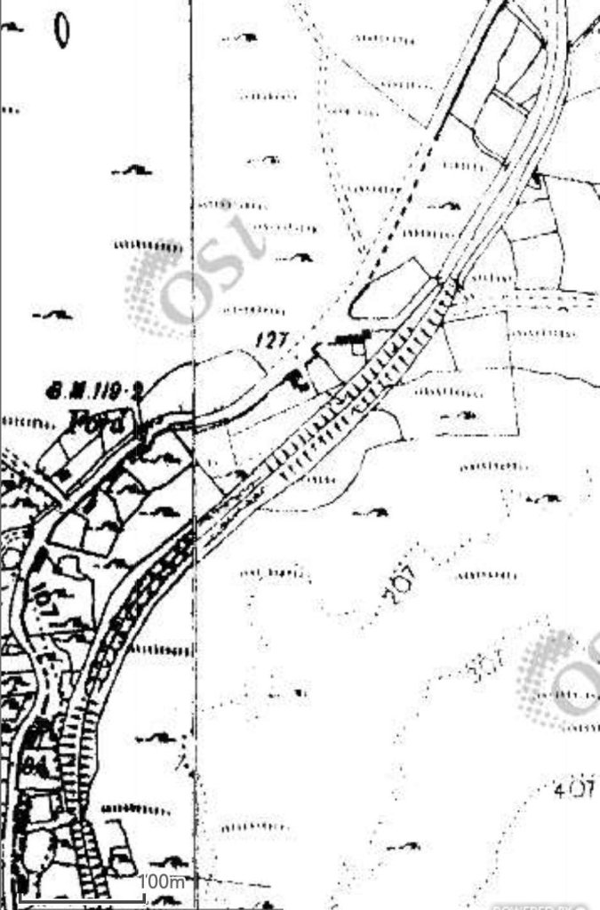
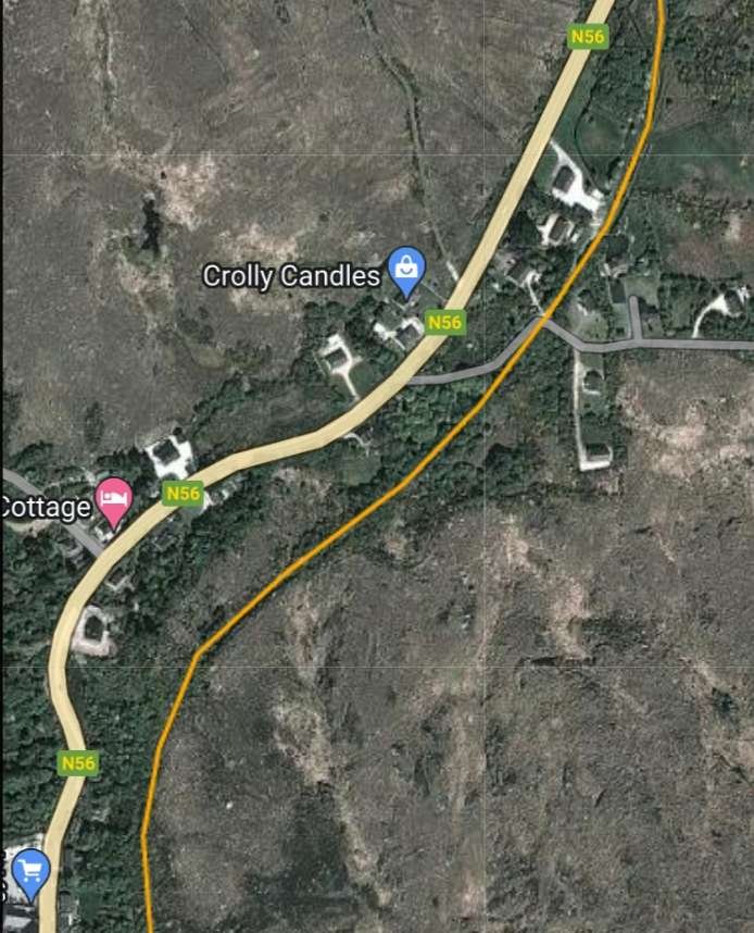
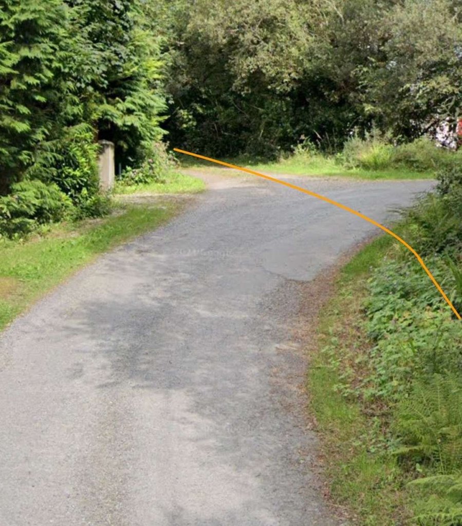
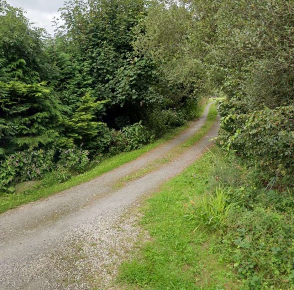
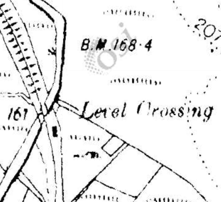
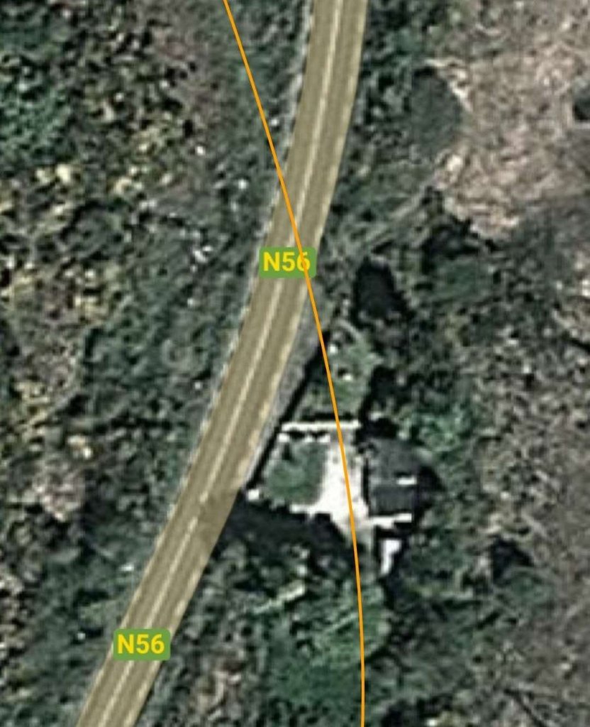
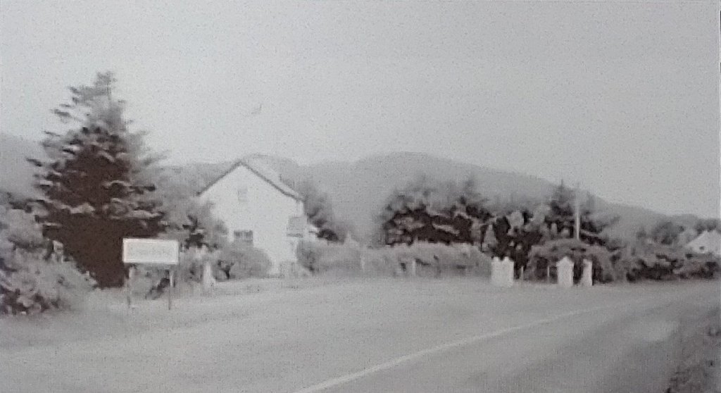
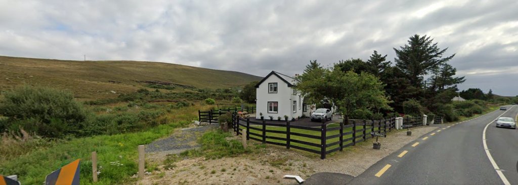
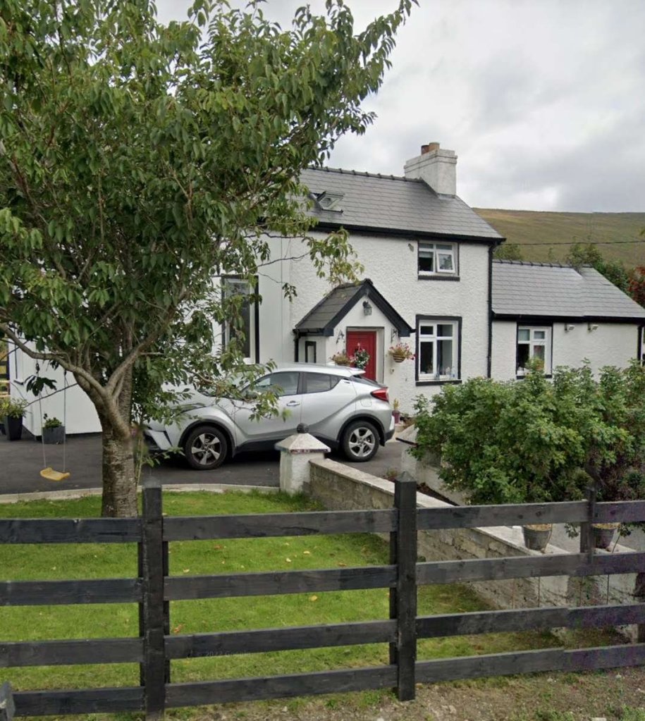
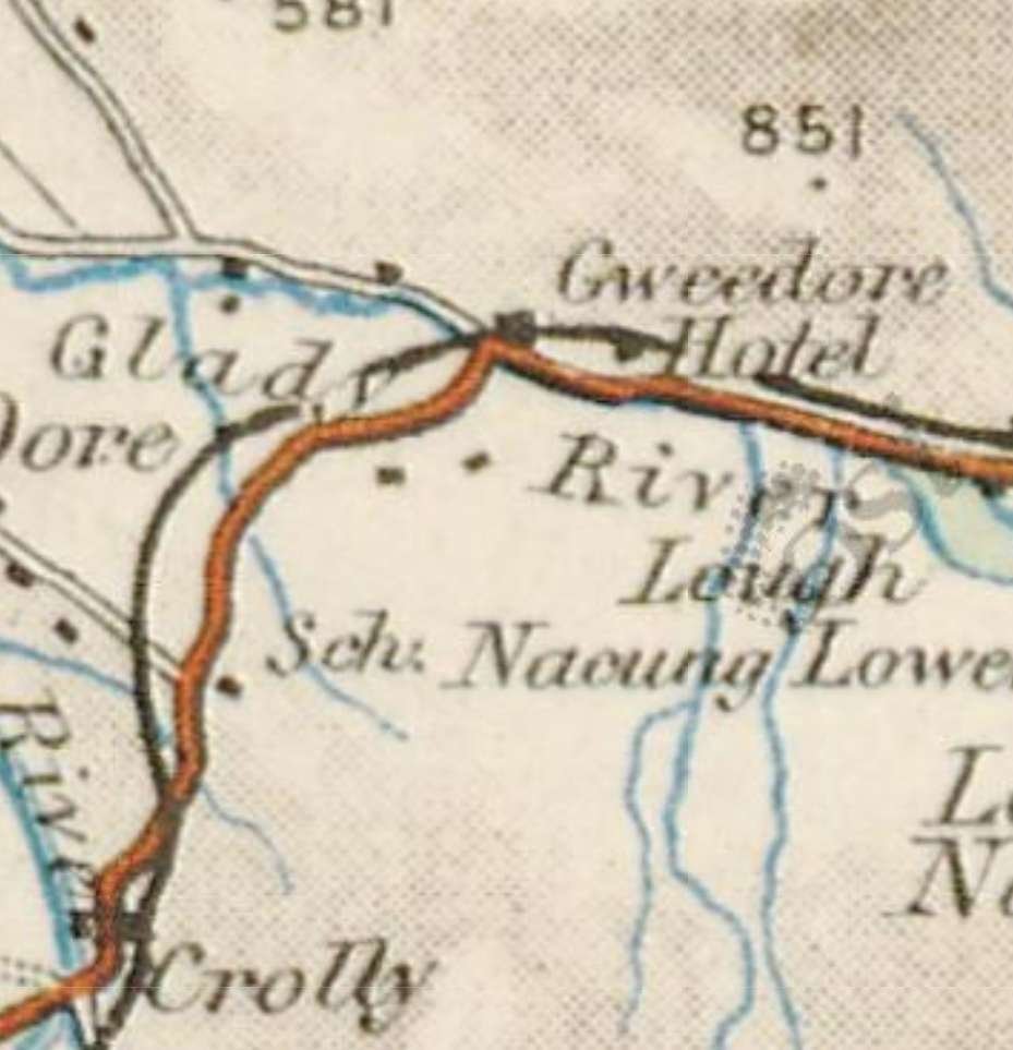
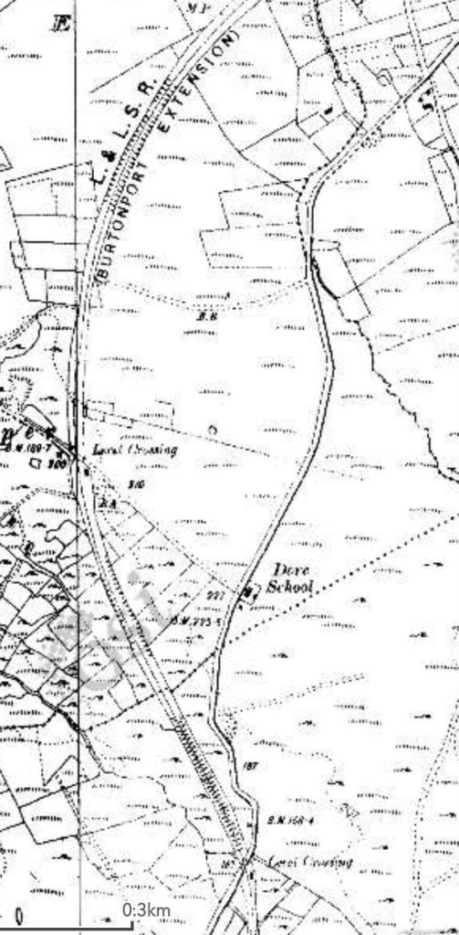
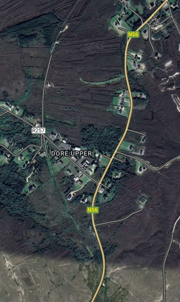
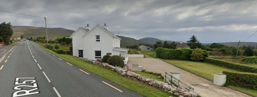
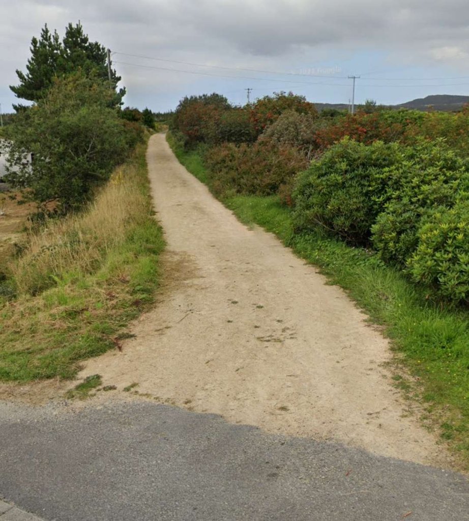
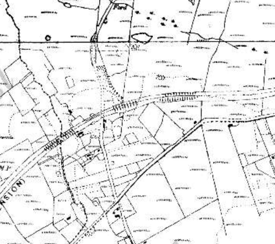

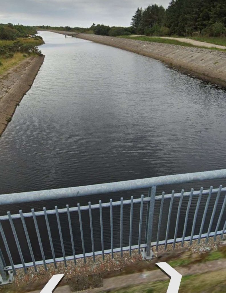
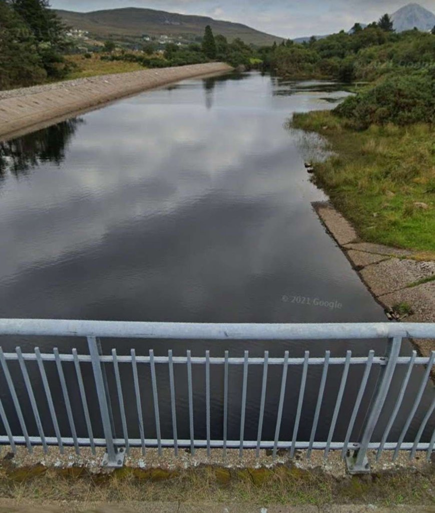
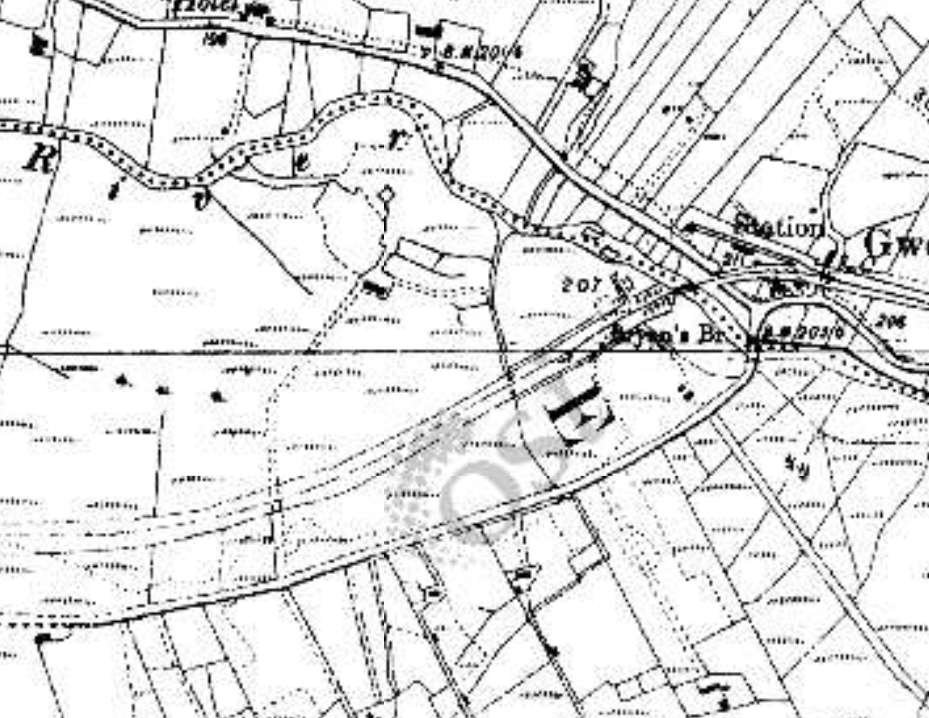
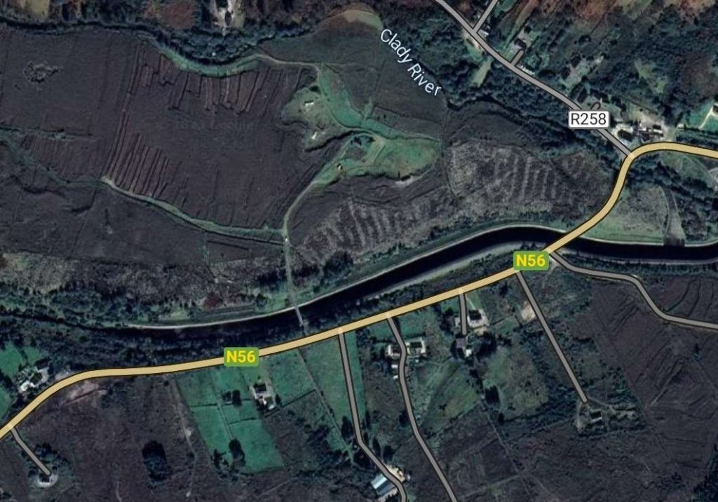
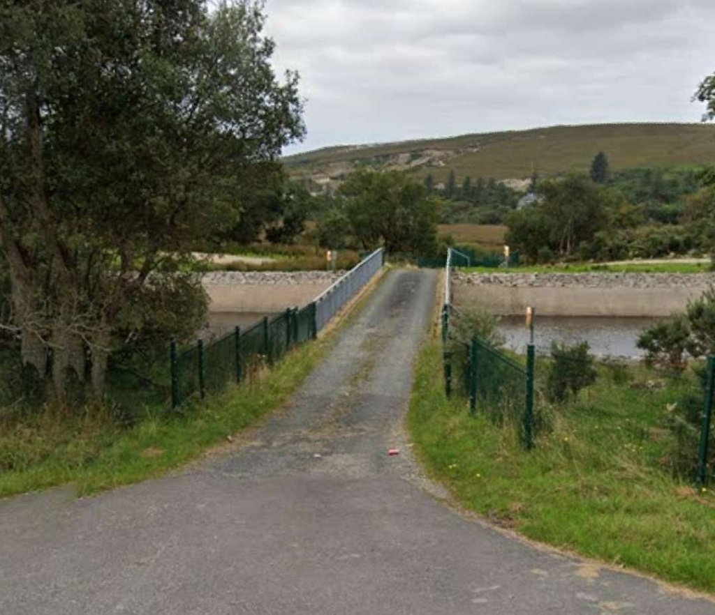
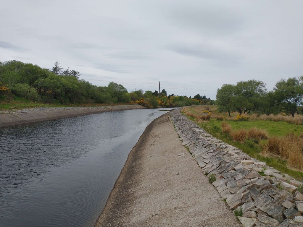
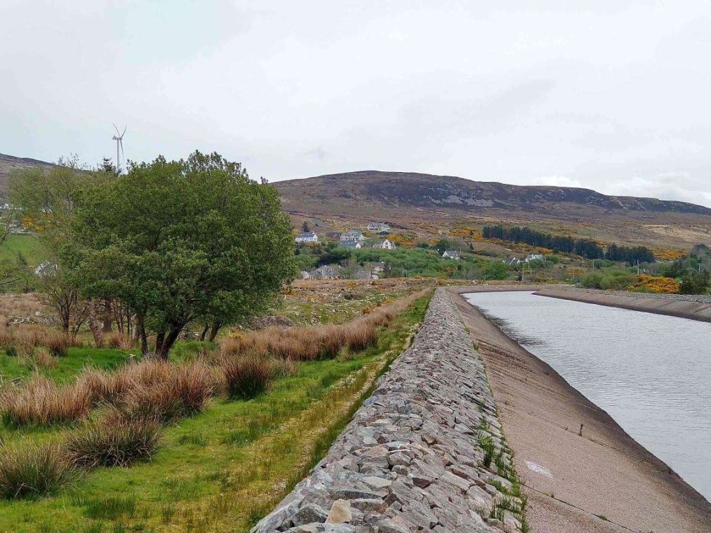
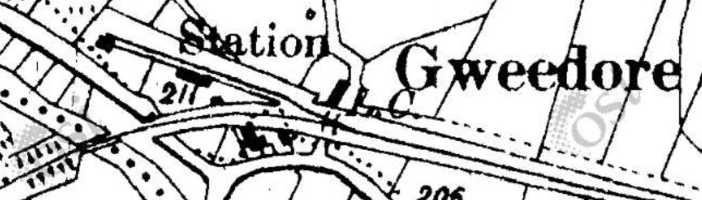
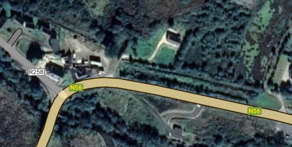
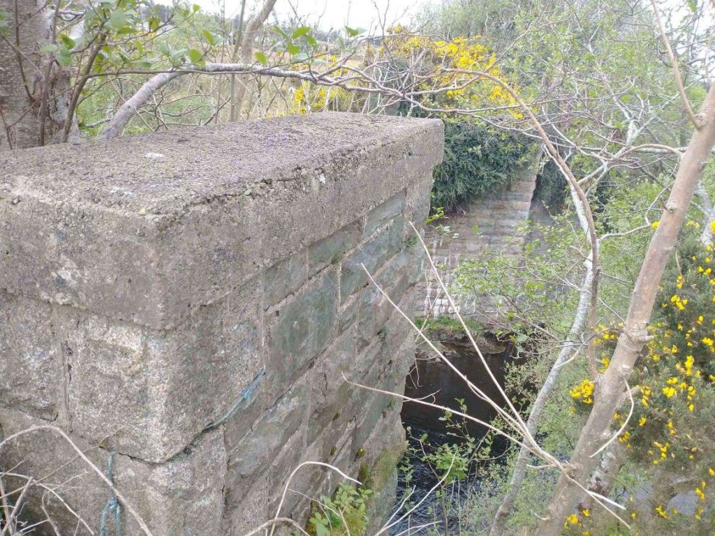
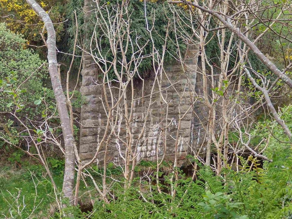
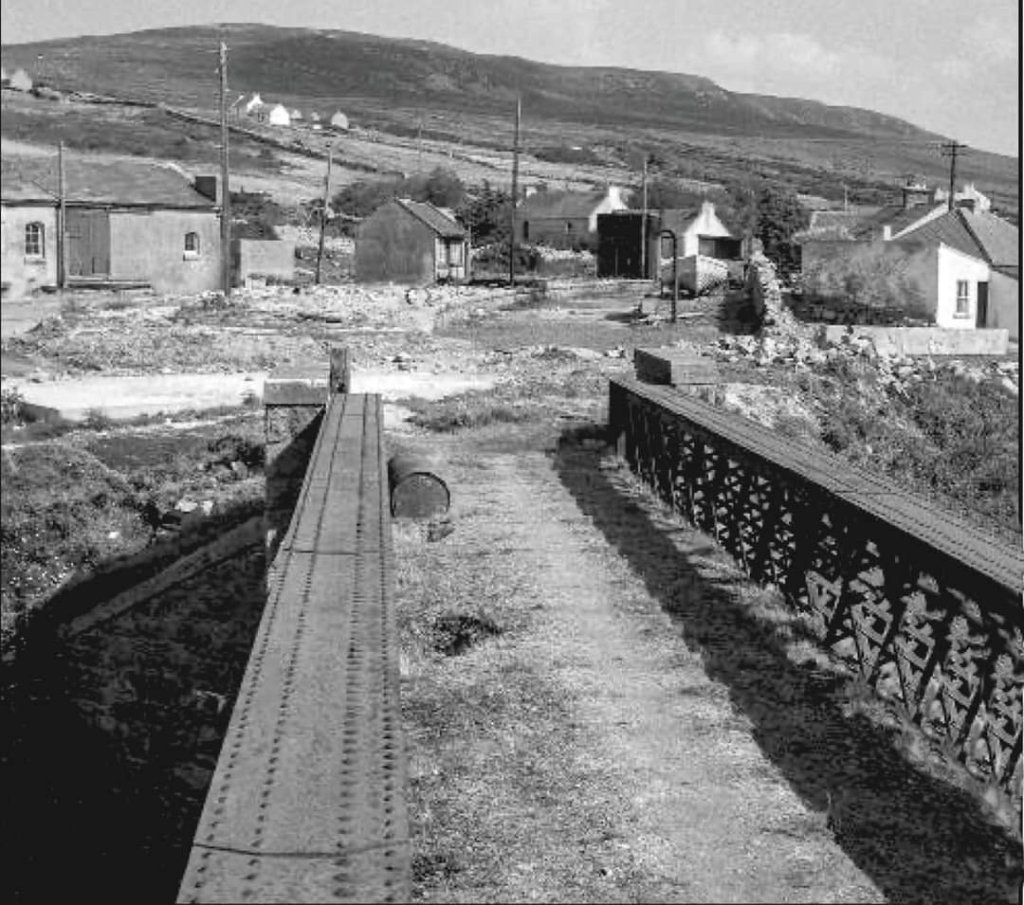

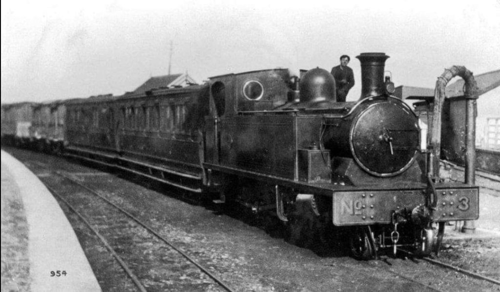
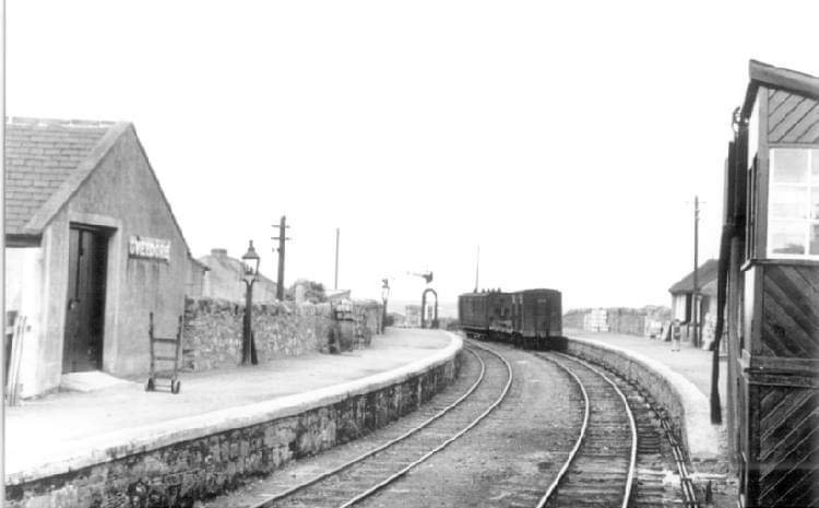
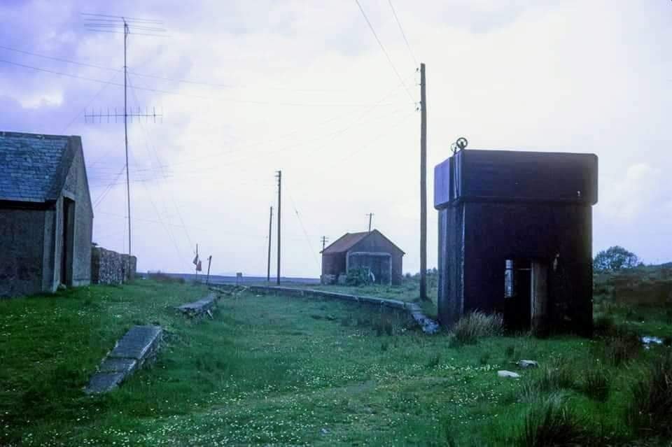
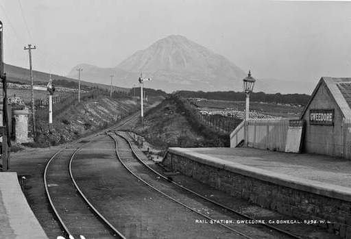
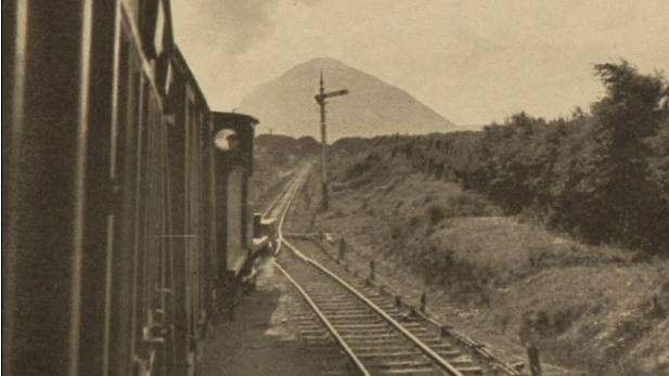
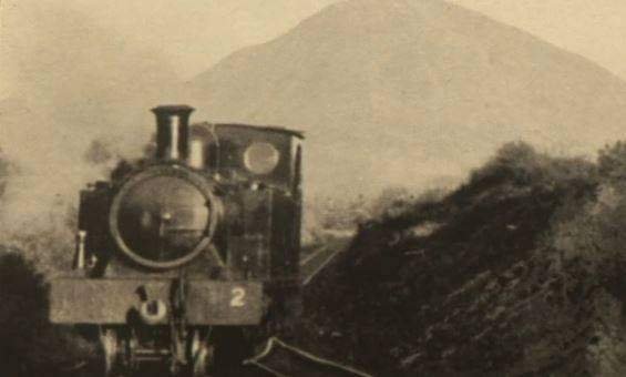
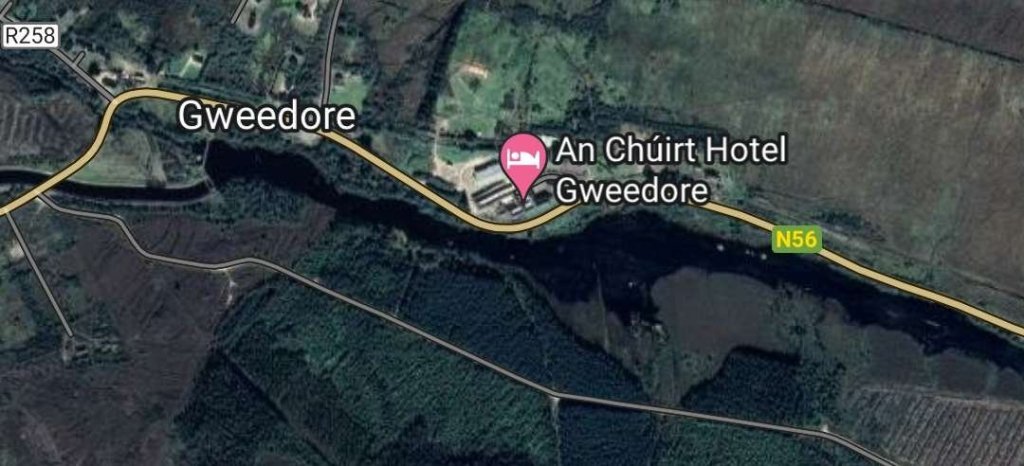
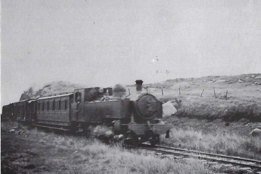
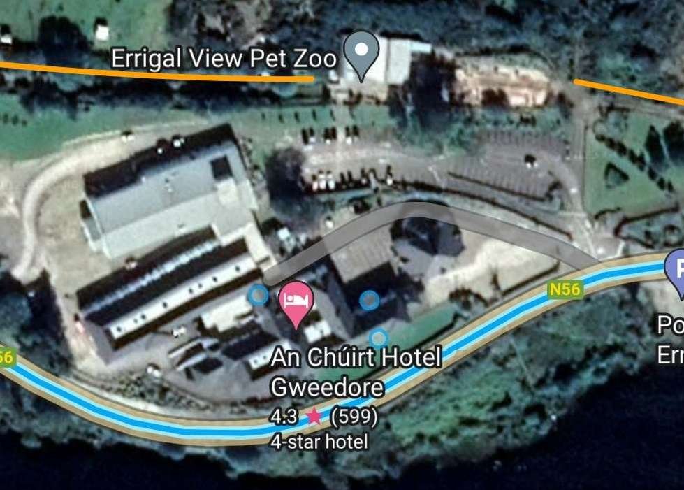
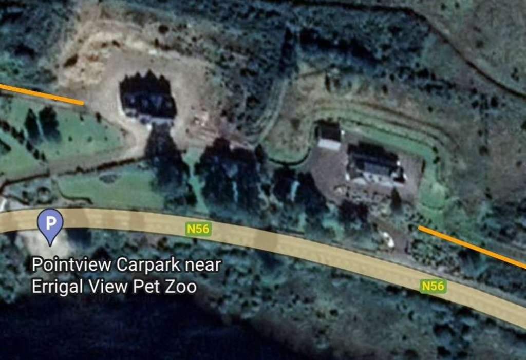
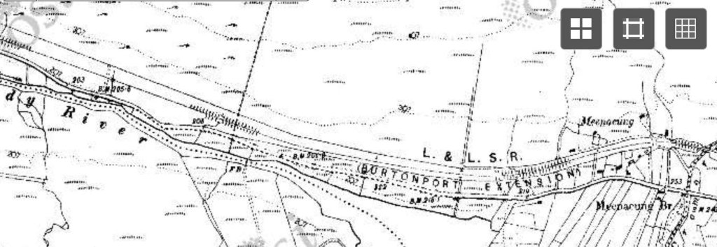
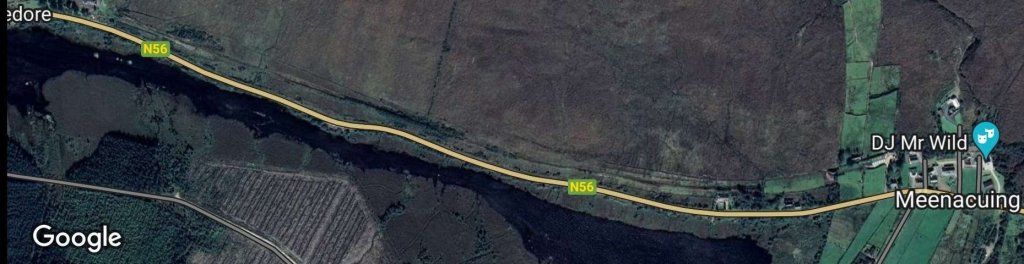
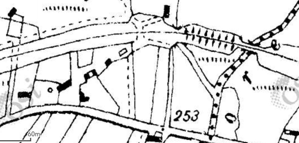
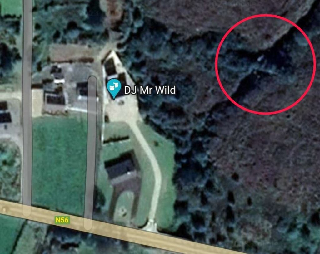
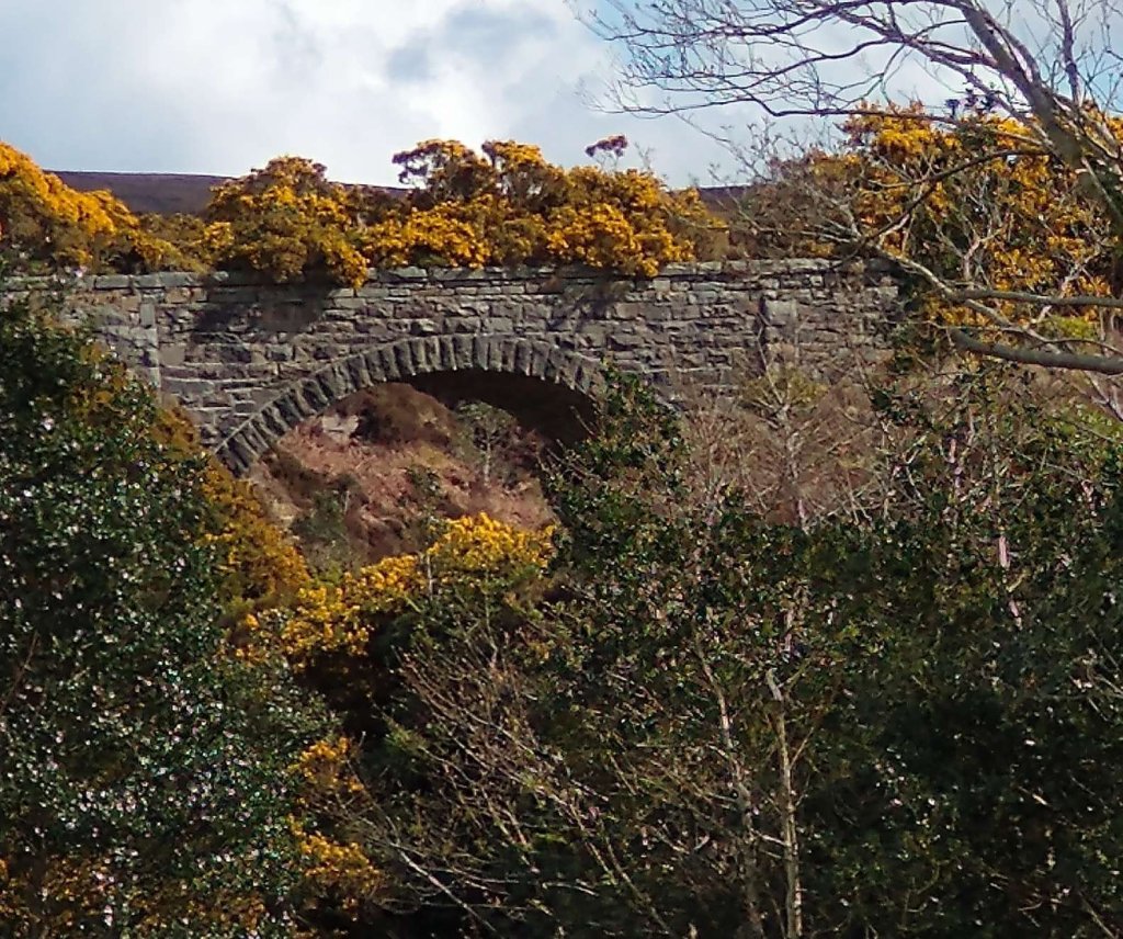
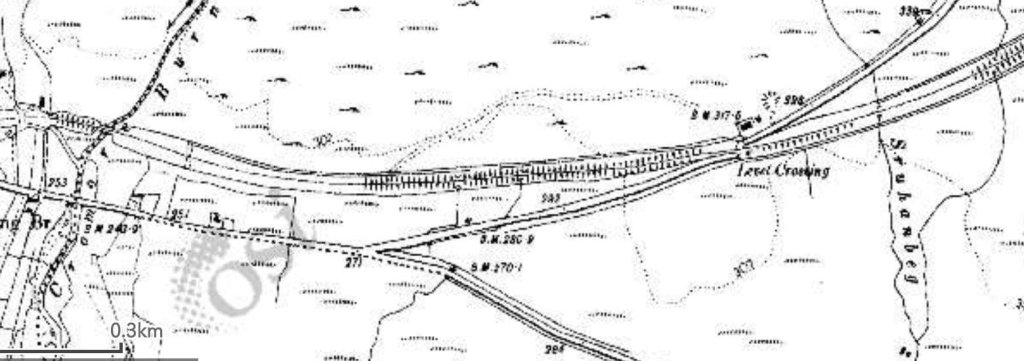
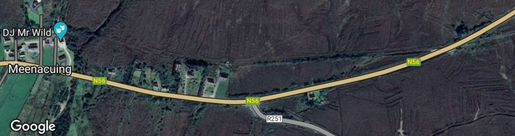
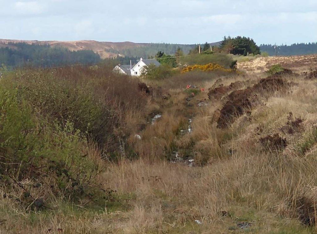
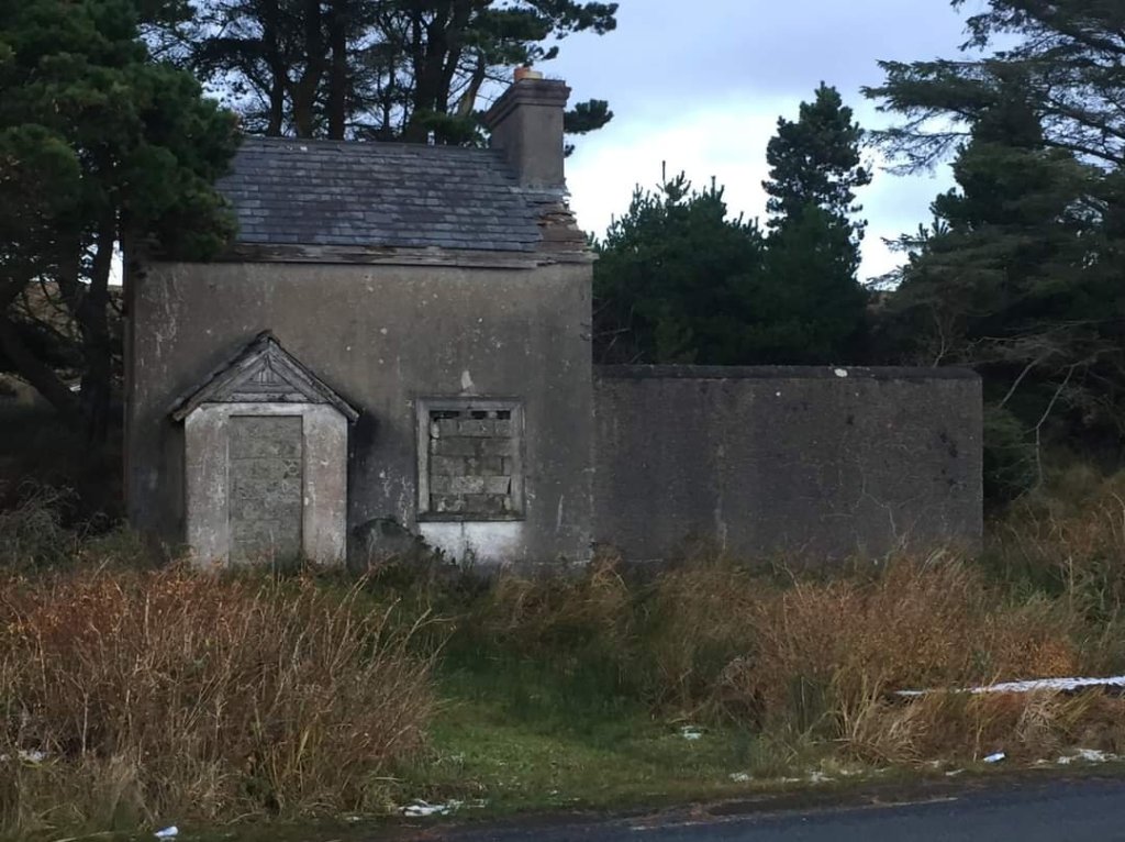
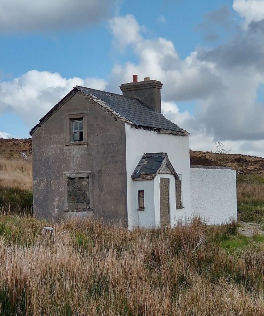
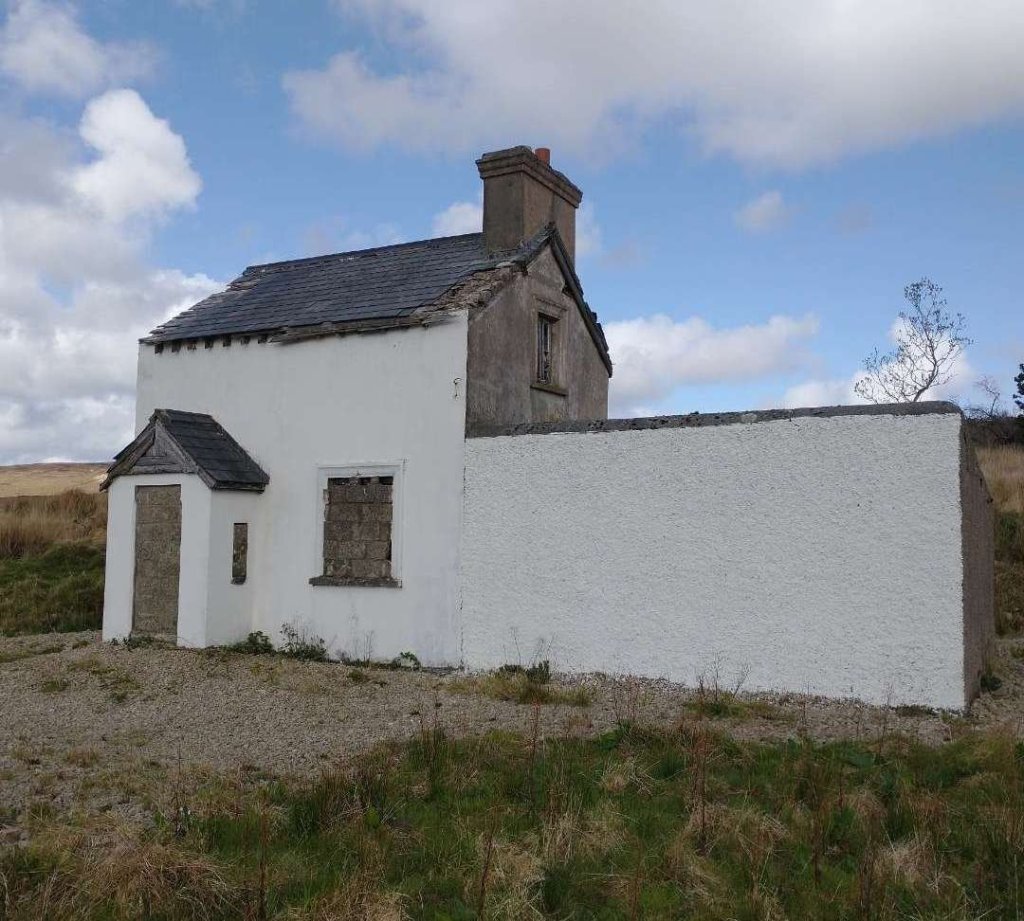
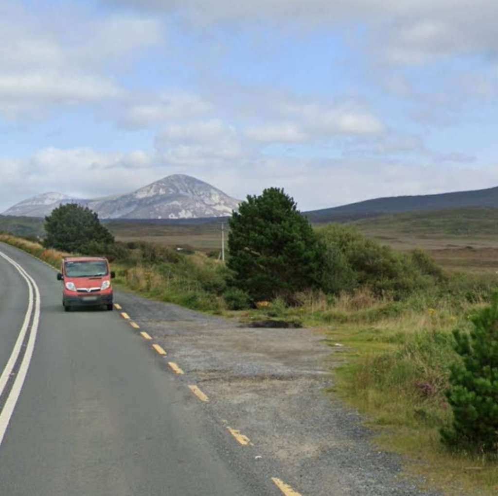
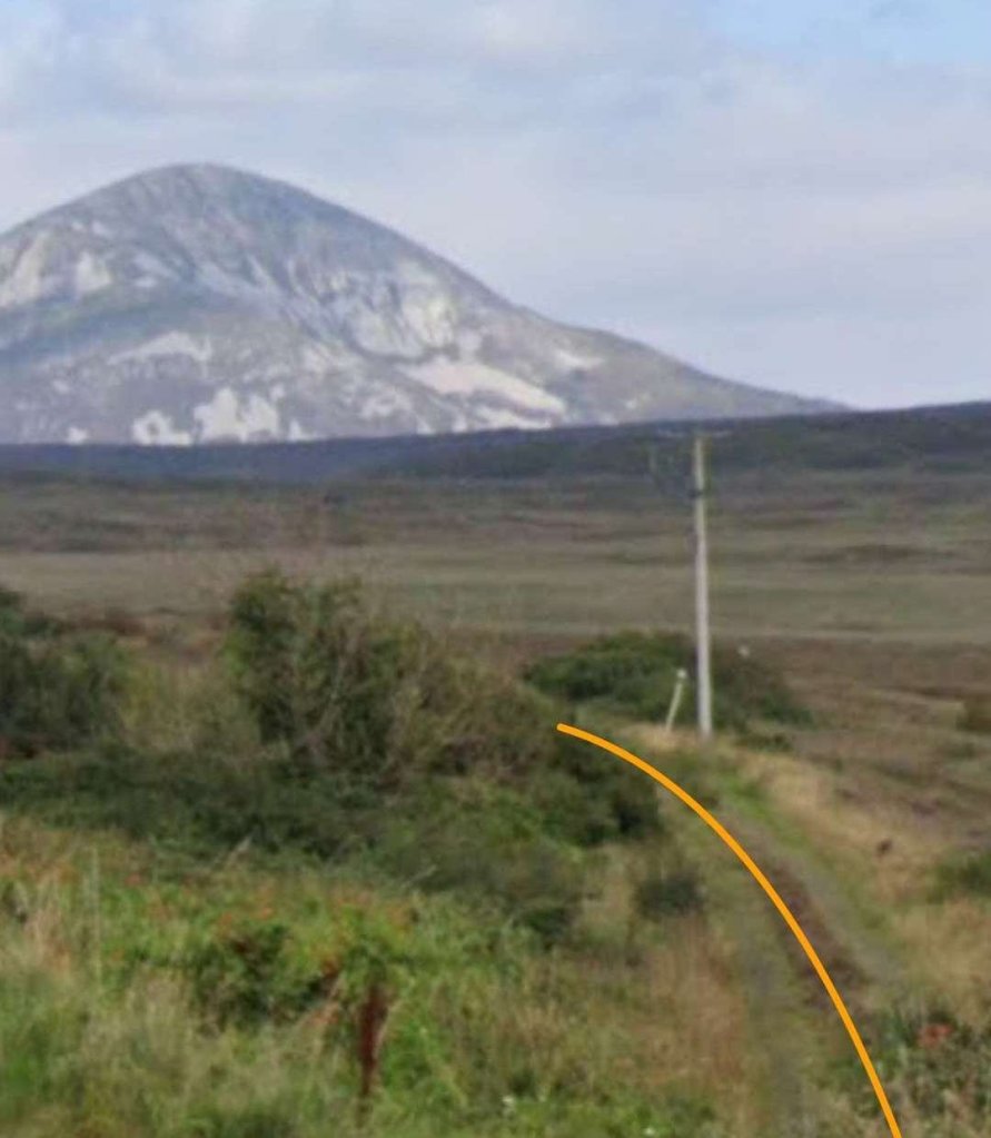
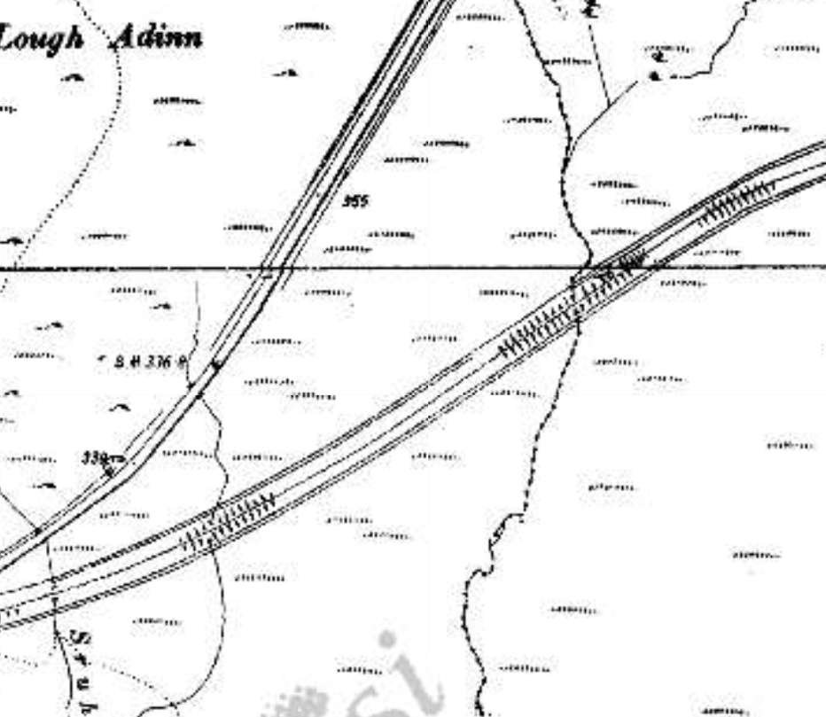
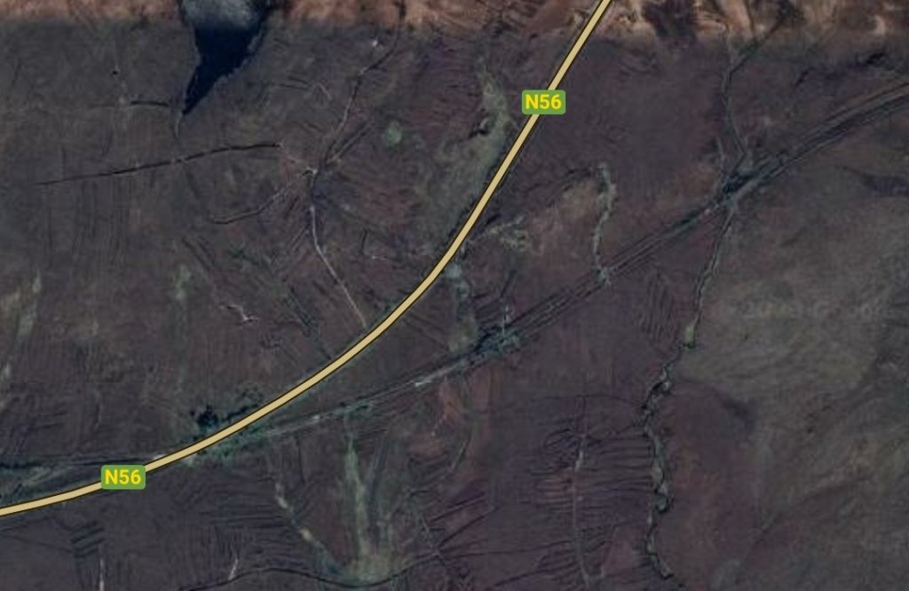
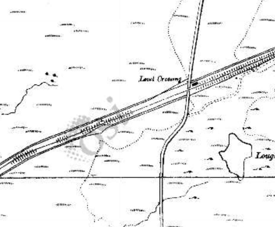
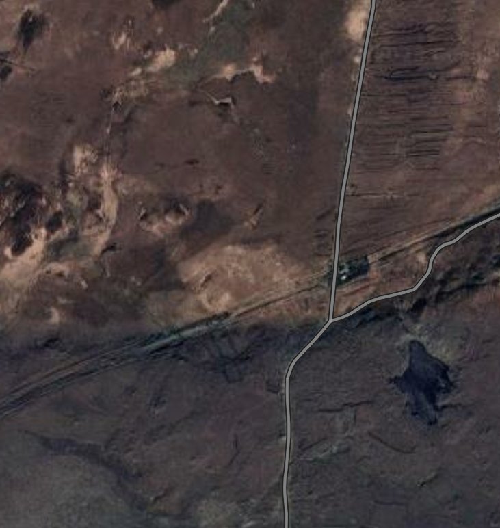
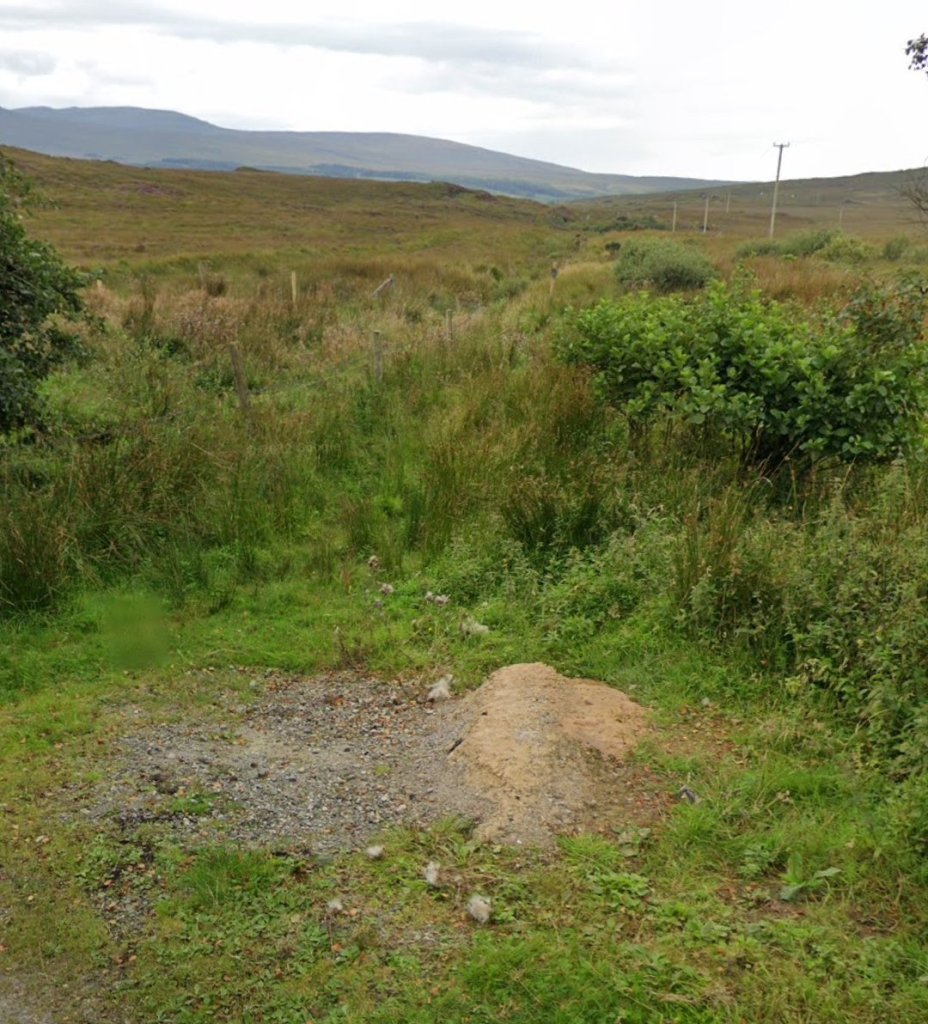
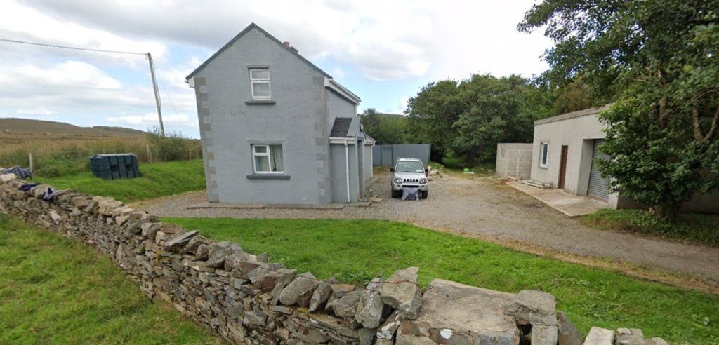
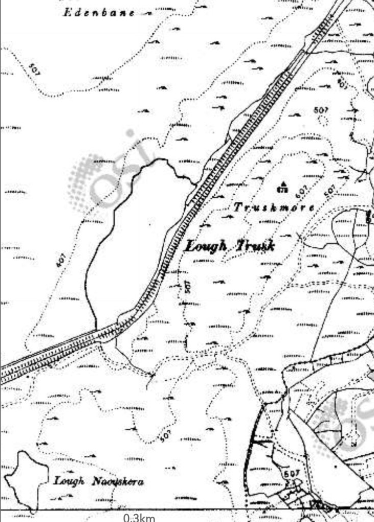
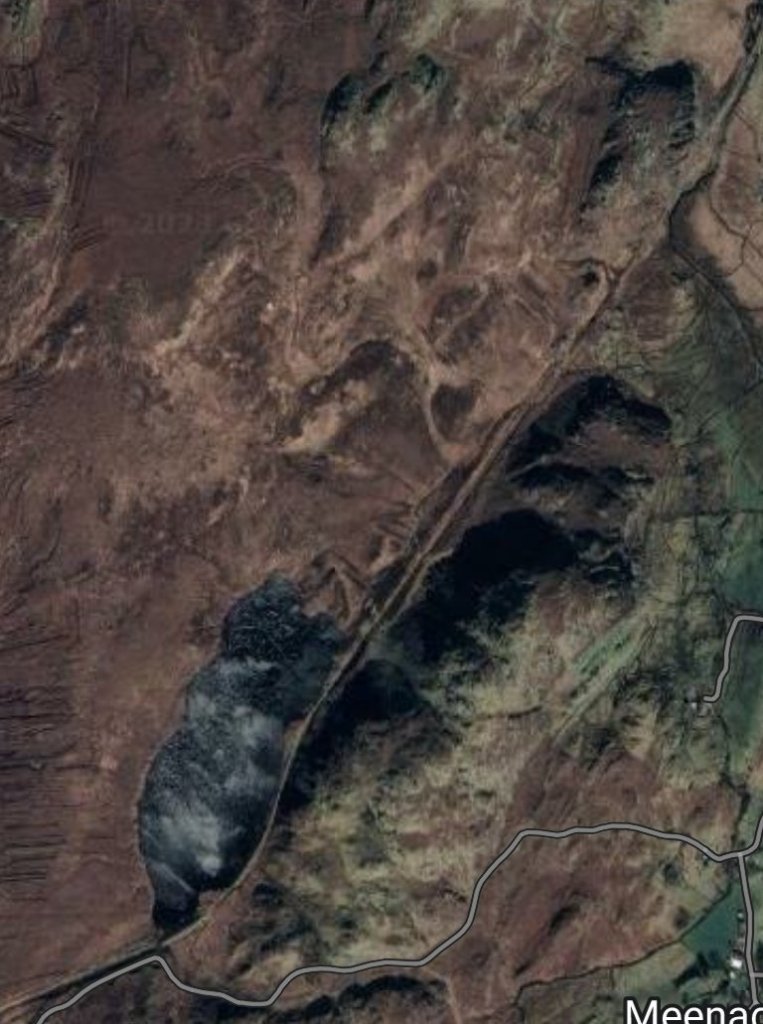
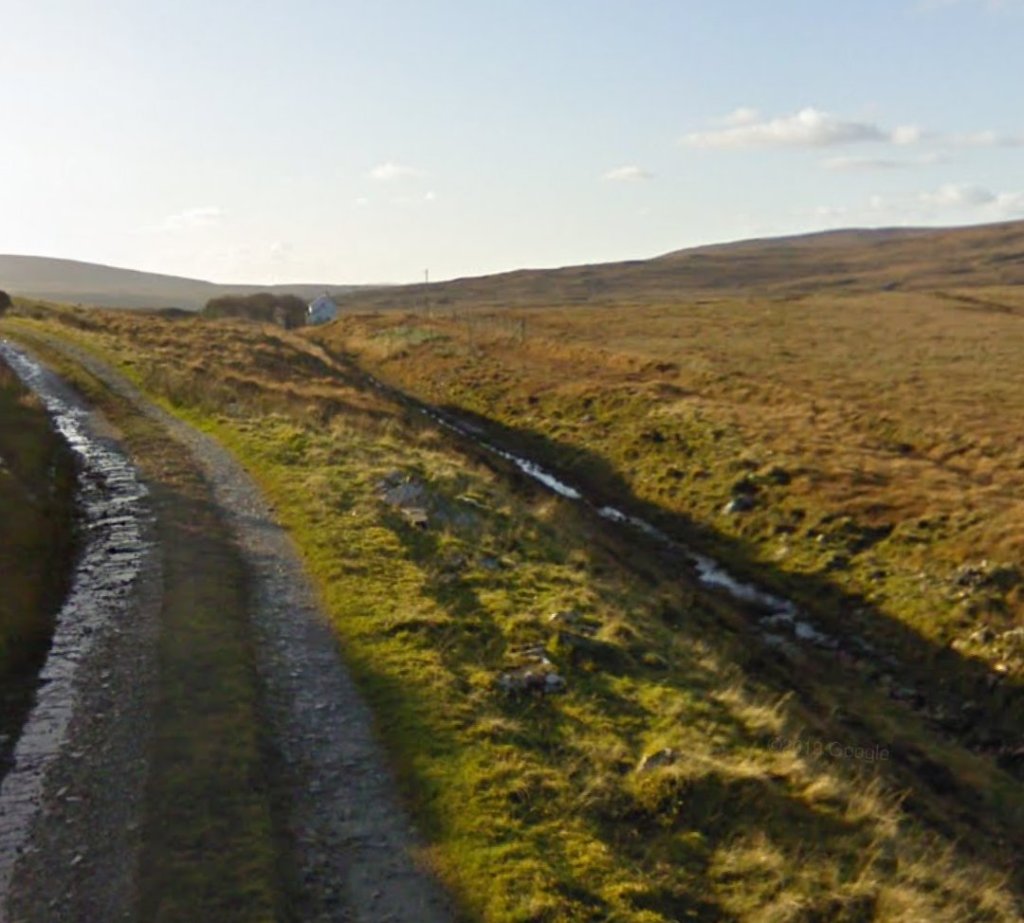
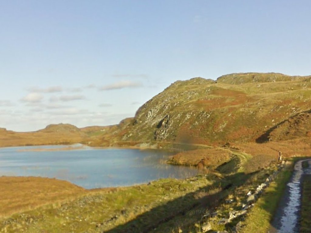
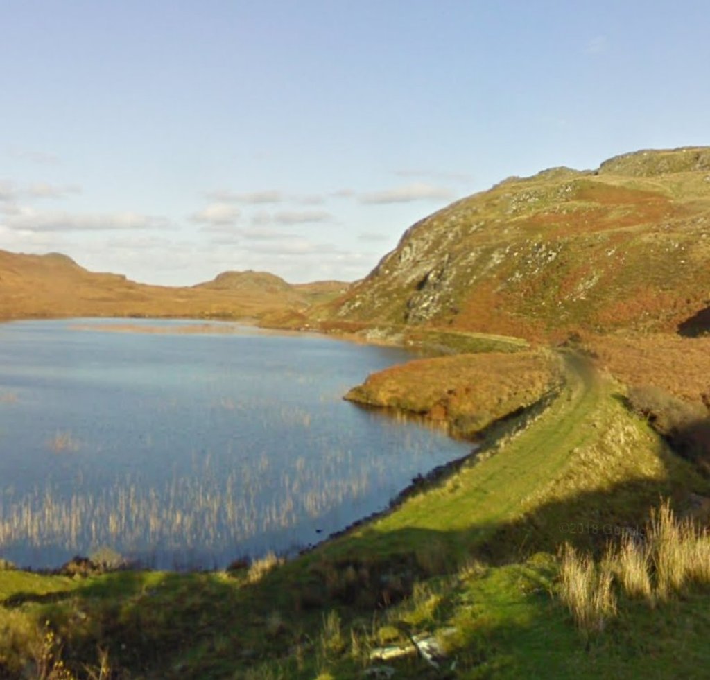
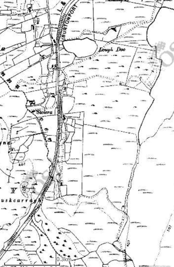
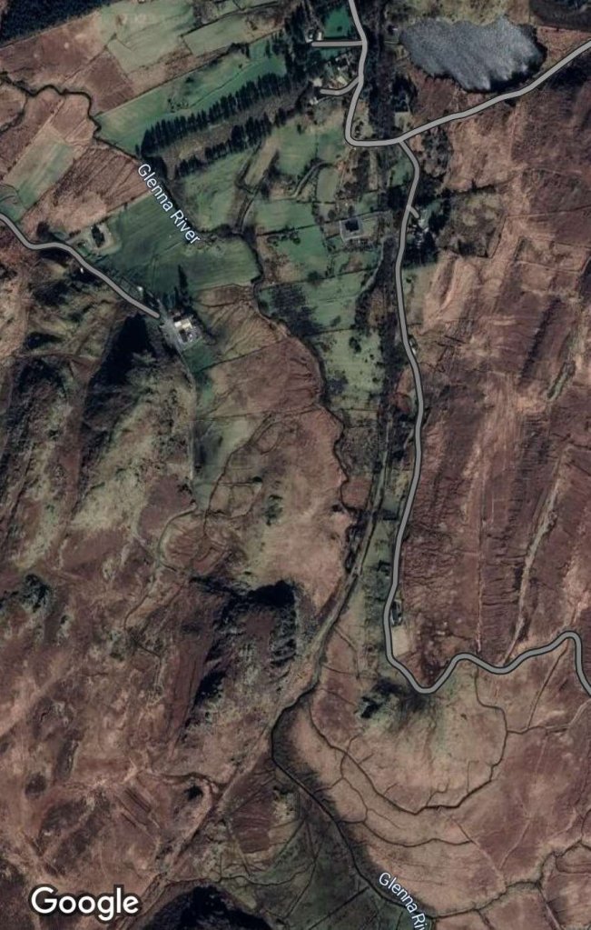
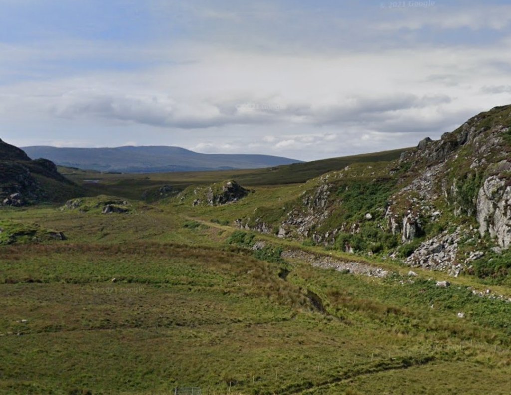
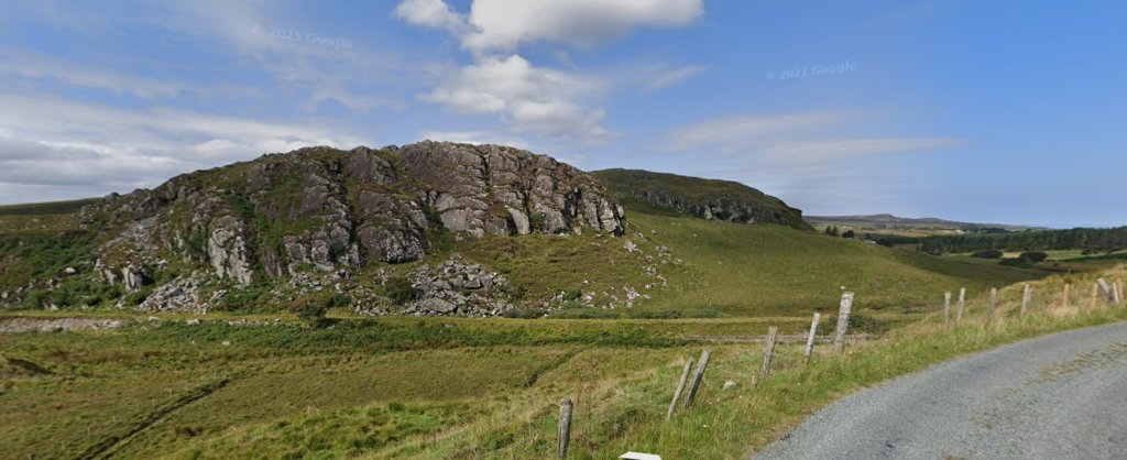
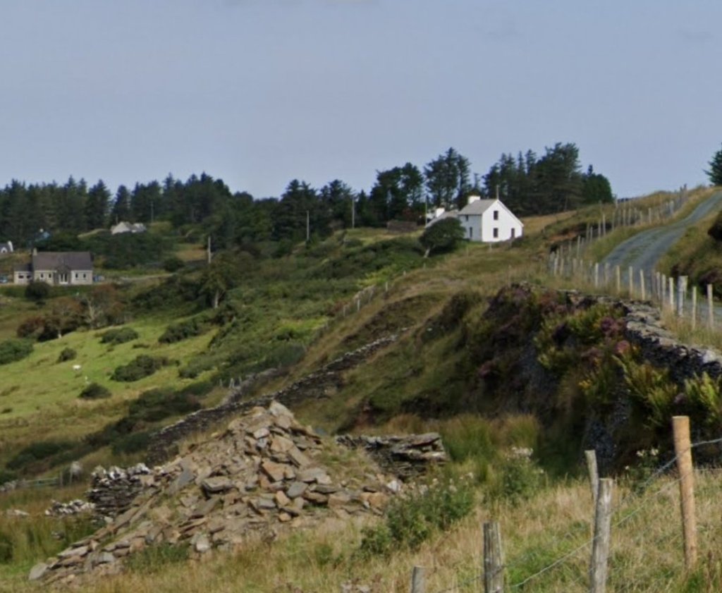
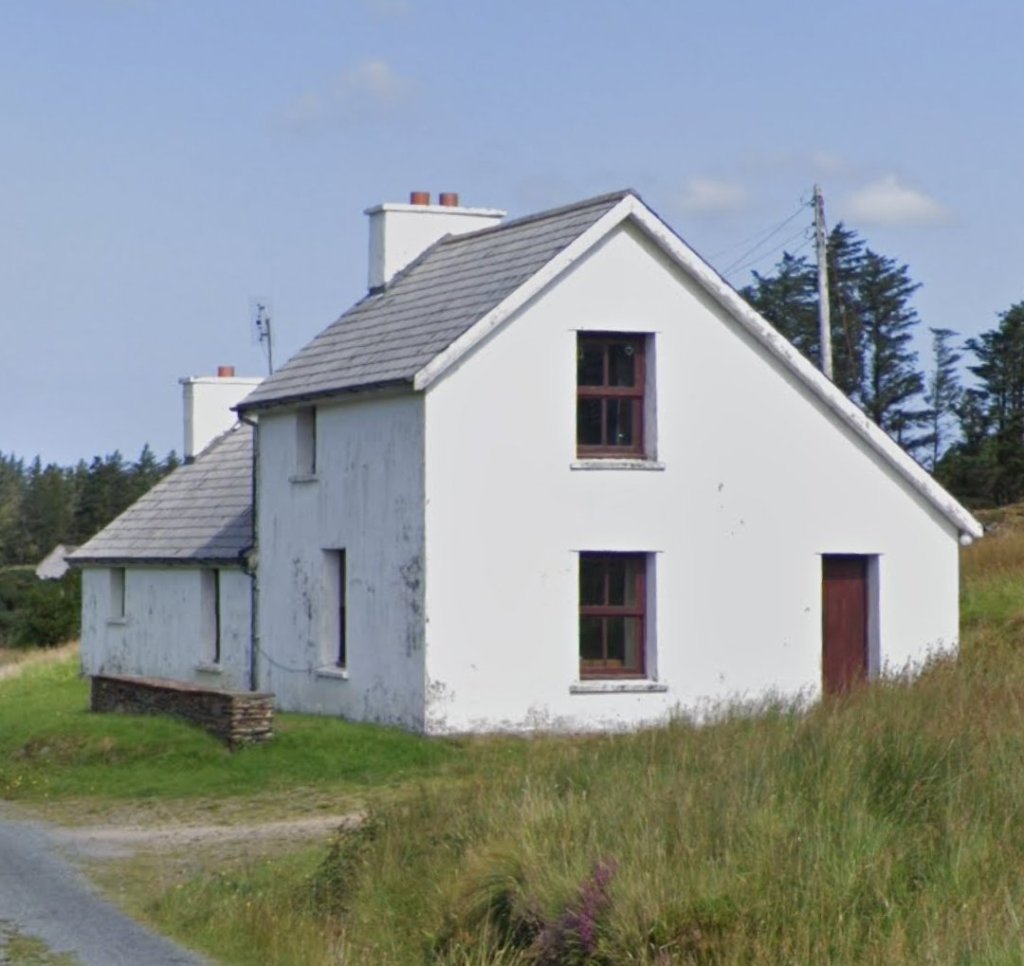
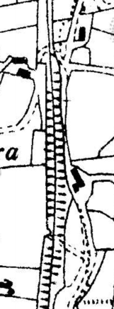
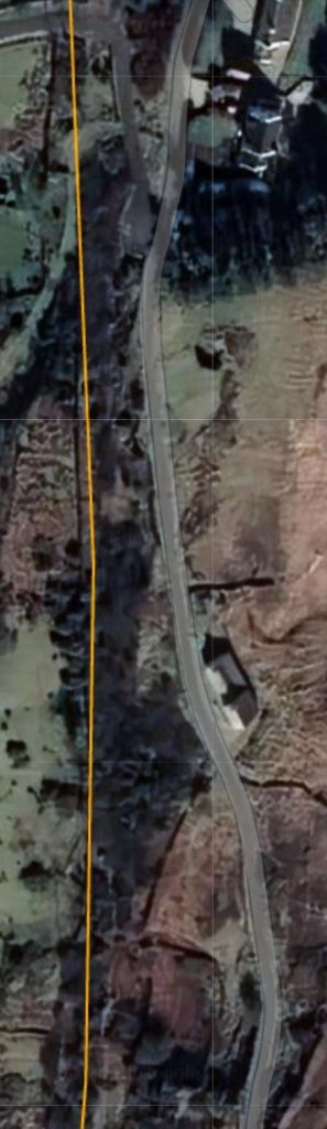
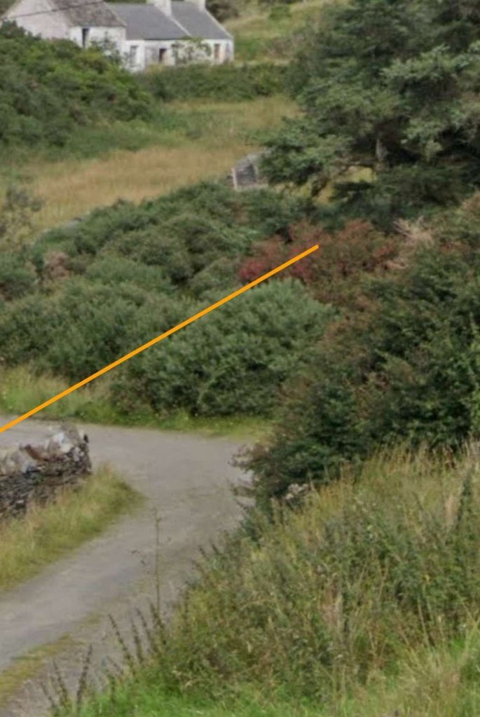
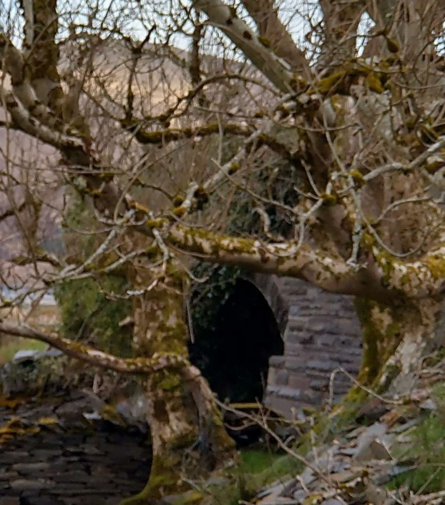
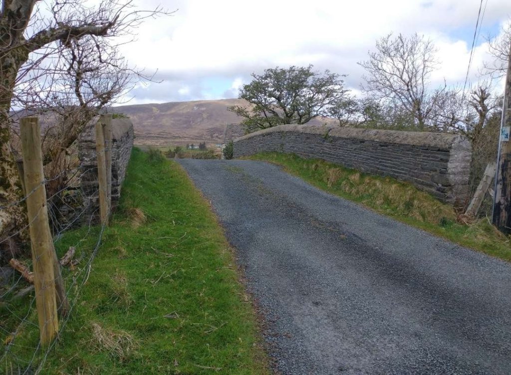
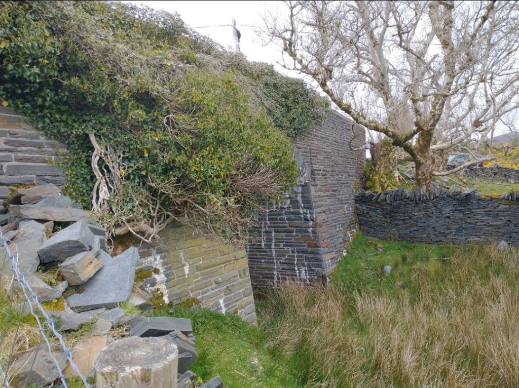
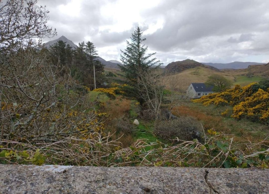
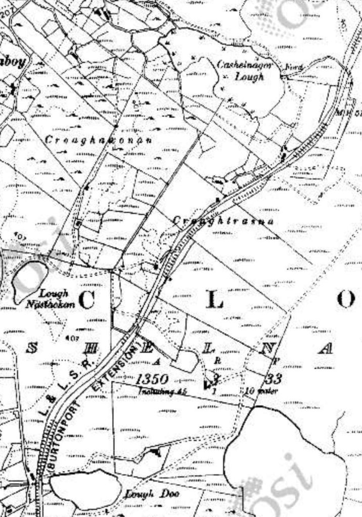
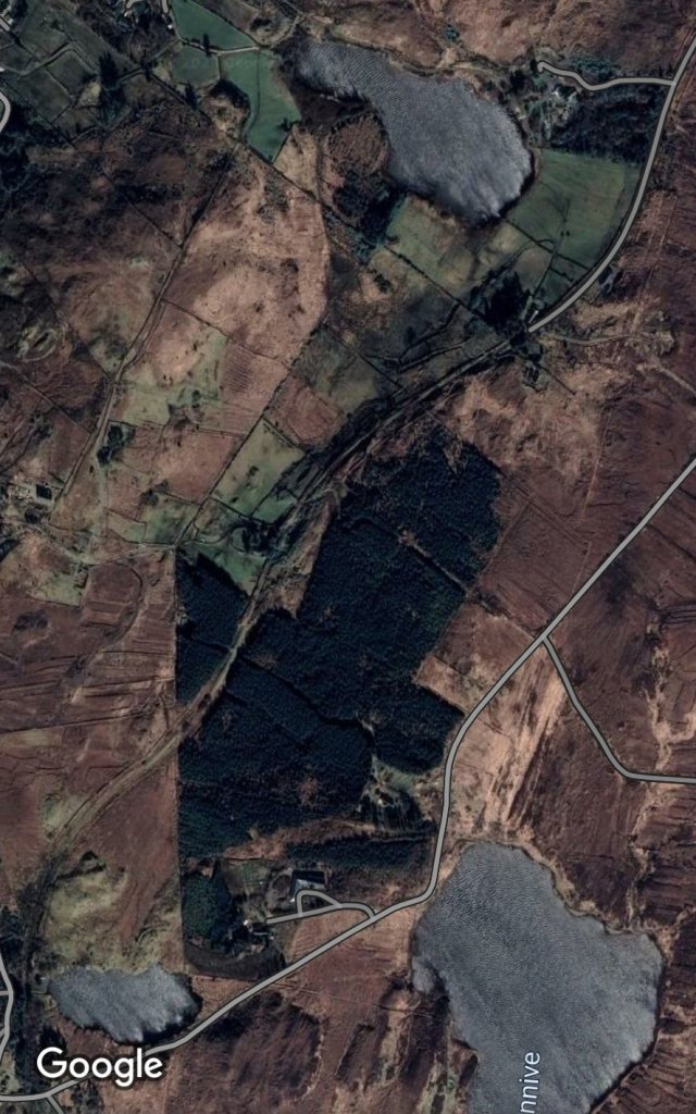
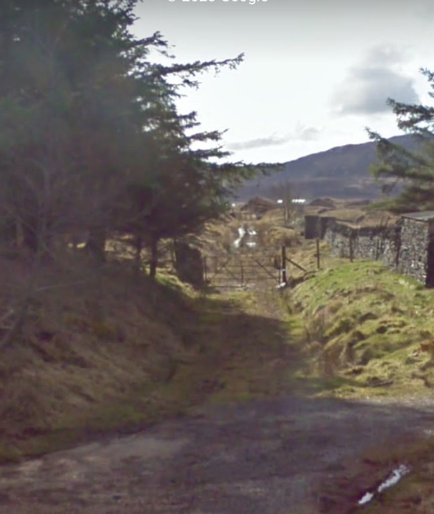
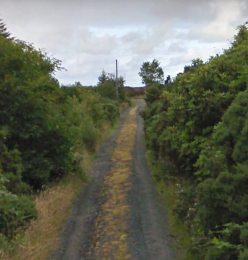
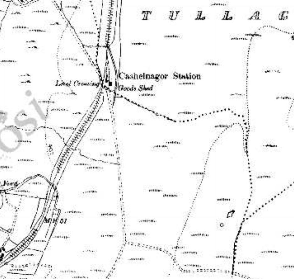


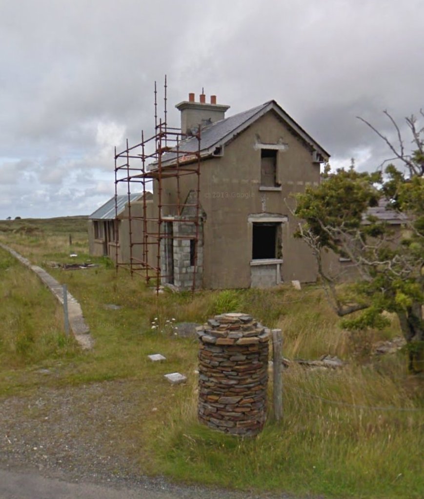
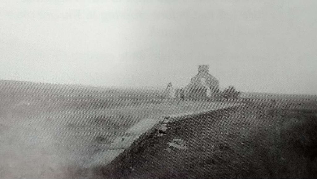
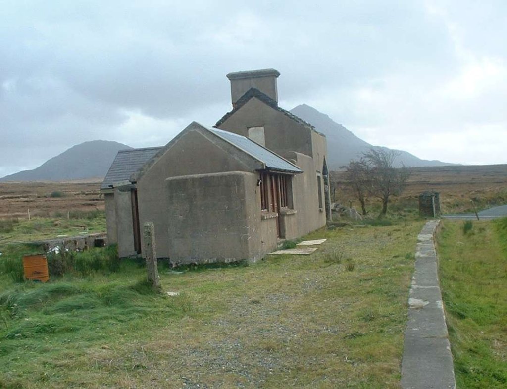
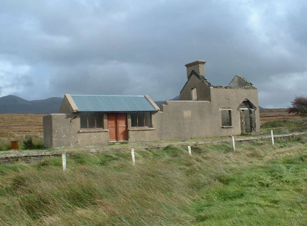
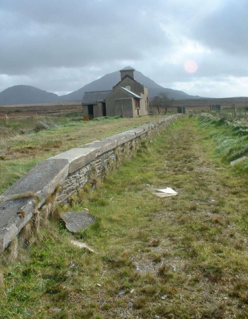
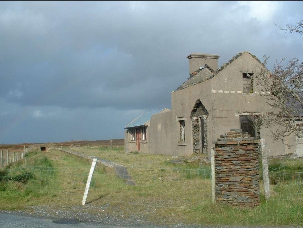
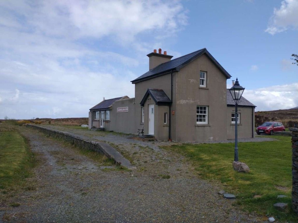
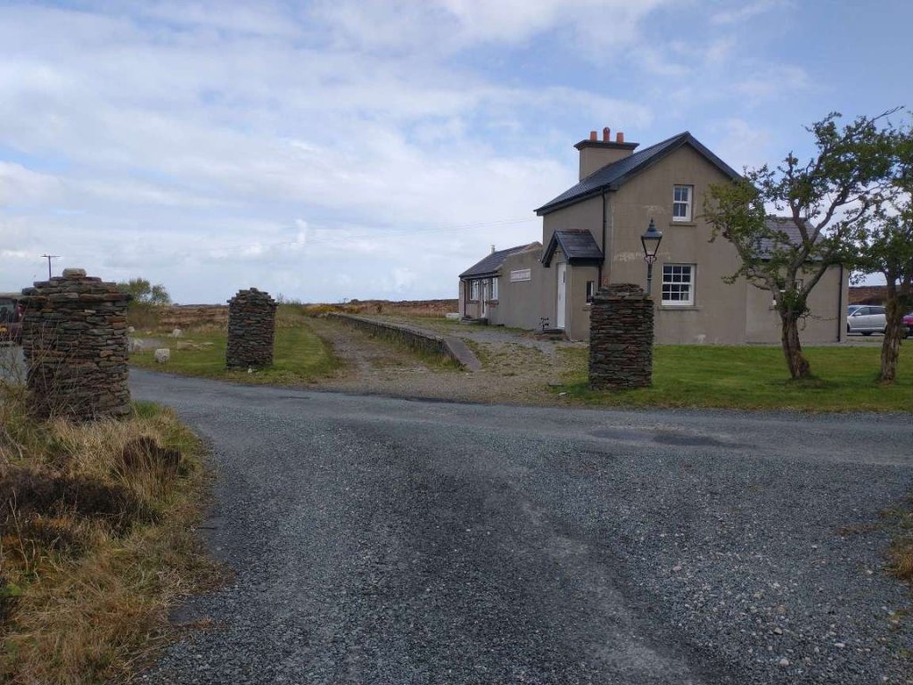
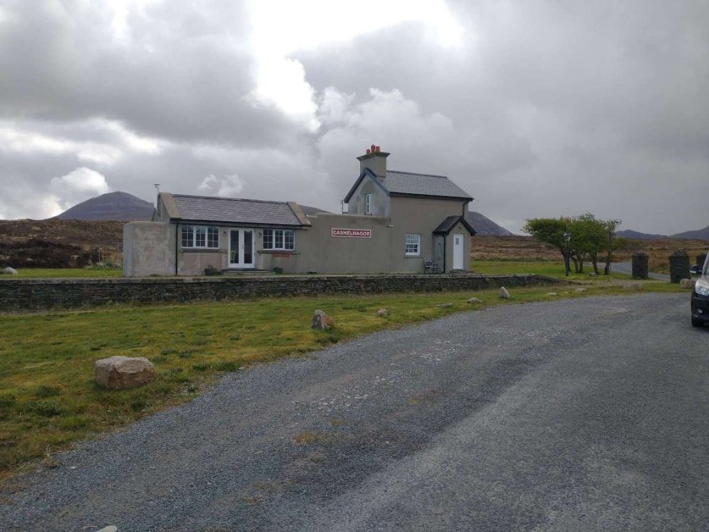
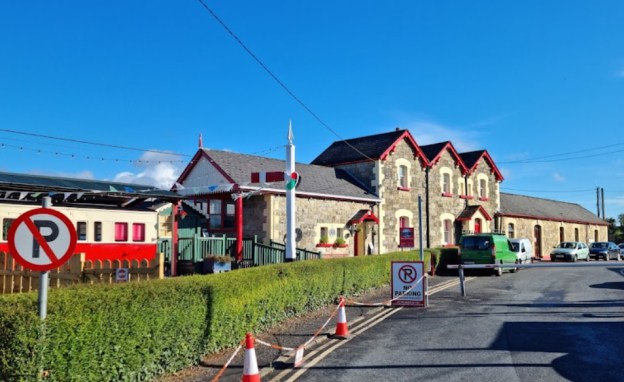
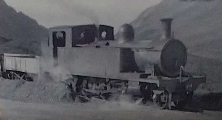
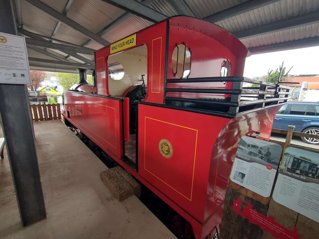
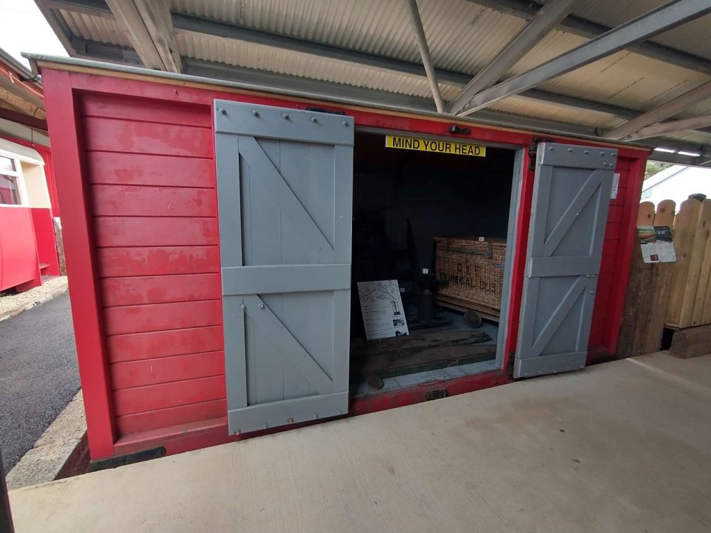
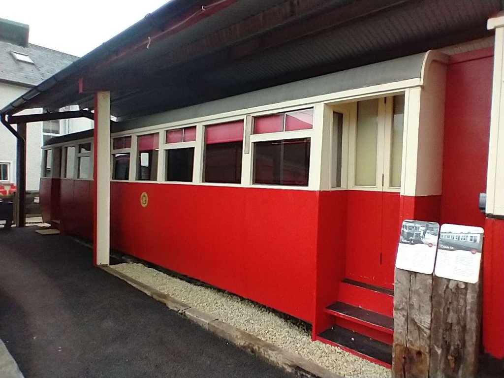
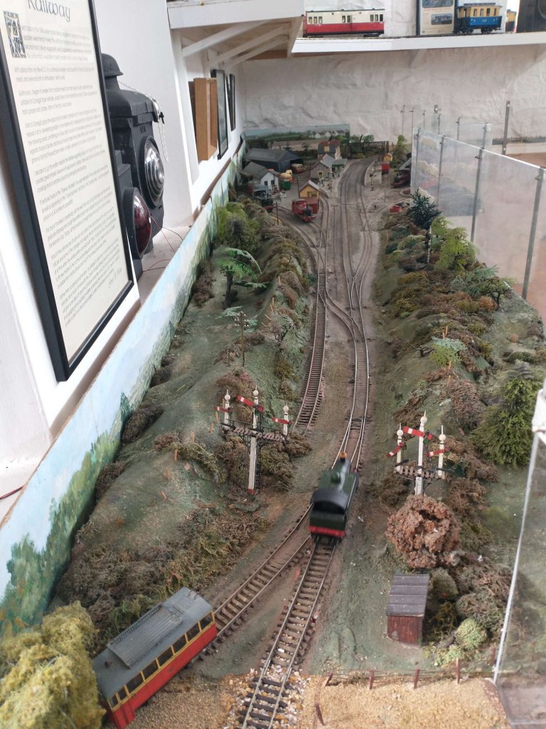
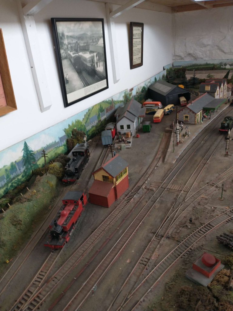
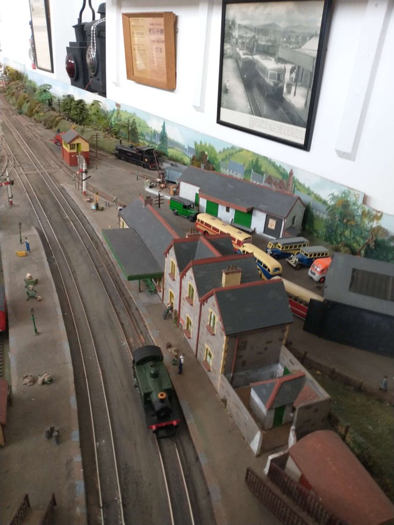
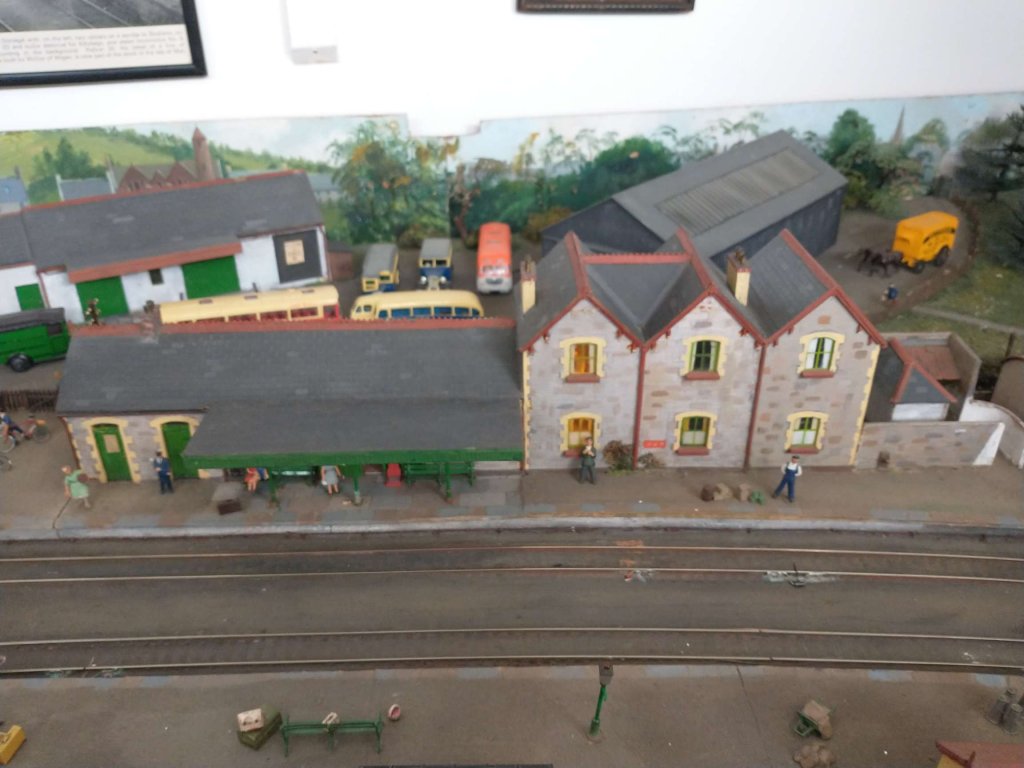
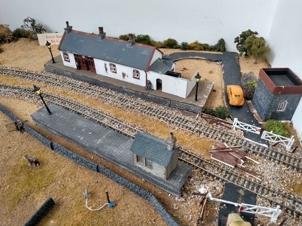
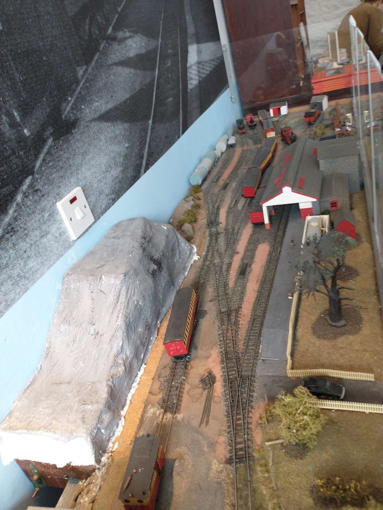
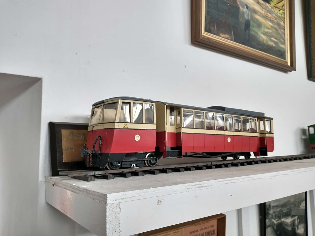
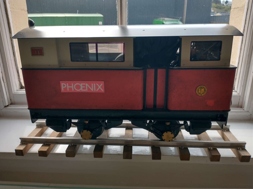
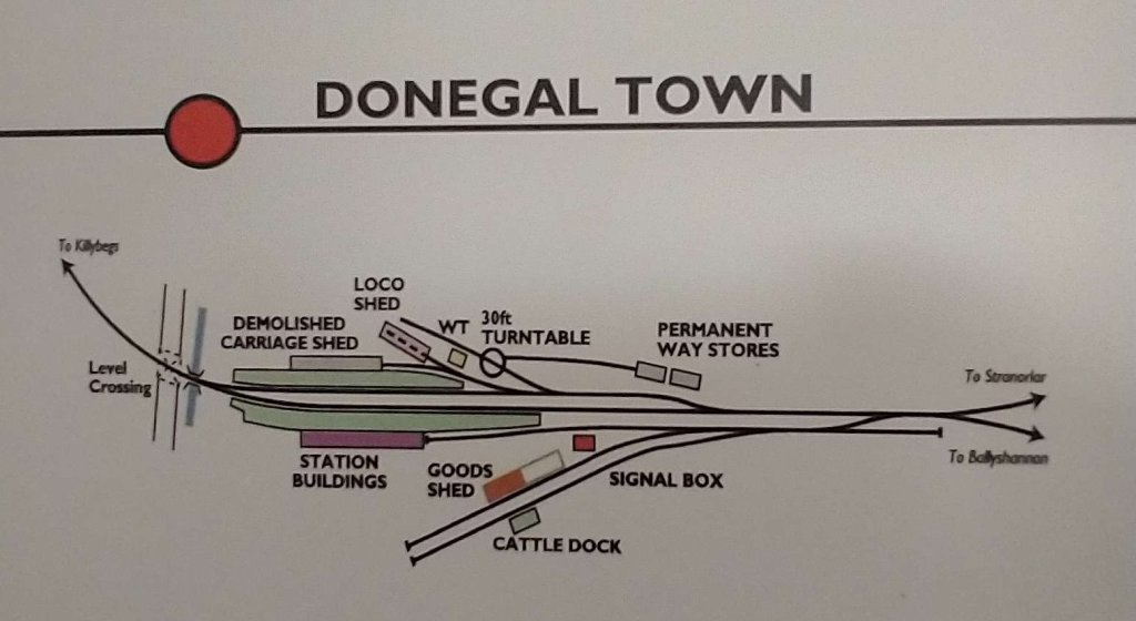
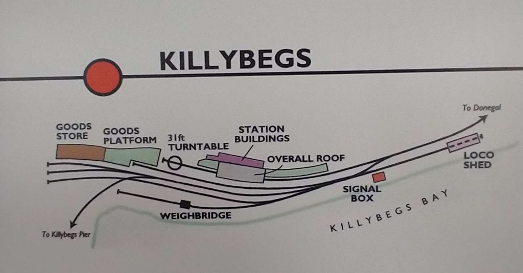
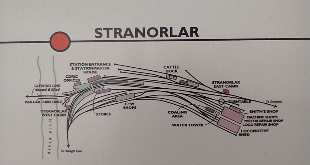
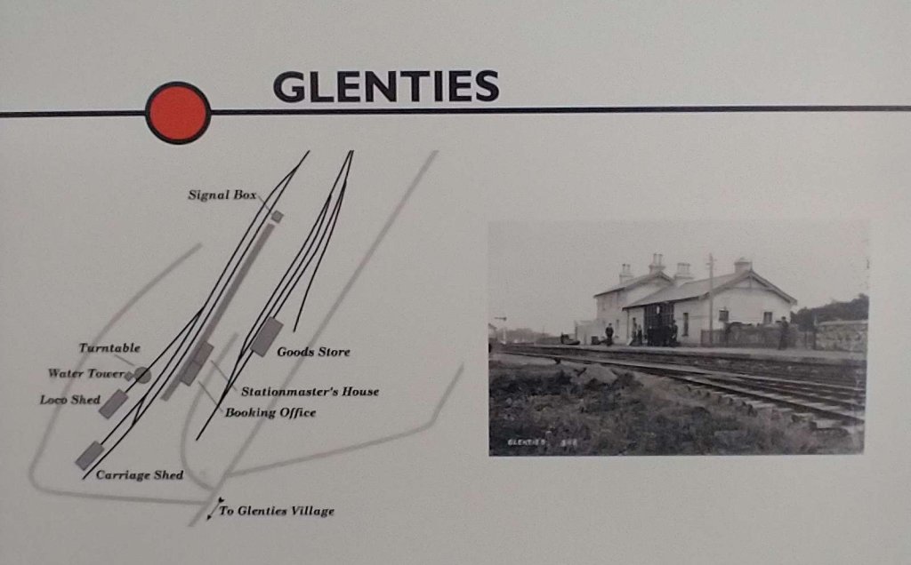
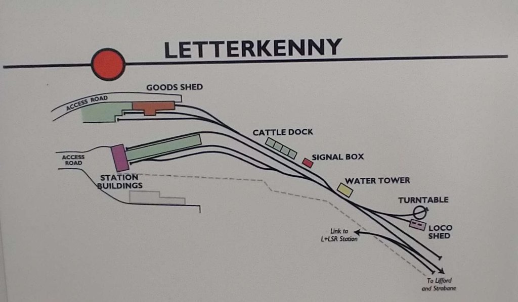
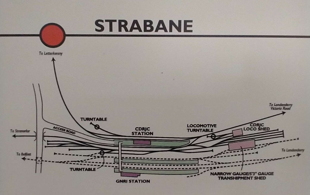
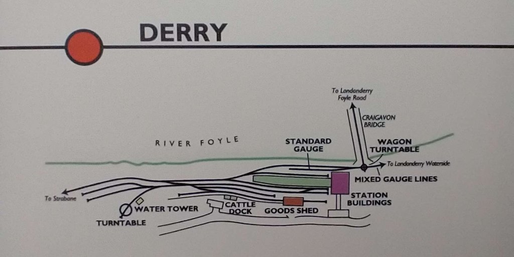
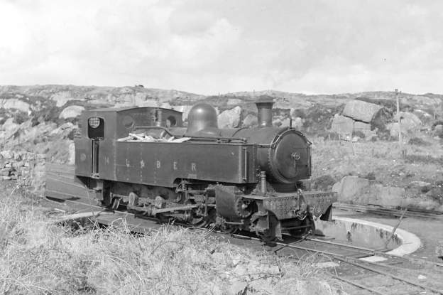
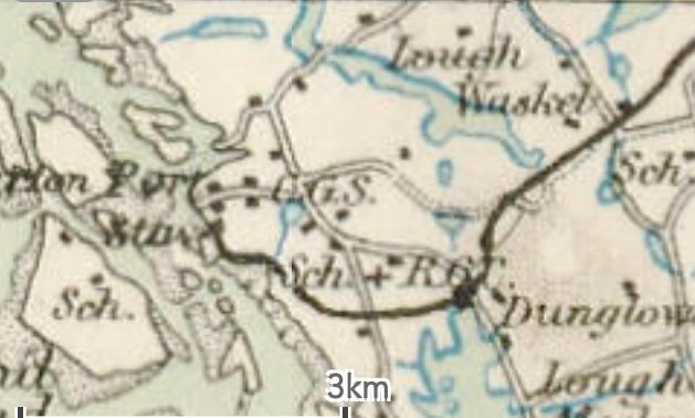
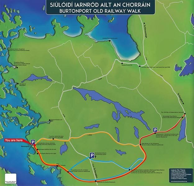
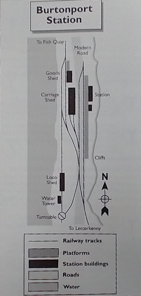
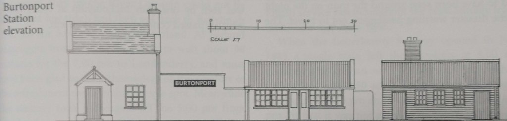
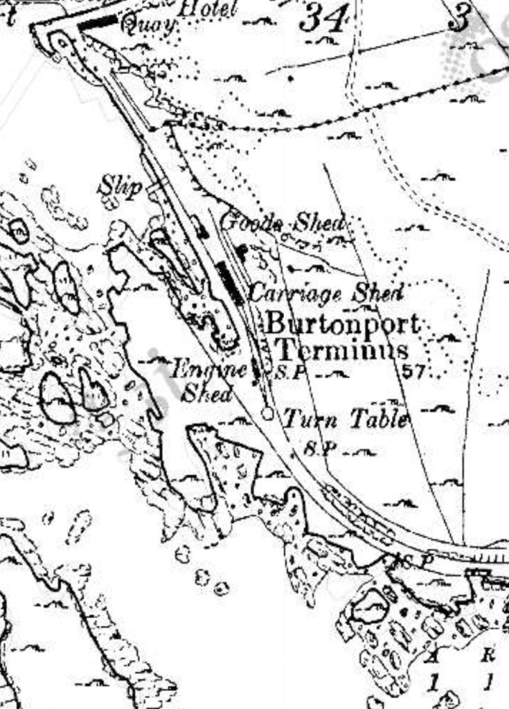
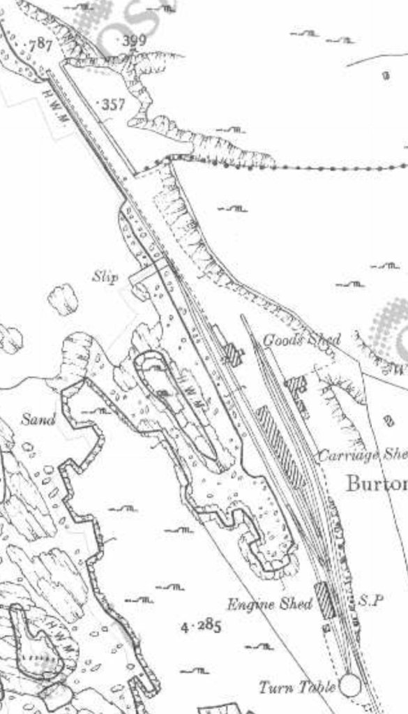
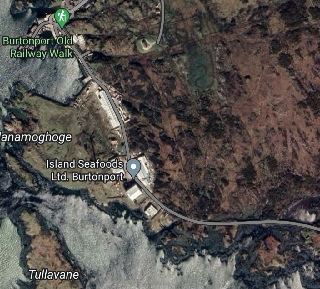
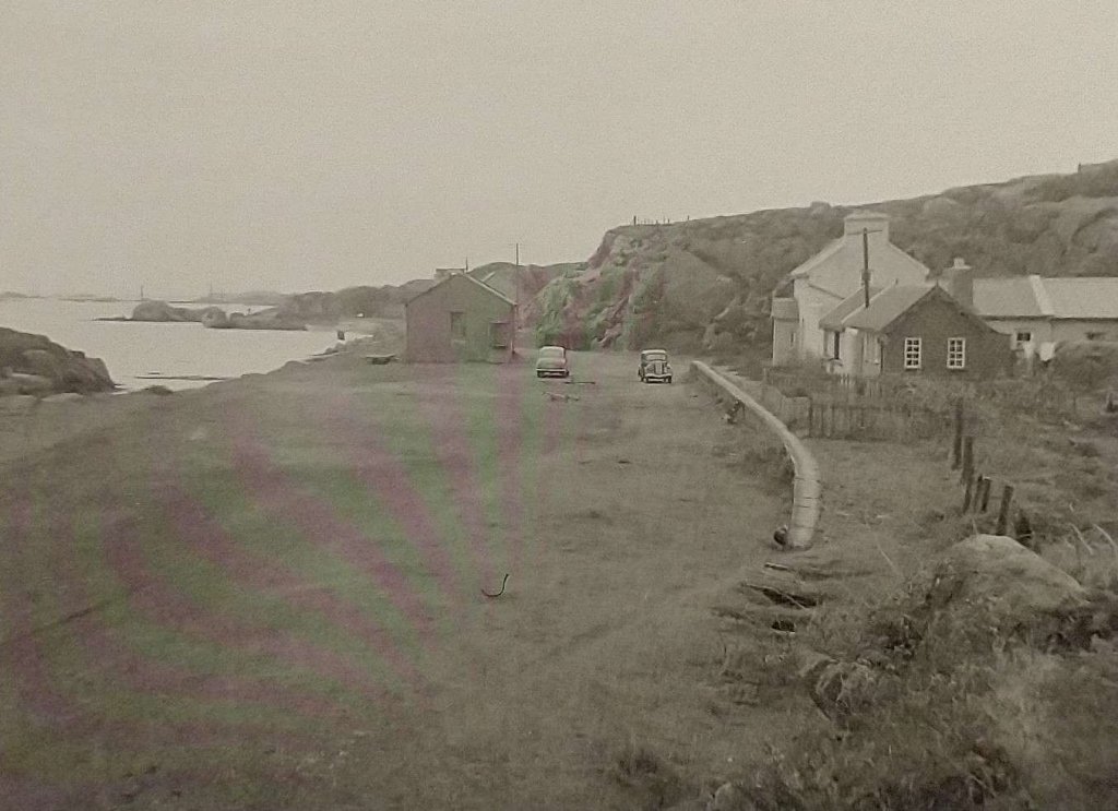
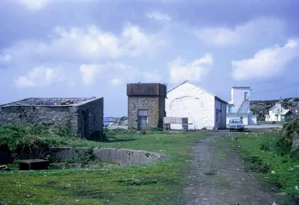
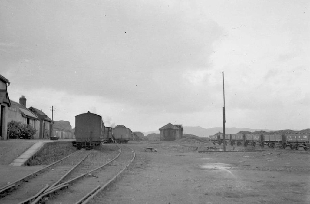
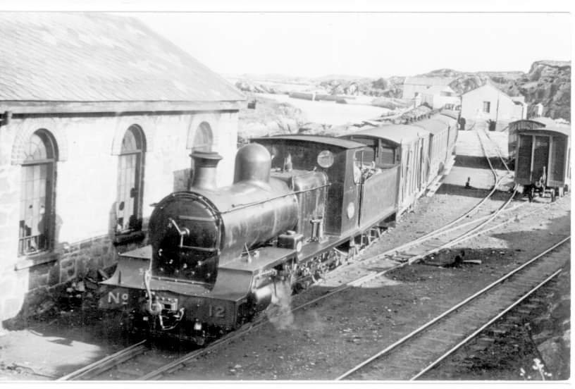
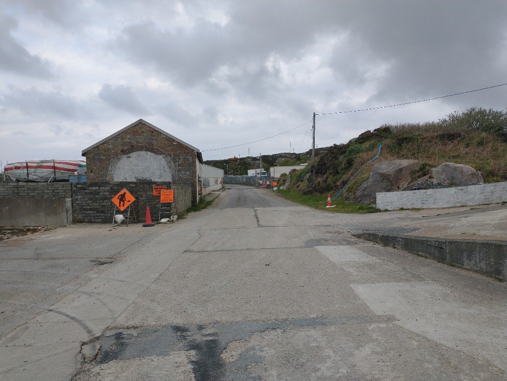
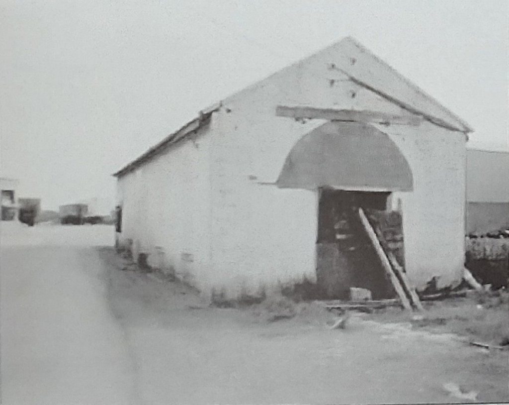
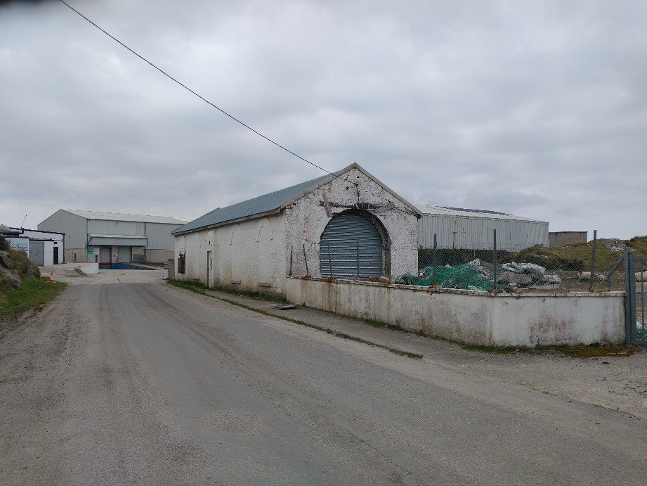
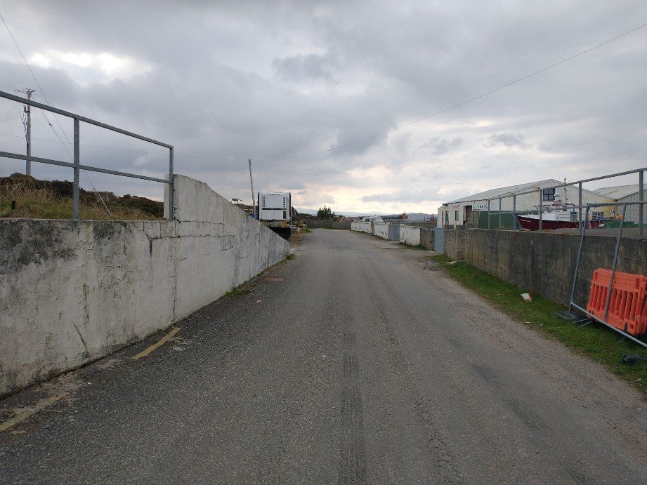
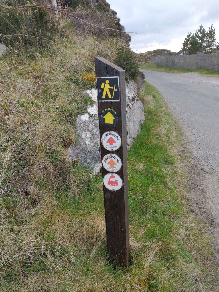
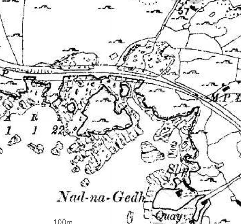
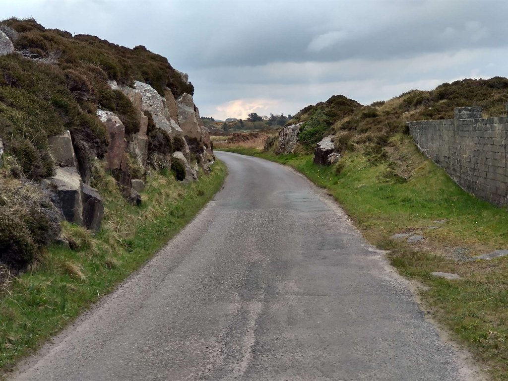
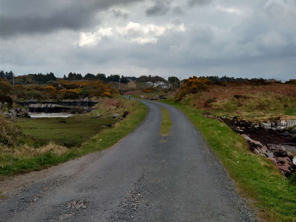
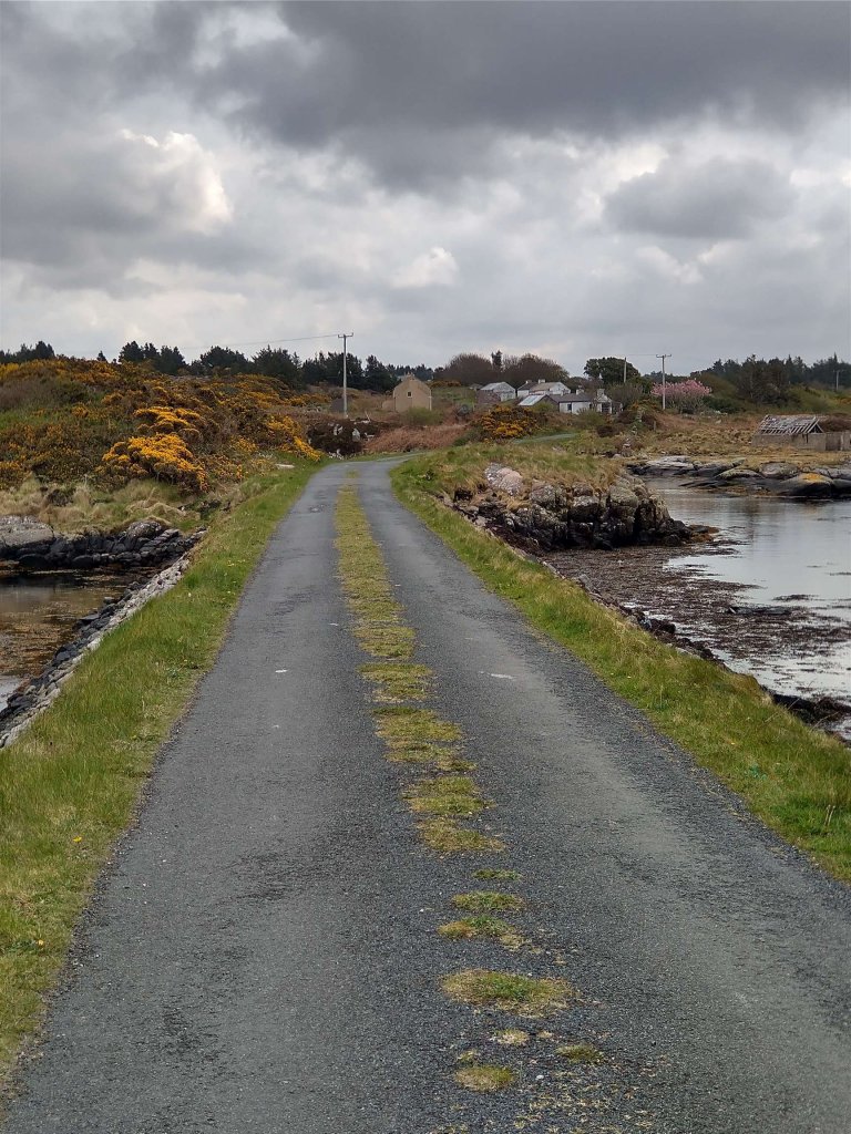
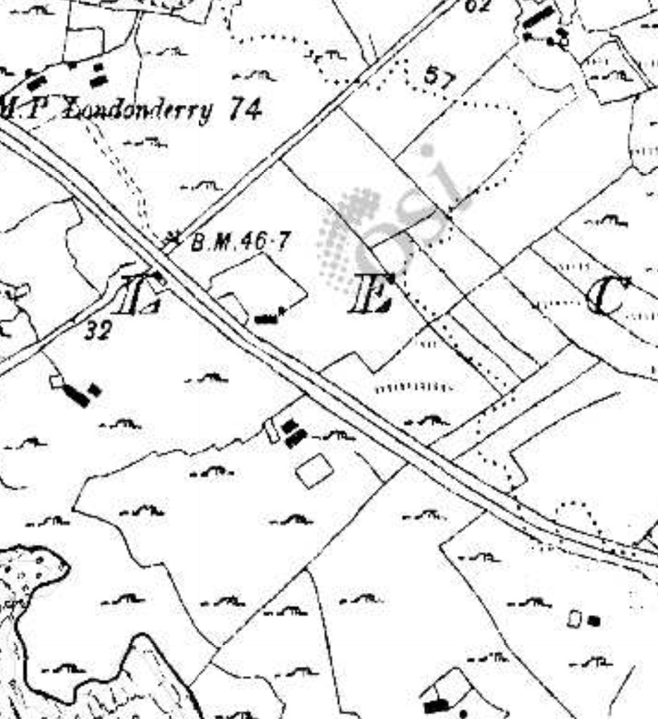
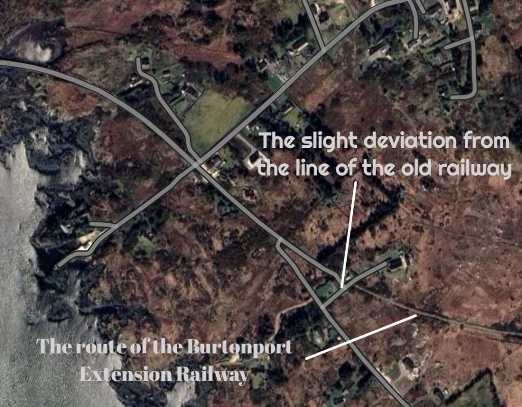
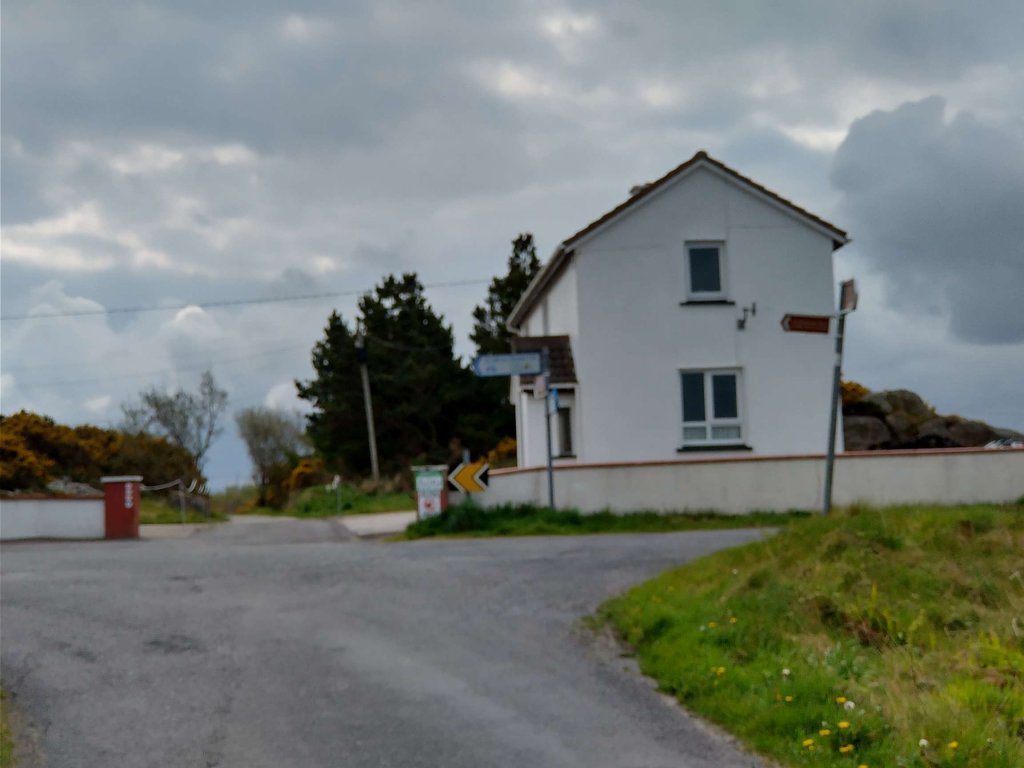
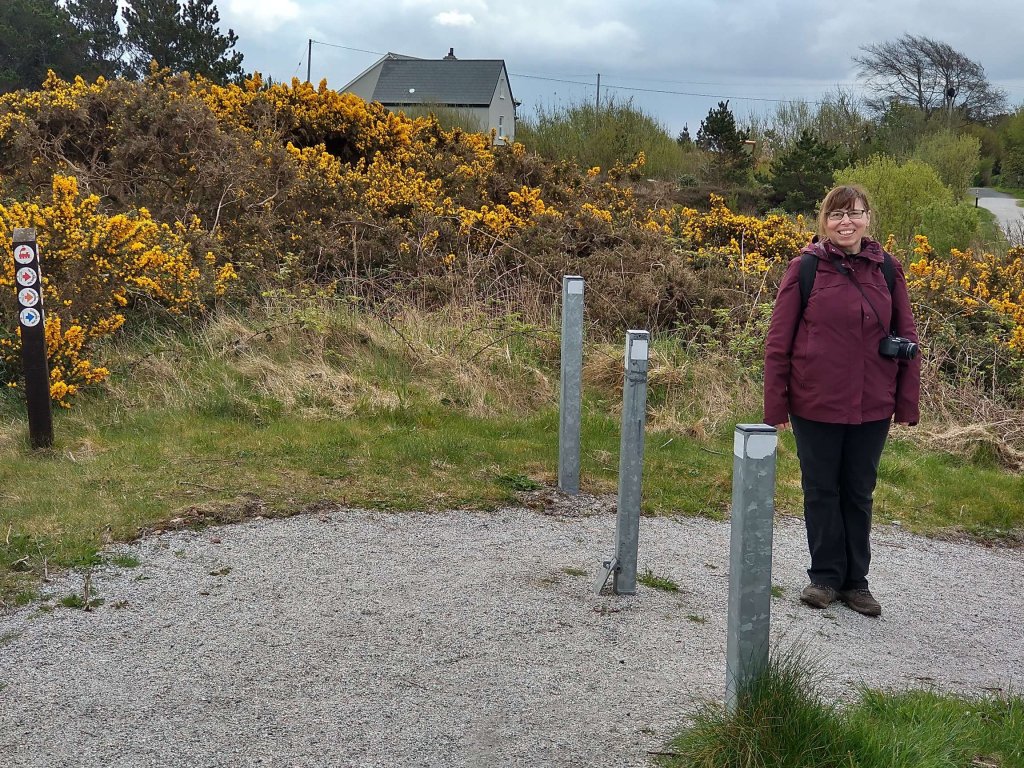
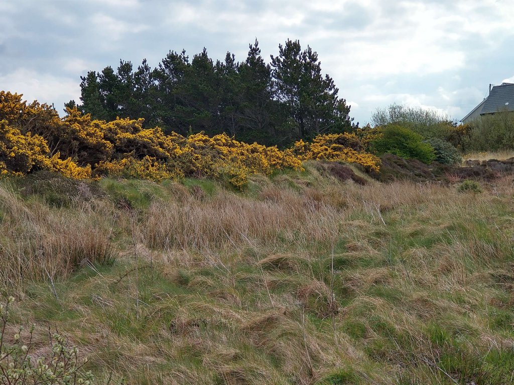
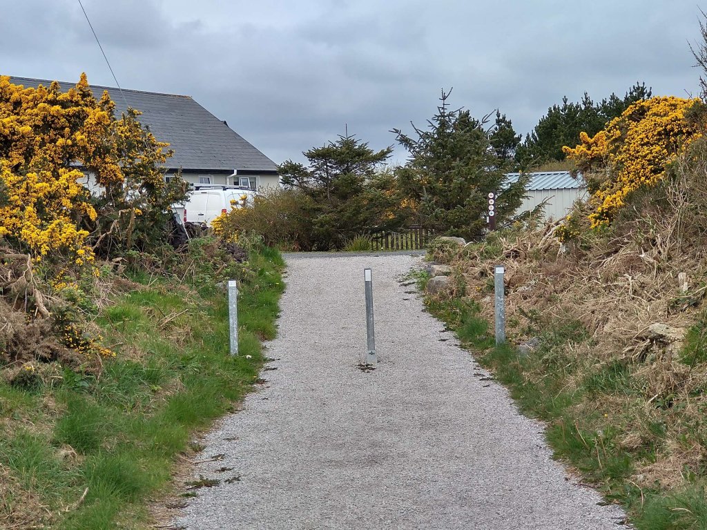
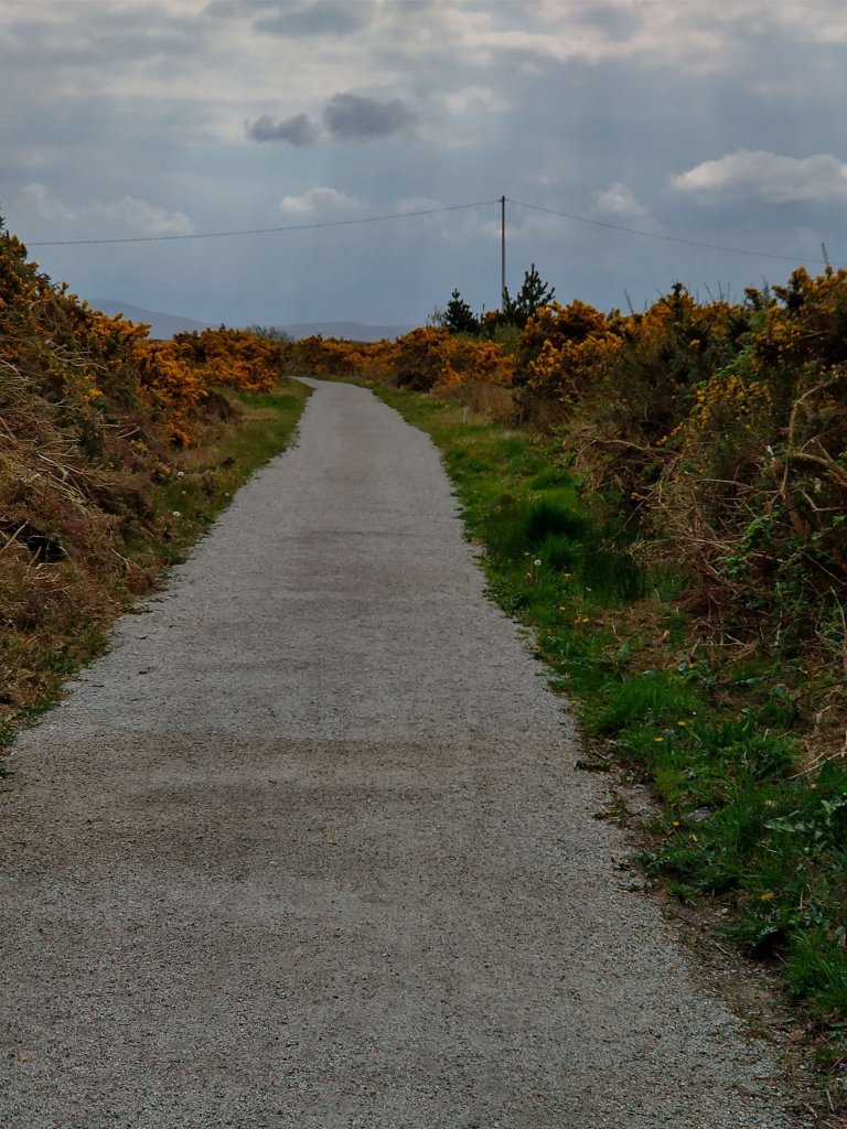
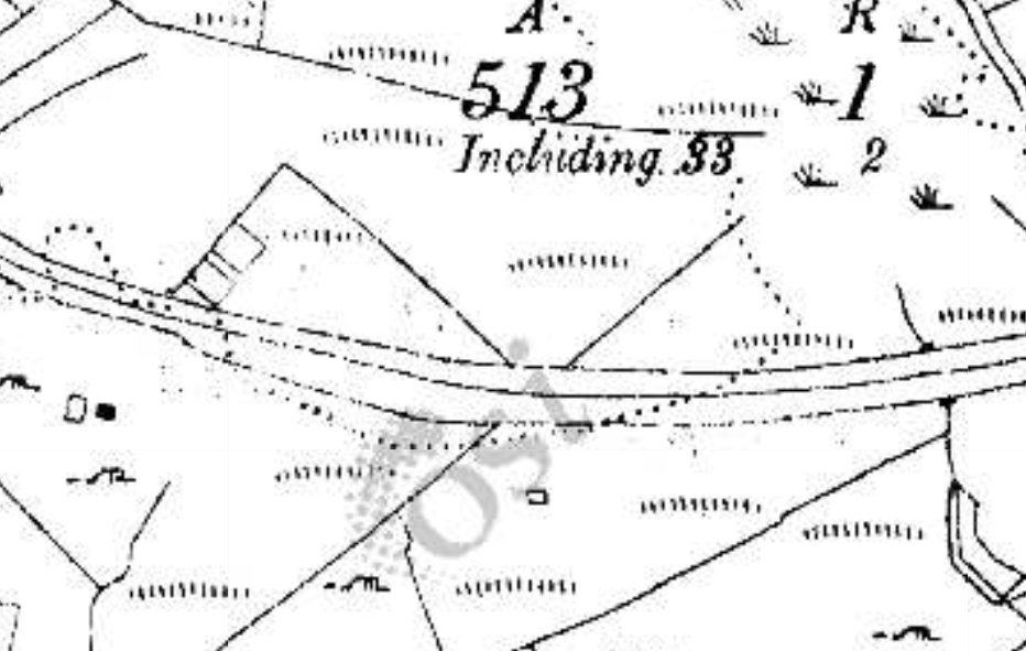
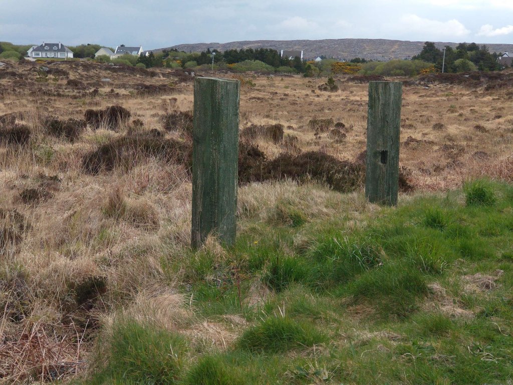
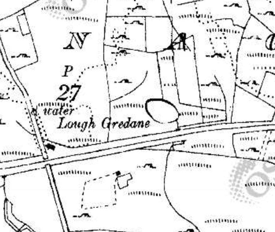
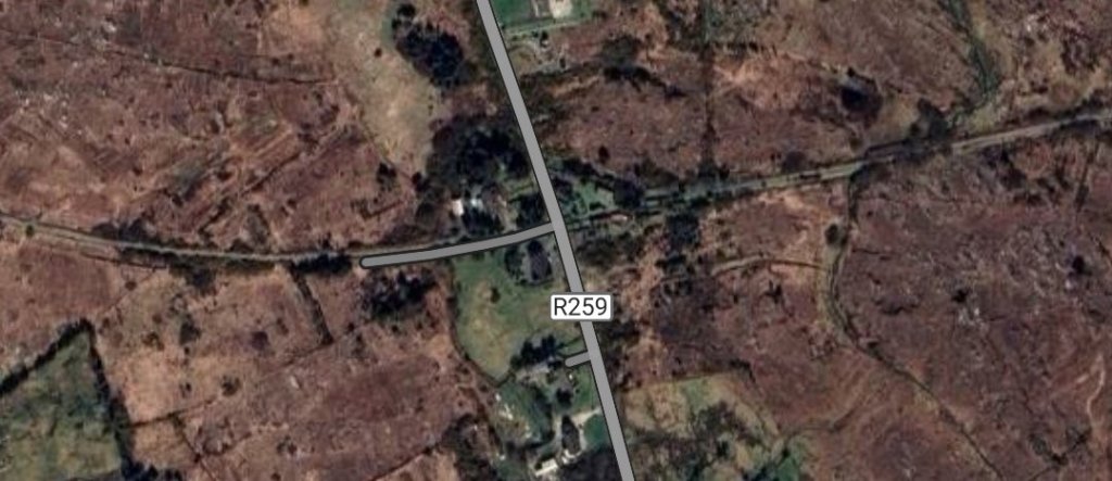
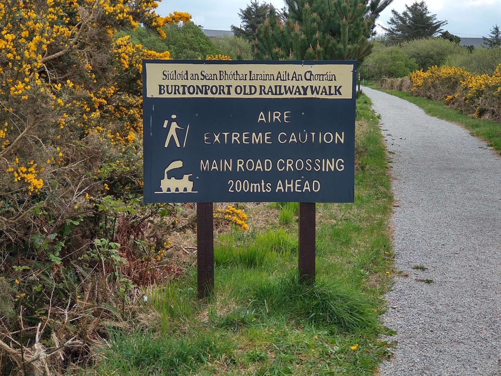
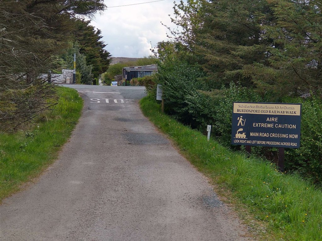
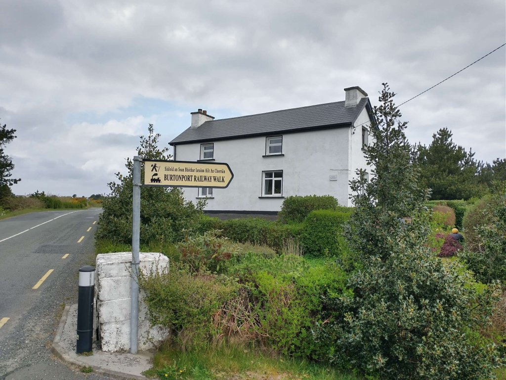
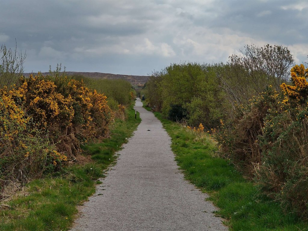
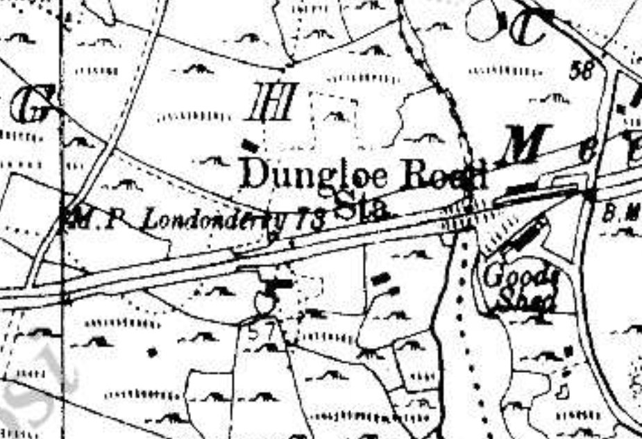
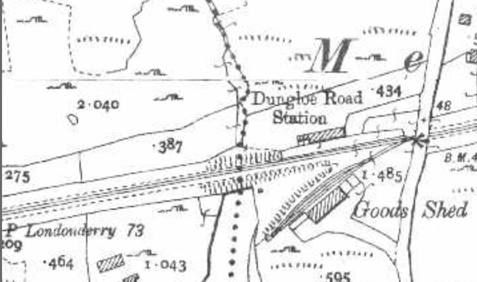
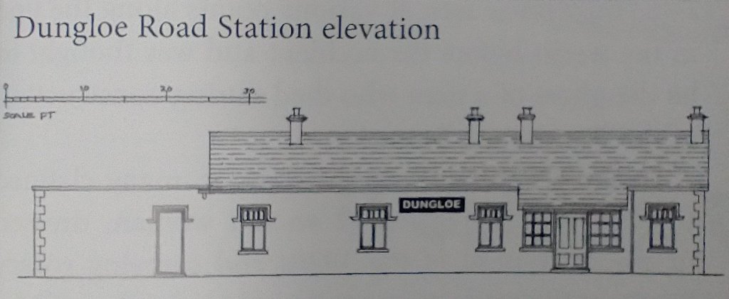
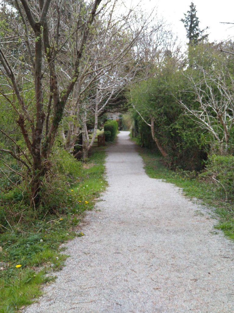
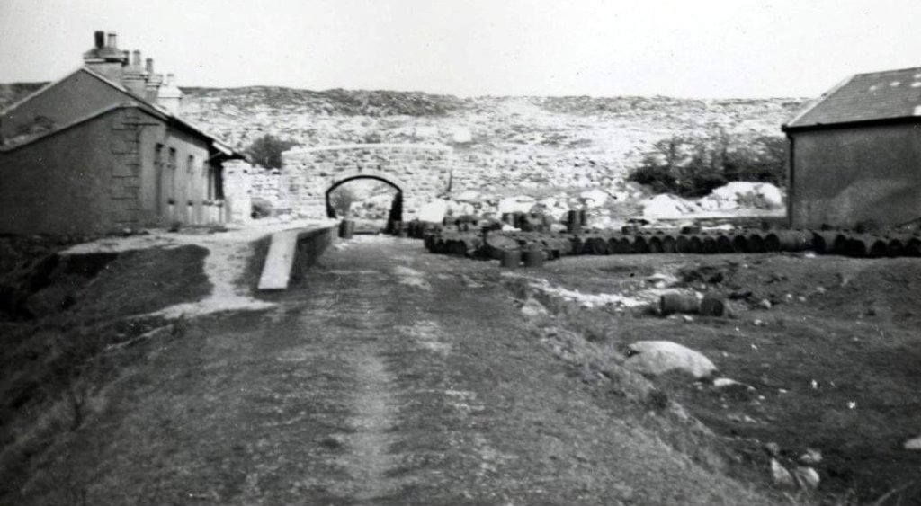
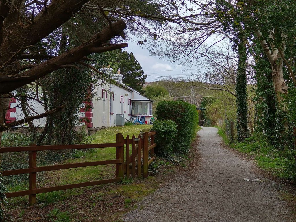
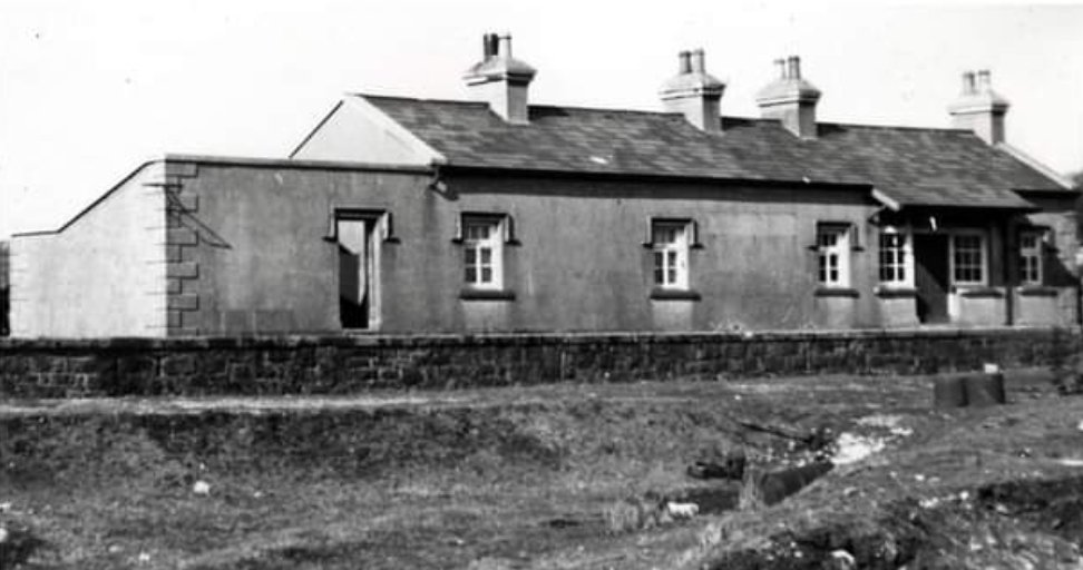
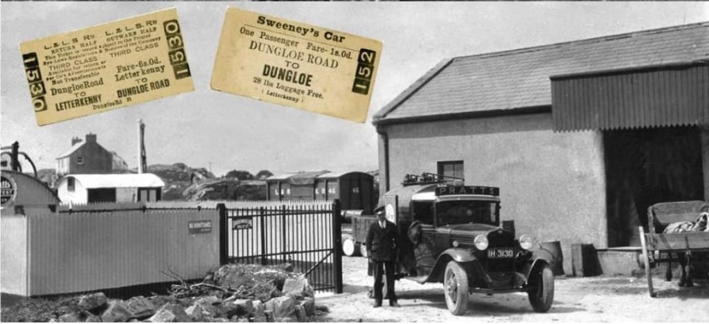
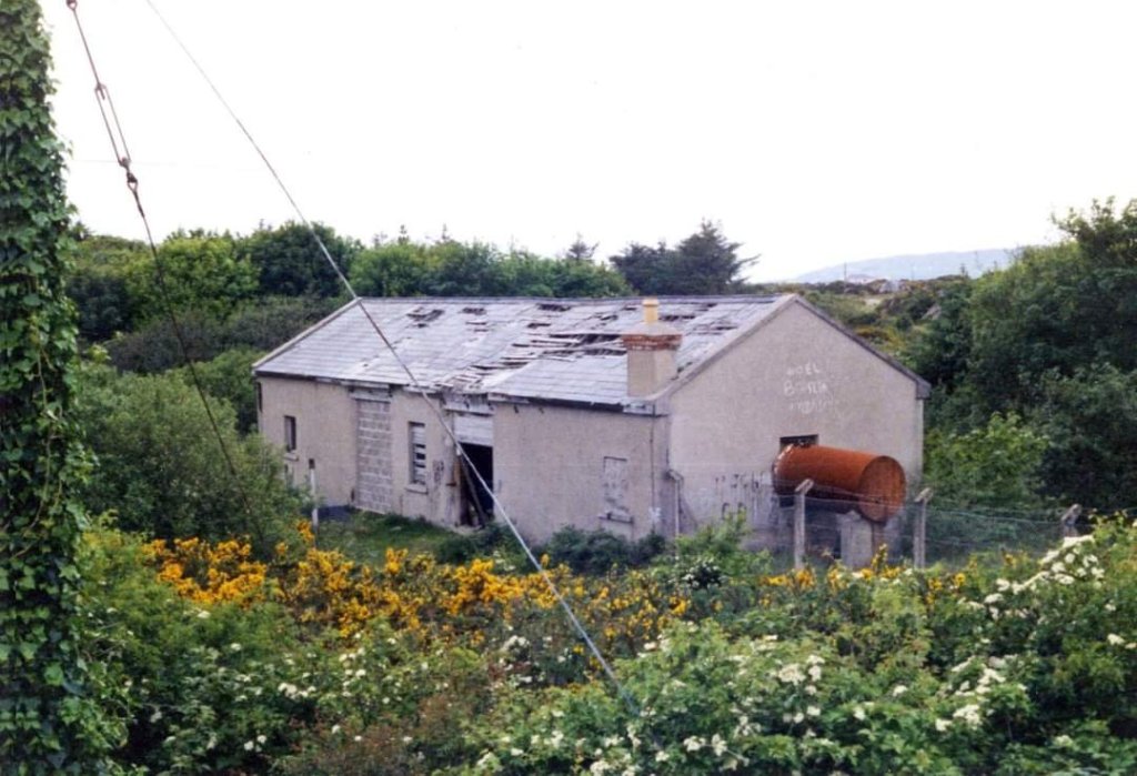
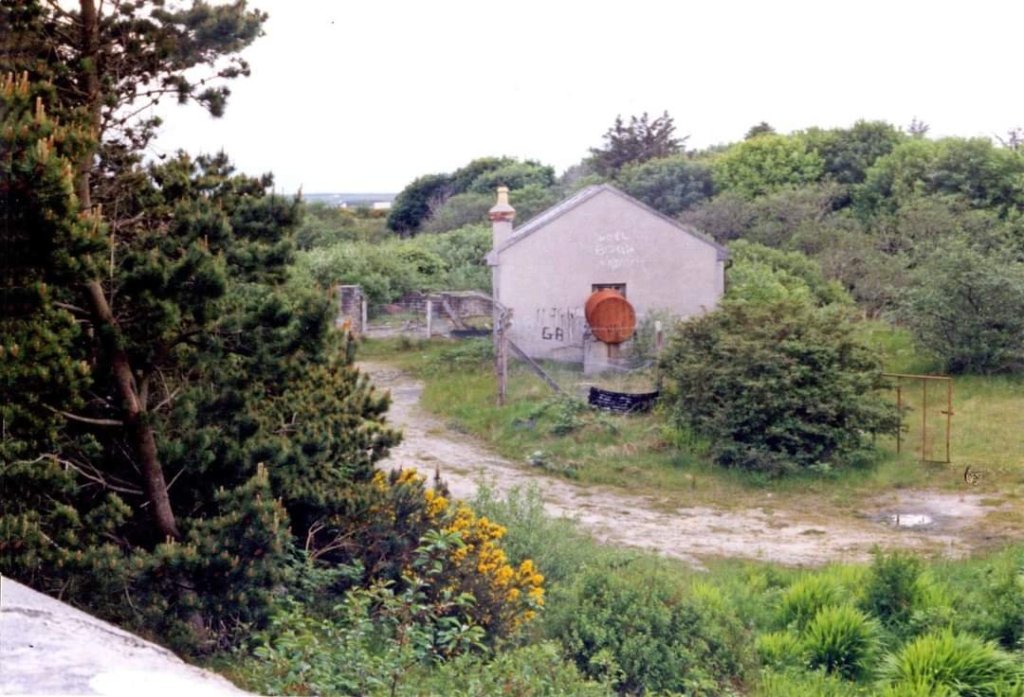
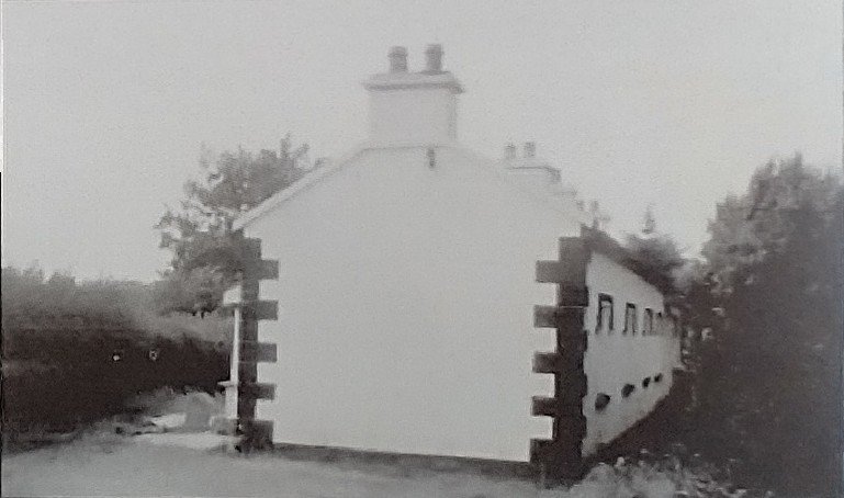
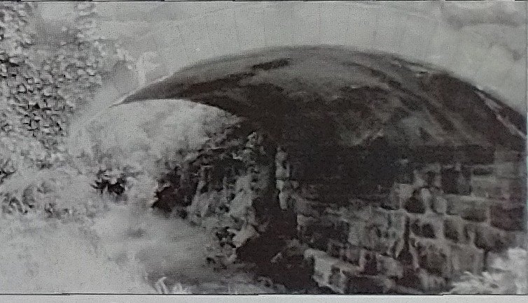
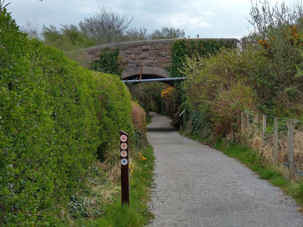
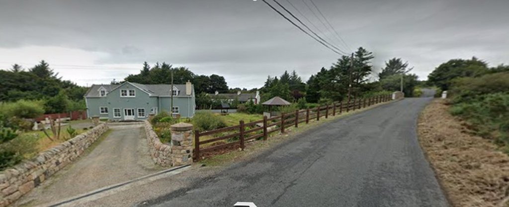
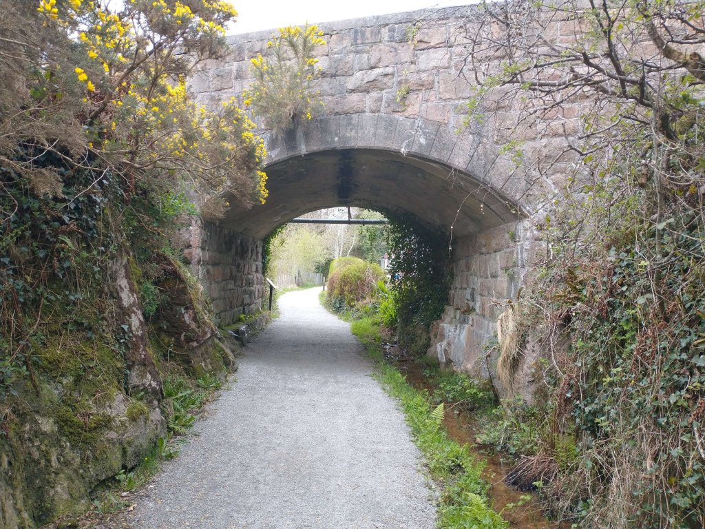
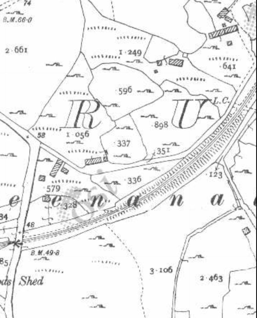
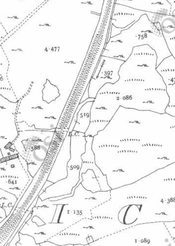
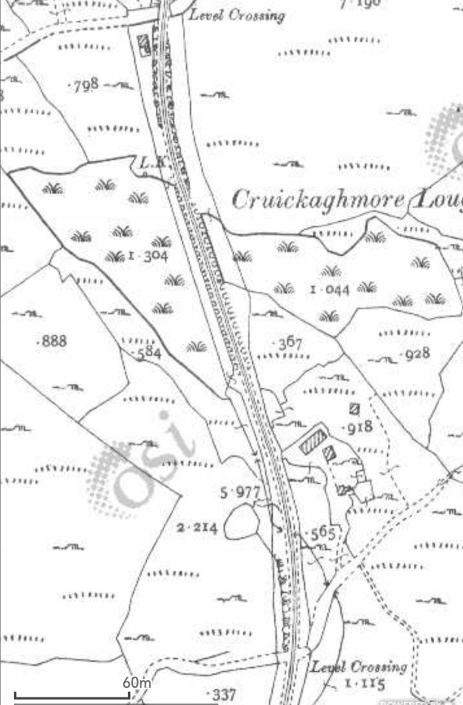
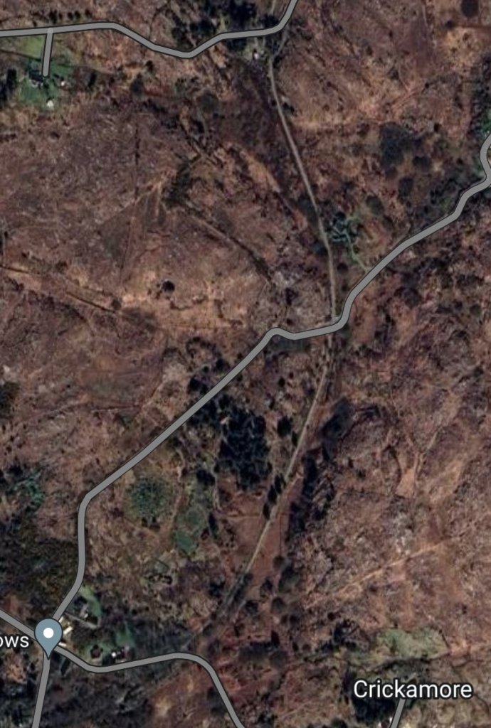
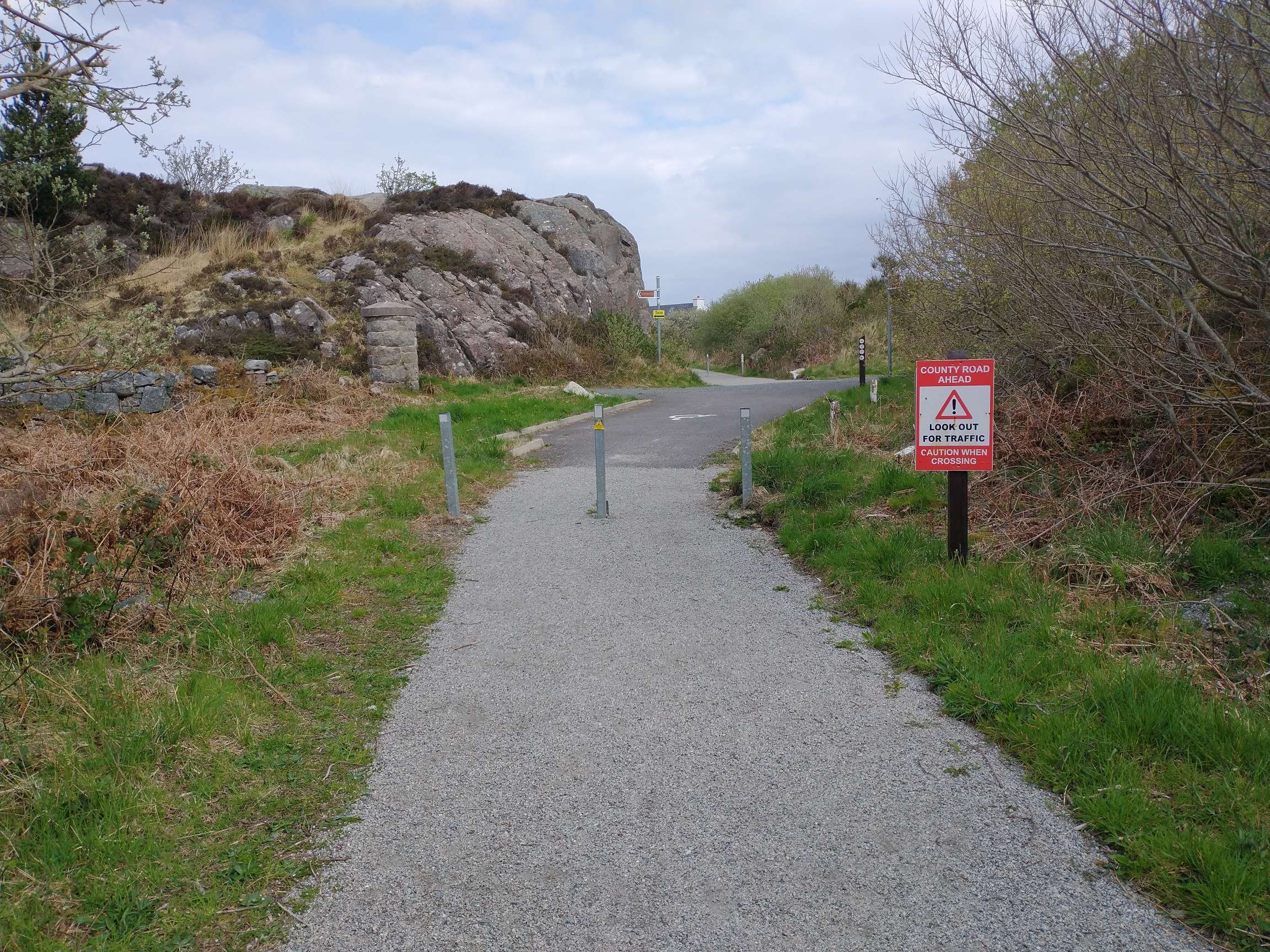
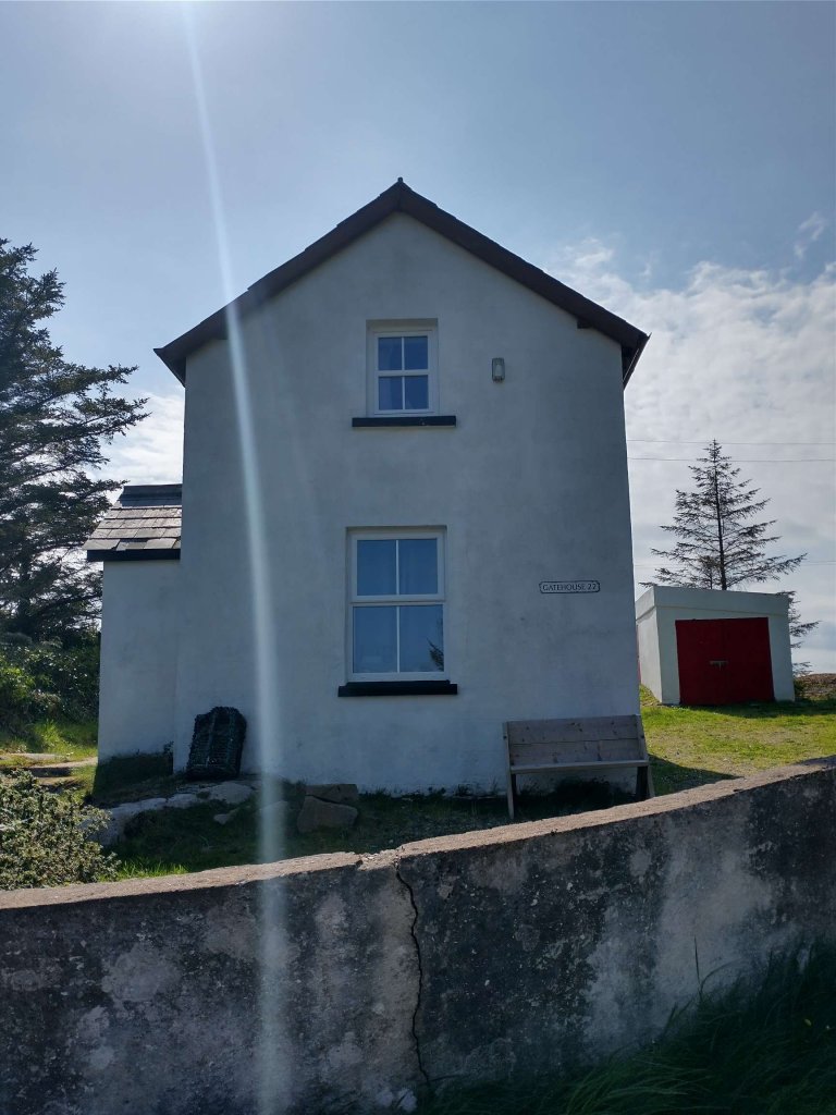
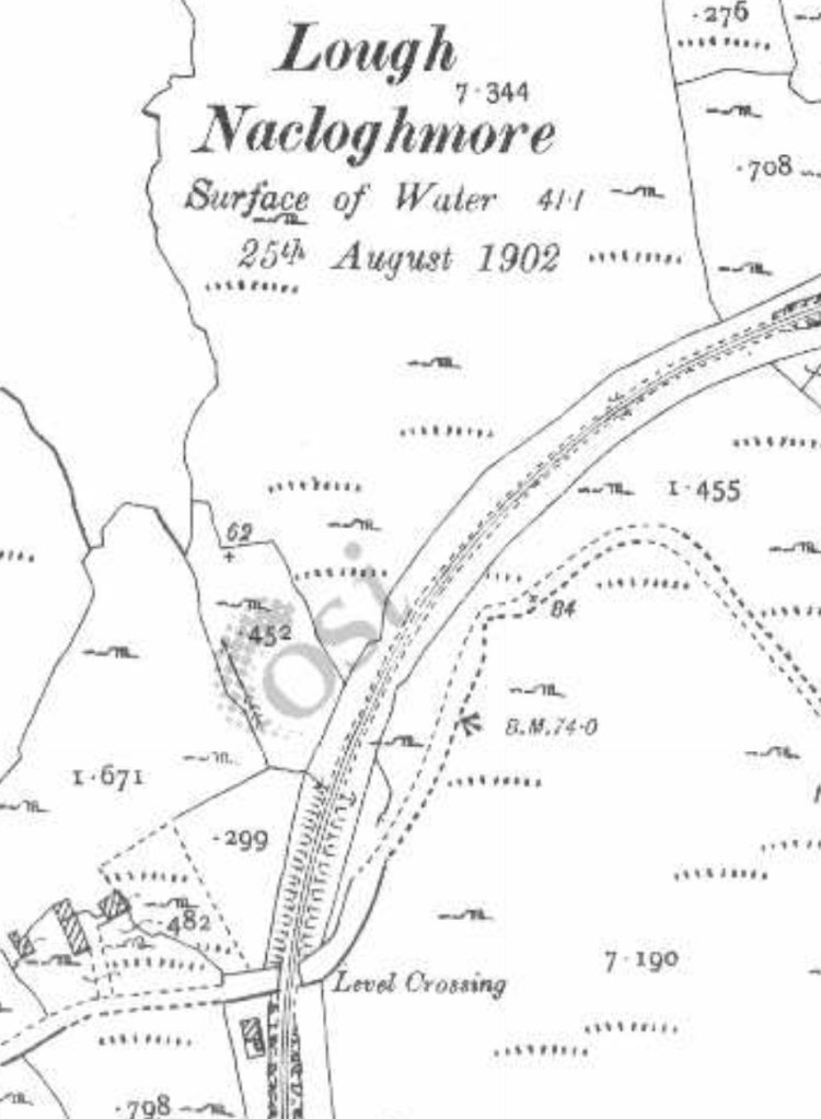
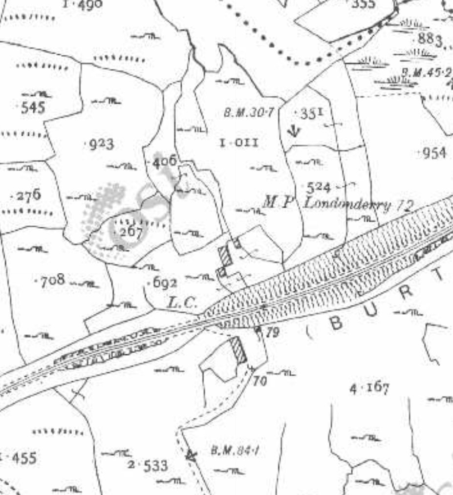
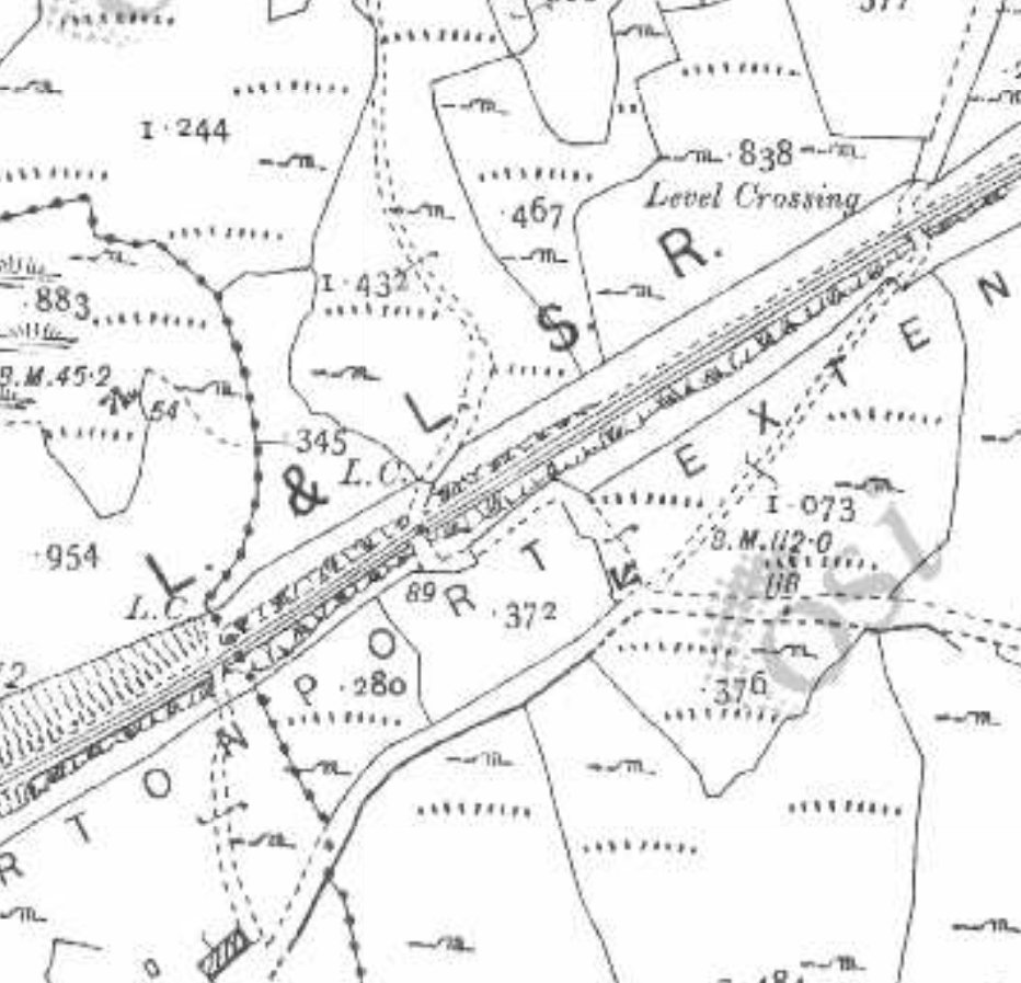
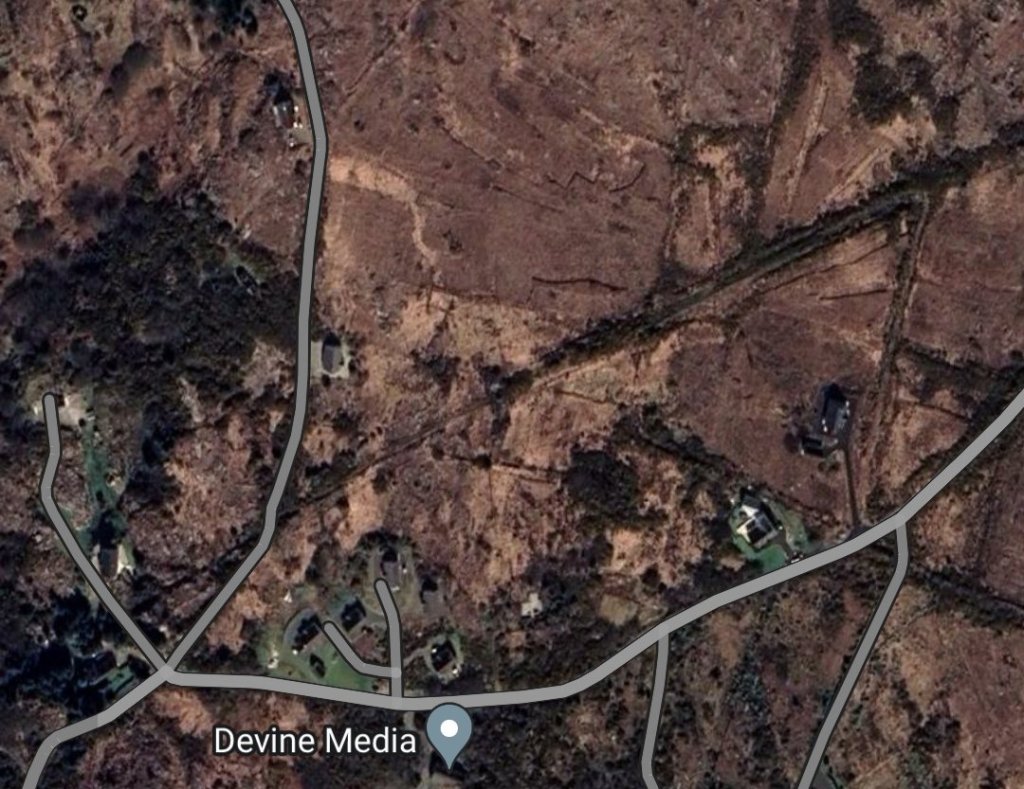
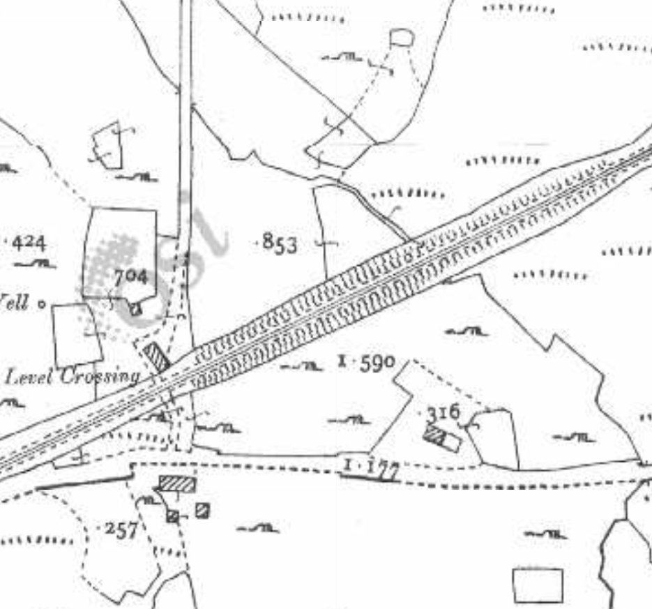
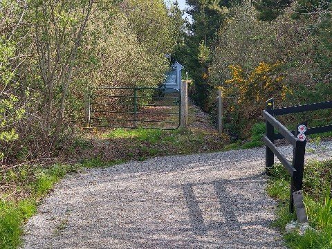
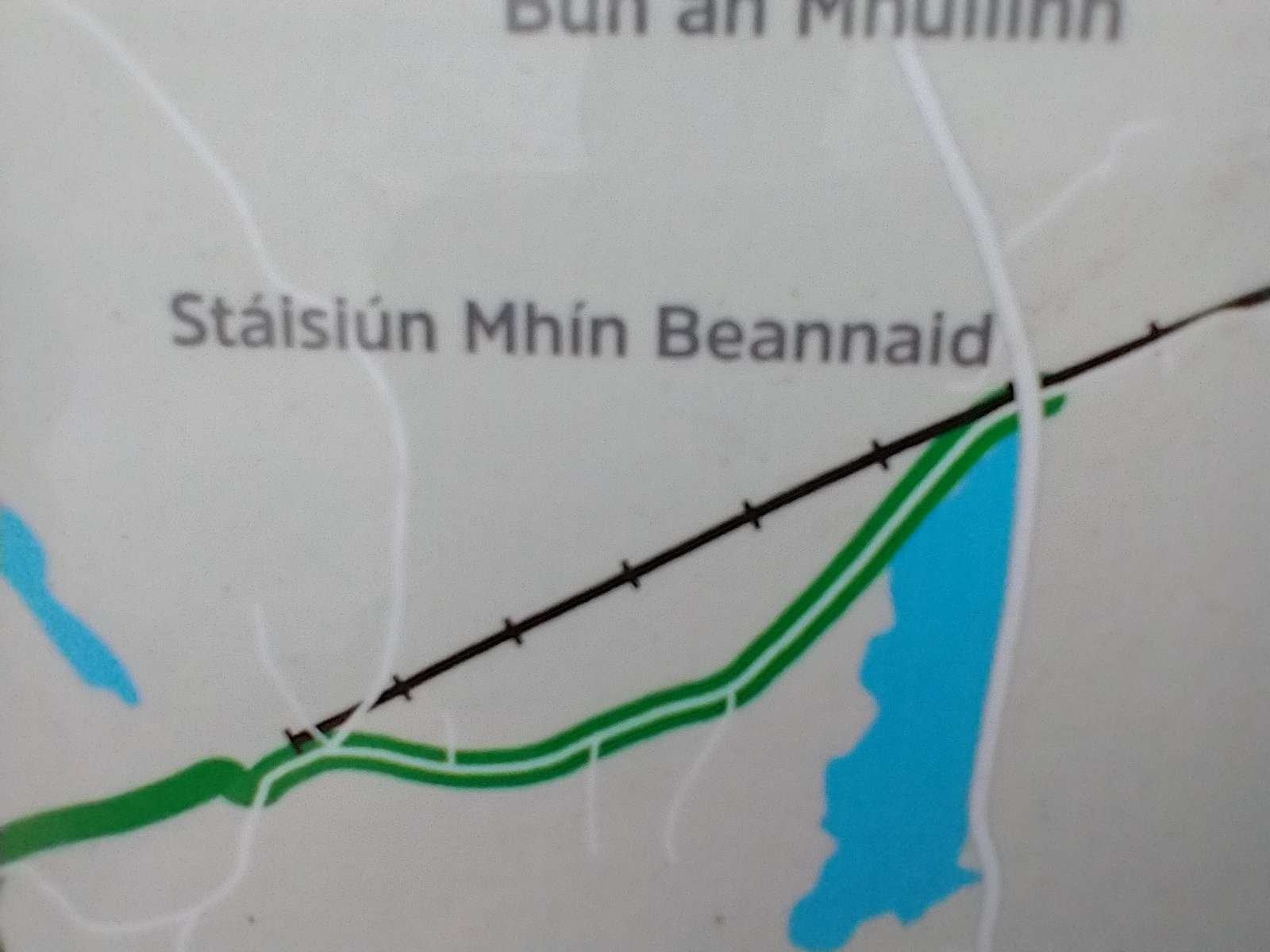
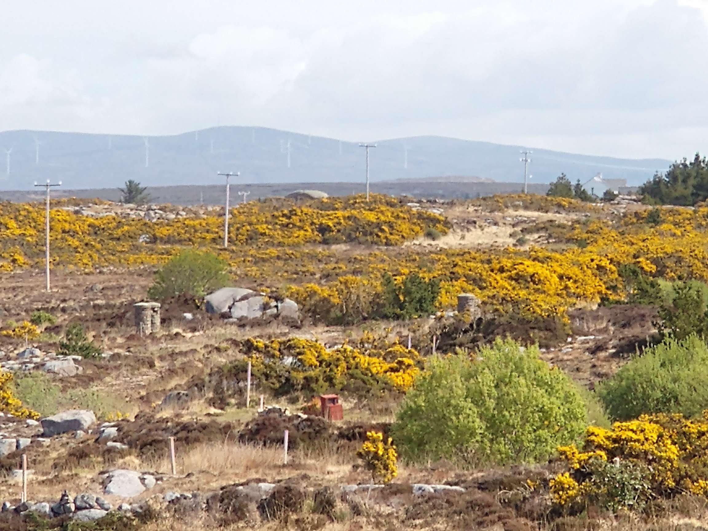
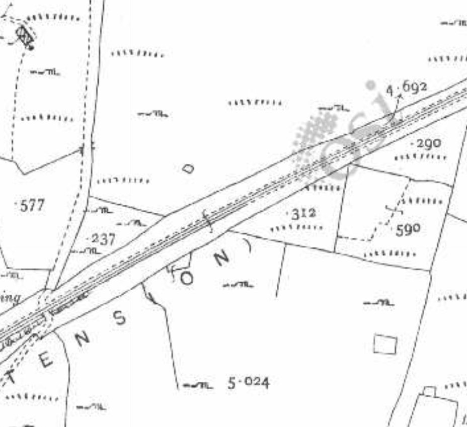
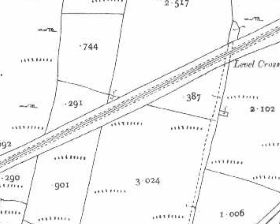
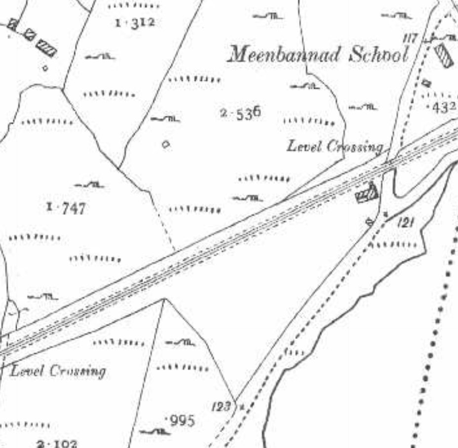
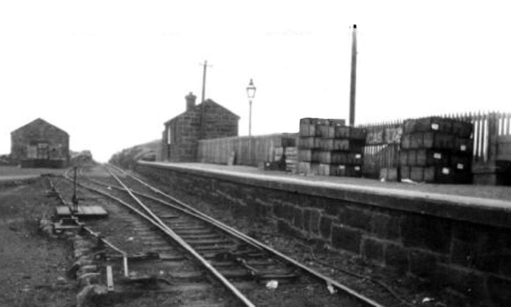
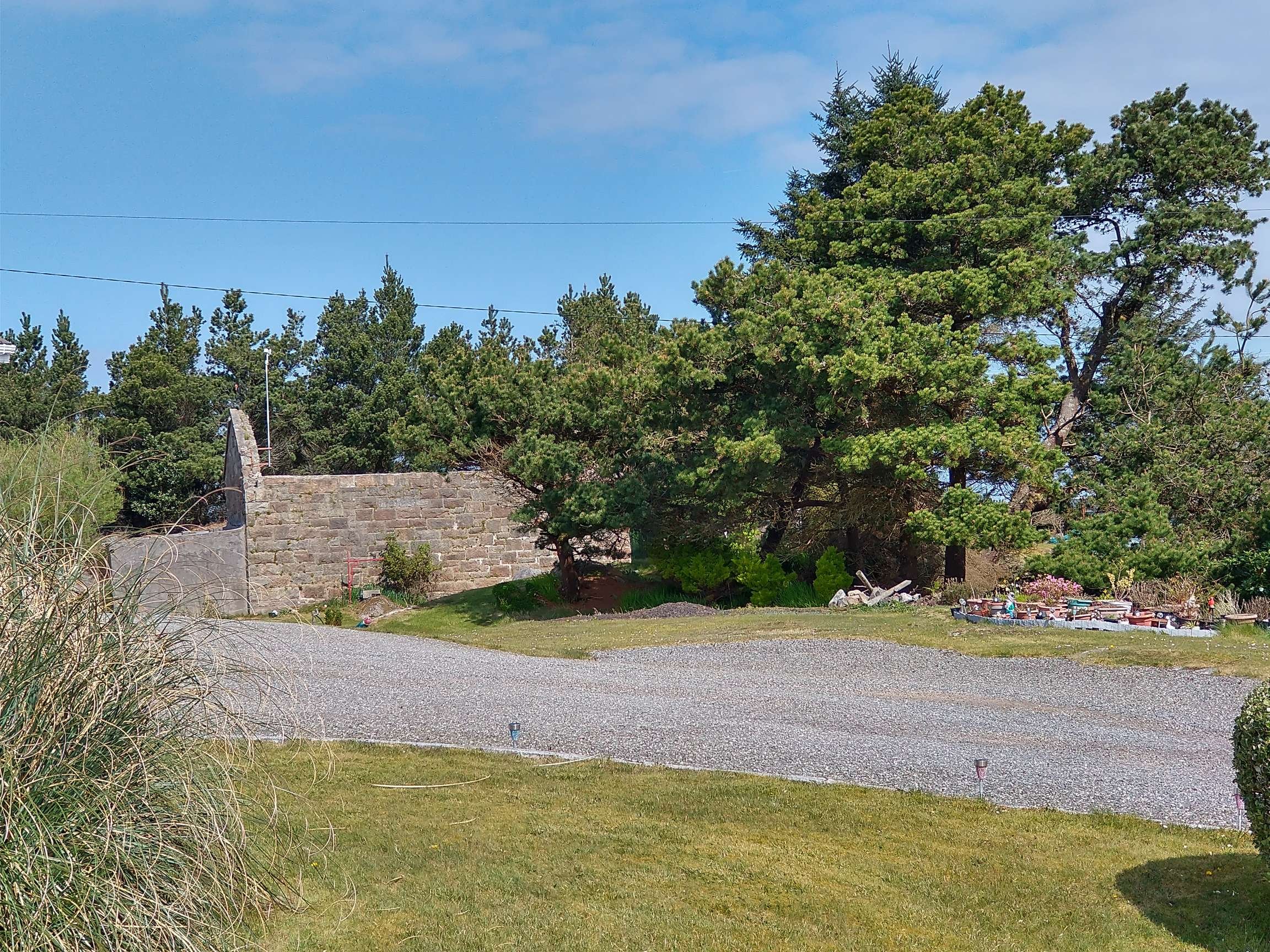
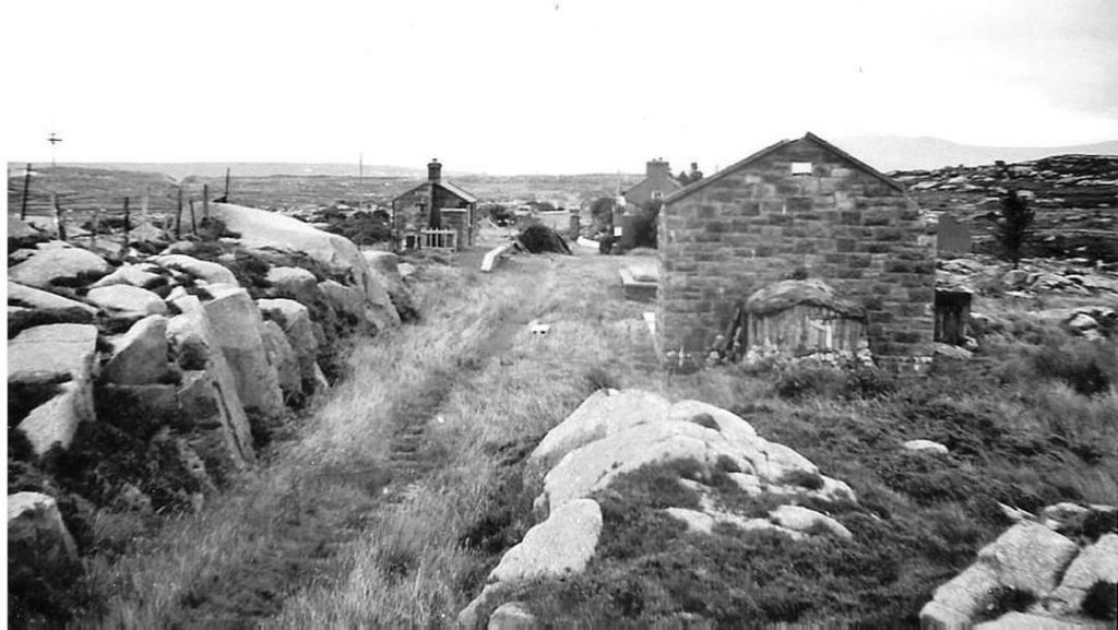
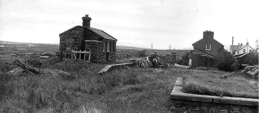
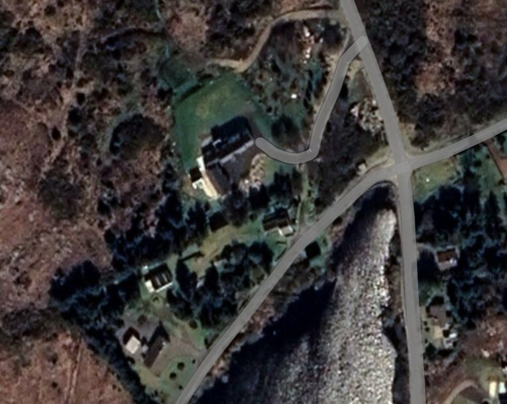
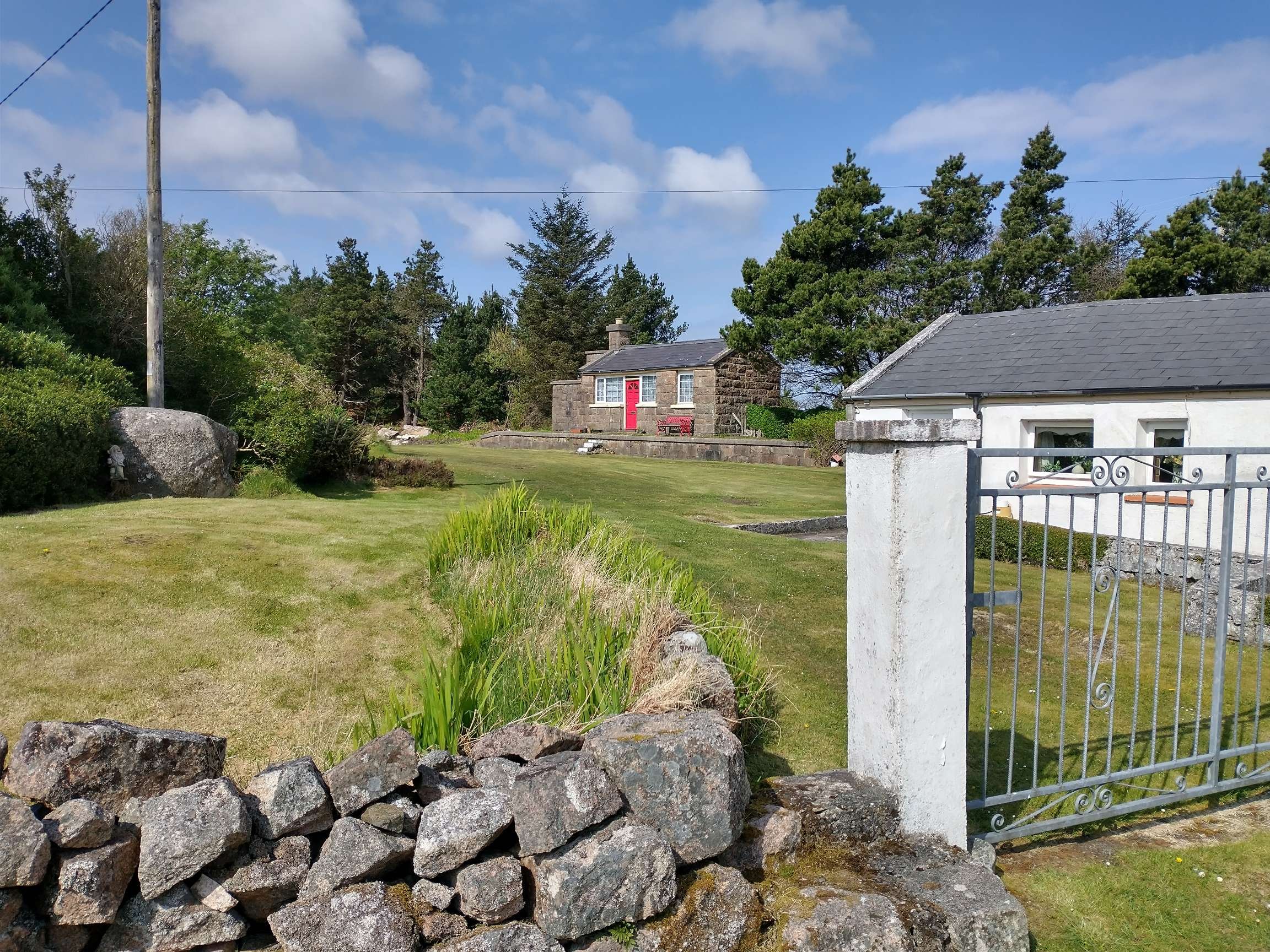
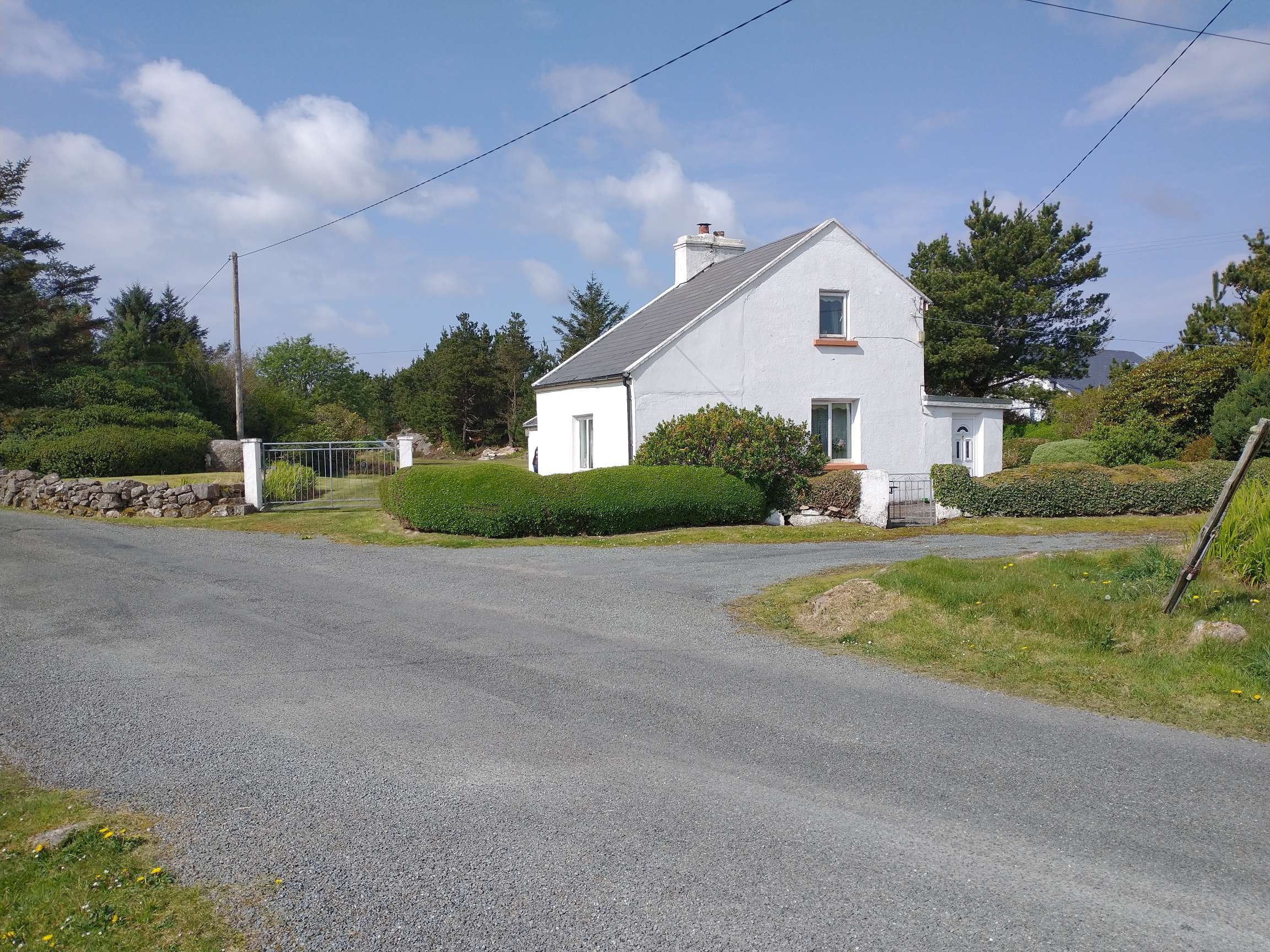

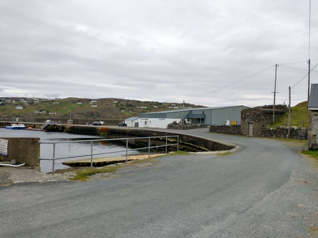
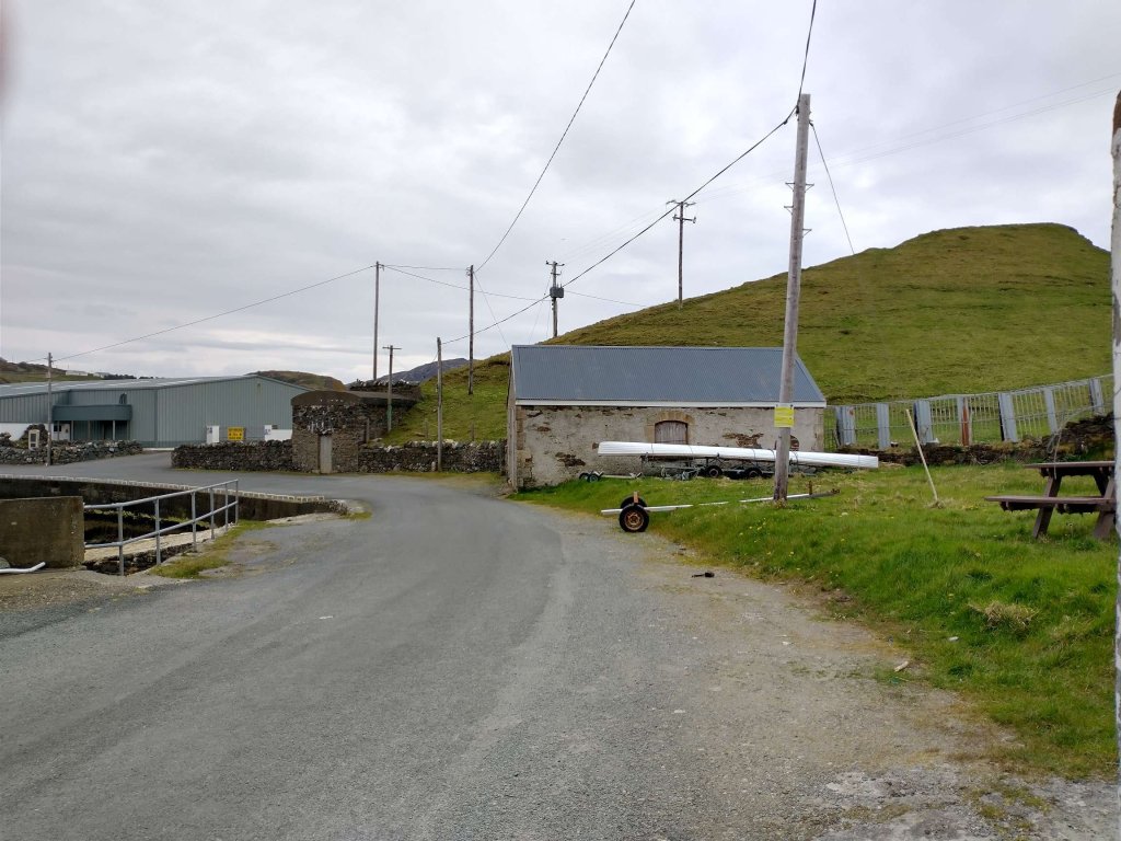
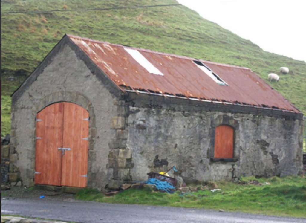

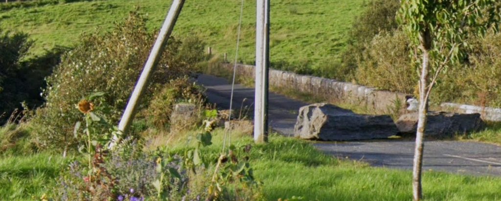
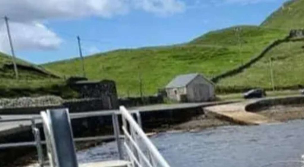
