The featured image for this article shows ‘Argyll’ (a Barclay built 0-6-2T) taking its train Southeast out of Campbeltown before turning Southwest to run round the South side of the town. This image was shared on the Machrihanish Online Facebook Page on 26th July 2023. (c) Public Domain. [22]
The Campbeltown and Machrihanish Light Railway was a 6-mile, 2 ft 3 in (686 mm) narrow-gauge railway in Kintyre, Scotland, operating between 1906 and 1934. It ran from Campbeltown’s New Quay to Machrihanish, primarily serving coal traffic while also transporting tourists and locals across the peninsula.
It replaced an earlier industrial tramway which was built in 1876 and used by the Argyll Coal and Canal Company, which before this had replaced a canal.
In 1876, the line followed the line of the old canal that used to be used to transport coal.
In 1905/6 the curves were improved and the steeper gradients eased.
Most of the output from the colliery was used locally – by residents and the 34 distilleries. The coal business was largely seasonal and the owners looked for a use during the summer months and in 1905/6 a light railway (2’3″ gauge/686mm)was built to replace the tramway and at the same time it was extended to Machrihanish and along the front in Campbeltown.
Opened in 1906, the Campbeltown and Machrihanish Light Railway was Scotland’s only passenger-carrying narrow-gauge railway and operated as an isolated line with no connection to the national rail system.
Ultimately, the railway suffered from increased road competition from bus services, financial problems, and reduced coal quality in the early 1930s, closing in 1932 (officially 1933) and being dismantled in 1934.
Stenlake Publishing has recently published a new ‘Oakwood Press’ 3rd edition of a book first published by David & Charles in 1970. A second edition was published in 1993 by Plateway Press. The new edition has minor updates and some ‘new’ old photographs. The author, now in his 90s, visited Campbeltown in the early 1930s and again in 1941 thus sparking his interest in this operation. In the 1950s he decided to build a scale model and his new bride was only too happy to accompany him to Campbeltown on their honeymoon so he could take the necessary research photographs of what was left of this line built to move coal economically from pit to ship. The route was from the colliery near Machrihanish across the Kintyre Peninsula to the pierhead at Campbeltown. Coal strikes in the 1930s, competing services from buses, financial problems and the fact that Machrihanish coal wasn’t of especially high quality, all contributed to the inevitable demise in the mid 1930s, but traces of the line remain visible along the route today.
The Route of the Line – Campbeltown to Machrihanish
The route of the line is shown below on contemporary Ordnance Survey mapping which was revised in 1914/1915 and published in 1921. These map extracts are supported by Google Maps satellite imagery and Google Streetview images. Occasionally other images illustrate the particular section of the route. …
The Railway Harbour branch ran out onto New Quay and along Hall Street. Ordnance Survey mapping revised in 1915 and published in 1921. [4]The same area in the 21st century. [Google Maps, May 2026]
The next few photographs show the site of the sidings as it is in the 21st century, beginning at the North end and wandering to the South. …
Looking South from Stewart Street, the buildings on the left straddle the top of the site. The ginnel behind the blank gates and the single-storey building to the right were present when the site was in use by the old light railway. [Google Streetview, December 2021]Looking South through the site with the arch of the modern buildings behind the camera. [Google Streetview, October 2015]Further South through the site, this view continues to look to the South. [Google Streetview, October 2015]This view from the hospital access road looks North through the site of the old sidjngs towards Stewart Street. [Google Streetview, December 2021]Turing through 180°, the view faces South from the same location as the image above. Hospital buildings sit directly over the old site. [Google Streetview, December 2021]Further to the South, peering over the wall we can see the open grass area that was once the triangular railway junction in Campbeltown. [Google Streetview, December 2021]
The line to Machrihanish set off just to the South of West and immediately crossed what is now Ralston Road at an unmanned, ungated level crossing. ….
The road crossed by the railway is now known as Ralston Road. [4]Approximately the same area as it appears on Google satellite imagery in the 21st century. The fence line on the right of this image on the North side of Limecraigs Road marks the approximate Centreline of the old railway. The line of the old railway now passes through the hosing estate on the West side of this image. [Google Maps, May 2026]Looking East from Ralston Road, the fence line sits on the line of the old railway. [Google Streetview, November 2021]Looking West from Ralston Road, the Centreline of the old light railway passed through the house at the centre of this image. [Google Streetview, November 2021]The line continues West but on a West-southwest trajectory. [4]A series of red dots give an approximation to the route of the old railway. A relatively modern housing estate sits over the old line. [Google Maps, May 2026]The old line curved round to just North of West before crossing what is now Tomaig Road. [4]Again, red dots show the approximate alignment of the old railway on this next extract from Google’s satellite imagery. The alignment becomes visible once the housing estate is left behind. [Google Maps, May 2026]A closer view of the location of the level-crossing. The red dots indicate the line of the old railway. [Google Maps, May 2026]Looking back along the line of the old railway towards Campbeltown. [Google Streetview, November 2021]Looking West from the same crossing, along the route of the old railway, towards Machrihanish. [Google Streetview, November 2021]The line ran on Northwest from the crossing at Tomaig Road. [4]The same length of railway shown on the 21st century ESRI satellite imagery provided by the NLS. Its route is easy to see. [14]
This next map extract shows the line as far West as the edge of the Ordnance Survey map sheet. [4]
A similar length of the line as it appears on the ESRI satellite imagery provided by the NLS. The resolution on this image is not as good as that on the satellite imagery provided by Google but none-the-less, the route of the old light railway can easily be made out. [15]
The line continued Northwest to another level crossing (top-left) over what in the 21st century is the B843. [5]A similar length of the line is shown in this satellite image. The route of the line can be picked out, running from the bottom-right towards the top left, where it crosses the B843. [Google Maps, May 2026]A closer view of the location of the level-crossing. The red dots approximate to the line of the old light railway. [Google Maps, May 2026]Looking back along the line of the old railway from the level-crossing at the B843, the fence line beyond the tree in the middle fairground marks the line of the railway. [Google Streetview, November 2021]Turning through 180° at the same location, the tree in the centre foreground sits on the line of the old light railway. [Google Streetview, November 2021]From the level-crossing, the line ran on to the West. [5]The field boundary running West from the location of the level-crossing marks the line of the old light railway. [Google Maps, May 2026]Two relatively tight curves on this next map extract saw the line turning to the Northwest. [5]The field boundaries running across the centre of this satellite image mark the line of the old railway. [Google Maps, May 2026] A wide sweeping curve took the line on to the West. [5]The red dots show the approximate line of the old railway. The two most westerly of these dots are perhaps a little too far to the North to actually sit over the old line. [Google Maps, May 2026]The line continued West-southwest. [5]Again, the line of red dots approximate the route of the old railway. By the 21st century, much of the formation has been ploughed into the fields surrounding it. [Google Maps, May 2026]This next map extract shows the old railway as it continued heading West-southwest. [6]A similar length of line is again shown on the 21st century satellite imagery provided by Google. The line of the old light railway is a little easier to identify running West-southwest from the top-right of the image towards the lower-left side. [Google Maps, May 2026]The line continues heading West-southwest before beginning to curve round to the West. [6]The route of the old railway follows the field boundaries which run from top-right to a little below centre-left on this Google satellite image. [Google Maps, May 2026]The line crosses this map extract from right to left at the centre of the extract. [6]Approximately the same area as it appears on Google’s satellite imagery. The line of the old railway runs East to West a little below the centre of the image. [Google Maps, May 2026]Only at the left hand side of this extract does the line turn a little towards the Northwest. [6]The route of the old railway is a little harder to make out on the satellite image. The string of red dots show it’s approximate alignment. [Google Maps, May 2026]The turn to the Northwest is much more evident on this next extract from the 25″ Ordnance Survey of 1914/15 published 1921. [6]The line of red dots on this next extract from Google’s satellite imagery is the best that I can do to show the approximate line of the old railway. Much of this length of the line has been ploughed back into the landscape. [Google Maps, May 2026]Now curving back towards the West, the line approaches the Machrihanish Water. [7]The red dots on this image mark the approximate line of the old railway at each edge of the satellite image. The field boundary between marks the line of the railway. [Google Maps, May 2026]Adjacent to West Machrihanish, Machrihanish Water ran alongside the railway. Just to the West of the access road to West Machrihanish the light railway branched to serve the colliery and the village of Machrihanish. The line to the colliery ran parallel to Machrihanish Water, that serving the village turned away to the Southwest. [7]
West Machrihanish farm in 2026, also showing the access road and Machrihanish Water. The line of the old railway turning away for Machrihanish village is marked in red. The line to the Colliery ran alongside Machrihanish Water. [Google Maps, June 2026]
The next map extract shows the site of Argyll Colliery which mined the Machrihanish Coalfield, the ‘Main Coal’ was the principal coal seam at this location and is some 3 to 4m thick. A further, higher seam known as the ‘Kilkivan Coal’ has also been worked by the colliery.
The site of Argyll Colliery. [7]
A similar area in the 21st century. The lines drawn are only approximate. [Google Maps, June 2026]
Mining was taking place at the site of the colliery “before the 16th century, largely in connection with a local sea-salt industry. Similar but very small scale activity also took place on the northeast coast of the nearby Isle of Arran. It continued at a low level through to the late 18th century when a new pit was sunk at the Argyll Colliery, ushering in the coalfield’s busiest period which lasted until the closure of the mine in 1929, following a fire in 1925. Much of the coal was used to fuel the area’s numerous distilleries. The coalfield was linked to Campbeltown by a canal from the late 18th century and by a tramway/narrow-gauge railway at the end of the 19th century.” [16]
After closure in 1929, plans were in the 1930s “to distil oil from Machrihanish coal, but they were never put into practice. The mine was reopened in 1946, … with two drift mines … serviced by modern machinery.” [17] The mine, however, closed permanently in 1967.
A colourised postcard image of the pit head at the Argyll Colliery. This image was shared on the Machrihanish Online Facebook Page on 11th August 2019, (c) Public Domain. [2]
For more about Argyll Colliery, please click here, [18] here. [19]
We continue to follow the main line through to Machrihanish Station. …
Having turned to the Southwest away from the branch into the colliery the main line then crossed the road from Campbeltown to Machrihanish. The crossing can be seen at the right side of this map extract. [7]Approximately the same area as shown on the map extract above. The red line gives the approximate route of the old railway. It is difficult to finally fix the location of the crossing as no historic features remain at the location and the caravan park post dates the line by some time. The exact location of the crossing may be as much as 50 metres to the West of the point that the red line crosses the road, perhaps not as much to the East. [Google Maps, June 2026]
Looking West along the B843 at the approximate location of the railway crossing. [Google Streetview, November 2021]
Looking East along the B843 at the approximate location of the railway crossing. [Google Streetview, November 2021]
About 50 metres to the South of the B843, the line ran parallel to the road. [7]Approximately the same area as shown on the map extract above, as it appears in satellite imagery in the 21st century. [Google Maps, June 2026]The line to the South of the relatively large homes which fronted onto the B843 in Machrihanish. [7]Roughly the same area in the 21st century. The line ran behind the properties which still face out onto the B843. [Google Maps June 2026]A coluorised postcard image showing ‘Argyll’ arriving at Mchrihanish Railway Station sometime in the 1920s. This image was share on the Machrihanish Online Facebook Page on 26th July 2019, (c) Public Domain. [25]Machrihanish Railway Station sat behind (to the South of) the village. It was a simple two road station with passing loop. [7]Again, approximately the same area as covered by the map extract above. The red lines approximate to the railway – with a simple passing loop in the old station. As can be seen a modern estate has been built over the site of the old railway station. [Google Maps, June 2026]Machrihanish: the railway sat behind the buildings shown here, (c) Public Domain. This old postcard image was shared on the Machrihanish Online Facebook Page on 8th September 2019. [
The backs of the buildings at Machrihanish in 1905, before the railway arrived in the village, (c) Public Domain. [20]
A view of Machrihanish village from the Northeast soon after the turn of the 20th century (c) Public Domain. [21]
The railway owned two large tank engines built by Barclays of Kilmarnock named the “Argyll” and “Atlantic” together with three smaller engines inherited from the colliery. Its six unique large coaches handled the passenger business and there were 150 colliery owned coal wagons.
Links to other sites, blogs, articles
https://wp.me/p7RU99-148, The Campbeltown to Machrihanish Light Railway, accessed on 13th May 2026.
In the bookshop at Wemyss Bay Railway Station in May 2026, I picked up the Spring 2026 issue of West Highland News Plus which is the magazine of the friends of The West Highland Lines. It reminded me that 2026 is the 125th anniversary of the opening of the Mallaig Extension on 1st April 1901.
More of that later. …
In mid November 2025:
Among a variety of different news reports, the magazine included:
Network Rail (NR) Contracts
“NR completed a £15 million improvement project on the West Highland Line between Crianlarich and Fort William. … Over a nine-day closure of the line, engineers worked to deliver a series of critical upgrades, including renewing sections of track, drainage improvements and clearing hazardous vegetation to help protect the line against heavy rainfall and extreme weather conditions. Targeted track renewals, replacing around 10km of rail and more than 9,000 sleepers. Renewal of a railway bridge near Corrour, and vegetation management. Renewal of five culverts, improving drainage and ensuring structural stability and renewal of a footbridge.” [1: p4]
“While a £4.5 million project on the Kyle Line was completed in early November.” [1: p4]
In June 2025:
“NR delivered an £11.5 million upgrade on the Far North Line, while a £4.5 million project on the Kyle Line was completed in early November. Both projects involved renewing sections of track, some of which dated back almost a century.
These last two projects involved renewing sections of track, some of which dated back almost a century.
ScotRail Statistics
“ScotRail recorded its busiest day in 2025 – Friday, 12th December with 345,216 journeys, the highest daily total since services were brought into public ownership (in April 2022). The figure surpassed previous records set during major events like the Edinburgh Festivals, large concerts including Taylor Swift and Oasis, and key sporting fixtures. Removing peak fares has meant significant savings for passengers across the country, with some journeys reduced by almost 50% including those between Edinburgh and Glasgow.
“ScotRail also announced that 7,866,187 passenger journeys were made during December, making it the busiest December since Scotland’s Railway returned to public ownership. This is ten per cent (701,910 journeys) more than the 7,164,277 journeys made in December 2024, and 69 per cent more than the 4,646,072 journeys made in December 2022. Over a similar period (7th December 7 to 3rd January) ScotRail also recorded its best punctuality and reliability scores since its return to public ownership. 88.5 per cent of trains met their punctuality target, an increase of more than nine percentage points from the 79.2 per cent recorded in 2022/23.
“The ORR’s [2] figures for the period April 2024 to March 2025 showed Scotland’s busiest stations: Glasgow Central – 25.3 million, Edinburgh Waverley – 22.8m, Glasgow Queen St. – 15m, Edinburgh Haymarket – 3.3m and Paisley Gilmour St. – 3.2m. On The West Highland Lines, passenger entries/exits for 2024 to 2025 were: Oban: 201,750; Fort William: 176,226 and Mallaig: 90,476.” [1: p7]
Earth Observation Company SatSense
I am sure someone will understand this better than I do. …
“Network Rail awarded a major contract in November to the Earth Observation Company SatSense to monitor the UK’s entire rail network using satellite Interferometric synthetic aperture radar (InSAR) technology. This is a world first, as it is the first time that a major rail operator has used the technology on such a large scale. The multi-million-pound, multi-year contract will integrate data from Sentinel-1 and the upcoming NISAR mission to monitor Britain’s rail network. The process will build upon NR’s operational expertise and proven asset management processes to manage railway assets by combining regular satellite radar data with advanced analytics to map deformation, flooding and surface changes.
“SatSense will use satellites, including the Sentinel-1, NISAR, and TerraSAR-X constellations, to produce data, which it will process and integrate into NR’s earthwork asset management systems. The approach will reduce the need for costly, subjective, and untimely repeat on-site examinations.
“The technology gives a cost-effective alternative to actually visiting scheduled sites; a reduced risk to personnel, by minimising the time needed for working on the track and on slopes; faster data collection by eliminating the time constraints of ground-based surveys and high data accuracy and consistency with millimetre-level precision enable repeatable measurements over time for trend analysis while reducing human error and subjectivity. Britain’s railways are increasingly making use of satellite technology, such as providing Wi-Fi to the Scottish Highlands and on the North Yorkshire Moors Railway.” [1: p8]
Future Ferries
An artist’s impression of the new small electric ferries. [1: p17]
“The names of Scotland’s seven small electric ferries being built in Poland for CalMac have been unveiled after more than 1,000 people voted in a poll based on Scottish lochs. The Loch class ferries form the first £160 million phase of the two-part Small Vessel Replacement Programme which also includes harbour upgrades to accommodate the vessels and recharge their batteries. The vessels, which can carry up to 150 passengers and 24 cars, will serve Colintraive – Rhubodach (Bute), Lochaline – Fishnish (Mull), Tarbert (Loch Fyne), Portavadie, Fionnphort (Mull) – lona, Sconser (Skye) Raasay, Tobermory Kilchoan (Ardnamurchan) and Tayinloan (Kintyre) – Gigha, are due to start arriving in 2027.” [1: p17]
The 125th Anniversary of the Opening of the Mallaig Extension
In his article in the journal, John McGregor writes about the various machinations which preceded the construction of the 40 mile long Mallaig Extension. [3: p19-20]
The result of various negotiations was the decision of the government to support two schemes to serve the West coast of Scotland North of Oban. One of those would be the line through Fort William to Mallaig, the other would need to be selected from lines to Achnasheen, to Ullapool, to Lochinvar and to Loch Laxford.
One of these four alternatives was already authorised – the line from Garve to Ullapool. The project received approval from the Westminster Parliament by means of a local Act of Parliament, the Garve and Ullapool Railway Act 1890 (53 & 54 Vict. c. ccxxxiii), of 14th August 1890. Sadly for the folk of Ullapool there was not enough financial backing for the scheme. [5]
Those pushing for finance for the Garve to Ullapool route were to be disappointed. The directors of the Highland Railway decided to opt “for a measure of assistance sufficient to carry the Dingwall & Sky route on to Kyle of Lochalsh, the terminus originally intended.” [3: p20] 1897, saw the line to Kyle of Lochalsh extension completed.
McGregor continues:
“The proposed Treasury Guarantee for the Mallaig Extension (1892), supplemented by the assurance of a parliamentary grant for Mallaig harbour, was overtaken by the Government’s defeat in that year’s general election. … The incoming Liberals, lacking an overall majority, were variously distracted (not least by their doomed-to-fail pursuit of Irish Home Rule). Suspicious of the railway industry as an over-powerful vested interest, they eventually acknowledged their permanent civil servants’ advice that the Conservative offer was binding, but not until the Mallaig Extension Bill had passed into law (1894) – and this at the second attempt. (As a ‘late bill’ in parliamentary session 1892-93, it had met with procedural challenge from the Caledonian and Highland Companies.) When the Liberal administration retreated to opposition without securing the legislation to confirm the Guarantee, the duty fell to the returning Conservatives, who, joining with the anti-Home Rule Liberals under a common ‘Unionist’ banner, were emphatically victorious in 1895.” [3: p20]
But, there was trouble over the promised subsidy. It would be the first time that such a subsidy would be made to a commercial railway company on the UK mainland. In addition, McGregor notes, there were some constitutional issues at stake:
“Though talked up for partisan reasons, the ‘constitutional’ aspect of all this was of some importance. Besides the alleged iniquity of state-subsidised competition, it could be argued that the Treasury and the Board of Trade, which oversaw the design of Mallaig harbour, were framing policy without the initial parliamentary sanction traditionally required. A different, though related argument, alarming for the North British, held that such ‘lavish’ assistance made the Mallaig line a ‘Government road’, open to all-comers including the Caledonian if a Callander & Oban branch were to reach Fort William from Connel Ferry. And with a new Light Railways Act in prospect (it passed in 1896), other voices continued to urge that the Mallaig scheme be comprehensively reassessed, for light -and cheaper – construction.
“Finally, the North British were to the very end vulnerable in that they were known to have half-repented their West Highland involvement. Why should the taxpayer help remedy what now looked to be their burdensome and expensive mistake?” [3: p20]
McGregor draws attention to a number of different recorded statements in Parliament in the proceedings related to the West Highland Railway, Mallaig Extension Bill, Parliamentary Session 1893-94:
Cameron of Lochiel, evidence: The Promoters [of the West Highland Railway) were very much disappointed with [the] Roshven part of the line being thrown out… and…ever since I have been doing all in my power to obtain an extension to the west coast in some shape or form. [No one] would contend that Mallaig Harbour is perfect [but it] is the only one we…have left. [3: p20]
Spencer Walpole, chairman, Lothian Commission (1889-90), evidence: We recommended, in the event of the Mallaig line being made, that something should be done for the Highland [Company]…. We thought that was carrying out the spirit of our instructions. [3: p20]
John Conacher, general manager, North British Railway, submitted with his evidence a minute of the North British Railway board (1893): With reference to the proposed extension of the West Highland Railway to Mallaig…the… Company agree to guarantee the difference between the sum of £260,000 to be guaranteed by, Government and the total capital…estimated at £338,000. [3: p20]
Callander & Oban Railway/Caledonian Railway Petition Against – House of Lords: Notwithstanding the Bill originally professed to be promoted solely in the interests of the population of the Western Highlands and Islands, and for the development of the fishing industry, in accordance with [the Lothian Commission Report] it is now avowedly supported by the North British Railway Company (without whose aid it could not be made), entirely in their own interest…for purely competitive purposes. … [3: p20-21]
Highland Railway Petition Against, – House of Lords: [It is] wholly without precedent and contrary to public policy to sanction the grant of powers to construct a railway and harbour upon the anticipation that the Government may at some future time ask Parliament to subsidise the Company [in question] to a very large amount. The clear consent of Parliament to…such a subsidy…should precede the application for the grant of these powers. [3: p20]
Exchange between Committee Chairman and counsel for the North British Company, House of Commons: It places the Committee in a very unusual position, for they [become] practically a court of review of the inauguration of a new description of public policy. … Not quite so…. The Treasury [have made] it a condition [of] their obtaining power to make the subsidy that we shall obtain Parliamentary sanction to the scheme upon its merits. [3: p20]
In truth, it is unlikely that an issue of this nature would have been seen as of any real significance outside of the UK (and the USA). Government intervention in railway matters were usual, rather than exceptional.
Nicholas Faith says that:
“Almost instinctively, Britons and Americans left the shape of their [rail network] to market forces, to individual promoters. In Britain this relatively unregulated competition led merely to the duplication of a few lines. In the United States duplication ran riot. Even after the rationalisation of the 1890s there were twenty-one different routes between New York and Chicago, varying in length between 912 and 1376 miles, and no fewer than ninety ‘all-rail’ routes between New York and New Orleans.
“By contrast the Continental Europeans adopted the orderly ‘Belgian’ pattern, because they were deemed to be of crucial national interest. The pattern, by which railways were planned and regimented, government would ensure that the promoters received a ‘normal’ rate of return during construction. In return, the state ensured that the railways’ assets would revert to public ownership at the end of a specific period.
“The French went the furthest. They had planned a coherent rail system before a single mile of main-line track had been laid. As a result there is only one line between any two major towns: but because the network radiates from Paris connections between some major provincial centres – most obviously Lyons and Bordeaux – have ranged from the poor to the disgraceful.
“Planning did not preclude political conflict even before any main lines had been built. By 1848, the railways represented symbols of bourgeois capitalism powerful enough for the French revolutionaries of that year to call for their nationalisation. In the event their relationship to the state was worked out only during the reign of the Emperor Napoleon III. …
“Following the Crimean War, Haussmann’s enormously expensive reconstruction of Paris and a financial crisis in 1857, the French railway companies were forced to ask for financial help. The next year the system was divided into two, the 7,774 kilometres already built and the 8,578 kilometres of lines being promoted at the time. In a typically French carve-up, the network was divided between six great companies. The state guaranteed the interest due on loans required to build the new network, receiving a small percentage on the revenues of the railway companies, which, effectively, became the state’s partners. As usual the capital required was under-estimated and the agreement had to be revised, but it provided France with a coherent network and allowed the state to intervene if it thought rates were too high.
“However, the politicians would not let well alone. By the mid-1860s the opposition was demanding the construction of socially useful but economically marginal local lines, and the railway companies, with their close links to the Emperor, became symbols of his over-centralised regime and its grasping supporters. After the 1870 war, the opposition’s views prevailed and an elaborate network of smaller, local lines was built, largely for electoral reasons. This ‘Freycinet network’ was much abused at the time, although it made an enormous contribution to the unity of rural France. But the unfortunate Chemins de Fer de l’Ouest, which included a high proportion of branch lines running through thinly-populated rural areas, got into terrible financial trouble and had to be nationalised. The first lines to be taken over were in a poor financial and operational condition, so their nationalisation inevitably led to perfectly justified accusations of incompetence and over-manning. Nevertheless the French state gradually increased its influence until a unified network was formed under national control just before World War II.
“In Germany the individual states had originally perceived the railways as a further opportunity to assert their identity. In most cases, even when private money was involved, there seems to have been a tacit understanding that eventually the state would take over. To build the line between Cologne and Minden the government provided a guarantee that the bonds would pay 3 ½ per cent interest. The state would also buy a seventh of the original share capital, which was arranged so that eventually the government would own the whole lot. [So valuable was the railway, that its gradual sale enabled Bismarck to fund the Prussian war against Austria in 1866.]
“But arrangements varied. Baden modelled its system on that of Belgium. In the neighbouring state of the Pfalz, private enterprise held sway. One bemused observer points out that ‘both of these systems involved serious time losses and periods of indecision at the start and both slowly created a viable and profitable railroad system in the end.’ What mattered more than the system was ‘the basic determination to decisively and energetically develop the railroad through one system or another.’
“To Bismarck it was essential that the railways, the most potent symbol of German unity, should be in public hands. In 1873, he insisted on the creation of a new Imperial railway agency for the newly-united German Empire, ostensibly to work towards greater uniformity in rates, in fact to promote eventual nationalisation of the few lines in Prussia not already in the state’s hands.
“It took even the supposedly all-powerful Bismarck several years to create a Ministry of Public Works designed to take charge of the nationalisation process. Meanwhile his friend and banker, Gerson Bleichroder, was busy buying shares in lines he expected to be nationalised. In 1863 Bleichroder had enabled Bismarck to acquire cheap options on shares in a couple of railways, but his later investments were on a much larger scale. Fritz Stern, in Gold and Iron reckons that ‘at some points, roughly half of his liquid capital was invested in these shares.’ For Stern the investment represented ‘the clearest commitment to his own policy of nationalization, because failure or even undue delay in nationalizing could have cost him money.’ The commitment ‘sustained his intense interest in the nationalization of railroads. Less sympathetic commentators would simply have labelled Bismarck an ‘insider trader’.
“The truly enthusiastic railway politician, like Cavour, was less interested in the relationship between them and the state than simply in getting them built. ‘His methods were eclectic,’ wrote P.M. Kalla-Bishop in Italian Railways ‘there was a state plan and a state railway system, yes; but should a private company wish to build a railway it was encouraged, and, as well, there were railways jointly owned by a company and the state. The object was to get railways built by any means.’
“Even the knowledgeable Cavour assumed that politically-motivated lines – in his case those running down the Italian peninsula, specifically designed to encourage national unity – would also prove economically viable. They didn’t. Similar mistakes were made in Spain and Austria-Hungary, which both ‘constructed “star” systems, centring inappropriately upon their capital cities. In Austria-Hungary like Italy, a state with more ambitions than capital, government policy was often dictated by the financial needs of the Emperor. As a result the railways changed from private ownership with state guarantees, into state ownership; then, in 1885, the state lines were leased to private companies in three networks, the Mediterranean, the Adriatic, and the Sicilian. Although these corresponded to France’s six great companies, they were far less economically successful, and nationalisation was required a mere twenty years later.
“The smaller, and generally even poorer, European countries often suffered from the depredations of British promoters. Portugal had some especially unhappy experiences, while the Swedes, after experiencing the misdeeds of the unscrupulous John Sadleir, reverted to an earlier pattern by which the Gota canal had been built as a private monopoly under strict state supervision, using government-guaranteed funds.
“The pendulum swung the same way outside Europe. In Japan the Meiji Emperor was so anxious to encourage railway construction that the government’s own Railway Bureau actually surveyed and built the first lines, while the company received a guaranteed eight per cent yield on its capital. In India the first railways were built under a system which combined profit-sharing and a generous state guarantee. In 1869, an increasingly self-confident Imperial administration decided to take over the task of construction itself. The task proved too burdensome so private enterprise was allowed to enjoy the rewards from profitable lines, albeit with a smaller guarantee, while the state took on the burden of unprofitable routes. The government investment proved immensely worthwhile: by 1914, the government-owned railways were providing a fifth of India’s total government revenue, more than customs and excise combined.
“In the absence of such a firm imperial hand the whole messy process of construction, operation and attempted regulation of such natural monopolies provided innumerable opportunities for politicians to sell the valuable gifts they had in their power: construction rights, permission for compulsory land purchase, government backing for their loans, preventing competition once the lines were built. Individual politicians, or fleeting pro-railway majorities in Parliament or Congress, are sometimes denounced as corrupt, but, somewhat unfairly, the railway promoters have borne most of the blame. But the moralising was, and is, largely confined to Britain, Canadaand the United States. In non-Anglo-Saxon countries people have lower expectations of honesty from their politicians.” [7: p71-76]
Nicholas Faith focusses once again on the British situation in the 19th century:
“In Britain the railways division of the British Board of Trade dates back to 1841. However it was subject not only to politicians’ whims but also to the prevailing mood of the day, and thus swung between allowing the railways to regulate their own affairs and a mood particularly prevalent after a major crash – a determination to assert the primacy of the public interest.
“The companies became adept at delaying or evading regulations. For instance the 1844 Regulating Act provided that every company had to run at least one train every day to serve all the inhabitants along its route. The train had to stop at every station, cheap fares would be available, and the train had to average at least 12 mph. These ‘Parliamentary trains’ became a long-standing joke, famous for their inconvenience, discomfort and snail-like pace.
“The companies’ long-term rear-guard action against regulation was helped by the ‘railway interest’, the first major, organised, feared and overrated – industrial lobby. Opponents alleged that the legislature was dominated by members dedicated more to the railways than to the common good.
“On the face of it the critics seemed to have a case. For a generation after the great influx resulting from the railway boom of the 1840s there were never fewer than a hundred Members of Parliament with some railway connections. Nevertheless, … there was a gulf between appearance and reality. Most of the members of the ‘interest’ were directors of local railways; they were not tied to the major companies most likely to come into conflict with government. However, they were powerful enough to block much legislation for the twenty years after 1846, a period when Parliament was dominated by interest groups rather than parties. In this atmosphere political pressure for effective control or eventual nationalisation naturally evaporated. It was only after the Reform Bill of 1867, and the resulting reinforcement of party discipline, that Parliament started to act, albeit mainly on settlements of railway disputes. Earlier regulations had assumed that the railways would play fair, would reduce their charges in return for protection from competition. Of course they didn’t.
“Yet even after a series of crashes in the early 1870s, even after the companies had refused to accept government-imposed brakes (partly because they could not agree on the type they would fit) the Board of Trade’s inspectors were still divided as to whether legislation was needed or whether they could rely on ‘the persuasive power of public opinion as a means of securing the adoption of safety devices’. Not surprisingly, by 1884, even The Times was calling for government regulation of railways on behalf of the public.
“The laissez-faire attitude was still far more powerful than it was in Continental Europe. The British companies, for instance, waged a long campaign to avoid granting automatic protection to work men injured at work, whereas in France railway companies were bound to provide compensation even if they were in no way to blame.
“Even in Britain, however, nationalisation had had its advocates from the very beginning. John Ruskin, for one, had always believed that ‘all means of public transport should be provided at public expense, by public determination where such means are needed, and the public should be its own “shareholder”.” During the debates of the early 1840s, many pioneers, including the great contractor Thomas Brassey and, more surprisingly, George Hudson, the Railway King, testified that a controlled monopoly was the best form of railway management. Competition, Hudson pointed out – and later experience in the United States proved his point – led to ruinous undercutting of rates, inevitably succeeded by agreements not to compete, what the Americans called ‘pools’. In the United States, freight railroads are still privately owned and in Britain it took until 1923 to group the companies into four giant concerns, and a further quarter of a century before Britain followed the rest of Europe and nationalised its lines.” [7: p78-80]
Returning to the specifics of the Mallaig Extension Railway, ultimately a government subsidy was agreed. Construction started in 1897. It was entrusted to the Simpson & Wilson Engineering Partnership [8][9] with the contractors being Robert McAlpine & Sons. [10]
True to his ‘nickname’ Concrete Bob [10] made very significant use of mass concrete on the Mallaig Extension – Glenfinnan, Loch-nan-uamh, Morar and Borrodale Viaducts were built of mass concrete.
McGregor tells us that Borrodale Viaduct “had the widest concrete arch yet attempted for a railway bridge. [Mass concrete] was also used in lesser structures, accommodation works and station buildings.” [3: p21]
Initial phases of construction focused on earthworks – extensive rock cuttings totaling over 495,000 cubic yards and embankments of nearly 750,000 cubic yards.
Construction of viaducts, bridges and tunnels followed, then track laying. Subsequent phases involved the construction of viaducts and bridges, followed by track laying, “with the line featuring 11 tunnels, six major concrete viaducts, and a single-track alignment with gradients up to 1 in 48 and numerous curves.” [15]
The use of mass concrete for the structures was an innovative and cost-effective engineering in a remote setting. “The total workforce peaked at over 2,000 navvies, many of whom arrived by sea aboard the SS Clansman in December 1897. … Major works were largely completed by 1900, though the remote terrain contributed to logistical delays in transporting materials and equipment.” [15]
The article on Grokipedia continues:
“The Mallaig Extension Railway officially opened on 1 April 1901, extending the West Highland line 40 miles from Banavie near Fort William to the new fishing port at Mallaig on Scotland’s Atlantic coast. The extension, authorized by the West Highland Railway (Mallaig Extension) Act of 1894 and completed ahead of the 1902 deadline, was designed primarily to facilitate rapid transport of fresh sea fish to southern markets, transforming the small village of Mallaig into a major herring port. On opening day, arriving steamers including the SS Clydesdale from Stornoway and the SS Lovedale from Portree berthed at Mallaig, discharging passengers who boarded the inaugural train bound for Glasgow via Fort William—a journey that underscored the line’s role in integrating rail and sea travel.
Early operations combined passenger and freight services on the single-track route, with trains handling everything from local crofters’ livestock and agricultural goods to the burgeoning herring catches landed by up to 700 skiffs in nearby lochs like Nevis and Hourn. The initial timetable provided several mixed trains daily between Fort William and Mallaig, supporting connectivity to the Outer Hebrides and Isle of Skye.” [25]
McGregor tells us that:
“The first ten miles out of Corpach were constructed relatively easily, along the north shore of Loch Eil, but to the west supplies were brought in by sea direct from Glasgow. Camps had been set up near Lochailort, Loch nan Uamh and the Morar estuary. Contractors’ railways were used and where (rail) access was impossible, horses were used, up to 200 at a time.
“Excavating along the route’s bedrock, predominantly mica schist, quartz and gneiss, challenged even the sharpest steel and latest tools. Gelignite was used for blasting, causing several serious accidents. But a new style of drilling was on the way, thanks to a visit to his dentist by young Thomas Malcolm McAlpine. He noticed the dentist pressed a knob on the floor and a ‘Pelton wheel’ was driven by water. So, on the railway water-driven turbines were introduced using plentiful supplies from the local lochs. Previous methods cost large numbers of manpower, with the new hydropower, this was cut by 500-600 men.
“The use of mass concrete to build the structures on The Extension is well known, but Scottish engineer John Strain had first used it building the Callander & Oban Railway. (Mass concrete is poured or cast-in-place concrete with no steel reinforcements but large amounts of crushed stone aggregate.)
“Some of the local land owners resented the resulting appearance of the concrete, so the contractor was asked to add red colour to the mix and, by scoring the surface, emulate the look of dressed granite (from a distance). The mighty Glenfinnan Viaduct, in 1901, was the longest concrete bridge in the UK. Excavations had started in 1897 and by October 1898 a contractor’s railway was laid. By completion of the viaduct, a total of 14,914 cubic yards of concrete had been used. The contractor was paid £18,904, of which £17,883 was payment for concrete.
“A quite different problem faced the builders between Arisaig and Morar: the ground was not solid enough to carry a railway. To get the line across the soft and peaty stretch of land known as Keppoch Moss, the contractors used the same principle that had been used on the West Highland ‘main’ line across parts of Rannoch Moor- floating on a subsurface raft made from alternate layers of turf and brushwood, capped by a large quantity of cinders.
Although the first public service train ran on the new line on Monday, 1st April 1901, there had already been previous trains. The Oban Times reported that in June 1900 a ‘pioneer’ train, which was occupied by members of the contractor’s firm, engineers and railway officials and friends, completed the journey of 40 miles from Banavie to Mallaig in a little over two hours. When Queen Victoria died in 1901, the McAlpines ran a special train on Saturday, 2nd February to enable villagers of Glenfinnan to attend a memorial service at Corpach. A hoped-for official opening for late 1900 did not happen because of signalling problems and after a week of inspections by the Board of Trade’s Major Pringle in March 1901, the line was finally given the green light to open.” [3: p22][4]
In 1979, a lot of the overhead pole route to the far north of Scotland was brought down by a storm. Full replacement could not be justified and the line was at risk of closure. “The only means of providing a train service in the short term was to use the train staff and ticket system, which was both clumsy and expensive, often involving road vehicles to transport the staff to the adjacent signal box if the sequence of trains changed from the timetabled order.” [1: p23]
Chris Green, then General Manager of ScotRail, sought a solution which would be less expensive. The BR Signalling & Telecoms Department and the BR Research Group at Derby ” initially designed a system where the bell signals and token instrument controls could be sent over a radio link. … This … enabled the line to resume normal working, it did nothing to reduce the costs of operation. ” [1: p23]
RETB was the next iteration in the design process. It works by:
“Having a chain of radio transmitting (base) stations on hilltop or high-ground sites along the routes interspersed with radio repeater locations, normally sited at one of the passing loops. A radio signal sent from the first base station gives radio coverage for between 10-20 miles of line and which is picked up by the first repeater station. This repeater transposes the signal into a different frequency and sends that signal out which is picked up by the second base station, which then broadcasts that signal to the next section of line. This second broadcast is picked up by the second repeater which again transposes the signal to a third frequency and transmits it on to the third base station.
“This chain of events continues until all the line is covered. The repeater system means that no cable connection is needed to feed into the various base stations and thus no lineside cabling is required on the route. To guard against a break in the chain, a rented landline connects the far end site back to the control point so that token control data can be sent in the reverse direction.” [1: p23]
This system coincided with the introduction of Solid State Interlocking (SSI) which was installed at the central control point. “This was the first application of SSI and preceded the first main line application at Leamington Spa. The SSI is programmed for the route from which a signaller’s console enables electronic tokens to be issued and transmitted into the radio chain.” [1: p23]
The system requires that all rolling stock on the line must:
“be equipped with a mobile radio and a cab display unit on which the tokens are displayed. The signaller knows the rough position of every train by receipt of verbal messages received from the driver normally given at the passing loop locations and, under the control of the SSI, can issue a token for a train to go from one passing loop to the next. The SSI prevents the issue of any conflicting token. Once the train arrives at the passing loop the driver contacts the signaller and the token is retrieved. The system relies on verbal messages between signaller and the train drivers but normally a signaller can control up to 20 train movements dependent on traffic levels.
“The passing loop points are normally set for left hand running into the loop. There is no facing point lock, but they are controlled by train operated movements. When a train leaves a loop, it runs through the points the wrong way and pushes them over to the reverse direction. Once all wheels have passed, a stored energy device returns the points to the normal facing direction. A speed limit of 15 mph over the points ensures safe operation but increases journey times. This speed limit is an impairment for reducing journey times and NR is investigating whether the points can be changed to powered operation under the control of the token that has been issued.
“The system was first introduced on the Kyle of Lochalsh line in late 1984 and on the Far North lines to Thurso and Wick in 1985. It was deemed a success. Both routes were initially controlled from a centre at Dingwall which was subsequently moved to the Inverness signalling centre. Later it was deemed suitable for the West Highland Lines from Helensburgh to Oban, Fort William and Mallaig with a control centre at Banavie (west of Fort William) which came into operation during 1987/88. This involved BR buying a hill top for the base station at White Corries using thermocouple gas generators for power, later converted to solar panels and wind generators. Sixteen manual signal boxes were then closed on the WHLs.
“In the early days, RETB had its reliability problems often necessitating a resumption of train staff and ticket working. Some of this was due to inadequate radio coverage. Later, a change of frequency band became necessary because of European bandwidth regulation. Both aspects have caused a total rebuild of the systems in Scotland. … Two later developments have been the addition of the Train Protection and Warning System (TPWS) to prevent trains entering a single line section unless they are in possession of a token, and the introduction of a ‘Request to Stop’ system used by passengers at some rural stations.” [1: p24]
Corrour Railway Station
John McGregor included a short article about Corrour Railway Station in this copy of the magazine. [16] A separate article focusses on that Station. It can be found here. [17]
Referencesand Notes
Doug Carmichael (ed); West Highland News Plus; Friends of The West Highland Lines, February 2026.
The Office of Rail and Road.
John McGregor; 1st April Marks the 125th Anniversary of the opening of the Mallaig Extension; in West Highland News Plus; Friends of The West Highland Lines, February 2026, p19-22.
Hege Hernaes; Building the Mallaig Railway – A Photographer’s Story; Glenfinnan Station Museum, 2020.
Nicholas Faith; The World the Railways Made; Pimlico Publishing, London, 1994.
Alexander Simpson was born at Coatdyke on 1 October 1832. His early experience appears to have been as a railway engineer in south-west Scotland as he was based in Ardrossan when his elder son Robert was born in September 1859. He first came into prominence as the engineer of a railway system in San Domingo which had been financed by Glasgow investors and on his return in the early 1880s was appointed engineer to the Glasgow and City District Railway Company, a subsidiary of the North British, undertaking the tunnel from Finnieston to Bellgrove.
Later in the same decade he took Walter Stuart Wilson, some 18 years his junior (born 1850), into partnership as Simpson & Wilson. The practice was a civil engineering firm specialising in railway work and particularly tunnelling for the North British Railway and its subsidiaries. It undertook the Glasgow District Subway (1890-6) and the extension of the West Highland line from Fort William to Mallaig. An ambitious proposal for a third tier of lines at Queen Street Station, Glasgow, planned in 1898-9, was not carried out.
Simpson was for many years a director of the North British Railway. It is not yet clear when he retired, but his place was taken by his son Robert. He died on 22 May 1922 at Carbieston, Ayr, and was survived by Robert, another son and two daughters, his wife Agnes Fell having predeceased him. He was buried at Cathcart.
Wilson withdrew from the partnership in the same year (1922) and retired to Summerdell, Holme, Carnforth, Lancashire where he died on 24 October 1926.
The practice was continued by Robert Simpson who died in Glasgow on 25 June 1931 leaving the then very substantial moveable estate of £96,684 4s 3d. [9]
Sir Robert McAlpine Limited is, today, a British building and civil engineering company based in Kings Langley, England. It carries out engineering and construction in the infrastructure, heritage, commercial, arena and stadium, healthcare, education and nuclear sectors. Its founder was a risk-taker who made and lost money at different times in his career. He is known as ‘Concrete Bob’ for the fact of his use of concrete blocks as well as bricks in the building of housing estates. Later he was to use mass concrete to great effect on the Mallaig Extension Railway. [11]
Corrour Station is near Loch Ossian on the Corrour Estate. It is the highest mainline railway station in the United Kingdom at an elevation of 1,340 feet (410 m) above sea level. It is located between Rannoch and Tulloch, and is sited 71 miles 54 chains (115.3 km) from Craigendoran Junction, near Helensburgh. In the 21st century, ScotRail manages the station and provides the most services, along with Caledonian Sleeper. [2]
The featured image for this article is from a video of steam at work on Rannoch Moor not far from Corrour. The video can be watched here. [7]
Corrour Railway Station “has a passing loop around an island platform with a siding on the east side. In common with the line’s two other remote passing places, Gorton and Glen Douglas, it was built with a tall signalbox and an adjacent low building in which the signalman lived. The adjacent low building (in Corrour’s case) was also used as a sub post office from 15th December 1896 and a Post Office telegraph office from 16th August 1898; Corrour even qualified as a post town. Later, the railway constructed a station house for the signalman on the east side of the tracks, and the original building became purely office accommodation for the railway and the post office.” [2]
When the North British Railway opened the West Highland Lines to Fort William in 1894, it had been forced to build a station at Corrour, ten miles from the nearest road. Sir John Sterling-Maxwell permitted the line to be built across the Corrour Estate on the proviso that this Railway Station would be built to serve the estate.
McGregor tells us that only 48 miles of the 100 mile line lay within lands belonging to firm supporters of the new railway:
“There was assured passage from Craigendoran to Inverarnan, through the Colquhoun estate, and from Inverlair (Tulloch) to Fort William, through The Mackintosh’s Brae Lochaber property and Lord Abinger’s Inverlochy. But between Glen Falloch and Glen Spean the landowners in question (Breadalbane, Menzies, Walker and now Stirling-Maxwell) had to be variously cultivated or won over.
“Facilities were a matter for the North British. General Manager John Walker, who died in 1891 with the West Highland still three years from completion, had begun negotiations with his namesake Colonel Walker, on the basis that the then Corrour lodge, on the ridge east of the railway, could be accessed from a simple halt or private platform near Lubnaclach. His successor, John Conacher, looked to conclude a formal agreement with Stirling-Maxwell, by which time it had been decided that the passing place to break the long section between the stations at Rannoch and Inverlair would be sited at the summit of the line and named ‘Corrour’. With a siding for coal and other deliveries, the passing loop would be convenient for the larger, up-to-date lodge which the new proprietor planned to build beside Loch Ossian. Request-stop rights were confirmed, while Stirling-Maxwell, for his part, permitted railway-builders Lucas & Aird to take sand and gravel free of charge; this outcropped in useful quantities across the wet, peaty heights of Rannoch which he now owned. George Malcolm, long-established factor for the Glen Garry and Glen Quoich estates and a notable West Highland campaigner, became Corrour factor as well – surely no coincidence? He may have helped frame the agreement, which he vigorously upheld after the railway opened for traffic in August 1894.
“Ambiguities remained … while Conacher and his deputy David Deuchars [head of the North British traffic department and ‘superintendent of the line’], less sanguine about the prospects of the West Highland than John Walker, were determined to keep North British obligations within bounds. Much conflict ensued, beginning with the unfinished state of Corrour passing place that first autumn, gates had not been installed in the railway fence and the siding lacked buffer stops. When Stirling-Maxwell was in residence, a mail pouch went to and fro, but the regulations governing postal traffic, at first strictly interpreted, meant that it was dropped and collected at Rannoch, entailing a 7-8 mile pony trip.
“The early months of operation saw vulnerable consignments (nursery-grown trees for planting out, young fish to stock Loch Ossian) carried past Corrour, to be “lost” in Fort William goods yard. Cheap weekend tickets to Glasgow, for the sizeable workforce employed on building the new lodge, were only grudgingly conceded. And strife repeatedly arose over the cumbersome request-stop procedure on which Deuchars insisted, involving the North British district superintendents at Glasgow and Fort William. (The Corrour signalman risked being disciplined if he used his own discretion.)
“Some relaxation came for Stirling-Maxwell personally, after he was elected to Parliament in 1895 and made regular journeys to Westminster. Nevertheless, strict conditions remained – for estate workers, Fort William tradesmen and even Corrour guests, while brake-van passes for travel by the daily goods trains were not willingly issued, despite the slender passenger timetable. A festering grievance was the imposition of ‘next station’ fares standard North British practice in respect of unadvertised halts with a restricted passenger-and-parcels traffic; these were calculated to Tulloch (northbound) or to Rannoch (southbound). Returning from Corrour one evening, Malcolm at last refused to pay the excess and a fractious correspondence followed, verging on the ludicrous, before the North British solicitor advised that the trivial sum was best forgotten.” [1: p27-28]
Video of Steam on Rannoch Moor. [7]
Beyond its role as a halt serving the Corrour Estate, Corrour Railway Station was intended to be a passing place named Luibruaridh (sic) after the nearest habitation Luibruairidh, on the old drove road between Rannoch and Spean Bridge (1 1⁄2 miles (2.4 km) northwest). The Station broke up what would have been an excessively long stretch between passing places at Rannoch and Tulloch on the railway.
Wikipedia tells us that the halt was used “as a station, and the name ‘Corrour’ was also used although Corrour Lodge at that time was where the drove road crossed Coire Odhar, some 5 miles (8.0 km) southeast of the station (marked Corrour Old Lodge on the OS map). However, when the station opened, estate traffic was facilitated by the building of a mile-long (1.6 km) track connecting the station to the old drove road as it passed near the head of Loch Ossian. … In the early days, there was so much estate business that the railway employed an extra [clerk] during the grouse season. It was theoretically a private station for the use of the estate, but it was also used by the public from the start, despite its not appearing in public timetables until September 1934.” [2]
McGregor tells us that the solution to all of the early bickering was finally agreed. Full public station status was approved by the Board of Trade with no onerous conditions. [1: p28]
Wikipedia continues: “In 1897, the estate built a new lodge at the foot of Loch Ossian, 4 1⁄2 miles (7.2 km) northeast of the station. There was, however, no vehicular access to the lodge from the public road system, so all goods (including vehicles) had to come and go by rail via Corrour station. Until the track along the south shore of Loch Ossian was built, the estate ran a small steamer from the lodge to the head of Loch Ossian (where Loch Ossian youth hostel is now), from which the station was only a little over a mile (1.6 km) away. In 1972, the Forestry Commission built a private macadamized road from the A86 at near Moy Lodge to Corrour Lodge, so for the first time there was vehicular access to the station, via Corrour Lodge and Moy Lodge – a total distance of 15 miles (24 km).” [2]
We noted earlier that circumstances improved significantly for Sterling-Maxwell when he became an MP. Whatever deal was actually done, Sterling-Maxwell “gave his support to the much-contested Treasury Guarantee on which the West Highland Mallaig Extension depended. By virtue of his lesser property at Morar, he had a personal interest in the Mallaig line. Stirling-Maxwell later became a North British director, a “West Highland voice” on the board. Of a younger generation that the familiar landed “names” behind the West Highland project, he would live on into the mid-20th century, and his paternalist concern for successive railway families at isolated Corrour is well attested.” [1: p28]
Corrour Railway Station was just to the South of the summit of the line – the highest point on the railway network in the UK. Its sub post and telegraph office closed on 5 March 1977. [8]
In the 21st century, specifically in the year from April 2018, the station was the most used on the line North of Crianlarich with the exception of Fort William and Mallaig. [9] In recent years passenger usage has been:
In the mid-21st century, Corrour is unstaffed and there are no ticket-issuing facilities. There are no departure announcements but there is WiFi, a telephone help point, an electronic departure display and a Caledonian Sleeper digital information point. There is a shelter with bench seats and cycle racks. The station is lit by electric lights. [2][10]
The travel section of the Saturday Guardian Magazine on 23rd May 2023 included a few pages about train journeys in Europe (pages 72 to 77). This is the fifth part of a look at those pages. …
The two pages of Nicky Gardner’s article. [1: p76-77]
Nicky Gardner, lead co-author of the guidebook ‘Europe by Rail’, has championed slow travel across the continent’s most scenic routes. Her writings highlight sea-hugging railways where travellers can take in spectacular coastal panoramas, deep fjords, and dramatic cliffs right from the carriage window. The short Guardian article featuring a few such routes was written by her and is directly quoted here.
5. Europe’s Best Coastal Train Lines
A. Scotland: Coast to Coast
The first line Nicky Gardner chooses to highlight is operated by ScotRail. Travelling the Inverness to Kyle of Lochalsh line will set you back £32 for a single ticket The journey is 83 miles and takes 2hrs 40mins. There are 4 trains a day (only two on Sundays). Sit on the right side first and then switch to the left. …
Nicky Gardner writes:
“There is only one rail route in Britain offering views of both the west and east coasts from a regular local train, and that’s the line from Inverness to Kyle of Lochalsh. For the east coast, look out for Cromarty Firth away to the right as the train approaches Dingwall, about half an hour after leaving Inverness. Later, you have good views of west coast sea lochs as the train runs down to the Atlantic coast at Kyle. And in between you’ll find alliterative desolation aplenty as it pauses at Achnashellach, Achnasheen, Achanalt and Attadale.
“The last 20 minutes down to Kyle bring a magic panorama of coast, headlands and islands. The sun sparkles on Loch Carron with glorious views north to the wild Applecross peninsula. Seals shuffle for safety as we approach Duncraig and all too soon we are pulling into Kyle of Lochalsh.” [1: p76]
“The Kyle of Lochalsh line is a primarily single-track railway line in the Scottish Highlands, from Dingwall to Kyle of Lochalsh. Many of the passengers are tourists, but there are also locals visiting Inverness for shopping, and commuters. All services are provided by ScotRail and run beyond Dingwall to Inverness. In the past there were some through services to and from Glasgow, Edinburgh or Aberdeen. None of the 63-mile (101 km) line is electrified, and all trains on the line are diesel-powered, as are all other trains in the Scottish Highlands.” [2]
When the first section of the Dingwall & Skye Railway opened on 19th August 1870 the area around Strathpeffer area became much better connected. However, because of the resistance of a local landowner, the Dingwall & Skye railway was pushed further North and had to run up a steep gradient (1 in 50) to a much higher line on the valley side. The new line had a station named ‘Strathpeffer’ but it was 2 miles from the spa on a relatively steep road. It would have been so much better had the line been able to follow the valley floor. With Strathpeffer’s rise in popularity it became necessary to build a branch line into the village.
The former station at Achterneed. [Google Maps, June 2026]Looking back towards Dingwall from the road-crossing at Achterneed. [Google Streetview, September 2025]Looking ahead along the line towards Kyle of Lochalsh from the road-crossing at Achterneed. [Google Streetview, September 2025]
The railway bridge over the Black Water at the East end of Loch Garve. The line runs along the South shore of the loch before turning Northwest and running into Garve Railway Station. [Google Maps, June 2026]
Garve Railway Station. [Google Maps, June 2026]
Two Class 158 Diesel Multiple Units (158701 and 158704) operated by Abellio ScotRail pass each other at Garve station’s passing loop, with services bound for Inverness and Kyle of Lochalsh respectively, (c) Sexy Simon and licensed for reuse under a Creative Commons licence, (CC BY-SA 4.0). [3]Looking back into Garve Railway Station from the A835 level-crossing. [Google Streetview, September 2025]
Looking ahead along the line towards Kyle of Lochalsh from the level-crossing on the A835 at Garve. [Google Streetview, September 2025]
The line runs alongside the A835 and then the A832. Alongside the A832, it crosses this forestry access road. A short distance to the West of this crossing the A832 turns away to the Northwest. [Google Streetview, September 2025]
The line then turns to the Southwest to meet the North shore of Loch Luichart and runs West along the North shore before crossing the outfall from Mossford Hydroelectric Power Station. The line can be seen in the bottom-right of this satellite image. [Google Maps, June 2026]
Loch Luichart Railway Station seen from the approach road looking Southwest towards the station. The station sits above the North shore of the Loch at its western end. [Google Streetview, December 2021]
The original station at Lochluichart (called Lochluichart High) was opened by the Dingwall and Skye Railway in August 1871. It sat at a lower level than the present station.
Soon thereafter the line crosses the River Bran. In the 1950s the Conon Valley hydro-electric scheme raised the water level of Loch Luichart which required the railway line to be diverted onto higher ground and a new station to be erected. [Google Maps, June 2026]
The new line was known as the Lochluichart Diversion. It required a replacement bridge over the river. This image shows construction work on the bridge in the 1950s, (c) Am Bailie. [4]
The line ran on the South shore of Loch a’ Chuilinn before turning Northwest to cross the channel of the River Bran at its western end.A satellite image is below. [Google Maps, June 2026] The adjacent image is a drone’s eye view of the same bridge, (c) Brian McInally (August 2021). [Google Maps, June 2026]
Now on the North bank of the River Bran, the line runs West passing Loch Achanalt and through then request stop of the same name.
Achanalt Request stop and the A832. The River Bran runs just below the bottom of this image and just intrudes into it at the bottom-left. From this point on for a reasonable distance the line runs on the South side of the A832, with the River Bran to the South of the line. [Google Maps, June 2026]The next railway station is at Achnasheen just before the next bridge over the River Bran. [Google Maps, June 2026]
Achnasheen Railway Bridge spans the River Bran at the Southwest end of Achnasheen Railway Station. It is a single lattice-girder span of unusually light construction, with masonry abutments. [5]
Then, parallel to the A890, the line runs down the East side of Loch Gowan and continues to follow the River Bran upstream, crossing the River once again on a much smaller structure.
After the line bridges a tributary of the River Bran, this next bridge over the River Bran itself encounters a much smaller river! [Google Maps, June 2026]
The A890 runs to the North of Loch Scaven, the railway on the South side of the Loch. Both continue West-southwest across moorland and woodland.
The former Glencarron Railway Station is surrounded by woodland. The station was known as Glencarron Platform. [6]
Glencarron Platform was opened in 1873 on the Highland Railway’s line from Dingwall to Kyle of Lochalsh, this remote station closed in 1964. It had originally been for the sole use of the landowner but was later opened to all travellers. [7]
Southwest of Glencarron Platform the railway followed the A890 down the valley of the River Carron. The Road was Northwest of the line, the river was to the Southeast of the line.
Further Southwest, a forest access road crossed the line at a level-crossing. [Google Maps, June 2026]The level-crossing seen from the A890. [Google Streetview, September 2025]River, road and railway continue West from the crossing. [Google Maps, June 2026]Further West again, the A890 passes under the railway. [Google Maps, June 2026]This view looks South through the underbridge which was designed only for a single line of traffic. [Google Streetview, September 2025]This view looks North through the same bridge. [Google Streetview, September 2025]
The valley of the River Carron is heavily wooded and the line disappears at times under the canopy. Even Achnashellach Railway Station is difficult to make out from above!
The A890 and the railway run to the Northwest of Loch Dugaill at the Southwest end of the loch the railway crosses the A890 again.
The road crossing to the Southwest of Loch Dugaill. [Google Maps, June 2026]Looking Northeast along the Carron valley towards Dingwall. [Google Streetview, September 2025]Looking Southwest along the Carron valley towards Kyle of Lochalsh. [Google Streetview, September 2025]
The road and the railway run in close proximity for quite a distance.
Both road and rail are close once again at Attadale Railway Station which served/served the Attadale Estate and Attadale Gardens. [Google Maps, June 2026]
Attadale Railway Station. [Google Streetview, September 2025]
The road and railway remain close together for a distance to the South of Attadale Station, passing through Stromeferry Tunnel.
The Strathcarron Tunnel was designed to provide protection for both the railway and the A890. Current arrangements mean that the road is close and traffic diverted to run through the rail tunnel under strictly controlled traffic arrangements. [Google Streetview, September 2025]
The tunnel is a concrete structure which covers both the railway and A890, it protects the railway and road from the cliff above. The tunnel was built in the 1970s. When the Stromeferry Bypass road opened, it met the older road from Strathcarron and in doing so resulted in the closure of the Strome Ferry crossing from Stromeferry to North Strome Pier. [10]
The cutting back of the cliff face for the road resulted in instability and the surface was netted to prevent rockfalls. [11]
Work became necessary on the cliff face, the space for doing this needed the road traffic to be diverted onto the line of the railway. Matting was placed on the railway to allow this and an arrangement that interlocked the railway signalling with the road traffic lights. [11][12]
Looking Northeast through Strathcarron Tunnel during traffic restriction in place in 2018. In this photograph we see that vehicles are running over the line of the railway and controlled by interlocked traffic lights and railway signals. [12]
Since 2012, the Highland Council have been consulting with local people and drawing up a number of plans to alleviate the rockfall problem in the future. “Widening the existing route is now seen as a complete non-starter, although netting on the cliff faces, and regular monitoring of their condition, have kept the road open. The two main proposals remaining are … to redirect the road around the back of the hills from Attadale to Glen Udalain, or to build a bridge at Strome. This second option would also see the pretty lochside village of Lochcarron bypassed, with a new road around the back on the hillside, although doubtless this could be put back as a long term aspiration, with the bridge still built. In both of these options the present road below the cliff would then be converted to a rock trap to protect the railway, with the two ends remaining open for local access.” [13]
Southwest of the Strathcarron Tunnel road and rail run close together along the shore of the loch. [Google Streetview, September 2025]
The close alignment continues for some distance further to the Southwest. [Google Streetview, September 2025]
With the A890 now a little further inland the railway approaches Stromeferry. This view looks back along the line to the Northeast. [Google Streetview, May 2010]Looking ahead towards Stromeferry Railway Station at the same location. [Google Streetview, May 2010]Stromeferry Railway Station. [Google Maps, June 2026]Stromeferry Railway Station seen from the West. [Google Streetview, April 2009]A little further down the coast an approach road to the shore passes under the line by means of a low arch bridge. [Google Streetview, September 2025]The line bridges the mouth of Abhainn Srath Ascaig. [Google Maps, June 2026]It also crosses the mouth of a small lagoon. [Google Maps. May 2026]And then it enters Duncraig Railway Station and across the mouth of another lagoon. [Google Maps, June 2026]Duncraig Railway Station seen from the access road bridge. [Google Streetview, June 2025]The arch bridge over the mouth of the lagoon to the Southwest of Duncraig Station. [Google Streetview, June 2025]Another bridge (smaller this time) over the mouth of another lagoon formed by an embankment carrying the line. [Google Maps, June 2026]The next significant location along the line is Plockton Railway Station. [Google Maps, June 2026]Looking back East along the line from the road bridge over the railway station. [Google Streetview, September 2025]Plockton Railway Station as seen from the road bridge over the Northeast end of the station site. [Google Streetview, September 2025]The Station building seen from the Northeast on Station Road. [Google Streetview, November 2021]The line then crosses another stream as it flows into the loch. [Google Maps, June 2026]The embankment at this location is relatively significant in height, the steam passes under the line via a stone-arched culvert. [Google Streetview, September 2025]At Duirnish Railway Station the line crosses a minor road serving a few properties on the loch shore. [Google Maps, June 2026]Looking Northeast from the road-crossing. [Google Streetview, September 2025]Duirnish Railway Station seen from the Northeast. [Google Streetview, September 2025]Shortly after passing through Duirnish Railway Station the line is bridged by another minor road. [Google Maps, June 2026]Another embankment takes the line across an inlet from the loch. [Google Maps, June 2026]A more substantial structure, this time a steel girder bridge spans the channel through this embankment. [Google Streetview, May 2026]
Looking North from Main Street Bridge. [Google Streetview, September 2025]Looking South from Main Street Bridge. [Google Streetview, September 2025]Two images looking North from The bridge carrying Station Road across the two arms of the railway entering Kyle Station. [Google Streetview, September 2025]
Looking South at the lines to the West of Kyle of Lochalsh Railway Station’s island platform. [Google Streetview, September 2025]A view of the West side of the station in 1939. The ferry to Kyleakin is off scene to the right. A train is leaving for Dingwall and Inverness, with an ex-Highland 4-6-0, (c) Walter Dendy and licensed of reuse under a Creative Commons licence (CC BY-SA 2.0). [14]Looking South at the lines to the East of Kyle of Lochalsh Railway Station’s island platform. [Google Streetview, September 2025]
Sheep ready to be loaded onto a train in the years between WWI and WWII. This is one of a number of images of the Kyle line held by the Museum in Kyle of Lochalsh station building. [15]
B. Ireland: Dublin to Wicklow
Irish Rail operates the Dublin Connolly to Arklow line. The 50 mile journey takes 1hr 45mins and costs only €8.85. There are 6 trains each day with 3 on Saturday and Sunday. Make sure to sit on the left.
Nicky Gardner writes:
“Londoners may be surprised to read that Dublin had commuter trains earlier than the UK capital. Ireland’s first railway ran from Westland Row to Kingstown (now Dún Laoghaire), a stretch of track that is now the prelude to a fine route that extends right down to Wexford and Rosslare in the south-east corner of Ireland. The spectacular coastal section just south of Dún Laoghaire is a remarkable piece of engineering as the railway cuts under Bray Head. It was designed by none other than Isambard Kingdom Brunel, and in many ways resembles his celebrated coastal railway at Dawlish in Devon.
“South of Bray Head, the railway hugs the coast, with fine views of the Wicklow Hills well off to the west and the Murrough Wetlands closer to hand. Coastal purists may opt to stop at Wicklow, but I recommend staying on board to enjoy a short foray through the hills and down the Vale of Avoca, with its lush woodland. Alight in Arklow where the railway regains the coast again.” [1: p76]
The line to Dún Laoghaire (and beyond) is part of the Dublin DART network. It is a fast, frequent, and electrified commuter rail system. Originally it ran only along the coast of the Irish Sea, connecting Malahide and Howth in north County Dublin through the city centre down to Greystones in County Wicklow. The DART servesd32 stations and consisted of 53 route kilometres of electrified railway (46 km (29 mi) double track, 7 km (4.3 mi) single), and carried to up 23 million passengers per year. [16] That original network ahs been expanded.
The adjacent image shows the expanded DART network with the original line shown in green. The route that Nicky Gardner highlights is the line shown Magenta and Green to the South of the centre of Dublin with its terminus at Greystones in Co. Wicklow. [16][17]
Leaving the centre of Dublin, the Southbound DART follows the coast closely all the way to Greystones. Each of the stations on the route South from Connolly Street Railway Station is shown on the extract from Dublin’s schematic transport map above. [17]
Connelly Street Railway Station – the DART platforms serving the line to the South are those at the top-right of the image, with the DART leaving the image on the lower left. The DART runs on a viaduct above the city streets. [Google Maps, June 2026]
Leaving Connolly Street Station heading South, trains on the DART cross the River Liffey at high level The Bridge is known as the Cumann na mBan Bridge, this utilitarian steel-truss viaduct connects Connolly Station on the northside to Pearse Station on the southside. Designed by John Chaloner Smith (engineer to the Dublin, Wicklow and Wexford Railway), the bridge was built between 1889 and 1891. It consists of wrought iron lattice girders on a double row of piers with five spans. The viaduct is approximately six metres above street level and supports two railway tracks. [18]
The bridge carrying the DART over the River Liffey (c) YvonneM and licensed for reuse under a Creative Commons Licence (CC BY-SA 3.0). [20]
A closer photograph of the bridge taken in 2008, (c) KGGucwa (Public Domain) [19] and (below) a satellite image showing the bridge. [Google Maps, June 2026]
After crossing the River Liffey, the DART runs through Tara Station (top-left) and Pearce Station towards the bottom of the image at the centre. [Google Maps, June 2026]
The line continues heading Southeast through Grand Canal Dock Station and Lansdowne Road Station. Just to the South East of Lansdowne Road Station the DART crosses the River Dodder (just off the image to the bottom-right). [Google Maps, June 2026]
The next two stations are Sandymount (top-left) and Sydney Parade (bottom-right). [Google Maps, June 2026]
Nicky Gardner’s focus is on the length of the line to the South of Dún Laoghaire. Immediately to the Southeast of the Station the line passes in tunnel under the central sea front area of the town.
This OpenStreetMap extract shows the tunnel more clearly than some mapping. [21]
Leaving the tunnel to the South East of Dún Laoghaire, the line first head South and passes through Sandycove & Glasthule Station. [Google Maps, June 2026]
Sandy Cove and Glasthule Station facing South, (c) Autarch and licensed for reuse under a Creative Commons licence (CC BY-SA 3.0). [23]Turning Southeast the line continues through Glenageary Station. [Google Maps, June 2026]
Glenageary Railway Station looking Southeast, (c) Doug Lee and licensed for reuse under a Creative Commons licence (CC BY-SA 2.0). [24]
The line continues Southeast through Dalkey Railway Station. [Google Maps, June 2026]
Dalkey Railway Station seen from the Southwest, (c) Andrewrabbott and placed in the Public Domain. [25]
South of Dalkey the line turns through South to South West and follows the coast towards Killiney, shown below. [Google Maps, June 2026]
Killiney Station facing South, (c) William Murhy and licensed under a Creative Commons licence. (CC BY-SA 2.0). [26]
Further to the South the line passes through Shankill Railway Station heading South. [Google Maps, June 2026]
The line continues South from Shankill Railway Station through Woodbrook Railway Station and then Bray Daly Railway Station.
Woodbrook Station is at the top of the first of these images, Bray Daly in the top half of the second. [Google Maps, June 2026]
Woodbrook Railway Station looking South with a Northbound service sitting at the platform. [27]
Bray Daly Railway Station looking South with an IE 29000 Class DMU heading South across the level-crossing at the North end of the Railway Station. [28]
South of Bray Daly Railway Station trains run through storage sidings which hold trains during off-peak hours to provide a peak hour service North through Dublin. As the line heads South through these sidings the line become a single track and heads East at first to run alongside the sea and then curving around Bray Head. The single-track line clings to steep cliffs, offering dramatic views of the Irish Sea as it weaves through historic tunnels. A series of photographs of this next length of the line can be found here. [29]
“The route around the headland was surveyed and engineered by … Isambard Kingdom Brunel, who at the time was engaged with the construction of the Dublin & Wicklow Railway’s line from Bray to the county town of Wicklow further south. The section of line around the headland from Bray to Greystones was first opened in 1855. The line featured several engineering structures, including tunnels and several wooden trestle built viaducts. High maintenance costs and constant damage from the sea resulted in several deviations from the original 1855 route, the first of which involved the construction of new tunnel (No.1) in 1876, however a section of the 1855 alignment was retained as ‘Worthington Siding’ until 1882. The second occurred in 1879 between No.2 and 3 Tunnels, and the final deviation was implemented as late as 1917, which involved the construction of the longest tunnel (No.4) at 1,042 yards long at the southern end of the headland.” [29]
“All of the deviations eliminated the Brunel’s viaducts and cliff sections, the line now taking on the name Brunel’s Folly due to the route’s reconstructions. Today there are four tunnels in total, including some smaller nameless ones. A well maintained pathway between Bray and Greystones overlooks the majority of the railway line.” [29]
Bray Head: the railway ran close to the sea around the headland. [Google Maps, June 2026][30]
The railway around Bray Head, (c) Stuart Fisher (2008) and licensed for reuse under a Creative Commons licence (CC BY_SA 2.0). [31]
The railway is somewhat less dramatically sited as it heads further South, through Greystones and on to Wicklow. [Google Maps, June 2026]
Perhaps it is worth noting that this journey only costs €8.85 single or €17.70 return!
C. Germany: Over the Sea to Sylt
Nicky Gardner suggests that it is best to sit on the left of the train as it leaves Husum to travel to Keitum. A 44 mile journey will cost €21.60 single and take an hour to complete. Trains on the Marschbahn line run hourly and are operated by Deutsche Bahn (DB). [32]
She writes:
“One cannot fail to be impressed by the determination of the Weimar Republic’s engineers and planners who needed to build a railway to Sylt. This sandy outpost of German territory is the largest of the North Frisian Islands. The traditional route to Sylt relied on a ferry from a mainland port on territory which was ceded to Denmark after the first world war. So a causeway was constructed across the Wadden Sea to reach Sylt. It opened in 1927, and a century later the Hindenburg causeway is still car-free – and since mid-April this year it is for the very first time possible to ride a posh ICE train over the sea to Sylt.
“Leaving Husum, a coastal town shaped by the herring trade, we sweep over the town’s harbour on a high bridge. There’s a cluster of fishing boats at the quayside below. Then we glide north over marshlands and meadows, all protected by high dykes to prevent the area from being inundated.
“From the train, you get a real feel for these landscapes with their distant horizons. But the sea seems far away, held at bay by dykes. That changes after Klanxbüll, where the railway turns west and crosses salty mudflats to reach the open sea. Check tide tables and make this journey at high tide – ideally on a stormy day. In such conditions, this is an unforgettable experience. Alight at Keitum, to my mind the nicest village on Sylt. From the station, it is an easy stroll into the village with several cosy cafes and a feast of fine Frisian thatch and gables.” [1: p76-77]
The line to Sylt runs North out of Hamburg. As the train glides gently through the flat expanse of Schleswig-Holstein, picturesque views of green meadows and the Kiel Canal open up. Shortly before arrival, the route offers an unforgettable panorama: the Wadden Sea stretches out before you with its characteristic tidal creeks. [32]
Husum (Nordsee) Railway Station. [Google Maps, June 2026]Husum Railway Station Building is a substantial structure, (c) Mef.ellingen and licensed for reuse under a Creative Commons licence (CC BY-SA 4.0). [34]Hattstedt Railway Station. [Google maps, June 2026]Hattstedt Station seen from the level-crossing at the West end of the station site. [Google Streetview, August 2022]
The next station on the line is in Struckum – although, as can be seen below it appears no longer to be in use as a station. [Google Maps, June 2026]
Looking South through the site of the station from Brückenstraße which bridges the line just off the top of the satellite image of the site. [Google Streetview, May 2022]Looking North from the bridge on Brückenstraße. [Google Streetview, May 2022]
The next station is only a short distance further North in Bredstedt. [Google Maps, June 2026]
Bredstedt Railway Station building seen from the West [Google Streetview, September 2023]
Theis view looks back towards Bredstedt from the bridge carrying Margarethenberg over the line. [Google Streetview, September 2023]Turning through 180°, this view shows the line heading North towards Langenhorn. [Google Streetview, September 2023]Looking back South towards Bredstedt from the level-crossing at Beekensweg. [Google Streetview, May 2022]The line ahead to the North from the same level-crossing. [Google Streetview, May 2022]
The next station is at Langenhorn. [Google Maps, June 2026]
Langenhorn Railway Station seen from the level-crossing at its South end. [Google Streetview, September 2023]
The line continues on a straight alignment just to the West of North. The next image shows the view North along the line at the Dorpstraat level-crossing in Bargum.
Looking North at the Dorpstraat Level-Crossing in Bargum. [Google Streetview, September 2023]
The view North from the railway-crossing on Dorfstraße at Stedesand. [Google Streetview, June 2022]
Looking Southeast from the level-crossing on Dorfstraße in Risum-Lindholm. [Google Streetview, September 2023]
Looking Northwest at the same level-crossing. [Google Streetview, September 2023]
Further Northwest, this is the view along Legerade with the railway alongside. [Google Streetview, September 2023]
The next railway station at Niebüll is in two parts. There is the normal passenger facility towards the top of the adjacent satellite image. To the South of this station is the loading point for the SyltShuttle at Niebüll – Niebüll Autoverladung. It is the point that vehicles travelling to Sylt are loaded onto the shuttle trains – ‘Blue’ or ‘Red’ [Google Maps, June 2026]
Niebull Railway Station building seen from the West. [Google Streetview, May 2022]Looing East across the level-crossing on Gather Landstraße at the North end of the Railway Station site. [Google Streetview, September 2023]Looking Southinto the Station site from the crossing at Gather Landstraße [Google Streetview, September 2023]
North of the Railway Station in Niebull a junction divides the single line heading North from the line serving Sylt which head Northwest. [Google Maps, June 2026]
The line to Sult heads to the left (Northwest) after crossing Gather Landstraße [Google Streetview, September 2023]
Looking Northwest from the level-crossing at Süderende. [Google Streetview, September 2023]The w ide-open, expansive and flat countryside is once again emphasised by this view North from the level-crossing at Süderdeich. [Google Streetview, September 2023]
Klanxbüll, Schleswig-Holstein is the final station on the mainland before the embankment/causeway that takes the railway across the Wadden Sea. [Google Maps, June 2026]
Klanxbüll, Schleswig-Holstein as seen from the level-crossing at the Southeast end of the station site. [Google Streetview, September 2023]
Wide open flat lands on the approach to the Wadden Sea. [Google Streetview, September 2023]
A drone’s eye view of the shuttle service operated by DB (the Red Train) which crosses the embankment leading to Sylt. [35]
The Blue Train covers the same route – it is operated by RDC Deutschland (Railroad Development Corporation). [36]
A drone’s eye view of the shuttle service operated by DB which crosses the embankment leading to Sylt. [35]The first railway station on Sylt is Morsum. [Google Maps, June 2026]Morsum Railway Station seen from the level-crossing at the West end of the station site. [Google Streetview, March 2022]Keitum Railway Station. [Google Maps, June 2026]Train sitting at Keitum Railway Station enroute to Westerland Railway Station. [Google Streetview, August 2025]
Westerland Railway Station on Sylt. Car trains unload and load here. [Google Maps, June 2026][Google Streetview, March 2022]
Westerland is the end of the line and the last kilometre or two from Keitum to Westerland are not particularly scenic. It seems as though Nicky Gardner is happy to get off the train at Keitum. The flat landscape and the significant crossing of the Wadden Sea by train are positive attributes of a line, that to me at least, seems to be less than Nicky Garner promises it will be.
The next article in this series will be the last. It focuses on a line in Northern Spain and a line in Southern Italy.
References
Nicky Gardner; Over Land & Sea: Magical Views and Sea-Hugging Routes on Europe’s Best Coastal Train Lines; in Saturday(the Guardian Magazine), 23rd May 2026, p76-77.
Metropolitan-Vickers, – Metrovick – was a British heavy electrical engineering company of the early-to-mid 20th century formerly known as British Westinghouse. Highly diversified, it was particularly well known for its industrial electrical equipment such as generators, steam turbines, switchgear, transformers, electronics and railway traction equipment. Metrovick holds a place in history as the builders of the first commercial transistor computer, the Metrovick 950, and the first British axial-flow jet engine, the Metropolitan-Vickers F.2. Its factory in Trafford Park, Manchester, was for most of the 20th century one of the biggest and most important heavy engineering facilities in Britain and the world. [1]
Stuart Yearsley tells me that “The Metrovick (English Electric/AEI/GEC) trams were not actually produced at the Trafford Park works, on Westinghouse Road, but at the Dick Kerr works, on Strand Road in Preston. This factory continues production of rail vehicles, under the Alstom brand, since the collapse of GEC” – see the comments below.
Metrovick took out a full page advert in The Modern Tramway Volume 15 No. 173, May 1952 [2] and no doubt in other journals as well. Its advert celebrated two significant contracts with which it had been involved:
100 new tramcars for Glasgow; and
35 new tramcars for Rotterdam.
The Metrovick advertisement in The Modern Tramway. [2]
100 New Tramcars for Glasgow
Glasgow Corporation Transport placed an order for 100 new streamlined “Coronation Mk II” (or “Cunarder”) tramcars in May 1946. These iconic double-deck trams, built at the Coplawhill works, began entering service in December 1948. The last of these trams entered service in 1952. They were the last double-decker trams built in Britain and we’re still in service when the Glasgow tram network was finally closed in 1962.
A Glasgow Coronation Mk II (or Cunarder) tram at work in Glasgow in 1952. [2]
Developed from the pre-war Coronation Mark I class, they were slightly longer to allow extra seating. Each car seated 70 passengers (40 upper, 30 lower). They were dubbed “Cunarders” because their sleek, rounded, aerodynamic styling and luxurious interiors resembled the famous Cunard ocean liners. They featured Maley & Taunton bogies, Metropolitan Vickers (Metrovick) electrical equipment, and Fischer bow collectors.
In their advert, Metrovick says that the whole of the electro-pneumatic control equipment and the 400 resiliently-mounted axle-hung motors and resilient gears were supplied by Metrovick.
“Electro-pneumatic control equipment combines the precision of electrical controls with the power of pneumatics. When paired with resiliently-mounted axle-hung motors and resilient gears in railway or heavy transit applications, this system effectively isolates track vibrations and minimizes shock damage, significantly extending the lifespan of the drivetrain.” [5]
Two Mark II Coronation cars survive in preservation:
No. 1297: Preserved and frequently operational at the National Tramway Museum at Crich, Derbyshire.
No. 1392: The final tram of the batch and the last new double-decker built in Britain is preserved as part of the collection at the Riverside Museum in Glasgow.
Between 1950 and 1952, the Rotterdam Electric Tram (RET) modernized its fleet by taking delivery of 35 new single-directional tramcars (numbered 102–135) and 36 matching trailers. Built by the Rotterdam-based manufacturer Allan of Rotterdam, these iconic post-war vehicles were affectionately nicknamed ‘Allans’ by locals.
Unlike older hand-operated cars, they were fitted with modern electrical controls. They were the first series of trams in Rotterdam to provide a designated seat for the driver. They retained the classic design with open central platforms to help with passenger flow. The units’ electrical systems were supplied by the British firm Metropolitan-Vickers (Metrovick). [6]
Most of the 1950-1952 Allan cars were retired around 1970. However, a few preserved units survive today as functioning museum trams, which are occasionally showcased by transit enthusiasts. Four of this series are in the collection of the Rotterdam Public Transport Museum – Nos. 109, 115, 123 and 130. [7]
Ronachan Point, located on the Kintyre peninsula, features remnants of an industrial limestone quarry and a 19th-century tramway used to transport materials to a nearby slipway.
Three seams of limestone were being quarried here by 1898 and transported via a tramway to the nearby purpose-built slipway for export. On the ground and from the air the quarries are all visible, as well as the route of the tramway leading up to the pier. There are iron bolts on the pier for the tramway tracks, and iron rings and chains on the north side of the slipway where vessels could be tied up alongside to transport the limestone by sea. On the tramway is a W & T Avery Ltd. Weighbridge. The limestone quarried at this location was probably ground down for agricultural use. A few more photographs can be found here. [6]
I have not been able to establish the track-gauge of the tramway.
The location is mentioned in the SCAPE survey of the coast of the Kintyre Peninsula. [2] The notes included in that survey are provided as an appendix to this very short article below.
A closer view of the short tramway at Ronachan Point, as it appears on the 2nd Edition 25″ Ordnance Survey, revised 1898, (NLS). [3]Another view of the short tramway at Ronachan Point, as it appears on the 25″ Ordnance Survey, revised 1915 and published 1923, (NLS). The tramway has been extended to access a processing building which has appeared on site since the prior survey. [4]The same location on the ESRI satellite imagery provided by the NLS the remains of the pier sit at the centre of this image. [5]
Appendix 1: An extract from the Coastal Zone Assessment Survey of Kintyre by Paul Murtagh, Joanna Hambly – Scottish Coastal Archaeology and the Problem of Erosion (SCAPE) – The SCAPE Trust and the University of St Andrews, November 2024.
A long-lived industrial landscape comprising the remains of historic limestone quarries, a lime kiln and associated coastal infrastructure was recorded around Ronachan Bay and Ronachan Point. The occurrence of limestone in the area was noted in both the Old and New statistical accounts of the parish of Kilcalmonell and Kilberry, in which Ronachan is located, where there was an:
“abundance of limestone … but that there was a scarcity … of coal to burn the limestone.” (OSA 1794; Gordon 1999, 409) and that “there are beds of limestone from north-east to south-west (but of inconsiderable thickness) to be found in several localities in the parish.” (NSA 1845; Sinclair 1999, 62).
The historical Geological Survey of Britain, One-Inch to the Mile map of the region shows that the area around Ronachan had several seams of limestone (Figure 38), and the area appears to have become the focus of extraction for a period in the 19th and early 20th centuries.
Figure 38: Geological Survey of Britain, One-Inch to the Mile, Sheet 20, Killean. Solid and drift edition. Published: 1896 (National Library of Scotland) with limestone seems highlighted in purple. [2: p32]
The early phase of limestone quarrying seems to have been focused near the present-day lodge house. Here we recorded a one-arched, single-draw, stone-built, rectangular lime kiln, around which there are remains of a quarry (SCAPE ID: 16992). The kiln is depicted on the first edition OS map of 1873 (Figure 39) with a coal yard on the present site of the lodge, as well as a track leading down to the beach, where a cleared slipway was recorded (SCAPE ID: 16936), probably used to bring coal ashore for use in the kiln. The kiln appears to have gone out of use by the time the second edition OS map was surveyed in 1898 when it is referred to on the 25-inch map as an Old Limekiln, while the coal yard is built over by the lodge and current house. On the third edition six-inch OS map of 1924 an Old Quarry is also illustrated next to the kiln (Figure 39).
The three map extracts below constitute figure 39. Development of Ronachan limestone quarrying landscape in the 19th and 20th centuries. [2: p33]
Argyllshire and Buteshire CCXXIII.4 Ordnance Survey 25 inch 1st edition Scotland, surveyed 1867, published 1873. [2: p33]Argyllshire CCXXIII.4 – Ordnance Survey 25 inch 2nd edition Scotland, revised 1898. [2: p33]Argyllshire CCXXIII.4 – Ordnance Survey 25 inch 3rd edition Scotland, revised 1915. [2: p33]
Of the three images immediately above, the second two of 1898 and 1915 show the tramway heading towards the sea on the North side of Ronachan Point. Enlarged extracts are included in the article above.
By 1898, three large quarries were being worked at Ronachan Point (SCAPE ID: 16939, Figure 40). They are oriented north-south, following seams of limestone through the surrounding rock. Debris from the quarries lie scattered around the site including large blocks of stone with chisel marks. A track, tramway and jetty (SCAPE ID: 16940) associated with the quarries are depicted on the second and third edition OS Map of 1899 and 1915. The slipway is defined by a rock-cut area with a concrete surface and iron fittings for the tramway extending to the end of the slip. A weighbridge made by W&T Avery Ltd is still in situ on the track next to an area of concrete hardstanding which marks the site of a large building depicted on the 1915 OS map. To the south of this site, at the northern end of Ronachan Bay is another more substantial concrete jetty and slipway with an associated boat house (SCAPE ID: 16989, Figure 41). The track links the concrete slipways at Ronachan Point and Ronachan Bay and it is probable that both were used by the quarry according to the weather and tide conditions. Another cleared slipway and the ruins of a boat house on the eastern side of Ronachan Point (SCAPE ID: 16991) are still used as a small harbour and boat laying up area and is associated with Ronachan House.
Figure 40: Aerial shot of the Limestone quarry at Ronachan point (SCAPE ID: 16939). [2: p34]Figure 41: Concrete Jetty at Ronachan Bay (SCAPE ID: 16989) looking west. [2: p34]
The article is interesting even if just for an insight into the relative value of money in 1951 compared to 2026.
In 2026, an adult single bus fare for a 5-mile journey in Glasgow is typically between £2.90 to £3.25. Using First Bus Tap On Tap Off (contactless), a 4–5 mile journey is listed at £2.90, while a standard on-bus ticket can be higher. Prices vary between operators, with First Bus and McGill’s being the primary carriers.
Back in 1951, a 5 mile journey on Glasgow’s trams would set you back 3d, about 1.25p.
£1 in 1951 is equivalent in purchasing power to approximately £40.77 in early 2026, according to the UK Inflation Calculator, [2] 1.25p on the general inflation index would, in 2026, be worth about 51p. This means that when general inflation is taken into account, today’s traveller on public transport is paying the equivalent of around 6 times as much as a traveller on Glasgow’s trams at the start of the 1950s!
F. J. Mayhew wrote:
“In 1872, the first tramway route was opened between St. George’s Cross and Eglinton Toll on which the through fare was 2d. with a 1d. stage from either end to the top of Union Street. On the steam tramway between Paisley Road Toll and Govan the fare inside was 2d. but it was only 1d. on the top, with the doubtful pleasure of cinders and smoke.
“When Glasgow Corporation took over the tramways from the Glasgow Tramways & Omnibus Company and commenced operating in 1894, the fares were soon reduced and were extremely reasonable. The following examples are taken from the 1914 list: for [a half-penny] one could travel 1.15 miles or 2 stages, a penny fare doubled the distance, 1.5d. fare carried you 3.75 miles, and the fares increased by [a half-penny] for every 2 stages right up to a fare of 7d. for 14.48 miles.
“After the first world war the fares were revised with a minimum of Id. for 2 stages and rising by [a half-penny] every two stages. The Corporation issued a 1d. token which cost 9d. [per] dozen and entitled one to travel 2 stages, and it was a very useful concession.
“In 1926, owing to severe competition by private buses the Corporation took the drastic action of introducing a maximum fare of 2d. on 1st July, 1926, for any distance, so that there were only three fares in operation, 1d. for 2 stages, 1.5d. for 4 stages, 2d. over 4 stages, and these fares applied all day without restriction. It was an immediate success and the trams were packed to capacity. This is the nearest to a simple system of fare collection ever tried out in Glasgow. The maximum of 2d. was not a mere experiment as it lasted for 5 years and on 31st January, 1932, the maximum was increased to 2.5d. with a new fare of 2d. covering 8 stages. This new maximum lasted till the commencement of the second world war when the new maximum was 3d.
“The rising costs of war years and after have made various alterations necessary. and the maximum was fixed at 4d. for over 10 stages and decreasing by [a half-penny] for every two stages down to the minimum fare of Id. for two stages. A popular fare of 1.5d. for 4 stages was an early casualty as it was first reduced to 3 stages and then abolished altogether.
“On 31st December, 1950, Glasgow Corporation abolished the 1d. ticket which has been the backbone of the fare system with the exception of two periods when a [half-penny] fare was in operation. The scale today is 2 stages 1.5d., 3 stages 2d., 6 stages 2.5d., 9 stages 3d., and over 9 stages 4d.
“In Glasgow, the fare system did not allow of concessions to workers at special rates as the whole scale of fares was very low. The same scale of fares applied to all routes, without the annoying exceptions some cities have for various routes and this has contributed in no small measure to the esteem in which the tramways are held by the travelling public. …
“All stages are clearly marked by the sign ‘Fare Stage’ painted red and by a red band on the pole; a small plate is fastened to the sign indicating the number of the stage. The stages are so numbered that where services converge together in the city the same number applies to the fare stage for all services. In the case of circular services or services not proceeding through the city centre, the stage numbers are apt to vary from the through routes. It is interesting to know that No. 1 stage is at Renfrew Ferry, as trams could run through from there to Milngavie, via Paisley, Barrhead, Shawlands, Glasgow, Hillfoot, and the stage number at Milngavie terminus is No. 41, a distance of 22.73 miles. Unfortunately, this through route has been severed between Paisley and Barrhead at Glenfield a short time ago. The stages in the city centre run between numbers 25 and 30 and either decrease in the east and south routes or increase in the west and north routes. The stage numbers are shown against the appropriate names of streets which are shown on the fare lists inside the trams on both decks and the fare between any two points can be very easily ascertained.
“Prior to the second world war 6d. evening tourist tram tickets were available on all tram services from 5 p.m. to midnight on any weekday, and on Sundays a 1s. ticket all day took in the bus services and underground as well. In 1950, an experimental 1.5d. voucher was issued for use between 10 a.m. and noon and 2.30 p.m. and 4.30 p.m. for any distance, valid from Monday to Friday, to encourage travel at off-peak periods. This was withdrawn after a six months trial, but a new 2d. voucher is to be introduced shortly for any distance, from Monday to Friday, between 10 a.m. and noon and 2.30 p.m. and 4 p.m. Thus the 2d. maximum fare returns after twenty years although restricted to set times.
The Transport Committee are investigating the collection of fares so as to minimise the considerable loss caused through uncollected fares every day. The red box is fitted to all trams on the platforms to allow passengers to pay their uncollected fares when leaving the tram, but unfortunately many citizens fail to realise that by not placing their uncollected fares in the boxes they are injuring their own transport system.” [1: p60-61]
In 1951, Glasgow’s extensive tram network was still a dominant, well-loved, and bustling part of city life, despite a report in October of that year signaling its eventual decline. There were sleek, new-looking trams on routes like the Service 14 to Speirsbridge and busy, often crowded, scenes in central areas such as Renfield Street and Paisley Road. [3]
Glasgow Corporation Tramways were heavily used and, in 1951, remained an essential, iconic part of the city’s transport infrastructure, even as city officials began planning for their replacement. [3]
Although the system was in the early stages of a phased transition towards buses, it still operated a vast network, including high-traffic routes like the ‘Goldmine’ service.
Photographer Peter Mitchell captured over a thousand images of the city’s trams during this period (1951-1962), showcasing Standards, Coronations, and Cunarders in operation. [4]
Tramcars in service also included in operation also included the ‘Kilmarnock bogies’ (built 1927/28). These trams were a batch of 50 maximum-traction, eight-wheeled trams (Nos. 1091–1140) featuring bogies supplied by the Ayrshire-based Kilmarnock Engineering Company. Though technologically advanced with wider interiors, they were prone to derailing on tight curves and were restricted to flatter, straighter east-west routes. [6]
References
F. J. Mayhew; Glasgow Tramways Fare System; in The Modern Tramway, Volume 14, No. 159, March 1951, p60-61.
“Wemyss Bay was formerly part of a large landed estate centred on the 15th century Kelly Castle. By the mid-19th century it had been split in two distinct areas, Wemyss and Kelly. The Wemyss [estate] was bought by Charles Wilsone Brown who built Castle Wemyss, and sold off plots … and developed a marine village.” [13]
“In 1860, [Castle Wemyss] was bought by John Burns, a partner in the Cunard Steamship Company, who would later become Lord Inverclyde. The Inverclyde family held the estate until 1957, after which it was developed for housing.” [13]
“In 1867, the Kelly estate was bought by Dr James (Paraffin) Young, friend of Dr David Livingstone, and then in 1899 by Alexander Stephen of Linthouse, who rebuilt the third version of Kelly House on a higher site. Sadly, it was destroyed by fire in 1913, and demolished. [In the 21st century], the site is a … holiday park.” [13]
In 1812, “‘Comet’, the world’s first seagoing, passenger steamship was launched at Port Glasgow. … The resulting development of the Clyde steamers was the start of a transport revolution. As the Victorian era developed, the Clyde became lined with docks and shipyards handling Scotland’s growing world trade. Glasgow became known as the ‘second city of the Empire’ and expanded rapidly.” [13]
In order to “escape the grime and congestion of the city, its wealthy merchants and industrialists began to build holiday homes along the Clyde coast.” [13] Partially as a result of these developments along the Clyde coast, the Glasgow, Paisley and Greenock Railway opened a railway line. “At the time, the River Clyde was heavily used by Clyde steamers, but it was impassable for larger sea-going vessels, which anchored at the Tail of the Bank for transshipment at Greenock, and transfer of passengers.” [3]
The railway soon attracted considerable goods and passenger traffic. “In particular passenger traffic grew considerably. The traffic to resort locations on the Firth of Clyde and other coastal places, was especially encouraging, and the steamer trade became lucrative.” [3]
At the time, total journey time — rail and ship— “was considered critical. As a pioneer railway, the Greenock company had not given thought to this, but slowly the disadvantage of the Greenock station became more prominent. The walk from the railway station to the Quay was through squalid streets, and the steamer transit to the lower Clyde involved a circuit round Kempock Point and Cloch Point to reach the seaway.” [3]
By 1851, the Glasgow, Paisley and Greenock Railway had been taken over by the Caledonian Railway.
A different company, the Greenock and Wemyss Bay Railway obtained an Act in 1862 which permitted it to “form a junction with the Greenock line a short distance West of Port Glasgow station; it would then climb and run round to the South of Greenock, then following the valley of the Spango Burn to a station on the hillside above Inverkip, then turning South to a pier station at Wemyss Bay.” [3]
The line was opened to traffic on 15th May 1865, but the early years after opening were challenging for the Company. Its railway was operated for it by the Caledonian Railway. An independent ‘Wemyss Bay Steamboat Company Limited’ operated steamers in connection with the trains. However this meant that the railway company was completely dependent on two other concerns for the conduct of its business, and reliability problems on the railway and in operating the steamers led to a poor reputation. “After four years, the Wemyss Bay Steamboat Company failed (in 1869), and the Rothesay connections, on which the Wemyss Bay Railway relied, were made by other steamer operators as part of their wider network of routes. …To add to the difficulties, the industrial development confidently expected at Upper Greenock failed to materialise, and the lands acquired there were sold off at a loss.” [3]
The Friends of Wemyss Bay Station note that, “The fare for a return first class ticket to Wemyss Bay was 3/6d, a third class return, 2/9d. (18p and 14p). The first class return to Rothesay, with cabin, was 3/9d (19p); third class with cabin was 3/-(15p), according to a Glasgow Herald newspaper advert in May 1865. That was almost two days’ pay for an unskilled labourer. Places served by the steamers included Rothesay, Largs, Millport and Ardrishaig. Largs did not have its own railway until 1885. The original station was designed in the style of a Victorian villa, to be in keeping with the substantial houses being built in the area.” [13]
Originally the train shed at the station housed only a single platform, a second platform was added in 1872. The Friends of Wemyss Bay Station note that, “As well as the steamer traffic, the railway was attracting significant development in Wemyss Bay and Skelmorlie.” [13]
Things began to improve significantly for the Greenock and Wemyss Bay Railway when the Caledonian Railway’s plans to extend its line to Gourock were frustrated. Wemyss Bay became an attractive route. “The Greenock and Wemyss Bay Railway was able to pay its first dividend, a remarkable 5½%, in 1878.” [3]
The more stable financial situation, heralded by the first dividend payment by the Greenock and Wemyss Bay Railway, “enabled more harmonious working, and the disadvantageous circumstances of the Caledonian’s operation at Greenock made the Wemyss Bay route more attractive to them. Widespread talk of amalgamation was put into effect: in August 1899 the ‘Glasgow Herald’ announced that the Wemyss Bay company was to be absorbed. In fact the announcement was premature, but the agreement to amalgamate had been finalised, and from this time the two companies co-operated more fully. The actual amalgamation was authorised by an Act of Parliament on 27th July 1893, [5] and took effect on 1st August 1893.” [8: p78-79][9]
“For some years the relationship between the Wemyss Bay company and the Caledonian had been prickly, the smaller company believing that its interests were not being taken into account. In January 1887, the Wemyss Bay company applied to the Railway and Canal Commissioners to compel the Caledonian to transfer their trains to Glasgow Central station: at that time they were still using the less convenient (to the public) Bridge Street; but the application failed. [5] (Bridge Street continued to be used for Caledonian operations from the Paisley direction until 1905.)” [3][6] However, the Friends of Wemyss Bay Station note that in 1890, “Trains from Wemyss Bay started running to Glasgow Central Station. [Also in 1890,] the Caledonian Steam Packet Company took over operation of the steamers from Wemyss Bay.” [13]
In 1893, “The Caledonian Railway Company took ownership of the Wemyss Bay line and soon drew up plans for improvements. … The old station and pier had become quite inadequate for the number of people using them. Trips on the steamers to the Clyde coast were very popular. Holidays had become a real possibility for many people, transforming quiet towns, such as Millport and Rothesay, into coastal resorts. … Hydropathics and hotels were built for the use of the wealthy; the less well-off rented a room elsewhere. Many well-to-do families spent the summer in their handsome stone-built villas on the coast, with the head of the household travelling by steamer and train to business in Glasgow.” [13]
“In 1901 the extension of Wemyss Bay pier was completed. The new pier was twice the size of the old one and could accommodate five steamers.” [13]
O. S. Nock observes that the station was rebuilt to an exceptionally pleasing design with a light glass canopy to the circulating area; the pier could accommodate five steamers at once. He continues:
“At Wemyss Bay … quite apart from the beauty of the station itself, the traffic facilities provided in the reconstruction … are remarkable in themselves. The enterprising timetables of the day required that a train and a steamer should arrive simultaneously, and exchange passengers. Although the changeover did not need to be done at the lightning speed demanded by the most competitive services at Gourock, there was to be no dawdling about. The station platforms, and the approach ways to the steamer berths, were therefore made exceptionally wide, so that two opposing streams of pedestrians could pass without interference. From the railway point of view, while the two long island platforms provided four platform faces for trains, a third line was laid in between the two island platforms to enable locomotives of incoming trains to be released immediately on arrival, and ‘run round’ their trains.” [10: p76, 77, & 82]
The station buildings at Wemyss Bay as it appears on Google’s satellite imagery in the 21st century. [Google Maps, May 2026]
The station had a purely decorative italianate clock tower and a significant, unique concourse. It opened on 7th December 1903.
The decorative clocktower at Wemyss Bay Railway Station, seen in May 2026. [My photograph, 8th May 2026]The superb concourse roof at Wemyss Bay Railway Station. [My photograph, 8th May 2026]The wide covered-way built to accommodate significant passenger movements both towards and away from steamers docked at the quay. [My photograph, 8th May 2026]
The station’s architect was the Caledonian Railway’s architect, James Miller. [11] He worked in consultation with Donald Matheson, Chief Engineer of the Caledonian Railway Company [11] The improvement works undertaken on the line between 1898 and 1907 cost the Caledonian Railway more than £267,000. [5]
Wemyss Bay Railway Station building is regarded as an Edwardian masterpiece. It was the first of the Clyde railway piers to be built, and is now the last one remaining. It well deserves its Category A architectural listing, with its sinuous, graceful curves, and elegant glass canopies, still protecting passengers coming off the trains and heading down for the boat connection to Rothesay on the Isle of Bute.
The station is remarkable in its use of glass and steel curves. Although it is one of Scotland’s finest railway buildings, it suffered serious neglect until “a major refurbishment scheme [costing more than £5 million] carried out jointly by Network Rail, Inverclyde Council and the Scottish Government from June 2014 to the spring of 2016 [saw] the station buildings and adjacent ferry terminal fully restored.” [12]
The canopies over the station platforms and the concourses were repaired between 2014 and 2016 by the Spencer Group. [25]
The work was undertaken by the Spencer Group. [13] The Spencer Group say:
“The project was originally to be delivered over two financial years to take advantage of two summer periods and ensure tools could be downed during the winter periods which, due to the station’s location, would be particularly harsh. … However, following the initial works on the site, it soon became clear that the completion date was unrealistic, as more and more issues with the structure were discovered. … The problems stemmed from the age of the building materials, such as the Georgian wire over the canopies and the paint used, and the inability of these old technologies to handle the station’s coastal location, with water ingress and rust causing significant damage. Further to this, the lack of access to many parts of the station building led much of it to fall into disrepair, as maintenance works had been impossible.
“Almost all of the station’s existing roof slates were classified as unsuitable for the coastal environment, needing a total of 1,434m2 of replacement tiles. A post-contract-award of the structural assessment also revealed significant overstressing to the existing structural elements, requiring substantial strengthening with 3.5 tonnes of steel.
“Several problems with the paint on the station’s steel beams, including rust and the use of lead-based paint, meant that nearly 4,000 litres of new paint was used in the refurbishment works in total. … The delay these unexpected issues should have caused was lessened by working through the winter, which required the implementation of extra measures to stop seasonal bad weather, such as February’s storms, from causing further delay. … The final stages of the work involved installing new access systems to the canopies to prevent the previous issues of access difficulty leading to disrepair, refurbishing the concourse roof with a total of 165.5 sq. m of new glass panes, and other miscellaneous finishing tasks.” [25]
The final stages of the work involved installing new access systems to the canopies to prevent the previous issues of access difficulty leading to disrepair, refurbishing the concourse roof with a total of 165.5 sq. m of new glass panes. [25]
“Wemyss Bay was the first combined rail and ferry terminal on the Clyde coast.” [13] It has survived to be the last operating combined rail and ferry terminal.
“The glass-roofed complex, with its ‘Queen Anne’ styled half-timbered frontage finished with roughcast and red sandstone, is dominated by a four-sided sixty-foot high clock tower. A truly majestic building.” [2]
Returning to the early years of the 20th century and specifically to the 1910s. …
At that time, the Caledonian Railway invested in a series of new heavy duty tank locomotives designed specifically for the line from Glasgow to Wemyss Bay.
After the First World War, the station passed into the ownership of the LMS and throughout the interwar years, “large crowds continued to flock to the Clyde coast. … Due to austerity, and particularly petrol rationing, following the Second World War most people continued to take holidays close to home. For many that meant the train to Wemyss Bay and a steamer to Roth say, Millport or Arran.” [13]
As with many coastal holiday destinations in the UK, during the 1950s, the number of passengers on the steamers dwindled. With increasing car ownership in the 1950s, a car ferry was introduced between Wemyss Bay and Rothesay (although vehicle loading and unloading was a time consuming affair, with vehicles loaded through the side of the vessel and taken down to the car deck on a lift).
These car ferries included the 1954 pioneer, MV Cowal, which served on the Firth of Clyde for more than 24 years.
MV Cowal on the Wemyss Bay/Rothesay run in the mid 70s. This photograph appears on a number of websites but shared on the Calmac Ferries (Friends) Facebook Group by Stephen Dalziel on 17th October 2025. [16]
The 1960s were a time of great change for the railways. Many delightful and/or significant station buildings were demolished because they were thought to be uneconomic and maintenance liability. It is surprising that Wemyss Bay Railway Station survived this period. It did do so, however, and gained protection as a listed building. The railway saw a significant change in motive power, with steam being displaced by electric multiple units (EMUs)
In the 1970s, the ferry service to Innellan ceased after the 1972 summer season. The Caledonian Steam Packet Co. was amalgamated with David MacBrayne Ltd. to form Caledonian MacBrayne Ltd. in 1973. In 1977, the “linkspan came into use at Wemyss Bay, allowing vehicles to drive on and off the ferry. In connection with this, the pier was shortened.” [13]
1977 was also “the last year in which there were cruises from Wemyss Bay, and since then the only regular service has been that to Rothesay.” [13]
The late 1970s saw extensive fire damage to Wemyss Bay pier. Different comments/publications from the Friends of Wemyss Bay Station have the date of fire damage in 1977 [19] or 1978. [13]
Wemyss Bay Pier was rebuilt in 1987-1988 and was shortened further. The clocktower was also restored at that time.
During 1993-1994, “the station was very extensively renovated by ScotRail, A plaque on the concourse records the completion of this work. … Under railway privatisation in 1997, operation of the trains was taken over by National Express. … Subsequent franchisees have included First Group and Abellio, a subsidiary of the Netherlands State Railway.” [13]
Class 318 EMUs “were introduced into passenger service on 29th September 1986, between Glasgow Central and Ayr/Ardrossan. Eventually they operated to Largs when electrification was complete. A few years later they started to operate services to Gourock and Wemyss Bay, which saw most services from 1000 to 1500 through Paisley Gilmour Street operated by 3 car Class 318s.” [22]
In 2009, “as part of ScotRail’s Adopt a Station scheme ‘Friends of Wemyss Bay Station’ was formed as a support group of volunteers, with a particular interest in reinstating the floral displays which had been a special feature for many years. … The Friends also operate a secondhand bookshop in former waiting rooms on the concourse, and provide historical information about the station.” [13]
In the early 2010s, the Class 314 and 318 EMUs were supplemented on ScotRail’s network by three-car and four-car Class 380 EMUs which were built by Siemens. these Class 380s were not initially intended for use on the line to Wemyss Bay.
As noted above, in 2015-2016, “the station and pier were again the subject of a programme of considerable renovation by Network Rail and Caledonian Maritime Assets Limited, which returned them both to the original Caledonian Railway colour scheme.” [13]
In 2017, the station was described by Sir Simon Jenkins as ‘Britain’s loveliest station’. [20]
In February 2018, Rail Magazine reported that the veteran Class 314 EMUs were due to be retired with, initially, additional Class 318 sets cascaded down to the Wemyss Bay route.
This was enabled by Hitachi Rail Europe Class 385s being brought into service on ScotRail, releasing ‘380s’ for other routes. This in turn made more 318s available for routes such as Wemyss Bay. [21]
to be used on these routes instead, alongside the Hitachi-built EMUs when more are delivered. A further five Class 320/4s are also on their way to SR in the near future, allowing Class 318s to also be used on these routes.
Eventually Class 380s began to provide services to Wemyss Bay.
This image shows a Class 380 EMU at Wemyss Bay Railway Station. [25]
C. V. Awdry; Encyclopaedia of British Railway Companies; Guild Publishing, 1990.
John Thomas revised J S Paterson; A Regional History of the Railways of Great Britain: Volume 6, Scotland, the Lowlands and the Borders; David and Charles, Newton Abbot, 1984.
O S Nock; The Caledonian Railway; Ian Allan Limited, London, 1961.
James Miller FRSE FRIBA FRIAS RSA (1860–1947) was recognised for his commercial architecture in Glasgow and for his Scottish railway stations. Notable among these are the American-influenced Union Bank building at 110–120 St Vincent Street, while acknowledging Richard McLoud Morrison Gunn as the bank’s chief designer; his 1901–1905 extensions to Glasgow Central railway station; and Wemyss Bay railway station on the Firth of Clyde. His lengthy career resulted in a wide range of building types, and, with the assistance of skilled draughtsmen such as Richard M Gunn, he adapted his designs to changing tastes and new architectural materials and technologies. https://en.wikipedia.org/wiki/James_Miller_(architect), accessed on 8th May 2026.
This is the third article following the Strathspey Line. The first can be found here. [3] The second can be found here. [4]
The featured image above is a Manson O class 4-4-0 locomotive. When the GNSR Directors requested larger engines to handle increasing passenger traffic loads, and Manson designed his Class O (LNER D42) locomotives to meet this need. Initially allocated to main line passenger duties between Aberdeen and Elgin, as later 4-4-0s (e.g..the D40s) were introduced, they were displaced to secondary duties. By the time of the Grouping (1923), they could be found across the GNSR system, including at Boat of Garten working the Speyside Line. [32]
We start this next leg of the journey at Ballindalloch Railway Station.
Ballindalloch Railway Station as it appears on the 25″ Ordnance Survey of 1902, published in 1905. [5]The location of Ballindalloch Railway Station as it appears on the satellite imagery provided by railmaponline.com. [6]
The scenery undergoes a change beyond Ballindalloch, and the woods that have so far characterised the journey give place to the wilder moorland country of upper Strathspey. [2: p6]
Just to the West of Ballindalloch Railway Station the line bridged the Burn of Ayeon. [7]The same location in the 21st century with the line of the old railway superimposed on modern satellite imagery. [6]The warehousing on the above satellite image seen from the road, the old railway was beyond these buildings. [Google Streetview, September 2025]As the line curved towards the South following the course of the River Spey, a cattle-creep allowed access from the fields to the river bank. [8]The same location in the 21st century. [6]Near Church Yard Pool on the River Spey, two Futher small burns were bridged by the railway just prior to meeting the river. The first encountered is Achvochkie Burn, the next was Faeshellach Burn. [9]The same location in the 21st century. [6]As the line headed Southwest two further burns were crossed, the first is shown here, Caechan Ruadh. [9]Approximately the same area in the 21st century as that in the Ordnance Survey extract above. [6]The second and more substantial burn is the Burn of Advie. [9]Approximately the same area in the 21st century as that in the Ordnance Survey extract above. [6]Advie Railway Station at the turn of the 20th century. [10]Approximately the same area in the 21st century as that in the Ordnance Survey extract above. This is the location of Advie station as shown on the railmaponline.com satellite imagery. [6]
Photographs of Advie Station when the line was operating and after the track had been lifted can be found here. [15]
The original Advie station, opened on 1st July 1863 as a simple halt at the north end of the road from Mains of Advie, was short-lived and relocated westward, with the replacement Advie station opening on 1st September 1868 to better accommodate growing needs. This second station featured a single platform on the south side of the line, initially short but later extended, along with a timber waiting room building, a goods yard accessed from the west including a siding, and facilities supporting local freight such as agricultural produce and goods from nearby Tormore Distillery. Today, remnants of the station, including the platform and a former railway building, survive as part of the disused line now incorporated into the Strathspey Way long-distance footpath. [11]
Looking East from the bridge at the East end of the Advie station site. [Google Streetview, September 2025]The view West from the bridge in 2009. By 2025 vegetation had grown so that this view was impossible. [Google Streetview, March 2009]The view East through the station from the West end of the platform. [Google Streetview, August 2011]
The line curved round to the South following the river.
Burn of Duiar was bridged close to the Bridge of Duiar. [12]The same location in the 21st century. [6]The view from the Bridge of Duiar towards the route of the old railway line. [Google Streetview, September 2026]
“Six miles separate the non-crossing stations of Advie and Cromdale, but when the line was opened this section was broken by a rather isolated station at Dalvey (spelled Dalvie in the very early timetables). Closed in 1868, the buildings and platform have long since been dismantled, but the site of the station, some three miles from Advie, can still be identified.” [2: p6]
“At Cromdale, a branch serves a distillery more than a mile south-east of the station.” [2: p6]We will follow the line of this branch before returning to the Strathspey Line Southwest of Cromdale Station.
Cromdale village sat on the East side of the Branch. The main road through the village bridged the branch line. [14]The same location in the 21st century. [6]The view North from the A95 towards Cromdale Station Yard along the line of the old branch line.Looking South from the A95 along the line of the old railway towards Balmenach Distillery. [Google Streetview, September 2025]The line followed the Balmenach Road towards the distillery. Looking South the line was on the left of the road. [Google Streetview, September 2025]The terminus of the branch at Balmenach- Glenlivet Distillery, South of Cromdale. [15]The same location in the 21st century. [6]The view back to the North from the Distillery entrance along the shallow embankment which used to carry the branch line. [Google Streetview, September 2025]Turning through 180°, the line continued on a slight embankment into the distillery site [Google Streetview, September 2025]A final view from the end of the branch looking back along the embankment which carried the line North away from the distillery. [Google Streetview, April 2022]
Beyond Cromdale, “The train crosses the boundary between Morayshire and Inverness-shire beyond Cromdale, and reaches Grantown-on-Spey, 24.25 miles from Craigellachie.” [2: p6]
Continuing Southwest on the Strathspey Line. ….
We pass under the road bridge and head Southwest along the Strathspey Line. Seen here from the road bridge. [Google Streetview, September 2025]
The line curved round to the South and began to run alongside the Spey once again. …..
An access road from the Mains of Cromdale bridged the line and ran South alongside it. Just to The North of the bridge the line was joined by a short siding which served old gravel pits. This is the 25″Ordnance Survey from the turn of the 20th century again. [18]The same length of the old railway as it appears on the satellite imagery from railmaponline.com. [6]The line bridged two small tributary burns of the Allt Choire Odhair. [19]The same location in the 21st century. [6]It then bridged the Allt Choire Odhair itself. [19]The same length of line shown on 21st century satellite imagery. [6]
Across the River Spey from Speybridge the railway ran into Grantown Railway Station. …
More photographs of the station can be found here. [29]
“Founded in 1776, Grantown-on-Spey is laid out on a spacious and regular plan on the western (Morayshire) side of the Spey. In addition to its importance as a local business centre, it enjoys considerable favour as a holiday resort. The station on the Strathspey line (now designated Grantown-on-Spey East, to distinguish it from the former Highland Railway station) is on the opposite side of the river, in a rather isolated position, more than a mile from the town, and is in Inverness-shire. The layout and the buildings are similar to those at the other crossing stations.” [2: p6]
Three images follow below, of the site of Grantown East Railway Station as it appears in the 21st century. …
The three images above show the Grantown Railway Station site as it appears in the 21st century. [Google Streetview, September 2025]Looking back along the line of the railway from the West end of the station site. [Google Streetview, September 2025]Looking West along the route of the old line from the same location as the last image. [Google Streetview, September 2025]As it left the station heading West it bridged the old road from Speybridge to the Southwest. [22]The same location in the 21st century. [6]Looking West-northwest along the line of the old railway. The Speyside Way rejoins the line of the old railway just a few hundred metres ahead. The view looking back towards Grantown Railway Station from this point is obscured by vegetation. [Google Streetview, May 2025]
“Between Grantown and Nethy Bridge, the railway reaches its summit, 702 ft. above sea-level, the highest on the former Great North of Scotland Railway. The gradual ascent from Craigellachie (270 ft. above sea-level) is in complete contrast to the steep fall into Strathspey from Dufftown, and involves no gradient steeper than 1 in 75, and that for short distances only. The summit is in open moorland country, and snow fences protect the railway from drifts during winter blizzards.” [2: p6 & 8]
A short distance along the line it spanned three streams in short succession.
The length of line referred to above. The most northerly stream is Auchernack Burn. The other two are not named on the OS mapping. [23]The area is heavily wooded so little is visible other than the tree canopy on satellite imagery. The railmaponline.com mapping shows the lines of the streams in the 21st century most clearly.
The line was then bridged by an access road. …
A farm access road bridged the line. [24]The same location on railmaponline.com mapping. [6]The access Road to Balliefurth Farm also bridged the line. [27]The same access road in the 21st century. [6]The bridge over Allt Mor. [20]The same location in the 21st century. [Google Maps, February 2026]Another farm access crossed the line South of Allt Mor. [25]The same location in the 21st century. [Google Maps, February 2026]Nethy Bridge Railway Station at the turn of the 20th century. [26]The location of the Nethy Bridge Railway Station in the 21st century. [6]The platform at Nethy Bridge Railway Station, seen in the snow, from the Speyside Way. [Google Streetview, March 2023]Nethy Bridge Railway Station, seen in the snow, from the Speyside Way. [Google Streetview, March 2023]
A series of photographs of Nethy Bridge Railway Station can be found here. [30]
“Originally named Abernethy when it opened on the Strathspey Railway, the station was renamed Nethy Bridge on 1st November 1867 to avoid confusion with another Abernethy station near Perth, after which misdirected goods deliveries occurred.” [31]
“Construction of the station was straightforward, reflecting its rural setting in the sparsely populated Abernethy area, with a basic single-platform layout designed for modest traffic volumes. Key engineering features included a substantial rail bridge spanning the River Nethy immediately adjacent to the station, whose stone supports remain visible today as remnants of the original infrastructure.” [31]
“The name change for the station prompted a corresponding renaming of the nearby village from Abernethy—known in Scottish Gaelic as Obar Neithich—to Nethy Bridge, reflecting the influence of the expanding rail network on local identity; however, Abernethy remains in common local use for the broader parish area.” [31]
“In the station’s early years through the late 19th century, operations focused on fundamental passenger and goods handling along the single-track Strathspey Railway, which connected remote Highland settlements to broader networks at Craigellachie and later Boat of Garten. The station primarily accommodated local residents traveling for work, markets, and social purposes, while also supporting the nascent tourism to Speyside’s scenic landscapes and sporting estates, with basic platforms and a modest goods shed facilitating timber, agricultural produce, and visitor luggage.” [31]
“Safety measures were implemented from the outset on this lightly trafficked branch line, including a signal box to control train movements and manned level crossing gates at the nearby road intersection, essential for managing single-line working and preventing collisions in the rural setting.” [31]
Looking back into Nethy Bridge Station site along the line of the old railway from what was a level-crossing. [Google Streetview, May 2025]Turning through 180° and looking ahead along the line of the old railway. [Google Streetview, May 2025]
Immediately after crossing the road at the South end of the station site, the railway bridged the River Nethy. The railway then turned “sharply westward, and crosses the Spey for the third time on a girder bridge of five spans supported on masonry piers. It then curves back towards the south, and runs beside the main line of the former Highland Railway to Boat of Garten, 33.5 miles from Craigellachie. Throughout the final stages of the journey, the Cairngorms rise boldly on the eastern horizon, their dark outlines relieved by the snow which frequently lingers in the corries until midsummer.” [2: p8-9]
“The southbound platform at Boat of Garten Station is an island, the outer face of which is used by the Strathspey trains. The layout includes a run-round loop, and sidings for the exchange of traffic. The only physical connection between the two railways formerly was at the south end of the station, but [in the 1950s] an improved junction, allowing trains to run direct between Strathspey line and the Highland line platforms, [was] provided at the north end.” [2: p9]
Services on the Strathspey Line
H.A. Vallance describes services on the line: “The early train services on the Strathspey line call for little comment. The trains stopped at all stations, and were characterised by their leisurely progress. There were three trains in each direction in summer, and two in winter, but with the gradual improvement of services on the Great North after the early 1880s, the number of services was increased, and there was some improvement in speed. At least three trains were run throughout the year, and in summer there were additional trains, some of which worked only between Craigellachie and Ballindalloch. The services suffered some reduction during the first world war from which they never fully recovered. In [the period before Vallance was writing] there [were] three trains in each direction, and the journey time for the 33.5 miles between Craigellachie and Boat of Garten [was] about 1.25 hour.” [2: p9]
“In the early years of the [20th] century, the GNSR introduced a summer programme of long-distance half-day excursions by special trains from Aberdeen on Wednesdays and Saturdays. The first of these trips to the Speyside line was on 17th June 1905, and the fare for the return journey to Boat of Garten (101.25 miles each way) was 2s. 6d. The train ran non-stop between Aberdeen and Craigellachie (68 miles) in 85 min., and reached Boat of Garten in 2.25 hours.” [2: p9]
During the summer of 1906, the journey “was extended for 17 miles over the Highland Railway, from Boat of Garten to Kingussie, but this innovation lasted for one season only. By 1909, the non-stop run had been shortened to 64 miles by the addition of a stop at Dufftown. The GNSR. had no restaurant cars, but lunches provided by the Palace Hotel, Aberdeen, owned by the railway company, were served on the outward journey in saloon carriages fitted with tables. Teas were served on the return journey.” [2: p51]
“After being withdrawn during the first world war, these excursions were re-introduced by the London & North Eastern Railway, but at increased fares. The catering arrangements were improved by the provision of a fully-equipped restaurant car, and the trains also ran on Sundays, thus becoming the first Sunday services on the Strathspey line. The trains were again withdrawn on the outbreak of the second world war, and [were not] restored.” [2: p5]
“The sharp curves on the lines between Keith and Elgin are said to have led the GNSR to use locomotives with a leading bogie at an early date. For many years after its opening in 1863, the Strathspey line was worked by some of the first 4-4-0s built for the company. ” [2: p51]
“Successive locomotive superintendents perpetuated the 4-4-0 wheel arrangement for general mixed-traffic duties, and, as the older locomotives were withdrawn from service, several of these types appeared on the Boat of Garten trains. Six-coupled engines were unknown on the line until after grouping, when 4-6-0s from the former Great Eastern Railway were sent to North-East Scotland, and were used on the Strathspey excursion trains. In [the 1950s], British Railways standard 2-6-0s … worked the passenger services, and class “K” 2-6-0s [worked] goods trains.” [2: p51]
“On 3rd November 1958, the services on the Strathspey line were re-organised by the introduction of one of the new diesel railbuses. … These vehicles, which [had] seats for 56 passengers, and a top speed of 55 m.p.h., [were] designed for use on routes on which traffic [was] light. The railbus [made] three journeys in each direction daily on the Strathspey line, and the only remaining steam-hauled passenger service [was] the late evening train from Craigellachie, on Saturdays only, which convey[ed] a through coach from Aberdeen.” [2: p51]
“Advantage [was] taken of the ease with which a diesel unit can be reversed to extend the railbus journeys over the main line between Craigellachie and Elgin. The introduction of through services between Strathspey and Elgin was among the suggestions made in an article on the possibilities of light diesel units in the North of Scotland, which appeared in The Railway Magazine for January, 1956. Two journeys in each direction also [were] extended between Boat of Garten and Aviemore. distance from Aviemore to Elgin via Craigellachie is 51 miles, and the railbus [was] thus covering a daily mileage of almost 300, or 1,800 miles a week.” [2: p51]
A significant series of photographs at locations along the line can be seen here. [42]
References
The Railway Magazine Volume 105 No. 693, Tothill Press, London, January 1959.
H.A. Vallance; The Strathspey Line; in The Railway Magazine Volume 105 No. 693, Tothill Press, London, January 1959, p3-9 & 51.
We start this next leg of the journey in Dufftown at the Railway Station which is the terminus of the Keith & Dufftown Railway.
Dufftown Railway Station at the turn of the 29th century. [3]
Beyond Dufftown we continue a descent at 1 in 78 and 1 in 80 through the Fiddich Gorge. “The engineering works on this section include two masonry bridges over the Fiddich, a deep rock cutting at Corbie’s Craig, and a diversion of the river to enable an embankment to be formed on what had been the bed of the stream. The line emerges from the gorge at Craigellachie, a short distance from the confluence of the Fiddich and the Spey.” [1: p5-6]
A short distance North of Dufftown Railway Station, the line bridged an access road. [4]The A941 runs alongside the route of the old railway (shown orange on this extract from the satellite imagery provided by railmaponline.com). The house which appears top left matches that which appears in the same location on the map extract. Duff Town is a new access road. The original road under the line turned East close to the house. [5]The next location along the line was a bridge carrying an access road to Balvenie House. [6]The same location in the 21st century. [5]The line bridged the next minor road which crossed the line to the North of Balvenie House. [6]The same location in the 21st century. [5]The next structure was a bridge over the River Fiddich which the line has been following since Dufftown. [7]The same location in the 21st century. [5]Construction of the line required the diversion of a short length of the River Fiddich. [7]The same location in the 21st century. [5]
The railway continues its sinuous way down the valley of the River Fiddich before reaching Popine Mills. …
An excellent photograph of steam at Craigellachie can be found here. [23]
Craigellachie Junction Railway Station was opened as Strathspey Junction on 1st July 1863 by the Great North of Scotland Railway. It was renamed Craigellachie on 1st June 1864. There was a large goods yard to the west. The station closed to passengers on 6th May 1968 and to goods traffic on 4th November 1968. [13]
This was a three platform station and junction, with two platforms on the route between Elgin East and Keith via Dufftown and one platform on the Strathspey route to Boat of Garten. Almost immediately after leaving the station, trains for Elgin crossed the Craigellachie Bridge to reach Dandaleith.
The erstwhile railway bridge over the River Spey. It should not be confused with Thomas Telford’s road bridge further to the West of this location. This railway bridge carried the line to Elgin. [14]The same location in the 21st century as shown on the ESRI satellite imagery supplied by the National Library of Scotland (NLS). [14]
The main station building at Craigellachie Junction Railway Station was a long single-storey building situated on the platform between the Elgin line and the Boat of Garten line. There was a smaller waiting room structure on the platform that served Dufftown trains from Elgin. There was a goods yard on the West side of the station site. A turntable sat at the Southwest corner of the site.
The station had three signal boxes, all opened in 1900. The South box, “located on the east side at the south end of the station at the junction between the Boat of Garten and Elgin East routes and the turn out for the goods yard. This box above the west bank of the River Fiddich with a large stone base. The line crossed over the Fiddich just to the south by a girder bridge.” [17]
The other two signal boxes, the West box and the North box were at the North end of the two platforms.
Vallance wrote of Craigellachie Station: “Craigellachie Station … has three, platform faces, of which two serve the Elgin line, and the third the Boat of Garten trains. Sidings and a run-round loop for locomotives adjoin the third platform.” [1: p6]
In a relatively deep cuttings, the Speyside Line curved away from Craigellachie Station to the West and then Southwest. [18]The same location in the 21st century. The Speyside Way follows the old railway formation. [Google Maps, January 2026]Looking back into the station site from the modern A95 bridge. The Goods Shed once sat to the right of this image. [Google Streetview, June 2025]Looking forward along the Speyside Way (which follows the old railway route) from the A95 overbridge. [Google Streetview, June 2025]
Vallance continues: “The Strathspey line reaches the right bank of the Spey a short distance beyond the station, and a glimpse is caught of Telford’s graceful iron bridge. with embattled towers, erected in 1815 to carry the Elgin road over the river. The train then passes through a short tunnel (65 yd. long), the only one on the line, and one of the very few on the former Great North of Scotland Railway.” [1: p6]
Vallance continues: “A run of 4.75 miles beside the wooded banks of the river takes the train past the crossing station of Aberlour to the single-platform halt of Dailuaine.” [1: p6]
The line spans a tributary of the River Spey – the Burn of Allachoy. [28]The same location in the 21st century. [14]Looking North from the A95 towards the River Spey, which can just be seen in the photograph, from adjacent to the Bridge of Allachoy. The track running parallel to the road and crossing the field access is the formation of the old railway and now The Speyside Way. [Google Streetview, June 2025]Aberlour Railway Station and Goods Yard at the turn of the 20th century. The village’s full name is Charlestown of Aberlour. [29]The same area in the 21st century. [14]
The village was founded by Charles Grant of Elchies in 1812 – with the name of Charlestown of Aberlour after his son Charles. It is commonly referred to simply as Aberlour. [30] The railway Station closed to passengers in 1965 and to freight in 1971. The station building is now the Speyside Way Visitor Centre and Cafe. [31]
Looking Northeast through Aberlour Railway Station from the footbridge carrying a public right of way over the line at the Southwest end of the station site. When opened, Aberlour was a single platform station. The goods yard was to the Northeast of the station, accessed from the North. The loop, signal box and second platform were added in 1910. The signal box sat at the Northeast end of the additional platform, directly opposite the Goods shed. The station closed to passengers in 1965. The signal box closed 3 years later, when the Aberlour became the terminus of the linefrom Dufftown. The station closed to freight in 1971. [31]The original station building at Aberlour Railway Station, seen from the East. [Google Streetview, June 2025]Aberlour Railway Station building, seen from the South. The running lines were beyond the building and would have been visible to the left of the building. [Google Streetview, June 2025]Only a short distance to the Southwest of the station the line bridged the Burn of Aberlour which spilled into the River Spey a short distance to the Northwest of the line. [32]
The next significant location on the line was some distance further to the Southwest bridging another stream close to Dailuaine Halt.
The Dailuaine-Glenlivet Distillery was South of this location. The railway bridge over the tributary of the Spey is shown here on an extract from the 25″ Ordnance Survey revision of 1903, published 1905. The distillery remains active and is owned by Diageo in the 21st century. [24]The location of Dailuaine Halt. The halt opened in November 1933 and closed to both passengers and goods on 18th October 1965. [25]This extract from the railmaponline.com satellite imagery shows the site of the Dailuaine Distillery. The Speyside line runs across the top-left corner of this extract. The thinner orange line is the short branch which served the distillery. [14]A dedicated Barclay locomotive served the branch. [26]
More photographs of the Dailuaine Distillery branch and its locomotive can be found here. [27]
On its way West the line passed under the access road to Carron House. [33]The same location in the 21st century. [14]
A short distance to the West. The industrial line formed a junction with the main line before the line crossed the River Spey and entered Carron Railway Station. in so doing, the line left “Banffshire, and [crossed] to the Morayshire side of the Spey on [the Bridge of Carron] with a central iron span of 150 ft., flanked on each side by a single masonry arch, which also [carried] a public road.” [1: p6]
Before reaching the Bridge Of Carron the line bridged a minor road which continued alongside the line and crossed the Bridge of Carron alongside the railway. [33]The same location shown on railmaponline.com,’s satellite imagery. [14]Seen from the South, this is the location where the line bridged the road. [Google Streetview, September 2025]Railway and Road crossed the Bridge of Carron over the River Spey on the same structure. [34]The Bridge of Carron as shown on the satellite imagery from railmaponline.com. [14]The Bridge of Carron seen from the Southeast. Trains crossed the bridge to the left of the road. The Speyside Way now uses the railway route over the bridge. [Google Streetview, September 2025]
The Bridge of Carron was built for the Strathspey Railway in 1863, to a design by Alexander Gibb, an engineer for the Great North of Scotland Railway. It was fabricated by the iron founders William McKinnon and Co. It originally carried both the railway and a roadway. [35]
Once over the Bridge of Carron the goods yard of the railway station opened out alongside the road with a Saw Mill and timber yard immediately next to the road. The railway curved gently through the Station.
An August 1978 view of the station after closure can be found here, [38] and another view, here. [39]
Vallance continues: “Carron Station … has a crossing loop, and its solidly-constructed stone buildings are typical of those provided by the G.N.S.R. at many other roadside stations. The large whisky distilleries at Carron and at Knockando, 2.5 miles further on, bring a considerable amount of traffic to the railway.” [1: p6]
Imperial Distillery which was immediately to the South of the Station, was built by Thomas Mackenzie in 1897. In 1925, Imperial joined The Distillers Company, in 1989, it was sold to Allied Distillers. The distillery was demolished in 2013 and a new distillery, Dalmunach, established on the site in 2015. [40]
At Millhaugh the line bridged the Ballintomb Burn. [42]The same location on mapping provided by railmsponline.com. Satellite imagery shows very little of interest at this location as the area is heavily wooded. [14]Another burn is bridged just a short distance to the West. [43]The same location on railmaponline.com’s mapping. Tree cover means that it is impossible to see features below the canopy on the satellite imagery. [14]
The line continues on the North bank of the Spey running by Knockando distillery.
Vallance writing in 1959, says that, “When the railway was opened, there was no station between Carron and Blacksboat, a distance of 4.75 miles, but on 1st September 1869, a platform, at which certain trains called by request, was opened at Knockando, 1.25 miles from Carron. This platform (now known as Knockando House Halt) ranks as an unadvertised private station for the Knockando estate. On 1st July 1899, a public station was brought into use at a distillery siding, 1.25 miles south of the private platform. Known at first as Dalbeallie, the name of this station became Knockando on 1st May 1905.” [1: p6]
More about the Tamdhu Distillery and its whisky can be found here. [47]
As trains left the station travelling West they crossed the Knockando Burn and ran to the South of the Tamdhu Distillery. The distillery was rail served from sidings alongside the Speyside Line.
The Tamdhu Distillery – a set of three sidings ran parallel to the main line with further sidings on the West side of the distillery. [48]
Beyond the Tamdhu Distillery, the Speyside Line curved round to the South following the river bank and crossed the burn shown on the map extract below. Vallance, writing about this location, says: “About three-quarters of a mile beyond Knockando, the railway crosses the Allt Arder, a tributary of the Spey, on a masonry bridge of three spans, one of 50 ft. and two of 40 ft. Difficulty was experienced in obtaining sound foundations for the piers of this structure, and after loose boulders and shingle had been excavated to a depth of 16 ft., piles had to be driven for a further 15ft.” [1: p6]
Blacksboat Railway Station opened on 1st July 1863. It had a rectangular-shaped building and a wooden goods shed. The station closed to both passengers and goods traffic on 18th October 1965. [52] It had a single platform on the West side of the line and a small Goods Yard to the South. The station building is well-preserved.bdetsils of the building can be found here. [53]
Looking South, this is the station building in the 21st century. [53]Close to the Mill of Pit-chroy the line bridged Allt a’ Gheallaidh (Burn of the Promise). [54]The satellite imagery from railmaponline.com shows very little as the tree canopy hides the topography. The mapping shows that the original road alignment has been changed significantly in the area close to the Allt a’ Gheallaidh. Following the line of the road on Google Streetview it is not possible to identify the location of the stream. [14]The next significant structure on the 25″ Ordnance Survey from the turn of the 20th century is this bridge over the line. It gave access to Dalnapot (just off the bottom of this map extract. [55]A wider area is shown on this extract from the satellite imagery from railmaponline.com. [14]O er this length of the line the road runs at the top of the cutting which carried the old railway. At the location of the bridge shown on the OS Map extract above it is just possible to make out the parapet wall of the bridge in this modern view. [Google Streetview, September 2025]
The access road to Dalnapot ran down the far side of the cutting from the bridge. That lane has been abandoned in favour of a more direct route between the B9102 and Dalnapot Futher South along the line of the old railway.
Looking Southeast from the B9102 into the access road to Dalnapot the old railway crosses the access road at level just a short distance down the access road. [Google Streetview, September 2025]
Vallance continues his narrative: “Beyond the single-platform station of Blacksboat, the train returns to the Banffshire side of the Spey on a lattice girder bridge of 198 ft. span, and reaches Ballindalloch Station, 12.25 miles from Craigellachie. In less than a mile, however, the county boundary crosses to the eastern side of the river, and Morayshire is re-entered.” [1: p6]
Ballindalloch Viaduct crosses the Spey at Ballindaloch, linking the parishes of Inveravon in Banffshire and Knockando in Moray. It is a wrought iron lattice girder bridge, with a single-span of 195 feet (59 metres), supported by rubble abutments, and with plate girder spans at either end giving an overall length of around 250 feet (75 metres). The viaduct was designated a Category A listed building in 1987, and was a scheduled monument until 2006. It is open to pedestrians and cyclists, forming a part of the Speyside Way. [57]
Immediately after crossing the River Spey over Ballindalloch Viaduct, trains entered Ballindalloch Railway Station which was situated on a relatively tightly curved length of the Strathspey Line.
Ballindalloch Railway Station opened on 1st July 1863 by the Great North of Scotland Railway. To the north was Cragganmore distillery, which had opened because it was close to the railway. There were two goods sheds: a two-storey goods shed that connected with the distillery and the other was in the middle of the large goods yard which was to the east of the station site. The two-storey goods shed was used to store whisky from the distillery. The station closed to both passengers and goods traffic on 18th October 1965. [60]
References
The Railway Magazine Volume 105 No. 693, Tothill Press, London, January 1959.
H.A. Vallance; The Strathspey Line; in The Railway Magazine Volume 105 No. 693, Tothill Press, London, January 1959, p3-9.
The original source for this image has not been recorded. It was shared on the BR: Disused Railway Stations: Britain and Ireland Facebook Group by Mark Davidson on 26th December 2025, https://www.facebook.com/share/p/1D2Xsot4Un, accessed on 27th January 2026.

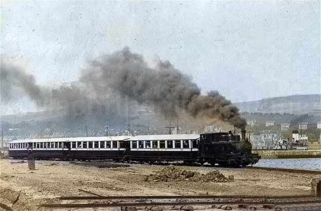
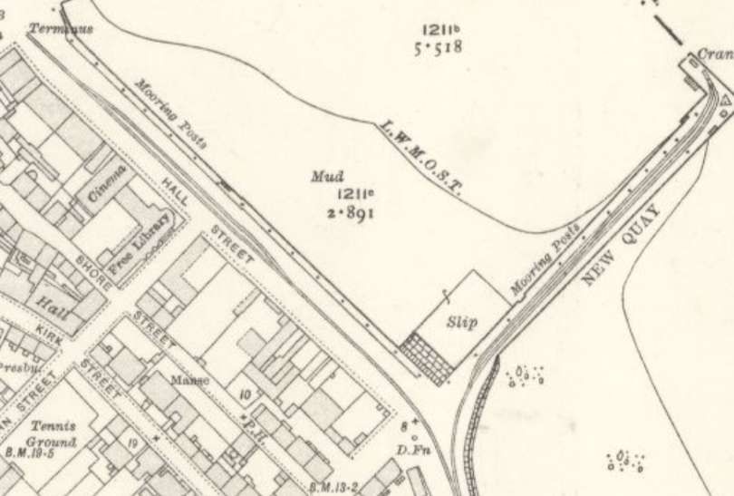
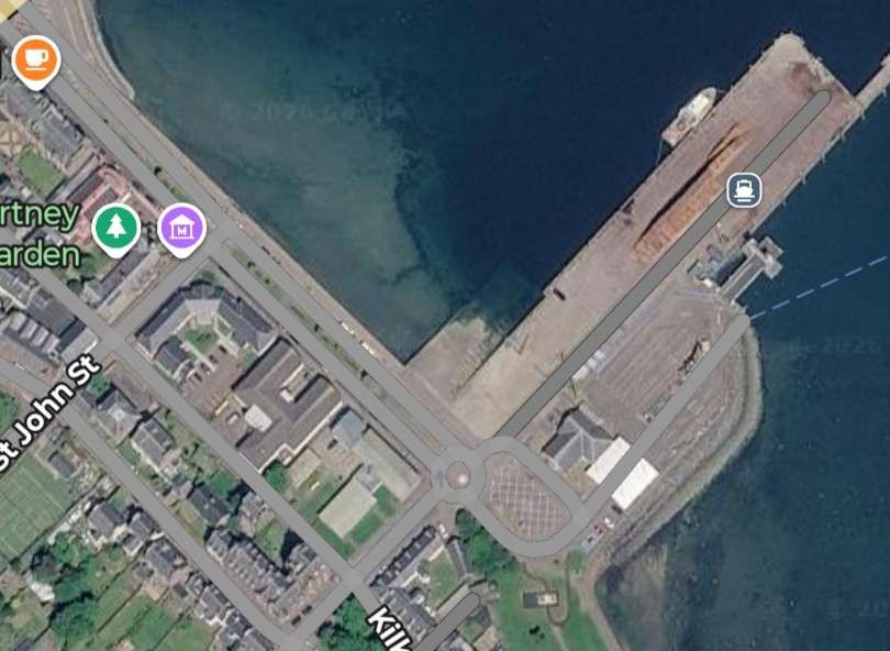
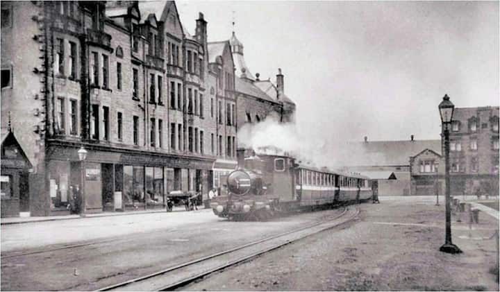
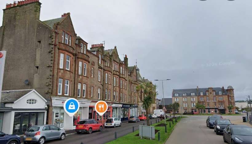
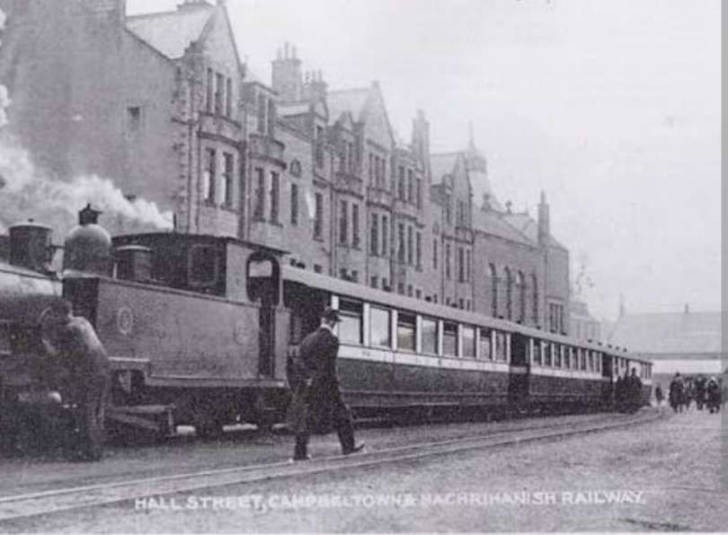
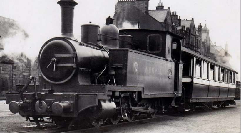
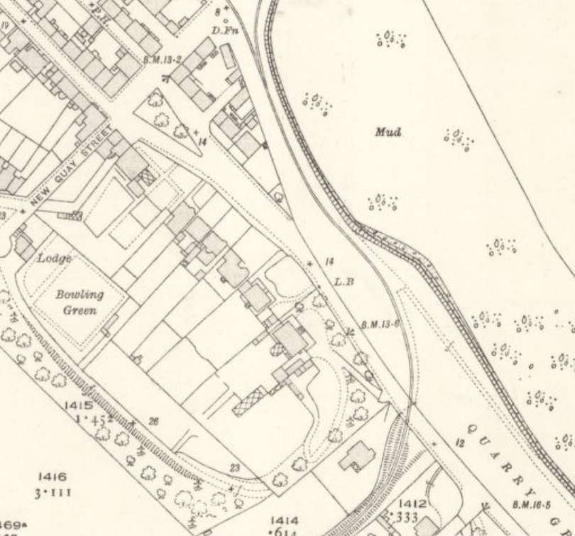
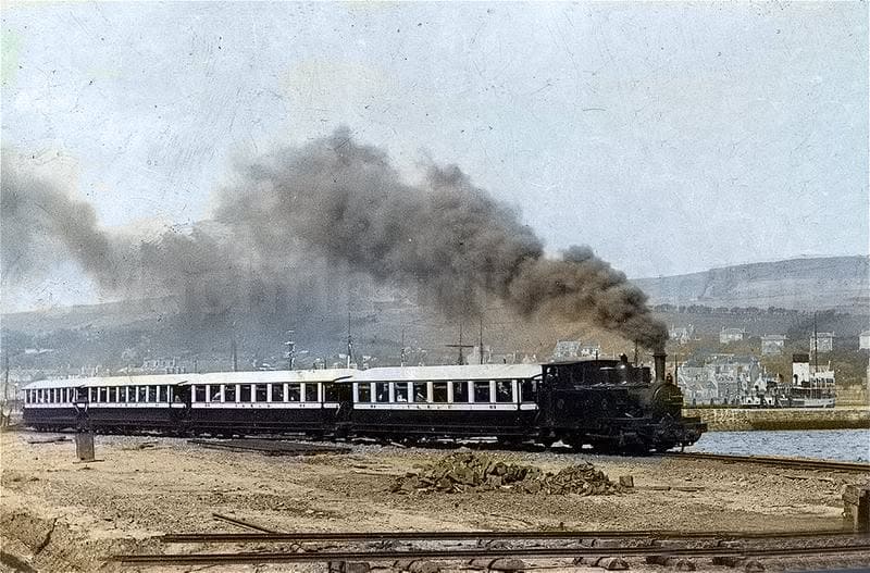
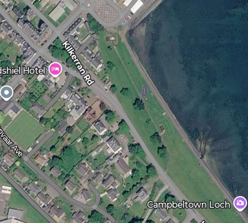
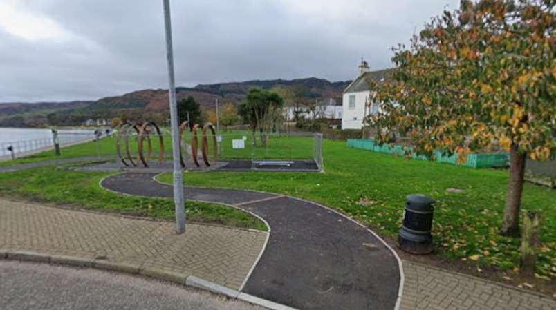
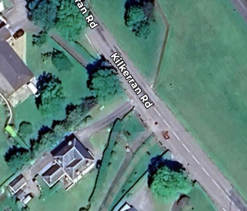
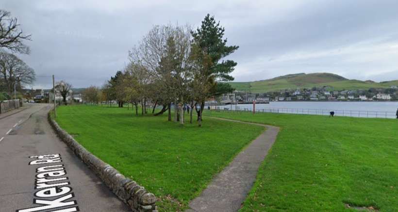
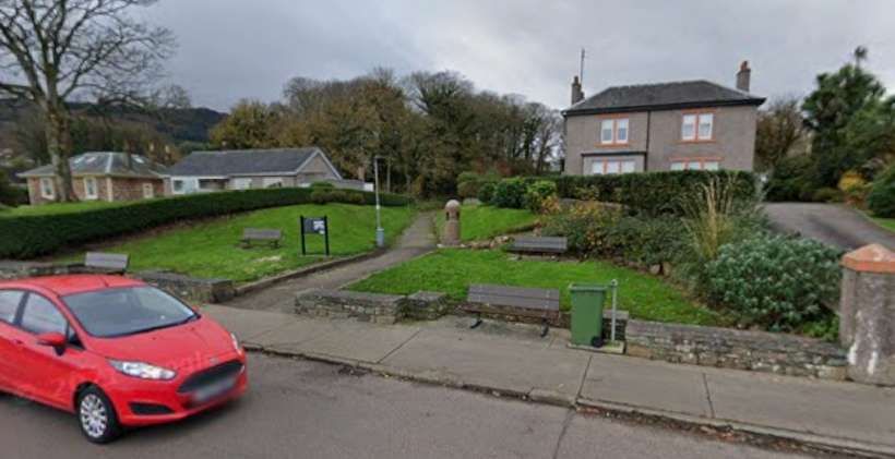
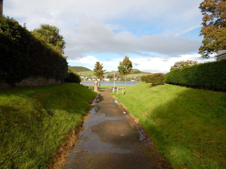
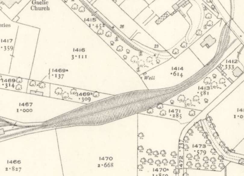
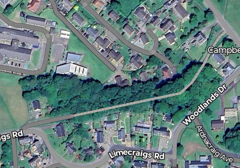
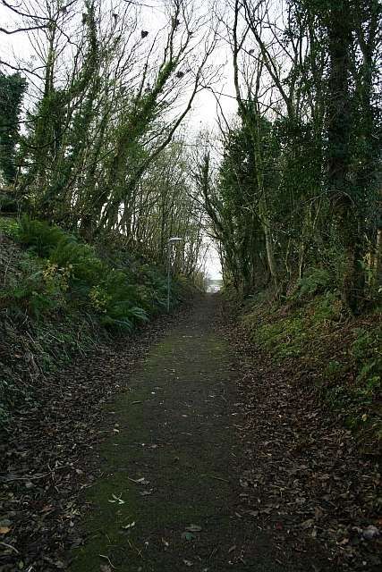
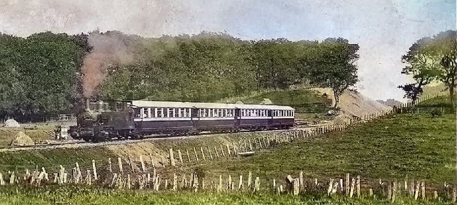
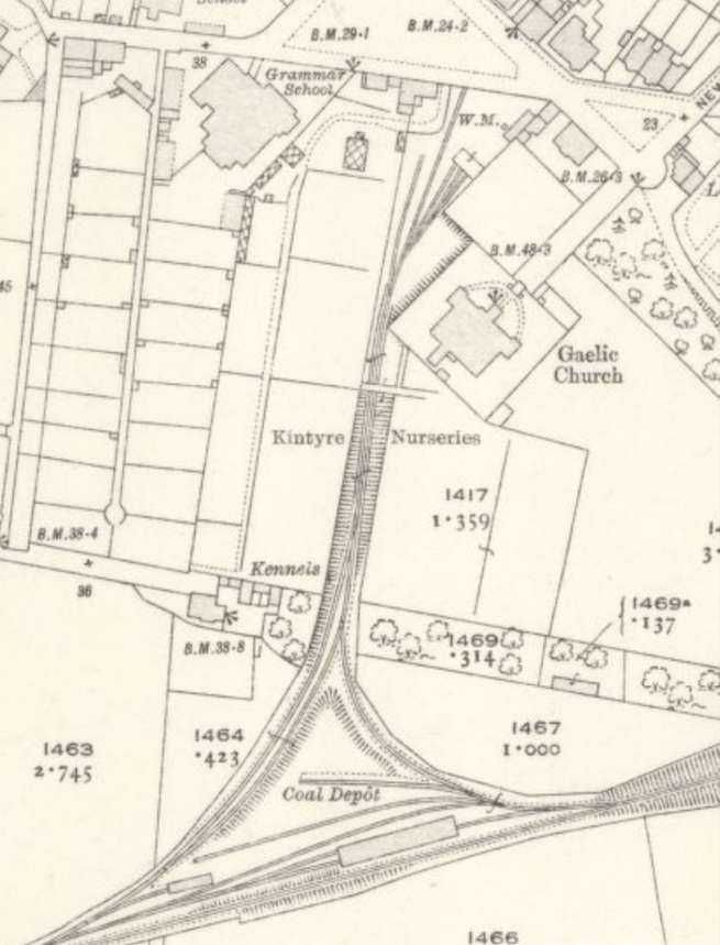
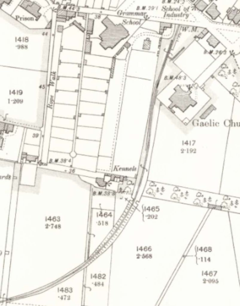
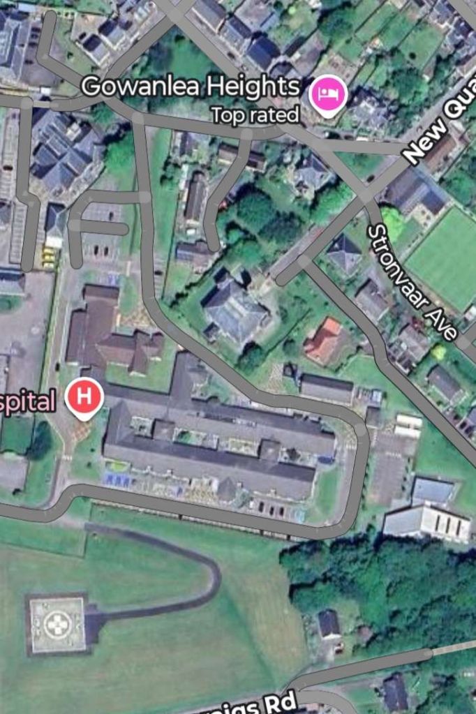
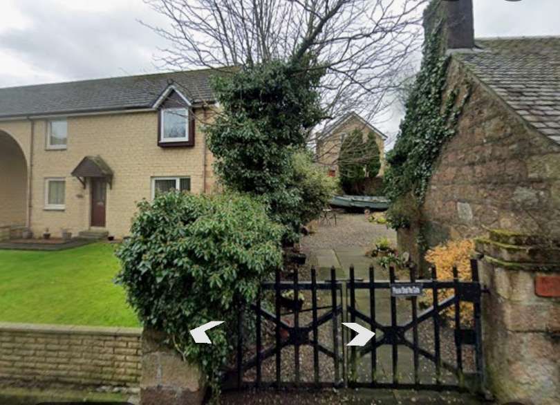
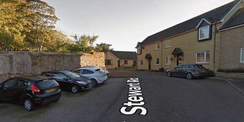
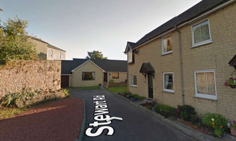
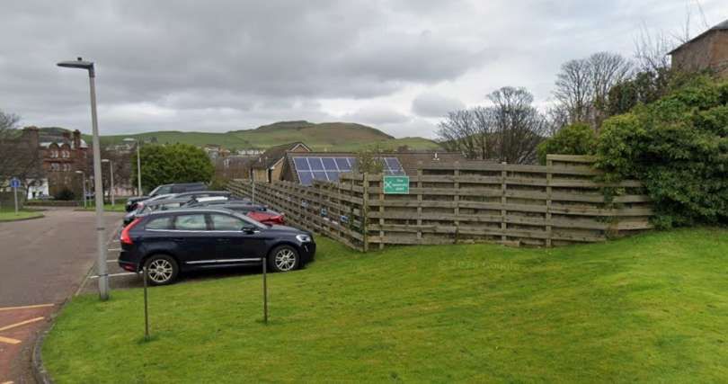
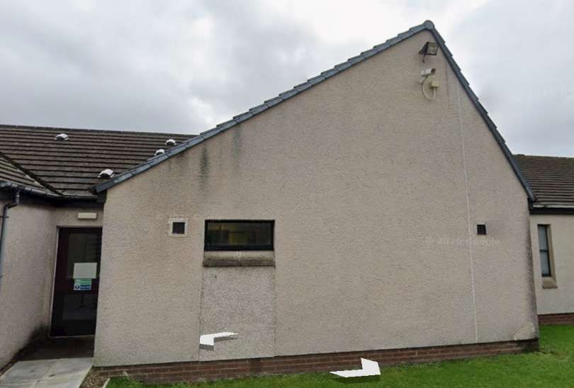
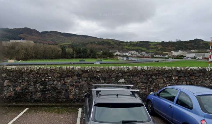
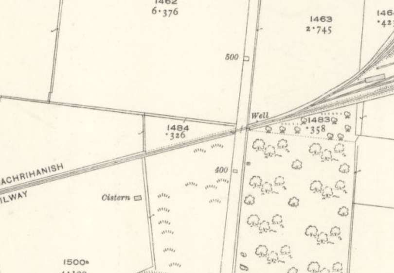
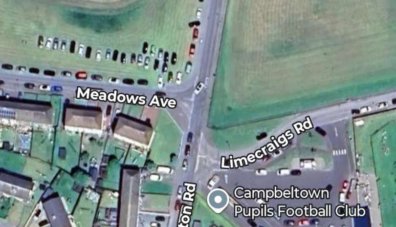
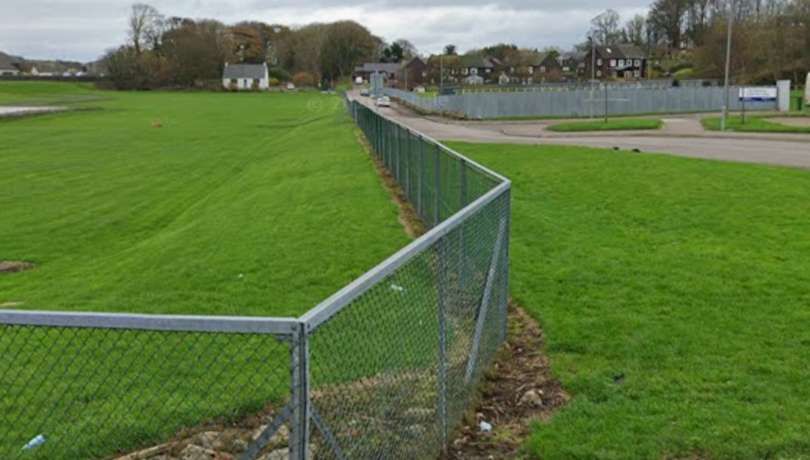
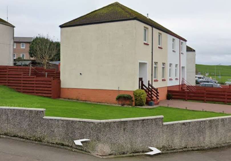
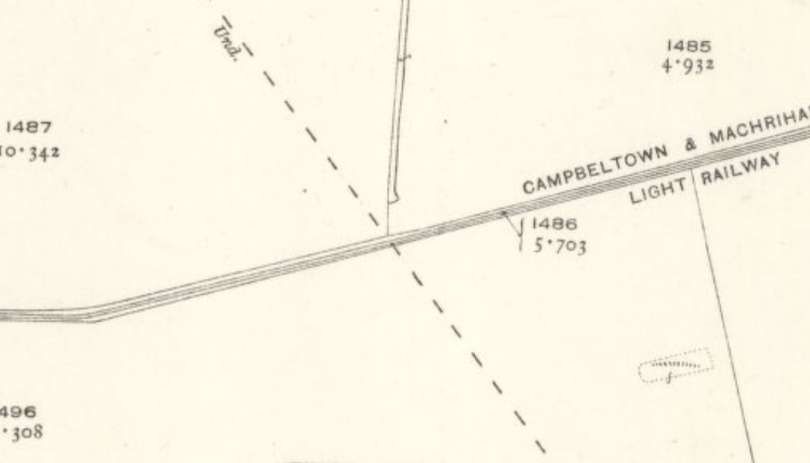
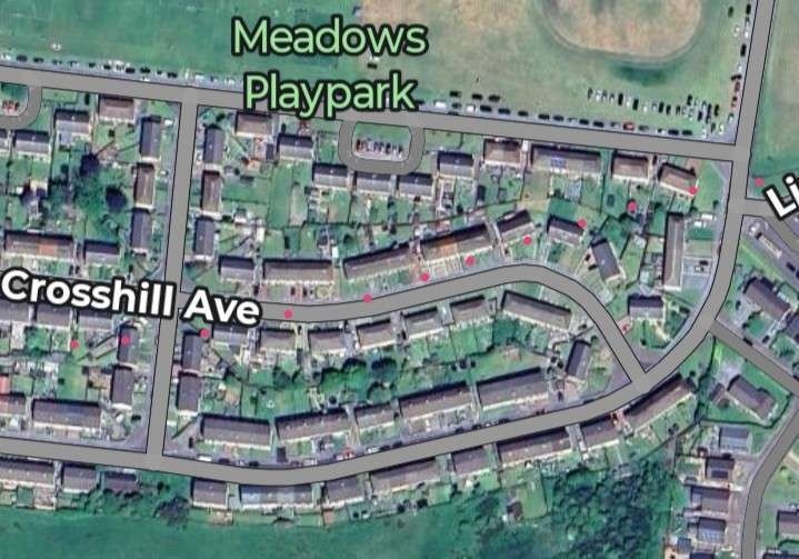
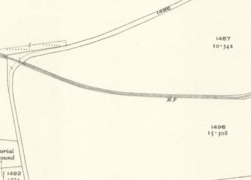
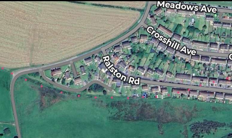
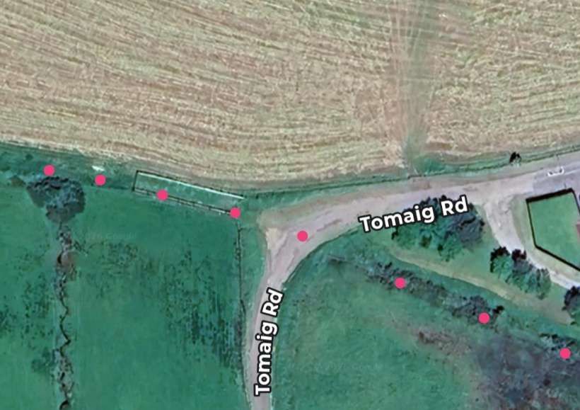
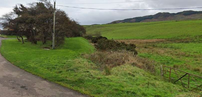
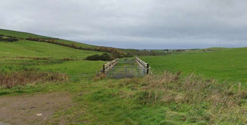
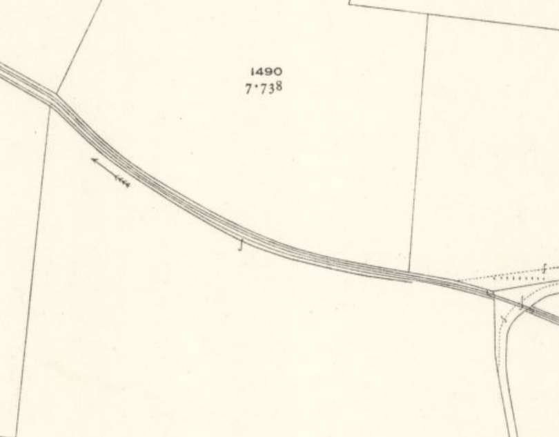
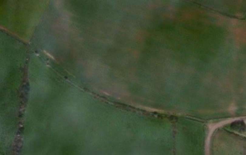
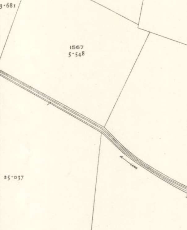
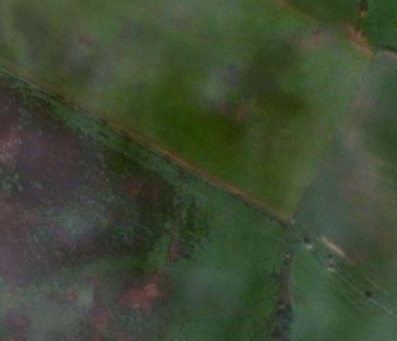
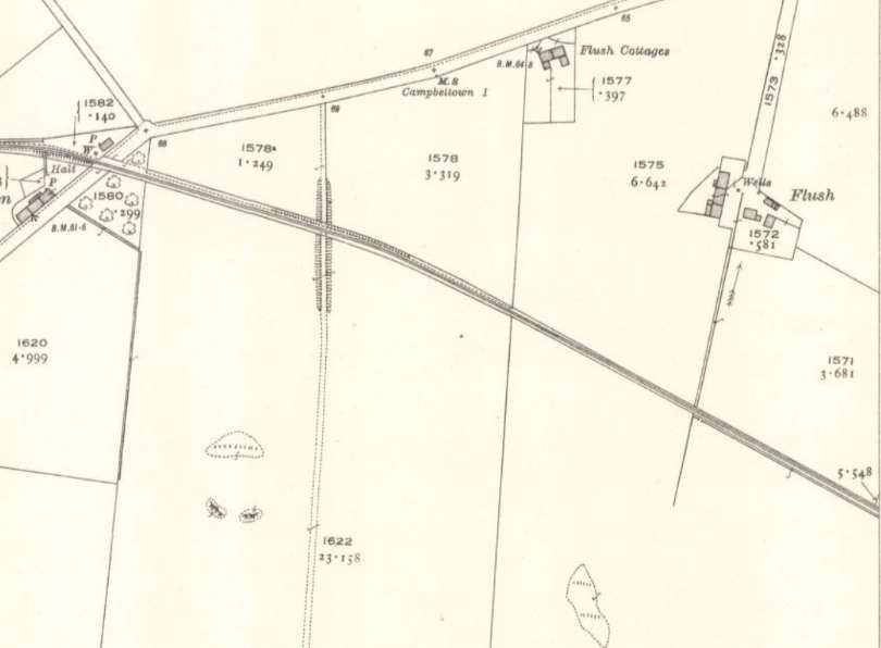
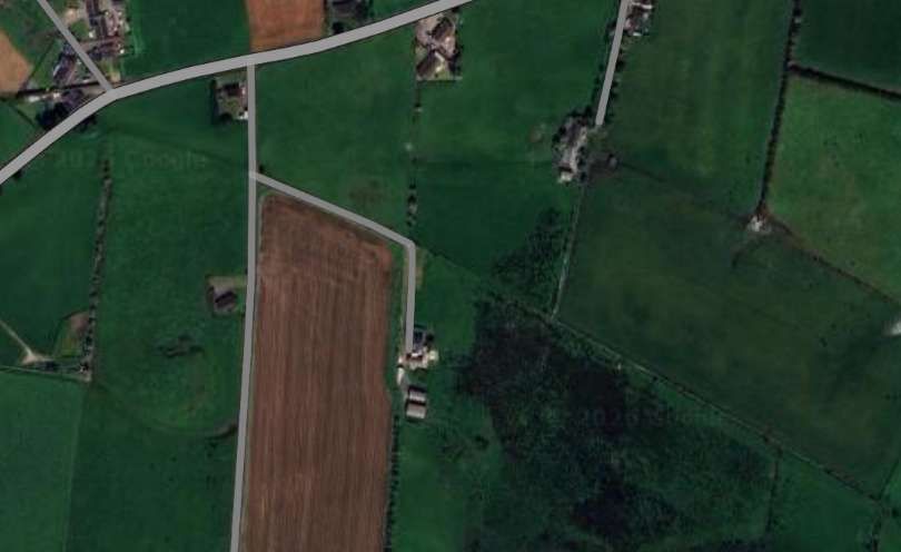
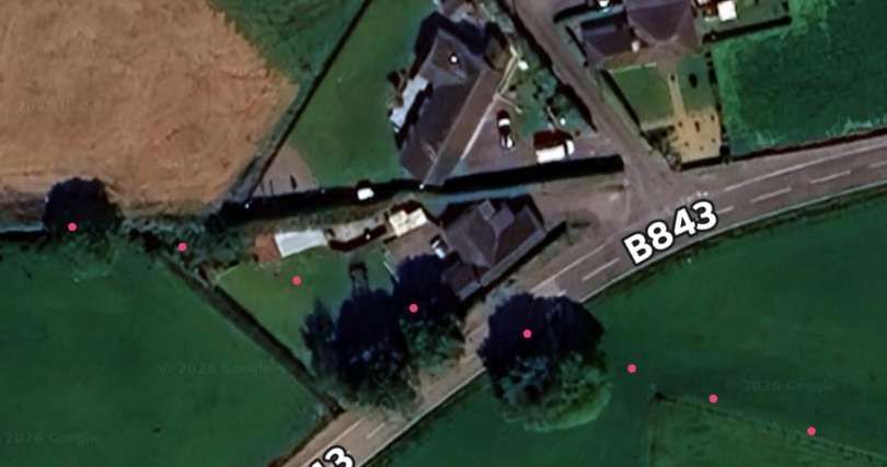
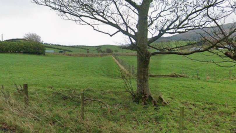
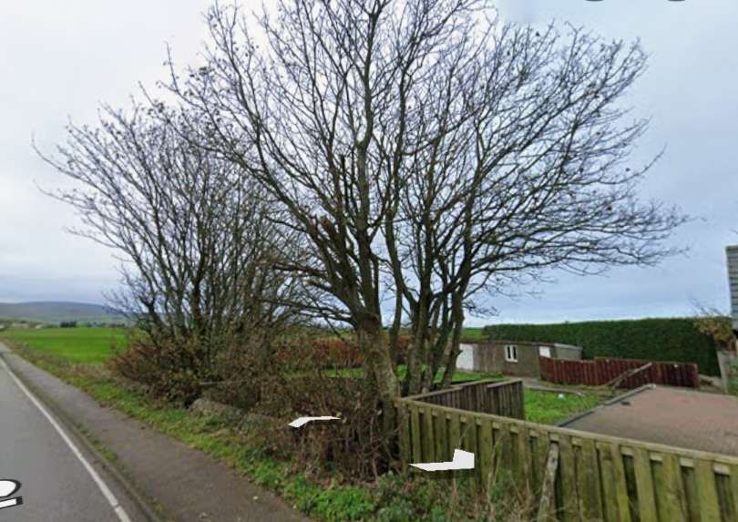
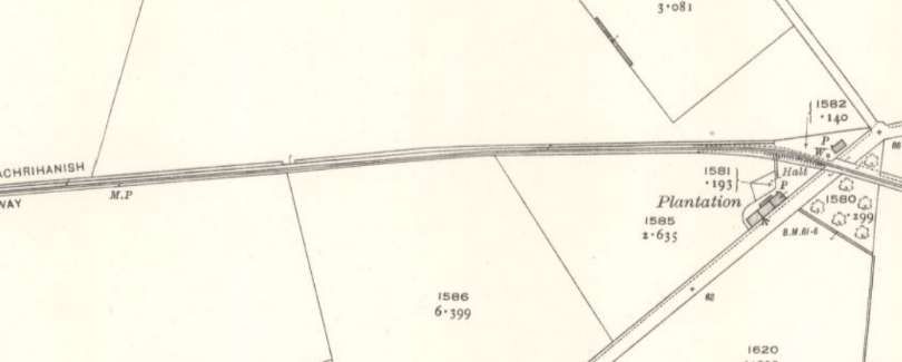
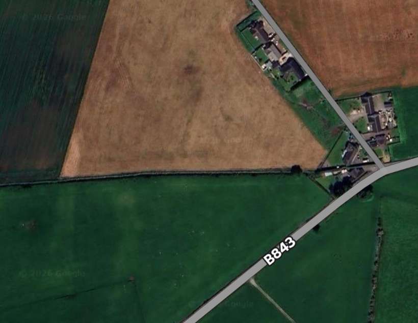
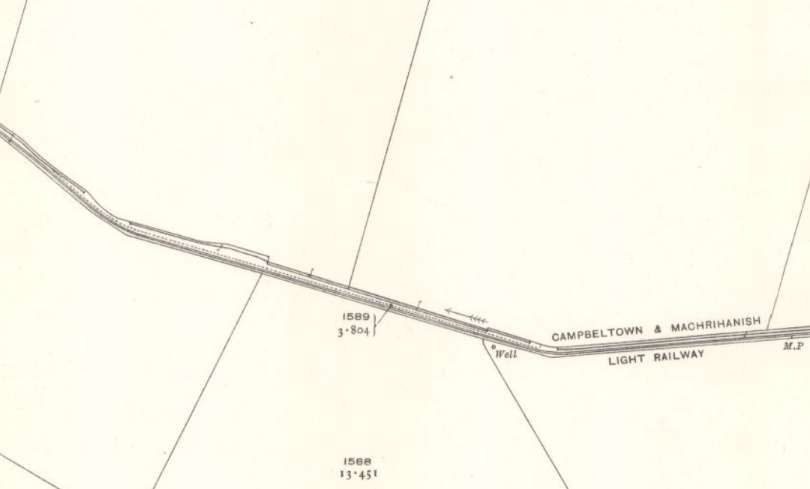
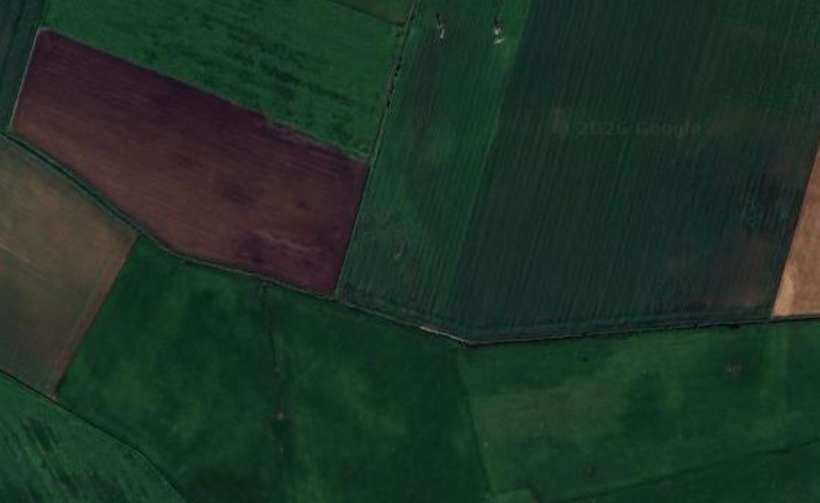
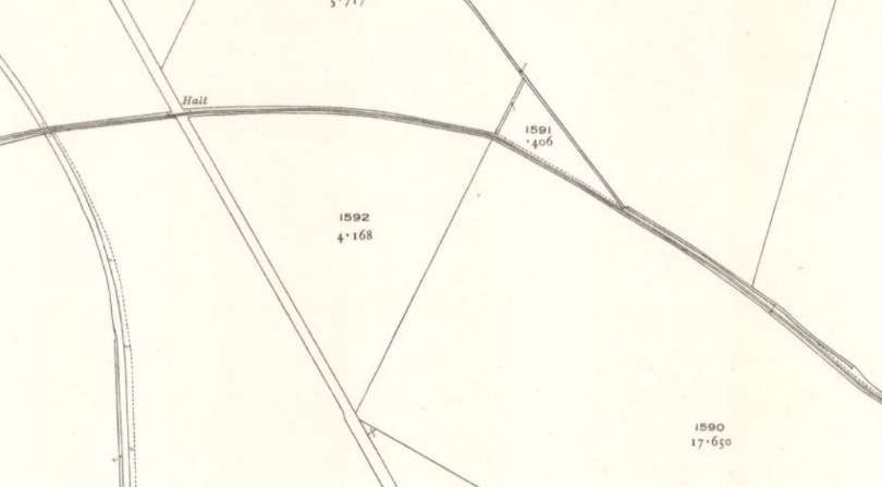
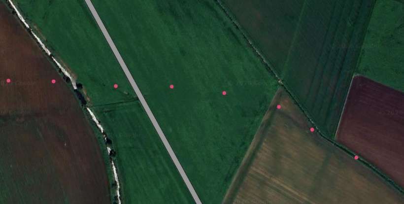
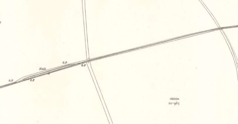
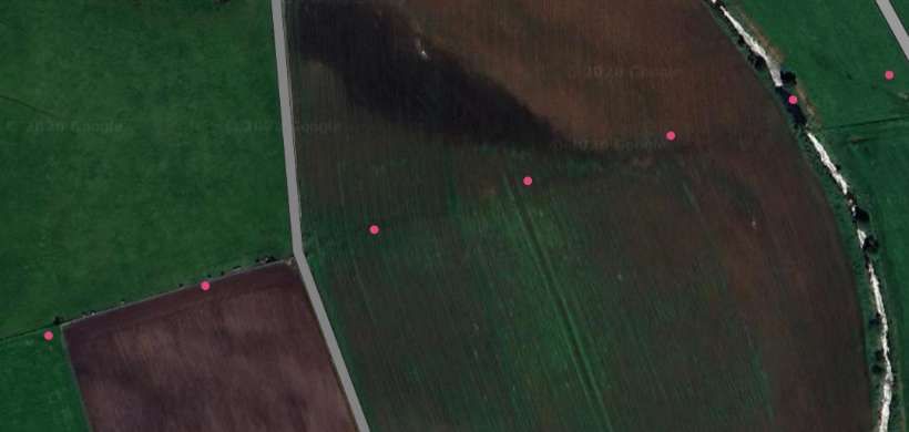
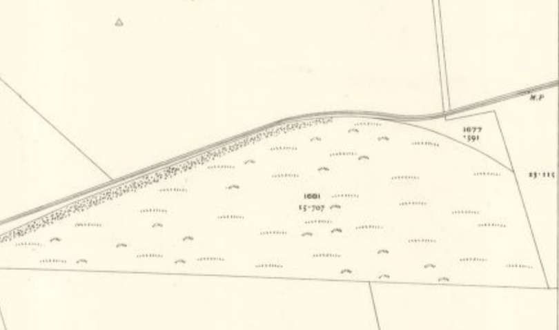
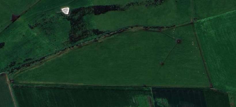
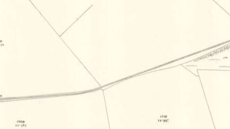
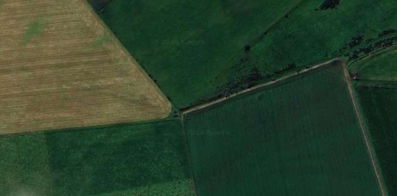
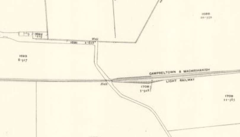
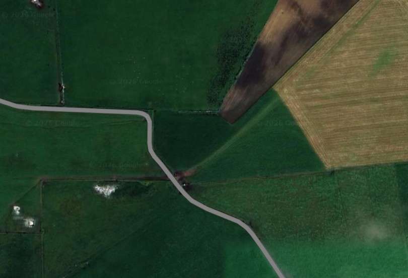
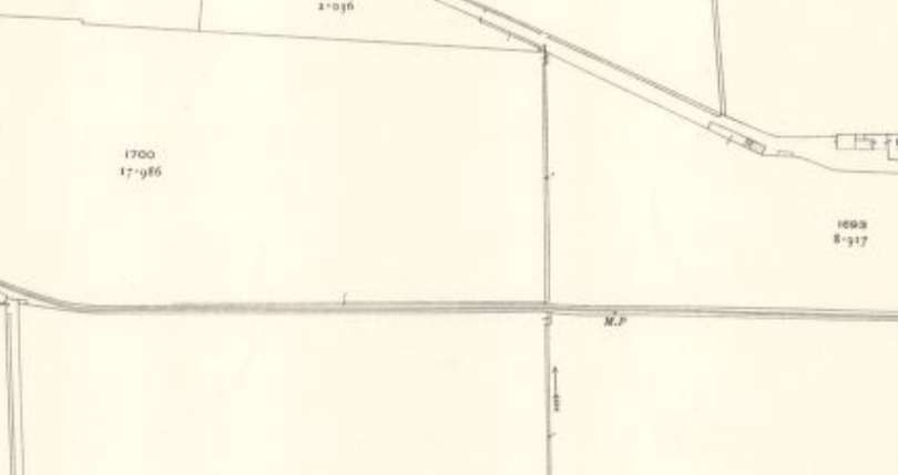
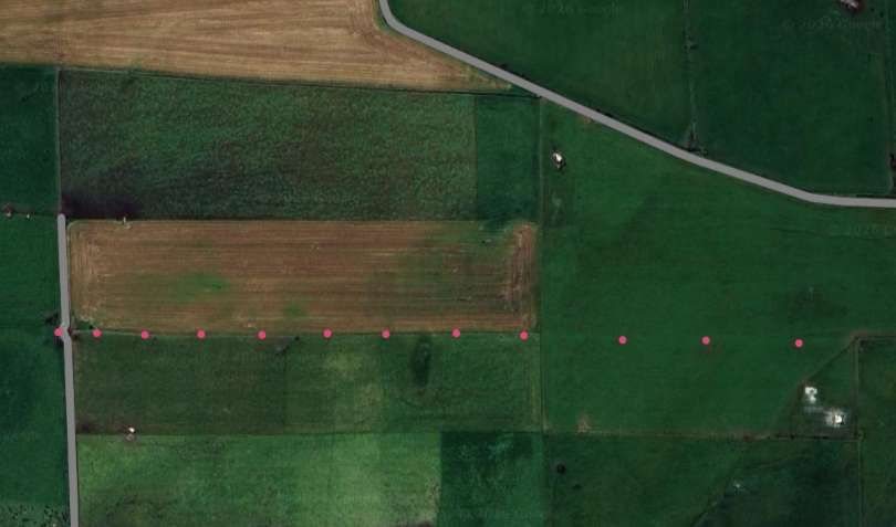
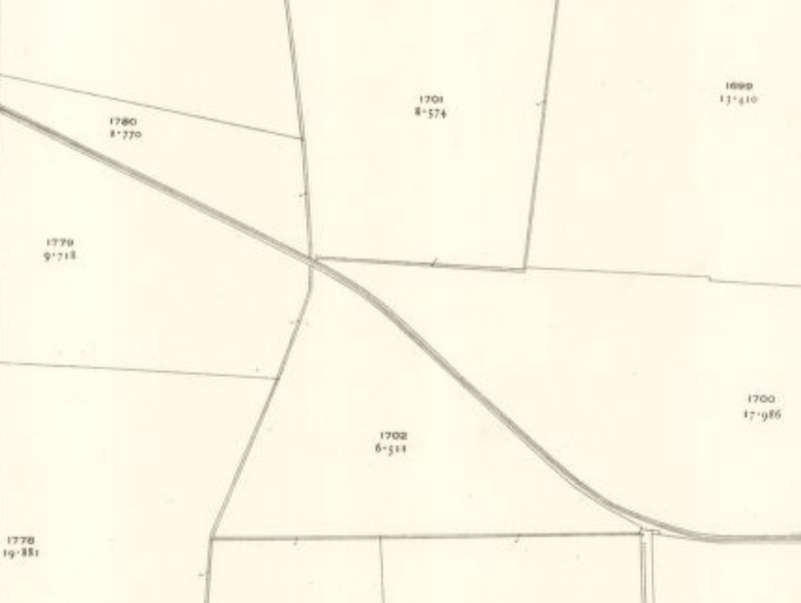
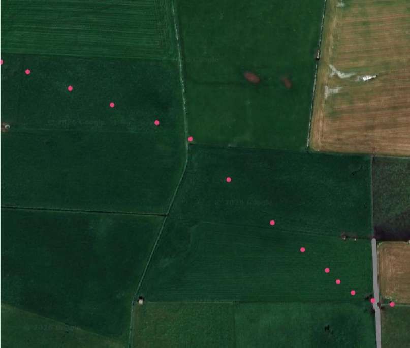
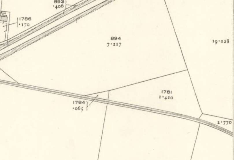
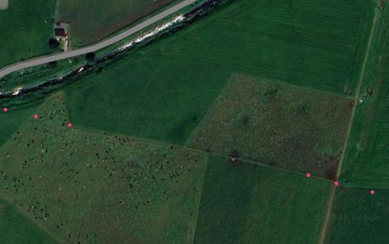
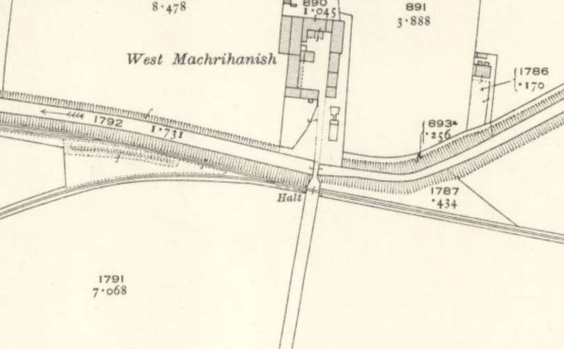
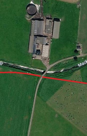
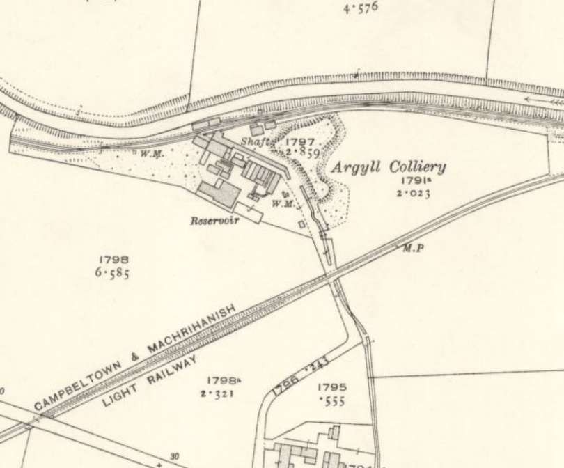
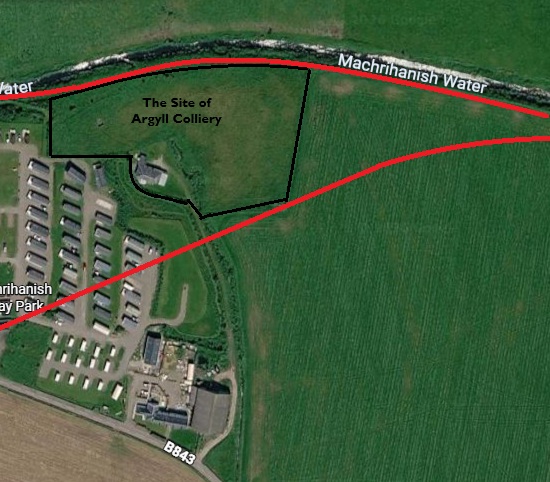
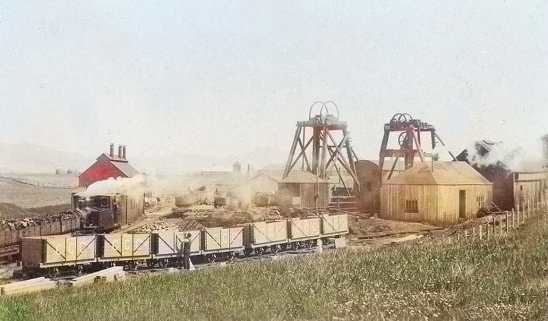
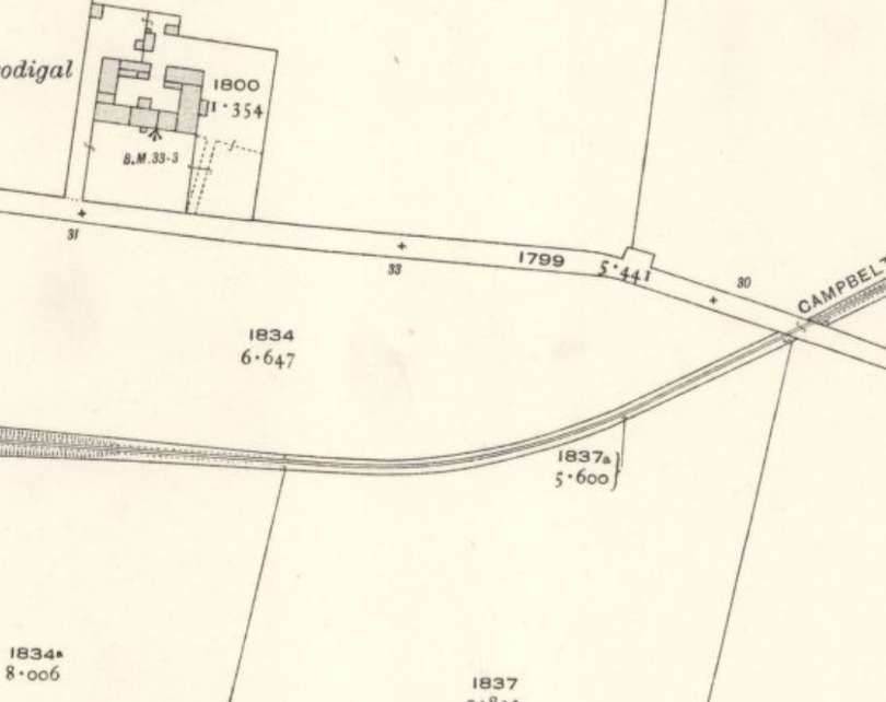
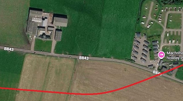
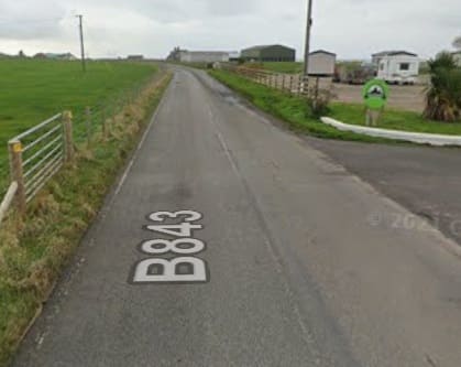
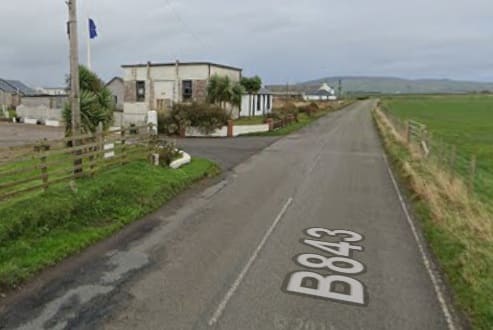
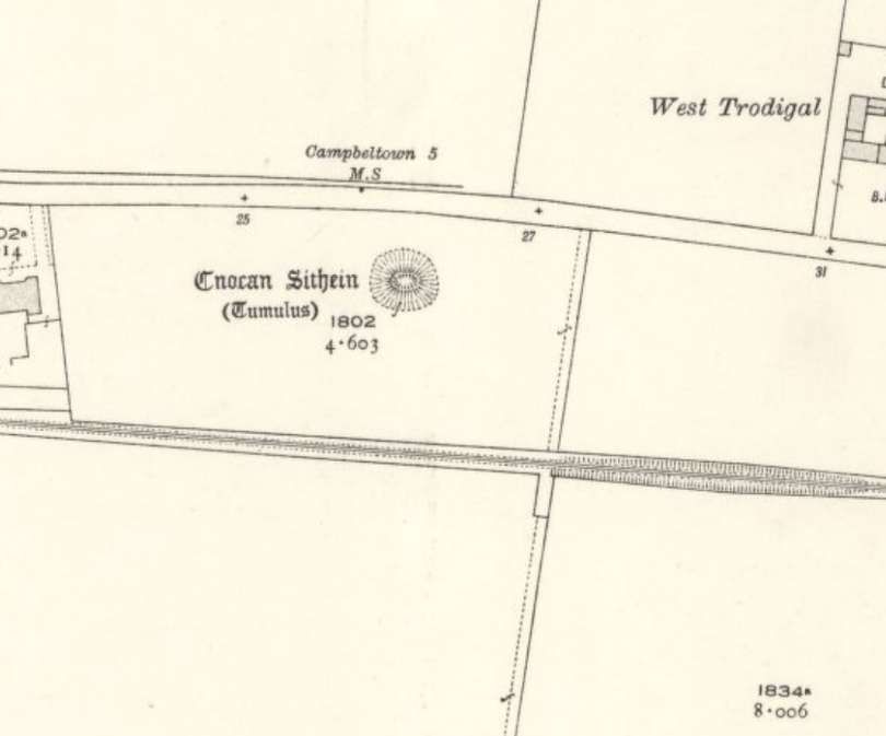
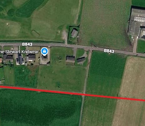
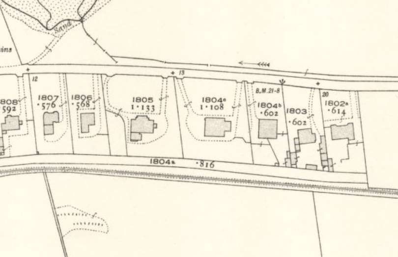
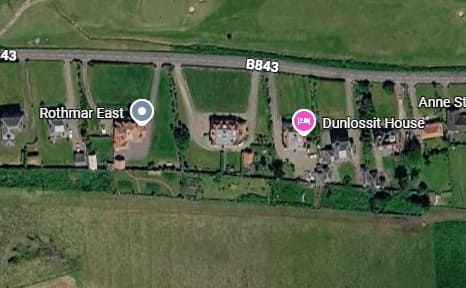
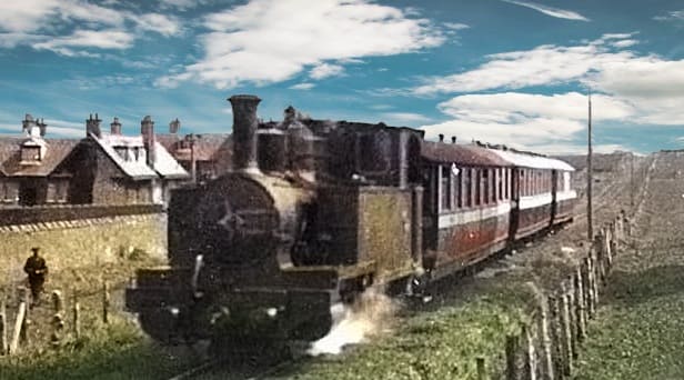
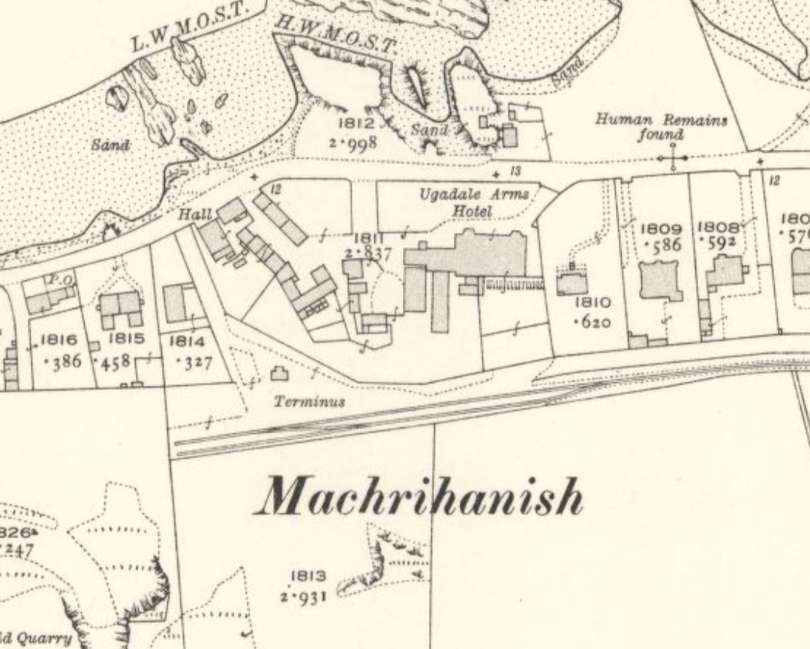
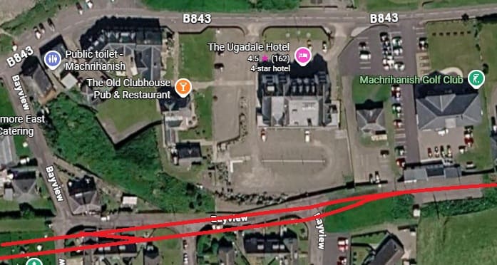
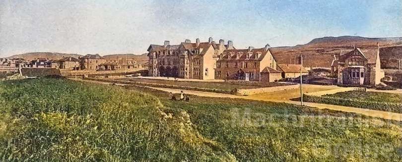
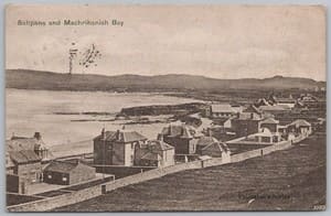
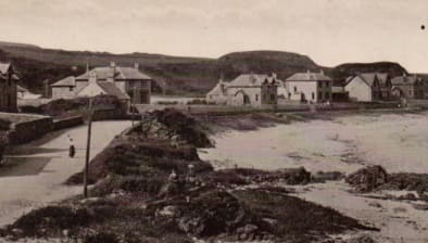
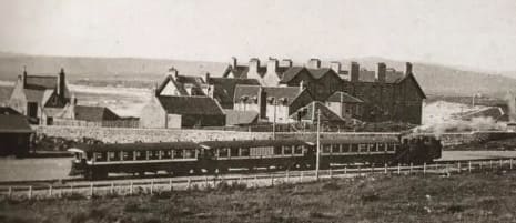
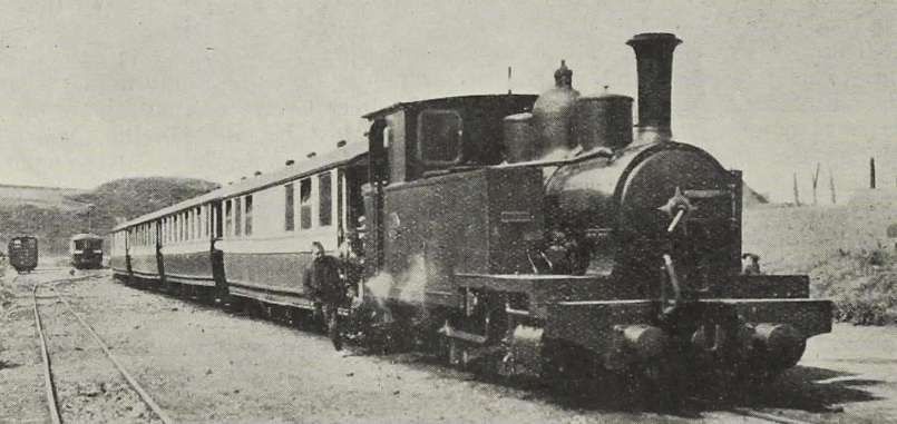
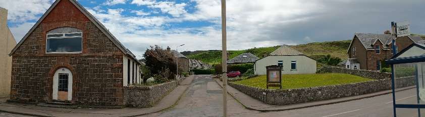
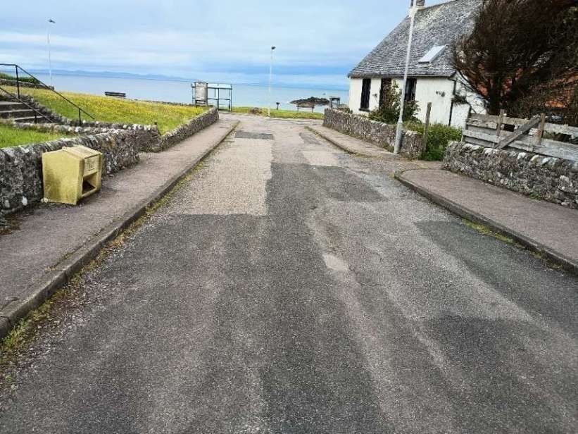
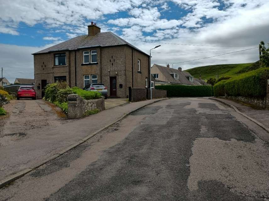

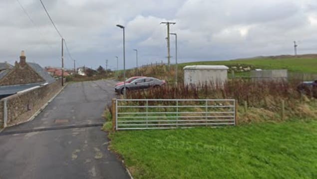
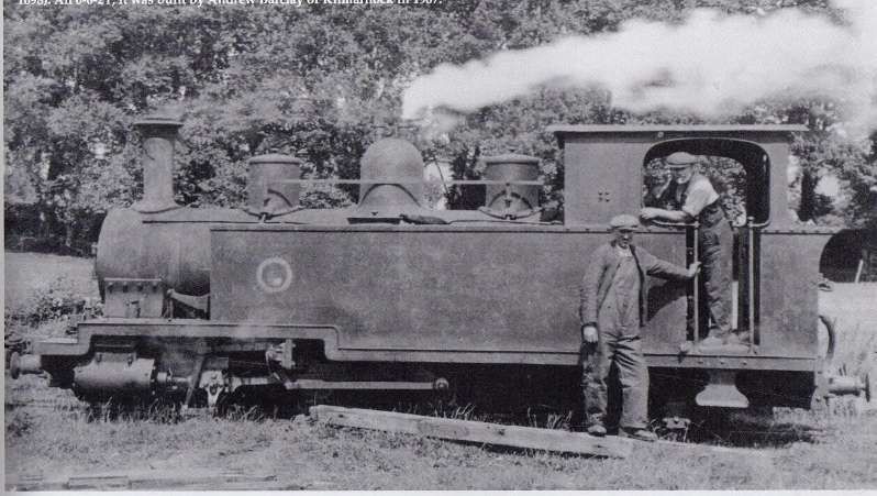
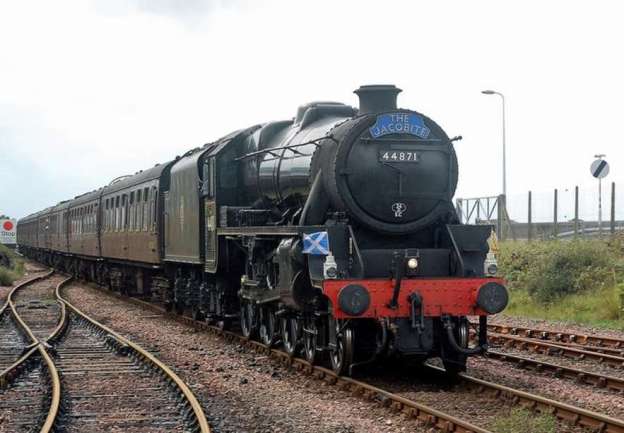
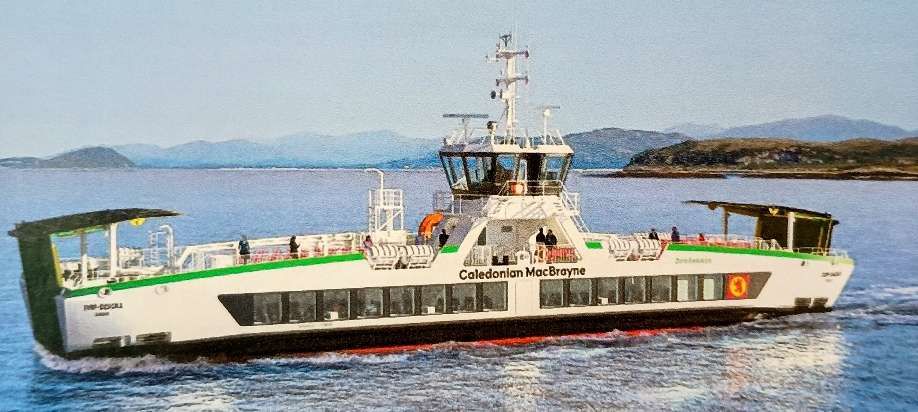
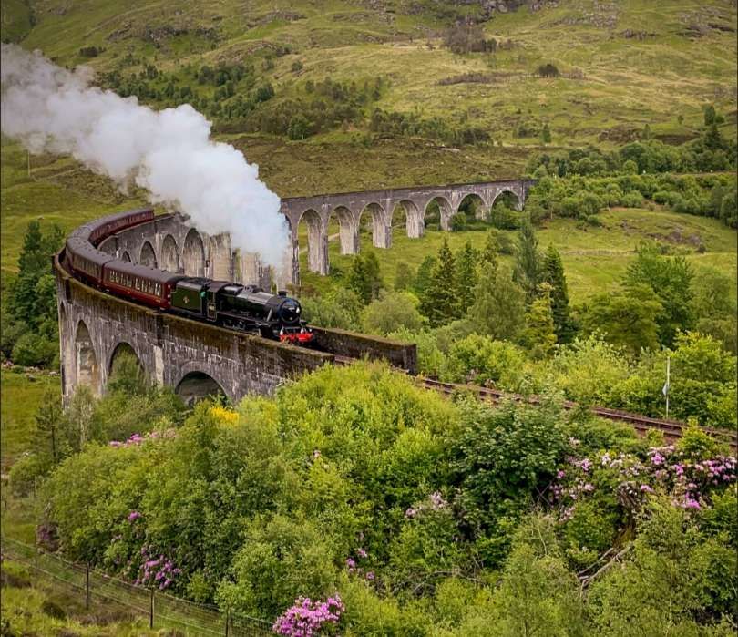
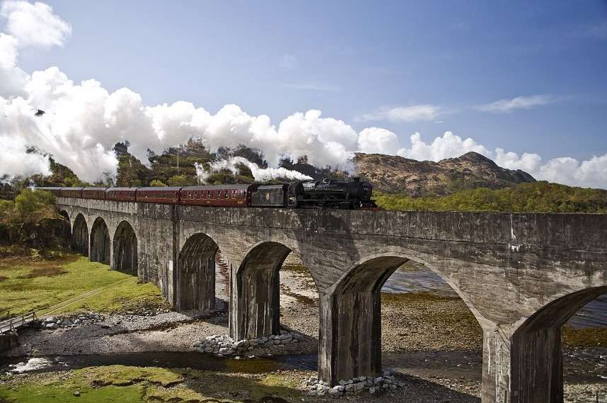
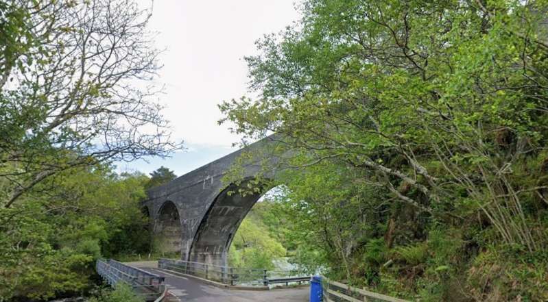
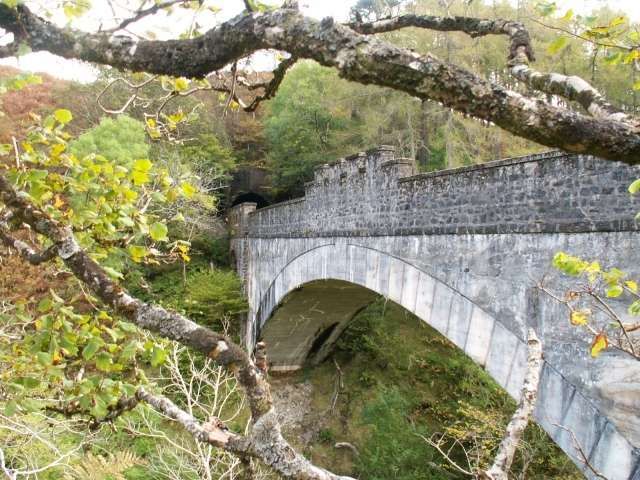
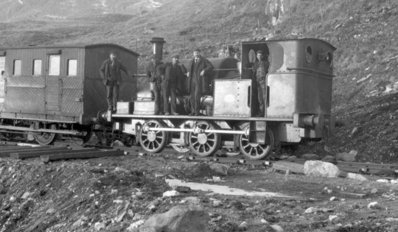
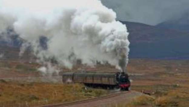
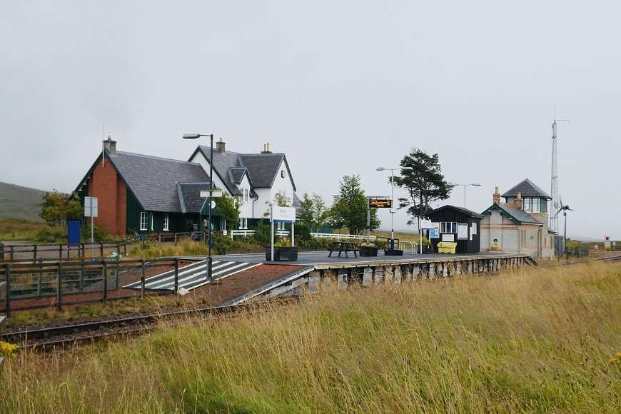
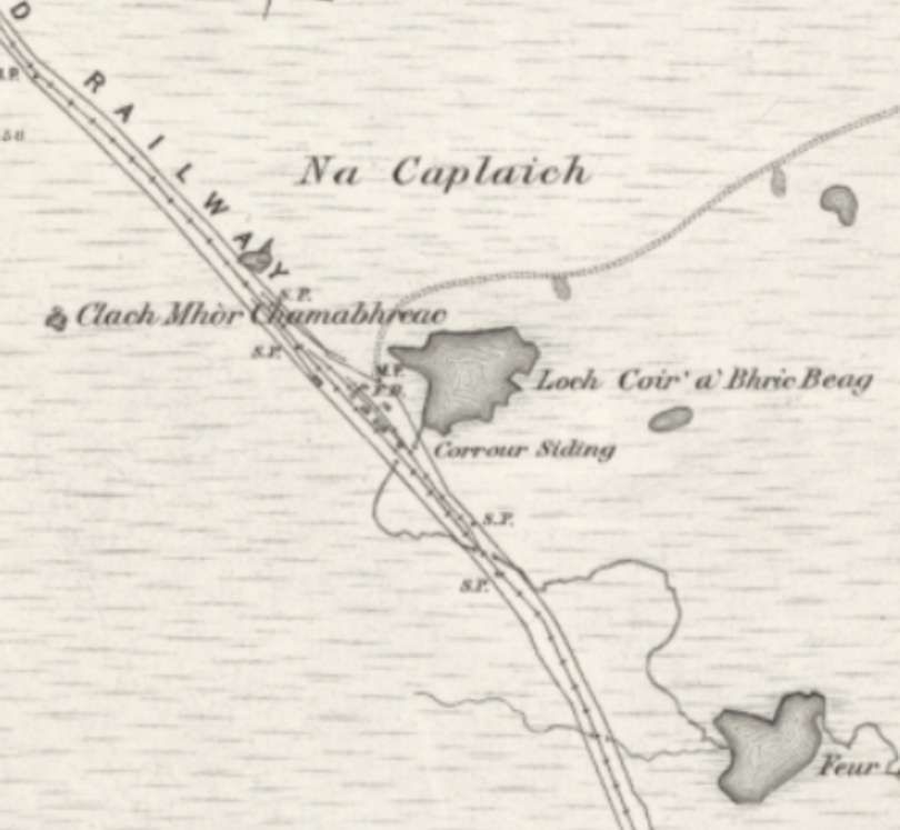
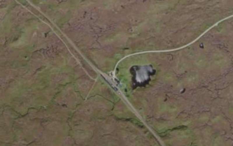
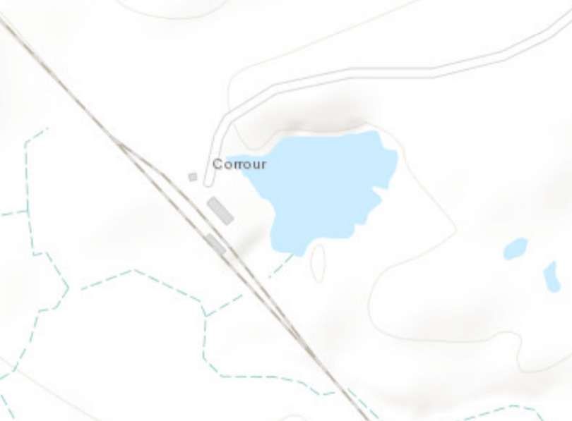
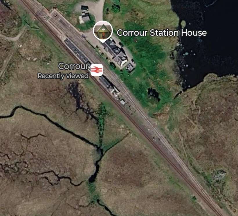
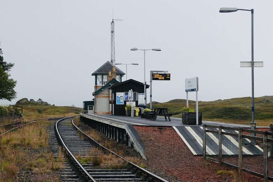
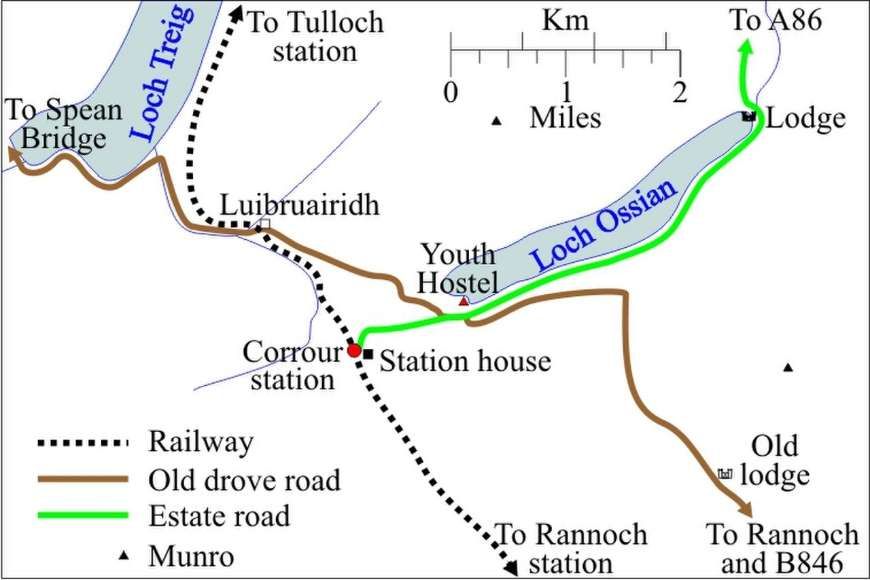
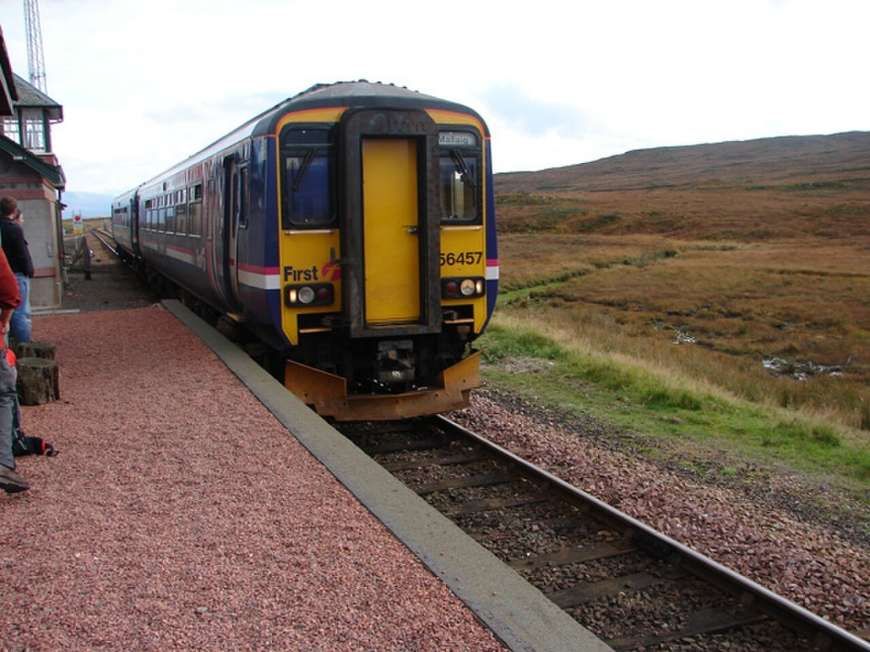
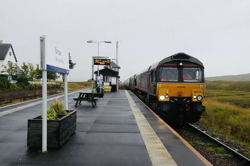
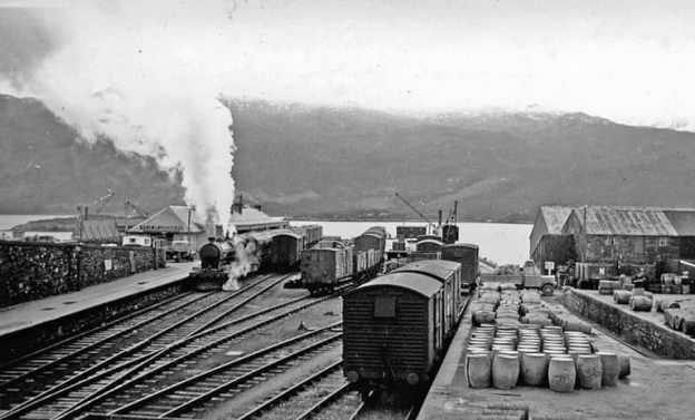
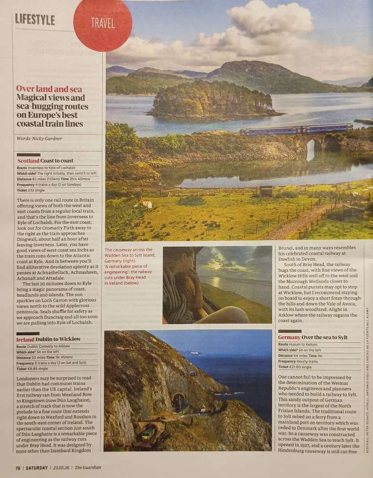
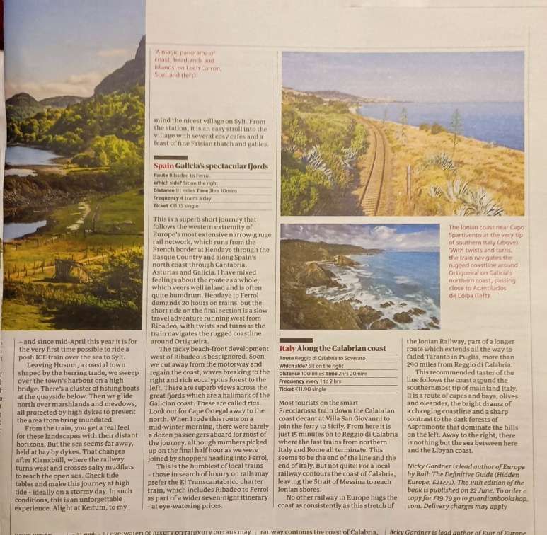
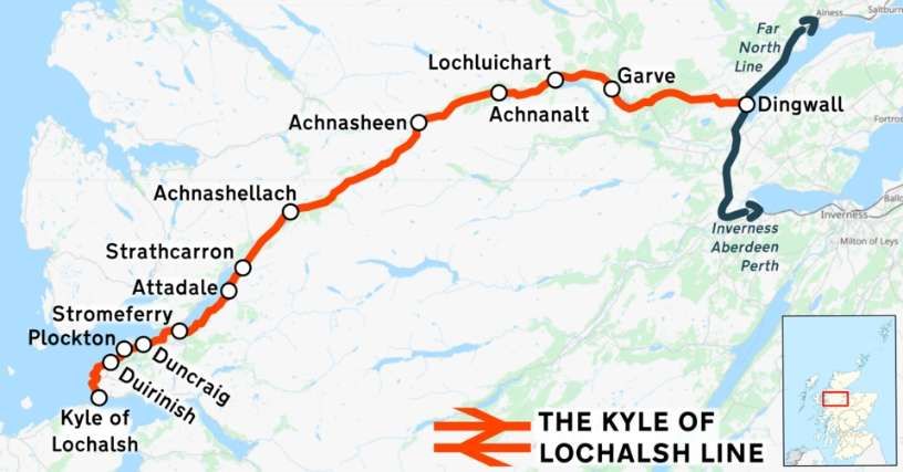
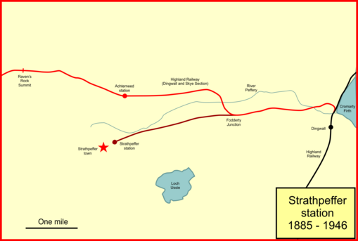
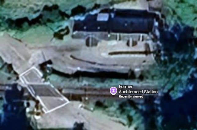
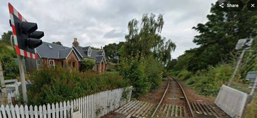
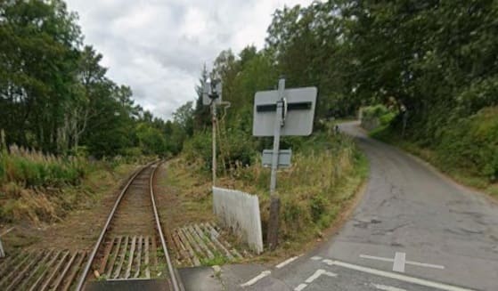
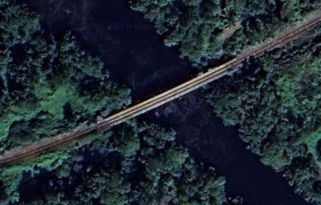
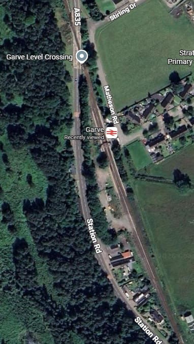
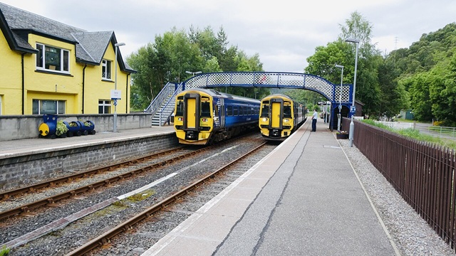
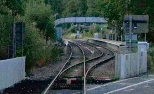
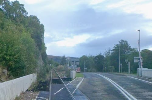
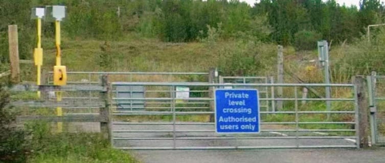
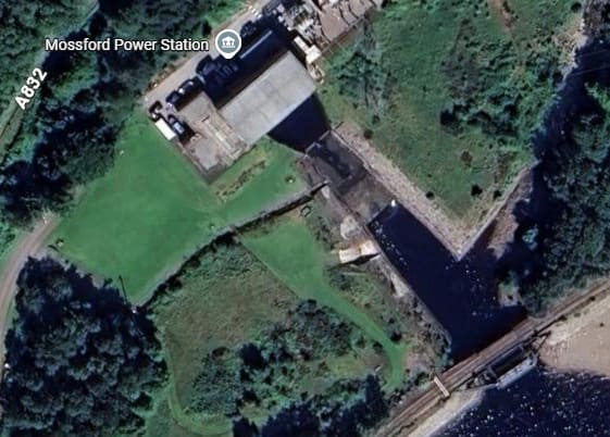
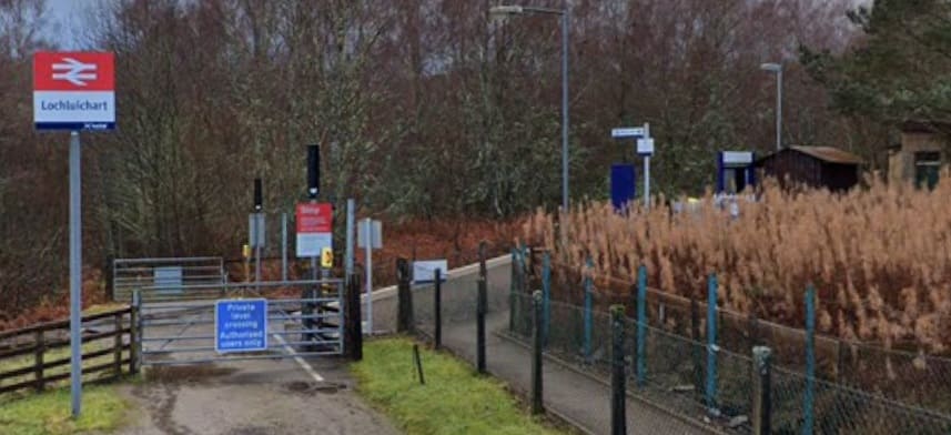
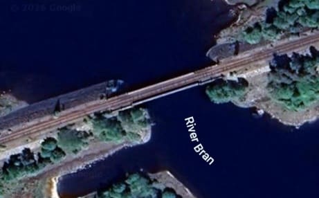
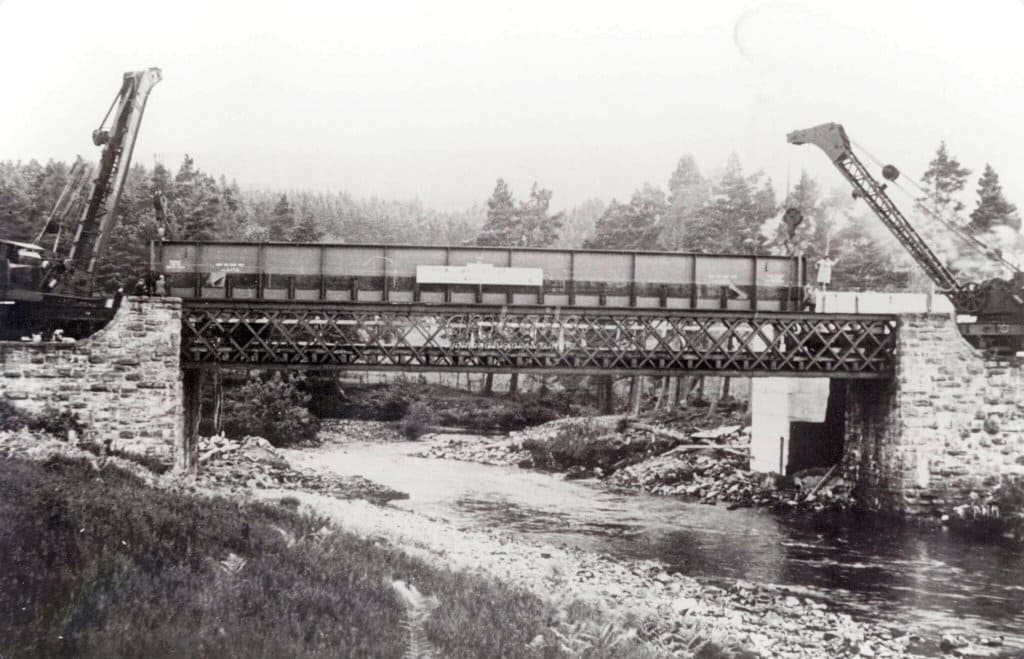
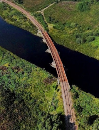
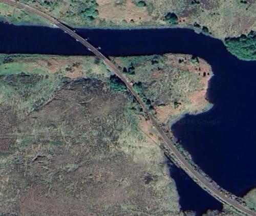
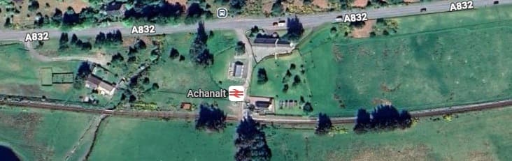
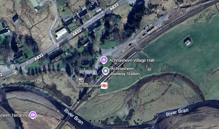
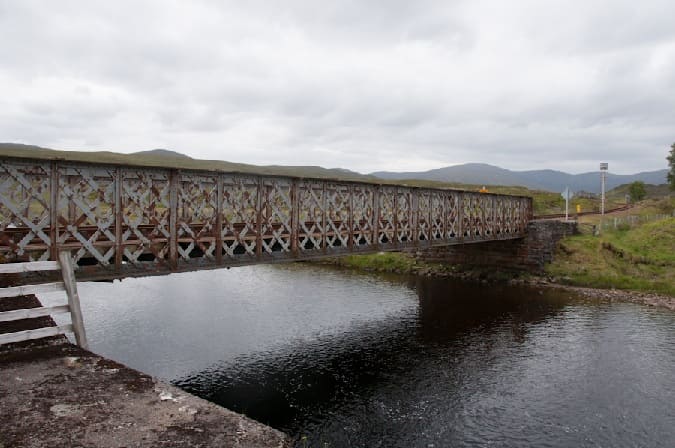
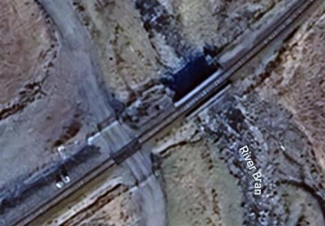
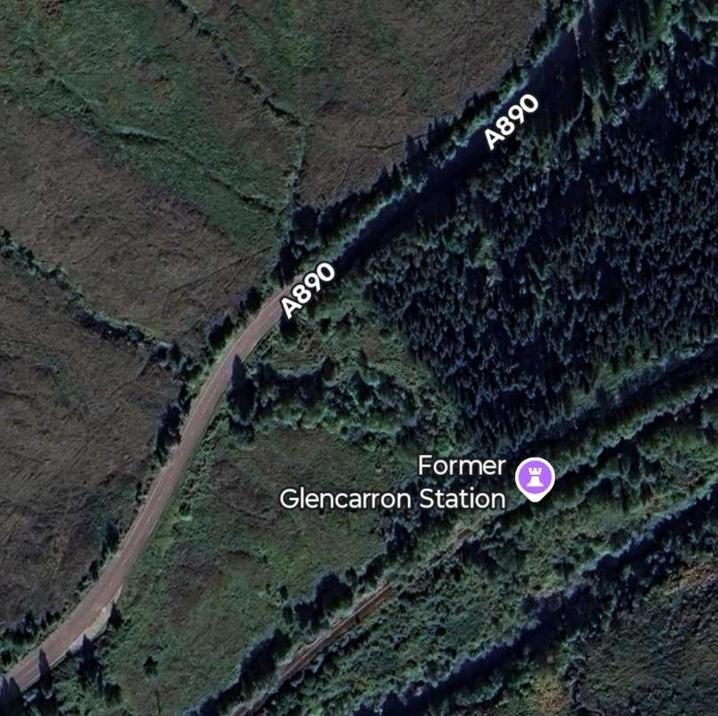
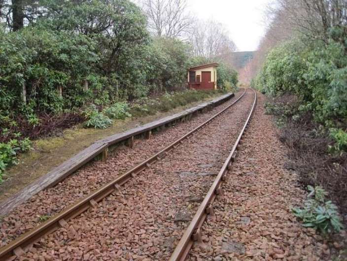
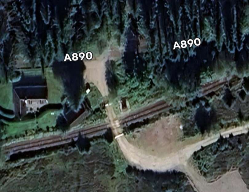
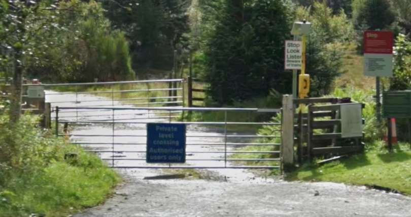
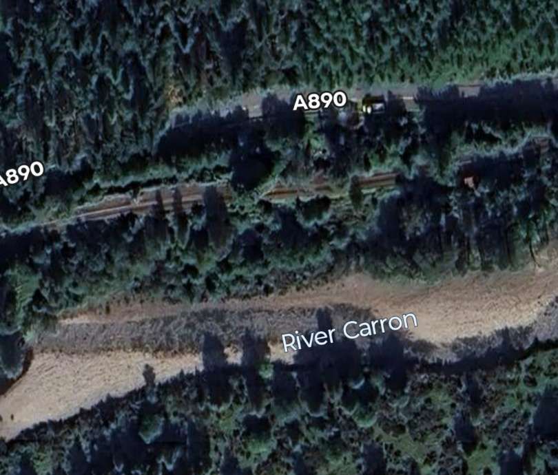
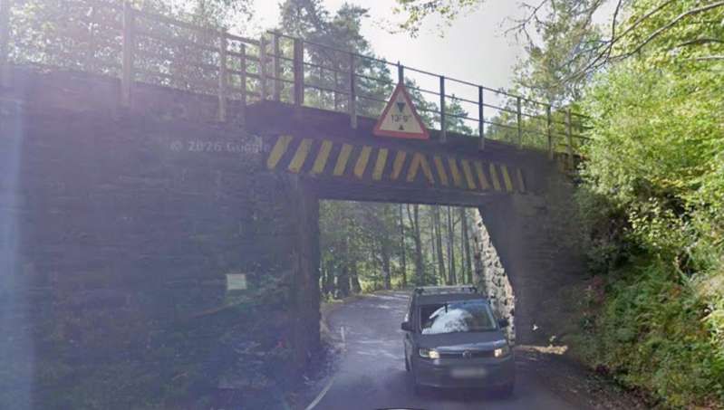
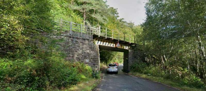
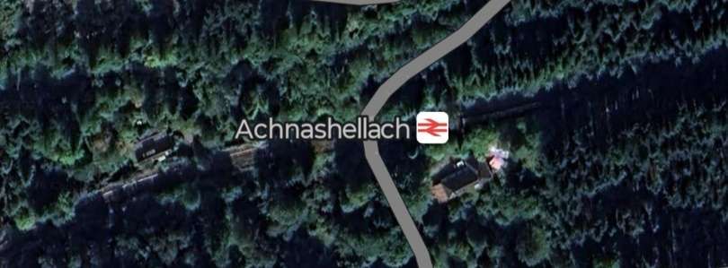
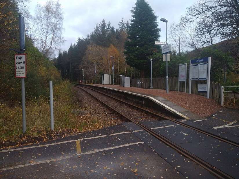
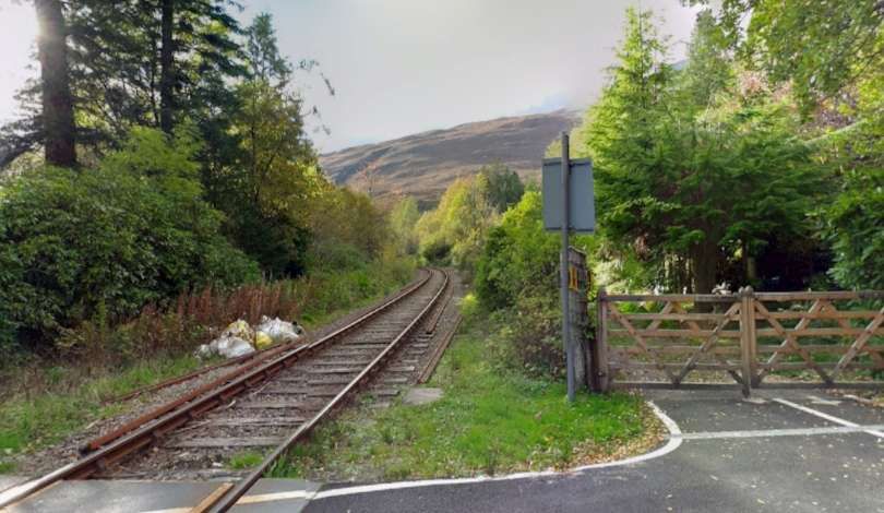
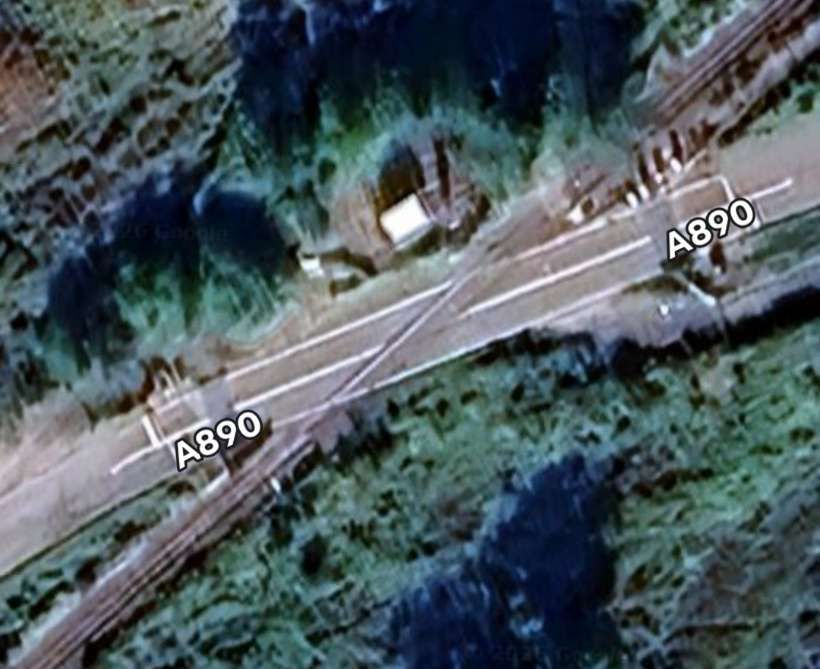
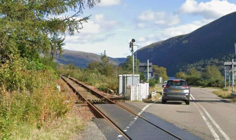
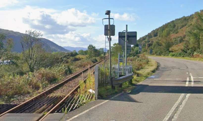
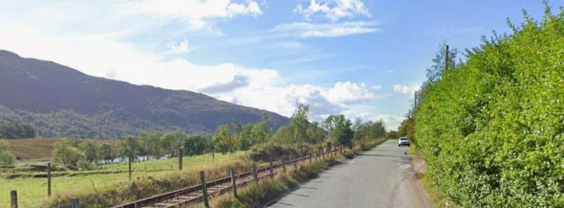
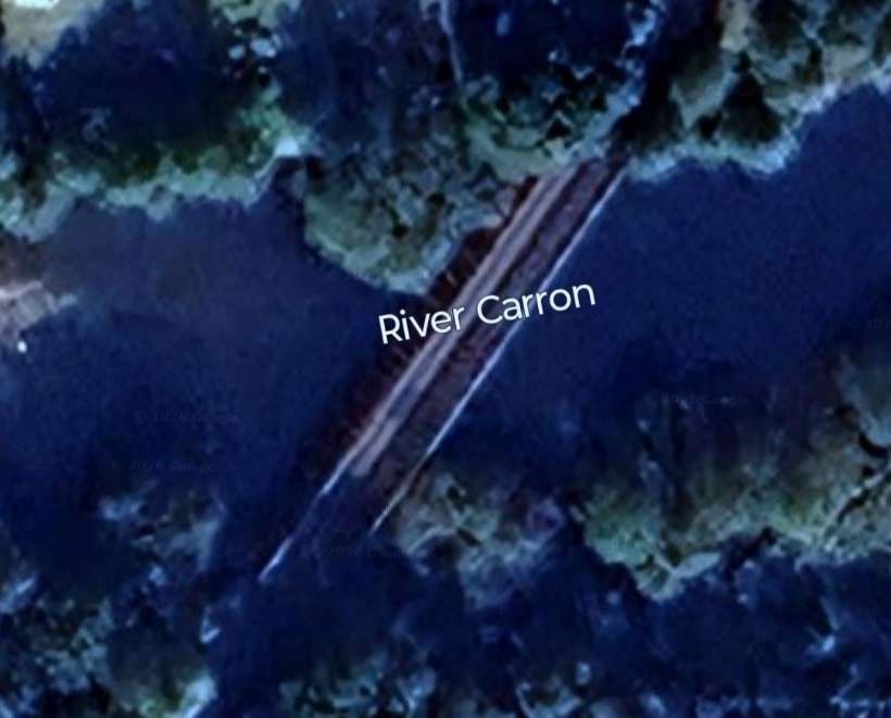
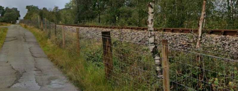
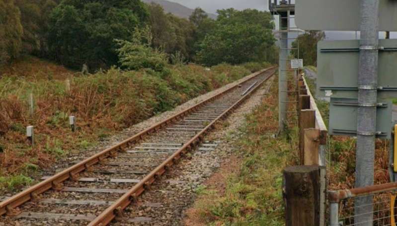
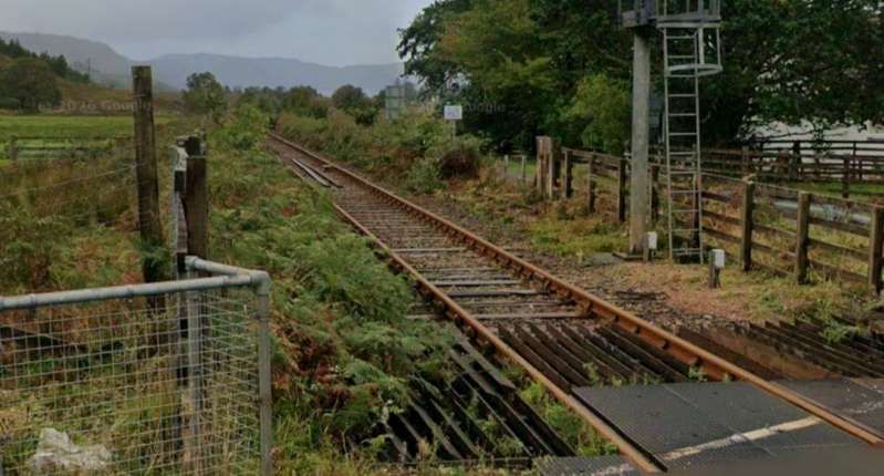
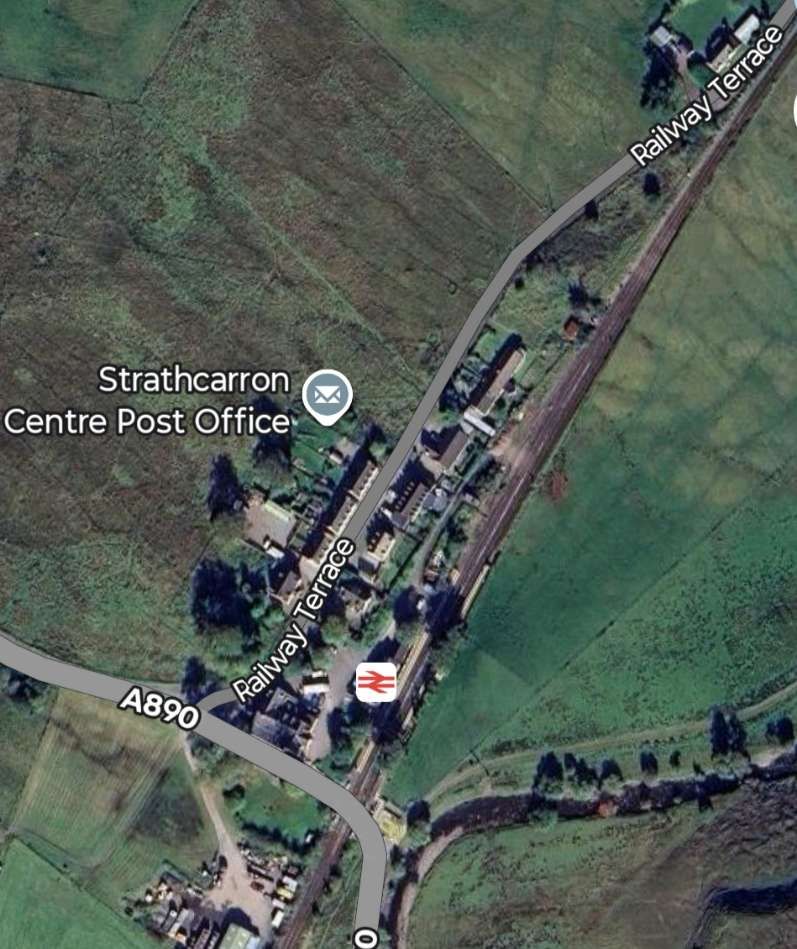
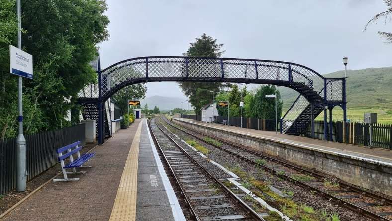
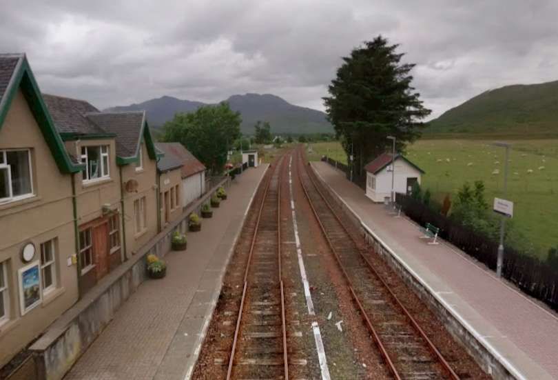
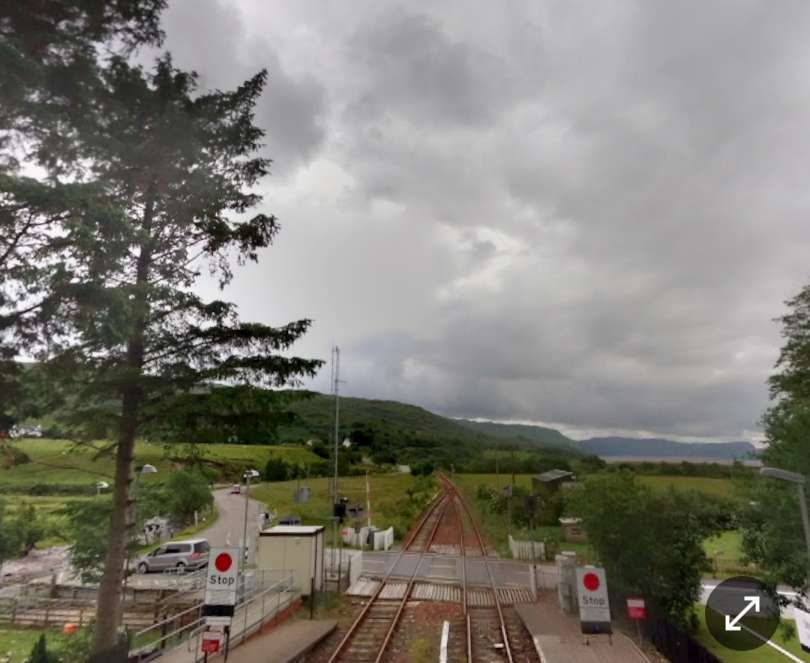
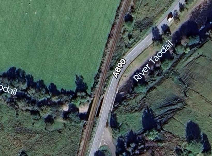
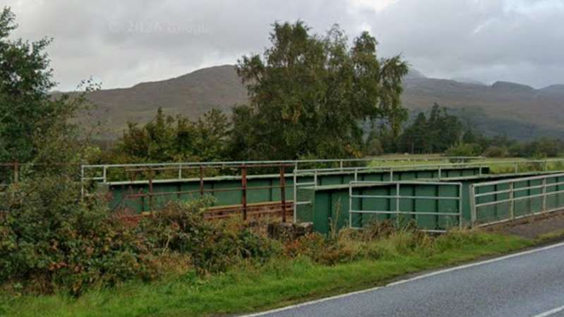
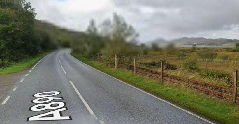
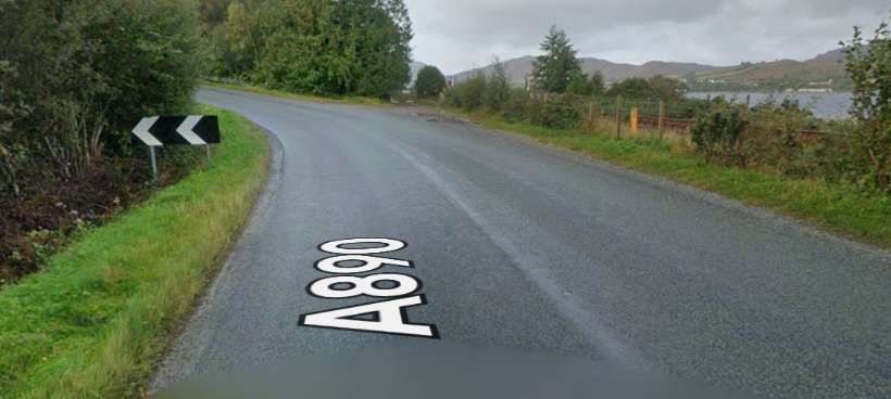
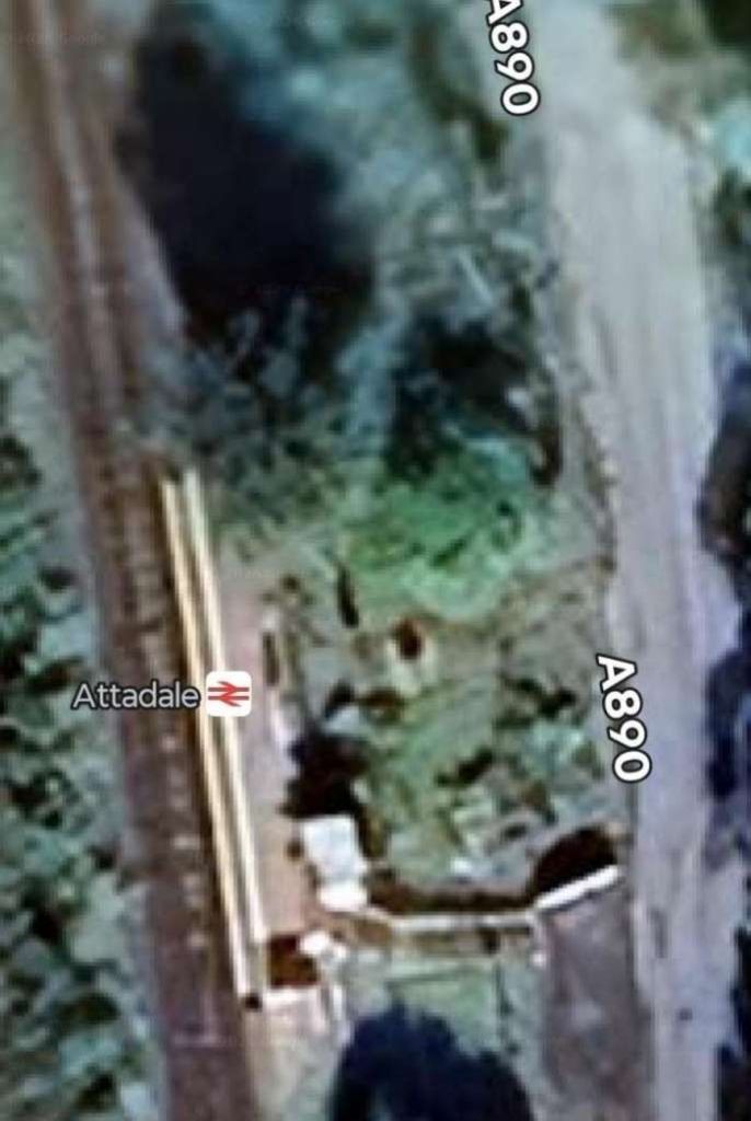
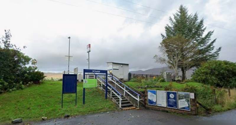
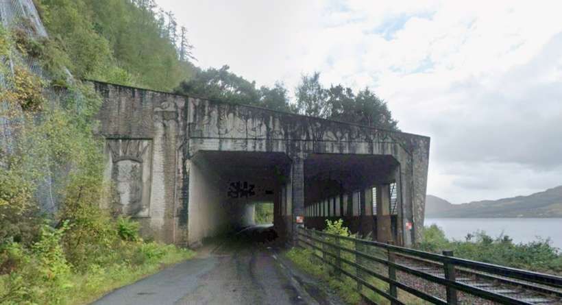
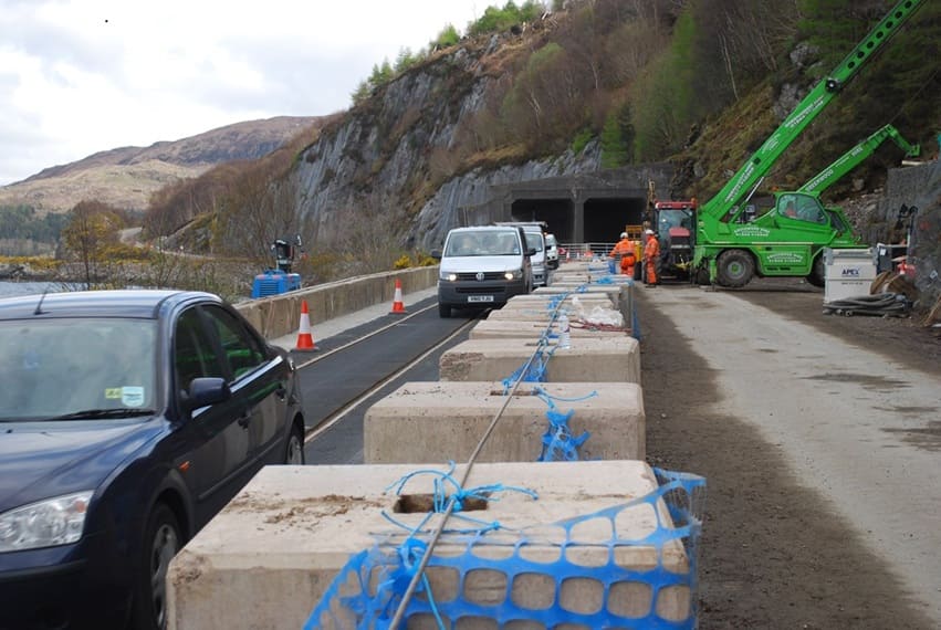
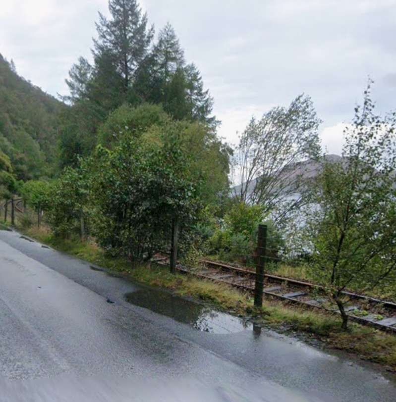
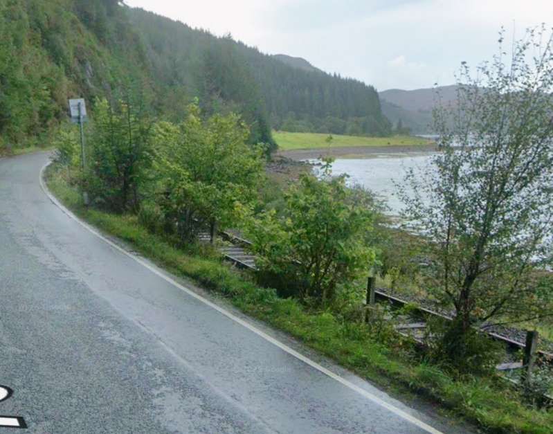
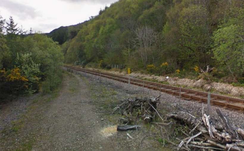
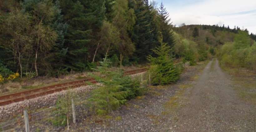
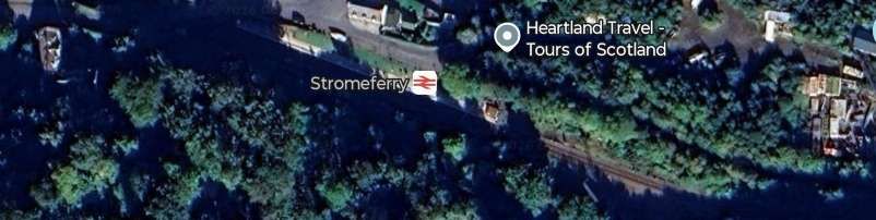
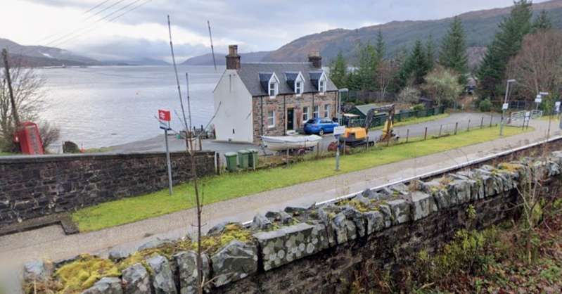
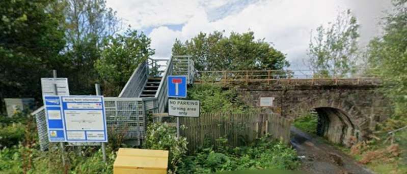
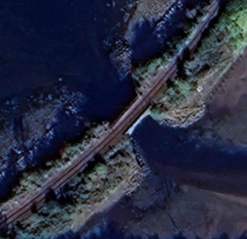
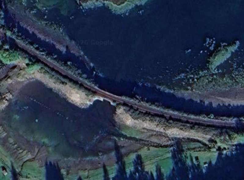
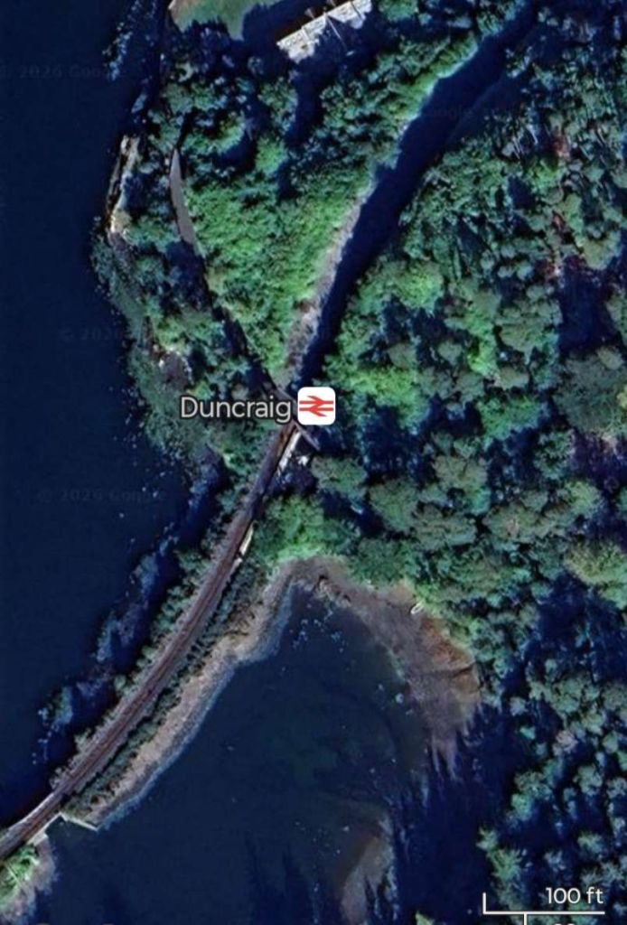
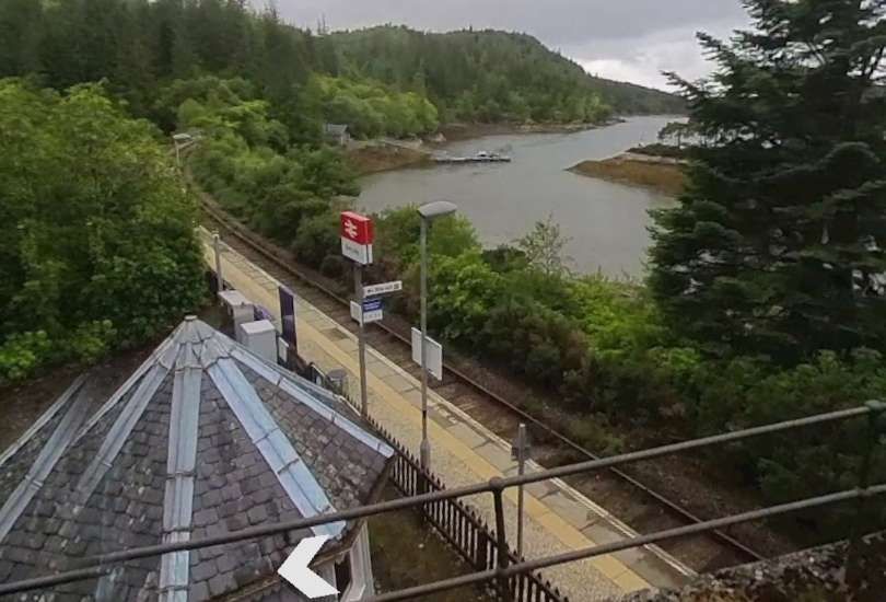
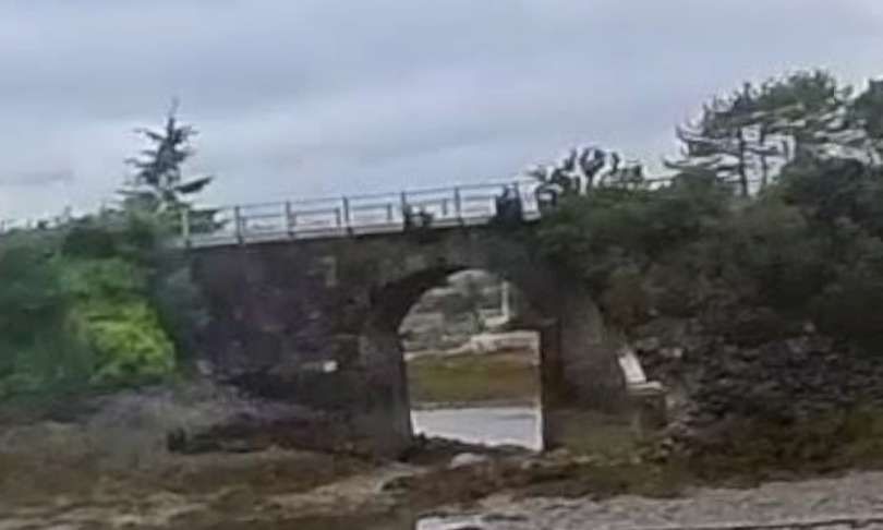
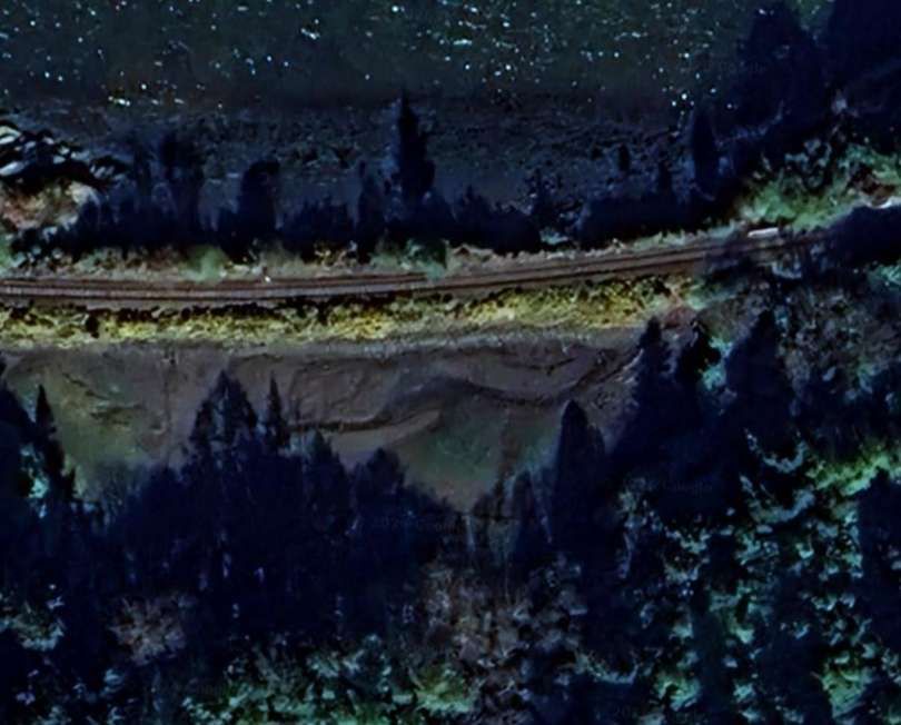
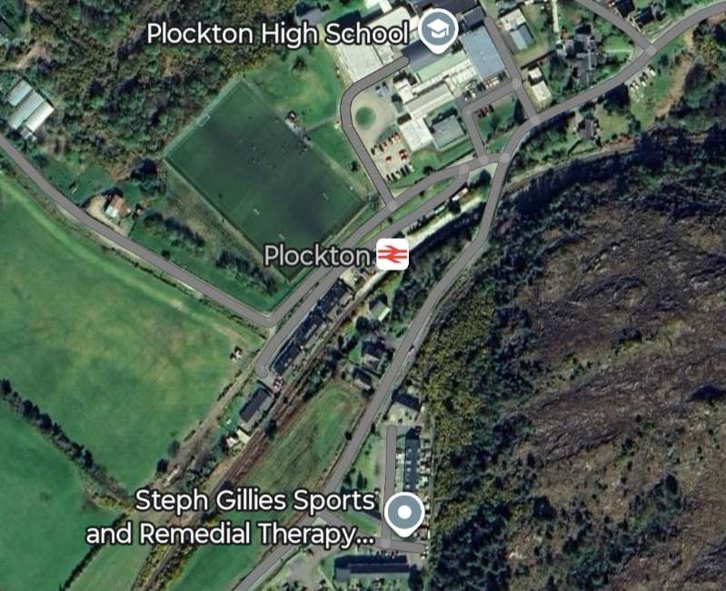
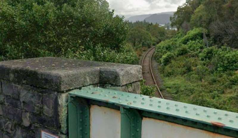
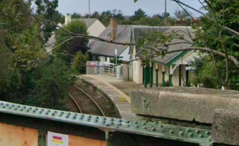
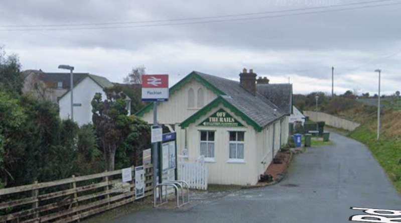
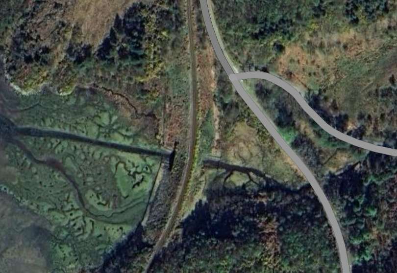
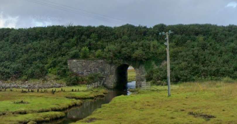
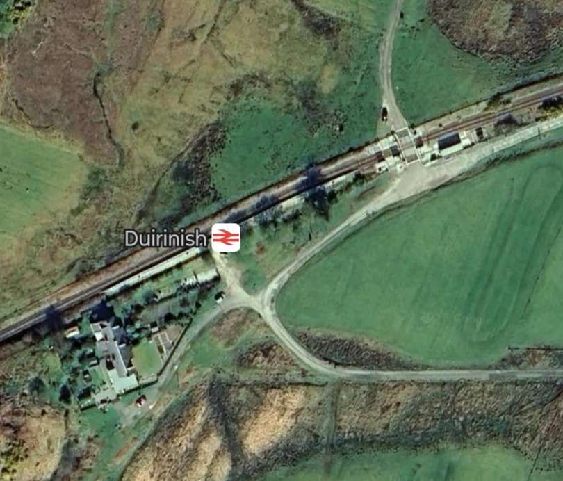
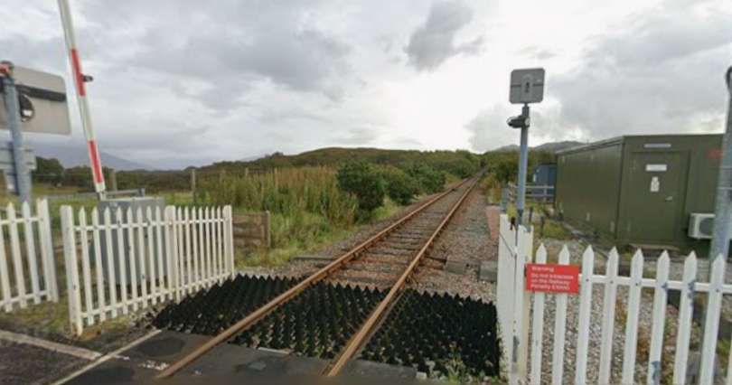
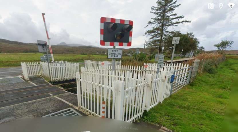
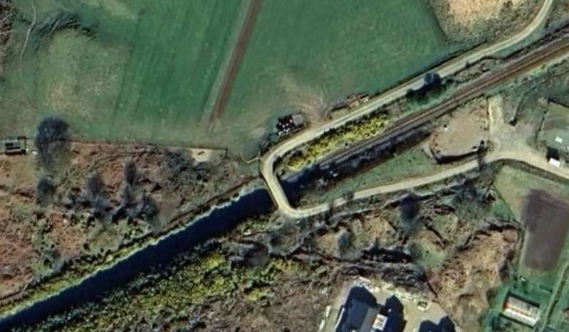
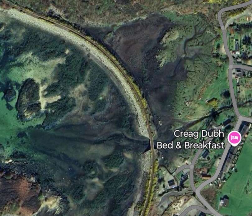
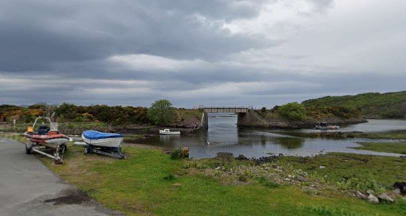
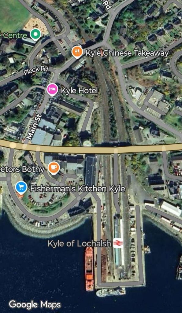
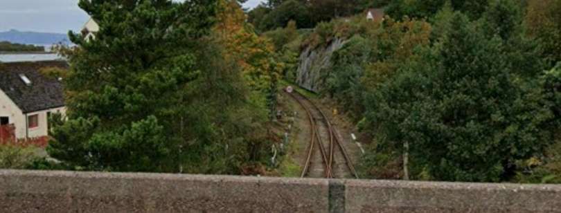
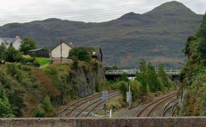
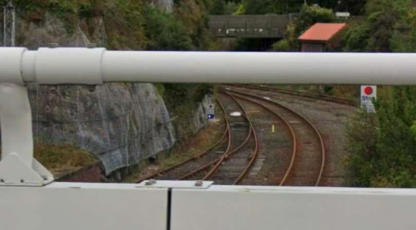
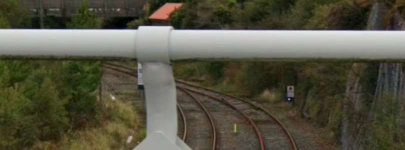
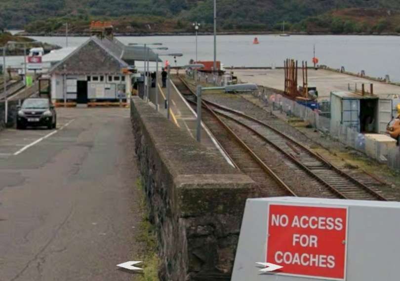
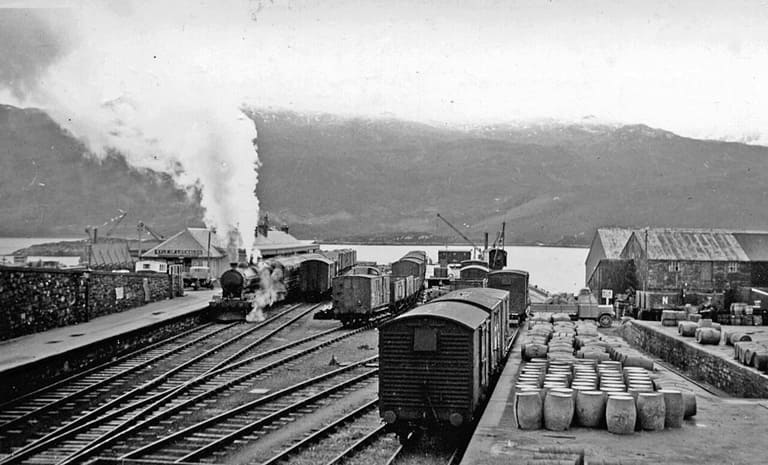
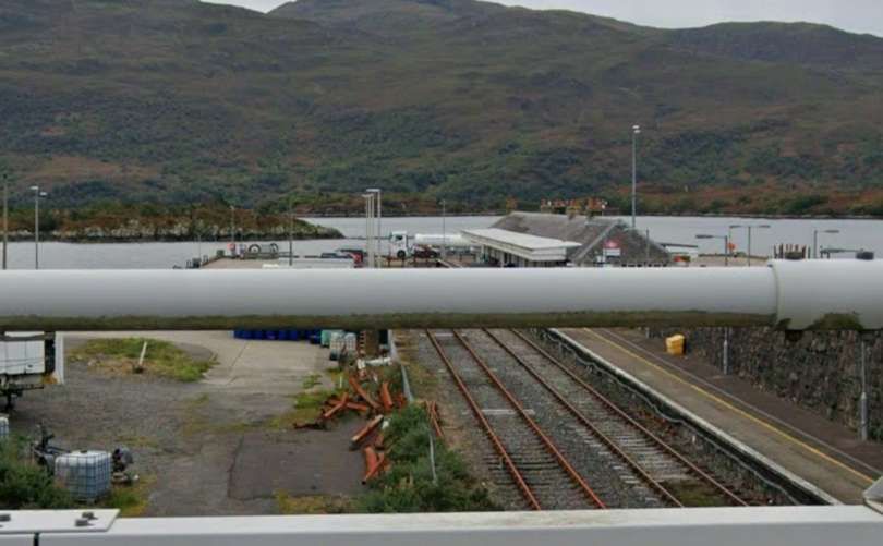
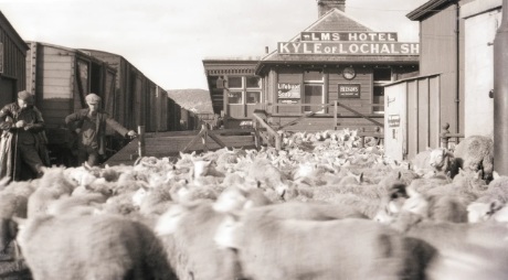
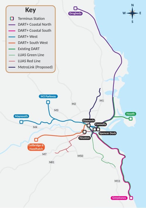
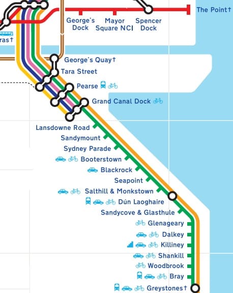
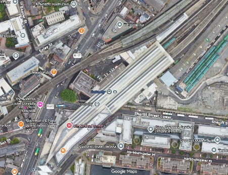
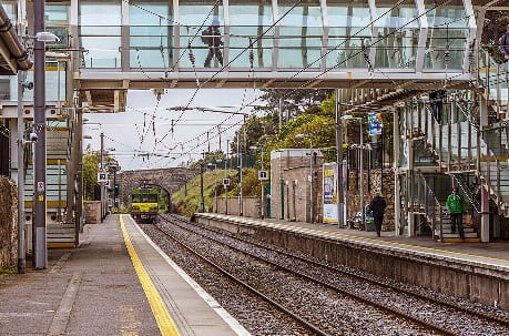
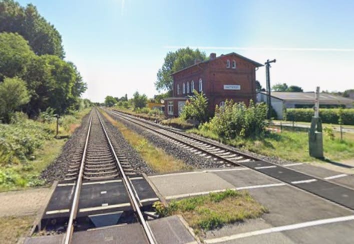
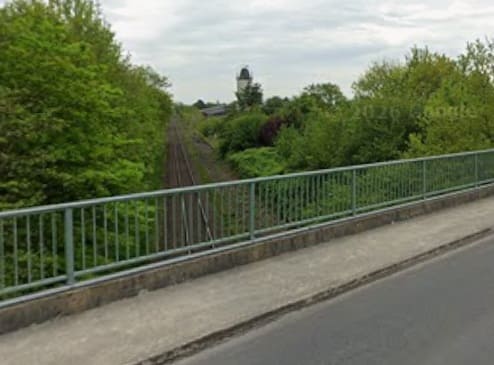
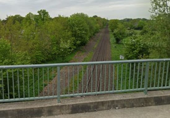
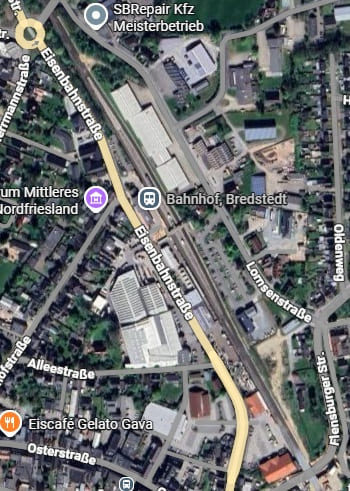
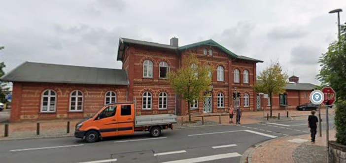
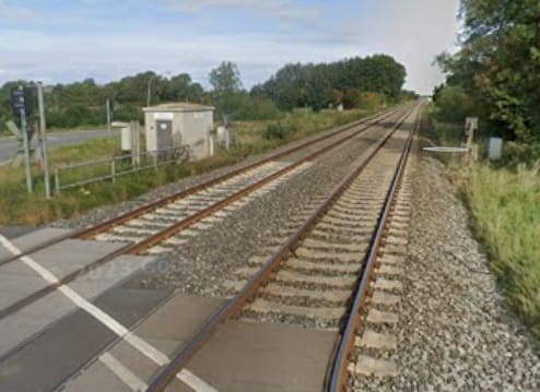
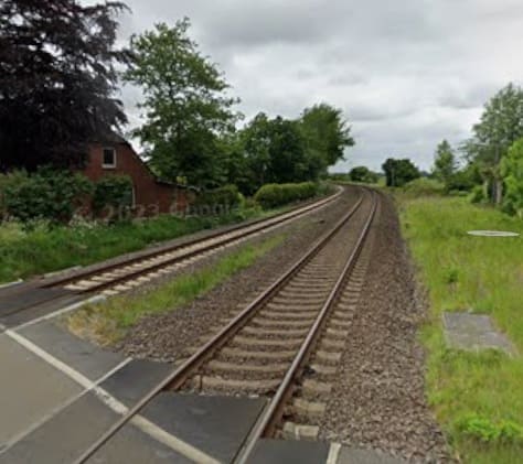
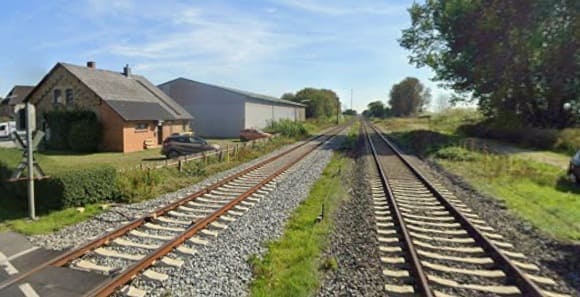
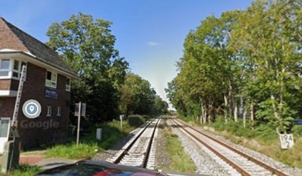
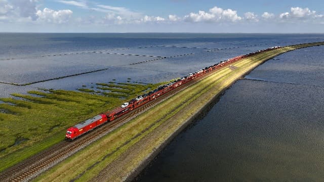
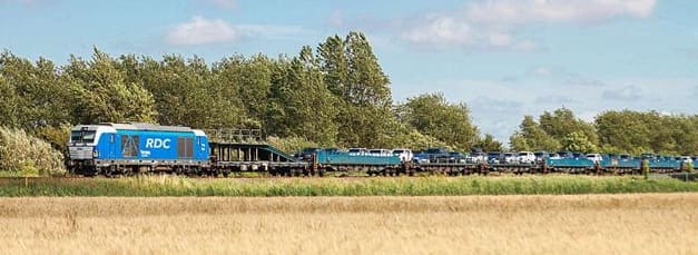

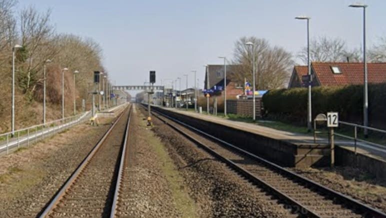
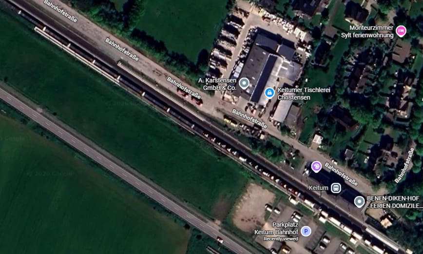
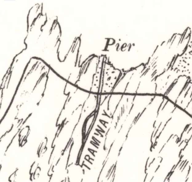
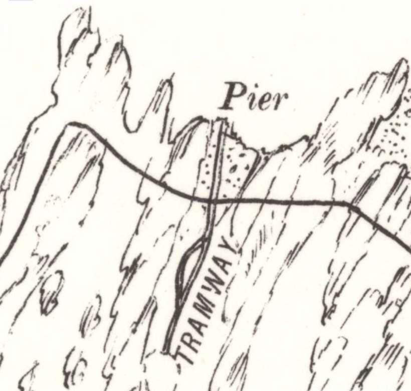
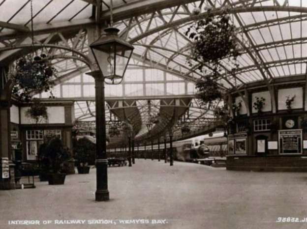
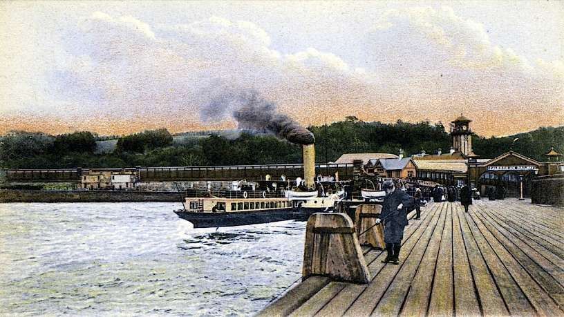
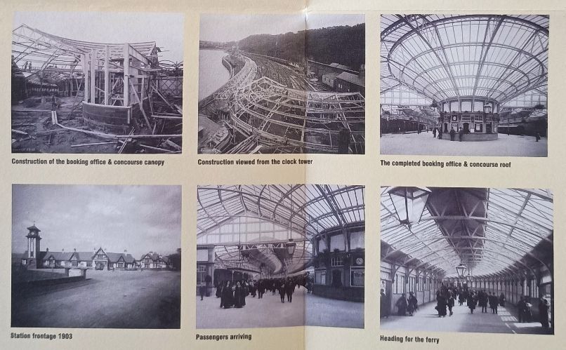
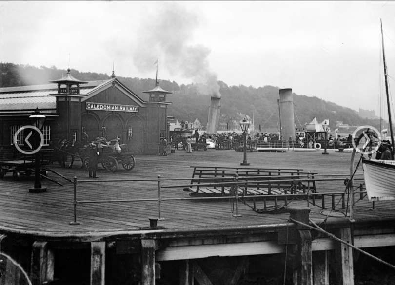
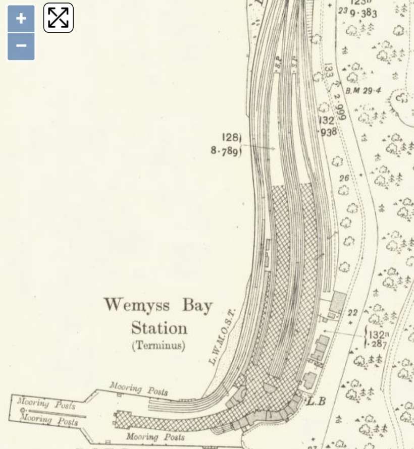
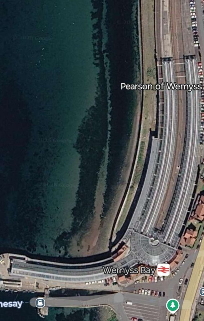
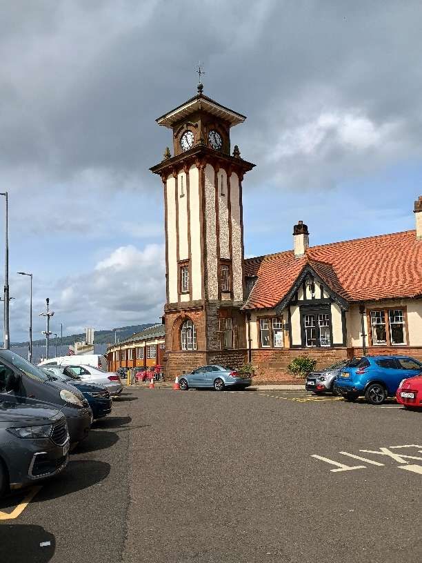
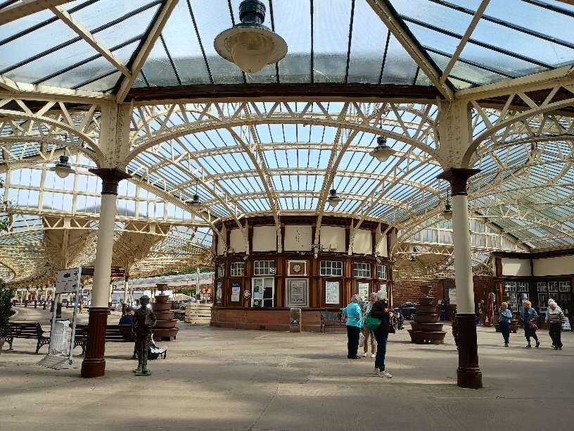
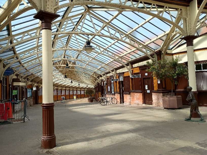
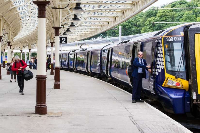
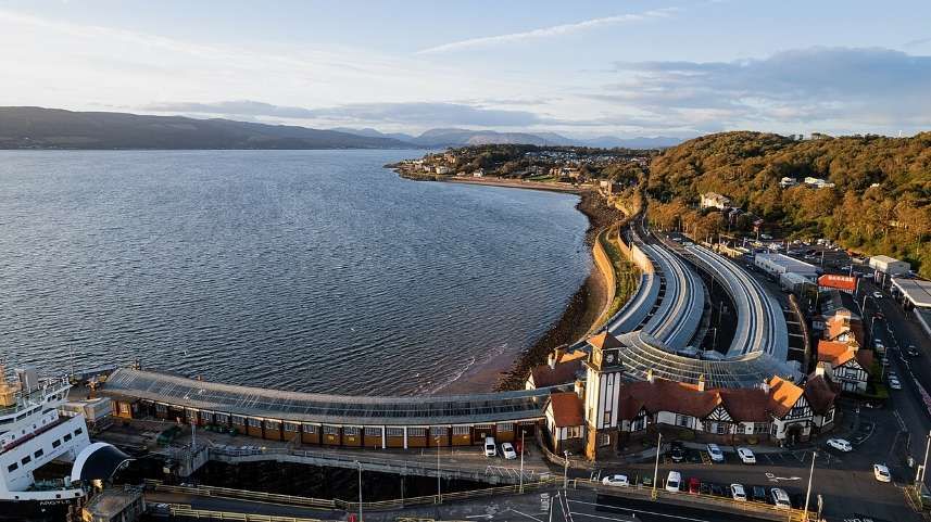
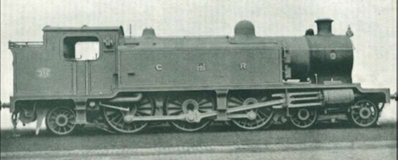
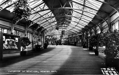
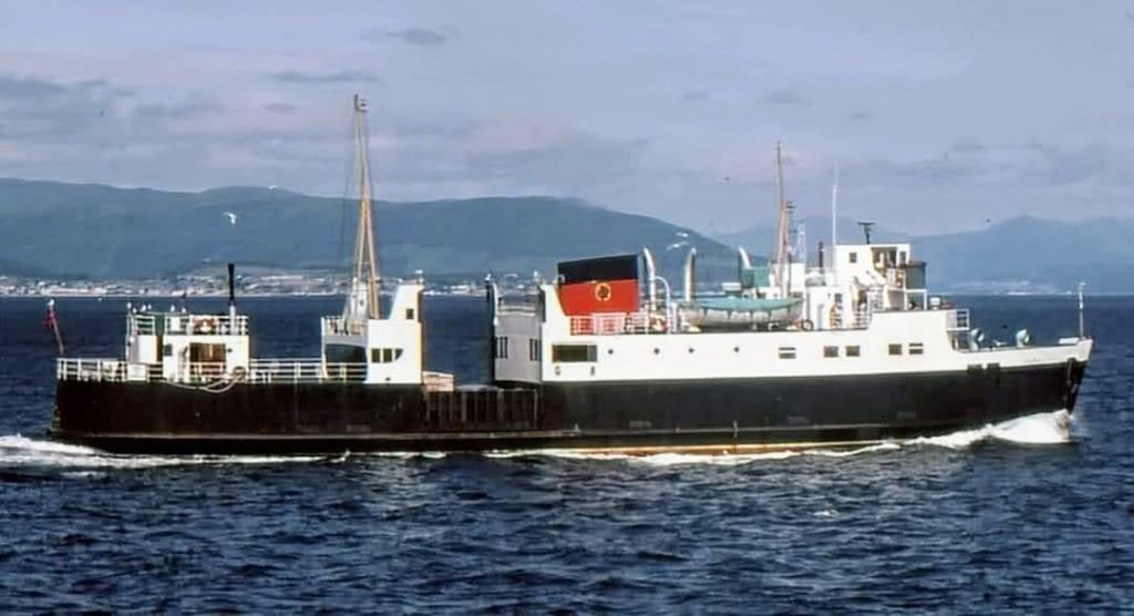
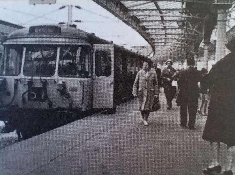
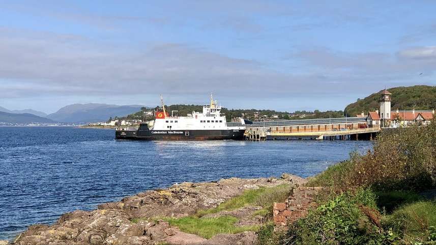
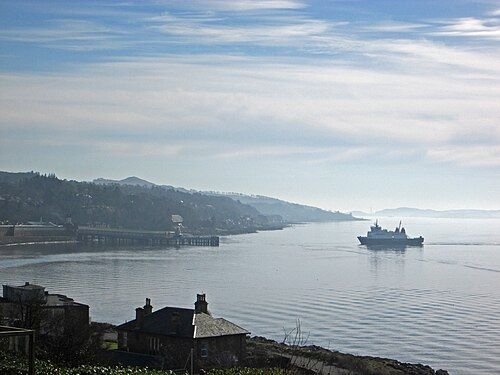
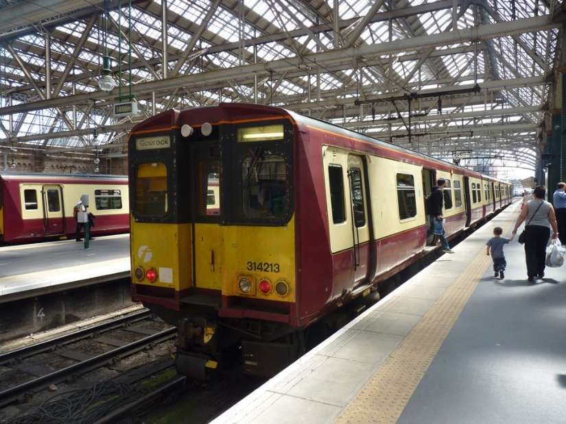
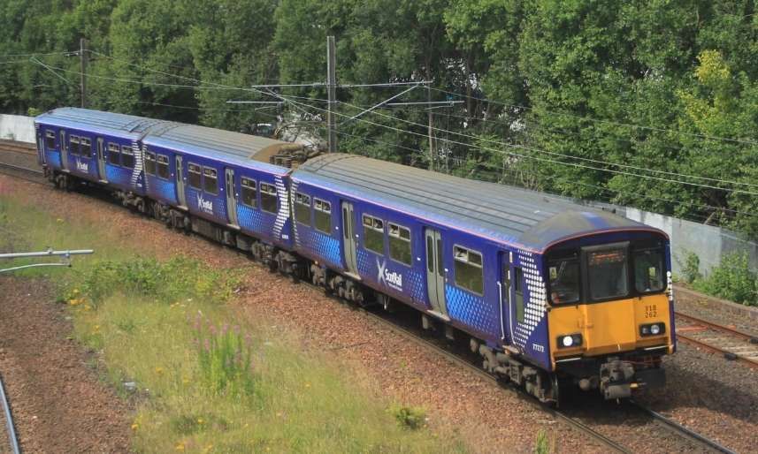
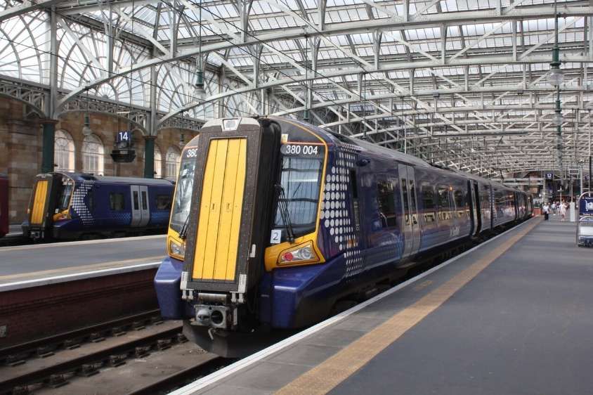
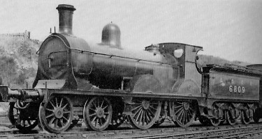
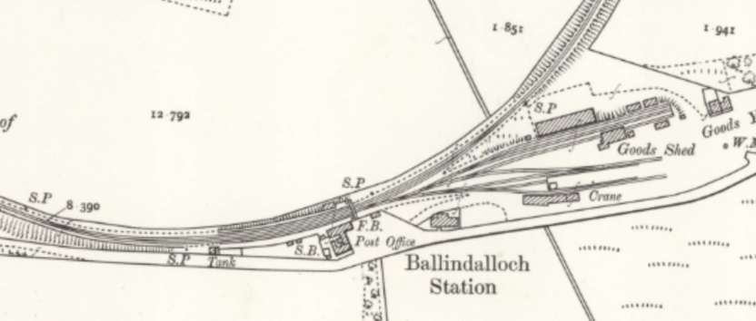
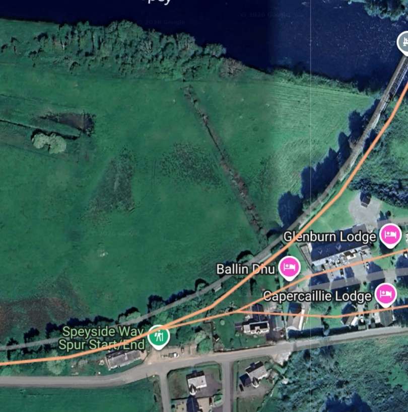
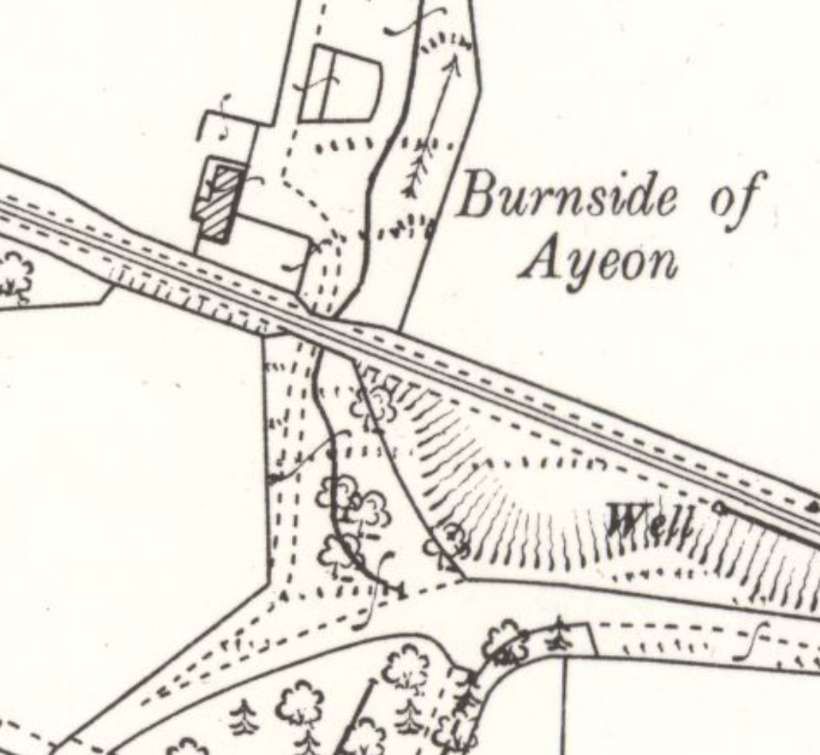
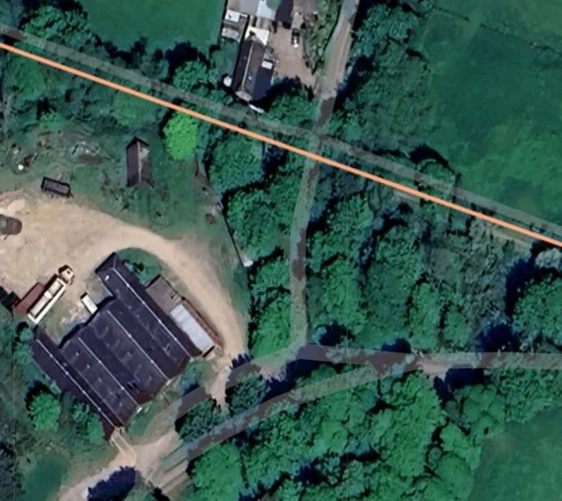
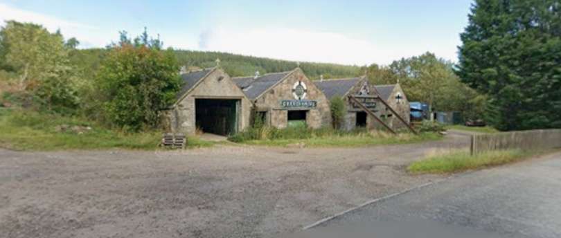
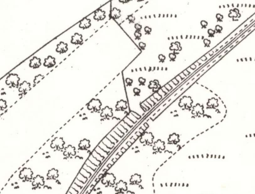
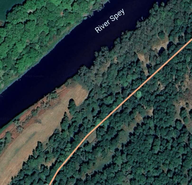
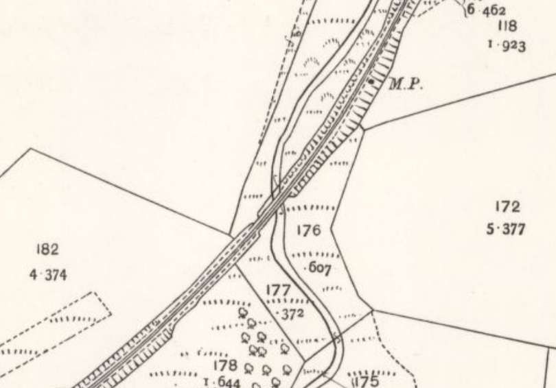
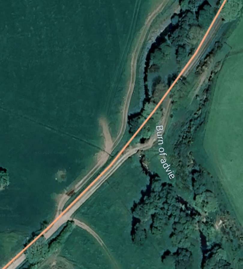
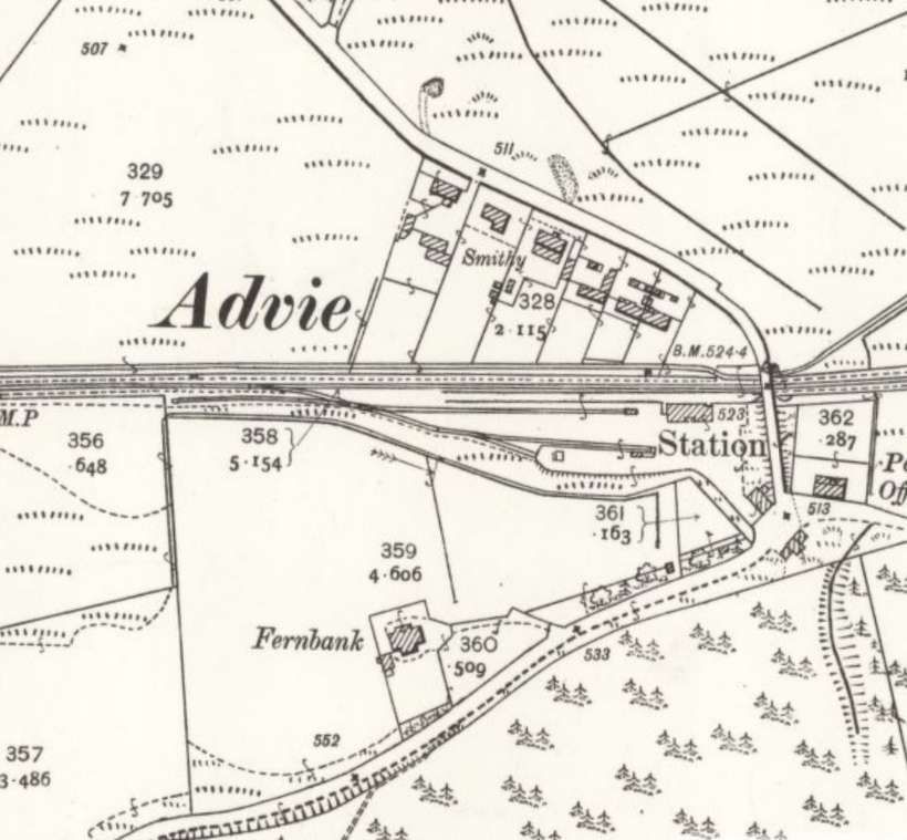
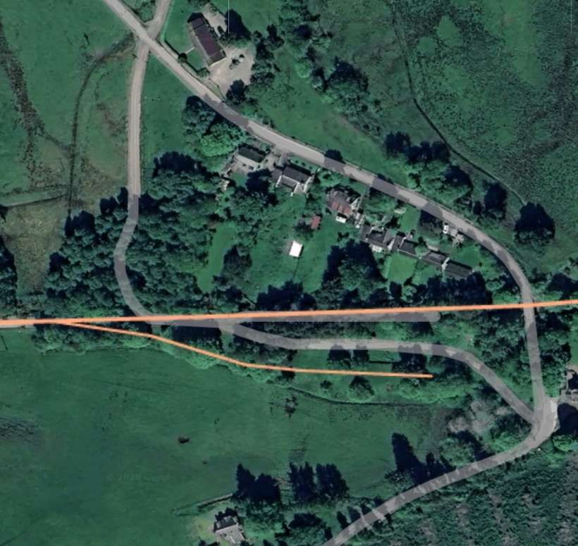
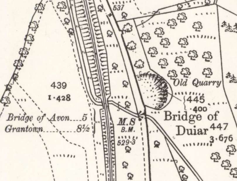


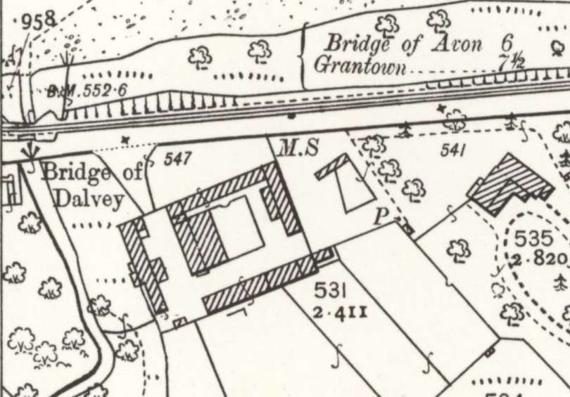
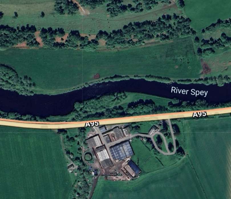
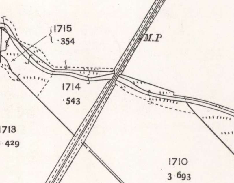
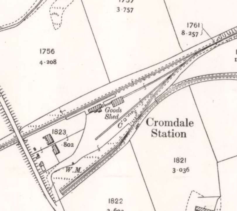
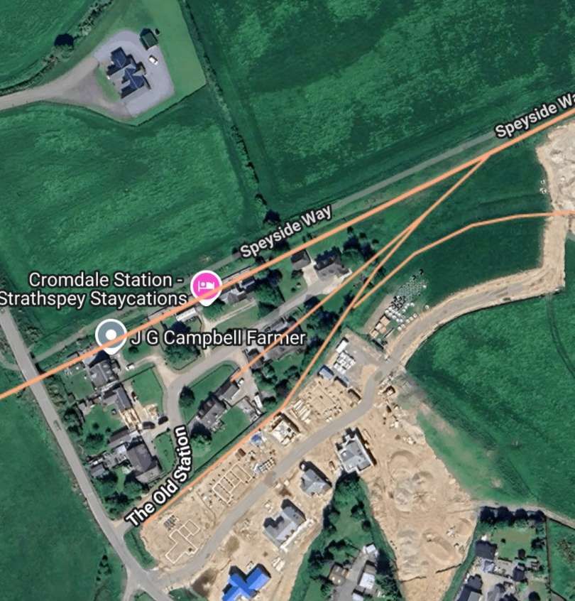
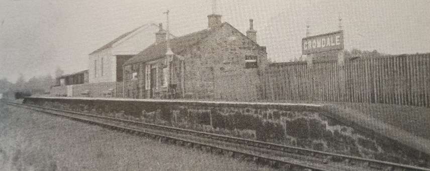
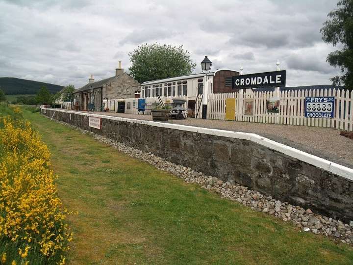
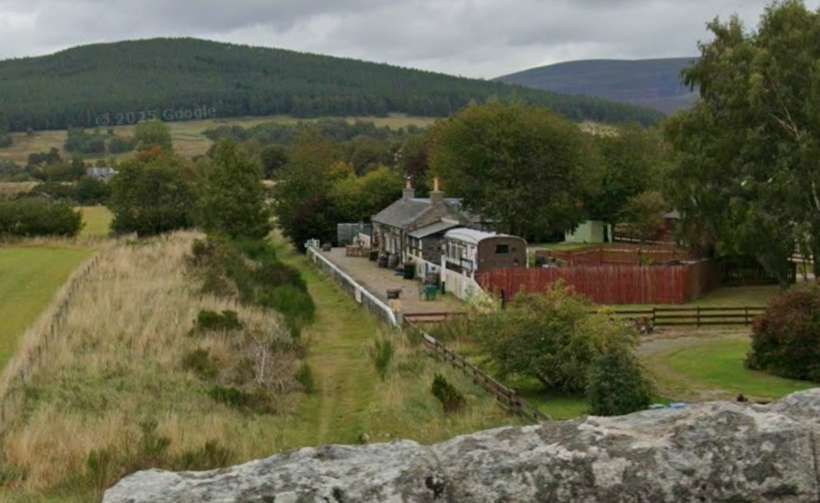
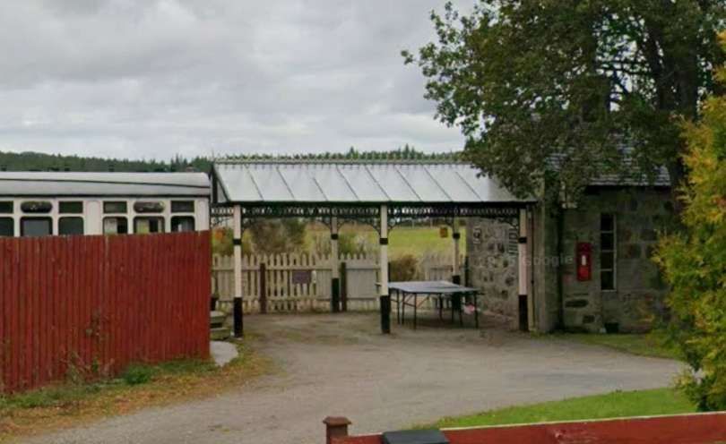
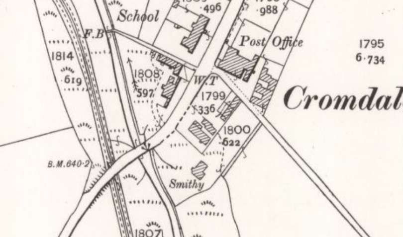
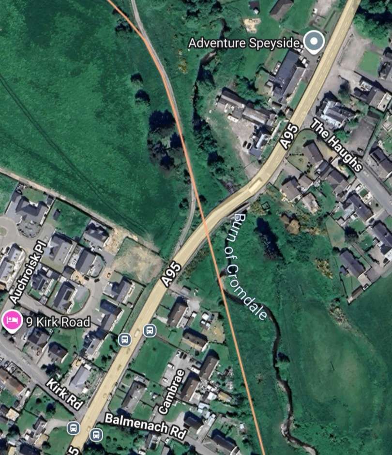
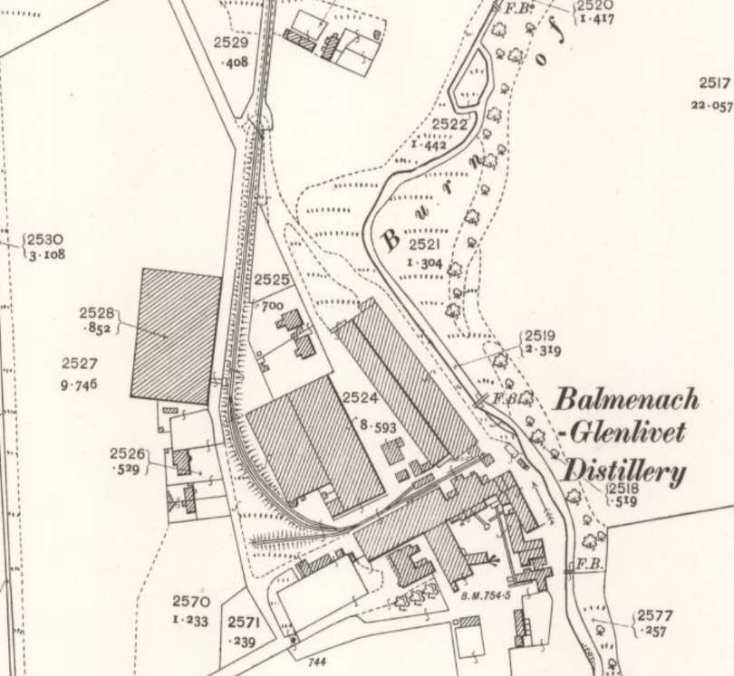
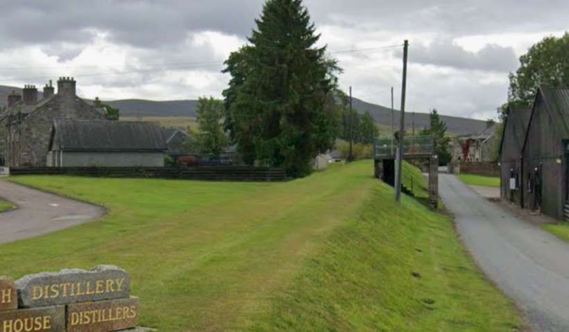
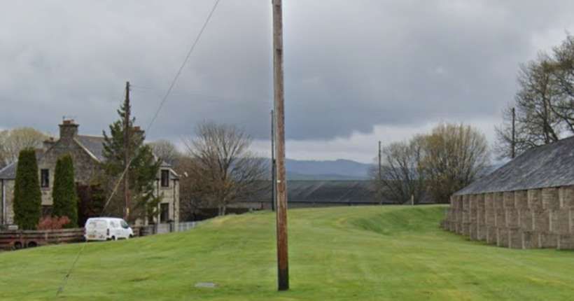
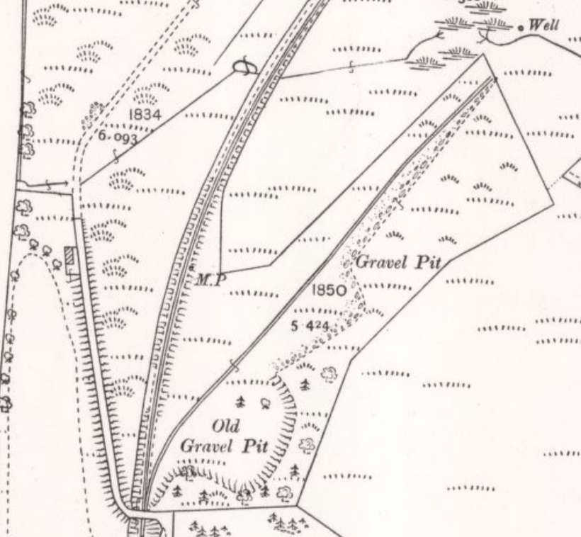
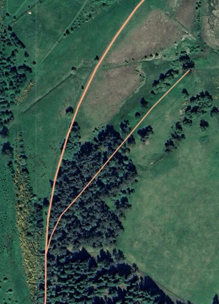
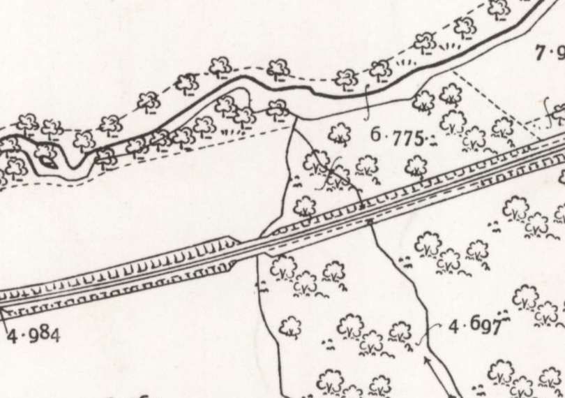
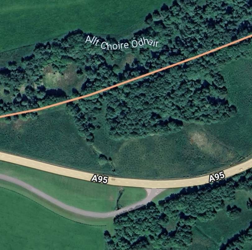
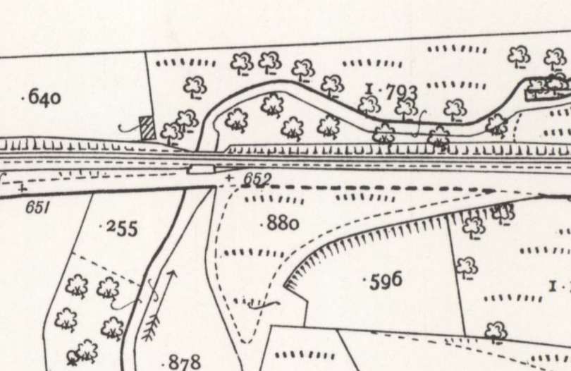
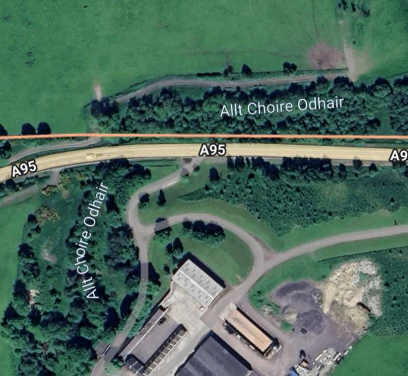
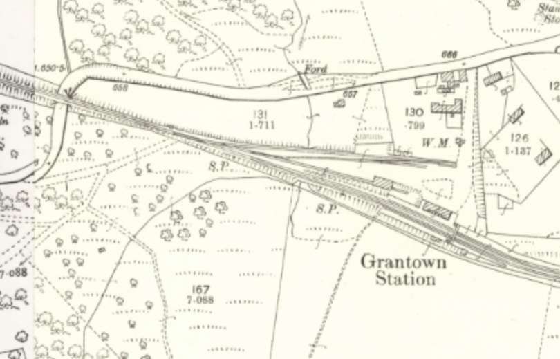
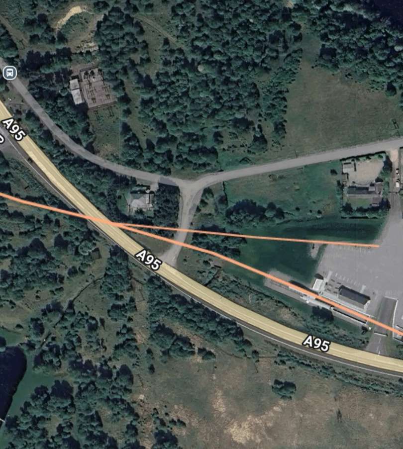
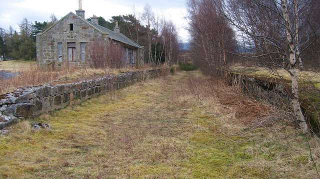
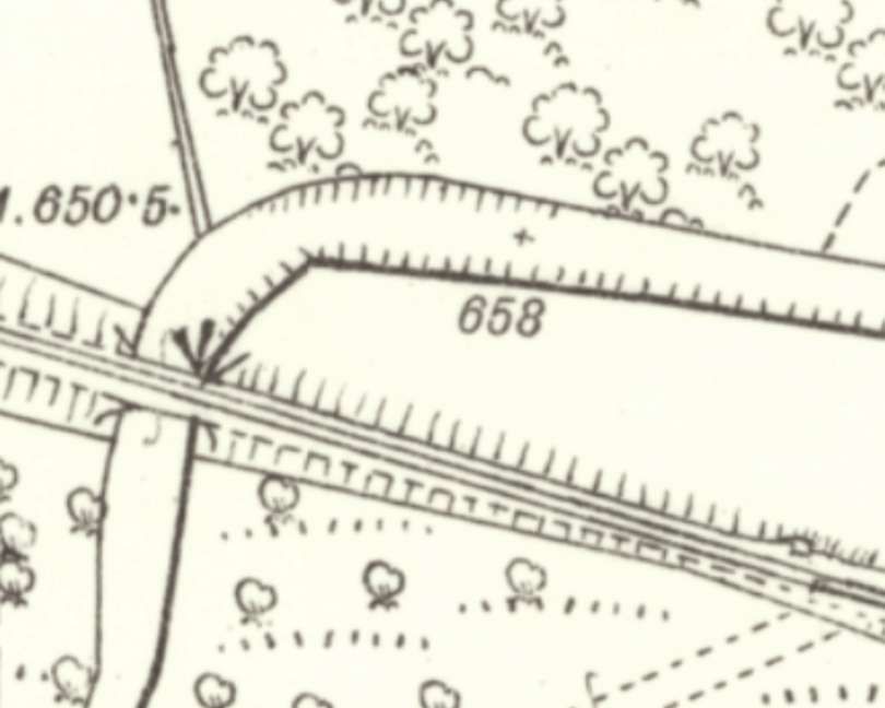
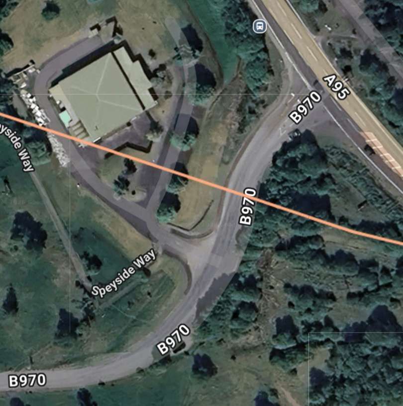
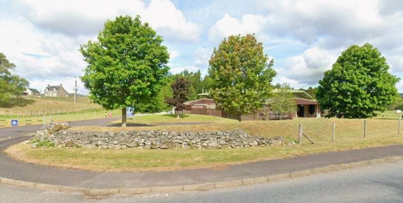
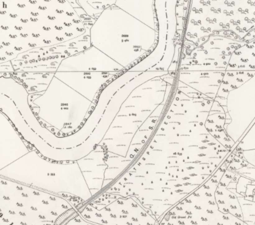
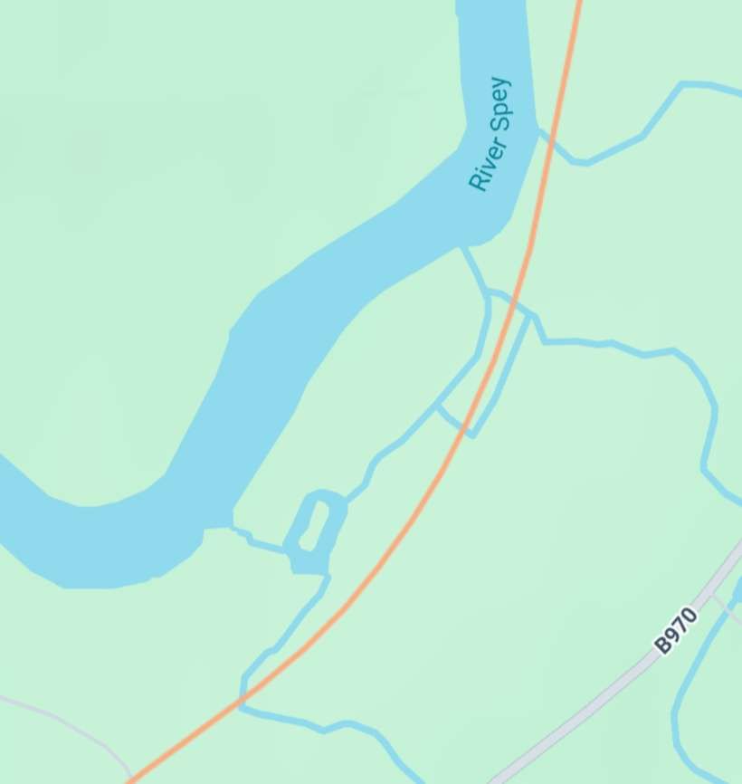
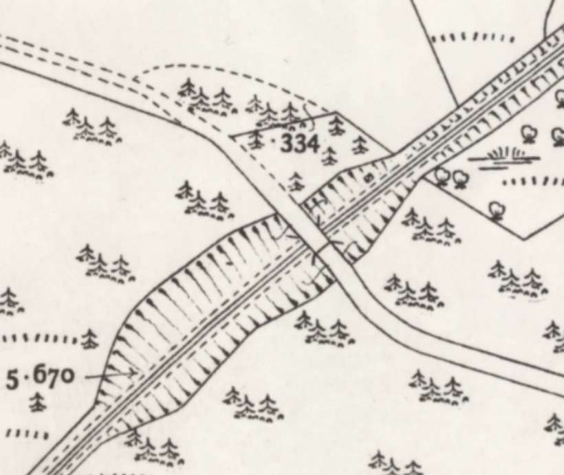
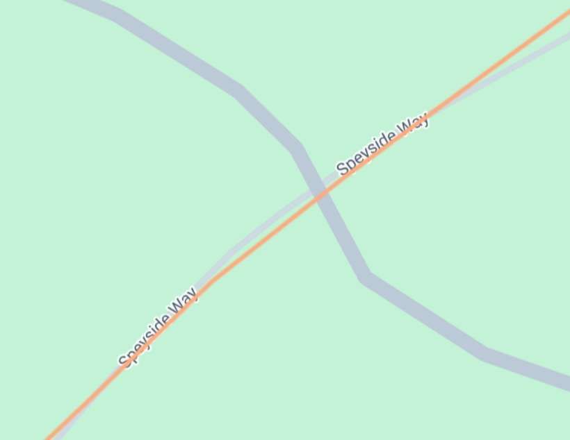
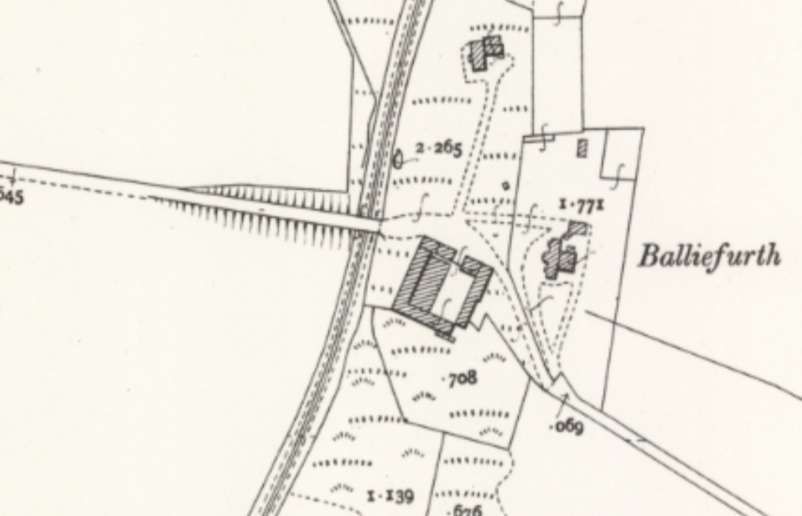
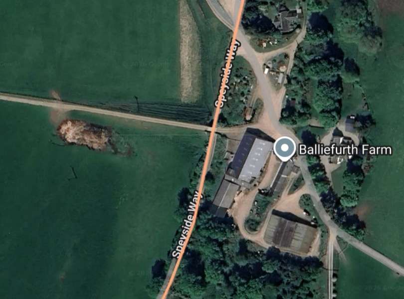
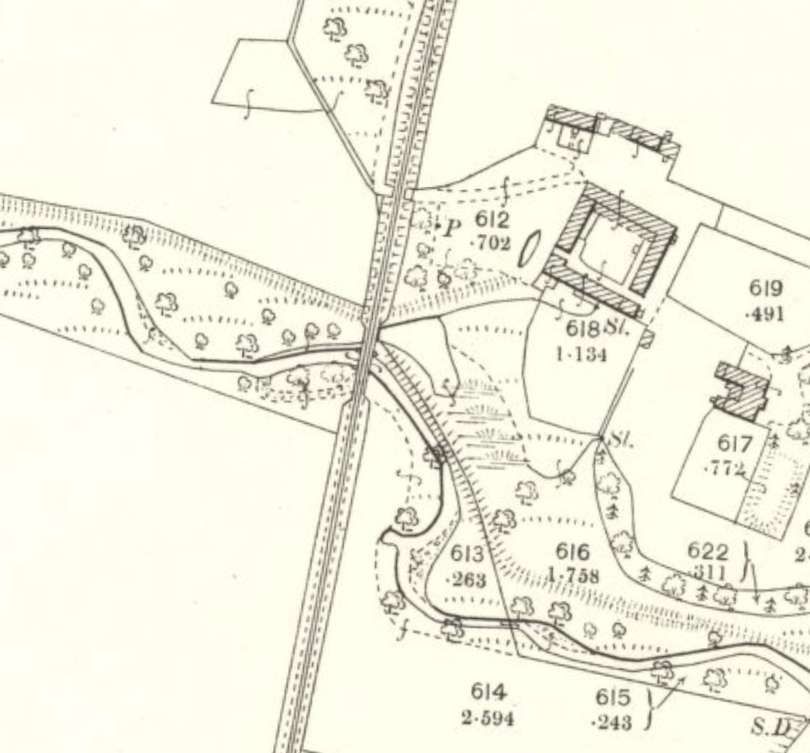

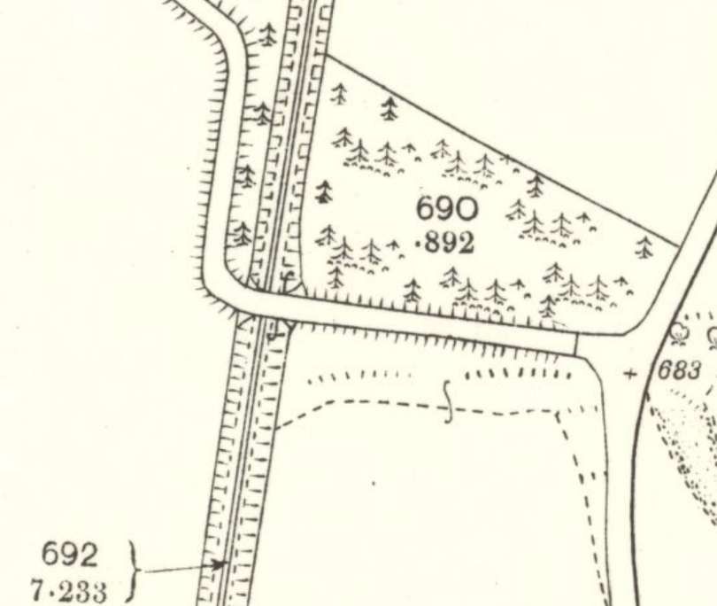
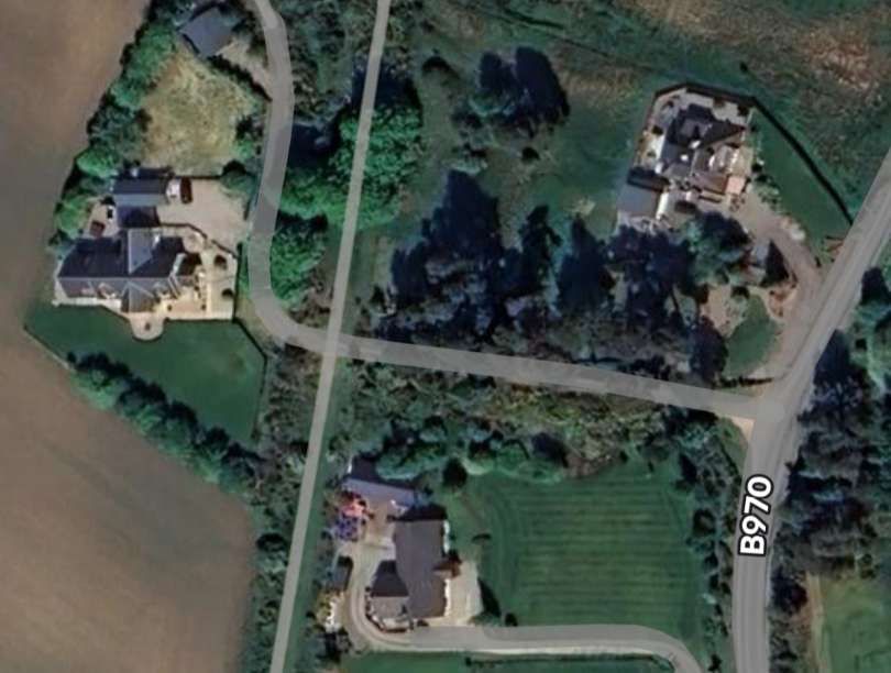
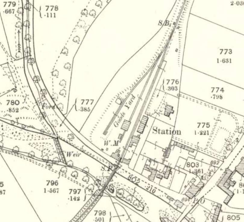
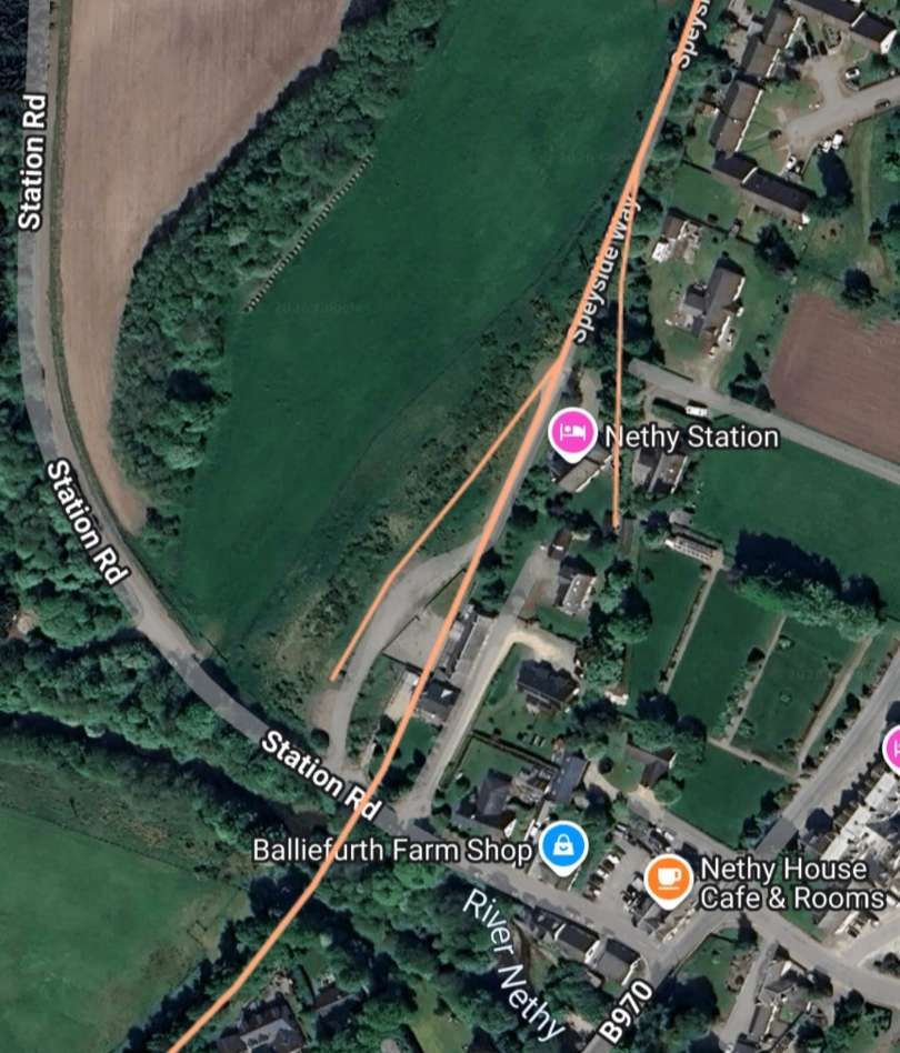
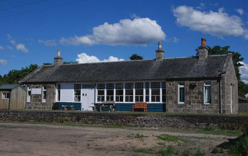
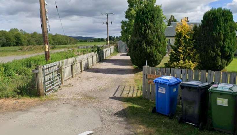
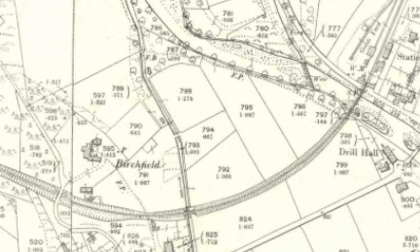
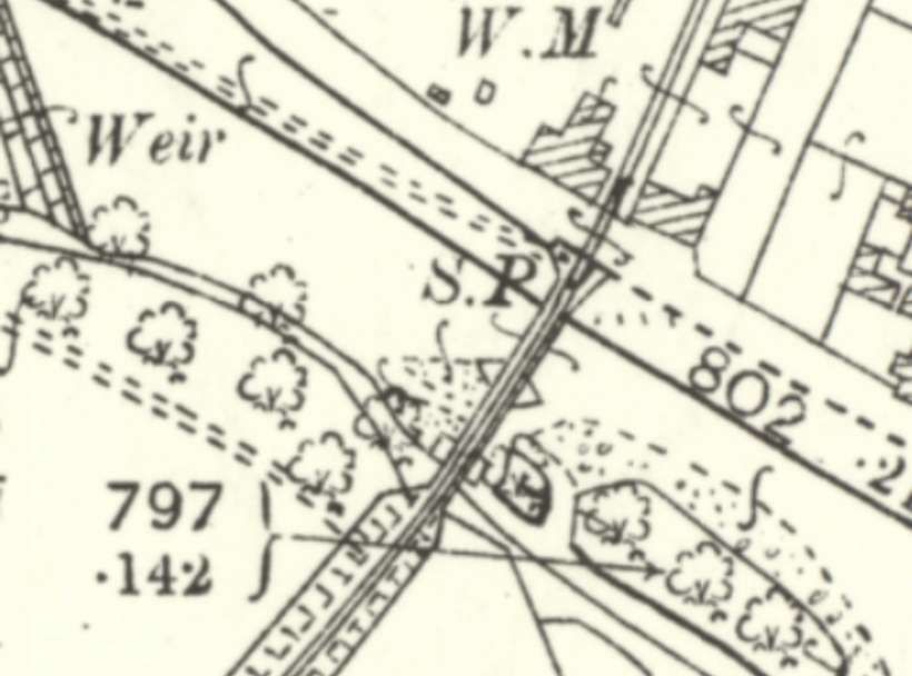
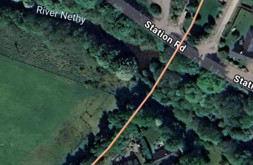
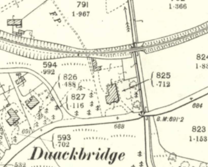
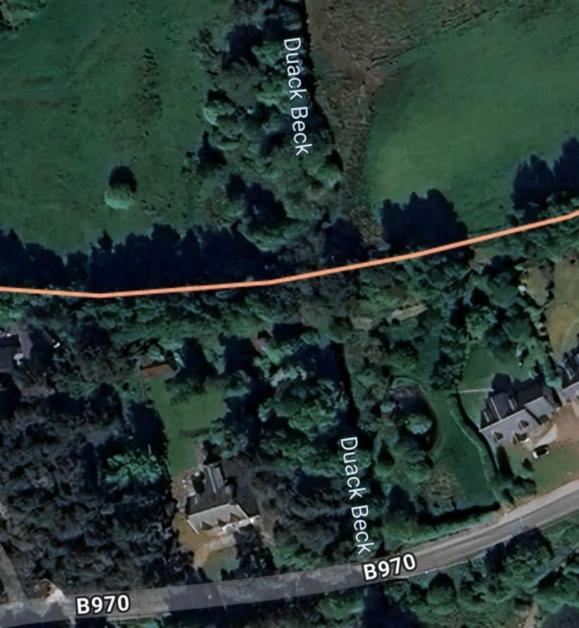
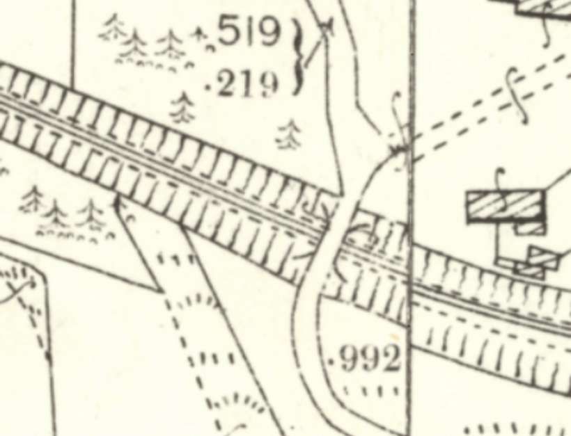
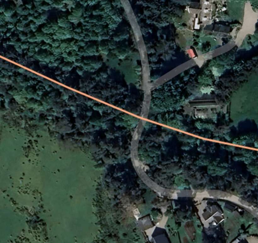
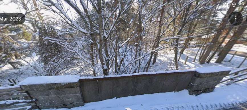
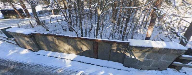
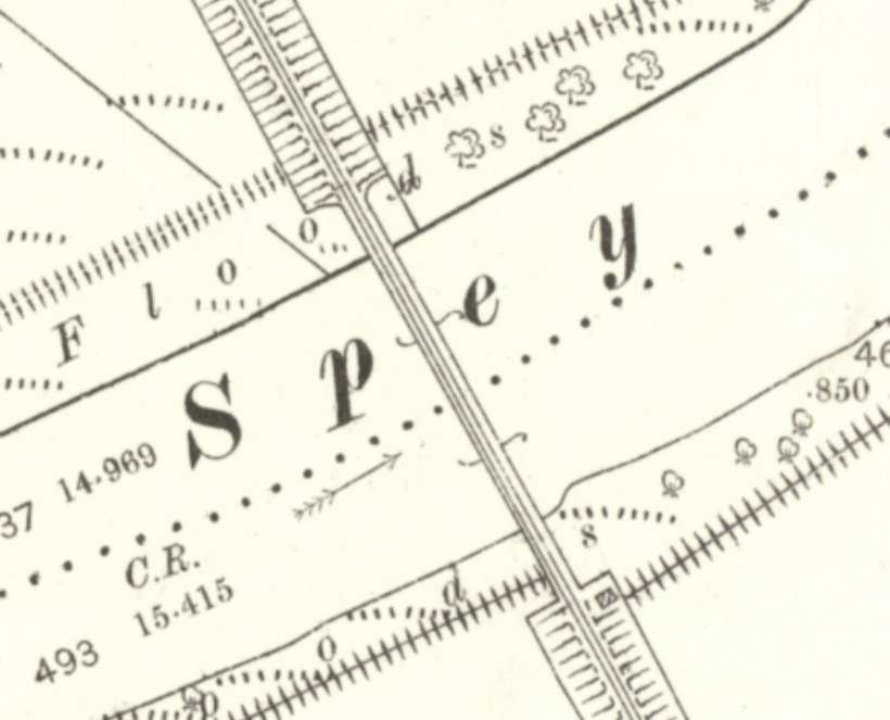
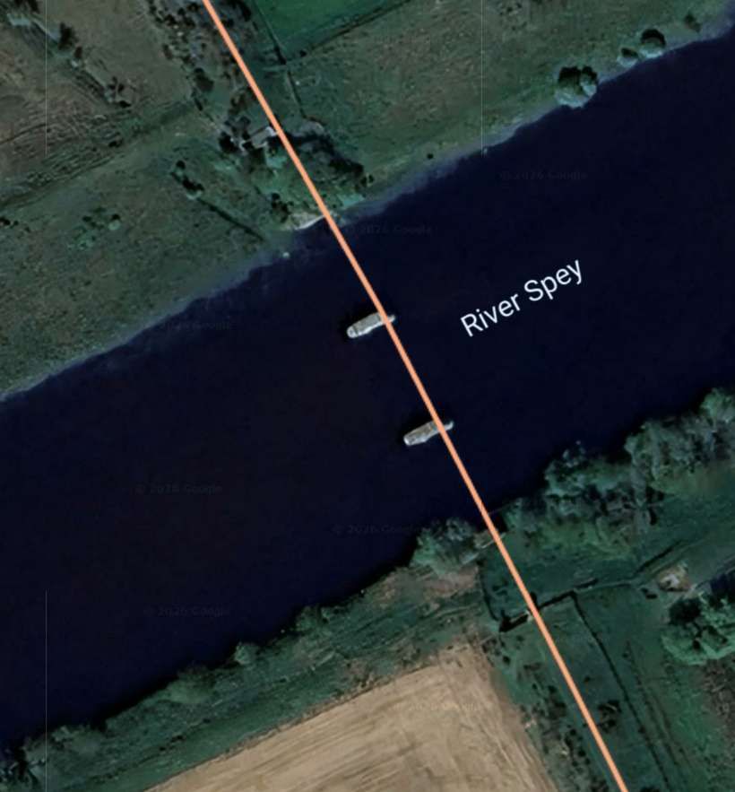
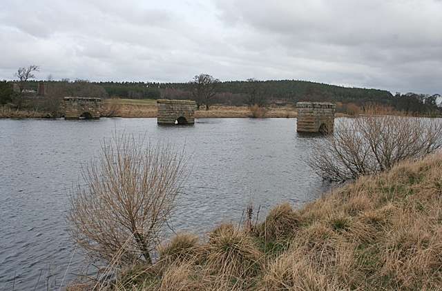
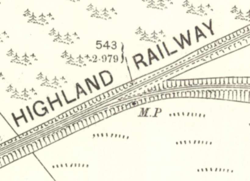
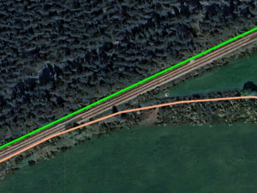
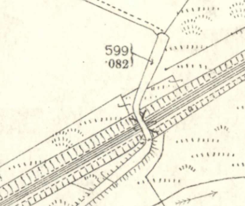
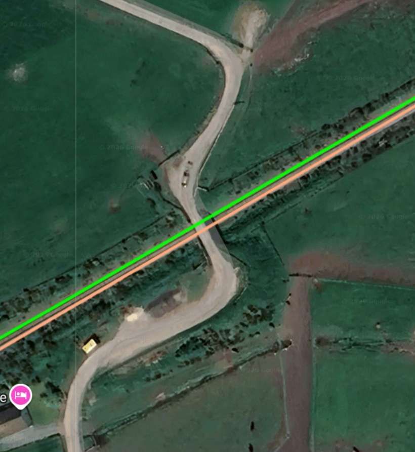
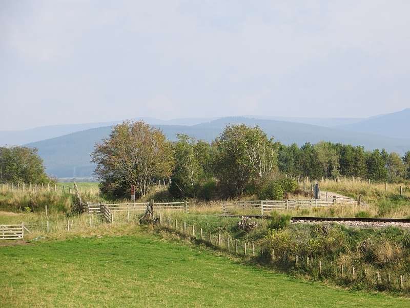
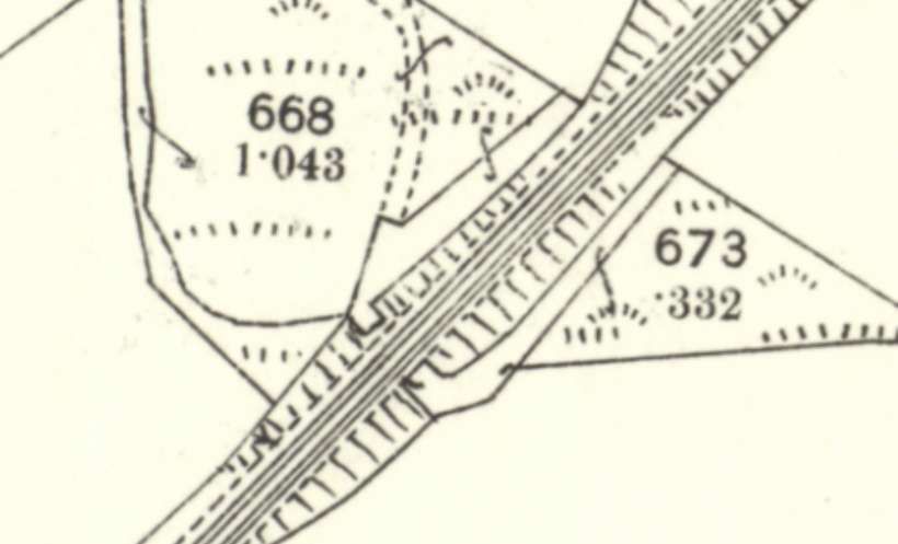
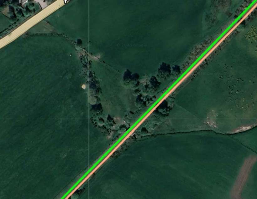
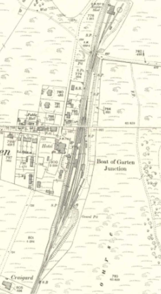
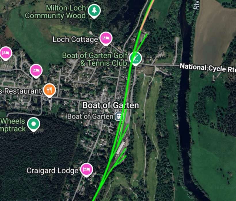
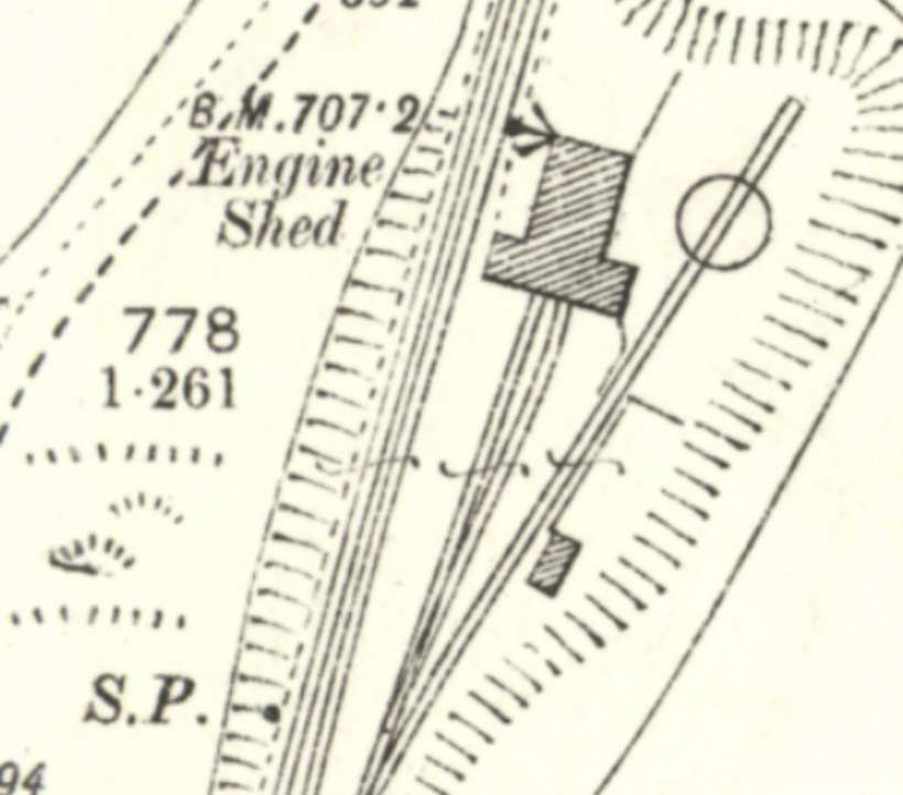
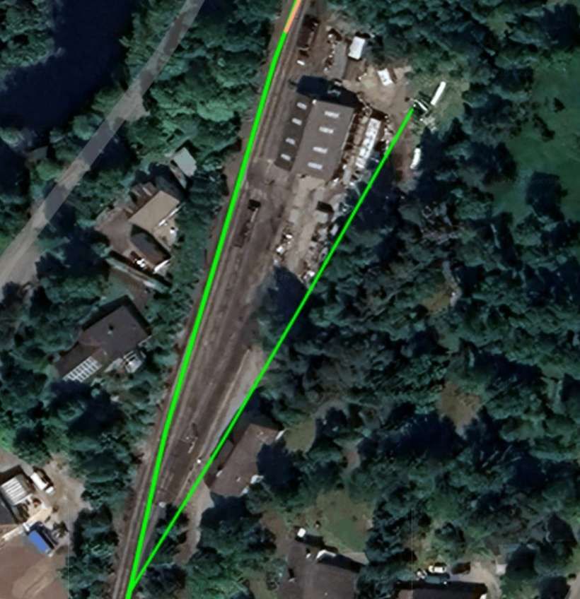
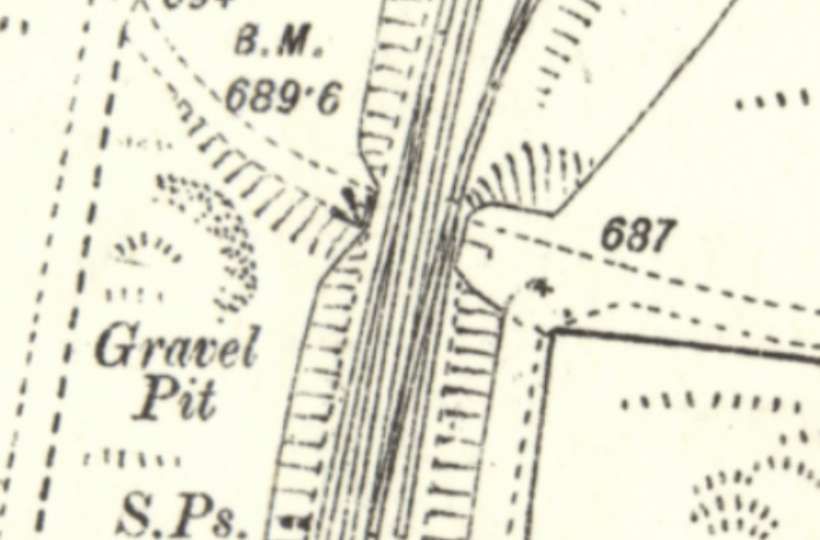
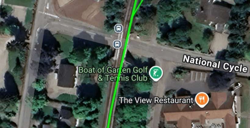
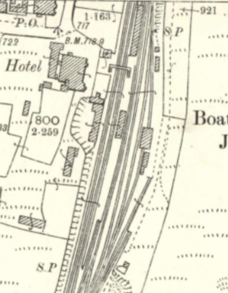
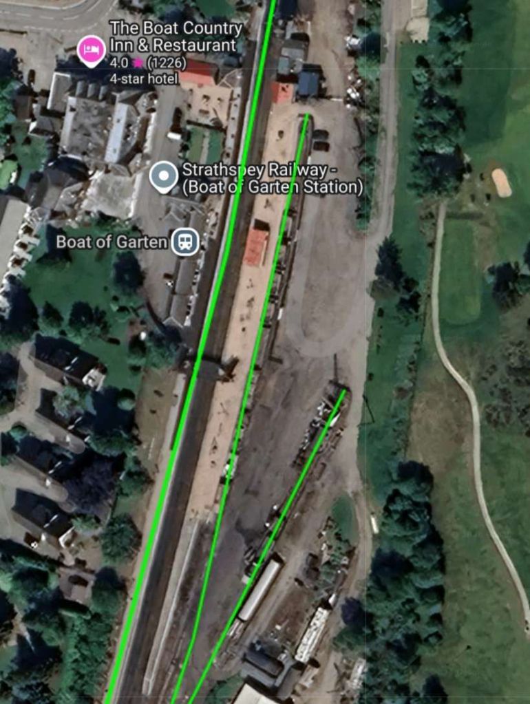
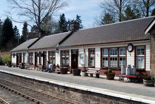
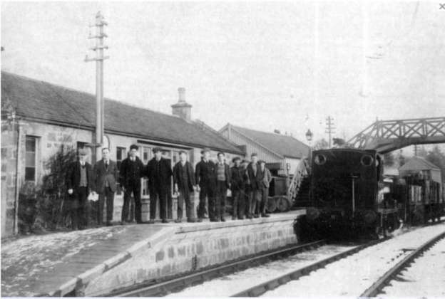


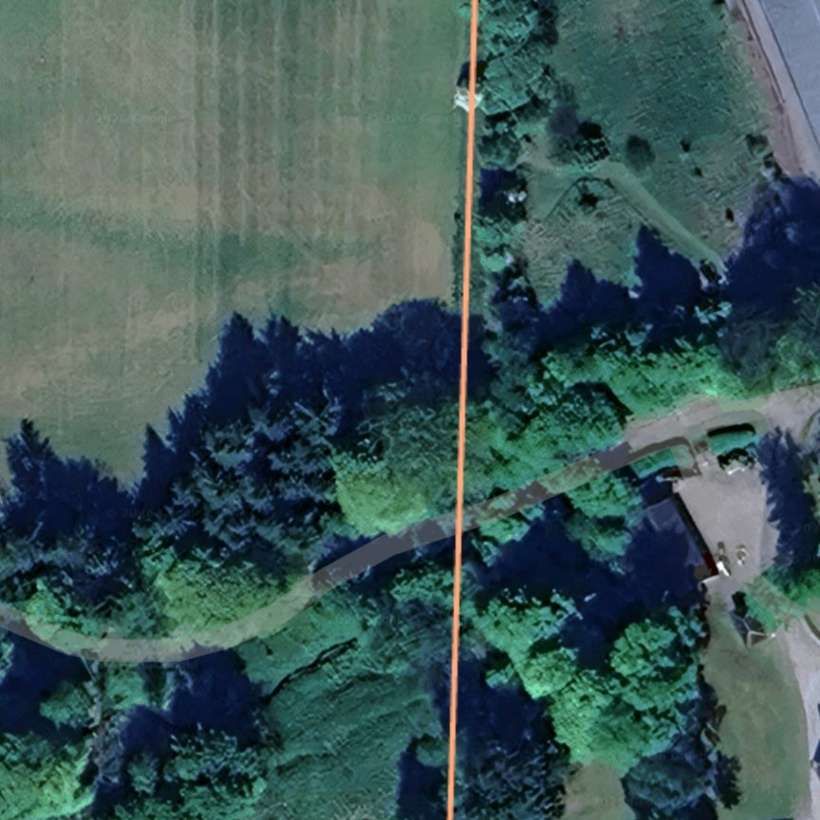
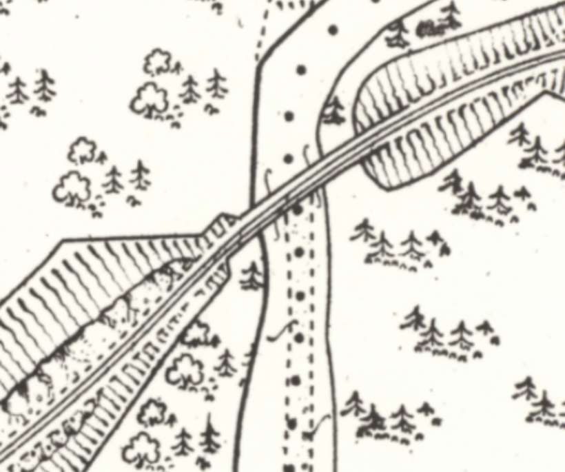
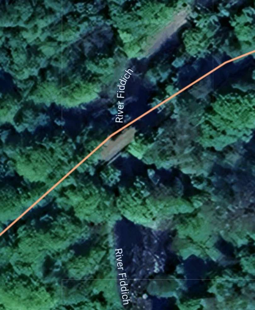
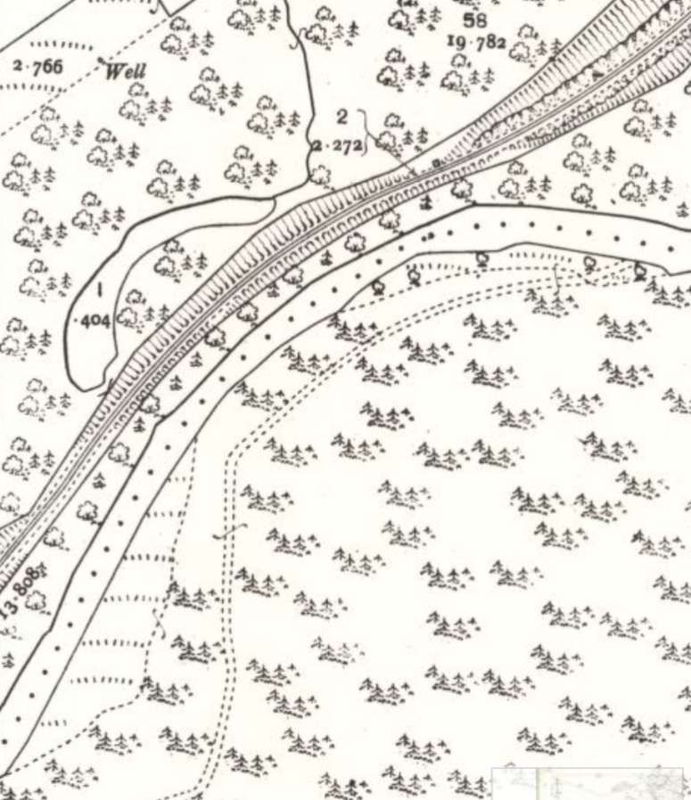
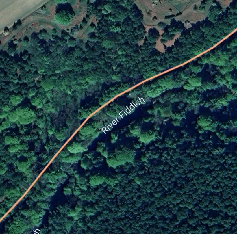
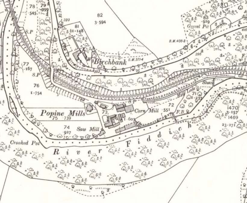
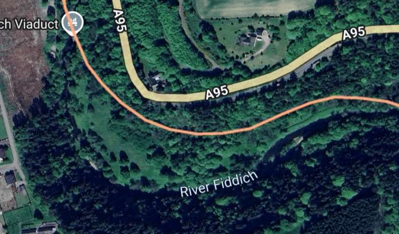
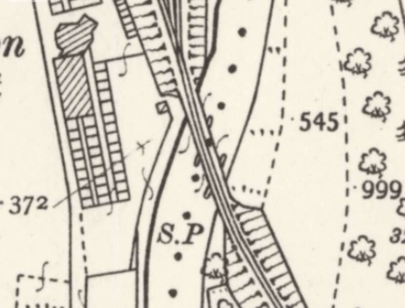
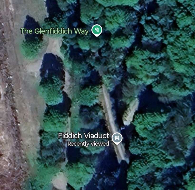
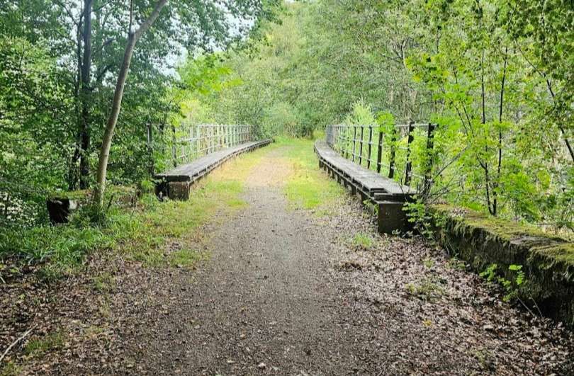
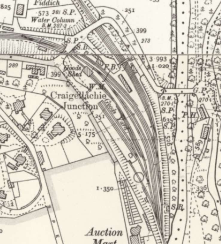
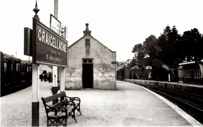
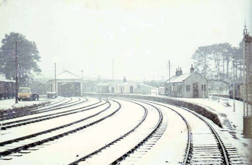
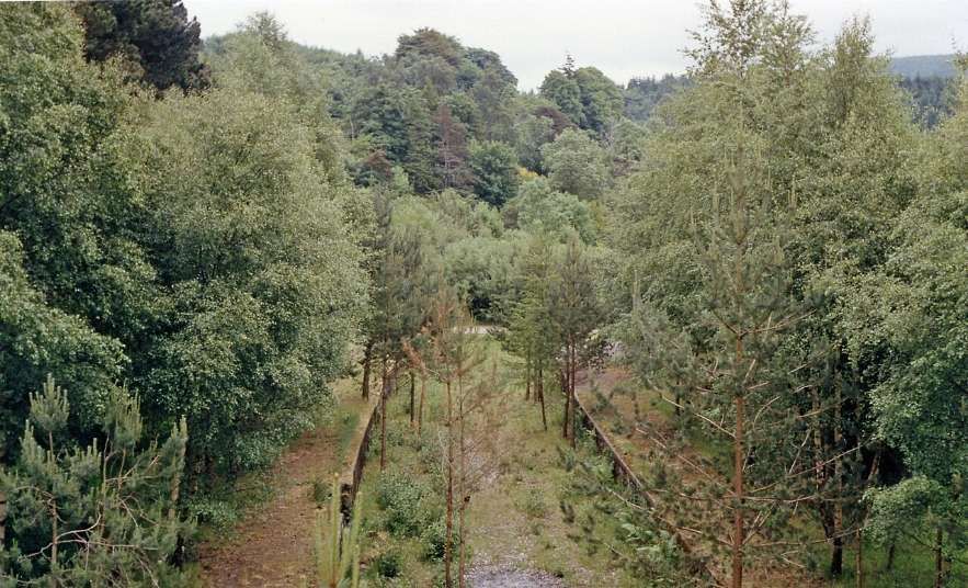
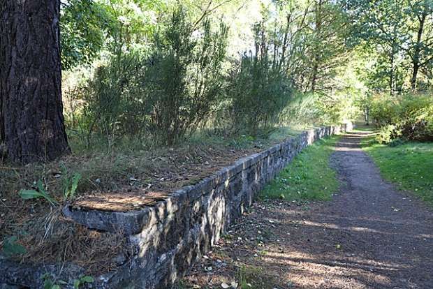
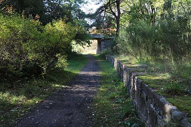
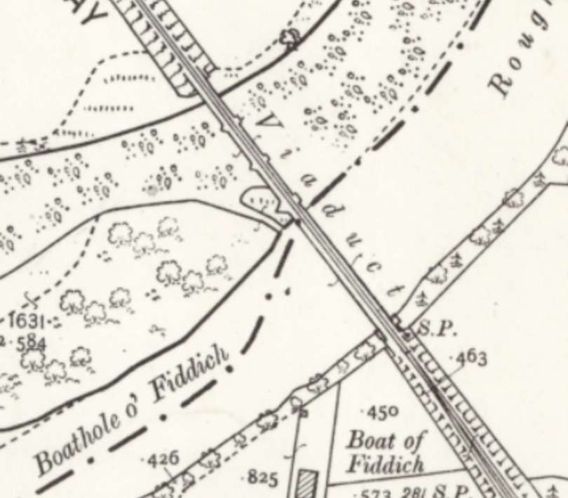
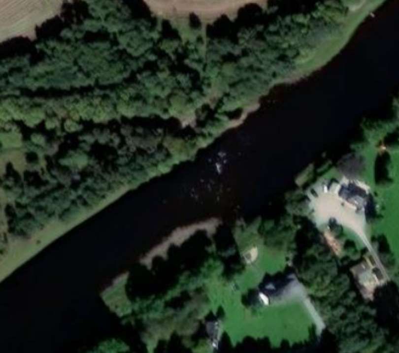
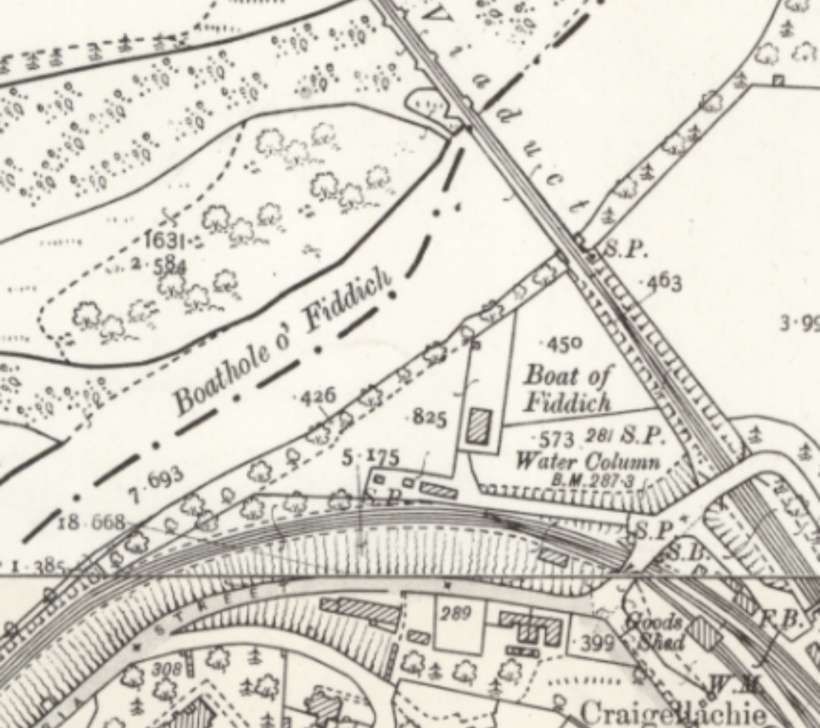
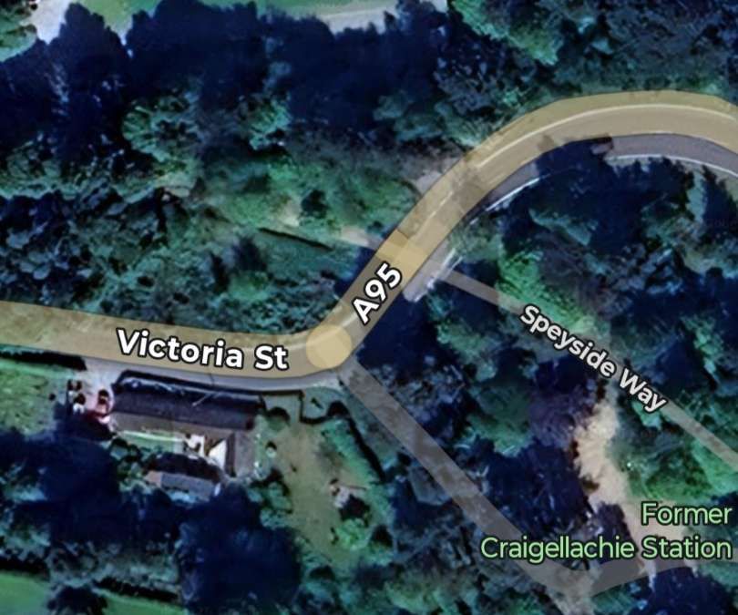
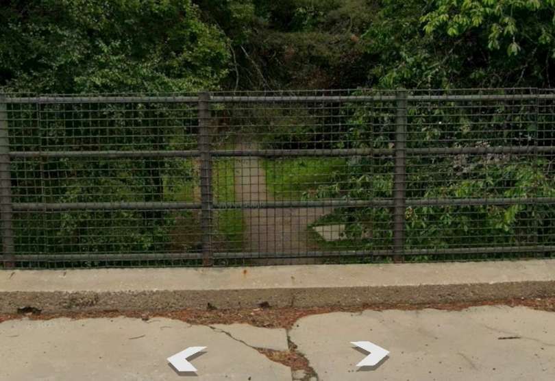
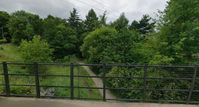
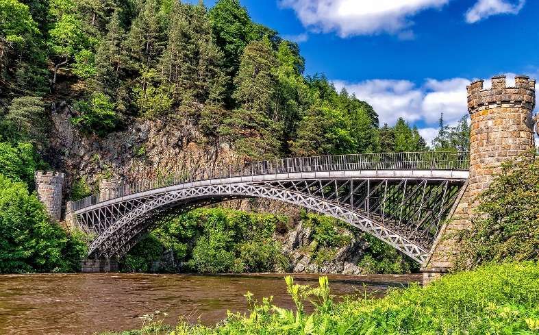
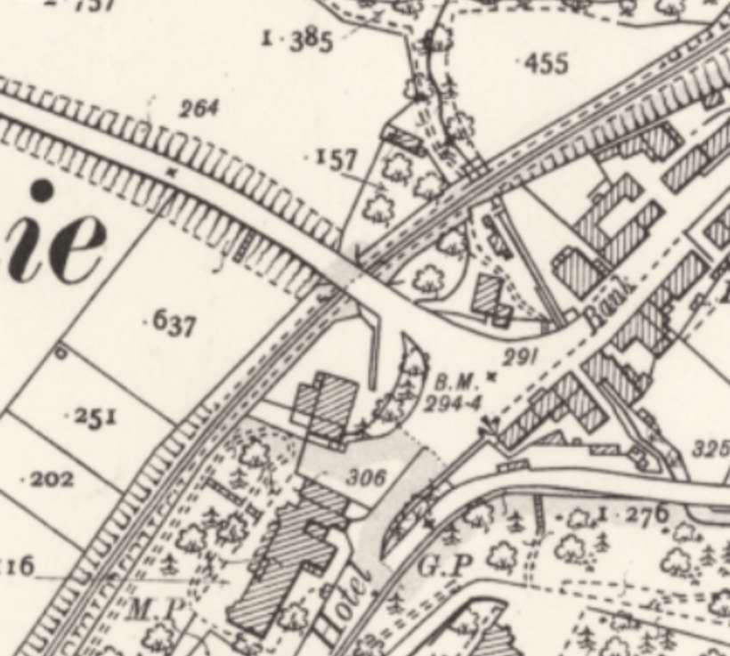
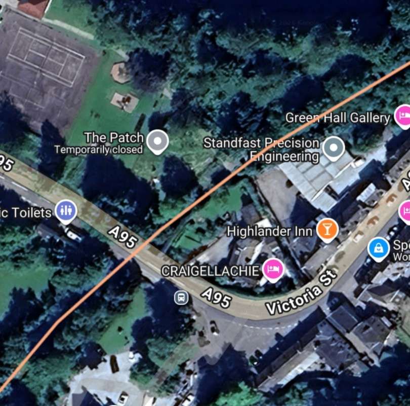
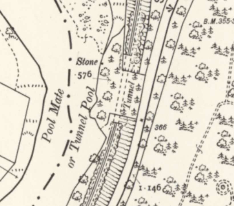
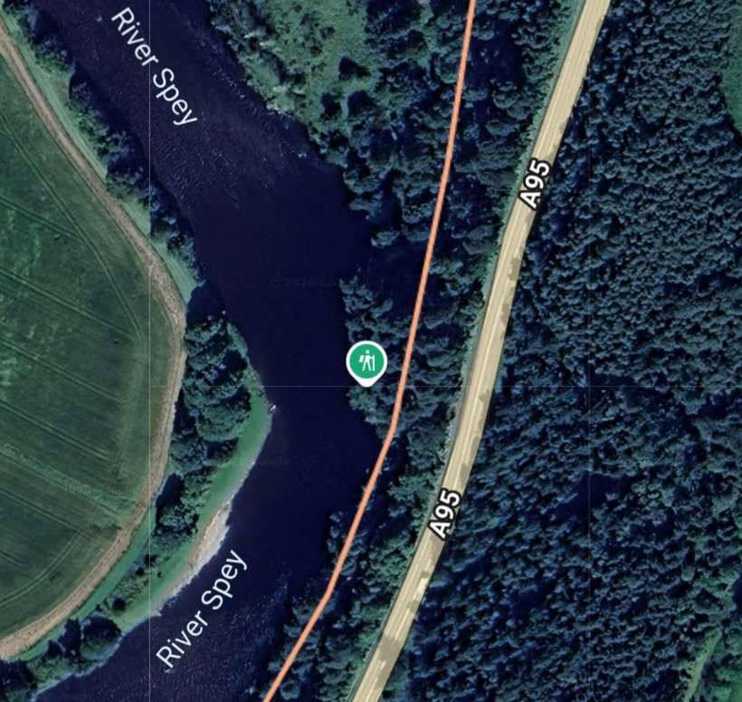
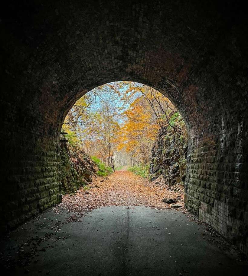
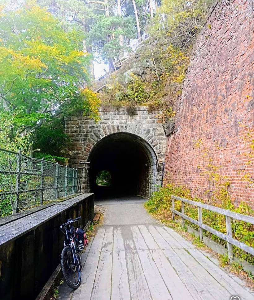
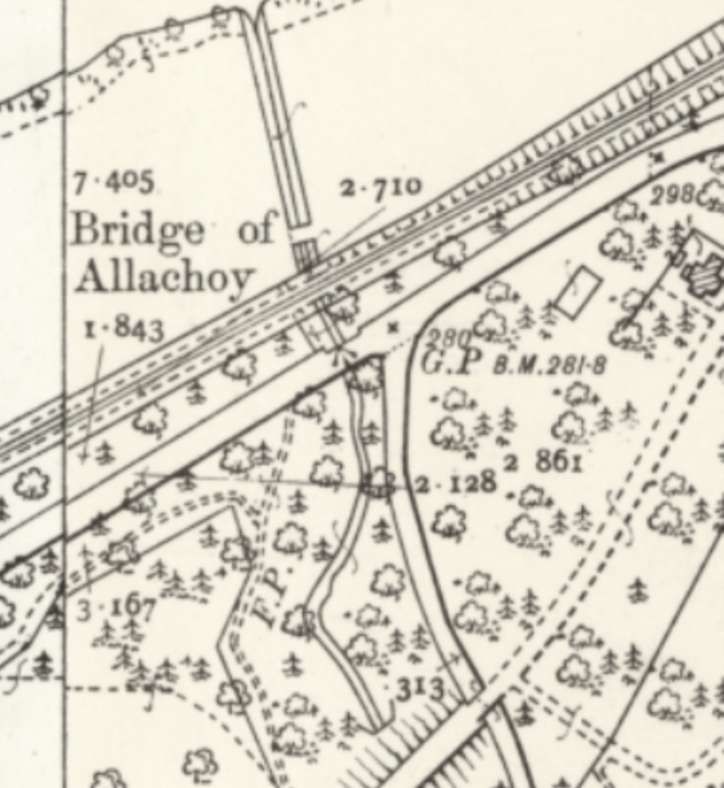
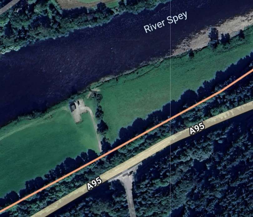
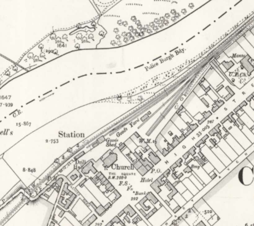
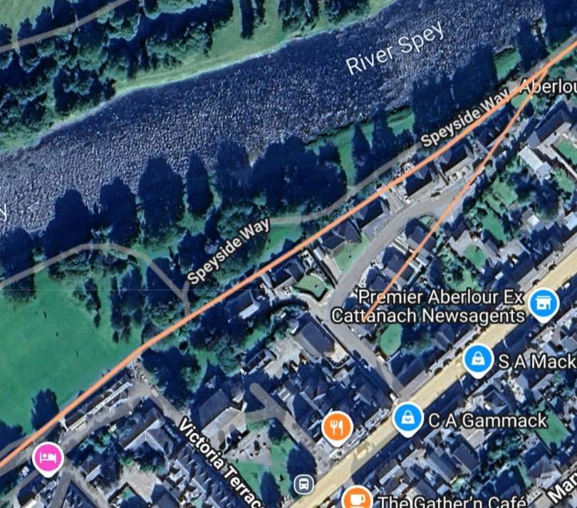
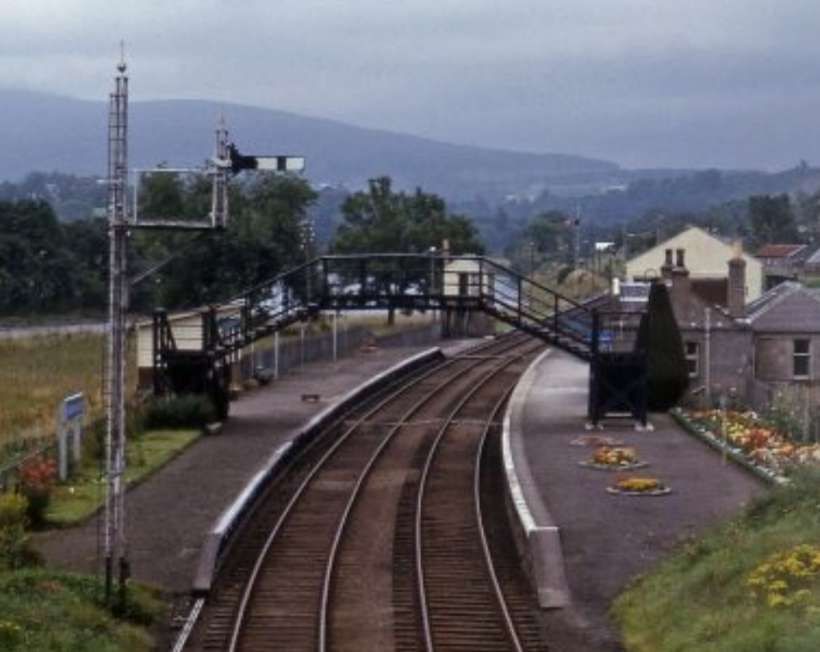
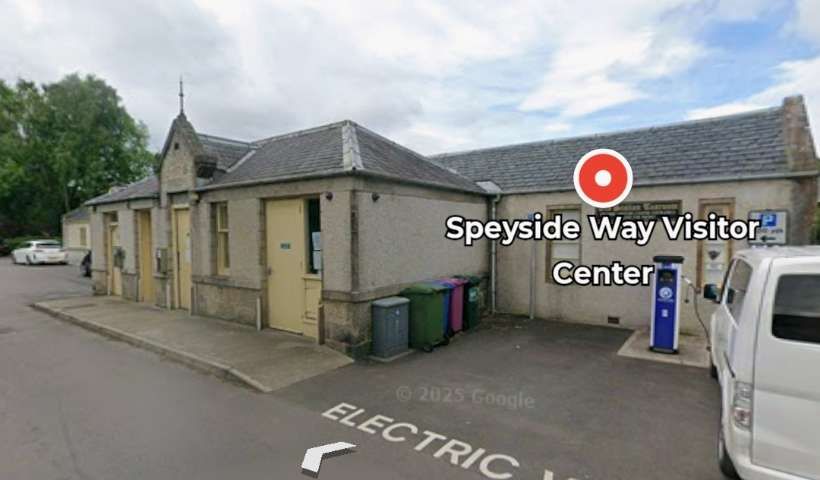
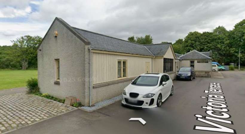
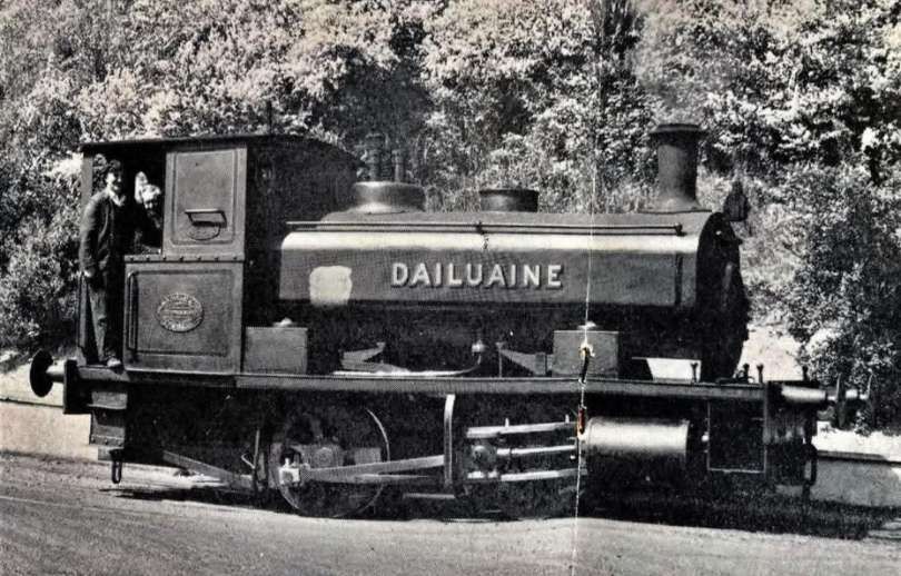
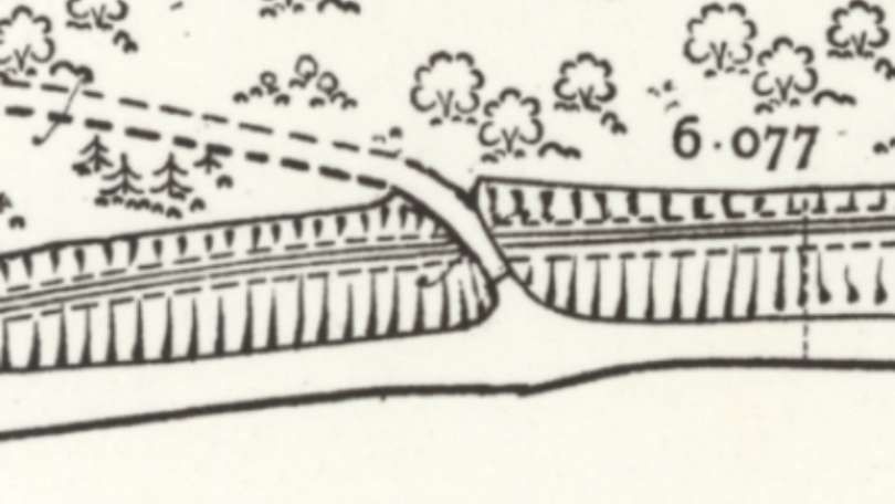
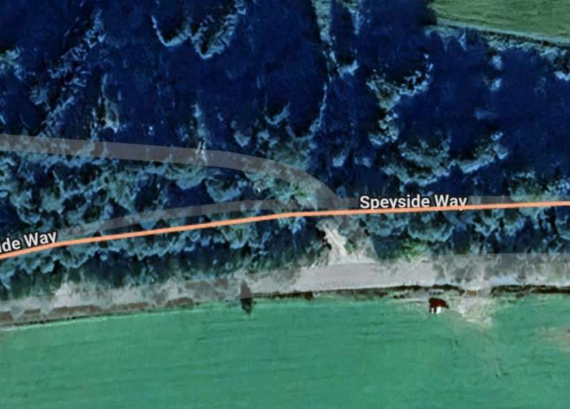
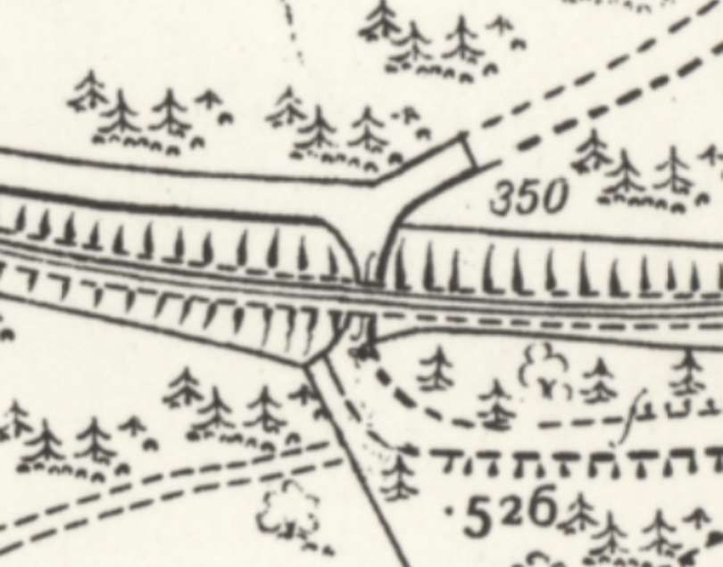
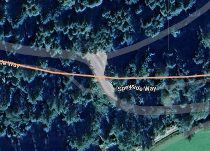
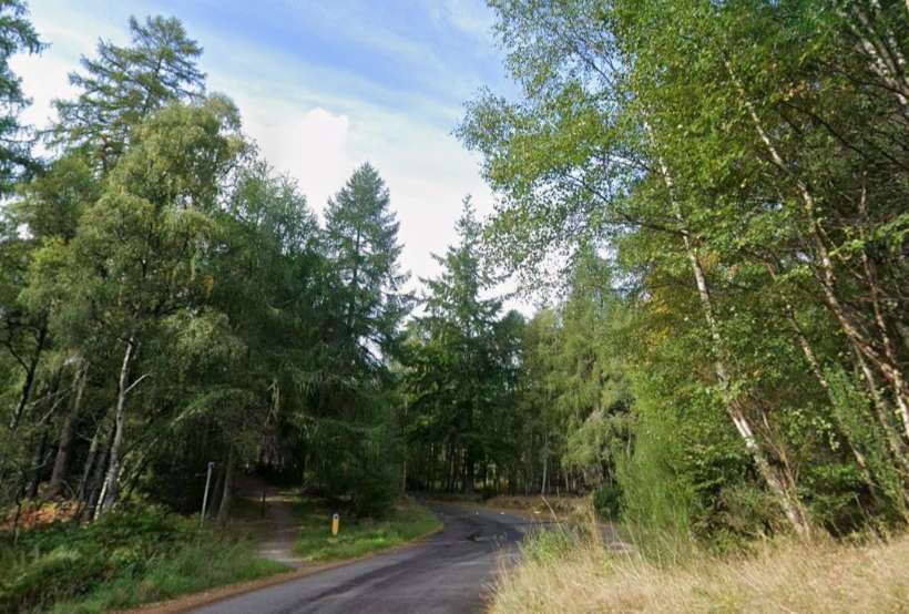
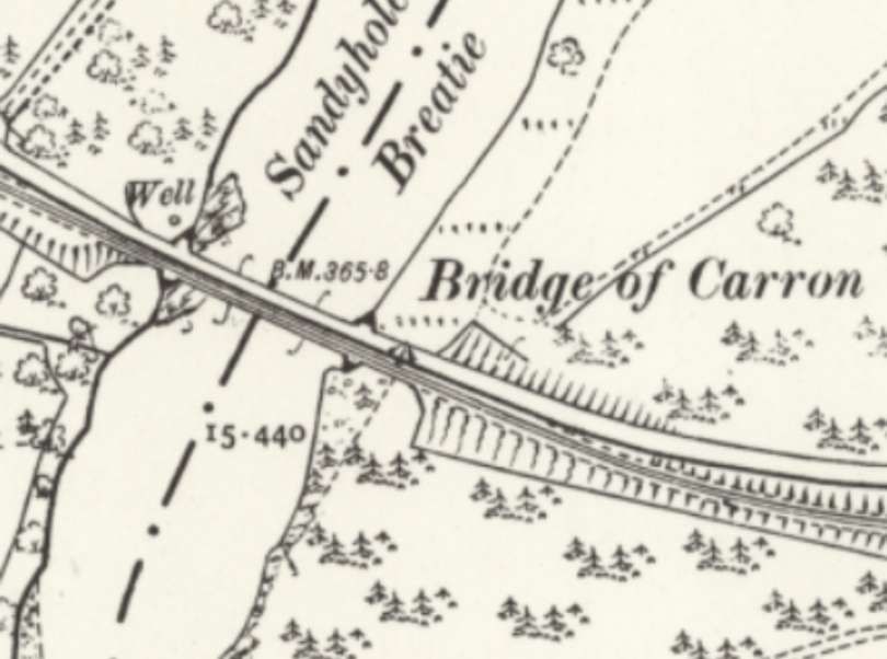
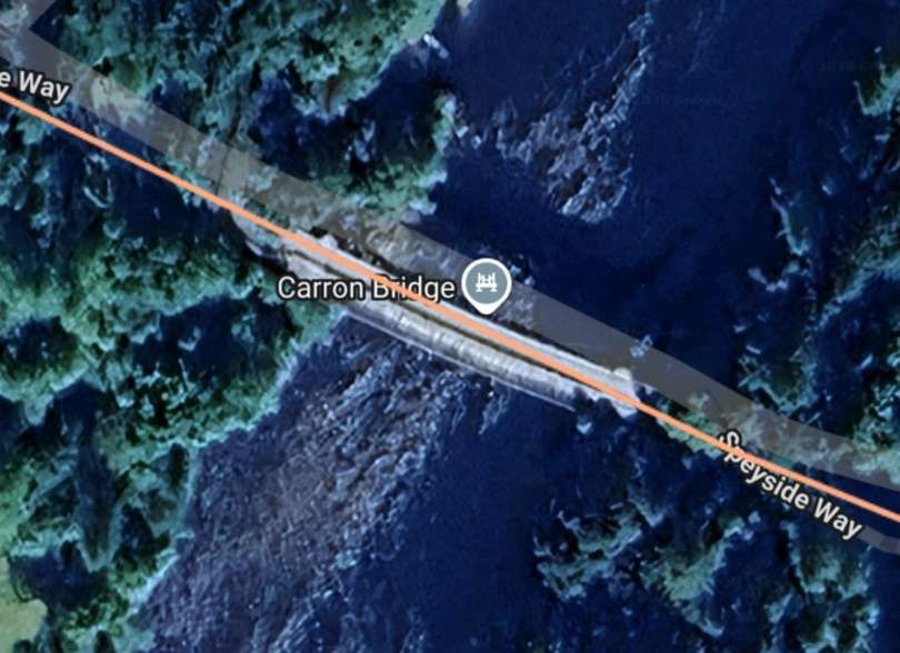
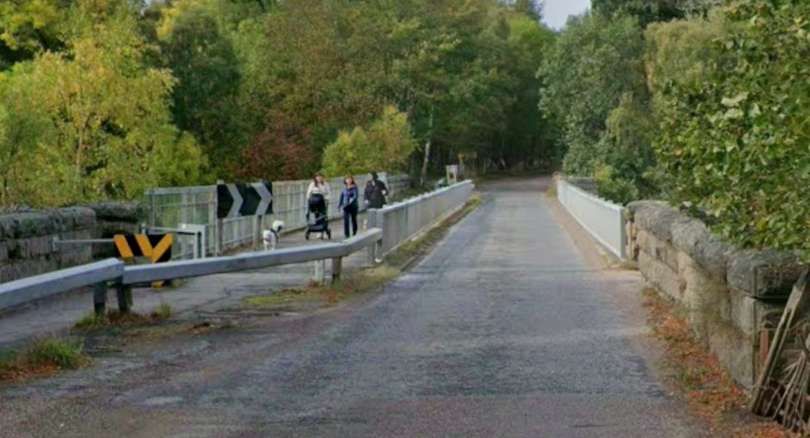
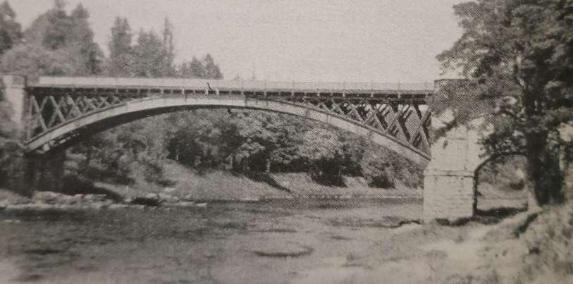
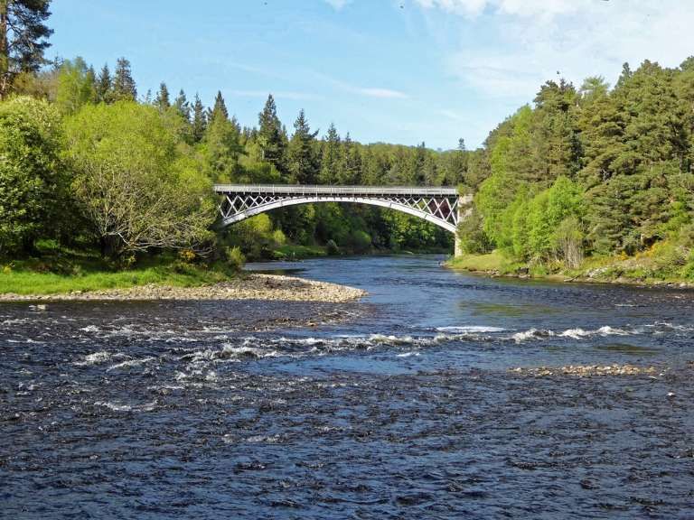
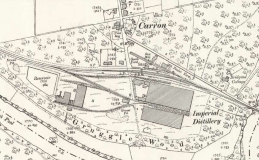
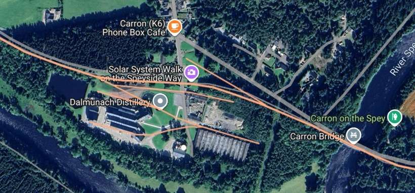
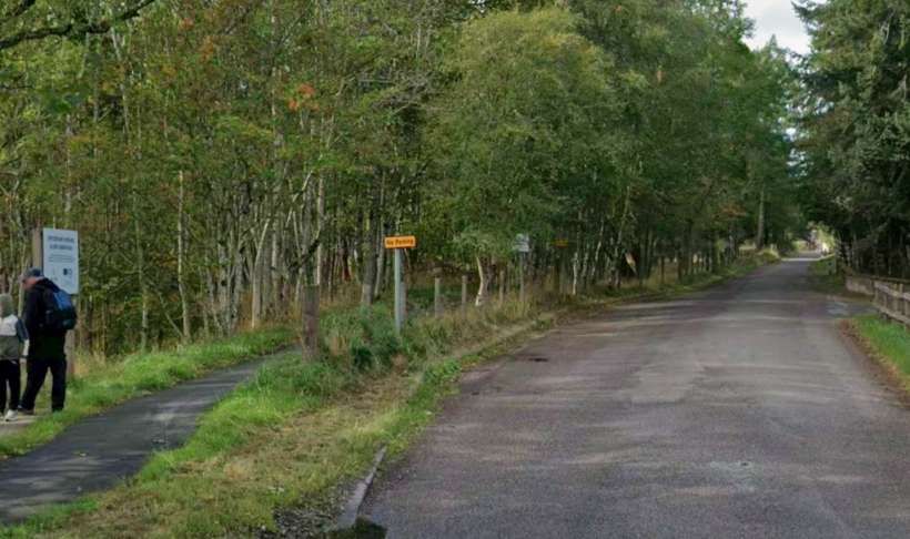
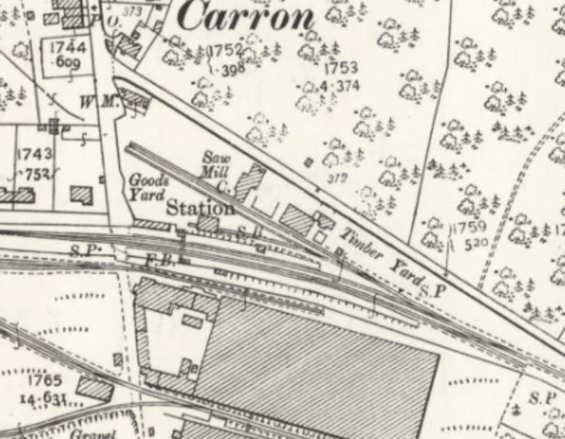
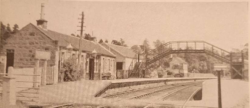
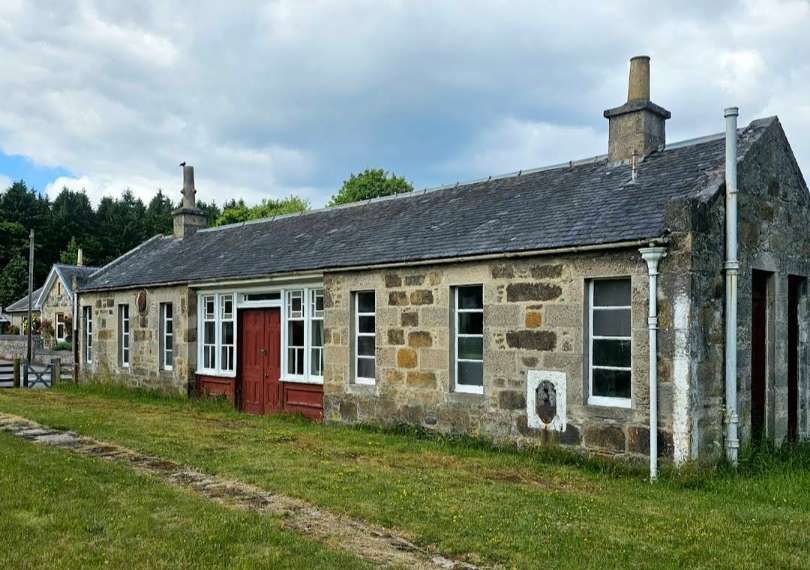
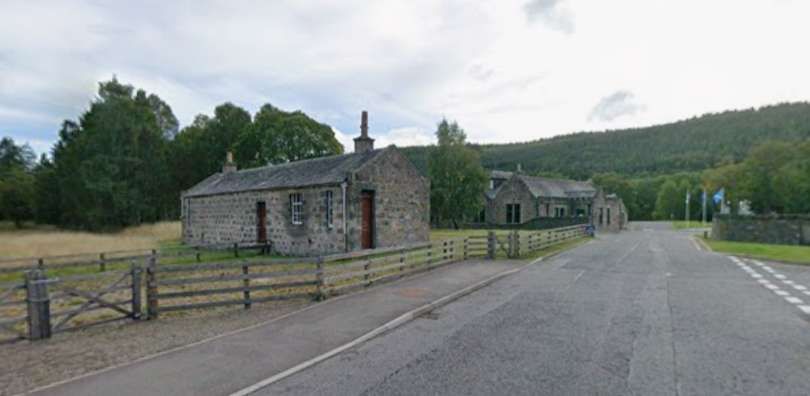
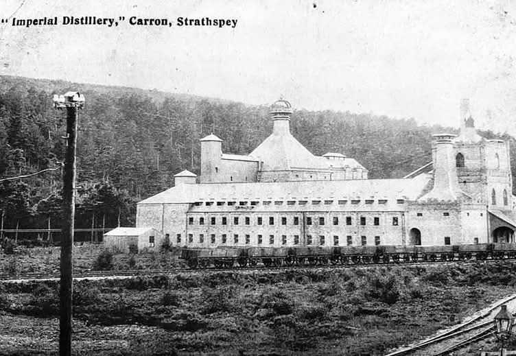
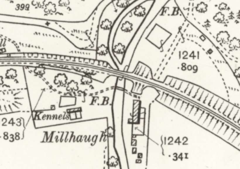
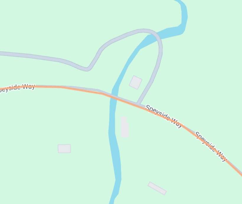
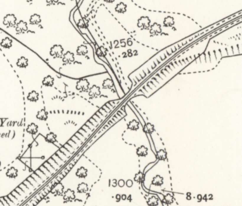
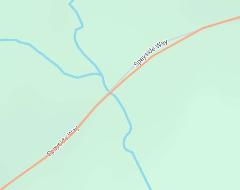
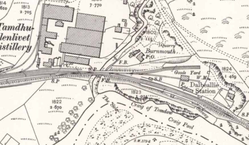
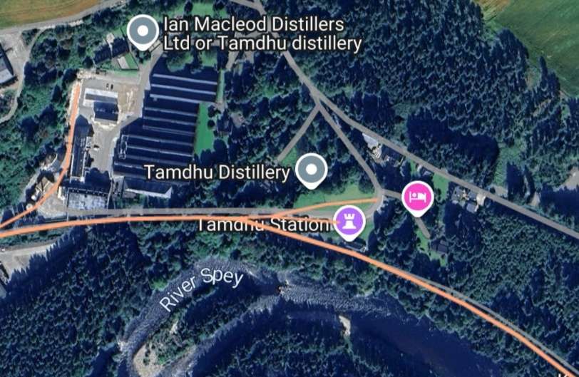

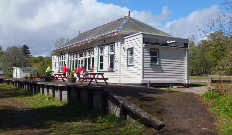
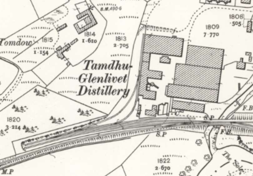
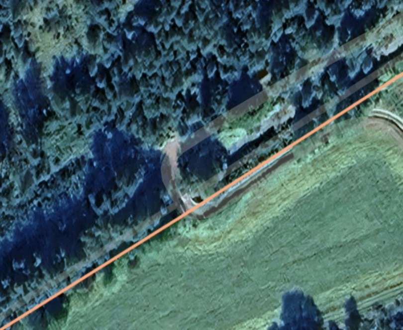
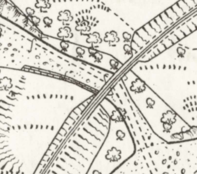
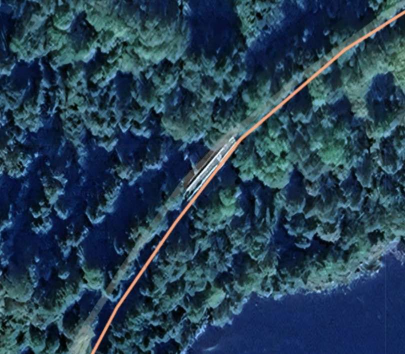
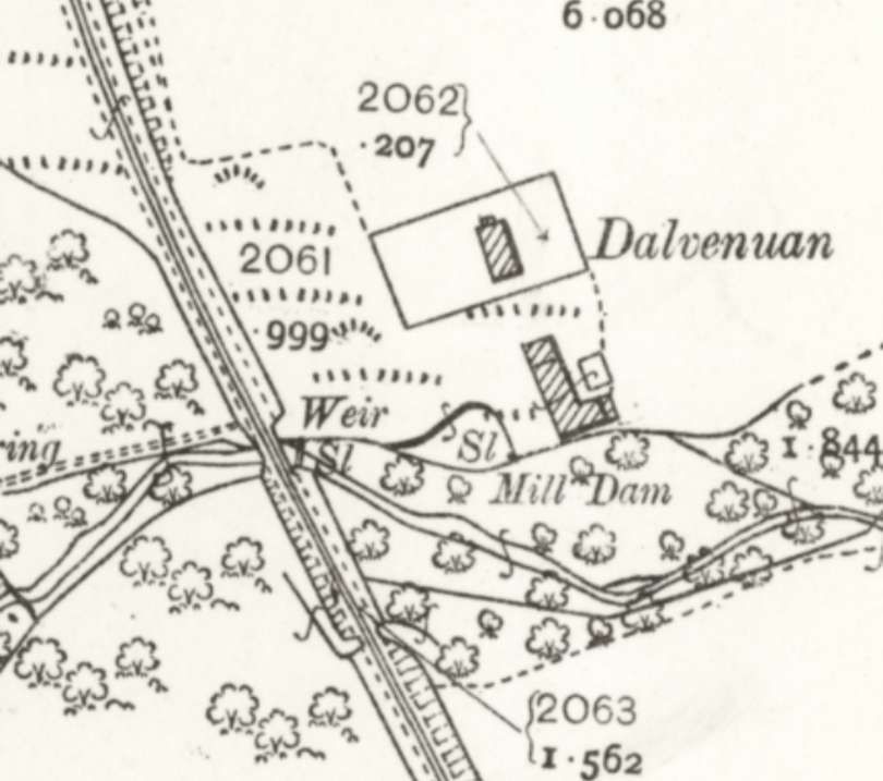
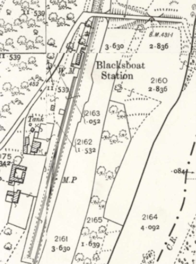
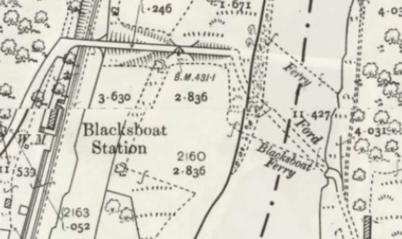
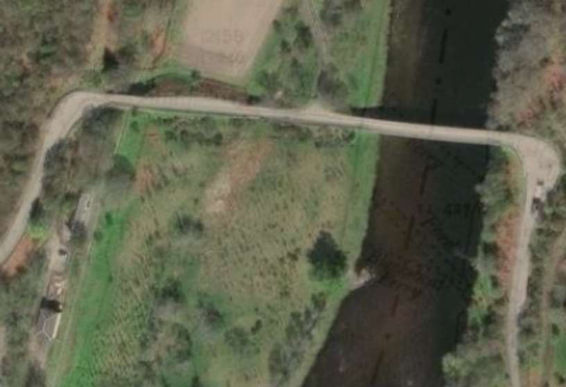
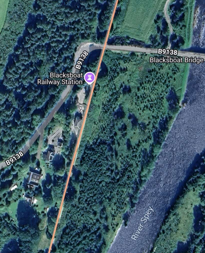
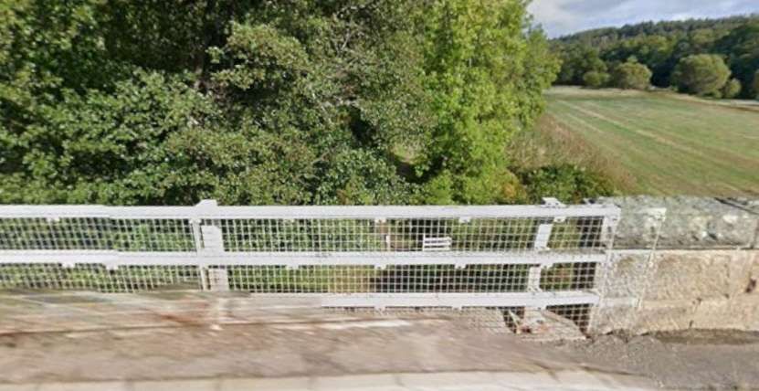
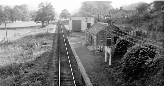
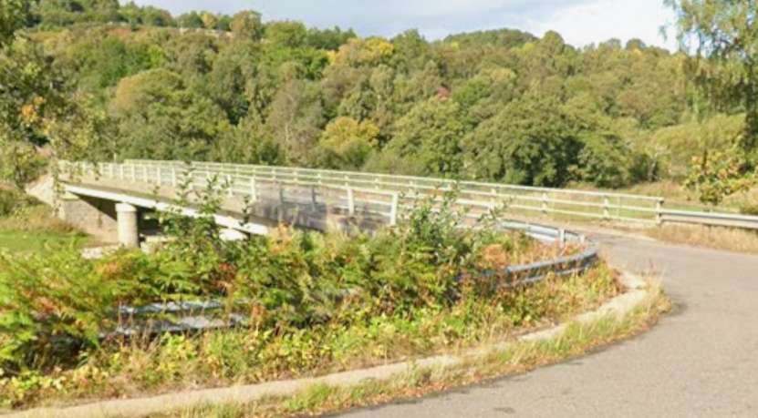
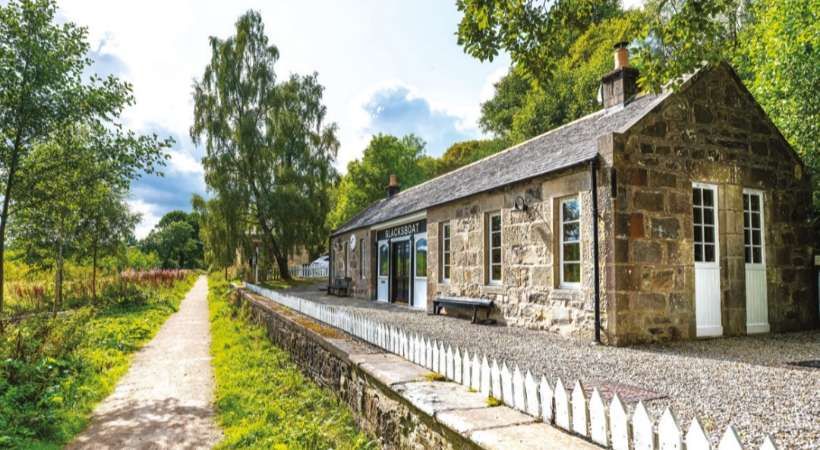
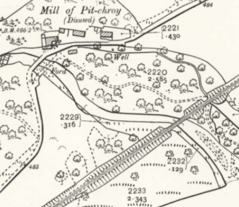
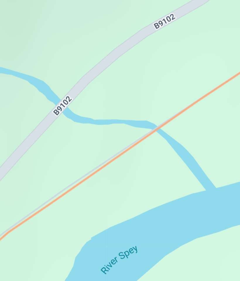
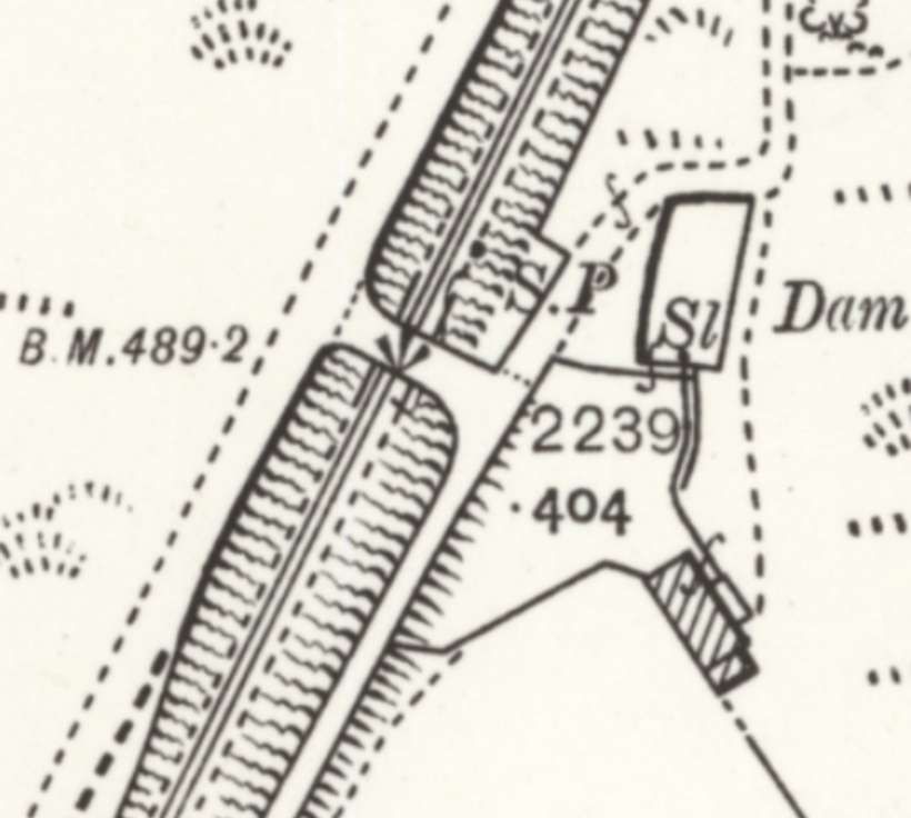
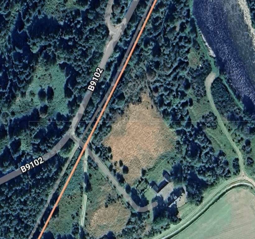
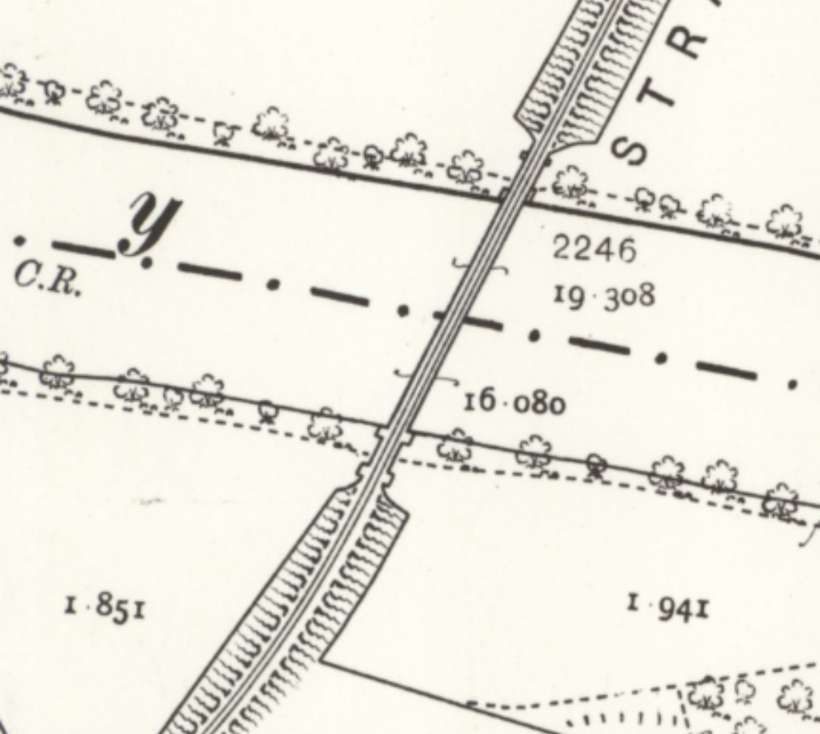
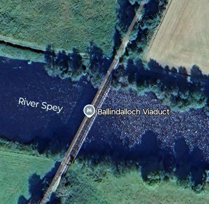
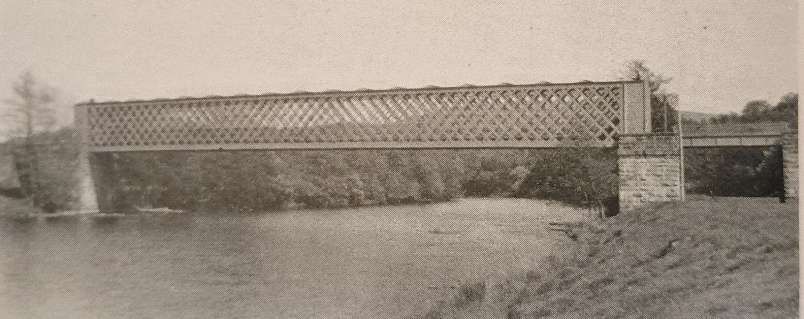
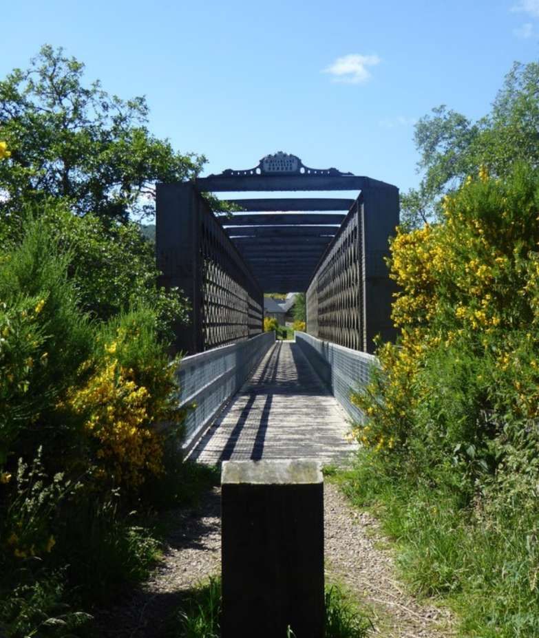
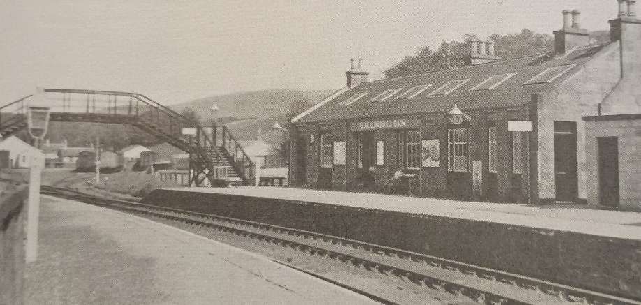
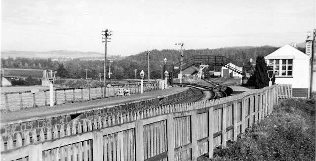


#/media/File:The_Jacobite_Arriving_at_Mallaig_-_geograph.org.uk_-_3119099.jpg)


.jpg)


.jpg)


#/media/File:P1020943_Bahnhof_Husum_2019.jpg)


