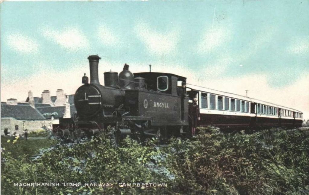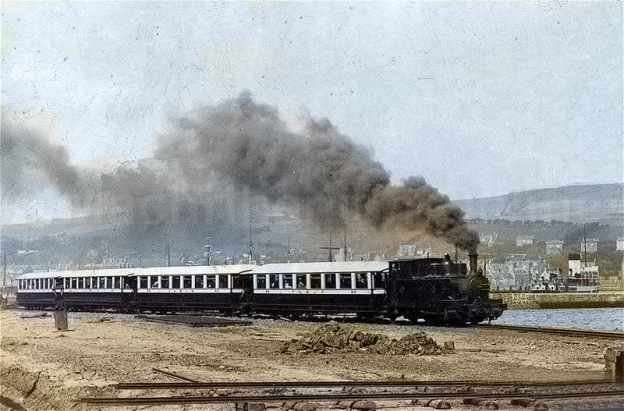
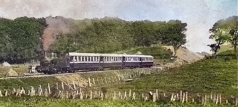
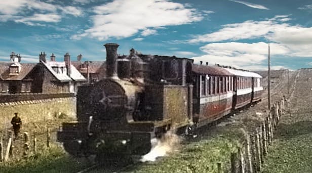
The featured image for this article shows ‘Argyll’ (a Barclay built 0-6-2T) taking its train Southeast out of Campbeltown before turning Southwest to run round the South side of the town. This image was shared on the Machrihanish Online Facebook Page on 26th July 2023. (c) Public Domain. [22]
The Campbeltown and Machrihanish Light Railway was a 6-mile, 2 ft 3 in (686 mm) narrow-gauge railway in Kintyre, Scotland, operating between 1906 and 1934. It ran from Campbeltown’s New Quay to Machrihanish, primarily serving coal traffic while also transporting tourists and locals across the peninsula.
It replaced an earlier industrial tramway which was built in 1876 and used by the Argyll Coal and Canal Company, which before this had replaced a canal.
In 1876, the line followed the line of the old canal that used to be used to transport coal.
In 1905/6 the curves were improved and the steeper gradients eased.
Most of the output from the colliery was used locally – by residents and the 34 distilleries. The coal business was largely seasonal and the owners looked for a use during the summer months and in 1905/6 a light railway (2’3″ gauge/686mm)was built to replace the tramway and at the same time it was extended to Machrihanish and along the front in Campbeltown.
Opened in 1906, the Campbeltown and Machrihanish Light Railway was Scotland’s only passenger-carrying narrow-gauge railway and operated as an isolated line with no connection to the national rail system.
Ultimately, the railway suffered from increased road competition from bus services, financial problems, and reduced coal quality in the early 1930s, closing in 1932 (officially 1933) and being dismantled in 1934.
Stenlake Publishing has recently published a new ‘Oakwood Press’ 3rd edition of a book first published by David & Charles in 1970. A second edition was published in 1993 by Plateway Press. The new edition has minor updates and some ‘new’ old photographs. The author, now in his 90s, visited Campbeltown in the early 1930s and again in 1941 thus sparking his interest in this operation. In the 1950s he decided to build a scale model and his new bride was only too happy to accompany him to Campbeltown on their honeymoon so he could take the necessary research photographs of what was left of this line built to move coal economically from pit to ship. The route was from the colliery near Machrihanish across the Kintyre Peninsula to the pierhead at Campbeltown. Coal strikes in the 1930s, competing services from buses, financial problems and the fact that Machrihanish coal wasn’t of especially high quality, all contributed to the inevitable demise in the mid 1930s, but traces of the line remain visible along the route today.
The Route of the Line – Campbeltown to Machrihanish
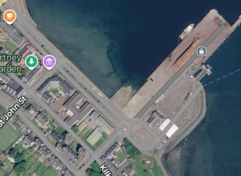
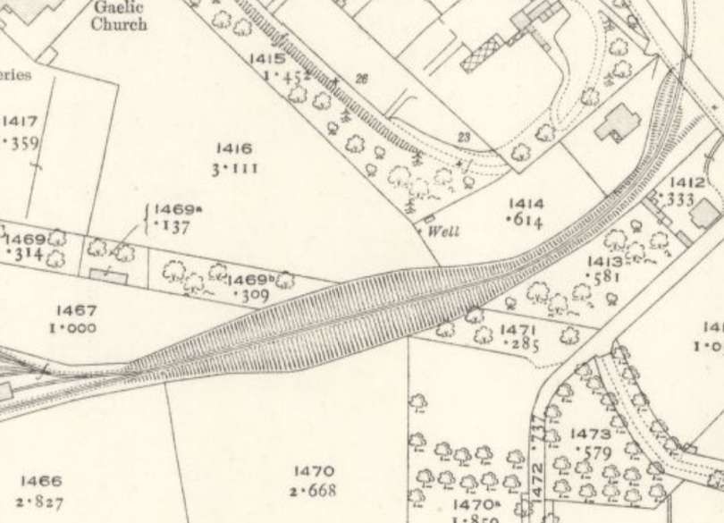
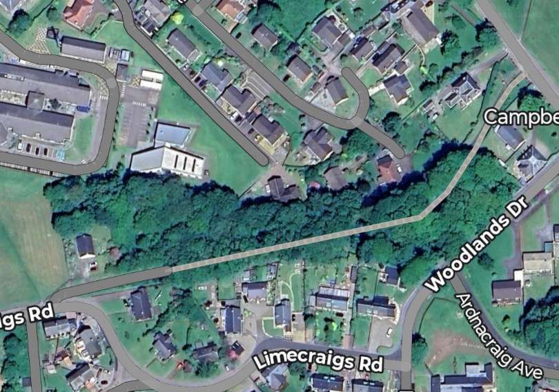
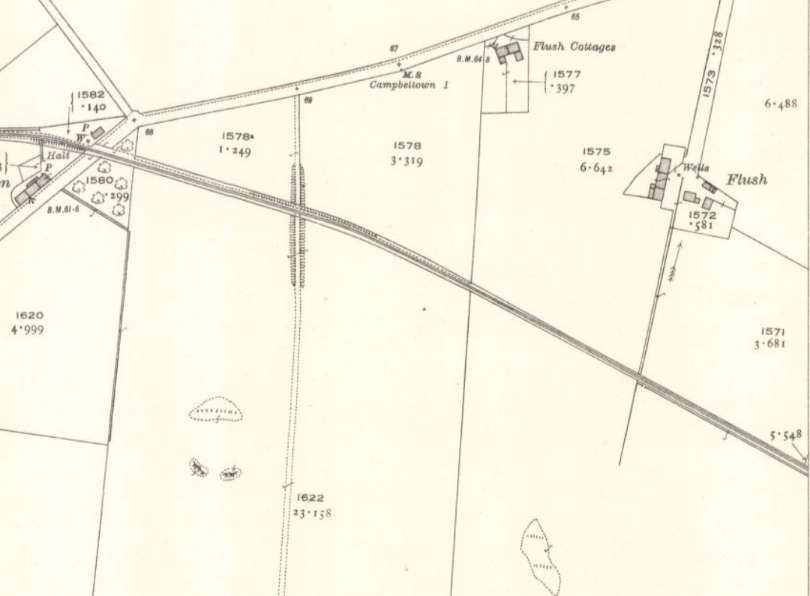
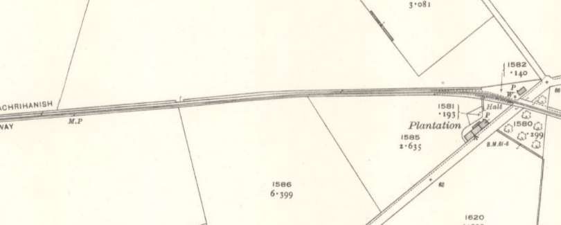
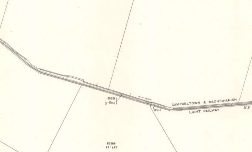
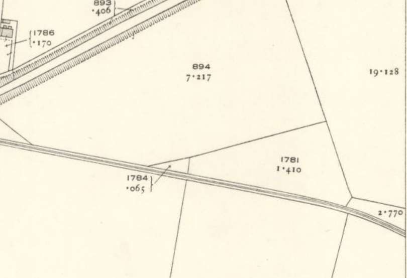
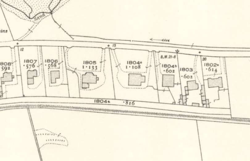
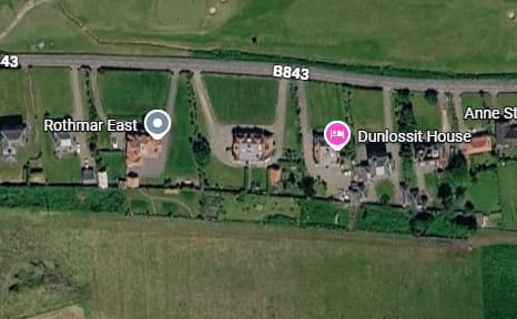
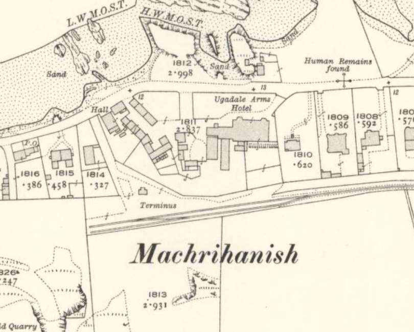
The route of the line is shown below on contemporary Ordnance Survey mapping which was revised in 1914/1915 and published in 1921. These map extracts are supported by Google Maps satellite imagery and Google Streetview images. Occasionally other images illustrate the particular section of the route. …
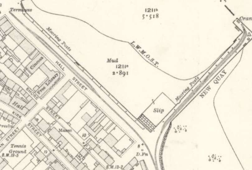
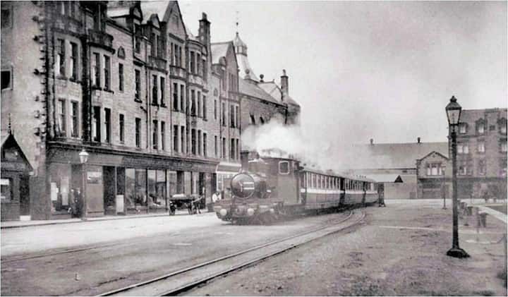
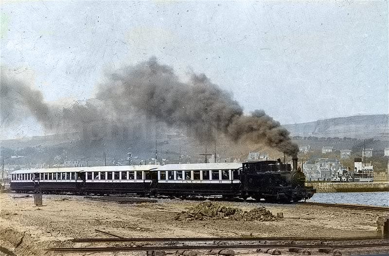
The Harbour branch did not just see use by goods trains. Once steamer traffic began to bring tourists to Campbeltown, the train would take them across to Machrihanish, © Public Domain. [3]
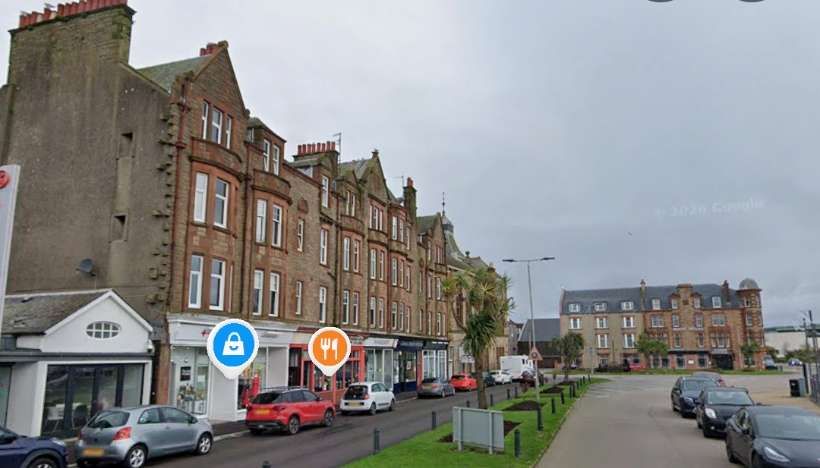
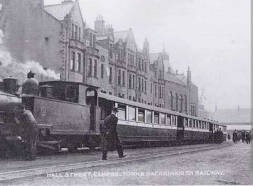
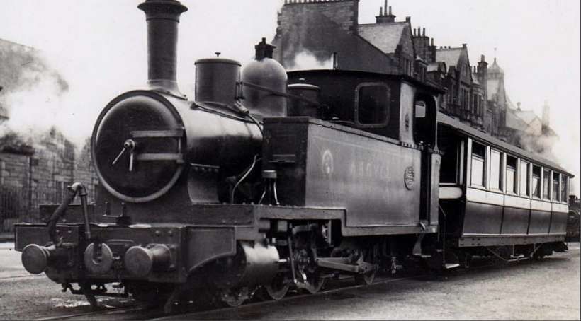
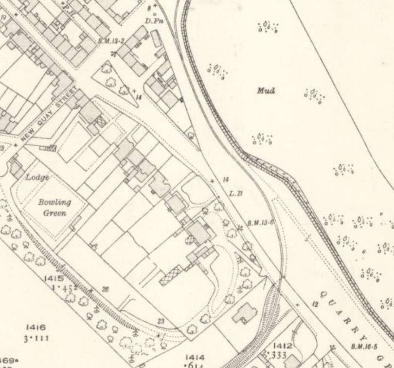
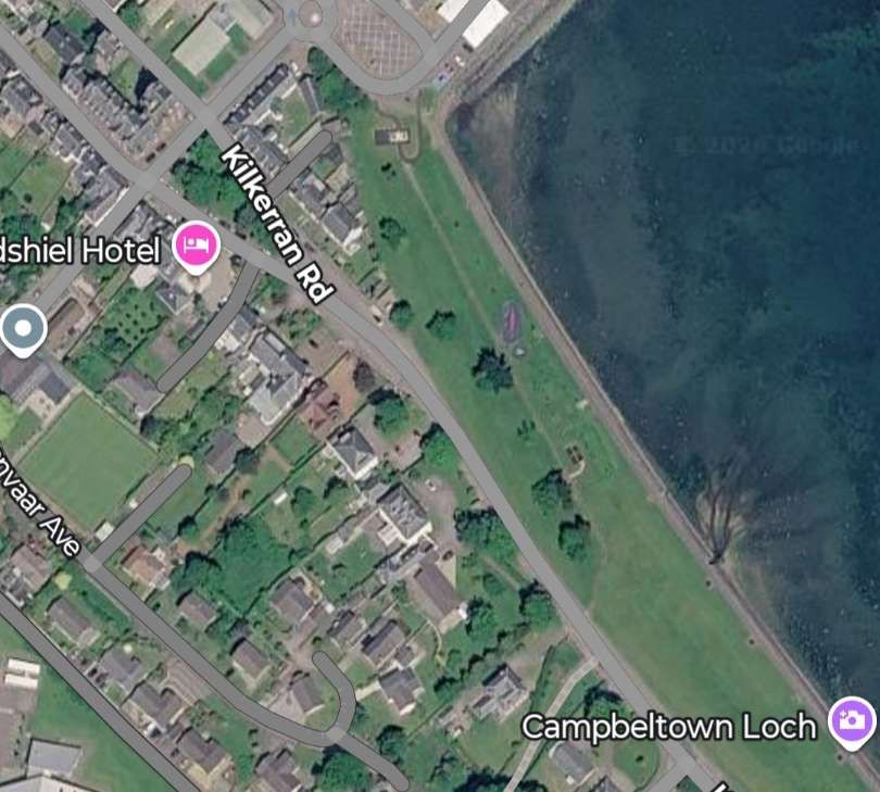
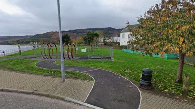
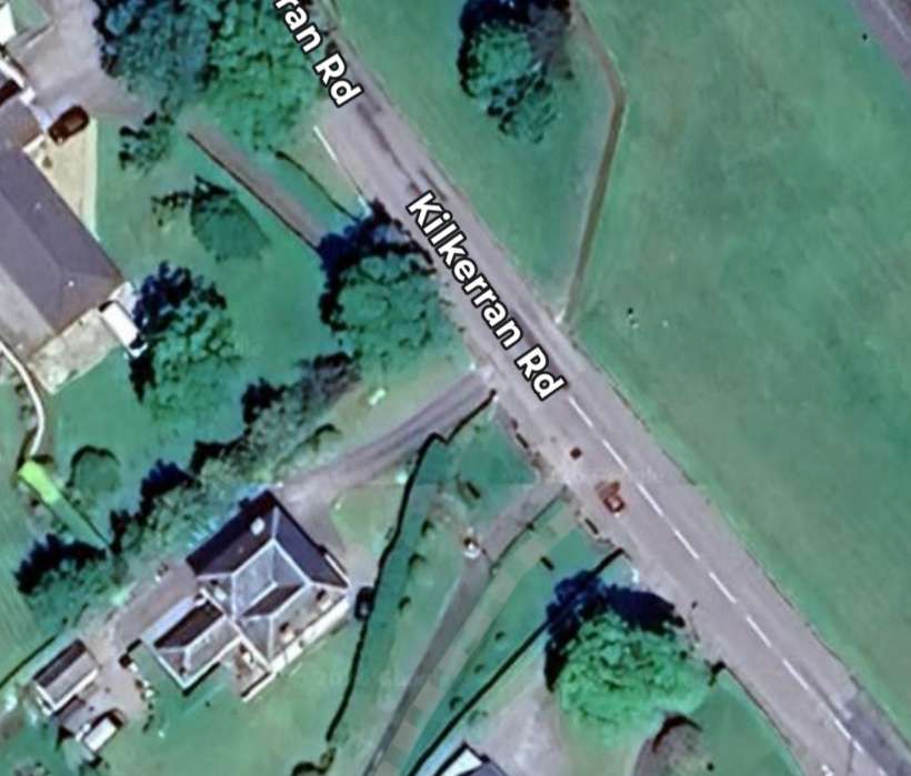
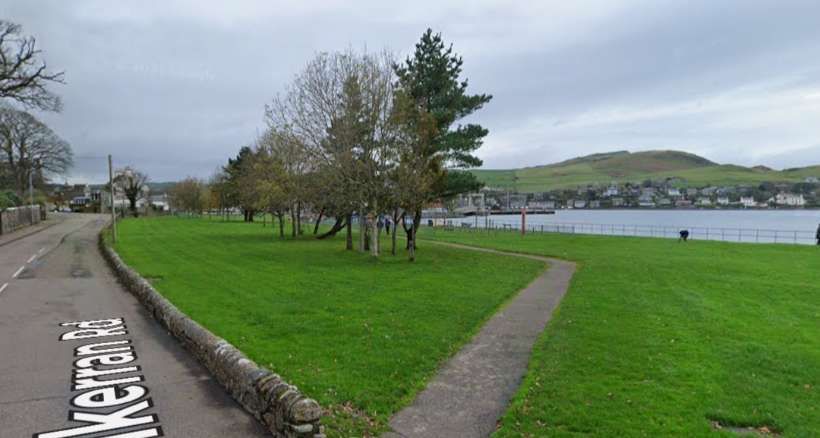
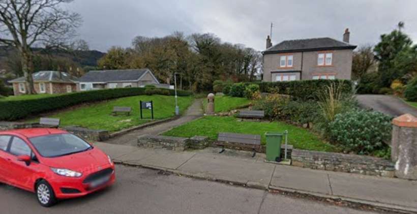
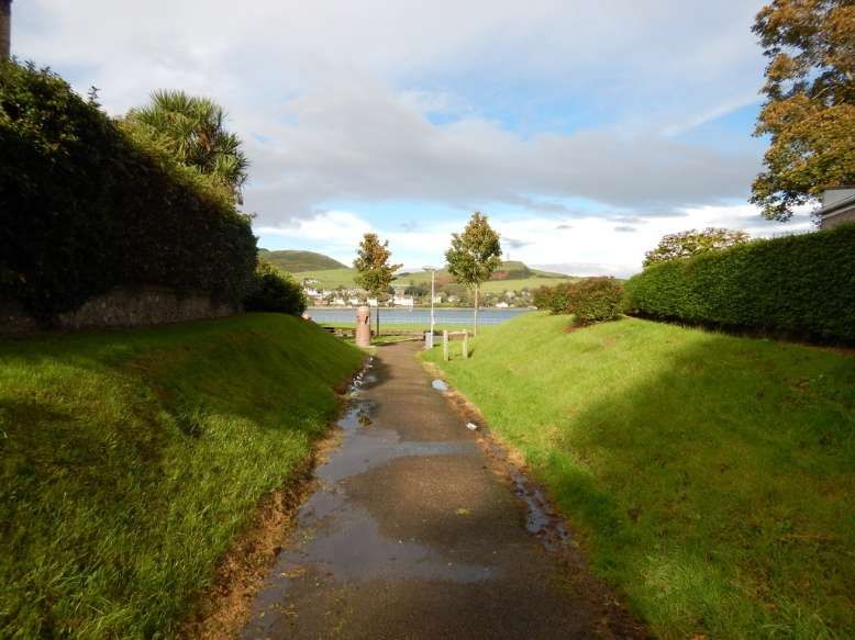
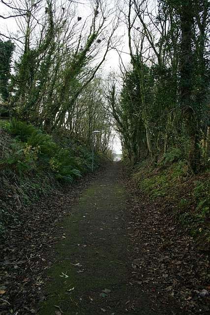
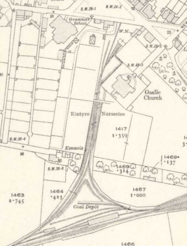
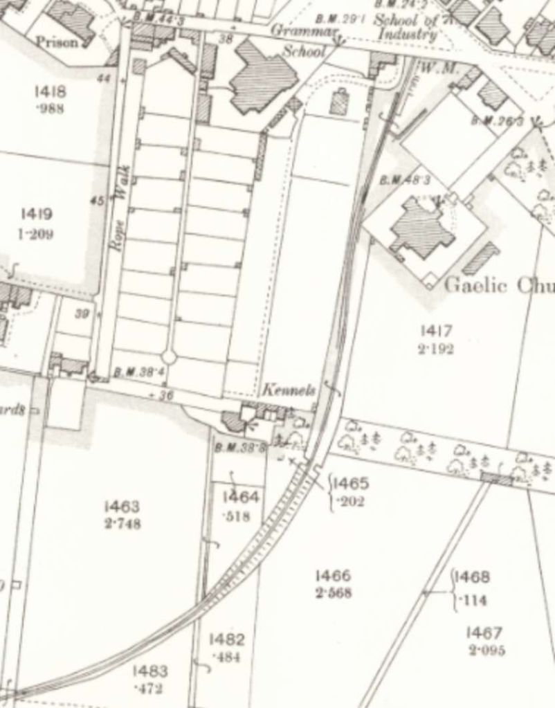
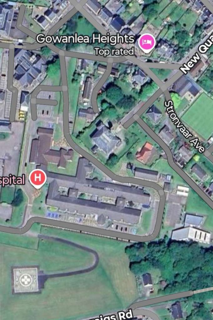
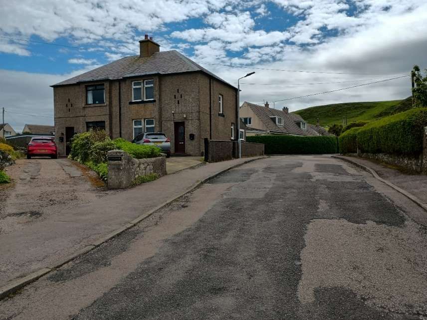
The next few photographs show the site of the sidings as it is in the 21st century, beginning at the North end and wandering to the South. …
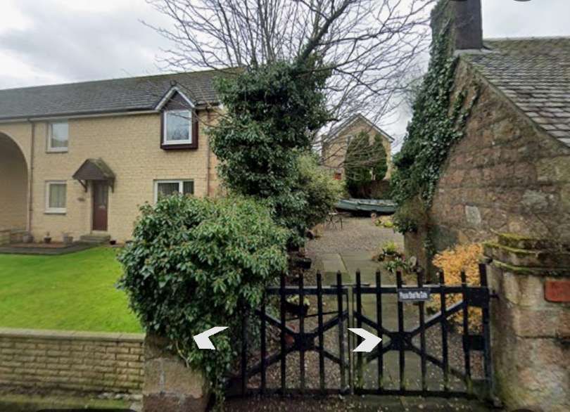
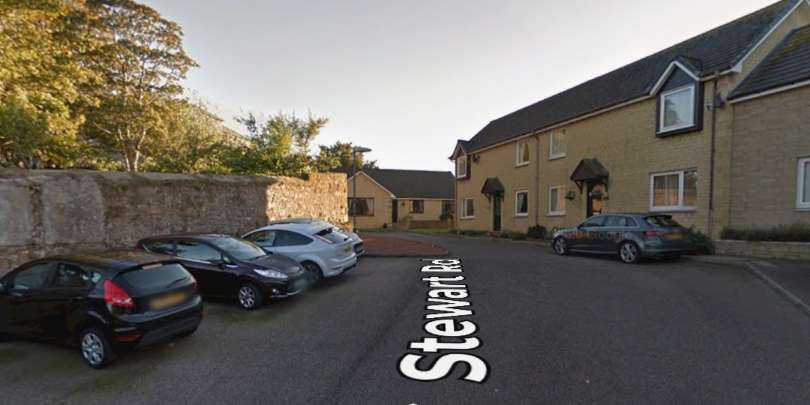
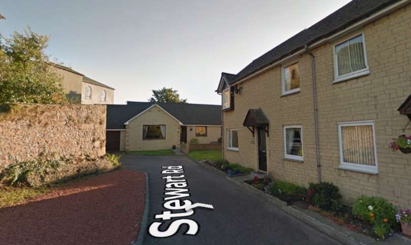
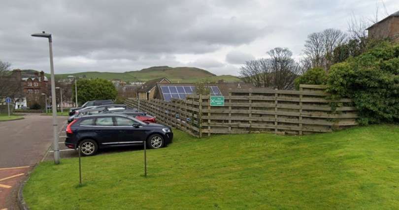
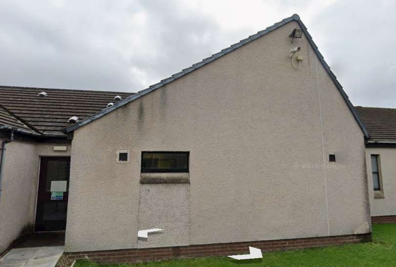
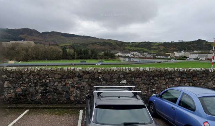
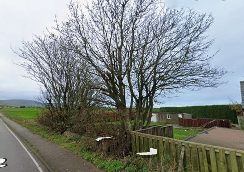
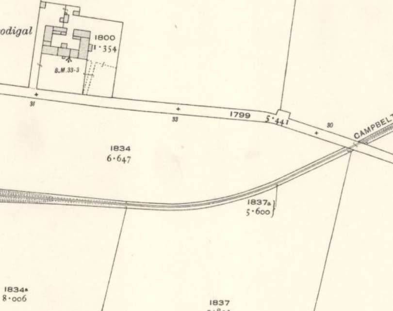
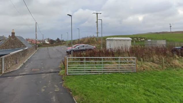
The line to Machrihanish set off just to the South of West and immediately crossed what is now Ralston Road at an unmanned, ungated level crossing. ….
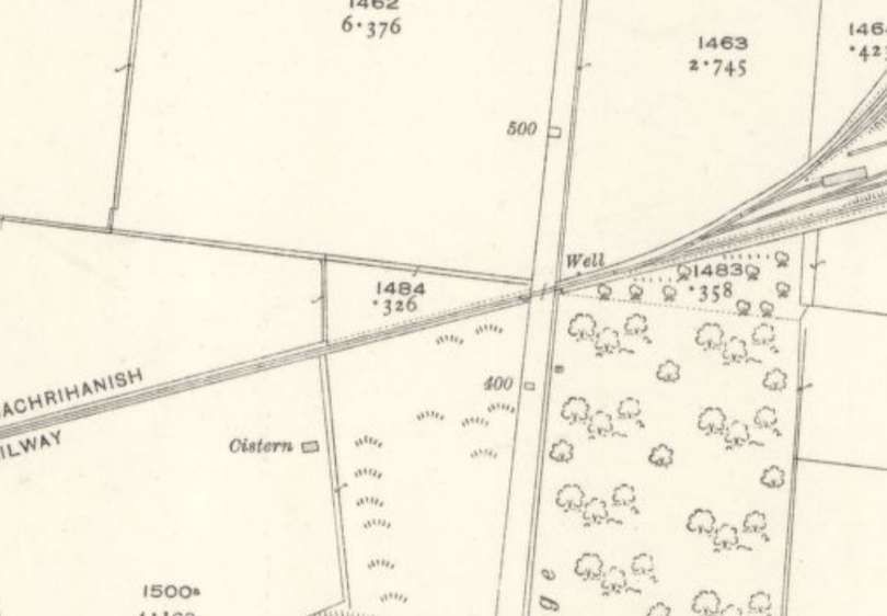
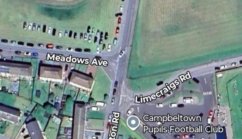
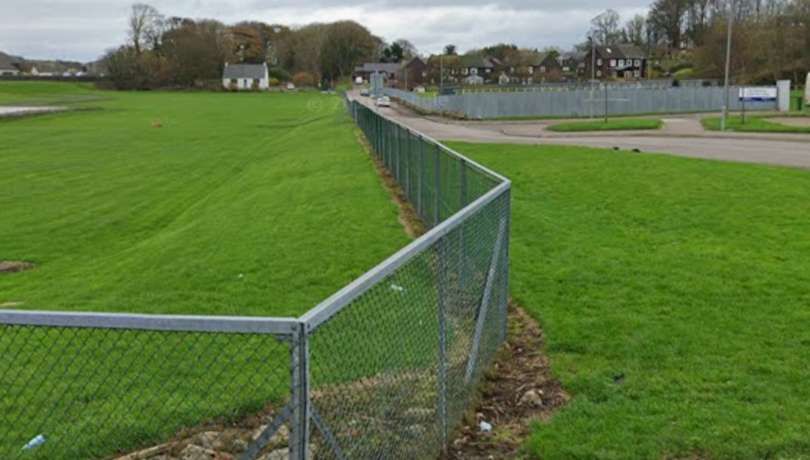
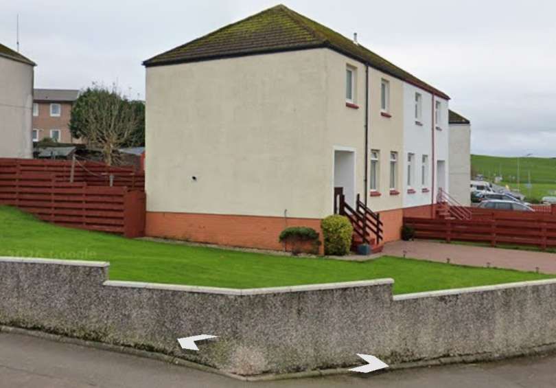
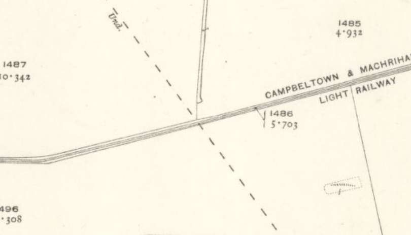
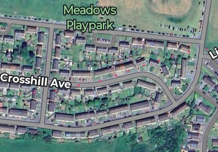
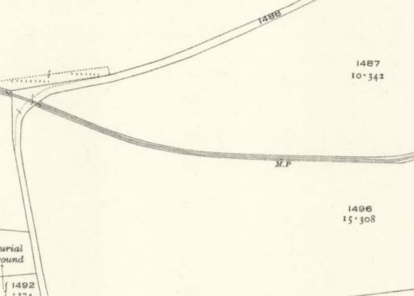
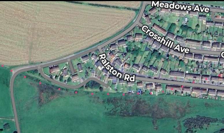
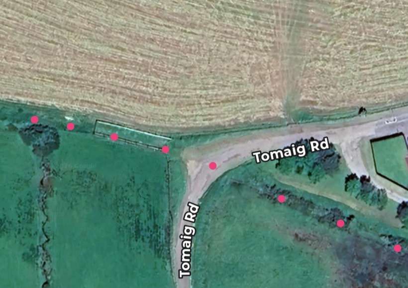
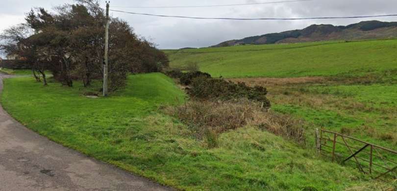
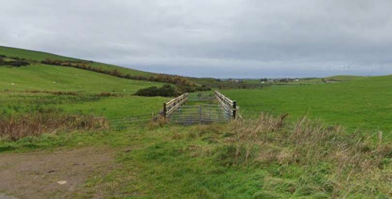
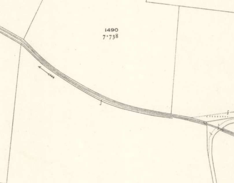
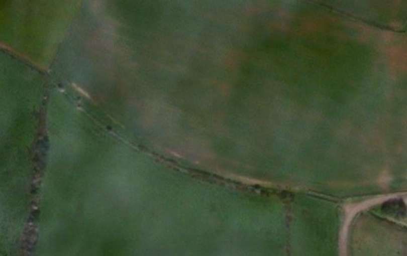
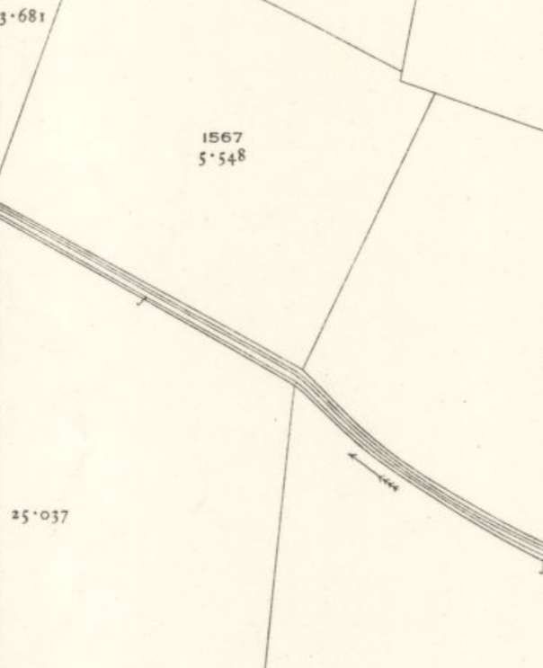
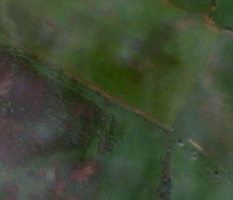
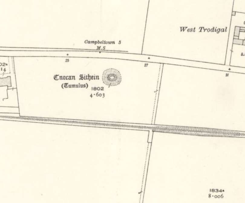
This next map extract shows the line as far West as the edge of the Ordnance Survey map sheet. [4]
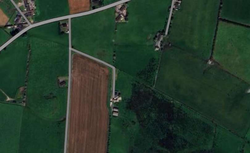
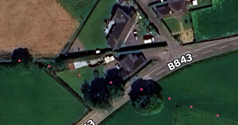
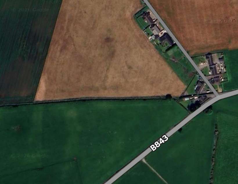
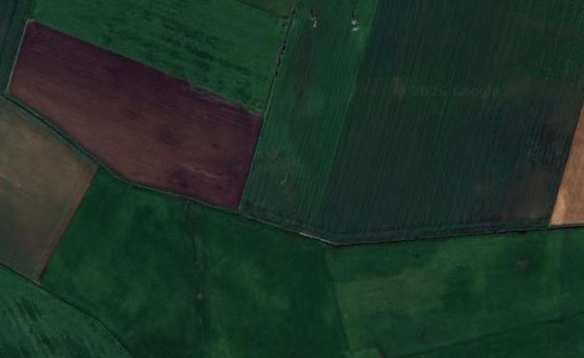
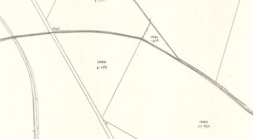
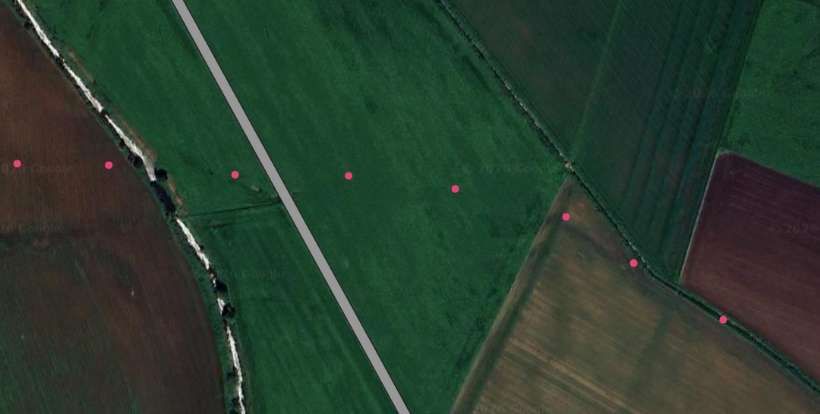
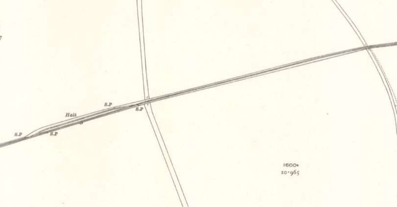
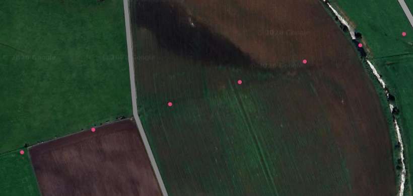
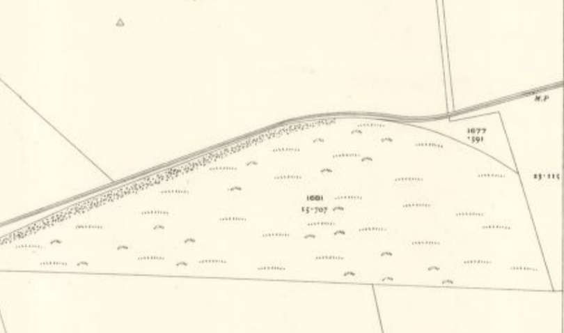
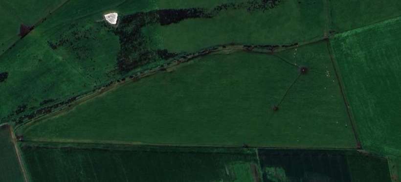
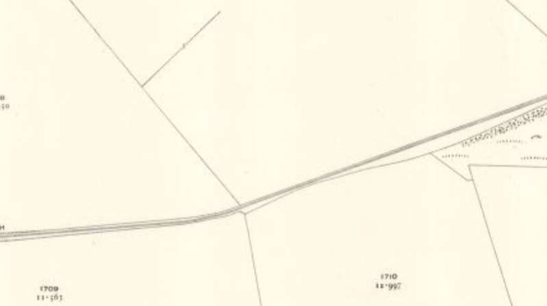
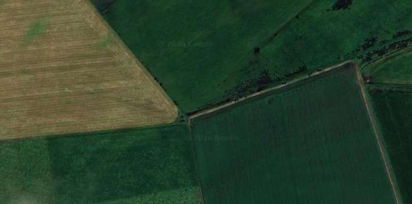
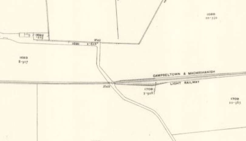
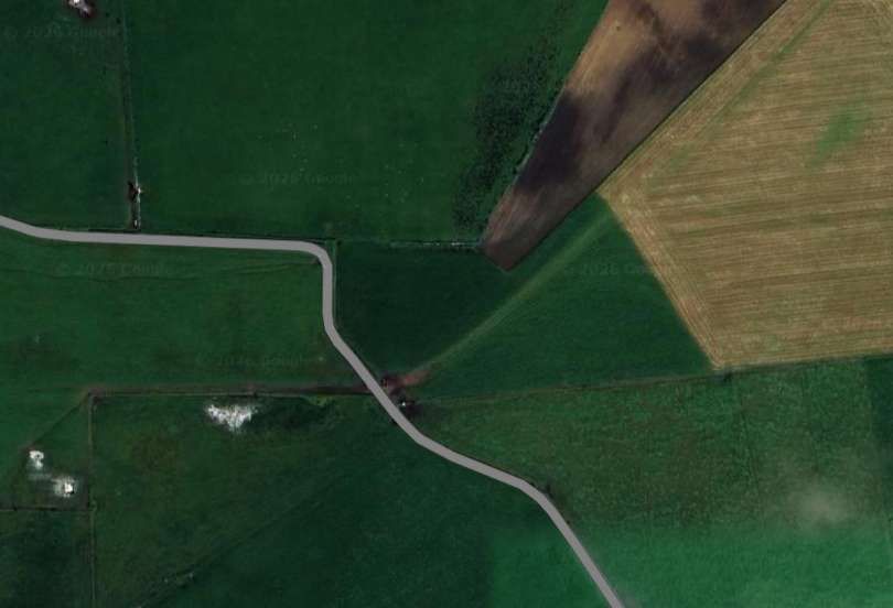
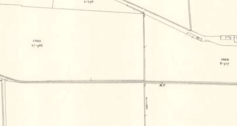
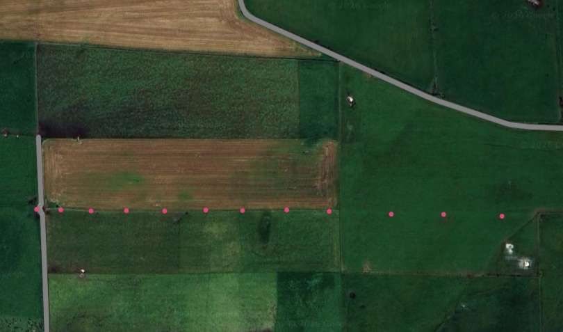
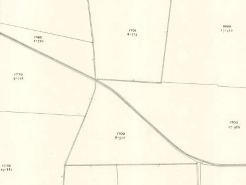
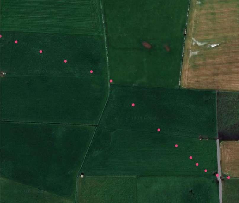
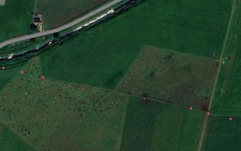
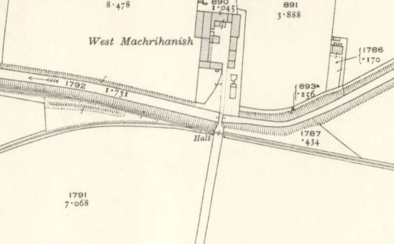
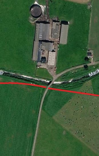
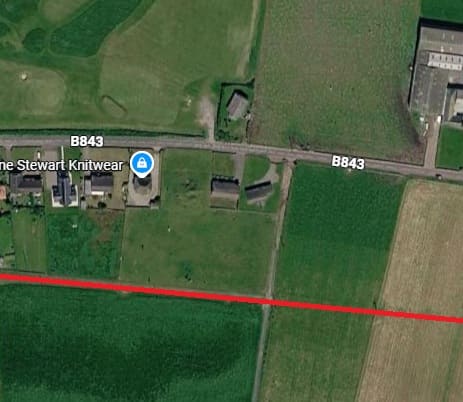
West Machrihanish farm in 2026, also showing the access road and Machrihanish Water. The line of the old railway turning away for Machrihanish village is marked in red. The line to the Colliery ran alongside Machrihanish Water. [Google Maps, June 2026]
The next map extract shows the site of Argyll Colliery which mined the Machrihanish Coalfield, the ‘Main Coal’ was the principal coal seam at this location and is some 3 to 4m thick. A further, higher seam known as the ‘Kilkivan Coal’ has also been worked by the colliery.
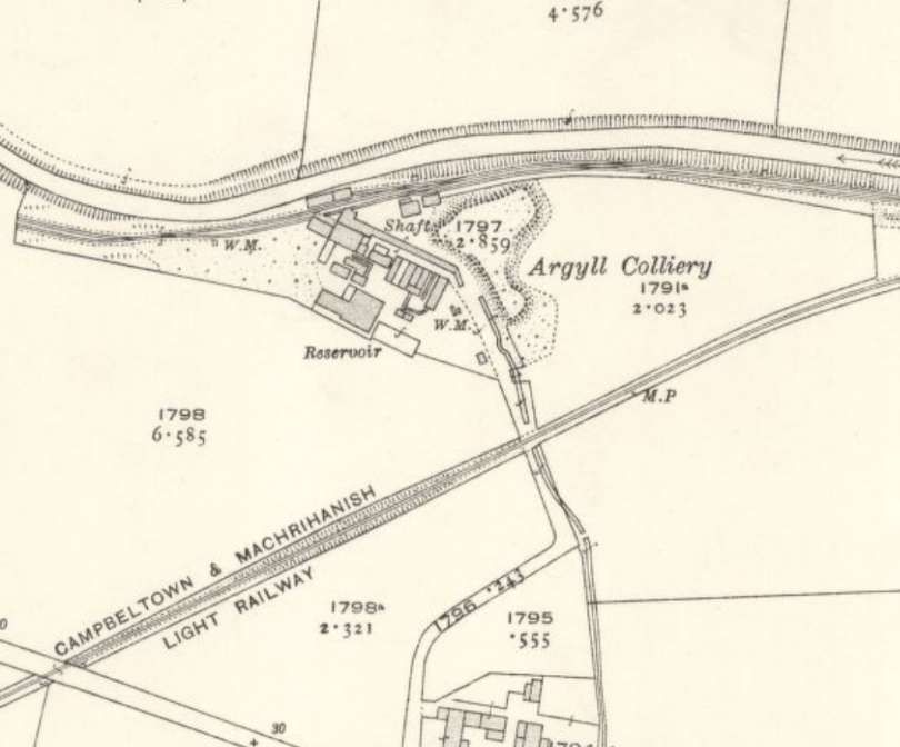
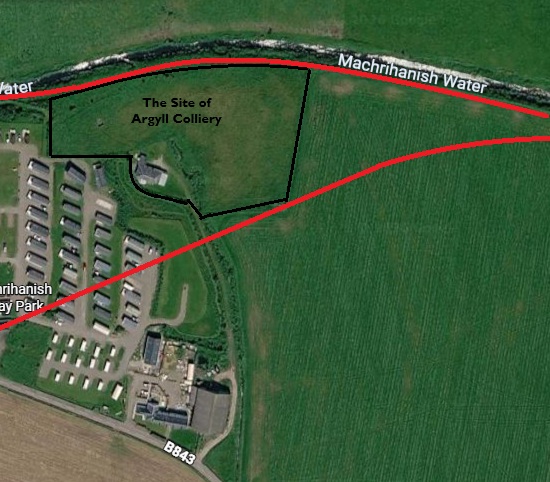
A similar area in the 21st century. The lines drawn are only approximate. [Google Maps, June 2026]
Mining was taking place at the site of the colliery “before the 16th century, largely in connection with a local sea-salt industry. Similar but very small scale activity also took place on the northeast coast of the nearby Isle of Arran. It continued at a low level through to the late 18th century when a new pit was sunk at the Argyll Colliery, ushering in the coalfield’s busiest period which lasted until the closure of the mine in 1929, following a fire in 1925. Much of the coal was used to fuel the area’s numerous distilleries. The coalfield was linked to Campbeltown by a canal from the late 18th century and by a tramway/narrow-gauge railway at the end of the 19th century.” [16]
After closure in 1929, plans were in the 1930s “to distil oil from Machrihanish coal, but they were never put into practice. The mine was reopened in 1946, … with two drift mines … serviced by modern machinery.” [17] The mine, however, closed permanently in 1967.
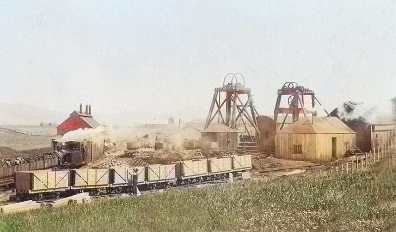
For more about Argyll Colliery, please click here, [18] here. [19]
We continue to follow the main line through to Machrihanish Station. …
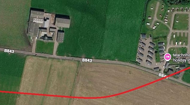
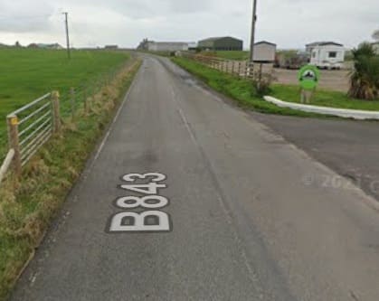
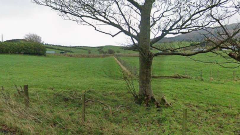
Looking West along the B843 at the approximate location of the railway crossing. [Google Streetview, November 2021]
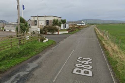
Looking East along the B843 at the approximate location of the railway crossing. [Google Streetview, November 2021]
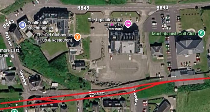
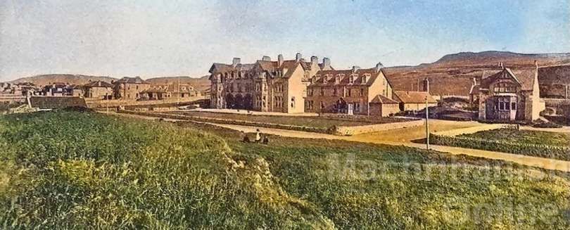
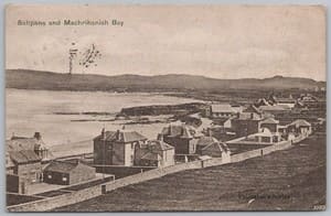
The backs of the buildings at Machrihanish in 1905, before the railway arrived in the village, (c) Public Domain. [20]
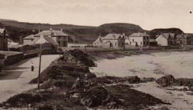
A view of Machrihanish village from the Northeast soon after the turn of the 20th century (c) Public Domain. [21]
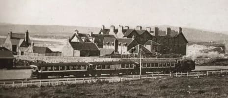
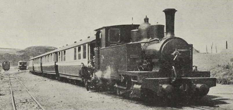
A superb painting of ‘Argyll’ by Jonathan Clay can be found here. [23]
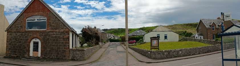
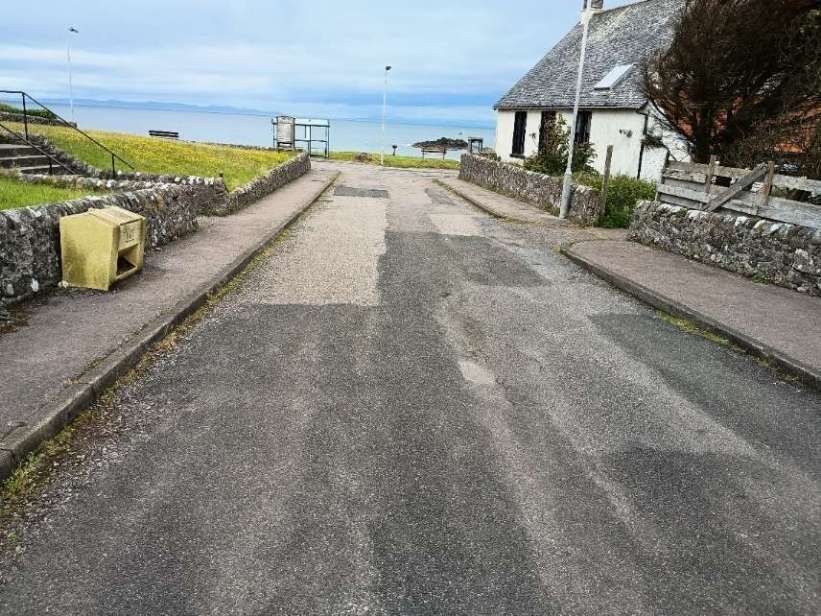

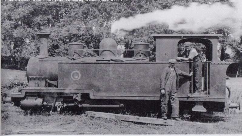
The railway owned two large tank engines built by Barclays of Kilmarnock named the “Argyll” and “Atlantic” together with three smaller engines inherited from the colliery. Its six unique large coaches handled the passenger business and there were 150 colliery owned coal wagons.
Links to other sites, blogs, articles
- https://wp.me/p7RU99-148, The Campbeltown to Machrihanish Light Railway, accessed on 13th May 2026.
- https://www.machrihanish.net/machrihanish-railway, accessed on 21st May 2026.
- https://transportsofdelight.smugmug.com/RAILWAYS/BRITISH-NARROW-GAUGE-AND-MINIATURE-RAILWAYS/BRITISH-NARROW-GAUGE-RAILWAYS/NARROW-GAUGE-RAILWAYS, accessed on 22nd May 2026.
References
- https://www.facebook.com/groups/169965873834335/posts/1720525862111654, accessed on 30th June 2026.
- https://www.facebook.com/photo.php?fbid=2350515415035270&set=pb.100063155654203.-2207520000&type=3, accessed on 1st July 2026.
- https://www.airbnb.co.uk/rooms/1333351742651568177?_set_bev_on_new_domain=1779435972_EANDk3YzNmMTIyZG&set_everest_cookie_on_new_domain=1779435972.EAOTg3NDhlNmVkMDlkOW.nzC8ycC2pcO-Eo_DbSM_xowJUhqVWkKW93L_Y-WO6NI&source_impression_id=p3_1779435973_P3gs1P0wiIMMOgVk&modal=PHOTO_TOUR_SCROLLABLE&modalItem=2067524742, accessed on 22nd May 2026.
- https://maps.nls.uk/view/82866012, accessed on 13th May 2026.
- https://maps.nls.uk/view/82866006, accessed on 13th May 2026.
- https://maps.nls.uk/view/82866000, accessed on 13th May 2026.
- https://maps.nls.uk/view/82865994, accessed on 21st May 2026.
- https://www.facebook.com/share/p/1H6s5J2QDR, accessed on 22nd May 2026.
- https://commons.wikimedia.org/wiki/File:Campbeltown_and_Machrihanish_Light_Railway_-_Argyll_-_0-6-2T_built_1906_by_Andrew_Barclay_-_2ft_3inch_light_railway_built_in_1905_and_closed_in_1933.png, accessed on 22nd May 2026.
- https://www.geograph.org.uk/photo/618505, accessed on 22nd May 2026.
- https://www.geograph.org.uk/photo/5154005, accessed on 22nd May 2026.
- https://www.facebook.com/share/p/17YGPh2uQz, accessed on 22nd May 2026.
- https://maps.nls.uk/geo/explore/#zoom=16.8&lat=55.42136&lon=-5.60560&layers=168&b=ESRIWorld&o=100, accessed on 23rd May 2026.
- https://maps.nls.uk/geo/explore/#zoom=16.7&lat=55.41981&lon=-5.62128&layers=168&b=ESRIWorld&o=0, accessed on 23rd May 2026.
- https://maps.nls.uk/geo/explore/#zoom=16.7&lat=55.42049&lon=-5.62441&layers=168&b=ESRIWorld&o=0, accessed on 23rd May 2026.
- https://en.wikipedia.org/wiki/Machrihanish_Coalfield, accessed on 9th June 2026.
- https://www.machrihanish.net/mining-at-machrihanish/nggallery/slideshow, accessed on 9th June 2026.
- https://theroadtodrumleman.wordpress.com/2017/02/08/argyll-colliery-the-pit-baths, accessed on 30th June 2026.
- https://www.facebook.com/groups/411524423288996/posts/1531038634670897, accessed on 30th June 2026.
- https://www.ebay.co.uk/itm/358620977945, accessed on 30th June 2026.
- https://www.ebay.co.uk/itm/396540988984, accessed on 30th June 2026.
- https://www.facebook.com/photo.php?fbid=618175316964318&set=pb.100063155654203.-2207520000&type=3&locale=en_GB, accessed on 1st July 2026.
- https://www.facebook.com/photo.php?fbid=3840078236082171&set=p.3840078236082171&type=3, accessed on 1st July 2026.
- https://www.facebook.com/photo.php?fbid=2399835046769973&set=pb.100063155654203.-2207520000&type=3, accessed on 1st July 2026.
- https://www.facebook.com/photo.php?fbid=2323275297759282&set=pb.100063155654203.-2207520000&type=3, accessed on 1st July 2026.