
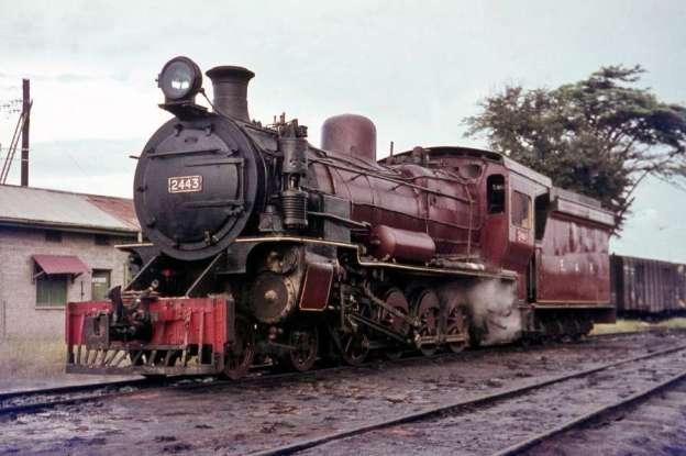
The featured image for this article is EAR 24 Class steam locomotive No. 2443 which was originally purchased by the Uganda Railway by 1930, manufactured by the Vulcan Foundry and Nasmyth, Wilson and Co. The photograph was taken at the Tabora depot in Tanzania in 1968 © Basil Roberts, 1968 and licensed for reuse under a Creative Commons licence (CC BY-SA 3.0). [2]
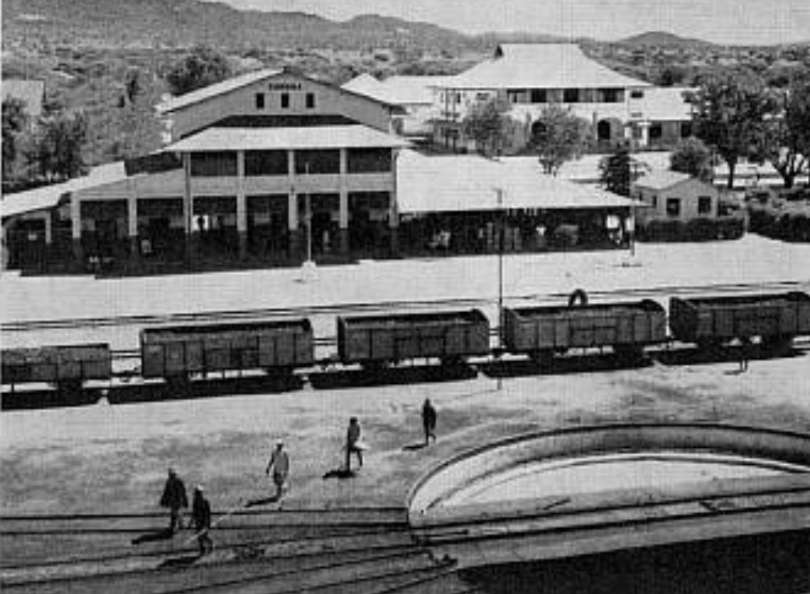
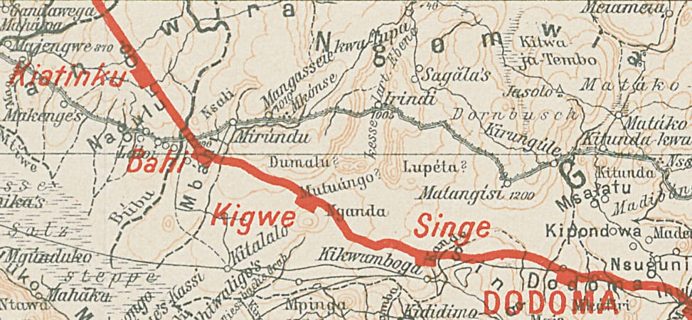
We start this next length of the journey along the Central Line in Tanzania at the capital Dodoma’s metre-gauge railway station which until the SGR line was opened was the main transport hub for the city, both for passengers and goods. The station is no longer used for passenger services to Dar-es-Salaam to the East nor for travel further West in Tanzania. The SGR line has (in 2026) reached Tabora and work on the line to Kigoma has now started.
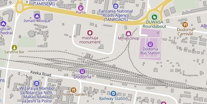
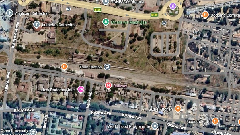
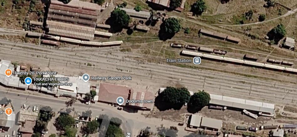
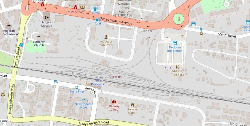
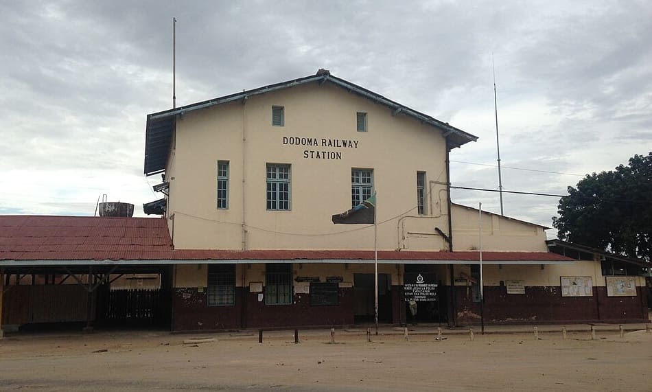
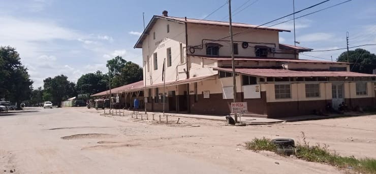
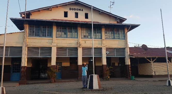
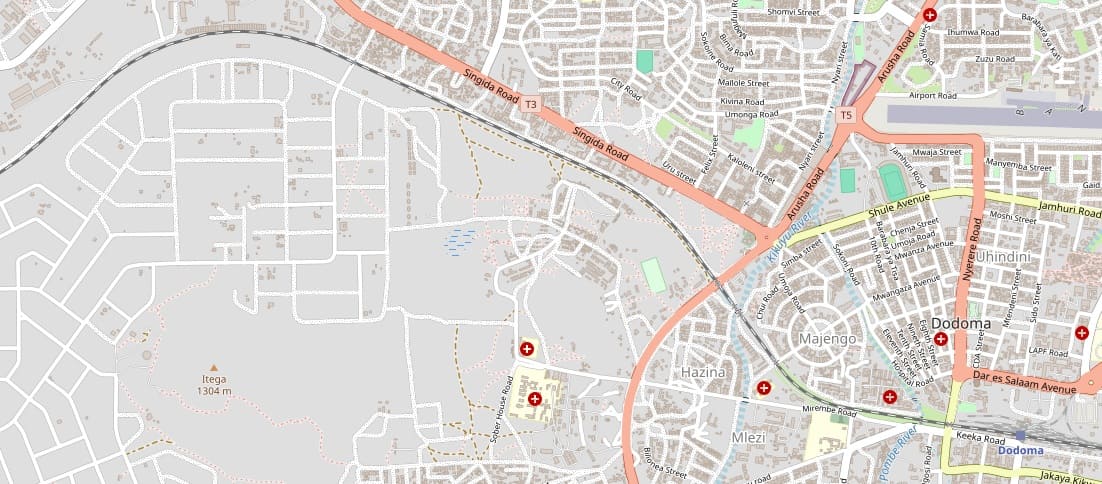
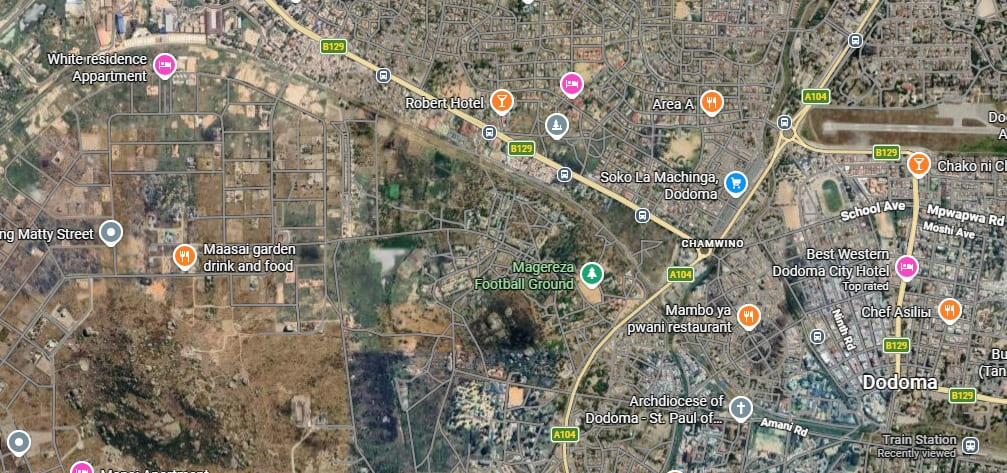
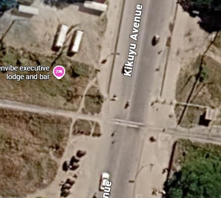
Google Maps shows the MGR crossing Kikuyu Avenue (Nyerere Road on OpenStreetmap.org and MapCarta) at the West end of the station site. [Google Maps, August 2026]
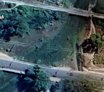
Both the MGR and Mwegasila Road cross the Pombe River channel. [Google Maps, August 2026]
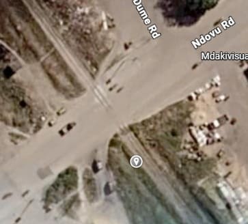
A level-crossing take the MGR across the Ndovu Road. [Google Maps, August 2026]
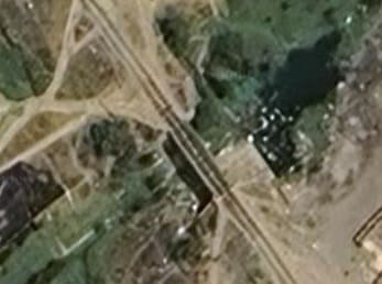
The line then bridges the Kikuyu River. [Google Maps, August 2026]
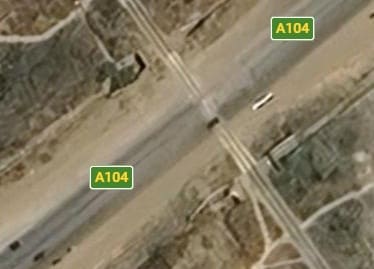
And then crosses the A104 on the level. OpenStreetMap.org and MapCarta call this road the ‘T5’. [Google Maps, August 2026]
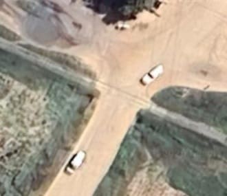
As the railway begins to turn from a northwesterly heading towards the Southwest it crosses another (murram) road. [Google Maps, August 2026]
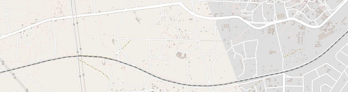
Apart from a number of small culverts and a series of minor crossing points, the railway wends its way out of Dodoma. The next feature of significance is Zulu Railway Station.
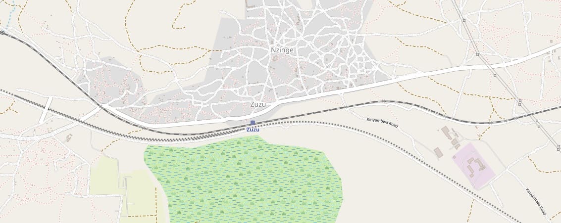
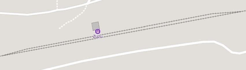
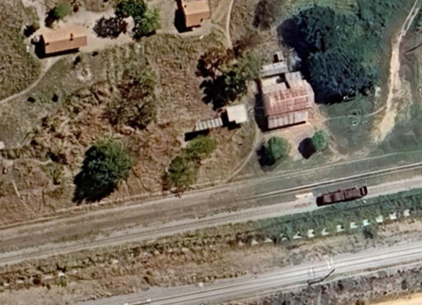
A closer view of Zuzu Halt/Station on the MGR. The main line is closest to the station build, the MGR loop next to the South and this has the wagon/ locomotive sitting on it. The SGR runs across the bottom of the satellite image. [Google Maps, August 2026]
As can be seen on the OpenStreetMap extract above the SGR provides some sidings and a long passing loop just to the West of Zuzu MGR station.
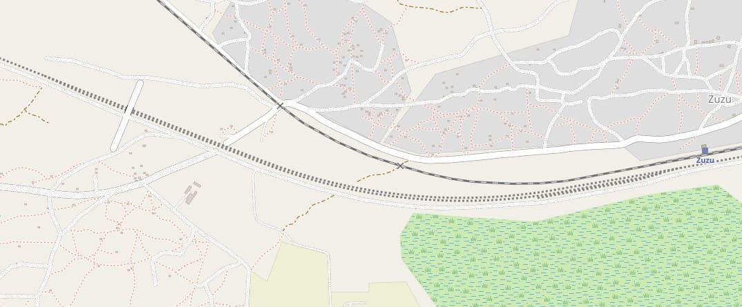
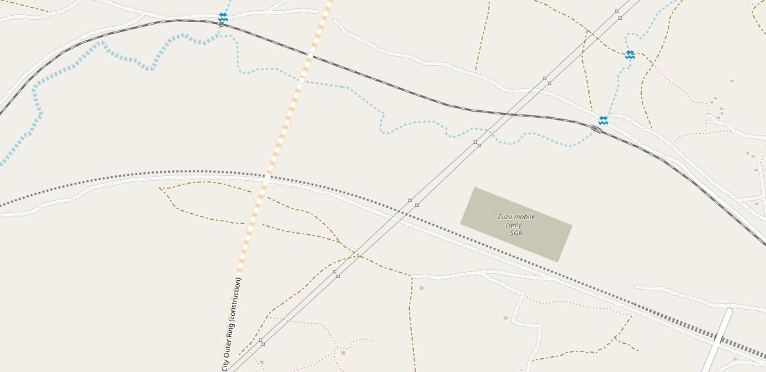
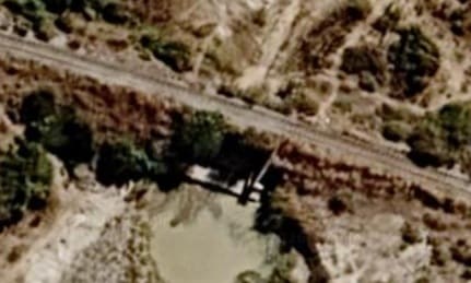
The first of two bridges over watercourses on the length of line on the OpenStreetMap.org extract above. [Google Maps, August 2026]
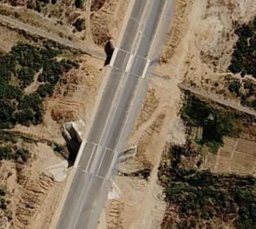
The Dodoma Outer Ring Road crosses the MGR and the stream to the South of the railway on two separate bridges. [Google Maps, August 2026]
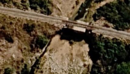
A second bridge over a dry watercourse on the length of the MGR covered by the OpenStreetMap.org extract above. [Google Maps, August 2026]
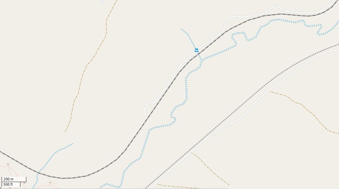
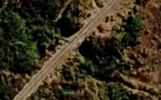
The watercourse location noted on the map extract above. [Google Maps, August 2026]
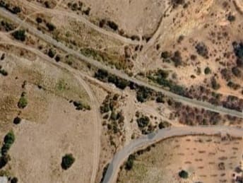
The dry watercourse and small bridge noted in the bottom-left of the map extract above. [Google Maps, August 2026]
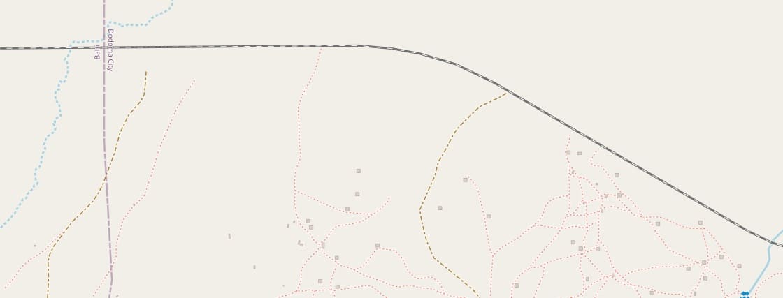
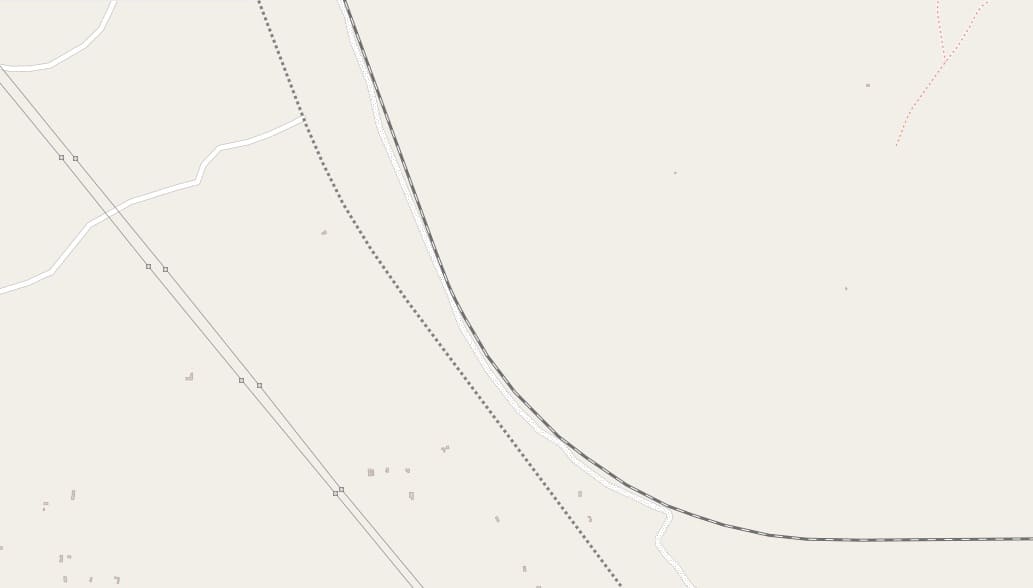
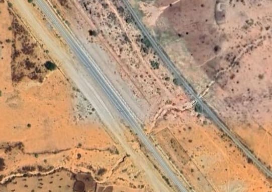
The MGR and the SGR in close proximity as shown on the map extract above. [Google Maps, August 2026]
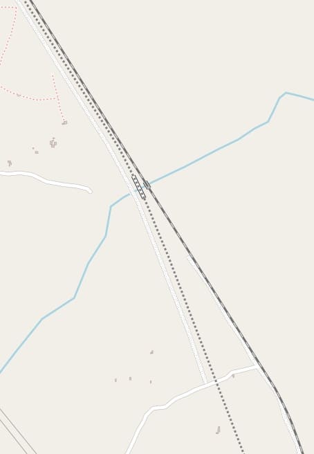
Over this next length of the line trains are travelling North-northwest/South-southeast. There is only one significant location where a dry watercourse is bridged by both the SGR and the MGR. [17] [Google Maps, August 2026]
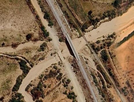
The next length of the line includes a road over rail bridge which has yet to be completed but which spans both the MGR and the SGR and a length of MGR track bed which is supported above the adjacent dry watercourse to cope with high water flows in the wet season.
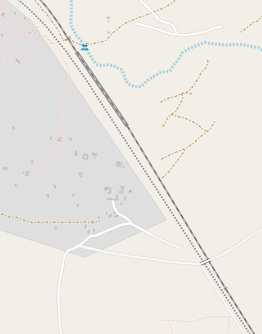
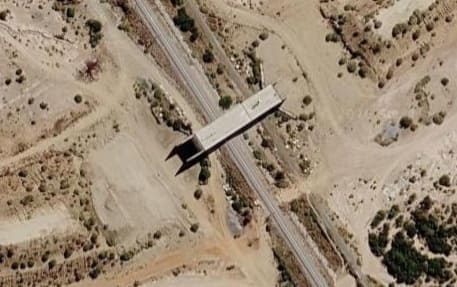
[18][Google Maps, August 2026]
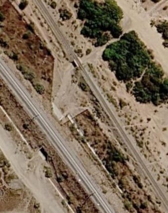
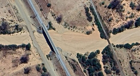
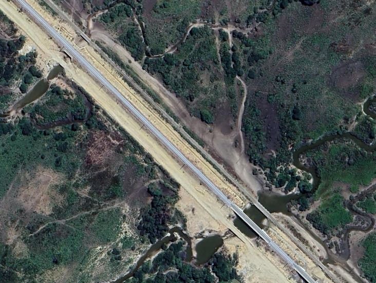
The first location marked on the map extract above is a significant dry watercourse, shown here which is bridged by the MGR, the SGR and the SGR service road. [Google Maps, August 2026]
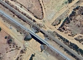
Another dry watercourse, not highlighted on the map extract above which is similarly bridge by the access road, the SGR and the MGR. [Google Maps, August 2026]
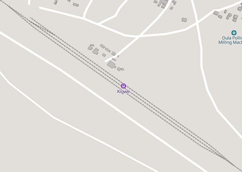
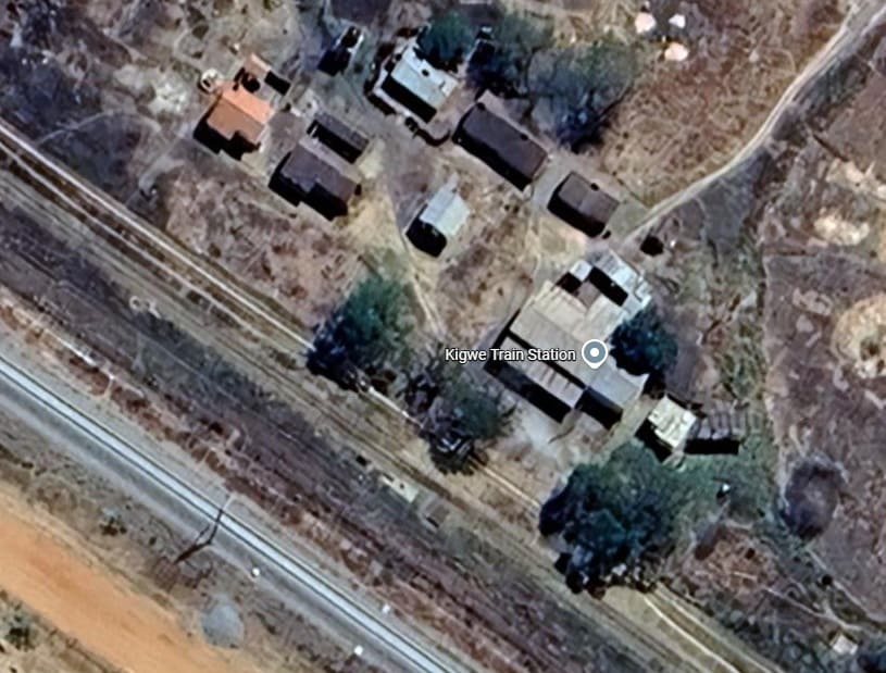
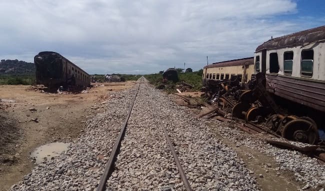
Abandoned MGR passenger stock close to Kigwe Railway Station, (c) Allan Kaitila, January 2021. [Google Maps, August 2026]
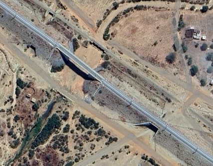
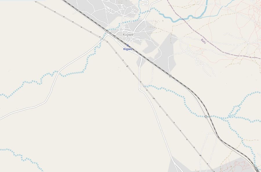
Just to the Northwest of Kigwe MGR station the SGR bridges a murram road which crosses the MGR on the level and then both lines bridge another dry watercourse. [Google Maps, August 2026]
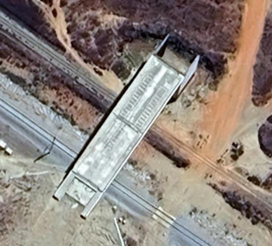
Located in the top-left corner of the OpenStreetMap extract above, this bridge has been constructed over both the SGR and the MGR. In this image, earthworks on the South side of the railways are nearing completion. [Google Maps, August 2026]
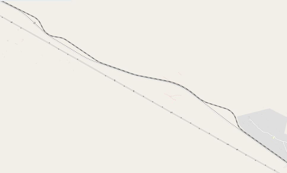
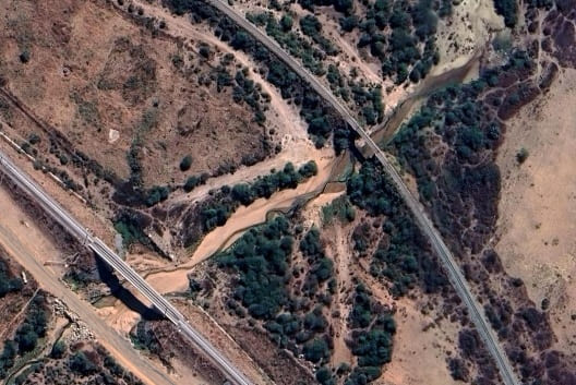
The watercourse mentioned above. [Google Maps, August 2026]
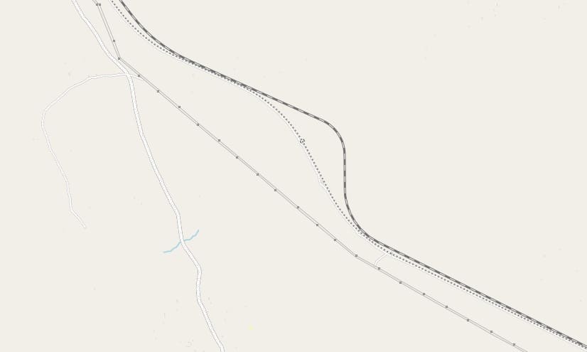
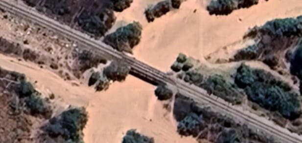
Apart from a series of small culverts, close to the centre of the map extract above, the MGR bridges another dry watercourse to the Northeast of the bridge shown carrying the SGR over the same watercourse. [Google Maps August 2026]
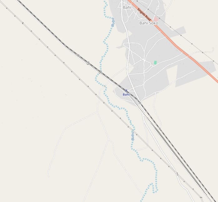
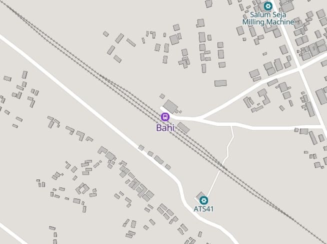
The next length of the line passes through the MGR station at Bahi. A series of sidings on the SGR can be seen in the bottom-right quadrant of this map extract. [23]
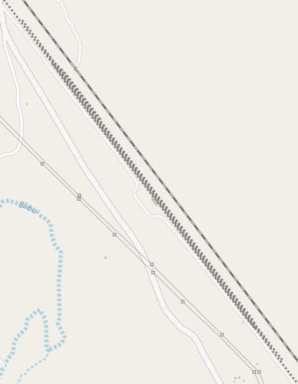
Shown as sidings to the Southeast of Bahi. These dotted lines may well be the proposed site for Bahi SGR station which accommodates both passenger and freight services.. This i9s the first stop on the SGR to the West of Dodoma. [25]
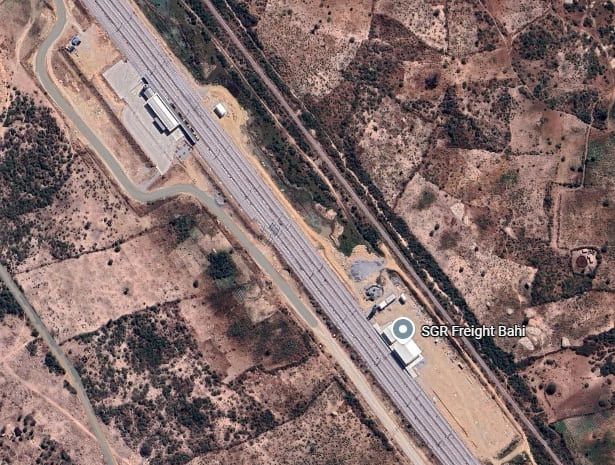
Google Maps shows the passenger and freight facilities at Bahi in a complete condition. Freight workings on the SGR between Dar-es-Salaam & Dodoma commenced in July 2025. We still do not have a firm date for the opening of the Bali Freight terminal. [Google Maps, August 2025]
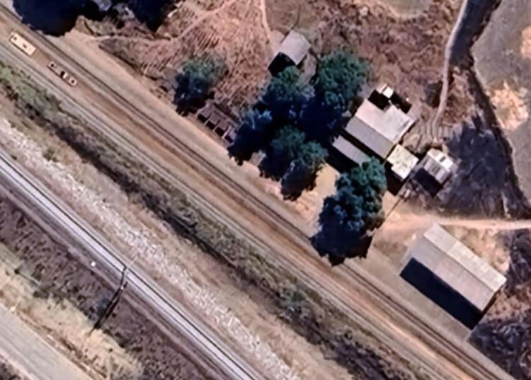
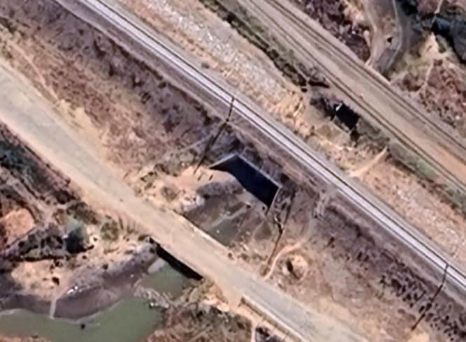
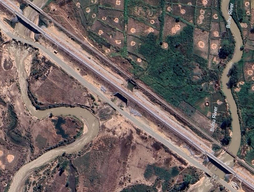
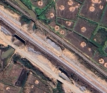
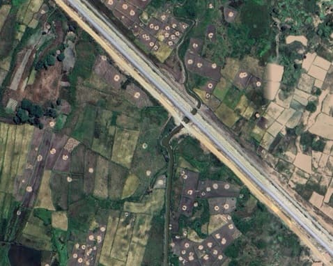
Two further sets of bridges carrying the lines over other arms of the Buhu River. Rice fields can be seen either side of the rail corridor for some distance to the Northwest of the Buhu (Bubu on OpenStreetMap) River bridges. [Google Maps, August 2026]
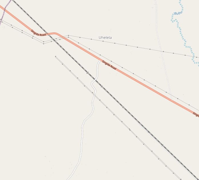
The Buhu (Bubu) River can be seen in the top-right corner of this next section of the MGR and SGR. Both run immediately adjacent to each other and together converge on the Singida Road, B129. [26]
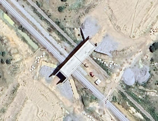
Again, apart from various culverts for watercourses, it is worth noting that approximately at the centre of the map extract above, a road can be seen crossing the MGR and SGR. A bridge has been constructed at this location although Google’s satellite imagery suggests that the road embankments have as of August 2026 still to be completed. [Google Maps, August 2026]
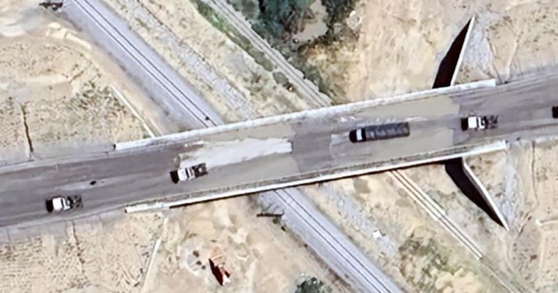
The bridge which is to carry the B129 Singida Road over the MGR and SGR. At the time that this satellite image was taken, work on the bridge and approach roads was almost complete. [Google Maps, August 2026]
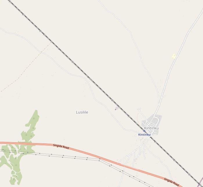
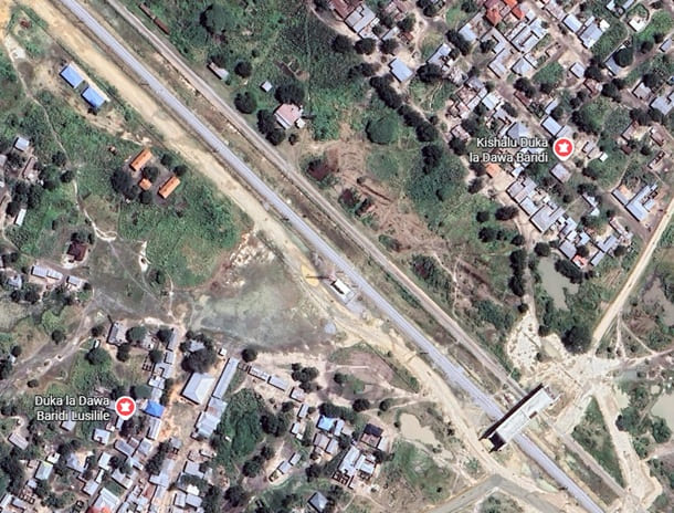
This next length of the MGR passes through Kintinku. [27]
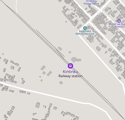
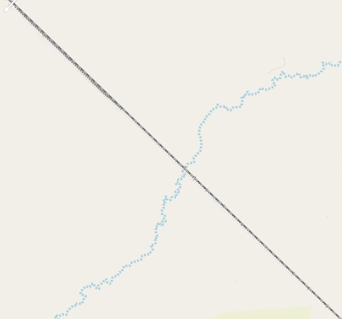
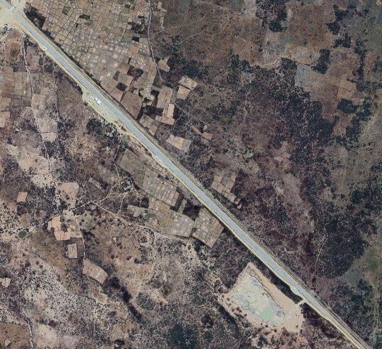
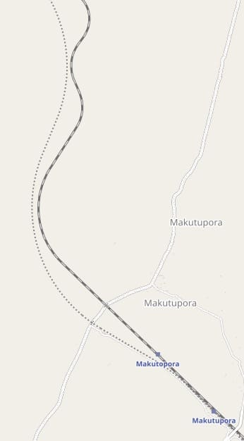
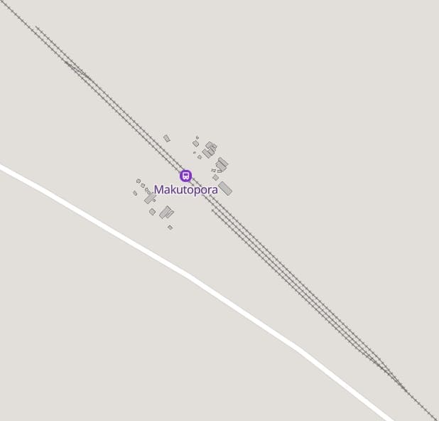
This next OpenStreetMap extract shows a significant change in direction for both the SGR and MGR. Bottom-right of the map extract are the two Makutapora Railway Stations. [30]
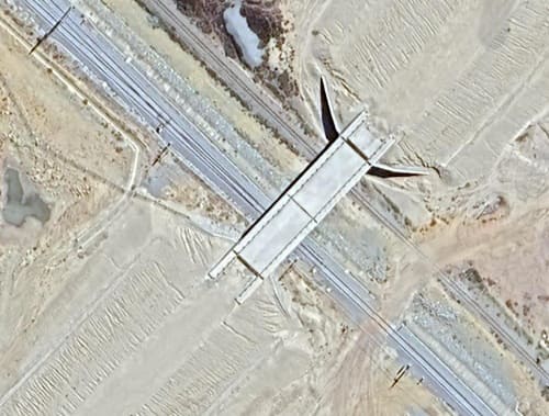
The first Makutupora Railway Station encountered is that of the SGR, second is that of the MGR.
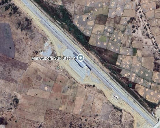
Makutupora was the terminus of the SGR for a number of years. The next phase of construction took the SGR from Makutupora to Tabora. Work to extend the SGR to Tabora commenced on 8th March 2022,
The extension to Tabora has the same design speed as the already constructed phases of the SGR – 160 km/hr and is 294 km in length. All design works, infrastructure construction, track laying, construction of seven stations, signalling, telecommunication, and electrification works are being carried out by Yapı Merkezi as a turnkey project. The total railway construction, including station tracks, was due for completion in early to mid-2026. At the time of writing, Yapi Merkezi says that approximately 12 million m³ of earthworks, 77,000 m³ of concrete construction have been undertaken using a total of 3.1 million man-hours. Earthworks and the construction of civil engineering structures along the route are ongoing. [30]
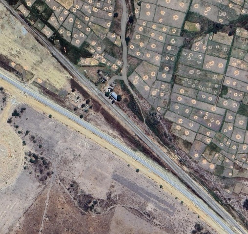
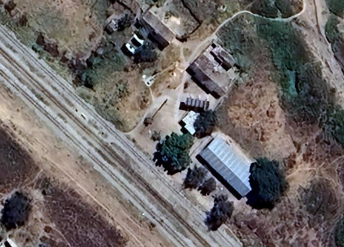
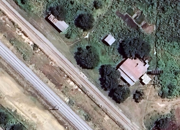
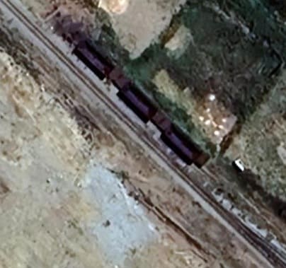
A closer view of the MGR station buildings at Makutupora, and a view of wagons left at the Northwest end of the station site. [Google Maps, August 2026]
We continue to follow the MGR as it heads West and North from Makutupora. The first length heads North and is shown on the OpenStreetMap extract above. A number of culverts are again provided to allow water run-off and there are a number of murram road crossings which also have not been shown below.
The line then heads West
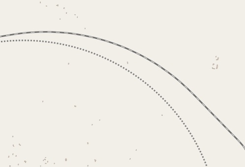

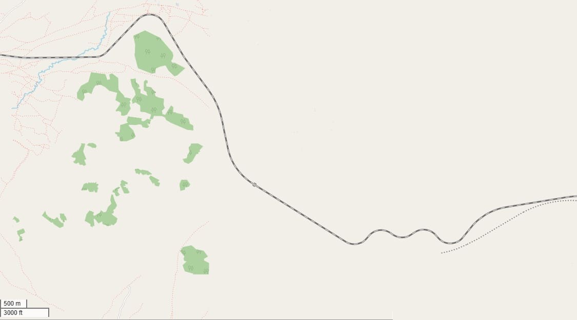
This perhaps gives an indication of the date of OpenStreetMap.org’s mapping. The same applies to Google’s satellite imagery in this area. Both probably date from 2022/2023.
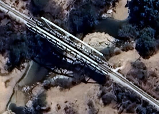
Quite a significant length of the line heading West shows no evidence of watercourses crossing the railway. This is the first watercourse and is bridged by a Warren Truss girder bridge. The location can just be made out on the OpenStreetMap extract above – just to the left of centre. [Google Maps, August 2026]
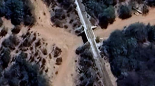
This next location shows a culvert under the line perhaps not much more than a couple of hundred metres beyond the bridge above. [Google Maps, August 2026]
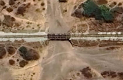
It is quite some distance (8 or 9 kilometres) before the next structure supporting the line which is another Warren Truss girder bridge. The crossing point is visible on the OpenStreetMap extract above. [Google Maps, August 2026]
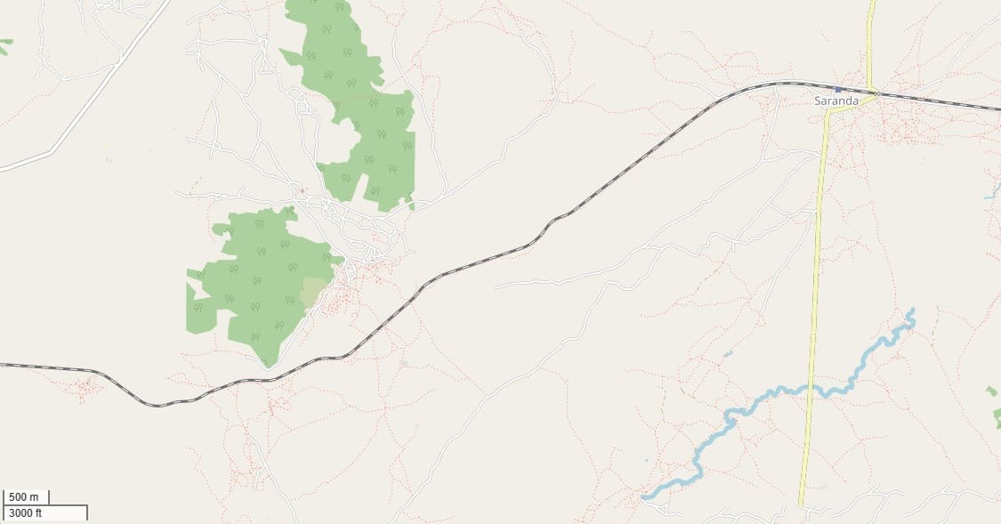
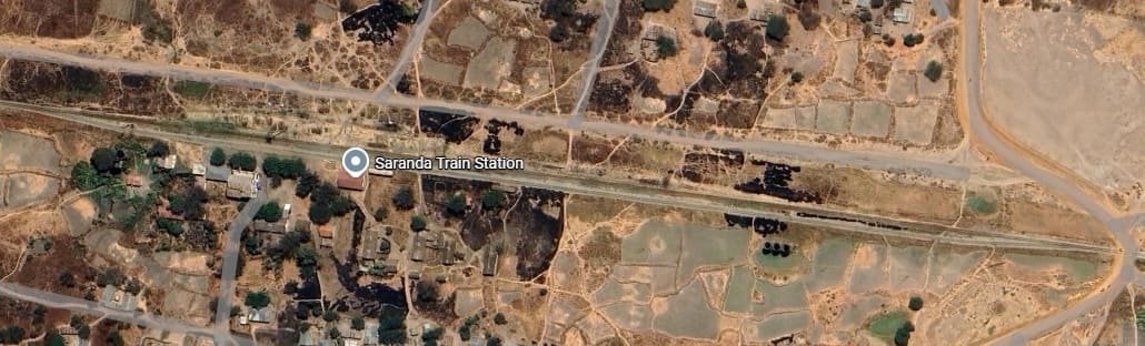
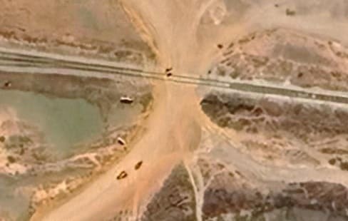
The murram road crossing at the East end of Saranda Railway Station site. [Google Maps, August 2026]
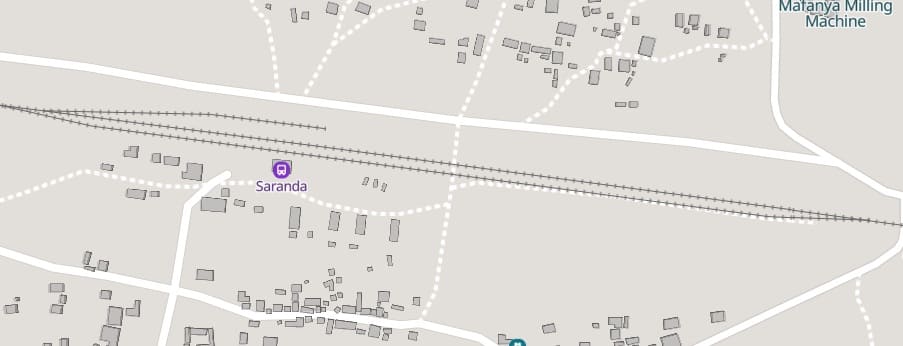
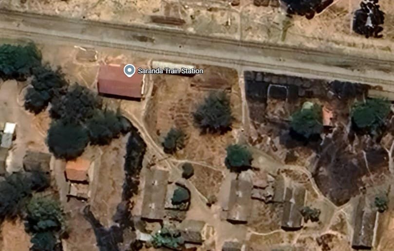
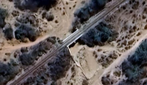
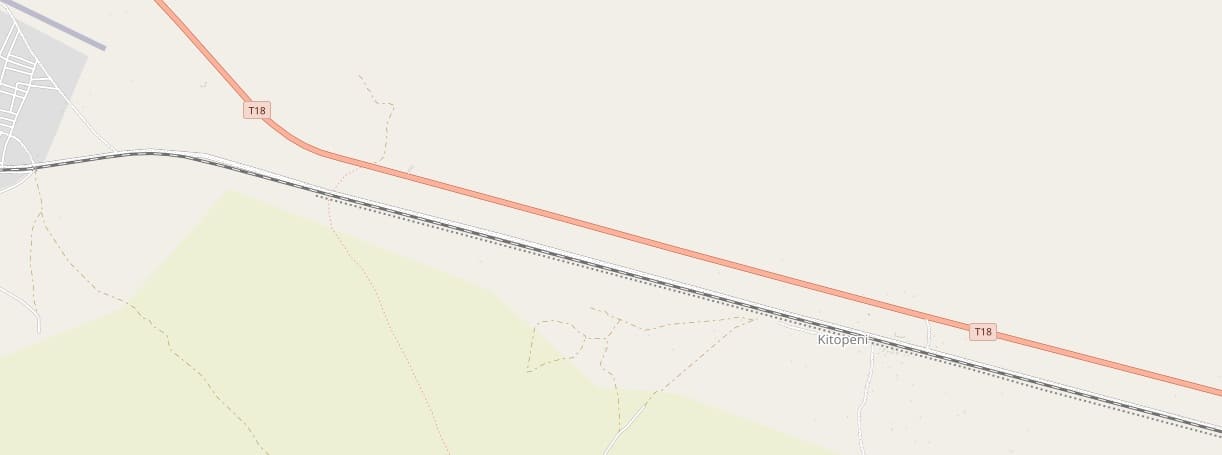
A kilometre or so West of Saranda, this is the first culvert provided for west season water flows. Culverts appear at intervals along the line ahead. [Google Maps, August 2026]
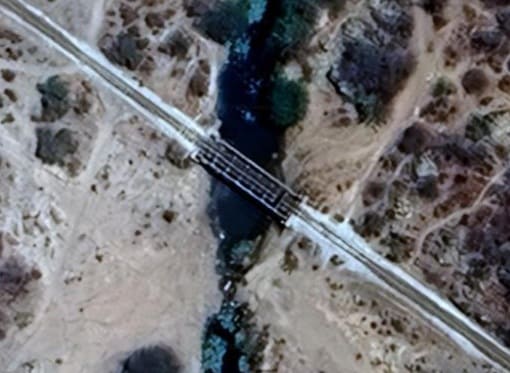
The next bridge across a watercourse sits towards the left side of the OpenStreetMap extract above. It is a Warren Truss girder bridge. [Google Maps, August 2026]
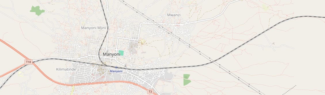
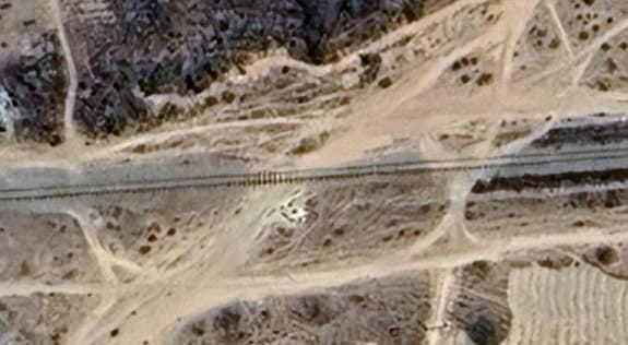
The murram road crossing. [Google Maps, August 2026]
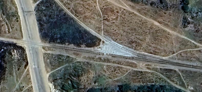
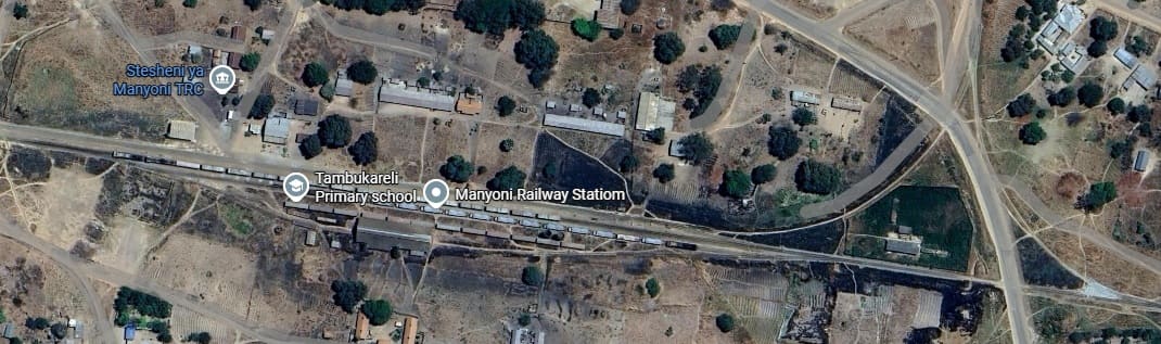
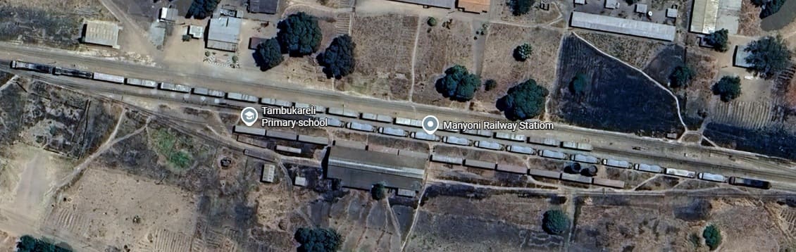
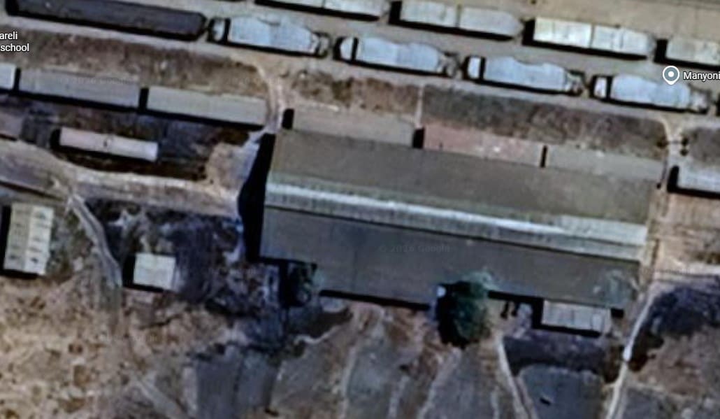
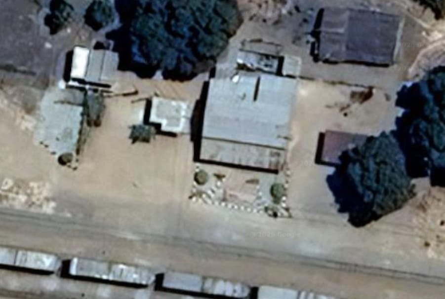
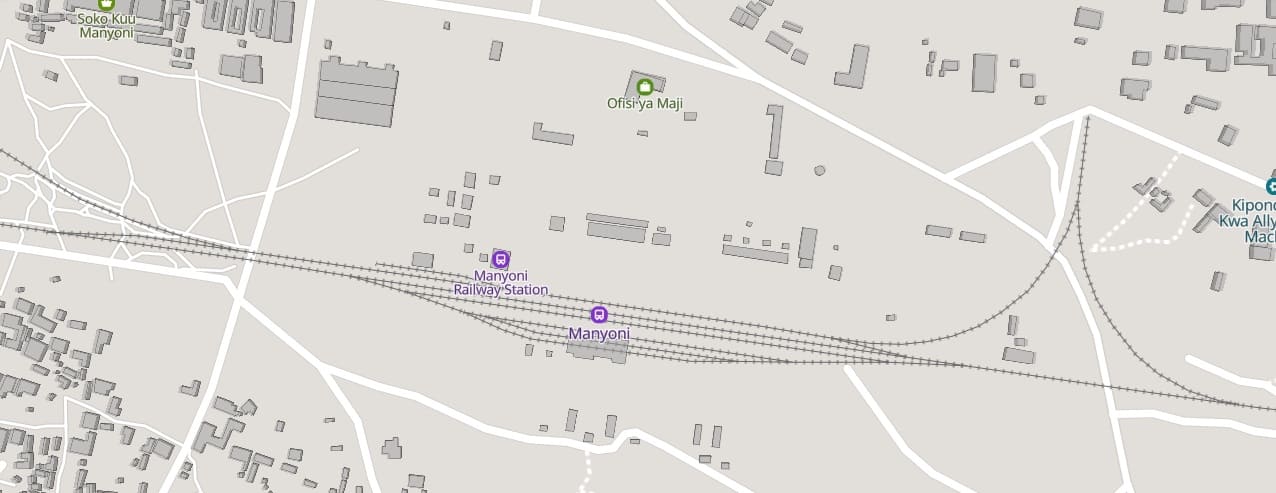
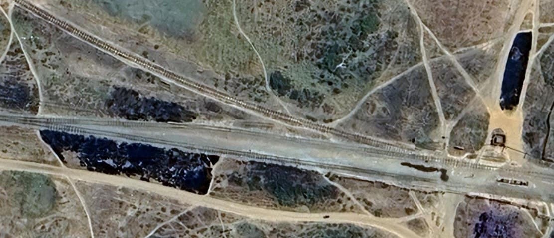
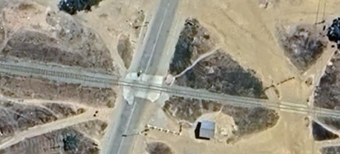
The line crosses a further culvert before crossing ta murram and a metalled road to the Southwest of Manyoni town centre. [Google Maps, August 2026]
To the West of Manyoni, after crossing another three culverts, the MGR crosses the T18 (B129) road close to its junction with the T3.
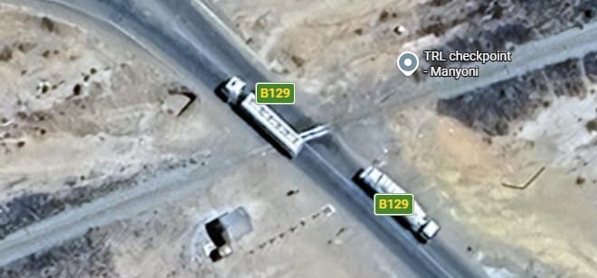
The line crosses the B129 (T18) metalled road adjacent to a roundabout junction where the B129 meets the B141. [Google Maps, August 2026]
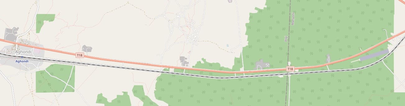
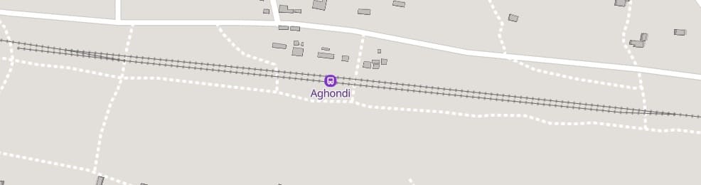
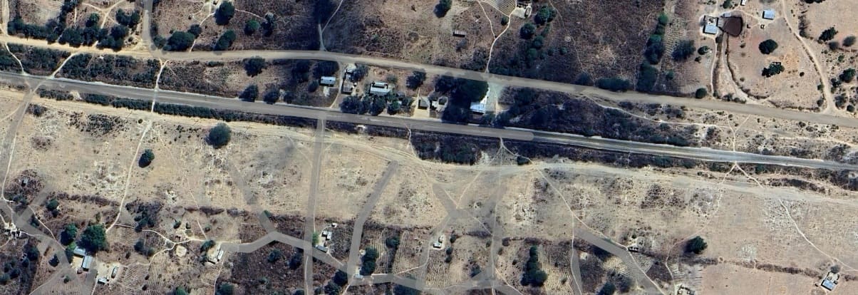
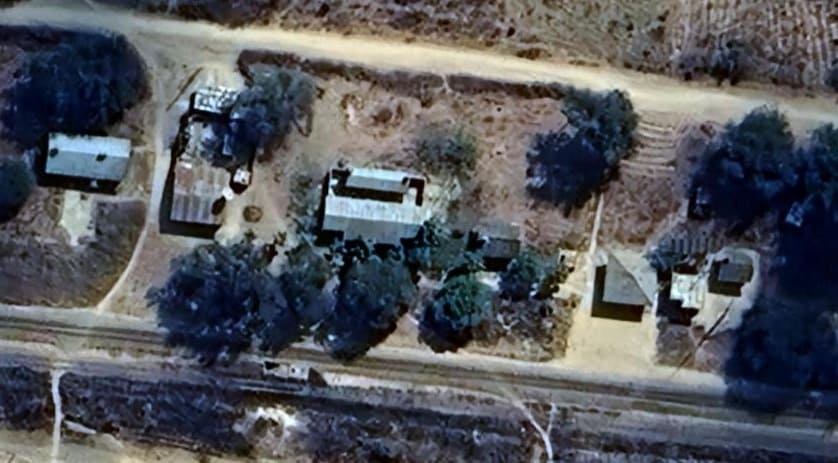
The station buildings at the MGR Station at Aghondi. [Google Maps, August 2026]
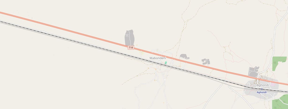
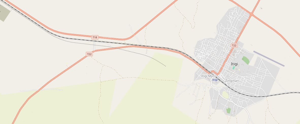
The next OpenStreetMap extract shows the line passing through Itigi.
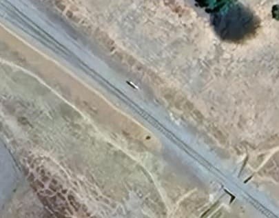
The culvert at the Southeast end of the MGR station site can be seen in the bottom-right of this image. The points which provide access to the passing loop are visible to the Northwest of the culvert. [Google Maps, August 2026]
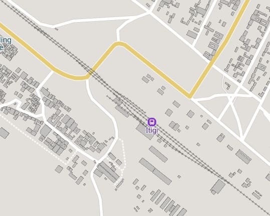
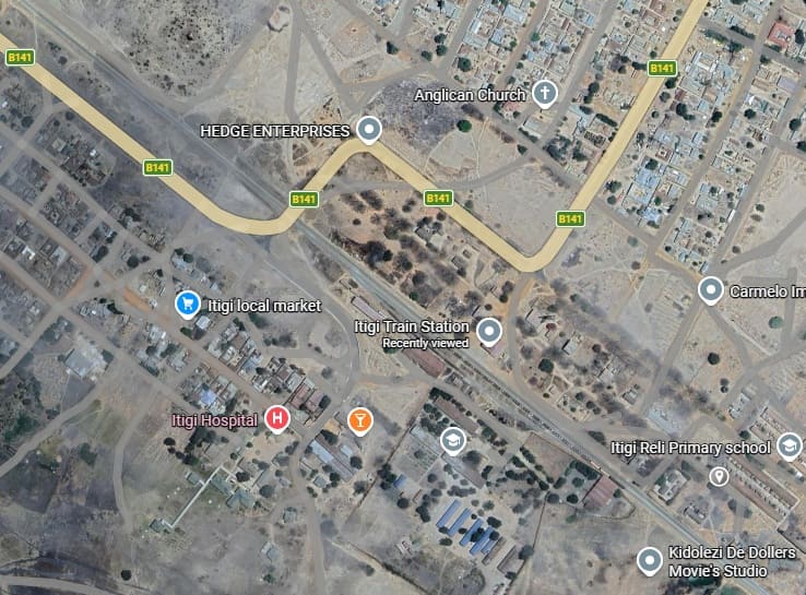
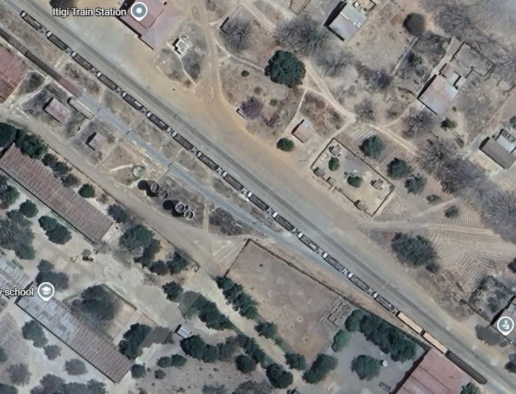
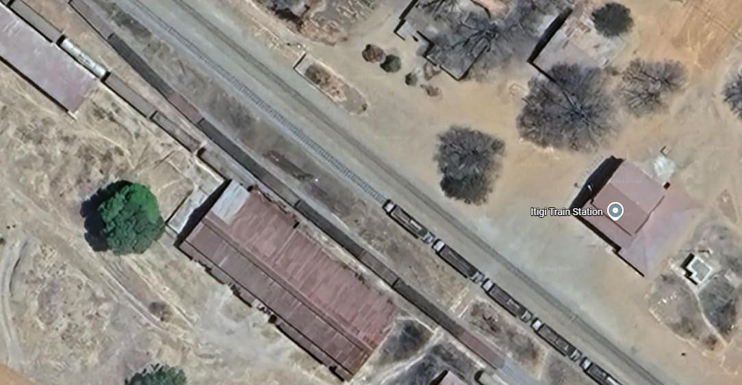
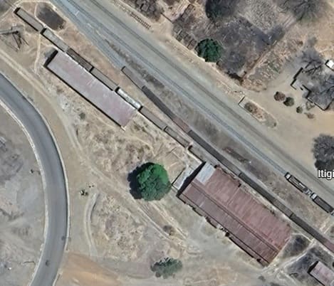
Goods wagons sit adjacent to the goods shed and separate loading area to the Northwest. [Google Maps, August 2026]
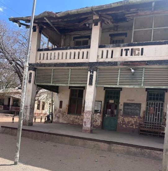
Itigi Railway Station building, (c) Experience Tanzania, September 2025. [Google Maps, August 2026]
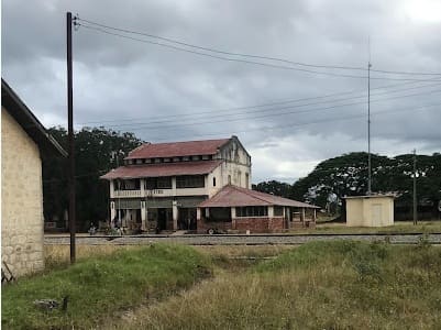
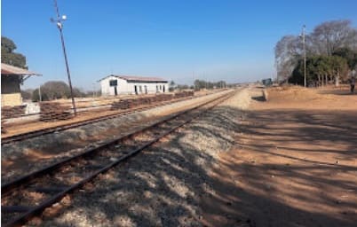
Looking Northwest through the station site. The main goods shed is on the extreme left of the image the secondary goods shed is middle-left, (c) Experience Tanzania, September 2025. [Google Maps, August 2026]
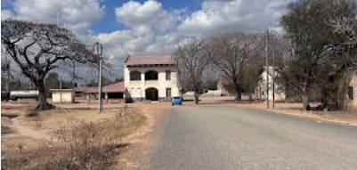
The station approach from the Northeast, (c) Experience Tanzania, September 2025. [Google Maps, August 2026]
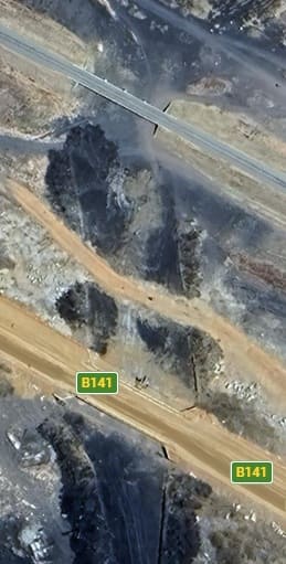
The MGR and the B141/T22 span a dry watercourse to the West of Itigi. It seems as though there may have been a fire which has burnt off areas of grassland at this location or the area has some particularly dark soil. [Google Maps, August 2026]
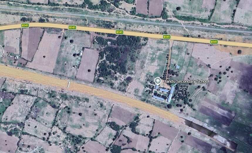
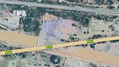
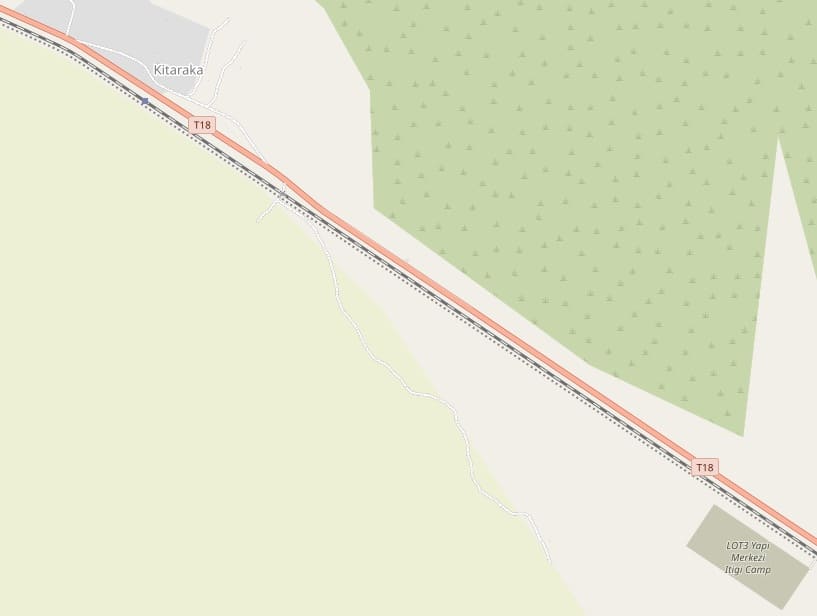
To the West the T18, the MGR and the SGR construction work follow the same corridor. …
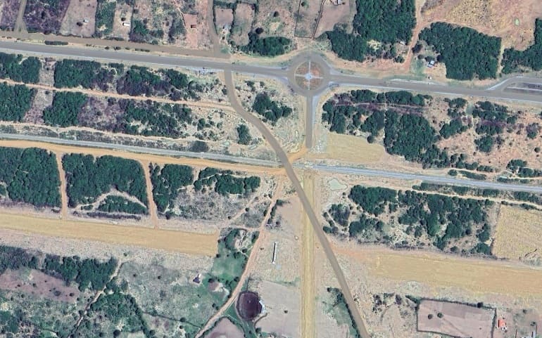
The line continues heading Northwest. …
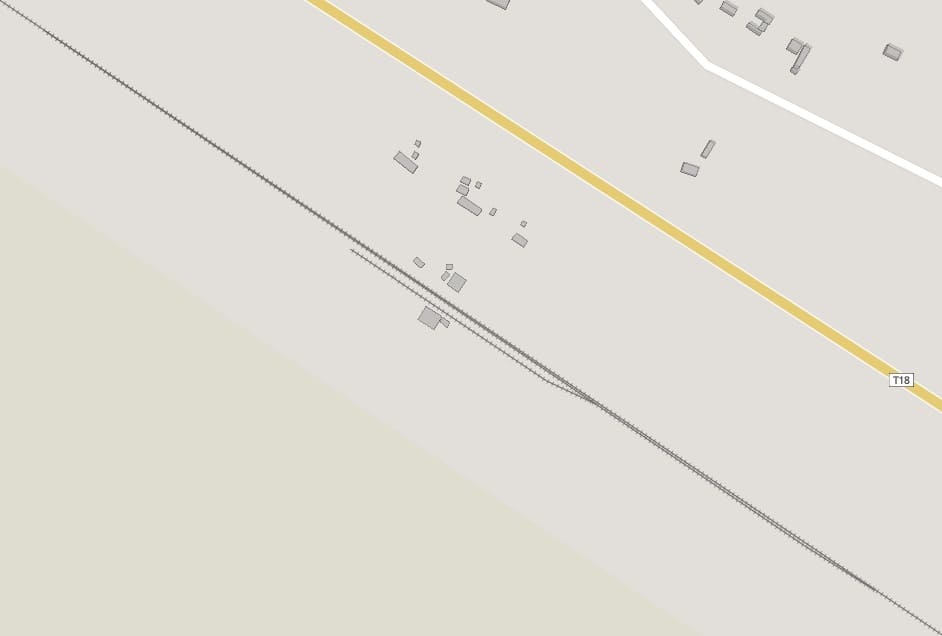
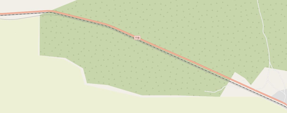
Other than the occasional culvert under the line allowing for wet season water flows and a few murram road crossings there is little to note on this length of the line.
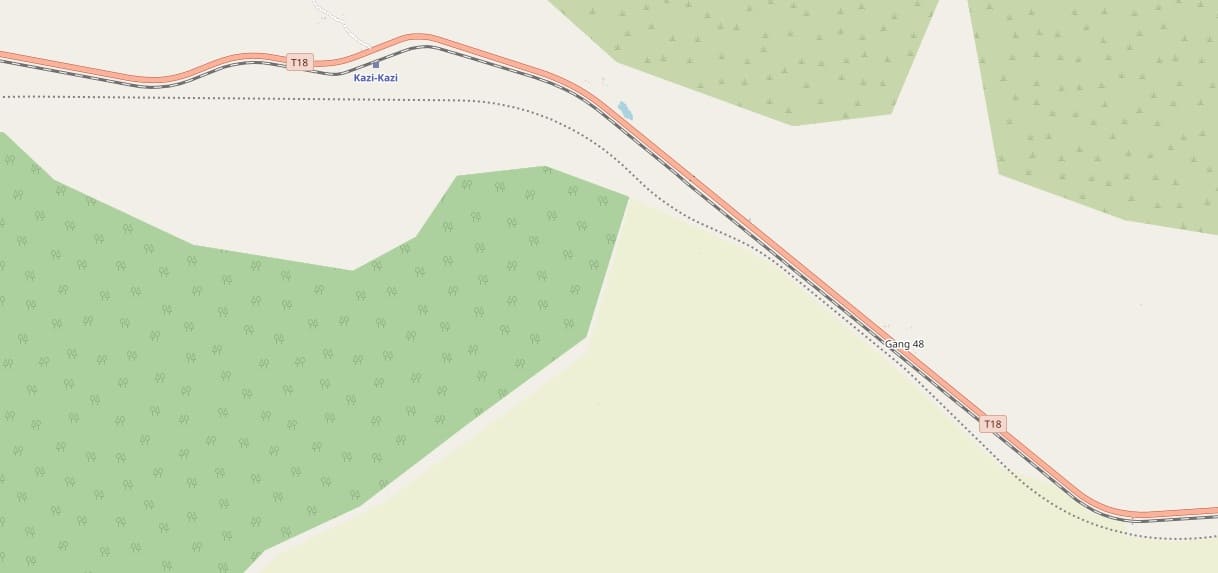
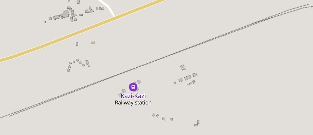
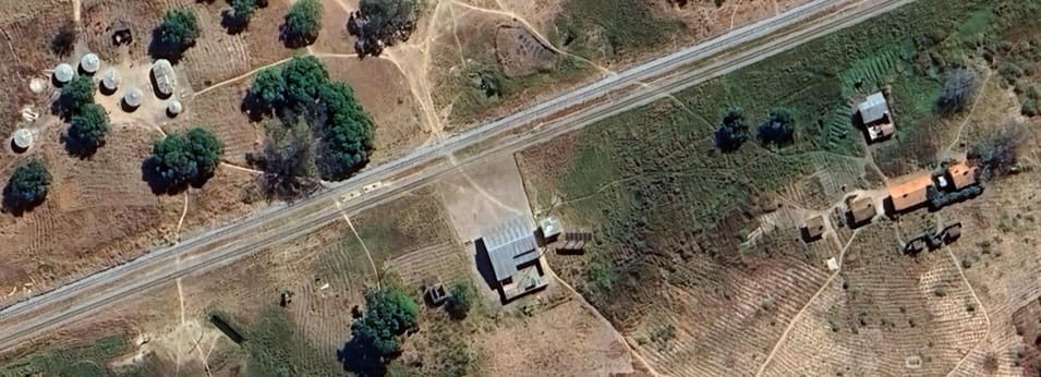
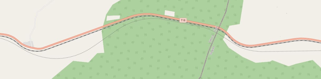
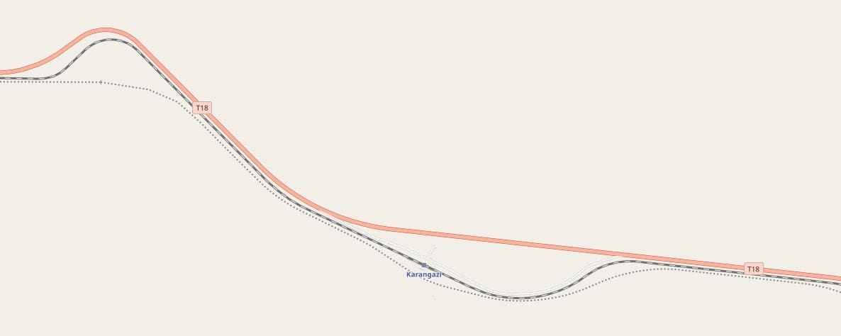
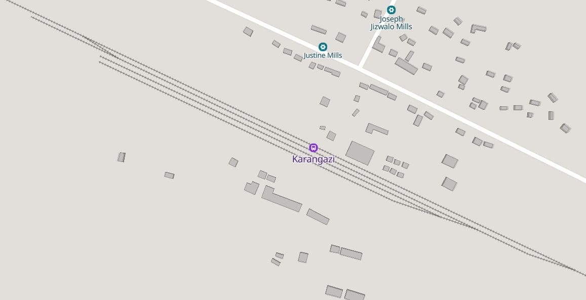
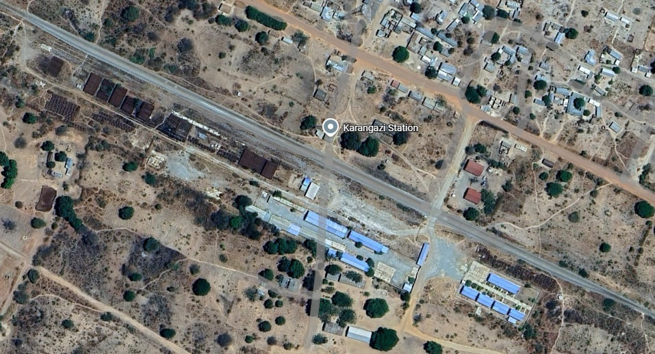
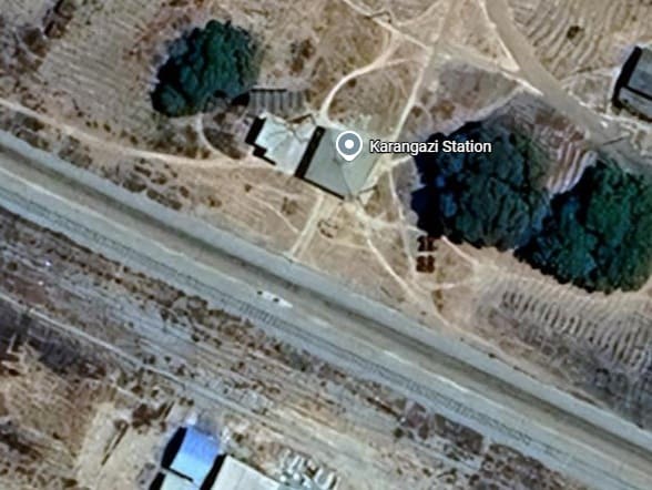
Karangazi Railway Station building. [Google Maps, August 2026]
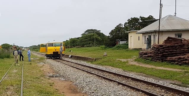
Looking Northwest through Karangazi Railway Station on the MGR. The yeallow vehicle appears to be a Wickham trolley, a motorized light rail inspection and maintenance car (often referred to in the USA as a railroad speeder) manufactured by D. Wickham & Co. of Ware, Hertfordshire, UK, (c) Ali YÜKSEL, March 2018. [Google Maps, August 2026]
There is little of note on the remainder of the line covered by the extract from OpenStreetMap above – the usual culverts and murram road crossings aside.
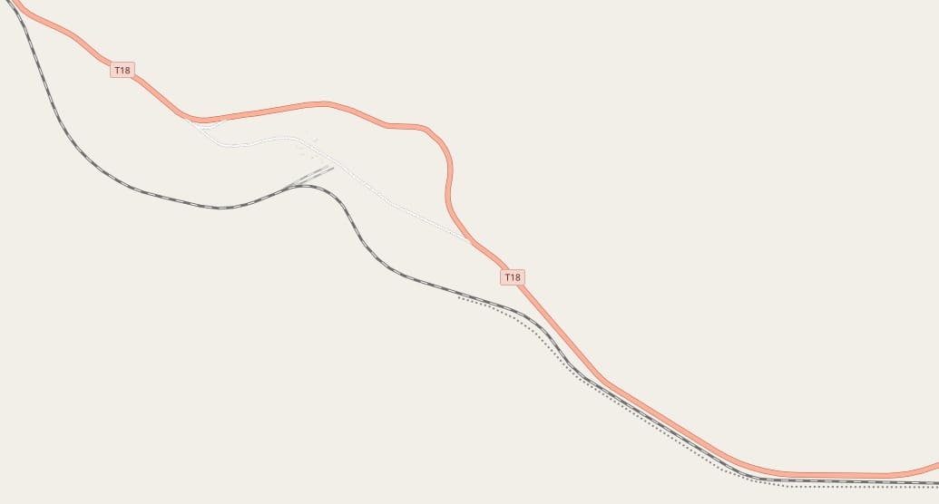
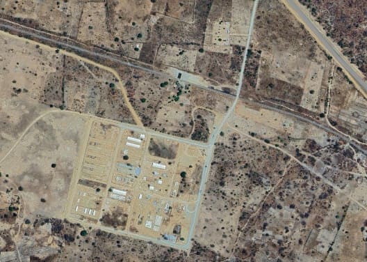
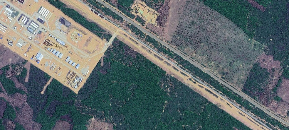
Another SGR contractor’s compound sits to the South of the MGR and has an access road leading North to the T18. [Google Maps, August 2026]
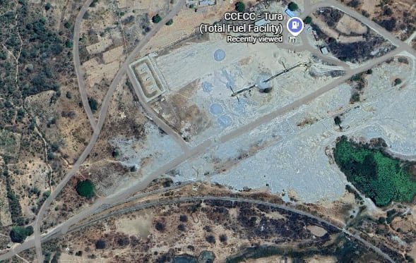
The sidings shown on the extract from OpenStreetMaps above are shown here – the compound served is a CCECC Tura (Total Fuel Facility). [Google Maps, August 2026]
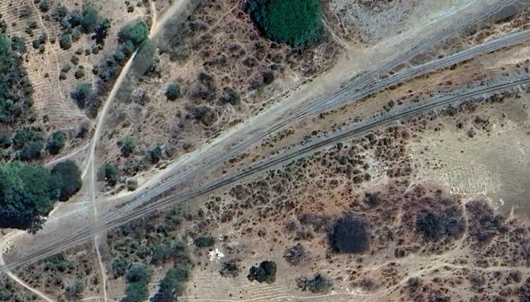
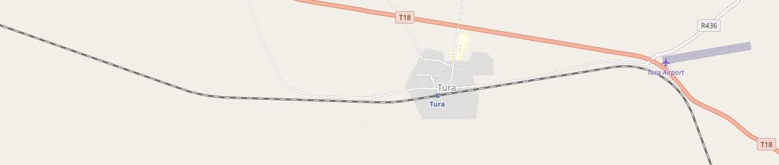
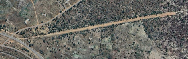
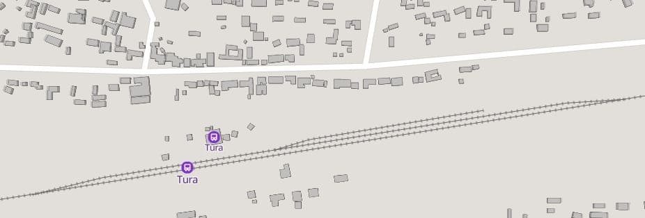
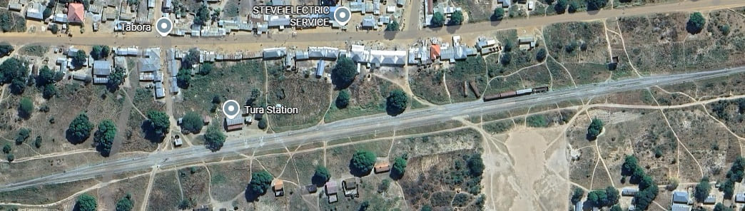
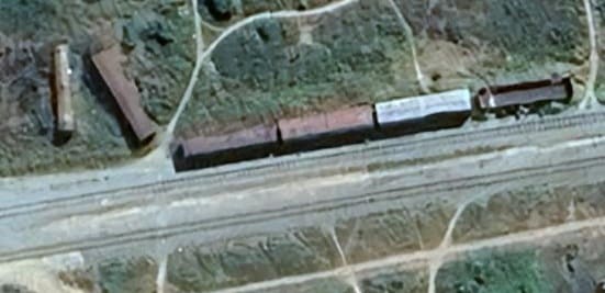
A number of wagons sit at the east end of the sidings at Tura two clearly no longer in use as they sit abandoned beside the others. [Google Maps, August 2026]
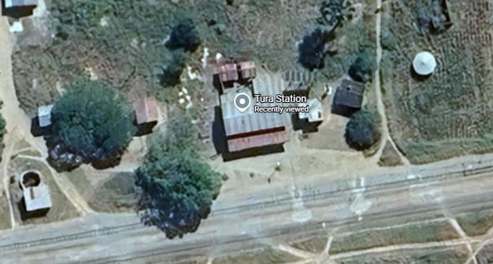
Tura Railway Station building seen from above. [Google Maps, August 2026]
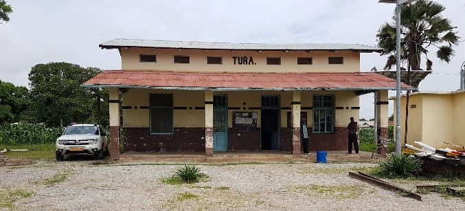
Tura Railway Station building, (c) Ali YÜKSEL, April 2018. [Google Maps, August 2026]
There is nothing further worthy of note on the length of line covered by the OpenStreetMap extract above.
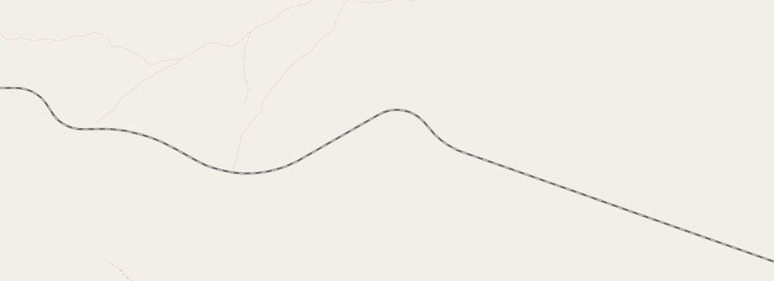
Again, there is little of note along this length of the line. It frequently crosses culverts provided for west season water flows, but little else.
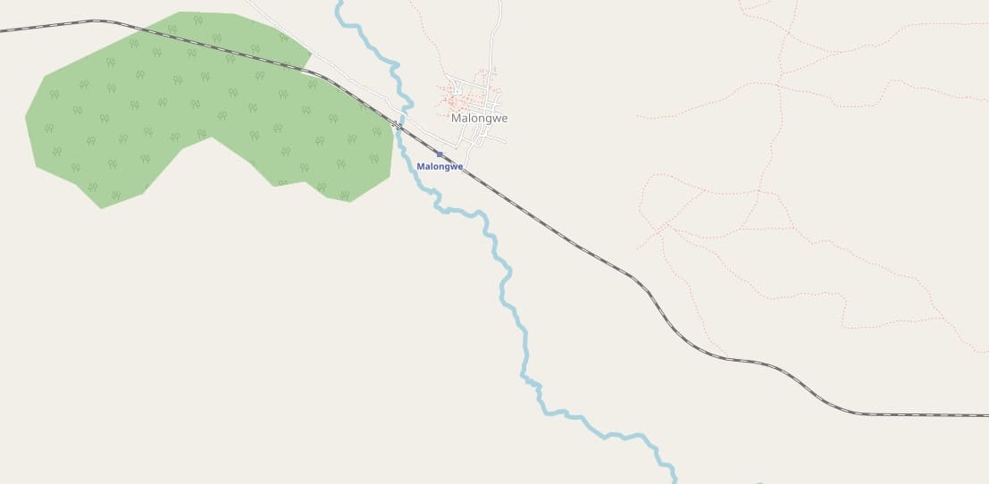
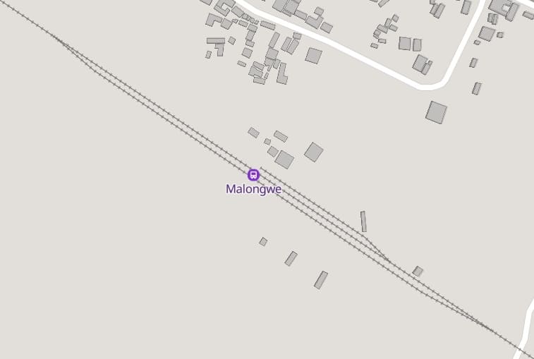
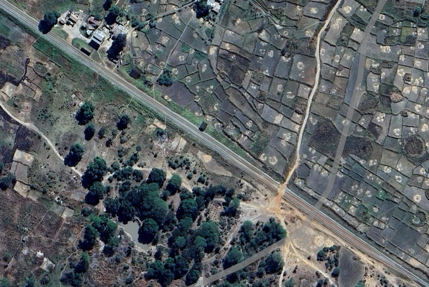
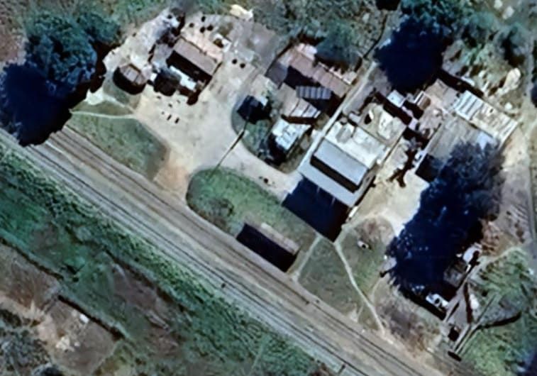
Malongwe MGR Station buildings. [Google Maps, August 2026]
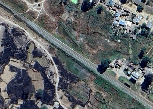
The Northwest end of Malongwe MGR Station. [Google Maps, August 2026]
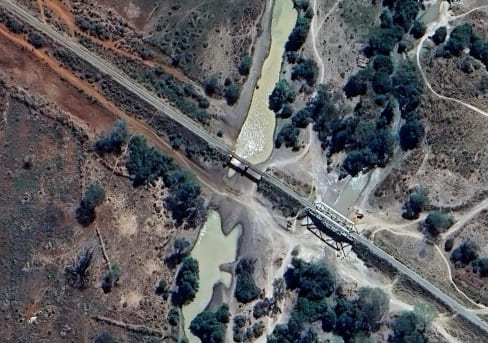
Two bridges cross the Chomwe River. Steel girders span the main river course with a Warren Truss spanning the secondary channel. At the time of the satellite photograph, little water was flowing down the river. [Google Maps, August 2026]
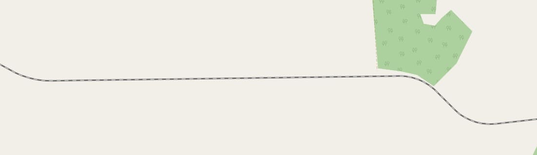
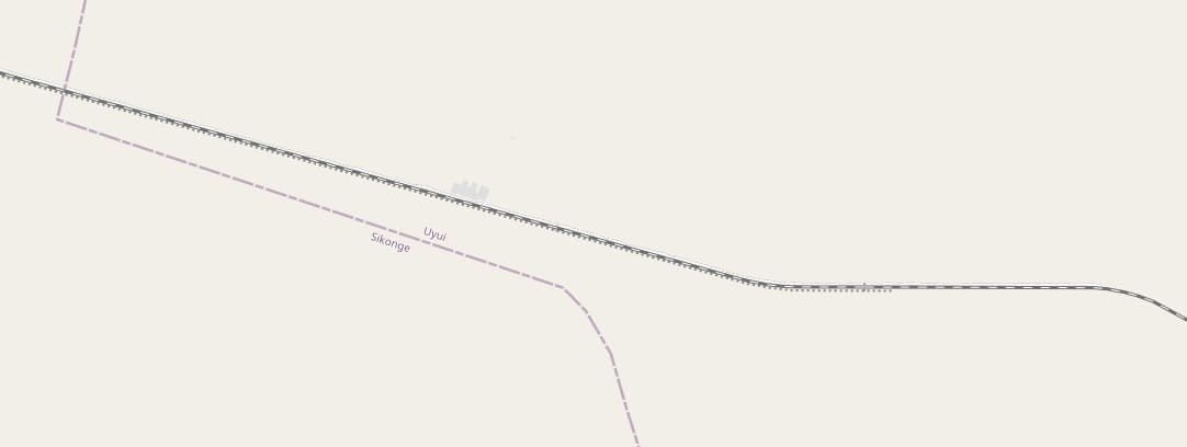
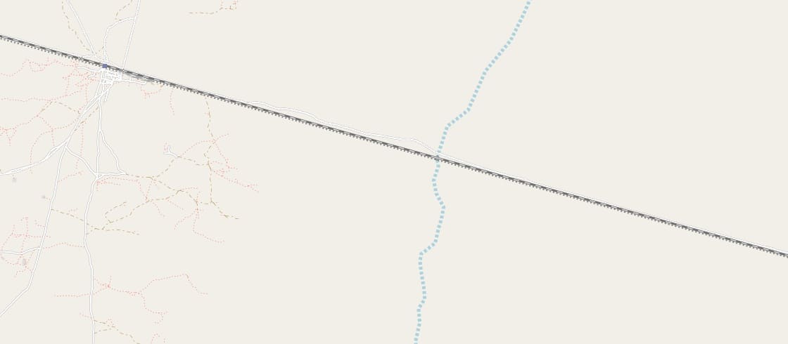
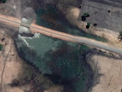
The larger culvert/bridge as shown on Google’s satellite imagery. [Google Maps, August 2026]

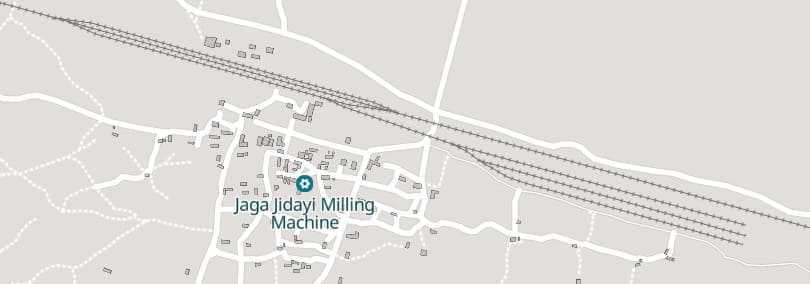
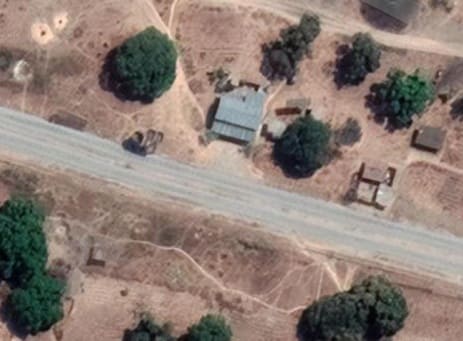
Nyuhua Railway Station. [Google Maps, August 2026.
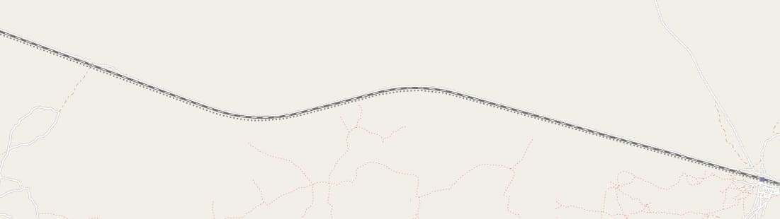
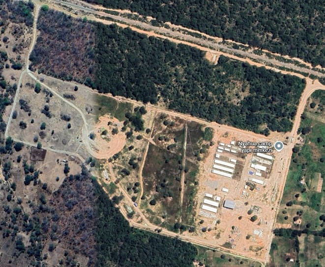
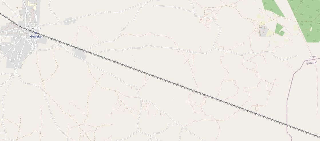
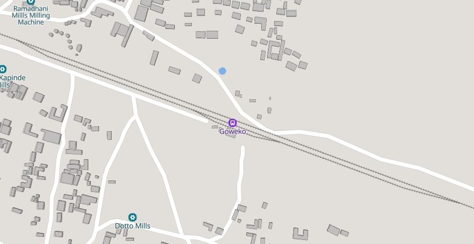
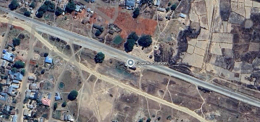
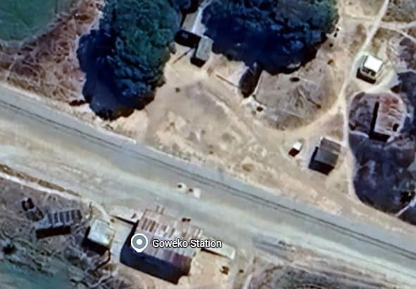
The MGR Station buildings at Goweko. [Google Maps, August 2026]
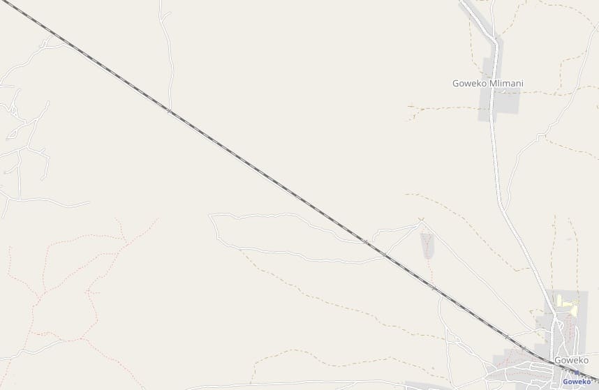
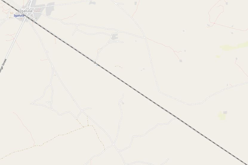
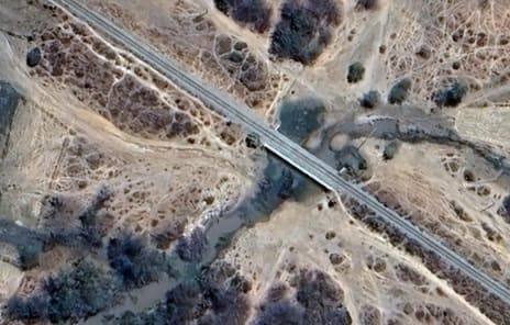
Irrigated fields surround the next river crossing shown here. This is (I think) the Ugalla River. [Google Maps, August 2026]
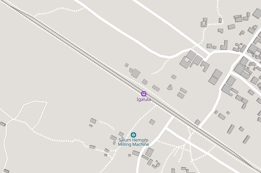
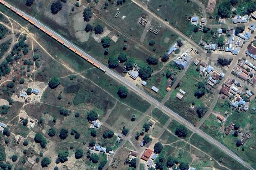
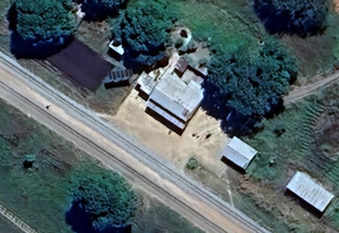
Igalula Railway Station buildings. [Google Maps, August 2026]
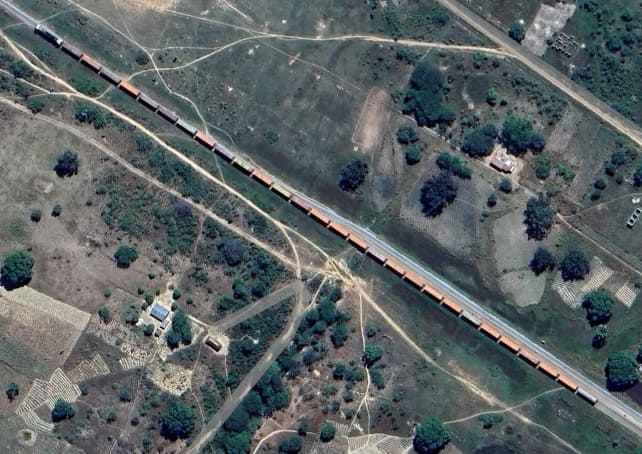
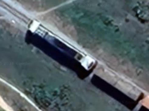
A closer view of the locomotive shown above. [Google Maps, August 2026]
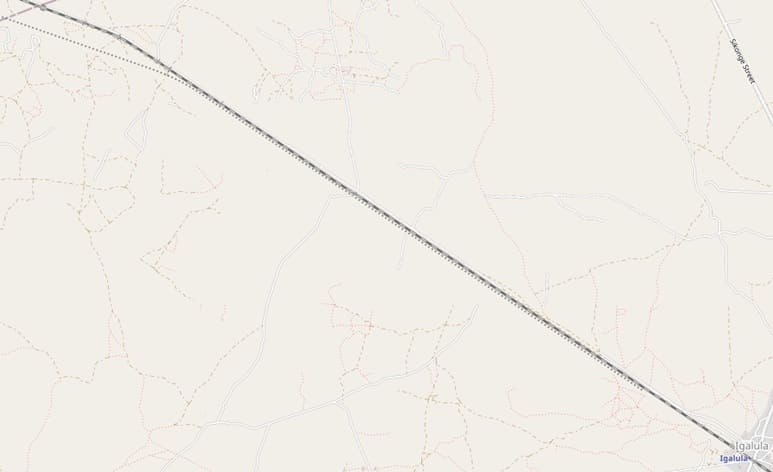
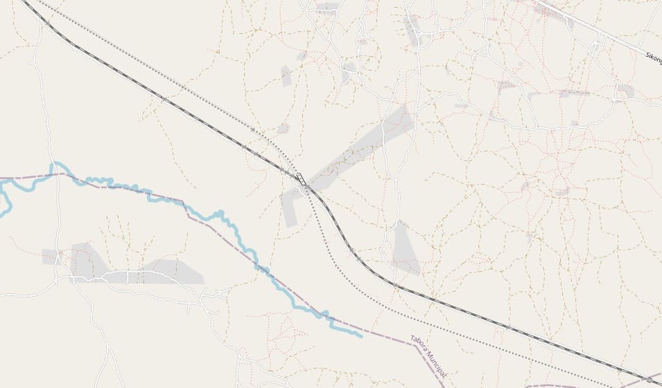
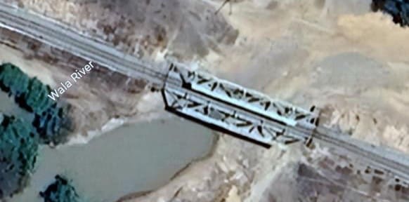
Towards the top-left of the OpenStreetMap extract immediately above, the line crosses the Wala River. [Google Maps, August 2026]
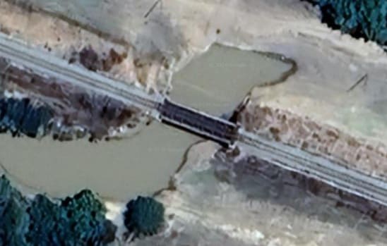
As this second image shows, Warren Truss girder bridges span the two river channels. [Google Maps, August 2026]
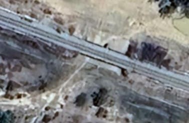
A further bridge, just a few hundred meters Northwest of those shown above provides for possible high flows in the wet season. This is the first of three similar structures. [Google Maps, August 2026]
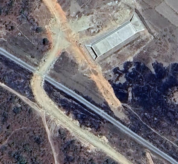
Early construction work for the SGR shows a concrete culvert on the line of the SGR which enters this image bottom-right. The SGR crosses the MGR on a flyover which will be at the bottom-right of this image and which is shown on the OpenStreetMap extract above. [Google Maps, August 2026].
Culverts appear at relatively frequent intervals on the line as it heads Northwest.
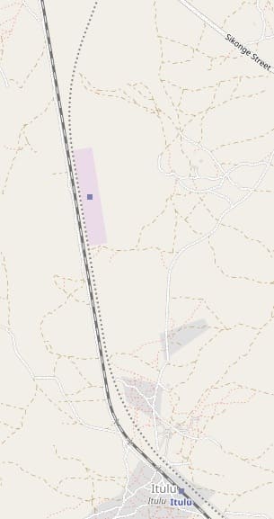
After passing through Itulu, the next length of the line turns northward. [70] We will look at the station at Itulu below but note first the state of the construction work on the SGR station to the North of Itulu. …
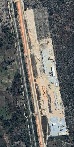
The construction site to the North of Itulu where an SGR Station is being built. [Google Maps, August 2026]
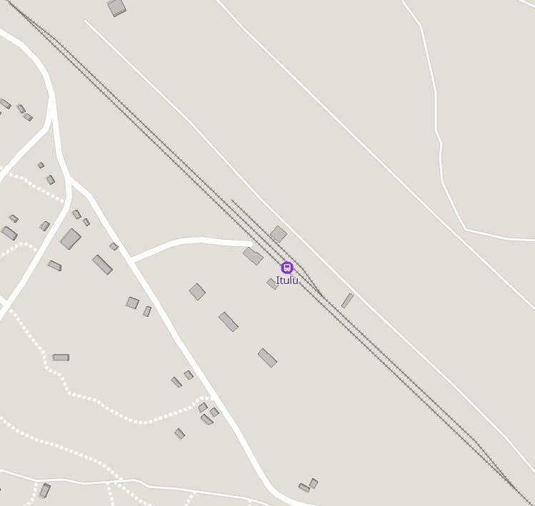
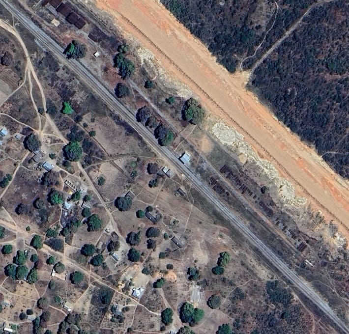
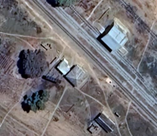
Itulu MGR Station buildings. [Google Maps, August 2026]
We have noted above the construction site for the SGR station North of Itulu. North of that station site the SGR turns away from the line of the MGR.
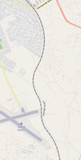
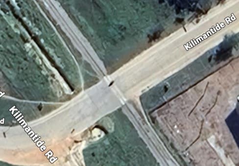
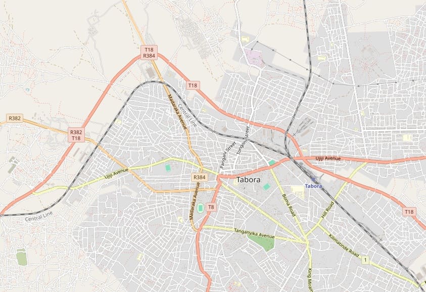
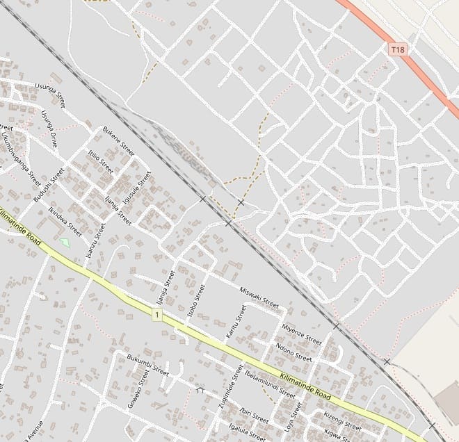
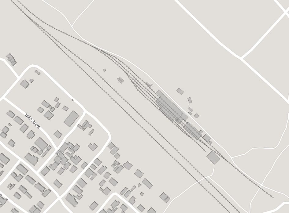
The MGR is now on its final approach to Tabora. It passes Tabora Airport and wends its way through the suburbs. [72]
Incidentally, Tabora Airport has two metalled runways and is design for more significant traffic than the airport at Tura.
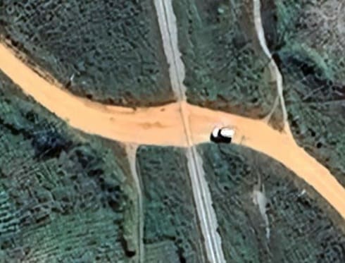
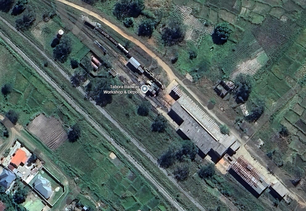
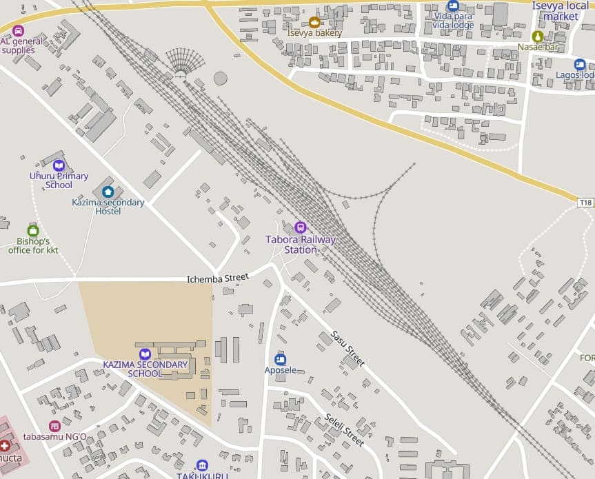
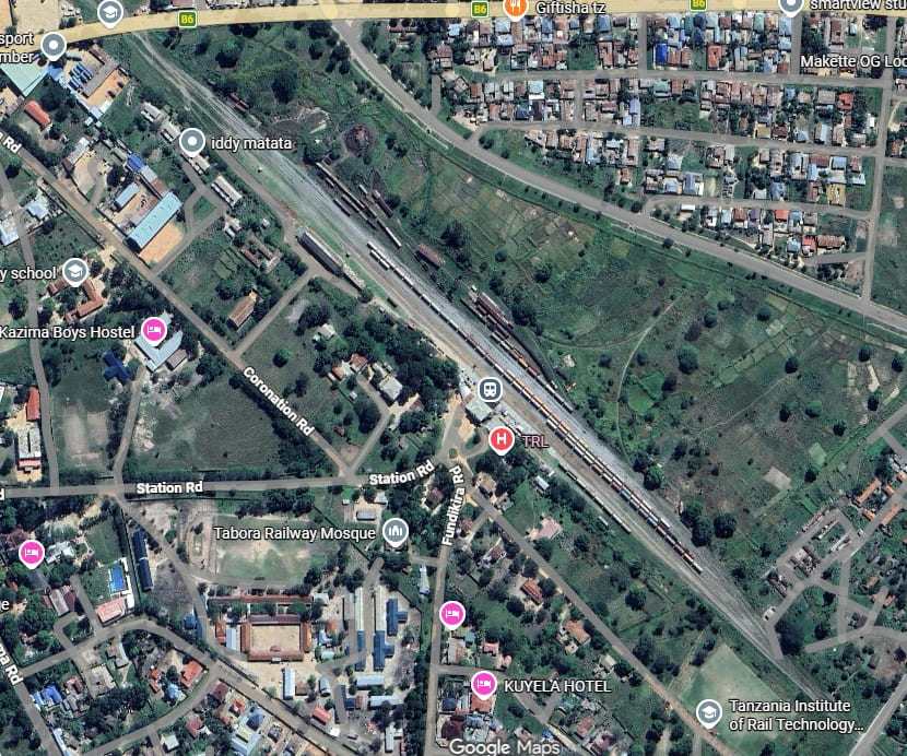
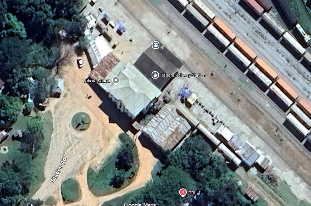
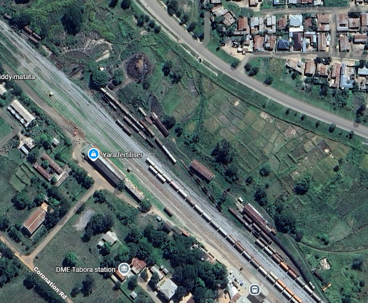
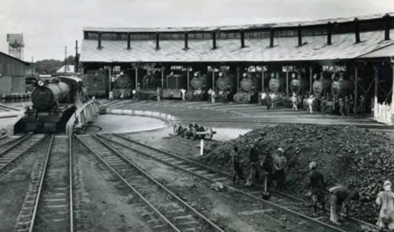
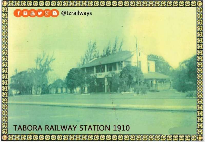
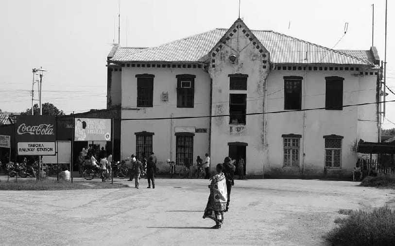
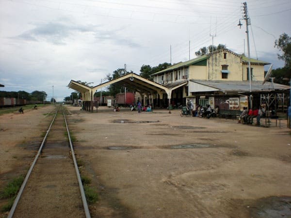
We terminate this leg of the journey along the Central Line here at Tabora.
References
- M.F. Hill; Permanent Way Volume II: The Story of the Tanganyika Railways; East African Railways and Habours, Nairobi, Kenya; Watson & Viney, Aylesbury & Slough, 1957.
- https://www.reddit.com/r/trains/comments/1t2okl3/steam_locomotive_from_tanzania_a_proud_piece_of, accessed on 3rd August 2026.
- https://mapcarta.com/N565452797/Map, accessed on 3rd August 2026.
- https://ww, accessed on 4th August 2026w.openstreetmap.org/#map=17/-6.183686/35.750847, accessed on 3rd August 2026.
- https://commons.wikimedia.org/wiki/File:Dodoma_Train_Station.JPG, accessed on 3rd August 2026.
- The Tanganyika Guide, 1953; Information Office, Dar-es-Salaam, 1953. [3rd Edition Revised and Enlarged, 180 pages: earlier editions were – first ed 1936, second prepared 1939, but delayed until 1948.
- https://en.wikipedia.org/wiki/Central_Line_(Tanzania)#/media/File:Tanganjikabahn_(%C3%B6stliches_Blatt).png, accessed on 4th August 2026.
- https://www.openstreetmap.org/#map=15/-6.17629/35.72958, accessed on 4th August 2026.
- https://www.openstreetmap.org/#map=15/-6.17586/35.68671, accessed on 4th August 2026.
- https://www.openstreetmap.org/#map=15/-6.17501/35.64194, accessed on 4th August 2026.
- https://mapcarta.com/N2629384134/Map, accessed on 4th August 2026.
- https://www.openstreetmap.org/#map=16/-6.17628/35.62852, accessed on 4th August 2026.
- https://www.openstreetmap.org/#map=16/-6.16924/35.61046, accessed on 4th August 2026.
- https://www.openstreetmap.org/#map=16/-6.17325/35.58930, accessed on 4th August 2026.
- https://www.openstreetmap.org/#map=16/-6.17724/35.56597, accessed on 4th August 2026.
- https://www.openstreetmap.org/#map=16/-6.16730/35.54297, accessed on 4th August 2026.
- https://www.openstreetmap.org/#map=16/-6.15494/35.53415, accessed on 4th August 2026.
- https://www.openstreetmap.org/#map=16/-6.14187/35.52512, accessed on 4th August 2026.
- https://www.openstreetmap.org/#map=14/-6.11218/35.48331, accessed on 5th August 2026.
- https://mapcarta.com/N2629384150/Map, accessed on 5th August 2026.
- https://www.openstreetmap.org/#map=14/-6.06814/35.43009, accessed on 5th August 2026.
- https://www.openstreetmap.org/#map=14/-6.02043/35.34976, accessed on 5th August 2026.
- https://www.openstreetmap.org/#map=14/-5.97877/35.29439, accessed on 5th August 2026.
- https://mapcarta.com/N1829137362/Map, accessed on 5th August 2026.
- https://www.openstreetmap.org/#map=15/-5.99454/35.32489, accessed on 5th August 2026.
- https://www.openstreetmap.org/#map=14/-5.93080/35.25002, accessed on 5th August 2026.
- https://www.openstreetmap.org/#map=14/-5.87739/35.19487, accessed on 5th August 2026.
- https://mapcarta.com/N2629384170/Map, accessed on 6th August 2026.
- https://www.openstreetmap.org/#map=14/-5.82416/35.13956, accessed on 6th August 2026.
- https://yapimerkezi.com.tr/En/Projects/Ongoing-Projects/MAKUTUPORA-TABORA-RAILWAY, accessed on 6th August 2026.
- https://mapcarta.com/N4256054313/Map, accessed on 6th August 2026.
- https://www.openstreetmap.org/#map=15/-5.74280/35.09580, accessed on 6th August 2026.
- https://www.openstreetmap.org/#map=14/-5.72587/35.03991, accessed on 6th August 2026.
- https://www.openstreetmap.org/#map=14/-5.72202/34.94721, accessed on 6th August 2026.
- https://mapcarta.com/N258308490/Map, accessed on 6th August 2026.
- https://www.openstreetmap.org/#map=14/-5.74269/34.85571, accessed on 6th August 2026.
- https://mapcarta.com/W504334146/Map, accessed on 8th August 2026.
- https://www.openstreetmap.org/#map=14/-5.76114/34.75263, accessed on 8th August 2026.
- https://map, accessedcarta.com/N4256068571/Map, accessed on 8th August 2026.
- https://www.openstreetmap.org/#map=14/-5.75106/34.66053, accessed on 8th August 2026.
- https://www.openstreetmap.org/#map=14/-5.72288/34.56020, accessed on 8th August 2026.
- https://www.openstreetmap.org/#map=14/-5.70520/34.47093, accessed on 8th August 2026.
- https://mapcarta.com/N4050369451/Map, accessed on 8th August 2026.
- https://www.openstreetmap.org/#map=14/-5.66369/34.37712, accessed on 9th August 2026.
- https://mapcarta.com/N10870300315/Map, accessed on 9th August 2026.
- https://www.openstreetmap.org/#map=14/-5.61782/34.30974, accessed on 9th August 2026.
- https://www.openstreetmap.org/#map=14/-5.58733/34.21155, accessed on 9th August 2026.
- https://mapcarta.com/N9171816689/Map, accessed on 9th August 2026.
- https://www.openstreetmap.org/#map=14/-5.56939/34.11079, accessed on 9th August 2026.
- https://www.openstreetmap.org/#map=14/-5.55521/34.01045, accessed on 9th August 2026.
- https://mapcarta.com/N9171513238/Map, accessed on 9th August 2026.
- https://www.openstreetmap.org/#map=14/-5.52078/33.91771, accessed on 12th August 2026.
- https://www.openstreetmap.org/#map=14/-5.48806/33.83952, accessed on 12th August 2026.
- https://mapcarta.com/N5239739877/Map, accessed on 12th August 2026.
- https://www.openstreetmap.org/#map=14/-5.47601/33.74373, accessed on 12th August 2026.
- https://www.openstreetmap.org/#map=14/-5.44935/33.65147, accessed on 12th August 2026.
- https://mapcarta.com/N9171476300/Map, accessed on 12th August 2026.
- https://www.openstreetmap.org/#map=14/-5.42731/33.56255, accessed on 12th August 2026.
- https://www.openstreetmap.org/#map=14/-5.41791/33.46556, accessed on 12th August 2026.
- https://www.openstreetmap.org/#map=14/-5.39074/33.37509, accessed on 12th August 2026.
- https://mapcarta.com/N9437181202/Map, accessed on 12th August 2026.
- https://www.openstreetmap.org/#map=14/-5.37066/33.29081, accessed on 12th August 2026.
- https://www.openstreetmap.org/#map=14/-5.34339/33.19442, accessed on 13th August 2026.
- https://mapcarta.com/N4256117168/Map, accessed on 13th August 2026.
- https://www.openstreetmap.org/#map=14/-5.30742/33.11365, accessed on 13th August 2026.
- https://www.openstreetmap.org/#map=14/-5.25870/33.04730, accessed on 13th August 2026.
- https://mapcarta.com/N4050297595/Map, accessed on 13th August 2026.
- https://www.openstreetmap.org/#map=14/-5.21417/32.97752, accessed on 13th August 2026.
- https://www.openstreetmap.org/#map=14/-5.16793/32.90131, accessed on 13th August 2026.
- https://www.openstreetmap.org/#map=14/-5.12005/32.85539, accessed on 13th August 2026.
- https://mapcarta.com/N4050321338/Map, accessed on 13th August 2026.
- https://www.openstreetmap.org/#map=14/-5.06329/32.83788, accessed on 13th August 2026.
- https://www.openstreetmap.org/#map=14/-5.01797/32.81728, accessed on 13th August 2026.
- https://mapcarta.com/W184223594/Map, accessed on 13th August 2026.
- https://www.facebook.com/share/p/1HA7n4u3kE, accessed on 13th August 2026.
- https://x.com/tzrailways/status/964495373111889920, accessed on 17th August 2026.
- https://unitedrepublicoftanzania.com/economy-of-tanzania/infrastructure-in-tanzania/railway-in-tanzania/tabora-a-historic-railway-hub-on-tanzanias-central-line, accessed on 17th August 2026.
- https://alchetron.com/Tabora, accessed on 17th August 2026.


#/media/File:Tanganjikabahn_(%C3%B6stliches_Blatt).png, accessed on 3rd August 2026.)