

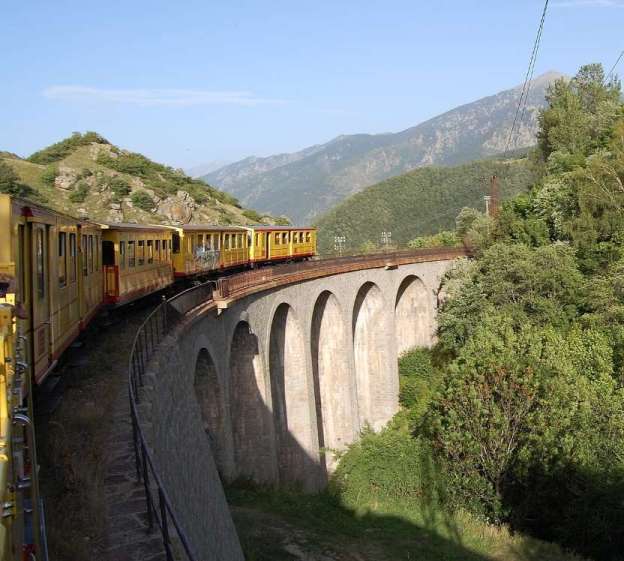
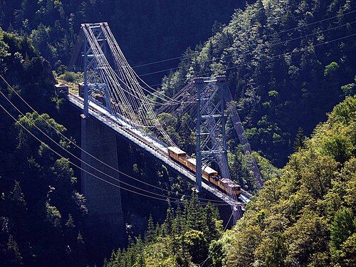
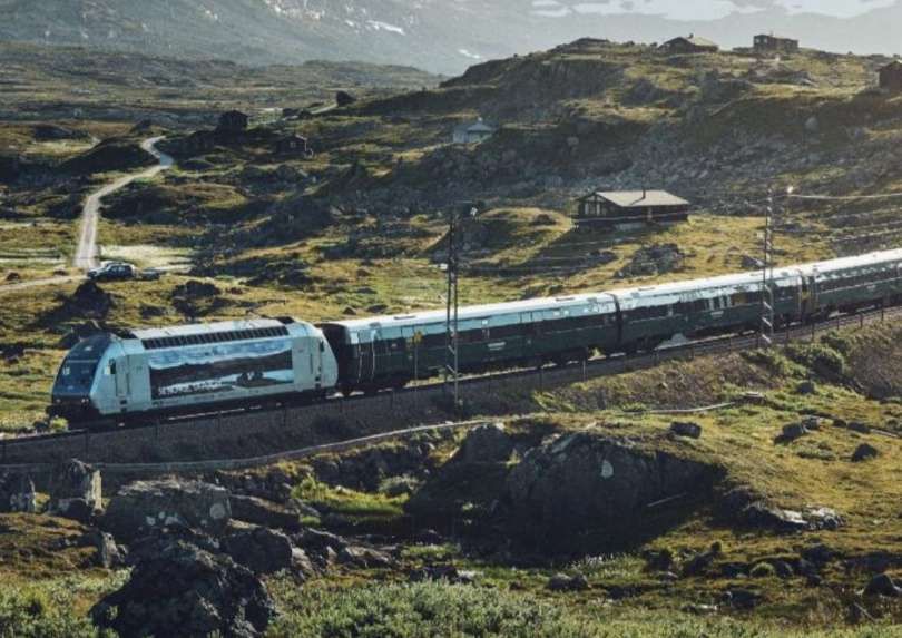
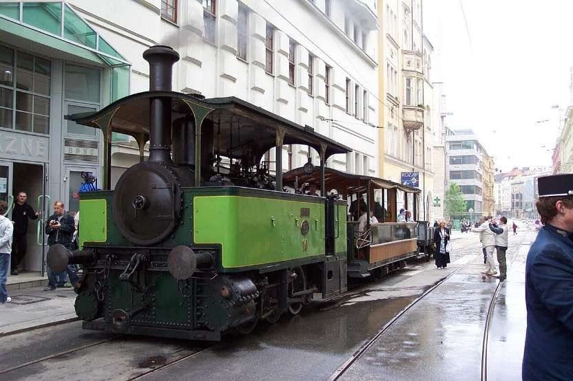
The featured image for this article shows a train of oil-tanks on the Baku-Batoum Railway, part of the original Trans-Caspian network. [31]
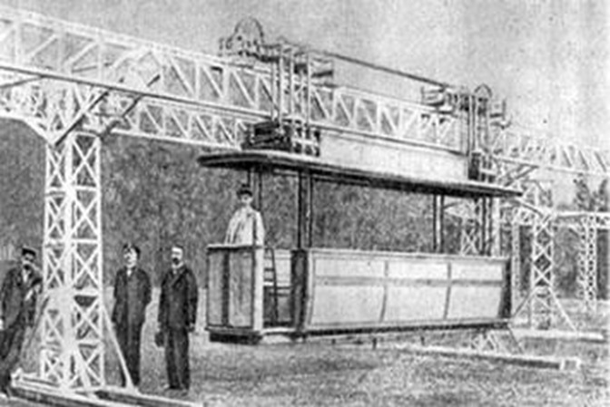
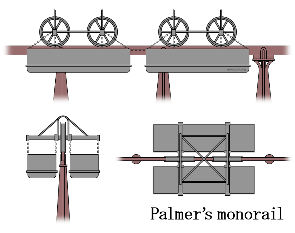
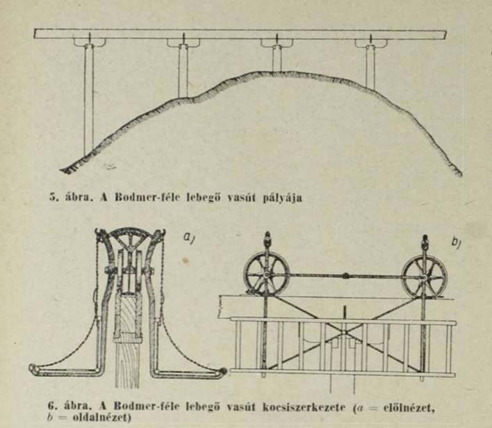
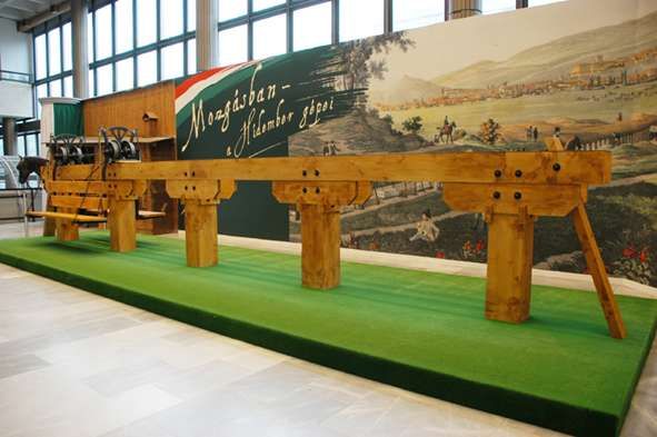
The original Trans-Caspian Railway is a historic, 19th-century railway built by the Russian Empire across Central Asia, stretching from Turkmenbashi (formerly Krasnovodsk) on the Caspian Sea to Tashkent, Uzbekistan. Today, it serves as the foundation for the modern Trans-Caspian International Transport Route (also known as the Middle Corridor). [1]


This article looks at the developments in the Middle Corridor which have occurred from the end of the 20th century into the 21st century. A future article (or articles) will focus on the earlier line built by the Russian Empire. …

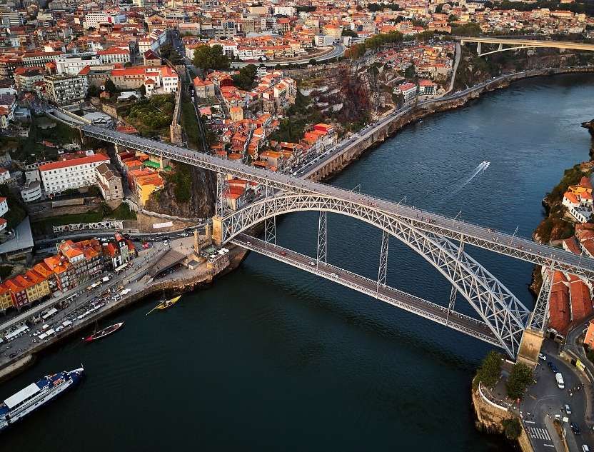
The modern Middle Corridor is a vital 4,000+ kilometer multimodal trade network that connects China and Central Asia to Europe via Kazakhstan, the Caspian Sea, Azerbaijan, Georgia, and Türkiye. It consists of roughly 4,256 km of rail lines combined with 508 km of sea crossings using specialized train ferries. Cargo trains can travel from the Chinese border to Eastern Europe in about 14 to 18 days. [2]
As of 2026, 86% of the work on the project has been completed. It is planned to finish the remaining 14% of the land at the expense of funds allocated by the Government of Azerbaijan. The work already undertaken includes the refurbishment of existing lines and the construction of new sections of railway line. [2]
The Russian-Ukrainian war has limited freight transport through the Northern Corridor, so the Middle Corridor is considered a great alternative in terms of distance and duration. The Middle Corridor route is around 7,000 kilometres in length compared with 10,000 kilometres by the Northern Corridor. The alternative route is the Southern Corridor which requires good to travel around 20,000 kilometres by ship and through the Suez Canal. [2]

With the Northern Corridor closed to traffic between the EU and Asia as a result of the Ukraine-Russia conflict. The remaining possible routes are the existing Southern Corridor (predominantly by sea), the Northern Sea Route (dependent on prevailing ice conditions in the Arctic). Establishing a competitive land route not directly controlled by Russia is of great geopolitical and economic significance. [2]
Wikipedia tells us, however, that:
“Obstacles to the further use of the Middle Corridor include the limited capacities of seaports and railways, the absence of a unified tariff structure and single operator, and the alignment of geopolitics along the route. [3][4]
“Since the Russo-Ukrainian war began in February 2014, cargo traffic in the Middle Corridor has grown to nearly 3.2 million tons in 2022 as goods shifted from the Northern Corridor. Turkey positions itself as a key player between China and Europe through the Organization of Turkic States for the Middle Corridor, with cargo transportation increasing six-fold in the last decade. [5] Since 2022, China also increased its involvement in the Middle Corridor projects, signing agreements with Kazakhstan, Georgia, and Azerbaijan, [6] to develop infrastructure along the route.” [3][7]
Nigar Jafarova tells us that:
“The Middle Corridor offers a route that is at least 2,000 kilometres shorter than the Northern Corridor, which passes through Russia. This translates to reduced travel time, with the potential to shorten the journey between China and Europe to as little as 12 days, while the Northern Corridor currently takes 19 days. Most importantly, the Middle Corridor helps companies mitigate risks, uncertainties, and sanctions-compliance issues associated with transit through Russia. The development phase of the route also opens up new opportunities for B2B and B2G engagements in logistics, transportation, and infrastructure construction, as the countries strive to modernize and expand their railway systems and seaports. It also offers access to new markets, with an estimated population over 80 million along the route.” [4]
Yunis Sharifli comments that:
“Amid the ongoing crisis in the Red Sea and the Russia-Ukraine war, the Middle Corridor has emerged as a stable route for China. The Middle Corridor was officially launched in 2013 through multilateral cooperation involving Azerbaijan, Georgia, Kazakhstan, and Türkiye. Its primary aim was to enhance East-West trade connectivity and facilitate the interaction of member countries with key economic hubs such as the EU and China.
“Despite the completion of critical infrastructure projects—such as the Trans-Kazakhstan railway in 2014 and the Baku-Tbilisi-Kars (BTK) railway in 2017, which significantly strengthened the corridor’s hard infrastructure—China’s engagement with the Middle Corridor remained minimal during this period. Beijing’s perception of the Middle Corridor can be divided into two phases: the first from 2013 to 2022, and the second from 2022 to the present.” [7]
Between 2013 and 2022, China’s limited involvement in the Middle Corridor could be attributed to a combination of political, security, economic, and technical factors. Politically, the Middle Corridor emerged as an alternative yet complementary route to the Northern Corridor through Russia, but China’s deepening relations with Russia post-2014 made proactive engagement with the Middle Corridor potentially risky for the Chinese.
The Chinese position was further influenced by a number of different factors:
- the EU’s preference for using the Northern Corridor for trade with China – before 2022, around 90% of EU-China land-based trade passed through the Northern Corridor via Russia. [8]
- Security concerns and economic factors. The volatile situation in the Nagorno-Karabakh region, marked by a fragile ceasefire between Azerbaijan and Armenia.
- Despite the development of critical infrastructure the cost of using the Middle Corridor remained significantly higher than the cost of using the Northern Corridor. Sending cargo through the Middle Corridor cost between US$3,500 and US$4,500 per forty-foot equivalent unit (FEU), [9] with some estimates reaching US$5,000 per twenty-foot equivalent unit for the Urumqi-Aktau-Baku-Poti-Constanta-Burgas-EU route. [10] Contrast this with the Northern Corridor costs of between US$2,800 to US$3,200 per FEU. [9]
- Technical challenges – the Northern Corridor did not require transhipment and minimised border crossings but the Middle Corridor was (and still is) a multi-modal transport route involving both land and sea travel. This complexity inherently increases cargo transit times and complicates logistics.
- Hard infrastructure issues – congestion at Caspian and Black Sea ports caused significant delays, introducing uncertainty in cargo arrival times. The imbalance between rail capacities and insufficient ferry and port services on both sides of the Caspian Sea exacerbated traffic issues and delays. [11]
- Soft infrastructure deficiencies – the lack of unified regulations, technical standards, and digitalization resulted in unpredictable transit times and extended waiting periods at checkpoints. The absence of coordinated tariffs for pricing increased transportation costs and made it difficult for freight forwarders to plan budgets effectively. [12]
The geopolitical shifts that unfolded after 2022 significantly elevated the strategic importance of the Middle Corridor for China. The disruption of global supply chains, primarily due to international conflicts, coupled with the growing significance of the Middle Corridor for land-based trade between the EU and China, prompted Beijing to adopt a more proactive approach in its engagement with countries along this route.
Bilateral agreements were negotiated by China with Kazakhstan (2023), Georgia (2024), and Azerbaijan (2024).
Sharifli continues:
“In addition to strengthening bilateral relations, Beijing has also expanded its engagement at a multilateral level. Notably, China’s formal involvement in the Middle Corridor Multimodal Joint Venture established by Kazakhstan, Azerbaijan and Georgia through the China Railway Container Transport Corporation (CRTC) signals Beijing’s intention to diversify its transport routes and mitigate geopolitical risks. [13]
“China’s efforts go beyond agreements and statements, encompassing tangible projects to boost the corridor’s development. A significant example is Georgia’s announcement that a Chinese group is the sole bidder for constructing a large deep-sea port in Anaklia on the Black Sea coast.”[7]
Sharifli also highlights:
- The agreement between China and Kazakhstan to build the Tacheng-Ayagoz railway line and establish a third railway checkpoint between the two countries. “This new railway line is expected to increase annual rail freight capacity between China and Kazakhstan from 28 million tons to approximately 48 million tons. The new checkpoint will also ease pressure on the Dostyk-Alashankou and Altynkol-Khorgos crossings, reducing transit times in the long term. Additionally, Kazakhstan Temir Zholy and Lianyungang Port Group agreed to jointly invest in a container hub at the port of Aktau on Kazakhstan’s Caspian coast, which will boost the port’s handling capacity and further alleviate congestion.” [14][15][16]
- Geopolitical developments – Sanctions imposed on Russia following the Russia-Ukraine war have led to the exit of EU companies from Russia and made transportation via the Northern Corridor more challenging. Restrictions on insurance for shipments, sanctions on Russia’s banking sector, and growing uncertainty in Russia’s domestic policy have further deterred foreign companies from using this route.
- The Middle Corridor attracted the attention of major global shipping companies such as MSC (Italian-Swiss), Maersk (Denmark), CMA CGM (France), COSCO (China), and ZIM (Israel). These companies are launching new services along the Middle Corridor, primarily through Georgia’s port of Poti. [17]
- Disruptions in traditional maritime routes caused by Houthi attacks on both commercial and military ships in the Red Sea have further complicated global shipping for Chinese companies. These disruptions have forced about 90% of the usual container capacity transiting through the Red Sea and Suez Canal to be rerouted around the Cape of Good Hope, South Africa, adding up to 10 extra days of transit time for shipments from East Asia to Europe. [18]
- Against the backdrop of sanctions on countries like Iran and Russia, along with disruptions in both the Northern and maritime routes, the Middle Corridor has emerged as the most stable and reliable route for China and its companies. Consequently, transportation volume via the Middle Corridor surged from 784,000 tons to 2,764,000 tons in 2023. [19]
- “The resolution of the Nagorno-Karabakh conflict has also contributed to a more stable environment in the South Caucasus, enhancing the security and reliability of the Middle Corridor for Chinese companies. Ongoing peace talks between Armenia and Azerbaijan are expected to promote long-term regional stability, further solidifying the corridor’s importance.” [7]
- Reduction in the cost of shipping via the Middle Corridor – tariff rates for transporting cargo via the Middle Corridor have dropped from US$4,500 per FEU in 2020 to a range of US$2,500 to US$3,250 in 2024. [20][21]
- Regional active investments in both hard and soft infrastructure have enabled the optimization of the Middle Corridor. Sharifli notes: the 2024 completion of the BTK railway modernization, which has increased its handling capacity from 1 to 5 million tons of cargo per year; [22] the joint investment by Kazakhstan and Georgia in a new multimodal terminal at the Port of Poti, boosting its capacity to 450,000 TEUs annually; [23] the establishment of the Middle Corridor Multimodal Joint Venture by Azerbaijan, Kazakhstan, and Georgia. [7][24]
- the increasing involvement of Western countries in the development of the corridor – for example, the European Bank for Reconstruction and Development (EBRD) announced a US$103.7 million investment in Kazakhstan Temir Zholy’s bond issuance, aimed at strengthening the nation’s railway operator’s financial and operational resilience while modernizing alternative freight routes between Asia and Europe. [25]
Sharifli concludes:
“China’s evolving approach to the Middle Corridor represents a strategic shift in its Eurasian policy, driven by recent global events and changing geopolitical dynamics. The COVID-19 pandemic, the ‘Ever Given’ [26] crisis in the Suez Canal, and ongoing disruptions in the Northern Corridor and the Red Sea have underscored the risks of relying on single trade routes. In response, China has intensified its engagement with the Middle Corridor, viewing it as a stable alternative for sustainable trade with the EU. This route not only connects China to Northern and Southern European markets but also provides access to the Middle East through Türkiye. By diversifying its trade options, China aims to mitigate geopolitical risks and enhance its economic resilience in an increasingly unpredictable global landscape.
“Moreover, China’s active involvement in the Middle Corridor serves multiple strategic objectives beyond mere trade diversification. It allows Beijing to expand its economic influence across Central Asia and the Caucasus while delicately balancing its relationship with Russia. By investing in the corridor, China is helping regional countries reduce their dependence on Russian routes—a significant factor given that 80% of Uzbekistan’s trade and a large portion of Kazakhstan’s oil exports currently pass through Russian territory. This strategy not only strengthens China’s economic leverage in the region but also positions it to play a more influential role in shaping Eurasian connectivity. However, the success of this approach depends on overcoming challenges such as infrastructure development, maintaining regional stability, and ensuring the route’s economic viability. As the Middle Corridor develops, it has the potential to redraw the economic and geopolitical map of Eurasia, with far-reaching implications for global trade patterns and regional power dynamics.” [27]
But …
But, and perhaps this is a very significant proviso: …
The Much-Touted Middle Corridor Transport Route Could Prove a Dead End!
Friedrich Conradi wrote on 29th April 2026 in an online article for Carnegie Politika, [29][30] that:
“In the wake of Russia’s full-scale invasion of Ukraine and the most recent wars in the Middle East, experts and politicians expected a major transport route to emerge through Central Asia and the South Caucasus, bypassing sanctioned Russian and Iranian territory: the so-called Middle Corridor. For the EU and United States, the corridor holds dual promise: as a trade link between China and Europe and as a strategic pathway for Central Asia’s vast reserves of critical minerals, which are essential for the energy transition and defense industries.
“In 2025, the planned ‘Trump’ Route for International Peace and Prosperity (TRIPP) through Azerbaijan and Armenia further established the Middle Corridor as a widely discussed alternative to transit through Russia. But obstructive governance, persistent infrastructure gaps, climate change, and geopolitical risk stand in the corridor’s way and may impose a time horizon on its viability. Accordingly, for Central Asian states, the Middle Corridor offers not a permanent pathway to European markets, but a window of opportunity that should be leveraged strategically.
“The Middle Corridor, or the Trans-Caspian International Transport Route (TITR), is a 4,000 kilometre multimodal transport network linking western China to Eastern Europe via Central Asia, the Caspian Sea, the South Caucasus, the Black Sea, and Türkiye. In 2024, cargo volume along the Middle Corridor across the Caspian Sea increased by more than 63 percent year on year, reaching 4.1 million tons (compared with 500,000 tons before Russia’s full-scale invasion). The increased throughput of Georgia’s biggest ports, Poti and Batumi, suggests this trend continued in 2025, as the full data are not available yet.
“Historically dominated by energy products, the corridor is shifting toward containerized traffic and is increasingly promoted as a future route for Central Asia’s mineral wealth, including uranium, copper, tungsten, and titanium. For the region’s landlocked states, the Middle Corridor represents an opportunity to reduce export dependence on China by diversifying toward EU and U.S. markets. For the EU, it is a flagship project of the Global Gateway strategy, envisioned as an alternative route to diversify critical mineral and energy supply chains while reinforcing strategic autonomy and de-risking from Russian transit.
“But impressive growth rates obscure a sobering reality: the Middle Corridor remains far from competitive. It only handles about 6 percent of the Northern (Russian) Corridor’s annual capacity of 100 million tons, and while many in the West expect the Middle Corridor’s continued growth, several indicators point in the opposite direction.” [29]
Conradi points out that until the proposed TRIPP corridor becomes operational, Georgia will remain the Middle Corridor’s sole gateway to Europe. But Georgia has just cut its 2026 support for the new port at Anaklia by 66% (from 150 million lari ($56 million) to 50 million lari). Tbilisi seems uninterested in building the new port. It also seems unwilling to meaningfully expand the ports of Poti or Batumi.
Why? Perhaps lack of confidence in growth forecasts? Perhaps pressure from Russia intended to prevent the Middle Corridor replacing its Northern Corridor? Perhaps China is relatively disinterested in the completion of the new port?
Whatever the cause, the Middle Corridor’s critical infrastructure remains stalled. As a result the USA has been seeking to establish the TRIPP route through Armenia.
Conradi points out that “bypassing Georgia may mean trading one set of risks for another. Iran’s demonstrated willingness to escalate horizontally by destroying nearby infrastructure it deems tied to Western powers renders the TRIPP route through southern Armenia (27 miles from the Iranian border) contingent on a regional stability that cannot be assumed.” [29]
In short, the South Caucasus, offers no easy route east or west. “Georgia is paralyzed by political dysfunction and stalled infrastructure. Armenia offers a potential alternative, but one shadowed by Iranian volatility. For the Middle Corridor to fulfill its promises, one of these routes must become scalable. At present, neither is.” [29]
A very different matter is the drying up of the Caspian Sea. Russia has dammed and regulated the Volga River which provides about 80 percent of the sea’s inflow. Rising global temperatures are intensifying evaporation and accelerating desertification in the region. States around the Caspian sea are increasingly turning to Caspian desalination for civilian purposes. The net result has been an annual average drop in water level of 30 centimetres.
Conradi says that the drop in water levels is “already affecting operations, having reduced rail tank car ferry transport by 22 percent and wagon transport by 10 percent on the Baku–Kuryk route, according to the Azerbaijan Caspian Shipping Company. … Should this trend continue, Kazakhstan’s ports of Aktau and Kuryk could face a critical threshold: a projected sea level drop of up to 6.5 metres could leave current berths landlocked by 2045, potentially forcing a transition from shoreline operations to offshore deep-water terminals and constant multimillion-dollar dredging to remain functional.” [29]
As Conradi says, “the Middle Corridor has hard bottlenecks and likely a limited shelf life.” [29] Perhaps the most critical question is whether there is sufficient commitment from the various countries involved to sustain a converted effort to secure a second functioning east-west land-based corridor that can effectively compete with the Northern Corridor controlled by Russia.
References and Notes
- https://en.wikipedia.org/wiki/Trans-Caspian_railway, accessed on 10th July 2026.
- https://www.unescap.org/sites/default/d8files/event-documents/1.%20Azerbaijan.pdf, accessed on 10th July 2026.
- https://en.wikipedia.org/wiki/Trans-Caspian_International_Transport_Route, accessed on 10th July 2026.
- Nigar Jafarova; The rise of the Middle Corridor; FrontierView, 25th May 2023; via https://frontierview.com/insights/the-rise-of-the-middle-corridor, accessed on 10th July 2026.
- Sagar K. Chourasia; The rise of the Middle Corridor: What is India’s response? ; Observer Research Foundation, 17th June 2023; via https://www.orfonline.org/expert-speak/the-rise-of-the-middle-corridor, accessed on 10th July 2026.
- Robert M. Cutler; How Kazakhstan and Azerbaijan Are Rewiring the Middle Corridor; The Times of Central Asia, 3rd April 2025; via https://timesca.com/how-kazakhstan-and-azerbaijan-are-rewiring-the-middle-corridor, accessed on 10th July 2026.
- Younis Sharifli; From Disinterest to Strategic Priority: China’s Changing Approach to the Middle Corridor; Trends, 24 November 2024; via https://trendsgroup.org/insight/from-disinterest-to-strategic-priority-chinas-changing-approach-to-the-middle-corridor, accessed on 10th July 2026.
- Eurasian Development Bank; The Eurasian Transport Network; 2024, https://eabr.org/en/analytics/special-reports/the-eurasian-transport-network, accessed on 10th July 2026.
- Organization for Economic Co-operation and Development (OECD); Realising the Potential of the Middle Corridor; 2023; via https://www.oecd.org/en/publications/2023/12/realising-the-potential-of-the-middle-corridor_c458041c.html,accessed on 10th July 2026.
- Evgeny Vinokurov & Taras Tsukarev; The Belt and Road Initiative and the transit countries: an economic assessment of land transport corridors; Area Development and Policy 3, No. 1, 2017, p93–113, via https://doi.org/10.1080/23792949.2017.1385406, accessed on 10th July 2026.
- Jakub Jakóbowski, Konrad Popławski, and Marcin Kaczmarski; The Silk Railroad: The EU-China rail connections: background, actors, interests; Centre for Eastern Studies, 28th February 2018; via https://www.osw.waw.pl/en/publikacje/osw-studies/2018-02-28/silk-railroad, accessed on 10th July 2026.
- Yunis Sharifli; Optimization Efforts to Improve Transit Through the Critical Middle Corridor; The Jamestown Foundation, 4th August 2022; via https://jamestown.org/program/optimization-efforts-to-improve-transit-through-the-critical-middle-corridor, accessed on 10th July 2026.
- Kazakhstan and China Collaborate on Container Hub for Aktau Port; The Times of Central Asia, 3rd July 2024; via https://timesca.com/kazakhstan-and-china-collaborate-on-container-hub-for-aktau-port, accessed on 20th July 2026.
- Kazakhstan, China set to start building Ayagoz-Tacheng railroad; Interfax, 17th October 2023; via https://interfax.com/newsroom/top-stories/95559, accessed on 10th July 2026.
- Kazakhstan launches construction of new rail link to China; New Silkroad Discovery, 29th December 2023, https://www.newsilkroaddiscovery.com/kazakhstan-launches-construction-of-new-rail-link-to-china, accessed on 10th July 2026.
- Kazakhstan and China to Build Container Hub in the Port of Aktau; The Times of Central Asia, 23rd September 2024; via https://timesca.com/kazakhstan-and-china-to-build-container-hub-in-the-port-of-aktau, accessed on 10th July 2026.
- Konrad Popławski, Sandra Baniak, Adam Michalski, & Marcin Popławski; The Middle Corridor: A Eurasian alternative to Russia; Centre for Eastern Studies, 26th January 2024,; via https://www.osw.waw.pl/en/publikacje/osw-report/2024-01-26/middle-corridor, accessed on 20th July 2026.
- Hunter Stoll; The Middle Corridor: A Renaissance in Global Commerce; The Diplomat, 11th March 2024, https://thediplomat.com/2024/03/the-middle-corridor-a-renaissance-in-global-commerce, accessed on 10th July 2026.
- Trans-Caspian International Transport Route; Transportation volume via TITR, thousand tons; via https://middlecorridor.com/en, accessed on 10th July 2026.
- Trans-Caspian International Transport Route; EY, 15th April 2024; via https://www.ey.com/en_kz/strategy-transactions/trans-caspian-international-transport-route, accessed on 10th July 2026.
- Eurasian Rail Alliance Index; ERAI Eurasian Rail Alliance Index; via https://index1520.com/en, accessed on 10th July 2026.
- Trans-Caspian International Transport Route; Modernization work of the Baku-Tbilisi-Kars (BTK) railway line has been completed; 6th May 2024, https://middlecorridor.com/en/for-clients/info-clients/modernization-work-of-the-baku-tbilisi-kars-btk-railway-line-has-been-completed, accessed on 19th July 2026
- New multimodal terminal in Poti starts construction; RailFreight.com, 14th August 2023, https://www.railfreight.com/intermodal/2023/08/14/new-multimodal-terminal-in-port-of-poti-starts-construction, accessed on 10th July 2026.
- Azerbaijan, Georgia, Kazakhstan Create Joint Venture to Develop Middle Corridor’s Multimodal Service; The Astana Times, 27th October 2023; via https://astanatimes.com/2023/10/azerbaijan-georgia-kazakhstan-create-joint-venture-to-develop-middle-corridors-multimodal-service, accessed on 10th July 2026.
- EBRD Invests in Kazakhstan Railway Bonds to Upgrade Alternative Freight Route Between Asia and Europe; The Astana Times, 25th July 2022; via https://astanatimes.com/2022/07/ebrd-invests-in-kazakhstan-railway-bonds-to-upgrade-alternative-freight-route-between-asia-and-europe, accessed on 10th July 2026.
- The Suez Canal was blocked for six days from 23rd to 29th March 2021 by the ‘Ever Given’, a container ship that had run aground in the canal. The 400-metre-long (1,300 ft), 224,000-ton, 20,000 TEU vessel was buffeted by strong winds on the morning of 23rd March, and ended up wedged across the waterway with its bow and stern stuck on opposite canal banks, blocking all traffic until it could be freed. Egyptian authorities said that “technical or human errors” may have also been involved. The obstruction occurred south of the two-channel section of the canal, so other ships could not pass. The Suez Canal Authority (SCA) hired Royal Boskalis through its subsidiary Smit International to manage marine salvage operations. The blockage of one of the world’s busiest trade routes slowed trade between Europe, Asia, and the Middle East, tying up goods worth an estimated US$9.6 billion per day. By 28th March, at least 369 ships were queuing to pass through the canal. [28]
- Yunis Sharifli; China’s Dominance in Central Asia: Myth or Reality?; Royal United Service Institute, 18th January 2023; via https://rusi.org/explore-our-research/publications/commentary/chinas-dominance-central-asia-myth-or-reality, accessed on 10th July 2026.
- https://en.wikipedia.org/wiki/2021_Suez_Canal_obstruction, accessed on 10th July 2026.
- https://carnegieendowment.org/russia-eurasia/politika/2026/04/middle-corridor-transport-prospect, accessed on 10th July 2026.
- Carnegie Politika is a digital publication that features unmatched analysis and insight on Russia, Ukraine and the wider region. For nearly a decade, Carnegie Politika has published contributions from members of Carnegie’s global network of scholars and well-known outside contributors and has helped drive important strategic conversations and policy debates.
- https://www.railwaywondersoftheworld.com/trans_caspian_railway.html, accessed on 10th July 2026.


.jpg)
.jpg)
,_N%C3%A1dra%C5%BEn%C3%AD,_10.jpg)