The Moshi-Arusha railway line is a 86 km extension of the Usambara Railway (Usambarabahn) in northern Tanzania, It was initially built between 1911 and 1929 and rehabilitated in 2018–2019, the metre-gauge line connects the Northern zone to the port of Tanga, and mainly serves as a freight corridor for agriculture and industrial goods.
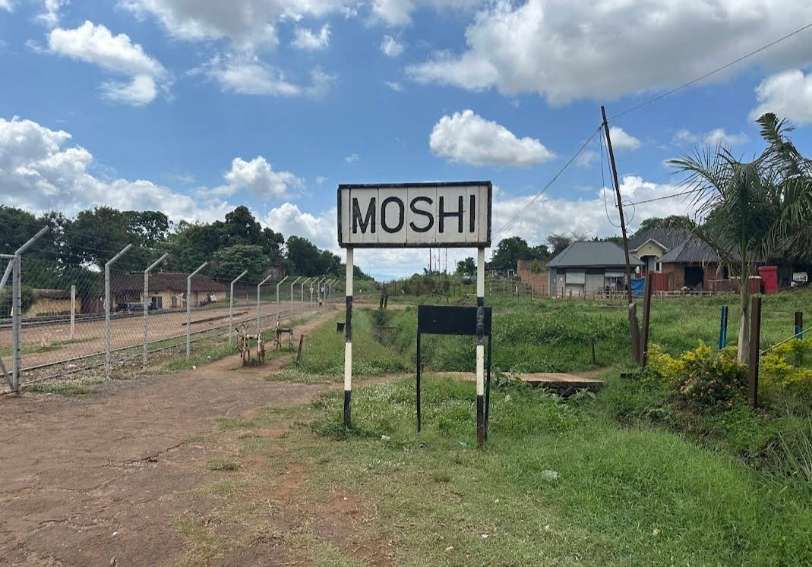
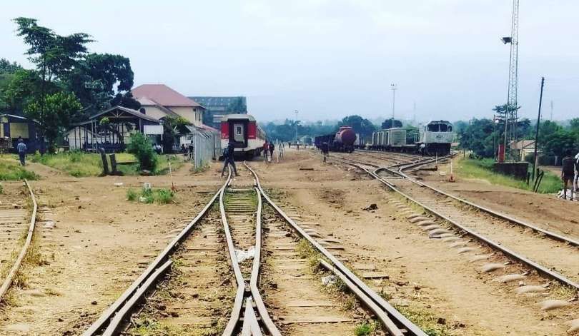
The line from Tanga entered Moshi from the South and met the line from Arusha before entering the Railway Station at Moshi. The route of that railway is covered in an article on this blog which can be found here. [1] The history of the Usambara Railway can be found here. [4]
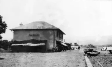
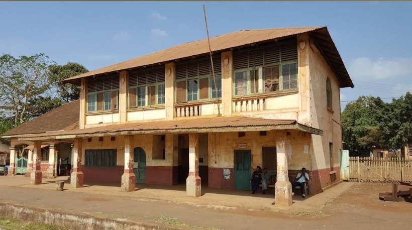
This photograph was taken in 1916 and shows the original station building which was expanded over the years as the photographs below show, Note the wide platform with a well defined edge and the ballast surrounding the rails on the right of the image, (c) Public Domain. [9]
Two aerial videos can be found here [7] and here. [8] The first of these two videos looks Northeast towards the end of the line which sits next to the Tanzania Coffee Curing Company Ltd.
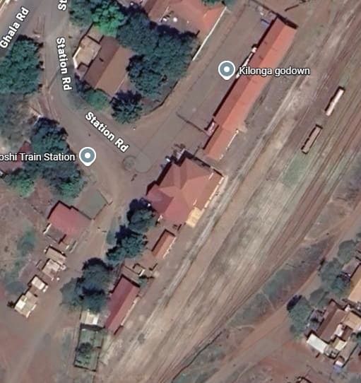
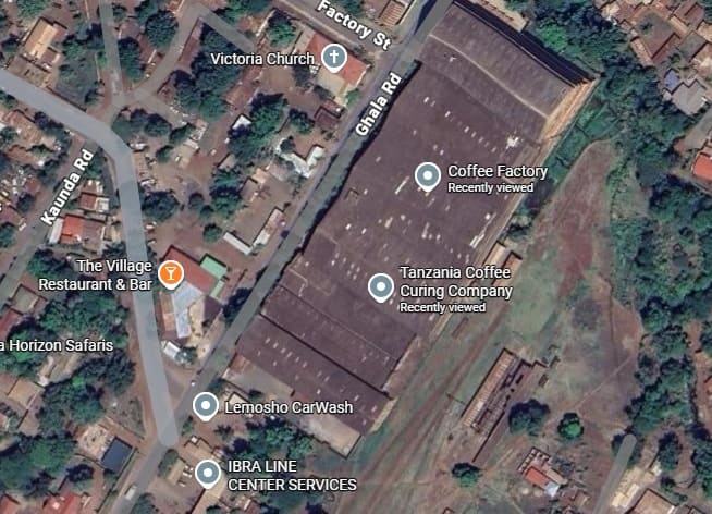
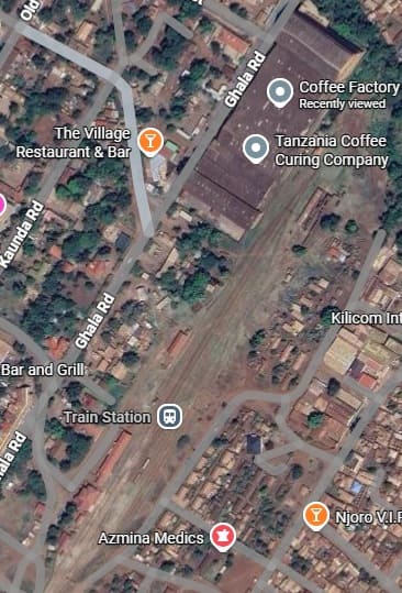
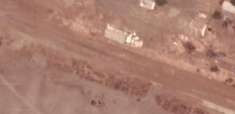
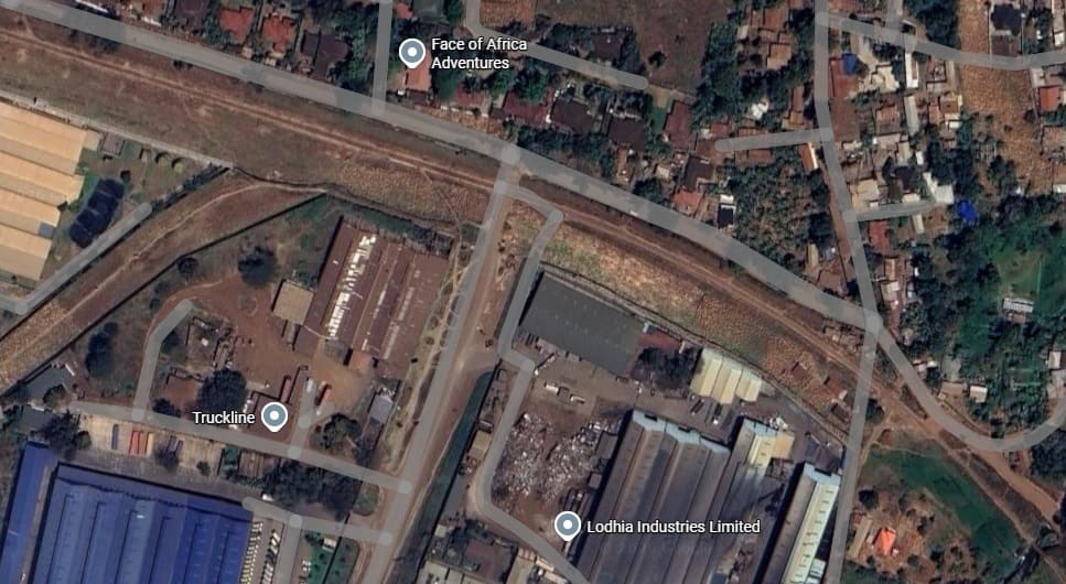
The extreme northeast end of the railway in Moshi, Northeast of the passenger station the final buffers of the line sit beside the Tanzania Coffee Curing Company Ltd. [Google Maps, April 2026]
This satellite image shows the Coffee Company’s building (at the top of the image) and the railway station buildings (at the bottom-left). The factory dwarves the station buildings both in plana and when seen from the ground.
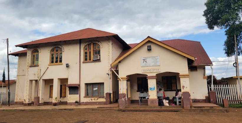
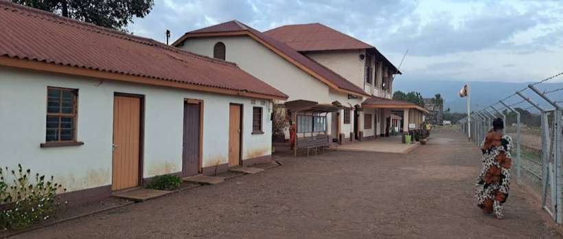
Some excellent photographs of the station site in Moshi can be found here. [6]
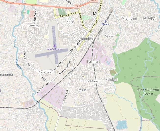
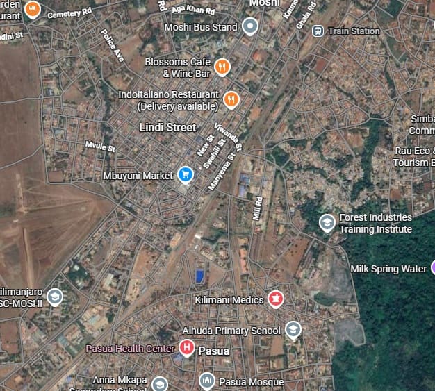
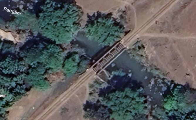
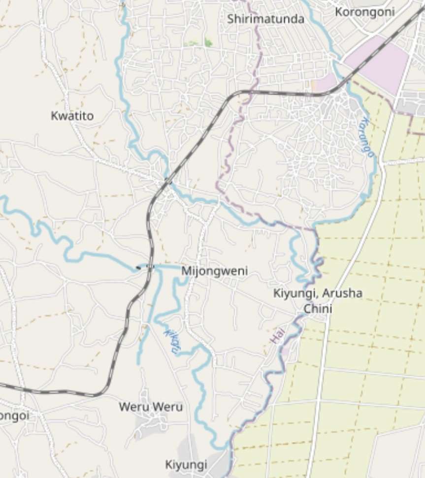
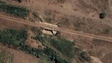
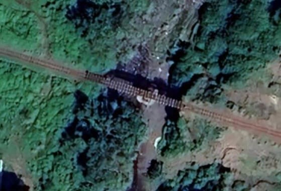
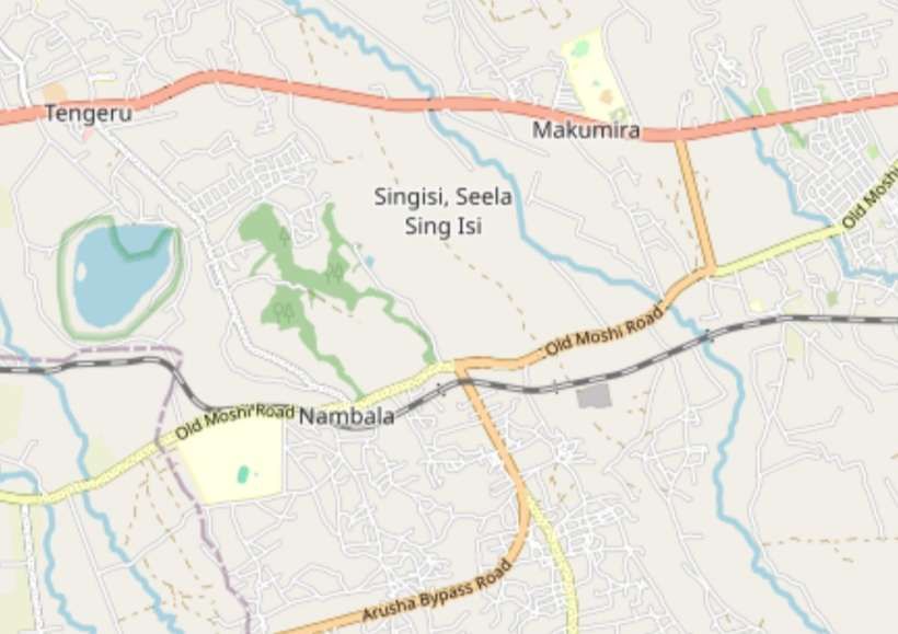
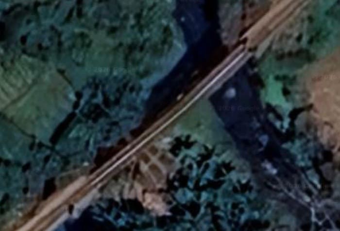
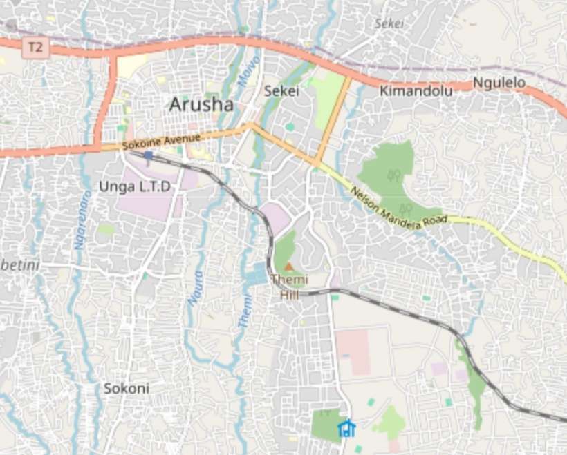
The line from Tanga runs into Moshi from the South. It meets the line from Arusha immediately to the Southwest of Moshi Railway Station site. Our journey starts at the railway station in Moshi and we head out following the line to Arusha, roughly parallel to Nyerere Road and Nyerere Avenue as the roads are named on OpenStreetMap. Google Maps names the road Mawenzi Road. [2]A similar area to that shown on the Openstreetmap map above. [Google Maps, March 2026]The Pangani River Bridge on the line to Arusha. [Google Maps, April 2026]
After crossing the Pangani River to the Southwest of Moshi, the line turn to the West, but only for a short distance before again turning to the Southwest as shown on the map below.
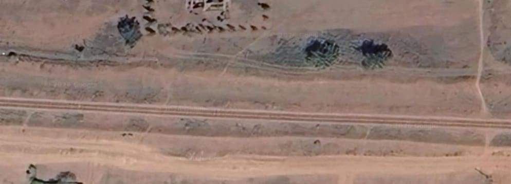
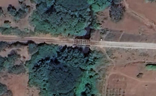
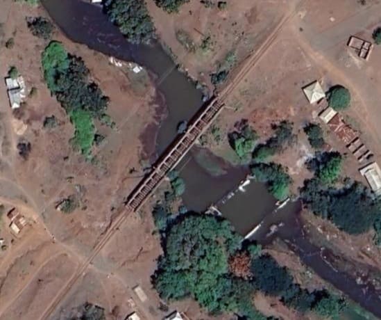
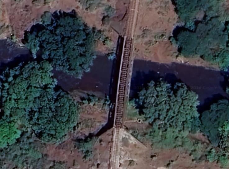
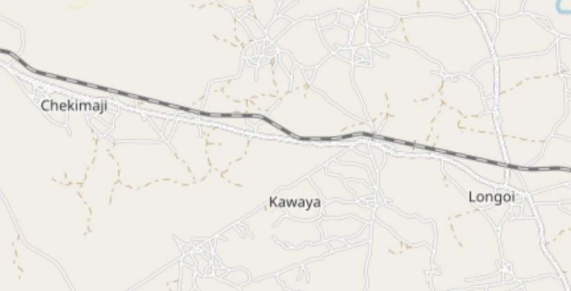
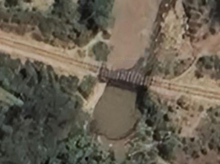
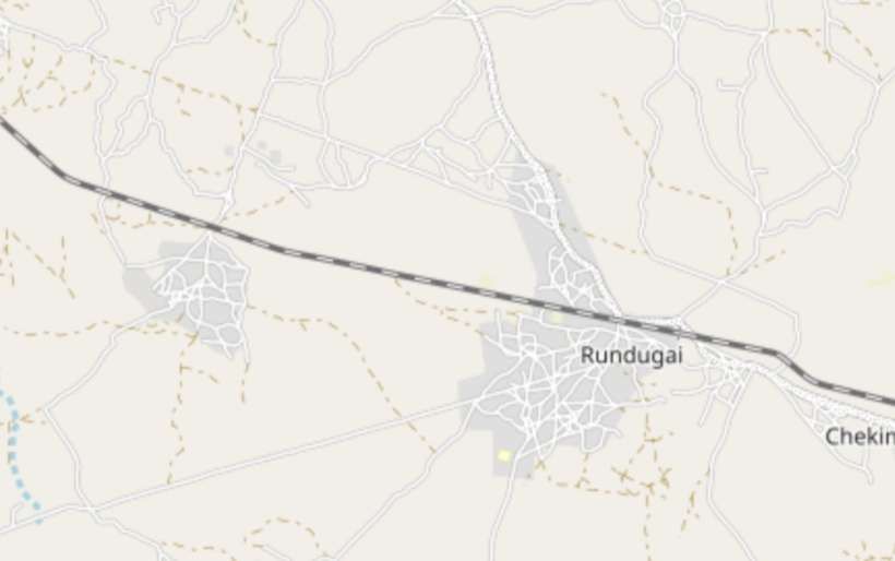
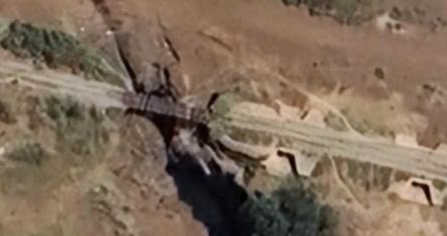
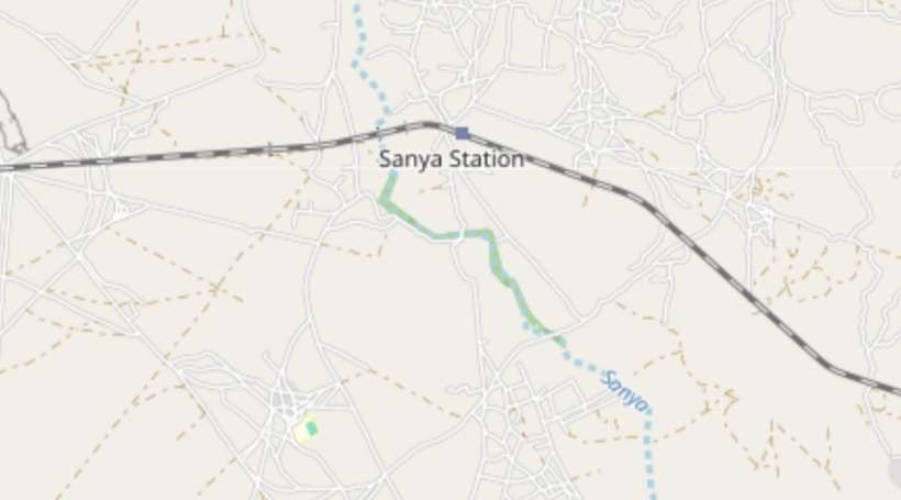
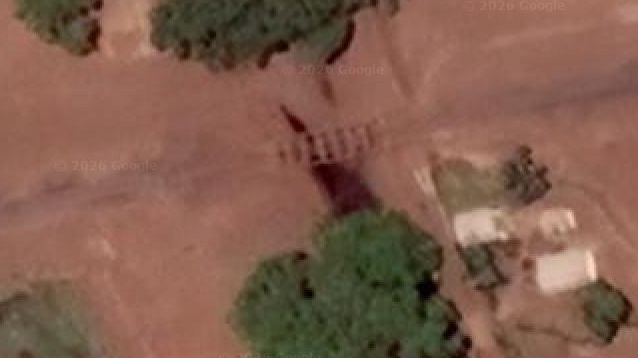
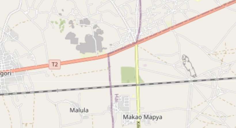
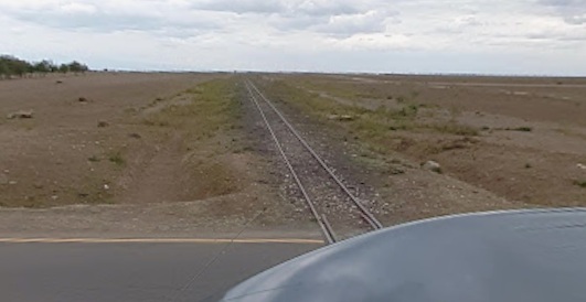
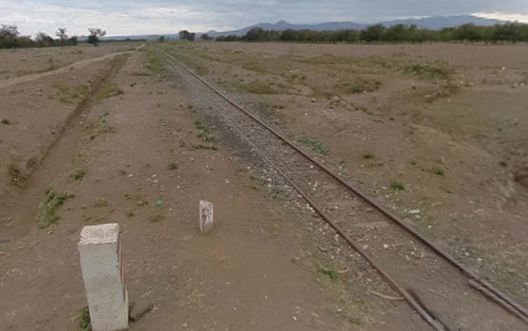
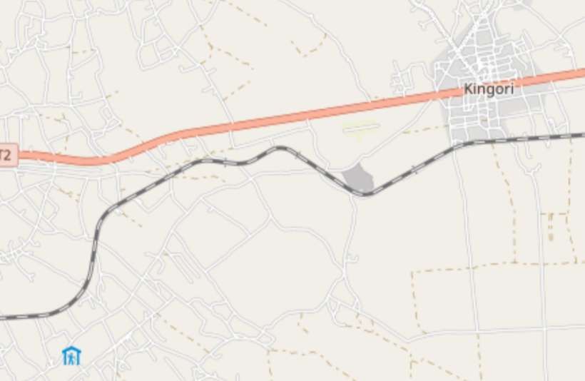
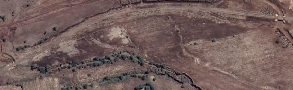
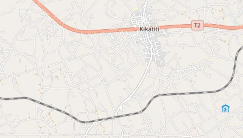
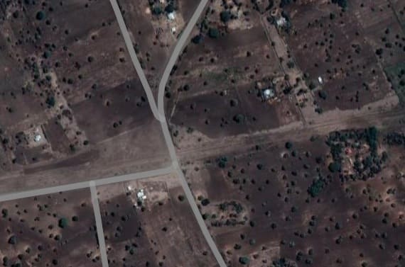
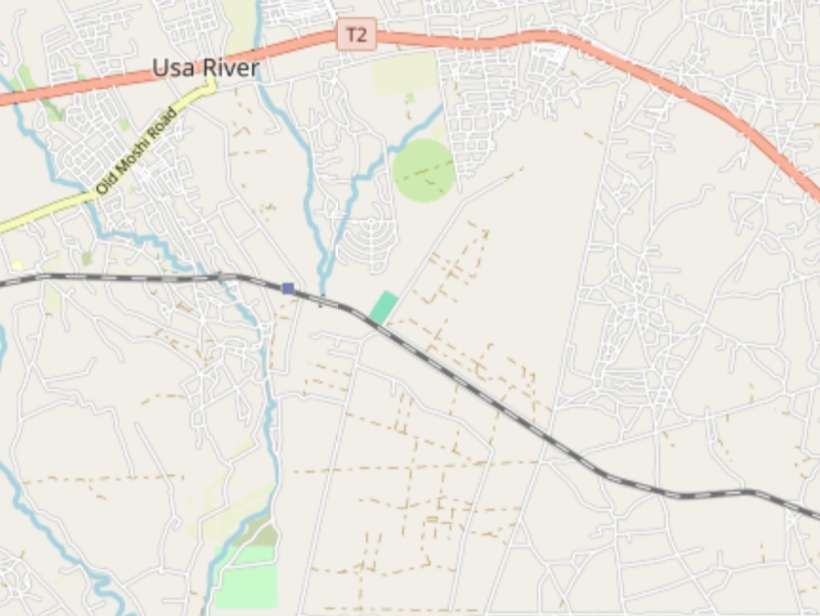
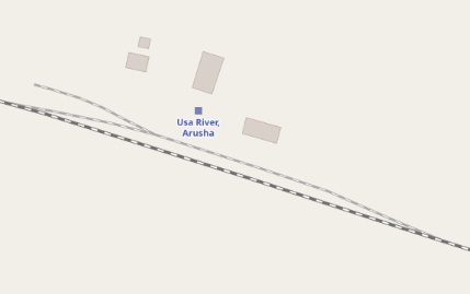
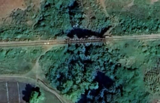
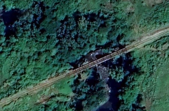
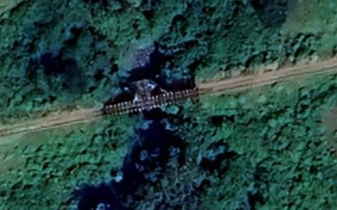
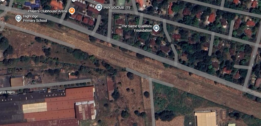
The small extract from Google’s satellite imagery shows a typical length of the line heading West away from the Pangani River. [Google Maps, April 2026]Travelling away from the Pangani River, the line first heads West, and after crossing another river not marked on the map, it then turns Southwest and maintains the bearing until it crosses the Weruweru River and turns to head in a generally southerly direction. It then crosses the Kikafu River and continues South into Weru Weru before swing round to the West. [5]The next river bridge is mentioned in the notes under the OpenStreetMap extract above. [Google Maps, April 2026]The Weruweru River bridge. [Google Maps, April 2026]The Kikafu River bridge. [Google Maps, April 2026]On a bearing just to the North of West, the line continues toward Arusha. The trace of the line on Google Maps becomes much more faint as it runs on the North side of Longoi, Kawaya and Chekimaji. The resolution on the satellite imagery in this area is less good but a river bridge can be seen at Longoi. [5]The river bridge at Longoi. [Google Maps, April 2026]Beyond Chekimagi, the line continues in a West-northwest direction, running North of the centre of Rundugai and North of Kindigani. To the Northwest of Rundugai, a culvert carries the line over a usually dry stream bed. [5]The smaller structure on the approach to Rundugai is supplemented by some concrete culverts to accommodate the stream/river in spate. [Google Maps, April 2026]The culvert to the Northwest of Rundugai. [Google Maps, April 2026]The next notable location along the line is Sanya Station (Kikuletwa). There is a murram road crossing just to the West of the station and the remains of a bridge over the Sanya River. The line continues to head West, crossing another murram road. Just at the left of this image three roads can be seen converging, all murram roads, one of which is the Kia – Sanya Station road. [5]Satellite images are relatively indistinct and show very little at the site of the station (Kikuletwa). The small settlement named Sanya Station sits to the South of the station. [Google Maps, April 2026]The remains of the bridge spanning the Sanya River. [Google Maps, April 2026]This map extract shows the next length of the line. The Kia – Sanya Station Road runs along the South side of the railway to meet the Kilimanjaro Airport Road (shown yellow on the map. Makai Mapya and Malula are on the South side of the line. The T2/A23 road is to the North. The next town to the West is Kingori which can be made out at the left side of this image. [5]Looking East from the tarmacked Kilimanjaro Airport Road, back along the line towards Moshi, the Kia – Sanya Station can just be picked out on the right of the image, heading away East to the horizon. Very little of Tanzania is covered by Google’s Streetview imagery, but some roads associated with Kilimanjairo are covered. [Google Streetview, July 2022]Looking West along the line from the same road-crossing. [Google Streetview, July 2022]Kingori is shown on the right side of this next OpenStreetMap map extract. The railway no longer follows a straight course as it winds its way along the contours of the land. Two culverts in close proximity allow the passage of water in the rainy season. [5]The two culverts mentioned above sit over dry river beds. [Google Maps, April 2026]The line follows a general bearing just to the South of West as it runs to the South of Kikatiti. The road South from Kikatiti curve to the Southwest before turning South once again to cross the railway line. To the West of the road-crossing the line begins to drift Northwest. [5]The murram road from Kikatiti enters this satellite image at the centre top, crosses the line of the railway and leaves the image centre-bottom. The road from Kikatiti to the railway is also know as the road to Maroroni. That road turns sharply to the left once it has crossed the railway and follows the line on the railway’s South side. It then can be seen on the map extract above, turning away to the Southwest. [Google Maps, April 2026]This map extract shows both the T2/A23 and the railway and a blue square marks Usa Railway Station, Arusha. Just to the east of the station the railway bridges the Usa River. [5]The Usa River bridge. [Google Maps, April 2026]
A closer view of Usa River Railway Station on the OpenStreetMap mapping. It shows a passing loop and short siding. [5]
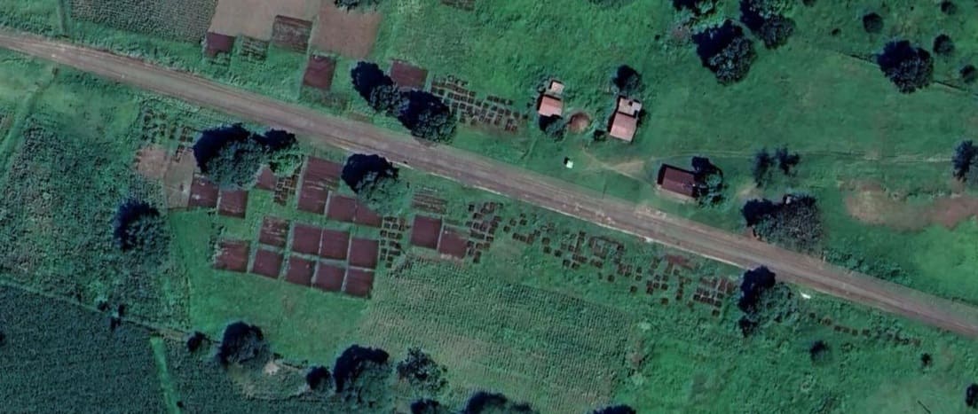
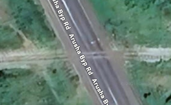
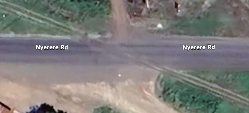
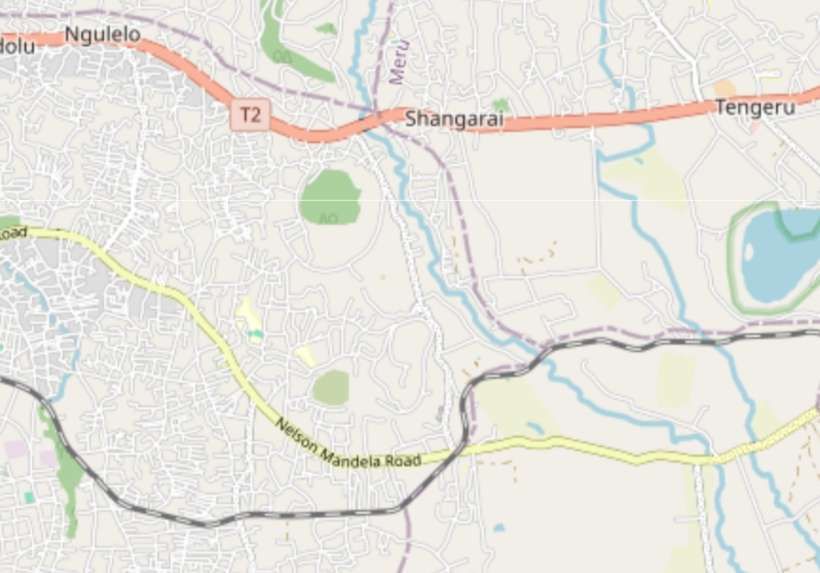
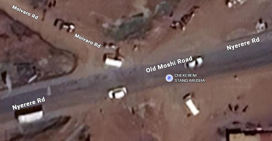
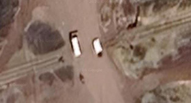
Usa River Railway Station as it appears on the Google satellite imagery. The passing loop can be made out, but there appears to be little evidence of the siding. What is very noticeable, in these last two satellite images, is that as we approach Arusha we are now travelling through more fertile land than that which we have been travelling through from Moshi. [Google Maps, April 2026]Another branch of the Usa River is bridged to the West of the Railway Station. [Google Maps, April 2026][5]Another branch of the Usa River is bridged. [Google Maps, April 2026]Yet another branch of the Usa River is crossed by the railway just downstream of where it is bridged by the Old Moshi Road. [Google Maps, April 2026]And one further branch of the Usa River is bridged before the railway crosses the Arusha By-pass Road. [Google Maps, April 2026]The level-crossing at the Arusha By-pass Road. [Google Maps, April 2026]A short distance further West, the line crosses the Old Moshi Road which also bears the name Nyerere Road. [Google Maps, April 2026]The line wends its way through the suburbs of Arusha, From the East, there are two river crossings and one major road crossing in short succession. The second of the two river bridges crosses the Tengeru River. [5]There is very little to see at the first of the streams crossed by the railway. [Google Maps, April 2026]The bridge over the Tengeru River. [Google Maps, April 2026]The road crossing of Nelson Mandela Road (according to OpenStreetMap, but also known as Nyerere Road and Old Moshi Road. [Google Maps, April 2026]The level-crossing at Naberera Road. [Google Maps, April 2026]
A little to the West of the Naberera Road the line crosses a small stream. [Google Maps, April 2026]
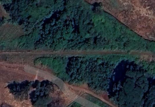
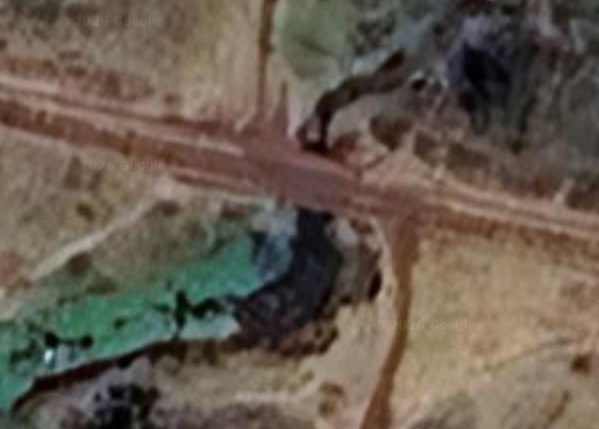
A more significant stream runs under the railway in a narrow ravine. Which appears close to the left of the map extract above and on the right of the map extract below. [Google Maps, April 2026]
This final map extract takes us to the Railway Station in Arusha and the end of the line. [5]
The sequence of extracts from Google Maps satellite imagery below takes us to the station in Arusha. ….
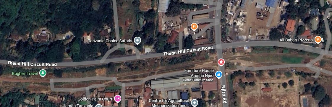
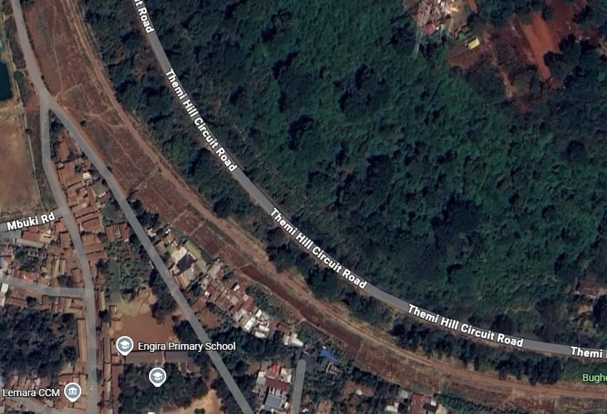
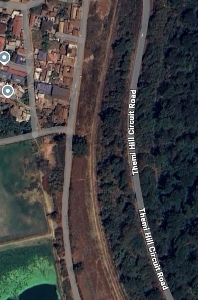
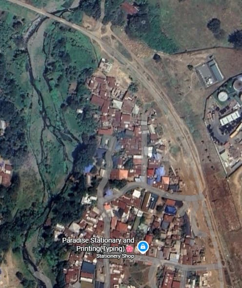
This extract from Google’s satellite imagery cover the first length of line to the Northwest of the ravine noted at the West end of the previous OpenStreetMap image. [Google Maps, April 2026]This second extract takes us further into town. [Google Maps, April 2026]This third extract continues the journey West-northwest towards Themi Hill. [Google Maps, April 2026]The fourth extract brings us close to Themi Hill. [Google Maps, April 2026]The line curves round the Southwest side of Themi Hill. [Google Maps, April 2026]
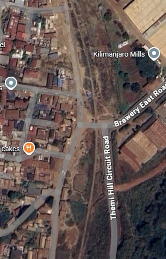
Continuing to curve round to the North, the line passes to the West of Themi Hill, (left). It then continues North (below) passing Kilimanjaro Mills on its right. [Google Maps, April 2026]
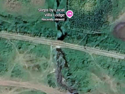
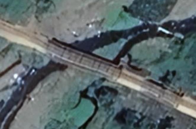
This next extract from Google’s satellite imagery shows the railway curving round towards the West and crossing the Themi River. A closer view of the bridge is shown below. [Google Maps, April 2026]
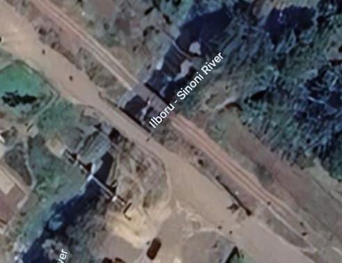
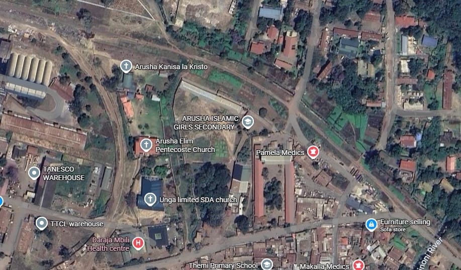
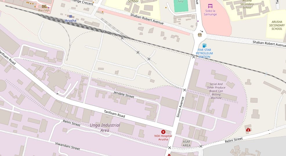
A short distance to the West, the railway crosses the Naura River (Ilboru-Sinoni River on Google Maps) as shown below.
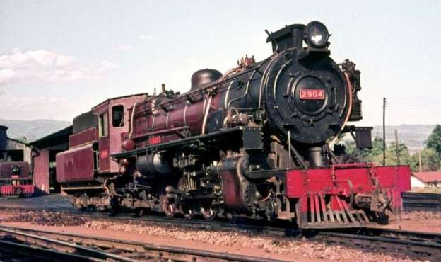
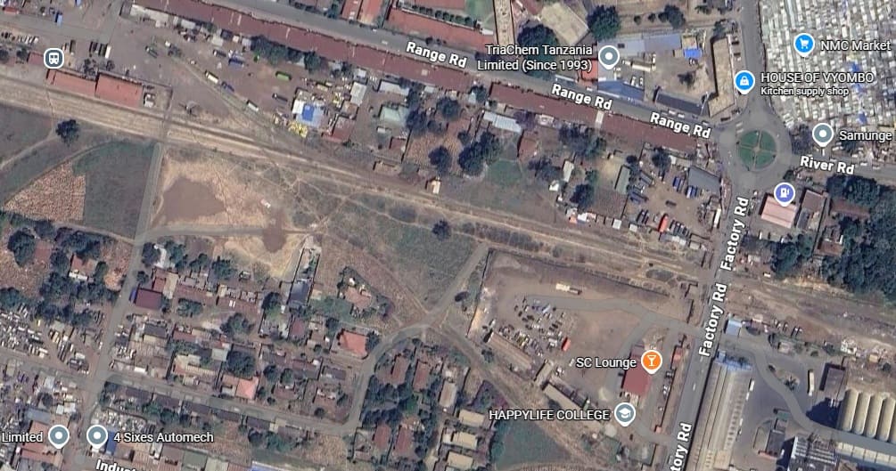
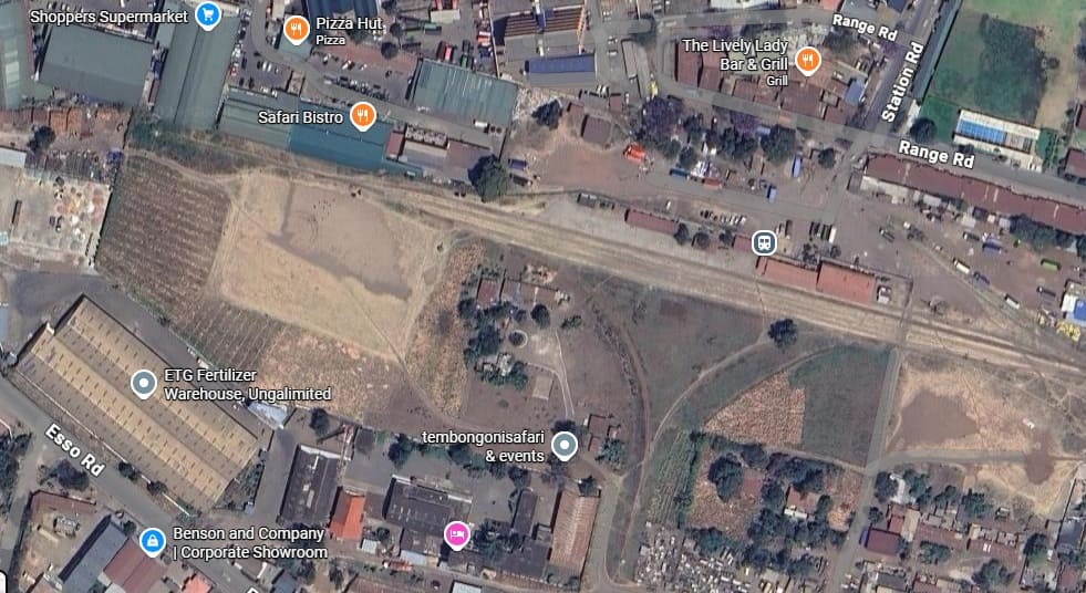
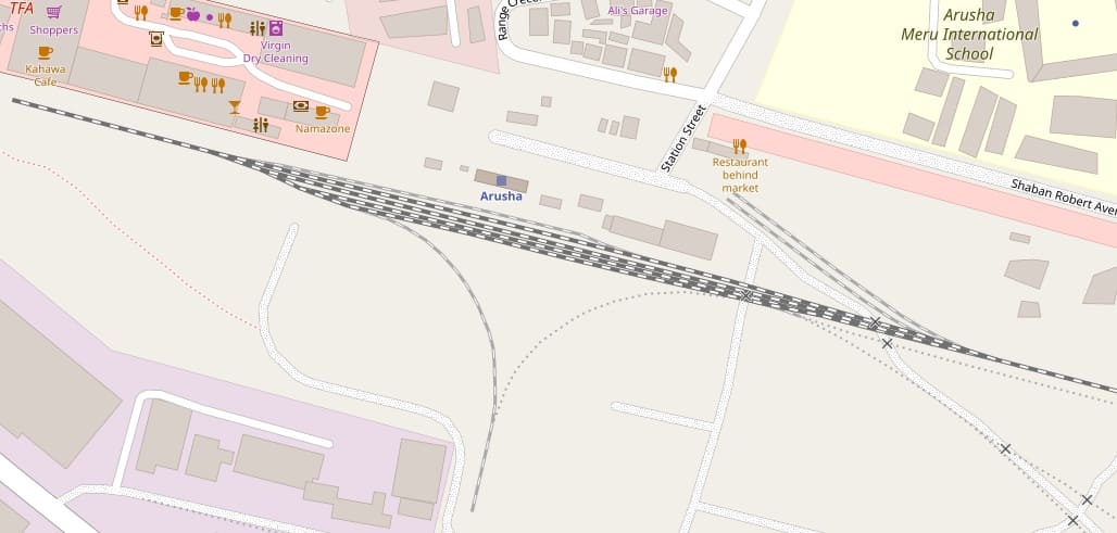
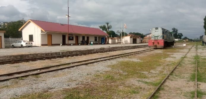
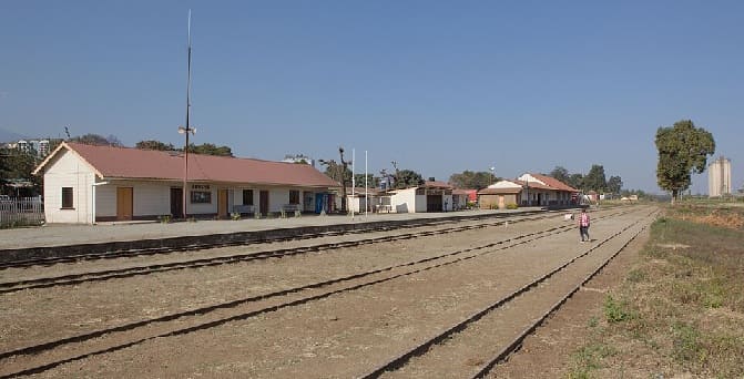
The Iboru-Sinoni or Naura River Bridge is only a short distance to the East of Arusha Railway Station. [Google Maps, April 2026]Careful inspection of this extract from OpenStreetMap’s mapping will show faint dotted lines marking now disused lines serving the Industrial area to the South of the station. One branch left the main line to the East of Five Star Petroleum Station heading east and then curving round to the West alongside Relini Street and then running on the North side of that road almost to the Left side of the map extract where it terminated in two sidings. There are two sidings on the North side of the main line close to the station buildings , there was once a branch/siding which left the main line to the South of these. It divided into two, with one short siding remaining in the station area, the other crossing Sinoni Avenue and then terminating in two sidings. These also provided a head shunt for another line running across the South side of the station site almost as far as the left side of this map extract. There were then a series of sidings adjacent to the station buildings and a turning triangle to the South of these. [5]Arusha Railway Station. [5]Arusha Railway Station seen from the West, (c) Allan Kaitila (June 2021). [Google Maps, April 2026]The same view but without the locomotive, (c) Harald Ulver and licensed for reuse under a Creative Commons Licence (CC BY-SA 4.0). [10]
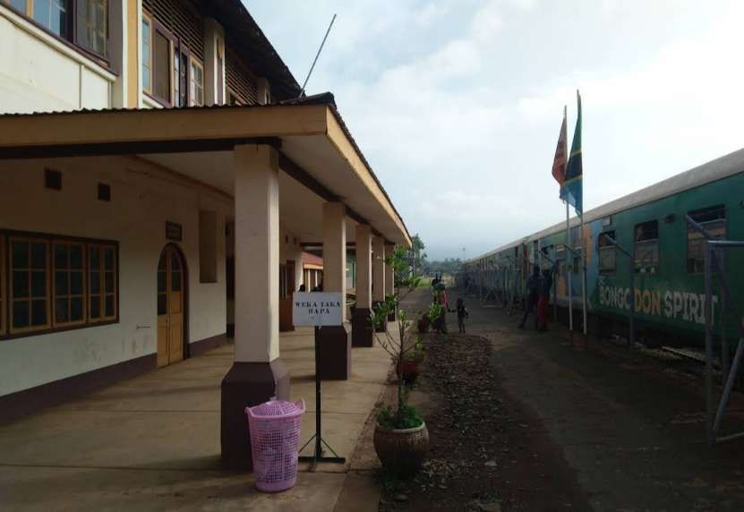
Some excellent monochrome photographs of Arusha Railway Station can be found here. [11]
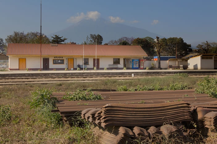
Arusha Railway Station building seen from the South with Mount Meru in the background (August 2024). Notice the steel sleepers and rails in the foreground of the photograph, (c) Harald Ulver and liceinced for reuse under a Creative Commons Licence (CC BY-SA 4.0). [12]


.jpg)