
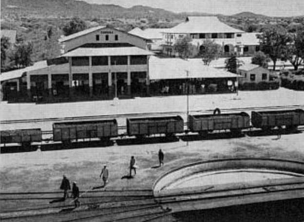
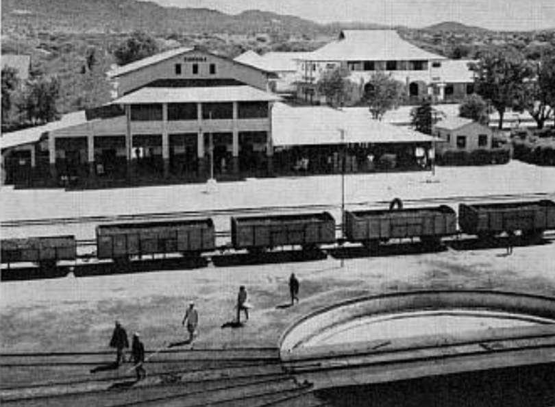
The featured image for this article is from the Tanganyika Guide of 1953. It shows the Railway Station at Dodoma with the New Dodoma Hotel behind. Note too, the station turntable close to the camera – perhaps a bit of overprovision as the station also boasted a turning triangle, © Public Domain [31: p48]
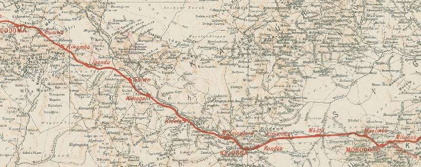
We start the next length of our journey on the Mittelland Bahn (the Central Line) at Mikese just to the West of the junction with the link line between Tanga and Ruvu.
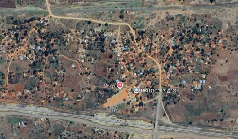
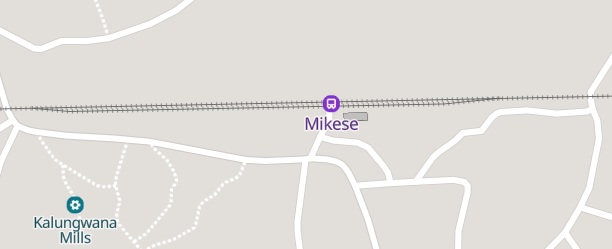
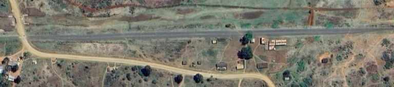
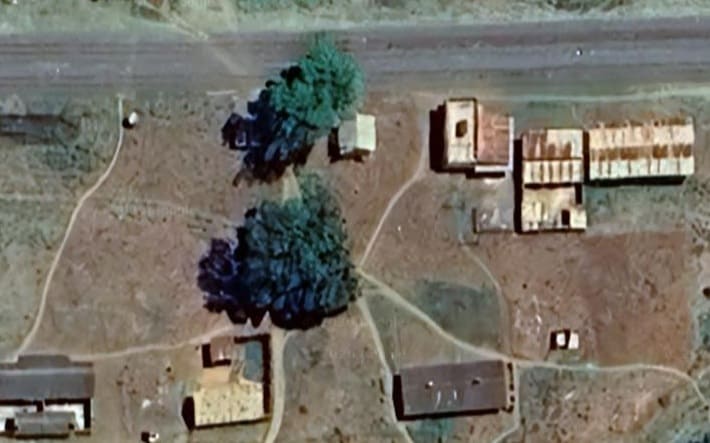
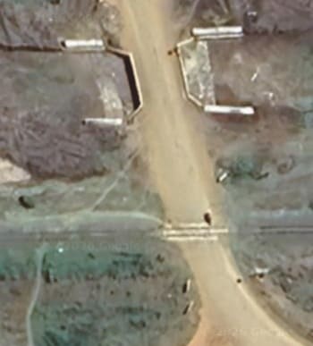
A dry water channel runs East-West on the North side of Mikese Railway station and is bridged by the murram road which leads North towards the small town of Mikese. The bridge and level-crossing tot he West of the railway station are shown here. [Google Maps, July 2026]
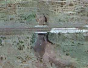
Heading just to the South of West the line heads away from Mikese station. small underbridges provide for water runoff in the wet season. [Google Maps, July 2026]
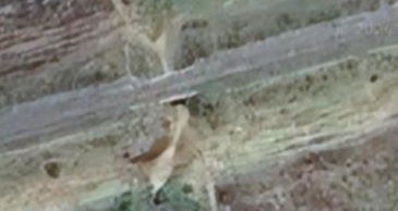
Another small underbridge/culvert. [Google Maps, July 2026]
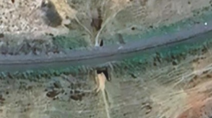
These small underbridges occur at frequent intervals along the line. [Google Maps, July 2026]
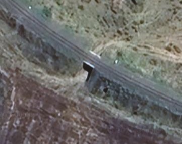
Another of the small underbridges. [Google Maps, July 2026]
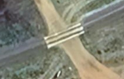
The nest road-crossing is for the road running South from the A7 toward the Standard-gauge line (SGR) on the approach to Mkambarani. [Google Maps, July 2026]
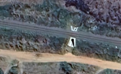
Another culvert under the line on the South side of Mkambarani. The A7 is to the North, a murram road immediately to the South of the line and the SGR only a relatively short distance further South. [Google Maps, July 2026]
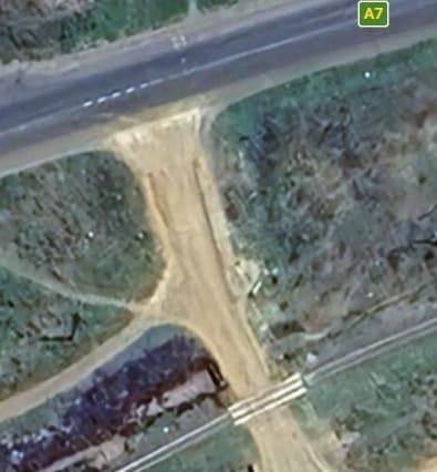
Another feeder road which serves the Mahashree Agro Processing Tanzania Limited’s compound crosses the line in close proximity to its junction with the A7. The industrial compound sits immediately on the North side of the SGR. [Google Maps, July 2026]
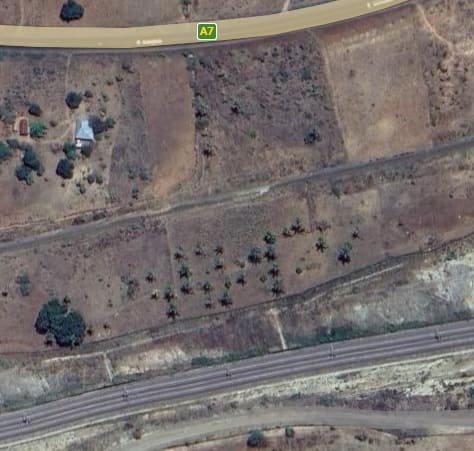
The A7, the MGR and the SGR take close order on the approach to Morogoro. [Google Maps, July 2026]
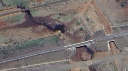
Still to the East of Morogoro, the MGR and the SGR bridge a local watercourse. [Google Maps, July 2026]
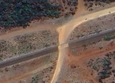
The line is crossed by another minor road. [Google Maps, July 2026]
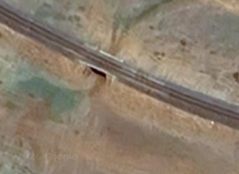
A series of three more culverts provide for wet season water flows. [Google Maps, July 2026]
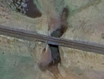
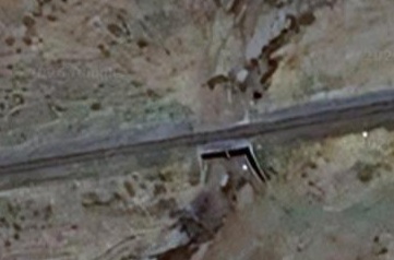
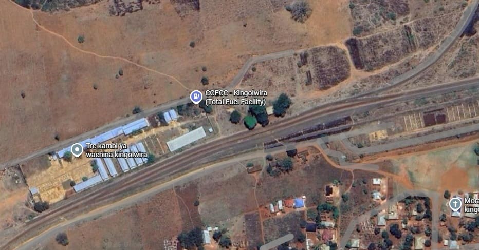
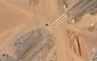
The road-crossing at the West end of the fuel depot. [Google Maps, July 2026]
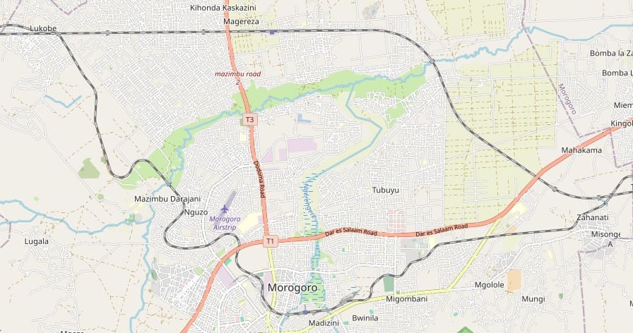
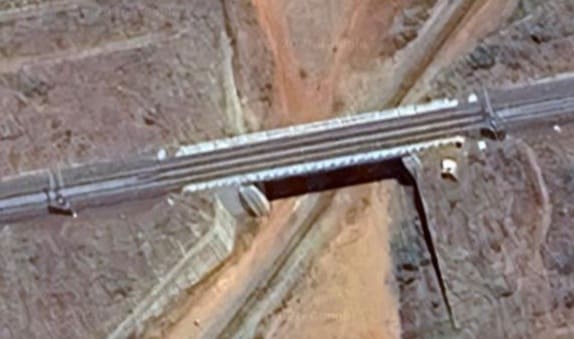
The older MGR is bridged by the SGR closer to Morogoro. [Google Maps, July 2026]
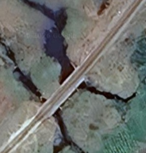
A short distance South if the SGR overbridge, the line crosses another more permanent watercourse. [Google Maps, July 2026]
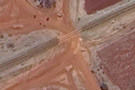
The next crossing of a local road. [Google Maps, July 2026]
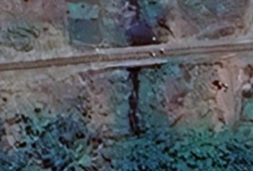
Another watercourse. [Google Maps, July 2026]
Not every road-crossing and watercourse/dry river bed is shown in these photographs, hopefully what is shown gives a good idea of the kind of crossings/bridges on the line.
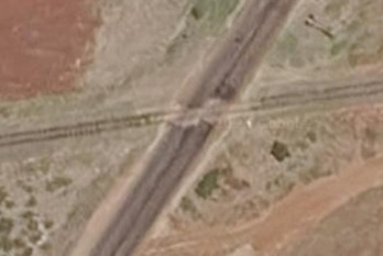
Another road-crossing. [Google Maps, July 2026]
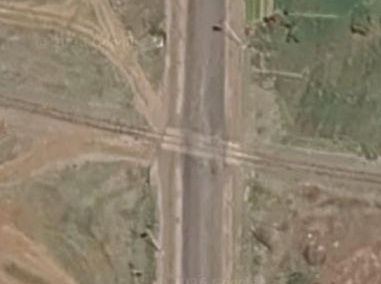
And another! [Google Maps, July 2026]
On the North side of the line, before reaching Morogoro Railway Station, is the Tanzania Institute of Rail Technology (TIRTEC) Morogoro Campus which is rail served by a dedicated short branch/sidings.
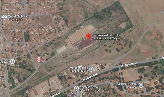
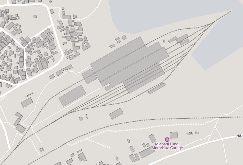
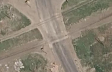
At the Southwest corner of the Tanzania Institute of Rail Technology (TIRTEC) Morogoro Campus a metalled road is crossed by two lines. That towards the bottom of this satellite image is the TR Central Line, to its North is the branch running into the Institute’s site. [Google Maps, July 2026]
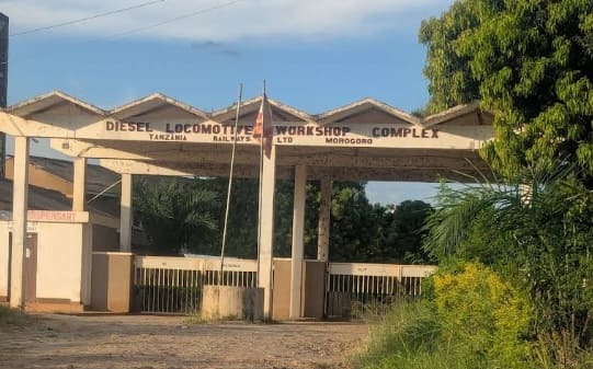
The gateway to the site of the Institute, (c) Aboubakari Jumanne, July 2025. [Google Maps, July 2026]
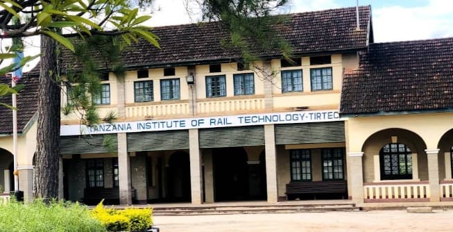
The Tanzania Institute of Rail Technology (TIRTEC) Morogoro Campus main building, (c) Musa Samwel, October 2021. [Google Maps, July 2026]
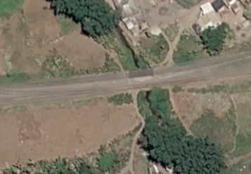
At the point where the two lines meet the railway bridges another watercourse (the Ngerengere River) immediately to the East of Morogoro Railway Station throat. [Google Maps, July 2026]

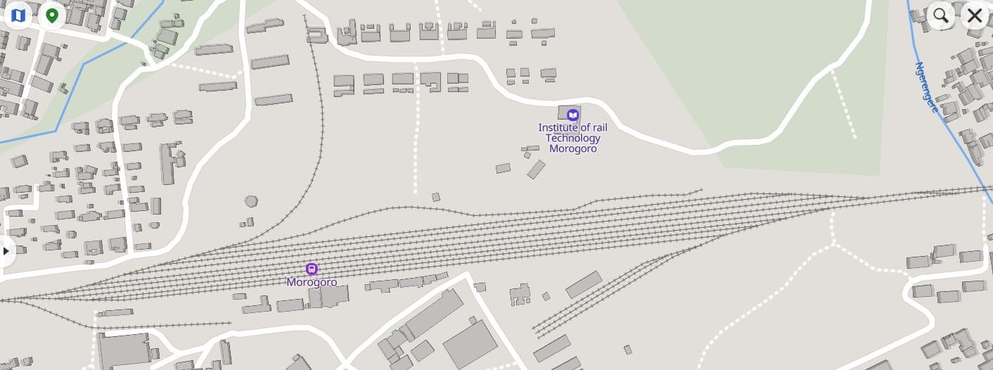
The Metre-Gauge Railway Station is South of the centre of Morogoro, the SGR line runs across the North side of the city.
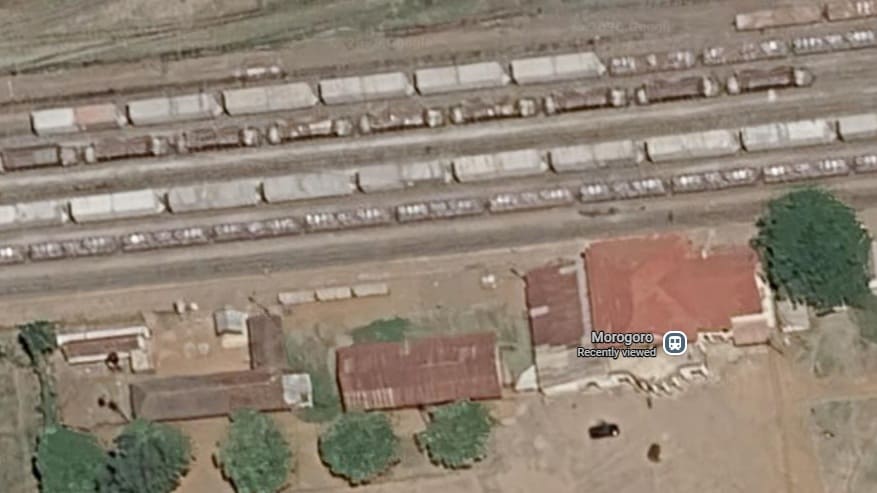
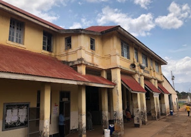
Morogoro Railway Station Building, (c) Peter Lazaro, October 2020. [Google Maps, July 2026]
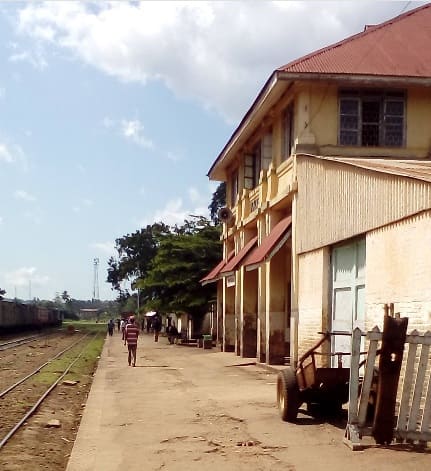
The rail side elevation of the same building, (c) Iman Frank, June 2017. [Google Maps, July 2026]
Morogoro’s legacy Metre-Gauge Railway (MGR) station is no longer used for passenger journeys. The modern Jakaya Kikwete SGR Station built for the new high-speed electric standard gauge rail network sits across the city to the North and now is the main passenger hub for the city.
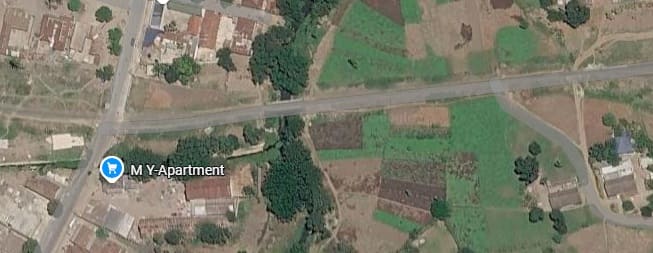
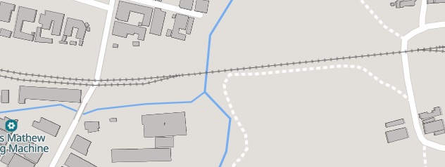
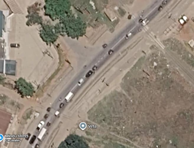
The first road crossings on the two lines cary them across the Korogwe Raod in Morogoro. [Google Maps, June 2026]
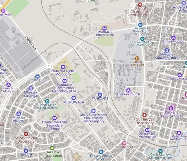
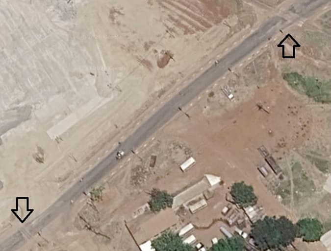
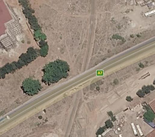
The A7/T1 road bridges the MGR as it leaves the central area of Morogoro. [Google Maps, August 2026][3]
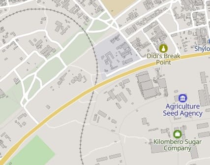
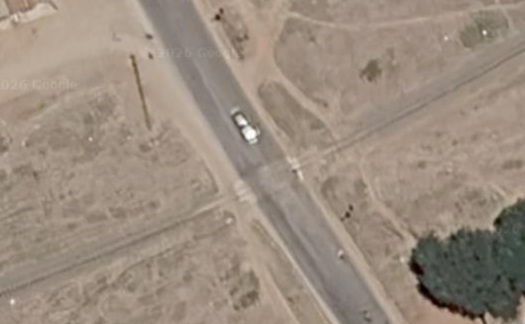
The next metalled road crossed by the line as it wends its way Northwest is the Ujenzi Road. [Google Maps, August 2026]
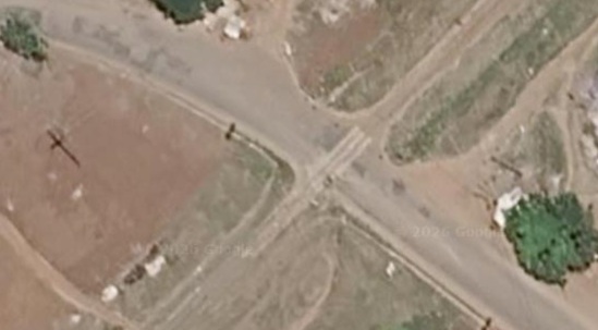
The Mazimbu Road is the next metalled road crossing the line. [Google Maps, August 2026]
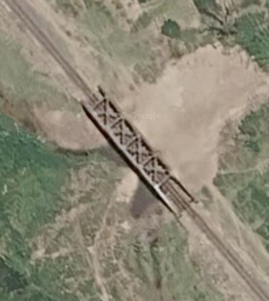
The railway next bridges another tributary of the Ngerengere River. [Google Maps, August 2026][3]
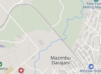
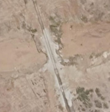
Still heading generally in the north-westerly direction the line cross a number of murram roads before bridging another dry watercourse. [Google Maps, August 2026]
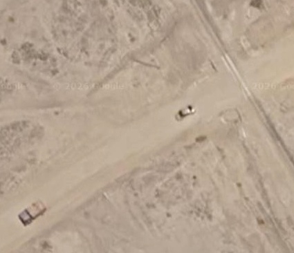
Another murram road is crossed at level before the line encounters the SGR again. [Google Maps, August 2026]
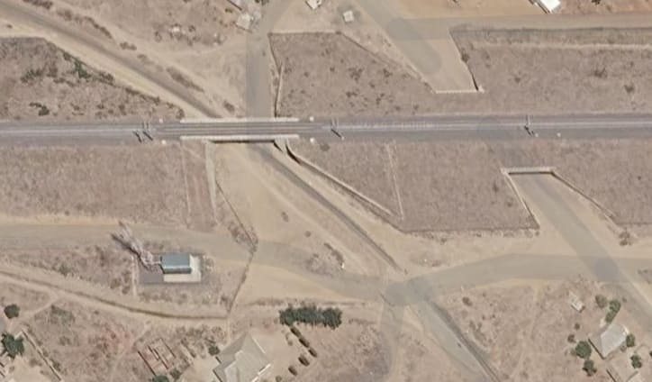
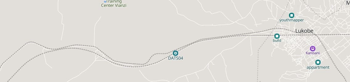
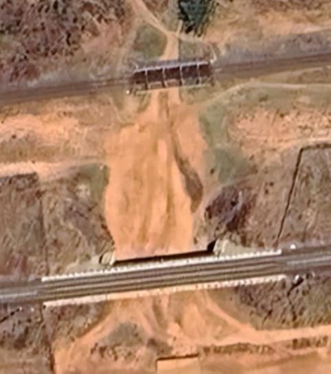
Apart from murram road crossings and minor culverts, this dry watercourse is bridged by both the MGR and the SGR. [Google Maps, August 2026]
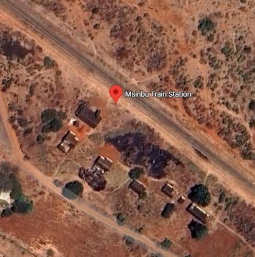
Msinbu has its own halt on the MGR Central Line. [Google Maps, August 2026]
Msinbu is only a small settlement, no provision is made for passing trains.
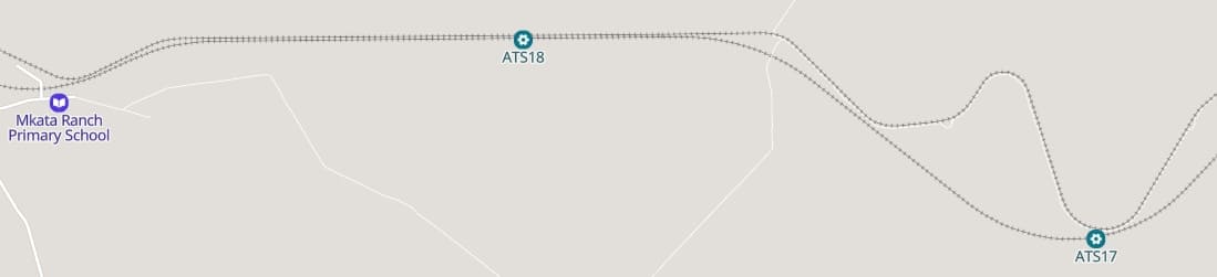
Again, the line is crossed by murram roads and itself crosses dry watercourses culverted under the track. But little is worthy of specific note apart from the pair of structures over a dry watercourse shown immediately below.
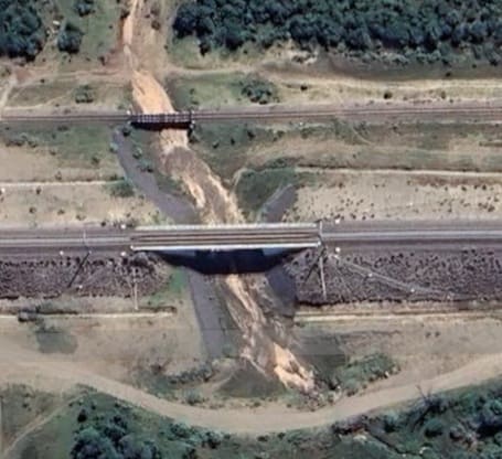
Another dry watercourse which experiences significant water flows in the wet season. [Google Maps, August 2026]
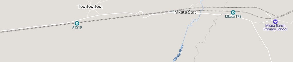
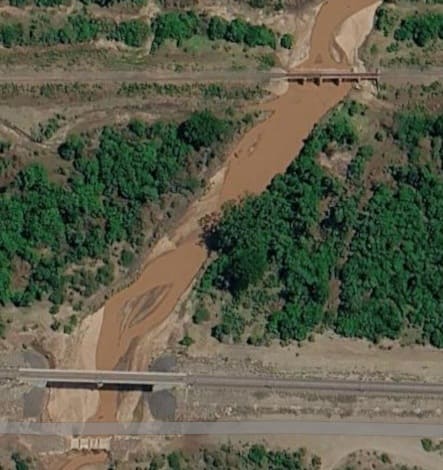
One arm of the Mkata River is crossed by three structures carrying the MGR, the SGR and the SGR service road. [Google Maps, August 2026]
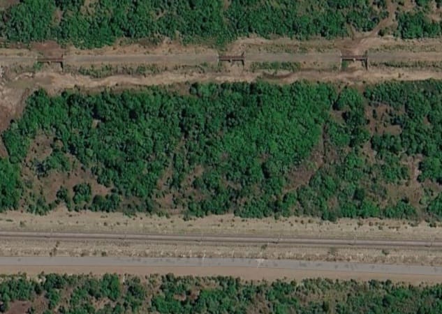
The MGR made provision for significant flows in the wet season, providing three double box culverts. The SGR saw no need to proved additional flood relief. [Google Maps, August 2026]
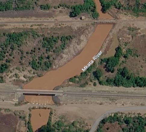
The other (main) arm of the Mkata River is also bridged by three bridges carrying the MGR, the SGR and the SGR service road. [Google Maps, August 2026]
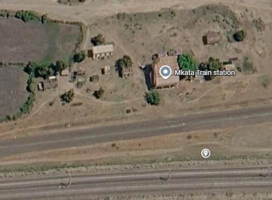
A short distance beyond the Mkata River is a halt on the MGR – named Mkata Railway Station. [Google Maps, August 2026]
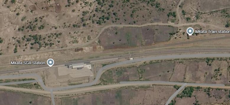
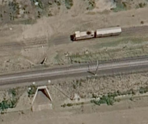
This satellite image is provided primarily for the small consist on the MGR. It appears to be made up of one diesel locomotive and one wagon. [Google Maps, August 2026]
Bothe the Mgr and SGR are now running across open savanna with no significant interruptions and so head Weat on a bearing just South of West for some distance. Occasional culverts permit water runoff in the wet season.
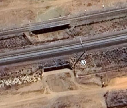
A typical location on the MGR and SGR with culverts provided for wet season flows. [Google Maps, August 2026]
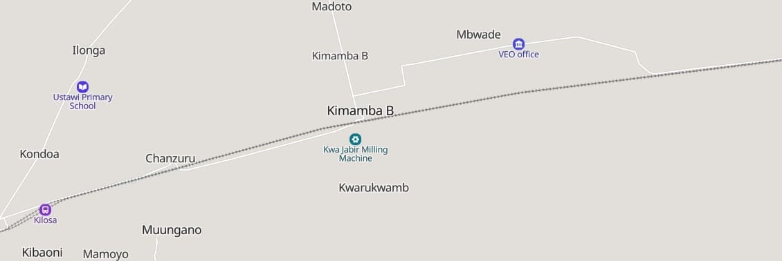
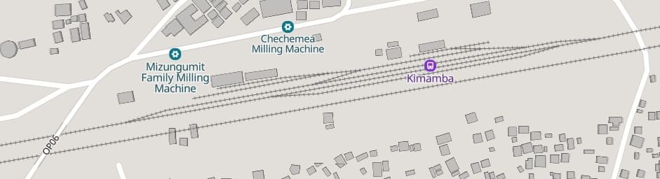
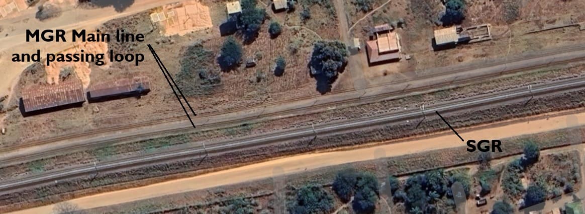

Just to the West of the station at Kimamba a road over-bridge has been constructed which spans both the MGR and the SGR. [Google Maps, August 2026]
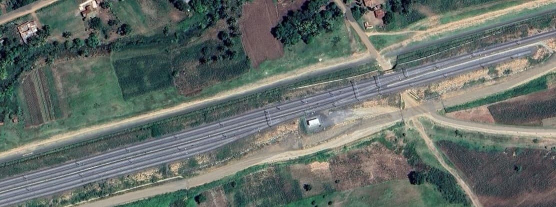
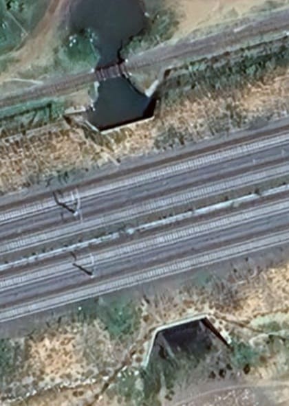
The four-track SGR and the single MGR track then span a watercourse. [Google Maps, August 2026]
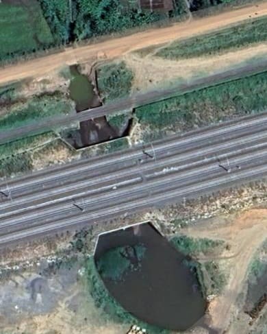
And a short distance to the West, another watercourse. [Google Maps, August 2026]
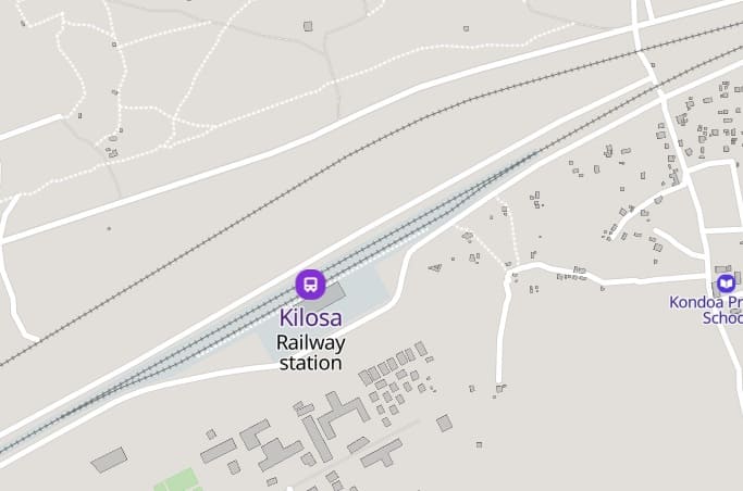
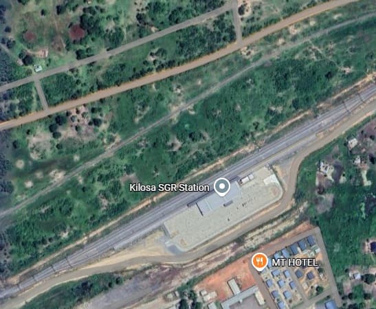
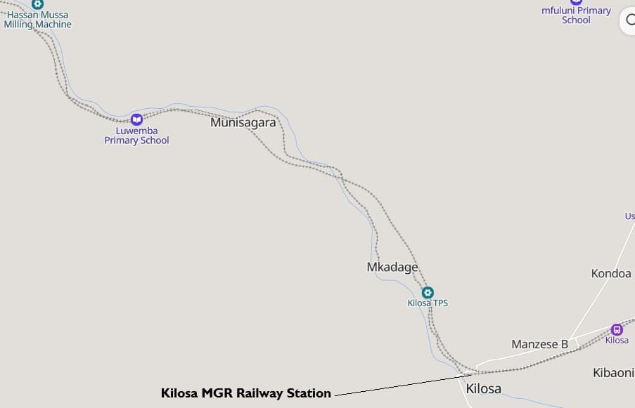
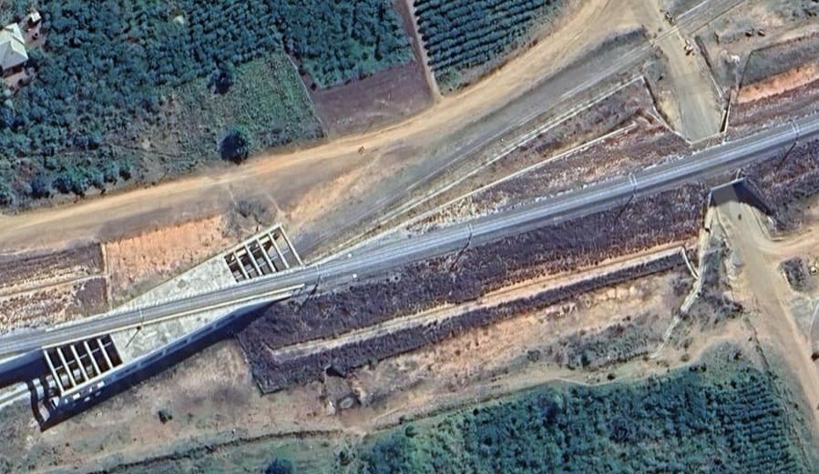
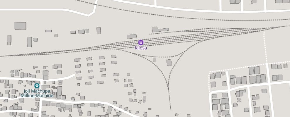
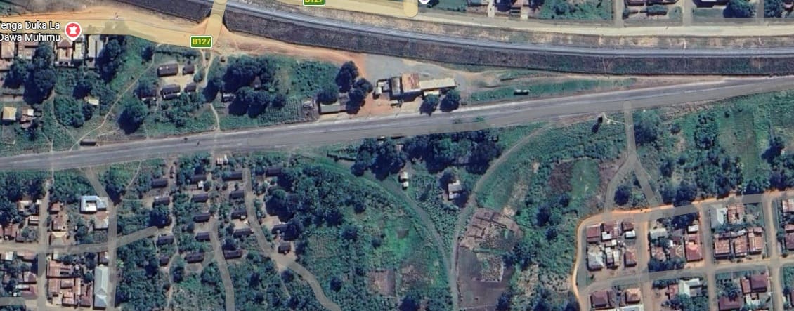
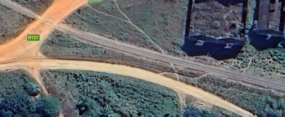
To the West of Kilosa MGR Station , the line begins to turn to the Northwest, a branch line leaves the main line before it crosses the B127. [Google Maps, August 2026]
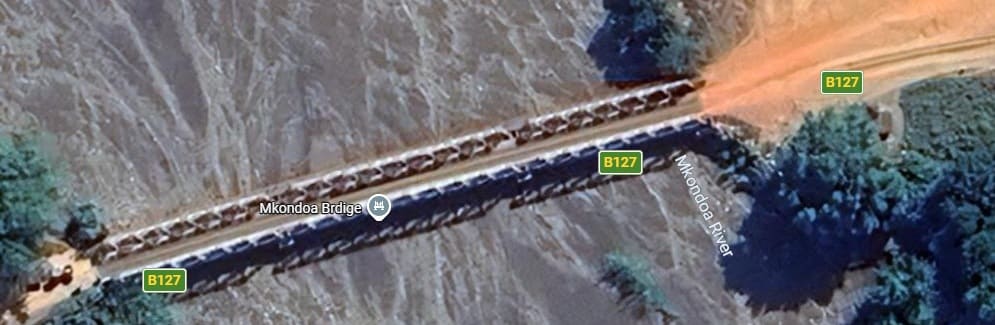
The branch line crosses the Mkondoa River on a shared railway/road bridge. [Google Maps, August 2026]
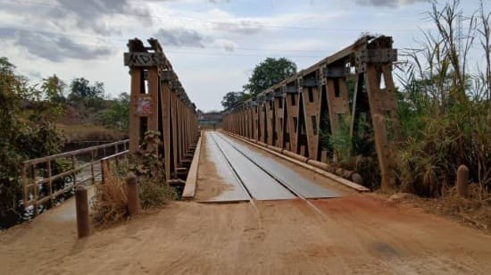
Mkondoa River Bridge, (c) Matanga Eunyo, August 2024. [Google Maps, August 2026]
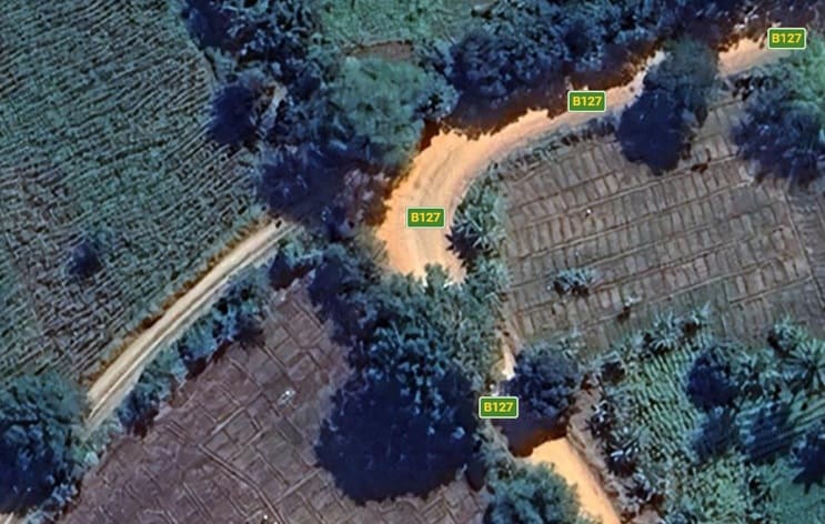
On the west side of the river both the road and the branch line turn South. [Google Maps, August 2026]
The branch line which crosses the Mkondoa River serves Mikumi and will be covered in a later article. OpenStreetMap.com shows the line heading South, then Southwest and then South again passing close to the village of Mbamba, into the Mikumi National Park, running parallel to the Iringa Road for a short distance before crossing it and running alongside the T16, again heading South. It crosses the T16 close to Msowero and runs on to serve the ‘Kisombero 1’ Sugar Company and then meets the TAZARA line at Msolwa at the boundary of the Nyerere National Park.
We continue on along the Central Line from Kilosa towards Dodoma.
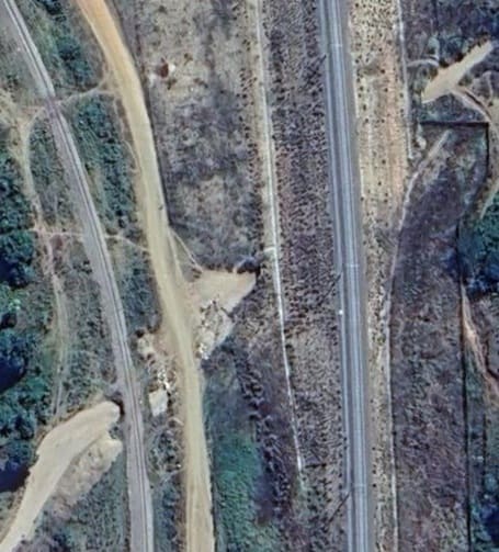
The SGR is once again alongside the MGR but at a higher level. It has passed through a tunnel close to the MGR Station at Kilosa. Here agin we see both lines crossing a dry watercourse with a road between them. [Google Maps, August 2026]
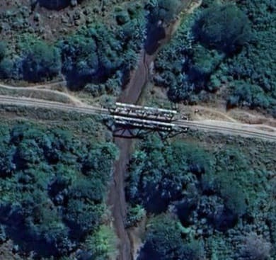
With the SGR a distance away to the North, the MGR crosses a tributary to the Mkondoa River. [Google Maps, August 2026]
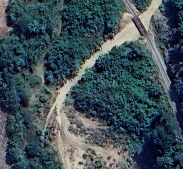
Next a dry watercourse is bridged very close to the Mkondoa River which can be seen in the very bottom-left corner of this image. [Google Maps, August 2026]
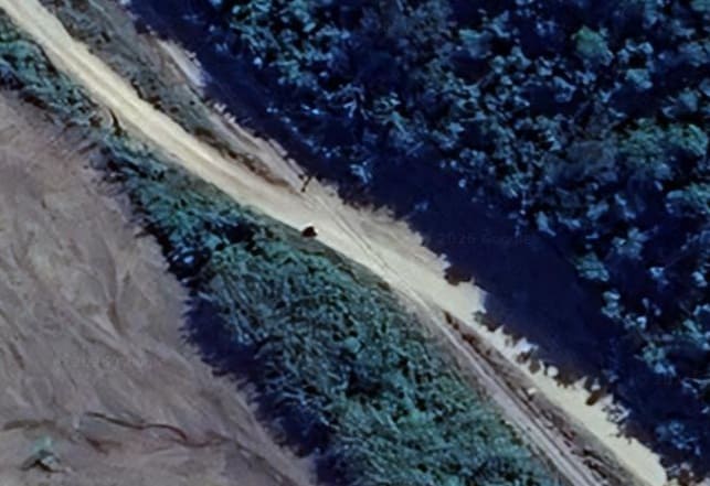
Road and railway cross close to the bank of the Mkondoa River. [Google Maps, August 2026]
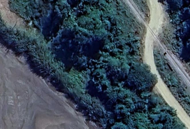
And cross again alongside the river. [Google Maps, August 2026]
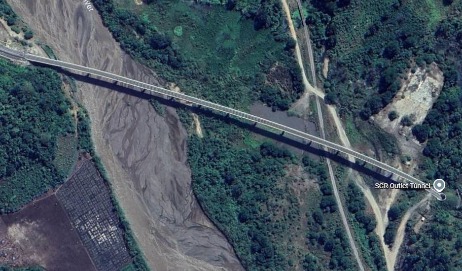
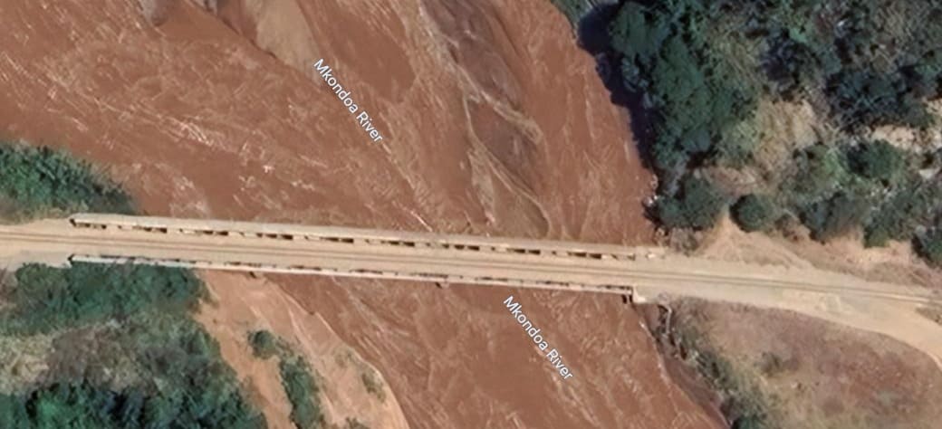
The MGR then crosses the river on a combined railway/road bridge. [Goggle Maps, August 2026]
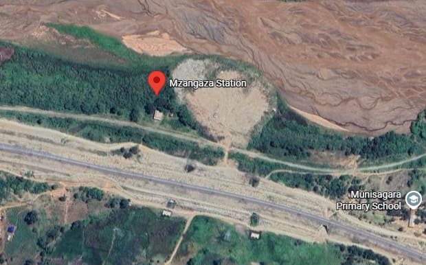
The river, the MGR and the SGR can all be seen on this satellite image which is centred on the MGR Station at Mzangaza. [Google Maps, August 2026]
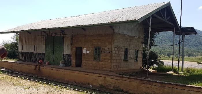
Mzangaza Railway Station with the river beyond, (c) Ali Yüksel, August 2019. [Google Maps, August 2026]
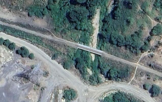
Still on the South side of the Mkondoa River. This drywatercourse would flow north when in spate. It appears to be bridged by a relatively modern structure. [Google Maps, August 2026]
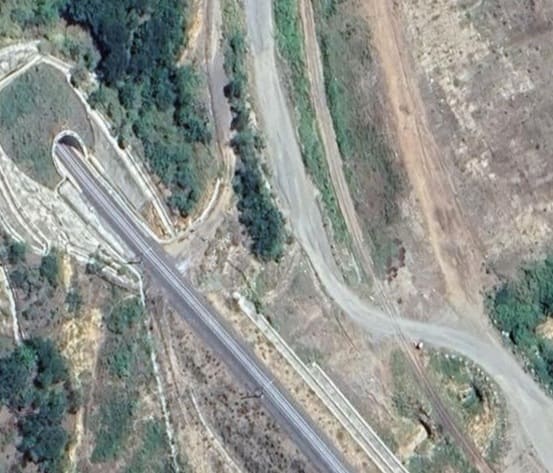
The SGR and the MGR are again close further West. The SGR had the resources to tunnel through a bluff of land whereas the old MGR follows the river edge. [Google Maps, August 2026]
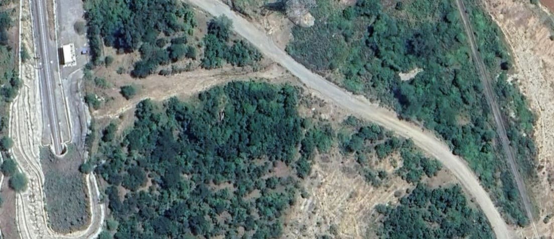
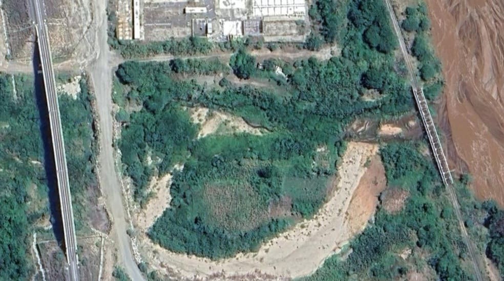
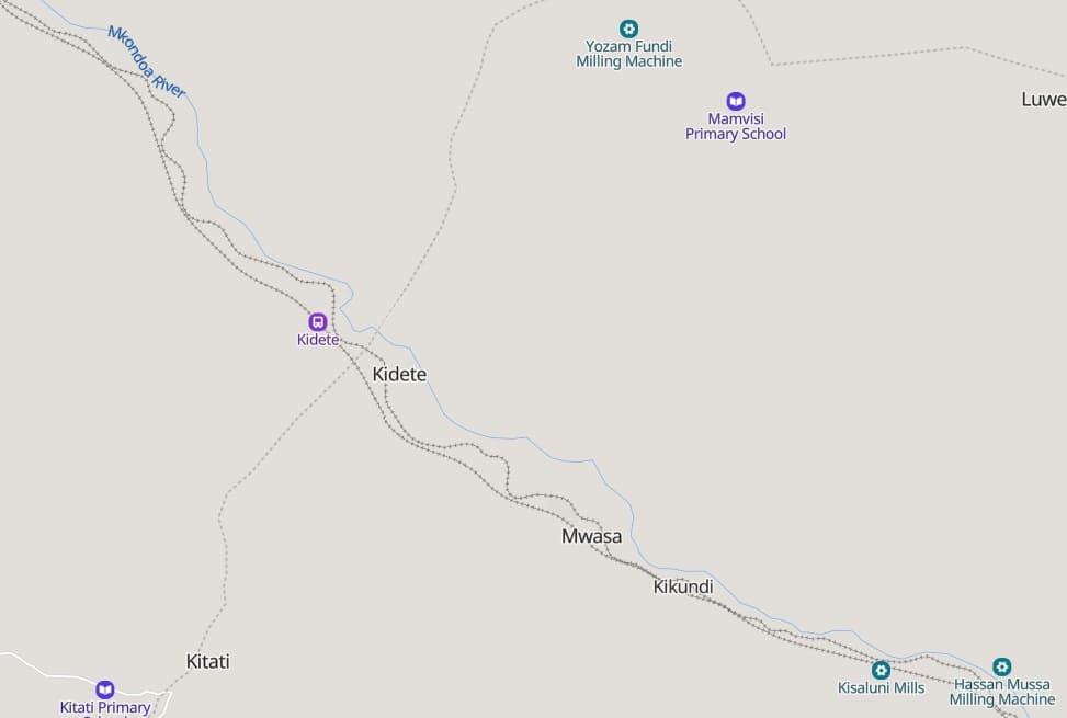
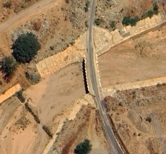
Close to Kidete the MGR corsses another relatively significant tributary of the Mkonoa River. It is dry season so very little water flows in the river channel. [Google Maps, August 2026]
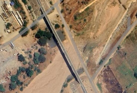
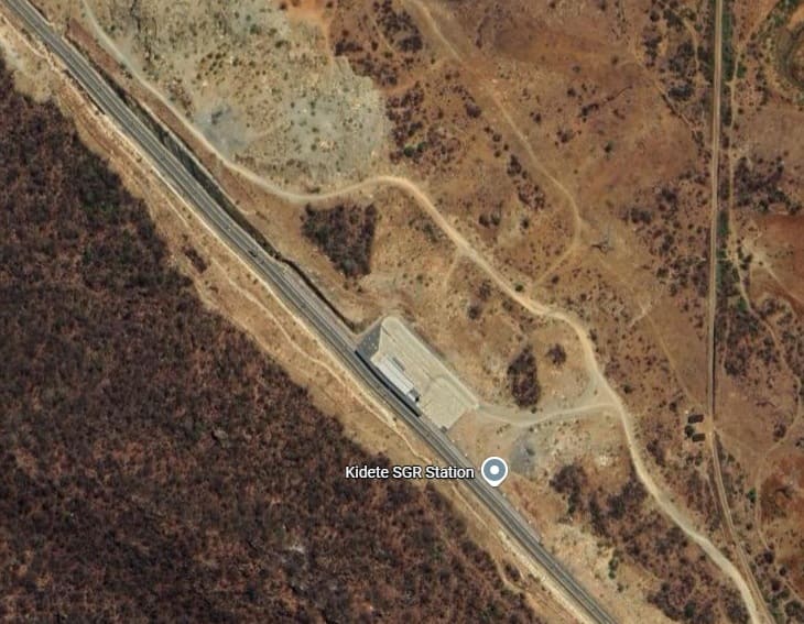
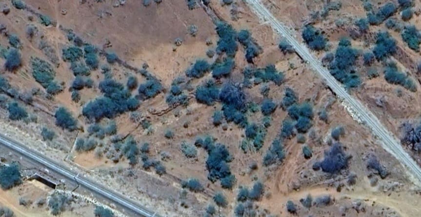
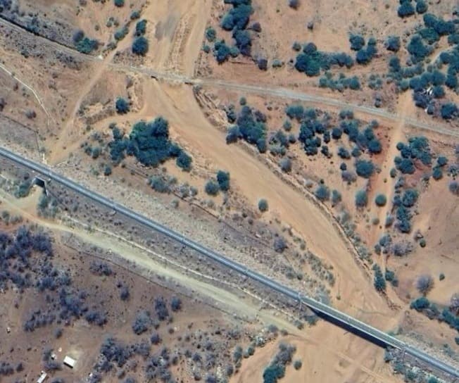
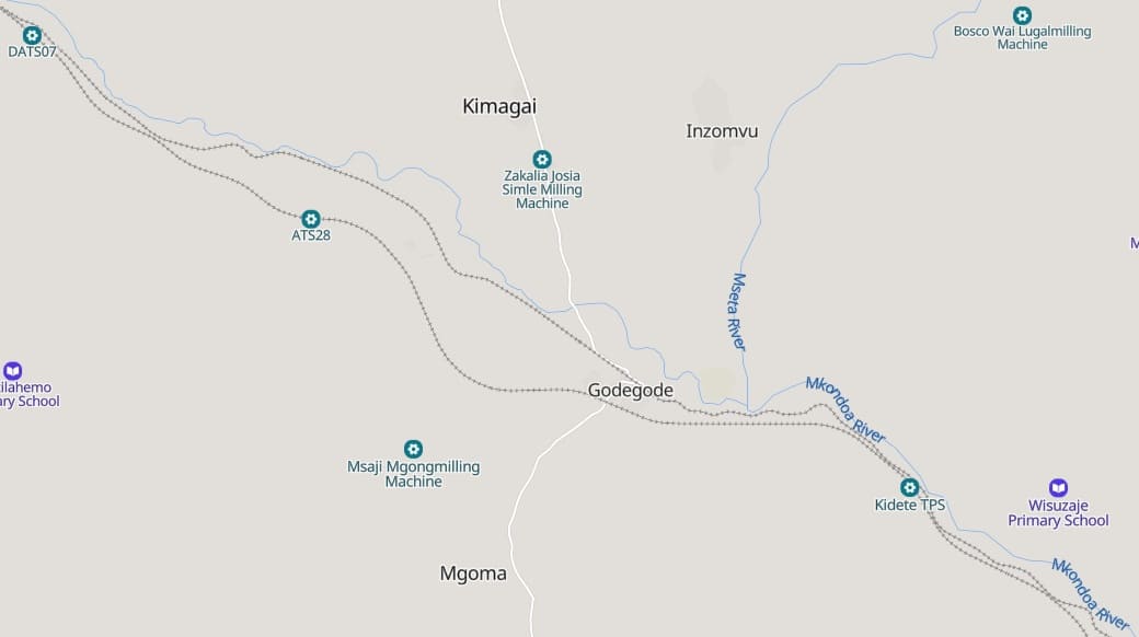
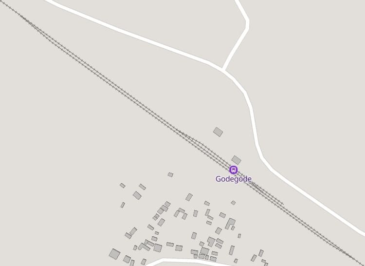
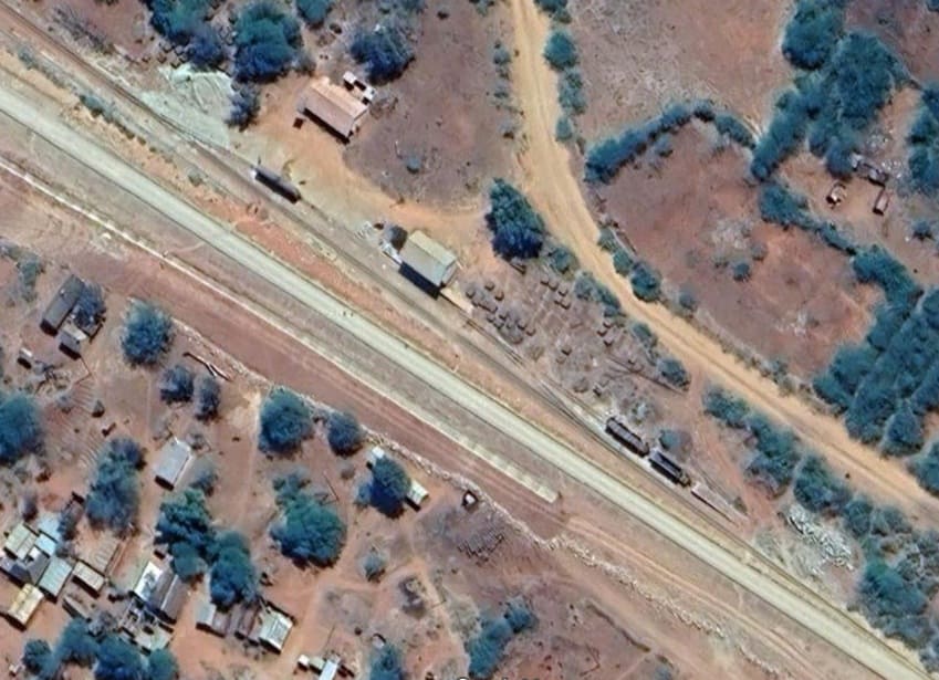
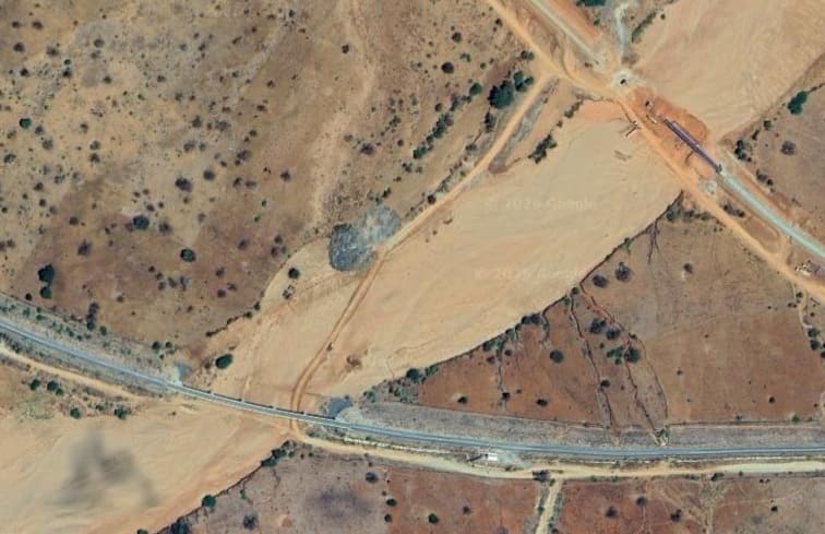
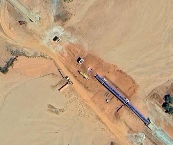
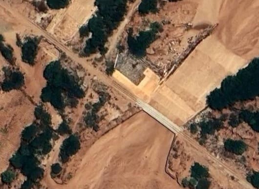
To the Northeast of the SGR and road crossings the MGR crosses the Idiri River close to the Kinyasungwe River – two spans across two different dry beds. The first is a modern concrete structure, the second, below, is older. [Google Maps, August 2026]
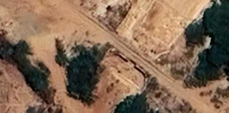
The older structure spans a narrower arm of the river. Continuing Northwest, the line crosses further smaller culverts/bridges carry water runoff to the Kinyasungwe River. [Google Maps, August 2026]
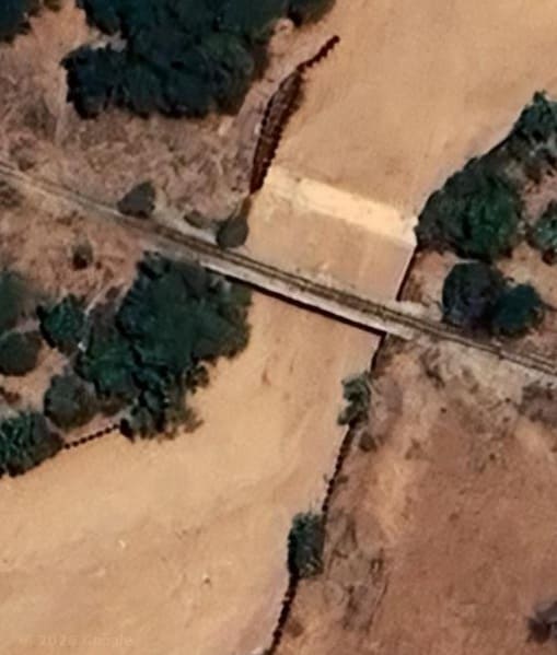
Some kilometres further Northwest the line spans another significant dry watercourse. This watercourse is not given a name on either Google Maps of MapCarta. [Google Maps, August 2026]
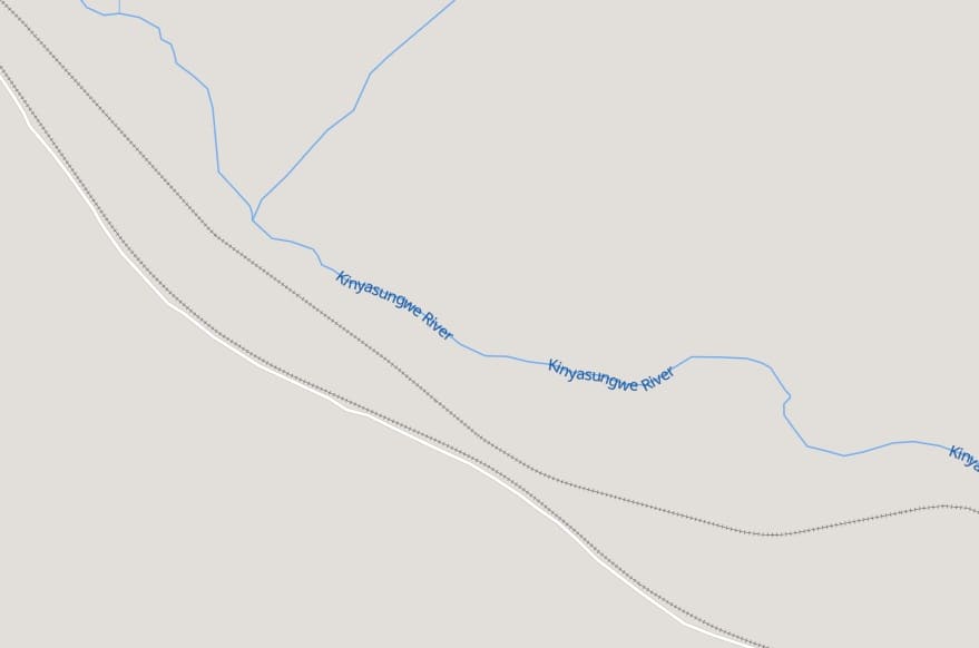
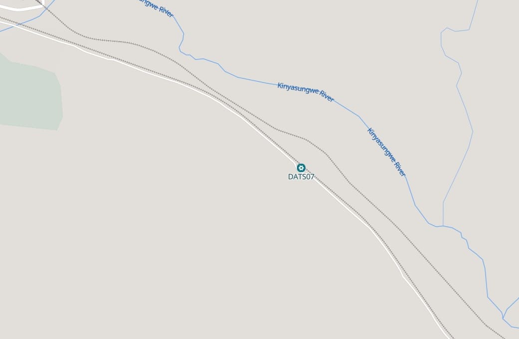
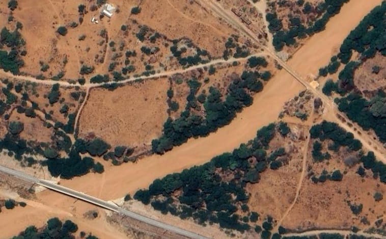
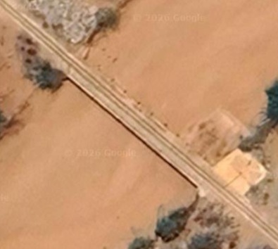
A closer view of the MGR bridge. Just to the Northwest of this bridge the MGR enters Gulwe Railway Station. [Google Maps, August 2026]
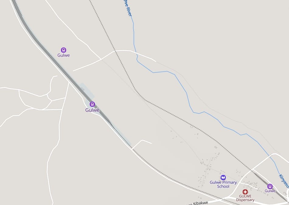
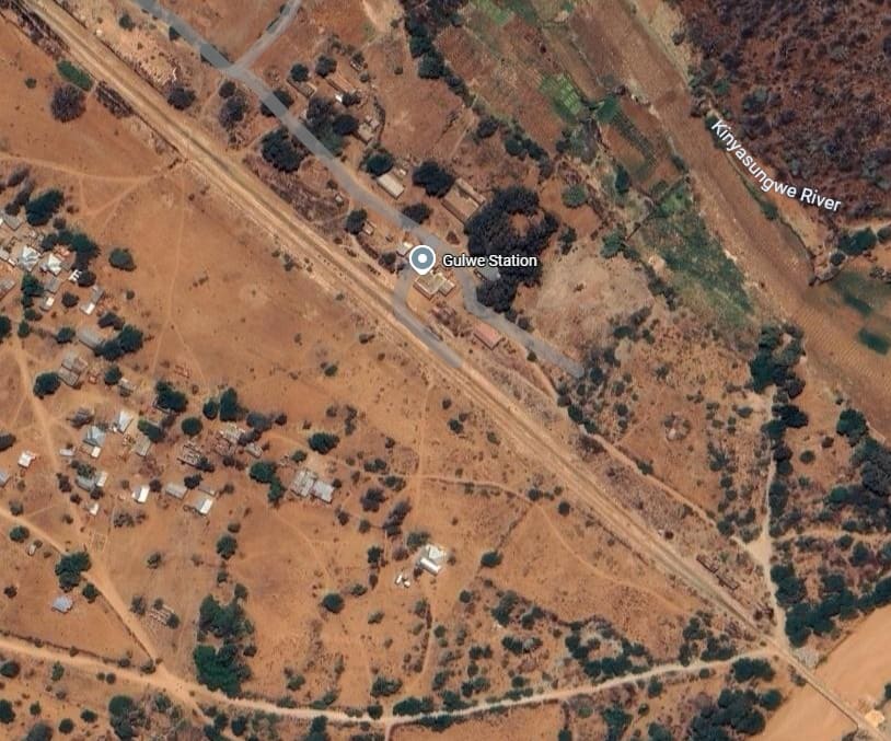
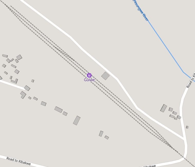
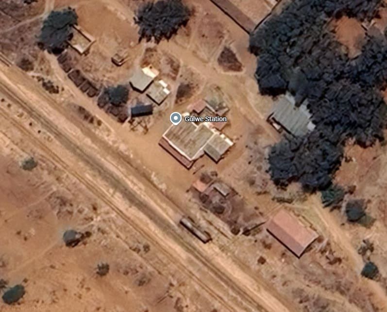
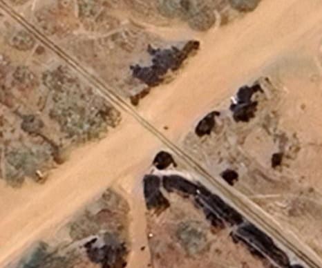
The murram road crossing at the Northwest end of Gulwe Railway Station site. [Google Maps, August 2026]
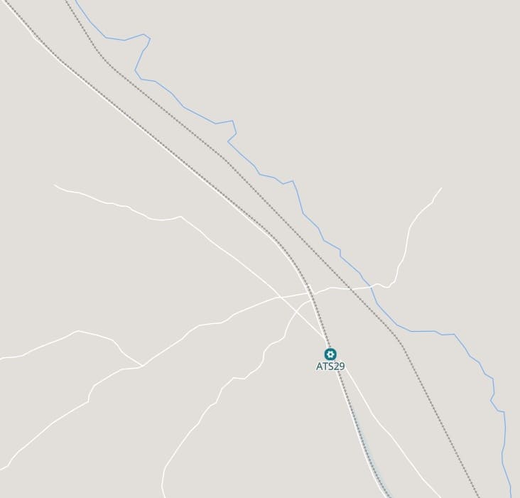
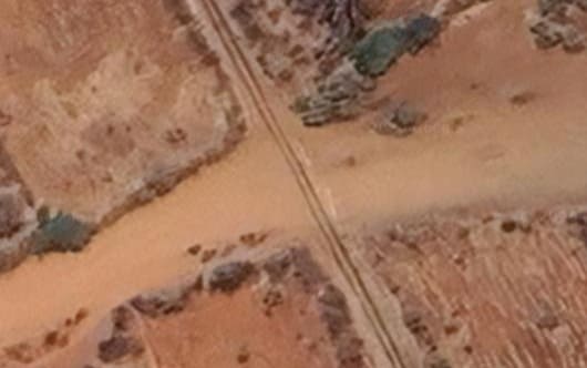
The road-crossing shwn on the MapCarta extract above. [Google Maps, August 2026]
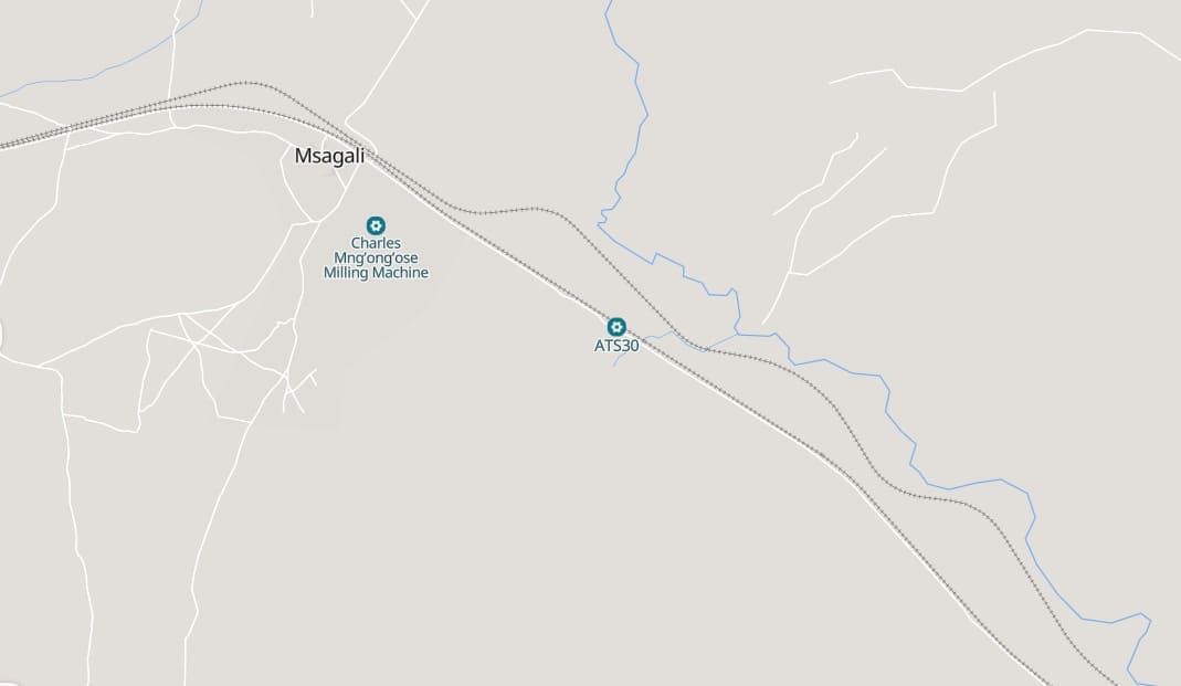
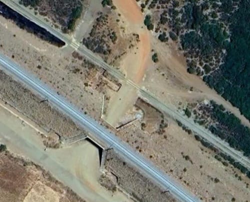
A murram road passes under the SGR and across the MGR at a level-crossing immediately before the MGR enters Msagali Railway Station. [Google Maps, August 2026]
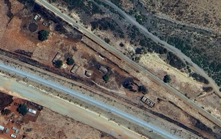
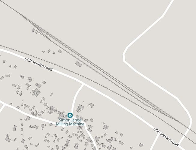

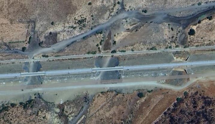
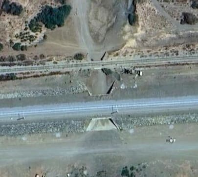
A short distance further West (before reaching the Msagali TPS), another culvert is provided beneath each line. [Google Maps, August 2026]
Culverts are provided under the SGR and MGR at regular intervals, suggesting significant wet season runoff on relatively flat ground.
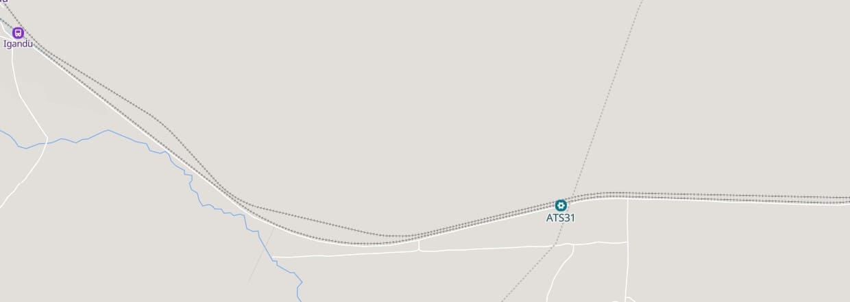
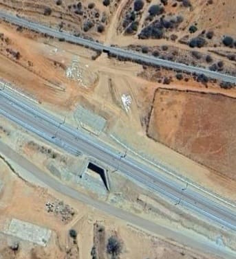
As mentioned above, culverts continue to be provided relatively frequently to accommodate wet season water flows. [Google Maps, August 2026]
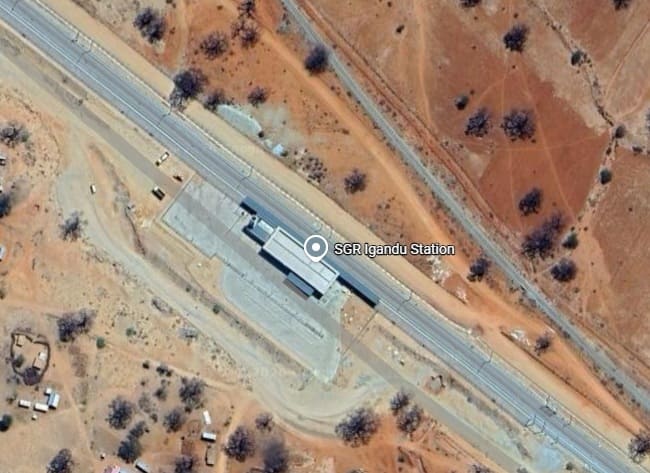
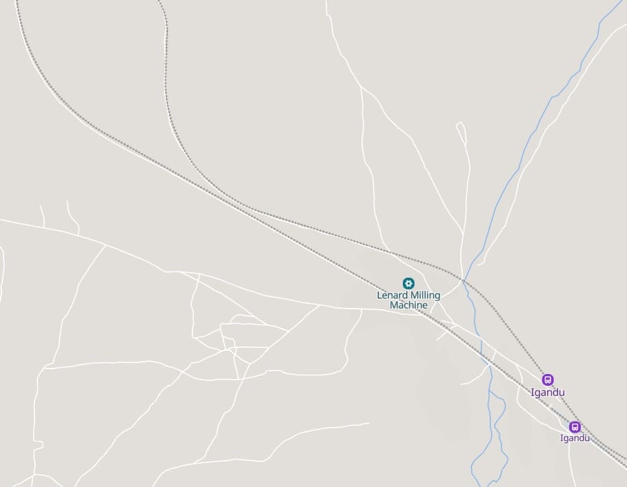
Igandu SGR Station with the MGR running on the North side of the SGR. [Google Maps, August 2026]
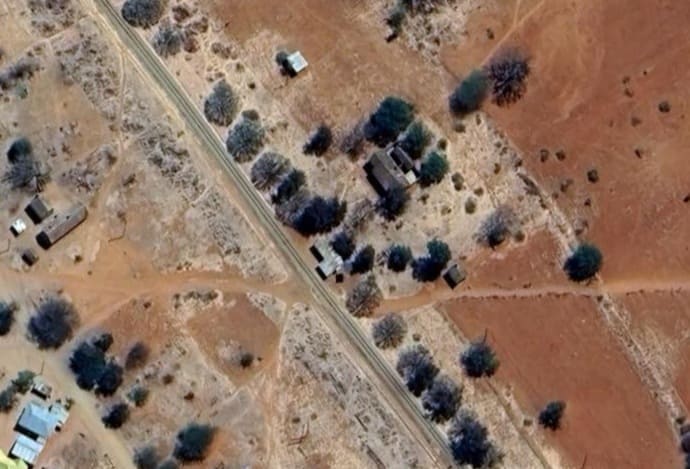
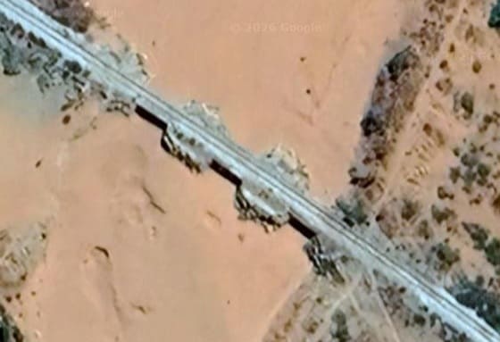
Apart from the regular provision of culverts along the line and a couple of murram road crossings, this more substantive structure is worth noting. Again it carries the line over a dry watercourse. [Google Maps, August 2026]
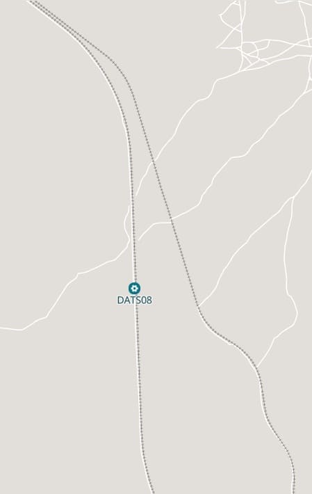
This next length of the MGR heads North-northwest across open country. There is again little of real note along this length of the line. [21]
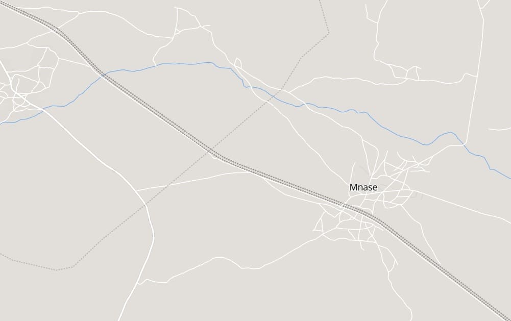
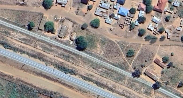
Although there are buildings close to the MGR, there is no indication on MapCarta or Google Maps that there was/is a railway station on the MGR at Mnase. [Google Maps, August 2026]
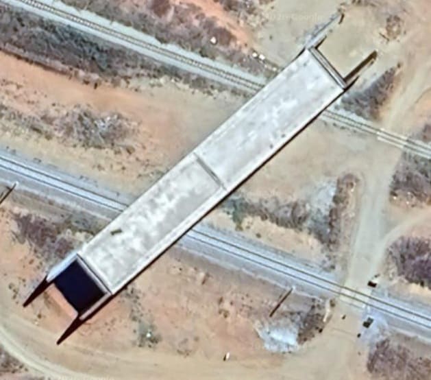
There is, however an interesting structure which spans both the MGR and the SGR at Mnase. It appears that provision has been made for a future highway crossing the two railways. On MapCarta’s mapping the structure is marked ‘OP12’ and is shown as being a highway bridge already in use. [Google Maps, August 2026]
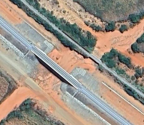
Further Northwest this watercourse is marked on the MapCarta extract above. Again, at the time this satellite image was taken, the watercourse was dry. [Google Maps, August 2026]
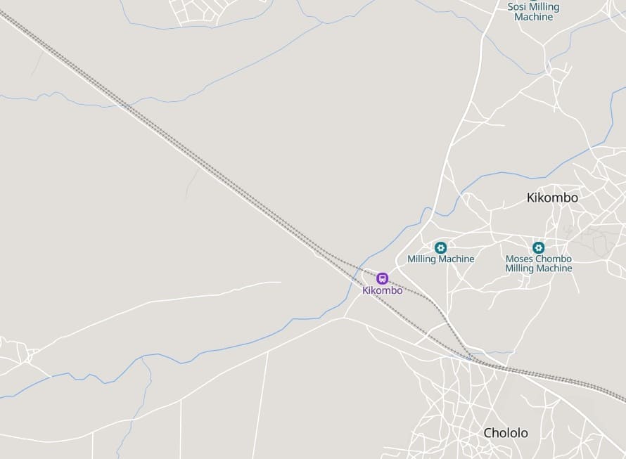
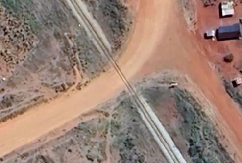
A well-used murram road crossing on the approach to Kikombo Railway Station on the MGR. [Google Maps, August 2026]
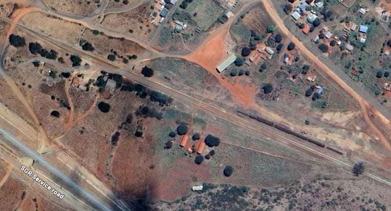
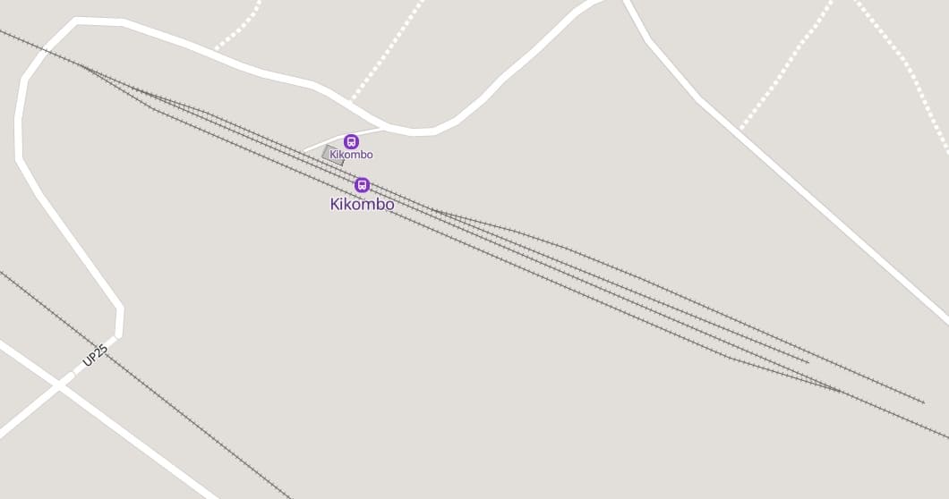
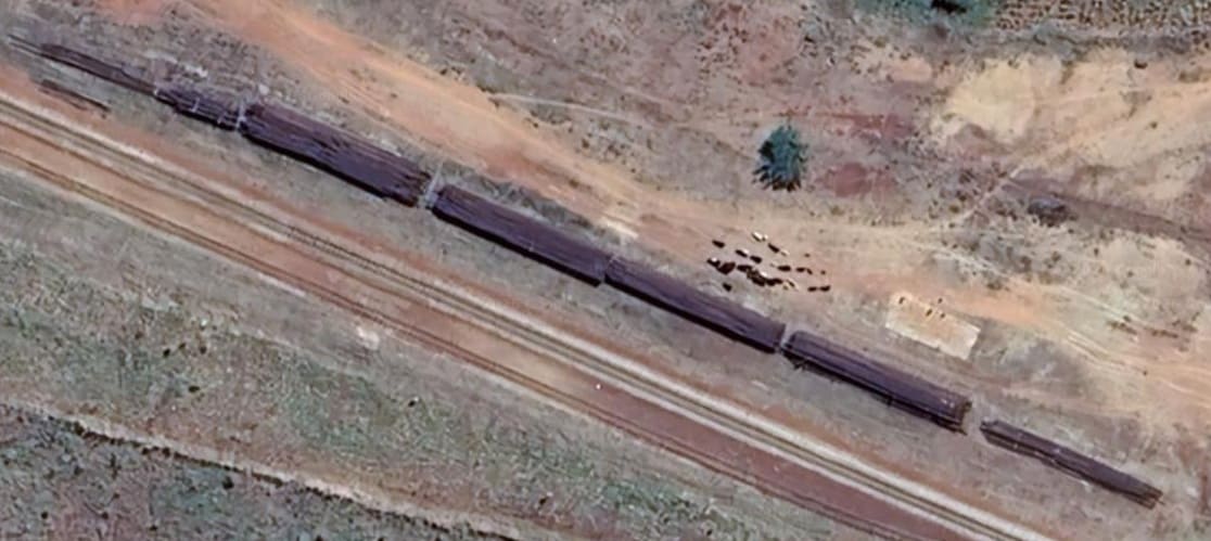
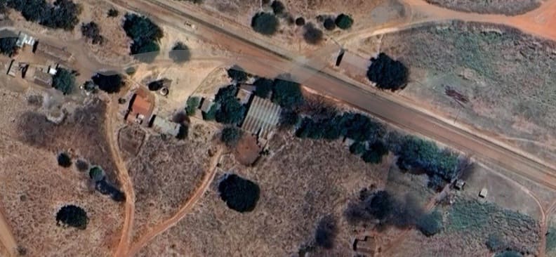
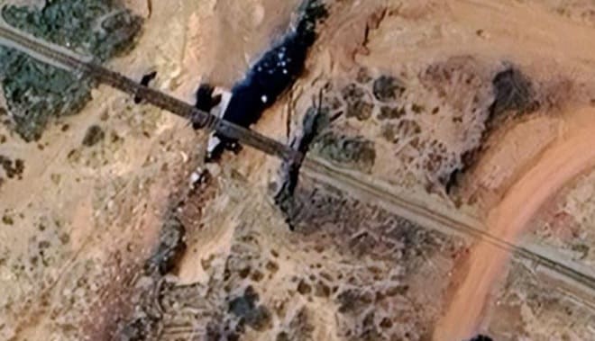
The murram road-crossing at the Northwest end of Kikombo MGR Station site and, just beyond it to the West, a bridge over a dry watercourse. [Google Maps, August 2026]
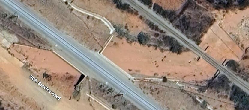
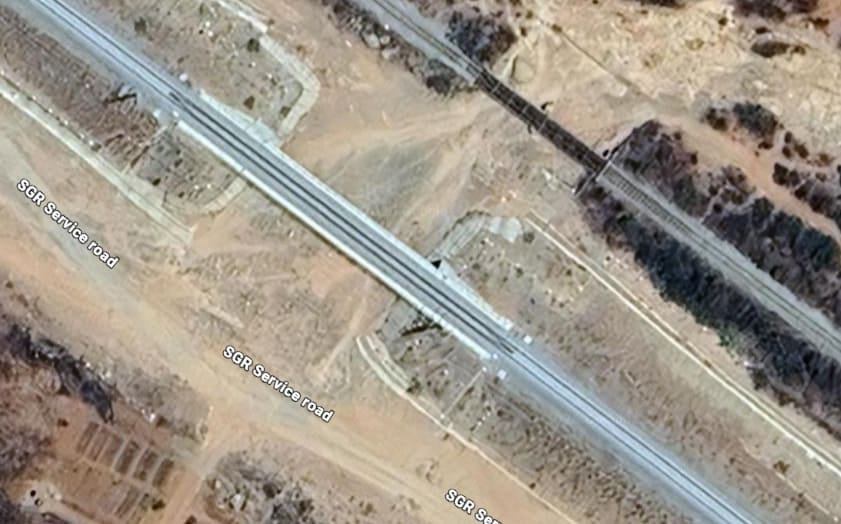
Another significant pair of structures crossing a second watercourse. [Google Maps, August 2026]
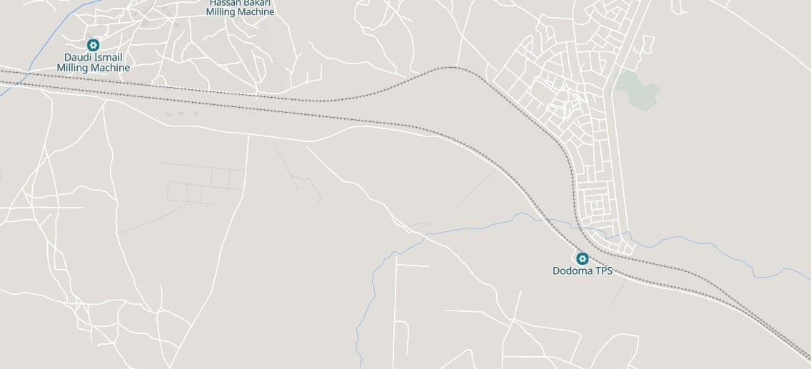
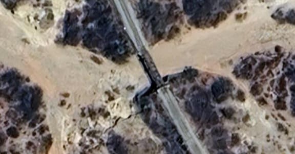
Another watercourse is crossed by means of a Warren Truss Girder Bridge, just to the North of the flagged Dodoma TPS on the SGR shown on the map extract above. [Google Maps, August 2026]
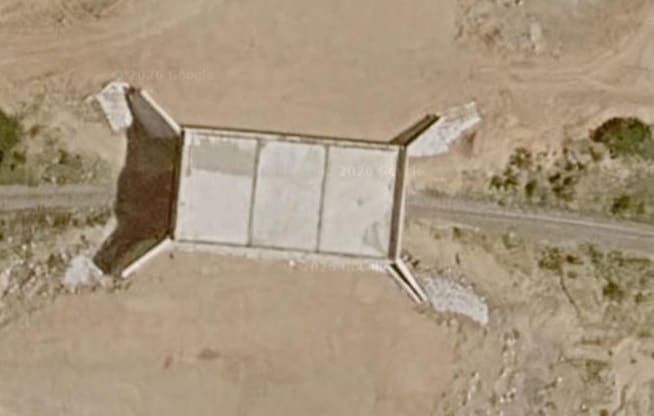
Apart from the frequent culverts over dry watercourses this is the next interesting structure over the MGR. It is not shown on MapCarta but appears on Google Maps. It is a structure completed for a dual carriageway outer ring road for Dodoma for which the formation has been completed. [Google Maps, August 2026]
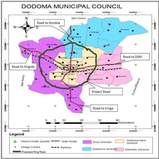
The planned Dodoma Outer Ring Road runs down the East side of Dodoma, starting at Veyula settlement located along the Dodoma –Kondoa trunk road traverses south east towards Ihumwa settlement located along Dodoma-Morogoro trunk road. From Ihumwa, it traverses towards south to the Matumbulu Settlement along Dodoma-Iringa trunk road before then running Northwest around the West side of the city. [25]
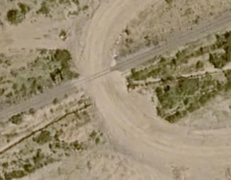
A well-used murram diversion from the Outer Ring Road crosses the MGR to the West of the incomplete bridge. [Google Maps, August 2026]
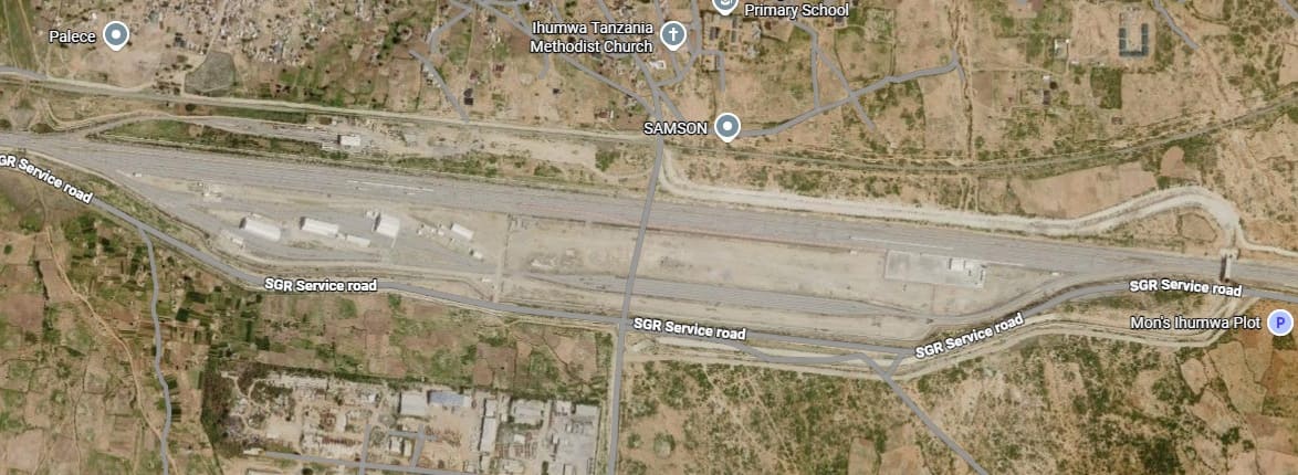
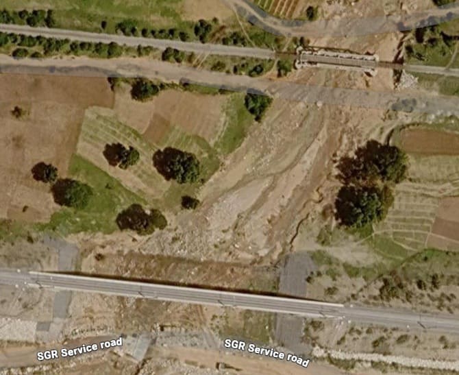
Further West the two lines bridge another dry watercourse. This watercourse appears at the left side of the MapCarta map extract above. [Google Maps, August 2026]
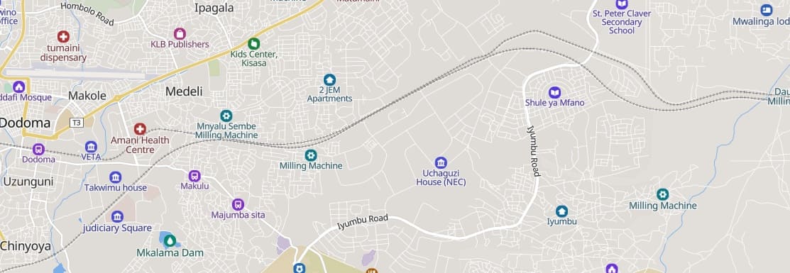
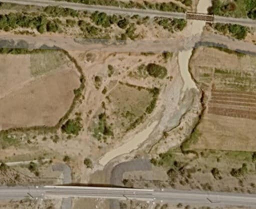
Close to the right of the map extract immediately above another dry watercourse is bridged by both railways. [Google Maps, August 2026]
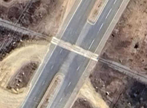
While the SGR bridges the Iyumbu Road dual carriageway further South, the MGR crosses the dual carriageway at a level-crossing. [Google Maps, August 2026]
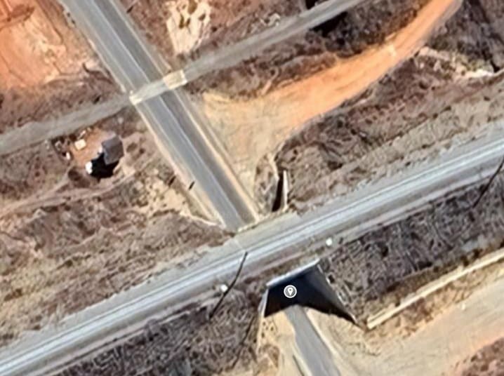
Another metalled road is bridged by the SGR but crossed at level by the MGR. [Google Maps, August 2026]
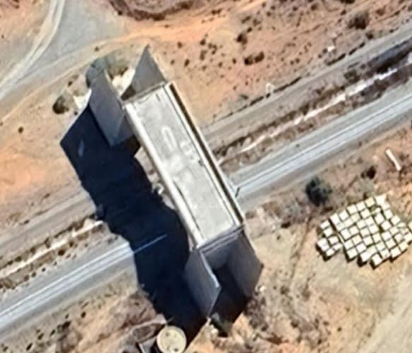
Another bridge over the MGR and SGR completed in advance of the construction of a road to link two suburbs of Dodoma. Culverts to handle water runoff continue to appear frequently. [Google Maps, August 2026]
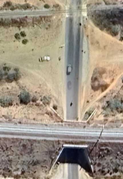
Another metalled road passes under the SGR and crosses the MGR at level. A little further West a more significant structure carries the MGR over another dry watercourse (below). [Google Maps, August 2026]
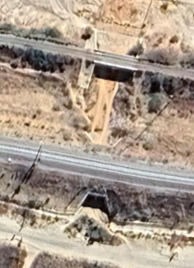
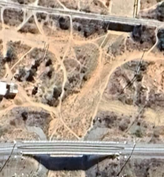
Another relatively significant pair of structures carry the lines over another watercourse. The MGR and the SGR begin to separate as the centre of Dodoma approaches. The SGR skirts the centre of Dodoma to the South. [Google Maps, August 2026]
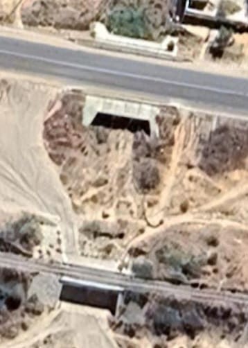
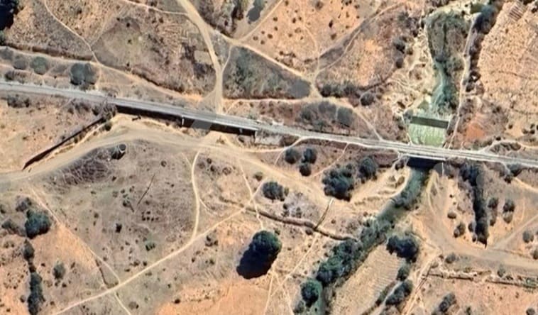
With the SGR sliding away to the South the MGR is accompanied on its way into Dodoma for a short distance by a metalled road to the North of the line. This next watercourse also requires relatively significant structures to cope with the likely wet season water flow, [Google Maps, August 2026]
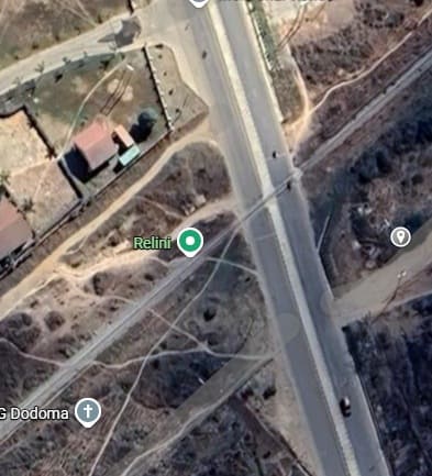
The MGR crosses the Morena Road (dual carriageway) at a level-crossing. [Google Maps, August 2026]
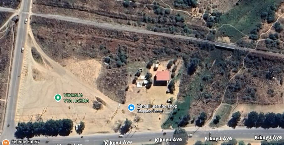
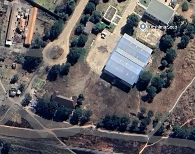
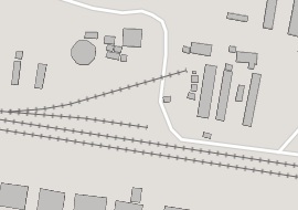
Industrial units to the North of the line are rail served. [Google Maps, August 2026] [27]
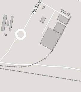
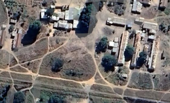
More sidings not easily picked out on satellite imagery. [Google Maps, August 2026][27]
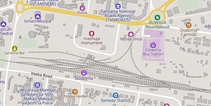
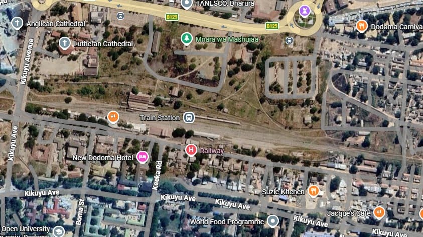
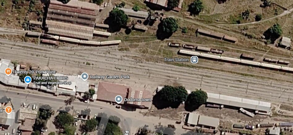
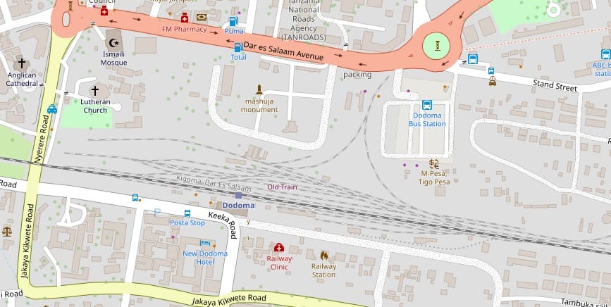
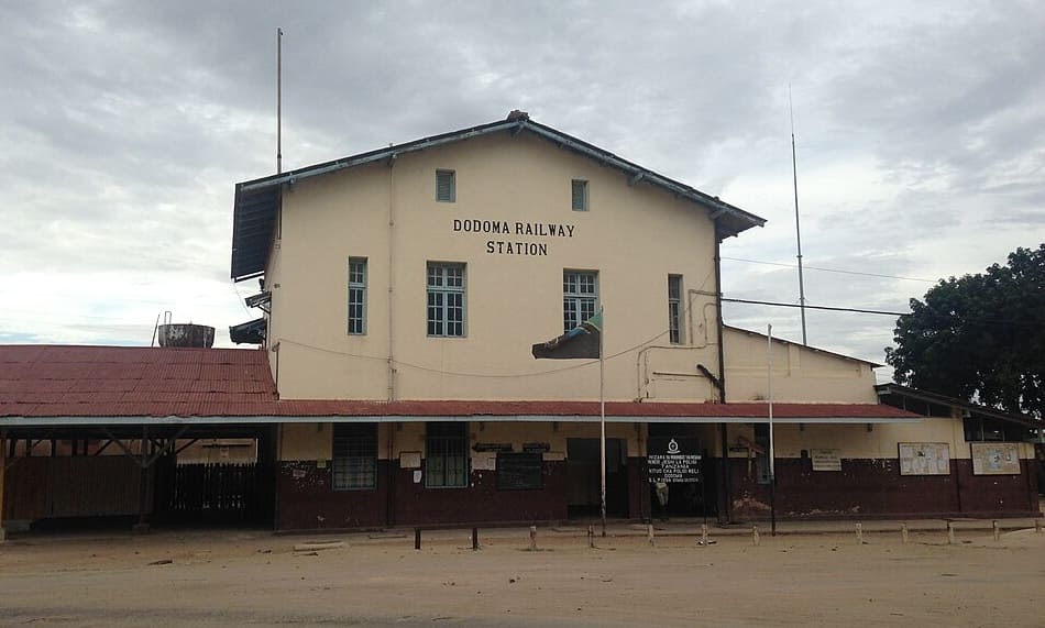
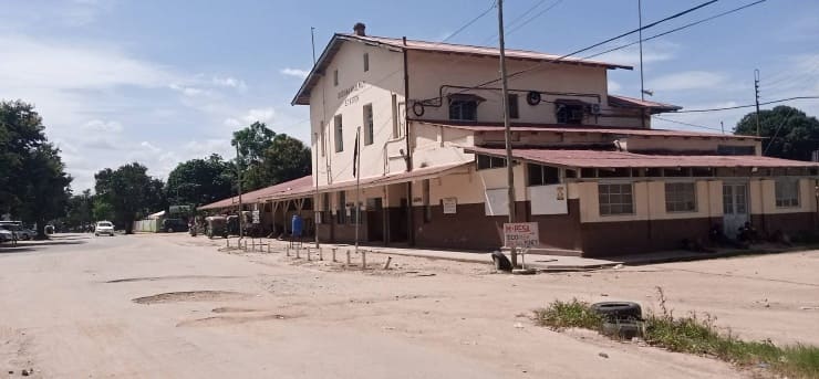
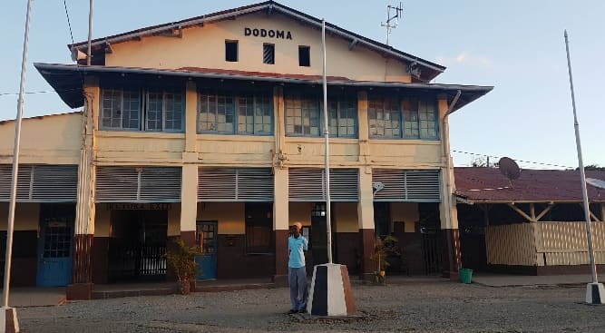
Dodoma Railway Station on the MGR was constructed by the German occupying powers in the early 20th century.
References
- M.F. Hill; Permanent Way Volume II: The Story of the Tanganyika Railways; East African Railways and Habours, Nairobi, Kenya; Watson & Viney, Aylesbury & Slough, 1957.
- https://mapcarta.com/12653464, accessed on 4th June 2026.
- https://mapcarta.com/N1925821255, accessed on 30th July 2026.
- https://www.openstreetmap.org/#map=13/-6.79375/37.67426, accessed on 1st August 2026.
- https://mapcarta.com/W1149842833/Map, accessed on 1st August 2026.
- https://mapcarta.com/W1149842852/Map, accessed on 1st August 2026.
- https://mapcarta.com/N7922084483/Map, accessed on 1st August 2026.
- https://mapcarta.com/N9174510432/Map, accessed on 1st August 2026.
- https://mapcarta.com/N12242004512/Map, accessed on 1st August 2026.
- https://mapcarta.com/N2189503156/Map, acessed on 1st August 2026.
- https://mapcarta.com/12661376/Map, accessed on 1st August 2026.
- https://mapcarta.com/12665362/Map, accessed on 1st August 2026.
- https://mapcarta.com/34353766/Map, accessed on 2nd August 2026.
- https://mapcarta.com/W1150535357/Map, accessed on 2nd August 2026.
- https://mapcarta.com/N12242004538/Map, accessed on 2nd August 2026.
- https://mapcarta.com/N2629377463/Map, accessed on 2nd August 2026.
- https://mapcarta.com/W1150639330/Map, accessed on 2nd August 2026.
- https://mapcarta.com/W1150639334/Map, accessed on 2nd August 2026.
- https://mapcarta.com/W1035532549/Map, accessed on 2nd August 2026.
- https://mapcarta.com/W1150639352/Map, accessed on 2nd August 2026.
- https://mapcarta.com/W1150639375/Map, accessed on 2nd August 2026.
- https://mapcarta.com/N7746799514/Map, accessed on 2nd August 2026.
- https://mapcarta.com/N9124780598/Map, accessed on 2nd August 2026.
- https://mapcarta.com/W1035569625/Map, accessed on 3rd August 2026.
- https://www.afdb.org/fileadmin/uploads/afdb/Documents/Environmental-and-Social-Assessments/Tanzania_-_Proposed_Upgrading_of_the_Dodoma_City_Outer_Ring_Road__110.2km__To_Bitumen_Standard__Dodoma_Region_–_Rap_Summary.pdf, accessed on 3rd August 2026.
- https://mapcarta.com/N10739129483/Map, accessed on 3rd August 2026.
- https://mapcarta.com/N11024891705/Map, accessed on 3rd August 2026.
- https://mapcarta.com/N565452797/Map, accessed on 3rd August 2026.
- https://www.openstreetmap.org/#map=17/-6.183686/35.750847, accessed on 3rd August 2026.
- https://commons.wikimedia.org/wiki/File:Dodoma_Train_Station.JPG, accessed on 3rd August 2026.
- The Tanganyika Guide, 1953; Information Office, Dar-es-Salaam, 1953. [3rd Edition Revised and Enlarged, 180 pages: earlier editions were – first ed 1936, second prepared 1939, but delayed until 1948.
- https://en.wikipedia.org/wiki/Central_Line_(Tanzania)#/media/File:Tanganjikabahn_(%C3%B6stliches_Blatt).png, accessed on 3rd August 2026.


#/media/File:Tanganjikabahn_(%C3%B6stliches_Blatt).png)