
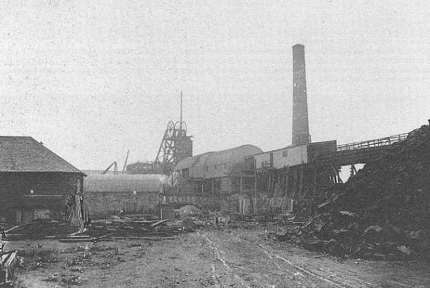
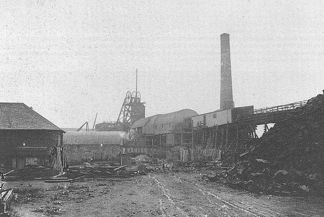
The featured image for this article shows Muiredge Colliery (date not known) (c) Public Domain. [10]
The image below indicates just how significant the local rail network was. The Fife Coast Line enters the satellite image from the West (top-left) and runs across the top of the image. The Fife Coast Line leaves the satellite image at the quarter-point closest to the top right of the image and heads on towards Leven. A branch line can be seen leaving the satellite on the op-edge in the Windygates area. This is the East Fife Central Railway which ran as far as Lochty, a distance of 14 miles. The junction faces towards Leven. That branch was used only for goods traffic, Authorised in August 1893, it opened in August 1898. It was single track throughout, and had intermediate goods stations at Kennoway, Montrave, and Largoward. [1: p769]
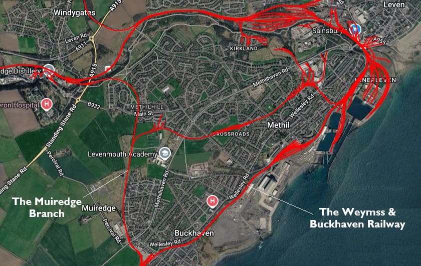
The Muiredge Branch was authorised by the Leven and East of Fife Railway Act 1866. It opened at the end of 1868, leaving the main line at Cameron Bridge and running south for a little over a mile to Muiredge Goods and Muiredge Colliery.
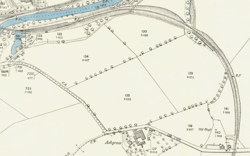
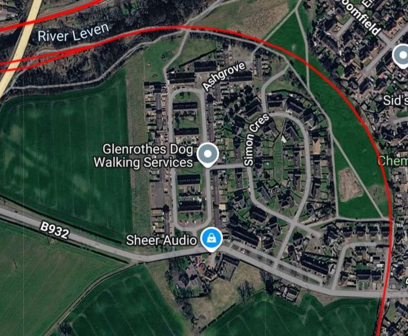
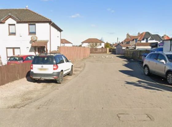
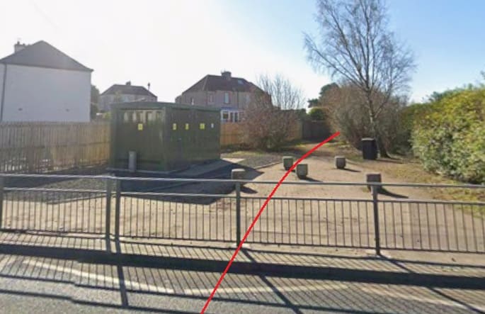

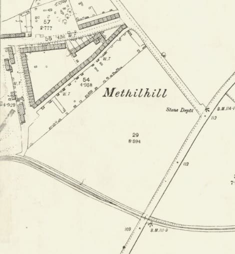
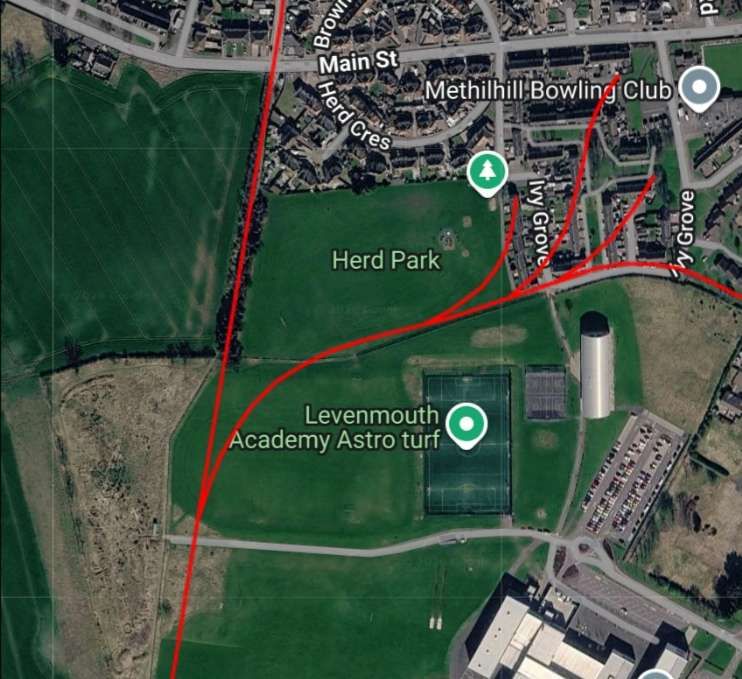
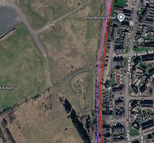
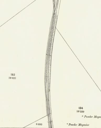
The images immediately above (two extracts from the 1893 25″ Ordnance Survey [3][4] and a modern satellite image overlaid with the old railways [2]) show the branch from the Muiredge line which served Pirnie Colliery and extended East to Crossroads and Methil.
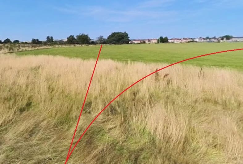
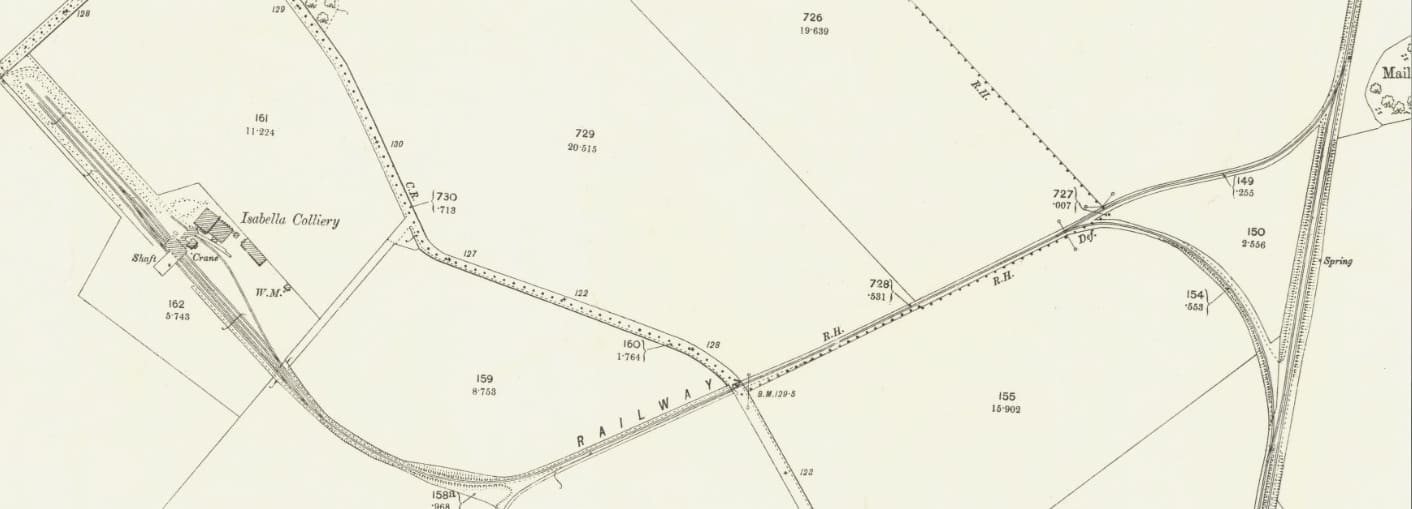
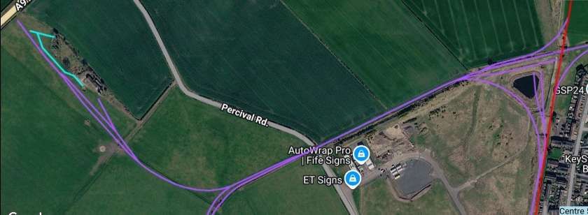
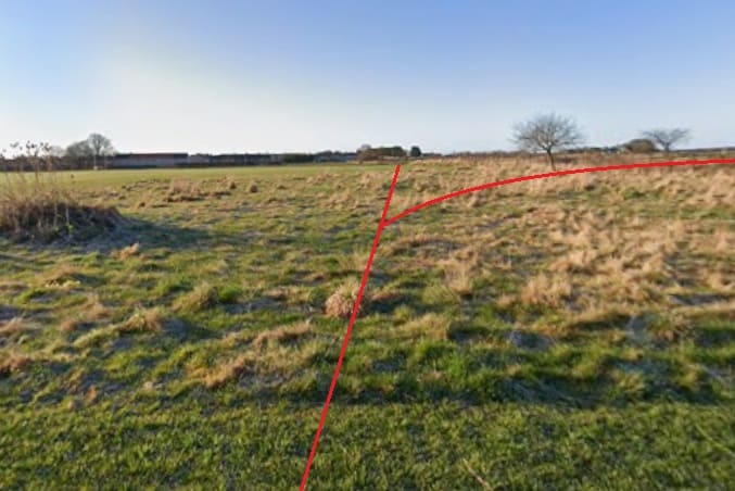
Extending South, the Muiredge Branch headed towards the Muiredge Colliery. This unremarkable length extends to the bottom edge of the 25″ map sheet. [3][2]
In 1868, the Muiredge Branch ran South to Muiredge Colliery. The extension to the W&BR at Buckhaven, shown on the 1893 Ordnance Survey, was not built until later. In 1868, the line served a goods yard, a saw mill, a brickworks, and the Colliery. [5]
In 1881, a connection was made from the West end of Buckhaven Station to Muiredge, and the full length of the branch was later passed on to the NBR.
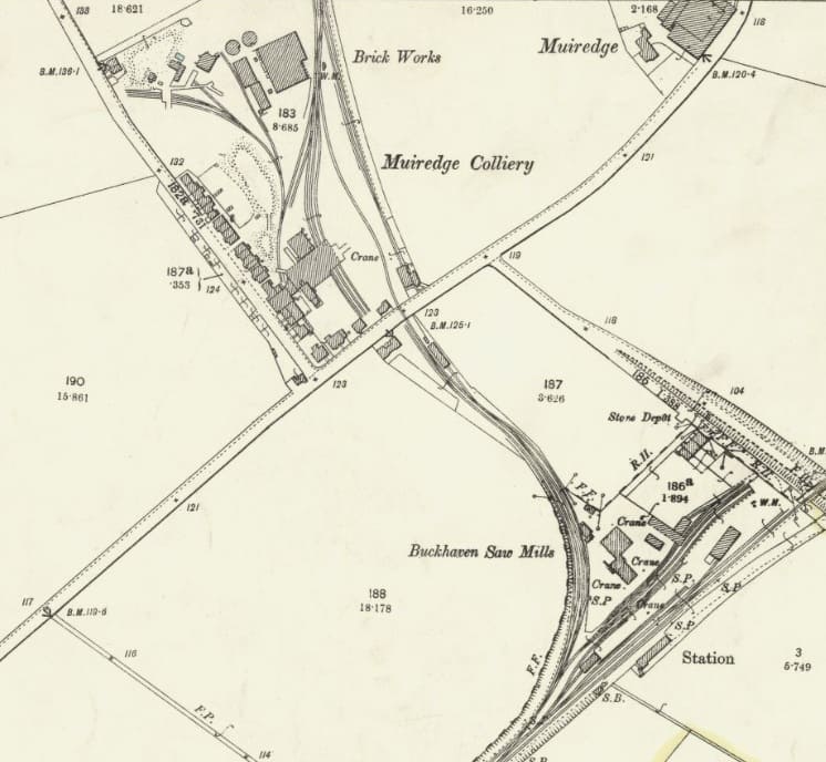
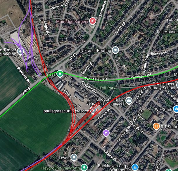
This railmaponline.com satellite image shows the various lines in the area covered by the map extract above. The purple/lilac lines represent the rails of the Weymss Private Railway [6] – lines from the top of the extract served the Muiredge Colliery. Line from the Southwest ran parallel to the W&BR as far as the junction on the West side of Buckhaven Station. The red lines are NBR rails and the green lines show the route of the Weymss & District Tramway Company. [7] [2]
As we have noted, the original goods yard was approached from the North and situated to the North side of, what in the 21st century is, the A995. The terminus had a goods shed on the East side and sidings. On the West side of the site was Bowman and Co’s Muiredge Colliery. To the North of this was the Muiredge Saw Mill.
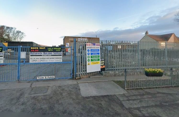
The RailScot website tells us that, “Bowman and Co built mineral lines out from Muiredge to their various pits; to Isabella Pit, Bye Pit and Percival Pits to the West, Rosie Pit to the Southwest and a line to Methil Harbour to the East. The Fife Coal Co Ltd built a line East to Leven Colliery No 3 Pit Pirnie, Leven Colliery No 4 Pit and Leven Colliery Nos 1 and 2 Pits.” [8]
References
- H. A. Vallance; The Fife Coast Line; in The Railway Magazine, Volume 99, No. 631; November 1953, p766-774.
- https://www.railmaponline.com/uk-and-irish-railways.html, accessed on 7th November 2026.
- https://maps.nls.uk/view/82881384, accessed on 7th November 2026.
- https://maps.nls.uk/view/82881393, accessed on 7th November 2026.
- https://maps.nls.uk/view/82881411, accessed on 7th November 2026.
- Article on this blog about the Weymss Private Railway.
- Article on this blog about the Weymss & District Tramway Company.
- https://www.railscot.co.uk/locations/M/Muiredge_Goods, accessed on 8th November 2026.
- https://www.fifepits.co.uk/starter/east/pits/i/pit-1.htm, accessed on 8th November 2026.
- https://fifepits.co.uk/starter/east/pits/m/pit-3.htm, accessed on 8th November 2026.

