We start this length of the journey to Derry at Tooban Junction.
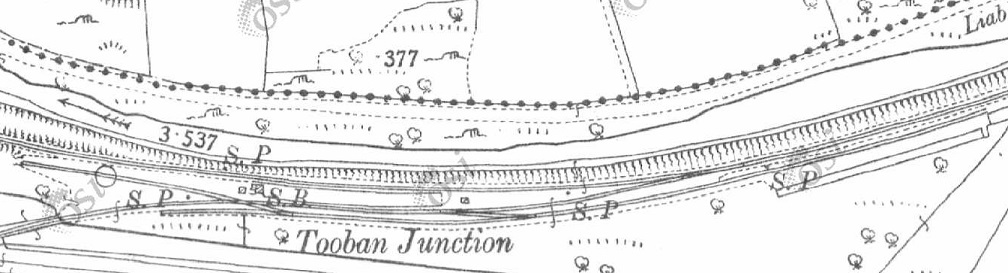
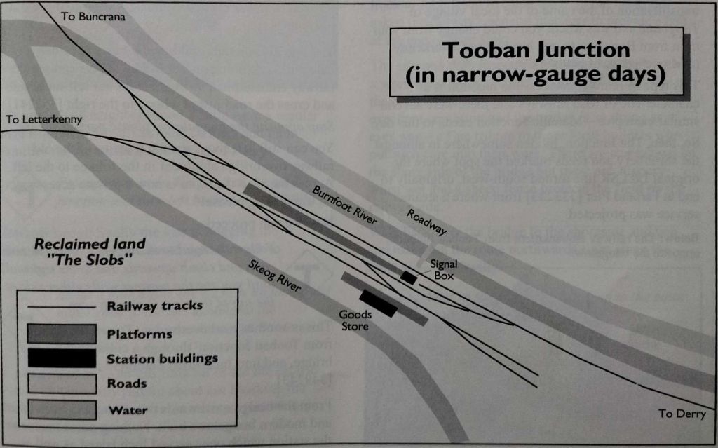
Tooban Junction Station as shown on the 25″ OSi survey. [1]Tooban Junction Station as shown in Dave Bell & Steve Flanders book: The Londonderry & Lough Swilly Railway: A Visitor’s Guide. In that book, two diagrams appear, the first showing the station during mixed-gauge days, the second showing the station once the broad-gauge had been replaced. [13: p17]
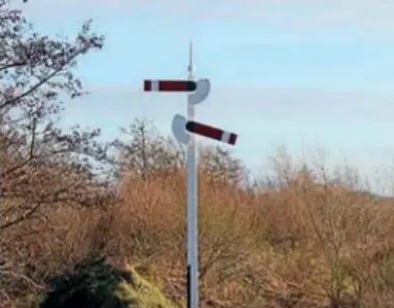
We finished the last article with a glimpse of the reconstructed signal post at Tooban Junction Station. Another photo of the rebuilt signal post is produced below. …
The Heritage Railway Journal carried an article about the reconstructed signal on 6th June 2023. [3]
Seventy years after the last L&LSR trains departed from Tooban Junction, “where the line from Derry split for Buncrana and Letterkenny, a signal has again appeared at the historic site. Buncrana sculptor John McCarron has recreated the junction’s characteristic starter signal as part of the Ghosts of Tooban Junction project, which aims to ensure that the once important junction is not forgotten. The station’s island platform carried an unusual arrangement of starter signal arms pointing in opposite directions on the same post at its Buncrana and Letterkenny end. Now, John has erected a steel-built replica at the remote junction site to mark the 70th anniversary of the closure of the L&LSR in August 1953 and to leave a permanent memorial to the railway’s heritage. … The [West Innishowen] Heritage Society and the Inch Wildfowl Trail, said: ‘If you look at a picture of Tooban Junction station when trains were running, the first thing you notice is the signal. That’s why [we]chose to make a replica, and worked it to the original dimensions. The only thing we couldn’t do is fit spectacle glasses or lights because of safety and environmental impact assessments that highlighted the danger to birds.'” [3]
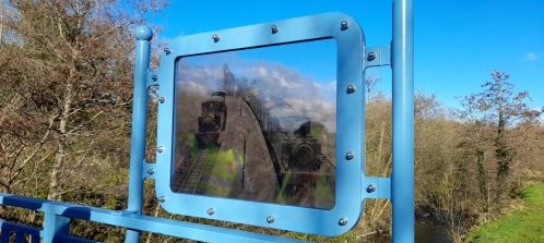
In the summer of 2023 this permanent fixture was added to the footbridge at what was the West end of the Tooban Junction Station site. Earlier the signal post shown above was installed. [4]
The sign was installed as part of a project centred on the Inch Levels and sits at the eastern extremity of the nature reserve. The Trail Gazers project is one of 8 such projects in various locations in Europe. [5]
Setting off from Tooban Junction, trains followed a main drain from the reclaimed area curving sinuously across relatively level terrain to reach Burnfoot Station, little over a kilometre to the East.
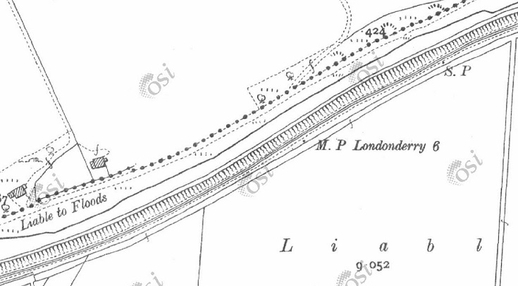
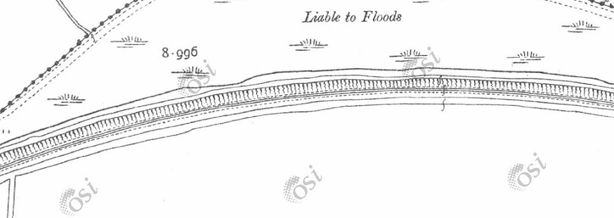
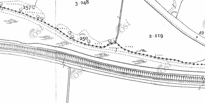
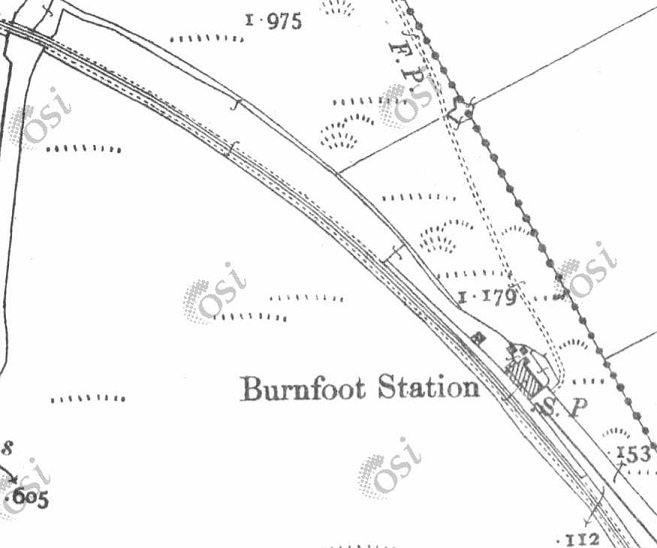
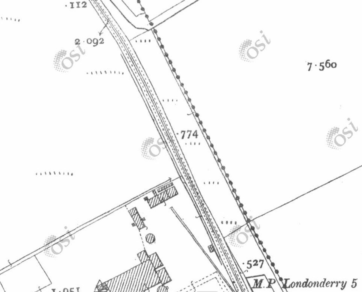
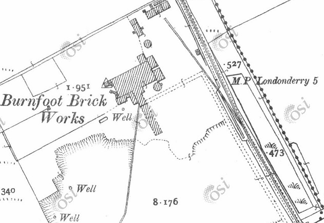
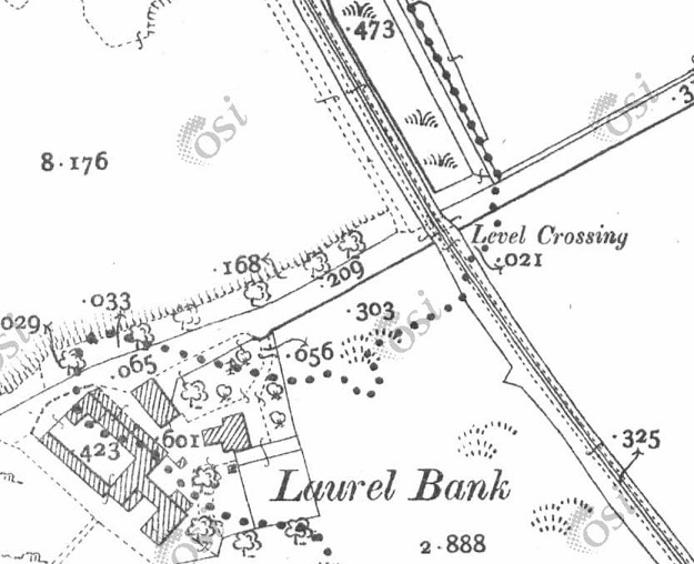
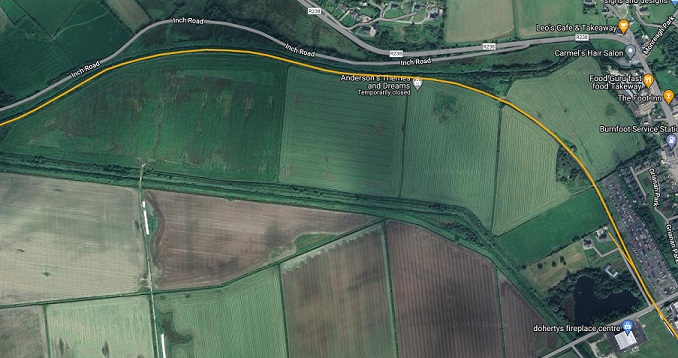
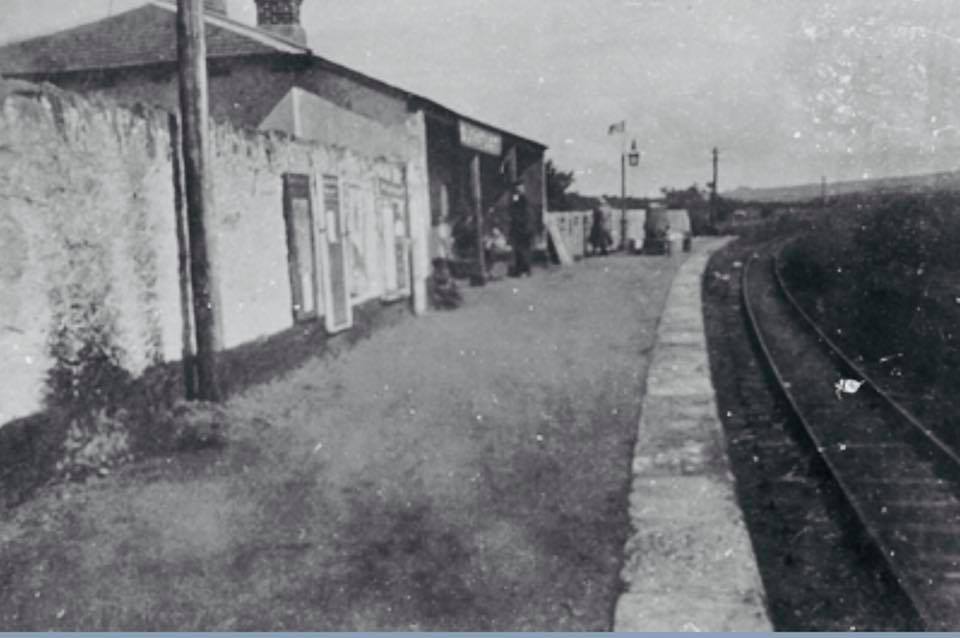
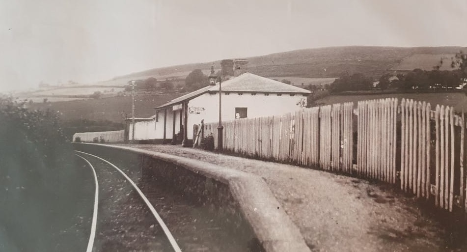
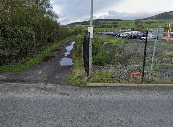
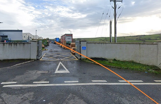
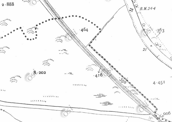
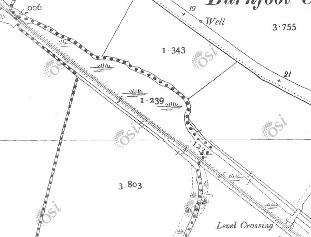
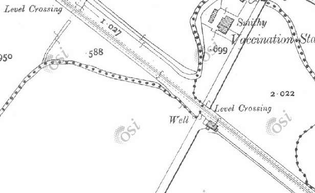
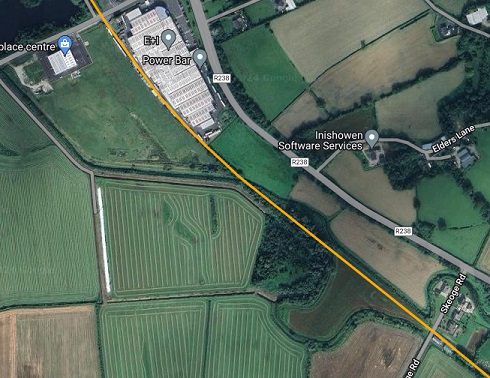
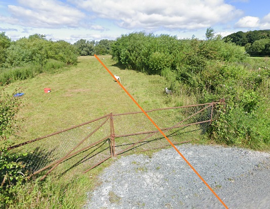
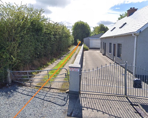
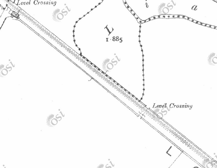
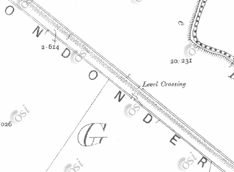
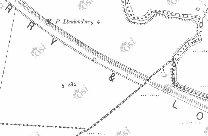
The first length of the line to the East of Tooban Station. [1]After little more than a kilometre, the line curved into Burnfoot Station. As the 25″ OSi survey shows, this was effectively a halt serving passengers. No goods facilities were provided. [1]A little to the South of Burnfoot Station sidings were provided at around the 5 Km point which served Burnfoot Brickworks. [1]The single siding with head-shunt is seen to better effect on this next extract from the 25″ OSi survey. [1]This next extract shows the next point of interest along the line – a level-crossing across what is now the R259. As can be seen on the railmaponline.com extract below, Laurel Bank is now the site of Doherty’s Fireplace Centre. [1]This extract from railmaponline.com’s satellite imagery covers the same length of the L&LSR as the extracts from the OSi 25″ survey above. [2]Looking Southeast through Burnfoot Railway Station in the 1920s. This image was shared by the West Inishowen History & Heritage Society on their Facebook Page on 6th August 2018. [6]Looking Northwest through Burnfoot Railway Station. This image was shared by the Fahan Inch & Burt Parish on their Facebook Page on 16th July 2020, (c) J. Henderson. [6]Looking North from the R259 road along the line of the L&LSR. [Google Streetview, November 2022]Looking South from the R259 road along the line of the L&LSR. It ran close to the West boundary of the Vertiv site. Its approximate line is marked by the orange line. [Google Streetview, November 2022][1]Three extracts from the 25″ OSi survey cover show the L&LSR running Southeast towards Derry. [1]This railmaponline.com satellite image covers the same length of line as the three OSi 25″ extracts above. [1]Looking Northwest from Skeoge Road (bottom-left of the railmaponline.com image above. The orange line marks the approximate line of the L&LSR. [Google Streetview, July 2021]Looking Southeast from Skeoge Road (bottom-left of the railmaponline.com image above. The orange line marks the centre-line of the L&LSR. There was a crossing-keeper’s cottage at this location. It appears from this image to be in private hands and to have been enlarged significantly. [Google Streetview, July 2021]
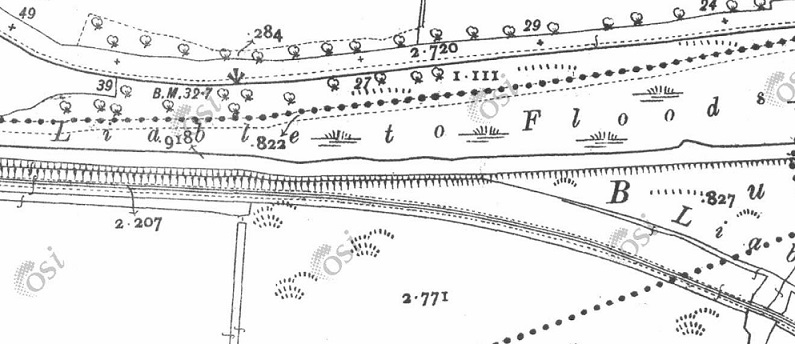
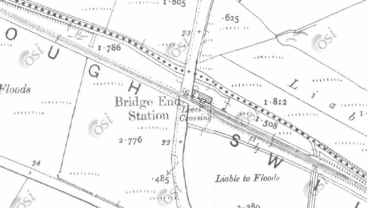
The next four map extracts cover the length of the old railway from Skeoge Road to the R 238 at Bridge End Station. …
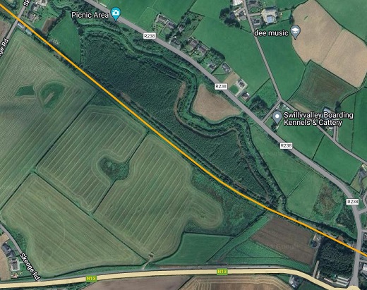
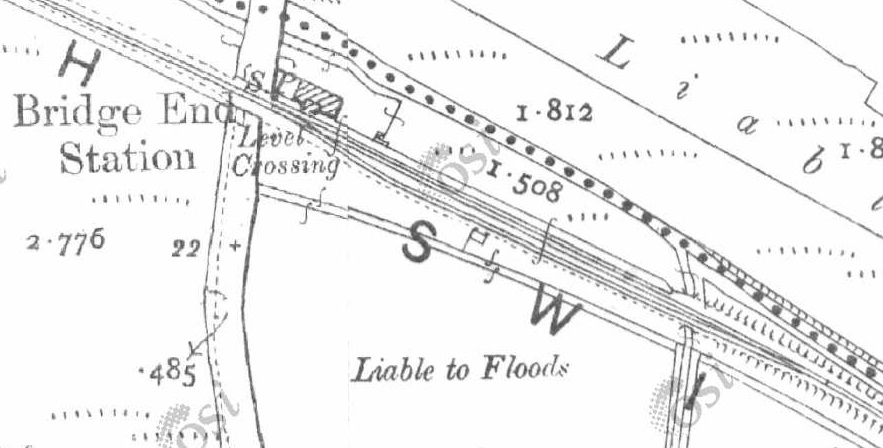
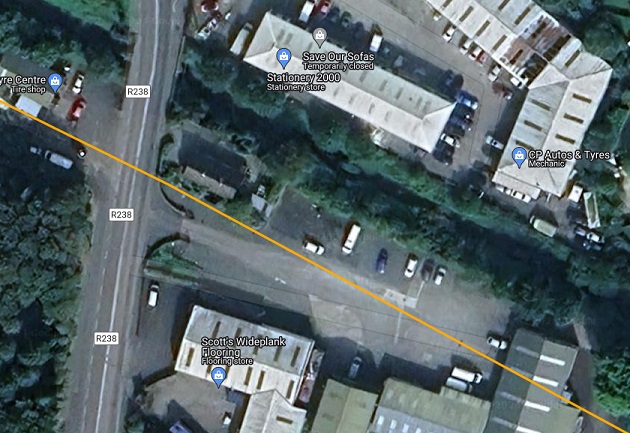
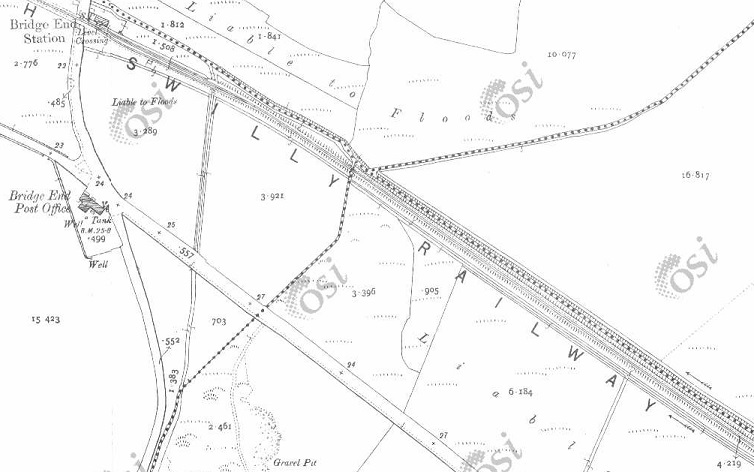
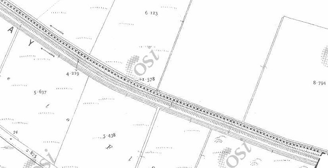
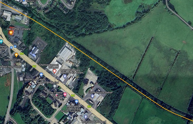
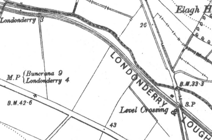
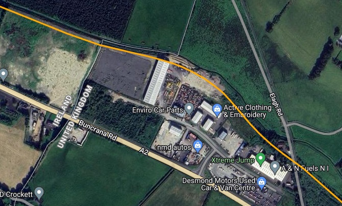
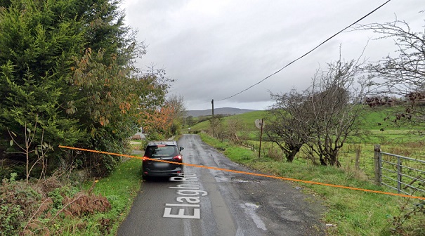
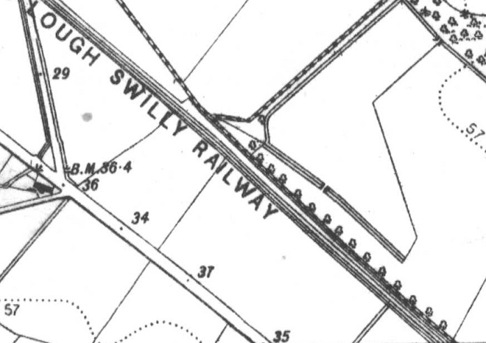
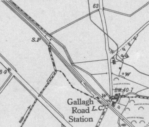
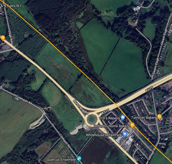
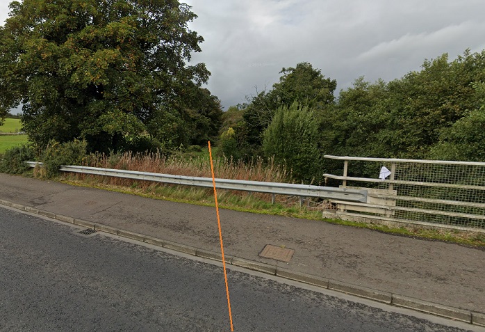
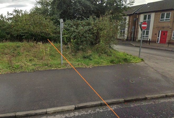
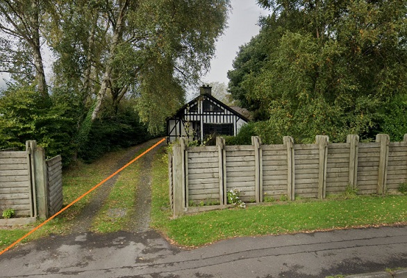
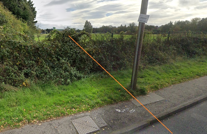
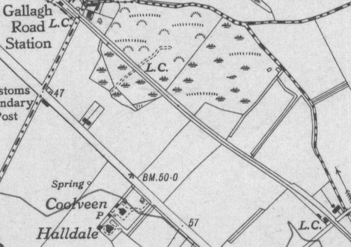
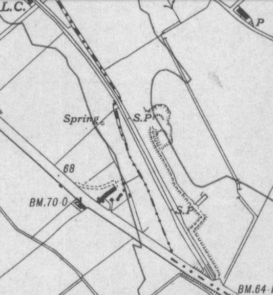
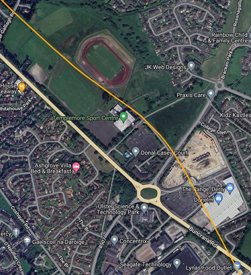
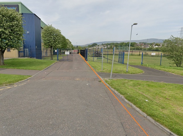
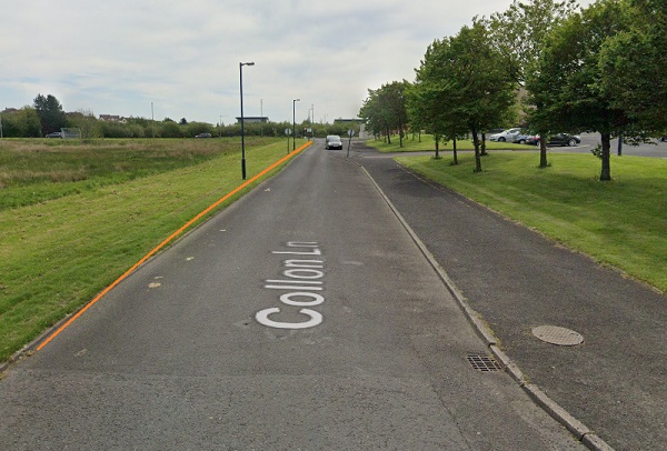
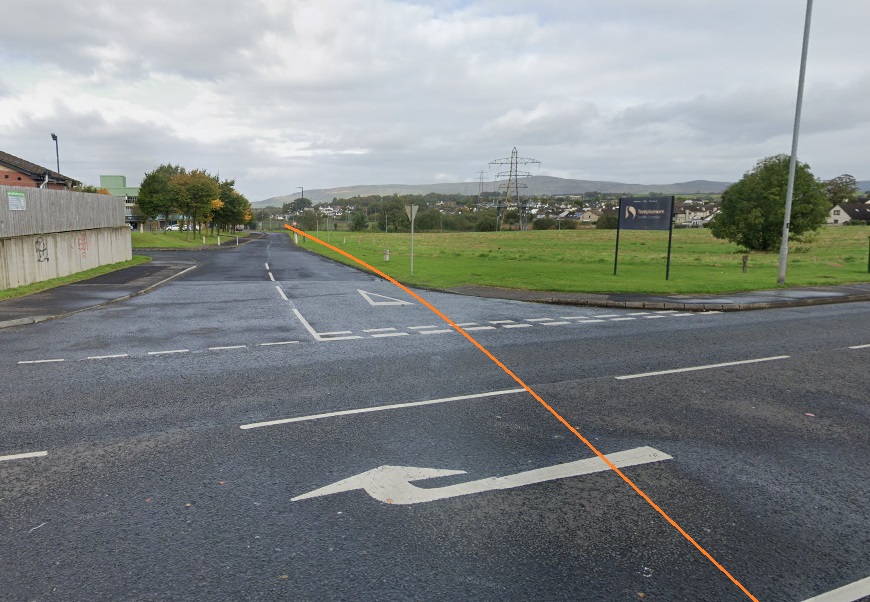
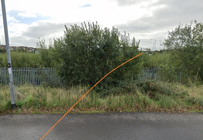
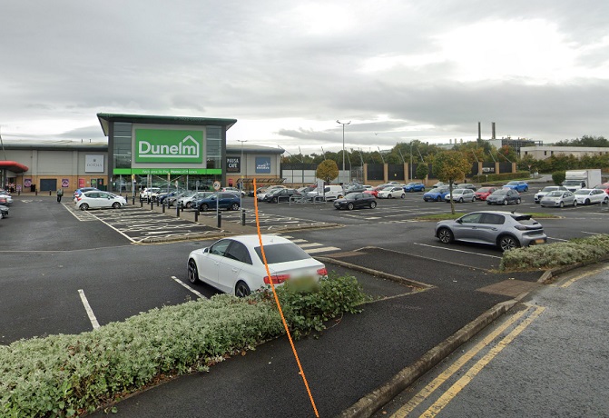
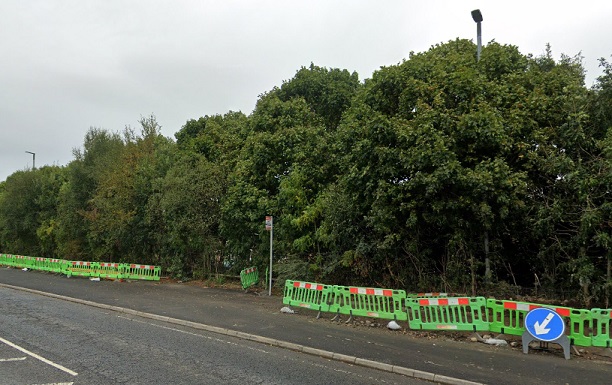
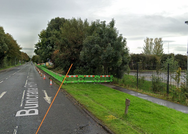
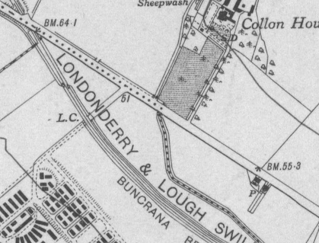
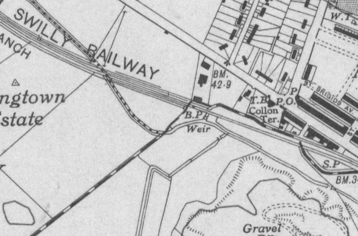
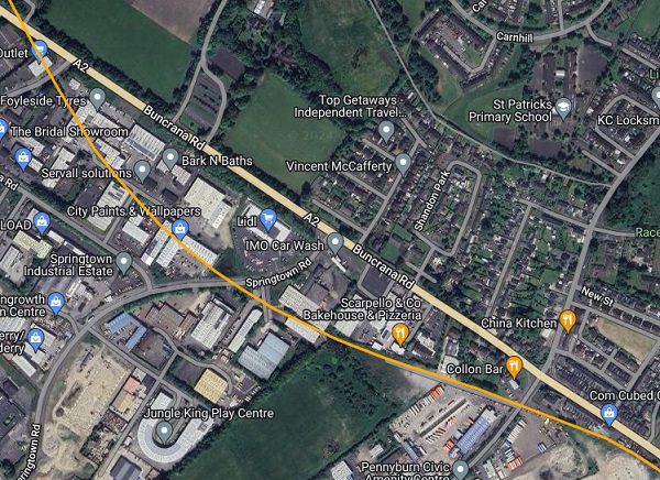
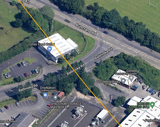
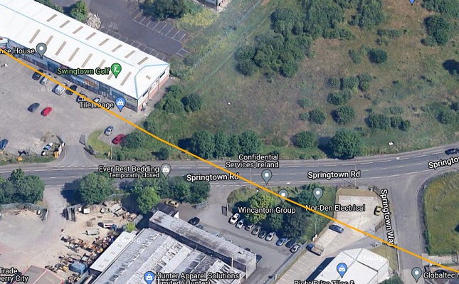
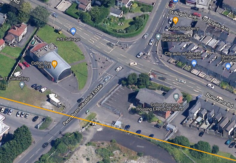
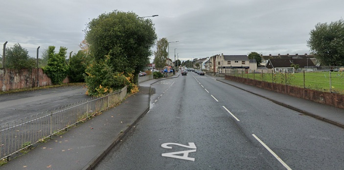
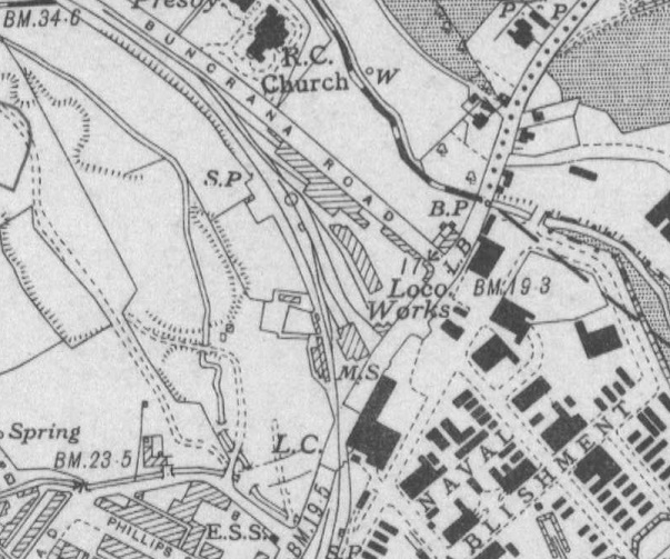
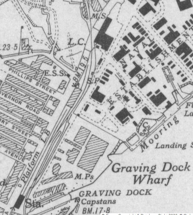
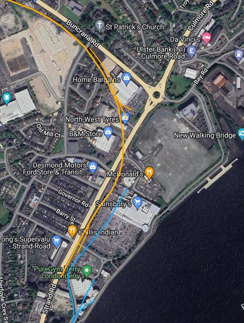
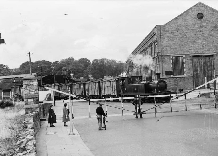
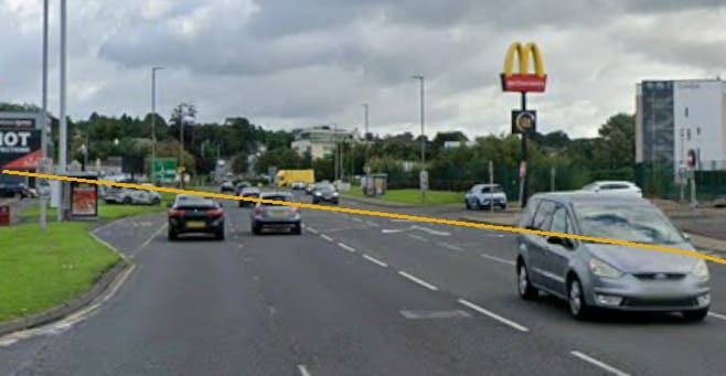
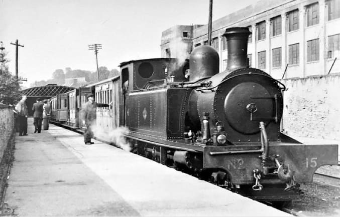
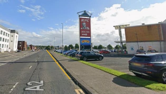
The L&LSR immediately to the Southeast of Bridge End Station. [1]The international boundary appears at the bottom-right of this image. [1]This extract from railmaponline.com’s satellite imagery covers the same length of the L&LSR as the two extracts from the OSi 25″ Survey above. [2]This extract from the OSNI Historical Third Edition (1900-1907) (Sheet 14a) covers the length of the old railway and far as the level-crossing at Elagh Road. [12][2]The site of the level-crossing at Elagh Road seen from the South. [Google Streetview, November 2022]OSNI Historical Third Edition (1900-1907) Sheet 14a. [12]OSNI Historical Fifth Edition (1919-1963) Sheet 14. [12]Approximately the same length of the line as covered on the two map extracts above. Elagh Road is top-left on the extract from railmaponline.com’s satellite imagery. The location of Gallagh Road Station is bottom-right. [2]Looking Northwest from the A515 along the line of the L&LSR. The drainage channel/stream whih passes under the modern road adjacent to the line of the old railway fixes it line and location. [Google Streetview, October 2022]Looking Southeast from the A515 along the line of the L&LSR. [Google Streetview, October 2022]Looking Northwest from Upper Galliagh Road along the line of the L&LSR. [Google Streetview, October 2022]Looking Southeast from Upper Galliagh Road along the line of the old railway. [Google Streetview, October 2022]OSNI Historical Fifth Edition (1919-1963) Sheet 14. [12]OSNI Historical Fifth Edition (1919-1963) Sheet 14. [12]This extract from railmaponline.com’s satellite imagery covers the same length of the L&LS as the two map extracts above. Gallagh Road can be seen at the top-left corner of this image and the location of the crossing over Buncrana Road is at the bottom-right. [2]Looking Northwest from Collon Lane . The large building on the left is Templemore Sports Centre. [Google Streetview, May 2019]Looking Southeast along Collon Lane. The approximate line of the old railway is marked by the orange line. {Google Streetview, May 2019]Looking Northwest along the line of the old railway from Templemore Road. [Google Streetview, October 2022]Looking Southeast along the line of the L&LSR from Templemore Road. [Google Streetview, October 2022]Looking Southeast from within the modern shopping Complex with the approximate line of the L&LSR marked in orange. [Google Streetview, October 2022]Looking back, Northwest, along the line of the old railway. The modern bus-stop on Buncrana Road sits pretty much on the line of the L&LSR. [Google Streetview, October 2022]Looking Southeast, along the line of the old railway. The trees sit over the formation of the L&LSR. [Google Streetview, October 2022]OSNI Historical Fifth Edition (1919-1963) Sheet 14. [12]OSNI Historical Fifth Edition (1919-1963) Sheet 14. [12]Another extract from the satellite imagery from railmaponline.com, this covers the same length of the line as shown on the two map extracts above. [2]An enlarged extract from railmaponline.com’s satellite imagery showing the route of the old line as it crosses the industrial area to the South of Buncrana Road. [2]Further Southeast, the route of the old railway crossed Springtown Road. [2]And then the main access road to the Pennyburn Industrial Estate. [2]A little further to the Southeast the A2 (Buncrana Road) and the old line converged. The fence line on the left in this view looking Northwest is on the approximate line of the L&LSR. [Google Streetview, October 2022]OSNI Historical Fifth Edition (1919-1963) Sheet 14. [12]OSNI Historical Fifth Edition (1919-1963) Sheet 14. [12]Close to the top of this extract from railmaponline.com’s satellite imagery that route of the old railway crosses Pennyburn Pass which approximately marks the extent of what became the main works depot of the L&LSR in Derry. It then curved round to the South crossing Strand Road before running into the L&LSR terminus. [2]Looking Northwest along Strand Road, this is the L&LSR level-crossing. This photograph shows the final train on the L&LSR, entering Graving Dock Station from the North, crossing Strand Road. The Crossing Gates emphasise the width of the road and the shallow angle of the crossing. [14]Approximately the same view in the 21st century. [Google Streetview, August 2025]Looking Southwest towards the end of the line this image shows a L&LSR train at the old station in Strand Road. On the right, opposite the station is the Wilkerson factory of 1921, Sainsburys sits to the left of this image in the 21st century. Joseph Keys shared this image on the Derry of the Past Facebook Group on 6th December 2018. [15]Approximately the same view in the 21st century – taken from the Sainsbury’s car park. [Google Streetview, April 2012]The mustard coloured line superimposed on this northeast-facing streetview image shows the approximate location of the old L& LSR terminus. [August 2025]



Pingback: The Story of Irish Narrow Gauge. … Its Growth and Decay … | Roger Farnworth