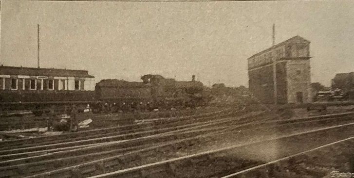
An unattributed article about these LNWR units was carried in the August 1922 issue of The Railway Magazine. From 6th February 1922 a ‘reversible’ or ‘push-and-pull’ train was in use for working locally between Manchester (Victoria) and Atherton.
Courtesy of Mr. Ashton Davies, M.Β.Ε., General Superintendent (Northern Division) of the LNWR, The Railway Magazine was able to illustrate and describe the equipment of the train employed:
“The train normally consists of a tank engine adapted to run with two bogie coaches, but can be increased to four or six coaches when the volume of traffic calls for further accommodation. The vehicles adapted for use in this way are arranged in pairs, providing nine third-class compartments in one vehicle, seating 108 passengers, while the composite carriage has two first-class and four third-class compartments seating 64 passengers, together with luggage and driver’s compartments. There is thus total accommodation for 172 passengers for each unit pair of vehicles. The length over buffers of each coach is 57 ft. 7 in. and the width over the body is 9 ft. The engine is a 2-4-2 radial tank, the diameter of the coupled wheels being 5 ft. 8 in. and of the radial wheels 3 ft. 7 in. Cylinders are 17.5 in. diam. and 26 in. stroke: boiler pressure is 180 lb. per square inch; length over buffers, 37 ft. 2 in. When the train is made up to six coaches the total length over buffers is 382 ft. 8 in. In one direction the engine is operated as with an ordinary steam train, but in the other direction the driver operates the engine from the driver’s compartment at the rear end of the train.” [1: p128]
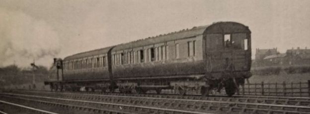
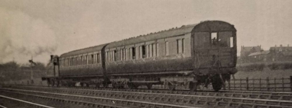
A General View of a Two-Coach Train ‘Unit’ with the Driver’s Control Compartment Leading. [1: p128]
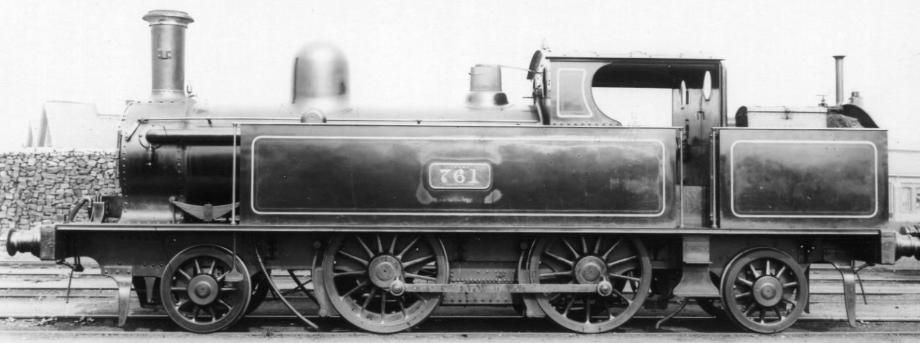
The locomotives used on the push-pull services in the old Lancashire and Yorkshire Railway area of the then very new combined company were Webb’s 2-4-2T locos. [4]
The LNWR 4ft 6in Tank was a class of 220 passenger 2-4-2T locomotives manufactured by the London and North Western Railway in their Crewe Works between 1879 and 1898. The ‘4ft 6in’ refers to the diameter of the driving wheels. “The design was an extension of the earlier 2234 2-4-0T built from 1876 which became known as ‘Chopper Tanks’. They had been designed for working local passenger trains. From 1909 many locomotives of the class were fitted for Push-Pull working, giving the nickname of ‘Motor Tanks’. … Withdrawals started in 1905: 118 were scrapped in the years up to 1923 grouping, leaving 90 to be passed to the London, Midland and Scottish Railway. They were allocated power class 1P, and assigned the numbers 6515–6600 and 6758–6761; although only 37 survived long enough to receive them: withdrawals restarted in 1924, and when the last was withdrawn in June 1936, the class became extinct. None were preserved.” [5]
The 2-4-2T engines were not the only locos adapted by the LNWR for push-pull working. From 1914 onwards some of the LNWR Webb ‘Coal Tanks’ “were fitted with push-pull ‘motor train’ equipment with the first so equipped being 576 and 597 which were then deployed on the Brynmawr to Ebbw Vale service. The system used by the LNWR involved the use of mechanical rods and linkages which ran beneath the axles of the locomotives. By 1921, the company was operating 30 branches by this method with many being worked by ‘Coal Tanks’. As a result, 55 locomotives had been equipped with the necessary equipment.” [2]
Webb built his class of 500 0-6-0 coal locomotives between 1873 and 1892 for slow freight work. Between 1881 and 1897 he built 300 0-6-2Ts which were tank engine versions of his of the 58320 class. These tank engines became known as ‘Coal Tanks’. “They had the same cheaply produced cast iron wheels and H-section spokes as the tender engines. A trailing radial truck supporting the bunker was added also with two similarly cast iron wheels. … They were almost entirely built of Crewe standard parts, including the radial rear axle. … Most were relieved of freight duties when the extent of their appalling brakes (initially made of wood) were uncovered, and some were fitted for motor train working.” [3]
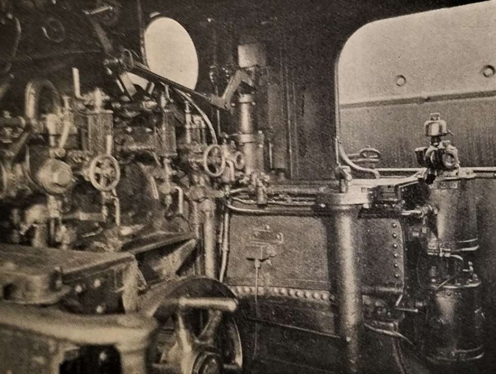
The Interior of the 2-4-2T Locomotive Cab, Showing Regulator Fittings, Steam-Driven Air Compressor, etc. [1: p129]
The Railway Magazine article continues:
“The engine and train are fitted with the automatic vacuum brake. A compressed-air apparatus is installed to operate the regulator handle on the engine, when the driver is controlling from the driver’s compartment.
The regulator handle is shown connected to a rod by means of a French pin; the other end is coupled to an operating air cylinder by means of a bell crank lever. The operating cylinder contains two pistons, one larger than the other; both are mounted on the same piston rod. The chamber between the two pistons is directly connected to an auxiliary reservoir, to which air pressure is supplied through a back pressure valve, so that a sufficient air pressure is always available. The underside of the large piston can be put in communication with the main reservoir or the atmosphere under the control of the driver’s compressed air valve. When air pressure is supplied to the underside of the large piston it is placed in equilibrium, and the air pressure from the auxiliary reservoir then forces up the small piston, and opens the regulator. When the air pressure on the underside of the large piston is destroyed, by opening the driver’s compressed-air valve to atmosphere and closing the air supply from the main reservoir, the air pressure from the auxiliary reservoir forces down the large piston and shuts the regulator. By manipulating the driver’s compressed air valve any desired opening of the regulator may be obtained. … Movement of the regulator on the engine is repeated to the driver by an electrical indicator fixed over the look-out window in the driver’s compartment. The vacuum and pressure gauges are placed on each side of the electrical indicator in the driver’s compartment, above the observation window. A pneumatic whistle is provided to give warning on the road.
A special feature of this train is the driver’s ‘safeguard’ in the event of the driver becoming incapacitated when driving alone from the rear. If he releases his hold of the brake handle in this condition it will act as an ’emergency handle’, immediately shutting the regulator and applying the brake.” [1: p129]
Following the 1923 grouping, the London Midland & Scottish Railway (LMS) became responsible for this fleet of push-pull fitted 2-4-2T and 0-6-2T Locomotives. The LMS took the decision to adopt the Midland Railway’s vacuum-worked push-pull equipment instead of the LNWR system.
As we have already noted, withdrawals of the 2-4-2T locos started as early as 1905: 118 had gone before the 1923 grouping, 90 were passed to the LMS. “They were allocated power class 1P, and assigned the numbers 6515–6600 and 6758–6761; although only 37 survived long enough to receive them: withdrawals restarted in 1924, and when the last was withdrawn in June 1936, the class became extinct. None were preserved.” [5]
In all, 65 of the ‘Coal Tanks’ (0-6-2Ts) received the LMS vacuum-worked push-pull fittings, “12 of them formerly having had the mechanical type. … The use of push-pull equipped ‘Coal Tanks’ was long-lived with the last one running on the Bangor to Bethesda branch as late as 1951.” [2]
References
‘Reversible’ Steam Train, London & North Western Railway; in The Railway Magazine, London, August 1922, p128-129.
An article by Seymour Glendenning in the July 1906 issue of The Railway Magazine focussed on the newly opened Burton & Ashby Light Railway. [1]
The light railway was a 3ft 6in gauge electric tram line supplied with electricity from a diesel generator plant near Swadlincote. [17] The power plant sat alongside the tram depot. [1: p56]
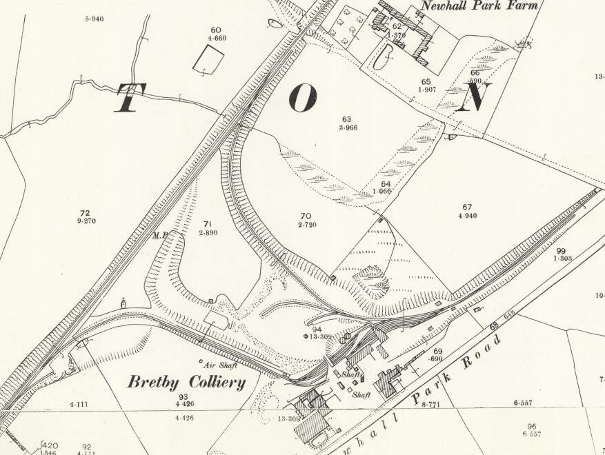
Glendenning explains that the rail network in the area between Burton and Ashby-de-la-Zouch was, of necessity design round the topography of South Derbyshire which resulted in the Midland Railway bypassing some significant industry and associated communities. A branch, built by the Midland Railway, off the main line penetrated the South Derbyshire Hills to serve Bretby Colliery. Another Midland Railway branch line described a rough horseshoe alignment, leaving the mainline not far from the Bretby Colliery line. This second branch served Newhall, Swadlincote and Woodville with a short branch designated as the Woodville Goods Branch.
This network of lines meant that the journey from Burton to Ashby was longer than the two towns might have hoped, and that transport to and from Ashby and Burton and the villages in the hills was much longer than it might be if an alternative could be designed which could cope with the steeper gradients necessary on a more direct route.
Initially local interests brought a bill before Parliament for the construction of a Light Railway. The Midland Railway opposed the bill which was then withdrawn with the Midland Railway agreeing to construct the line. Glendenning notes that it took only two years from the Midland’s agreement to carry out the project to its completion in 1906.
The Light Railways was “an electric railway, laid upon the public highway, with stopping places at all penny stages and intermediate points, while the various villages and towns through which it passes will practically serve as stations. … [Some] of the line … resembles that of a branch railway, fenced or hedged in on either side, this being necessary in consequence of short cuts across fields or garden plots. … The electric current is taken from an overhead cable, suspended from steel poles or standards, placed at frequent intervals along the line of route.” [1: p54]
Glendenning tells us that “the greater part of the track [was] laid singly and on one side of the public highway, a double road being laid at frequent intervals to serve as crossing places. An enormous expense, however, [was] incurred in widenings and clearance. For nearly half-a-mile in Newhall the street … had to be widened, involving the demolition of a number of houses and the clearing away of numerous front gardens. In Ashby itself, also, where the tram [had] to take some very abrupt curves on its tortuous way to the station, valuable property [was] cleared away in Bath Street and Market Street, in order to afford a safe route for the cars.” [1: p54]
The route of the line(s) is shown in black on the map extract below.
The line runs through 3 counties – Staffordshire, Derbyshire and Leicestershire. In 1906, Glendenning starts to describe the route:
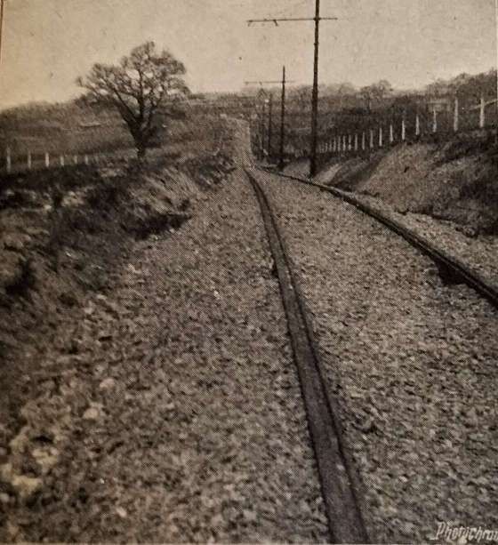
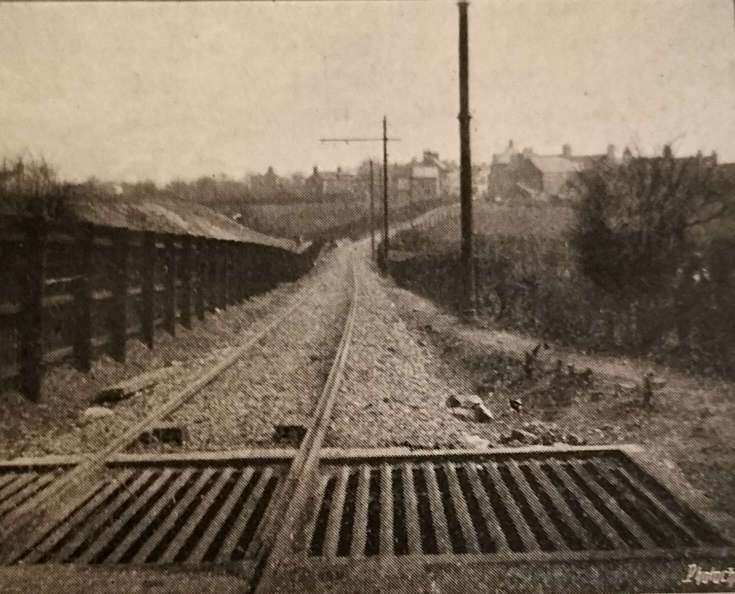
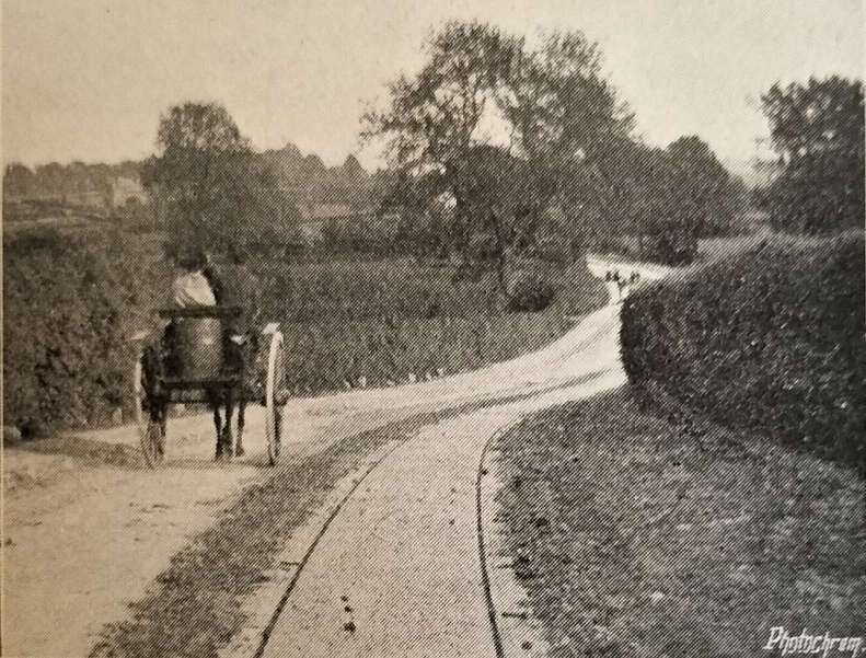
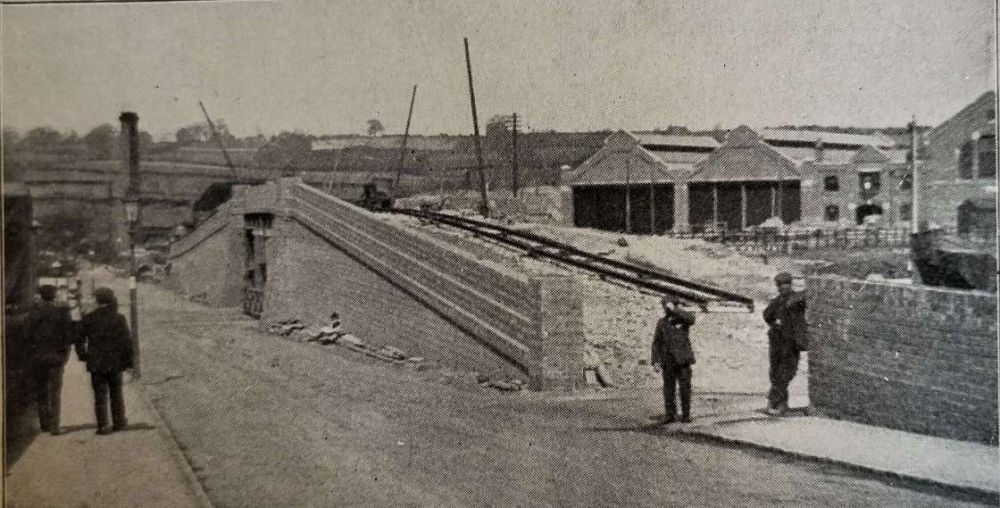
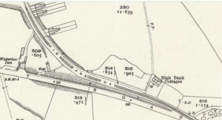
“At the western extremity is Burton, with its huge breweries which supply a great part of the world’s beer. It was intended at first that, after crossing the Trent Bridge, the railway should leave Burton up a steep slope between the Winshill and Stapenhill roads, but eventually it was mutually agreed between the town and the railway that the Corporation track should be used as far as Winshill. The new line, therefore, begins at High Bank Road, with a very deep curved gradient up to Moat Bank, where a height of 250 ft. above Burton is reached. A fine stretch of hilly country then opens to view, with Brizlincote Hall on the right; next the line dips 60 ft. to cross a lateral valley. Then it rises again, and follows a number of switchback undulations until it enters Newhall, which is 400 ft. above ordnance survey datum line. Newhall furnishes a strong contrast to the fair country west of it. Collieries, brick yards, and pipe works abound. Newhall displays the characteristics of mining villages, i.e., it is dingy, squalid, and untidy. However, its teeming population will doubtless find the new line a very great convenience, both for business and pleasure purposes, and there seems little doubt but what the Midland Railway Company will reap a continued harvest of fares from the thousands of miners and their families. From Newhall, the level of the track gradually descends until it is below 200 ft., and then leaves the Ashby main road to take a right-angled turn into Swadlincote. Here the line, after going due south for a time, is carried over the old railway the single loop to Swadlincote and Woodville before mentioned on a long bridge of steel girders, resting on blue brick piers. The bridge [as can be seen below] has a switchback appearance, while the [second view below] taken from Swadlincote goods yard, shows a Midland Railway train passing under [the bridge there]. Shortly after crossing the bridge the track takes an abrupt turn to the left, in order to resume its eastward direction. At the same place, there is a branch about two miles long, going first south and then south-west to Gresley. The road towards Ashby rises continuously until it reaches a height of 569 ft. above sea level. It passes through the heart of the Derbyshire Potteries, where a great industry is carried on in the manufacture of furnace bricks, sanitary pipes, and common earthenware. Furnaces and kilns abound in Swadlincote, and the subsidiary industry of crate making is also much in evidence.” [1: p54-55]
Before continuing to follow Glendenning’s description of the line East from Swadlincote, it is worth looking at the first part of the line already described by Glendenning on contemporary mapping from the early 20th century, and as it appears in the 21st century.
The Burton terminus of the line was in Wellington Street, although as we have already noted the route within Burton ran not on Midland Railway metals but on those of the Corporation.
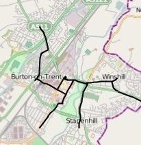
Burton-on-Trent’s tramway network opened on 3rd August 1903. “The system comprised four routes going out from Station Street to Horninglow, Branston Road, Stapenhill, and Winshill. The depot was in Horninglow Road. … The initial 20 tramcars were built by the Electric Railway & Tramway Carriage Works of Preston. A further four cars were obtained in 1919. … The system was closed on 31 December 1929.” [3]
The Burton-on-Trent tramway network. The terminus of the Burton and Ashby Light Railway was to the West of the railway station which sits, in the adjacent map extract, below the second ‘n’ of Burton-on-Trent. The terminus of the tramway was close to the Town Hall on Wellington Street, just beneath the second ‘o’ of Burton-on-Trent.
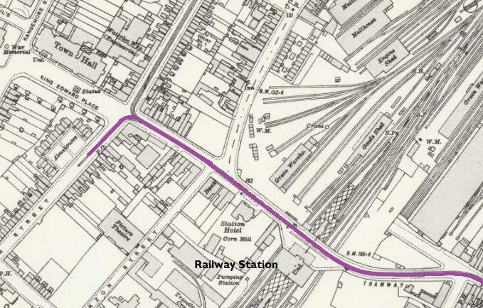
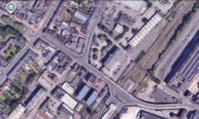
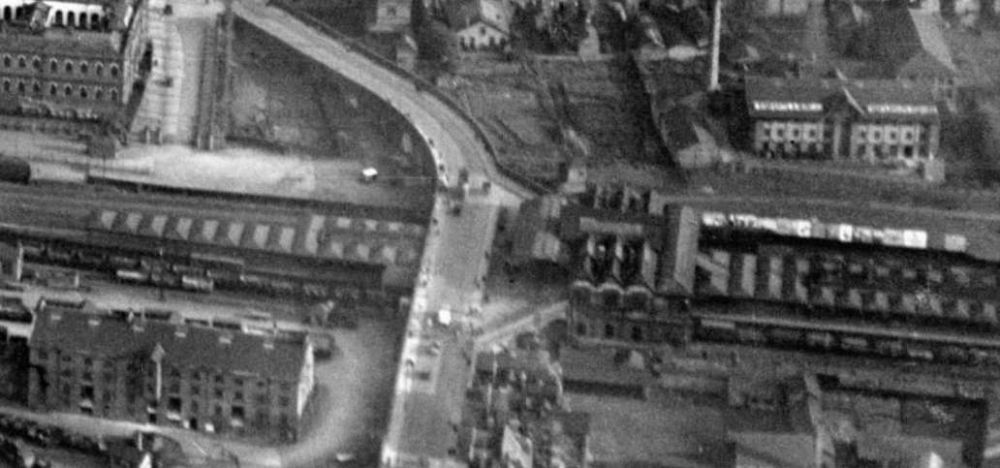
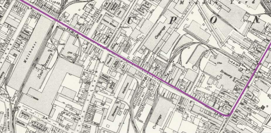
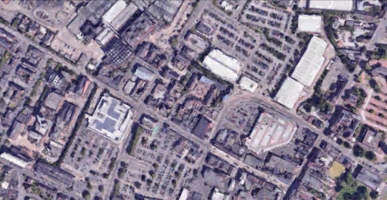
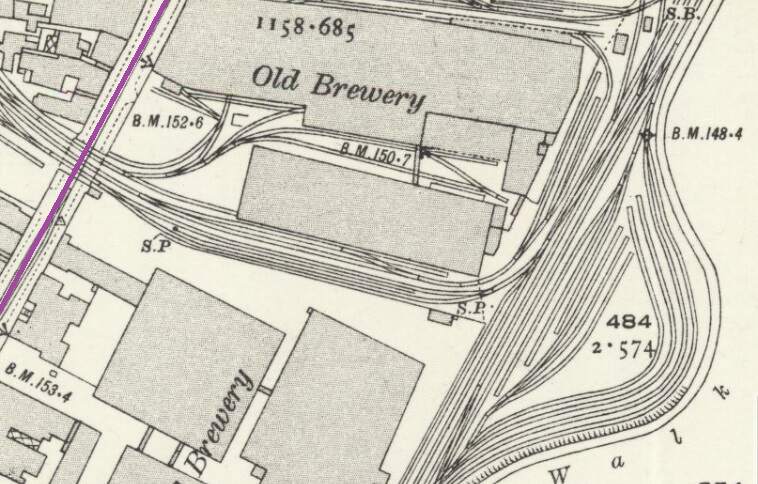
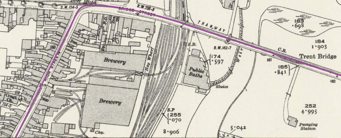
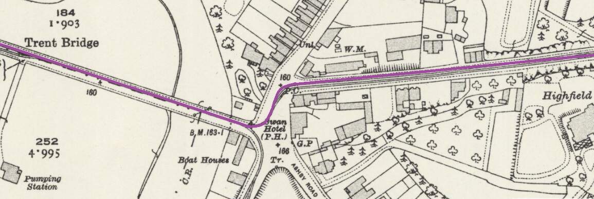
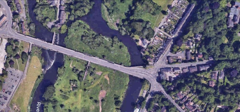
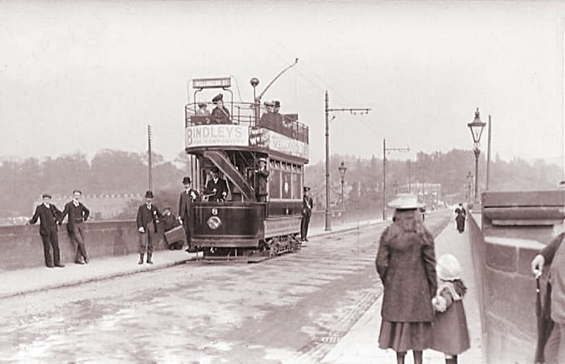
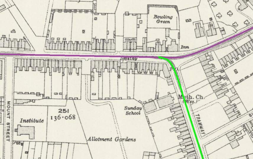
The terminus of the Burton and Ashby Light Railway was outside the post office on Wellington Street, just a stone’s throw from Burton Town Hall and the railway station just a short distance to the Southeast. The lilac line superimposed on the 1920 25″ OS map (published in 1922), shows the route of the line which ran along the town’s tramway network. [4]The same area in the 21st century. [Google Earth, October 2024]The railway station, seen from the Northwest in 1927. Burton-on-Trent Railway Station Passenger Facilities were at road level above the station platforms. Borough Road ran across the front of the station building, at the centre of this extract from Britain From Above aerial image No. EPW019724. The route followed by trams from the Burton and Ashby Light Railway started off the bottom of the image on Wellington Street and followed Borough Road. [11]The 1920 25″ OS mapping shows the route continuing along Station Street and turning up High Street. [5]Approximately the same area in the 21st century. [Google Earth, October 2024]Burton and Ashby Light Railway trams continued Northeast on High Street. [6]The Light Railway trams continued to follow the track of the Corporation Tramways across Trent Bridge. [7]The Light Railway’s trams continued to the East along Bearwood Hill Road. [7]Trent Bridge and Bearwood Hill Road to the East.
A series of images showing Trent Bridge in tramway days follows below.
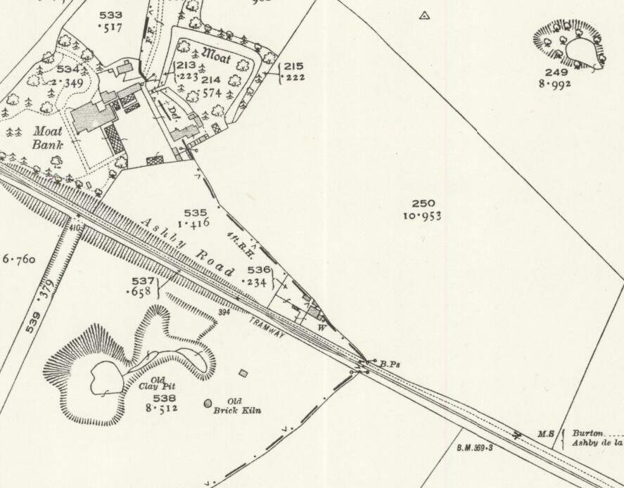
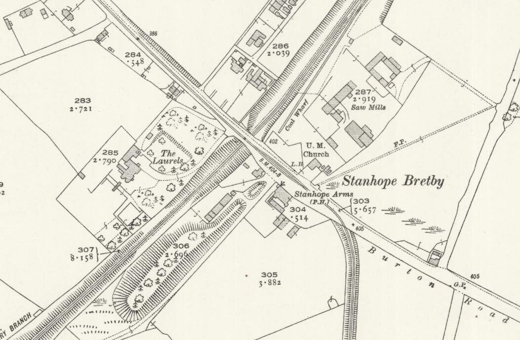
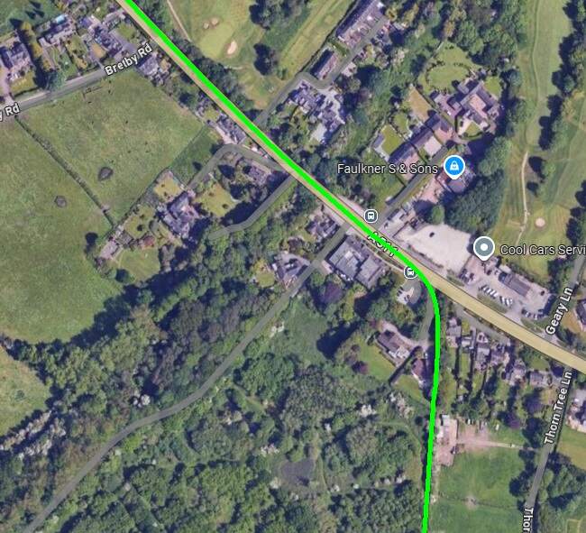
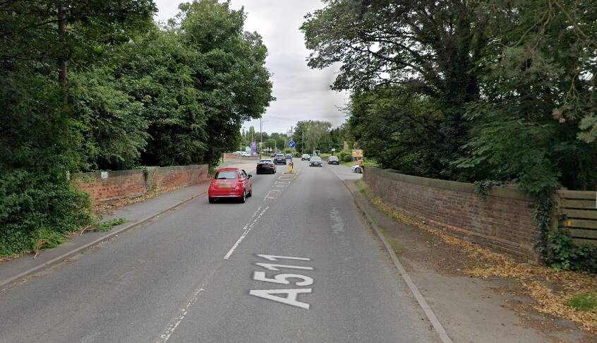
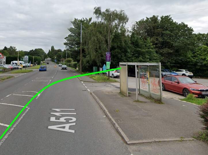
After crossing the Midland Branch the Burton and Ashby Light Railway turned of the road that became the A511 (Burton Road) to the South and rather then following a highway picked its own route through the fields.
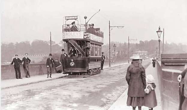
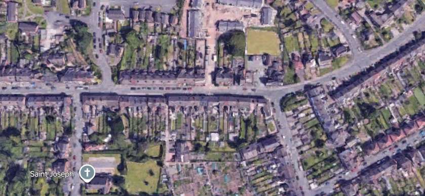
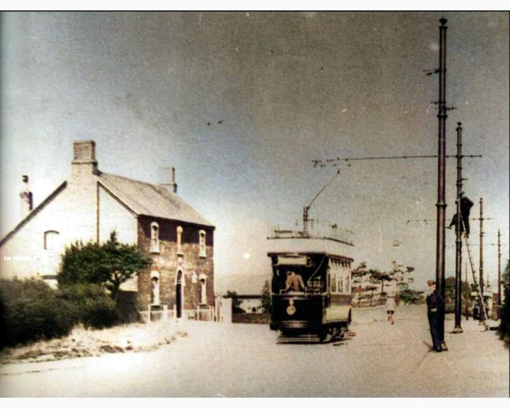
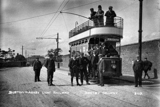
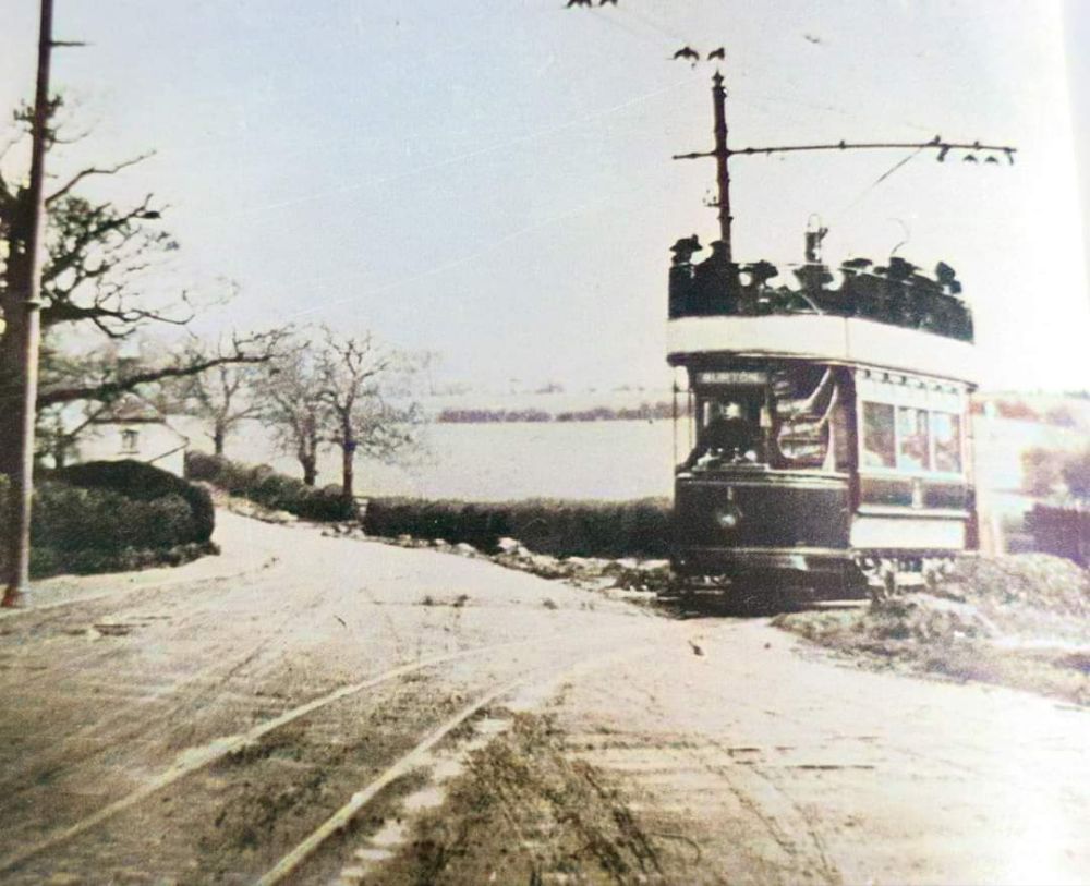
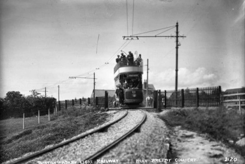
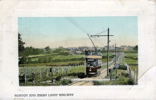
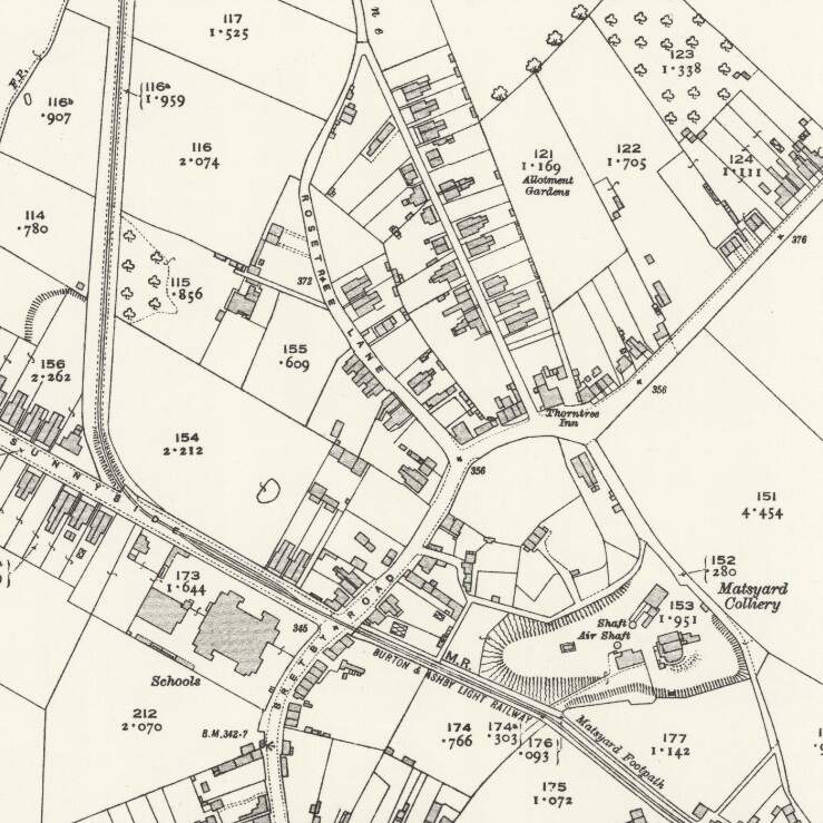
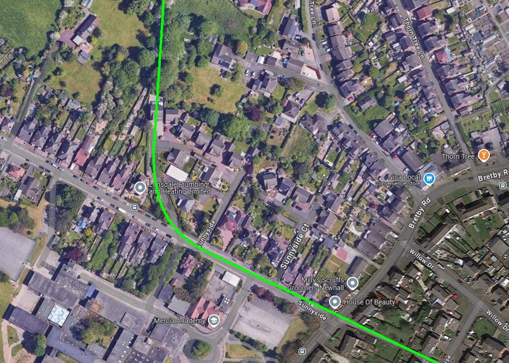
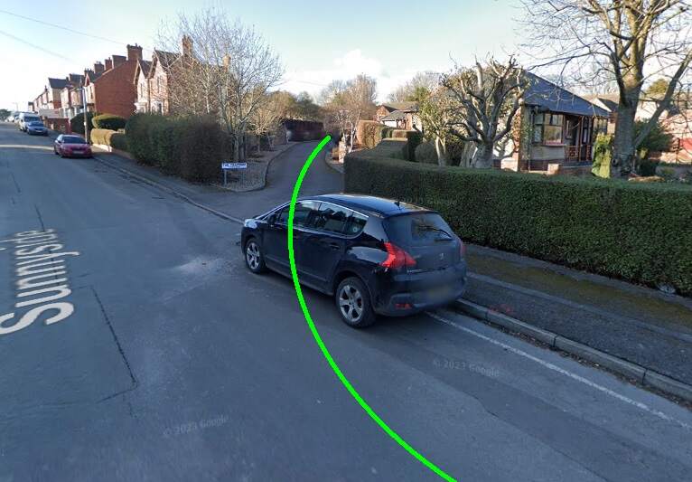
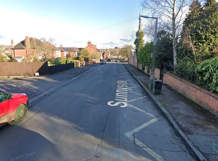
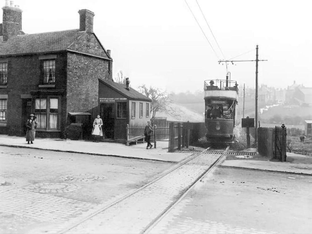
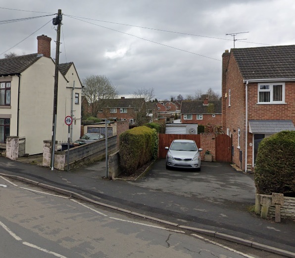
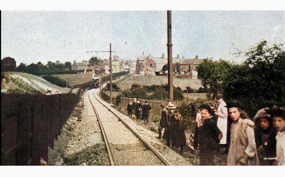
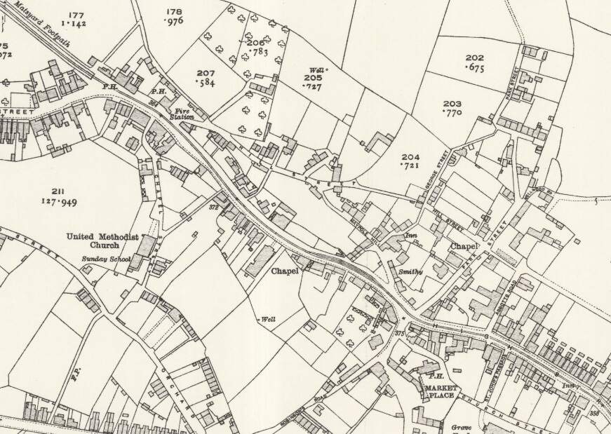
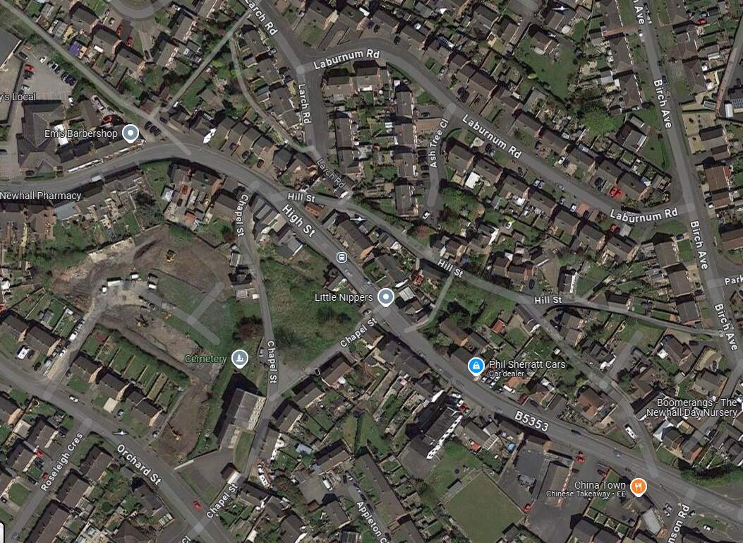
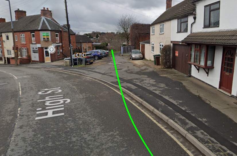
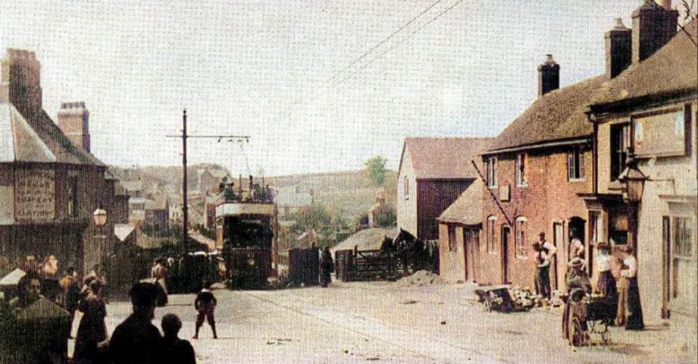
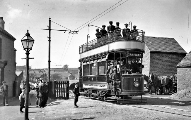
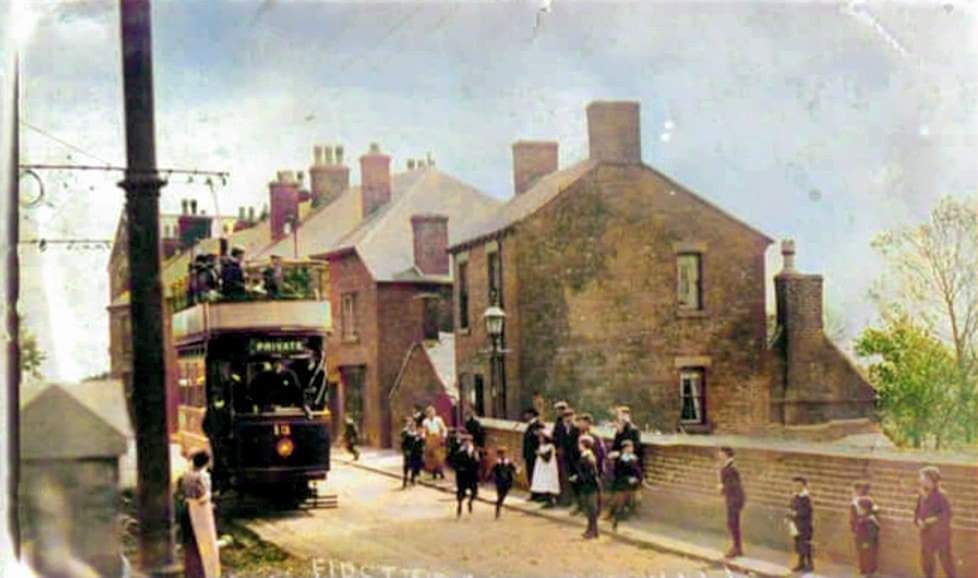
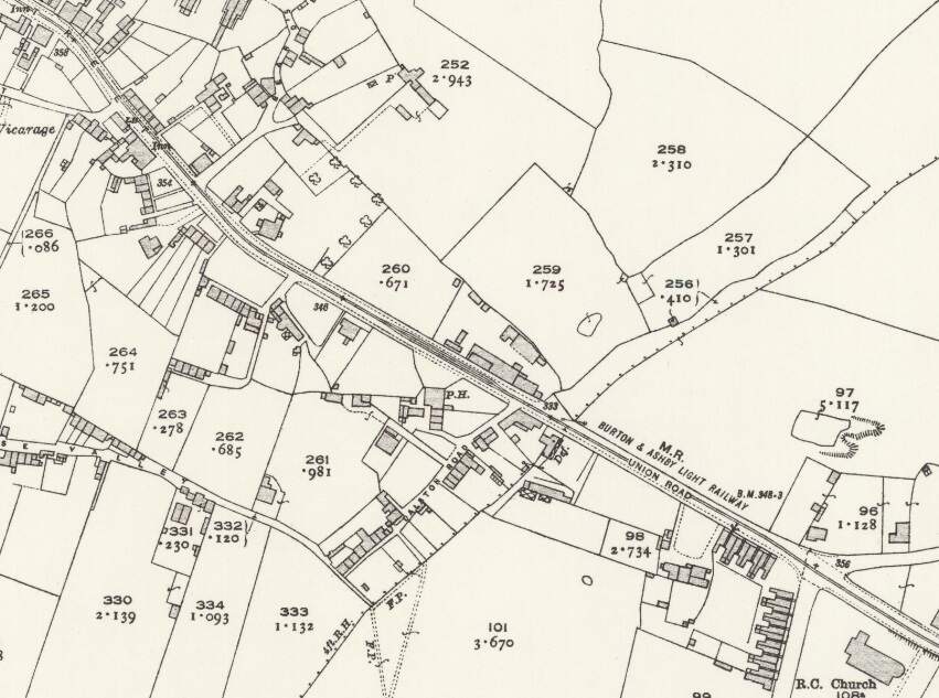
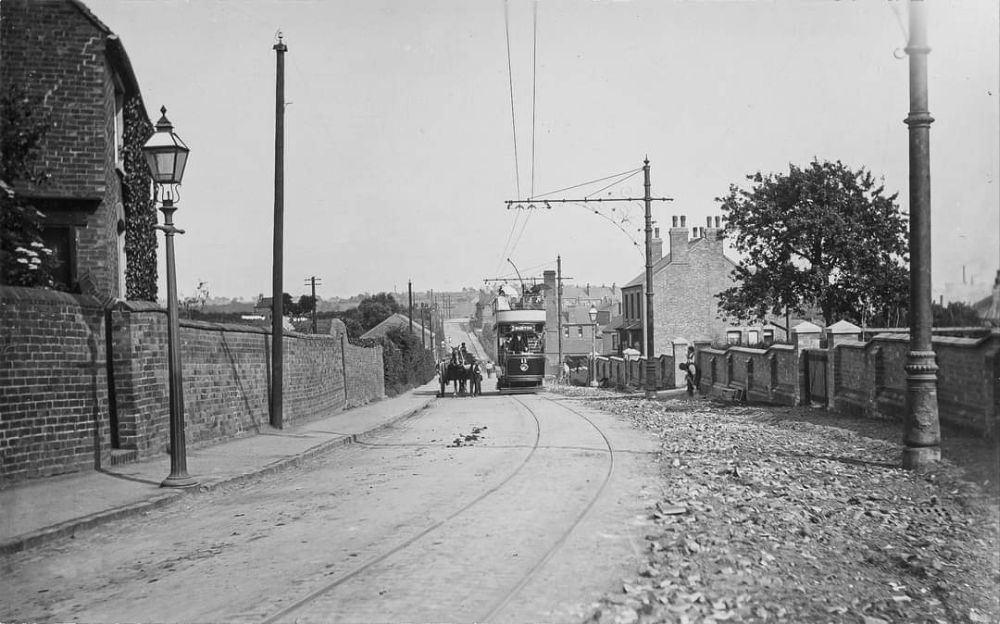
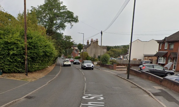
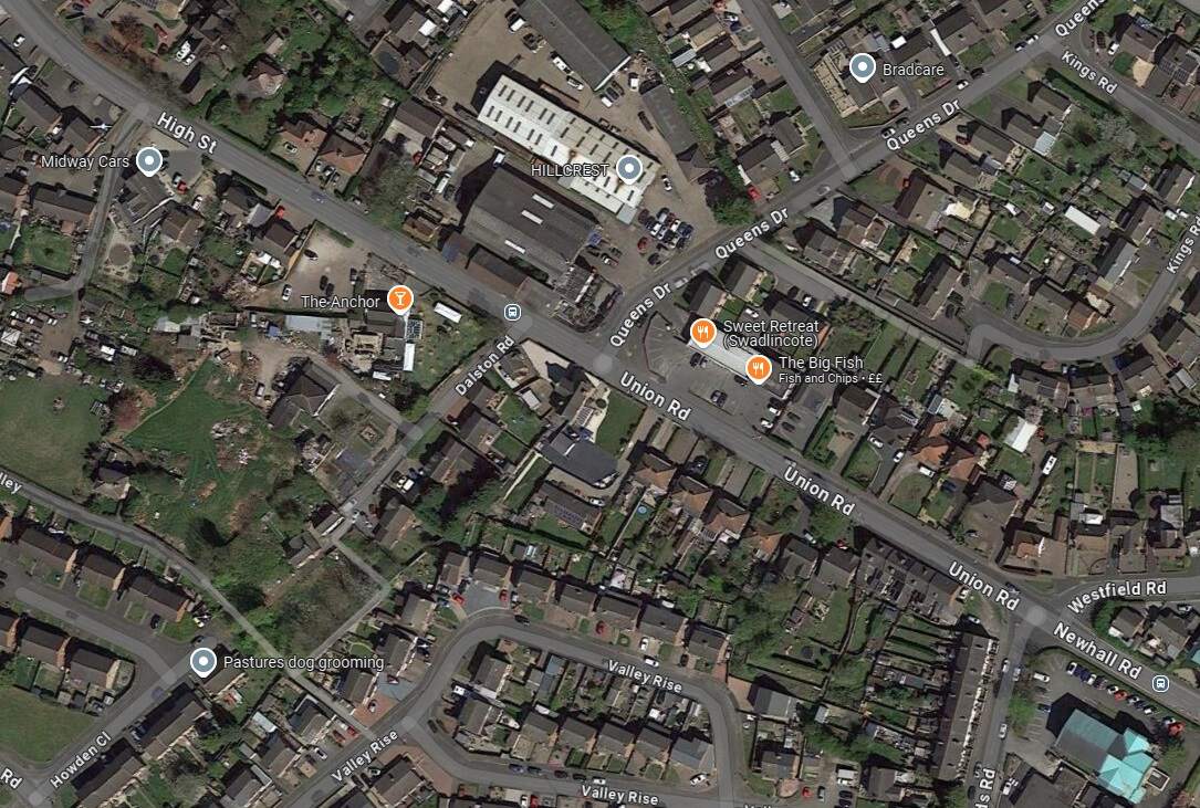
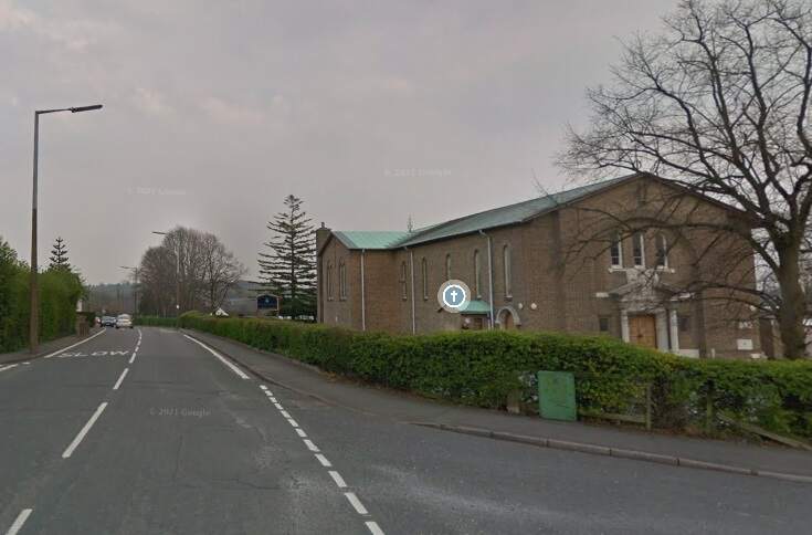
The Burton and Ashby Light Railway turned South off Burton Road (A511) to the East of what was the Stanhope Arms. [Google Streetview, August 2023]A tram on what appears to be the length of the line between the A511 and Sunnyside, (c) Public Domain. [9]The Burton and Ashby Light Railway followed its own fenced route South as Far as Sunnyside where it turned to the East. [16]The modern satellite image has the approximate route of the tramway superimposed in green. Before reaching Sunnyside, the railway followed what is now the line of ‘The Tramway’ a modern small estate road. It then turned towards the East running down Sunny side and across it junction with Bretby Road. [Google Maps, October 2024]Looking Northwest from Sunnyside, the green line shows the route of the old railway. [Google Streetview, March 2023]Looking Southeast along Sunnyside, the old railway ran down the centre of the road. There was a passing loop immediately in front of the camera. [Google Streetview, March 2023]A view looking Northwest on Sunnyside – on the right of this image a tram can be seen approaching Sunnyside from the North. This image was shared on the Newhall, Stanton & BretbyYesteryears Facebook Group by Keith Townsley on 5th December 2020, (c) Public Domain. [27]On this very similar image, a tram is turning onto Sunnyside. This image was shared on the Newhall, Stanton & Bretby Yesteryears Facebook Group by Marcus Payne on 10th September 2020, (c) Public Domain for the original image. [24]Looking Southeast along Sunnyside towards Bretby Road with the Light Railway rails in the road surface. This image was shared on the Newhall, Stanton & Bretby Yesteryears Facebook Group by Marcus Payne on 12th September 2020, (c) Public Domain for the original image. [24]Looking Southeast from Sunnyside across its junction with Bretby Road and along the line of the Light Railway which ran next to Matsyard Footpath. This image was shared on the Newhall, Stanton & Bretby Yesteryears Facebook Group by Julie Brown on 14th August 2022, (c) Public Domain [25]A similar view in 2024. The Light Railway ran along the line of the footpath. {Google Streetview, February 2023]The view towards Newhall from Bretby Road. This image was shared on the Newhall, Stanton & Bretby Yesteryears Facebook Group by Marcus Payne on 10th September 2020, (c) Simnett, Public Domain for the original. [24]This further extract from the 1920 25″ Ordnance Survey shows the line entering Newhall village alongside Matsyard Footpath and then running along the High Street. [16]Approximately the same area as it appears on Google Maps satellite imagery. The line entered at the top left corner of this image and then ran onto and along High Street (B5353). [Google Maps , October 2024]Looking Northwest from High Street, Newhall along Matsyard Footpath. The green line shows the approximate line of the old railway. [Google Streetview, February 2023]A tram approaching High Street, Newhall from the Northwest. This image was shared on the Newhall, Stanton & Bretby Yesteryears Facebook Group by Marcus Payne on 10th September 2020, (c) Public Domain for the original image. [24]Tram No. 13 entering Newhall at the same location as the Google Streetview image above, (c) Public Domain. [18]High Street, Newhall. This image was shared on the Newhall, Stanton & Bretby Yesteryears Facebook Group by Marcus Payne on 10th September 2020, (c) Public Domain for the original image. [24]A tram on Newhall High Street. This image was shared on the Newhall, Stanton & Bretby Yesteryears Facebook Group by Julie Brown on 16th January 2023, (c) Public Domain [26]The line ran on Southeast along High Street, Union Road and Newhall Road (B5353) passing St. Peter & St. Paul’s Catholic Church (which appears bottom-right on this map extract). [16]A tram on High Street/Union Street, Newhall. This image was shared on the Newhall, Stanton & Bretby Yesteryears Facebook Group by Julie Brown/Keith Townsley on 15th February 2023, (c) Public Domain. [24] Much the same location in the 21st century. [Google Streetview, August 2022]Approximately the same area as that shown on the extract from the 1920 25″ Ordnance Survey. [Google maps, October 2024]Looking Southeast along Newhall Road, B5353 with St. Peter and St. Paul Roman Catholic Church on the right of the image. The Button and Ashby Light Railway ran down Newhall Road towards Swadlincote. [Google Streetview, Aril 2019]
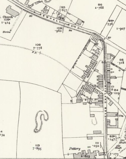
Another extract from the 1920 25″ Ordnance Survey. Trams from Burton-on Trent remained on Newhall Road for only a short distance, turning South along Midland Road. [16]
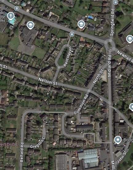
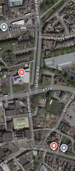
The same area in the 21st century, as shown by Google Maps satellite imagery. [Google Maps, October 2024]
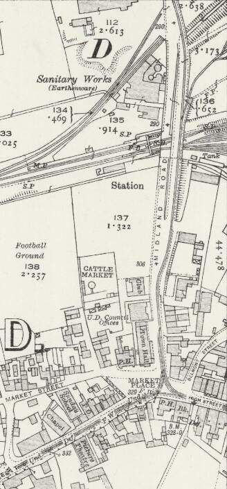
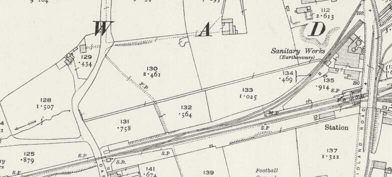
This next extract from the 1920 25″ Ordnance Survey shows the Burton and Ashby Light Railway heading South towards Swadlincote Market Place along Midland Road. Sitting to the West of the Light Railway Bridge and at a lower level was Swadlincote Railway Station. To its North were some Sanitary Earthenware Works. [20]
The North end of the bridge on Midland Road, a tram is approaching from the North. Three trams are waiting to head out from the depot access road towards the Market Place. [29]
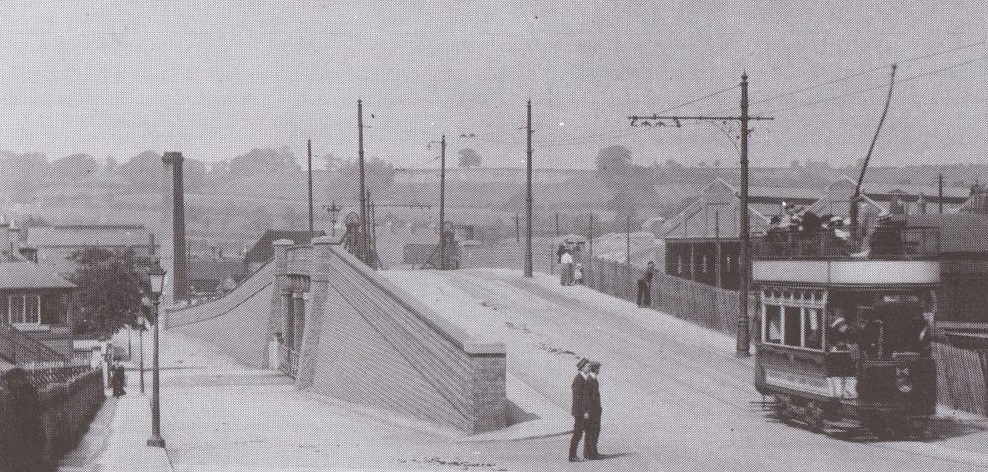
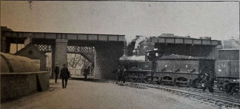
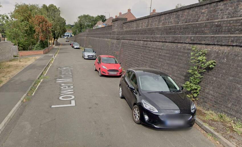
Glendenning provided a photograph of the bridge in this photograph under construction (see above). The bridge appears on the map extract immediately above and is seen here in use by the Burton and Ashby Light Tramway, (c) Public Domain. [19]The bridge over the Swadlincote and Woodville Branch seen from the East. A Midland Railway locomotive is about to depart the yard through Swadlincote Railway Station which is on the far side of the bridge. The station footbridge can be seen beneath the Light Railway Bridge. [1: p57]A similar view in the 21st century. [Google Streetview, August 2022]
The tram depot for the Burton and Ashby Light Railway was accessed at high level off the bridge shown above.
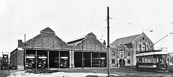
The tram depot off Midland Road, Swadlincote, seen from the West. The trams on the depot are (left to right) Nos. 18, 5, 14, 9 and 10. On the left of the depot is the horse-drawn trolley tower. The map extract immediately below shows the depot (top-left). [17]
We digress a little here to take a quick look at the Midland Railway’s Swadlincote and Woodville Branch which passes under the Light Railway in the image above.
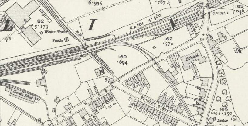
This extract from the 1921 revision of the 252 Ordnance Survey shows the Swadlincote and Woodville Brach to the East of the Light Railway overbridge. Note the Mineral Railway leaving the Branch approximately at the centre of this extract. [21]
To the East of the overbridge a Mineral Railway left the Swadlincote & Woodville Branch in a southerly direction, it served a number of industrial concerns including: Anchor Glazed Brick and Sanitary Pipe Works (which sat to the Southwest of Swadlincote High Street and which were served by means of a bridge under High Street); Swadlincote Sanitary Pipe Works (on the East side of the High Street/Hill Street); Jack i th’ Holes Pottery (by means of a tunnel under Hill Street and Granville Colliery); Middle Sinks & Chimney Pots Works; and Hill Top Works (by means of a tunnel under Granville Colliery.
To the West of the overbridge sat Swadlincote Railway Station and the branch line headed away from Swadlincote to the West-southwest.
Swadlincote Railway Station sits on the West side of Midland Road close to the Light Railway Bridge. The map extract shows the Swadlincote and Woodville Brach heading away to the West-southwest. [20]
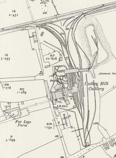
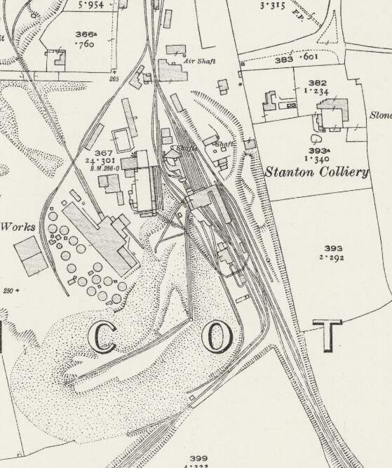
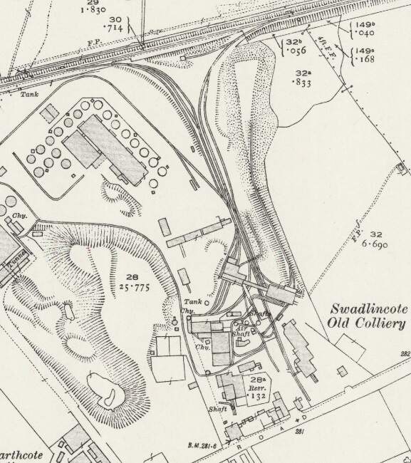
West of Swadlincote, the Swadlincote and Woodville branch served a number of industrial concerns, those closest to Swadlincote included: Swadlincote Old Colliery (and associated Brick & Pipe Works); Stanton Colliery (and Hawfields Brickworks); and Cadley Hill Colliery.
Cadley Hill Colliery. [20]Stanton Colliery. [20]Swadlincote Old Colliery. [20]
Returning to the Light Railway, we note that at Swadlincote Market Place a branch left the main line to Ashby-de-la-Zouch which ran South from Swadlincote to serve Castle Gresley.
The Castle Gresley Branch
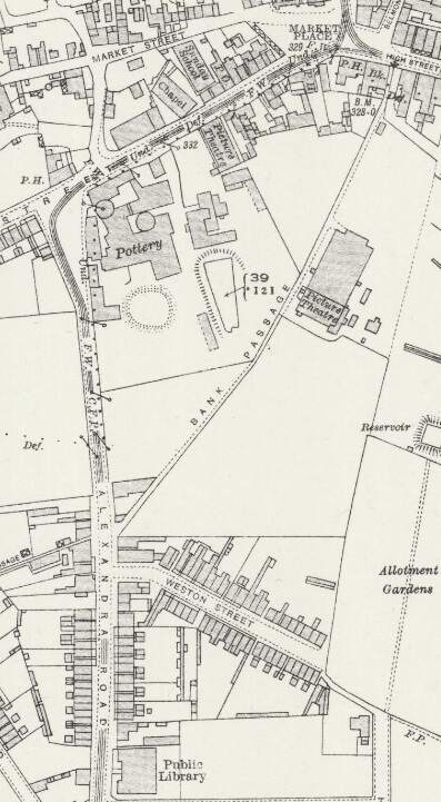
The branch line to Castle Gresley first ran West-southwest along West Street and then, by means of a relatively wide arc (see the small image below), turned down Alexandra Road. Track was dualled along these two streets as far as a point a little to the South of the Public Library. [20]
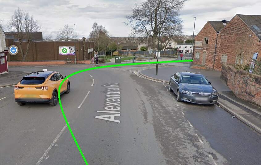
The Light Railway turned South into Alexandra Road by means of a wide arc. The green line gives the approximate alignment of the double track tramway at this location. [Google Streetview, March 2023]
Tram No. 10 dropping down Alexandra Road towards Swadlincote Town Centre. Sharpe’s can be seen at the bottom of the hill. This image was shared by Keith Townsley on the New and Old of Swadlincote & Burton on Trent Facebook Group on 10th April 2021. [28]
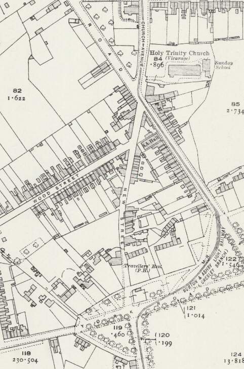
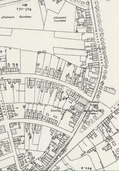
The line ran South from Alexandra Road into Church Avenue. It then turned to the South-southeast along Wilmot Road before sweeping round to the West on York Road before turning sharply into Market Street. [20]
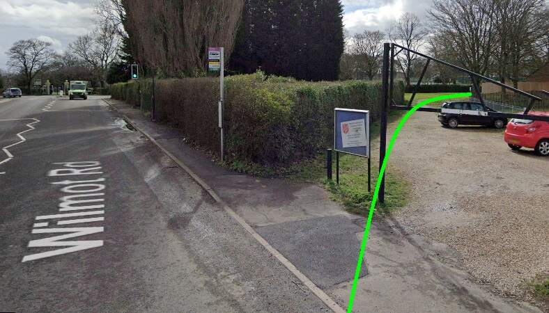
The Light Railway ran off Wilmot Street in a wide arc through what is now park land. [Google Streetview, March 2023]
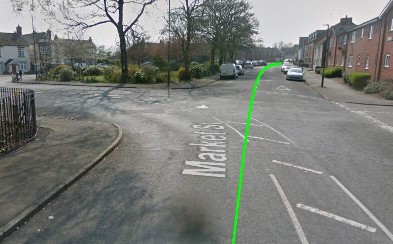
The Burton and Ashby Light Railway (Gresley Branch) swept round from Market Street into Church Street. [20]
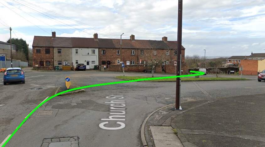
Trams swept round from Market Street into Church Street. [Google Streetview, April 2019.
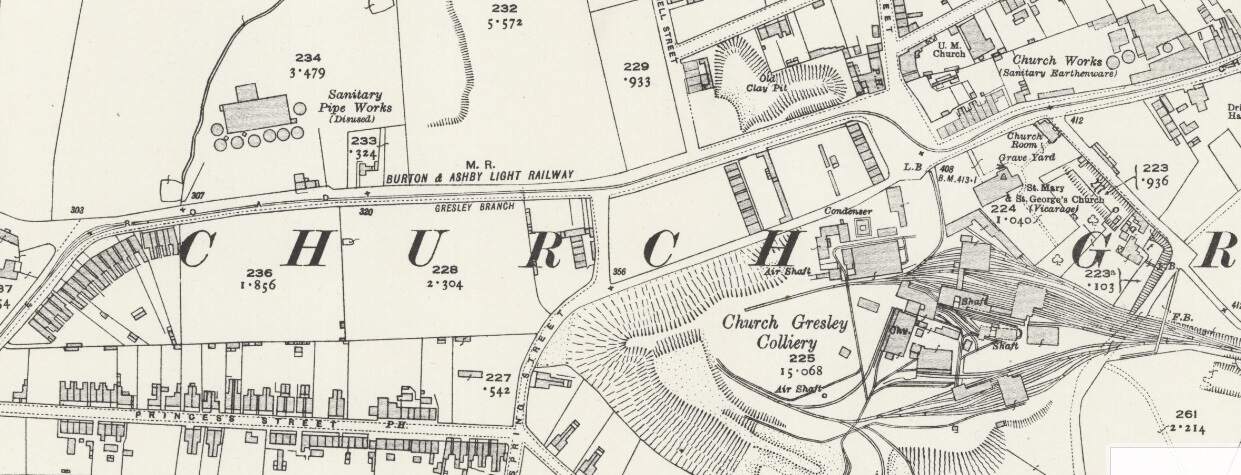
The line continued in a generally westerly direction passing Church Sanitary Earthenware Works and Church Gresley Colliery. Sharp right and left curves took the railway through the square at the colliery gates and onto Castle Street. [22]The light Railway served the square outside Castle Gresley Colliery which is now a roundabout. It turned sharply towards the North and then back to wards the West as it left the square. [Google Streetview, March 2023]
A short distance along Castle Street took the line as far as Gresley Railway Station where the Gresley Branch terminated in front of the Station buildings.
The branch line terminated outside Gresley Railway Station buildings. [22]These two views shows the Gresley Station buildings before closure of the Station. Both show the platform elevation of the station, (c) Public Domian, found on the Burton-on-Trent Local History site maintained by Kevin Gallagher. [23]
Gresley Station is long-gone, the railway remains in place in the 21st century.
The location of Gresley Station seen from High Cross Bank Roundabout on the A444. [Google Streetview, March 2023]
References
Seymour Glendenning; The Burton and Ashby Light Railway; in The Railway Magazine, London, July 1906, p53-57.
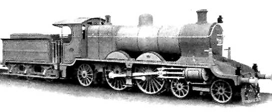
The featured image for this article shows a Class AP 4-4-2 Locomotive of the East Indian Railways. [19]
At the end of 1905, G. Huddleston, CLE., was Deputy Traffic Manager (Goods) East Indian Railway. This article is based round the one written by him in the December 1905 Railway Magazine.
In 1905, there were over 27,000 miles of railway in India: some owned and worked by the State, while other lengths of railway were owned by the State but worked by private railway companies, and others privately owned and worked. Of all of these, the East Indian Railway had the highest traffic figures and earnings. It was worked for the Government by a private company.
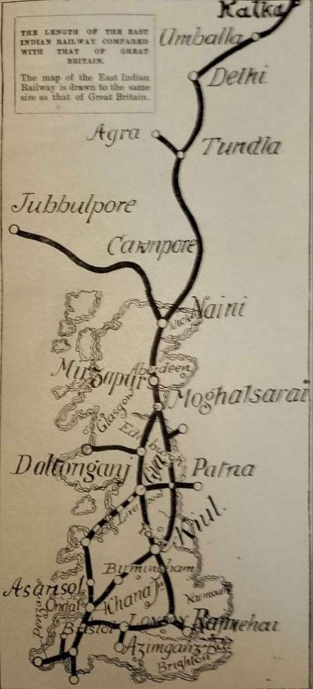
The East Indian Railway (EIR) had a network, including branches and lines worked by it, covering a distance of 2,242 miles. The first image below provides an illustration of what this meant on the ground.
The adjacent sketch map provides a simple comparison between a map of the UK and the network of the EIR – although Kolkata (Calcutta) is not clearly marked. [1: p483]
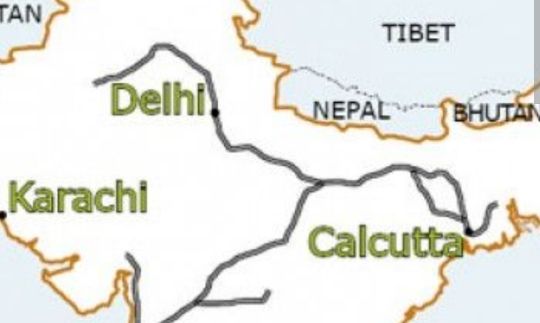
This schematic map gives a much clearer idea of the route of the line, oriented more traditionally, which shows the line running from Kolkata (Calcutta) to Delhi. [5]
“Roughly speaking, the East Indian Railway [was] as long as from Land’s End to John-o’Groats and back again, and, in addition, [had] several important branches. It traverses very much the same country as that great waterway, the mighty river Ganges, which, before the days of railways, afforded the chief means of transport for the commerce of Bengal and the North-West, The original main line was, as a matter of fact, constructed to tap the river at various points, and to draw from it the traffic then carried by boat. As indicated by the Chairman (General Sir Richard Strachey) at the last general meeting of the Company, the line [passed] through the richest and most populous districts of British India, following more or less closely the great trade route between the metropolis of Calcutta and the province of the Punjab, which [had] existed for centuries from the time, in fact, of Alexander the Great, if not before.” [1: p481]
The construction of the EIR was commenced before the Mutiny of 1857, “the general idea being to connect the seat of the Supreme Government in Calcutta with Delhi, the ancient capital of Hindustan. … Only 121 miles were open to traffic when the outbreak occurred.” [1: p481-482]
The country through which the EIR passed was for the most part on the level. “In the first 950 miles of its course from Calcutta the line rises less than 700 ft. The absence of heavy gradients [was] naturally a great help towards economical working, …, the [EIR] was probably the cheapest worked line of its size in the world, it’s working expenses being less than 33% of its gross receipts, or about half that on English lines.” [1: p482]
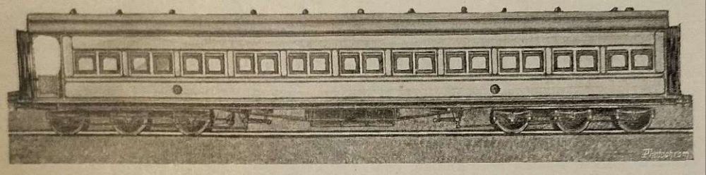
One of the carriages used by the Prince and Princess of Wales (later George V and Queen Mary) during their tour of India between November 1905 and March 1906. The saloon above, and the other coaches used, were generally referred to as the Royal train. These were, however, built just after the turn of the 20th century for the use of the Viceroy and suite, and were known as Viceregal saloons. They were numbered 3002 to 3007, inclusive, and were constructed in India from the designs of Mr. H. K. Bamber, the Carriage and Wagon Superintendent of the East Indian Railway. The saloons weighed 45 tons each. [1: p481][2]
“Leaving Calcutta, where its chief offices were situated the main line ran through more than 400 miles of the Province of Bengal; then traverse[d] the United Provinces of Agra and Oudh, and, crossing the Jumma River, reache[d] the Punjab at Delhi. Here the [EIR] proper end[ed], but the Delhi Umballa Kalka Railway, which [was] worked by the East Indian, continued for another 162 miles to the foot of the Himalayan Mountains, whence a hill railway [ran] to Simla, 7,084 ft. above sea level. … The [EIR] thus connect[ed] the winter and summer headquarters of Government, and [was] not only the route followed by the mails between these points, but [was] the route followed by the mails between Bombay and Calcutta, the Great Indian Peninsular Railway carrying them over the section between Bombay and Jubblepore, where it connect[ed] with the Jubblepore branch of the [EIR].” [1: p482]
On the EIR, 1st and 2nd class passengers taken together only provided 7% of the passenger income in 1905. 3rd class passengers provided over 70% of the EIR’s income and we’re therefore “all important to the railway, and it is to assist him and to make his journeys as comfortable and pleasant as possible that the efforts of the management [were] mainly directed.” [1: p482]
After the turn of the 20th century, the EIR was carrying more than 20 million 3rd class passengers each year. A significant proportion of these rail users are pilgrims travelling to holy shrines and particularly to/from the sacred River Ganges.
Huddleston comments on the fares paid by 3rd class travellers: The Anna is the equivalent of 1d and there are 12 Pies in one Anna. “The third class fare [was] 2.5 Pies per mile for the first 100 miles, with a still lower rate for distances beyond. … The third class fare [was] considerably below a farthing a mile. If [EIR] fares were charged in England a trip from London to Brighton would [have] cost about 10d., and a journey from London to Edinburgh could [have been] made for about 8s. 6d.” [1: p485]
In 1905, the standard fare for third class rail travel in the UK was 1d per mile, and first class fares were usually 1.5–2 times that. Fares were based on distance traveled, and the shortest route between two places was used to calculate the price. For example, if there were multiple routes between London and Edinburgh, the price for all routes would be based on the shortest route. [3]
Making the assumption that the distance between London and Edinburgh by rail is/was 332 miles then a 3rd class ticket from London to Edinburgh would have cost £1 7s 8d. Rail travel on the EIR was around 30% of that in the UK at the time.
We have noted the importance of 3rd class passengers to the finances of the EIR. Huddleston tells us that, “Still more important [were] the goods and minerals carried, for these contribute[d] nearly 70 per cent of the gross earnings. During the year 1904, the weight of coal and general merchandise transported over the East Indian Railway system amounted to considerably more than 12,000,000 tons, the average distance carried being more than 200 miles, the average freight charged being less than a halfpenny per ton mile in the case of ordinary merchandise, and a fraction over a farthing per ton mile in the case of coal.” [1: p485]
The EIR provides the main means of access to the coalfields of Bengal, from which it carried more than 6,000,000 tons of coal annually. “This traffic, of which a large proportion [was] exported from Calcutta, [had], by cheap rates and by the opening up of new and important coal- producing areas, been enormously developed during the [past] ten years, and [was] still continu[ing] to grow. At the time the construction of the East Indian Railway was started, coal was almost unknown in India, and India’s requirements, which were practically confined to its ports, were met by Cardiff. [After the turn of the 20th century] hardly any English coal [was] sent to India. … and Bengal claim[ed] that it [could] supply all requirements east of Suez.” [1: p485]
In addition to the coal traffic, the EIR also transported “large quantities of wheat, seeds, grain, cotton, salt, and other articles of general merchandise, and in order to enable it to make a profit out of the very low rates charged [paid] great attention to the question of train and wagon loads. The greatest importance [was] attached to traffic statistics. A system of accurately recording ton and passenger unit mileage, together with such other statistics as [were] necessary to judge of work done on a railway, was introduced in India [in the second half of the 19th century. These statistics were] placed each week before the officers concerned in the management of the traffic, so that they [were] continually kept acquainted with its essential features and [were] in a position to watch progress and to remedy defects without loss of time.” [1: p485]
“Since 1872, the average train load on the EIR … increased from a little over 100 tons to more than 275 tons in 1904. … The Indian figures [were] far beyond those on the best worked lines in England.” [1: p485-486]
The EIR uses only its own wagons for the carriage of domestic freight. “The standard of work for each wagon on the line [was] laid down at 75,000 ton miles per half year, and this figure [was] often exceeded. … The average cost of coal consumed on the [EIR was] less than 2s. 8d. per ton. … There [were] … other reasons besides a cheap fuel supply for the great economy in working which the statistics show; labour, for instance, [was] very cheap compared with European standards, and this tend[ed] to keep down the cost of maintenance and the cost of staff generally. But beyond all this the attention paid to detail [was] remarkable. Competition exist[ed], especially between the railway systems serving the rival ports of Bombay and Calcutta, and [that called] for a close watch on every ton of traffic, each fluctuation requiring explanation. The wagon supply, as already indicated, being on a low scale, necessitate[d] every vehicle being looked after; the movements of each wagon [were] known, in fact, from day to day. Train mileage, shunting mileage and detention mileage [were] kept as low as possible, the figures for each section of the line being closely scrutinised every week.” [1: p486-487]
Huddleston then goes on to describe travel for European expats on the EIR Punjab mail train from Calcutta (Kolkata] to Delhi, in 1st class naturally! …
“Suppose yourself, in the month of December, to be a first-class passenger by the Punjab mail train from Calcutta to Delhi; after having taken your ticket, and booked your luggage and a berth at a cost of considerably less than a £5 note, which, by the way, will also cover your return journey if you take a Christmas holiday concession ticket available for a month, you will enter the train at half-past nine in the evening, and your servant will at once make your bed. During the night you will pass through part of the coalfields of Bengal, and travelling along the Chord, or present main line, find yourself at about 6.15 a.m. at Dinapore, 344 miles from Calcutta. Dinapore is a military cantonment, and is the first place on the line from Calcutta at which troops are stationed. Here you will be served with what is called ‘chotahaziri’, or, literally translated, ‘little breakfast’; this usually consists of tea and toast, and is ordinarily taken in India the first thing in the morning.” [1: p487]
“Leaving Dinapore, after a halt of ten minutes, you will dress at your ease, assisted by your servant, who will afterwards roll up your bedding, and leave you to your newspaper and cigarette until half-past nine, when the trin arrives at the important junction of Moghalsarai, a few miles from Benares, the sacred city of the Hindoos. At Moghalsarsi, during a halt of twenty-five minutes, you will proceed to the refreshment room to breakfast, which consists of several courses and coats two shillings. Leaving Moghalsarai, the train passes the old fort of Chunar, now abandoned by the military, but once an important stonghold. Shortly afterwards the city of Mirzapur, famous for its hand made carpets and its brass and metal ware, is passed. The shrines and temples along the banks of the Ganges, on which Mirzapore is situated, are well worth seeing,because of their beautifully carved stone-work. … The train runs on to Allahabad, large civil and military cantonment, in time for luncheon, and the next station of importance is Cawnpore, notorious on account of the massacre of Europeans there during the Mutiny of 1857. Cawnpore is now the junction with several railway systems and a very important centre of trade, with numerous mills and factories; woollen mills, cotton mills, leather works, sugar factories and flour mills are to be found in greater number in Cawnpore than in any other up-country station in India. During the fifteen minutes the train stays there you have afternoon tea, and shortly afterwards, or at about 7 p.m., there is a halt of 30 minutes for dinner. Dinner in India is the big meal of the day, and costs at the railway refreshment room 2s. 8d. – not a very extravagant sum for a substantial meal of at least five courses.” [1: p488]
“The junction for Agra, which, by the way, is on a branch line and 14 miles distant from the main line, is passed shortly after 9 p.m., and Delhi is reached at 1.30 in the morning. Rather an awkward hour at which to alight, but through trains cannot be timed to reach everywhere at convenient hours, and your train has still a long way to go. Delhi is naturally one of the most interesting places in the East; it is a large fortified city on the west bank of the River Jumna, and was, at the time of the Moghal dynasty, the capital of India. … Your journey of 954 miles from Calcutta will have taken you little more than 28 and 1/2 hours and when it is remembered that, in addition to shorter halts, there have been three long stoppages for breakfast, lunch, and dinner, that about half the distance has been over single line, and that the load of the train equal to 18 heavy coaches, the running a is time is by no means bad. … Throughout your journey you will have seen many objects of interest, and will have gained some idea of the extent of our great Eastern dependency. You will have noticed the hundreds of miles of cultivated plain through which your train has passed; great seas of rice, wheat, seeds and other grains and cereals, broken only by villages and trees, without a hedgerow or a single field of grass. You will have crossed some great rivers, among them the Keul, the Soane and the Jumna – the latter at two points, the first at Allahabad, where it runs into the Ganges, the second at Delhi. You will have found throughout a perfect climate, getting colder as you proceed to the north, but always bright, with sunshine every hour of the day. You will have observed great crowds of natives of all creeds and caste, Hindoos and Mahommedans predominating. You will have seen camels, bullock-carts, and other means of transport used by the natives, and, above all, you will have experienced the glorious fascination of the East, which is beyond description.” [1: p488]
Huddleston completes his article in the December 1905 issue of The Railway Magazine at this point with a promise of more articles in future editions of the journal.
We return to Kolkata and attempt to follow the same journey to Delhi over a century later.
The Route of the East Indian Railway (EIR) from Kolkata to Delhi.
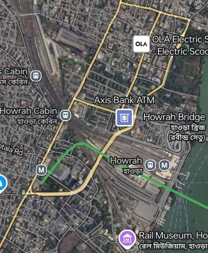
Making a journey from Kolkata West-northwest towards Delhi, we start at Howrah Railway Station on the banks of the River Hooghly. Distances are so vast that it would be impossible to follow every mile of the line. Hopefully what follows gives a good flavour of the line.
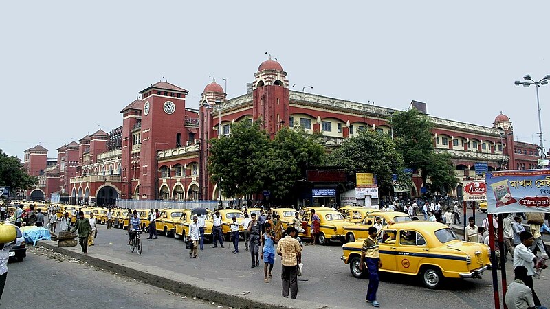
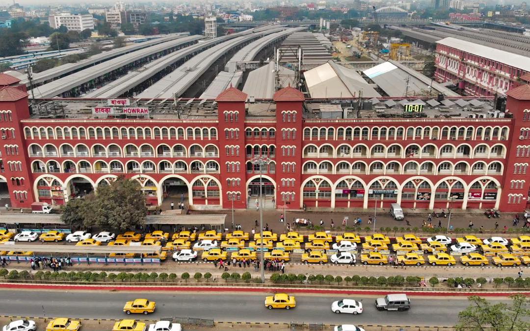
Howrah Railway Station in Kolkata. [Google Earth, October 2024]Howrah Railway Station, Kolkata, (c) samarkumarsarkar, Public Domain. [7]
Howrah railway station (also known as Howrah Junction) is a railway station located in the city of Howrah, West Bengal in Kolkata metropolitan region. “It is the largest and busiest railway complex in India as well as one of the busiest and largest train stations in the world. It is also the oldest surviving railway complex in India. Howrah is one of the five large intercity railway stations serving the Kolkata metropolitan area, the others being Sealdah, Santragachi, Shalimar and Kolkata railway station.” [8]
Howrah Railway Station, Kolkata, shared on the Beauty of India Facebook Page on 19th February 2019. [9]
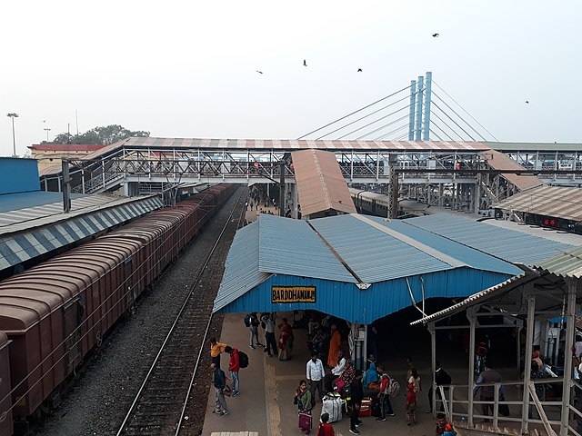
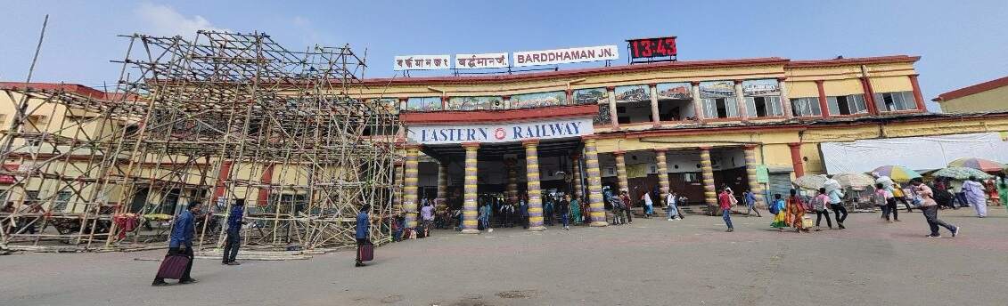
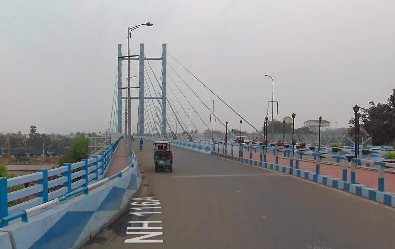
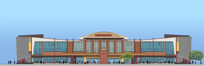
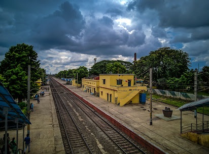
The first significant conurbation outside Kolkata is Barddhaman.
Barddhaman Junction Railway Station. [Google Earth, October 2024]Looking Northwest through Barddhaman Junction Station, (c) pinakpani and licenced for reuse under a Creative Commons Licence (CC BY_SA 4.0). [7]Barddhaman Junction Passenger Station building seen from the station forecourt. [Google Streetview, October 2019]The modern cable-stayed bridge which spans the track at Barrdhaman. [Google Streetview, May 2023]Proposed new station building at Barddhaman (21st August 2023). [6]
Our next scheduled stop is at Durgapur but on the way we pass through a number of local stations. Just one example is Mankar Railway Station.
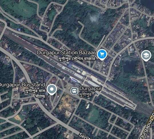
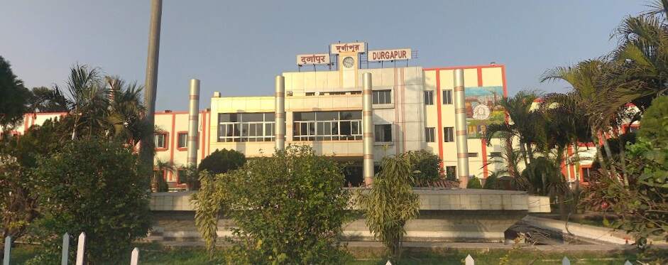
Mankar Railway Station. [Google Eartth, October 2024]Durgapur Railway Station. [Google Earth, October 2024]The Main station building at Durgapur, (c) Satyajit Dey. [Google Streetview, February 2019]Looking Southeast from Cinema Hall Road towards the Railway Station at Durgapur. [Google Streetview, April 2023]
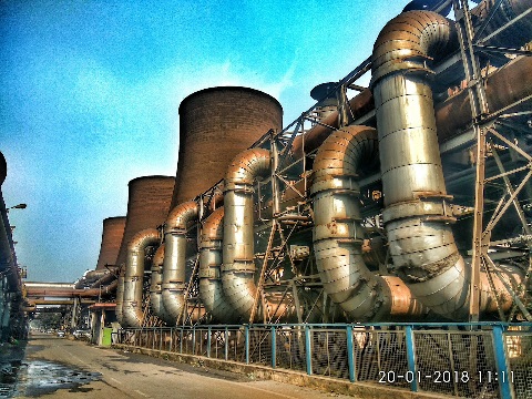
Beyond Durgapur is a very significant steelworks and power station.
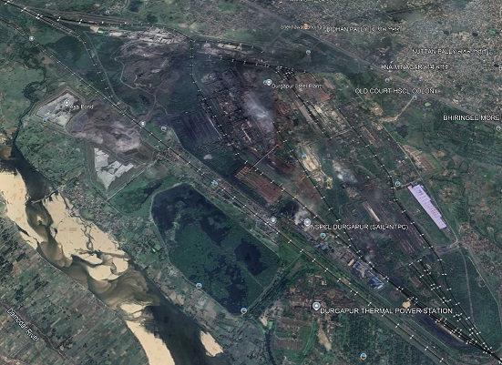
Durgapur Steelworks and Thermal Power Station. A couple of views appear in the two images below. [Google Earth, October 2024]Durgapur Steelworks (c) Debanku Sarkar [2018]Durgapur Thermal Power Station (c) Sourav Biswas [2024]
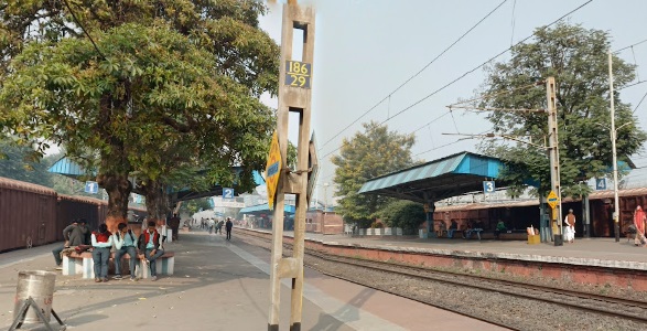
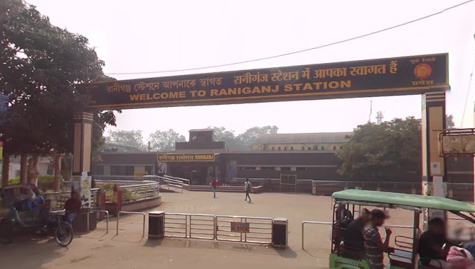
Just a couple of stations en-route to Asansol, our next stop, are shown below.
Adnal Railway Station (c) Rahul Kumar. [2018]Raniganj Railway Station [Google Streetview, December 2022]
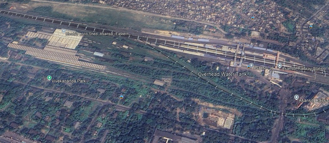
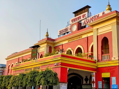
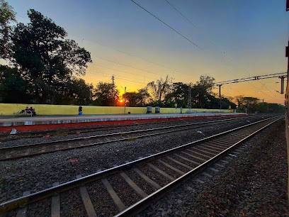
We arrive at Asansol Railway Station. …
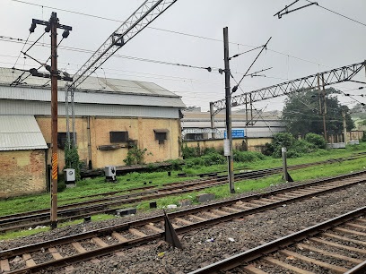
Asansol Railway Station and Electric Loco Shed. [Google Earth, October 2024]Asansol Railway Station. [Google Earth, October 2024]Asansol Electric Loco Shed. [Google Earth, October 2024]
Continuing on from Asansol we pass through Sitarampur and Kulti.
Sitarampur. [Google Earth, October 2024]Kulti (c) Moahammed Asif . [Google Earth, October 2024]
And on through Barakar before leaving West Bengal and entering Jharkhand and crossing the Barakar River.
The Bridges over the Barakar River, The original single-track railway bridge is beyond the more modern bridge which also carries a single track. (c) Sarsati Devi, 2023.
West of the Barakar River we travel on through Kumardubi, Mugma, Thapar Nagar, Kalubathan, and Chhota Ambana.
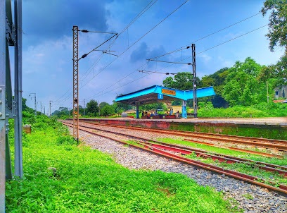
Kalubathan (c) Pankaj Kumar Mondal. [2021]Chhota Ambana Railway Station, seen from Ambona Road. [Google Strteetview, March 2024]
The journey continues through Pradhankhunta Junction and Dokra Halt before arriving at the next significant conurbation, Dhanbad.
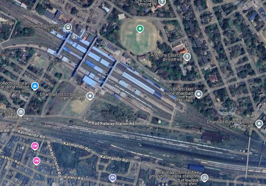
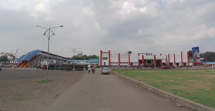
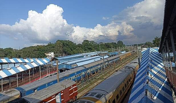
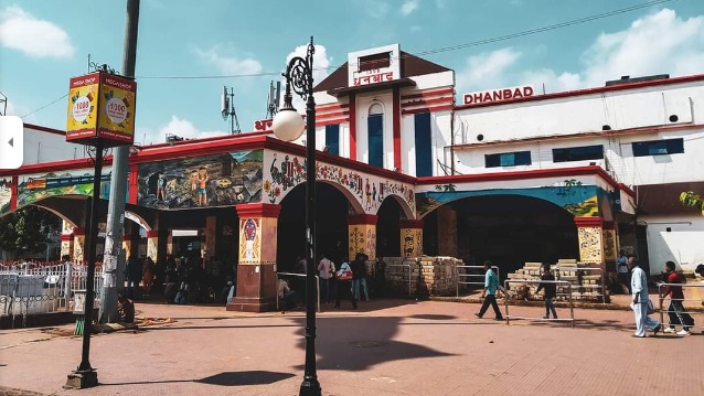
Dhyanbad Junction Railway Station and Goods Yard. [Google Maps, October 2024]Dhanbad Railway Station forecourt seen from the South. [Google Streetview, July 2023]Dhanbad Railway Station seen from one of the three station footbridges, (c) Gaurav Kumar. [Google Maps, September 2022]Dhanbad Railway Station seen from the North, (c) Kaushik Dhar. [Google Maps, July 2021]
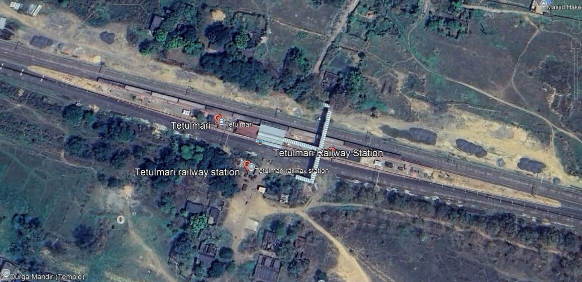
From Dhanbad Railway Station, the EIR ran on through Bhuli to Tetulmari.
Tetulmari Railway Station. [Google Earth, October 2024]
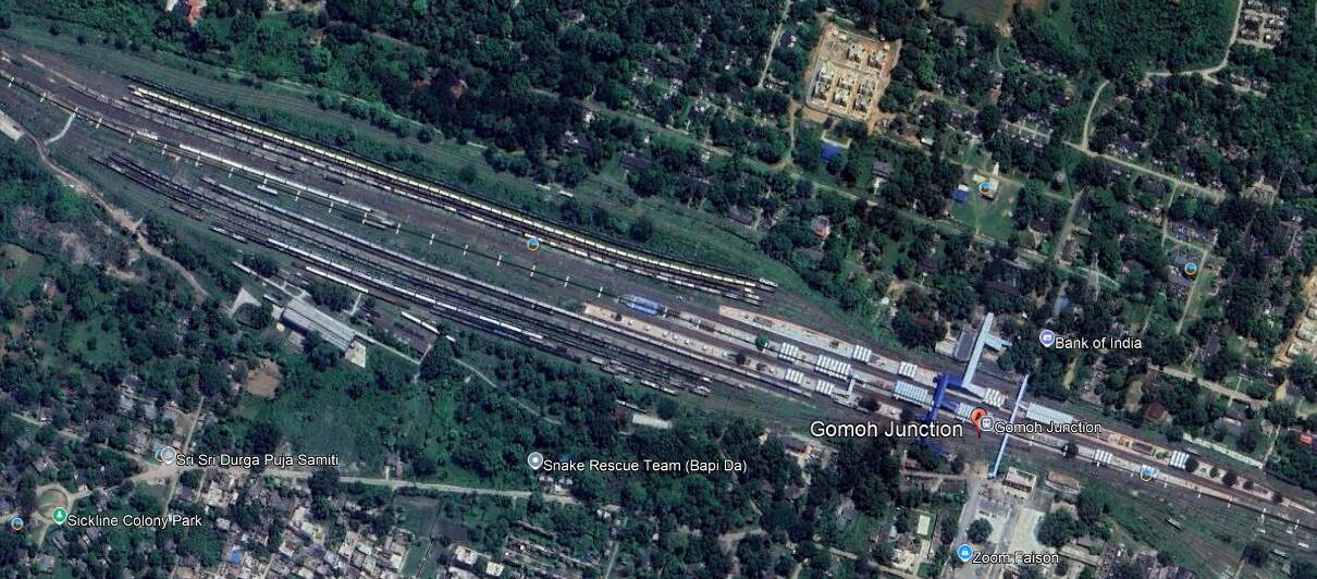
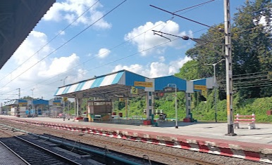
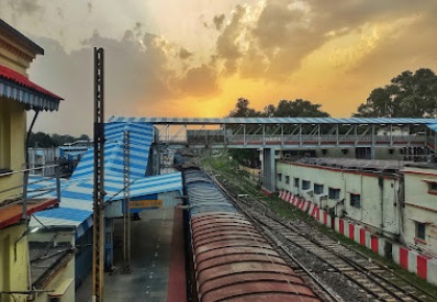
And on from Tetulmari through Nichitpur, Matari and Ramakunda Halt to Gomoh Junction.
Gomoh Junction Railway Station and Yard. [Google Earth, October 2024]Gomoh Junction (c) Bishwas Munshi (2022)Gomoh Junction (c) Abhijeet Kumar (2022)
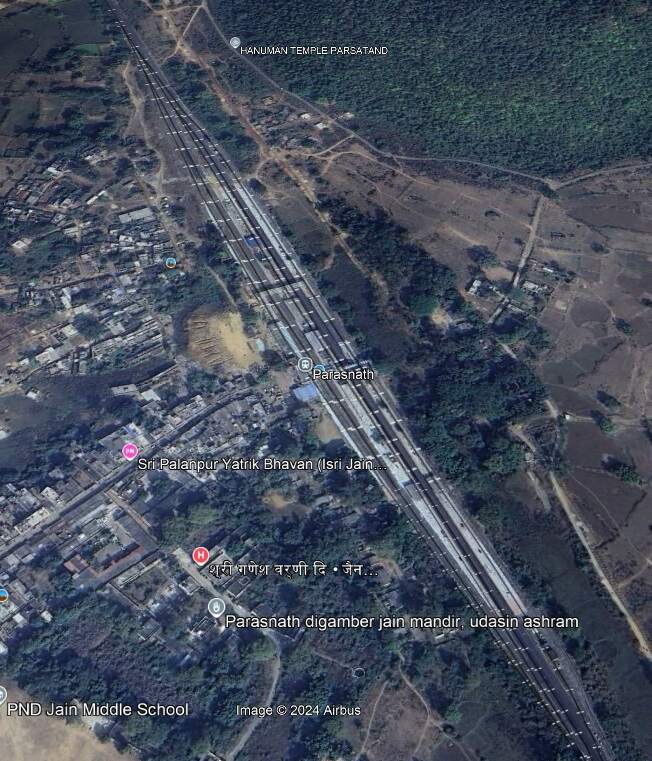
From Gomoh Junction Railway Station the line continued Northwest through Bholidih and Nimiaghat to Parasnath Railway Station.
Parasnath Railway Station. [Google Earth, October 2024]
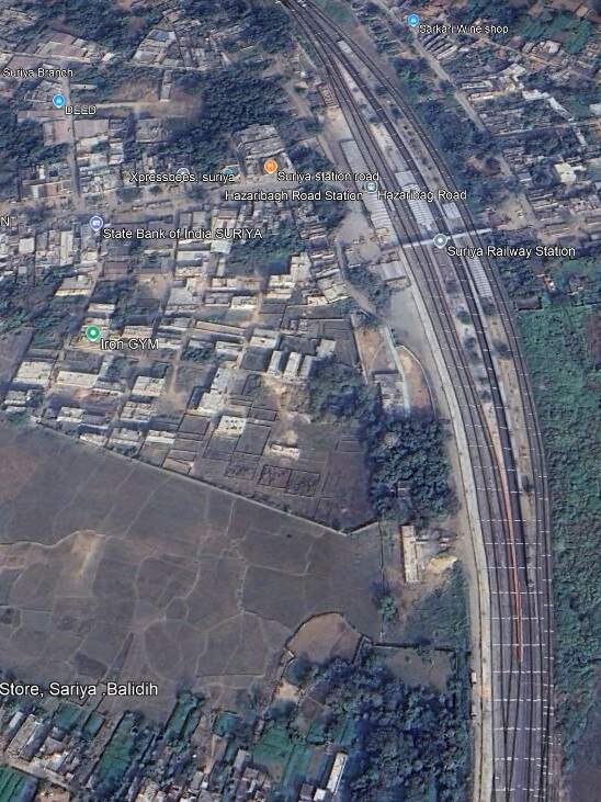
rom Parasnath the line continued Northwest through Chaudhribandh, Chichaki, Garea Bihar to Suriya Railway Station (Hazaribag Road Station).
Suriya Railway Station (Hazaribag Road Station). [Google Earth, Octo9ber 2024]
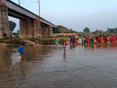
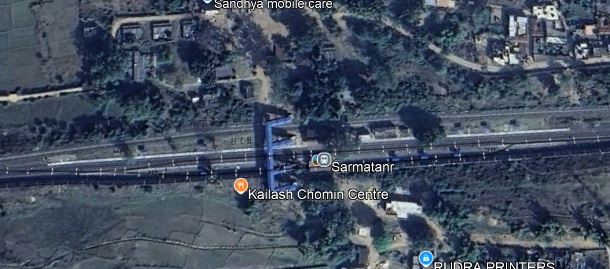
From Suriya we travel on across the Kheruwa River Railway Bridge and the Barsoti River Bridge, through Chaube and Dasara Railway Stations, over the Banka Railway Bridge and through Parsabad Railway Station before crossing the Acto River Bridge and entering Sarmatanr Railway Station.
The Banks River Bridge. [Google Earth, October 2024]Sarmatanr Railway Station [Google Earth, October 2024]
The line continues West from Sarmatanr through Hirodih Railway Station and into Koderma Junction Railway Station.
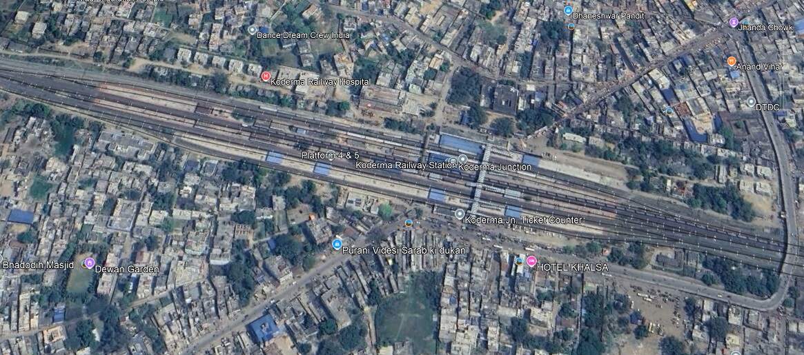
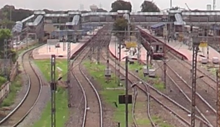
Koderma Junction Railway Station. [Google Earth, October 2024]Koderma Junction Railway Station seen from the Southeast, from the Ranchi-Patna Road. [Google Streetview, July 2023]
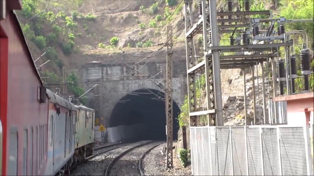
Leaving Koderma Junction travelling West-northwest the line runs on through Gujhandi, Delwa, Nath Ganj The scenery is more rugged, tunnels and sharp curves are needed to keep railway gradients to a minimum. Tunnel No. 3 is shown below.
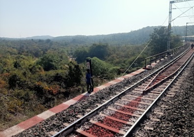
The Western Portal of Tunnel No. 3. Nath Ganj Railway Station is a few hundred metres behind the camera, (c) Safal Ahmed. [Google Earth, October 2024]A little to the West of Nath Ganj Railway Station, (c) Md Asif Raza. (2022)Gurpa Railway Station [Google Earth, October 2024]
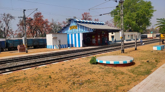
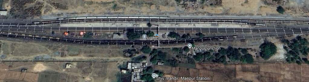
West of Nath Ganj the line passes through Baskatwa B. H. and Gurpa Railway Stations, crosses the River Dhadhar River, runs through Paharpur Railway Station, Bansinala Halt, Tankuppa and Bandhua Railway Stations, before entering Manpur Junction Station.
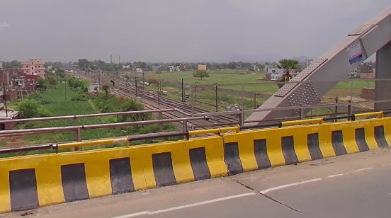
Manpur Junction Station. [Google Earth, October 2024]Looking back to the East towards Manpur Junction Railway Station from Manpur Overbridge. [Google Streetview, July 2023]
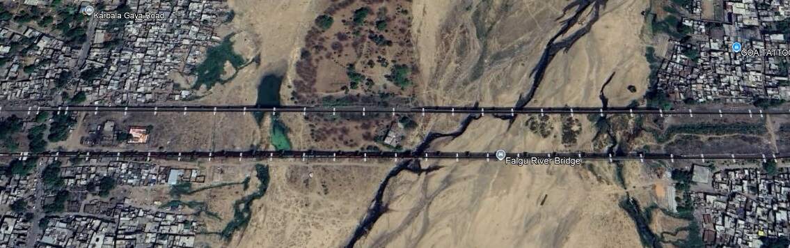
West of Manpur the line crosses the Falgu River Bridges.
The Falgu River Bridges. [Google Earth, October 2024]Falgu River Bridges, (c) Raghwendra Kumar (2022)Falgu River Bridges, (c) Raghwendra Kumar (2022)
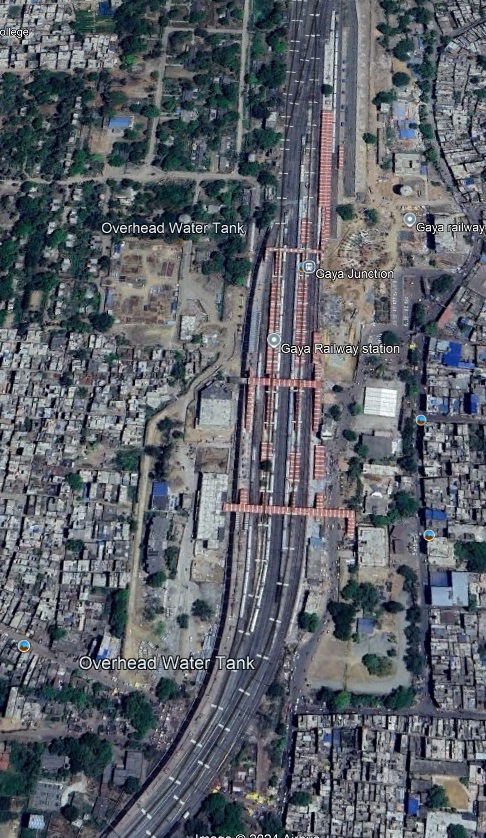
The line continues to the West for only a very short distance before sweeping round to the South into Gaya Junction Railway Station.
Gaya in Bihar State is the second city in the state. It sits on the West bank of the Falgu (Phalgu) River. Gaya is 116 kilometres (72 mi) south of Patna and has a population of 470,839. The city is surrounded on three sides by small, rocky hills (Mangla-Gauri, Shringa-Sthan, Ram-Shila, and Brahmayoni).
Gaya is a city of historical significance and is one of the major tourist attractions in India. It is sanctified in the Jain, Hindu, and Buddhist religions. Gaya district is mentioned in the great epics, the Ramayana and the Mahabharata. It is the place where Rama, with Sita and Lakshmana, came to offer piṇḍadāna for their father, Dasharatha, and continues to be a major Hindu pilgrimage site for the piṇḍadāna ritual. Bodh Gaya, where Buddha is said to have attained enlightenment, is one of the four holy sites of Buddhism. [10]
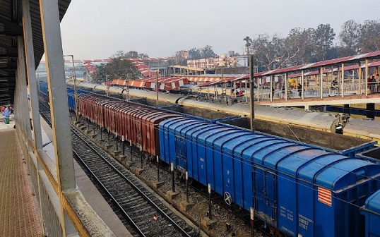
Gaya Railway Station (c) Niranjan Yadav. (2023)Gaya Junction Station (c) Sanyam Prakash. (2022)
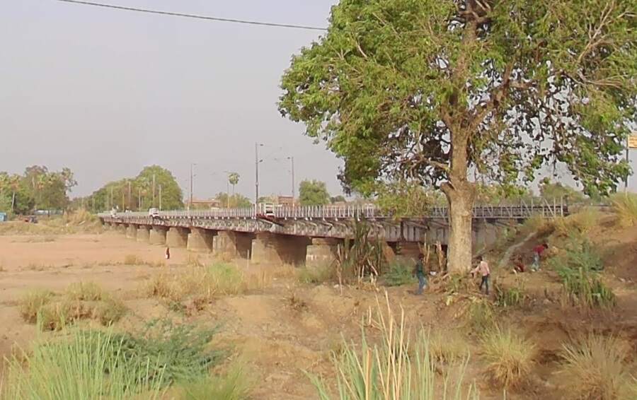
Turning sharply to the West at the Railway Station limits, the line runs through Kastha Railway Station and over the Morhar River Bridge.
The first Morhar River Bridge seen from the West bank of the river channel. [Google Streetview, June 2023]
Once across the first bridge (above) the line passes through Paraiya Railway Station and then crosses the western channel of the Morhar River.
The bridge over the western channel of the Morhar River seen from the West bank of the channel. [Google Streetview, June 2023]
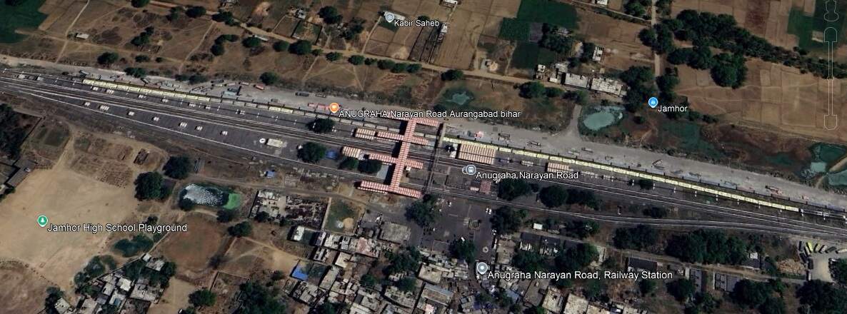
On wards to the West, the line runs through Guraru, Ismailpur, Rafiganj, Jakhim, Phesar, Stations and into Anugraha Narayan Road Railway Station.
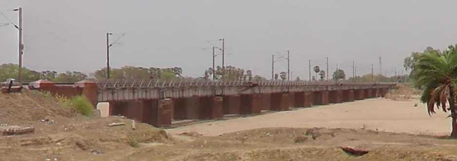
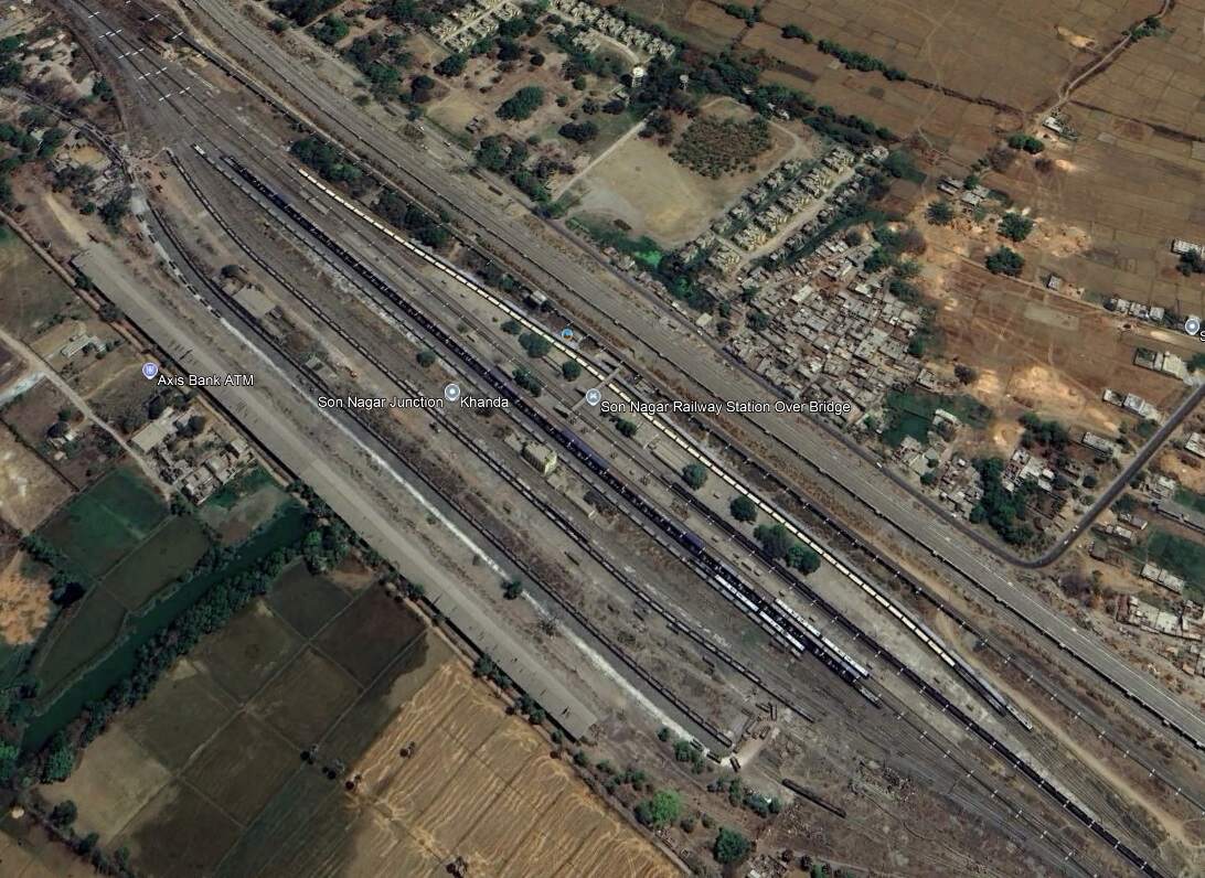
Continuing West, the line crosses the Punpun Railway Bridge passes through the relatively complex Son Nagar Junction and arrives at Son Nagar Junction Railway Station.
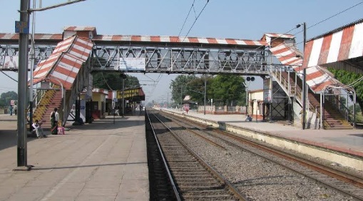
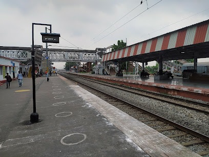
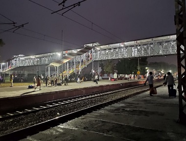
Son Nagar Junction Railway Station. [Google Earth, October 2024]Son Nagar Junction Railway Station (c) Raushan Kumar. (2019)Son Nagar Junction Railway Station, (c) Jaintra Kumar Pandey. (2017)
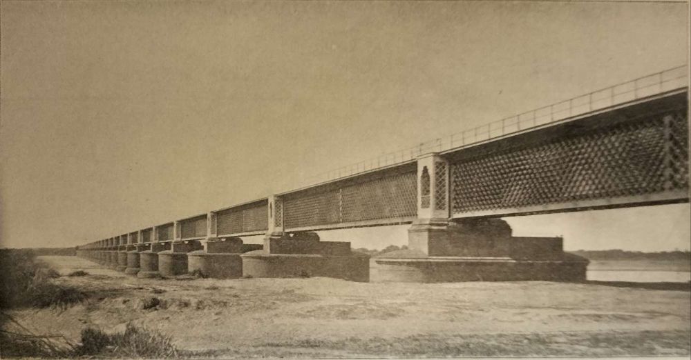
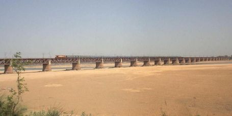
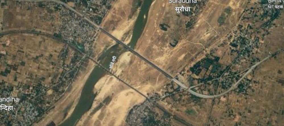
Northwest from Son Nagar Junction Railway Station the railway crosses the River Sone (Soane). Huddleston provided a photograph of the first railway bridge across the river.
On the West of the River Sone (Soane) the railway runs into Dehri on Sone Railway Station.
Looking into the Railway Station from a back road to the North of the rail lines. [Google Streetview, 2023]Buildings on the main island platform at Dehri Railway Station, seen from Station Road to the Southeast of the Station. [Google Streetview, 2023]Dehri Railway Station, (c) Amit Pandeyji. (2022)
To the West of Dehri the line runs through Pahaleja Railway Station. It is noticeable as we travel to the West that traffic levels must be high. There are significant additional tracks along this length of the line with a number of stations only on the new lines and others only on the older lines.
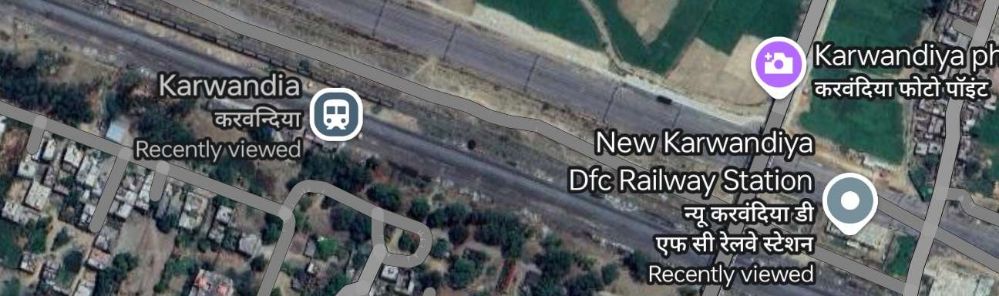
On the new lines we see New Karwandiya DFC Railway Station with Karwandiya Railway Station on the older lines.
Karwandiya Railway Stations. [Google Earth, October 2024]
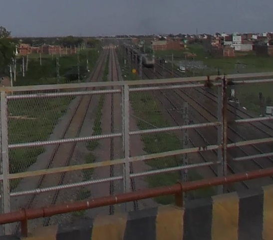
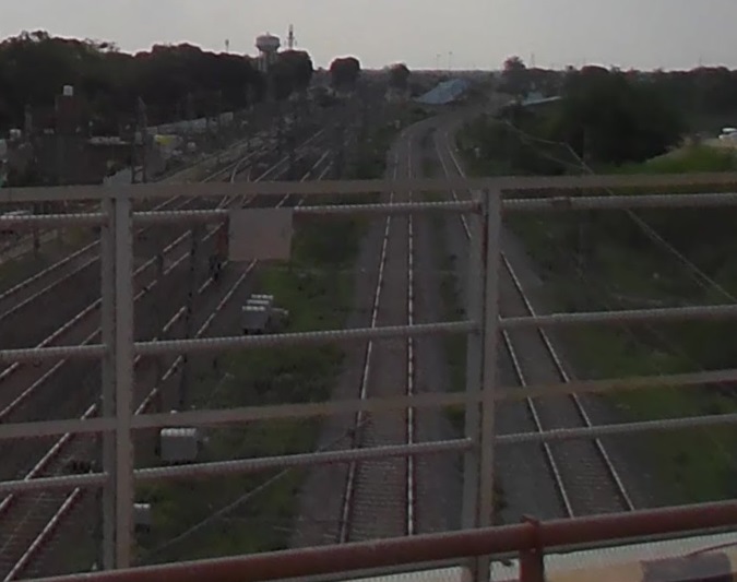
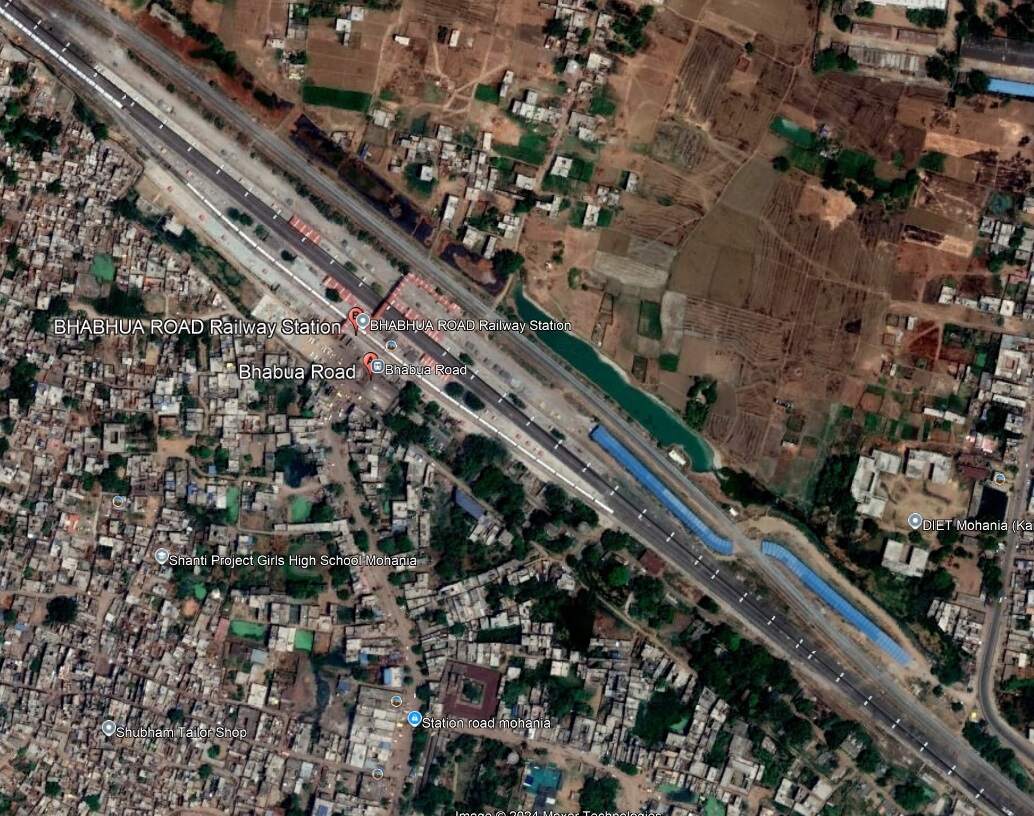
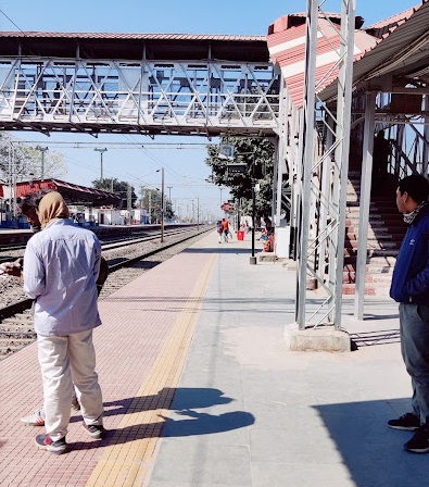
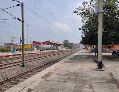
West of Karwandiya, the line runs on through Sasaram Junction Railway Station, Kumahu, Shiu Sagar Road, Khurmabad, New Kudra Junction (and Kundra), Pusauli and Muthani Railway Stations before entering Bhabhua Road Railway Station. The two images below show the 5 main lines in use in the 21stcentury as seen from the overbridge to the Southeast of Bhabhua Road Railway Station.
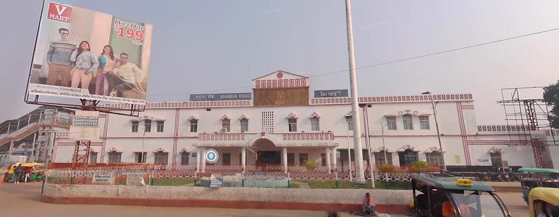
Looking Southeast. [Google Streetview, July 2023]Looking Northwest towards Bhabhua Road Railway Station [Google Streetview, July 2023]Bhabua Road Railway Station. [Google Earth, October 2024]Bhabhua Road Railway Station. [Google Streetview, December 2023] Bhabhua Road Railway Station (c)nivedita narayan (2024)Bhabhua Road Railway Station (c) Krishna Gupta (2020)
On from Bhabhua heading Northwest the line runs on through New Durgauti Junction (Durgauti), Dhanaichha, Karamnasa, Saidraja, Chandauli Majhwar and Ganj Khawaja Railway Stations, by which now the line is running East-West. Immediately beyond Ganj Khawaja the line turns to the North, then sweeps round to the Southwest through a series of junctions and then through Mughal Sarai Marshalling Yard and DDU Railway Station.
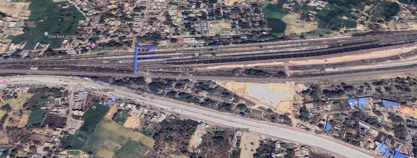
Running on in a Southwesterly direction not far from the Southern bank of the River Ganges, the line runs through Jeonathpur, Narayananpur and Narayananpur Bazar (Ahraura) Railway Stations. On further through Kailahat Station to Chunar Junction Railway Station.
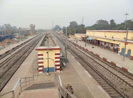
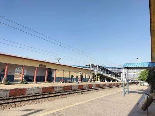
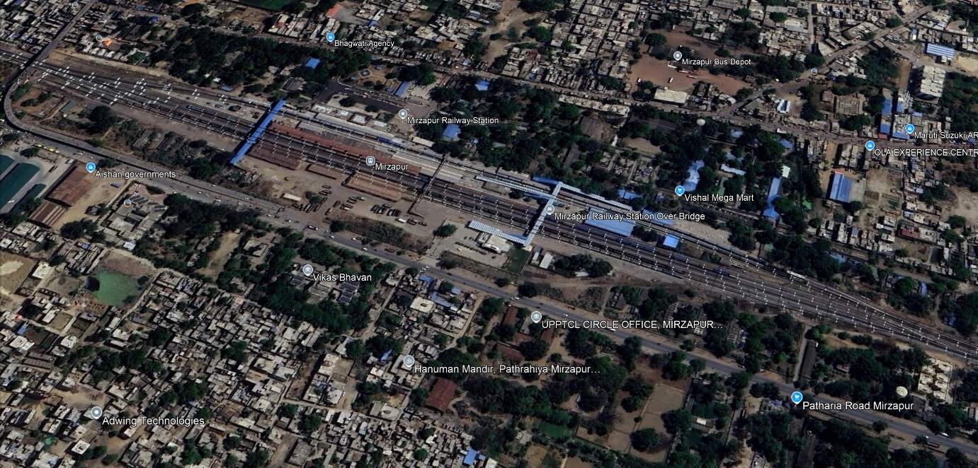
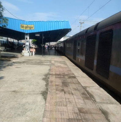
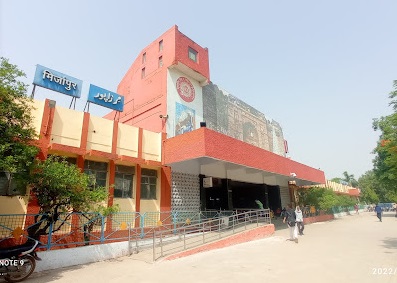
The railway continues West through Dagmagpur, Pahara and Jhingura Railway Stations to Mirzapur Railway Station.
Mirzapur Railway Station. [Google Earth, October 2024]Mirzapur Railway Station Ankit Tiwari(c) (2018)Mirzapur Railway Station(c) Satyapal Yadav (2022)
“Mirzapur … is known for its carpets and brassware industries, and the tradition of kajari and birha music. Straddled by the Maikal Hills, it served as the headquarters of the Mirzapur district[of Uttar Pradesh]. … Indian Standard Time is calculated from the clock tower in Mirzapur.” It had a population of 245,817 in 2011. [11]
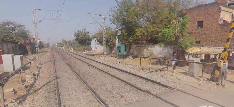
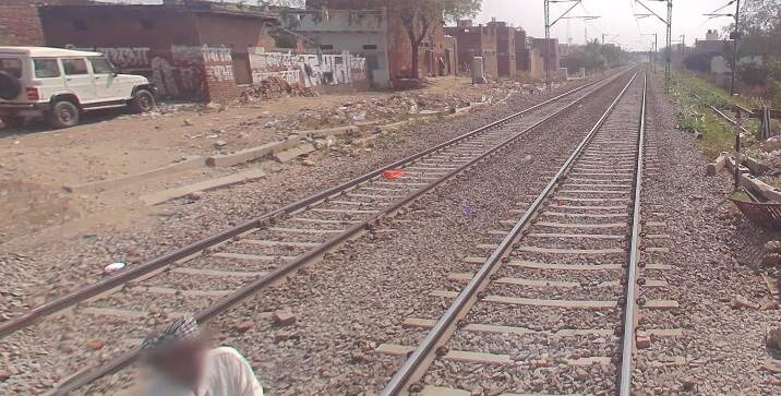
Looking East from Sabri Level Crossing towards Mizapur Railway Station. [Google Streetview, March 2023]Looking West from Sabri Level Crossing. [Google Streetview, March 2023]
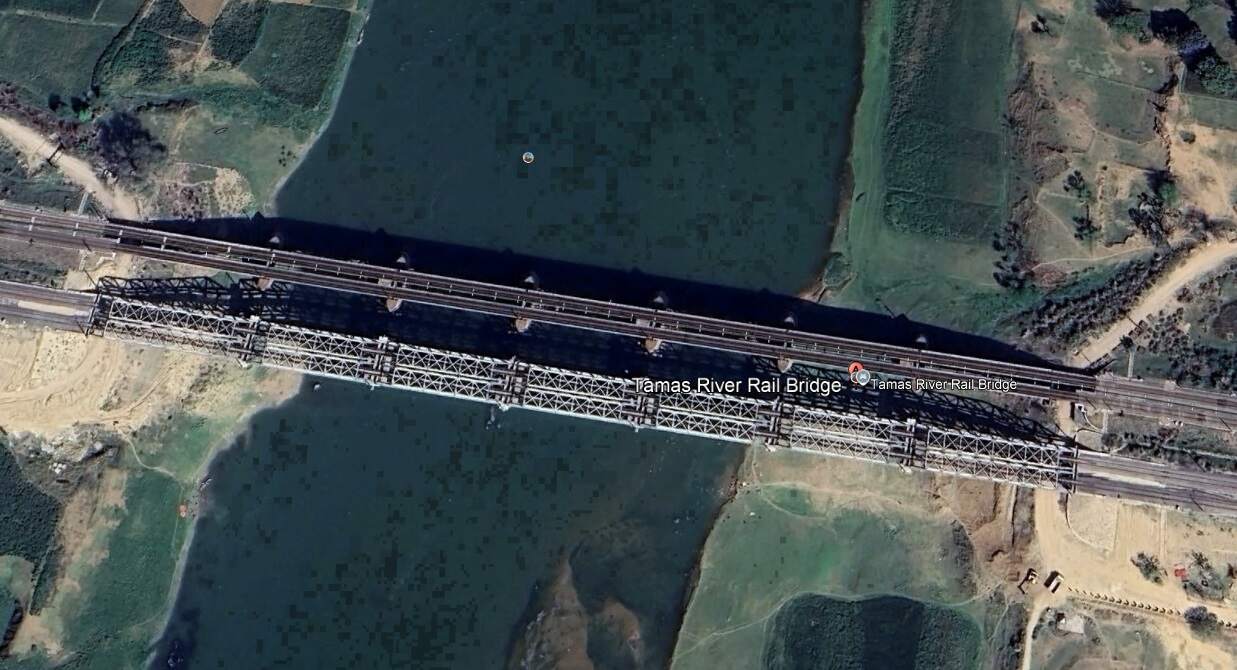
West of Mizapur the line ran on through Vindhyachal, Birohe, Gaipura, Jigna, Mandah Road, Unchdih and Chauraha Railway Stations before crossing the Tamas River Rail Bridges.
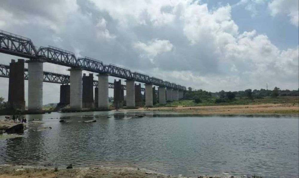
Tamas River Rail Bridges. [Google Earth, October 2024]Tamas River Rail Bridges, (c) S Kumar Gemar. [October 2022]
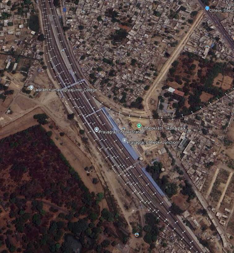
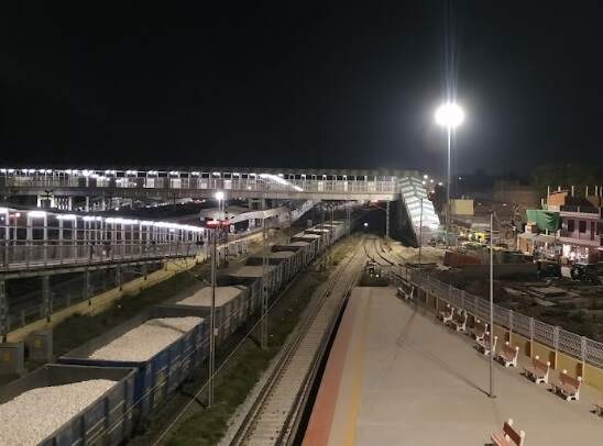
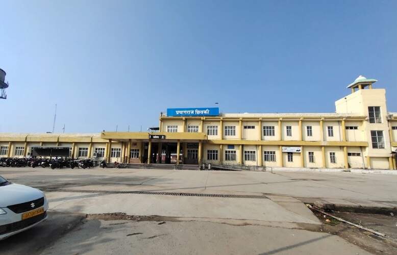
Continuing Northwest, the railway passes through Bheerpur and Karchana Railway Stations before entering Prayagraj Chheoki Junction Railway Station.
Prayagraj Chheoki Junction Railway Station. [Google Earth, October 2024]Prayagraj Chheoki Junction Railway Station (c) Rahu. (2022)Prayagraj Chheoki Junction Railway Station (c) Devendra Kumar. (2022)
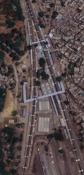
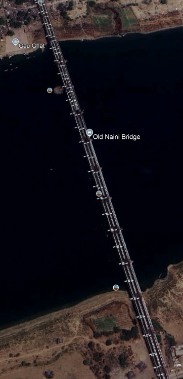
To the Northwest of Prayagraj Chheoki Junction Railway Station the line runs through Naini Junction Station and then crosses the Old Naini Bridge over the Yamuna River.
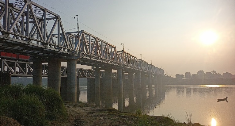
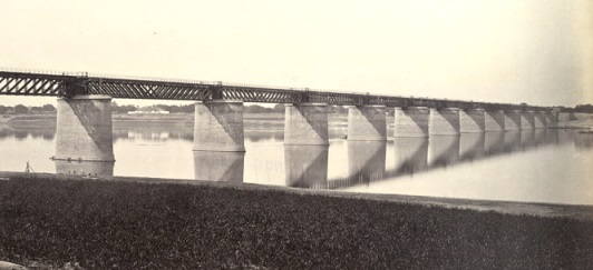
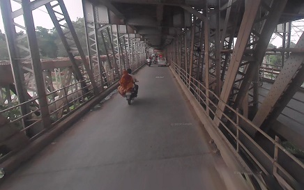
Naini Junction Railway Station. [Google Earth, October 2024]The Old Naini Bridge. [Google Earth, October 2024]The original Old Naini Bridge! This picture shows it as it was in about 1870. [12]The Old Naini Bridge, (c) Sai Vamsi. (2021)The Old Naini Bridge. [Google Streetview, August 2022]
The Old Naini Bridge is situated over the Yamuna River, “just above the confluence with the Ganges at Allahabad. … It opened in 1865 and is a great feat of British engineering; it is over 1,006 metres (3,300 feet) long.” [12] The present structure carries vehicles on a deck below the rail lines.
Prayagraj is also known as Allahabad. “The city is the judicial capital of Uttar Pradesh with the Allahabad High Court being the highest judicial body in the state. As of 2011, Prayagraj is the seventh most populous city in the state, thirteenth in Northern India and thirty-sixth in India, with an estimated population of 1.53 million in the city.” [13]
North of the Yamuna River in Prayagraj/Allahabad, the line turns West and enters the main city station,
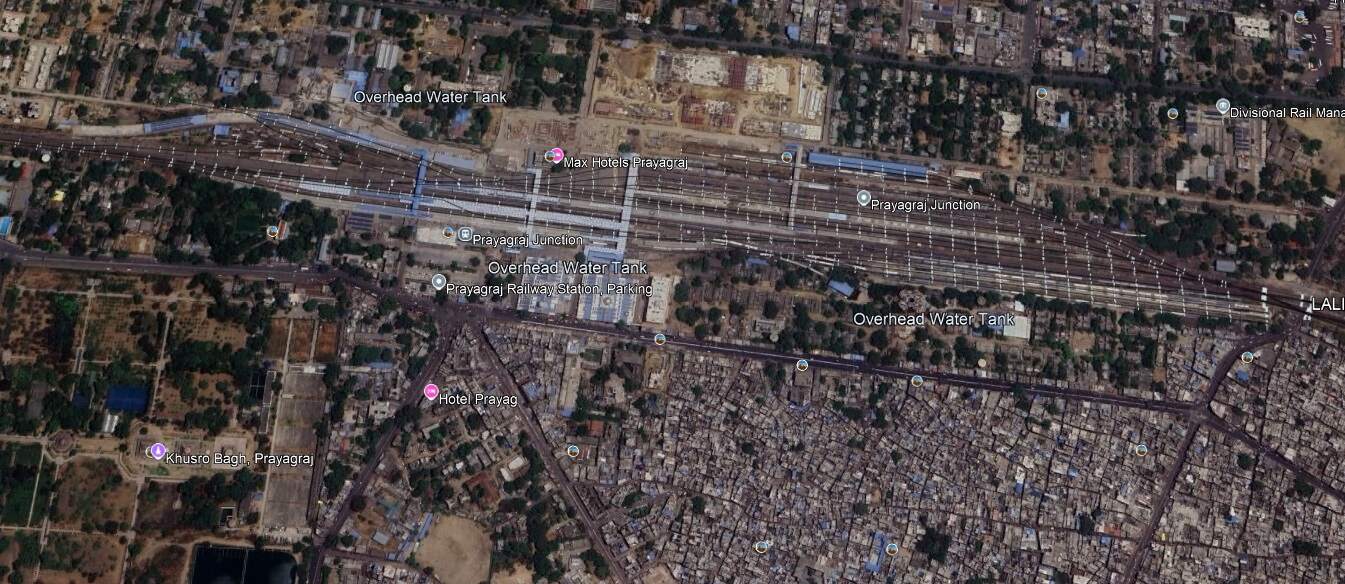
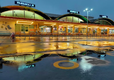
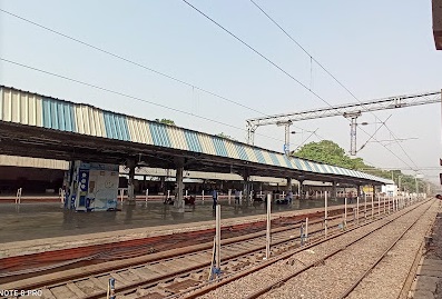
Prayagraj Junction Railway Station. [Google Earth, October 2024]Prayagraj Junction Railway Station (c) Akash Soni. (2020)Prayagraj Junction Railway Station (c) Anand Raj Singh Maurya. (2022)
West of Prayagraj Railway Station the line passed through Subedarganj, Bamhrauli, Manauri, Saiyid Sarawan, Bharwari, Bidanpur, Shujaatpur, Sirathu, Athsarai, Kanwar, Katoghan, Khaga, Sath Naraini, Rasulabad, Faizullapur and Ramva Railway Stations before arriving at Fatehpur Railway Station.
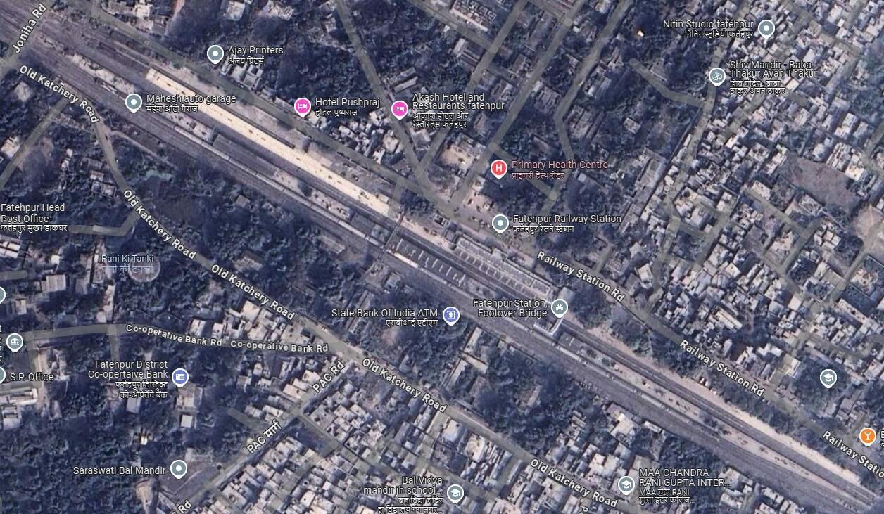
Fatehpur Railway Station. [Google Maps, October 2024]Fatehpur Railway Station (c) Deepak Singh. (2022)Fatehpur Railway Station. [Google Streetview, May 2023]
Northwest of Fatehpur, the railway continued on through Kurasti Kalan, Malwan, Kanspur Gugauli, Binki Road, Aung, Karbigwan, Prempur, Sirsaul, Rooma, Chakeri, and Chanari Railway Stations before looping sharply round into Kanpur Central Railway Station.
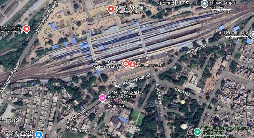
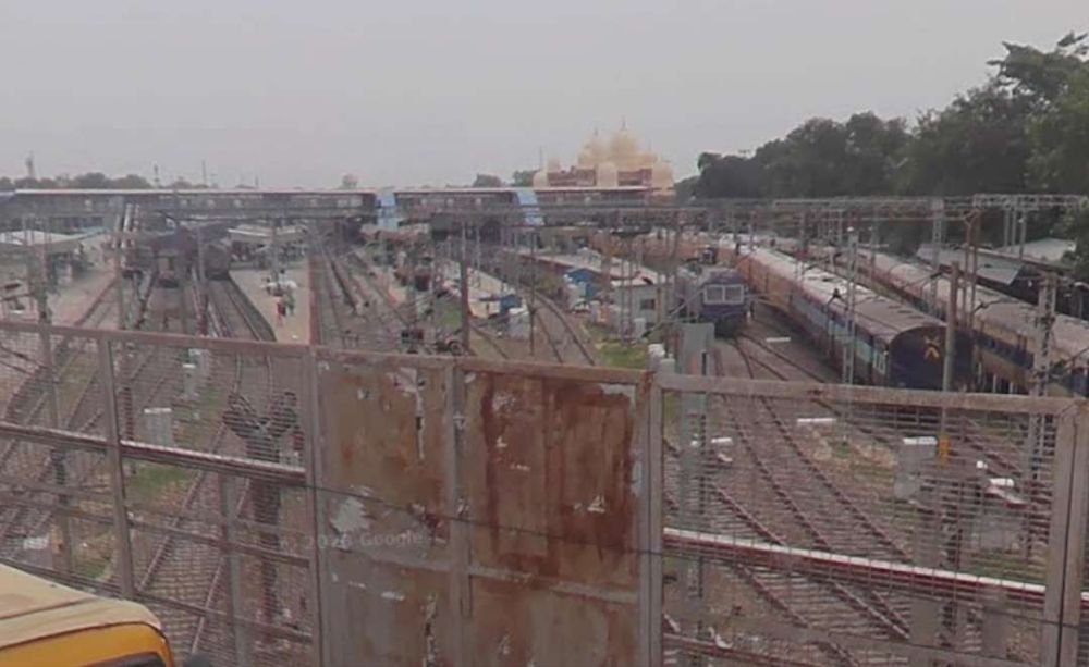
Kanpur Central Railway Station. [Google Maps, October 2024]Kanpur Central Station seen from the Ghantaghar Flyover West of the station. [Google Streetview, 2022]Looking West from the Ghantaghar Flyover which crosses the railway West of Kanpur Central Station. [Google Streetview, 2022]
After leaving Kanpur Central Railway station, the line ran through the GMC Marshalling Yard and on through Panki Sham, Bhaupur (and New Bhaupur), Maitha, Roshan Mau, Patra, Rura, Ambiapur, Jhinjhak, Parjani, Kanchausi, Phaphund, Pata, Achalda, Bharthana, Ekdil (and New Ekdil) and into Etawah Junction Railway Station.
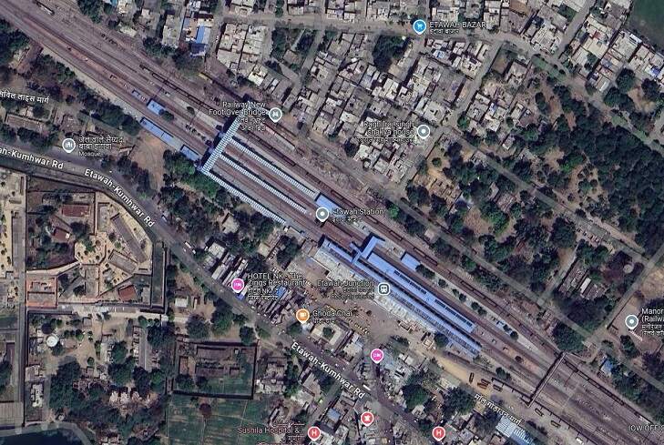
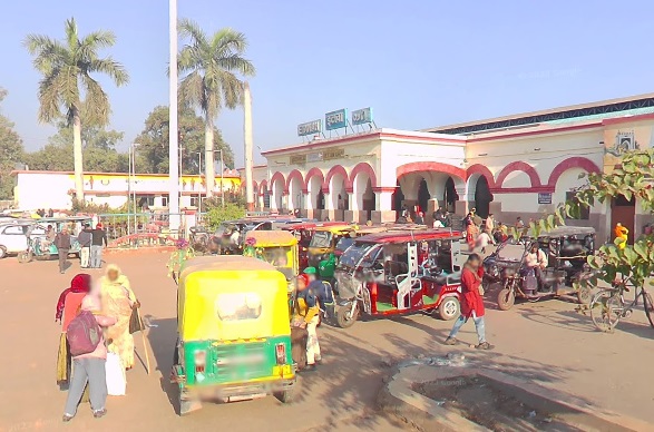
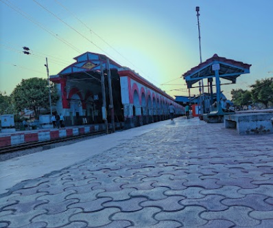
Etawah Junction Railway Station. [Google Maps, October 2024]Etawah Junction Railway Station. [Google Streetveiw, December 2022]Etawah Junction Railway Station (c) Sukhveer Sukhveer. (2023)
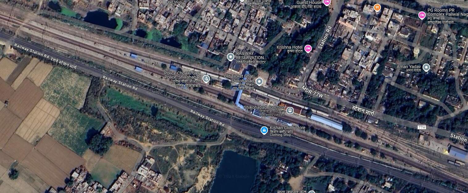
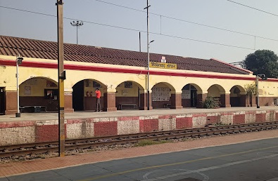
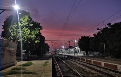
On to the Northwest from Etawah the line passes through Sarai Bhopat, Jaswantnagar, Balrai and Bhadan Railway Stations before entering Shikohabad Junction Railway Station.
Shikohabad Junction Railway Station. [Google Maps, October 2024]Shikohabad Junction Railway Station (c) Mohit Yadav. (2022)Shikohabad Junction Railway Station (c) Anshu Yadavv. (2021)
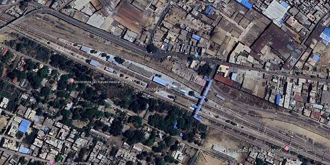
Beyond Shikohabad, we go on Northwest towards Delhi. The line passes through Makkhanpur Railway Station before arriving at Firozabad Railway Station.
Firozabad Railway Station. [Google Earth, October 2024]Firozabad Railway Station Entrance (c) Mohammad Azam. (2021)Firozabad Railway Station seen from its footbridge, (c) Zaid Khan. (2022)
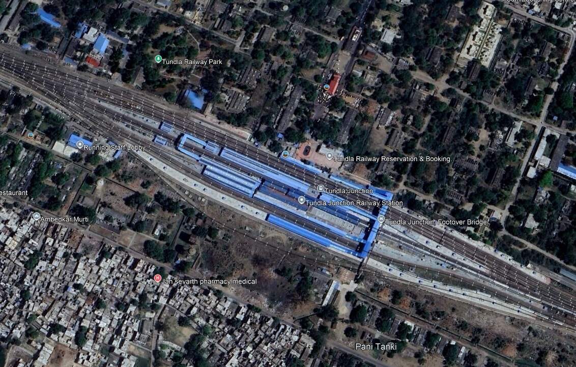
After Firozabad Railway Station, the railway continues Northwest through Hirangaon Railway Station and Tundla Goods Train Yard and into Tundla Junction Railway Station.
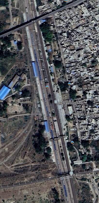
We continue on to the Northwest along the railway line running through Tundla Junction and on in a more northerly direction through Mitawali, Barhan Junction, Chamrola, Jalesar Road, Pora, Hathras Junction (and New Hathras DFCCIL) Railway Station. Just after crossing the station limits at Hathras Junction Station the line passed beneath a Warren Truss Steel Bridge carrying The Kasganj Mathura railway line. While the train is stopped at the station we explore the line carried by the rail overbridge.
The Kasganj Mathura Railway Line Bridge over the Kolkata to Delhi railway line at Hathras Junction. [Google Streetview, November 2022]
The adjacent extract from Google Earth’s satellite imagery shows Hathras Junction Station. At the bottom of the image a rail overbridge carries the Kasganj Mathura Railway lIne. A scheduled passenger service runs along this line between between Kasganj (KSJ) and Mathura Junction (MTJ). [14]
Mathura Junction Railway Station (MTJ) is an important station on the Agra–Delhi chord of the Delhi–Mumbai and Delhi–Chennai lines. It is located in Mathura district in the Indian state of Uttar Pradesh. It is one of the important North-Central Railway stations. It serves Mathura and Vrindavan.
Mathura is the birthplace of Lord Krishna. He spent his childhood in Vrindavan, 11 km away from Mathura. Therefore, both are major pilgrimage centres for Hindus. [15]
The Kasganj Mathura Passenger train covers a total distance of 105 kilometres. [14] Kasganj Junction Railway Station is situated on the Delhi-Kanpur line, it boasts 5 platforms and connects to various destinations across the country. The station is known for its historical significance, being located near the renowned Kasganj Fort and the historic mosque of Shah Jahan. [16]
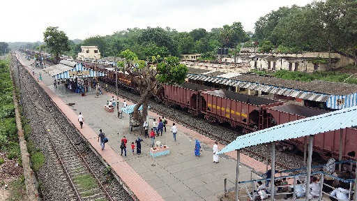
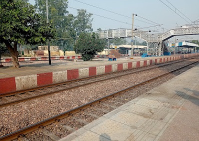
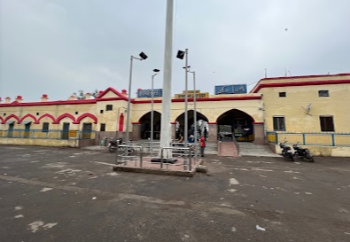
Hathras Junction Railway Station serves the small city of Hathras. Hathras is a place in mythology where Lord Mahadev and Goddess Parvati stopped on their way to Brij to visit Lord Krishna at the time of his birth. There are also some significant historical and sites/remains in its vicinity. These include: Hathras Fort, a Monument to Major Robert Naim, a Monument to Samuel Anderson Nichterlein, a mound known as Gohana Khera; and a number of Hindu temples. [17] Hathras Junction Railway Station is about 164 km from Delhi.
Hathras Junction Railway Station (c) Munesh Kumar. (2022)Hathras Junction Railway Station (c) Akash Gupta. (2023)
We leave Hathras Junction Station travelling North and pass through Mandrak and Daud Khan Railway Stations before reaching Aligarh Junction Railway Station.
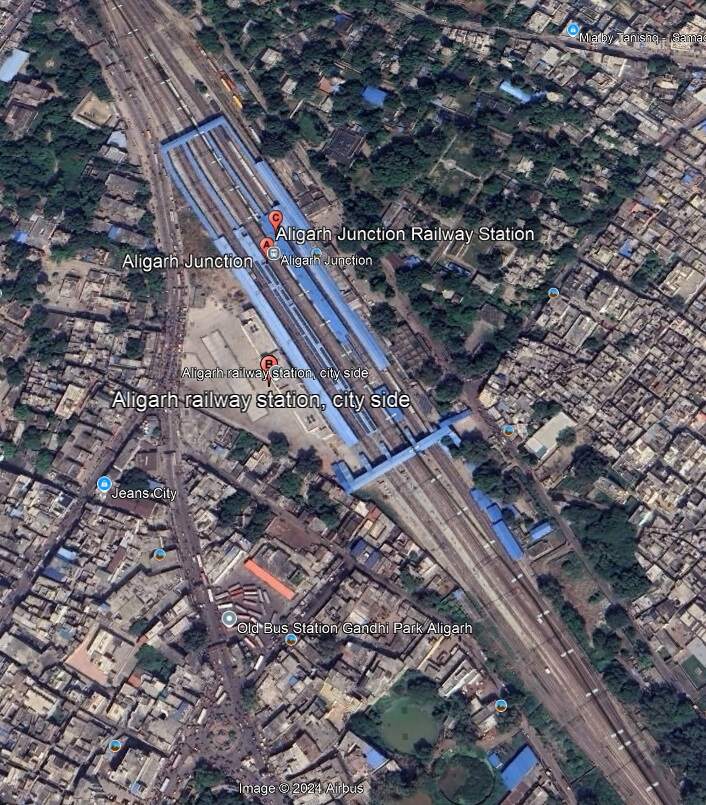
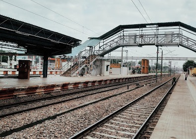
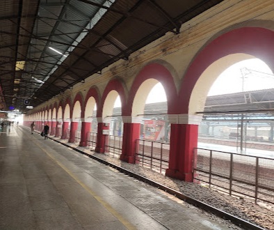
Aligarh Junction Station. [Google Earth, October 2024]Aligarh Junction Railway Station (c) MD Wasif (2022)Aligarh Junction Railway Station (c) Mayank Upadhyay. (2021)
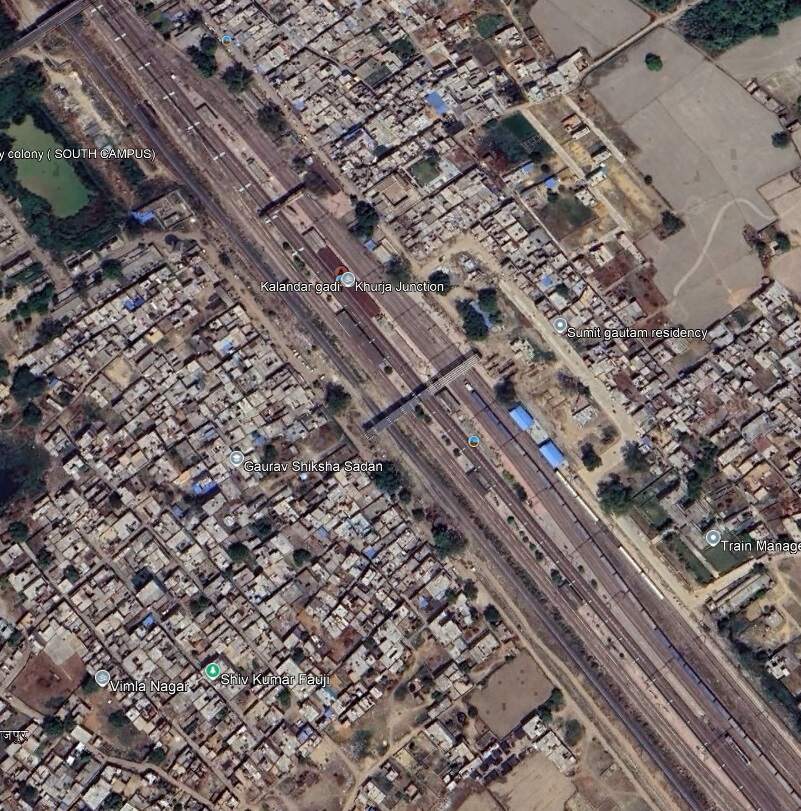
We are now perhaps about 150 kilonmetres from Delhi and travellin North-northwest. The line continues through Mehraval, Kulwa, Somna, Danwar and Kamalpur Railway Stations and into Khurja Junction Railway Station.
Khurja Junction Railway Station. [Google Earth, October 2024]Khurja Junction Railway Station, seen from the road overbridge at the North end of the station site. [Google Streetview, April 2022]
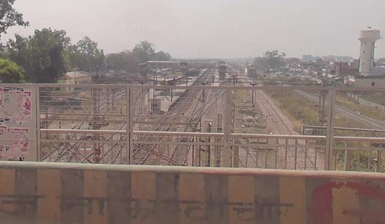
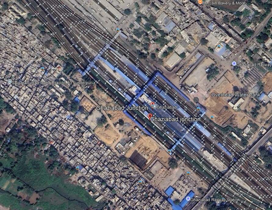
we travel on through Sultanpur and Sikandarpur Stations, Gangraul Halt, Chola, Wair, Fatehpur Makrandpur, Dankaur, Ajaibpur, Boraki, Dadri, Maripat, Chipyana Buzurg Railway Stations and into Ghaziabad Junction Railway Station.
Ghaziabad Junction Railway Station. [Google Earth, October 2024]Ghaziabad Junction Railway Station (c) Aryan Meena. (2022)Ghaziabad Junction Railway Station (c) Saurabh Agrawal. (2021)
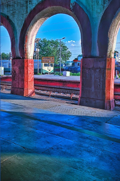
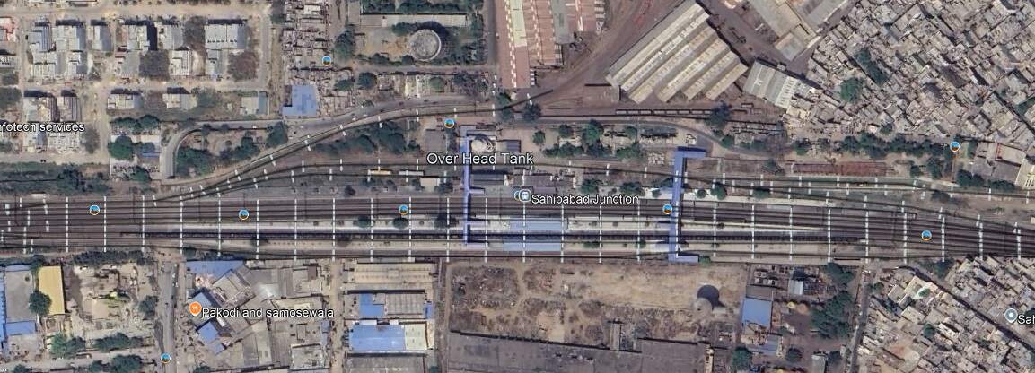
Heading on Northwest towards Delhi trans pass through Sahibabad Junction Railway Station.
Sahibabad Junction Railway Station. [Google Earth, October 2024]
Now running East-West the line continues on through Vivek Vihar Railway Station – the area around the line is now heavily built up. Ahead lies the Old Iron Railway Bridge over the Yamuna River.
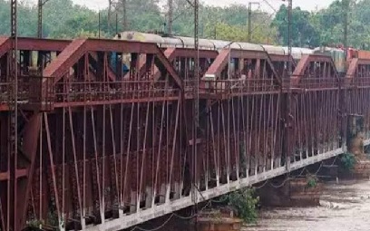
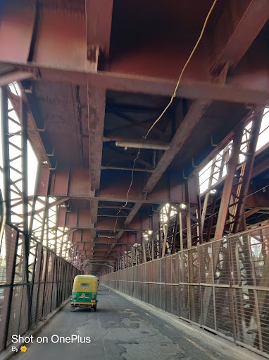
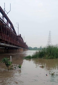
Old Iron Railway Bridge (c) Zee News India. (2023) [18]Old Iron Railway Bridge (c) Suraj Kumar. (2022)Old Iron Railway Bridge (c) Satish Reddy. (2022)
“The old Indian Railways bridge, popularly referred to as ‘lohey ka pul’ (iron bridge) has witnessed many floods and is also a reference point for measuring danger level for Yamuna water levels.” [18] The bridge was first opened for traffic in 1866 and is numbered as Bridge No. 249. It “was constructed initially as a single line, at a cost of £16,355. … It had a total length of 2,640 ft and consisted of 12 spans of 202 ft each. The superstructure consisted of steel lattice girders. … In 1913, the bridge was converted into a double line and later in the 1930s some of the spans were re-girdered and the roadway below was widened. The bridge was taken over by the North Western Railway in 1925 and is currently under the Northern Railway.” [18]
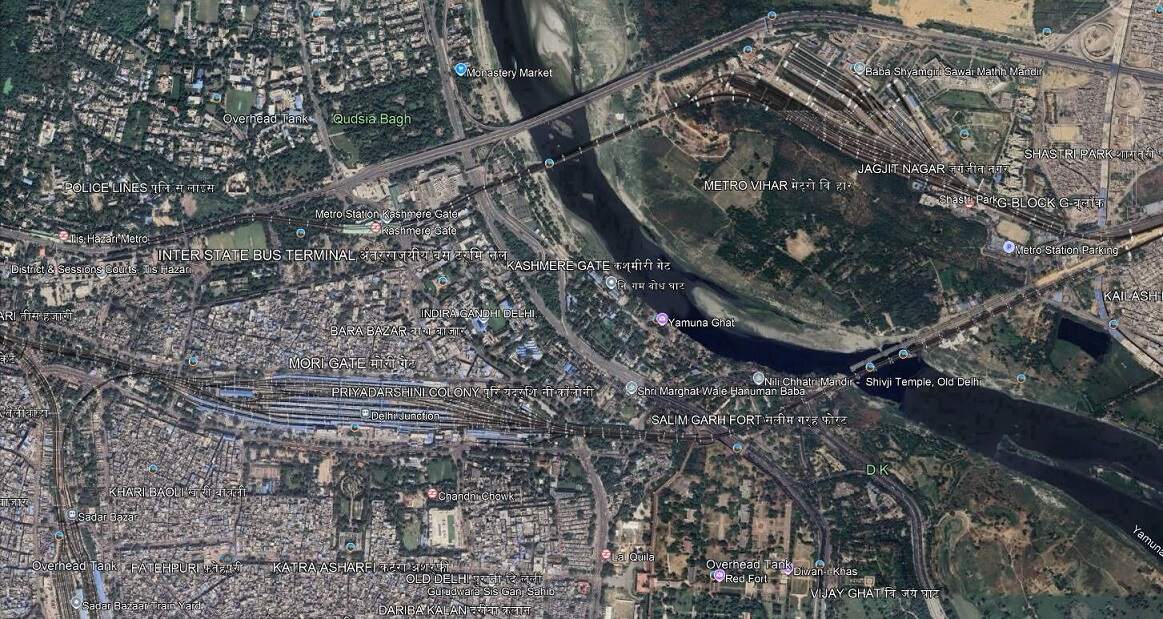
To the West of the Yamuna River, the line entered Delhi Junction Station.
Dehli Junction Railway Station was West of the Yamuna River. This extract from Google Earth’s satellite imagery shows bridges over the Yamuna River and Delhi Junction Railway Station. The Old Iron Railway Bridge over the Yamuna River is in the bottom-right quadrant of the image, the Station is just left of centre in the bottom half of the image. [Google Earth, October 2024]
The line runs on to the West through Kishanganj, Delhi Sarai Rohilla, Dayabasti, and Shakur Basti Railway Stations, any of which will allow a traveller to access the city of Delhi.
Our journey along the old EIR lines is completed here in Delhi. There may well be more articles in this series looking at some of the other lines initially constructed by the East Indian Railway. What has been most noticeable on the modern journey is the number of tracks required by the line and the frequency of services.
References
G. Huddleston; The East Indian Railway; in The Railway Magazine, London, December 1905, p481-488.
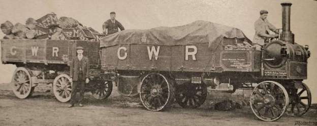
The Railway Magazine of December 1905 included a photograph of a road vehicle powered by steam. The picture in The Railway Magazine is the featured image for this short article.
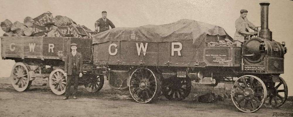
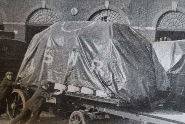
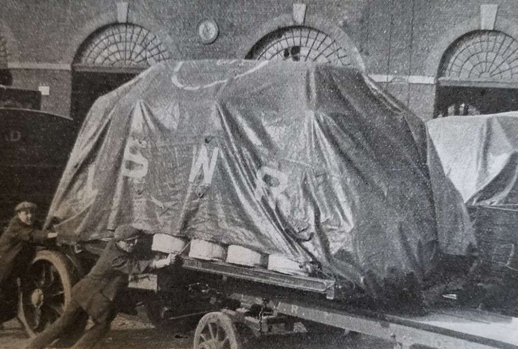
The Railway Magazine entitled this image, “Great Western Railway Enterprise.” It shows a steam motor wagon and trailer which was used for collecting and delivering goods at Henwick. [1: p480]
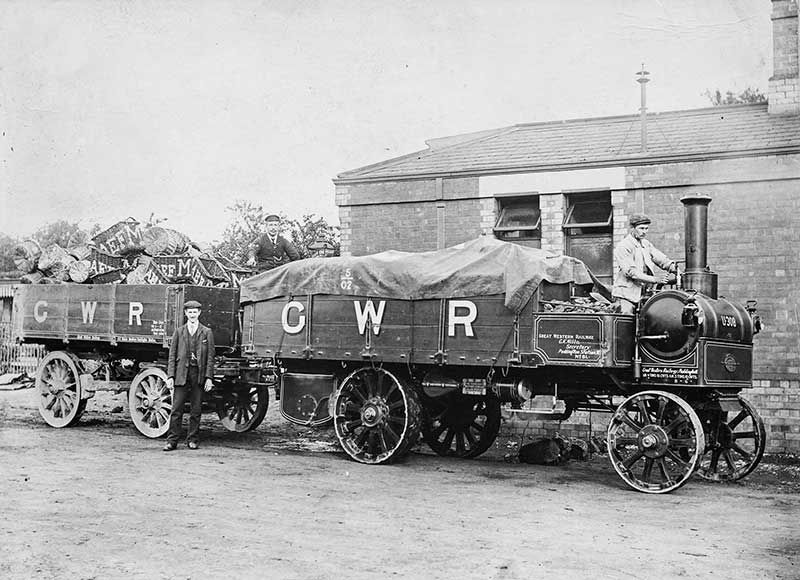
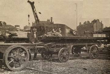
It seems as though the editor of The Railway Magazine removed the background from a photograph to prepare it for the magazine. The original photograph is shown immediately below.
An archive image from the GW Trust archive of road motors at Didcot. It is clear that this is the original image from which The Railway Magazine took their illustration. [2]
An article about GWR Steam Road Motors was included in Going Loco, May 2022. [2]
The two photographs show the same vehicle, No. U 308, built by the Yorkshire Patent Steam Wagon Co of Leeds in 1905. “The novel double-ended transverse-mounted boiler was used to avoid problems on steep hills. With a horizontal boiler mounted fore and aft, skill is required to keep the inner firebox crown covered with water when descending a steep hill.” [2]
The same photo can be found on the Leeds Engine Builders webpage. [3]
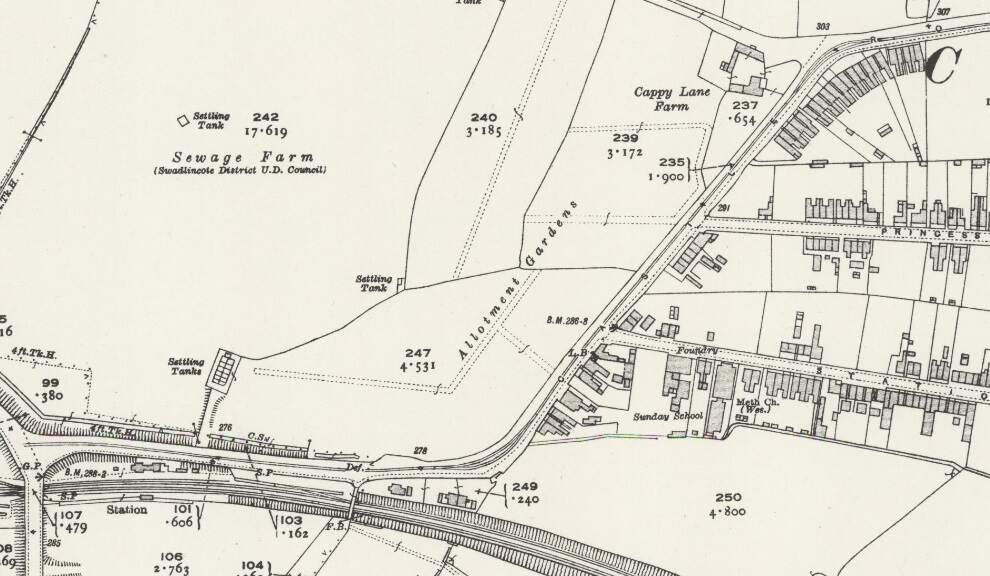
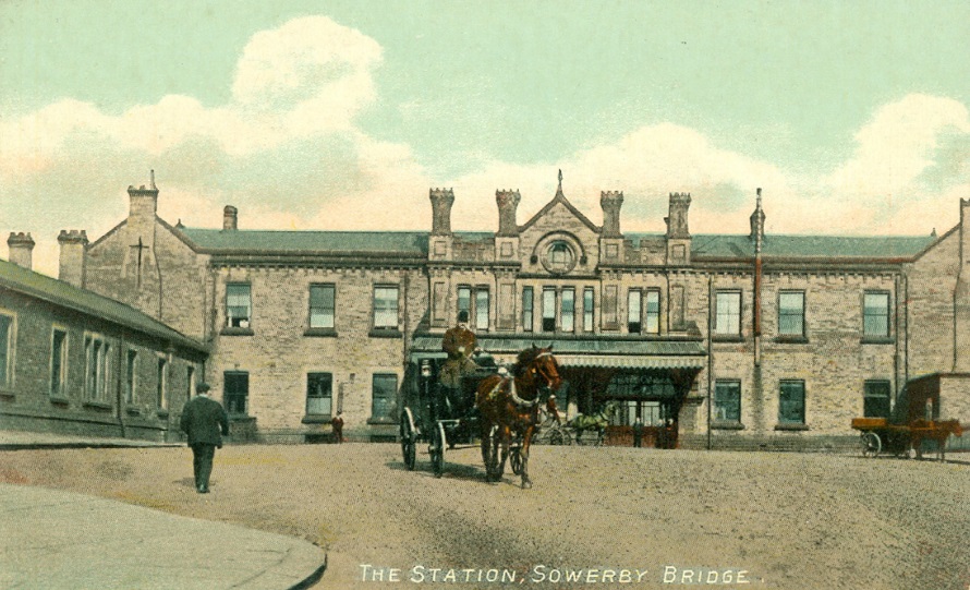
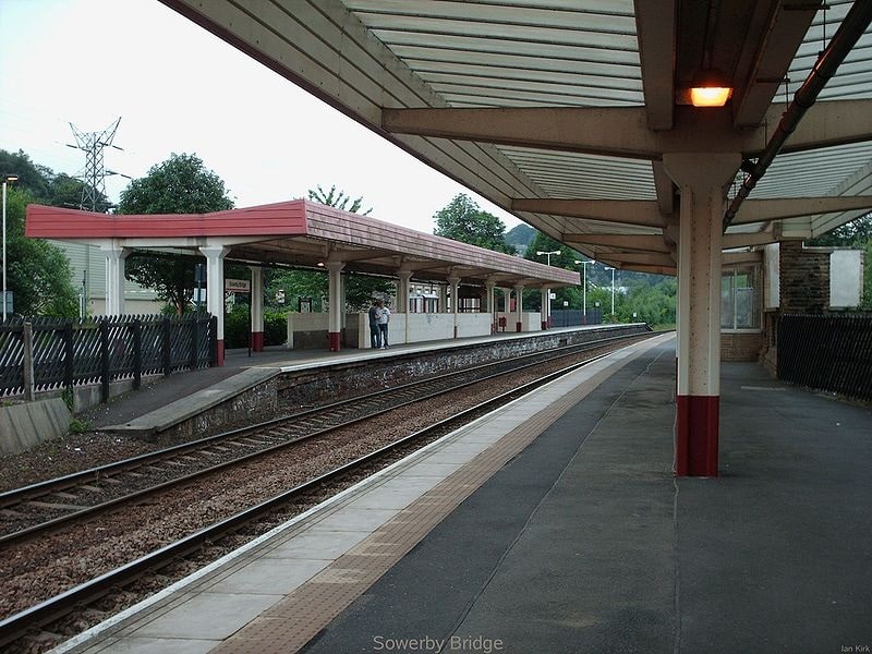
More images of Sowerby Bridge Railway Station can be found here [67] and here. [68]
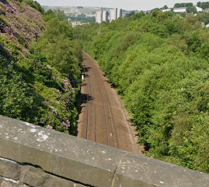
Just beyond the eastern station limits Fall Lane bridges the line – two views from the bridge follow.
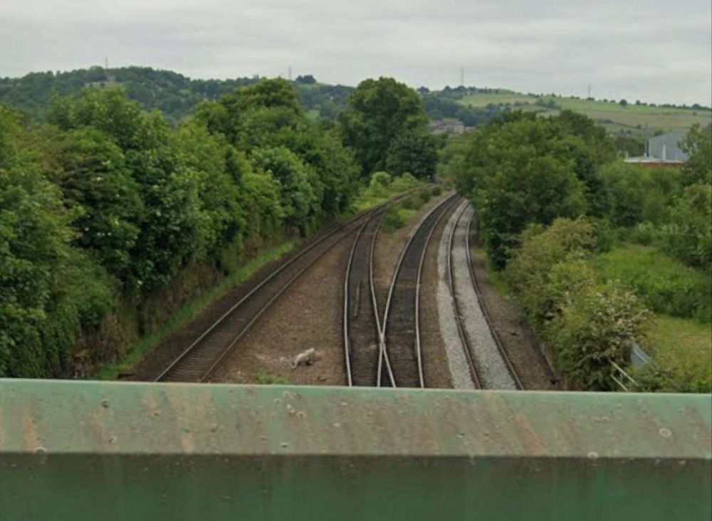
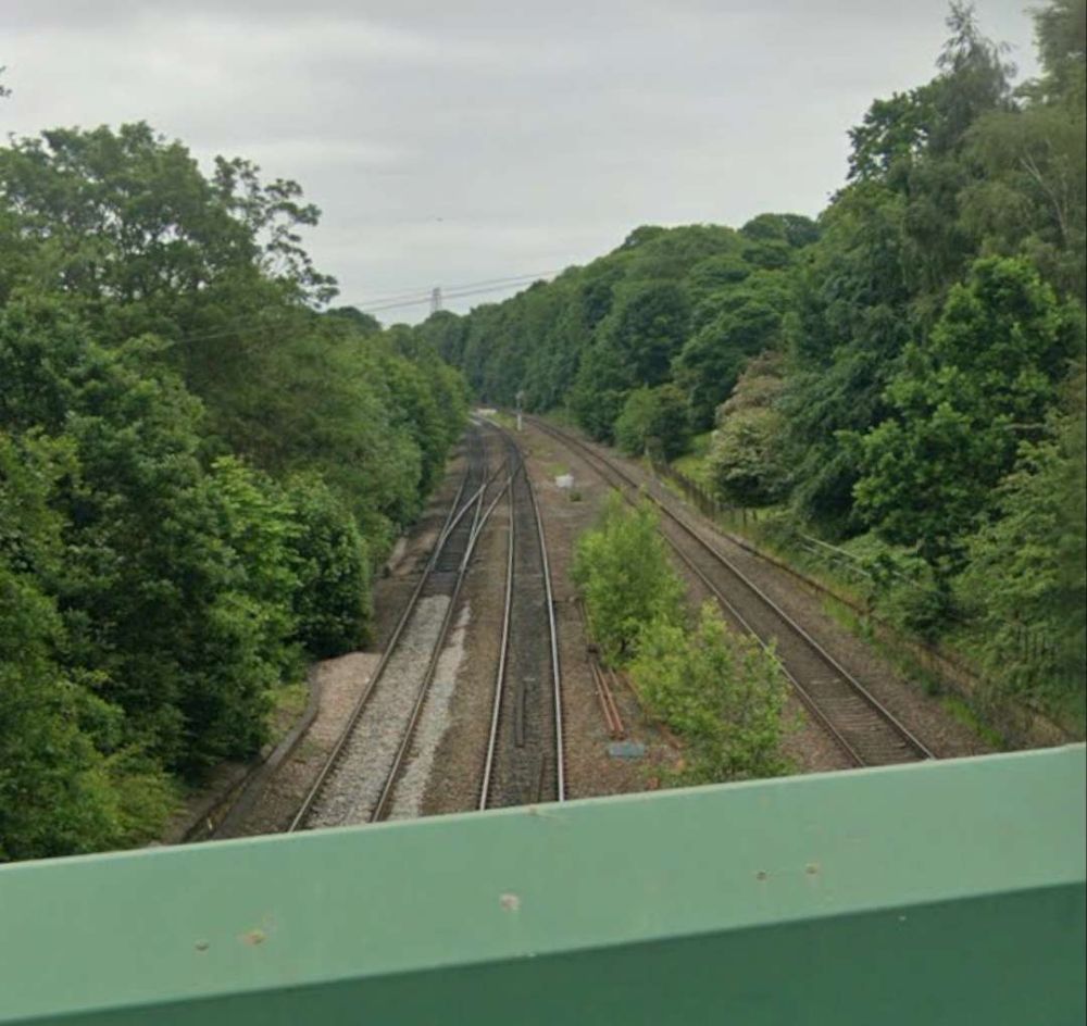
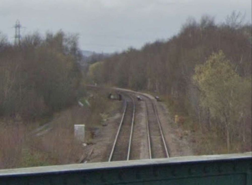
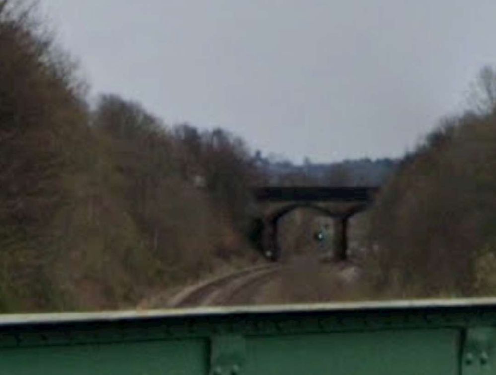
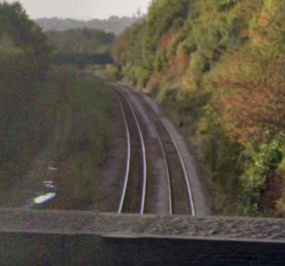
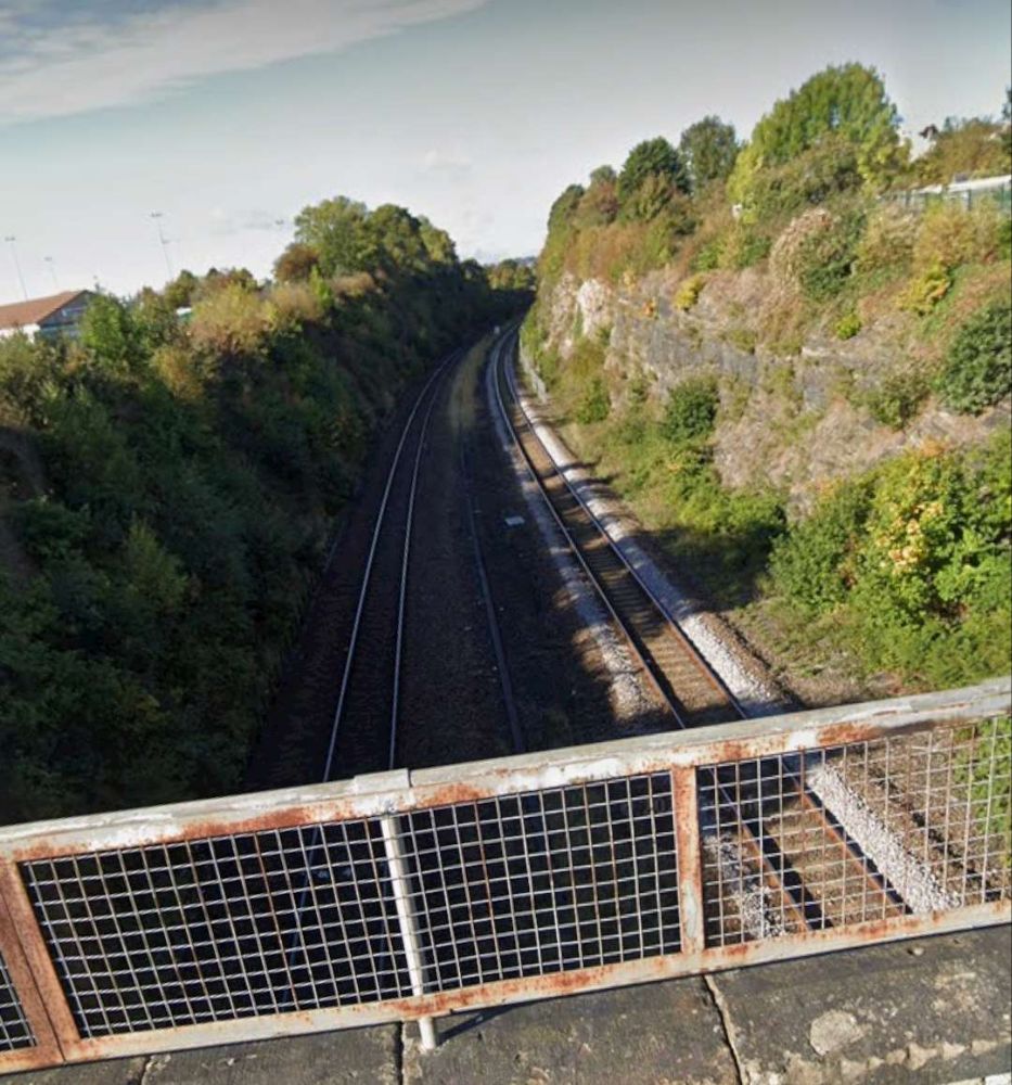
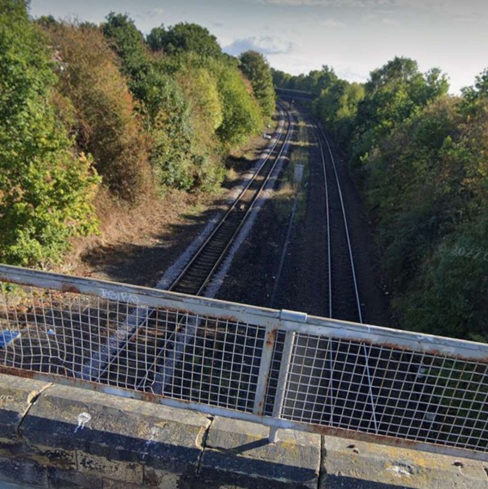
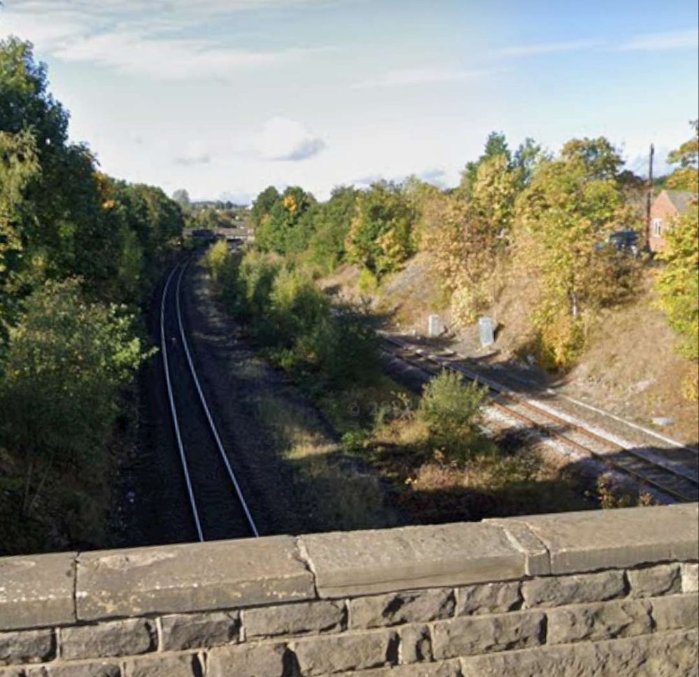
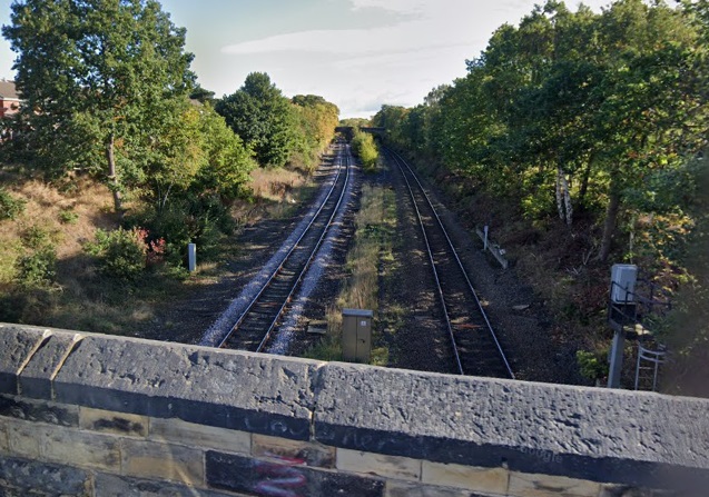
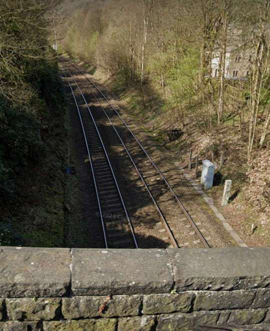
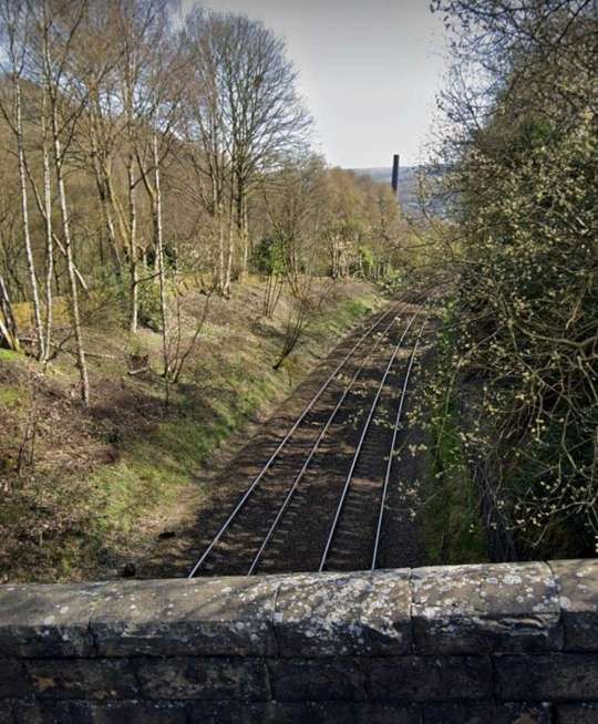
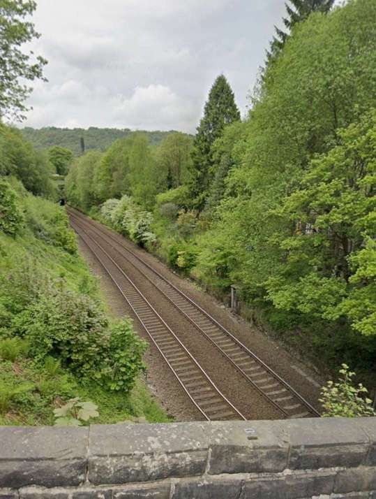
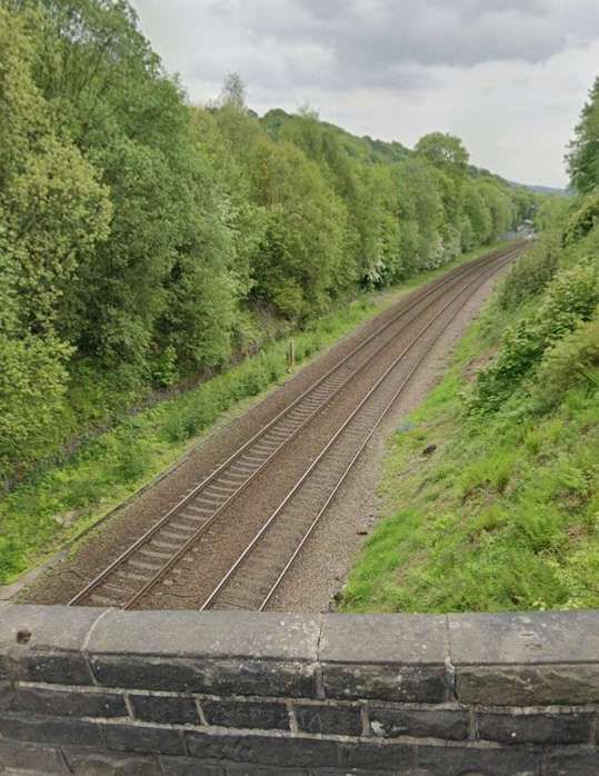
The view East from Fall LaneThe view West from Fall Lane
To the East of Sowerby Bridge the line crosses the River Calder again.
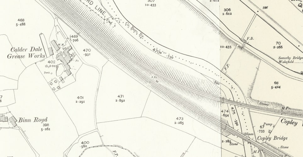
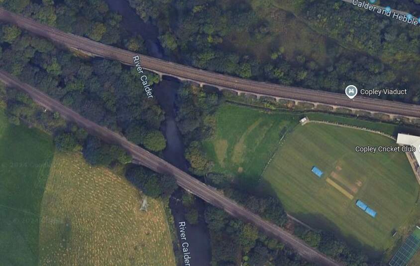
Another extract from the 25″ Ordnance Survey of 1905, published in 1907 shows Calder Dale Grease Works, Copley Bridge and Copley Viaduct. The Sowerby Bridge, Halifax and Bradford line leaves the main line at this point. [25]The bridge and Viaduct as they appear on Google Maps satellite imagery in 2024. [Google Maps, October 2024]
An image of Copley Viaduct can be seen here. Just beneath the viaduct, at the left of the linked photograph, a train is crossing Copley Bridge on the line we are following. [61]
The Manchester and Leeds Railway then crosses the Calder once again and enters Greetland Station. The second arm of the Sowerby Bridge, Halifax and Bradford line joins the mainline just before (to the Northwest of) Greetland Station.
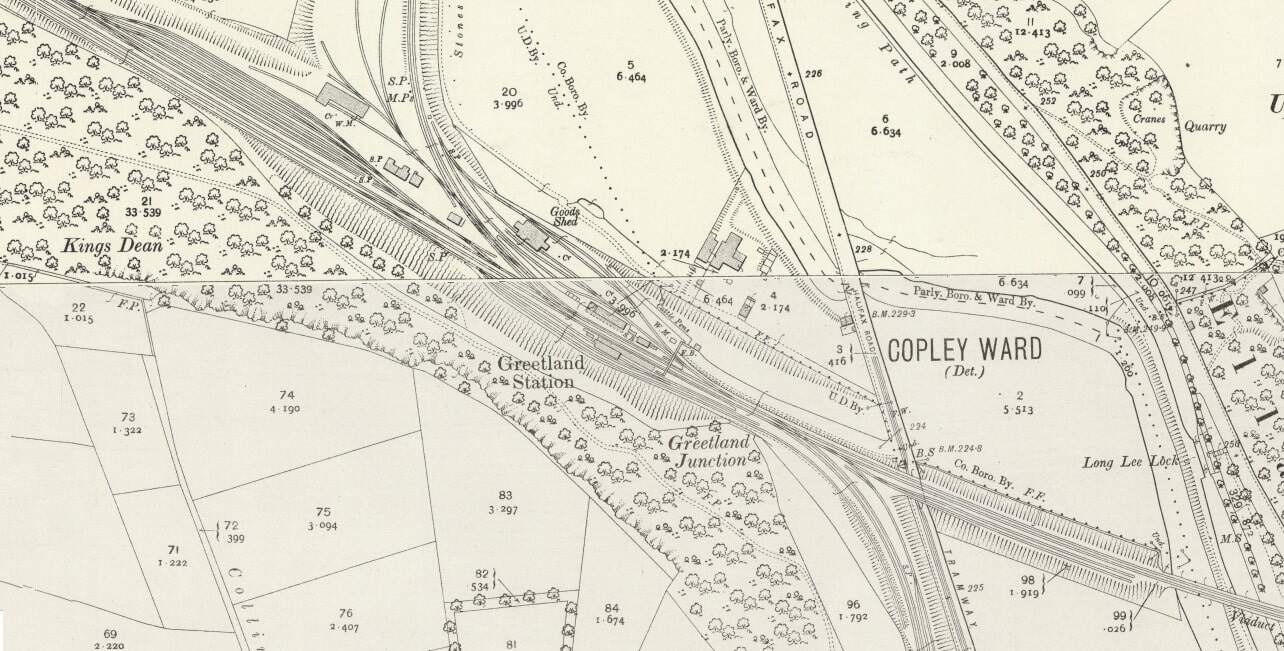
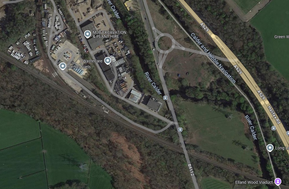
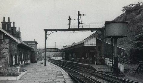
Greetland Station shown on the 25″ Ordnance Survey of 1905. Top-left the second arm of the triangular junction with the Sowerby Bridge, Halifax and Bradford line can be seen joining the Manchester and Leeds Railway. Bottom-right, the Stainland Branch leaves the main line just before the main line bridges the River Calder once again. [26]The same location in the 21st century. Greetland Station is long gone and the branch South (the Stainland Branch has also been lifted. [Google Maps, October 2024]Greetland Railway Station in 1962, just before closure. The camera is positioned at the Northwest end of the station. [28]
Greetland Railway Station “was originally opened as North Dean in July 1844. It was subsequently changed to North Dean and Greetland and then to Greetland in 1897. Situated near the junction of the main Calder Valley line and the steeply-graded branch towards Halifax (which opened at the same time as the station), it also served as the junction station for the Stainland Branch from its opening in 1875 until 1929. It was closed to passenger traffic on 8th September 1962.” [27]
Looking West from the A629, Halifax Road which sits over the line adjacent to the West Portal of Elland Tunnel. [Google Streetview, July 2024]
Rake says that the line then approaches “Elland Tunnel, 424 yards, in length, and, after leaving Elland Station, pass[es] through a deep cutting, from which a large quantity of stone for the building of the bridges was obtained.” [1: p471]
To the East of Elland Railway Station the railway is carried above the River Calder, passing Calder Fire Clay Works. Further East again, “the railway is carried across a steep and rugged acclivity, rising almost perpendicularly from the river. … The viaduct consists of six arches of 45ft span each, and leads directly to Brighouse, originally the nearest station to Bradford.” [1: 472]
The view from the South of the bridge which carries the railway over Park Road (A6025), Elland. Elland Station stood above this location and to the left. [Google Streetview, July 2024]
From Elland, the line runs on through Brighouse
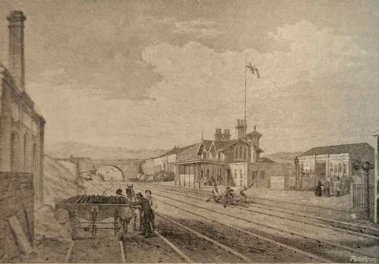
Brighouse Station and Goods Yard as shown on the 25″ Ordnance Survey of 1905. [31]The view West from Gooder Lane Bridge towards Cliff Road Bridge Elland. [Google Streetview, May 2023]The view East across Brighouse Railway Station from Gooder Lane. [Google Streetview, May 2023]Brighouse Railway Station (originally called ‘Brighouse for Bradford’). [1: p472]
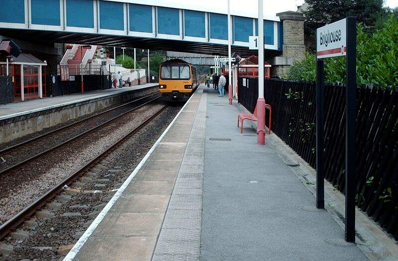
Embedded link to Flickr. The image shows B1 No. 61034 Chiru at Brighouse Station on 2nd April 1964. The locomotive is arriving at the station from the East with a local passenger train. The locomotive had only recently been transferred to Wakefield from Ardseley. It was withdrawn at the end of 1964. The photograph looks Southeast through the station. [32]A much later photograph of Brighouse Railway Station (2006) which looks Northwest through the station from platform 1, (c) Ian Kirk and authorised for reuse under a Creative Commons Licence (CC BY 2.5). [33]
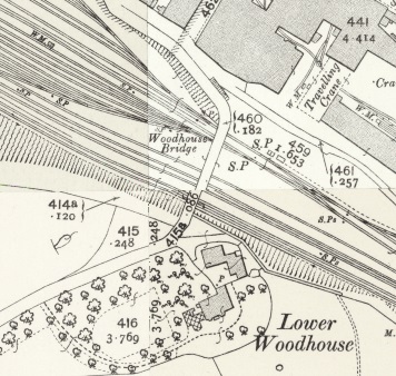
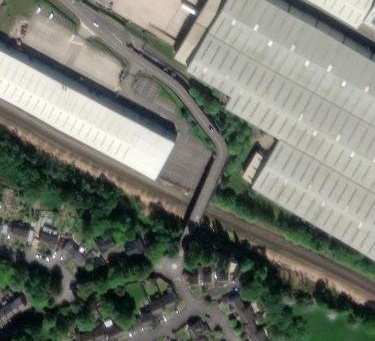
To the East of the passenger facilities at Brighouse there were a significant array of sidings. The first length of these can be seen on the OS Map above. Around 75% of the way along these sidings Woodhouse Bridge spanned the lines. Much of the area has been redeveloped by modern industry. The next four images relate to that bridge.
Woodhouse Bridge in 1905. [69]Woodhouse Bridge in 2024. [69]Looking West from Woodhouse Bridge in 2023. [Google Streetview, August 2023]Looking East from Woodhouse Bridge in 2023. [Google Streetview, August 2023]
Leaving Brighouse Station, the railway is joined, from the North, by the Bailiff Bridge Branch (long gone in the 21st century).
Immediately to the East of Brighouse Station Goods Yards, the Bailiff Bridge Branch joined the Manchester and Leeds Railway. [62]Approximately the same area in the 21st century as shown on the OS map extract above. The line of the old Bailiff Bridge Branch is superimposed on the satellite image. [Google Maps, October 2024]
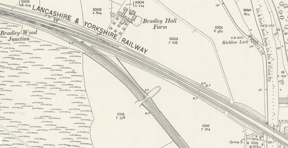
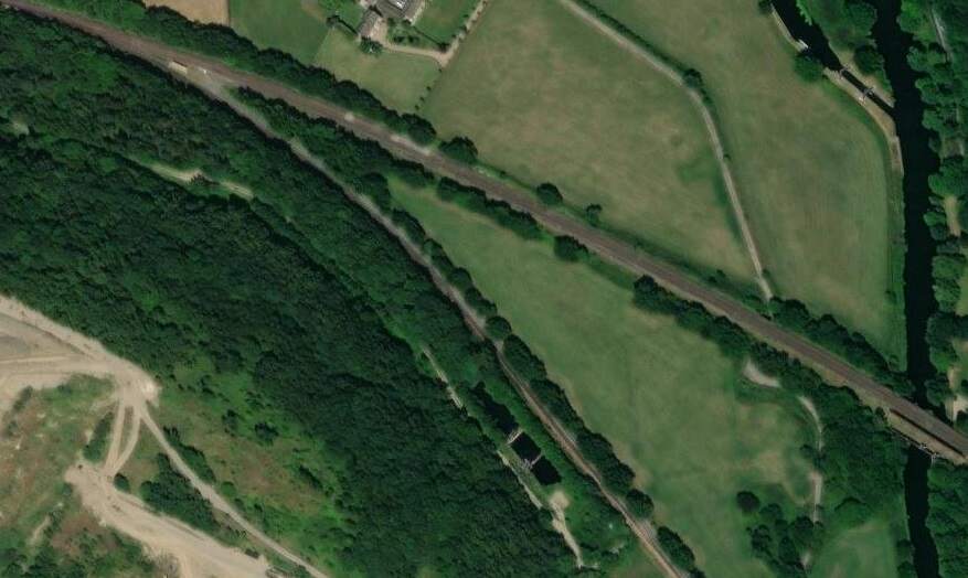
A little further to the East, in the 21st century, the line passes under the M62 and enters a deep cutting before, at Bradley Wood Junction, the Bradley Wood Branch leaves the line to the South (still present in the 21st century).
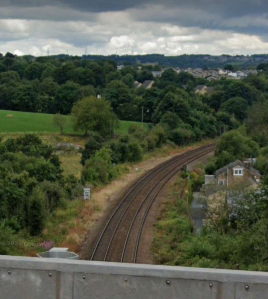
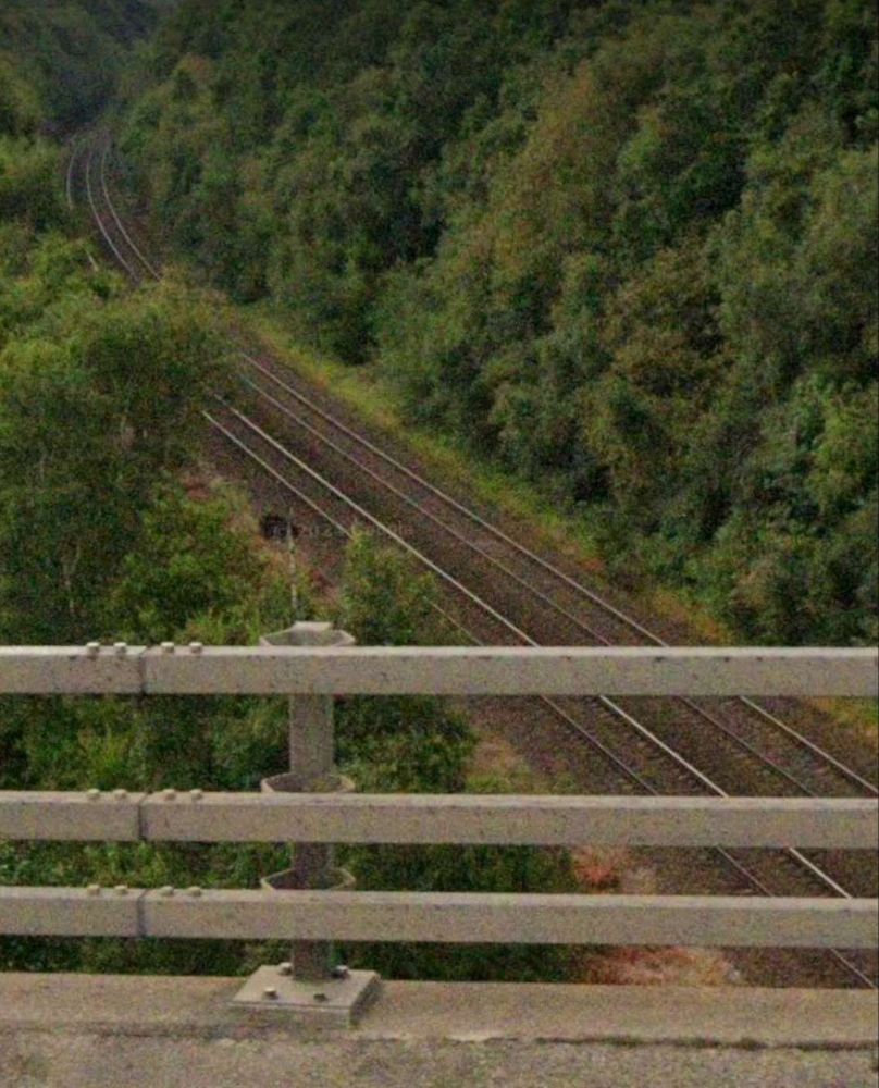
Looking West from the M62 in July 2024Looking East from the M62 in July 2024Bradley Wood Junction as shown on the 25″ Ordnance Survey of 1905. [70]Much the same area in the 21st century. [70]
“Beyond [Bradley Wood Junction] the Calder is crossed by a viaduct of two arches of 76 ft. span each. this is succeeded by an embankment, along which the line continues down the valley. [It] again cross[es] the Calder by a viaduct similar to that just referred to.” [1: p472] The line was widened to the South side to create a four-track main line and single span girder bridges were positioned alongside the original structures.
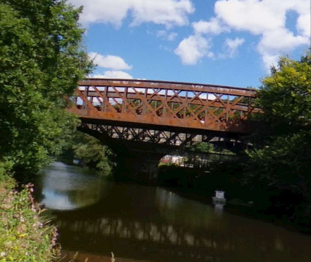
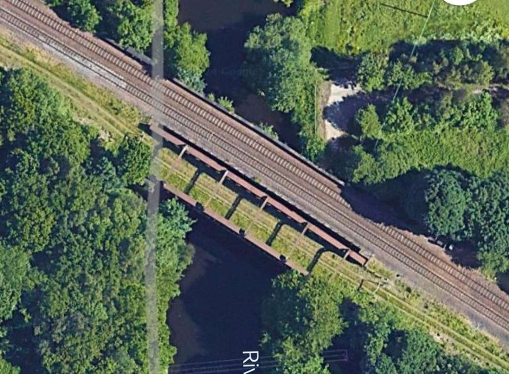
At the first crossing of the River Calder mentioned immediately above, the original two arches of the stone viaduct can be seen beyond the more modern girder bridge in this photograph, (c) Uy Hoang. [Google Streetview, September 2022]The same bridges as they appear on Google Maps satellite imagery in 2024. [Google Maps, October 2024]
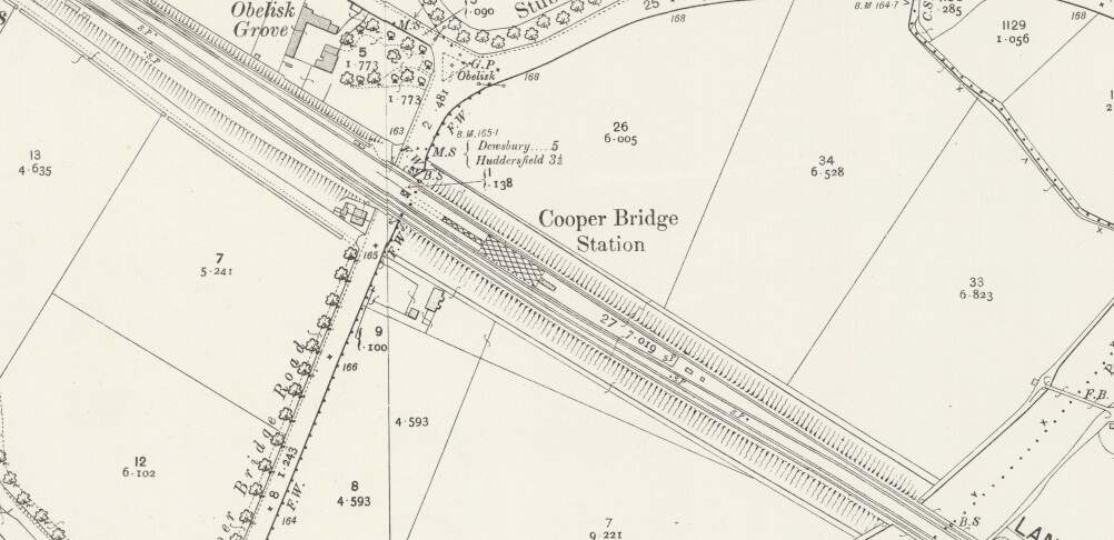
In between the two bridges across the River Calder, was Cooper Bridge Station.
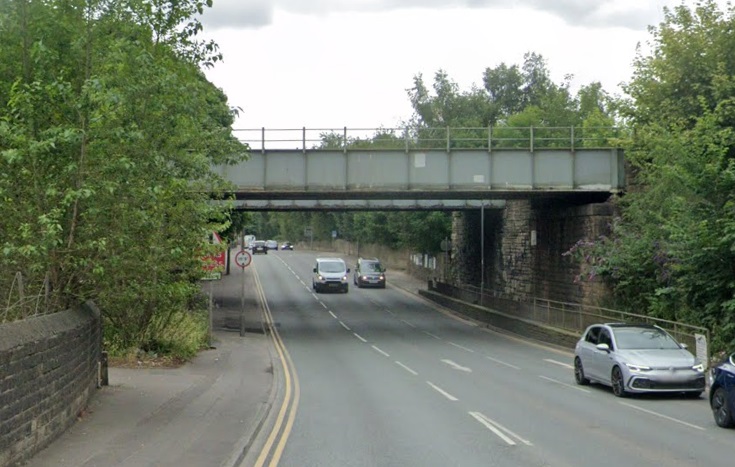
Cooper Bridge Station as it appears on the 1905 25″ Ordnance Survey. [34]The Station at Cooper Bridge is long gone in the 2st century, but the bridges remain. The station sat over the road at this location with platform buildings between the rails of the left edge of this image. This photograph is taken from the North on Cooper Bridge Road. [Google Streetview, July 2024]The second of the two crossings of the River Calder mentioned above. This photograph, taken from the Southwest, shows the girder bridge with the stone-arched 2-span bridge beyond, (c) Uy Hoang. [Google Streetview, September 2022]This view from the North East and from under an adjacent footbridge shows the stone-arched 2-span structure, (c) Uy Hoang. [Google Streetview, September 2022]
Rake’s journey along the line seems not to focus so closely on the remaining length of the line. Various features and a number of stations seem to have been missed (particularly Cooper Bridge, Mirfield, Ravensthorpe, Thornhill, Horbury & Ossett). It also seems to suggest that the line goes through Dewsbury Station. Rather than rely on Rake’s commentary about the line, from this point on we will provide our own notes on the route.
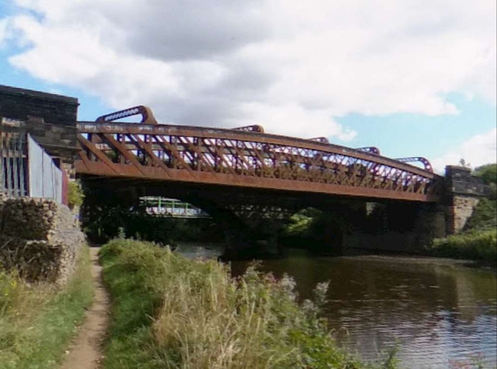
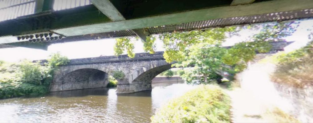
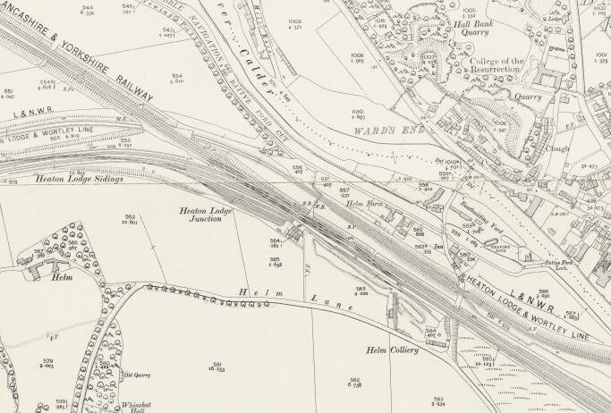
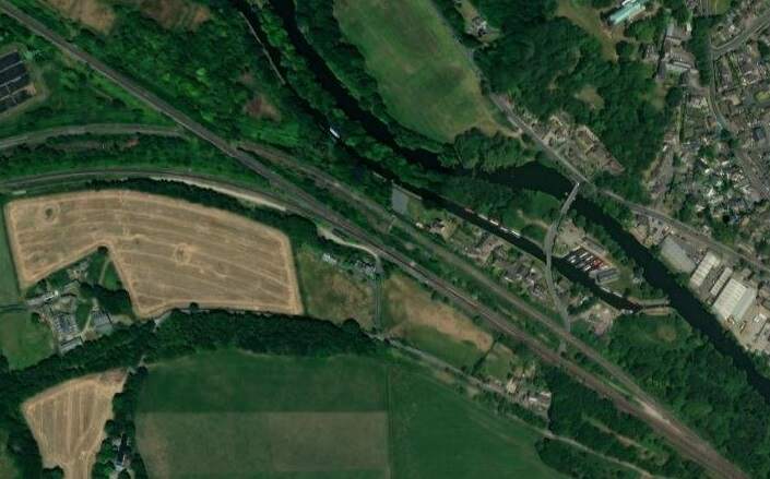
At Heaton Lodge Junction, the LNWR Huddersfield & Manchester line joined the Manchester & Leeds line with the LNWR Heaton & Wortley line passing beneath. The Manchester & Leeds line ran on towards Mirfield Station passing the large engine shed before entering the station over a long viaduct which once again crossed the River Calder.
Just to the East of Mirfield Station was Cleckheaton Junction and then Wheatley’s Bridge over the River Calder. A bridge then carries Sand Lane over the railway.
Looking West from Sands Lane Bridge back towards Mirfield. [Google Streetview, May 2023]Looking East from Sands Lane Bridge. [Google Streetview, May 2023]
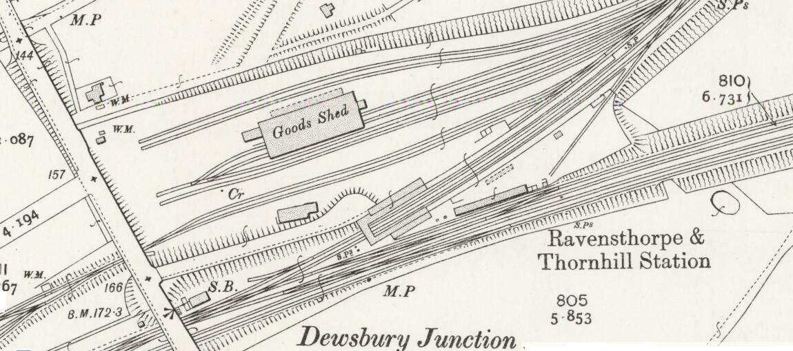
Soon after this the line encountered Dewsbury Junction which hosted Ravensthorpe (Ravensthorpe and Thornhill) Station.
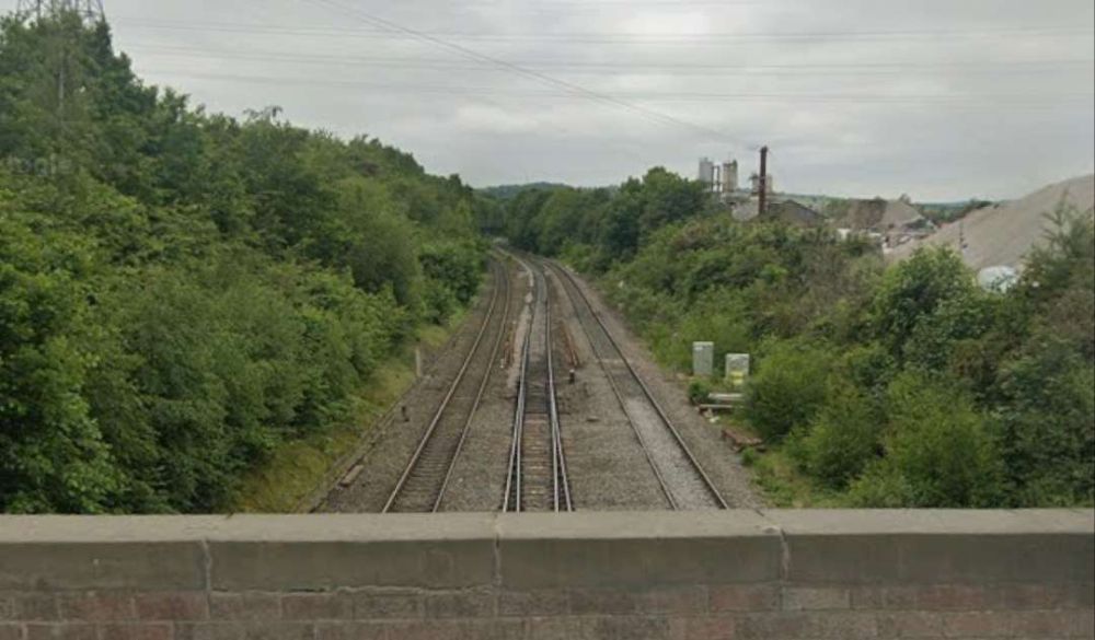
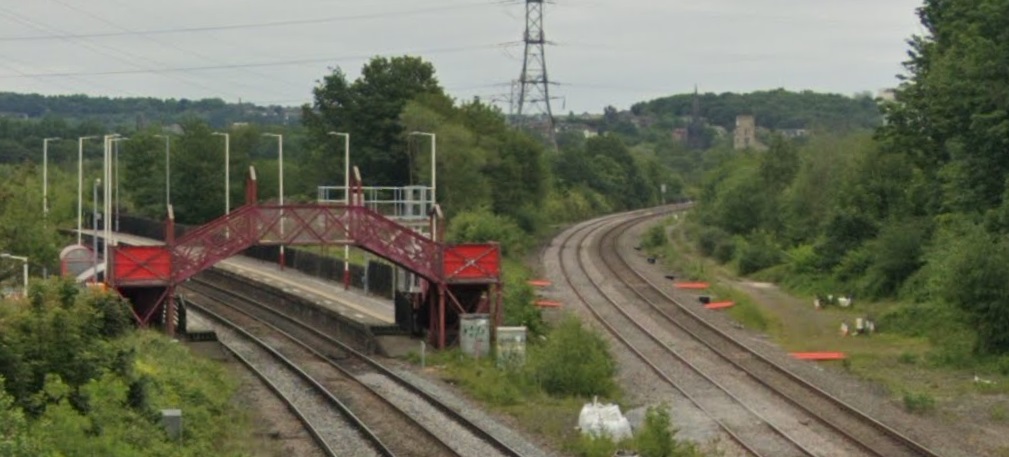
Dewsbury Junction and Ravensthorpe Station. [39]Looking West from Calder Road towards Mirfield. [Google Streetview, May 2023]The view East from Calder Road showing Ravensthorpe Station with the Manchester & Leeds line heading away to the right of the picture. [Google Streetview, May 2023]
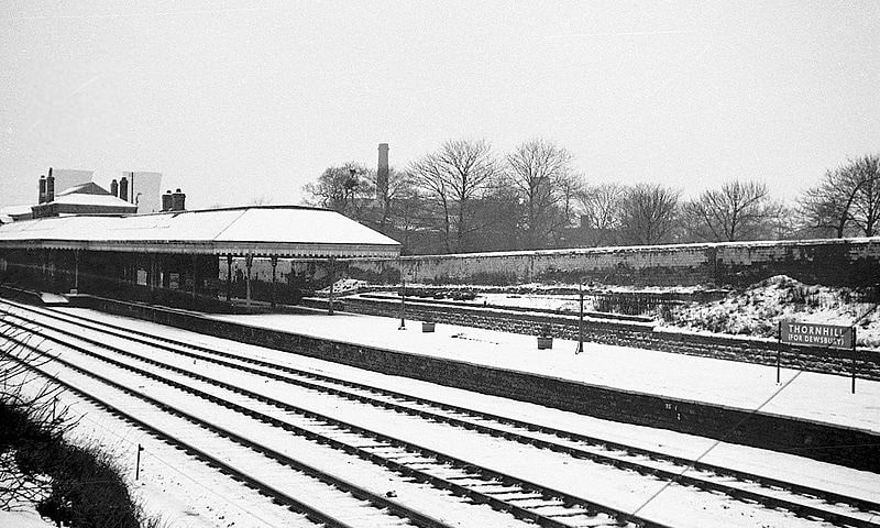
Thornhill Railway Station was a short distance further East just beyond the junction where the Ravensthorpe Branch met the main line at Thornfield Junction.
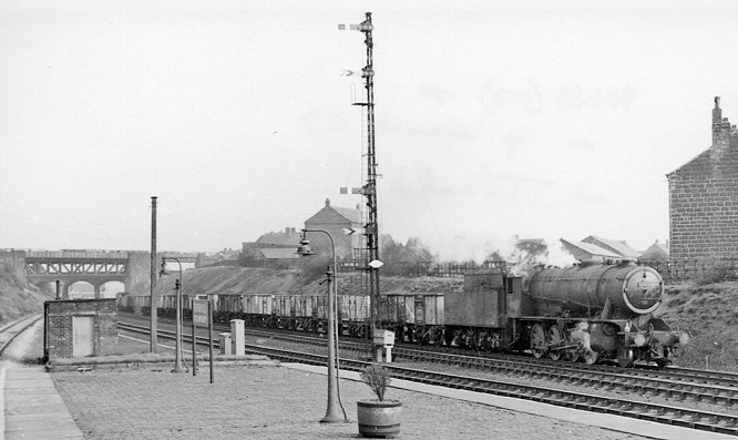
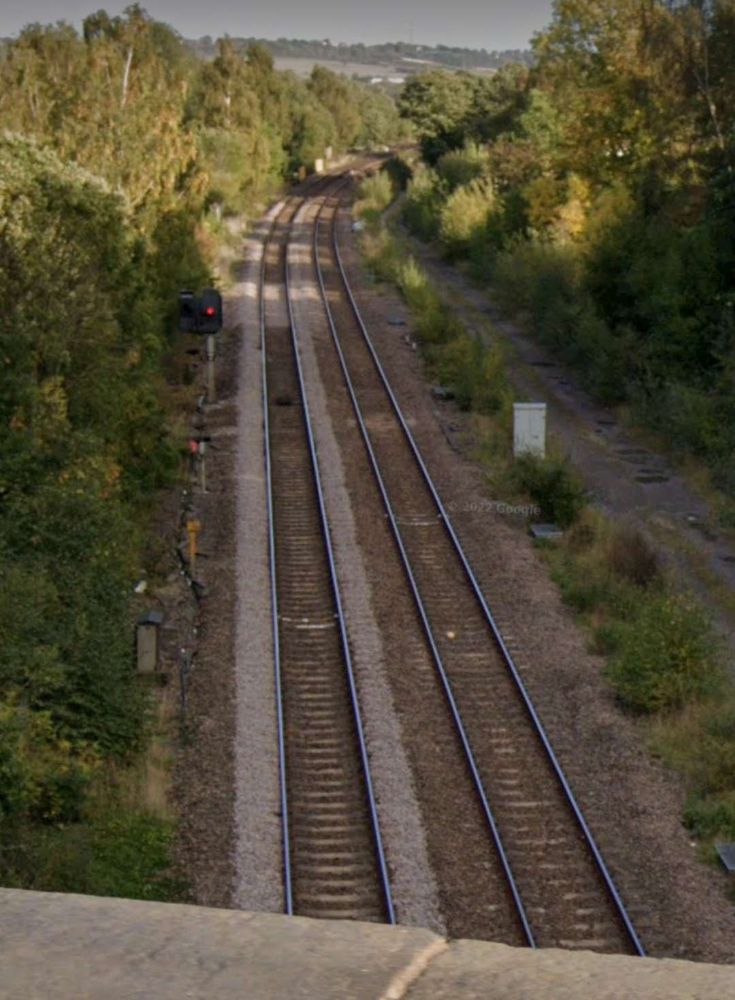
Thornfield Junction, Goods Yard and Station as shown on the 25″ Ordnance Survey of 1905. [40]Thornhill Station opened with the Manchester & Leeds Railway and only closed on the last day of 1961, a short time before Beeching’s closure of of Dewsbury Central. [37]The same station looking East towards Wakefield, Normanton etc. In the background is the bridge of the ex-Midland branch from Royston to Dewsbury (Savile Town), closed 18/12/50, (c) Ben Brooksbank and licenced for reuse under a Creative Commons Licence (CC BY-SA 2.0). [38]The view West from Station Road in the 21st century, through what was Thornhill Railway Station. {Google Streetview, March 2023]The view East from Station Road in the 21st century. The bridge ahead carries Headfield Road over the railway. [Google Streetview, March 2023]The view West from Headfield Road Bridge towards the site of the erstwhile Thornhill Railway Station and Station Road. [Google Streetview, October 2022]The view East from Headfield Road Bridge. [Google Streetview, October 2022]
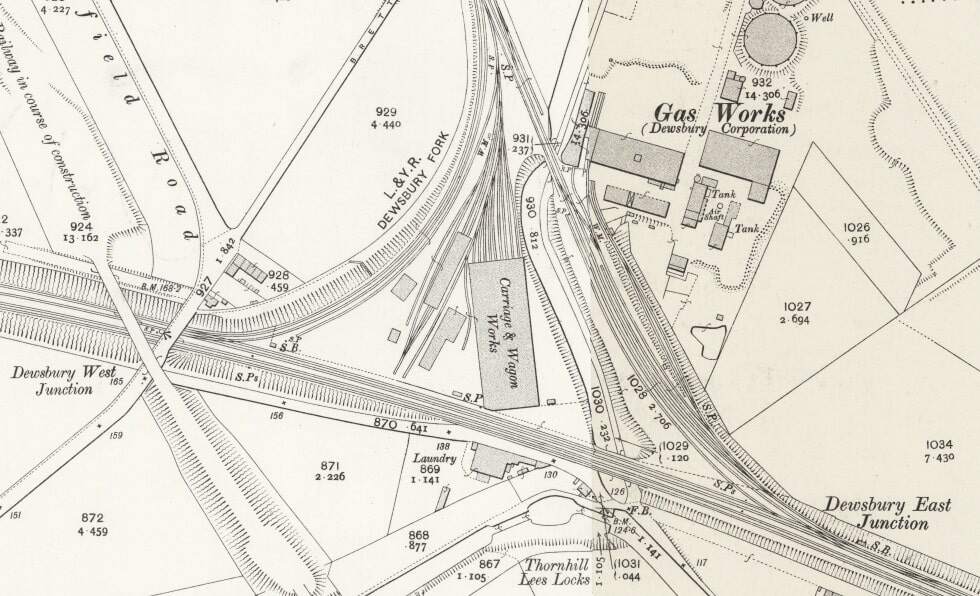
East of Thornhill Station were Dewsbury West and Dewsbury East junctions which together with Headfield Junction formed a triangular access to Didsbury Market Place Station. This was a busy location which sat close to Dewsbury Gas Works, Thornhill Carriage and Wagon Works and Thornhill Lees Canal Locks and a canal branch. Just off the North of the map extract below was a further junction giving access to the GNR’s Headfield Junction Branch, before the line crossed the River Calder and entered Dewsbury Market Place Station and Yard and terminated there.
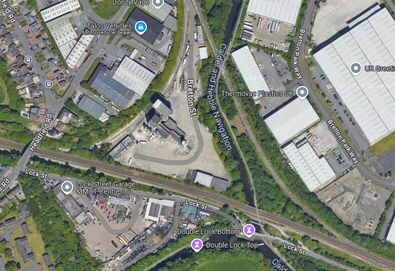
This extract from the 25″ Ordnance Survey of 1905 shows the triangular junction which provided access to Dewsbury Market Place Station and a series of Goods Yards and Sheds. Headfield Road is on the left side of this image. [41]A similar area in the 2st century as it appears on Google Maps satellite imagery. [Google Maps, October 2024]
Dewsbury was very well provided for by both passenger and freight facilities. In its railway heyday the Midland Railway, the London & North Western Railway, the Lancashire & Yorkshire Railway and the Great Northern Railway all had access to the town. A computer drawn map showing the different lines can be found here. [42]
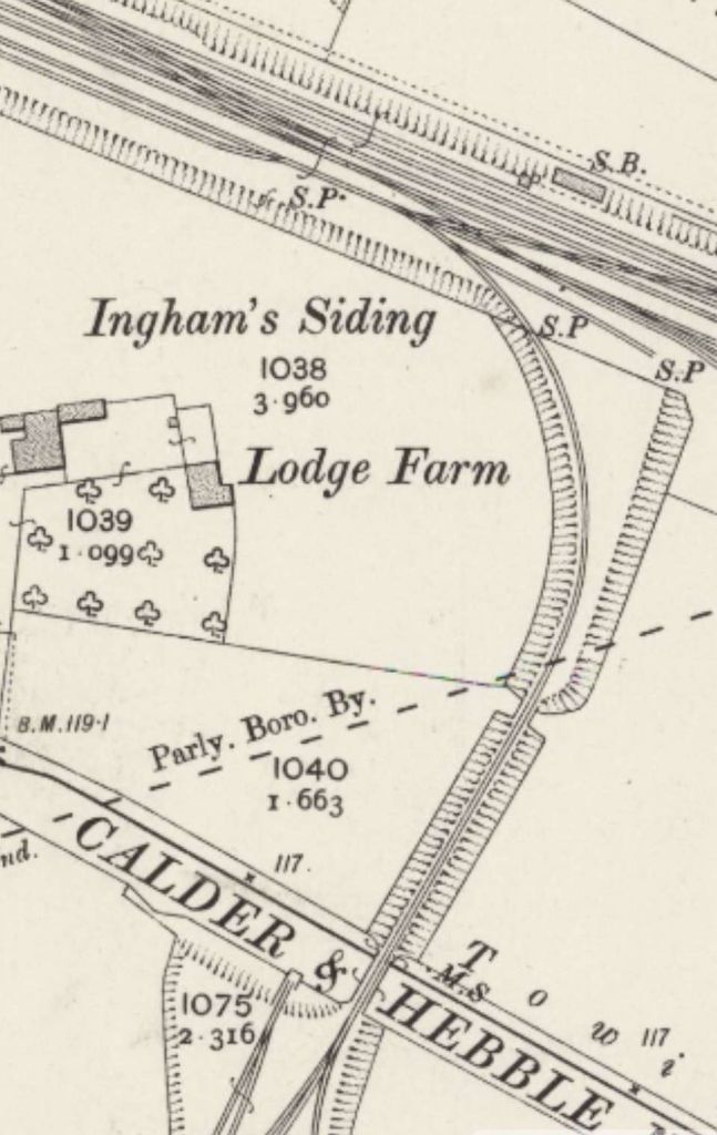
Continuing along the line towards Wakefield and Normanton, the next feature of note is the junction for Combs Colliery’s Mineral Railway at Ingham’s Sidings. Nothing remains of this short branch line.
Ingham’s Siding ran South, crossing the Calder & Hebble Navigation to reach Comb’s Colliery. [43]
Further East the line continues in a straight line East-southeast to cross the River Calder once again. It then passes the Calder Vale and Healey Low Mills at Healey and runs Southeast to Horbury and Ossett Station.
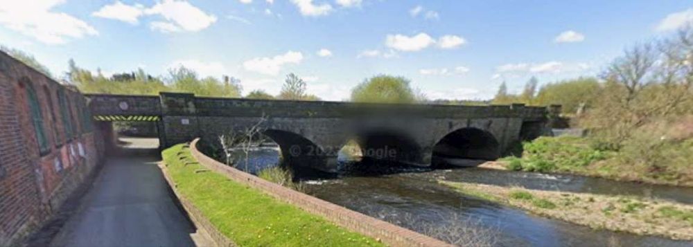
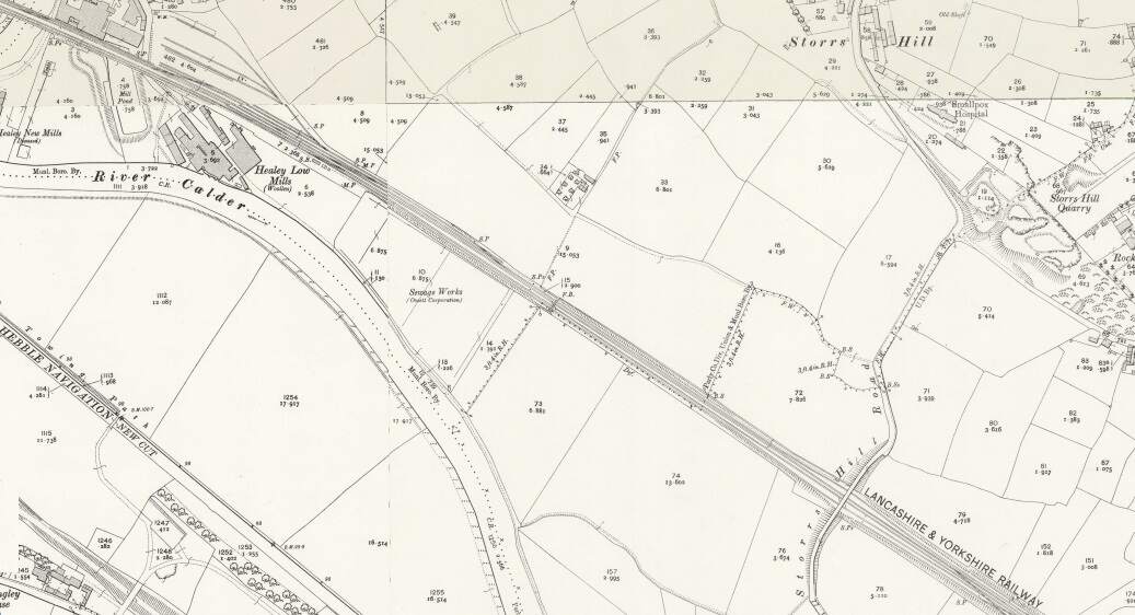
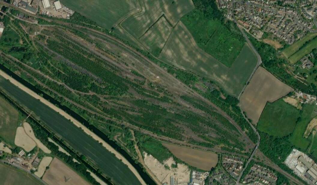
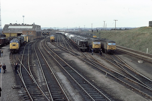
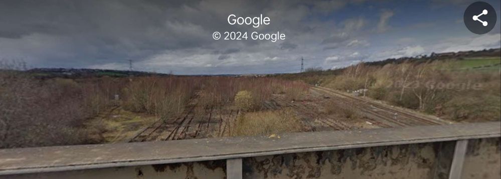
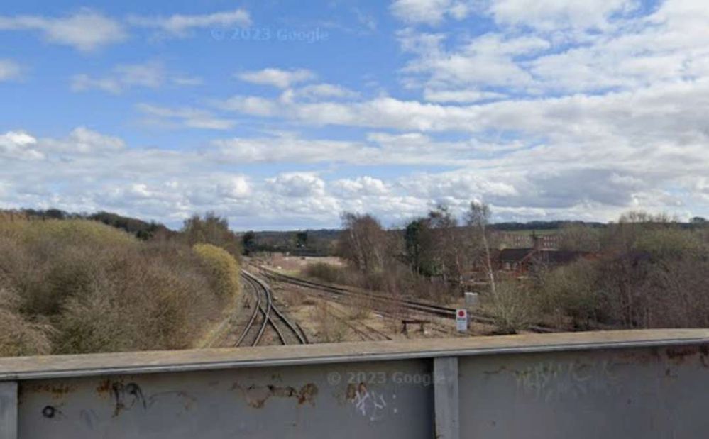
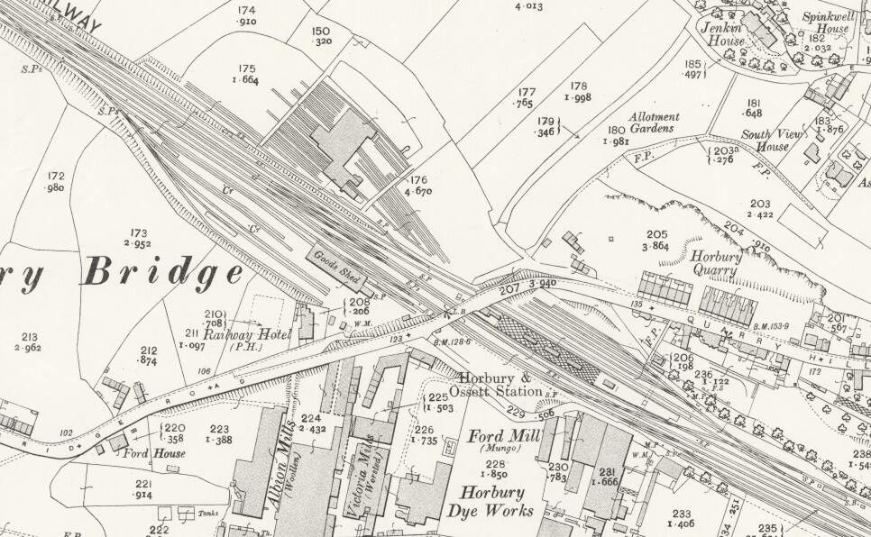
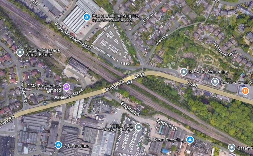
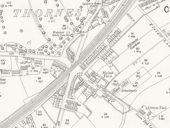
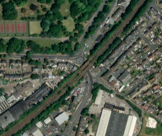
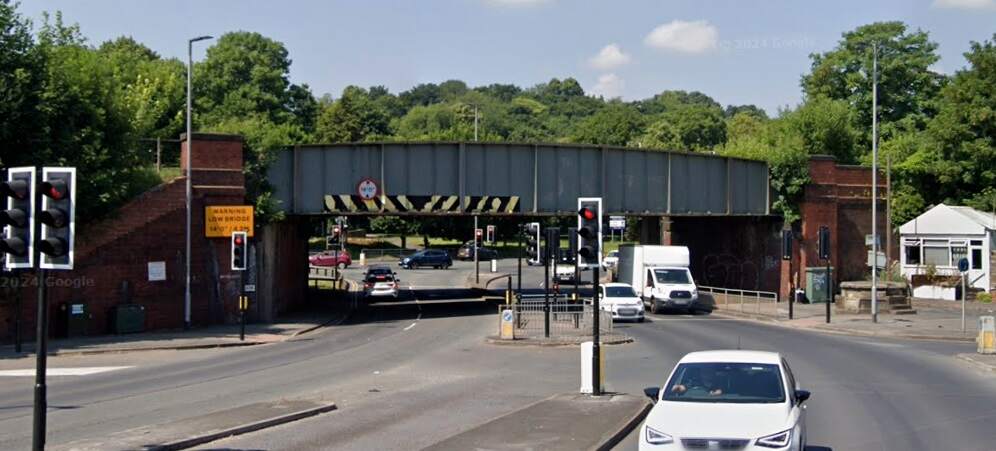
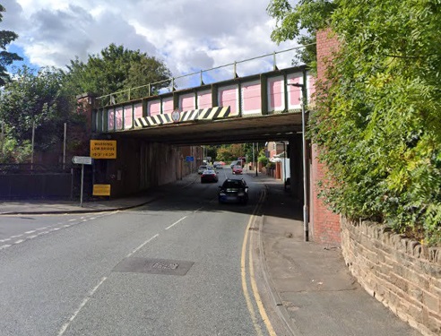
The bridge over the River Calder adjacent to Calder Vale and Healey Low Mills. [Google Streetview, April 2023]The bridge over the River Calder at Calder Vale and Healey Low Mills is in the top-left of this map extract from the 1905 25″ Ordnance Survey. This area was chosen by British Rail in the 1960s for a large marshalling yard. [46]British Railways developed a large marshalling yard in the 1960s at Healey Mills. The yard was opened in 1963 and replaced several smaller yards in the area. It was part of the British Transport Commission’s Modernisation plan, and so was equipped with a hump to enable the efficient shunting and re-ordering of goods wagons. The yard lost its main reason for existence through the 1970s and 1980s when more trains on the British Rail system became block trains where their wagons required less, or more commonly, no shunting. Facilities at the site were progressively run down until it closed completely in 2012. [46][47]Healey Mills Marshalling Yard in April 1982, (c) Martin Addison and licensed for reuse under a Creative Commons Licence (CC BY-SA 2.0). [48]Looking Northwest from Storrs Hill Road Bridge in the 21st century. [Google Streetview, March 2023]Looking Southeast from Storrs Hill Road Bridge in the 21st century through the throat of the old marshalling yard. [Google Streetview, March 2023]Horbury & Ossett Railway Station. [44]The site of Horbury & Ossett Railway Station in the 21st century. [Google Maps, October 2024]Looking Northwest from Bridge Road, A642 towards Storrs Road Bridge. Horbury and Ossett Railway Station goods facilities were on the left. [Google Streetview, July 2024]looking Southeast from Bridge Road. the passenger facilities were on the Southeast side of Bridge Road with the platform sat between the running lines. [Google Streetview, July 2024]
“Horbury and Ossett railway station formerly served the town of Horbury. … The station was opened with the inauguration of the line in 1840, on the west of the Horbury Bridge Road, to the south-west of the town. Later a new, more substantial structure was built just to the east. … British Railways developed a large marshalling yard in the 1960s at Healey Mills immediately to the west of the original station. … [The station] closed in 1970. Almost all that remains is the old subway which ran under the tracks. Ossett is now the largest town in Yorkshire without a railway station. Proposals to open a new one are periodically canvassed, perhaps on part of the Healey Mills site.” [45]
A little further East is Horbury Fork Line Junction where a mineral railway runs South to Harley Bank Colliery and the Horbury & Crigglestone Loop leaves the Manchester to Leeds line.
Horbury Fork Line Junction on the 1905 25″ordnance Survey. The junction sat just to the West of Horbury Tunnel. That tunnel has since been removed. [49]The same location in the 21st century. The tunnel sat to on the East side of the present footbridge which is just to the left of the centre of this image. This image is an extract from the NLS’ ESRI satellite imagery. [49]
These next few photographs show views of the line from a series of three overbridges to the East of Horbury Fork Line Junction.
The view West from Southfield Lane Bridge. [Google Streetview, October 2022]The view East from Southfield Lane Bridge. [Google Streetview, October 2022]The view West from Dudfleet Lane Bridge towards Southfield Lane Bridge. [Google Streetview, October 2022]The view East from Dudfleet Lane Bridge towards Millfield Road Bridge. [Google Streetview, October 2022]The view West from Millfield Road Bridge towards Dudfleet Lane Bridge. [Google Streetview, October 2022]The view East from Millfield Road Bridge. [Google Streetview, October 2022]
The next significant location on the line is Horbury Junction.
Horbury Junction on the 1905 25″ordnance Survey. Horbury Junction Ironworks sat in-between the Manchester and Leeds Railway and the. There was a Wagon Works just off the South edge of this image. The line heading South from Horbury Junction was the L&YR line to Flockton Junction and beyond. [50]The same location in the 21st century as shown on the ESRI satellite imagery provided by the NLS.. [50]
Industrialisation in the immediate area of Horbury Junction began “in the early 1870s with the construction of Millfield Mill, followed by the Horbury Ironworks Co. In 1873, Charles Roberts bought a site for a new factory at Horbury Junction and moved his wagon building business from Ings Road, Wakefield to Horbury Junction. Before that, the area of Horbury Junction was a quiet backwater with a corn mill and a ford across the Calder for farm traffic.” In reality, a beautiful pastoral area of countryside was changed forever with the coming of the Railway, Millfield Mill, the Wagon Works and the Ironworks.” [51]
In the 21st century, just beyond Horbury Junction, the line is crossed by the M1.
In the 21st century, just beyond Horbury Junction (on the left of this extract from Google Maps), the line is crossed by the M1. [Google Maps, October 2024.
Horbury Junction seen, looking Southwest from the M1. [Google Streetview, July 2024]Looking Northeast from the M1. [Google Streetview, August 2024]Green Lane Underpass seen from the North. This underpass sits just to the East of the modern M1. [Google Streetview, October 2008]
Following the line on to the Northeast, it next passes through Thornes.
The railway bridge at the centre of Thornes in 1905. [52]The same location in the 21st century. The now quadruple line is carried by two separate bridges. [52]Thorne Bridge seen from the South in June 2024. [Google Streetview, June 2024]
Northeast of Thornes, the Manchester and Leeds Railway ran at high level into Kirkgate Joint Station in Wakefield.
Thornes Lane BridgeA638, Ings Road BridgeThe bridge carrying the line over Kirkgate. [All three images from Google Streetview April 2023]The Manchester and Leeds Railway enters this extract from the 1905 25″ Ordnance Survey bottom-left, To the North of it id the GNR Ings Road Branch. To the South of it is a Goods Yard with access to Wakefield’s Malthouses and Mark Lane Corn Mill. [53]The same area in the 21st century. The rail lines remain approximately as on the map extract above. Wakefield Kirkgate Station (top-right) is somewhat reduced in size. Much of the built environment is different to that shown on the map above. This image is another extract from the ESRI satellite imagery. [53]
Wikipedia tells us that once it was opened by the Manchester and Leeds Railway in 1840, Kirkgate station was “the only station in Wakefield until Westgate was opened in 1867. The railway station building dates from 1854. … Some demolition work took place in 1972, removing buildings on the island platform and the roof with its original ironwork canopy which covered the whole station. A wall remains as evidence of these buildings. After this, Kirkgate was listed in 1979.” [72]
Kirkgate Station was refurbished in two phases between 2013 and 2015. [72]
East of Kirkgate Joint Station in 1905. The landscape in Primrose Hill is dominated by the railway. The line exiting to the South of this extract is the L&YR Oakenshaw Branch which crosses the River Calder and runs past the station’s Engine Sheds. [54]the same area in the 21st century, much of the railway infrastructure has disappeared and is beginning to be taken over by nature. [54]
Just to the East of Wakefield Kirkgate Station were Park Hill Colliery Sidings.
Much the same area in the 21st century. The Midland’s lines South of Goosehill have gone, the footbridge remains but the large area of sidings to the Northeast of the Junction have also gone. [56]Park Hill Colliery Sidings and the River Calder in 1913. [55]The same location in the 21st century. [55]
And beyond those sidings a further crossing of the River Calder.
The three arched stone viaduct across the River Calder. This photograph is taken from Neil Fox Way and looks Southeast towards the bridge. [Google Streetview, June 2024]
Just a short distance further along the line, at Goosehill, the Manchester and Leeds Railway (by 1905, The Lancashire and Yorkshire Railway) joined the North Midland Railway (by 1905, The Midland Railway)
Goosehill Bridge and Junction witht he Midland Railway entering from the bottom of the extract and the Manchester 7 Leeds entering from the bottom-left. [56]Immediately to the Northeast of the last extract from the 1905 25″ Ordnance Survey, the Midland’s lines can be seen heading Northeast with branches off to the North and West. The branch heading away to the West is the St. John’s Colliery line running to wharves at Stanley Ferry. That to the North runs through the screens and serves St. John’s Colliery itself. [57]The same area in the 21st century. The roadway crossing the railway and heading off the satellite image to the West runs to a large opencast site. [57]Looking Southwest from the bridge carrying the access road to the opencast site. [Google Streetview, May 2023]Looking Northeast from the bridge carrying the access road to the opencast site. [Google Streetview, May 2023]Looking Southwest from the Newlands Lane Bridge. [Google Streetview, May 2023]Looking Northeast from Newlands Lane Bridge. [Google Streetview, May 2023]
From this point on the traffic from the Manchester and Leeds Railway ran on North Midland (later Midland) Railway metals, via Normanton Railway Station and then passing Silkstone and West Riding Collieries, and on towards Leeds, approaching Leeds from the Southeast. Normanton Station appears on the map extract below.
An smaller scale extract from the 25″ Ordnance Survey of 1905 which shows Normanton and its railway station. St. John’s Colliery and Gooshill Junction are just of the extract on the bottom left. [58]Looking Southwest from Altofts Road Bridge through the site of Normanton Railway Station. [Google Streetview, April 2023]
Rake’s last words on a journey along the railway are these: “Just previous to reaching Wakefield, the railway is carried over a viaduct of 16 arches, and, quitting that station it enters a deep cutting, and crosses the Vale of Calder for the last time, a little to the east of Kirkthorpe. Here was the most important diversion of the Calder, by which the cost of building two bridges was saved. … The line terminated by a junction with the North Midland Railway, a mile to the north of which point was situated the Normanton Station, where the York and North Midland, and by its means, the Leeds and Selby and Hull and Selby Railways united with the former lines. The remainder of the journey to Leeds, 9 miles, was traversed on the North Midland Railway.” [1: p472]
Rake goes on to talk about the gradients of the railway which “were considered somewhat severe. Starting from Manchester, the line ascends to Rochdale, 10 miles, over a series of inclinations averaging about 1 in 155; from Rochdale to the summit level, 6½ miles, the ascent is 1 in 300; the total rise from Manchester being 351 ft. From the summit level plane, which extends for 1 mile 55 chains, to Wakefield, a distance of 30 miles, the line descends for the first six miles on a gradient of 1 in 182, after which it is continued by easy grades of an average inclination of 1 in 350. Below Wakefield a comparatively level course is maintained to the junction with the North Midland Railway, the total fall from the summit being 440 ft. The curves were laid out so as not to be of a less radius than 60 chains. The gauge adopted on the Manchester and Leeds Railway was 4 ft. 9 in., to allow a in. play on each side for the wheels. … The rails were of the single parallel form, in 15 ft. lengths, with 3 ft. bearings, and were set in chairs, to which they were secured by a ball and key, as on the North Midland Railway. The balls, (3/4 in. diameter), were of cast iron, and fitted into a socket formed in one side of the stem of the rail; the key, which was of wrought iron, was 8 in. long (and 5/8 in. wide at one end, from which it tapered to 3/8 in. at the other end). … Stone blocks were used where they could be obtained from the cuttings, and were placed diagonally, but sleepers of kyanised larch were used on the embankments, the ballasting being of burnt and broken stone.” [1: p472-473]
It is interesting to note that the tramway/tramroad practice of using stone blocks as sleepers was in use when this railway was first built!
Rake continues: “The Manchester terminal station was located between Lees Street and St. George’s Road, and was entirely elevated on arches. The passenger shed was covered with a wooden roof, in two spans, and the whole length of the station was 528 ft. The passenger platform was approached by a flight of 45 steps from the booking-office on the ground floor. [1: p473]
Early signals on the Manchester and Leeds.Railway which became part of the Lancashire & Yorkshire Railway network. [64]
“The signals were of the horizontal double disc or spectacle form which, when revolved to the extent of a half circle, caused both discs to be invisible to the driver and indicated all right, the lamp above showing, when illuminated, green; the colour shown by the lamp when both discs were crosswise to the line being red.” [1: p473]
Rolling Stock
“The carriages consisted of three classes, The first class, in three compartments, upholstered, and fitted with sash windows painted blue; second-class, in three compartments, but open at the sides and furnished with wooden sliding shutters painted yellow; and carriages termed ‘mixed’, in which the middle compartment was for first-class, and each of the ends was for second-class passengers. There was also a carriage of novel construction, built according to the plan of the chairman of the company and used at the opening of the line. The under-framing was of the usual construction, but the body was unique. The floor was considerably wider than ordinary, and the sides curved outwards until they joined a semicircular roof, the greater part of which was fitted with wire gauze to give air, but capable of being instantaneously covered with waterproof material, by the action of an inside handle, so that sun and rain could be shaded out at pleasure. The sides were fitted throughout with plate glass, and ranges of seats occupied the floor, having passages on either side. Tents were also contrived in the sides which closed at will by spring action. The effect of the interior was said to resemble the interior of a conservatory! These carriages were in each case mounted on four wheels, with a perforated footboard of iron running the whole length of the body, in substitution for the lower tier of steps in use on other railways at the time.” [1: p473-474]
I have produced Rake’s description of this ‘unusual carriage’ as I have found it impossible to imagine what it looked like from Rake’s word-picture.
At the end of 1840, “an improved form of third-class carriage was constructed, in which each wheel was braked; the brake levers were attached to the axle-boxes and, consequently, when applied by the guard. who sat on the roof, did not bring the body of the carriage down on to the springs, The buffing springs were placed in front of the headstocks, and a flat iron bar attached to the buffer worked in brackets on the sole bar. The doors were fitted with latches on the outside, which were fastened by the guard when the passengers were inside.” [1: p474]
An improved third class carriage. Looking back from a 21st century perspective, these carriages seem to be not much better than the wagons used to carry livestock. This is borne out by Rake’s notes below. It was, however, a significant improvement on the open wagons, having a roof, glass windows and brakes. Contrary to what Rake appears to say below, Wells suggests that these covered third class wagons did have seating. [1: p474][75: p85]
“The windows and the doors being fixed, no passenger could open the door until the guard had released the catch. Roof lamps were not provided in these coaches, which were painted green. … The third-class carriages. or rather, wagons, were provided with four entrances, to correspond with the “pens” into which they were sub-divided by means of a wooden bar down the centre, crossed by another bar intersecting the former at right angles in the middle of its length. There were no seats, and the number of passengers for which standing room could be found was limited solely to the to the bulk Stanhope or ‘Stan’ups’, as they were derisively termed. The contrivance of pens was said to be due to a determination to prevent respectably dressed individuals from availing themselves of the cheaper mode of conveyance, in which there was little to distinguish them, it was complained, ‘from the arrangements for the conveyance of brute beasts which perish’. The company’s servants were strictly enjoined “not to porter for wagon passengers‘!” [1: p474]
Rake’s illustration of an early Manchester and Leeds Railway first class coach. [1: p474]
Further details of Rolling Stock on the Railway can be found in Jeffrey Wells book about the line. [75: p81-85]
Locomotives
Rake tells us that the locomotives were all mounted on 6 wheels and purchased from Sharp, Roberts & Co., Robert Stephenson & Co., and Taylor & Co. They all had 14 in. diameter, 18 in. stroke cylinders and 5 ft. 6 in. diameter driving wheels. Jeffrey Wells provides a more comprehensive, tabulated, list of those early locomotives. [75: p79-80]
A typical 0-4-2 Locomotive of 1839/1840. [76]An early (1834) R. Stephenson & Co. 0-4-2 locomotive of very similar design to those supplied to the Manchester and Leeds Railway 9c0 Public Domain. [77]
The first three 0-4-2s were made by Robert Stephenson & Co., and that company supplied plans and specifications for its locomotives which meant that The Manchester and Leeds Railway could have the same design manufactured by other firms of the Company’s choice. The first 12 locomotives built for the Manchester and Leeds in 1839 were all to Stephenson’s 0-4-2 design. Wells tells us that of these locomotives, the first three (Nos. 1 -3) were called Stanley, Kenyon and Stephenson and were built by R. Stephenson & Co. They were supplied to the Railway in April and May 1839. [75: p79]
The next three locomotives (Nos. 4-6) were supplied by Sharp Bros., Manchester. Lancashire and Junction were supplied in May 1839 and York in July 1839. Nos. 7, 9 and 10, named respectively, Rochdale (16th July), Bradford (6th September) and Hull (7th September)came from Naysmith & Co., Patricroft. Nos. 8, 11, 12 (Leeds, Scarborough and Harrogate) were supplied by Shepherd & Todd by September 1839. [75: p79]
Wells comments that No. 1, ‘Stanley’ “was named after Lord Stanley, Chairman of the House of Commons Committee who supported the Manchester and Leeds Railway Bill in 1836. … Other Stephenson designs followed: 19 engines, numbered 15 to 40, of the 2-2-2 wheel arrangement were delivered between October 1840 and April 1842. These were recommended by Stephenson to work the eastern section of the line, between Sowerby Bridge and Wakefield, thus gradually removing the [Manchester and Leeds Railway’s] reliance on North Midland Railway motive power which had at first prevailed from late in 1840.” [75: p80]
R. Stephenson patented 2-2-2 locomotive No. 123 ‘Harvey Combe’ built 1835, from Simm’s ‘Public Works of Great Britain’, 1838. This locomotive is of a very similar design to those supplied by various manufacturers to the Manchester and Leeds Railway in 1840-1842. These were given the Nos. 15-40 and were supplied by Charles Tayleur & Co., Rothwell & Co., Laird Kitson & Co., Sharp Bros., Naysmith & Co., and W. Fairburn & Co., (c) C. F. Cheffins, Public Domain. [78]
He continues: “Once again several manufacturers were involved in the supply of these locomotives. Goods engines were represented by a further batch of 0-4-2s; 13 were delivered (Nos 33 to 46) between April 1841 and June 1843, the three manufacturers involved being R. Stephenson & Co., Haigh Foundry, Wigan, and William Fairbairn & Co. of Manchester. … Three standard Bury-type 0-4-0s were the last engines to be delivered (Nos 47 to 49) the first two bearing the names West Riding Union and Cleckheaton respectively. All three were completed between November 1845 and January 1846 by the firm of Edward Bury of Liverpool.”
And finally. …
Rake concludes his article, the first to two about the line in The Railway Magazine (I currently only have access to this first article) with two short paragraphs. The first reflects on policing: “There were no police on the railway, the whole of the platelayers being constituted as constables on the completion of the first section of the line; and, we are afterwards told, that ‘the vigilance resulting from the pride these men take, in being thus placed in authority, had been found to supersede the necessity of any more expensive system of surveillance.'” [1: p474]
The second notes that: “The directors [were] very anxious to complete the railway as far as Rochdale, at the earliest possible time, and on the 4th July, 1839, it was opened through that town to Littleborough, a distance of about 14 miles, the event ‘exciting a most extraordinary degree of local interest and wonder’ we are told.” [1: p474]
References
Herbert Rake; The Manchester and Leeds Railway: The Origin of the Lancashire and Yorkshire Railway; in The Railway Magazine, London, December 1905, p468-474
Jeffrey Wells; The Eleven Towns Railway: The Story of the Manchester and Leeds Main Line; Railway & Canal Historical Society, Keighley, West Yorkshire, 2000.
An article in the Railway Magazine in December 1905 prompted a look at the Manchester and Leeds Railway. For a number of years my parents lived in sheltered housing in Mirfield which is on the line. Looking at the line as it appeared in 1905 and again in the 21st century seemed a worthwhile exercise! Part 1 of this short series provides a short history of the line and takes us from Manchester to Sowerby Bridge.
The featured image at the head of this article shows the Manchester & Leeds Railway locomotive ‘Victoria’, in about 1878-80. This locomotive was designed by Edward Bury and built at his works in Liverpool. It was one of a batch of 0-4-0 engines ordered in 1845, and later converted to an 0-4-2 wheel arrangement (c) Public Domain. [65]
In his first article in 1905, about the Manchester and Leeds Railway which was accompanied by a series of engravings included here, Herbert Rake wrote that on 11th September 1830 a committee tasked with improving communications between Leeds and Manchester, emboldened by the success of the Liverpool and Manchester Railway, decided to hold a meeting to form a new railway company.
On 18th October 1930, the decision was taken. A board of directors was appointed, a survey was authorised and work was undertaken to prepare for an application to Parliament. It was based on a junction with the Liverpool and Manchester Railway at Oldfield Lane, Salford and at St. George’s Road, Manchester.
The route from Manchester to Sowerby Bridge was easily agreed, that from Sowerby Bridge to Leeds was more difficult to agree. The Bill prepared for Parliament focused on the Manchester to Sowerby Bridge length of the planned line and was presented on 10th March 1831. Opposition from the Rochdale Canal Company and others and then the dissolution of Parliament halted the progress of the Bill.
Resubmission was agreed on 8th June 1830 but once again failed in its progress through Parliament. In the end, the project was revised, the company was reorganised, and the capital fixed at £800,000 in £100 shares in a meeting in October 1935.
Rake tells us that this “new project abandoned the Salford junction line, but embraced a deviated extension beyond Sowerby Bridge, along the lower portion of the Vale of Calder, past Dewsbury and Wakefield, to Normanton, thence to Leeds, in conjunction with the North Midland Railway. … [The line was] intended to form a central portion of a great main line running east and west between Liverpool and Hull.” [1: p469-470]
The prospectus noted a few important facts, particularly:
The population density with three miles either side of the proposed line was 1,847 persons per square mile. The average for England was 260 persons per square mile.
Within 10 miles of the line there were 29 market towns, twelve with a population greater than 20,000.
Within 20 miles of the line there were 48 market towns with more than 10,000 inhabitants.
Rake tells us that “The Act of Incorporation received the Royal Assent on the 4th July 1836, and authorised a joint stock capital to be raised of £1,000,000, with an additional amount by loan of £433,000.” [1: p470]
Construction commenced on 18th August 1837. On 14th February 1838 it was decided to apply to Parliament for an Act authorising branch lines to Oldham and Halifax.
Late in 1838, “a modification of the original plan for effecting a junction of the Manchester and Leeds Railway with the Liverpool and Manchester Railway was proposed, by an extension of both to a joint terminus within 500 yards of the Manchester Exchange. … The Act of Parliament for this and other purposes received the Royal Assent on the 31st July 1839, authorising the sum of £866,000 to be raised for the purpose of constructing the Oldham and Halifax branches, for making a diversion in the railway at Kirkthorpe, for enlarging the station in Lees Street, and for constructing the line to join the Liverpool and Manchester extension.” [1: p470]
Rake explains that the railway ran through Miles Platting where the Ashton and Stalybridge branch diverges. At Middleton the Oldham branch connected to the main line. Mill Hills embankment (maximum height 75 feet) carries the line towards Blue Pits Station where the Heywood line joins the main line. The line runs on through Rochdale, Littleborough and Todmorden Vale before running in cutting (maximum depth 100 feet) to Summit Tunnel.
During construction, “Six contracts were awarded between the Manchester terminus and the Summit Tunnel and were progressing satisfactorily by August 1838.” [6]
The West Portal of Summit Tunnel is approached from Manchester through a deep cutting. [1: p469]The same portal of Summit Tunnel in 20th century steam days. [3]
When built, Summit Tunnel was the longest in the world. It opened on 1st March 1841 by Sir John F. Sigismund-Smith.
“The tunnel is just over 1.6 miles (2.6 km) long and carries two standard-gauge tracks in a single horseshoe-shaped tube, approximately 24 feet (7.2 m) wide and 22 feet (6.6 m) high. Summit Tunnel was designed by Thomas Longridge Gooch, assisted by Barnard Dickinson. Progress on its construction was slower than anticipated, largely because excavation was more difficult than anticipated. … It … cost £251,000 and 41 workers had died.” [4]
Rake noted that the tunnel is “14 shafts were necessary, and the strata of rock shale and clay was of so treacherous a character that the brick lining of the roof, which is semi circular, consists in places of no less than 10 concentric rings.” [1: p471] He also comments that: the tunnel entrance is if an imposing Moorish design; 1,000 men were employed with work continuing day and night.
Beyond the tunnel, the railway “entered a cutting in silt, which required piling to secure a foundation. Continuing onwards, we pass through the Winterbut Lee Tunnel, 420 yds. in length, and across a viaduct of 18 arches, one of which is of 60 ft. span we then proceed over the Rochdale Canal, on a cast iron skew bridge 102 ft. in span, at a height of 40 ft. above the surface of the water.” [1: p471]
“Tenders for work on the eastern section were advertised in 1838. … Contractors then worked fastidiously under the threat of heavy penalties should they over-run the set time limits. They were also forbidden to work on Sundays.” [6]
At Todmorden, “the railway is carried over almost the entire breadth of the valley by a noble viaduct of nine arches, seven of which are each of 60 ft. span, and two of 30 ft., at a height of 54 ft. above the level of the turnpike road.” [1: p471]
Quitting Todmorden, where the Burnley branch diverges, the line enters Yorkshire, passes through Millwood Tunnel (225 yards), Castle Hill Tunnel (193 yards), and Horsefall Tunnel (424 yards) and then arrives at Eastwood Station. Some distance further on is Charlestown. Afterwards the railway “crosses river, road, and canal, by a skew bridge of three arches, the canal being separately spanned by an iron bridge.” [1: p471]
Looking back West from Cross Stone Road across the western portal of Millwood Tunnel. [Google Streetview, April 2023]Looking East from the corner of Phoenix Street and Broadstone Street, above the eastern portal of Millwood Tunnel. [Google Streetview, April 2023]
These next few images give a flavour of the line as it travels towards Hebden Bridge.
Lobb Mill Viaduct sits alongside the A646, Halifax Road between Castle Hill Tunnel and Horsefall Tunnel. [Google Streetview, June 2023]Looking Southwest along the line towards Todmorden from E. Lee Lane. [Google Streetview, April 2023]A little to the Northeast, Duke Street passes under the railway. This view looks West from Halifax Road [Google Streetview, June 2023]Eastwood Railway Station as it appears on the 1905 25″ Ordnance Survey. [63]Thye approximate location of Eastwood Station as it appears on Google Maps satellite imagery in 2024. [Google Maps, October 2024]A little further Northeast, this is the view Northwest along Jumble Hole Road under the railway. [Google Streetview, June 2011]The view Northwest from he A646, Halifax Road along the Pennine Way Footpath which passes under the railway at this location. [Google Streetview, June 2023]Again, looking Northwest from Halifax Road along Stony Lane which runs under the railway. [Google Streetview, June 2023]The view Southwest along Oakville Road which runs next to the railway. [Google Streetview, April 2023]The view Northeast from the same location on Oakville Road. [Google Streetview, April 2023]
A short distance Northeast, the railway “crosses river, road, and canal, by a skew bridge of three arches, the canal being separately spanned by an iron bridge.” [1: p471] The location is shown on the 25″ Ordnance Survey of 1905 below.
The bridge mentioned above, as it appears on the 25″ Ordnance Survey of 1905. [11]The same location shown on Google Maps satellite imagery in 2024. [Google Maps, October 2024]Looking Northeast along Halifax Road, the three arches of the viaduct are easily visible. Beyond it there is a girder bridge which Rake does not mention. [Google Streetview, June 2023]
A little further East Stubbing Brink crosses the railway.
Looking West along the railway from Stubbing Brink Bridge. [Google Streetview, April 2023]The view East along the line from Stubbing Brink. [Google Streetview, April 2023]
The line next passes through a short short tunnel (Weasel Hall Tunnel (124 yards)) and arrives at Hebden Bridge Station.
After Hebden Bridge Station, the line proceeds along the South bank of the River Calder, through two small stations (Mytholmroyd and Luddenden Foot) and by a number of riverside mills.
East along the line towards Luddendenfoot, Brearley Lane bridges the line.
Looking West from Brearley Lane Bridge towards Mytholmroyd Station. [Google Streetview, July 2009]Ahead to the East, the line curves round towards the location of Luddendenfoot Railway Station. [Google Streetview, July 2009]Luddenden Foot Railway Station. The station closed on 10th September 1962. The site has been developed since 2007 and the northern half is now occupied by the Station Industrial Park, which is accessible via Old Station Road. Two gate pillars from the original station flank the entrance to the road. [14][17]The location of the erstwhile Luddendenfoot Railway Station as seen from Willow Bank, (c) Matt Thornton. [Google Streetview, February 2021]Looking Southeast from Willow Bank. The arch bridge visible ahead carries Jerry Fields Road over the line, (c) Matt Thornton. [Google Streetview, February 2021]
To the Southeast, Ellen Holme Road passes under the line.
Ellen Holme Road passess under the railway to the Southeast of the old Luddendenfoot Railway Station. [Google Streetview, June 2023]
Passing other mills and traversing a deep cutting the line enters Sowerby Tunnel, (645 yards) and reaches Sowerby Bridge Station.
We complete this first part of the journey along the Manchester and Leeds Railway here at Sowerby Bridge Railway Station.
References
NB: These references relate to all the articles about the Manchester and Leeds Railway.
Herbert Rake; The Manchester and Leeds Railway: The Origin of the Lancashire and Yorkshire Railway; in The Railway Magazine, London, December 1905, p468-474
Lawrence begins his article about the relatively newly refurbished Shrewsbury Railway Station by remarking on the debt Shrewsbury Station owes to the construction of the Severn Tunnel: “it is to the Severn Tunnel that Shrewsbury owes the position it claims as one of the most important distributing centres in the country if not the most. In telephonic language, it is a “switch board,” and those on the spot claim that more traffic is interchanged and redistributed at Shrewsbury than even at York.” [1: p461]
At the Southeast end of the station site, rails predominantly from the South and West converge. At the Northwest end of the station lines predominantly from the North and East meet to enter the Station.
Lawrence highlights the origins of different trains by noting the “places in each direction to and from which there are through carriages.” [1: p461]
From the South and West: London, Worcester, Dover, Kidderminster, Minsterley, Bournemouth, Cheltenham, Portsmouth, Cardiff, Bristol, Swansea, Penzance, Torquay, Weston-super-Mare, Southampton, Carmarthen, and Ilfracombe.
From the North and East: Aberystwyth, Criccieth, Barmouth, Llandudno, Dolgelly, (all of which are more West than East or North), Manchester, Leeds, Liverpool. York and Newcastle, Glasgow and Gourock, Edinburgh, Perth and Aberdeen, Chester and Birkenhead.
Lawrence comments that “these are terminal points, and separate through carriages are labelled to the places named; but, of course, the actual services are enormous: Penzance, for instance, means Exeter, Plymouth, and practically all Cornwall; and London, means Wolverhampton, Birmingham, Leamington and Oxford. And the bulk of these through connections only came into existence – and, in fact, were only possible – after the opening of the Severn Tunnel.” [1: p461-462]
Before 1887, the Midland Railway “had something like a monopoly of the traffic between North and West, and Derby occupied a position analogous to that occupied by Shrewsbury today, but, of course, on a much smaller scale. In 1887, the North and West expresses were introduced by the London and North Western Railway and the Great Western Railway, and then Ludlow, Leo- minster, Hereford, and a host of sleepy old world towns suddenly found themselves on.an important main line.” [1: p462]
From Manchester and Liverpool, Lawrence says, “the new route not only saved the detour by way of Derby, but incidentally substituted a fairly level road for a very hilly one. There are now nine expresses in each direction leaving and arriving at Shrews-bury, connecting Devonshire and the West of England and South Wales with Lancashire and Yorkshire.” [1: p462]
Shrewsbury Station was erected in 1848, and was the terminus of the Shrewsbury and Birmingham Railway, constructed by Mr. Brassey. It was enlarged in 1855, and practically reconstructed in 1901.
The current Historic England listing for the Station notes that it opened in 1849 and was extended circa 1900. The architect was Thomas Penson Junior of Oswestry. The building is “Ashlar faced with Welsh slate roof. Tudor Gothic style. 3 storeys, though originally two. 25-window range, divided as 4 principal bays, articulated by polygonal buttresses with finials. Asymmetrical, with tower over main entrance and advanced wing to the left. 4-storeyed entrance tower with oriel window in the third stage, with clock over. Polygonal angle pinnacles, and parapet. Mullioned and transomed windows of 3 and 4 lights with decorative glazing and hoodmoulds. String courses between the storeys, with quatrefoil panels. Parapet with traceried panels. Ridge cresting to roof, and axial octagonal stacks. Glazed canopy projects from first floor. Platforms roofed by a series of transverse glazed gables. The building was originally 2-storeyed, and was altered by the insertion of a lower ground floor, in association with the provision of tunnel access to the platforms.” [6]
Lawrence says that the building “possesses a handsome façade and is of freestone, in the Tudor Gothic style. Unfortunately, its imposing frontage is not shewn to the best advantage, as the station lies literally in a hole. Previously to 1901 there was direct access from the roadway to the platforms; but the principal feature of the 1901 alteration was the excavation of the square in which the station was built to a depth of 10 or 12 feet, in order to allow the booking offices, parcels offices, etc., to be on the ground floor, under the platforms, and passengers thus enter the station from a subway, wheeled traffic approaching the platform level by means of a slope. On one side frowns the County Gaol, on the other is the Castle, now a private residence. All around and in front are small shops, for the approach is only by way of a back street.” [1: p462]
A satellite image showing Shrewsbury Prison, the Railway Station, the River Severn and Shrewsbury Castle. [Google Maps, September 2024.
Shrewsbury Gaol is more normally referred to as Shrewsbury Prison, but you may hear it called ‘The Dana’. It was completed in 1793 and named after Rev Edmund Dana. The original building was constructed by Thomas Telford, following plans by Shrewsbury Architect, John Hiram Haycock.
“William Blackburn, an architect who designed many prisons, also played a part in drawing up the plans for a new prison. It was Blackburn who chose the site on which the prison is built. Blackburn was influenced by the ideas of John Howard, … a renowned Prison Reformer. … Howard visited Shrewsbury in 1788 to inspect the plans for the new prison. He disliked some aspects of the designs, such as the size of the interior courts. … Consequently, redesigns were undertaken by Thomas Telford who had been given the position of Clerk of Works at the new prison the previous year. Shrewsbury Prison was finished in 1793 with a bust of John Howard sitting proudly above the gate lodge. He gives his name to Howard Street where the prison is located.” [7]
The gatehouse of Shrewsbury Prison with the bust of John Howard above. [7]
Shrewsbury Castle was commissioned by William the Conqueror soon after he claimed the monarchy and was enlarged by Roger de Montgomery shortly thereafter “as a base for operations into Wales, an administrative centre and as a defensive fortification for the town, which was otherwise protected by the loop of the river. Town walls, of which little now remains, were later added to the defences, as a response to Welsh raids. … In 1138, King Stephen successfully besieged the castle held by William FitzAlan for the Empress Maud during the period known as The Anarchy [and] the castle was briefly held by Llywelyn the Great, Prince of Wales, in 1215. Parts of the original medieval structure remain largely incorporating the inner bailey of the castle; the outer bailey, which extended into the town, has long ago vanished under the encroachment of later shops and other buildings. … The castle became a domestic residence during the reign of Elizabeth I and passed to the ownership of the town council c.1600. The castle was extensively repaired in 1643 during the Civil War and was briefly besieged by Parliamentary forces from Wem before its surrender. It was acquired by Sir Francis Newport in 1663. Further repairs were carried out by Thomas Telford on behalf of Sir William Pulteney, MP for Shrewsbury, after 1780 to the designs of the architect Robert Adam.” [10]
At the time of the writing of Lawrence’s article in The Railway Magazine, the castle was owned by Lord Barnard, from whom it was purchased by the Shropshire Horticultural Society. The Society gave it to the town in 1924 “and it became the location of Shrewsbury’s Borough Council chambers for over 50 years. The castle was internally restructured to become the home of the Shropshire Regimental Museum when it moved from Copthorne Barracks and other local sites in 1985. The museum was attacked by the IRA on 25 August 1992 and extensive damage to the collection and to some of the Castle resulted. The museum was officially re-opened by Princess Alexandra on 2 May 1995. In 2019 it was rebranded as the Soldiers of Shropshire Museum.” [10]
Lawrence continues to describe the Railway Station building: “Inside, one notices how the prevailing style of architecture of the front is carried into every detail of the interior. All the windows of waiting room and other platform offions are in the peculiar Tudor style, and the whole interior is graceful and handsome. The excavation of the station square involved the removal of a statue erected to the memory of one of the foremost citizens, Dr. Clement, who lost his life in combating the cholera in the early [1870s]. It was removed to the ‘Quarry’, a place of fashionable public resort.” [1: p462]
“The two main platforms are of considerable length, 1,400 and 1,250 ft. respectively, and each of them can accommodate two trains at once. The station was designed with this object in view, being divided into two block sections by a cabin, from which the whole of the station traffic is controlled. There are seven cabins in all, the most important of which contains 185 levers.” [1: p462-463]
“The lines approaching the station are laid out in curves of somewhat short radius, and the system of o guard rails is deserving of notice. Instead of being in short lengths, as is frequently the case, they are in apparent continuity with the respective facing points, and any derailment seems to be impossible. The new station is built over the river, and consequently the bridge which formerly carried only the permanent way was considerably widened – more than trebled in width, in fact. The platforms are supported by piers driven 25 ft. below the bed of the river by hydraulic pressure.” [1: p463]
Lawrence continues: “Looking across the river, the stationmaster’s house, ‘Aenon Cottage’ it is now called, is seen on the opposite bank, a house which has had a very chequered history. It started life as a thatched cottage; then it became a public house; then a ‘manse’, the residence of the Baptist minister. Then it was altered and enlarged and afforded house room for the Shropshire Union Railway and Canal Offices, and has now entered upon another phase of its railway history as the residence of Mr. McNaught, the stationmaster.” [1: p463] I have not been able to determine the exact location of this property.
Lawrence shares details of McNaught’s employment history with the railways, including periods as Stationmaster at Craven Arms and Hereford before arriving at Shrewsbury in 1890. Under McNaught at Shrewsbury were a joint staff of 160, including 16 clerical and 25 signalmen. Additional non-joint staff included clerical staff in the Superintendent’s office and the carriage cleaners.
At Shrewsbury there were locomotive sheds of the LNWR (57 engines and 151 staff) and the GWR (35 locomotives and about 110 staff).
The station was 171.5 miles from Paddington, the fastest scheduled journey was 3 hr 28min. The route via Stafford to London was 9 miles shorter than the GWR route, the fastest scheduled train in 1905 did that journey in 3hr 10min.
Lawrence notes that “the really fast running in this neighborhood is that to be found on the Hereford line, the 50.75 miles being covered in 63 min.” [1: p464]
Lawrence comments that beyond the station site, “The town of Shrewsbury is not the important place it once was. … Shrewsbury was the centre whence radiated a good deal of warlike enterprise. All this glory has departed, and Shrewsbury has not been as careful as its neighbour, Chester, to preserve its relics of the past. The walls have almost gone, railway trucks bump about on the site of the old monastic buildings, public institutions of undoubted utility but of very doubtful picturesqueness have replaced abbey and keep and drawbridge and its very name has disappeared into limbo. … (‘Scrosbesberig’).” [1: p465]
But, it seems that its importance as a railway hub in someway makes up for other losses of status: During a typical 24 hour period, “there are 24 arrivals from Hereford, 21 from Chester, 18 from Crewe, 18 from Wolverhampton, 13 from Stafford, 7 each from Welshpool and the Severn Valley, 4 from Minsterley, and 2 local trains from Wellington. There are thus 114 arrivals, and the departures are 107, making a total of 221. But a considerable number of these trains break up into their component parts when they reach Shrewsbury, and are united with the fragments of other trains in accordance with the legend on their respective destination boards, so that the total number of train movements is a good deal in excess of the nominal figure.” [1: p465]
Lawrence talks of Shrewsbury as the starting point for GWR trains to make a vigorous attack upon North Wales and similarly as the starting point for their rivals to make a descent upon South Wales. For 115 miles, all the way down to Swansea, the they had local traffic to themselves. Trains ran on the Shrewsbury and Hereford Joint line for twenty miles, as far as Craven Arms, a journey which took about half-an-hour. Trains then commenced on a leisurely run of 3 hours 5 min to 4 hours 40 min. Much of the line was single and stops were numerous. Lawrence remarked that, in the early part of the 20th century, “the fastest train from Swansea stops no less than fourteen times, eight booked and six conditional. This is the favourite route from the north to Swansea, for the scenery along the line is pretty, and, as far as alignment goes, it is much more direct than any other, although the Midland obligingly book travellers via Birminghamand Gloucester.” [1: p466]
Lawrence continues: “The only purely local service in and out of Shrewsbury is that to the little old-world town of Minsterley, 10 miles away, served by four trains each way daily. … The Severn Valley branch connects Shrewsbury with Worcester. The latter city is 52.25 miles away, but there is no express running. It forms no part of any through route. … Two hours and a half is [the] … allowance for 52 miles.” [1: p466-467]
Of interest to me is the time Lawrence quotes for the 63 mile journey from Manchester to Shrewsbury, 1 hour 45 minutes. The shortest train journey from Manchester to Shrewsbury in the 21st century is from Manchester Piccadilly to Shrewsbury, which takes about 1 hour and 9 minutes, although a more typical journey would take more like 1hour 40 minutes. The distance is, today, quoted as 57 miles. There are currently 20 scheduled services on a weekday (15 of which are direct) from Manchester to Shrewsbury. In the opposite direction, there are 37 scheduled rail journeys between Shrewsbury and Manchester Stations (with 17 being direct).
Improvements to Shrewsbury Station Quarter
In 2024/25 Shropshire Council is undertaking work in front of Shrewsbury Railway Station. Work began in June 2024. [20]
Two artists impressions of the work being done in 2024/25 conclude this look at Shrewsbury Station at the start of the 20th century.
Two drawings showing the improvements underway at the time of writing. [20]
References
J.T. Lawrence; Notable Railway Stations, No. 34 – Shrewsbury: Joint London and North-Western Railway and Great Western Railway; in The Railway Magazine,London, December 1905, p461-467.
A note in the August 1905 edition of The Railway Magazine mentions a 1904 report from the Light Railway Commissioners and comments from the Board of Trade in 1905. [1: p170]
The Regulation of Railways Act 1868 permitted the construction of light railways subject to ‘…such conditions and regulations as the Board of Trade may from time to time impose or make’; for such railways it specified a maximum permitted axle weight and stated that ‘…the regulations respecting the speed of trains shall not authorize a speed exceeding at any time twenty-five miles an hour’. [2]
“The Light Railways Act 1896 did not specify any exceptions or limitations that should apply to light railways; it did not even attempt to define a ‘light railway’. However, it gave powers to a panel of three Light Railway Commissioners to include ‘provisions for the safety of the public… as they think necessary for the proper construction and working of the railway’ in any light railway order (LRO) granted under the act. These could limit vehicle axle weights and speeds: the maximum speed of 25 miles per hour (mph) often associated with the Light Railways Act 1896 is not specified in the act but was a product of the earlier Regulation of Railways Act 1868. … However, limits were particularly needed when lightly laid track and relatively modest bridges were used in order to keep costs down.” [2]
Sir Francis Hopwood’s report to the Board of Trade on the proceedings of the Light Railways Commission during 1902, indicated “a growing tendency to embark on private and municipal light railway schemes all over the country. Thirty-one fresh orders, of which only two for steam traction, were submitted, eighteen being confirmed, making a total of thirty-five for the year. No order was rejected. Since 1896, 420 applications [had] been made, more than half being confirmed. They represented 3,900 miles of line, with a capital expenditure of £30,371,193. The total mileage sanctioned during 1902 amount[ed] to 1,500 miles, with a capital expenditure of £10,148,900, or over a third of the aggregate for five years.” [10]
The short report in the August 1905 Railway Magazine highlighted the “number of applications made to the Commissioners in each year since the commencement of the Act, the number of orders made by the Commissioners, and the number confirmed by the Board of Trade, with mileage and estimates.” [1: p170]
Applications for Light Railway Orders (*From 278 applications. + From 237 Orders submitted). [1: p170]
Railways built under the Light Railways Act 1896 struggled financially and by the 1920s the use of road transport had put paid to the majority. Some survived thanks to clever management and tight financial control.
“The Light Railways Act was repealed in 1993 for England and Wales by the Transport and Works Act 1992 and no new light railway orders were allowed to be issued for Scotland after 2007. … Until the Transport and Works Act 1992 introduced transport works orders, heritage railways in the UK were operated under light railway orders.” [2]
Among many others, Light Railways which were built under the Act include these examples:
Welshpool and Llanfair Light Railway, opened in 1903, closed in 1956, reconstructed and reopened between 1963 and 1981 on the entire route except Welshpool town section. Articles about this line can be found here, here and here. [3]
Tanat Valley Light Railway, articles about the line can be found here and here. [4]
Shropshire & Montgomery Light Railway, five articles about this line and its rolling stock can be found here, here, here, here and here. [5]
Kelvedon & Tollesbury Light Railway, an article about this line can be found here. [6]
Campbeltown and Machrihanish Light Railway is referred to in this article. [7]
Bere Alston and Calstock Light Railway, the East Cornwall Mineral Railway and this line are covered in three articles which can be found here, here and here. [8]
Ashover Light Railway, is covered in three articles which can be found here, here and here. [9]
A parallel Act governed light railways built in Ireland.
The Railway Magazine of February 1922 introduced its readers to the advantages of ‘demountable flats’. ‘Demountable flats’ significantly improved the loading and unloading of consignments of goods on railways and road motor vehicles. ‘Demountable flats’ made it possible to transfer a load from one to the other or vice versa in a few minutes. The result was a significant “saving in time and labour. … The system, which [was] capable of considerable extension, [was] finding favour on several railways. It [had] recently been adopted by the London and South Western Railway with great advantage and two illustrations [were] reproduced [in their article] showing the arrangements employed.” [1: p137-138]
Demountable flat in position on stand-dray, London & South Western Railway. [1: p137]
“The old method of collecting goods was to despatch a pair-horse van with two men at 9 a.m. each day to pick up a load. The horses and men were compulsorily kept idle while the goods were loaded piecemeal, the van eventually returning to the goods yard with its load and frequently being unable to perform more than one return journey in the day. Under the new arrangement a motor lorry leaves the depôt at 9 a.m. with an empty demountable flat to pick up a load. Upon arrival the flat is pushed or lifted off the chassis and a loaded one transferred thereto by similar means. The lorry is able to return with this load at 10 a.m., the load being then transferred to the stand-dray, after which the motor sets out again on another trip at about 10.15 a.m., carrying an empty flat as before.” [1: p138]
Two men transferring a load of 50 barrels of apples (weight: 4 tons), London & South Western Railway. [1: p138]
“Horses are harnessed to the stand-dray to which the first load was, as stated, transferred, and haul it to the goods siding ready to load it on to a wagon of the goods train. By this means loads collected late in the afternoon can be delivered at far distant points early the following day per goods train. Also six return journeys can be accomplished in a day, whereas previously this might necessitate the employment of twelve men and six pairs of horses. The inward traffic or goods delivery is conducted on the same lines and with the same saving of time and labour. The wheels of the demountable flats illustrated are fitted with self-aligning ball bearings, which considerably facilitate the ease of handling of the flats, especially in their loaded condition.” [1: p138]
These revised methods of working were relatively novel in 1922. As can be seen in the text above,, working patterns were changing and manual labour was becoming less important as more mechanised operations were undertaken. No doubt, the reduced number of men required for these operations eventually saw redundancies.
“The larger the unit loads the greater the reduction in handling time for a given quantity of cargo. To make economic sense any container system has to be widely adopted, prior to the 1930s this meant that the majority of containers used were for bulk flows of minerals.” [4]
The presence of an article focussing on the use of ‘demountable flats’ in The Railway Magazine might suggest that they were a relatively early form of ‘unit load’ used on the railways. Their use was certainly a development in a flow of innovation in the movement of goods across different modes of transport. They were, though, effectively, but loosely, a form of ‘containerisation’. And containers had, by 1922, been around for some time, “various kinds were in regular use on the canals from the 1780s and wooden containers were adopted by the Liverpool & Manchester line in the 1830s for both coal and general goods.” [4]
“The Liverpool & Manchester Railway built open frame ‘skeliton (sic) wagons’ to carry rectangular bottom-door coal containers already in use of the canals but used their standard flat wagons to carry Pickfords general goods containers.” [4]
Although some of the mineral ‘containers’ “travelled on specially built wagons a lot were carried in three and four plank standard open wagons.” [4]
In 1841 Brunel introduced iron mineral boxes/containers in South Wales to protect friable coal. Cranes then lifted these containers into the holds of ships at Swansea docks. They were then emptied using bottom doors. 8ft long by 4.5ft wide, these containers were carried four to a wagon. [4]
During the pre-grouping era, containers were also used for passenger luggage where that luggage needed to be loaded onto boats travelling to the continent. Certainly, both the Great Eastern Railway and the South East & Chatham Railway provided this service. [4]
“By about 1900 road furniture vans were fitted with removable wheels so they could be moved on standard railway wagons, these evolved into covered furniture containers by the time of the First World War. Building on the work done by the pre grouping (pre 1923) companies railway container designs were standardised during the later 1920’s. The new RCH approved standard containers were based on the existing designs of the time. This move was mainly lead by the LMS who began promoting containers in 1928 in order to counter the competition from road haulage companies for door-to-door services.” [4]
By the 1930s, furniture and some high value items were being carried in containers. In the late 1930s almost all meat transportation by rail was undertaken using dedicated containers.
“British railways built many thousands of containers, mainly to the standard pre-war ‘van’ type designs. Up to the 1960’s it was usual to send containers through the system as single loads, hauled in standard mixed goods trains but under British Railways all-container ‘liner’ services began to emerge in the late 1950s.” [4]
The breweries used tank wagons of both the fixed and ‘demountable’ kind for beer and spirits. “Guinness developed a steel tank in the 1940s that could be carried in ordinary open wagons but demountable beer tanks were in effect containers and ran on purpose built chassis. Bass built up quite a fleet of these tanks, some of which were later used for other work, one example being the movement of glue to chipboard factories. This latter traffic was carried throughout the 1950s and 60s but … transferred to road in the 1970s. There were a few demountable tanks carried in pairs on a single wagon, Scottish and Newcastle had two of these and Truman’s had one (which could carry either two tanks or a single tank mounted … centrally).” [2]
‘Conflats’ were developed, in the era before nationalisation of the railways. ‘Conflat’ was the telegraphic code within the GWR’s “coding of railway wagons for a container wagon. Unlike normal wagon loads, containers were only listed to carry furniture or goods (unless they were refrigerated containers, which carried frozen products kept cold by ice) which needed to be placed on a specialist flatbed wagon which had train braking capability due to the fragile nature of the products carried.” [3]
These “wagons were removed from service (as were the containers themselves) when more modern containers came into use.” [3]
“British Railways used several standard types of wagon. The Conflat A, which could carry one type ‘B’, or two type ‘A’, containers, was the most common. It was regularly used to carry AF (frozen food) containers: while the Conflat L, which could carry three smaller containers for bulk powders, was also produced in large numbers. … The Conflat B wagon could carry 2 AFP (frozen food) containers. These were slightly wider than the standard AF containers, and were designed to carry loads on pallets.” [3]
Innovation continued through the 1950s, 1960s and 1970s, but this discussion has taken us quite a distance from the ‘demountable flats’ of the 1920s and their dramatic impact on goods handling.
J. Holt Schooling produced a series of articles in The Railway Magazine after the turn of the 20th century. I came across the third of these in the July 1903 edition of the magazine. [1: p20-28] Elsewhere in the same magazine, there was a short note which highlighted the total net receipts of all Britain’s railways companies with the figures tabulated. [9: p59]
Headline figures for Britain’s railway companies for 1901 and 1902. [9: p59]
The figures show a small but significant increase between 1901 and 1902.
Holt Schooling’s article looked at some detailed statistics relating to British railways, with some comparisons made with statistics relating to the railways of the USA. …
Accidents
Holt Schooling highlighted the decrease in the chance of death or injury to railway passengers over the period from 1877 to 1901. Accidental deaths fluctuated over the period, injuries fell significantly in absolute terms (4,330 injured between 1877 and 1881 and 2,988 in 1897 to 1901) during the same period, the number of passengers carried rose significantly (2.9 billion to 5.5 billion). In relative terms, the number of deaths and injuries improved dramatically. The proportion killed, reducing from 1 in 17.9 million to 1 in 75.6 million, and the proportion injured refusing from 1 in 700 thousand to 1 in 1.2 million.
Passenger accident statistics on British railways. [1: p20]
Comparable figures in the USA show that the chance of death or injury while travelling by rail in the USA is very much higher, close to eight times higher.
Passenger accident statistics on railways in the USA. [1: p20]
Holt Schooling notes that “This result, unfavourable to the United States, is partly qualified by the fact that American railway journeys are of greater duration than English railway journeys, American passengers thus being exposed to risk of accident for a longer time than the British pas- senger, and also the American returns do not explicitly state whether or not the accidents to passengers are ‘from causes beyond their own control’ – a condition that applies to the foregoing accident facts for British railways.” [1: p21]
Holt Schooling produced a 10year summary of the causes of accidents. …
Causes of accidents in the British Isles during the ten years 1802-1901. [1: p21]
He notes that, “collisions account[ed] for 60% of all train accidents that happened, and that only two other causes of accidents had any material degree of frequency.” [1: p21] These were defects in the permanent way and trains entering stations at too great a speed.
Rates of Dividend on Ordinary Stock
In 1901, over £454 million was invested in railway companies ordinary stock. Schooling focuses on Ordinary Stock because it is the largest of the stocks under which railway capital is grouped. He explains that Guaranteed and Preference Stock amounted to more than £425 million, and Loans and Debenture Stock, just over £316 million.
Rates of Dividend Paid in 1901. [1: p22]
31% of Ordinary Stock paid a dividend between 2 and 3%. Interestingly, nearly 20% of the stock paid a dividend from 5 to 6%. [1: p22]
Working Expenditure
Railway costs per 1000 train-miles all rose between 1900 and 1901, with the exception of the cost of compensation which marginally decreased.
Railway Expenditure 1900/1901. [1: p22]
In absolute terms, the pattern is similar. Railway costs rose by just over £2.7 million between 1900 and 1901.
Railway Expenditure 1900/1901. [1: p23]
That increase in costs was only partially matched by a £1.5 million increase in gross receipts.
Train Mileage
Holt Schooling compared British and American figures for the year 1900 which was the latest year he had figures for. …
USA passenger train miles were 363.5 million, goods train miles were 492.6 million. A total of 856.1 million miles. The figures for the UK were respectively, 220 million, 180 million and a total of 400 million miles.
It is worth noting that freight mileage in the USA was considerably higher than passenger mileage. In the UK passenger mileage exceeded freight mileage. Train mileage in total in the USA was more than double that in the UK.
It is interesting, however, to consider the intensity of use of lines in the USA and the UK. This provides a very different picture. …
Train mileage per mile open for traffic. [1: p24]
Holt Schooling comments that on “average, each mile of American railroad is passed over by a train 4,400 times in the year, or twelve times per day. But each mile of British railroad is passed over by a train 18,300 times in the year, or fifty times per day. This is a striking fact, and it is another of those fundamental differences between the railway systems of the two countries … Our railways are used more than four times as often as the American lines are used, and this fact necessarily carries with it many other important differences between the two railway systems and the methods by which they are worked.” [1: p24]
Classes of Passengers
Three different classes were used on Britain’s railways. Holt Schooling tabulates the figures for each class in 1901.
Patronage of British railways passenger trains by class in 1901. [1: p24]
Holt Schooling notes “the overwhelming preponderance of the third-class passenger … 91.2 per hundred. The [highest] proportion of third-class passengers [was] in Scotland; and the lowest proportion of third class passengers [was] in Ireland, 81.4 per 100.” [1: p24-25] It is worth reminding ourselves that the whole of Ireland, at this time, was still considered to be part of the UK.
Holt Schooling goes on to note that the highest proportion of second- and first-class passengers in the UK was in Ireland and then comments that these figures suggest that Irish travellers do not feel the need for thrift in the way others in the UK do. He seems to suggest that his figures show that Ireland was not as poverty-stricken as was currently being made out in 1903.
It seems to me that this is only one way of interpreting the figures. Surely it is, at least, just as possible that these figures suggest that relative poverty was greater in Ireland given that a lower proportion of people were able to afford to travel third-class. It is also possible to infer from the figures that there was a greater disparity between rich and poor in Ireland than in the rest of the UK.
Receipts from Passenger and Goods Traffic
Gross receipts of British railway companies in 1901 were £106.5 million of which over £99.5 million were traffic receipts (passenger and goods combined). Holt Schooling notes that “Goods Traffic yielded more than one-half of this amount namely, £53 million, and passenger traffic, £46.5 million.” [1: p25-26] He goes on to state that over the 10 years (1892-1901), passengers receipts had increased in relation to goods receipts as shown in the table below.
Traffic Receipts of the Railways of Britain. [1: p26]
Overall receipts had increased year on year from £78.6 million in 1892 to £99.6 million in 1901. Despite the slight discrepancy in figures between Holt Schooling’s narrative and the table above, it is clear that the relative proportion of income changed over the 10 year period from 45% passenger/55% goods, to 47% passenger/43% goods.
Holt Schooling looks behind these overall figures and notes that close to 77% of passenger receipts came from third-class passengers! The figures were: 76.8% third-class; 10.7% second-class; 12.5% first-class.
Comparison of some Individual Railway Companies
Holt Schooling provides some details of individual railway company receipts/expenditure in 1901. [1: p26]
The lowest percentage of expenditure to receipts that he quotes is for the Furness Railway, 51%, closely followed by the Great North of Scotland Railway (52%), the North British Railway (53%), the Caledonian Railway (56%), the Great Northern Railway of Ireland (56%), the Taff Vale Railway (58%), Midland Great Western Railway of Ireland (59%) and the Glasgow and South Western Railway (61%).
The average of all British railways was 63%, a figure which also applied to the GWR, the L&Y and the LNWR. Those with higher percentage of expenditure included: the Great Southern & Western Railway of Ireland, the London & South Western Railway and the Midland Railway (64%), the North Eastern Railway (65%), the Great Eastern Railway (66%), the Great Northern Railway (67%) and the Great Central Railway (70%)
Holt Schooling suggests that these figures are counterintuitive. Rather than the larger companies being the most efficient, it seems that it was the smaller companies for whom this was true. There also appears to be a Northwest/Southeast divide with the least efficient companies being to the South and East of the country, while the more efficient were in the North and West, including Ireland!)
Holt Schooling also looks at receipts per train mile in pence/mile. …
Railway company receipts per train-mile. [1: p27]
Holt Schooling comments: “Here, again, are very large differences. The Taff Vale Railway received nearly 7s. per train-mile run from passenger and goods traffic, while the Great North of Scotland Railway received little more than 4s., the mean result for all railways in the United Kingdom being almost exactly 5s. per train-mile run. There are many important railways in the above list whose receipts per train-mile run are appreciably below the average, although upon general considerations, one would expect them to be above rather than below the average.” [1: p27]
Delayed Arrival of Trains
The most recent figures available to Holt Schooling, issues by the Board of Trade, related to some companies’ long-distance train arrivals in London in the 3 month period, June-August 1895. …
Punctuality of Railway Companies’ Trains at London termini in June to August 1895. [1: p27]
Figures for trains originating more than 50 miles from London may well feel comparable for the first four companies in the table above. Given the greater distances travelled by trains in the GWR, it is to be expected that a smaller percentage would have arrived within 5 minutes of the scheduled time than other companies in the list.
Rail Usage, January to March 2024 and earlier.
How do the statistics from 1903 compare with modern figures? The Office of Rail and Road produces quarterly statistics about rail usage. At the time of writing, the latest statistics cover the period from January to March 2024. [2]
The ORR report is dated 13th June 2024.
“A total of 1,610 million journeys (1.61 billion) were made by rail passengers in Great Britain in the latest year (1 April 2023 to 31 March 2024). This is a 16% increase on the 1,380 million journeys (1.38 billion) in the previous year (1 April 2022 to 31 March 2023). There were 405 million journeys in the latest quarter (1 January to 31 March 2024). This is a 13% increase on the 359 million journeys made in the same quarter in the previous year (1 January to 31 March 2023).” [2]
“Total passenger revenue was £10.3 billion in the latest year. This is a 13% increase on the £9.1 billion in the previous year (when adjusted for inflation). In the latest quarter, total passenger revenue in Great Britain was £2.6 billion. This is 13% more than the £2.3 billion generated in the same quarter in the previous year (when adjusted for inflation).” [2]
Included within the ORR report was a graph showing passenger numbers since 1946.
Passenger numbers on British railways since 1946 [2]
In 1946, passenger numbers were 1,270 million. A nadir was reached in 1982, just 630 million passengers. The peak since then was reached at the end of the 2010s, 1,740 million. At the turn of the 20th century Holt Schooling reported annual passenger numbers as 1,712 million, almost the same as the figure for 2019/20. The effect of the pandemic was marked. In 2020/21, passenger numbers fell to 388 million, recovering to 990 million in 2021/22, 1,380 million in 2022/23 and 1,610 million in 2023/24.
Before 1946, figures were interrupted by the two world wars. It is possible, however, to produce a similar graph to that above covering the period prior to 1946. The ORR has done so and an extract from another of their regular reports is below.
Passenger numbers on British railways from 1872 to 1947 and beyond. [8]
Peak patronage of the country’s railways occurred in 1920 when the railways carried 2,186 million passengers.
Passenger train kilometres: distances are recorded in kilometres in 2024. Between January and March 2024, “there were 126 million passenger train kilometres travelled, … an 8% increase on the 117 million recorded in the same quarter in the previous year. However, this is 93% relative to the 136 million in the same quarter five years previously (January to March 2019).” [2] These figures record full train movements.
Passenger vehicle kilometres: “include both the distance covered by locomotives and the carriages they transport. In the latest quarter (January to March 2024), there were 764 million passenger vehicle kilometres operated. This is a 6% increase on the 722 million kilometres in the same quarter in the previous year. However, this is still slightly below prepandemic levels, at 96% relative to the 800 million five years ago (January to March 2019).” [2]
The ORR report summary says that the key results of their statistical work are:
A total of 1.61 billion journeys were made by rail passengers in Great Britain in the latest year (1 April 2023 to 31 March 2024). This is a 16% increase on the 1.38 billion journeys in the previous year (1 April 2022 to 31 March 2023).
There were 405 million journeys in the latest quarter (1 January to 31 March 2024). This is a 13% increase on the 359 million journeys made in the same quarter in the previous year (1 January to 31 March 2023).
Total passenger revenue was £10.3 billion in the latest year. This is a 13% increase on the £9.1 billion in the previous year (when adjusted for inflation).
A total of 60.1 billion passenger kilometres were travelled in the latest year. This is a 13% increase on the 53.0 billion passenger kilometres travelled in the previous year.
Rail Accidents to 2024
Annual rail safety statistics on mainline rail, London Underground, and other non-mainline networks (trams, metros, other light rail, minor and heritage railways) are provided by the ORR, “reporting on fatalities and injuries to passengers, members of the public and workforce in Great Britain. It also covers train accidents and (annual and quarterly) number of signals passed at danger (SPADs). These incidents are reported to the Office of Rail and Road under the Reporting of Injuries, Diseases and Dangerous Occurrences Regulation (RIDDOR).” [4]
The ORR reports on rail safety at the end of September each year, at the time of writing the latest report was published on 28th September 2023. [5]
“There were eight non-workforce fatalities (passenger or public) in the latest year (April 2022 to March 2023), a decrease from 11 in the previous year. These included five fatalities which occurred in mainline stations and at the platform-train interface, two passenger fatalities at stations on the London Underground and one fatality from a collision between a member of the public and a tram.” [5] The 8 fatalities in the year are lower than those reported by Holt Schooling. The total number of passenger fatalities in the years 1887 to 1901 was 520 people. The average number of fatalities per annum during that time was close to 35. But the network in the 21st century is much smaller.
“As of August 2024, the UK’s National Rail network is 10,072 miles (16,209 km) in Great Britain and 189 route miles (303 route km) in Northern Ireland. This network includes 20,000 miles of track, 30,000 bridges, tunnels, and viaducts, and around 2,500 stations.” [6]
By 1914, “the country had 23,000 miles of rail track and 4,000 stations, according to industry body Rail Delivery Group.” [7] Assuming the parameters are consistent, this means that the network in 2024 is less than 45% of that serving the country in 1914. If the network were of a similar size to that in 1914, the 8 fatalities in 2022/23 would equate to nearer to 15 fatalities after the turn of the 20th century. It is reasonable to think that, at least as far as fatalities are concerned, the modern rail network is safer than that operating in the early 20th century.
Conclusions
The statistics quoted and reviewed by Holt Schooling, provide an insight into the activities of railway companies at the turn of the 20th century. Passenger numbers were to increase further over the years and hit a peak in 1920 but then dropped to a low point in 1982 before recovering strongly. Only to see a drastic temporary reduction as a result of the pandemic.
Both passenger numbers and accidents are reported differently in the 21st century. However, as much as it is possible to compare figures from times more than a century apart, and as limited as this analysis has been, we can tentatively say that modern railways are comparably well patronised and safer than they were early in the 20th century.
References
J. Holt. Schooling; Lessons from Railway Statistics; The Railway Magazine, London, July 1903, p20-28.