P.W. Gentry wrote about Stockport’s trams in the July 1949 issue of Modern Tramway.
He says: “Besides possessing several interesting features of its own, the Stockport system today commands added attention as the last last surviving member of that once network of standard gauge undertakings encircling Manchester. It is an unusually pleasing system by virtue of its compact and simple arrangement, its focal point being Mersey Square.” [1: p123]
The article in Modern Tramway caught my attention because for about 9 years I worked in Stockport as a highway engineer.
This is a second article looking at Stockport Corporations Tramways. The first article which looked at the history of the network and followed one axis of that network can be found here. [2]
Mersey Square was the main hub of Stockport’s tramway network and appeared as a schematic plan in Gentry’s article in The Modern Tramway. …
Before looking at the remaining tram routes operated by Stockport Corporation it is worth noting the trams which Stockport Corporation used to operate the network. P.W. Gentry listed these as follows:
This table is taken from Gentry’s article. [1: p126]
Edgeley to Mersey Square and Mersey Square to Reddish andGorton
This first axis of the network was covered in my first article about Stockport Corporation Trams, here. [2] Two further axes are worth our attention: the first, below, that between Gatley and Bredbury; the second that between Manchester and Hazel Grove.
Gatley to Mersey Square and Mersey Square towards Bredbury
Tram services entered Mersey Square and crossed the Mersey. Services to the West of the town commenced here and ran along Princes Street to Bridge Street. That length of the network is covered in an earlier article which can be found here. [2]
We resume this article at the Northeast end of Princes Street and its junction with Bridge Street and then follow the route to Hyde.
This completes the length of the tramway from Stockport to Hyde. The next article in this short series will cover the line from Manchester to Hazel Gri
References
P.W. Gentry; Stockport Corporation Tramway; Modern Tramway, Vol. 12 No. 138, June 1949, p123-126.
Harry Postlethwaite, John Senior & Bob Rowe; Super Prestige No. 14, Stockport Corporation; Venture Publications, Glossop, Derbyshire, 2008. This document is made freely available by MDS Books as a .pdf: https://www.mdsbooks.co.uk/media/wysiwyg/Stockport_Download_1.pdf, accessed on 14th January 2025.
In the Summer of 2024, my wife and I visited Giants’ Causeway as part of a few days meandering along the North coast of Ireland. When reading a series of older copies of the Modern Tramway, I came across an article written in 1950. … The Modern Tramway of September 1950 featured an article by D. G. Evans about one of the very early electric tramways – The Giants’ Causeway and Portrush Tramway. His article is quoted in full in this article.
Wikipedia tells us that The Giants’ Causeway, Portrush, & Bush Valley Railway & Tramway was a “pioneering 3 ft (914 mm) narrow gauge electric railway operating between Portrush and the Giant’s Causeway on the coast of County Antrim, Northern Ireland. The line, 9 1⁄4 miles (14.9 km) long, was hailed at its opening as ‘the first long electric tramway in the world’. [2] The Giant’s Causeway and Bushmills Railway today operates diesel and steam tourist trains over part of the Tramway’s former course.” [3]
The Giants’ Causeway, Portrush, & Bush Valley Railway & Tramway. [24]
Writing in 1950, Evans says that:
“The recent decision of the shareholders to close down the Giant’s Causeway tramway was sad news to those who knew the line and can recall the pleasure of breezy rides along the cliff tops in the qua’nt cars that had seen but little change since their first day of operation. The line was the first tramway in the United Kingdom to be operated by electricity and the current was produced by a hydro- electric power station at Walkmills, one mile from the Bushmills terminus. A waterfall on the river Bush was the source of the hydro-electric power.
Opened from Portrush station to Bushmills in January, 1883, the line was extended to the ultimate terminus at Giant’s Causeway in 1887. The original current collection was from a side conductor rail 17in. above ground and 22in. from the inside running rail. This method was of course unsuited to a street tramway and the portion of the line which ran in the centre of the street through the town of Portrush was therefore worked by steam tram engines of the usual vertical boiler pattern. This method of operation of the first half-mile of the tramway persisted until 1899, when a change over to the overhead trolley system was made. From that date until 1915 the steam tram engines were retained for use during the peak traffic periods in the summer at which time the original power station proved inadequate for the needs of the system.” [1: p185]
Wikipedia gives some of the background to the opening of the line: “The Giant’s Causeway Tramway came about through the enthusiasm of William Atcheson Traill, M.A.Ing., of Ballylough (1844–1934), together with his brother Dr Anthony Traill, who between them undertook most of the promotion and fundraising for the line. W.A. Traill was a man with not only an interest in railways but also a keen interest in technological developments in engineering. The Act of Parliament incorporating ‘The Giant’s Causeway, Portrush, and Bush Valley Railway and Tramway Company’ was passed on 26th August 1880. It authorised a tramway from Portrush to Bushmills and a railway from there to join the Ballycastle Railway (also 3 ft. gauge) at Dervock. The only section of the railway never built was a short spur at Dervock. [5] The Dervock section was abandoned by an 1885 Act, which authorised extension from Bushmills to the Causeway.” [3][6]
“At the Berlin Trade Fair of 1879 Siemens was demonstrating the first railway electrification system and it was that which led the British branch of the firm to be commissioned to incorporate this new technology into the Giant’s Causeway Tramway venture. Sir William Siemens (1823–83) was briefly a Director and Siemens Brothers of London were appointed electrical engineers to the company, their representative being Dr Edward Hopkinson, who later went on to work on the Bessbrook and Newry Tramway and the City & South London Railway. Surveying and civil engineering work was carried out by Edward Price, son of the eminent Irish civil engineer James Price.” [3]
“The line was the world’s first to be powered by hydroelectricity, something that was later developed at Bessbrook and in Switzerland. Traill built a generating station at Walkmill Falls (24 feet (7.3 m)) head), near Bushmills, installing 104 horsepower (78 kW) Alcott water turbines to produce up to 250 volts at 100 amps of electrical power for his line. Later 160 horsepower (120 kW) turbines were installed. [8] This building, although without its equipment, is still in existence.” [3]
“Because of legal problems over water rights, erection of the Walkmills turbines was delayed and when the first section of the tramway, from Portrush to Bushmills, was opened on 29th January 1883 some of the timetabled passenger traffic was handled by steam tram engines which were in any case necessary on the town section in Portrush where it was impossible to provide electric power since this was originally fed to the trains via an elevated third rail which ran alongside the line. Therefore, a 25 horsepower (19 kW) steam generator was installed at the Portrush depot, [9] (by 1936 replaced by a 550 volt diesel generator for the Portrush-Dunluce section).” [3]
“The ceremonial opening, using electric traction, took place on 28th September 1883 although a full scheduled electric service did not begin until 5th November and steam locomotives remained available for use until at least 1926.” [3] In 1897, of the annual mileage travelled, “17,797 miles (28,641 km) were steam operated and 4,721 miles (7,598 km) electric. In 1901 the figures were 7,423 miles (11,946 km) and 23,550 miles (37,900 km) respectively. Very little use of steam was made after 1916.” [3]
Evans tells us that:
“In 1915, the Portrush power plant was installed and the two remaining steam engines were kept as stand-by equipment for use in the event of electricity failures. They were finally sold in 1930 to a public works contractor.
The voltage was 550 d.c., the Portrush plant supplying the Portrush-Dunluce section and the original station outside Bushmills the remainder of the line. Laid to the 3ft. gauge, the line was 7.5 miles in length, single track throughout with loops at irregular intervals.
The loops were normally run through on the landward line, the other line being used only when it was necessary to pass another car. All points (except those at the Portrush terminus which were tramway section) were of light railway type, controlled by dolly-weighted point levers which normally held the rails set for the direct (or landward) line.” [1: p185]
Wikipedia tells us that “the section from Bushmills to the Giants’ Causeway opened on 1st July 1887. In 1895, a cyclist died of electric shock after coming into contact with the conductor rail. At the subsequent inquiry it was revealed that the line voltage varied from an average of 290 V up to 360 V, and the company agreed to a temporary reduction in the voltage, which limited the number of services that could be electrically worked. The third rail was replaced by overhead electric wire using side poles from 26th July 1899, apparently initially at 250 V. Voltage drop remained a problem and the tram was the subject of a song by the Irish Rovers which comments on its slow speed. The song was written by Hugh Speers of Bushmills. [10] After upgrading of the Bushmills generating station in 1907 it was possible to produce a 550 V output.” [3]
Evans continues:
“As the wiring was double and followed the rails through the gantry type standards at loops, it followed that the trolley pole had to be changed from the wire normally used (the landward wire) to the seaward wire when a loop wasto be used pass another tram. The writer has often seen this trolley changing performed whilst the cars her were at full speed on a downward grade and has marvelled at the dexterity with which the trolley wheel was placed on the opposite wire. The operation was also seen when the cars were descending the long hill outside Portrush. It seemed usual to lower the trolley bo boom west of White Rocks loop to the Holyrood Hotel. and coast from a point just West of White Rocks loop to the Holyrood Hotel.
The Portrush terminus was outside the N.C.C. (formerly B. & N.C.R.) station and consisted of a run-round loop and lay-by siding in Eglinton Street. At one time there was a short branch which diverged just beyond the loop and ran down to the Harbour, but this was taken up about 1893.” [1: p185-186]
“For a short distance, the line ran due north before turning in a 75-degree curve into Causeway Street. The single track was of tramway section rails as far as the outskirts of the town. From a point near the depot the line was laid on flat-bottom light railway track on the seaward side of the Portrush-Bushmills road. The depot consisted of a dead end road with a permanent way yard at one side. The auxiliary power station was also here. This power station had a modern diesel plant installed in latter years.
After leaving the depot the line ran through open country on its roadside reservation. Climbing steadily, it passed the famous Royal Links and at White Rocks gained the cliff tops. Onward to Dunluce, the trams ran close to the sea and in places the cliffs fell almost sheer from the trackside. There can be no doubt that the tramway, with its open toast-rack cars, was the best means of appreciating this wild and rugged coast.” [1: p186]
“Before reaching Dunluce, the tramway climbed to its highest point at Clooney Hill. This section, nearly 200ft, above the sea, abounded in sharp curves, gradients of 1 in 40 and even a short stretch of 1 in 30.
Beyond Dunluce, the line ran inland for a short distance below Gallows Hill, reaching the coast again at its most spectacular point. Here one could gaze down 140ft. to the foam-covered rocks below. From this point the line again ran inland and after three more passing loops reached Bushmills, a village known for its whisky. Bushmills had a light railway station provided with waiting room, luggage office and lavatories.” [1: p,186-187]
“At one side of the station yard is a small tram shed with accommodation for two cars. The line to the car shed is of interest in that it was to have formed the beginning of an extension to Dervock on the 3ft. gauge Ballycastle Railway. It was with a view to through running with the latter railway that the narrow gauge was adopted for the electric line. The owners wisely decided that an extension to the Causeway would probably be more remunerative.
From Bushmills the line was completely private right-of-way and negotiated cuttings and embankments of railway proportions. After passing a loop, the Bushfoot Golf Links request halt was reached. Soon after this, the line crossed the Bush river by the impressive Victoria Jubilee Bridge, a three-span structure so named because it was erected in 1887.” [1: p187]
“On the other side of the bridge the line passed through sandhills and rabbit warrens, reaching the coast again and following it for a short distance before finally turning inland for the last time. There were two loops between the Victoria Bridge and the terminus; the layout at this latter point consisted of a run-round loop and a siding. The passenger accommodation was unpretentious, consisting merely of a shelter. The tourist had still almost a mile to walk before reaching the Causeway itself, and here, as is usual in such places, he has to pay for admission.” [1: p187]
This extract from the 6″ Ordnance Survey shows the remaining length of the line. The terminus is shown in the top-right of the image. [23]
Discover Portrush describes the last part of the journey, thus: “the tram would run behind Black Rock Strand for about half a mile before turning right and climbing towards the Causeway Terminal. On the left passengers would see Runkerry House, a fine red sandstone house constructed in a striking location. Then part of the McNaughten Estate, occupied by two unmarried McNaughten ladies – later it became a home for the elderly after being passed to the government in lieu of death duties. Later still, it became an outward bound centre and is now divided into apartments.” [21]
The next three views show the modern preservation line’s buildings in the early 21st century.
The first of these three views shows the approach to the stationary from the Southwest.vThe second is a panorama of the station site and the third looks into the Station site from the East. [Google Streetview, September 2011]
Operation
Evans describes the operation of the original line:
“The somewhat tortuous route along the cliff tops gave the line a reputation for scenery rather than speed, but high speeds were frequently attained on the long falling gradient between White Rocks and the Portrush depot.
When the full summer service was operating, the lengthy sections between passing loops rendered operation difficult, and, as some of the loops were not visible from each other, boy signallers were employed. These boys were supplied with white and red flags which they would display to the drivers from a convenient vantage point, the red flag calling on an eastbound car and the white a westbound
The small shed at Bushmills was used by the morning tram from the village which left, with a load of school children and others, to journey into Portrush before the main service started from the depot The winter service was extremely meagre and did not continue beyond Bushmills out to the Causeway unless three or more passengers booked through to that point. During the summer peaks five sets (of one motor car and two trailers) were often in operation at one time.” [1: p187-188]
Wikipedia tells us that “Traill, a former geological surveyor, expected a considerable mineral traffic between quarries along the line and Portrush harbour, and there was originally a goods branch into the main square of Bushmills. However, this traffic fell away, the narrow gauge harbour branch being taken up when the Northern Counties station was opened in 1893, [11] and for most of its life the line primarily served tourists visiting the Causeway. From 1925/26 the line was closed down during each winter.” [3]
“Increased patronage, partly from military traffic, during World War II meant a brief revival of winter services, but receipts were becoming inadequate to support maintenance of the company’s ageing assets, and the line did not reopen after the end of the 1949 season (last day of regular service 30th September 1949), [12] and was subsequently dismantled.” [3]
Nos. 20-23 (toast-rack motor-cars with canopies, originally completely open).
No. 24 (vestibuled motor-car, Peckham pendulum truck, originally double deck 3ft 6in. gauge car and purchased as such from Dunfermline and District Traction Co., August, 1937. It had longitudinal cushioned seats).” [1: p188]
Wikipedia expands somewhat on the rolling-stock record provided by Evans: “the original cars were built by the Midland Railway Carriage and Wagon Company and were later followed by 5 examples from GEC, each with 2 x 20 horsepower (15 kW) British Thomson-Houston motors, and also a Peckham car. There were a maximum of six electric power cars owned at any one time, all being single-truck, single-deck vehicles with both enclosed and “toast rack” examples; typically these would haul several 4-wheel “toast rack” trailers, of which there were 15. There were four steam tram engines, ordered from Wilkinson of Wigan. They had vertical boilers, weighed 7 tons and burnt coke. No.2 was scrapped in 1899, No.1 converted to a ballast wagon in 1910 and Nos. 3 (Dunluce Castle) and 4 (Brian Boroihme) were sold in 1930 for the River Bann Navigation works near Portstewart.” [3][11]
“In 1938 a final electric tram was added to the stock as number 24. This vehicle was formerly a double deck Dunfermline and District Tramways car which was both re-gauged and extensively modified to become a single decker with enclosed ends for the Giants Causeway route.” [3][14]
The modified Dunfermline tram which was given the number 24. It was once a double-deck tram and ran originally on a different gauge. [21]
“A power car and trailer are restored at the Ulster Folk and Transport Museum, Cultra and another power car is in the care of the National Transport Museum of Ireland at Howth.” [3]
Full details of the steam locomotives can be found here. [17]
Evans concludes:
“The disappearance of this historic tramway, which changed so little in its 66 years of operation, yet provided a useful amenity, and an attraction for tourists, will be mourned by many and the line will be greatly missed by holidaymakers who have in previous years enjoyed rides along its scenic coastal route.” [1: p188]
The editor of The Modern Tramway commented: “We understand that a conference of local authorities is being held to urge the Government to subsidise the Giants Causeway line to the amount of £2,000 a year, so that it may be carried on as a tourist attraction. This is a move that commands our support, but we submit that the modernisation of the line might after a while actually render the subsidy unnecessary.” [1: p188]
Preservation
The Giants’ Causeway and Bushmills Railway was later constructed over the final two miles (3.2 km) of the Tramway and carried its first passengers at Easter 2002. Trains were running at least until the end of 2024. [3][13]
The Giant’s Causeway and Bushmills Railway (GC&BR) is a 3 ft (914 mm) narrow gauge heritage railway operating between the Giant’s Causeway and Bushmills. It “uses equipment originally assembled by Lord O’Neill for a tourist line at Shane’s Castle, Country Antrim, which closed in 1994. The idea of using this to revive part of the Tramway was largely conceived and promoted by David Laing. The Giant’s Causeway and Bushmills Railway Company is a not-for-profit organisation with charitable status. Clearance of the trackbed commenced at the end of 1999 and the railway carried its first passengers at Easter 2002.” [27]
“On 10th July 2010 the railway took delivery of a specially customised 4 coach diesel multiple unit capable of accommodating up to 90 passengers. Manufactured by Severn Lamb UK Ltd., it was designed to enhance the visitor experience to the North Antrim Coast and to recreate, in so far as was possible, the passenger experience of the original hydro electric tram. Commissioning of the new rolling stock by the manufacturers began on Monday 12 July with the inaugural journey three days later. The DMU is powered by a Kubota V3600-E3 engine and shares the line with the previous steam rolling stock. All vehicles run on bogies. The power vehicle is on the Causeway side and is shorter (4 windows) than the three trailers (5 windows).” [27]
Rolling Stock
In addition to the 4-coach DMU, the line has three locomotives and a number of coaches.
The Locomotives owned by the preservation line. [27]
References
D. G. Evans; The Giants’ Causeway and Portrush Tramway; in The Modern Tramway Vol. 13 No. 153, London, September 1950, p185-188.
Railway Times; 22nd September 1883. (Cited by the article at Reference No. 3)
The Modern Tramway reported in December 1950 on the purchase by the Sudan Light & Power Company of the new 4-motor bogie tramcars. The bogies and equipment were being “supplied by the English Electric Company and the underframes and bodies by Charles Roberts and Company Ltd., under sub-contract to the English Electric Company. All motor tramcars and trailers [were to] be fitted with air brakes. As will be seen from the drawing reproduced, the body design [was] a pleasing example of modern British practice. The trailer cars [were] of similar outline.” [1: p270]
I published an article about the railways/tramways of Sudan in May 2022. That article can be found here. [7] This present article should be seen as an addendum to that article.
The image is embedded from Getty Images. It is a high-angle view of pedestrians, cars and an EEC tram &n trailer at the tram terminus in Omdurman, Sudan, circa 1955. The tramline connects Omdurman, on the west bank of the River Nile, with Khartoum. (Photo by Three Lions/Hulton Archive/Getty Images). [4]
The Modern Tramway continues:
“Electric tramway operation in Khartoum began on 16th January, 1928 when the line from Khartoum North to Omdurman via Khartoum and the White Nile Bridge was opened. The Khartoum Tramways were the first electric tramways in the Sudan and transport in the city and outskirts had been previously provided by two steam tramway lines, which were closed on the opening of the electric line.” [1: p270]
The Modern Tramway describes the electric tramway which replaced the steam-powered trams:
“The present rolling stock of the 3ft. 6 n. gauge Khartoum tramways consists of 16 single-truck motor trams, 15 4-wheel trailers, one 4-wheel electric locomotive and 30 goods trucks. All the stock was built by the English Electric Company Ltd. Four passenger services are operated, viz:
Khartoum Central Station Omdurman Central Station (5 miles).
Khartoum Central Station Khartoum North (3) miles).
Omdurman Central Station Abu Rouf (14 miles).
Circle (12 miles).” [1: p270]
“Headways are 18, 20, 20 and 30 minutes respectively. In addition a freight service is operated between Khartoum railway station and Omdurman. The main Iine begins at Khartoum North (where it made end on junction with a steam tramway to Shabat Reach, a service now operated by motor buses) and shortly turns south to cross the Blue Nile; on gaining the other bank, the line turns east, passing through the main part of Khartoum and running parallel to the Blue Nile. On this section there is the main depot and a large loop which runs round to the Central Station and the back of the city before turning north to rejoin the main line. At Mogren Point, the main line crosses the White Nile and immediately turns north towards Omdurman; this city stretches for 6 miles along the river and during the régime of the Mahdi it became the capital of his empire. The city is memorable for the battle fought outside its walls in 1898 between the followers of the Mahdi and the British. Some distance after turning north, there is another depot at Zaptia, on the western side of the line. At Omdurman Central Station the tramway turns east, back towards the river Nile, which it reaches at Abu Rouf, the final terminus. From this point, there is a ferry service to the terminus of the former steam tramway at Shabat Reach on the other side of the Nile. The tramways are all single-line-and-loop and there are several goods sidings. In 1948, 8,883,851 passengers were carried, whilst goods traffic averages 12,000 tons yearly.” [1: p270-271]
“At the time of the inauguration of the electric tramways it was thought that due to the very dry nature of the ground in Khartoum, satisfactory earth points could not be obtained for earthing the track for a track return system. It has since been established that it is possible to provide earth points, and the new trams will operate on the normal single overhead and track return system.” [1: p271]
The Modern Tramway acknowledged the help of the Sudan Light and Power Company Ltd., who provided the information on which these notes are based.
References
Modern British Tramcars for Khartoum; in The Modern Tramway Vol. 13 No. 156, London, December 1950, p270.
P.W. Gentry wrote about Stockport’s trams in the July 1949 issue of Modern Tramway.
He says: “Besides possessing several interesting features of its own, the Stockport system today commands added attention as the last last surviving member of that once network of standard gauge undertakings encircling Manchester. It is an unusually pleasing system by virtue of its compact and simple arrangement, its focal point being Mersey Square.” [1: p123]
This article in Modern Tramway caught my attention because for about 9 years I worked in Stockport as a highway engineer.
We know that tramways arrived in Stockport in the 1880’s from the Manchester direction when “the Manchester Tramways and Carriage Co, Ltd., [opened] a horse-car service into Mersey Square via Levenshulme.” [1: p123]
In 1889, the Stockport and Hazel Grove Carriage and Tramway Co. Ltd. was formed and “instituted horse car services southwards to Hazel Grove and Edgeley at Easter 1890.” [1: p123]
Stockport tramcar No. 5, dating from 1901, is preserved at the Heaton Park Tramway. The lower saloon of tramcar No. 5 was recovered from a field, where it had been used as a hen house, in 1971. It was restored by the ‘Stockport 5 Tramway Trust’. It now runs on the Heaton Park Tramway, a tramway museum in Heaton Park, Manchester. [2]
Stockport Corporation began tramway operations when, in 1890, “an Order under the Tramways Act was obtained for the construction and operation of electric tramways. Work commenced in Sandy Lane on 12th February 1901 and the three routes projected were opened in stages.” [1: p123]
Woodley Route: to Woodley Station by 26th August 1901; and Pole Bank by 30th May 1902.
Reddish Route: to Sandy Lane by 3rd September 1901; to Holdsworth Square by 30th May 1902; and to the Bull’s Head in Reddish by 25th November 1903.
Cheadle Route: to the Robin Hood on Brinksway by 23rd January 1902; to Cheadle Heath Bridge by 25th July 1903; to Cheadle Green by 5th May 1904; and to the Horse & Farrier, Gatley Green by 24th May 1904.
In parallel, negotiations secured the purchase of the horse tramways. First, the Levenshulme line (which was electrified by Manchester Corporation by 1903 and maintained by them). The Stockport & Hazel Grove undertaking was purchased in 1994 for £14,000 and electrified by 5th July 1905.
Tram service No. 35 was by then running from Manchester to Hazel Grove.
Mersey Square was the main hub of Stockport’s tramway network. …
The National Library of Scotland retains three digital versions of the OS 25″ mapping:
An extract from Map: Cheshire X.15; Ordnance Survey, 25 inch to 1 mile; revised: 1907; published: 1932 which shows Mersey Square as it was in 1907. It seems as though publication of this map was delayed for 25 years! [6]An extract from Map: Lancashire CXII.9; Ordnance Survey, 25 inch to 1 mile; revised: 1917; published: 1922, which shows Mersey Square as it was in 1917. [7]An extract from Map: Lancashire CXII.9; Ordnance Survey, 25 inch to 1 mile; revised: 1934; published: 1936, showing Mersey Square as it was in 1934. The tram depot has been enlarged and the additional depot on Heaton Lane constructed. Heaton lane Depot is accessed via the branch West off Wellington Road. [8]
The sequence of extracts from the Ordnance Survey’s 25″ series of maps shows the development from 1907 to 1934. The most significant changes in that period were: the dualling of the trackwork on the A6 South of the Square; and the development of the Tram Depot. As can be seen from the map extracts, the main depot building was widened to reach the river bank and then extended Southwest towards Mersey Square. A surprising change appears in the latest extract – the conversion of the dual track work on Chestergate where it passes under the A6, Wellington Road to a stretch of single track.
Mersey Square in 1932, seen from the West. This image was shared on the Memories of Stockport Facebook Group on 19th January 2021 by Chris Paul. [13]
The 1930s to the 1970s saw major changes to the centre of Stockport. The River Mersey was culverted from Mersey Square, Northeast to Bridge Street and a dual carriageway road was created along the line of the River Mersey. This new road was not used by trams but it altered traffic arrangements at Mersey Square while it was in use.
The construction of Merseyway in the 1930s is nearing completion in this photograph which was shared on the Memories of Stockport Facebook Group on 18th October 2020 by Dave Moran. [12]The view Southwest from Bridge Street, showing the dual carriageway over the River Mersey in the mid-20th century. This image was shared on the Memories of Stockport Facebook Group on 26th June 2020 by Julian Ryan. [9]Merseyway was built on a series of reinforced concrete portal frames spanning the river. Given the positioning of the vehicles on the structure, this image probably comes from while the road was closed. The image was shared on the Memories of Stockport Facebook Group on 26th September 2018 by Marilyn Ann Cronshaw. [11]Merseyway is seen from the Southwest, looking Northeast in the mid-20th century. The tram depot is on the left. This image was shared on the Memories of Stockport Facebook Group on 10th August 2020 by Keith Povey. [10]A final view of Merseyway as a road across the roundabout at its Southwest end in Mersey Square. The photograph was taken from Wellington Road and it was shared on the Memories of Stockport Facebook Group on 6th October 2020 by Mark Lloyd. [14]Mersey Square seen from the Southeast in 1948. The oddly shaped roundabout at the end of Merseyway is on the right with the old fire station above it. This image was shared on the Memories of Stockport Facebook Group on 28th August 2023 by Michael Sidebottom. [15]Traffic emerging from Mersey Square onto Wellington Road (A6). Manchester is away to the right, Hazel Grove to the left. Heaton Lane Tram Depot is beyond Wellington Road on the right of the image. This photograph was shared by Marilyn Ann Cronshaw on 24th June 2015. [16]Mersey Square, Stockport in the 21st century. [Google Maps, January 2025]
By July 1905, the network was “in its final shape, with a total route mileage of 19.46. Of this, however 2.51 route miles (Vernon Park Pole Bank) was the property of Bradbury and Romiley Urban District Council, 1.64 miles (Cheadle Heath Bridge Gatley Green) belonged to Cheadle and Gatley U.D.C. and 0.88 miles to Hazel Grove and Bramhall U.D.C., all these sections being leased to Stockport Corporation for operating purposes. The total length of track over the system as a whole was 34.03 miles, and the cost of track construction averaged the modest figure of £7,227 per route mile.” [1: p124]
In addition to joint working with Manchester Corporation, a similar arrangement was made with “The Stalybridge, Hyde, Mossley and Dukinfield Transport and Electricity Board, Pole Bank being the point of connection between the two systems. Stockport cars were operated through to Hyde Town Hall from 1st January, 1903, when the Pole Bank Hyde line was the property of the Oldham, Ashton and Hyde Electric Tramways, Ltd., a B.E.T. subsidiary, but it was not until 1923, when this undertaking sold out to local authorities and the Hyde – Pole Bank section was taken over by the Joint Board, that mutual through running could be started. A joint S.H.M.D.-S.C.T. service was introduced in March 1925, between Hyde and Edgeley via Mersey Square and continued until the Joint Board ceased to operate trams on 26th May, 1945. Thereafter, Stockport maintained the service unaided until 2nd March, 1947, when buses took over and the trams were cut back to Vernon Park.” [1: p124]
The withdrawal of the through services into Manchester occurred in the late 1940s but, Gently says, “luckily, only one section of the purely local system [had] suffered likewise, that being the Cheadle-Gatley section, on which buses were substituted on 21st September 1931. An early trolleybus route to Offerton was given up as impracticable many years [earlier].” [1: p124]
Wikipedia tells us that the fleet of tramcars steadily increased, with the Corporation owning a total of 87 double-deck electric tramcars through the life of the system, [3] although the highest number at any one time was 85 [4] and numbers settled down at 82, “all of which [were] of the single-truck top-covered vestibuled type with an average seating capacity of 60. Only 26 cars [had] open balconies, and these [were] used only at peak periods; ten of them [had] reversed staircases. The 56 totally enclosed cars [included] 30 which [were] fully upholstered on both decks, the seats being particularly deep and comfortable. The car [equipment comprised] Westinghouse, DK.30 or DK.35 motors and Dick, Kerr DB.1 (form K3) controllers, and hand-operated track brakes [were] fitted on account of the steep gradients. In 1944, the fleet numbering was re-arranged with the primary object of grouping together between 1 and 29 all those cars which, on account of a low bridge near Bredbury, had low-built top-covers, these being identified by a large H (denoting “Hyde,” the route concerned) on either side of the headlamp.” [1: p124] This was needed until abandonment of the lines beyond Vernon Park rendered this unnecessary. [5]
Most of the network survived the Second World War but was progressively closed in 1950 and 1951, only surviving for a short while after the Modern Tramway article of 1949. … “The Crossley Road to Hazel Grove route was the first to go, on 14th January 1950, followed by the Edgeley to Vernon Park route on 3rd March 1951, the Cheadle route on 10th April 1951 and finally the Reddish line on 25th August 1951.” [3]
Wikipedia also explains that: “The Corporation also ran a small trolleybus line, using three vehicles which collected current from the overhead lines using the German Lloyd-Kohler system, the only use of this system in Britain. The route opened in 1913, but the onset of the First World War made obtaining spare parts from Germany impossible, and it ran intermittently, due to maintenance problems. It was replaced by motor buses in 1920.” [3]
It is interesting to note that the deals made with adjacent networks “allowed long journeys to be made by tram, with the route from Hazel Grove to Seaforth Sands near Liverpool being 51.5 miles (82.9 km). One lady is known to have travelled between Liverpool and Stockport for pleasure on several occasions, although it took almost a whole day to reach her destination.” [3]
Gentry noted that Stockport’s track was “double throughout on the Levenshulme, Cheadle Heath, Edgeley and Hazel Grove routes and mostly so on Reddish except between the top of Lancashire Hill and Clare Road; this latter section, together with Princes Street and most of the Vernon Park route [was] single-and-loop. The rail used [weighed] 101 lbs. per yard. The chief depot [was] located in Mersey Square, with a subsidiary depot nearby in Heaton Lane.” [1: p124]
Trams ran through St. Peter’s Square and down the ramp into Mersey Square. The tram stop was in the centre of the paved area with both the Tram Depot and the Fire Station close by.
Reddish Road then turns to the North and later to the Northwest.
Another extract from the 25″ Ordnance Survey of 1934 (this sheet published in 1935). The tram tracks turned with Reddish Road as the road ahead led to Reddish Station forecourt. [36]As this next extract from the 25″ Ordnance Survey of 1934 shows, trams followed Reddish Road over the railway via Reddish Bridge and on to Holdsworth Square. [36]North of Holdsworth Square trams ran North along Gorton Road crossing the LMS & LNER Joint Railway between Manchester and Hayfield adjacent to that line’s Reddish Station. The location is shown on this extract from the 1934 25″ Ordnance Survey. [37]
The next map extract and photograph show the terminus of the route we have been following from Mersey Square to Gorton. …
This first article has looked at the history of Stockport Corporation’s Tramways and has highlighted two of the tramway routes operated by Stockport Corporation. The line from Edgeley to Mersey Square and the line from Mersey Square to Gorton. Subsequent articles will look at other routes operated by the Corporation.
References
P.W. Gentry; Stockport Corporation Tramway; Modern Tramway, Vol. 12 No. 138, June 1949, p123-126.
Harry Postlethwaite, John Senior & Bob Rowe; Super Prestige No. 14, Stockport Corporation; Venture Publications, Glossop, Derbyshire, 2008. This document is made freely available by MDS Books as a .pdf: https://www.mdsbooks.co.uk/media/wysiwyg/Stockport_Download_1.pdf, accessed on 14th January 2025.
The June 1950 issue of The Modern Tramway carried a report by A. A. Jackson on the tramways in the French port of Marseilles.
Marseilles sits in a natural basin facing West into the Mediterranean and surrounded by hills on three sides. Jackson’s article was based on personal observations in 1945 and later information provided by D. L. Sawyer and N.N. Forbes. He writes:
“The suburbs extend to the lower slopes of these surrounding hills and they are connected to the centre of the city by a tramway system that is now the largest in France. The original operator was the Compagnie Genérale Française des Tramways (Réseaux de Marseille) but the tramways have been under sequester since 1946. …
The important dates in the history of the system are:
1873: First horse tramway. (This date is questioned by other sources with 1876 being quoted for the first use of horse-drawn trams. The French Wikipedia entry talks of planned routes dating from 1873 but the concession only being awarded in 1876.) [2][3][16]
1876: C.G.F.T. acquired the tramways (excluding the Aix interurban).
1890: Electrification begun.
1904: C.G.F.T. acquired and electrified the steam railway, L’Est-Marseille.
1907: Allauch (12 km.) and La Bourdonnière (12 km.) routes opened.
1910: Electrification completed. Le Merlan route opened.
1922: First rolling stock modernisation began.” [1: p134]
These dates are not comprehensive. Jackson was writing at the end of the 1940s and could not be expected to cover later events. It is worth noting Wikipedia’s comment that, “Unlike most other French cities, trams continued to operate in Marseilles, even as through the 1950s and beyond trams disappeared from most cities around the world. The original tram system continued to operate until 2004, when the last line, Line 68, was closed. Trams remained out of operation for three years between 2004 and 2007, in advance of the effort to renovate the tram network to modern standards.” [2]
The Tramways of Marseilles in 1949. [1: p134]
Wikipedia says that “the network was modernised by the constant introduction of newer tramcars, to replace the older ones. In 1938, thirty-three trailers were recovered from Paris. These meant that reversible convoys could be operated. In 1939, the tramway company owned and operated 430 tramcars, 350 trailers and 71 lines.” [2]
A 1943 proposal would, if it had been realised, seen tunnels provided in the centre of Marseilles, the busiest lines would have been brought together in two tunnels. This project did not come to fruition.
Wikipedia continues: “In 1949 a further modernisation occurred. The first articulated tramcars was designed and built (Algiers tramway possessed articulated SATRAMO tramcars). These were created by joining two older tramcars. These tramcars remained unique [in France] until 1985 when Nantes tramway opened.” [2]
The city council did not want to keep its network of trams. The haphazard modernisation of tramcars was evidence of the council’s intentions. “The process of replacing tramways with trolleybuses and buses began after World War II in 1945 and accelerated from 1950. The first closures meant that Canebière was tramway-free from 1955. The last closure occurred on 21st January 1960.” [2] But not all lines closed. …
Line No. 68 opened in December 1893 and is the only tramway line to remain in service during the later part of the twentieth century. It “stretched from Noailles to Alhambra, serving La Plaine, the Boulevard Chave, the La Blancarde railway station and Saint-Pierre cemetery. The central terminus [was] situated in a tunnel. This tunnel, built in 1893, [was] unique in France and was built to give access to the city centre, avoiding the narrow streets of some of Marseille’s suburbs. Because of the problems involved in converting the line to bus use it was decided to keep the line operational.” [2]
Line 68 [was] 3 km (1.9 mi) long and was out of use for a few years. The decision to modernise it was taken in 1965 and the line had reopened by 1969 when twenty-one PCC tramcars were purchased and the whole track relaid. “The first of the PCC cars arrived on 26th December 1968 and the first tram went into service on 20th February 1969. The last of the old tramcars was withdrawn that spring. Modernisation resulted in an increase in passengers. Numbers increased from 4,917,000 passengers in 1968 to 5,239,000 in 1973.” [2]
The PCC cars were later modernised in 1984. Three new cars were delivered and all cars made into double cars. The line operated successfully until 2004 when it closed for reconstruction. After refurbishment, “the short section between La Blancarde and Saint Pierre was reopened as part of a new network on 30th June 2007. The section along Boulevard Chave to Eugène Pierre [reopened later the same year] … the tunnel to Noailles was … [reopened in] …summer 2008.” [2]
Returning to Jackson’s article of 1949/50, he continues:
“The longest route is that to the industrial town of Aubagne, 17 km. inland (service 40) and this is further extended 14 km. eastwards by an original trolley-bus route (to Gémenos and Cuges). The Aubagne tram line, which also carries the associated service 12 to Camoins les Bains (12 km.) and a short working to St. Pierre (service 68), begins at the Gare Noailles, a sub-surface tramway station in the centre of the city and the trams leave this station in tunnel, proceeding thus for 1 km. with no intermediate stop, to emerge on a quiet, broad boulevard before branching, (service 12 to Camoins, 40 to Aubagne). After the junction, each of these two lines continues outwards on roadside reserved track for most of its length. The origin of these important suburban arteries was the steam railway L’Est Marseille which was constructed in 1892 from the Gare Noailles to St. Pierre, and converted to an electric tramway by the C.G.F.T. in 1904. Bogie cars and trailers provide a fast service on these routes and the local services to St. Pierre are worked by single-truck cars, One so often hears aesthetic criticism of tramways that it is interesting to note that a well-known League member once explored the Marseilles system and left the city, blissfully unaware of the existence of this interesting sub-surface terminus.” [1: p134-135]
“The other City termini are in side streets off the main thoroughfare La Canebiere (Boulevard Garibaldi, Alliées Leon Gambetta, Cours Belsunce, Cours Joseph Thierry) also opposite the Préfecture, and on the two main streets leading north out of the city (Place Jules Guesde and Place Sadi-Carnot). To cross the city involves a change of cars in all but one instance, the sole remaining cross-city service being No. 41, Chartreux St Giniez. Coastal lines extended to L’Estaque in the north-west and to La Madrague in the south, the latter serving the popular beach and pleasure resort La Plage du Prado (rather similar to Sunderland’s Sear burn route). Other lengthy routes (mostly with rural termini) are: Chateau Gom bert (5), La Bourdonnière (1) Allauch (11), Les trois lucs (7), Le Redon (24) and Mazargues (22 and 23). The circular service, No. 82, serves the residential and coastal areas to the south of the city and enjoys wide roads and unrestricted run ning over most of its length; it traverses the scenic Corniche for part of its run. This is one of the few routes on which cars may be seen running without the almost inevitable trailer. In the older parts of the city many of the streets are narrow, but the greater part of Marseilles is planned on the usual French pattern and therefore possesses wide streets and boulevards well suited to tramway operation. As in Italy, the track in the boulevards is often placed against either curb, well away from the main traffic stream, and in such places the parking of cars is strictly controlled to ensure that tramway operation is unrestricted. At boulevard intersections such as the Rond Point du Prado there are well planned circular layouts joining all tracks. Four-wheeled trolleybuses of standard design and small oil buses have replaced the trams on a number of strictly urban routes unsuitable for tramway operation (the oil bus substitutions are presumably an intermediate stage with the eventual intention that they be replaced by trolleybuses). These trolleybus and oil bus substitutions retain the old tramway services numbers although in certain cases the original tramway route has been extended or slightly modified. Mr. D. L. Sawyer, who was in Marseilles recently, reports that the trolleybuses are not unaffected by the daily shaking up they receive from the rough, uneven street surfaces which gives one cause to reflect that an effective trolleybus installation in many European cities would prove to be a very expensive business as the traditional street surfaces would need to be completely replaced with a surface rather more kind to the not-so-sturdy trolleybus. The tram tracks, which suffered badly from war time neglect, were very noisy in 1945, but they have now been put in excellent condition.” [1: p135-136]
The “Régie Départmentale des Chemins de Fer et Tramways des Bouches du Fer et Tramways des Bouches du Rhône formerly operated a reserved-track roadside electric tramway from Marseilles to the university and cathedral city of Aix en Provence, 29 km to the north. This line was physically connected, by end-on junction, with the Marseilles system, and its Marseilles terminus was at the Place du Change, by the Vieux Port. The dark blue and silver bogie cars, towing one or more heavy bogie trailers, operated an hourly service with a journey time of just under 90 minutes. The Aix terminus was at the extreme end of the main street, the Cours Mirabeau, at the Place Forbin, and the depot and works were situated at the Pont de l’Arc, Aix. This line was converted to trolleybus operation during the winter of 1948-49 and the main trunk road has thus been burdened with additional vehicles. Mr. Sawyer states that the trolleybuses have reduced the journey time considerably; this is hardly surprising as the trams they have replaced were not modern and the number of stops on the tram route was unnecessarily large. New tramcars and a certain amount of track re-alignment would probably have produced an even greater improvement than the trolleybuses it is certain that they would have been a better investment.” [1: p136]
Jackson reports on the rolling-stock in use on the network:
“The rolling stock of the Marseilles system is an interesting mixture of semi-modern and modernised cars, painted blue and cream and mostly of single-truck design. The trailers approximately equal the motor cars in number and are of even greater variety; one type, a covered toastrack, is known locally as ‘Buffalo’ and is very popular during the hot Mediterranean summer. Extensive use is made of twin-units in Marseilles thus obviating the necessity of shunting at termini. The cars are fitted with deep throated hooters and the sound of these, together with the clanging of the bells that announces the changing of the traffic lights is a characteristic of the city. The rolling stock is housed in five depots, all marked on the map, viz., Arenc, Les Catalans, Les Chartreux, La Capelette and St. Pierre. The repair and construction workshops are at Les Chartreux. The high price of materials and the financial situation forbid the purchase of new trams under present conditions and the current programme is therefore concerned with the rehabilitation of existing equipment. A fine and bold beginning has been made in car No. 1301, placed in service in the summer of 1949. This is an articulated car, built from two of the more modern motor cars and the result is a vehicle of pleasing and efficient appearance, 21 metres in length with a passenger capacity of 175 (35 seats) and a maximum speed of 50 km. per hour. One driver and one conductor only are needed (a saving of 35 per cent on personnel against the motor car and trailer type of unit); loading is through the front entrance, unloading through centre and rear exits. The car is double-ended and the doors are pneumatically controlled, one by the driver and the other two by the conductor. The tram cannot start until the central door is closed.
The tickets are issued on the usual carnet system and the books of tickets can be purchased at a reduced price at kiosks and tobacco shops, a book of twenty 5-franc tickets costing 85 francs. Two tickets are taken by the conductor for one section, three for two sections, and four for three sections or over. After 9 p.m. and on Sundays the rate is increased by one ticket and on special journeys to the Sports Stadium and Race Course, a minimum of five tickets is taken. The length of the sections is short and it is only on the longer suburban routes that the all-over fare becomes cheaper. Many cars are equipped for “pay as you enter” (although to use the word “pay” is not entirely accurate as the carnet system means that the conductor rarely handles money). On the Aubagne route (No. 40) a special fare tariff is in force; the complete journey requires five tickets costing eight francs each. Transfer tickets are not used as they have been declared unsuitable for Marseilles.” [1: p136-137]
The French Wikipedia entry for the trams of Marseilles gives some significant detail relating to the trams used on the network. The original, early, rolling-stock delivered between 1891 and 1925 was “cream-coloured, the colour adopted by the CGFT on all the company’s networks. All the motor cars had open platforms and could be transformed in summer, with the glass frames on the side walls being replaced by curtains. The numbers were painted in large figures on the four sides of the vehicles.” [16]
Two axle trams: [17]
No. 501 to 524, “Saint Louis” motor car, 1891-95, power: 2 × 12 hp , empty weight 6.7 tonnes, ex No. 201 to 224 before 1900; (Drawings can be found here. [18])
No. 525, prototype “K” engine, 1891-95, power: 2 × 27 hp, ex No. 301 before 1900;
No. 526-530, “P”, 1898, power: 2 × 27 hp, ex No. 1 to 5 Marseille Tramways Company
From 1925, the engine bodies were modernized. They were rebuilt with closed platforms and their capacity was increased. The trucks (chassis) remained original, but the electrical equipment was reinforced to gain power. This fleet was completed by two series of new engines. All modifications were made according to the criteria of the “Standard” type, a standard defined for vehicles to use the future tunnel network. [17][24]
Bogie trams: [17]
1200, prototype of a closed platform tram;
1201-1231, 1924, transformation of the “C” trams, 1002-1033, power: 4 × 32 hp, empty weight 16.4 tons;
2001-2004, 1929, known as “Pullmann”, delivered new, power: 4 × 42 hp, empty weight: 21.5 tonnes.
Trailers
The number of trailers varied between 400 and 500 depending on the period. The majority of trailers had 2 axles and were numbered in the series 1 to 500. These included: open trailers called “Badeuse” with side access to the rows of transverse benches; and closed trailers with access via end platforms. [17]
In addition there were a number of bogie trailers:
138-153, 1899, transformed into tram cars;
2051-2054, 1928, accompanying the “Pullmann” engines 2001-2004;
2201-2233, 1937, purchased from the STCRP (Parisian network) and coupled to the 1200 locomotives;
2551-2572, 1944, of the “Standard” type, coupled to the 1200 motor cars. [17]
Jackson continues:
“In 1945, overcrowding of trams had reached a peak as there then existed no other means of public transport and the number of cars in service had been reduced by the shortage of electricity and lubricants and the ravages of war-time lack of maintenance. Passengers were then to be seen riding on the steps, on the bumpers, on the roofs and even standing tightly jammed between the trailer and the motor car, precariously balanced on the couplings; indeed it was often difficult to see the cars for the passengers. This is only mentioned as a tribute to the sturdiness and reliability of electric tramways which here, as in many other cities all over the world, continued to operate and bear the brunt of all the city’s passenger traffic long after war conditions had forced other means of transport out of service.” [1: p137]
“With regard to the future, it is encouraging to know that the main tramway routes will be retained and modernised and that modern tramway equipment and reserved track routes of the electric light railway type will be a feature of the Marseilles of the future-a fine tribute to the planners of the original tramway system. It is officially recognised that trolleybuses would be unable alone to cope with the heavy traffic of this great French port, and only a small number of tram routes remain to be converted to trolleybus operation. Further tramway subways, including one under the Canebière, were proposed some years ago and it may be that these will, after all, be built as they would be considerably less expensive than the tiny network of underground railways that is part of the current plans.” [1: p138]
It is worth a quick look at the development of Marseille Metro further below.
Jackson also provides details of the different services in place in 1949 (his list was correct as at May 1949, but omitted some all-night services and short workings):
Line 23, Tram No. …34 (first digit not visible) in Place Castellane. This image is made available under a Creative Commons Licence (CC BY-NC-SA 2.0). [30]
The 21st Century
Marseilles modern tram network was inaugurated on 30th June 2007. The first phase of the new Marseille tram network opened on that date. It consists of one line linking Euroméditerranée in the northwest with Les Caillols in the east. Between Blancarde Chave and Saint-Pierre stations, it runs on part of the former Line 68.
“In November 2007, the portion of the old Line 68 between Blancarde Chave. and E-Pierre (near the entrance to the tunnel) reopened, and two lines were created. Line 1 links E-Pierre and Les Caillols, and Line 2 runs from Euroméditerranée to La Blancarde, where a transfer between the two lines was created. La Blancarde train station is a transit hub: a station on Line 1 of the Marseille Metro opened in 2010, and it has long been served by TER regional trains to and from Toulon.” [2]
“In September 2008, Line 1 was extended to Noailles via the tunnel formerly used by line 68. This tunnel now carries a single track since the new trams are wider than the [PCC trams]. In March 2010, Line 2 was extended 700 metres North from Euroméditerranée-Gantes to Arenc.” [2]
“In May 2015, the 3.8 km (2.4 mi) Line 3 was inaugurated. It shares Line 2 tracks between Arenc and la Canebière where Line 2 turns west. Line 3 continues South on new track through Rue de Rome to Place Castellane. Line 3 extensions south, 4.2 km (2.6 mi) to Dromel and la Gaye, and 2 km north to Gèze are planned. Tram Line 3 will therefore continue to run parallel to the Dromel-Castellane-Gèze Metro Line 2, which may limit its ridership.” [2]
Rolling-stock: “Customized Bombardier Flexity Outlook trams are used on the new tram line[s]. Composed of five articulated sections, they were 32.5 m (106 ft 8 in) long and 2.4 m (7 ft 10 in) wide. Twenty-six were delivered in 2007.[2][3] They were extended by 10 m (32 ft 10 in) by adding two additional articulated sections in 2012. [6] In 2013, six new Flexity were ordered for the T3 line.” [2]
“Their exterior and interior appearance was designed by MBD Design. [6] The exterior resembles the hull of a ship, and the driver’s cabin resembles the bow. A lighted circle displays the colour of the line the tram is on. Inside the tram, the floor, walls, and ceiling are coloured blue, and seats and shutters are made of wood.” [2]
“The tram network is run by Le Tram, a consortium of Régie des transports de Marseille and Veolia Transport. The proposal to privatize the operation of public transit was unpopular, and resulted in a 46-day transit strike.” [7]
Marseilles Metro
The Marseilles Metro is independent of the tram network. It consists of two different lines, partly underground, serving 31 stations, with an overall route length of 22.7 kilometers (14.1 mi). [10] Line 1 opened in 1977, followed by Line 2 in 1984. Two stations, Saint-Charles and Castellane , each provide interchange between lines. [11]
The mention of ‘Lickey’ in the railway press usually conjures up thoughts of the Lickey Incline and the bankers needed to enable steam-powered trains to make the climb.
In an article written in 1949 (Modern Tramway’s Prize Article of 1949) and published in February 1950, B.J. Pridmore prophetically proposed a Light Rail solution to anticipated traffic issues on the transport corridor centred on the Bristol Road.
Would cities in the UK which already had some reserved tram tracks have benefitted from forward thinking that sustained the use of trams through the latter years of the 20th century on tracks and routes which would be suitable for the current wave of Light Rapid Transit/Modern Tramway provision?
Here is Pridmore’s article in full (illustrations are from a variety of referenced sources):
“Summary
There are few cities with a passenger transport route so convenient for conversion to a rapid-transit light railway as is the Birmingham route to the Lickey Hills. In this article is submitted a scheme for such a conversion, describing the route, the alterations required to the track and vehicles, the attractive services which could be operated, and the possibility, in the future, of the possession by Birmingham of a true rapid-transit installation giving a public passenger transport system freed from the delays due to street congestion.
Introduction
The Lickey route of the Birmingham tramways extends about eight miles Southwest of the city, connecting it to the suburb of Edgbaston (2 miles) and the almost separate entities of Selly Oak (4 miles), Northfields (6 miles) and Longbridge (7 miles and location of the Austin Works), bifurcation at this point giving two termini at the dormitory villages of Rednal and Rubery on the edge of the Lickey Hills.
The traffic on this route is partly of a business character, with a morning peak to the city, two small mid-day peaks, outward and inward, from the city to Selly Oak, and the evening peak of outward-bound traffic. Superimposed upon this are the industrial peaks, of a general nature to and from the city, and of a concentrated nature in the opposite directions to and from the Austin Works at Longbridge. Further traffic is of an interurban nature: between each of the shopping centres of Northfields and Selly Oak as well as from each of these to Birmingham there is appreciable miscellaneous traffic. There is also considerable holiday traffic to the Lickey Hills on non-working days.
Services are operated from the city to Rubery and Rednal, with many short workings to Selly Oak, and extra mid-day journeys from Longbridge to Northfields and Selly Oak, whilst services on the inner (and suburban) section of the route are amplified by the superposition of those to and from Pershore Road (Cotteridge). which share the Bristol Road with the Lickey routes for the first two miles or so to the junction at Pebble Mill Road.
This trunk route with large and varied traffic and high load factor has already about three-quarters of its length constructed as reserved track. Much of this has recently been relaid “solid” on a concrete foundation, instead of on the ballasted sleepers as originally.
It has only two short gradients of any magnitude, and would thus seem ideal for gradual conversion towards an interurban light railway giving ample capacity on the route and removing public transport from the road proper, hence also reducing congestion in the bigger Birmingham of tomorrow for it is along this route that Birmingham seems ripe for the next phase of expansion.
In the remainder of this article it is suggested how, ultimately, this route should be converted to a light railway as a contribution towards ideal transport in the greater Birmingham of the future.
The Track and the Route
The present Navigation Street terminus loop should be improved to give loading islands outside two parallel tracks at the terminal loading point; the track layout should include crossovers to enable Pershore Road cars to be separated from Lickey cars, and Selly Oak and other short working cars to be separated from through cars (as will be needed for peak-hour services, q.v.). The one-way streets forming the loop are amply wide enough to permit the tram tracks to be relocated at the sides and be totally reserved; public transport would thus be segregated from the rest in this most congested section of the route.
Tram No. 842 sits at the Navigation Street terminus of the route from Birmingham to Rednal and Rubery. [3]The Navigation Street terminus of the tram service to and from the Lickey Hills. Tram services No. 70 and No. 71 circulated round the loop shown on this extract from the 25″ Ordnance Survey of 1913 (published in 1918). [6]
The Bristol Road as far as Pebble Mill Road will ultimately have to be widened if traffic increases much more; but taking in part of the footways and front gardens would in general give room for the central eighteen feet of reservation which would suffice for the tramway. Alternatively, the reservation could be at the side and a three-lane road be left for the remainder of the traffic. As an interim measure local road-widening and the provision of loading islands with queue barriers, the former combined with pedestrian crossings, at the few important stops, should be undertaken.
The narrow road through Selly Oak and under the railway bridge presents the greatest obstacle; track reservation should be made when this is widened, while the provision of loading islands would seem the only present practicable measure.
The roads through Northfields and Longbridge are amply wide enough for a narrow track reservation (lacking the wide grass borders of the present reservations) and conversion of these sections to dual carriageway with central reservation for the tramway should be done as soon as the conversion scheme is commenced.
The tracks at present reserved can remain as now except that it would be wise to convert the remainder of the sleeper track to ‘solid’ track before high-speed running is commenced.
The Cars
Pending the acquisition of new cars (possibly like those at Llandudno, which show what can be done on 3ft. 6in. gauge if the spirit is willing), conversion of about 20 cars of the ‘800’ class for the base service and its reserves, and rehabilitation of another forty air-braked cars, would enable the Department to put the scheme into operation with the minimum of delay.
The cars to be converted should have their roofs and ends removed and the body sides made straight (instead of waisted). The roofs and ends should be renewed and the cars at the same time lengthened about two feet each end. The new ends and roofs should be on the lines of those of the post war Glasgow cars: platform doors should be added and the stairhead doors and bulkheads omitted. Large destination and route number blinds should be fitted below the top-deck windows. Interior decoration should be as modern and attractive as in any other vehicle of early 1950s – brown ceilings are out of place to-day.
To reduce noise the short coil springs on the bogies might be replaced by rubber pads. The long coil springs should be shortened and stiffened (to reduce noise) and have rubber pads above them, again to reduce noise. The motor gear ratio should be decreased by about 10 per cent and helical gears fitted. Automatic but optional field shunting, giving 66 per cent of normal field, should be added. This should give free-running speed of up to 35 m.p.h., yet, by reason of the large amount of free-running possible on such a route, should not unduly stress the motors thermally. The present controllers would suffice for the more arduous duty if a lineswitch contactor were added to perform circuit breaking; the cost and complexity of contactor control would not, in such a conversion, be justified. The present brake installation could be retained if rubber bushed joints were used in the rigging to reduce noise.
The cars to be rehabilitated should be given straight sides, new roofs, rubber rods in the springing, automatic optional weak field, and lineswitch circuit breakers. These alterations would render them comparable in appearance and performance with No. 843, which in good condition, is still an advertisement for 3ft. 6in. gauge possibilities.” [1: p37-38]
These should be spaced as widely as possible, on the theory of ‘greatest good for greatest number’, even if the short-distance passenger suffers during peak hours. It is more important that the many living in Selly Oak and beyond should have a fast journey home than that an Edgbaston passenger should be set down at the end of his turning. There should be three stops only between Navigation Street and Pebble Mill Road, located where they will be of most use to peak-hour passengers. These stops should have loading islands and queue barriers as described earlier. Other stops, convenient for short distance passengers, clearly labelled ‘not used in peak hours’, should be provided to attract the extra revenue, so useful to any undertaking, which accrues from the casual off peak travel which is a consequence of an attractive service being available.
Beyond Pebble Mill Road, peak-hour stops at each outskirts and the centre of Selly Oak, Northfields, and Longbridge, should be the main points for loading and unloading; there should be some additional stops between these centres at places where the need is obviously great. None of these additional stops should be separated by less than a quarter of a mile, however, but additional stops ‘not used in peak hours’ should also be provided where considered appropriate.” [1: p38-39]
The junction of Pebble Mill Road and Bristol Road, Birmingham as shown on the 25″ Ordnance Survey of 1939 which was published in 1945. [7]Looking Southwest along Bristol Road through its junction with Pebble Mill Road. The trams for The Lickey Hills stopped just beyond the junction. Pebble Mill Road central reservation was at times used to store trams and particularly after the closure of the network before there was room for them at the Depot. [Google Streetview, June 2024]
Pridmore continues:
“Services
A base frequency of 12 cars per hour from Navigation Street, half of which would run to Selly Oak only, would probably suffice. Pershore Road should be symmetrically superimposed. The equal service to
During peak hours, however, a different technique would facilitate traffic flow and give quick travel to long-distance passengers; it is suggested that 12 packets of departures per hour be arranged. The first of each packet would be a fast to Rednal or Rubery, running non-stop to Pebble Mill Road. The second would be a duplicate of the first, but routed to the alternative terminus, stopping only at the peak hour stops to Pebble Mill Road to pick up only. Thence both these cars, would continue, using peak hour stops only (as is presumed in all peak hour services), to their respective termini. The third car would be the triplicate, running as the duplicate but probably to Selly Oak, Northfields or Longbridge only, as the traffic for the extremities of route dictates. Fourth would be the Pershore Road car, stopping also to set down at intermediate points to Pebble Mill Road, and fifth would be its duplicate performing similar duties as necessary.
If a less or more frequent service should prove necessary its pattern should be similar to that indicated above, as the suggested total frequency of 60 cars per hour is well within the capacity of a single line of tramway, whilst the use of packet departures will facilitate the through-running of the long-distance cars.
Inwards peak hour working, when with the load, would be arranged so that cars from Bristol Road would stop only to set down between Pebble Mill Road and Navigation Street, and that such cars should be given priority at the Pebble Mill Road junction.”
The necessity for large destination blinds on the cars, a point mentioned earlier, is now appreciated; the indication of “limited stop” must be given, as well as the destination, and regular users will wish clearly to be aware of both whilst a car approaches their stop.” [1: p39-40]
The success of a scheme such as that described above would commend its application to the similar but not quite so heavily trafficked routes to Pype Hayes and Erdington on the east of Birmingham.
When the full conversion to reserved track had been completed in the less near future, consideration should be given to the provision of a third track to Pebble Mill Road to permit the regular operation of peak hour expresses both ways, and for the ultimate operation of two or three-car trains of single deck high-speed vehicles much as the P.C.C. cars on metre gauge lines in the U.S.A. and elsewhere.
The use of such trains would then render possible the economic construction of cross-town subways in further effort to remove passenger transport from the sorely congested central streets of Birmingham.
The transport problem of Birmingham, as of many large cities, is becoming increasingly severe. The author is of the opinion that such problems can only be solved by the provision of an urban transport installation, and not by the use of supposedly flexible vehicles on the existing network of roads; it is the attempt to solve the problem by this latter means that is responsible for the congestion in the centre of Birmingham at the present time. An embryo specialised installation exists in Birmingham to-day; it is recommended that it be developed as far as possible for its specialist purpose while there is still time and before the traffic of the future swamps the Bristol Road completely, as it will do if numberless small vehicles are expected to cope with it in competition with the many others who regard themselves as having equal claim to the surface of a public road.” [1: p40]
References
B. I. Pridmore; A Lickey Light Railway; in Modern Tramway Vol. 13 No. 146, London, p37-40.
The first three articles in this series covered the network as it was established by the beginning of the First World War. These articles can be found here, [1] here [2] and here. [3]
The fourth article looked at the period between WW1 and WW2. It can be found here. [4] This fifth article covers the period after WW2 to the eventual closure of the network.
The Network during World War 2
During the war period, new work was suspended and maintenance was reduced to a minimum; tunnels were used as air raid shelters, and the service schedules were redistributed to avoid the tunnels. Suburban lines acquired considerable importance for the transport of evacuees, especially in the morning and evening. The transport of goods also became important and some older trams were adapted to accommodate the service. Fruit and vegetables were transported to the central market and to the local markets. Building materials for urgent works were carried, as we’re a variety of other goods. Examples of these adapted vehicles can be found close to the end of this article. [36]
After WW2 and the Decline of the Network
The modernization of the tram network, covered in the fourth article in this series, was abruptly interrupted by the Second World War which saw significant damage to the network and rolling stock. After the War the Littorio depot-workshop was renamed for ‘Romeo Guglielmetti’, a tram driver and martyr of the partisan resistance. [19][20: p238-239] .
The poor condition of much of the network resulted in trams being restricted to main arteries and the introduction of trolleybuses on the rest of the network. Trolleybuses were trailed in 1938 but it was 1949 before planned introduction occurred. obsolescence and degradation of large parts of the network were the reasons that led to the choice of maintaining the tram only on the ‘main lines’, introducing tolleybuses as replacements for the tram on the secondary lines. In reality the project had already begun before the conflict (the first trolleybuses had been activated in 1938), [20: p227] but only in 1949 was the decision planned in detail. [21: p88]
Trams were removed from the central area of the city where trolleybuses were perceived, not being tied to tracks, to be more flexible and better able to negotiate heavy traffic. The lines in the hills were also converted to a trolleybus service (the rubber-wheeled vehicles, having greater grip, guaranteed quicker restarts and with less energy expenditure. [19][20: p255-256]
The result of these changes was effectively to create two different networks (East and West), linked only by a line along the coast as shown on the map below which shows the tram network as it existed in 1956. [19][21: p93]
By 1956 trams served the following routes: [21: p126]
1 Banco San Giorgio – Voltri 2 Banco San Giorgio – Pegli 3 Banco San Giorgio – Sestri 4 Banco San Giorgio – Pra’ Palmaro 5 Banco San Giorgio – Sampierdarena – Rivarolo 6 Banco San Giorgio – Sampierdarena – Bolzaneto 7 Banco San Giorgio – Sampierdarena – Pontedecimo 9 Banco San Giorgio – Galleria Certosa – Rivarolo 10 Banco San Giorgio – Galleria Certosa – Bolzaneto 11 Banco San Giorgio – Galleria Certosa – Pontedecimo 12 Banco San Giorgio – Prato 13 Banco San Giorgio – Giro del Fullo 14 Banco San Giorgio – Staglieno 15 De Ferrari – Galleria Mameli – Nervi 17 De Ferrari – Prato 18 De Ferrari – Staglieno 19 De Ferrari – Borgoratti 20 Bolzaneto – Pegli 21 De Ferrari – San Fruttuoso 22 Bolzaneto – Pra’ Palmaro 23 De Ferrari – Quezzi 24 San Fruttuoso – Sestri 26 Quezzi – Rivarolo 42 De Ferrari – Galleria Mameli – Sturla 43 De Ferrari – via Giordano Bruno 44 Banco San Giorgio – Borgoratti 45 De Ferrari – San Martino – Sturla 50 San Martino – Sampierdarena 51 De Ferrari – San Francesco d’Albaro – Nervi 52 Brignole – San Francesco d’Albaro – Nervi 53 Brignole – San Francesco d’Albaro – Priaruggia
The tram terminus on Via Gordiano Bruno. This line does not appear on the map above but is included in the list of services above as Line No. 43. The road in the foreground is Corse Italia, (c) Public Domain. [5]
In the period after WW2, there was a dramatic increase in private car ownership and as a result increased congestion in the city centre and on main arterial routes. Conflicts between trams and private vehicles became regular occurrences and there was increasing wear of the rails.
Despite efforts to adapt the network to the needs of car traffic, the 1949 plan was soon overtaken by events: the economic ‘boom’ then underway was leading to an enormous increase in private motorisation, which had not originally been envisaged on such a scale.
After a few years, even the so-called ‘power lines’, which had been planned to be maintained, revealed all their inefficiency: almost the entire network ran in a mixed manner with road traffic, leading not only to continuous conflicts between trams and private vehicles, but also to an ever-increasing wear on the rails. [20: p265]
Thus in 1956 the decision was taken, despite significant opposition, to manage the decline of the network and to introduce a replacement bus network. Buses had become preferable to both trams and trolleybuses because of their unconstrained movement, not hampered by rails or overhead lines. [19][20: p265]
Bolzaneto in the 1950s: in this postcard view, UITE No. 954 travels along via Pastorino, the main street of Bolzaneto, in service on Line No. 10 to Piazza Banco San Giorgio. Note the traffic policeman in the middle of the roadway. [7]
The removal of the tram lines began in 1964 with the closure of the Ponente and Val Polcevera lines. [21: p105] This also led to the closure of the Galleria Certosa. After a long period of disuse, Galleria Certosa was reopened in the 1990s and used by the Metro. [19]
“In 1965, the city acquired the remaining holding and the UITE’s activities were transferred to the Azienda Municipalizzata Trasporti (AMT).” [16][17]
However, “the municipalisation of the Company, … did not bring the expected results. The last UITE balance sheets showed a substantial positive balance, the subsequent AMT financial statements showed increasingly significant deficits. This was not, however, unique to Genoa, it was a phenomenon common to many public transport companies which, subordinated to the electoral needs of the parties in government in a local area, saw fare policies being dictated by political imperatives, often only partially covering operational expenses. Additionally: the speed of the general traffic, through which trams had to travel, decreased due to congestion; inflation became a significant factor; lines were established serving new residential areas; personnel costs increased significantly; and AMT were expected to acquire and run services beyond the immediate Genoa conurbation.” [17]
On 18th July 1965, lines along the coast road, which included the terminus in Piazza Caricamento, were closed and, on 10th November 1965, the last line on the East side of the city centre was closed. [21: p106]
Only two lines in the Bisagno valley remained in operation – Line 12 (Via Brigata Bisagno – Prato) and Line 13 (Via Brigata Bisagno – Giro del Fullo) which were left until last because they served as a connection to the Guglielmetti workshop, where the trams were progressively concentrated and decommissioned. Both Line 12 and Line 13 ran along the right bank of the River Bisagno. [19][21: p106]
One of the last trams in service on the Genovese tram network is at the Giro del Fullo tram terminus in December 1966. This image faces North and was shared by Renato Michelina Dore on the Foto Genova Antica Facebook Group on 9th July 2022. [6]The same location in the 21st century. [Google Streetview, August 2024]A tram heading for the Prato terminus of Line No. 12. This image was shared in monochrome on the Foto Genova Antica Facebook Group by Domenico Fornara on 24th March 2021, (c) Unknown. [9]A similar view looking Northwest on Via Struppa in the 21st century. [Google Streetview, July 2023]The tram depot at Prato – truly the end of the line in the Bisagno valley, (c) Public Domain. [8]The site of the depot is now the rear area behind Palazzetto Dello Sport Lino Maragliano This view looks East from Via Prato Verde. The terracotta building on the right is that sports centre. the building in the centre is the tram shed and the tall building beyond remains intact in the 21st century as well. [Google Streetview, April 2019]
Tram services in Genoa ceased definitively on the night between 26th and 27th December 1966, with the last runs of Line 12. [19][21: p110]
Genoa’s tram network was in operation from 1878 to 1966, during this time it was the main public transport service in the Ligurian capital.
Rolling Stock
AMT claims to record details of all the trams used on the network throughout its history. [20: p653-660] This list, however, does not appear to be exhaustive as photographs exist of trams with numbers not included in this list! These are noted below. ……
Trams No. 1-45 (AEG/SATO) were two-axle cars built by Grondona, Comi & Co. in 1899/1900. They were later rebuilt by the UITE between 1922 and 1927. [19]
Tram No. 7 after its rebuild by UITE, (c) Public Domain. [33]
Trams No. 46-55 (AEG/SATO) were two-axle cars built by Miani, Silvestri & Co. in 1900. These were rebuilt by Piaggio in 1926. [19]
Trams No. 56-75 (AEG/SATO) were two-axle cars built by Officine Meccaniche in 1901. These were rebuilt by Piaggio in 1926. [19]
Trams No. 76-100 (AEG/SATO) were two-axle cars built by Reggiane Boker in 1907.
Trams No. 79 was built by Reggiane Boker in 1907. [31]
Trams No. 100-110 (SFEF) were two-axle bidirectional cars built by Miani, Silvestri & Co. in 1895. The image immediately below shows one of these trams bearing the number 111. This suggests that the range of numbers taken by these trams was wider. [19]
Trams No. 101-110 were replacement two-axle bidirectional cars built by Bagnara in 1925. [19]
Two trams passing on Corso Torino – trams No. 25 and 197. According to AMT (as reported by Wikipedia.it), tram No. 25 was built by Grondona, Cornish & Co. in 1899 (see above) and tram No. 197 was built in 1897 (see below). [24]
Trams No. 171-200 were two-axle bidirectional cars built by Grondona, Comi & Co. in 1897. [19] Might this class be more numerous? Perhaps 111-200? Given the numbering of these trams, in the year of build quoted a little too early? [19]
Trams No. 363, 364 (SFEF) were two-axle bidirectional cars built by Savigliano in 1893. These vehicles were converted into trailer-cars in 1900. [19]
Trams No. 387 and 388 were prototypes received in 1929/1930 along with Trailer No. 389. ………
UITE 400 Series Trailers
I have not been able to find information about this series of trailer cars.
UITE 600 Series Trams and Trailers
I have not been able to find information about tram cars in this series. However, numbers 621-650 were trailers which were used with the 700 series trams below.
UITE 700 Series Trams
Given the success of the prototypes No. 387 and No. 388 and the trailer No. 389 of 1929 and 1930, UITE purchased 50 bogie-trams, 25 constructed by Ansaldo (Nos. 751-775) and 25 constructed by Piaggio (Nos. 776-800) and 30 trailers supplied by Carminati & Toselli (Nos. 621-650). [36]
Trams No. 751-800 were bidirectional bogie-cars built in 1931. These were known as ‘long Casteggini’ type trams. [19]
Trams No. 801-820 (UITE) were bidirectional bogie-cars built by Piaggio in 1932. These were known as ‘short Casteggini’ type trams. [19]
Trams No. 821-850 (UITE) were unidirectional bogie-cars built by Piaggio in 1934. These were known as ‘long Casteggini’ type trams (originally built as trailer-cars). [19]
Tram No. 821 at the tram terminus at Bratte in Bolzaneto. This image was shared on the Foto Genova Antica Facebook Group by Enrico Pinna on 14th October 2023. [22]
UITE 900 Series Trams
The 900 series electric tramcars were designed by the Unione Italiana Tramways Elettrici (UITE) and built by the UITE and other companies, also known as ‘Littorine’ or ‘Genova’ type, were a series of bidirectional, metre-gauge tramcars in service on the Genoa tram network .
The vehicles were designed in 1939 and 94 vehicles entered service on the Genovese network in 1939 and 1940. They were in service until 1966. Six (or possibly seven) other vehicles were built to the same specification and sold to Breda and used elsewhere. Five (or perhaps six) were put to use in Belgrade and one in Innsbruck.
Builders were: UITE, Piaggio, Bagnara, Ansaldo, Breda; bogies were from TIBB and CGE workshops. These vehicles were 13.56 metres long, 2.15 metres wide and 3.12 metres high. They had 25 seats and could accommodate a further 85 people standing. They weighed 18.6 tonnes empty. They had 4 No. 45hp Ansaldo LC 229 electric motors.
In exchange for the units sold to Breda in 1940, UITE received four two-bodied articulated units which went on to form the 1100 series. They were the first articulated trams used in Genova. [15]
UITE 1100 Series Trams
There were four of these articulated units (1101-1104) which were supplied to the UITE by Breda in 1942. These units operated in Genova until 1965/1966 when they were sold to Neuchâtel and continued in service there until 1988. Built by Breda with electrical parts supplied by TIBB, the units were 20.65 metres long and accommodated 33 people seated and up to 142 standing. They weighed 27 tonnes empty. [14]
These were numbered 1221-1250. They were reconstructions by UITE in 1948-1949 (in an unidirectional, articulated form) of the 221 to 250 series. They were known as ‘Lambrette’ trams. [19]
UITE 1600 Series Trams
These were numbered 1601-1678. They were reconstructions by UITE in 1949-1950 (in an unidirectional, articulated form) of 600 and 400 series cars. The old two-axle cars of the 600 series were joined to trailers of the two-axle 400 series. The transformations were decided in order to have large-capacity vehicles with significant management savings compared to a complex consisting of a tractor and trailer, which required the presence of two ticket collectors. [13][19]
These units were 16.80 metres long with a capacity of 24 seated and 104 standing passengers. They weighed 18.2 tonnes unladen and were powered by 2 No. 70hp motors. They served on routes in Ponente and the Bisagno and Polcevera valleys. They received several improvements to electrical equipment, resulting in enhanced power and speed, in 1958 and 1960. [13]
UITE 1700 Series Trams
These were numbered 1700-1715 They were reconstructions of pairs of two-axle cars in 1954 and 1955 They were bidirectional units. [19]
These units were obtained by joining two old two-axle carriages with a small suspended central body in between. The resulting configuration, quite common for the time, was nicknamed ‘two rooms and kitchen’ (‘due camere e cucina:) and allowed for large-capacity cars to be had at little expense. The transformation, designed by the engineer Remigio Casteggini of UITE, was carried out on some cars by the UITE workshops, on others by Piaggio of Sestri Ponente. The first six entered service in 1954 , followed by another nine the following year. [12]
Tram No. 1703 was one of 15 in the 1700 series. This image was shared by Giovanni Valente on the Foto Genova Antica Facebook Group on 6th April 2022, (c) Unknown. [34]
These units were 20.88 metres long and had capacity for 26 seated passengers and 127 standing. They were 26.5 tonnes unladen and were powered by 4 No. 45hp motors. [12]
The 1700 series units were employed primarily on Line No. 1 (Piazza Banco di San Georgio to Voltri. [12]
The first three articles in this series covered the network as it was established by the beginning of the First World War. These articles can be found here, [1] here [2] and here. [3]
We have already noted that there were changes to the network above which occurred before WW1, particularly the second line to Piazza Sturla in the East, the additional line to Sampierdarena in the West and the Municipal line to Quezzi in the Northeast.
In this article we look at the network from World War 1 to the beginning of World War 2.
After WW1 and into early WW2
In 1923, driving on the right was imposed on roads throughout the country (until then, individual cities had discretion over the matter). Genoa complied on 31st August 1924. The change did not cause major upheavals in the tram service as it had always been undertaken by bidirectional carriages with doors on both sides. [19][21: p56]
In the mid 20s the autonomous municipalities between Nervi and Voltri along the coast, up to Pontedecimo in Val Polcevera and up to Prato in Val Bisagno, were annexed to the capital and a ‘Greater Genoa’ was formed. The entire tram network fell within the new municipal area. [19]
During this time UITE remained as a private company but the City acquired a majority of shares. [19][20: p223] and began to direct the development of the company and the network. [19][21: p62]
In 1934, major reform of the network took place. Trams ceased to use Via Roma, Via XX Settembre, and Piazza de Ferrari. The piazza saw major change – the lifting of the ‘tramway ring’ allowed, first, the planting of a large flower bed, and later (in 1936) the construction of a large fountain designed by Giuseppe Crosa di Vergagni. The trams were diverted through Piazza Dante and Galleria Colombo which was newly opened. [20: p224] At the same time new lines crossing the city were activated, with the aim of better distributing passengers in the central areas. [19][21: p62] The following year the trams also abandoned Corso Italia, in favour of a new route further inland which also included the new Galleria Mameli. [19][21: p125]
The modernization of the network included renewal of the fleet of trams. That renewal commenced in 1927 with the introduction of ‘Casteggini’ (trolley/bogie trams – named after the UITE engineer who designed them). These were followed in 1939 by modern ‘Genoa type’ trams, [20: p657] built first as single units and then, from 1942, in an articulated version. [19][20: p660]
In 1935, the large Littorio depot near Ponte Carrega (Val Bisagno) came into operation. In 1940, workshop facilities were opened at the depot. [20: p237-238]
Italian Wikipedia tells us that after the changes made in 1934, the following list covers the tram routes on the network: [19][21: p125]
1 Banco San Giorgio – Voltri 2 Banco San Giorgio – Pegli 3 Banco San Giorgio – Sestri 4 Banco San Giorgio – Sampierdarena 5 Banco San Giorgio – Sampierdarena – Rivarolo 6 Banco San Giorgio – Sampierdarena – Bolzaneto 7 Banco San Giorgio – Sampierdarena – Pontedecimo 8 Banco San Giorgio – Sampierdarena – Campasso 9 Banco San Giorgio – Galleria Certosa – Rivarolo 10 Banco San Giorgio – Galleria Certosa – Bolzaneto 11 Banco San Giorgio – Galleria Certosa – Pontedecimo 12 Banco San Giorgio – Galleria Certosa – Certosa – Sampierdarena – Banco San Giorgio 13 The reverse of Line 12 14 Banco San Giorgio – Cornigliano 15 Banco San Giorgio – Pra 16 Brignole – Corvetto – Pegli 18 Marassi – Bolzaneto 21 Dinegro – Manin – Staglieno 22 Manin – Corvetto – Piazza Santa Sabina 23 De Ferrari – Marassi – Quezzi 24 Corso Dogali – Manin – Corvetto – Principe – Corso Dogali (circulating clockwise through the hills) 25 The reverse of Line 24 (circulating anti-clockwise through the hills) 26 Dinegro – Principe – via Napoli 27 Corso Dogali – Manin – Corvetto – Tommaseo 28 Principe – Corvetto – Via Atto Vannucci – Banco San Giorgio 30 De Ferrari – Foce 31 Banco San Giorgio – Staglieno – Prato 32 Banco San Giorgio – Molassana – Giro del Fullo
33 De Ferrari – Piazza Verdi – Staglieno 34 Piazza della Vittoria – Staglieno – San Gottardo – Doria 35 Piazza della Vittoria – Staglieno 36 Piazza della Vittoria – Ponte Carrega 37 De Ferrari – Piazza Verdi – San Fruttuoso 38 De Ferrari – Via Barabino – Boccadasse 39 De Ferrari – Sturla – Nervi 40 Banco San Giorgio – De Ferrari – Albaro – Quinto 41 Piazza Cavour – Via Barabino – Corso Italia – Priaruggia 42 De Ferrari – San Francesco d’Albaro – Sturla 43 De Ferrari – San Francesco d’Albaro – Lido 44 Banco San Giorgio – De Ferrari – Borgoratti 45 De Ferrari – San Martino – Sturla 46 De Ferrari – Tommaseo – San Martino 47 De Ferrari – San Francesco d’Albaro – Villa Raggio 48 Piazza Cavour – Piazza della Vittoria – San Fruttuoso 49 De Ferrari – Tommaseo – ‘Ospedale San Martino 50 San Martino – Brignole – Corvetto – Sampierdarena – Campasso 51 Quezzi – Brignole – Principe – Galleria Certosa – Rivarolo 52 San Giuliano – Brignole – Principe – Dinegro 53 Tommaseo – Brignole – Principe – Sampierdarena – Campasso 54 Sturla – Albaro – De Ferrari – Banco San Giorgio – Dinegro 55 Foce – Brignole – Principe – Dinegro 56 Marassi – Brignole – Principe – Dinegro
The lines marked with a red ‘X’ are those which closed in the city centre with the reorganisation of 1934, (c) Paolo Gassani. [8]
After 1934, Piazza Banco di San Georgio became the centre of the altered network (it was referred to originally as Piazza Caricamento). This was facilitated by earlier alterations to the network which included:
Piazza Railbetta, Piazza di San Georgio, Via San Lorenzo and Piazza Umberto 1
These earlier alterations included a very short line, shown on the Baedecker 1916 map of Genova, connecting Piazza Banco di San Georgio and Piazza Raibetta. In addition, a line along Via San Lorenzo and Piazza Umberto 1 made a connection from that short line to Piazza Raffaele de Ferrari which at the time was at the heart of Genova’s tram network. This three-way length of connecting tramways opened up the possibility of the significant revisions to the network which occurred in 1934. The 1916 Baedeker map is the first I have found which shows these links, early Baedeker maps available online do not show these lines. There is photographic evidence of these lines being in use by 1906.
An additional short line was provided from Piazza Galeazzo Alessi at the top of Via Corsica along Mura Sant Chiara, Mura del Prato, Viale Milazzzo and Via Alessandra Volta, as shown below.
Corso Italia was built between 1909 and 1915 [6] and the tram line to Foce was extended along Corso Italia sometime in the early 1920s. The tram line can be seen (dotted) on the map extract below.
Other links were added such as a line between Piazza Brignole and Piazza Giuseppi Verdi (outside Brignole Station). With the culverting of the Bisagno River in 1930/31, a link along Via Tolemaide from Piazza Verdi to meet the existing tramway which ran Northeast/Southwest on Via Montevideo and continued East towards San Martino, became possible.
Piazza Raffeale de Ferrari, Piazza Dante and routes East
We have already noted that Piazza Raffaele de Ferrari ceased to be the main focus of the network in 1934 and that trams were removed from Via XX Settembre and Via Roma at the time. What remained in the vicinity of Piazza de Ferrari was a single loop line were 11 lines from the East and Valbisagno terminated. The terminus was on Via Petrarca with a return loop through Via Porta Soprana and Via Antonio Meucci to Piazza Dante and then on to their destinations. The first image below shows the revised arrangements on the South corner of Piazza Raffaele de Ferrari.
Trams which originally entered Piazza Raffaele de Ferrari from the north along Via Roma were diverted from Piazza Corvetto along Via Serra toward Piazza Brignole. More about this further down this article.
A 600 series tram in Via Meucci on the return loop. The tram is approaching Via Dante where it will turn right to head East out of the centre of Genova, (c) Public Domain. [13]
Trams travelled up and down Via Dante and through Galleria Cristoforo Colombo to serve the East of the city and the coast.
When trams were diverted away from Piazza De Ferrari, those which used to travel down Via Roma were diverted along Via Serra and Piazza Brignole. A new length of tramway was built along Via Edmondo de Amicis to link Piazza Brignole with Piazza Verdi and Brignole Railway Station.
The station forecourt of Brignole Railway Station and the North side of Piazza Giuseppe Verdi became a significant hub within the new network inaugurated in 1934.
Looking East across the face of Brignole Railway Station in the 1960s with the tram station in the centre of the view. This image was shared by Gianfranco Curatolo on the C’era Una Volta Genova Facebook group on 20th August 2016. [29]Piazza Giuseppe Verdi and Brignole Railway Station in the 21st century. [Google Maps, December 2024]
East from Piazza Verdi (Via Tolemaide)
Major work was undertaken in the 1930s along the length of the River Bisagno from the railway to the sea shore. That full length of the river was converted and a broad boulevard was created.
Piazza Verdi (Brignole Railway Station), Viale Brigata Partigiane/Viale Brigata Bisagno, Via Barabino, Galleria Mameli, Via Carlo e Nello Rosselli and further East
The construction of Galleria Principe di Piemonte (later Galleria Mameli) allowed a further route East from the city centre to be exploited.
A summary of what was covered in the first two articles
In the previous articles in this short series we looked at the history of trams in Genoa (Genova) – both horse trams and electric trams. In the first article, we covered the story as far as the beginning of the First World War. That article can be found here. [1]
In that article we looked at the tunnels which the city created in order to facilitate access to different parts of the tram network.
That article also covered the Western Network (which is marked in green on the map below).
In the second article we looked at a large part of the Eastern Tram Network. That article can be found here. [2]
We still have to look at the remainder of the network and the history of the network through to its final closure in the mid-1960s.
In this article we look at the services provided on the route from Piazza Corvetto to Prato (via Piazza Manin and Staglieno) which appears in red on the map above and the blue lines which ran out of Piazza Raffeale di Ferrari along Via XX Settembre to Staglieno, Foce, Thommaseo and Nervi. Firstly, looking as those provided before the First World War.
The Years Before World War One – The Eastern Network
Before the start of World War 1, the Eastern network provided these services: [19]
I. Eastern Network:
21 De Ferrari – Manin – Staglieno 22 De Ferrari – Manin 23 De Ferrari – Manin – Castelletto 24 De Ferrari – Manin – Castelletto – San Nicholo 25 Circuit in the hilly suburbs 26 Piazza Principe – Corso Ugo Bassi 27 De Ferrari – Zecca – Principe 28 Caricamento – De Ferrari – Galliera ‘Ospital 29 De Ferrari – Carignano 30 Circular Raibetta – Brignole – Corvetto – Raibetta 31 De Ferrari – Staglieno – Molassana – Prato 32 De Ferrari – Staglieno – Molassana 33 De Ferrari – Pila – Staglieno 34 Staglieno – Iassa 35 Pila – Staglieno 36 Pila – Staglieno – Molassana 37 De Ferrari – San Fruttuoso 38 De Ferrari – Foce 39 De Ferrari – San Francesco – Sturla – Priaruggia – Quinto – Nervi 40 De Ferrari – San Francesco – Sturla – Priaruggia – Quinto 41 De Ferrari – San Francesco – Sturla – Priaruggia 42 De Ferrari – San Francesco – Sturla 43 De Ferrari – Villa Raggio – Lido 44 De Ferrari – Tommaseo – San Martino – Borgoratti 45 De Ferrari – Tommaseo – San Martino – Sturla 46 De Ferrari – Tommaseo – San Martino 47 De Ferrari – Tommaseo 48 Raibetta – Pila
II. Municipal line: De Ferrari – Quezzi
The Eastern network focussed on Piazza Raffeale de Ferrari. We looked at images from that piazza in the first article [1] about the trams of Genoa (Genova). At one time, Piazza de Ferrari was full of ‘circular tramlines’ and it was congested through much of the day.
Tram lines left Piazza Raffeale de Ferrari along Via Roma, to the Northeast and along Via XX Settembre. We covered most of those which radiated from the Northeast end of Via Roma (Piazza Corvetto) in the second article. [2]
This Article: The Rest of the Eastern Network
The line running from Piazza Corvetto to Prato will be covered in this article, along with those which ran out of Piazza Raffeale de Ferrari along Via XX Settembre.
As we have already noted in the second article in this short series, at Piazza Corvetto lines diverged to Piazza Carignano, Brignole, Manin and Acquaverde and Principe. The line to Prato ran Northeast from Piazza Corvetto through Piazza Manin.
Trams ran between Piazza Corvetto and Piazza Manin along Via Assarotti. [Google Maps, December 2024]Looking Northeast along Via Asserotti in the 1940s. Traffic is now driving on the right. Genova had vehicles driving on the left until 1923 when the national government imposed a common practice across the country, (c) Public Domain. [5]Later roadworks at the mouth of Via Asserotti on Piazza Corvetto. Behind the tram is Via Asserotti and to the right, Via S.S Giacomo e Filippo, (c) Public Domain. [3]A postcard view from the 1970s along Via Asserotti from Piazza Corvetto. This is an extract from an image shared on the C’era una volta Genova Facebook Group by Paolo Nuzzo on 12th July 2019. [4]Looking Southwest along Via Asserotti towards Piazza Corvetto, (c) Public Domain. [6]A similar view Southwest along Via Asserotti in the 21st century. [Google Streetview, August 2024]Piazza Manin, looking East towards the city walls. Via Asserotti is behind the camera to the right, (c) J. Neer, Public Domain. [8]A similar view in the 2st century. [Google Streetview, August 2024]Trams ran through the city walls under Ponte di Via alla Stazione per Casella. [Google Streetview, August 2024]Looking West toward Piazza Manin from outside the city walls. (c) Public Domain. [10]An earlier view looking West with a tram heading towards the camera, (c) Public Domain. [11]
Just East of Piazza Manin, trams passed through the old city walls & turned North following the contours of the side of the Bisagno Valley. This extract from the Baedeker 1906 map of Genova shows the route of the tramway as it heads North. The openstreetmap.org extract shows that the route is along Via Leonardo Montaldo. [13][14]
Trams ran North along Via Leonardo Montaldo. The road was built, initially through undeveloped land, to accommodate the tram service.
Trams from the centre of Genoa arrived at the junction shown above, both along Via Bobbio and Via Montaldo and then continued North and East up the valley of the Bisagno River, passing the Cemetery on the way.
The line which served the Gavette works ran up the East side of the River Bisagno, crossing the river on its approach to the works. It was primarily used for bringing coal to the works in the days when it produced town gas. The article about that railway can be found here. [44]
The terminus of the tramway is a little further East from the hospital/health buildings. These next few images take us to the end of the line in Prato.
Having arrived in Prato we have now covered all the ‘green lines’ and the ‘red lines’ on the network plan provided close to the start of this article. We still have to look at most of the ‘blue lines’. …..
Trams following the route North alongside the River Bisagno started and ended their journeys at Piazza Raffeale de Ferrari and travelled along Via XX Settembre and Via Luigi Cadorna to the location of Ponte Pila. What was once a bridge over the Bisagno River is now part of the culverted length of the river.
In the 21st century, the road North from this location is Viale Emanuele Filiberto Duca d’ Aosta (SS1). Facing North from Ponte Pila the large Piazza Giuseppe Verdi was to the left of the road. This remains as a large garden area. Further ahead on the left is Brignole Railway Station.
The next two images are difficult to location on the modern landscape as so much has change in the are around the River Bisagno. Most probably the building shown are on the line of the dual carriageway which sits over the culverted river.
The junction shown in the image above appears left as a satellite image [Google Maps, December 2024] and below as a Streetview image [Google Streetview, April 2023]
The satellite image shows the remaining length of the route (in blue) as far as Staglieno where it joins the route from Via Lombardo Montaldo (in red). Two views typical of this length in the 21st century are shown below.
Ponte Castelfidardo to Piazza Terralba
We saw a picture of a tram on Ponte Castelfidardo above, on a section of tramway not recorded on the map of pre-1902 tramways of Genova, but Line No. 37 is recorded as running to the area of San Fruttuosa which is the area to the East of the River Bisagno through which this tram ran so was inaugurated between the turn of the century and the start of WW1. We will also see further below that a municipally owned line crossed the bridge and ran out to Quezzi. This line was also put in service before WW1.
To the East of Ponte Castelfidardo trams entered Piazza Manzoni.. Piazza Manzoni led East into Piazza Giusti. The industrial railway from Terralba to Gavette crossed Piazza Giusti. Information about that line can be found here. [64] The photograph below shows a train of covered wagons, probably from the fruit and vegetable market on Corso Sardegna, heading into the goods yard at Terralba. In the picture is the tramway crossing the line of the railway.
A train of covered wagons, probably from the fruit and vegetable market on Corso Sardegna, heads into the goods yard at Terralba. In the picture is a tramway crossing the line of the railway. By the time of this photo, the tramway appears disused as cars are parked across it. [65]
After 1901 and before WW1 a significant extension was made to the route to Foce which took trams South of Piazza del Popolo to the coast and along Corso Italia. That line is illustrated (dotted) on the map extract from the Markilnfan.com Forum below.
This map extract comes form a slightly larger one on the Marklin.com Forum. That new line connected in the East with a later line which ran along Via Barabino and through Galleria Marneli. Phots of the construction work on Corso Italia show it being built immediately after WW1, so it is not strictly relevant to the period we are looking at. [111]
Piazza Thommaseo to Nervi
There were two possible routes to Nervi. That shown blue on the image below was one of these.
A second route can be seen on the map of tramlines in 1956 below. It is not clear when the alternative route began offering a service. We will look at this route later when we have followed the more northerly route as far as Piazza Sturla.
Before heading on towards Nervi along Via dei Mille we need to look back at the alternative route to Piazza Sturla. Trams using this route left Piazza Thommaseo. It is not entirely clear when trams began serving this route. An early, probably pre-WW1 image, shows a tram on Via Albaro near the church of San Francesco.
This satellite image shows Piazza Thommaseo on the left. The blue line shows the tram route as far as the Church of San Francesco. The image below shows a tram using the route between Genova (Genoa) and Nervi. [Google Maps, December 2024]A tram heading for Nervi is travelling along Via Albaro close to the church of San Francesco, (c) Public Domain. [85]The same location in the 21st century, also looking East. [Google Streetview, August 2024]Trams continued Southeast along Via Frederico Ricci and Via Paolo Boselli. [Google Maps, December 2024]Continuing, East-southeast trams ran along Via Pisa and Via Caprera to Piazza Sturla. [Google Maps, December 2024]Before the first world war, a tram heads for the city centre along Via Caprera over the old viaduct, (c) Public Domain. [84]The same view towards the city centre in the 21st century. [Google Streetview, August 2024]
Two different routes to the West of Piazza Sturla have been covered. We now go on from Piazza Sturla to Nervi, setting off along Via dei Mille.
The tram terminus in Nervi was in Piazza Antonio Pittaluga (once Piazza Vittorio Emanuele) Early in the life of the network the terminus was in the piazza, later it was in Viale Goffredo Franchini on the North side of the piazza.
Piazza Vittorio Emanuele (later Piazza Antonio Pitta luga), Nervi, (c) Public Domain. [104]The tram terminus in what is now Piazza Antonio Pittaluga, Nervi, (c) Public Domain. [106]Piazza Antonio Pittaluga, Nervi, The terminus has, by the time of this photograph, been moved into Viale Goffredo Franchini on the North side of the piazza. (c) Public Domain. [88]Piazza Antonio Pittaluga, Nerve. Although busses have replaced trams by the time of this 1960s photograph, the tram tracks remain in place. This image was shared on the Foto Genova Antica Facebook Group by Gianfranco Dell’Oro Bussetti on 14th November 2019, (c) Unknown Photographer. [103]The tram terminus at Nervi in the mid-20th century. This image was shared on the Foto Genova Antica Facebook Group by Giovanna Levaggi on 13th May 2022, (c) Unknown Photographer. [87]The same location in the 21st century. [Google Streetview, May 2022]
The Line to Quezzi
Partially in anticipation of taking control of the whole tram network before WW1, the municipality constructed its own line to Quezzi which used existing tram tracks as far as Ponte Castelfidardo. The transfer of the network to the municipality did not happen and this line, while remaining in the ownership of the city authorities was operated on their behalf by the tram company.
The first three articles about the trams of Genoa cover the network up until the First World War. Future articles will go on to look at the later history of the network and the rolling stock used.
I have not been able to identify the source of this image. It was sourced on line and is likely to no longer be within copyright. Please let me know if this is not the case.
A Summary of what was covered in the First Article
In the previous article in this short series we looked at the history of trams in Genoa (Genova) – both horse trams and electric trams. We covered the story as far as the beginning of the First World War. That article can be found here. [1]
In that article we looked at the tunnels which the city created in order to facilitate access to different parts of the tram network.
That article also covered the Western Network (which is marked in green on the map below). We still have to look at the remainder of the network and the history of the network through to its final closure in the mid-1960s.
As well as looking in detail at the Western network, we noted the services provided on the whole network before the First World War. Details of the lines which formed the Western network can be found in the earlier article – here. [1]
In this article we look at the service provided on another large portion of the remainder of the network in the period up to the First World War.
The Years Before World War One – The Eastern Network
Before the start of World War 1, the Eastern network provided these services: [19]
I. Eastern Network:
21 De Ferrari – Manin – Staglieno 22 De Ferrari – Manin 23 De Ferrari – Manin – Castelletto 24 De Ferrari – Manin – Castelletto – San Nicholo 25 Circuit in the hilly suburbs 26 Piazza Principe – Corso Ugo Bassi 27 De Ferrari – Zecca – Principe 28 Caricamento – De Ferrari – Galliera ‘Ospital 29 De Ferrari – Carignano 30 Circular Raibetta – Brignole – Corvetto – Raibetta 31 De Ferrari – Staglieno – Molassana – Prato 32 De Ferrari – Staglieno – Molassana 33 De Ferrari – Pila – Staglieno 34 Staglieno – Iassa 35 Pila – Staglieno 36 Pila – Staglieno – Molassana 37 De Ferrari – San Fruttuoso 38 De Ferrari – Foce 39 De Ferrari – San Francesco – Sturla – Priaruggia – Quinto – Nervi 40 De Ferrari – San Francesco – Sturla – Priaruggia – Quinto 41 De Ferrari – San Francesco – Sturla – Priaruggia 42 De Ferrari – San Francesco – Sturla 43 De Ferrari – Villa Raggio – Lido 44 De Ferrari – Tommaseo – San Martino – Borgoratti 45 De Ferrari – Tommaseo – San Martino – Sturla 46 De Ferrari – Tommaseo – San Martino 47 De Ferrari – Tommaseo 48 Raibetta – Pila
III. Municipal line: A. De Ferrari – Quezzi
Initially the East and West networks touched only at a location close to Principe Railway Station. Later, after a link was made between Piazza Caricamento and Piazza Raibetta (only a short length of rails) there was a coastal line which linked Piazza Caricamento to the Eastern lines through Raibetta.
The Eastern network focussed on Piazza Raffeale de Ferrari. We looked at images from that piazza in the first article about the trams of Genoa (Genova). At one time, Piazza de Ferrari was full of ‘circular tramlines’ and it was congested through much of the day.
Tram lines left Piazza Raffeale de Ferrari along Via Roma, to the Northeast and along Via XX Settembre.
The lines along Via Roma led to Piazza Corvetto where lines diverged to Carignano, Brignole, Manin and Acquaverde and Principe. A further line looped through the hills North of the city centre from Acquaverde to Manon, and a line ran North from Manin up the Val Bisagno to Staglieno and Prato. We will lookat these line in this article, those which ran out of Piazza de Raffeale Ferrari along Via XX Settembre will be for a further article.
As we have already noted, at Piazza Corvetto lines diverged to Piazza Carignano, Brignole, Manin and Acquaverde and Principe.
Line No. 29 – Piazza Corvetto to Carignano
The line to Carignano left the piazza in a South-southwest direction. The roads used are currently named Via XII Ottobre and Viale IV Novembre, Corso Andrea Podesta (which bridges Via XX Settembre), Via Corsica, Via Galeazzo Alessi.
This extract from the Baedeker Map of Genova from 1906 shows the route of Tram No. 29 – from Piazza de Ferrari to Piazza Corvetto, then South on the East side of Ospidale di Pammatone, along Corso Andrea Podesta (which bridges Via XX Settembre), then in a loop including Via Corsica, Via Nino Bixio, Piazza Carignano and Via Galeazzo Alessi, (c) Public Domain. [40]The route of Line No. 29 is shown dotted on this extract from Google’s satellite imagery. [Google Maps, December 2024]This image shows a tram heading out of Piazza Corvetto in the Carignano direction down the present Via XII Ottobre. The image was shared on the C’era una volta Genova Facebook Group by Alessandro Pellerano on 23rd March 2021, (c) Public Domain. [22]A similar view looking towards Piazza Corvetto along Via XII Ottobre in the 21st century. [Googl;e Streetview, August 2024]If this image is prior to 1923, traffic in Genova would have been on the left. This tram would then be travelling away from the camera leaving Viale IV Novembre to run along a short length on Via XII Ottobre to Piazza Corvetto. This image was shared on the Foto Genova Antica Facebook Group by Silvia Brisigotti on 31st May 2024, (c) Public Domain. [26]A similar view towards Piazza Corvetto from Via IV Novembre. [Google Streetview, August 2024]Looking South along Corso Andrea Podesta with Abbazio di Santo Stefano peeping out behind the first building on the right. This image was shared on the Foto Genova Antica Facebook Group on 15th February 2020 by Enrico Pinna, (c) Public Domain. [33]The same view in the 21st century. [Google Streetview, August 2024]Looking North along Corso Andrea Podesta. This image was shared on the Foto Genova Antica Facebook Group on 14th March 2019 by Enrico Pinna, (c) Public Domain. [31]A similar view facing North on Corso Andrea Podesta across the bridge over Via XX Settembre.on the left of the photograph is Abbazio di Santo Stefano. [Google Streetview, August 2024]Looking East along Via XX Settembre with Abbazio di Santo Stefano on the left and the bridge carrying Corso Andrea Podesta ahead. [Google Streetview, August 2024]Corso Andrea Podesta, 1906. This image was shared on the Foto Genova Antica Facebook Group on 26th July 2022 by Renata Fergola, (c) Public Domain. [30]A similar view in the 21st century. The three buildings on the right of the monochrome image above dominate this photo. [Google Streetview, August 2024]Looking North along Corso Andrea Podesta from a point a few hundred metres to the South of the bridge over Via XX Settembre. This image was shared on the Foto Genova Antica Facebook Group on 7th July 2024 by Zenzero Secondo from the Collection of Stefano Finauri, (c) Public Domain. [29]A similar view in the 21st century. [Google Streetview, August 2024]At the South end of Corso Andrea Podesta, looking North. This image was shared on the Foto Genova Antica Facebook Group on 26th July 2024 by Pietro Spanedda, (c) Public Domain. [27]This view seems to be as close as it is possible to get on Google Streetview to the colourised postcard image above. The steps which are prominent in the image above can be seen through the balustrade to the right of this image. [Google Streetview, 2019]Via Corsica, 1916. This image was shared on the C’era una volta Genova Facebook Group on 23rd November 2019 by Pietro Cassani, (c) Public Domain. [34]Via Corsica in the 21st century – the trees evident in the monochrome image above have matured significantly since the early 20th century. As a result it is difficult to determine the modern equivalent of the older view. [Google Streetview, August 2024]
A loop ran round Via Galeazzo, Piazza Carignano and Via Corsica as shown below
Piazza Carignano in the early years of the 20th century looking along Via Galeazzo Alesi. The tram in the picture appears to have travelled to Piazza Carignano along Via Galeazzo Alesi. It will turn to its left along the side of Piazza Carignano before leaving the piazza along Via Nino Bixio. The loop may also have been travelled in the reverse direction, if so, this tram is leaving Piazza Carignanao down Via Galeazzo Alesi. This image was shared on the C’era una volta Genova Facebook Group by Franco Bonadonna on 18th October 2022, (c) Public Domain. [25]Tha same view in the 21st century. [Googl;e Streetview, August 2024]This picture shows the tram tracks running along the side of Piazza Carignano from Via Galeazzo Alesi and turning down Via Nino Bixio. This image was shared on the Foto Genove Antica Facebook Group on 30th April 2024 by Pietro Spanedda, (c) Public Domain. [23]This view of Via Nino Bixio seen from Via Corsica shows a tram running away from the camera along Via Nino Bixio having turned right from Via Corsica. Prior to 1923 Genova traffic travelled on the left. This image was shared on the C’era una volta Genova Facebook Group by Roberto Cito on 9th September 2023, (c) Public Domain. [24]A similar view in the 21st century of Via Nino Bixio from Via Corsica. [Google Streetview, September 2020]
Line 30 – Piazza della Raibetta to Piazza Brignole via Piazza Corevetto
Italian Wikipedia describes this route as a ‘circular’ (Circolare) – we will need to consider how this route differs from an ‘out-and-back’ service (such as Line 29 between Piazza de Ferrari and Piazza Carignano).
Piazza della Raibetta was the terminus of a coastal tram route. Initially, it was only served by Line No. 30.
These three extracts from the Baedeker 1906 map of Genoa show the route of Line No. 30.
Again, assuming the map by Arbalete is correct, the line ran South from Piazza Raibetta along (probably) Via Filippo Turati and then through Piazza Cavour onto Sottopasso di Carcimento. The line continued around the South side of the city along Corso Maurizio Quadro and Corso Aurelio Saffi (previously Corso Principe Oddone) to the mouth of the River Bisagno where it turned inland, following the Val Bisagno as far as Via Luigi Cardorna where trams turned left following that road to the West which continued into Via XX Settembre. Then into Piazza de Ferrari, Via Roma, Piazza Corvetto, Via Serra and finally Piazza Brignole, (c) Public Domain. [40]
Line No. 30 from Piazza Raibetta along (probably) Via Filippo Turati and then through Piazza Cavour onto Sottopasso di Carcimento. The line then continued around the South side of the city along Corso Maurizio Quadro and, at the bottom of this satellite image, Corso Aurelio Saffi. [Google Maps, December 2024]Trams followed Corso Aurelio Saffi (previously Corso Principe Oddone) to the mouth of the River Bisagno where they turned inland, following the Val Bisagno as far as Via Luigi Cardorna where trams turned left following that road to the West which continued into Via XX Settembre. [Google Maps, December 2024]From Via XX Settembre trams entered Piazza de Ferrari ran along Via Roma, through Piazza Corvetto onto Via Serra and into Piazza Brignole. [Google Maps, December 2024]
There is an alternative to this route. This would have trams returning from Brignole to Ponte Pila by a more direct route and so completing a ‘circular’ as suggested by the route listings above. The 1906 Baedeker below shows a tram route which would permit this option.
These next few photographs of the coast road (Circonvallazione a Mare) focus on a dramatic Villa which overhung the road – Villa Figari (also known as Villa Mylius).
Via Settembre feeds into Piazza de Ferrari and trams passed through Ferrari onto Via Roma and then on to Piazza Corvetto. Pictures of this length of the route can be found in the part of this article (above) covering Line No. 29.
From Piazza Corvetto the trams ran along Via Serra to Plaza Brignole.
The view East from Piazza Corvetto along Via Serra towards Piazza Brignole. [Google Streetview, August 2024]A view across the railway tracks at Brignole station, looking West through Piazza Brignole and along Via Serra, (c) Public Domain. [50]Looking West from Piazza Brignole along Via Serra. This image was shared by Gino Ratto on the C’era una volta Genova Facebook Group on 14th July 2020, (c) Public Domain. [55]The view along Via Serra from Piazza Brignole in the 21st century. [Google Streetview, August 2024]Piazza Brignole to the Northwest of the Railway Station. This image was shared by Corallo Giorgio on the C’era una volta Genova Facebook Group on 9th November 2016, (c) Public Domain. [61]Piazza Brignole in the 21st century. [Google Streetview, August 2024]
Just to the West of Piazza Brignole, a tram line ran along Via Galata, South from Via Serra to Via Colombo, along Via Colombo to Via Ederra (now Via Fiume), then North on Via Ederra before turning Southeast across the front of Brignole Railway Station (across the North side of Piazza Guiseppe Verdi and then Southwest alongside the River Bisagno on Via Canevari.
Trams ran South on Via Galata. [Google Streetview, August 24]Trams ran East on Via Colombo. [Google Streetview, April 2023]Looking North on Via Fiume (once Via Edeera) which trams followed towards Brignole Station which sits beyond the trees to the right of this image. [Google Streetview, August 2020]The curve round to the front of Brignle Railway Station, (c) Public Domain. [60]A similar view in the 21st century. [Google Streetview, August 2024]Looking South down the line of the right bank of the River Bisagno (now culverted). The street is Via Canevari. Trams ran South alongside the river on Via Canevari.Looking North up Via Canevari with the River Bisagno on the right. This image was shared on the Foto Genova Antica Facebook Group by Asinus Natator on 7th February 2022, (c) Public Domain. [52]Looking North from a similar position in the 21st century. [Google Streetview, August 2024]
From the location of Ponte Pila trams followed the route alongside the River Bisagno and then along Corso Aurelio Saffi back to Piazza Raibetta.
Piazza Corvetto to Piazza del Principe
Two tunnels made it possible for trams to run between Piazza Corvetto and Piazza Principe. The route ran via, what are now Galleria Nino Bixio and Galleria Giuseppe Garibaldi, through Largo della Zecca, along Via Paolo Emilio Bensa, through Piazza della Nunziata, along Via Balbi, through Piazza Acquaverde and then along the South side of Principe Railway Station along Via Andrea Doria to Piazza del Principe.
The tram route we are looking at now runs West-northwest out of Piazza Corvetto through two tunnels and through Piazza Acquaverde before reaching Piazza del Principe. A relatively straight route except for the dog-leg close to Piazza Acquaverde. [19]
Trams on Line No. 25 turned to the Northwest at the East end of Piazza Acquaverde. A short climb led to the lower entrance to Galleria Sant’Ugo. That tunnel is covered in the earlier post in this short series, here. [1]
Galleria Sant’Ugo was a horseshoe shaped tunnel which lifted trams to pavement level in Piazza Pedro Ferriera. Leaving the tunnel trams ran Northeast along Via Sant’Ugo.
Corso Firenze continues East then Northeast. It then turns sharply to the right, heading Southwest. The next monochrome image looks North from the end of that southwesterly length of the road.
Corso Firenze gives out onto Piazza Goffredo Villa where the tram route ran Northwest-Southeast for a short distance before heading Northeast on Corso Niccolo Paganini.
Trams ran the full length of Corso Magenta and onto Corso Solferino which in turn led to Corso Carlo Armellini. Passing the Manin/Contardo Lift on their left, trams entered Piazza Manin.
Looking East into Piazza Manin from Corso Carlo Armellini. [Google Streetview, April 2023]Piazza Manin seen from the East looking off The Ponte di Via della Crocetta, (c) Public Domain. [82]Piazza Manin, (c) Public Domain. [84]A simila view in the 21st century. [Google Streetview, April 2023]Piazza Manin, (c) Public Domain. [86]Piazza Manin, looking East, (c) Public Domain. [87]A view looking East from Piazza Manin in the 21st century. [Google Streetview, August 2024]
Piazza Corvetto to Piazza Manin, Staglieno and Prato in Val Biasagno.
This article has covered the Western half of the Eastern tram network. We will cover the length of line from Piazza Corvetto to Plato (via Paizza Manin and Staglieno) along with the lines which ran East along Via XX Settembre to Val Bisagno and then diverged to serve Staglieno, Raibetta (which we have already looked at), Foce, Thommaseo and Nervi in another article.
We will also cover the history of the Genoa Network from the end of the first World War in that next article and, either in that article of a further article, the rolling stock used on the network.

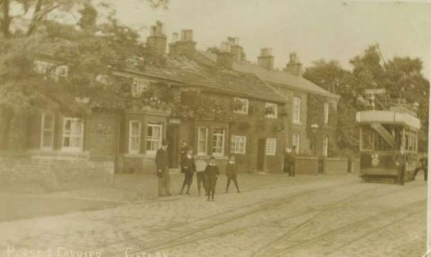
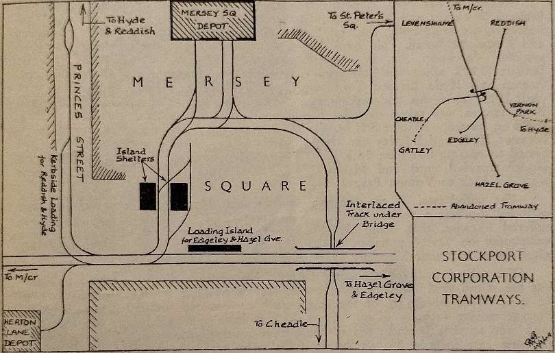
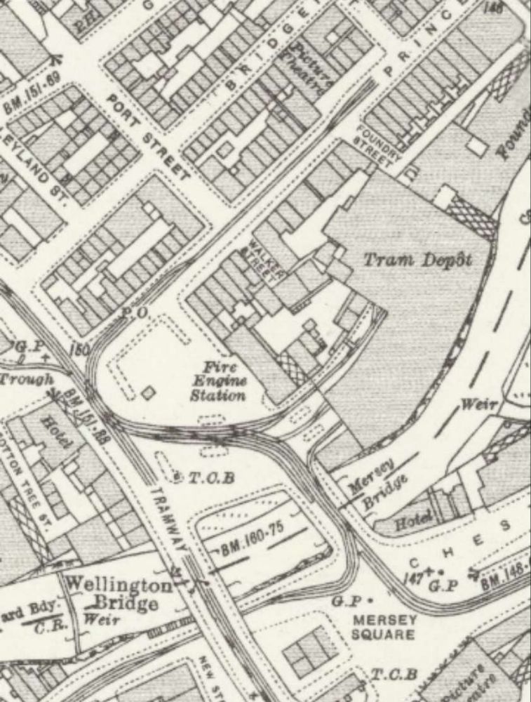
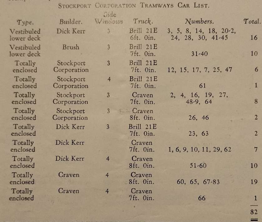
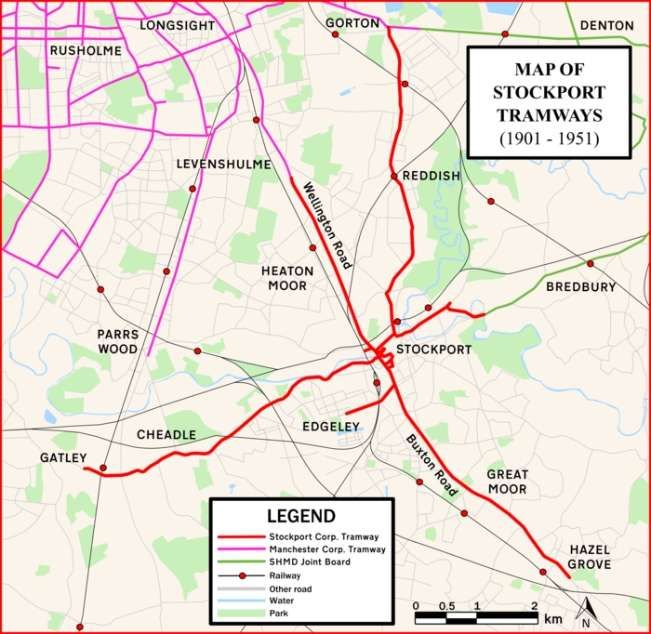
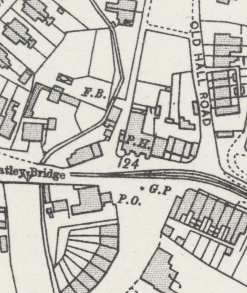
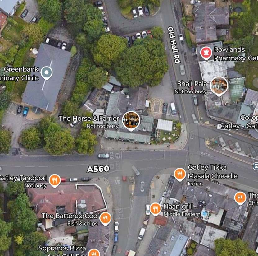
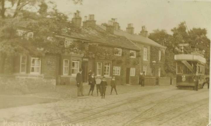
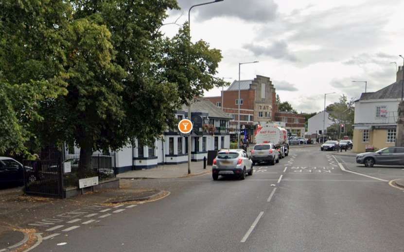
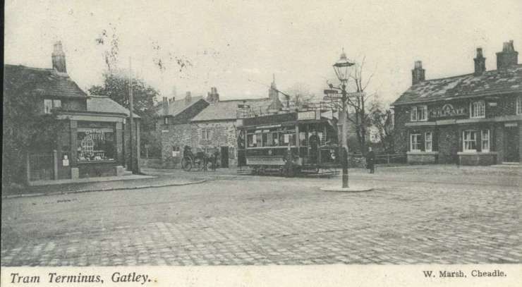
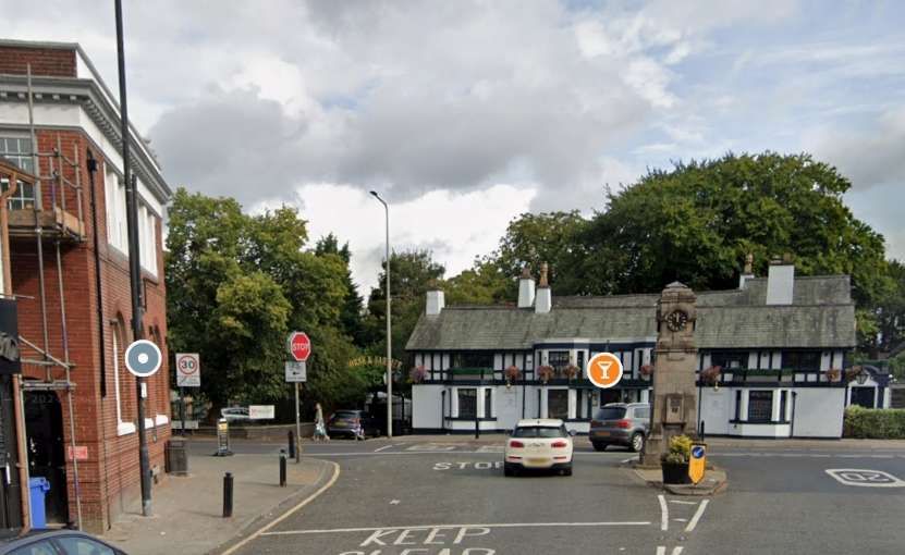
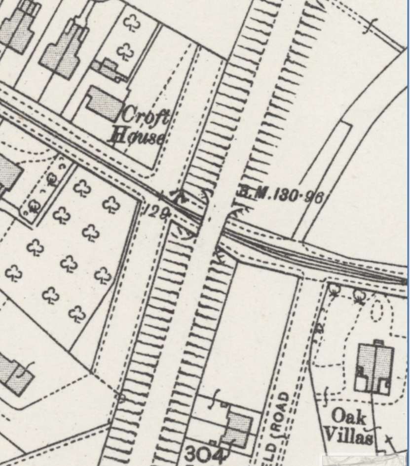
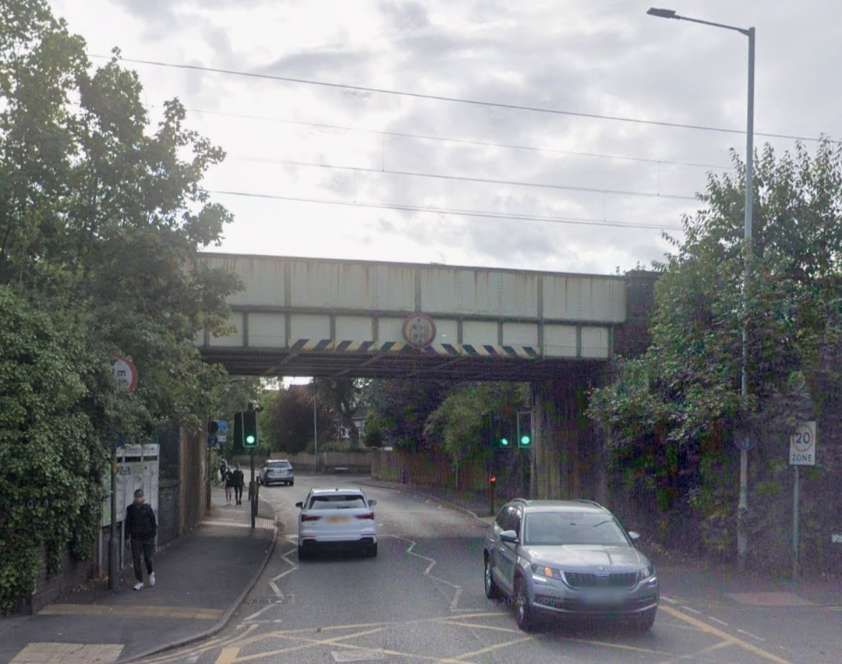
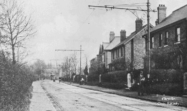
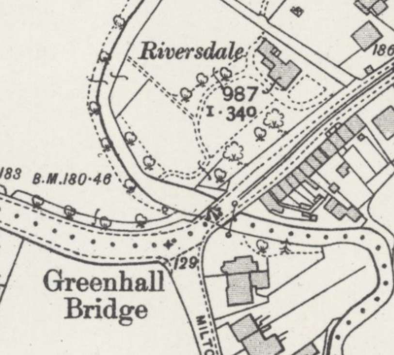
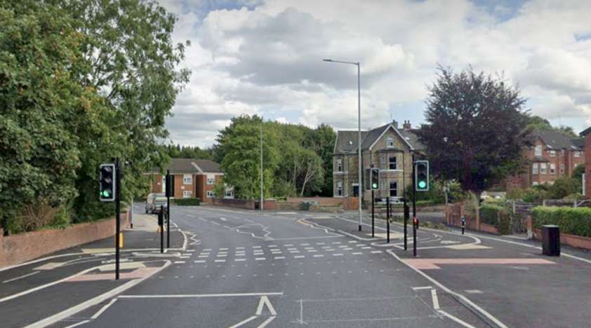
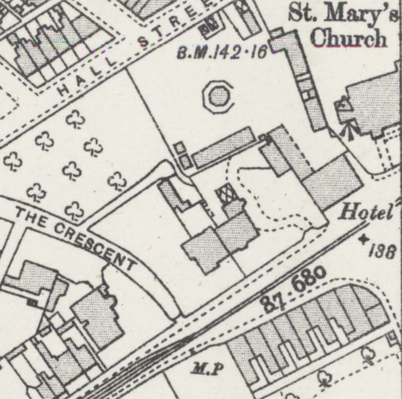
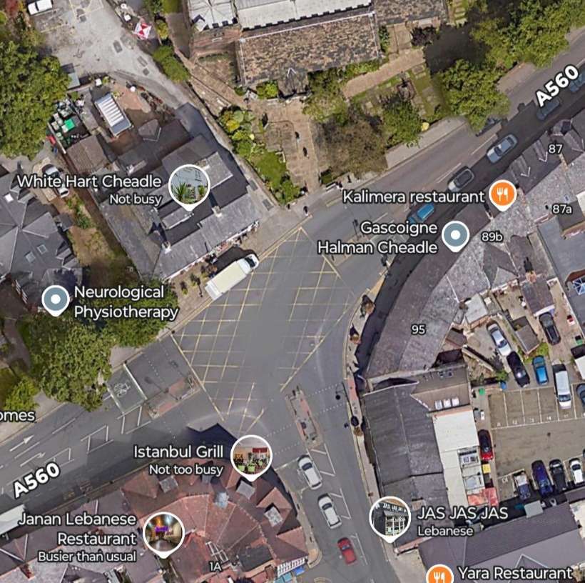
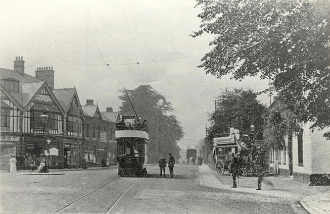
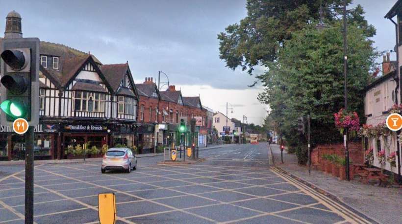
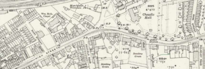
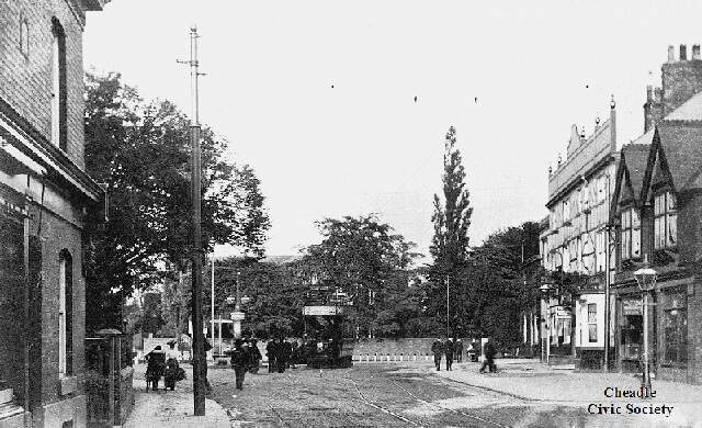
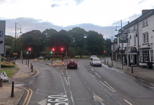
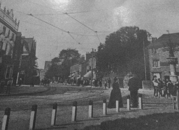
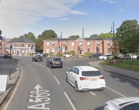
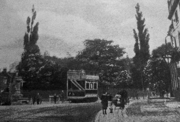
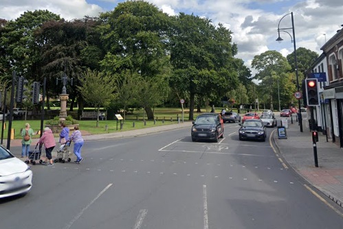
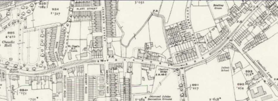
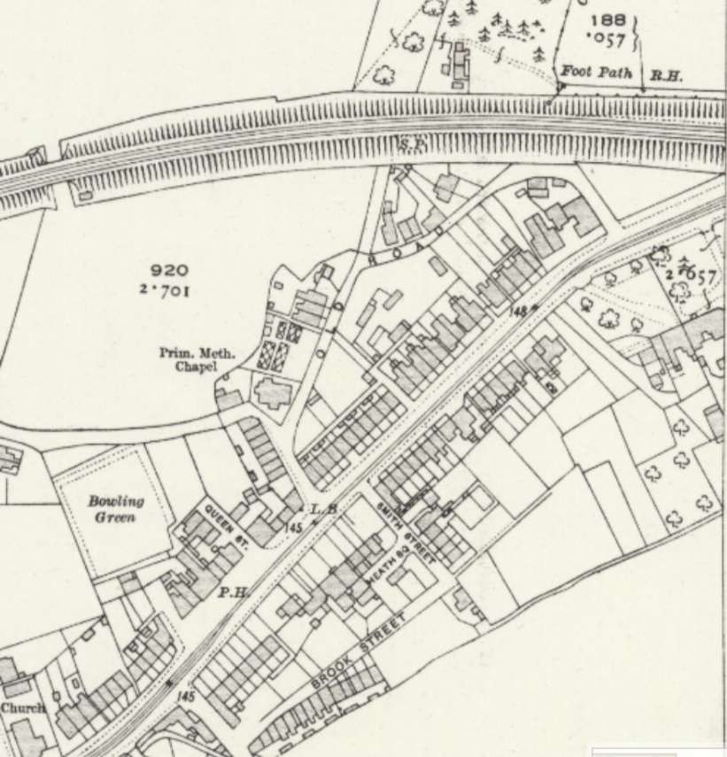
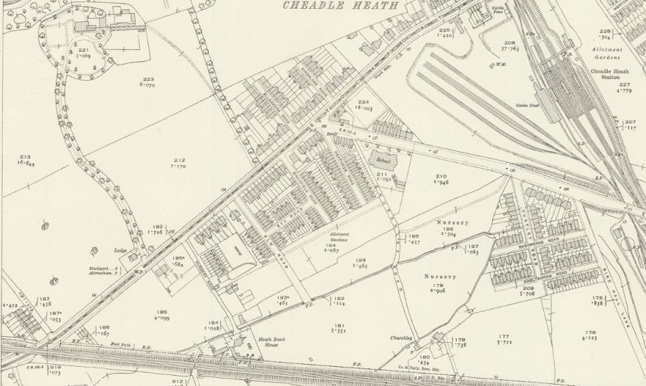
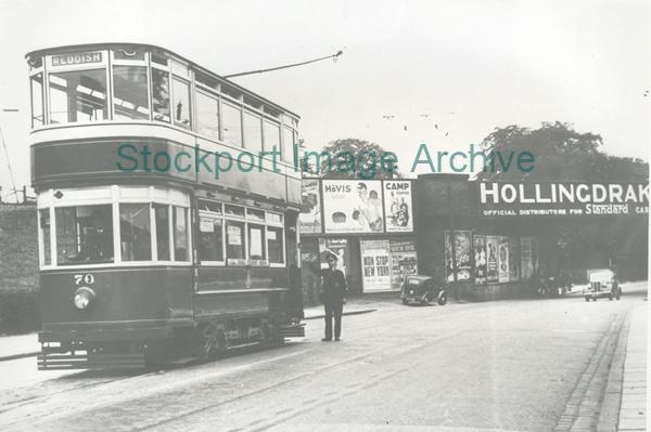
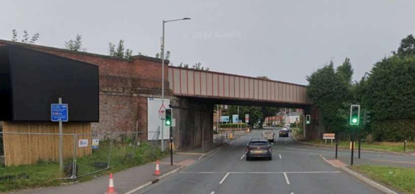
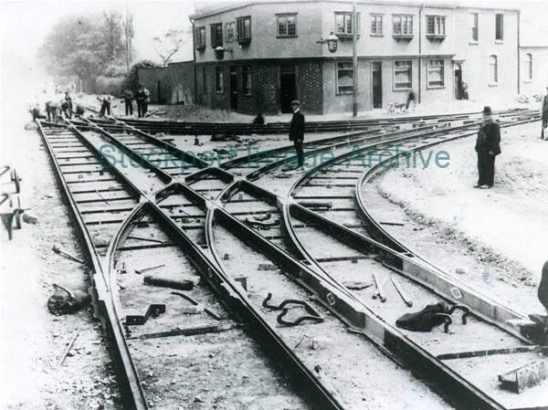
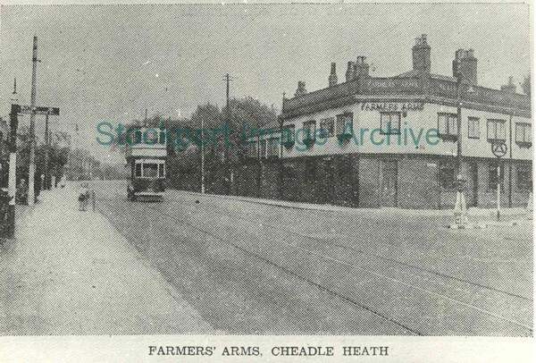
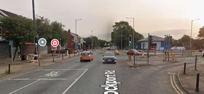
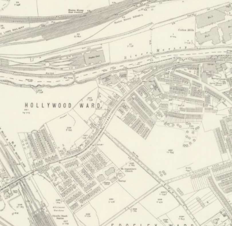
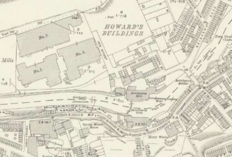
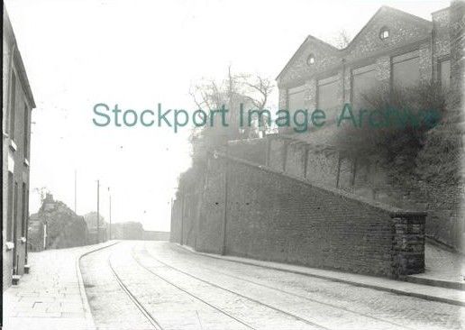
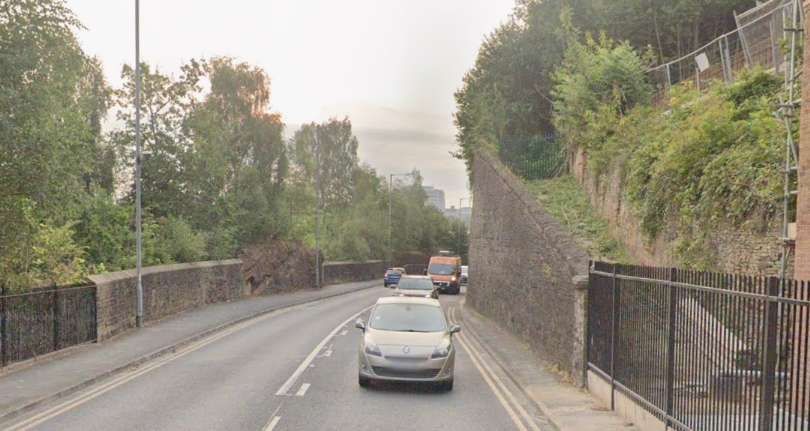
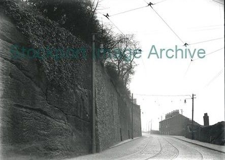
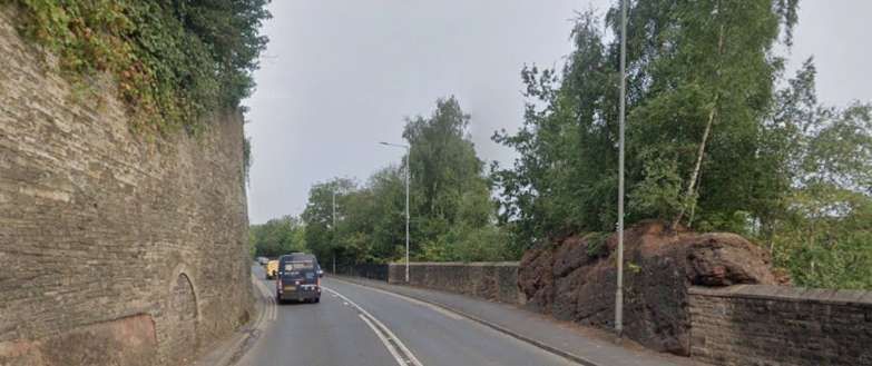
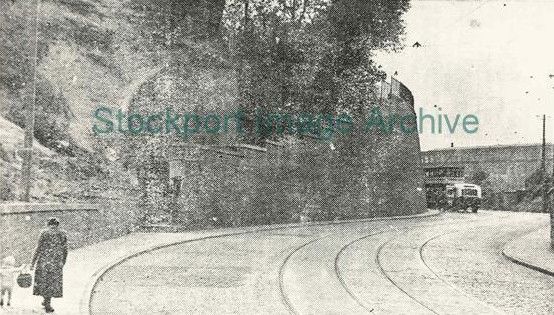
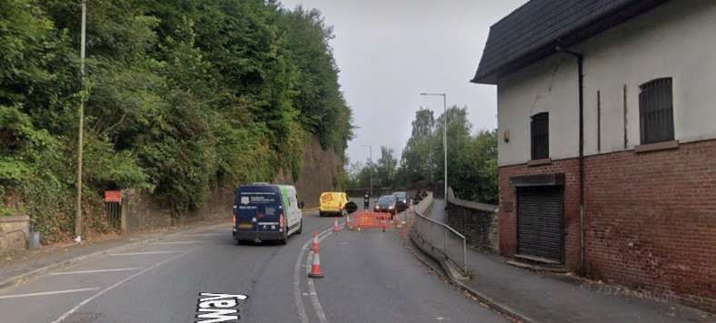
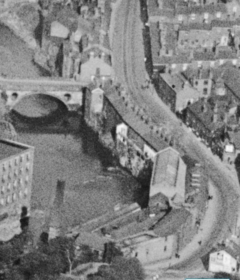
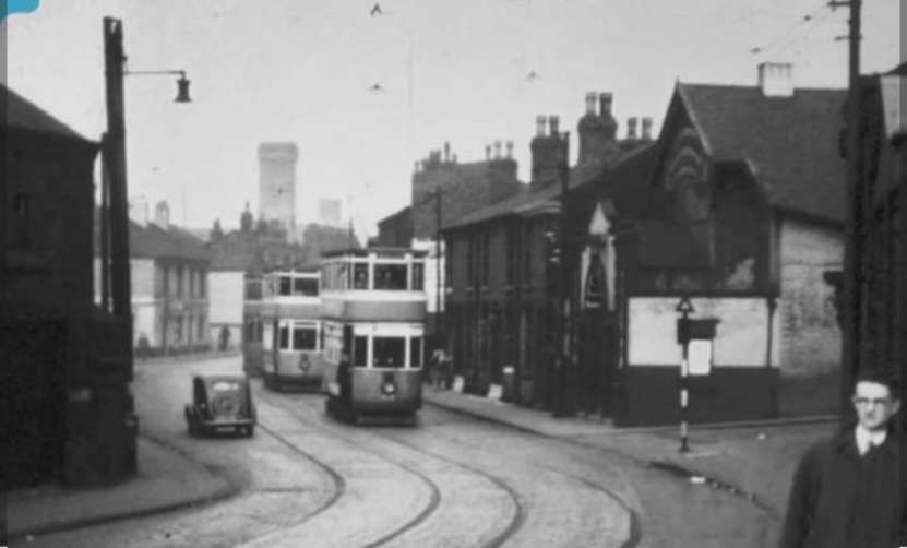
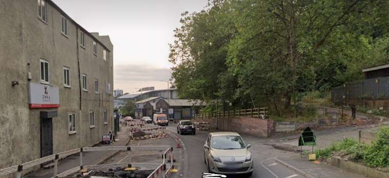
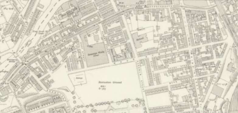
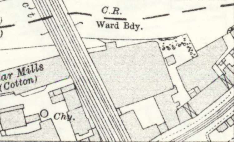
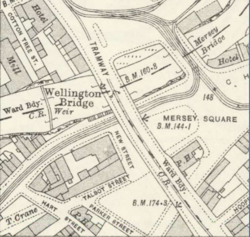
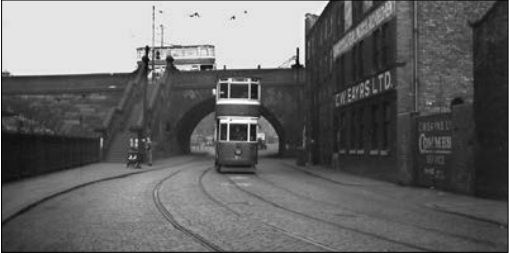
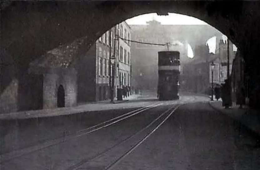
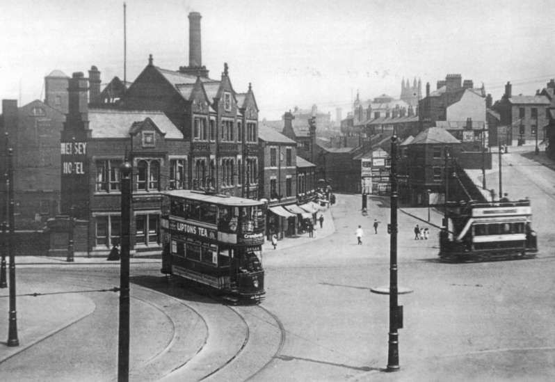
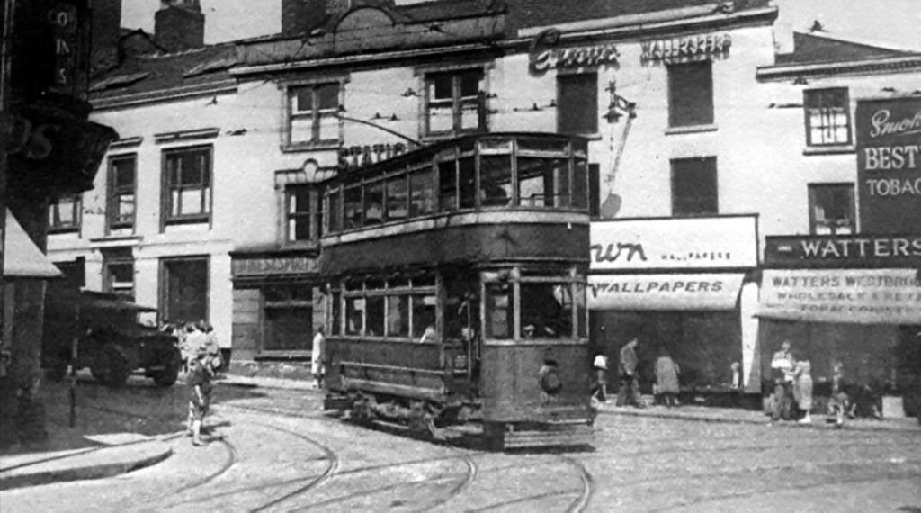
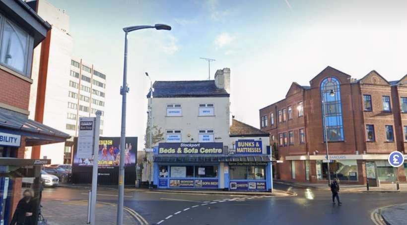
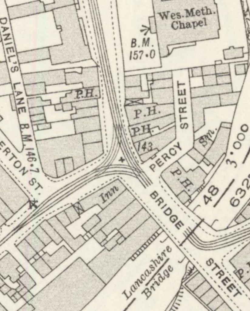
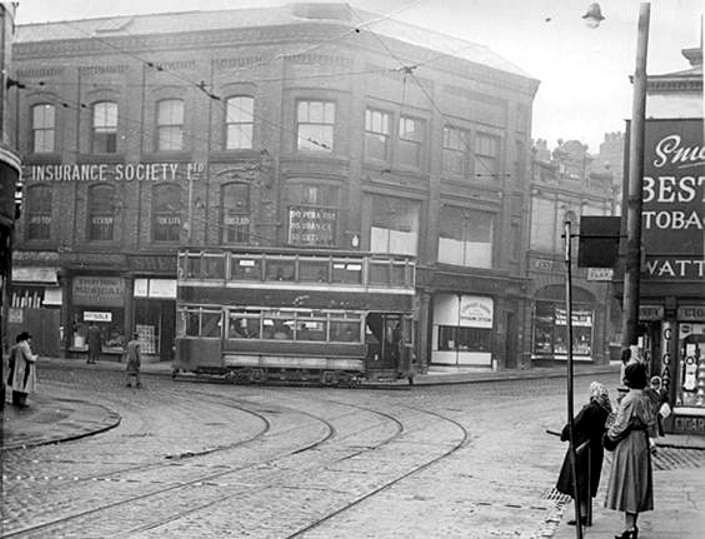
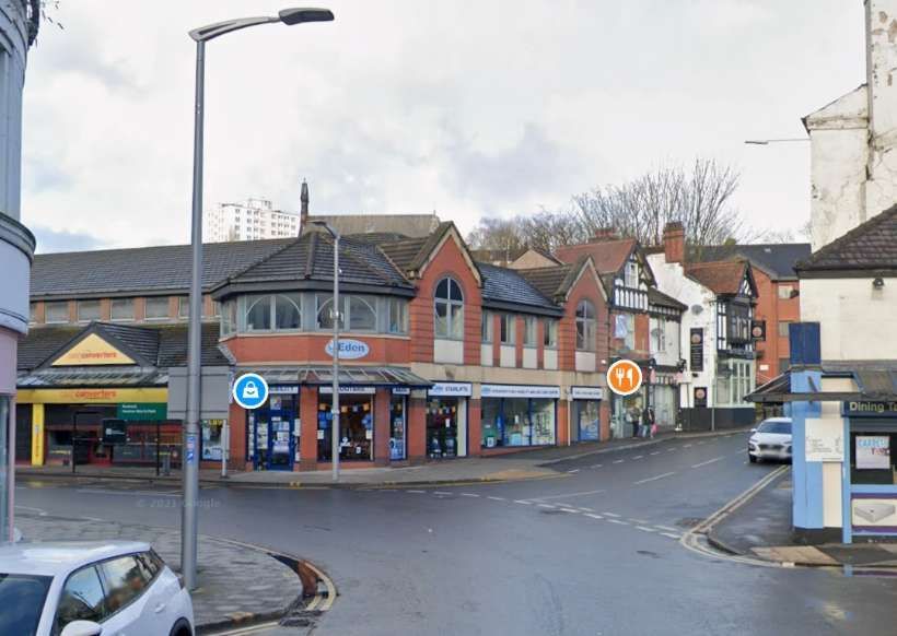
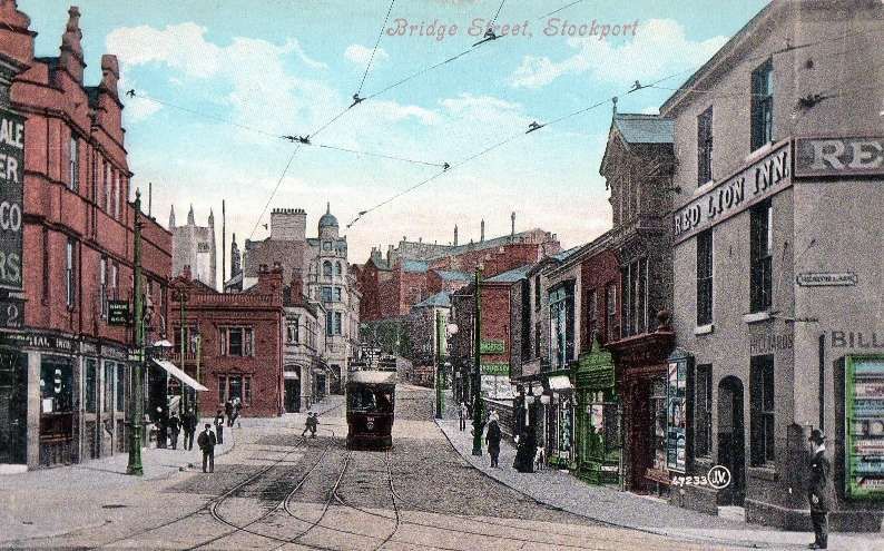
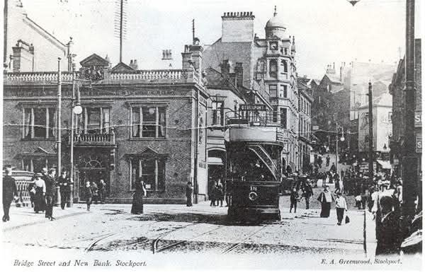
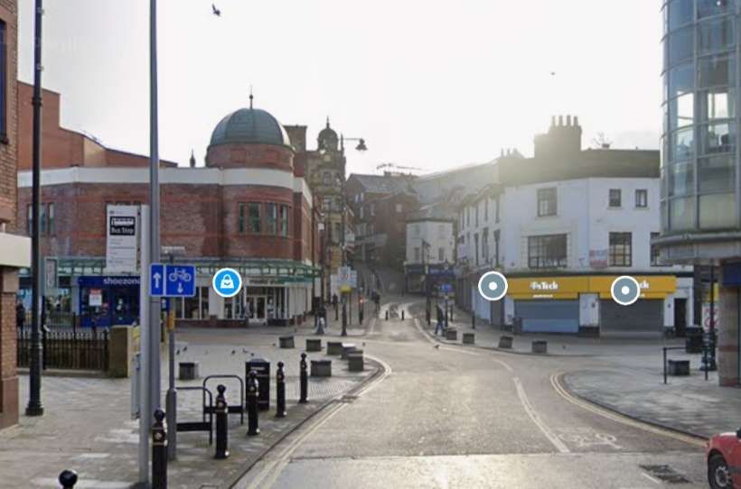
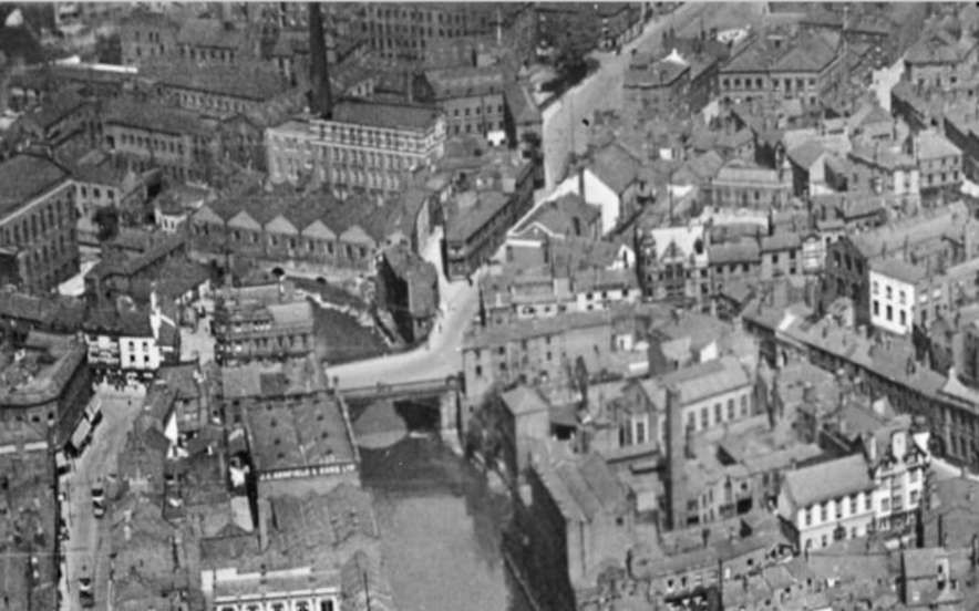

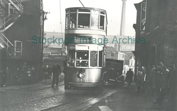
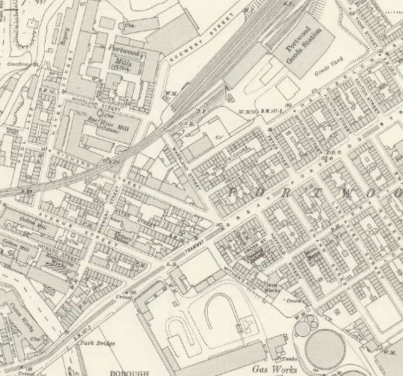
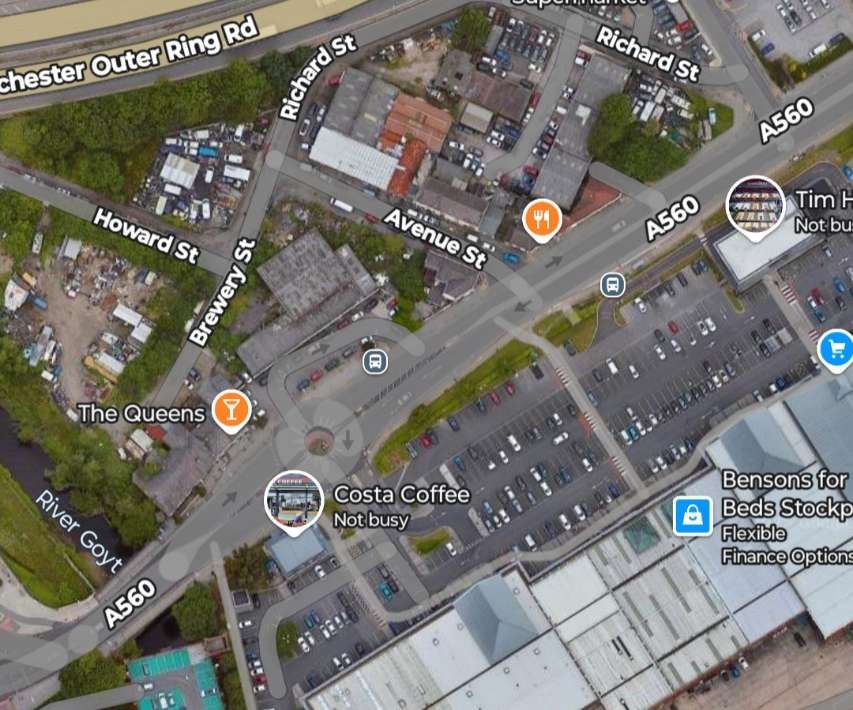
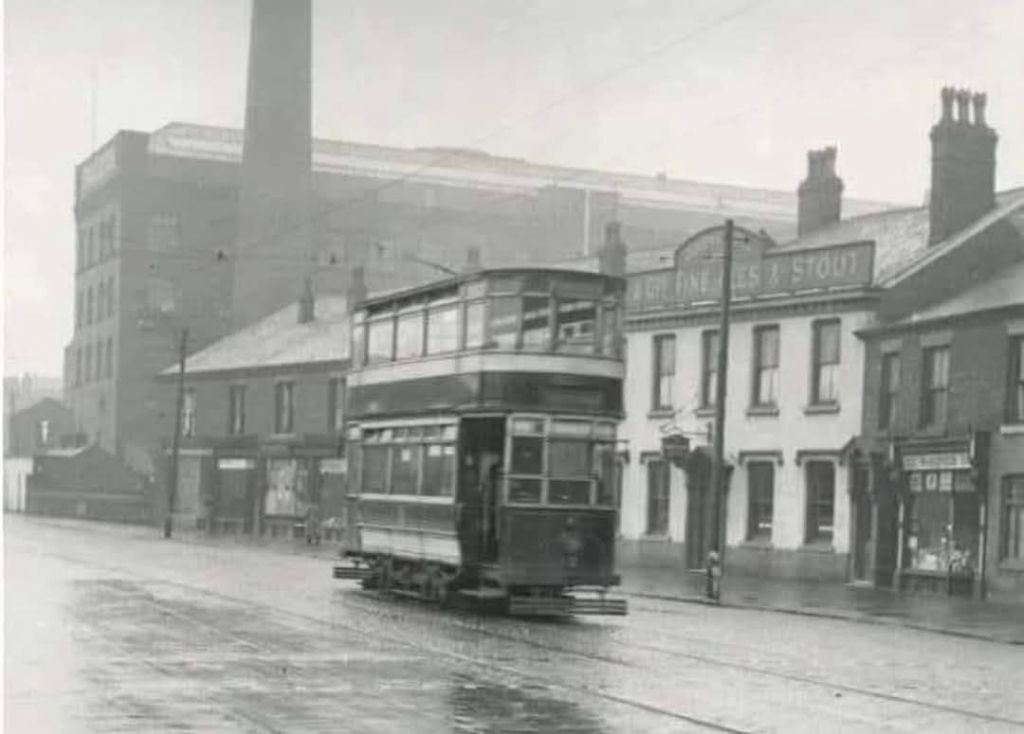
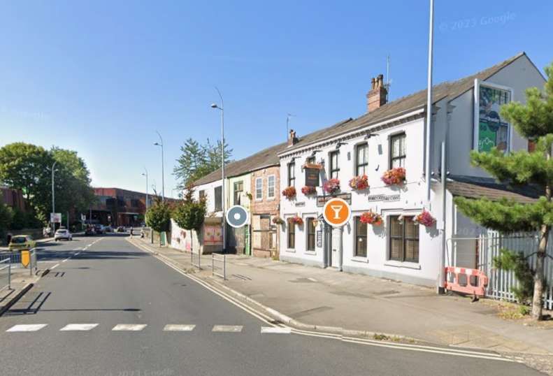
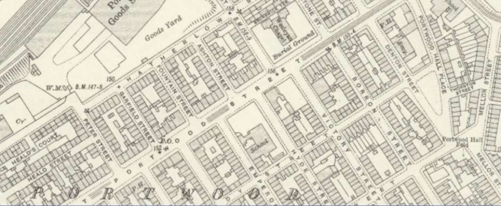
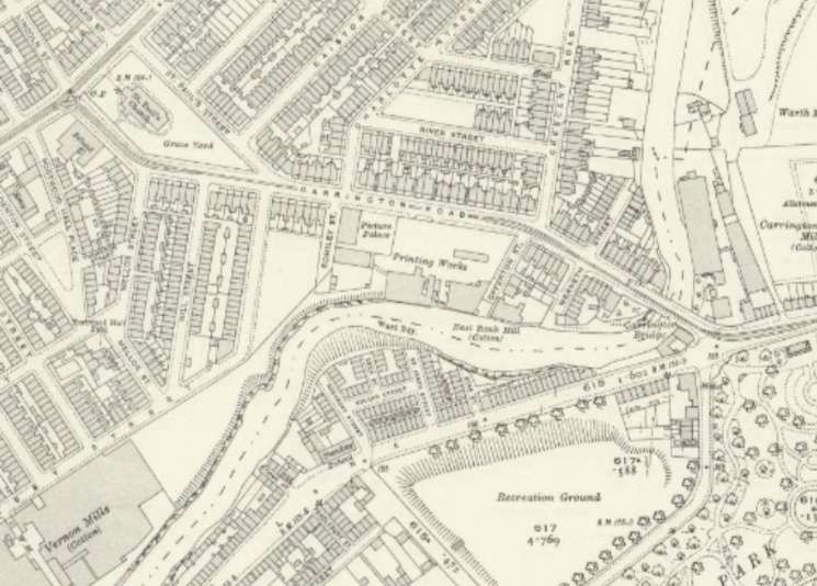
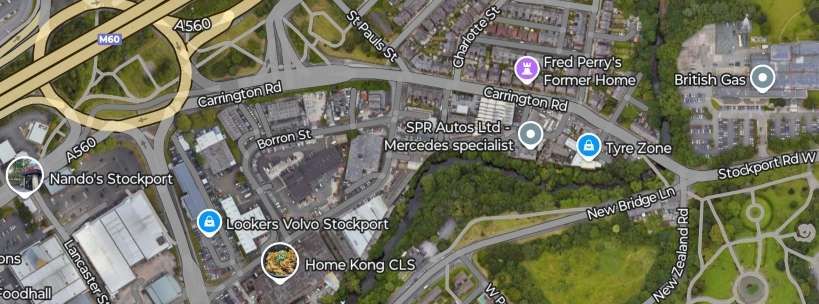
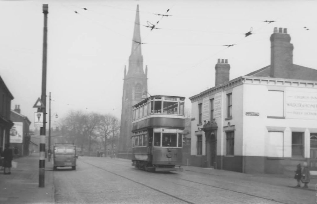
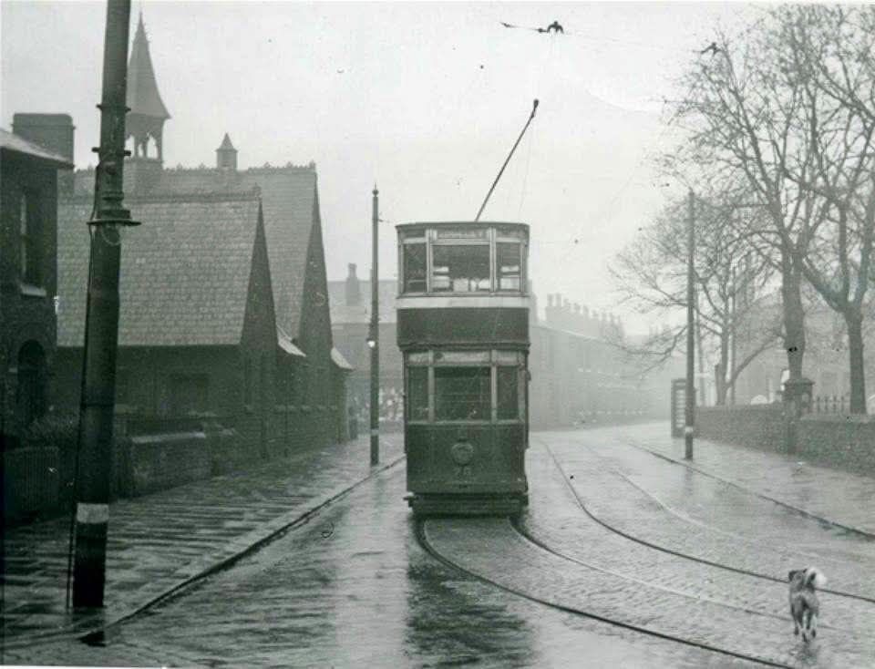
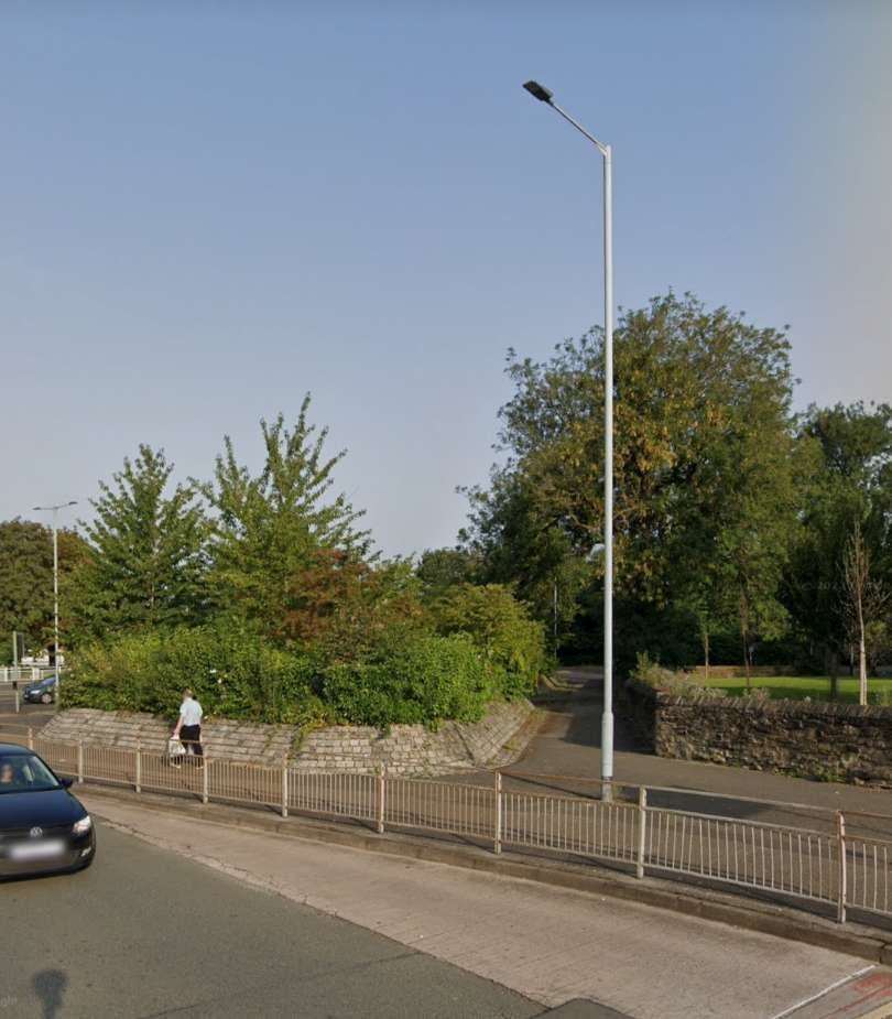
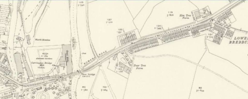
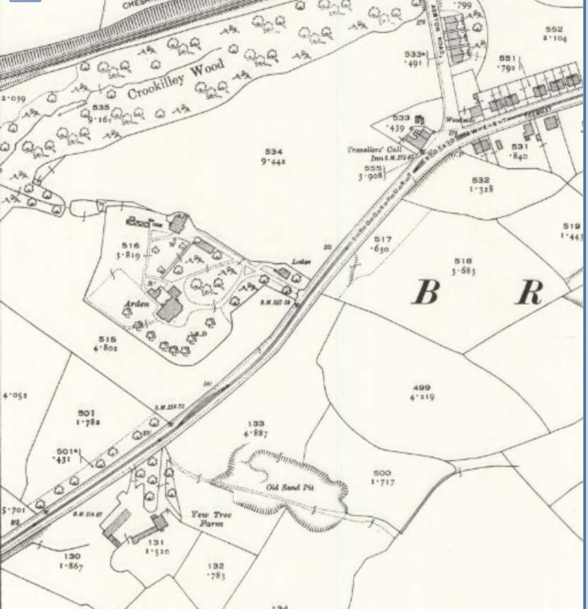
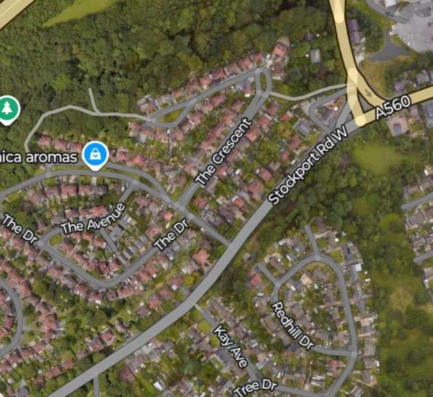
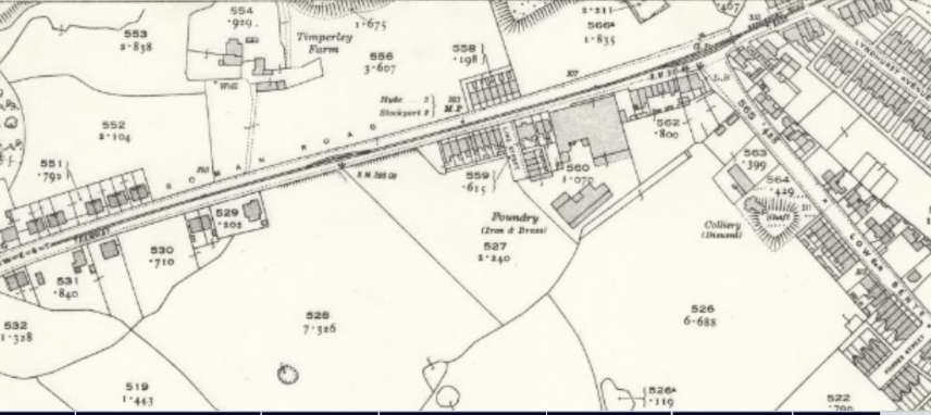
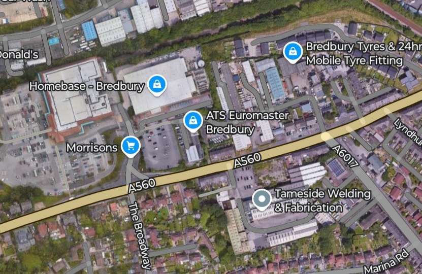
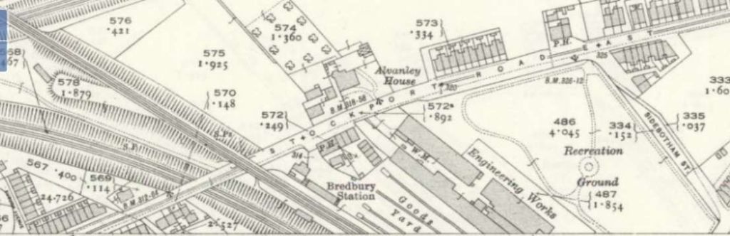
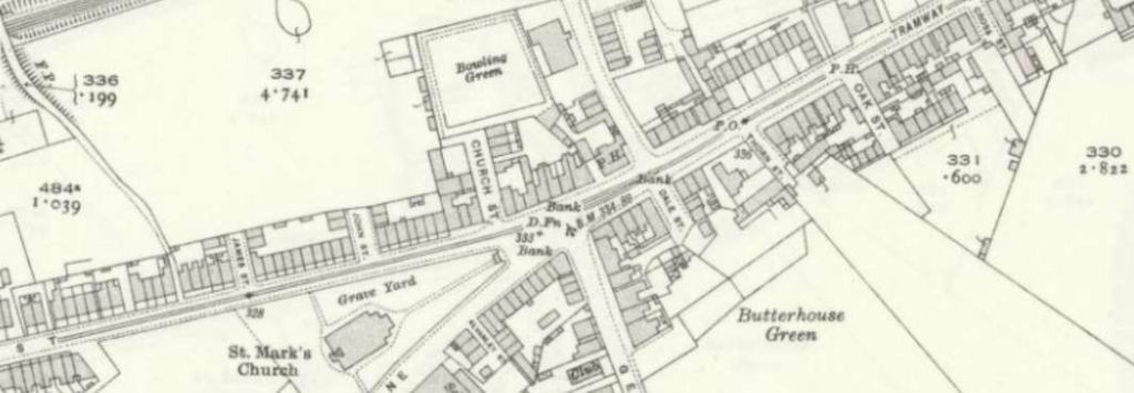
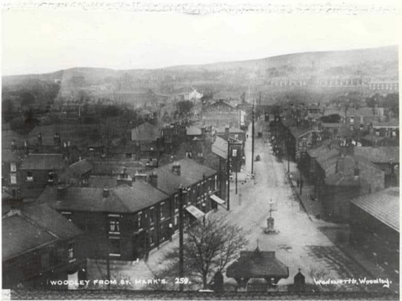
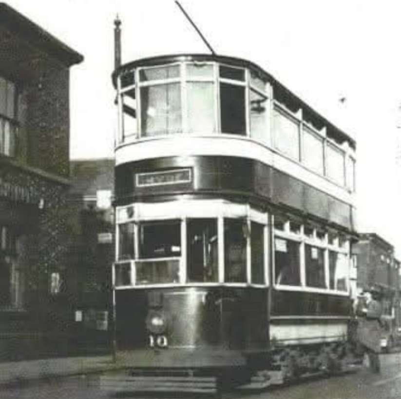
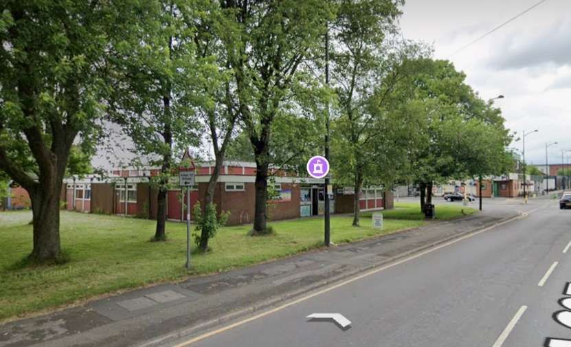
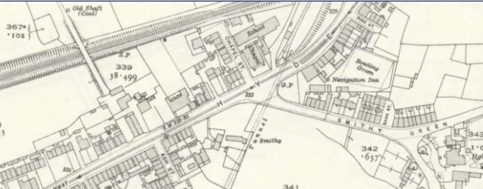
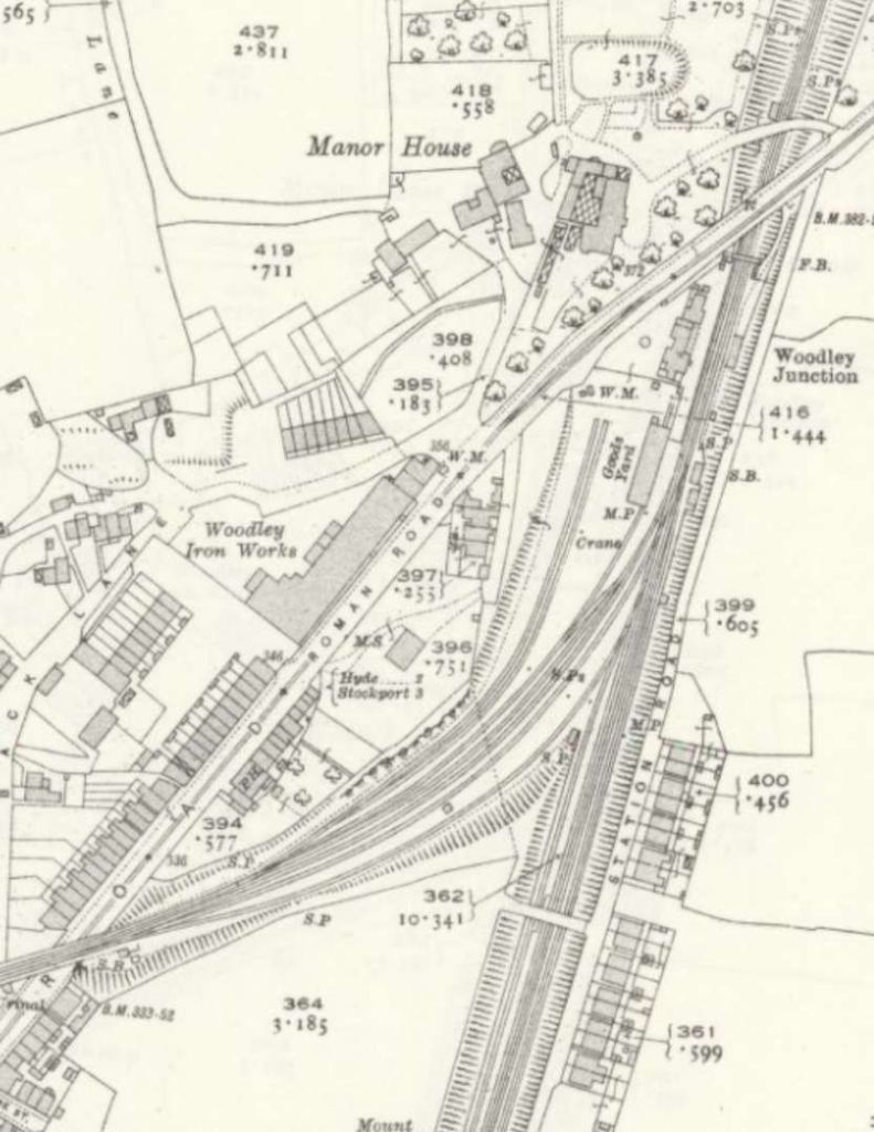
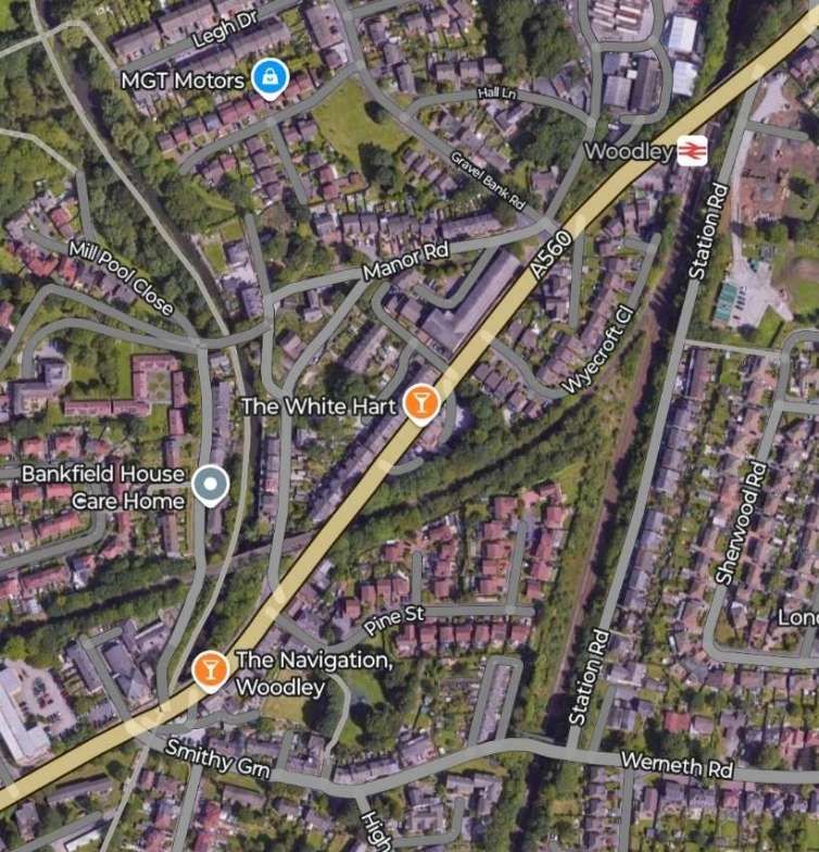
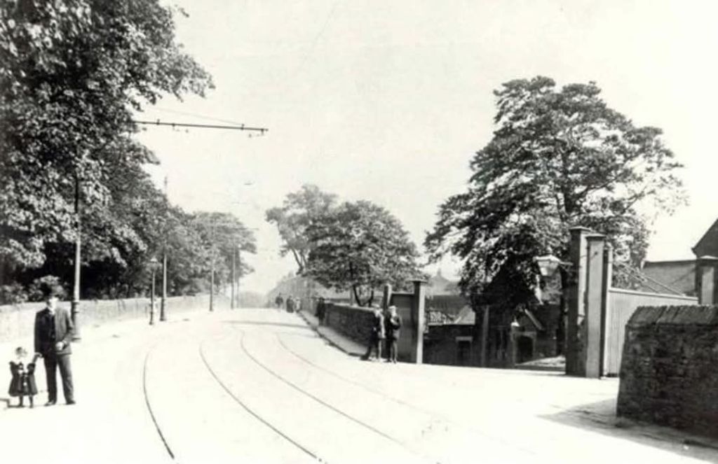
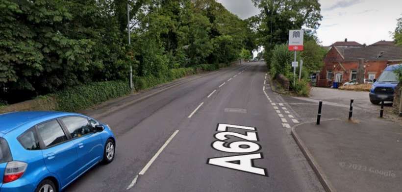
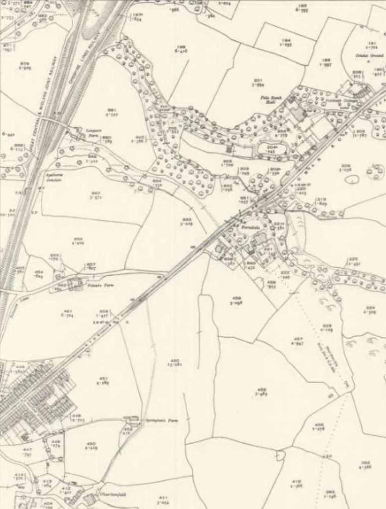

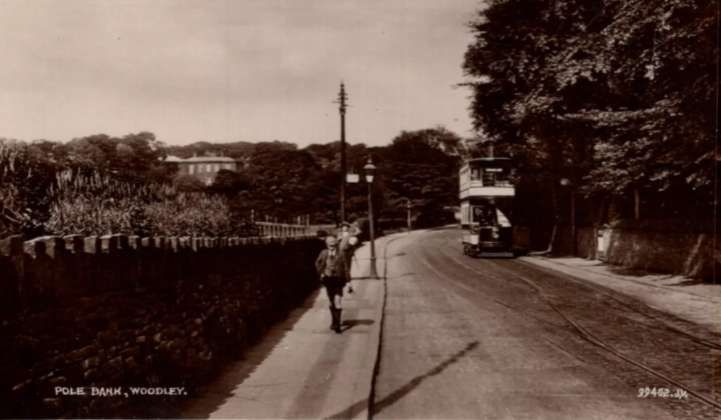
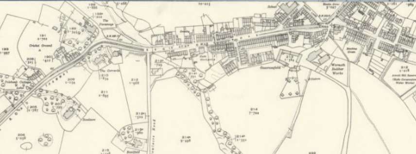
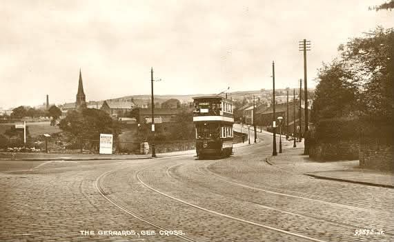
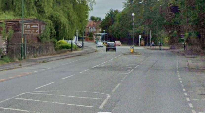
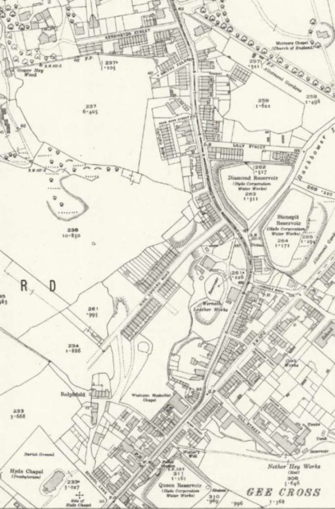
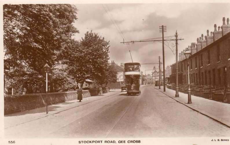
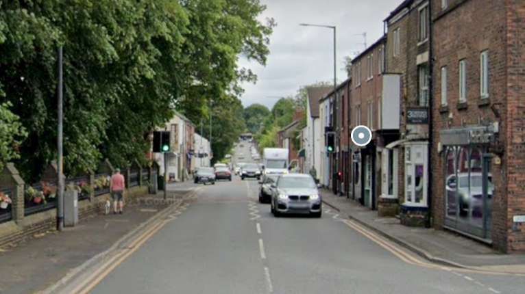
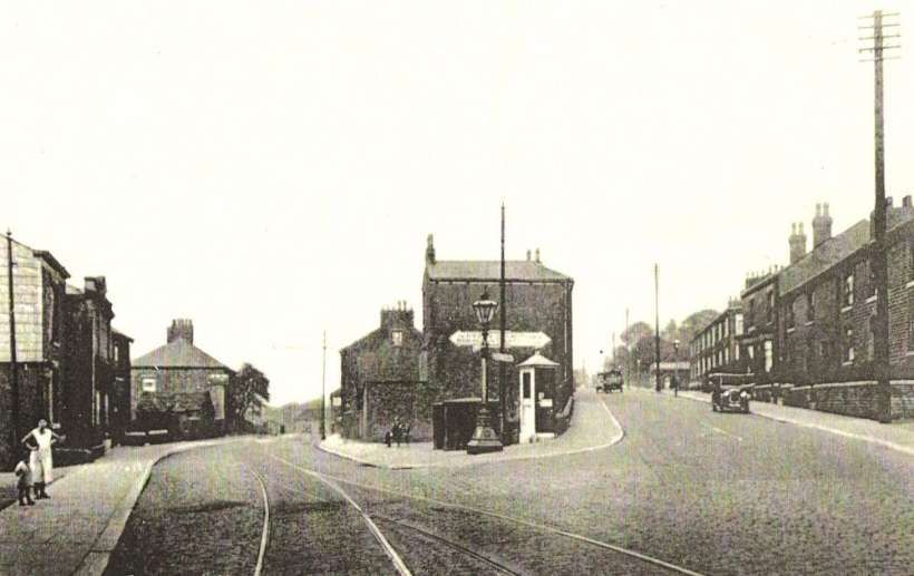
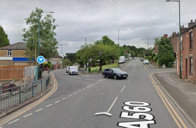
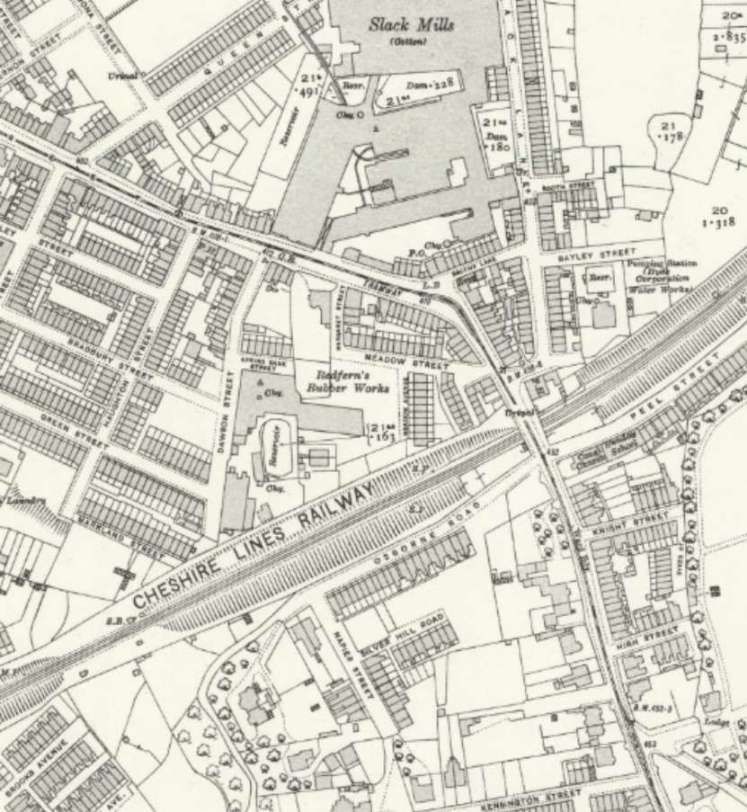
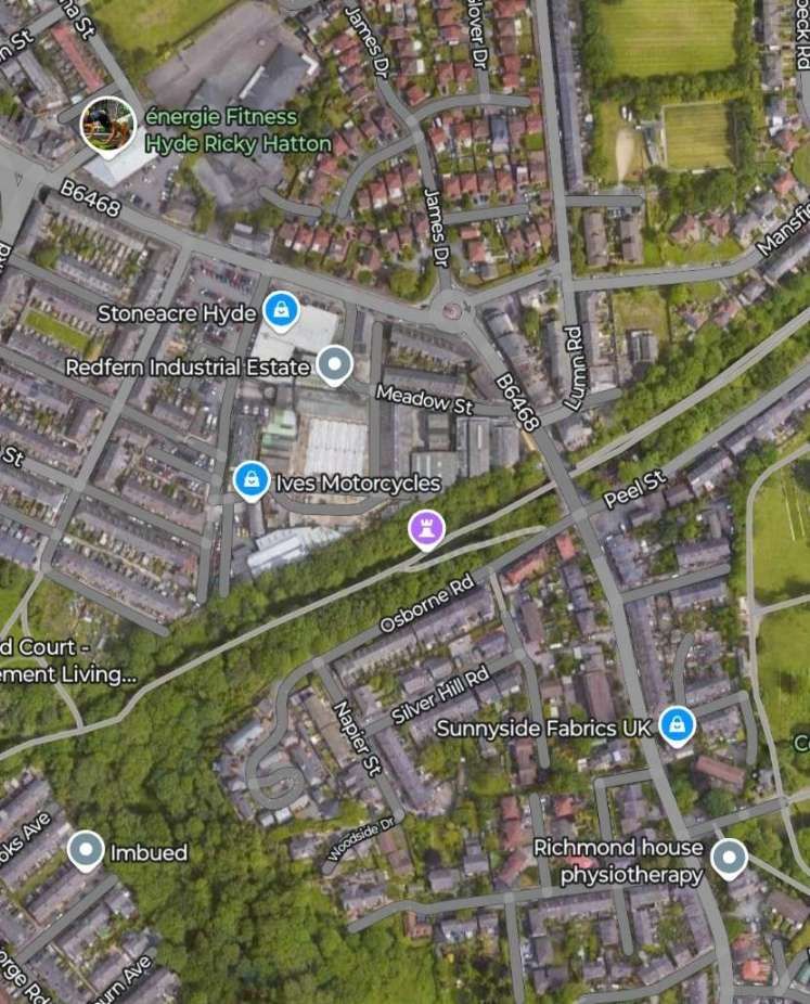
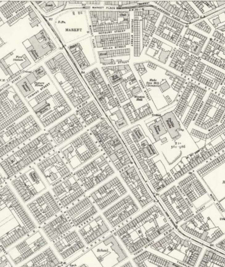
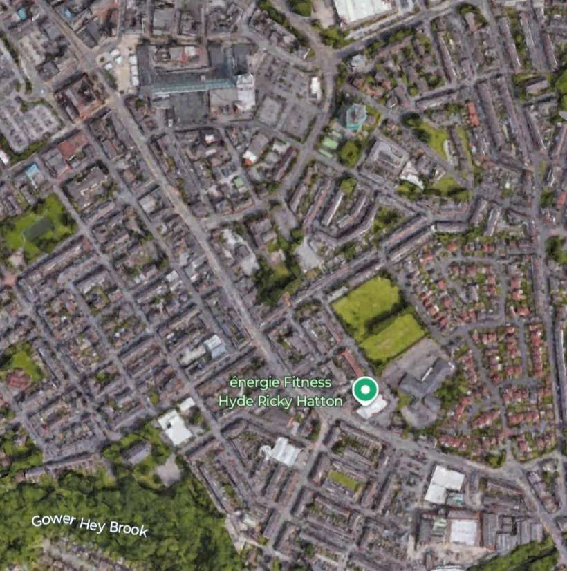
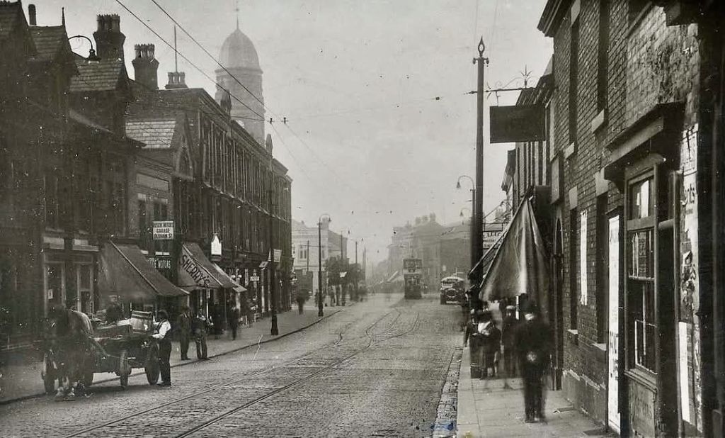
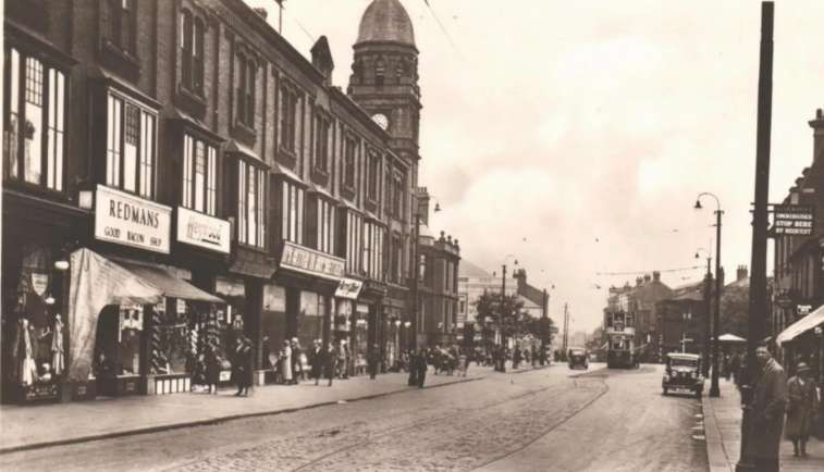
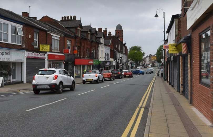
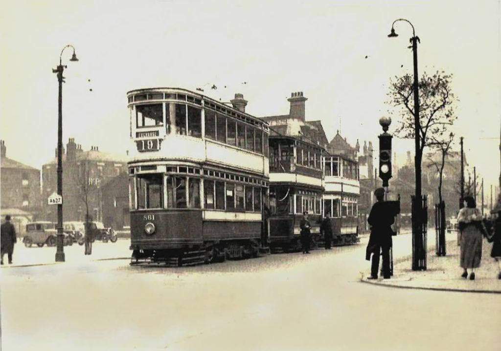
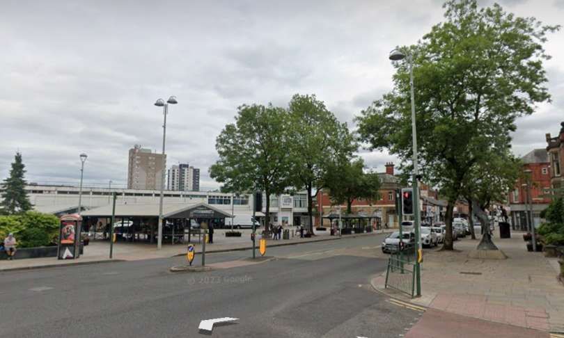
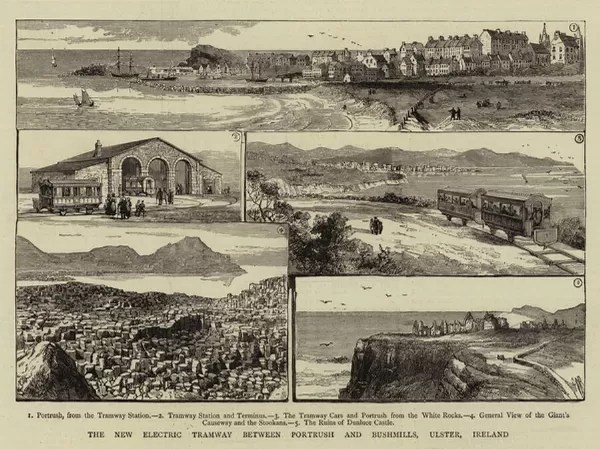
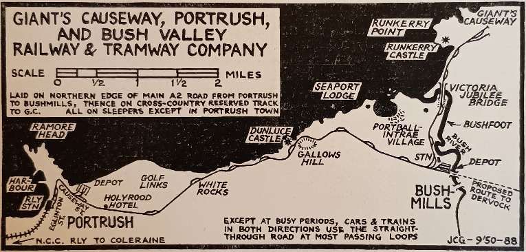

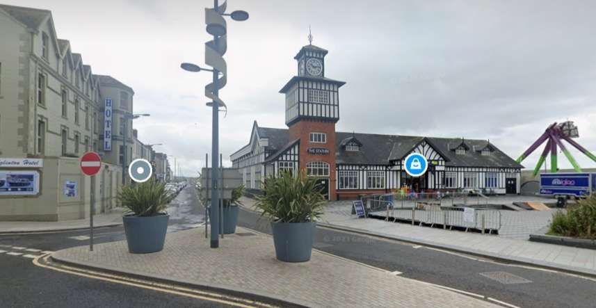
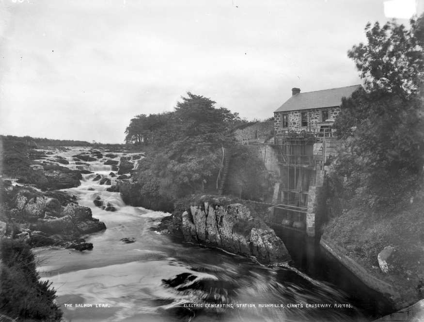
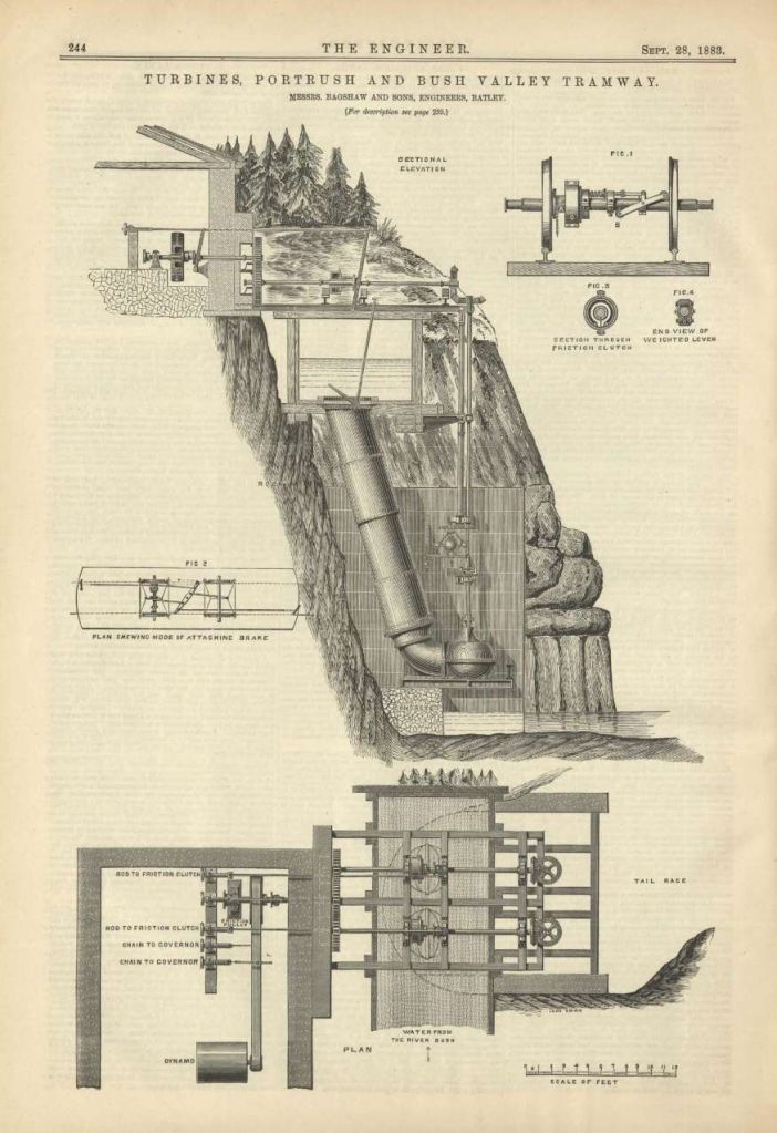
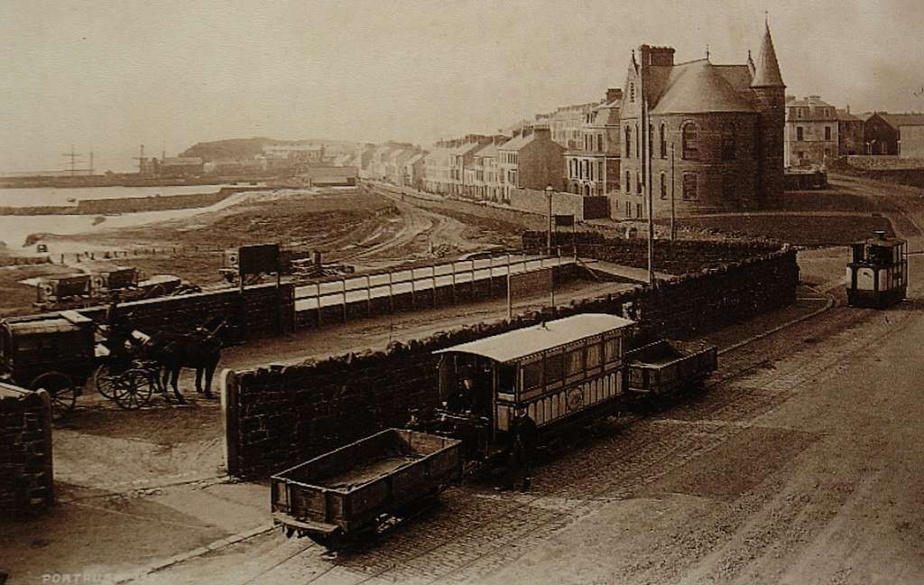
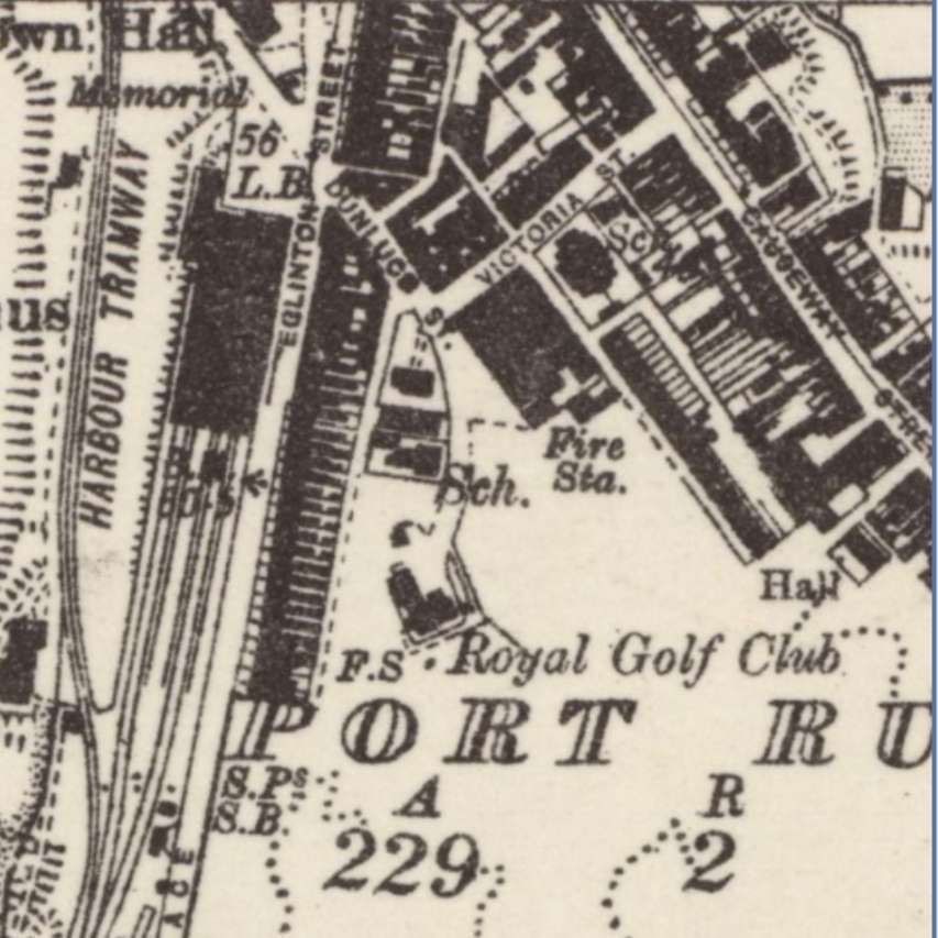
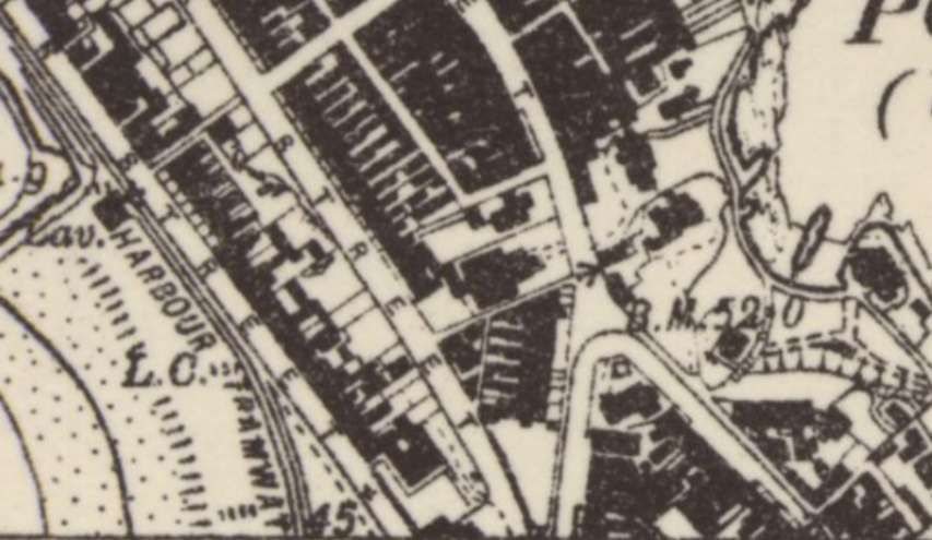
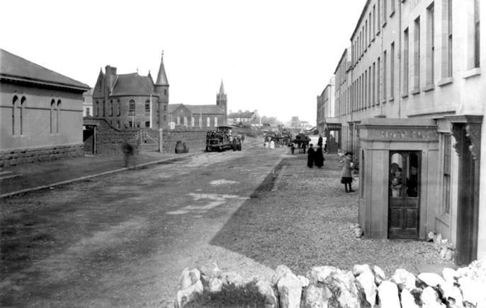
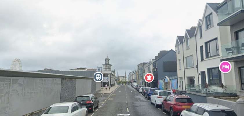
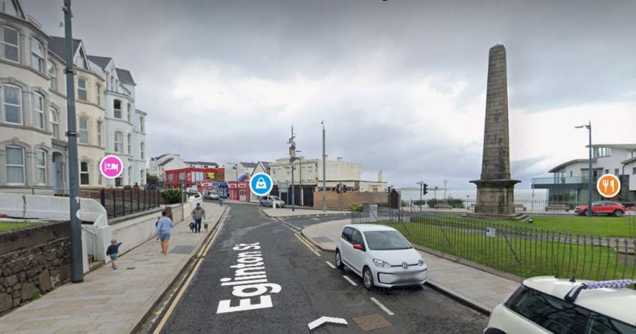
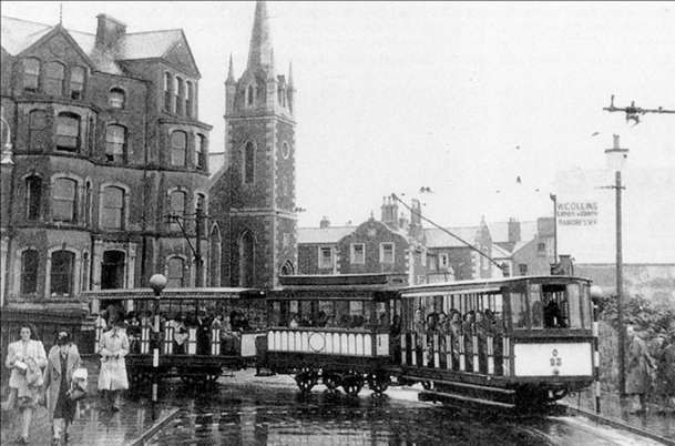
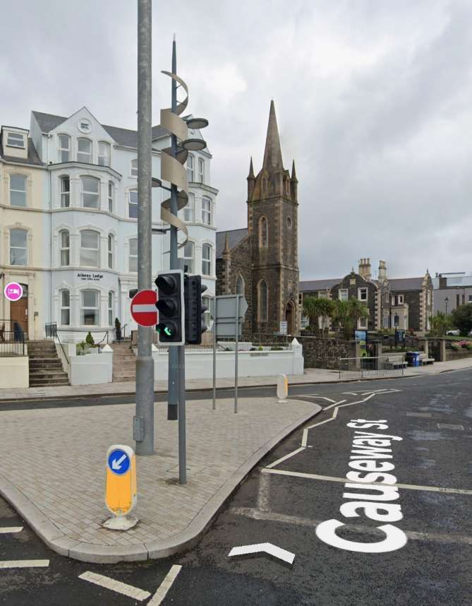
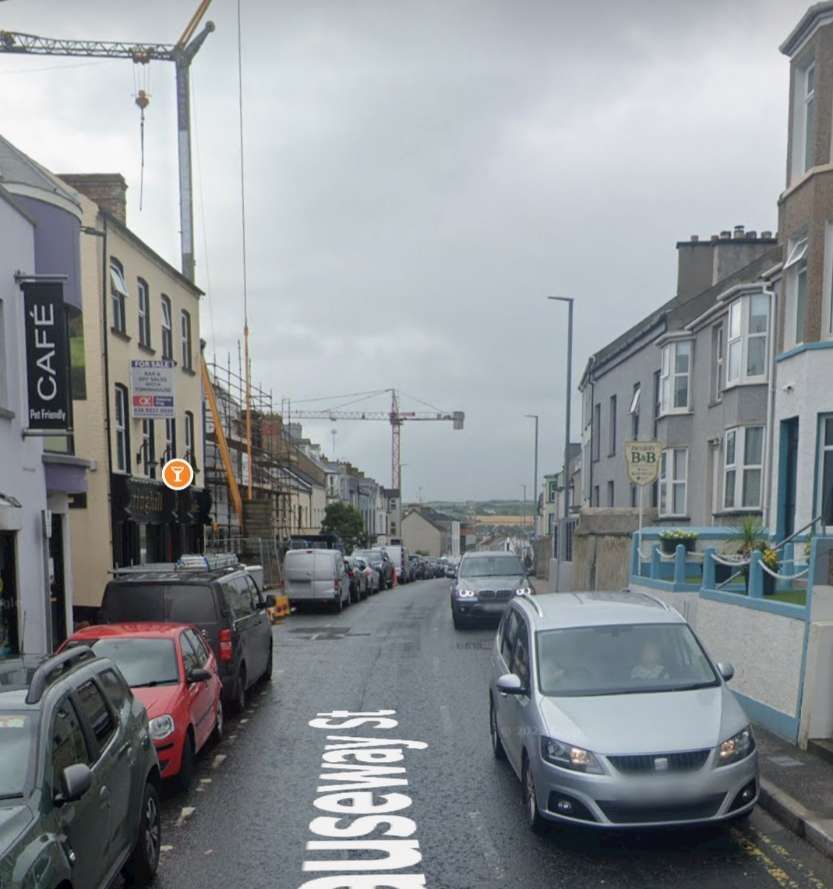
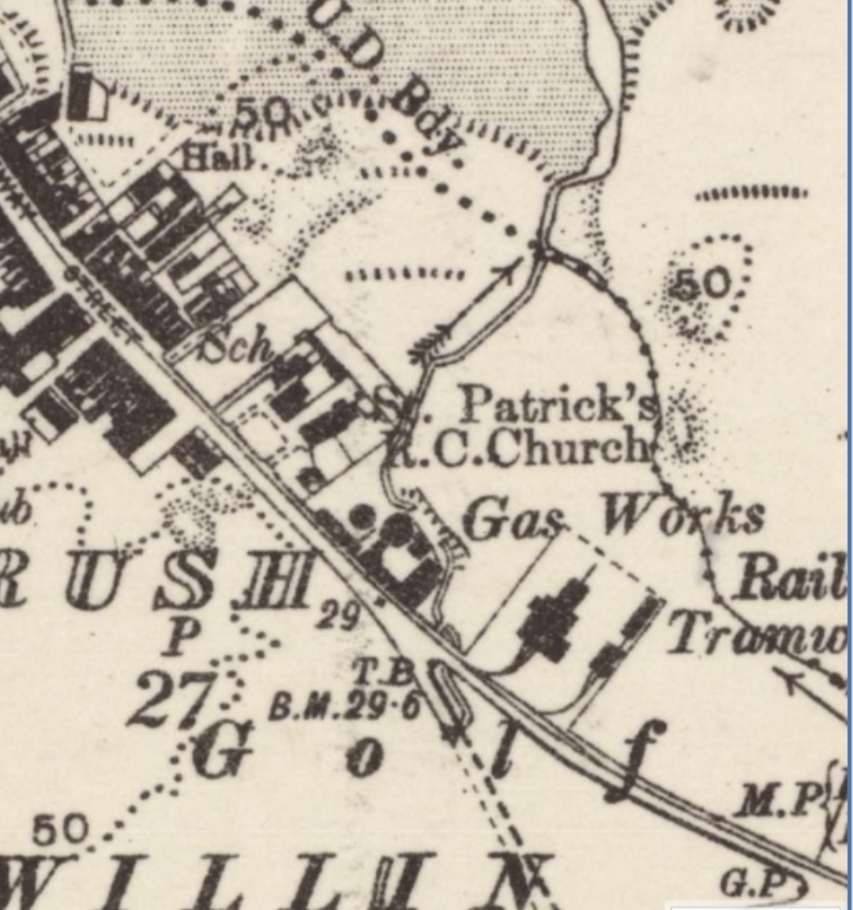
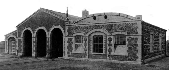
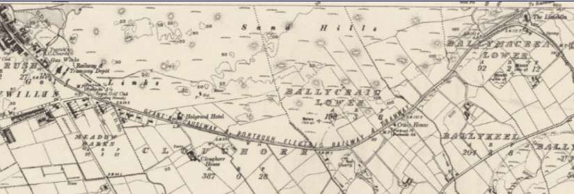
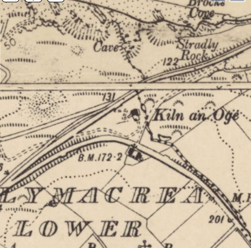
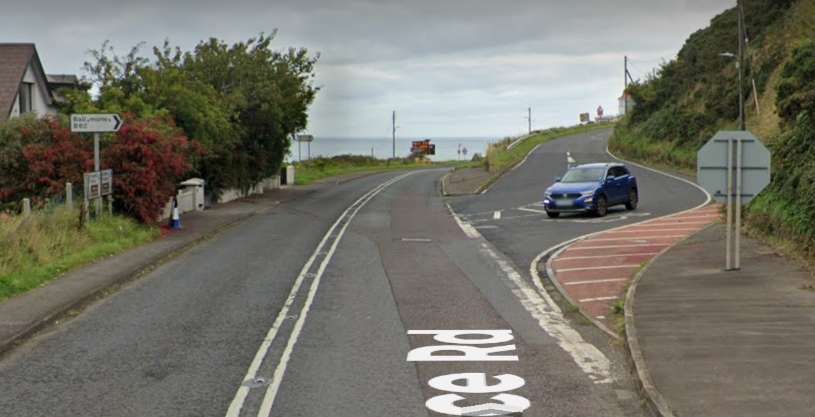
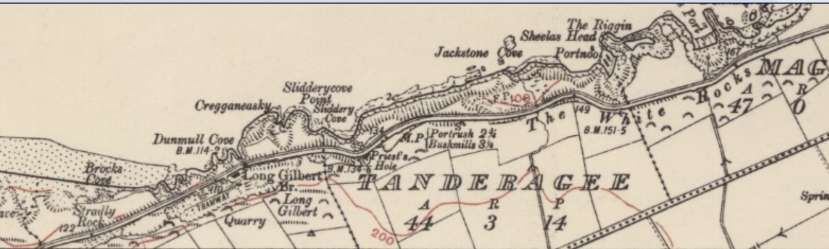
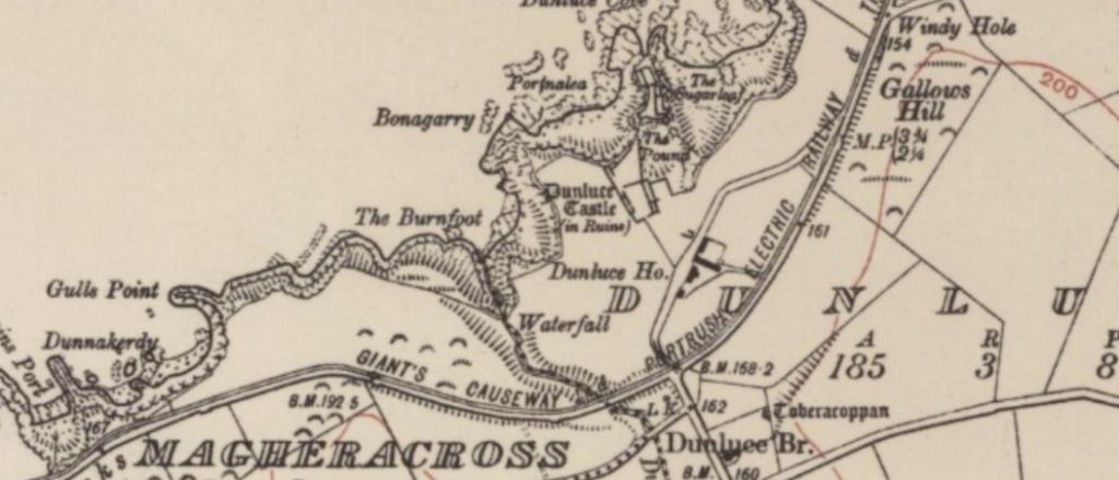
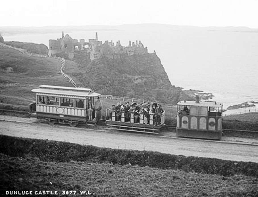
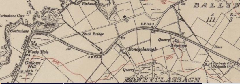
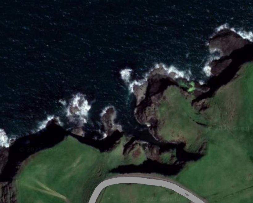
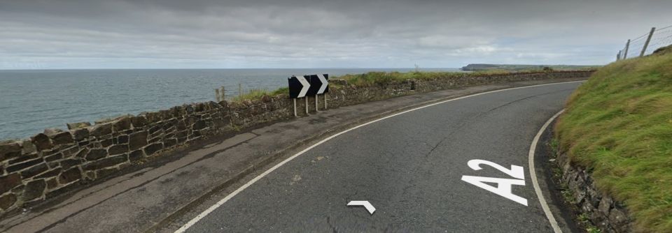
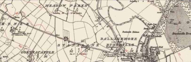
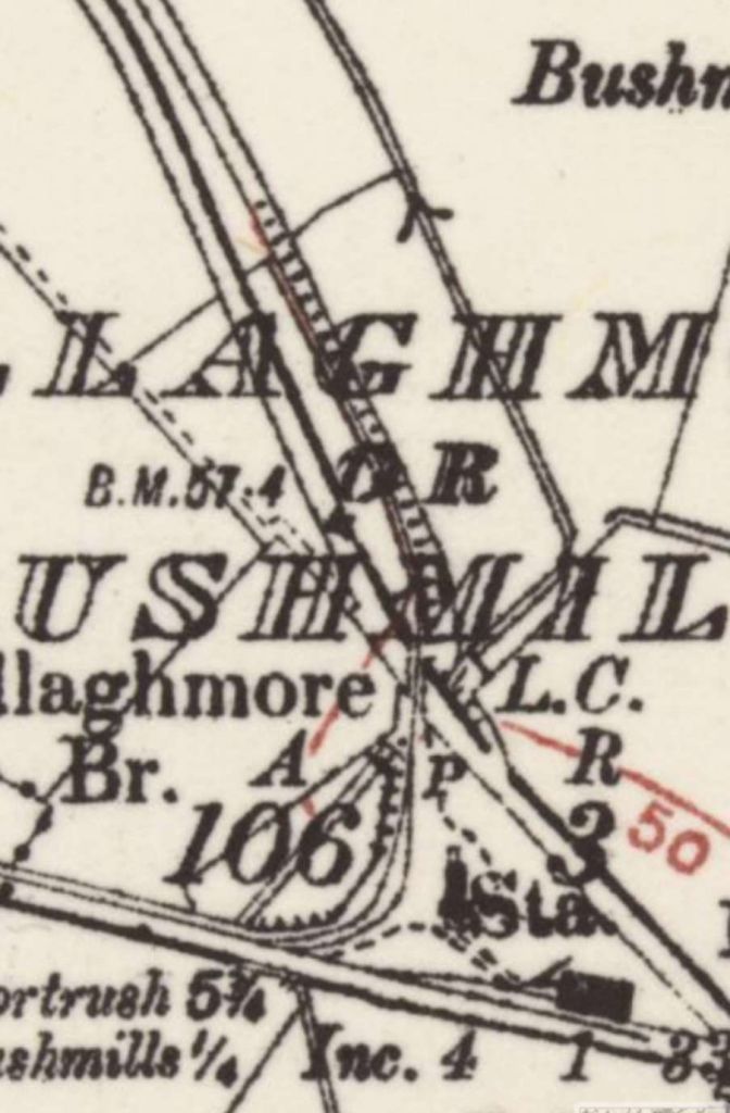
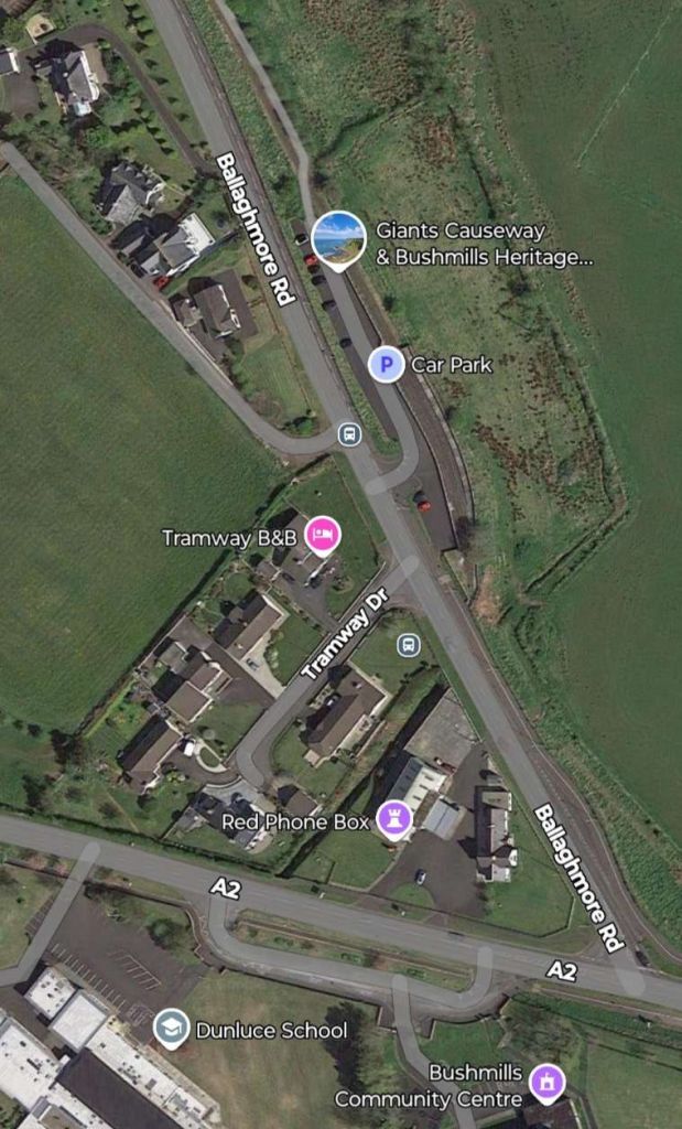
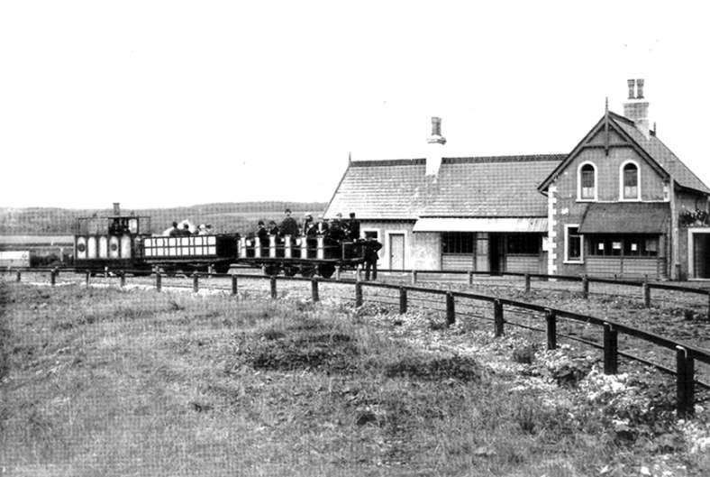
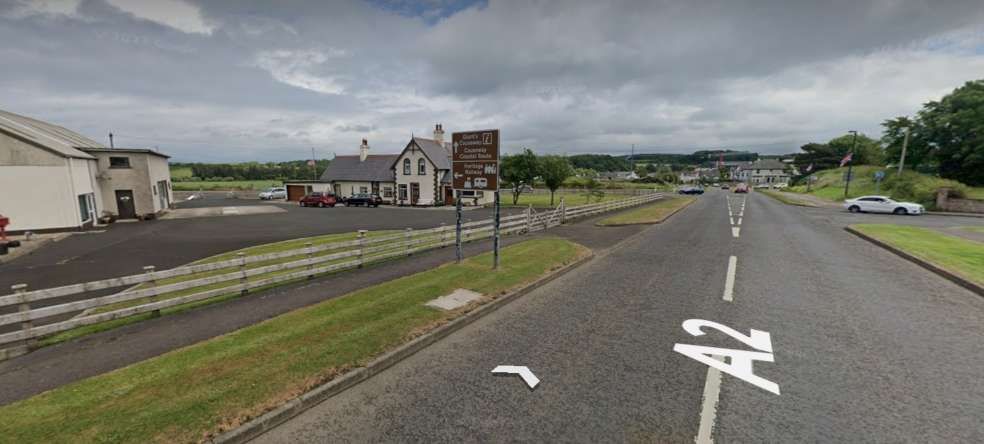
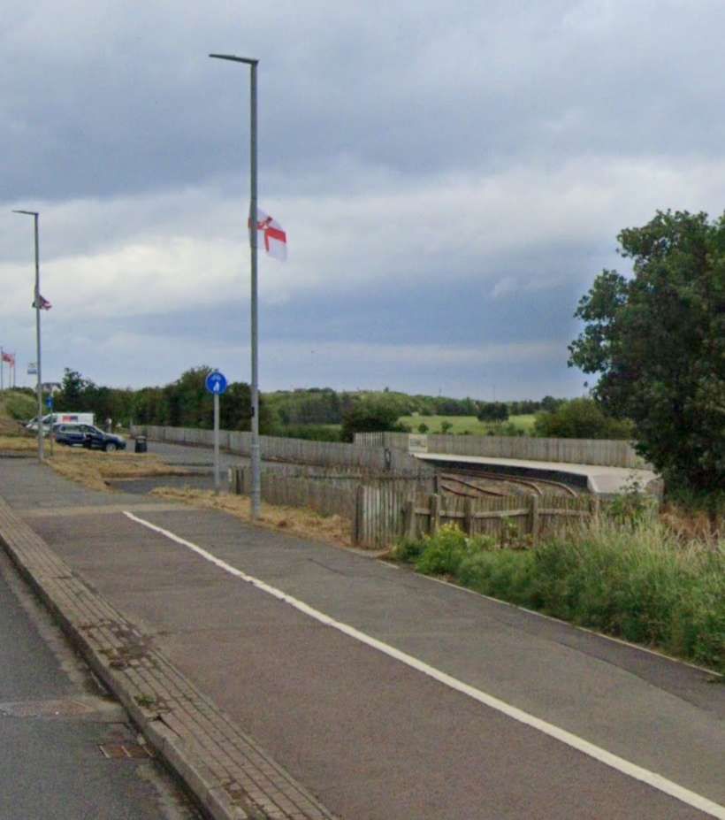
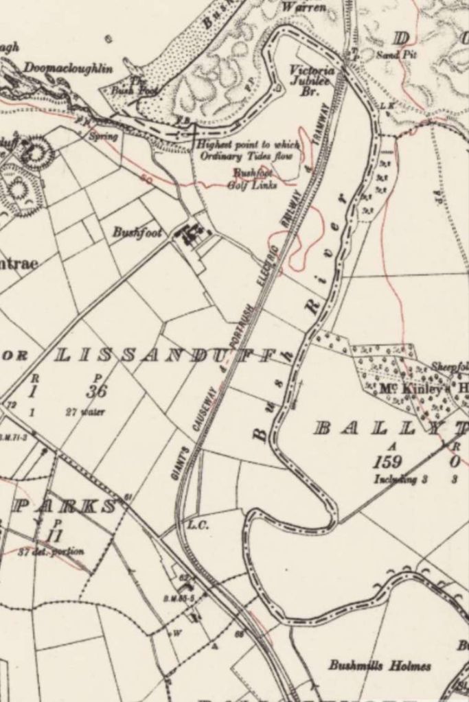

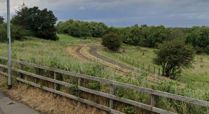
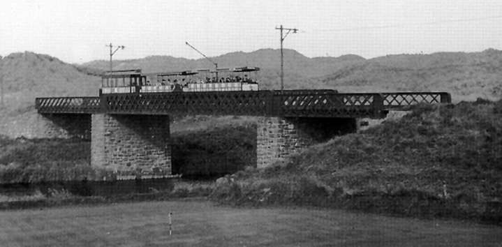
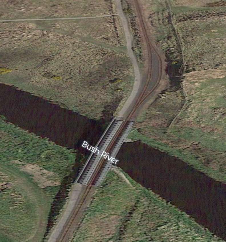
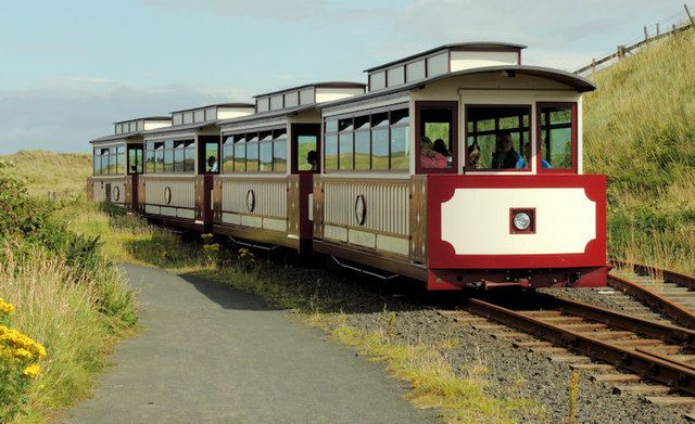

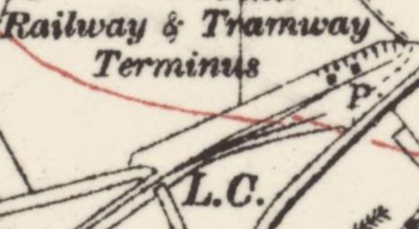
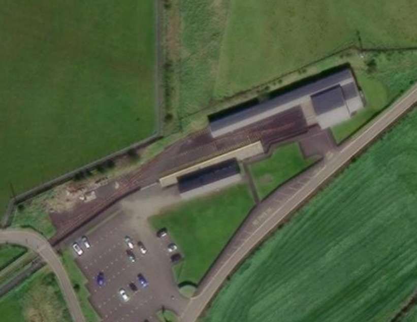
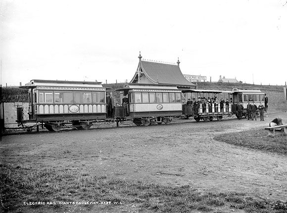
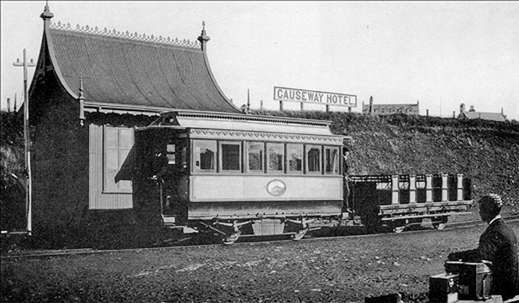
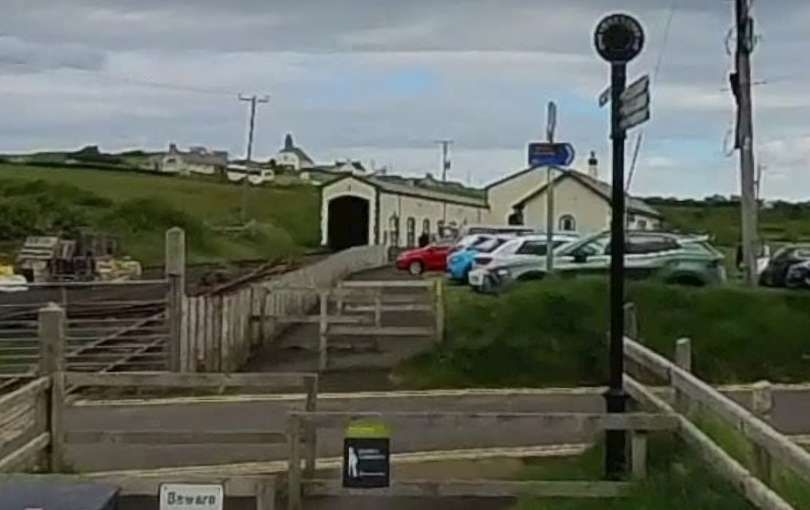
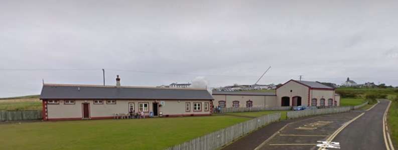
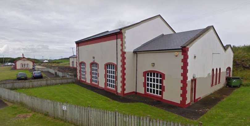
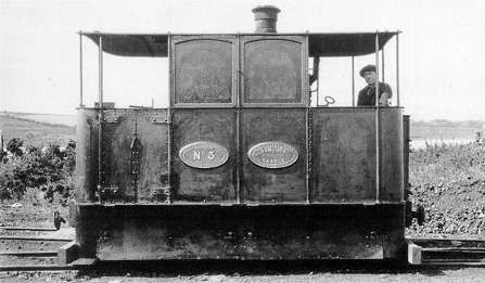

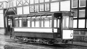
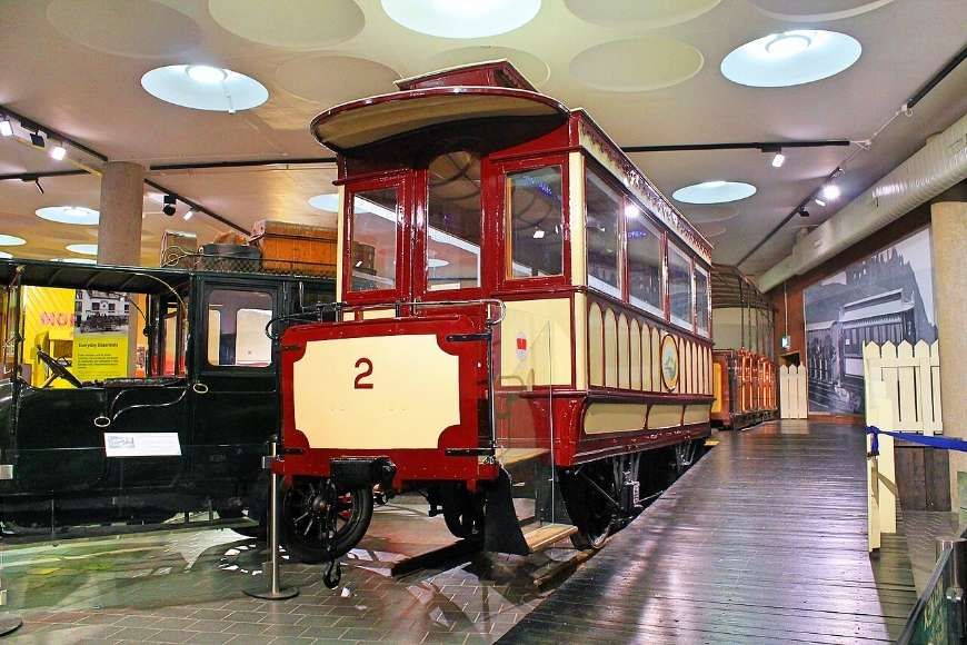
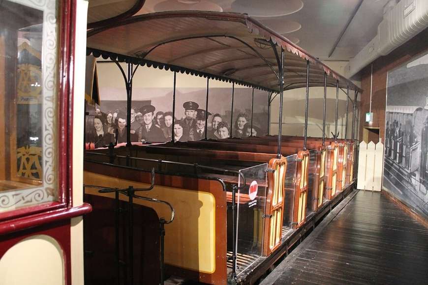
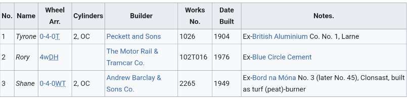
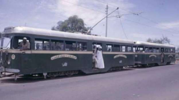
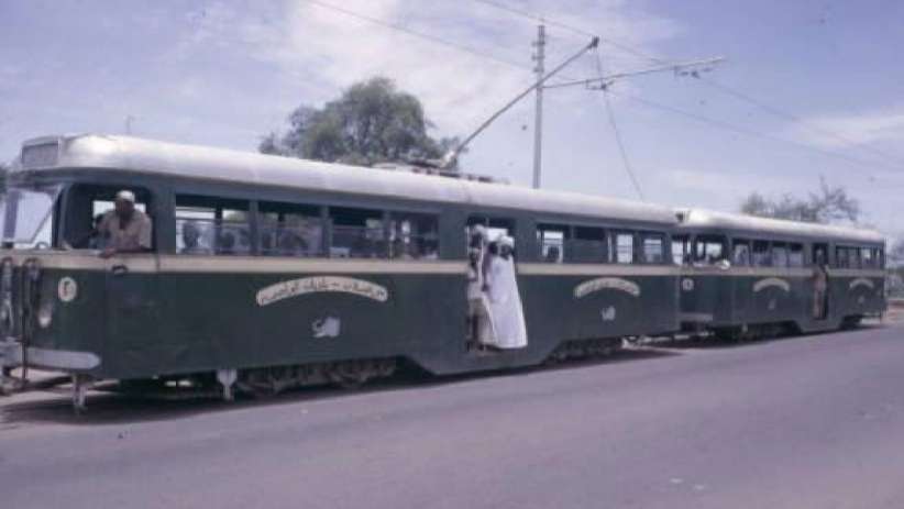
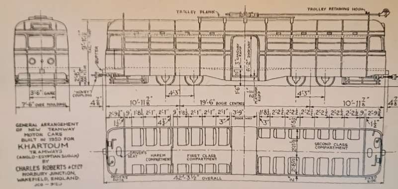
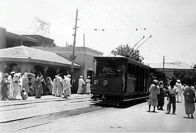
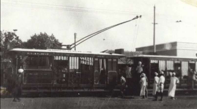
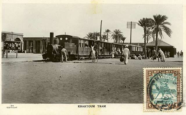
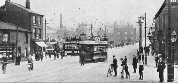
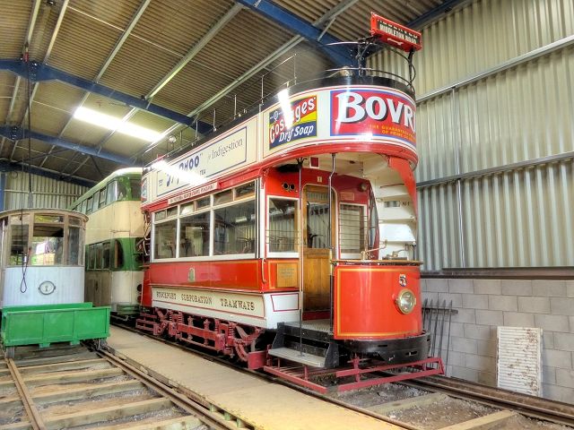
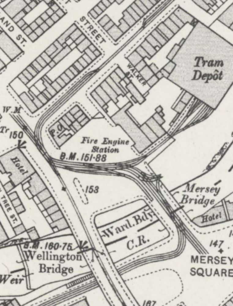
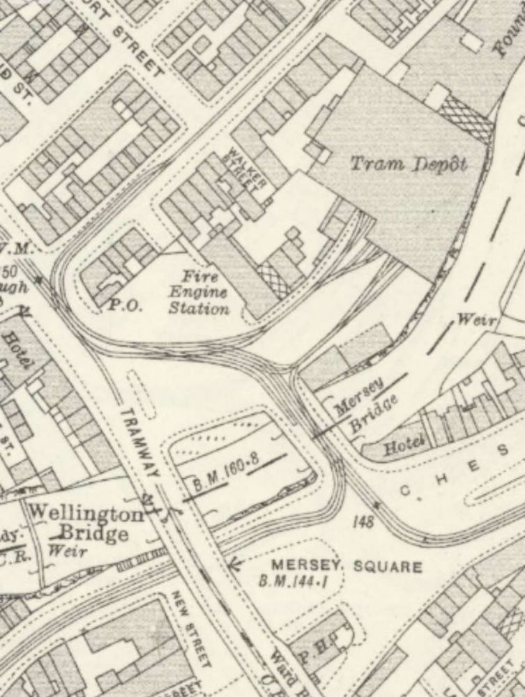
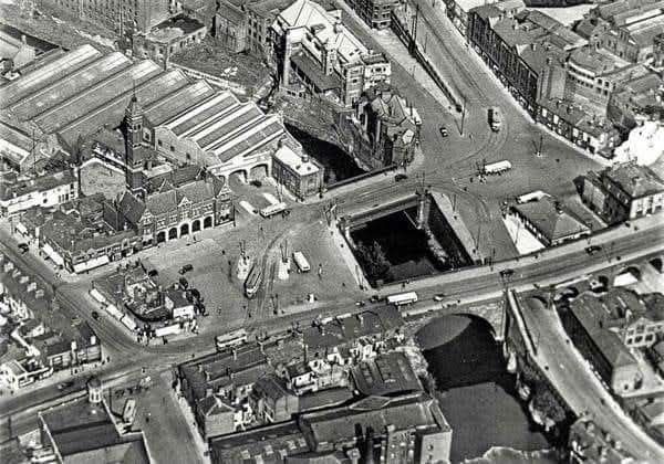
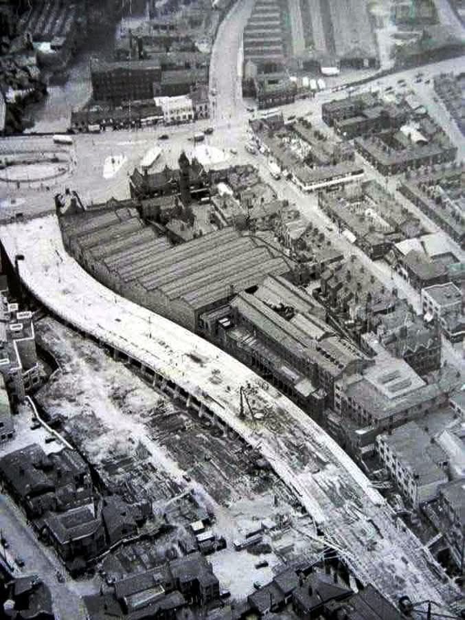
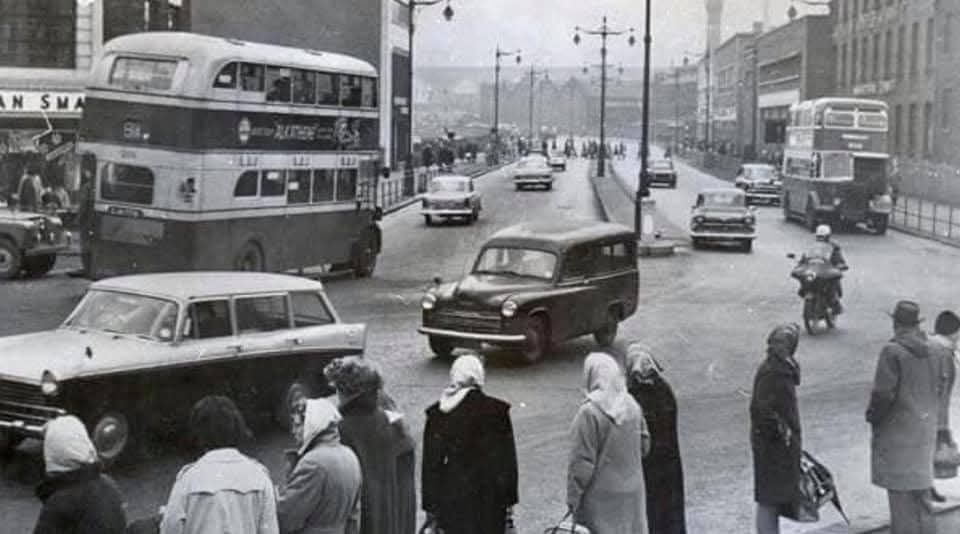
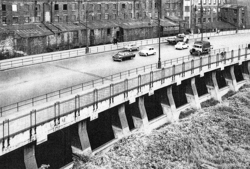
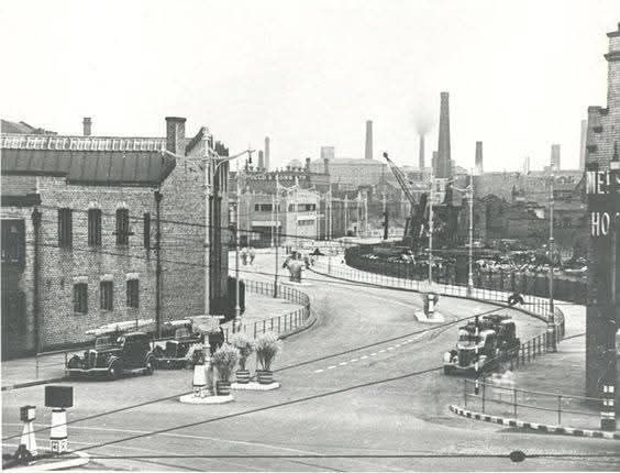
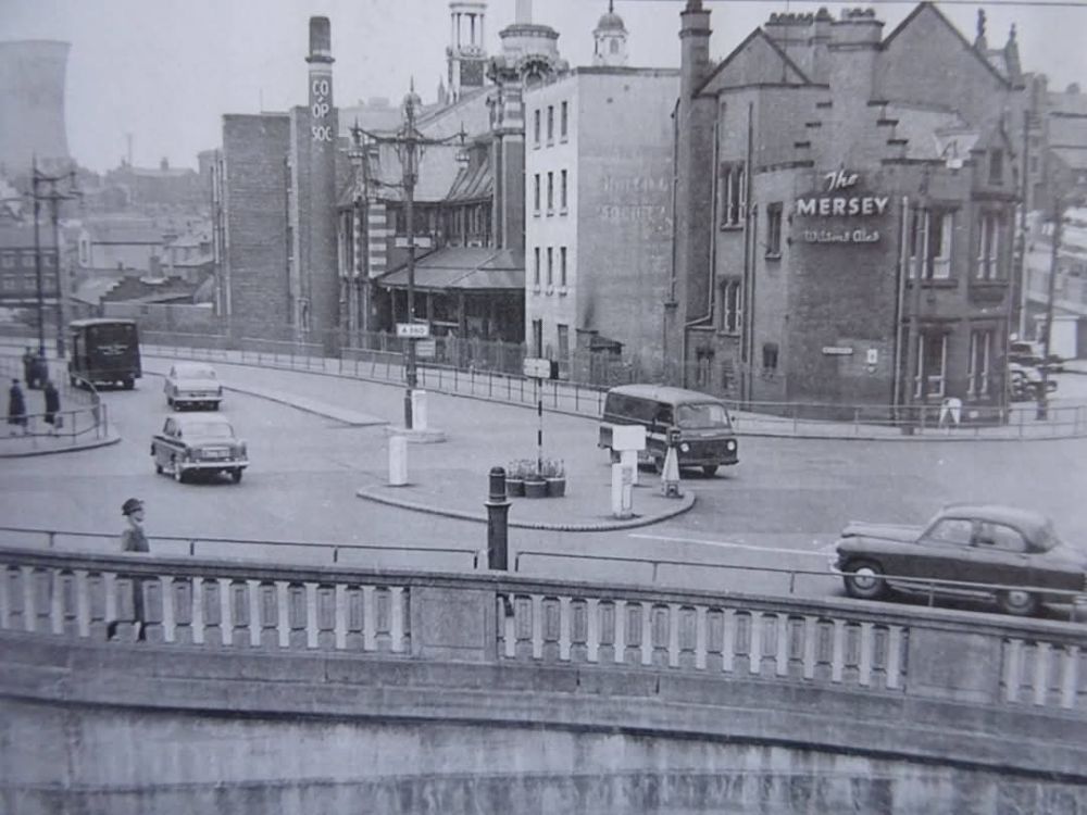
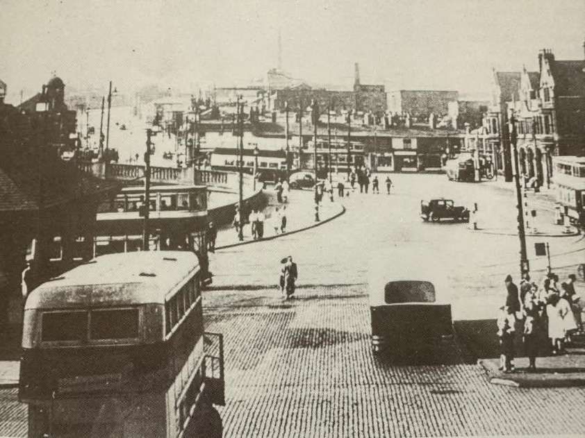
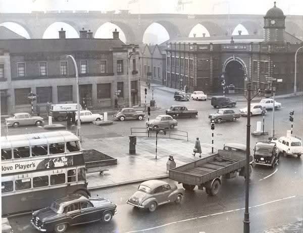
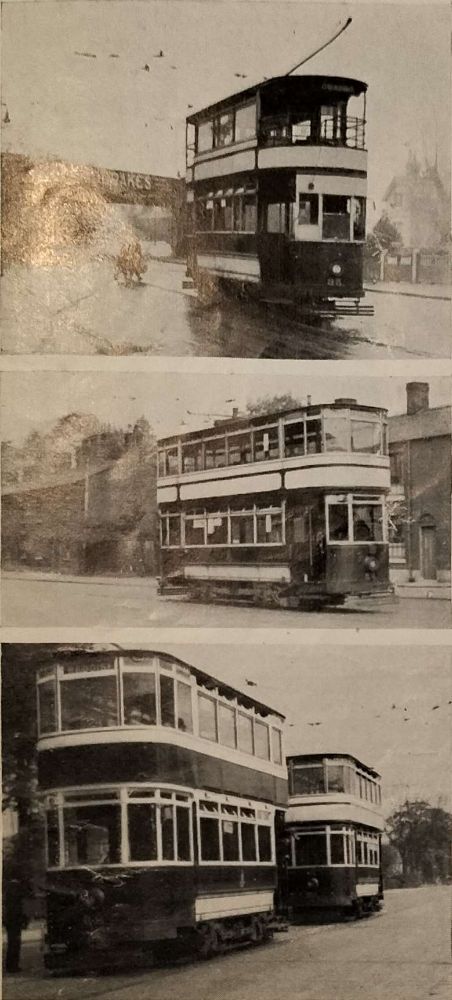
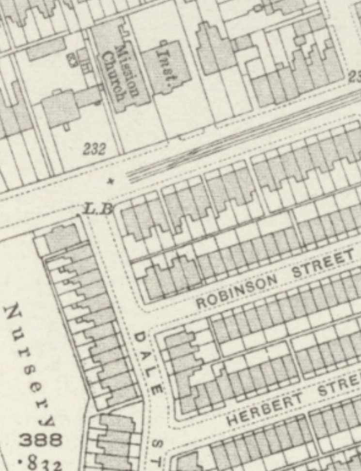
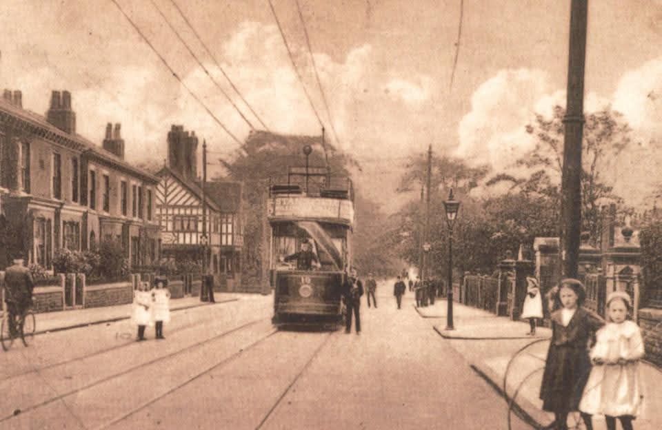
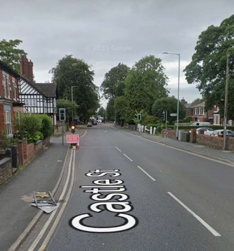

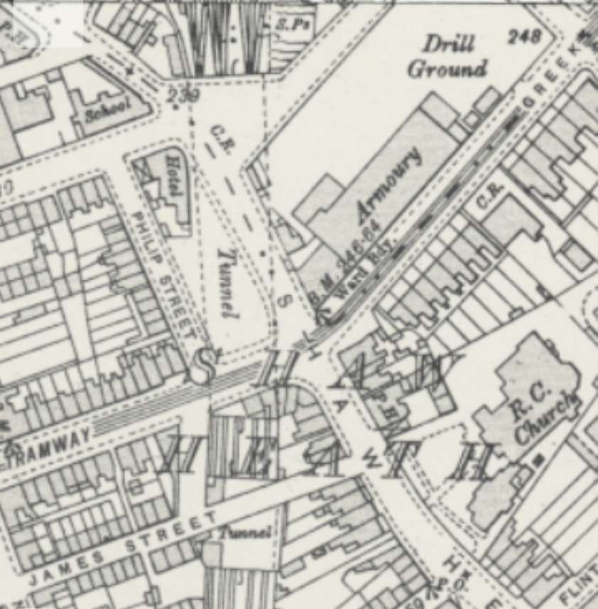
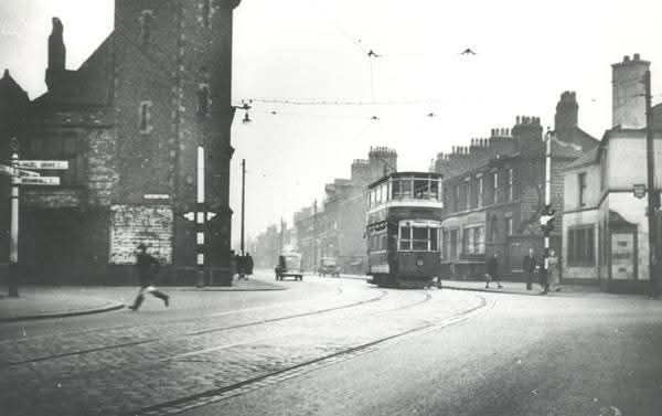
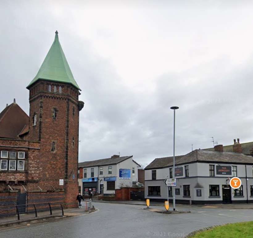
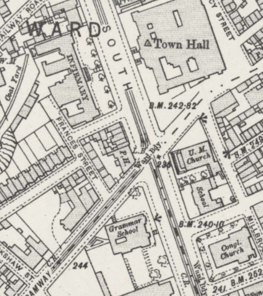
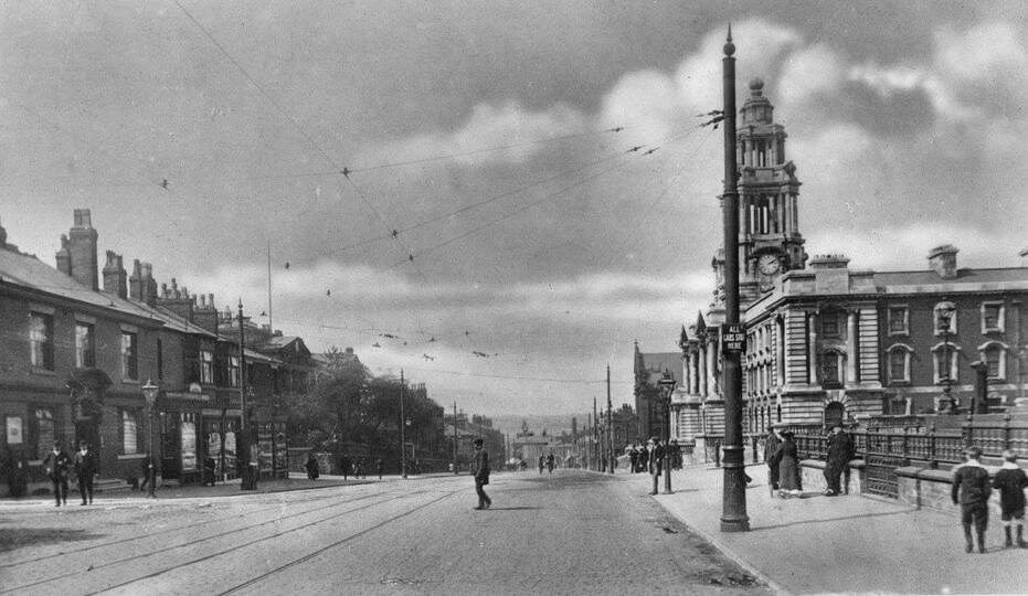
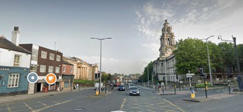
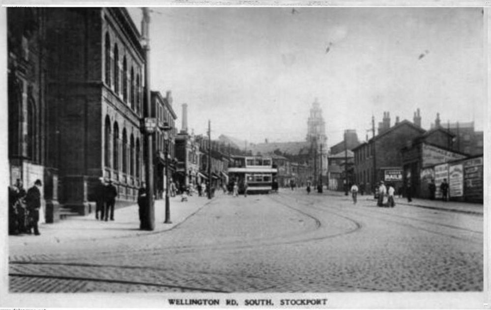
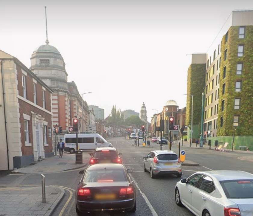
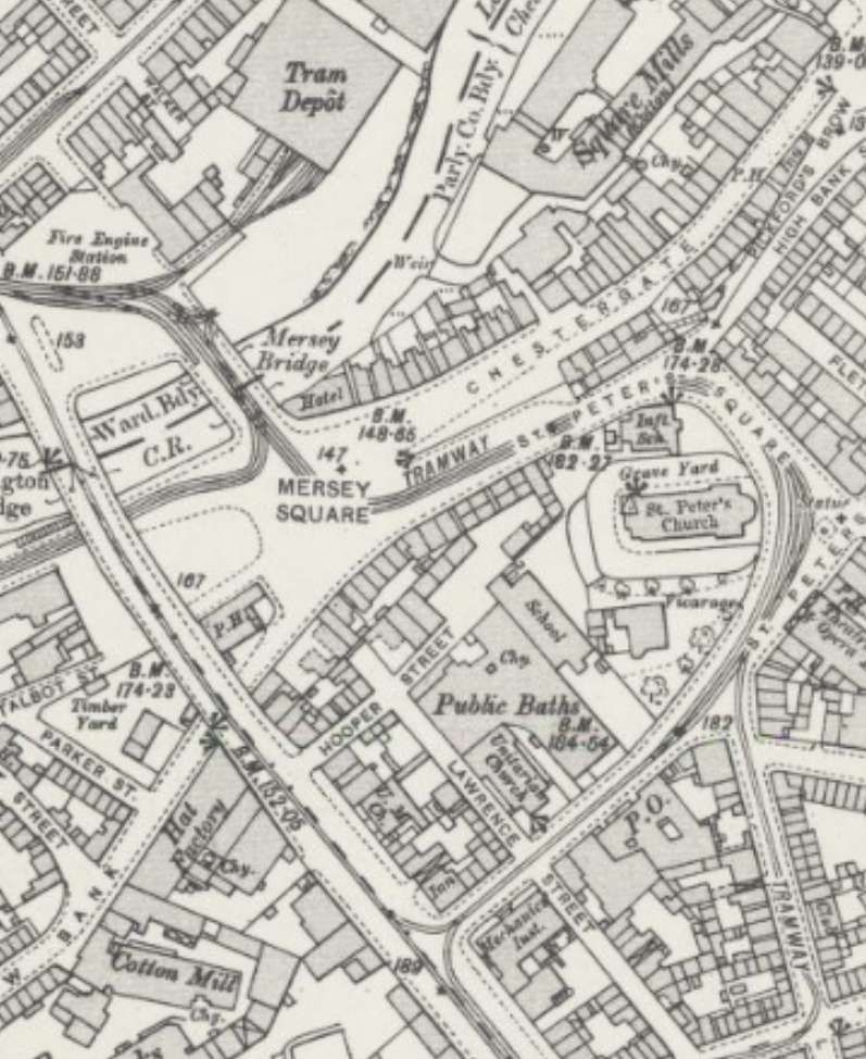
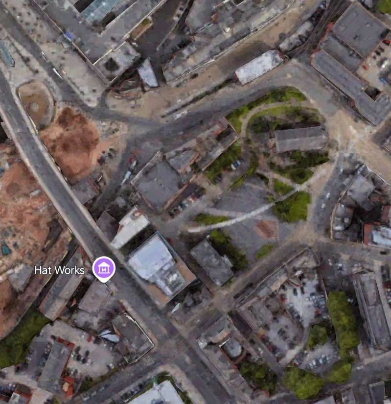
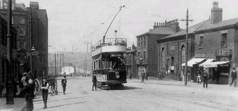
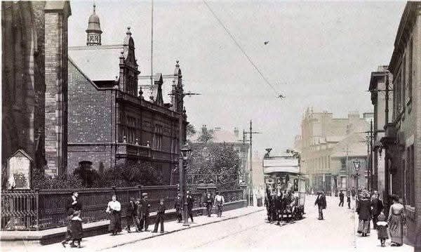
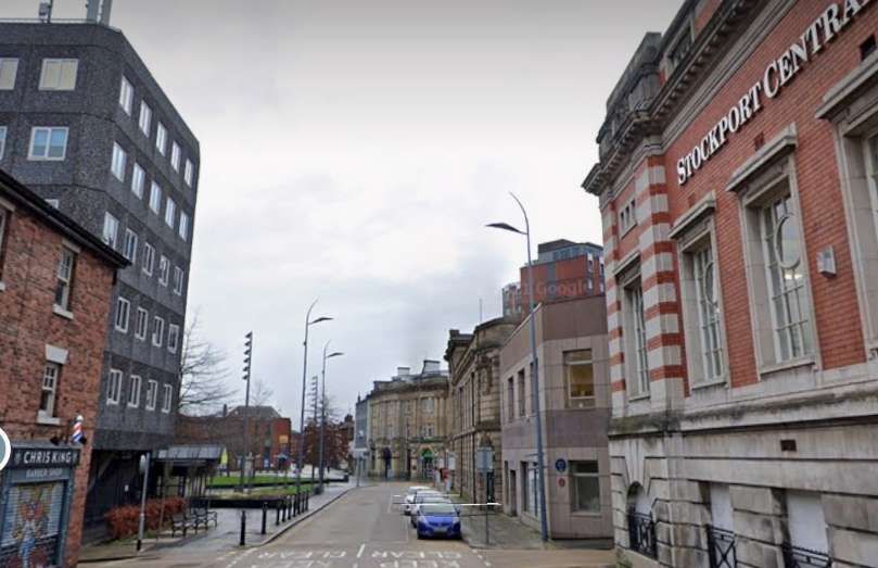
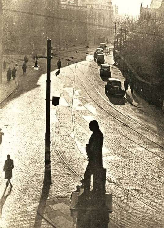
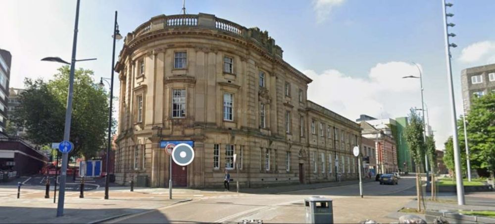
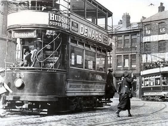
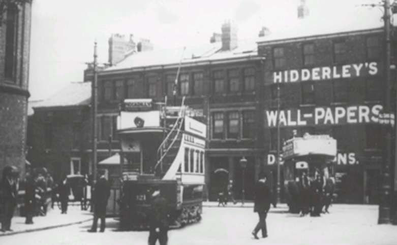
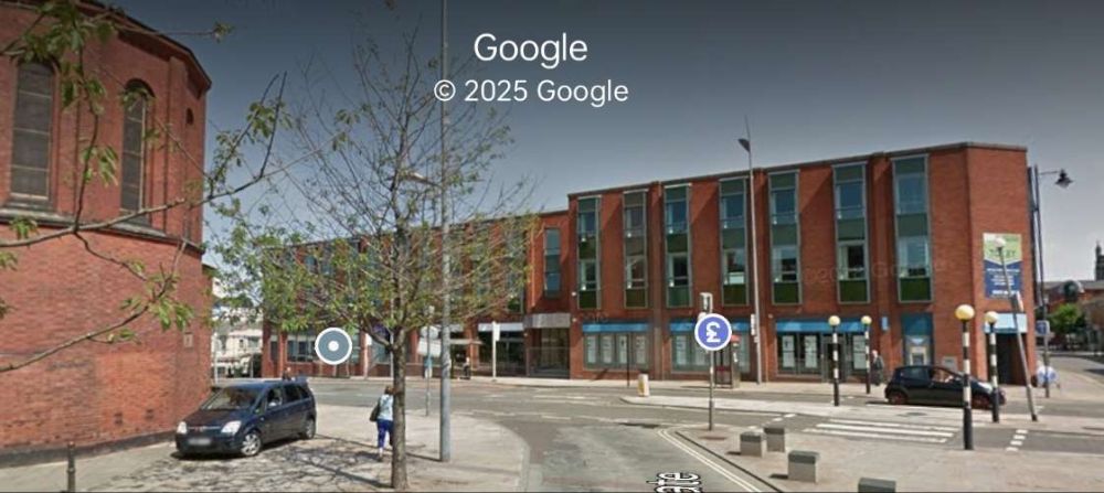
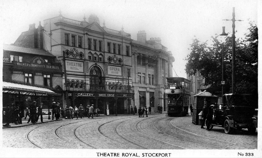
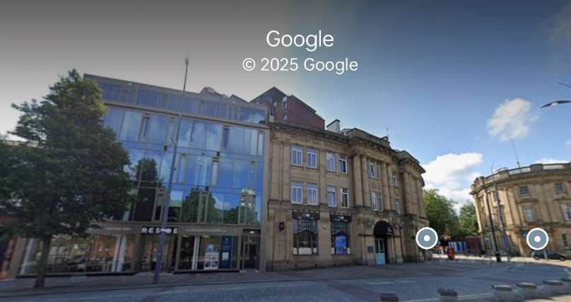
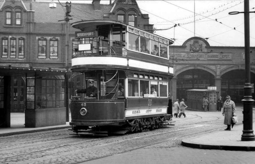
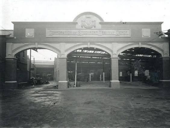
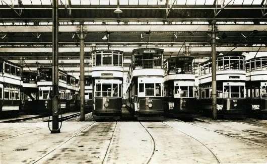
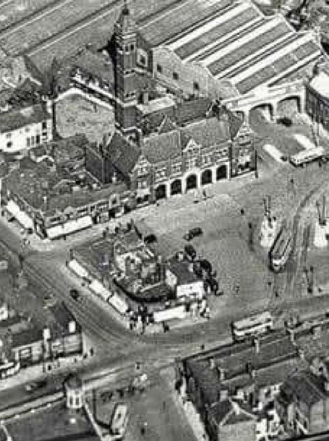

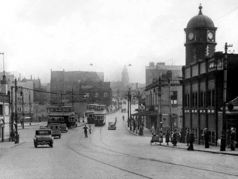
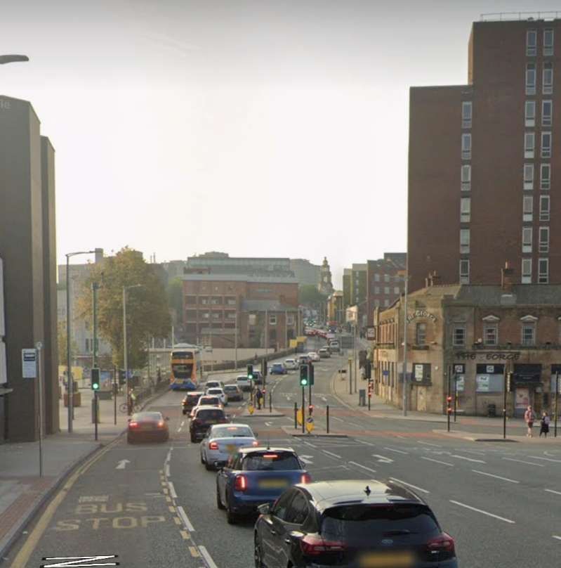
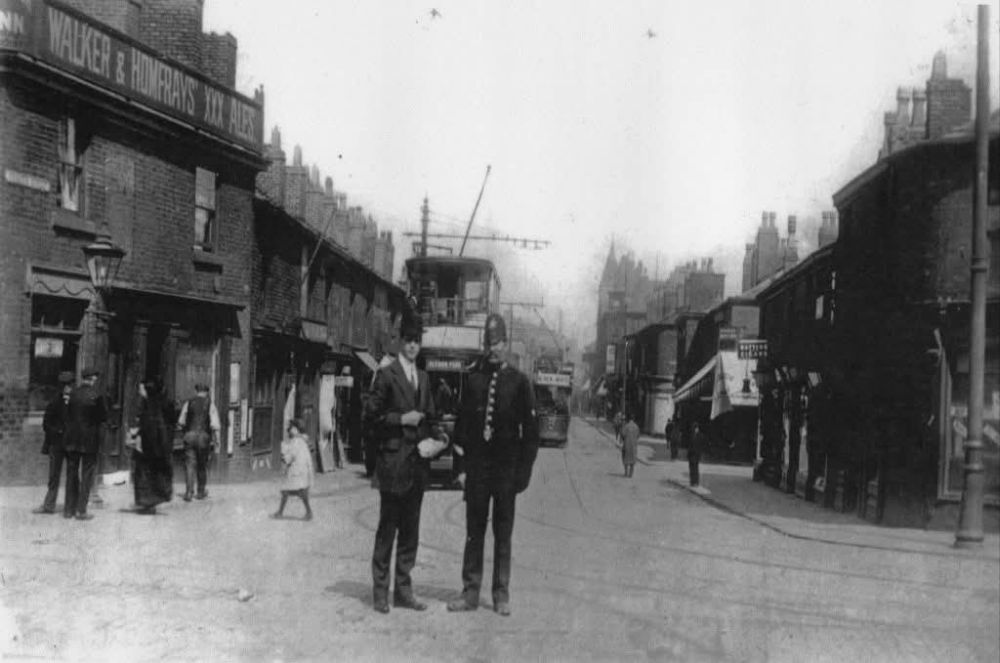
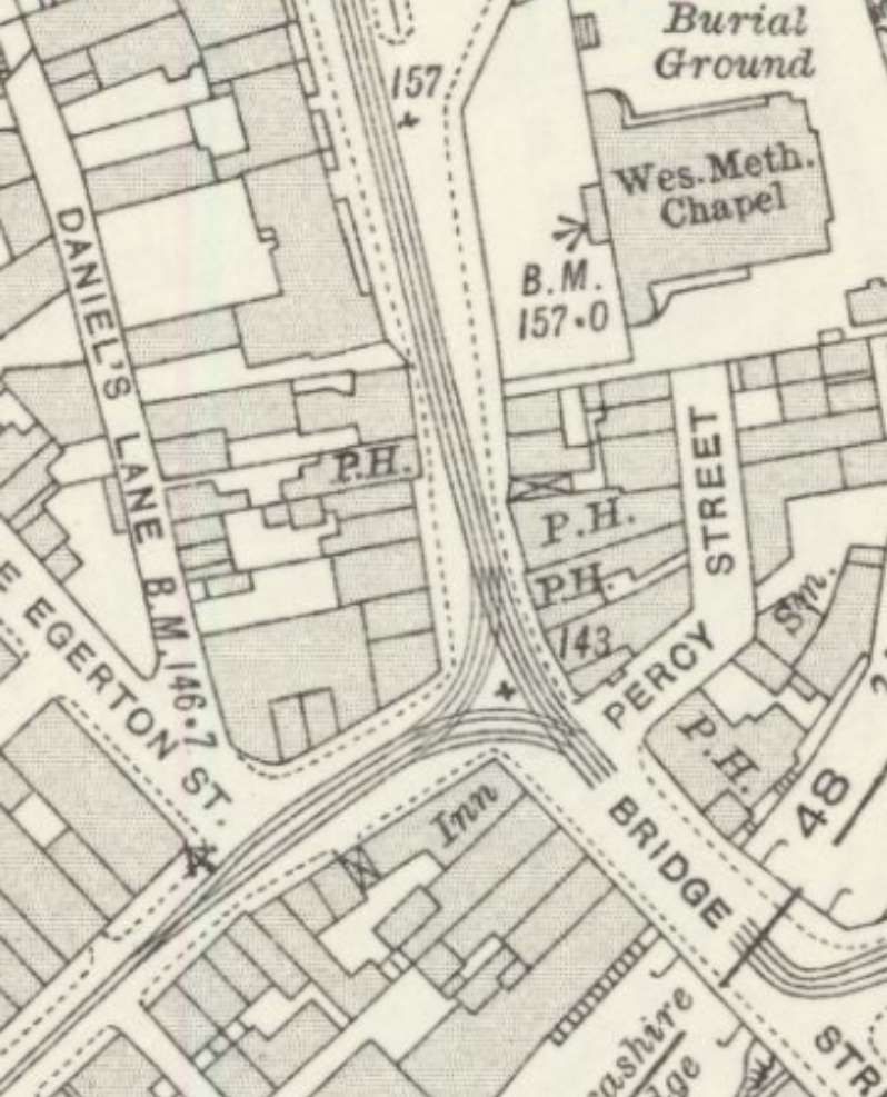

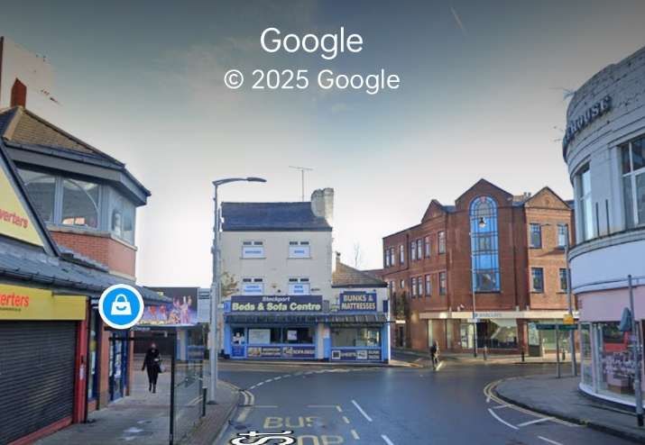
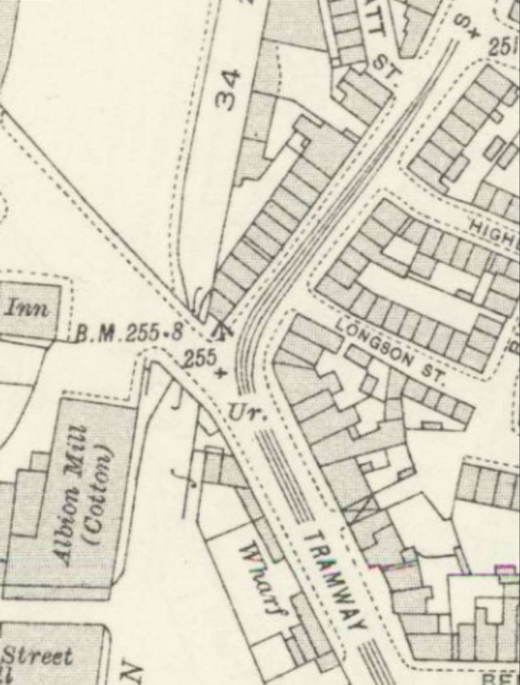
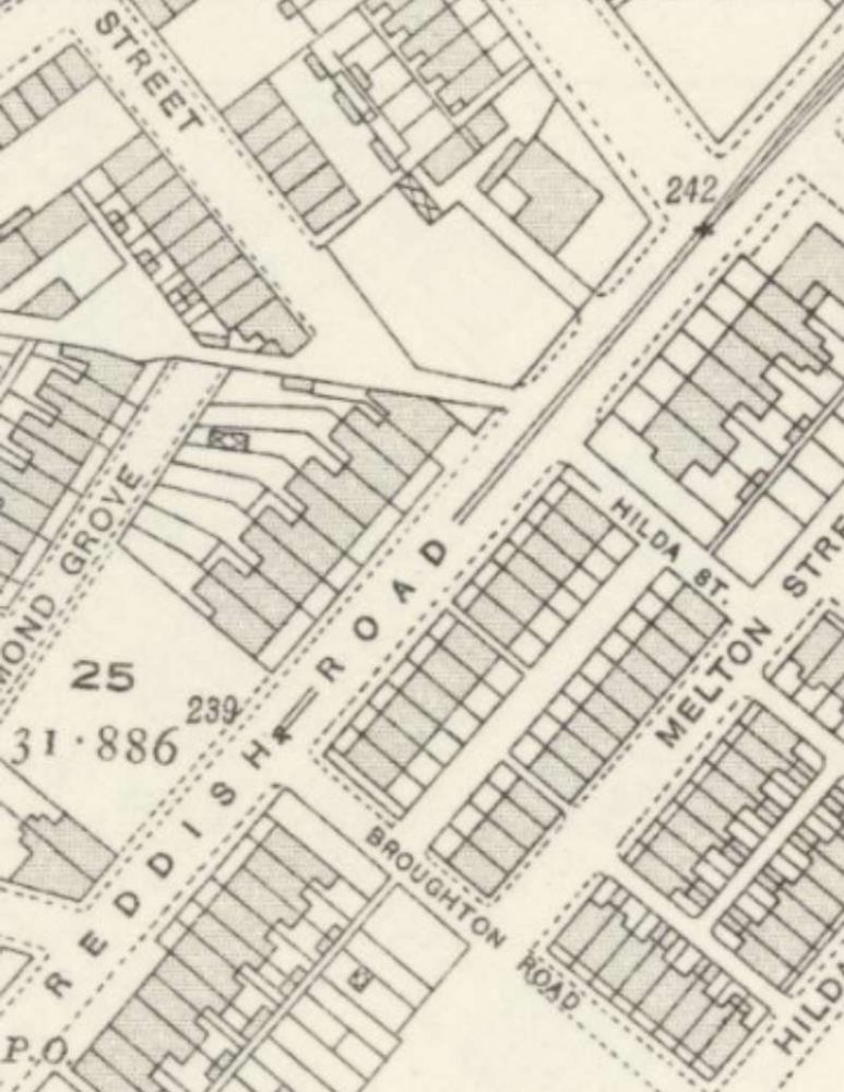
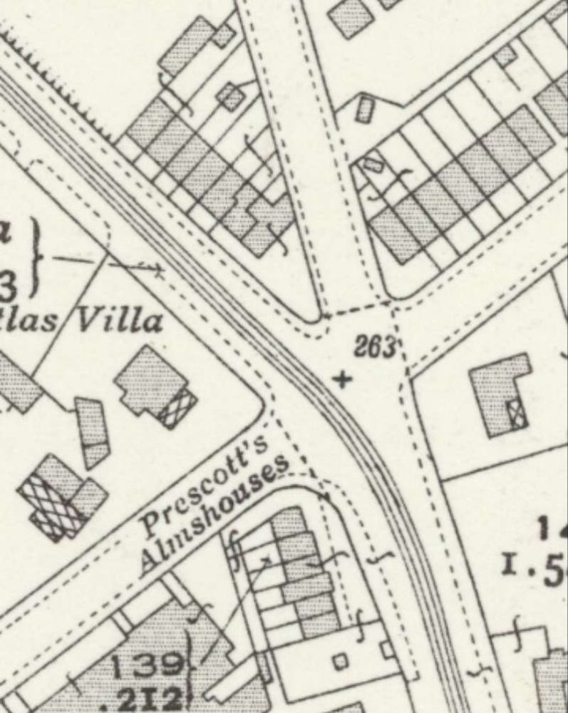
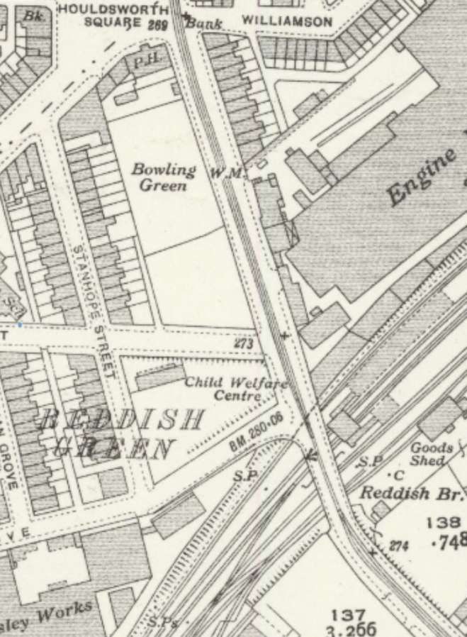
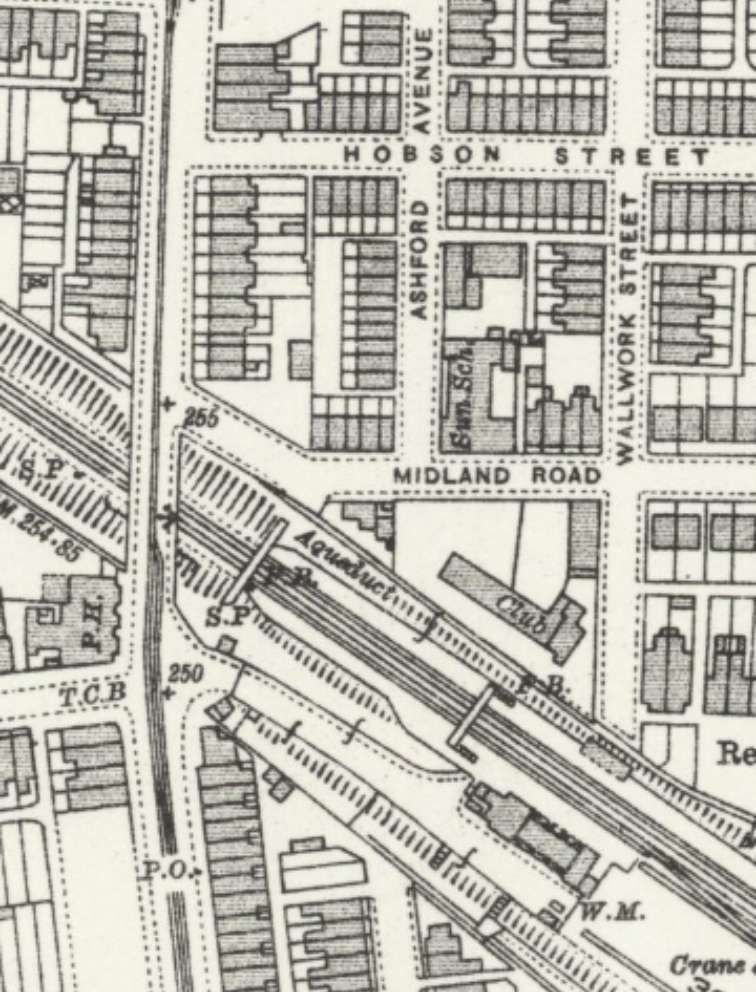
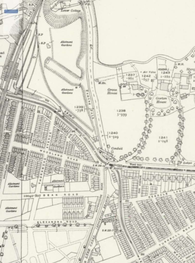
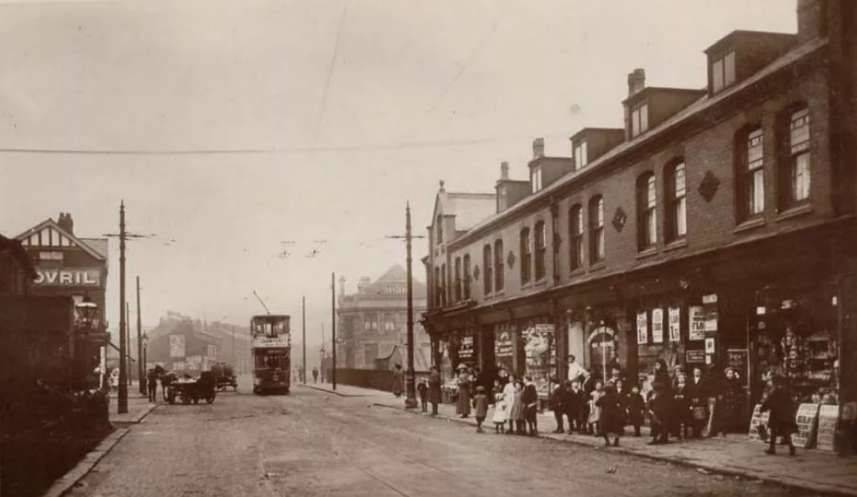
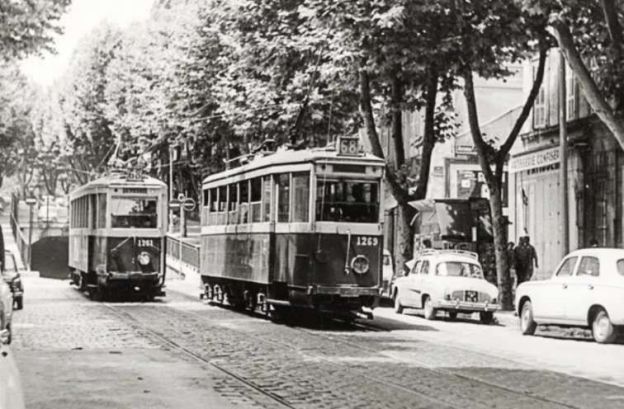
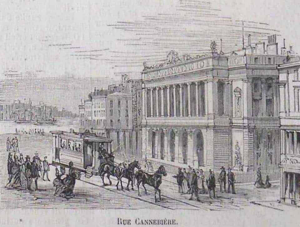
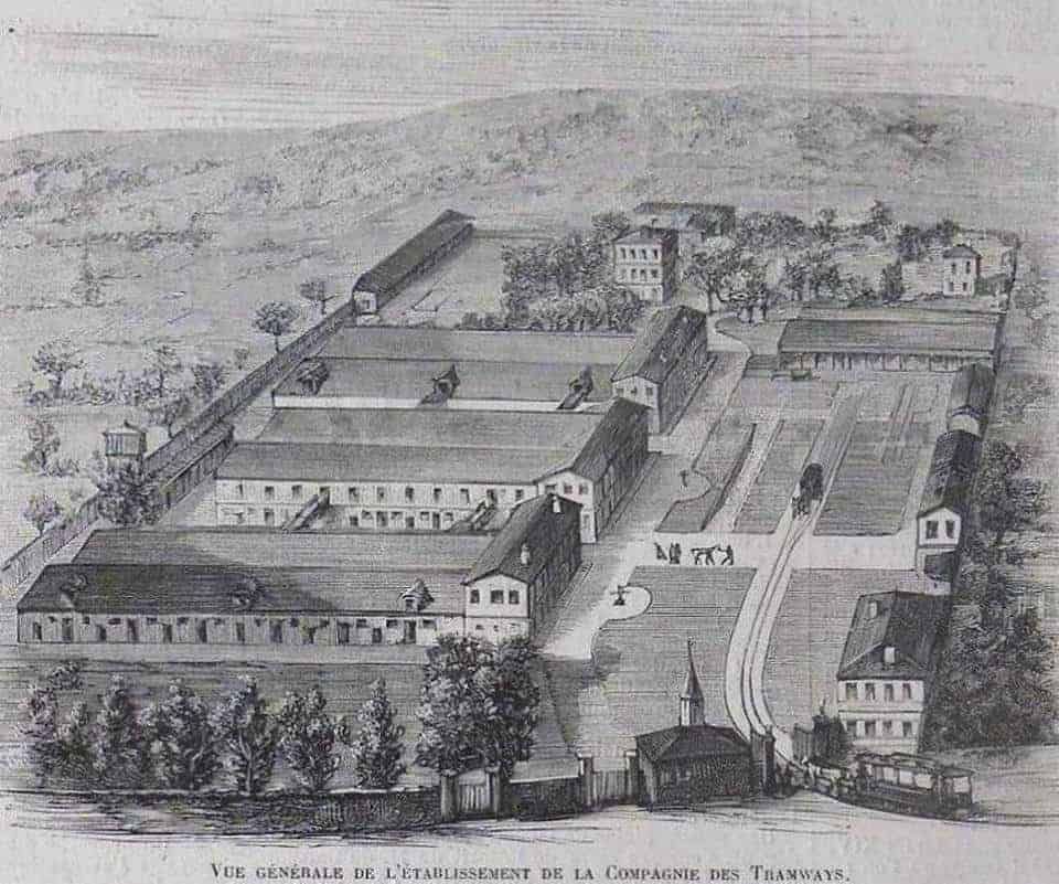
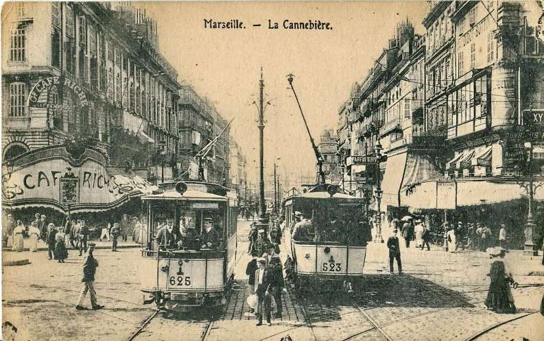
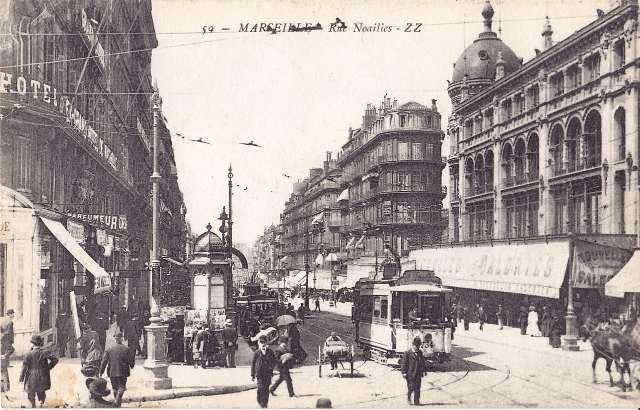
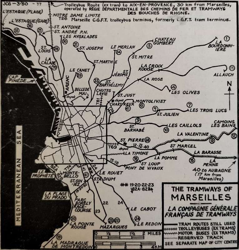
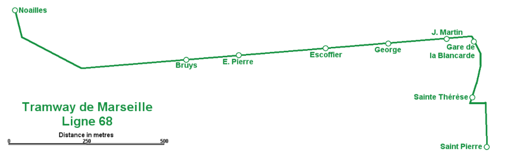
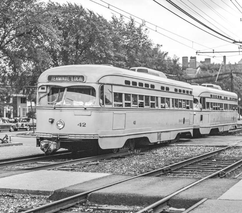
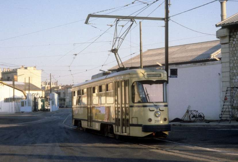

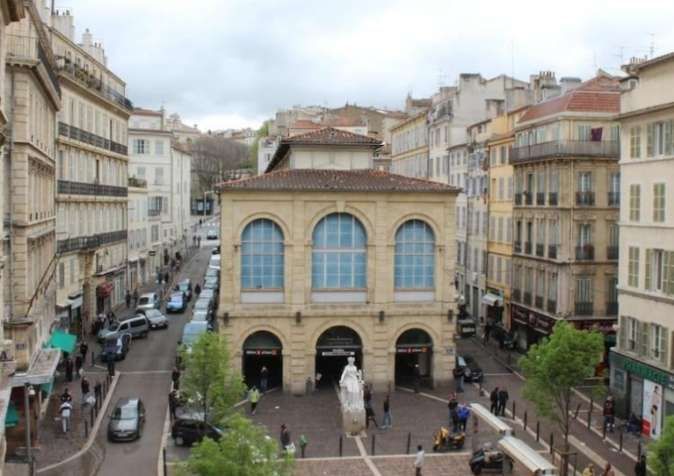
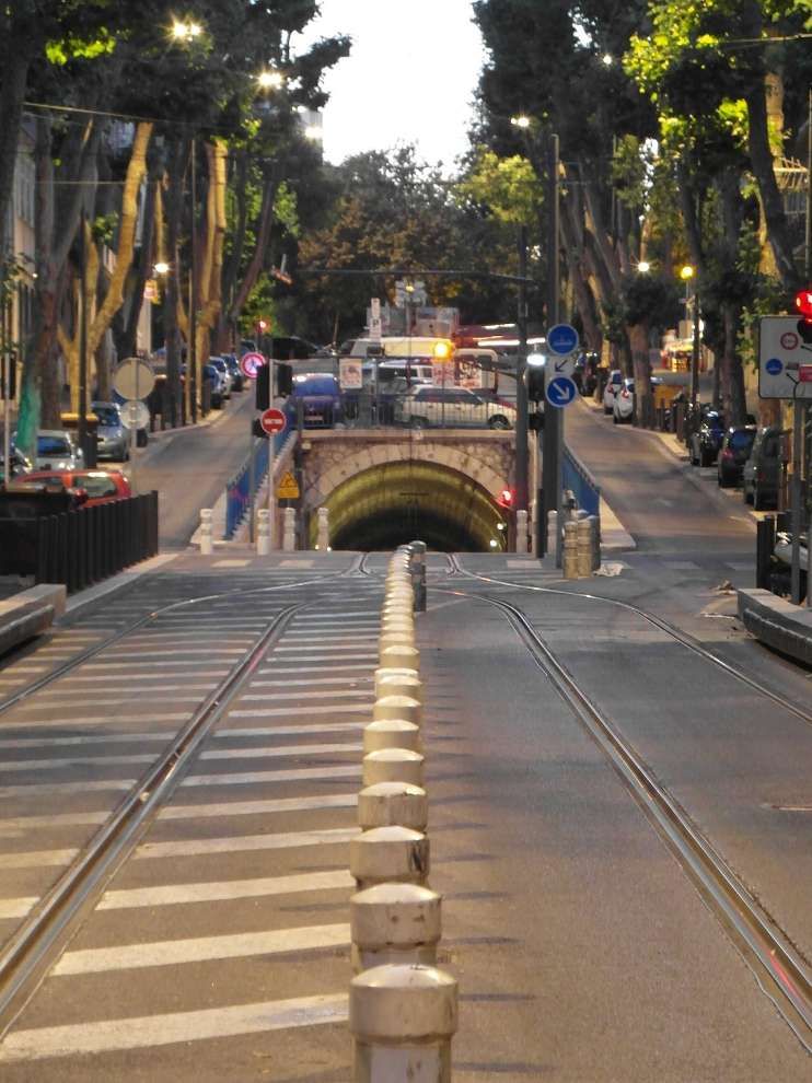
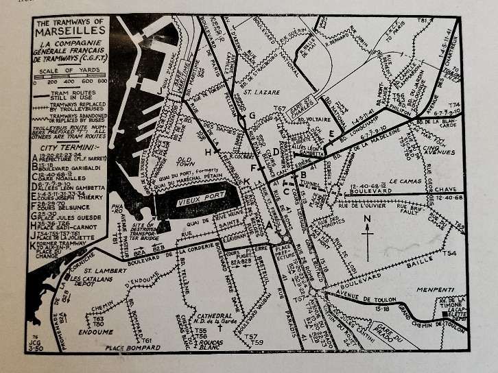
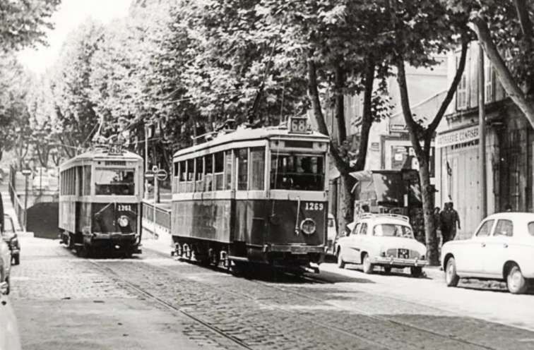
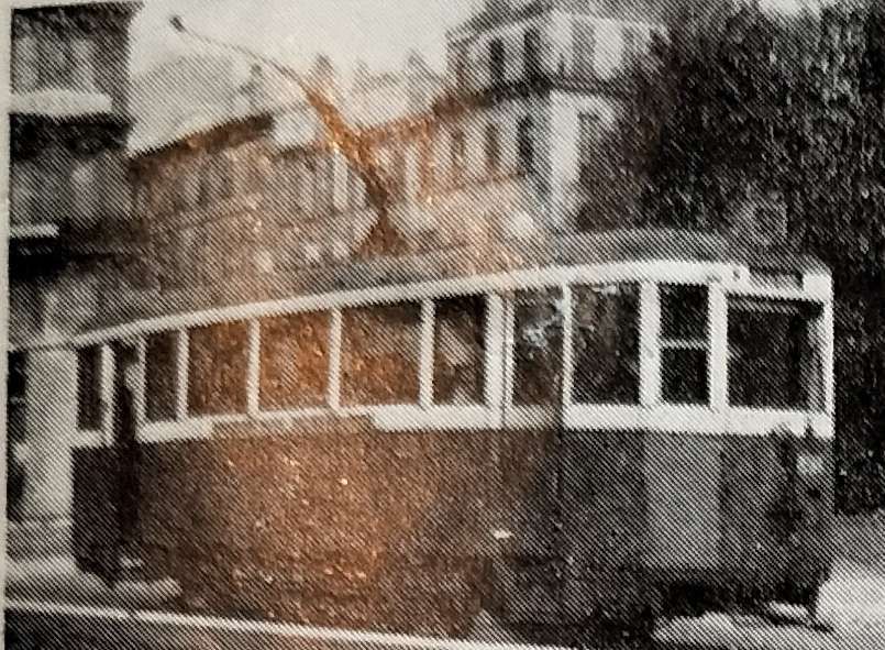
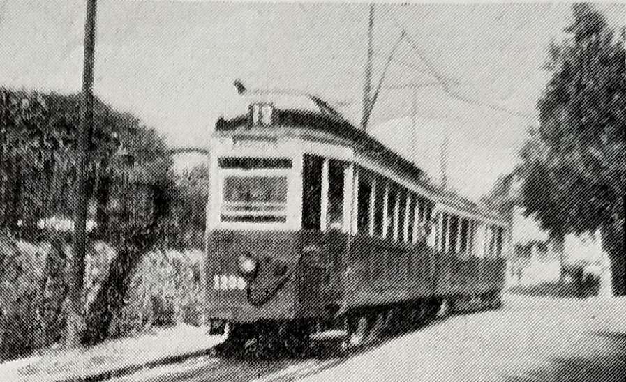
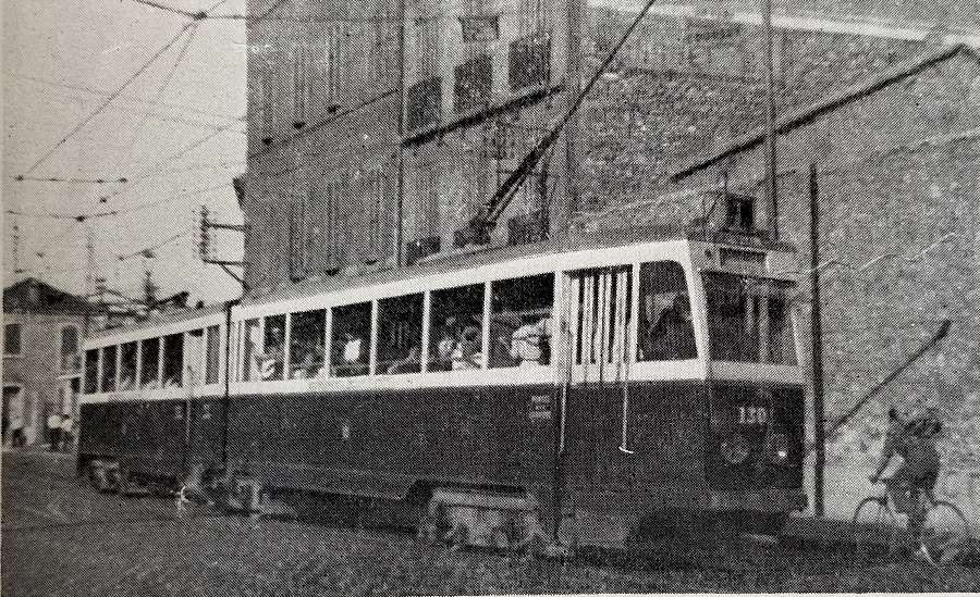
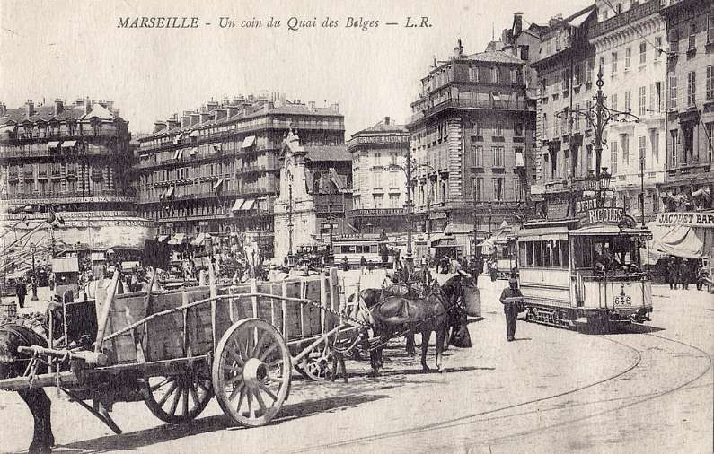
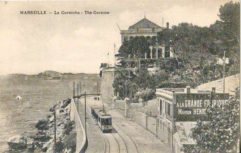
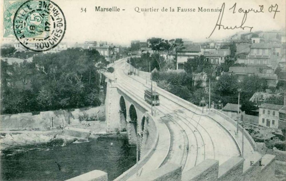
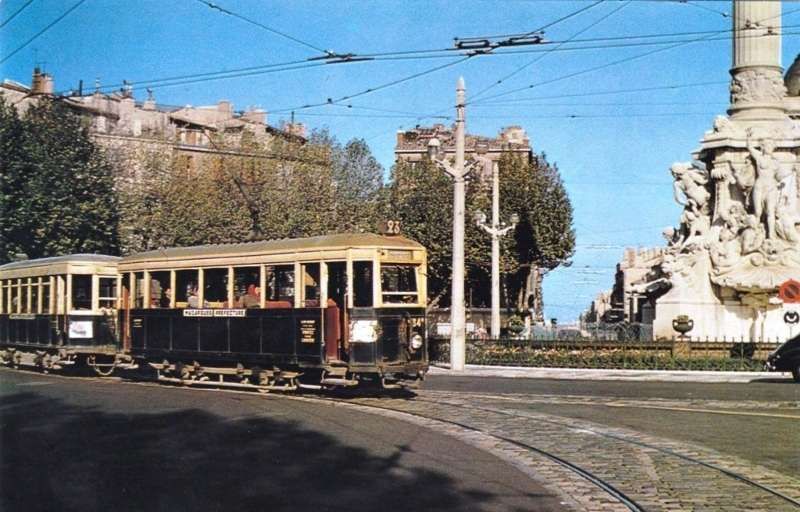
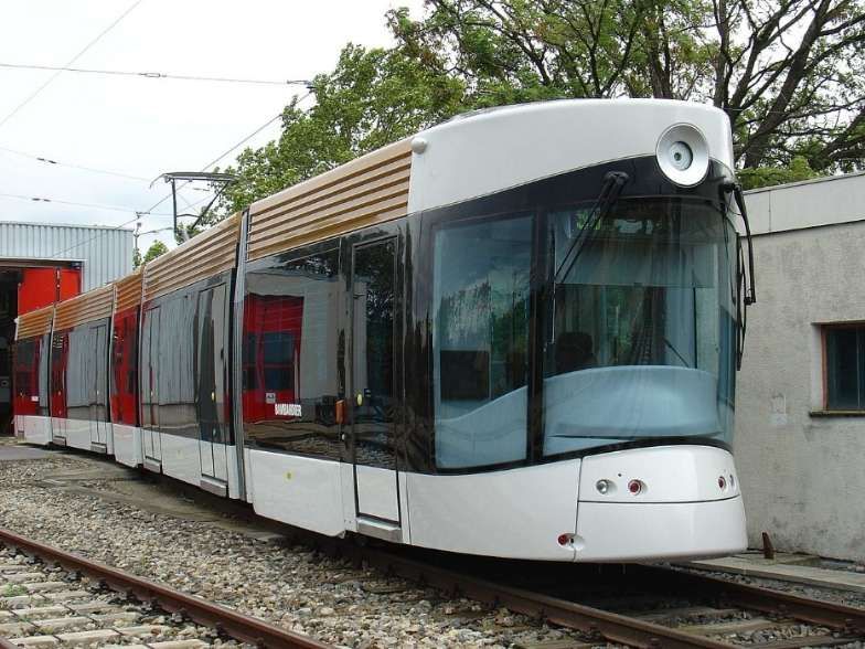
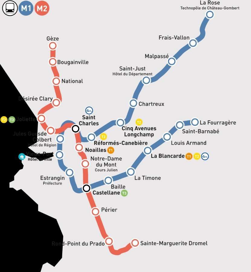
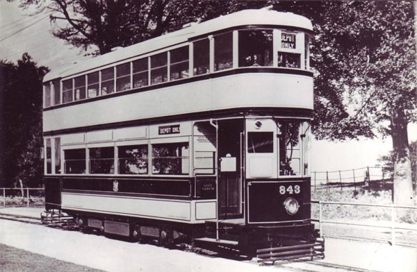
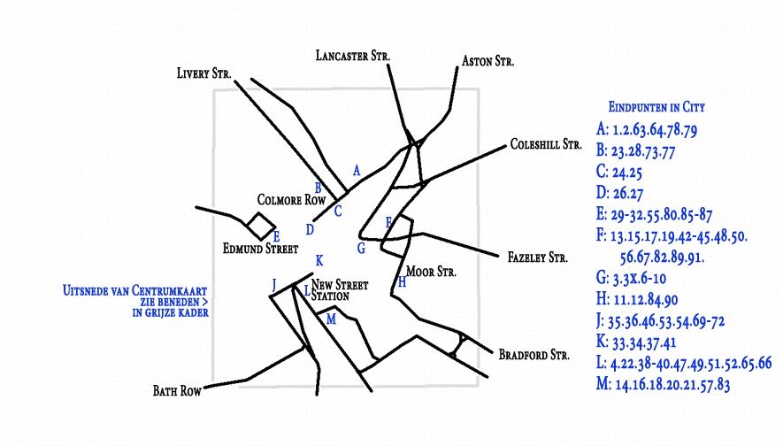

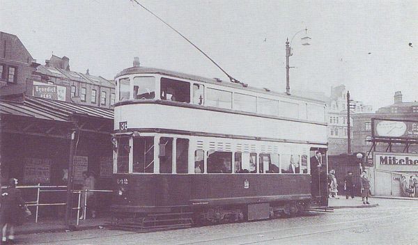
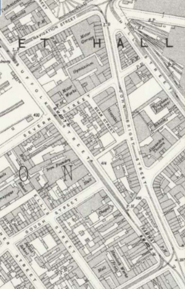
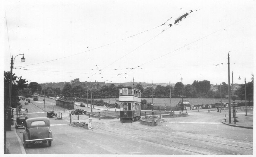
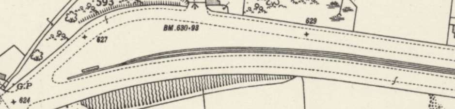
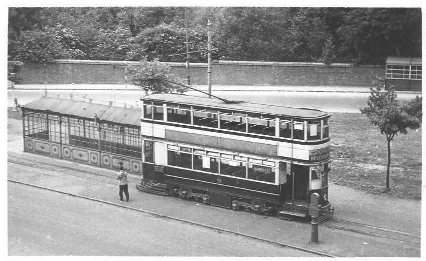
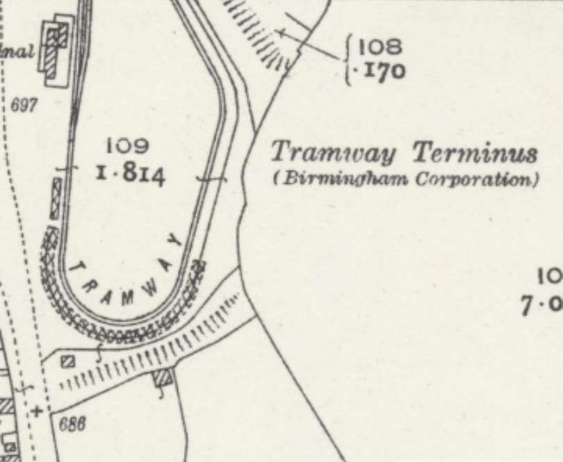
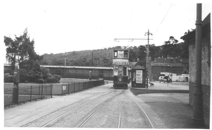
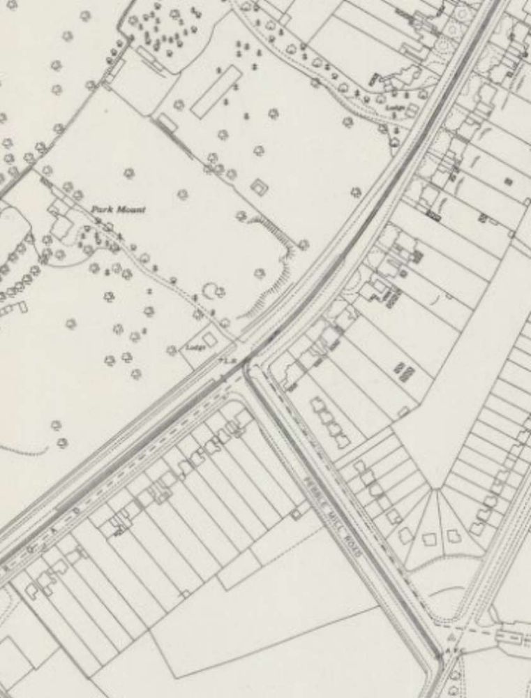
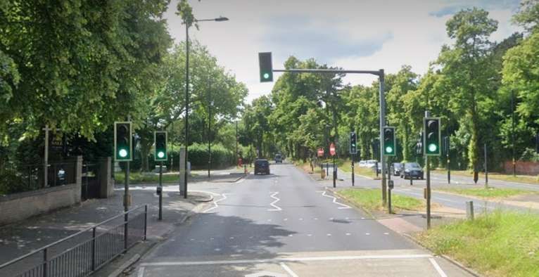
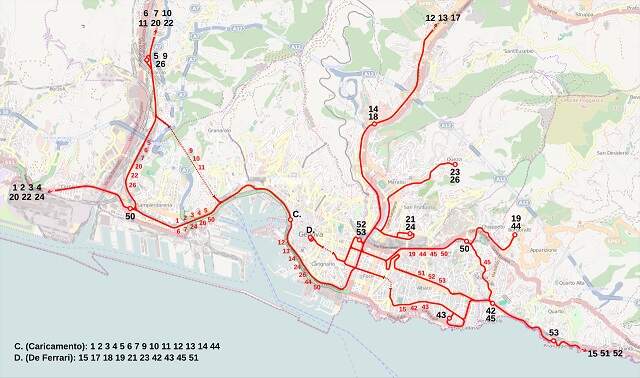
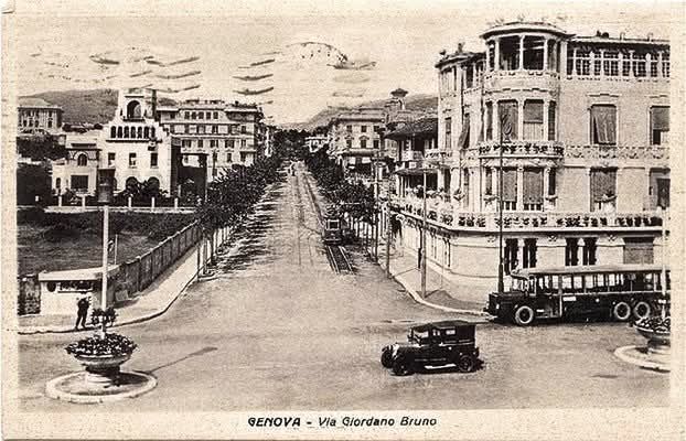
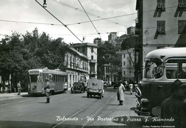
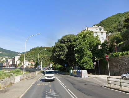
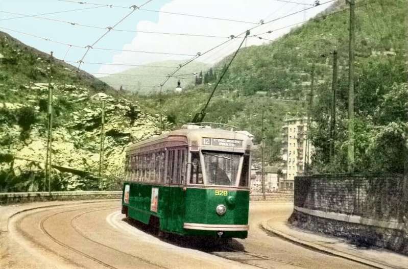

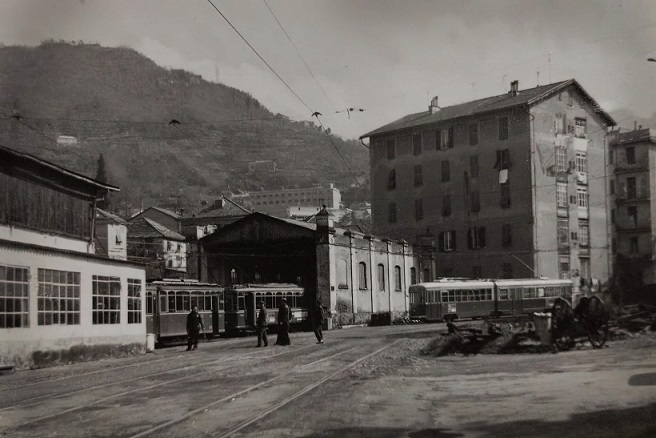
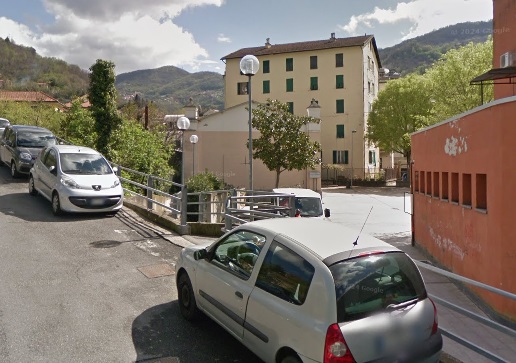
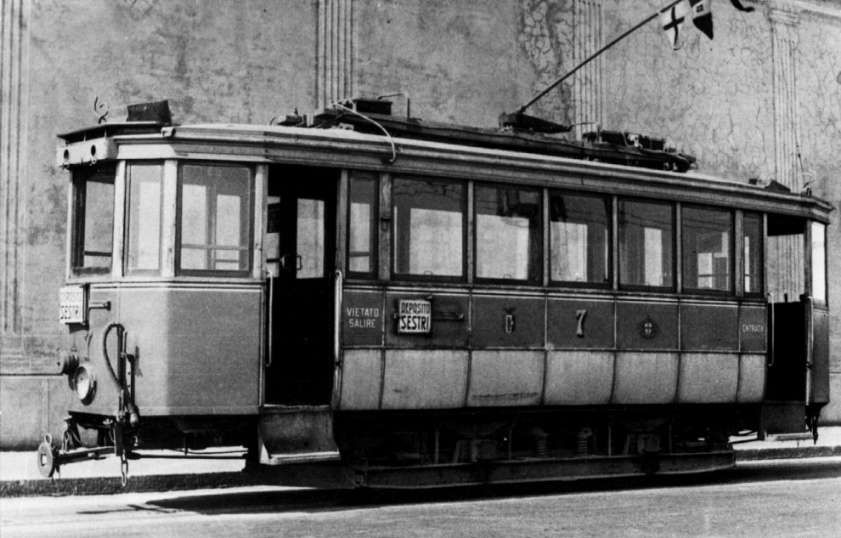
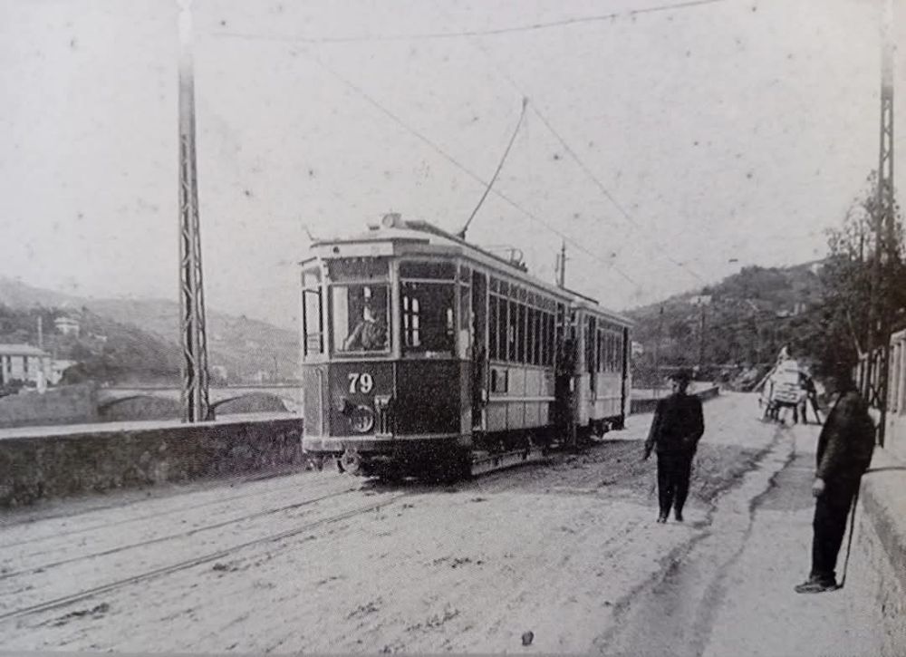
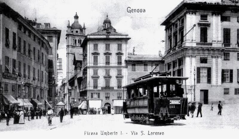
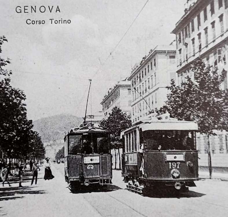
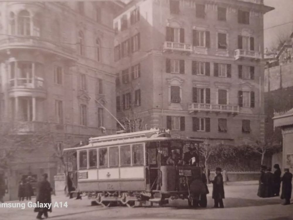

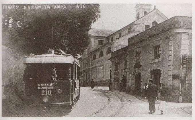
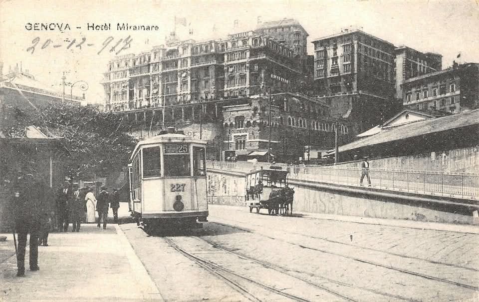
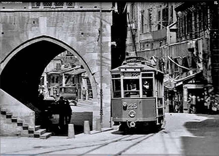
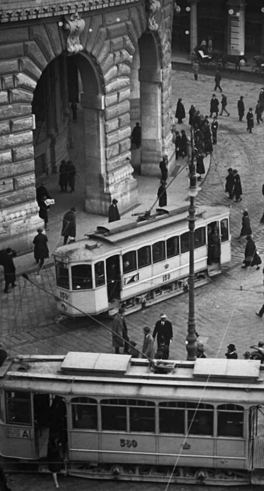
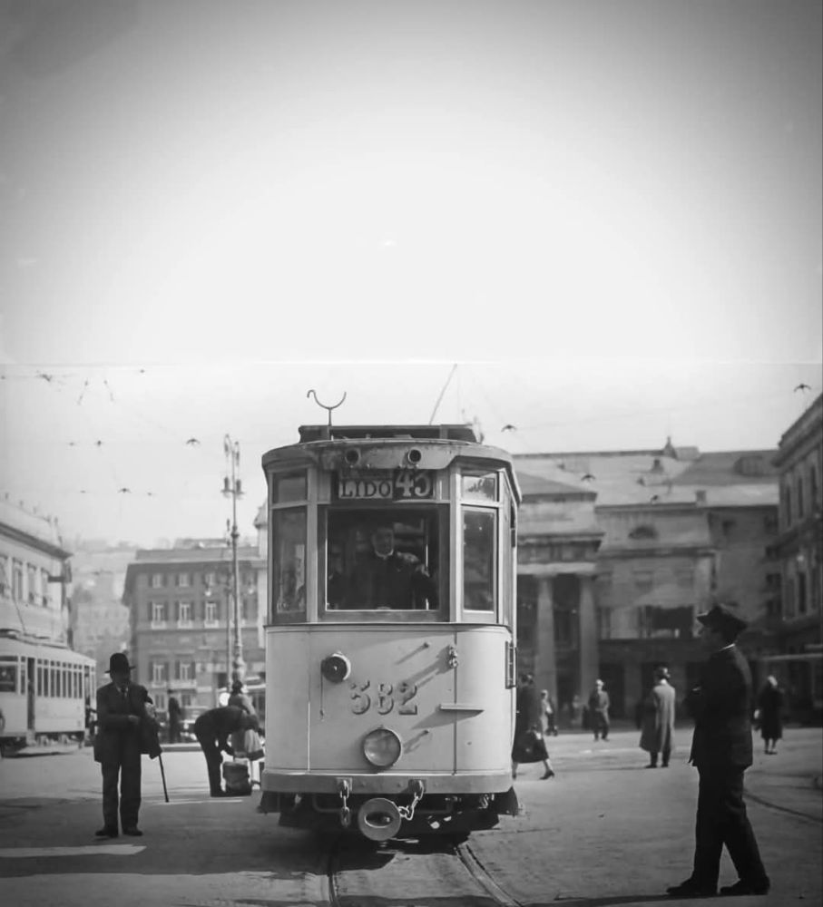
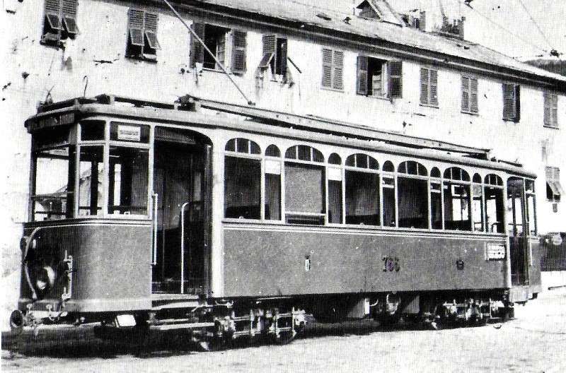
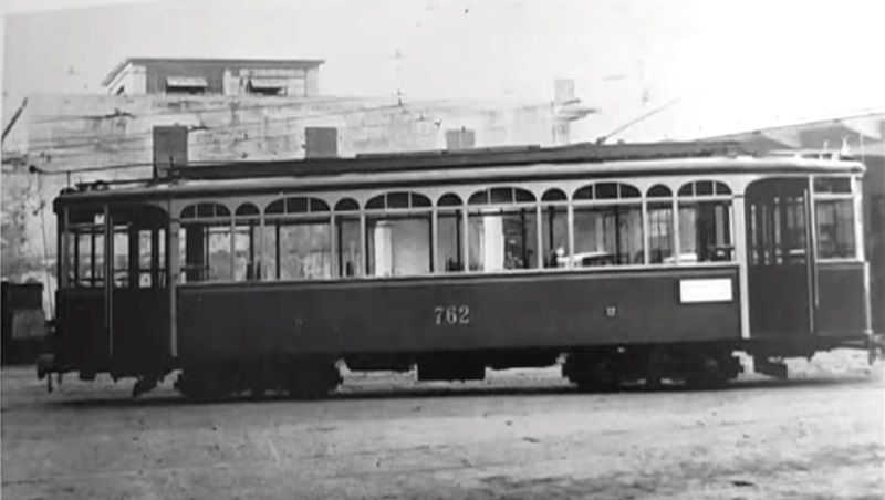
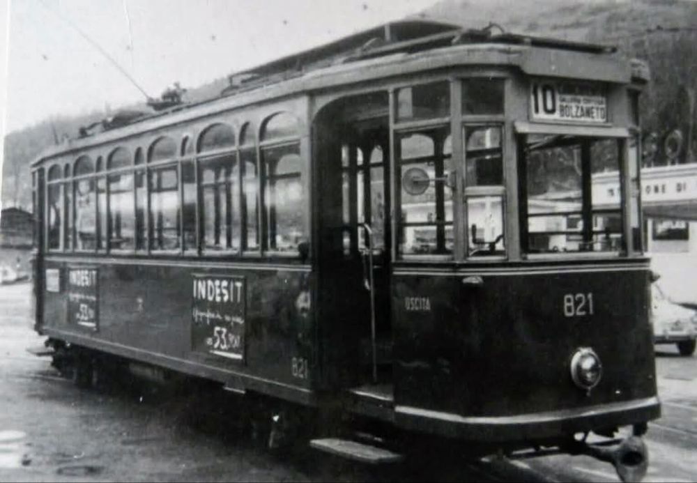
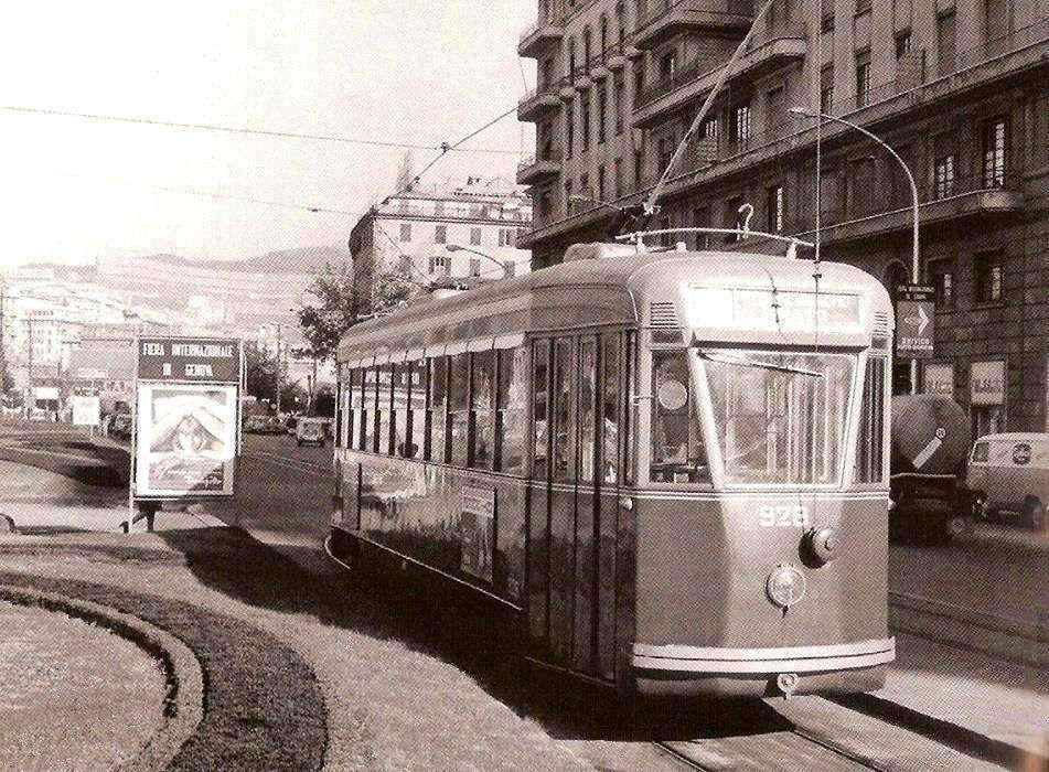
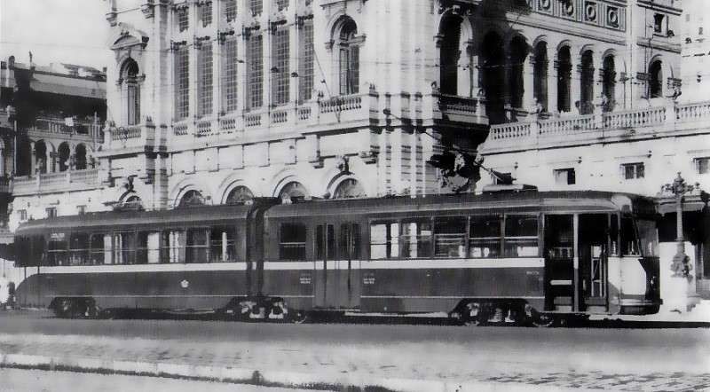
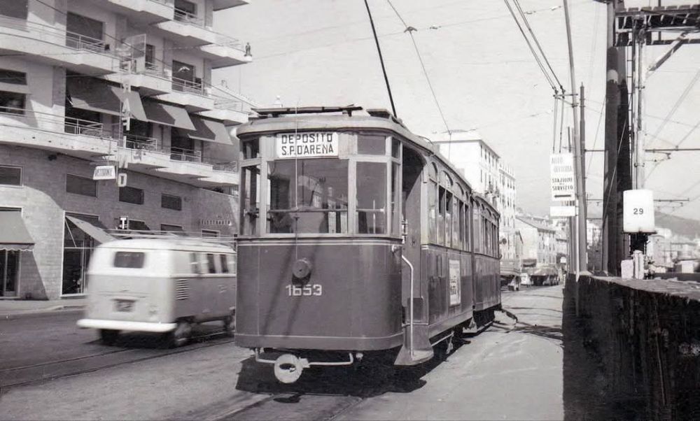
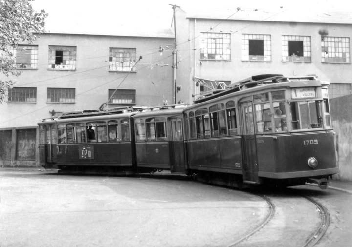
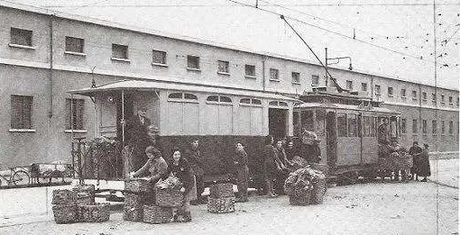
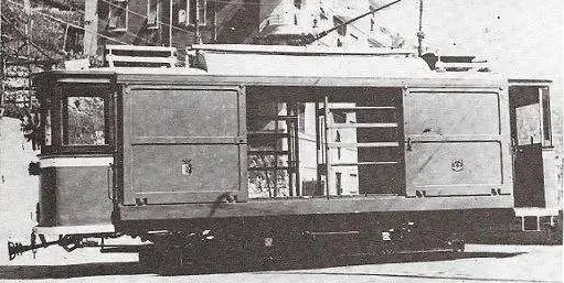
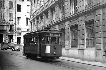

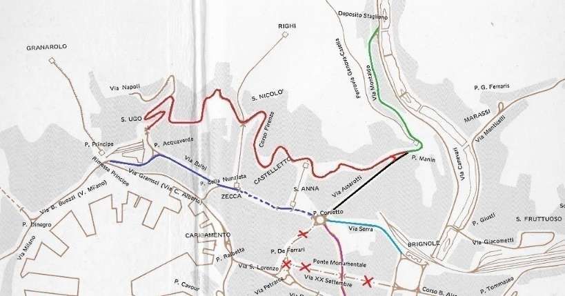
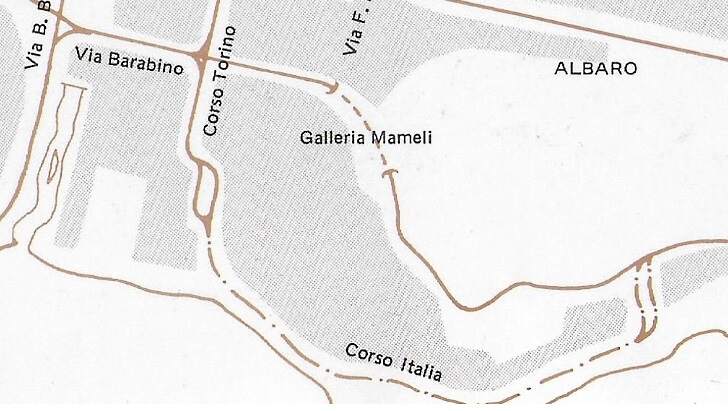
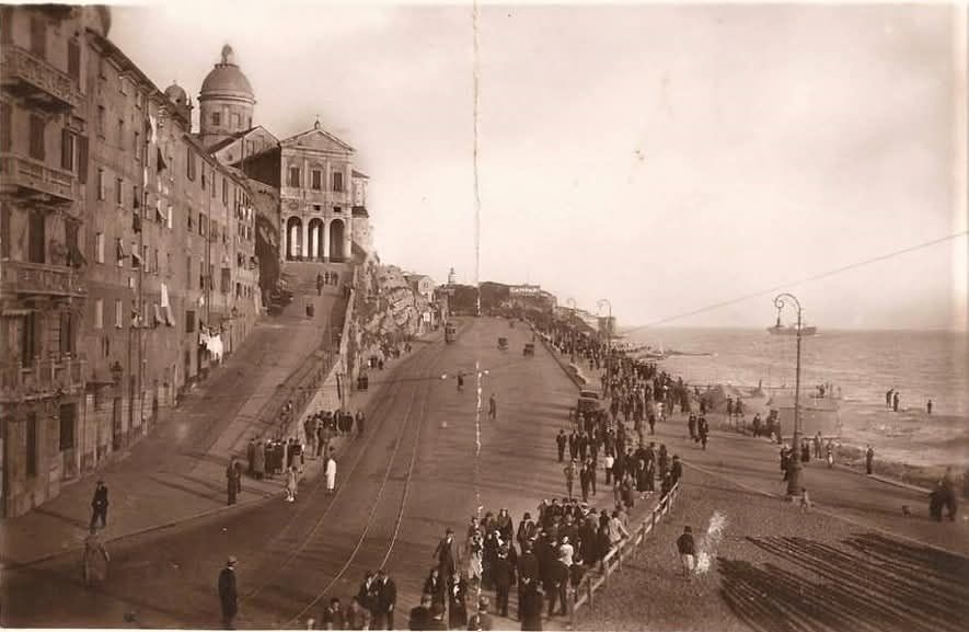
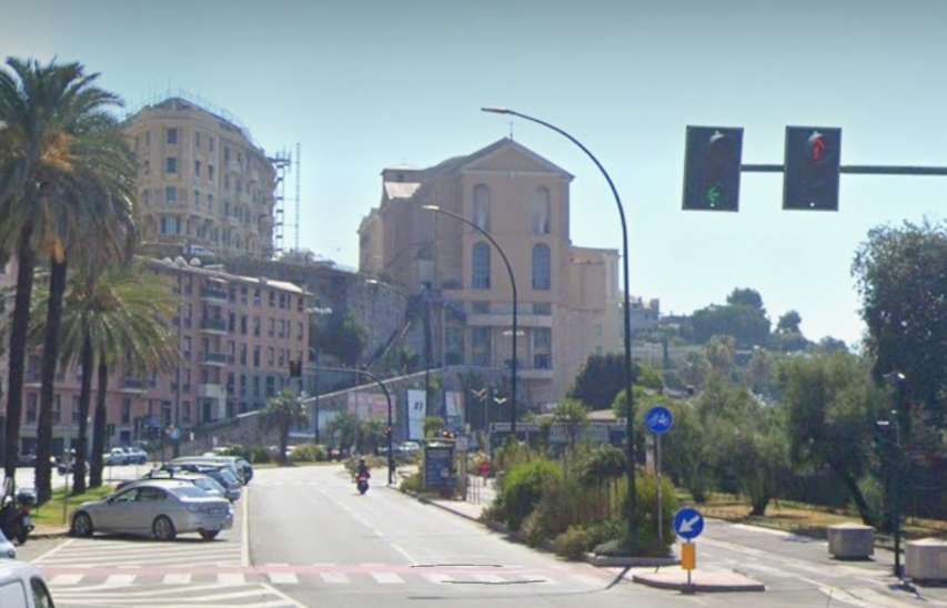
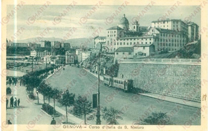
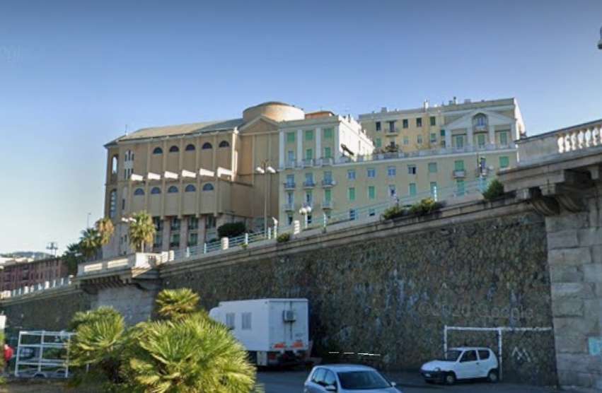
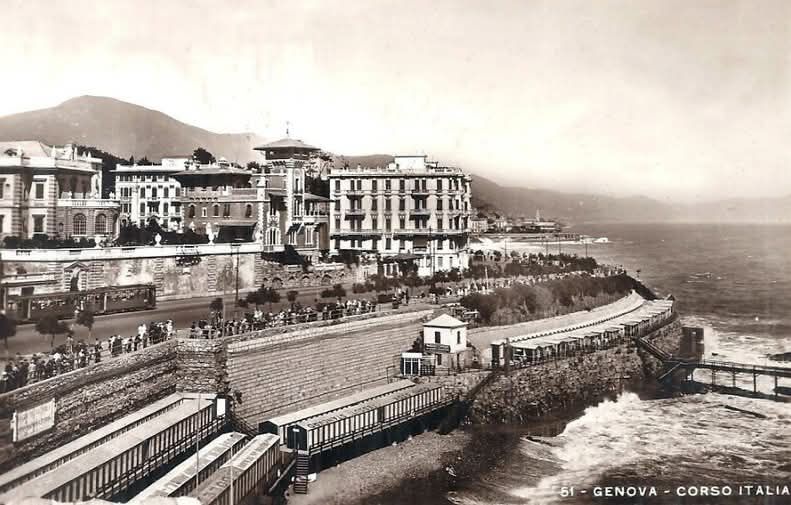
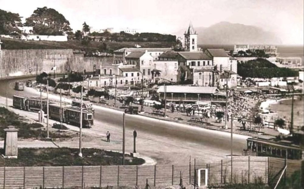

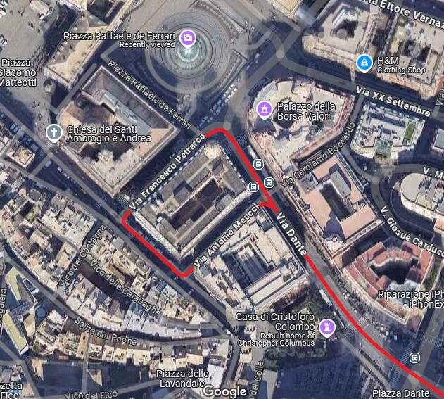
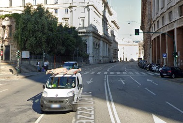
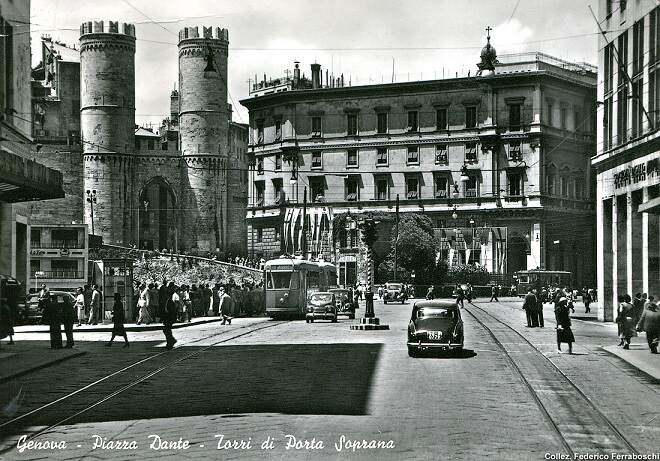
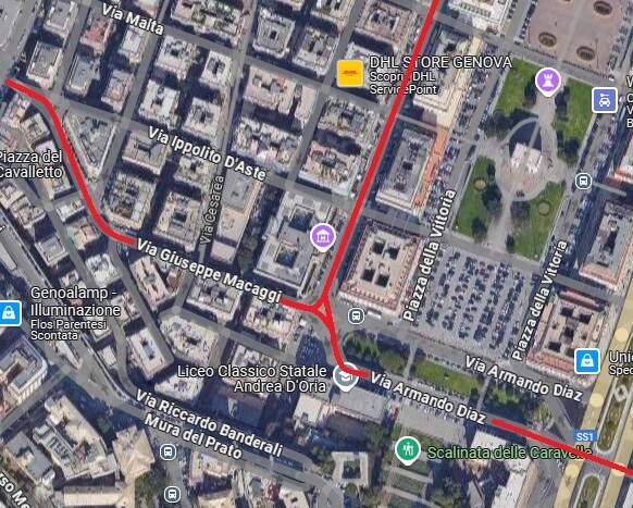
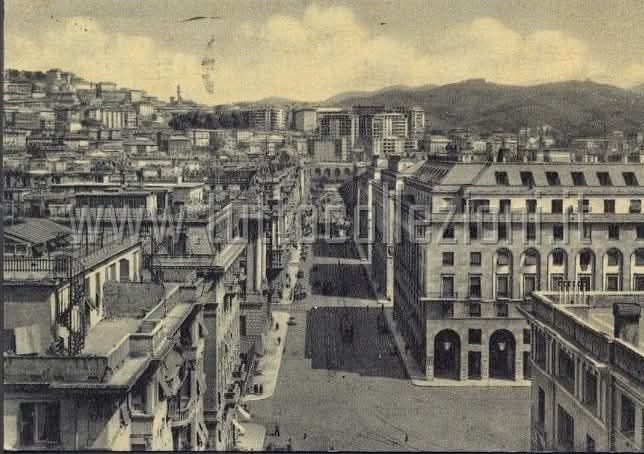
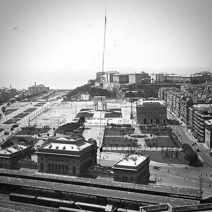
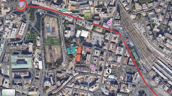
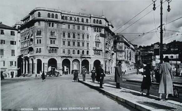
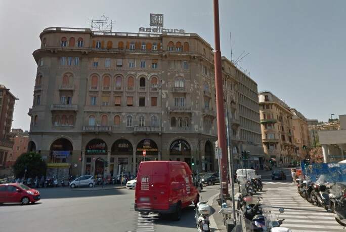
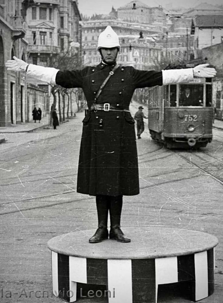
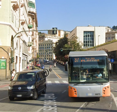
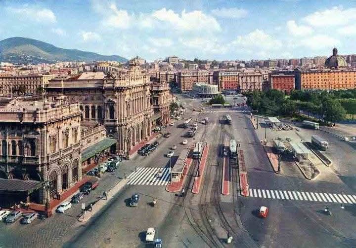
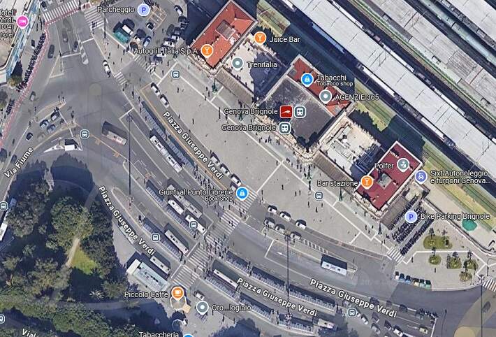
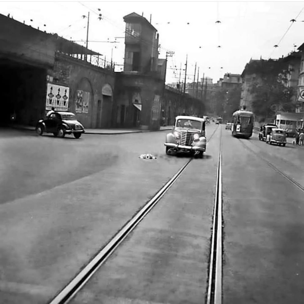
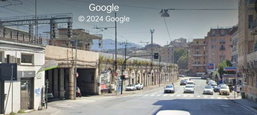
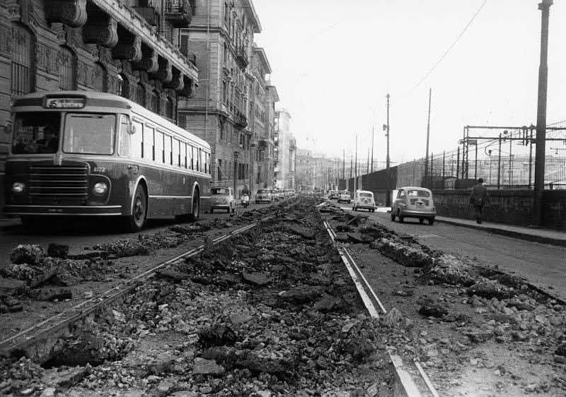
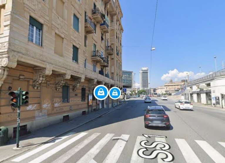
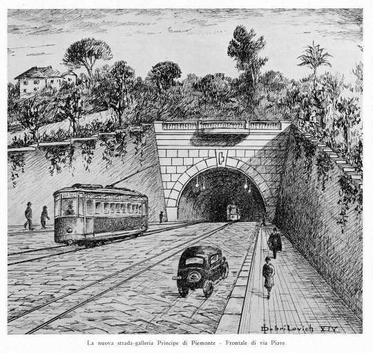
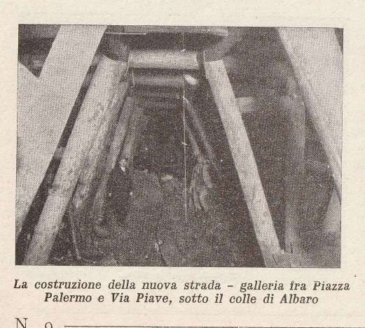
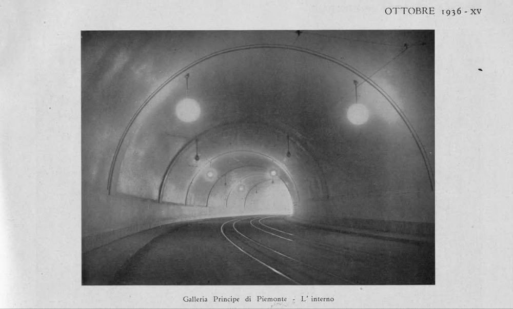
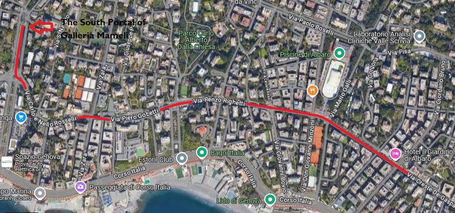
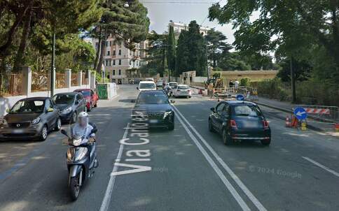

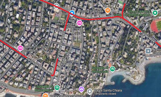
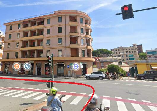
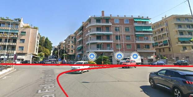
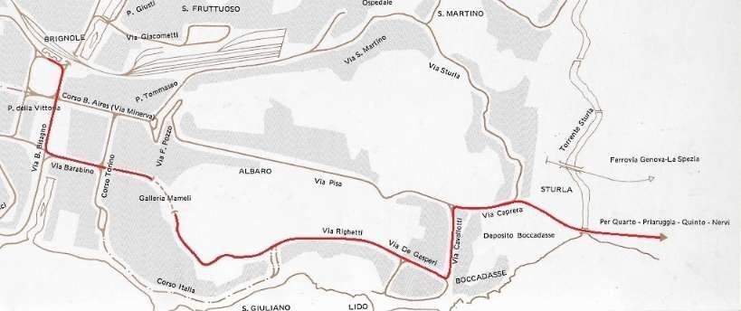


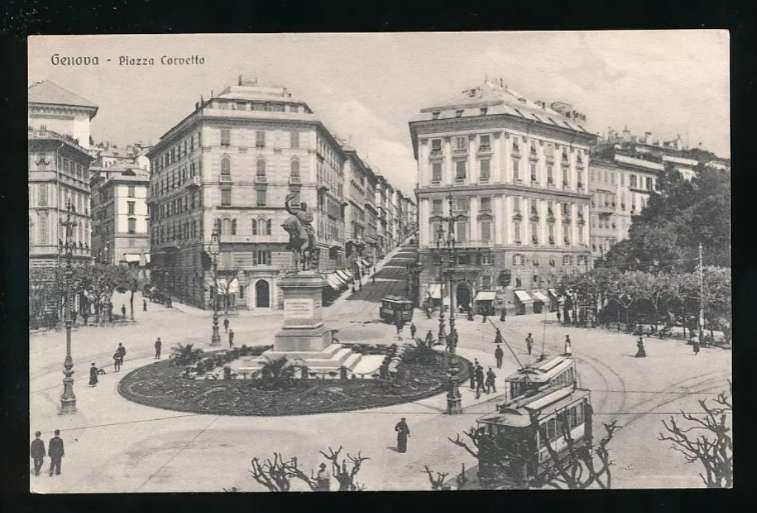
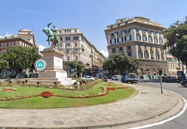
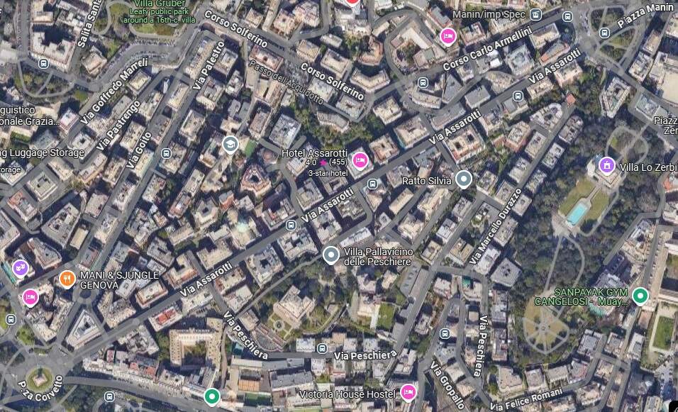
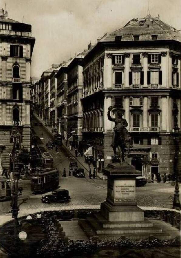
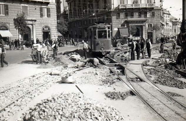
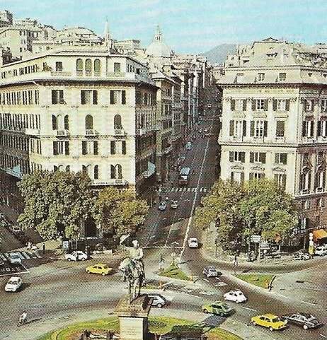
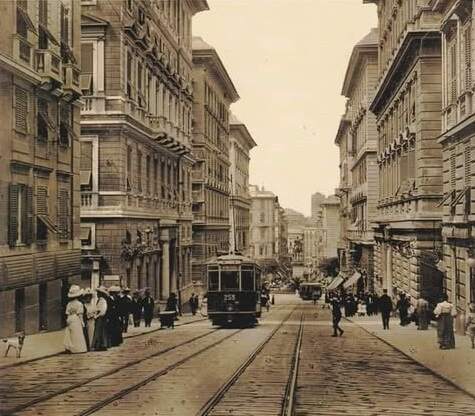
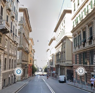
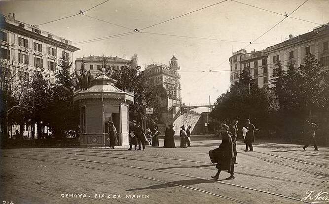
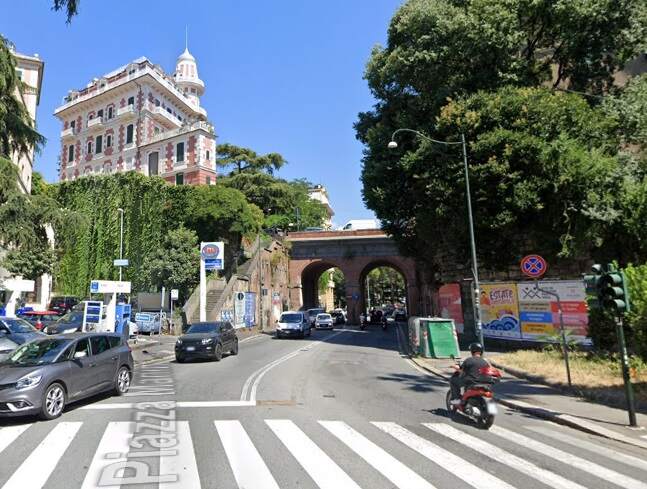
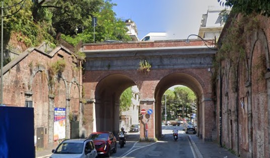
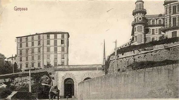
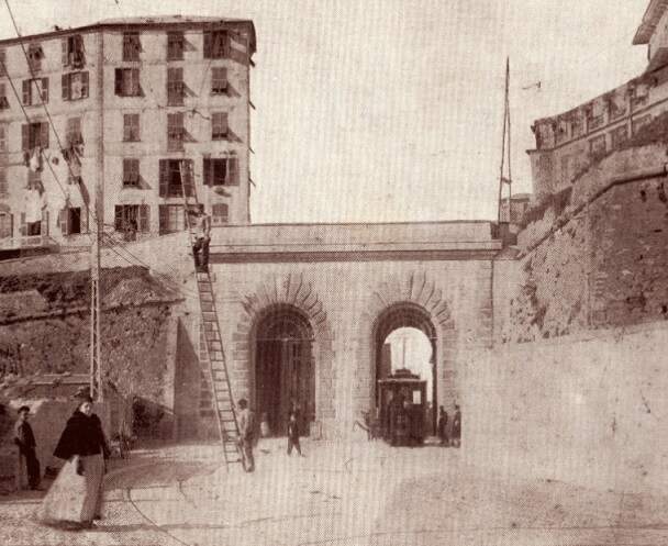
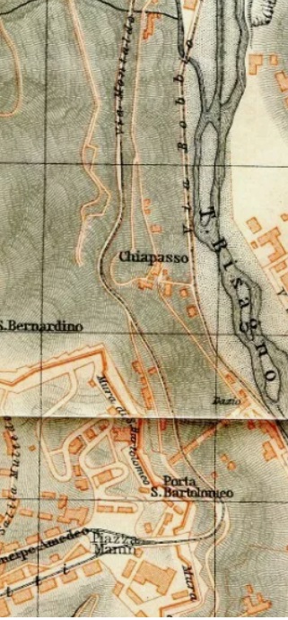
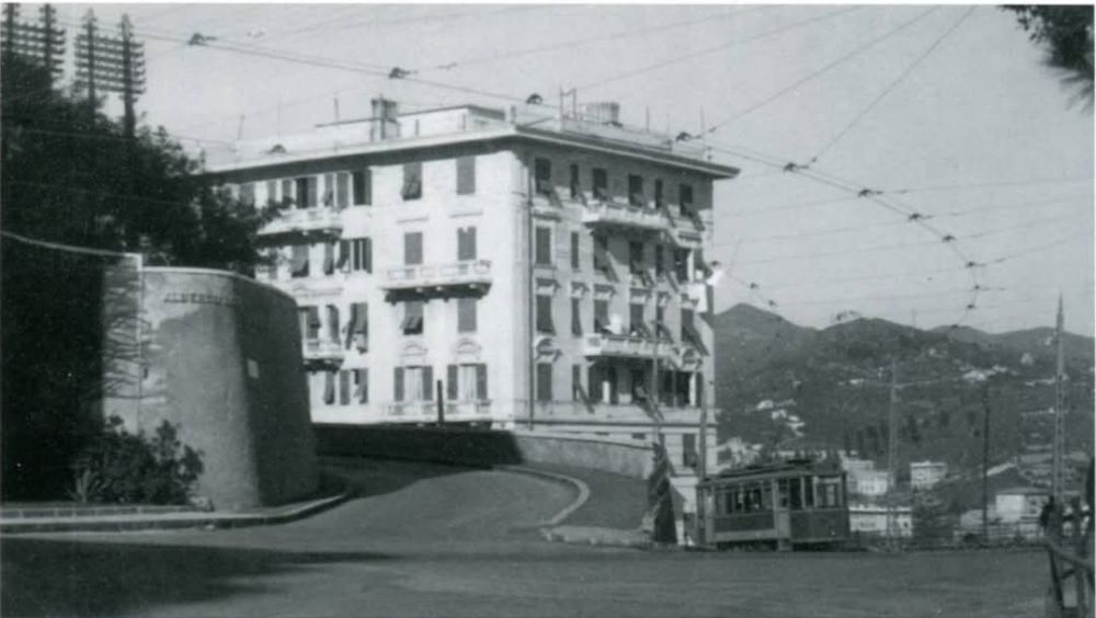
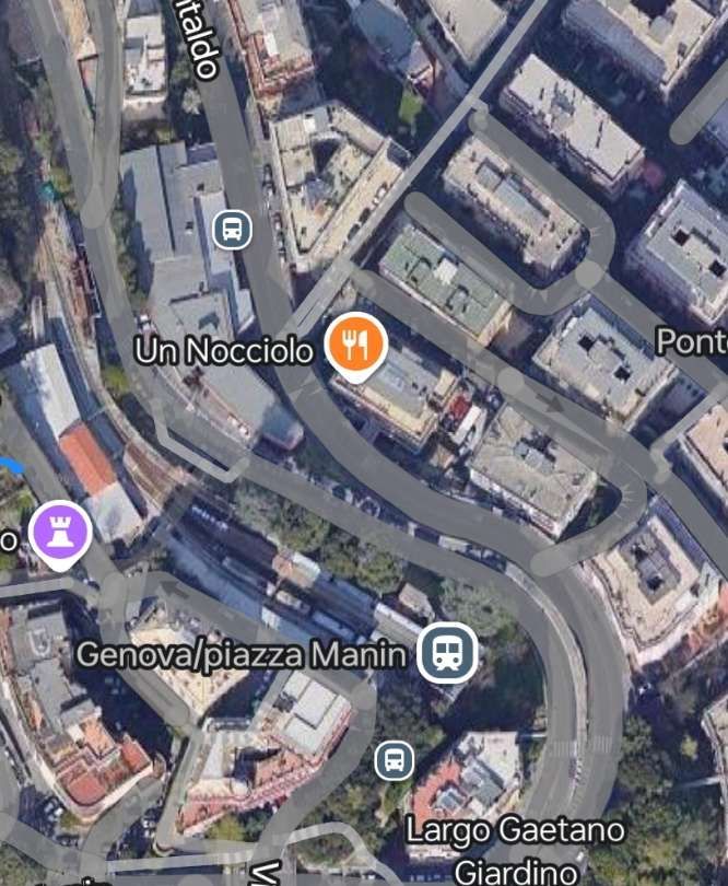
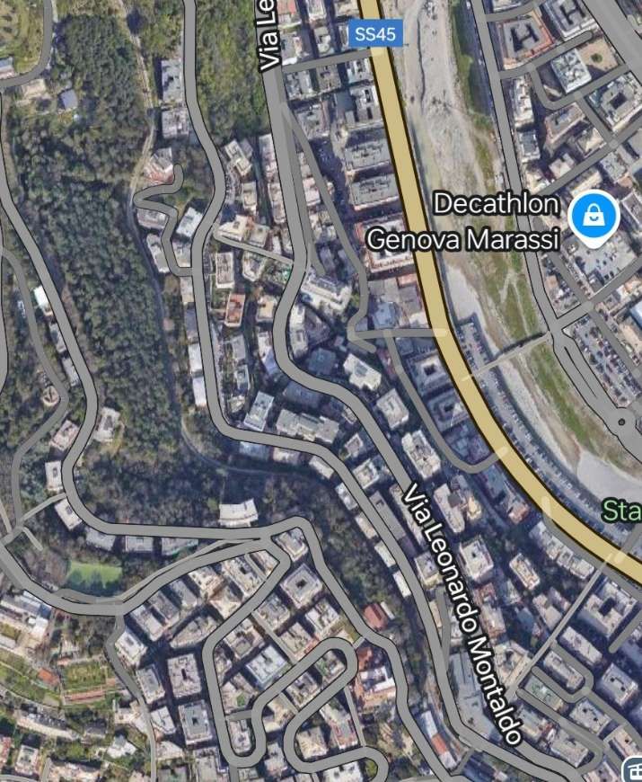
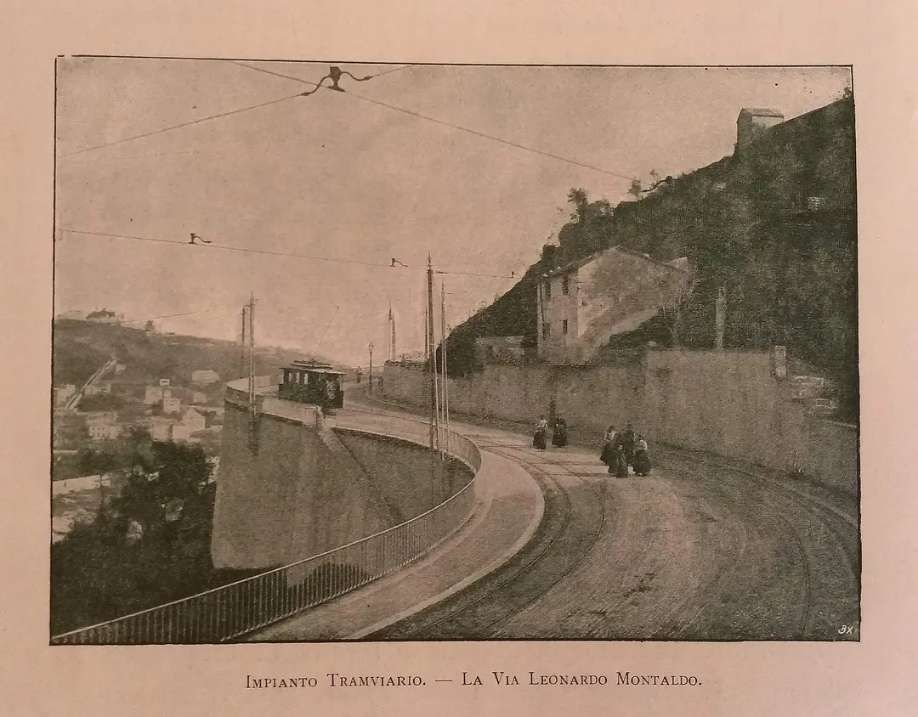
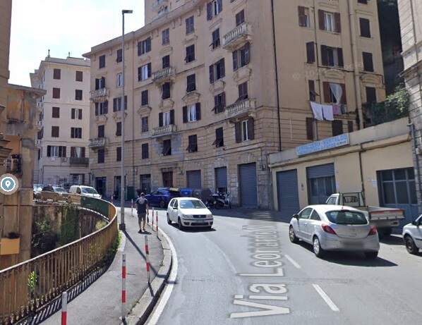
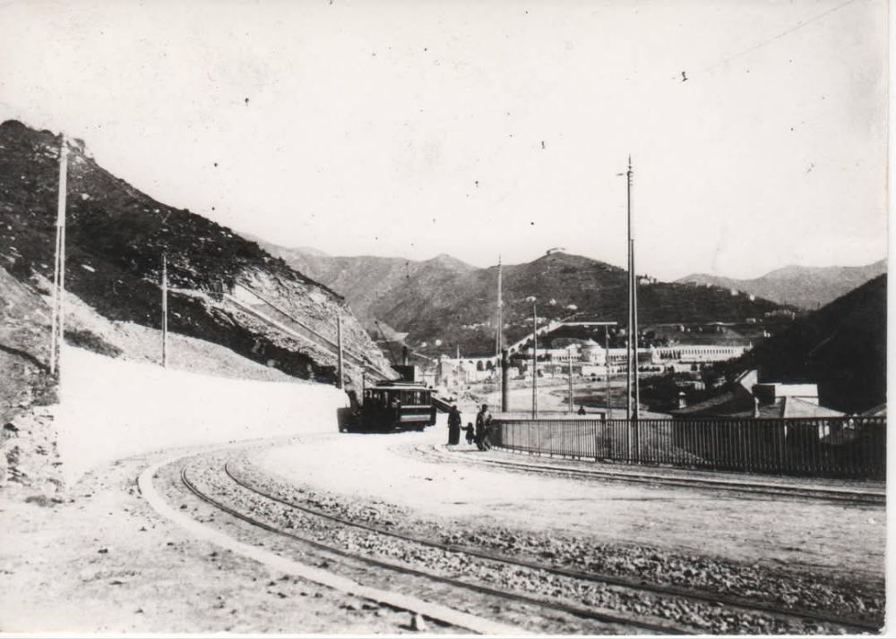

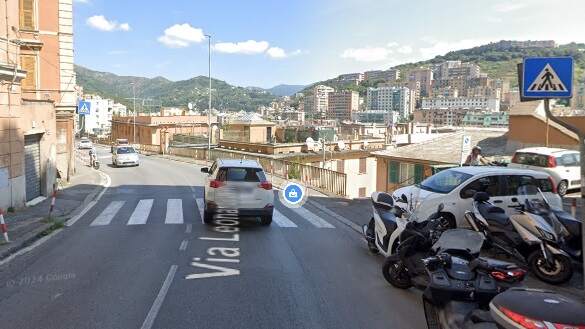
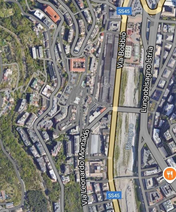
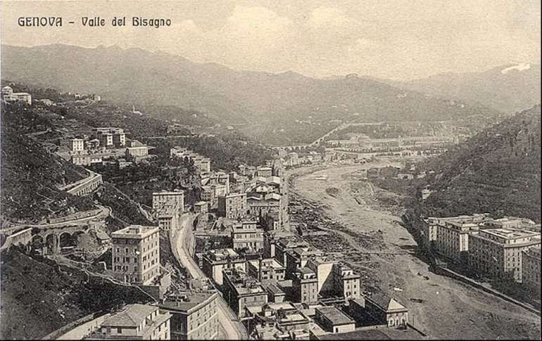
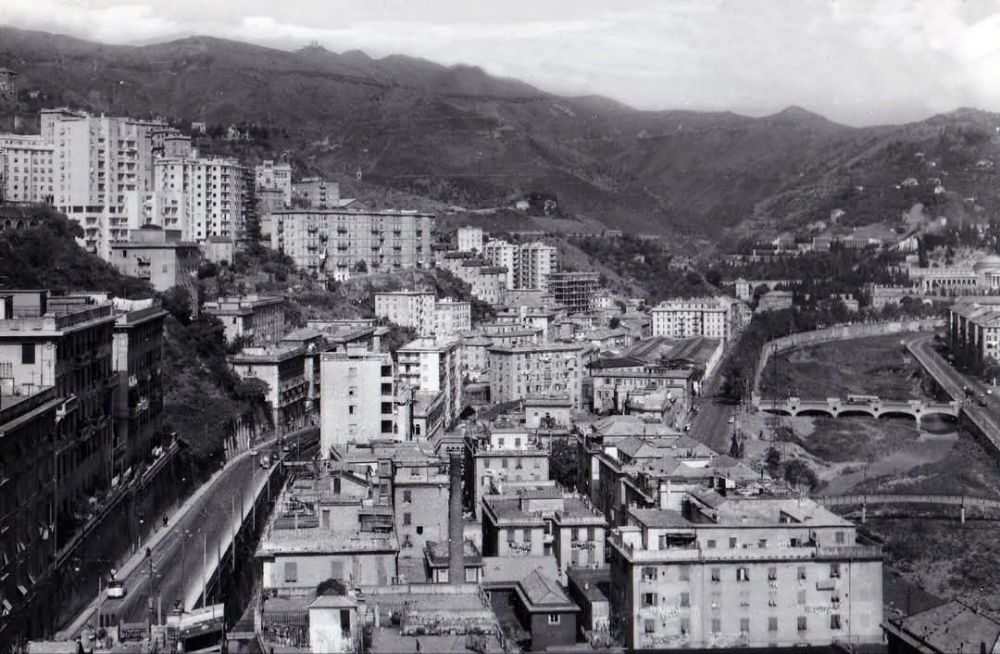
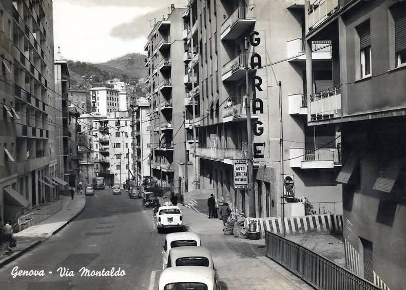
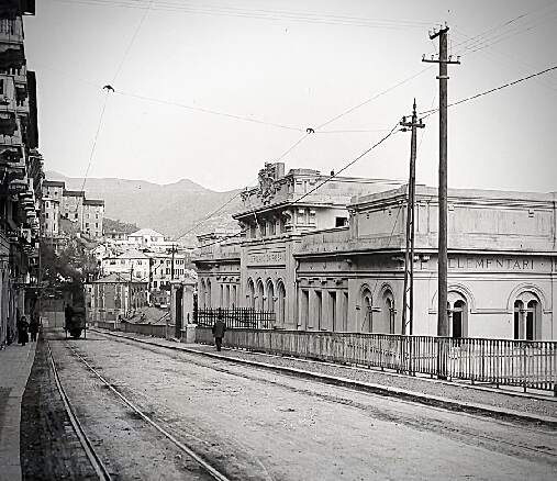
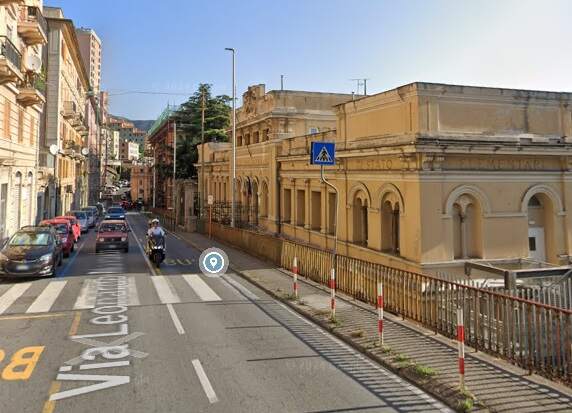
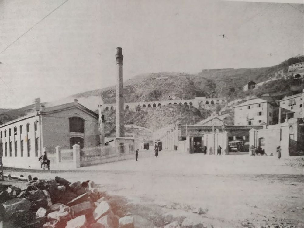
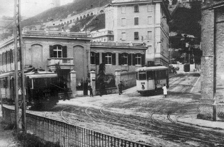
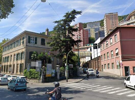
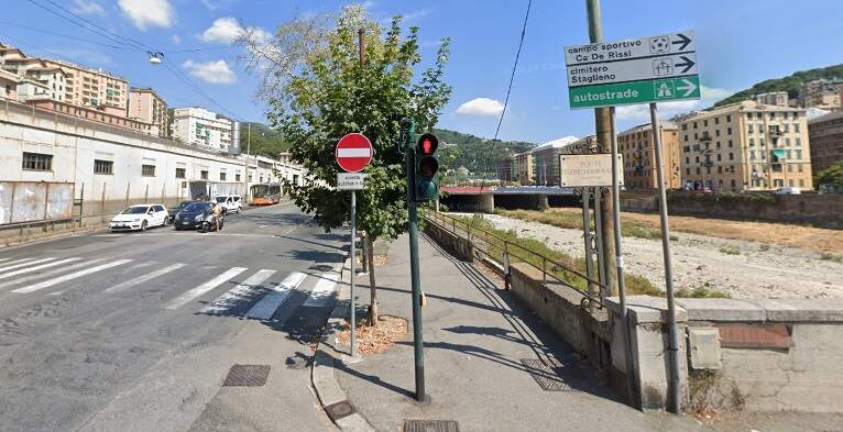
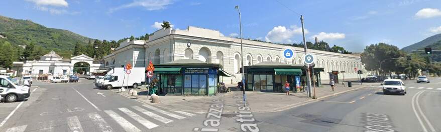
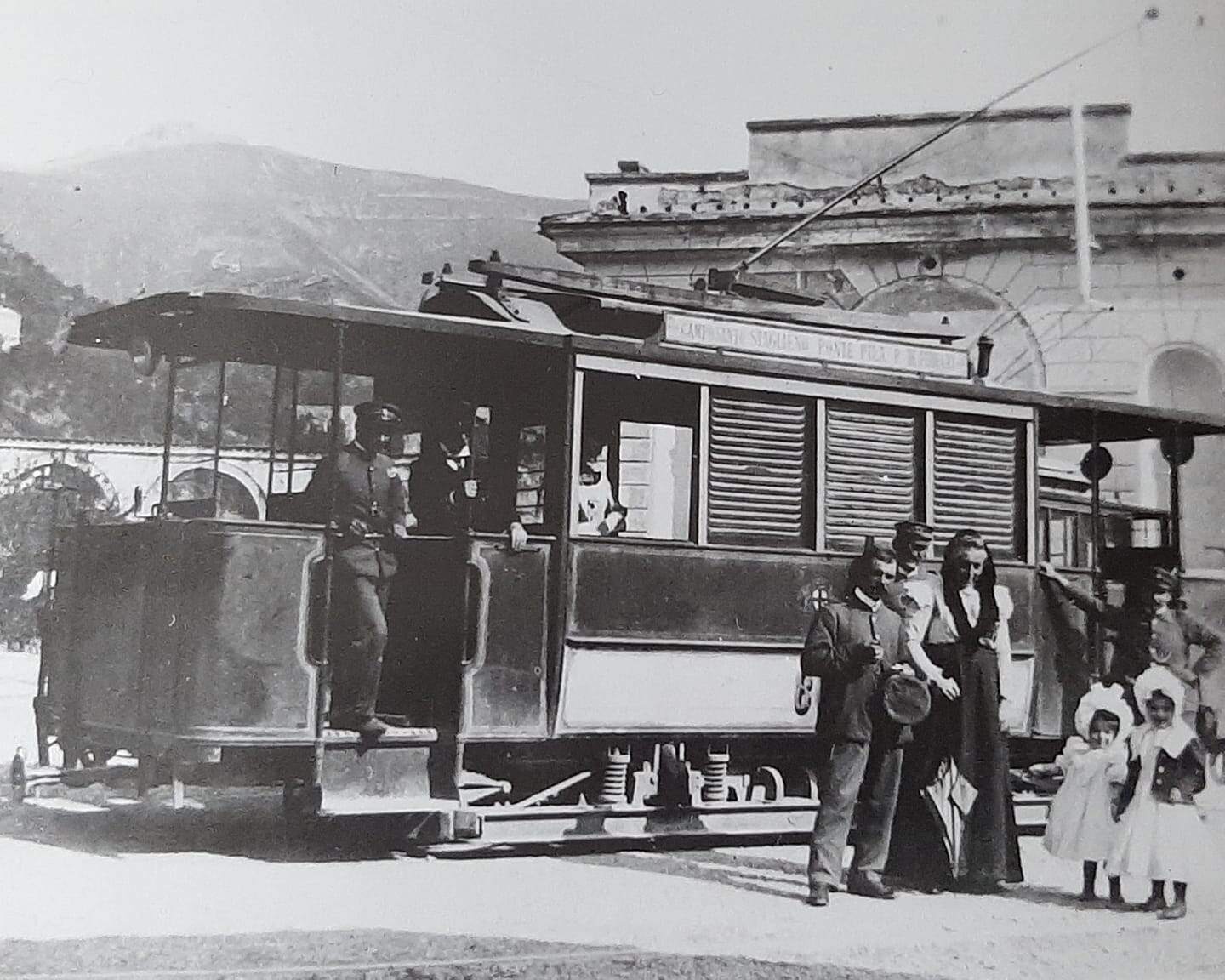
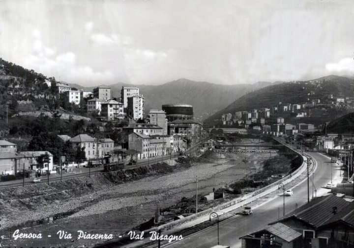
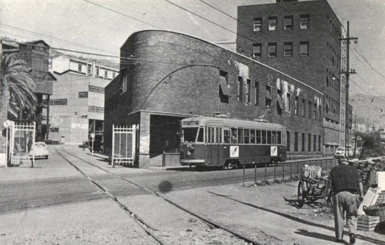
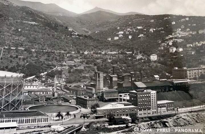
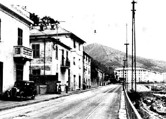
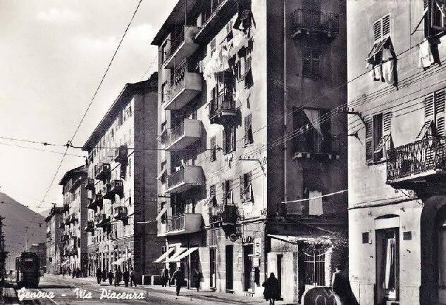
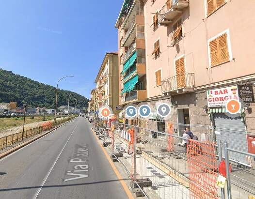
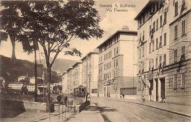
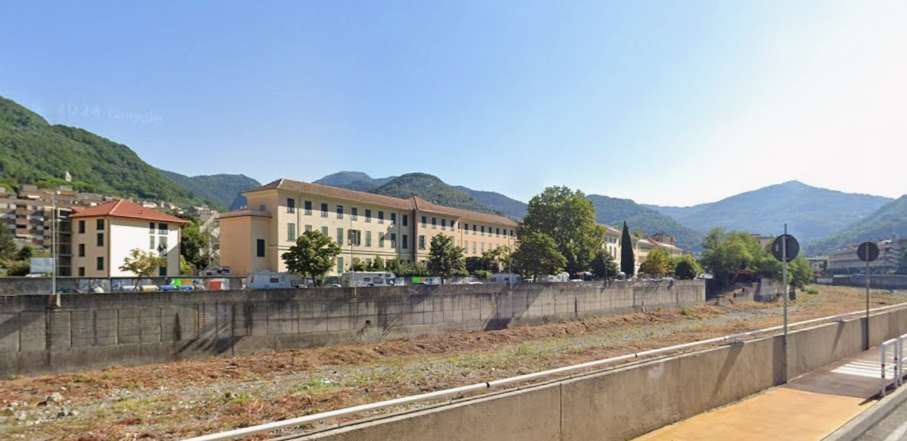
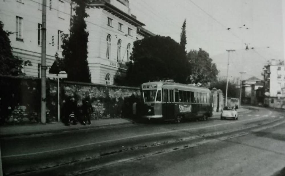
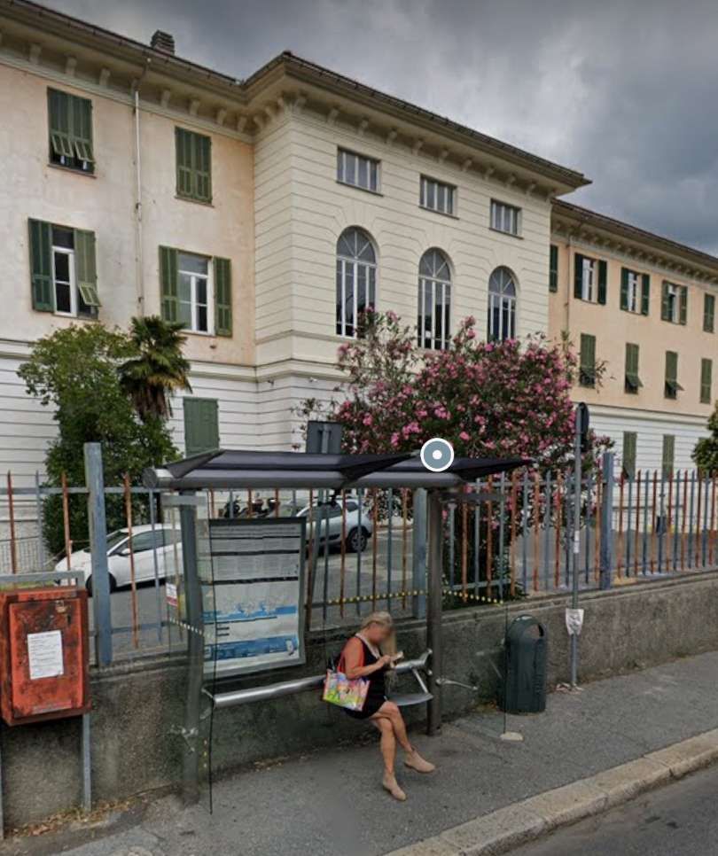
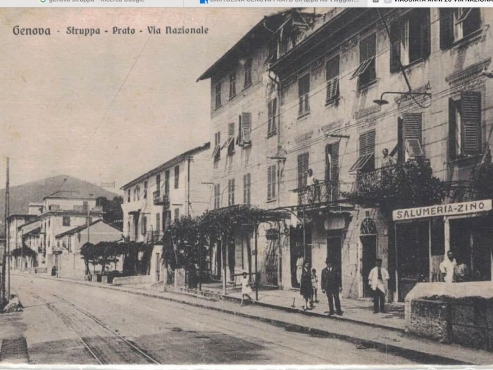
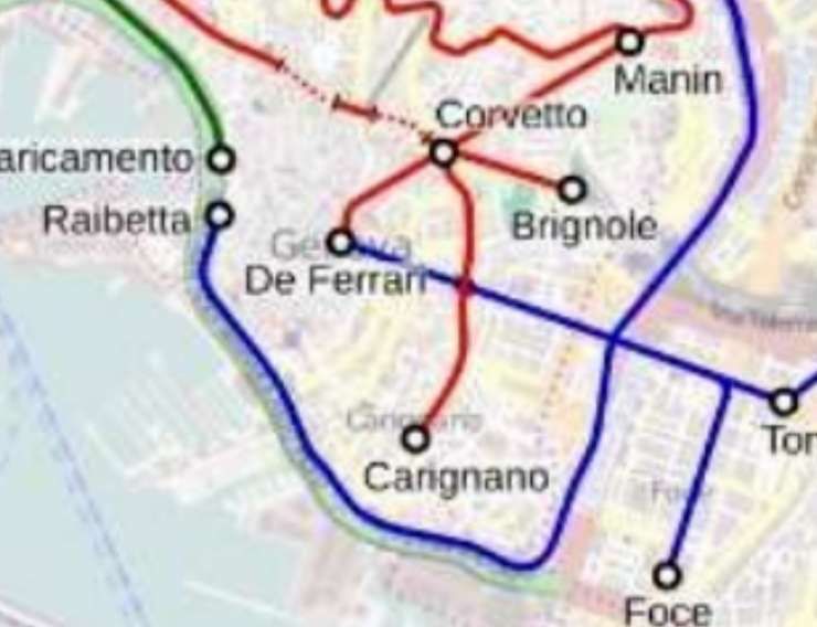
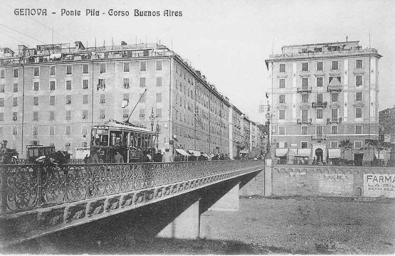
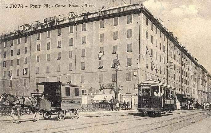
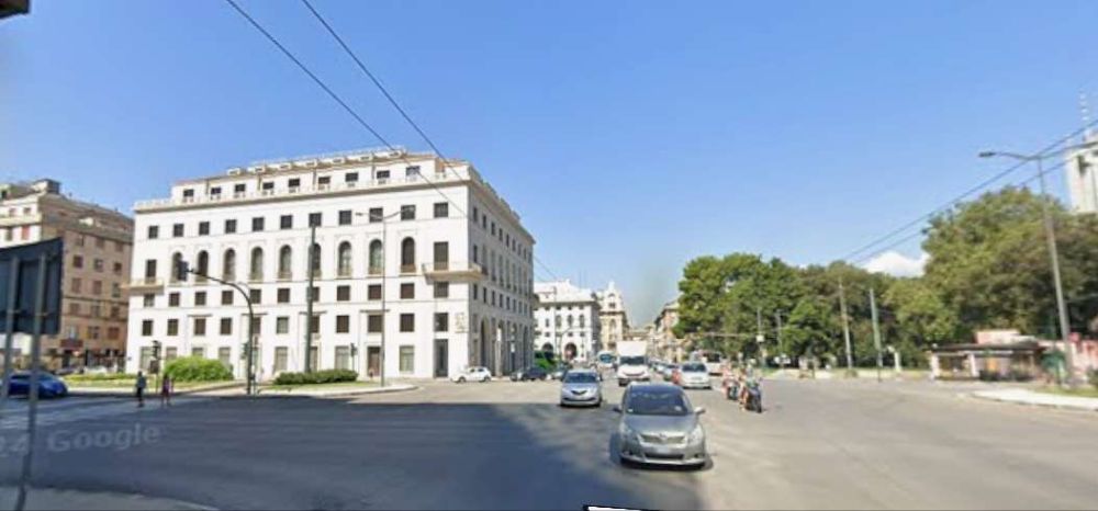
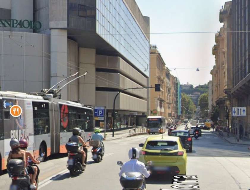
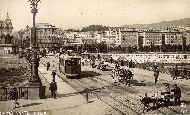

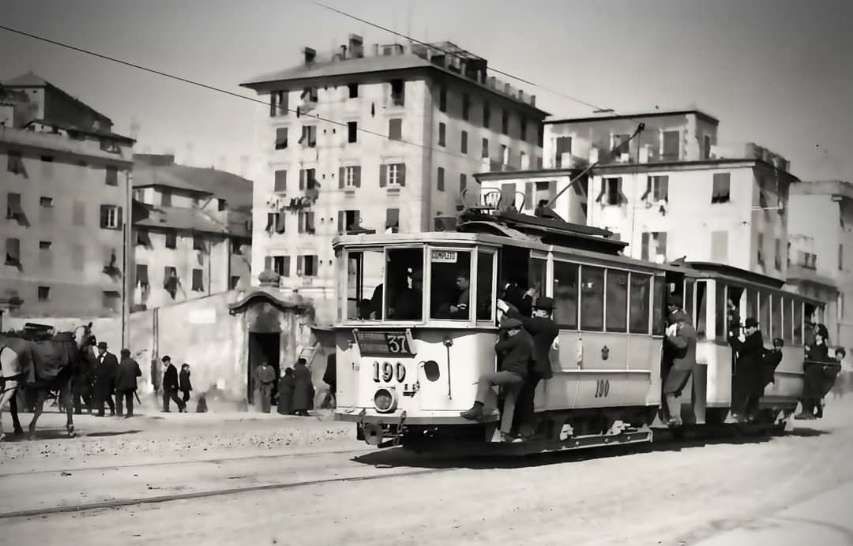
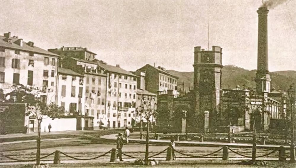
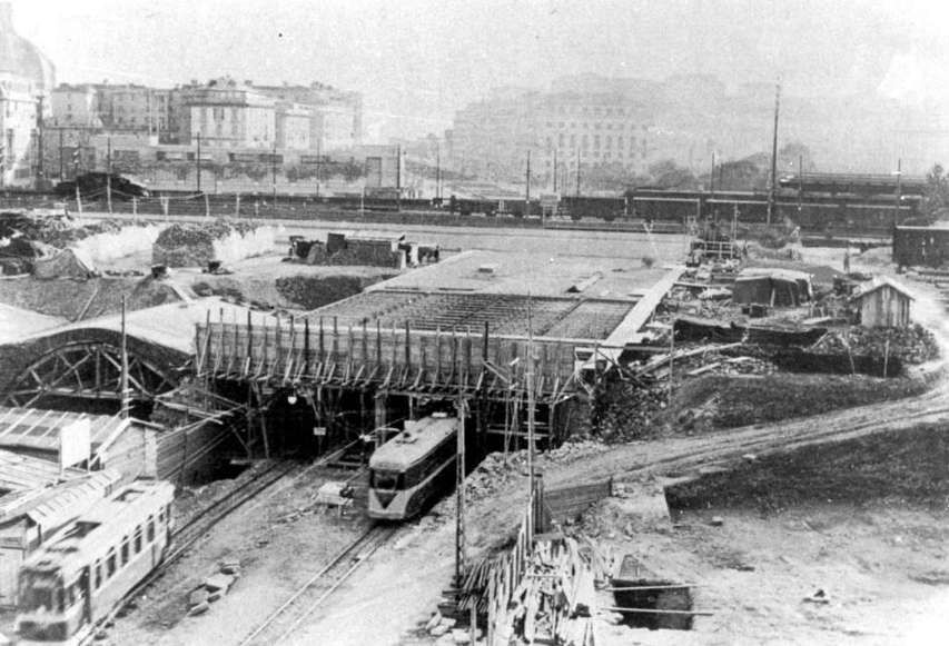
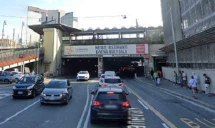
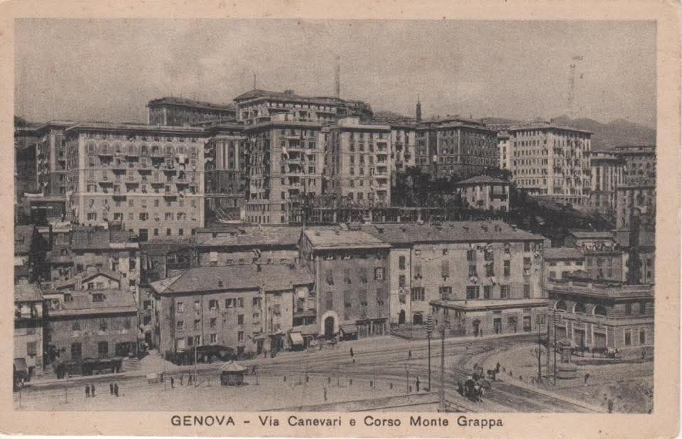
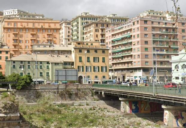
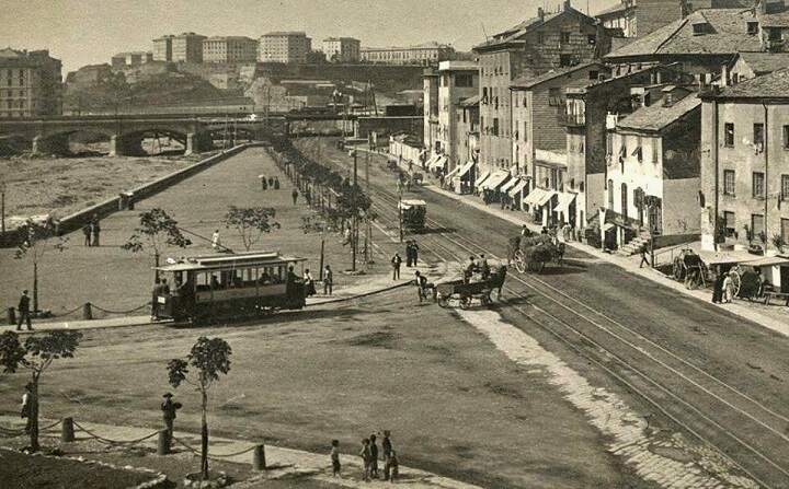
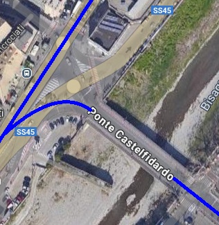
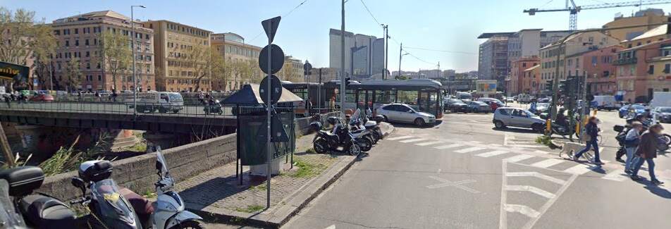
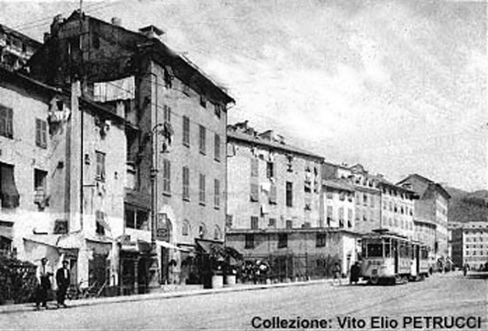

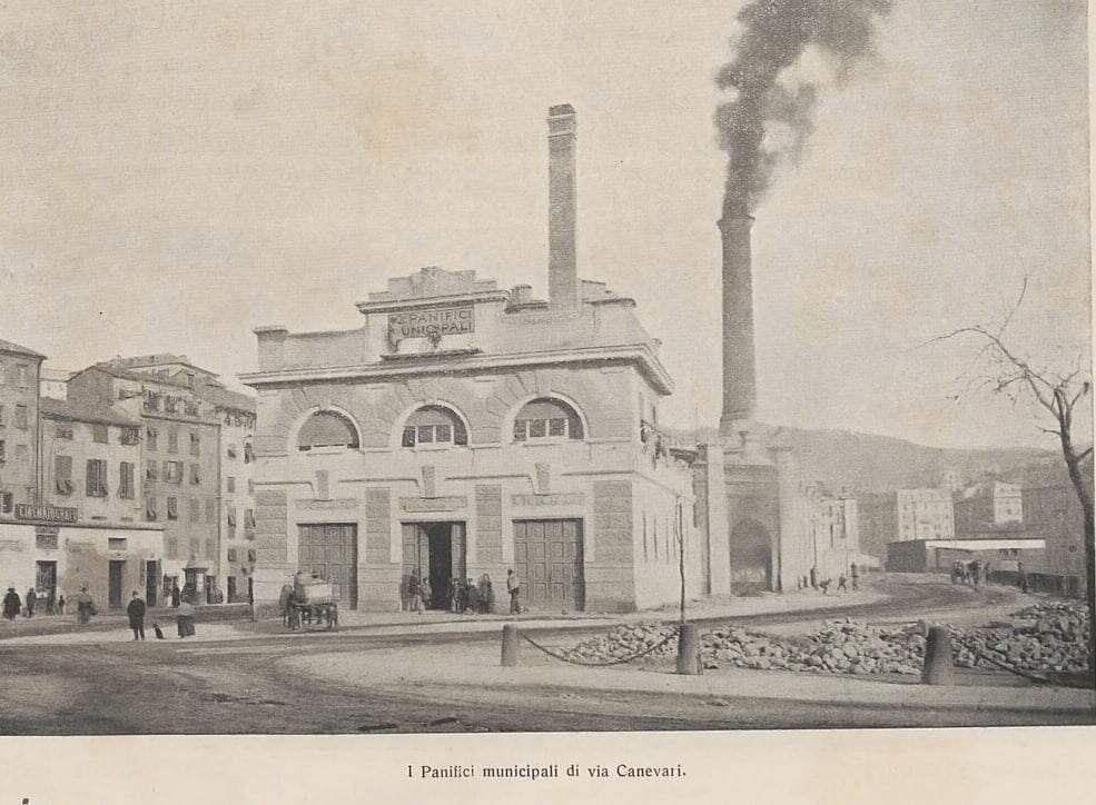
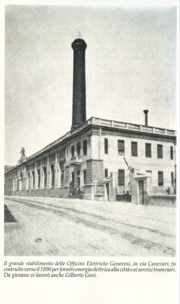
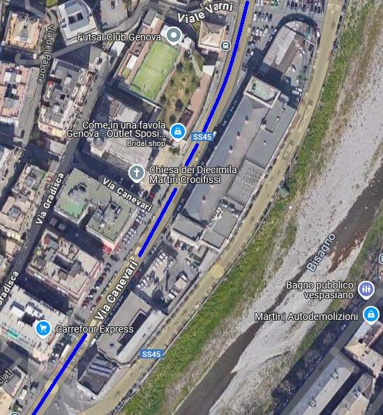
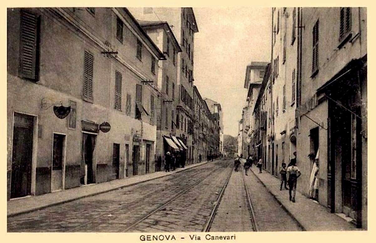
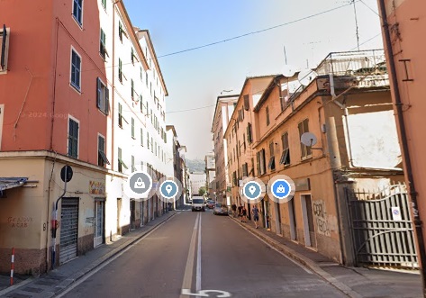
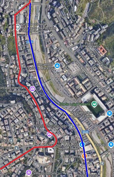
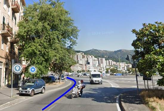
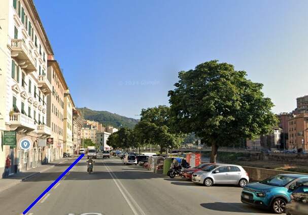
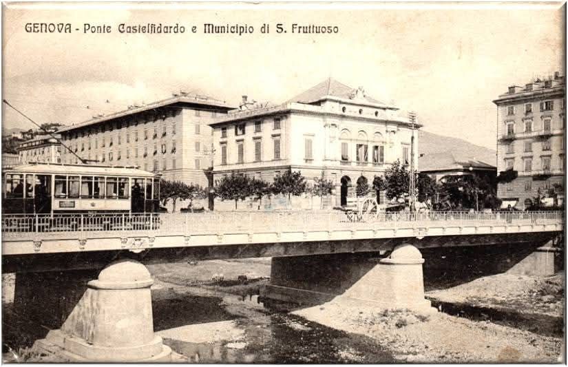
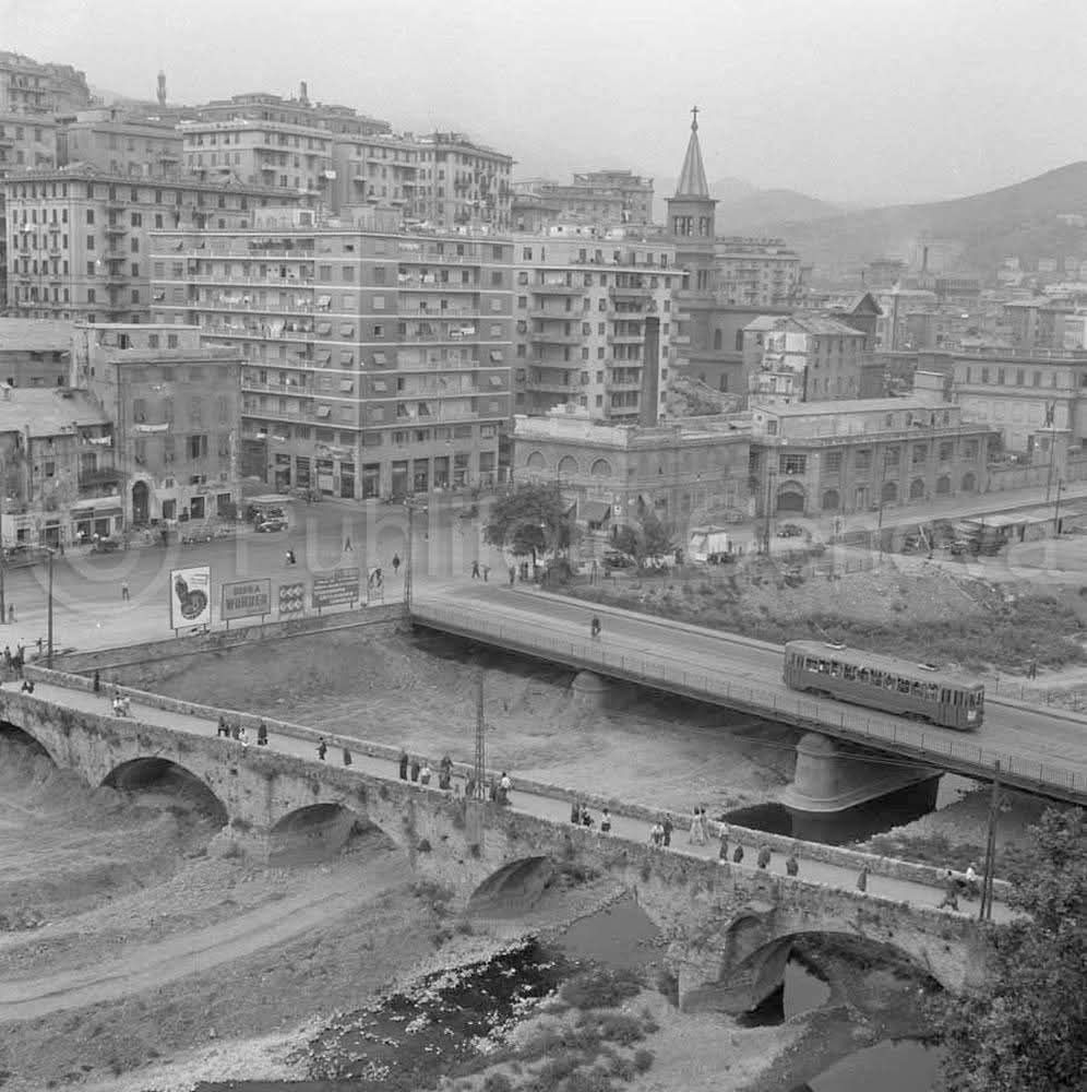
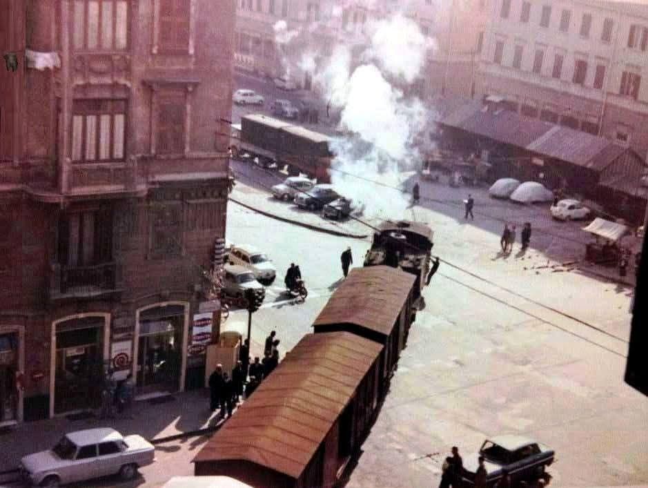
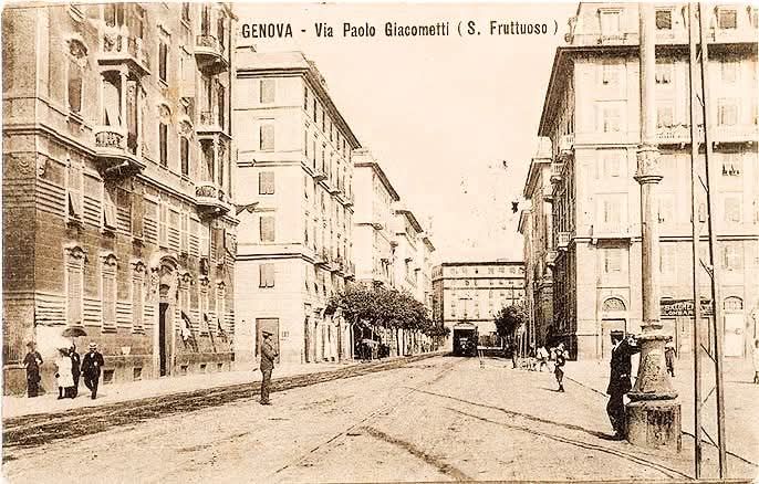
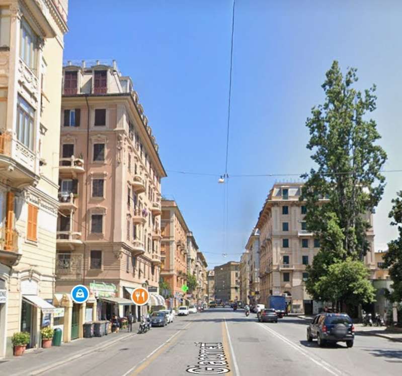
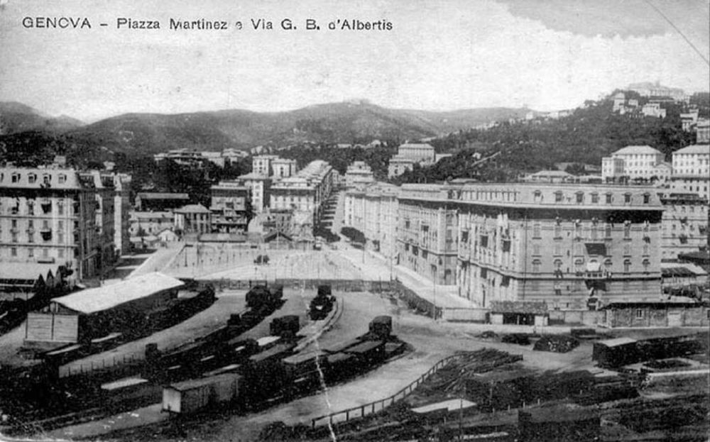
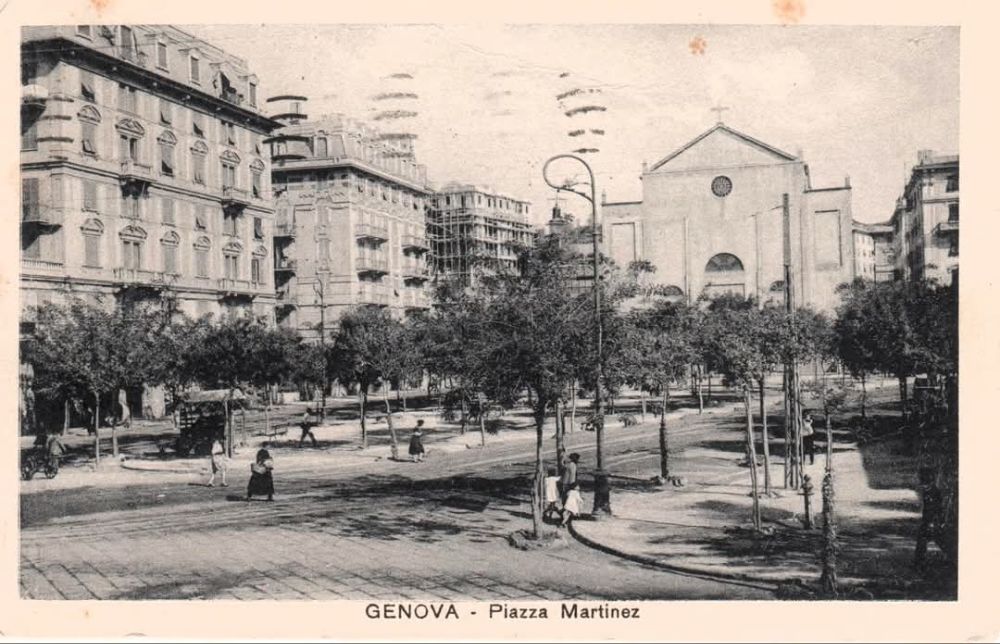
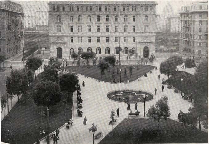
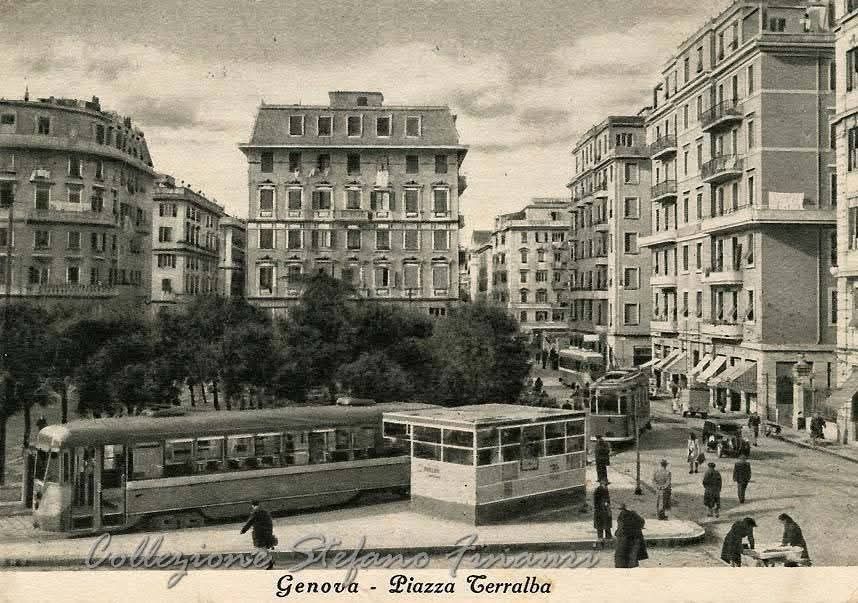
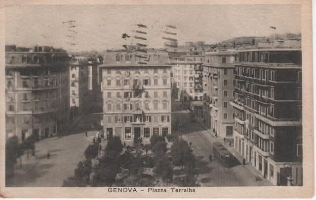
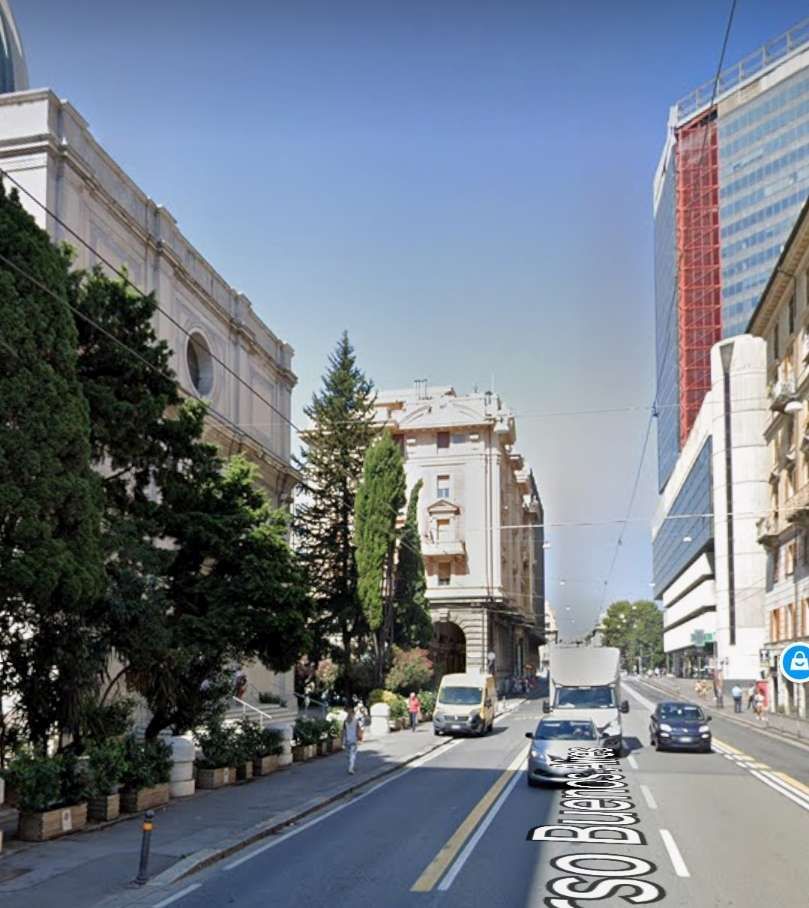
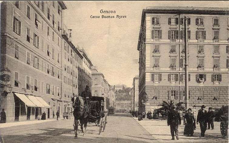
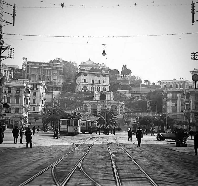
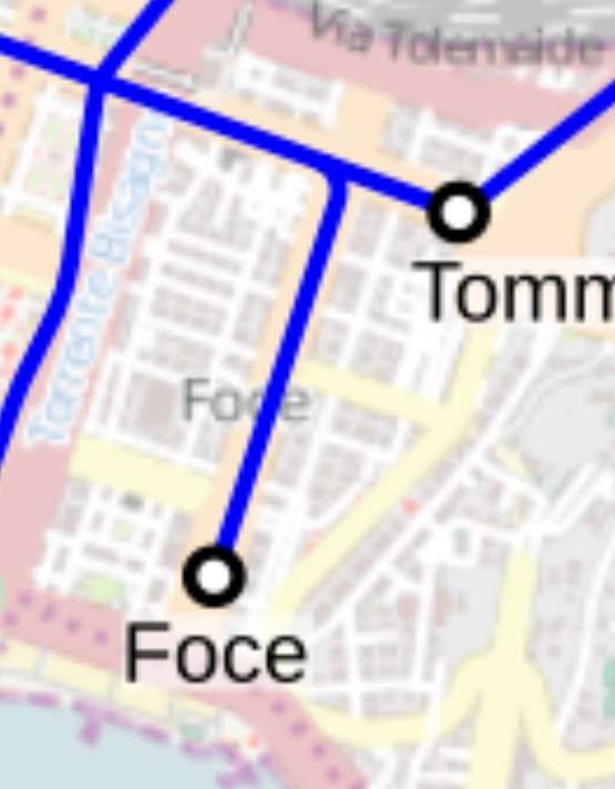
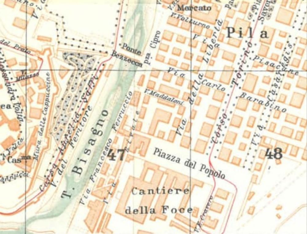
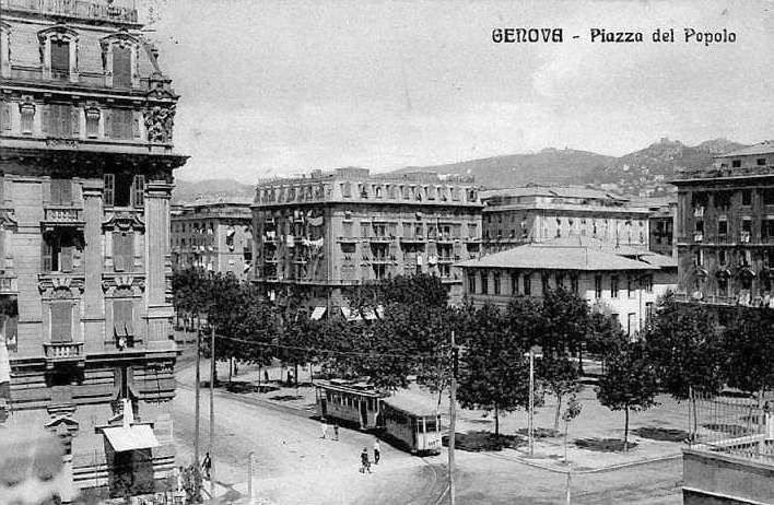
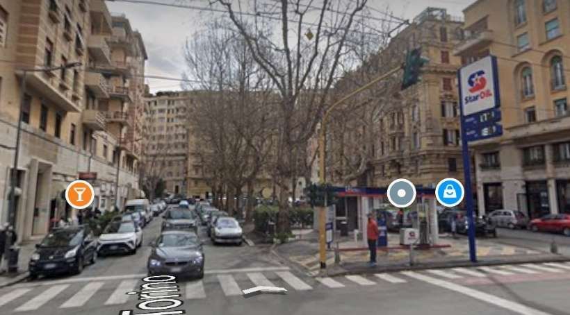
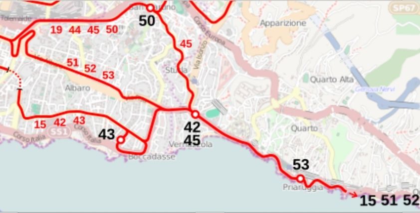
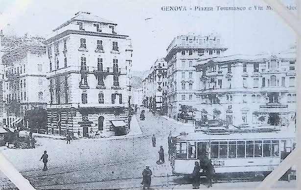
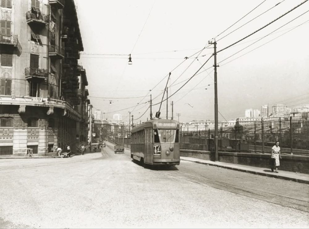
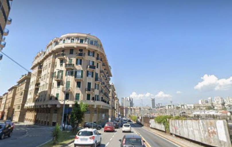
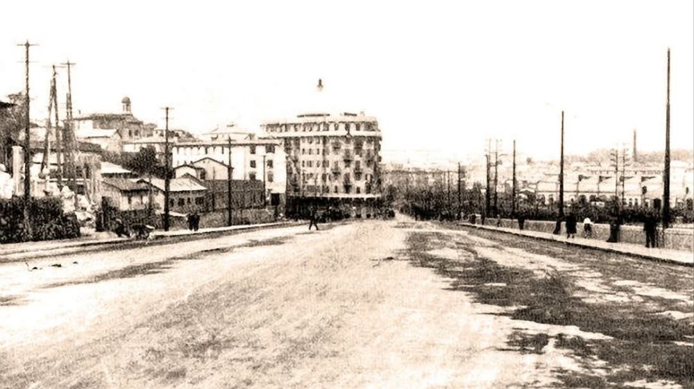
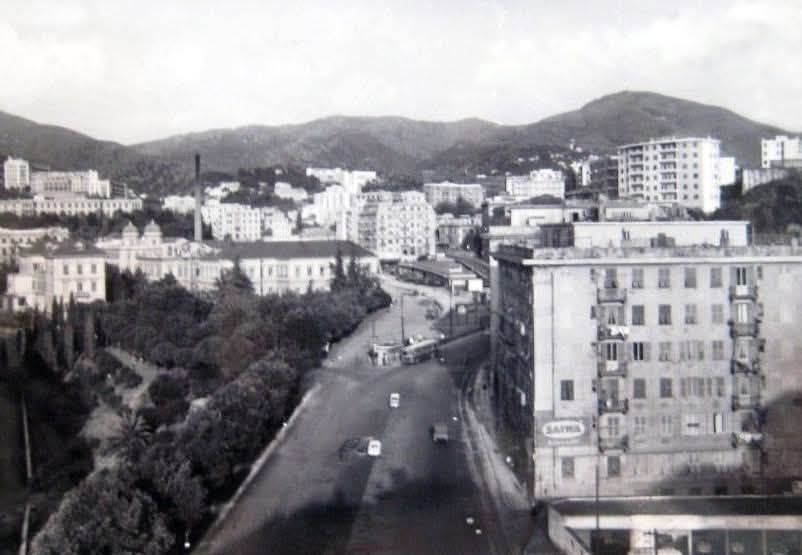
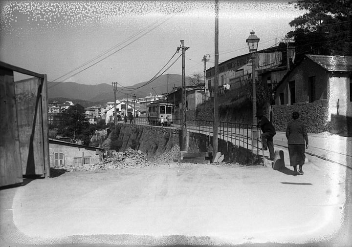
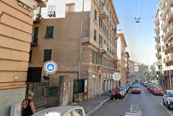
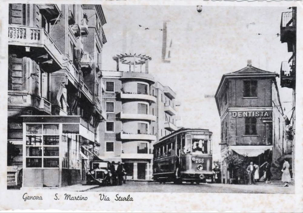
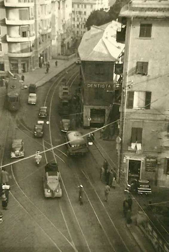
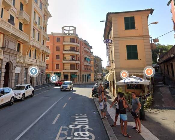
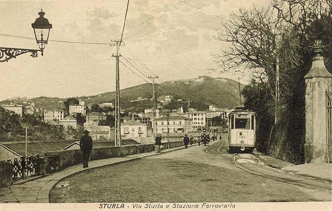
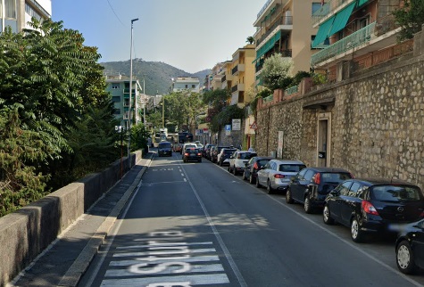
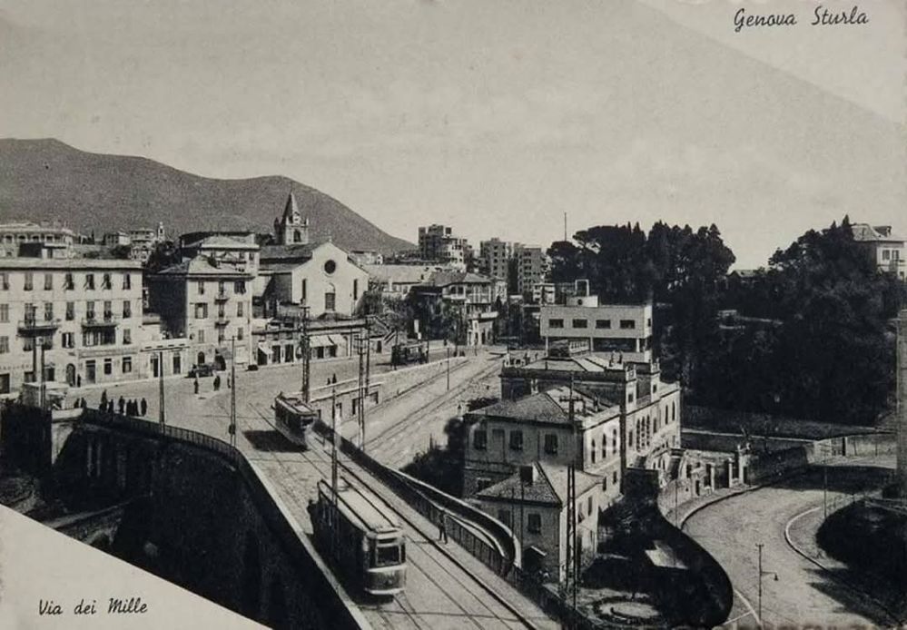
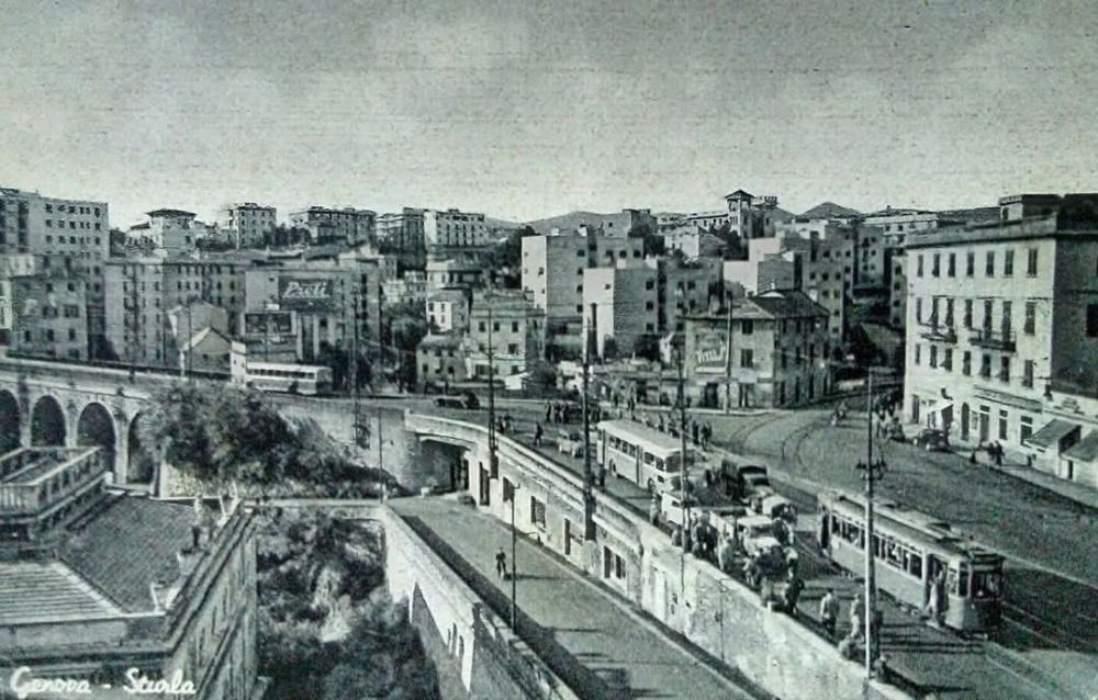
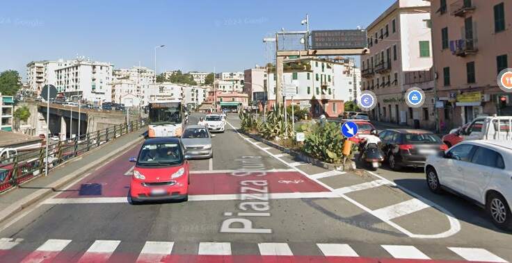
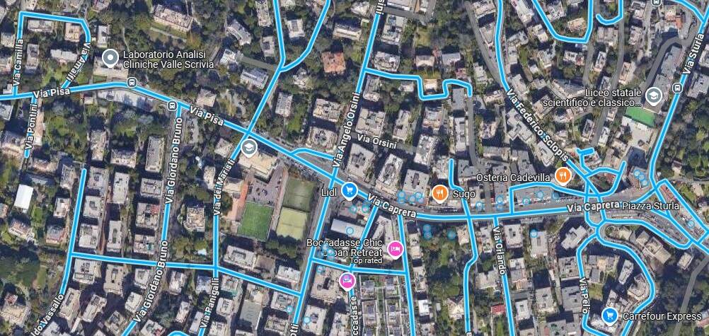
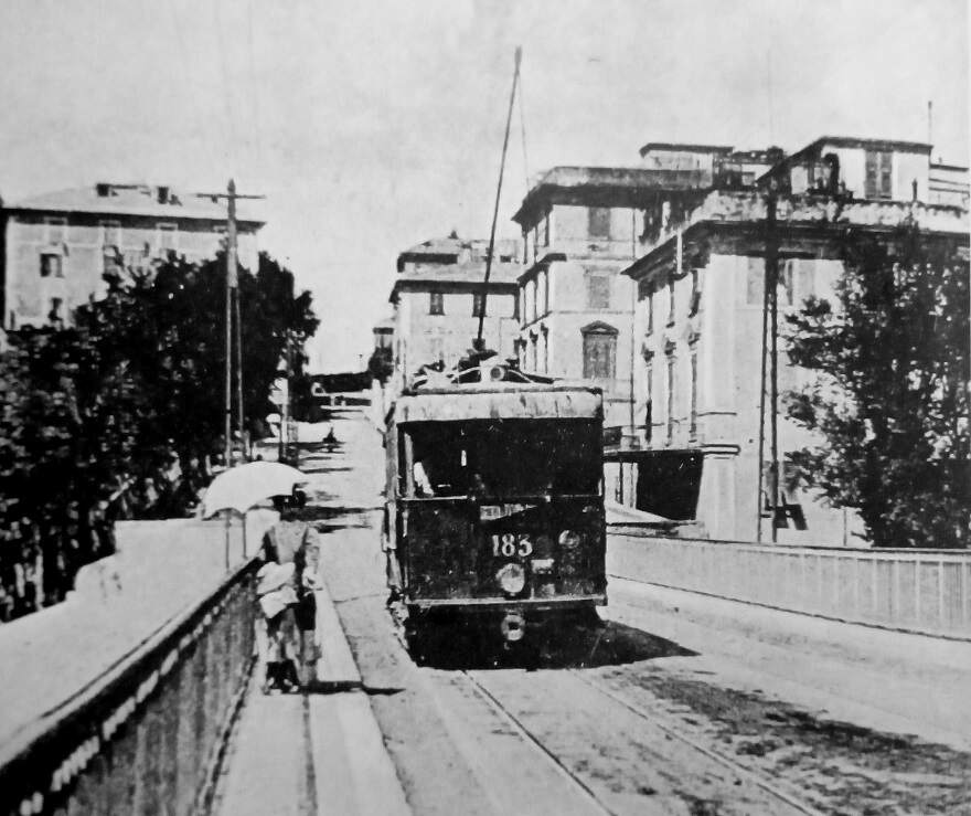
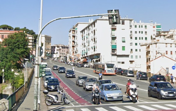
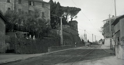
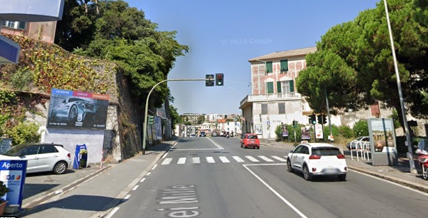
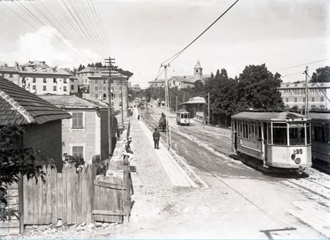
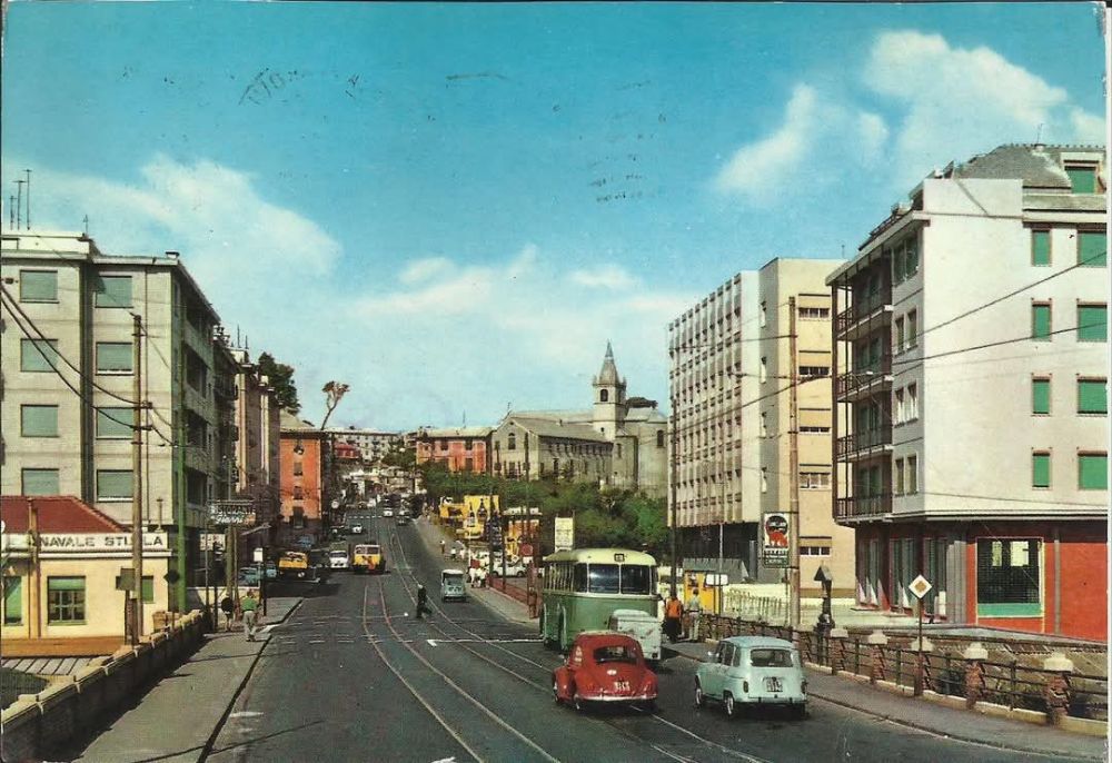
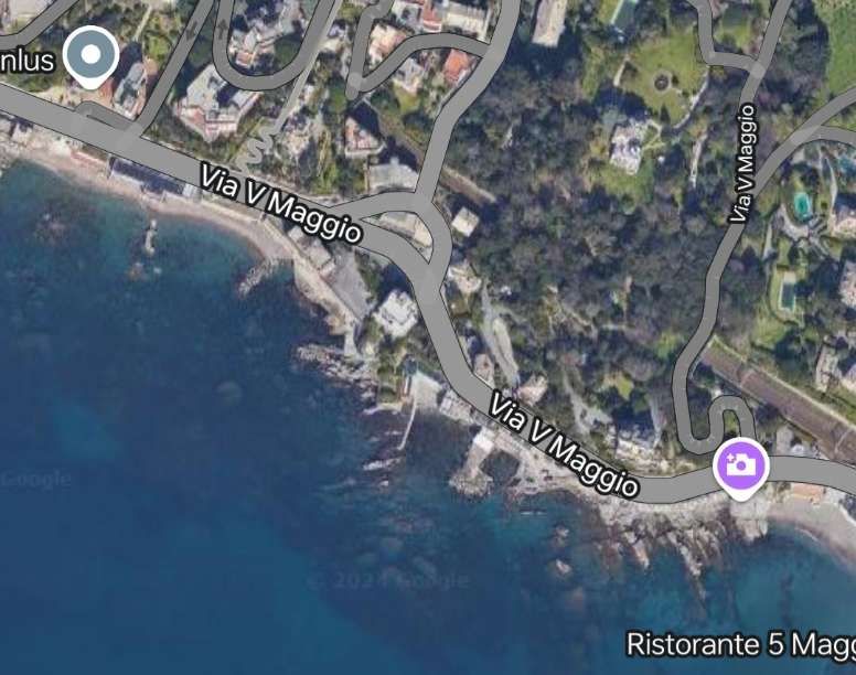
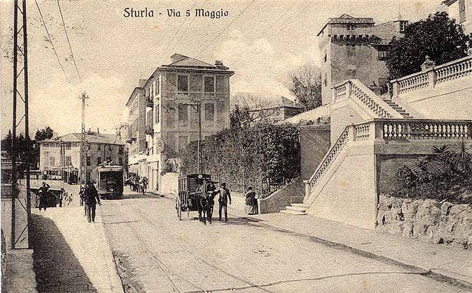
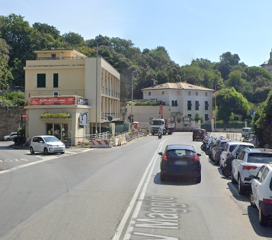
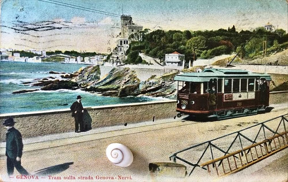
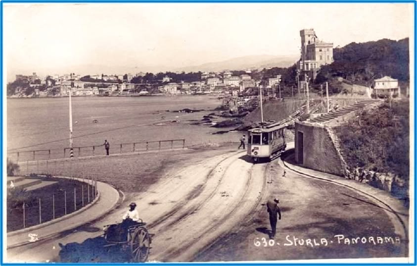
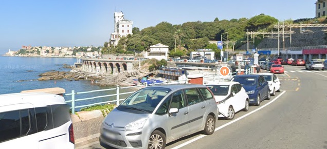
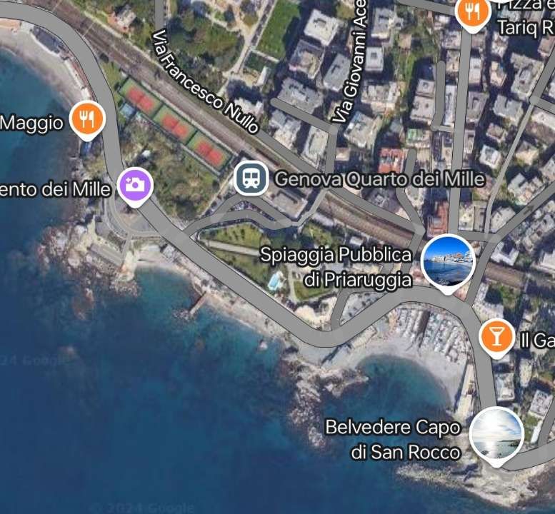
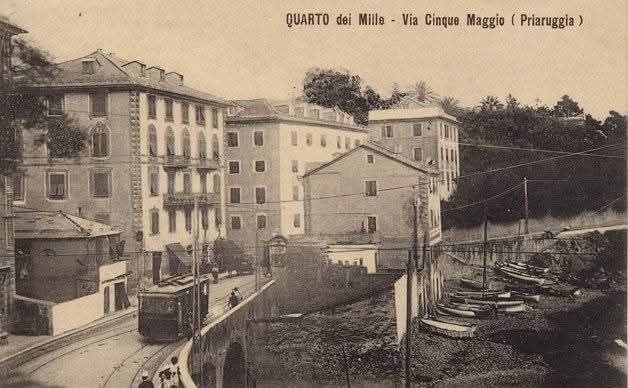
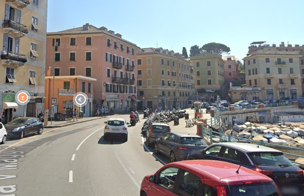
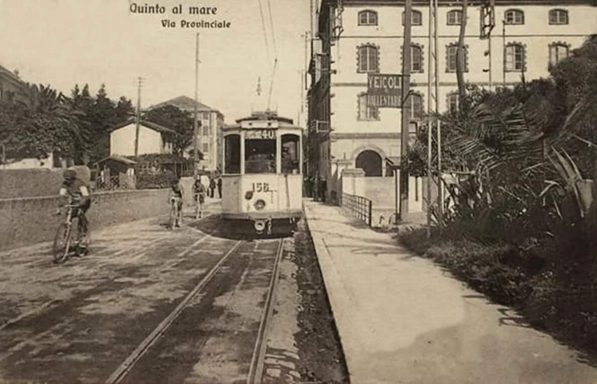
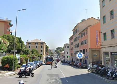
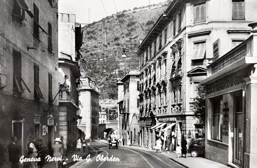
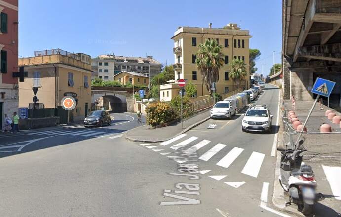
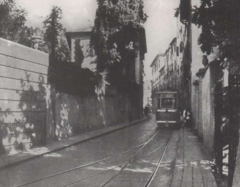

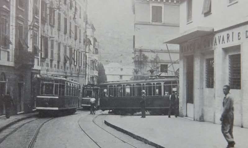
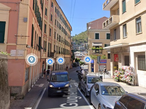
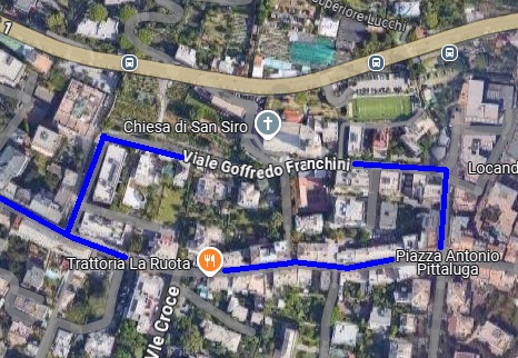
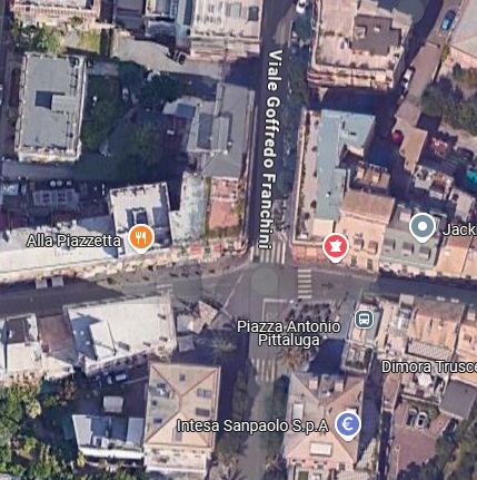
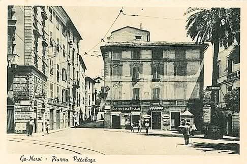
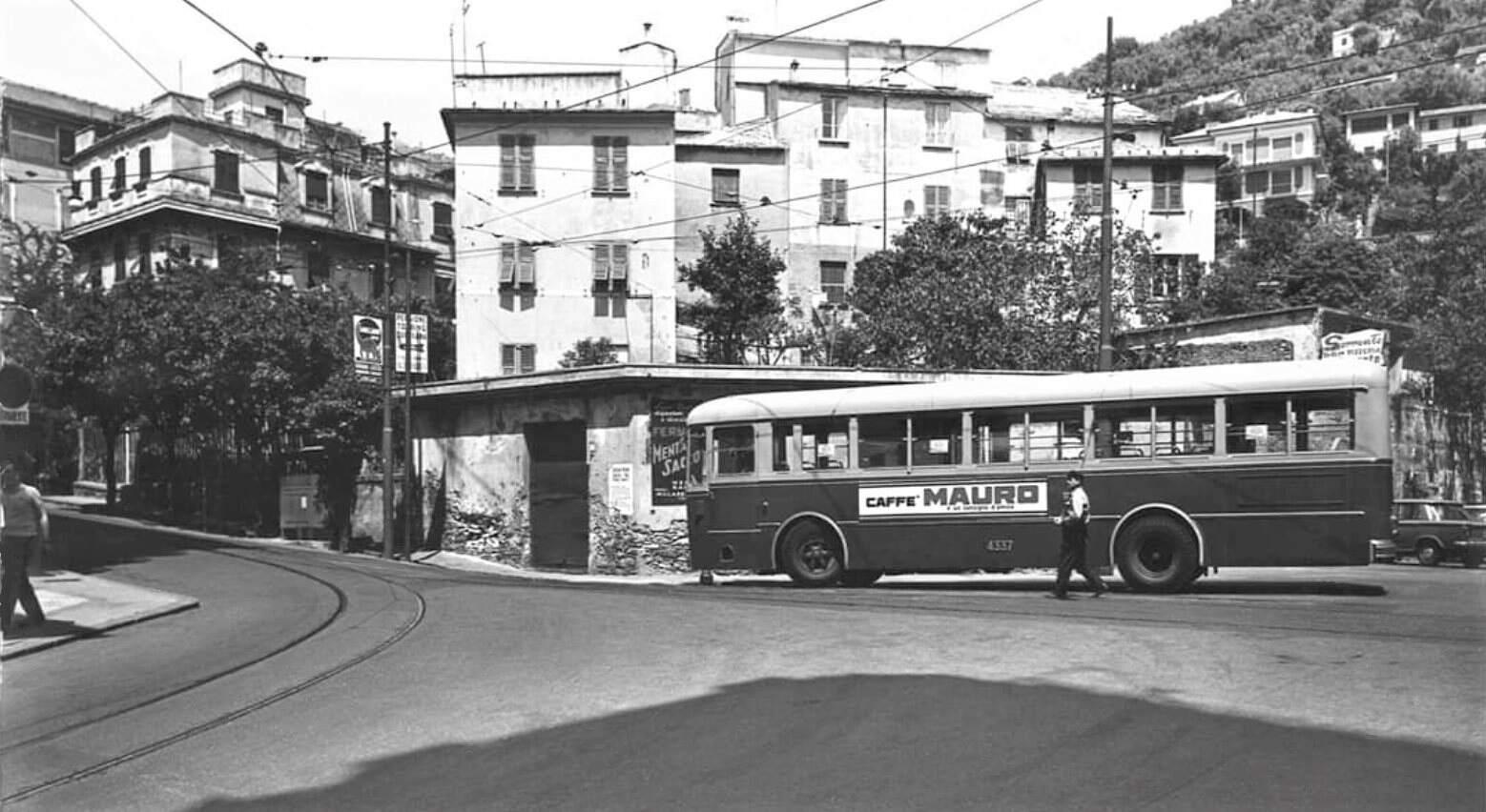
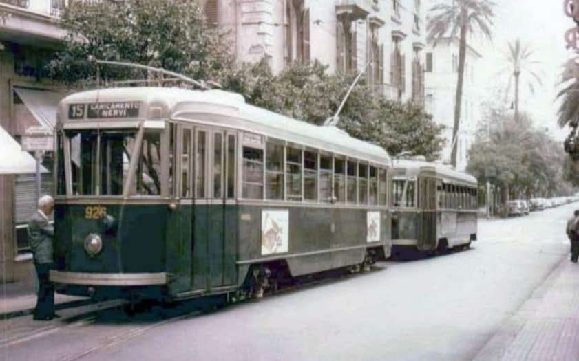
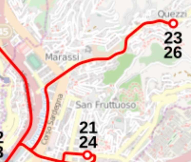
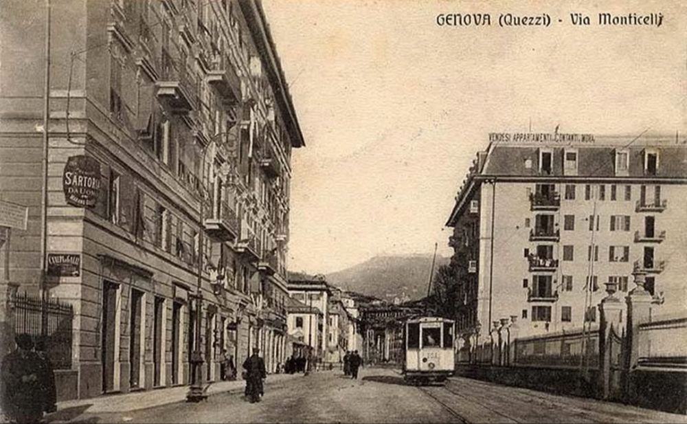
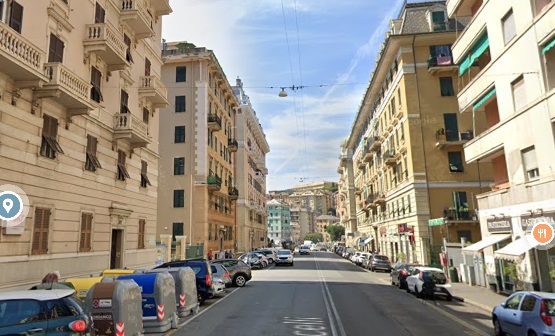
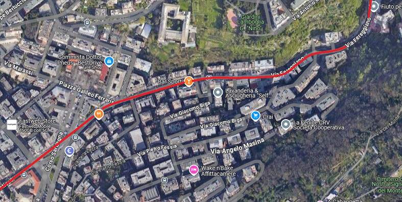
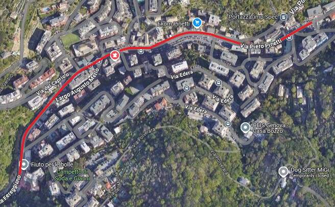
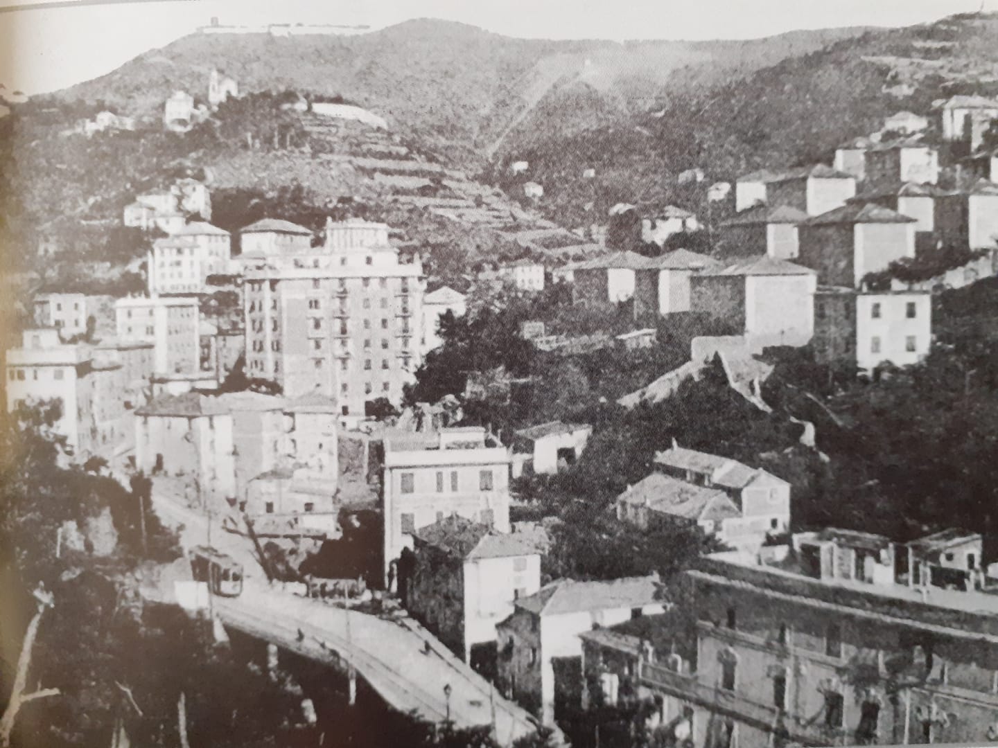
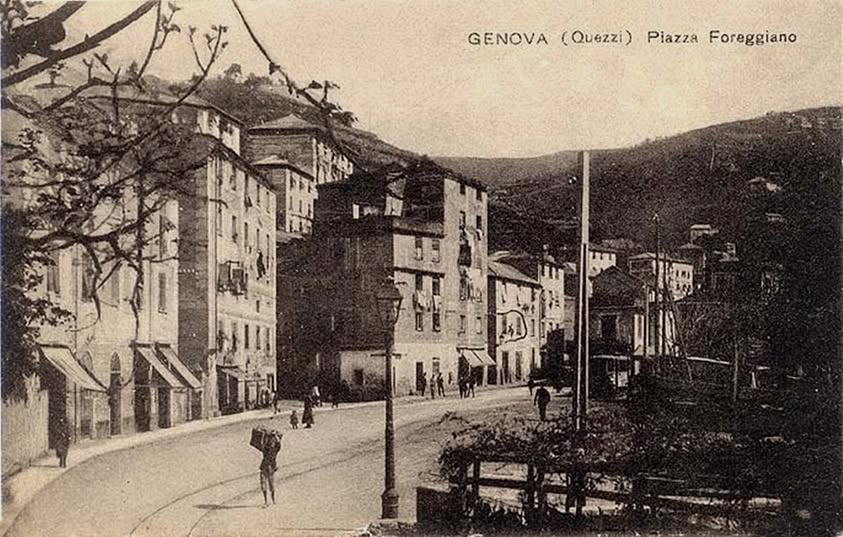
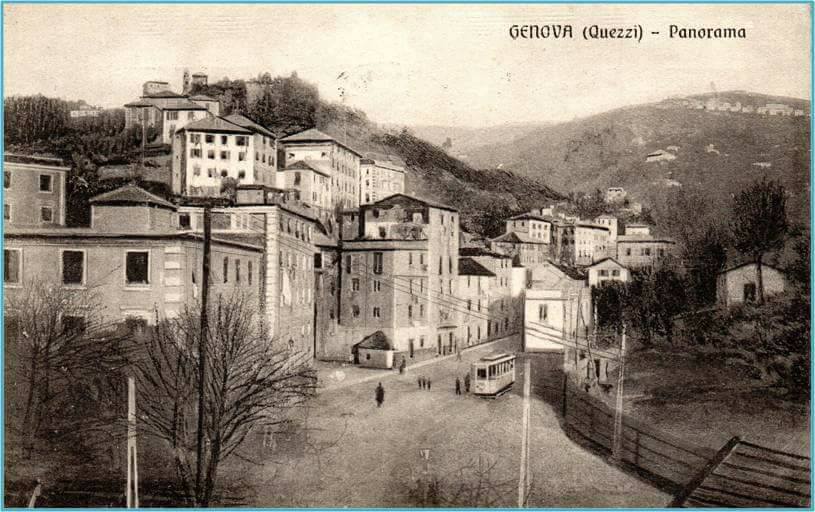
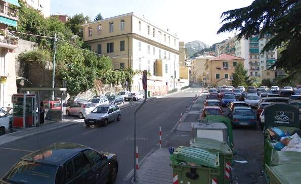
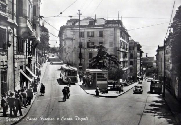
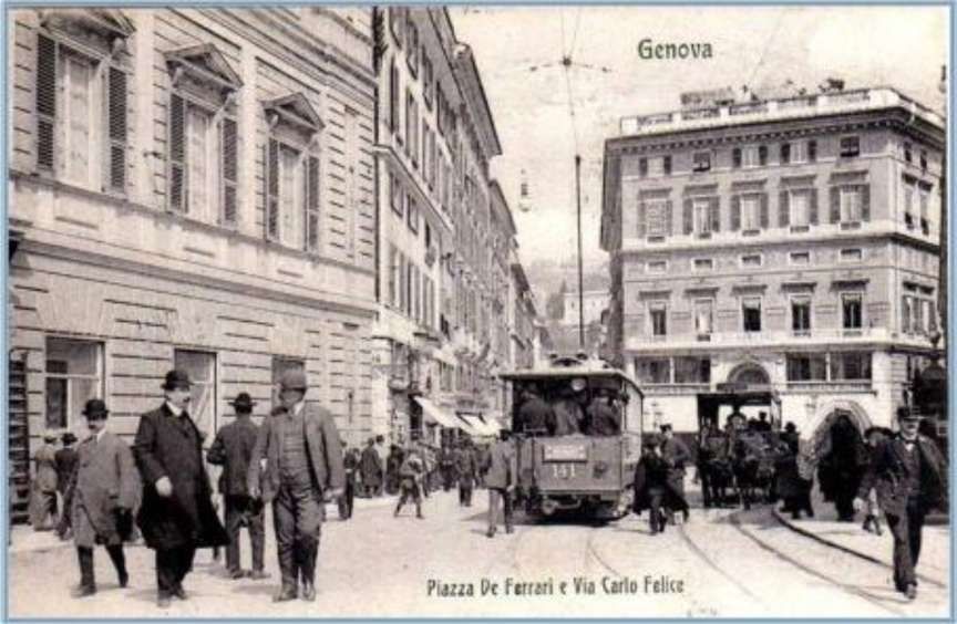

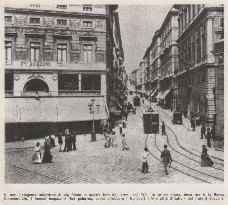
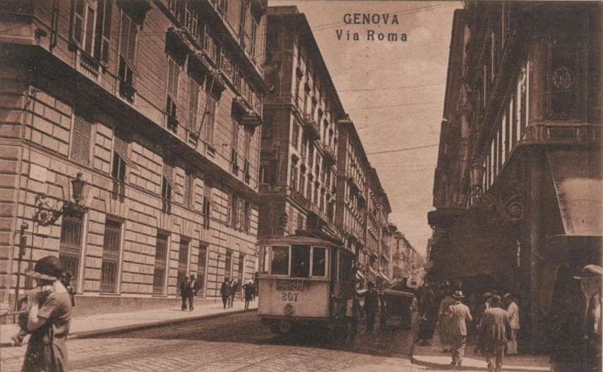
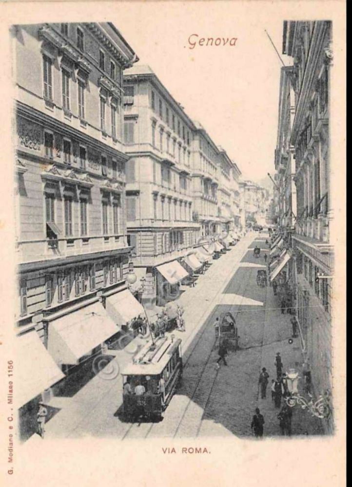
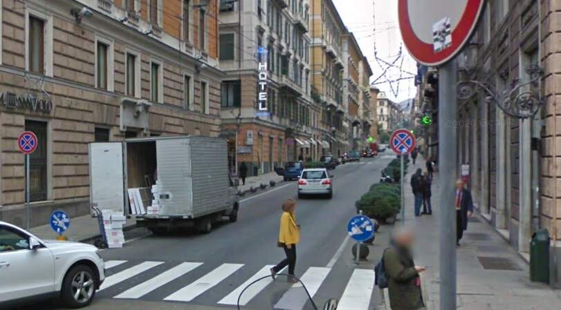
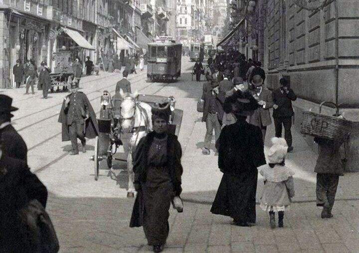
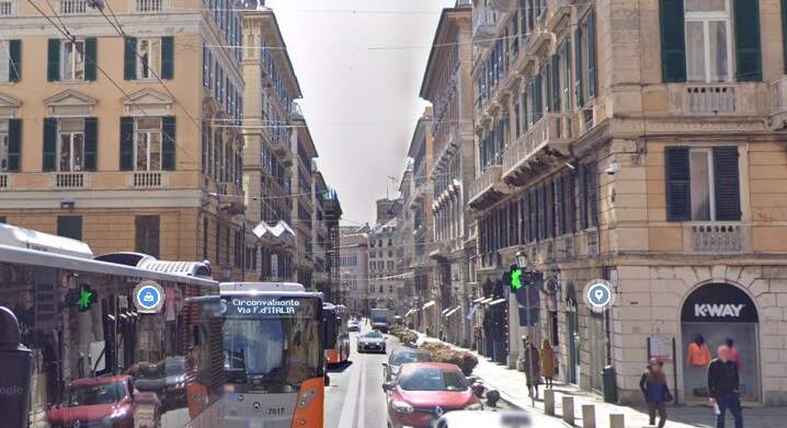
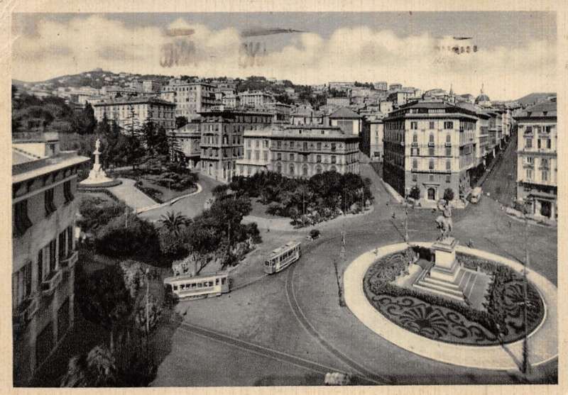
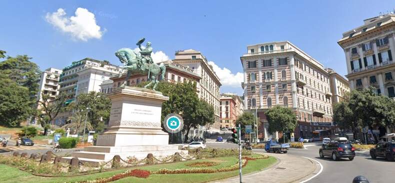
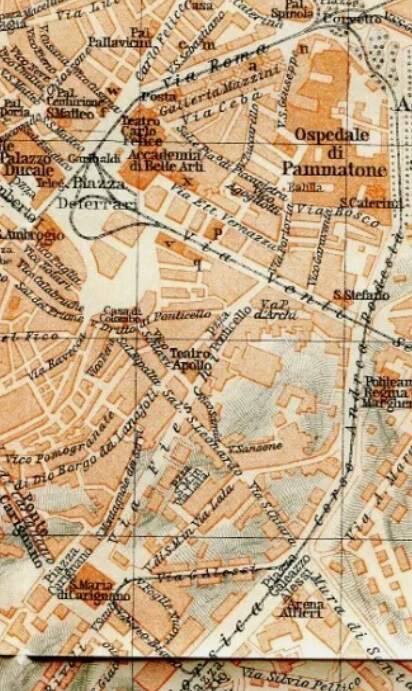
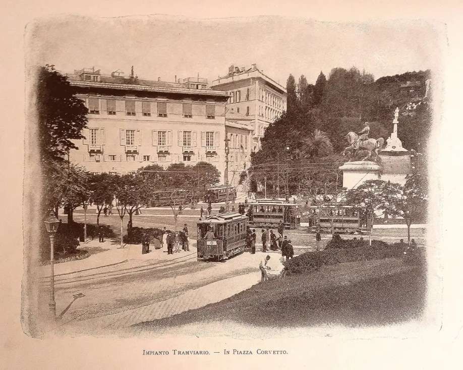
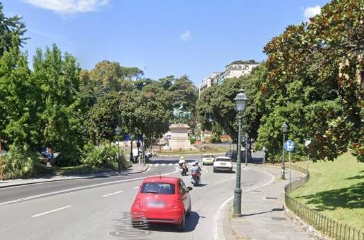
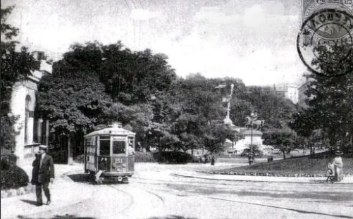
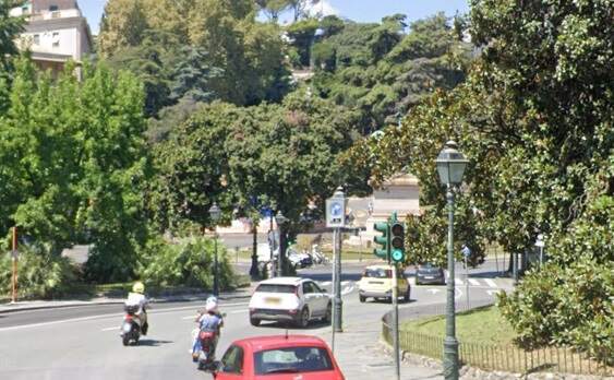
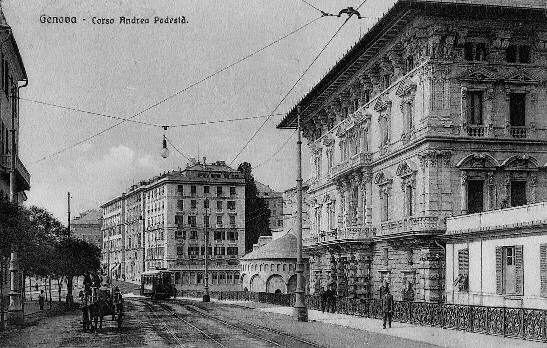

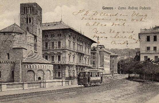
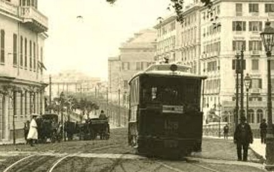
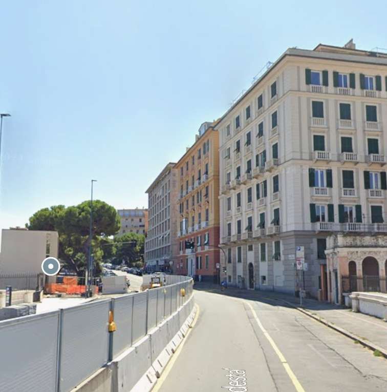
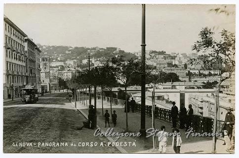
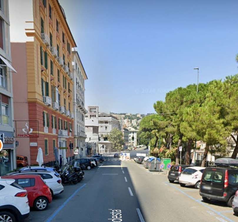
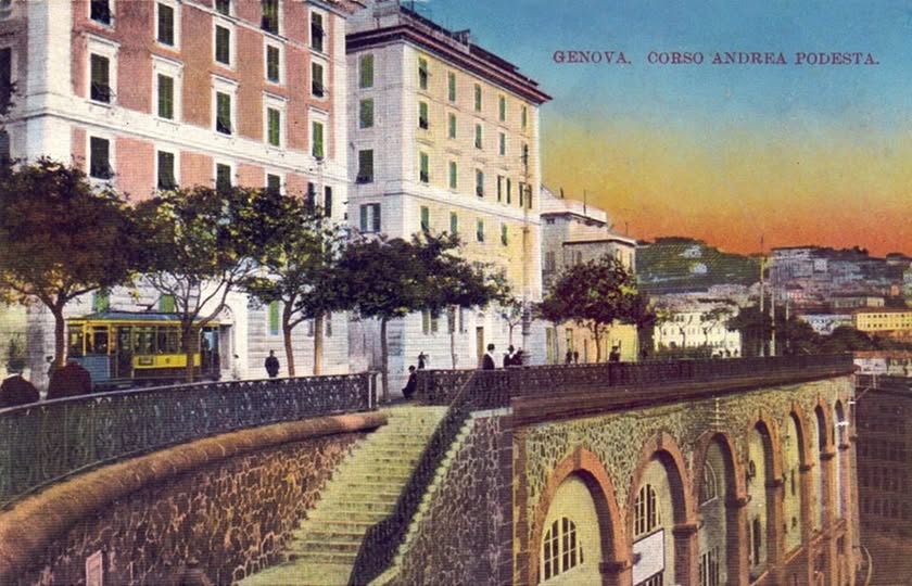
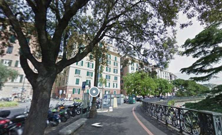
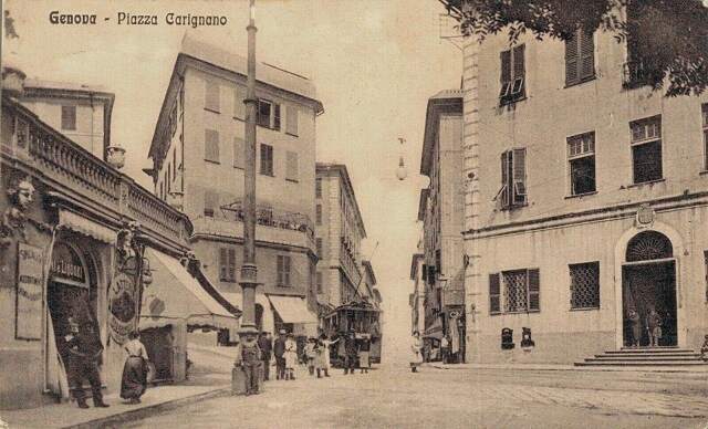
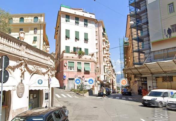
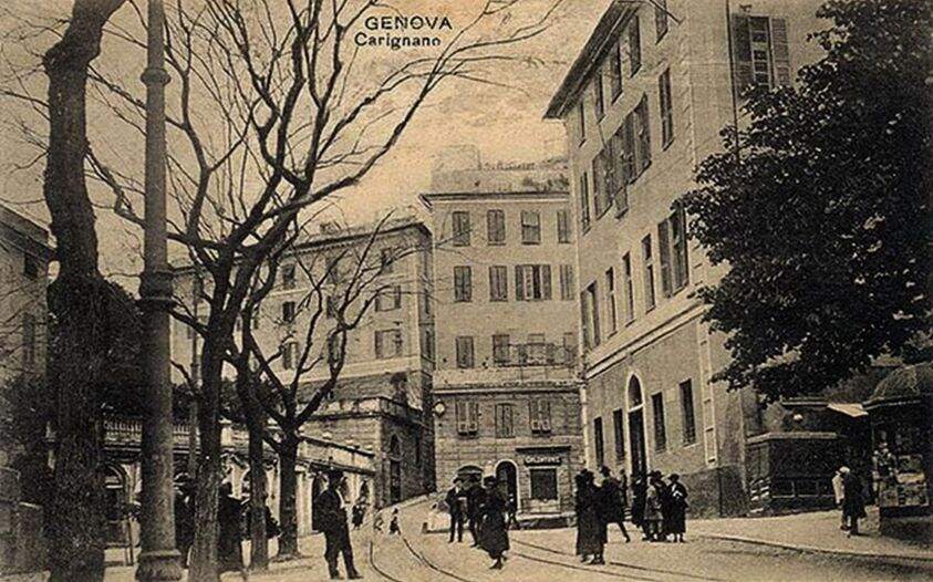
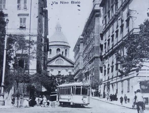
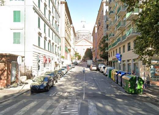
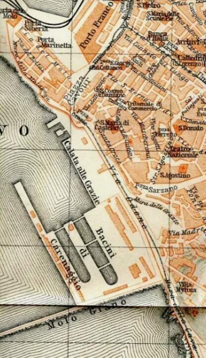
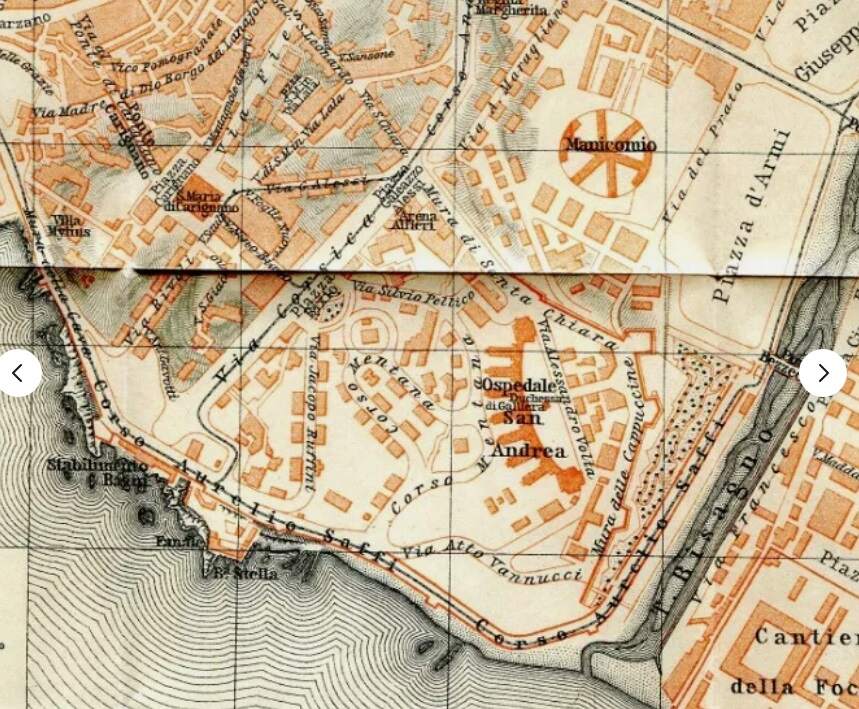
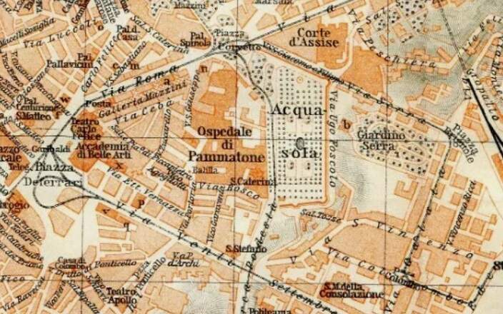
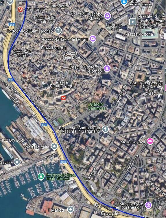
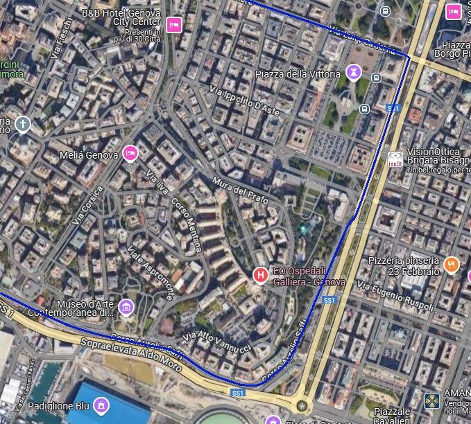
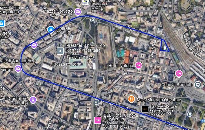
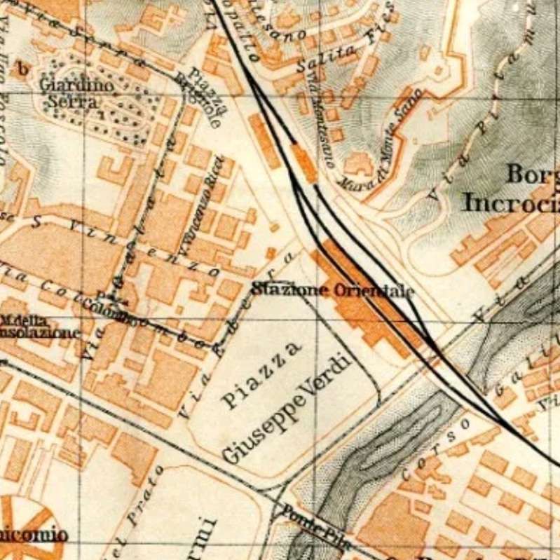
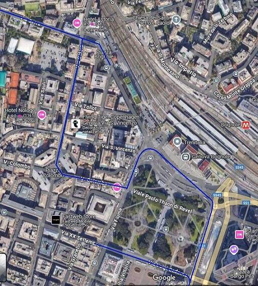
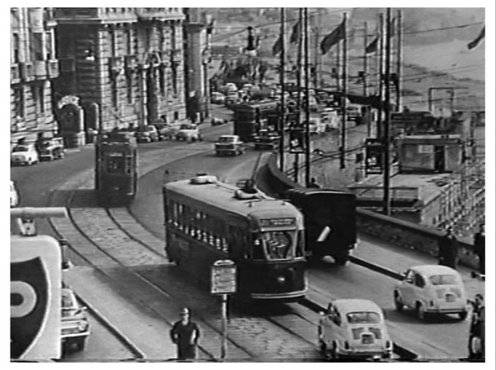
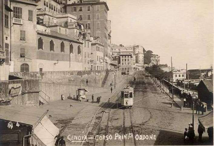
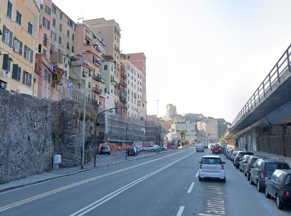
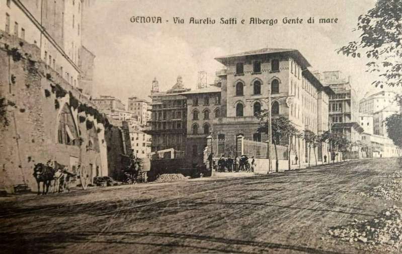
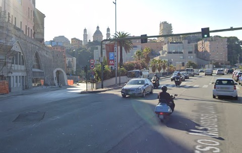
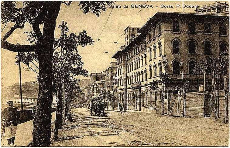
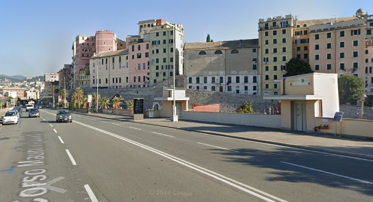
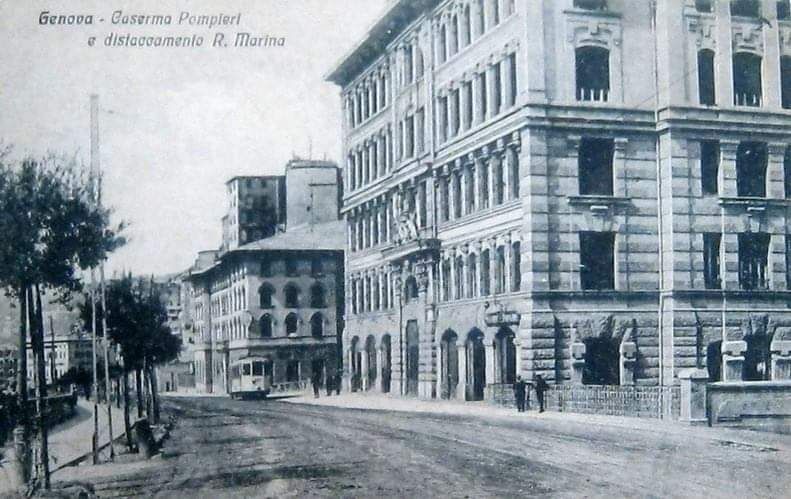
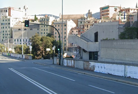
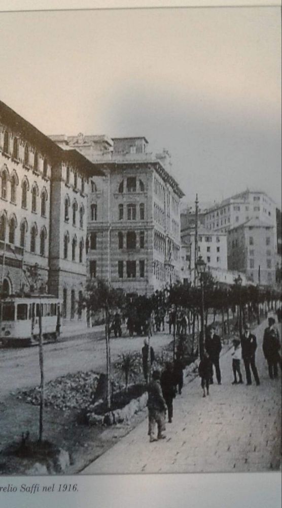
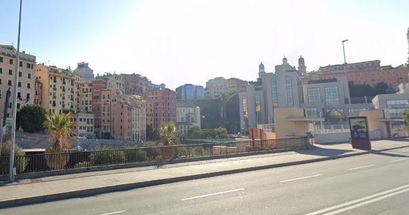
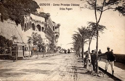

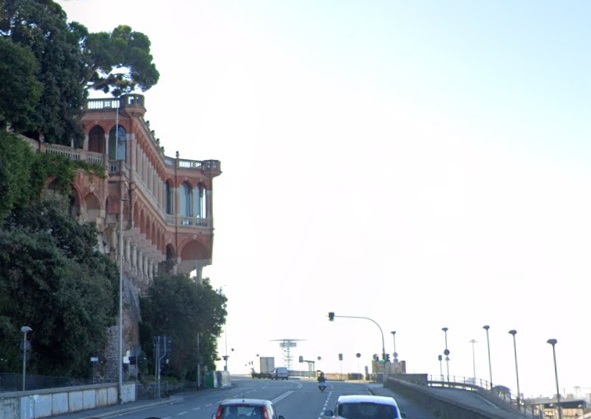
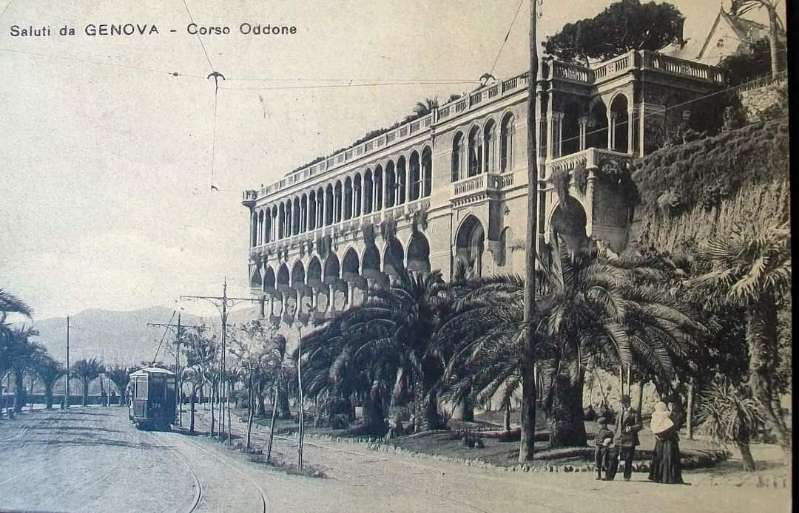
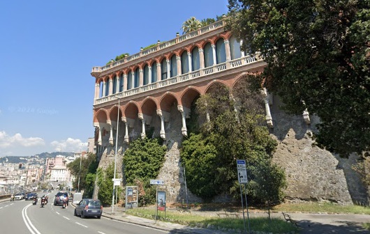
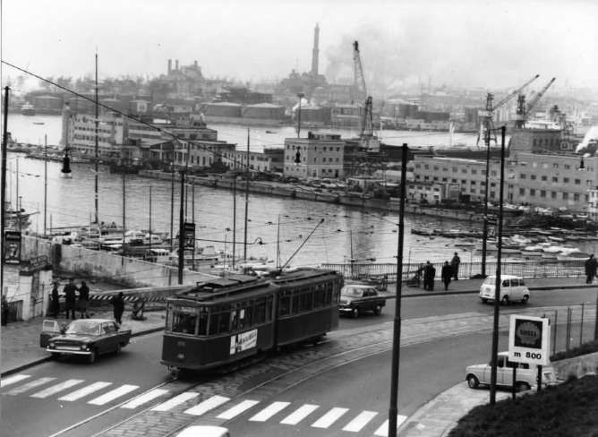
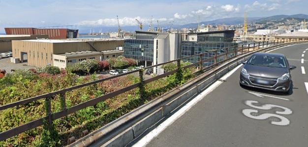
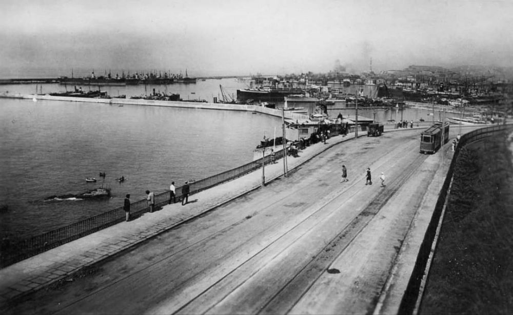
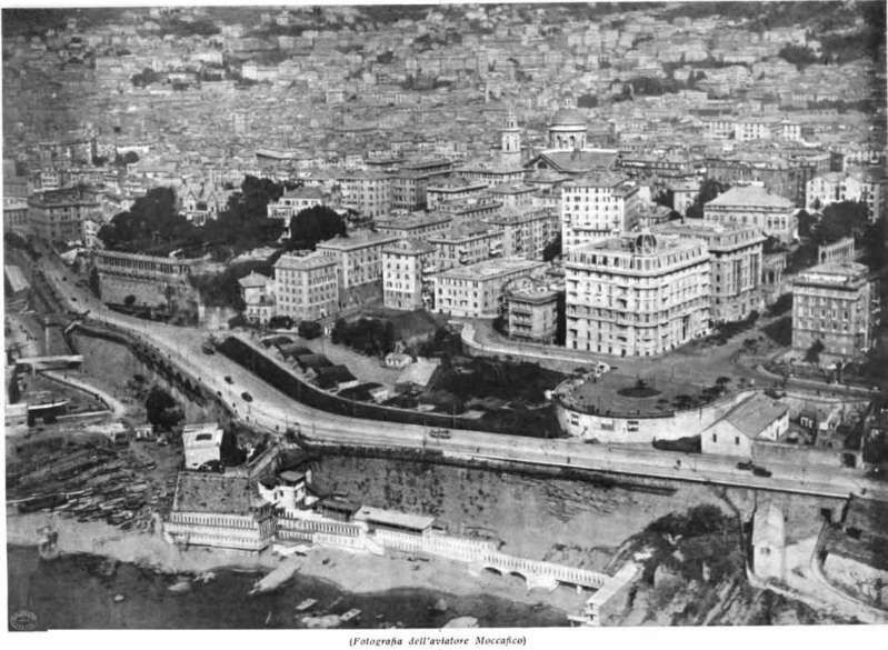
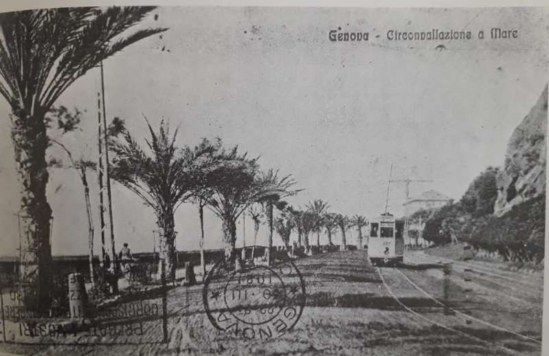
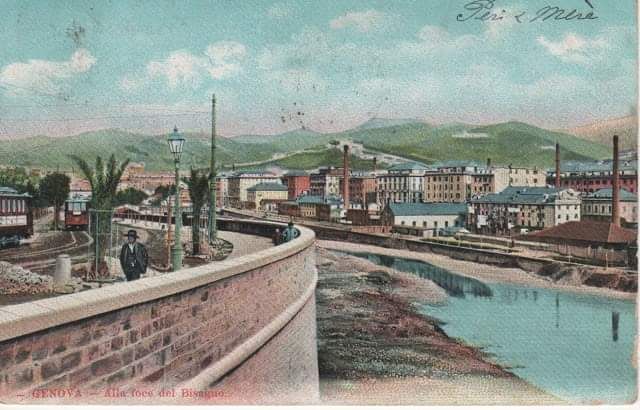
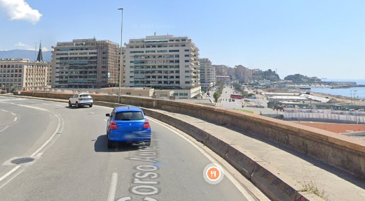
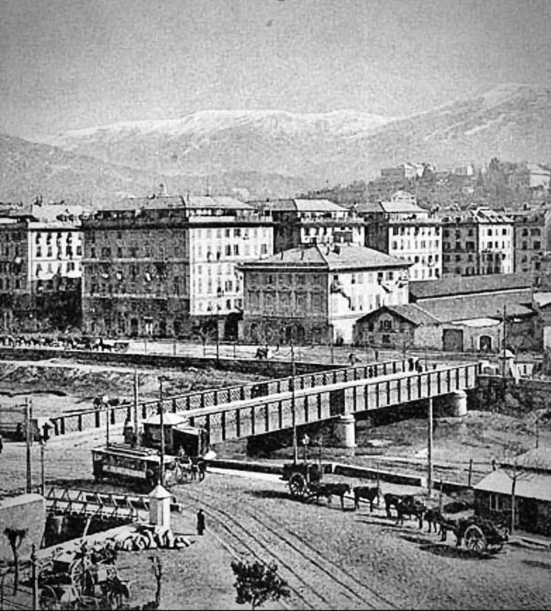
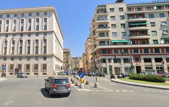
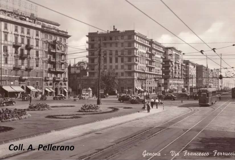
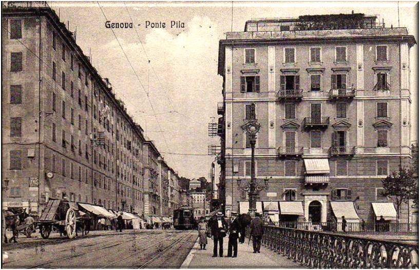
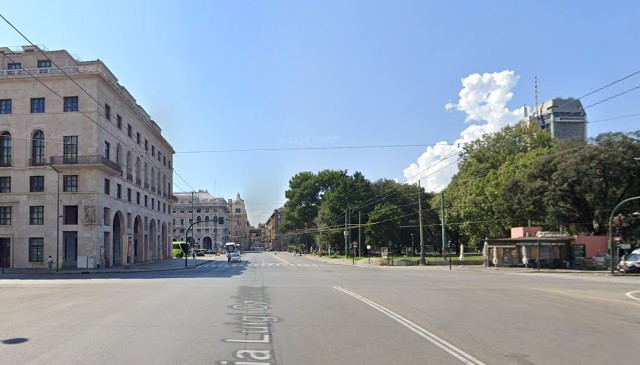
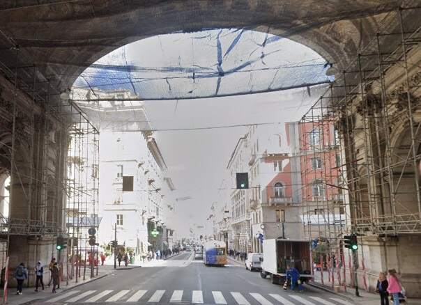
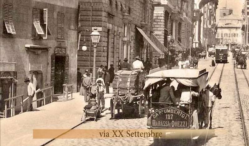
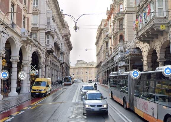
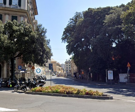
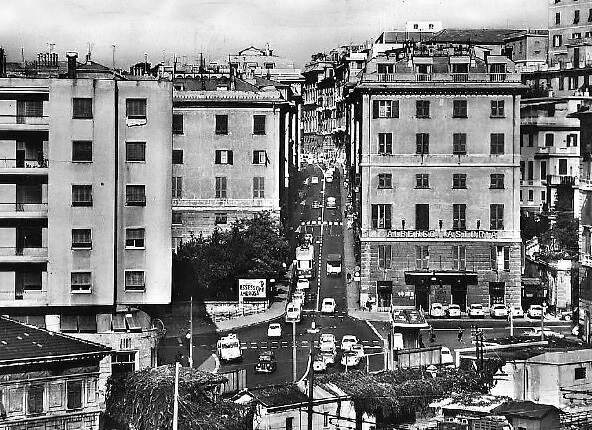

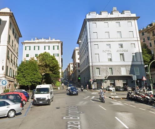
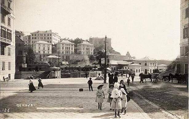
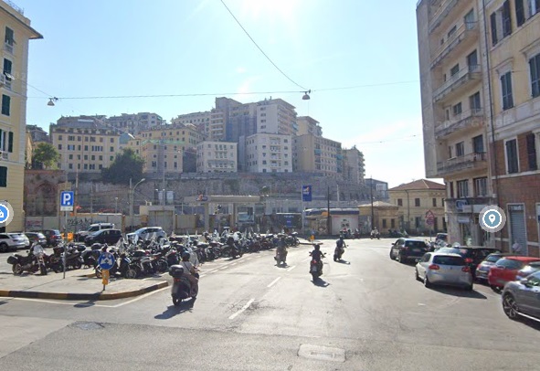
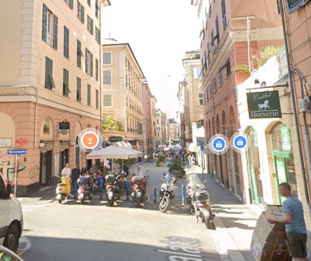
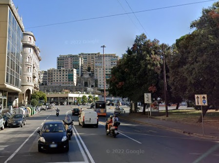
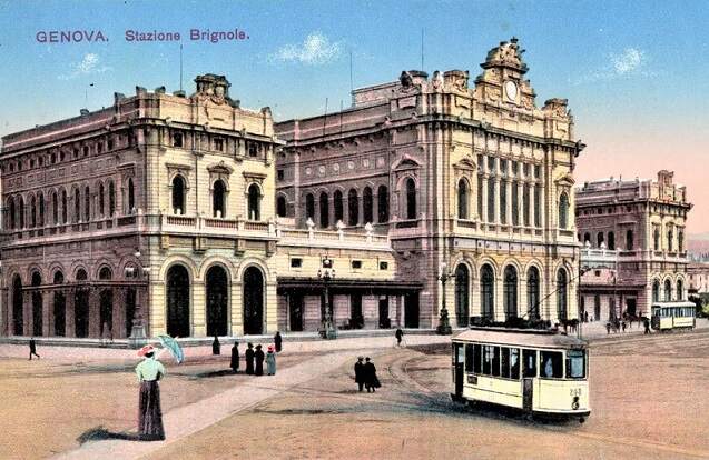
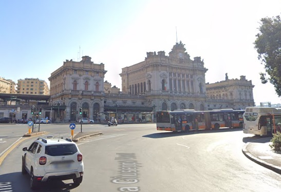
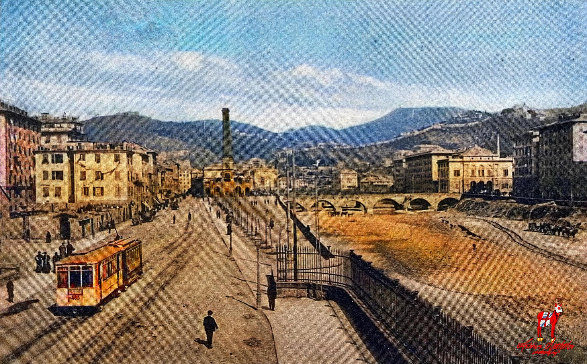
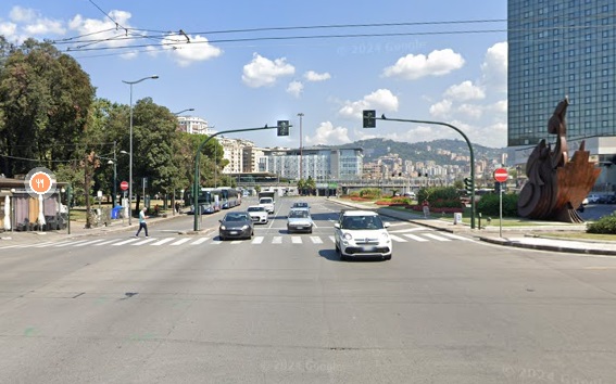
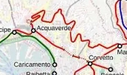
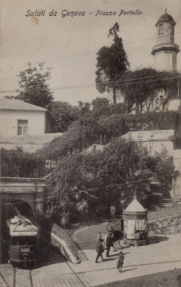
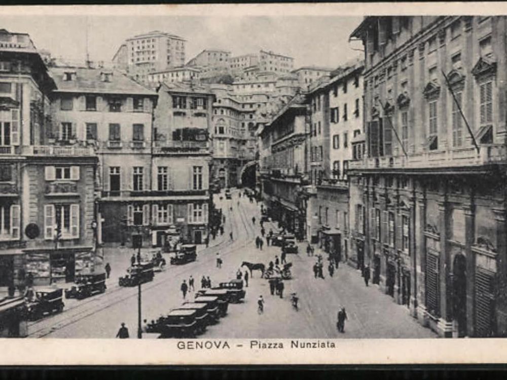
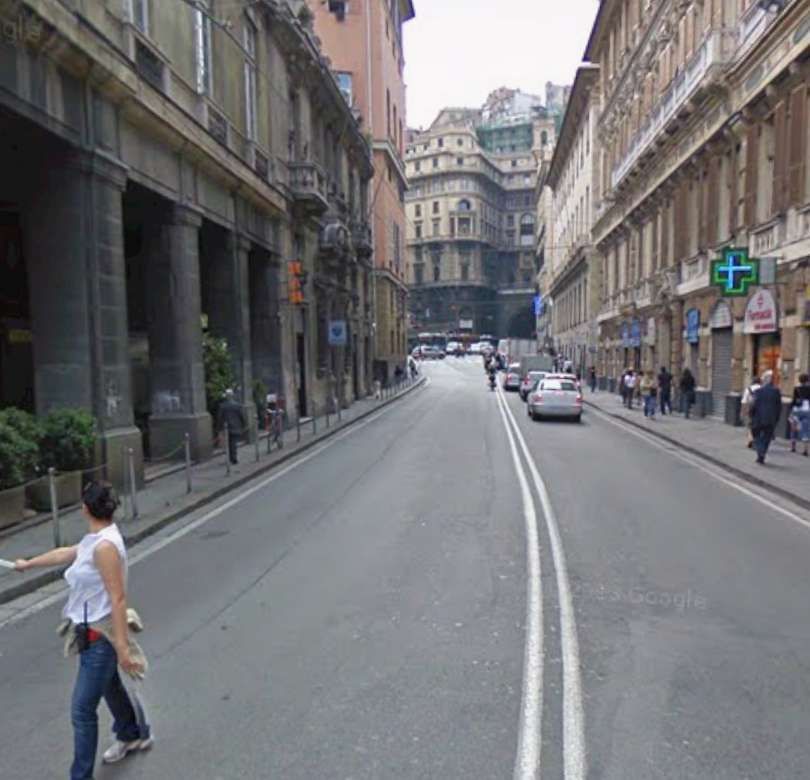
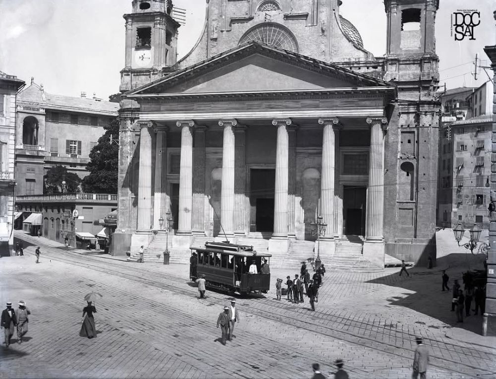
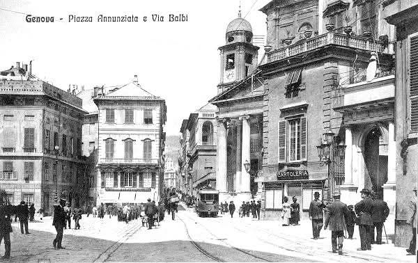
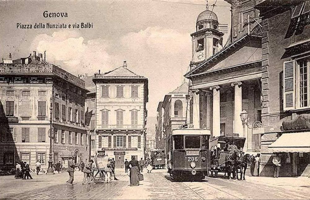
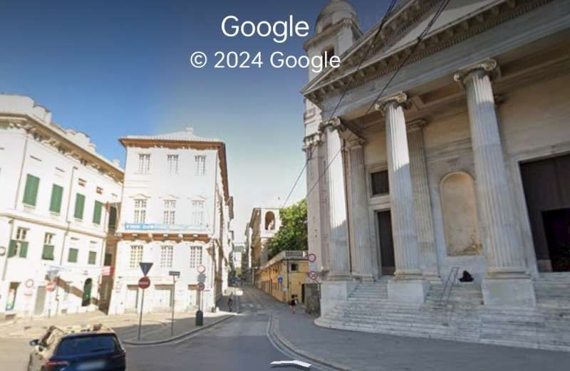
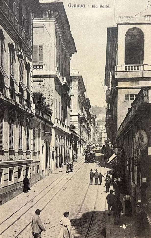
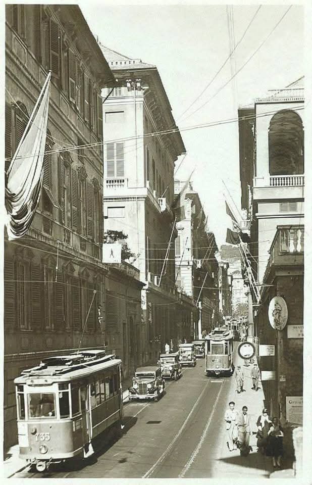
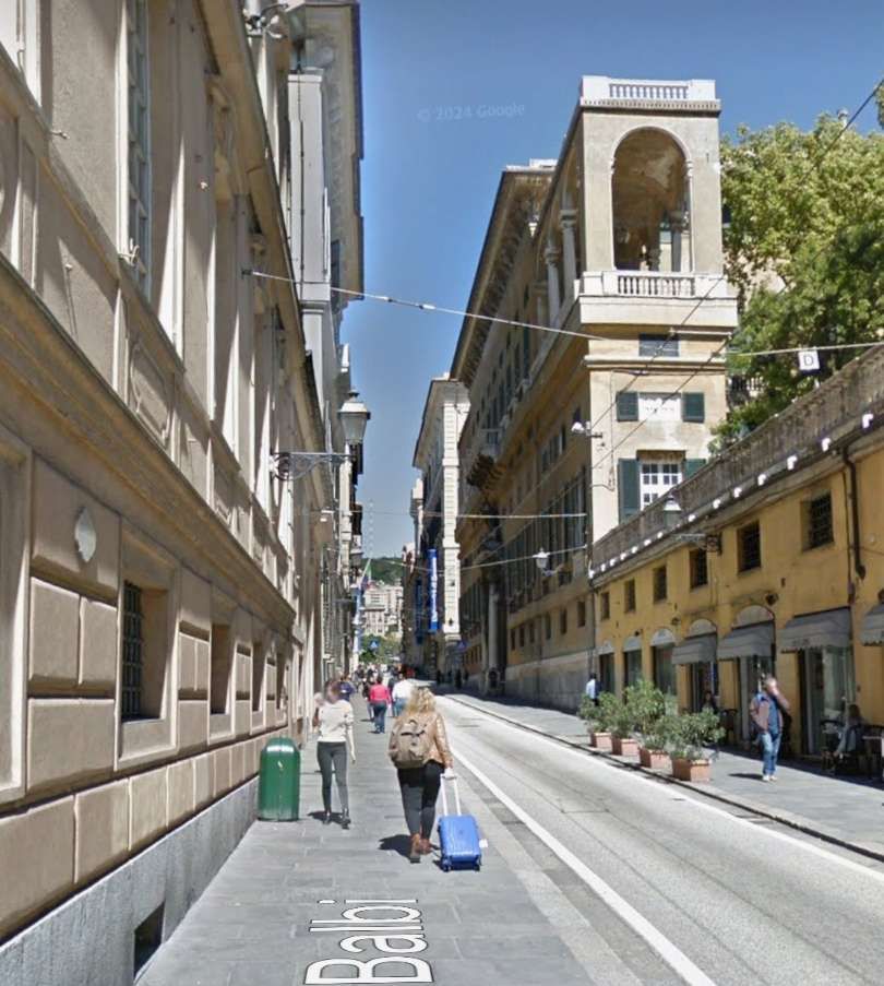
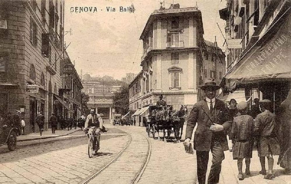
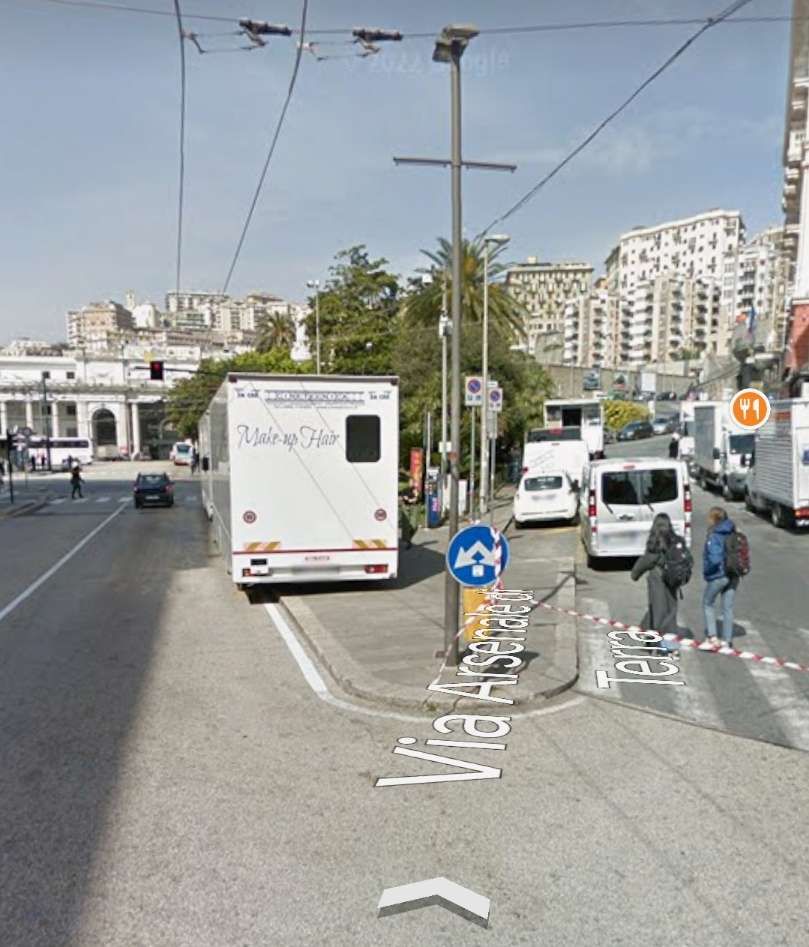
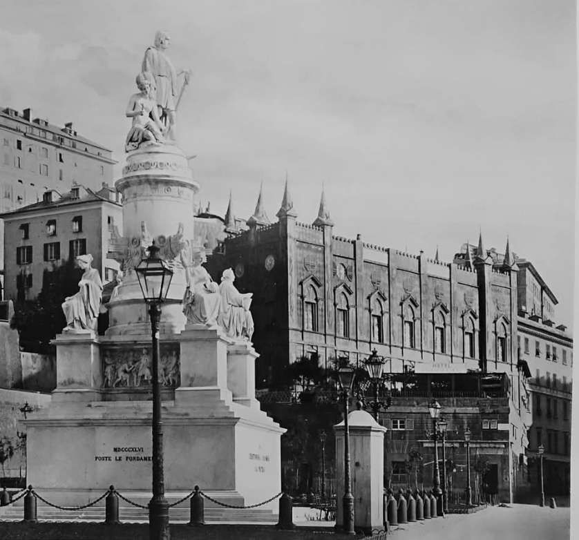
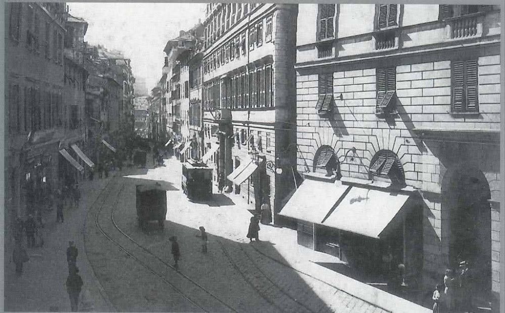

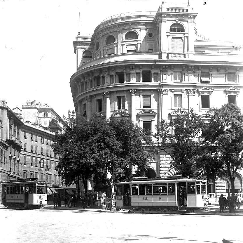
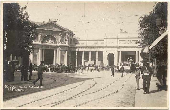
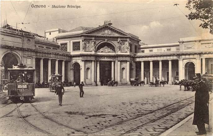
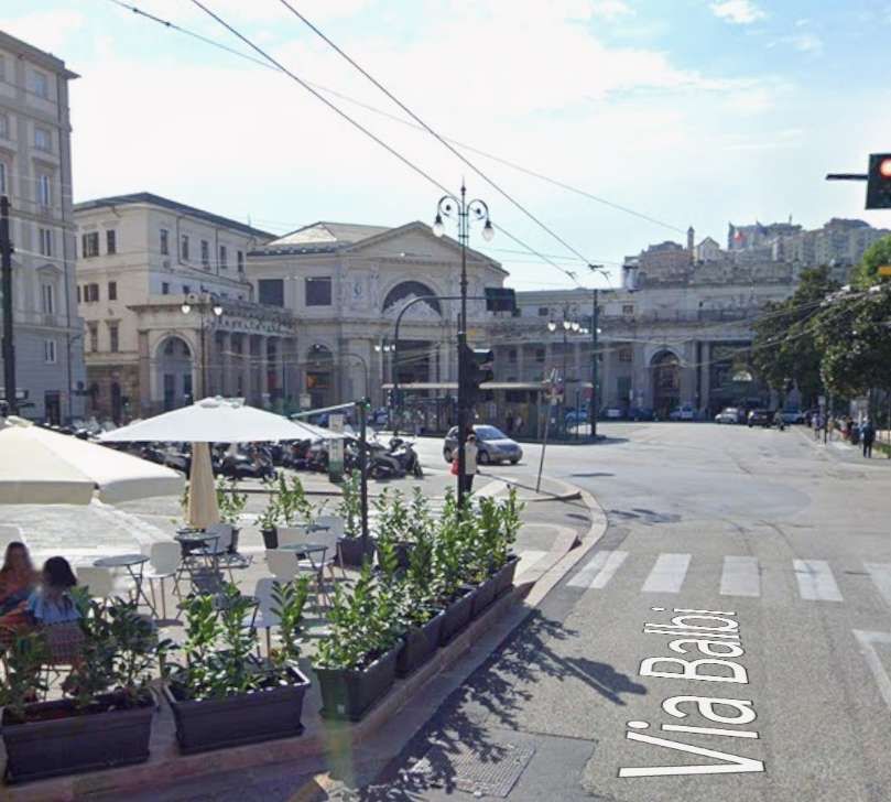
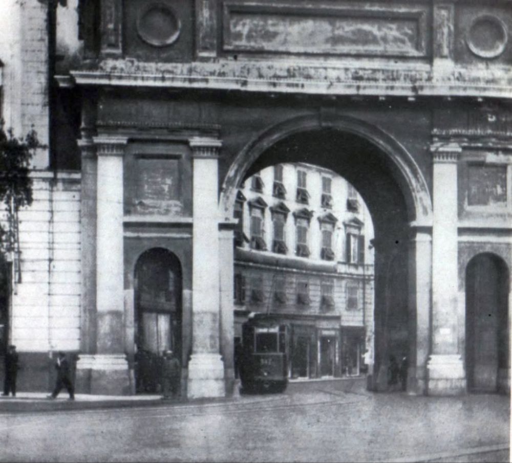
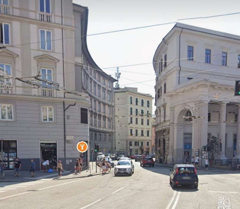
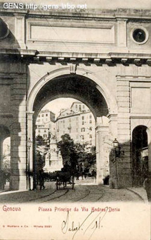
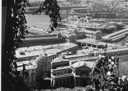
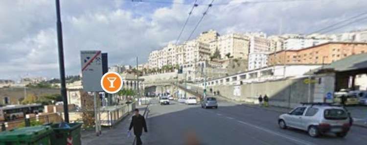
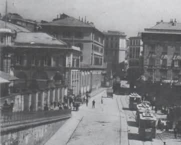
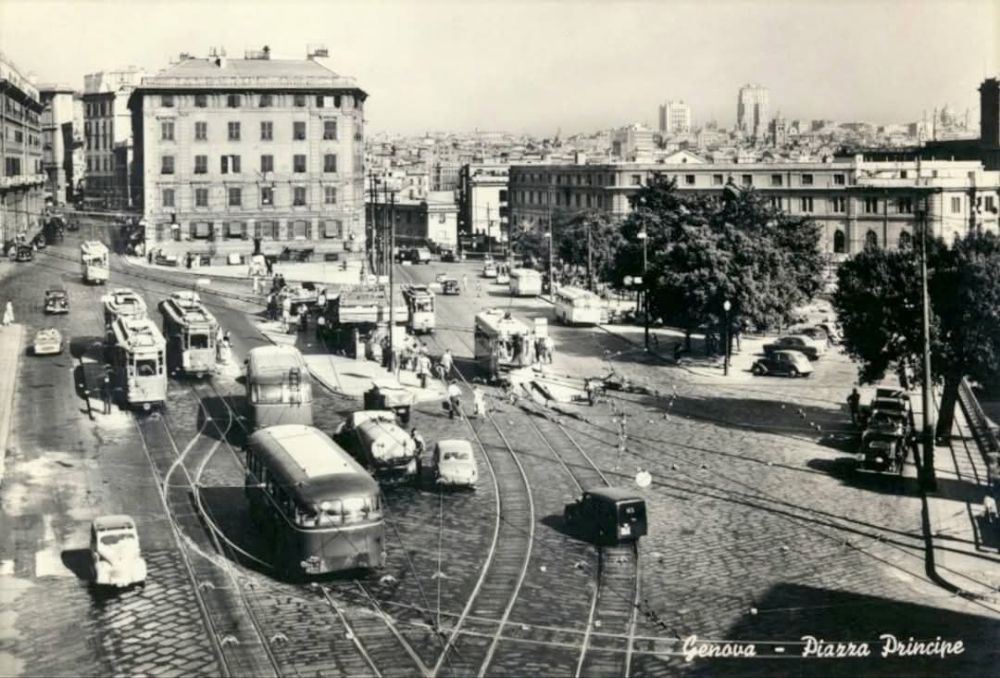
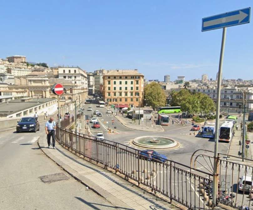
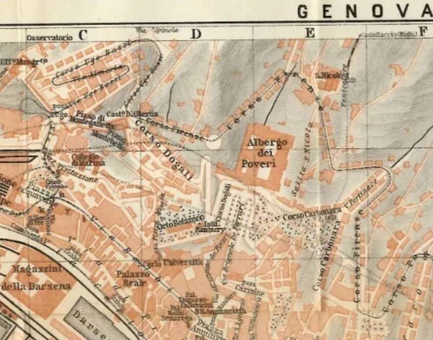
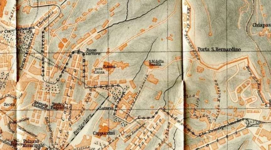
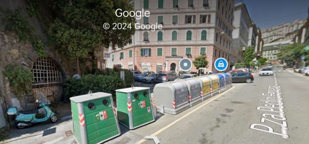
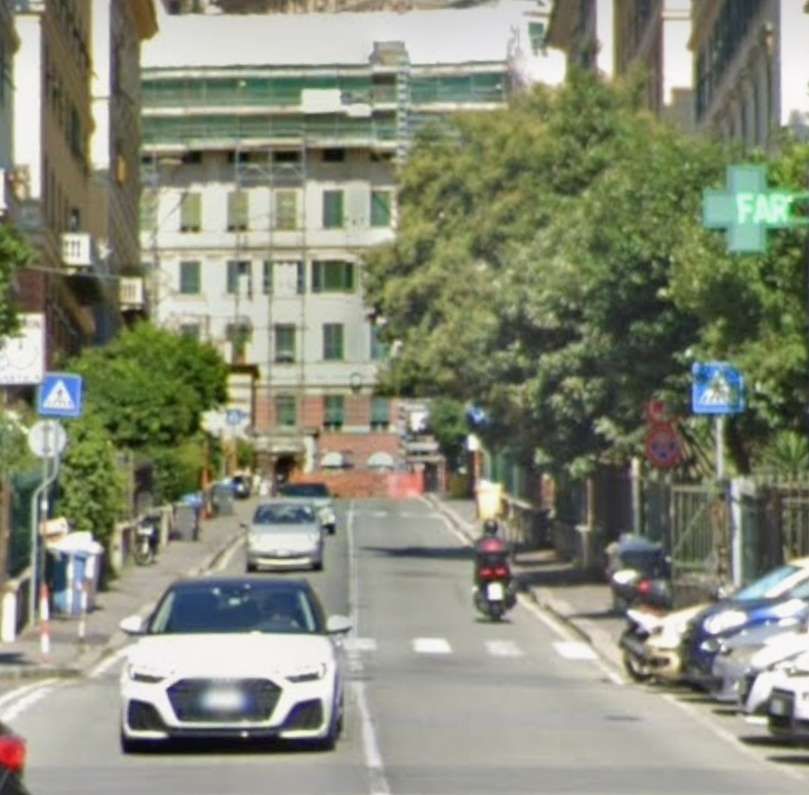
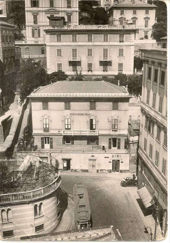
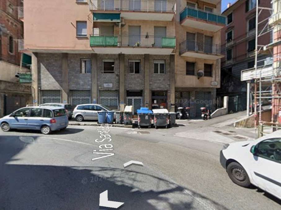
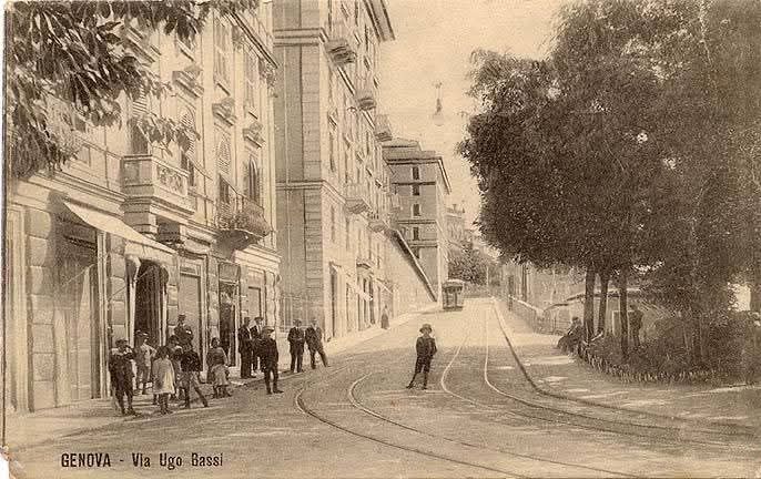
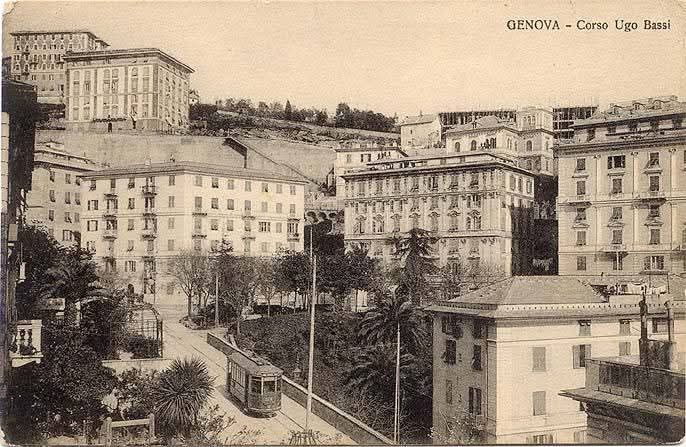
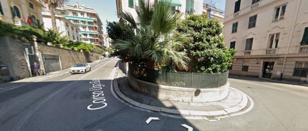
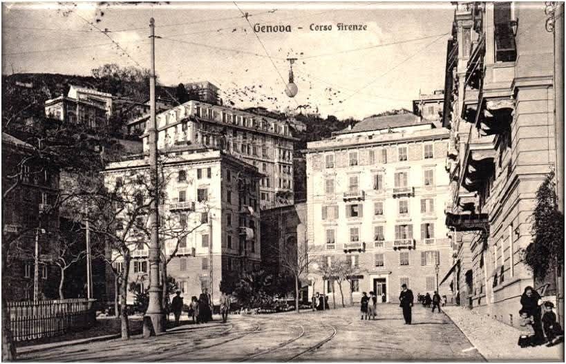


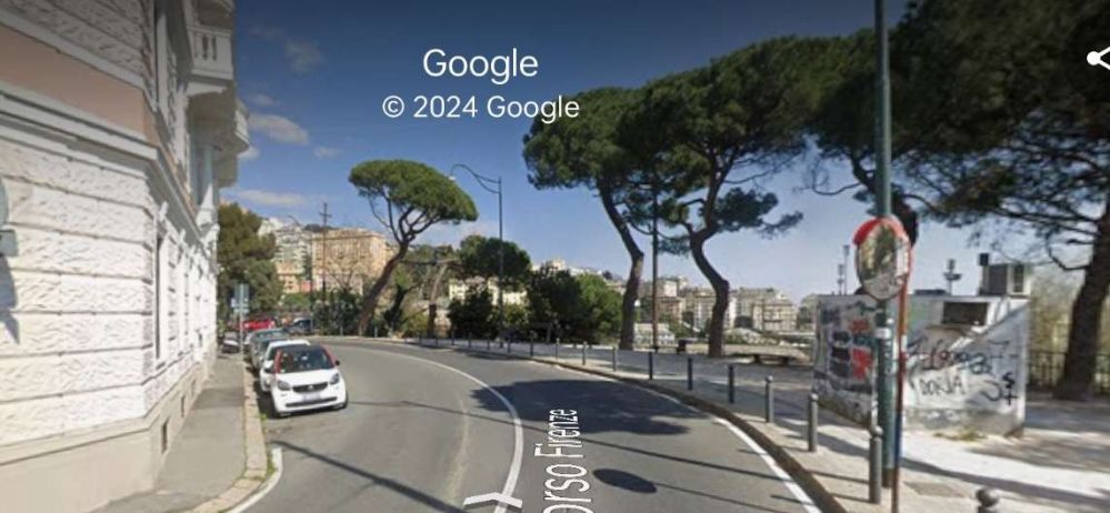
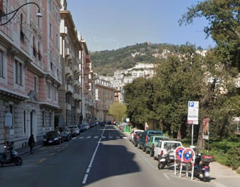
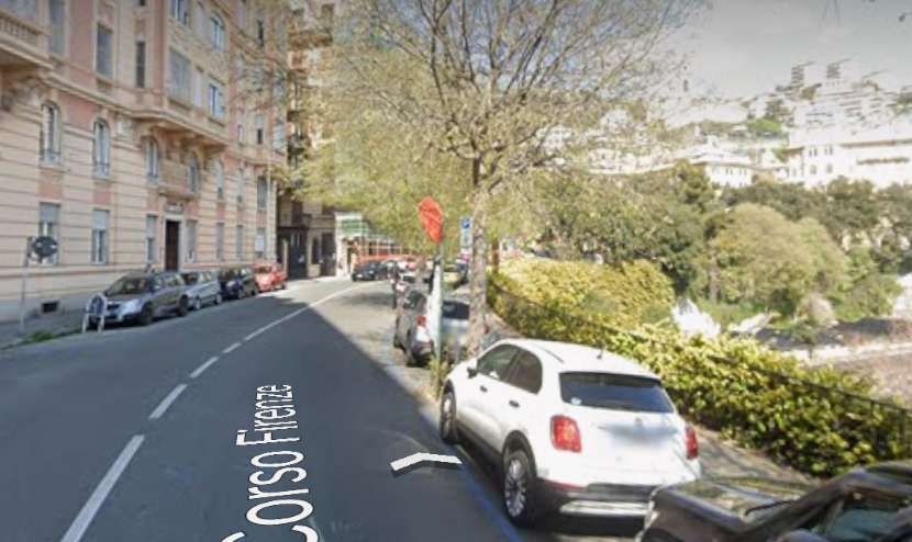
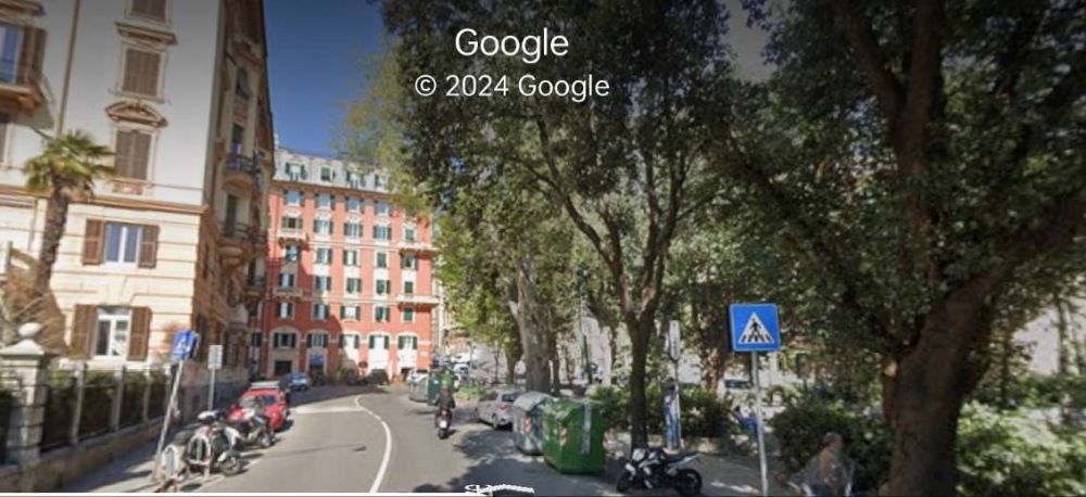
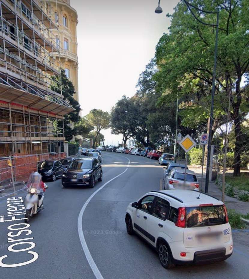
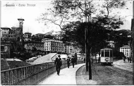
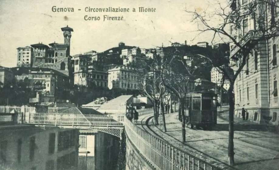
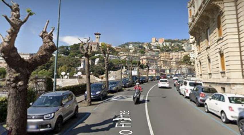
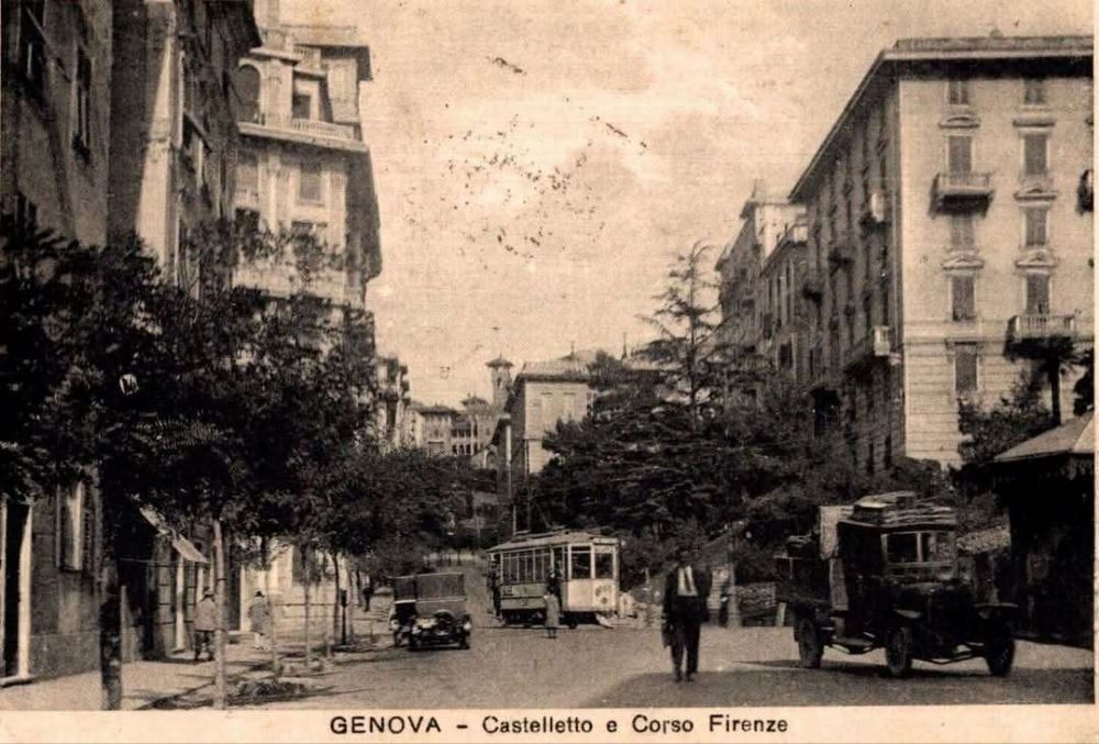
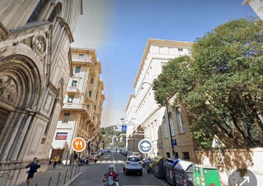
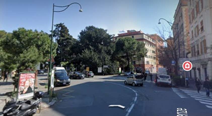
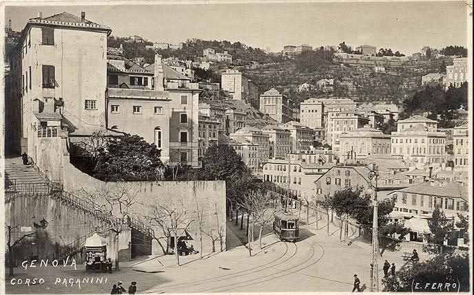
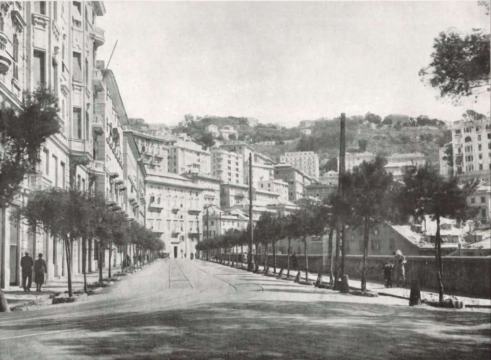
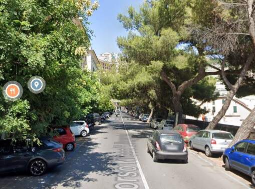
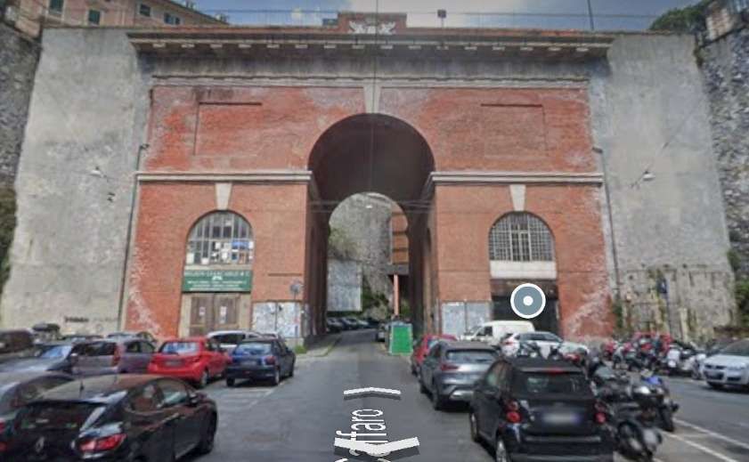
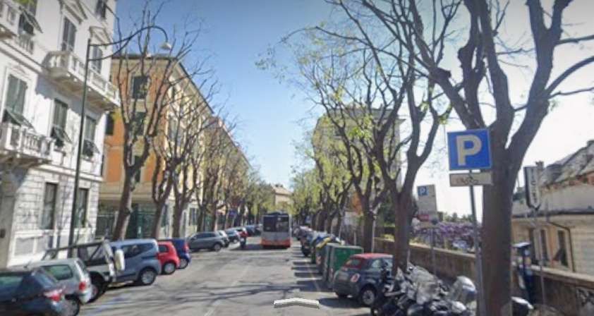
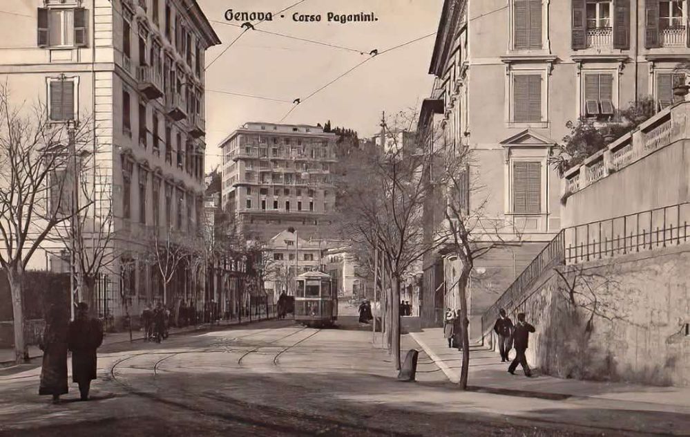
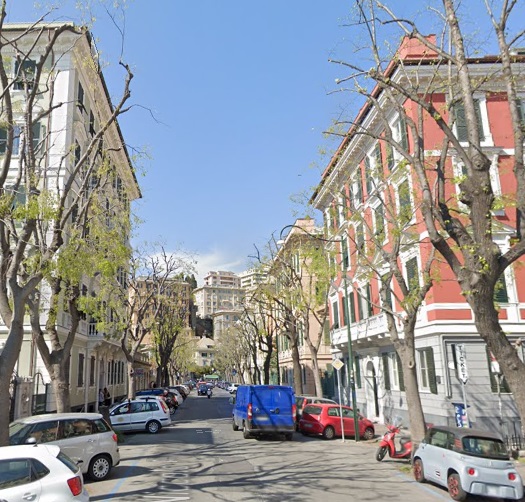

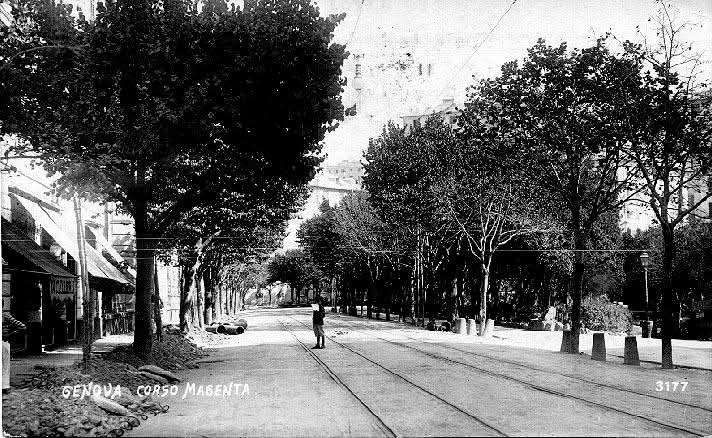
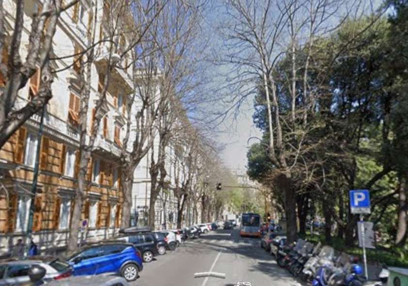
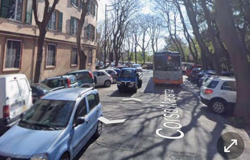
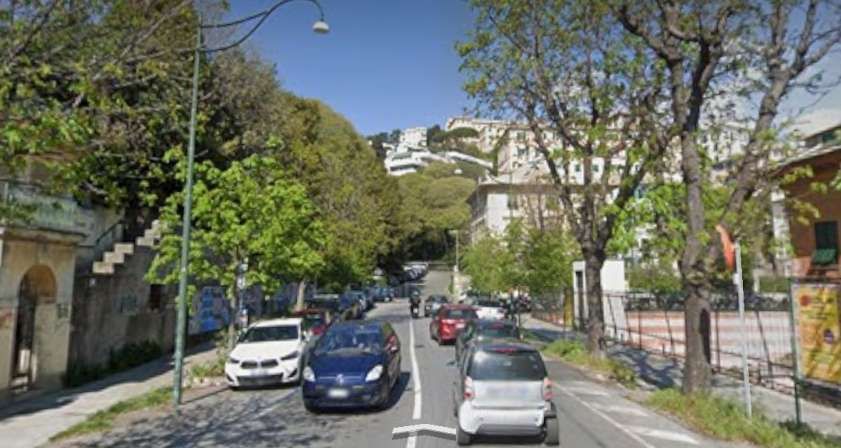
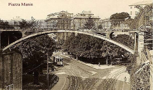
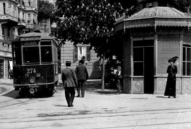
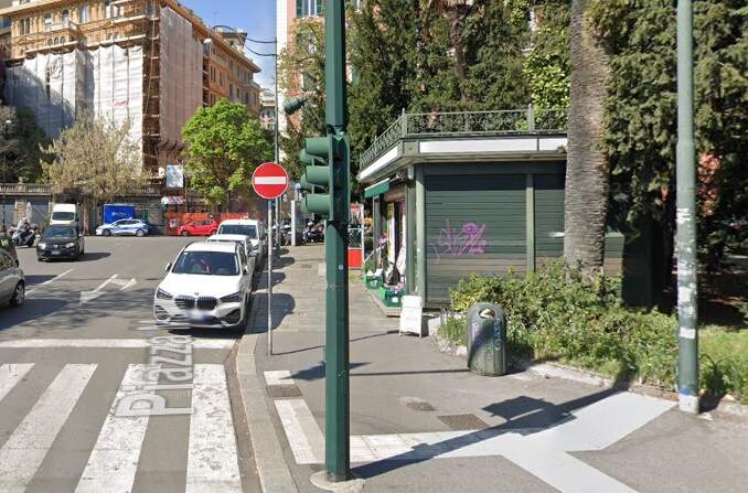
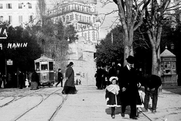
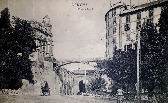

.jpg)
.jpg)