Tag Archives: El Palo

The Málaga to Vélez-Málaga Metre-Gauge Line – Part 1 – Málaga to Rincon de la Victoria

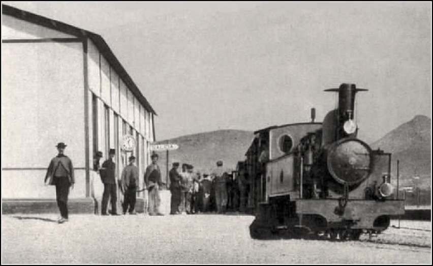
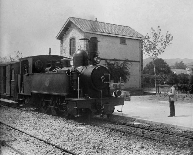
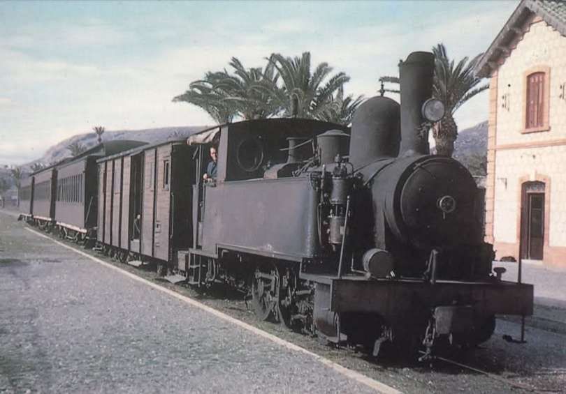
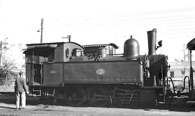
The featured image for this article is Tubize 0-6-0T (030T) locomotive No 24 at the FSM station in Málaga. This image was captured by Juan Bautista Cabrera and is held in the Historical Railway Archive, Madrid Railway Museum. It was shared on the El Ferrocarril en Andalusia Facebook Page on 10th December 2021. [41]

There is a general introduction to the lines of the FSM here. [37] The Málaga to Vélez-Málaga line is one of three routes built and initially operated by the FSM.

The Málaga to Vélez-Málaga metre-gauge railway opened in 1908 as the first line of the Ferrocarriles Suburbanos de Málaga (FSM) network and closed in 1968. [1]

The line was extended to Ventas de Zafarraya in 1921 (a complex mountain section that closed in 1960). Planned extensions toward Granada and a link from Torre del Mar to Zurgena (Almería) were never built. [2][3]

In the 21st century, parts of the former railway route and old stations have been repurposed, walked, or cycled, while intercity buses – such as Alsa [4] and line M260 – serve the route between Málaga and Vélez-Málaga.

Several station buildings from the Málaga to Vélez-Málaga metre-gauge line survive today, and much of the former 36 km coastal trackbed is walkable or cyclable via the Vía Verde del Rincón de la Victoria, the Senda Litoral, and the Gran Senda de Málaga.

The Route of the Málaga to Vélez-Málaga Line – Málaga to Rincon de la Victoria

The suburban line’s station in Málaga was immediately adjacent to the port.

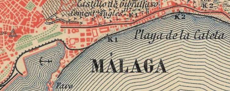
The map extracts in this article are taken from the topographic maps of Spain offered by the National Geographic Institute (IGN) at 1:50,000 scale and sourced via geamap.com’s cartographic viewer. This first map is the first series – Primera Edicion MTN50 series. It shows the area of the port of Málaga and the coast to its East. The station was at the left of this extract. [5]
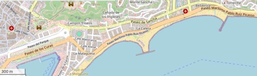
Approximately the same area as covered by the 1:50,000 map above. [16]
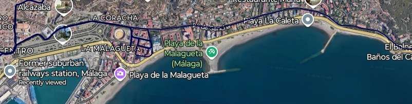
An extract from Google’s satellite imagery showing the same area. Note that the black line superimposed on this image is not the FSM network but, rather, Málaga’s urban tram network. [Google Maps, November 2026]
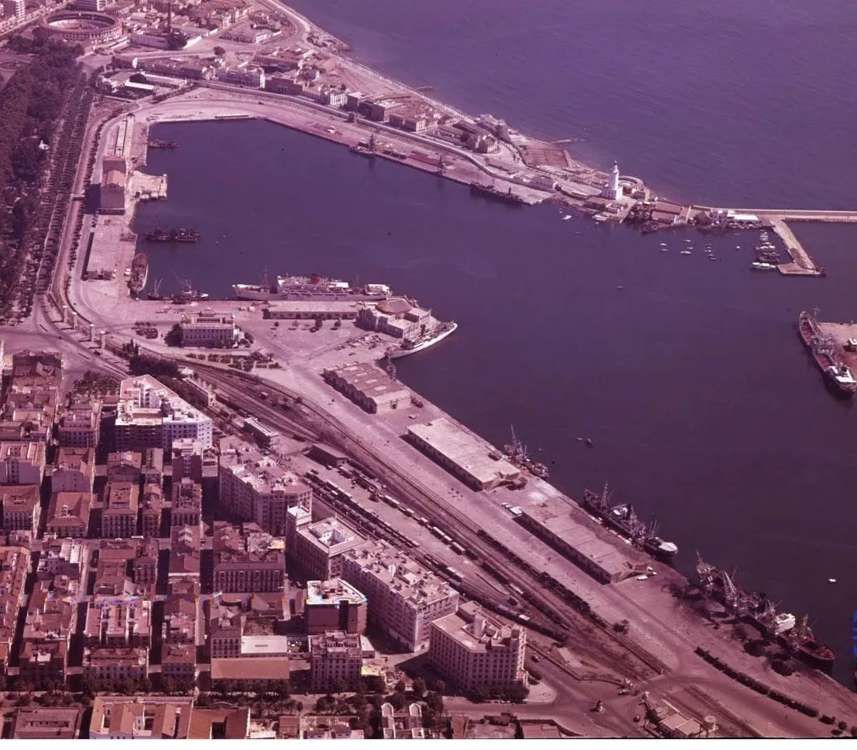
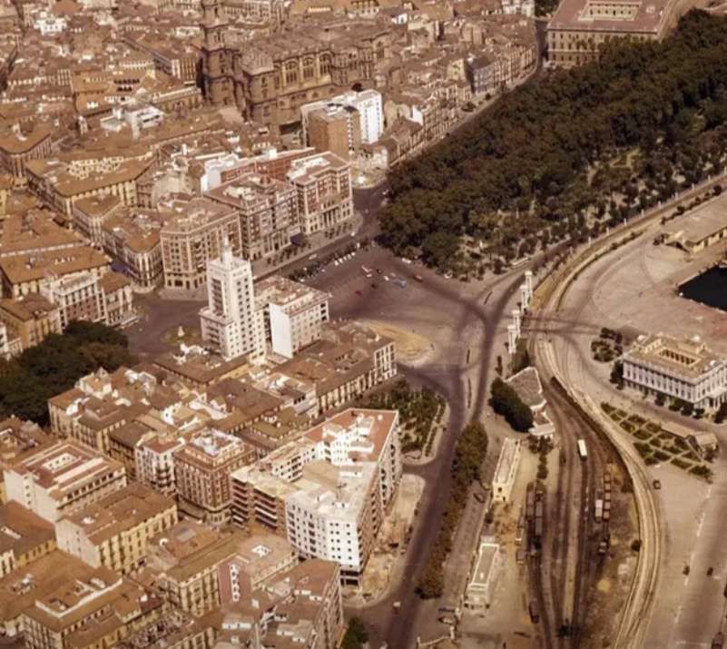
An East-facing aerial image of the FSM railway station and the port area of Málaga in 1960. Trains to Coin and Fuengirola left the station along the line in the bottom-right of the image. Trains for Vélez-Málaga left along the line which runs up the left side of the image. This aerial image was shared on the Málaga Ayer y Hoy Facebook Page on 25th September 2020. [6]
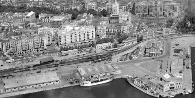
A closer aerial image from the Southwest in 1961 with the station visible bottom-right and the line to Vélez-Málaga leaving the image top-right. This image was shared on the Solo Fotos Antiguas de Málaga Facebook Group on 13th December 2022 by Diego Naranjo. [7]
This aerial image shows the station viewed from the South in 1965, © Not Known. [11]
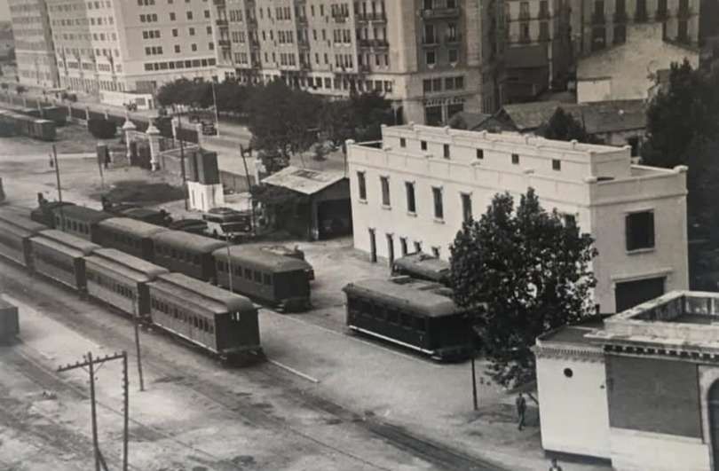
Looking West across the site of the FSM station in Málaga. This image was shared on the Solo Fotos Antiguas de Málaga Facebook Group by Maria Victoria Fernandez Gonzalez on 7th December 2016, © Not Known. [8]
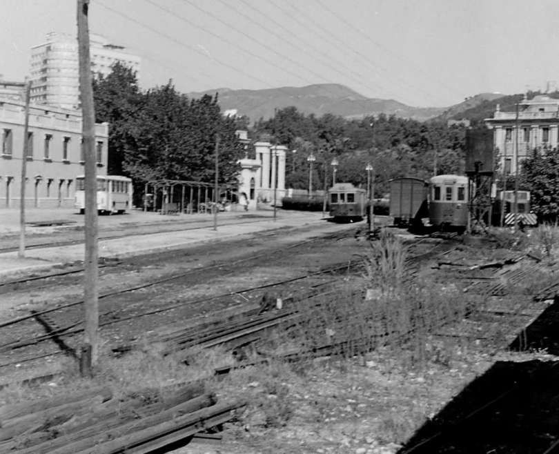
Looking East through the site of the station. The station building is camouflaged by the trees in the top-left quadrant of the image, © Not Known. [9]
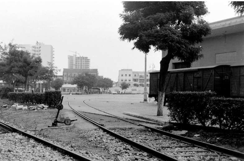
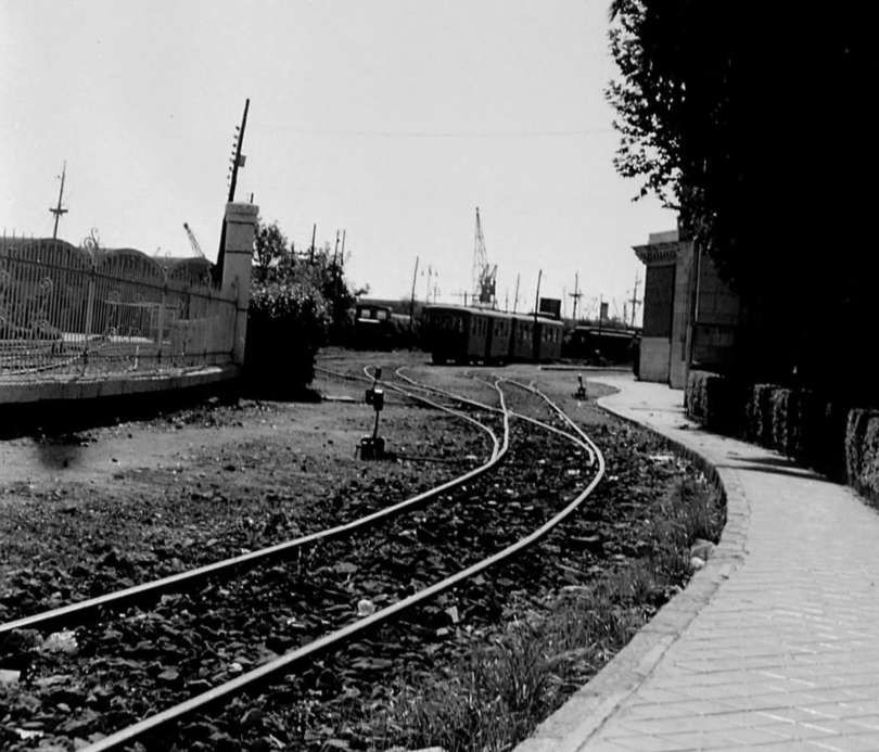
The East end of the station area at Málaga’s FSM station. The track in the bottom-left corner of the image is the line to Vélez-Málaga, that in the centre of the image serves the eastern end of the port facilities. This image was shared on the Desde el Museo Facebook Group by Francisco Dias Haro on 18th June 2026. [10]
The eastern station throat at Málaga FSM railway station, seen from the East. The station building is on the right the port facilities are on the left. [11]
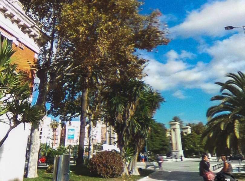
The view ahead along the line of the old metre-gauge railway. The corner of the station building is on the left of this image. [Google Streetview, 2017]
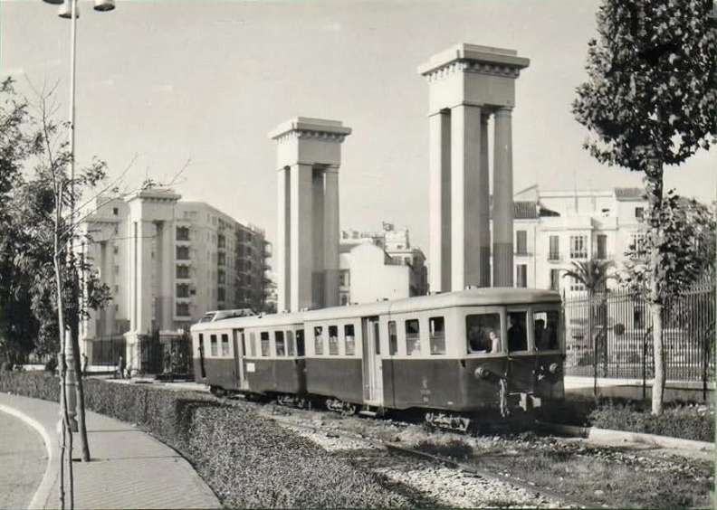
A Billard Railcar and trailer having just left the FSM station heading for Vélez-Málaga circa. 1963. The photographer and the exact date are not known. This image was shared on the El Ferrocarril en Andalusia Facebook Page on 4th January 2022. [12]
A hundred metres or so further along the line.  [Google Streetview, March 2018]
A similar distance further East. [Google Streetview, March 2018]
The line ran in a straight line between what is now the N-340 road and the port. [Google Streetview, June 2025]
Another couple of hundred metres to the East. [Google Streetview, June 2025]
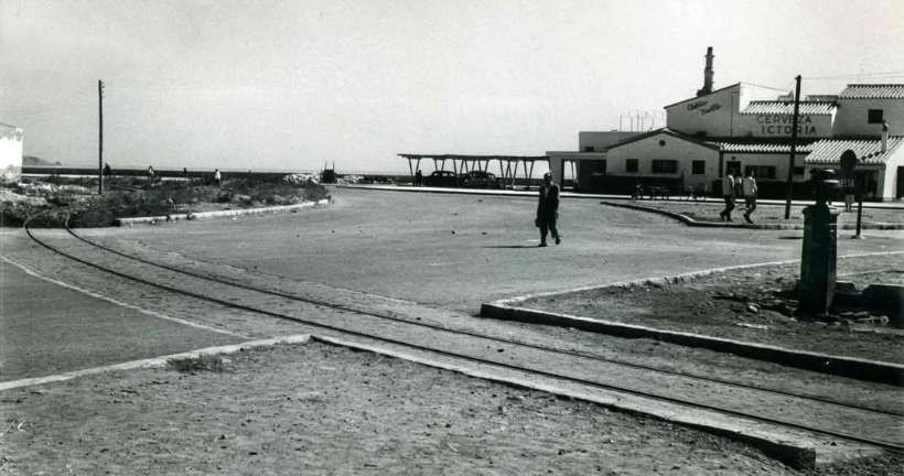
At the rear of this image, the Antonio Martin Snack bar sits on the right. In the foreground, a drinking-water fountain sits on the right and the tracks of the FSM curve across the photograph . This view was taken at the intersection of Calle Cervantes and Calle Vélez-Málaga in October 1961. The photograph was taken by Estudio Arenas and is held in the Municipal Archivo Municipal de Málaga. [15]
Short distance further East, this is a view along the old railway looking East in 1961. This is the second photograph in a series of thirteen put together by Estudio Arenas, taken in October 1961, held in the Achivo Municipal de Málaga and highlighted by Donde Estabas Málaga on the Archistorico Málaga Facebook Group on 13th February 2025. [15]

The last two photographs come from a series of 13 held in the Archivo Municipal de Malaga that follow the promenade and the FSM going East – starting from La Malagueta and ending at the end of La Caleta, near El Morlaco. All these images, each with a short commentary in Spanish (which can be easily translated online), can be found on Facebook. [15]

A similar location to the last image above, in the 21st century. [Google Streetview, July 2026]

It does not appear so from the National Geographic Institute (IGN) 1:50,000 mapping but it is clear that by the 1960s the railway was separated from the beach by a road. This was not the case in the early years. The two images below show the original Málaga Railway Station which was alongside the beach in Malagueta.

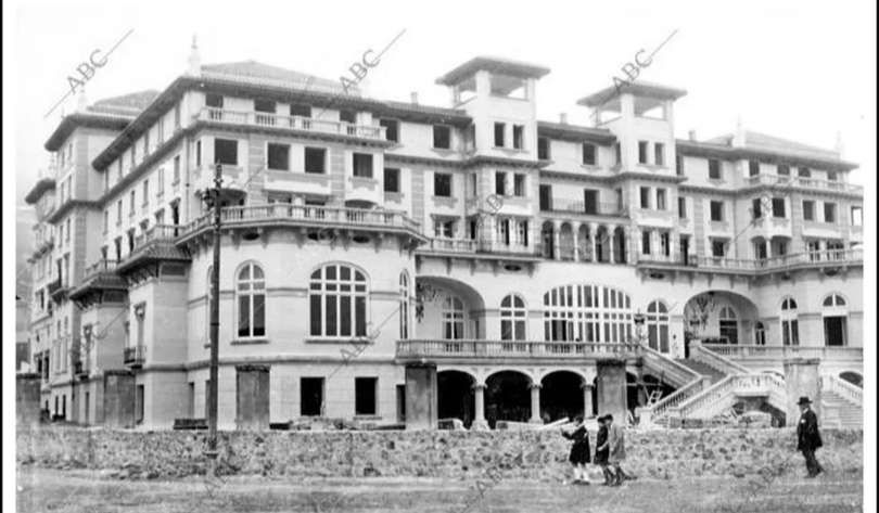
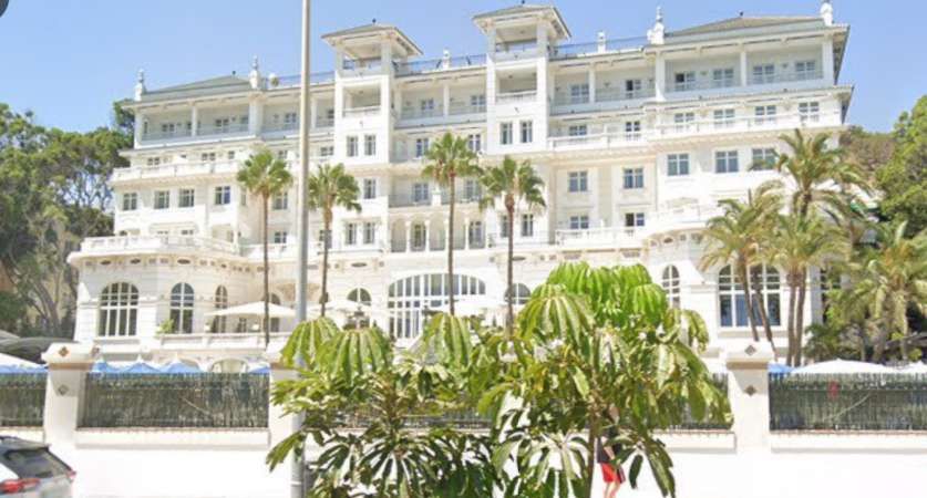
A short distance further along the beach, an 0-6-0T(030T) is in charge of a train heading for Vélez-Málaga in March 1964. The building at the centre of the image is the Gran Hotel Miramar. It was previously the Hotel Miramar and before that the Hotel Príncipe de Asturias. By the time of this photograph, a road runs closer to the shore than the railway. This image was shared on the Solo Fotos Antiguas de Málaga Facebook Group by Jose Mora Fdez on 15th September 2025. [14]
A closer view of the Hotel soon after it was built. This image was shared by Jose Mora Fdez on the Solo Fotos Antiguas de Málaga Facebook Group on 10th February 2026, © Public Domain. [18]
The same building in the 21st century. Now known as the Gran Hotel Miramar GL. [Google Streetview, August 2024]

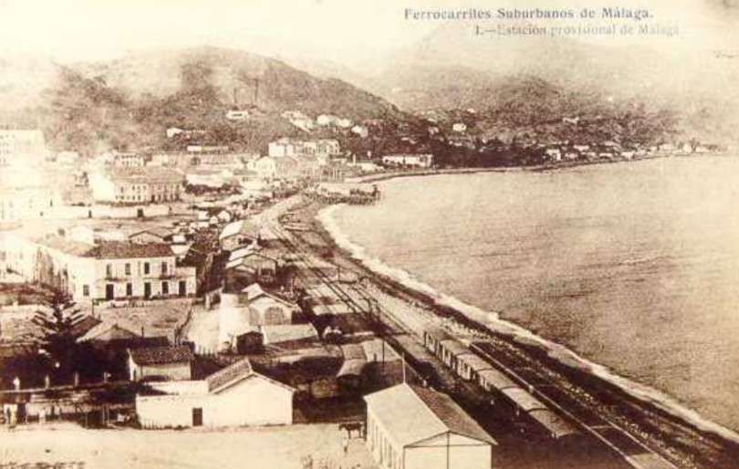
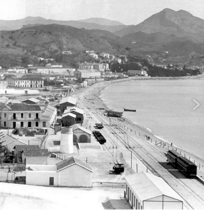
Before this building was constructed, this length of the shoreline was home to a temporary FSM railway station which served Málaga until the station near the port was completed.

An early East-facing postcard view showing the FSM running along the shore to the East of the present location railway station and port. A station was at first provided at Malagueta Beach in 1908. It was operational only until the station adjacent to the port was completed, circa. 1913. Published as Issue No. 1 by J. Lacoste, circa early 1910s, although the publication date is not specified. [13]
A much clearer photograph taken on another occasion. As noted above, this station was only in use from 1908 to 1913. [11]

The Malagueta station site was in the beachfront in the La Malagueta neighbourhood (corresponding to the modern Paseo Marítimo Ciudad de Melilla and Paseo Marítimo Pablo Ruiz Picasso), opposite the Palacio de Miramar (today’s Gran Hotel Miramar) and the former Baños de Apolo.

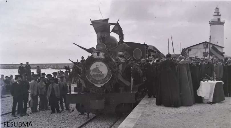
On 22nd January 1908, the Málaga-Torre del Mar section of the FSM was opened. The section from Torre del Mar to Vélez-Málaga line was opened on 23rdvJuly 1908. In this image, the inaugural train at the temporary station in La Malagueta, being blessed by the Bishop of Málaga in front of the authorities and guests at the event. The train made the 30-kilometre journey in 1 hour and 10 minutes, passing through the stations of La Cala, Rincón de la Victoria, Benagalbón, Chilches, Valle-Niza and Almayate (FESUBMA Archive), © Public Domain. [34]
Estación de ferrocarril suburbano en la Malagueta. Año 1910. (The temporary FSM railway station at Malagueta). A train has just arrived at the station from Vélez-Málaga. This image was shared by Miguel Morena Mena on the Solo Fotos Antiguas de Málaga Facebook Group on 7th May 2019, © Public Domain. [17]
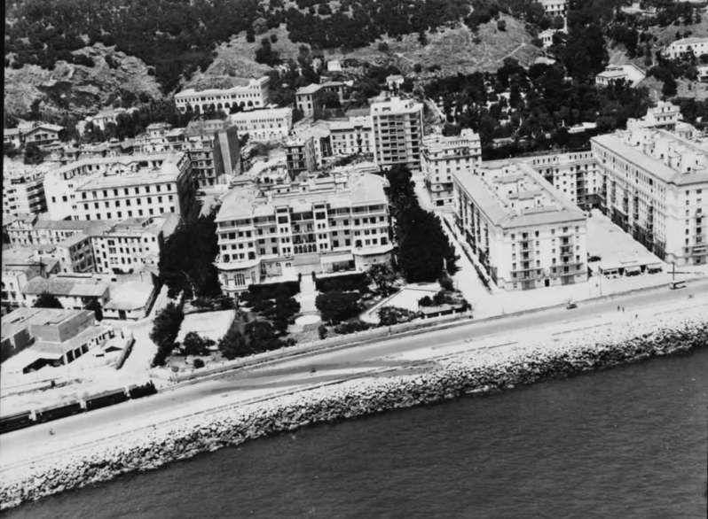
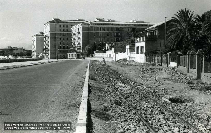
This photograph was taken from a point perhaps 300 metres to the East of the Gran Hotel Miramar. It looks West along what is now Paseo Marítimo Pablo Ruiz Picasso, with the railway to the right of the image. The large building which dominated this image is the building immediately to the East of the Gran Hotel Miramar. It is the Casas de Cantó (also popularly known in Málaga as the Bloques de Cantó or Pisos de Cantó). The complex takes its name from Pablo Cantó Iniesta, the architect and developer who promoted the project (working alongside renowned Spanish rationalist architect Fernando García Mercadal). Construction began in 1941 during the post-Spanish Civil War period under the regulations of the Instituto Nacional de la Vivienda. This is the 5th of 13 images put together by Estudio Arenas, taken in October 1961, held in the Achivo Municipal de Málaga and highlighted by Donde Estabas Málaga on the Archistorico Málaga Facebook Group on 13th February 2025. [15]
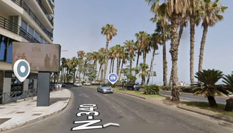
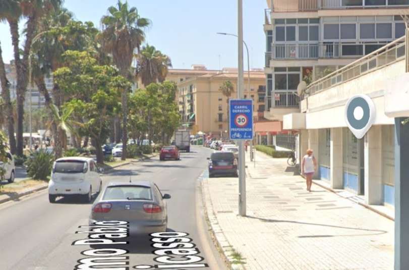
A similar view looking West along Paseo Marítimo Pablo Ruiz Picasso in the 21st century, the railway would have run within the footpath width. The cream building partially hidden by the palm trees is the Casas de Cantó. [Google Streetview, August 2024]
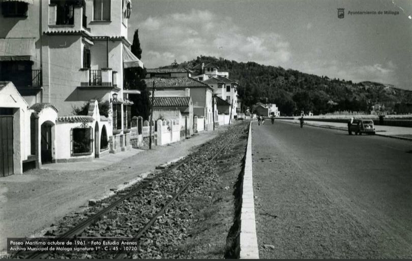
A few hundred metres further East, and this time looking East. This is the 7th of 13 images put together by Estudio Arenas, taken in October 1961, held in the Achivo Municipal de Málaga and highlighted by Donde Estabas Málaga on the Archistorico Málaga Facebook Group on 13th February 2025. [15]
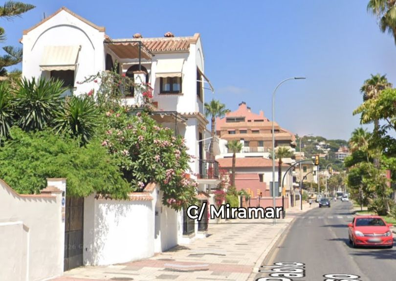
A very similar view but this time in the 21st century. [Google Streetview, August 2024]

There has been so much development along the waterfront since the 1960s and it is difficult to tie photos from the 1960s to modern locations.

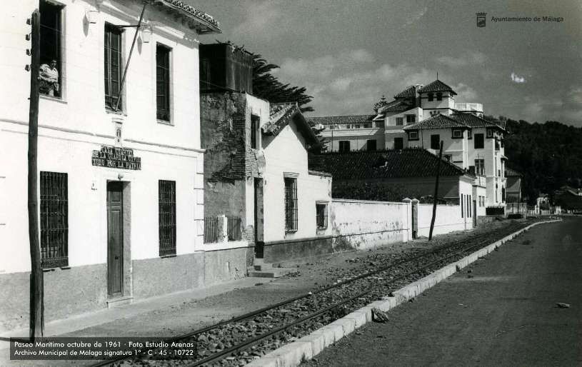
A little further East, also looking East. The building on the right of this image still stands. This is the 8th of 13 images put together by Estudio Arenas, taken in October 1961, held in the Achivo Municipal de Málaga and highlighted by Donde Estabas Málaga on the Archistorico Málaga Facebook Group on 13th February 2025. [15]
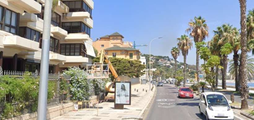
The building noted above is at the centre of this photograph. [Google Streetview, August 2024]
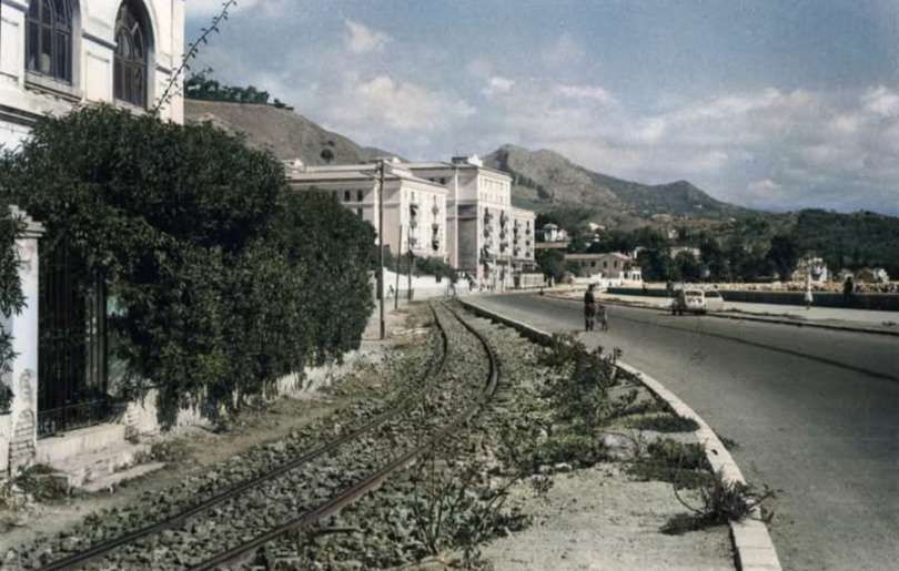
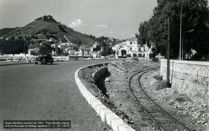
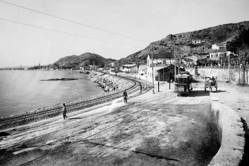
On the left of this West-facing photograph is Monte Sancha. The coast road and the old railway curved relatively sharply close to the camera. This is the 10th of 13 images put together by Estudio Arenas, taken in October 1961, held in the Achivo Municipal de Málaga and highlighted by Donde Estabas Málaga on the Archistorico Málaga Facebook Group on 13th February 2025. [15]
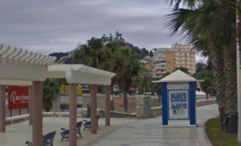
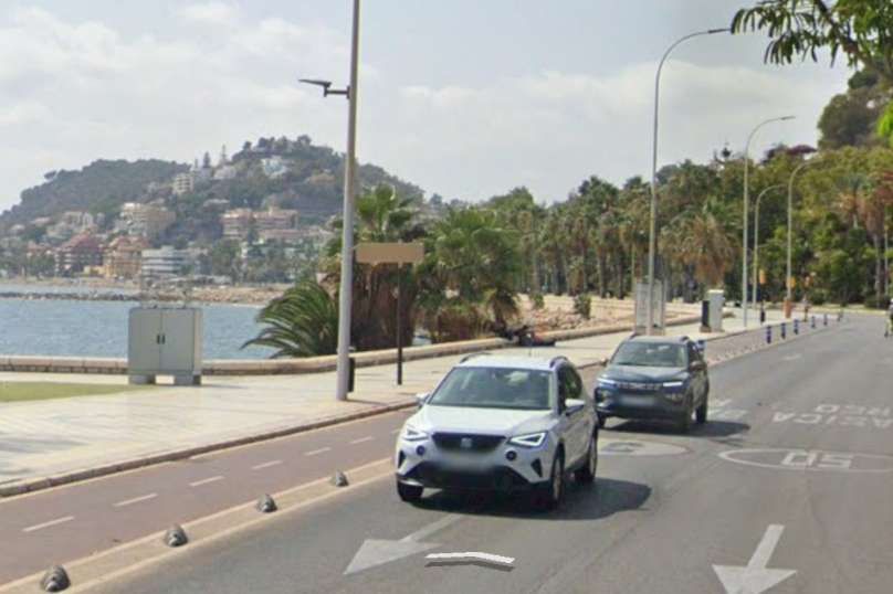
It is difficult to fix the above location on the modern map of the city as the road has been significantly widened. Mote Sancha is visible at this location and the coast road and promenade curve in the right direction. [Google Streetview, December 2009]
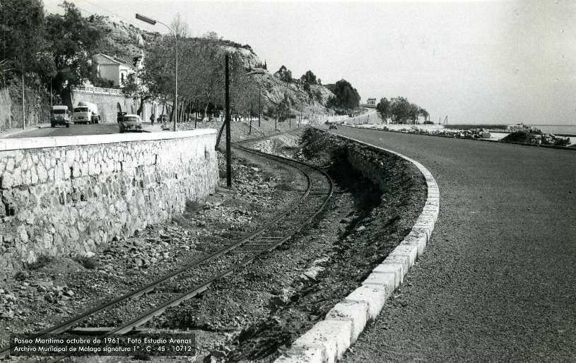
At this location the FSM runs between the older road (on the left) and the recently built, lightly used coast road. This is the 12th of 13 images put together by Estudio Arenas, taken in October 1961, held in the Achivo Municipal de Málaga and highlighted by Donde Estabas Málaga on the Archistorico Málaga Facebook Group on 13th February 2025. [15]
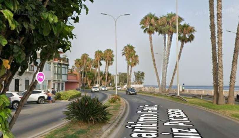
It is again difficult to fix the location of the image above in relation to the modern street scene, this is a possible location where the road(s) curve in a similar way. [Google Streetview, July 2026]
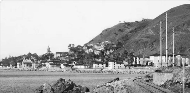
This photograph looks West circa. 1909 from close to El Morlaco towards La Caleta. This is a photograph in the Thomas Collection held in the Achivo Municipal de Málaga and highlighted by Donde Estabas Málaga on the Archistorico Málaga Facebook Group on 30th August 2023. [20]
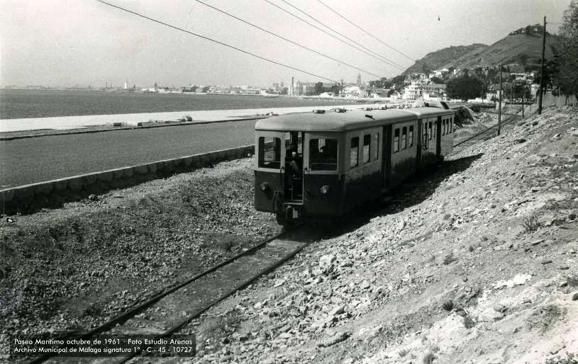
A Billard Railcar and trailer head towards El Morlaco. This is the 13th of 13 images put together by Estudio Arenas, taken in October 1961, held in the Achivo Municipal de Málaga and highlighted by Donde Estabas Málaga on the Archistorico Málaga Facebook Group on 13th February 2025. [15]
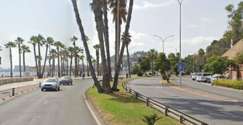
There is little to fix the two images above in relation to the modern landscape. This photo looks West from close to El Morlaco towards La Caleta. [Google Streetview, August 2024]
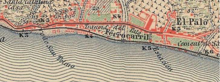
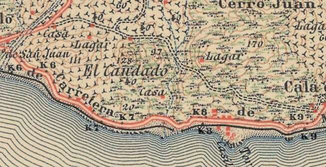
This next extract from the topographic maps of Spain offered by the National Geographic Institute (IGN) at 1:50,000 scale and sourced via geamap.com’s cartographic viewer, shows the area extending along the coast from El Morlaco to El Palo Málaga and the coast to its East. The station at El Morlaco was at the left of the map  extract above. [5]
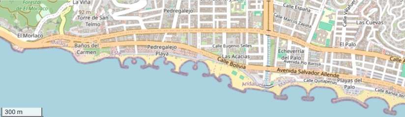
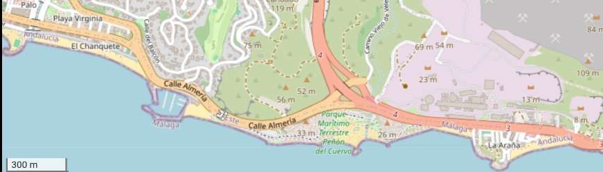
A similar length of the coast as shown by openstreetmap.org. [19]
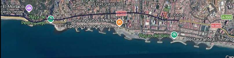
This satellite image also covers a similar length of the coast. [Google Maps, November 2026]
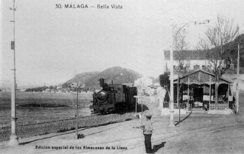
The railway station at El Morlaco circa. 1910. This image was shared on the El Ferrocarril en Andalusia Facebook Page on 23rd December 2013, © Public Domain. [21]
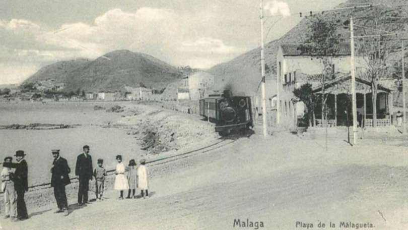
Although this image is entitled ‘Plaza de la Malagueta it actually shows the station at El Morlaco, looking West towards La Caleta, circa. 1910, © Public Domain. [22]
Taken at a similar time but from a point a little further East, this image shows the FSM metre-gauge line by the water and the tramway to El Palo only a few metres inland. This photograph is archived in the Thomas Collection (Fondo Thomas / Fototipia Thomas) at the Institut d’Estudis Fotogràfics de Catalunya (IEFC) and the University of Málaga (CTI-UMA), the photograph is consistently dated to circa 1910-1914, © Public Domain. [23]

This area was significantly redeveloped to create a modern coast road and the old station building did not survive.

A similar location/view in the 21st century. [Google Streetview, August 2024]

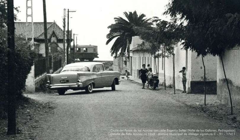
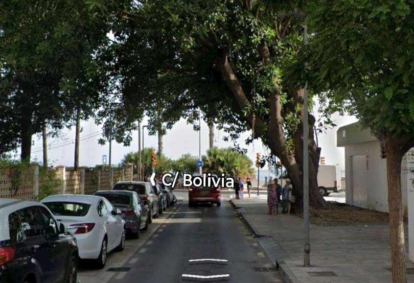
Along the length of the lines a number of bridges allowed the passage of vehicles under the line one example of this appears immediately below and could be found on the approaches to El Palo. The route of the old railway ran along, what in the 21st century is, Calle Bolivia. These next two images illustrated the difference in levels in the immediate vicinity of the line.  …..

This view looks South towards the railway along Paseo de las Acacias, a 1957 model Chevrolet blocks our view along the street making it impossible in this case to work out whether a low bridge was provided. The level difference is, however, clear. A Billard A150D7 is passing the end of the street. This image was added to the FC Suburbanos de Málaga Album on the El Ferrocarril en Andalusia Facebook Page on 9th September 2024. [36]
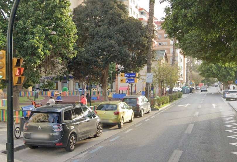
In this 21st century image the Paseo de las Acacias has been regarded to meet the Calle Bolivia which has replaced the old railway. [Google Streetview, July 2026]

The line continued East crossing the Arroyo Jaboneros and on to the Station at El Palo. …

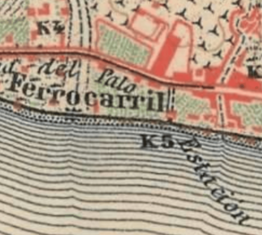
El Palo Station was located two thirds across the above 1: 50,000 map extract as shown by this enlarged view. The East terminus of the Málaga street tramway can also be seen in this map extract. [5]

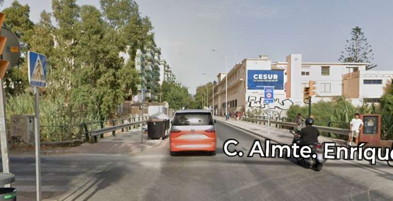
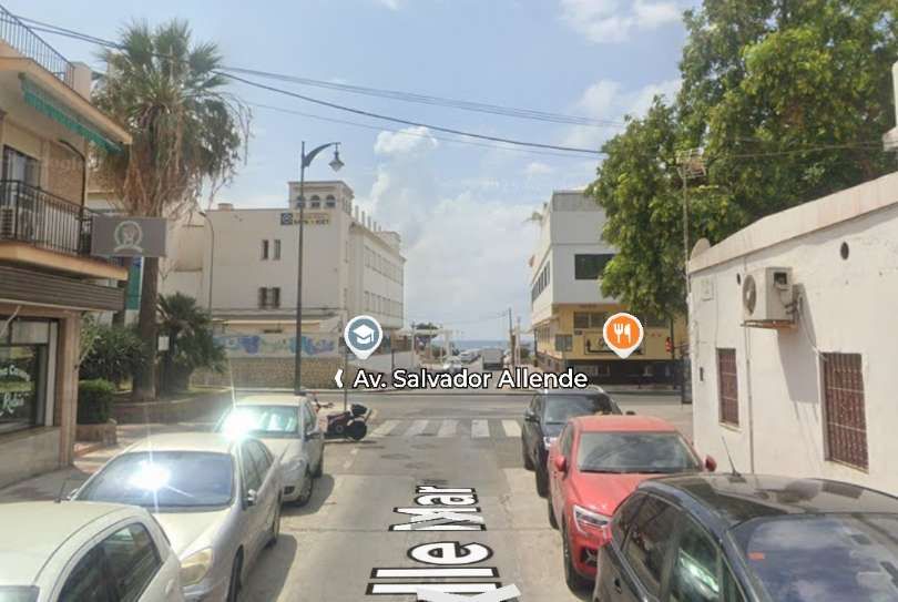
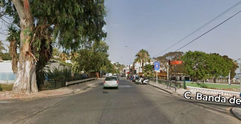
The old railway line followed the modern Calle Bolivia bridging the Arroyo Jaboneros and then following the modern Avenida Salvador Allende. [Google Streetview, July 2026]
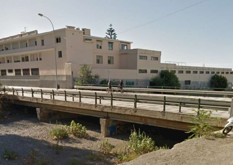
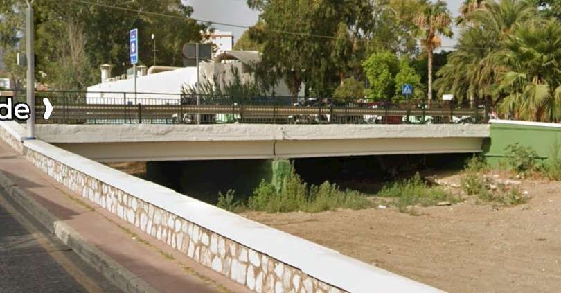
Seen from the Northwest, the bridge carrying the modern road over Arroyo Jaboneros takes the place once given to an old railway bridge. [Google Street, August 2015]

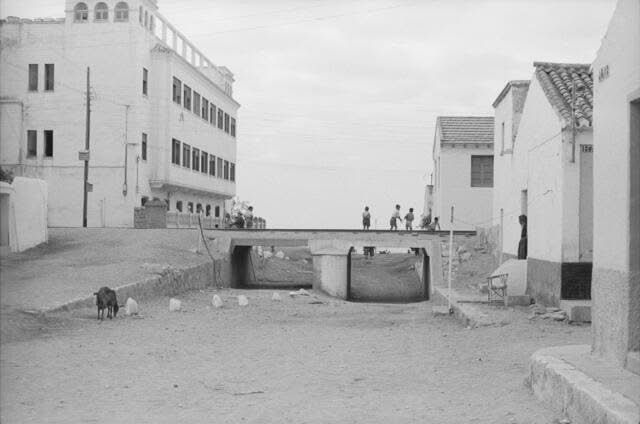
Before reaching El Palo Railway Station, the FSM bridged at least one road, Calle Mar. This. Next pair of photographs illustrates the way in which the urban landscape must have changed after the closure of the FSM.

Looking South down Calle Mar through the bridge carrying the old metre-gauge railway. Note the relatively modern building on the left of the photograph. This image was shared by Jorge Martinez Peral on the Solo Fotos Antiguas de Málaga Facebook Group on 18th July 2023. [35]
A very similar view in the 21st century, the modern building on the left of the image is the same as that in the monochrome image above. Calle Mar has been significantly regarded to tie in with the level of the Avenida Salvador Allende which replaced the railway. The railway bridge was either demolished or buried! [Google Streetview, August 2024]
The approach to El Palo Railway Station from the West. The tracks ran along what is now Avenida Salvador Allende, © Public Domain. [24]
The approach to El Palo Railway Station from the West in the 21st century – along Avenida Salvador Allende. The station building can be seen to the left of the road in the middle distance. [Google Streetview, January 2025]
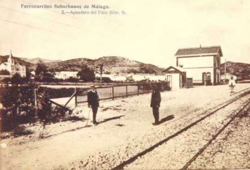
El Palo Railway Station. This image was shared on the Málaga Ayer y Hoy Facebook Page on 11th March 2024. [25]
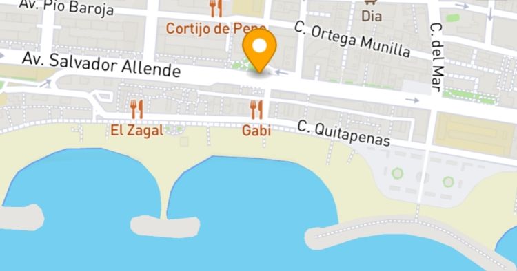
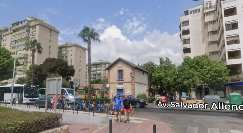
The station building remains in the 21st century. It is marked by the orange flag. The railway ran along what is, in the 21st century, Avenida Salvador Allende. [26]
The Station building at El Palo, now dwarfed by surrounding buildings. [Google Streetview, August 2024]

The FSM continued to hug the coast as it headed East towards Cala del Moral and Rincon de la Victoria. … To the East of El Palo, it crossed the Arroyo Gálica, currently a more modern structure carries Avenida Salvador Allende over the riverbed.

The old railway ran along, what is now, Avenida Salvador Allende and at the El Palo village limit bridged the Arroyo Gálica. [Google Streetview, Jul 2026]
The modern bridge which carries Avenida Salvador Allende over the Arroyo Gálica, seen from the South. [Google Streetview, July 2026]
At the very left of this next map extract, the El Arroyo Gálica formed the eastern boundary of the popular fishing neighbourhood of El Palo.
It was bridged by the FSM before the railway continued along the coastline through La Cala del Moral. [5]
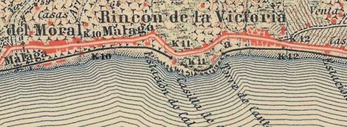
The line continued East through Rincon de la Victoria. [5]

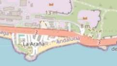
Two map extracts from openstreetmap.org cover approximately the same area of the coastline as the two 1:50,000 map extracts above. [27][28]

Two extracts from Google’s satellite imagery cover a similar length of the coast as the 1:50,000 map extracts and the openstreetmap.org extracts above. [Google Maps, November 2026]

To the East of El Palo the FSM followed the coastline as Jeremy Wiseman’s photograph below illustrates.

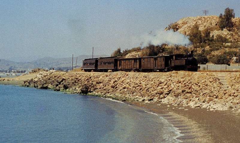
A mixed train bound for Vélez-Málaga via Almellones on 15th May 1964, after leaving El Palo station, hauled by a Tubize (0-6-0T) 030T locomotive, © Jeremy Wiseman/The Restoration & Archiving Trust. [24]

This next series of photographs follow the footpath/cycleway which runs along the formation of the old railway to the East of El Palo. …

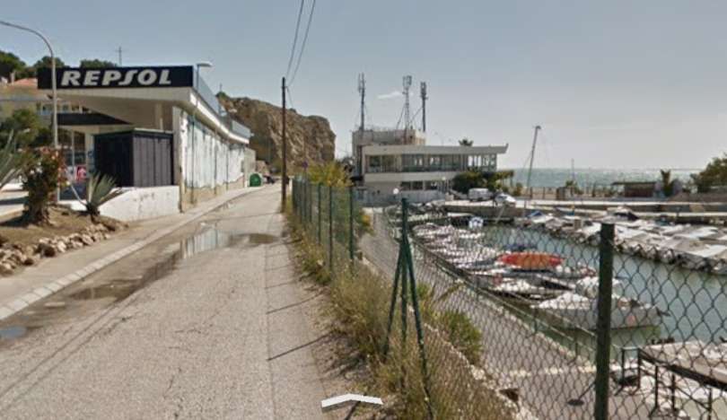
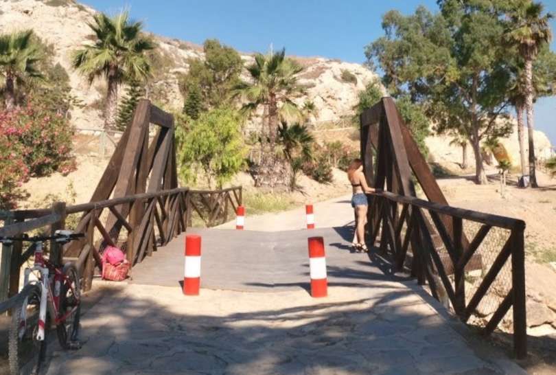
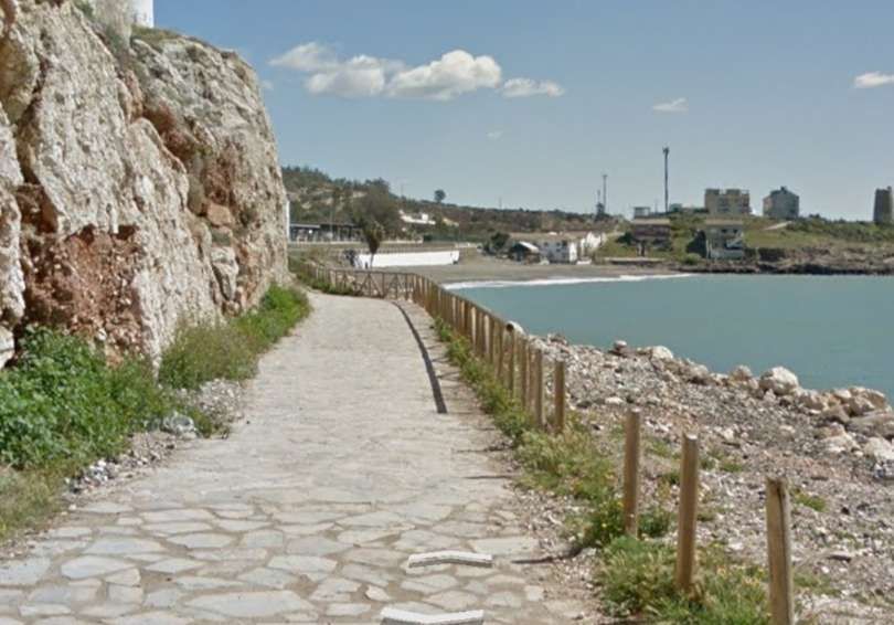
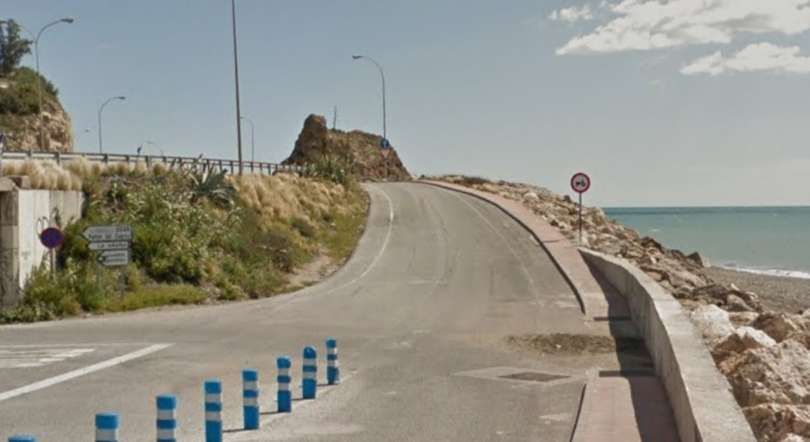
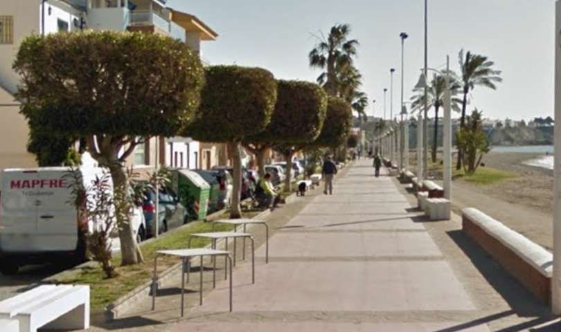
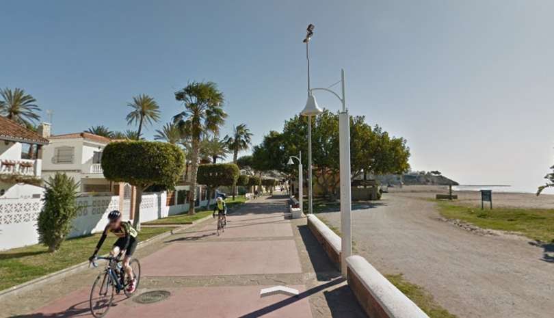
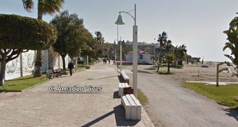
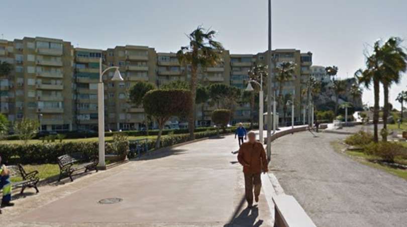
Some lengths of the route have been fenced relatively recently. Most of the route has been paved in tarmac of stone slabs. [Google Streetview, March 2018]
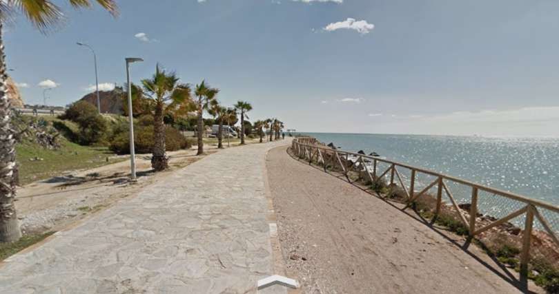
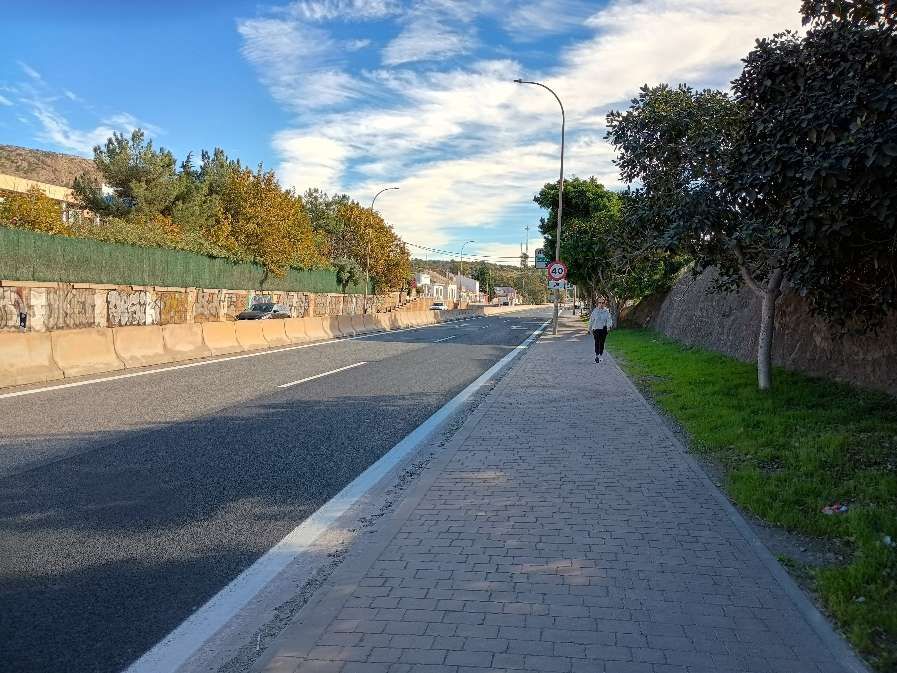
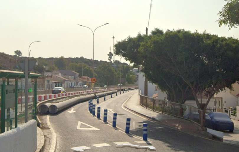
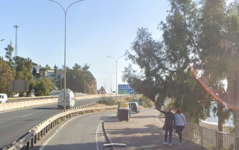
At some locations the pathway needs work and there are lengths of the old line that are now covered by the highway. [Google Streetview, March 2018]
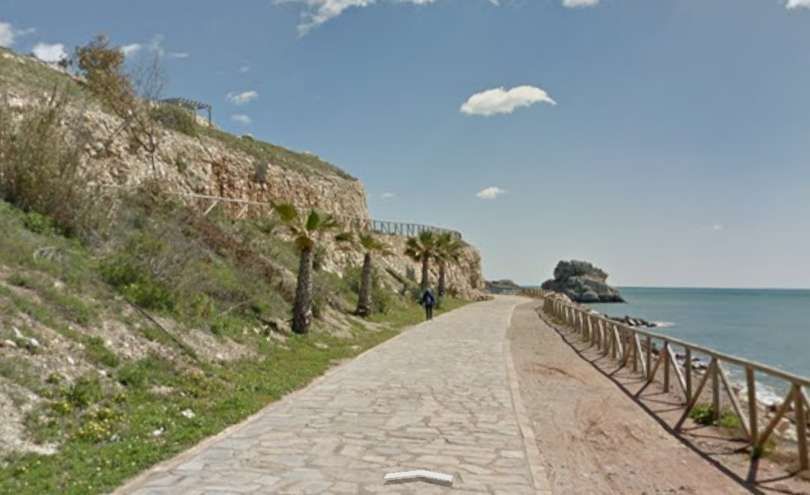
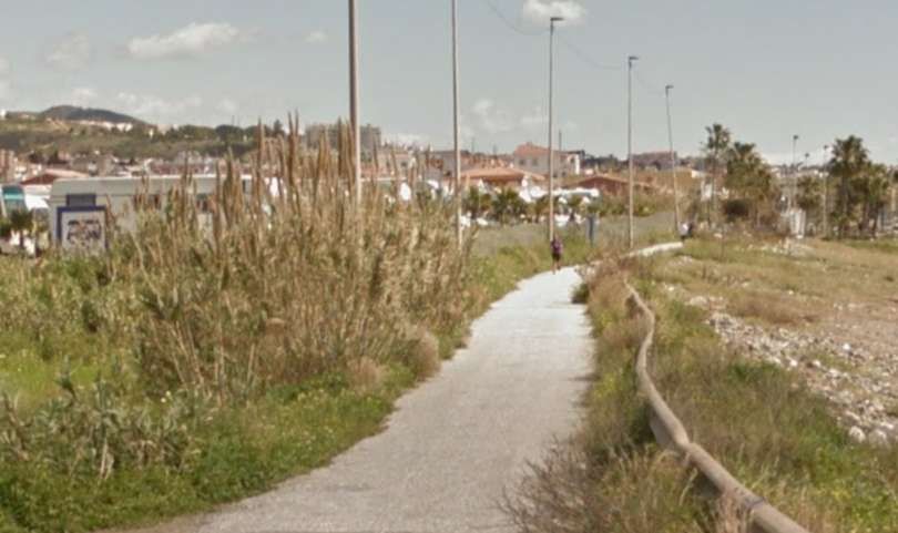
Other lengths are really quite beautiful. [Google Streetview, March 2018]
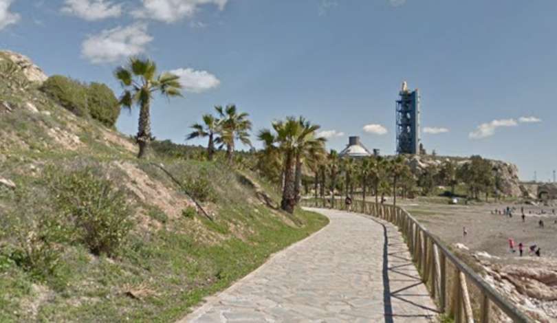
Paved in stone and planted. [Google Streetview, March 2018]
And fenced where necessary. [Google Streetview, March 2018]
Modern bridges have replaced older railway structures as here across the Arroyo del Judio. [Google Streetview, March 2018]
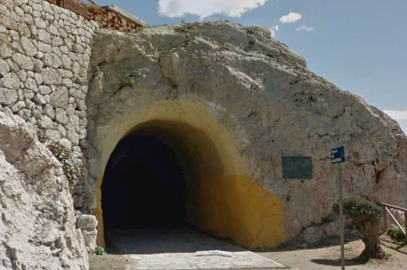
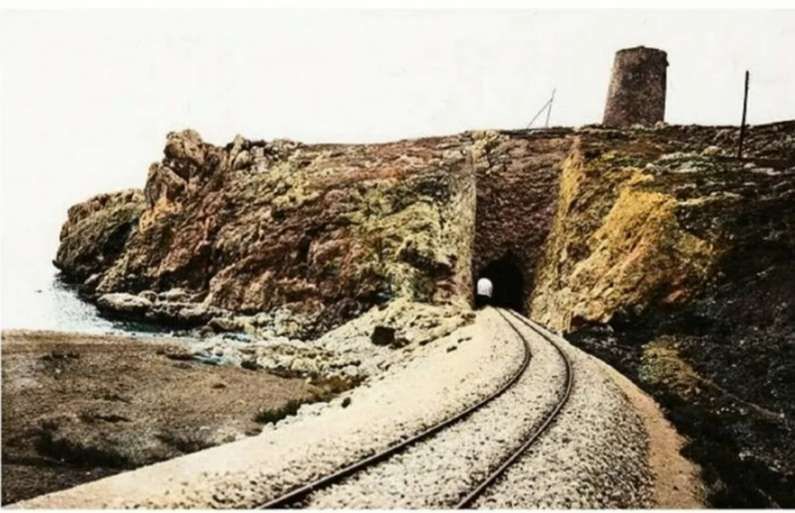
The first tunnel on the route, close to Peñón del Cuervo. The plaque to the right of the tunnel mouth celebrates the rescue of local people by Canadian forces in February 1937. [Google Streetview March 2018]
The tunnel portal which faces La Cala del Moral. [My photograph, 22nd November 2026]
The same tunnel mouth seen from the East, looking back towards Málaga. [My photograph, 22nd November 2026]
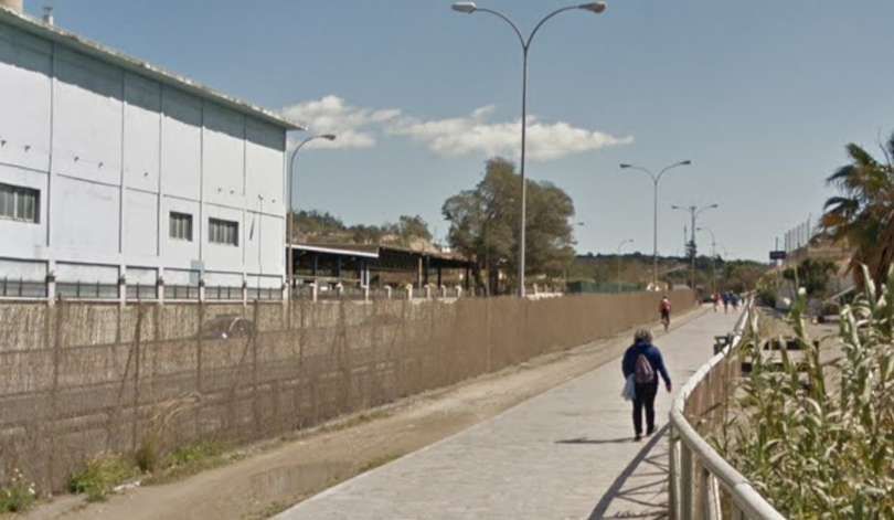
The path continues to follow the route of the old railway through a more industrialised/ commercial area. [Google Streetview March 2018]
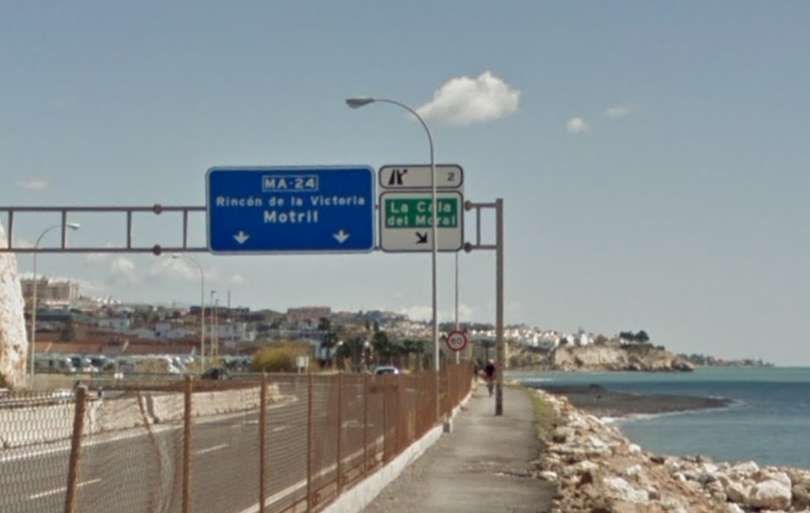
Adjacent to the MA24. [Google Streetview March 2018]
Also adjacent to the MA24. [My photograph, 22nd November 2026]
And to the North of the promentary where the Torre de las Palomas. [Google Streetview, March 2018]
The route of the line continues alongside the MA24. [Google Streetview, March 2018]
Along a length of minor road, adjacent to the MA24. [Google Streetview, March 2018]
Alongside the MA24 again towards La Cala del Moral. [Google Streetview, March 2018]
And along the shore towards the town. [Google Streetview, March 2018]
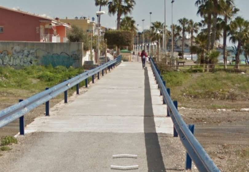
The old line bridged the Rio Totalan at the West edge of the town. It is presumed that this bridge replaced it some while ago. [Google Streetview, March 2018]
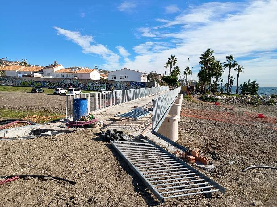
A replacement structure was being constructed in November 2026. [My photograph, 22nd November 2026]
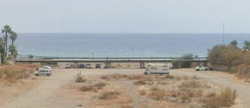
The older bridge over the dry bed of the Rio Totalan, seen from the North in 2018. [Google Streetview, August 2024]
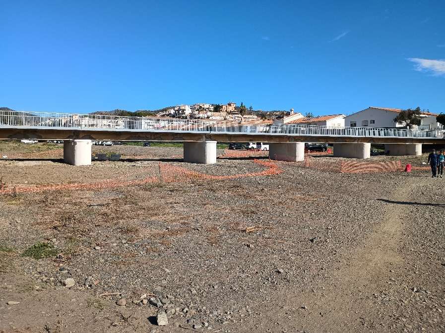
The replacement bridge, seen from the South in November 2026. [22nd November 2026]
The route of the old railway, to the East of the Rio Totalan, in La Cala del Moral. [Google Streetview, March 2018]
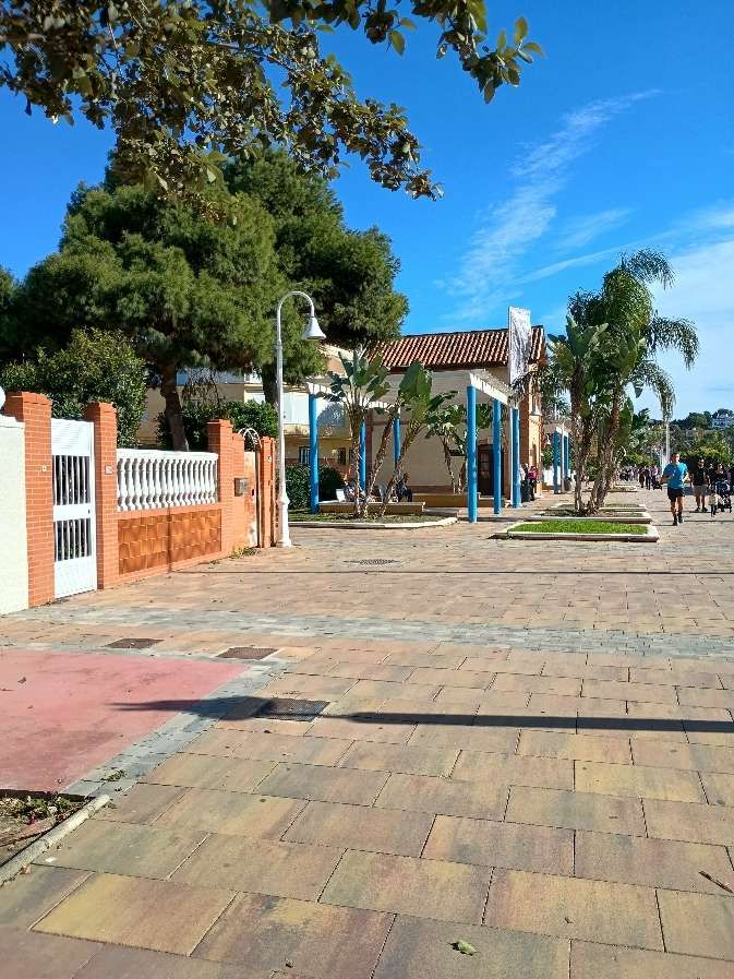
The approach to La Cala del Moral railway station. [My photograph, 22nd November 2026]
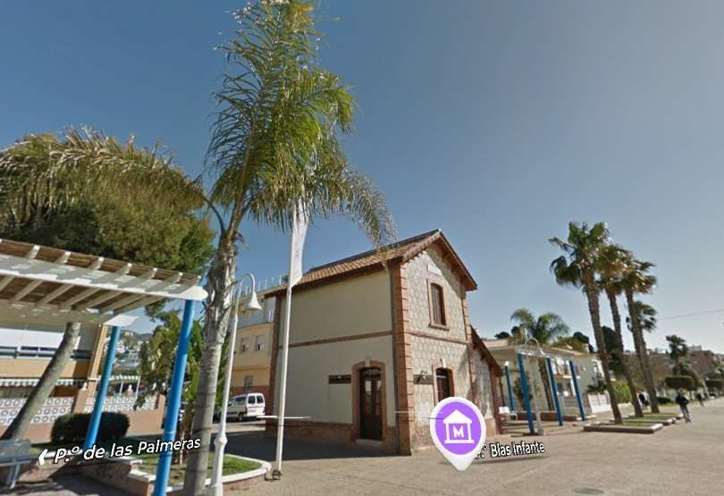
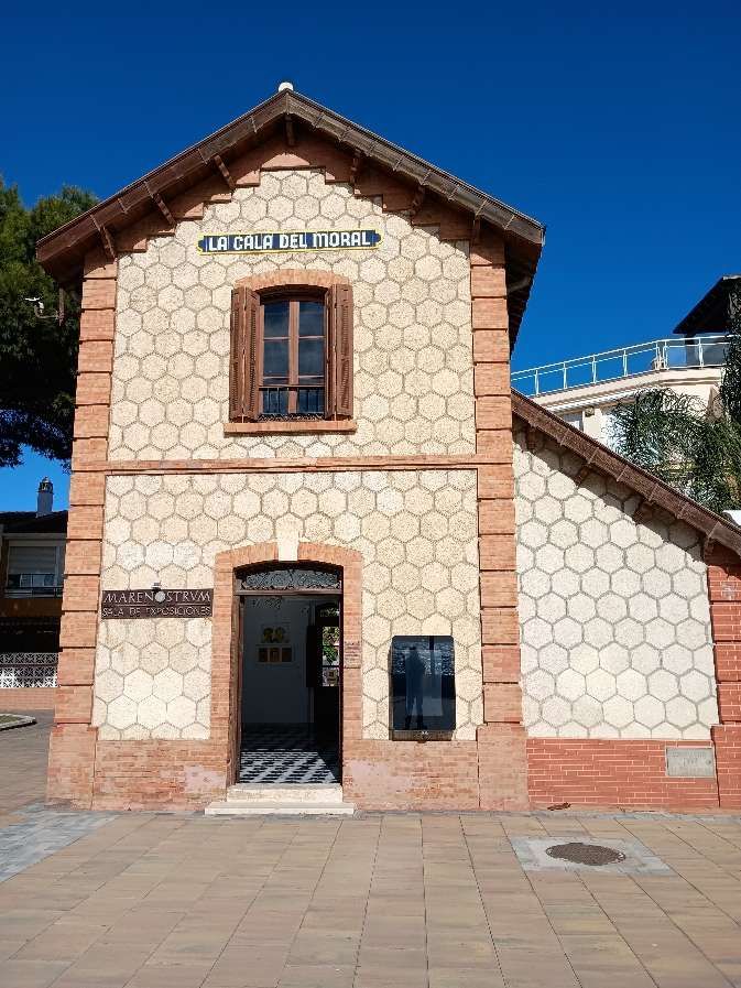
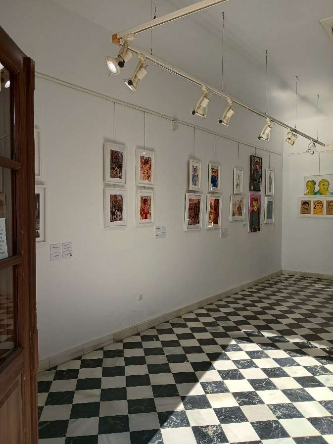
The station at La Cala del Moral is now in use as an art gallery. [Google Streetview, March 2018]
La Cala del Moral railway station. [My photograph, 22nd November 2026]
Art exhibition in La Cala del Moral station in November 2026. [My photograph, 22nd November 2026]
The station at La Cala del Moral with a Tubize (0-6-0T) 030T locomotive in charge of an East-bound service. This image was placed in the FC Suburbanos de Málaga Album on the El Ferrocarril en Andalusia Facebook Page on 10th November 2021. [29]
The station building seen from the East. [My photograph, 22nd November 2026]
Heading East from the station at La Cala del Moral. [Google Streetview, March 2018]
A little further East. [Google Streetview, March 2018]
Further East, the railway began to swing round towards the first of the tunnels between La Cala del Moral and Rincon de la Victoria. [Google Streetview, March 2018][Google Streetview, March 2018]B

Before leaving La Cala del Moral behind, just one further photograph which shows that the station at La Cala del Moral was built to promote growth! This aerial photograph was taken in the 1950s!

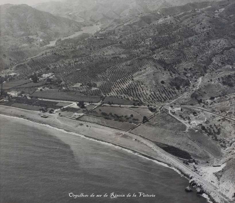
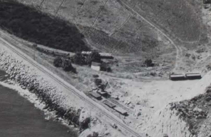
An aerial view of La Cala del Moral in the 1950s. The railway station is completely isolated, surrounded by palm trees and without any housing development nearby. Note also the tracks that branch off to the right of the photo, next to the entrance to the tunnel that leads to Rincón de la Victoria. These were provided for the El Cantal quarry. In this image are some wagons for transporting stone. This image comes from the archive of the Cala del Moral Language School. It was added to the F.C. Suburbanos de Málaga Album on the El Ferrocarril en Andalusia Facebook Page on 4th September 2018. [40]
An enlargement of the bottom-right corner of the image above shows the sidings which once existed to the East of the Station and close to the first tunne
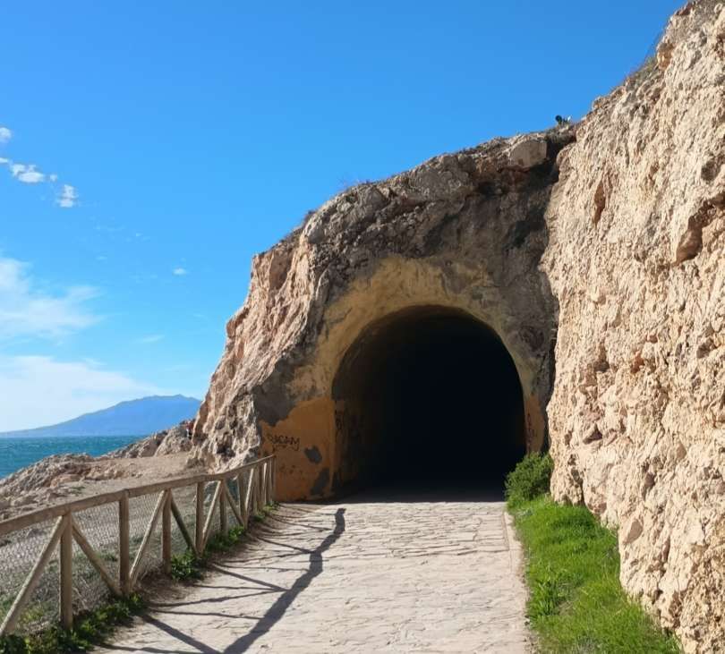
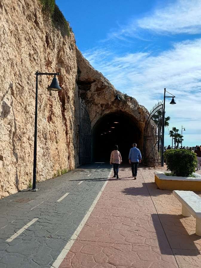
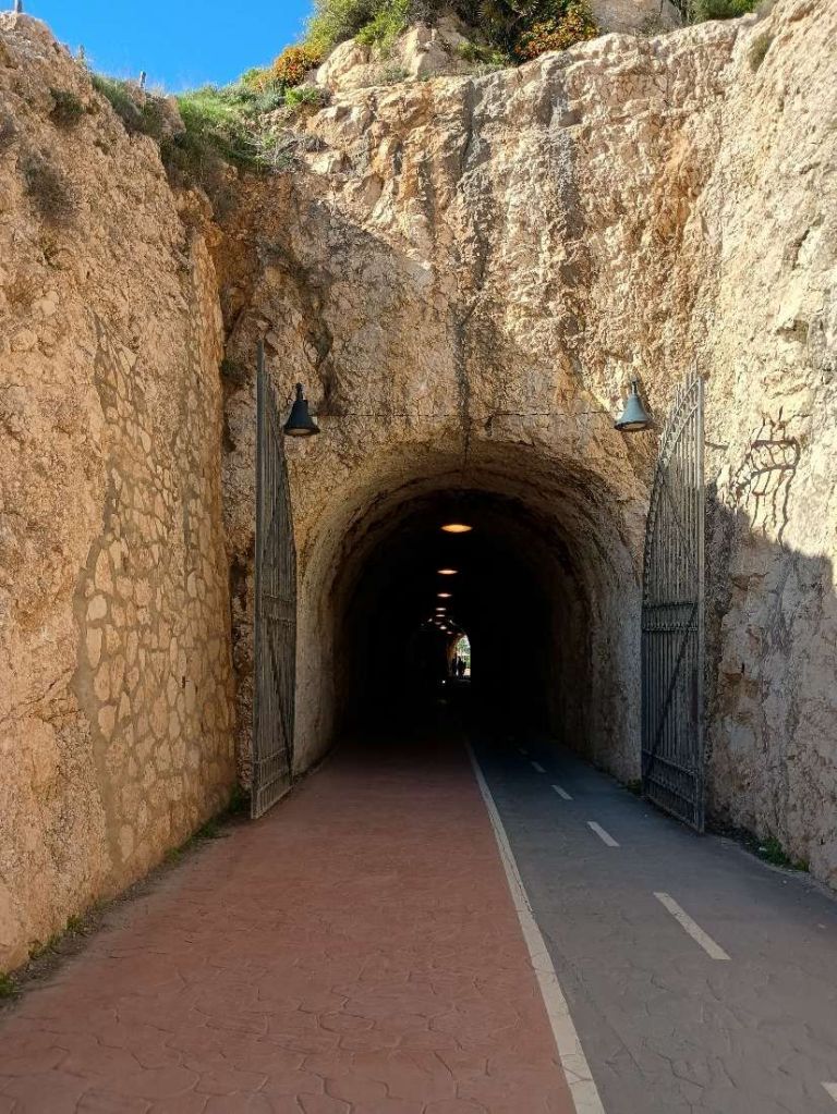
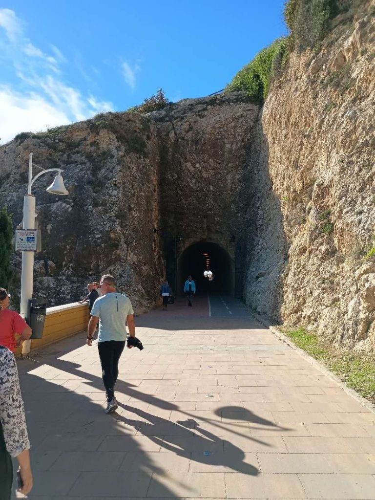
The first tunnel mouth to the East of La Cala del Moral. [My photograph, 22nd November 2026]
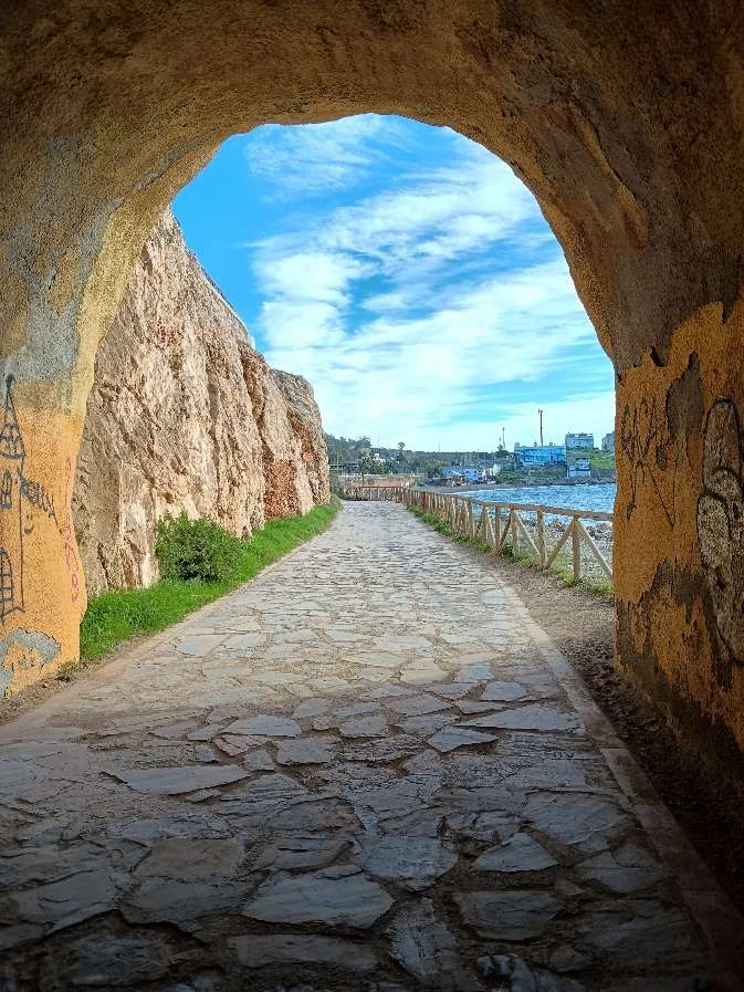
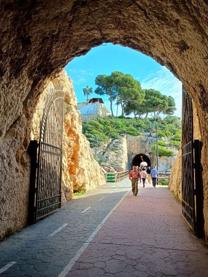
Looking back towards Málaga from within the mouth of the tunnel. [My photograph, 22nd November 2026]
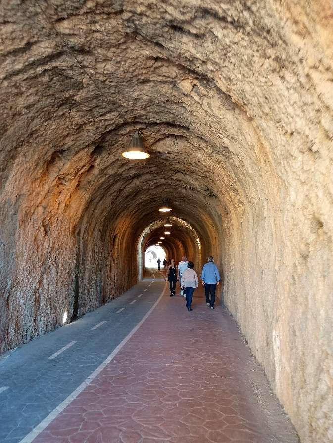
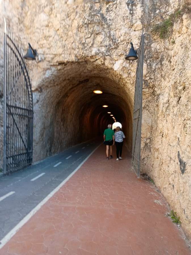
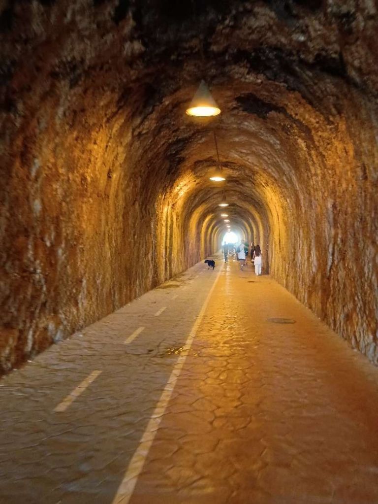
Walking through the first tunnel. [My photograph, 22nd November 2026]
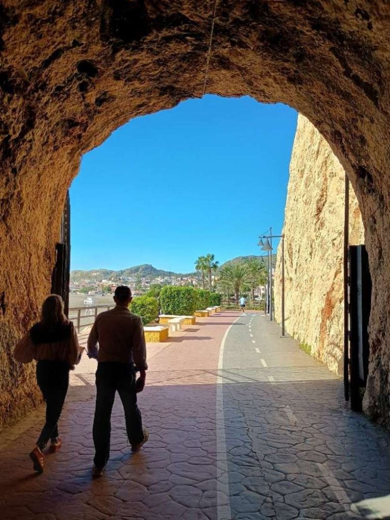
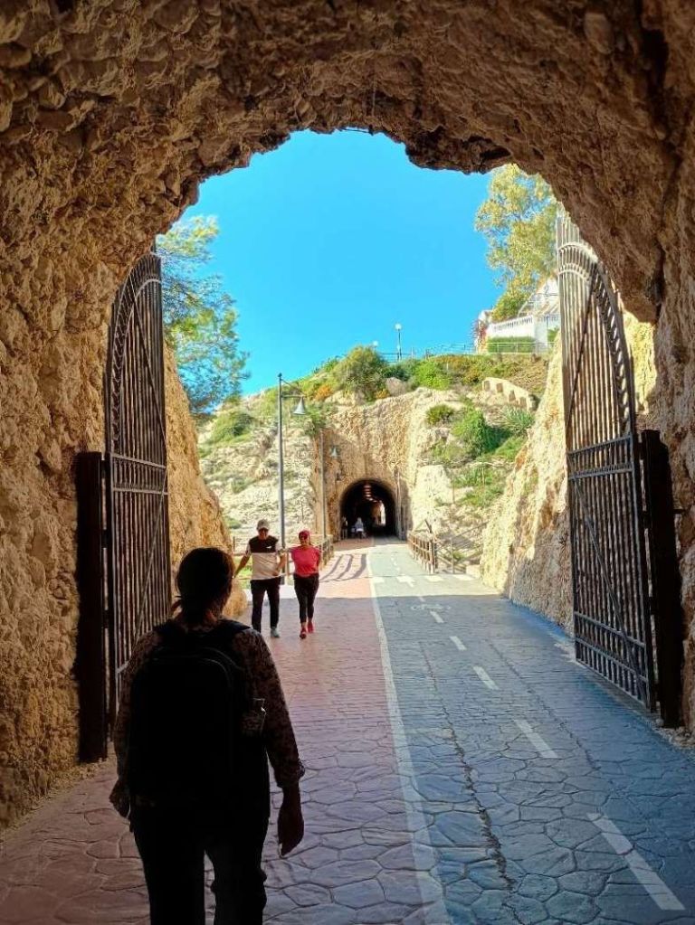
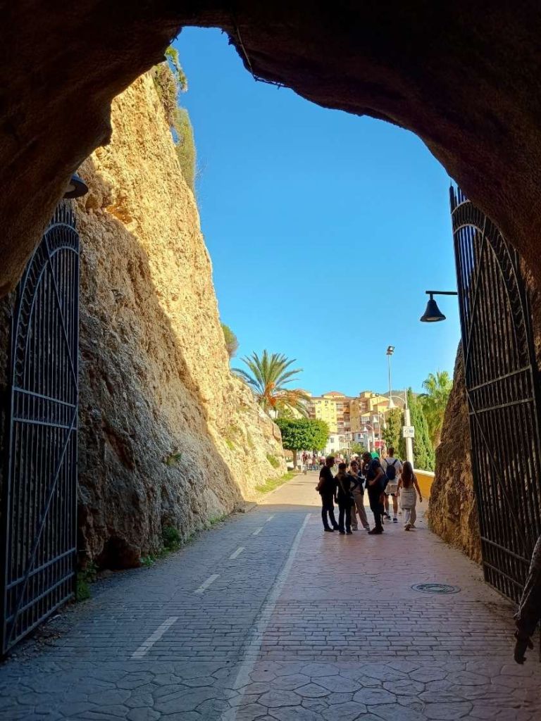
Looking East from the first tunnel to the East of La Cala del Moral, only a short distance separated it from the second tunnel. [My photograph, 22nd November 2026]
The same East entrance of the first tunnel as it appears in 2026 from a few metres to the East. [My photograph, 22nd November 2026]
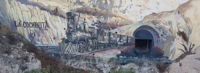
As a tribute to ‘La Cochinita’ a mural has been painted in a concrete wall between the two tunnels. It does not appear on the Google Streetview images from 2018, a photograph online shows it in good condition. In November 2026 it was in need of restoration. Unfortunately, rather than being a reflection of the actual locomotives that plied their trade between La Cala del Moral and Rincon de la Victoria, an American locomotive is depicted, © Daniel Capilla (10th December 2023) and licences for reuse under a Creative Commons Licence (CC BY-SA 4.0). [38]
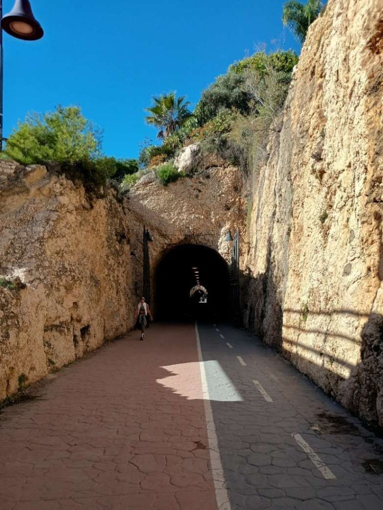
The mouth of the second tunnel to the East of La Cala del Moral. [My photograph, 22nd November 2026]
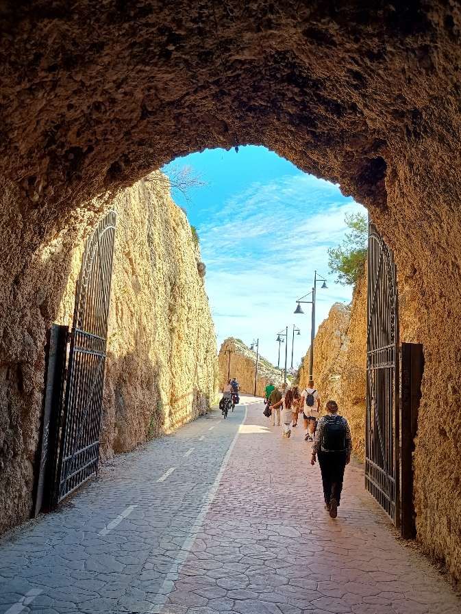
Looking back towards Málaga from within the second tunnel. [My photograph, 22nd November 2026]
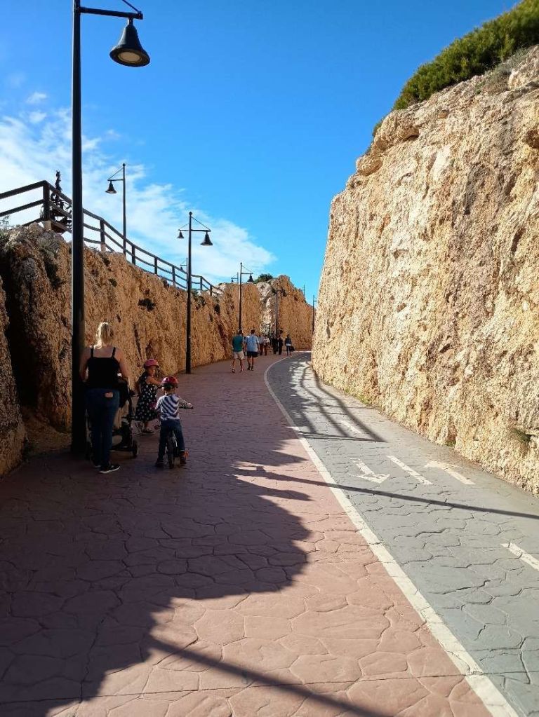
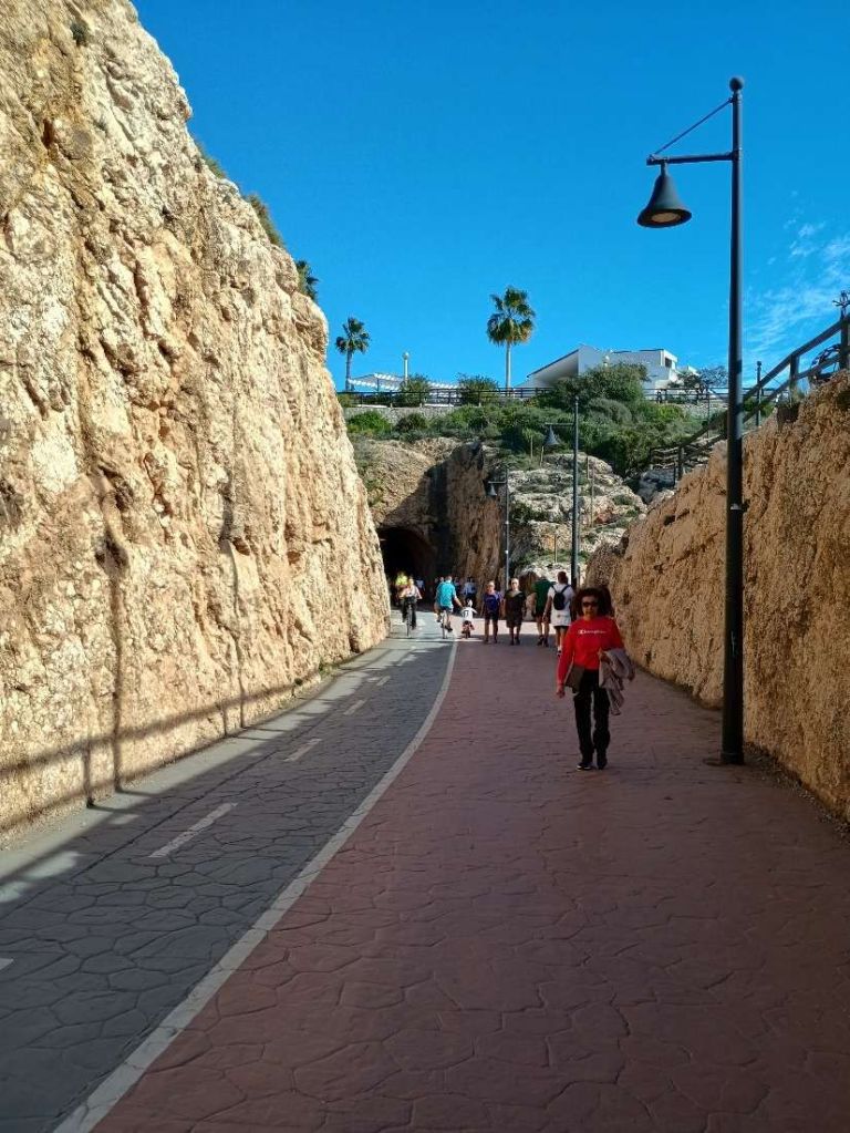
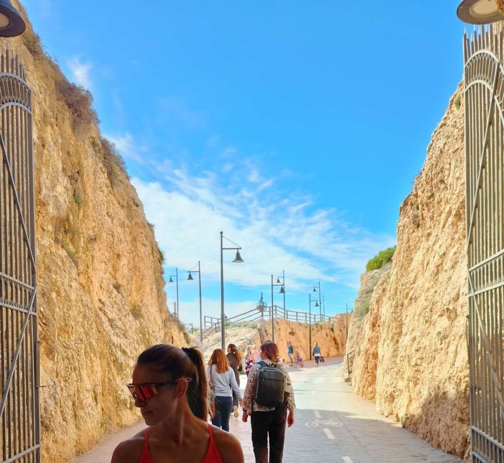
Looking East from the second tunnel. Walls of rock surrounded the track between this and the third tunnel. [My photograph, 22nd November 2026]
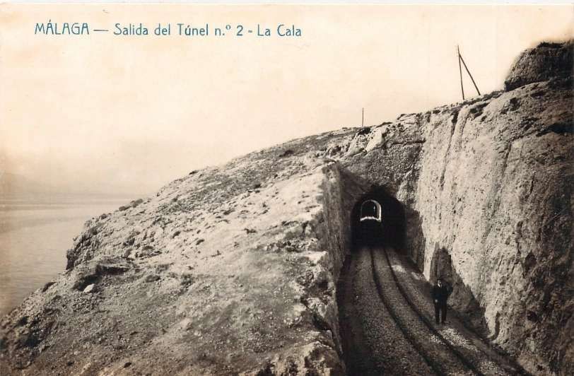
An early postcard view of the East entrance of Tunnel No. 2, La Cala del Moral., with the camera facing towards Málaga. This image was shared on the Málaga Ayer y Hoy Facebook Page on 10th December 2023. [33]
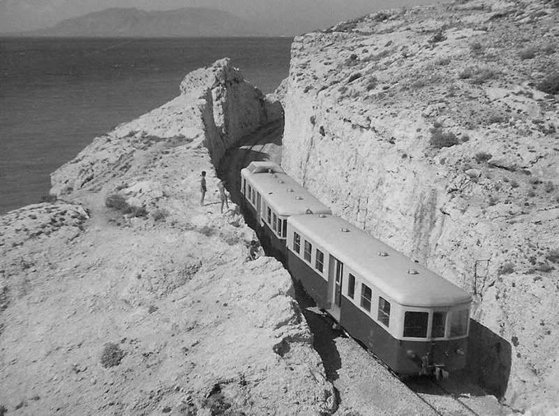
Billard railcar with trailer heading away from the camera towards La Cala del Moral, passing through the El Cantal cutting, after having passed through Rincón de la Victoria in 1958, © Not known. [39]
Looking back towards Málaga, the same East portal of the second tunnel in 2026. [My photograph, 22nd November 2026]
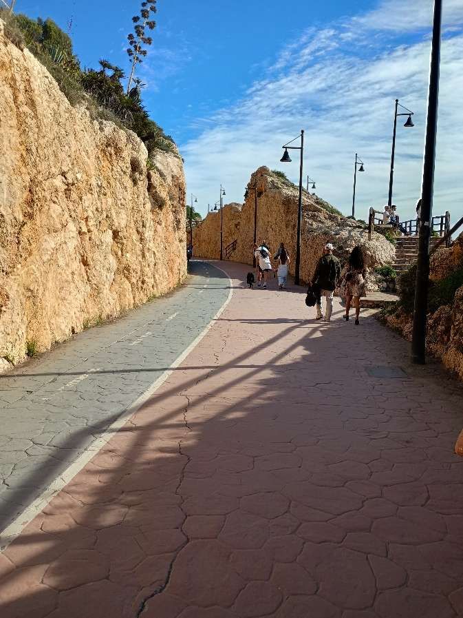
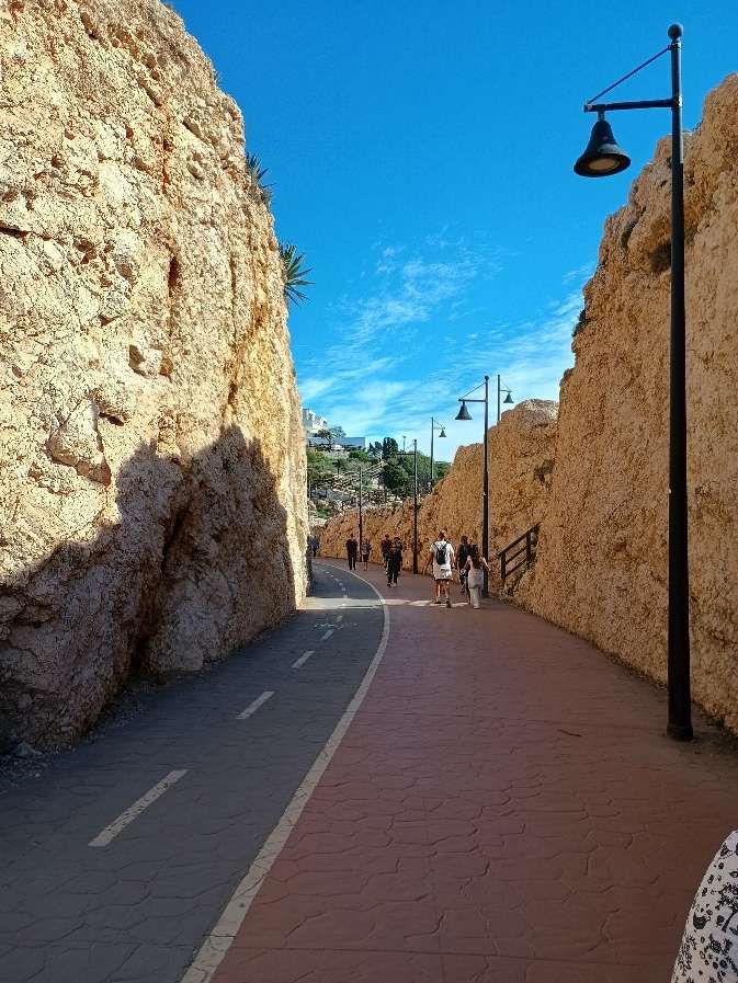
A second view of the steep-sided cutting through which trains used to pass. [My photograph, 22nd November 2026]
A third view of the steep-sided cutting. [My photograph, 22nd November 2026]
Looking back towards Málaga. [My photograph, 22nd November 2026]
The mouth of the third tunnel. [My photograph, 22nd November 2026]
Looking back towards Málaga from inside the West portal of the third tunnel. [My photograph, 22nd November 2026]
Inside the third tunnel facing East. [My photograph, 22nd November 2026]
Looking into Rincon de la Victoria from the eastern mouth of the third tunnel. [My photograph, 22nd November 2026]
Looking back towards Málaga this is the third tunnel’s eastern portal in the 21st century. [My photograph 22nd November 2026]
The third tunnel’s eastern portal when the line was in use. This image was shared by Miguel Morena Mena on the Solo Fotos Antiguas de Málaga Facebook Group on 23rd May 2023. [32]
Walking along the route of the old railway. [My photograph, 22nd November 2026]
Approaching Rincon de la Victoria railway station. [My photograph, 22nd November 2026]
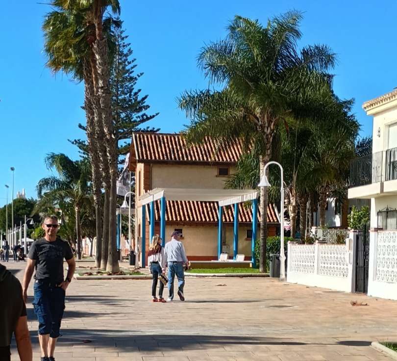
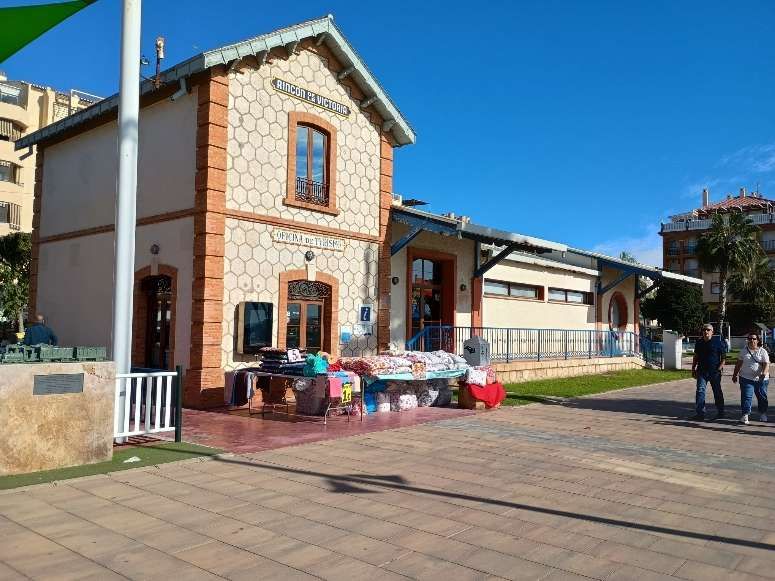
Rincon de la Victoria Railway Station building. [My photograph, 22nd November 2026]
The station building is now the tien’s tourist office. [My photograph, 22nd November 2026]
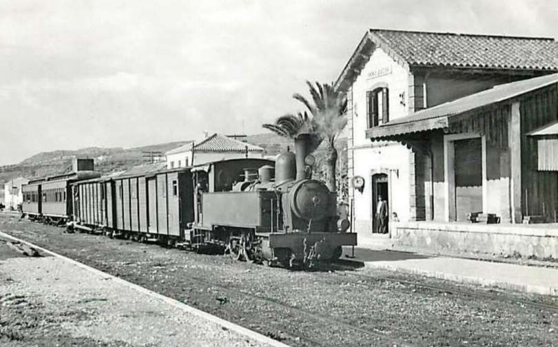
The station at Rincon de la Victoria with a Tubize (0-6-0T) 030T locomotive in charge of an East-bound service in 1962. This image was placed in the FC Suburbanos de Málaga Album on the El Ferrocarril en Andalusia Facebook Page on 30th September 2019, © Jeremy Wiseman/The Restoration and Archiving Trust. [30]
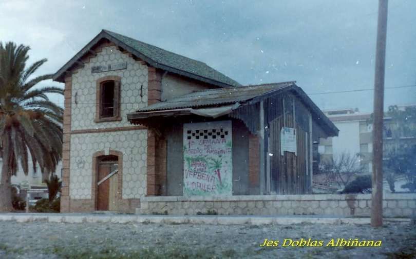
The station building at Rincon de la Victoria in the early 1980s. This photograph was placed in the FC Suburbanos de Málaga Album on the El Ferrocarril en Andalusia Facebook Page on 29th January 2026, © Jes Doblos Albinana. [31]

We take a break in our journey along the line at Rincon de la Victoria and will begin our journey again

References

  1. https://en.wikipedia.org/wiki/Cercan%C3%ADas_M%C3%A1laga, accessed on 19th November 2026.
  2. https://www.surinenglish.com/local/201802/09/there-railway-between-malaga-20180209094728-v.html, accessed on 19th November 2026.
  3. https://www.andalucia.com/cities/malaga/train/fuengirola/railway-history, accessed on 19th November 2026.
  4. https://www.alsa.com/en/coach/malaga-velez-malaga, accessed on 19th November 2026.
  5. https://www.geamap.com/en/spain#zoom=14.5&lat=36.71673&lon=-4.41261&layer=9&overlays=FFFFFFFFFFFFFFFFFFFFFFFFFFFFF, accessed on 20th November 2026.
  6. https://www.facebook.com/share/1Eh1dYLAbu, accessed on 20th November 2026.
  7. https://www.facebook.com/share/p/1JqHavg8c9, accessed on 29th November 2026.
  8. https://www.facebook.com/share/p/1EAVfYeMB5, accessed on 20th November 2026.
  9. https://share.google/xyi0ZZQQah8EuQpaZ, accessed on 20th November 2026.
  10. https://www.facebook.com/share/p/1VpjAG9jPy, accessed on 20th November 2026.
  11. https://elferrocarrilenandalucia.es/fototeca/infraestructuras/lineas-y-ramales/via-estrecha/suburbanos-de-malaga, accessed on 20th November 2026.
  12. https://www.facebook.com/share/1RKPehKaGM, accessed on 19th November 2026.
  13. https://en.todocoleccion.net/postcards-andalusia/ferrocarriles-suburbanos-malaga-estacion-provisional-malaga-j-lacoste-anos-10~x293255673,accessed on 20th November 2026.
  14. https://www.facebook.com/share/p/1GTPgyr4vn, accessed on 20th November 2026.
  15. https://www.facebook.com/share/p/1Gpye44ZSe, accessed on 20th November 2026.
  16. https://www.openstreetmap.org/#map=15/36.72041/-4.40262, accessed on 20th November 2026.
  17. https://www.facebook.com/share/p/1FHsgRsJgu, accessed on 20th November 2026.
  18. https://www.facebook.com/share/p/1BZmVXreeJ, accessed on 21st November 2026.
  19. https://www.openstreetmap.org/#map=15/36.72122/-4.36843, accessed on 21st November 2026.
  20. https://www.facebook.com/share/p/1A6vkwz9Z2, accessed on 21st November 2026.
  21. https://www.facebook.com/share/1Dpz3BsA9N, accessed on 21st November 2026.
  22. https://ebay.io/m/brthtu, accessed on 21st November 2026.
  23. https://www.facebook.com/share/19s84VLUd9, accessed on 21st November 2026.
  24. https://www.spanishrailway.com/ferrocarriles-suburbanos-de-malaga, accessed on 19th November 2026.
  25. https://www.facebook.com/share/19SRoEVSUd, accessed on 21st November 2026.
  26. https://www.monumentalnet.org/monumento.php?r=MA-067000500-MAL-ANT-EST-FER-PAL, accessed on 21st November 2026.
  27. https://www.openstreetmap.org/#map=15/36.71685/-4.34928, accessed on 21st November 2026.
  28. https://www.openstreetmap.org/#map=15/36.71466/-4.32677, accessed on 21st November 2026.
  29. https://www.facebook.com/share/p/1FMv3rTty4, accessed on 21st November 2026.
  30. https://www.facebook.com/share/p/1JPLKRYz6g, accessed on 21st November 2026.
  31. https://www.facebook.com/share/p/19zcbhr9tB, accessed on 21st November 2026.
  32. https://www.facebook.com/share/p/19wmpaisAn, accessed on 21st November 2026.
  33. https://www.facebook.com/share/p/1FPZkQXC4m, accessed on 21st November 2026.
  34. https://www.facebook.com/share/p/1FvEDhrsxn, accessed on 21st November 2026.
  35. https://www.facebook.com/share/p/1CaJfVRYJU, accessed on 21st November 2026.
  36. https://www.facebook.com/share/p/1A7c5fC8Rj, accessed on 21st November 2026.
  37. https://rogerfarnworth.com/2026/11/19/la-cochinita-malaga-and-the-lines-of-the-compania-de-los-ferrocarriles-suburbanos-de-malaga-fsm
  38. https://commons.wikimedia.org/wiki/File:La_Cochinita_%28Lalone,_2022%29_01.jpg, accessed on 22nd November 2026.
  39. https://www.facebook.com/share/1Cb3XWc5yzhttps://www.facebook.com/share/1Cb3XWc5yz/, accessed on 22nd November 2026.
  40. https://www.facebook.com/share/19BYTRb4TV, accessed on 22nd November 2026.
  41. https://www.facebook.com/share/1CoXdf56H8, accessed on 22nd November 2026.