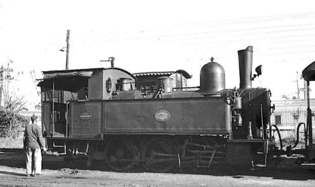
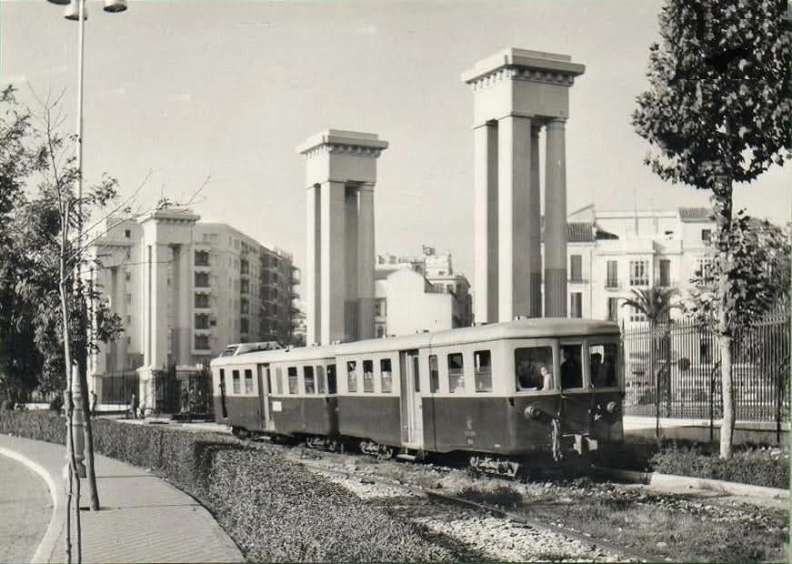
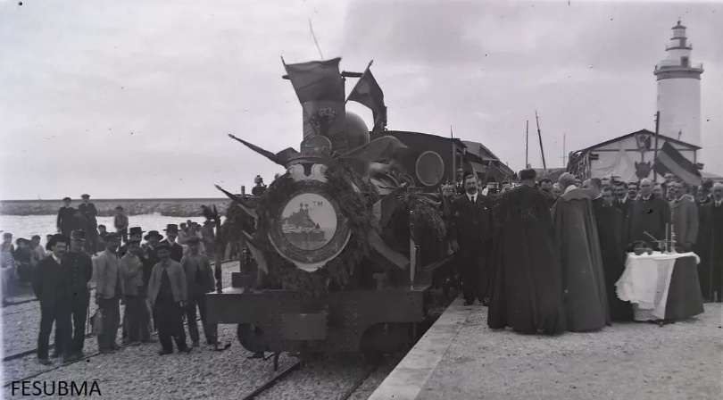
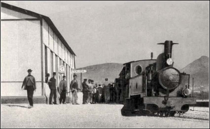
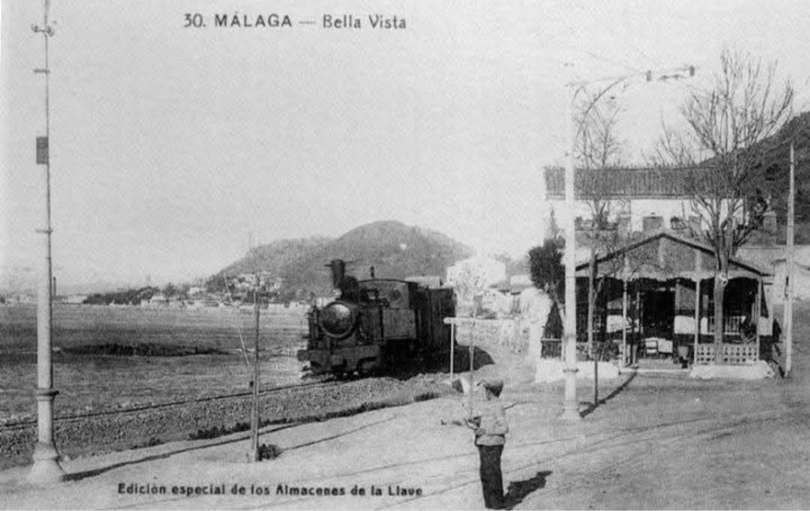
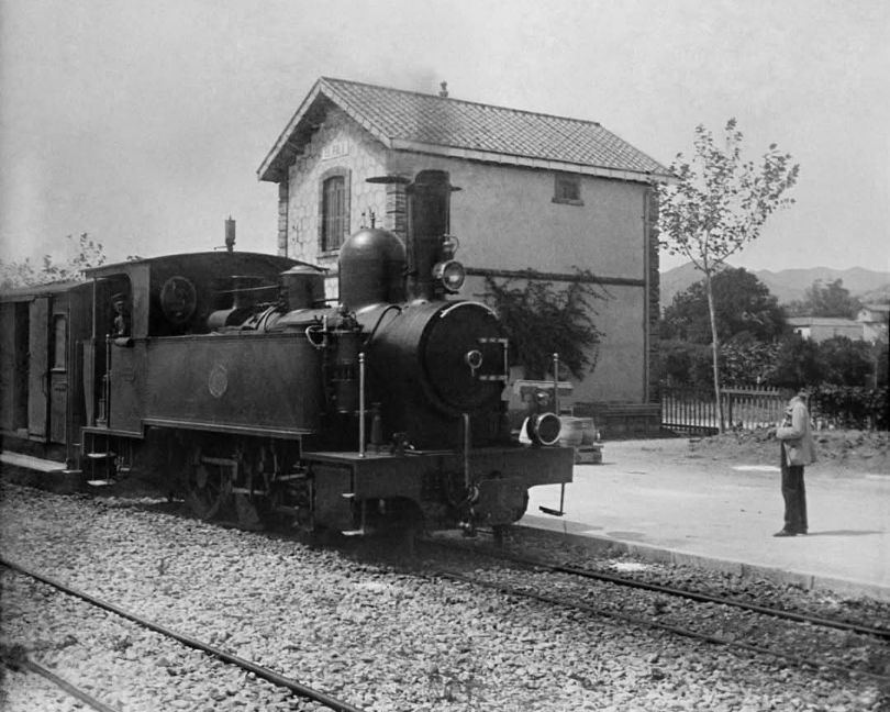
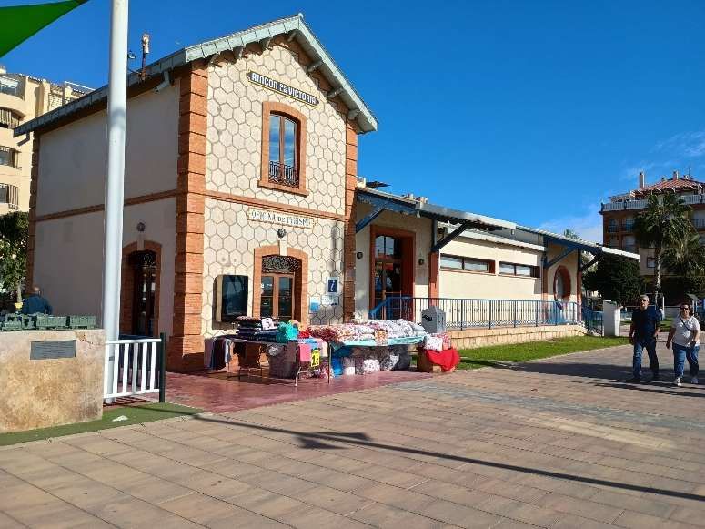
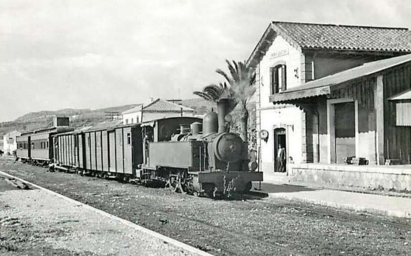
The featured image for this article is Tubize 0-6-0T (030T) locomotive No 24 at the FSM station in Málaga. This image was captured by Juan Bautista Cabrera and is held in the Historical Railway Archive, Madrid Railway Museum. It was shared on the El Ferrocarril en Andalusia Facebook Page on 10th December 2021. [41]
There is a general introduction to the lines of the FSM here. [37] The Málaga to Vélez-Málaga line is one of three routes built and initially operated by the FSM.
The Málaga to Vélez-Málaga metre-gauge railway opened in 1908 as the first line of the Ferrocarriles Suburbanos de Málaga (FSM) network and closed in 1968. [1]
The line was extended to Ventas de Zafarraya in 1921 (a complex mountain section that closed in 1960). Planned extensions toward Granada and a link from Torre del Mar to Zurgena (Almería) were never built. [2][3]
In the 21st century, parts of the former railway route and old stations have been repurposed, walked, or cycled, while intercity buses – such as Alsa [4] and line M260 – serve the route between Málaga and Vélez-Málaga.
Several station buildings from the Málaga to Vélez-Málaga metre-gauge line survive today, and much of the former 36 km coastal trackbed is walkable or cyclable via the Vía Verde del Rincón de la Victoria, the Senda Litoral, and the Gran Senda de Málaga.
The Route of the Málaga to Vélez-Málaga Line– Málaga to Rincon de la Victoria
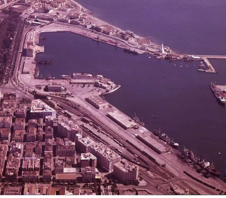
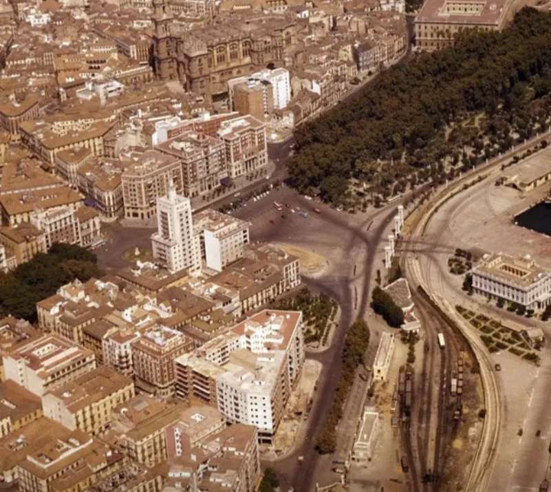
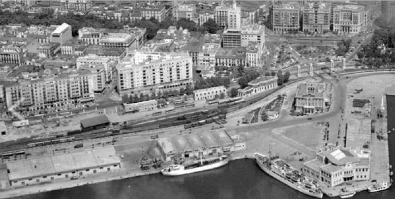
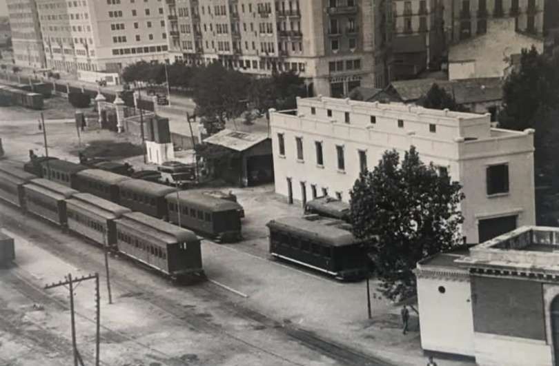
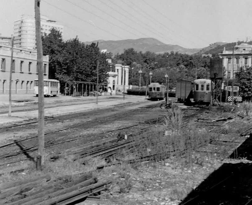
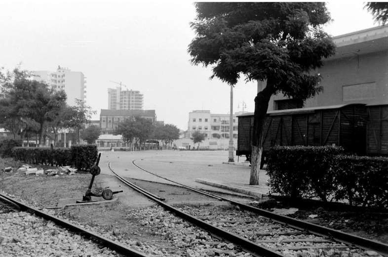
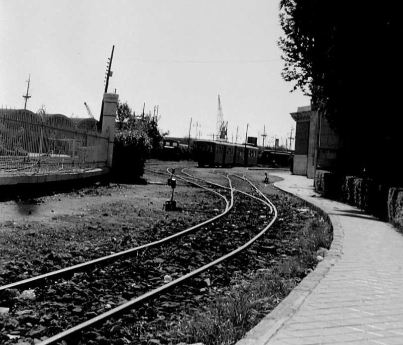
The suburban line’s station in Málaga was immediately adjacent to the port.
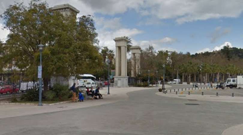
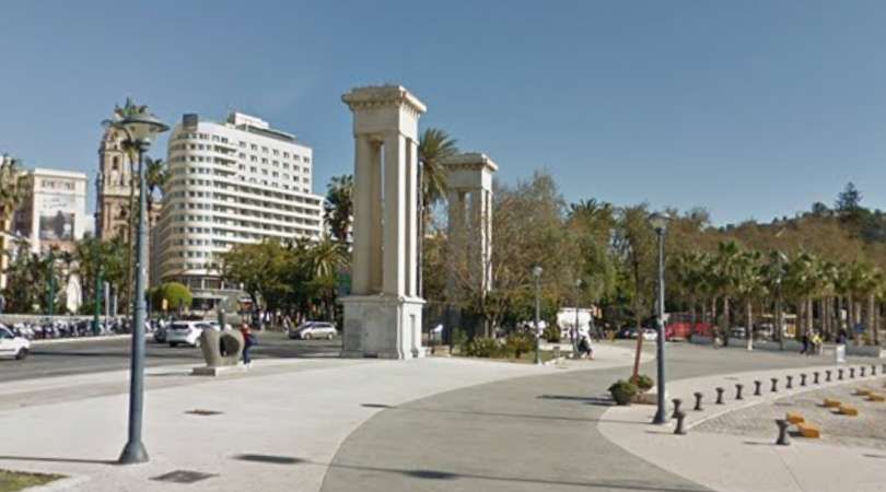
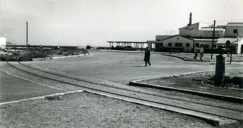
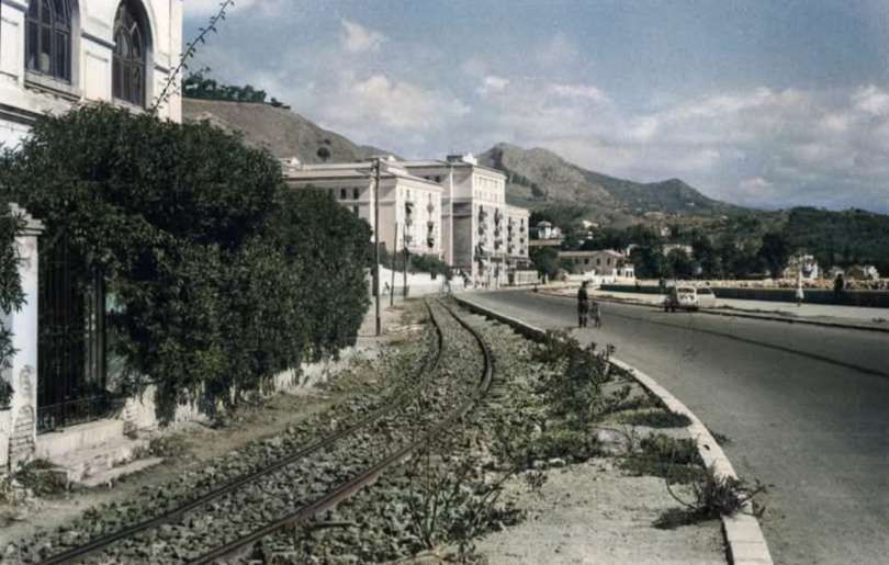
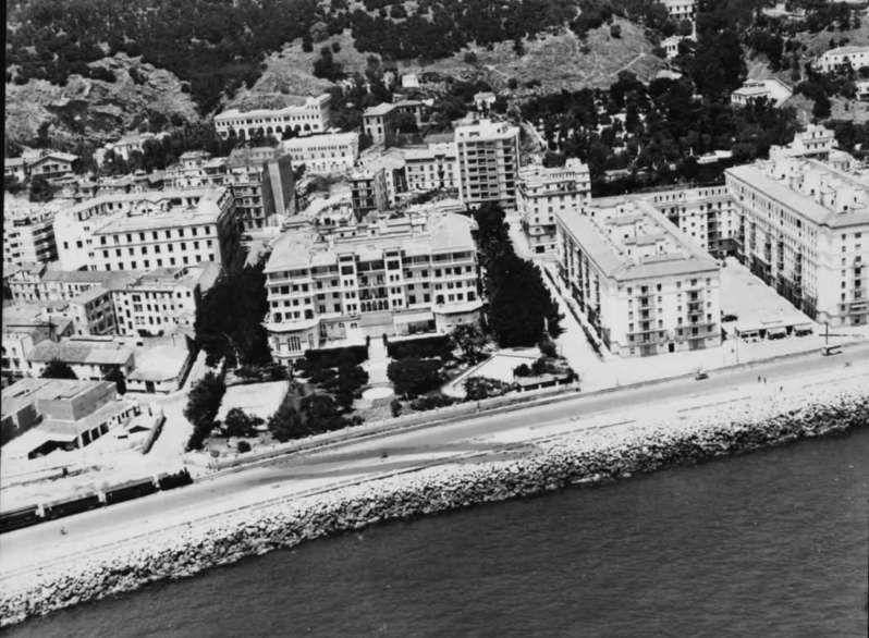
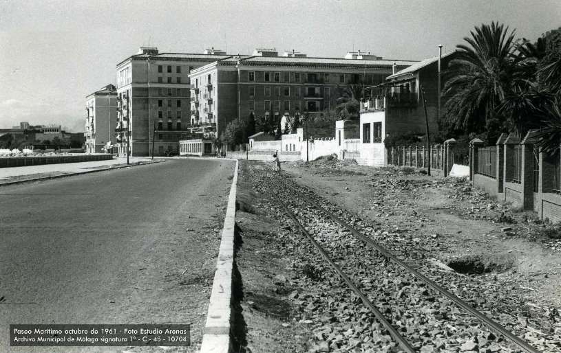
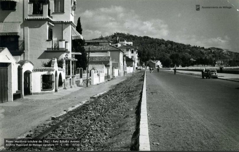
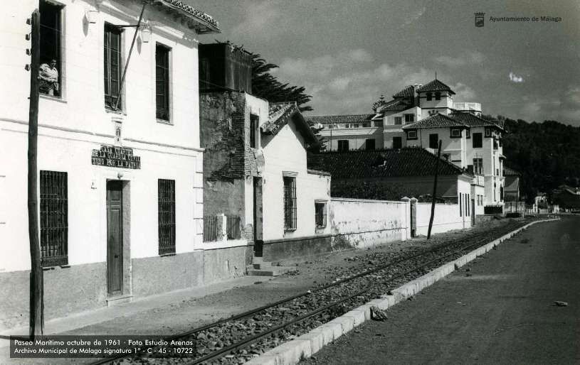
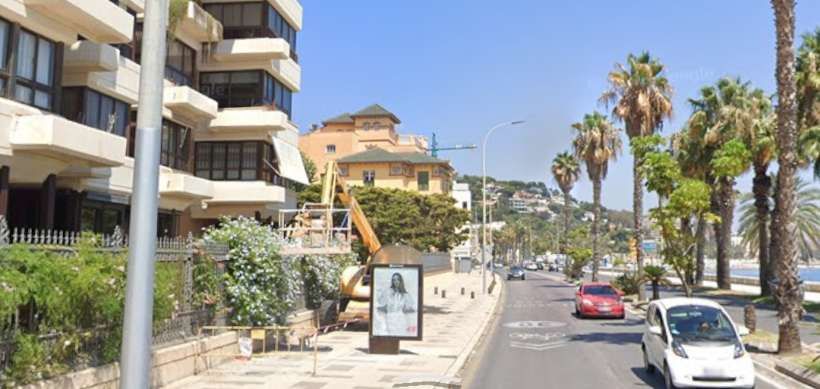
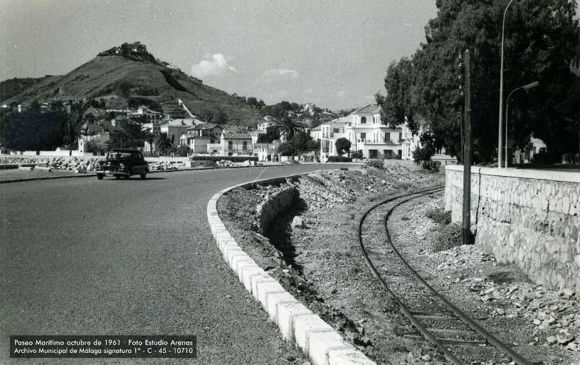
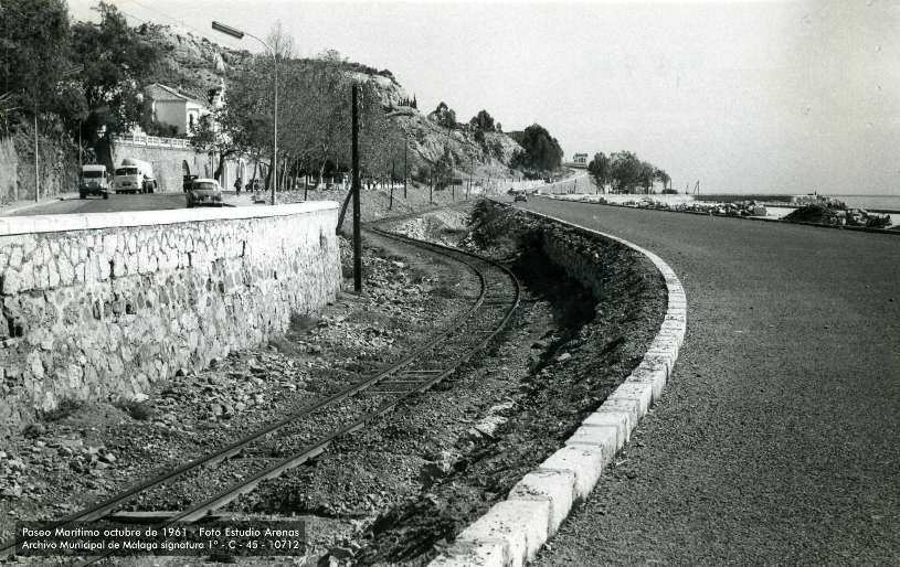
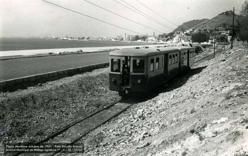
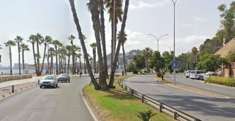
The last two photographs come from a series of 13 held in the Archivo Municipal de Malaga that follow the promenade and the FSM going East – starting from La Malagueta and ending at the end of La Caleta, near El Morlaco. All these images, each with a short commentary in Spanish (which can be easily translated online), can be found on Facebook. [15]
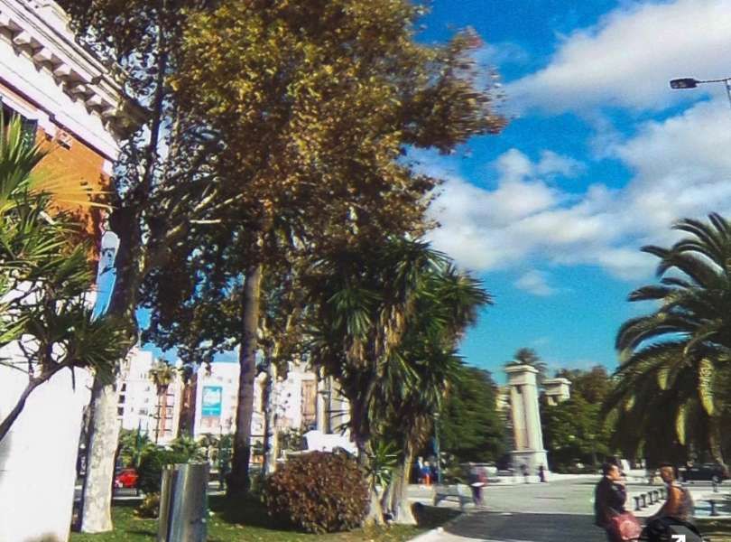
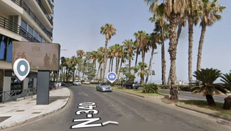
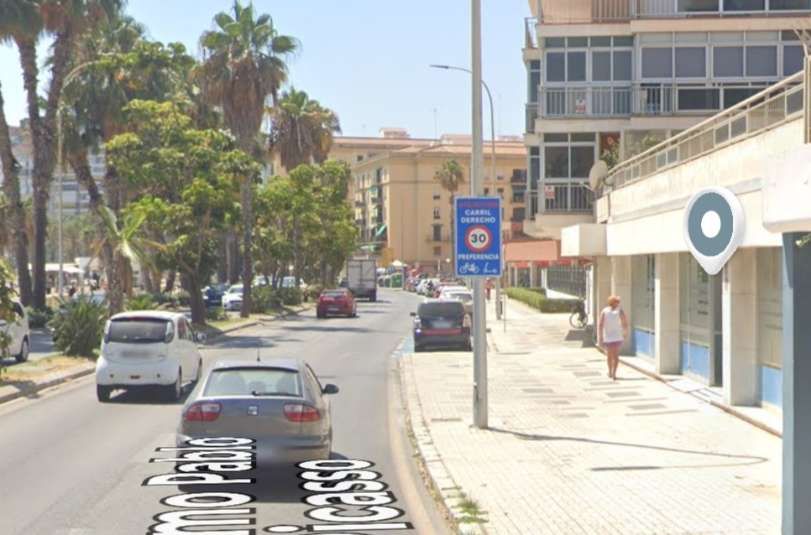
A similar location to the last image above, in the 21st century. [Google Streetview, July 2026]
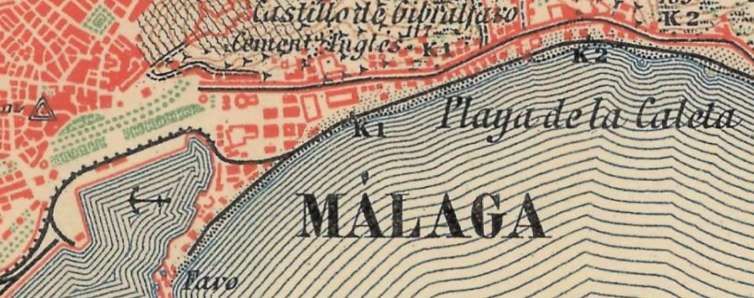
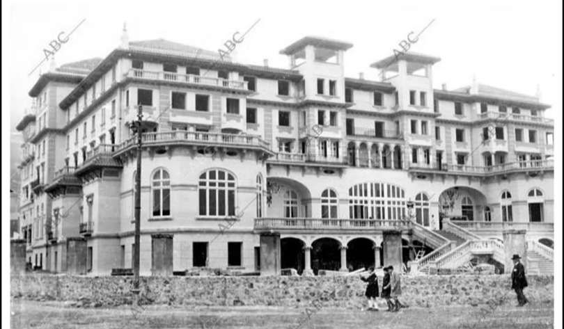
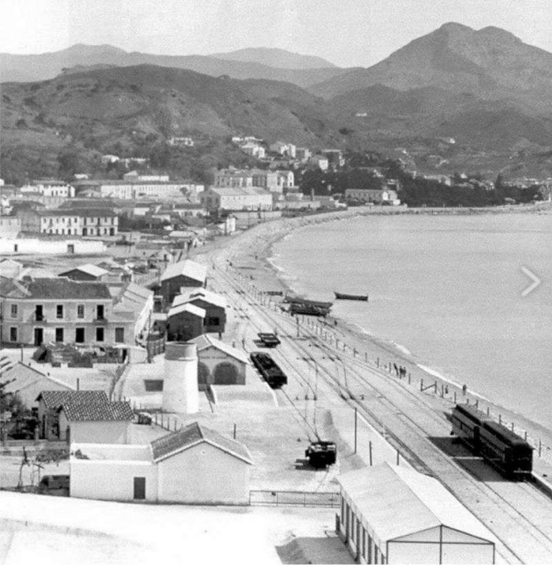
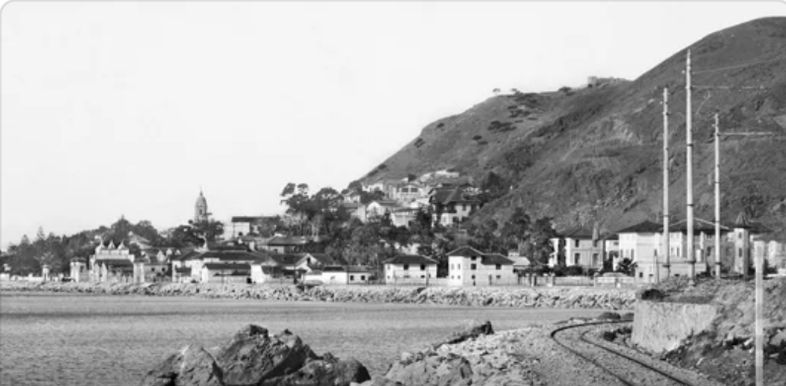
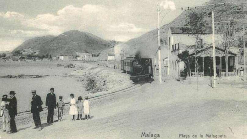
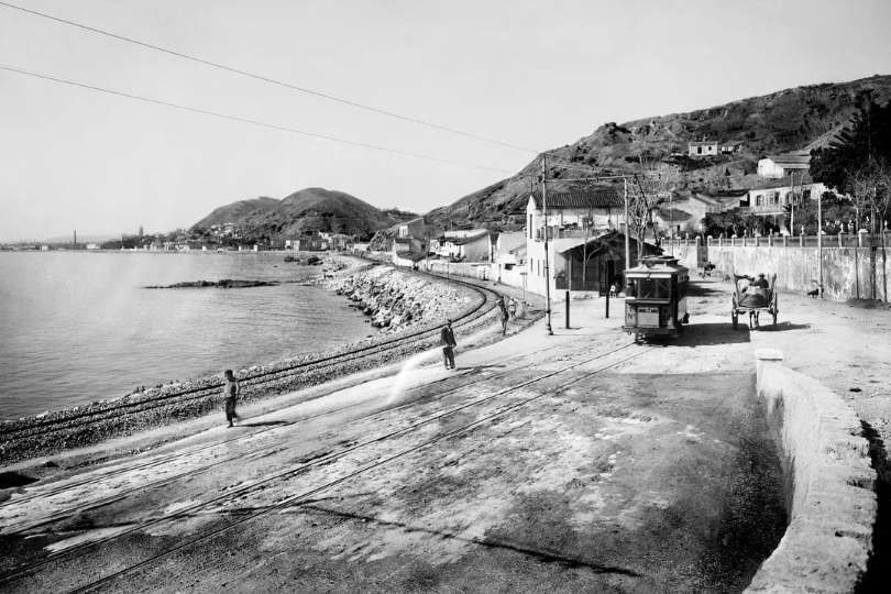
It does not appear so from the National Geographic Institute (IGN) 1:50,000 mapping but it is clear that by the 1960s the railway was separated from the beach by a road. This was not the case in the early years. The two images below show the original Málaga Railway Station which was alongside the beach in Malagueta.
Before this building was constructed, this length of the shoreline was home to a temporary FSM railway station which served Málaga until the station near the port was completed.
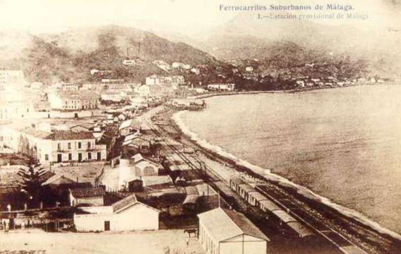
An early East-facing postcard view showing the FSM running along the shore to the East of the present location railway station and port. A station was at first provided at Malagueta Beach in 1908. It was operational only until the station adjacent to the port was completed, circa. 1913. Published as Issue No. 1 by J. Lacoste, circa early 1910s, although the publication date is not specified. [13]A much clearer photograph taken on another occasion. As noted above, this station was only in use from 1908 to 1913. [11]
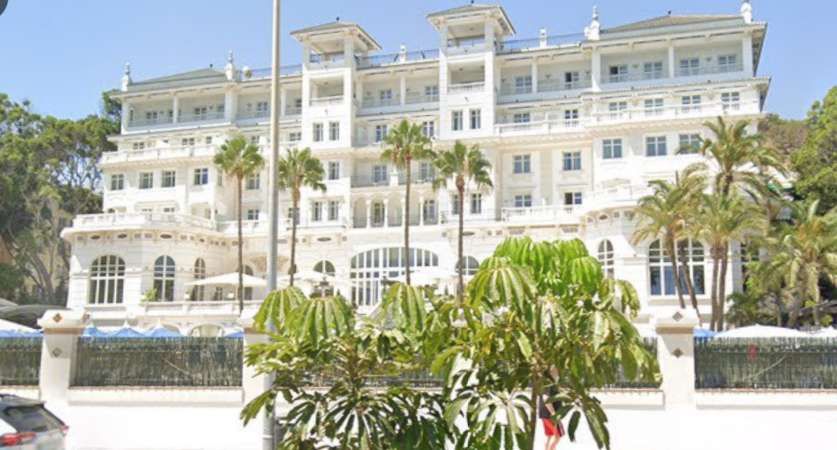
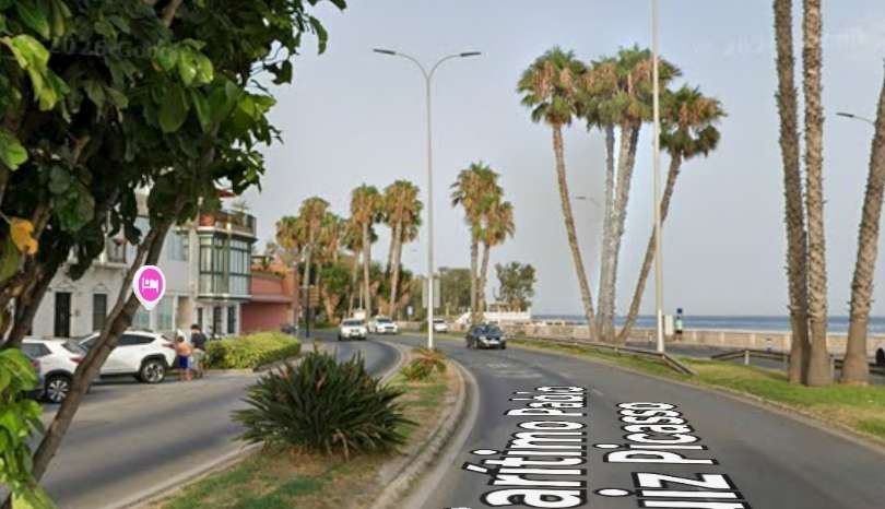
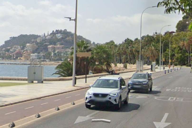
The Malagueta station site was in the beachfront in the La Malagueta neighbourhood (corresponding to the modern Paseo Marítimo Ciudad de Melilla and Paseo Marítimo Pablo Ruiz Picasso), opposite the Palacio de Miramar (today’s Gran Hotel Miramar) and the former Baños de Apolo.
This area was significantly redeveloped to create a modern coast road and the old station building did not survive.
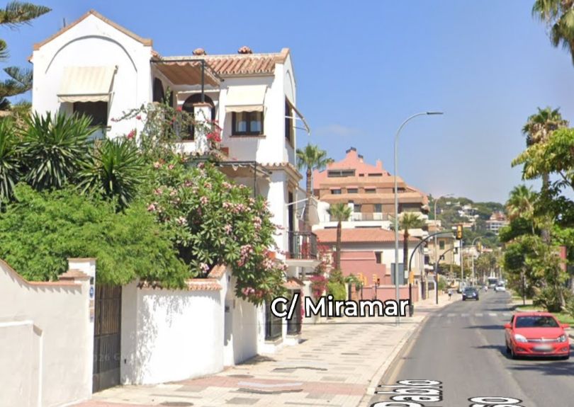
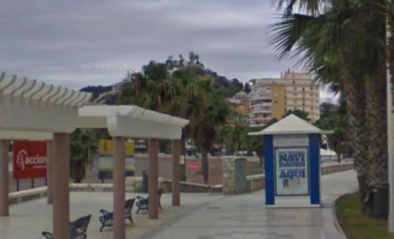
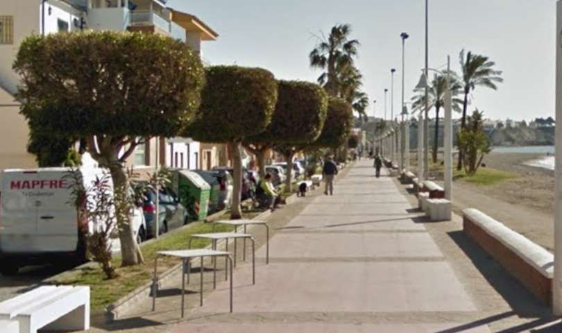
A similar location/view in the 21st century. [Google Streetview, August 2024]
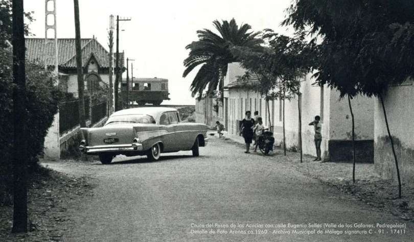
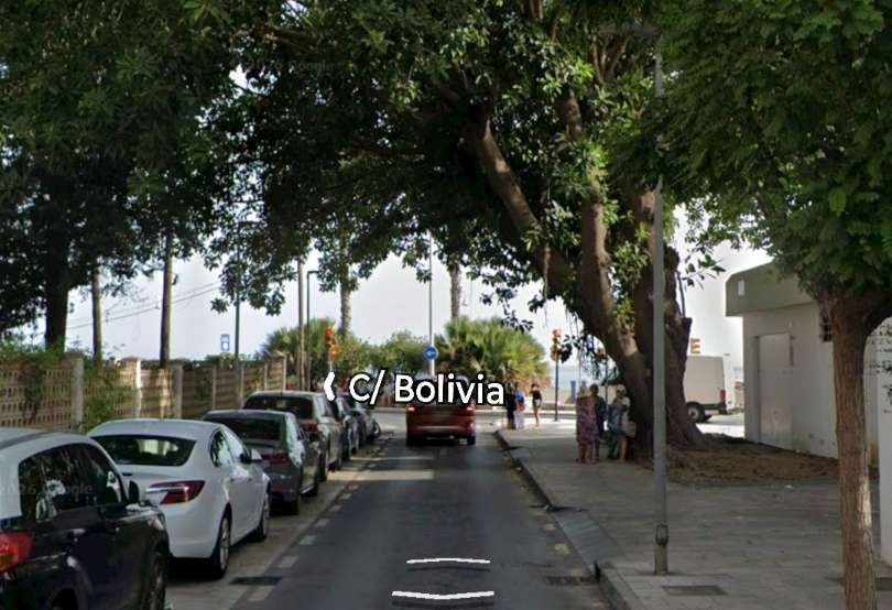
Along the length of the lines a number of bridges allowed the passage of vehicles under the line one example of this appears immediately below and could be found on the approaches to El Palo. The route of the old railway ran along, what in the 21st century is, Calle Bolivia. These next two images illustrated the difference in levels in the immediate vicinity of the line. …..
This view looks South towards the railway along Paseo de las Acacias, a 1957 model Chevrolet blocks our view along the street making it impossible in this case to work out whether a low bridge was provided. The level difference is, however, clear. A Billard A150D7 is passing the end of the street. This image was added to the FC Suburbanos de Málaga Album on the El Ferrocarril en Andalusia Facebook Page on 9th September 2024. [36]In this 21st century image the Paseo de las Acacias has been regarded to meet the Calle Bolivia which has replaced the old railway. [Google Streetview, July 2026]
The line continued East crossing the Arroyo Jaboneros and on to the Station at El Palo. …
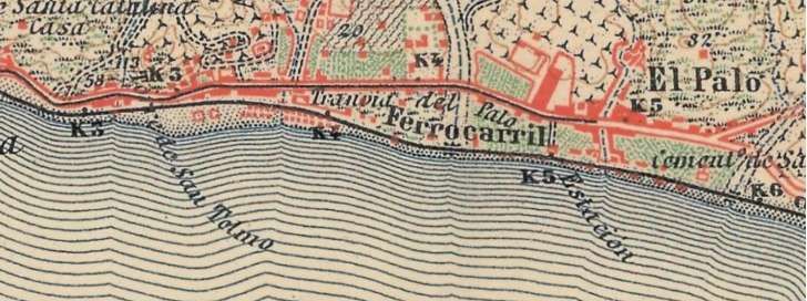
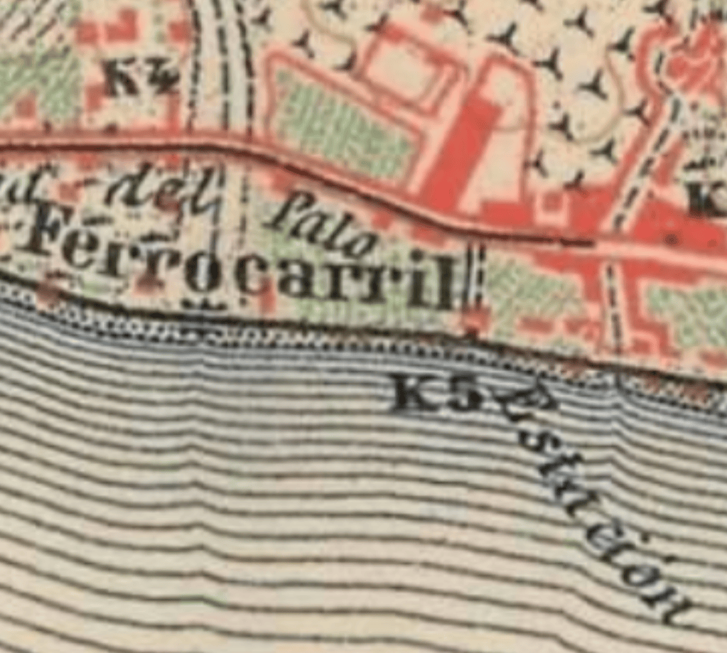
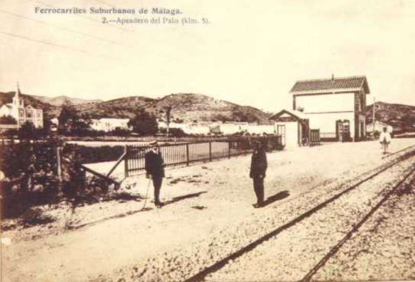
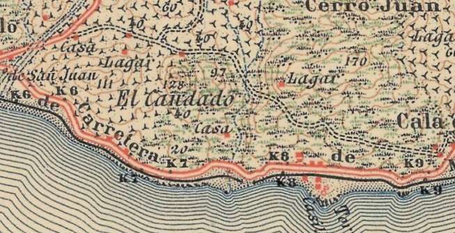
El Palo Station was located two thirds across the above 1: 50,000 map extract as shown by this enlarged view. The East terminus of the Málaga street tramway can also be seen in this map extract. [5]
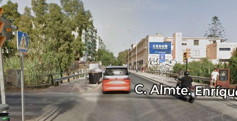
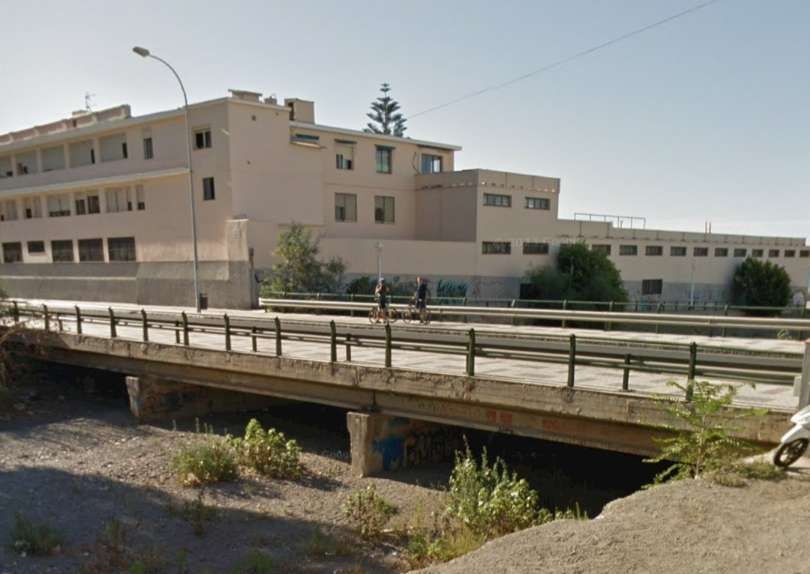
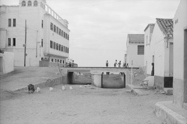
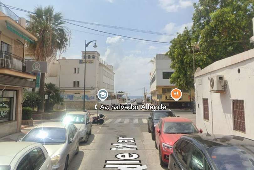
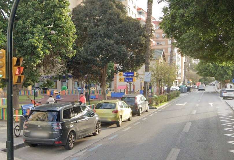
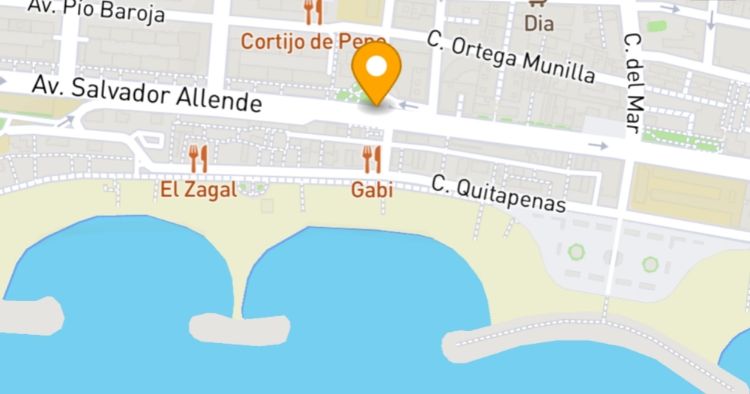
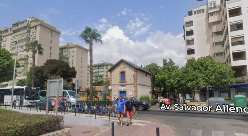
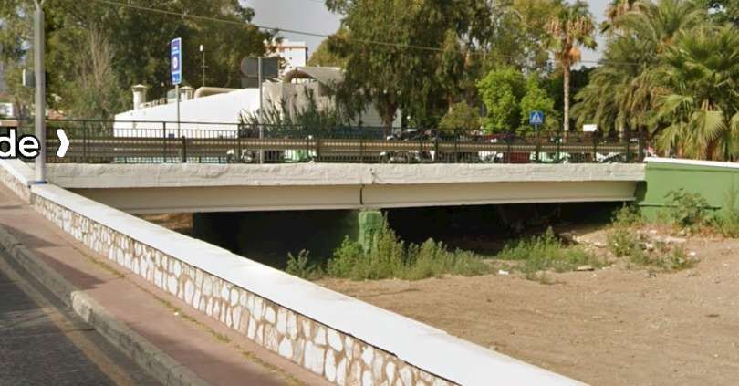
The old railway line followed the modern Calle Bolivia bridging the Arroyo Jaboneros and then following the modern Avenida Salvador Allende. [Google Streetview, July 2026]Seen from the Northwest, the bridge carrying the modern road over Arroyo Jaboneros takes the place once given to an old railway bridge. [Google Street, August 2015]
Before reaching El Palo Railway Station, the FSM bridged at least one road, Calle Mar. This. Next pair of photographs illustrates the way in which the urban landscape must have changed after the closure of the FSM.
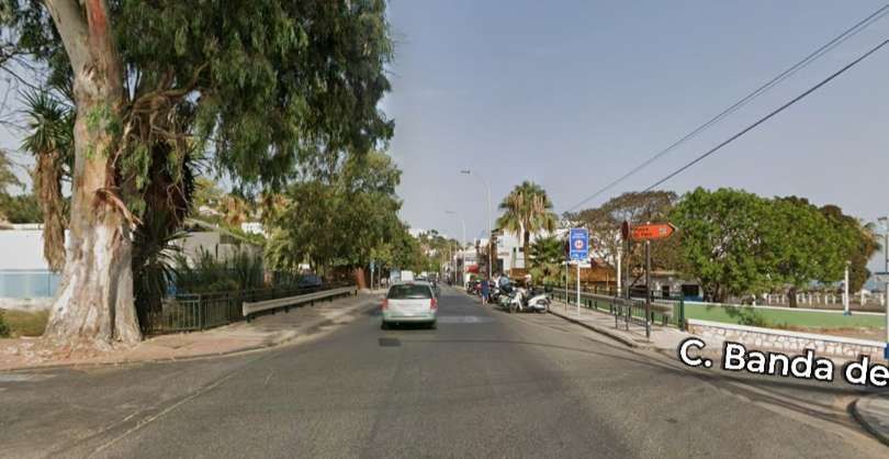
The FSM continued to hug the coast as it headed East towards Cala del Moral and Rincon de la Victoria. … To the East of El Palo, it crossed the Arroyo Gálica, currently a more modern structure carries Avenida Salvador Allende over the riverbed.
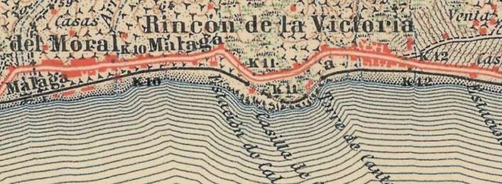
The old railway ran along, what is now, Avenida Salvador Allende and at the El Palo village limit bridged the Arroyo Gálica. [Google Streetview, Jul 2026]The modern bridge which carries Avenida Salvador Allende over the Arroyo Gálica, seen from the South. [Google Streetview, July 2026]At the very left of this next map extract, the El Arroyo Gálica formed the eastern boundary of the popular fishing neighbourhood of El Palo. It was bridged by the FSM before the railway continued along the coastline through La Cala del Moral. [5]The line continued East through Rincon de la Victoria. [5]
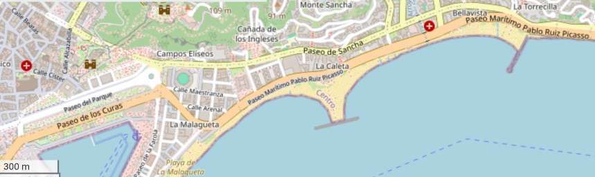
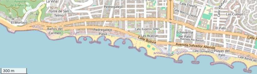
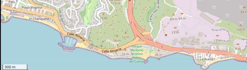
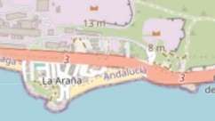
Two map extracts from openstreetmap.org cover approximately the same area of the coastline as the two 1:50,000 map extracts above. [27][28]
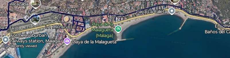
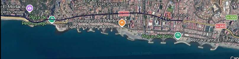
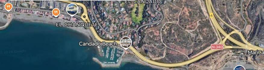
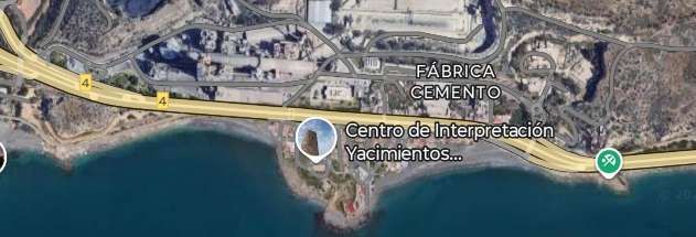
Two extracts from Google’s satellite imagery cover a similar length of the coast as the 1:50,000 map extracts and the openstreetmap.org extracts above. [Google Maps, November 2026]
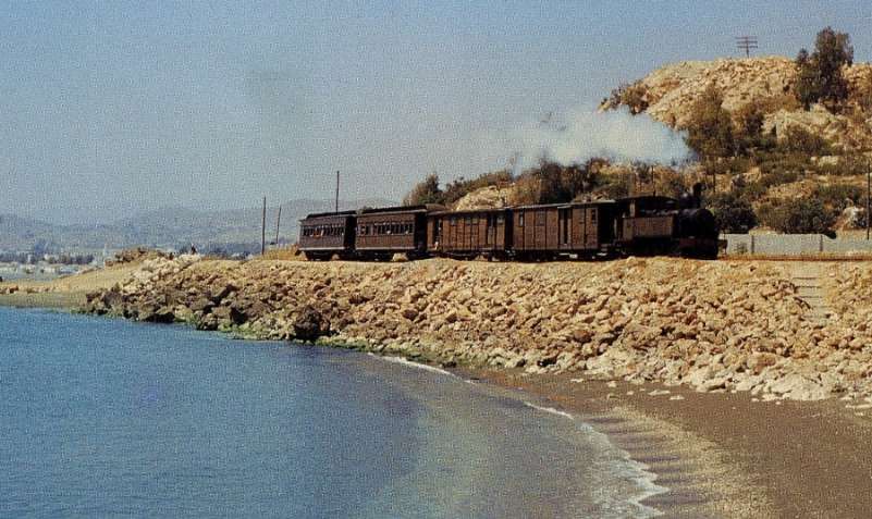
To the East of El Palo the FSM followed the coastline as Jeremy Wiseman’s photograph below illustrates.
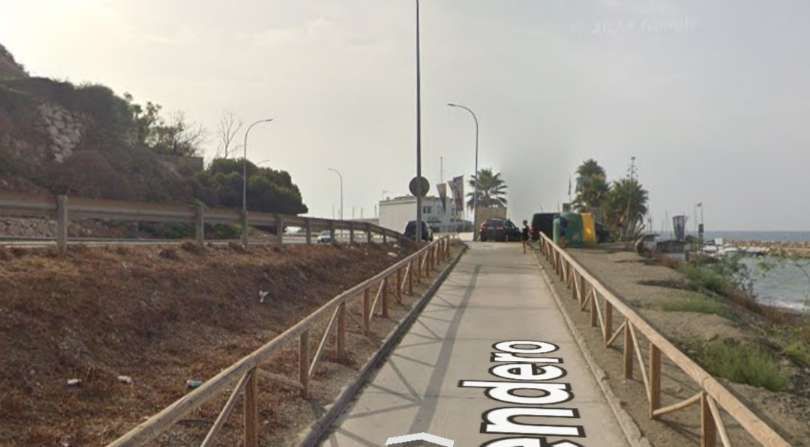
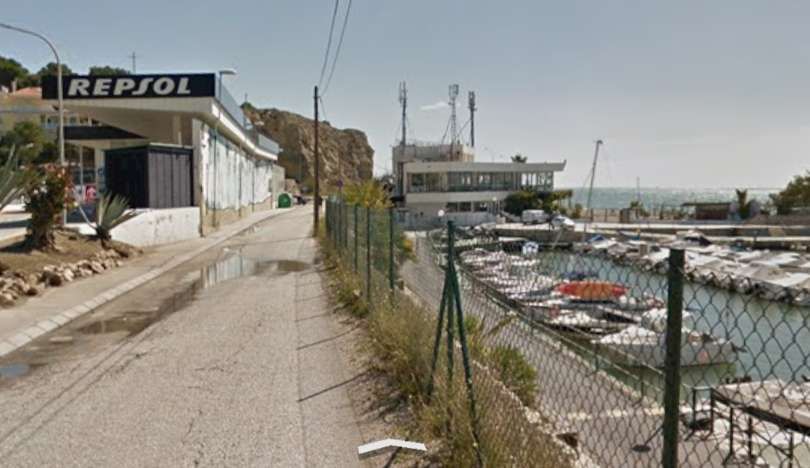
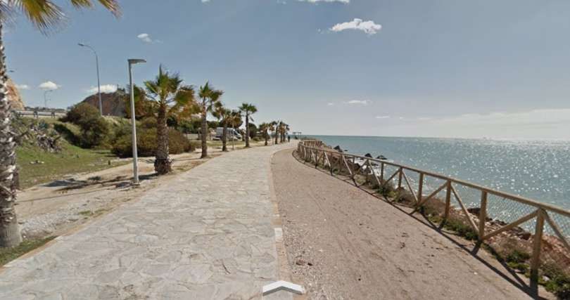
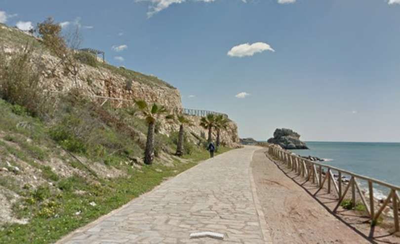
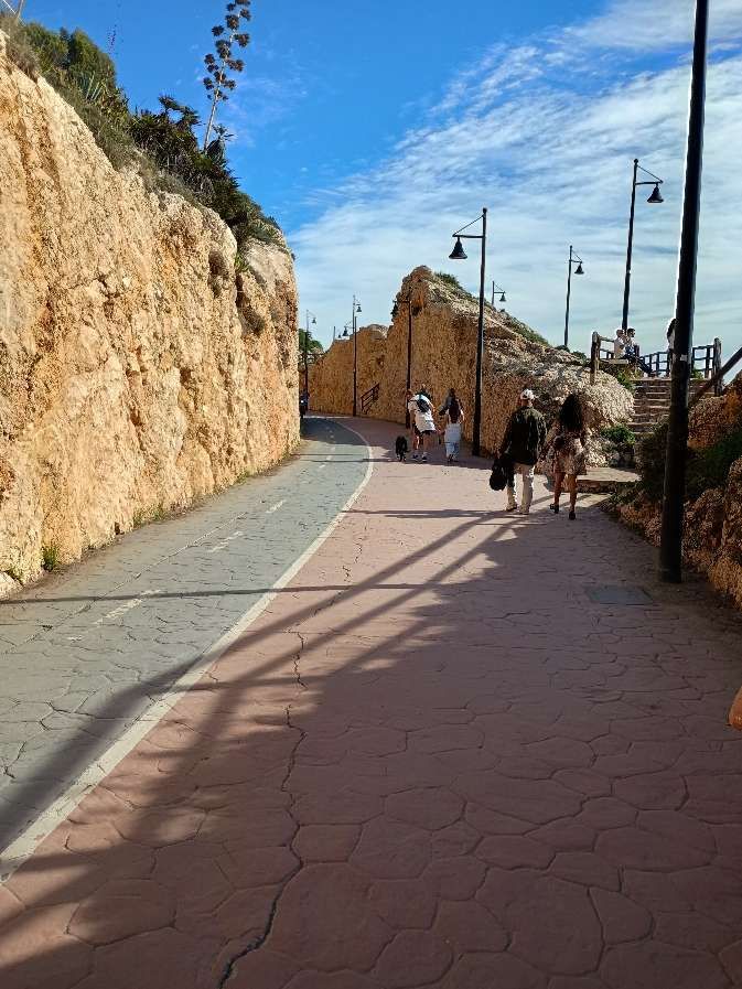
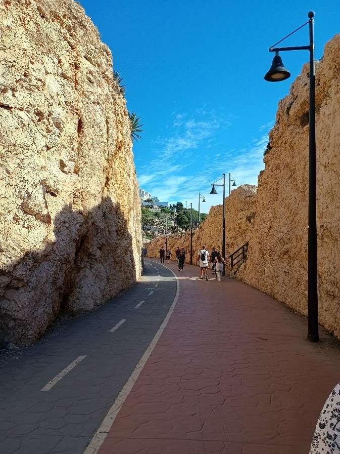
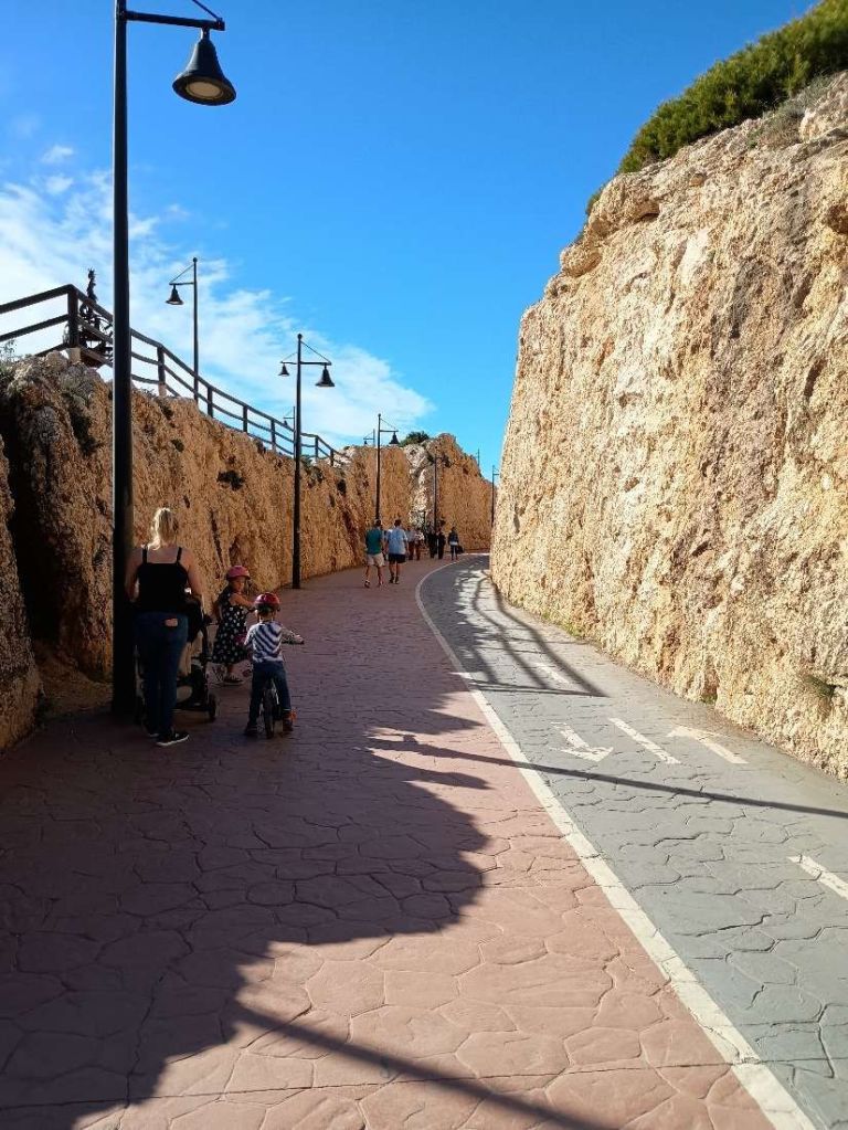
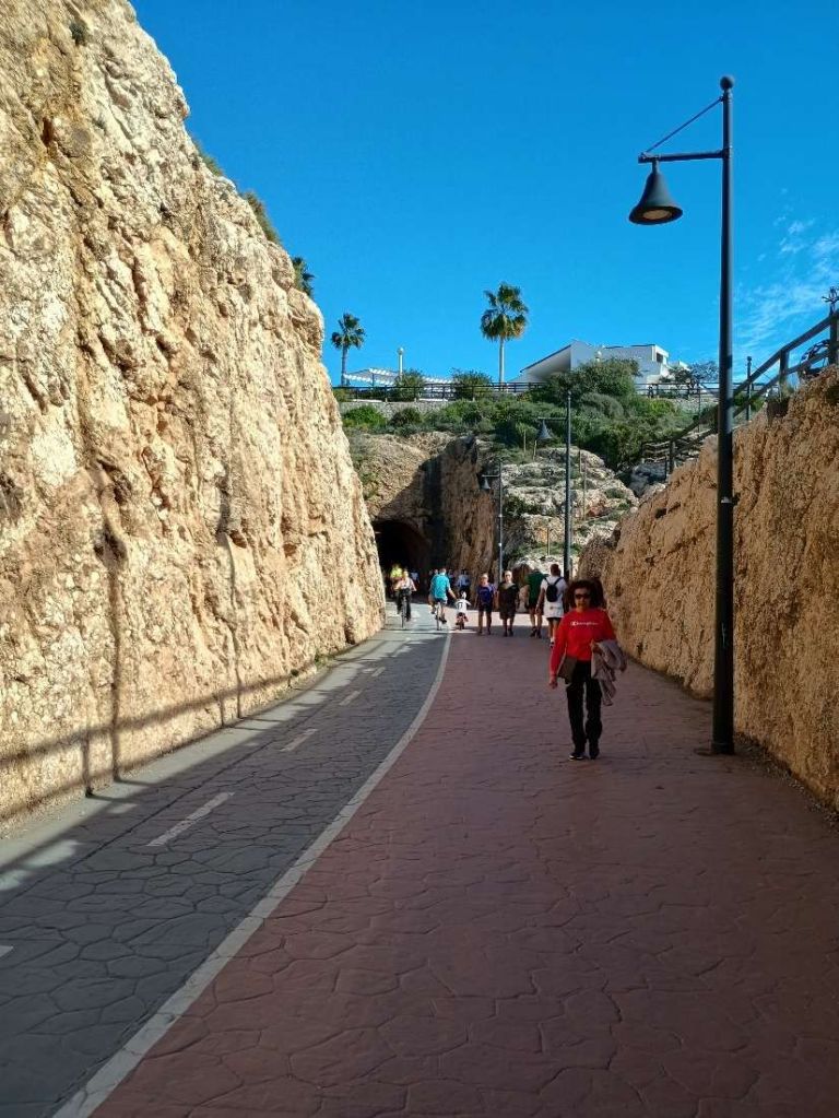
This next series of photographs follow the footpath/cycleway which runs along the formation of the old railway to the East of El Palo. …
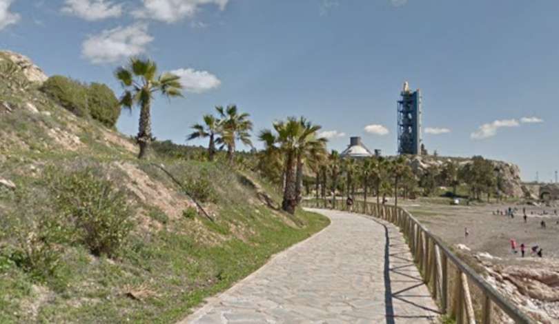
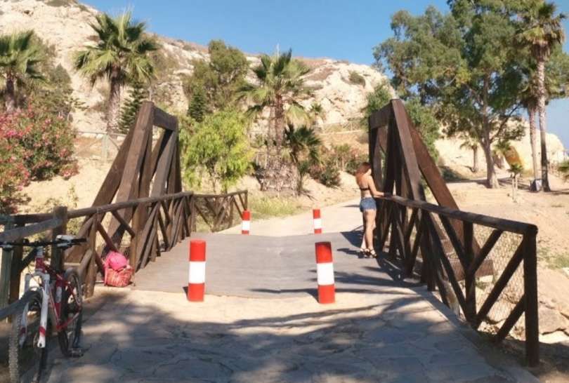
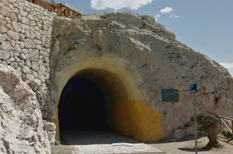
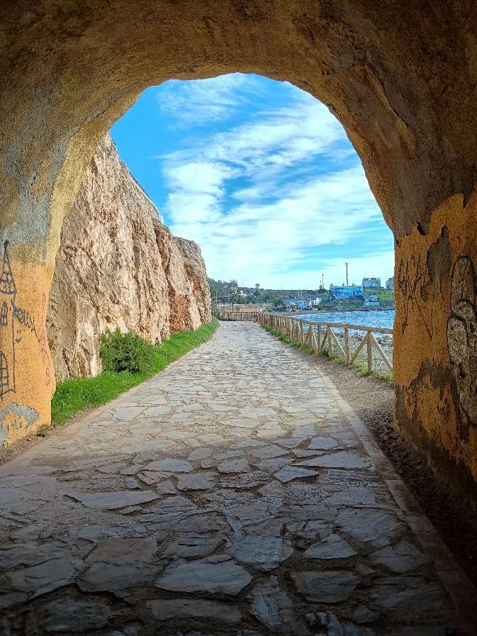
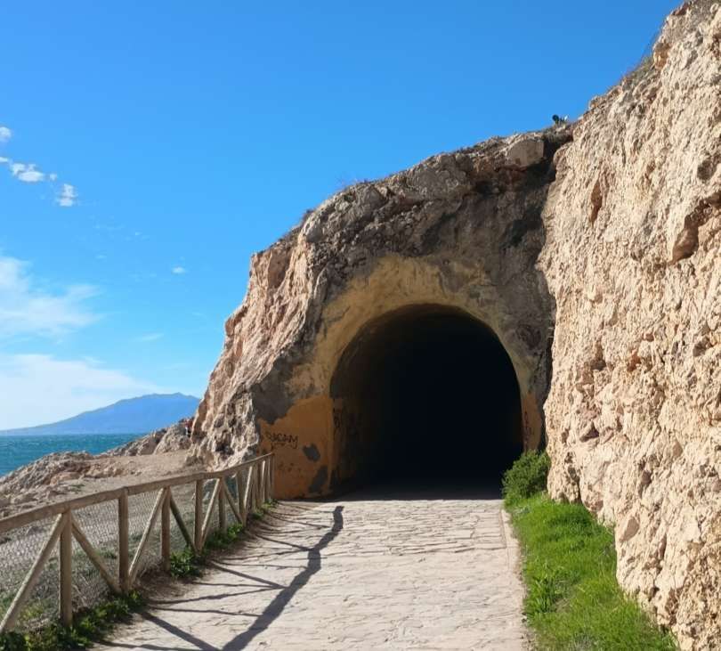
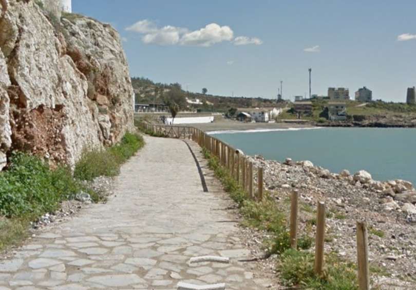
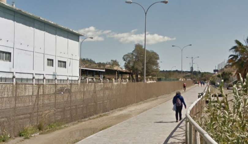
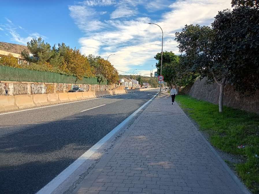
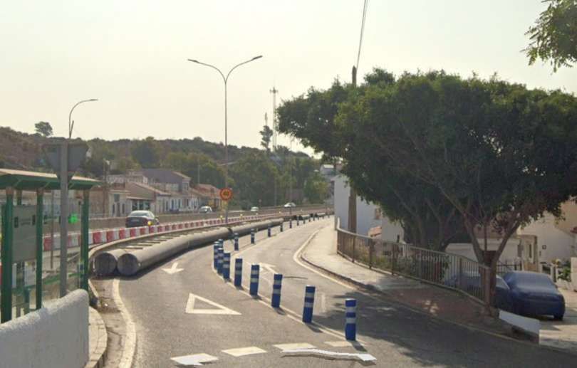
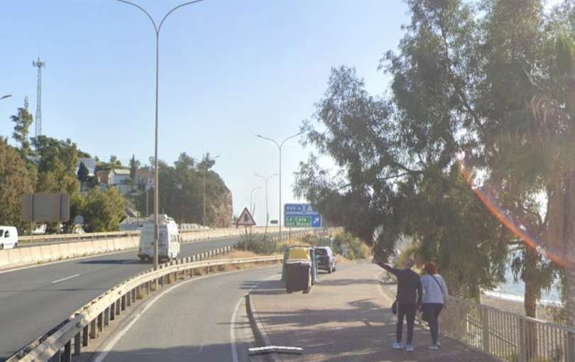
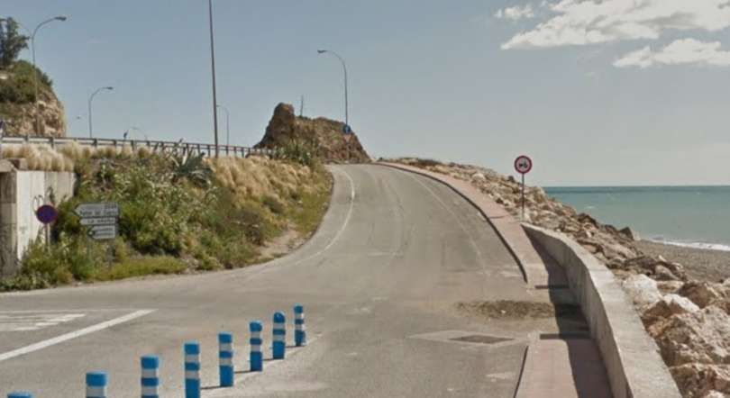
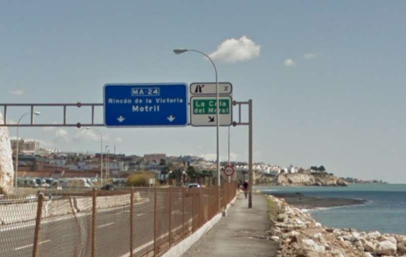
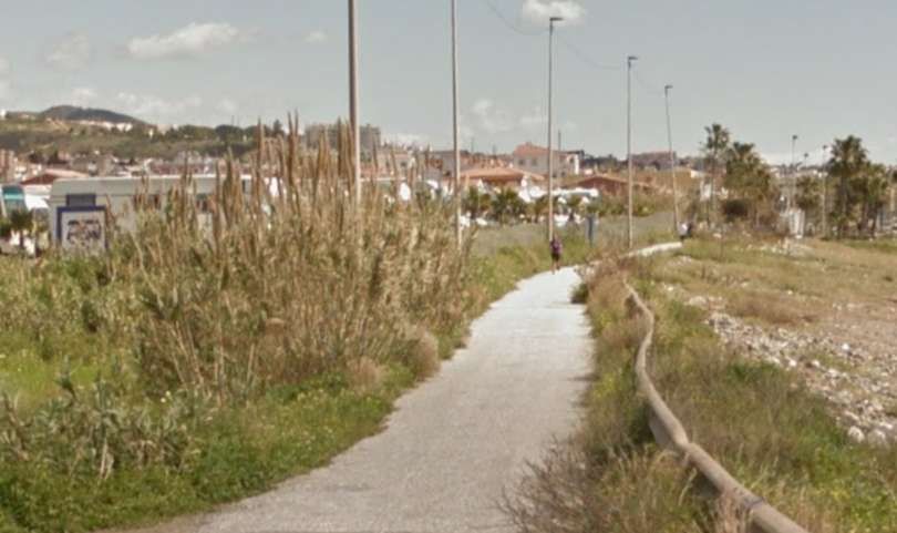
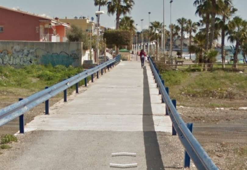
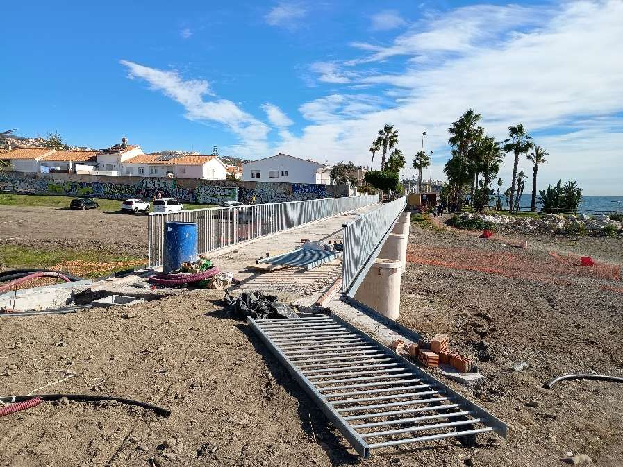
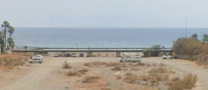
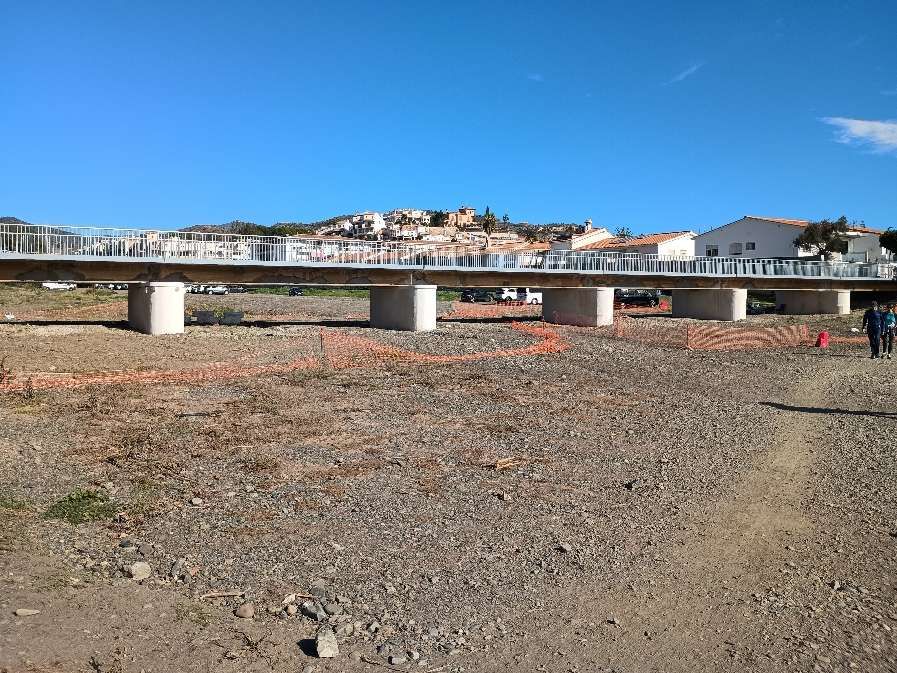
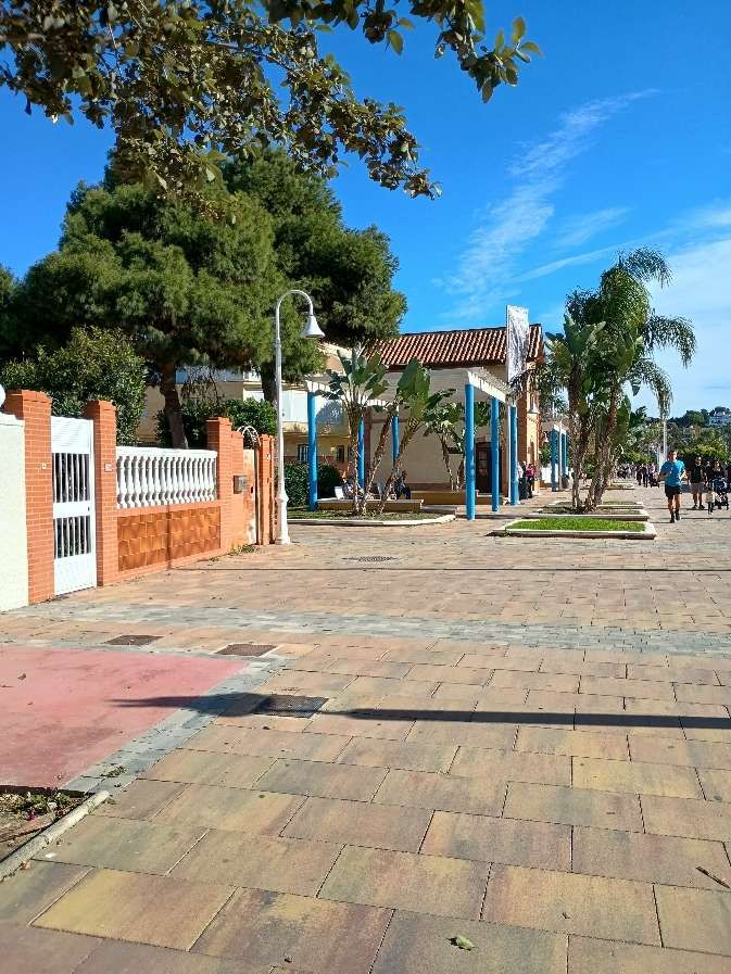
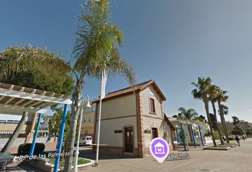
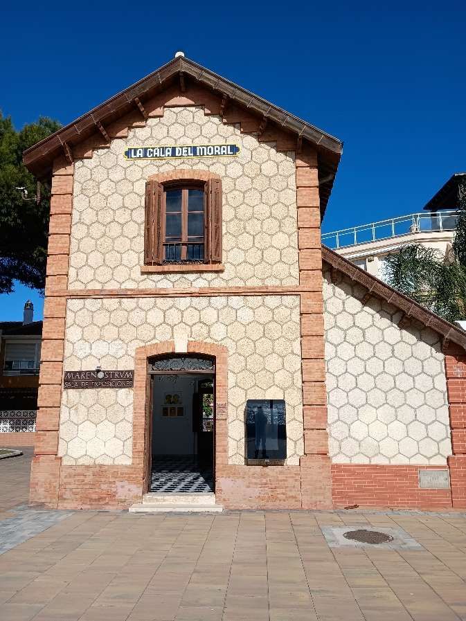
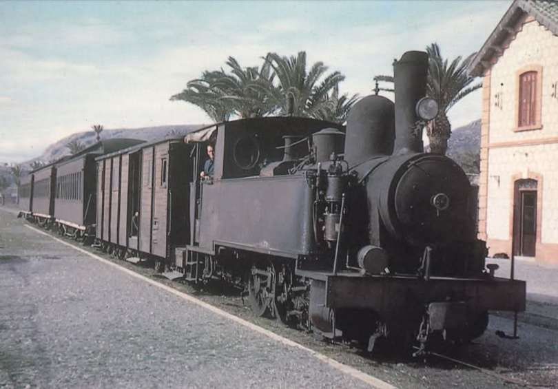
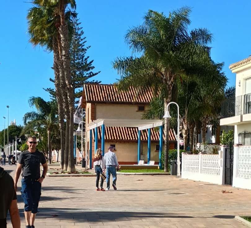
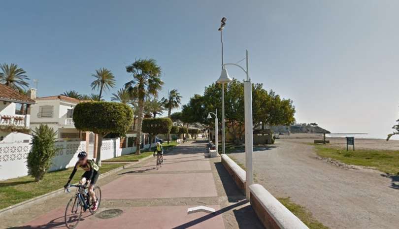
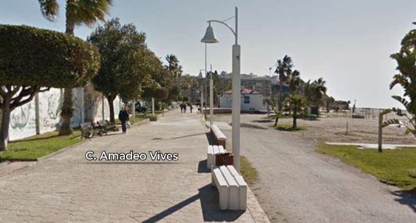
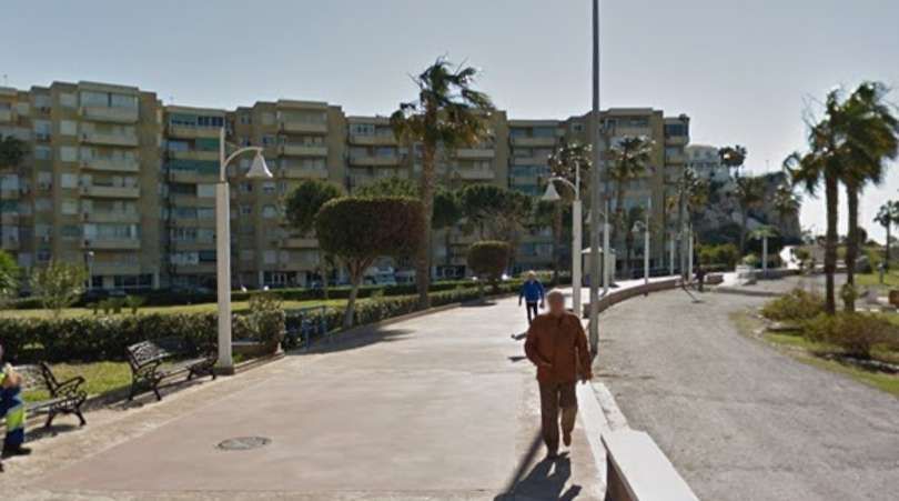
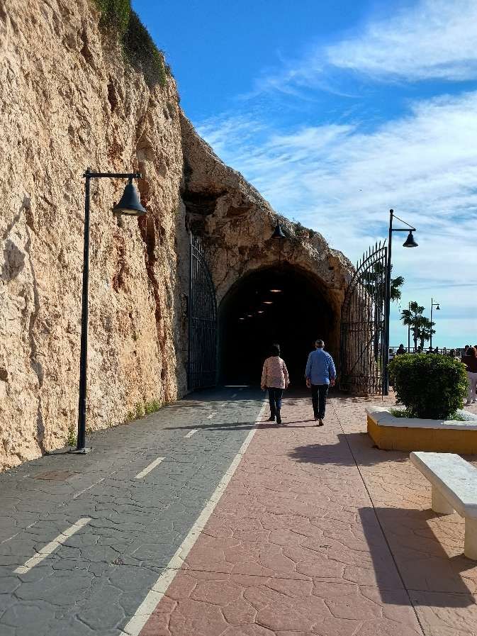
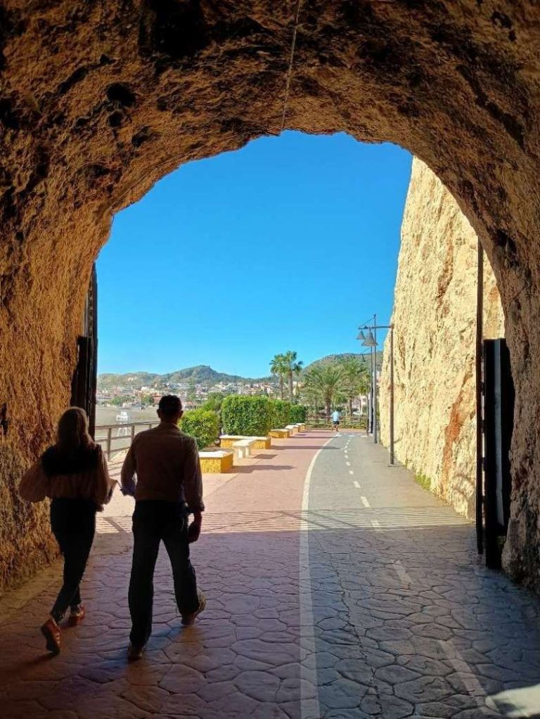
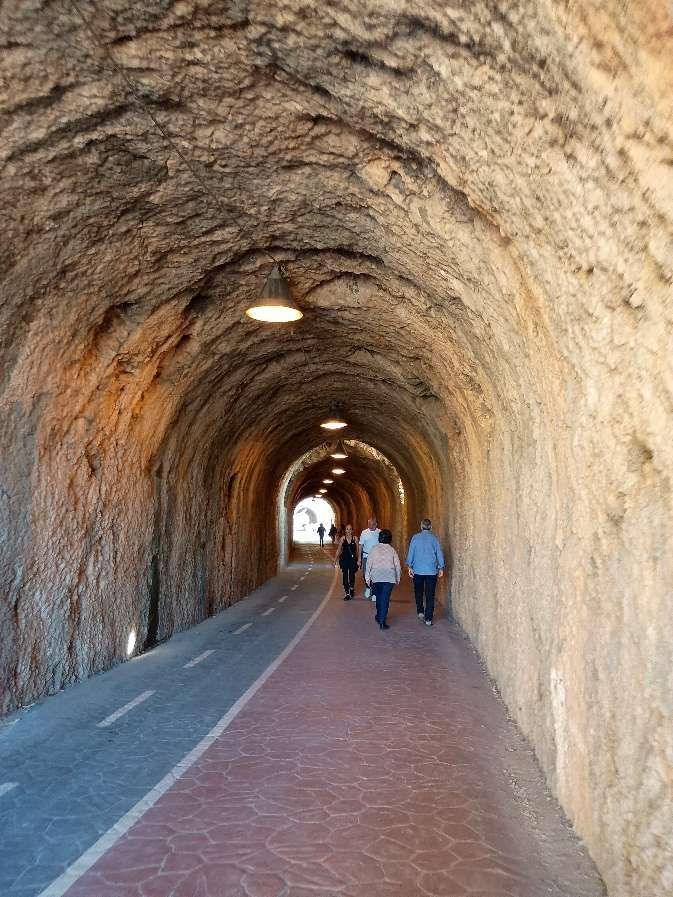
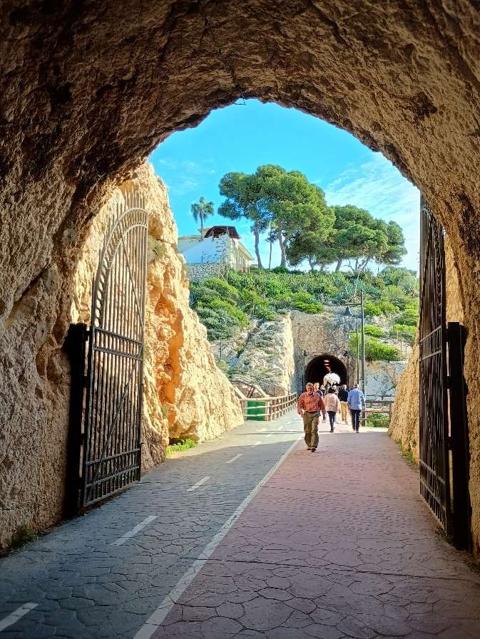
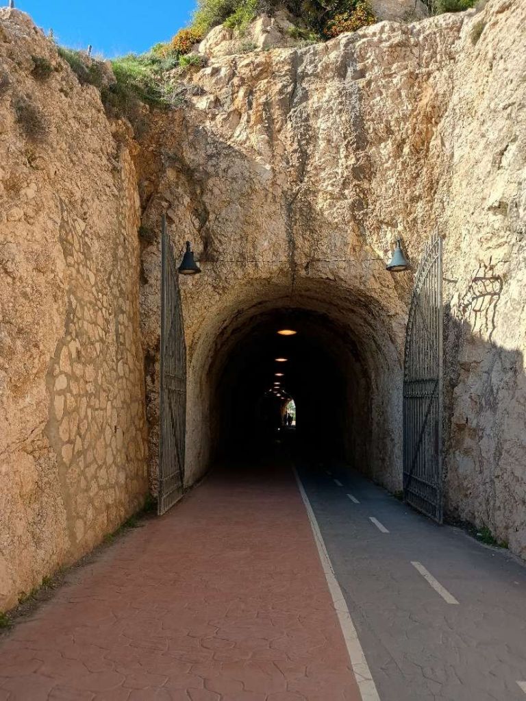
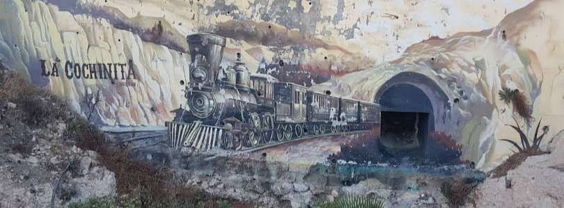
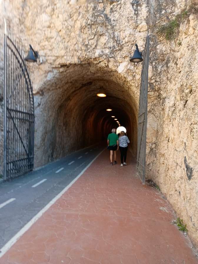
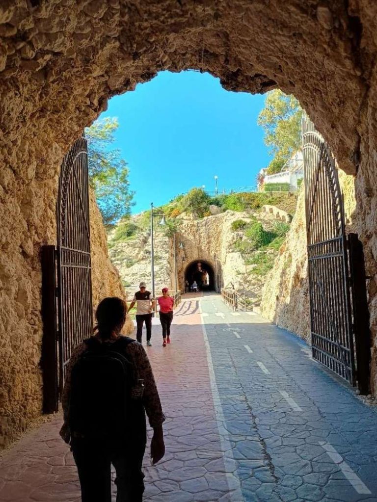
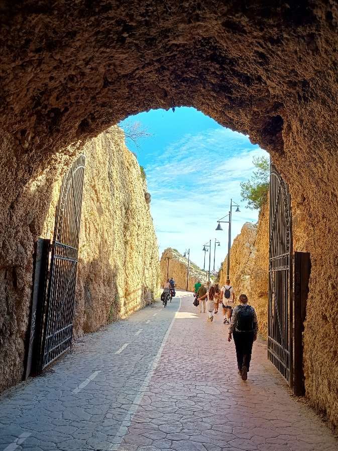
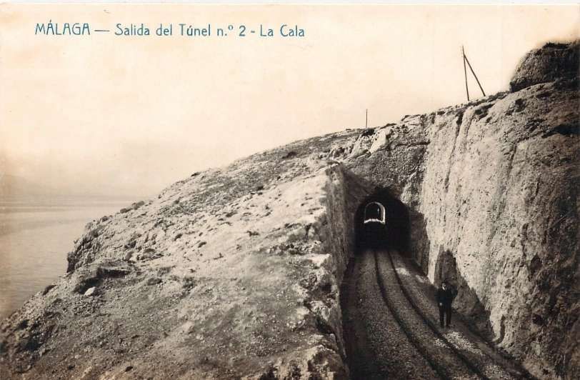
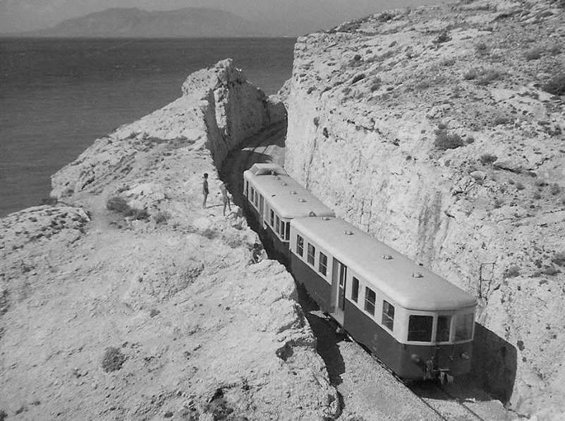
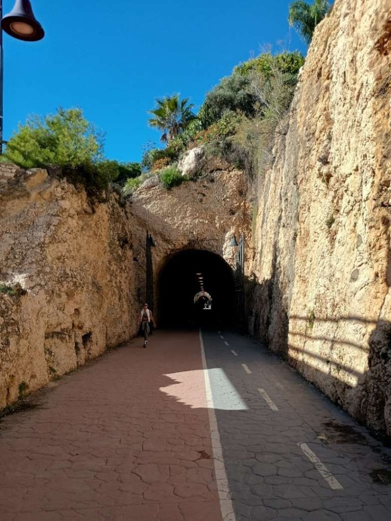
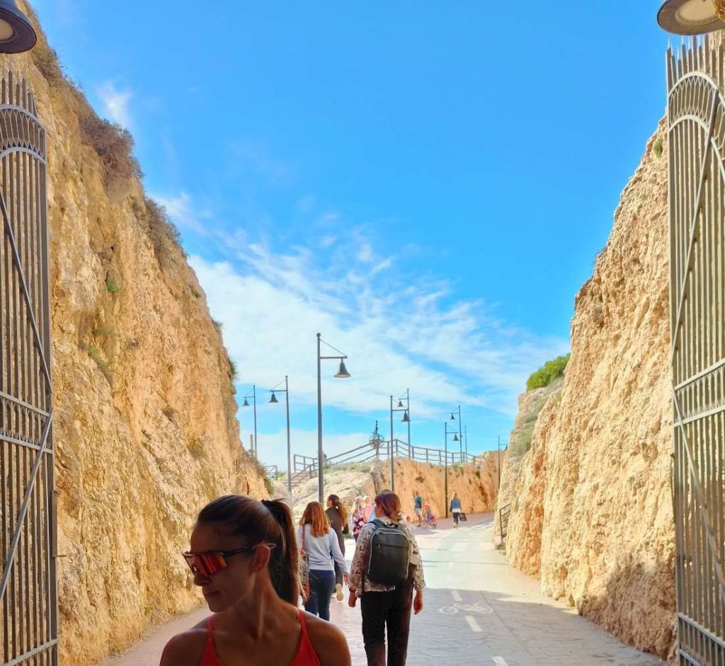
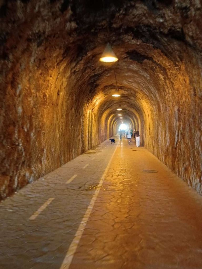
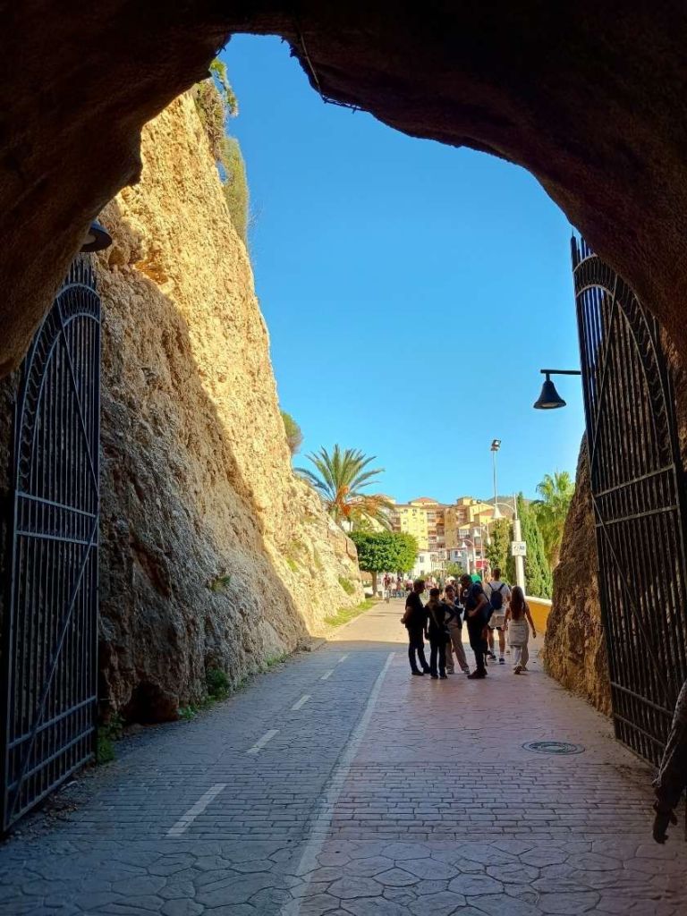
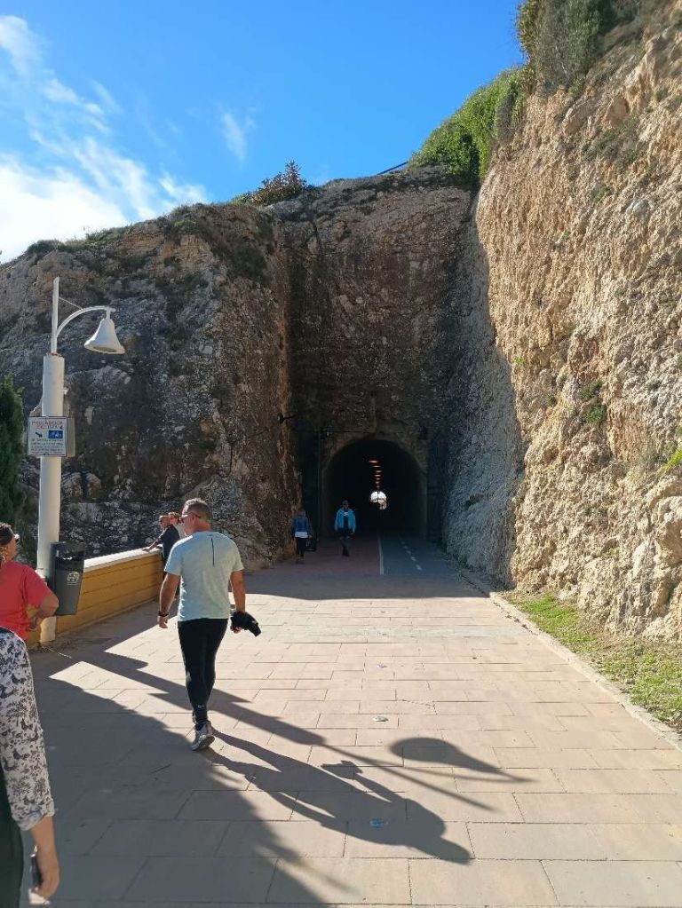
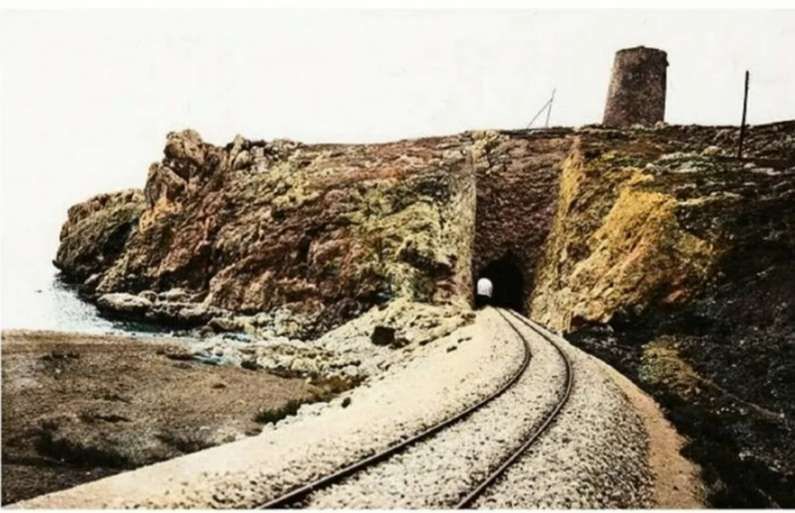
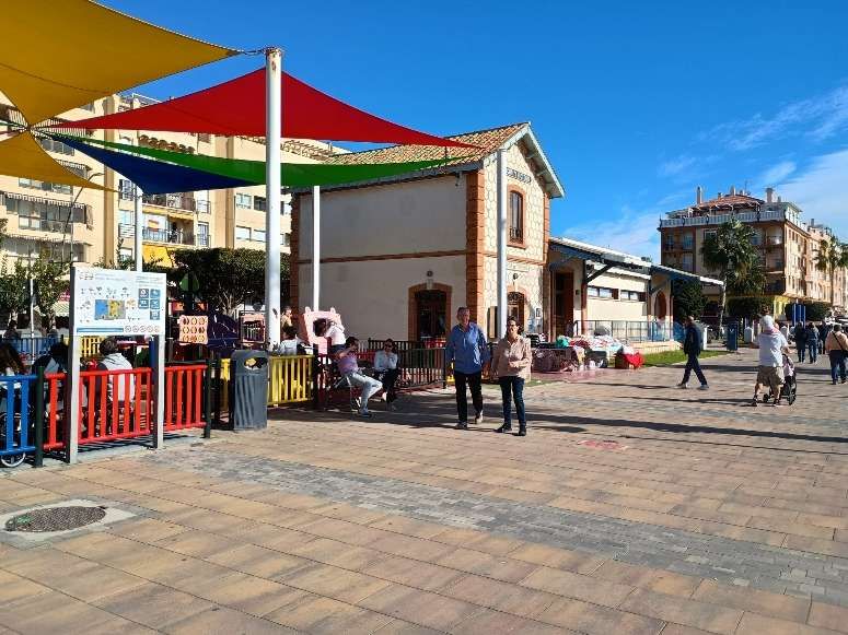
Some lengths of the route have been fenced relatively recently. Most of the route has been paved in tarmac of stone slabs. [Google Streetview, March 2018]At some locations the pathway needs work and there are lengths of the old line that are now covered by the highway. [Google Streetview, March 2018]Other lengths are really quite beautiful. [Google Streetview, March 2018]Paved in stone and planted. [Google Streetview, March 2018]And fenced where necessary. [Google Streetview, March 2018]Modern bridges have replaced older railway structures as here across the Arroyo del Judio. [Google Streetview, March 2018]The first tunnel on the route, close to Peñón del Cuervo. The plaque to the right of the tunnel mouth celebrates the rescue of local people by Canadian forces in February 1937. [Google Streetview March 2018]The tunnel portal which faces La Cala del Moral. [My photograph, 22nd November 2026]The same tunnel mouth seen from the East, looking back towards Málaga. [My photograph, 22nd November 2026]The path continues to follow the route of the old railway through a more industrialised/ commercial area. [Google Streetview March 2018]Adjacent to the MA24. [Google Streetview March 2018]Also adjacent to the MA24. [My photograph, 22nd November 2026]And to the North of the promentary where the Torre de las Palomas. [Google Streetview, March 2018]The route of the line continues alongside the MA24. [Google Streetview, March 2018]Along a length of minor road, adjacent to the MA24. [Google Streetview, March 2018]Alongside the MA24 again towards La Cala del Moral. [Google Streetview, March 2018]And along the shore towards the town. [Google Streetview, March 2018]The old line bridged the Rio Totalan at the West edge of the town. It is presumed that this bridge replaced it some while ago. [Google Streetview, March 2018]A replacement structure was being constructed in November 2026. [My photograph, 22nd November 2026]The older bridge over the dry bed of the Rio Totalan, seen from the North in 2018. [Google Streetview, August 2024]The replacement bridge, seen from the South in November 2026. [22nd November 2026]The route of the old railway, to the East of the Rio Totalan, in La Cala del Moral. [Google Streetview, March 2018]The approach to La Cala del Moral railway station. [My photograph, 22nd November 2026]The station at La Cala del Moral is now in use as an art gallery. [Google Streetview, March 2018]La Cala del Moral railway station. [My photograph, 22nd November 2026]Art exhibition in La Cala del Moral station in November 2026. [My photograph, 22nd November 2026]The station at La Cala del Moral with a Tubize (0-6-0T) 030T locomotive in charge of an East-bound service. This image was placed in the FC Suburbanos de Málaga Album on the El Ferrocarril en Andalusia Facebook Page on 10th November 2021. [29]The station building seen from the East. [My photograph, 22nd November 2026]Heading East from the station at La Cala del Moral. [Google Streetview, March 2018]A little further East. [Google Streetview, March 2018]Further East, the railway began to swing round towards the first of the tunnels between La Cala del Moral and Rincon de la Victoria. [Google Streetview, March 2018][Google Streetview, March 2018]B
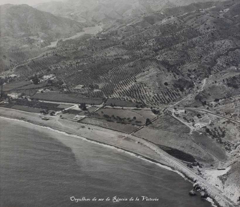
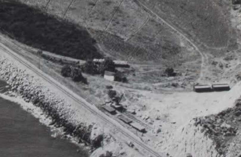
Before leaving La Cala del Moral behind, just one further photograph which shows that the station at La Cala del Moral was built to promote growth! This aerial photograph was taken in the 1950s!