
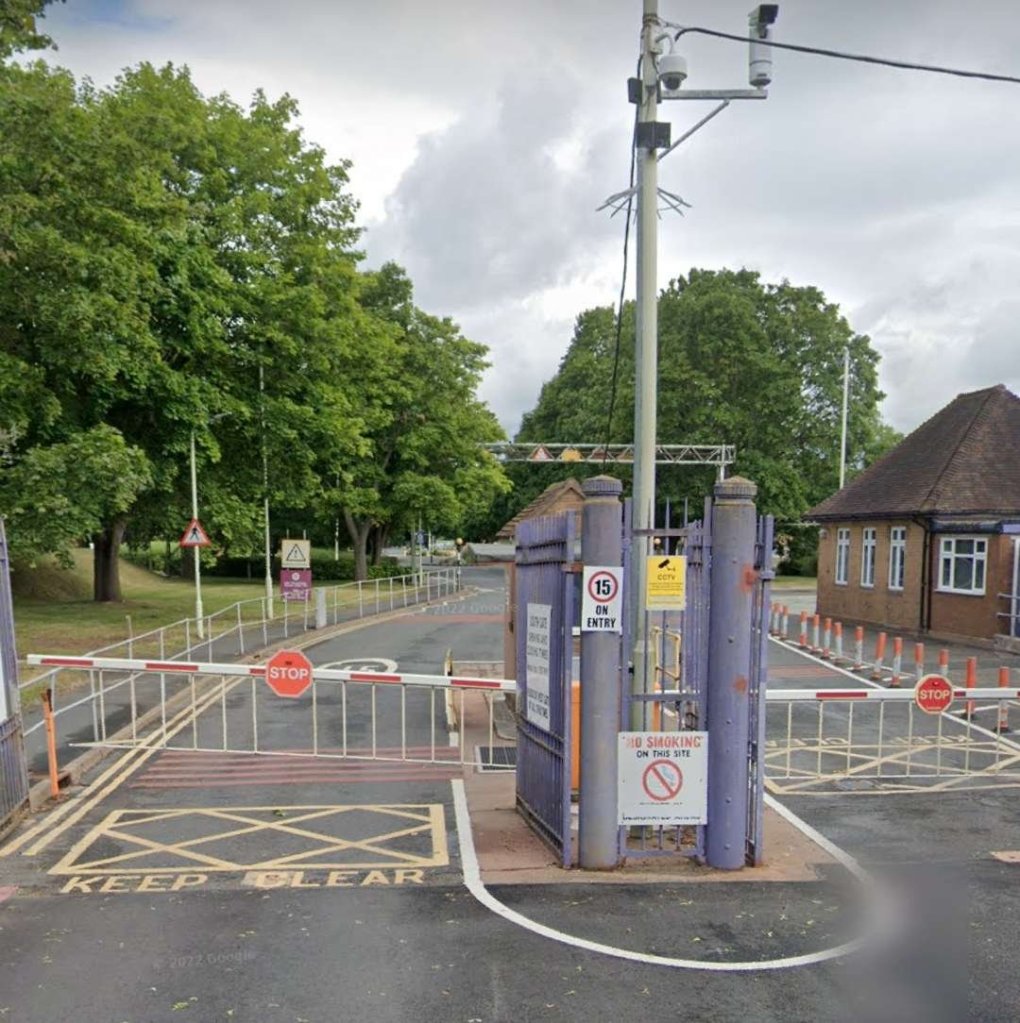
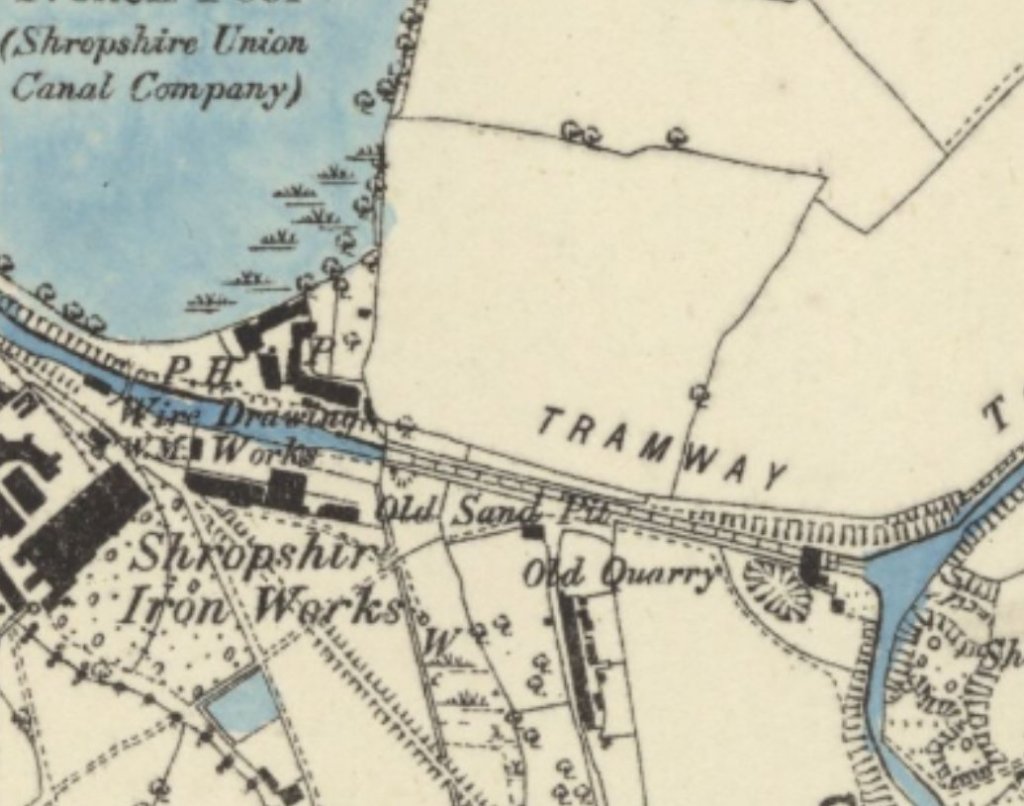
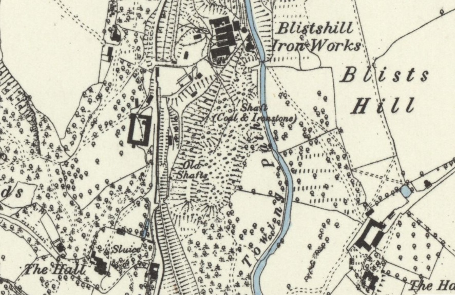
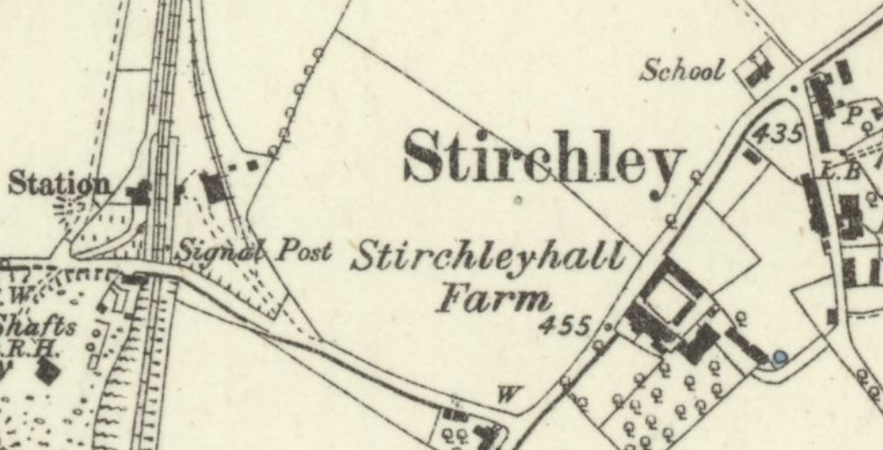
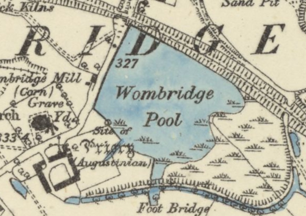
The Humber Arm Railway linked an earlier canal branch (which ran from the Newport Branch of the Shropshire Union Canal at Kynnersley to a wharf at Lubstree close to The Humbers, a small hamlet North of the old LNWR mainline through Donnington and on the North side of Venning Barracks, the base of the 11th Signal Brigade and Headquarters West Midlands, part of the British Army’s 3rd UK Division.) with the Lilleshall Company’s private rail network. [1]
The Canal was opened to traffic in May 1844 and was initially served by a tramway which ran from Lubstree Wharf to Lodge Furnaces. Between the Canal and the tramway the distance from the Shropshire Union Canal to Lodge Furnaces was about 4 miles (1 mile of canal and 3 miles of tramway).
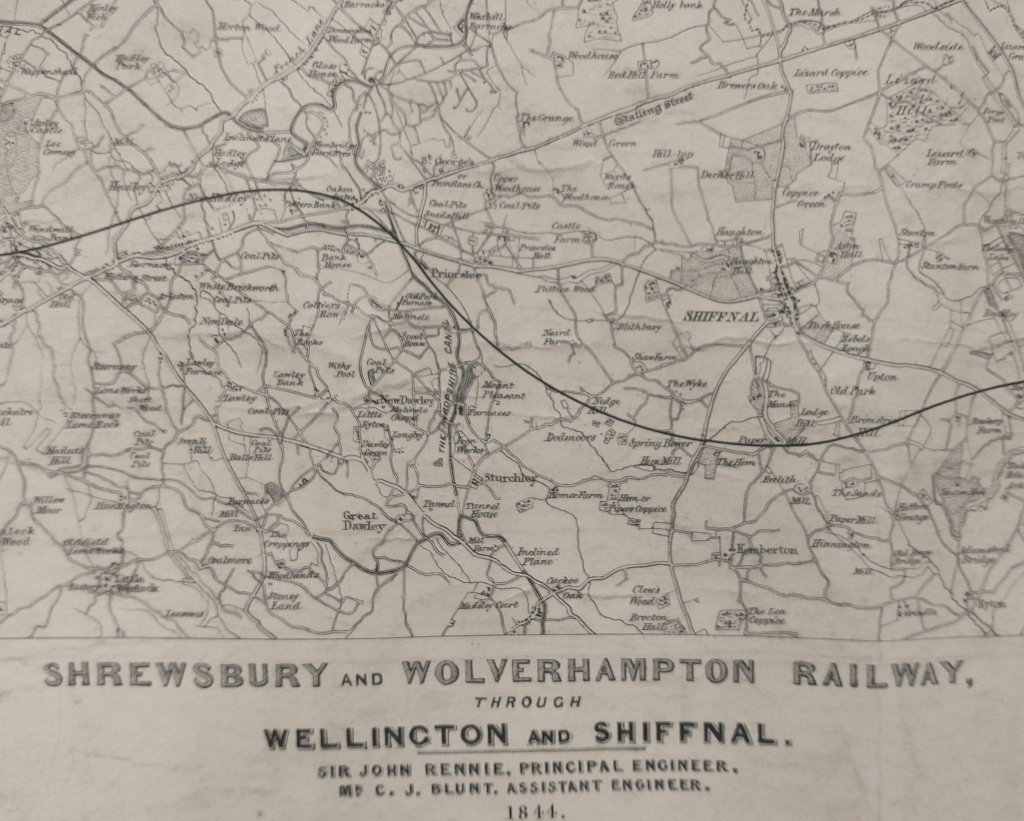
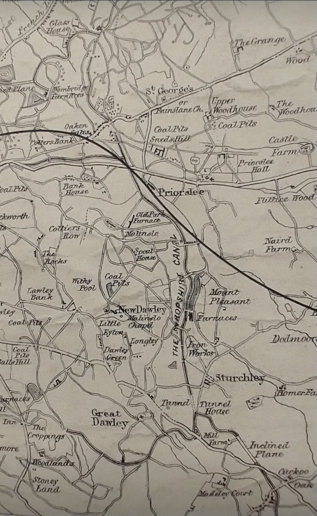
The canal arm was authorised by an Act of parliament in 1827. If built at that time it would have been part of the Birmingham and Liverpool Junction Canal. Its successor was the Shropshire Union Canal. It seems that the Duke of Sutherland landowner and influential partner in the Lilleshall Company built both the canal arm and the associated tramway. [2: p41]
Charles Hadfield notes that two branches were authorized from canal serving Newport, “one to Edgmond that was never built, and one, to be a cut with 7 locks or a tramroad, to Lilleshall. This, on a different line and without locks, became the Humber Arm, … leading to the Marquess of Stafford’s Lubstree wharf, which opened for business in 1844.” [29: p185]
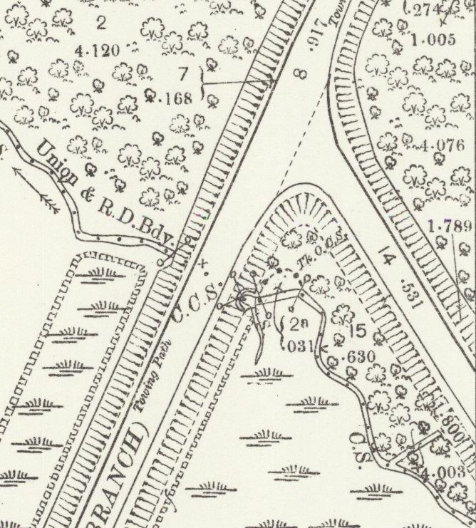
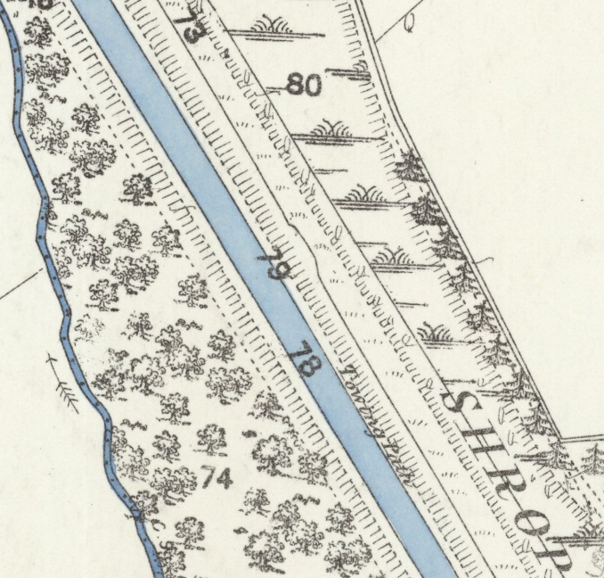
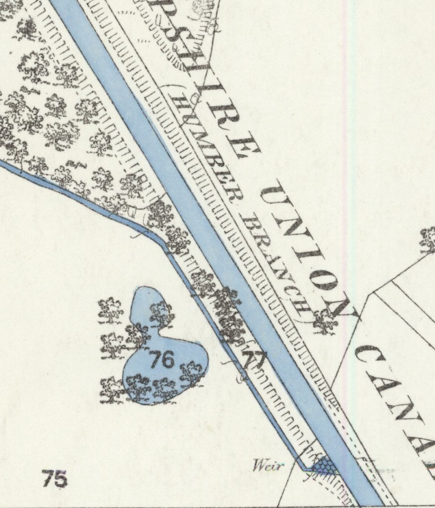
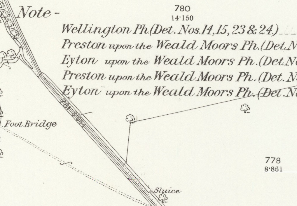
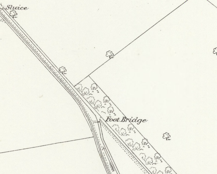
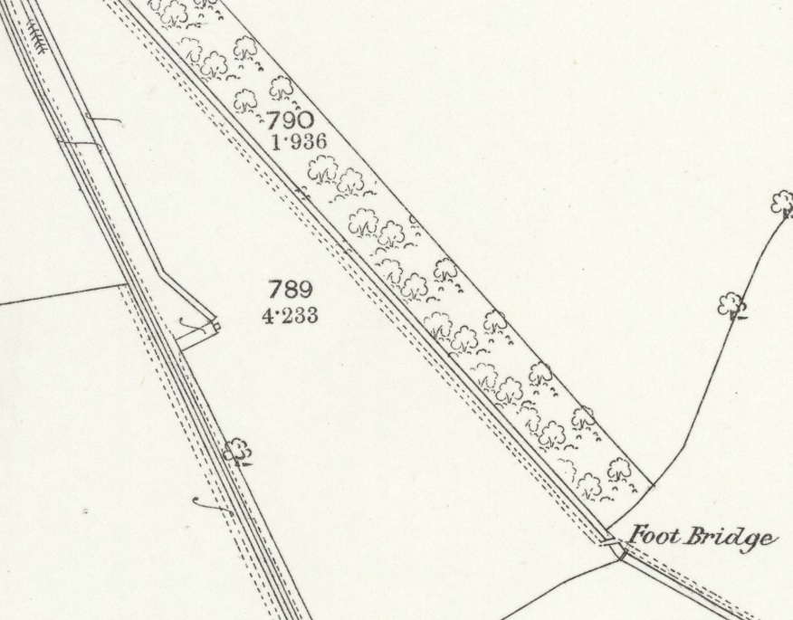
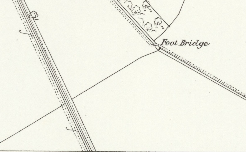
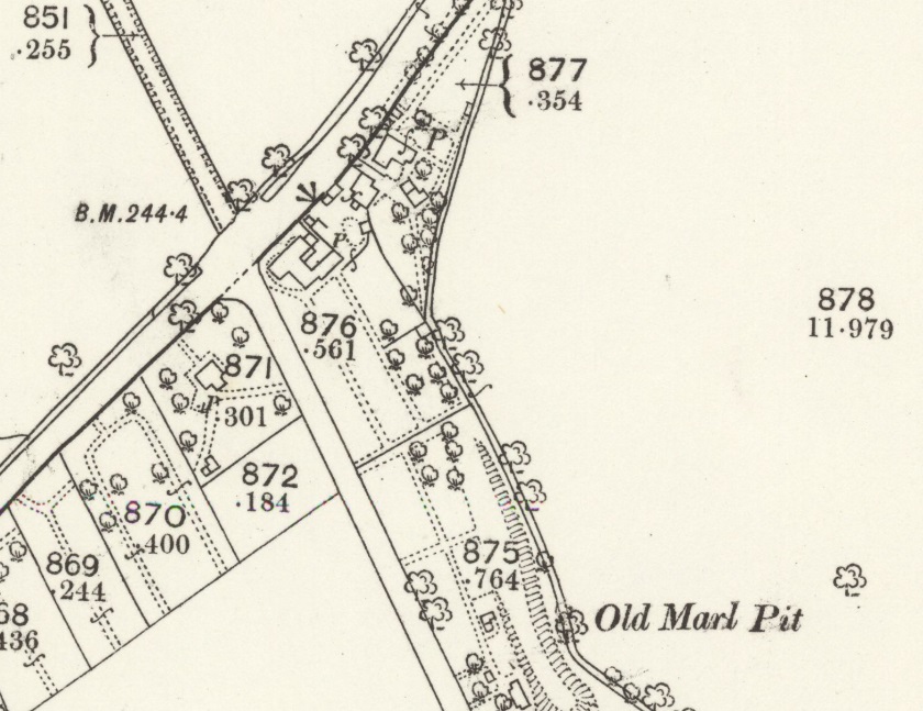
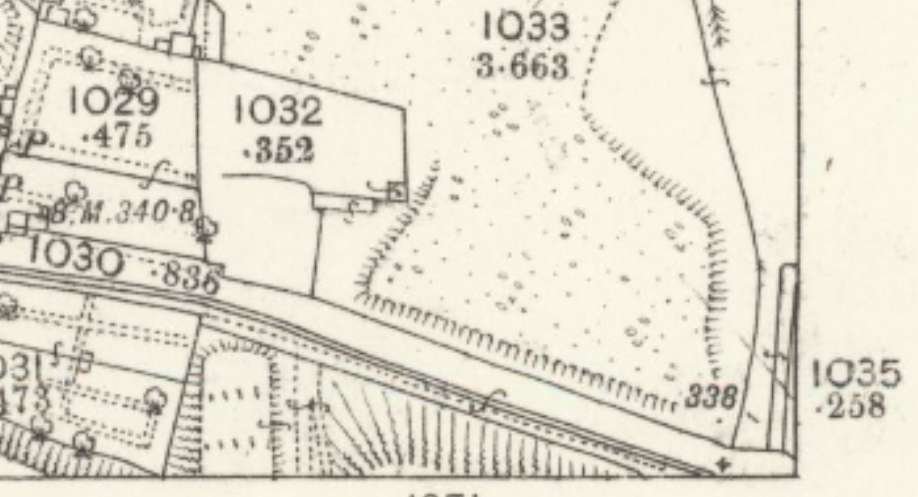
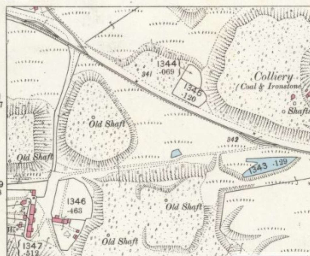
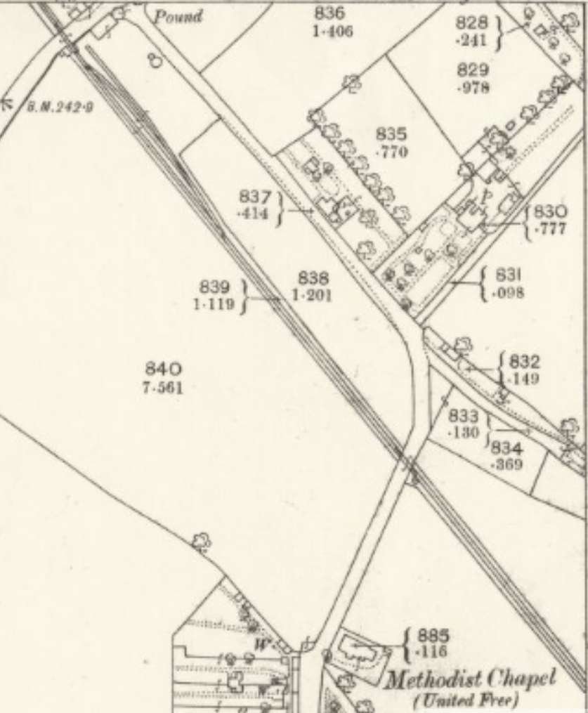
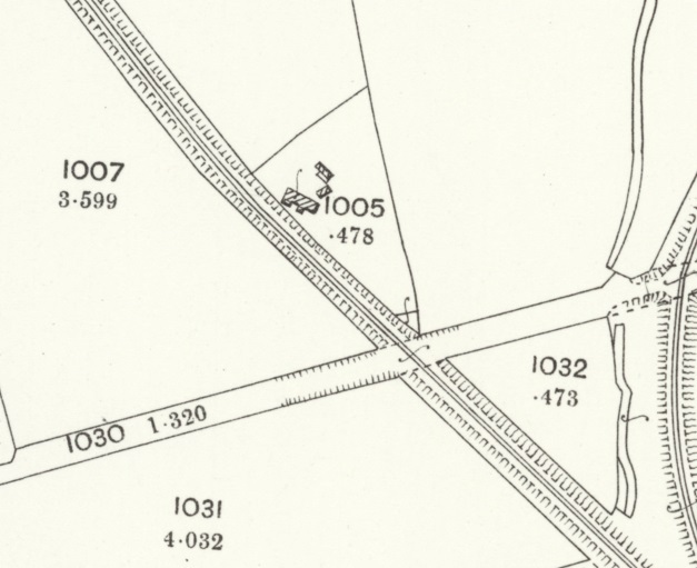
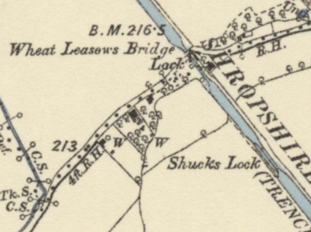
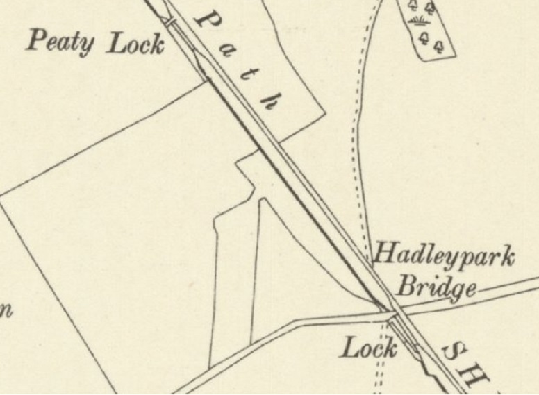
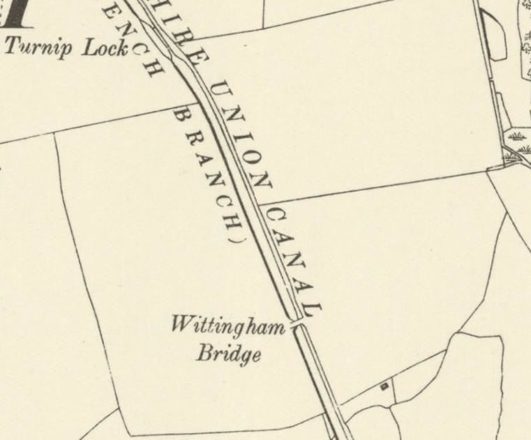
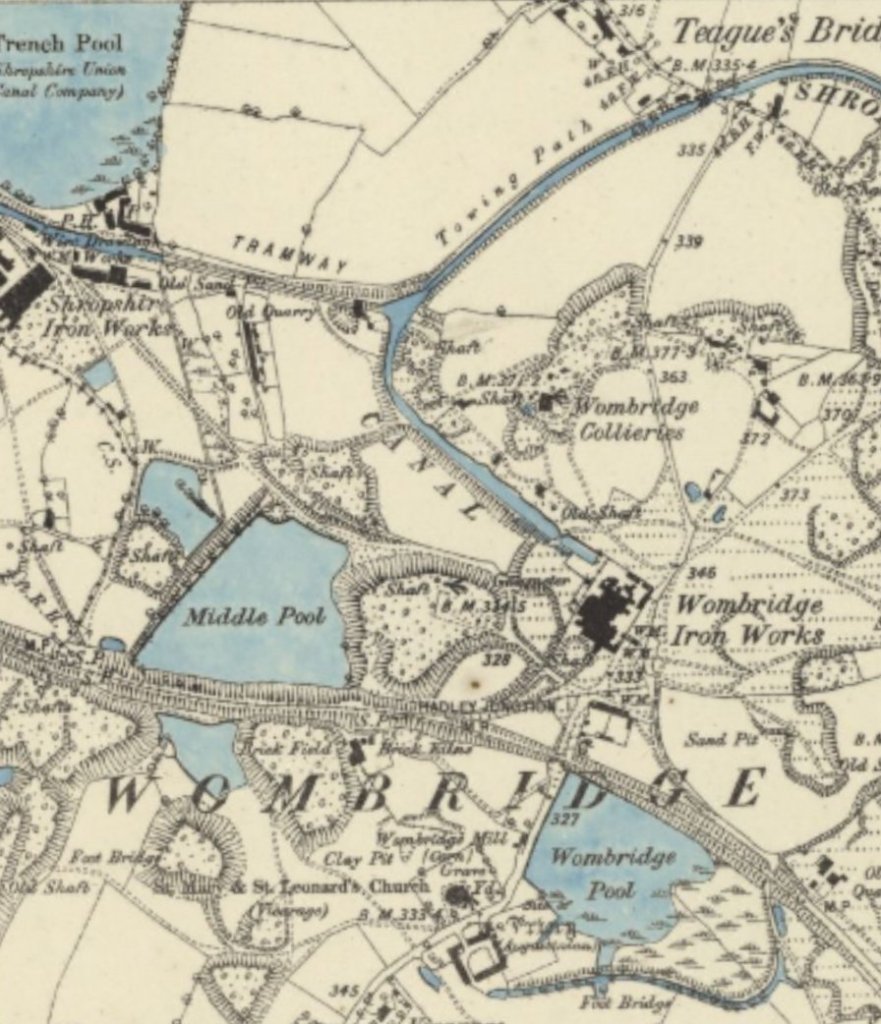
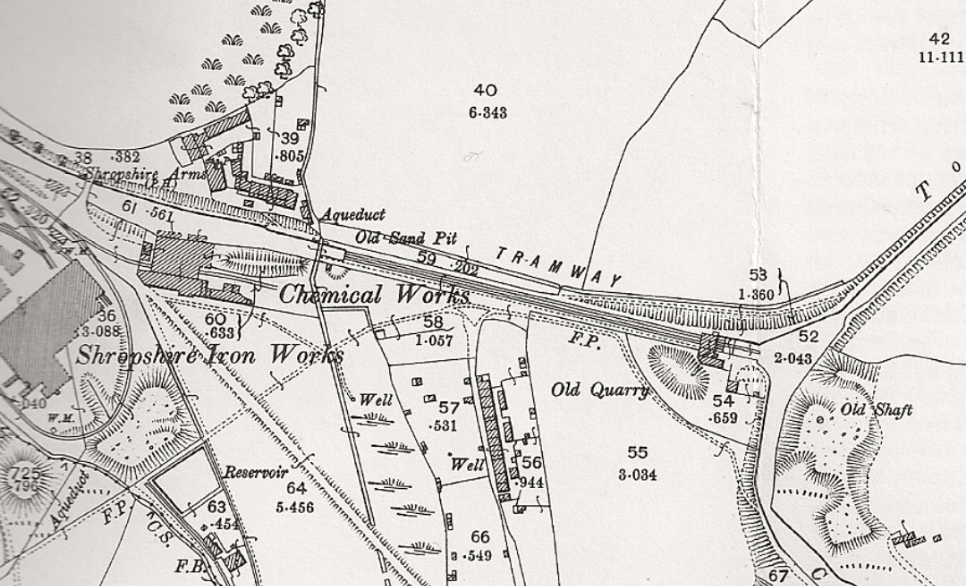
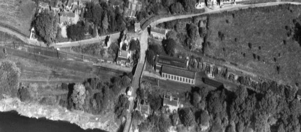
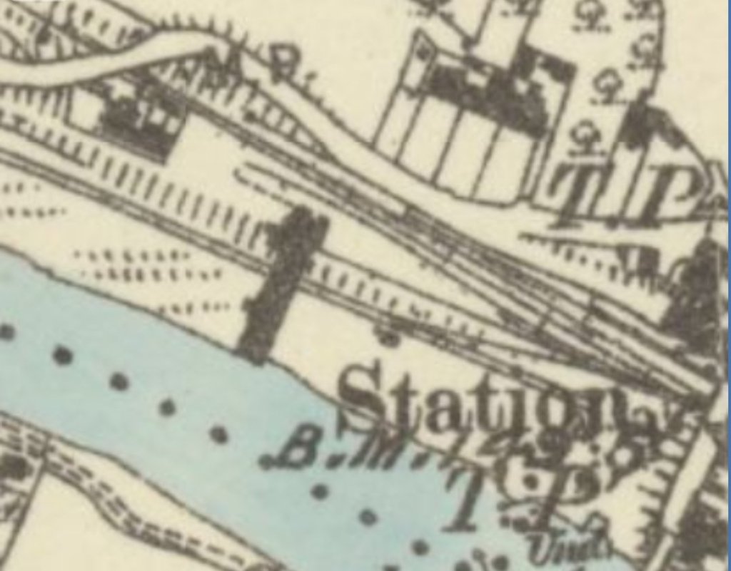
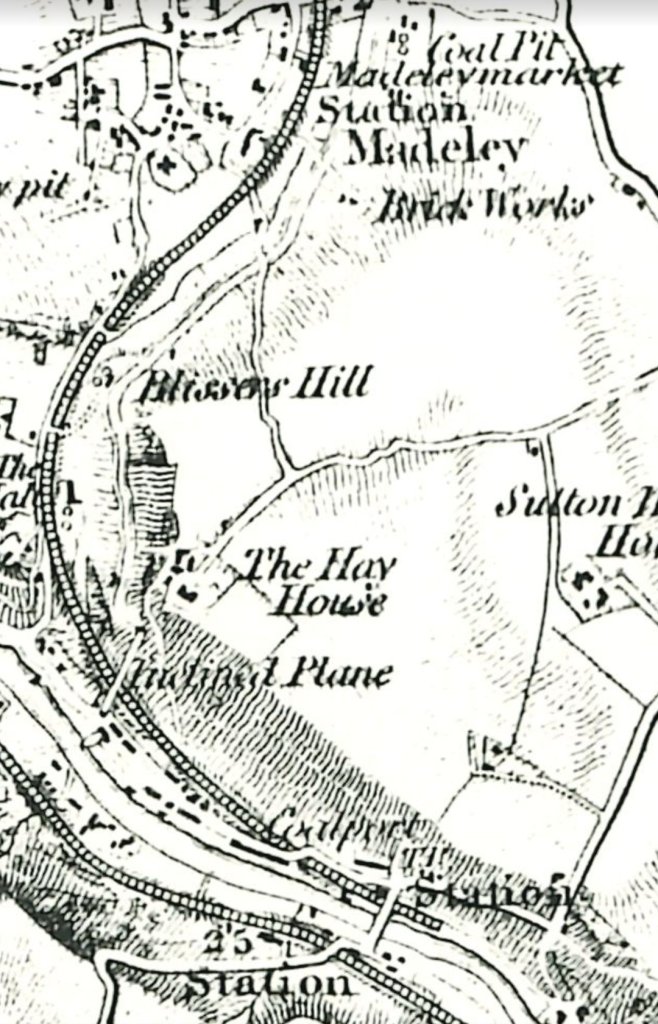
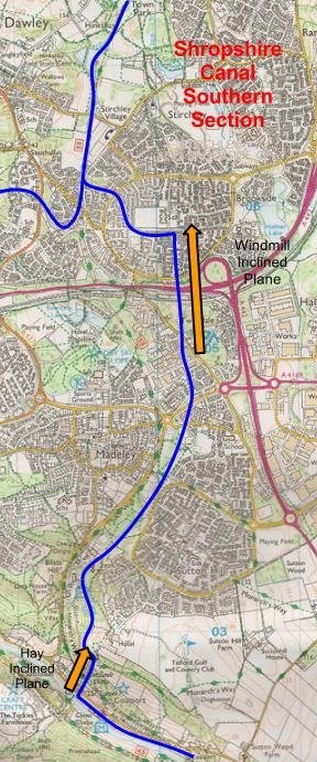
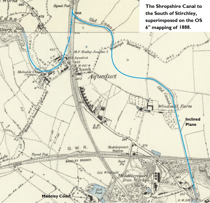
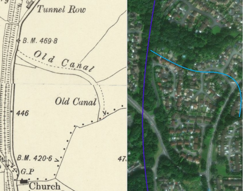
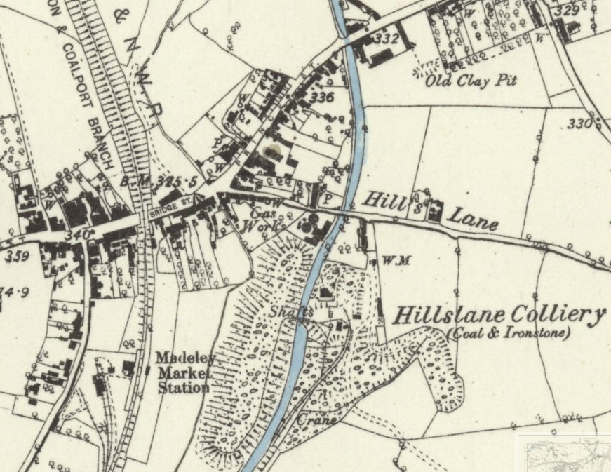
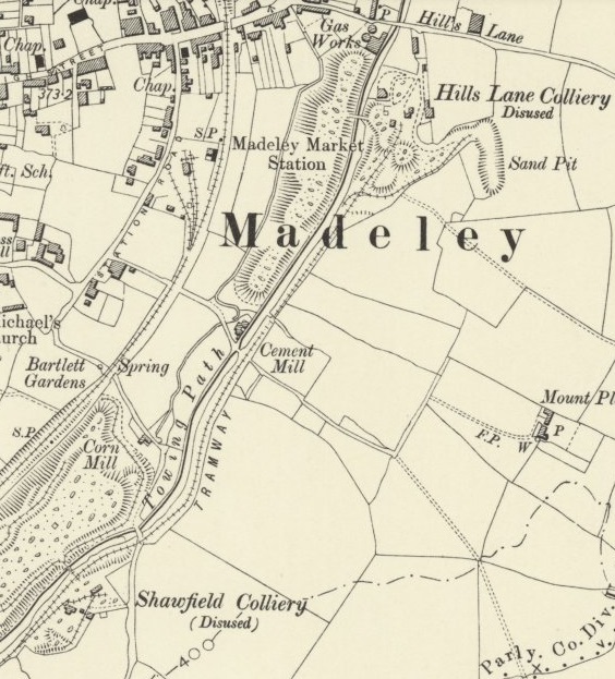
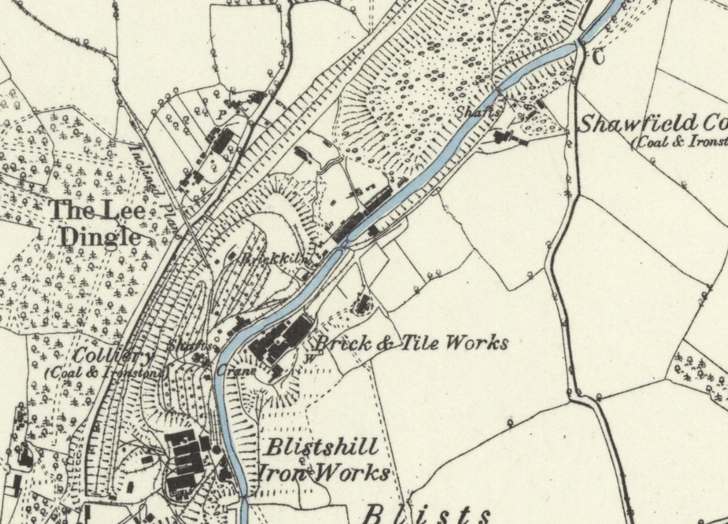
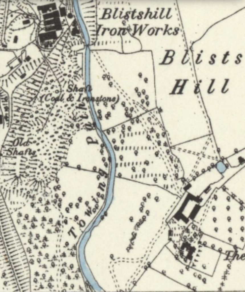
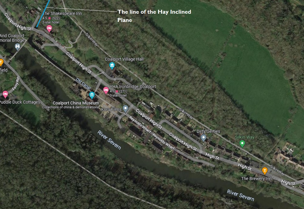
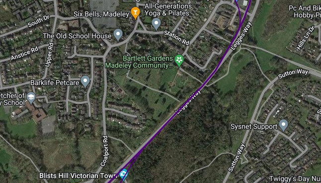
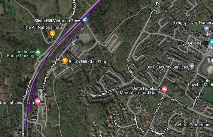
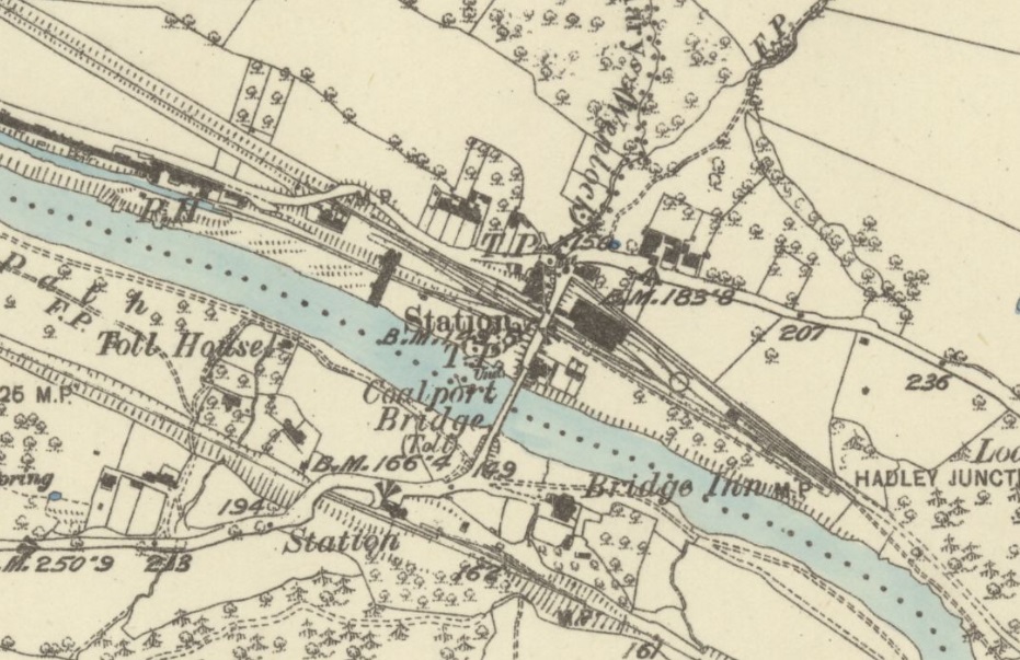
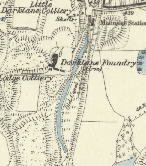
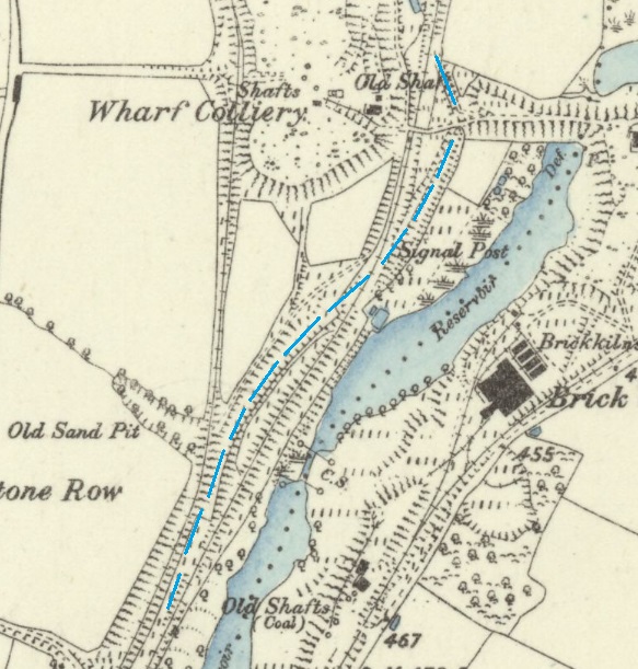
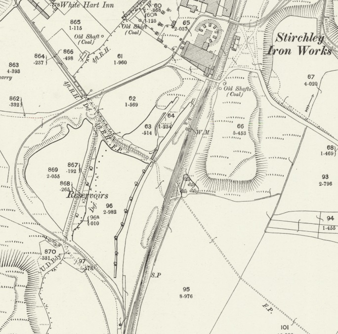
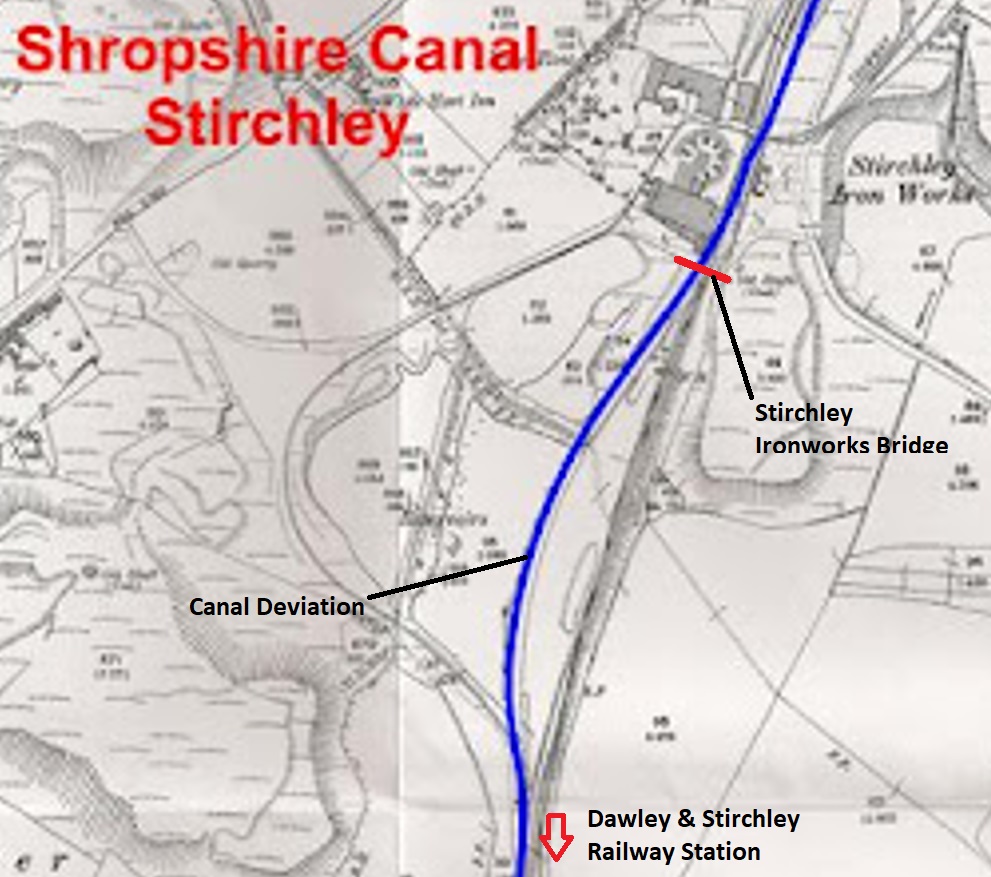
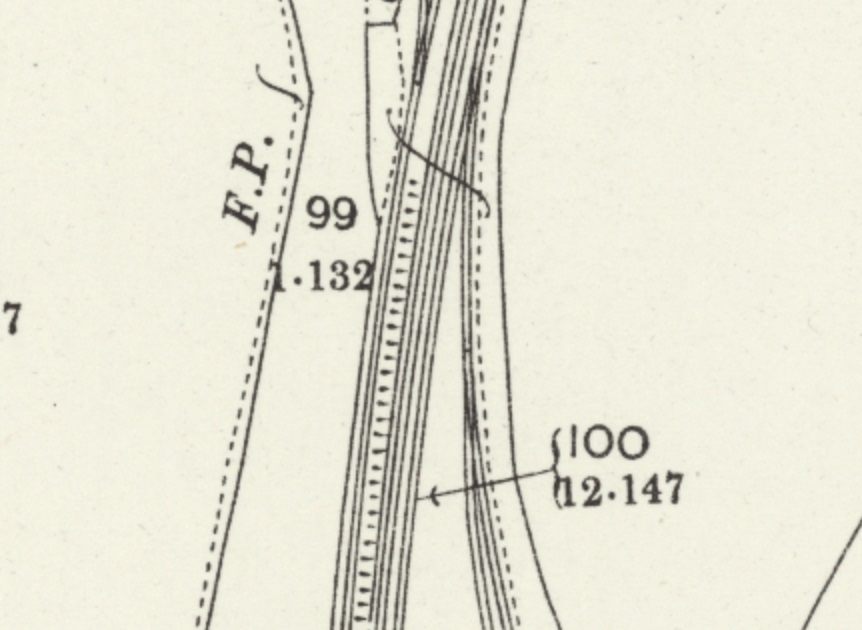
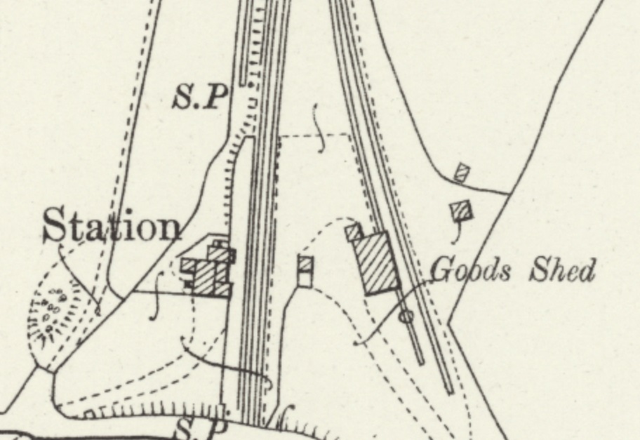
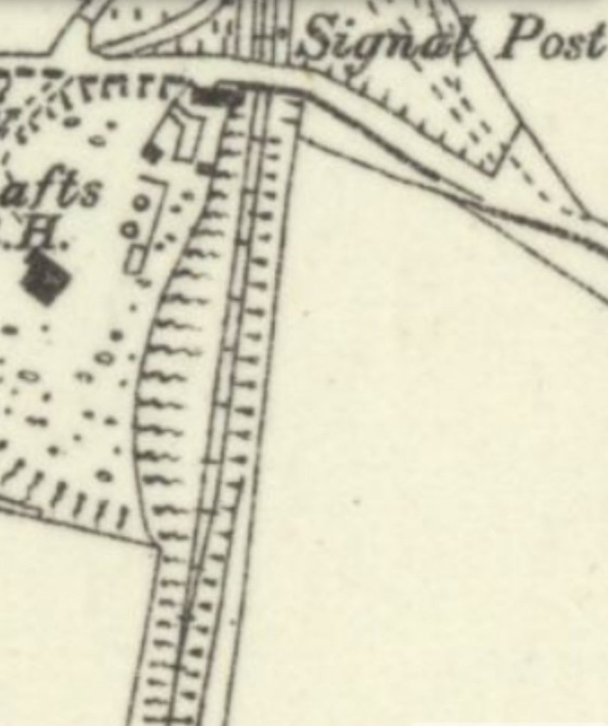
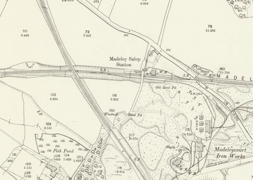
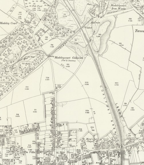
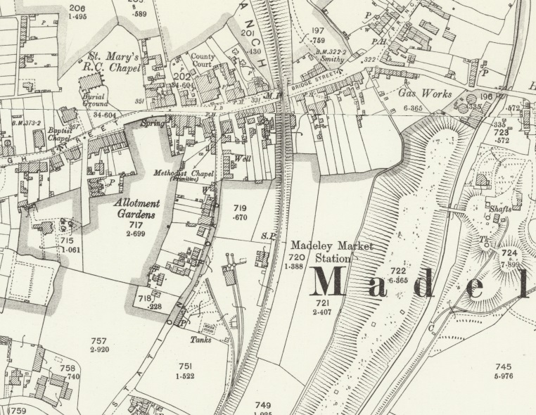
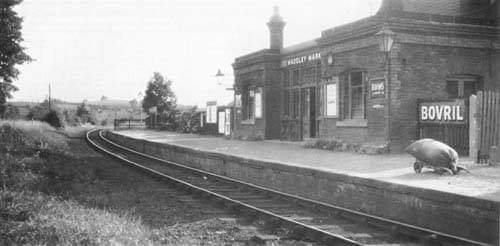
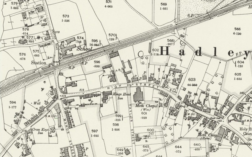
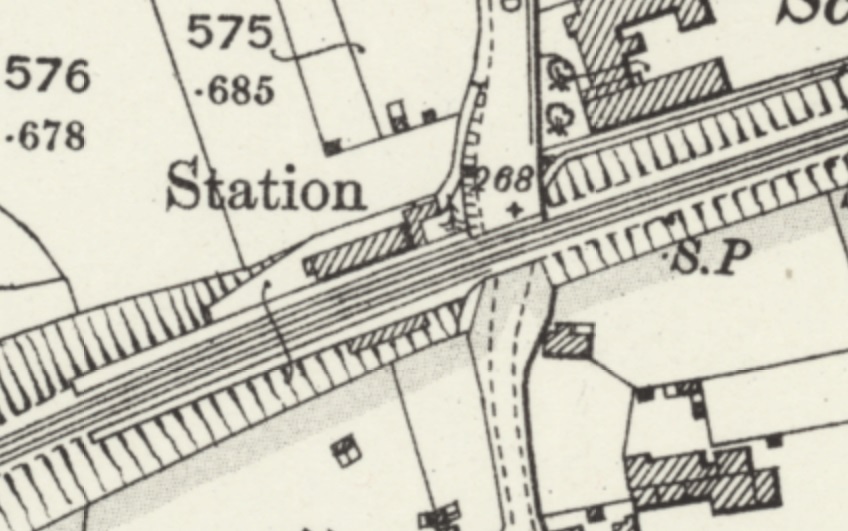
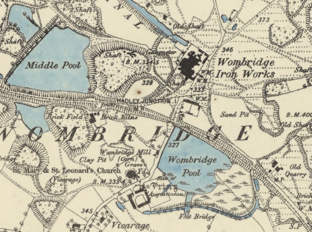
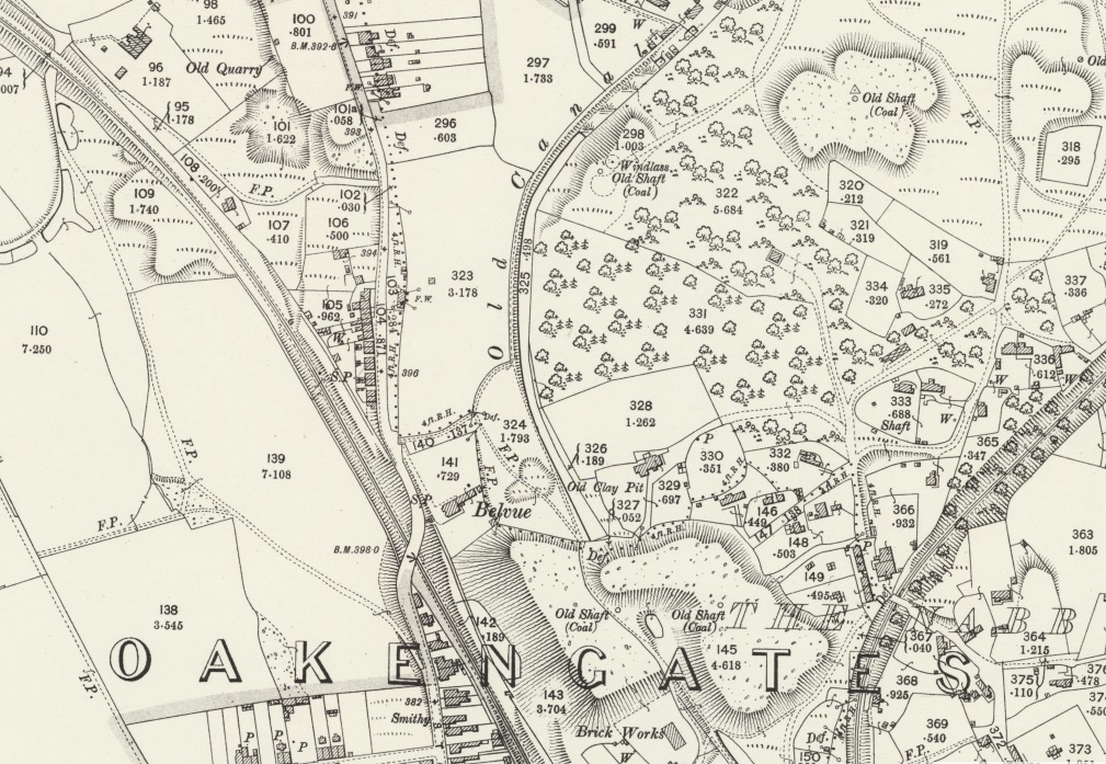
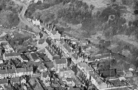
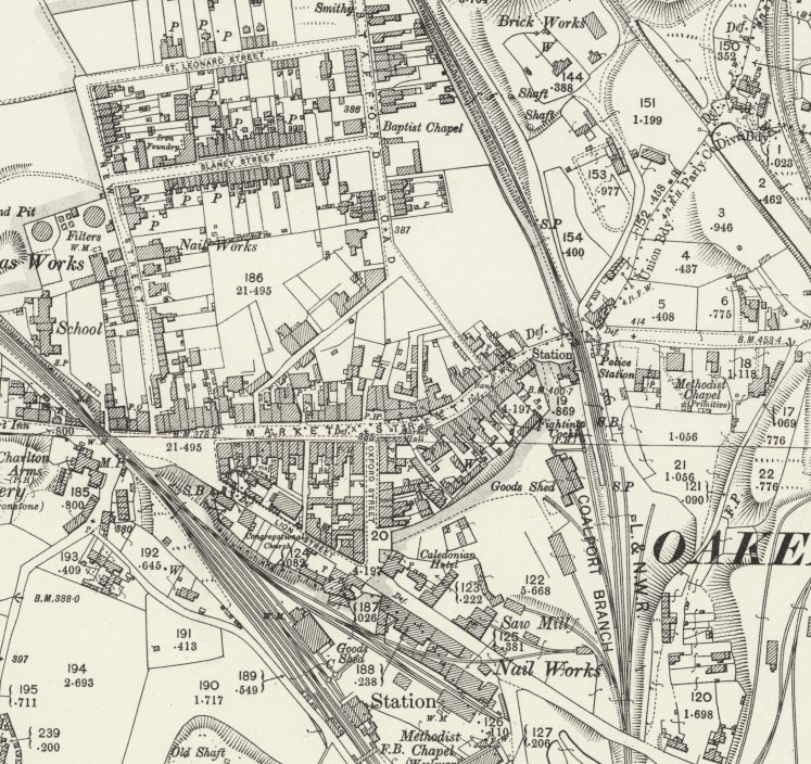
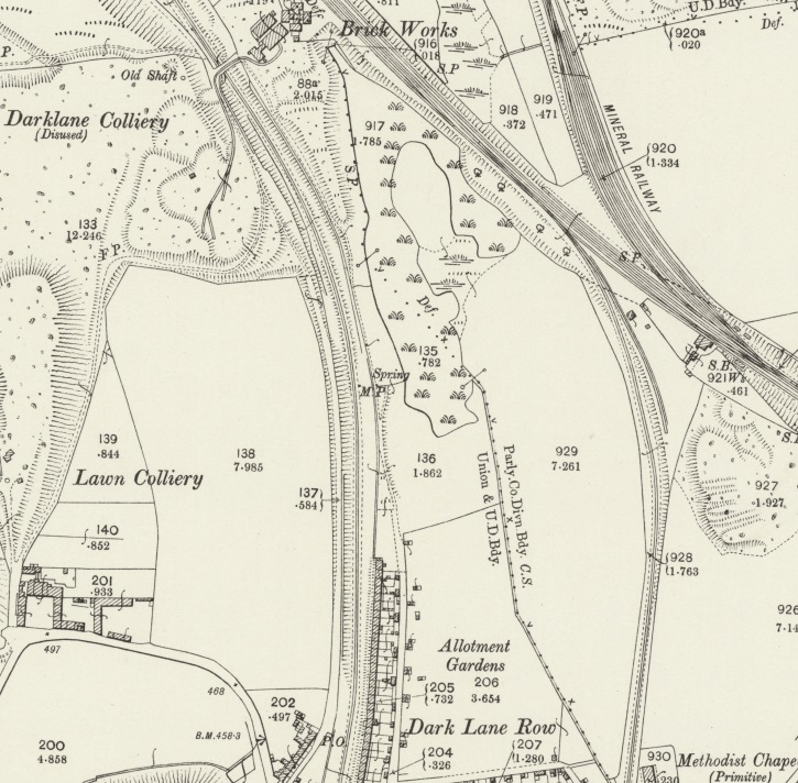
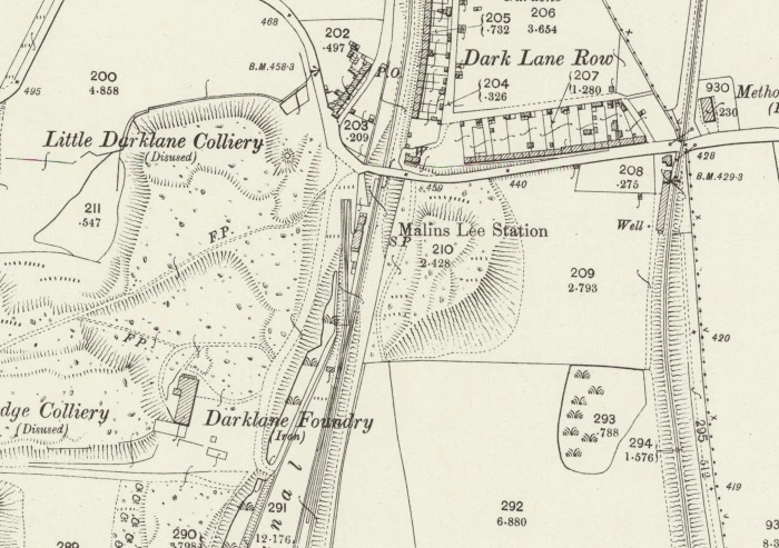
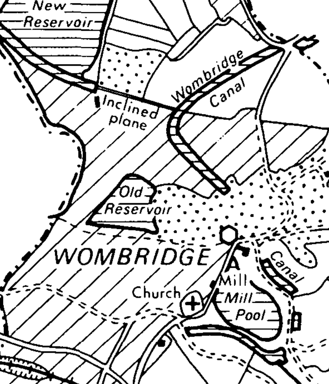
The six map extracts immediately below are mostly taken from the 25 inch Ordnance Survey of 1881/1882 and they show the full length of the canal. Traffic on the Humber Arm ended in 1922, when the fifth Duke of Sutherland closed the wharf and the railway line to Lilleshall. [3]
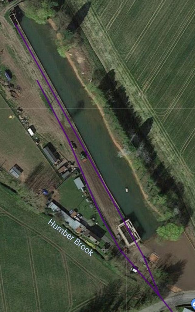
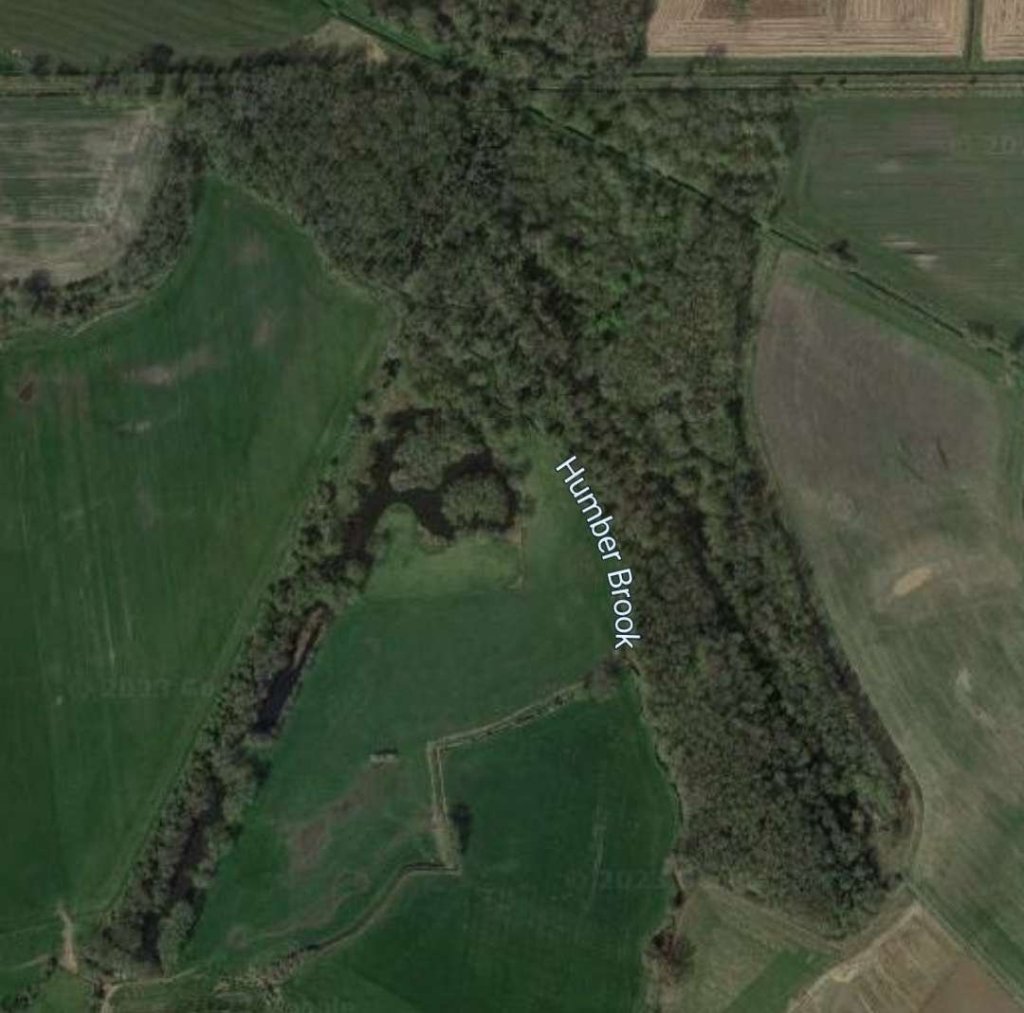
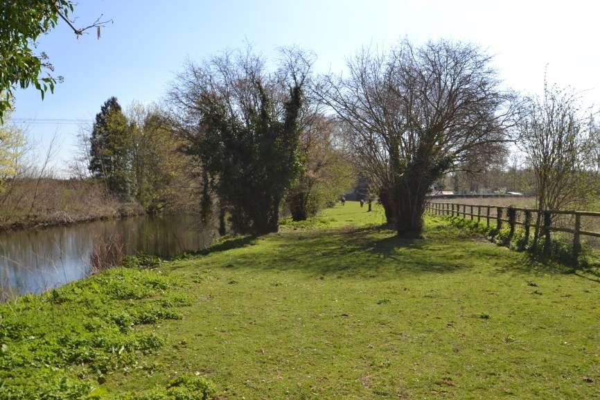
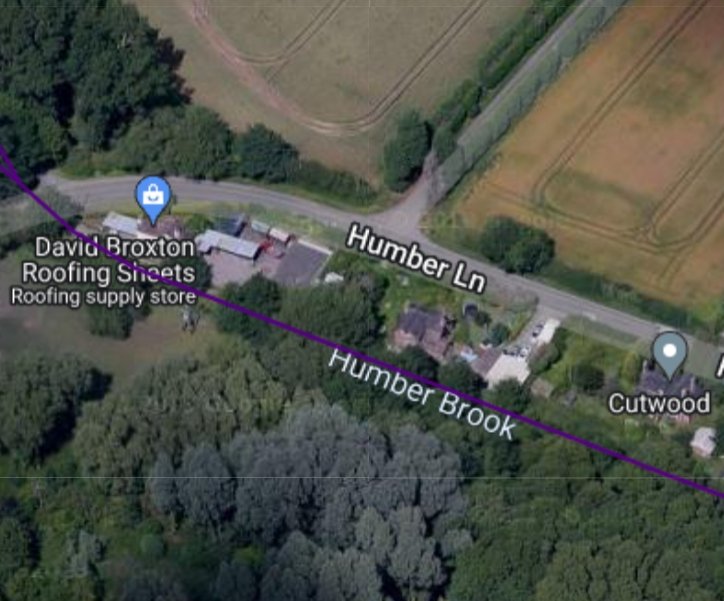
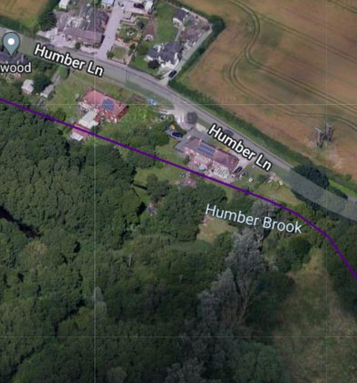
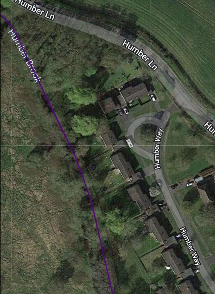
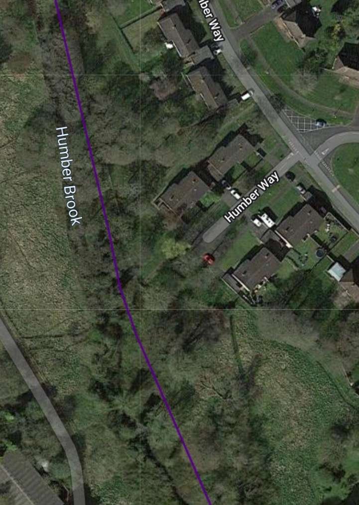
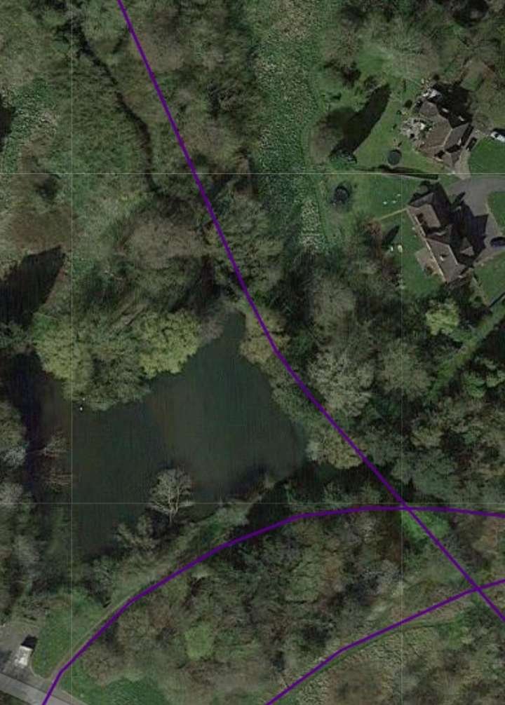
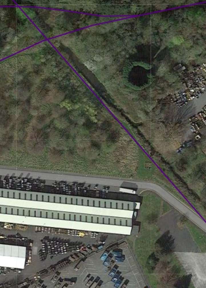
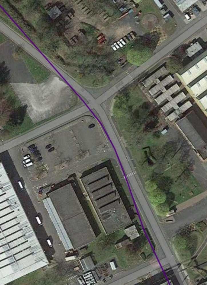
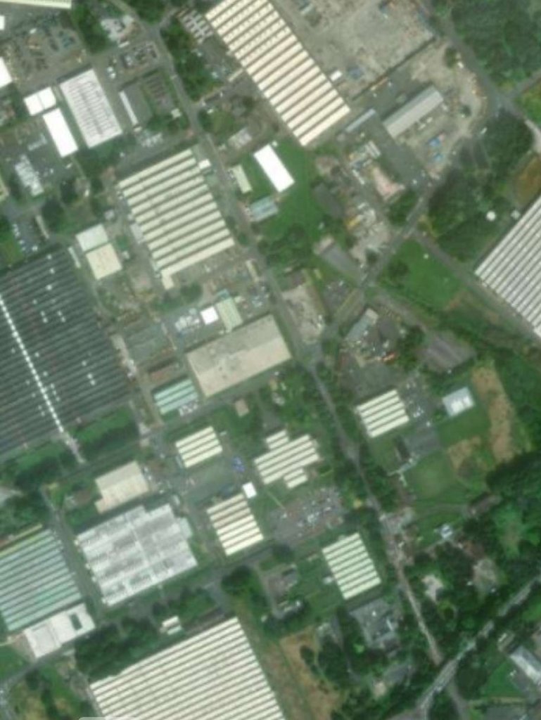
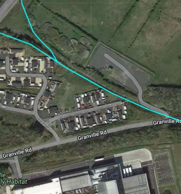
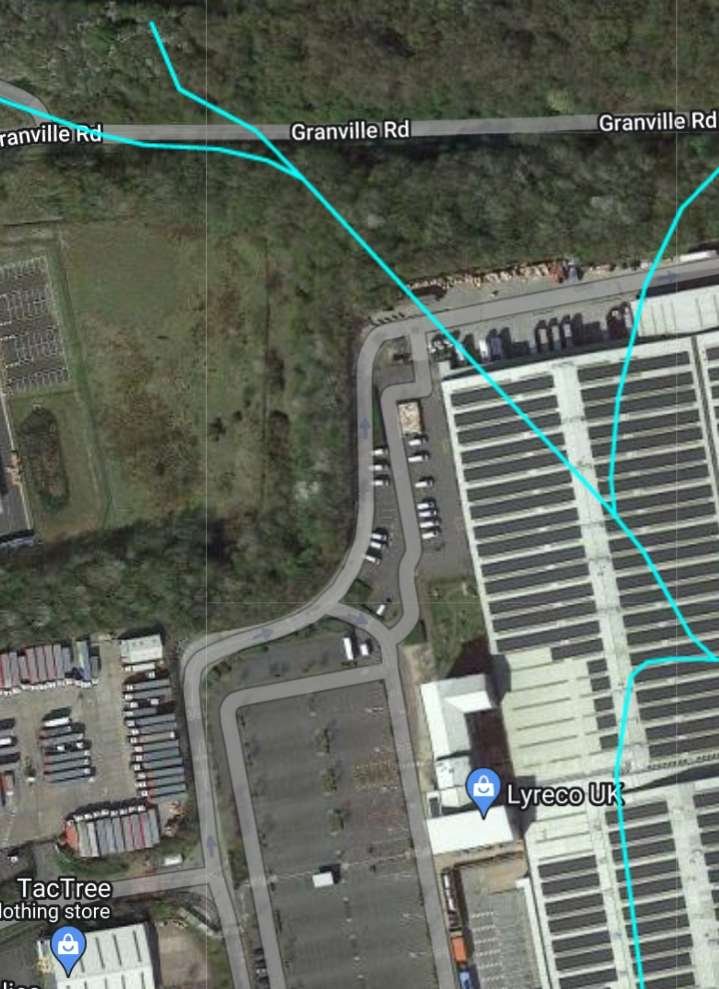
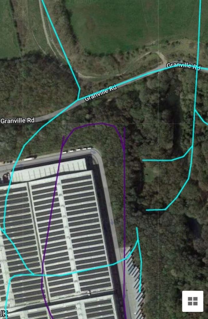
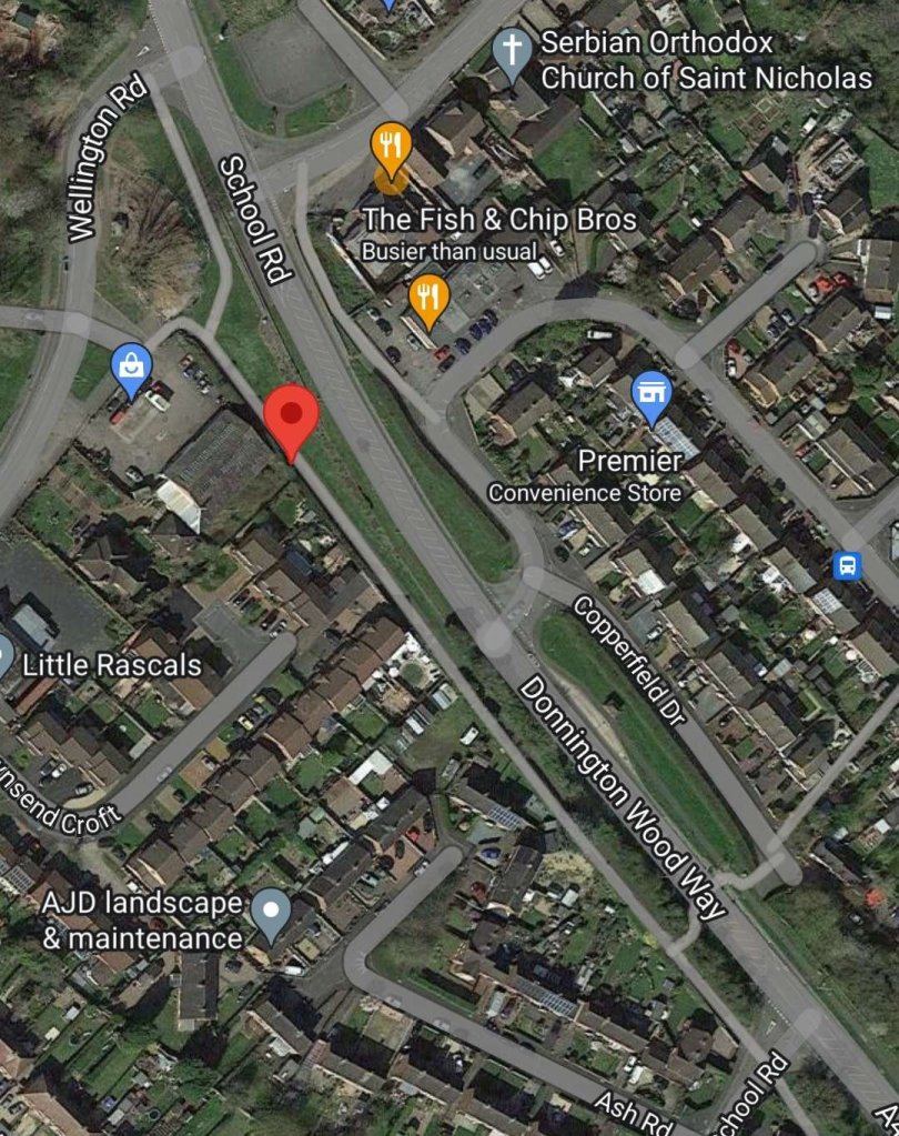
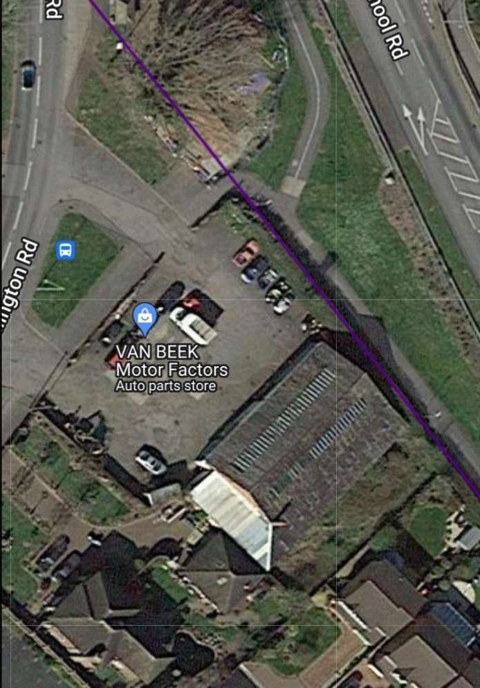
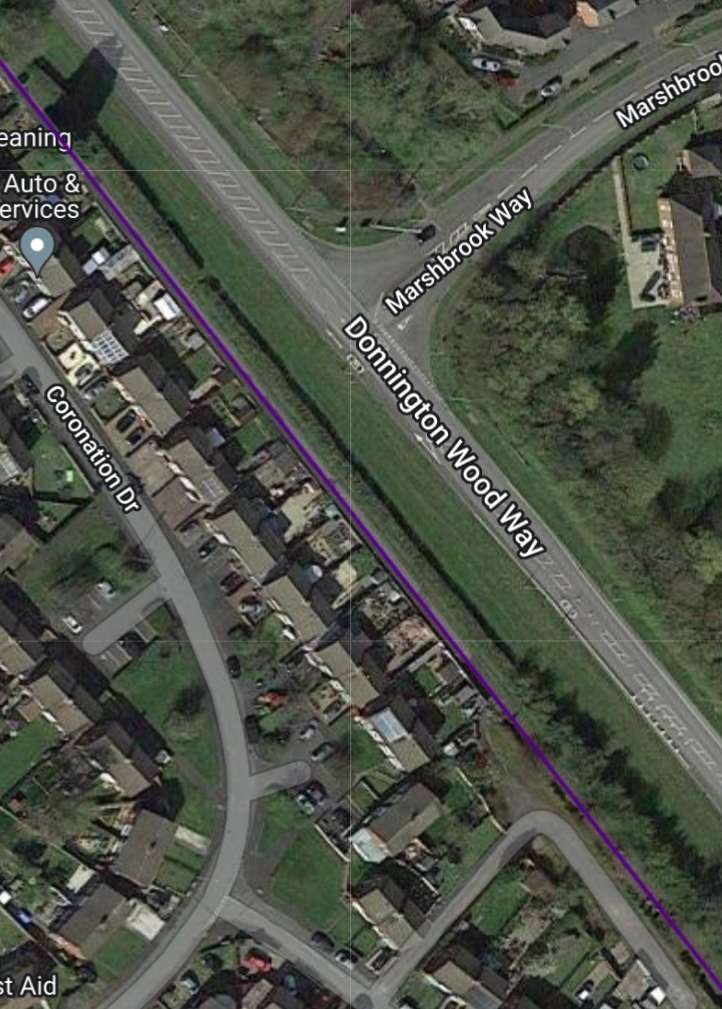
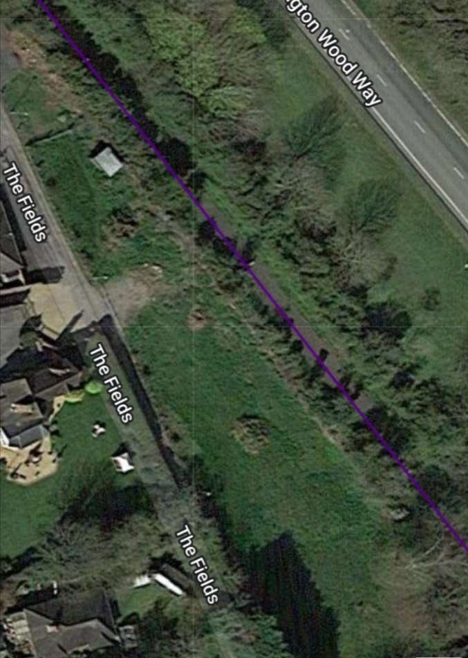
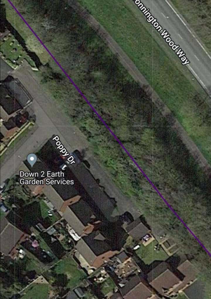
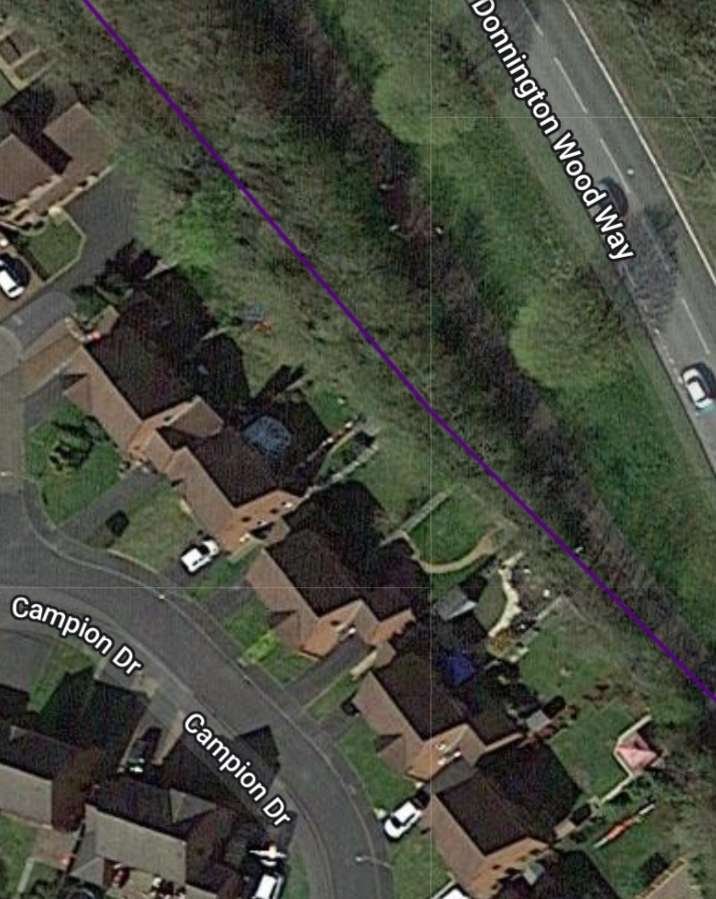
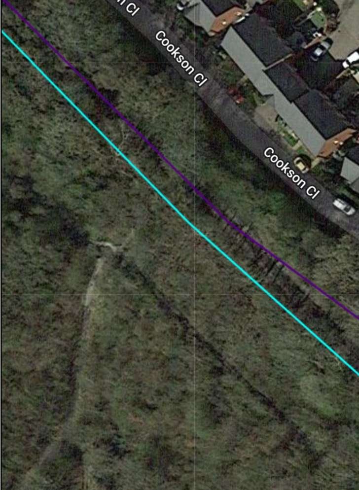
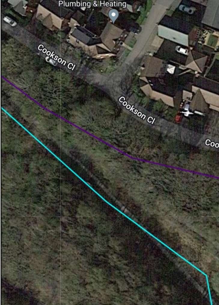
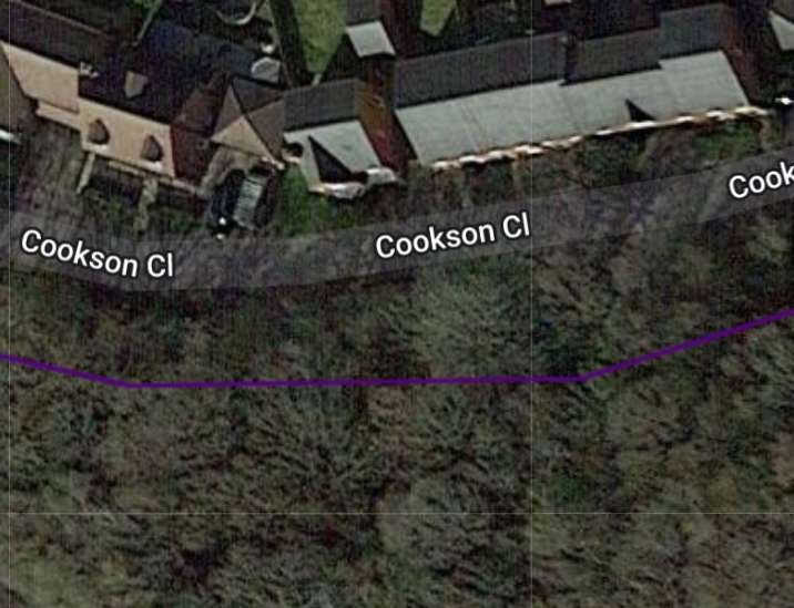
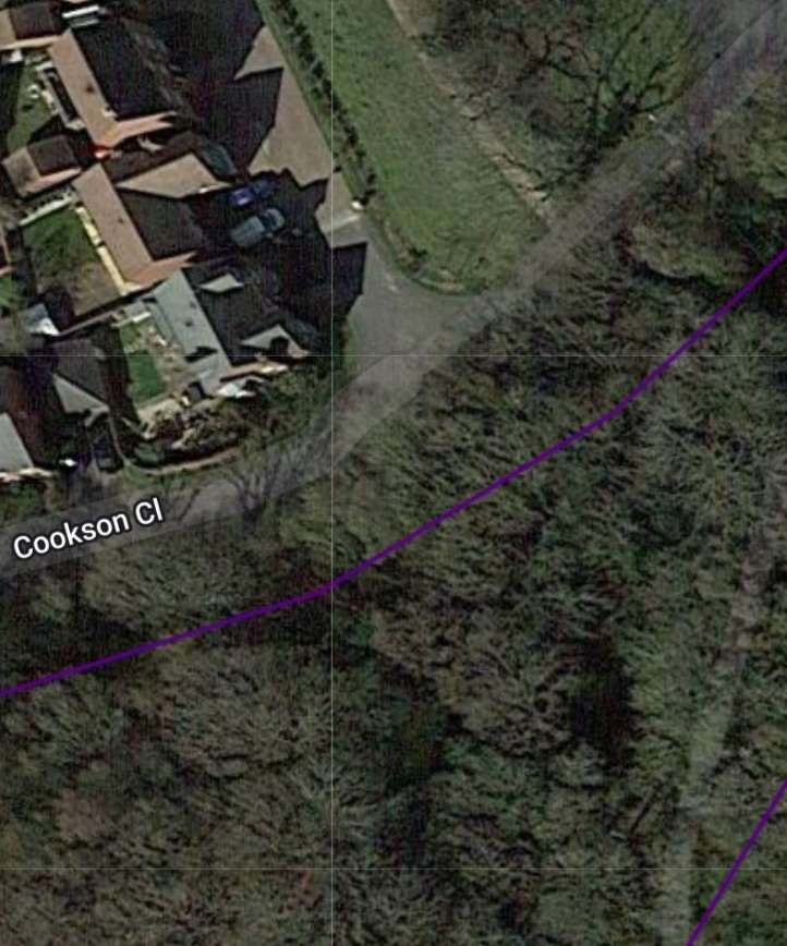
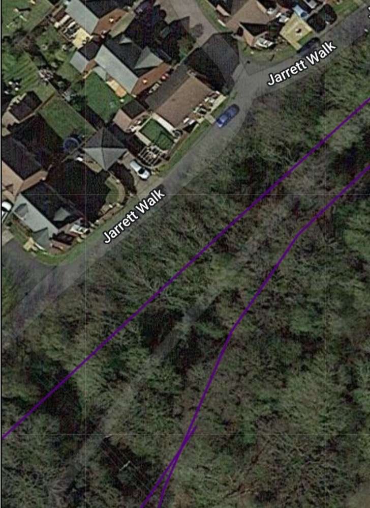
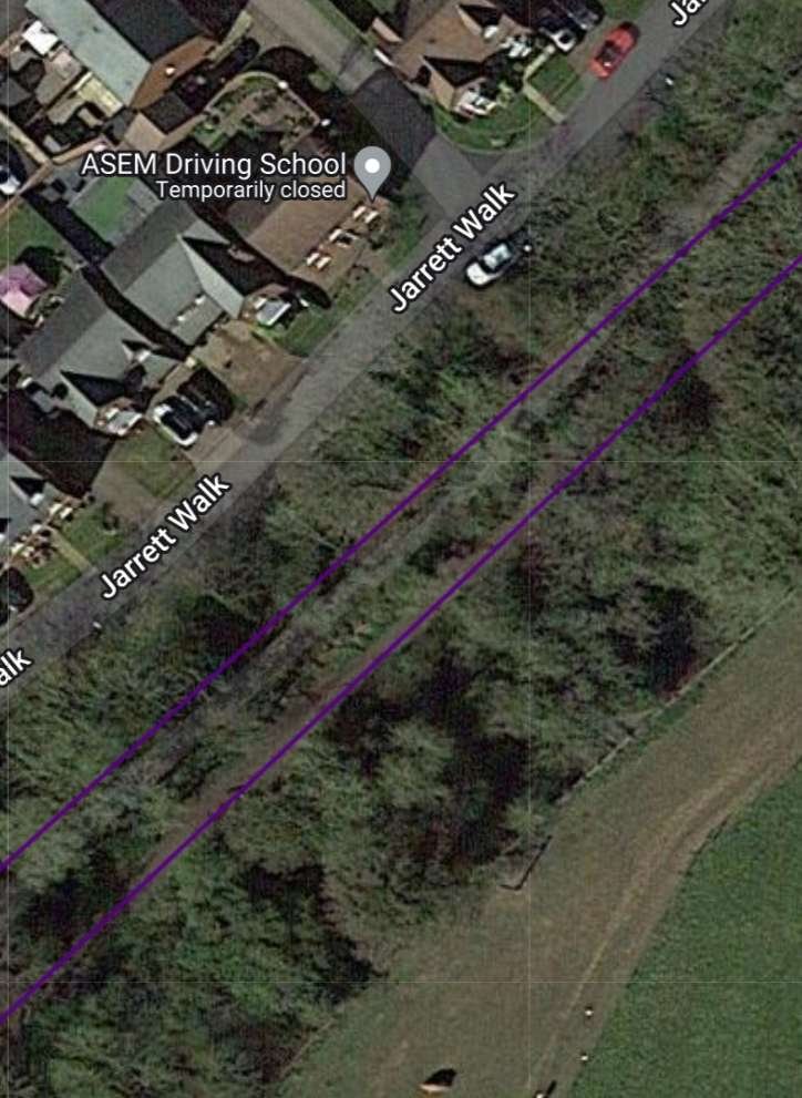
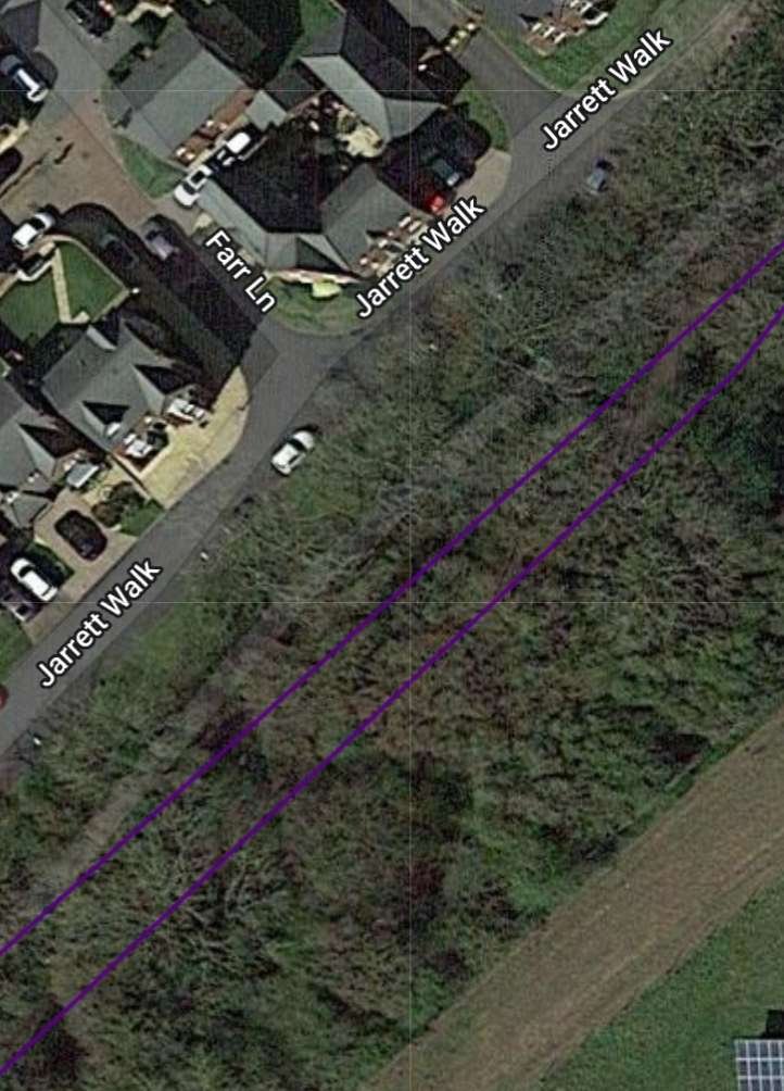
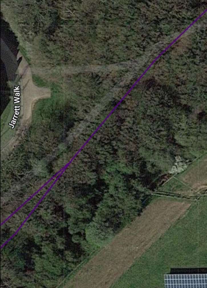
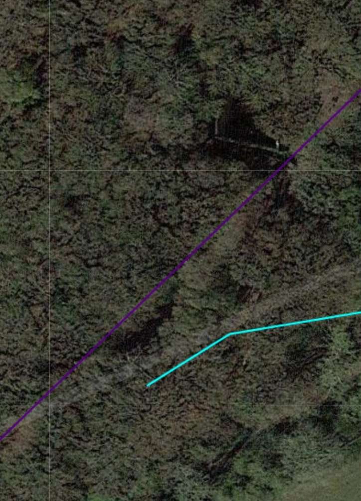
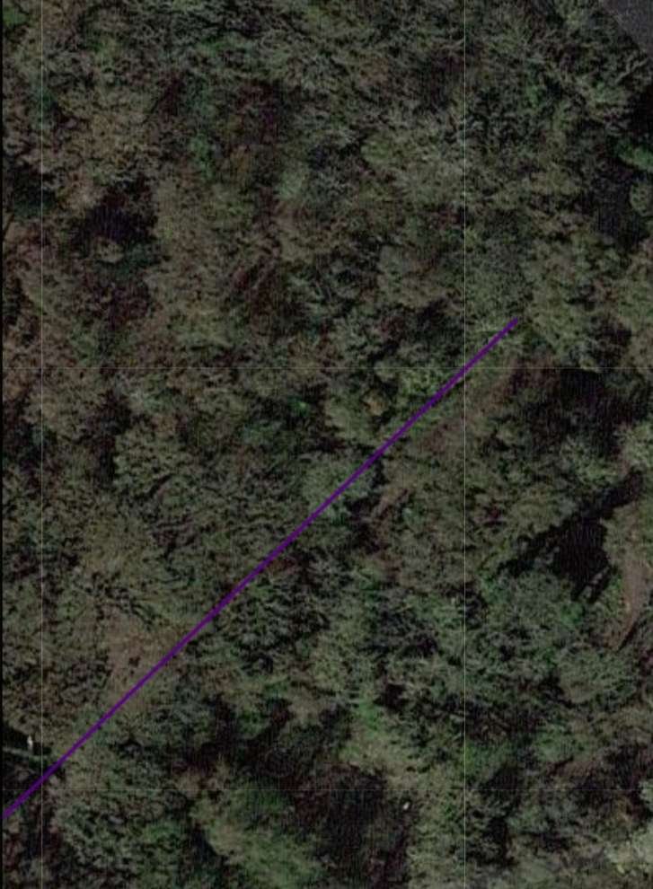
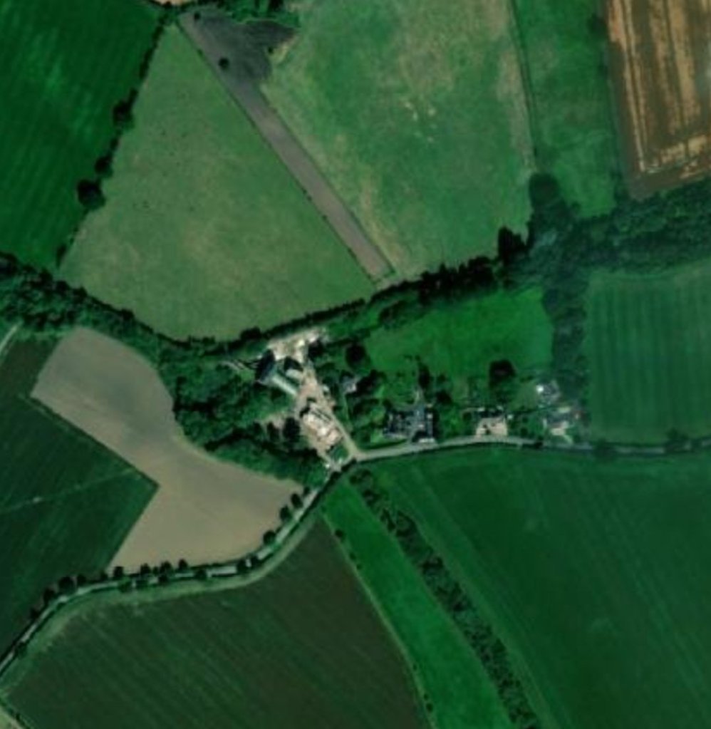
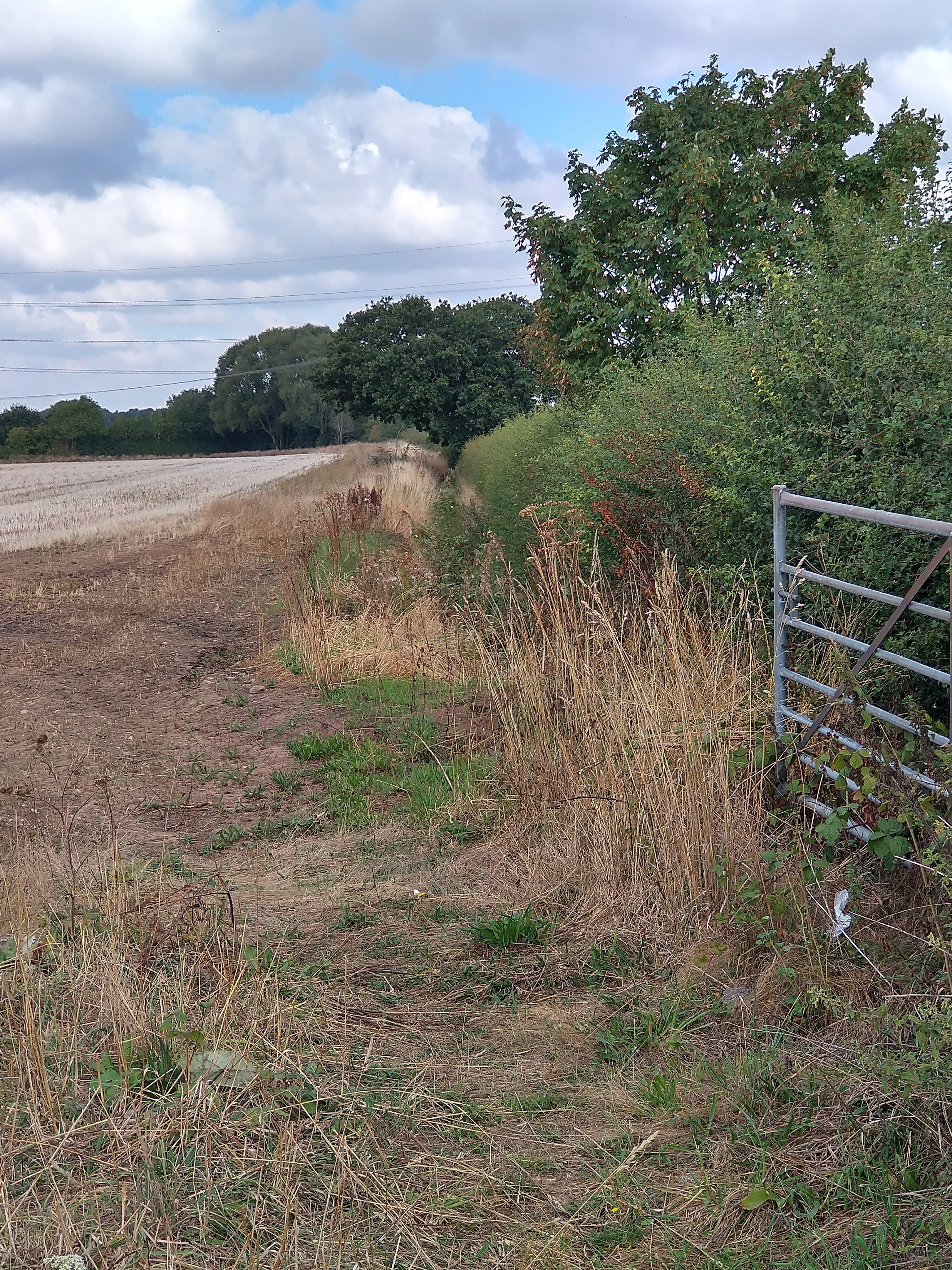
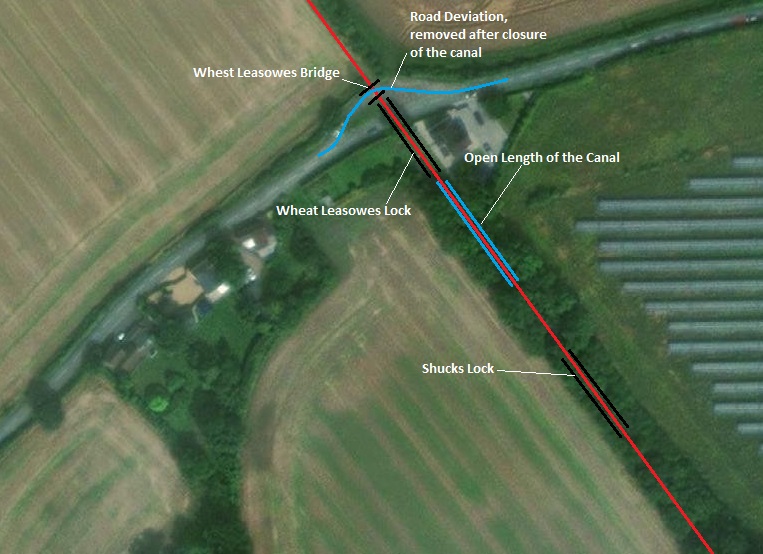
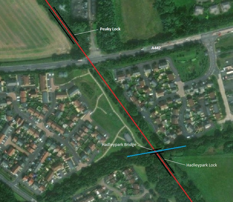
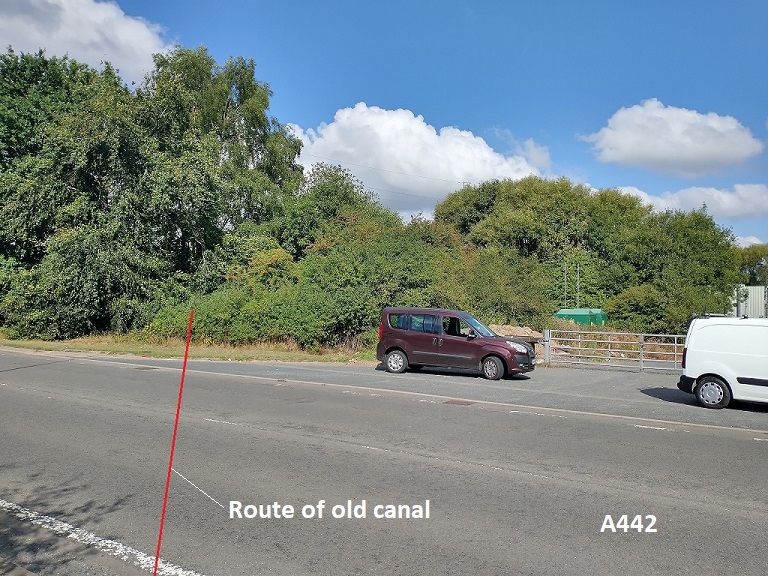
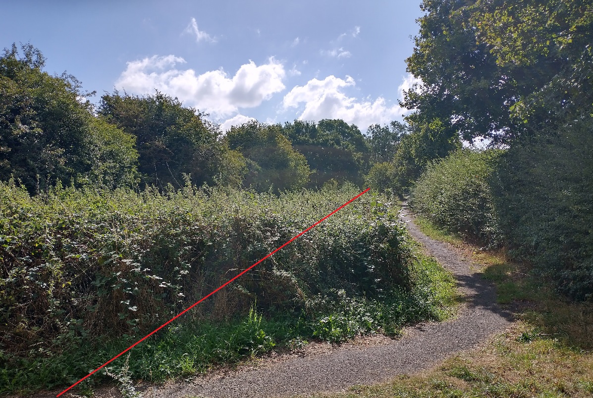
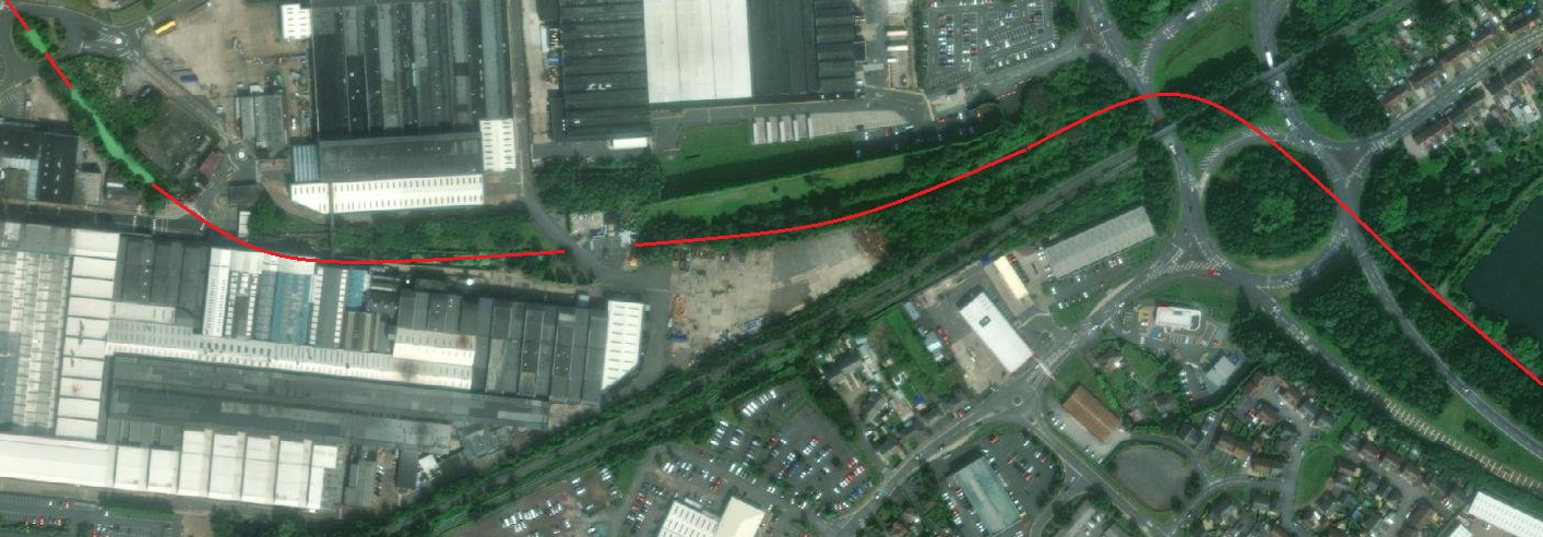
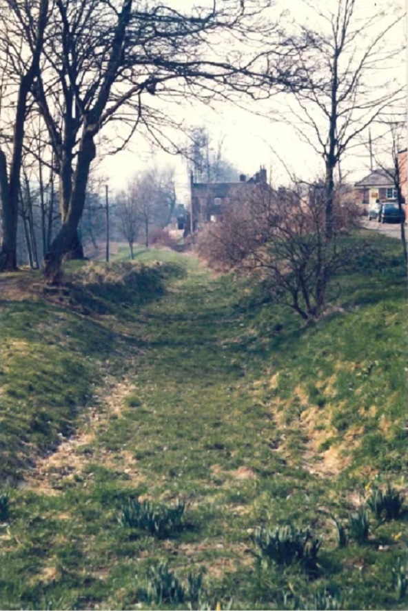
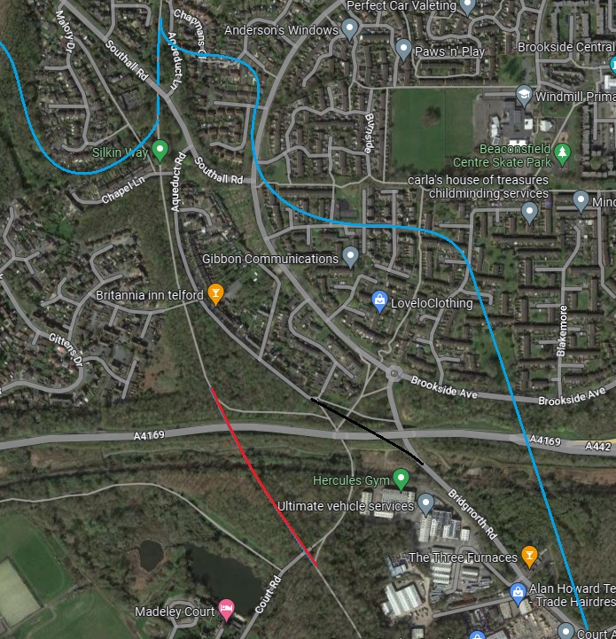
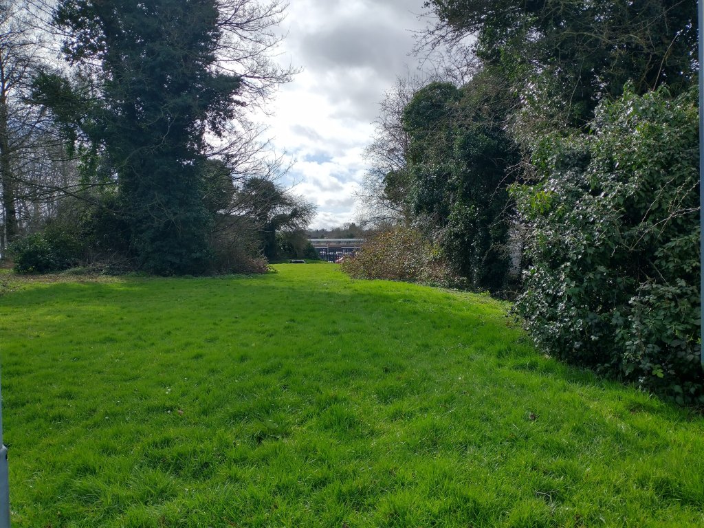
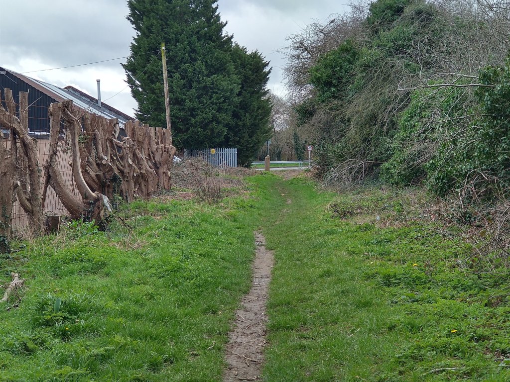
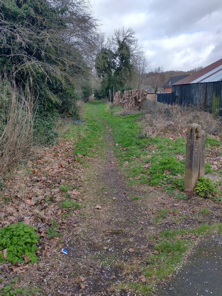
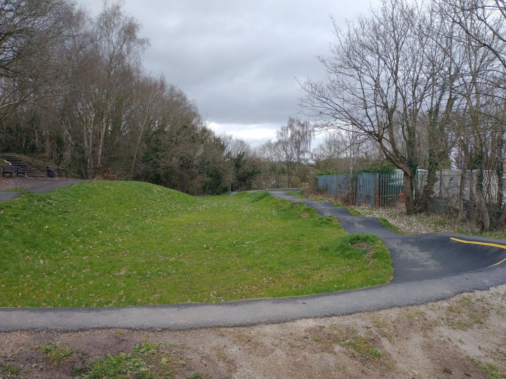
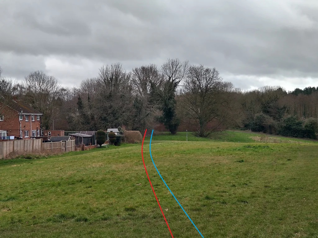
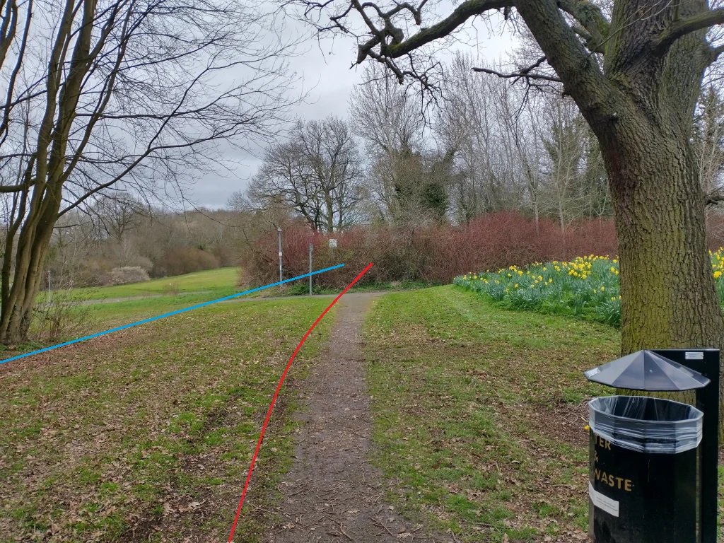
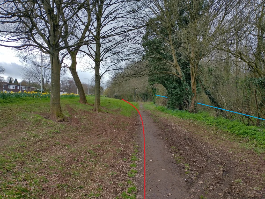
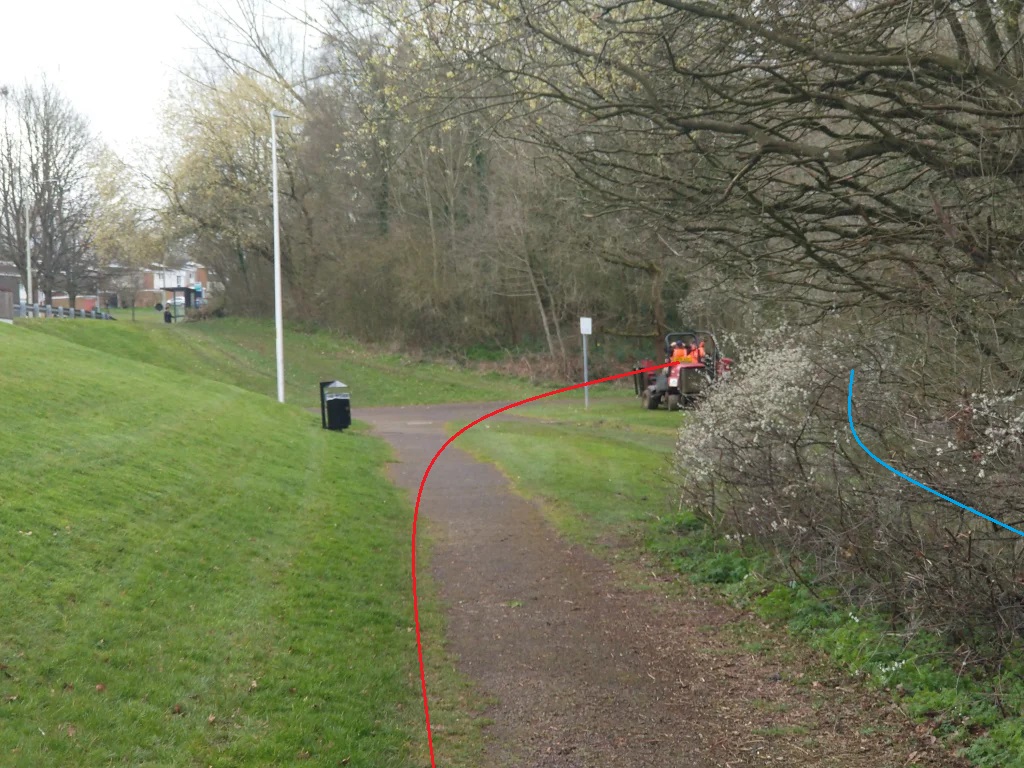
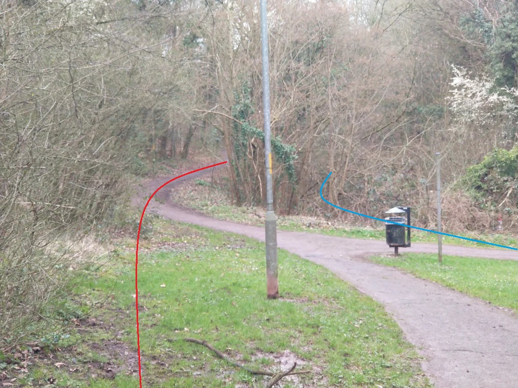
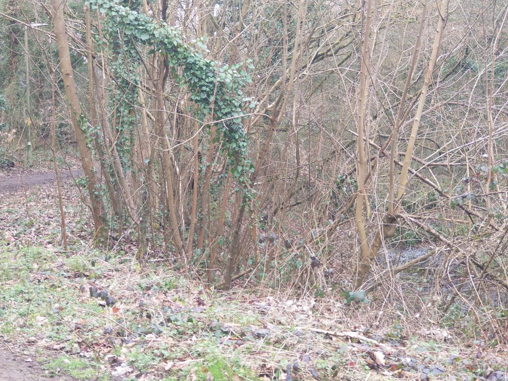
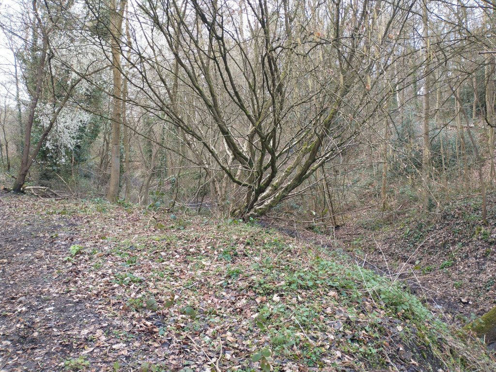
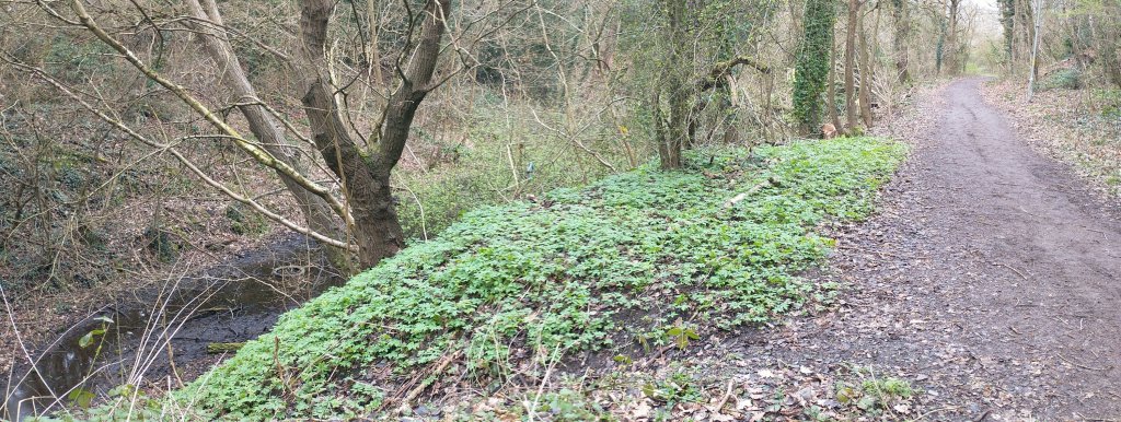
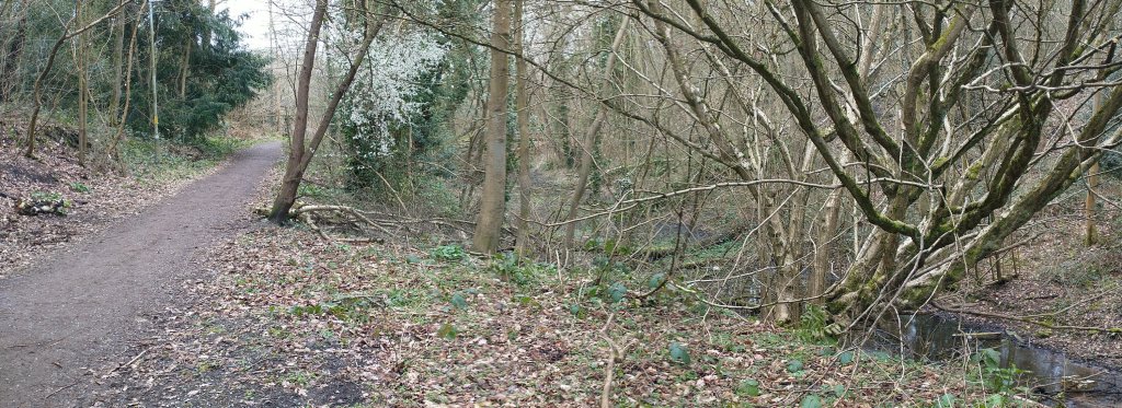
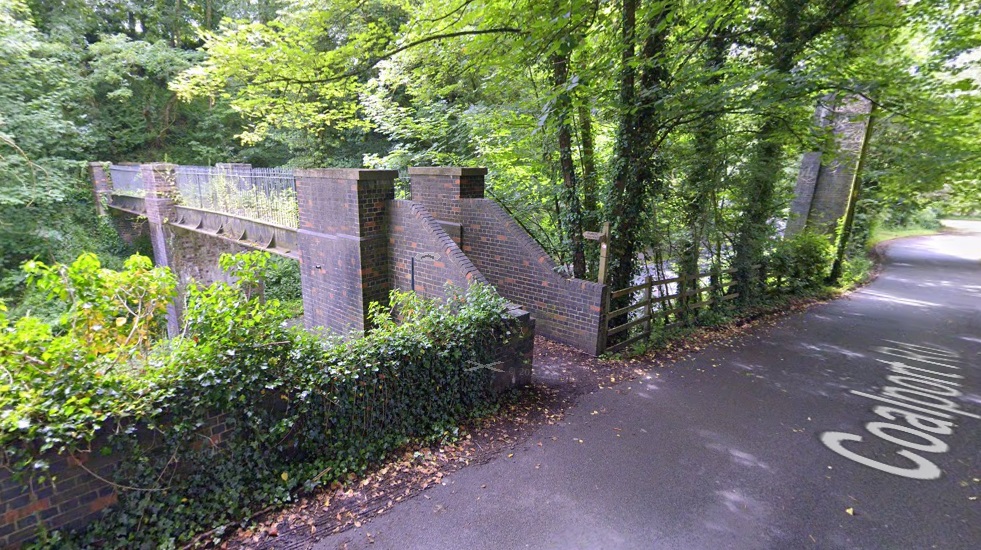
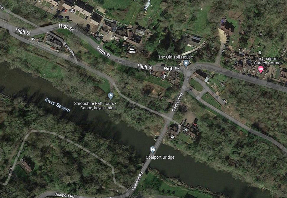
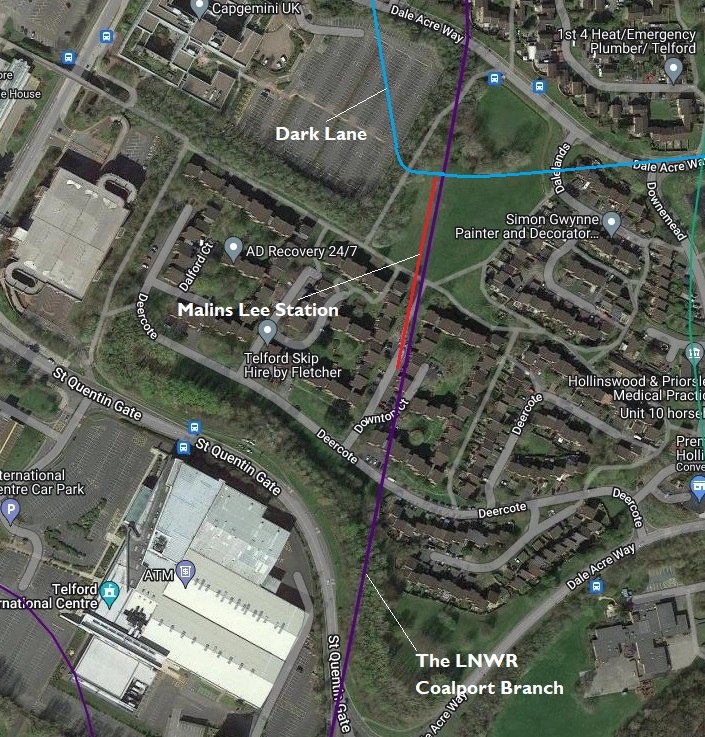
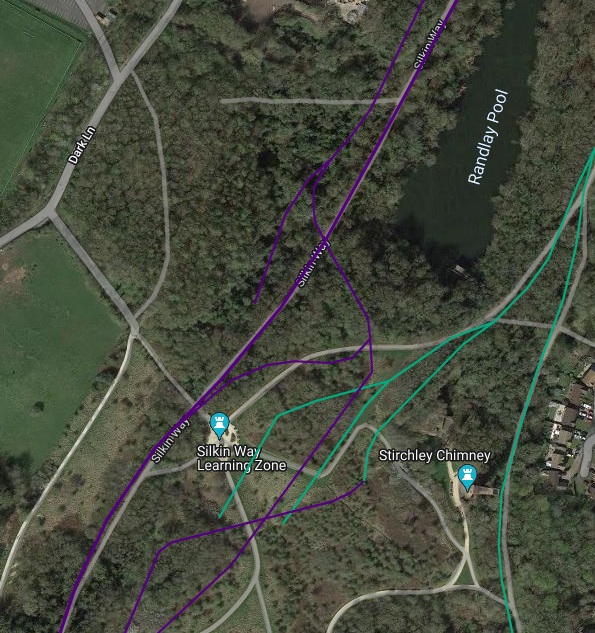
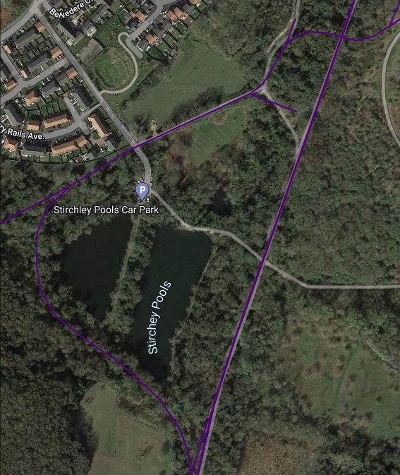
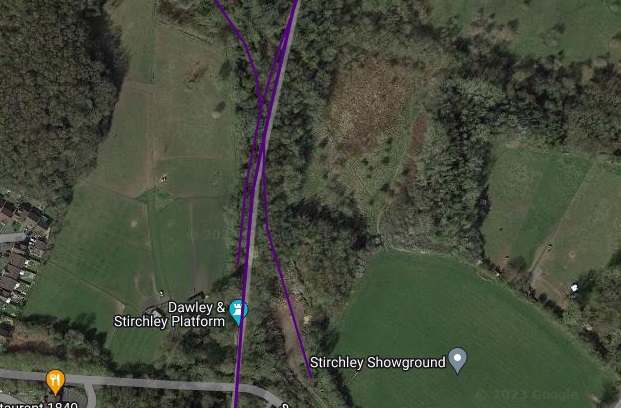
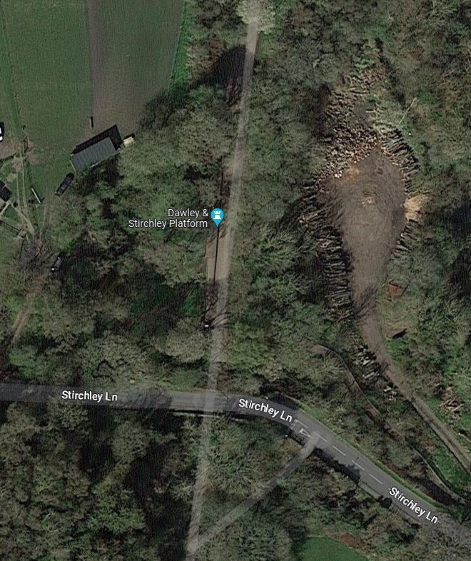
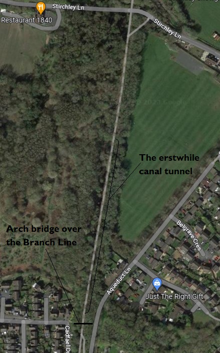
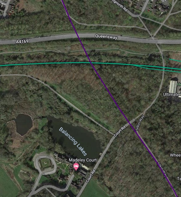
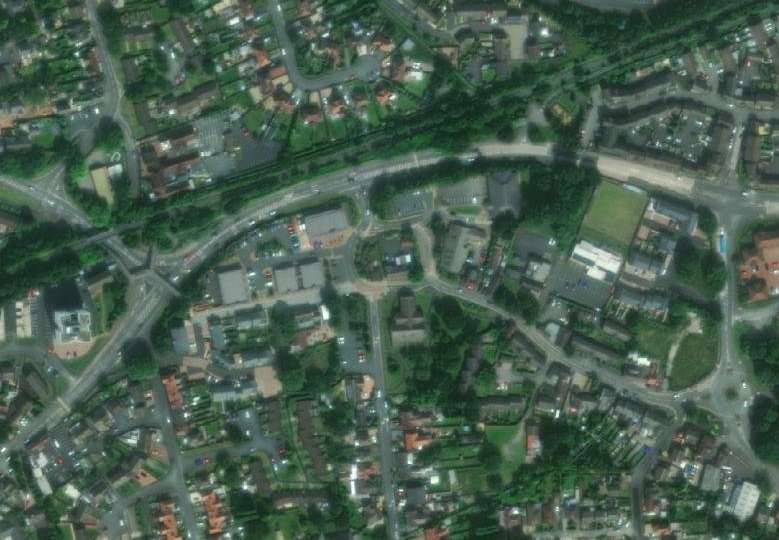
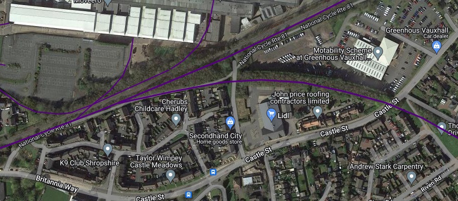
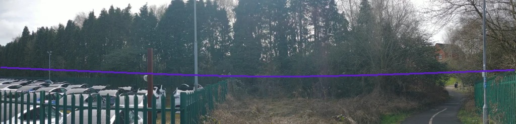
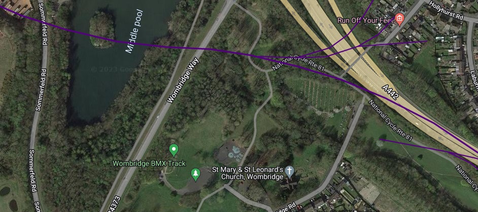
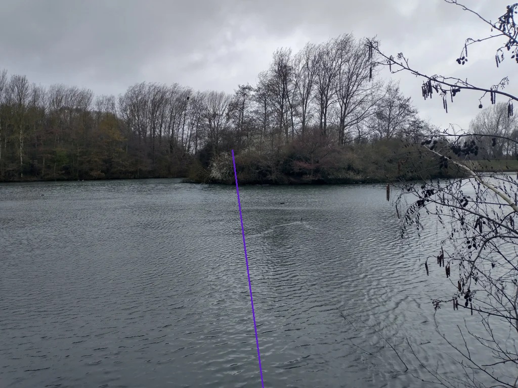
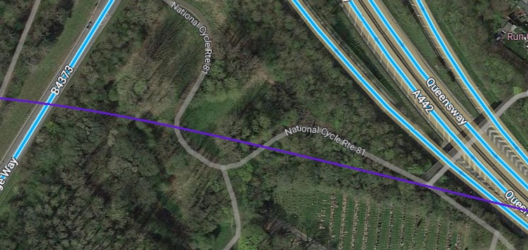
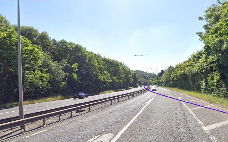
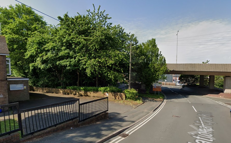
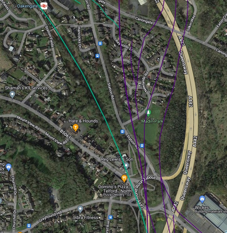
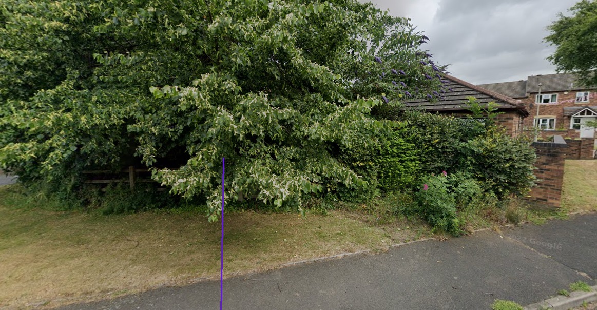
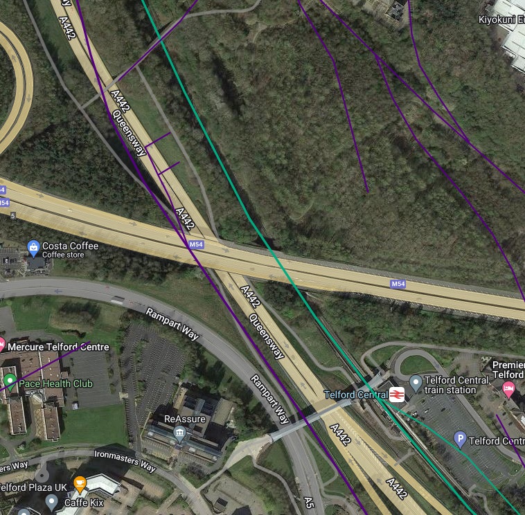
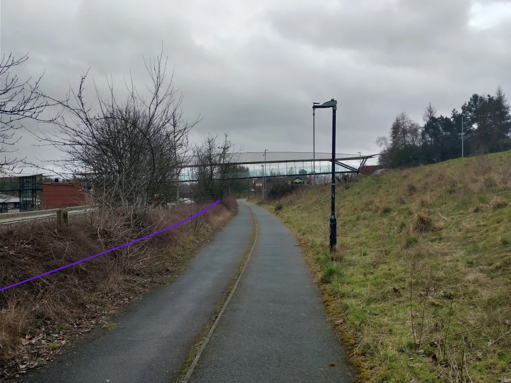
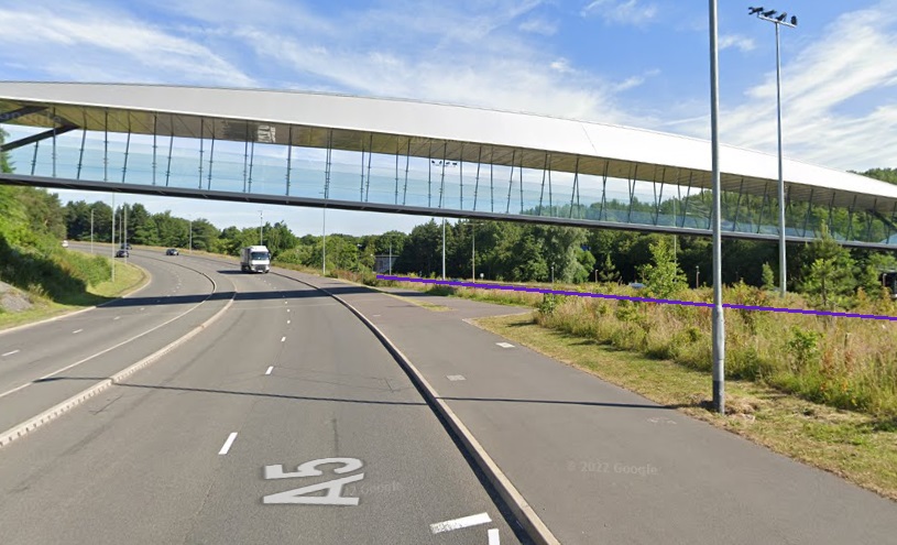
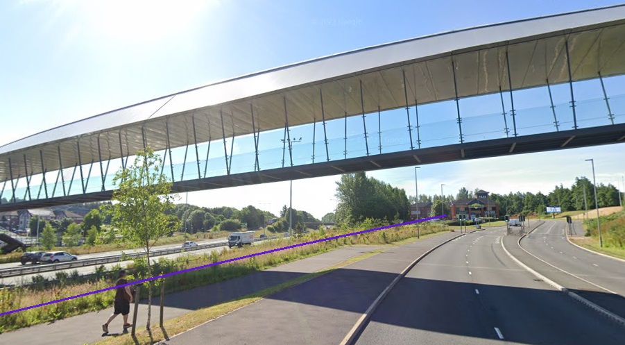
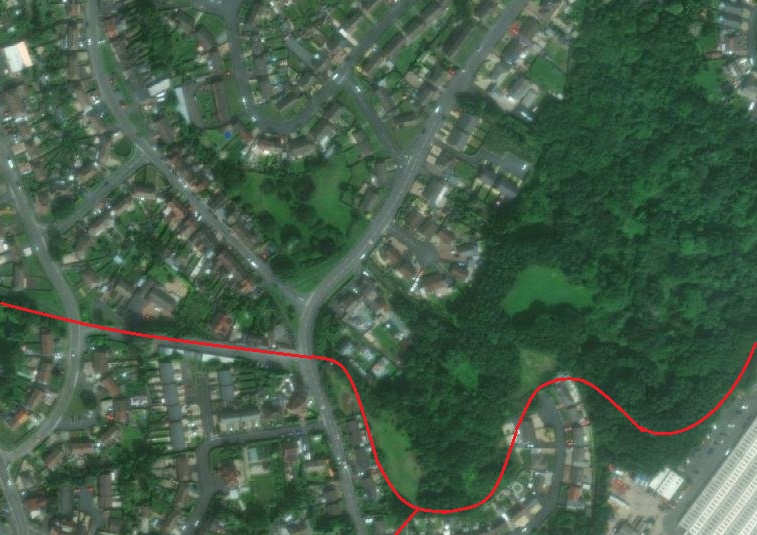
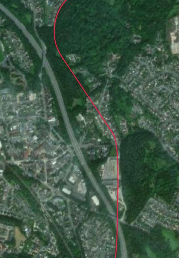
While it is true that direct evidence of canal remains cannot be seen, tree growth differs along the line of the two old canals as this next satellite image from Google Maps shows.
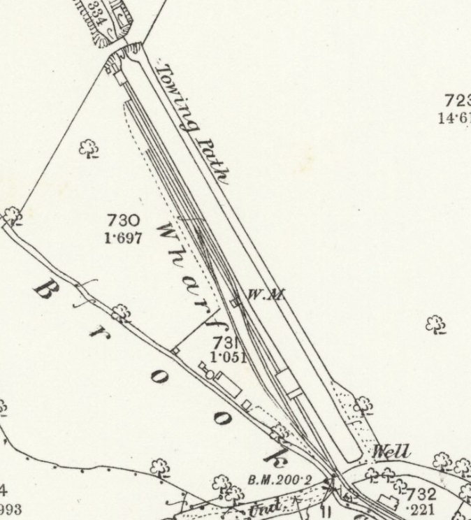
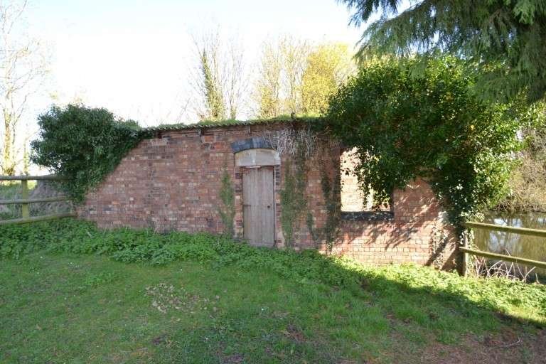
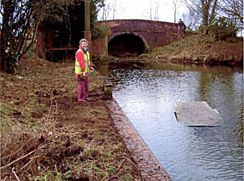
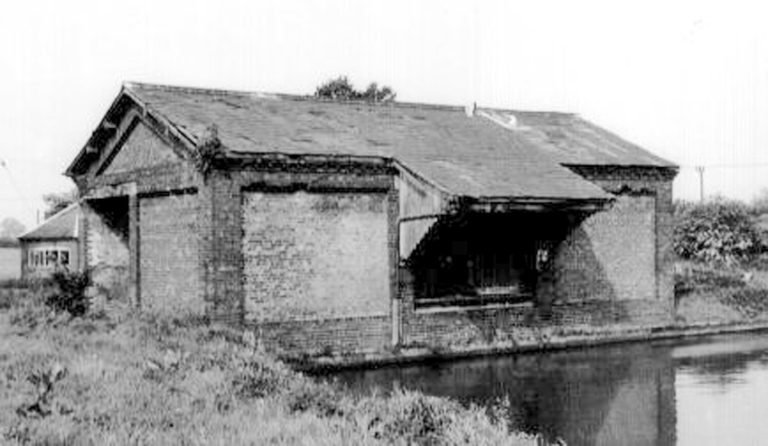
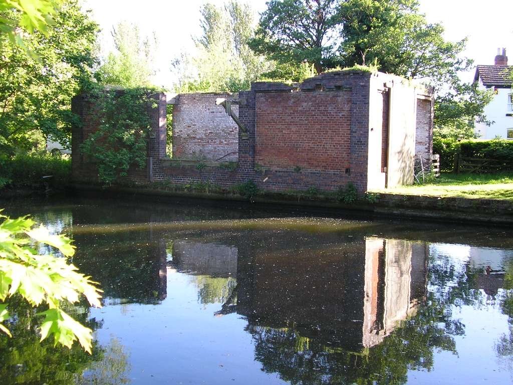
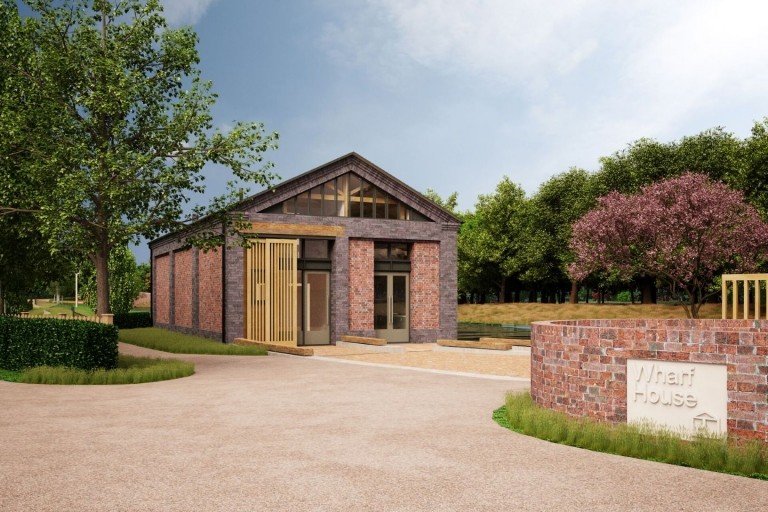
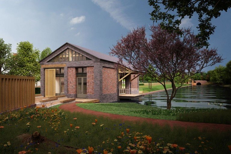
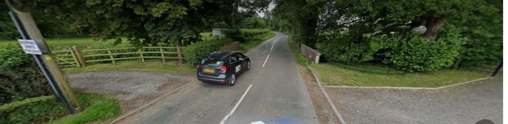
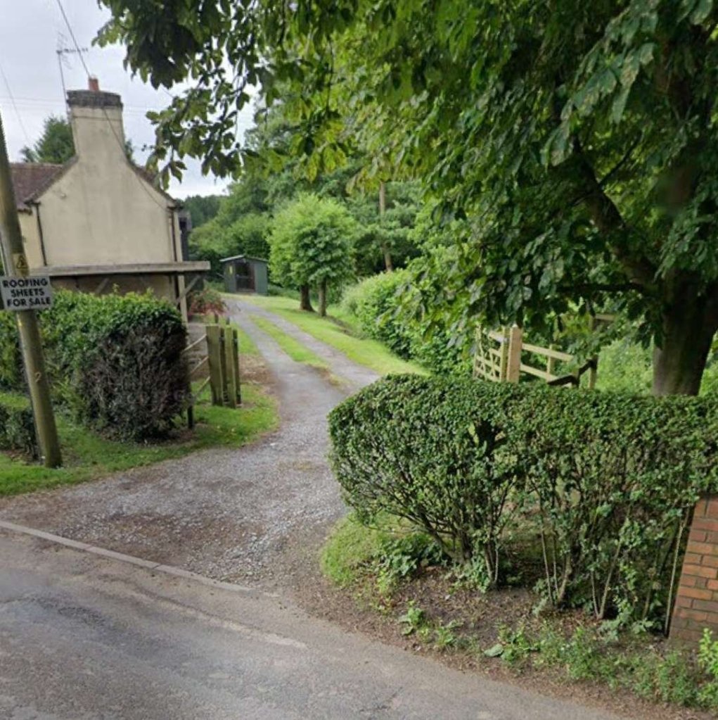
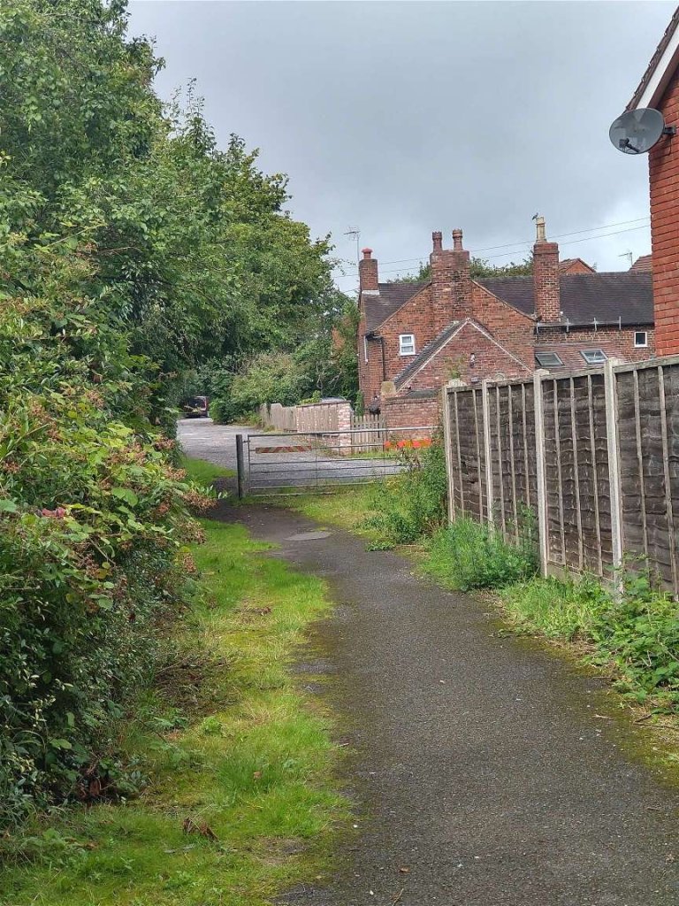
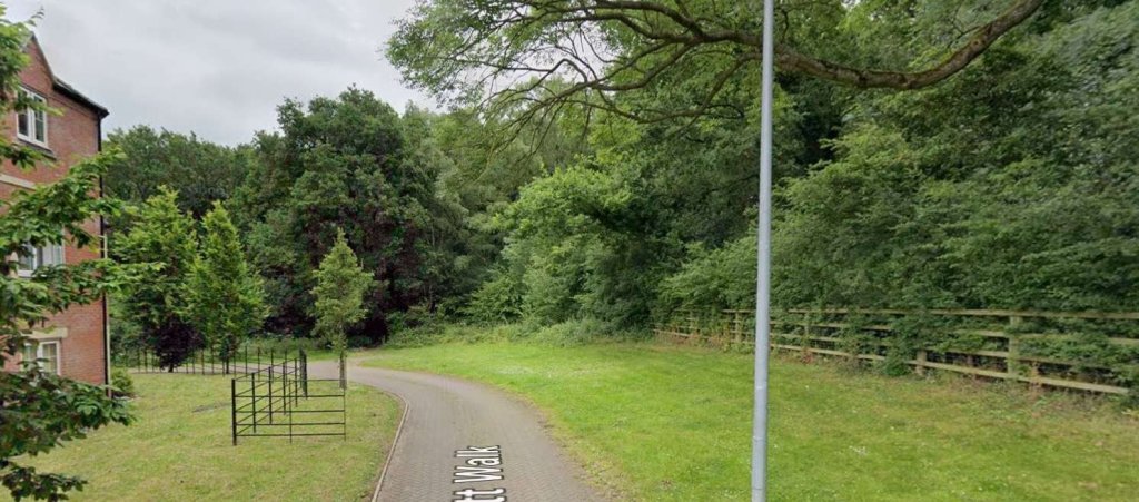
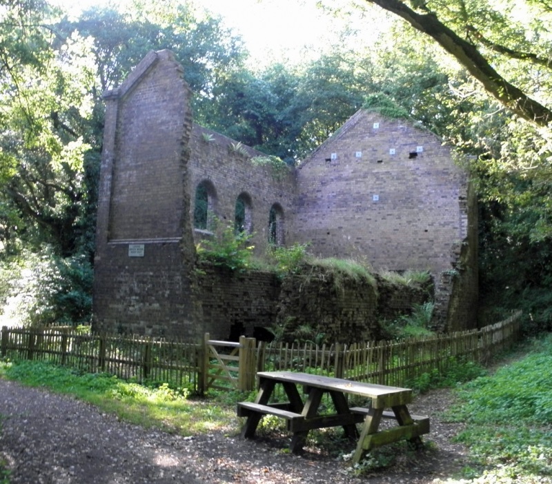
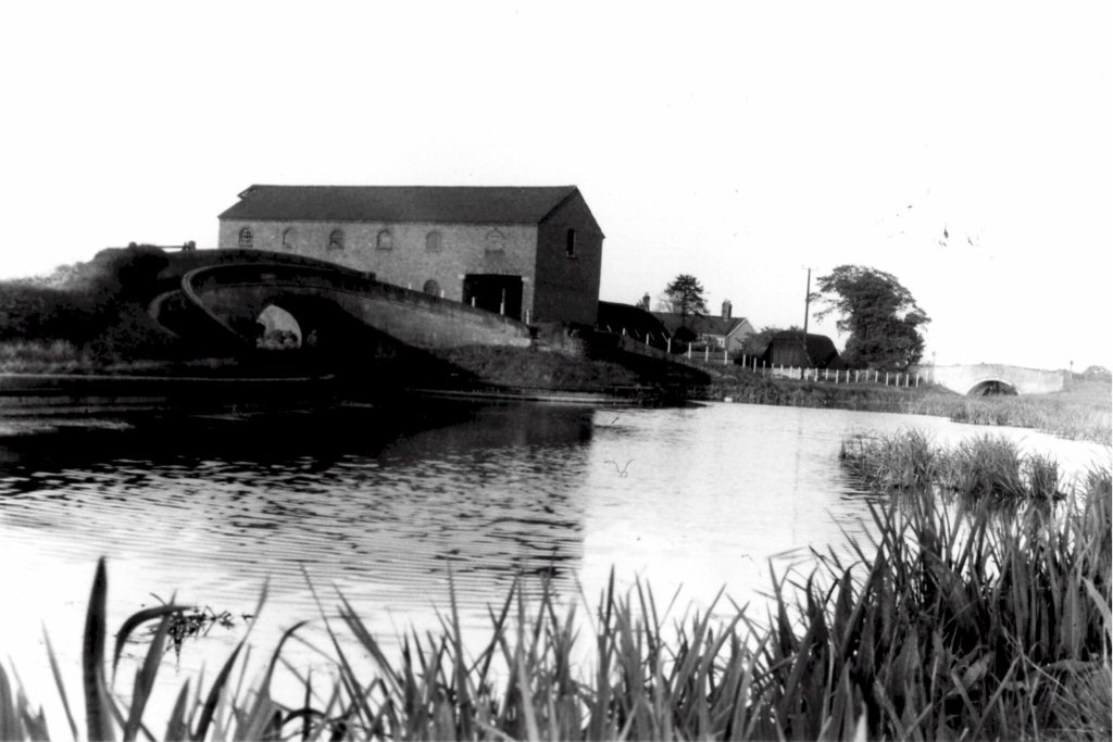
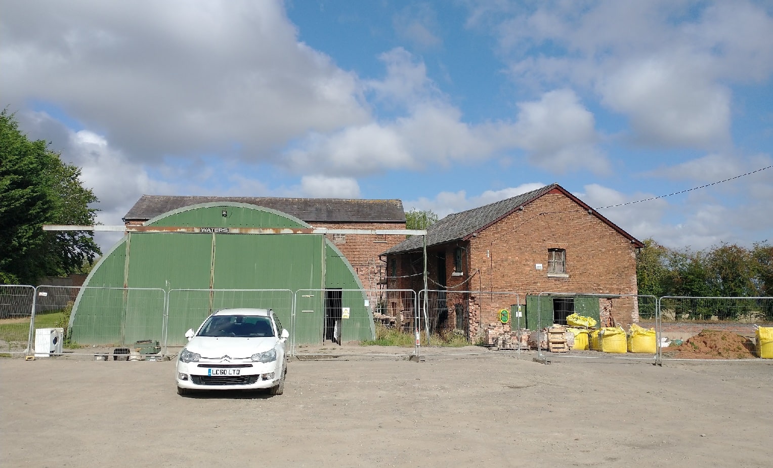
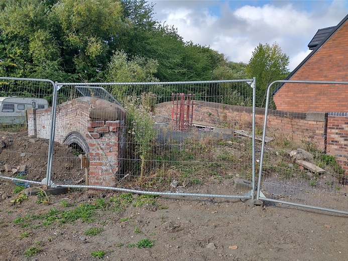
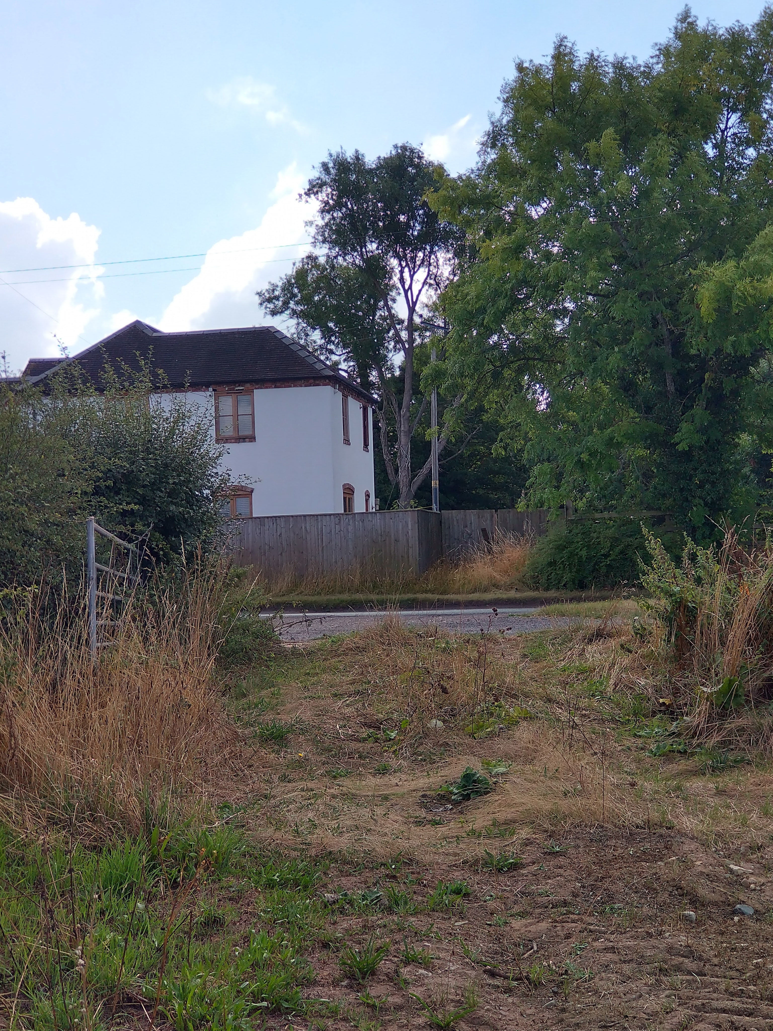
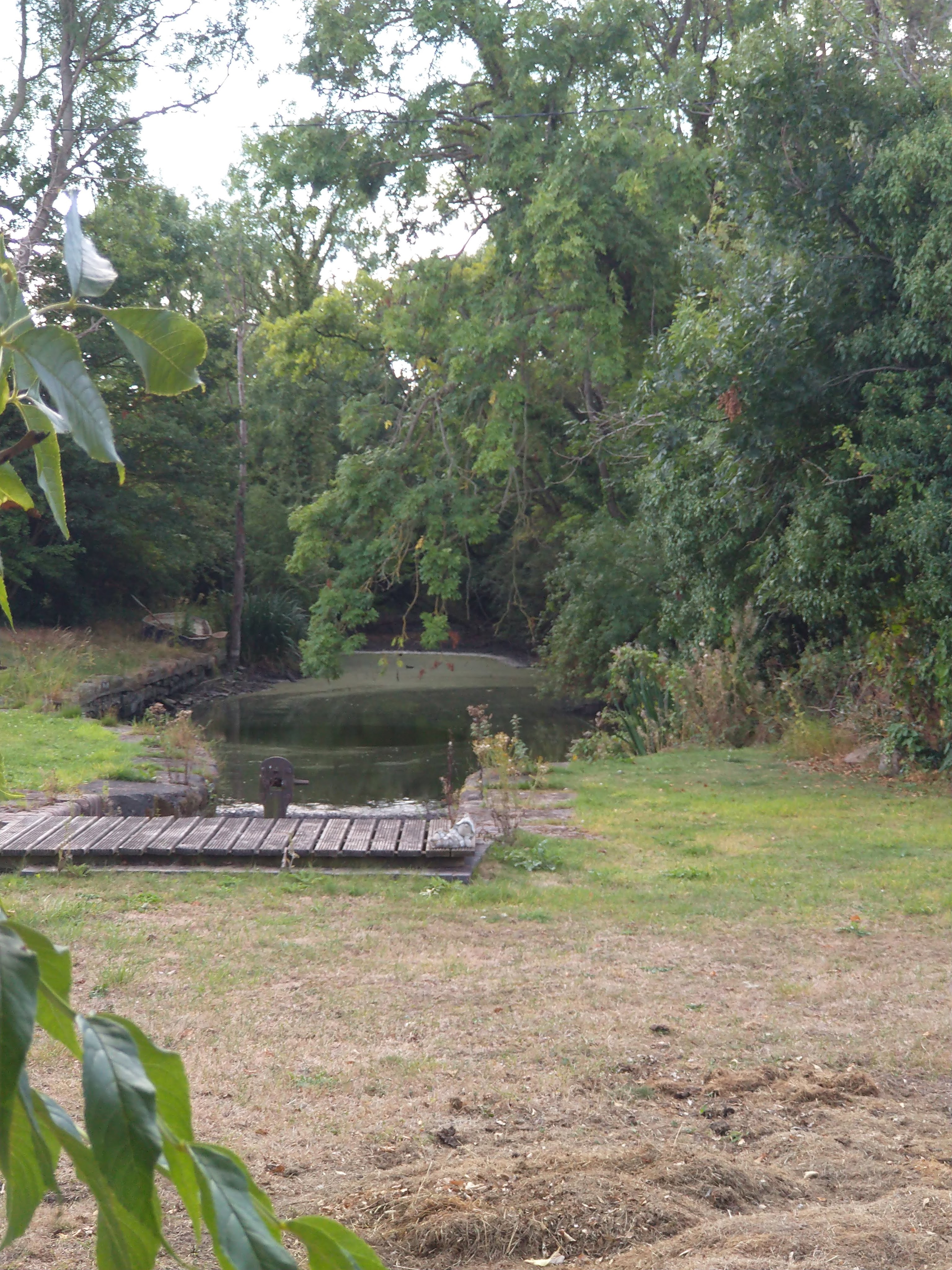
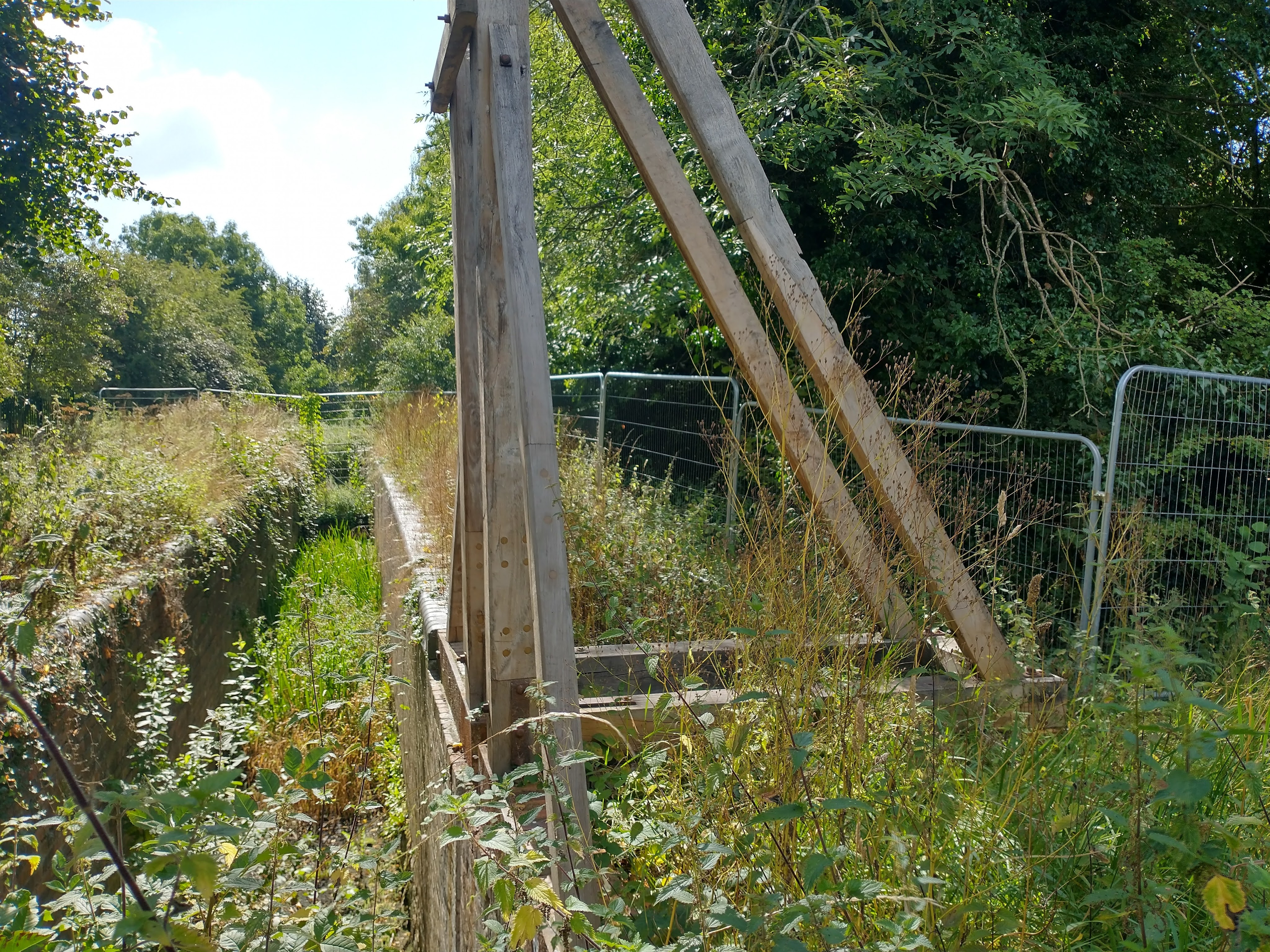
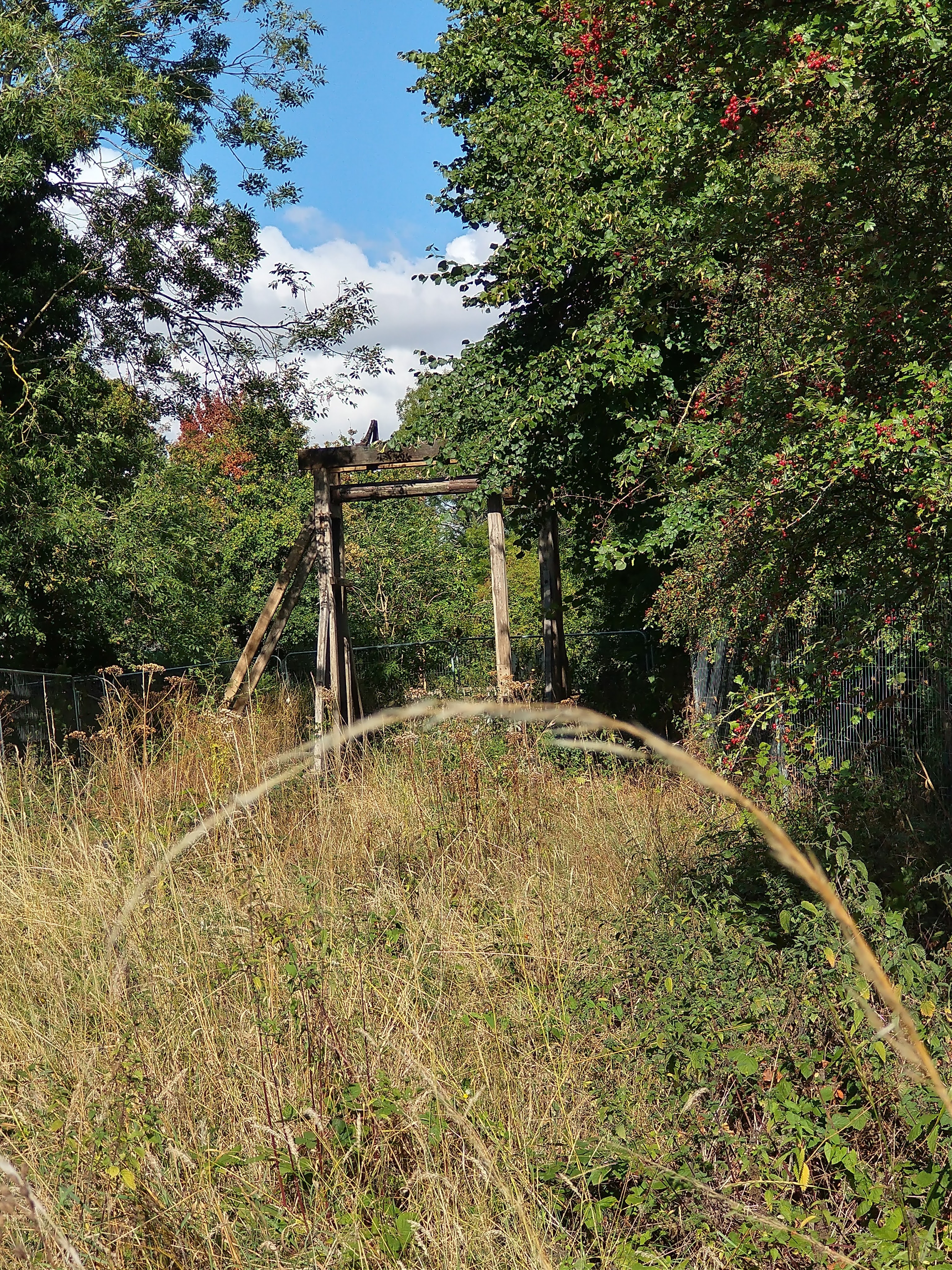
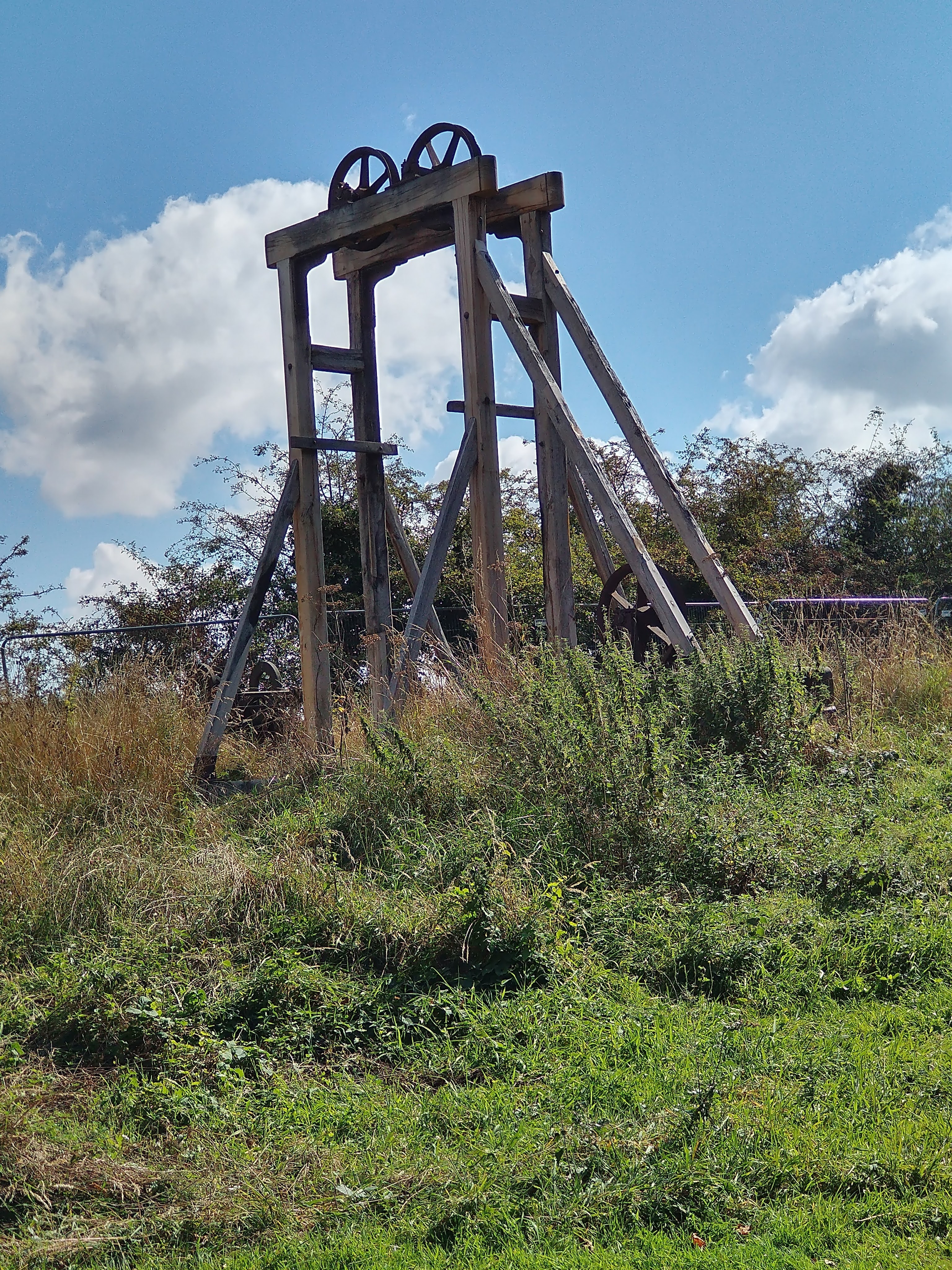
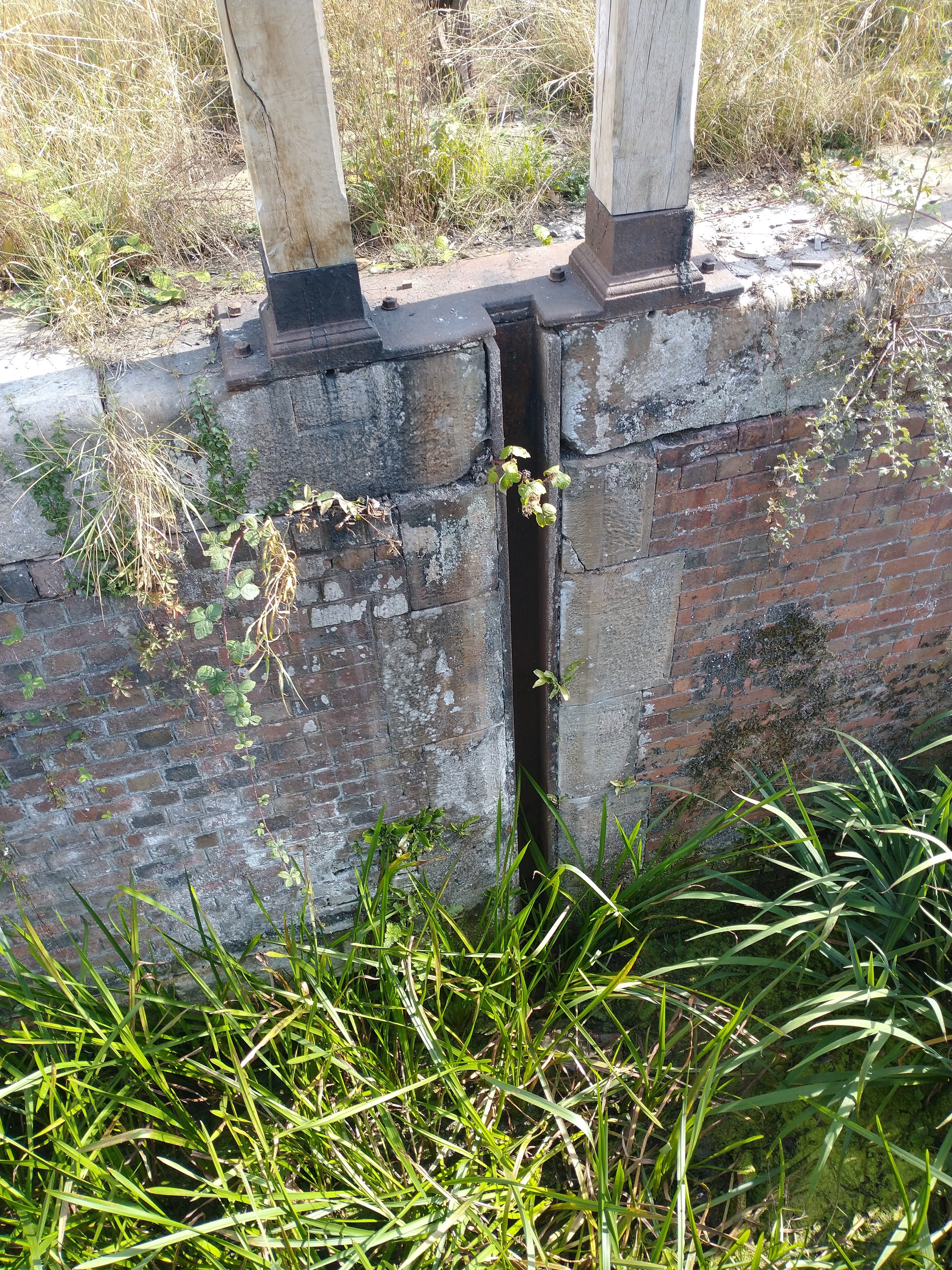
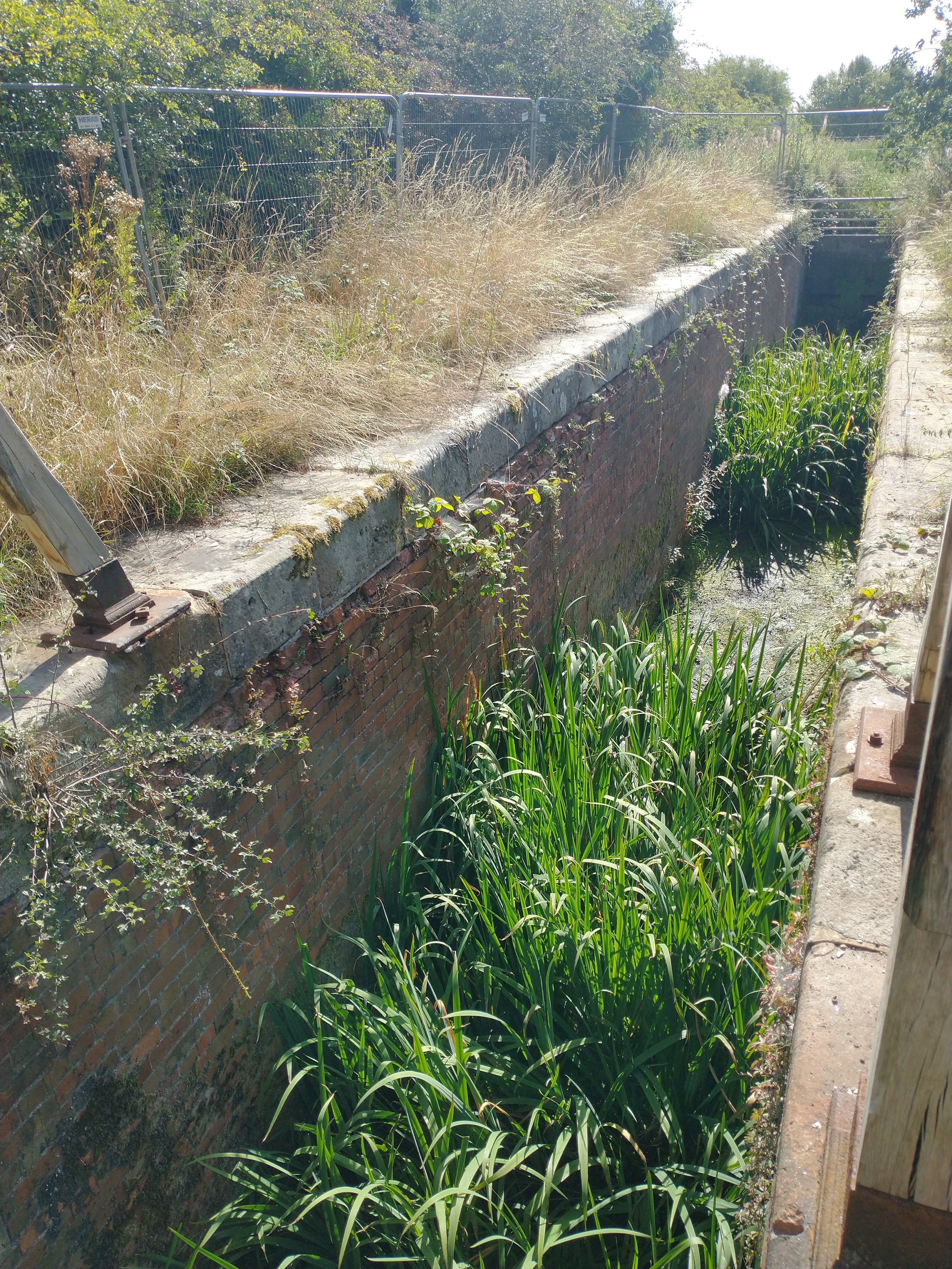
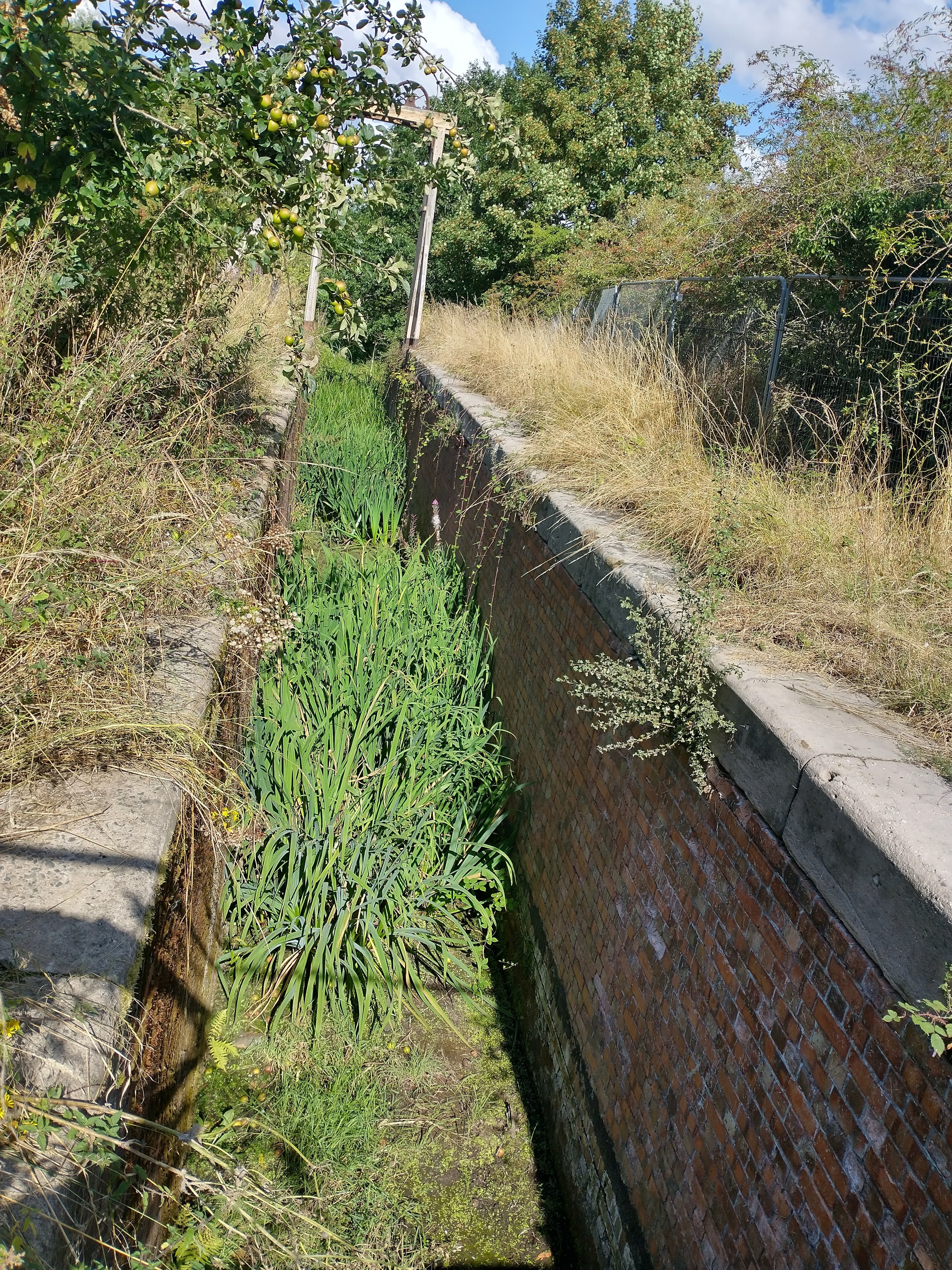
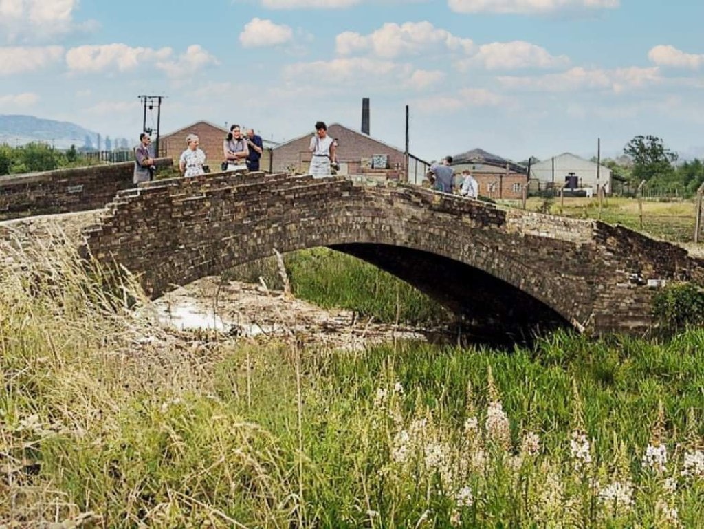
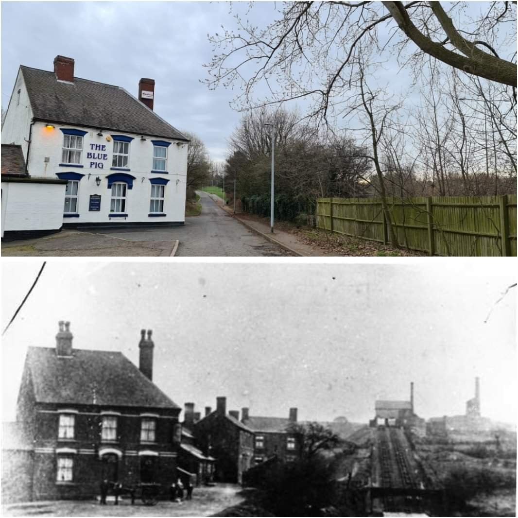
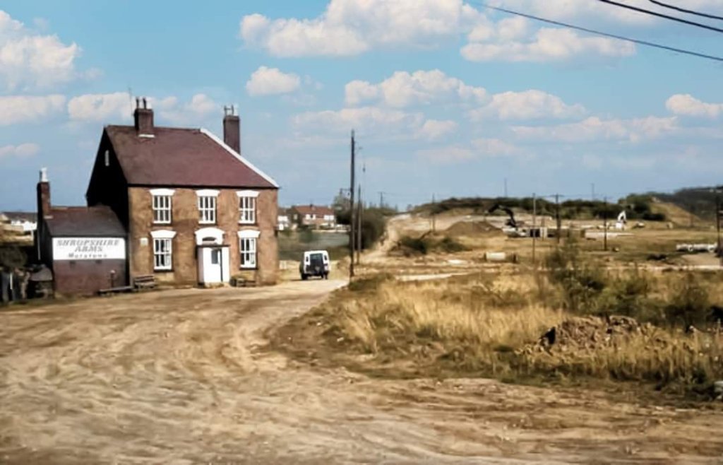
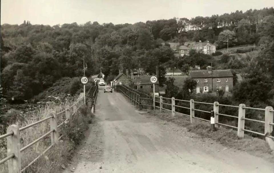
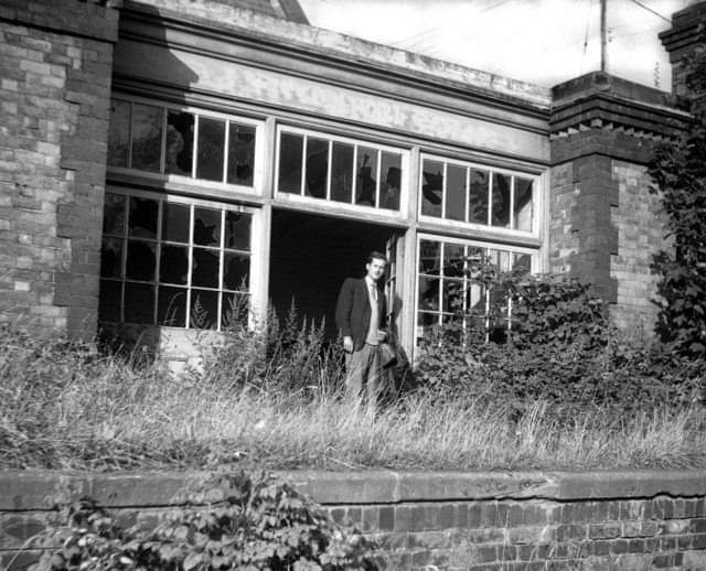
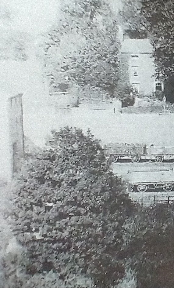
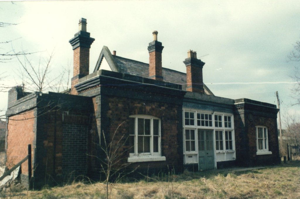
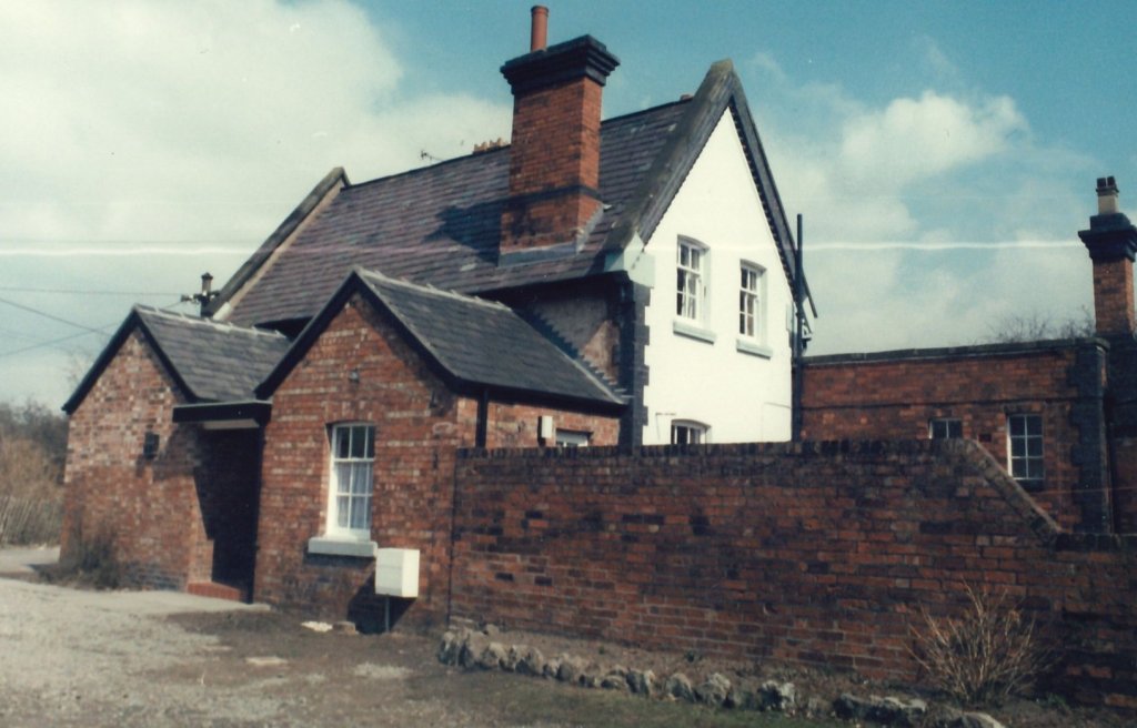
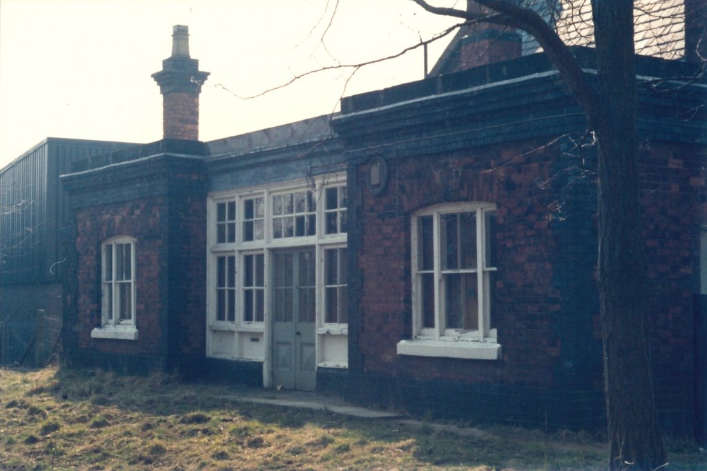
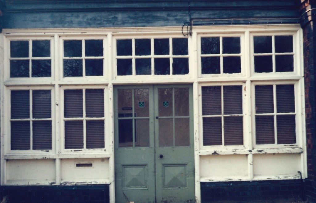
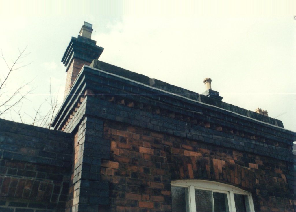
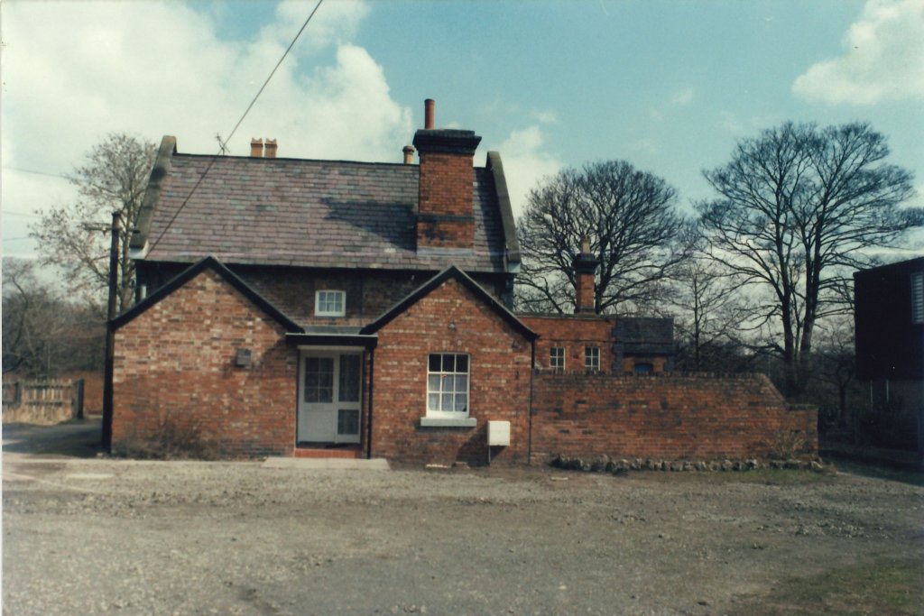
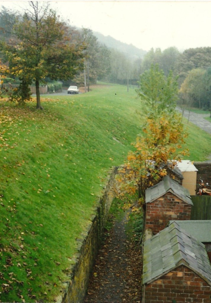
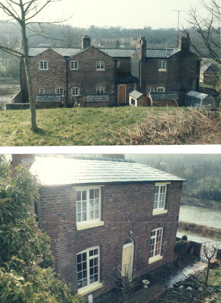
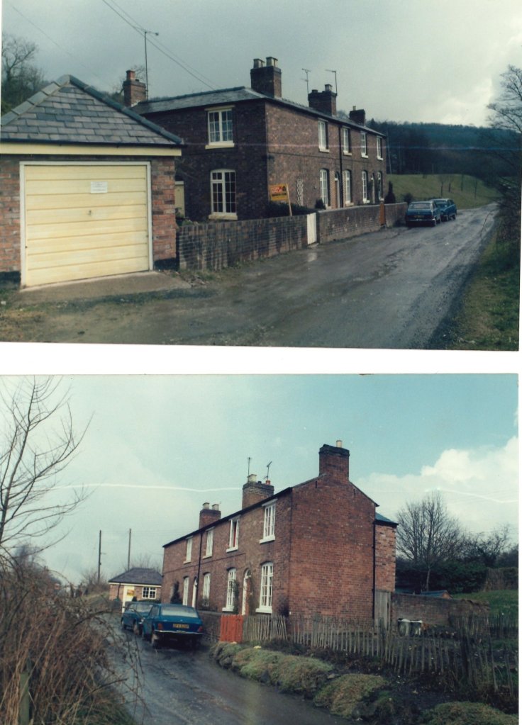
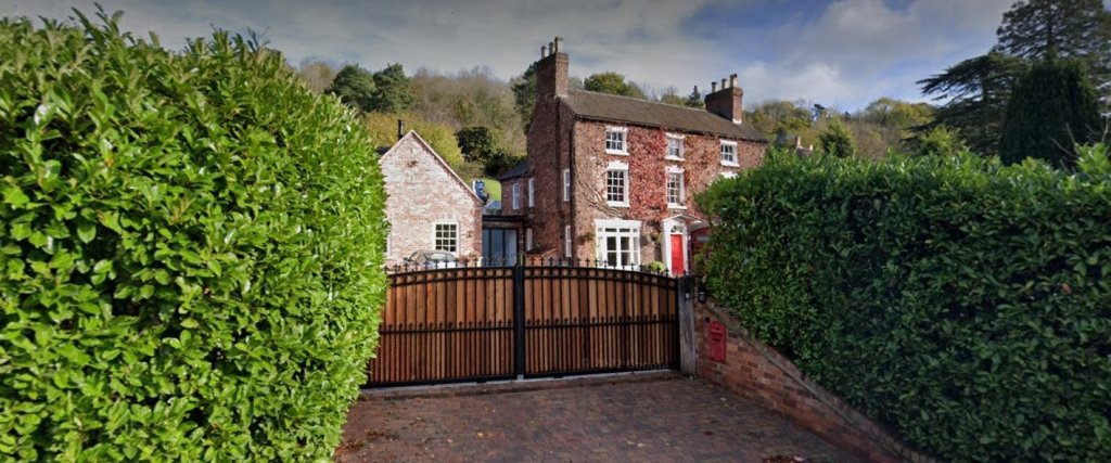
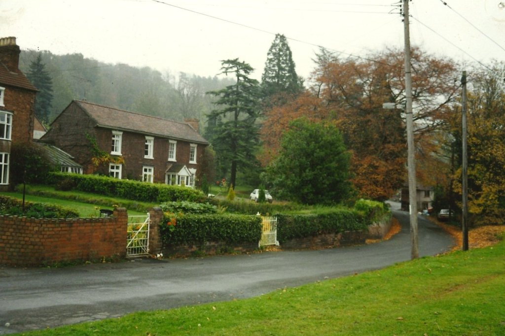
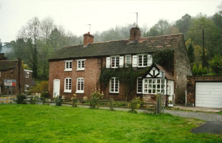
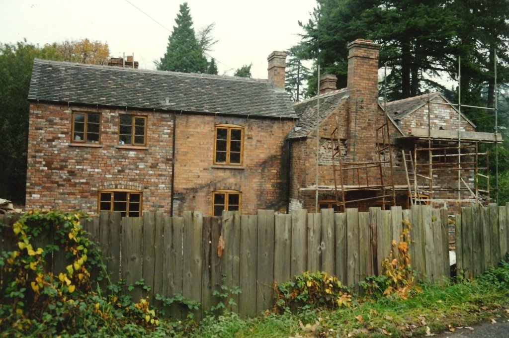
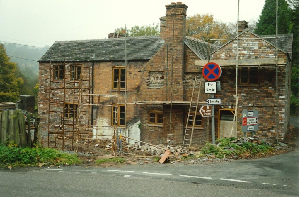
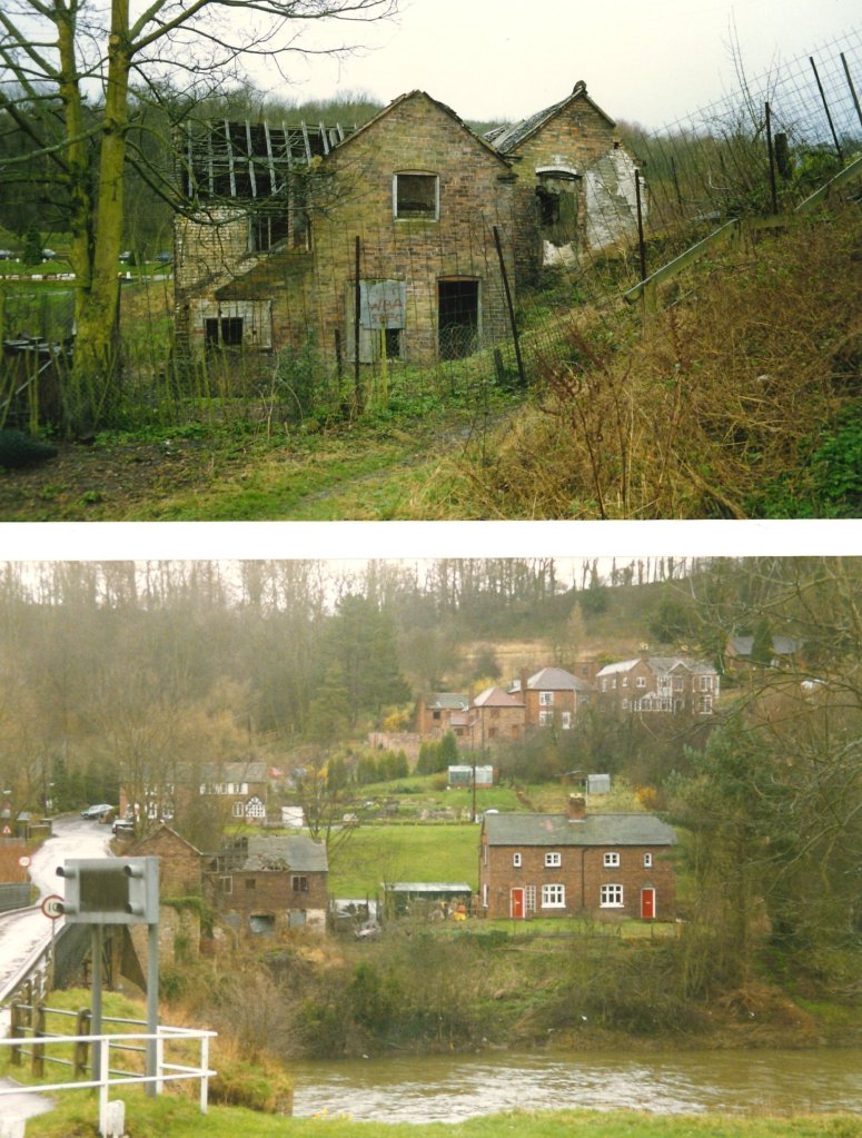
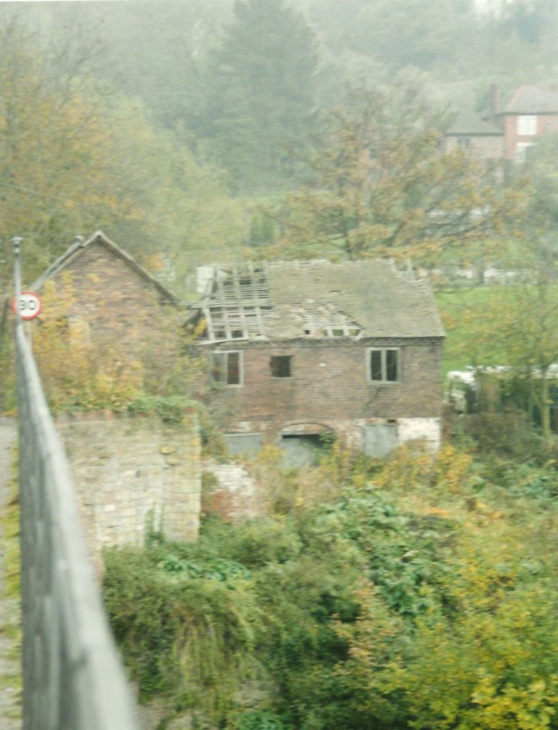
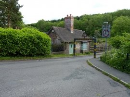
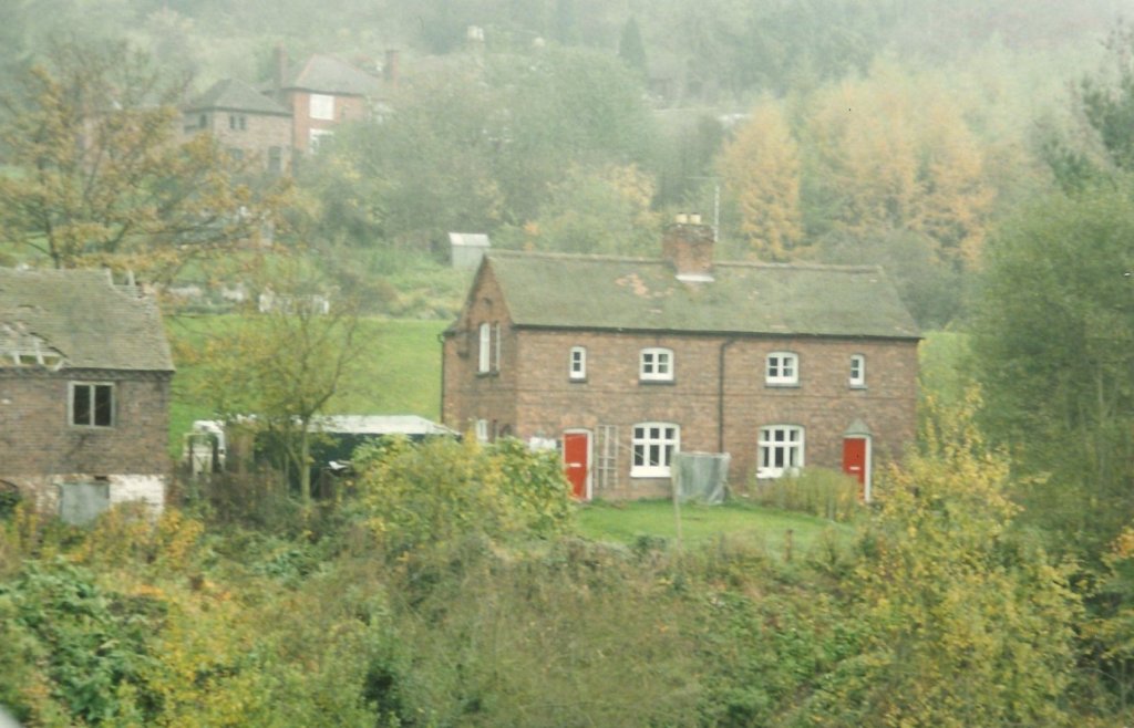
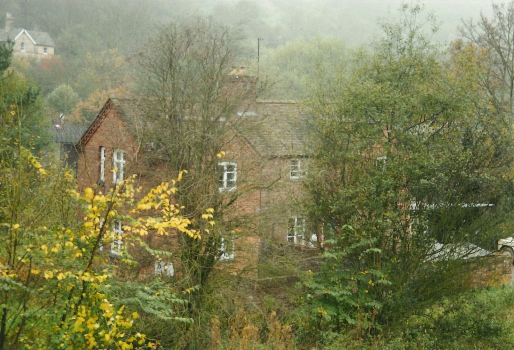
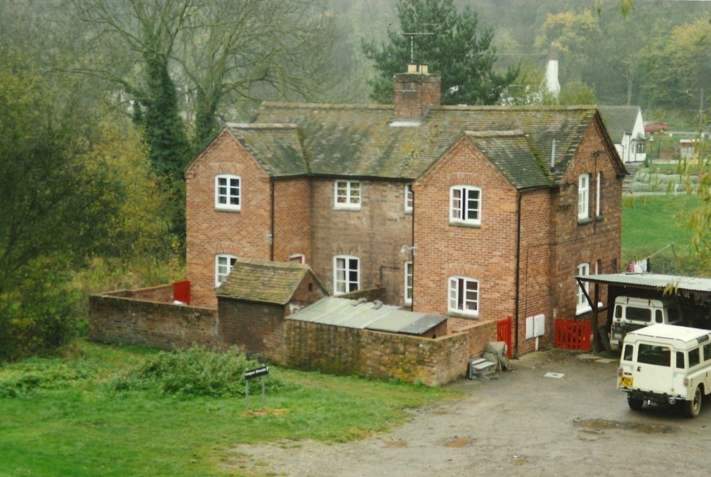
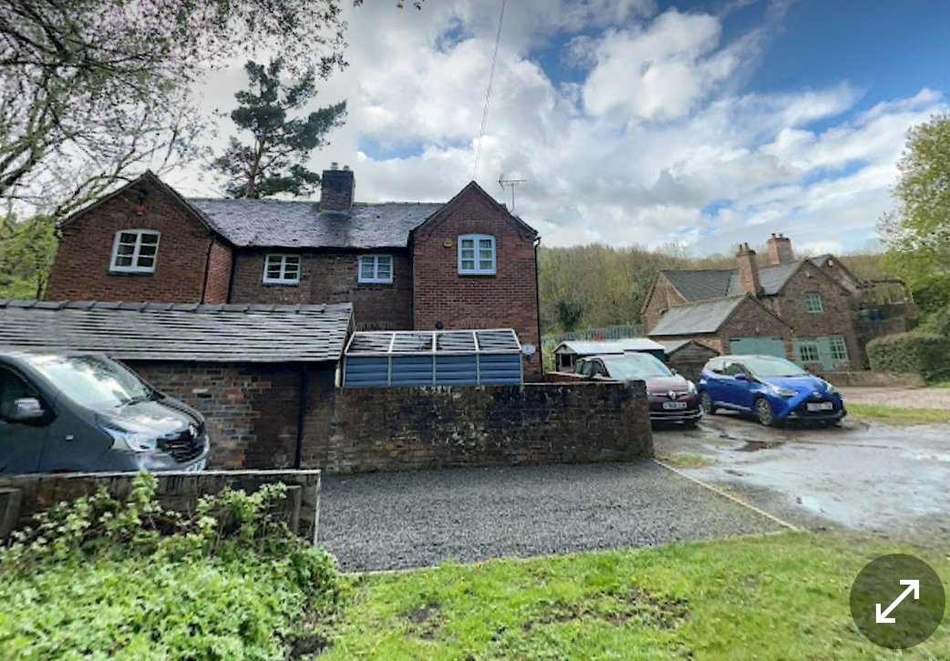
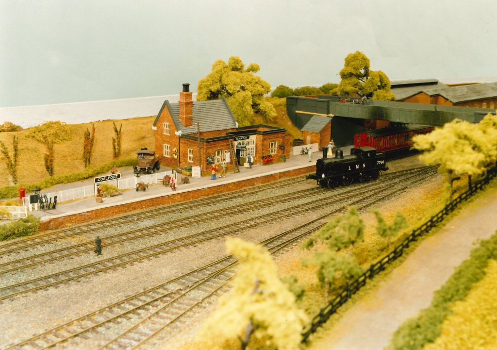
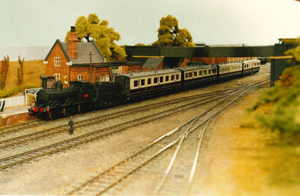
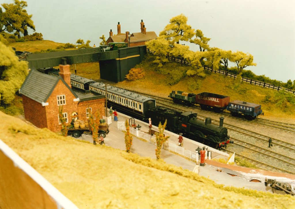
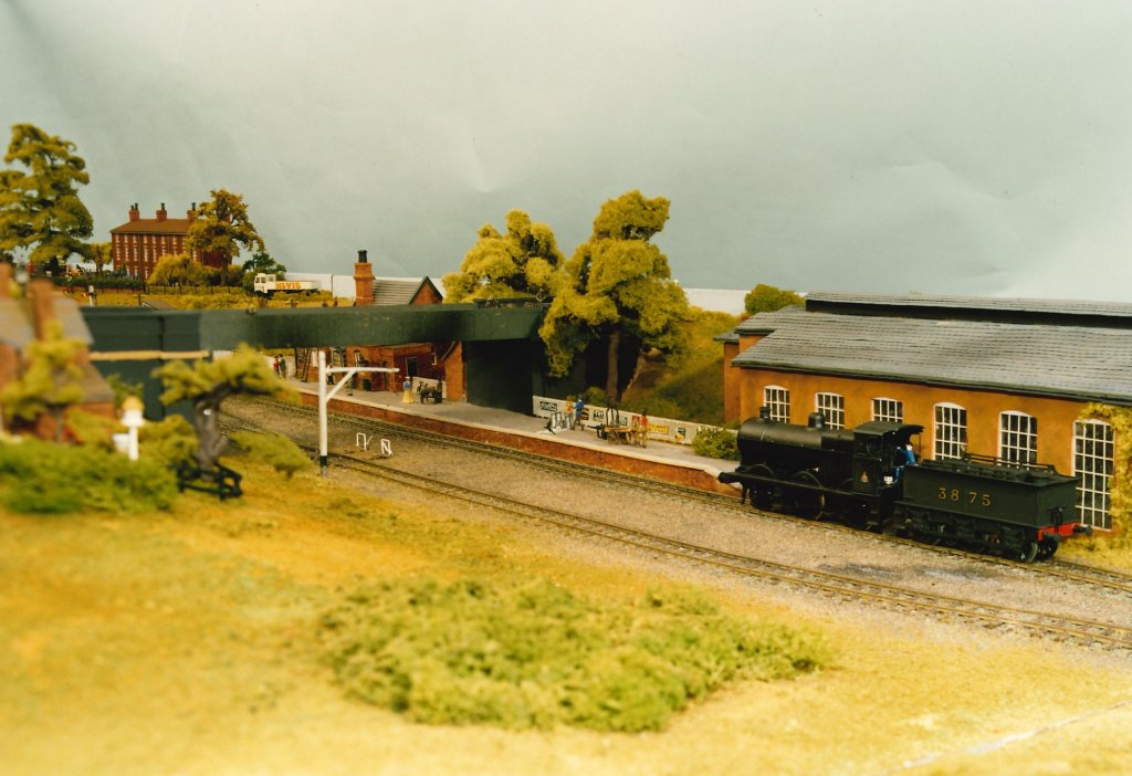
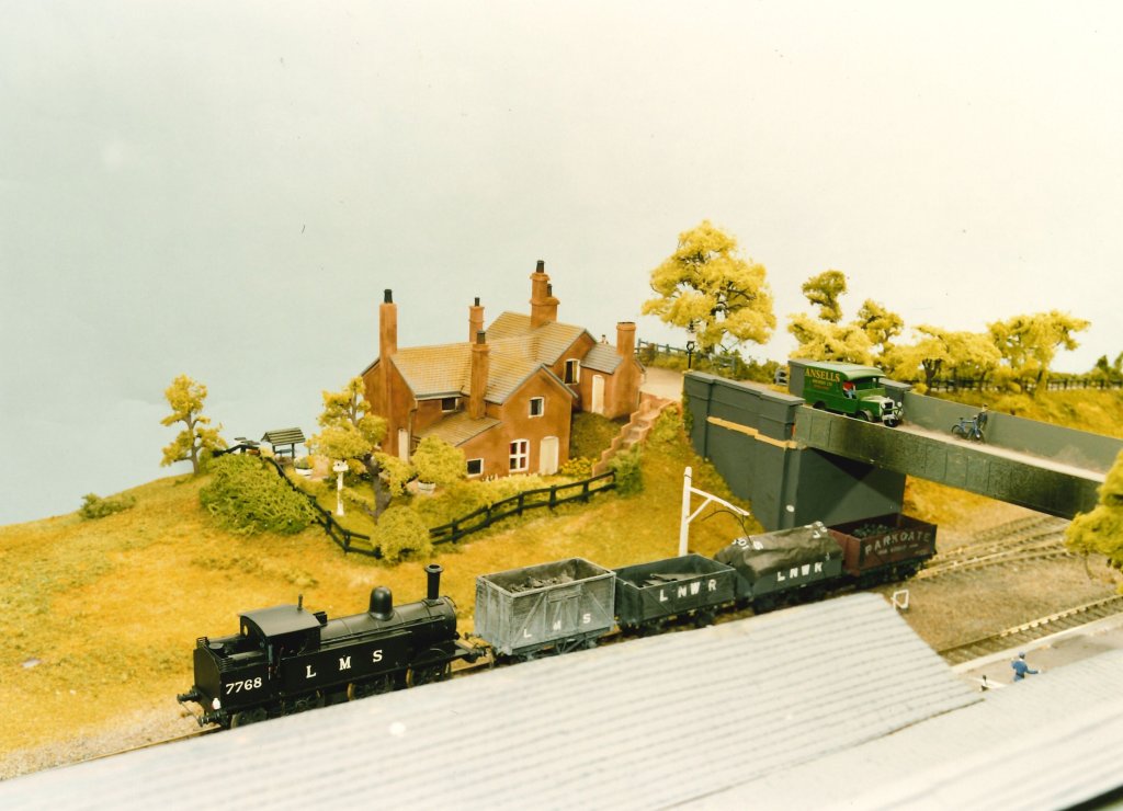
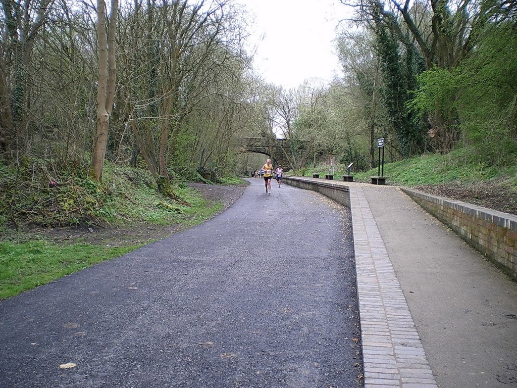
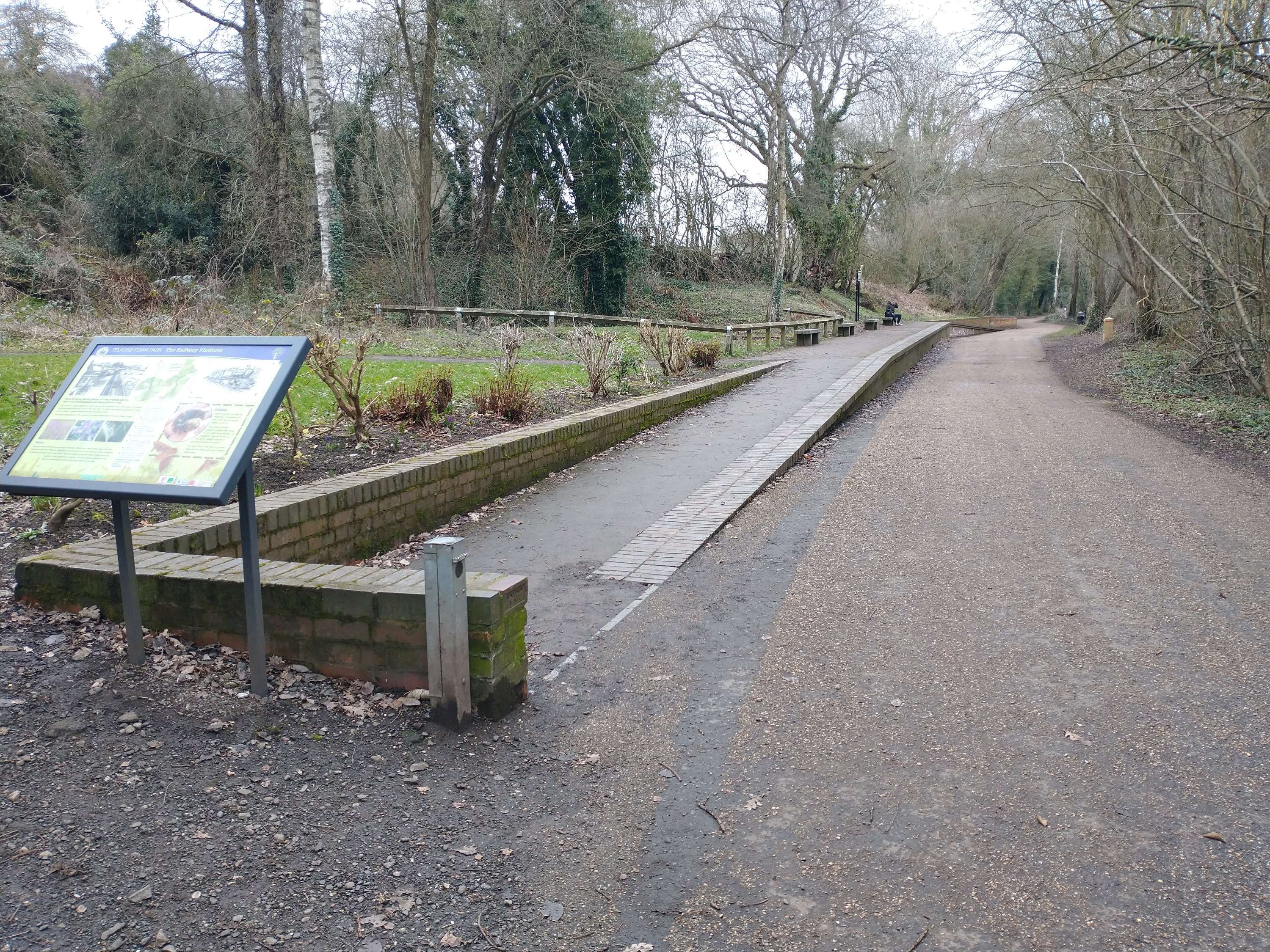
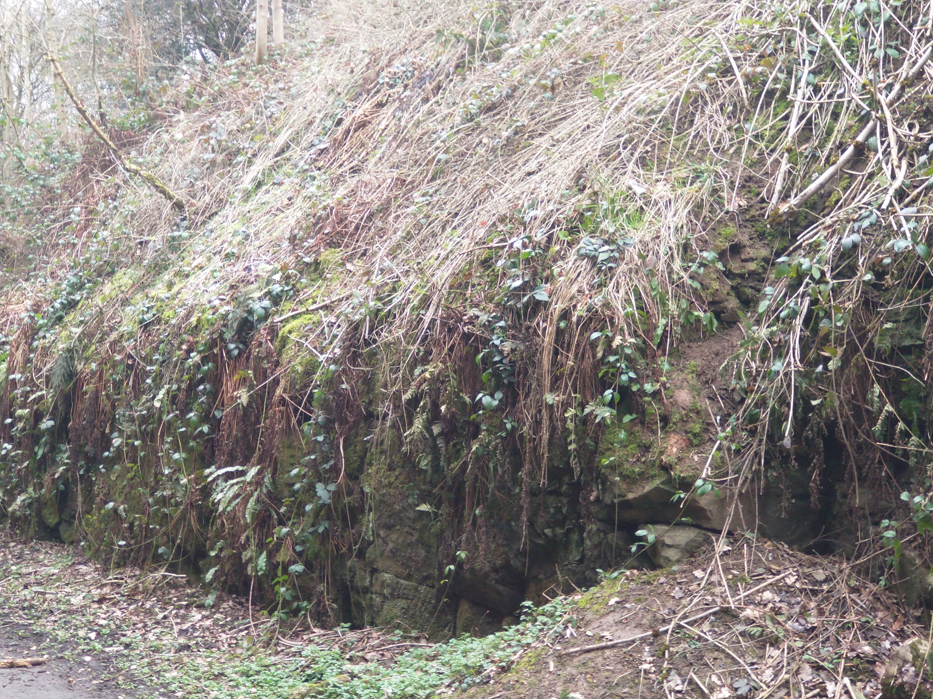
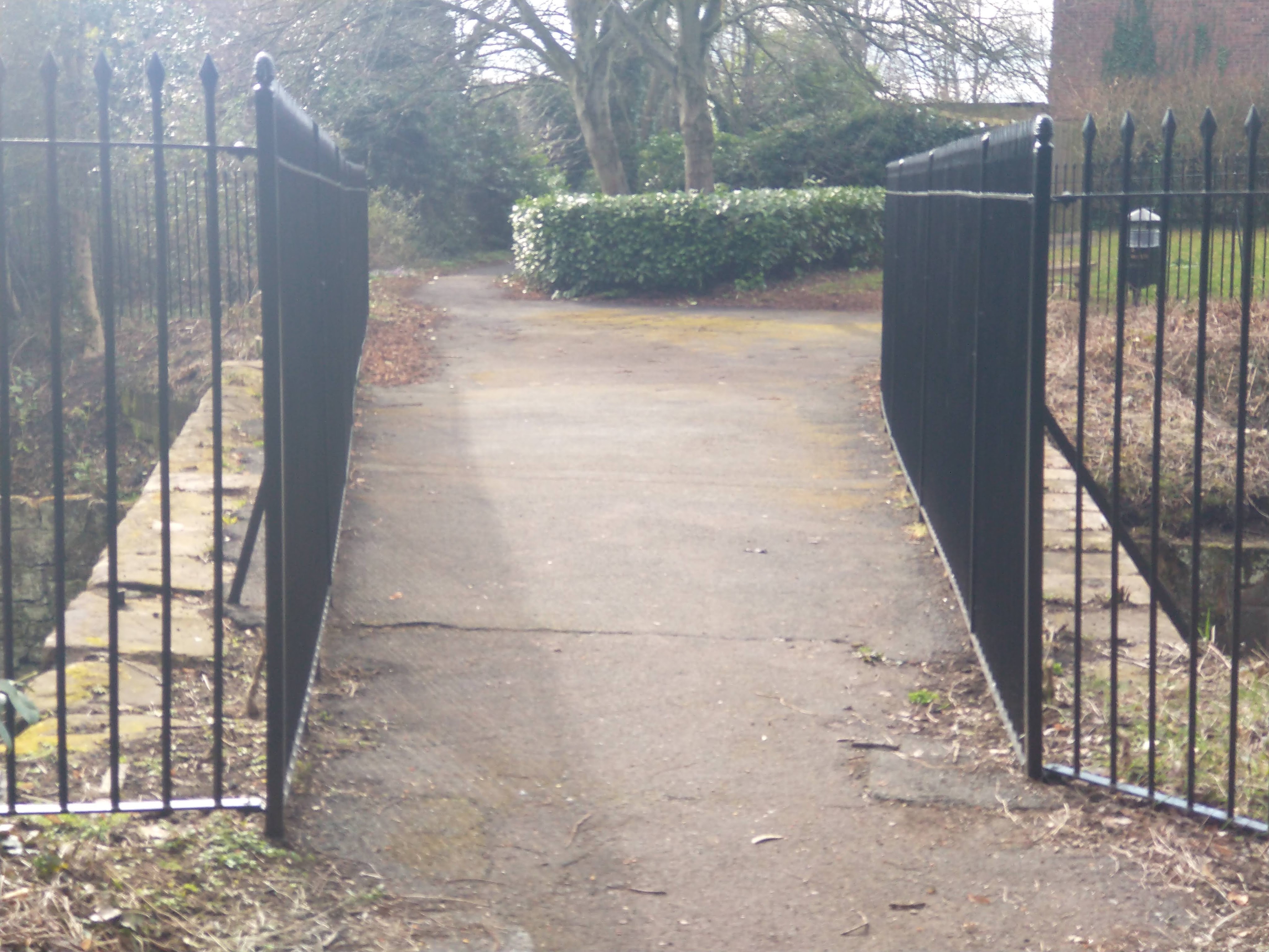
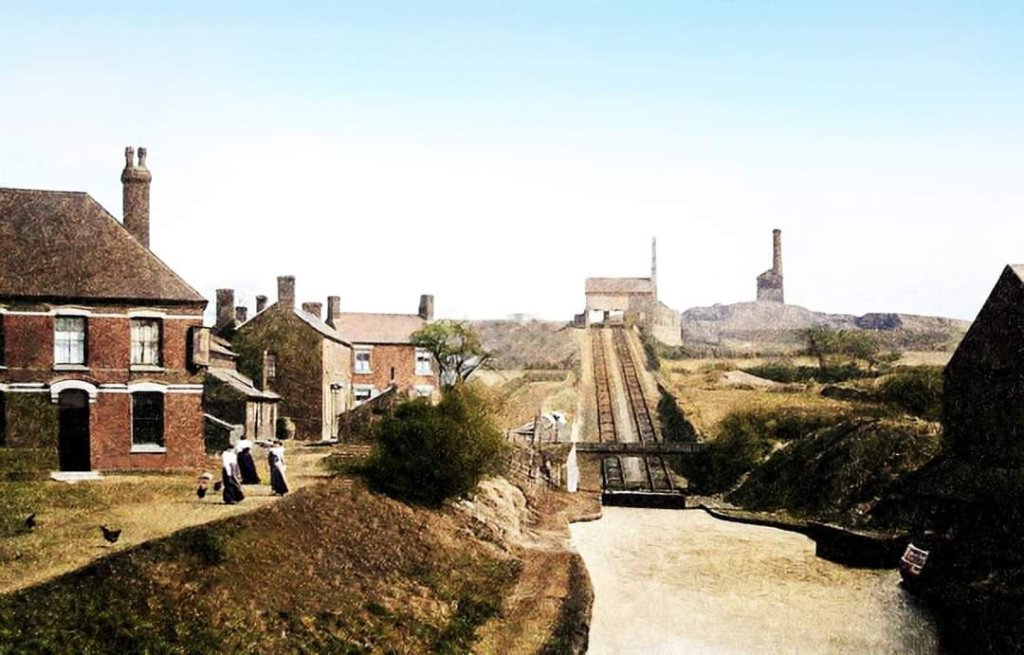
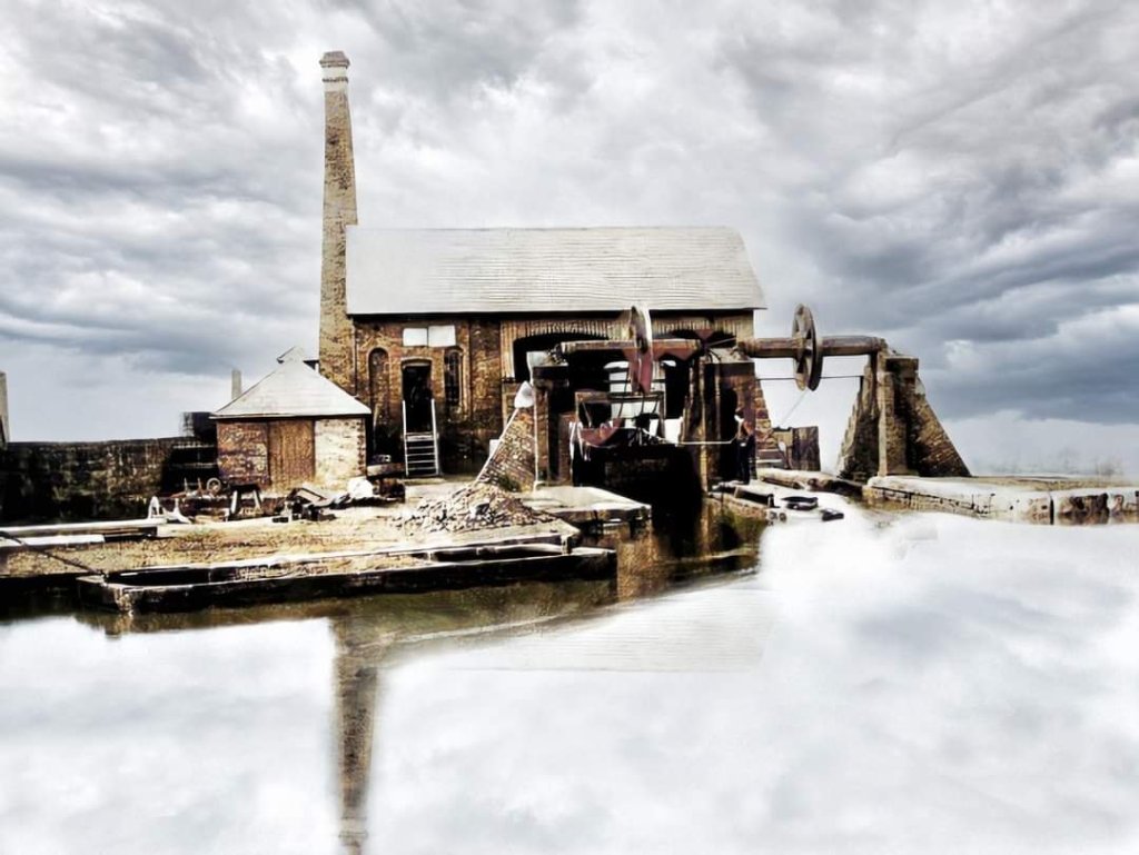
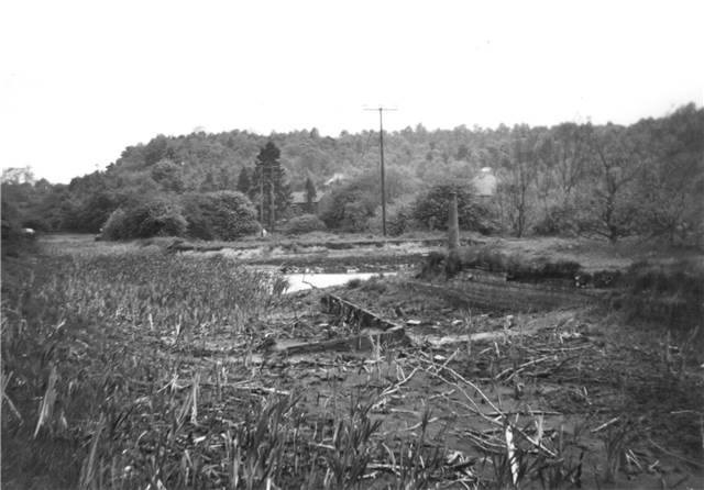
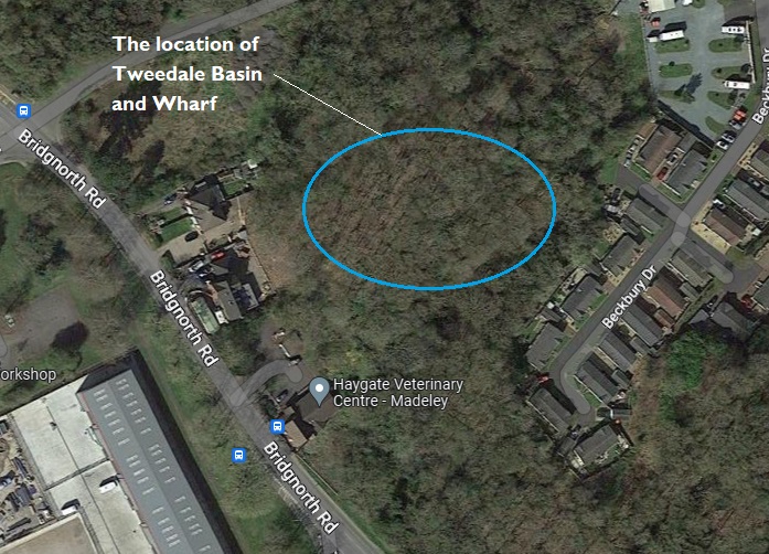
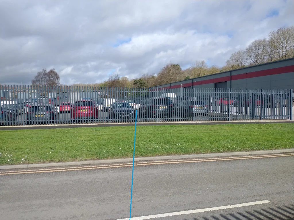
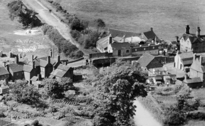
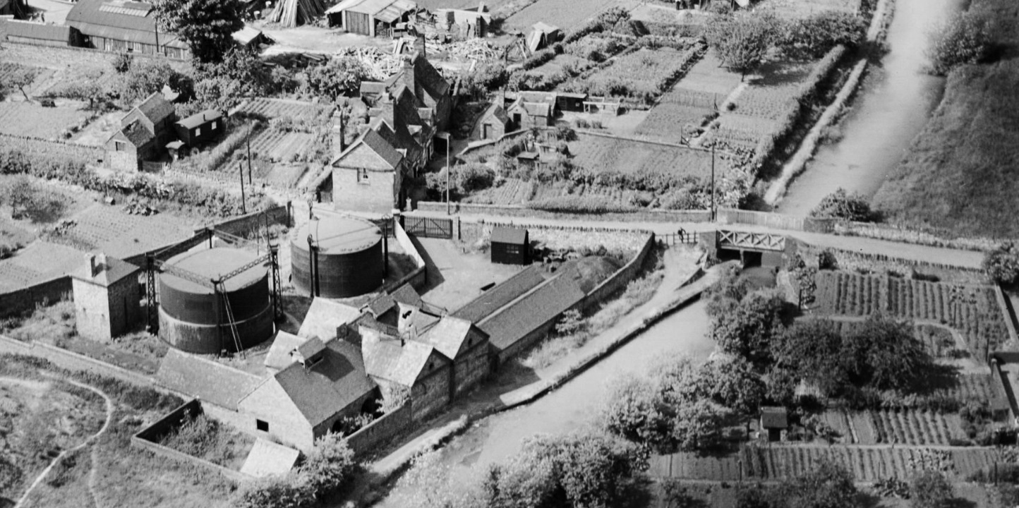
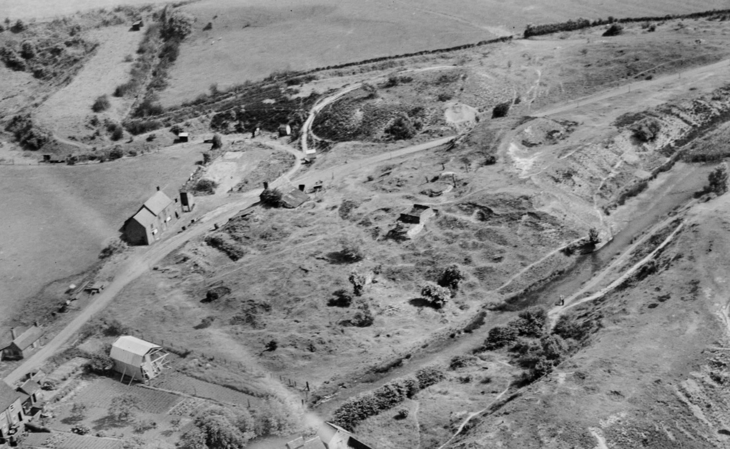
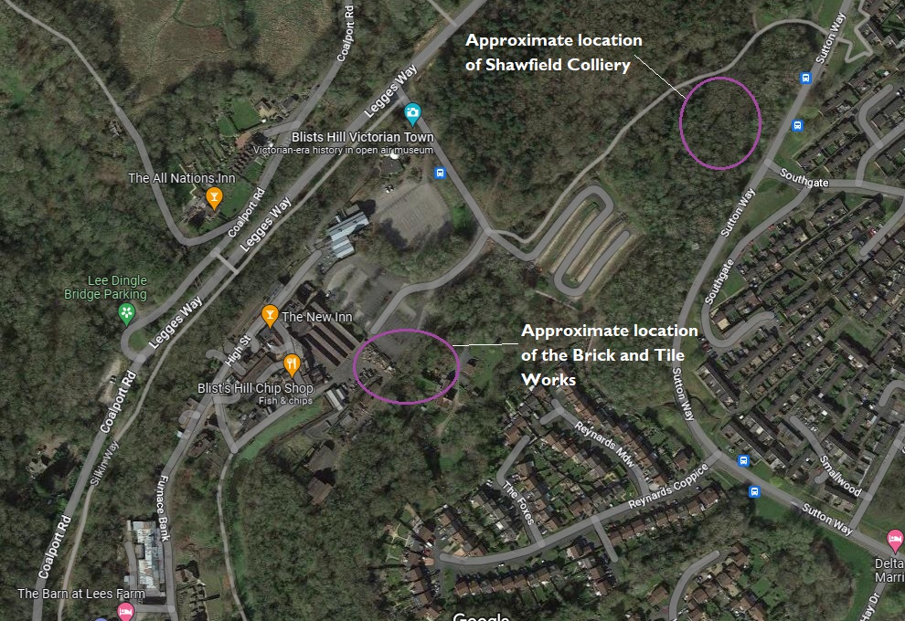
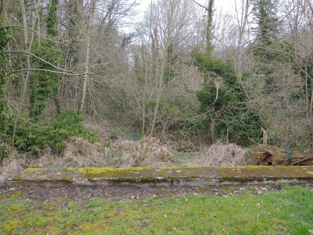
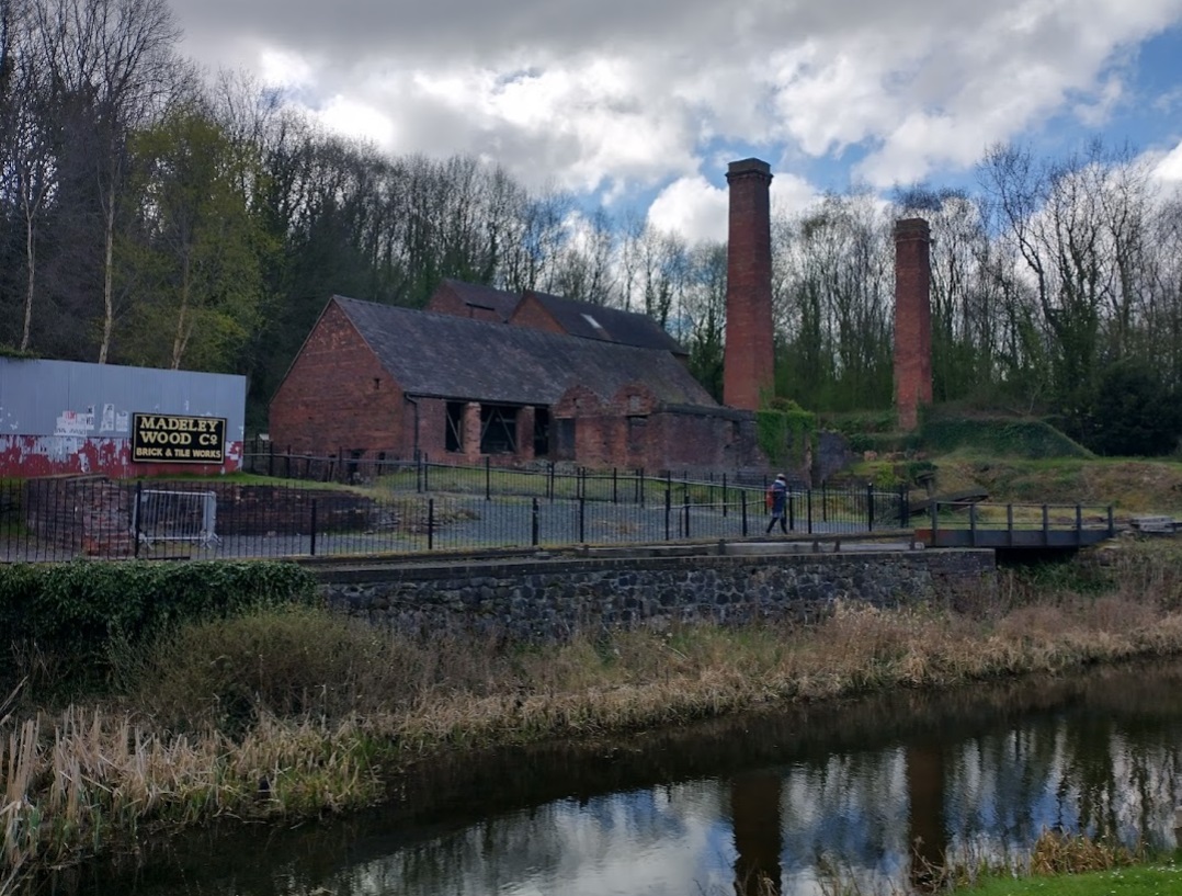
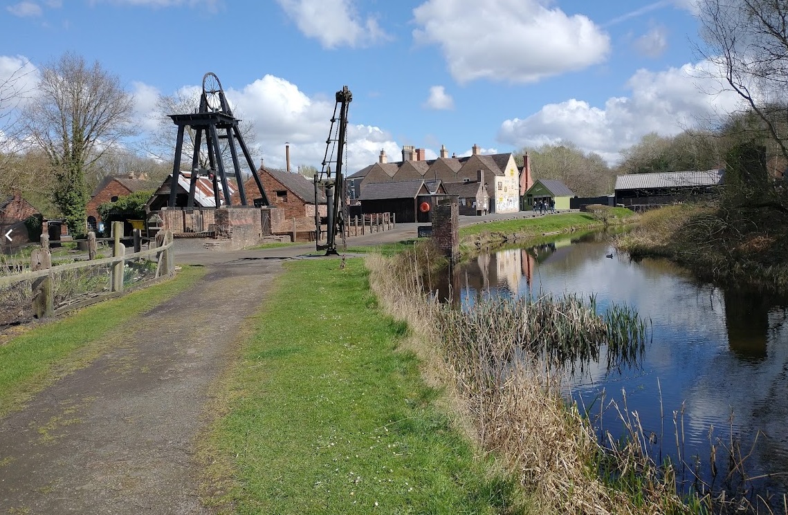
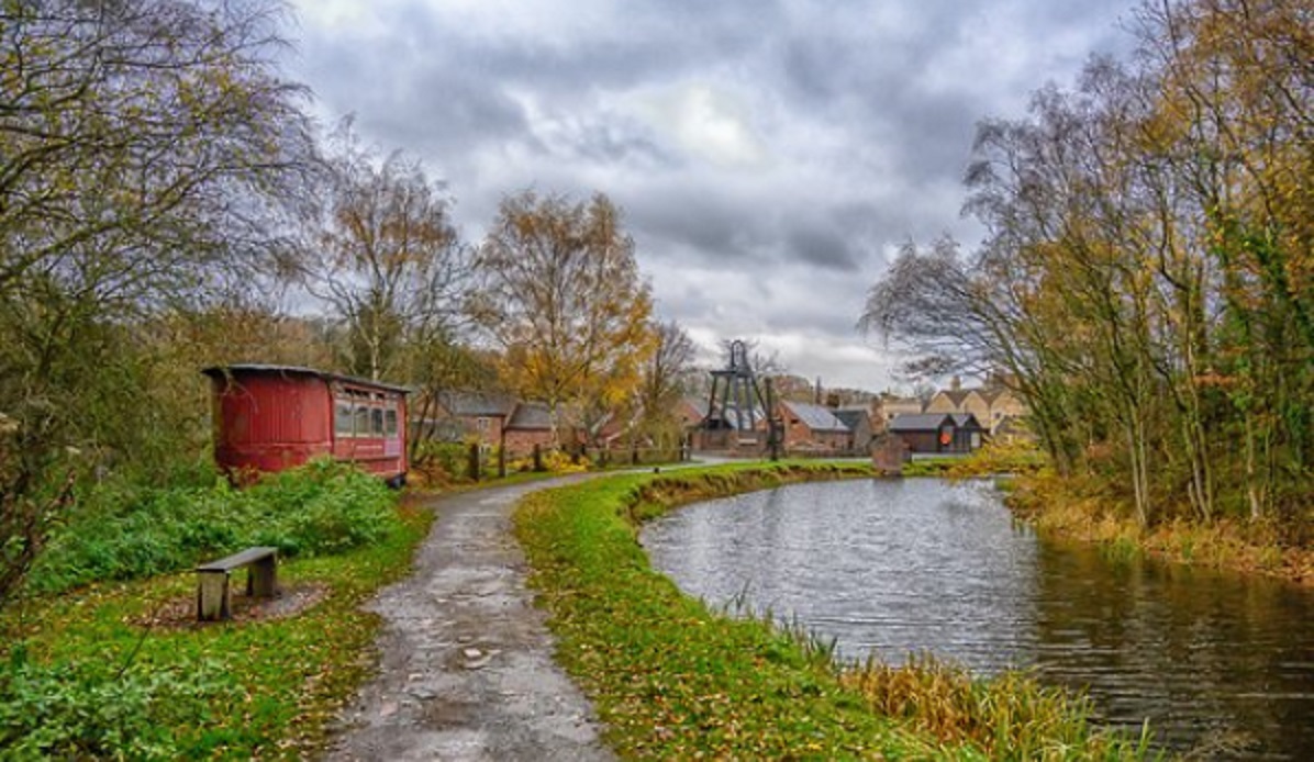
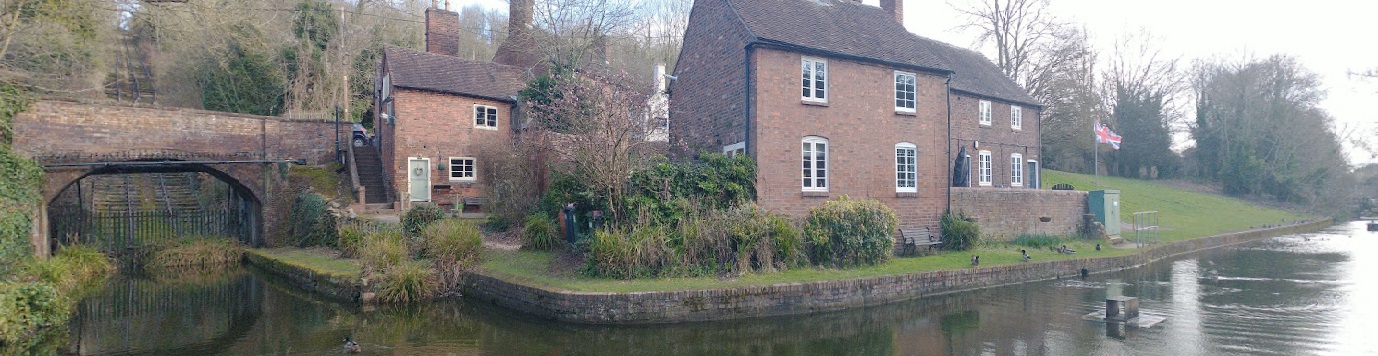
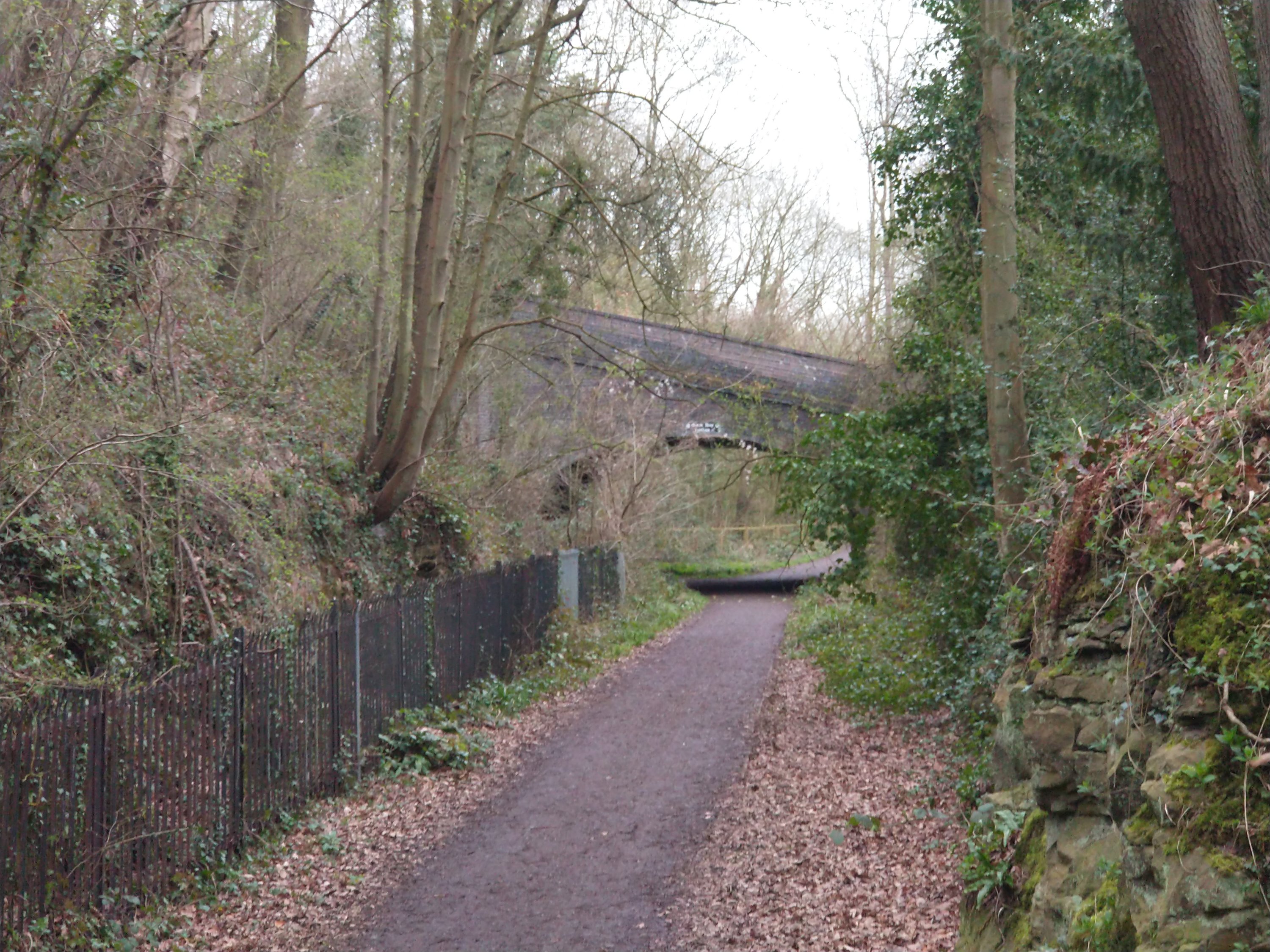
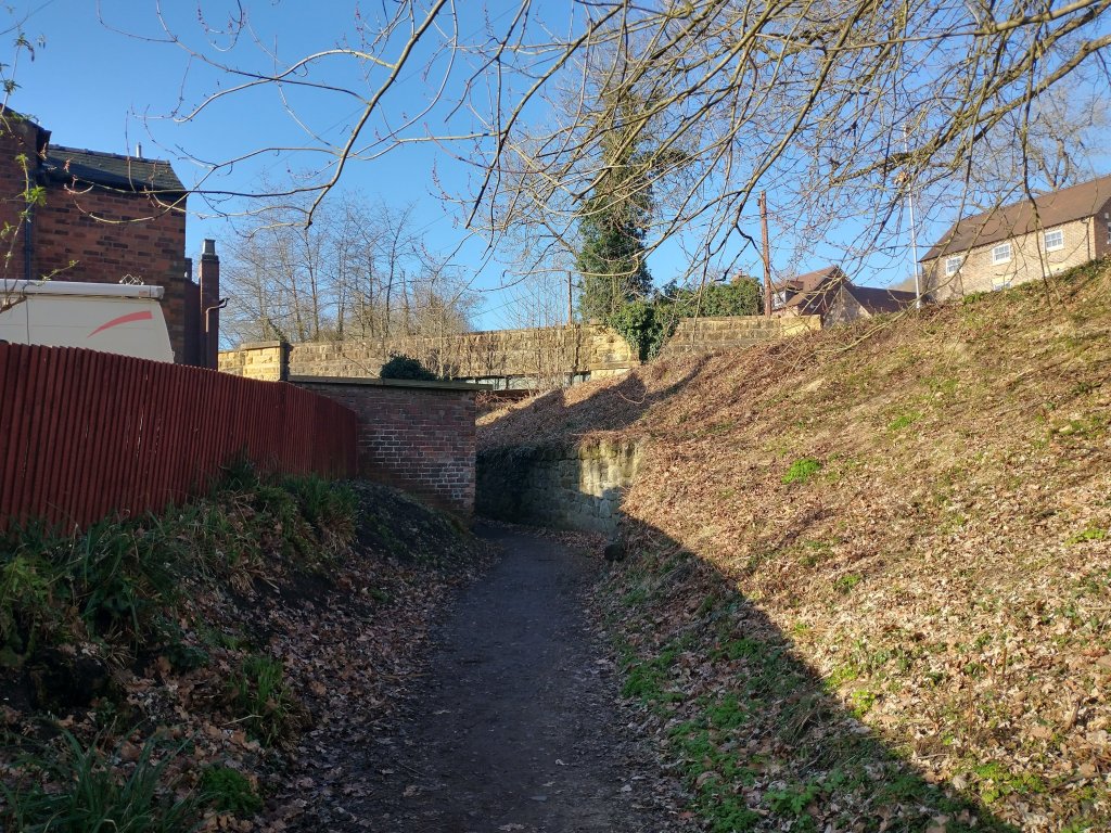
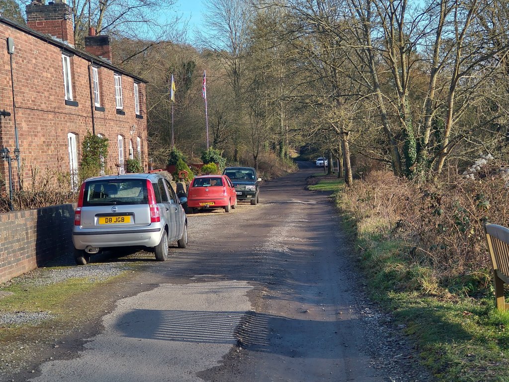
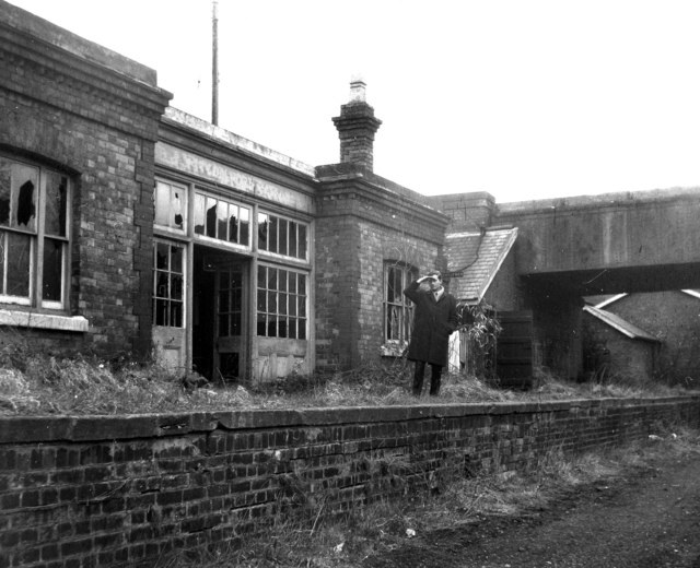
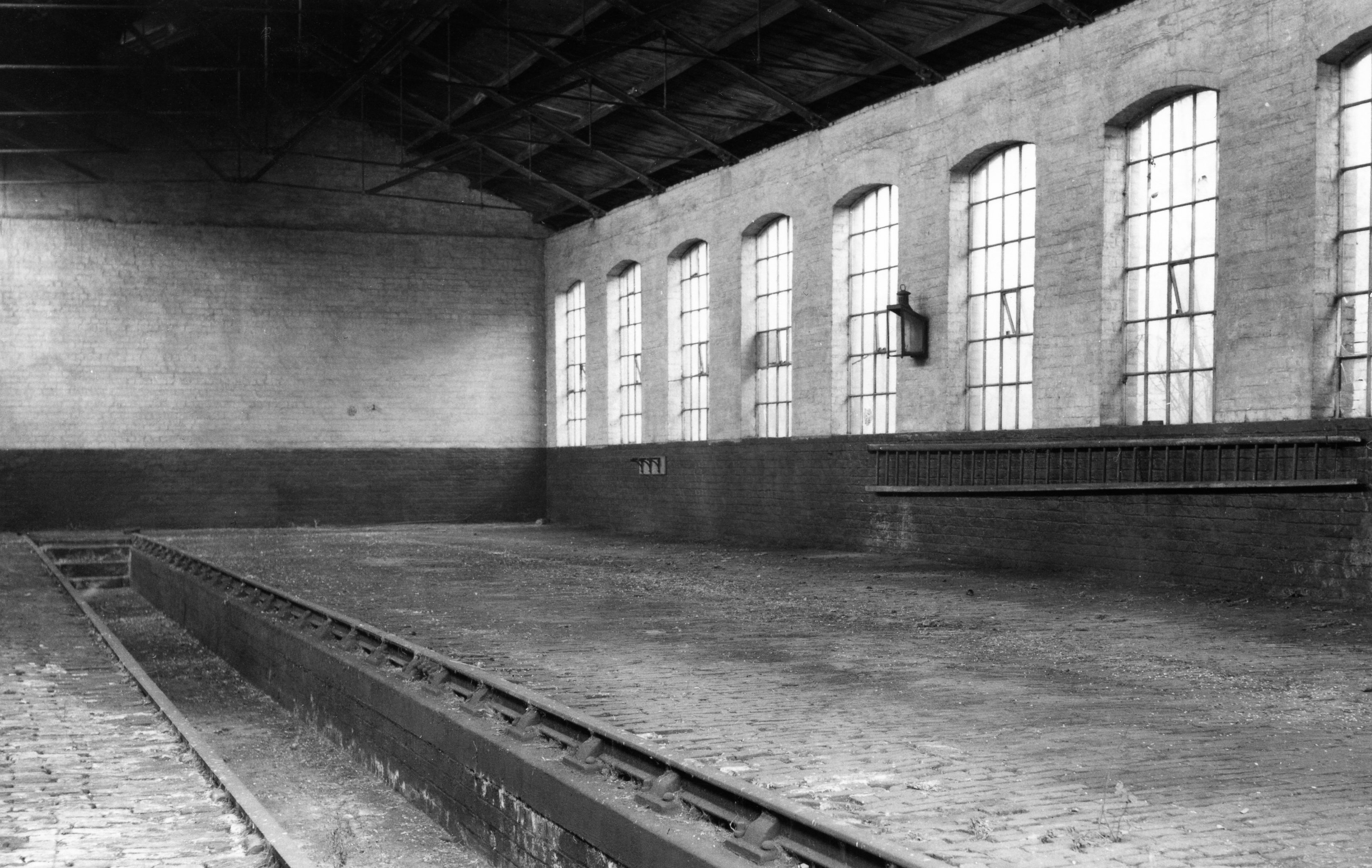
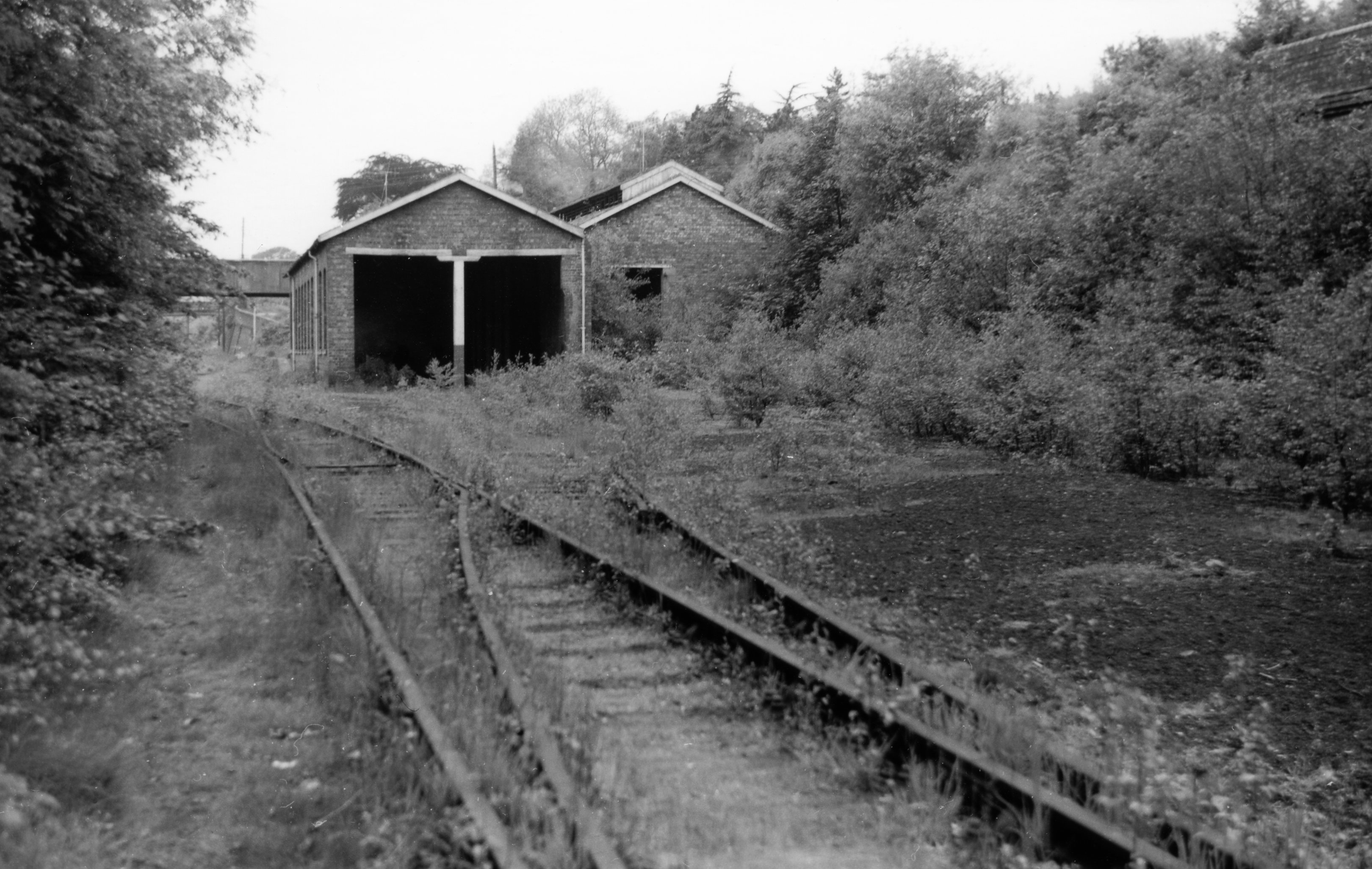
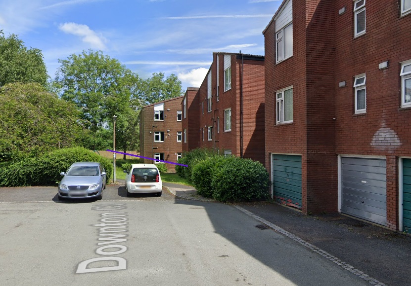
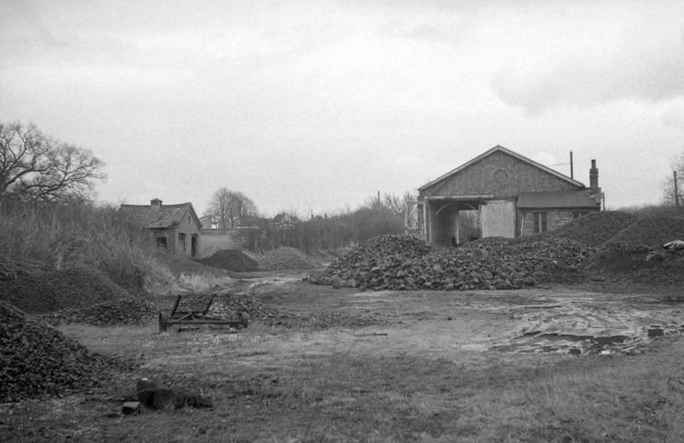
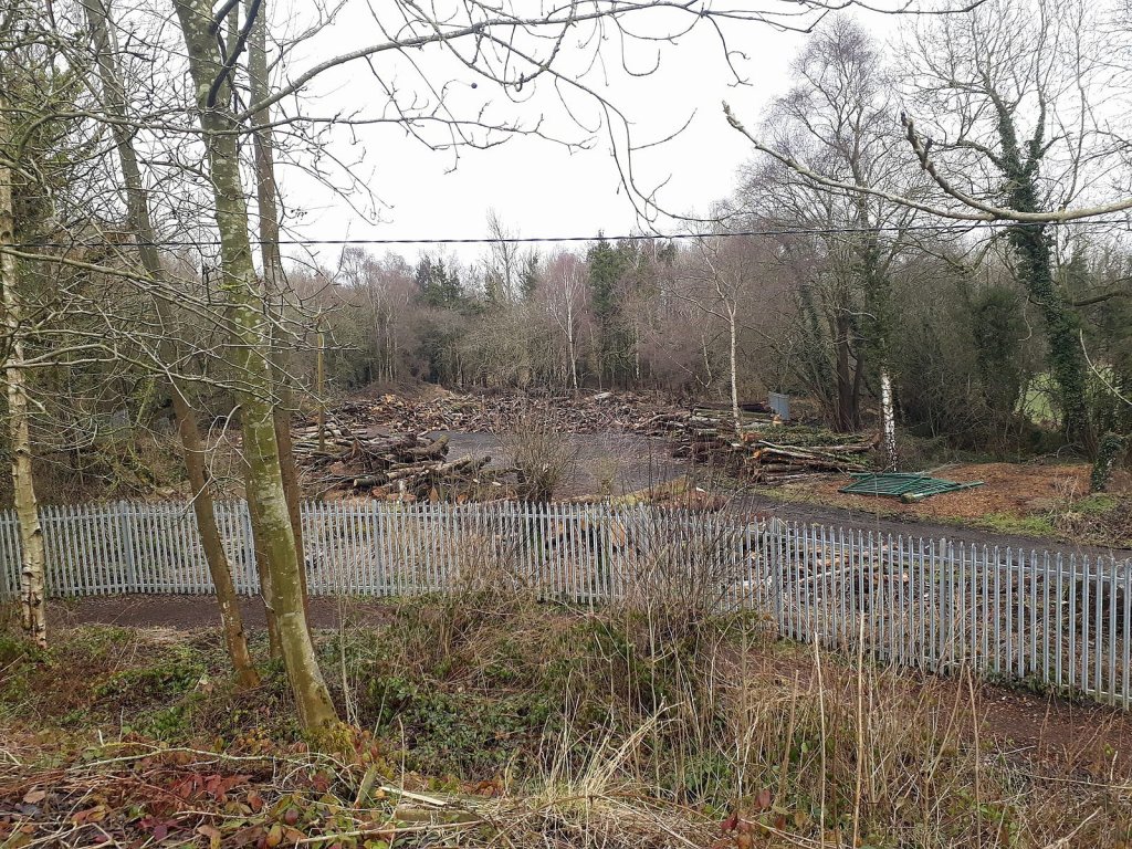
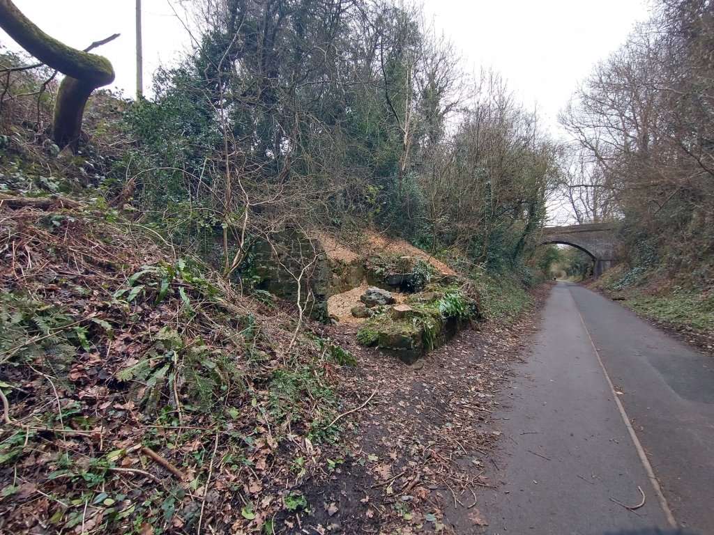
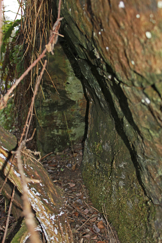
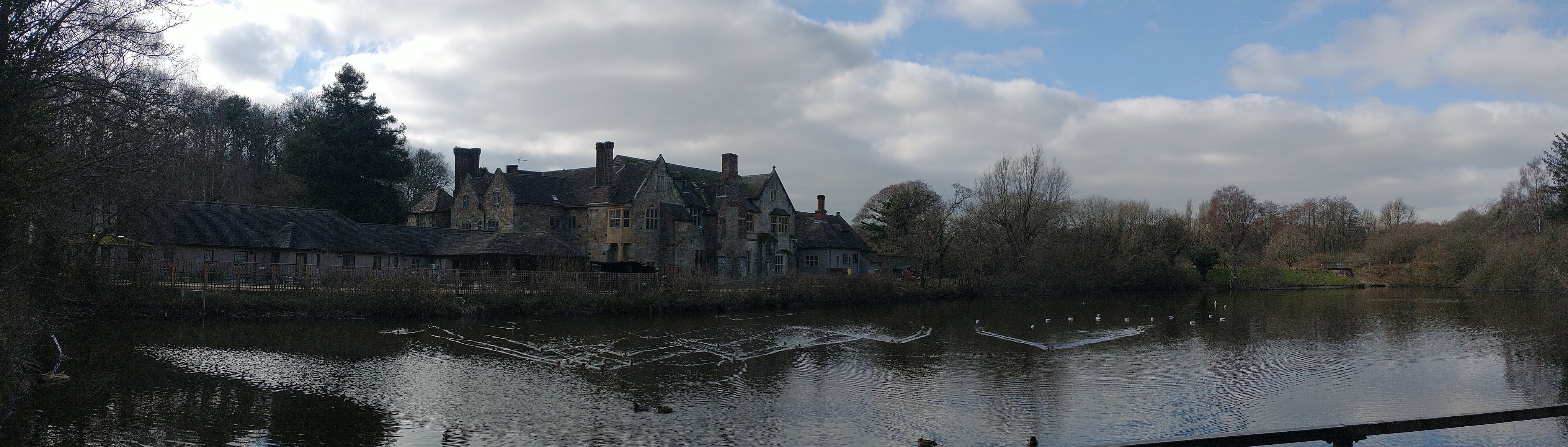
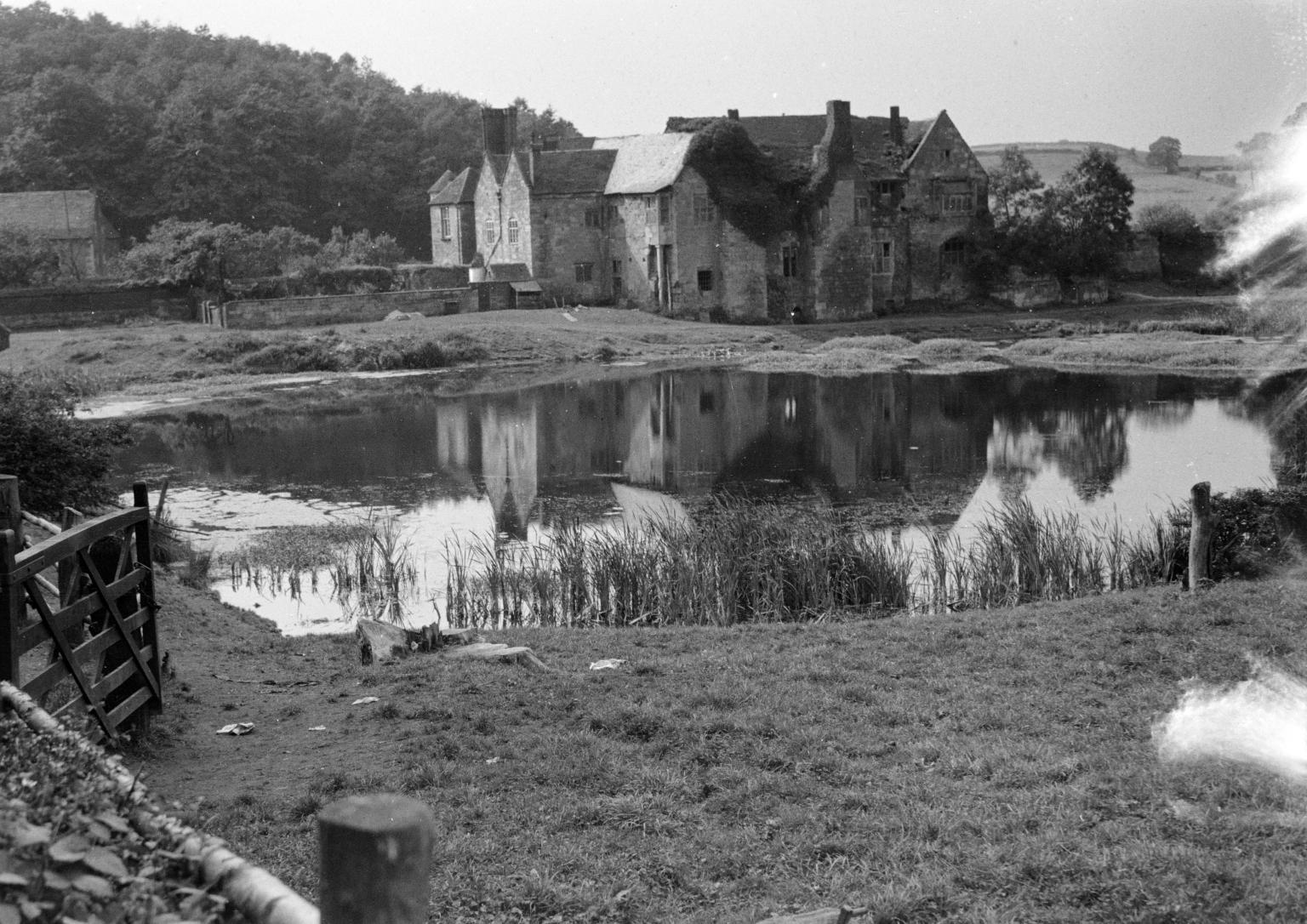
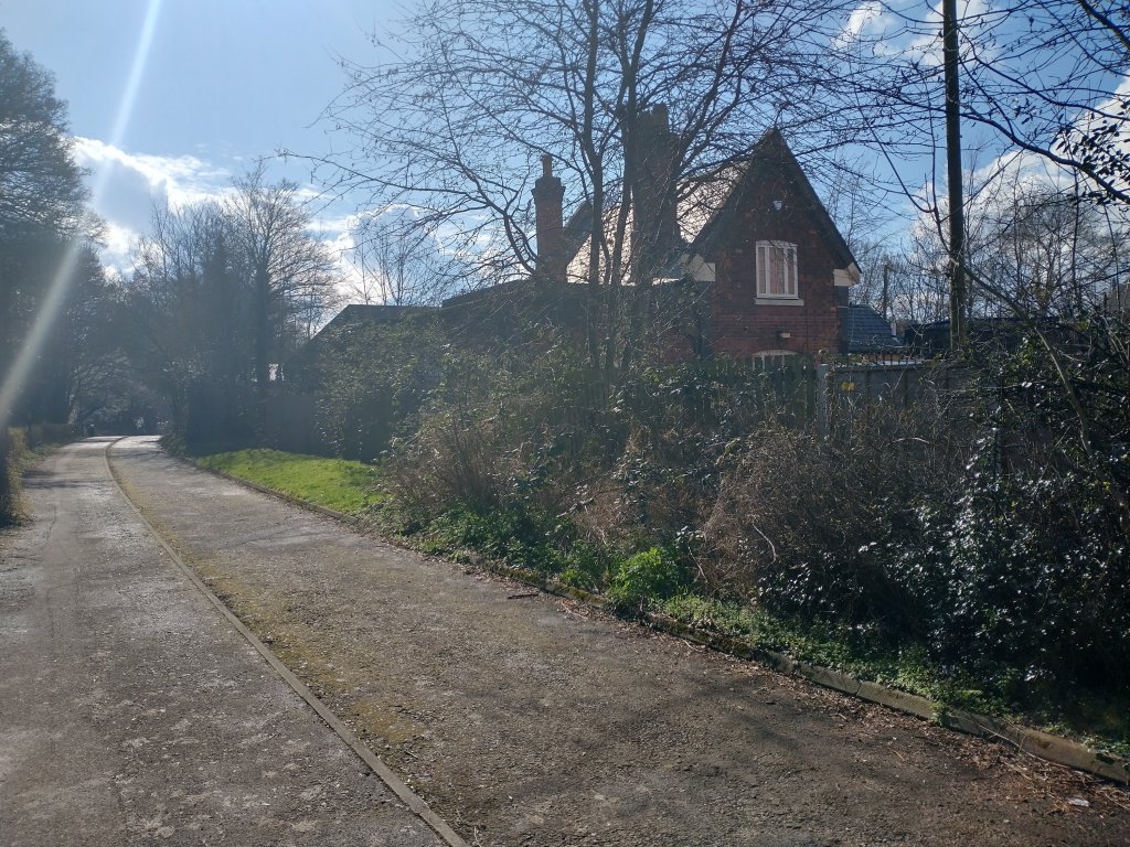
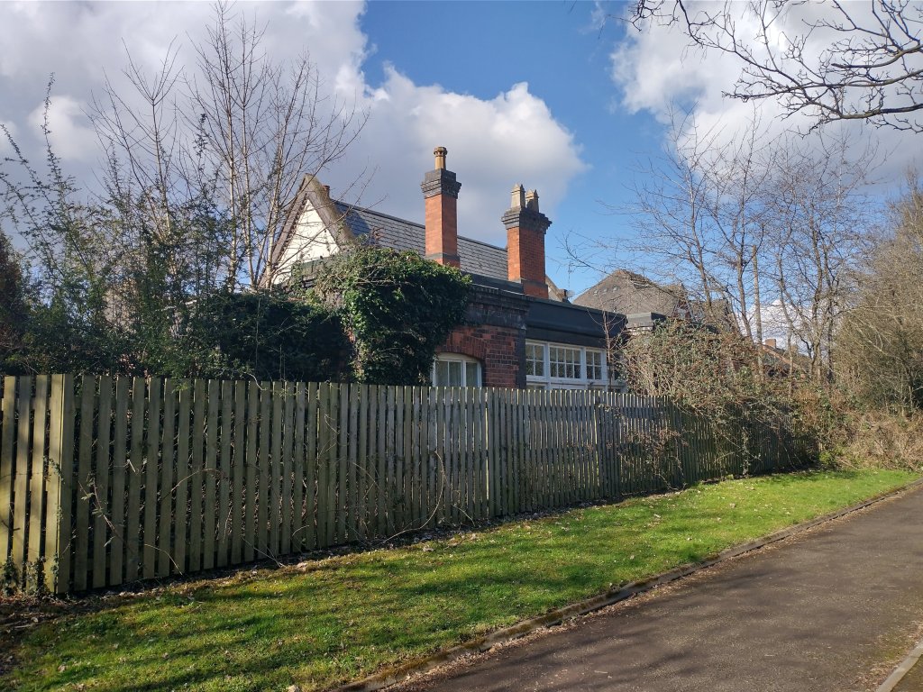
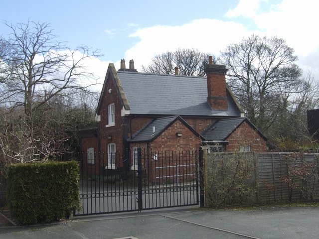
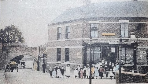
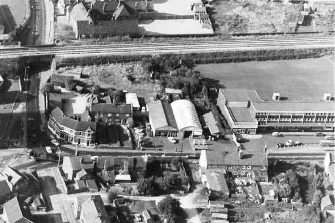
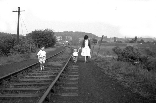
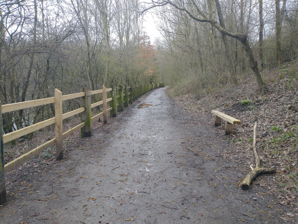
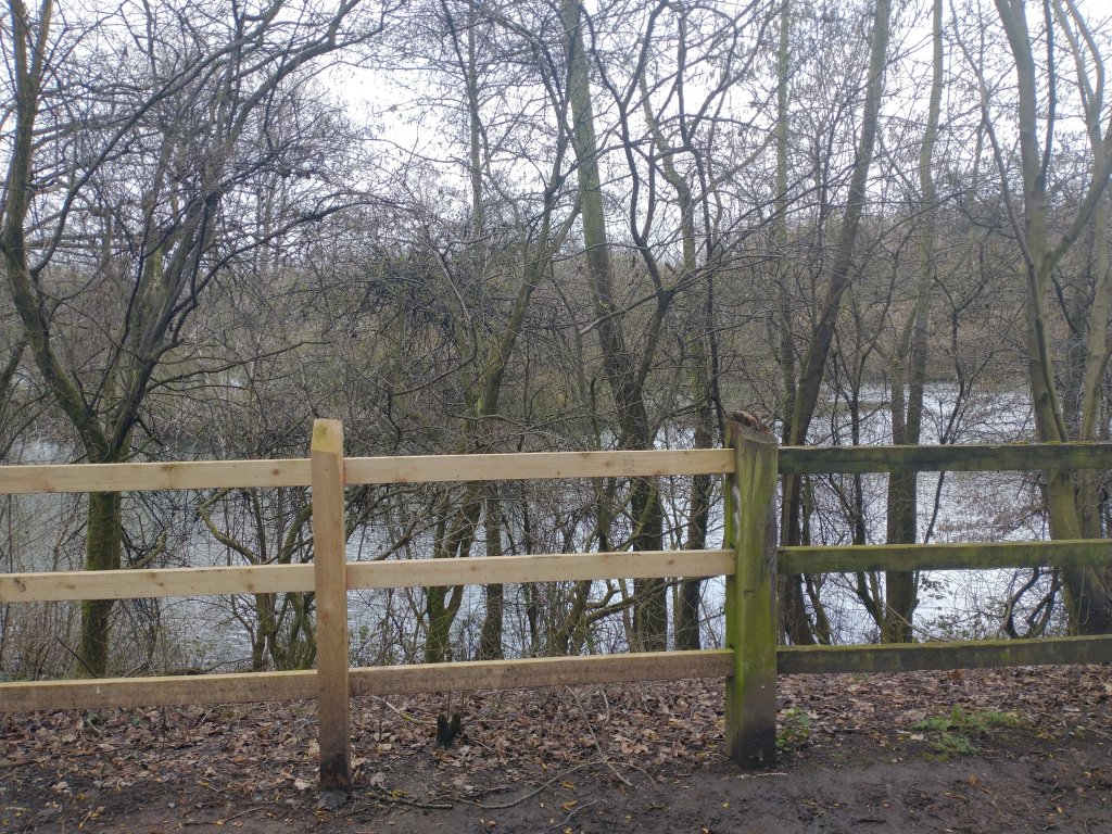
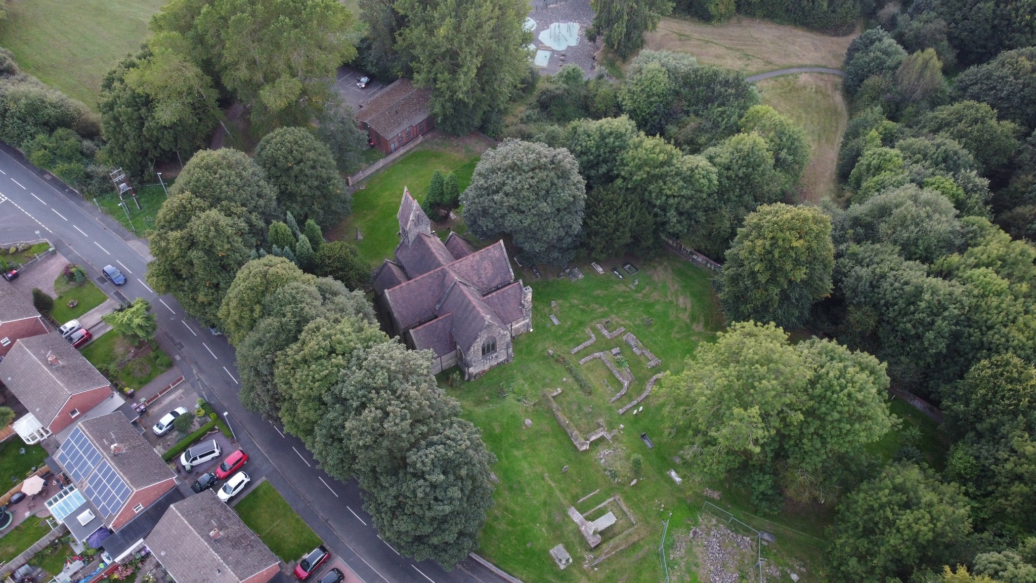
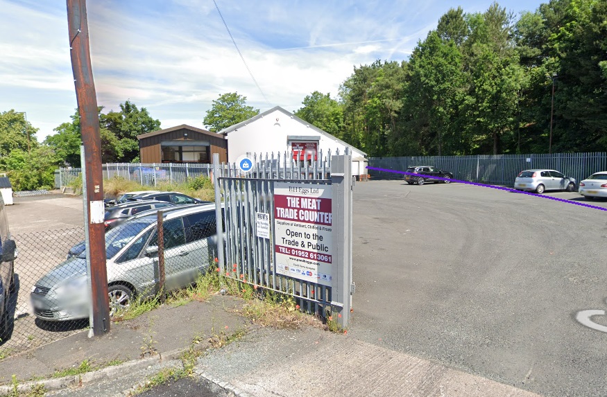
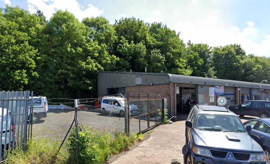
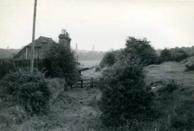
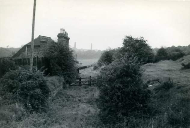
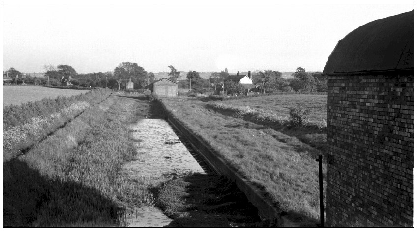
Derelict structures once sat adjacent to the remaining length of canal at Lubstree Wharf.

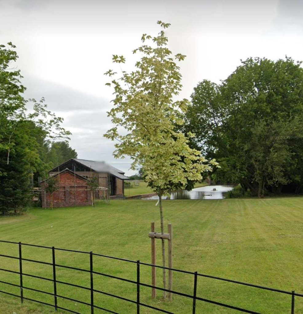
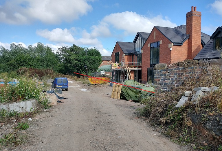
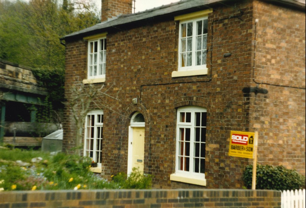
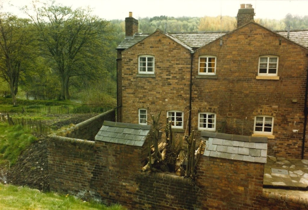
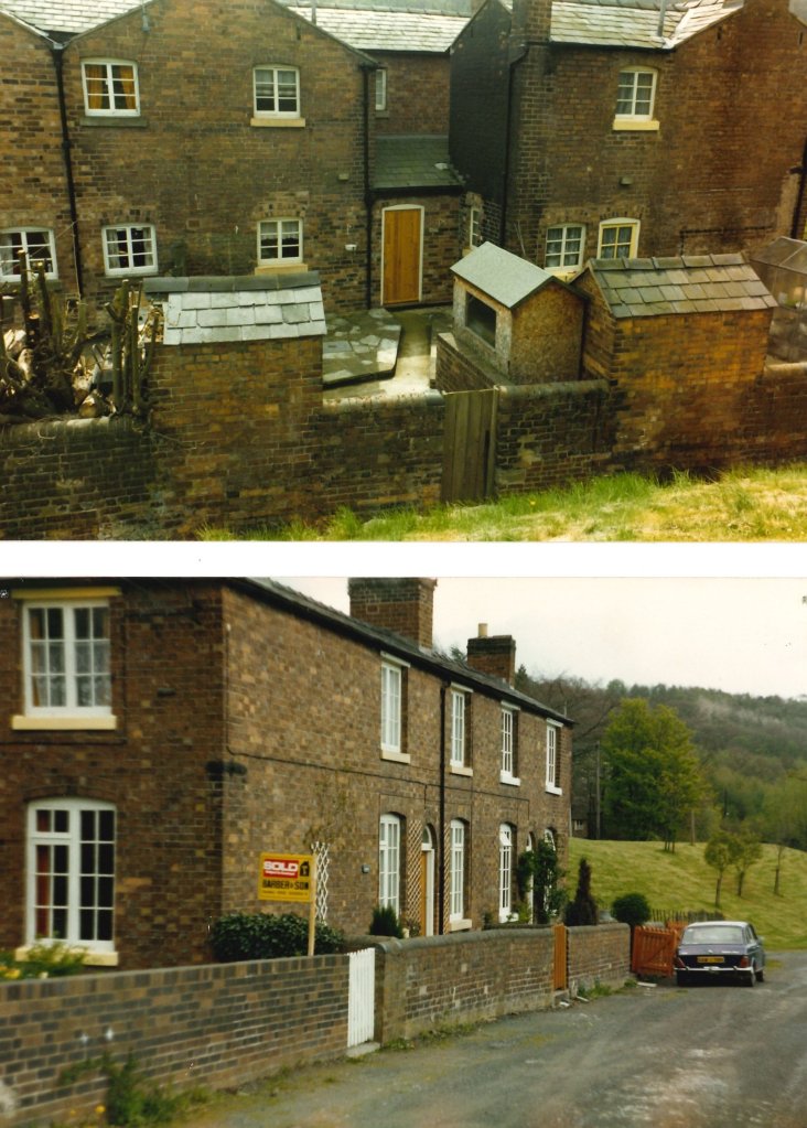
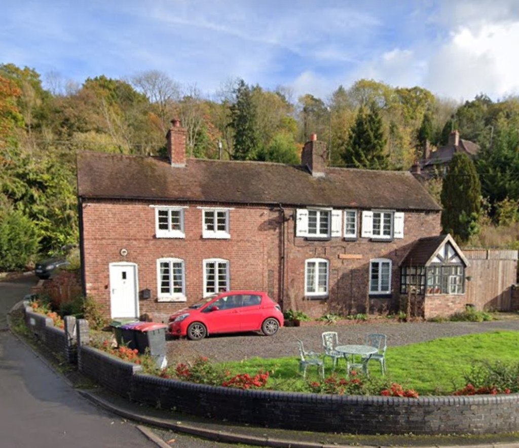
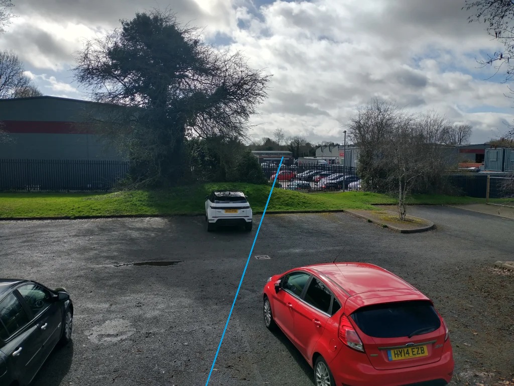
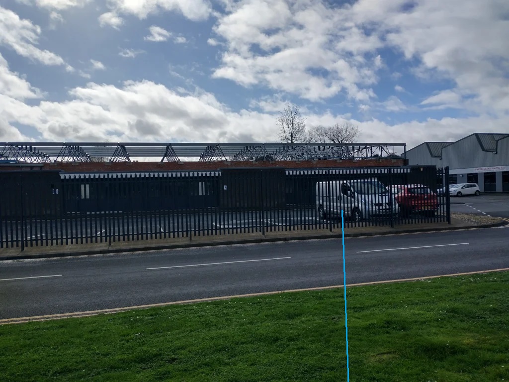
The site was advertised for sale online by Barbers Rural Estate Agents with planning permission, granted on 31st January 2019. [13] At the time the above image was taken (June 2022) the old Goods Shed/transfer facility was being refurbished as a dwelling. The three images below come from the Estate Agent’s site and show what the architect planned for the Goods Shed and the Engine Shed.

The tramway was replaced by a standard-gauge railway as part of the Lilleshall Company’s network of private railways in 1870.
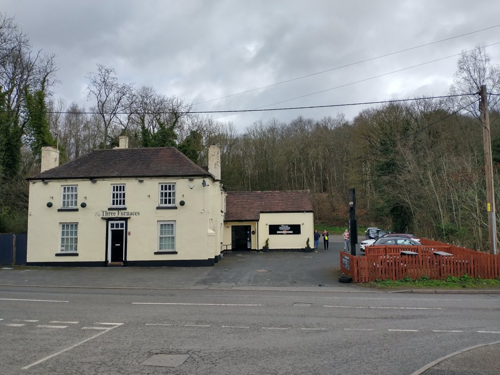
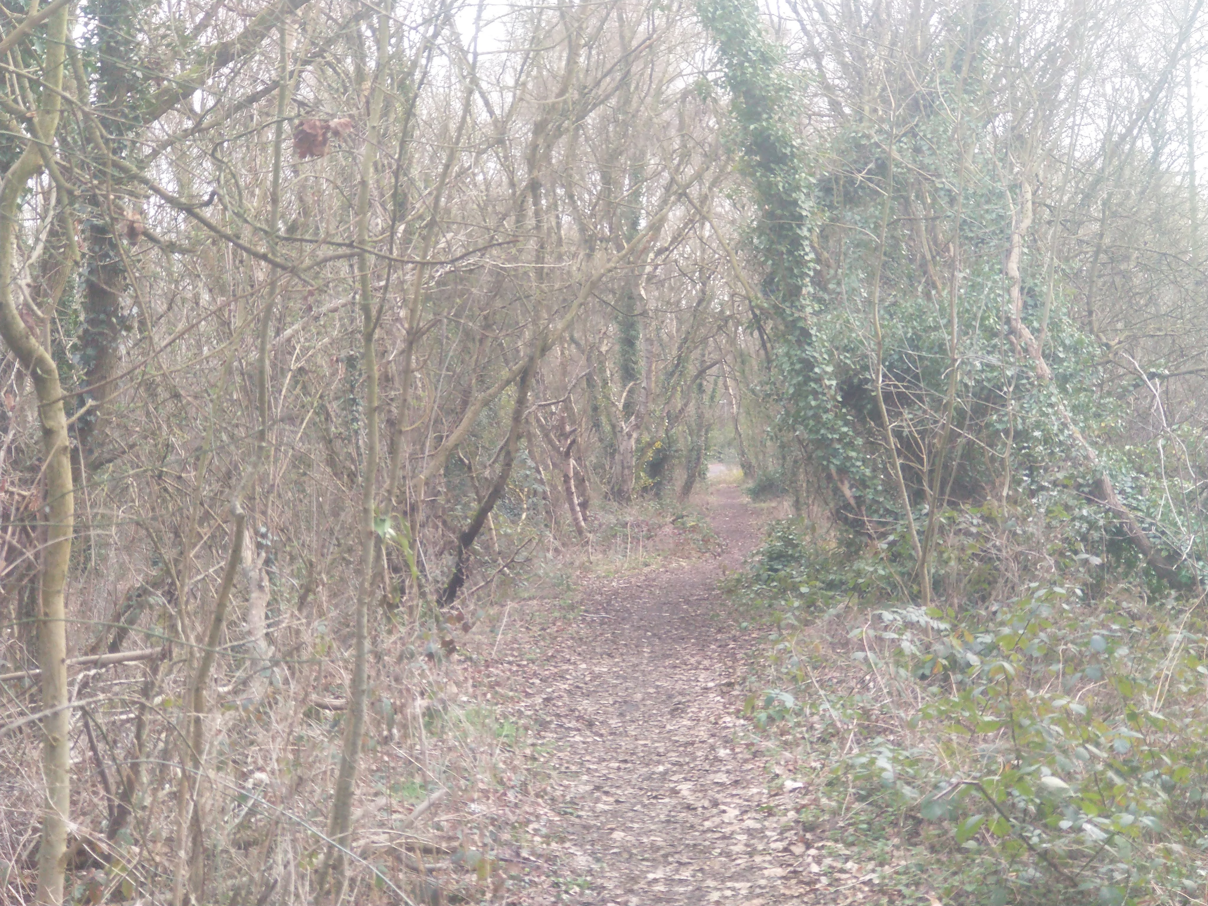
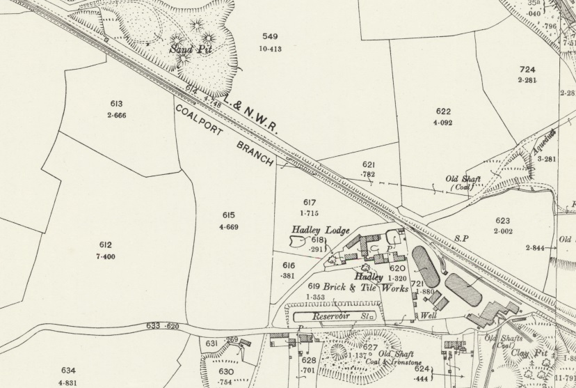
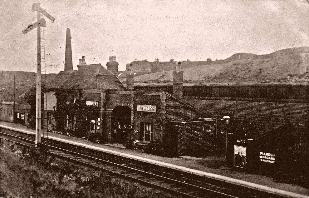
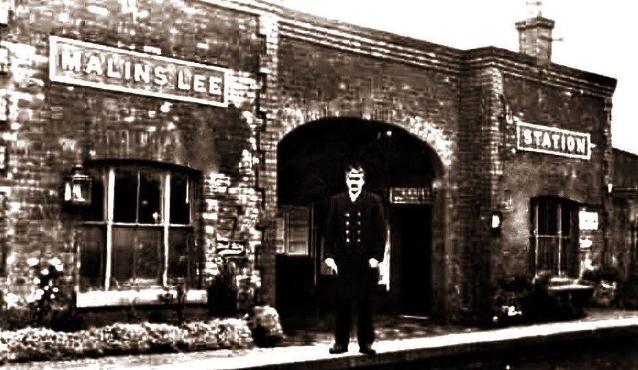
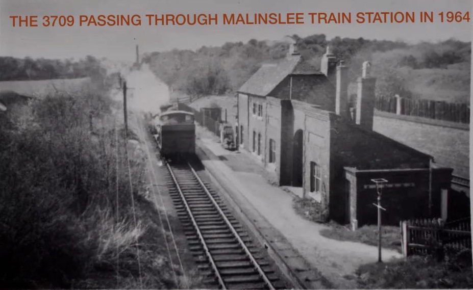
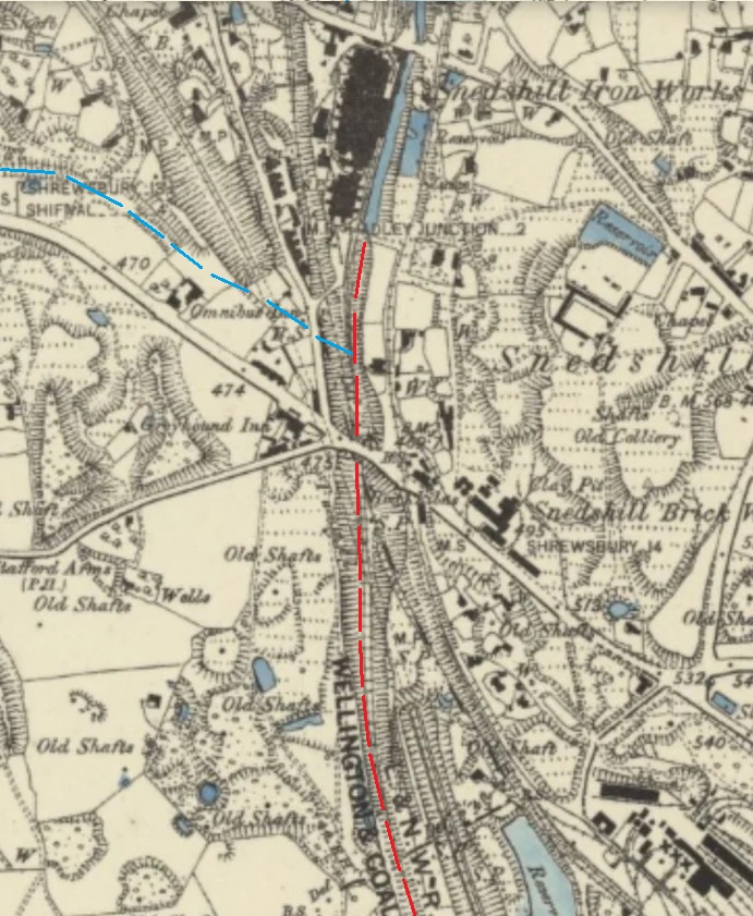
The Tramway
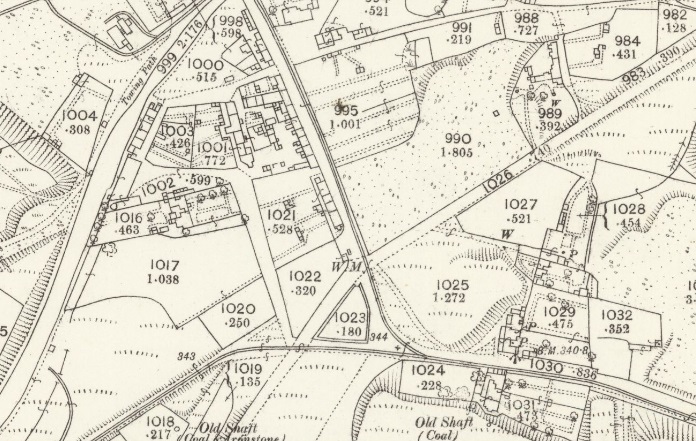
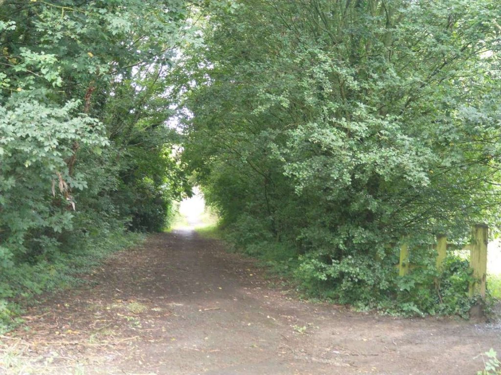
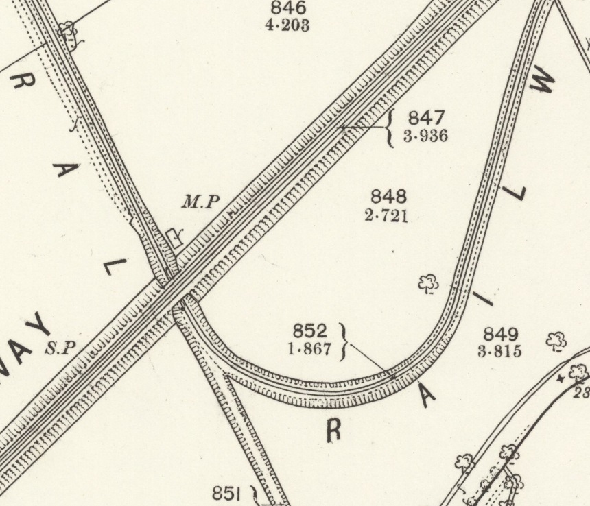
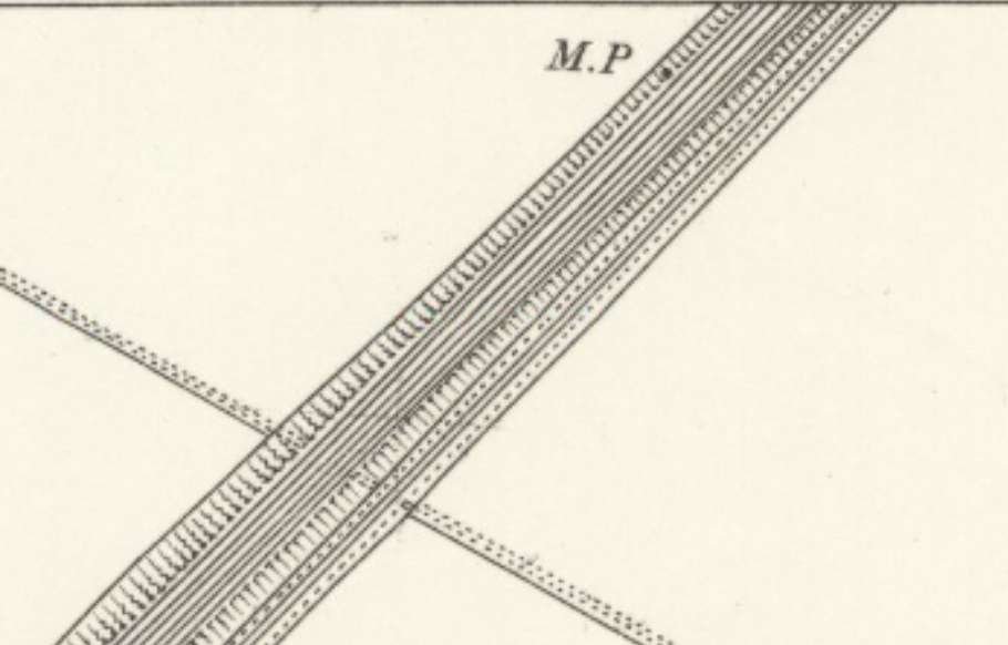
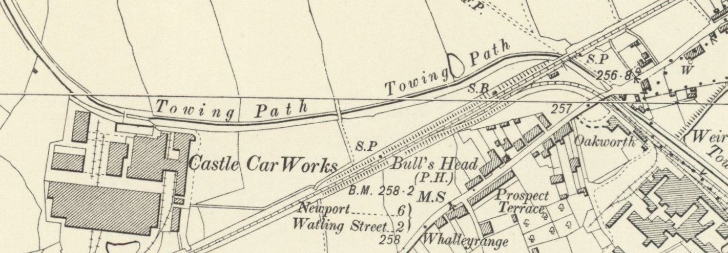
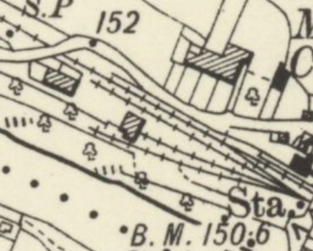
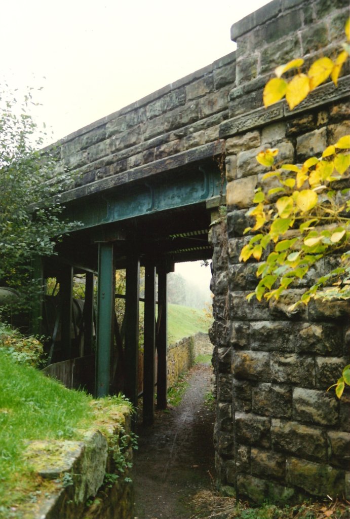
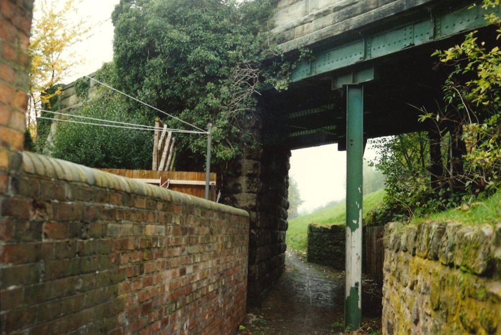
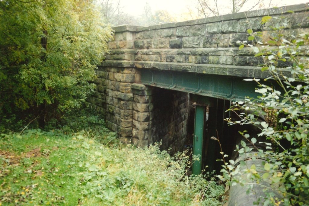
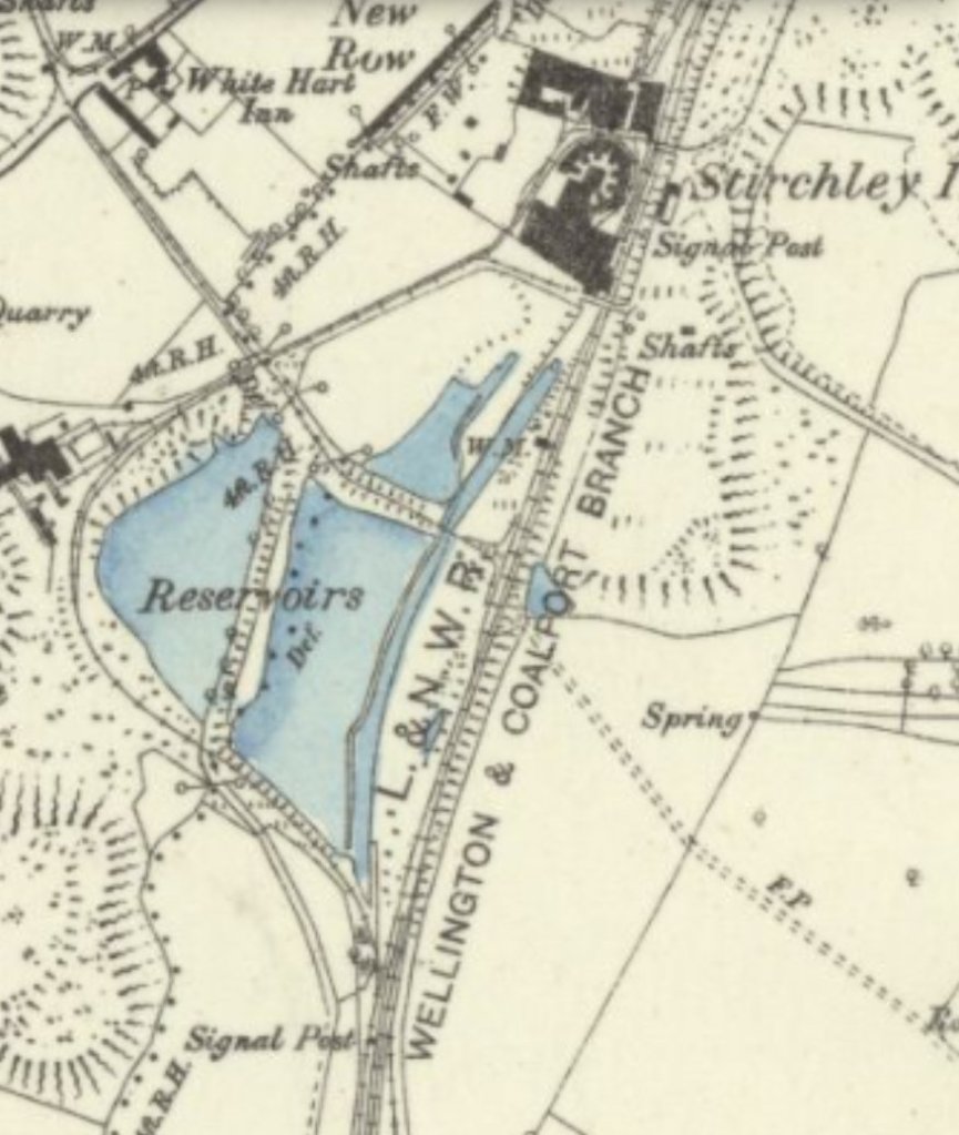
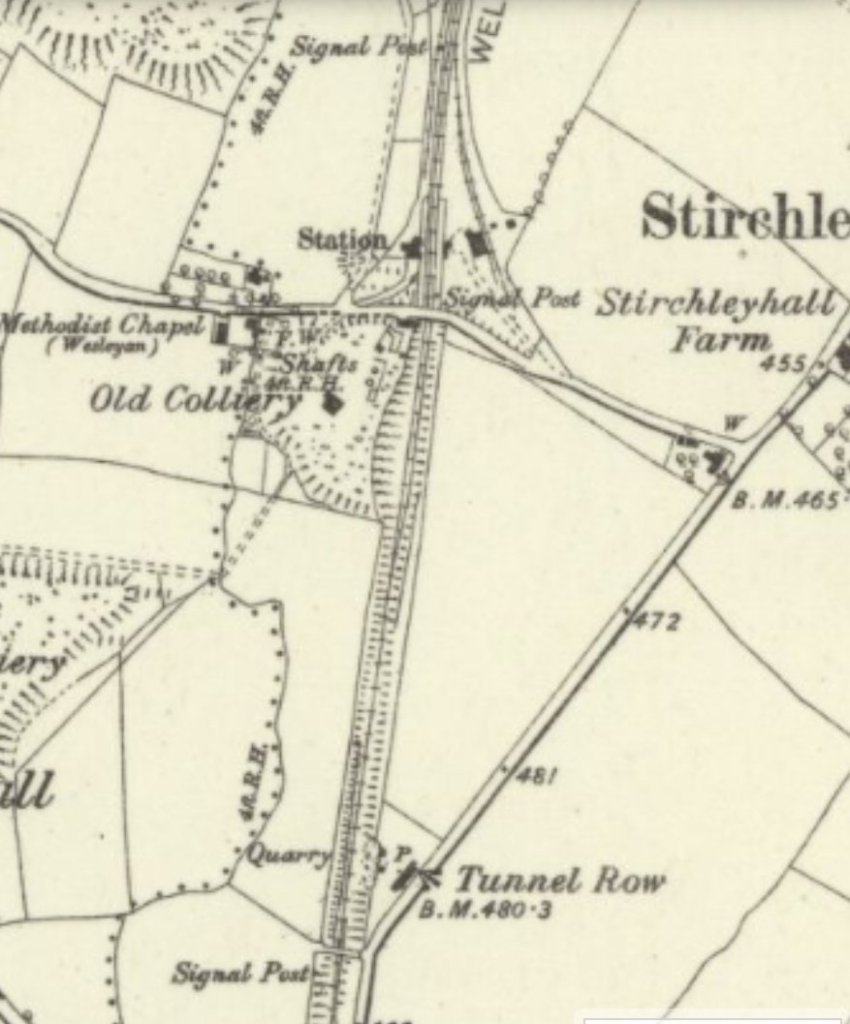
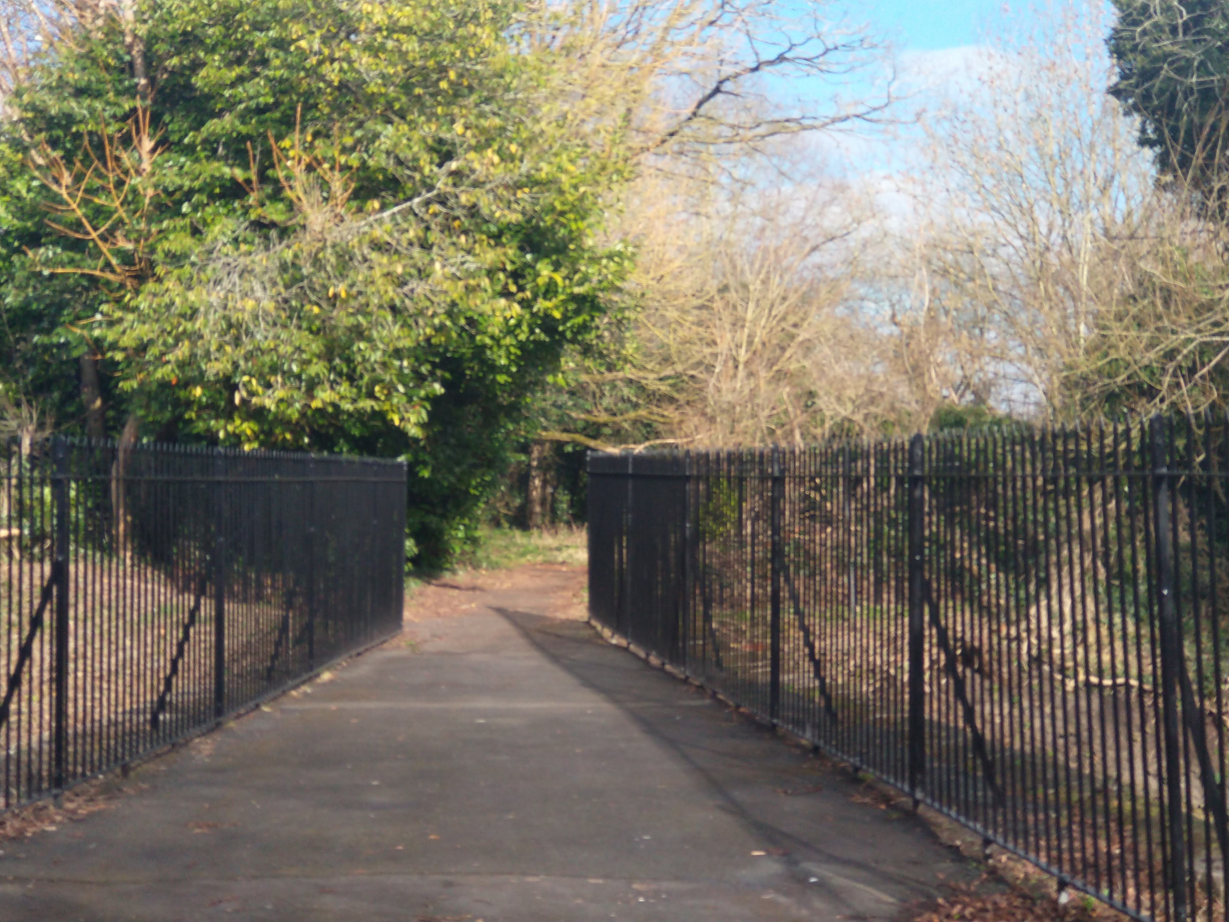
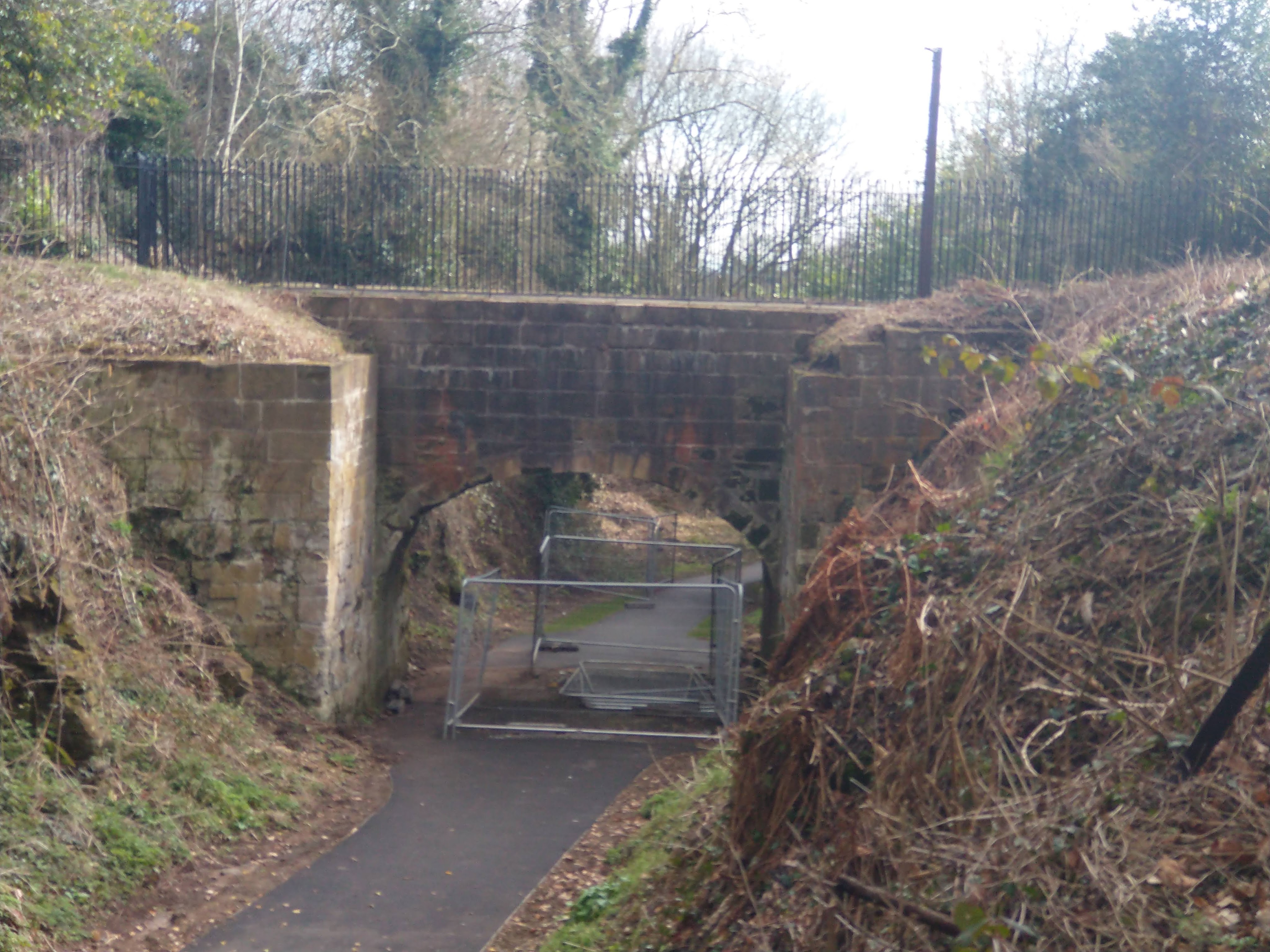
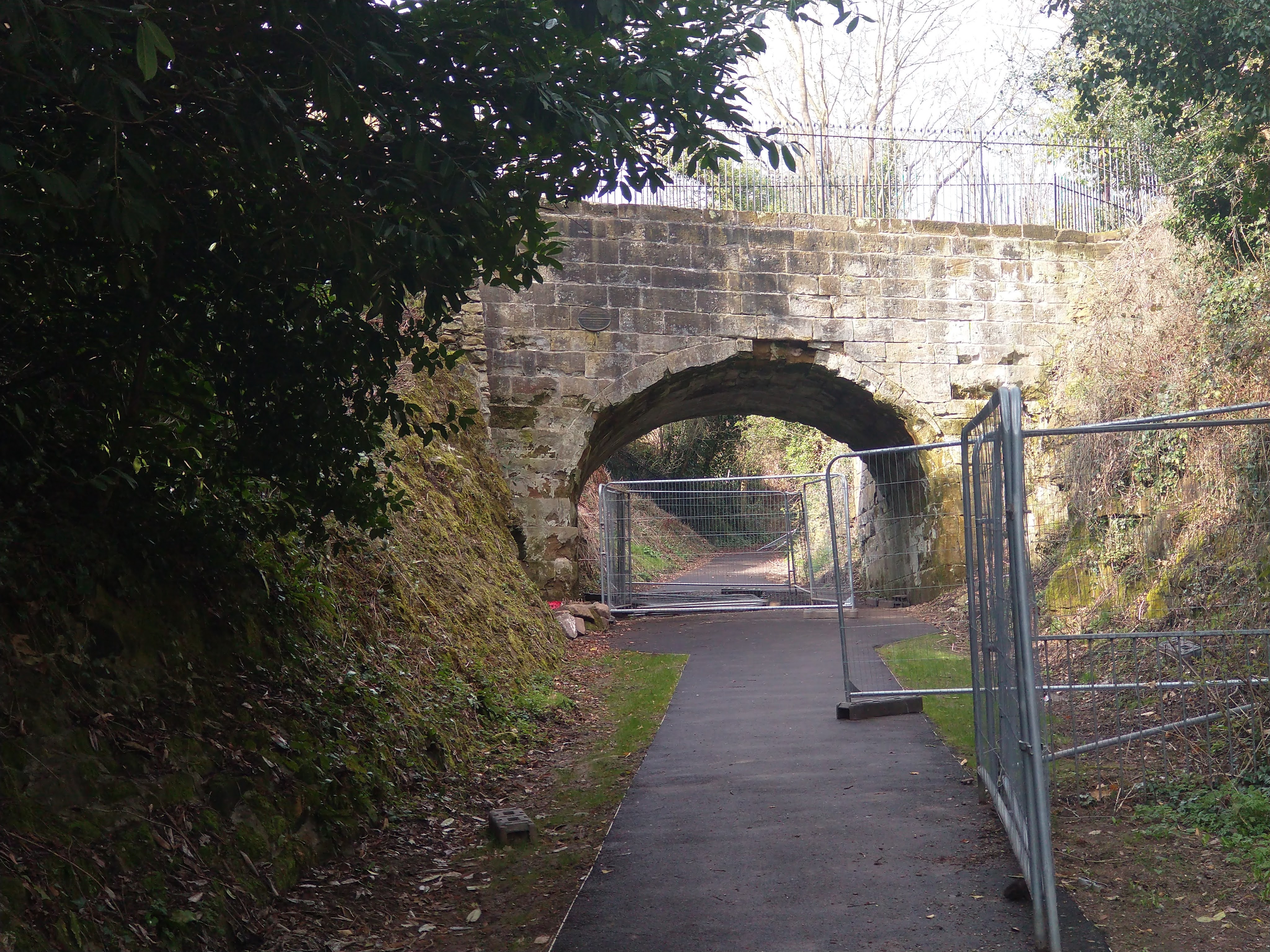
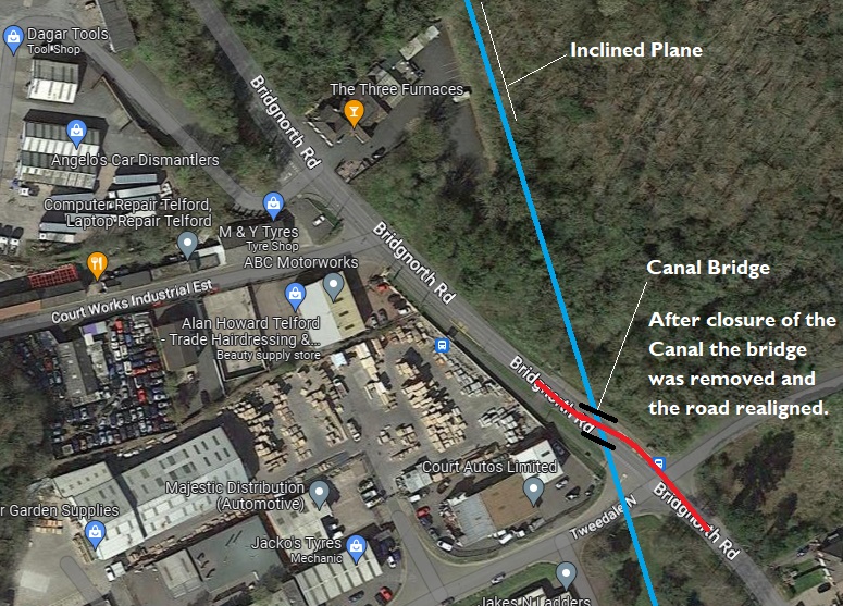
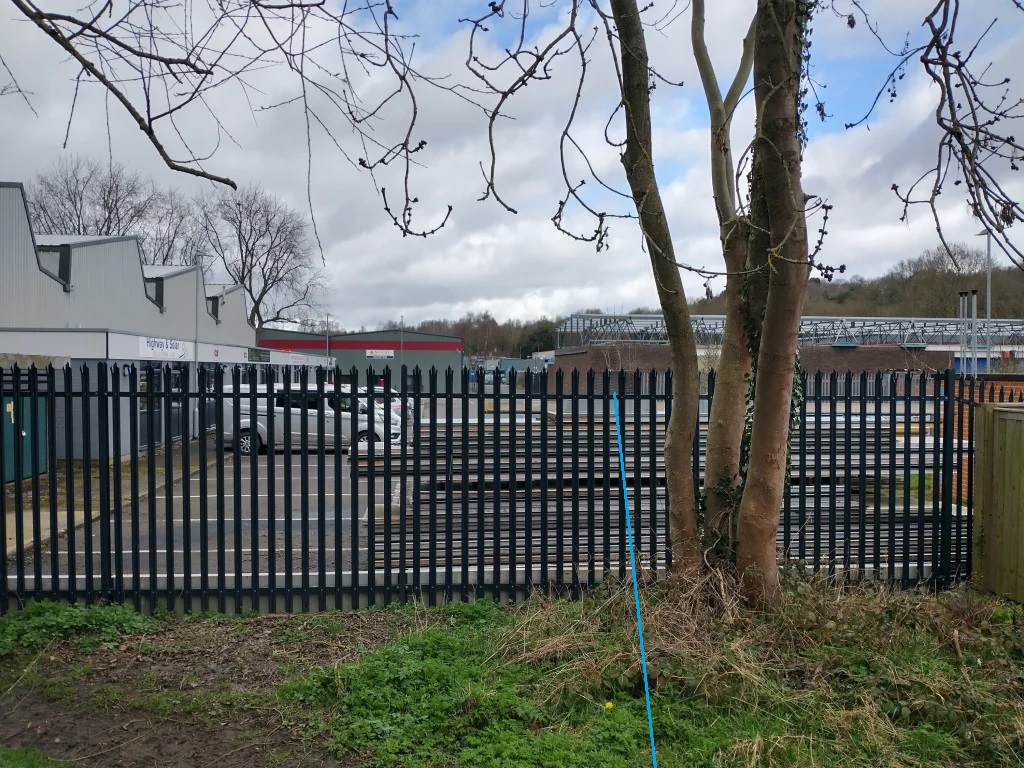
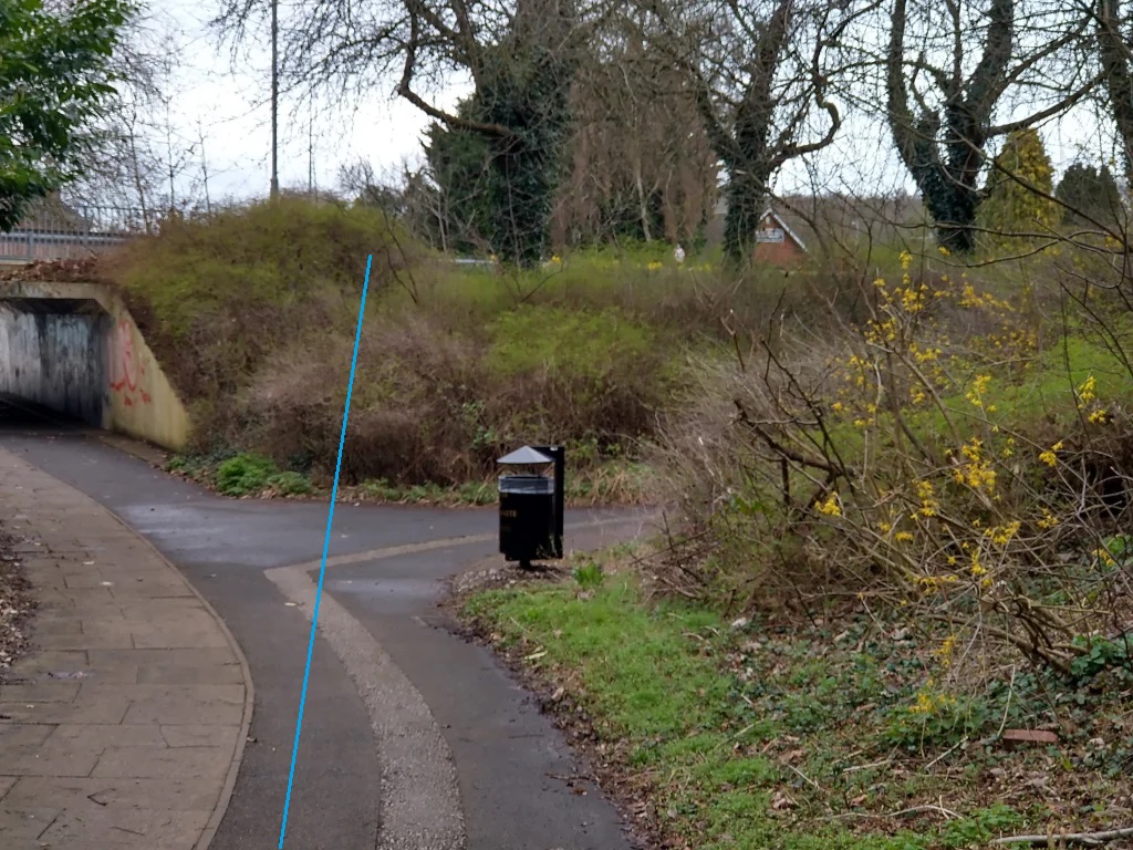
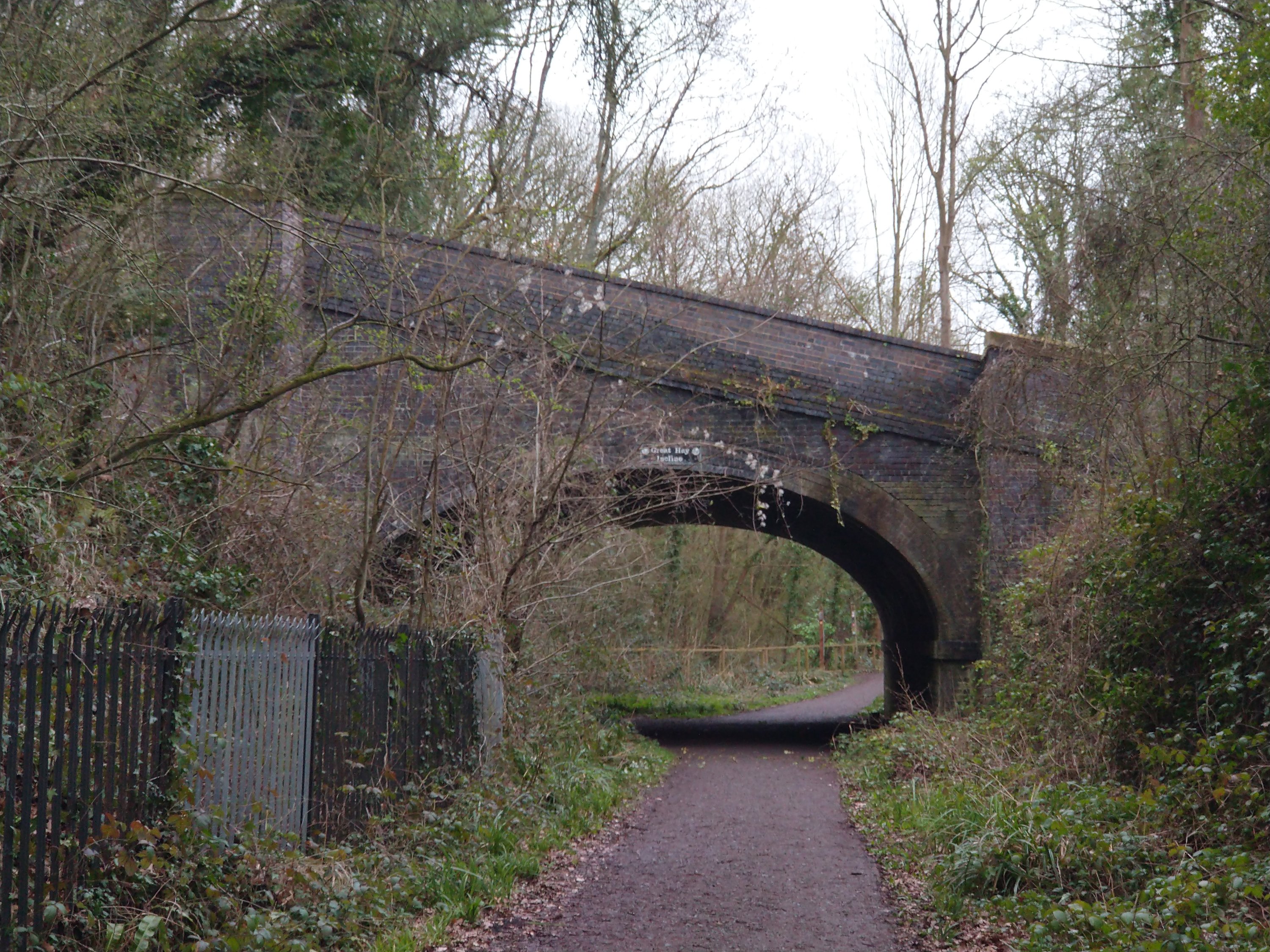
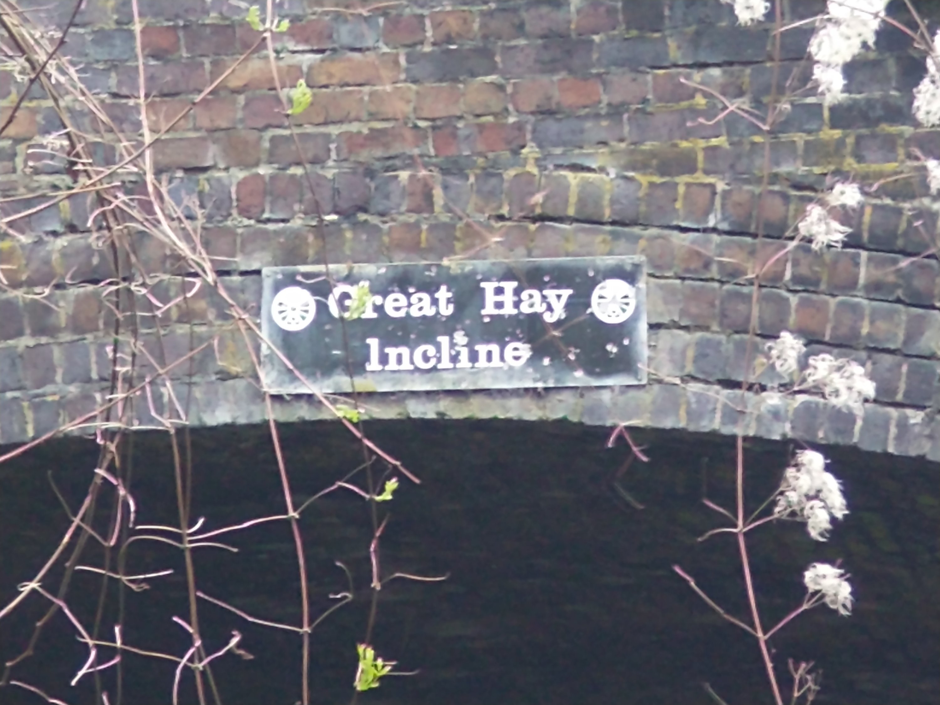
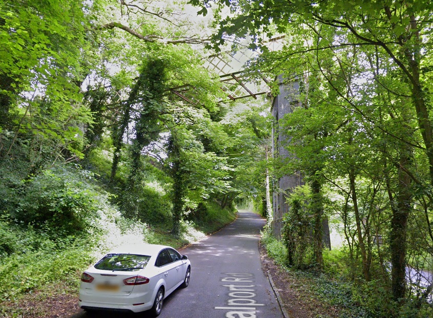
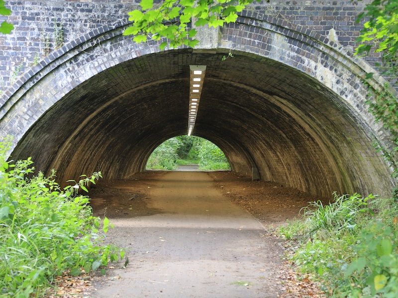
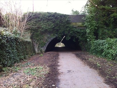
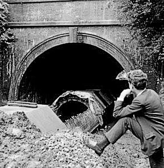
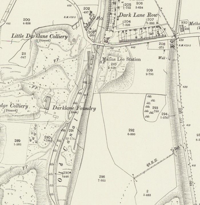
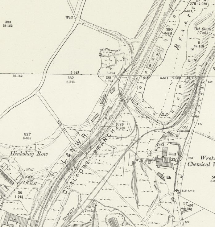
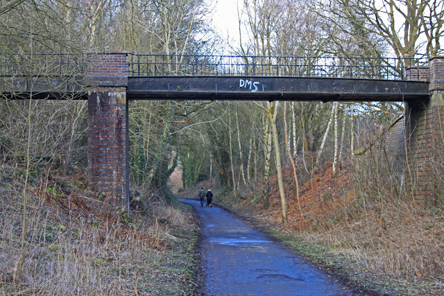
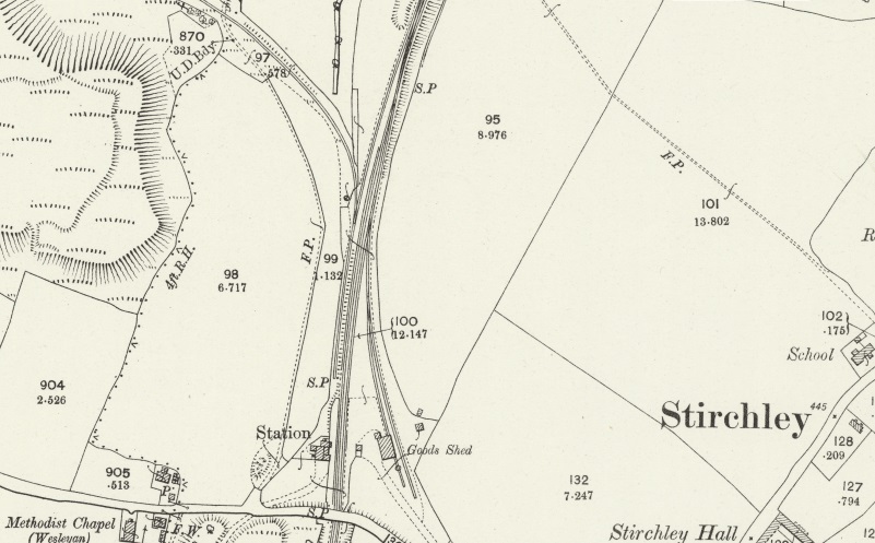
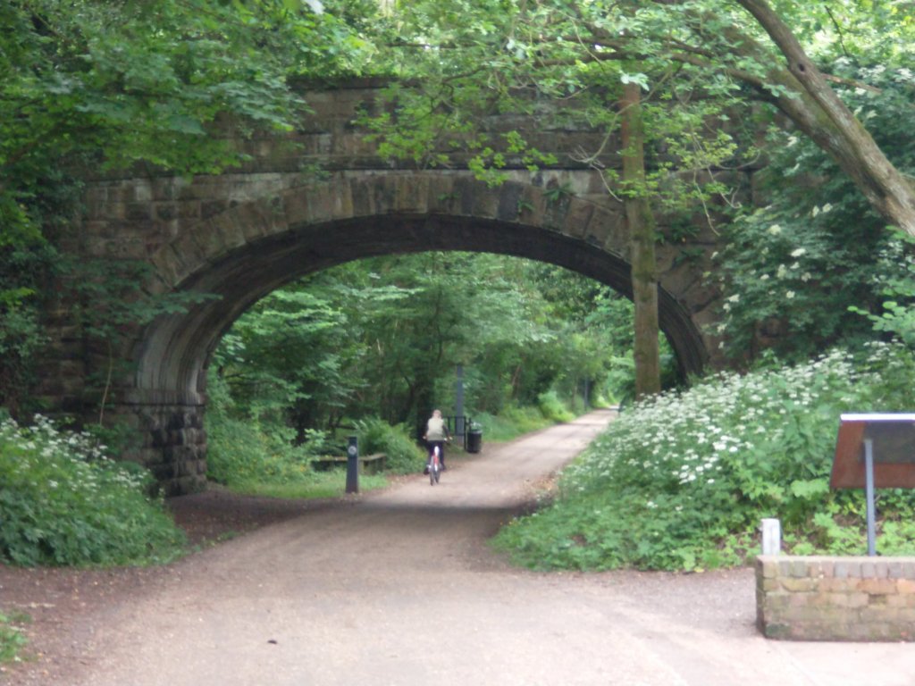
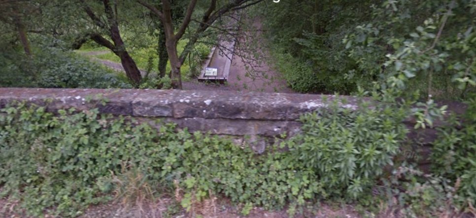
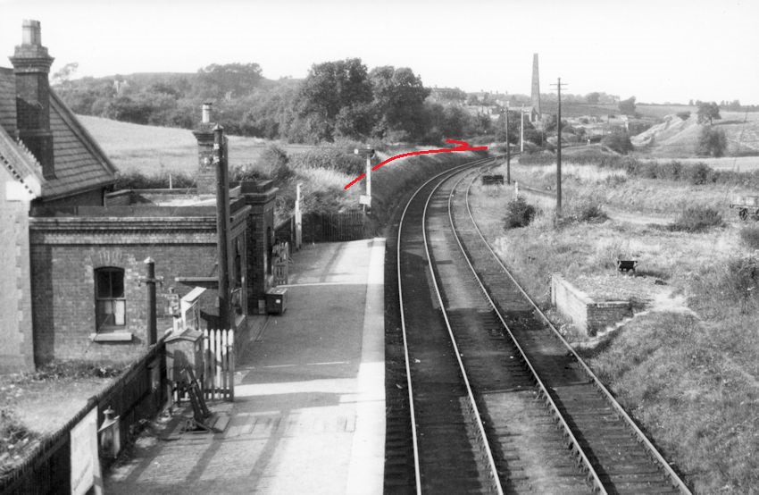
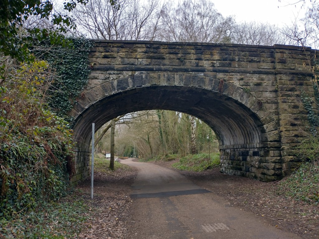
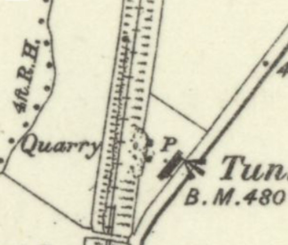
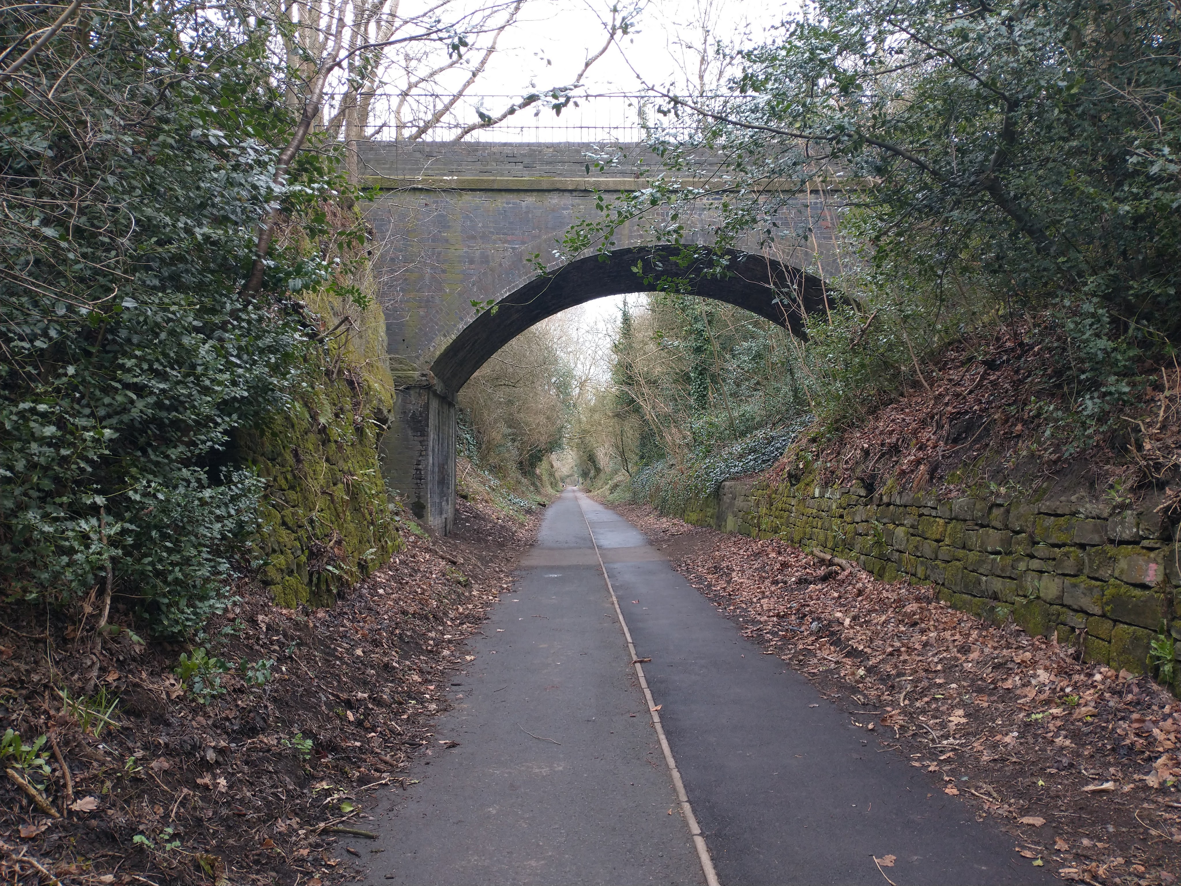
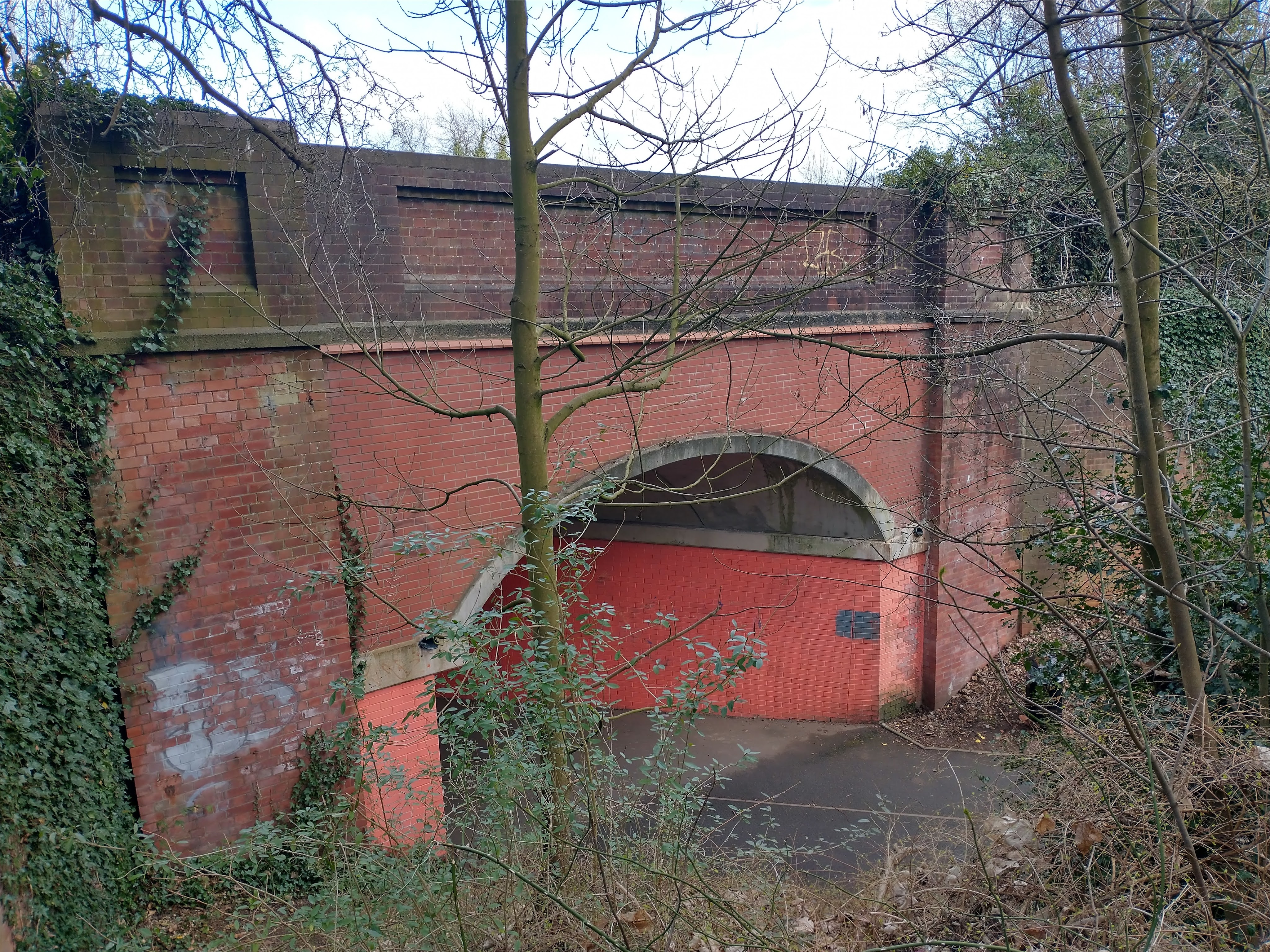
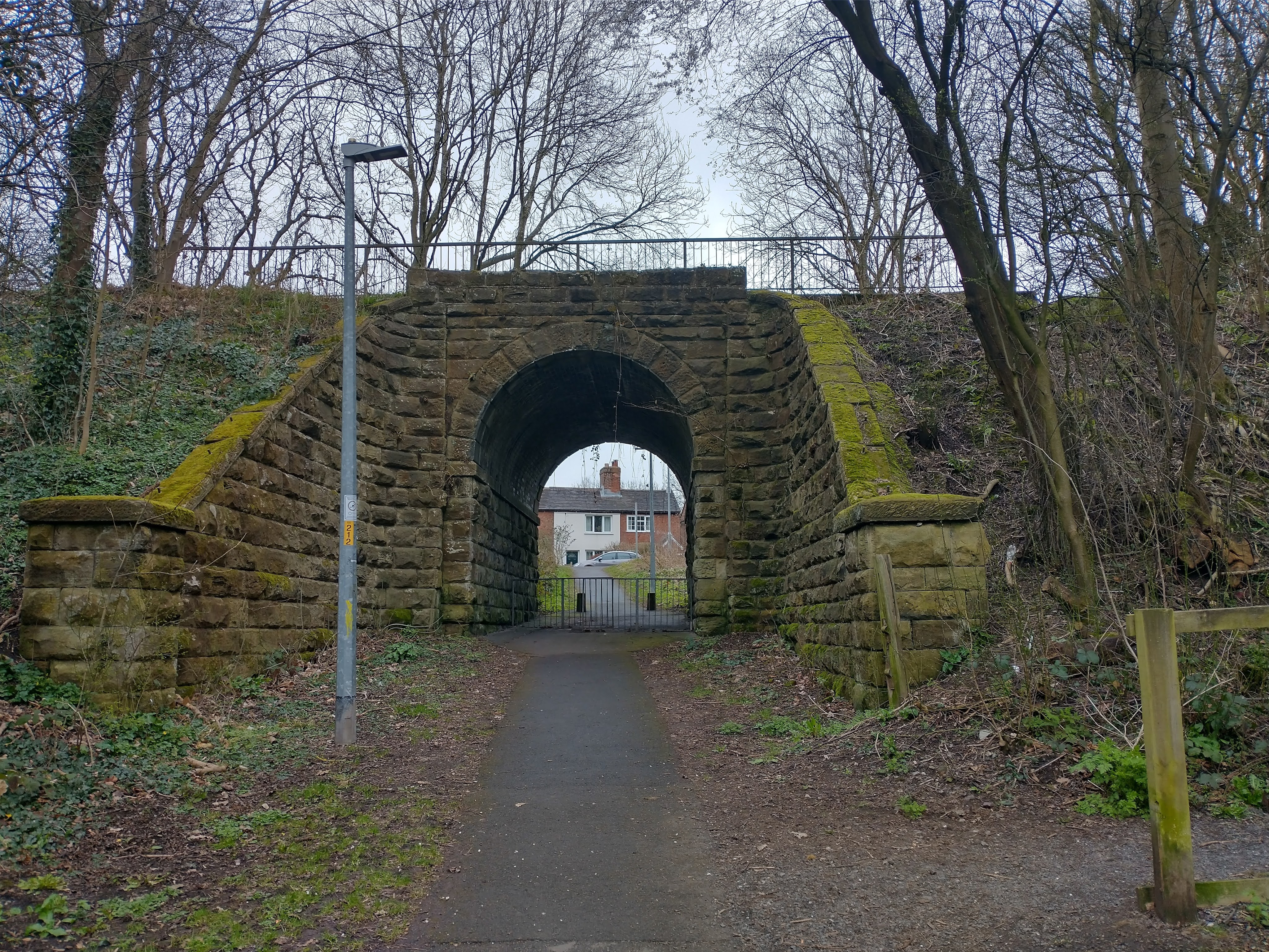
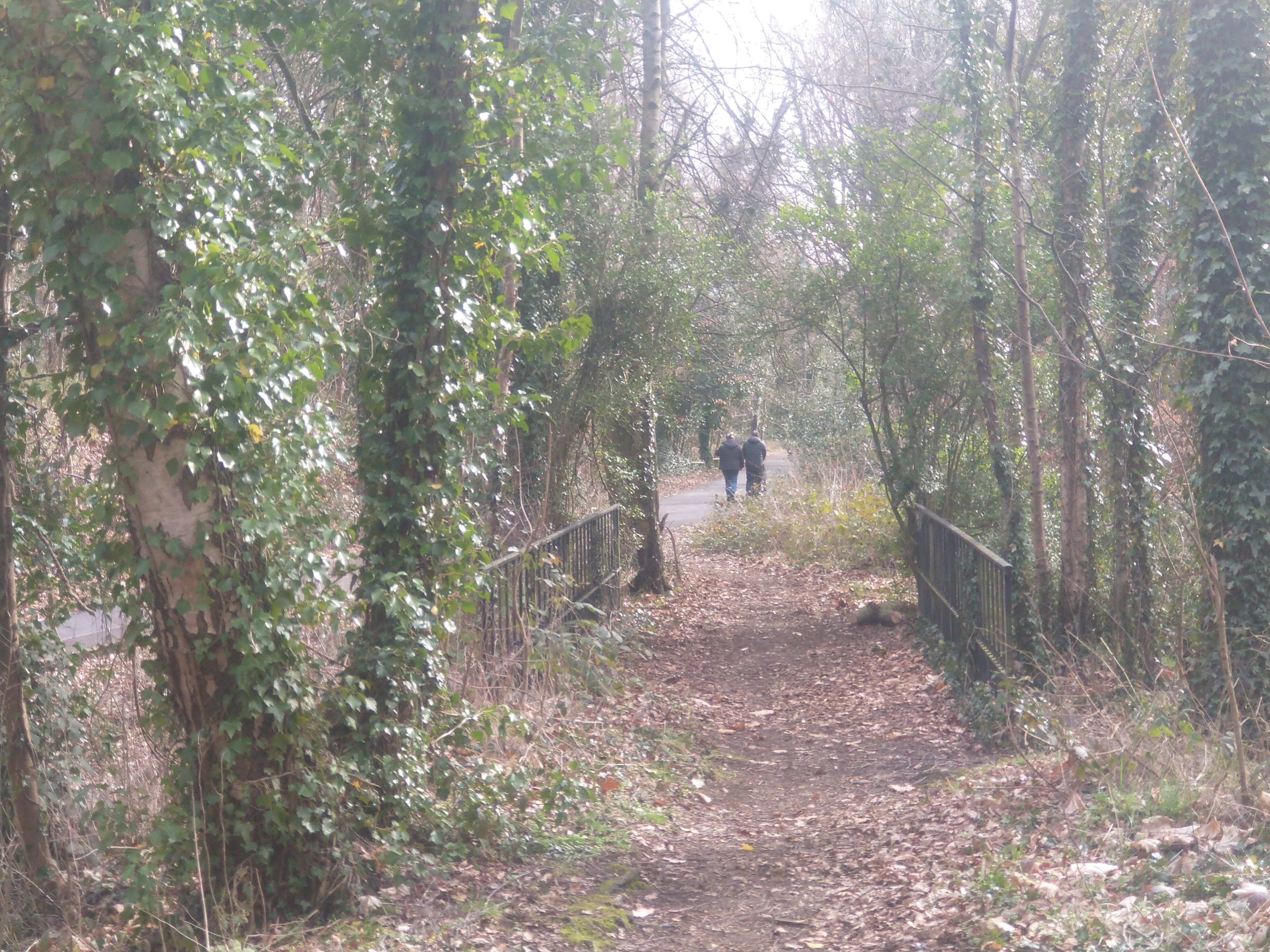
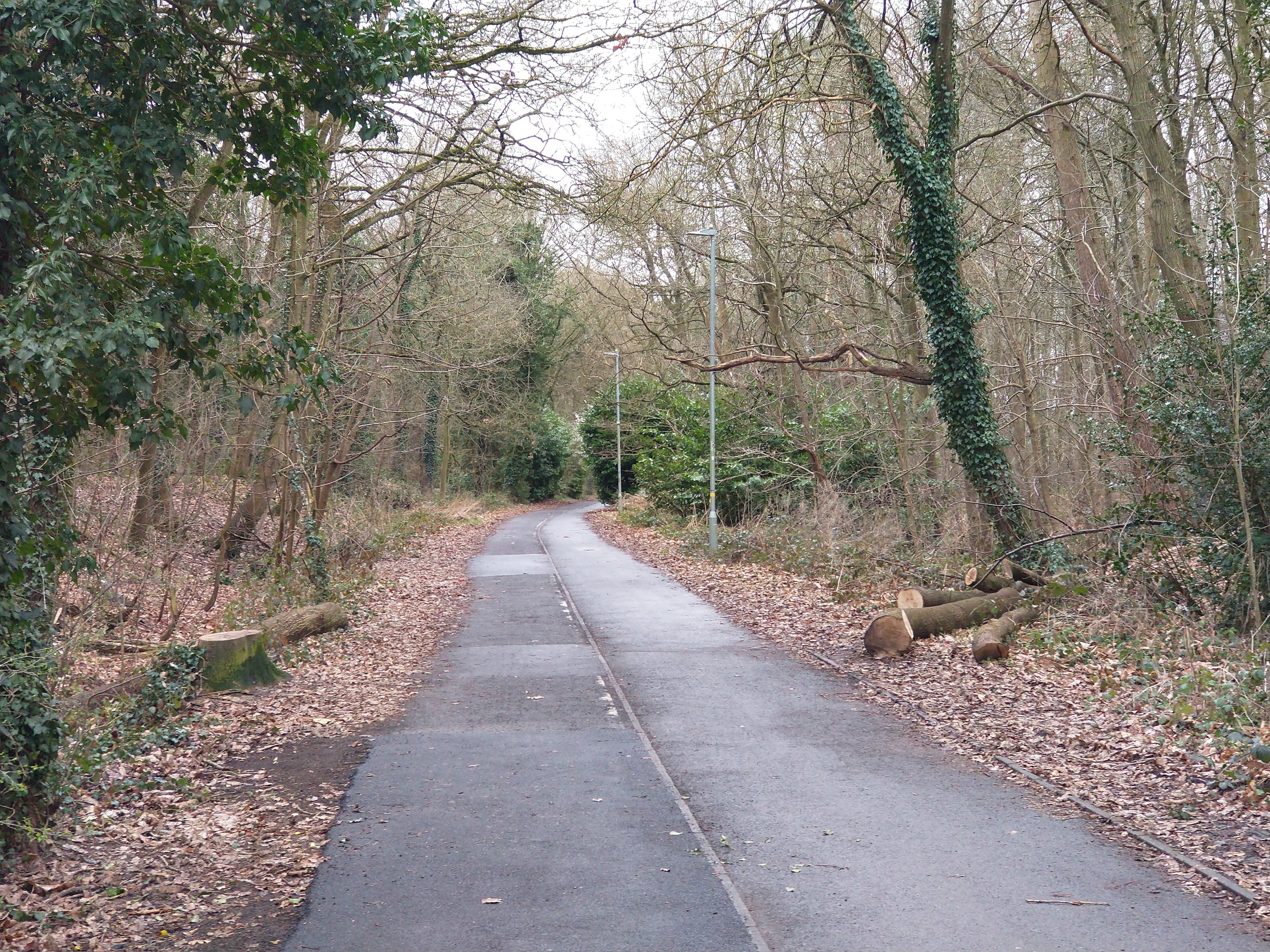
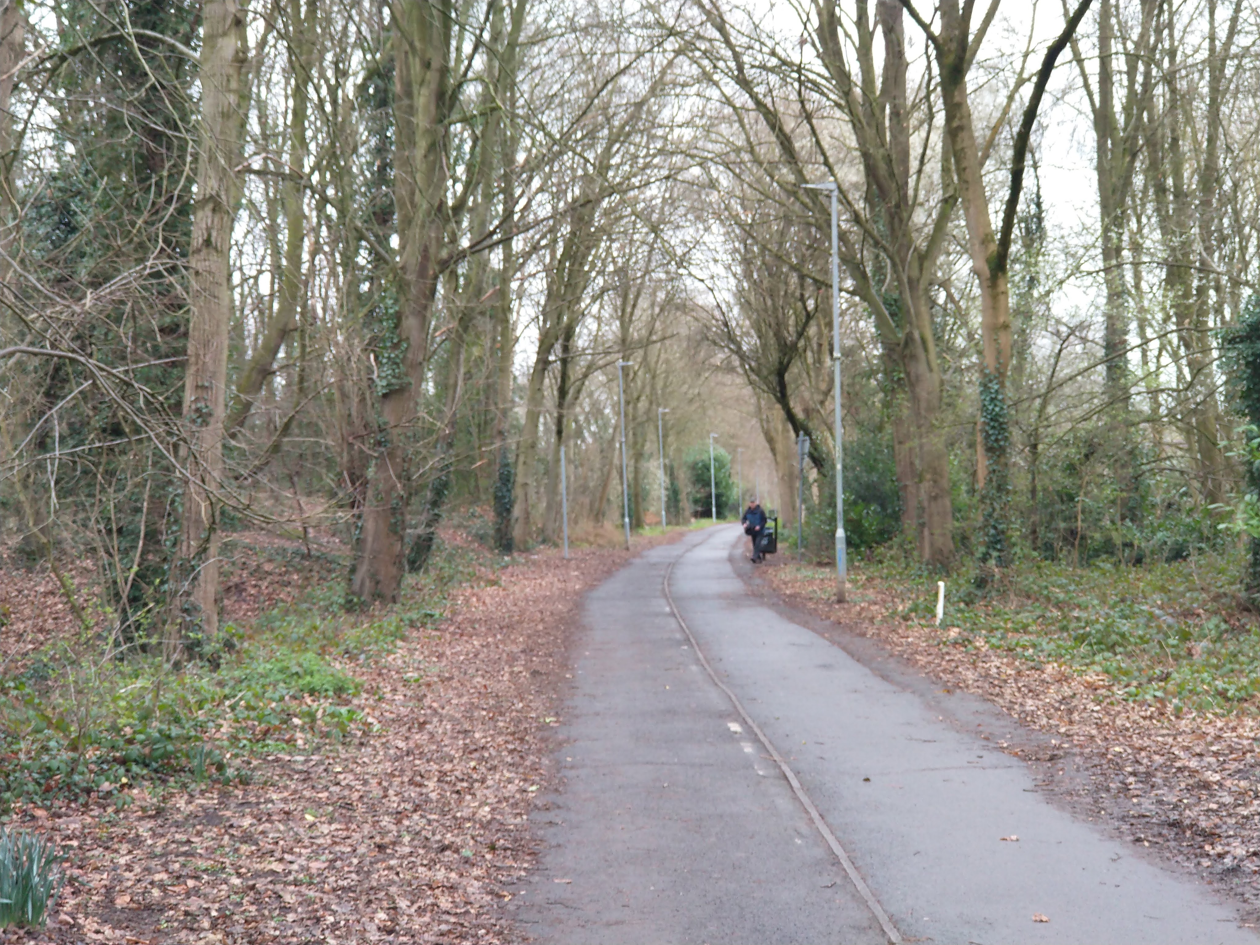
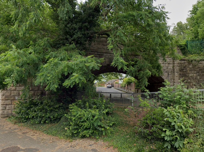
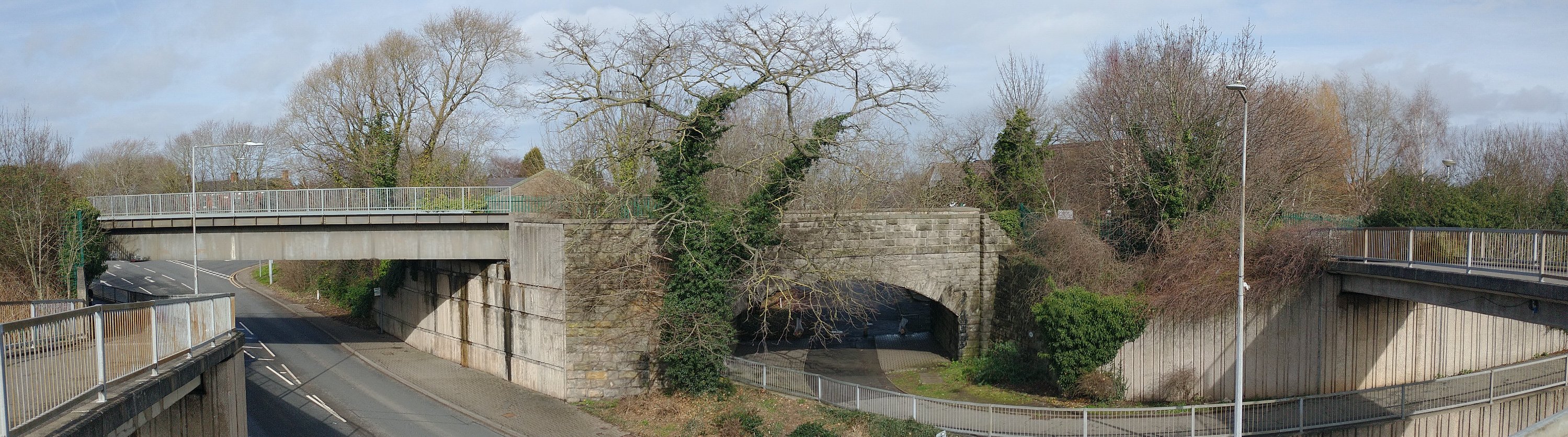
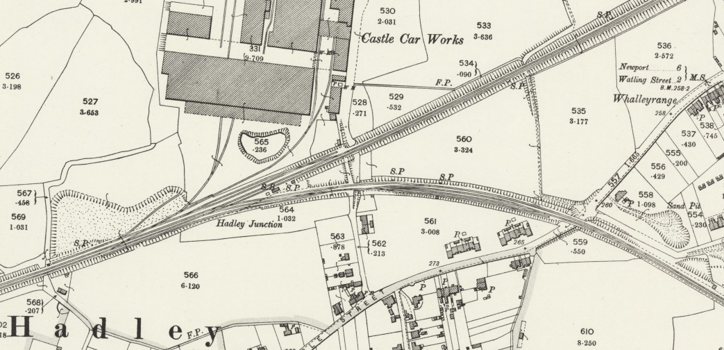
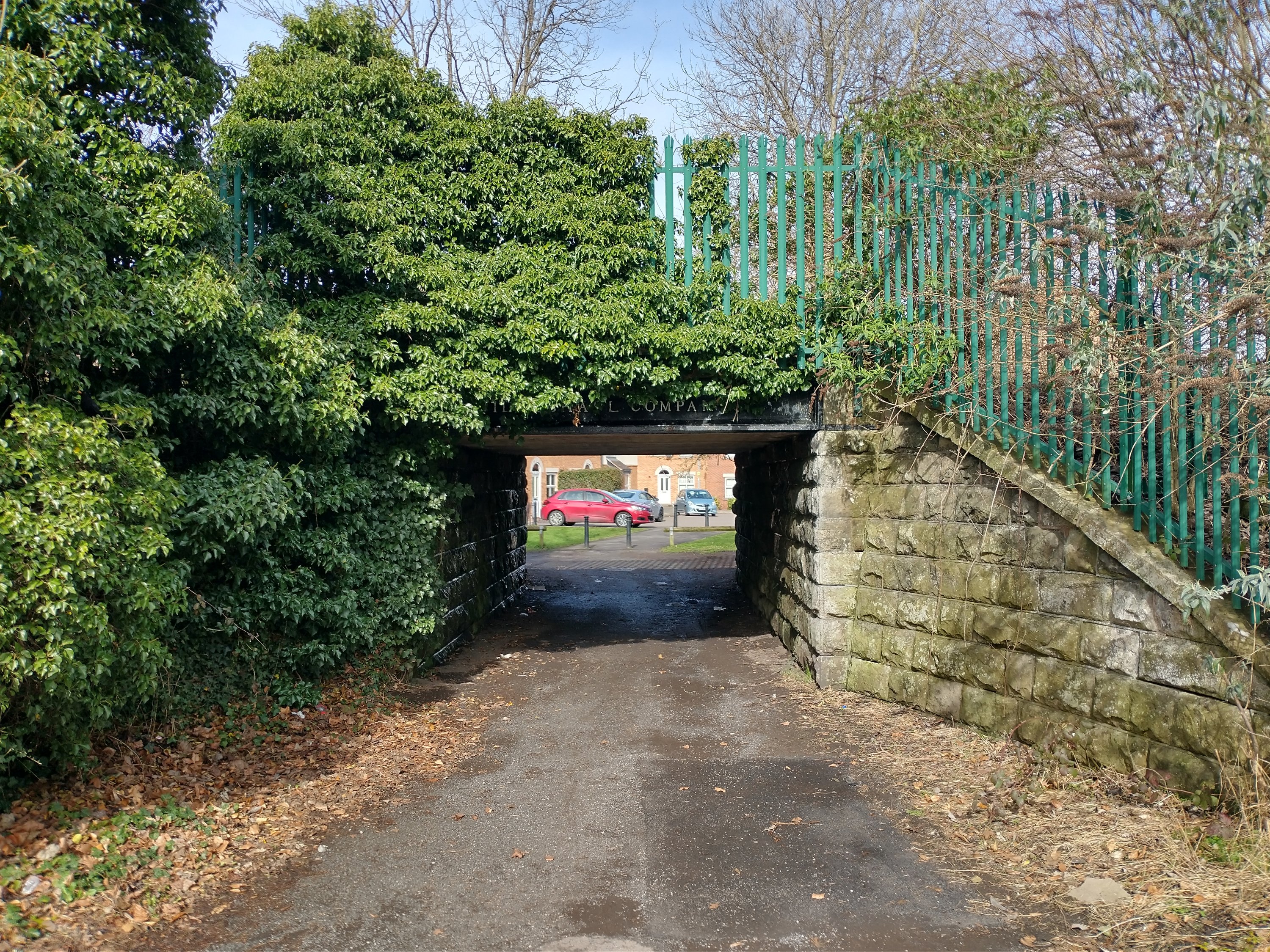
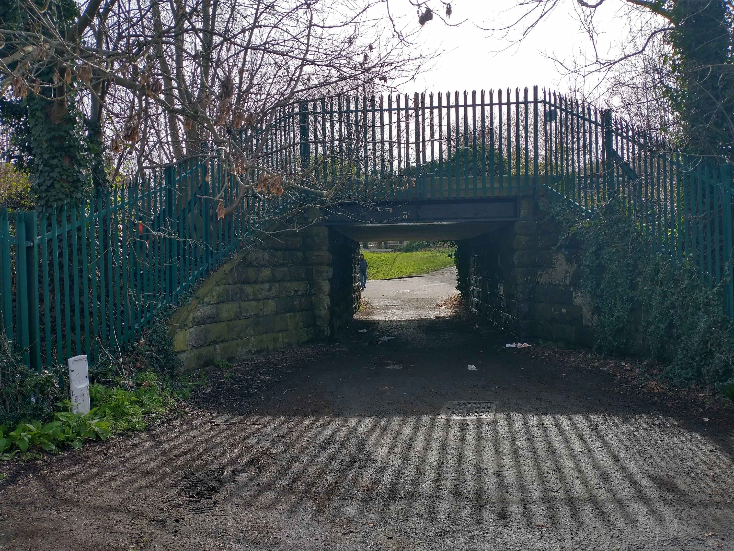
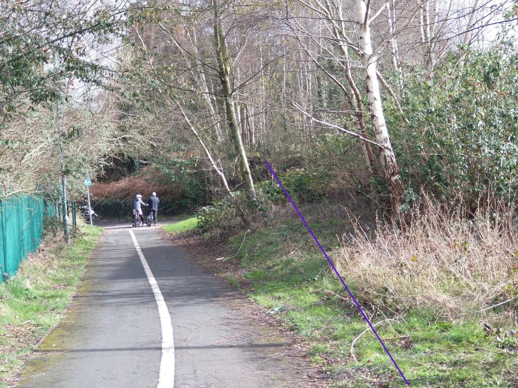
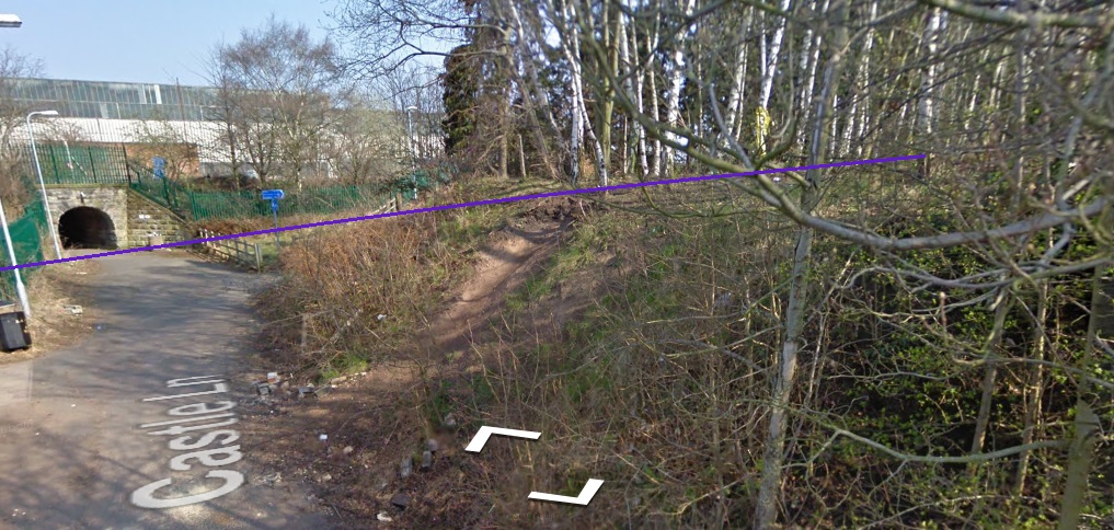
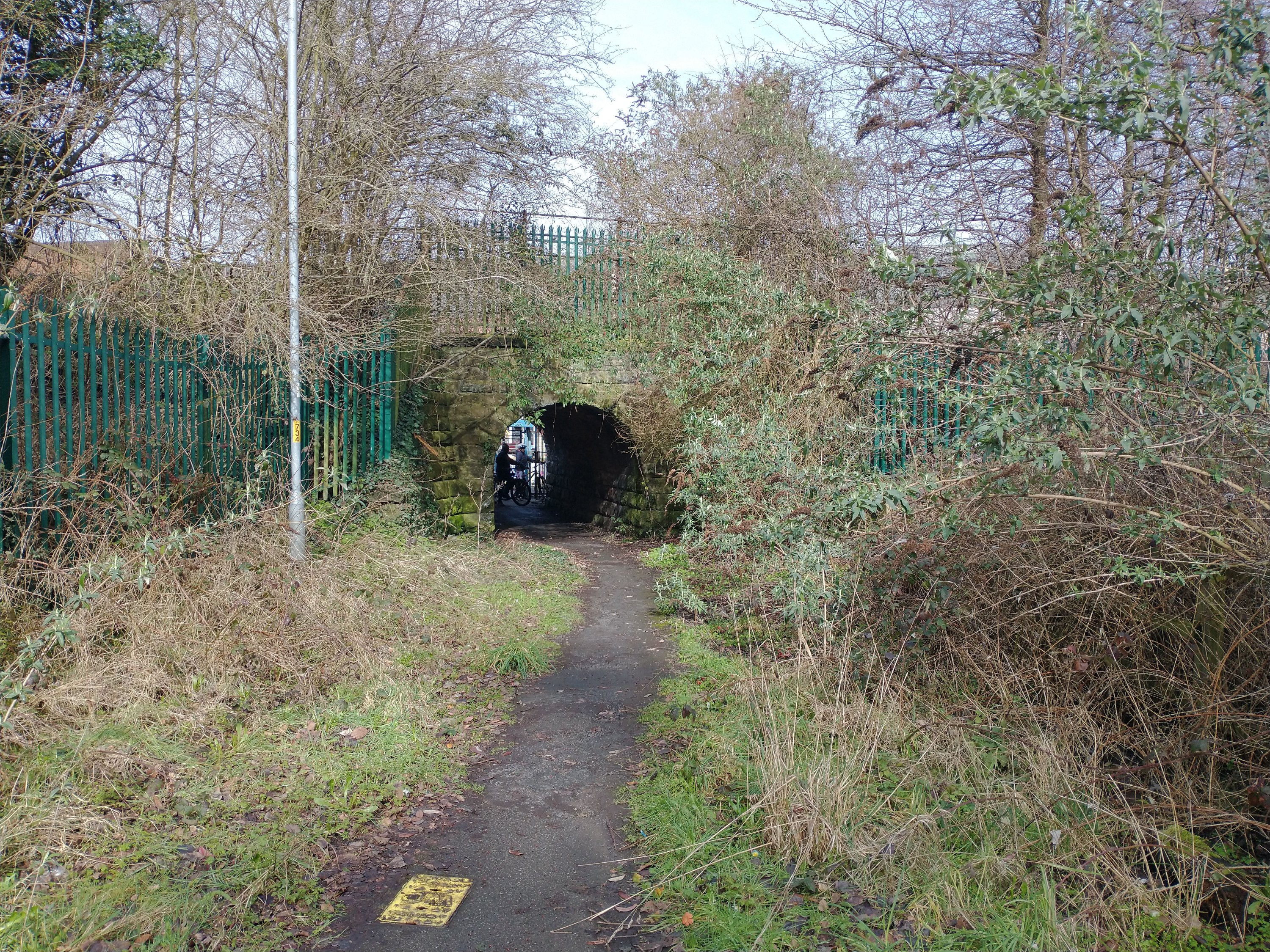
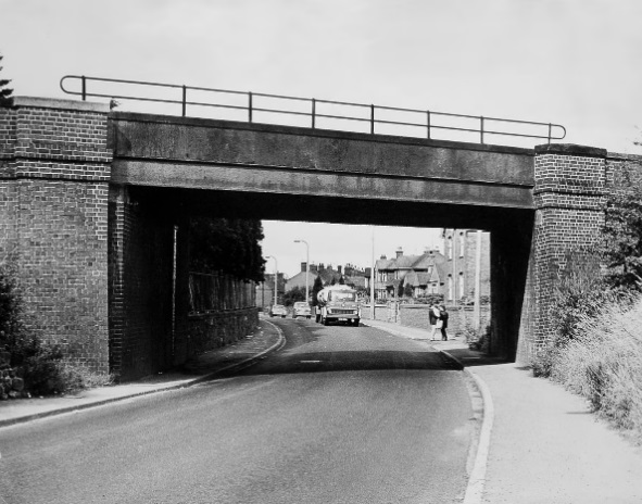
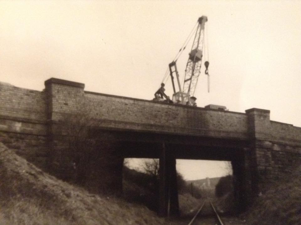
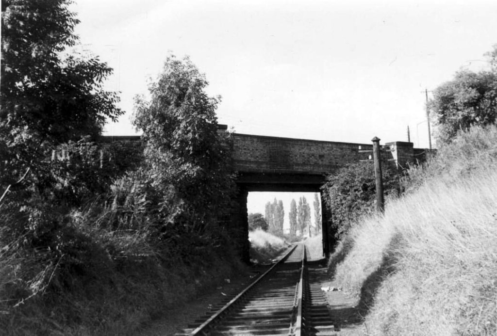
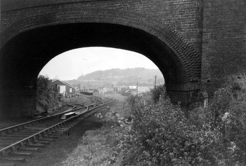
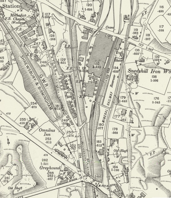
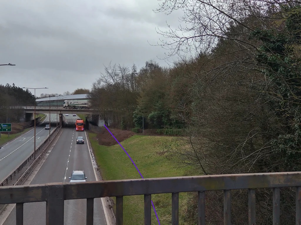
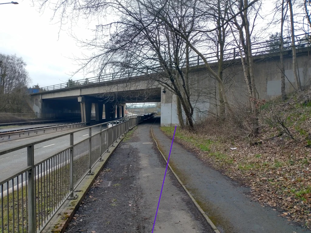
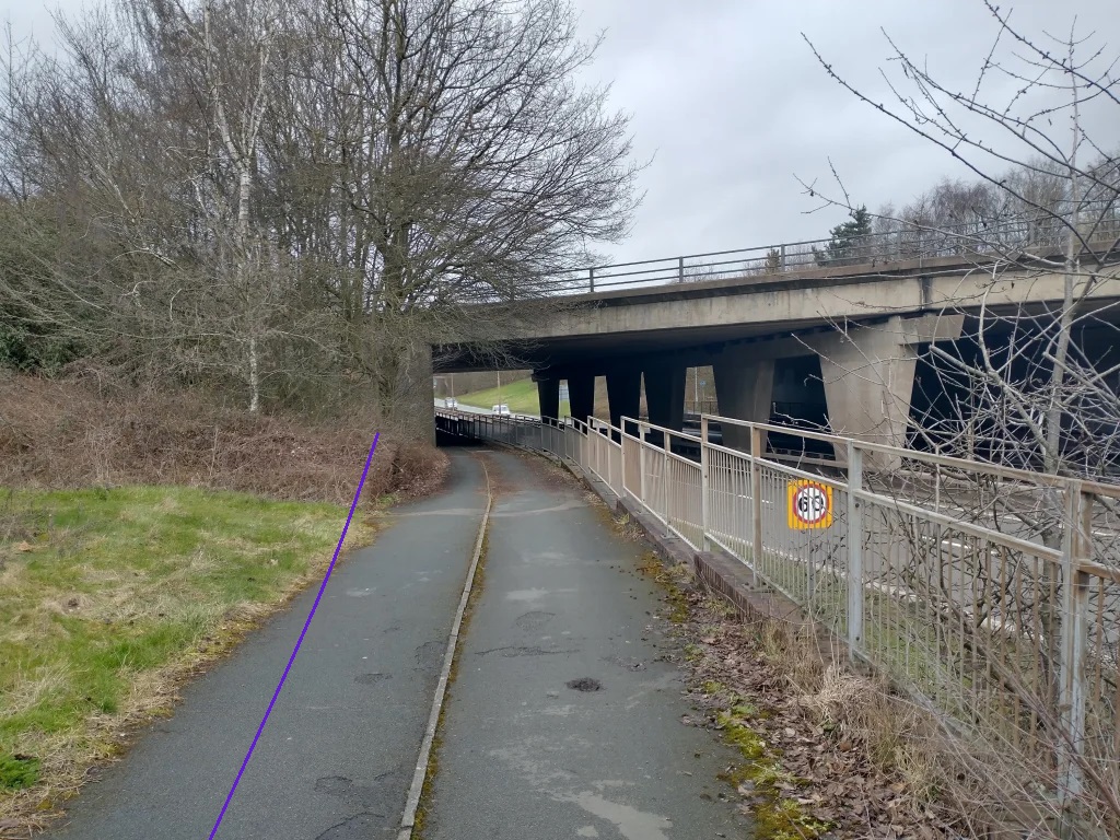
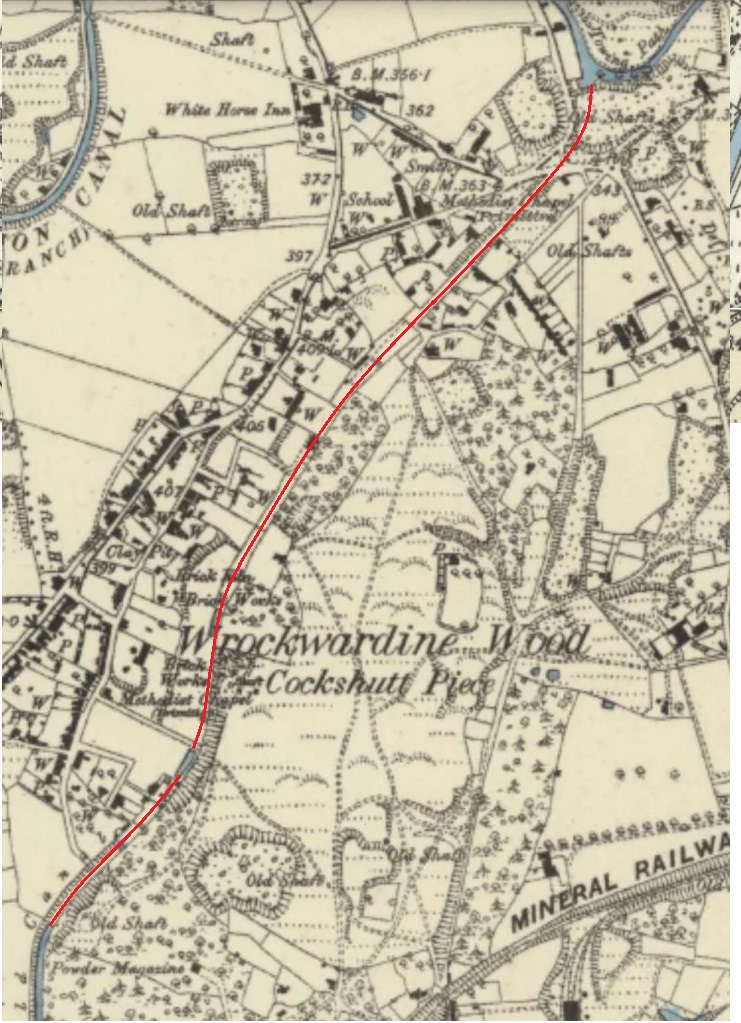
I have not been able to find earlier maps than the 1881/1882 Ordnance Survey that would show the tramway. It is, however, reasonable to assume that, at least as far as the tunnel under the LNWR mainline, the railway was built on the formation of the old tramway. The last map extract above shows the terminus of the railway (which would have also been the tramway terminus) alongside the canal wharf, the next series of map extracts show the railway (and so also the route of the tramway), running South to pass under the LNWR railway line.
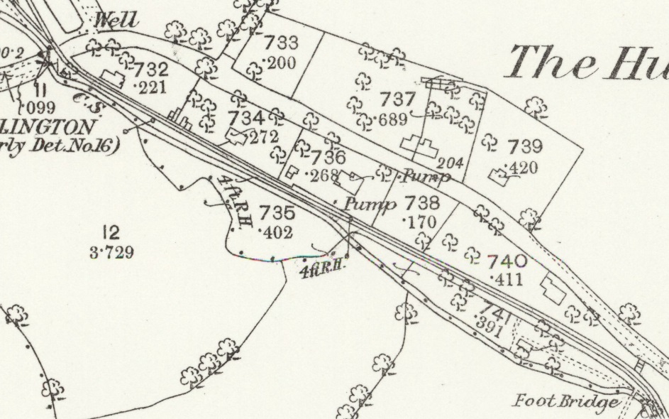
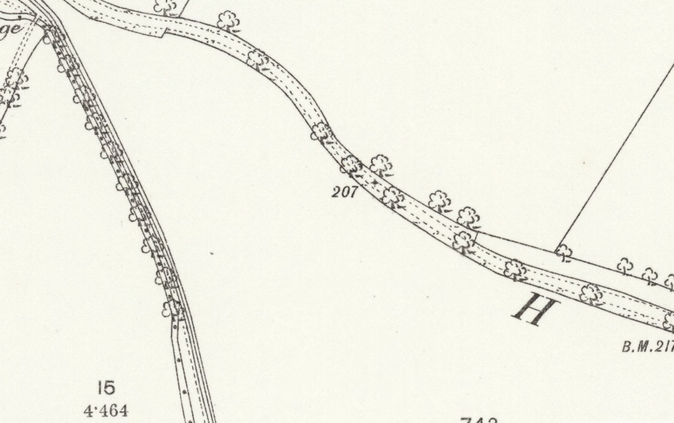
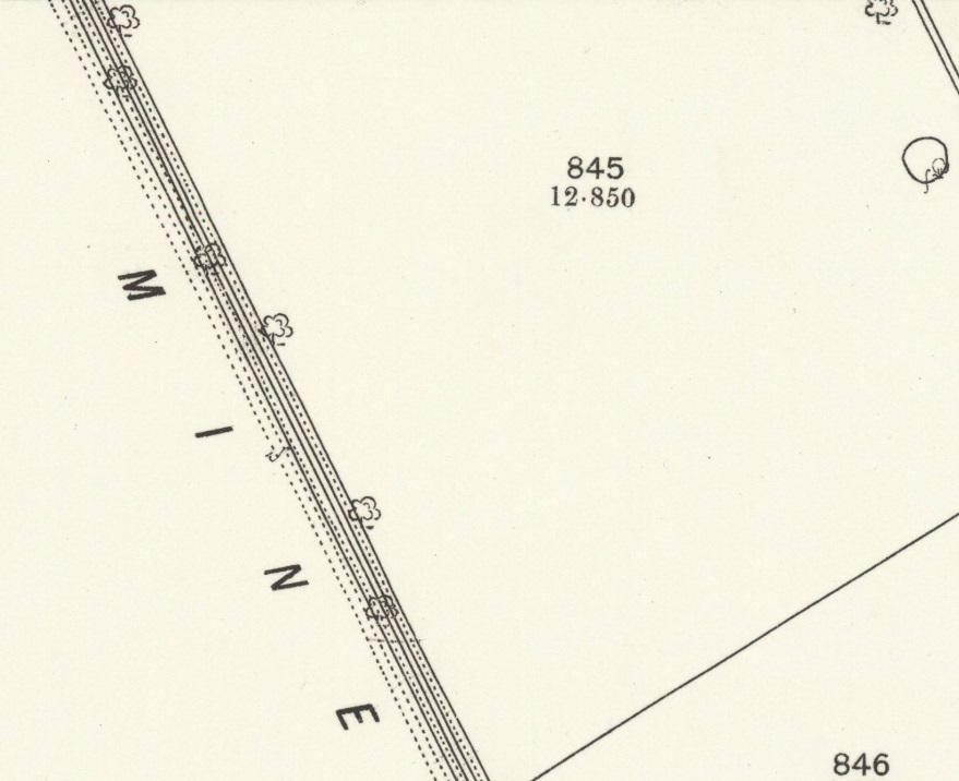
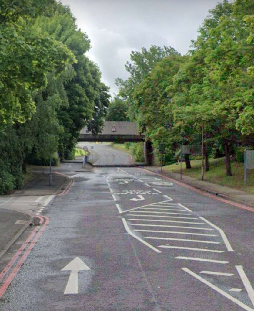

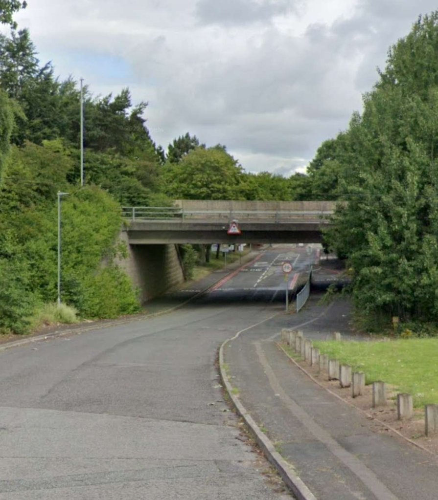
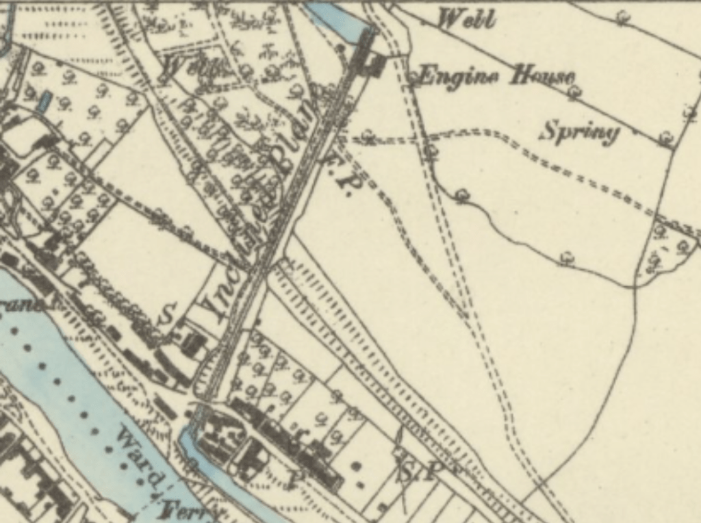
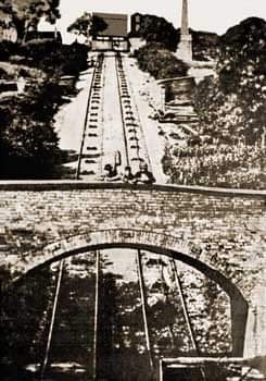
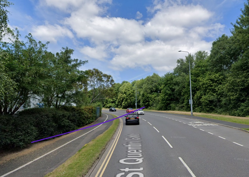
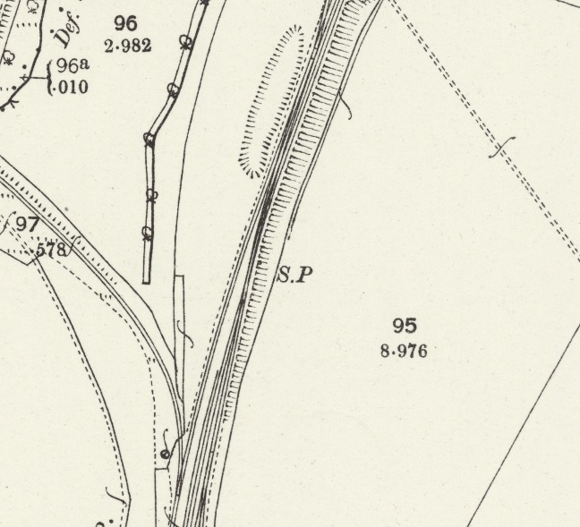
The last map extract above shows the route of the old tramway extending South-southeast from the LNWR mainline with the more modern standard-gauge mineral railway curving round after passing under the mainline and climbing on a gradient of about 1 in 77 to run alongside the LNWR line.
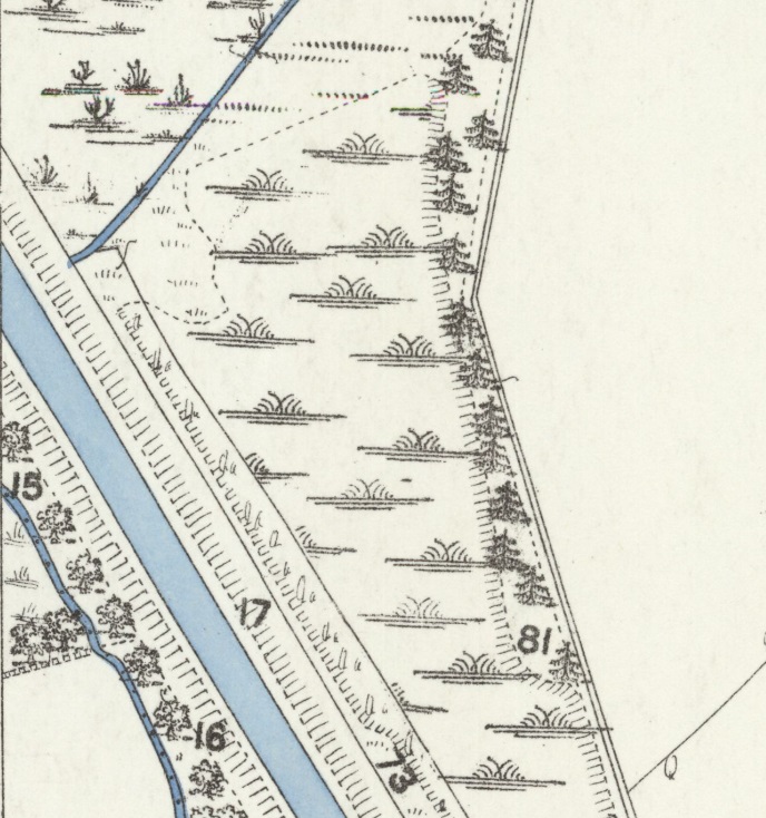
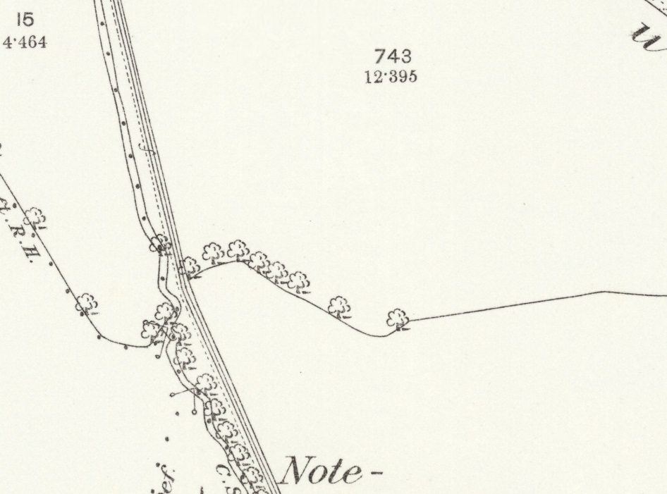
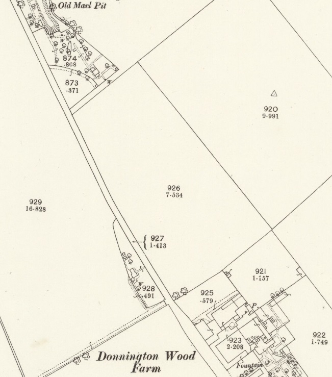
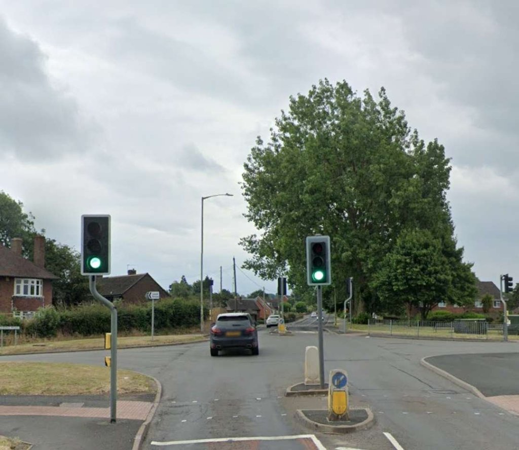
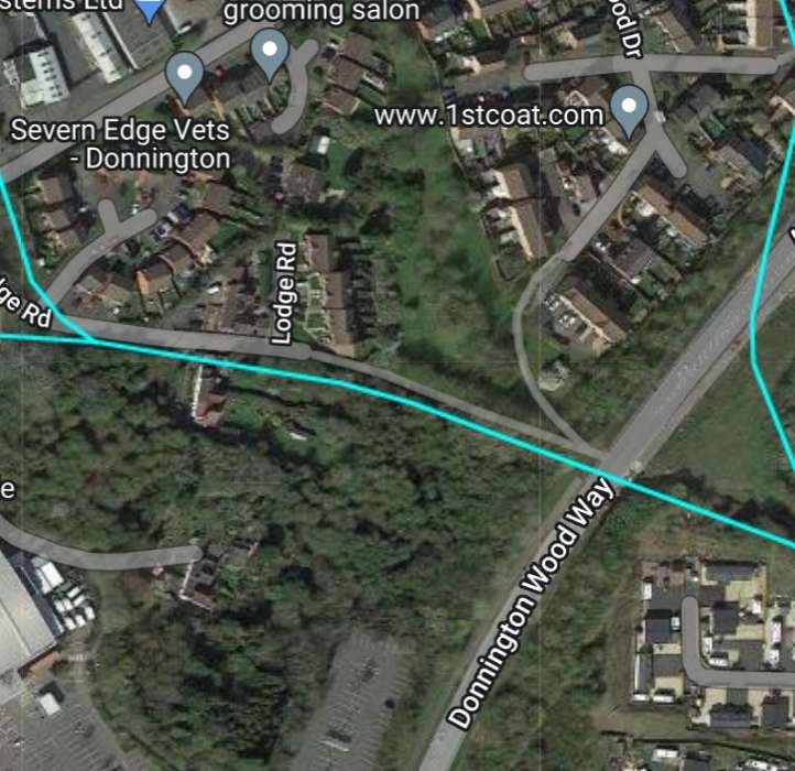
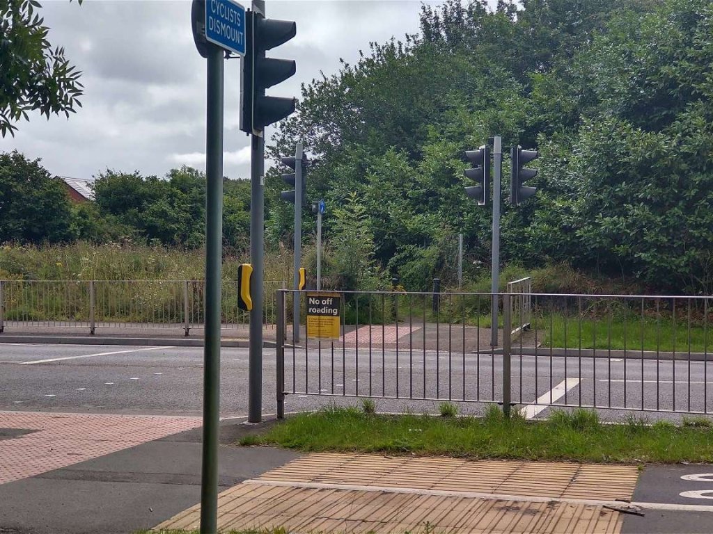
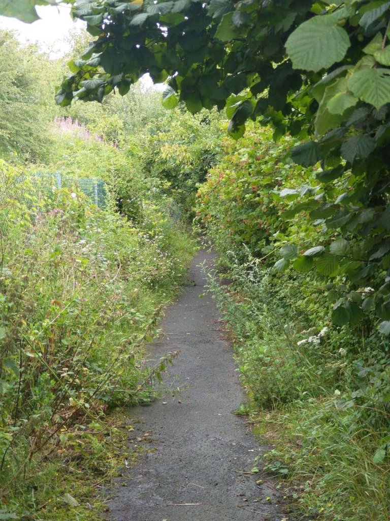
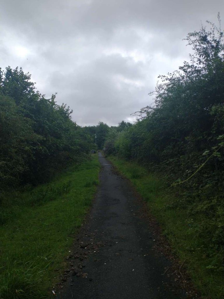
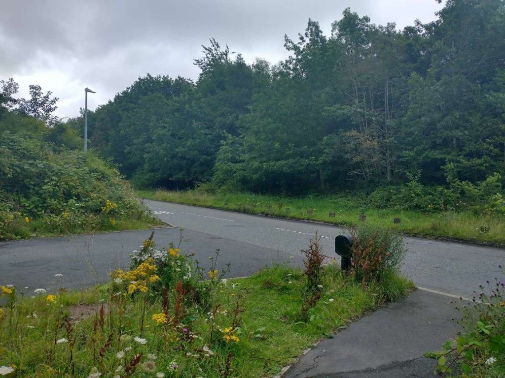
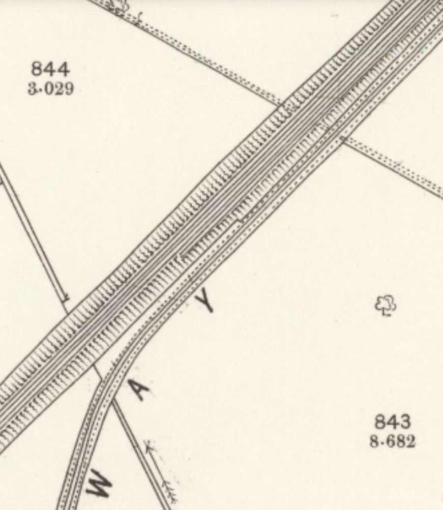
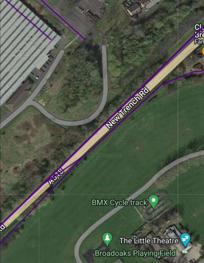
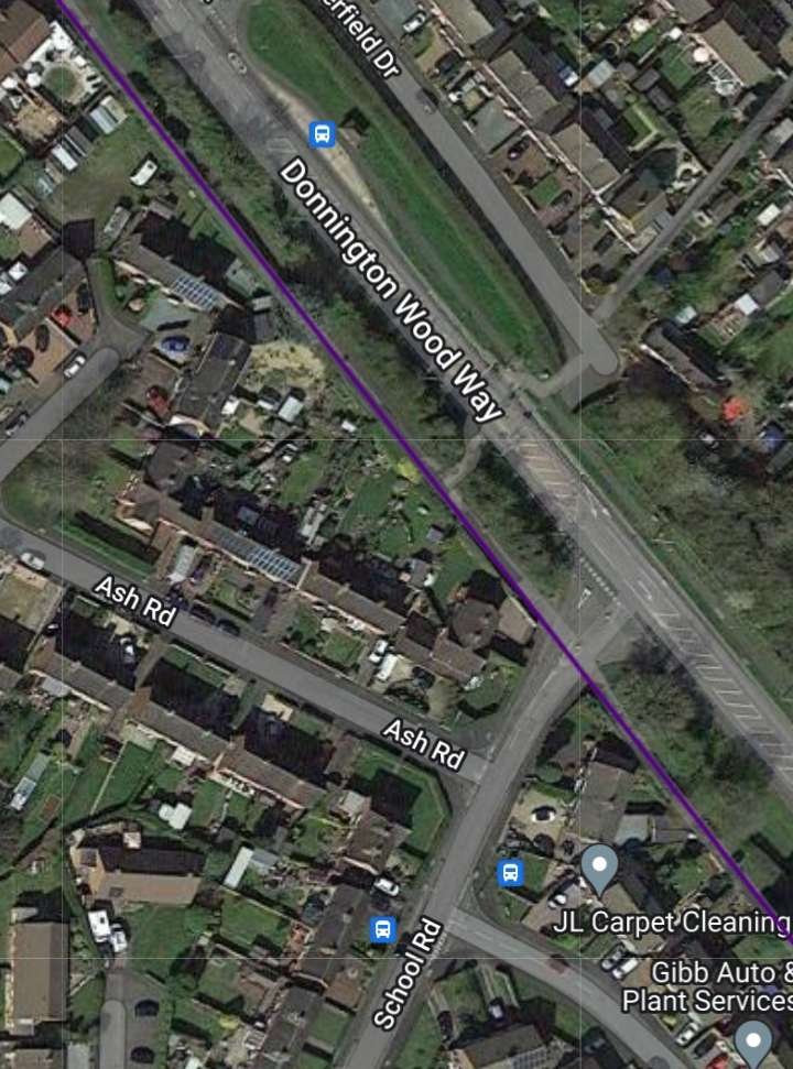
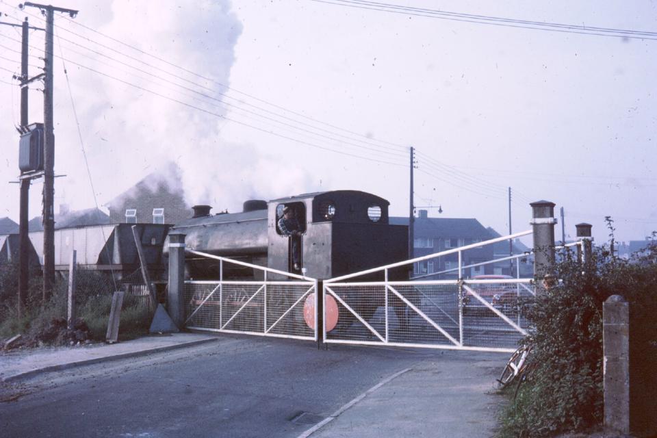
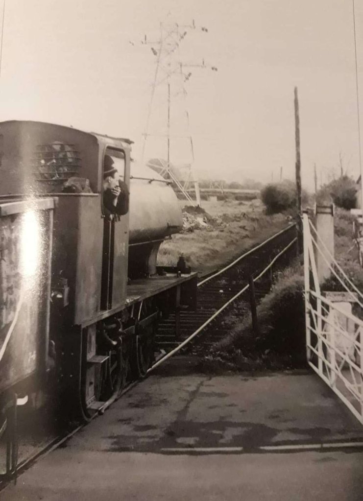
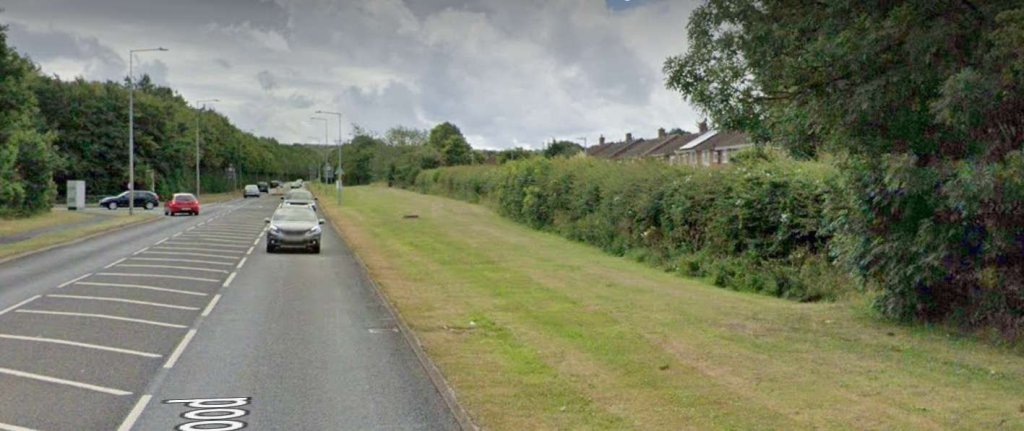
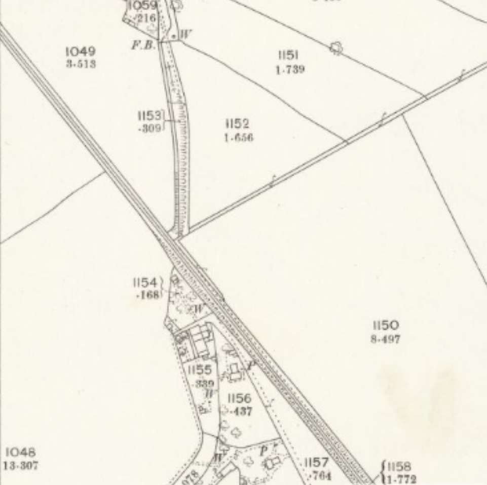
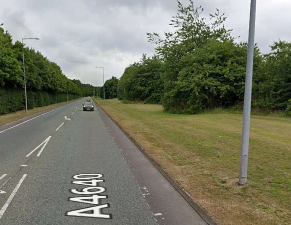
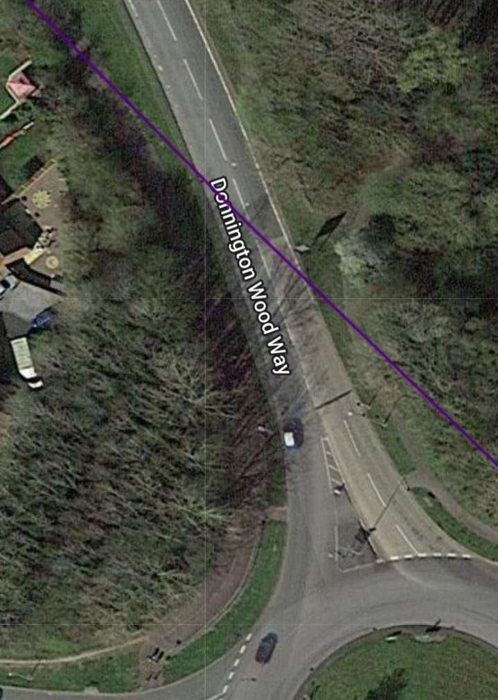
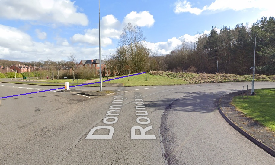
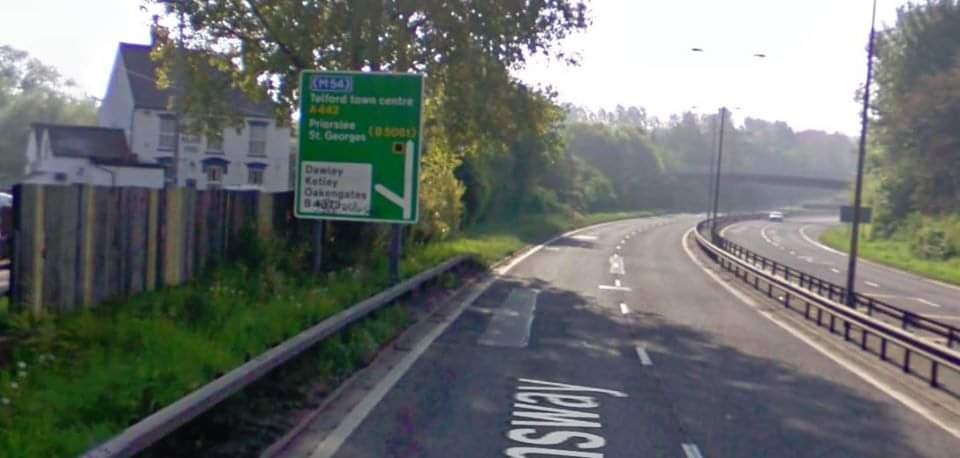
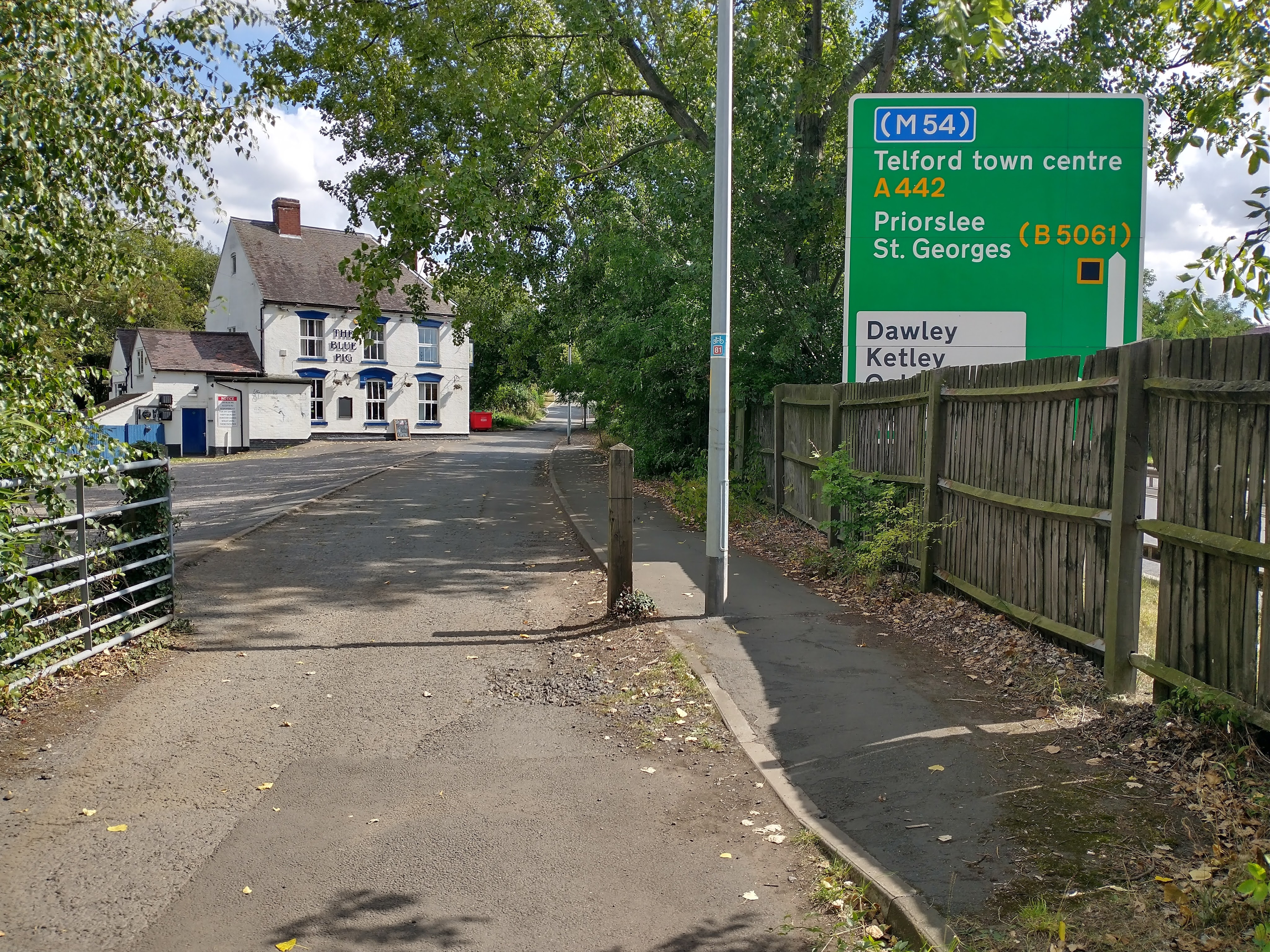
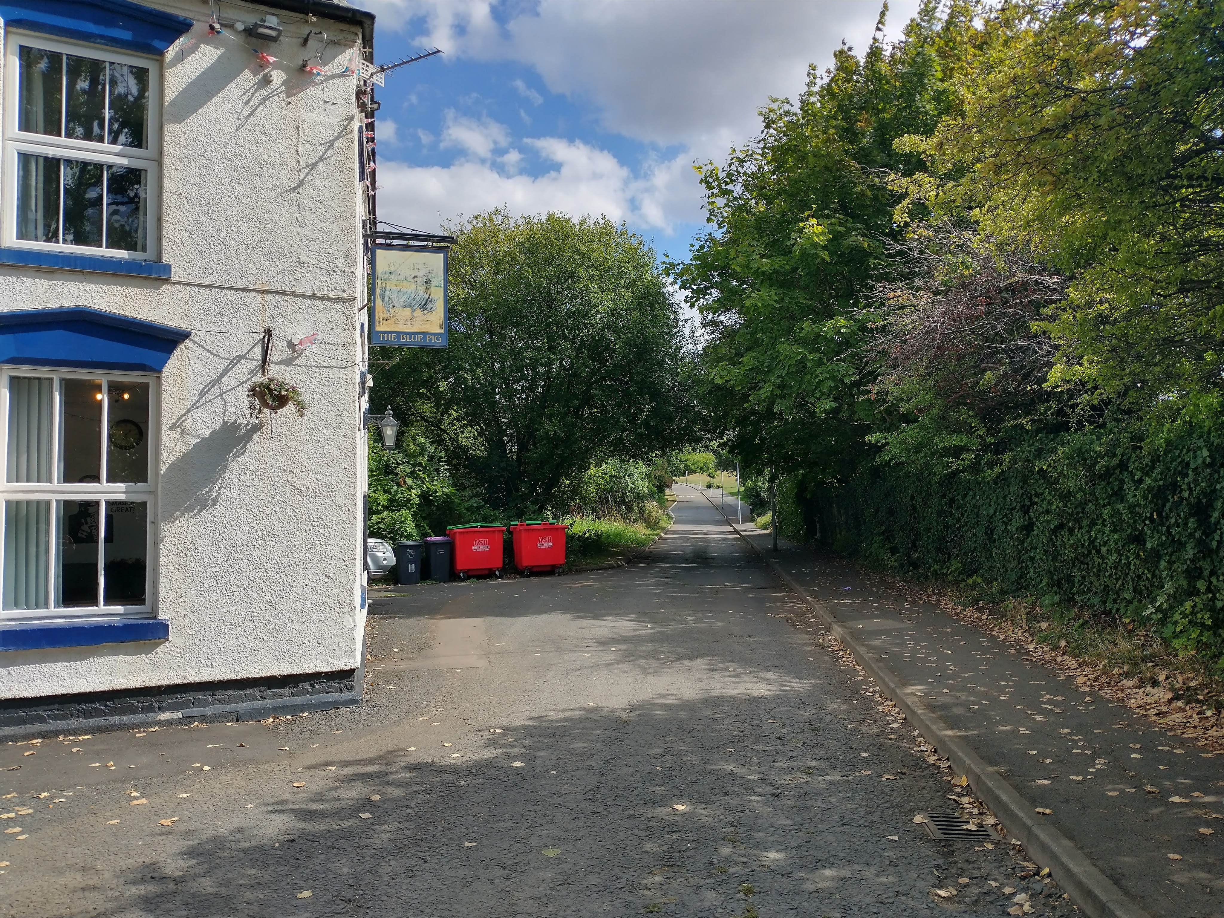
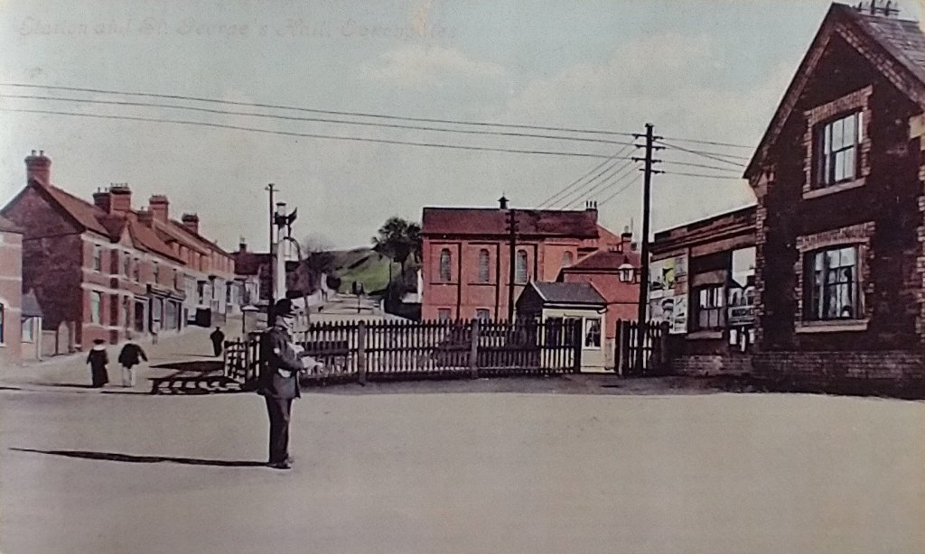
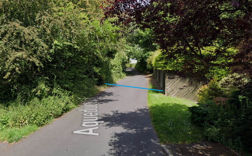
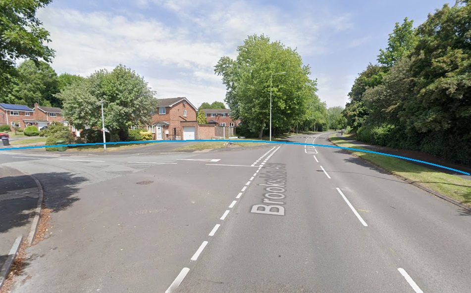
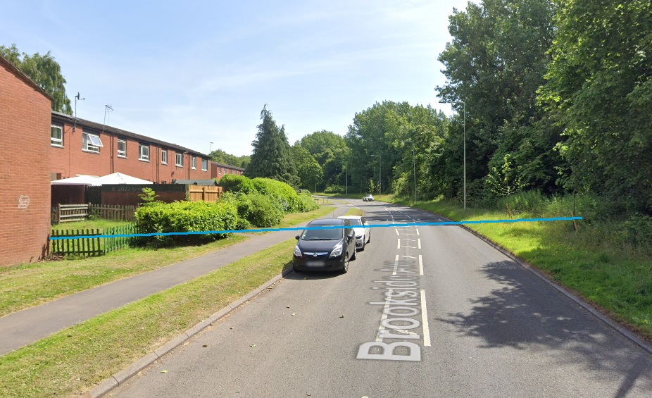
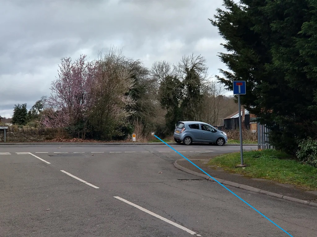
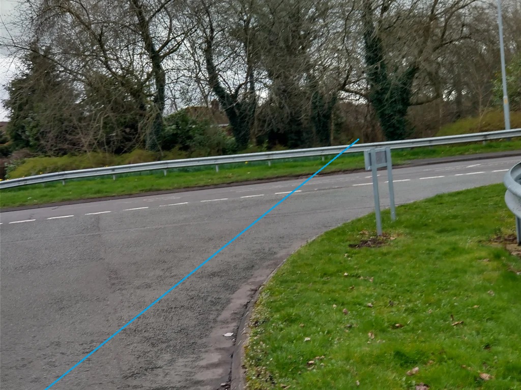
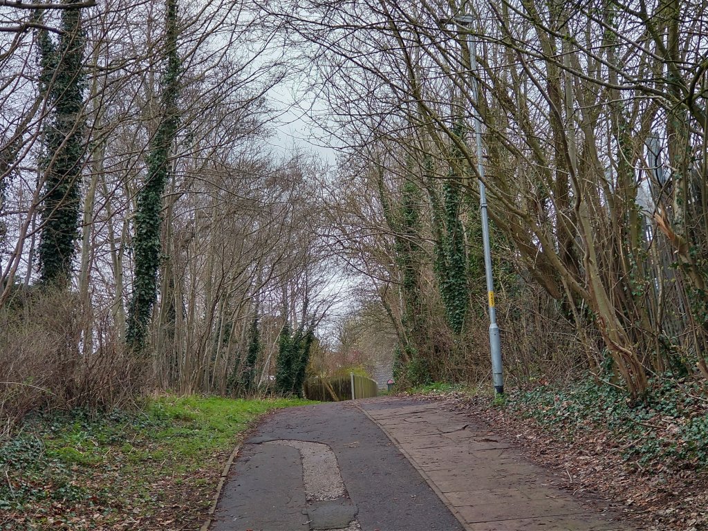
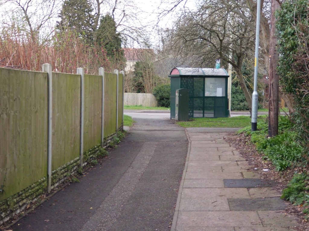
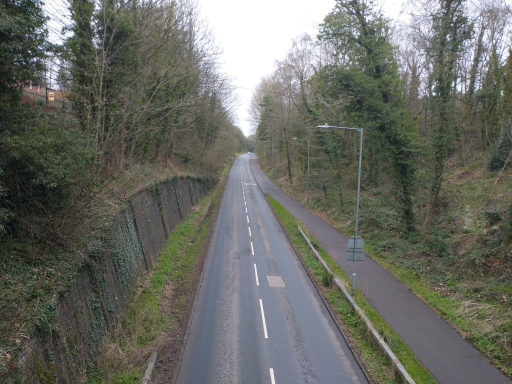
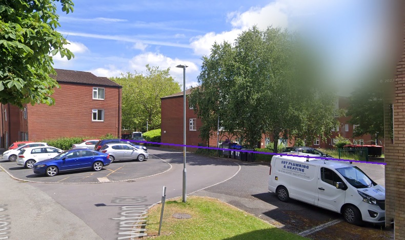
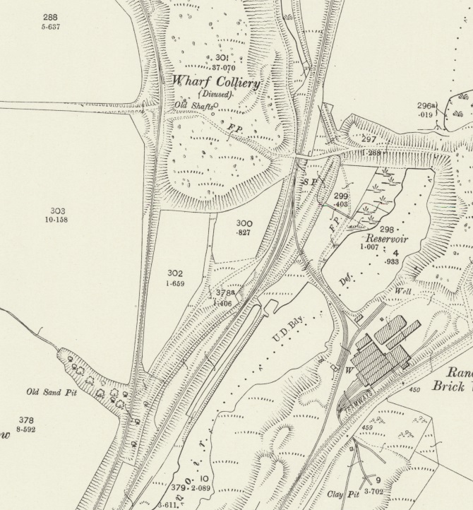
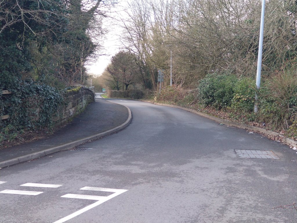
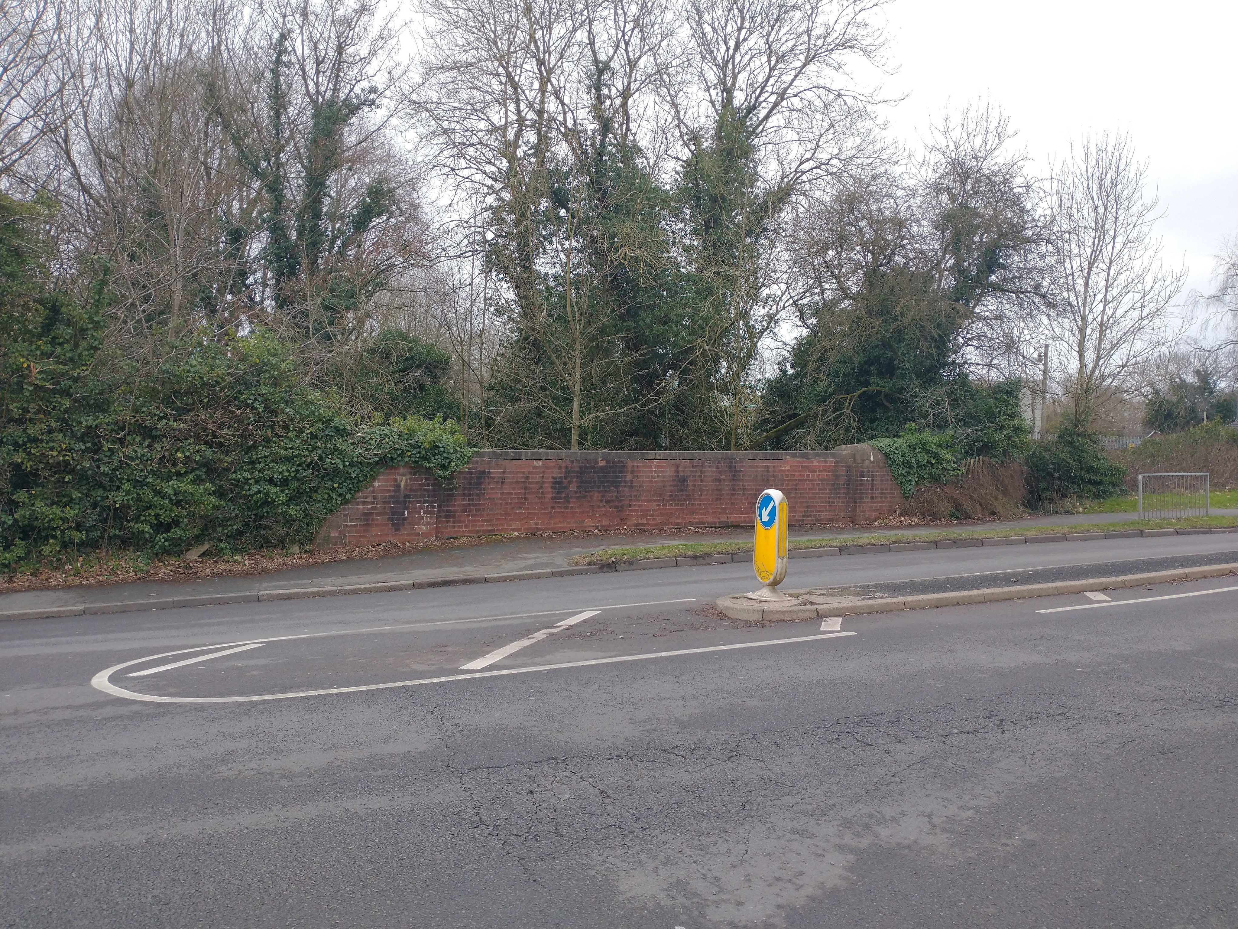
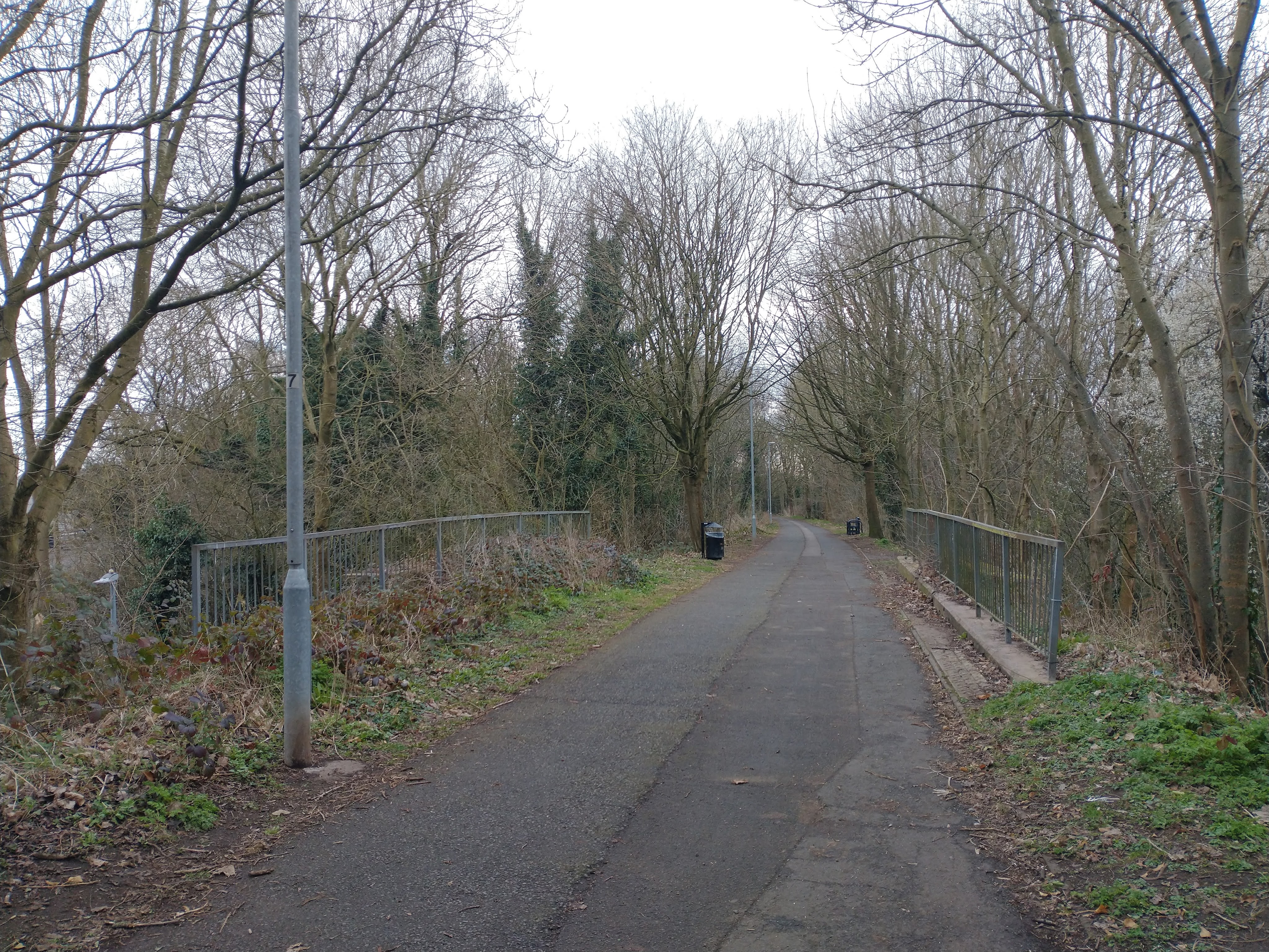
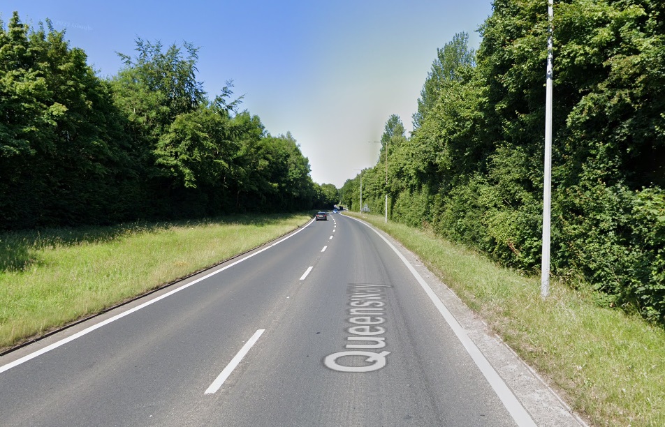
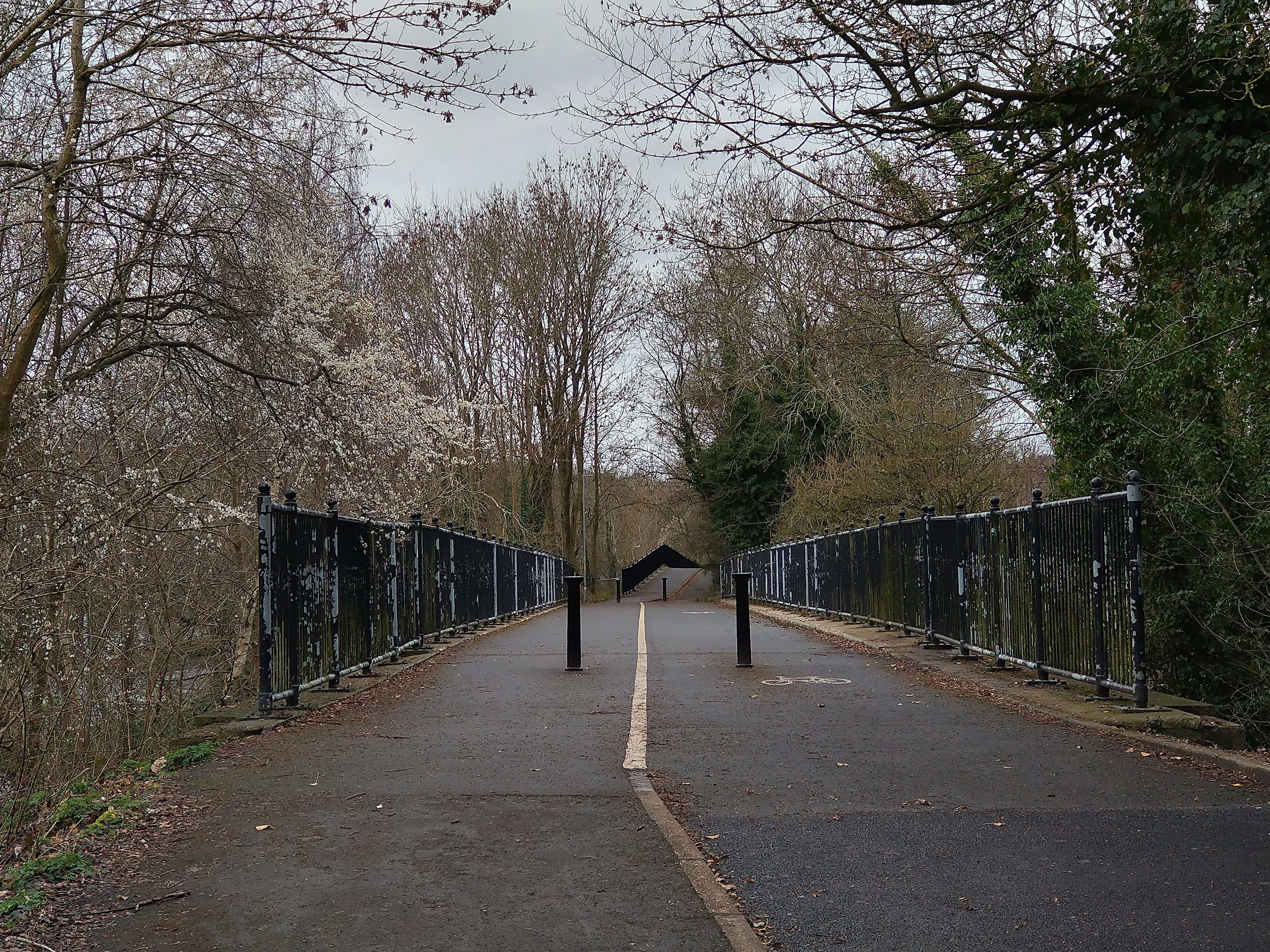
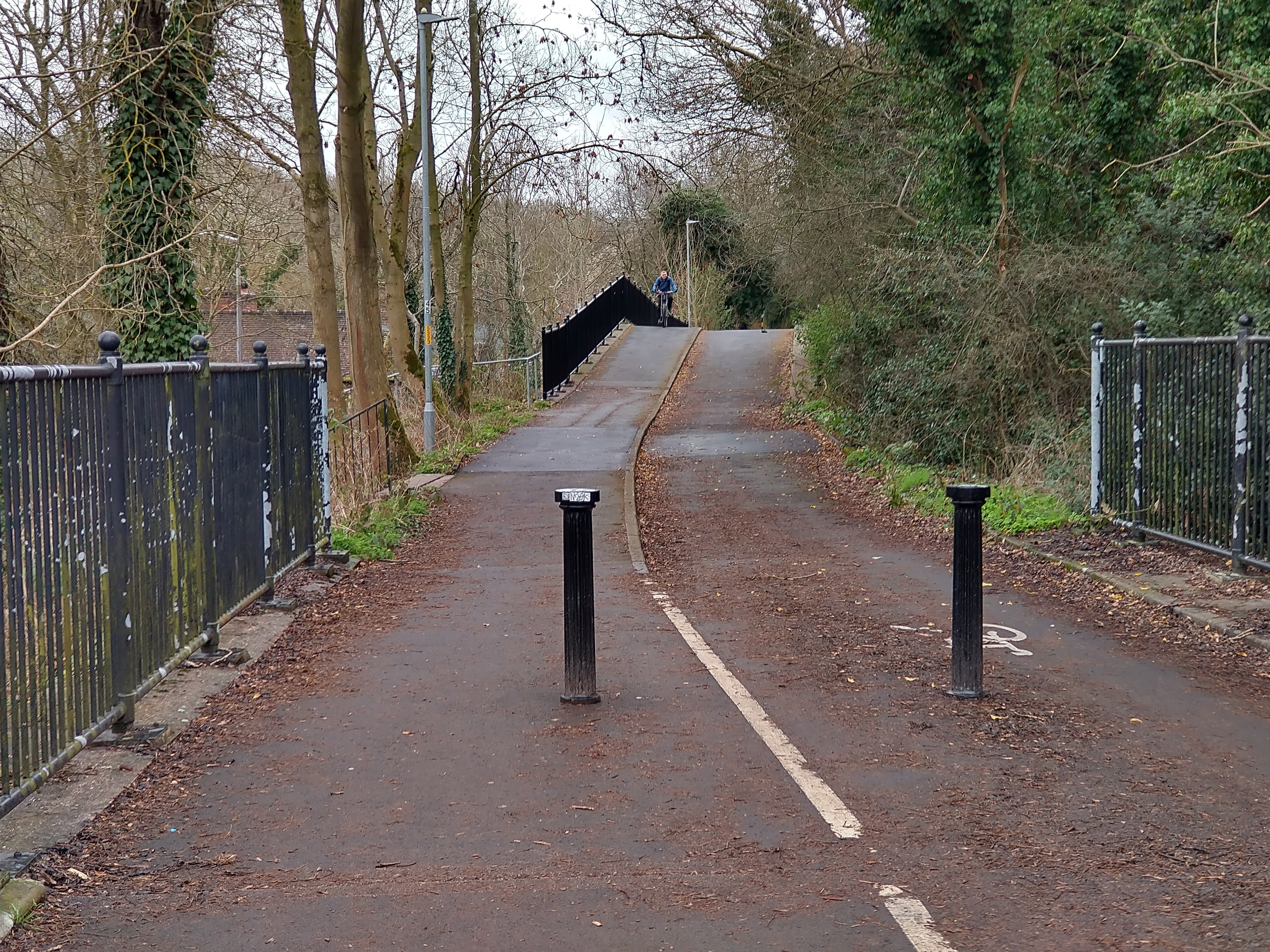
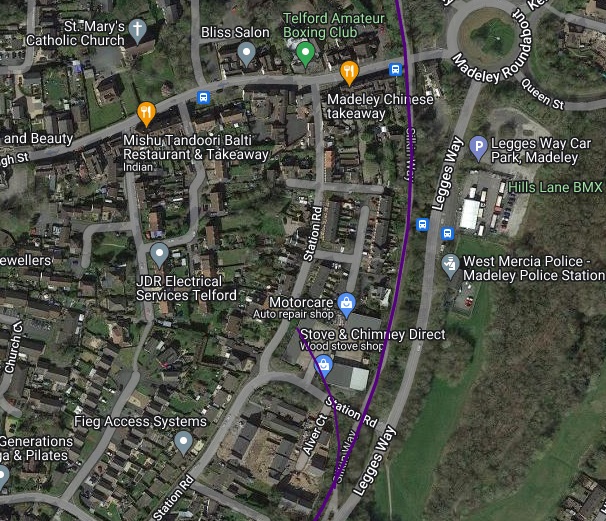
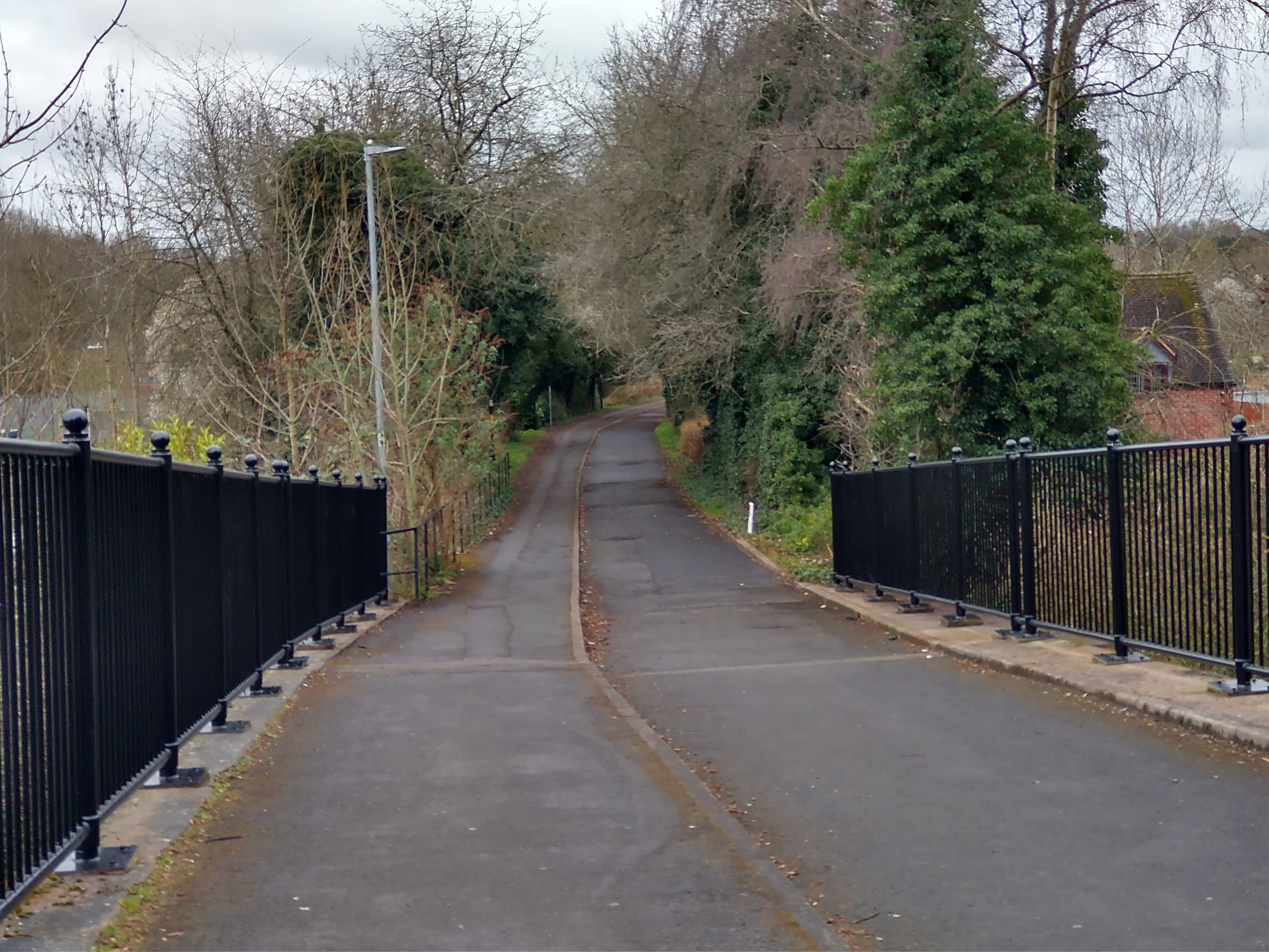
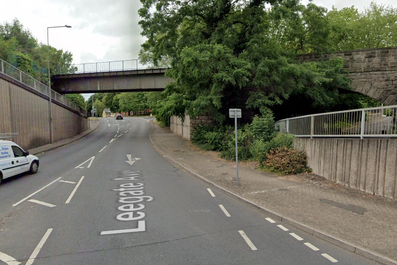
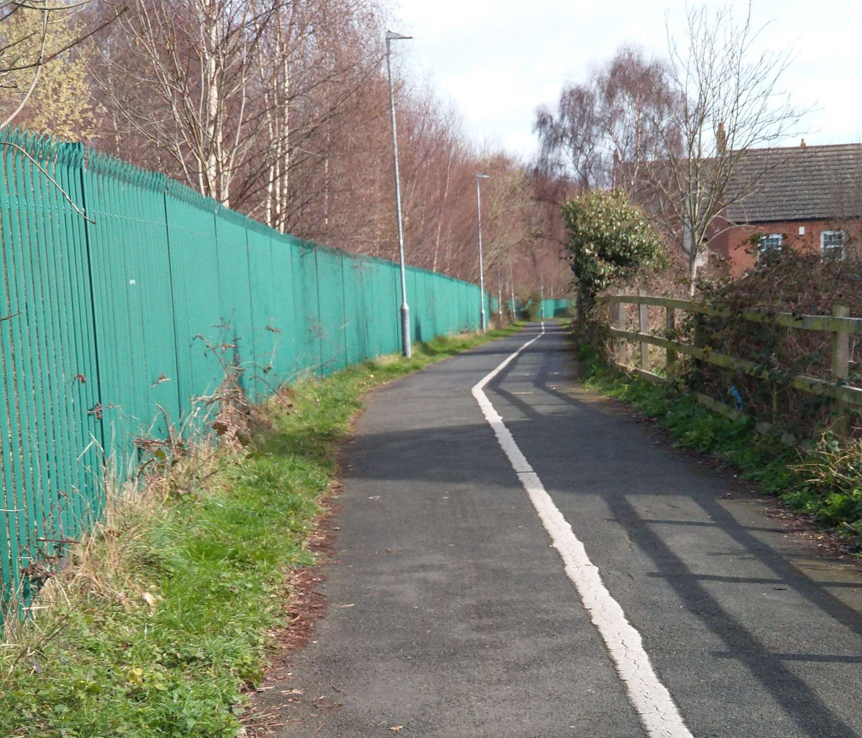
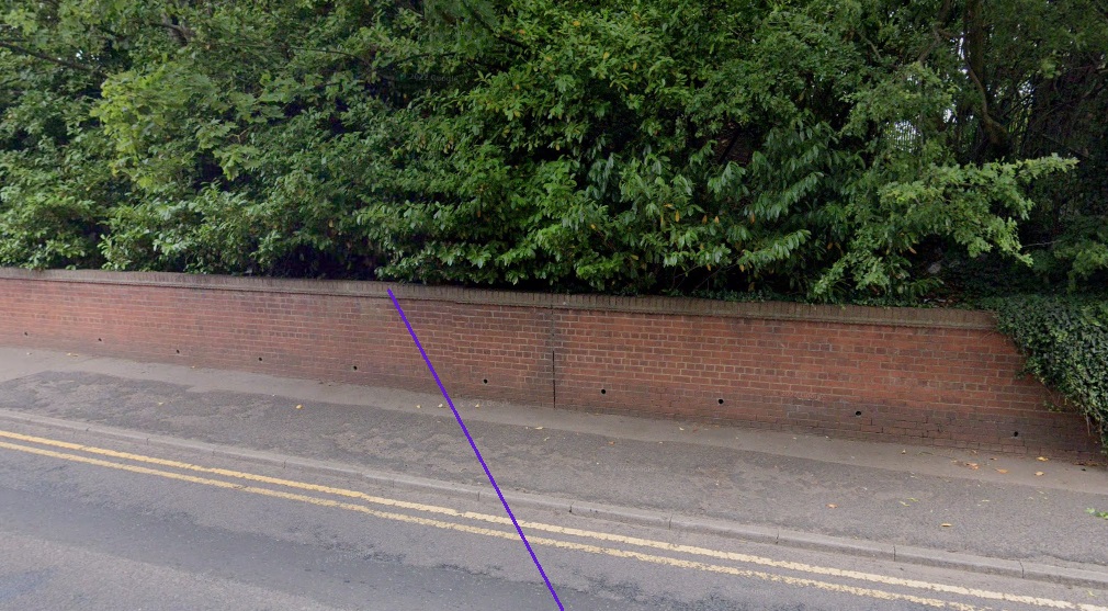
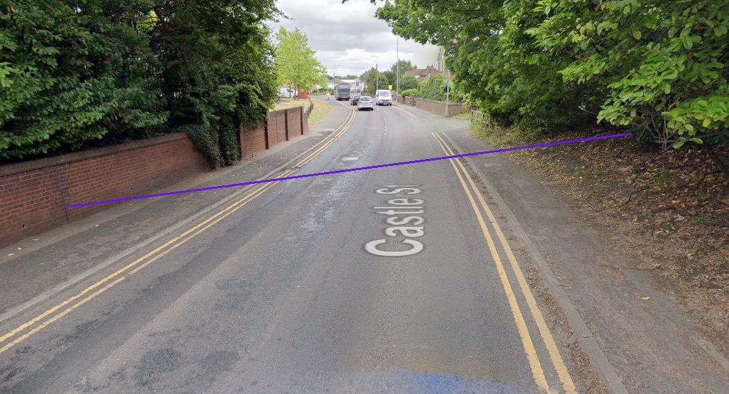
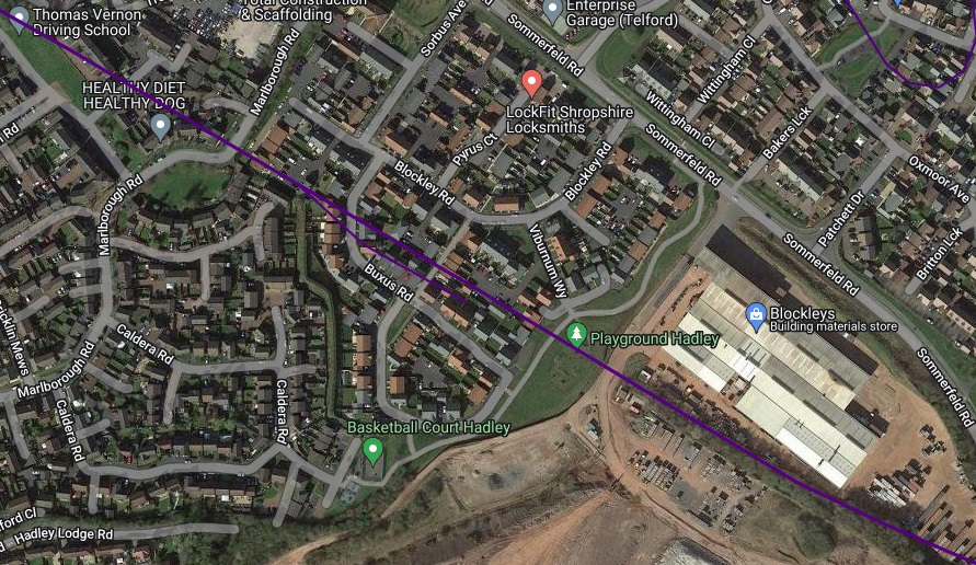
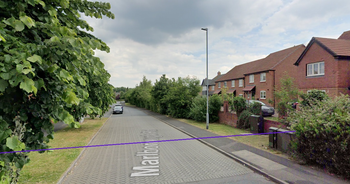
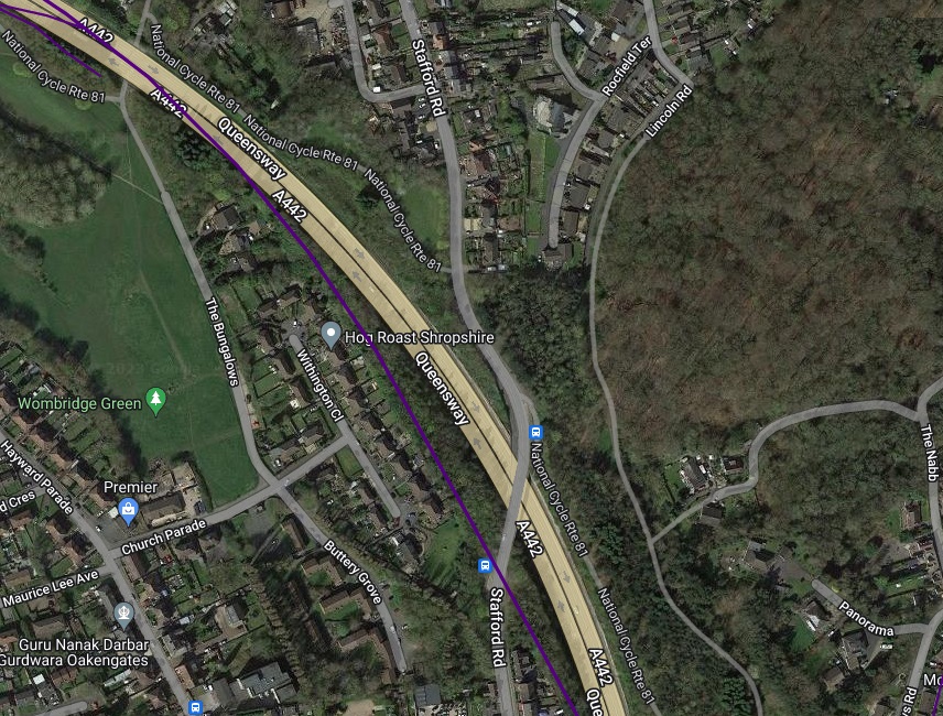
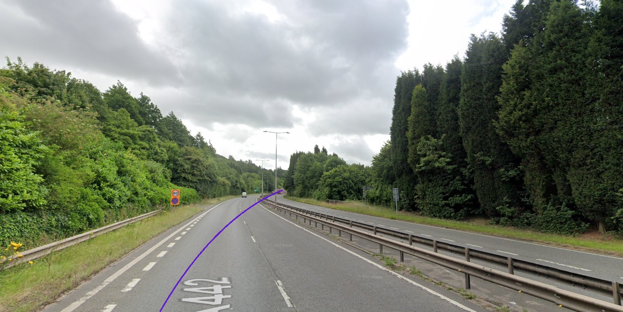
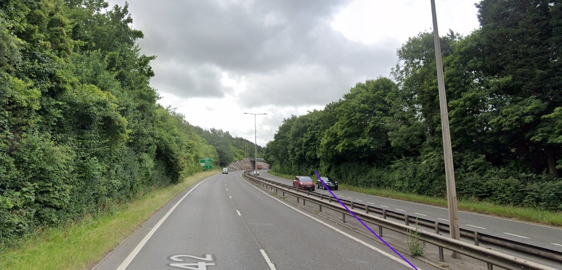
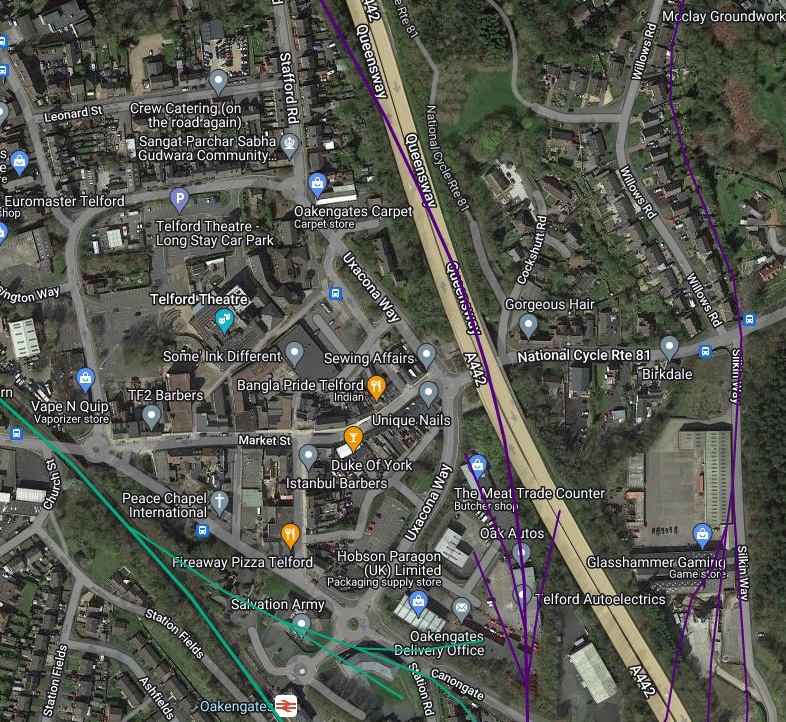
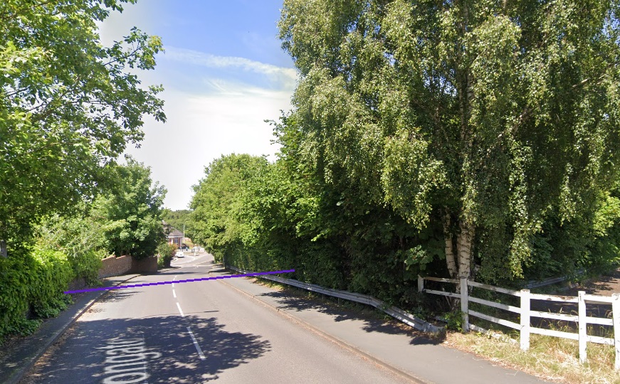
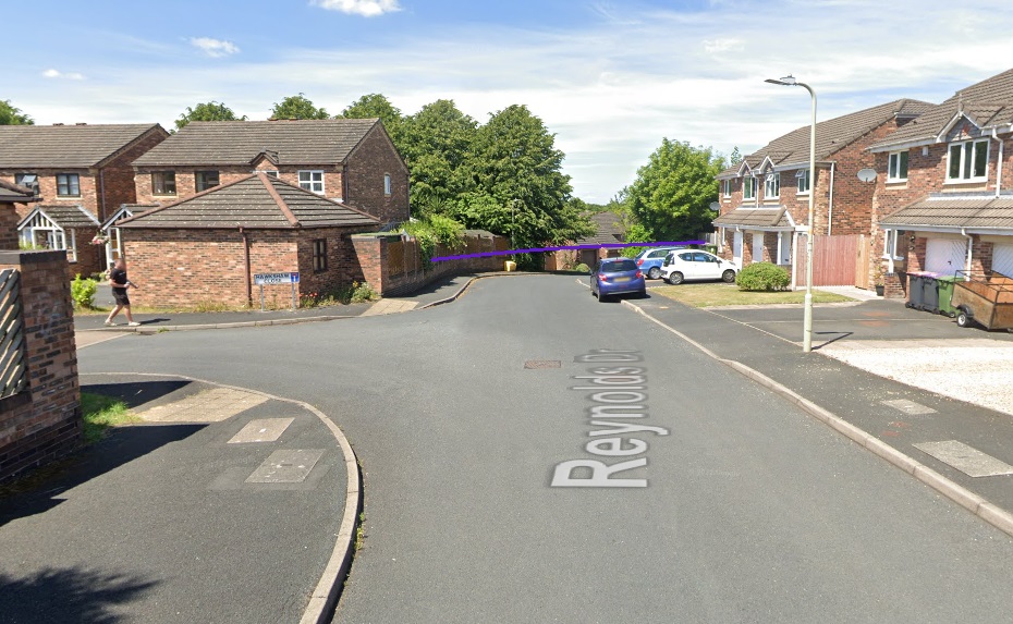
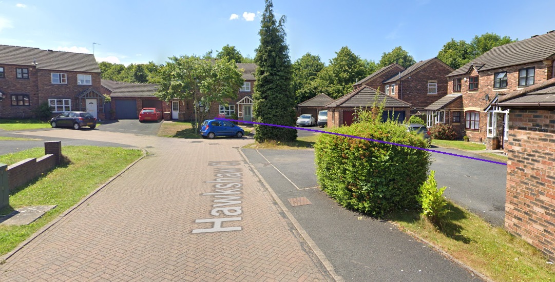
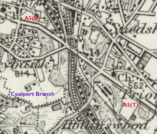
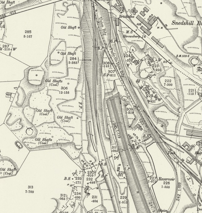
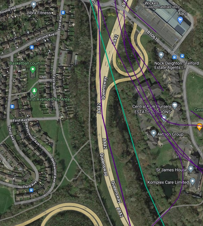
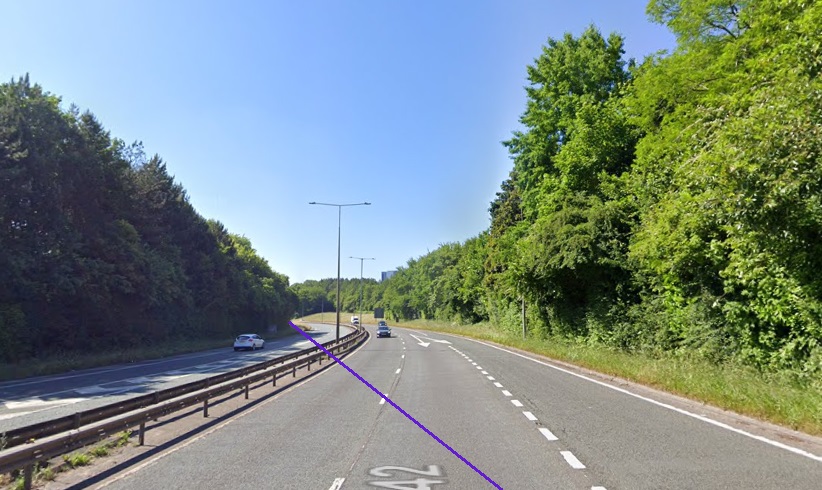
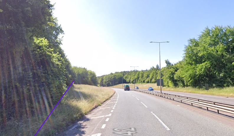
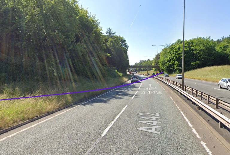
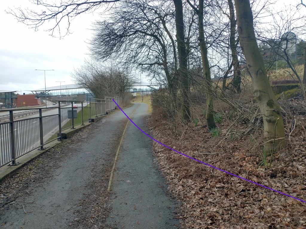
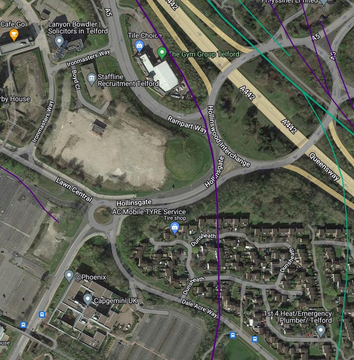
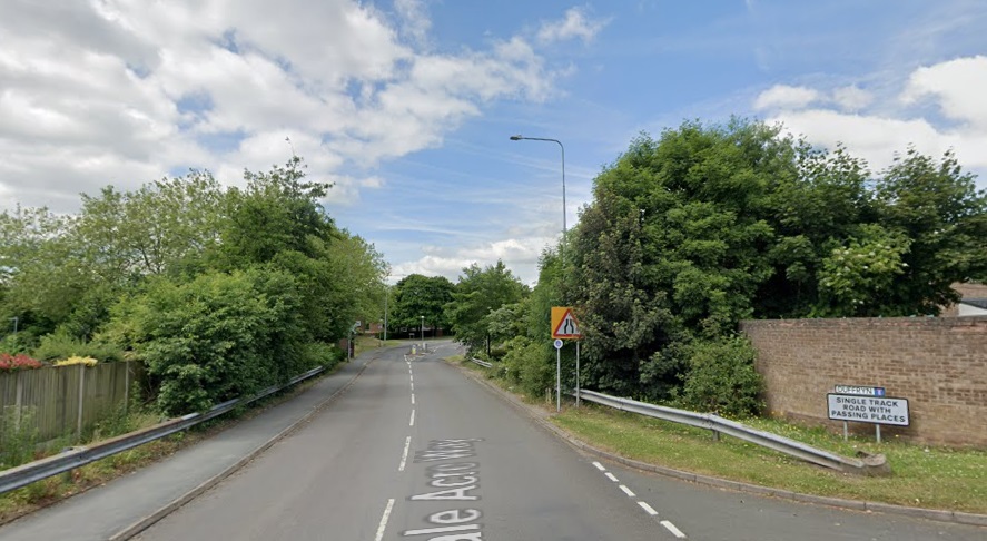
South of this point the old tramway continued in a South-southeasterly direction. It crossed what became Wellington Road as can be seen below on the next extract from the 1881/1882 25″ Ordnance Survey. As can also be seen on the map extract, South of the road the old tramway formation was by 1882 being used as a road/track. Which ultimately became Wrekin Drive.
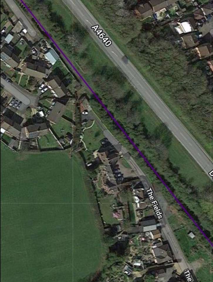
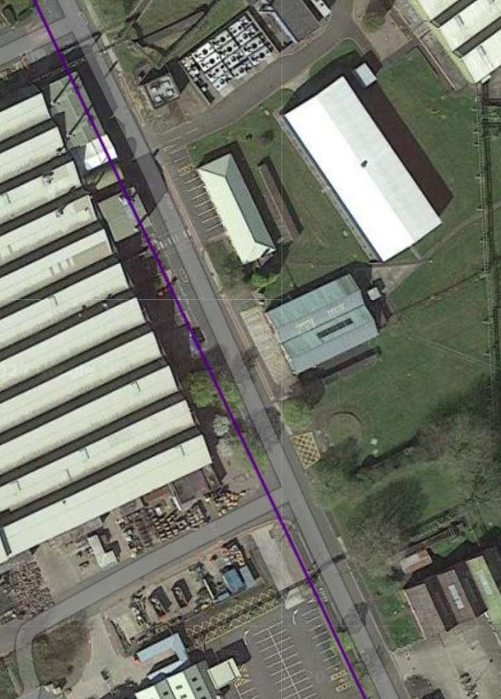
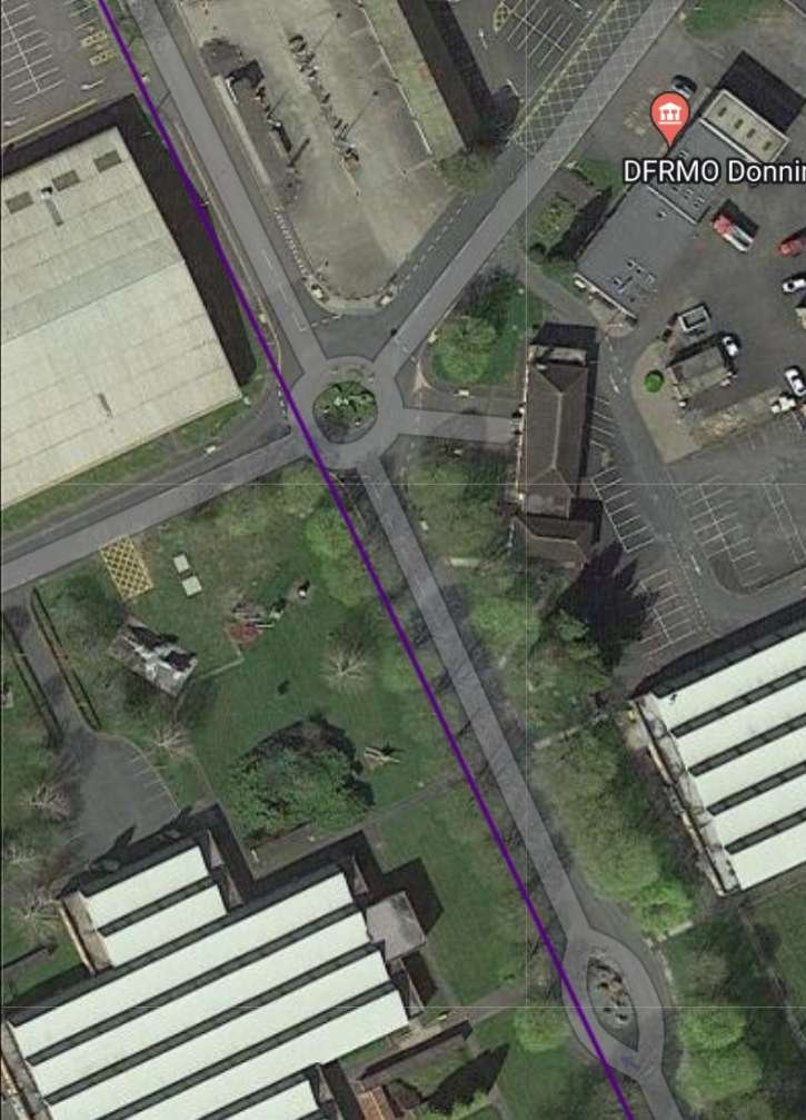
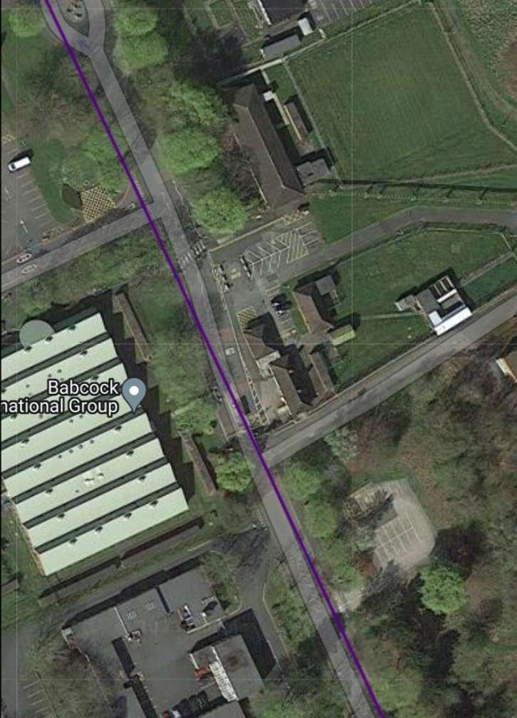
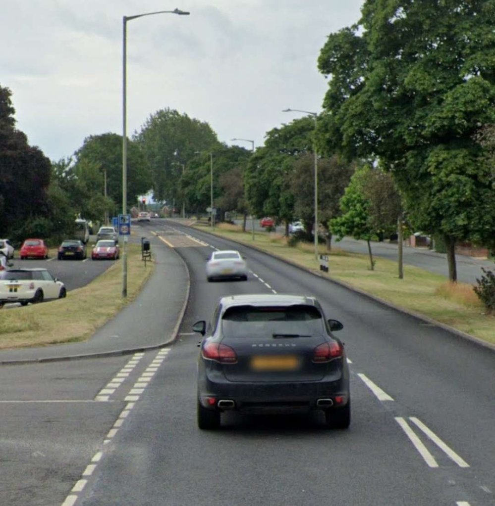
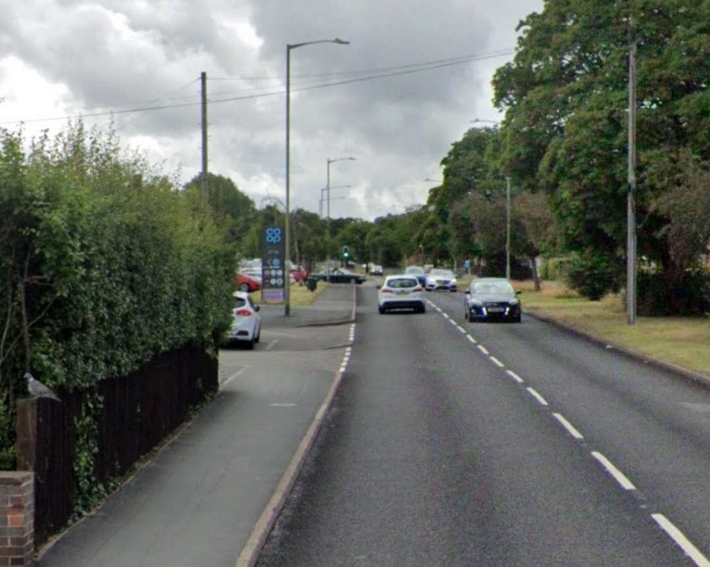
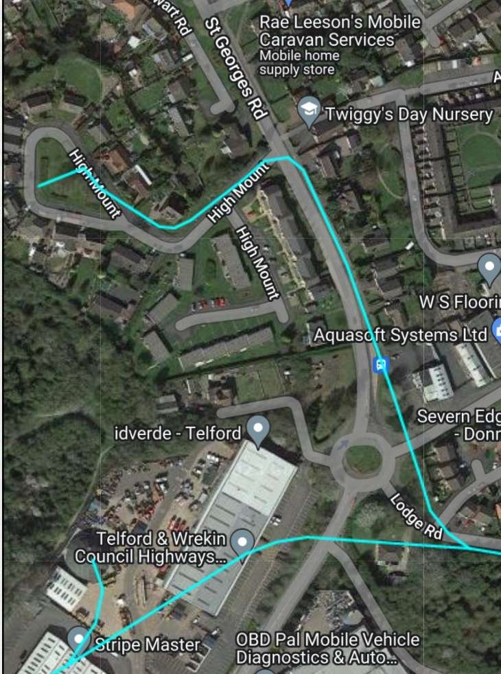
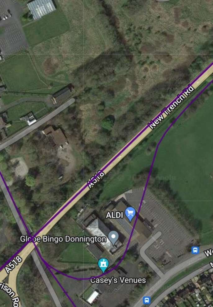
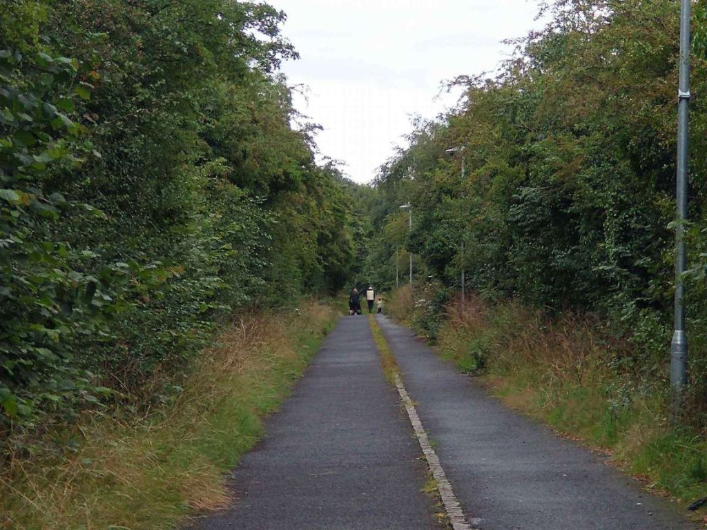
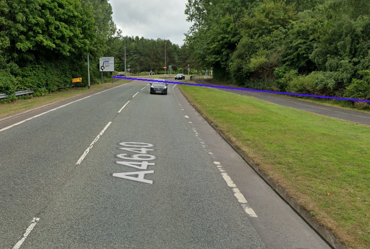
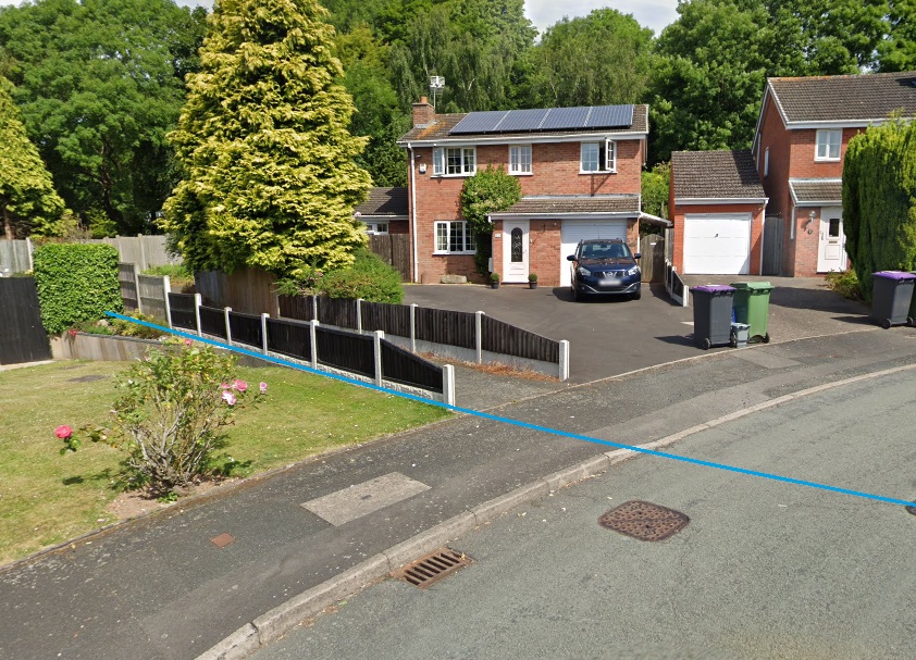
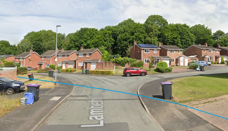
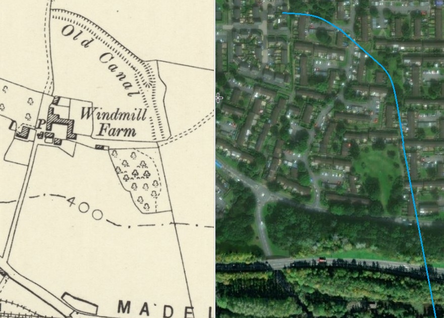
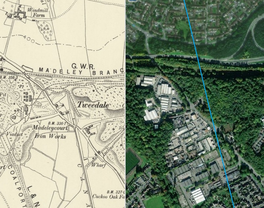
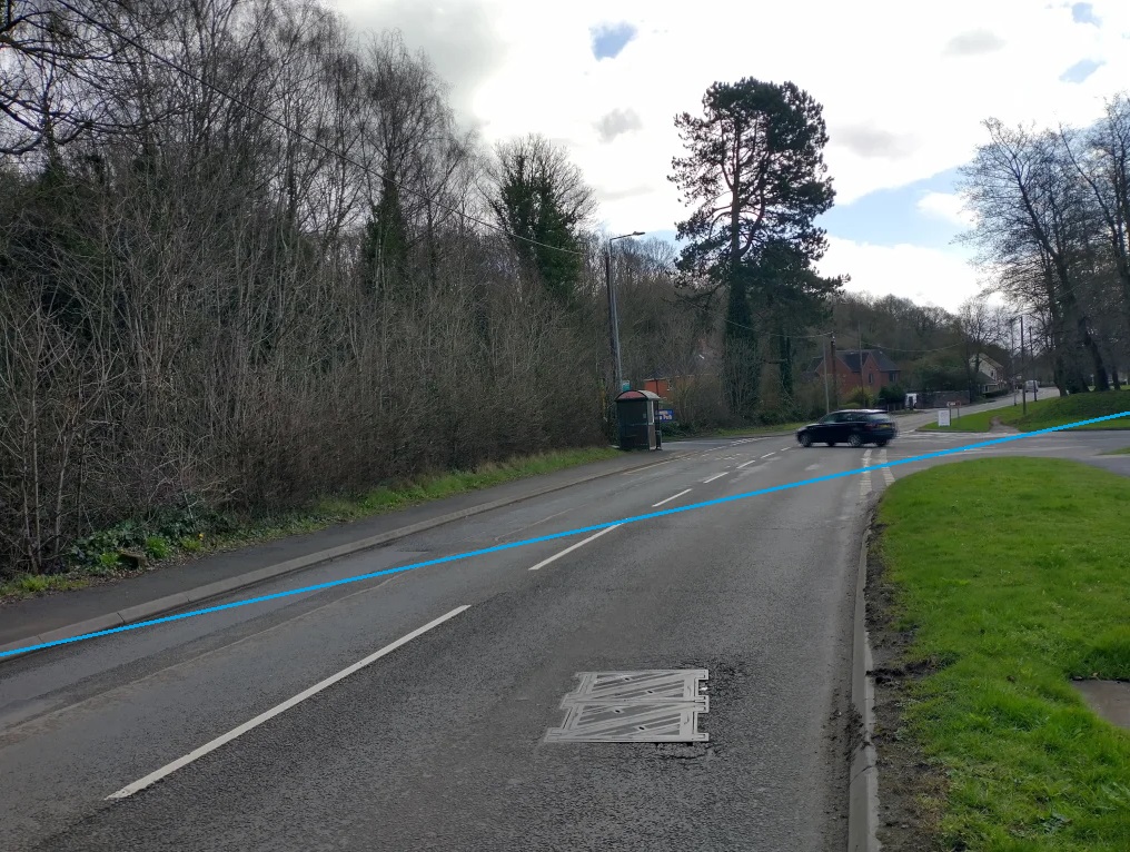
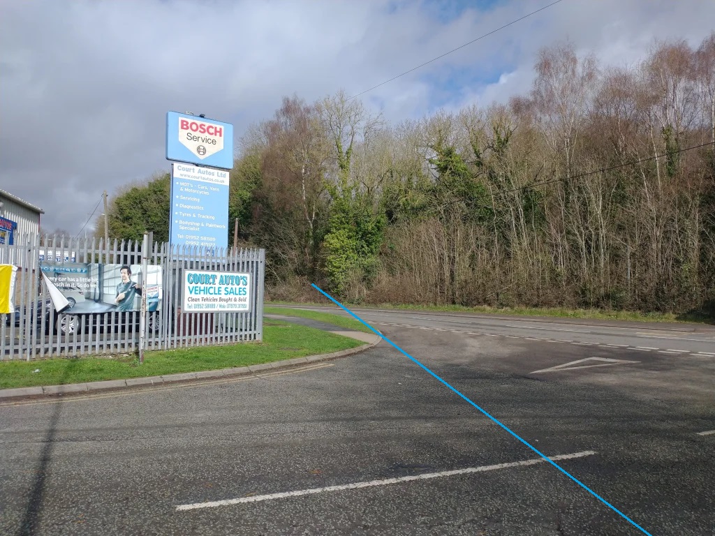
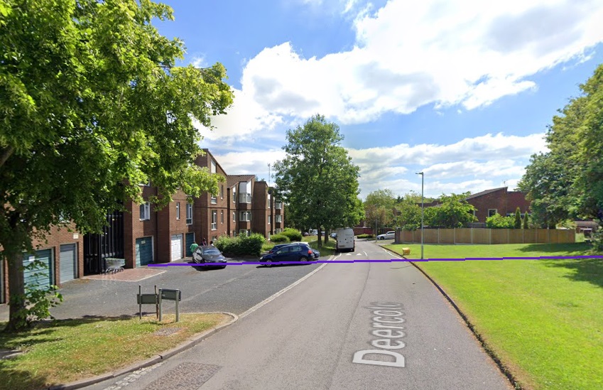
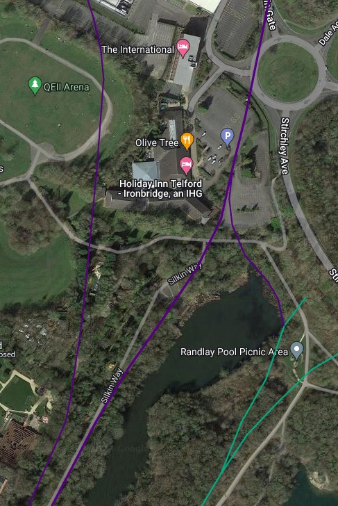
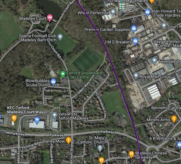
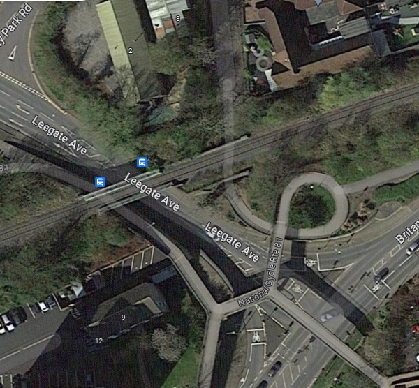
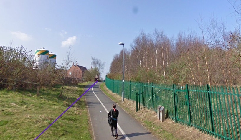
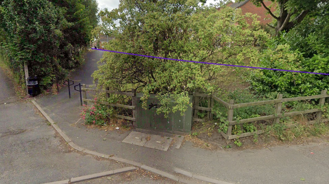
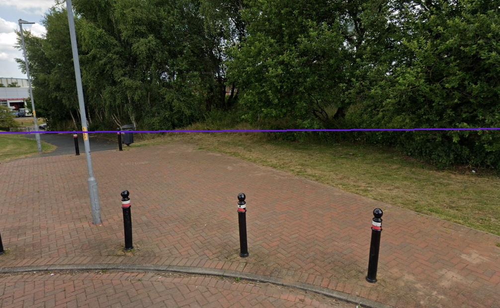
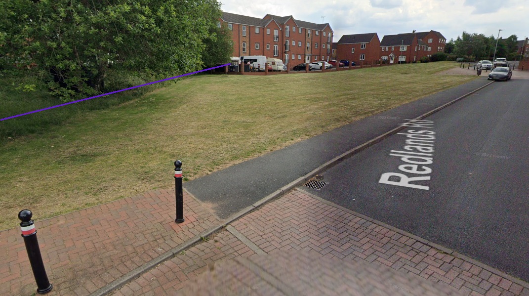
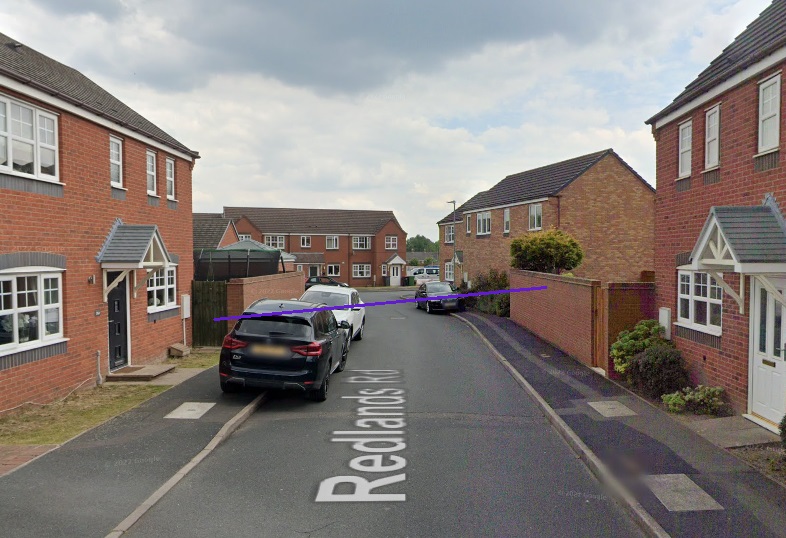
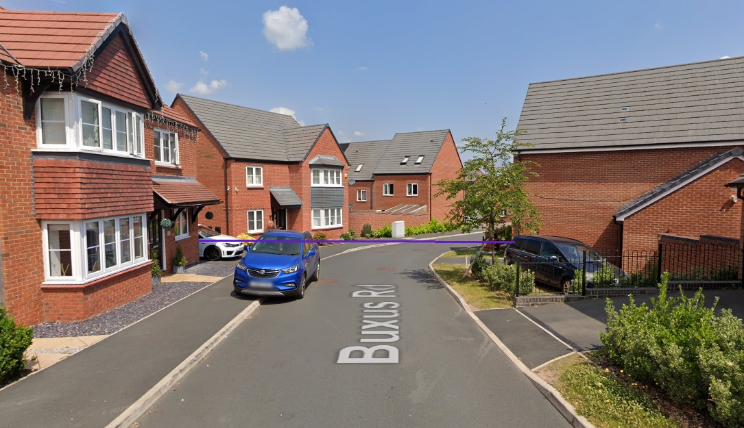
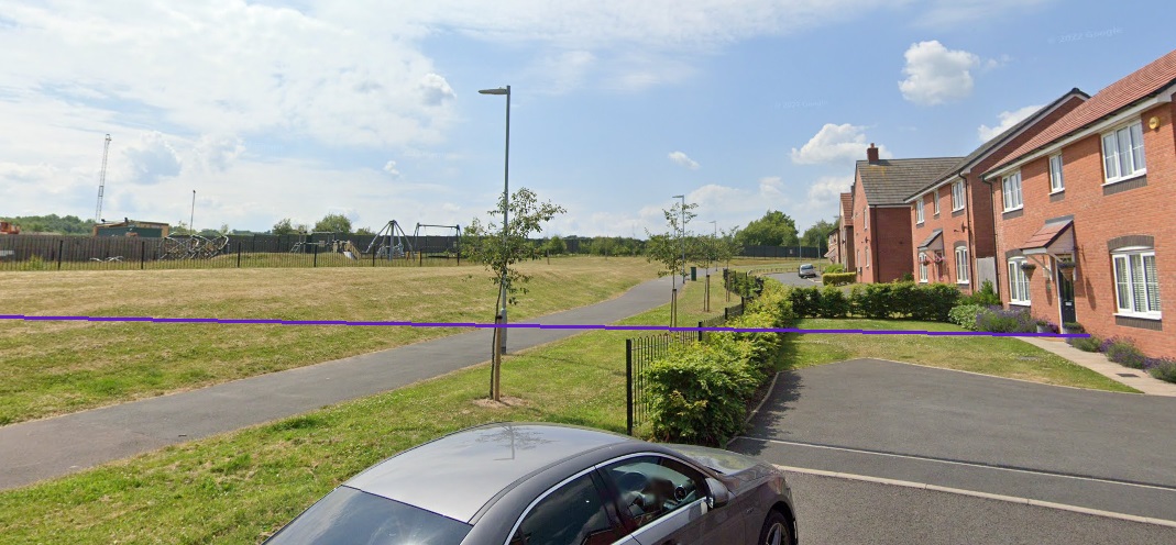
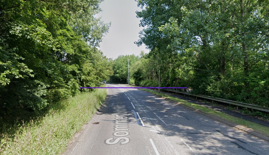
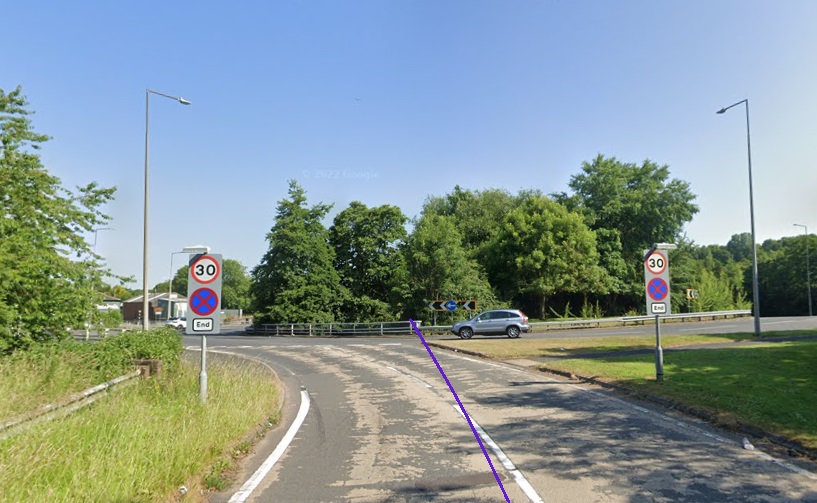
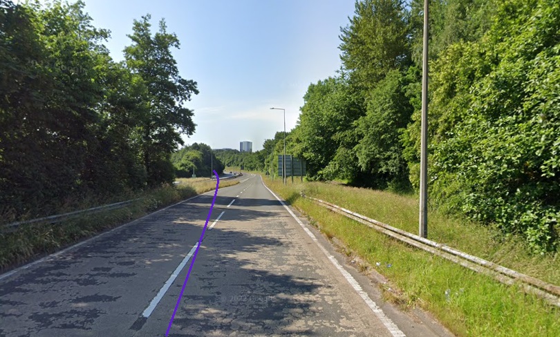
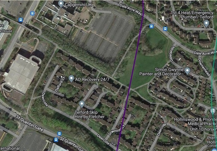
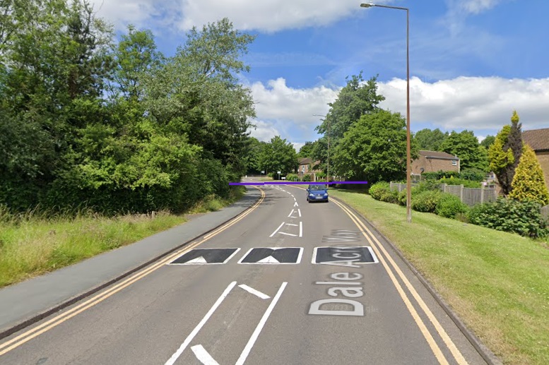
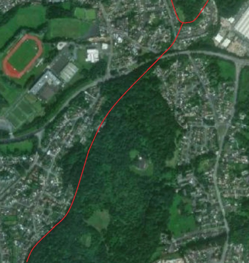
The next two satellite images are taken from the ESRI images provided by the National Library of Scotland. They show the long straight length of the tramway route which is followed by modern roads.
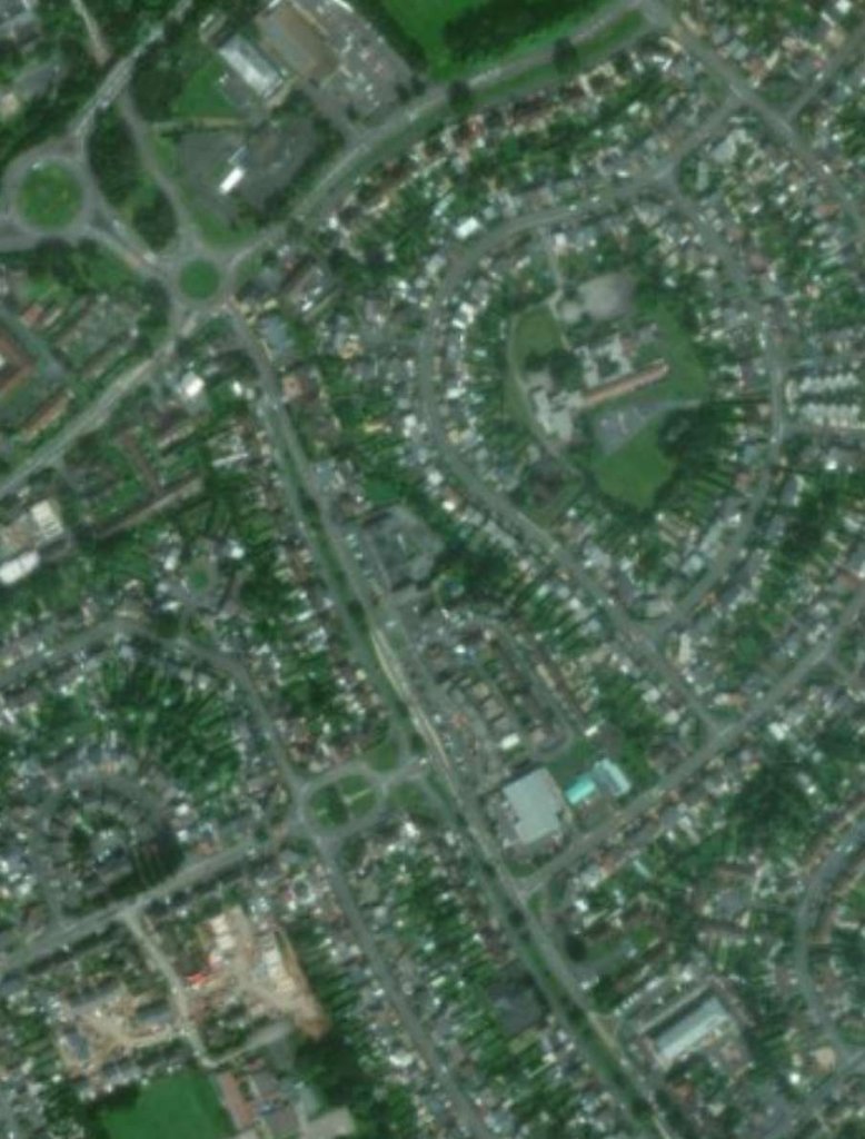
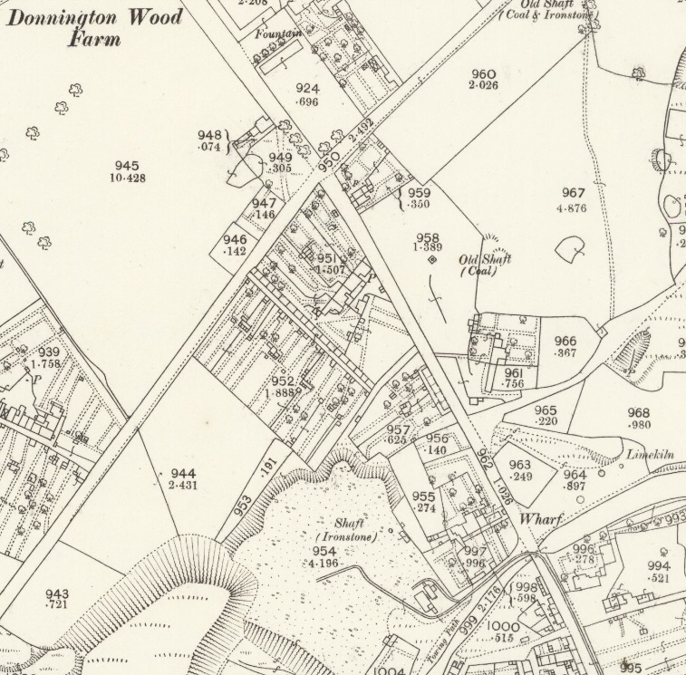
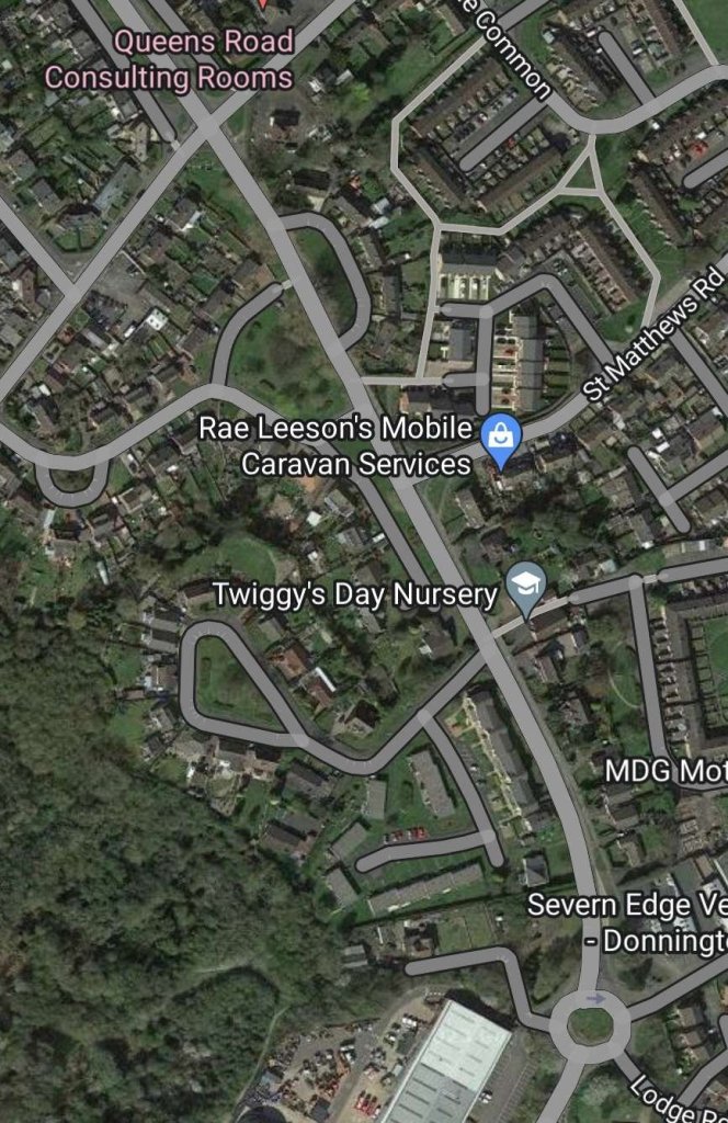
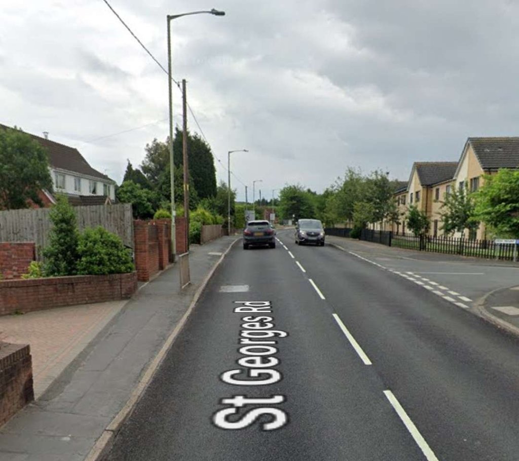
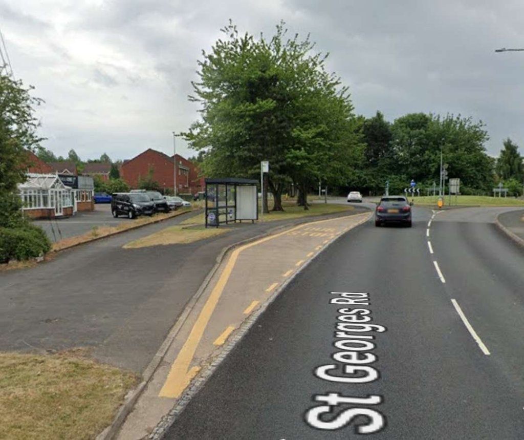
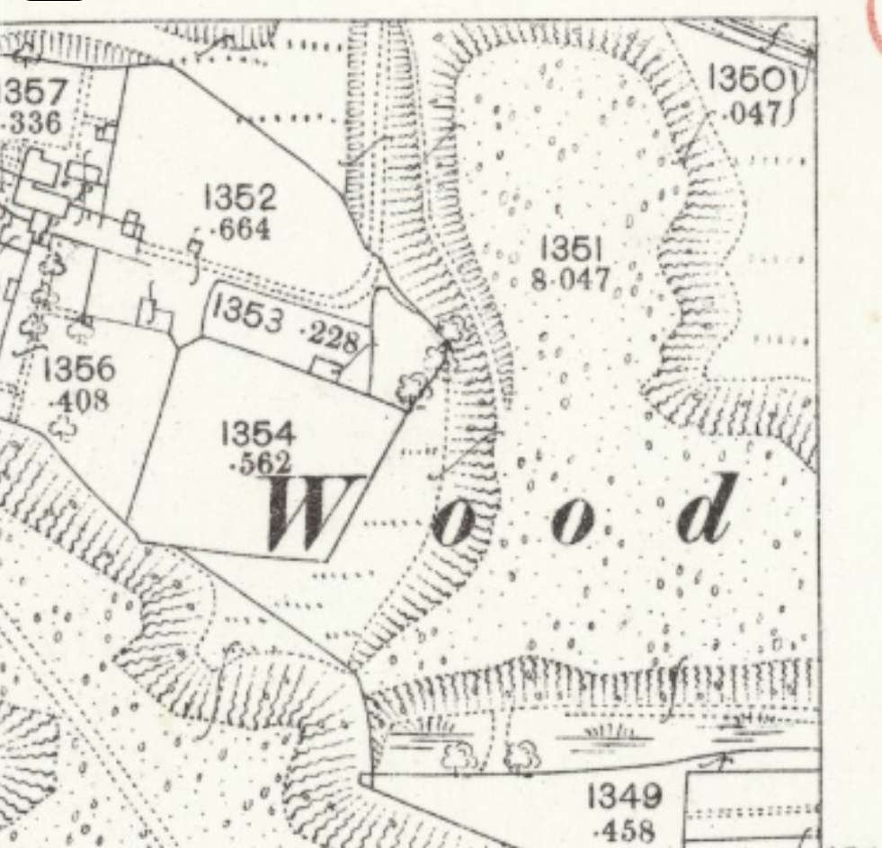
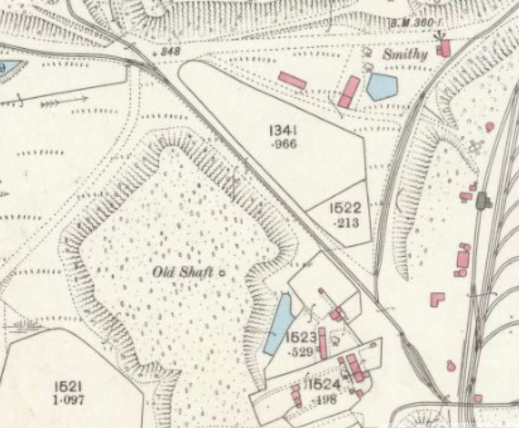
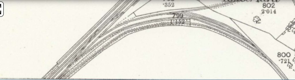
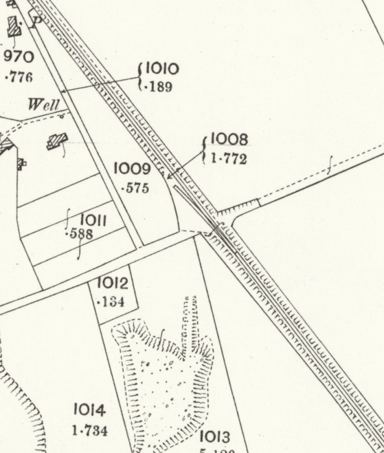
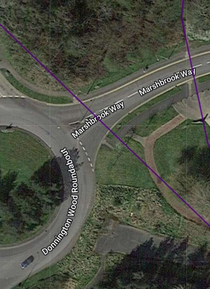
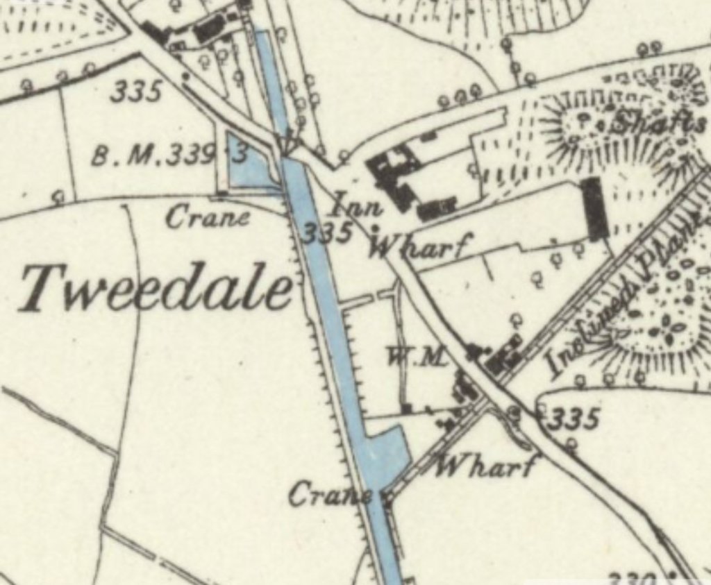
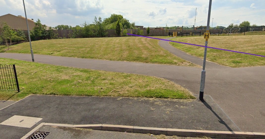
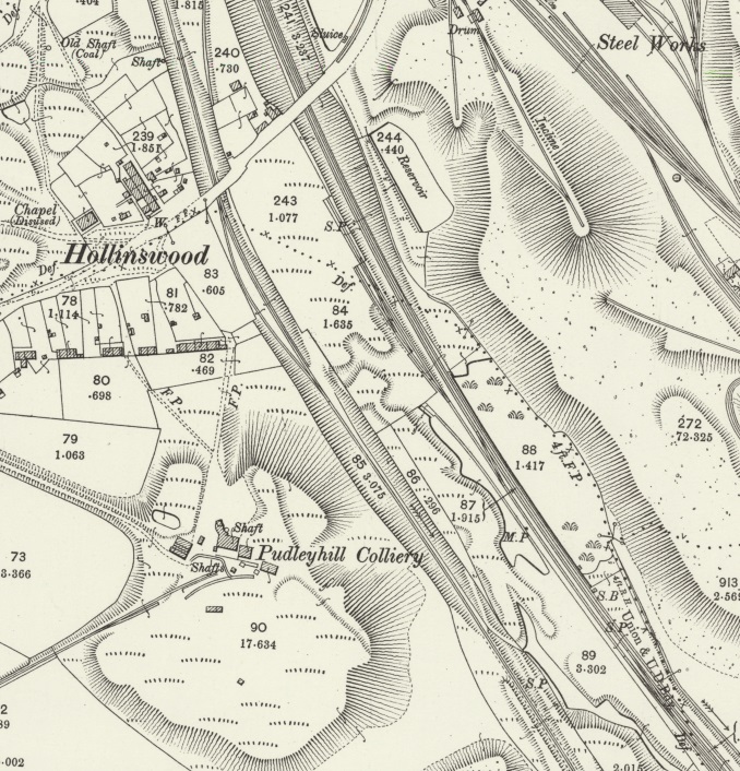
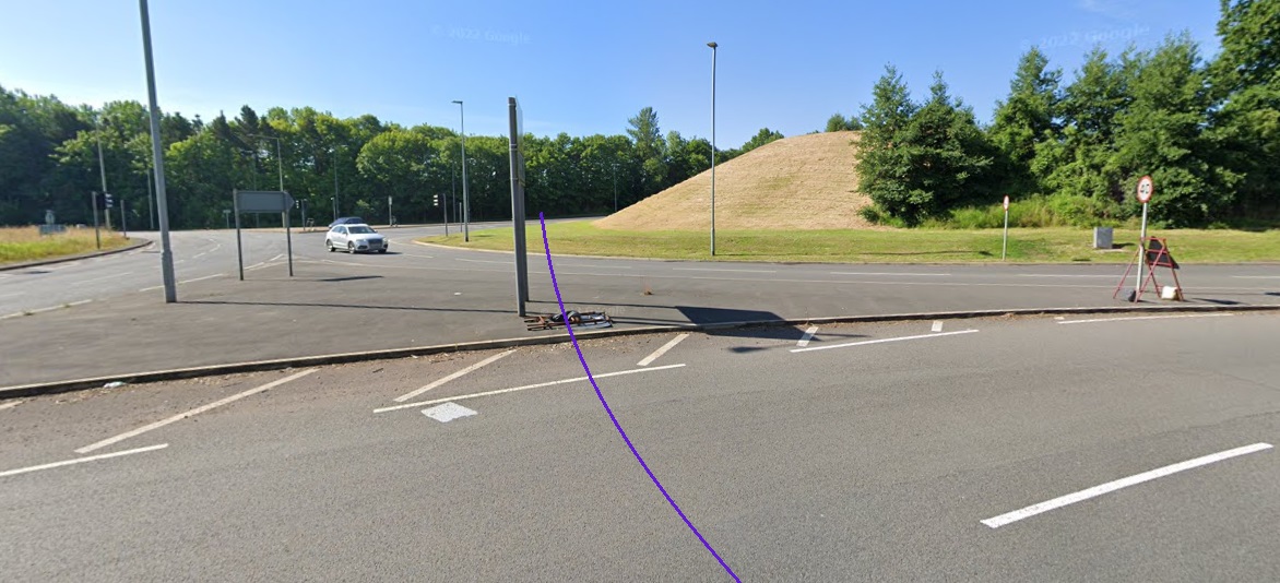
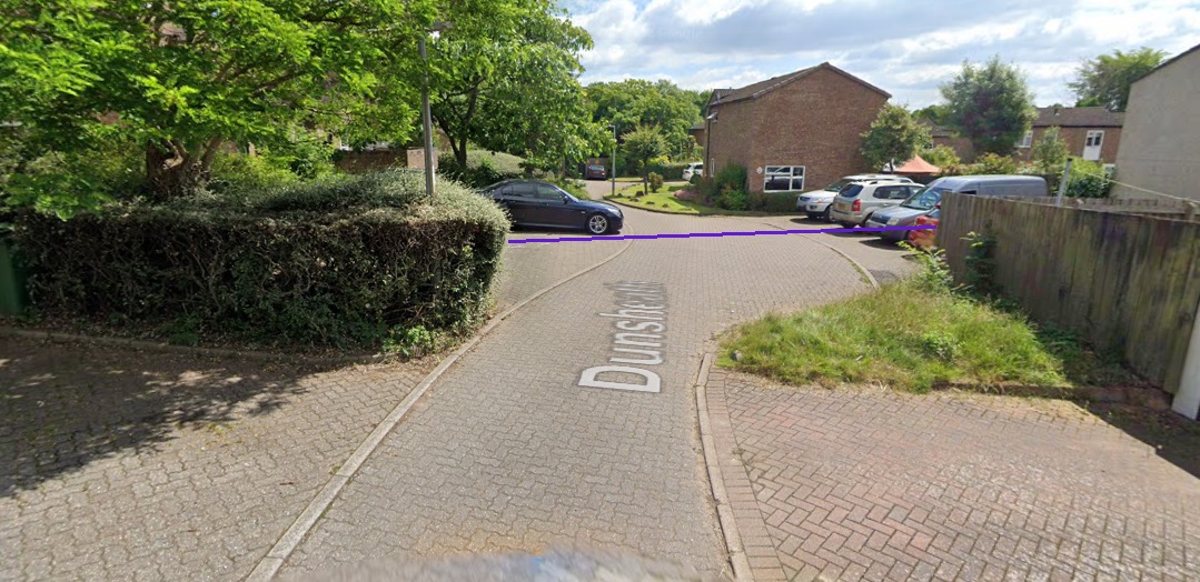
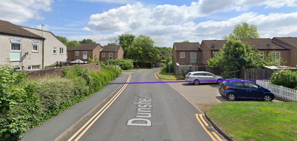
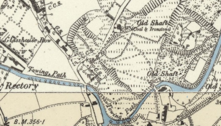
The on-going tramway route is followed on the 25″ Map extracts below but as a smaller scale than the images above. It passed Donnington Wood Farm and crossed Queens Road and then following the route of what became St.George’s Road it crossed the Donnington Wood Canal. At this point the map extract shows that the tramway tracks remained in place to serve an old ironstone mine/shaft.
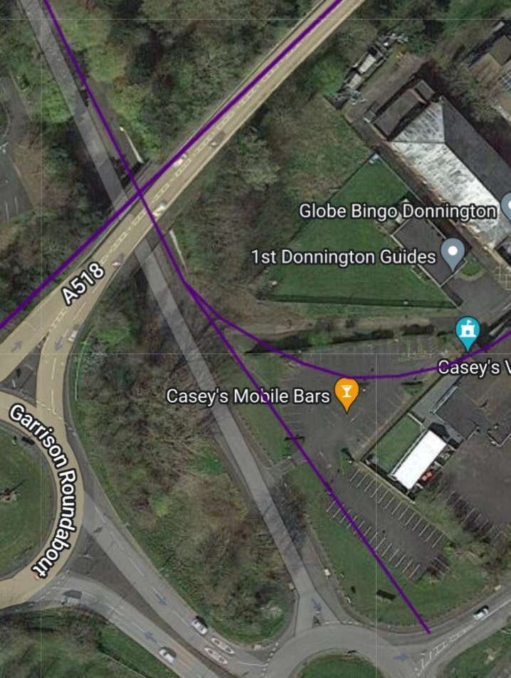
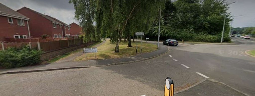
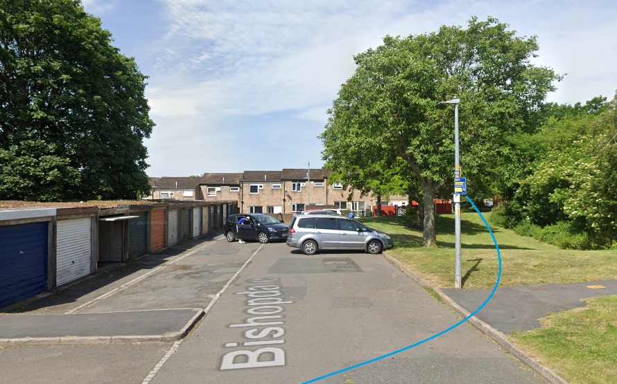
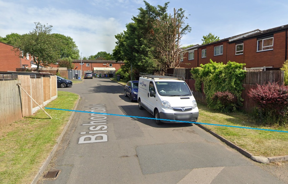
It was then only a short distance further south that the tramway met the wider network of tramways in the Donnington area.
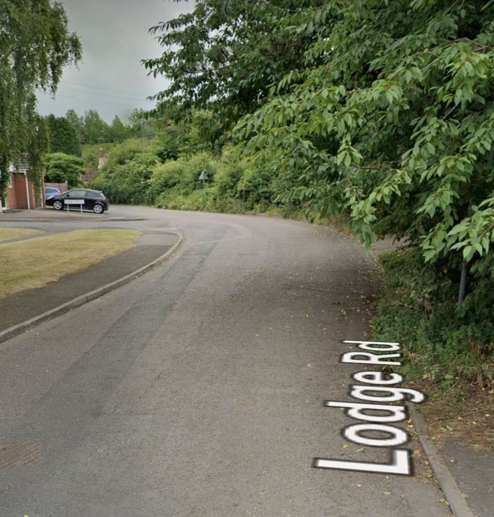

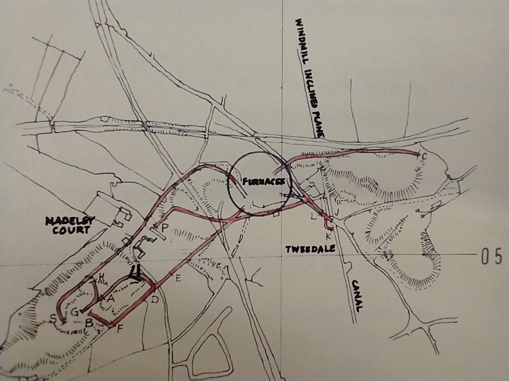
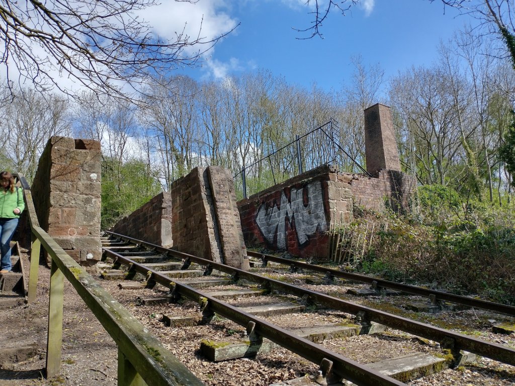
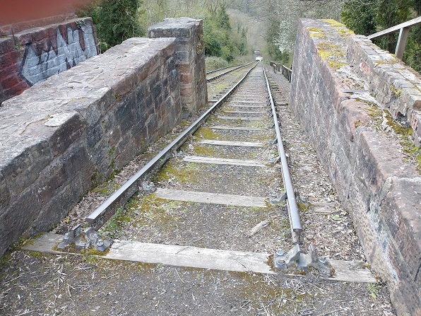
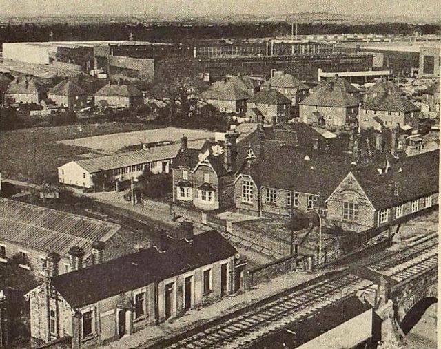
This is as far as we follow the old tramway which served the Humber Arm, as the tramways near Old Lodge Furnaces will be covered in greater detail elsewhere. It is worth noting that a significant investment was made in the transport facilities at the site which depended, while open, on a series of tramway branches to supply the furnaces and to take away the iron that they produced.

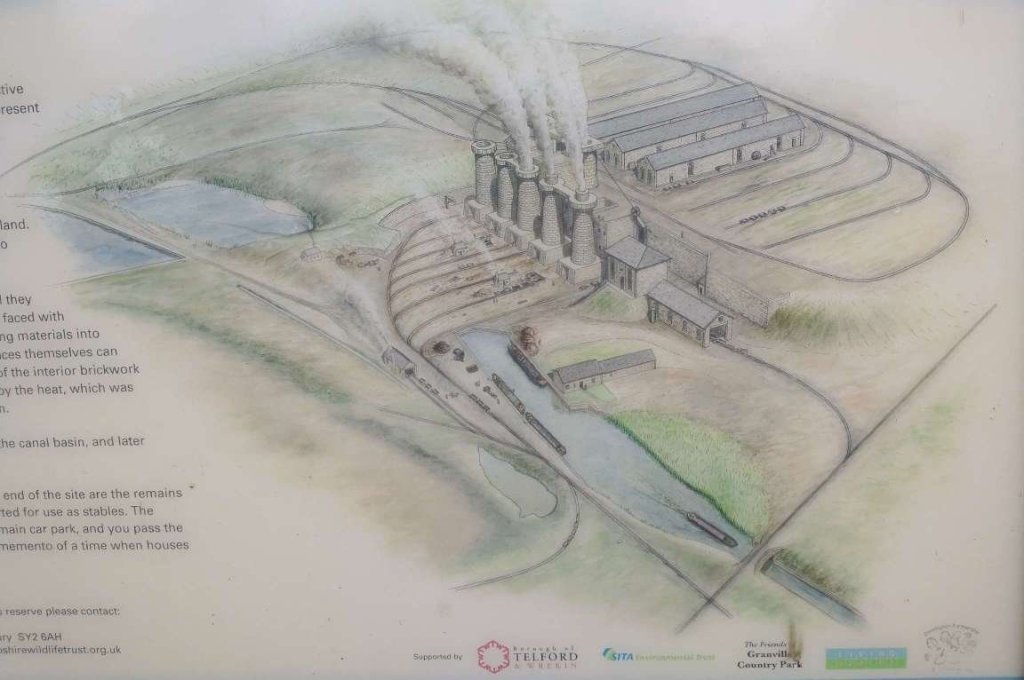
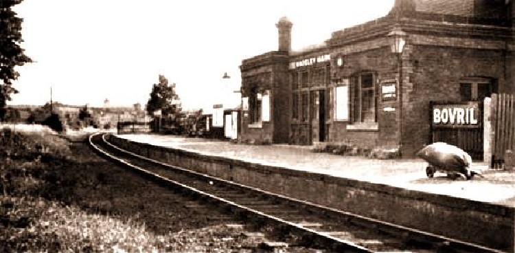
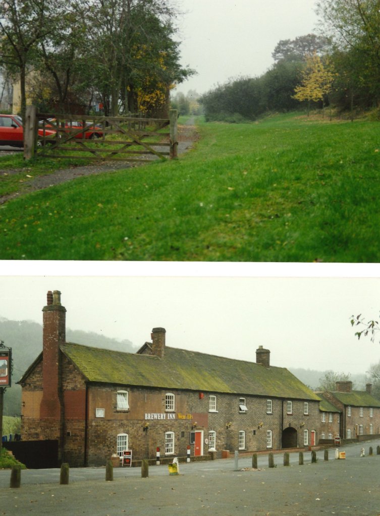
The Friends of Granville Country Park’s website provides a general introduction to the history of the Old Lodge Furnaces: … [22]
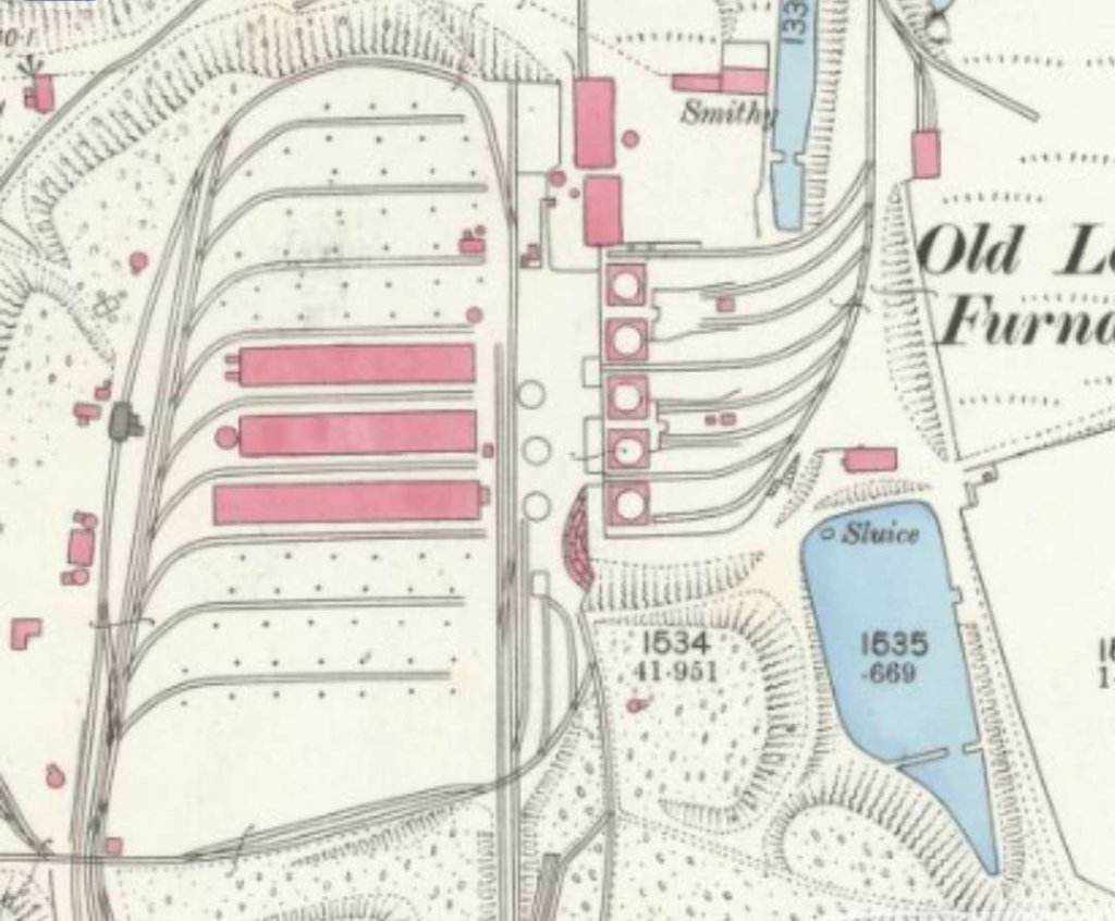
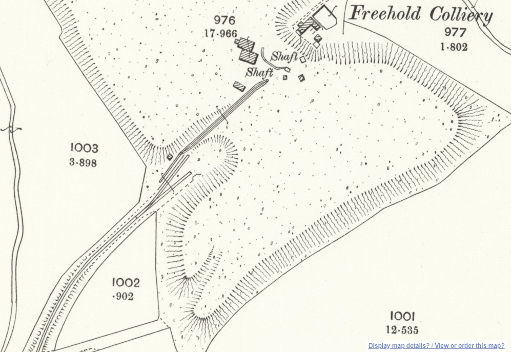
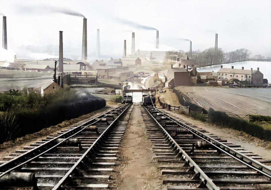
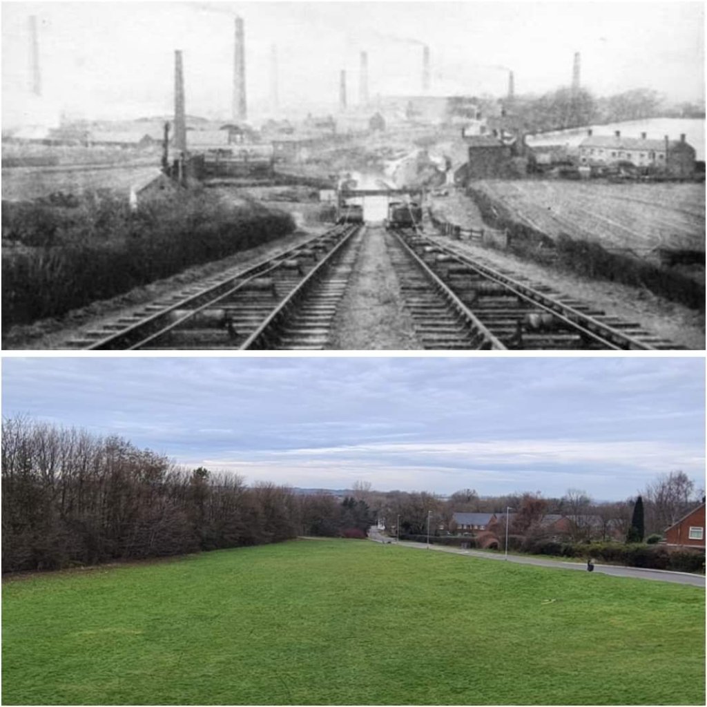
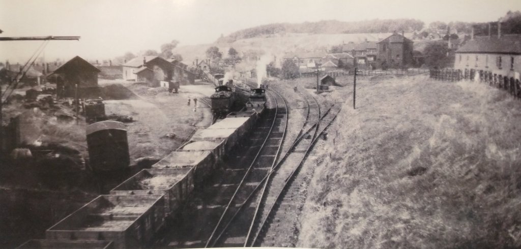
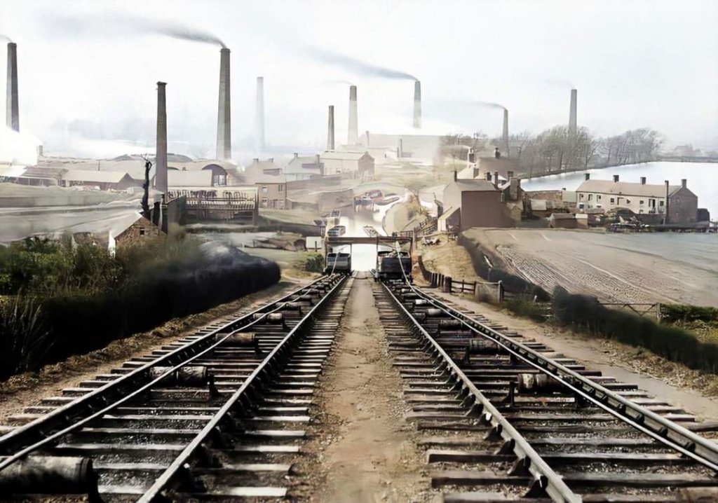
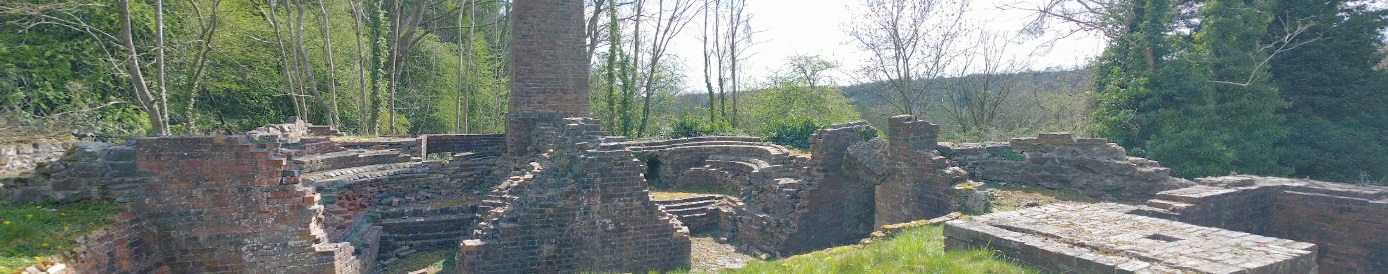
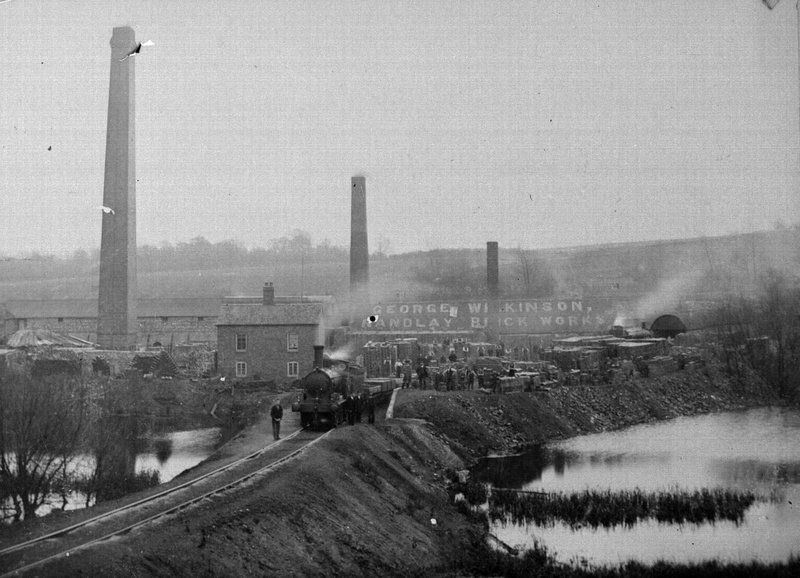
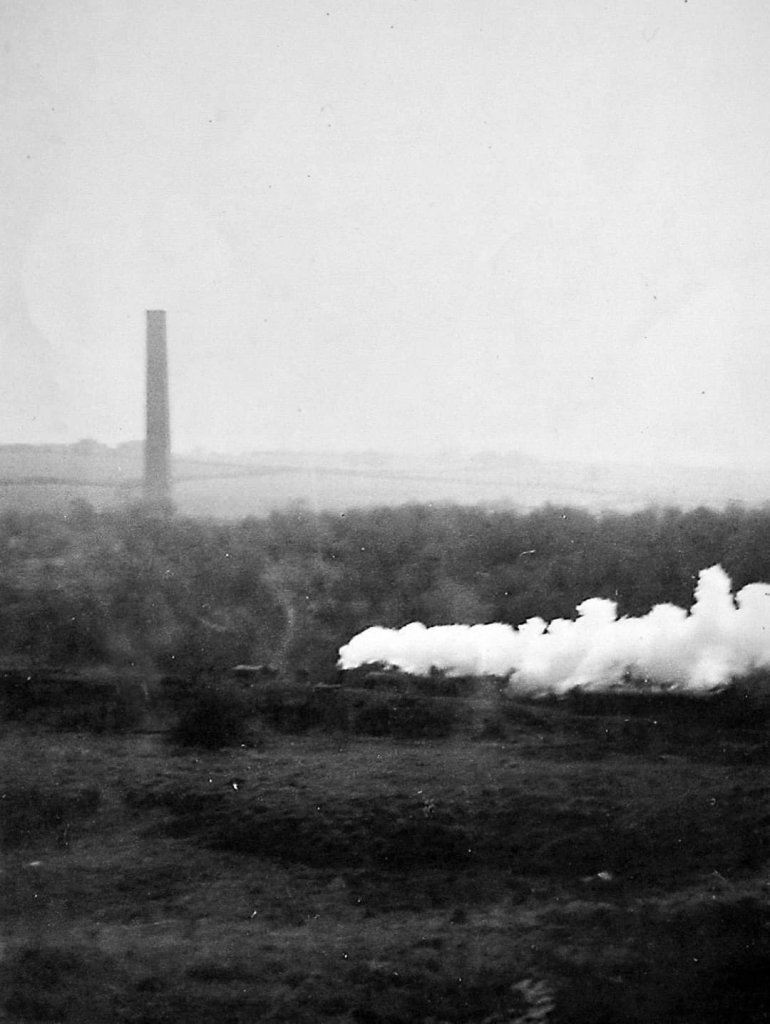
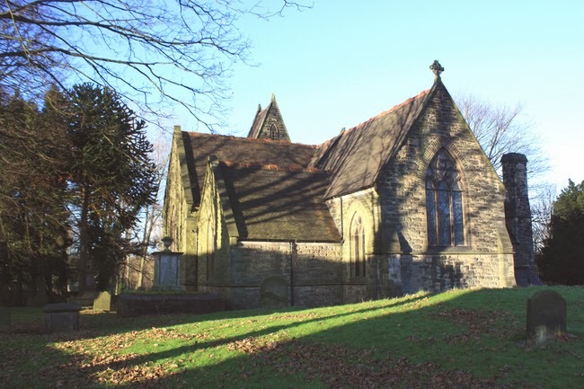
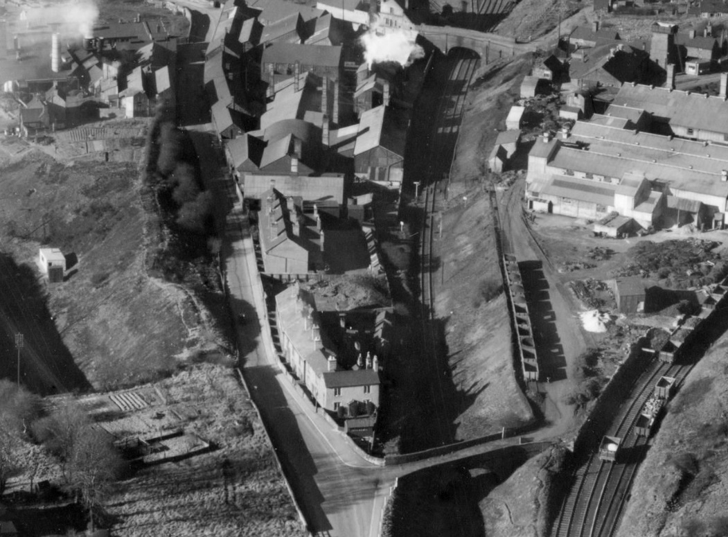
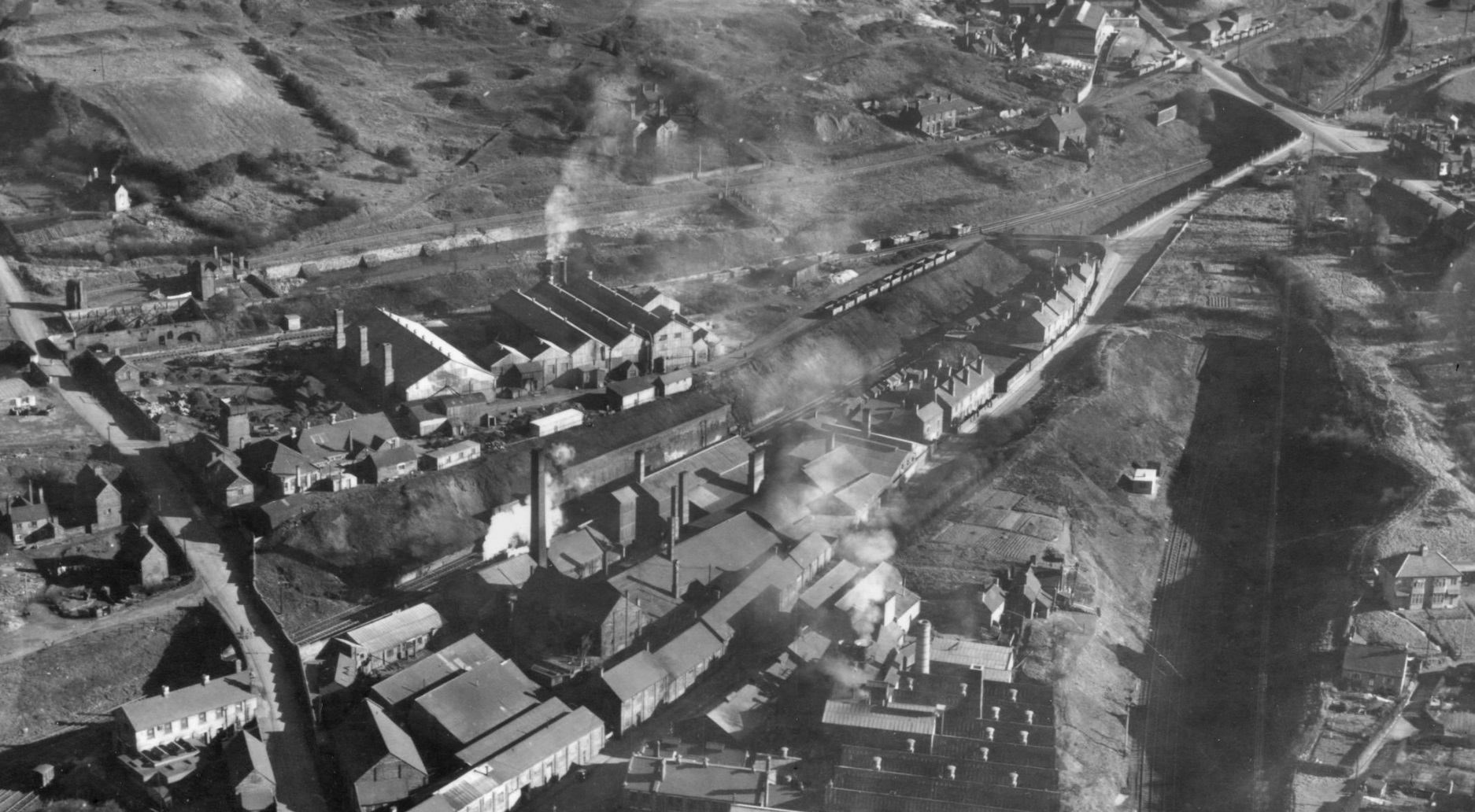
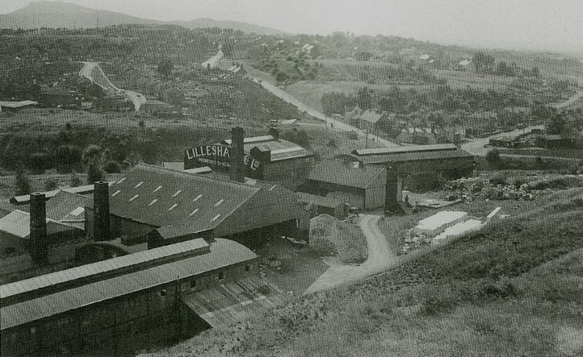
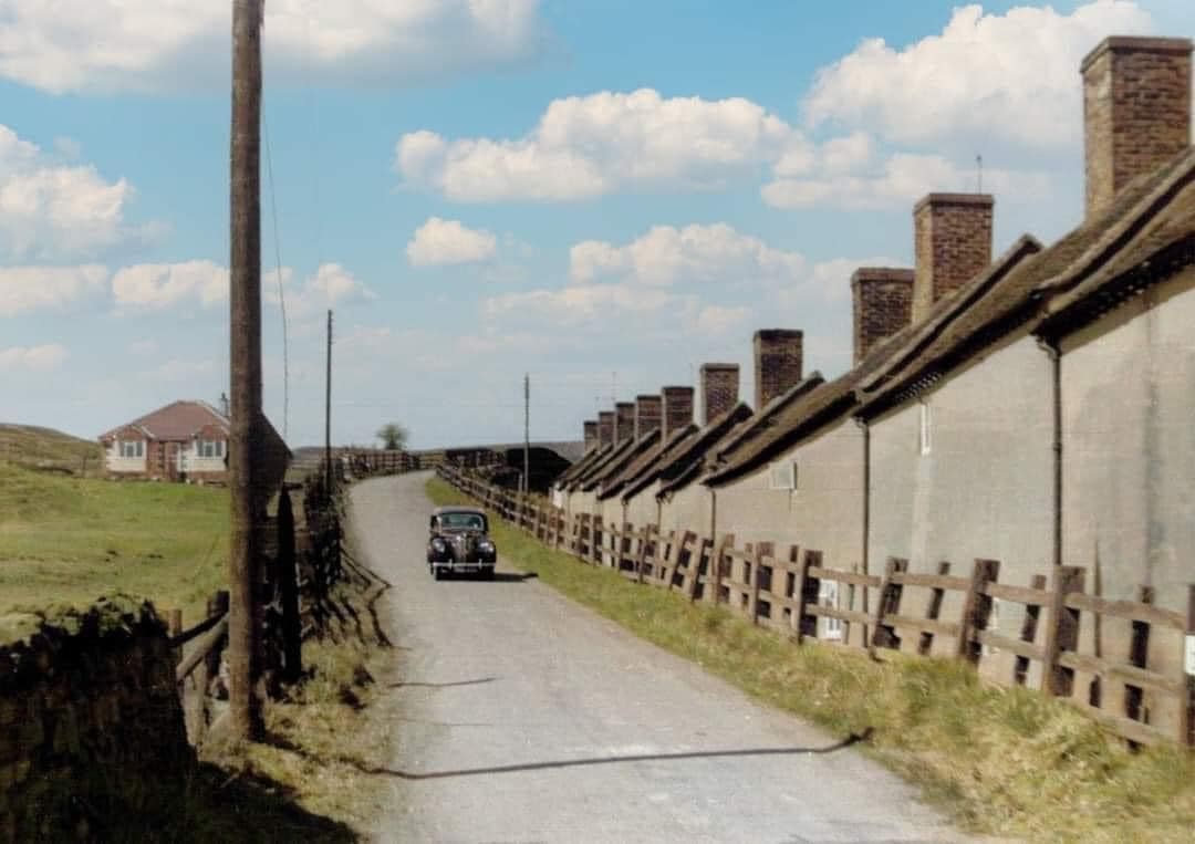
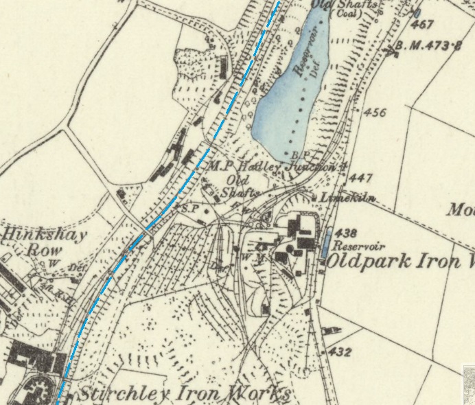
In 1824 the company brought into blast two new furnaces near the site of the Old Lodge. They were named the Old Lodge furnaces because of their proximity to the site of an old hunting lodge which was demolished in 1820. In March 1825 the Lilleshall Company paid the Coalbrookdale Company £2392 for (presumably) a Blast Engine. George Roden, a stonemason from the Nabb, was paid £425 in 1825 and £777 and 5 shillings in 1826 for erecting loading ramps and the retaining walls. In 1830 the Donnington Wood and the Old Lodge ironworks together produced 15,110 tons. A third furnace was added in 1846 and two more in 1859.
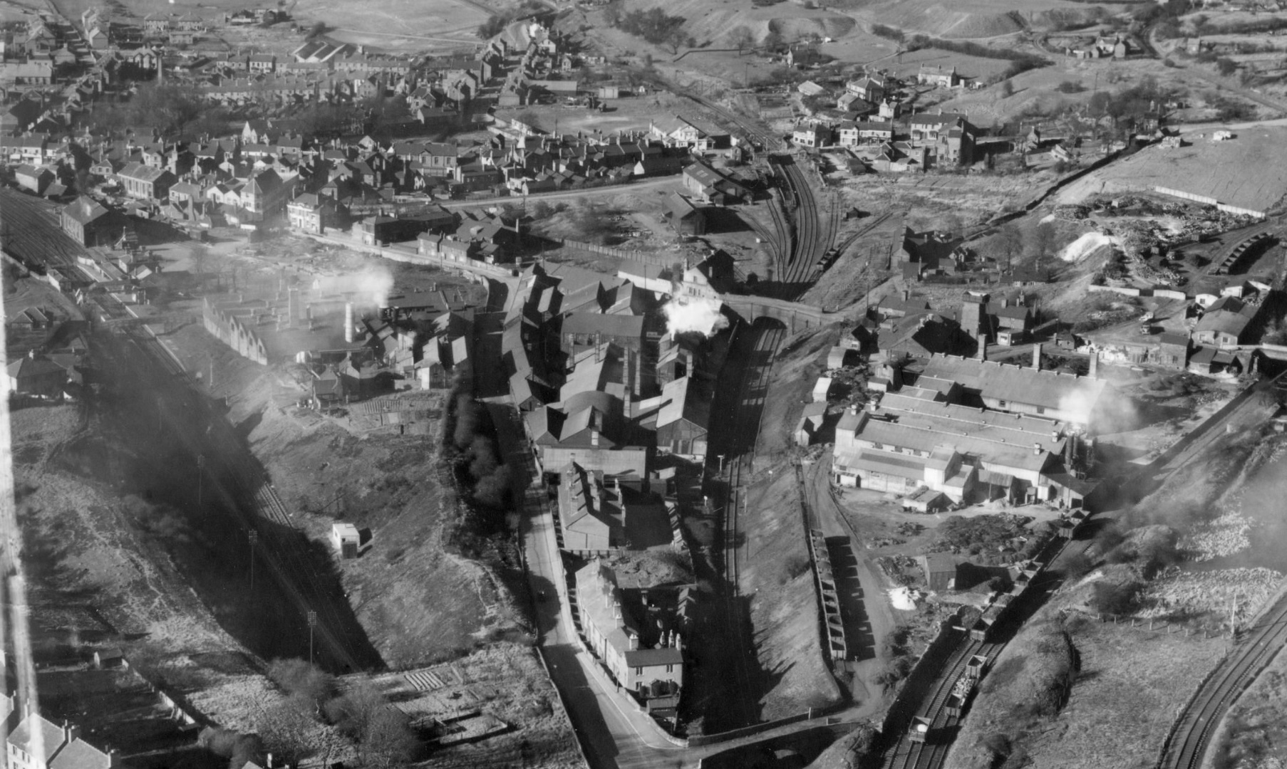
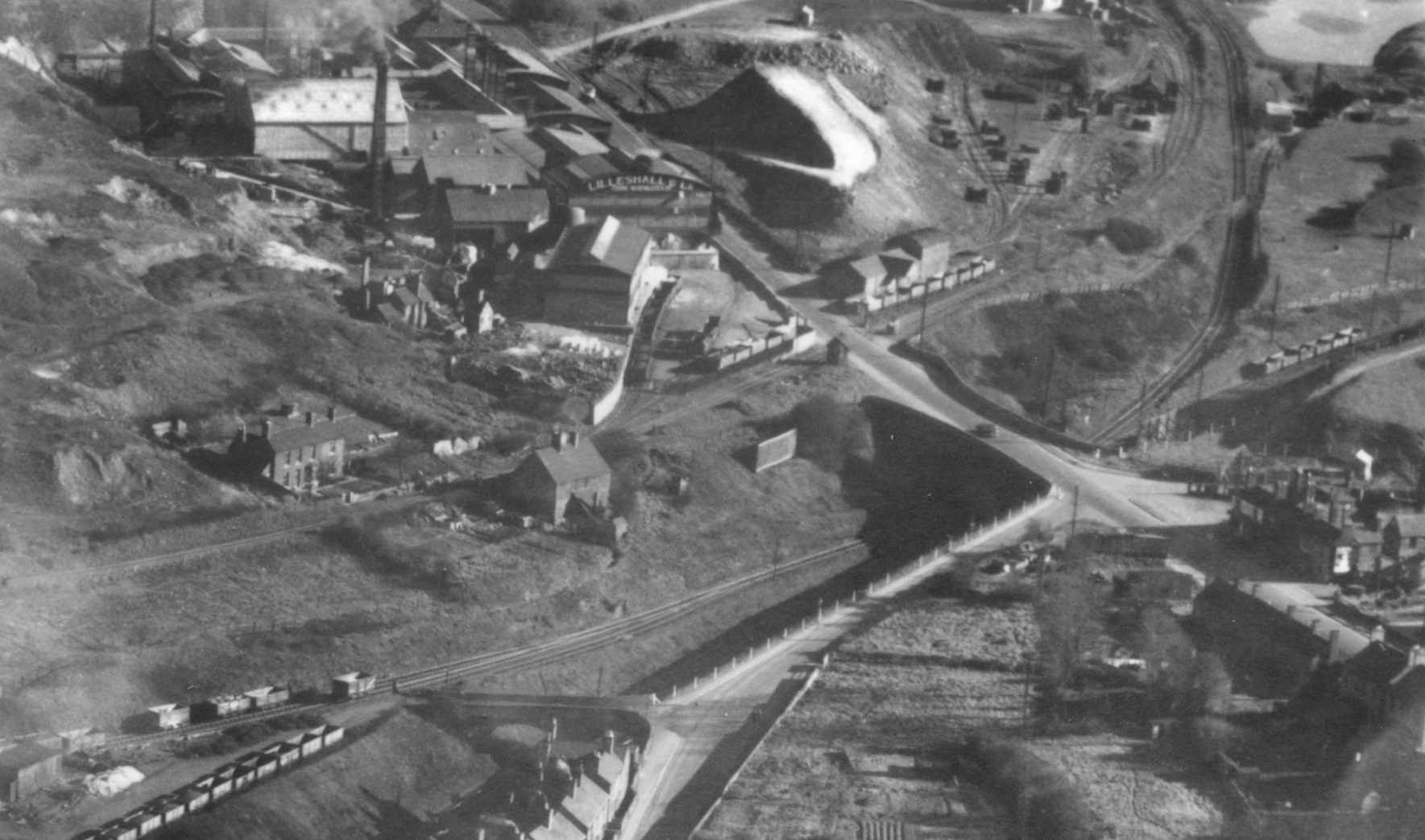
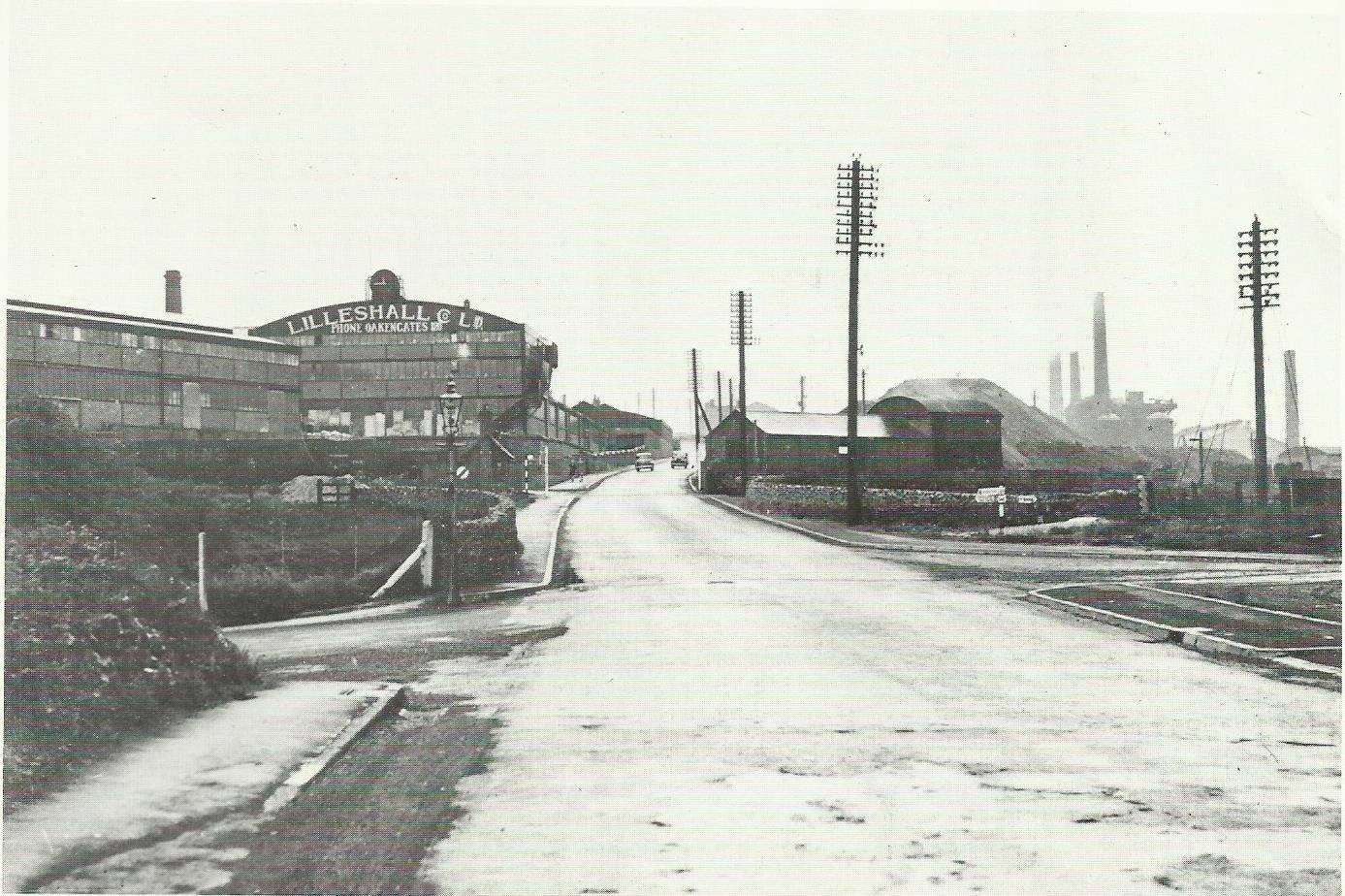
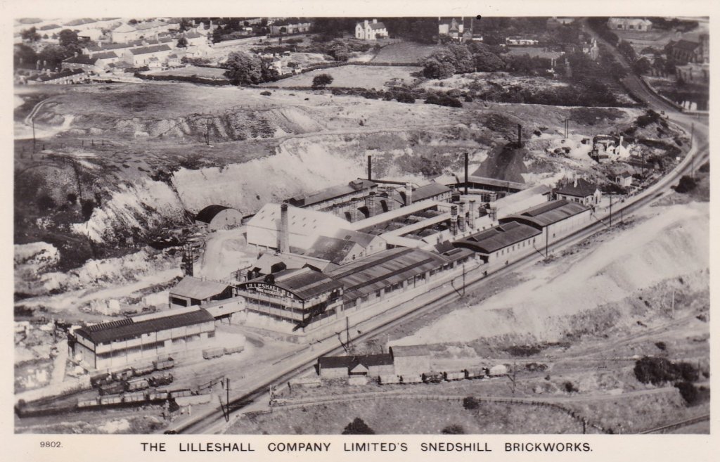
New blast beam engines, manufactured by the Lilleshall Company, were installed in 1862 and the height of the furnaces was increased from 50 to 71 feet at about the same time. Limestone came, via the canal, from the Lilleshall quarries and the coal (coke) and iron stone from the local pits via an extensive system of tramways, some of which, were later converted to standard gauge railways. The 1882 map show this series of transport plateways to transport the materials to the top of the furnace, and remove pig iron the furnace bottom.
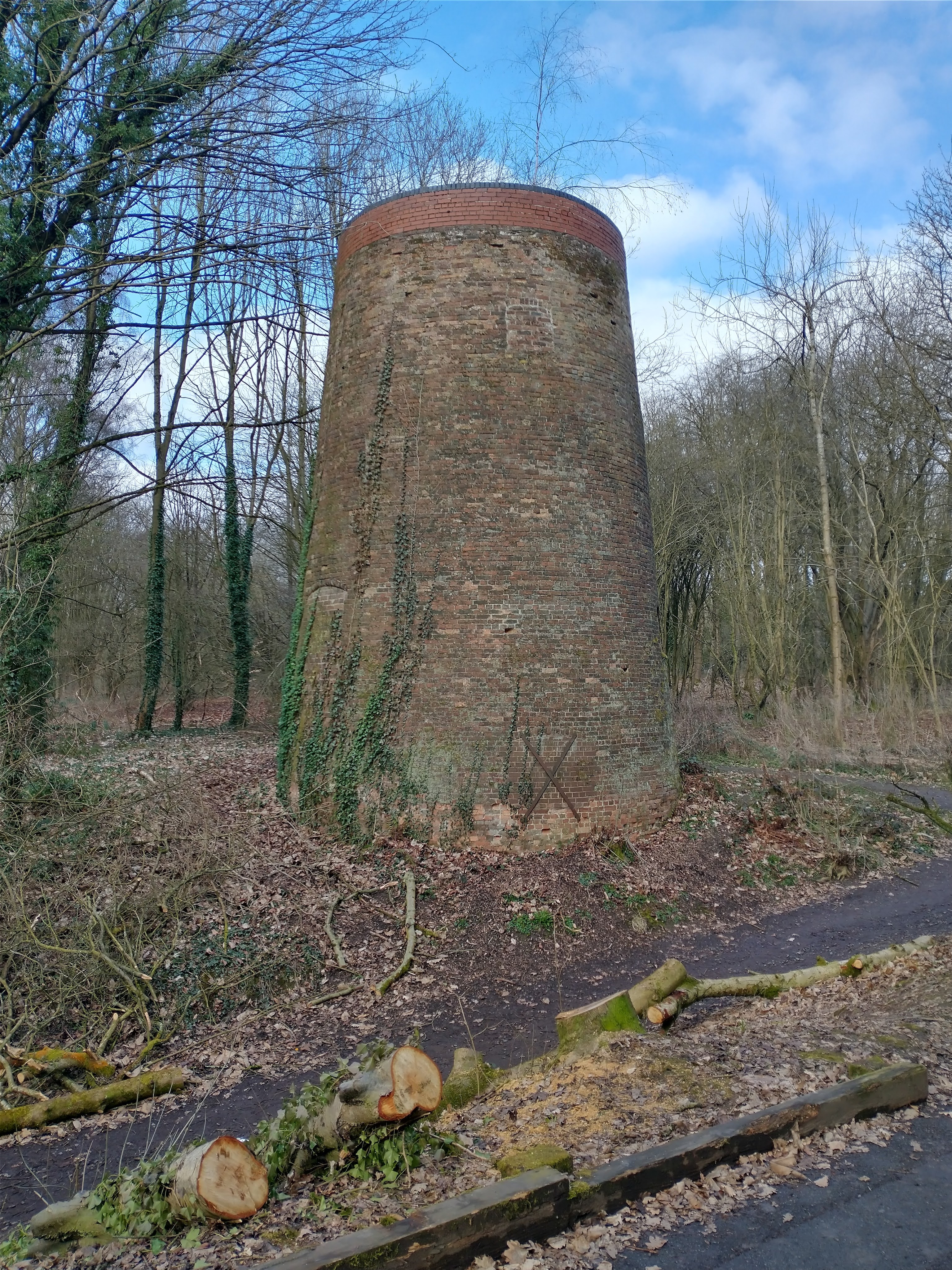
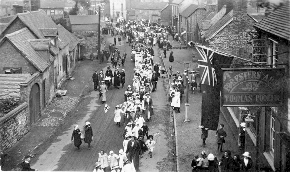
The Old Lodge Furnaces produced cold-blast pig iron of the finest quality, but eventually it could not compete with cheaper iron made elsewhere and in 1888 the last of the Old Lodge furnaces was blown out 1888. The furnaces were demolished in 1905 by Thomas Molineaux Jnr, including a tall chimney 140 feet high by 13 feet diameter, known locally as “The Lodge Stack”. In 1956 the stone was reused for St Mathew’s Church. Thereafter the company concentrated all its iron and steel making at Priorslee. [22]
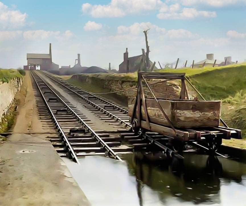
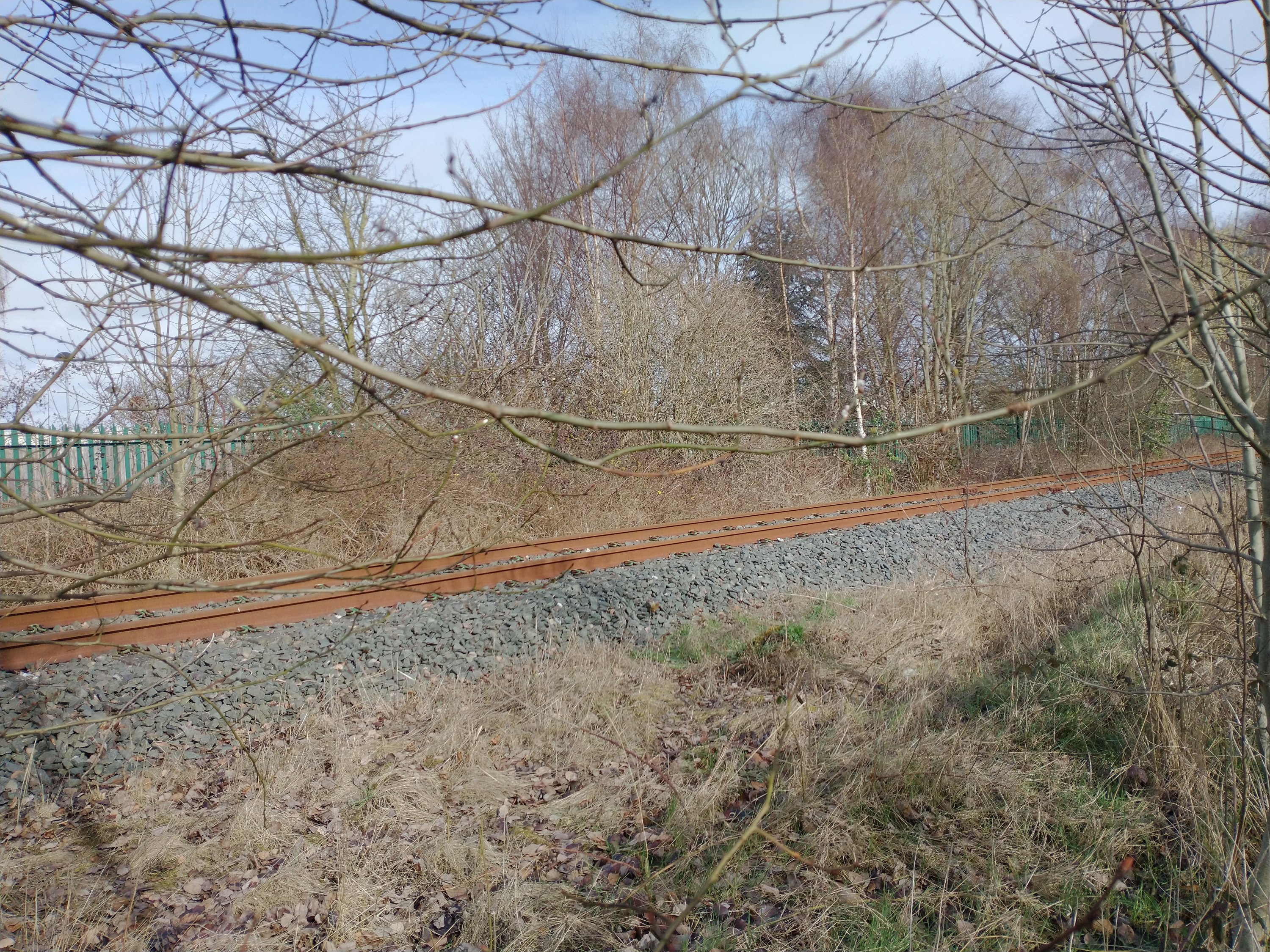
The Mineral Railway
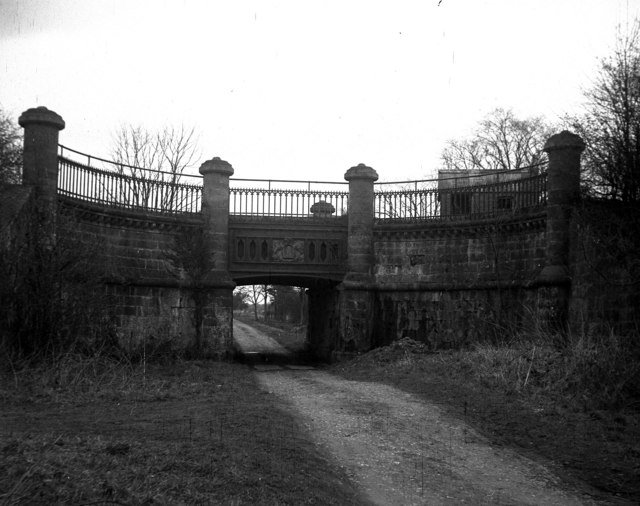
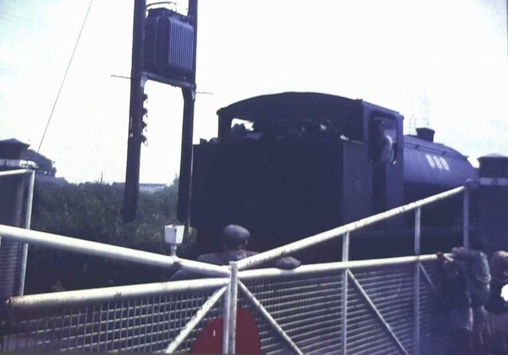
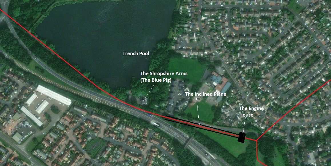
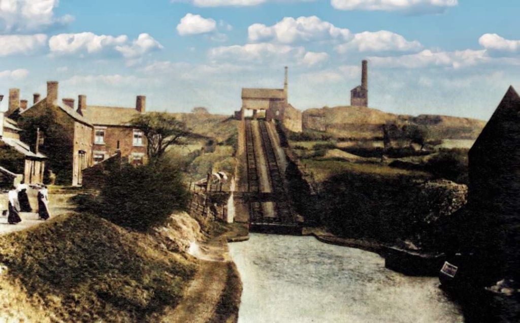
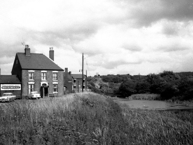
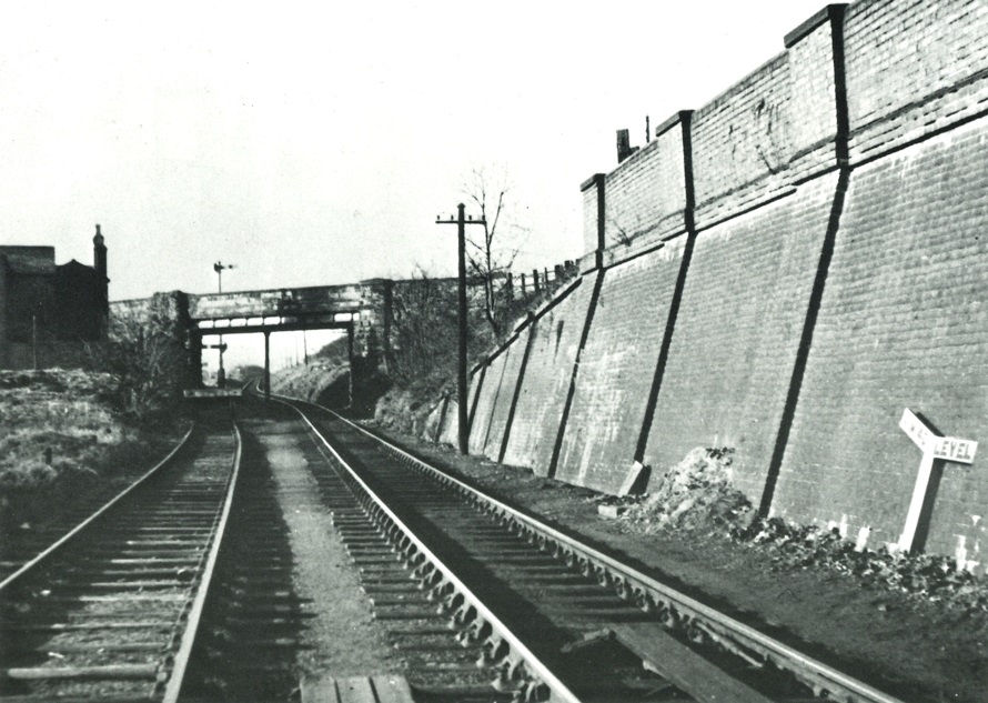
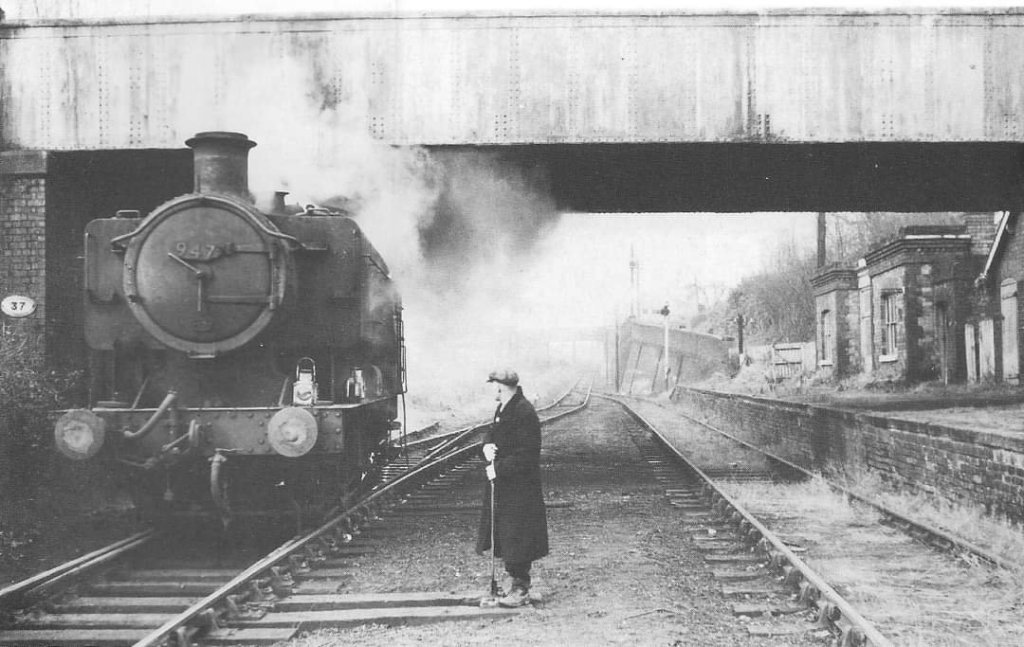
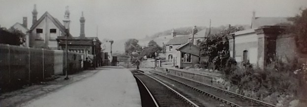
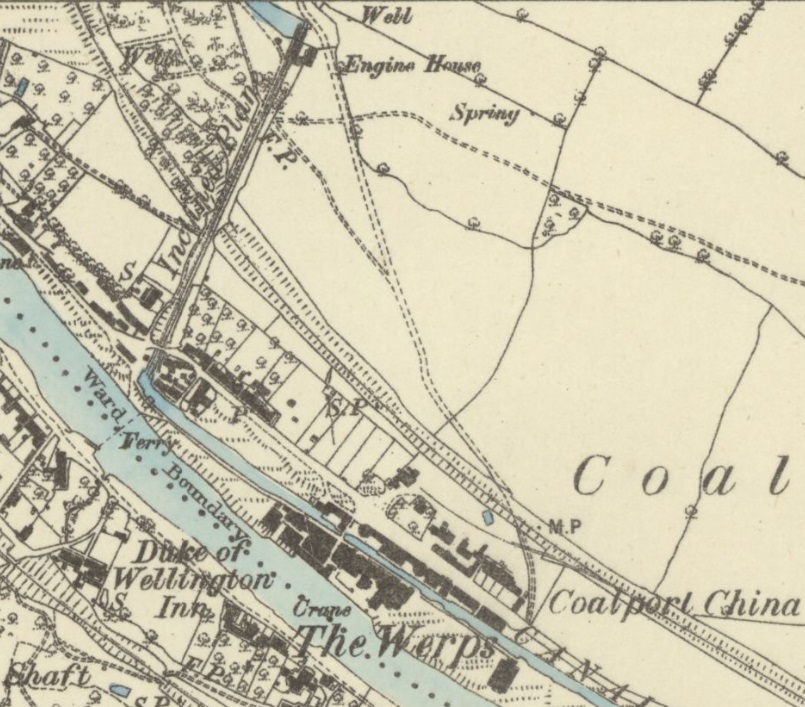
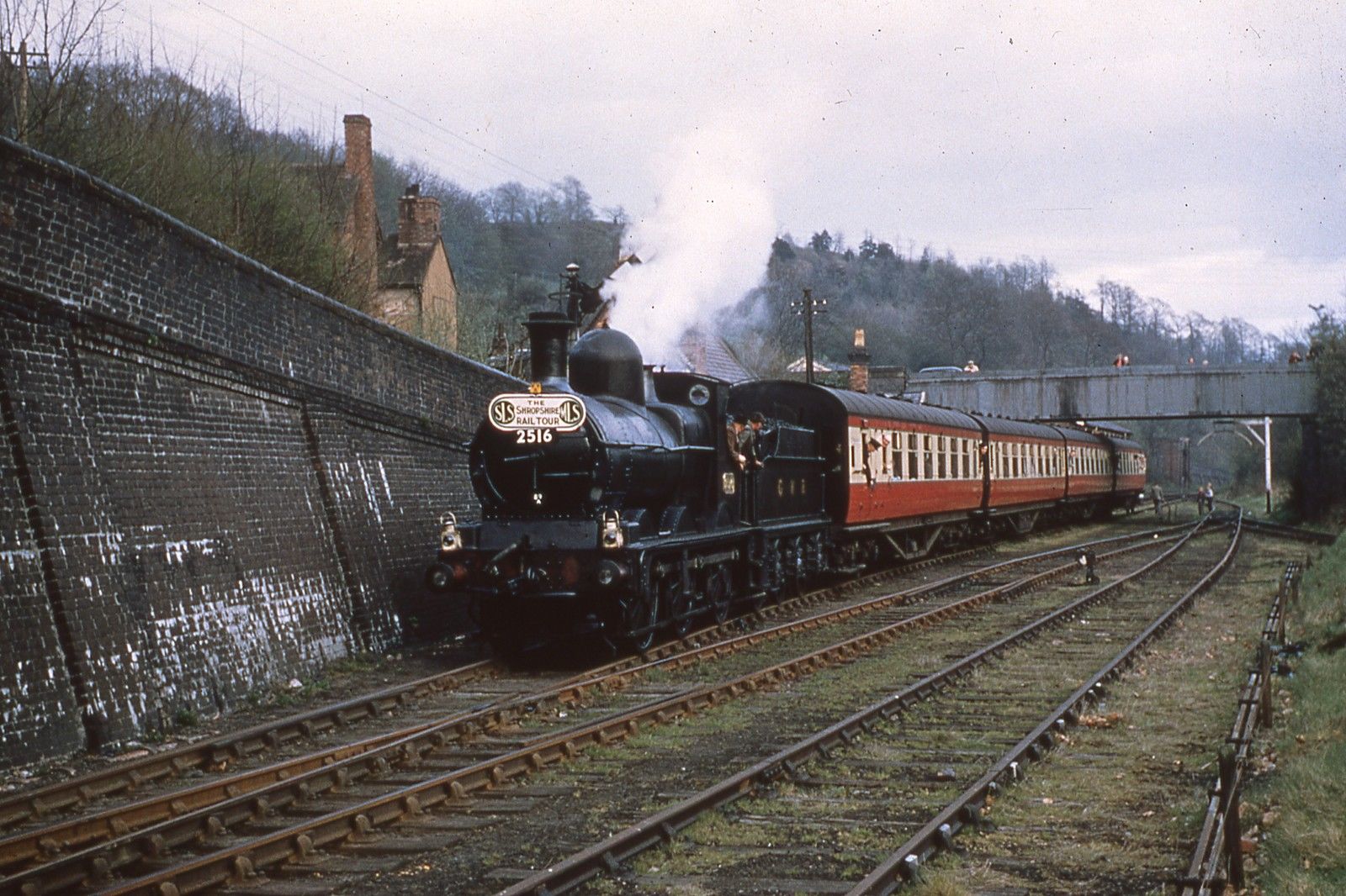
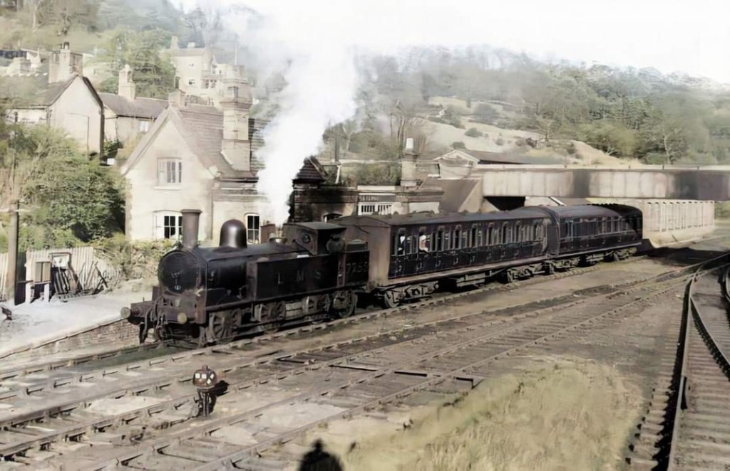
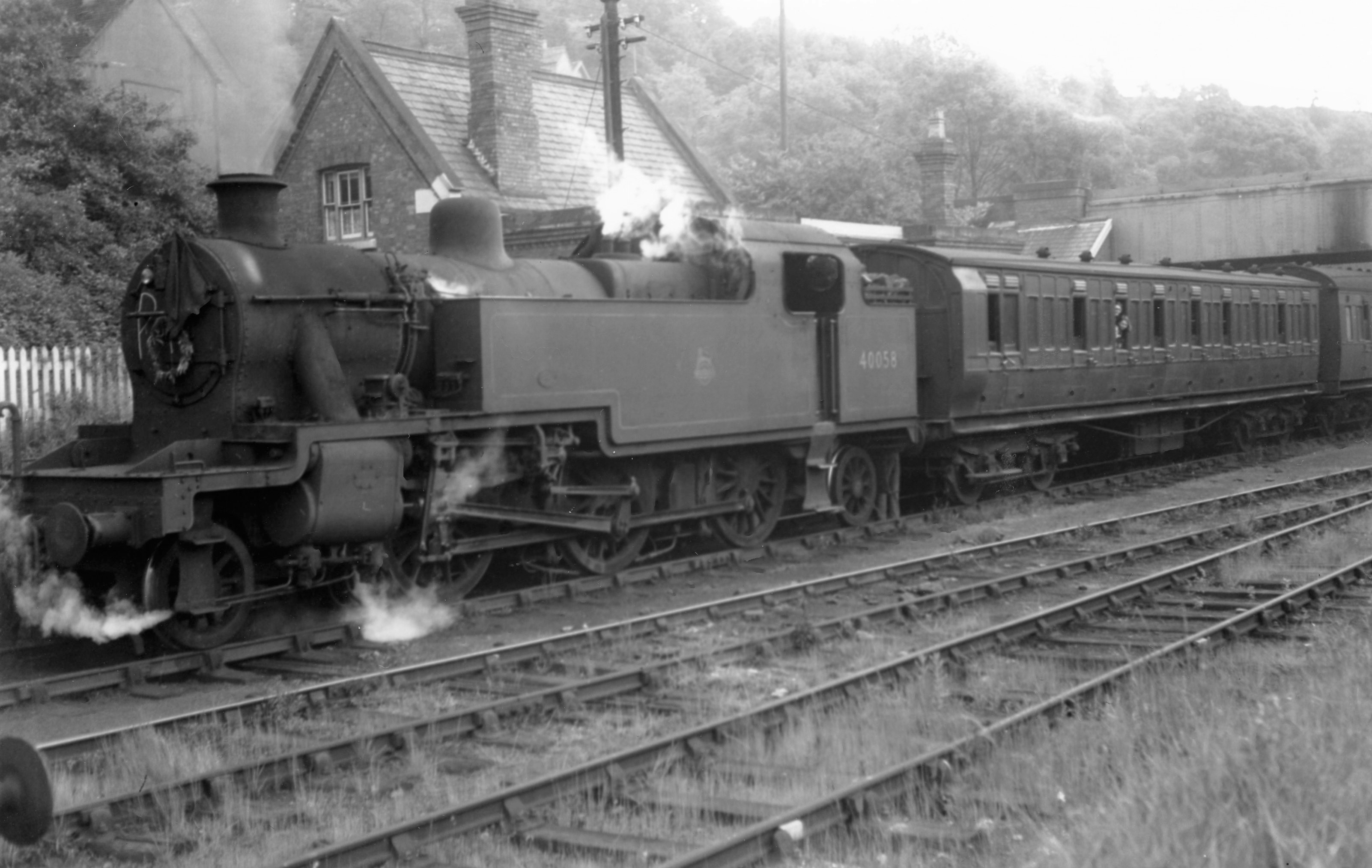
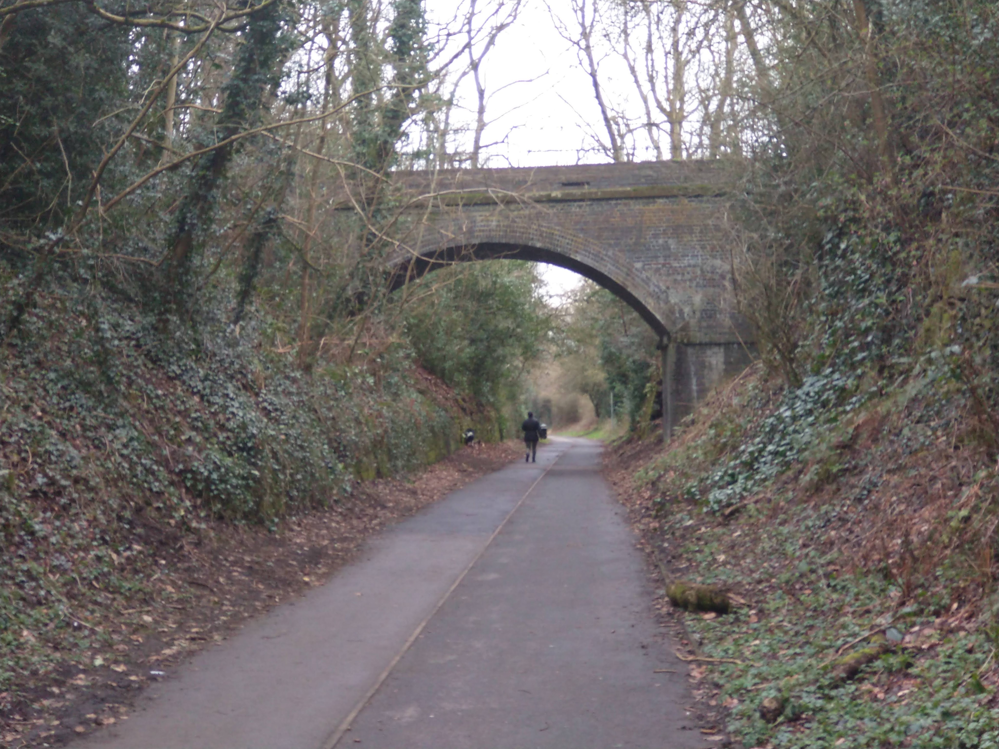
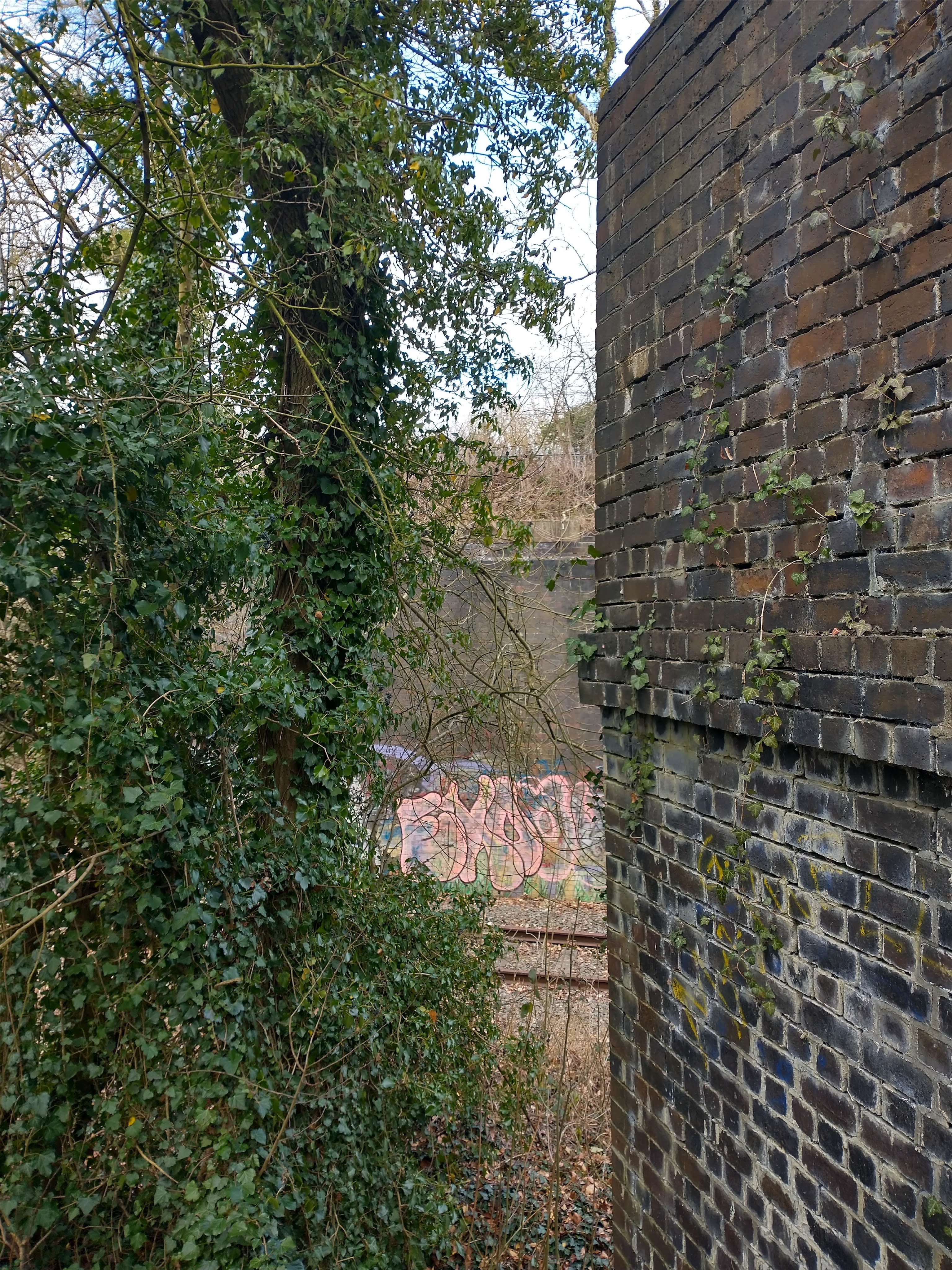
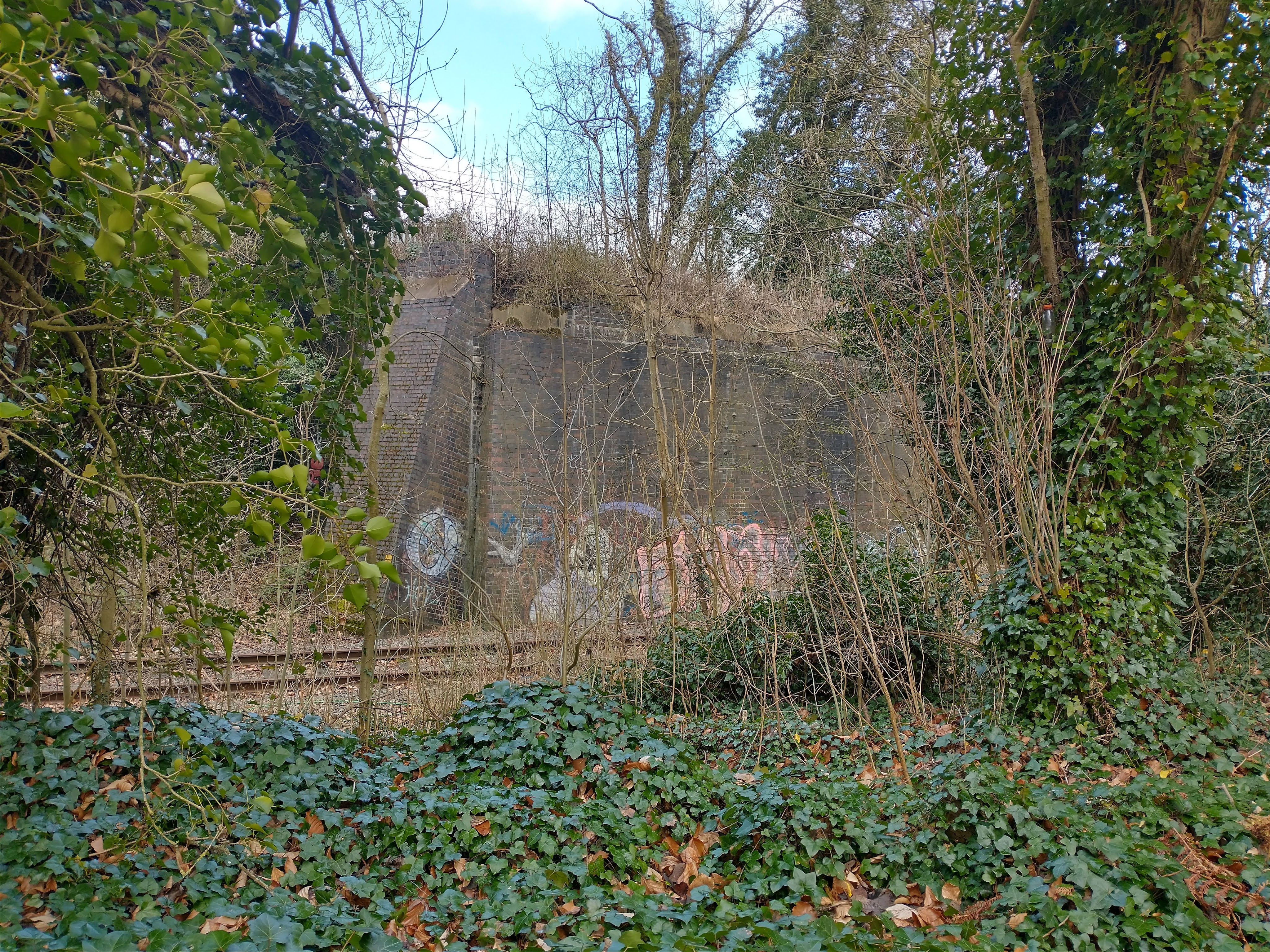
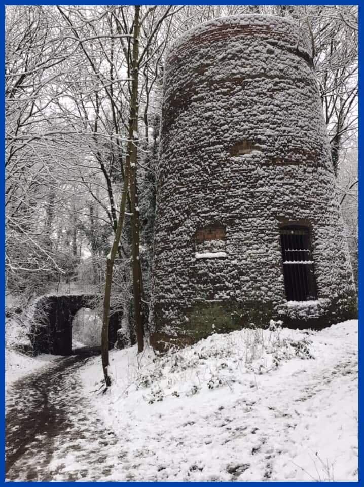
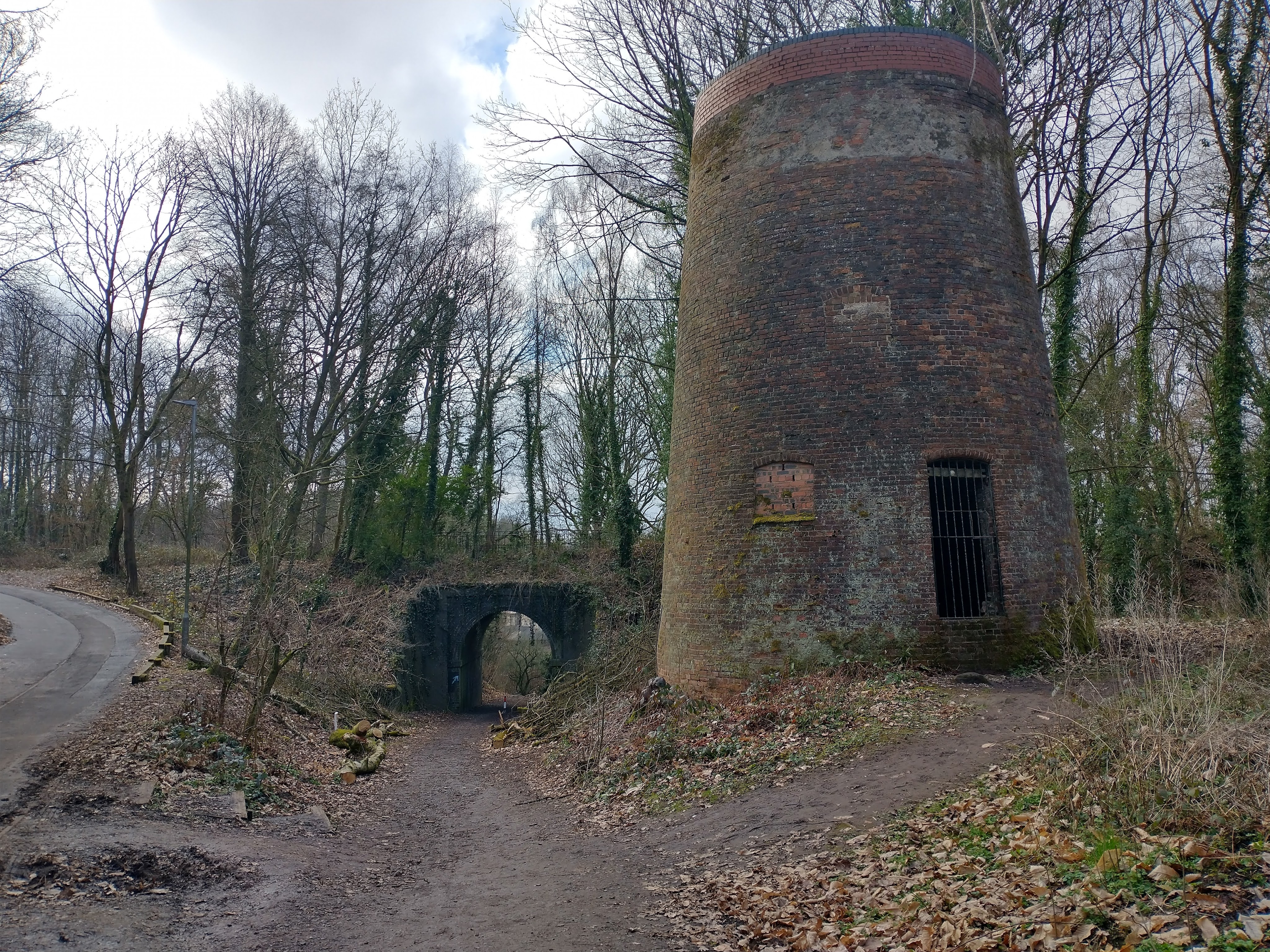
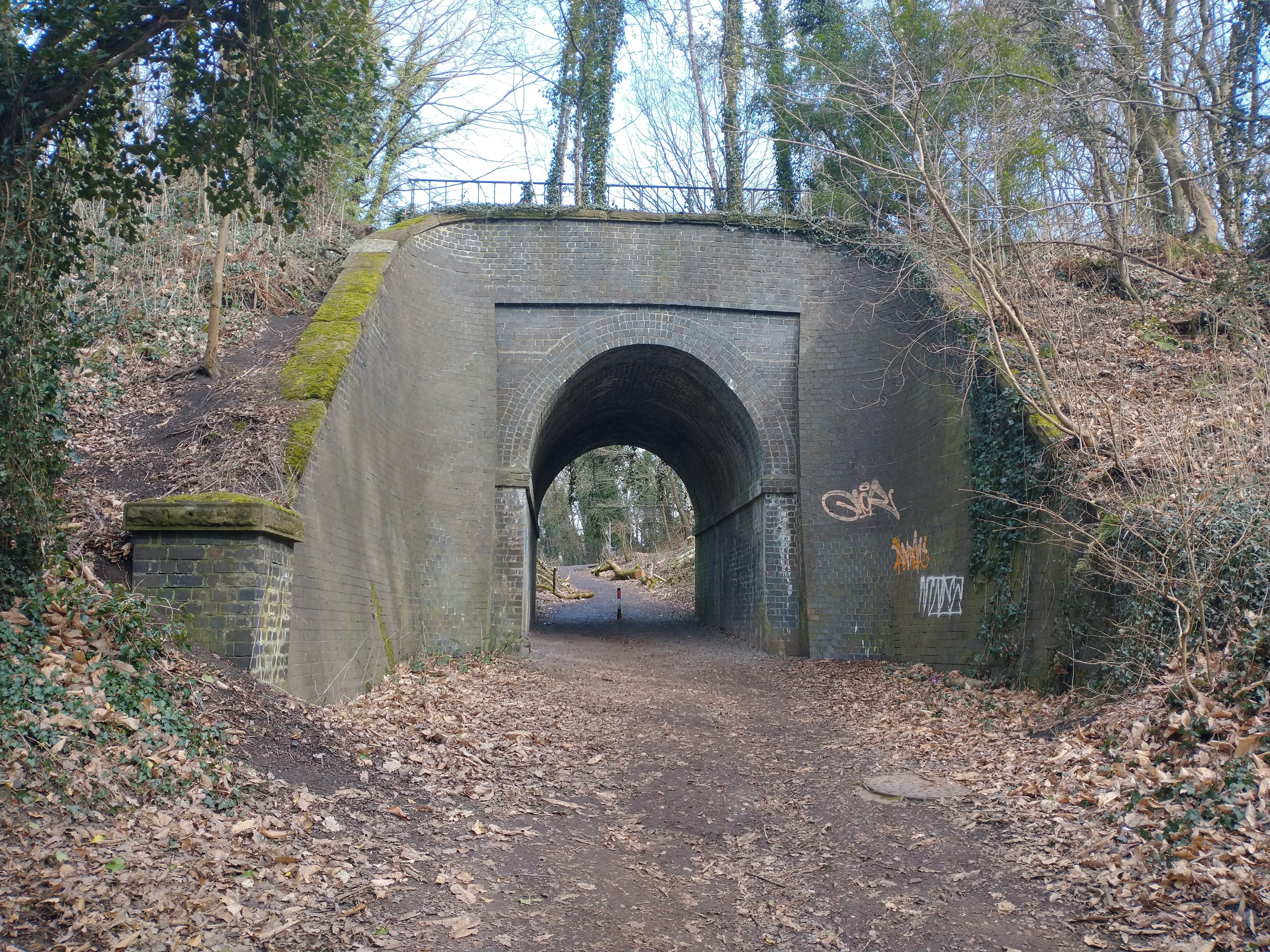
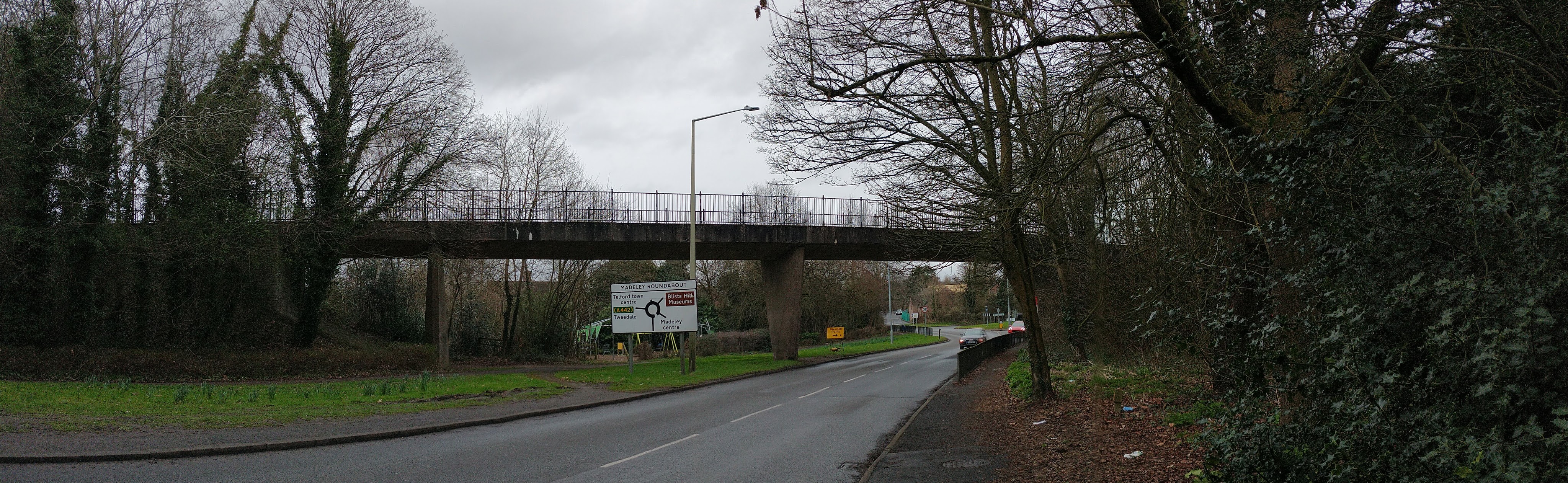
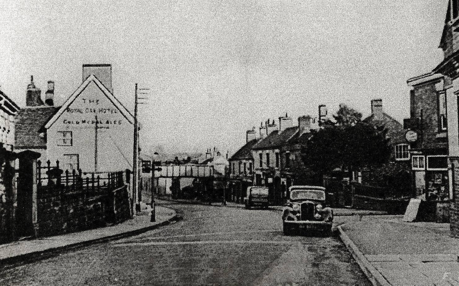
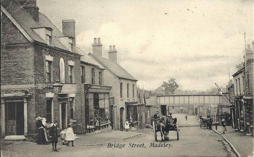
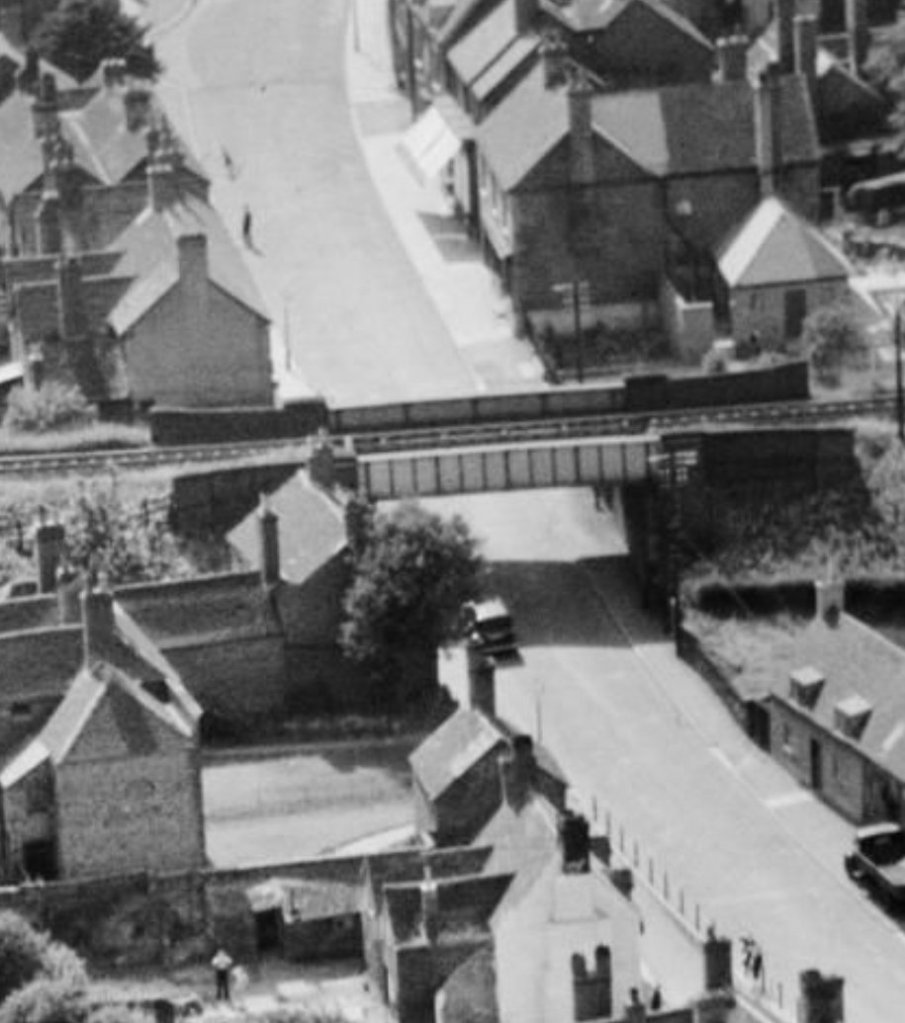
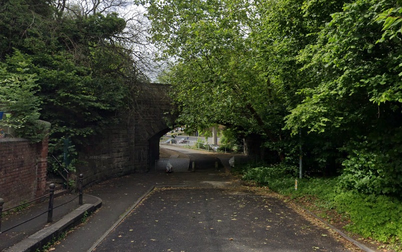
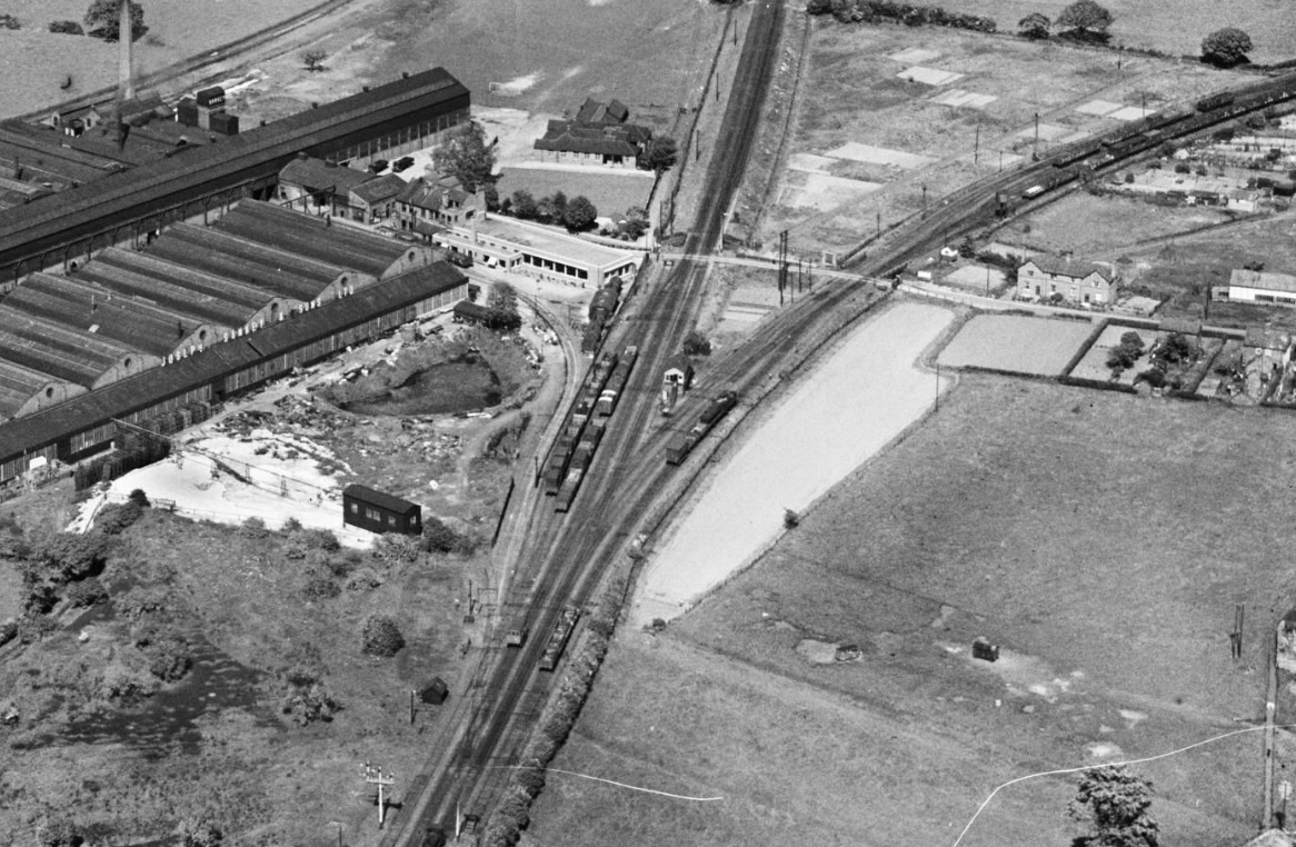
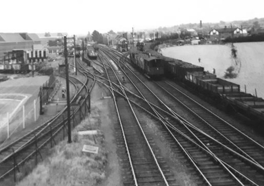
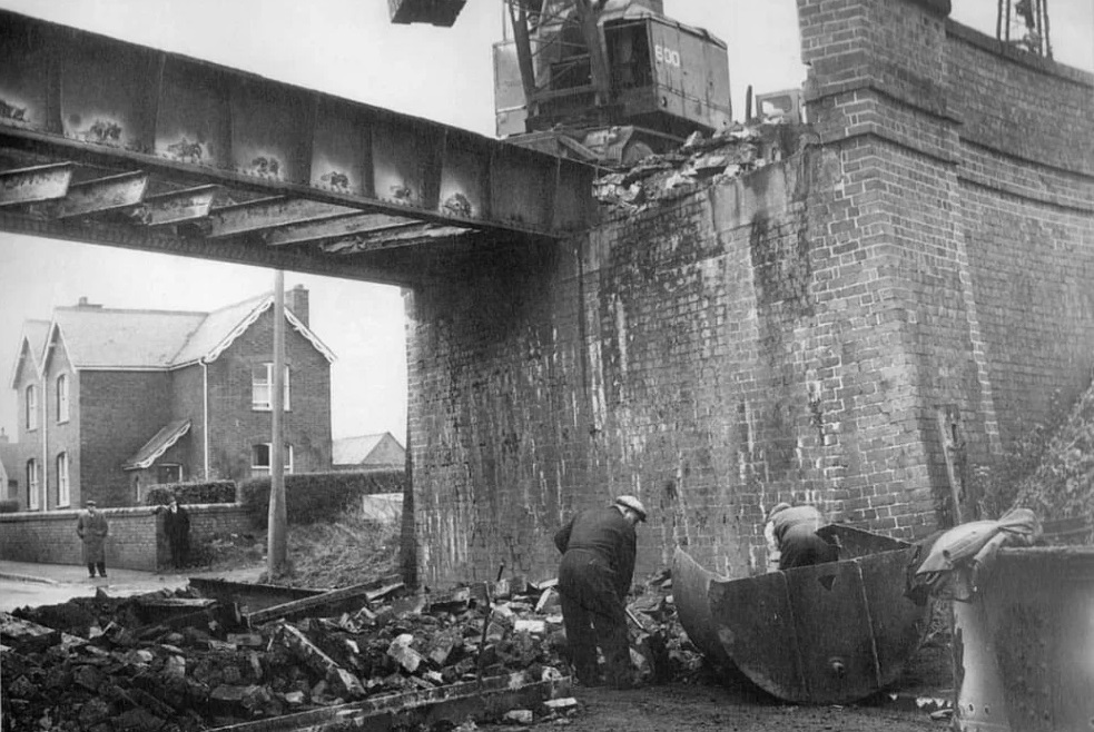
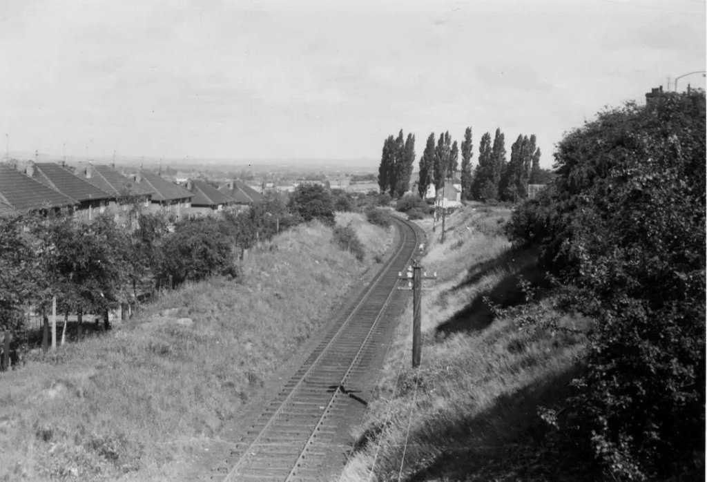
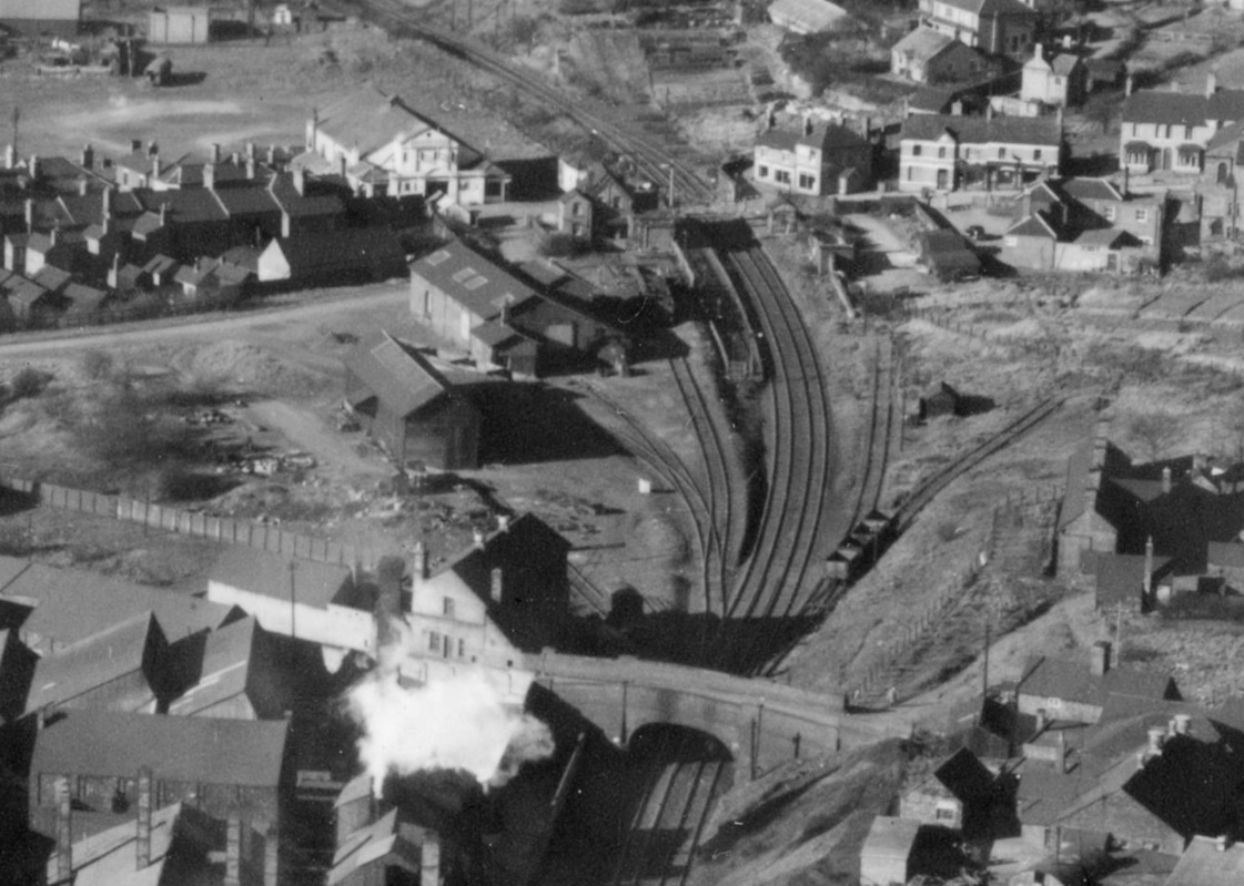
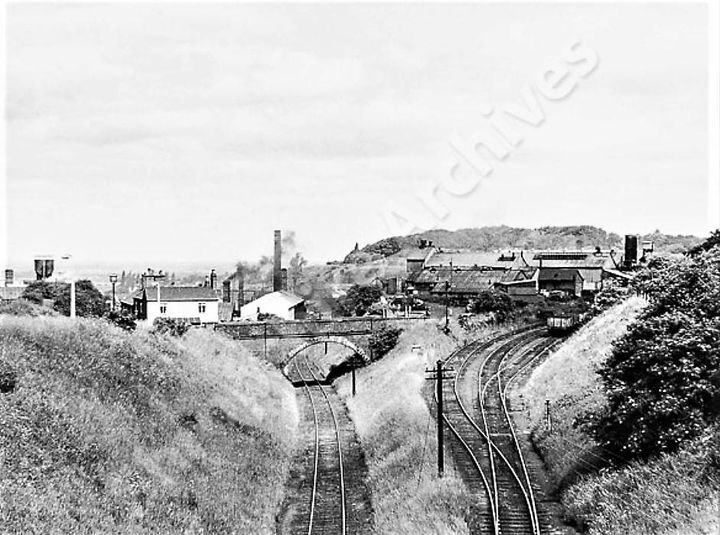
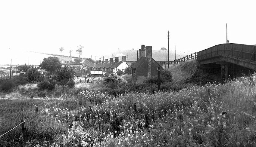
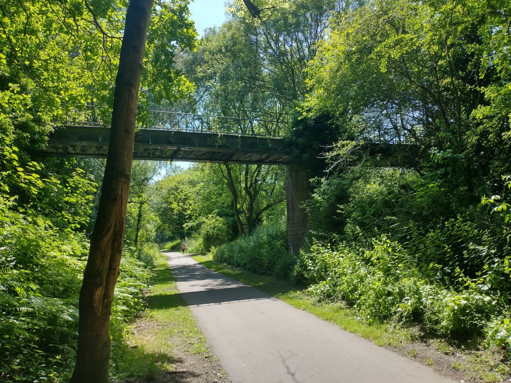
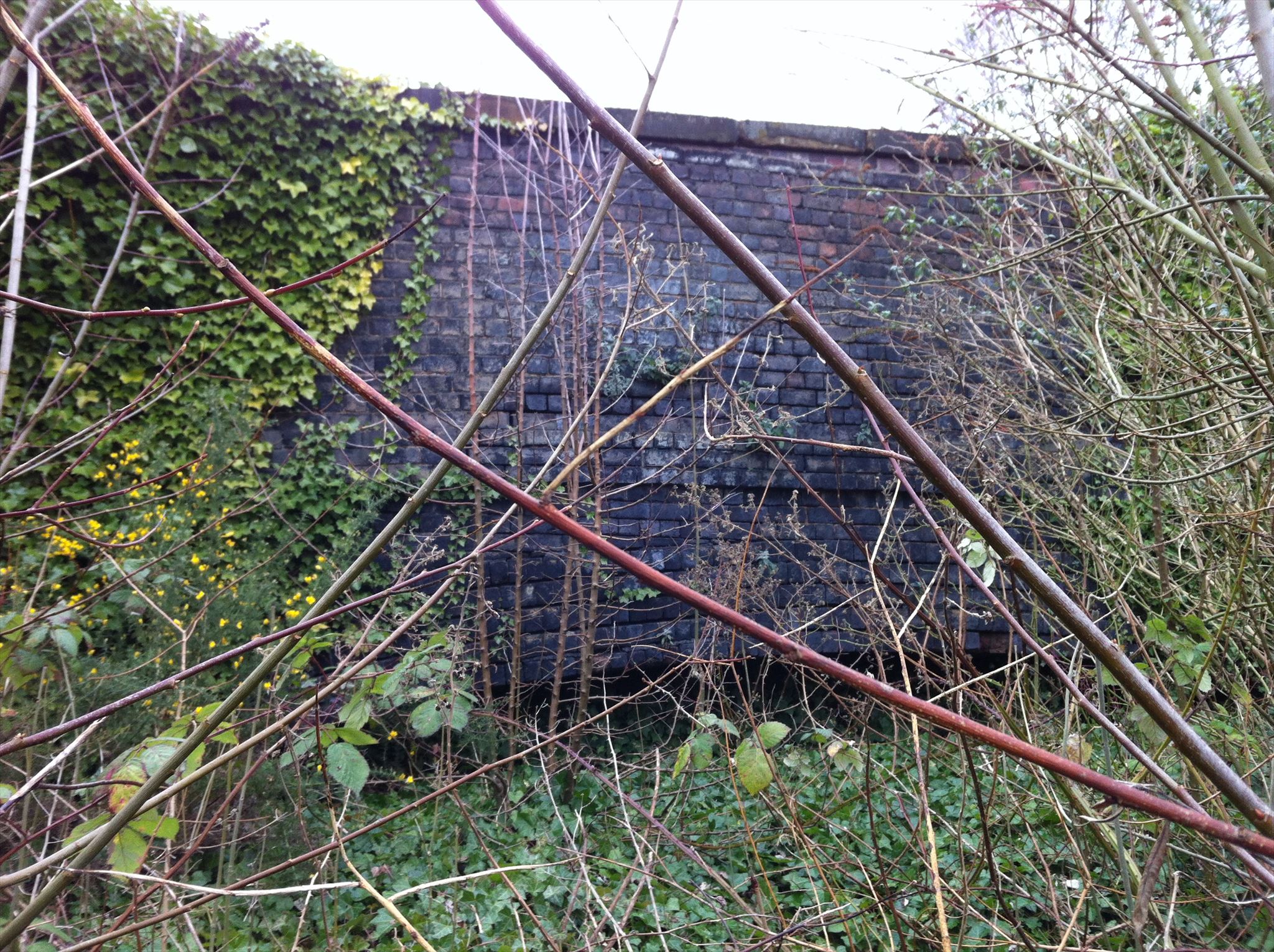
We return now the the overbridge which carried the LNWR over the tramway and the later mineral railway which curved round to the East after passing under the bridge. The length from Lubstree Wharf to the LNWR overbridge is covered above. Charles Hadfield explains that in 1870, anxious to save money on the Trench Incline, the Canal company “agreed to lease Lubstree wharf on the Humber Arm of the Newport branch from the Duke of Sutherland and pay a wharfage rate of 0.5d/ton, so that the coal and other traffic from Lilleshall could be shipped there. To carry it, 30 boats were taken from the company’s fleet, and others ordered to replace them. New accommodation was provided, and a railway line built from Lubstree to the Lilleshall Company’s works.” [29: p239]
However, by 1880, “the Humber Arm was only carrying fluxing stone, though two years before the iron ore toll from Ellesmere Port had been specially reduced for the Lilleshall Co. Negotiations for its better use followed, and the [canal] company agreed to take 300-400 tons a week of limestone and 100-150 tons of ore at agreed rates. The Shropshire Union also hoped for a coal trade outwards, and pig-iron to be carried for transhipment to the L.N.W.R. Business seems to have remained brisk for some time after that, for in 1891, when the wharf lease was renewed, another siding was built. In 1905 it was renewed for another fourteen years.” [29: p242]


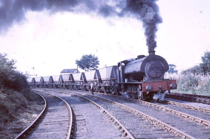
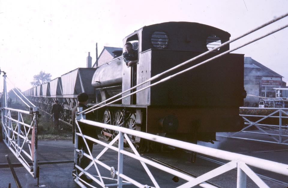
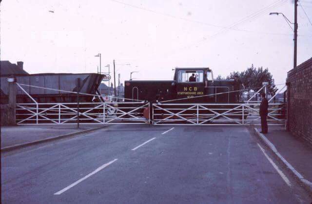
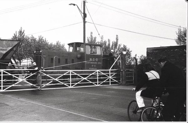
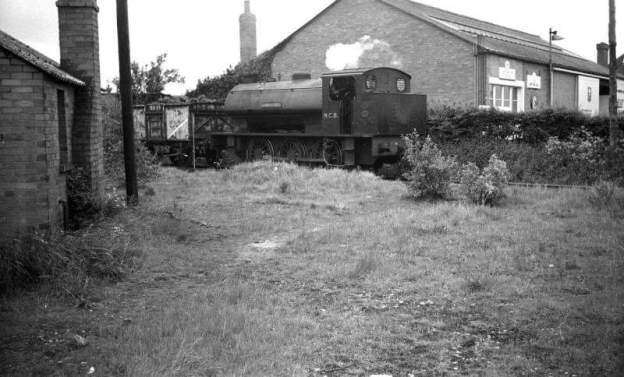
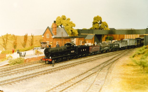
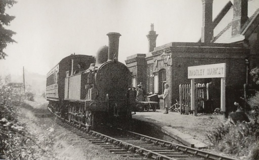
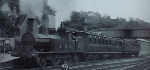
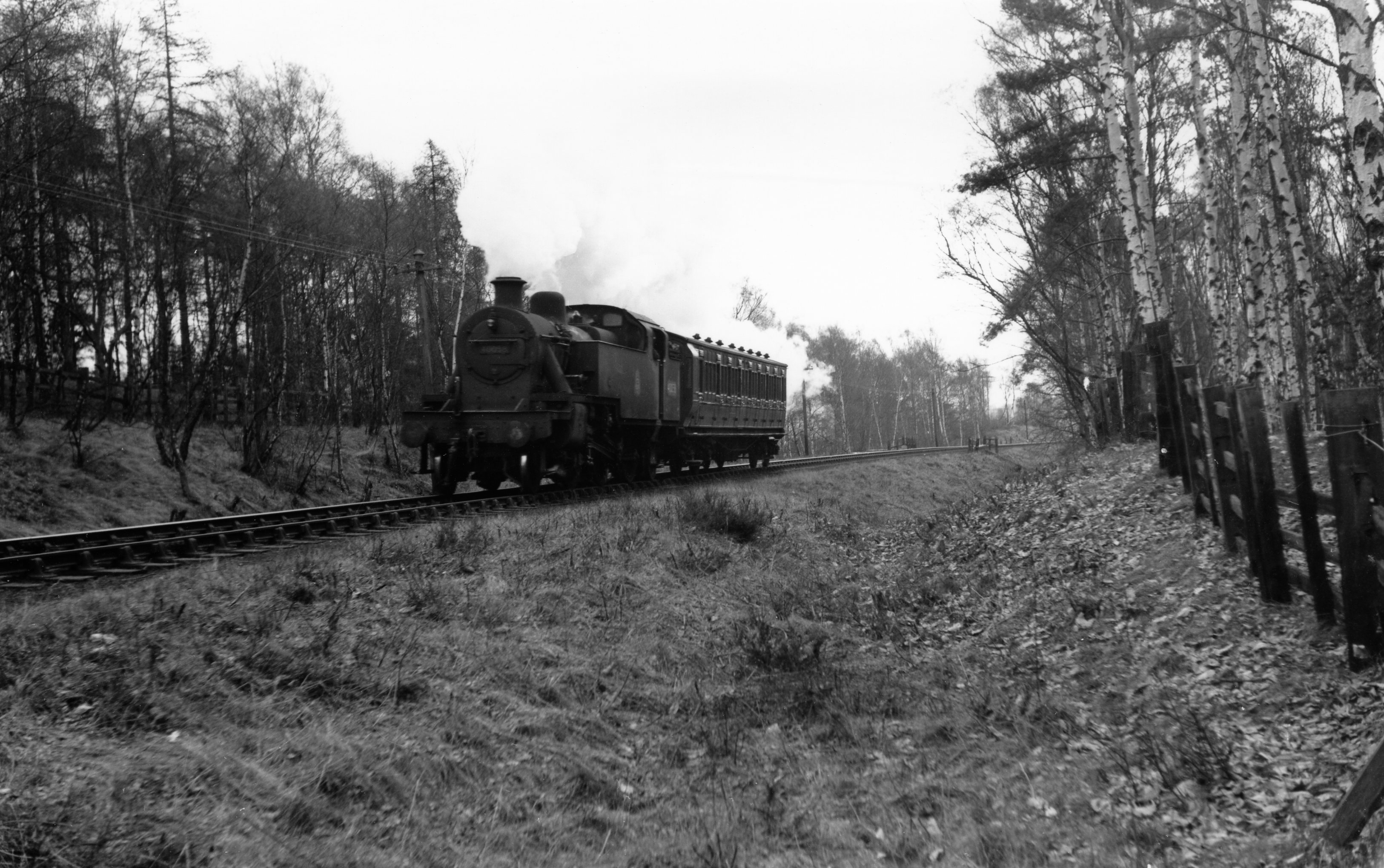
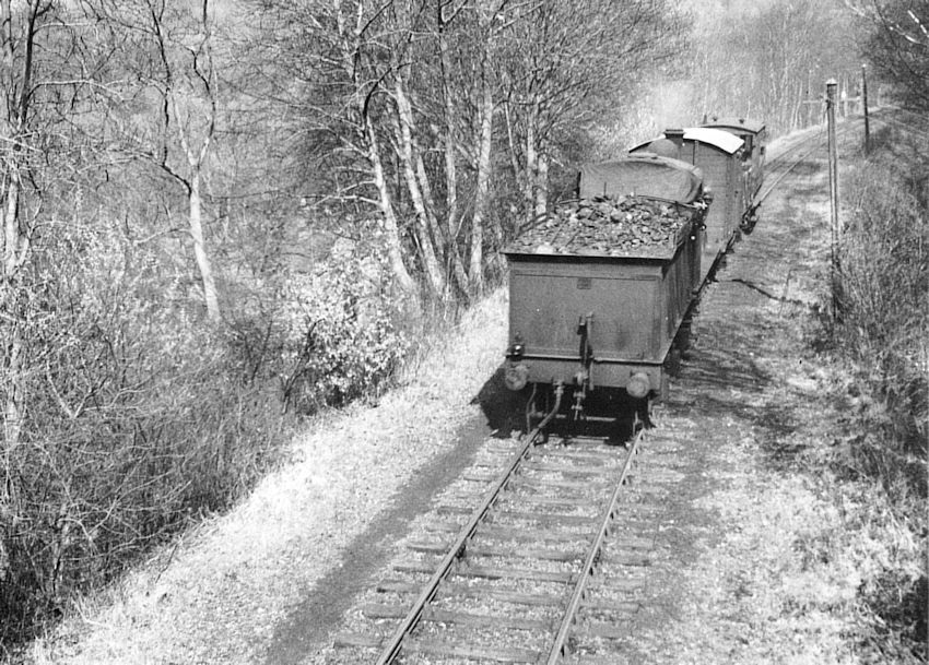
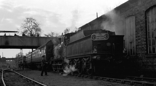
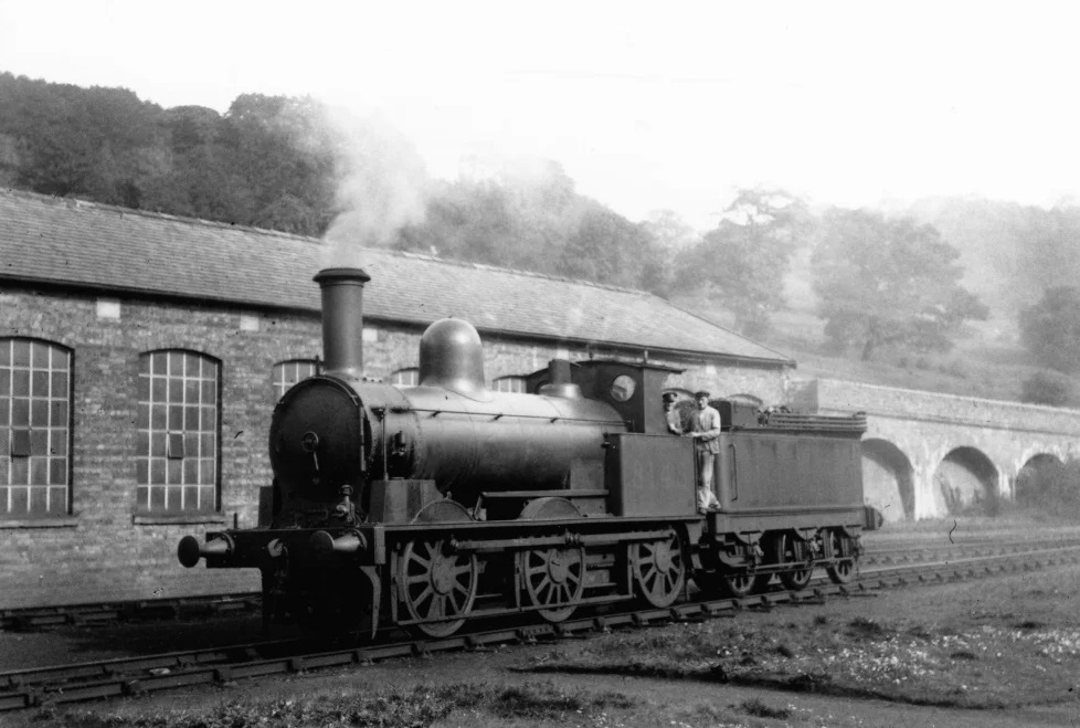
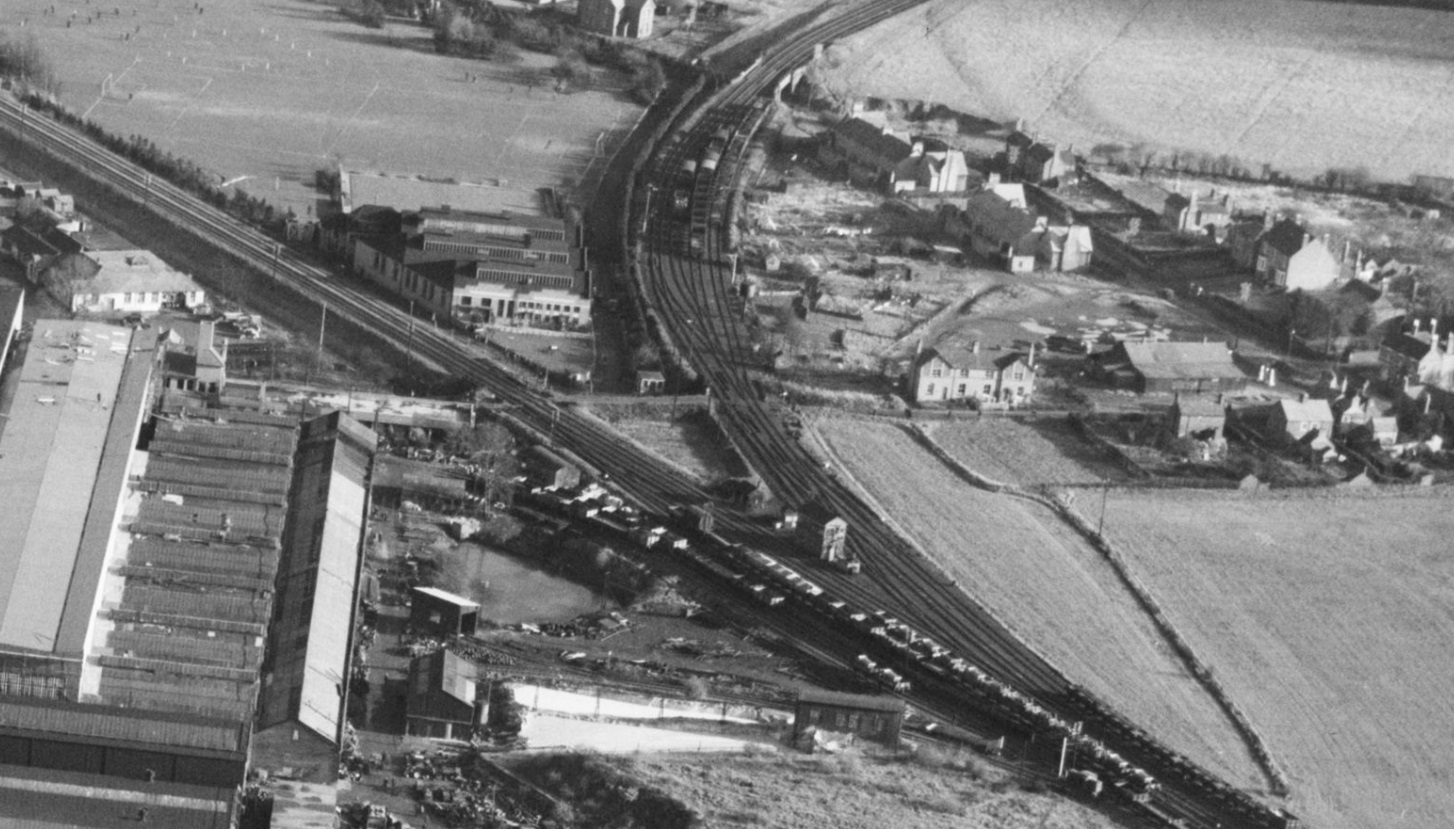
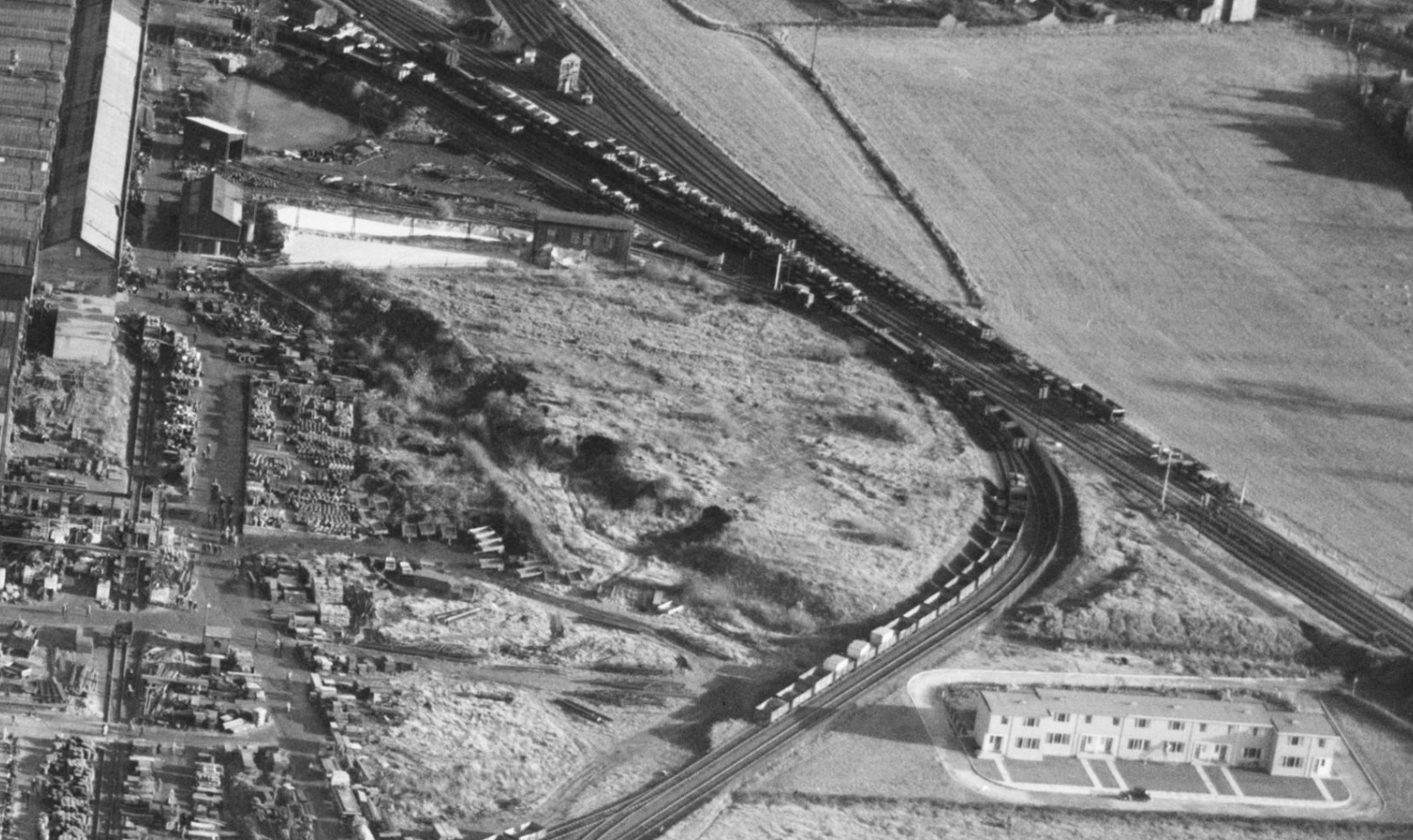
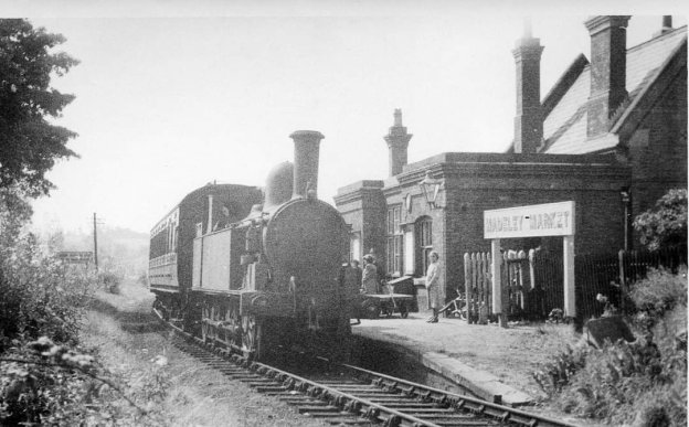
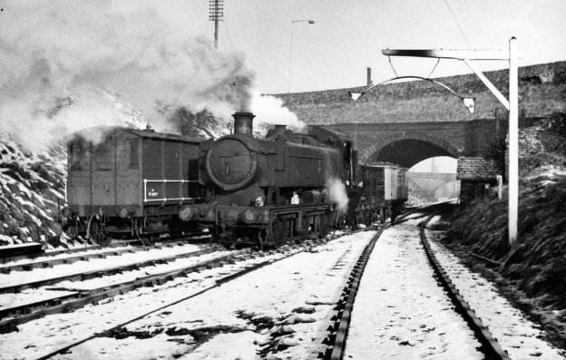
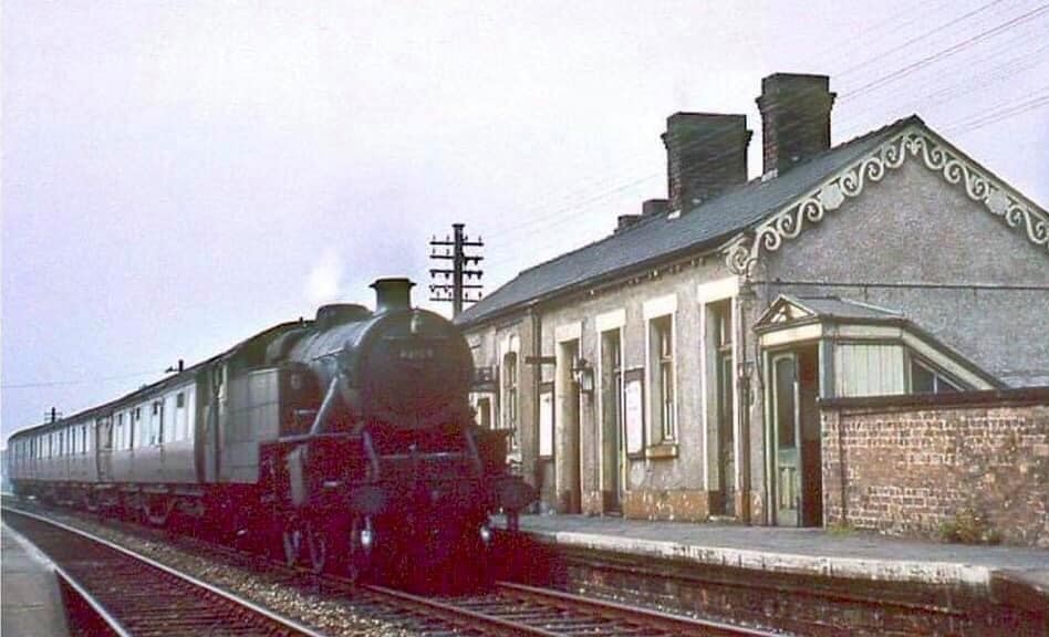
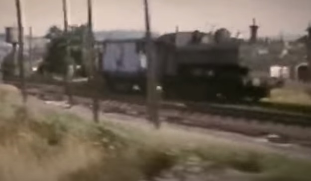
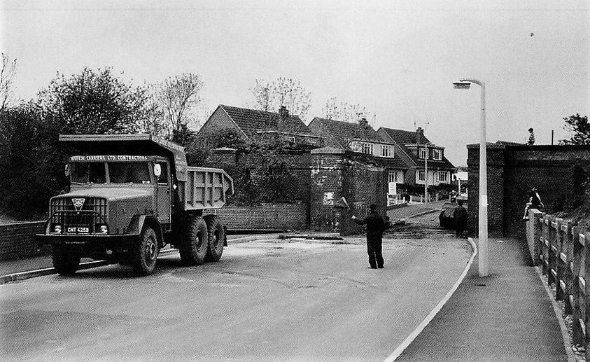
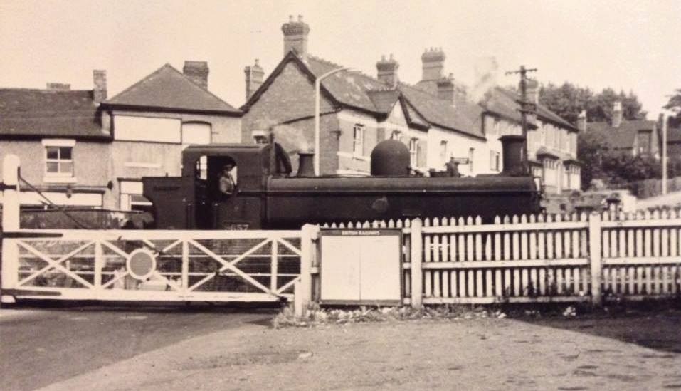
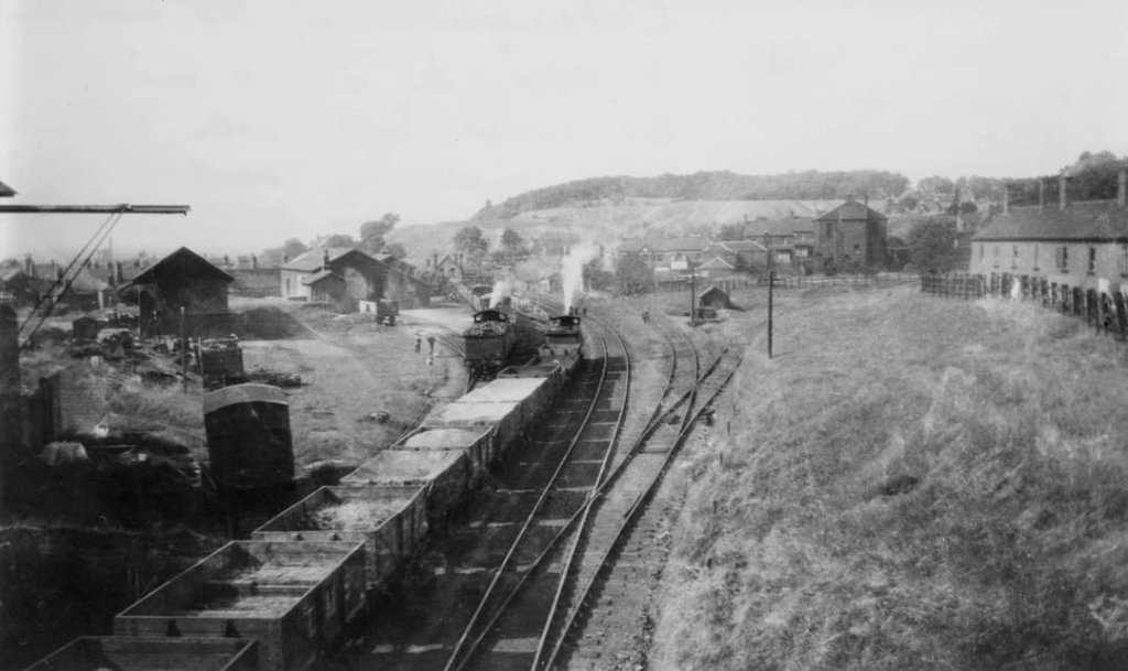
The MGR wagons would then be moved by a class 47 to Ironbridge, with run rounds at both Wellington and Madley Junction. This photo was shared by Lin Keska on the Telford Memories Facebook Group on 2nd May 2017. [32]


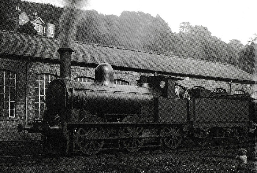
David Clarke the photographer of the image above is also the author of a book about the Railways in the Telford Area published by the Crowood Press. You can find a review of the book on this link.


The canal route can be followed on the Captain Ahab’s Watery Tales blog, so there is no need to repeat it here. [27] The remaining length of the mineral railway to Muxton Bridge Colliery is covered below.


Both Waxhill Barracks Collery and Muxtonbridge Colliery closed at around the same time at the turn of the 20th century. [22] Muxtonbridge Colliery was active from 1890 to 1905. Waxhill Barracks Colliery had a longer life, 1818 to 1900.
We have now looked beyond the immediate length of the Humber Arm of the Newport Branch of the Shropshire Union Canal and the Lilleshall Company’s tramways and mineral railways in the immediate area of the canal arm. We have covered the old tramway between the Canal and Old Lodge Furnaces and a significant length of the later Mineral Railway, so as to get an impression of the area that the Lubstree Wharf served when it was active.
References
- https://en.m.wikipedia.org/wiki/11th_Signal_Brigade_and_Headquarters_West_Midlands, accessed on 20th July 2023.
- Bob Yate; The Railways and Locomotives of The Lilleshall Company; Irwell Press, Clophill, Bedfordshire, 2008.
- https://en.m.wikipedia.org/wiki/Shrewsbury_Canal, accessed on 20th July 2023.
- https://maps.nls.uk/view/121149737, accessed on 20th July 2023.
- https://maps.nls.uk/view/121149743, accessed on 20th July 2023.
- https://maps.nls.uk/view/121150199, accessed on 20th July 2023.
- https://maps.nls.uk/view/121150235, accessed on 20th July 2023.
- https://maps.nls.uk/geo/explore/#zoom=15.8&lat=52.72534&lon=-2.44627&layers=168&b=1, accessed on 20th July 2023.
- https://maps.nls.uk/geo/explore/#zoom=15.8&lat=52.71920&lon=-2.44018&layers=168&b=1, accessed on 20th July, 2023.
- https://www.railmaponline.com/UKIEMap.php, accessed on 21st July 2023.
- https://www.geograph.org.uk/photo/250050, accessed on 22nd July 2023.
- https://maps.nls.uk/view/121150244, accessed on 22nd July 2023.
- https://www.barbers-rural.co.uk/property-sales/lubstree-wharf, accessed on 23rd July 2023.
- https://maps.nls.uk/view/121150271, accessed on 24th July 2023.
- https://maps.nls.uk/view/121150280, accessed on 24th July 2023.
- https://sncanal.org.uk/canal-rail-transhipment-shed-lubstree-wharf-at-the-end-of-the, accessed on 26th July 2023.
- https://sncanal.org.uk/hum-pic-bui-033-2, accessed on 26th July 2023.
- https://sncanal.org.uk/hum-pic-bri-002-3, accessed on 26th July 2023.
- https://sncanal.org.uk/wp-content/uploads/2019/07/hum-pic-can-001.jpg, accessed on 26th July 2023.
- https://m.facebook.com/groups/674238619260811/permalink/3082152125136103, accessed on 27th July 2023.
- https://friendsofgranvillecountrypark.com/lodge-furnaces, accessed on 29th July 2023.
- https://friendsofgranvillecountrypark.com/industrial-history, accessed on 30th July 2023.
- https://maps.nls.uk/geo/explore/#zoom=18.0&lat=52.71799&lon=-2.42658&layers=168&b=1, accessed on 31st July 2023.
- https://maps.nls.uk/geo/explore/#zoom=18.0&lat=52.71607&lon=-2.42427&layers=168&b=1, accessed on 31st July 2023.
- https://maps.nls.uk/geo/explore/#zoom=18.0&lat=52.71758&lon=-2.42026&layers=168&b=1, accessed on 31st July 2023.
- https://maps.nls.uk/view/121150244, accessed on 31st July 2023.
- http://captainahabswaterytales.blogspot.com/2012/02/donnington-wood-canal-granville-park.html, accessed on 1st August 2023.
- https://ancientmonuments.uk/116670-site-of-pumping-engine-at-muxton-bridge-colliery-donnington-and-muxton/photos/1907, accessed on 1st August 2023.
- Charles Hadfield; The Canals of the West Midlands 2nd Edition; David & Charles, Newton Abbot, Devon, 1969.
- https://m.facebook.com/groups/674238619260811/permalink/10092979834053262, accessed on 6th August 2023.
- https://www.facebook.com/groups/674238619260811/search/?q=donnington%20sidings, accessed on 13th August 2023.
- https://www.facebook.com/photo/?fbid=1479767825400983&set=pcb.1638734829477847, accessed on 13th August 2023.
- https://www.facebook.com/photo/?fbid=350260361818673&set=gm.846144078736930, accessed on 13th August 2023.
- https://www.facebook.com/photo/?fbid=350106448500731&set=gm.845962032088468, accessed on 13th August 2023.
- https://www.facebook.com/photo/?fbid=347844735393569&set=gm.843475365670468, accessed on 13th August 2023.
- https://www.facebook.com/photo/?fbid=358717190972990&set=gm.857116324306372, accessed on 13th August 2023.
- https://www.facebook.com/photo/?fbid=10155592536724231&set=gm.1769985219686140, accessed on 13th August 2023.
- https://www.facebook.com/groups/granville.colliery/permalink/2469128759930137, accessed on 16th August 2023.


