
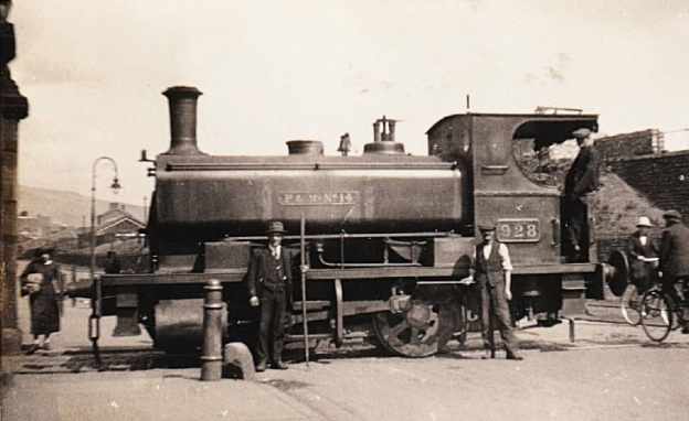
The featured image for this article shows a Powlesland and Mason locomotive (withdrawn 1927) crossing Oystermouth Road, Swansea just outside the gate pillars of the rail entrance to the gas works, probably in the early 1920s. This or similar locomotives would have transported Clyne Valley coal to the gas works. The image was shared on the Industrial Locomotive Enthusiasts Facebook Group by Dave Roberts on 20th August 2026. The photographer is not know, (c) Public Domain. [17]
In the very early 19th century, The Clyne Valley Tramway was built (around 1804–1807) as a branch line extension of the Oystermouth Railway (Swansea & Mumbles Railway) to transport coal and timber out of the Clyne Valley.
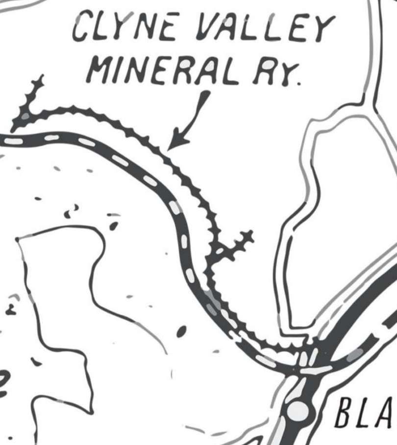
Promoted initially by John Morris I and John Morris II, the tramroad/tramway connected local coal workings—such as early bell pits and the Rhydydefaid pit—down through the valley toward Swansea Bay and local docks.
During the 19th century, the tramway and its branches served a number of industrial sites, including later collieries like Clyne Wood Colliery (opened 1868), ironworks, chemical works, and the Clyne Valley Brickworks.
Industrial operations in the valley wound down by the early 20th century (with lines largely abandoned by the 1920s and tracks lifted around World War II).
“From about 1812 a number of large underground pits were excavated of which at least 5 are known. An arsenic and copper works was opened in 1837; acetic acid works in 1856; and brickworks in 1875. In 1865, the main line came through the valley and at least one colliery was directly connected to it. There was also a horse racing course, which was between Killay and Olchfa and operated between 1866 and 1927.” [1]
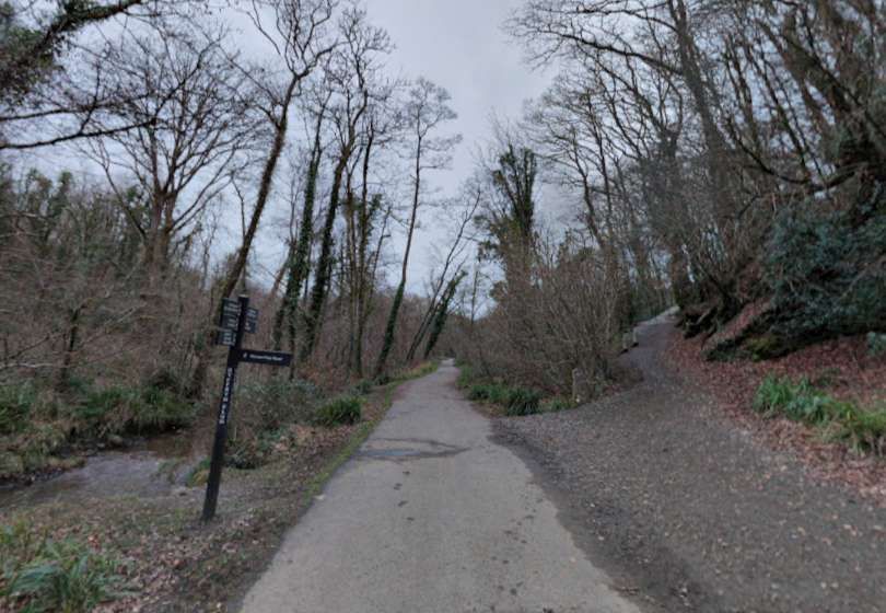
The Clyne branch parted from the line to Oystermouth at Blackpill and “followed a course close to the river as far as a spot referred to in the Act as Ynys – in modern terms about 250 yards to the north of the pond beside the cycle track (NGR SS 61249 91599). The sinuous track that now runs on the level beside the east bank of the river follows the course of the railway. The total length of the branch was about 1,450 yards.” [6]
“The first mention of Clyne Valley coal being carried on the railway comes in March 1812 when the minutes of the railway company (now in the Richard Burton Archives in Swansea University) notes that ‘Mr Morris’ [i.e. John Morris II] had opened a colliery on the line of the tramroad. This colliery can perhaps be identified with the colliery to which the modern name Ynys has been given. In the last quarter of 1812 the first payment by Morris of tolls on ‘Coals from Ynis to sundry parts of Tramroad’ is recorded. Similar payments were then made every quarter until September 1814. After that, there is no further record of tolls on Ynis coal until entries in the cash book cease early in 1816. This strongly suggests that the colliery was in production for two years only, 1812–14.” [6]
Later, John Morris II, now Sir John, once again became involved with the line, he “became mortgagee in possession of the railway on 21st December 1819. For a time the company continued to have the semblance of corporate existence but by 1847 George Byng Morris, the grandson of Sir John, had assumed the role of absolute proprietor.” [6]
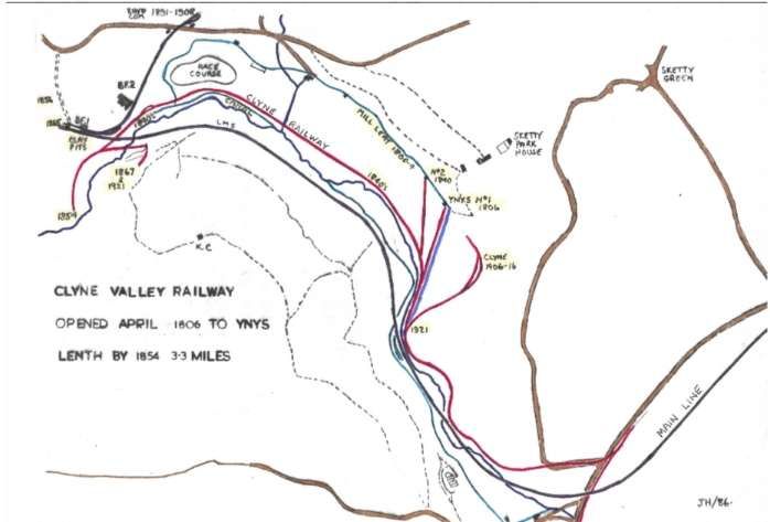
The Clyne Valley Community Project tells us that after John Morris II ceased working in 1816 it appears that there was no coal working in the Clyne Valley until 1840. At that time when he transferred all his mineral interests to his second son, George Byng Morris. He re-laid the abandoned Clyne Valley branch line and built an extension to a new pit – his own Rhydydefaid pit. The line along the valley as far as Ynys remained as a legal part of the Swansea & Mumbles Railway (the Oystermouth Railway) but was apparently regarded by everyone as the property of the Morris family! “The section north from Ynys to Rhydydefaid pit was a new construction that closely followed the course of the river and was truly the private property of George Byng Morris. The re-laid branch with Morris’s extension was complete by 1846 at the latest.” [6]
George Bingo Morris also owned a coal yard at Blackpill which was now conveniently connected to Rhydydefaid pit. The yard probably covered local land sales but the bulk of the output from Rhydydefaid pit was carried to Swansea on the Swansea & Mumbles Railway and much of the output was used in the town’s gasworks on Oystermouth Road.
Morris extended his new tramway a short distance beyond Rhydydefaid pit. “At this period the coalfield around Dunvant and beyond was starting to be developed on a commercial scale and the new tramway was seen by several promoters as a possible means of getting their coal to Swansea for export or use in the town’s industries. The railway was never actually extended in this way, but when the Llanelly Railway was built in the 1860s a short tunnel, which still exists, was provided through their embankment, and the only reason for this tunnel can have been to accommodate a pre-existing right of way.” [6]
In 1854, the Swansea Coal and Iron Co was formed in London and it took over the running of the pit and the tramway. It arranged for the renewal of the whole Swansea & Mumbles Railway, having it converted from a plateway into an edge rail line to improve access to Swansea docks.
Morris undertook the re-laying of the original Swansea & Mumbles Railway, including the Clyne Valley branch as far as Ynys. “The Coal Company was responsible for the extension from Ynys to Rhydydefaid since this section was regarded as part of the colliery infrastructure.” [6]
Until 1865, the Clyne Valley line was the sole outlet for coal from Rhydydefaid. In 1865, when the Llanelly Railway opened their line through the valley, initially for goods traffic only, a siding to serve Rhydydefaid was put in, perhaps as part of the original construction but certainly by 1876. But, this did not supersede the Clyne Valley branch which remained in use. “A further source of traffic was added in 1868 when Clyne Wood Colliery, across the river from Rhydydefaid, started to produce Clyne Wood was connected to the Clyne valley branch by means of a bridge across the river and for a year or two sent its coal out by that way.” [6]
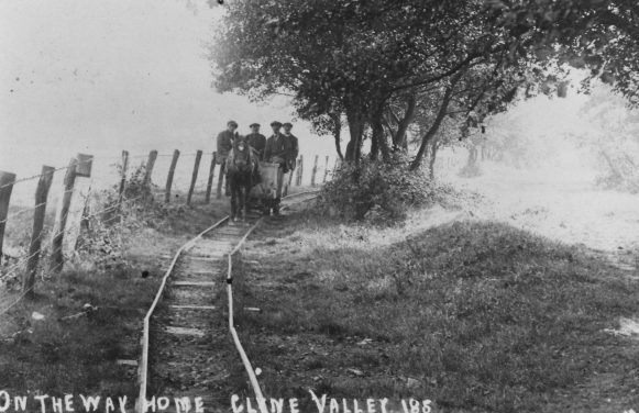
The Clyne Valley Tramway/Tramroad: A single horse pulls what appears to be a single wagon along a curved section of the tramway. It is clear that curves were formed by a series of short straight lengths of rail. This image is © Blackpill Local History Society and licensed for reuse under a Creative Commons Licence (CC-BY-NC-ND). [3]
The Clyne Valley Community Project tells us that by 1870, Philip Richard had control of Rhydydefaid Colliery and by 1878 he had introduced a steam locomotive that worked on both the branch and the mainline of the Swansea & Mumbles Railway. The pit was closed in around 1883 and the Clyne Valley Branch also fell into almost complete disuse. Only the occasional train operated by the Oystermouth Railway Company (the owners of the Swansea & Mumbles Railway) in connection with the local racecourse.
In 1891, Philip Richard opened a new pit, Commercial or Rhydydefaid No. 2, served by a newly built siding off the LNWR line which ran through the woods on a high embankment. Initially, the new pit was not viable but “Richard took a lease of coal under Llanerch and Olchfa which lay between Dunvant Road and Hendrefoilan Road and adjoined his existing taking. This gave him access to an area of more easily worked coal which made the colliery a viable proposition. He re-opened Commercial in 1899.” [6]
He also refurbished the Clyne Valley Branch of the Swansea & Mumbles Railway and began sending coal into Swansea via the Swansea & Mumbles Railway as part of “an agreement made in 1899 between the Swansea Improvements & Tramways Company, by this date owners of the [Swansea & Mumbles] Railway, and Sir Robert Armine Morris and Philip Richard.” [6]
In the early 20th century (1903), the Clyne Valley Slant Colliery was opened. “It was connected to the Clyne Valley branch by a new siding and this was its only railway connection: it had no link to the LNWR. The branch was re-laid in 1904 to the point at which the new siding had been put in, probably with heavier rails to cope with the volume of traffic expected from the new colliery. In 1906, an agreement was made with the Swansea Improvements & Tramways Co. [(SI&T Co.)]… under which all the coal from the Clyne Valley colliery was to be hauled to Rutland Street by the Tramways Company.” [6]
The Clyne Valley Community Project tells us that a further period of disuse followed the closure of the Clyne Valley Colliery in 1915. “Then in 1919, James Pridmore opened his Ynys Slant close to the former Clyne Wood Colliery. He entered into negotiations with the SI&T Co in the hope that they would extend their branch from its terminus at Ynys to his new slant – in effect, hoping that they would relay the privately-owned extension. Understandably the company was not prepared to do this and Pridmore then laid his own narrow-gauge tramway along the trackbed of the extension to the limit of the SI&T Co line. The company then agreed to send a locomotive up the branch as far as Ynys (i.e. to the limit of their metals) to collect the coal so long as there was a load of at least 50 tons. Pridmore opened a second slant in 1920, the West Glamorgan Slant, close to the point at which the former Clyne Valley Colliery siding had joined the branch, but neither this nor the Ynys slant were successful and both were abandoned in 1921.” [6]
The Clyne Valley Community Project continues: “the last revenue-earning traffic on the branch was in 1921 but the track remained usable and as late as 1936 a diesel locomotive penetrated as far as Ynys Gate, the terminus of the SI&T Co. Presumably, this was simply an exploratory move or one intended to maintain the company’s rights. The track was lifted in part during World War II but some sections still remained into the 1950s.” [6]
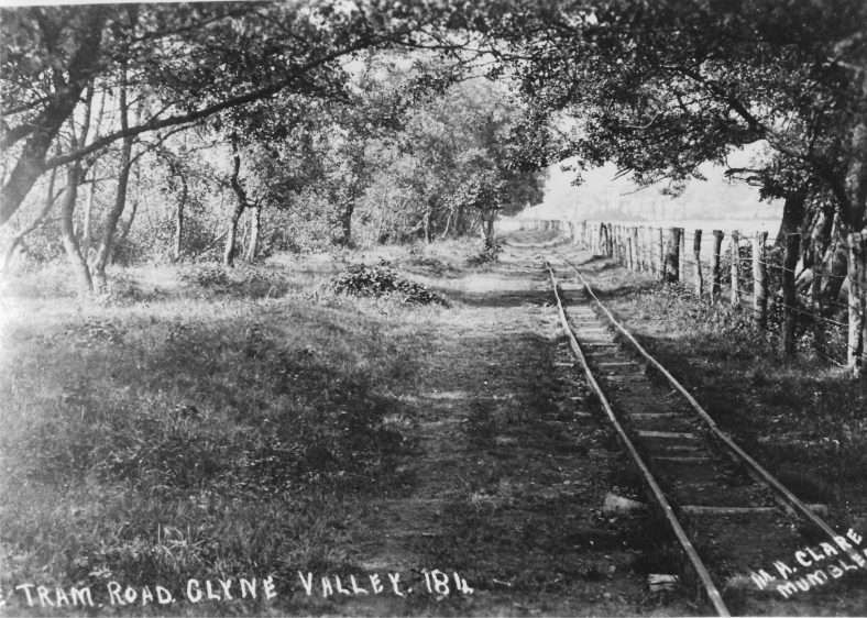
Another view of the Clyne Valley Tramway/Tramroad: the line was built of light-sectioned rail, © Blackpill Local History Society and licensed for reuse under a Creative Commons Licence (CC-BY-NC-ND). [4]
The Route of the Line
The line left the Swansea & Mumbles Railway close to Blackpill Bridge and Mumbles Road Railway Station (LNWR).
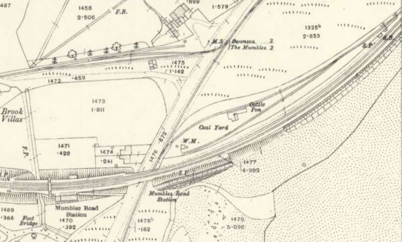
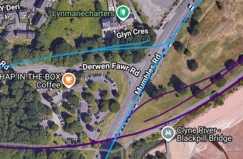
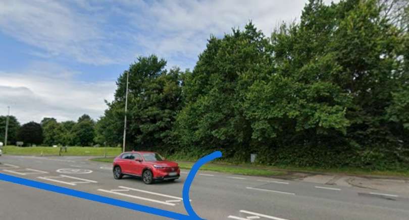
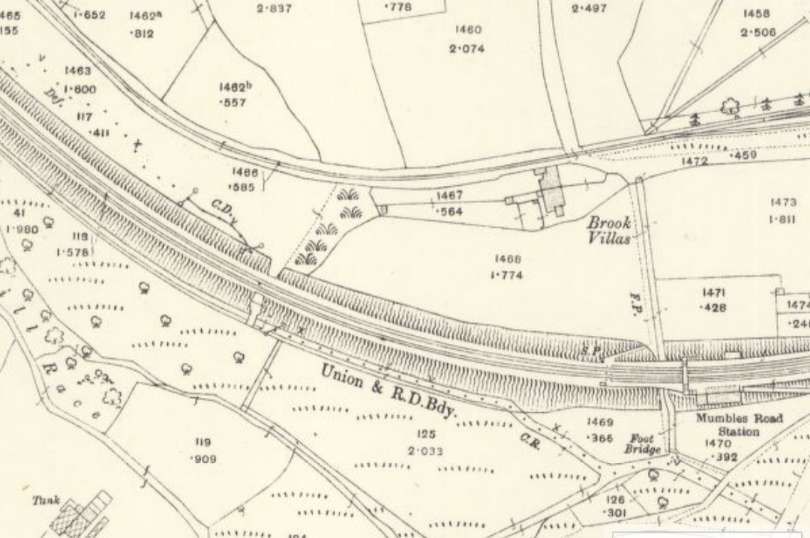
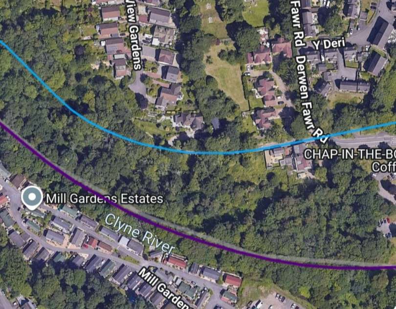
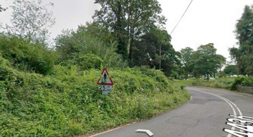
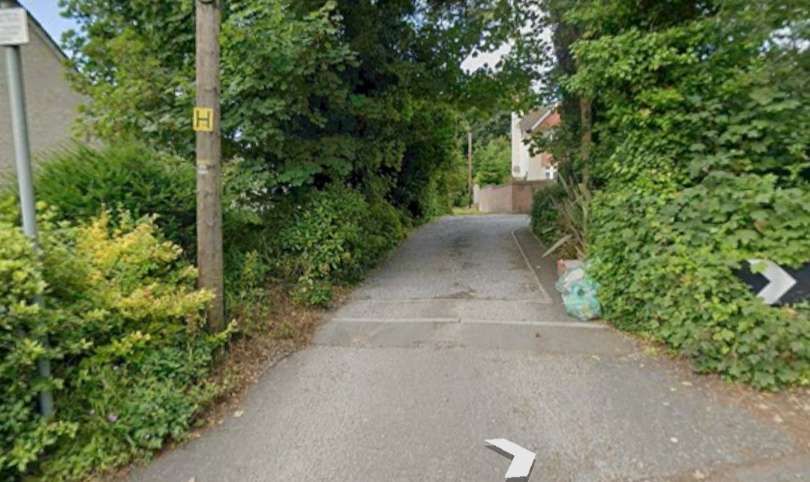
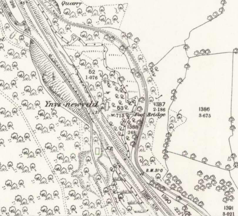
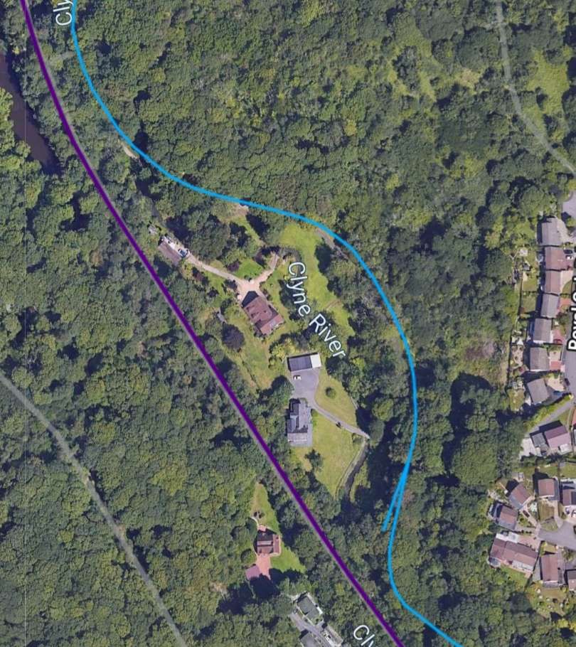
These next few Streetview Images are courtesy of the City & County Survey Team.
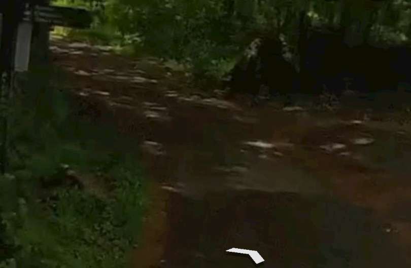
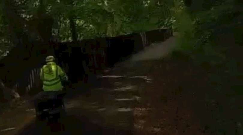
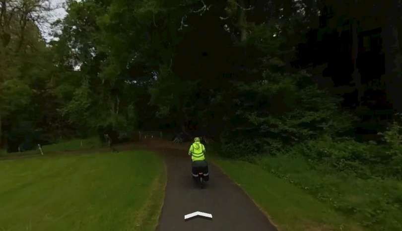
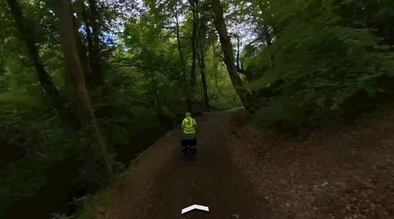
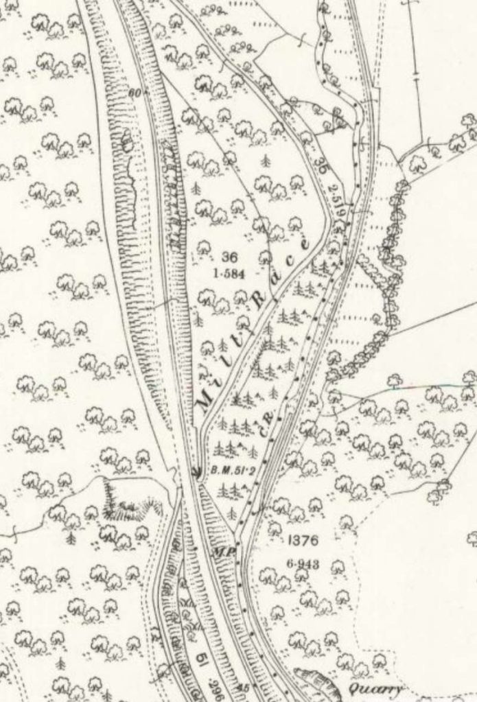
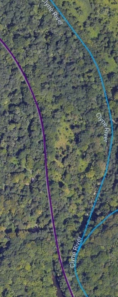
A similar area to that shown in the map extract above. Note the branch line that railmaponline.com shows heading to the East from the main branch line. This does not appear on the map extract as it was the line which served Ynys Colliery in the earlier 19th century. By the sate of the 1878 Ordnance Survey, the line had been abandoned and removed [12]
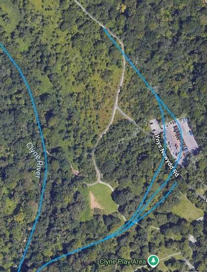
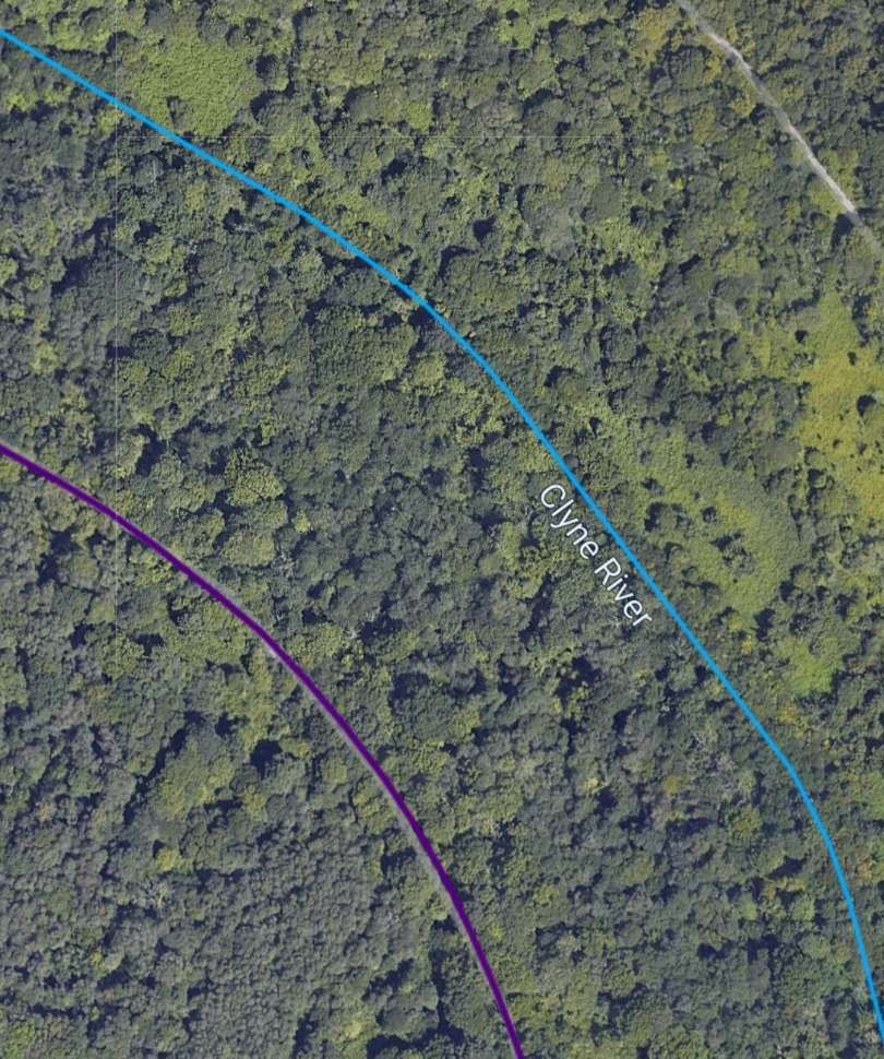
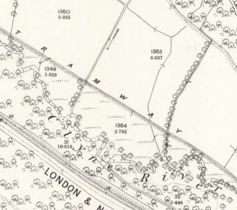
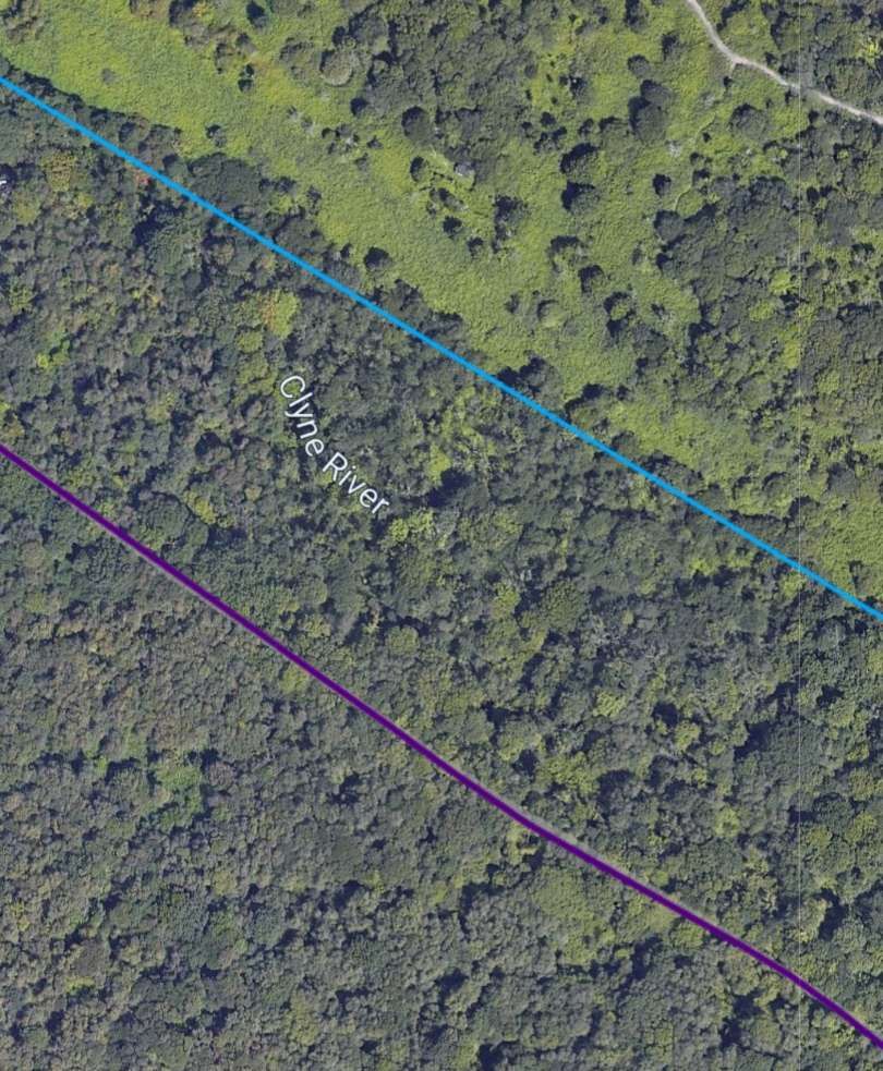
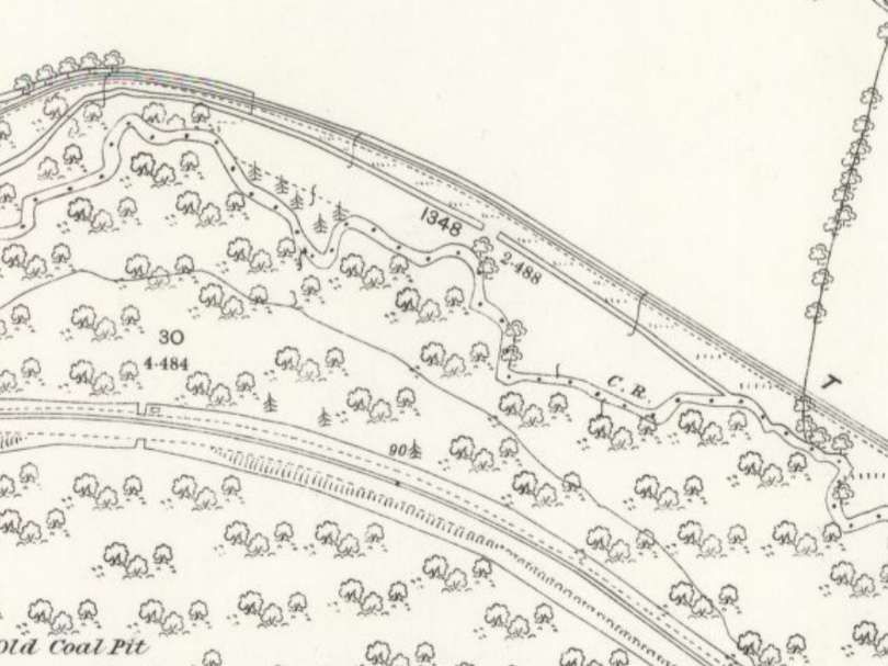
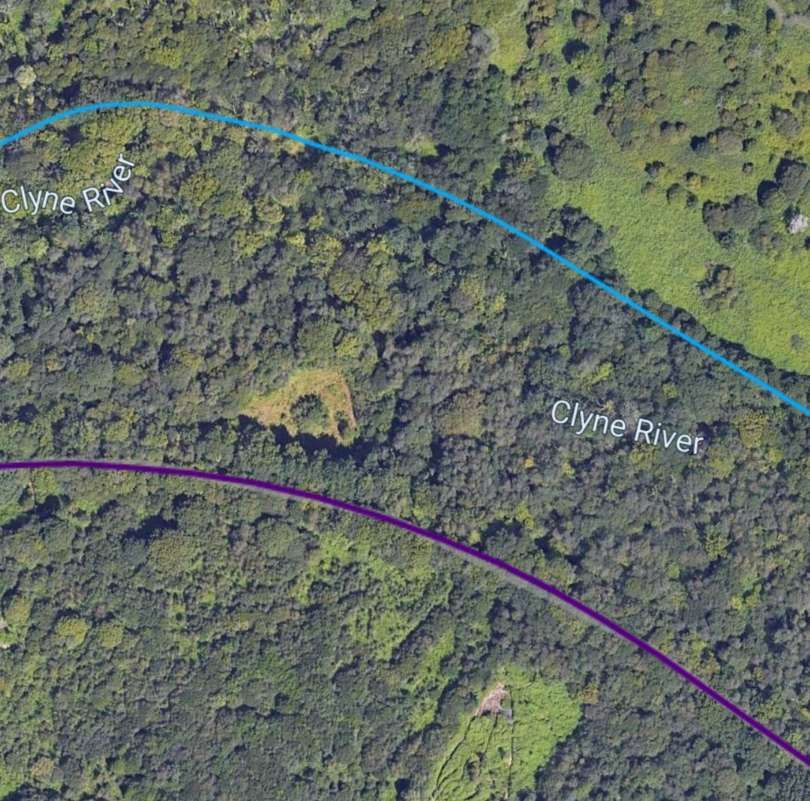
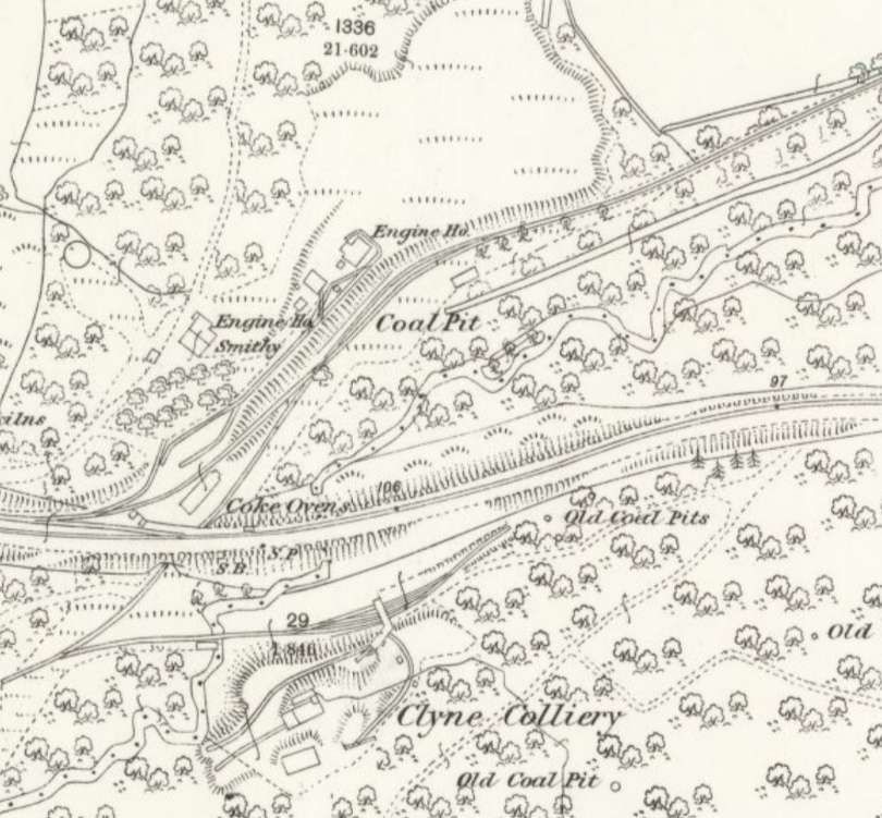
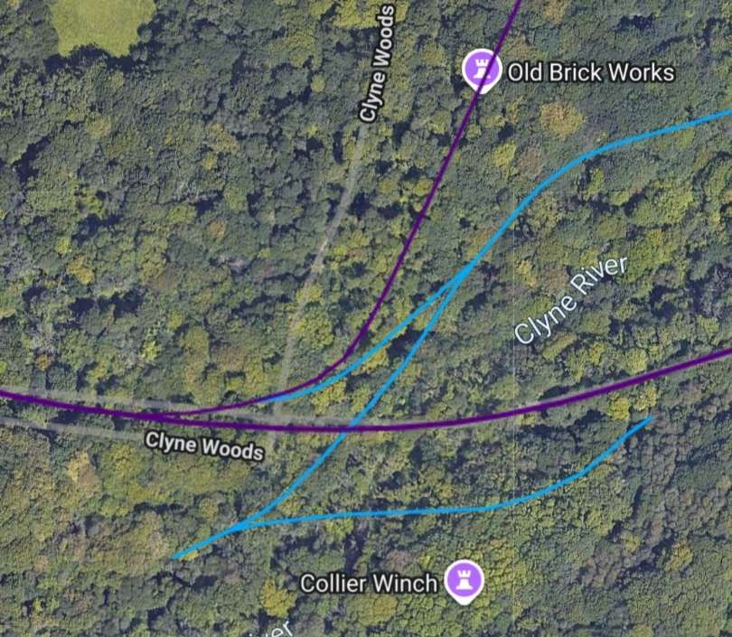
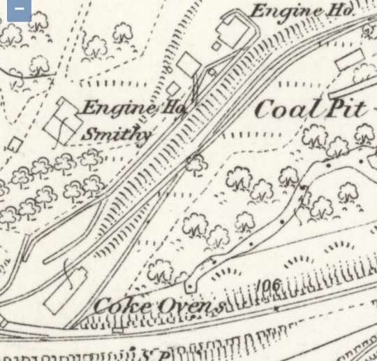
A closer view of the area to the Southeast of Killay that was the original terminus of the extension mentioned in the text of this article. Note the Coke Oven, two Engine Houses and the Smithy which remain from Rhydydefaid No. 1 Pit. [9]
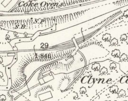
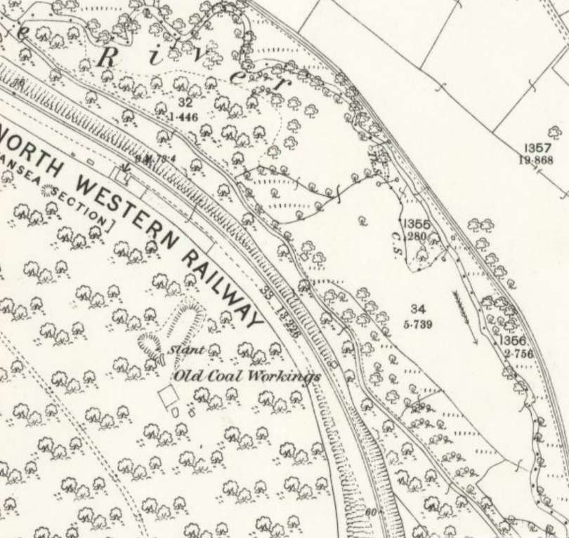
The site of Clyne Colliery which was accessed under the LNWR line and then via a headshunt. [9]
The next couple of OS map extracts show the area Southeast of Killay at two later times in history – the turn of the 20th century and immediately before the first world war. …
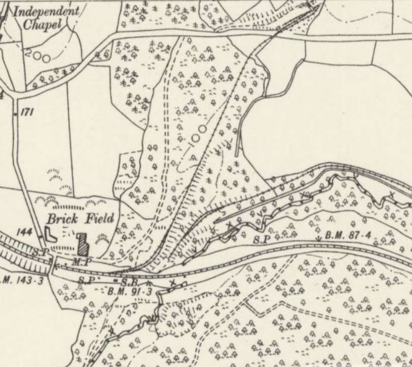
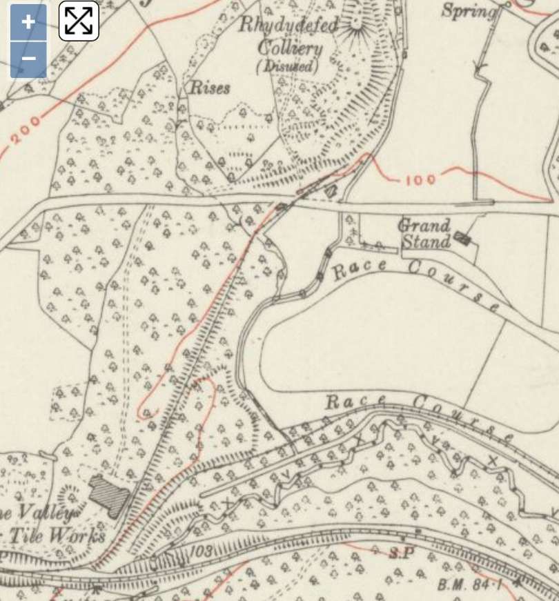
The next image is a line drawn map of the area South of Killay.
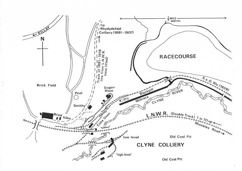
Rhydydefaid No. 1 Pit
There is very little left of the buildings associated with this colliery which sat at, what was then, the end of the Clyne Valley Tramway. The colliery’s extensive waste tips are to the north of the pit on the south-east side of the railway embankment leading to the later Rhydydefaid No. 2 Pit (known too as Commercial Colliery). No. 1 Pit was sunk early in the 1840s and George Byng Morris started to work the coal and ironstone almost immediately through the Rhydydefed Coal Company and the Rhydydefed Iron Company which were created for this purpose. In order to serve these new workings, he re-laid the original 1804 Clyne valley branch of the Oystermouth Railway and extended it to Rhydydefaid pit in 1841-2, thus almost doubling its length. The history of teh colliery is covered in the general text above, it passed through a number of different hands and spent times in a state of disrepair prior to being refurbished by the next ‘owner’ or ‘leasholder’. Deatils are available on the Clyne Valley Community project website. [13]
That website tells us that, ” Evidence for the closure date of the Rhydydefaid pit is ambiguous. The colliery is listed in the report of the Inspector of Mines for 1882 and in Mining and Mineral Statistics for 1883. It is absent from Mining and Mineral Statistics in 1884 but re-appears in 1885 and 1886: in both years no manager is named which could be taken to indicate that it was inactive. The pit had definitely been abandoned by 1885 since all the plant and machinery was offered for sale in December of that year. The plant included a winding engine and a pumping engine, each with its own boiler; these would have been housed in the two engine houses which were marked on the 6in and 25in Ordnance Survey maps of 1876/7. There were also screens and tipping apparatus, cages, coke ovens (again as shown on the Ordnance Survey maps), a large number of trams, eight railway trucks, rails and a variety of miscellaneous equipment – altogether what one would have expected of a well equipped colliery. With a life of about forty years, its closure must have been due simply to the fact that all the coal that could be worked conveniently or economically had been extracted.” [13]
Within a few years coal was being exploited from Rhydydefaid No 2 Pit (Commercial Colliery).
Rhydydefaid No 2 Pit (Commercial Colliery)
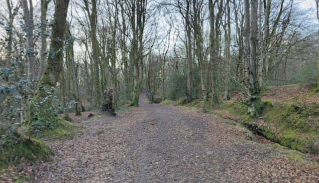
This colliery was built to exploit coal from the area North of the No. 1 Pit. Rhydydefaid No 2 Slant, later known as Commercial Colliery, commenced working in 1891 or at the latest 1892; A railway connection to the new slant was put in from the existing siding off the London & North Western Railway which had been installed to serve Rhydydefaid No 1. The railway is shown on the 2nd edition of the Ordnance Survey 6 inch map (revised 1896) and it is safe to assume that it was in existence by the time the colliery opened. It remains a prominent feature within Clyne Woods.
Remnants of this colliery are described on another page on the Clyne Valley Community project website. [14]
After closure, an area to the West of the site seems to have been used as a clay pit with the embankment was used as a convenient track for transporting clay to the brickworks to the South of the site close to the LNWR main line.
Clyne Wood Colliery
Clyne Wood Colliery is marked on the OS mapping above as ‘Clyne Colliery’. Remnants remain but the principal site appears to have been used for clay extraction by the adjacent Briskworks.
The site and its history are described in detail in a page on the Clyne Valley Community project website. [15]
Work ceased at the pithead in 1870, although underlying minerals may have been extracted via the neighbouring Rhydydefaid pit. In June 1870, the entire plant and materials at the Clyne Wood pithead were offered for sale. “It would appear that the sale was unsuccessful and that the pithead equipment remained in situ for it is all shown in detail on the first edition of the 25 inch Ordnance Survey map (surveyed in 1877/8).” [15]
Underground working probably ceased in about 1883 at the same date as Rhydydefaid itself.
Steam Locomotives
In the 1899 Agreement: to facilitate the reopening of the valley’s coal reserves, an agreement was struck with the Swansea Improvements and Tramways Company (operators of the Swansea and Mumbles line) to convey coal from the Clyne Valley down to the main Swansea wharfs. Because the main line had fully transitioned to steam traction by this era, the regular fleet of Swansea and Mumbles Railway Steam Locomotives worked the branch line to haul the heavy coal trains down the valley. This fleet included a variety of saddle tanks from manufacturers like the Falcon Engine & Car Works, Manning Wardle, and the Hunslet Engine Company. [16]
Steam-hauled coal trains coming down the Clyne Valley branch would arrive at the junction near Blackpill. To transfer the coal to the wider rail network, the locomotives had to back-shunt west towards Oystermouth before running forward through points into the adjacent London and North Western Railway (LNWR) Mumbles Road station goods yard.
Locomotive operations on the branch continued through the peak years of the local coal industry until the local slant mine closed in 1921. The track itself actually remained intact for years afterward, with records showing a final diesel locomotive excursion traveling up the branch as far as Ynys Gate as late as 1936. [16]
References
- https://www.storyofmumbles.org.uk/subject/clyne-valley, accessed on 18th October 2026.
- https://www.storyofmumbles.org.uk/catalogue_item/clyne-valley-industry, accessed on 18th October 2026.
- https://www.storyofmumbles.org.uk/catalogue_item/clyne-valley-on-the-way-home, accessed on 18th October 2026.
- https://www.storyofmumbles.org.uk/catalogue_item/clyne-valley-tram-road, accessed on 18th October 2026.
- https://www.storyofmumbles.org.uk/catalogue_item/clyne-valley-the-killay-end, accessed on 19th October 2026.
- https://clynevalleycommunityproject.uk/history/clyne-valley-branch-railway-and-its-extension, accessed on 19th October 2026.
- https://wrrc.org.uk/s&mrrc.php, accessed on 19th October 2026.
- https://maps.nls.uk/view/135196921, accessed on 20th October 2026.
- https://maps.nls.uk/view/135196912, accessed on 20th October 2026.
- https://maps.nls.uk/view/102183111, accessed on 20th October 2026.
- https://maps.nls.uk/view/102342499, accessed on 20th October 2026.
- https://railmaponline.com/uk-and-irish-railways, accessed on 20th October 2026.
- https://clynevalleycommunityproject.uk/history/rhydydefaid-no-1-pit, accessed on 21st October 2026.
- https://clynevalleycommunityproject.uk/history/commercial-embankment, accessed on 21st October 2026.
- https://clynevalleycommunityproject.uk/history/clyne-wood-colliery, accessed on 21st October 2026.
- https://en.wikipedia.org/wiki/Swansea_and_Mumbles_Railway, accessed on 21st October 2026.
- https://www.facebook.com/photo/?fbid=4063548183937656&set=gm.27283315648009263&idorvanity=163976490369879, accessed on 21st October 2026.

