
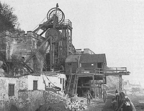
The featured image for this article shows Victoria Pit in the early to mid-20th century, (c) Public Domain. [7]
“In 1872–1873 the Hugo pit became productive; it was in high land above West Wemyss, and an inclined tunnel was dug, down which hutches of coal were lowered on a double track rope worked inclined plane, of 25 inches gauge. At the lower end of the tunnel the plane reached the small harbour of West Wemyss, already reached by the Victoria and Barncraig hutch tramways. An enlargement of West Wemyss Harbour was made at this time too, starting in 1872 and completed in September 1873.” [4][5]
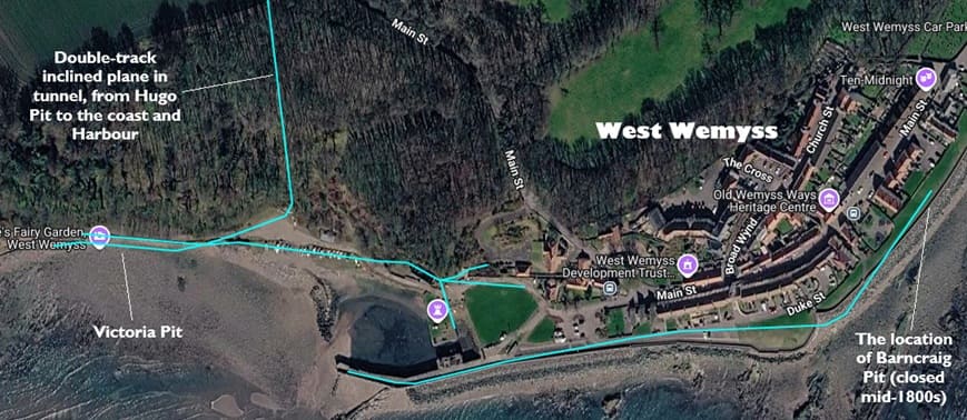
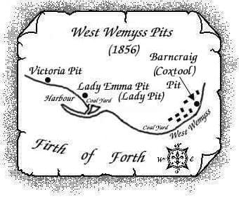
Victoria Pit was once Weymss No. 7 Pit, Lady Emma Pit (Lady Pit) was close to the Harbour a West Wemyss. Barncraig (Coxtool) Pit was on the East side of the village. [7]
Barncraig (Coxtool) Pit was sunk circa. 1836 and is known to have been working into the 1860s. [8]
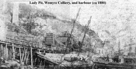
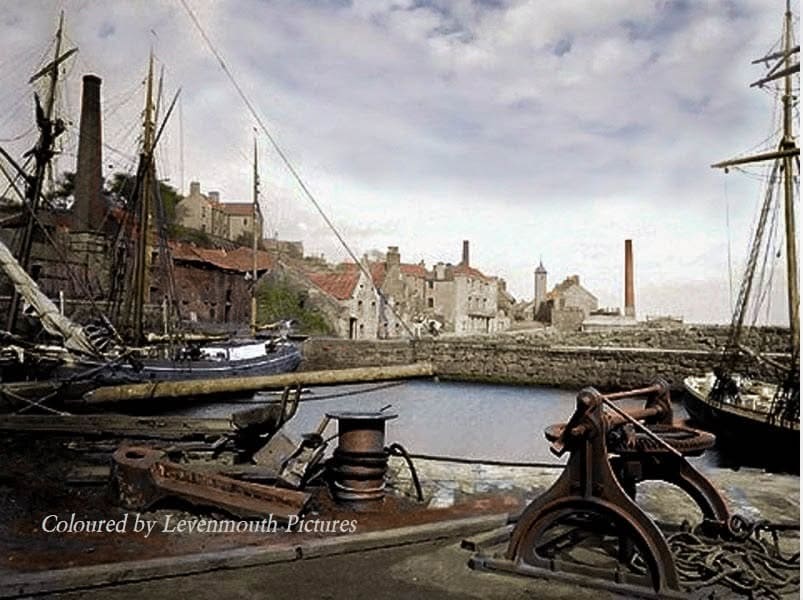
Lady Pit and the Harbour at West Weymss, circa. 1880.‘ (c) Public Domain. [10]
Lady (Emma) Pit was sunk circa. 1842, coal was last raised in 1902. The Pit shaft remained in use as an airshaft for adjacent pits until circa. 1939 when it is believed that it was in-filled. [10]
Victoria Pit in the early to mid-20th century, (c) Public Domain. [7]
For more information on Victoria Pit please consult the East Fife Mines website. [7]
It is known that the gauge of the tunnelled incline was 25″. [4] Given that the Hugo Pit will have wanted access to West Wemyss Harbour, this suggests that the tramways along the coast may have been of the same gauge.
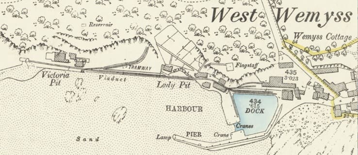
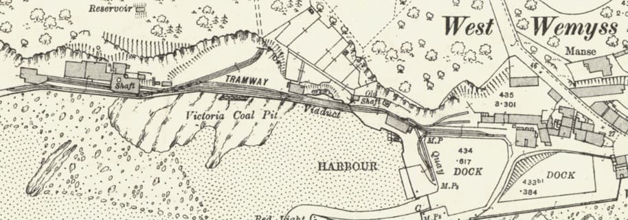
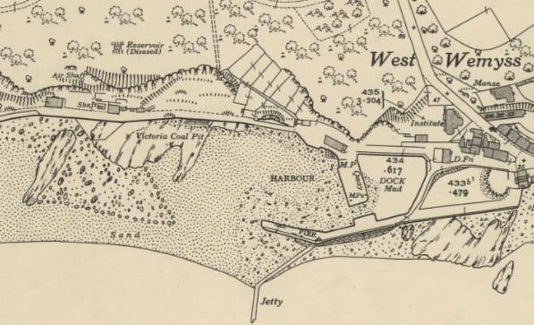
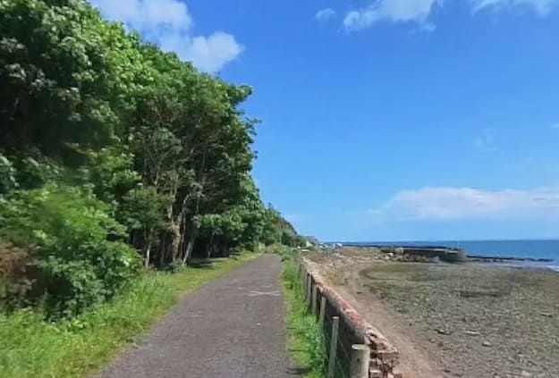
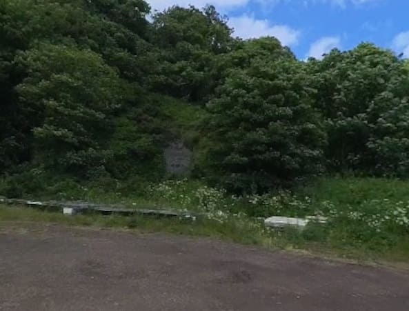
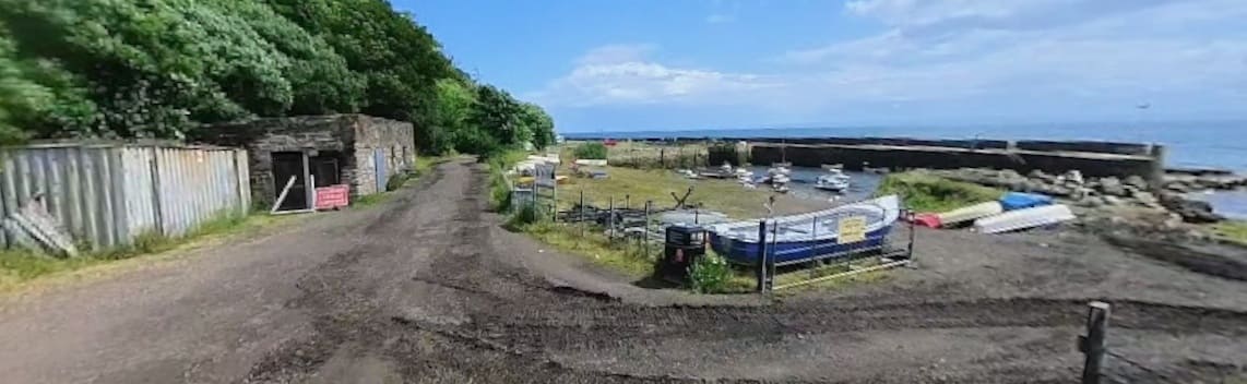
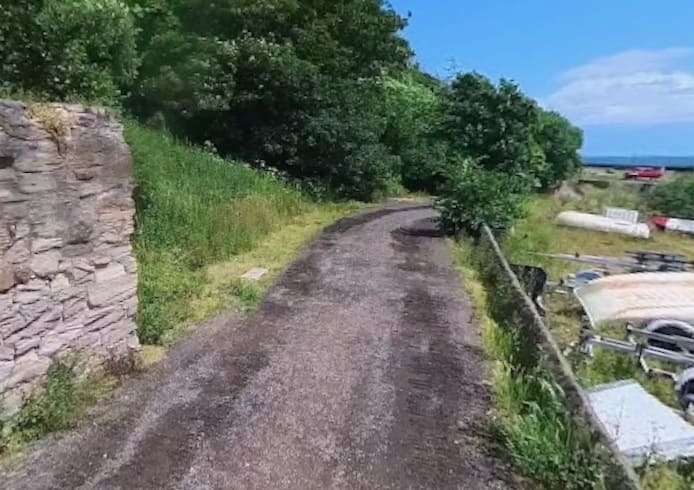
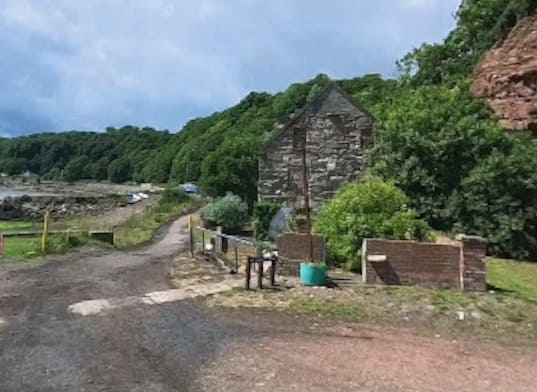
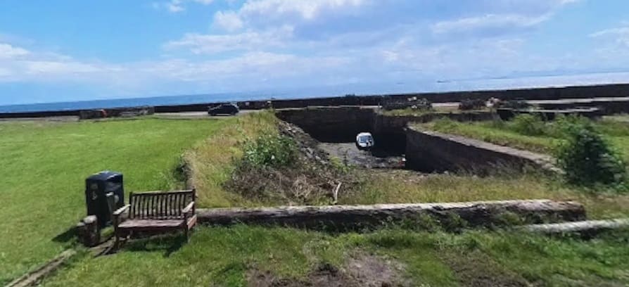
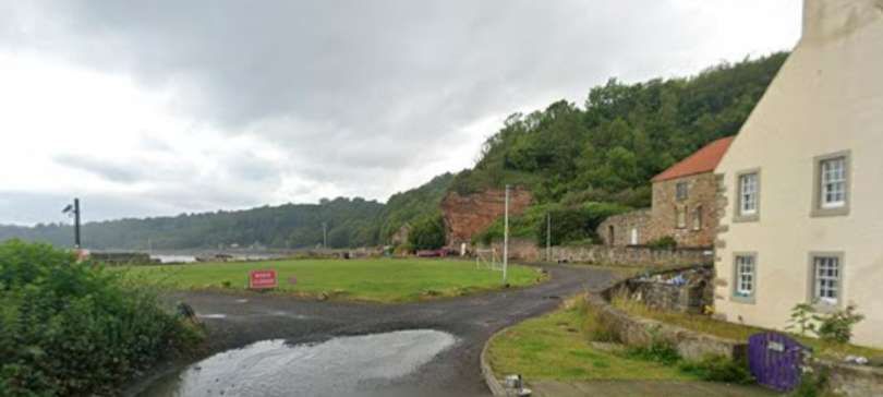
The viaduct mentioned in the note under the image immediately above, ran East from the corner of the building visible on the left in this image. Once across the viaduct the tramway continued in a straight line to the East, (c) Jonathan Kirk. [Google Streetview, July 2023]
The tunnelled incline ran North to Hugo Pit. It preceded the rail link to the Pit and provided the most effective way, at the time, to get coal to markets. [11]
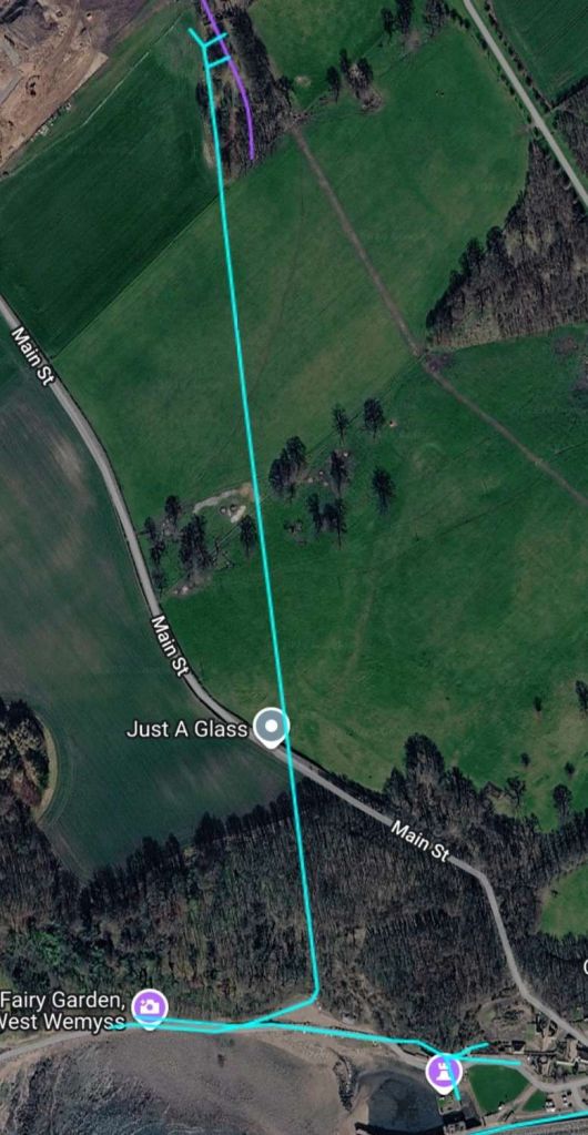
The location of the Hugo Pit is at the top edge of this satellite image. The tunnelled incline was of a considerable length. The purple lines at the top of this image are the sidings at the southern end of the later branch line on the Weymss Estate Railway. [6]
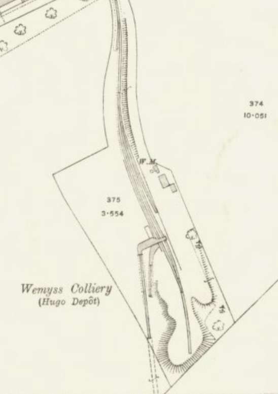
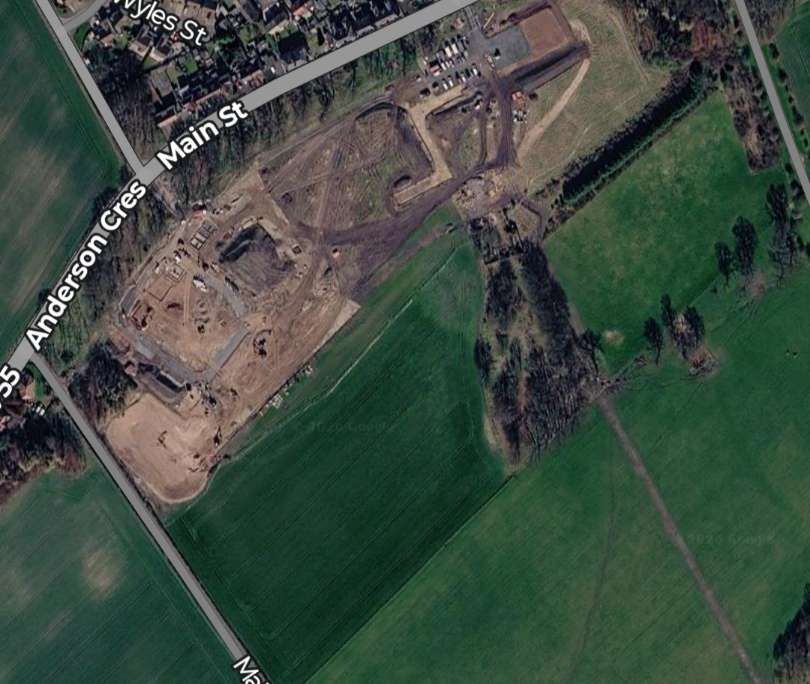
The Hugo Pit was sunk around 1873, it lay south of the village of Coaltown of Wemyss and was linked by an underground tunnel to the Victoria Pit (formerly Wemyss No. 7), to the south by around 1875. Later, by around 1891-92 it was linked by rail to the Lady Lilian (later re-named Lochhead) Pit, less than a mile to the north. By 1910, much of the production from the Victoria Pit was no longer being exported from the West Weymss Harbour and was being shipped up the incline and stored at what became known as Hugo depot. As required, the coal from the Hugo depot was then loaded onto waggons and sent to Methil Docks. [12]
References
- https://www.facebook.com/photo?fbid=1445877255569720&set=a.194447409607645, accessed on 5th November 2026.
- https://maps.nls.uk/view/82881921, accessed on 5th November 2026.
- https://maps.nls.uk/view/82881915, accessed on 5th November 2026.
- https://en.wikipedia.org/wiki/Wemyss_Private_Railway, accessed on 5th November 2026.
- D Landale; Description of an Under-dip Coal Working in Prize-Essays and Transactions of the Highland and Agricultural Society of Scotland, Volume X; William Blackwood and Sons, Edinburgh, 1835.
- https://railmaponline.com/uk-and-irish-railways, accessed on 5th November 2026.
- https://www.fifepits.co.uk/starter/east/pits/v/pit-1.htm, accessed on 5th November 2026.
- https://www.fifepits.co.uk/starter/east/pits/b/pit-6.htm, accessed on 5th November 2026.
- https://maps.nls.uk/view/82881918, accessed on 5th November 2026.
- https://www.fifepits.co.uk/starter/east/pits/l/pit-4.htm, accessed on 5th November 2026.
- https://maps.nls.uk/view/82881438, accessed on 5th November 2026.
- https://www.fifepits.co.uk/starter/east/pits/h/pit-1.htm, accessed on 5th November 2026.

