
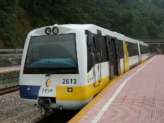
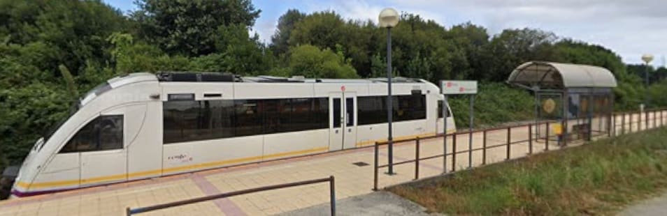
The featured image for this article comes from the FEVE lines of Northern Spain. It shows a typical DMU in use on the FEVE network, together with a number of single-car units, these vehicles provide services across the network, (c) Elfo del Bosque and licensed for reuse under a Creative Commons licence (CC BY-SA 3.0). [151]
The travel section of the Saturday Guardian Magazine on 23rd May 2023 included a few pages about train journeys in Europe (pages 72 to 77). This is the sixth part of a look at those pages. …
Nicky Gardner is lead author of Europe by Rail: The Definitive Guide (Hidden Europe, £21.99). The 19th edition of the book was published on 22nd June 2026. To order a copy for £19.79 go to guardianbookshop. com. Delivery charges may apply!
The featuredis second part of a look at the coastal routes highlighted by Nicky Gardner focusses on two railways – one in Spain and the other in Italy.
D. Spain: Galicia’s Spectacular Fjords
This railway journey runs from Ribadeo to Ferrol. Best advice is to sit on the right as the train sets out on the journey. This is a 91 mile journey which will take 3hours and 10 minutes. A single ticket will cost about €11.15 single. four trains a day are operated by Renfe.
Nicky Gardner writes:
“This is a superb short journey that follows the western extremity of Europe’s most extensive narrow-gauge rail network, which runs from the French border at Hendaye through the Basque Country and along Spain’s north coast through Cantabria, Asturias and Galicia. I have mixed feelings about the route as a whole, which veers well inland and is often quite humdrum. Hendaye to Ferrol demands 20 hours on trains, but the short ride on the final section is a slow travel adventure running west from Ribadeo, with twists and turns as the train navigates the rugged coastline around Ortigueira.” [1: p77]
“The tacky beach-front development west of Ribadeo is best ignored. Soon we cut away from the motorway and regain the coast, waves breaking to the right and rich eucalyptus forest to the left. There are superb views across the great fjords which are a hallmark of the Galician coast. These are called rías. Look out for Cape Ortegal away to the north. When I rode this route on a mid-winter morning, there were barely a dozen passengers aboard for most of the journey, although numbers picked up on the final half hour as we were joined by shoppers heading into Ferrol.” [1: p77]
“This is the humblest of local trains – those in search of luxury on rails may prefer the El Transcantabrico charter train, which includes Ribadeo to Ferrol as part of a wider seven-night itinerary – at eye-watering prices.” [1: p77]
The train operates as a slow, scenic commuter-style railcar on metre-gauge track. It offers sweeping views of the Atlantic, dramatic eucalyptus forests, and passes directly by the dramatic cliffs and rugged rias (estuaries) of the Rías Altas coast. The journey is only a part of a metre-gauge network which runs West from Bibao. Nicky Gardner suggests that the line between Bibao and Ribadeo is of lesser interest. Other commentators are more positive. “There are two outstanding sections of the Santander to Oviedo section of the railway. Firstly, between Roiz and San Vicente de la Barquera you enter a real wilderness alongside the Rio del Escudo. Secondly, climbing out of Ribadesella towards Oviedo, there is half an hour of very dramatic scenery, cliffs and drops to the river, alongside the River Sella.” [2]
Spain’s FEVE (Ferrocarriles de Vía Estrecha) was a vast,1,250-kilometre network of metre-gauge railways spanning Northern Spain. These lines are now operated by the national rail company Renfe-Feve. The network offers slow, Immersive, scenic travel from Bilbao to Ferrol through the rugged mountains and fishing villages of España Verde. [3]
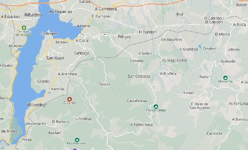
Staying within the length suggested by Nicky Gardner we set off West from Ribadeo. …
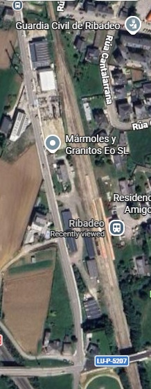
Ribadeo Railway Station. [Google Maps, June 2026]
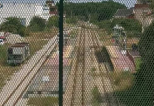
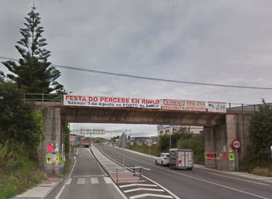
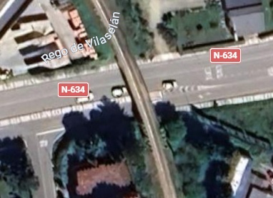
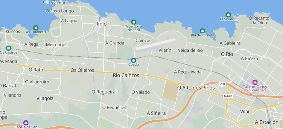
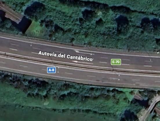
The line passes in tunnel under the Autovia del Cantabrico (A-8). [Google Maps, June 2026][Google Streetview, August 2023]
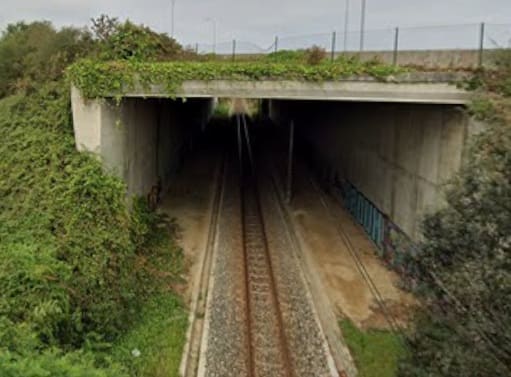
The photograph of the tunnel under the Autovia was taken from the minor road which bridges the line just to the East of the tunnel.
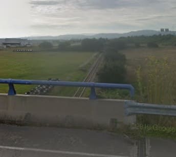
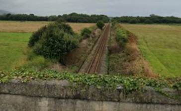
A glimpse of the line back towards Ribadeo and an even more fleeting view of the line ahead to the West. both views come from an industrial access road bridge over the line. [Google Streetview, August 2019]
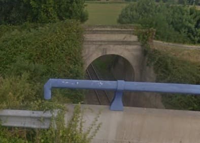
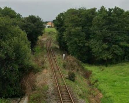
The line East towards Ribadeo from the overbridge carrying the LU-P-5202 road, and the line ahead to the West. [Google Streetview, July 2025]
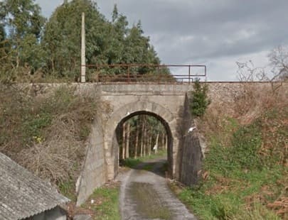
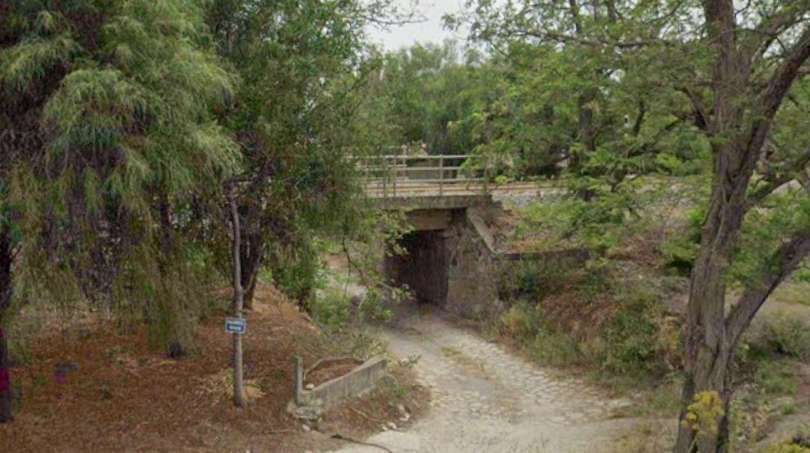
Typical of the construction of a number of underbridges on the line is this masonry arch structure. It spans a minor road which Goggle sees no need to name. Parapet protection is limited to a tubular steel two-bar fence on both sides of the line. This view is from the South. [Google Streetview, January 2014]
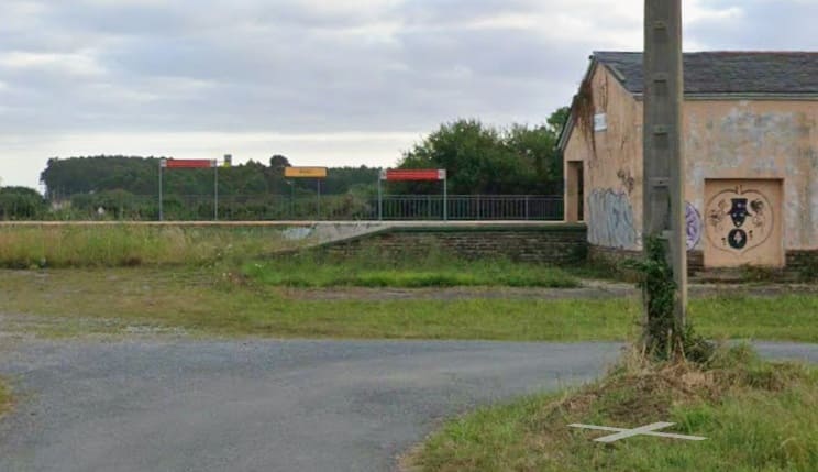
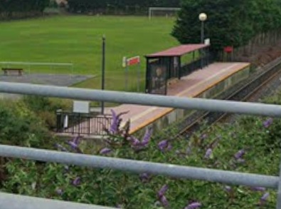
The next stop on the line – Os Castros. The short platform is seen here from the Southwest on the approach to the bridge carries the LU-P-5208 road over the line. [Google Streetview, July 2025]
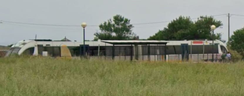
[Google Streetview, July 2025]
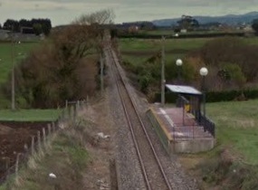
The same stop seen on another occasion from the overbridge to the West of the station. [Google Streetview, January 2014]
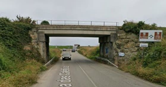
[Google Streetview, July 2025]
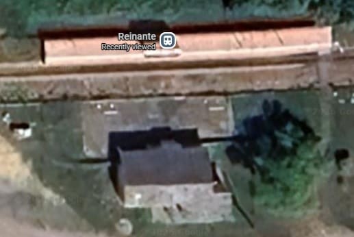
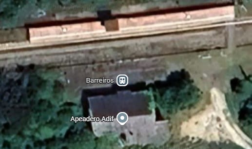
The next stop on the line is Reinante which is followed by Barreiros. [Google Maps, June 2026]
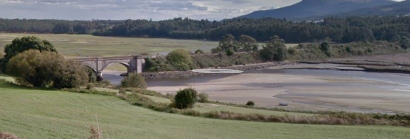
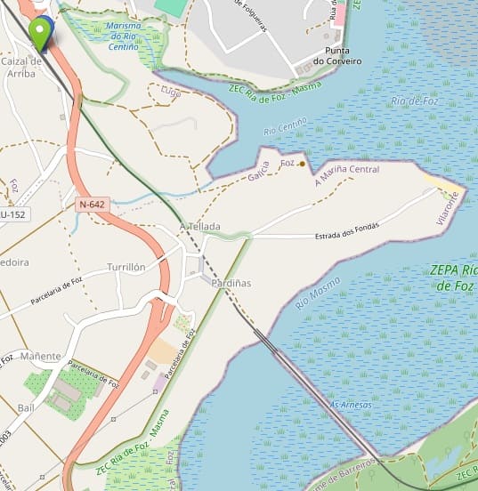
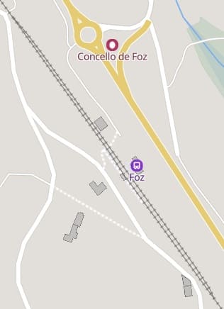
This extract from OpenStreetMap.org shows the immediate area of the Masma estuary/Ria del Foz. The embankment and bridge are shown clearly, so is the tunnel which trains enter soon after crossing the bridge heading Northwest. The Green flag in the top-left of the image is the location of Foz Railway Station. [5]
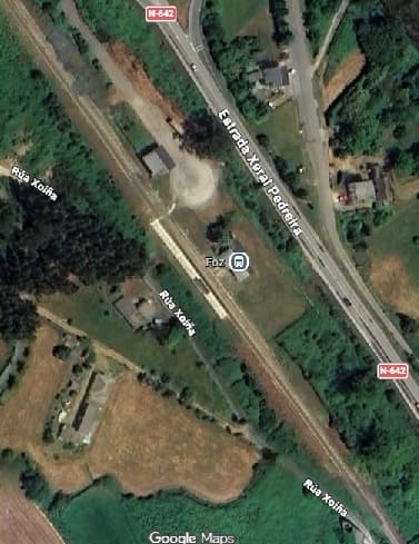
Foz Railway Station: This is the first passing loop on the single-track line West of Ribadeo. This is easier to make out on the extract from MapCarta. [Google Maps, June 2026]
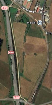
The next station is just a short distance further along the line – Marzan. It is shown here on the extract from Google’s satellite imagery. [Google Maps, June 2026]
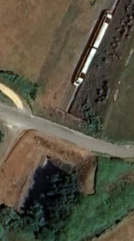

A closer view from above of Marzan Railway Station. [Google Maps, June 2026]
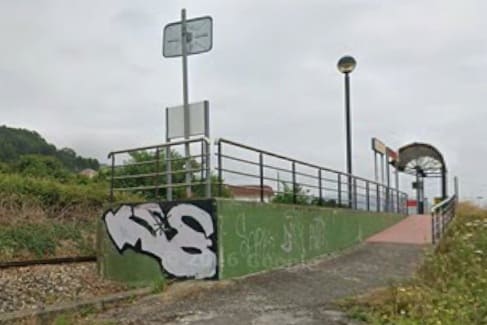
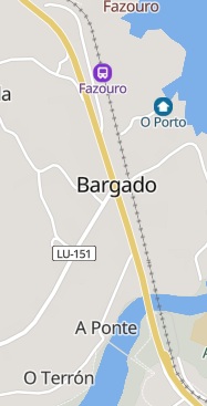
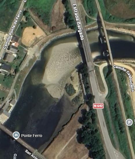
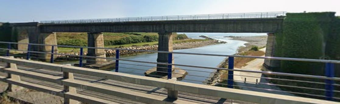
The next significant location is the rail bridge over the estuary of the Rio Ouro close to Bargado, which is one of three bridges in close proximity. [6]
North of the Rio Ouro, the line runs through Bargado and into the station at Fazouro, as can be seen on the MapCarta extract above.
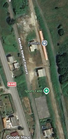
Fazouro Railway Station. [Google Maps, June 2026]
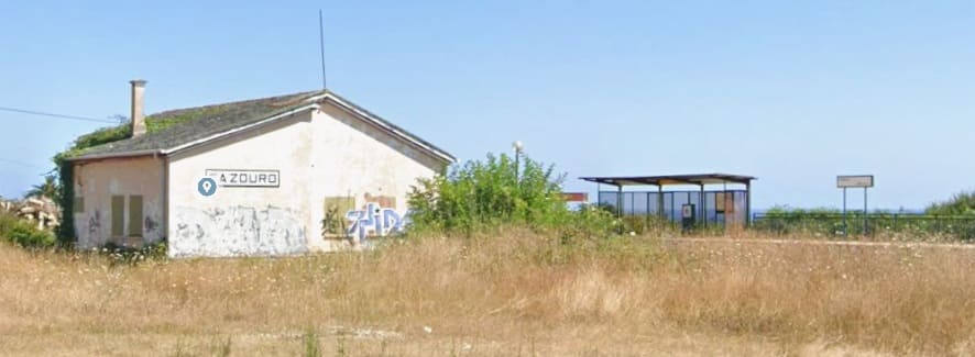
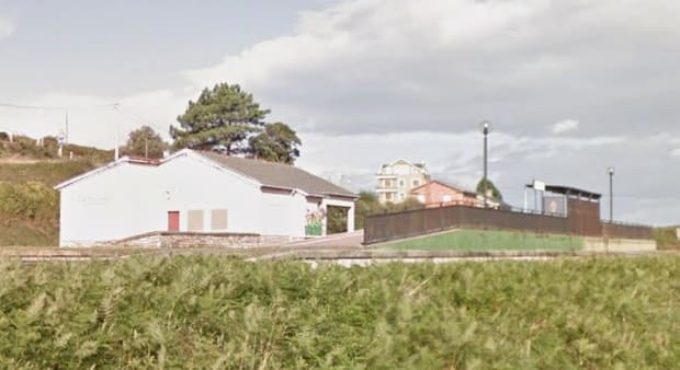
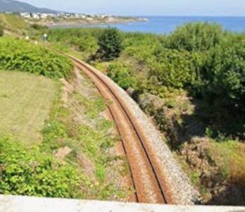
Looking West from the bridge carrying Camiño Praia over the railway, we can see that the line North of Fazouro begins to run closer to the coastline. [Google Streetview, July 2025]
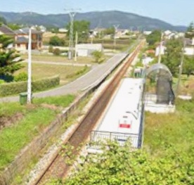
The next stop on the route is Nois Railway Station/Halt, seen here from the road bridge over the line to the South of the station. [Google Streetview, July 2025]

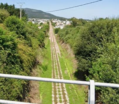
The line continues Northwest on a straight path. This view is taken from the bridge carrying Estrada Ribela over the line at Moreiras. [Google Streetview, July 2025]
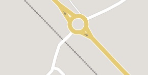
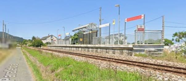
[Google Streetview, July 2025]
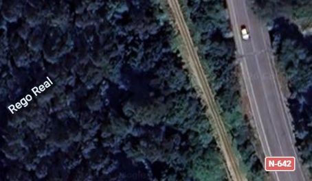
Northwest of Cangas de Foz, the line curves over the tightly wooded valley of Rego Real, although close to the N-642 it is well camouflaged by the vegetation. [Google Maps, June 2026]
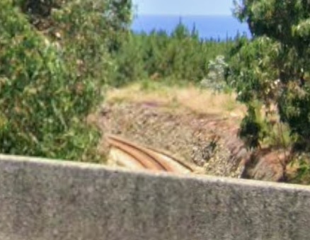
The line then curves sharply to the North to pass under the Estrada Xeral (N-642). This photograph is taken from the N-642 and shows the line appearing from under the road and then turning back towards the Northwest. [ Google Streetview, July 2025]
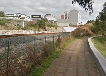
The line continues heading Northwest. It is seen here from a minor road running parallel to it. [Google Streetview, August 2019]
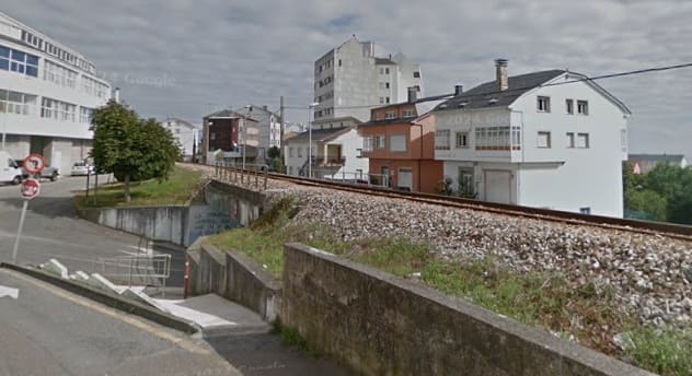
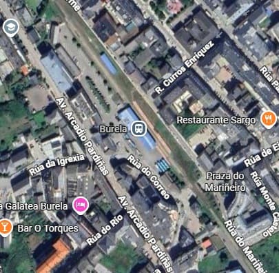
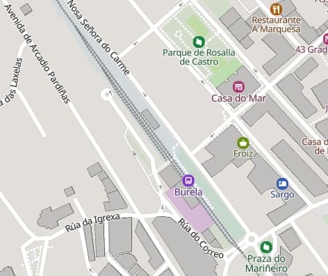
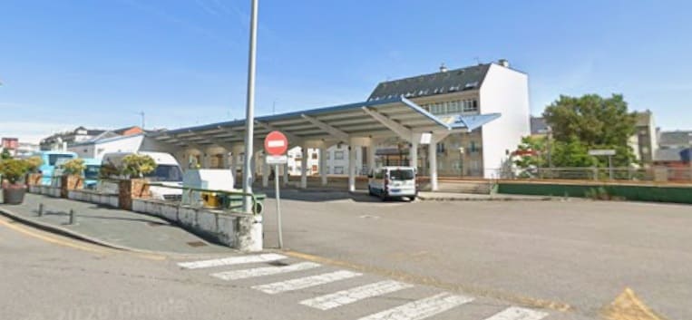
The station at Burela is another crossing point on the line. [Google Maps, July 2026]
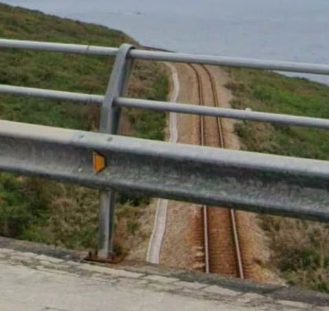
By this time trains are running very close to the coast. This view from the bridge carrying Estrada Marosa (LU-P-1510) over the line illustrates this. [Google Streetview, August 2025]
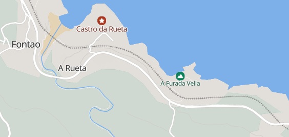
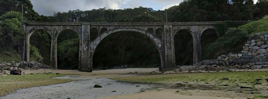
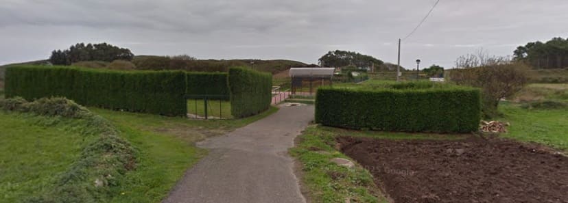
[Google Streetview, November 2013]
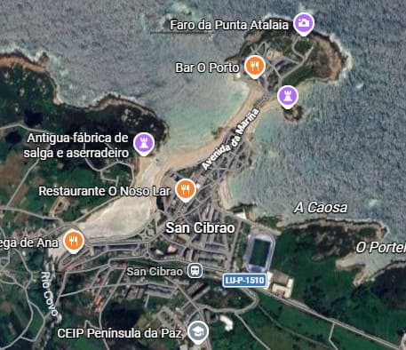
The next stop is in the seaside town of San Cibrao. [Google Maps, July 2026]
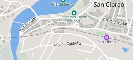
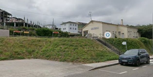
[Google Streetview, August 2025]
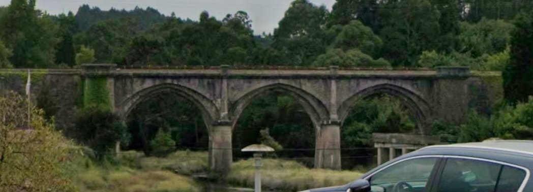
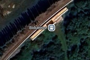
The next stop travelling West is Bidueiros Halt/Station. [Google Maps, June 2026]
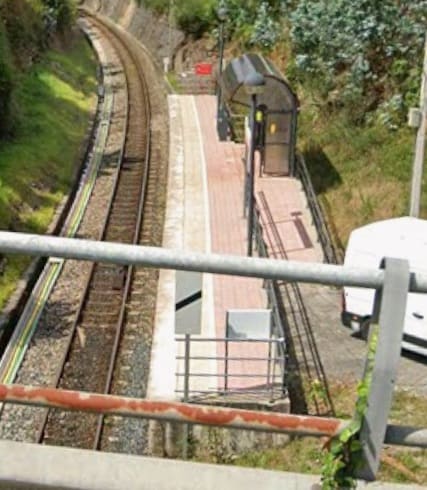
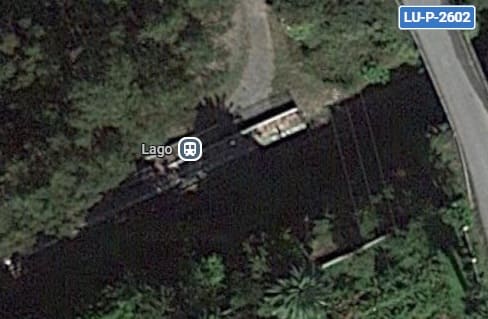
After travelling a little further inland, the next stop is Lago Halt/Station which is seen here in a photograph looking West from the LU-P-2602 road. [Google Streetview, July 2025]
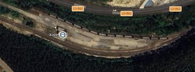
Xove Railway Station is the next when travelling West along the line. [Google Maps, June 2026]
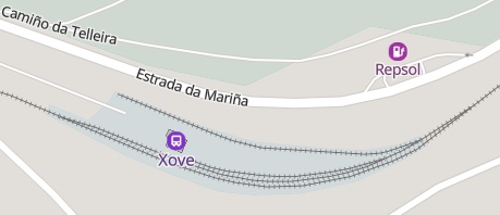
The station as it appears on MapCarta which shows that two loops leave the main running line at the station, one of which allows for passing traffic, there is also a single storage siding which is in use in the Google Maps image above. [7]
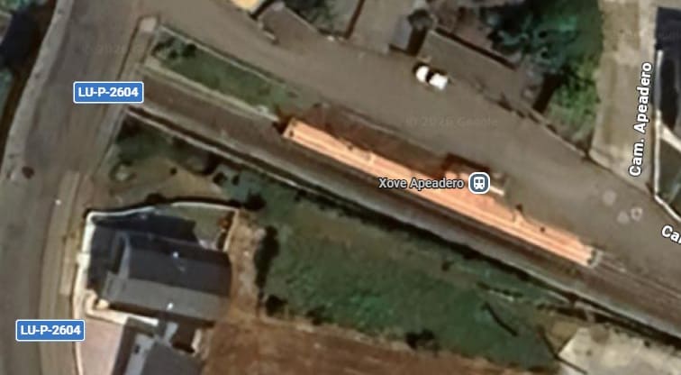
A short distance further West is Xove Apeadero Station/Halt. This halt also appears on maps as Xove-Pobo. [Google Maps, June 2026]
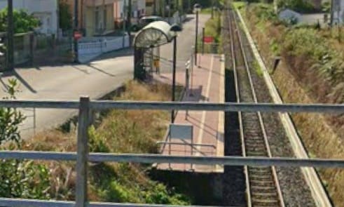
The view from the bridge carrying Calle Urbanizacion el Palmeiro across the line at the West end of the station site. [Google Streetview, August 2025]
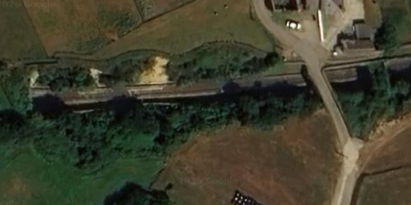
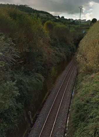
The view West from the bridge carrying the minor road over the line which can be seen on the right of the Google satellite image above. [Google Streetview, November 2013]

The western end of the tunnel is camouflaged by the tree cover and not visible on satellite imagery.
A short distance further West trains stop at Xuances Station/Halt.
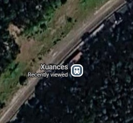
Xuances Railway Station/Halt. [Google Maps, June 2026]
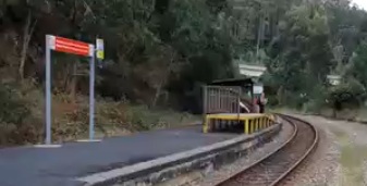
Beyond Xuances, the railway passes under the CG-2.3 road and runs through woods to the South of the road before passing under the LU-862 and running through the woods to the South of that road which eventually is first (according to Google Maps) given the name ‘Estrade Ribadeo’, then ‘De Viveiro a Ribadeo’. Both these lengths of road are named ‘Estrada da Marina’ on MapCarta and ‘Estrada Marina’ on OpenStreetMap.org.
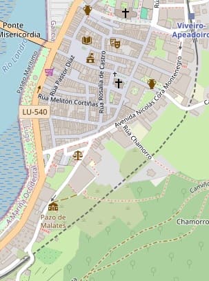
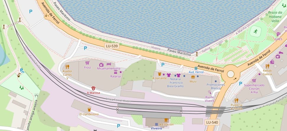
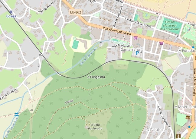
The MapCarta extract below shows the line as it runs through Celeiro, Viveiro and Covas around the estuary of the Rio Landro (Ria da Viveiro).
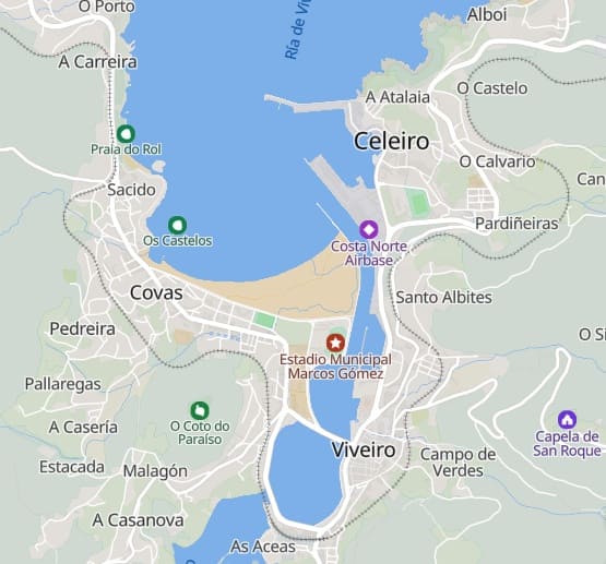
Celeiro appears not to have its own halt on the line, Viveiro has two halts – ‘Viveiro Apeadero’ and ‘Viveiro’.
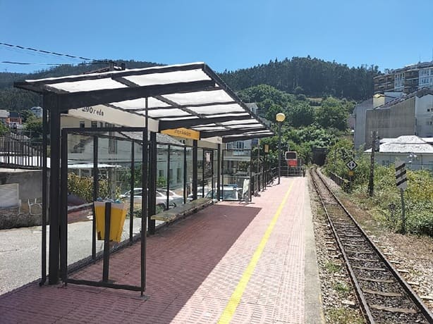
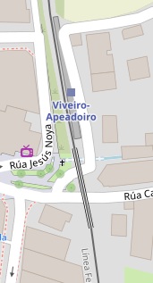
‘Viveiro Apeadero’ or ‘Viveiro Apeadoiro’ Halt. [10]
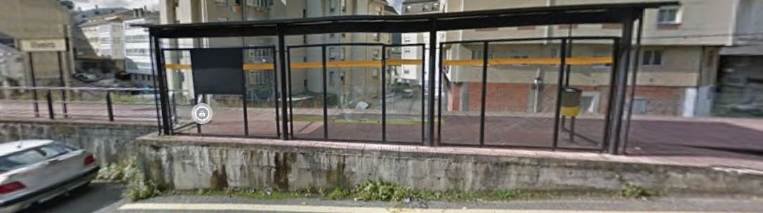
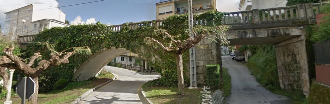
Immediately after crossing the viaduct to the South of Viveiro-Apeadero Station trans entered a tunnel which took the line to the station throat of the main station in Viveiro.
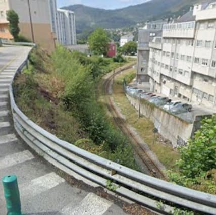
The tunnel between the two stations in Viveiro. [13]

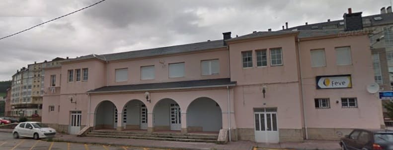
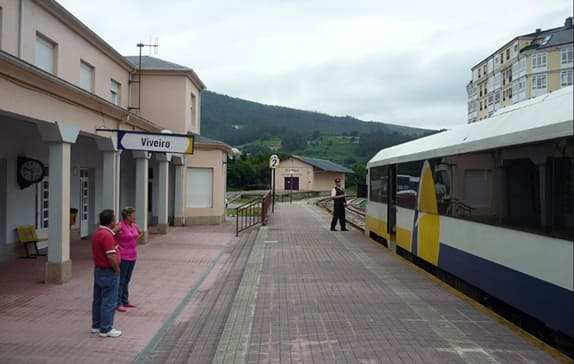
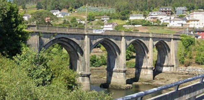
West of Viveiro Railway Station the line crossed the Rio Landra/Ria de Viveiro via a causeway and bridge.
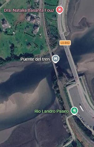
The bridge across the bay/river at Viveiro. [Google Maps, June 2016
[Google Streetview, August 2023]
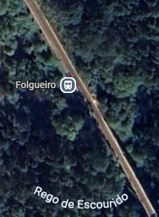
After wandering through the woods, the line passes through Folgueiro Station/Halt and then into tunnel under the village of O Folgueiro. [Google Maps, June 2026]
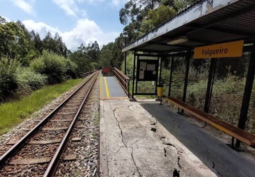
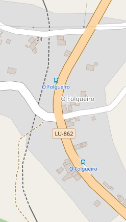
The Village of O Folgueiro sits over the FEVE line’s tunnel. [16]
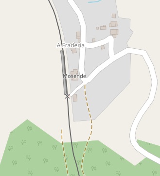
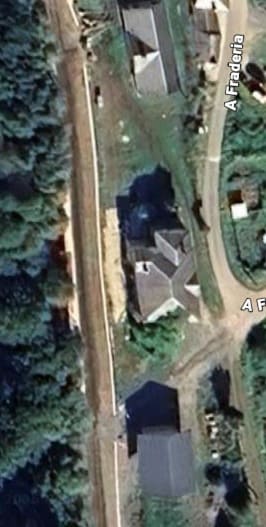
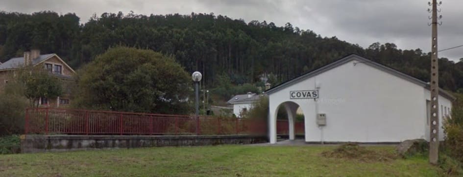
Mosende Railway Station. [Google Maps, June 2026]
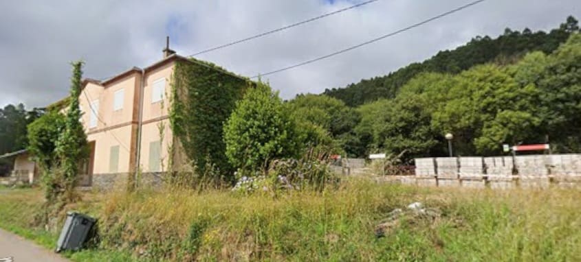
North of Mosende, the railway runs under the next forested hill-side in tunnel and wanders around above ground but heavily camouflaged by the forest, then enters another tunnel which runs North-northwest. AT the end of the tunnel trains burst out into open air just short of the LU-862 road.
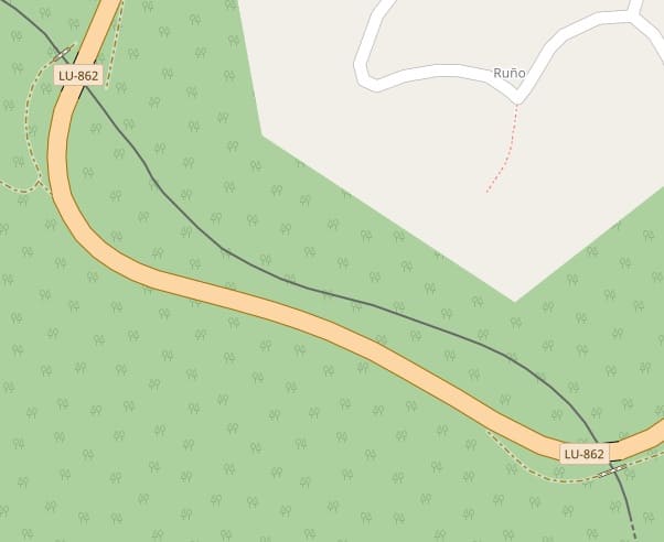
The line passes under the LU-862 twice after leaving the tunnel. [17]
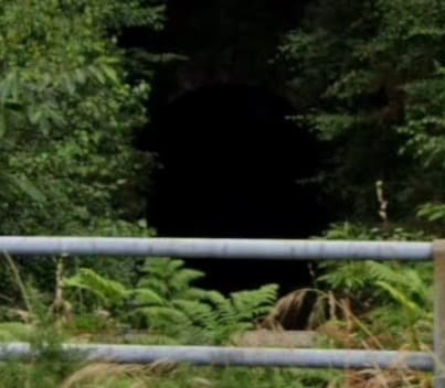
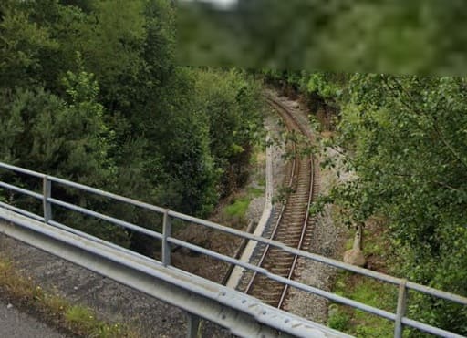
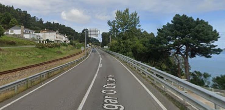
The line ahead seen from the bridge carrying Lugar O Cruceiro (LU-862). [Google Streetview, June 2025]
There is little to see from the road at the second bridge location the tree canopy obscures the view from the bridge down onto the railway.


The next Halt is at O Vicedo. [Google Streetview, June 2025]

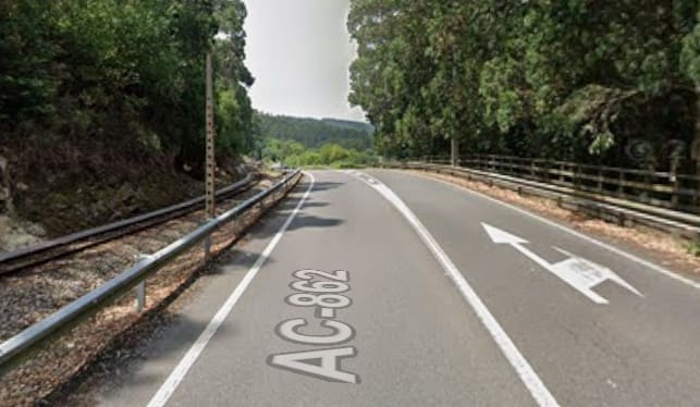
Continuing heading West, the line runs immediately alongside the LU-862/AC-862 before swinging left into a tunnel and then bridging the Rio Sor as shown below. [Google Streetview, June 2025]
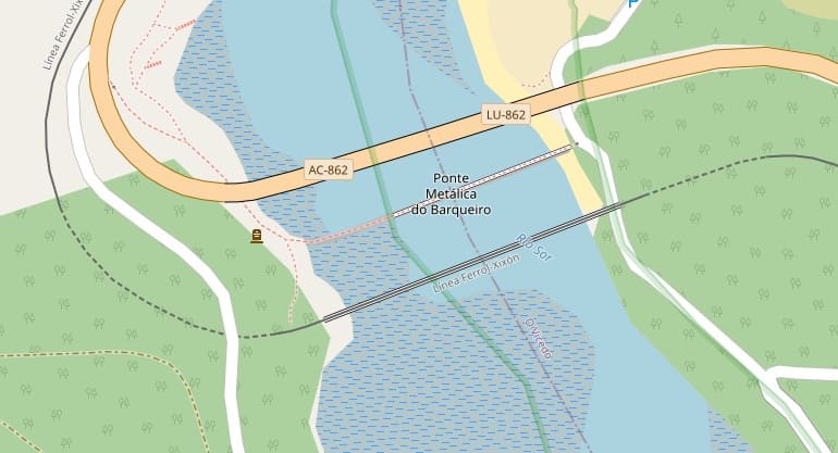
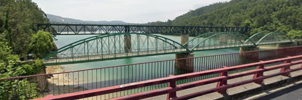
In tunnel the line swings round through North to North-northeast, before swinging back to the Northwest and entering the Railway Station at O Barqueiro.
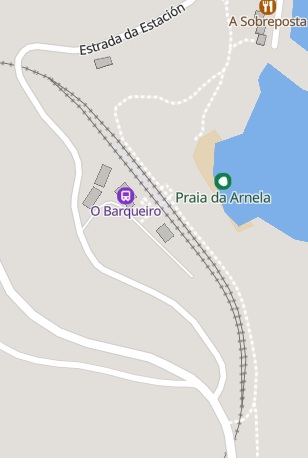
The station ‘O Barqueiro’ is on a Southeast-Northwest axis and has a passing loop. [20]
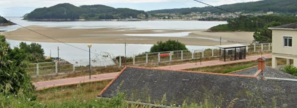
Beyond the station the line turns West and runs in tunnel under O Barqueiro.
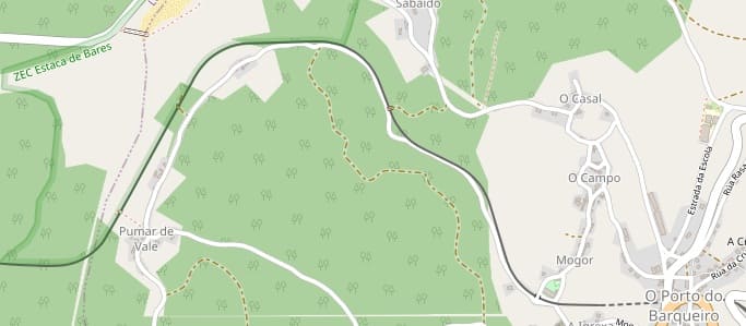
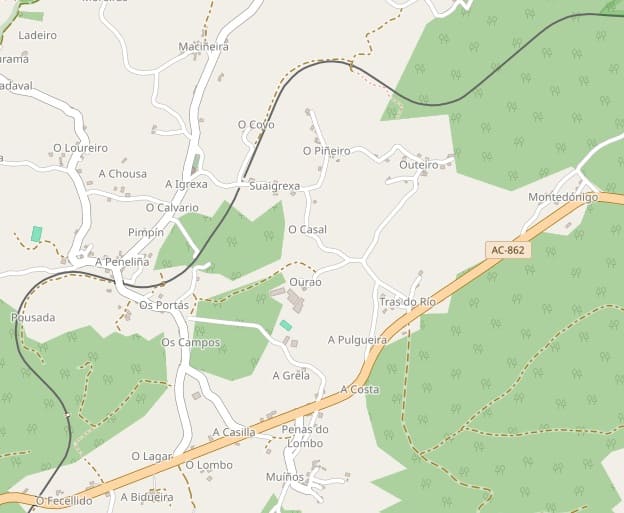
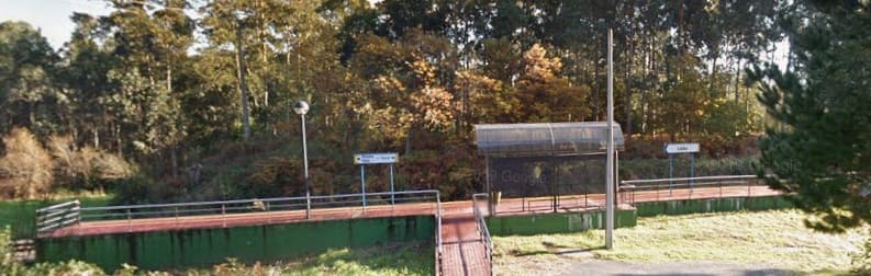
The next stop is at Loiba near Pimpin on the map extract above. [Google Streetview, December 2013]
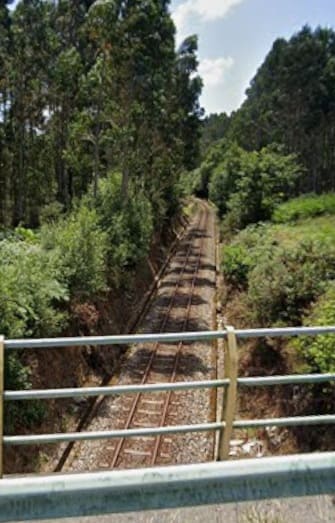
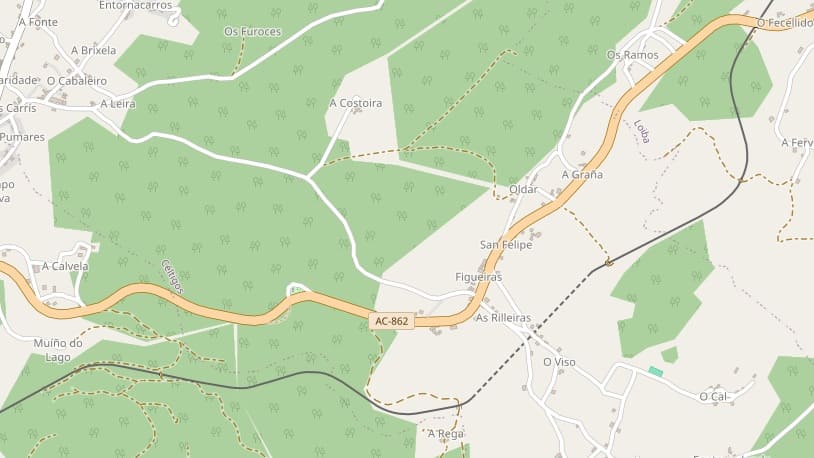
This photograph is taken at the bottom-left of the OpenStreetMap extract above. The camera is facing Southwest from the AC-862 at O Fecellido. [Google Streetview, July 2025]
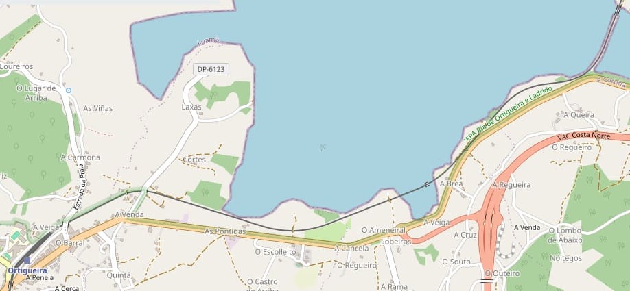
This image heralds the next length of the line on the extract from OpenStrweetMap.org below. O Fecellido in in the top-right of the extract.
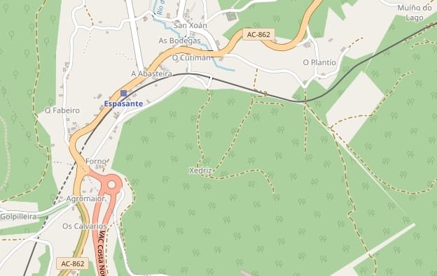
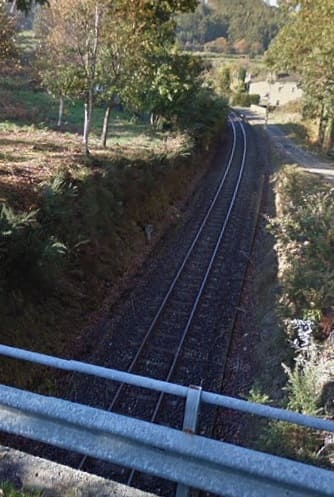
The view West from the bridge carrying Luger Abasteira over the Line. [Google Streetview, December 2013]
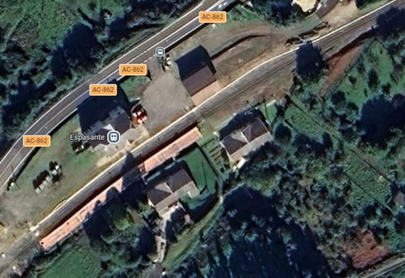
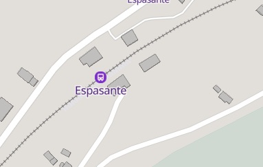
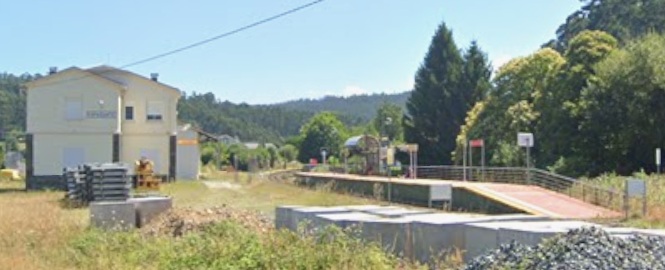
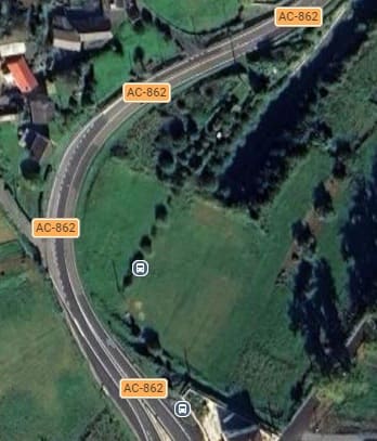
The tunnel mouth to the Southwest of Espasante. [Google Maps, June 2026]
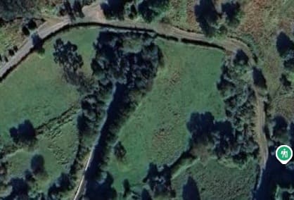
Breaking out of the tunnel trains travelling West crossed the estuary of the Rio Baleo by means of a bridge and an embankment/causeway.
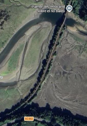
The Rio Baleo bridge and causeway. [Google Maps, June 2026]
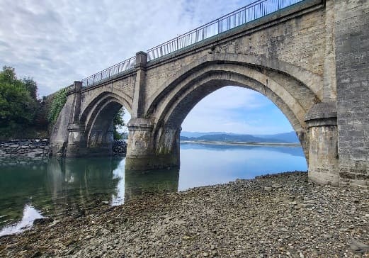
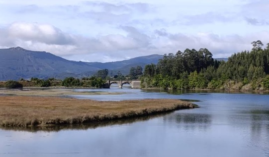
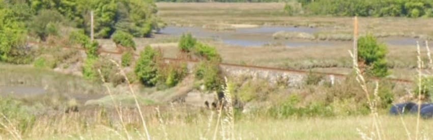
[Google Streetview, July 2025]
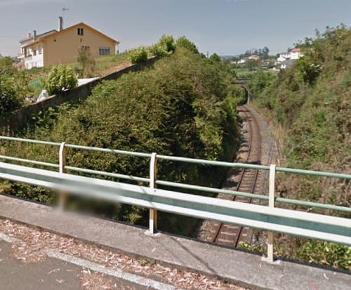
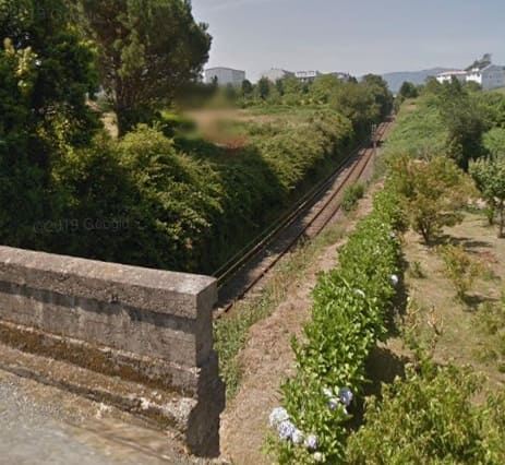
On the approach to Ortigueira Railway Station the line curves to the South passing under three road overbridges. This is the view of the line ahead from the first of those bridges which carries the DR-6123 over the railway. [Google Streetview, July 2013]
This is the view of the line ahead from the second of the two bridges, in Cortés. [Google Streetview, July 2013]
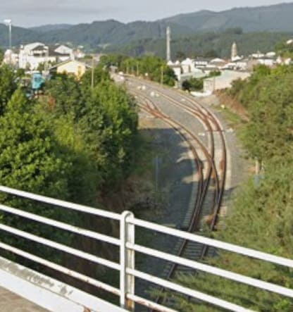
The third of the overbridges carries Estrada da Praia over the line. The site of Ortigueira Railway Station can be seen opening out ahead. [Google Streetview, July 2025]

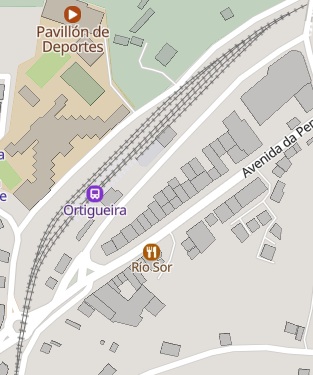
Ortigueira Railway Station as it appears on MapCarta. This is one of the more significant stations on the route. [27]
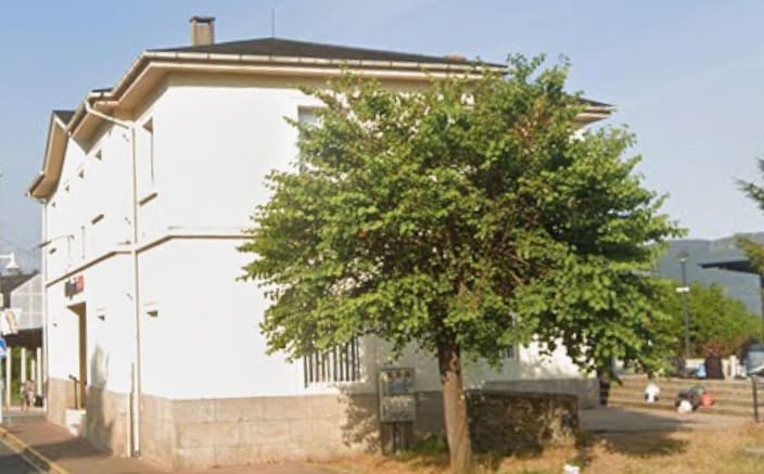
To the Southwest of Ortigueira Station the line runs at high level the AC-862.

The view Southwest under the railway line on the AC-862. [Google Streetview, July 2025]
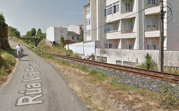
The line just to the Southwest of the bridge above, seen from Rúa Vía Feve. [Google Streetview, July 2013]
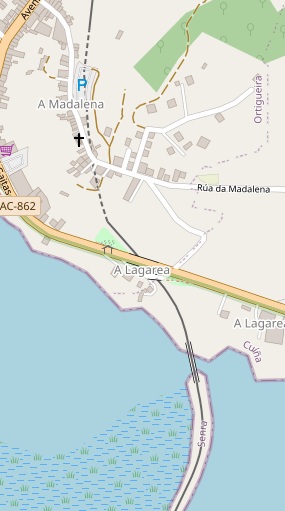
To the Southwest of Ortigueira Sation the line turns beyond South towards Southeast before crossing the next bridge and embankment/causeway. Just before reaching the water it passes under both the older and more modern AC-862. [28]
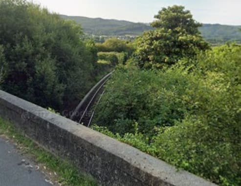
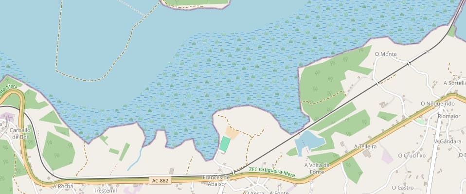
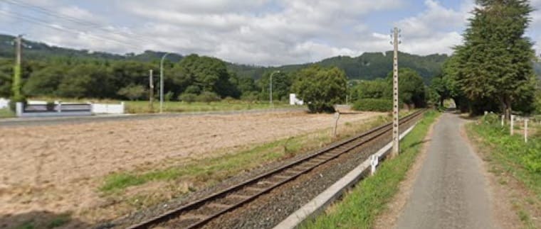
[Google Streetview, July 2025]
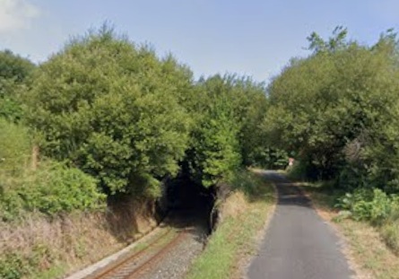
The line passes through a short tunnel under the AC-862. [Google Streetview, July 2025]
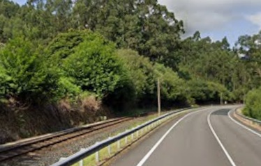
And runs alongside the AC-862 heading West-northwest. [Google Streetview, July 2025]
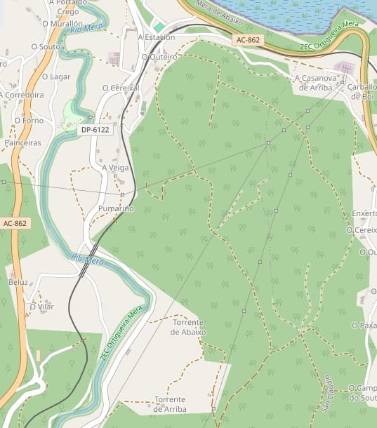
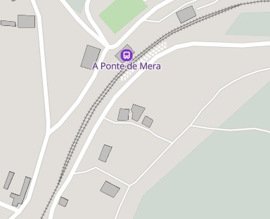
As the line turns inland it runs through A Ponte de Mera Railway Station which has a loop to allow services to pass each other. [27]
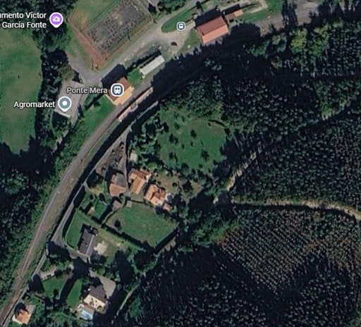
The same location as it appears on Google Maps satellite imagery. [Google Maps, June 2026]
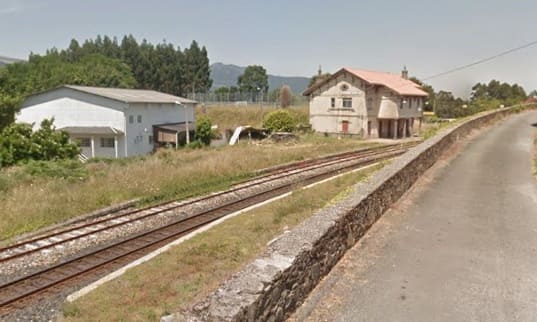
Two views of A Ponte de Mera Station, both seen from the South. [Google Streetview, July 2013]
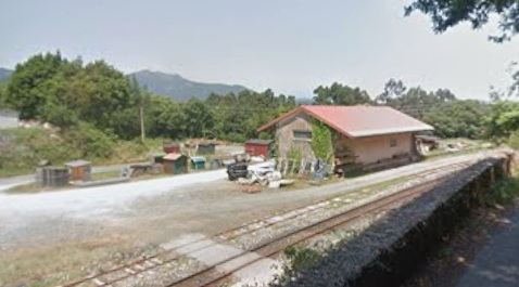
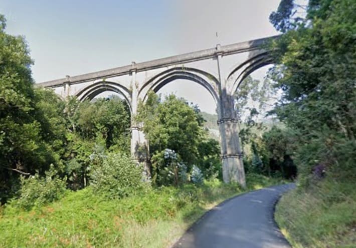
South of the Station, the line is carried over the River Mera on a high viaduct. These images show the North end and the South End of that viaduct both seen from the West. [Google Streetview, July 2025]

Given the density of the trees at this location, the viaduct is best seen from the air. Click here and then scroll down through the photographs. [64]
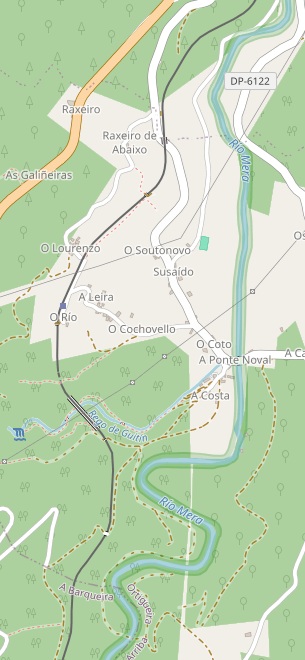
South of the Viaduct, the line continues to follow the west bank of the Rio Mera heading South. [32]
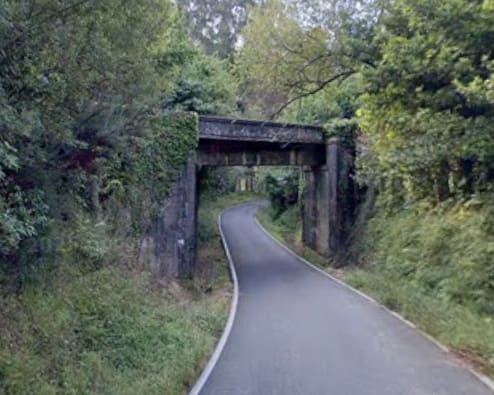
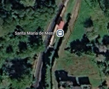
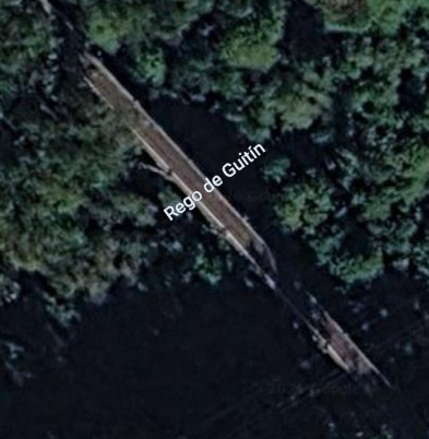
A short distance South of Santa Maria de Mera Halt the line crosses the steeply sided and wooded valley of Rego de Guitin (a tributary of the Rio Mera. [Google Maps, June 2026]
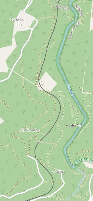
The line continues South through relatively dense wood land on the Westside of the valley of the Rio Mera. [33]
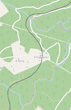
The line continues South through the hamlet of A Cuqueira following the valley of another tributary of the Rio Mera – Rego de Loureira. [34]
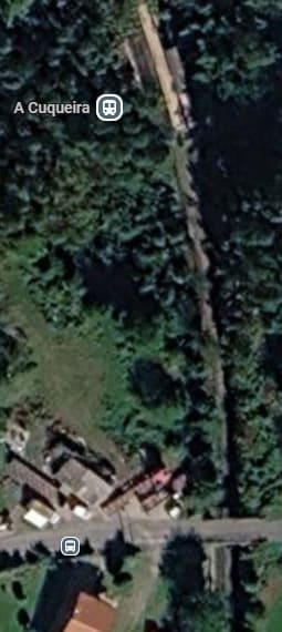
The Halt which serves the hamlet of A Cuqueira is a couple of hundred metres North of the hamlet as can be seen on this satellite image. [Google Maps, June 2026]
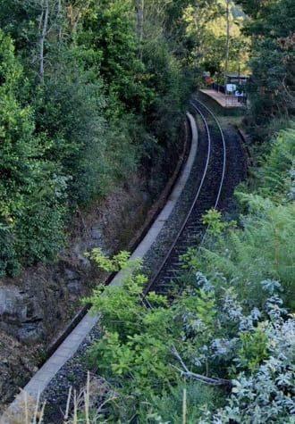
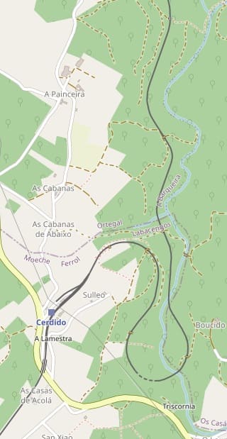
Further South, the line follows the West bank of the Rego de Loureira until close to Cerdido. The line then crosses the river before curving to the West, crossing the river again and, after a short tunnel, heading North for a short distance. The line then curves through West to Southwest and enters the station at Cerdido. [35]

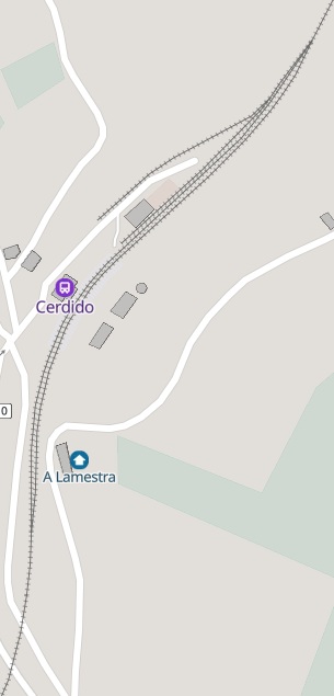
The track layout at Cerdido Railway Station is shown on this MapCarta extract. [36]
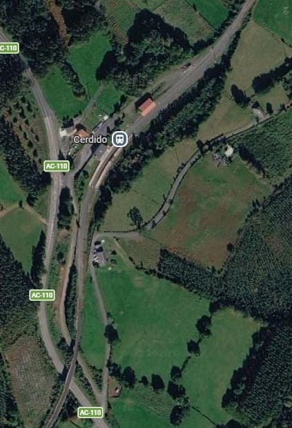
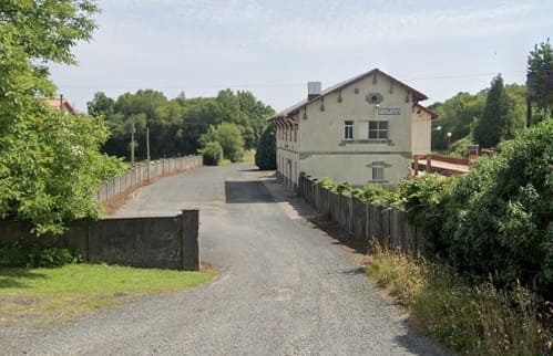
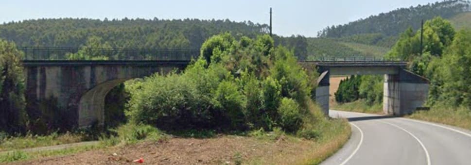
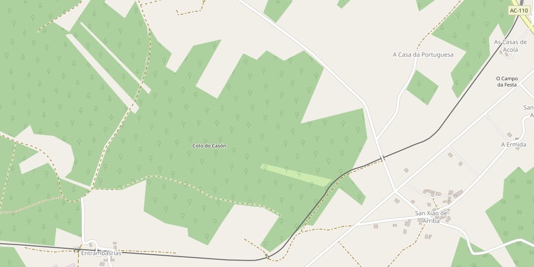
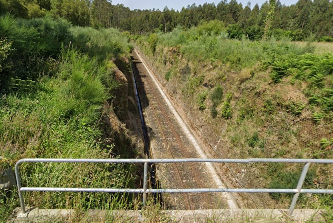
The view Southwest along the line from the minor road overbridge one third in from the right side of the OpenStreetMap extract above. [Google Streetview, June 2025]
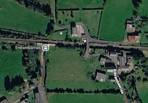
The next halt along the line is at Entrambarrias which can be seen at the bottom left of the last OpenStreetMap extract. [Google Maps, June 2026]
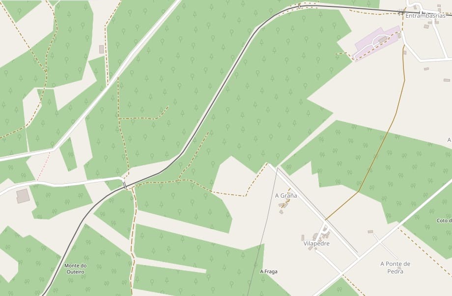
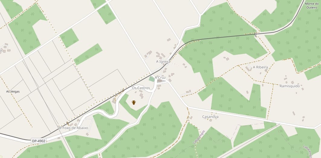
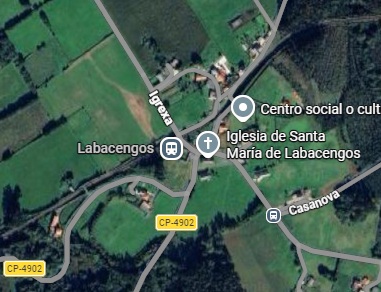
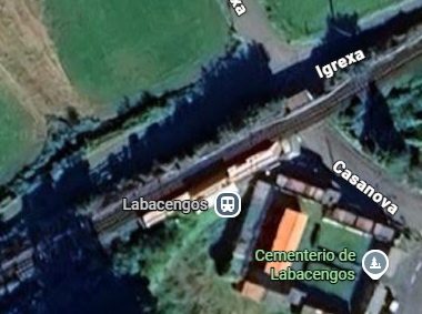
The hamlet of Labacengos had its own Halt. [Google Maps, June 2026]
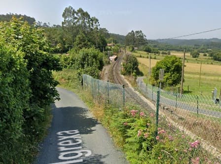
Labacengos Halt seen from the minor road on the hillside above. This view looks Southwest through the site of the Halt which is visible in the distance. [Google Streetview, June 2025]
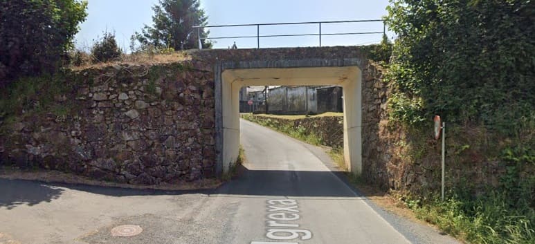
The bridge over the road at the East end of the halt, seen from the Northwest. [Google Streetview, June 2025]
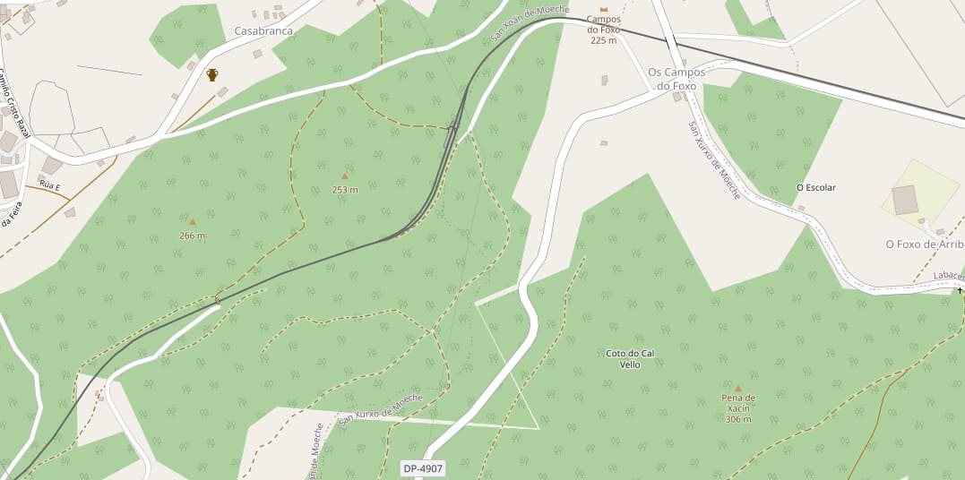
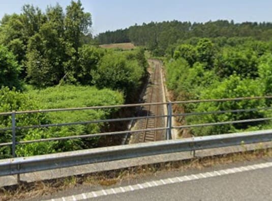
The line heading West-northwest from the overbridge carrying the CP-4904 across the line. [Google Streetview, June 2025]
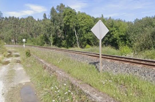
A short distance to the West this is the view of the line from the track which provides access to the East side of the track at the halt at Moeche. [Google Streetview, August 2019]
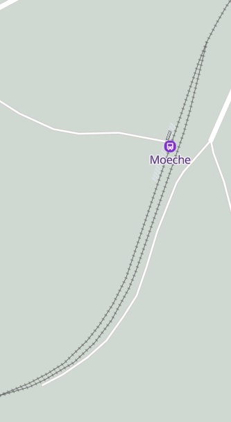
The Halt at Moeche, as it appears on MapCarta. [41]
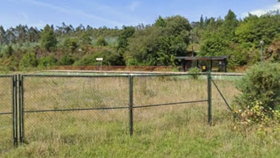
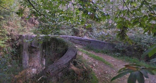
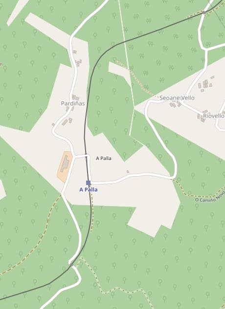
The line turns South after passing over another local road. As it heads South it passes under another local road and then runs into the Halt at A Palia. [42]
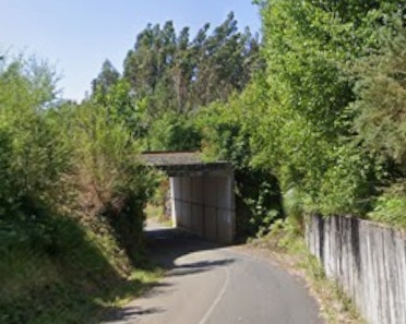
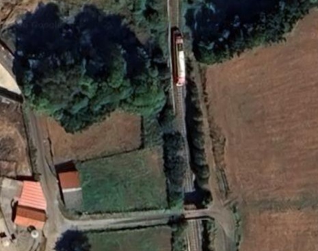
Before looking at A Palia Halt, it is worth noting the single car DMU on the line just North of the minor road bridge in the last image.
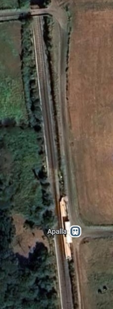
The Halt at A Palia. [Google Maps, June 2026]
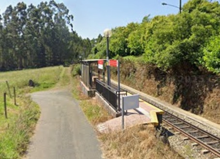
The line leaves A Palia heading South but then turns first to the West and then to the Northwest before curving round to the South and then West again.
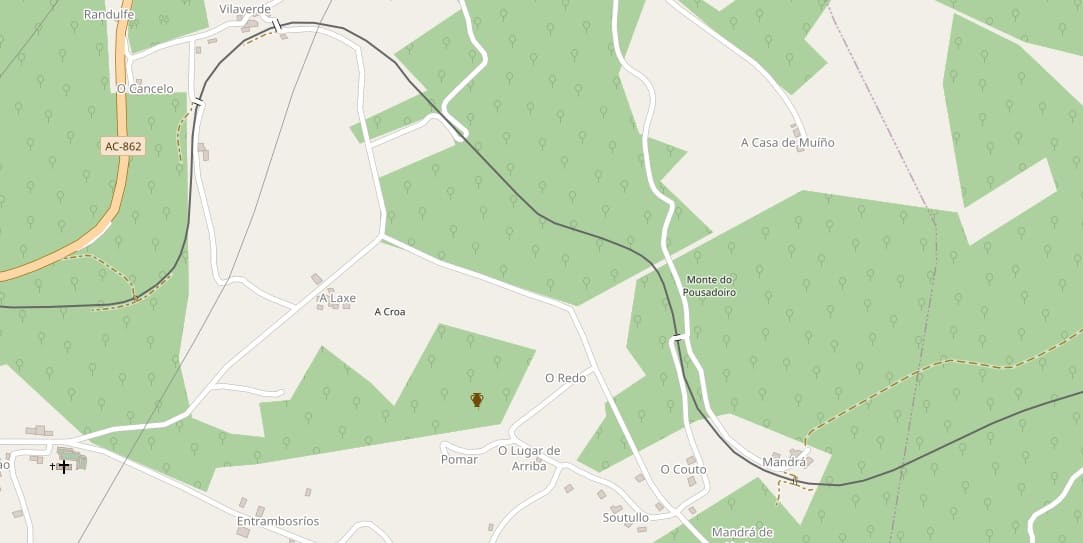
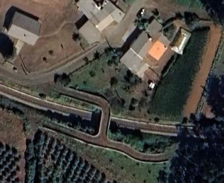
Just as the line turns to the North is passes over and then under access roads from the farm seen here. [Google Maps, June 2026]
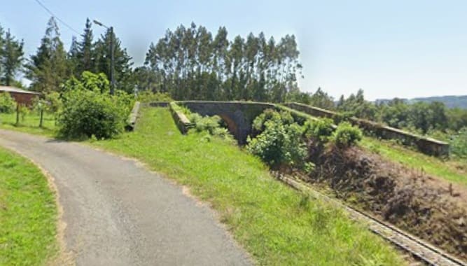
This photograph is taken from the minor road running on the North side of the line at the left hand side of the image, looking back towards the structure at the centre of the image above. [Google Streetview, June 2025]
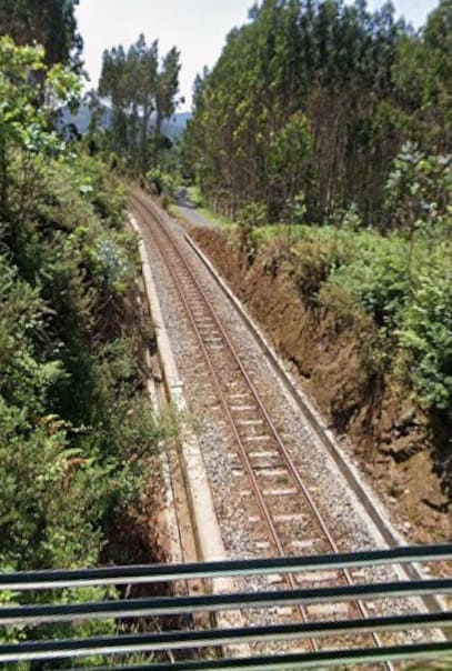
Looking back along the line from the next overbridge. [Google Streetview, June 2025]
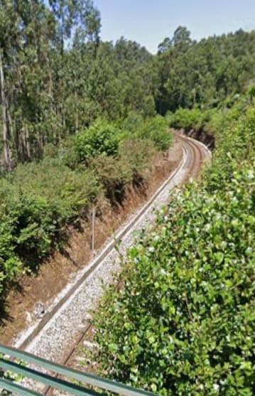
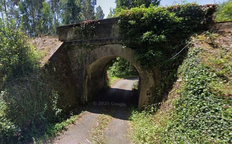
The line bridges the next minor road. [Google Streetview, June 2025]
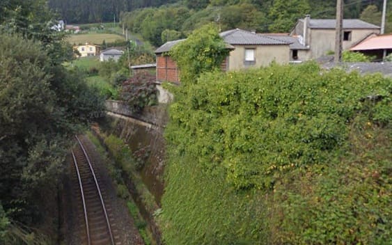
At Vilaverde, the line passes under one village access road. [Google Streetview, September 2011]
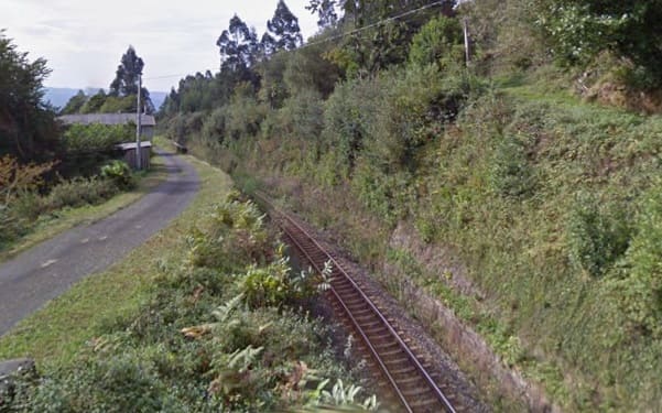
And then a second access road bridges the line. [Google Streetview, September 2011]
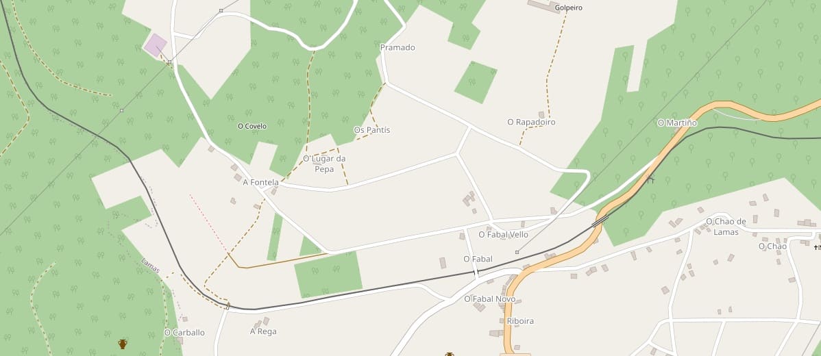
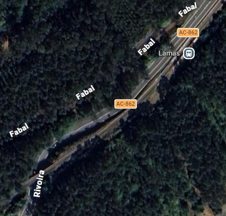
The next halt is at Lamas, shown here with the bridge to its Southwest over the AC-862. [Google Maps, June 2026.
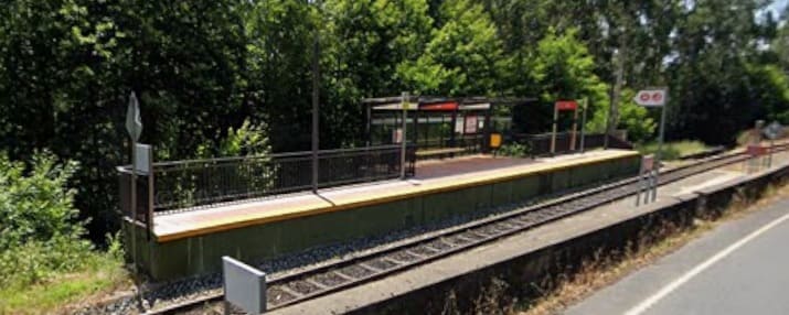
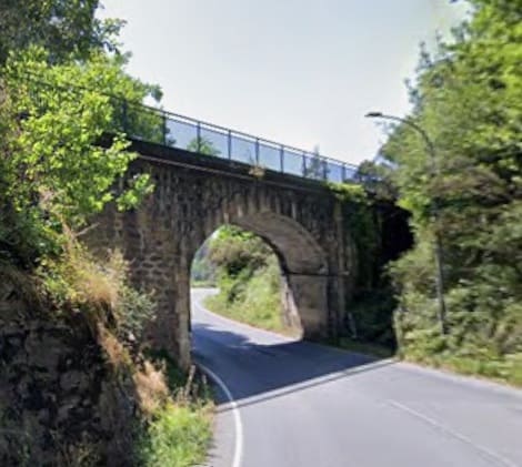
The bridge over Rivoira (AC-862) to the Southwest of the Lamas Halt and seen from the North. [Google Streetview, June 2025]

A short distance to the West, the line is bridged by another minor road. [Google Maps, June 2026]
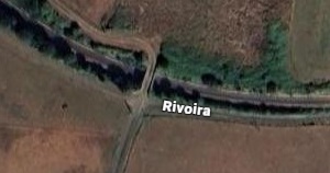
Then it is bridged by a farm access track. [Google Maps, June 2026]
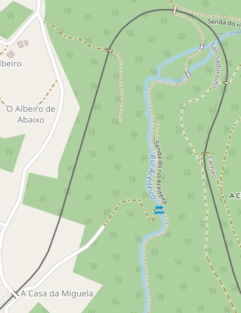
A 180 degree loop takes the line round towards the station at San Sadurnino (just of this extract to the bottom left0. As it runs round the loop it passes under three accommodation bridges and over the Rio Aceiteiro – all shrouded in tree cover. Approaching the station, it is bridged by a minor road at A Casa da Miguela. [44]
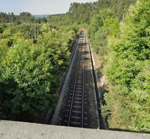
The view Southwest along the line towards San Sadurnino Railway Station. [Google Streetview, June 2025]
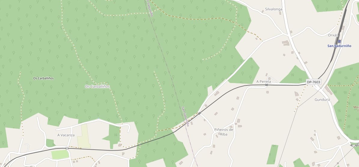

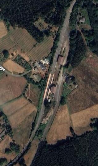
San Sadurnino Railway station as it is shown by MapCarta, [46] and by Google’s satellite imagery, below. [Google Maps, June 2026]
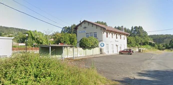
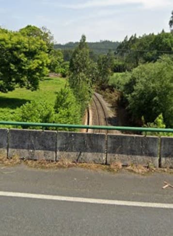
Looking back towards San Sadurnino Railway Station from the bridge carrying the DP-7603 across the railway line. [Google Streetview, June 2025]
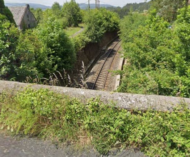
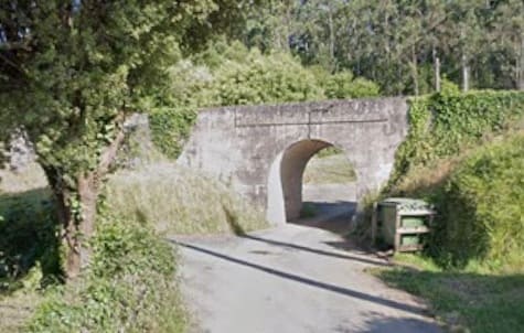
Further West the line crosses a minor road by means of this arch bridge. [Google Streetview, June 2025]
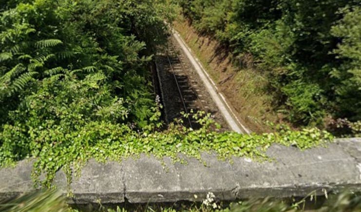
Perhaps 800 metres further West the line in bridges by another minor road. This is the view West from the bridge. [Google Streetview, June 2025]
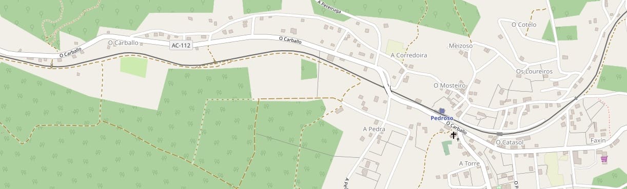
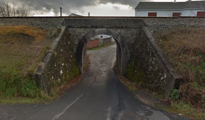
A short distance before reaching Pedroso de Naron Halt the line bridges Aldea Catasol. This image is taken from a point just to the North of the bridge. [Google Streetview, December 2013]
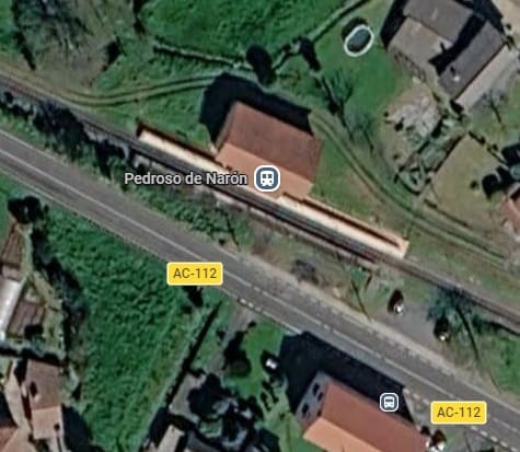
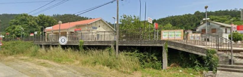
Pedroso de Naron Halt. [Google Maps, June 2026]
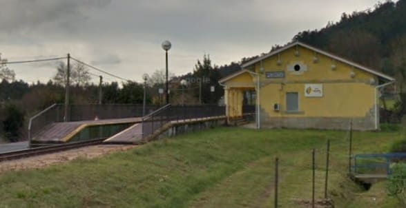
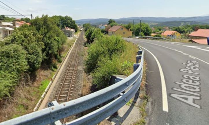
To the West of the Halt the AC-112 (Aldea Pedra) bridges the line. This is the view East from the bridge carrying the AC-112 over the line. The halt can be glimpsed, almost hidden by trees, in the far distance. [Google Streetview, June 2025]
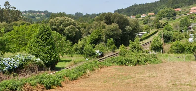
The line heading West relatively close to the AC-112 is seen here from the road just to the Northwest of the bridge above. [Google Streetview, June 2025]

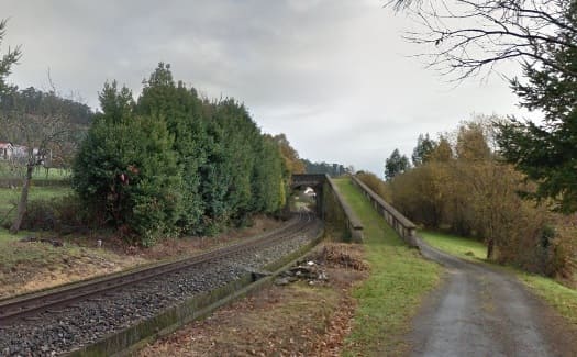
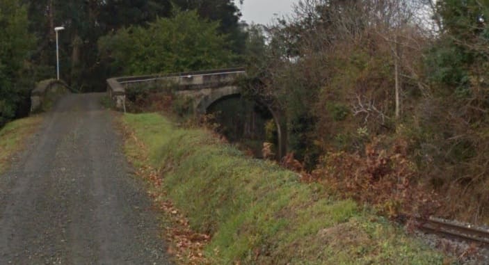
This view looks back along the line to the East from the Camino da Borrallada de Sedes which runs on the South side of the line. The accommodation bridge in the picture has two ramps on the South side of the line which run parallel to it and the road. [Google Streetview, December 2013]
Further West, the line is bridged by Aldea Carbello which links the Camino da Borrallada de Sedes with the Aldea Placente (AC-112) to the North of the line. [Google Streetview, December 2013]
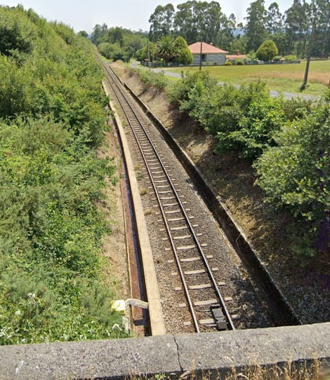
Looking back East along the line from the bridge carrying the Camino de Vilallonte over the line, and below, looking West from the same bridge. [Google Streetview, June 2025]
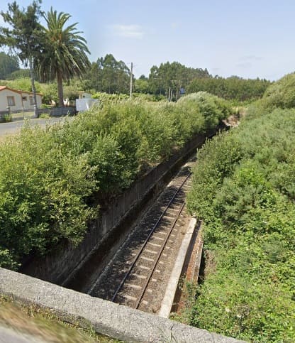
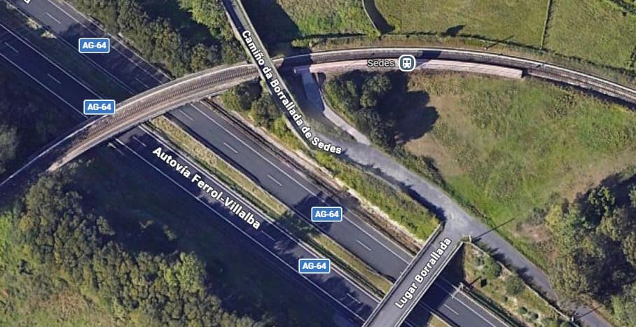
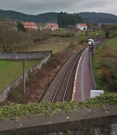
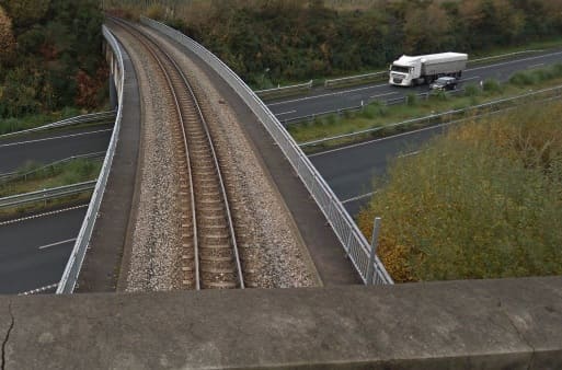
Two views from the bridge carrying Camino da Borrallada over the line. The first shows the Halt at Sedes, the second shows the bridge over the AG-64. [Google Streetview, December 2013]
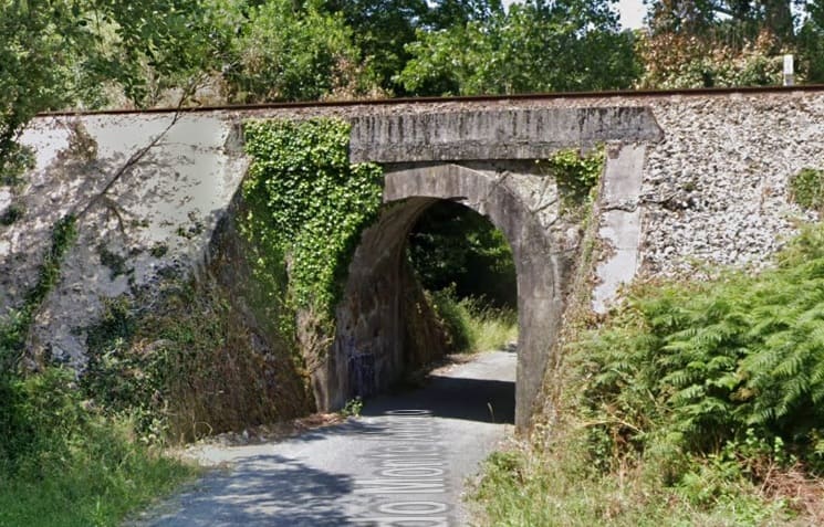
A short distance to the South of the AG-64, the line bridges Camino do Monte Aberto/ Lugar Prados. This photograph looks Southeast to Northwest under the bridge. [Google Streetview, June 2025]
As the line continues South it bridges one track and is then bridged by another beofre being crossed by, first Camino da Presa do Rei and Estrada do Trece, before passing through the Halt at As Ferrerias.
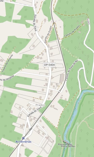
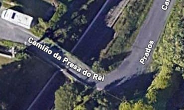
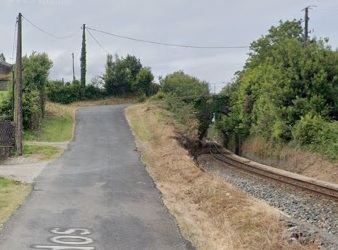
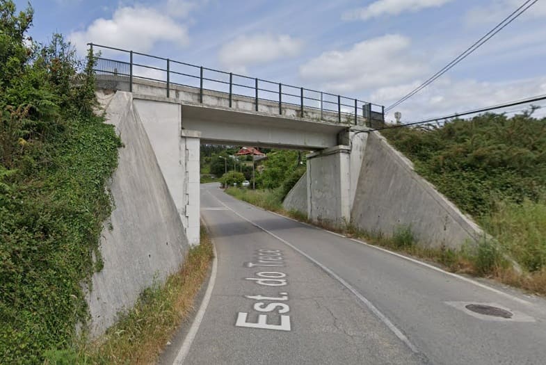
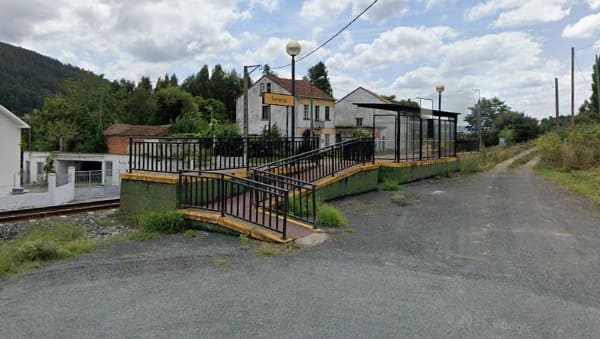
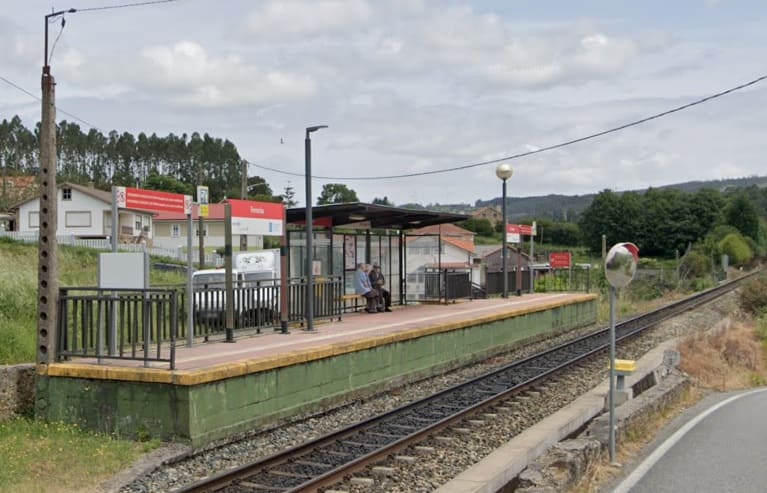
The Halt at As Ferrerias, seen from the North. [Google Streetview, August 2019].
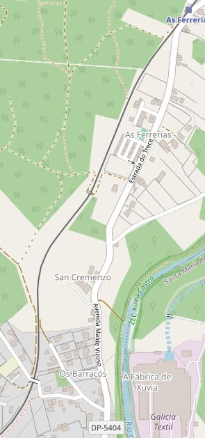
The line continues South-southeast from As Ferrerias Halt. [49]
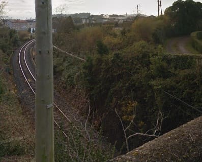

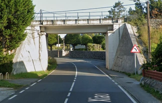
The rail bridge over Estrada San Xiao, seen from the Southeast. [Google Streetview, June 2025]
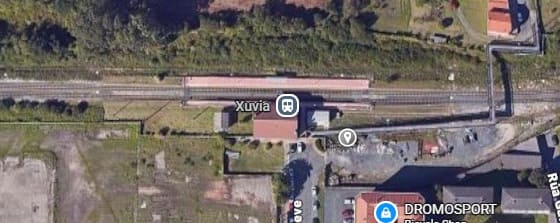
A satellite image of Xuvia Railway Station. [Google Maps, June 2026]
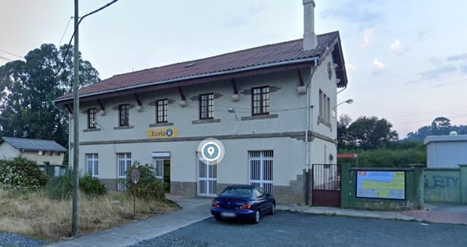
Xuvia Railway Station seen from the South on Tra. Feve. [Google Streetview, August 2022]
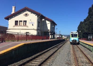
Xuvia Railway Station facing West, (c) Jose Abuin, January 2021. [Google Maps, June 2026]
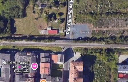
The bridge over Rua Camino da Revolta. [Google Maps, June 2026] and seen from the South. [Google Streetview, June 2024]
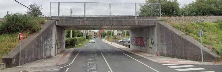
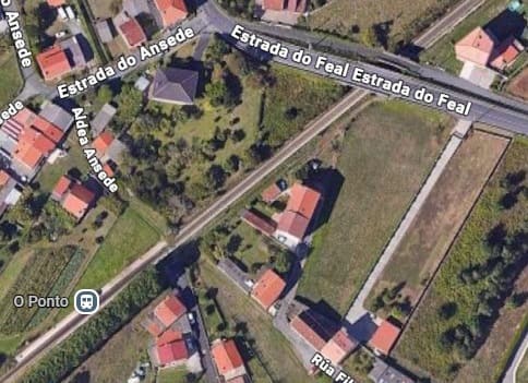
Estradado Feal crosses the line just prior to the line passing through the Halt at O Ponto. [Google Maps, June 2026]
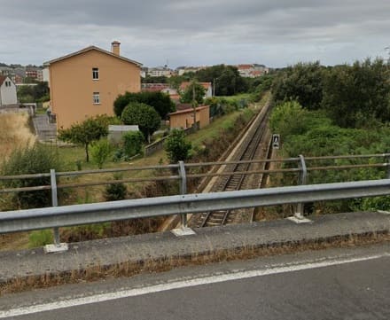
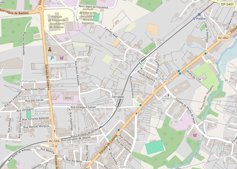
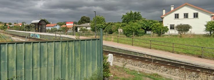
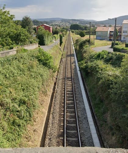
The next structure to note along the line is a road overbridge which carries Rúa Rio Deza) across the line. This image shows the line looking back towards O Ponto Halt from the bridge. [Google Maps, June 2026] The image below shows the same location from above. [Google Streetview, July 2025]
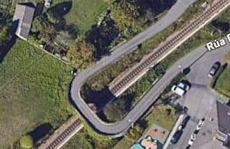
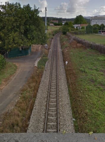
Looking back along the line from the next bridge which carries Rúa Ortega e Gasset over the line. [Google Streetview, August 2017]
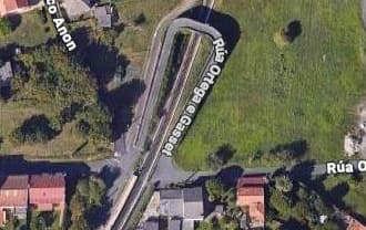
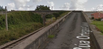

Turning to the South, the line immediately passes through Piñeiros Halt. [Google Streetview, August 2017]
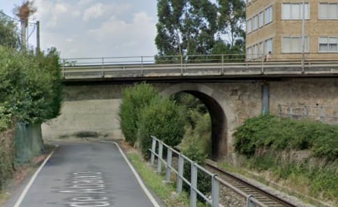
The next bridge carries the AC-566 over the line. Views from the bridge are shown below. [Google Streetview, August 2022]
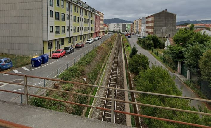
Looking East and West along the railway. [Google Streetview, July 2025]
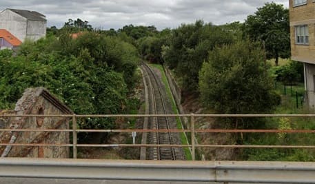

The line crosses two major modern highways before entering the O Alto do Castiñeiro Halt. It then wanders through the Ferool suburbs, through Santa Icia Halt and on Southwest towards the terminus. [52]
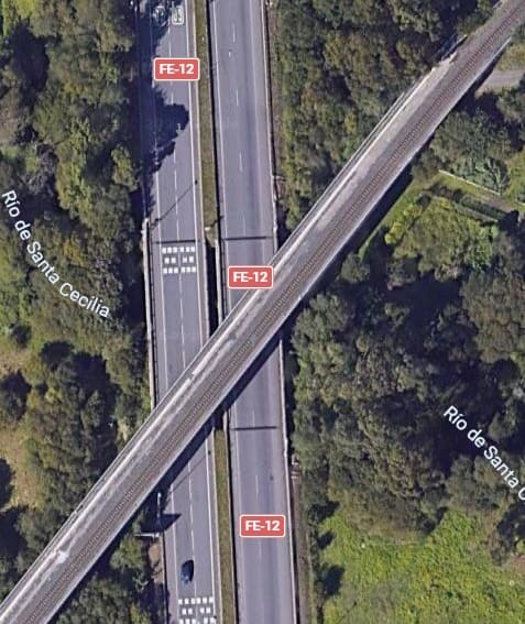
The line bridges a minor road and then passes over the FE-12 and the Rio de Santa Cecilia. [Google Maps, June 2026]
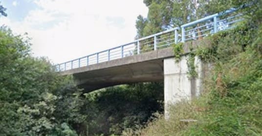
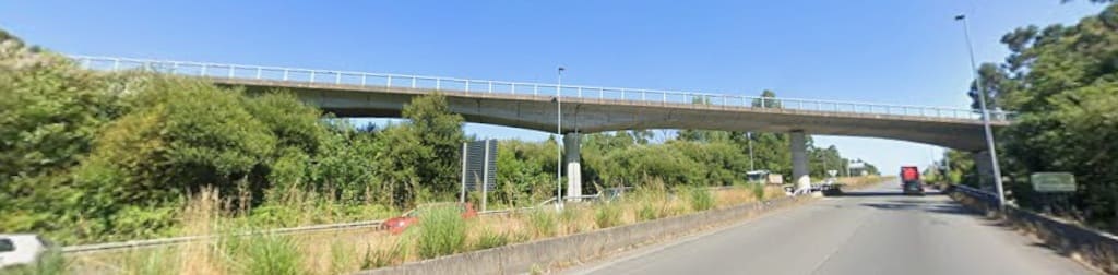
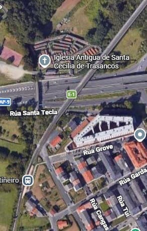
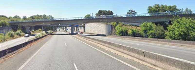
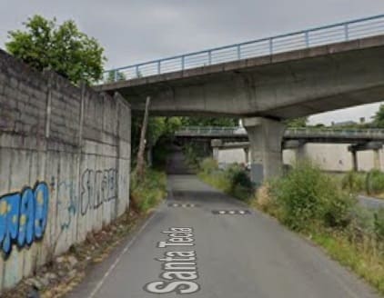
The high level bridge carrying the railway also spans the AP-9/E-1 and Rua Santa Tecla before running through O Alto Do Castiñeiro Halt. [Google Maps, June 2026]
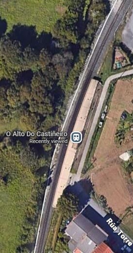
The O Alto Do Castiñeiro Halt. [Google Maps, June 2026]
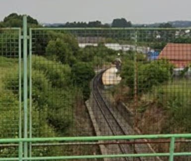
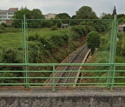
The view South from the bridge carrying Rúa Bon Xesús over the line. [Google Streetview, June 2025]
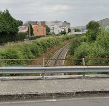
A short distance Southwest, the line is bridged by Camiño Roibo. This is the view of the line ahead from Camiño Roibo. [Google Streetview, June 2025]
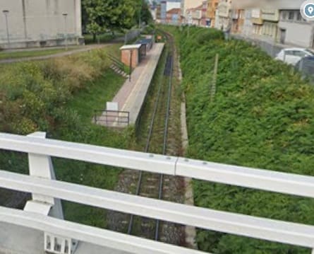
Again, only a few hundred metres Southwest the line is bridged by Av. Santa Icia. The next halt bears the same name Santa Icia Halt and is seen here looking West from the road bridge. [Google Streetview, June 2024]
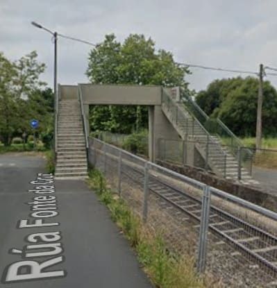
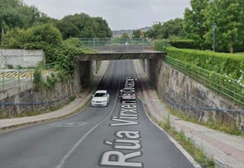
A footbridge crosses the line connecting Rúa Fonte da Cruz to Rúa Estación. The line then crosses Rúa Virxen de Covadonga, seen here from the South. [Google Streetview, June 2025]
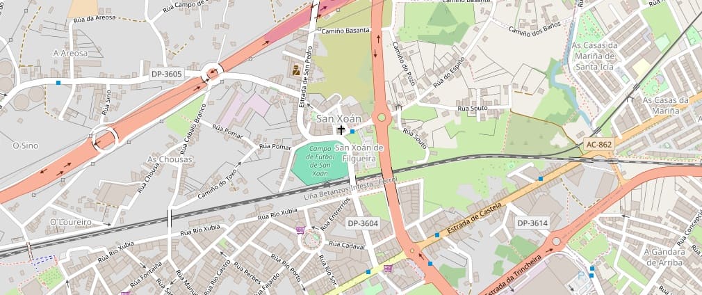
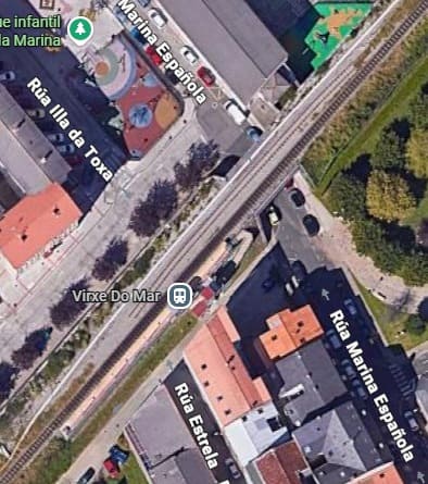
The line next crosses Rúa Marina Española before passing through Virxe Do Mar Halt. [Google Maps, June 2026]
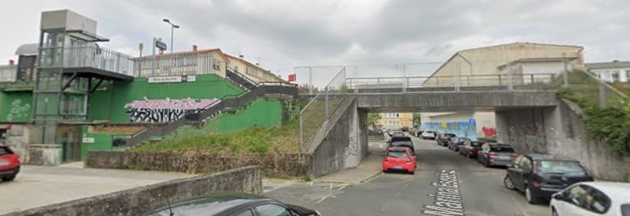
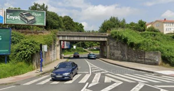
The line then crosses Rúa Illa de Arousa. [Google Streetview, June 2025]
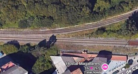
The metre-gauge line joins the standard-gauge line to the West of Ponte das Cabras, and the lines run parallel to each other. [Google Maps, June 2026]
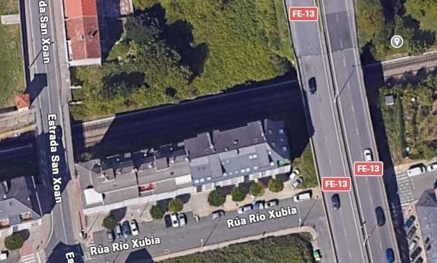
The line passes under both the FE-13 and Estrada San Xoan. [Google Maps, June 2026]
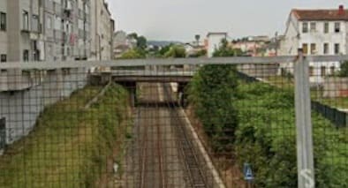
The view West from the bridge carrying the FE-13. [Google Streetview, June 2025]
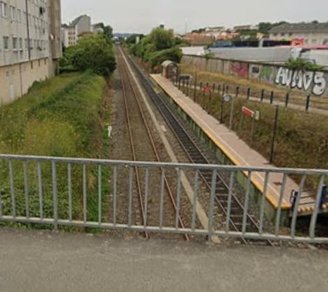
The view West from Estrada San Xoan. Bothe this and the last image show the difference in gauge between the two railway lines. [Google Streetview, June 2025]
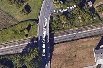
The next structure of note is the bridge carrying Rúa do Cabalo Branco over the line. [Google Maps, June 2026]
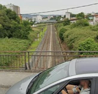
Looking West from Rúa do Cabalo Branco. [Google Streetview, June 2025]
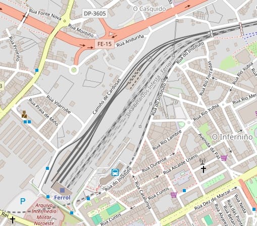
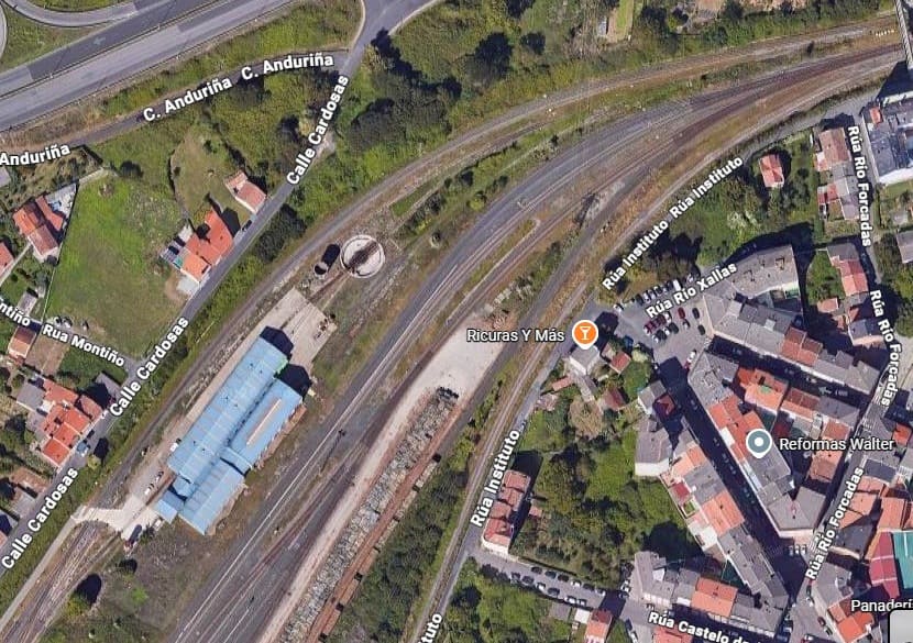
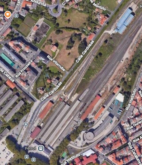
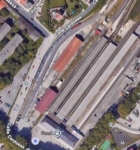
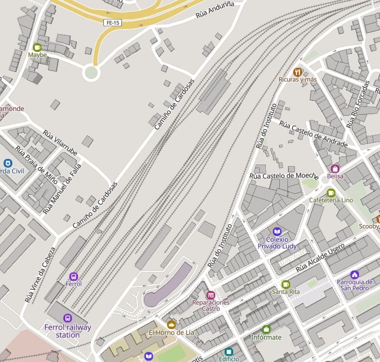
The final length of the line running into Ferrol Railway Station. Top right of this map extract there are two footbridges crossing the line. These are shown on the first image below. [54]
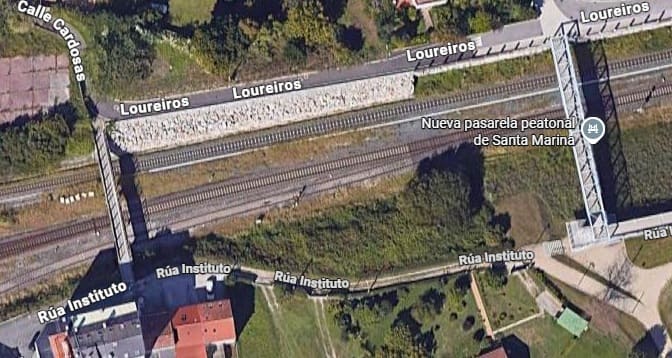
Two footbridges span the two railways. The first encountered is Nueva Pasarela Peatonal de Santa Marina,
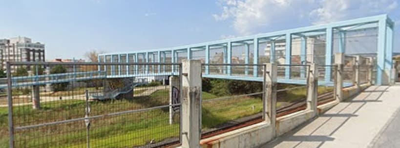
[Google Streetview, August 2022]
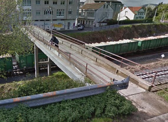
The second footbridge to the West of the first, also seen from Loureiros. [Google Streetview, March 2014]
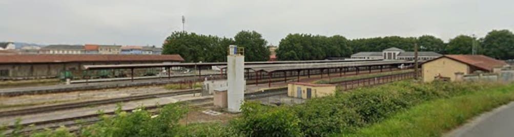
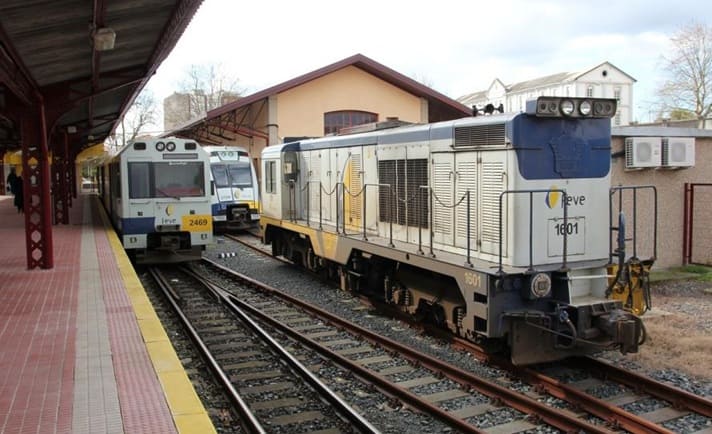
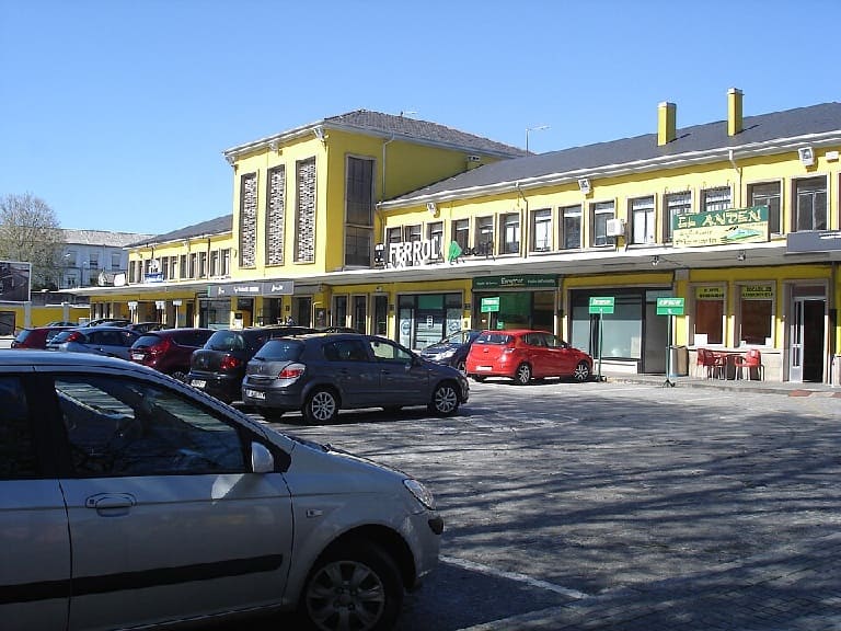
It is worth noting that the length of the FEVE metre-gauge line covered in this article is the Western ‘half’ of the line. The Eastern ‘half’ will need to be covered elsewhere on another occasi
E. Italy: Along the Calabrian Coast
There are two rail lines which hug the Calabrian Coast and provide a spectacular mix of dramatic cliffs, azure waters, and historic fishing villages. Two lines are worthy of note – one on the Costa degli Dei (Coast of the Gods) and the other, the remote Ionian line.
The Costa degli Dei runs along the coast of the Tyrrhenian Sea on the Northwest of the peninsula between Lamezia Terme and Rosarno, with the breath-taking town of Tropea serving as the center-piece. The line hugs the cliffs, providing uninterrupted views of white sandy beaches and rocky coves.
The Ionian Railway running along the coast of the Ionian Sea on the Southeast coast from Reggio Calabria towards Taranto, is one of the most consistently sea-hugging routes in all of Europe. The route is 473 km long running past capes and bays, passing villages like Melito di Porto Salvo and Brancaleone-Marina.
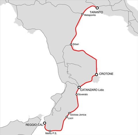
The Ionian Railway, (c) Arbalete and licensed for reuse under a Creative Commons licence (CC BY-SA 3.0). [61]
It is to a part of this line that Nicky Gardner draws our attention. … The length she recommends runs from Reggio di Calabria to Soverato – about 100 miles. It is covered in around 2hrs 20 mins. A ticket will set you back €11.90 single in 2026. Trains run every 1 to 2 hours. The best views will be seen if you sit on the right side of the carriage when leaving Reggio do Calabria!
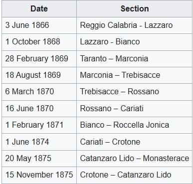
The full length of the line was built between 1866 and 1875 to standard-gauge. It runs through the regions of Apulia, Basilicata and Calabria. The dates of opening of the different lengths of the line are tabulated below.
On 13th November 1989 the line between Taranto and Sibari was electrified. The line has also been electrified between Melito di Porto Salvo and Reggio Calabria to allow for the operation of a suburban service. [58]
On 21st February 2013 the station serving Reggio Calabria Airport opened, linking it to the city. On 9 June 2013 the station Melito di Porto Salvo opened in Annà. [58]
Nicky Gardner writes:
“Most tourists on the smart Frecciarossa train down the Calabrian coast decant at Villa San Giovanni to join the ferry to Sicily. From here it is just 15 minutes on to Reggio di Calabria where the fast trains from northern Italy and Rome all terminate. This seems to be the end of the line and the end of Italy. But not quite! For a local railway contours the coast of Calabria, leaving the Strait of Messina to reach Ionian shores.
“No other railway in Europe hugs the coast as consistently as this stretch of the Ionian Railway, part of a longer route which extends all the way to faded Taranto in Puglia, more than 290 miles from Reggio di Calabria.
“This recommended taster of the line follows the coast around the southernmost tip of mainland Italy. It is a route of capes and bays, olives and oleander, the bright drama of a changing coastline and a sharp contrast to the dark forests of Aspromonte that dominate the hills on the left. Away to the right, there is nothing but the sea between here and the Libyan coast!” [1: p77]
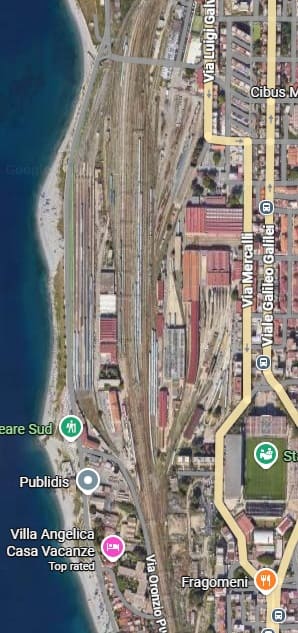
The journey starts at Reggio di Calabria Centrale Railway Station. [Google Maps, June 2026]
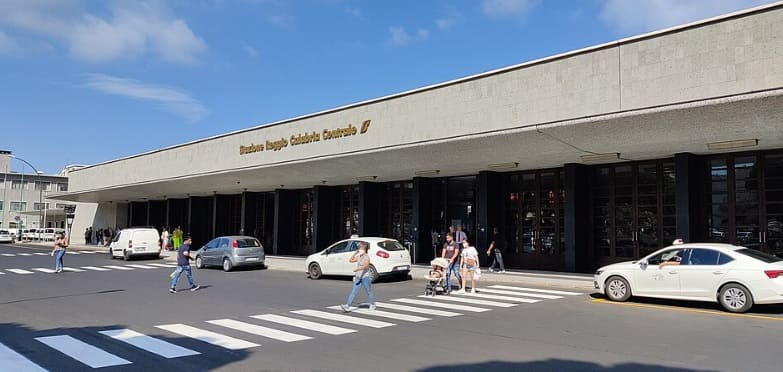
“The first station was opened on 3rd June 1866, as southern terminal of the first track of the Ionian Railway to Catanzaro, Crotone, Sybaris and Taranto. In 1881, it was linked to the port with a link from Reggio Lido to Reggio Marittima, the port station. The northern track to Villa San Giovanni, linking the station to the Battipaglia–Reggio di Calabria railway, was completed in 1884.” [60]
A new station building designed by futurist architect Angiolo Mazzoni, was inaugurated on 18th April 1938. It is a one storey structure which faces the sea shore. [60]
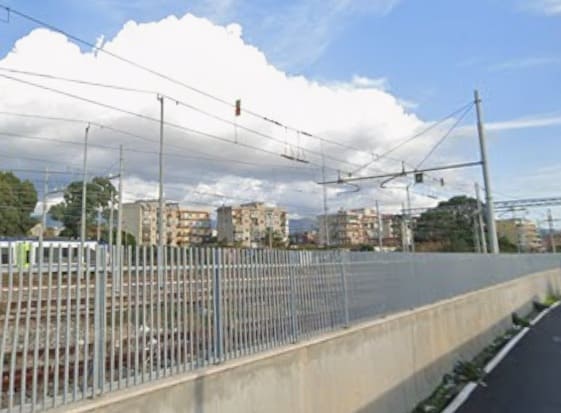
Looking South from Via Oronzio Pugliese along the line of the railway to the South of the Centrale Station in Reggio di Calabria. [Google Streetview, September 2024]
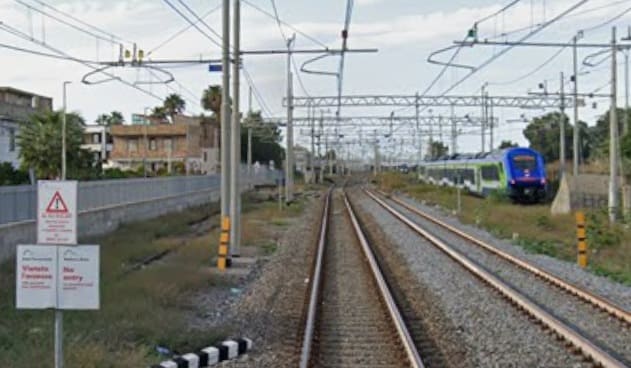
Looking North towards the Central Station from the level-crossing on Via Soccorso. [Google Streetview, September 2024]
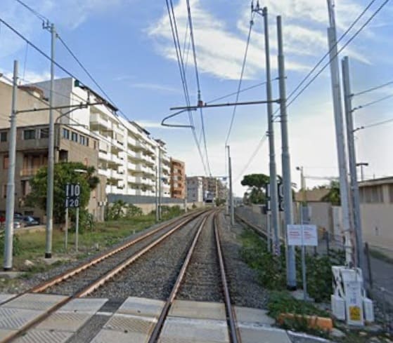
Looking South along the line from the level-crossing on Via Soccorso. [Google Streetview, September 2024]
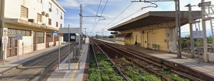
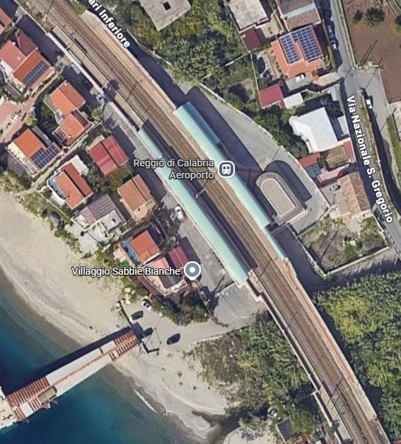
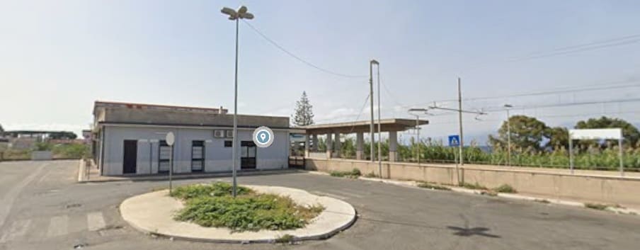
Reggio di Calabria Aeroporto Railway Station. [Google Maps, June 2026]
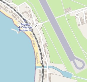
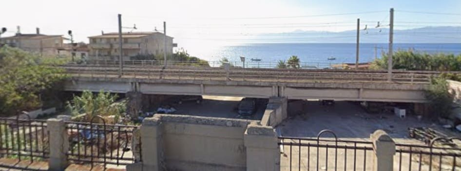
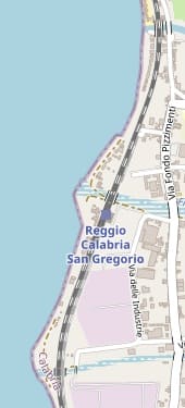
This next OpenStreetMap.com extract shows the dry river bed pictures above and two further similar locations. Spanning the first of these next two dry river beds is another Station, Reggio Calabria San Gregorio Station. [63]

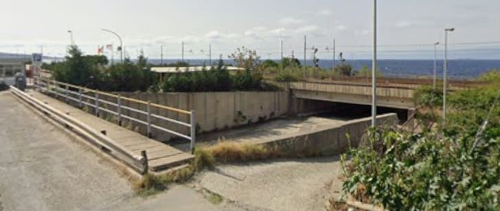
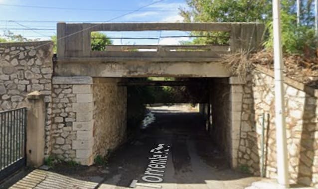
As the line runs down the coast a series of underpasses allow access under the line. This one is on Via Torrente Filici II. [Google Streetview, October 2024]
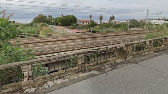
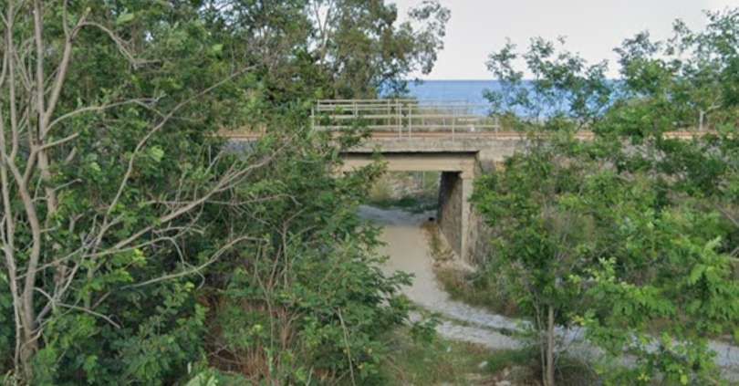
Another relatively dry river channel is bridged by the line and by Via Nazionale. this view looks West from the road over the railway towards the sea. [Google Streetview, October 2024]
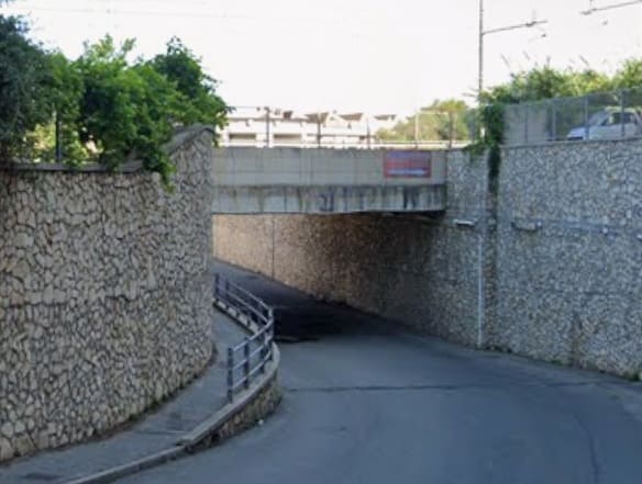
Another underpass beneath the line takes Via Industriale to the west of the line. This view looks east towards the bridge. [Google Streetview, June 2022]

Via Industriale is top-right on this extract from OpenStreetMap.com which shows the next station on the line – Reggio di Calabria Pellaro. [64]

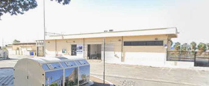
The Reggio di Calabria Pellaro Station as it appears on Google’s satellite imagery. [Google Maps, June 2026]
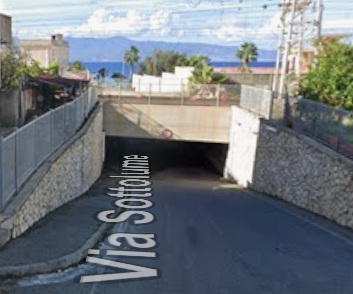
Just to the Southwest of Reggio di Calabria Pellaro Station Via Sottolume, seen here looking Northwest towards the railway, seems to burrow under the tracks with very low headroom. It is typical of a number of low=height bridges supporting the line as it runs Southwest along the coast. [Google Streetview, October 2024]
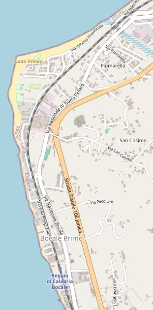
The next length of line as far as Reggio Di Calabria Bocale Station. The underpass on Via Sottolume is just off the top-right of this extract from OpenStreetMap.com. [65]
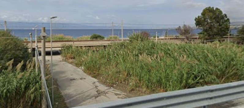
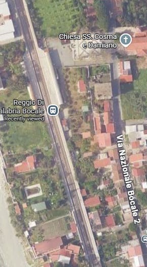
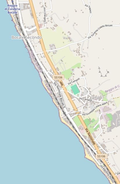
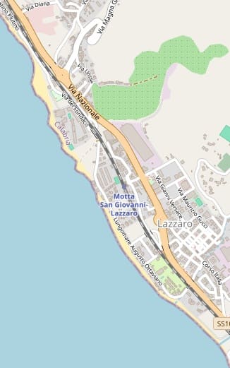
The line continues to closely follow the coast through the next Station at Motta San Giovanni Lazzaro. [66]
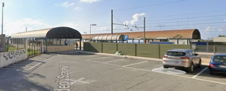
[Google Streetview, October 2024]
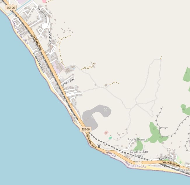
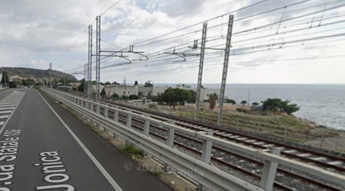
Towards the top-left of the map extract above and at the location of another dry river channel (which is just visible as it enters the sea on the right of this image); we see the railway and the Via Nazionale (Strada da Statale 106 Jonica) immediately alongside each other. This is the view Southeast along the line. [Google Streetview, October 2024]
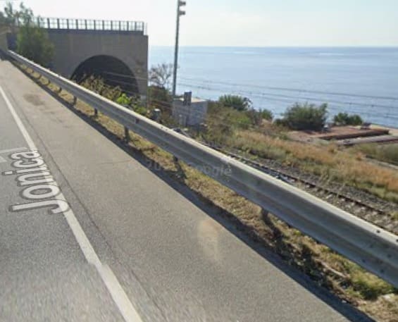
The Northwest portal of the tunnel seen from the Via Nazionale (Strada da Statale 106 Jonica). [Google Streetview, October 2024]
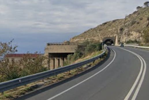
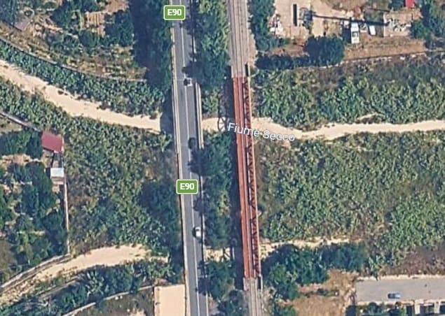
At the Southeast end of the tunnel there is gallery with views out over the ocean. This view looks Northwest from the Via Nazionale (E90) the railway tunnel is on the left of the image below the road. The road itself is in tunnel for a short distance. That tunnel is visible on the right of the image in the distance. [Google Streetview, November 2024]
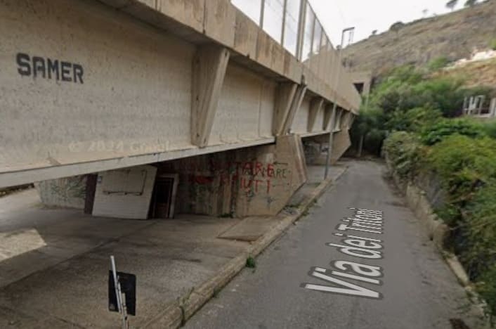
A local road (Via dei Tritoni) runs parallel to the railway and a lower level. This view looks Northwest along that road. The railway is carried on a viaduct as it approaches the tunnel noted above (which can just be seen at the end of the viaduct). The Via dei Tritoni passes under the last span of the viaduct before the tunnel portal. [Google Streetview, October 2024]
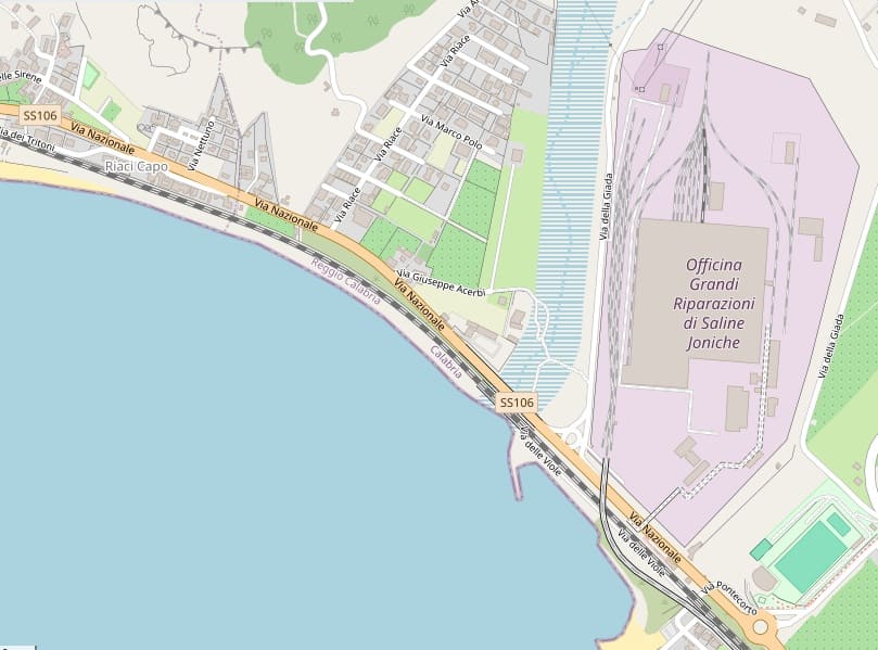

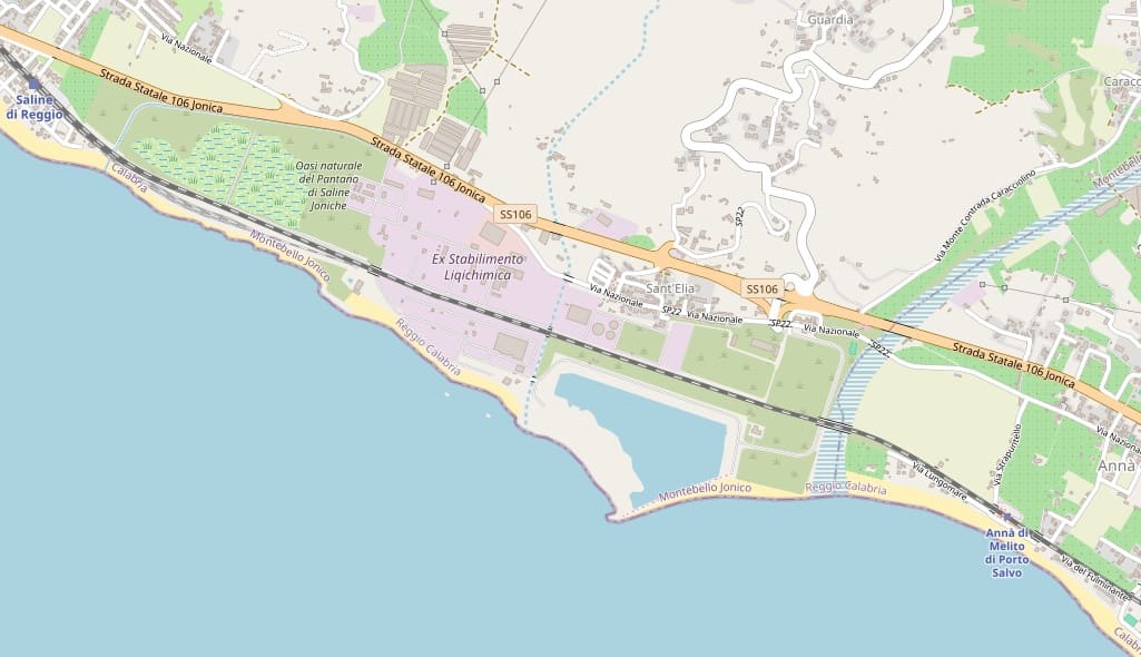
This photograph is taken looking Northwest from a location close to the dry river channel (at Saline Joniche) and shows the railway viaduct which spans it. [Google Streetview, October 2024]
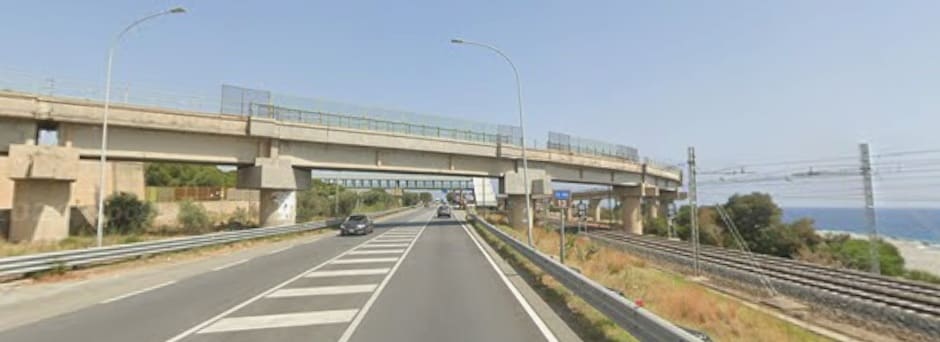
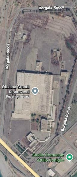
The Officine Grandi Riparazioni di Saline Joniche (OGR) railway maintenance facility. [Google Maps, June 2026]
The plant was opened in 1989 but after 12 years of operation, the plant was closed in 2001 as a result of the rationalisation process of the maintenance facilities implemented by the Italian State Railways. The plant remained abandoned, used for some time also for the storage of rolling stock. [69]
An attempt was made to sell the site in 2017, apparently with little success. At that time a TV news report featured the site and the item can be watched on Facebook, here. The video was posted on the Associazione Ferrovie in Calabria Facebook page on 20th March 2017. [70]
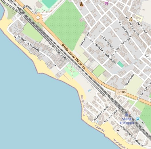
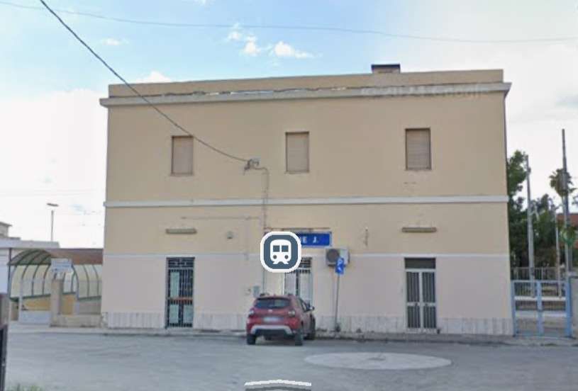
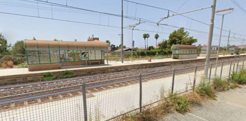
Saline di Reggio Railway Station. [Google streetview, June 2022]
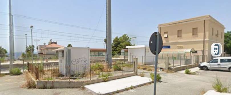
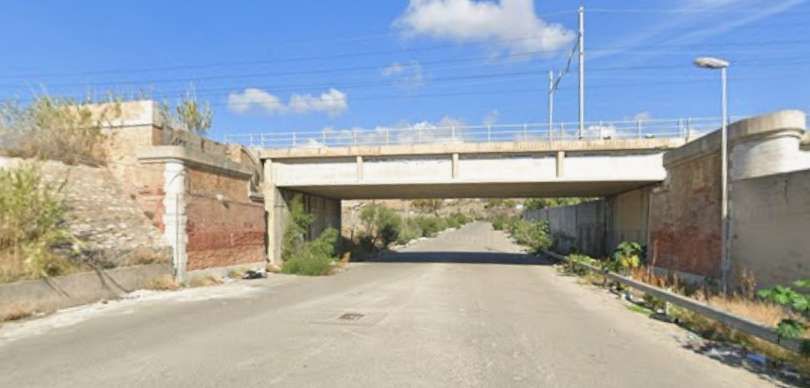
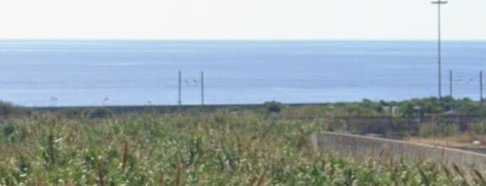
This view looks South from the Via Nazionale and shows the line, running right to left (visible on the right of the image. The greenery here is within the channel of the dry river bed. [Google Streetview, October 2024]
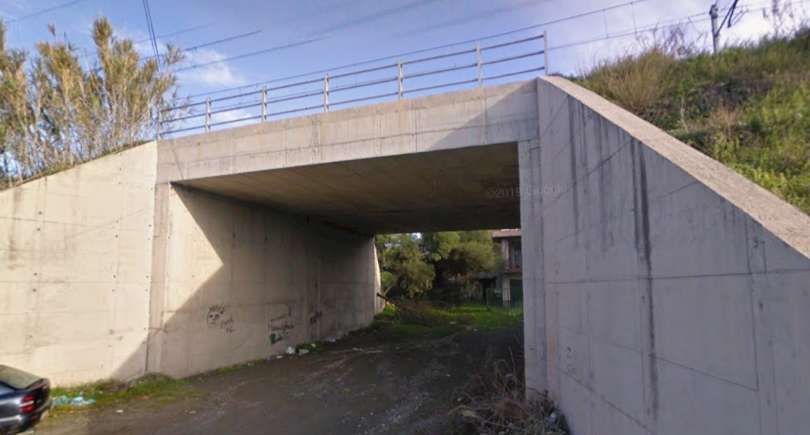
Just a short distance prio to Anna Railway Station, another typical underpass give access to the seashore and Via Lungomare. [Google Streetview, December 2008]
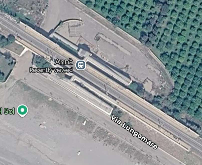
Anna Railway Station. [Google Maps, June 2026]
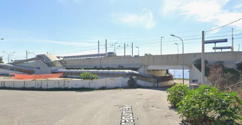
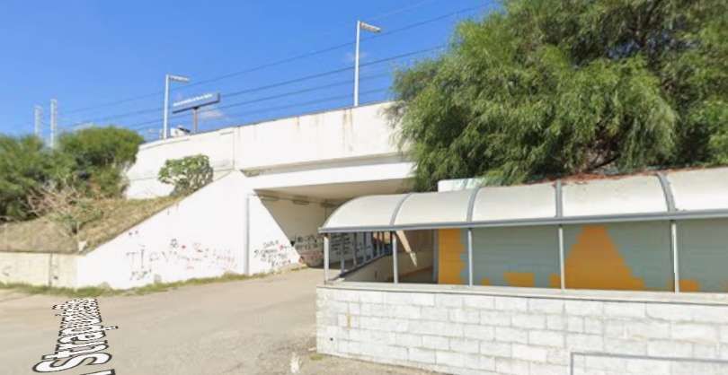
The bridge under Anna Railway Station seen from Via Lungomare. [Google Streetview, October 2024]
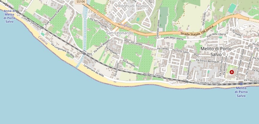
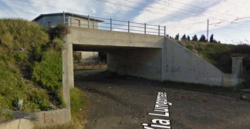
Another underpass to the Southeast of Anna Railway Station. [Google Streetview, October 2024]
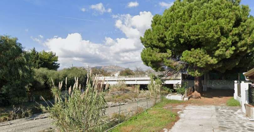
Another dry river channel, seen from close to the seashore with the railway bridge in the distance. [Google Streetview, October 2024]
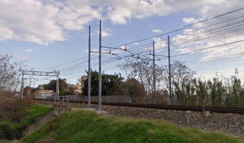
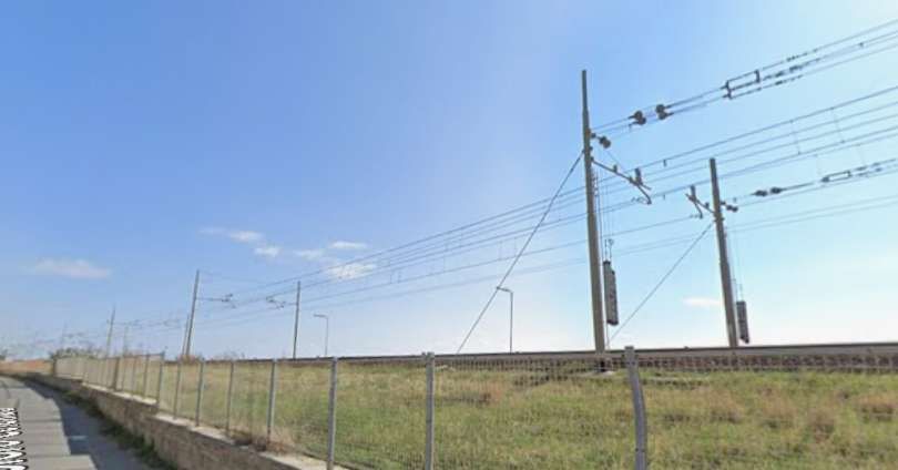
Again looking East along the line this is a view from Via Cristoforo Colombo which also runs on the North side of the railway line. [Google Streetview, November 2024]
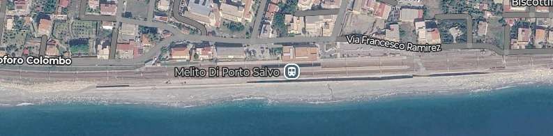
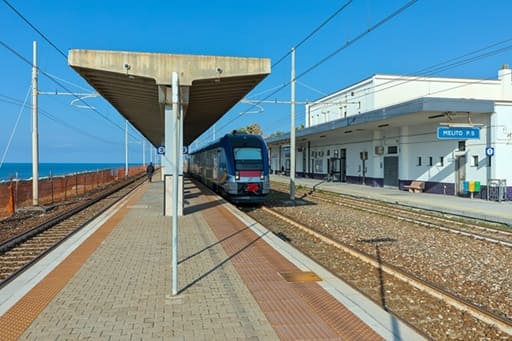
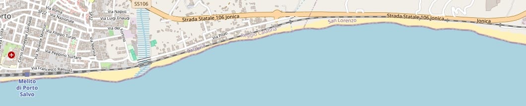
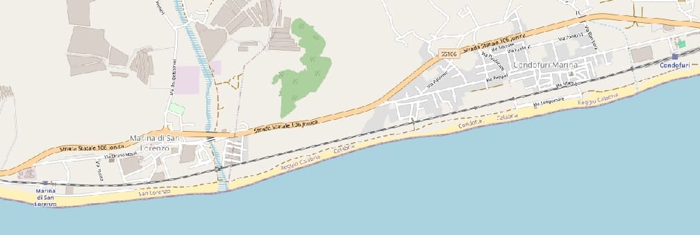
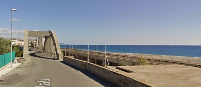
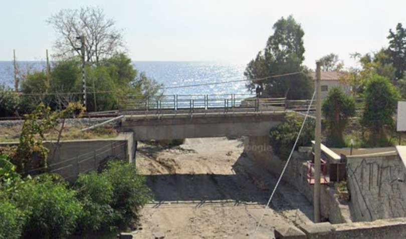
To the East of Melito di Porto Salvo there is another dry river bed which is crossed by the railway and Via Pilati on two adjacent viaducts. as of the mid-2020s the road bridge has been closed for safety reasons.
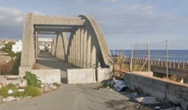
The same view in 2024. [Google Streetview, October 2024]
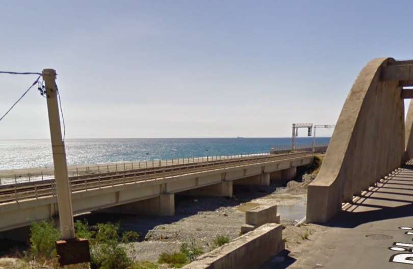
The railway viaduct seen from Via Pilati at the East end of the road bridge. [Google Streetview, October 2024]
The railway crosses another dry river channel, seen from Via Pilati. [Google Streetview, November 2024]
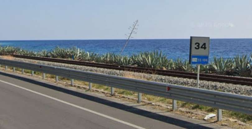
The railway between he road and the sea, seen from Via Pilati. [Google Streetview, November 2024]
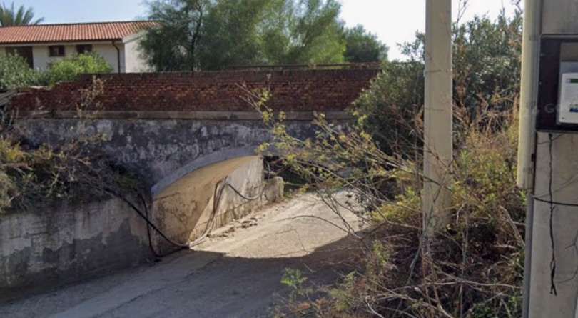
The railway crosses another fry river channel on its approach to Marina di San Lorenzo Railway Station. [Google Streetview, November 2024]
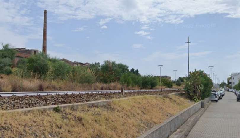
The railway on its approach to the Marina di San Lorenzo Railway Station. [Google Streetview, November 2026]
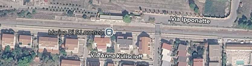
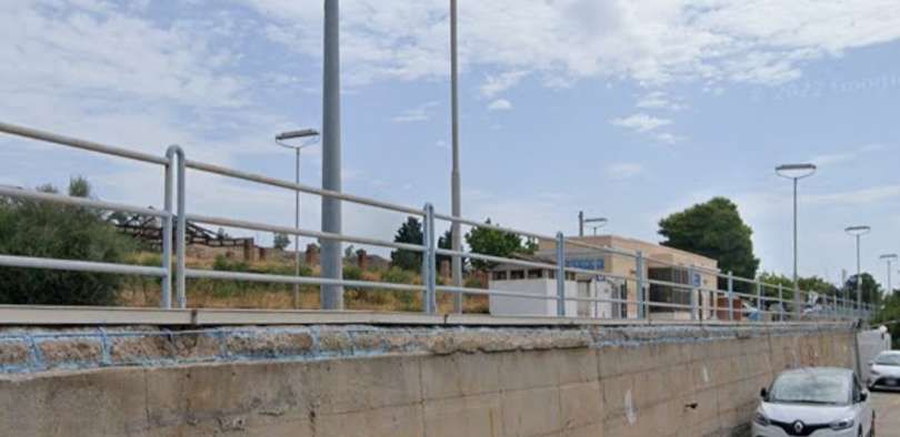
The Marina di San Lorenzo Railway Station seen from the Southwest. [Google Streetview, August 2022]
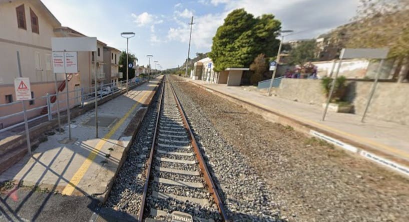
This is the view from the road crossing on Via Ipponatte shown on the Google Maps image above. It looks West through the Station at Marina di San Lorenzo. [Google Streetview, November 2024]
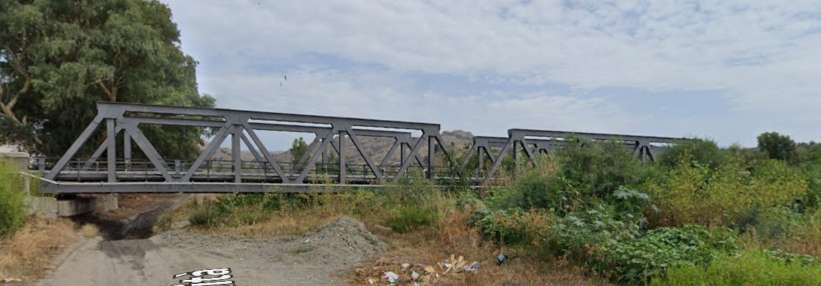
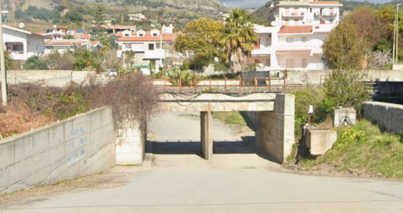
A number of underpasses allow dry watercourses under the line or take link roads from the coast in land. We show three of them. This the first of the three seen from Via Lungomare on the seashore and looks North. [Google Streetview, February 2021]
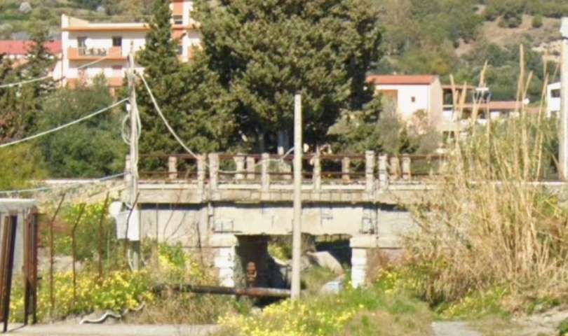
The second of the sample bridges. [Google Streetview, February 2021]
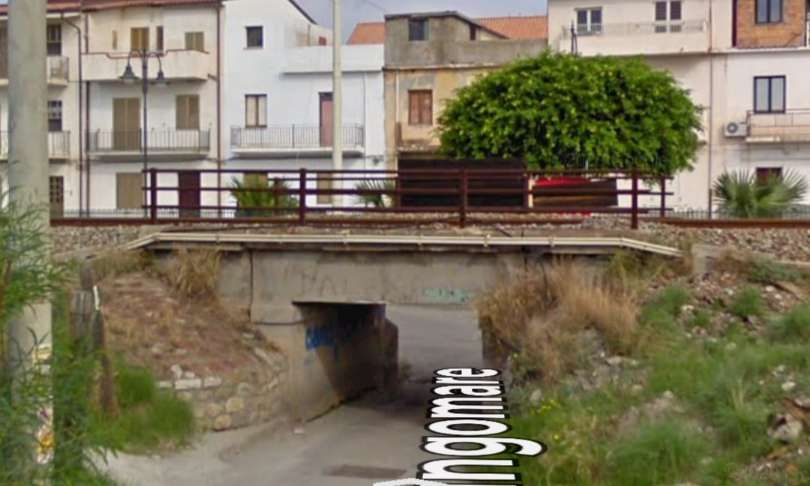
The third example is this structure seen from the South on Via Lungomare. [Google Streetview, October 2010]
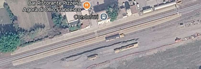
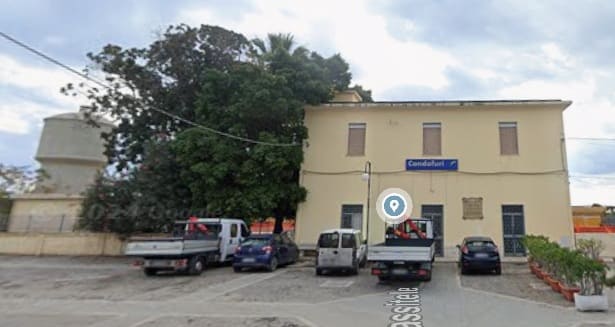
The railway station building at Condofuri is very similar to that at Saline di Reggio, seen here from the North on Via Prassitele. [Google Streetview, November 2024]


East of Condofuri another large dry watercourse is crossed.
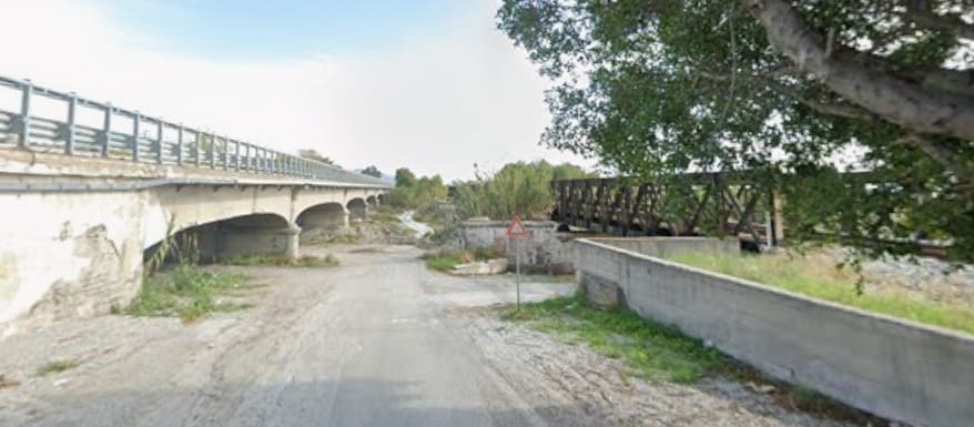
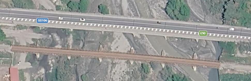
Further East, with road and rail in close proximity a footbridge spans both.
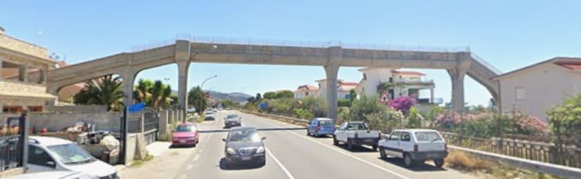
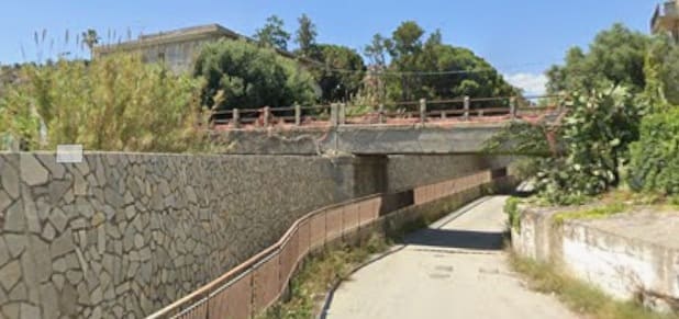
In Bova Marina the railway bridges both a watercourse and road. The two span viaduct is seen here from the South on Via Marina. [Google Streetview, June 2024]
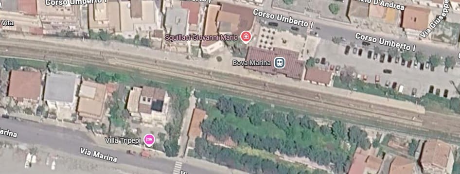
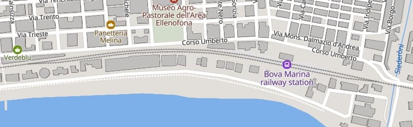
Another dry watercourse is crossed before trains travelling East enter Bove Marina Railway Station.
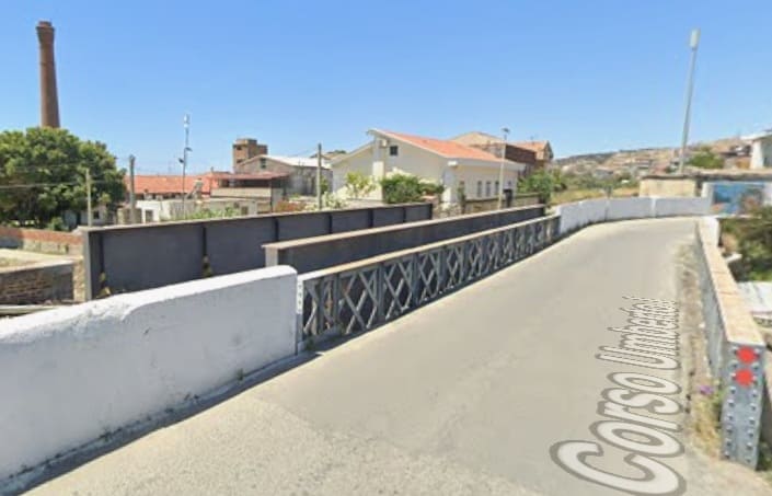
The view West from Corso Umberto across the two bridges at the East end of the railway Station site. [Google Streetview, June 2024]
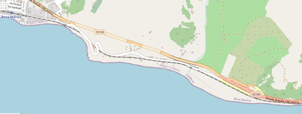
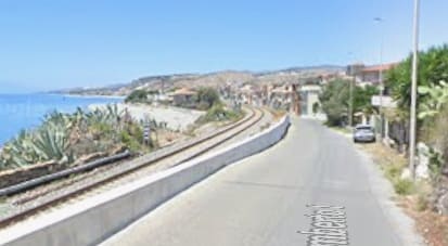
Looking back to the West along the line of the railway from a point about a kilometre to the East of Bova Marina Railway Station. [Google Streetview, June 2024]
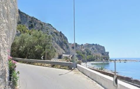
Looking East at the same location, the railway runs in tunnel through the headland ahead. [Google Streetview, June 2024]
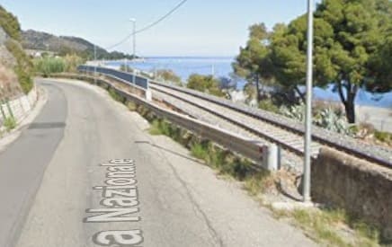
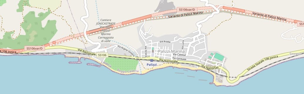
Beyond the headland road and rail accompany each other along the coast. The view looks East from the Via Nazionale. [Google Streetview, June 2024]
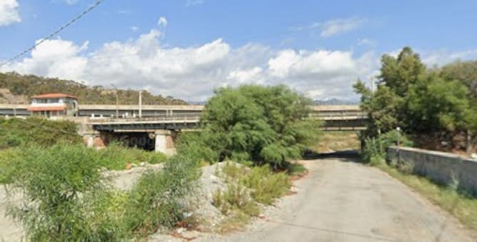
[Google Streetview, October 2020]
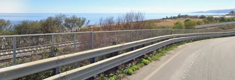
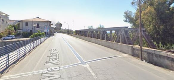

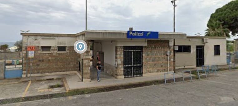
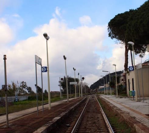
Looking West through Palizzi Railway Station, (c) Ndr Fnt, March 2023. [Google Maps, June 2026]
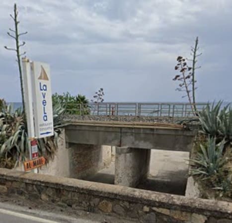
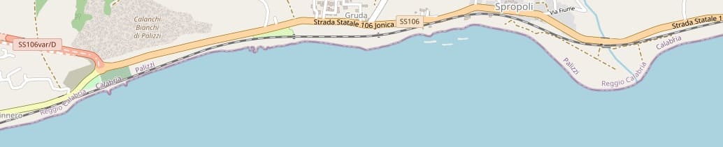
Another dry watercourse bridged by the railway. This view looks South from the Via Nazionale. [Google Streetview, June 20204]
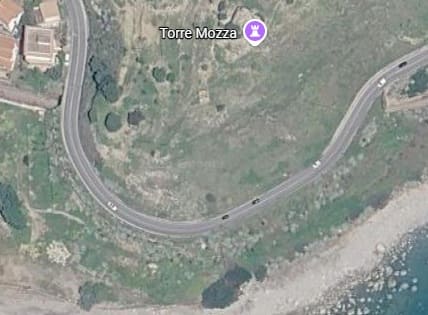
East of Palizzi, the line enters a short tunnel under Torre Mozza. [Google Maps, june 2026]
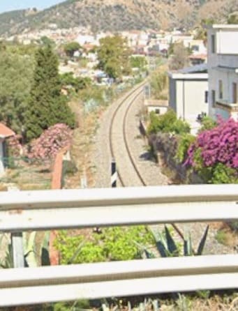
Looking back West from the Via Nazionale above the West portal of the tunnel. [Google Streetview, June 2024]
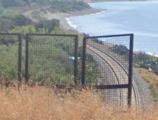
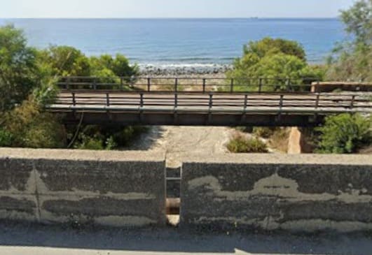
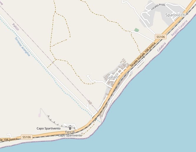
Yet another dry watercourse bridged by the line. [Google Streetview, June 2024]
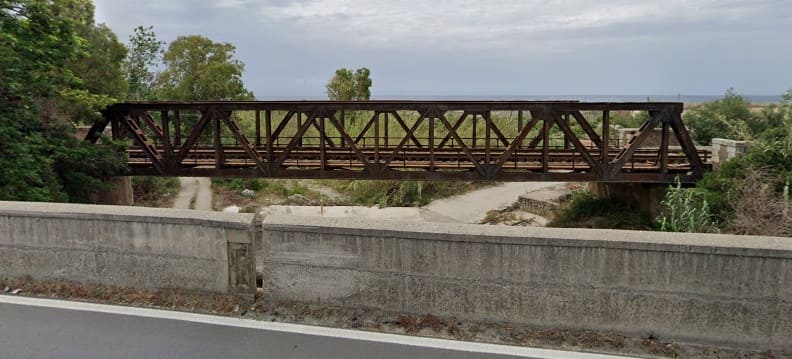

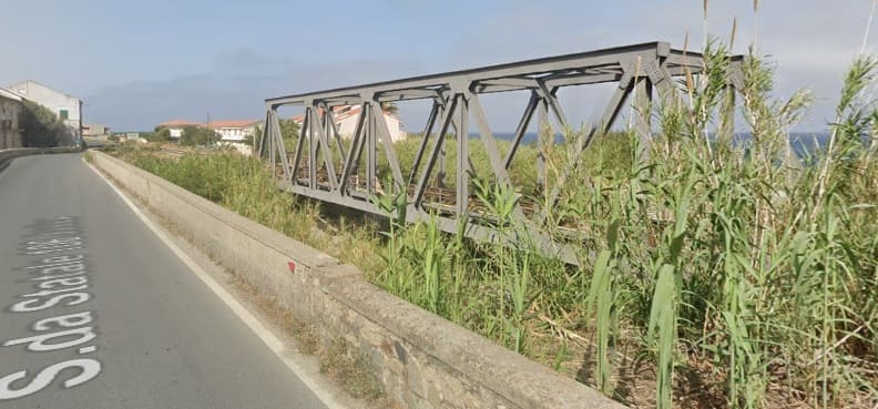
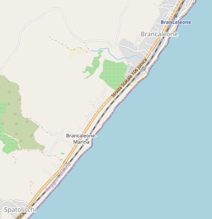
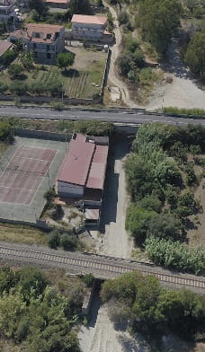
A drone’s-eye view of another drainage channel to the southwest of Brancaleone-Marina, (c) Giuseppe Billa (July 2020). [Google Maps, June 2026]
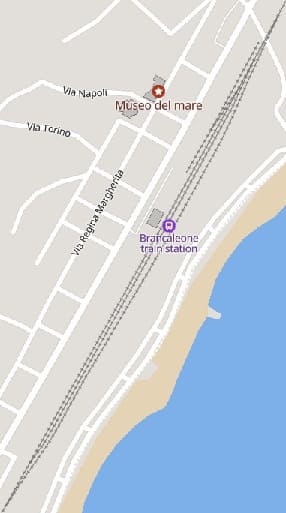
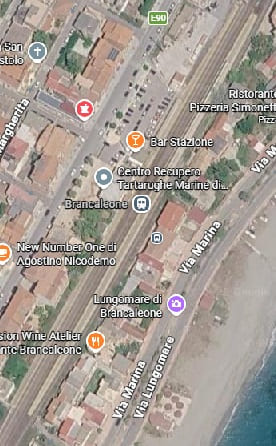
Brancaleone Railway Station. [84][Google Maps, June 2026]
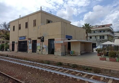
A trackside view of the railway station building at Brancaleone, (c) Giovanni De Medici Dalle Bande Nere (May 2025). [Google Maps, June 2026]
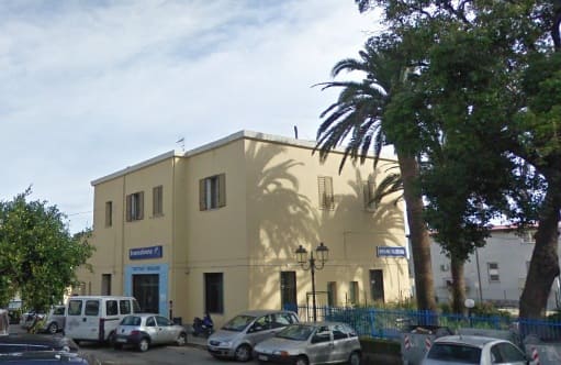
A roadside view of the same building. [Google Streetview, January 2009]
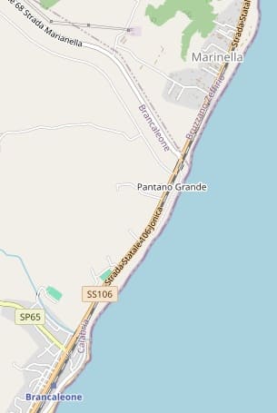
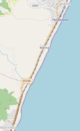
The next length of the line from Brancaleone to Ferruzzano. [85]
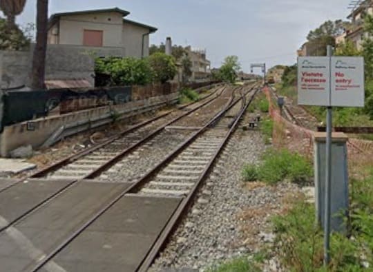
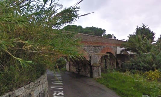
Looking back Southwest towards Brancaleone Railway Station from the level-crossing at Via Vittorio Emanuele III. [Google Streetview, June 2024]
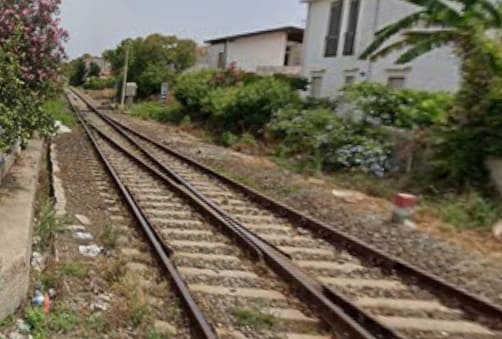
Turning to the northeast at the same road-crossing – this is the view ahead along the line. [Google Streetview, June 2024]
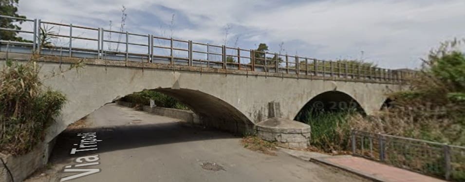
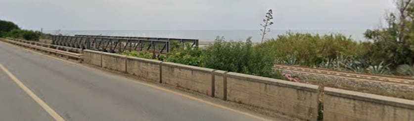
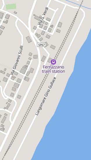
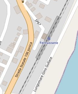
Ferruzzano Railway Station as shown on MapCarta and OpenStreetMap.com. [86][87]
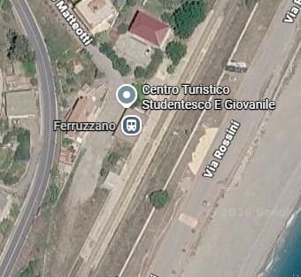
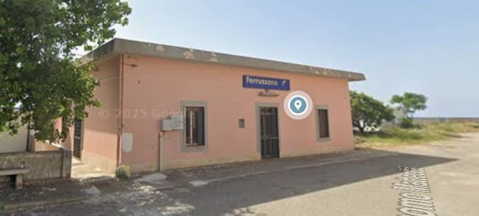
Ferruzzano Station seen from the North on the station approach road – Via Giacomo Matteotti. [Google Streetview, June 2024]
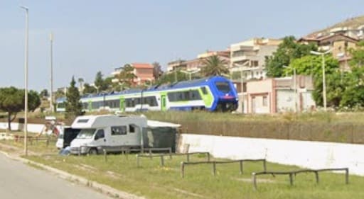
A Regional train in the station at Ferruzzano, seen from the Northeast on Via Rossini. [Google Streetview, June 2024]
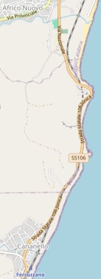
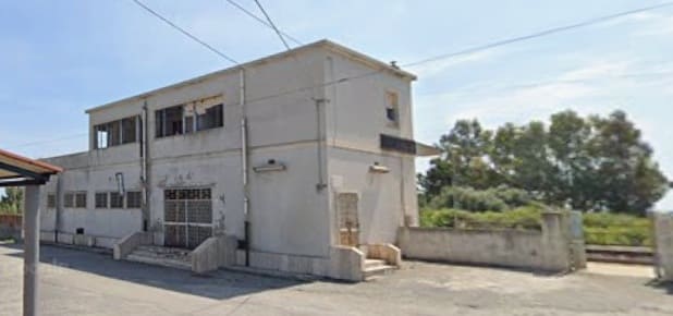
The next length of the railway heading North includes two short tunnels through small headlands. There is a Halt at Africo Nuovo. [88]
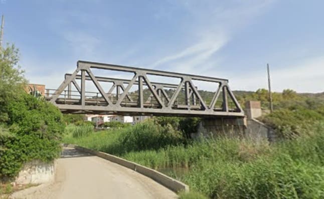
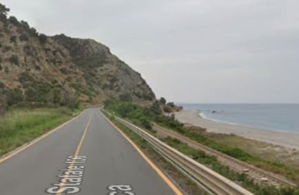
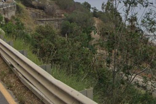
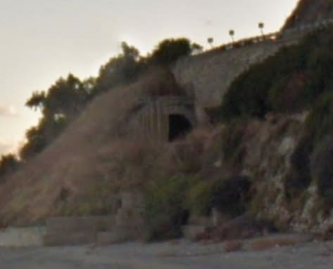
The North portal of the tunnel cannot be seen from the road above it. This is what can be seen from the beach below, looking South. [Google Streetview, November 2017]
Another headland and another tunnel, the South portal is not visible from the road and can only be glimpsed from the beach. [Google Streetview, November 2017]
It is even harder to see the North portal which is hidden just to the left of the white building in this similarly zoomed and therefore grainy photograph. [Google Streetview, June 2024]
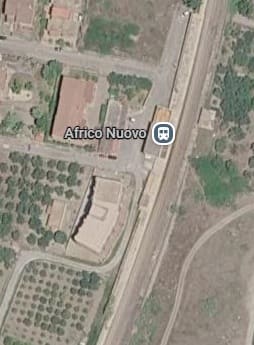
The Halt at Africo Nuovo. [Google Maps, June 2026]
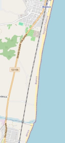
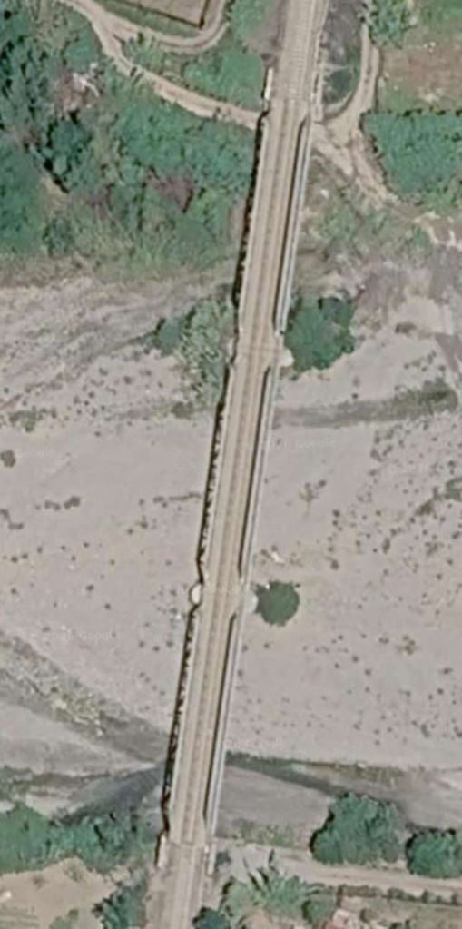
The line continues North to the next station at Bianco crossing Flumara La Verde. [89]
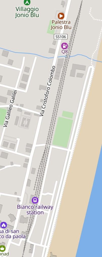
Bianco Railway Station as shown by MapCarta. [90]
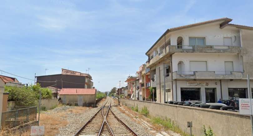
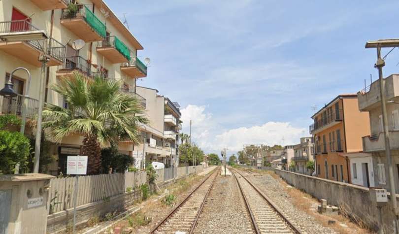
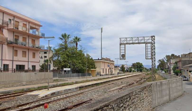
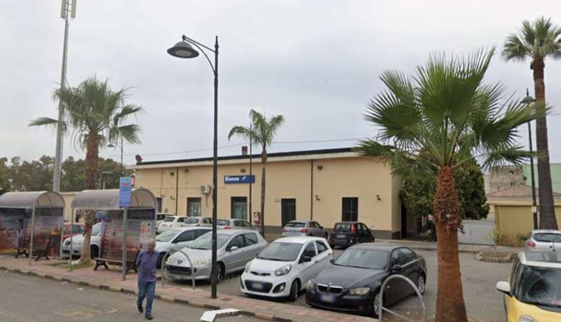
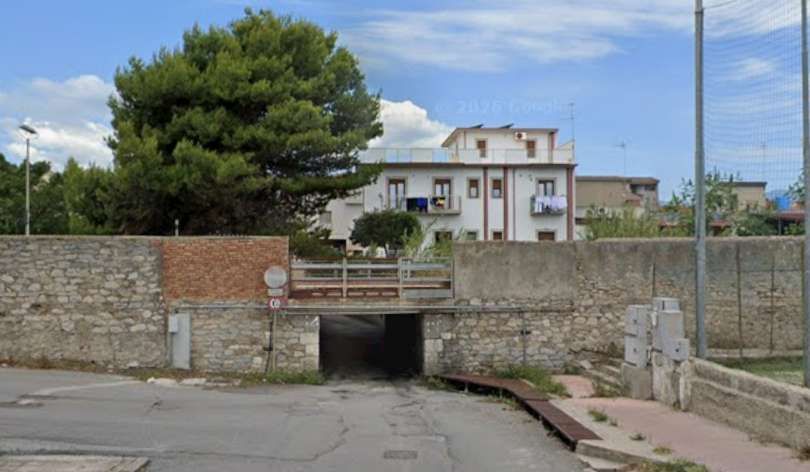
The underpass at the North end of the station site in Bianco seen from the East on Via Lungo Ferrovia. [Google Streetview, May 2024]
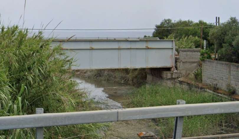
The railway bridge over relatively small watercourse seen from the West on the E-90 (Strade da Statale 106 Jonica). [Google Streetview, June 2024]
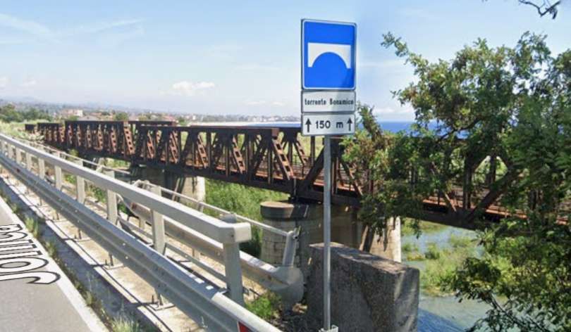
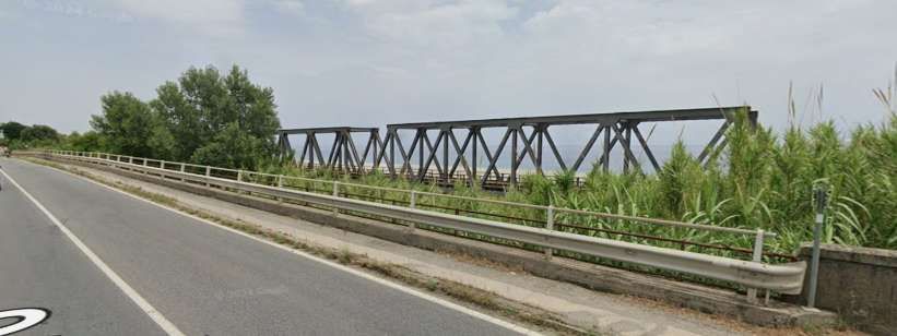
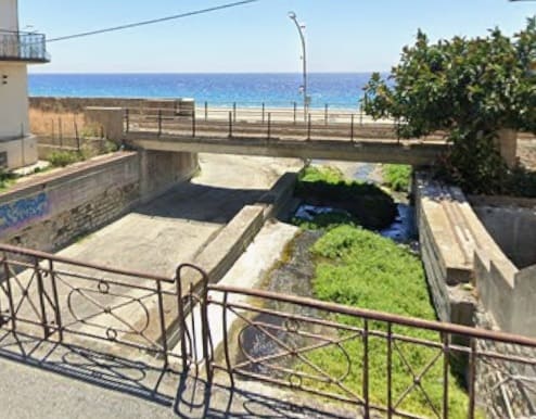
Seen looking Southeast from the Via degli Oleanri another rail bridge spanning an access road to the beach and a small watercourse. [Google Streetview, May 2024]
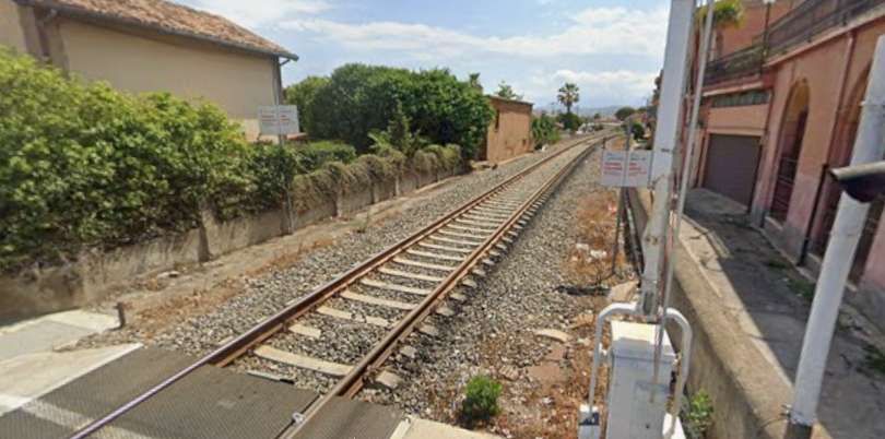
Looking Southwest from the road crossing at Via Cirillo. [Google Streetview, May 2024]
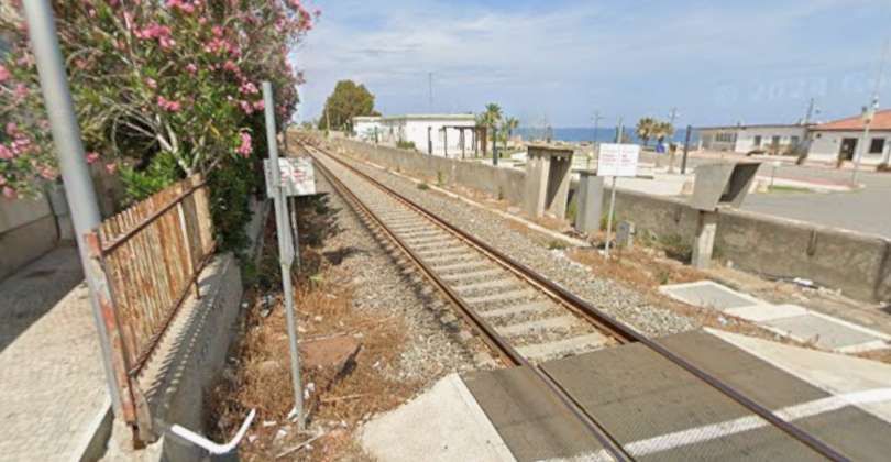
Looking Northeast from the road crossing at Via Cirillo. [Google Streetview, May 2024]
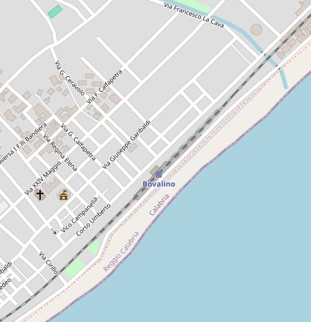
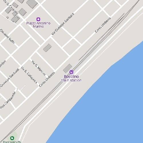
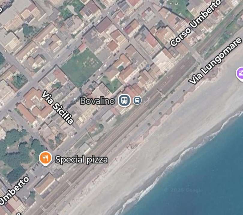
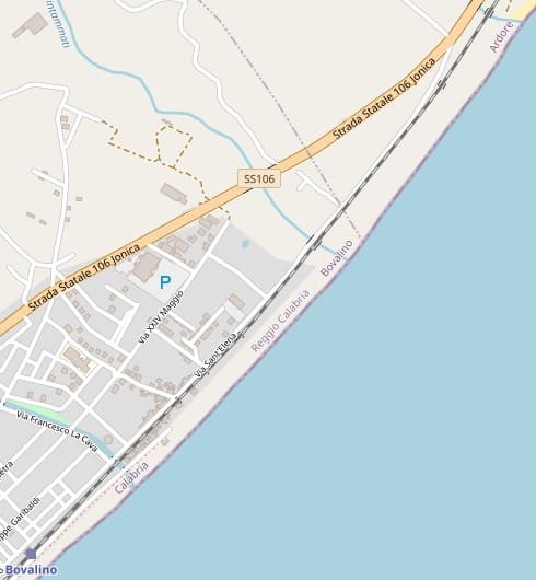
Bovalino Railway Station. [Google Maps, June 2024]
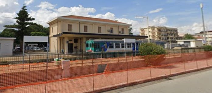
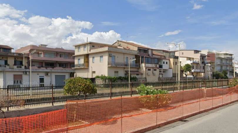
This is the location marked on Google Maps as the station. The platforms extend this far along the line. Is this an error on Google’s part, or was this once the location of the railway station? This view looks North from Via Lungomare. [Google Streetview, May 2024]
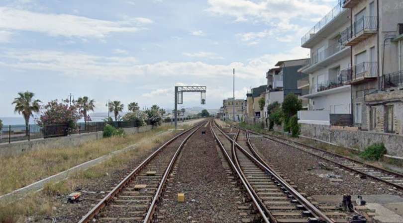
Looking Southwest into the station site from the level-crossing at Travers I Lenza Pelaia. [Google Streetview, May 2024]
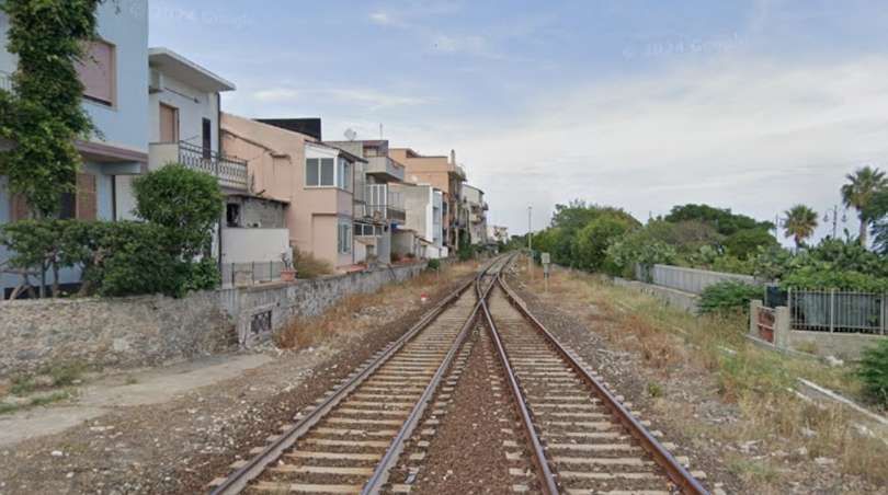
Looking Northeast along the line from the level-crossing at Travers I Lenza Pelaia. [Google Streetview, May 2024]
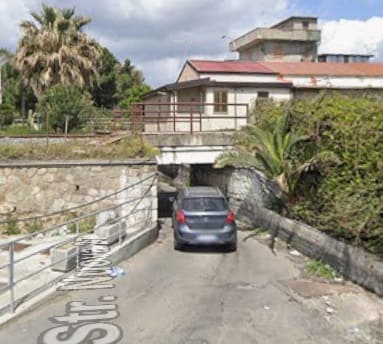
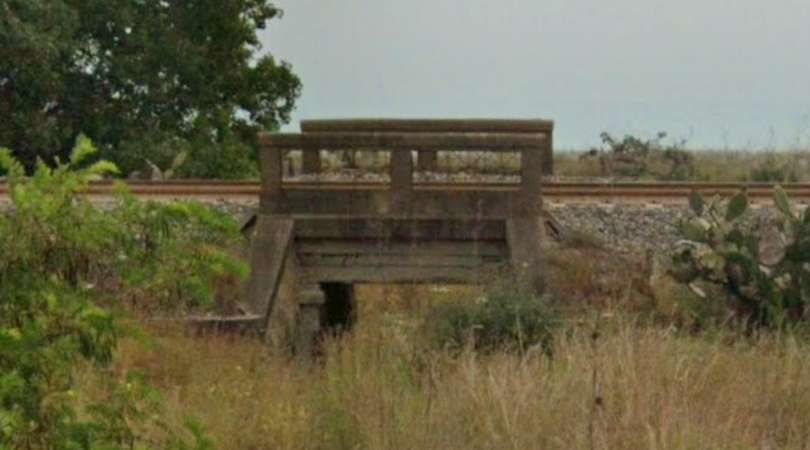
A very short distance Northeast this underpass takes Strade Nuova underneath the line. Low bridges like this are typical on the line. [Google Streetview, April 2021]
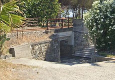
A typical underpass for pedestrians in Bovalino, seen from Via Sant’Elena. [Google Streetview, May 2024]
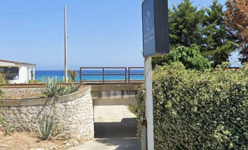
A few hundred metres to the Northeast, this structure permits vehicular access from Via Sant’Elena under the line to the beach. [Google Streetview, May 2024]
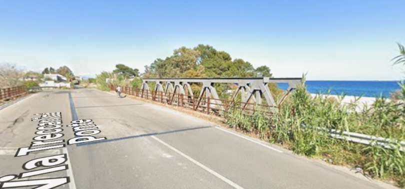
On the way Northeast out of Bovalino, the line bridges another watercourse – Vallone Pintammati, alongside Via Treccarlini Ponte. [Google Streetview, April 2024]
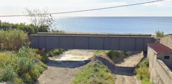
Another bridge over an access track and watercourse (Vallone Scio) seen from Via Giacomo Leopardi. [Google Streetview, April 2024]
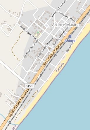
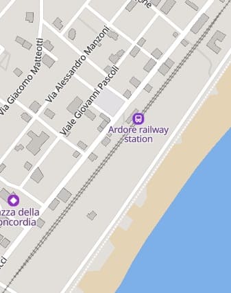
The next station is in Ardore. [94][95]
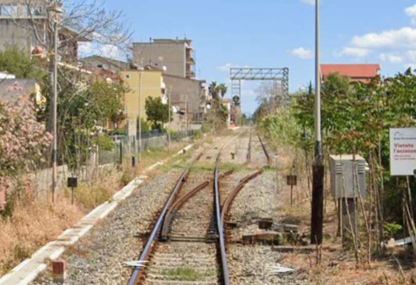
The approach to Ardore railway Station seen from the level-crossing on Piazza Giuseppe Marando. [Google Streetview, April 2024]
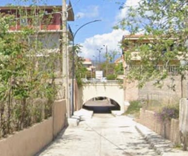
Just a short distance to the Northeast the line bridges an access road (seen from the Southeast). [Google Streetview, April 2024]
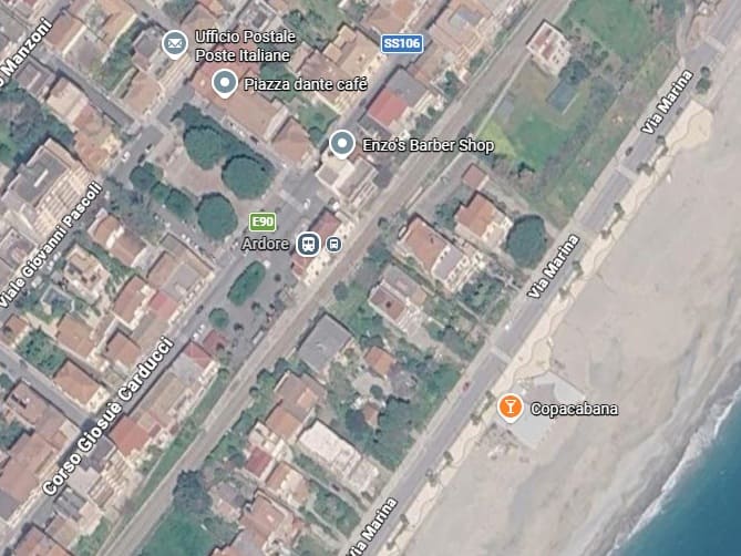
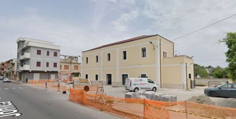
Ardore Railway Station appears to be undergoing refurbishment in this view, seen from the Southwest on Strade da Statale 106 Jonica. [Google Streetview, June 2024]
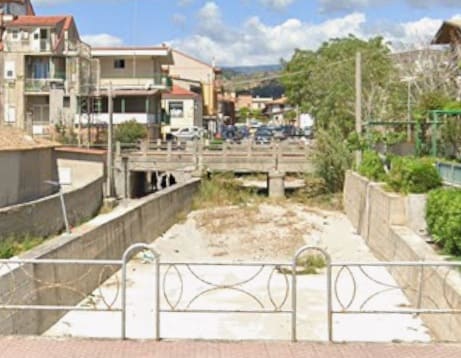
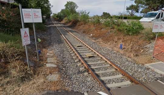
To the Northeast of Ardore Railway Station, the line crosses another access road and dry watercourse, seen here from Via Marina, looking Northwest. There are, along the route of the line, a lot of small structures providing either for pedestrians, vehicles or floodwater, not all of which are shown in this article. [Google Streetview, April 2026]
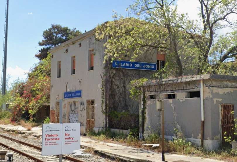
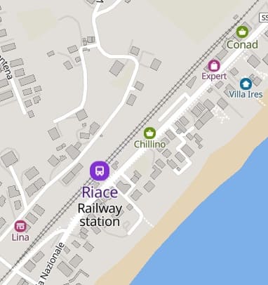
This used to be the location of the stazione ferroviaria di Sant’Ilario (Sant’Ilario Railway Station. The station is now closed. This rail side view of the building is taken from the road-crossing just to the Northeast of the building on Via Lungomare. [Google Streetview, April 2024]
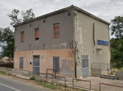
The same building seen from the main road. [Google Streetview, June 2024]
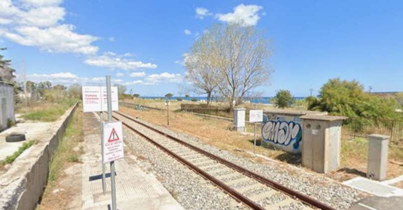
The view Northeast from the crossing on Via Lungomare. [Google Streetview, April 2024]
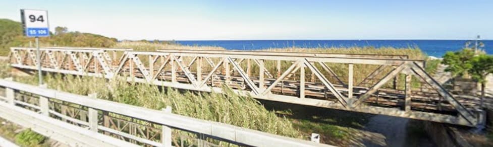
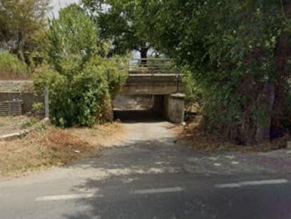
Another small structure a few hundred metres to the Northeast. [Google Streetview, June 2024]
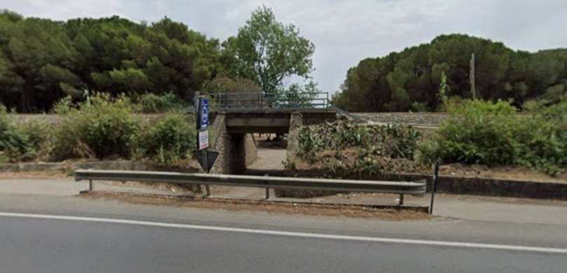
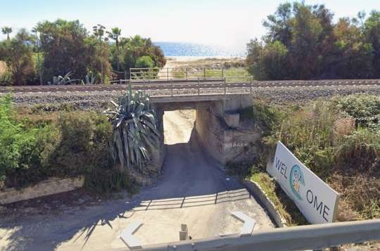
Again, a few hundred metres to the Northeast another underpass giving access below the line to the beach. [Google Streetview, June 2024]
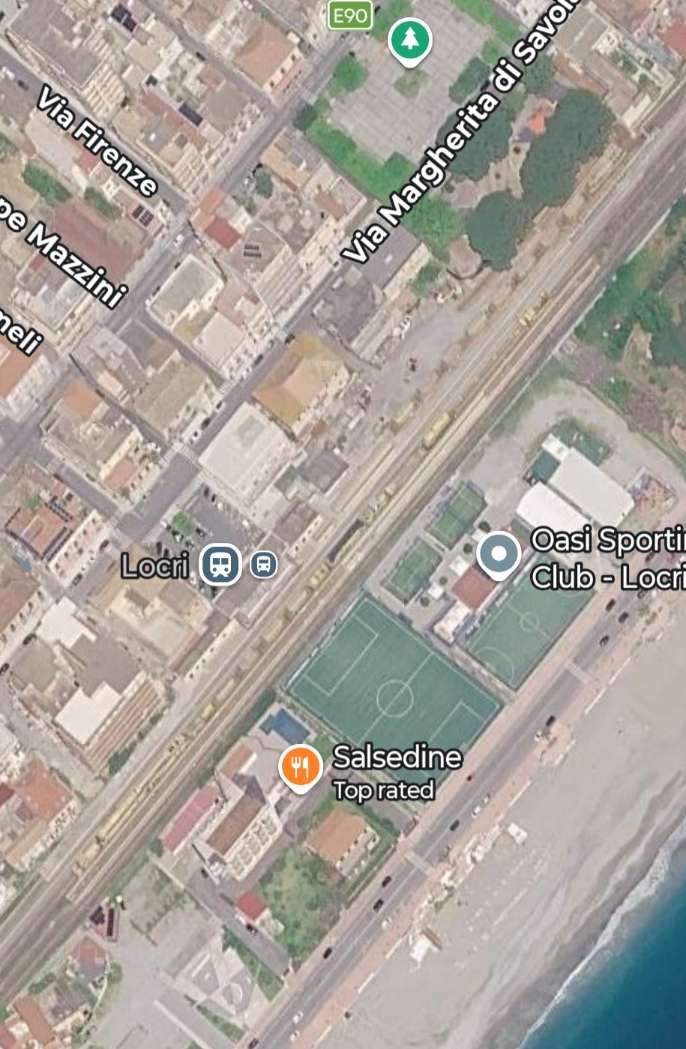
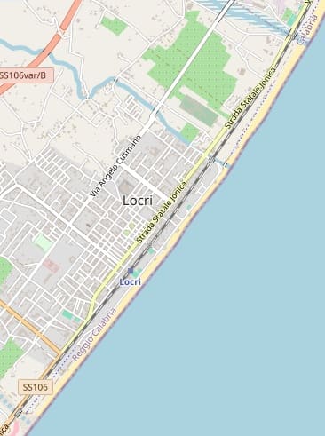
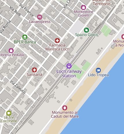
The small town of Locri and its railway station. [96][97]
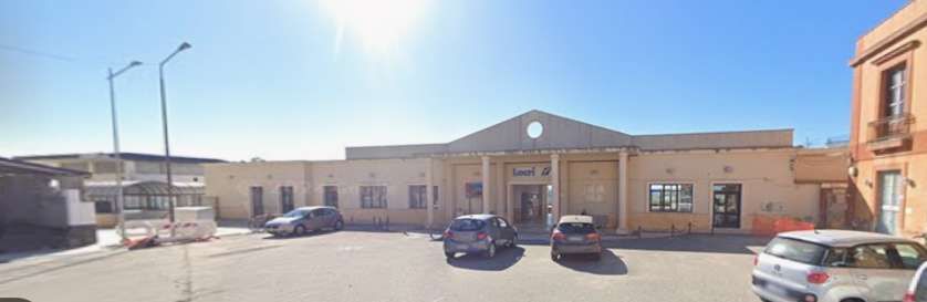
The station building at Locri seen from Via Giuseppe Garibaldi. [Google Streetview, April 2024]
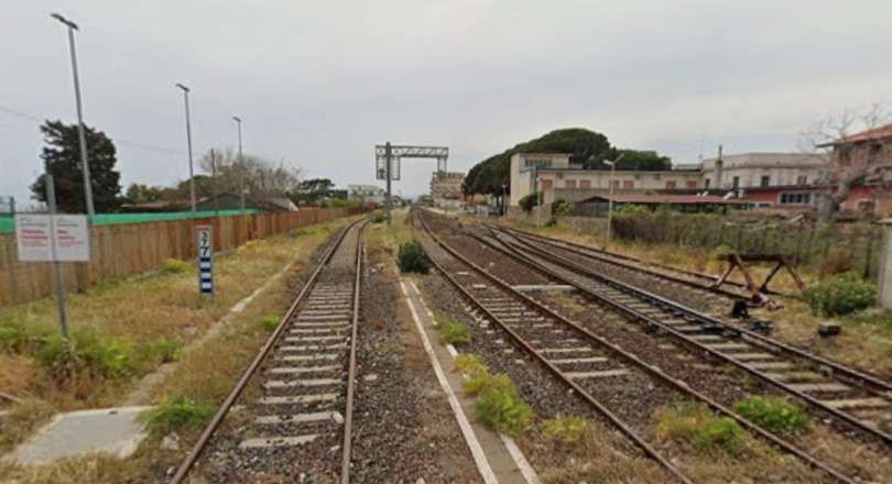
Looking back through Locris Railway Station site for the level-crossing on Viale della Regina. [Google Streetview, April 2024]
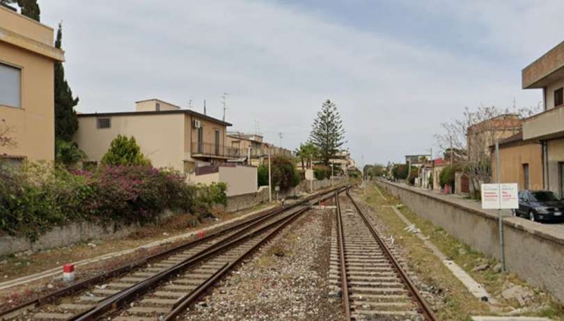
Looking Northeast along the line from the same level-crossing. [Google Streetview, April 2024]
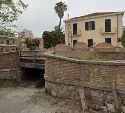
Another underpass a few hundred metres along the line to the Northeast, seen from Via Arenile. [Google Streetview, April 2024]
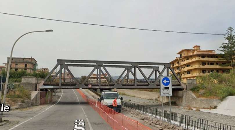
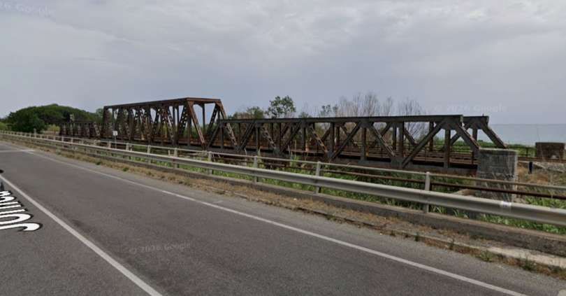
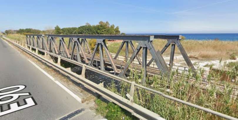
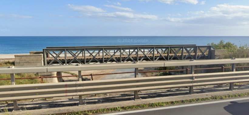
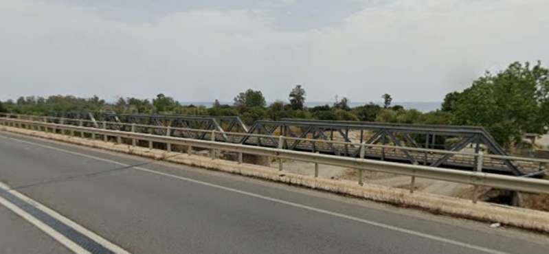
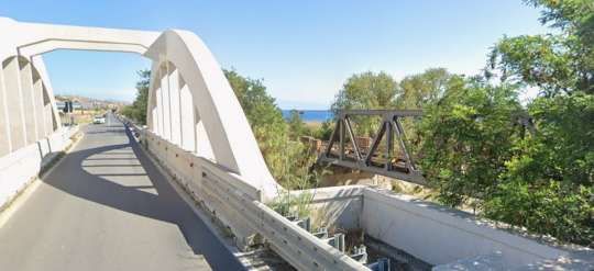
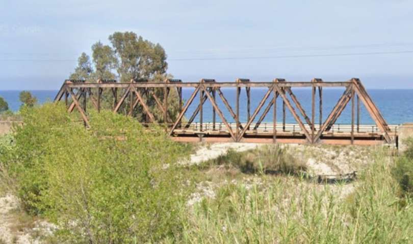
Again, a few hundre metres t oteh Northeast, a single Warren Truss girder bridge carries the line over Via Lungomare and a dry watercourse. The view lokks towards the lien from the Southeast. [Google Streetview, April 2024]
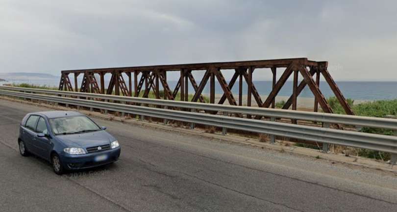
[Google Streetview, June 2024]
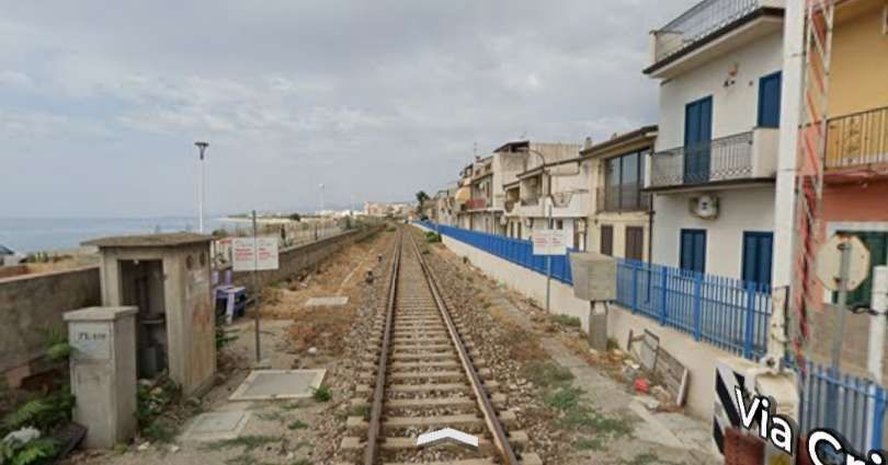
Looking Southwest from the level-crossing at Via Amedola. [Google Streetview, June 2024]
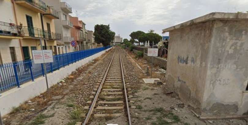
Looking Northeast from the same road-crossing. [Google Streetview, June 2024]
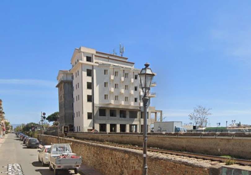
Looking Northeast along he line from Via Christofore Colombo. [Google Streetview, April 2024]
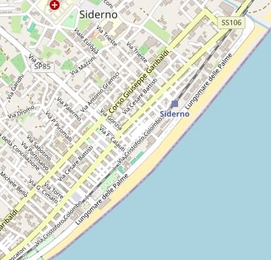
The town of Siderno and its railway station. [98][99]
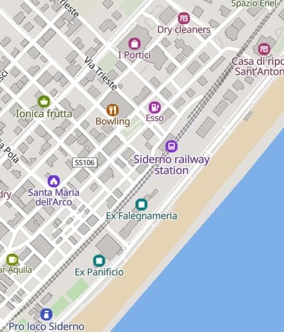
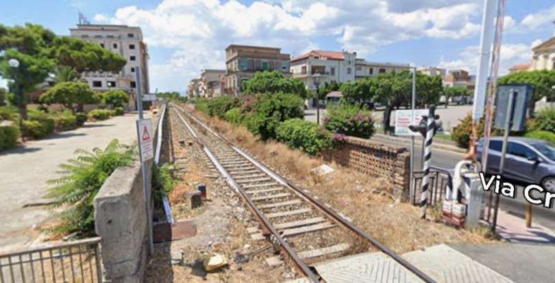
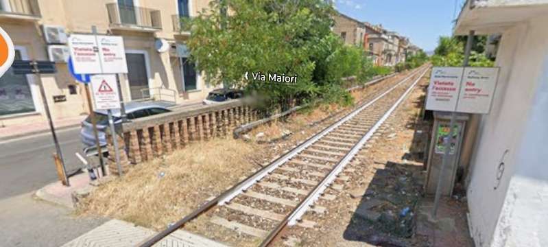
Looking back to the Southwest along the line from the level-crossing at Via Tasso. [Google Streetview, August 2022]
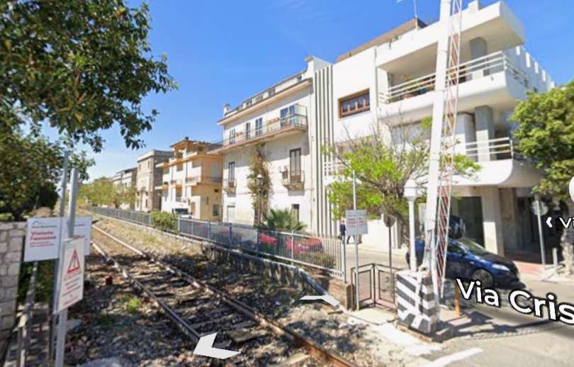
Looking forward to the Northeast from the same road-crossing. [Google Streetview, August 2022]
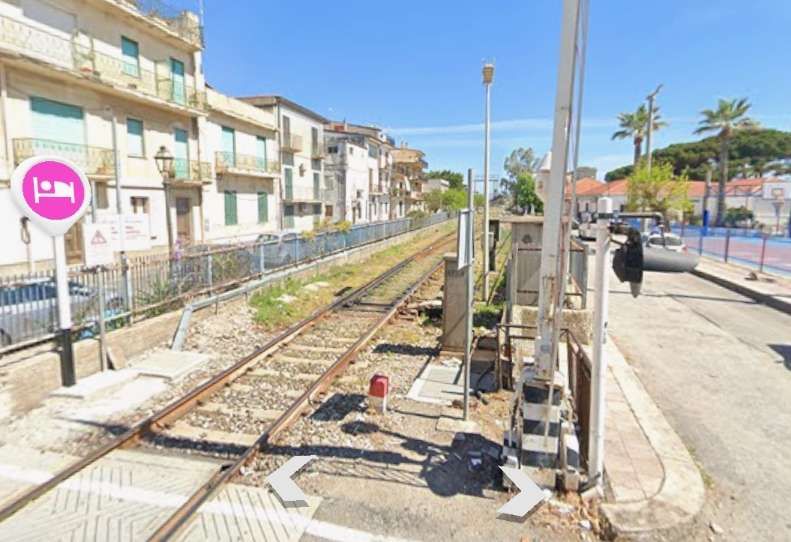
Another road-crossing within a hundred metres of so carries Via Torquato Tasso across the line. This view looks back to the Southwest from the road-crossing. [Google Streetview, April 2024]
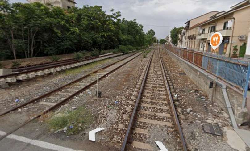
Turning to face Northeast, this is the view ahead along the line from the same location. [Google Streetview, April 2024]
Looking back Southeast from Via Genova. There is a track panel stored to the left of this photograph (a point). [Google Streetview, June 2024]
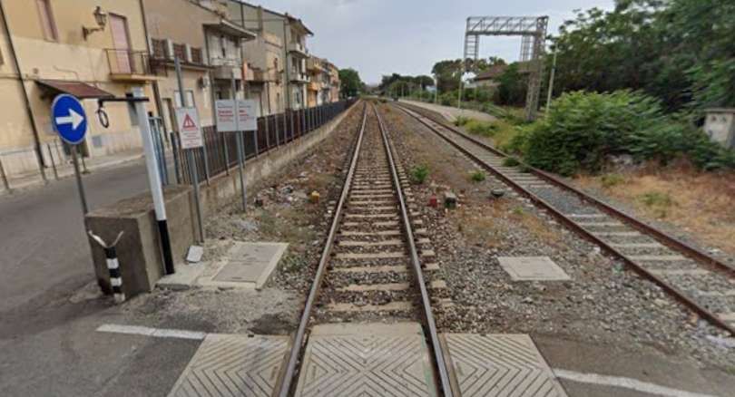
At the same road-crossing, this is the view Northeast towards the railway station in Siderno. [Google Streetview, June 2024]
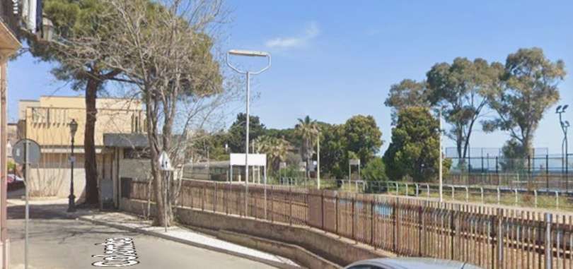
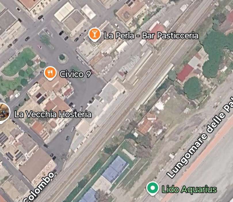
The view Northeast into the station platforms from Via Christofor Colombo. {Google Streetview, April 2024]
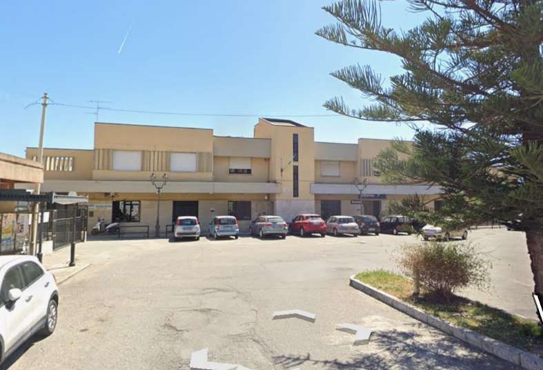
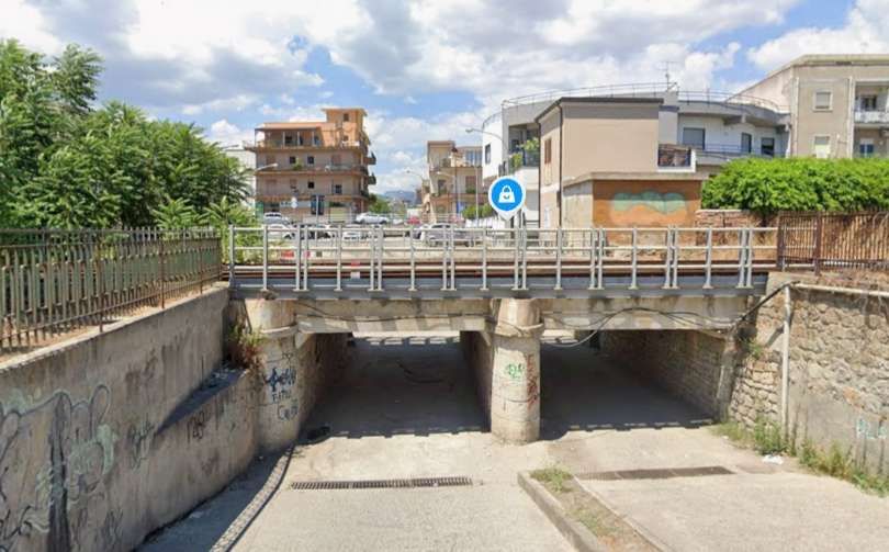
A short distance Northeast, vehicular underpass carries two lanes of traffic under the line. [Google Streetview, August 2022]
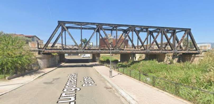
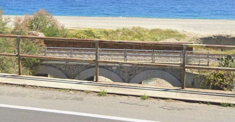
This and the next image show two similar three-arch structures spanning watercourses. [Google Streetview, June 2024]
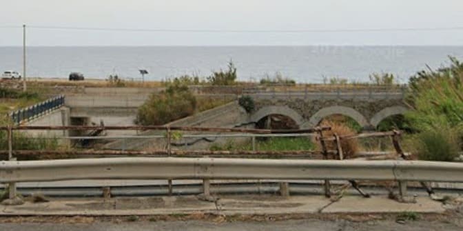
In this image a vehicular underpass sits alongside the water course bridges by a more modern concrete structure carrying the railway. [Google Streetview, June 2024]
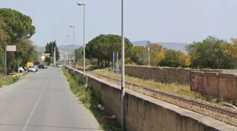
The line continues Northeast still close to the coast and often flanked by the road closest to the coast. In this case the road is Contrada Grotteria Mare. [Google Streetview, April 2024]
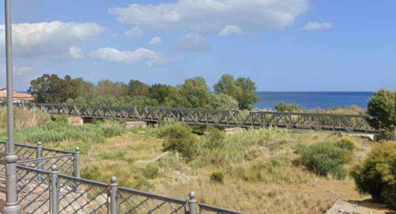
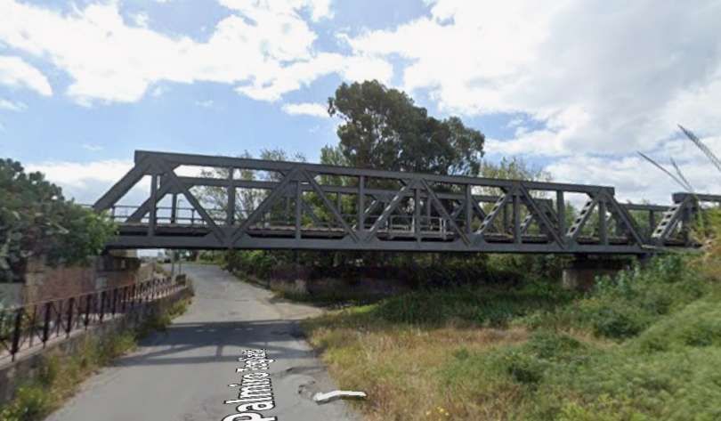
[Google Streetview, April 2024]
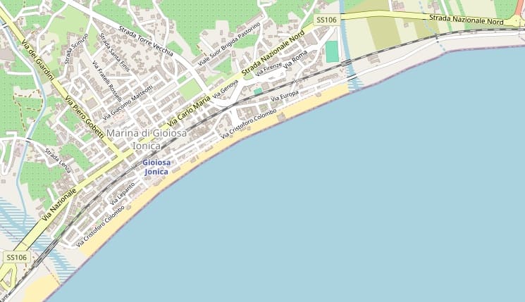
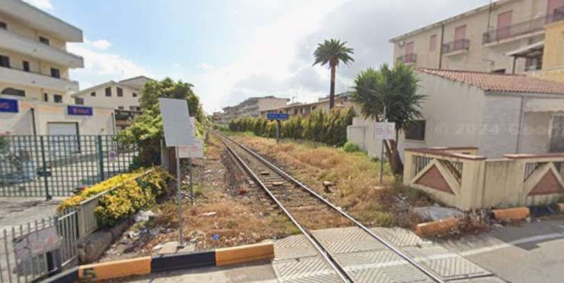
Looking back Southwest along the line from Piazza dei Mille in Marina di Gioiosa Ionica. [Google Streetview, April 2024]
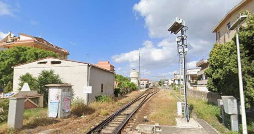
Looking Northeast along the line from Piazza dei Mille in Marina di Gioiosa Ionica (towards the station named Gioiosa Jonica). [Google Streetview, April 2024]
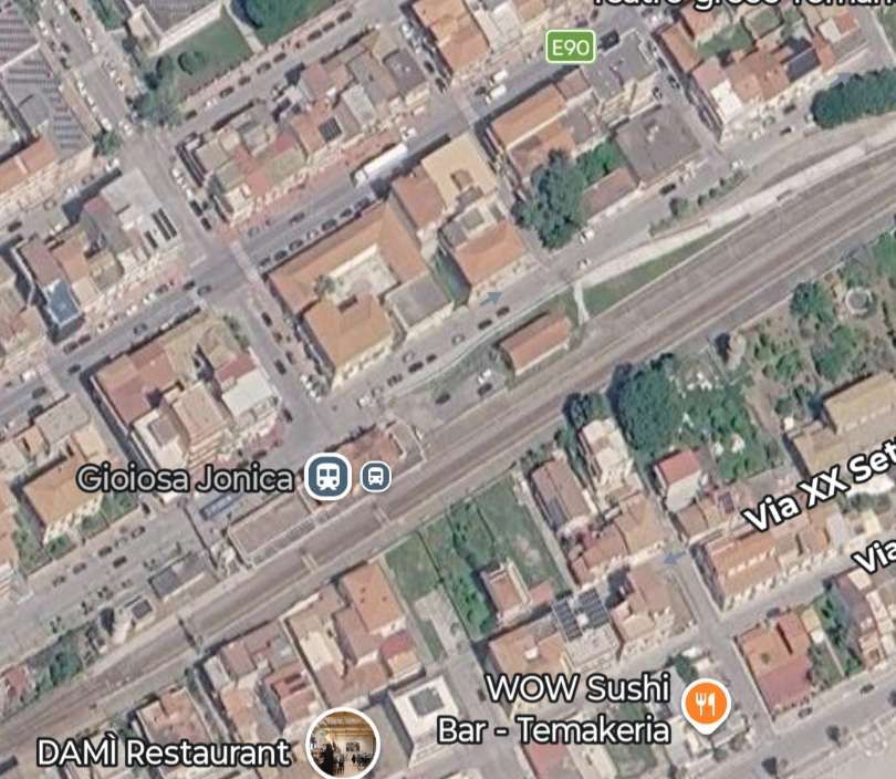
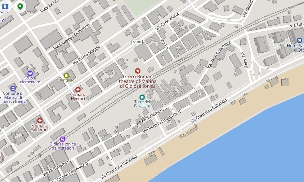
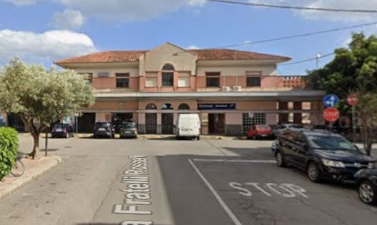
Gioiosa Jonica Railway Station seen from Via Fratelli Rosselli. [Google Streetview, April 2024]
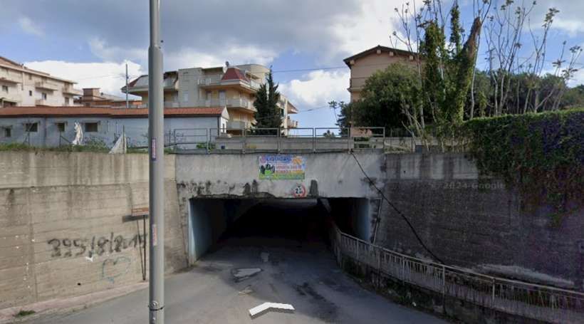
An underpass just East-northeast of the station seen from Via Napoli on the North side of the railway line. [Google Streetview, April 2024]
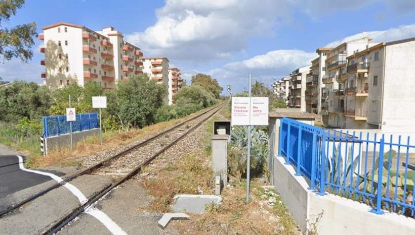
The line ahead seen from the level-crossing on Strada Telegrafo Vecchio. [Google Streetview, April 2024]
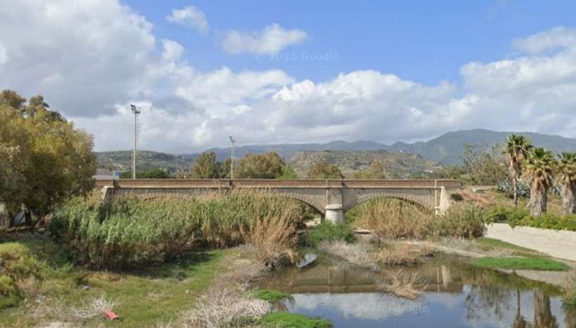
The line is carried over another torrent which seems to be unnamed on the various online maps. The structure carrying the line is a three-arched viaduct. It is seen looking North from Via Cristoforo Colombo on the seashore. [Google Streetview, April 2024]
Another torrent is crossed as the line continues to the East-northeast – Torrente Barruca. [Google Streetview, April 2024]
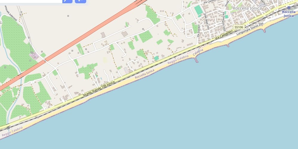
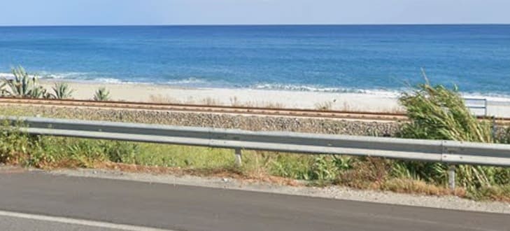
[Google Streetview, April 2024]
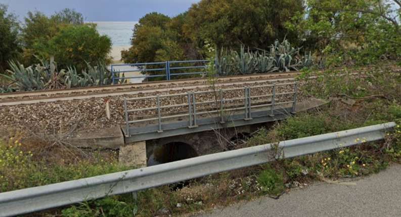
Typical of structures beneath the line on this section is this twin-arched culvert. [Google Streetview, April 2024]
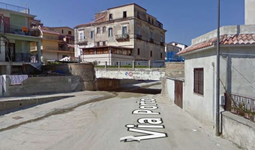
Underpasses are only sufficient to accommodate the smallest of vehicles – this is Via Porto in Roccella Ionica. [Google Streetview, February 2009]
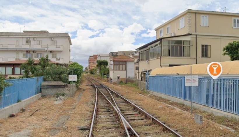
At Roccella Jonica Railway Station mouth a level-crossing takes a link road across the line. This is the view back to the West from the road-crossing. [Google Streetview, April 2024]
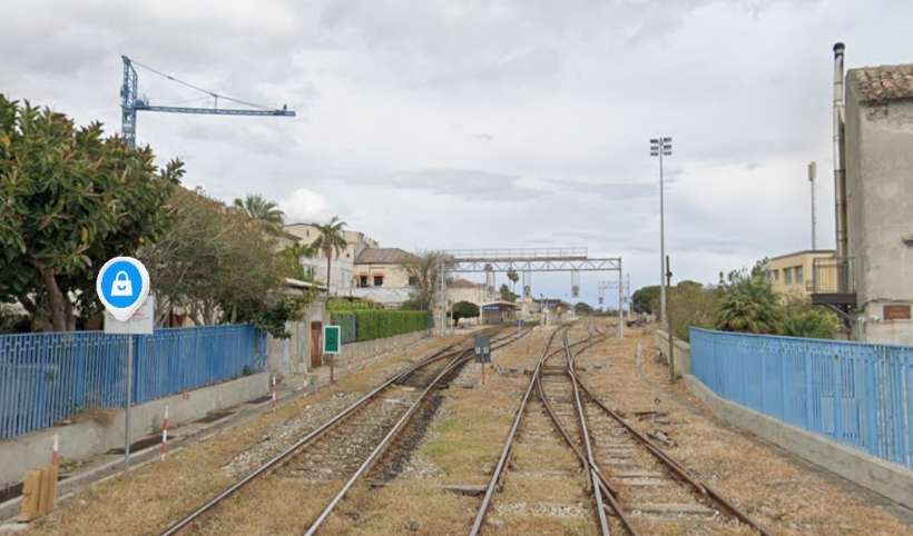
Looking East into the site of Roccella Jonica Railway Station. [Google Streetview, April 2024]
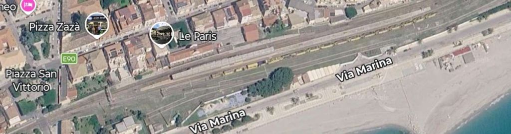
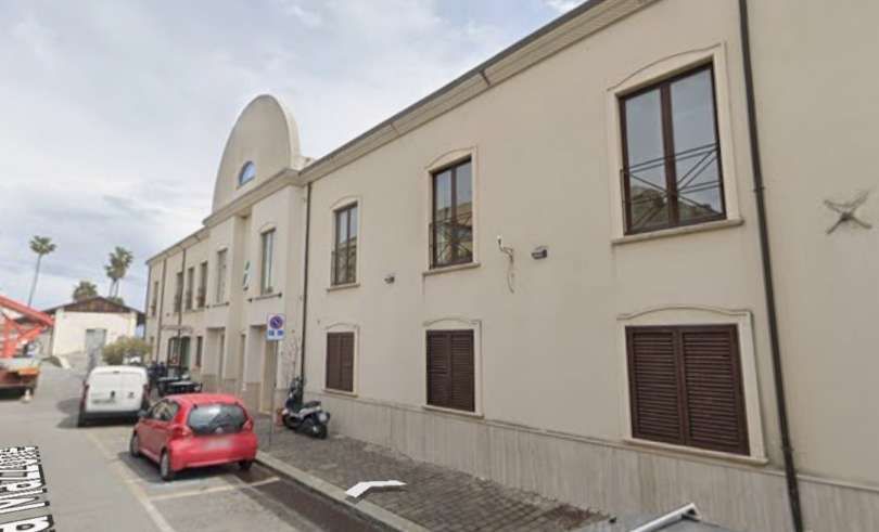
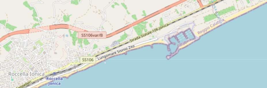
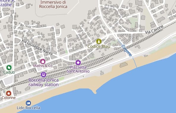
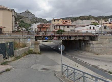
The underbridge immediately to the East of the Station, seen from the South on Via Marina. [Google Streetview, April 2024]
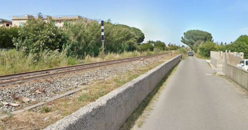
Looking East-northeast along Via Porto delle Grazie which is on the South side of the line. [Google Streetview, May 2021]
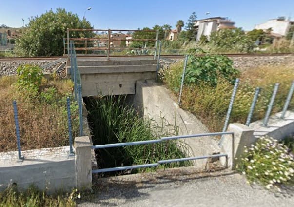
The embankment of the line is breached at various points to allow for floodwater flows. This concrete underbridge is typical, seen from Via Porto delle Grazie. [Google Streetview, May 2021]
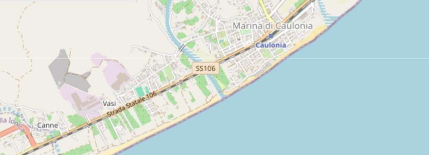
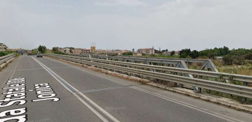
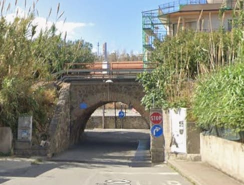
Arched underpass over Via Mare Jonio, Caulonia Marina on the approach to Caulonia Railway Station. [Google Streetview, April 2024]
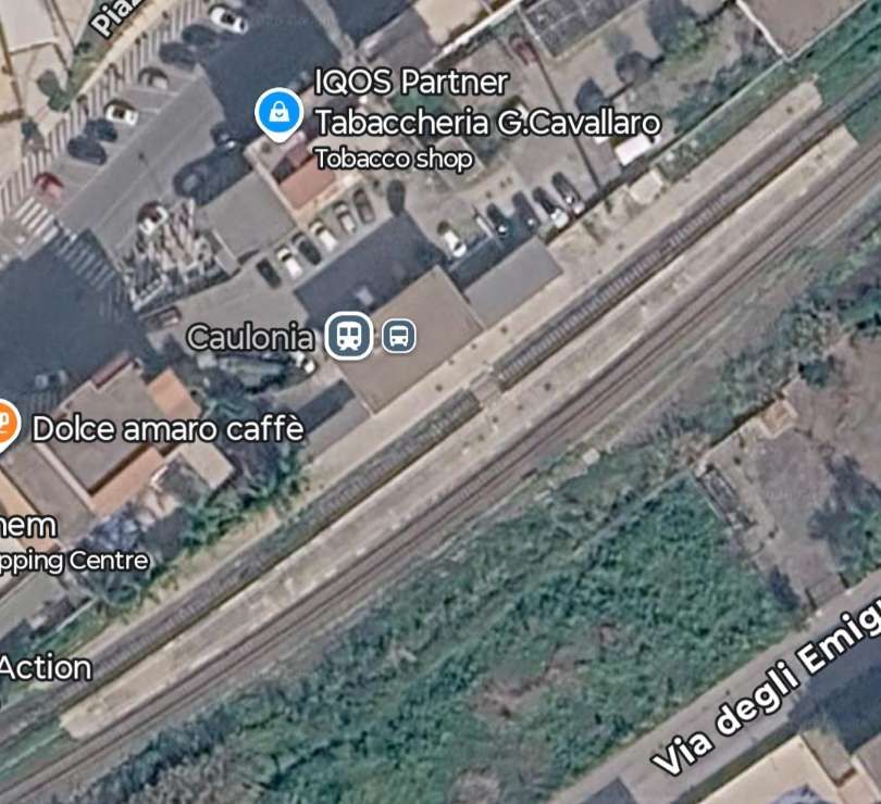
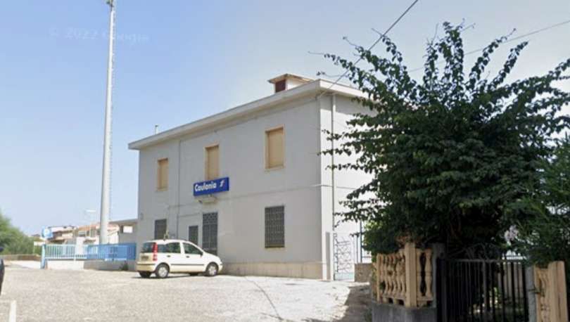
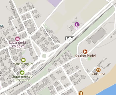
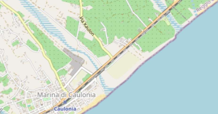
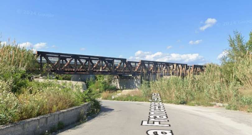
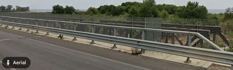
[Google Streetview, June 2024]
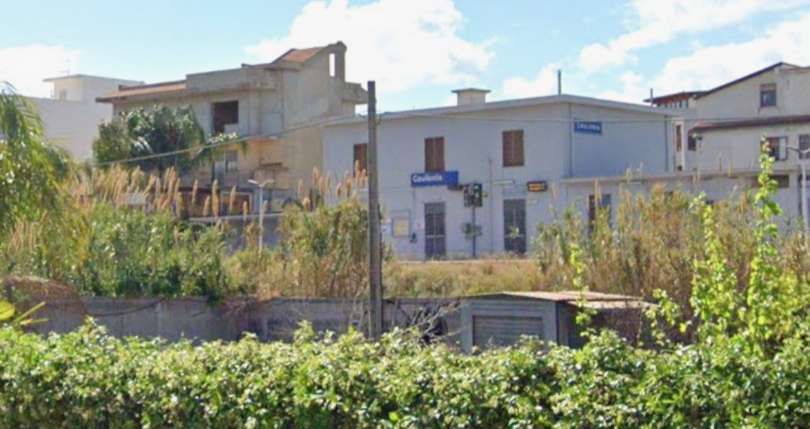
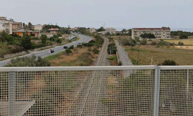
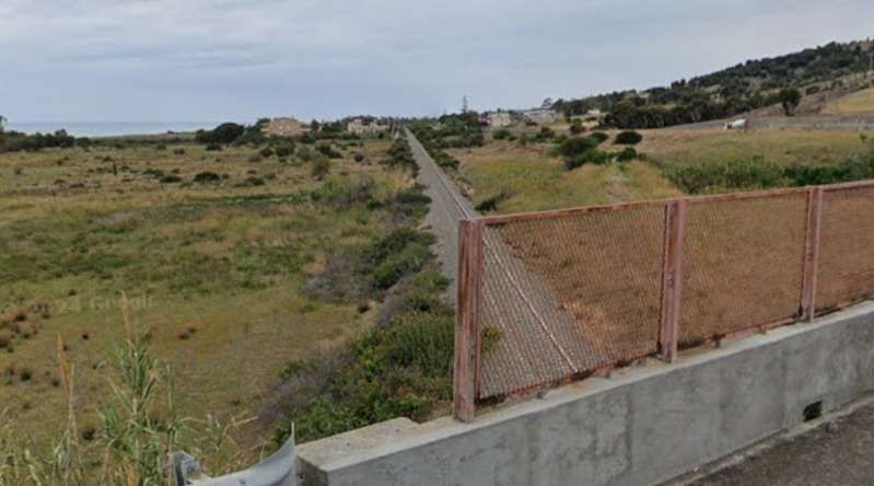
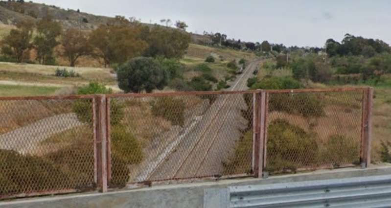
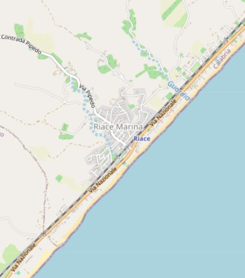
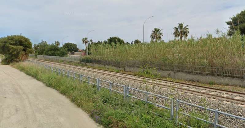
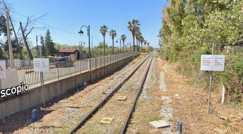
[Google Streetview, April 2024]
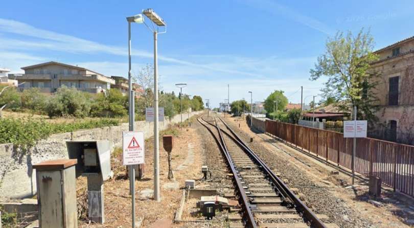
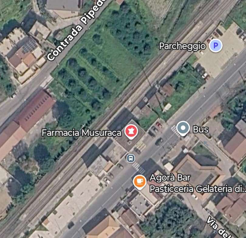
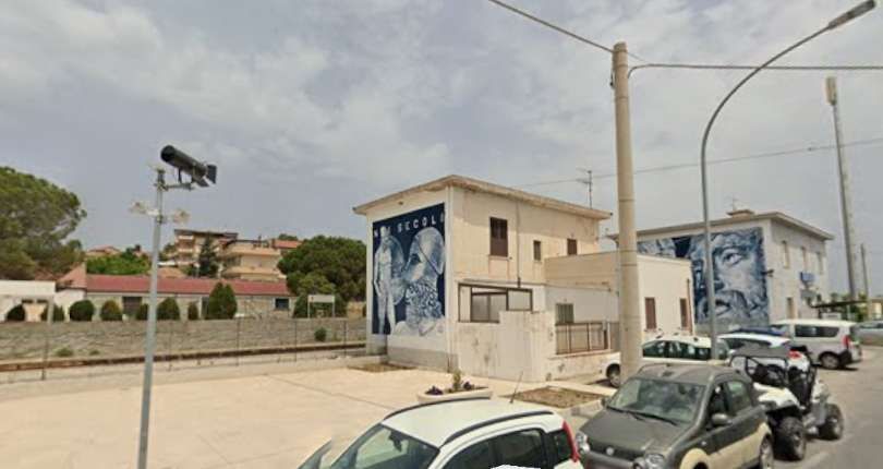
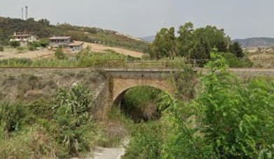
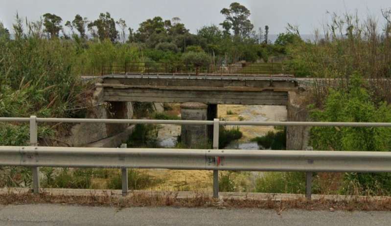
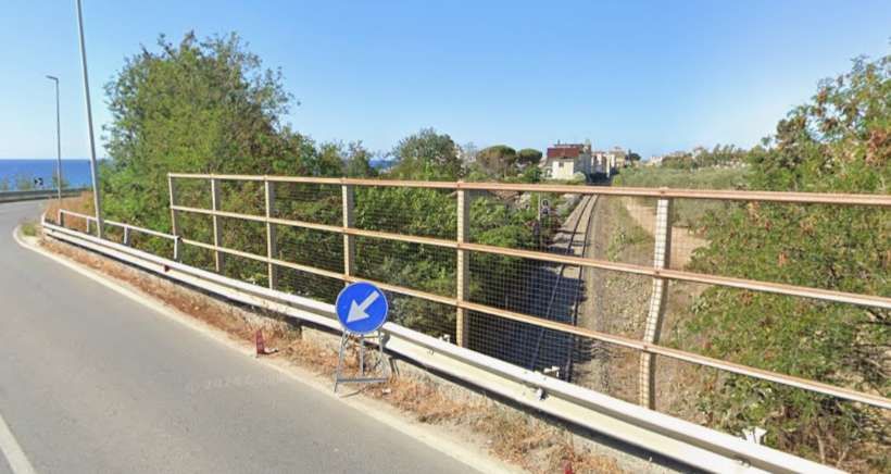
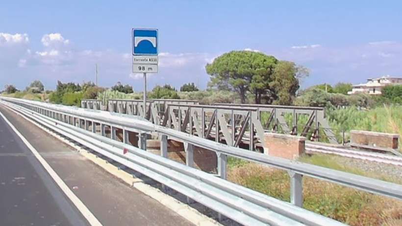
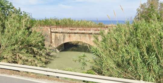
An arch-bridge carries the line over Fiumara Guardia – seen from the Via Nazionale. [Google Streetview, June 2024]
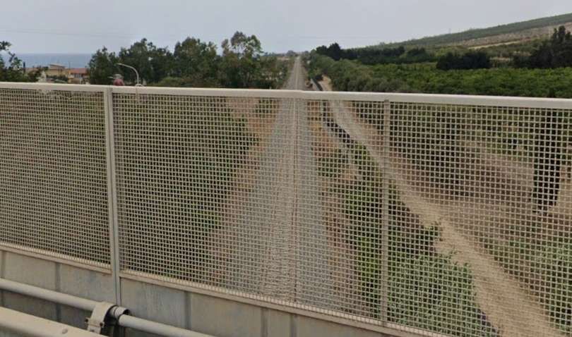
[Google Streetview, June 2024]
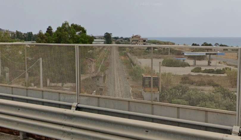
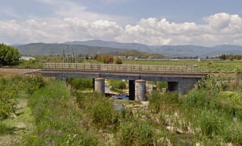
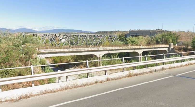
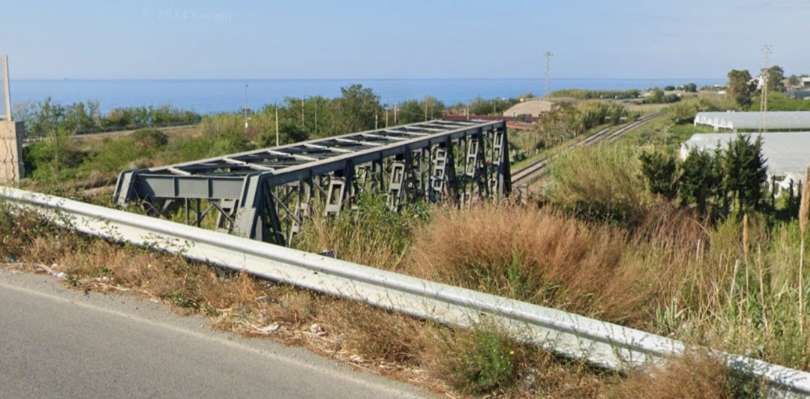
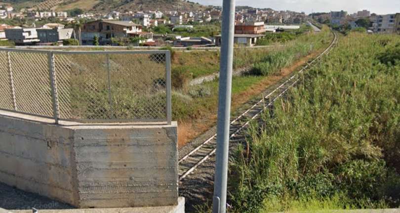
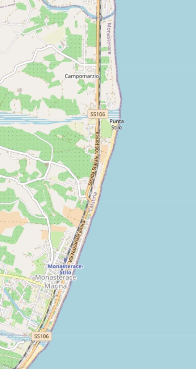
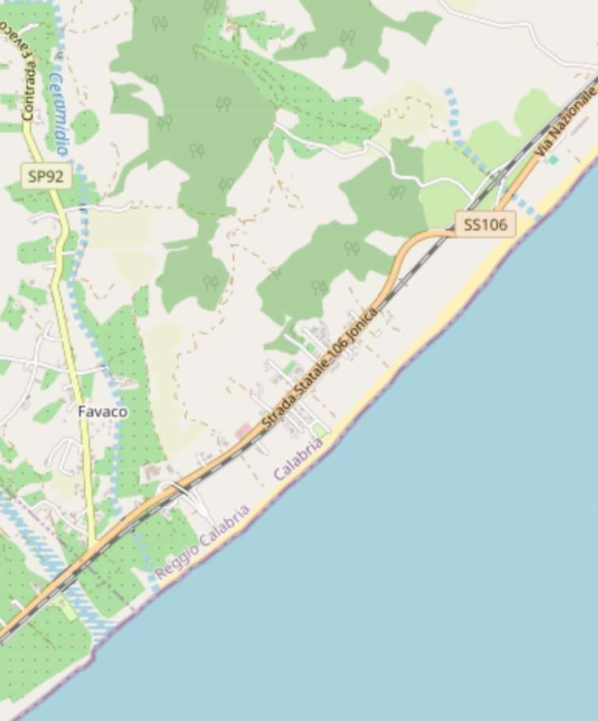
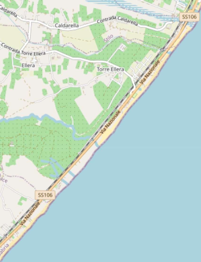
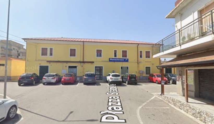
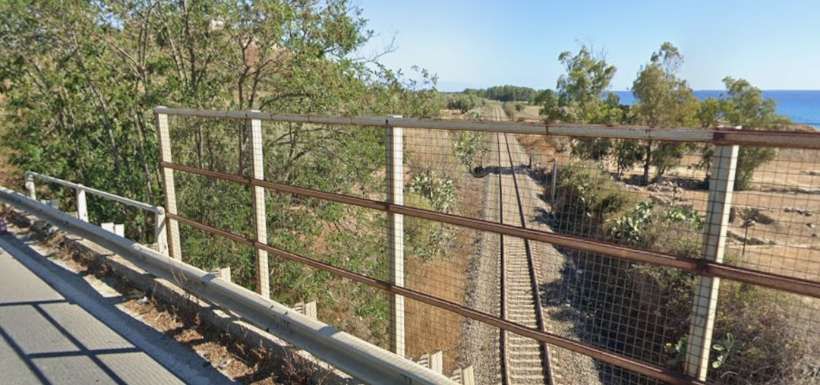
This next extract from OpenStreetMap.com shows the line continuing to follow the coast and in doing so turning North. As it does so, it passes through Monasterace-Stilo Railway Station. [112]
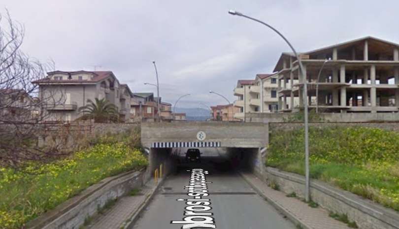
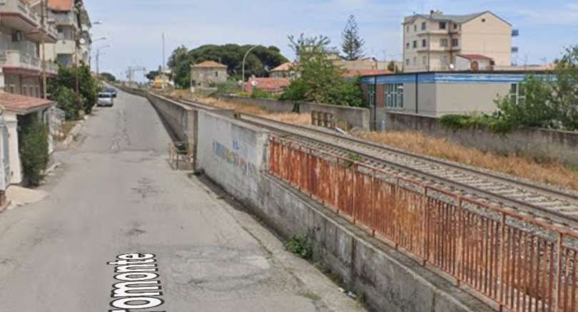
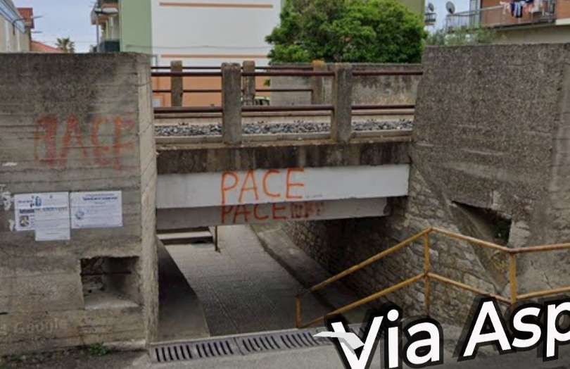
[Google Streetview, April 2024]
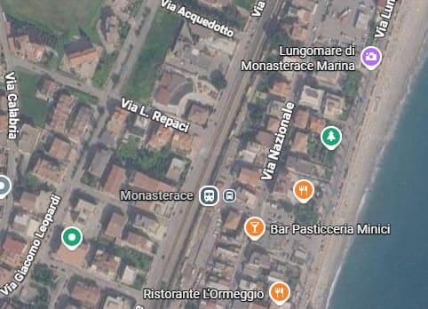
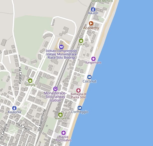
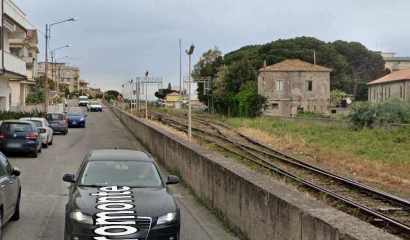
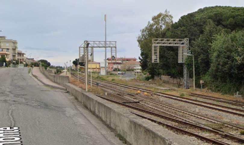
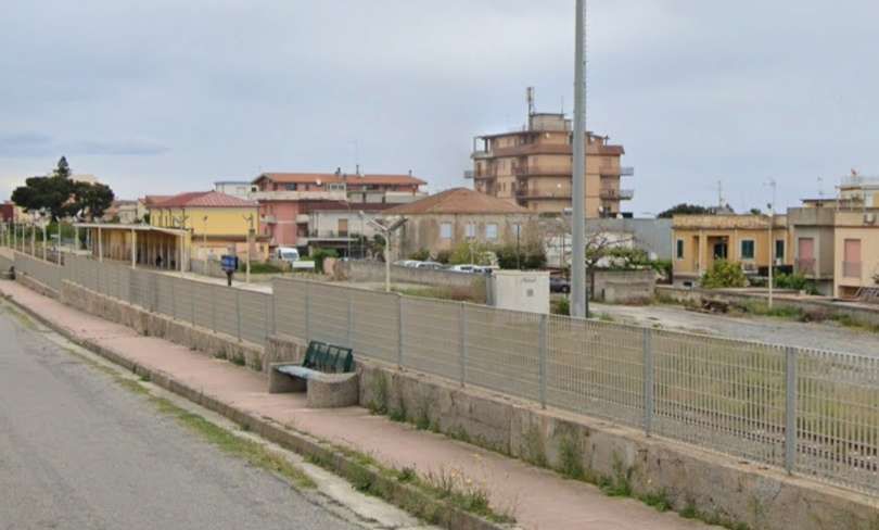
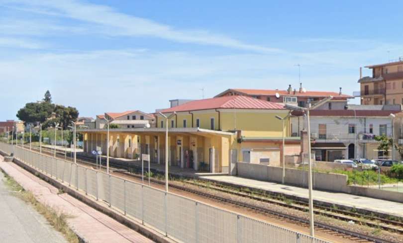
[Google Streetview, April 2024]
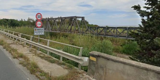
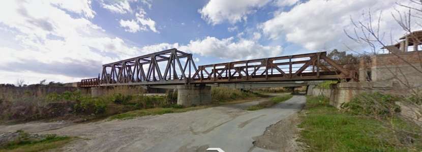
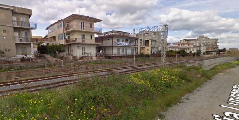
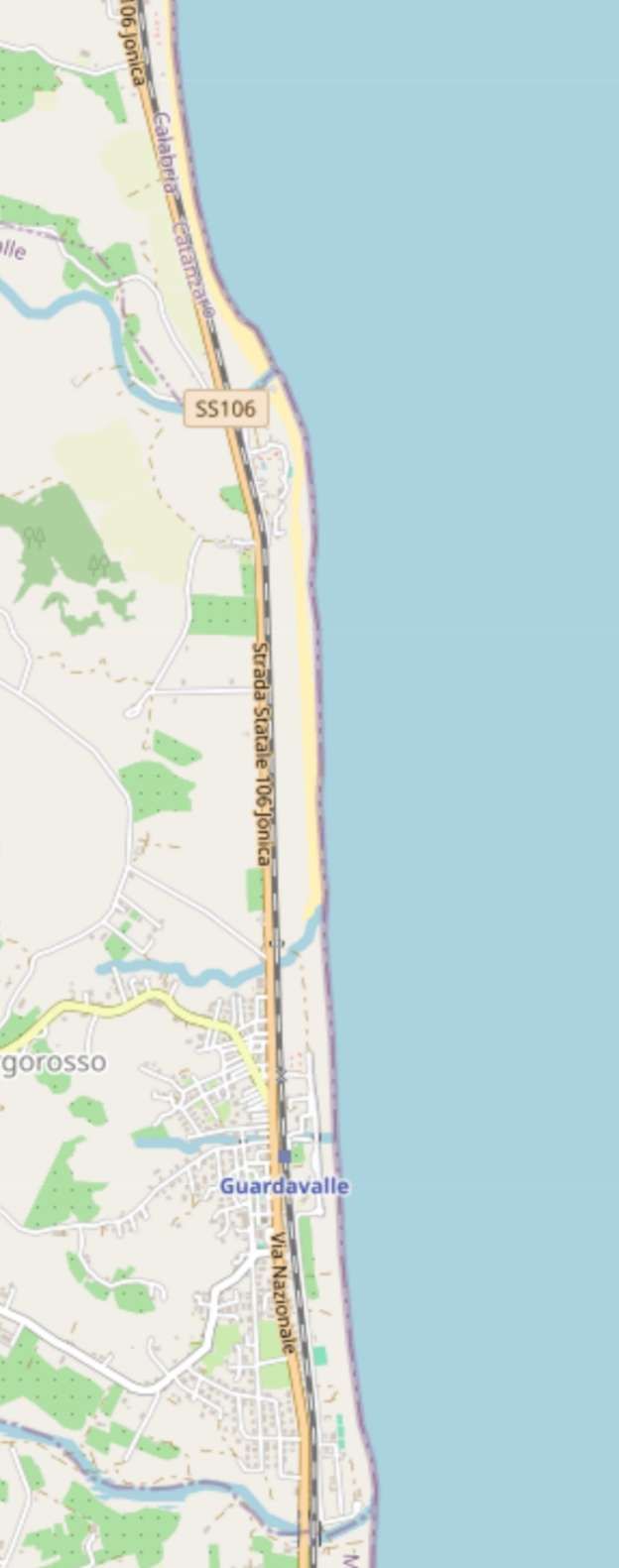
The line North through Guardavalle. [114]
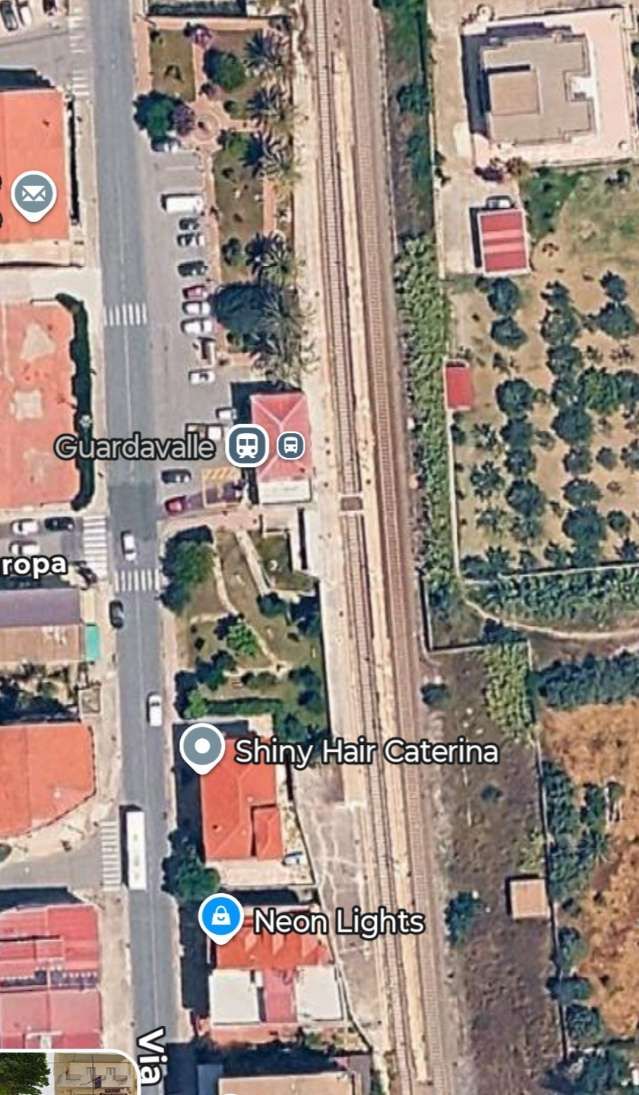
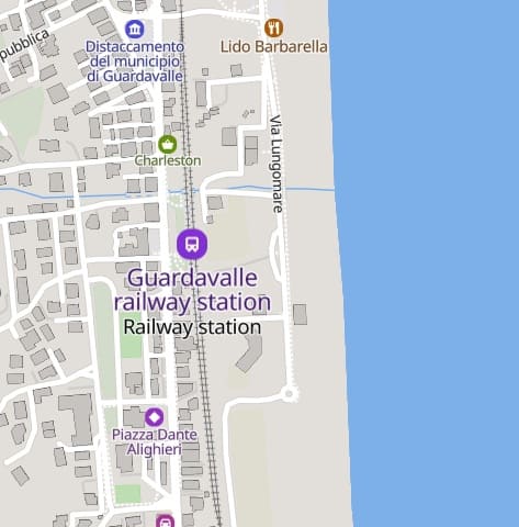
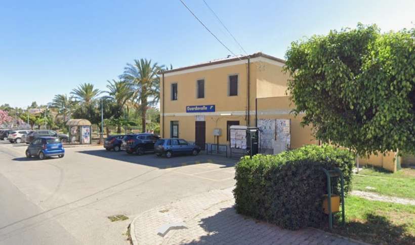
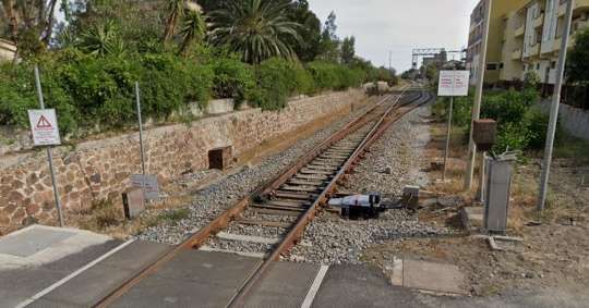
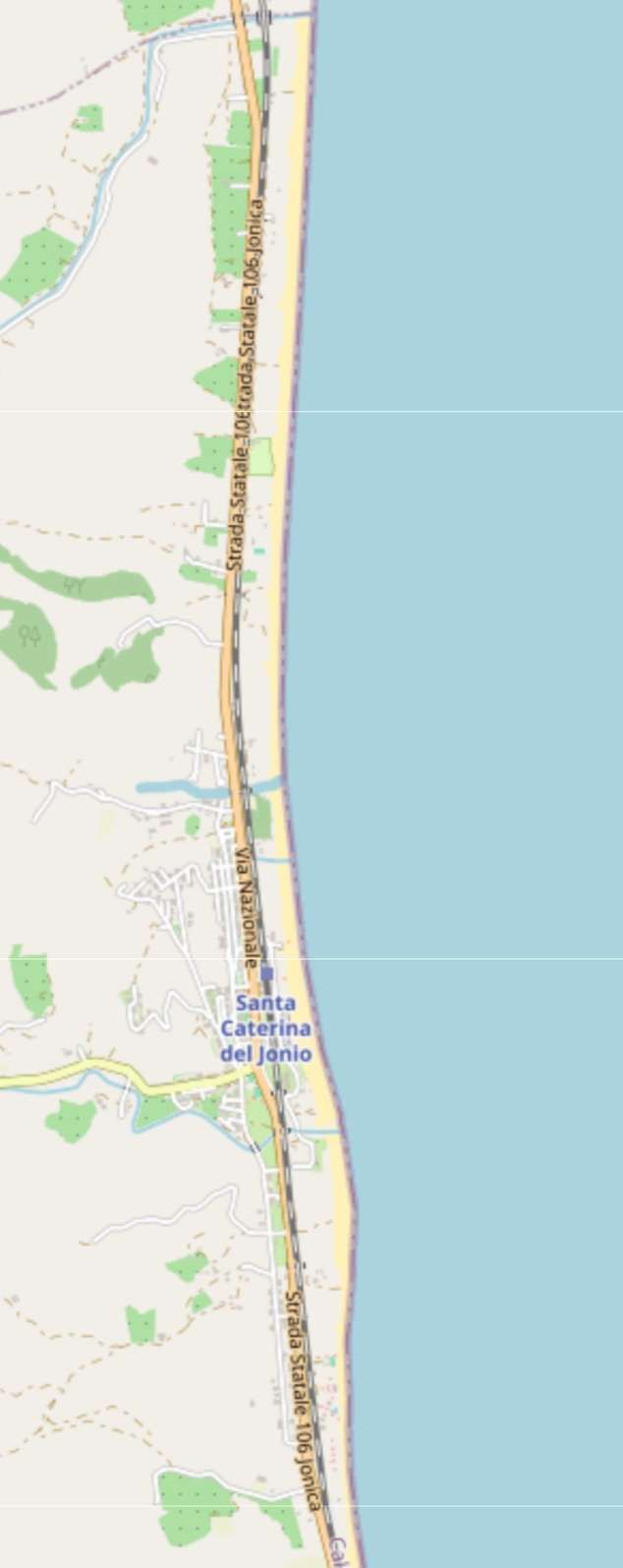
Santa Caterina dell’Jonio is the next station on the route. [116]
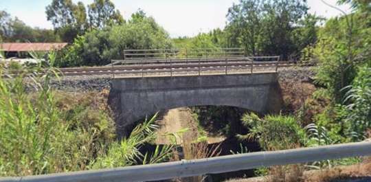
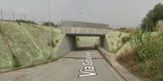
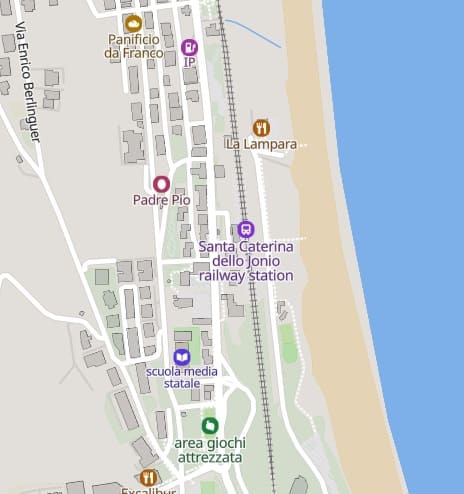
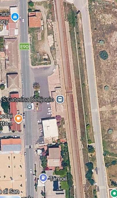
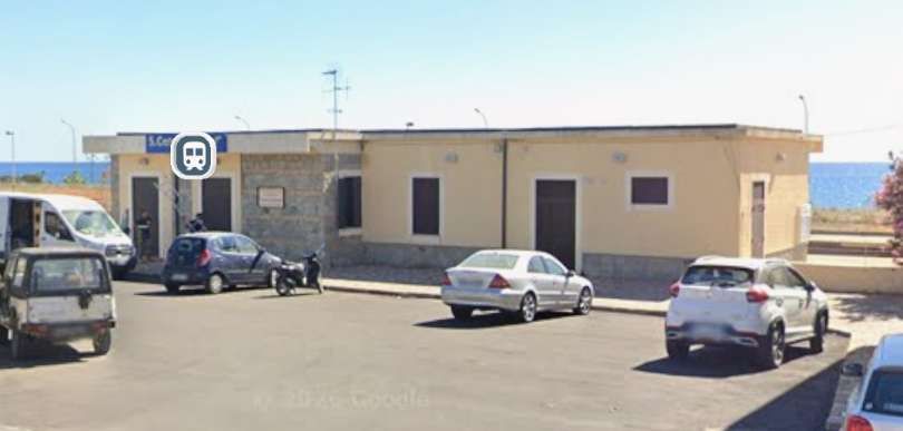
Santa Caterina dell’Jonio Railway Station. [Google Maps, June 2026]
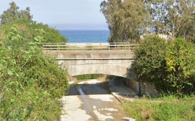
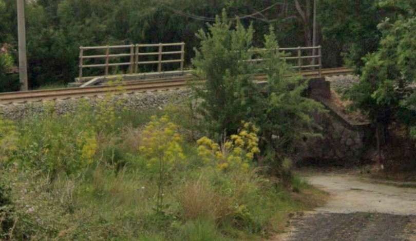
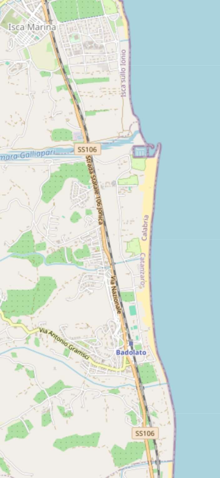
Badolato is the next railway station as the line runs North. [118]
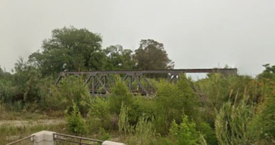
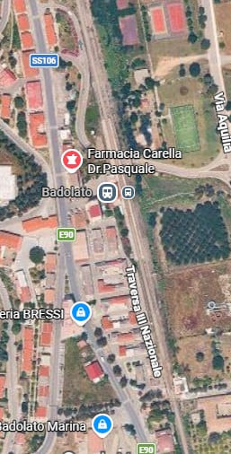
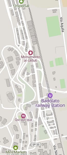
Badolato Railway Station. [119]
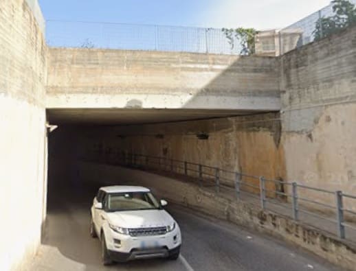
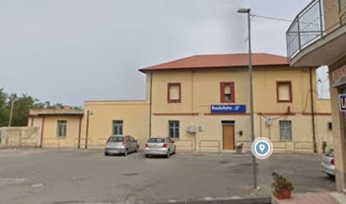
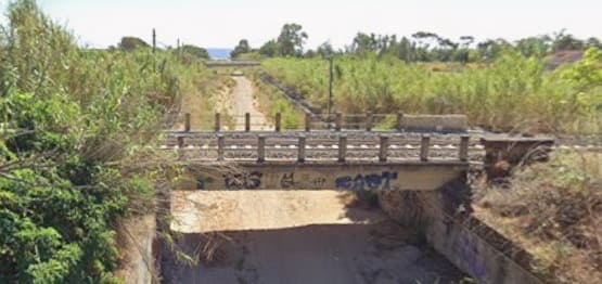
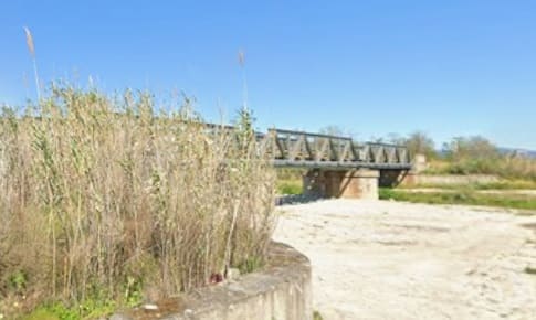
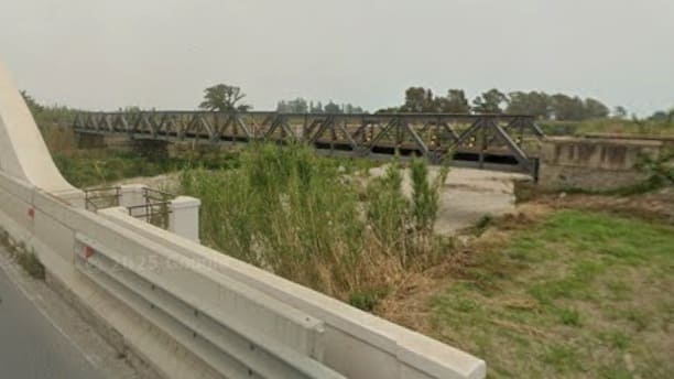
[Google Streetview, May 2024]
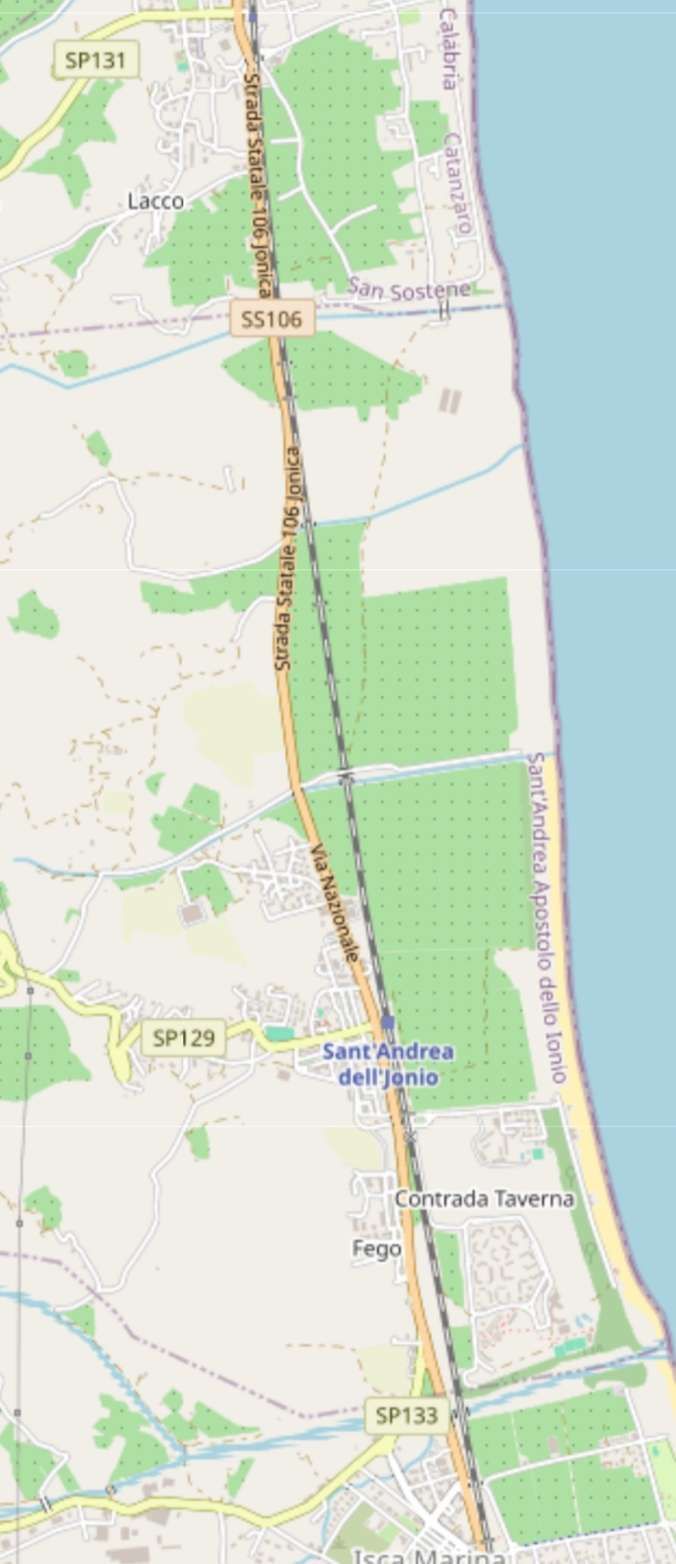
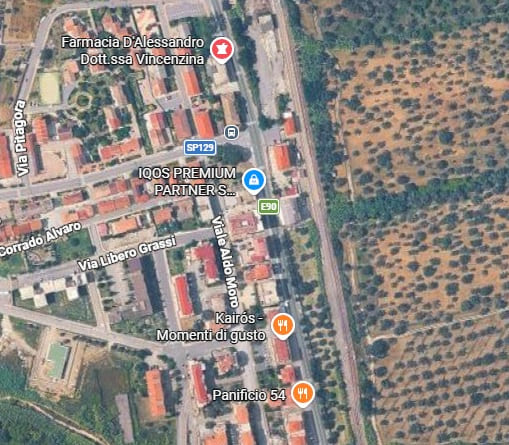
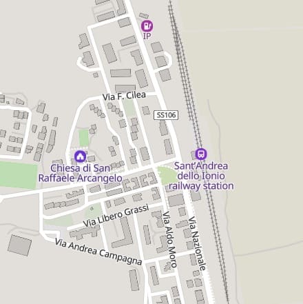
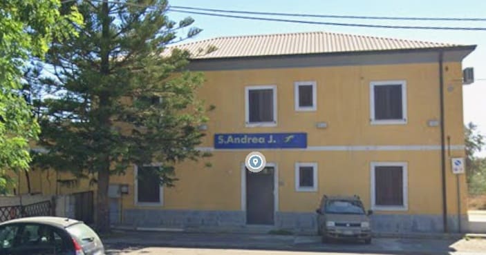
The next station is Sant Andrea dell’Jonio which appears towards the bottom of this extract from OpenStreetMap.com. [120]
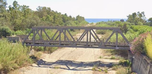
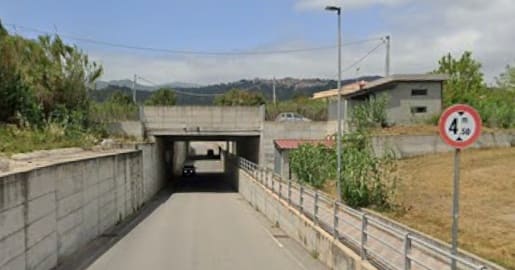
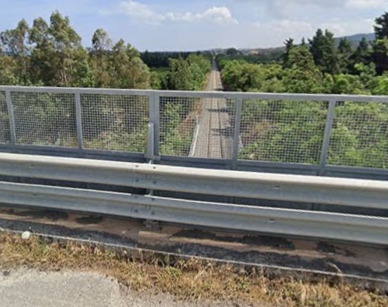
The view back South towards Sant Andrea dell’Jonio Railway Station from the next highway bridge over the line. [Google Streetview, May 2024]
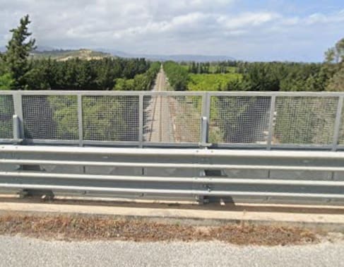
The view North from the same bridge. [Google Streetview, May 2024]
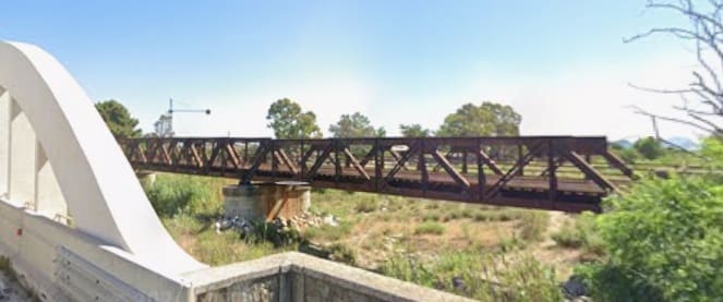
[Google Streetview, June 2024]
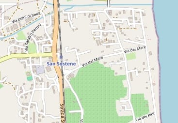
This next extract from OpenStreetMap.com centres of the Railway Station at San Sostene. [122]
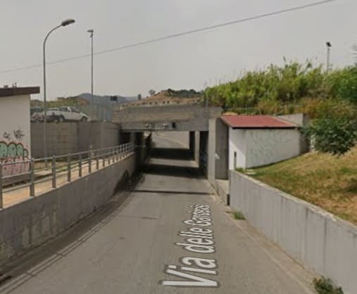
Just before the line enters San Sostene Station, another long underpass takes Via delle Gardenie under the railway. This view faces West along the road. [Google Streetview, August 2022]
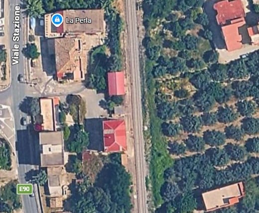
The location of the Station/Halt at San Sostene. [Google Maps, June 2026]
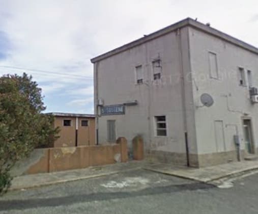
Access to the Halt at San Sostene is not celebrious! [Google Streetview, February 2009]
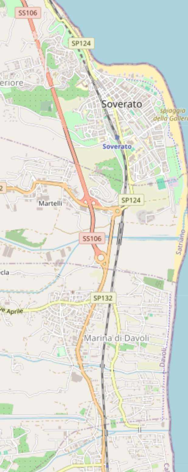
The final length of our journey, running into Soverato. [123]
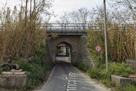
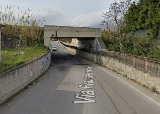
Via Francesco Froiio passes beneath the line by an underpass. [Google Streetview, March 2021]
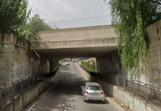
Via Grazia Deledda also runs under the line. [Google Streetview, August 2022]
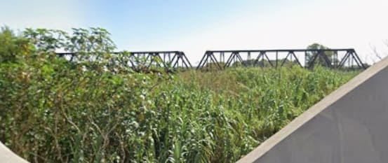
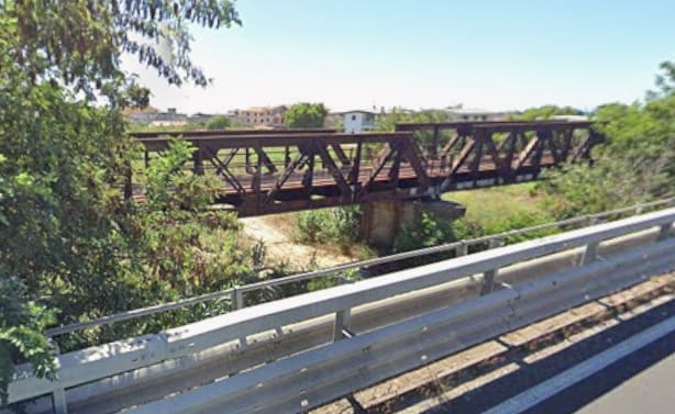
A 4-span truss bridge carries the line over another wide watercourse. Much of the structure hidden from the road bridge by vegetation. [Google Streetview, September 2022]
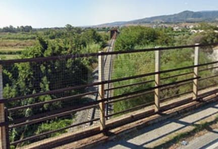
Looking back South from the bridge carrying the SP-124 over the line. [Google Streetview, September 2022]
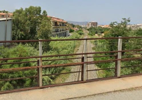
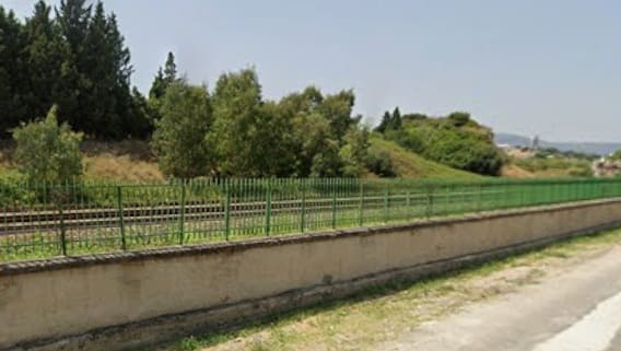
Looking forward towards Soverato Railway Station. [Google Streetview, July 2023]
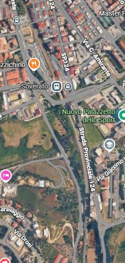
Soverato Railway Station and the end of the journey! [Google Maps, June 2026]
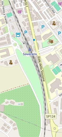
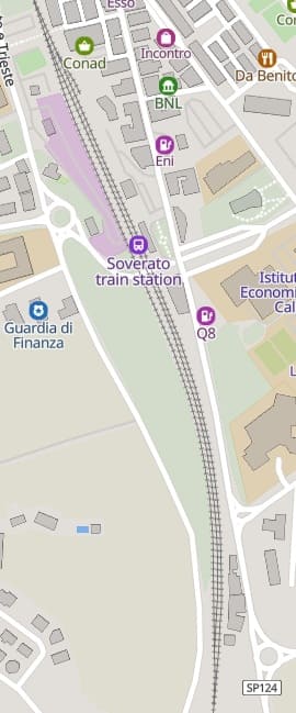
Soverato Railway Station, as it appears on MapCarta. [125]
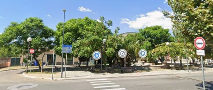
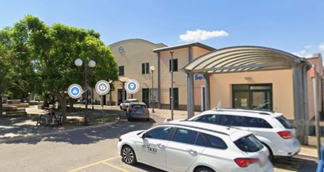
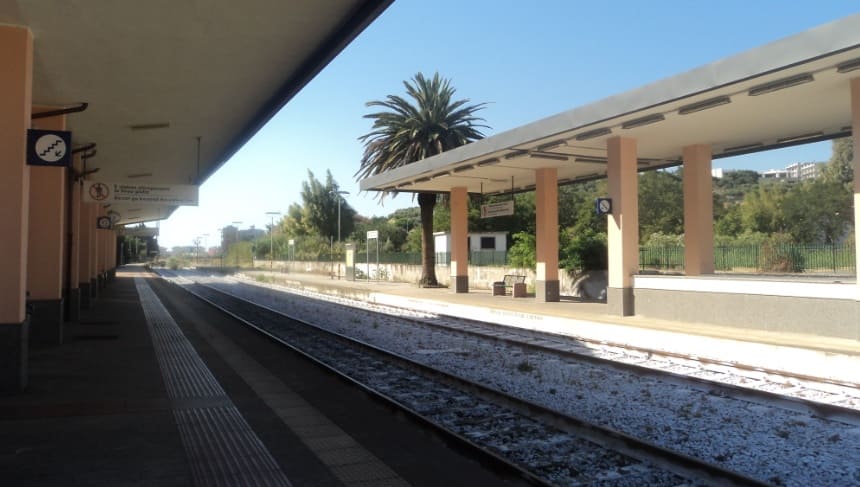
The journey highlighted by Nicky Garner finishes at Soverato. There is more of the line to see and to write about but that is definitely for another occasion.
And Finally …
To complete this article here are some notes from Grokipedia about the whole line. … [126]
Current Usage
Passenger services on the Ionian Railway are operated by Trenitalia, providing regional (Regionali) and InterCity connections along the line from Taranto to Reggio Calabria Centrale. [129] Regional trains run frequently, with services departing every 1-2 hours during peak daytime periods on weekdays, offering local stops at coastal towns such as Metaponto, Sibari, Crotone, Catanzaro Lido, Roccella Jonica, and Locri. [130] InterCity services connect the full route from Taranto to Reggio Calabria Centrale, as well as northern and southern segments to intermediate points like Sibari or Catanzaro, with approximately 5 daily direct services end-to-end. [131] Typical journey times for the full route vary by service type: InterCity trains cover the distance in approximately 4.5 hours, while regional trains with more stops take 6-8 hours. [131]
Train types include diesel multiple units on the predominantly non-electrified single-track sections, with some electric multiple units or hybrid configurations used on electrified portions near urban areas, including hybrid InterCity services introduced in early 2024. [130][132] Services see a significant boost during peak summer tourism seasons, particularly along the coastal route serving popular destinations in Puglia, Basilicata, and Calabria, though overall ridership remains modest outside holiday periods and is concentrated in key towns like Rossano and Gioia Tauro. [133]
Ticketing is managed through the official Trenitalia app or website, allowing integrated booking for regional and InterCity services with options for digital tickets and refunds. [134] Fares for the full Taranto to Reggio Calabria route typically range from €15 to €35 for standard class, depending on advance booking and service type, with discounts available for youth, seniors, and weekend returns. [131]
Passenger and Freight Traffic
The Ionian Railway primarily facilitates regional passenger services, accounting for the majority of its traffic, while freight operations remain limited and focused on bulk commodities such as agricultural products including olives and citrus fruits, as well as minerals, cement, and cereals transported to and from coastal ports. [135] These freight movements are managed by Mercitalia, the freight division of the FS Italiane Group, which operates diesel locomotives on the largely non-electrified single-track line to handle intermodal cargo like containers and general merchandise linking ports such as those in Crotone and Corigliano Calabro. However, freight volumes have declined significantly since the 1990s, largely due to competition from road trucking and the closure of local industries, reducing the line’s role in high-volume transport. [136]
Overall, the traffic mix on the Ionian Railway is dominated by passengers at approximately 80%, with freight comprising the remaining 20% as of 2018, concentrated at key nodes like Taranto port for export-oriented goods and Crotone for regional agro-industrial shipments. [135] Annual freight tonnage stood at around 500,000 tons as of 2018, primarily supporting local bulk movements rather than long-haul international flows, though the line integrates with EU TEN-T corridors such as the Scandinavia-Mediterranean route via connections at Sibari and Gioia Tauro for Adriatic-Ionian links. [135]
Economically, the railway bolsters tourism through passenger connectivity to coastal destinations and aids agriculture by enabling the distribution of regional products, contributing an estimated indirect impact of about 0.5% to Calabria’s regional GDP as of 2018 via logistics and employment in port-related activities.[35] This role is particularly vital in underserved areas, where rail supports cabotaggio-dominated ports handling over 7 million tons of goods annually at Reggio Calabria alone as of 2018, fostering sustainable transport alternatives despite infrastructure constraints. [135]
Challenges and Future Plans
Operational Issues
The Ionian Railway, running along Italy’s southeastern coast from Taranto to Reggio Calabria, faces significant reliability challenges primarily due to its exposure to natural hazards in the seismically active and geologically unstable Calabrian region. Frequent landslides and flooding, exacerbated by heavy rainfall common in coastal areas, often disrupt operations; for instance, a landslide triggered by recent rains halted train circulation between Reggio Calabria and Melito Porto Salvo for over an hour, resulting in delays of up to 60 minutes for four regional services. [137] Similarly, severe flooding from the Ferruzzano torrent in 2015 destroyed sections of the line near Brancaleone, suspending services entirely and requiring extensive repairs. [138] The railway’s diesel-powered sections, lacking electrification in much of Calabria, are particularly vulnerable to weather-related breakdowns, as diesel locomotives struggle with wet tracks and debris accumulation, leading to prolonged outages. [139]
Underutilization stems from chronic low investment, resulting in outdated rolling stock and infrastructure that fails to attract passengers or freight. Much of the fleet consists of aging diesel trains from the 1980s and 1990s, prone to mechanical failures and offering uncomfortable travel experiences, which discourages usage despite the line’s strategic coastal route. [140] This neglect is compounded by competition from the parallel A2 Autostrada del Mediterraneo highway, which provides faster and more reliable road travel, drawing away both passenger and freight traffic; regional transport plans note that the railway’s heterogeneous track conditions prevent it from effectively competing or complementing the highway. [141] Consequently, the line operates well below capacity, with passenger numbers stagnating amid decades of deferred maintenance. [142]
Safety incidents, though rare, highlight vulnerabilities inherent to the single-track configuration and level crossings. A notable 2023 collision in Cosenza province between a regional train and a truck at a level crossing resulted in the death of the train conductor, underscoring concerns over inadequate signalling and barriers on the mostly single-track line, where opposing trains must coordinate closely to avoid conflicts. [143] Reports from the 2010s also include allegations of sabotage in Calabria, such as deliberate interference with infrastructure works near local stations, which delayed operations and raised security issues along remote stretches. [144]Socio-economic factors further exacerbate operational inefficiencies, as depopulation in the rural and coastal areas served by the railway diminishes passenger demand and complicates staffing. Calabria’s ongoing exodus, with many small towns losing residents to urban centres, has led to reduced ridership on regional services, making the line economically marginal. [142] This trend contributes to staffing shortages at remote stations, where low passenger volumes and isolation deter recruitment, resulting in unmanned facilities and reliance on centralized control that slows response times to disruptions. [145]
Proposed Upgrades
The proposed upgrades for the Ionian Railway focus on addressing infrastructure gaps through electrification, technological enhancements, and capacity improvements, primarily funded by Italy’s National Recovery and Resilience Plan (PNRR) under Mission 3, Component 1, Investment 1.7 for the potentiation, electrification, and resilience of southern railways. [146] These initiatives aim to integrate the line into the EU’s Trans-European Transport Network (TEN-T) Mediterranean Corridor, enhancing north-south connectivity and intermodality with ports like Gioia Tauro. [146]
Electrification efforts target the completion of the approximately 472 km line by 2030, with upgrades covering 573 km including transversals, aligning with EU TEN-T guidelines requiring full electrification of core and comprehensive network lines to support seamless rail operations and reduce diesel dependency. [147] Current projects include the electrification of the Sibari-Crotone section (112 km) and Crotone-Catanzaro Lido section (58 km), involving the construction of 11 electrical substations, overhead catenary installation, and trackside upgrades, with works underway since 2024 and electric train operations expected from late 2026.[128][148] This phase, valued at €438 million and partially financed by the PNRR, extends to the transversal Catanzaro Lido-Lamezia Terme Centrale line for improved regional links. [148]
Modernization includes high-speed upgrades to enable maximum speeds of up to 160 km/h in key segments through engineering adaptations, such as the Cutro Tunnel modification and axle load increases to category C3 for better freight compatibility. [127] Technological enhancements feature the implementation of the European Rail Traffic Management System (ERTMS) Level 2 over 172 km, replacing outdated signaling with computerized command systems to boost safety, regularity, and capacity on the single-track sections.[148] Track doubling initiatives are planned near Crotone and Reggio Calabria from 2025 to 2030, including the restoration of a fourth track at Melito Porto Salvo and new connections like the Sibari bypass, to eliminate bottlenecks and support higher traffic volumes. [127]
Sustainability objectives emphasize a transition to electric rolling stock, projected to cut CO2 emissions by enabling Frecciarossa high-speed services and integrating with Calabria’s regional mobility plans for low-carbon transport. [148][146]
Overall funding for these upgrades forms part of the €2.4 billion allocated by Investment 1.7 across 573 km of southern infrastructure; progress has faced delays from environmental impact assessments and site preparations. [146][149] As of December 2024, some PNRR-funded interventions on the line face cancellation risks. [150]
References
- Nicky Gardner; Over Land & Sea: Magical Views and Sea-Hugging Routes on Europe’s Best Coastal Train Lines; in Saturday (the Guardian Magazine), 23rd May 2026, p76-77.
- https://davesweekends.weebly.com/blog/ribadesella-by-narrow-gauge-rail-october-2024, accessed on 9th June 2026.
- https://en.wikipedia.org/wiki/Renfe_Feve, accessed on 9th June 2026.
- https://mapcarta.com/Ribadeo/Map, accessed on 9th June 2026.
- https://www.openstreetmap.org/search?query=foz&zoom=17&minlon=39.2793095111847&minlat=-6.831542380340727&maxlon=39.292205572128296&maxlat=-6.824351778650712#map=15/43.55282/-7.26068, accessed on 9th June 2026.
- https://mapcarta.com/36337914, accessed on 9th June 2026.
- https://mapcarta.com/18567250, accessed on 10th June 2026.
- https://www.openstreetmap.org/search?query=foz&zoom=17&minlon=39.2793095111847&minlat=-6.831542380340727&maxlon=39.292205572128296&maxlat=-6.824351778650712#map=16/43.68704/-7.54543, accessed on 11th June 2026.
- https://mapcarta.com/N286303666, accessed on 11th June 2026.
- https://www.openstreetmap.org/search?query=foz&zoom=17&minlon=39.2793095111847&minlat=-6.831542380340727&maxlon=39.292205572128296&maxlat=-6.824351778650712#map=18/43.663033/-7.591872, accessed on 11th June 2026.
- https://www.openstreetmap.org/#map=18/43.657557/-7.600868, accessed on 11th June 2026.
- https://commons.wikimedia.org/wiki/File:Estaci%C3%B3n_de_Viveiro-Apeadero.jpg, accessed on 11th June 2026.
- https://www.openstreetmap.org/#map=16/43.65974/-7.59431, accessed on 11th June 2026.
- https://commons.wikimedia.org/wiki/File:Estaci%C3%B3n_Viveiro_Feve_2010.jpg, accessed on 11th June 2026.
- https://www.openstreetmap.org/#map=17/43.668423/-7.612941, accessed on 11th June 2026.
- https://www.openstreetmap.org/#map=17/43.695020/-7.635702, accessed on 11th June 2026.
- https://www.openstreetmap.org/#map=17/43.730584/-7.652321, accessed on 11th June 2026.
- https://www.openstreetmap.org/#map=14/43.73371/-7.68914, accessed on 11th June 2026.
- https://www.openstreetmap.org/#map=17/43.731236/-7.699077, accessed on 11th June 2026.
- https://mapcarta.com/W328576103/Map, accessed on 11th June 2026.
- https://www.openstreetmap.org/#map=15/43.73811/-7.71103, accessed on 11th June 2026.
- https://www.openstreetmap.org/#map=15/43.73079/-7.74266, accessed on 11th June 2026.
- https://www.openstreetmap.org/#map=15/43.71519/-7.77107, accessed on 11th June 2026.
- https://www.openstreetmap.org/#map=15/43.70651/-7.79497, accessed on 11th June 2026.
- https://mapcarta.com/N367984328, accessed on 12th June 2026.
- https://www.openstreetmap.org/#map=17/43.686650/-7.848884, accessed on 15th June 2026.
- https://mapcarta.com/25060338/Map, accessed on 15th June 2026.
- https://www.openstreetmap.org/#map=16/43.67585/-7.84794, accessed on 15th June 2026.
- https://www.openstreetmap.org/#map=15/43.66542/-7.87065, accessed on 15th June 2026.
- https://www.openstreetmap.org/#map=15/43.65763/-7.90207, accessed on 16th June 2026.
- https://www.google.com/maps/place/Viaducto+de+Mera/@43.6561806,-7.9069427,312m/data=!3m2!1e3!4b1!4m6!3m5!1s0xd2df7d738ea0d8b:0xc0e09e9030e165e0!8m2!3d43.6561806!4d-7.9069427!16s%2Fg%2F11rnk7gzql?entry=ttu&g_ep=EgoyMDI2MDYxMC4wIKXMDSoASAFQAw%3D%3D, accessed on 16th June 2026.
- https://www.openstreetmap.org/#map=15/43.64017/-7.91099, accessed on 16th June 2026.
- https://www.openstreetmap.org/#map=15/43.62247/-7.91773, accessed on 16th June 2026.
- https://www.openstreetmap.org/#map=15/43.60541/-7.92232, accessed on 16th June 2026.
- https://www.openstreetmap.org/#map=15/43.59065/-7.92996, accessed on 16th June 2026.
- https://mapcarta.com/W271684182/Map, accessed on 16th June 2026.
- https://www.openstreetmap.org/#map=16/43.58100/-7.94531, accessed on 16th June 2026.
- https://www.openstreetmap.org/#map=16/43.57304/-7.96244, accessed on 16th June 2026.
- https://www.openstreetmap.org/#map=16/43.56512/-7.97905, accessed on 16th June 2026.
- https://www.openstreetmap.org/#map=16/43.56040/-8.00138, accessed on 16th June 2026.
- https://mapcarta.com/N1625258092/Map, accessed on 17th June 2026.
- https://www.openstreetmap.org/#map=16/43.54869/-8.03290, accessed on 17th June 2026.
- https://www.openstreetmap.org/#map=16/43.54799/-8.05875, accessed on 17th June 2026.
- https://www.openstreetmap.org/#map=16/43.55175/-8.07158, accessed on 17th June 2026.
- https://www.openstreetmap.org/#map=16/43.54346/-8.08879, accessed on 17th June 2026.
- https://mapcarta.com/W490270413/Map, accessed on 17th June 2026.
- https://www.openstreetmap.org/#map=16/43.53679/-8.11420, accessed on 17th June 2026.
- https://www.openstreetmap.org/#map=16/43.53873/-8.13512, accessed on 18th June 2026.
- https://www.openstreetmap.org/#map=16/43.52341/-8.15129, accessed on 18th June 2026.
- https://www.openstreetmap.org/#map=16/43.51753/-8.16478, accessed on 18th June 2026.
- https://www.openstreetmap.org/#map=16/43.51141/-8.18504, accessed on 18th June 2026
- https://www.openstreetmap.org/#map=16/43.50259/-8.19970, accessed on 18th June 2026.
- https://www.openstreetmap.org/#map=16/43.49446/-8.21313, accessed on 18th June 2026.
- https://www.openstreetmap.org/#map=16/43.48992/-8.22819, accessed on 18th June 2026.
- https://mapcarta.com/Ferrol/Map, accessed on 20th June 2026.
- https://www.wikidata.org/wiki/Q5809045#/media/File:Estaci%C3%B3n_de_Ferrol_Fachada.JPG, accessed on 20th June 2026.
- https://wikimapia.org/53491/Ferrol-Train-Station#/photo/4578684, accessed on 20th June 2026.
- https://en.wikipedia.org/wiki/Ionian_Railway, accessed on 21st June 2026.
- https://commons.wikimedia.org/wiki/File:Reggio_Calabria_Centrale_(IMG_20220607_091827).jpg, accessed on 21st June 2026.
- https://en.wikipedia.org/wiki/Reggio_di_Calabria_Centrale_railway_station, accessed on 21st June 2026.
- https://commons.wikimedia.org/wiki/File:Mappa_ferr_Jonica.png, accessed on 21st June 2026.
- https://www.openstreetmap.org/#map=16/38.06608/15.65087, accessed on 21st June 2026.
- https://www.openstreetmap.org/#map=15/38.05961/15.65039, accessed on 21st June 2026.
- https://www.openstreetmap.org/#map=17/38.024743/15.649150, accessed on 22nd June 2026.
- https://www.openstreetmap.org/#map=15/38.01236/15.63979, accessed on 22nd June 2026.
- https://www.openstreetmap.org/#map=16/37.97719/15.65763, accessed on 22nd June 2026.
- https://www.openstreetmap.org/#map=15/37.95983/15.67232, accessed on 22nd June 2026.
- https://www.openstreetmap.org/#map=16/37.94917/15.70003, accessed on 22nd June 2026.
- https://it.wikipedia.org/wiki/Officina_Grandi_Riparazioni_di_Saline_Joniche, accessed on 22nd June 2026.
- https://fb.watch/HV5AKirJAQ, accessed on 22nd June 2026.
- https://www.openstreetmap.org/#map=16/37.93988/15.70500, accessed on 23rd June 2026.
- https://www.openstreetmap.org/#map=15/37.93137/15.73096, accessed on 23rd June 2026.
- https://www.openstreetmap.org/#map=15/37.91868/15.76916, accessed on 23rd June 2026.
- https://en.wikipedia.org/wiki/Melito_di_Porto_Salvo_railway_station#/media/File:Melito_di_Porto_Salvo_-_Stazione.jpg, acessed on 23rd June 2026.
- https://www.openstreetmap.org/#map=15/37.91495/15.80255, accessed on 23rd June 2026.
- https://www.openstreetmap.org/#map=15/37.92253/15.85100, accessed on 23rd June 2026.
- https://mapcarta.com/17392706/Map, accessed on 26th June 2026.
- https://www.openstreetmap.org/#map=15/37.92707/15.90069, accessed on 23rd June 2026.
- https://www.openstreetmap.org/#map=15/37.92873/15.94597, accessed on 23rd June 2026.
- https://www.openstreetmap.org/#map=15/37.92006/15.98803, accessed on 23rd June 2026.
- https://www.openstreetmap.org/#map=15/37.92385/16.03034, accessed on 23rd June 2026.
- https://www.openstreetmap.org/#map=15/37.93239/16.07124, accessed on 23rd June 2026.
- https://www.openstreetmap.org/#map=14/37.95327/16.08785, accessed on 24th June 2026.
- https://mapcarta.com/N9257681511/Map, accessed on 24th June 2026.
- https://www.openstreetmap.org/#map=13/37.99143/16.11317, accessed on 24th June 2026.
- https://mapcarta.com/N9257681512/Map, accessed on 25th June 2026.
- https://www.openstreetmap.org/#map=17/38.016092/16.133766, accessed on 25th June 2026.
- https://www.openstreetmap.org/#map=14/38.03319/16.14311, accessed on 25th June 2026.
- https://www.openstreetmap.org/#map=14/38.07056/16.15547, accessed on 25th June 2026.
- https://mapcarta.com/N9265120916, accessed on 27th June 2026.
- https://www.openstreetmap.org/#map=16/38.14863/16.17780, accessed on 27th June 2026.
- https://mapcarta.com/W89621194/Map, accessed on 27th June 2026.
- https://www.openstreetmap.org/#map=15/38.15744/16.18552, accessed on 27th June 2026
- https://www.openstreetmap.org/#map=15/38.17046/16.20471, accessed on 27th June 2026.
- https://mapcarta.com/N9265086177/Map, accessed on 27th June 2026.
- https://www.openstreetmap.org/#map=14/38.23697/16.27187, accessed on 27th June 2026.
- https://mapcarta.com/N9254103174/Map, accessed on 27th June 2026.
- https://www.openstreetmap.org/#map=15/38.26858/16.29775, accessed on 27th June 2026.
- https://mapcarta.com/N9260960592/Map, accessed on 27th June 2026.
- https://www.openstreetmap.org/#map=15/38.29930/16.33212, accessed on 27th June 2026.
- https://mapcarta.com/N9265145845/Map, accessed on 27th June 2026.
- https://www.openstreetmap.org/#map=15/38.31395/16.38675, accessed on 27th June 2026.
- https://www.openstreetmap.org/#map=15/38.32765/16.42572, accessed on 28th June 2026.
- https://mapcarta.com/N9254103173/Map, accessed on 28th June 2026.
- https://www.openstreetmap.org/#map=15/38.33984/16.45846, accessed on 28th June 2026.
- https://www.openstreetmap.org/#map=15/38.34936/16.47666, accessed on 28th June 2026.
- https://mapcarta.com/W292431927/Map, accessed on 28th June 2026.
- https://www.openstreetmap.org/#map=15/38.35707/16.48473, accessed on 28th June 2026.
- https://www.openstreetmap.org/#map=14/38.37699/16.51674, accessed on 28th June 2026.
- https://mapcarta.com/N9278022486/Map, accessed on 28th June 2026.
- https://www.openstreetmap.org/#map=16/38.41128/16.55354, accessed on 28th June 2026.
- https://www.openstreetmap.org/#map=14/38.44855/16.57991, accessed on 28th June 2026.
- https://mapcarta.com/N9278023371/Map, accessed on 29th June 2026.
- https://www.openstreetmap.org/#map=14/38.49478/16.57906, accessed on 29th June 2026.
- https://mapcarta.com/N9278074138/Map, accessed on 29th June 2026.
- https://www.openstreetmap.org/#map=14/38.54461/16.56695, accessed on 29th June 2026.
- https://mapcarta.com/N1529758606/Map, accessed on 29th June 2026.
- https://www.openstreetmap.org/#map=14/38.57971/16.56361, accessed on 29th June 2026.
- https://mapcarta.com/N9278630226/Map, accessed on 29th June 2026.
- https://www.openstreetmap.org/#map=14/38.62022/16.54790, accessed on 29th June 2026.
- https://mapcarta.com/N9278630227/Map, accessed on 29th June 2026.
- https://www.openstreetmap.org/#map=15/38.64962/16.54970, accessed on 29th June 2026.
- https://www.openstreetmap.org/#map=14/38.67204/16.54867, accessed on 29th June 2026.
- https://www.openstreetmap.org/#map=16/38.68271/16.54947, accessed on 29th June 2026.
- https://mapcarta.com/N1768779086/Map, accessed on 29th June 2026.
- https://grokipedia.com/page/ionian_railway, accessed on 29th June 2026.
- https://www.rfi.it/it/rete/i-nostri-progetti/I-nostri-progetti-regione-per-regione/calabria.html, accessed on 29th June 2026.
- https://www.rfi.it/it/news-e-media/comunicati-stampa-e-news/2024/12/6/rfi—calabria–consegnati-i-lavori-per-l-elettrificazione-delle.html, accessed on 29th June 2026.
- https://www.trenitalia.com/en.html, accessed on 29th June 2026.
- https://www.trenitalia.com/content/dam/trenitalia/allegati/info/orario-digitale/orari-regionali/Regionale_Calabria_Sicilia.pdf, accessed on 29th June 2026.
- https://www.thetrainline.com/en/train-times/taranto-to-reggio-di-calabria-centrale, accessed on 29th June 2026.
- https://www.fsitaliane.it/content/fsitaliane/en/strategic-projects/lamezia-terme-catanzaro-lido-dorsale-jonica.html, accessed on 29th June 2026.
- https://www.legambiente.it/wp-content/uploads/2021/11/Rapporto-Pendolaria-2024.pdf
- https://www.trenitalia.com/en/information/regional-online-ticketandpasses.html, accessed on 29th June 2026.
- https://www.regione.calabria.it/wp-content/uploads/2018/04/delibera-n.-100_2018-ed-allegati.pdf
- http://www.ferrovieincalabria.com/2012/04/, accessed on 29th June 2026.
- https://www.soveratoweb.com/maltempo-frana-sulla-linea-ferroviaria-jonica-ritardo-dei-treni/, accessed on 29th June 2026.
- https://www.ferrovie.it/portale/articoli/9001, accessed on 29th June 2026.
- https://www.ferrovieincalabria.it/ferrovia-jonica-alluvione-sibari-crotone/, accessed on 29th June 2026.
- https://www.lacnews24.it/attualita/treni-vecchi-e-una-rete-ferroviaria-scomparsa-la-crisi-dei-trasporti-in-calabria-per-legambiente-e-un-caso-nazionale-jnkguxif, accessed on 29th June 2026.
- https://www.regione.calabria.it/wp-content/uploads/2024/05/ddg-7408.pdf, accessed on 29th June 2026.
- https://ecodellojonio.it/articoli/attualita/2024/07/la-calabria-isolata-e-il-karma-della-ferrovia-jonica-vittima-di-decenni-di-disattenzioni, accessed on 29th June 2026.
- https://www.consrc.it/portale/BancheDati/SindacatoIspettivo/DettaglioIIM?numero=190&tipo=INTERROGAZIONE&leg=12&titolo=Messa%20in%20sicurezza%20dei%20passaggi%20a%20livello%20della%20ferrovia%20jonica, accessed on 29th June 2026.
- https://www.ntacalabria.it/reggio-calabria/lavori-ferrovia-jonica-associazioni-rete-fibc-vogliamo-vederci-chiaro.html, accessed on 29th June 2026.
- https://www.citynow.it/ritardi-record-per-i-treni-in-calabria-siamo-al-medioevo/, accessed on 29th June 2026.
- https://www.rfi.it/content/dam/rfi/chi-siamo/piano-commerciale/edizione_pnrr_13_agosto_2021/Piano_Commerciale_Straordinario_2021.pdf, accessed on 29th June 2026.
- https://transport.ec.europa.eu/transport-themes/infrastructure-and-investment/trans-european-transport-network-ten-t_en, accessed on 29th June 2026.
- https://ecodellojonio.it/articoli/politica/2025/05/ferrovia-jonica-al-via-realizzazione-di-14-sottostazioni-elettriche-rapani-portiamo-qui-treni-veloci, accessed on 29th June 2026.
- https://www.railwaygazette.com/in-depth/italy-eu-funding-deadline-looms-over-major-projects/69558.article, accessed on 29th June 2026.
- https://ecodellojonio.it/articoli/attualita/2024/12/fondi-pnrr-cancellati-due-importanti-interventi-sulla-ferrovia-jonica, accessed on 29th June 2026.
- https://commons.wikimedia.org/wiki/File:Trenfeve.jpg, accessed on 29th June 2026.


.jpg)


