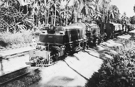
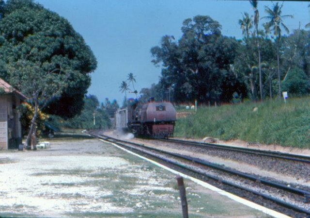
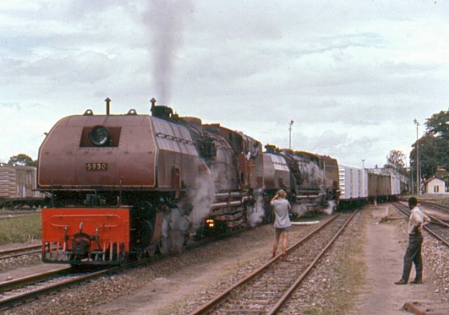
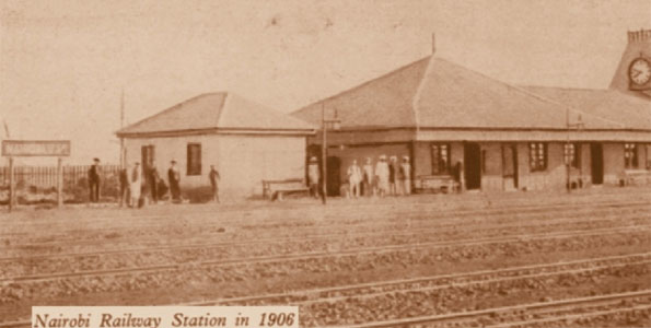
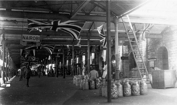
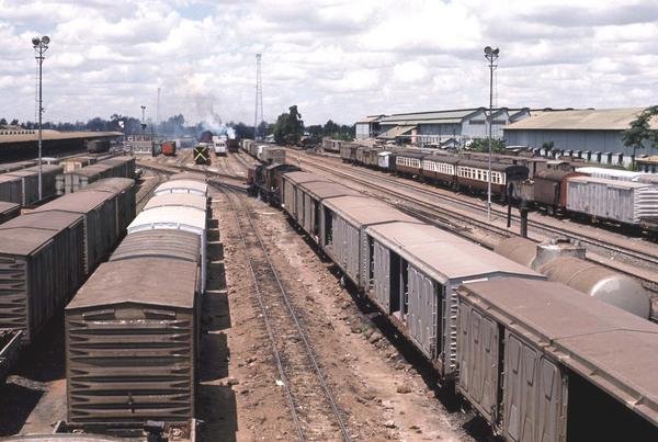
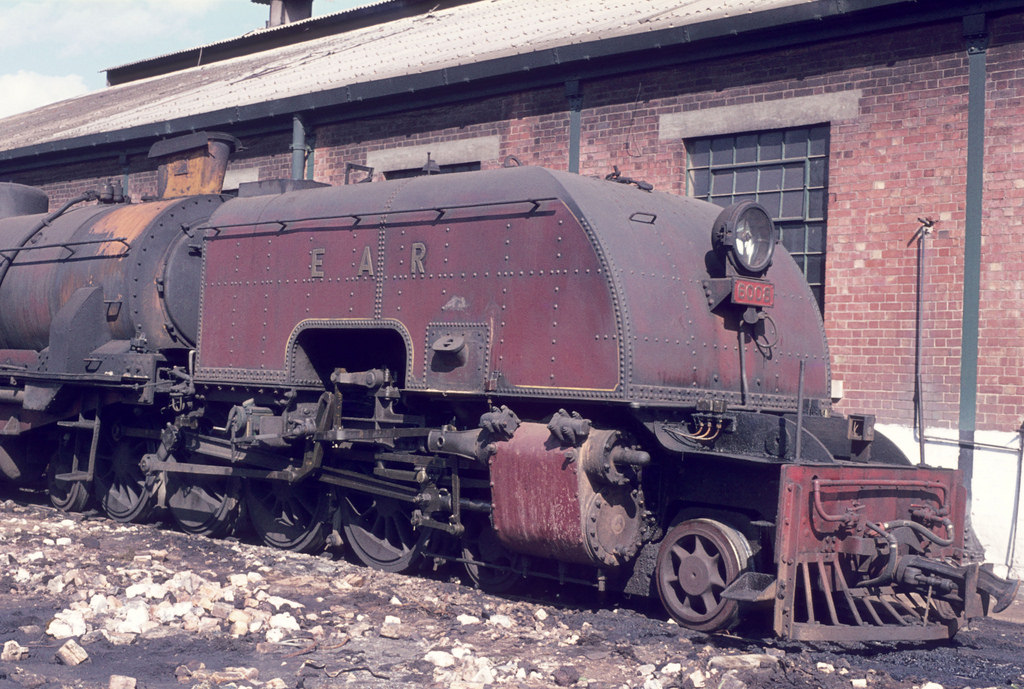
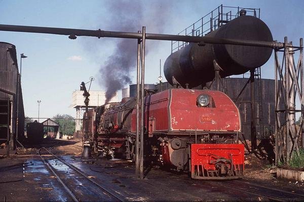
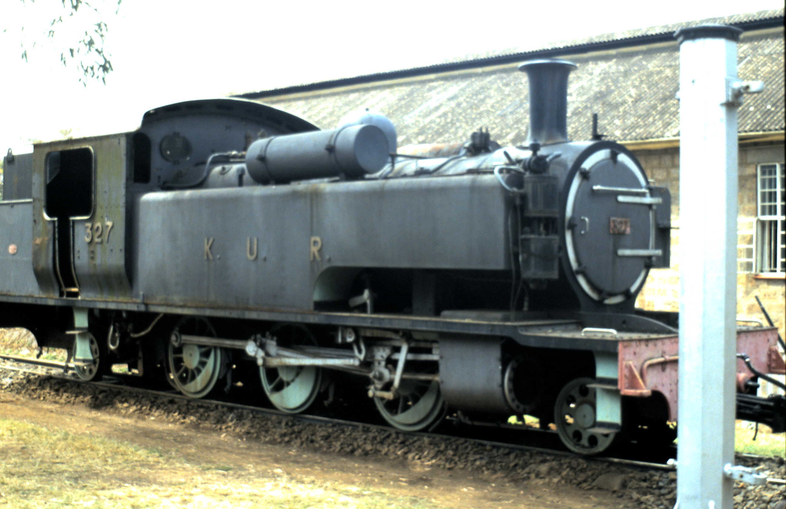
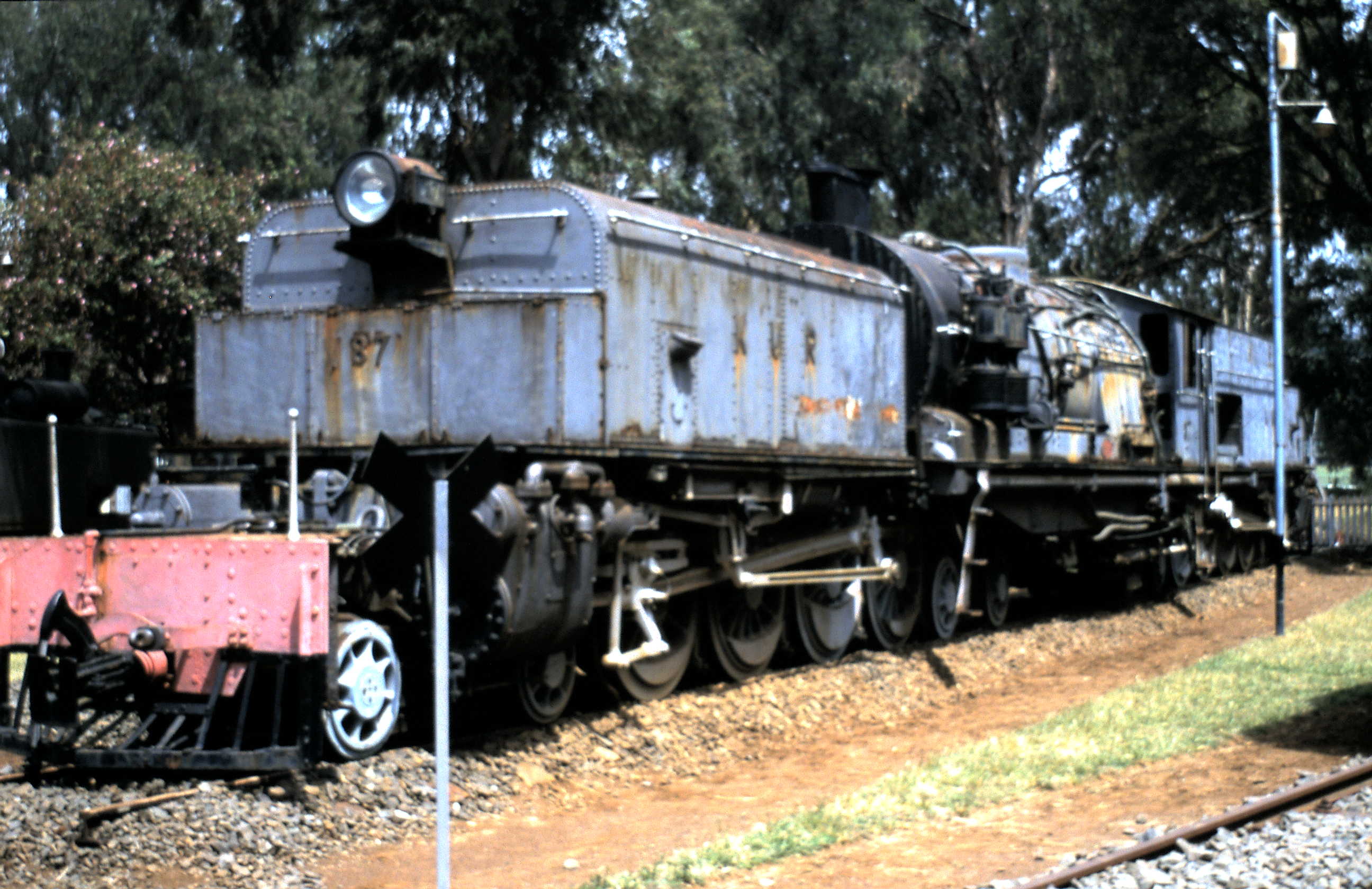
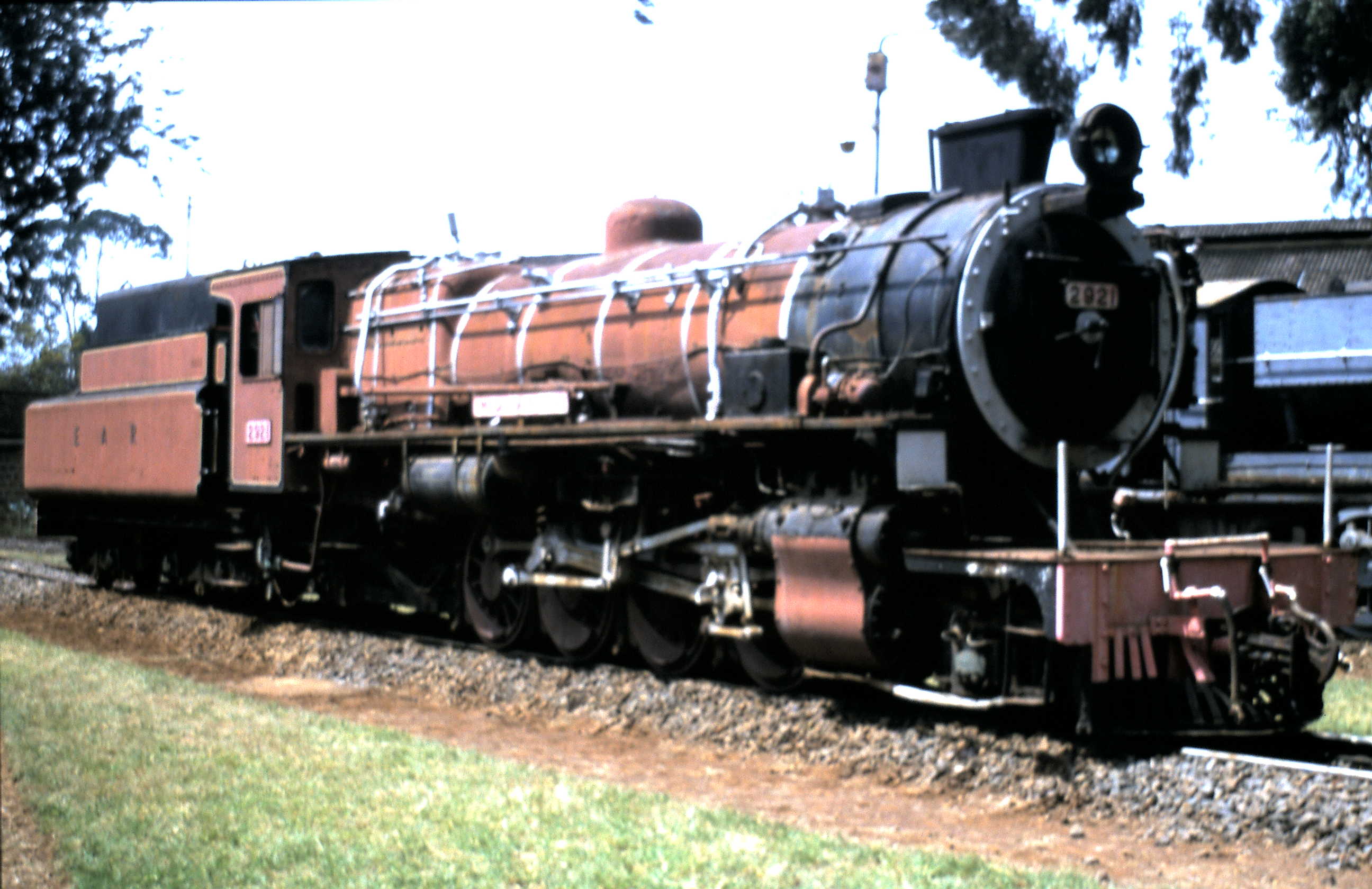
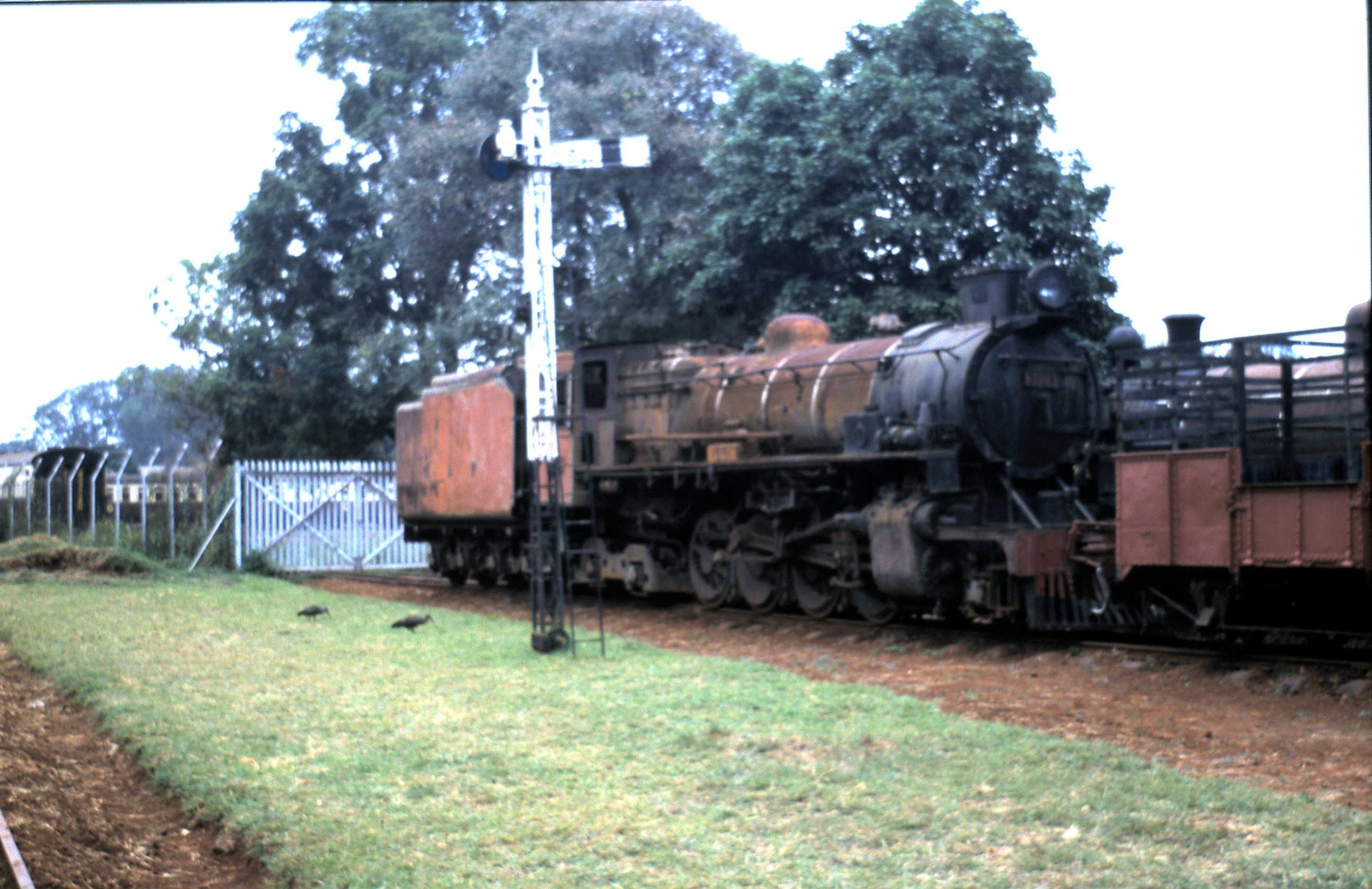
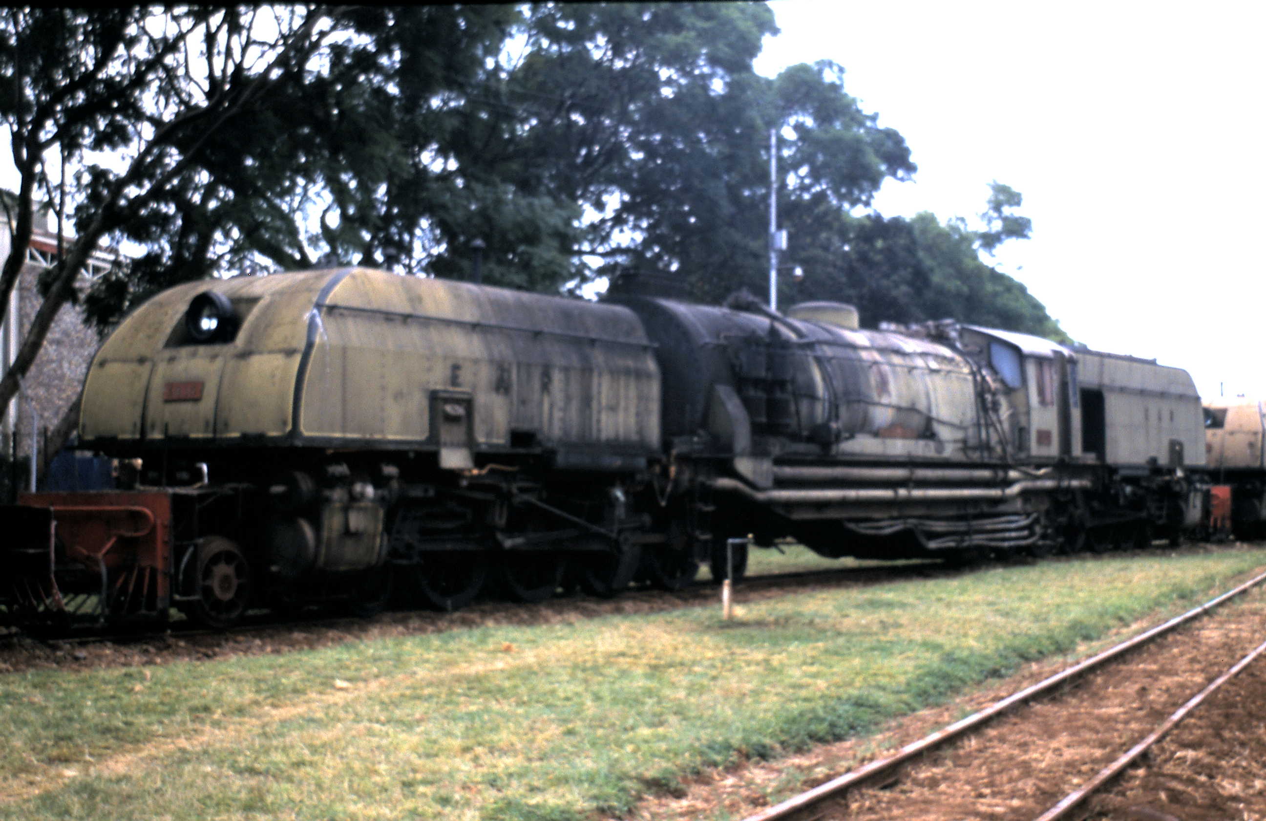
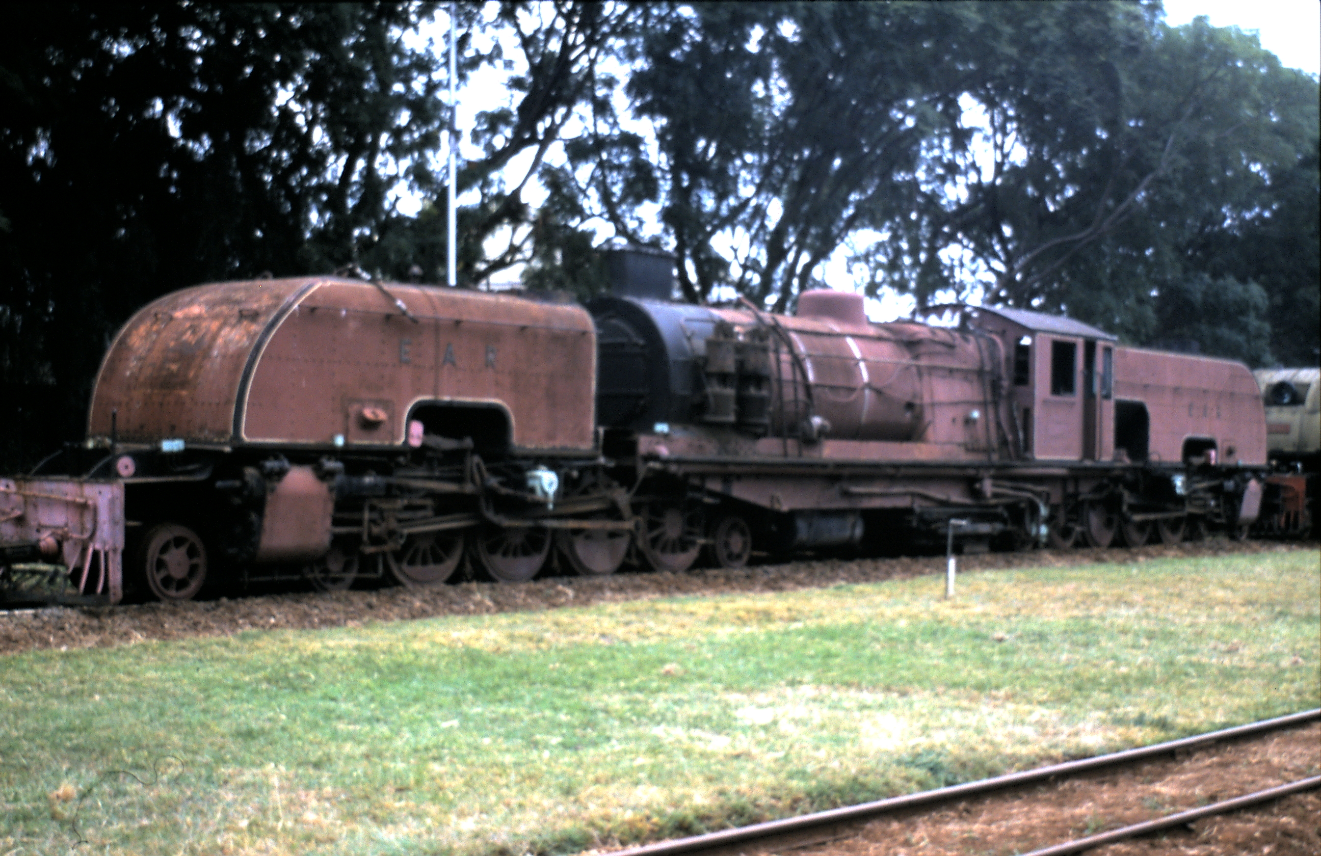
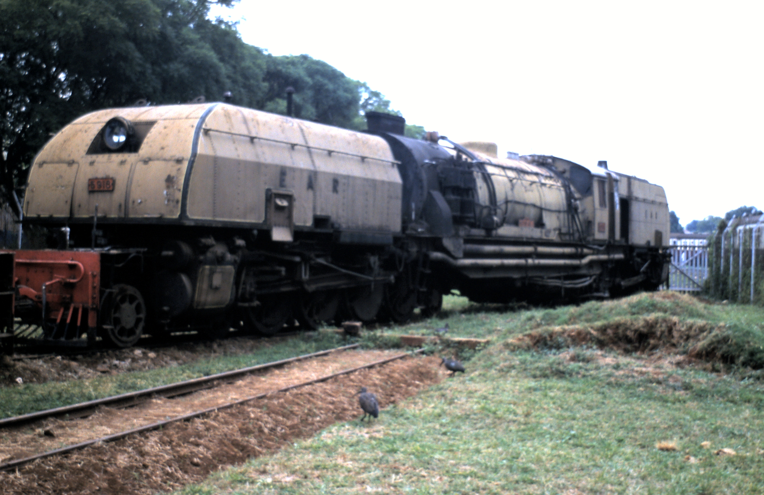
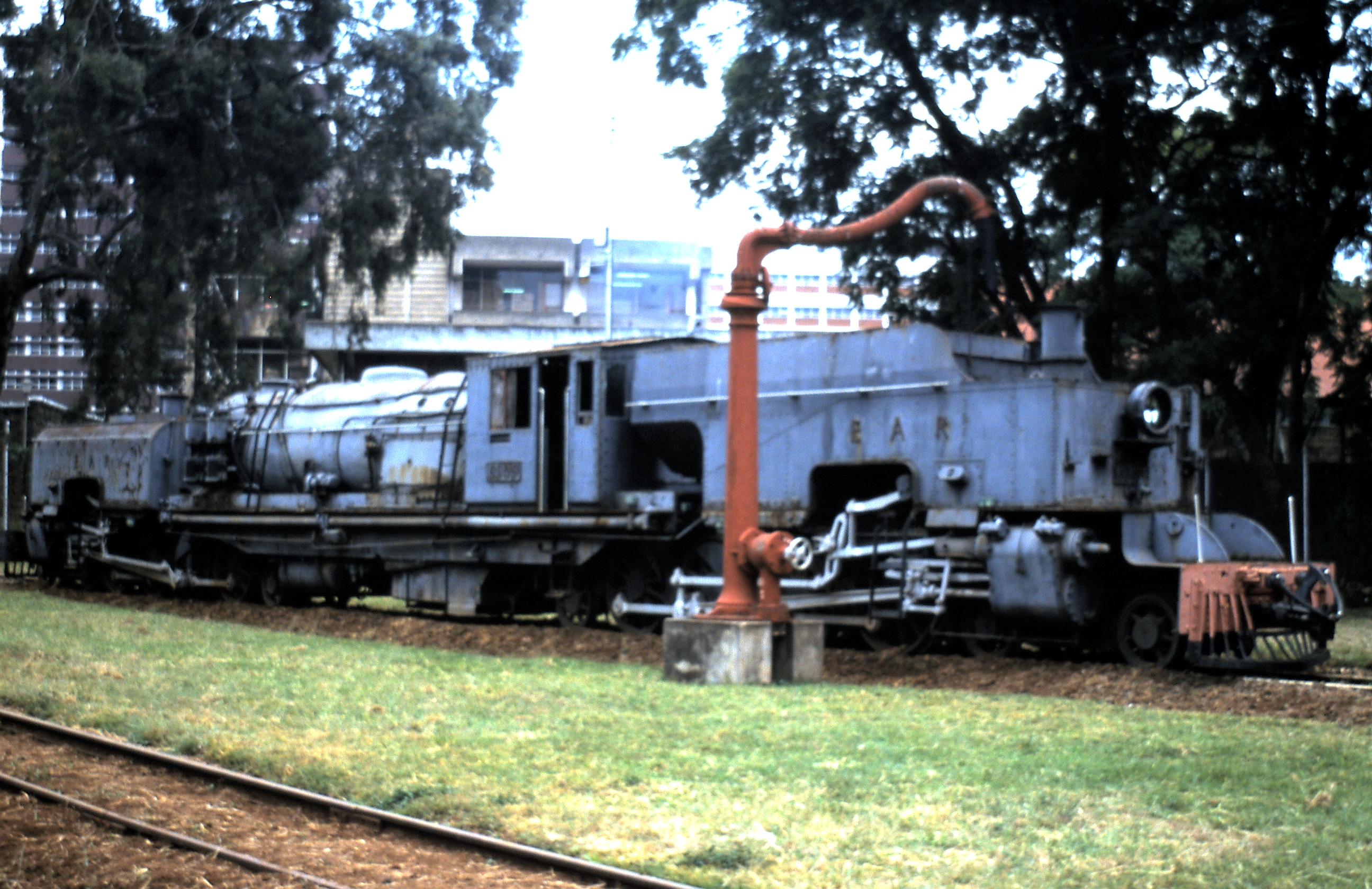
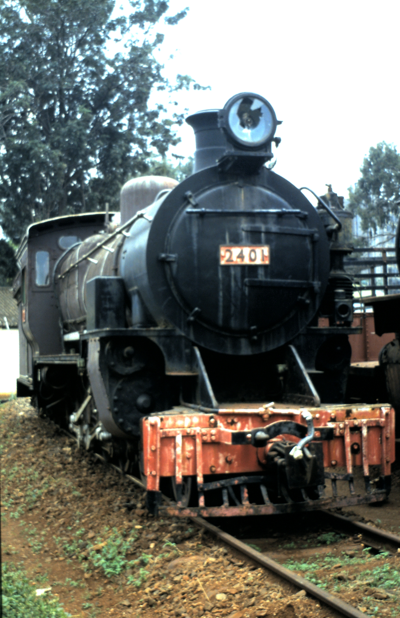
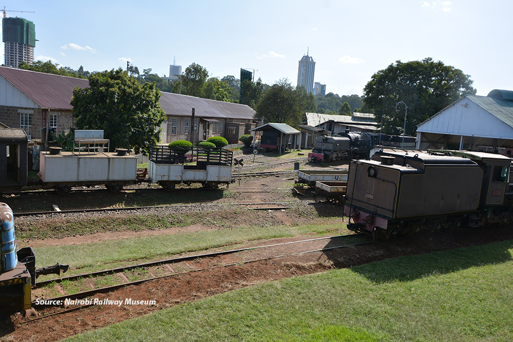
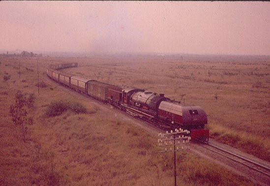
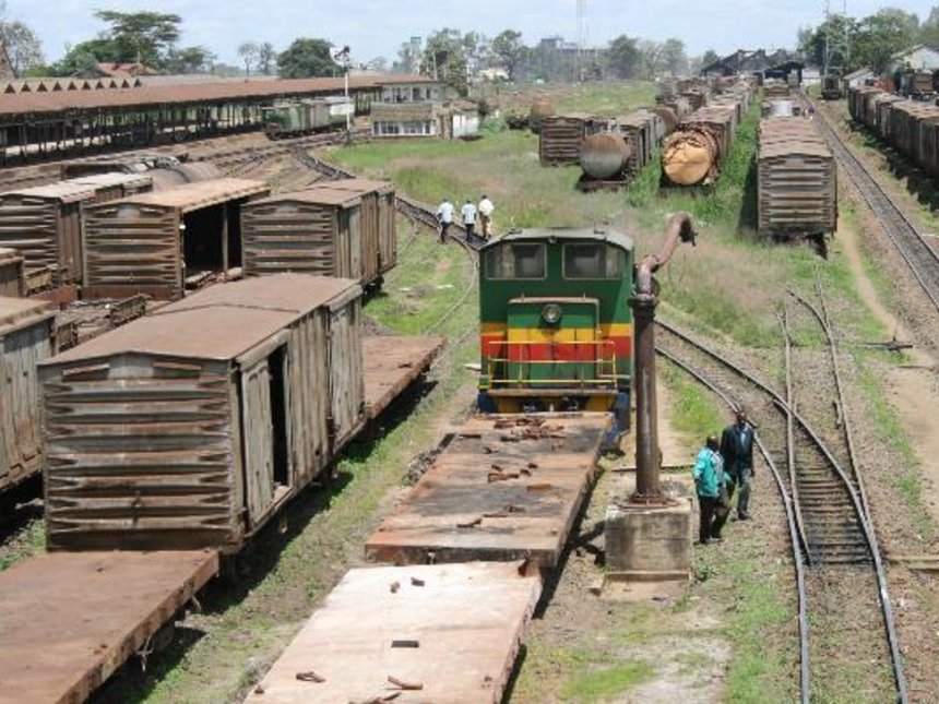
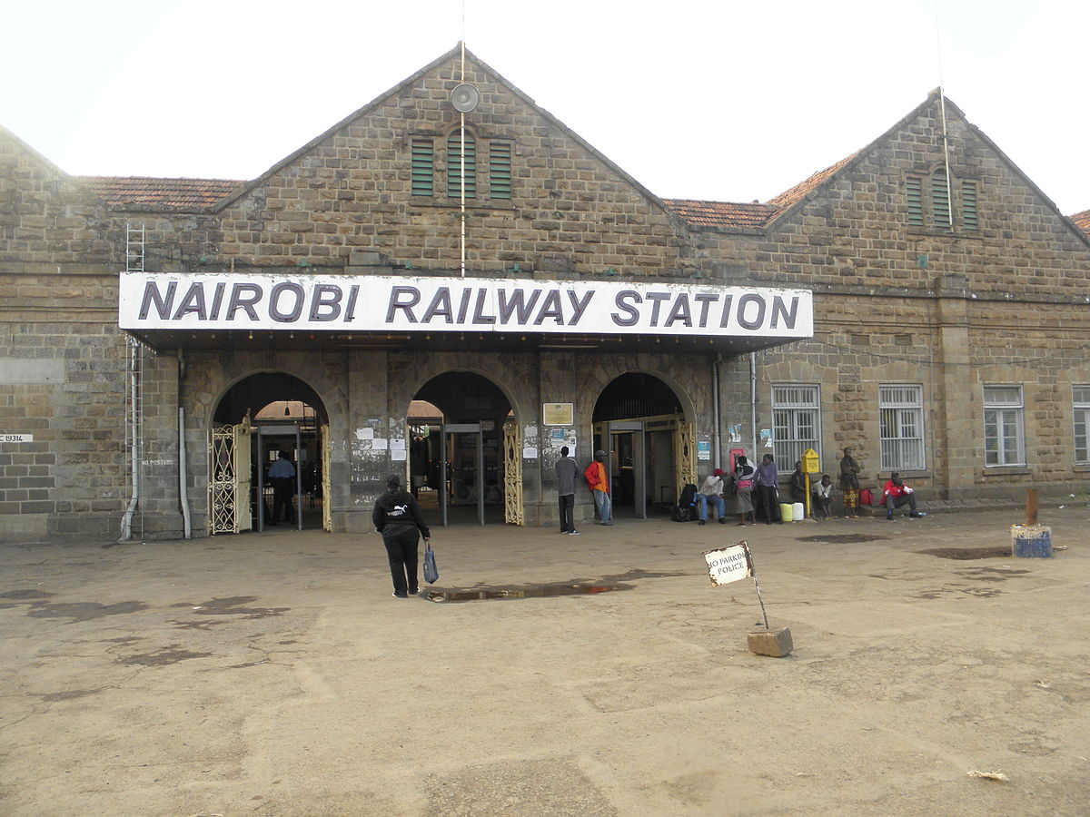
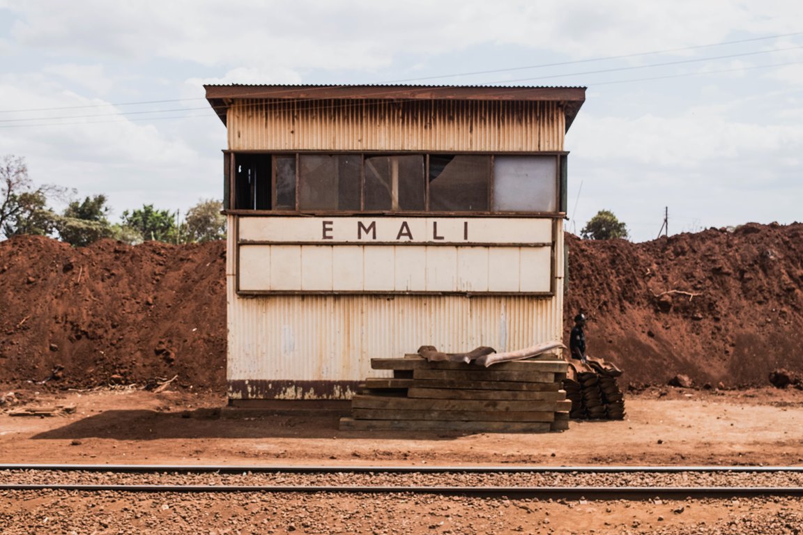
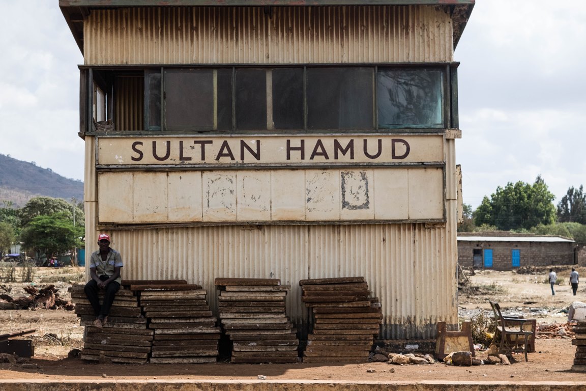
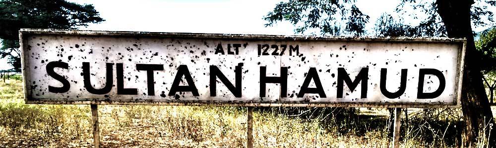
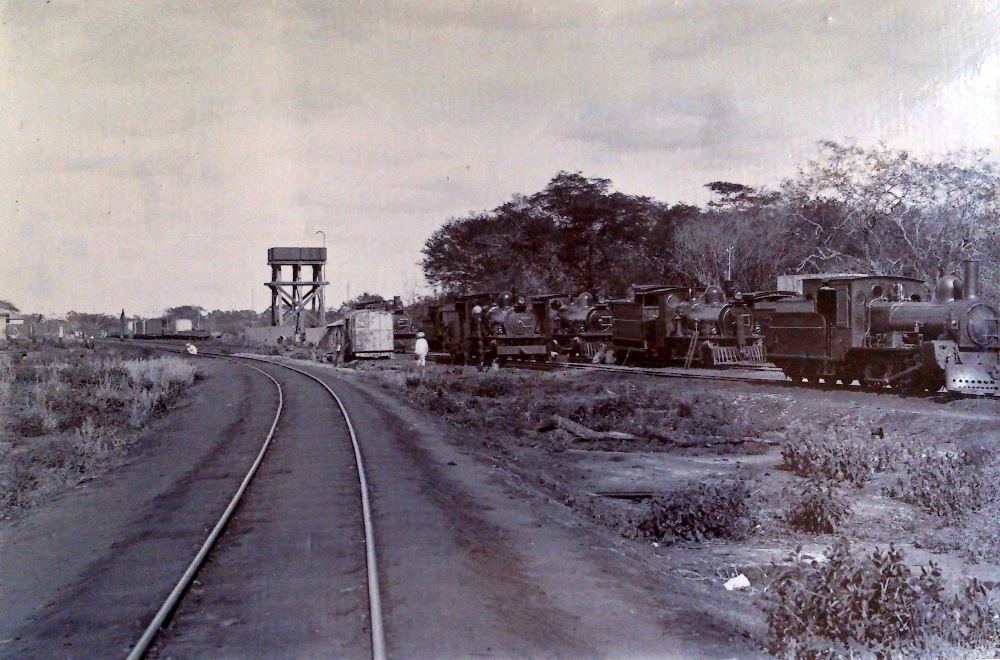
In 1994, I had a few hours waiting at Nairobi Railway Station before getting on the train to Kampala. It was a fantastic journey at a very slow speed with the journey length extended by a 6 hour stop in Jinja waiting for a derailed goods train to be re-positioned on the rails in the section between Jinja and Kampala. My pictures were sadly not of the highest standard and I was having problems with my SLR camera by this time. The next two pictures prove that I was there but achieve little else!
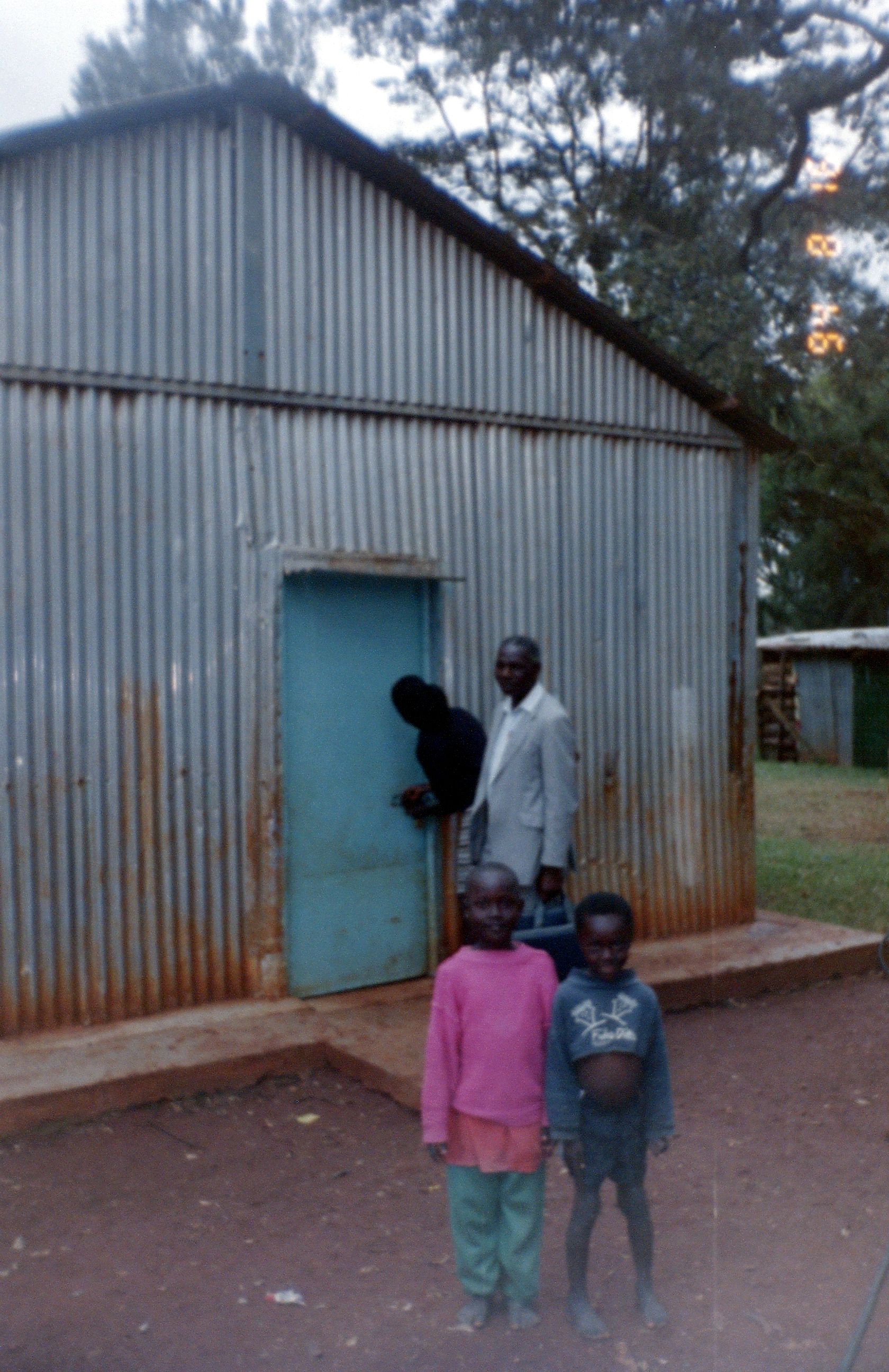
 Later in my 1994 trip, I spent a day with a friend in Kibera Slum, again, the pictures are of a very low quality. One of the first places encountered by the railway west of Nairobi is the Kibera slum. The date stamp on two of the photos remind me of the time of year I was there. Travelling across Kenya and then into the South West of Uganda became a real expedition as I ended up spending two weeks just over the border from Rwanda at the time of the genocide in that country.
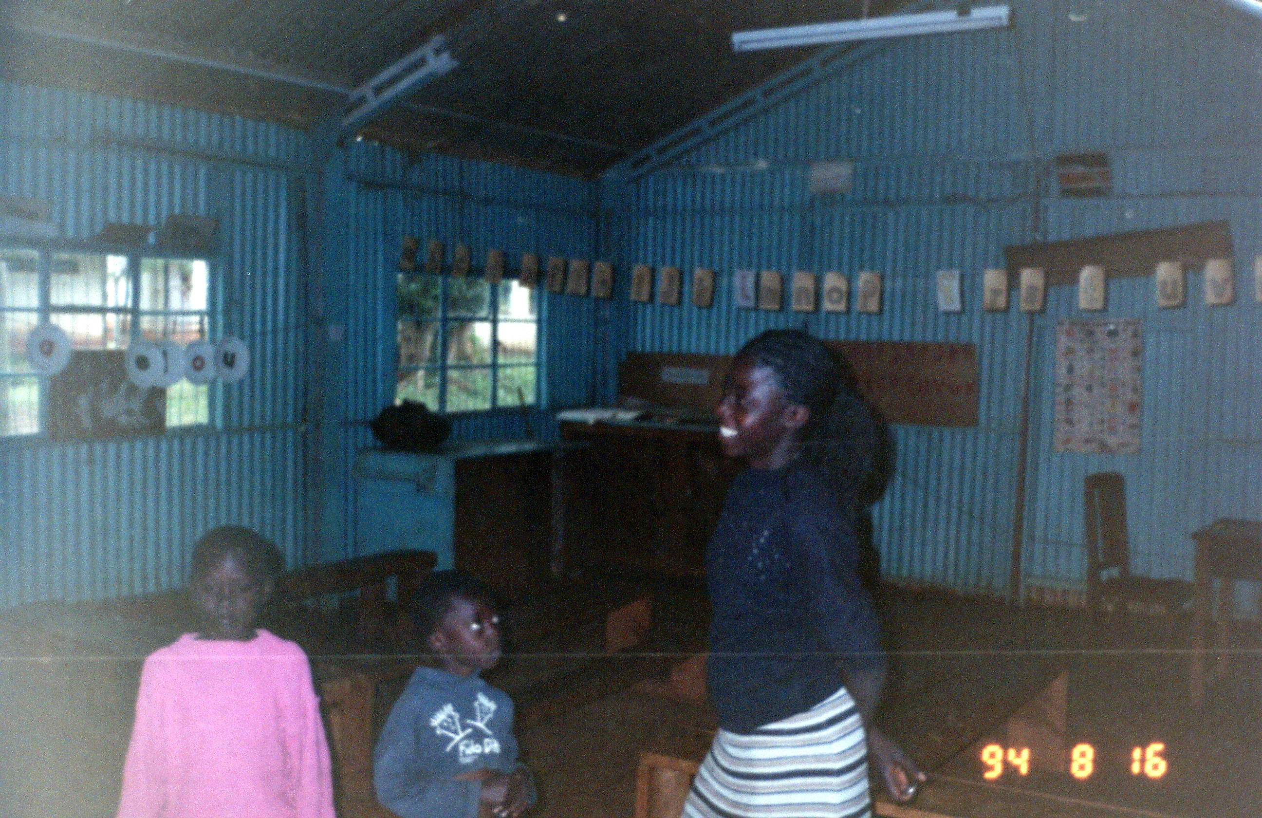
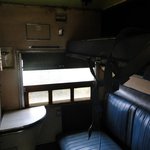
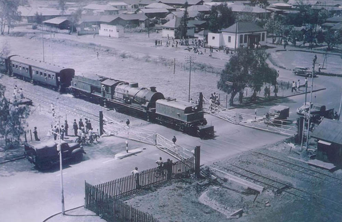
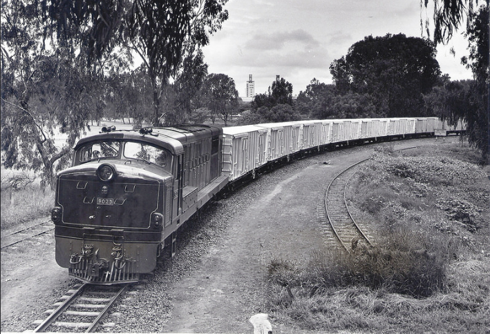
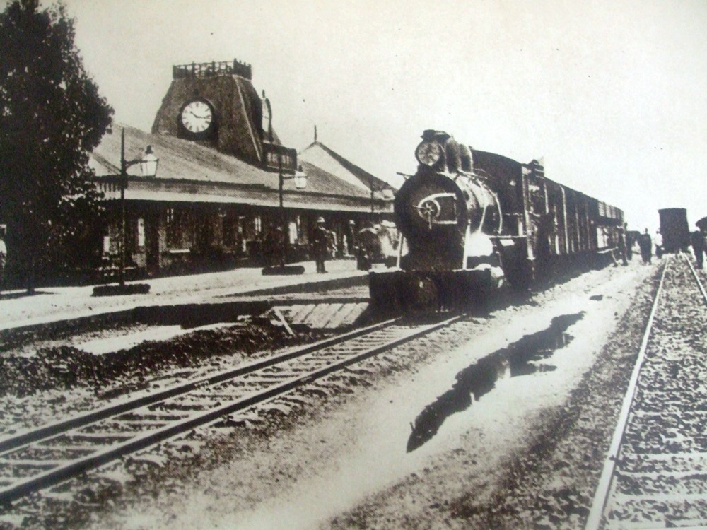
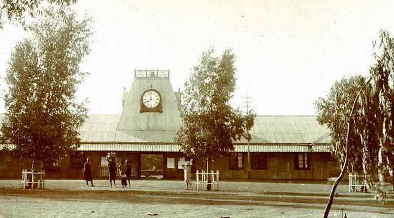
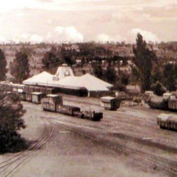
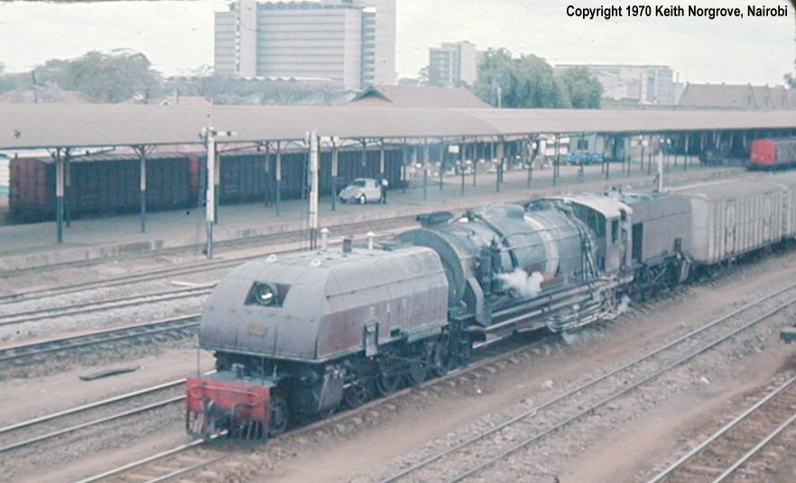
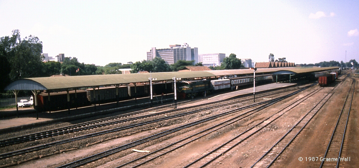
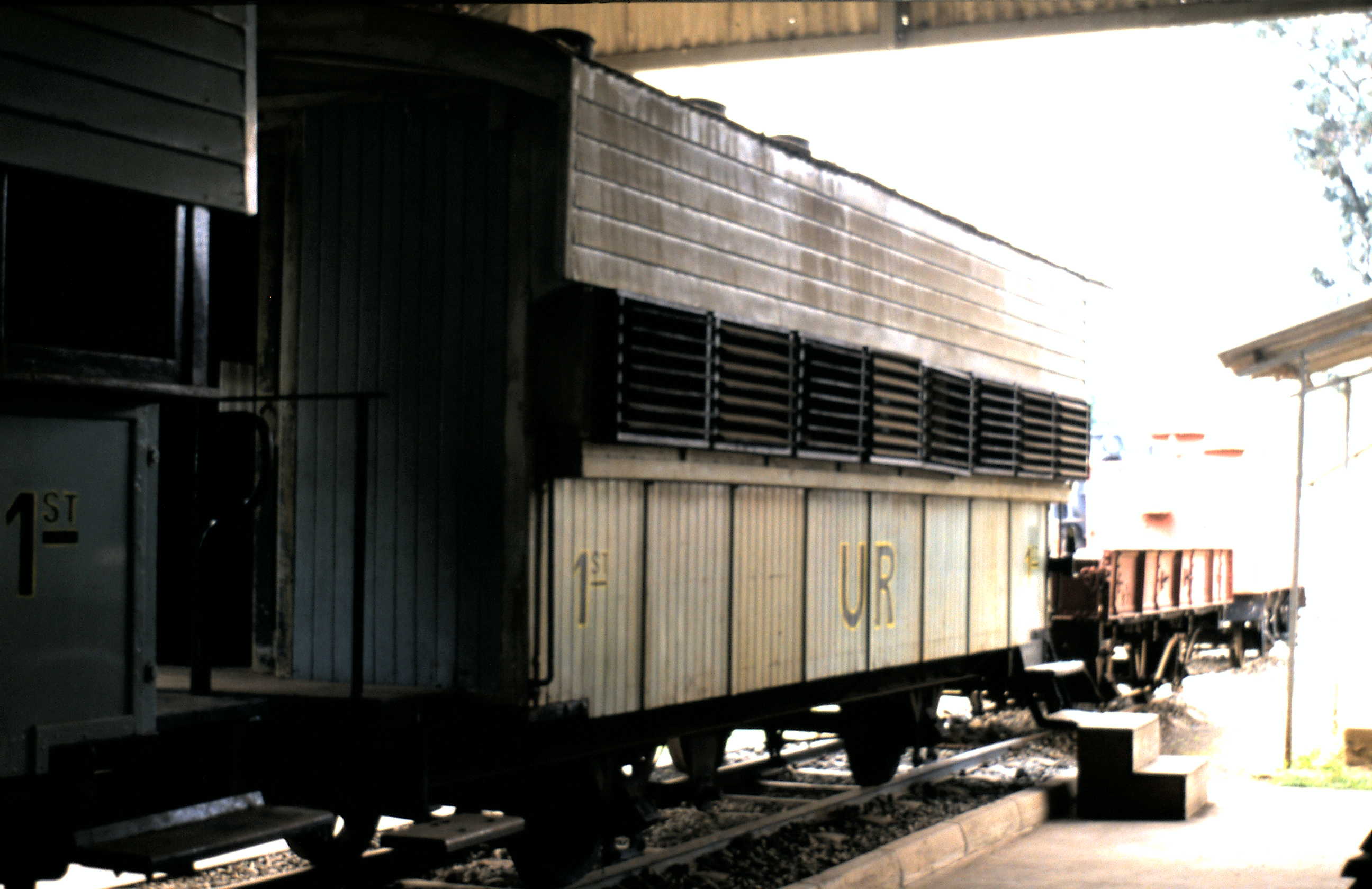
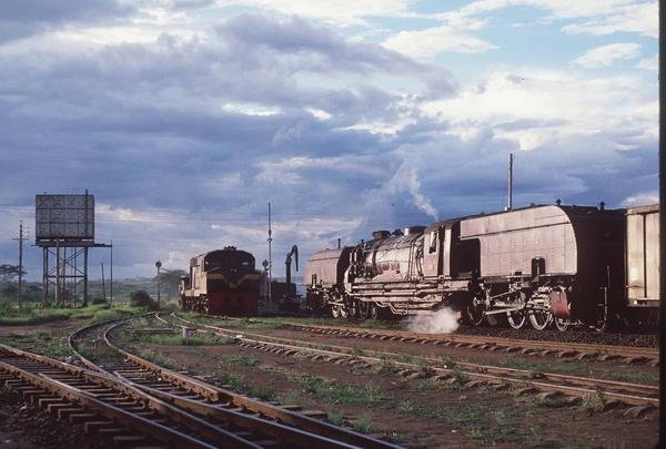
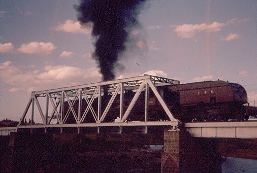
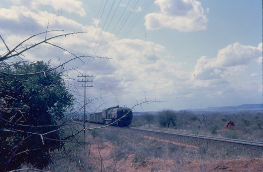
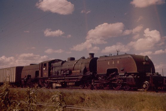
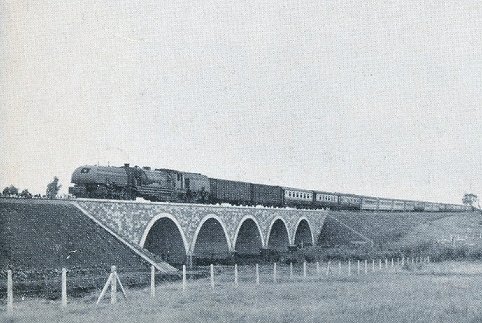
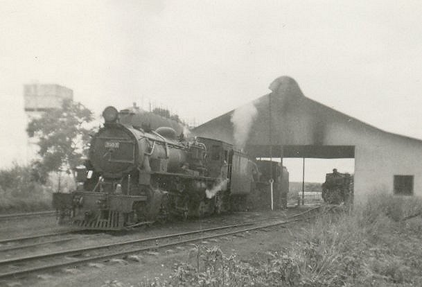
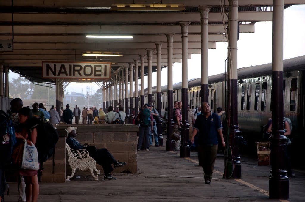
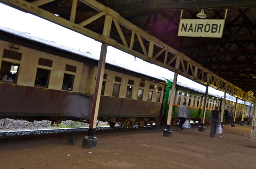
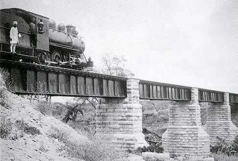
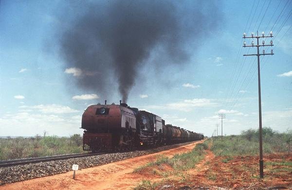
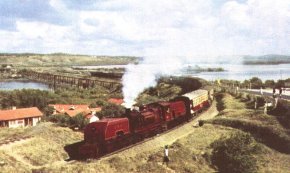
Trains left Nairobi Central Station in a generally south-westerly direction and the line meandered through the suburbs of the city. The adjacent picture shows the interior of a carriage on the train in 1994. The image below shows a Garratt hauled train to the West of Nairobi Station in the post war period, © East African Railways.
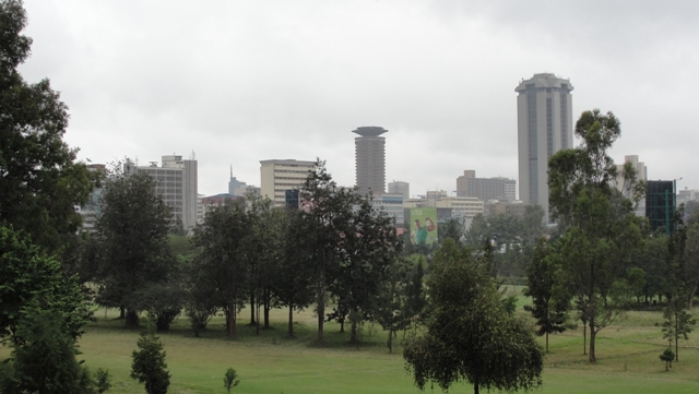
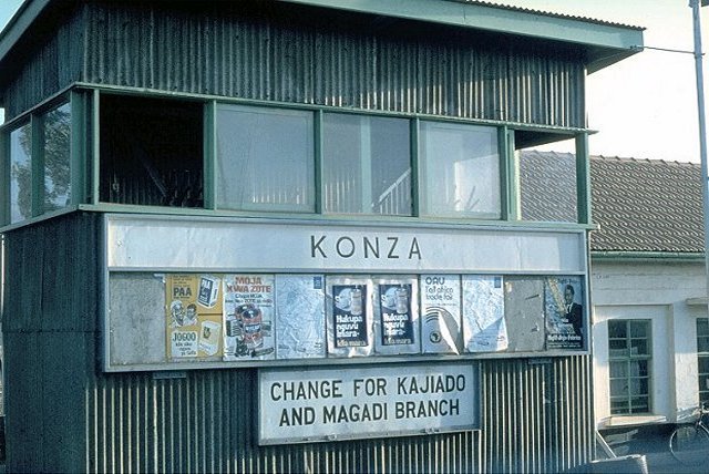
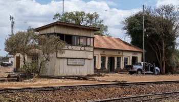
 Trains first crossed the 9-hole Kenya Railway Golf Course! In 1921, the wife of the Kenya Railways manager, Mrs Couper, established a Golf Club for the Kenya Uganda Railways staff and in 1924 it opened its membership to non-railways staff. The course still revolves heavily around the railway line, which passes straight through the middle of the course. The only hole though where it comes into play is the 2nd, where your tee shot could cause some damage to a passing train if not connected well! [1] The footbridge over the railway can be seen on the right of the first photograph below. The third image below is taken from that footbridge
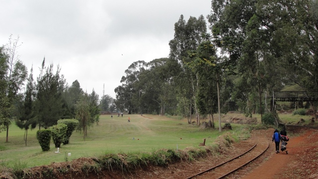
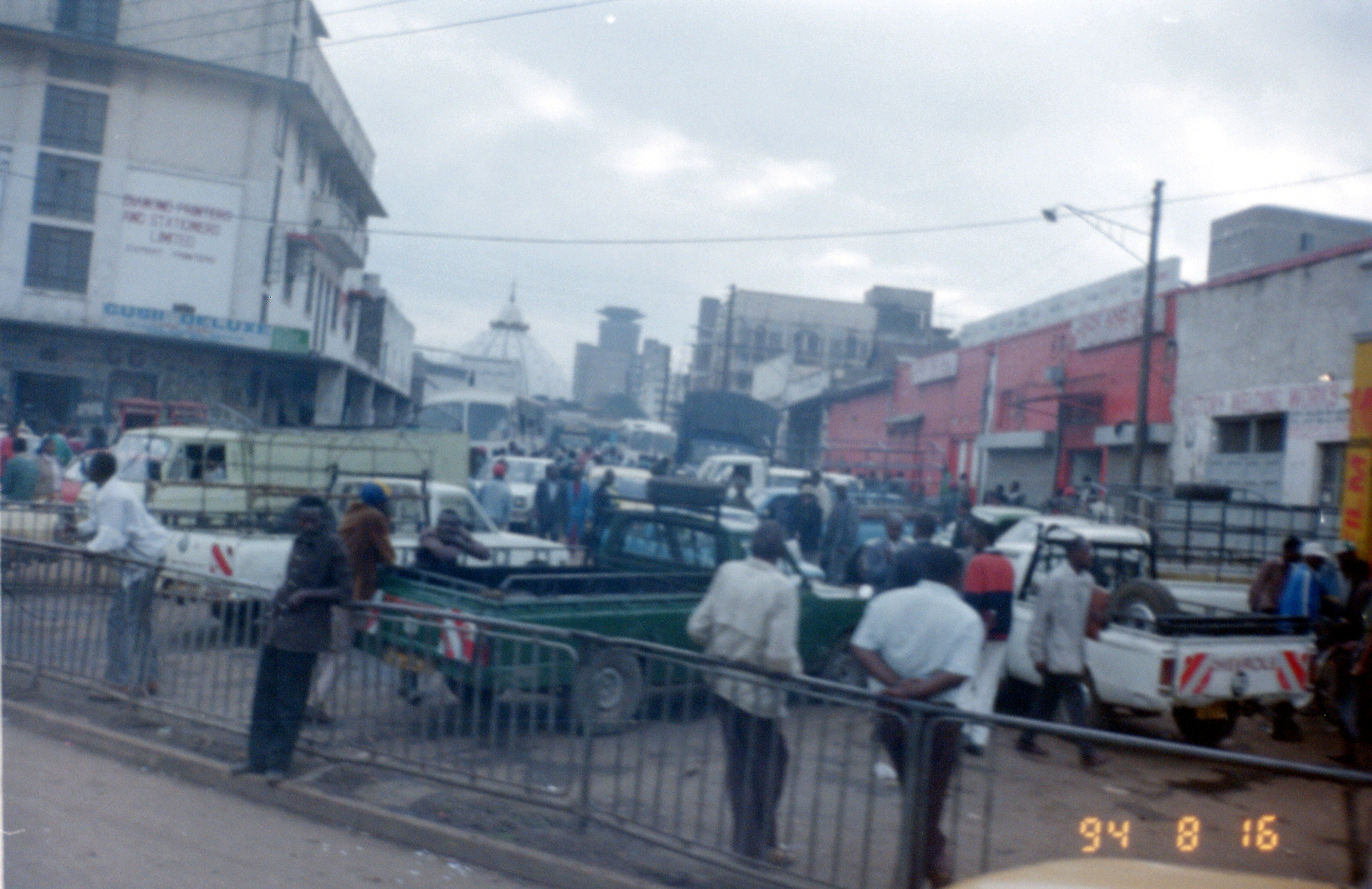
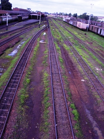
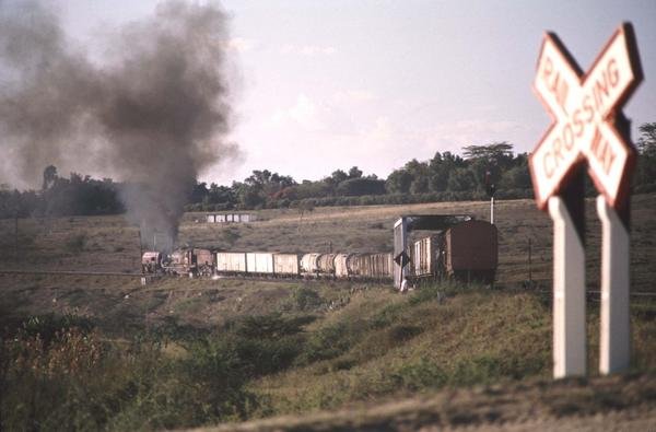
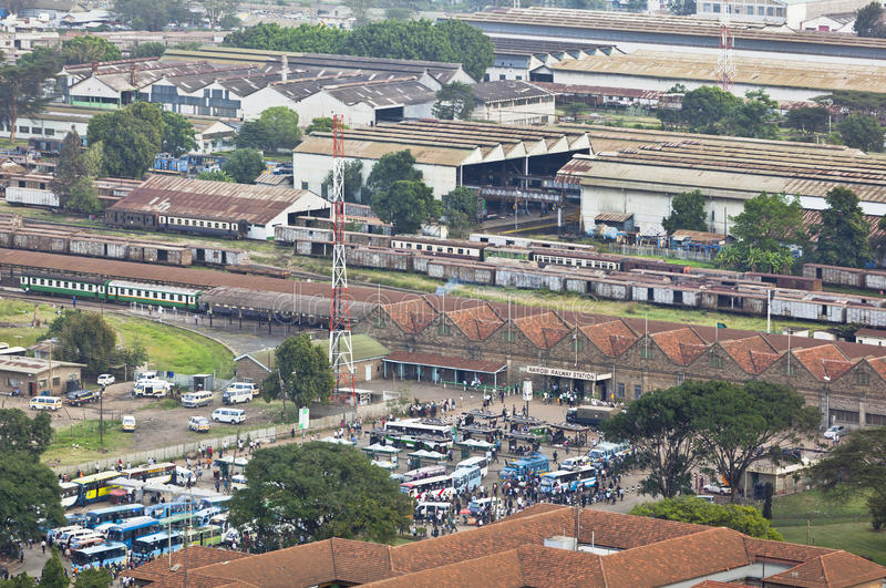
The line winds its way through the relatively affluent areas before reaching Kibera, 6.6 kilometres (4.1 miles) from the city centre. [2] Kibera is the largest slum in Nairobi, and the largest urban slum in Africa. [3][4][5] The 2009 Kenya Population and Housing Census reports Kibera’s population as 170,070, contrary to previous estimates of one or two million people. [6] Other sources suggest the total Kibera population may be 500,000 to well over 1,000,000 depending on which slums are included in defining Kibera. [7][8][9][10]
Most of Kibera slum residents live in extreme poverty, earning less than $1.00 per day. Unemployment rates are high. Persons living with HIV in the slum are many, as are AIDS cases. [11] Cases of assault and rape are common. There are few schools, and most people cannot afford education for their children. Clean water is scarce. Diseases caused by poor hygiene are prevalent. A great majority living in the slum lack access to basic services, including electricity, running water, and medical care.[12]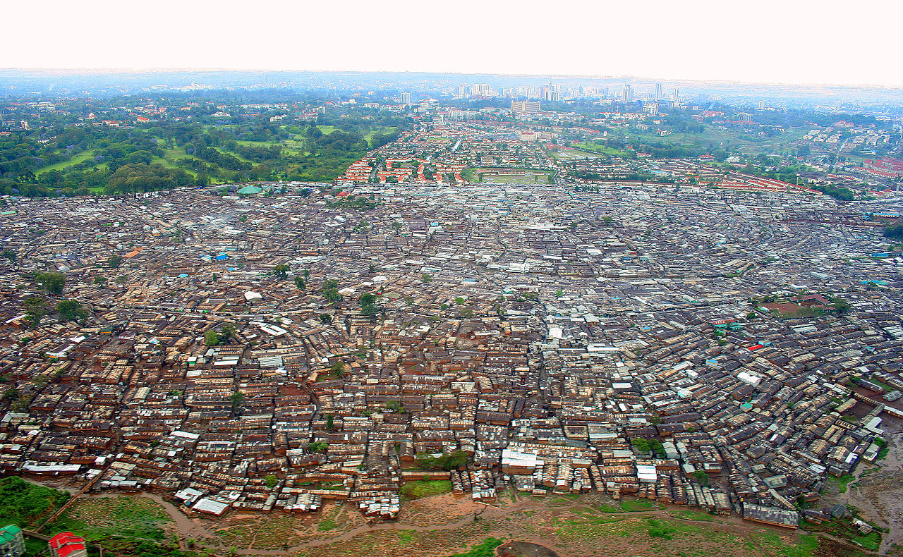
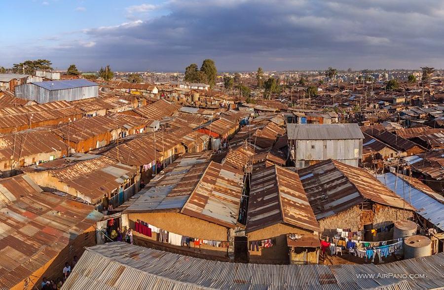
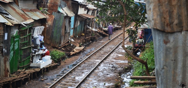
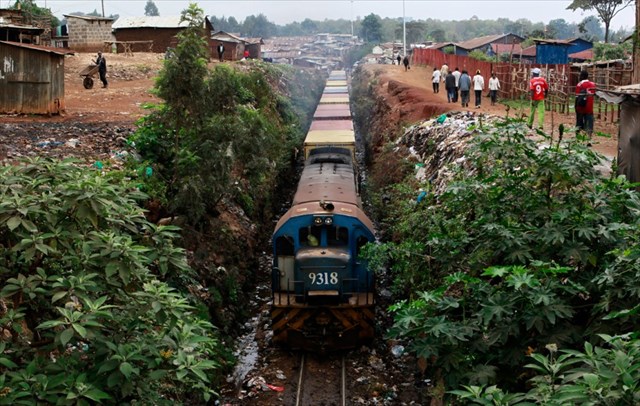 Significant slum clearance was underway when I was in Kibera in 1994 and the elements of the slum which were on the north side of the railway seem now to have been replaced by high-end apartments, but the slum still exists, as can be seen below.
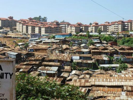 After passing alongside/through Kibera, the railway meanders in a generally westward direction through the Nairobi suburbs, north of the Ngong Road Forest and north of the Racecourse and through Dagoretti Station.
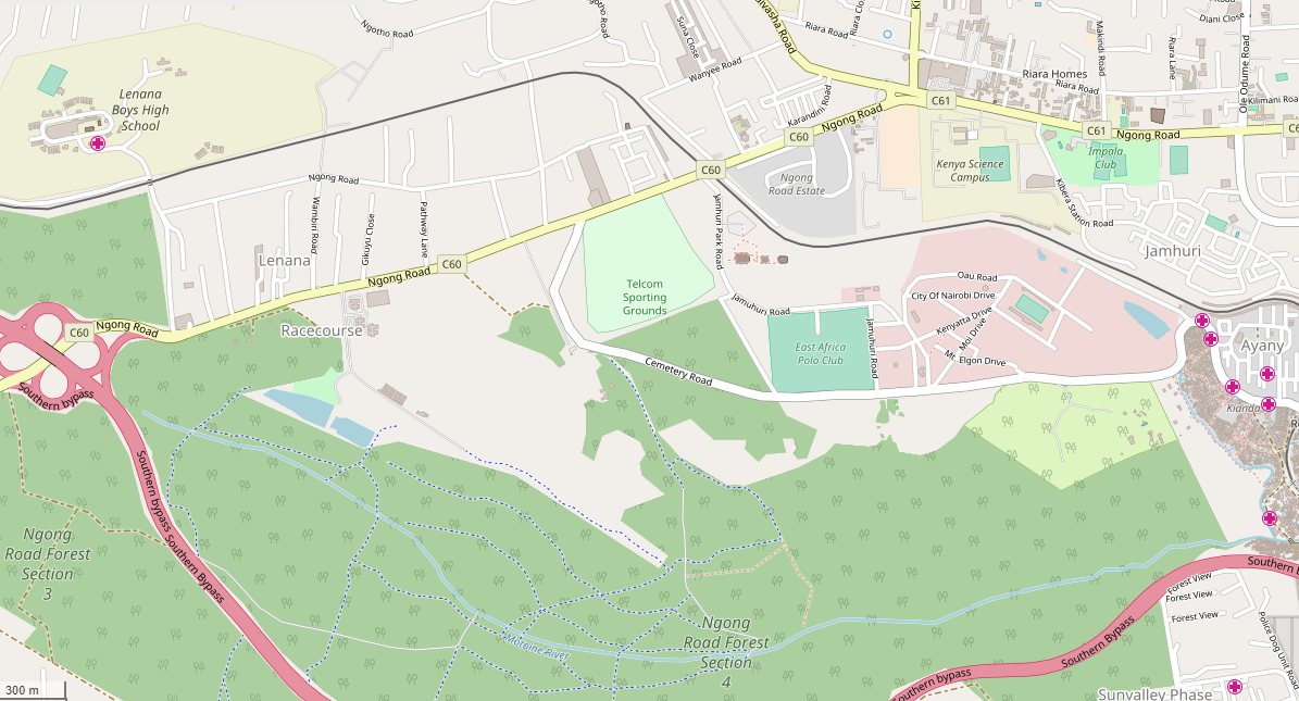
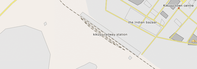
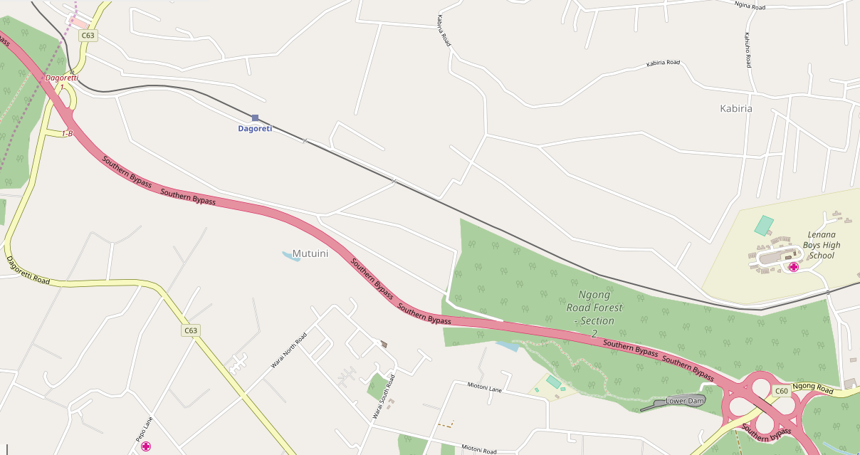 The railway travels North-northwest for a time and then switches back, crosses the Nairobi Southern By-Pass and enters Kikuyu Station.
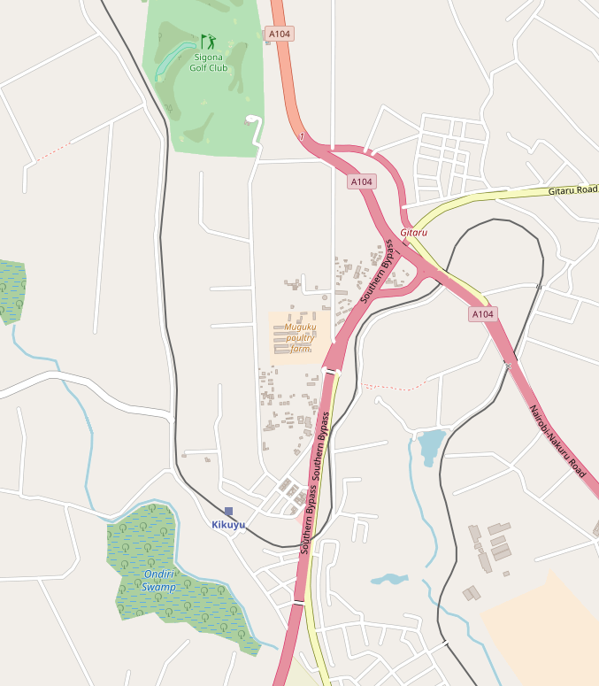 Kikuyu Station is 20 kilometres or so from Nairobi, railway officers established a temporary base in Kikuyu while they supervised work on the laying of the track down at the rift valley escarpment. [13]
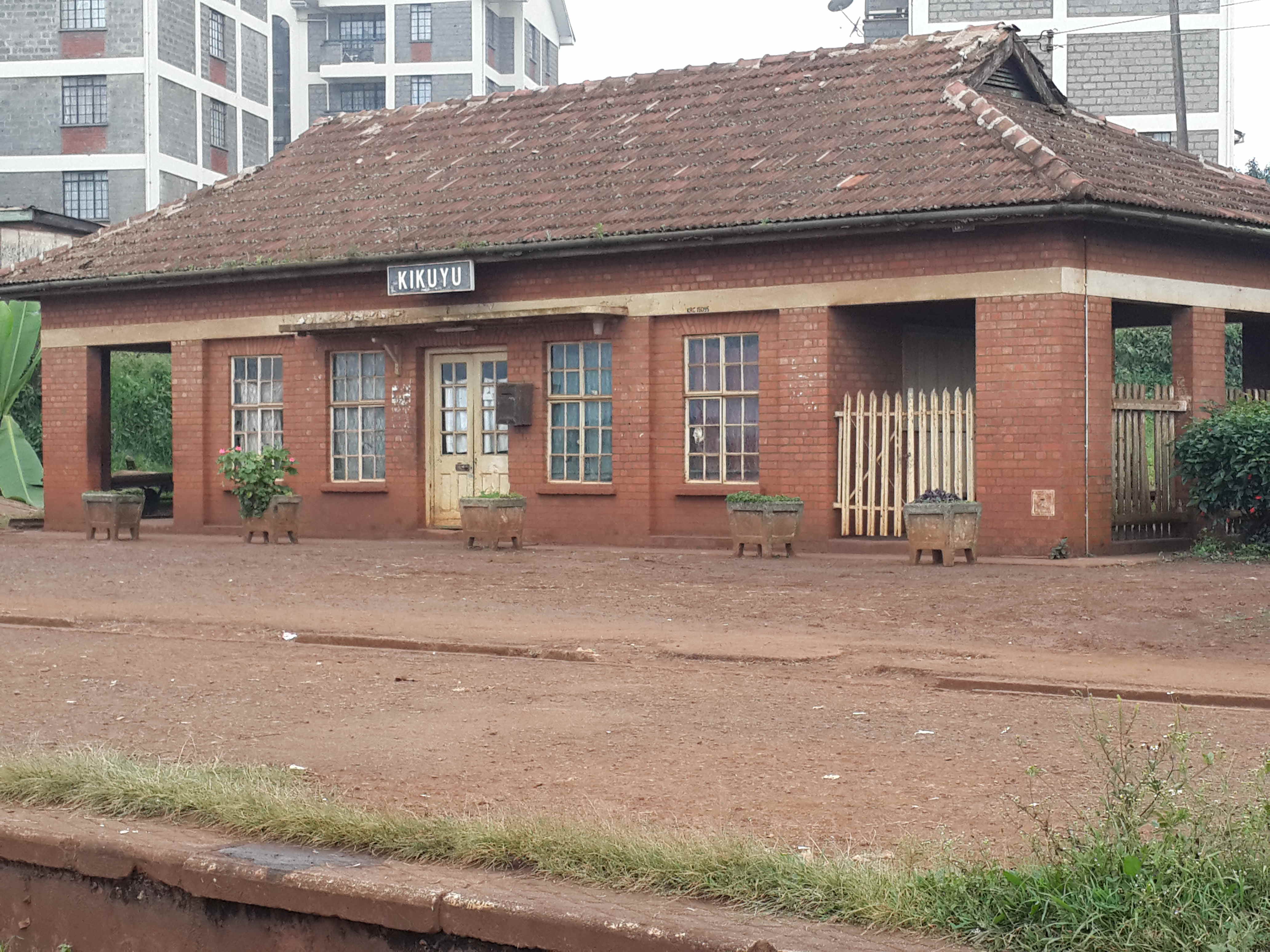
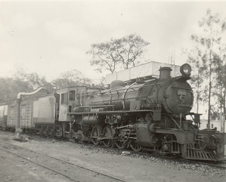
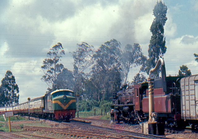 A green liveried East African Railways Corporation Loco heads an all classes passenger train into Kikuyu while a freight train headed by a Class 29 awaits departure, © Kevin Patience. [14]
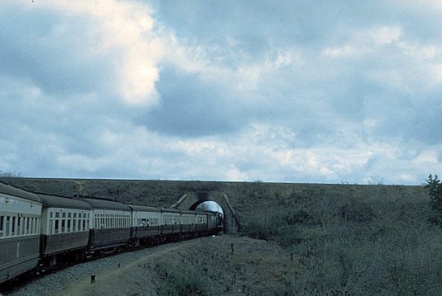
After Kikuyu, the railway travels almost due north to Muguga and then Limuru. On the way to Limuru, trains pass through a 1.7 kilometre long tunnel.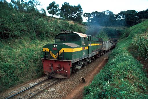
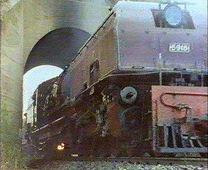
Limuru is located on the eastern edge of the Great Rift Valley about 27 kilometres (17 mi), by road, northwest of Nairobi. Most of the area of Limuru is now what was previously known as the “white highlands”, a rich agricultural land just south of the equator. The term “white highlands” derived from the British and other Europeans who realised the productive potential of this area and settled in large numbers with the support of the colonial government, establishing coffee and tea plantations, cereal farms and ranches. The altitude of the town is about 2,500 metres. [15]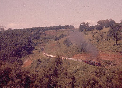 A Mail Train has just exited Limuru Tunnel, © Iain Mulligan. [14]
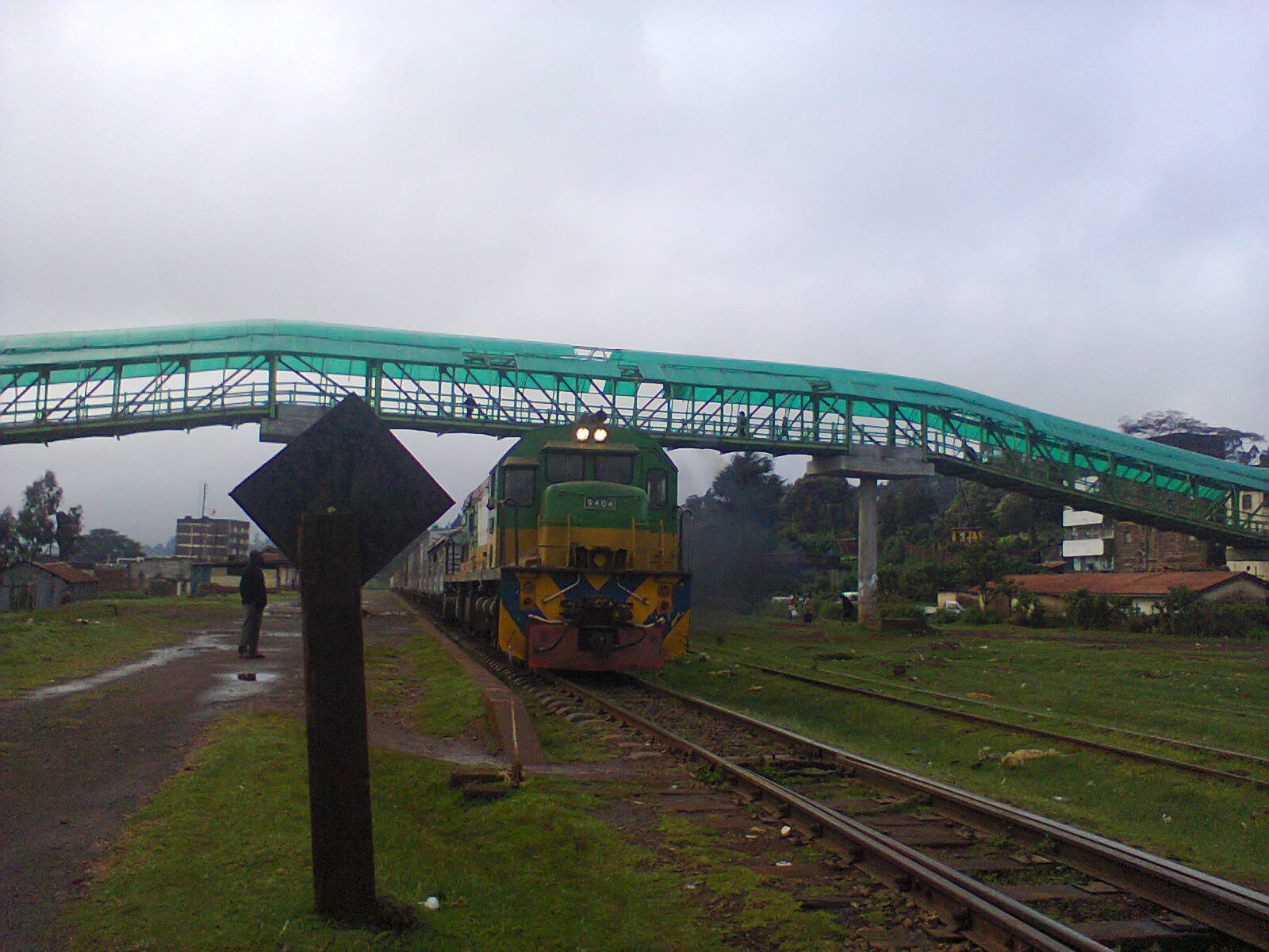 Limuru Footbridge. [16]
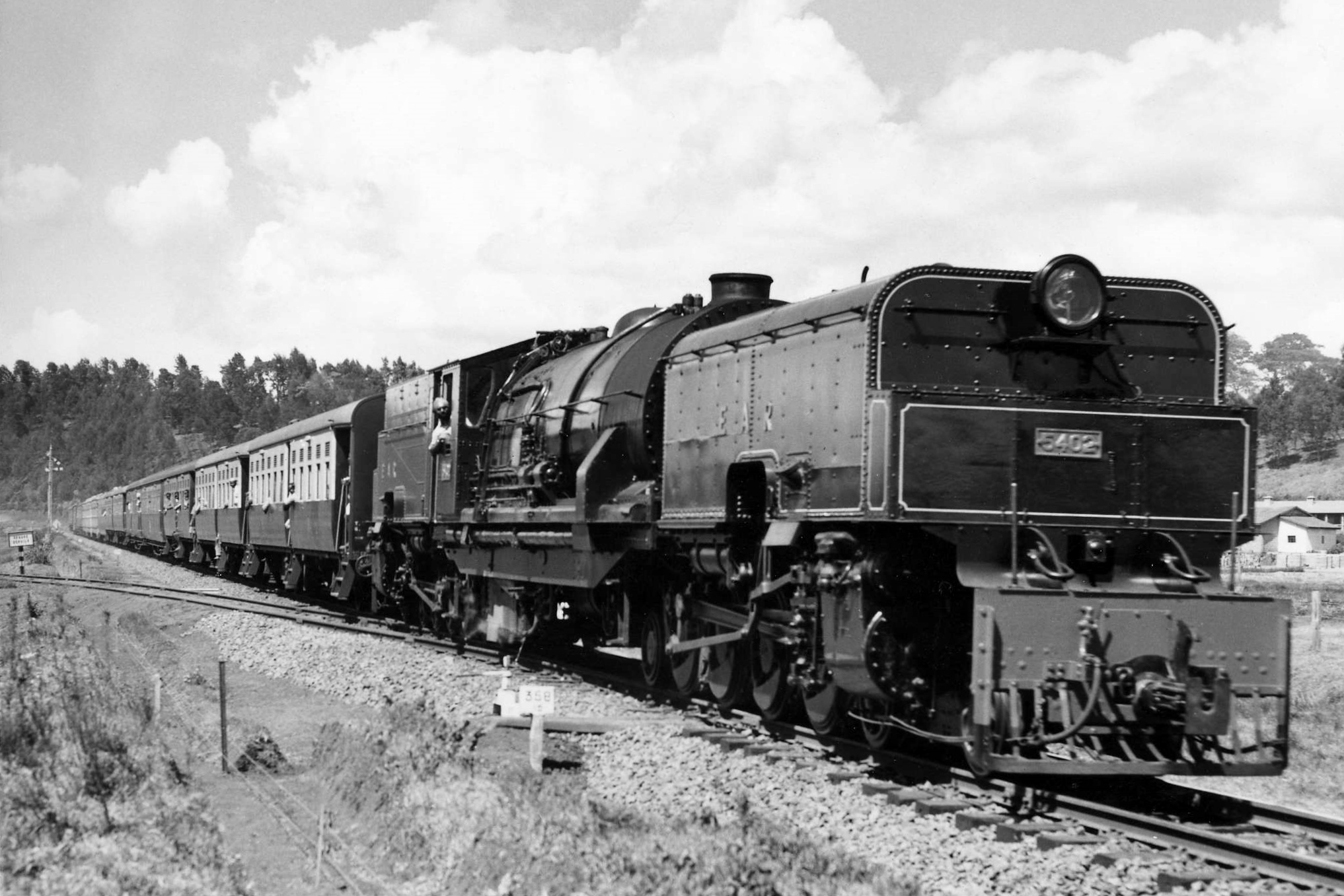
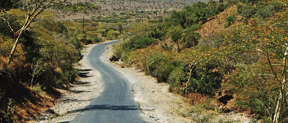
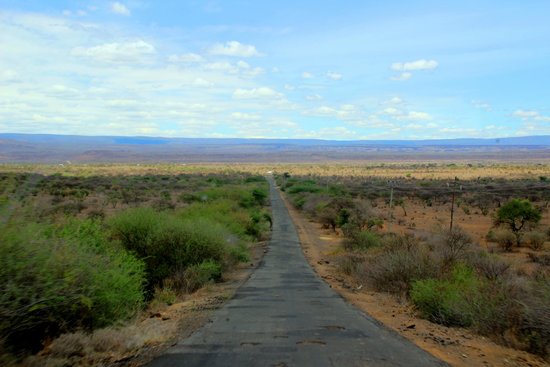
 From Limuru, trains begin their decent into the Rift Valley, through Uplands (Lari), Matathia, Kijabe, Longonot, Suswa and Munyu stations before reach Naivasha in the valley floor.
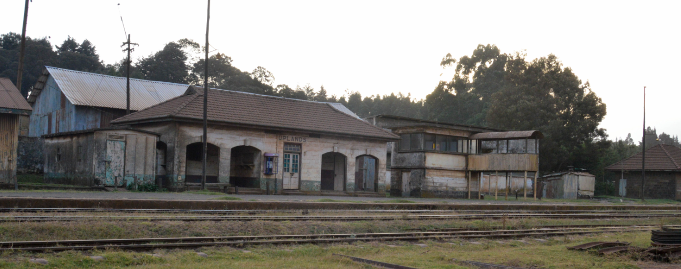 Uplands (Lari) Station.
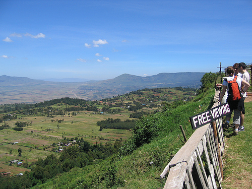
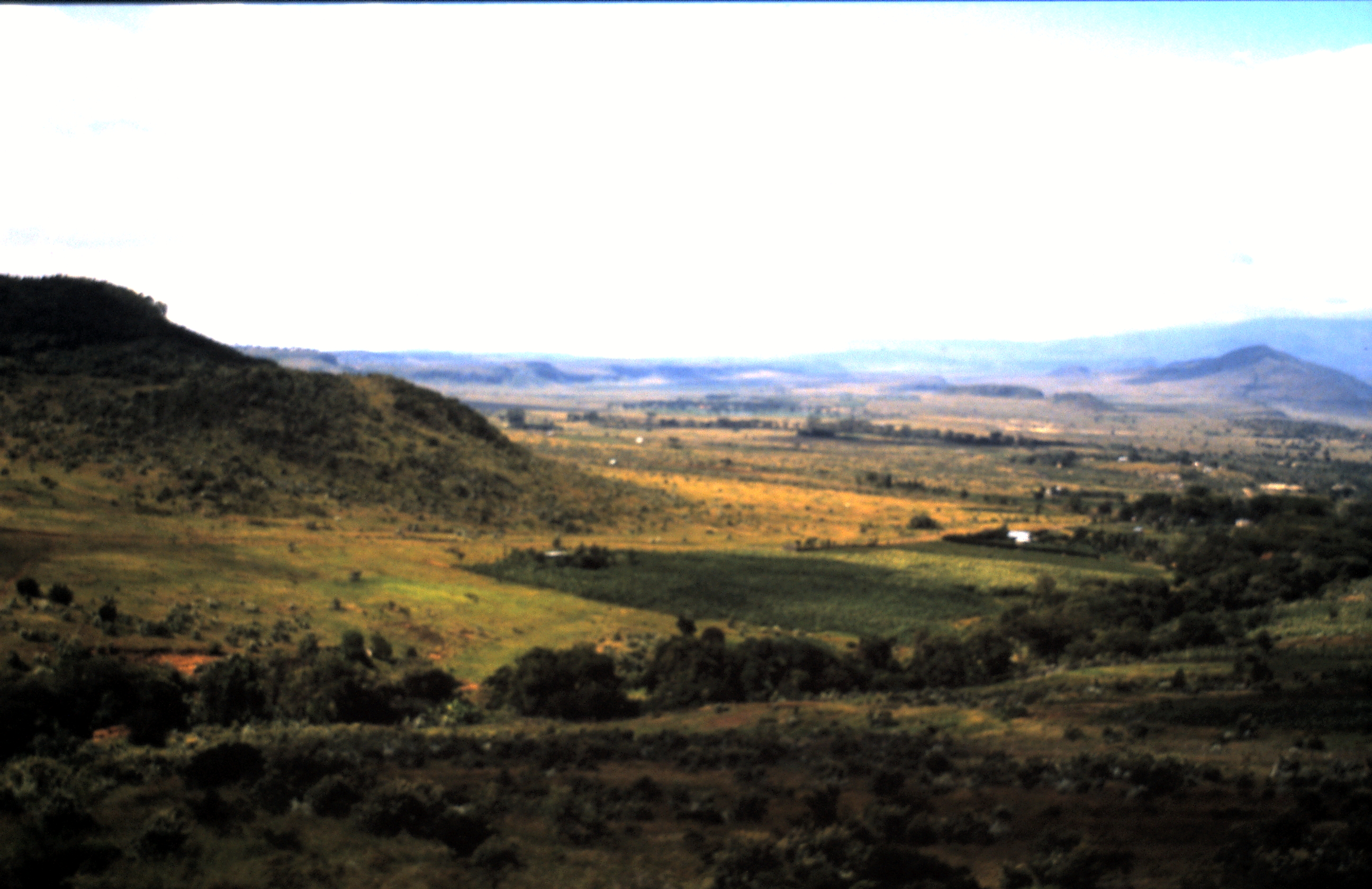
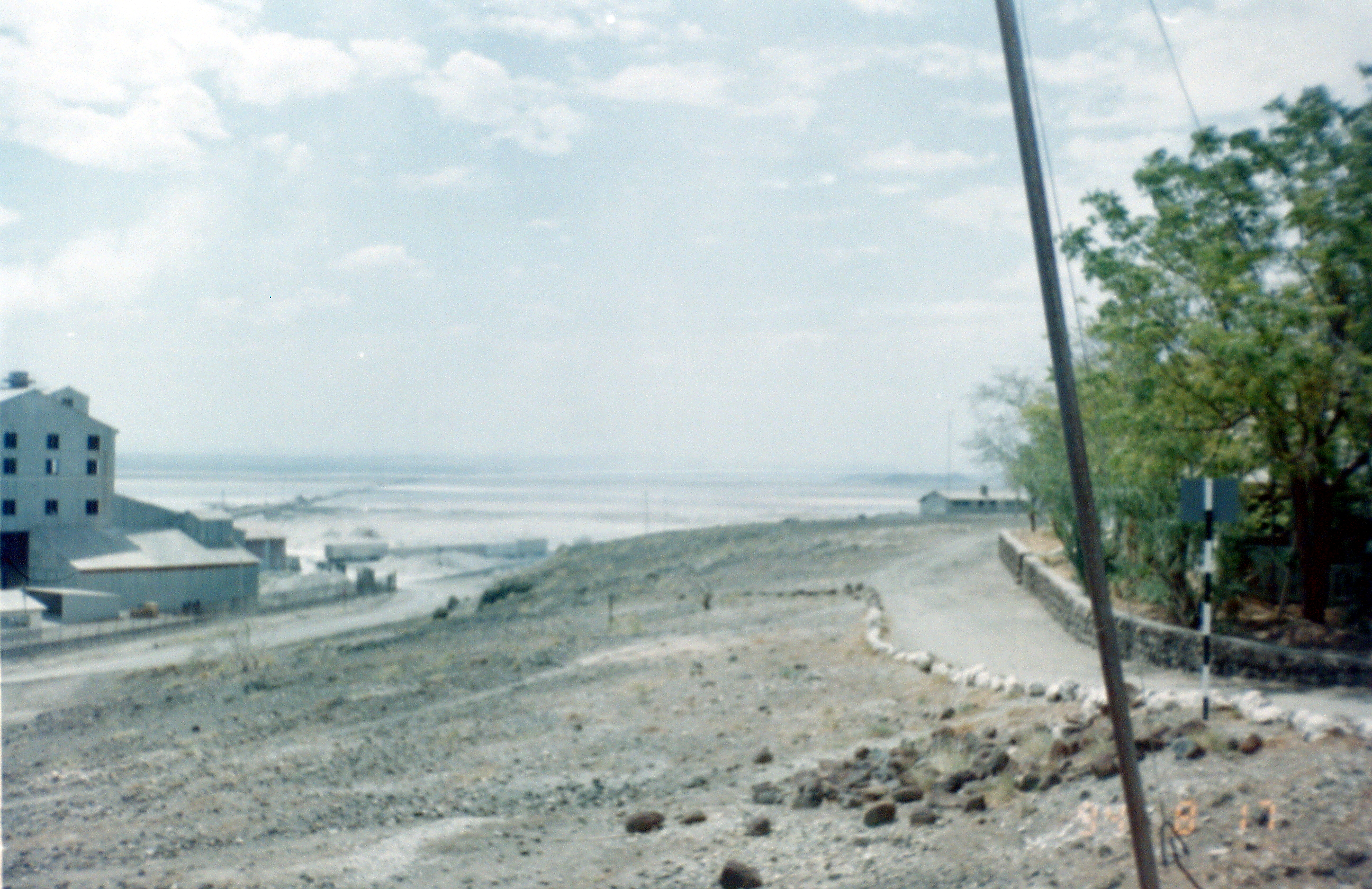
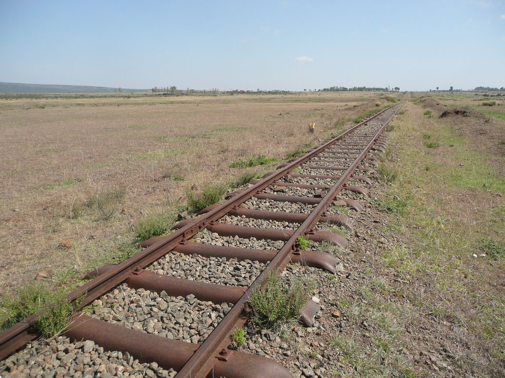
 The two images immediately above were taken by me in 1994 looking down into the Rift Valley.
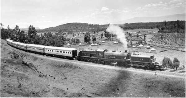 Royal train bearing TRH The Duke and Duchess of Gloucester approaching Matathia station in the Kenya Highlands, then to Uganda 1950. [17]
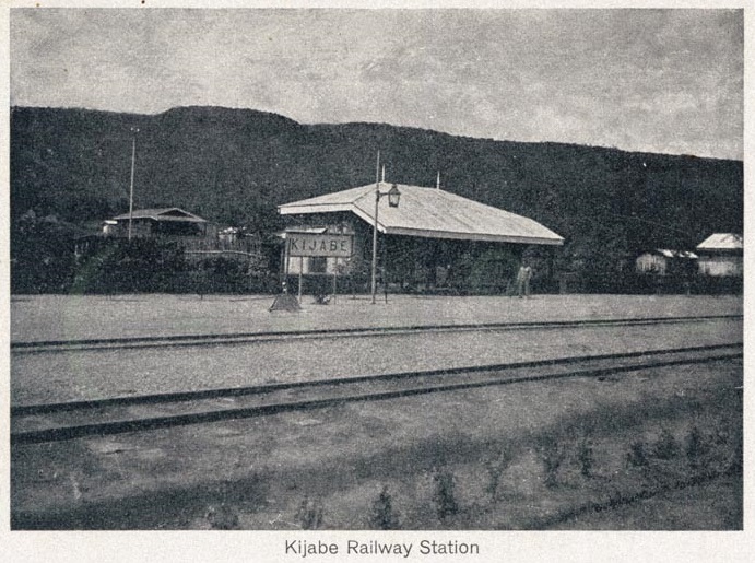
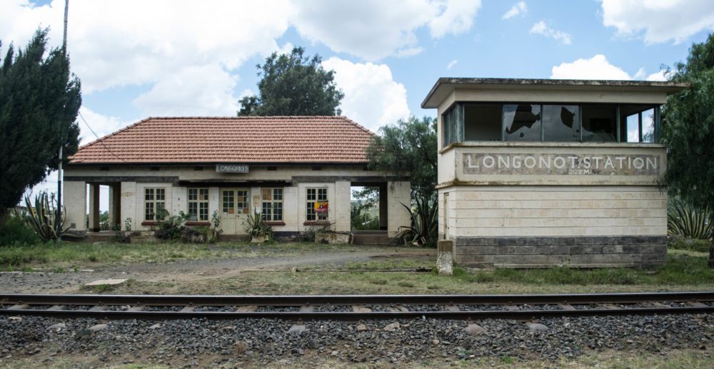 Longonot Railway Station. [18]
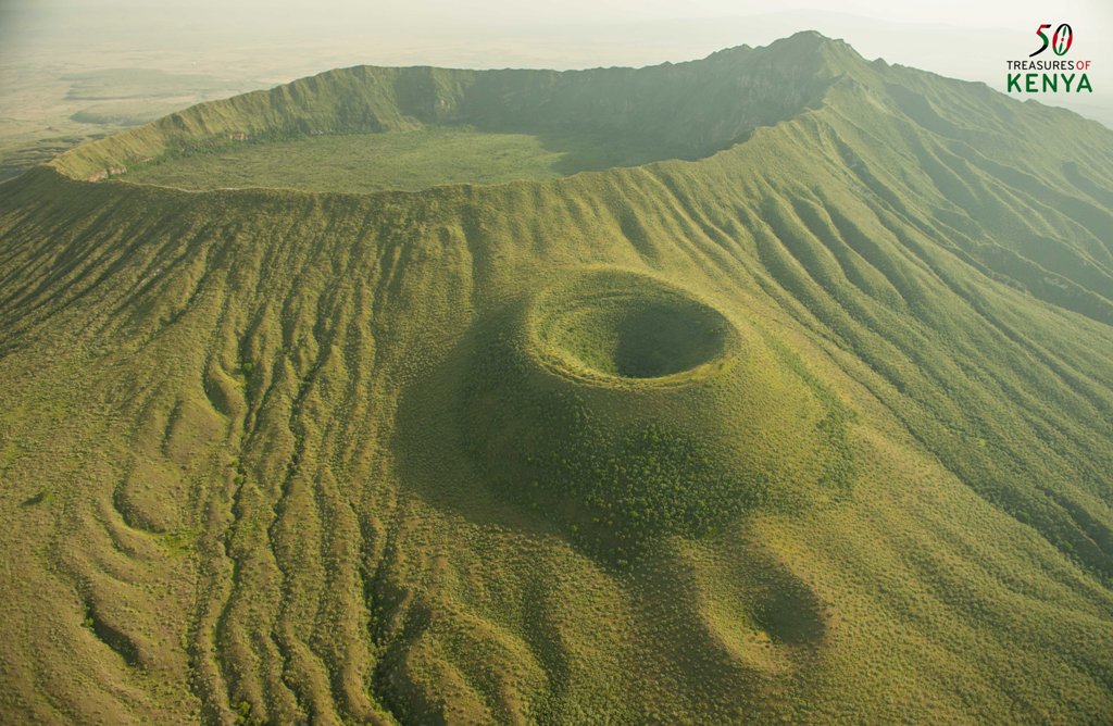 Mount Longonot. [19]
 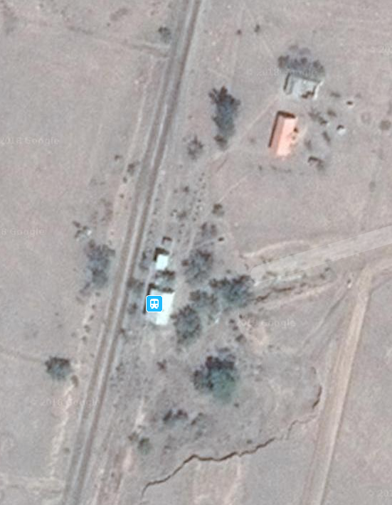 Suswa
Suswa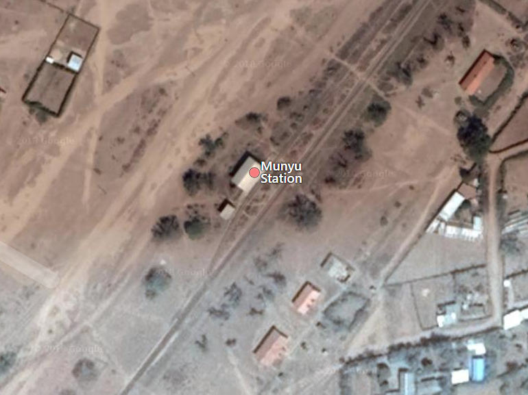 Munyu
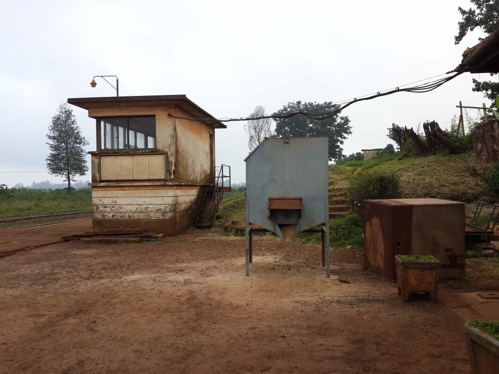
Munyu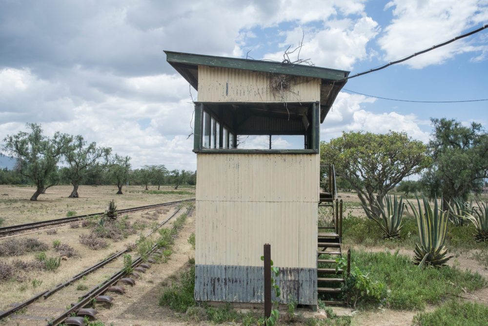 Munyu Signal Box
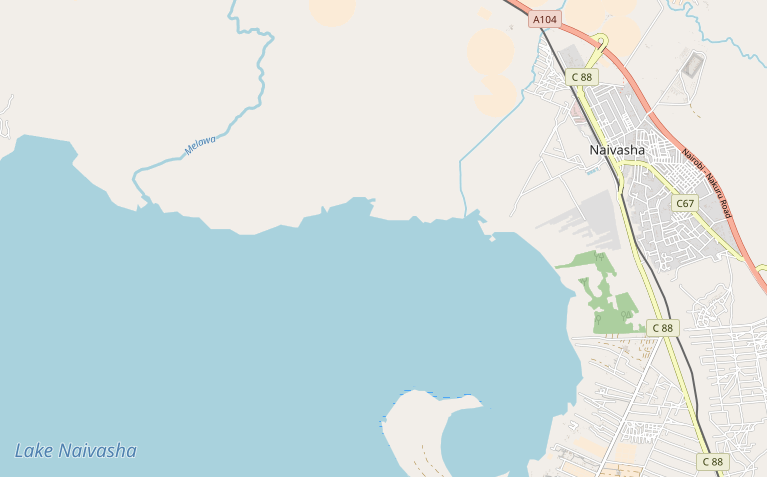
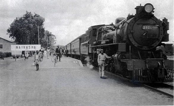
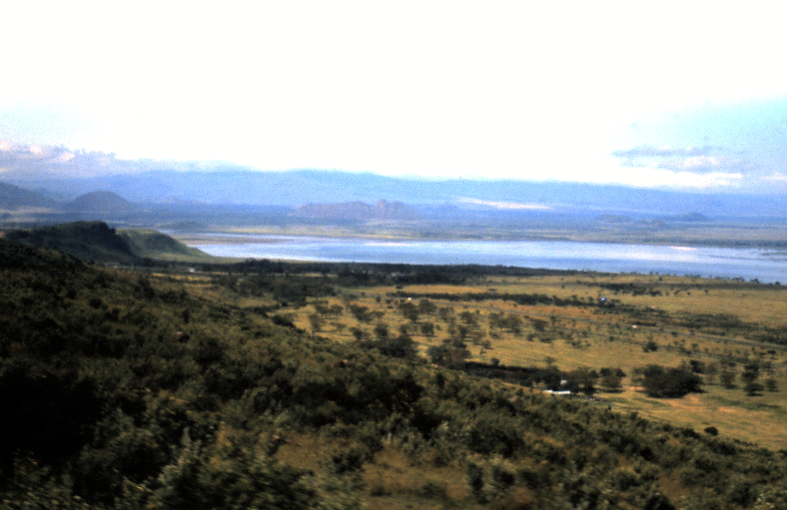
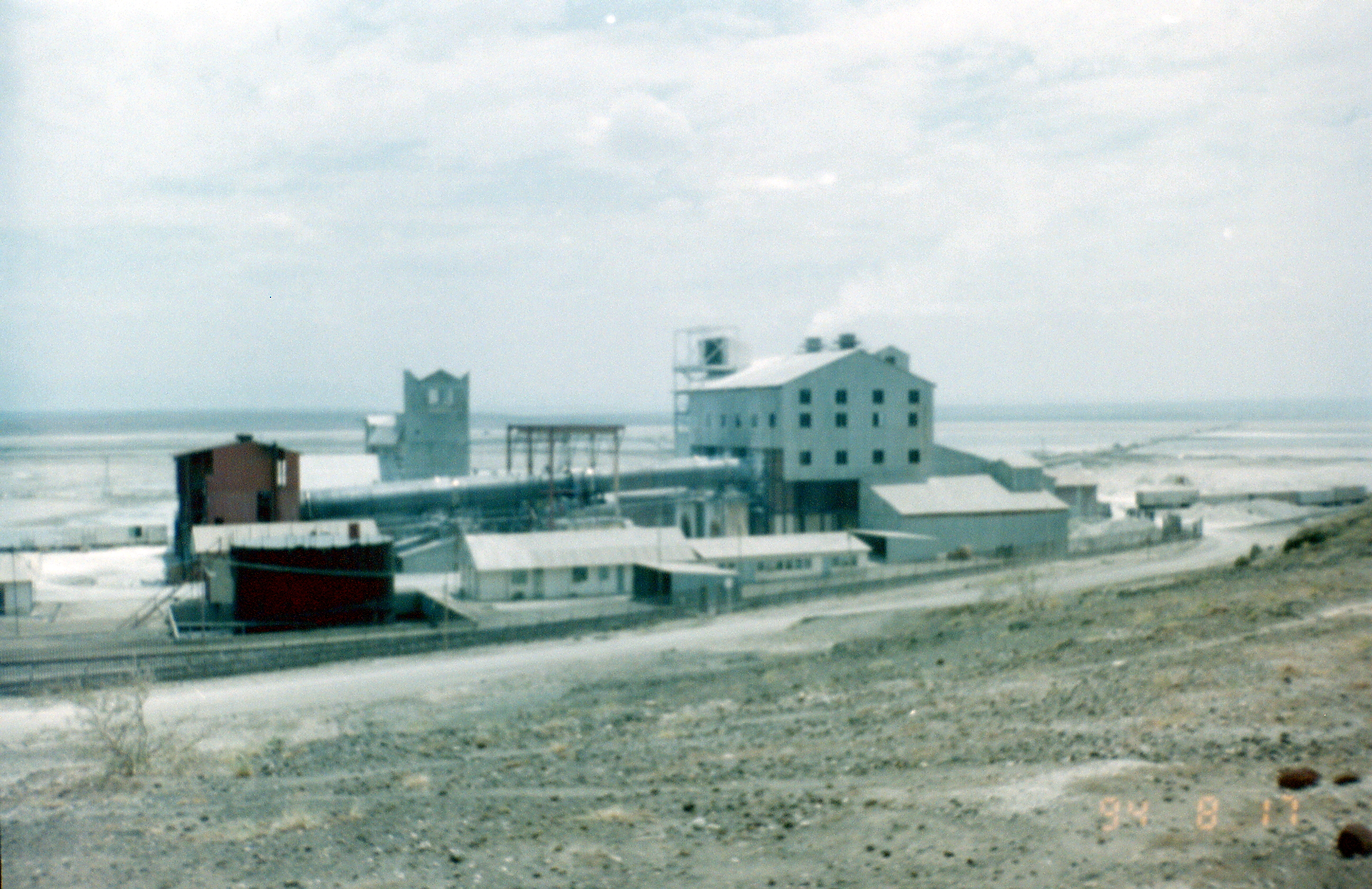
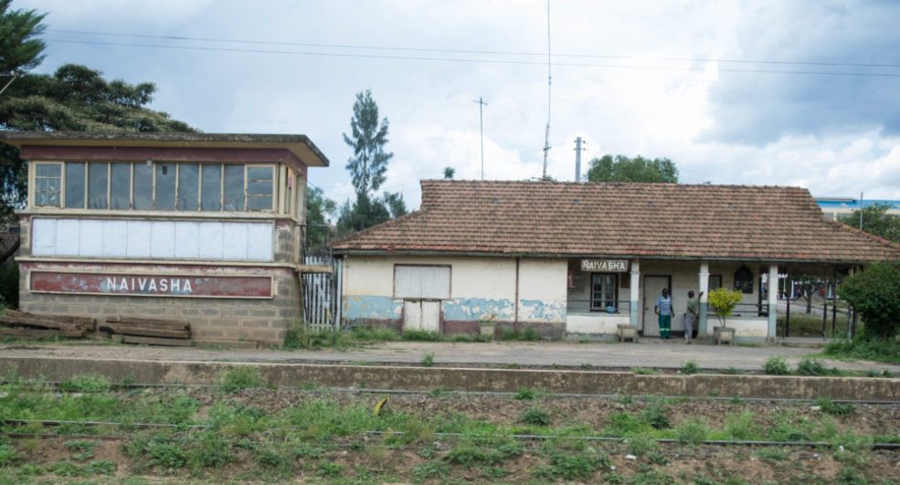 Naivasha. [18]
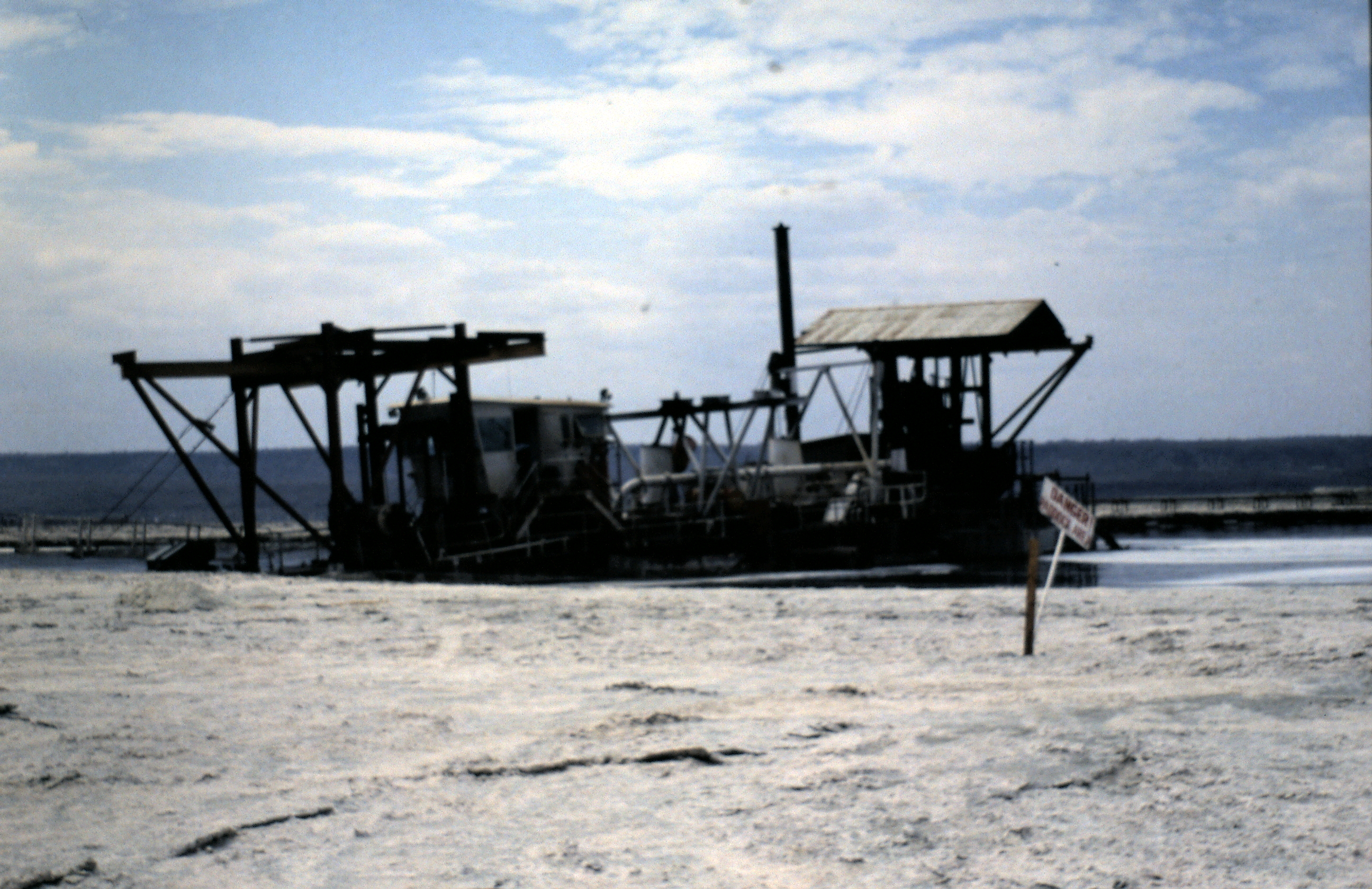
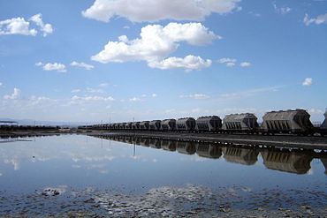
 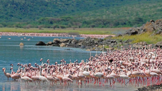 Lake Naivasha
Two Postscripts
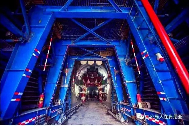
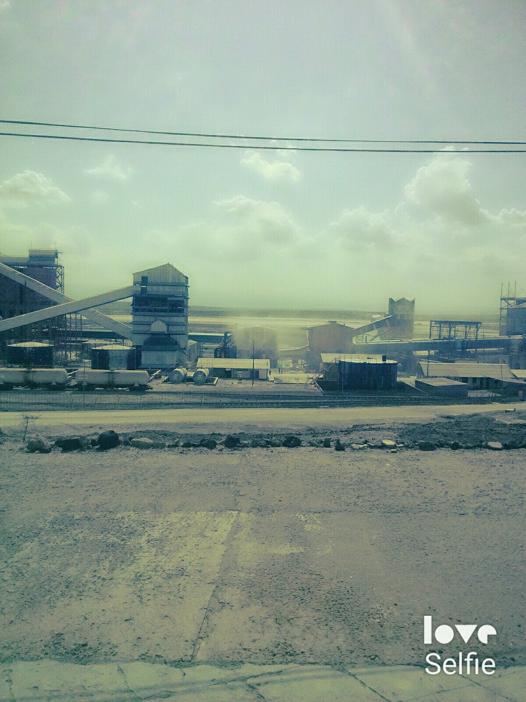
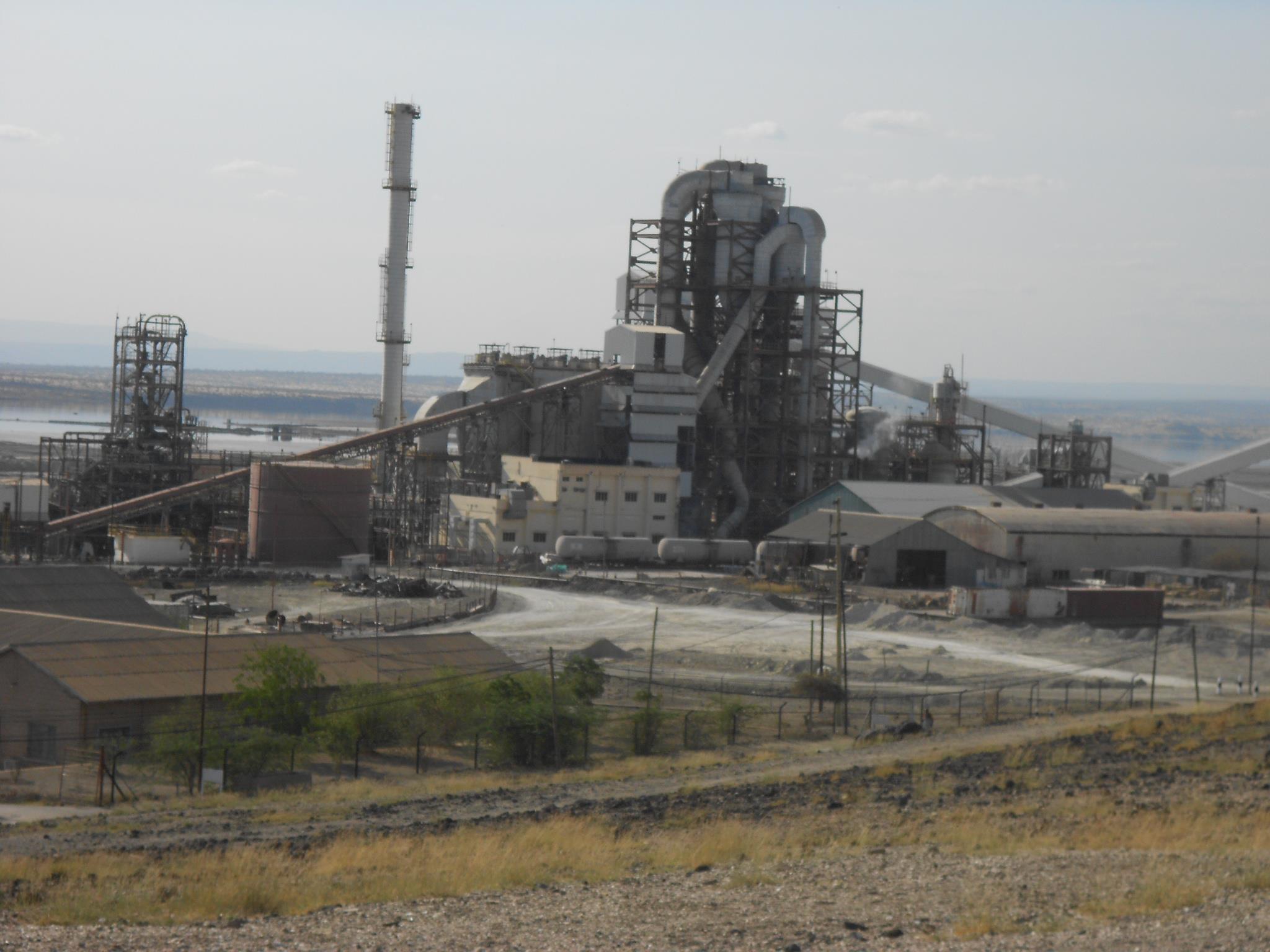
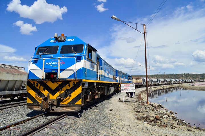
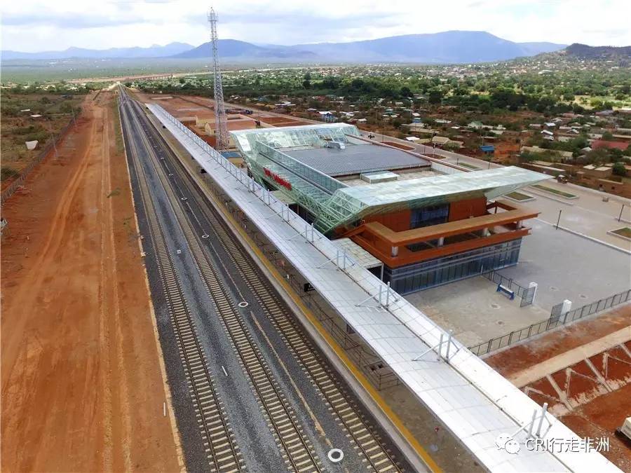
Postscript A – The Future ………. This length of the Uganda Railway coincides with the current programme of work on the SGR. A line from Nairobi to Naivasha should be completed in 2019. Major work is being undertaken as I write this blog in May 2018. A significant tunnel is being built as part of the work.[20]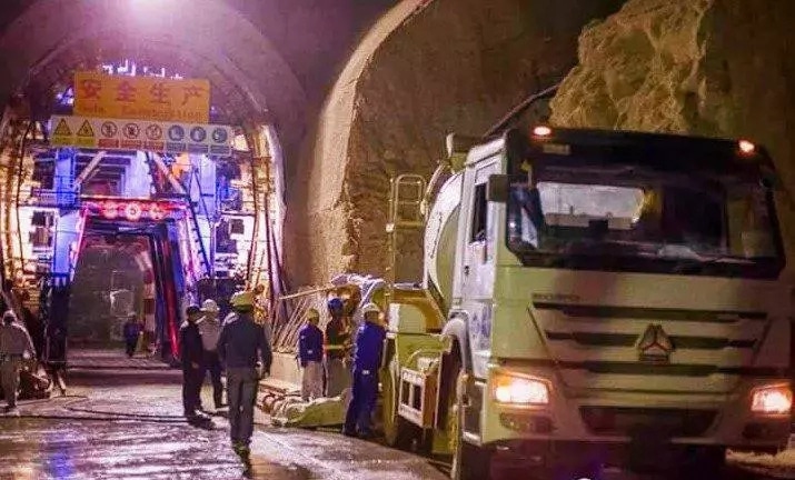
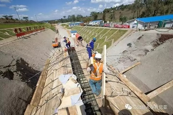
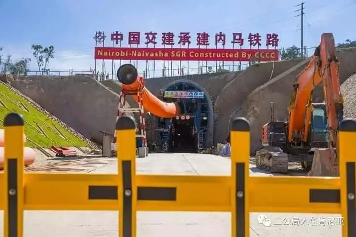
Construction of SGR phase II from Nairobi-Naivasha is on course as Kenyans already enjoy the stretch from Mombasa-Nairobi. The extension to the geothermal town on Naivasha was launched by Uhuru in 2015. The line is being undertaken by China Road and Bridge Corporation at a cost of KSh 105 billion.
SGR phase 2 was funded by the Export-Import Bank of China, earmarking a loan of a total of KSh 357 billion. The finance is meant to cater for the construction of the Railway up to Kisumu and rule out land hitches by reimbursing displaced persons.[20]
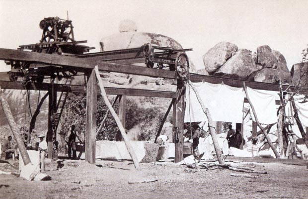
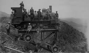 Postscript B – The Past ……….. In order to allow the original Uganda Railway construction to proceed at pace and incline was created. It was a primitive form of Funicular Railway, built on a steep and straight incline with trolleys on which locomotives and wagons could be lowered. It lasted in operation for only about 15 months before the main railway reached the valley floor and it became redundant.
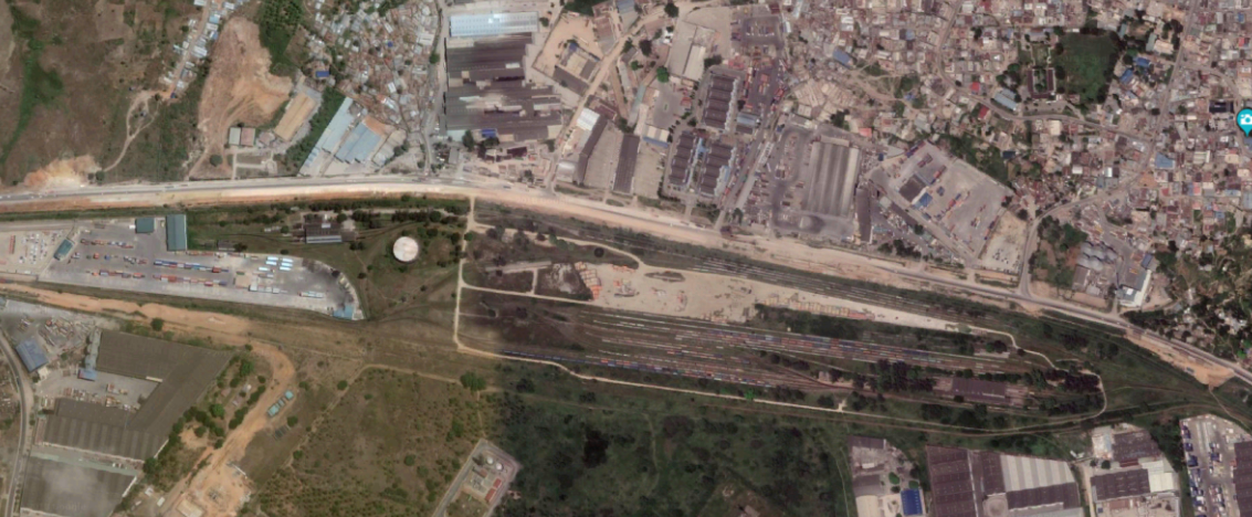
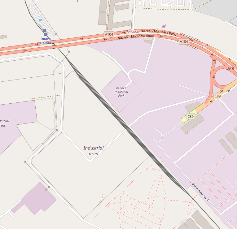
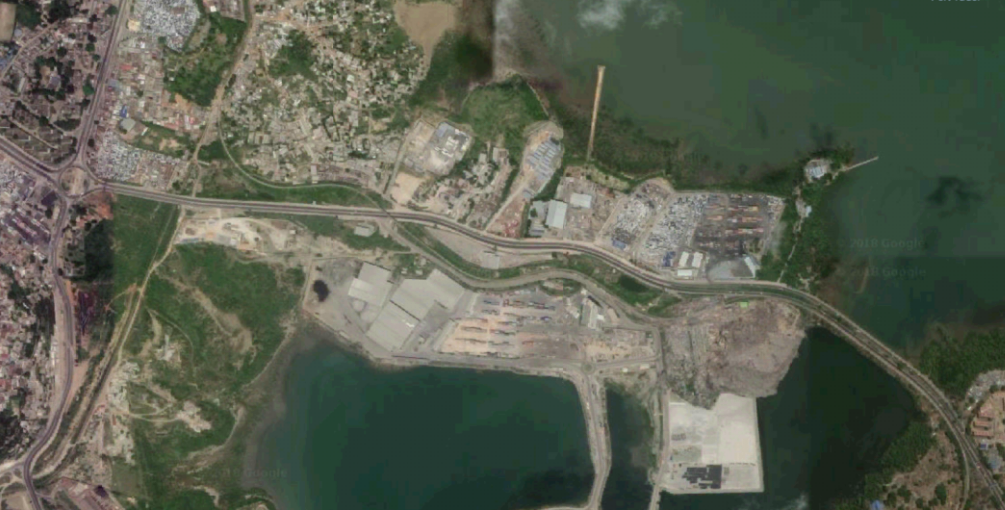
While the incline was only in use for a few months during the construction of the railway, the main line passed through Escarpment Station until 1948 before being rerouted. [21] The line of the incline can be seen in the satellite image below running west from the Primary school across the centre of the image. and the remains of winding houses can be seen on the image and more clearly on Google Earth.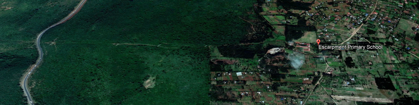
References
- http://www.shoestringgolfer.com/2011/10/kenya-railway-golf-club-nairobi, accessed on 24th May 2018.
- “Kibera to Nairobi”. Google Maps. Google, accessed on 26th May 2017.
- “A Trip Through Kenya’s Kibera Slum”. International Medical Corps. 27th March 2006, accessed on 31st January 2013.
- “Sanitation – vacutug | Participating countries”. Un-Habitat, accessed on 31st January 2013.
- http://www.dominionpaper.ca/articles/1703 Machetes, Ethnic Conflict and Reductionism
Karanja, Muchiri (3 September 2010). “Myth shattered: Kibera numbers fail to add up”. Daily Nation. acessed on 4th September 2010. - Annabel S. Erulkar, James K. Matheka. “Adolescence in the Kibera Slums of Nairobi Kenya” (PDF). Population Council. Archived from the original (PDF) on 11th May 2012, accessed on 10th July 2012.
- Understanding the Grassroots Dynamics of Slums in Nairobi: The Dilemma of Kibera Informal Settlements Emmanuel MUTISYA and Masaru YARIME, International Transaction Journal of Engineering, Management, & Applied Sciences & Technologies, Volume 2, No.2 (2011); pages 197–213
- Audio Slideshow: Dr. Biden Sees the Neighborhoods of Kenya The White House, United States (June 2010)
- Kibera: How slum lords cash in on misery Kimathi Mutegi, The Nation, Kenya (19th September 2013).
- Archived copy on the Wayback Machine from 12th October 2013.
- “Video: The women of Kibera in Kenya | Amnesty International”. Amnesty.org. 4th March 2009, accessed on 18th October 2010.
- Wikipedia, Kibera; https://en.wikipedia.org/wiki/Kibera, accessed on 24th May 2018.
- https://www.theeagora.com/the-lunatic-express-a-photo-essay-on-the-uganda-railway, accessed on 15th May 2018.
- http://www.mccrow.org.uk/eastafrica/eastafricanrailways/KampalaNairobi.htm, accessed on 24th May 2018.
- Wikipedia, Limuru; https://en.wikipedia.org/wiki/Limuru, accessed on 24th May 2018.
- http://robertbiu.com/2016/02/13/not-a-weaver-bird-but-a-weaver-man, accessed on 24th May 2018.
- https://imagineuganda.wordpress.com/2012/05/11/uganda-50-a-revolving-industrial-aspect, accessed on 24th May 2018.
- http://www.savetherailway.com, accessed 15th May 2018.
- https://thetreasureblog.wordpress.com/tag/mt-longonot, accessed on 24th May 2018.
- https://www.tuko.co.ke/247982-4-glorious-photos-underground-tunnel-sgr-nairobi-naivasha.html#247982, accessed on 24th May 2018.
- http://www.friendsoftherail.com/forum/viewtopic.php?t=8362, accessed on 24th May 2018.


 The project is called ‘Kibera Walls for Peace’. Peace murals were painted by local youth around Kibera. The project approached and worked with Rift Valley Railways to use the commuter trains as a canvas to spread peace messages and togetherness. The railways had been a major target in the previous post-election violence, especially the route through Kibera. In 2007, mobs of young people tore up the train tracks that connect Kenya and Uganda and sold them for scrap metal.


 Staff at Nairobi MPD on the occasion of Princess Margaret’s visit in 1956.[14]
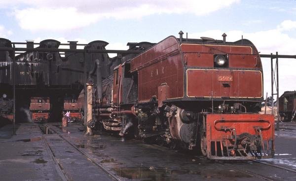


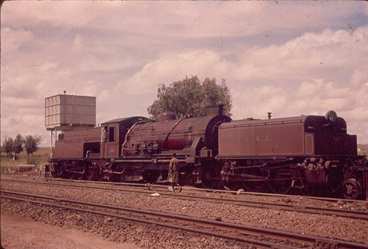
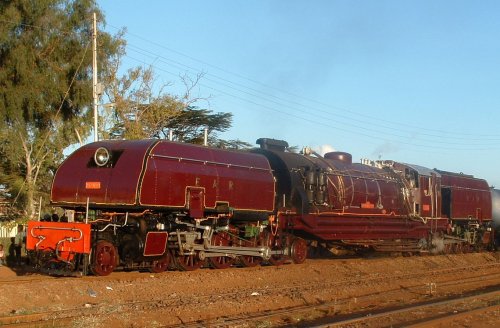
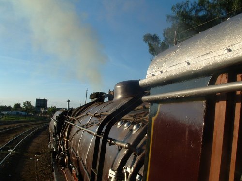
 Class 59 Garratt No. 5918 ‘Mt Gelai’ in Steam in 2004.[15]


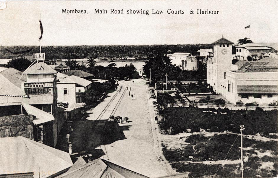


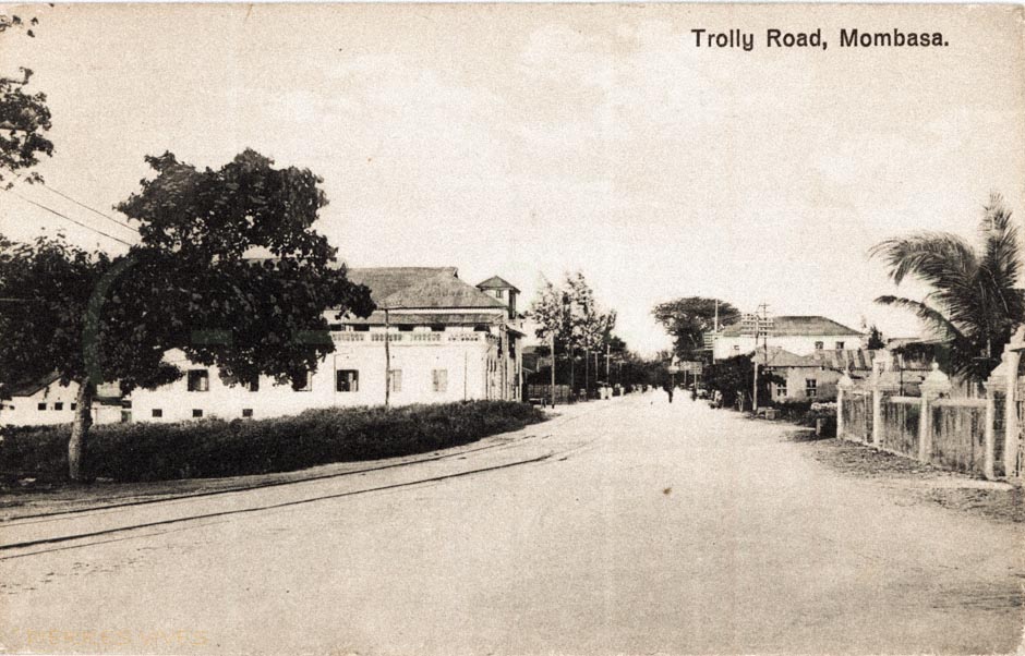


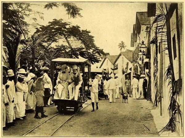
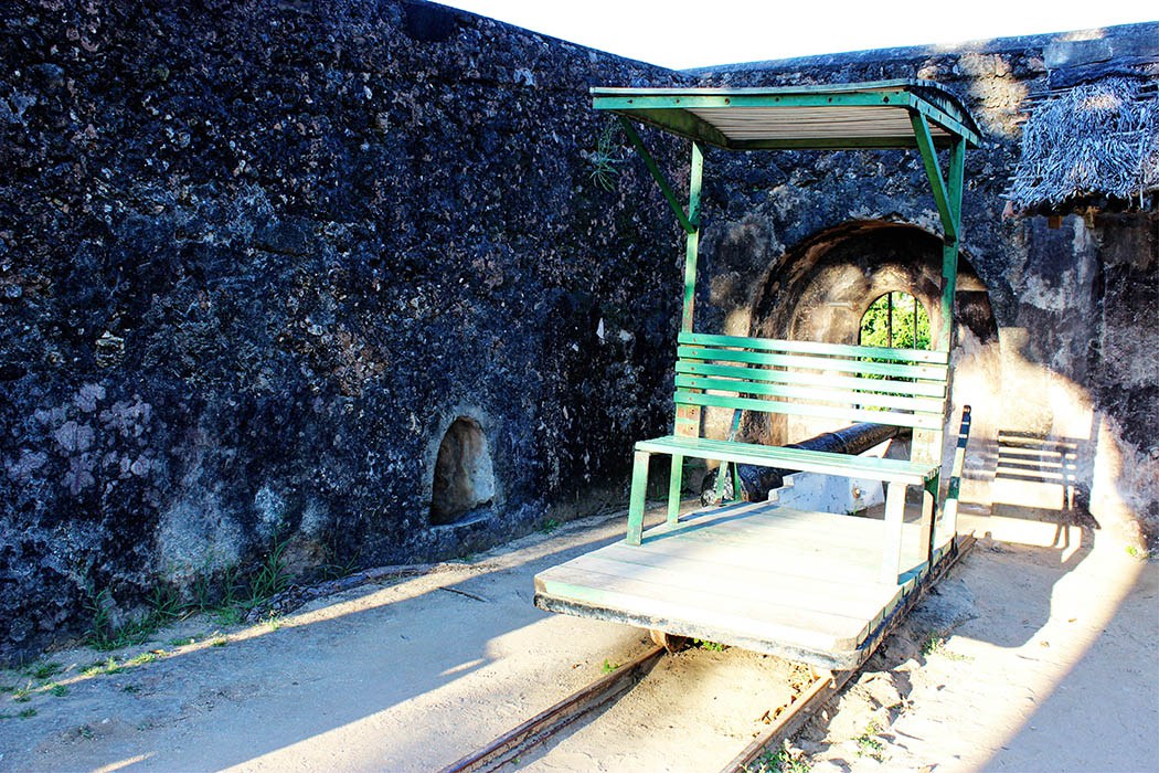


 On the left of the picture above is a replica of a Mombasa trolley. [5]


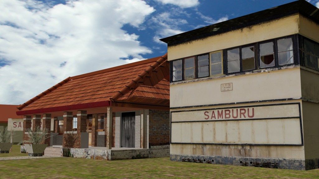
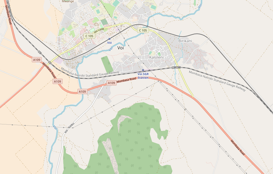
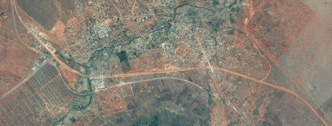
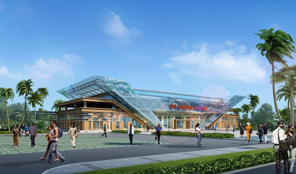
 Voi Station Sign.


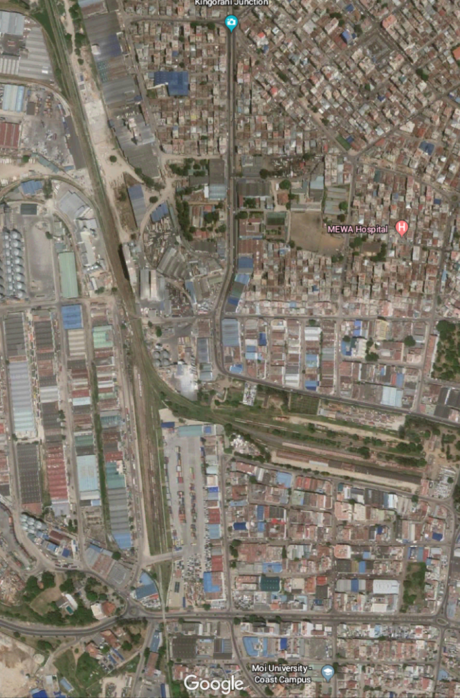


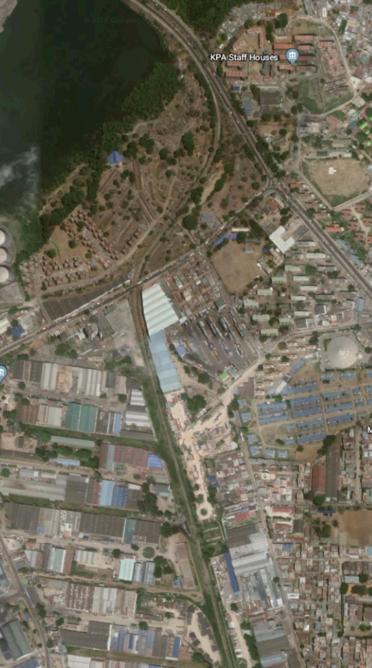

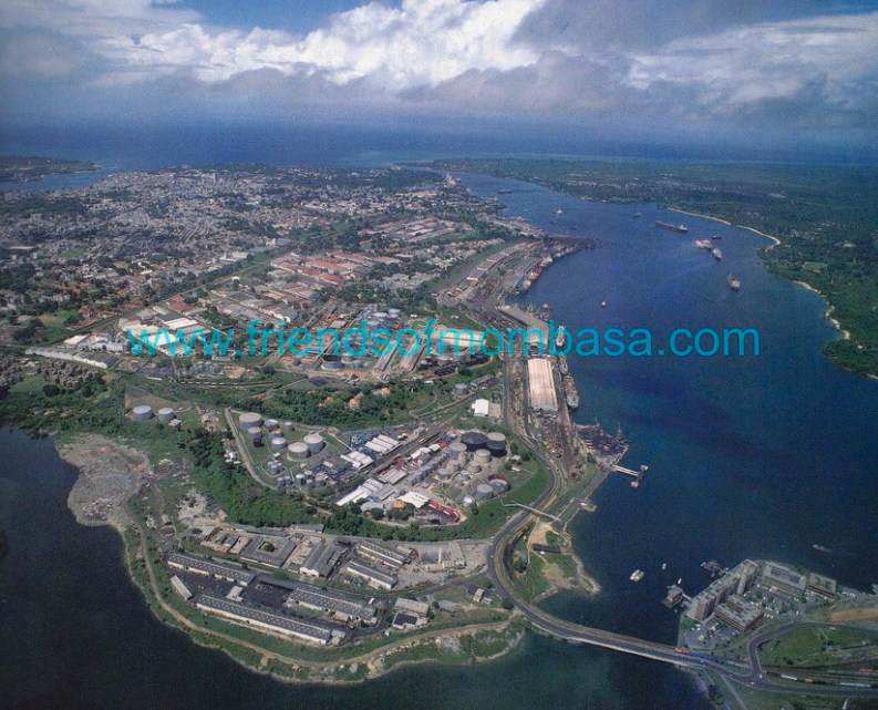

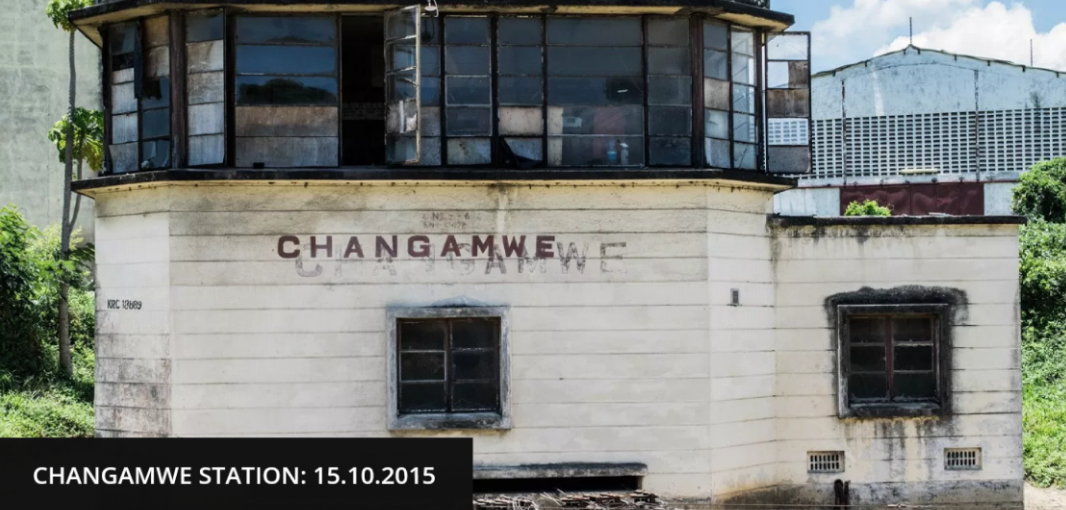
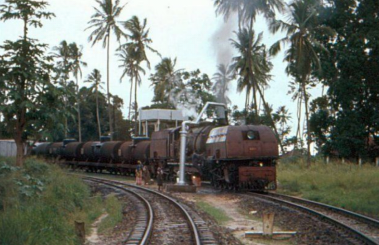
 As the line turned to the north it was joined by a branch which served the Chamgamwe Oil Refinery to the south. Next came the first station on the line at Chamgamwe. The photographs of this station from the 1960s and 1970s are courtesy of Malcolm McCrow’s website [3] and are copyright Malcolm McCrow and Kevin Patience.