

Lorgues to Sillans la Cascade
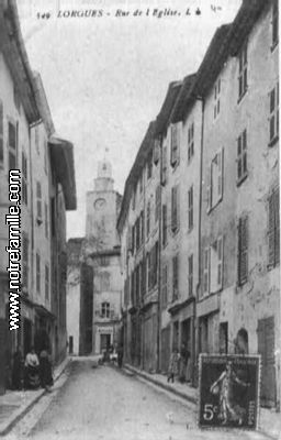
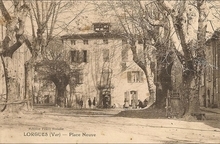
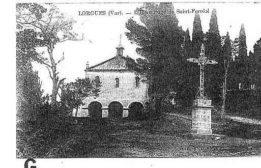
Over a short break in Lorgues we have time to look round the town before returning to the station to continue our journey.
Here are some pictures of our wander round the town.


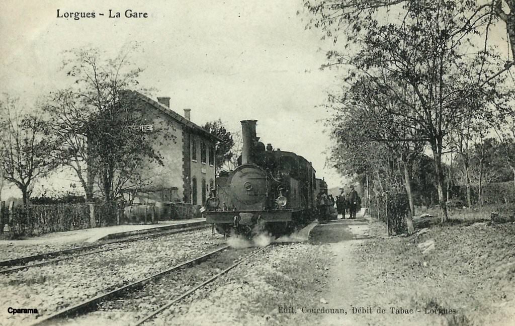
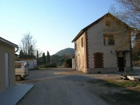
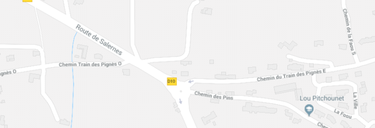 The site of Lorgues Station
We return to the station to continue our journey.


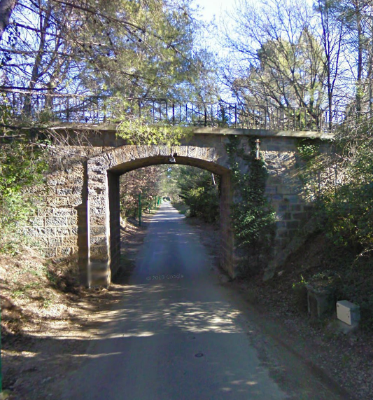
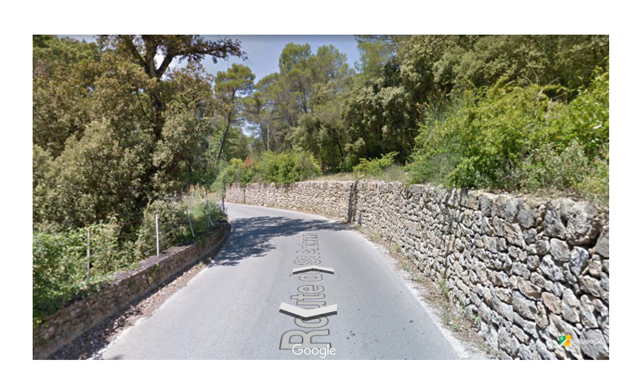
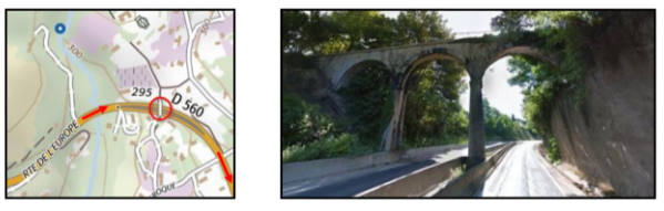
 Our route takes us out of Lorgues along what is now called Chemin du Train des Pignes Ouest and on into what would have been open country but which now has a lot of well spaced residential property. Significant structures still remain extant, such as the bridge below.
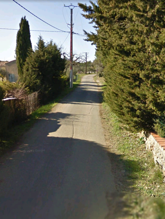
The route wanders through the mixed woodland, farmland and housing of the French countryside. Increasing numbers of vineyards and lavender fields begin to make this really feel as though it is Provence!
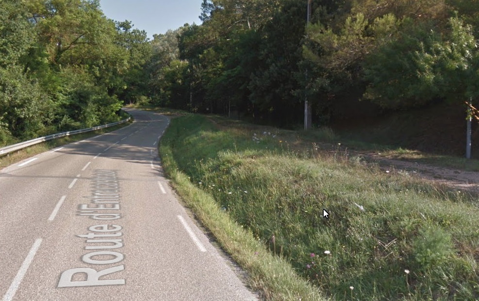
The line runs roughly parallel to the Chemin de St. Antonin (D50) and, at points, right next to it but at a slightly higher level, held there by rustic retaining walls as above. Somewhere along this length was the station for Entrecasteaux. It would not have been well used, as it was so far north of the town. There appears to be very little evidence of its location.
The road and the railway formation diverge sharply and the line continues through woodland to the valley of La Bresque where it runs close to but at a much higher level than the D31 on its way towards Salernes.
After quite a distance in the midst of farmland and forest the line once again encounters relatively low density housing in the hamlets of the valley of La Bresque, and the route once again bears a modern road name – Les Amourenes. Gradually the D31 (Route d’Entrecasteaux) and the railway formation converge. They meet as the valley begins to widen out and approach Salernes. The picture below shows the road and the old railway in very close proximity and it remains like this until close to Salernes.
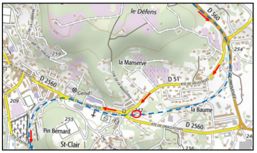
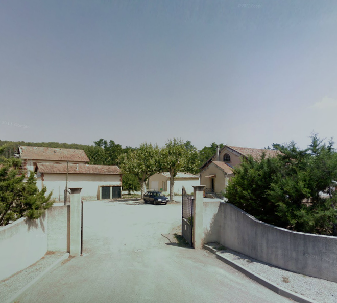
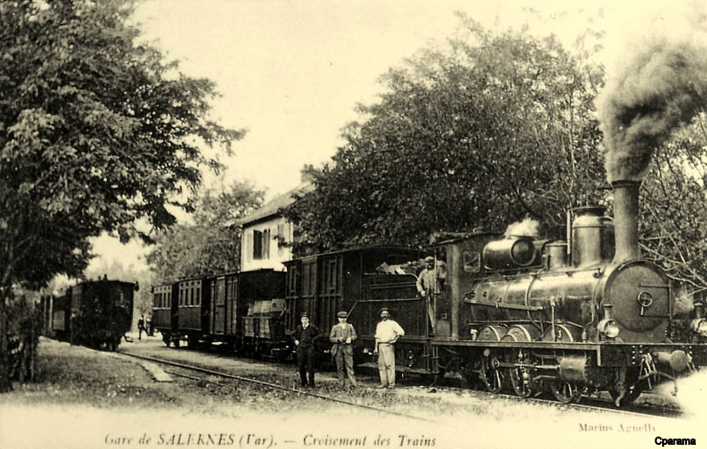
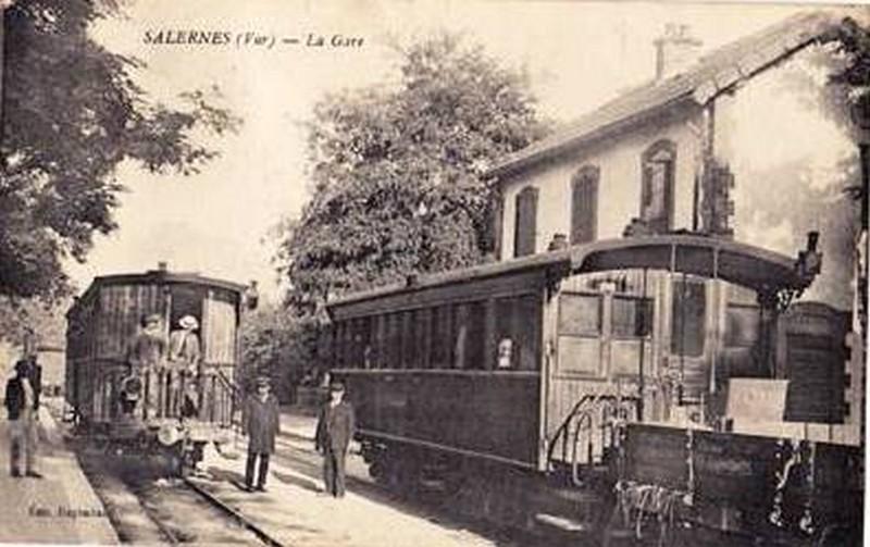
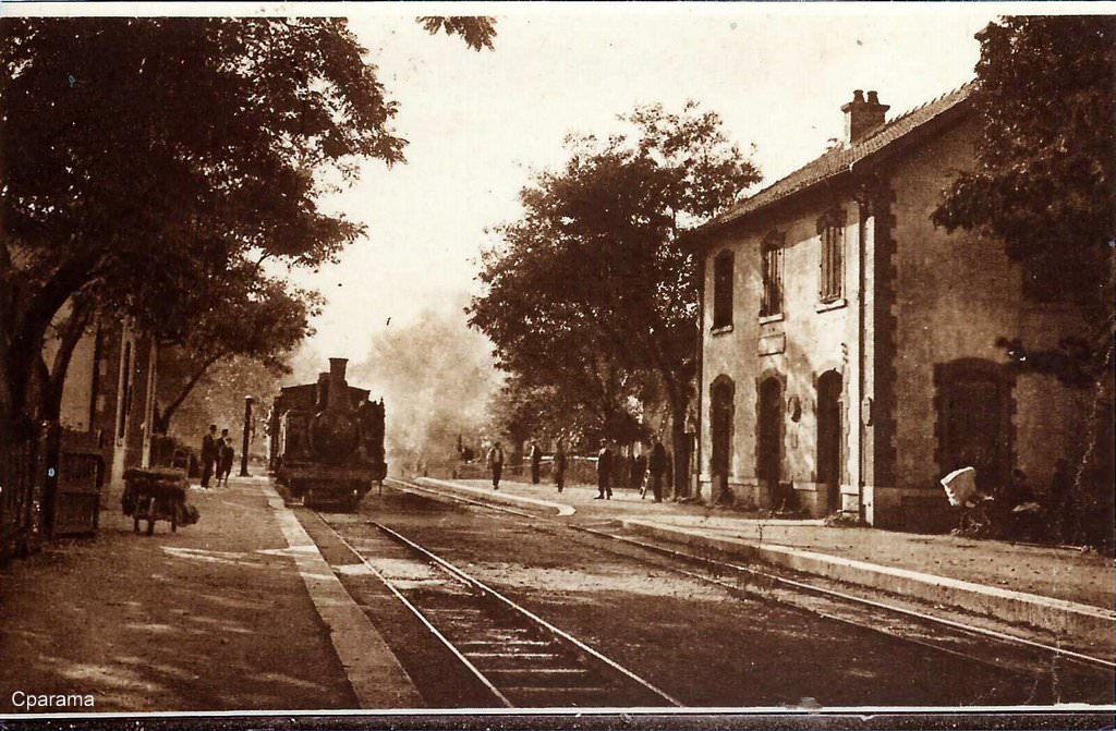
As the line approached Salernes it began to rise above the road alignment and then swung away from the D31, turning first northwards and then eastwards and aligning itself with Boulevard de la Liberation (D2560). After a short distance it left the line of the D2560 and roughly bisected the angle between the D2560 and the D51. This is the location of Salernes Station. The plan below shows this. The blue dotted line is the alignment of the railway and the red ellipse is the station site. Below the map are a number of pictures of the station site today, a few old postcard views from the early 20th Century and two aerial shots, one of the past and one from much more recent times.


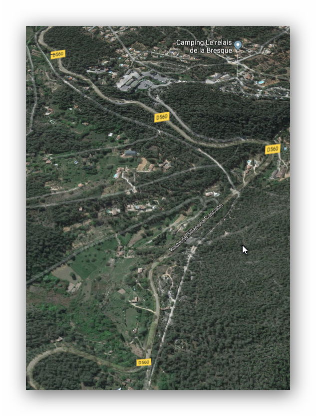
Beyond the station, the line turned back on itself to travel roughly Northwest along the D560 and then running West some distance north of Salernes but still following the route of the D560. On the way, at times it was in deep cutting. The map and picture below give a good idea of the topography and highlight one of the more significant structures on this part of the route – the bridge now carries a narrow lane linking two parts of the Commune.
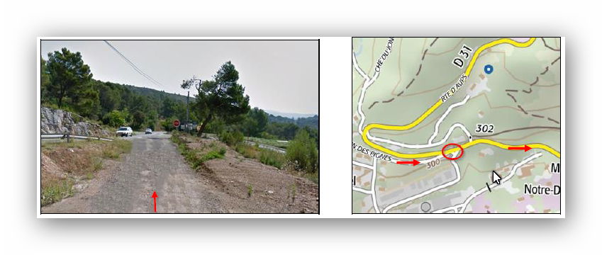
 The D560 has been widened and re-profiled recently. The route of the railway has been lost in the earthworks associated with the road widening and can only be picked out easily on satellite images where its path diverted slightly from the road alignment. For example, the railway formation is visible to the North side of the road at its roundabout junction with the D31 (Route d’Aups). For a while, the line then followed the Route d’Aups (see the map below), before that road reverted to travelling East after a hairpin bend and the railway formation continued Westwards towards Sillans la Cascade.
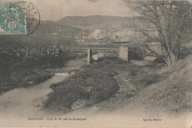 Somewhere in the vicinity of Salernes the railway crossed the la Bresque. I have not been able to identify the exact location of the bridge in this postcard. No doubt someone will be able to provide more details.
One possible location would be just to the west of the map below, although the built area behind mitigates against this.
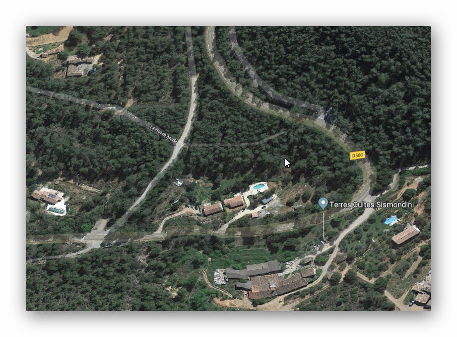
 The line curved through the forest before returning to then line of the D560. On the way it crossed one road and the crossing keeper’s cottage for that location appears still to be in place as part of an extended house.
Once the line regains the D560 it follows it fairly closely on towards Sillans la Cascade. The two can be seen in tandem on the satellite image below. Just the tightest turns in the road were smoothed out by the engineers of the line.
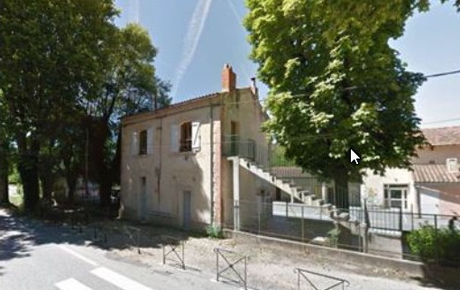
The next satellite image, shows the location of the old station (now a school) and the village of Sillans la Cascade. The route of the railway runs from the top left of the image to the bottom right. We will be taking a break from our journey at Sillans la Cascade. Just two images of the stationfollwo the satellite image – an old postcard and a picture of the station house as part of the school buildings.


References
Some excellent information on this part of the line is provided by Randonnes Ferroviaires Fiche Iteneraire Chemin du central var median which can be found at: http://www.inventaires-ferroviaires.fr/hd83/83128.a.pdf.
