
NB: Given the way in which some of the images in this article have been displayed, this article is best read/viewed on a laptop or desktop computer rather than a mobile phone. If you need to read it on a mobile, it may be sensible to read it in landscape rather than portrait view.
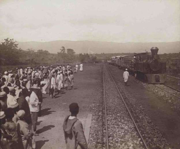
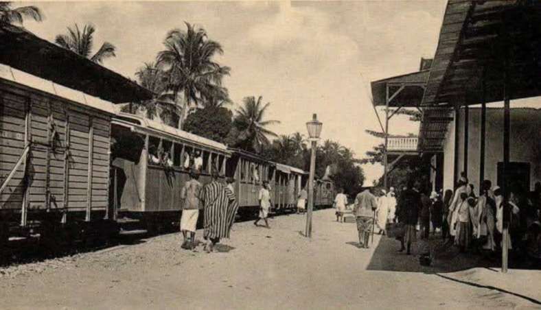
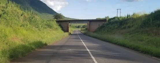
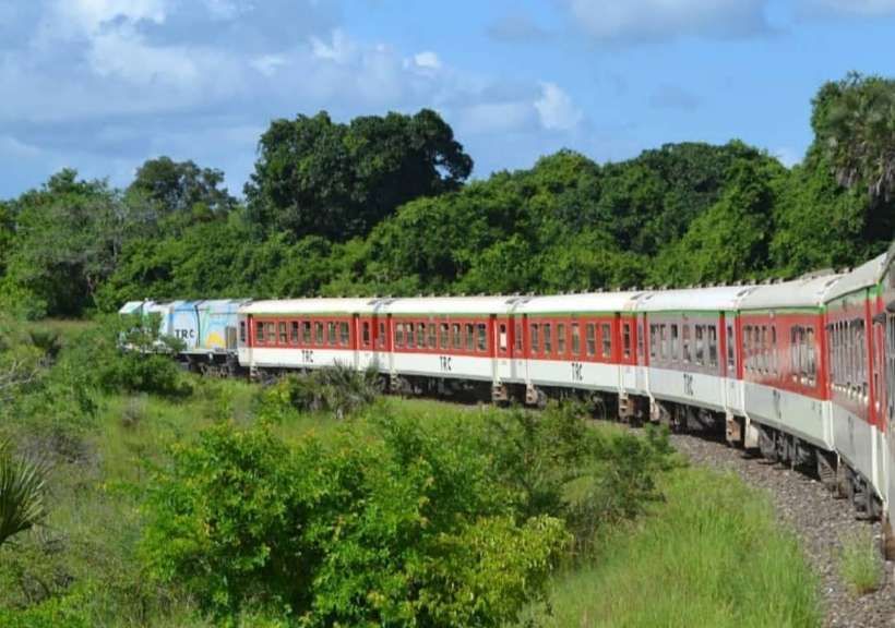
The featured image is an early German photograph of a train on the Usambarabahn at a typical station location.Thecsoecific location was not recorded.
There is a description of the route of the Usambara Railway or the Tanga Line on-line on the United Republic of Tanzania website: “As the train departs Tanga, it slowly climbs through the rolling hills and lush forests of the Usambara Mountains, offering breathtaking views of the surrounding countryside. Along the way, the train passes through several small towns and villages, each with its own distinct character and cultural traditions. … One of the highlights of the Tanga Line journey is the crossing of the Pangani River, which is spanned by a impressive steel bridge. This engineering marvel, constructed during the German colonial era, is a testament to the ingenuity and determination of the railway’s builders. … As the train continues its journey inland, it winds through the fertile agricultural regions of the Kilimanjaro and Meru districts, passing by vast coffee and sisal plantations. The final destination, the town of Moshi, is nestled at the base of the majestic Mount Kilimanjaro, the highest freestanding mountain in the world.” [5]
“One of the must-see attractions along the Tanga Line is the Lushoto town, a charming community community nestled in the heart of the Usambara Mountains. This picturesque town is known for its traditional architecture, vibrant markets, and stunning views of the surrounding peaks. … Another highlight of the Tanga Line journey is the Amani Nature Reserve, a protected area that is home to a diverse array of plant and animal life. Visitors can explore the reserve’s hiking trails, spot a variety of bird species, and learn about the region’s unique ecosystem. … As you continue your journey, you’ll also have the chance to visit the Vugiri Falls, a stunning waterfall that cascades over the rugged landscape, and the Nduruma River, a popular spot for birdwatching and outdoor recreation.” [5]
Notable cultural and natural attractions close to the line include: the Kilindi Palace, a former royal residence that now serves as a museum showcasing the history and traditions of the Kilindi people; the Magila Monastery, a historic religious site that dates back to the 19th century; various traditional villages; the Mkomazi National Park, a protected area that is home to a diverse array of plant and animal species; the Usambara Mountains, a stunning mountain range that is home to a rich array of endemic plant and animal species; the region’s diverse habitats, from wetlands to forests, provide a rich and varied birdlife for enthusiasts to discover.
In 2018, the Government of Tanzania invested 5.7 billion Tanzanian shillings to rehabilitate the line. As of July 2019, diesel powered cargo trains were leaving Tanga Railway Station again. Passenger transport between Tanga and Arusha was planned to start in September 2019, but has not been commenced as yet. [6]
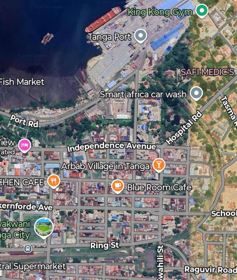
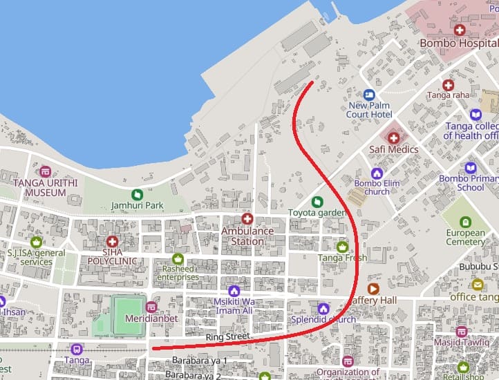
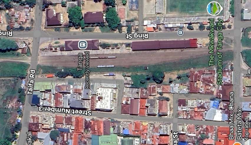
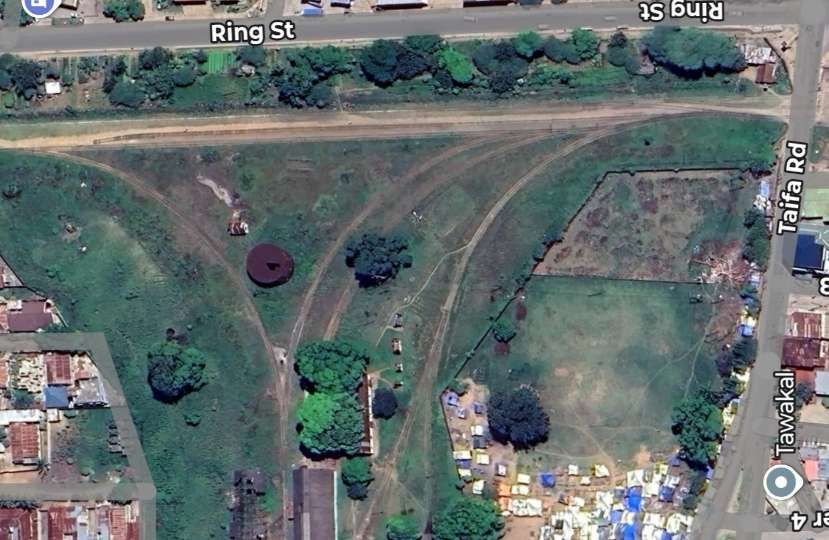
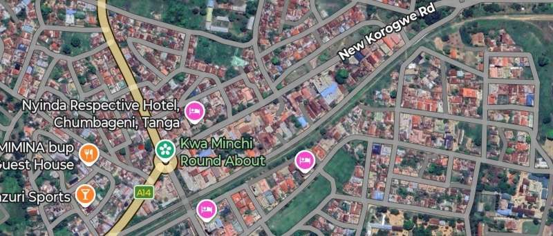
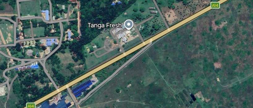
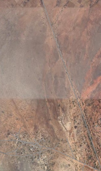
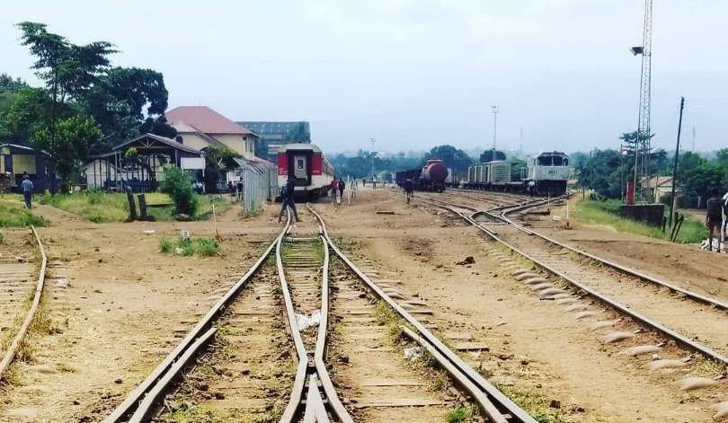
The line has its terminus in the Port of Tanga. It leaves the Port of Tanga (Hafen von Tanga) to run towards the station. On the satellite image below it can be picked out curving round from the port to the station on Ring Street.
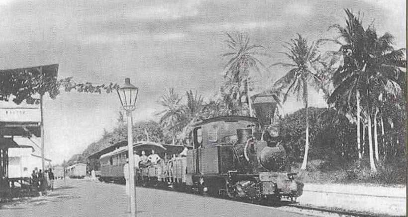
An early photograph of the port can be found here. [9] The linked postcard image is annotated, “Vintage illustration after a photograph, Usambara Railway, Usambarabahn, German East Africa, at Tanga, Tanzania, 1890s, 19th Century.”
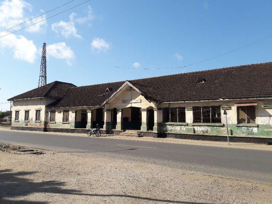
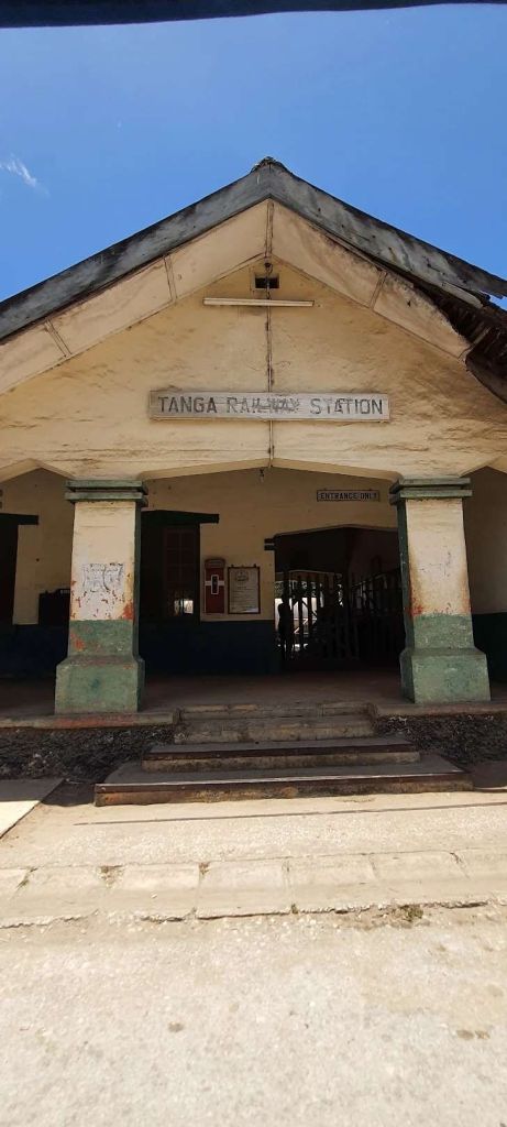
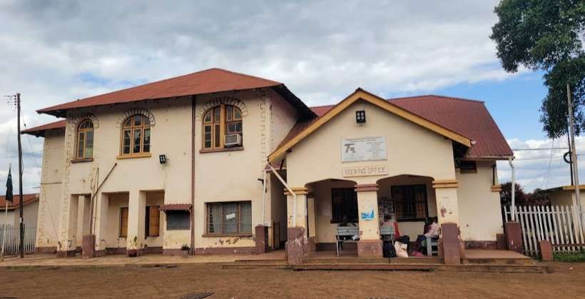
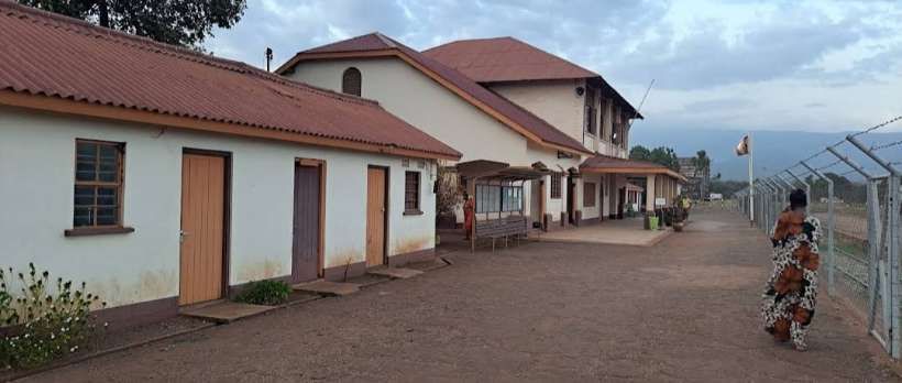
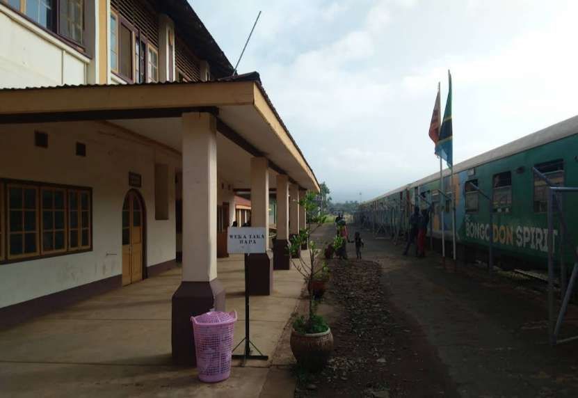
Tanga Railway Station is on Ring Street, Tanga.
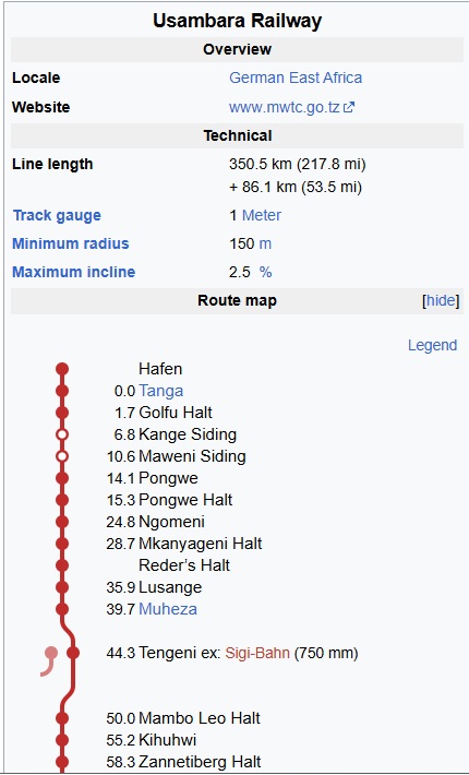
The significant locations along the first stretch of the Tanga Railway (or the Usambarabahn or Usambara Railway) are highlighted on the adjacent schematic map of the line. [6]
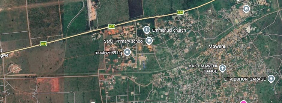
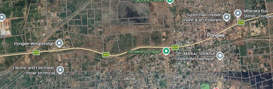
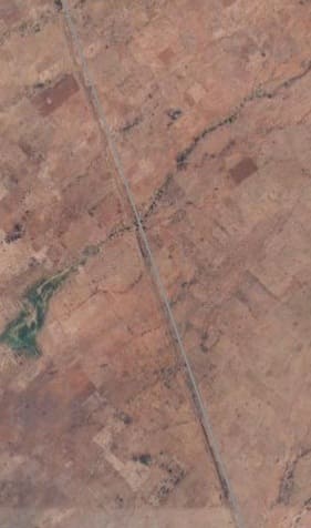
The first location that we can easily establish on the satellite images below is the village/town of Maweni, nearly 11 kilometres from Tanga Railway Station.
Pongwe is only a few kilometres along the line. Again no obvious location can be seen on satellite images for any halt/station. Mkanyageni Halt (Reder’s Halt) is also not obvious on the satellite imagery.
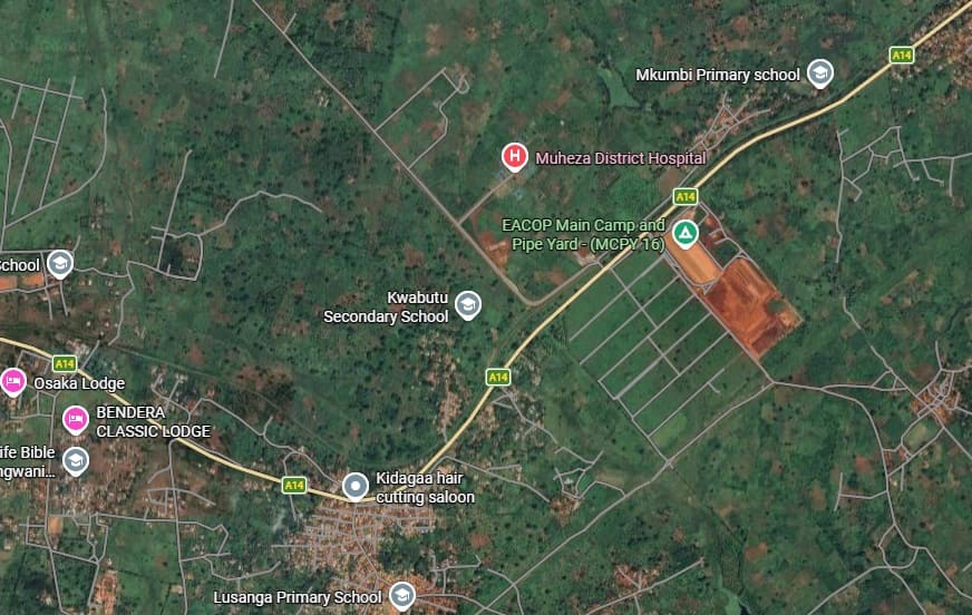
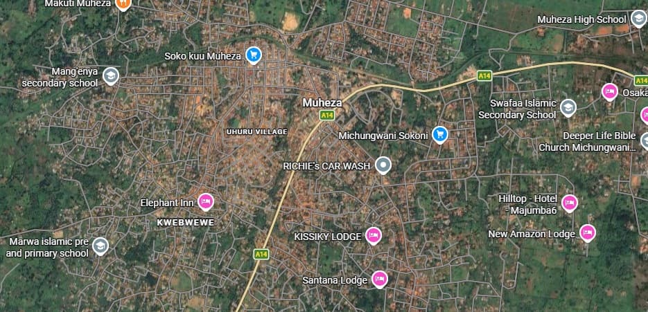
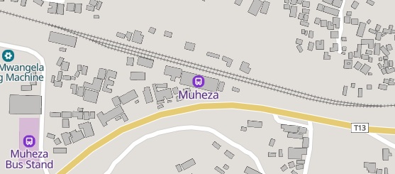
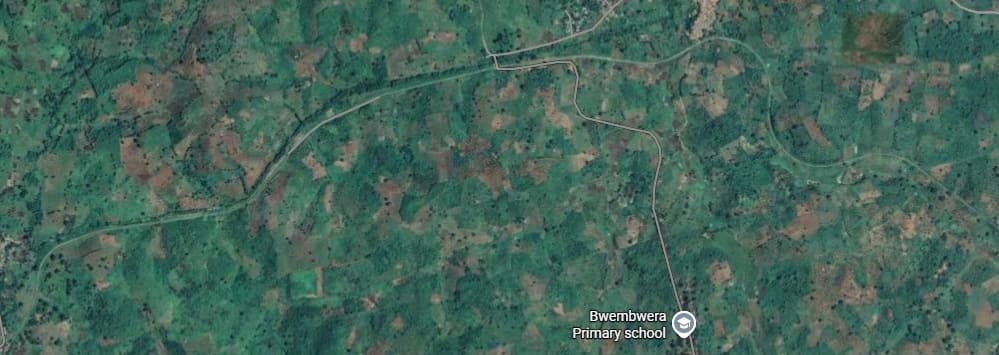
Muheza, a more significant township, has a railway station!
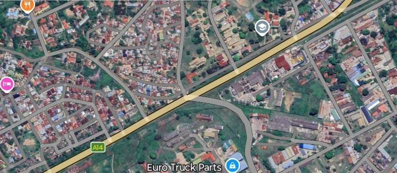
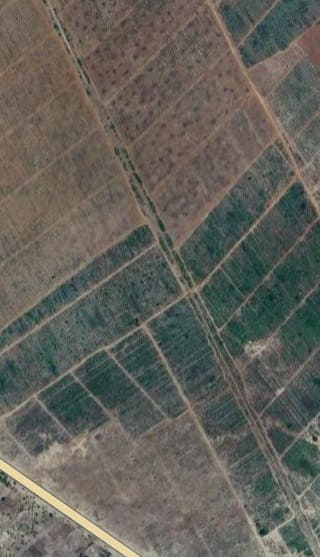
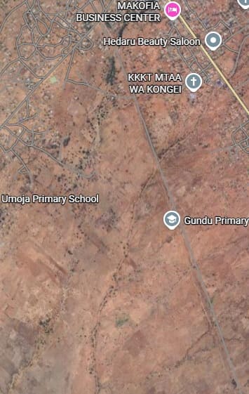
The next sequence of images shows the line heading out into the suburbs of Tanga, alongside the A14 and running to the North of the airport before drifting away to the South of the A14.
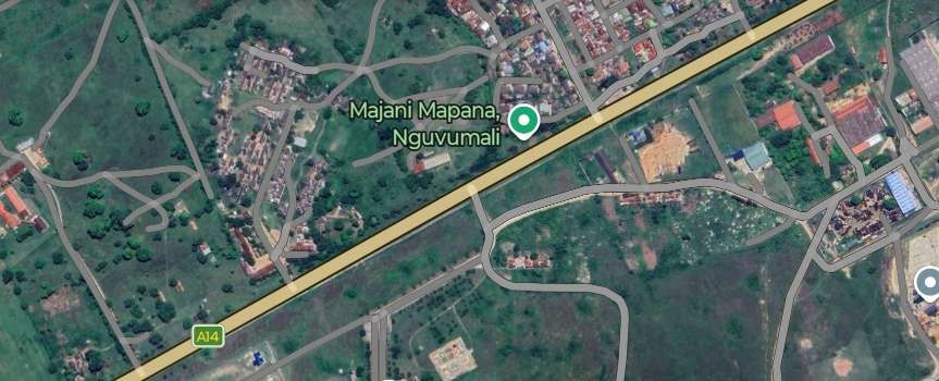
Beyond the city limits, the line continues in a south-westerly direction. For the sake of space a smaller scale is used in the satellite images that follow below. …
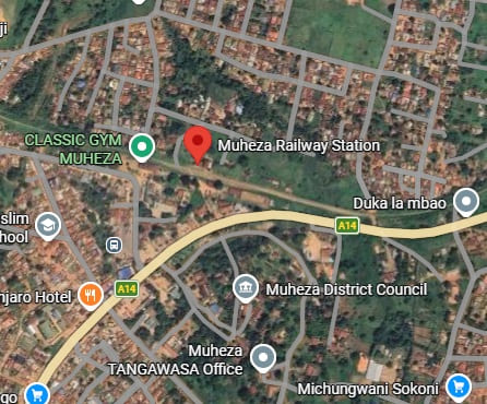
Muheza Railway Station sits close to the centre of the town. [Google Maps, March 2026]
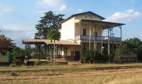
The station location was caught on camera in the late 19th century. It can be found among a series of photographs held by the Getty Foundation, here. [8] The picture is annotated, “Muheza station on Usambara Railway, Usambarabahn, German East Africa, Tanzania, 1890s, 19th Century.”
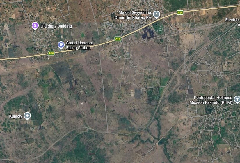
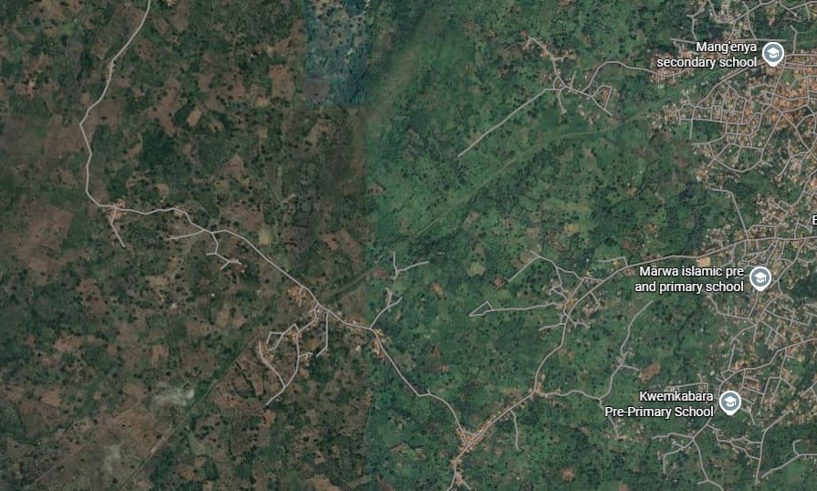
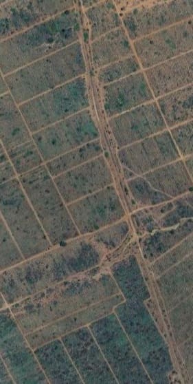
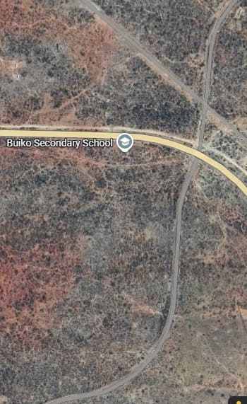
The next satellite image extract picks up the railway at the western edge of Muheza close to its secondary school and sees it still running generally in a Southwesterly direction. …
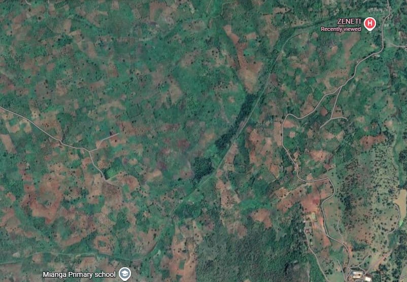
There is no obvious location along the line for Kihuhwi but there is a possibility that Zannetiberg Halt was close to what is now the Zeneti Medical Centre. which sits just beyond the western side of the extract immediately below.
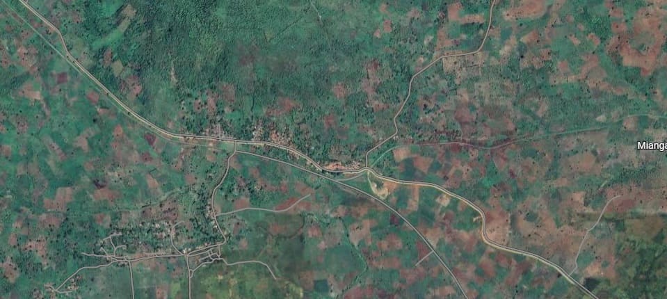
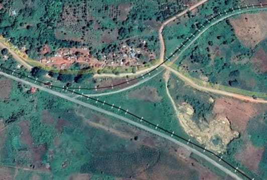
This closer view of the junction is taken from Google Earth. The black lines approximate to the two railway routes but are several metres, at least, out of position. The junction is named on the Schematic map of the line below – Murasi Junction and is recorded as being 65 km from Tanga. [Google Earth, March 2026]
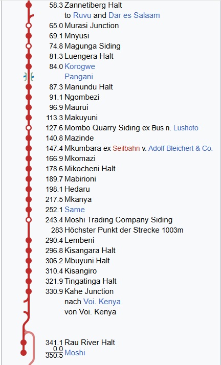
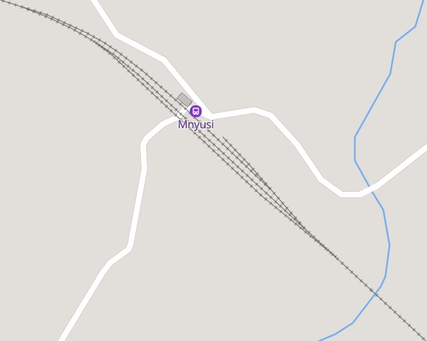
The most notable location at the top of this section of the schmatic map of the line is the railway junction between the line from Tanga and that from Dar es Salaam. – Murasi Junction. Travelling on from Murasi Junction the next location recorded is the town of Mnyusi. [6]
Mnyusi sits at the centre of the satellite image below. The line runs along the Southwest side of the town. There is a significant culvert/bridge carrying the line over the local river.
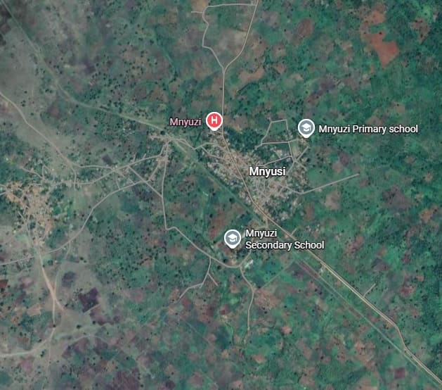
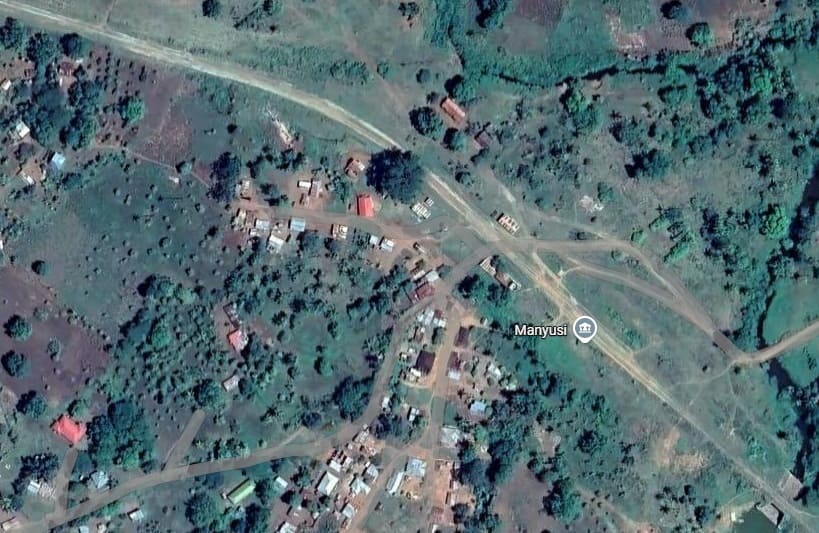
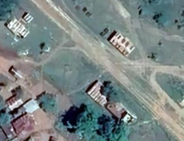
Three buildings align with the railway at Mnyusi and appear to have been station buildings. [Google Maps, March 2026]
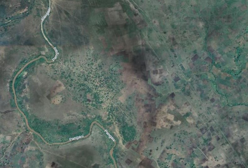
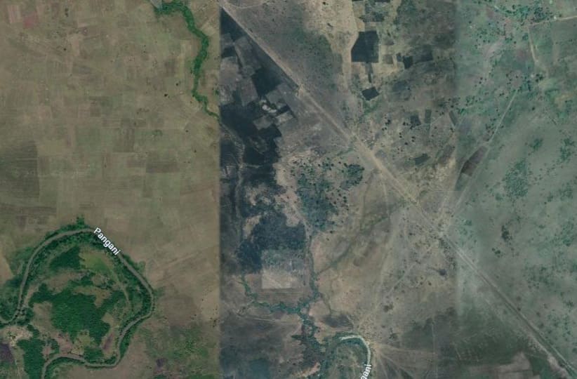
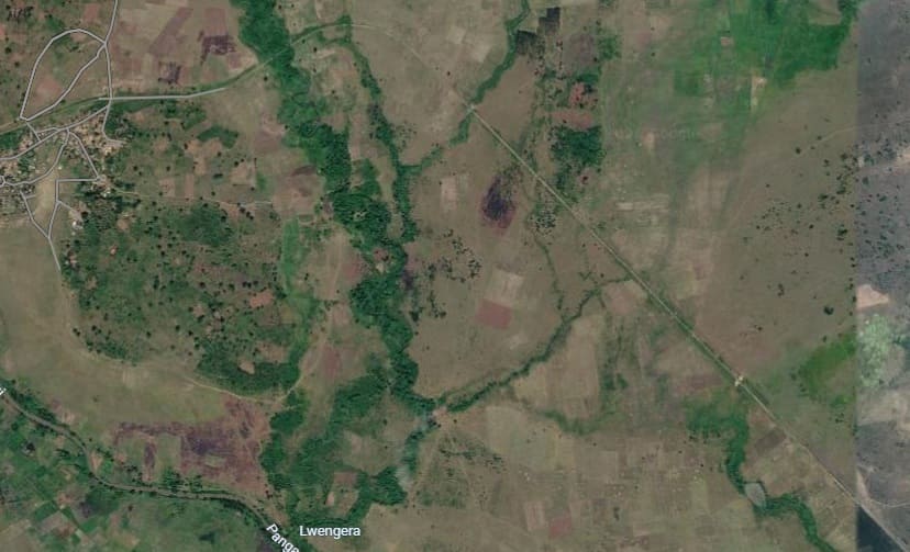
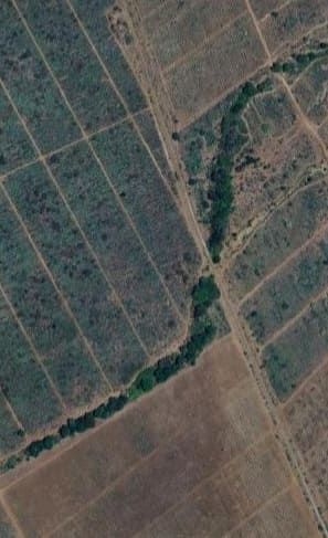
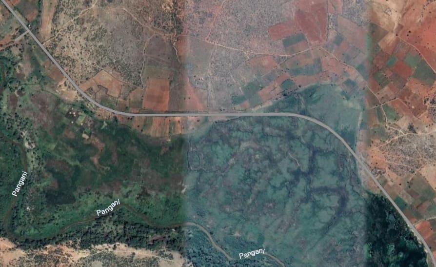
Beyond the passing loop the line continues to head Northwest along the Northeast flank of the Pangani River valley, as can be seen on the next satellite image below.
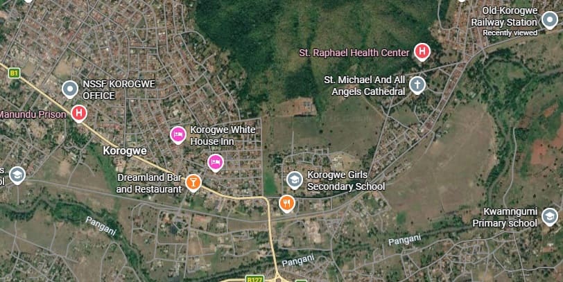
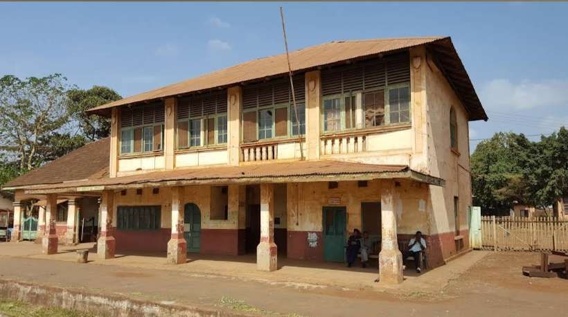
The next extract from the satellite imagery takes the line through Korogwe. The settlement was reached by the line from Tanga around the turn of the 20th century. The construction of the line to the West of Korogwe commenced in 1903. [10]
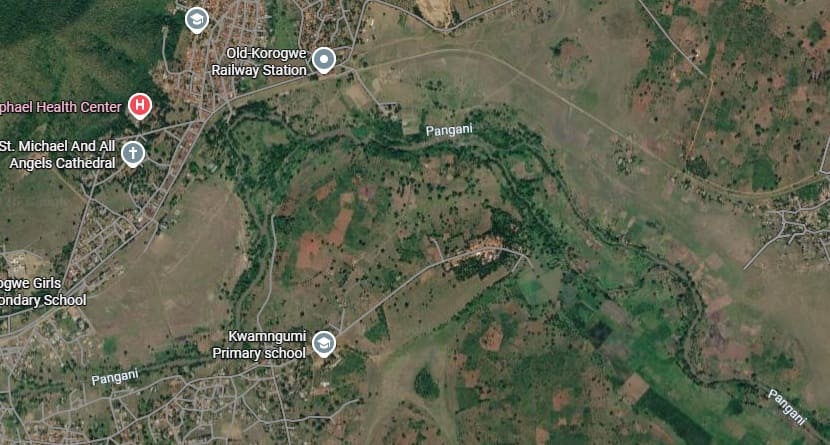
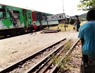
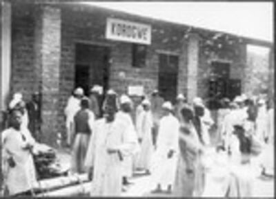
Old-Korogwe Railway Station in May 2022, (c) Vincent Christian. [Google Maps, March 2026] The image below shows the station in the early 20th century. [11]
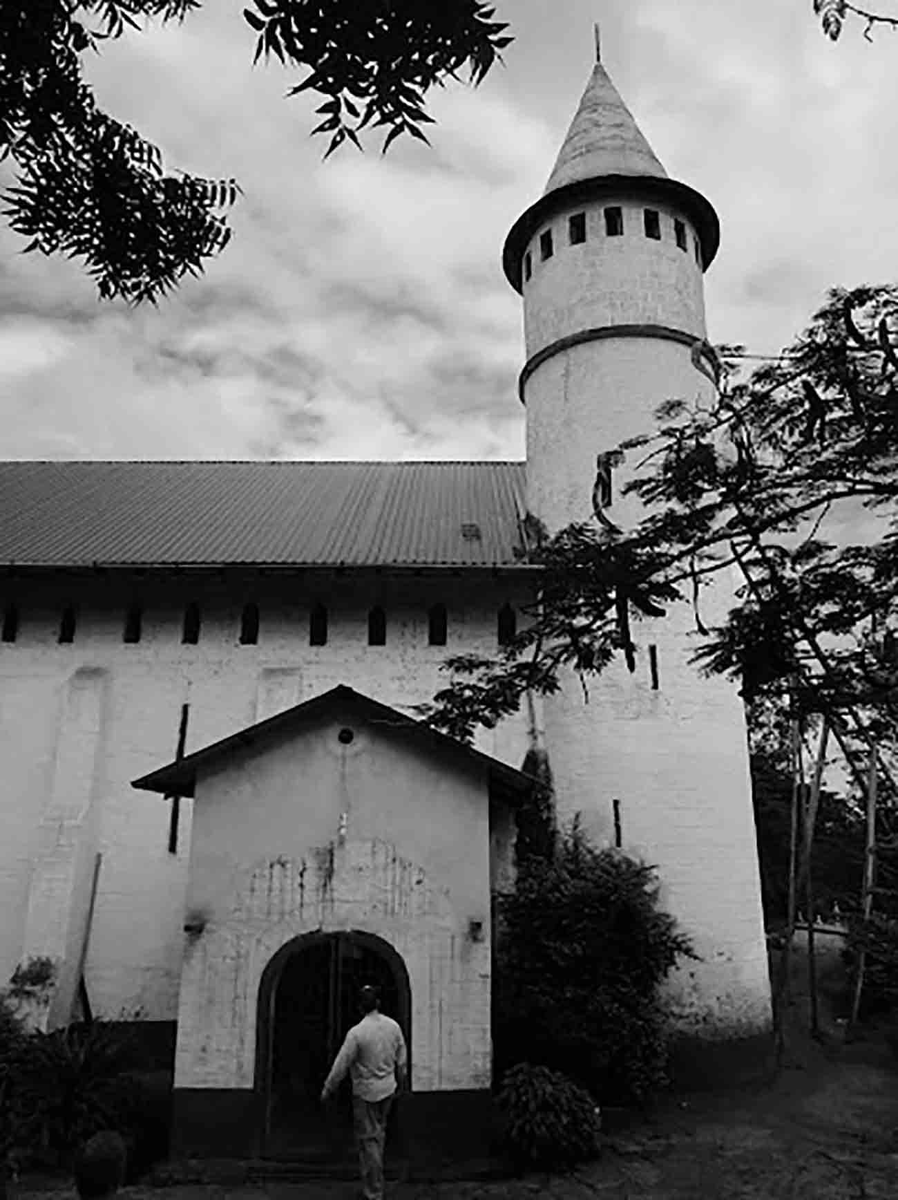
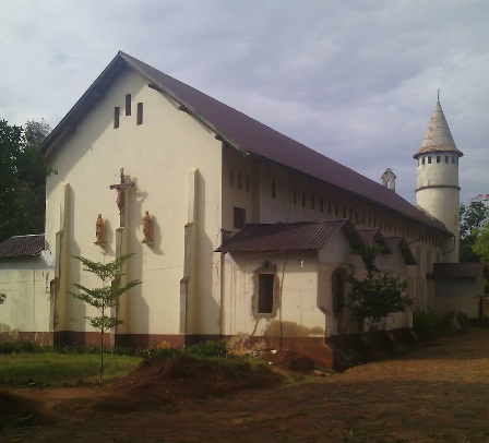
Korogwe is the seat of the Anglican Diocese of Tanga and has a cathedral church dedicated to St. Michael and All Angels. [17] Towards the end of 2025, the Anglican Church of Tanga marked 25 Years as a Diocese and 177 Years of Christianity in the Region.
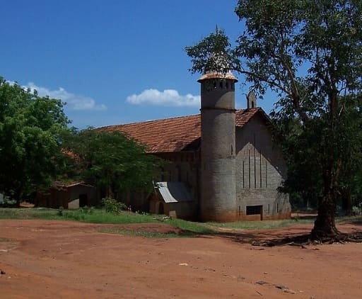
Another view of St. Michael and All Angels’ Cathedral at Korogwe, (c) Public Domain. The photograph was taken by ‘Acognat’. [18]
Korogwe had a population of 62,032 in 2022. as well as its Cathedral, the town has a teacher training college and a number of secondary schools. [12]
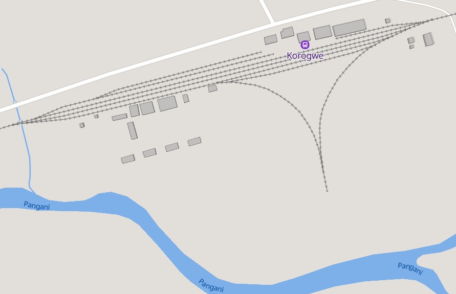
The town of Korogwe has developed to the West of the railway station. The line curves round the South side of the town.
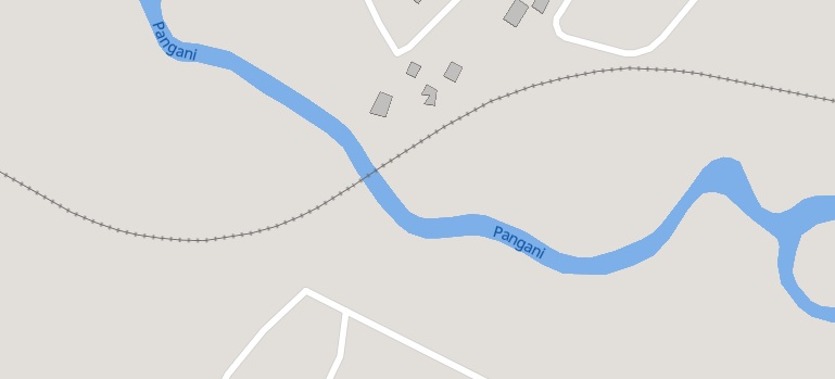
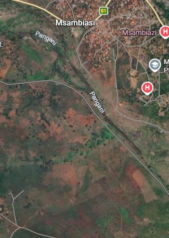
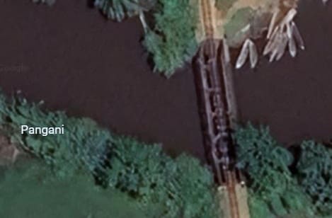
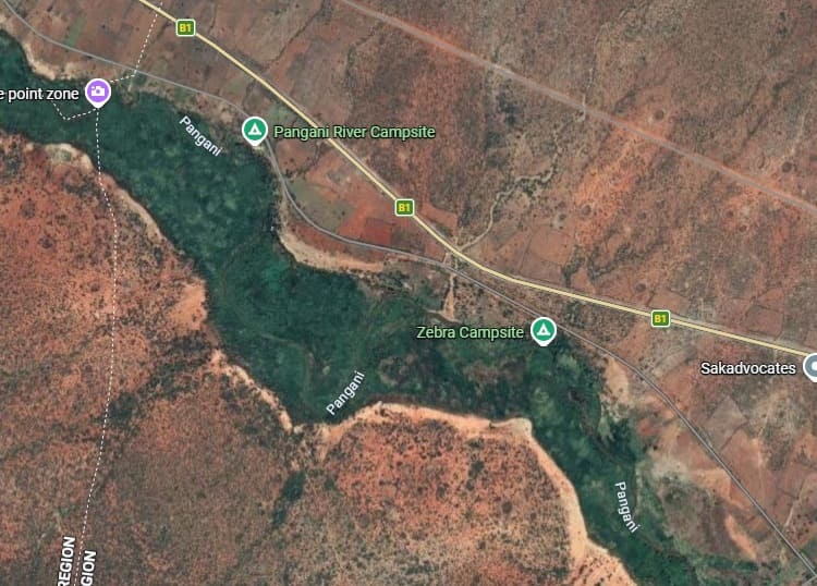
After turning to the North, the line ran along the West side of the Pangani River and began to turn away to the West. [Google Maps, March 2026]
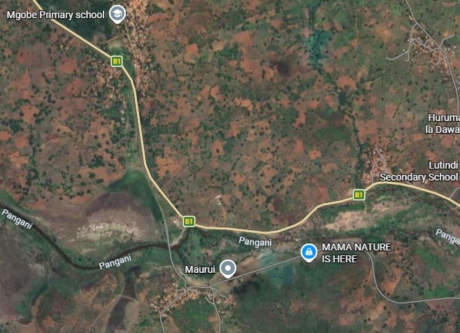
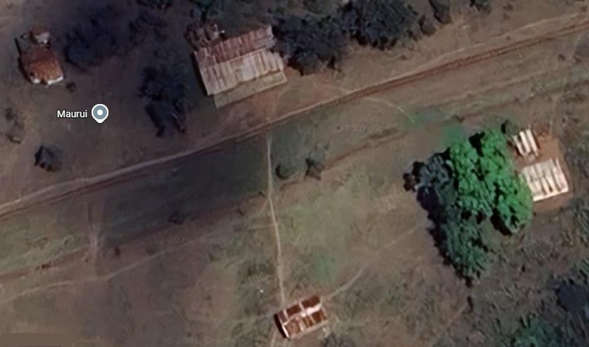
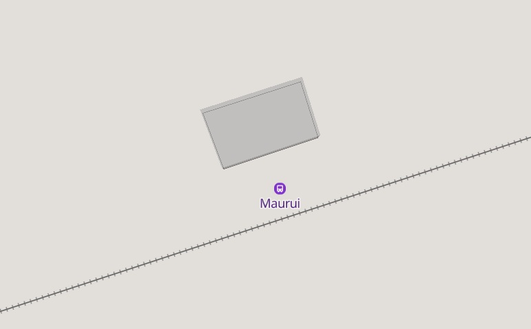
Maurui Railway Station [Google Maps, March 2026] and MapCarta. [19]
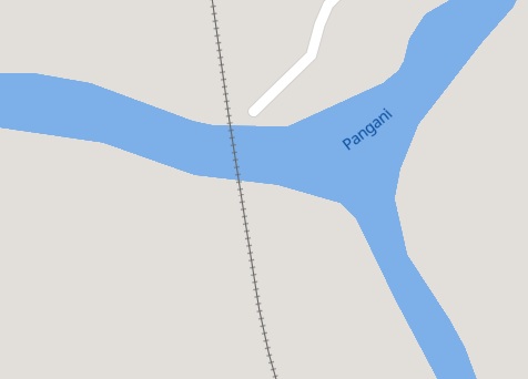
MapCarta shows both Maurui Station and the bridge over the Pangani River. [19]
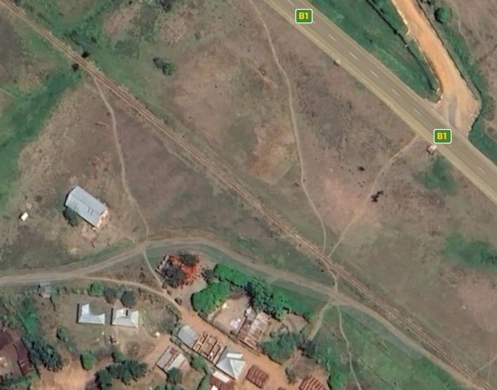
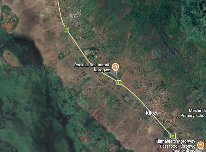
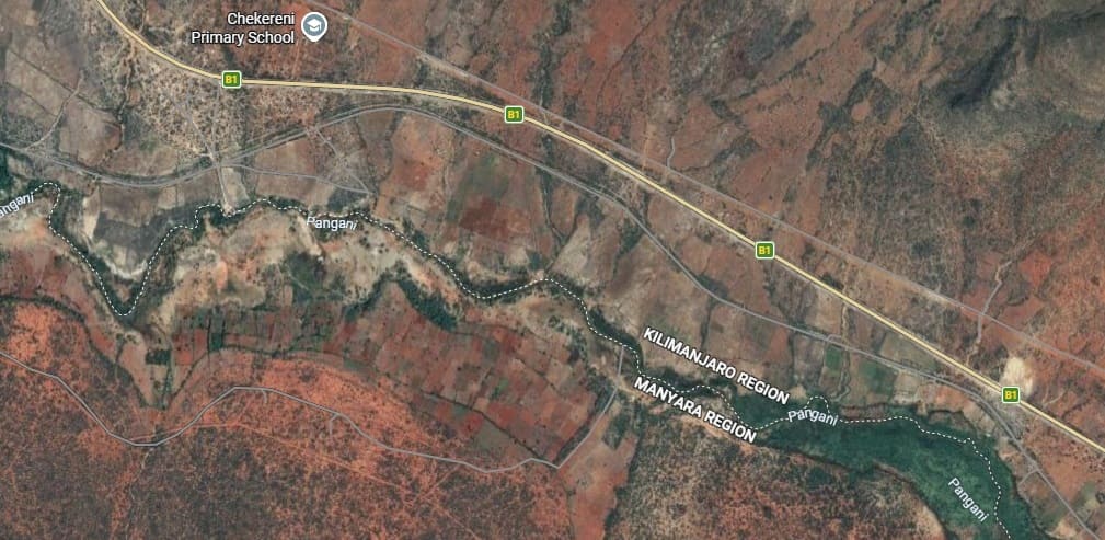
Lutindi Railway Station (?) as it appears on modern satellite imagery {Google Maps, March 2026] Nothing is shown at this location on MapCarta, other than the services (Kilimajaro Motorway Fast Food, Korogwe). Despite the presence of a significant small settlement on the Southwest side of the line, Lutindi is some way to the Northeast of the line.
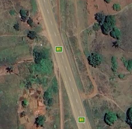
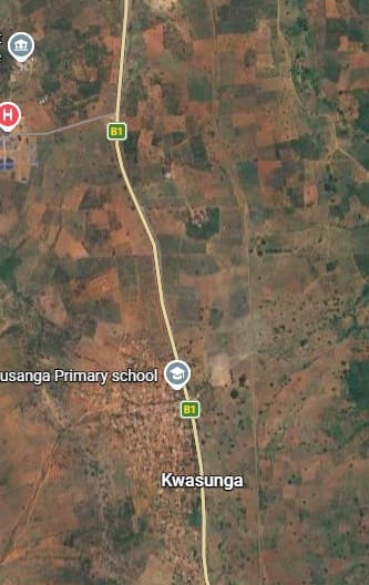
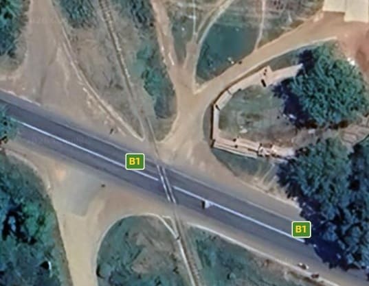
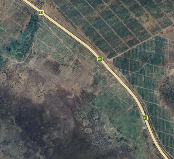
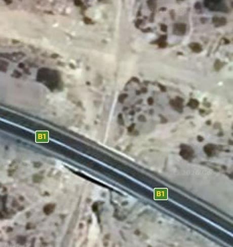
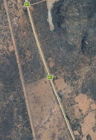
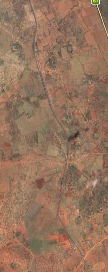
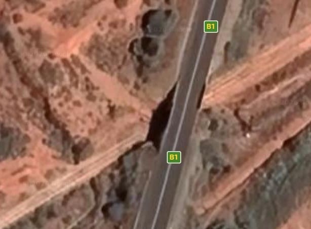
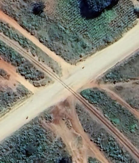
As this next extract from the satellite imagery shows, the separation of road and rail is only enough to allow the railway to pass to the West of Kwasunga. It enters this extract at the bottom arrow, and leaves at the top arrow. In between, the line crosses the B1/T2, as shown below. [Google Maps, March 2026]
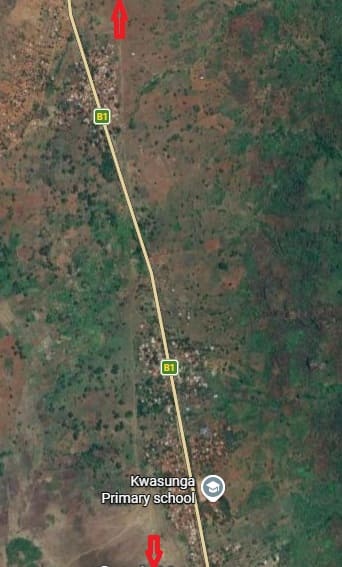
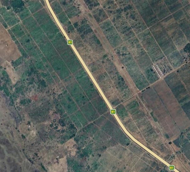
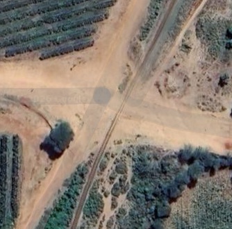
On this next extract the line enters at the bottom of the image to the East of Kwasunga and heads North through a couple of shallow bends to exit at the centre-top of the image still on the East side of the B1/T2. [Google Maps, March 2026]
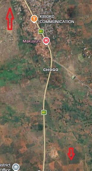
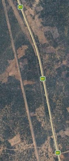
Two arrows again assist in locating the pints at which the line enters and exits this satellite image. The town of Makuyuni is at the top of the extract. the line at road cross below the centre of this image. [Google Maps, March 2026]
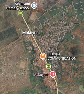
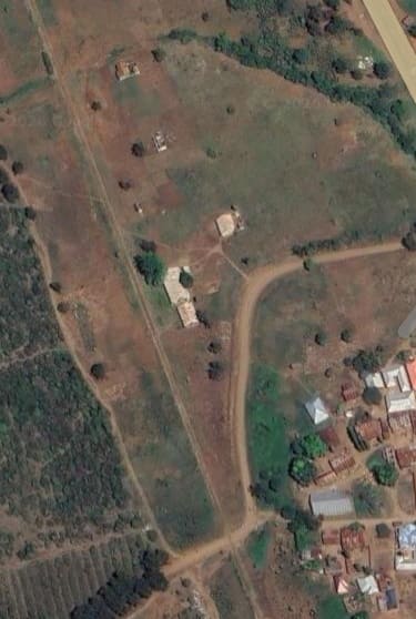
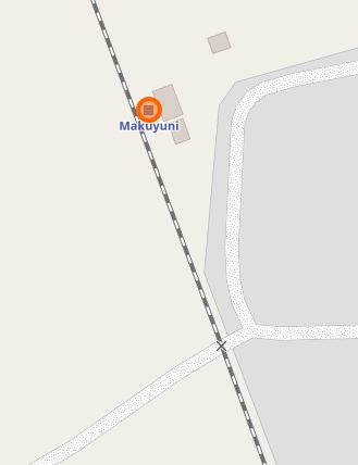
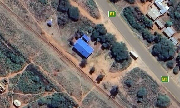
Makuyuni Railway Station is little more than a single-building halt to the Northwest of the town. [Google Maps, March 2026]
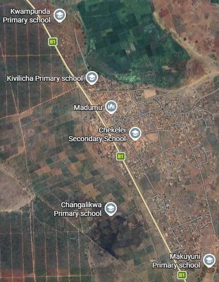
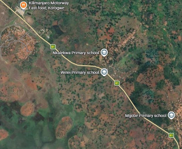
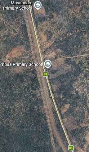
From Makuyuni the line continues to follow the same bearing – heading North-northwest towards Moshi. … Population density is higher here and the satellite image shows significant areas of farmland. The line enters the image a little to the West of the B1/T2, it diverges from the road to pass to the West of Maduma before then crossing the road once again close to the flag for Kivilicha Primary School. It runs North from that crossing to pass to the East of the flag for Kwampunda Primary School. [Google Maps, March 2026]
On the next extract from the satellite imagery below, the line can be seen more clearly.
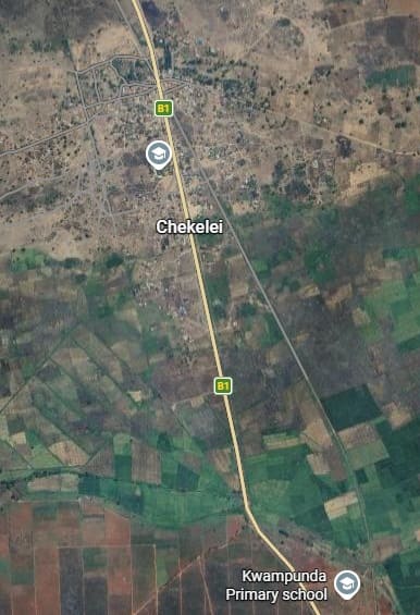
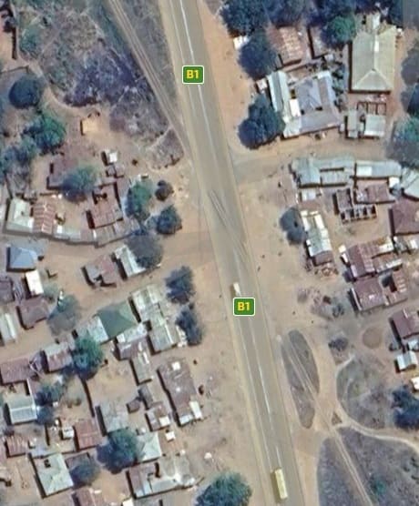
The line enters the image to the immediate East of Kwampunda Primary School and then traverses a well cultivated area before passing through Chekelei where, once agin, the railway crosses the B1/T2.
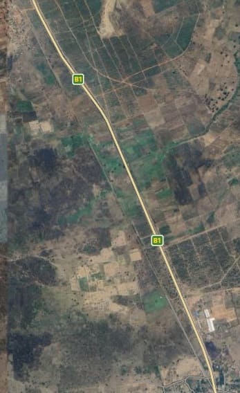
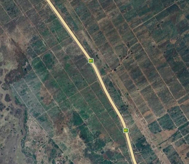
This next extract shows the line running roughly parallel to the B1/T2 in a North-northwest direction. [Google Maps, March 2026]
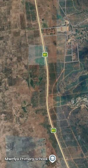
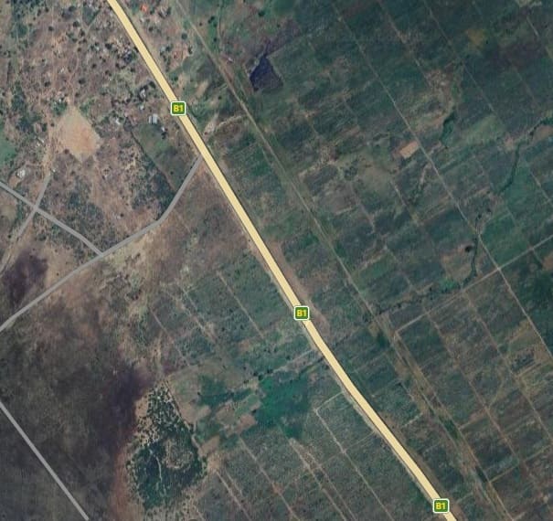
The line enters this next extract from Google’s satellite imagery immediately to the East of the flag for Mwelya Primary School. It contiues to keep company with the B1/T2, leaving the image to the West of the road. [Google Maps, March 2026]
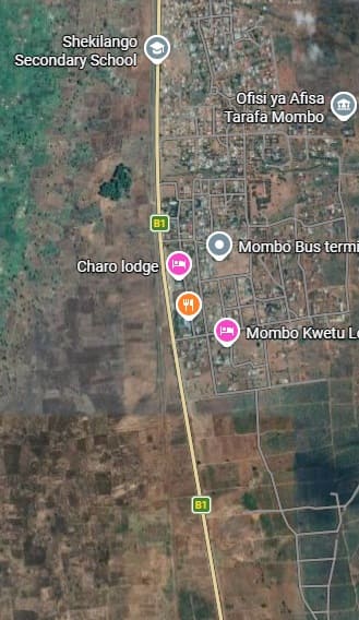
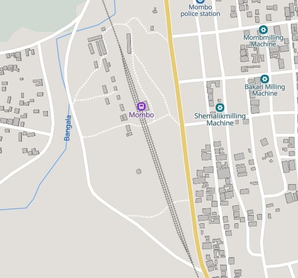
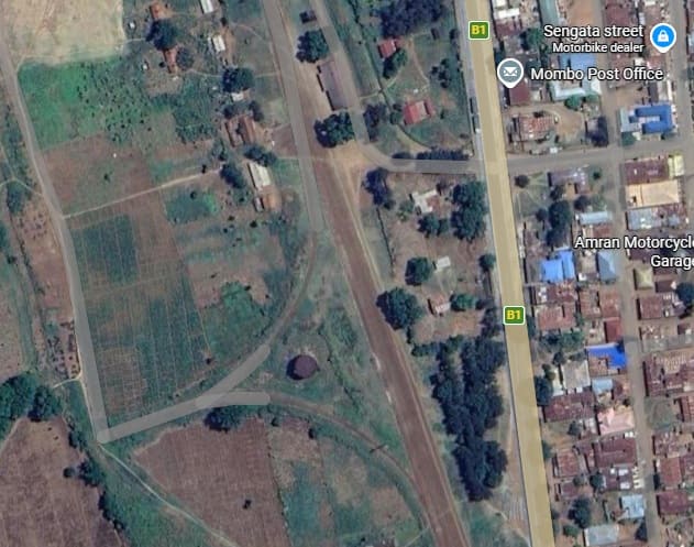
The town of Mombo appears on this next extract from the satellite imagery. The railway remains to the West of the road but takes much closer order as it runs past the town. It remains close to the road across the remainder of the image.
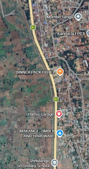
Across the next extract (below), the railway remains close to the B1/T2, still on its West side. Mombo is a town of relatively significant side. Its population in 2012 was 17,093. That figure increased to 24,080 by the time of the 2022 census. Close to the top of this image road and rail move apart to allow room for Mombo Railway Station. [Google Maps, March 2026]
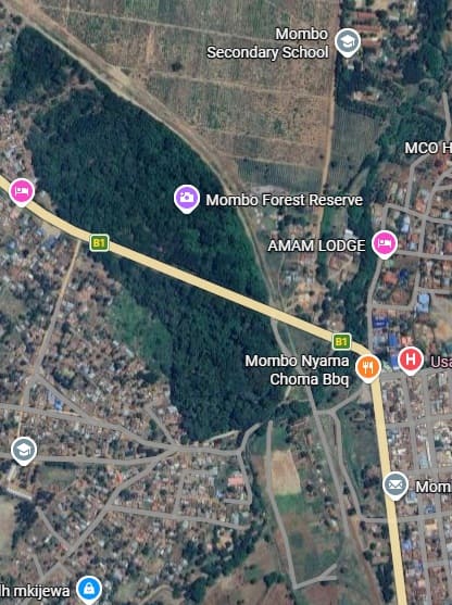
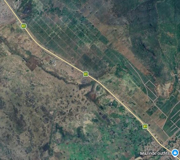
Continuing North from Mombo Railway Station the line crosses the B1/T2 once again and skirts the Northeast edge of the Mombo Forest Reserve. [Google Maps, March 2026]
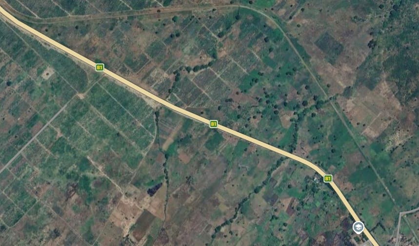
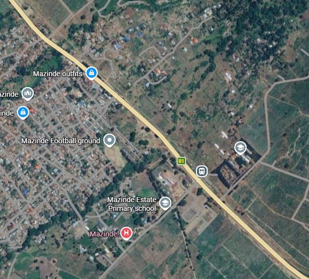
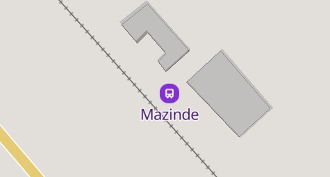
MapCarta shows that Mazinde Railway Station is more like a Halt, just s coupls of buildings and no passing loop or goods yard. [22]
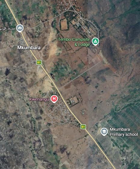
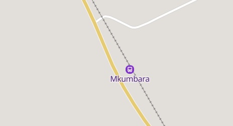
Road and rail remain close through Mkumbura. Mkumbura was the location where the Mkumbara to Neu Hornow Cableway/Ropeway, which operated during the German colonial period, met the Usambarabahn. The story of the Cableway can be found here. [23]
Over these two extracts from Google Maps, the line continues heading North-northwest. [Google Maps, March 2026]
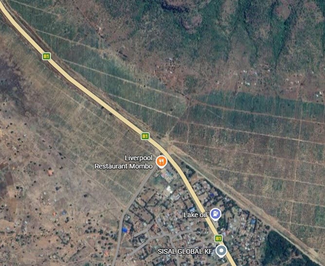
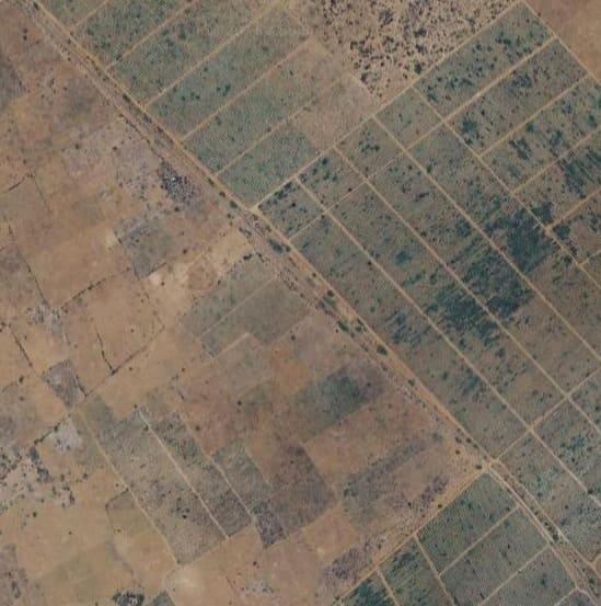
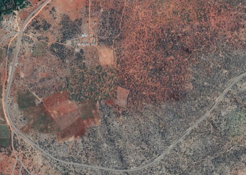
The line gradually turns to the North over these two extracts before turning back to the Northwest. The arid landscape appears to be used for Sisal farming. [Google Maps, March 2026]
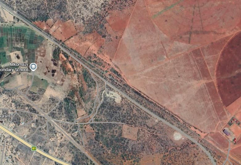
The line enters the next extract adjacent to the road in the bottom-right corner of the image and follows the road North. At the top of this extract, the road turns East and crosses the railway. The line leaves the image centre-top. [Google Maps, March 2026]
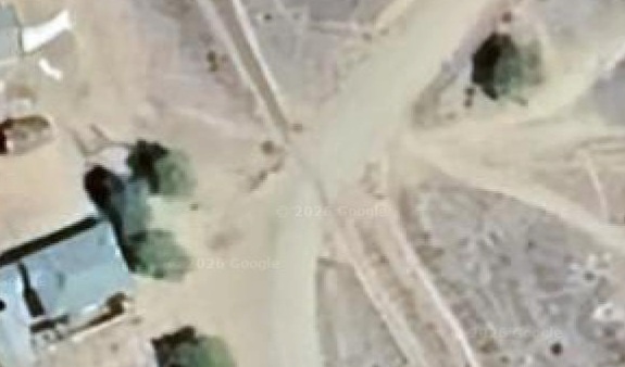
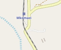
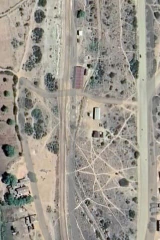
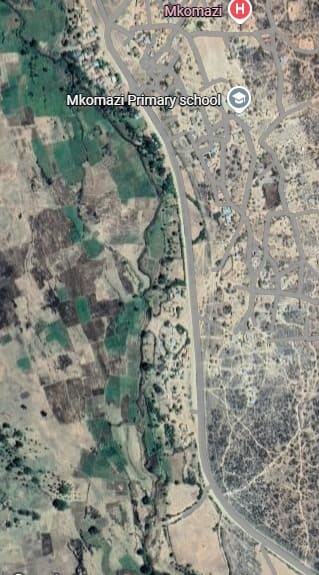
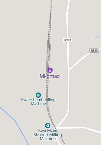
Mkomazi Railway Station sits just to the North of the level-crossing shown on the last 3 images. [Google Maps, March 2026][26]
The line runs South before beginning to curve back through West to North as shown below. [Google Maps, March 2026]
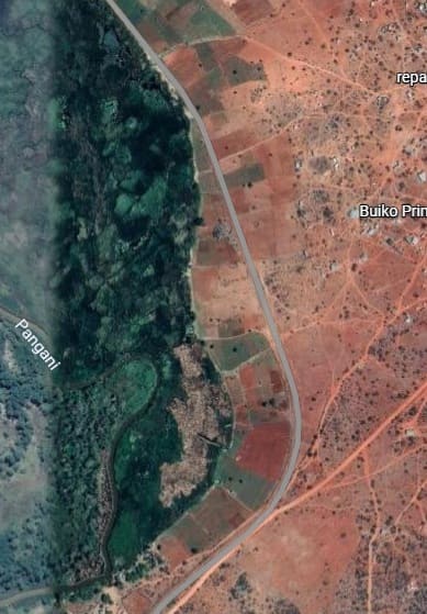
Beyond Buiko, the railway is back near the Pangani River but running at the top of the eastern/northern valley side. [Google Maps, May 2026]
The line plots a lonely journey Northnorthwest across these two satellite image extracts. [Google maps, March 2026]
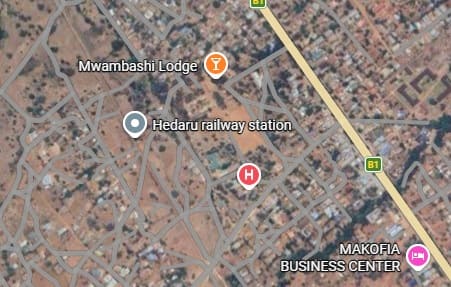
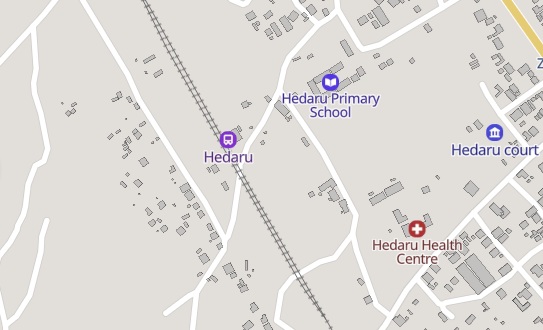
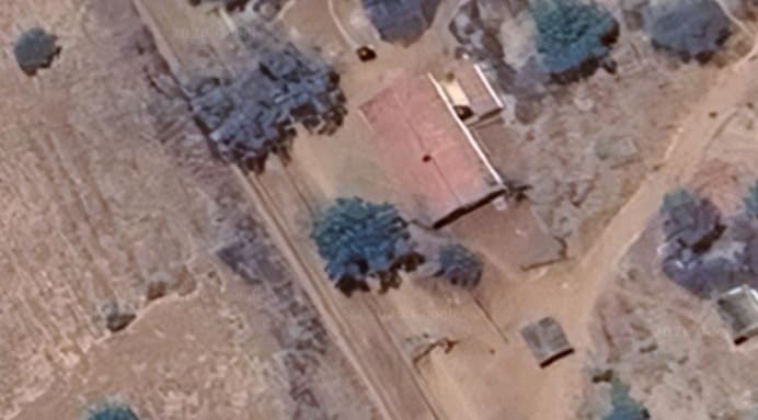
Civilisation of some sort beckons at the top of this next extract. The town is Heraru. Its station sits to the southwest of the town. It is marked by the grey flag on the small image immediately below.
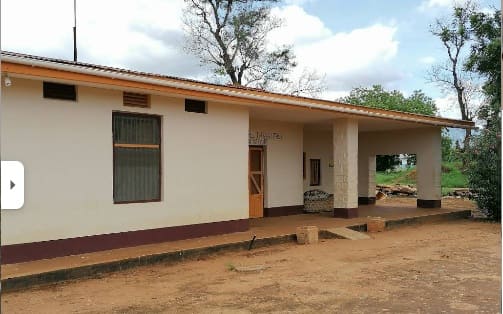
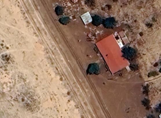
Hedaru Railway Station Building, (c) Beppe Mambretti and shared on Google Maps, May 2021.
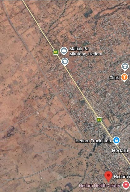
Hedaru Station is marked by the red flag on the first of these two images which begin the journey further North and West along the line. [Google Maps, March 2026]
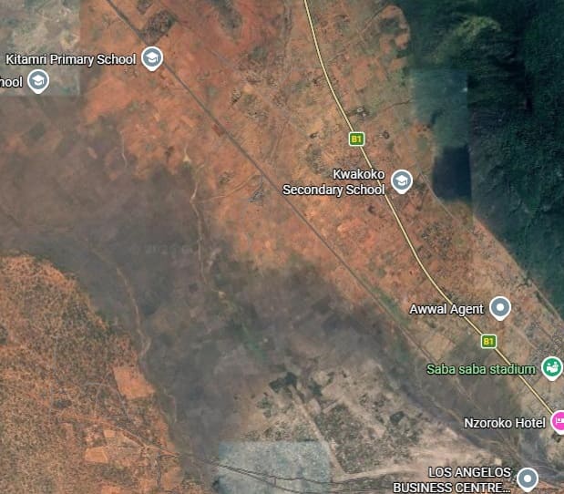
The line continues Northnorthwest towards Mkanya and Same. [Google Maps, March 2026]
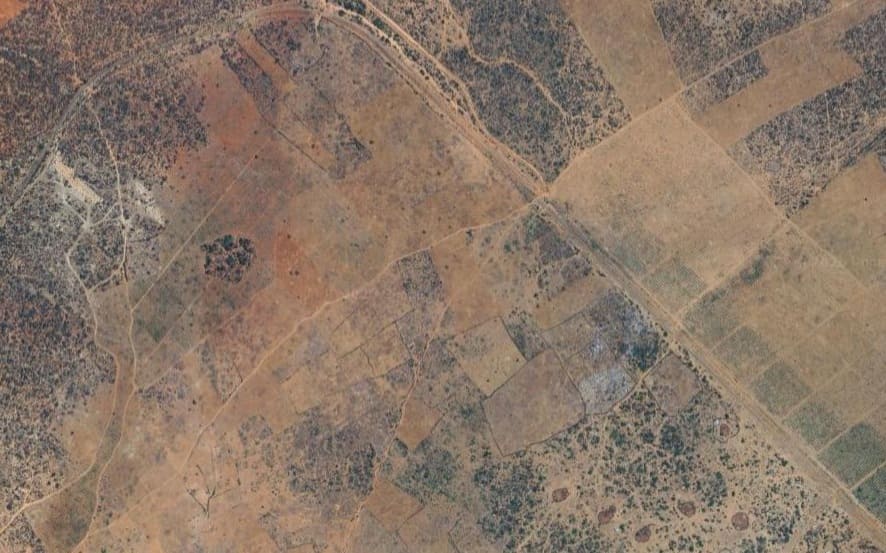
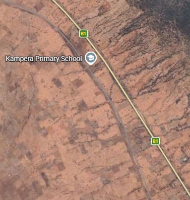
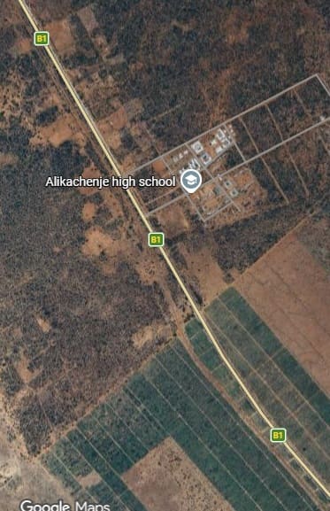
The landscape is quite barren – the occasional school appears on the maps but otherwise only limited evidence of habitation.
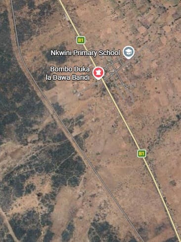
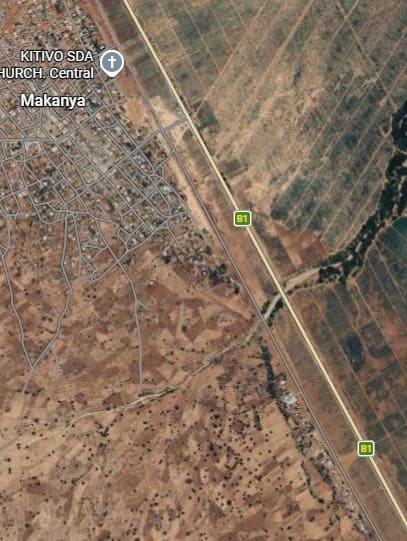
The line then passes through what appear to be Sisal plantations that surround Makanya. [Google Maps, March 2026]
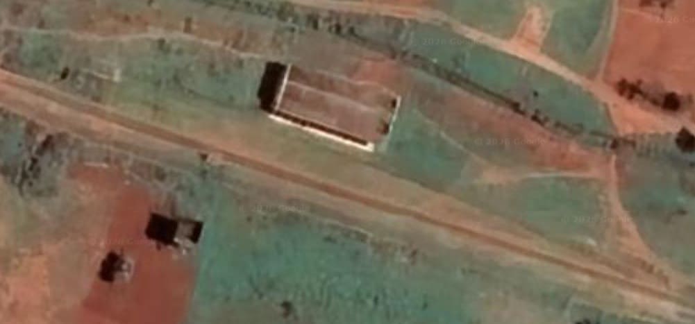
Makanya had a population of 12,980 in 2022. [29] Its railway station was at the South East end of the town.
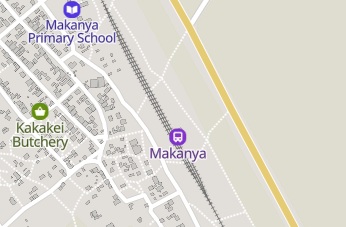
Makanya Railway Station – two loops off the mainline allowed for trains to pass each other. [30][Google Maps, March 2026]
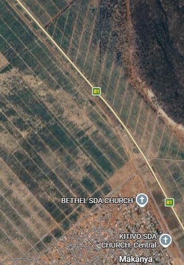
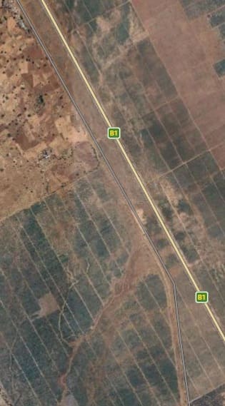
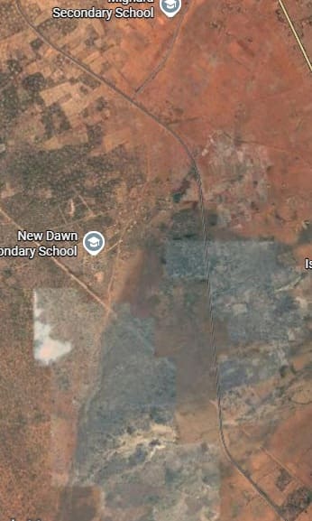
Beyond Makanya the road and railway run together through the Sisal plantations. Google Maps, March 2026]
The railway and road run close together as they continue North. [Google Maps, March 2026]
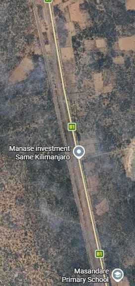
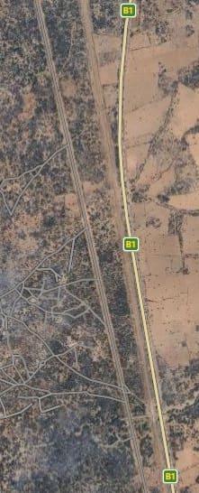
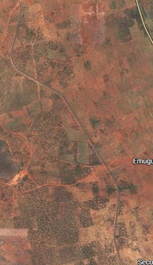
The line is now flanked by two roads which gradually converge until all three run close together past Hembua and Masandare Primary Schools. [Google Maps, March 2026]
The line continues North close to the B1/T2 [Google Maps, March 2026]
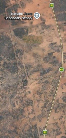
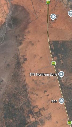
The journey continues North towards Same. [Google Maps, March 2026]
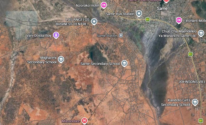
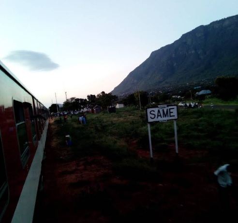
Same in February 2020 (c) Thomas Kimaro. [Google Maps, March 2026]
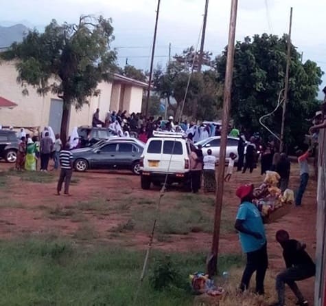
The two photographs immediately above show Same Railway Station in February 2020.
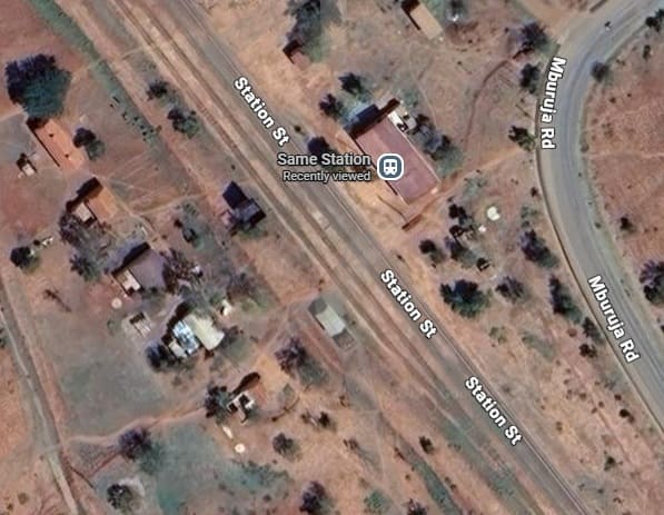
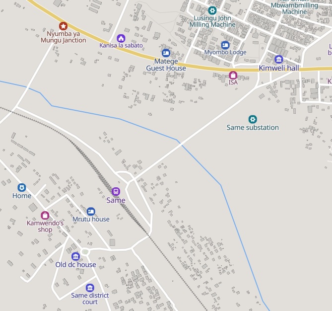
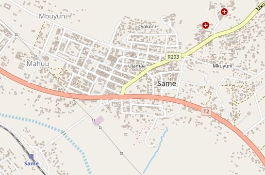
These two maps show Same Railway Station in relation to the town of Same. The MapCarta [32] extract on the left shows three lines running through the station. The OpenStreetMap image [33] shows a little more of the town.
The line is now following the contours to avoid the heaviest gradients. [Google Maps, March 2026]
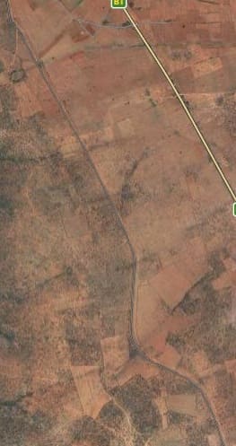
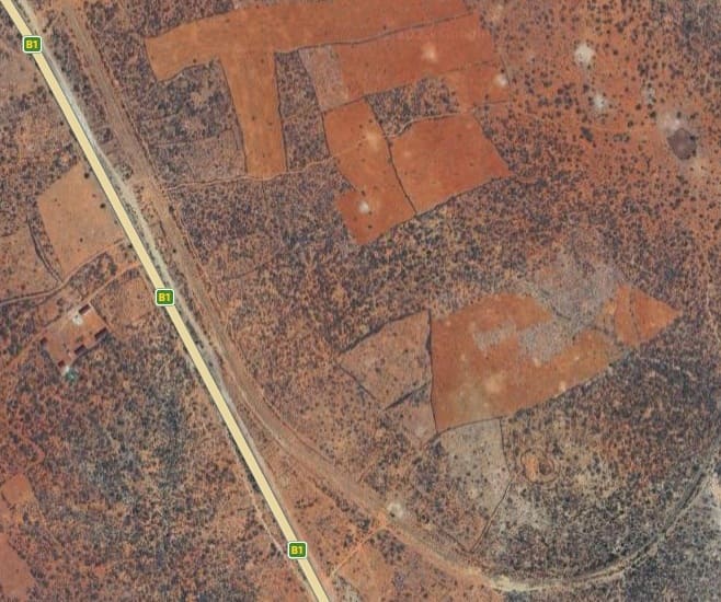
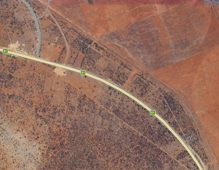
The B1/T2 is still following the line. [Google Maps, March 2026]
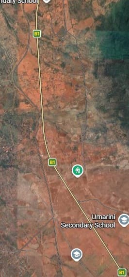
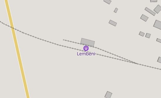
The next town is Lembeni [Google Maps, March 2026]
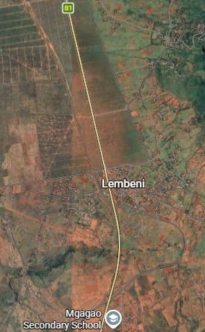
Careful inspection of the image above shows the line swinging East and then curving round to the West through the town.
Lembeni Bridge and Railway Station [Google Maps, March 2026] [34]
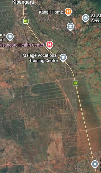
The next extract from the satellite imagery takes the line as far as Kisangara. [Google Maps, March 2026]
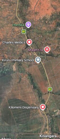
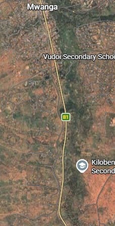
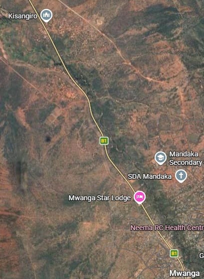
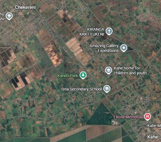
The next location along the line is Mwanga which has no railway station. It does have a bus station! Mbuyuni Halt must have been close to the village. [Google Maps, March 2026]
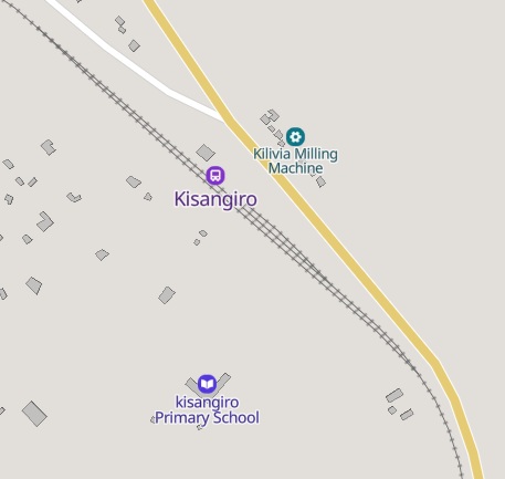
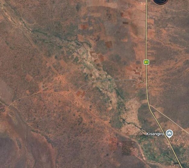
Kisangiro Halt was a distance South of the centre of the village at a location where the railway diverged from the road, running West-northwest on the South side of the greener area visible in the top-left of the larger extract above.
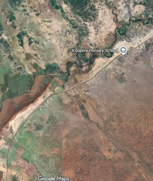
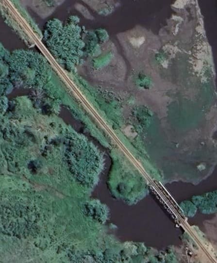
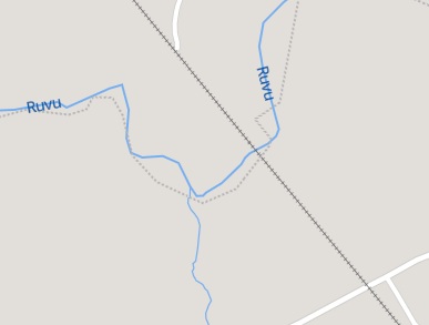
The bridges over the Rivu River appear to be a Warren Truss Girder Bridge and a large concrete culvert which takes a lesser branch of the river. [Google Maps, March 2026]
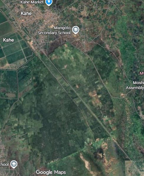
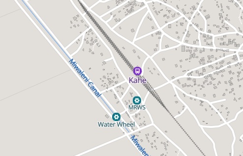
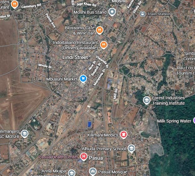
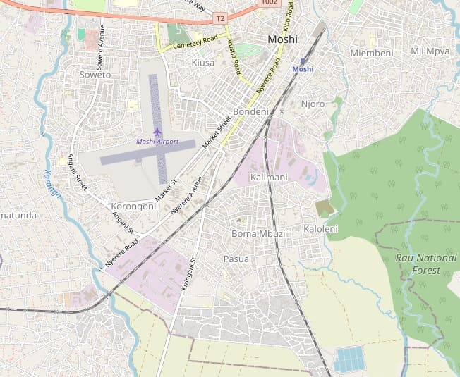
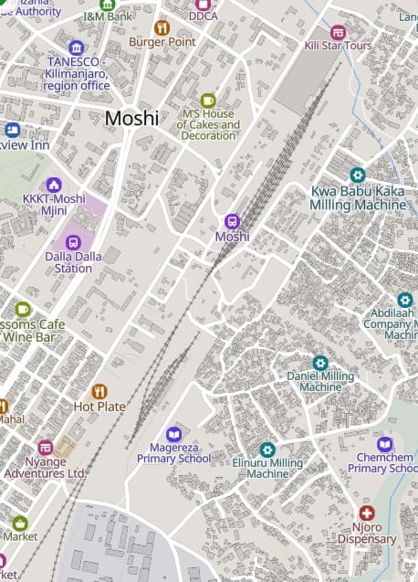
This extract from MapCarta shows the track layout in the vicinity of Moshi Railway Station. [38]
We have reached the end of what was the Usambarabahn. The extension to Arusha came much later. We have also not been able, as part of this article, to identify the route of the line between Moshi/Kaha and Voi in Kenya. We will come back to both of those lines on another occasion.
References
- M.F. Hill; Permanent Way Volume II: The Story of the Tanganyika Railways; East African Railways and Habours, Nairobi, Kenya; Watson & Viney, Aylesbury & Slough, 1957.
- https://www.facebook.com/share/p/1ALffLxhDg, accessed on 18th March 2026.
- https://www.google.com/search?client=ms-android-motorola-rvo3&hs=AZD&sca_esv=b05c8d9632b51df6&sxsrf=ANbL-n5vLNTMT9J1cn4sS7VDi8IhkG_BNg%3A1773944351007&q=tanga%20railway%20station%20photos&si=AL3DRZGgcPNmWPDVEk81ds4iaXPEjuNcyuY9Q822zd2Q3wgtDLa9VVF_9x9TK7LuOrzAGGVlybqvwgpMRLdjvIPVO6109T3ngqw96Xr3Qzr3BAwZo0lgWOz-pkCpT8YplwOa9Nc8V9yUN8GP7Lus4LLAZVKs0HHFqg%3D%3D&ved=0CBEQy9gMahcKEwj4td_XyayTAxUAAAAAHQAAAAAQCg&ictx=1#ebo=1&lpg=cid:CgIgAQ%3D%3D,ik:CAoSF0NJSE0wb2dLRUlDQWdJREM2Y3IxMmdF, accessed on 19th March 2026.
- https://www.google.com/search?client=ms-android-motorola-rvo3&hs=AZD&sca_esv=b05c8d9632b51df6&sxsrf=ANbL-n5vLNTMT9J1cn4sS7VDi8IhkG_BNg%3A1773944351007&q=tanga%20railway%20station%20photos&si=AL3DRZGgcPNmWPDVEk81ds4iaXPEjuNcyuY9Q822zd2Q3wgtDLa9VVF_9x9TK7LuOrzAGGVlybqvwgpMRLdjvIPVO6109T3ngqw96Xr3Qzr3BAwZo0lgWOz-pkCpT8YplwOa9Nc8V9yUN8GP7Lus4LLAZVKs0HHFqg%3D%3D&ved=0CBEQy9gMahcKEwj4td_XyayTAxUAAAAAHQAAAAAQCg&ictx=1#ebo=1&lpg=cid:CgIgAQ%3D%3D,ik:CAoSF0NJSE0wb2dLRUlDQWdJQ2szYi1Pd2dF, accessed on 19th March 2026.
- https://unitedrepublicoftanzania.com/economy-of-tanzania/infrastructure-in-tanzania/railway-in-tanzania/tanga-line-a-historic-railway-route-through-northern-tanzania, accessed on 20th March 2026.
- https://en.wikipedia.org/wiki/Usambara_Railway, accessed on 13th March 2026.
- https://maps.app.goo.gl/C952JgVPwCuYSAv98, accessed on 20th March 2026.
- https://photos.com/images/rendered/share/68973860&domainId=12, accessed on 21st March 2026.
- https://imagerenderer.com/images/rendered/share/68974575&domainId=12, accessed on 21st March 2026.
- Hans Wettich; The development of Usambara under the influence of the East African Northern Railway and its private branch lines, with special consideration of the Mkumbara-Neu-Hornow cableway; Simion, Berlin 1911. Reprint from: Proceedings of the Association for the Promotion of Industry 90 (1911), Issue 6; via https://publikationen.ub.uni-frankfurt.de/frontdoor/index/index/docId/11924, accessed on 24th February 2026.
- https://africacommons.net/artifacts/3029389/korogwe-station-tanzania-africa-ca/3858567, accessed on 25th March 2026.
- https://en.wikipedia.org/wiki/Korogwe, accessed on 25th March 2026.
- https://mapcarta.com/N8806556763/Map, accessed on 25th March 2026.
- https://mapcarta.com/N274950072/Map, accessed on 25th March 2026.
- https://mapcarta.com/12650936/Map, accessed on 25th March 2026.
- https://mapcarta.com/N8807059101/Map, accessed on 25th March 2026.
- https://unitedrepublicoftanzania.com/economy-of-tanzania/infrastructure-in-tanzania/unlocking-the-beauty-and-significance-of-the-cathedral-church-of-st-michael-and-all-angels-in-korogwe-a-closer-look/, accessed on 25th March 2026.
- https://en.wikipedia.org/wiki/Korogwe#/media/File:St._Michael’s_Cathedral,_Korogwe.jpg, accessed on 25th March 2026.
- https://mapcarta.com/N8806543490/Map, accessed on 27th March 2026.
- https://www.openstreetmap.org/node/8806556432#map=18/-5.016856/38.327058, accessed on 28th March 2026.
- https://mapcarta.com/34359746/Map, accessed on 28th March 2026.
- https://mapcarta.com/N8804470889, accessed on 28th March 2026.
- https://rogerfarnworth.com/2026/03/08/the-mkumbara-to-neu-hornow-cableway-ropeway-usambara-hills-tanganyika
- https://mapcarta.com/12650936/Map, accessed on 29th March 2026.
- https://www.openstreetmap.org/#map=15/-4.64654/38.07093, accessed on 29th March 2026.
- https://mapcarta.com/34359722/Map, accessed on 29th March 2026.
- https://mapcarta.com/34355144, accessed on 30th March 2026.
- https://datacommons.org/place/wikidataId/Q20614510, accessed on 30th March 2026.
- https://www.wikidata.org/wiki/Q20619402, accessed on 30th March 2026.
- https://mapcarta.com/12656052, accessed on 30th March 2026.
- https://www.citypopulation.de/en/tanzania/cities, accessed on 31st March 2026.
- https://mapcarta.com/12646230/Map, accessed on 31st March 2026.
- https://www.openstreetmap.org/#map=15/-4.07147/37.73321, accessed on 31st March 2026.
- https://mapcarta.com/12657728, accessed on 31st March 2026.
- https://mapcarta.com/N8736426762, accessed on 31st March 2026.
- https://mapcarta.com/34355154, accessed on 31st March 2026.
- https://www.openstreetmap.org/node/255602805#map=15/-3.35899/37.34255, accessed on 31st March 2026]
- https://mapcarta.com/Moshi, accessed on 31st March 2026.
