
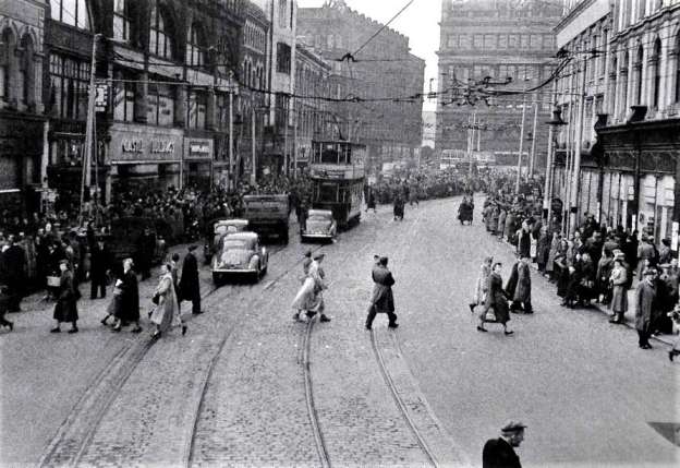
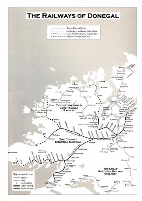
The line ran from Derry to Burtonport. Initially constructed from Derry to Letterkenny it was later extended, via a circuitous route, to the fishing village of Burtonport. We have been following the route of the line from Burtonport to Letterkenny in a series of articles of which this is the fourth.
Earlier articles can be found on these links:
The Burtonport Extension of the ‘Londonderry & Lough Swilly Railway’ – Part 1
The Burtonport Extension of the ‘Londonderry & Lough Swilly Railway’ – Part 2
The Burtonport Extension of the L&LSR (Londonderry & Lough Swilly Railway) – Part 3 – Cashelnagor Railway Station to Barnes Gap
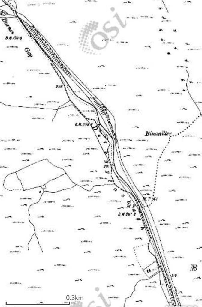
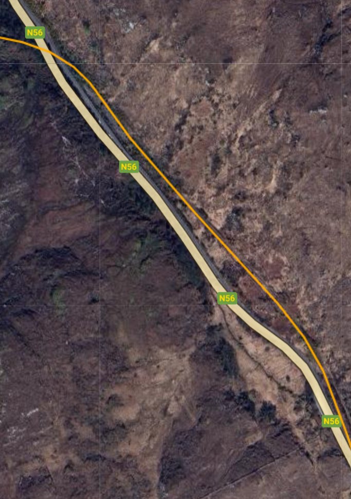
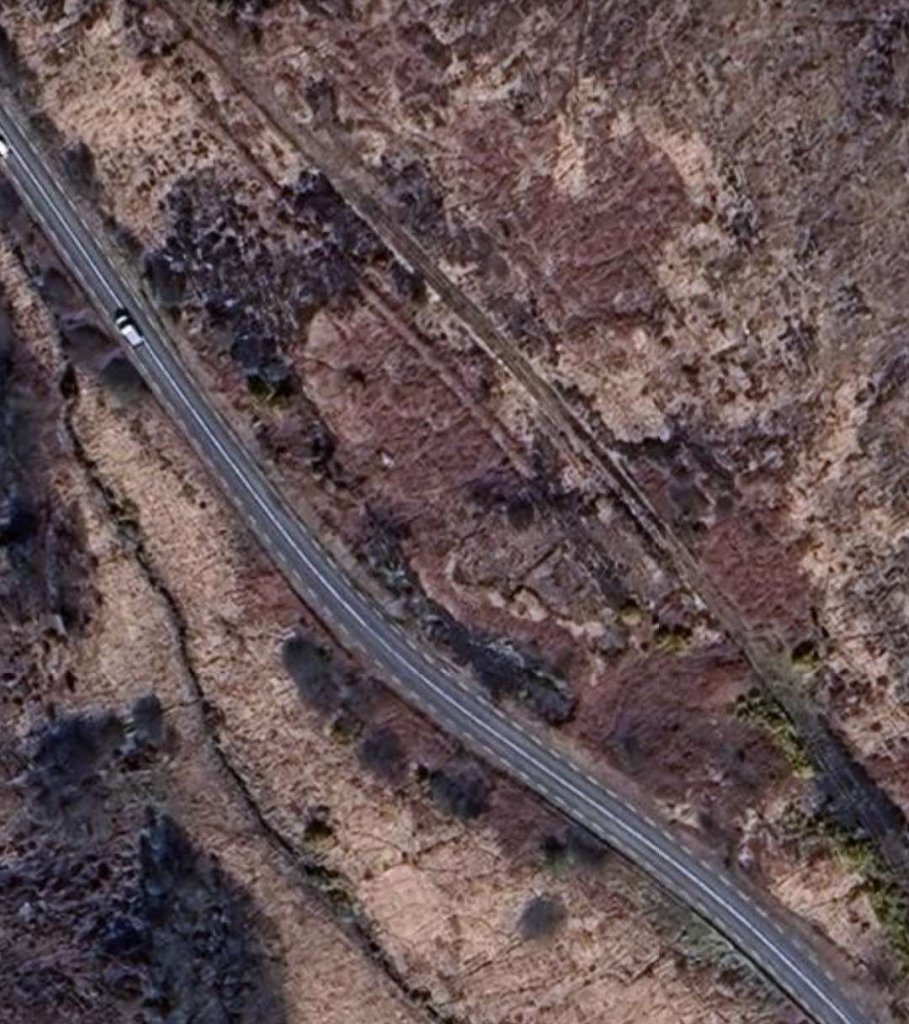
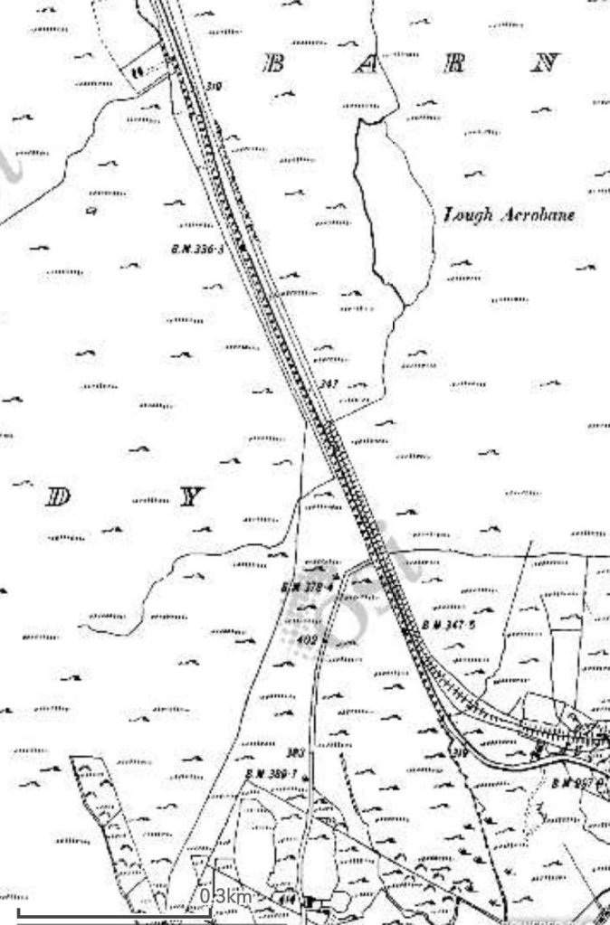
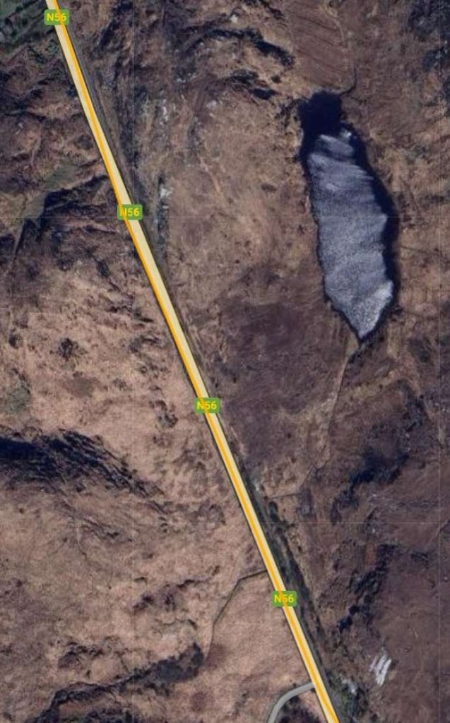
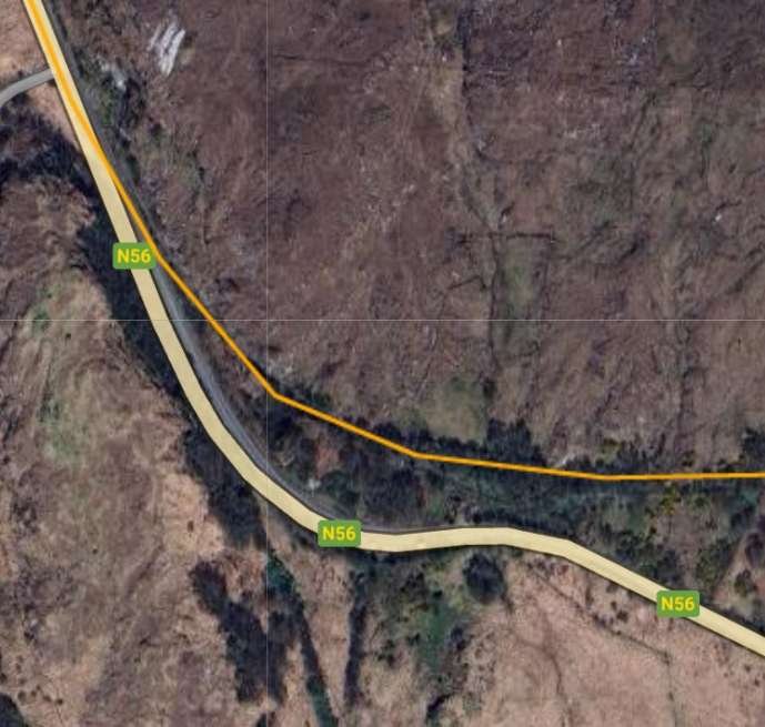
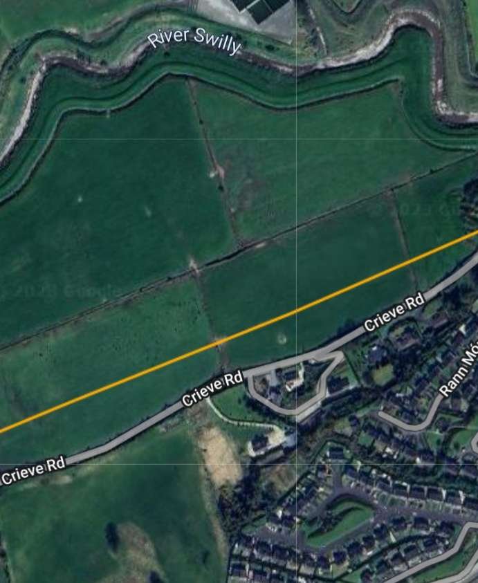
This length of the line begins at Barnes Gap (not to be confused with Barnesmore Gap further South on the Co. Donegal Railways network) and travels first in a generally Southerly direction before approaching Letterkenny from the West.
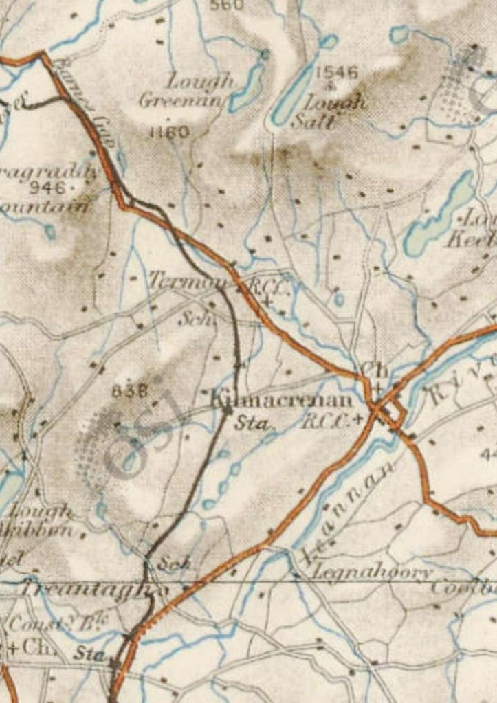
We now look at this section of the Burtonport Extension Railway in more detail, starting at Barnes Gap.
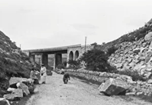
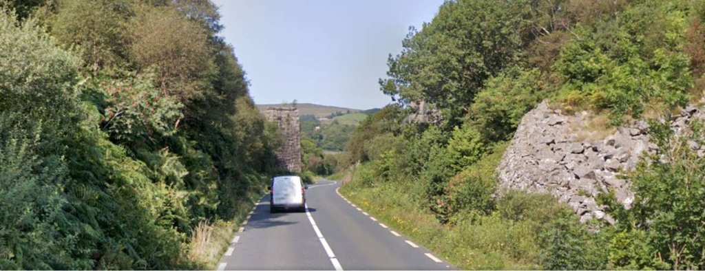
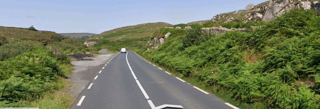
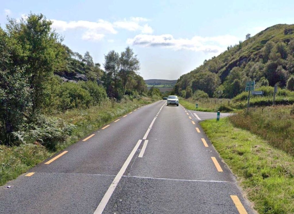
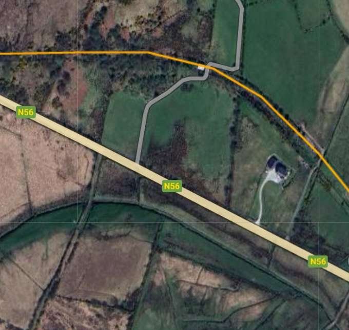
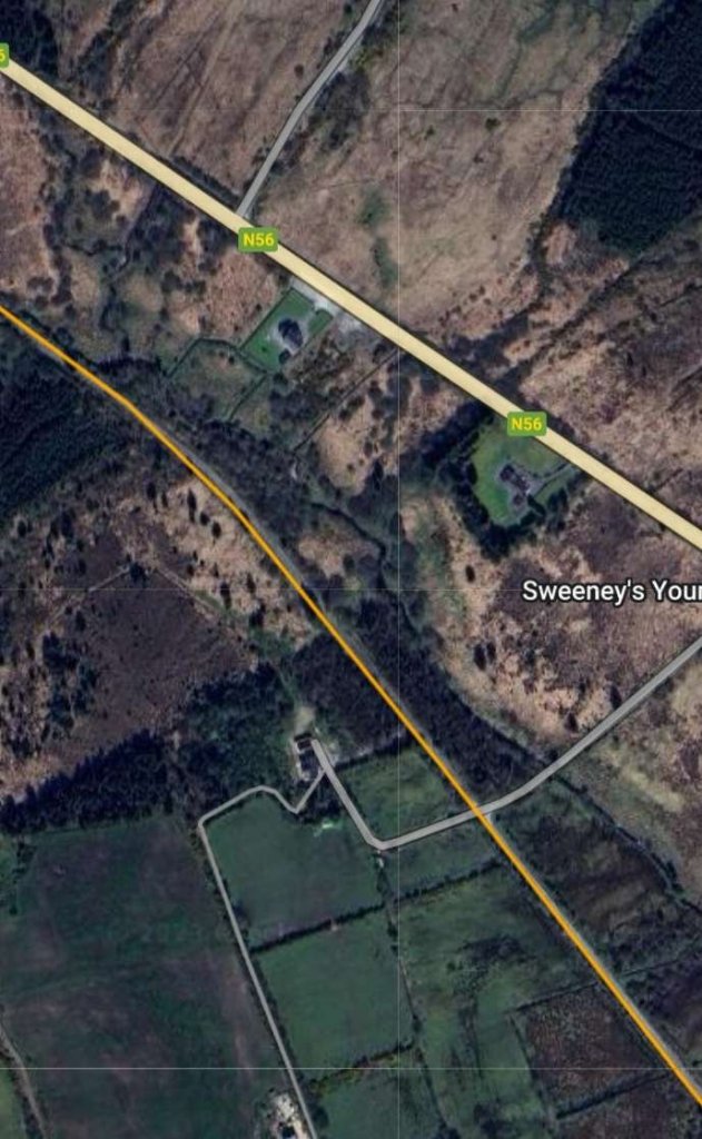
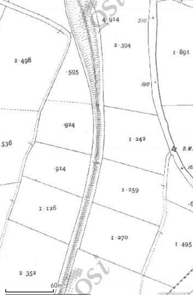
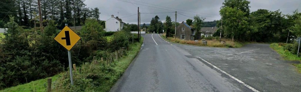
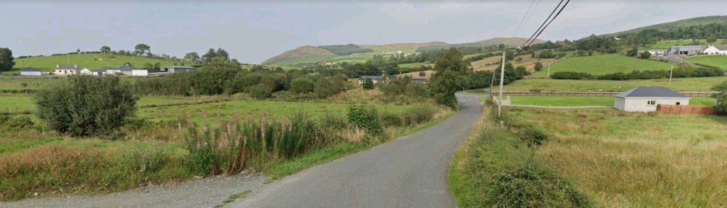
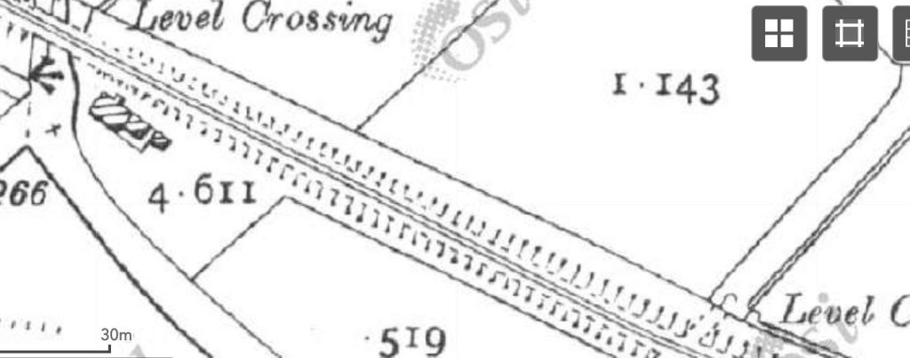
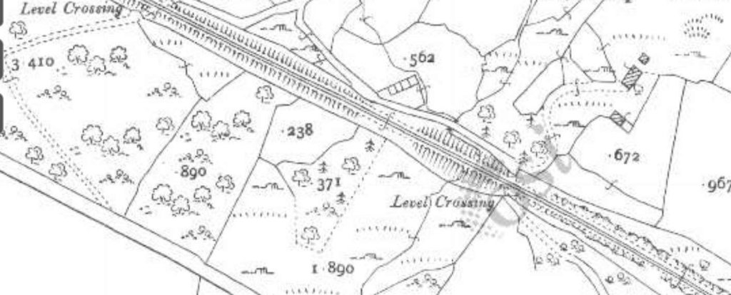
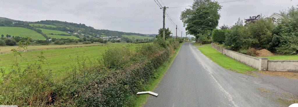
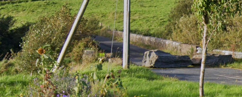
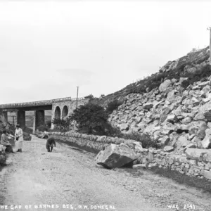
The first image is an excellent view of the viaduct by which the old railway crossed the road at Barnes Gap. It seems as though rock falls may have been a problem at this location, evidenced by the large rocks which sit alongside the road and a large boulder sitting on the right hand edge of the unmetalled carriageway
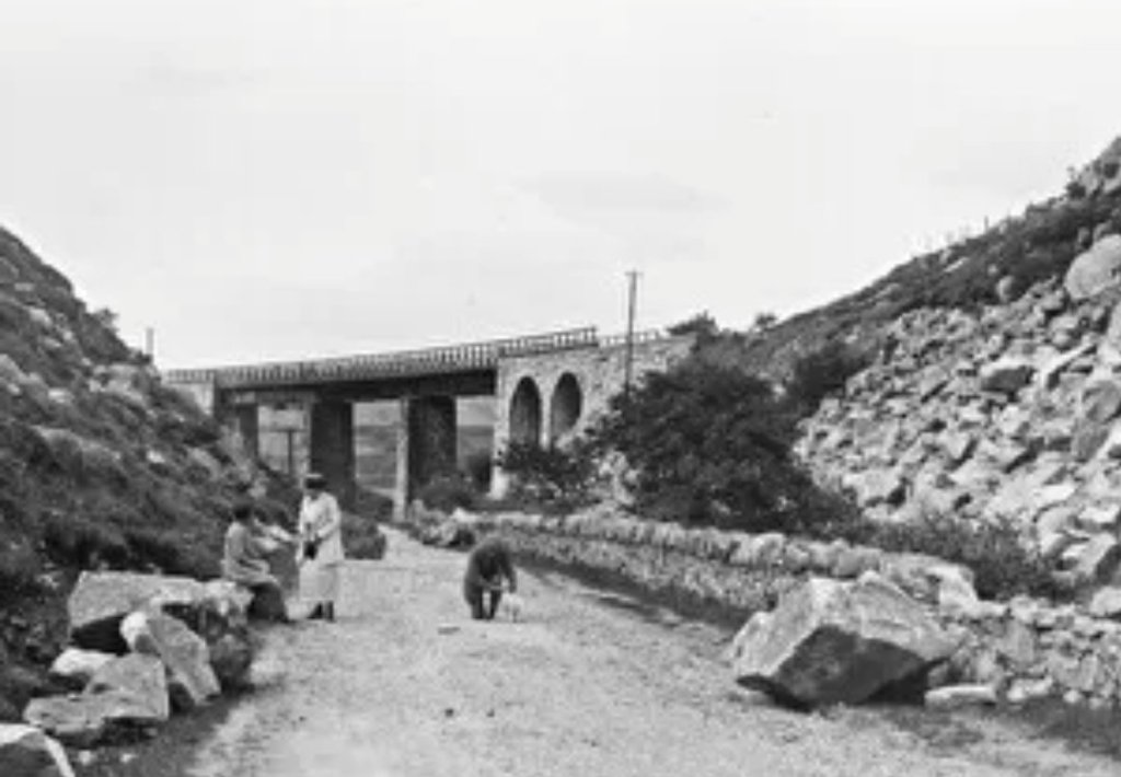
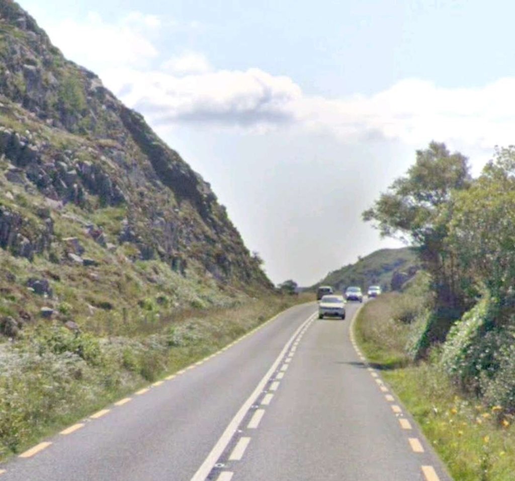
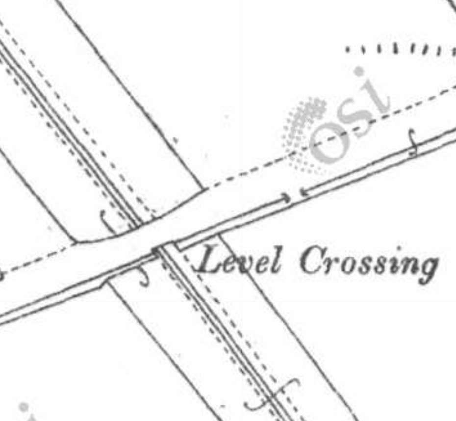
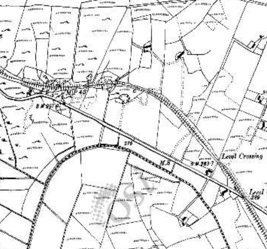
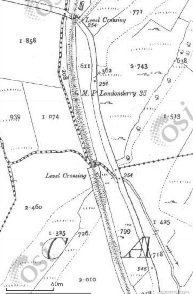
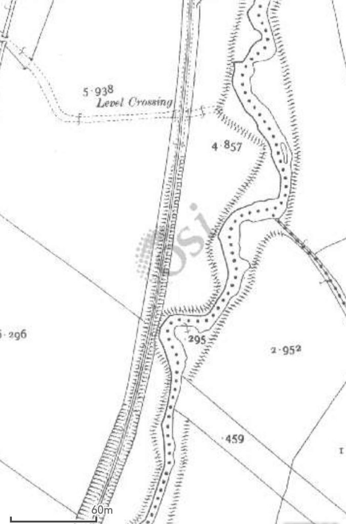
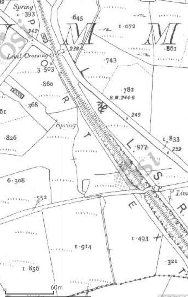
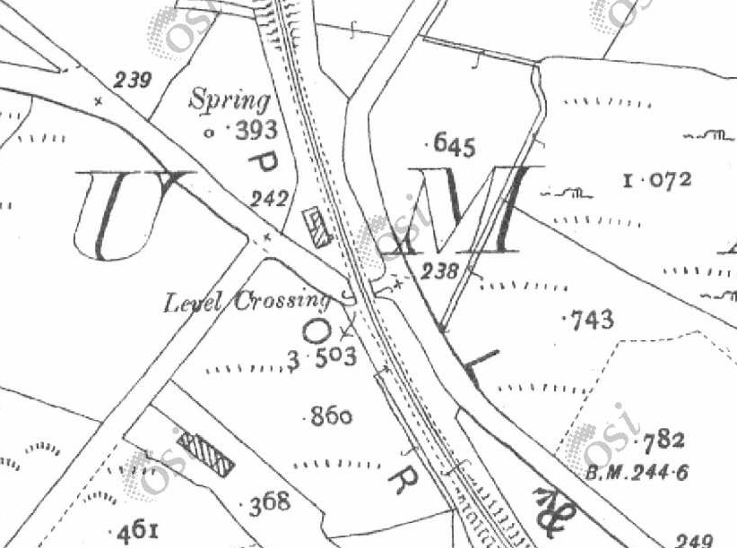
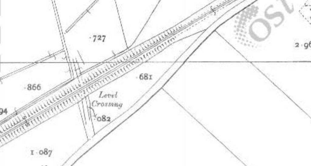
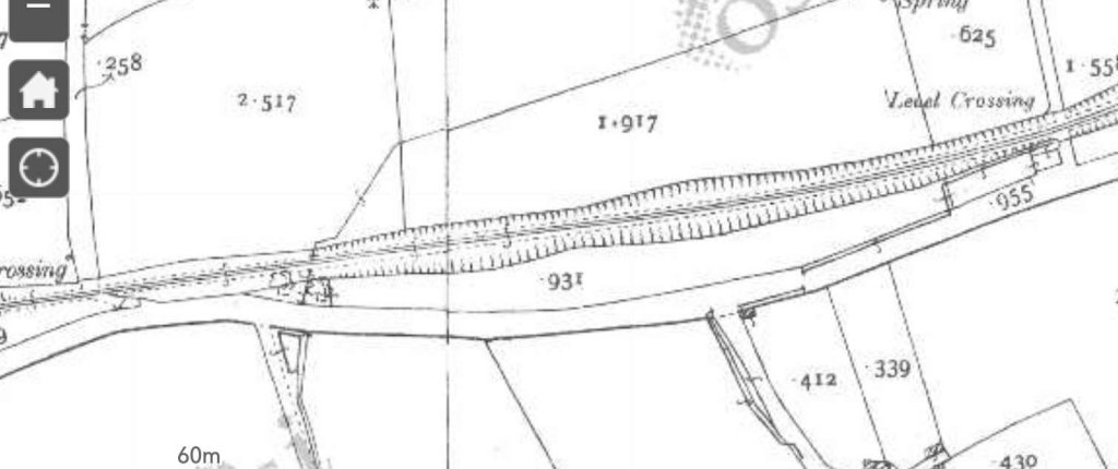
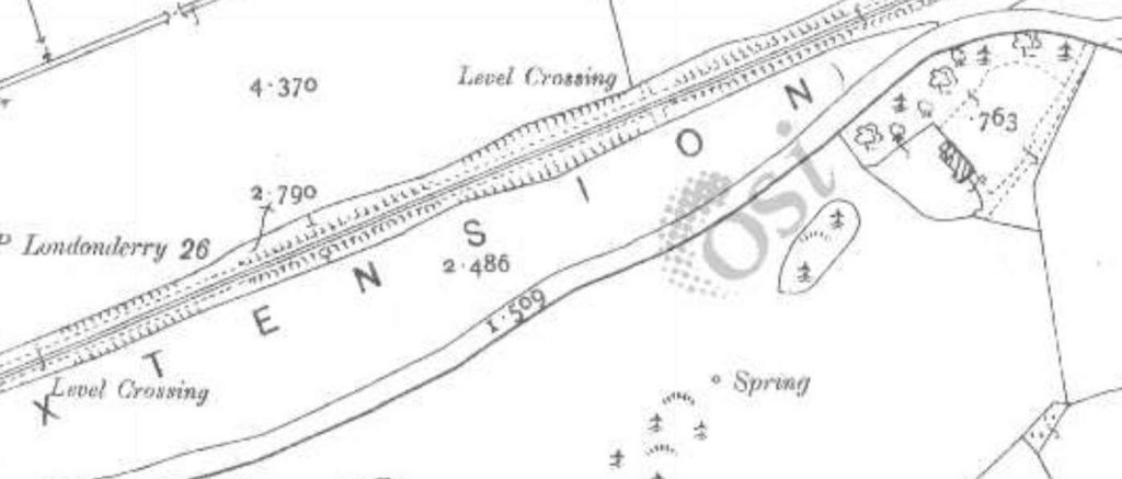
Barnes Halt was adjacent to the road at this location. This is how it is described on Wikipedia:
“Barnes Halt was not a ‘station’ in the ordinary sense. It was simply a stopping point at the level crossing across the Kilmacrennan-Creeslough road, a few miles north of Termon. There was no station building or platforms, only the embankment on which the rail track ran, and the house occupied by the railway employee responsible for manning the level crossing gates.” [5]


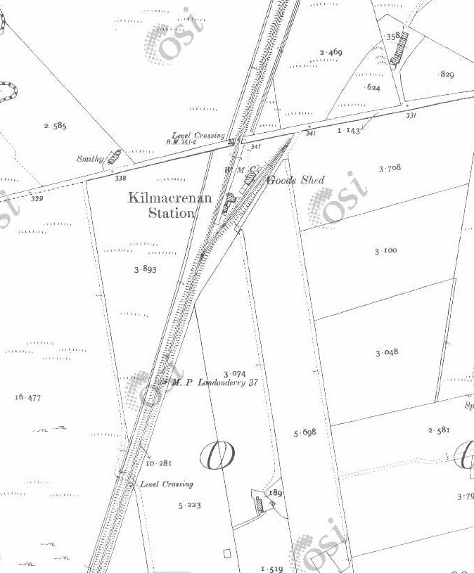
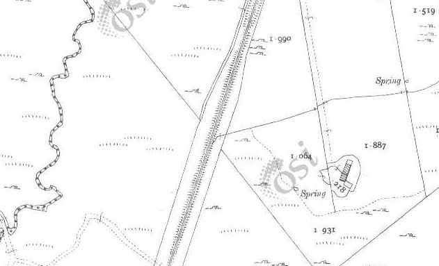
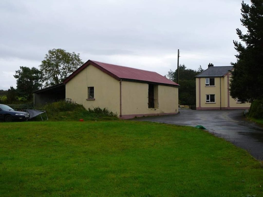
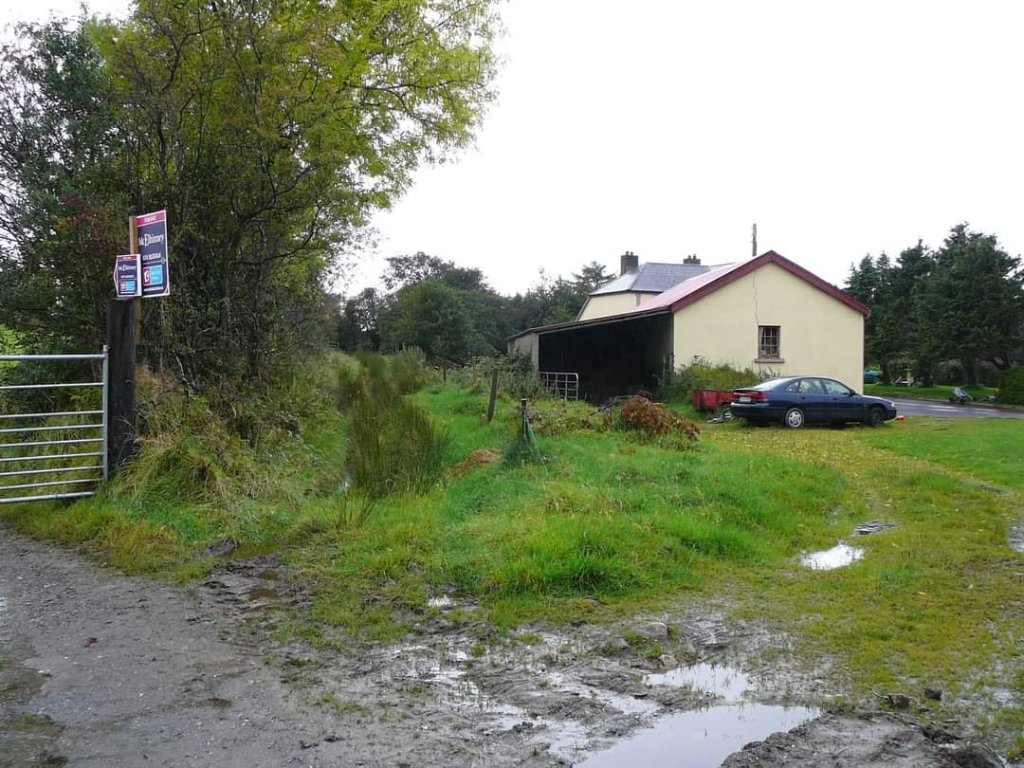
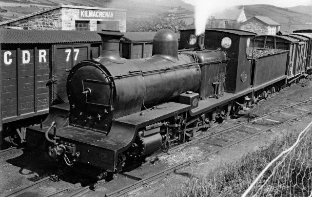
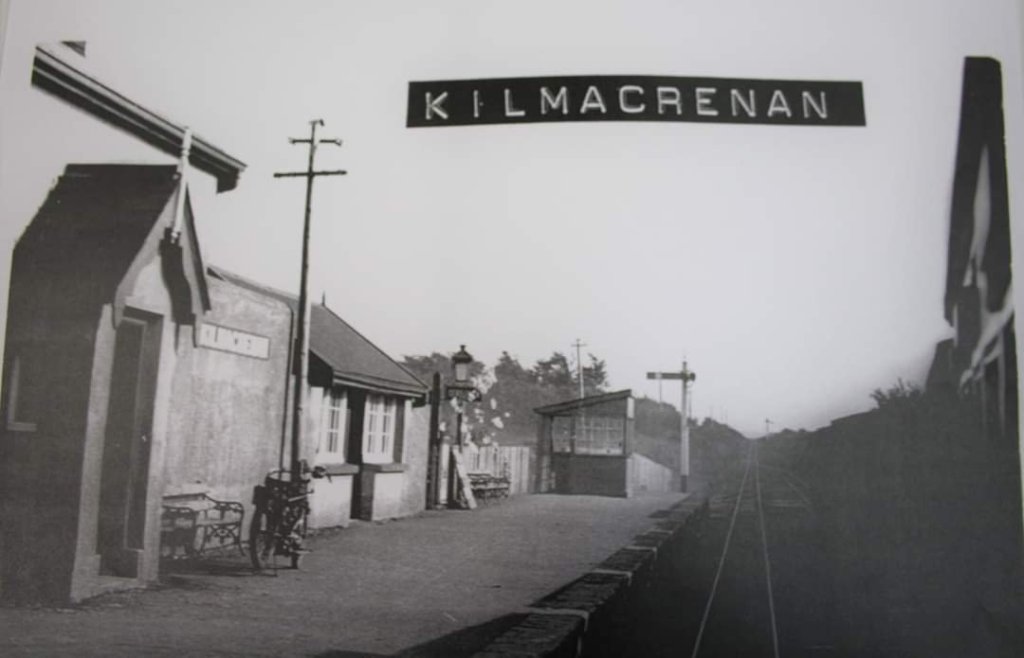
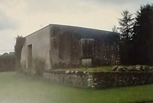
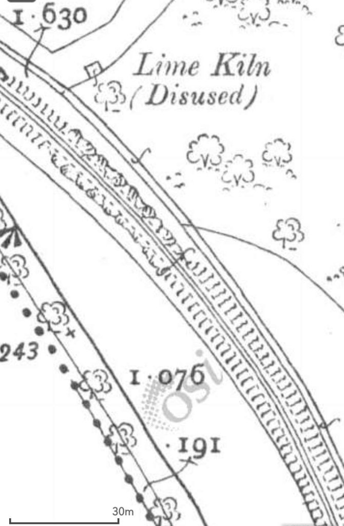
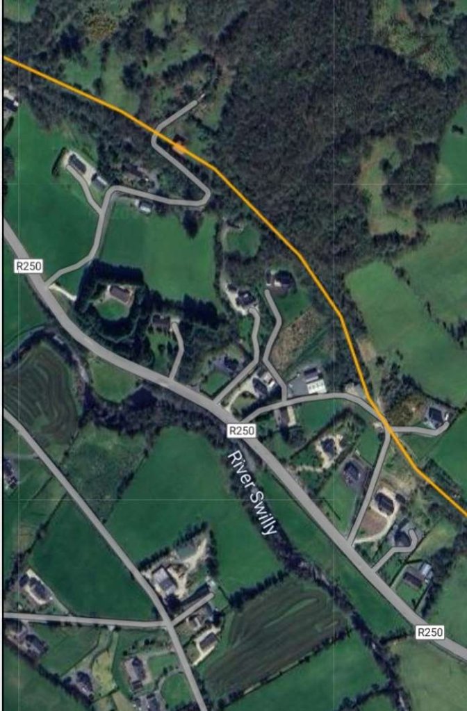
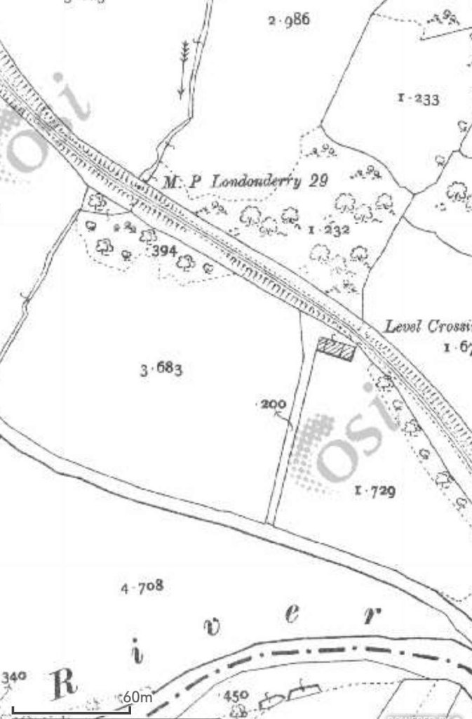
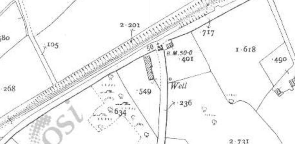
“Kilmacrenan Station was to the west of the town, approximately two miles away by road in the townland of Doon. Nearby is Doon well, which was a pilgrimmage venue which generated passenger traffic to the station. The station building and platform were on the Up side with a goods store and two sidings behind this.” [6]
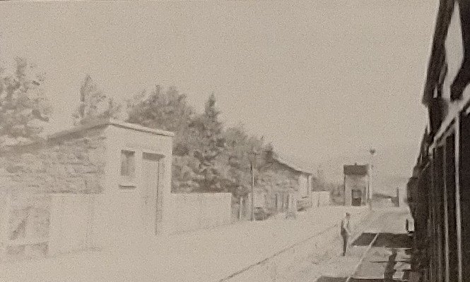
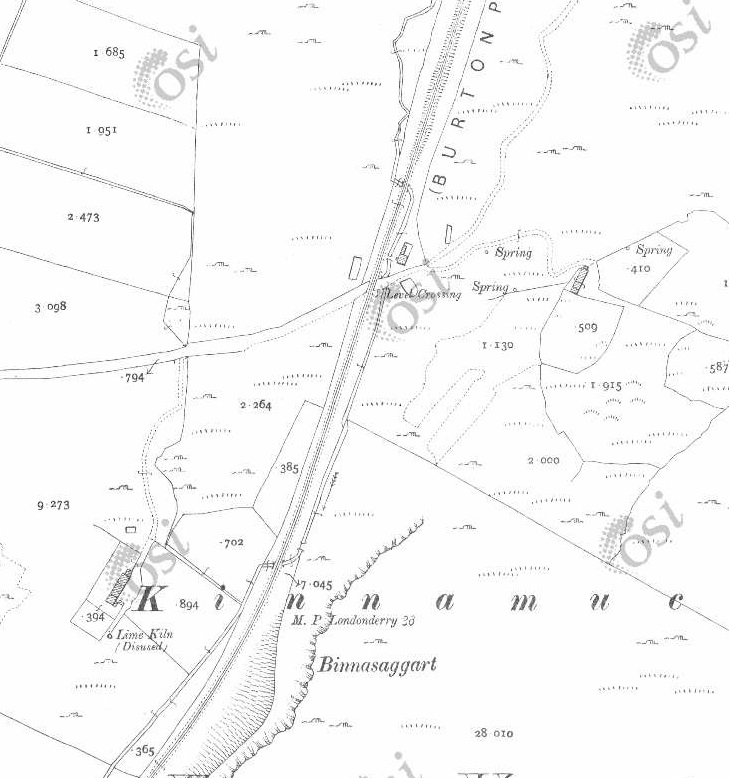

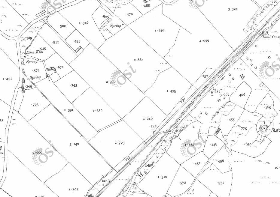
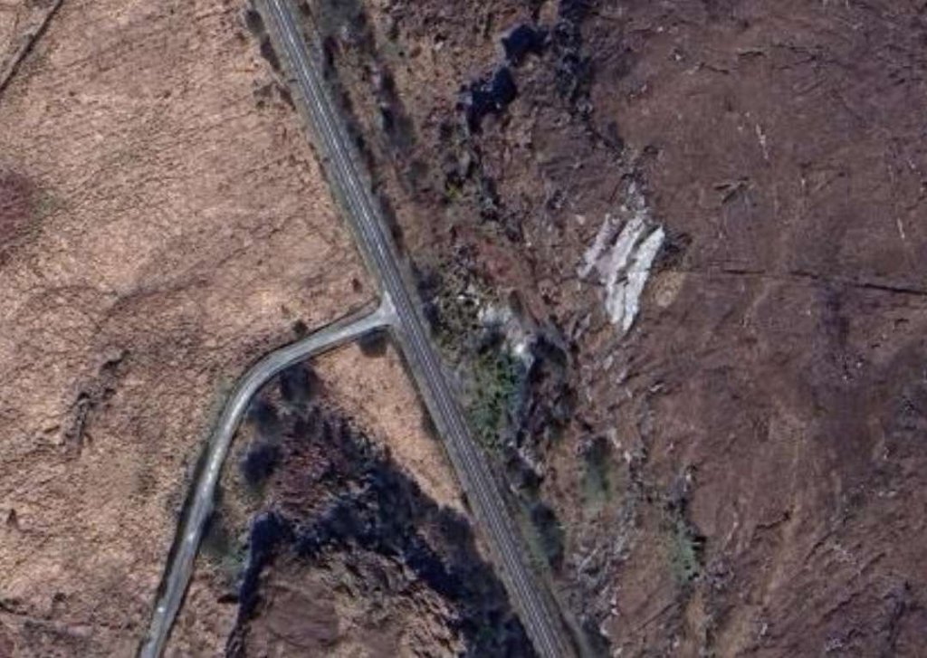
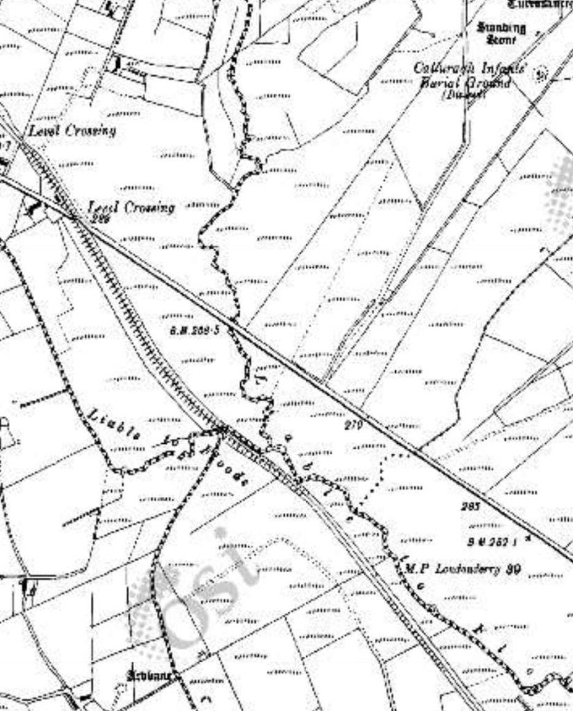
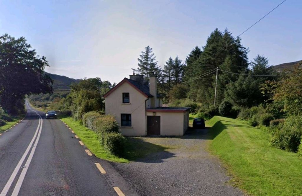
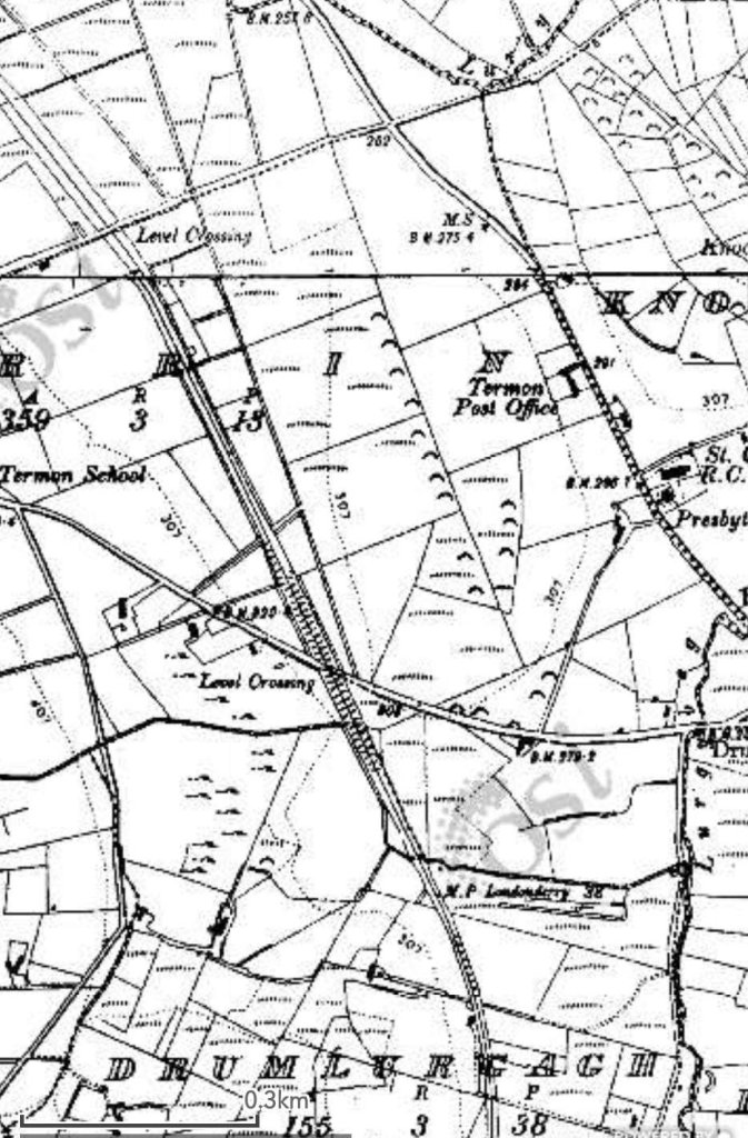
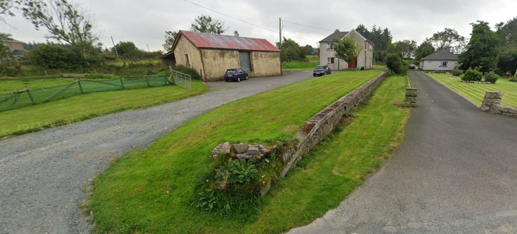
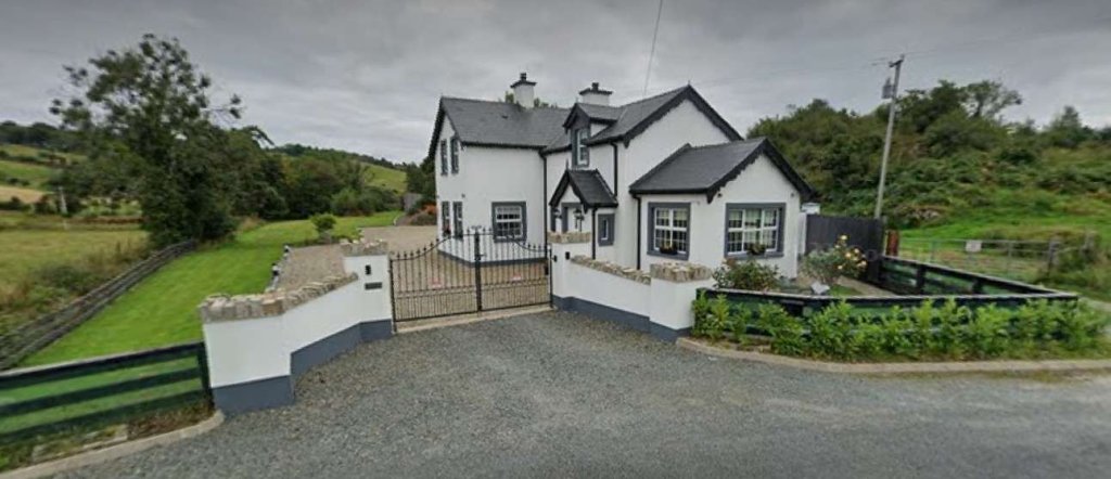
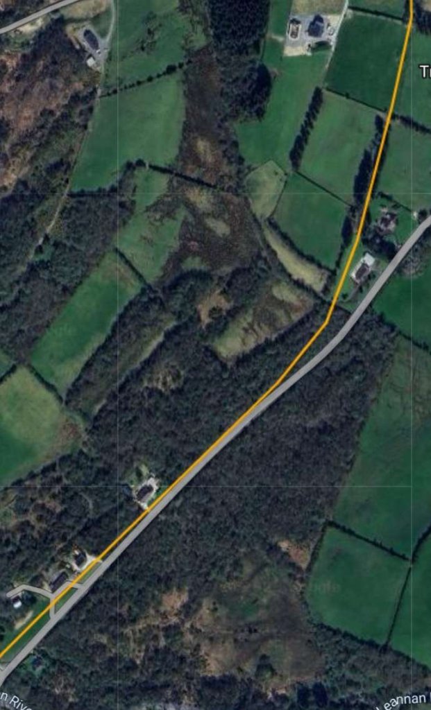
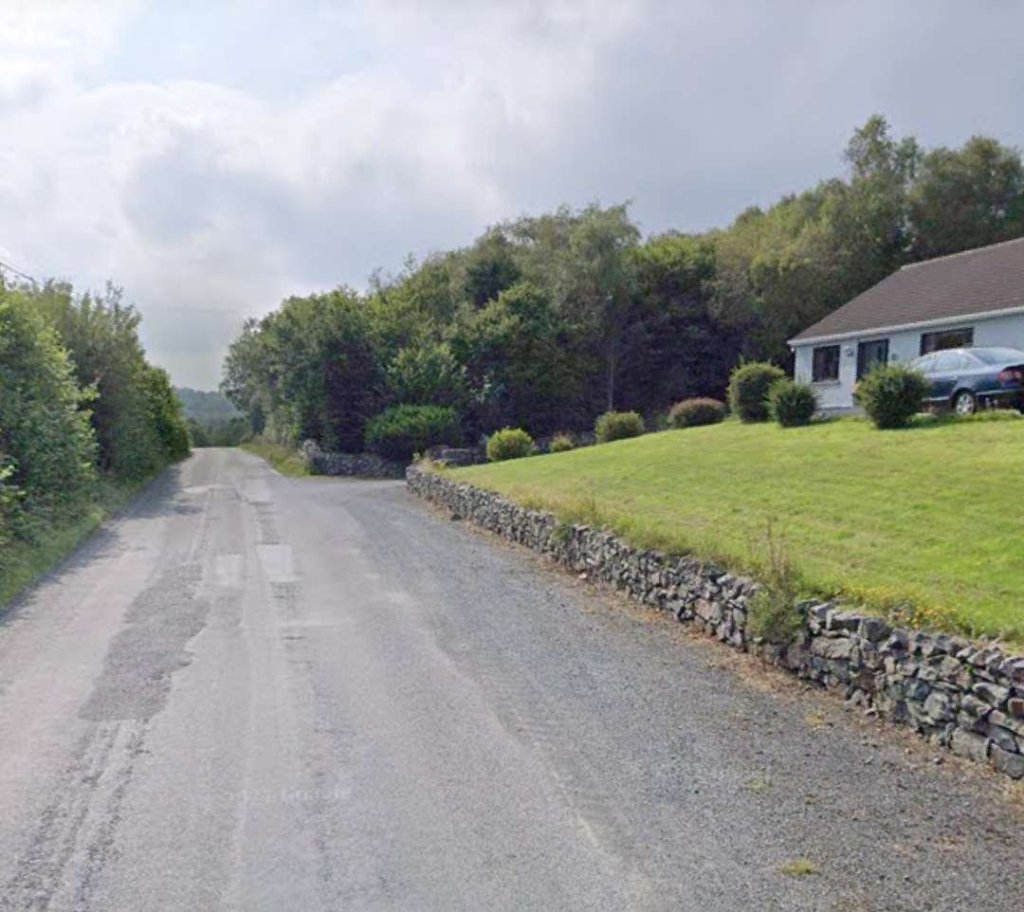
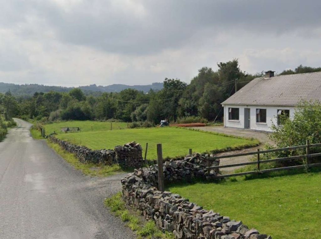
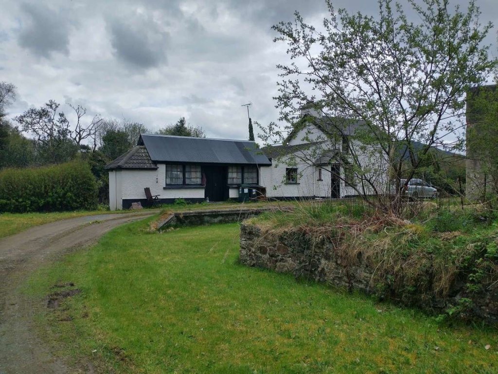
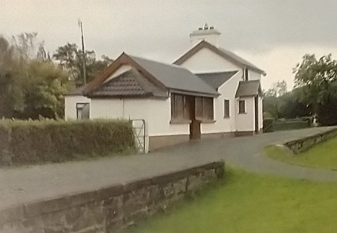
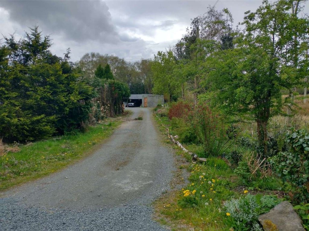
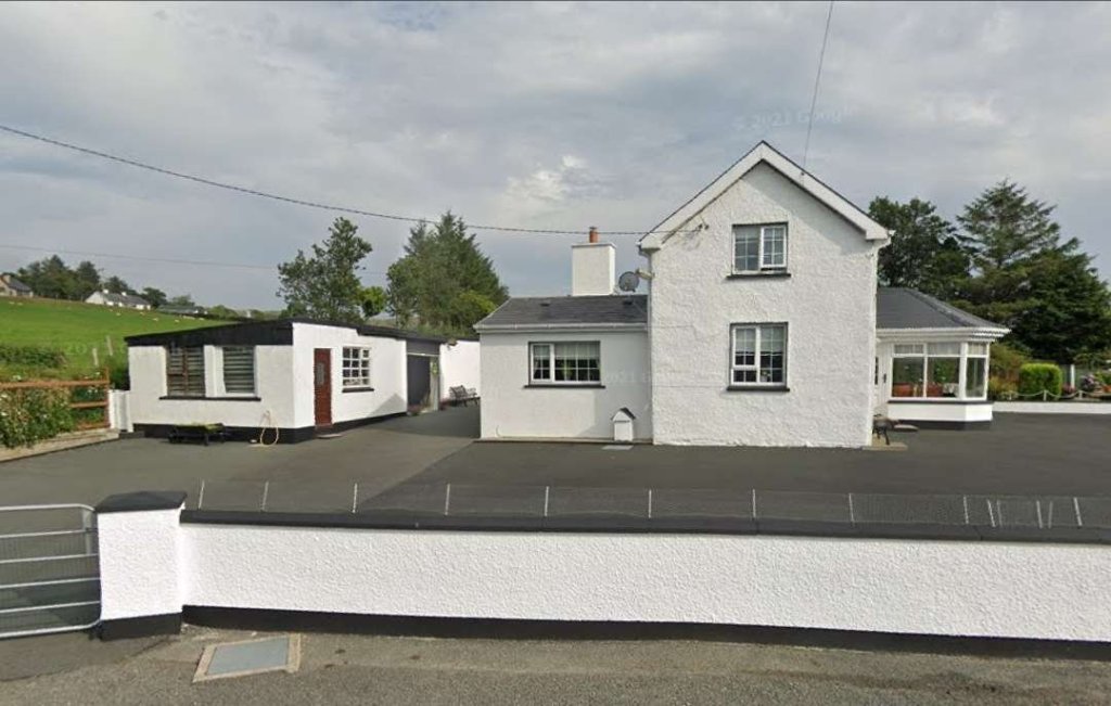
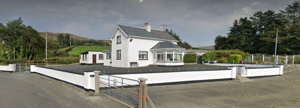
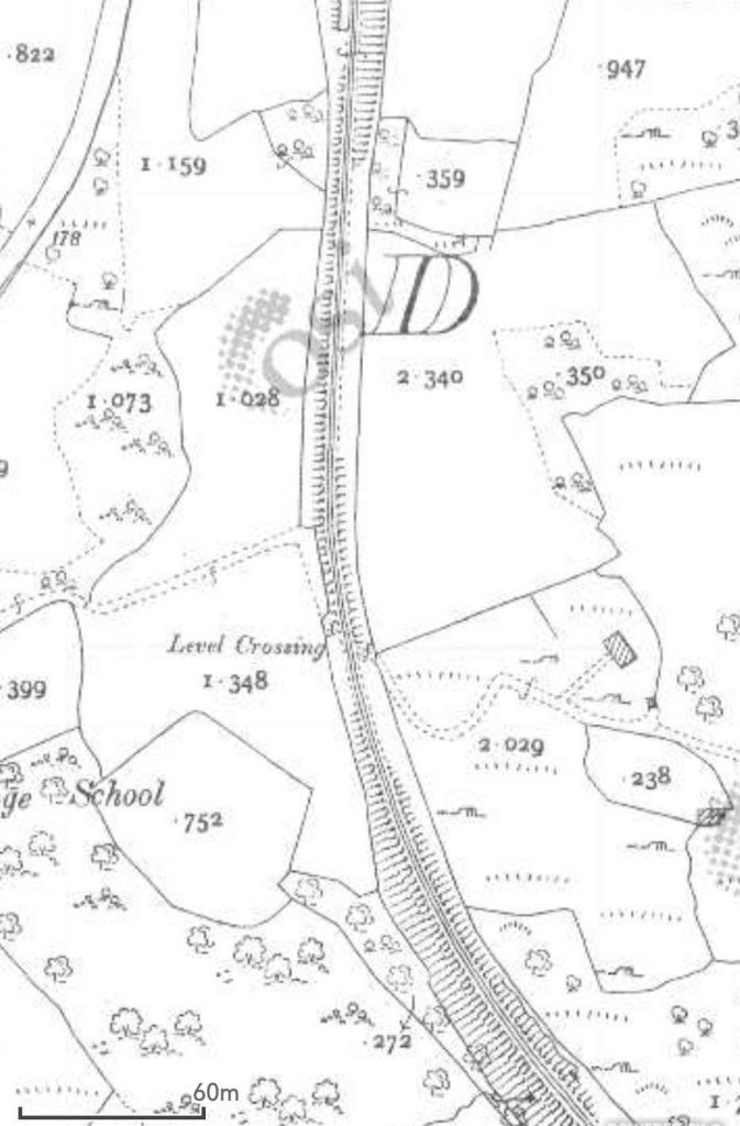
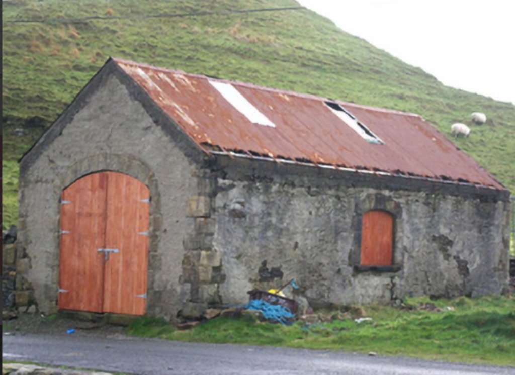
Crossing Cottage No. 5 has been significantly extended since the demise of the line.

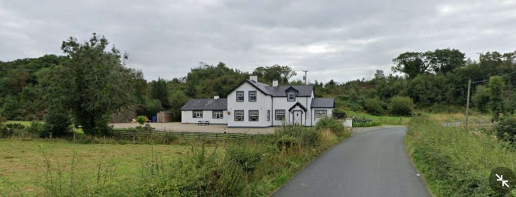
Being at one of the significant crossings along the line warrants us noting the comments about these crossings made by Bell and Flanders: “These Gates were a regular feature along the route of the line and were much more important than the accommodation crossings. … Whereas accommodation crossings were private accessways for local farmers the Gates were placed where the railway crossed public roads and were always staffed – opened and closed – by railway employees who lived in the adjoining houses.
Accommodation crossing gates [where they existed]were kept open for the railway and closed to the farm tracks until someone needed to cross. Crossing Gates, on the other hand were always kept open for the road and closed to the trains until it was time for a train to pass by.
Being a crossing keeper was a good job as it was a steady income, good living accommodation and, as there were few trains even in the railway’s golden days, the work wasn’t strenuous. But crossing keepers did have to know the railway regulations and any special instructions issued from time to time. Crossing keepers were often the wives of railway gangers who had their length of track to check and maintain each day. As the years went by the gated crossings sometimes became regular, though “unofficial” stopping places for passengers and goods.” [1: p61]
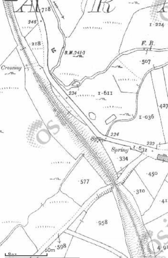

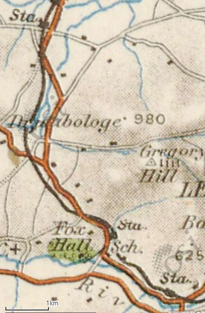
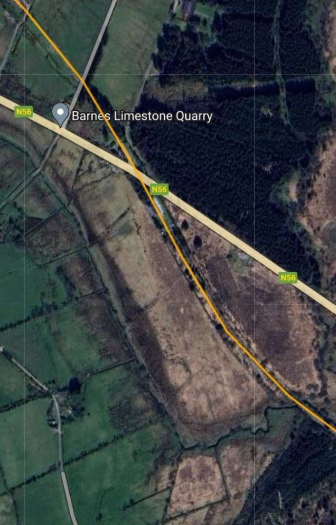
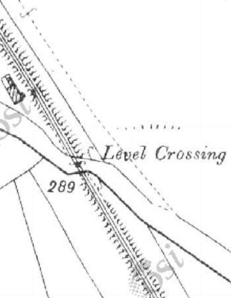
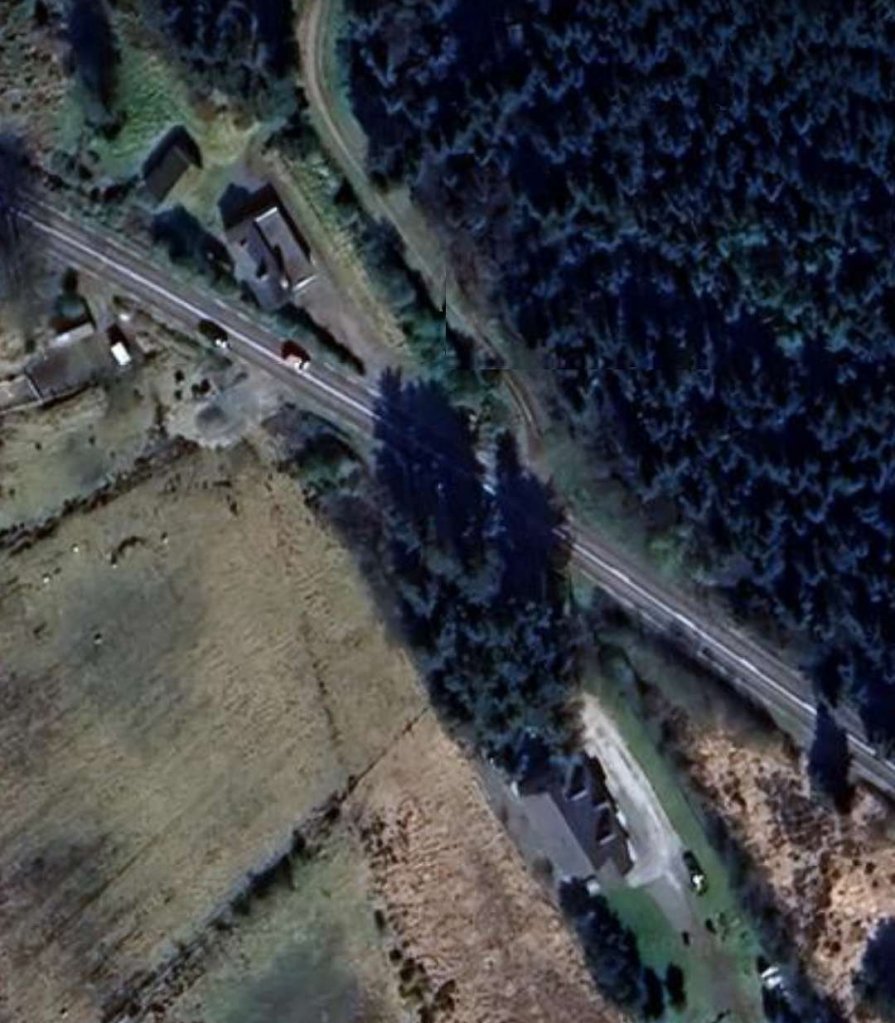
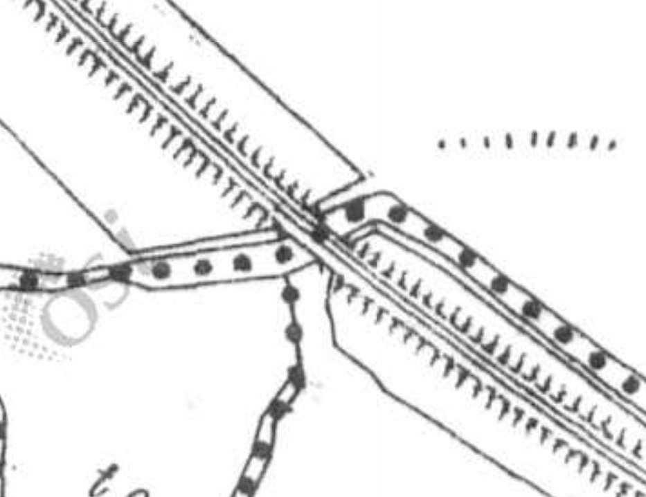
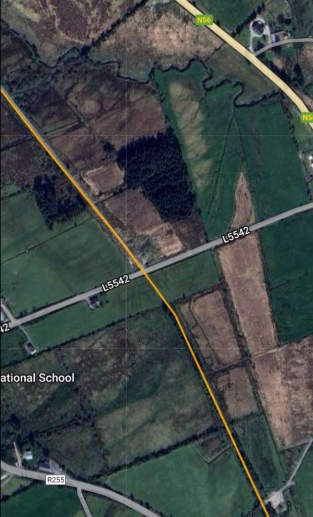
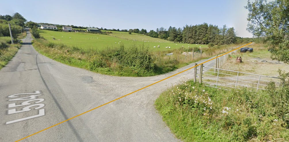
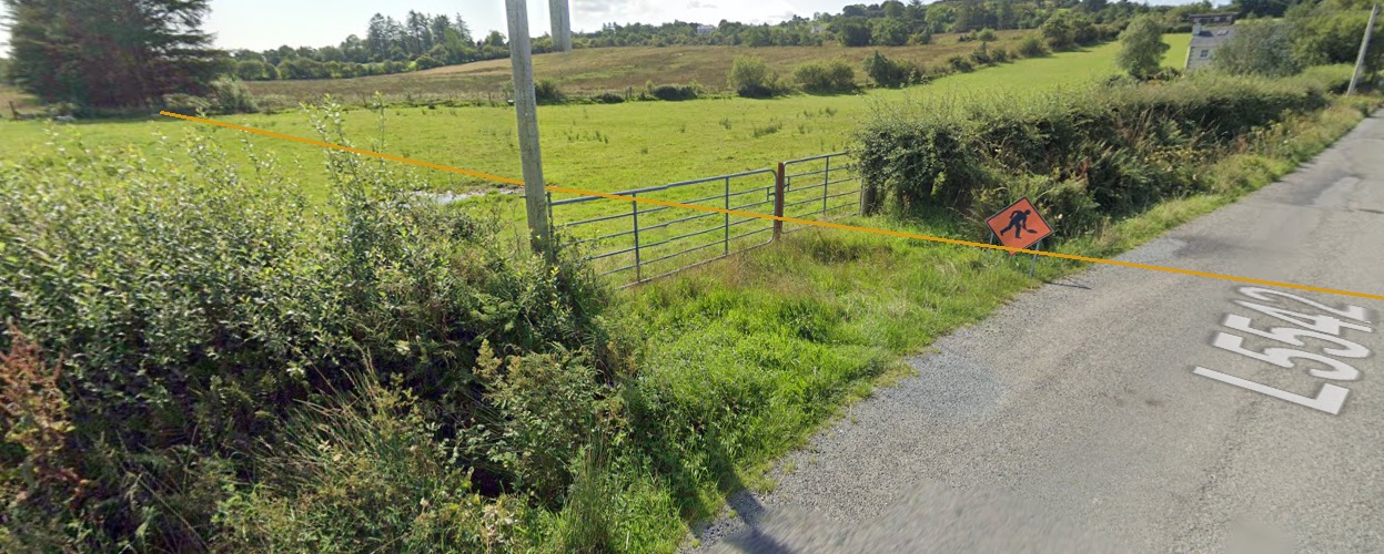
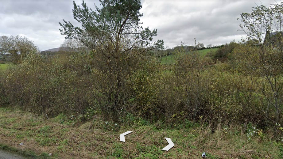
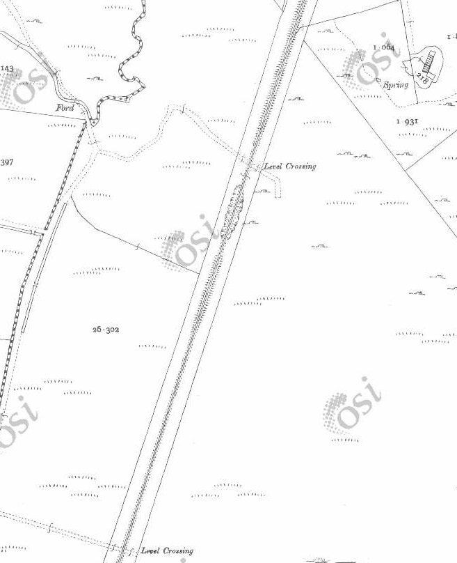
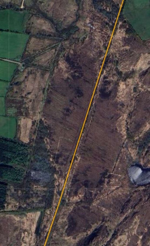
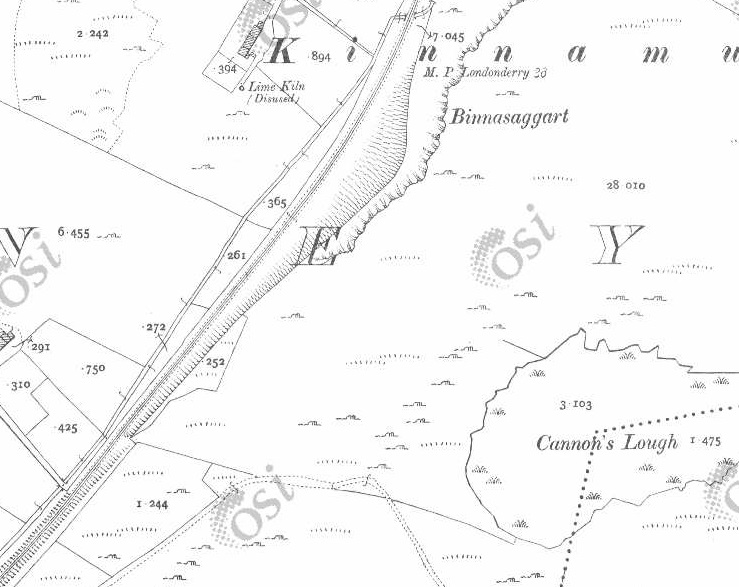
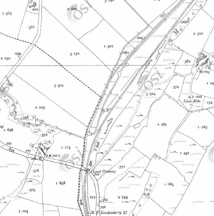
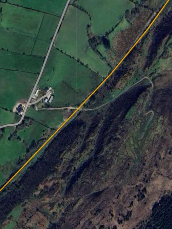
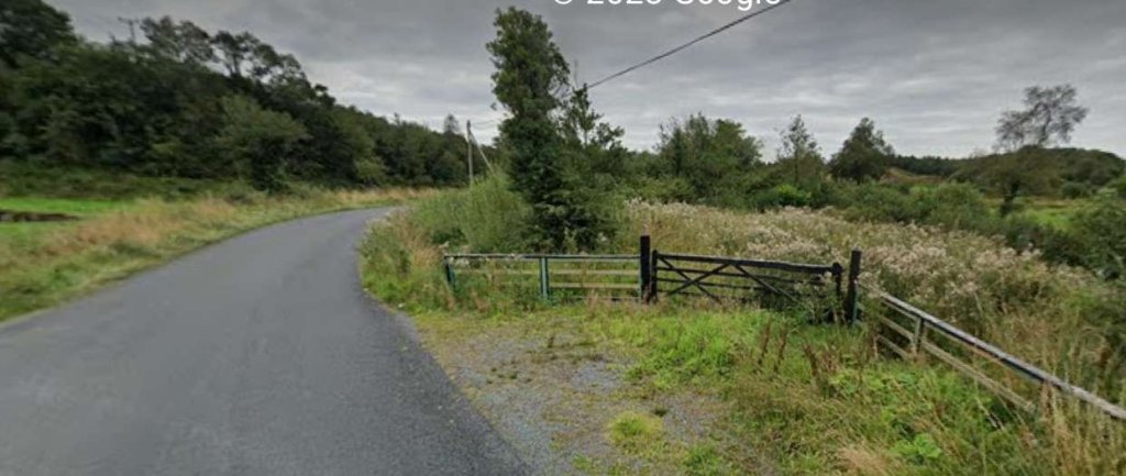
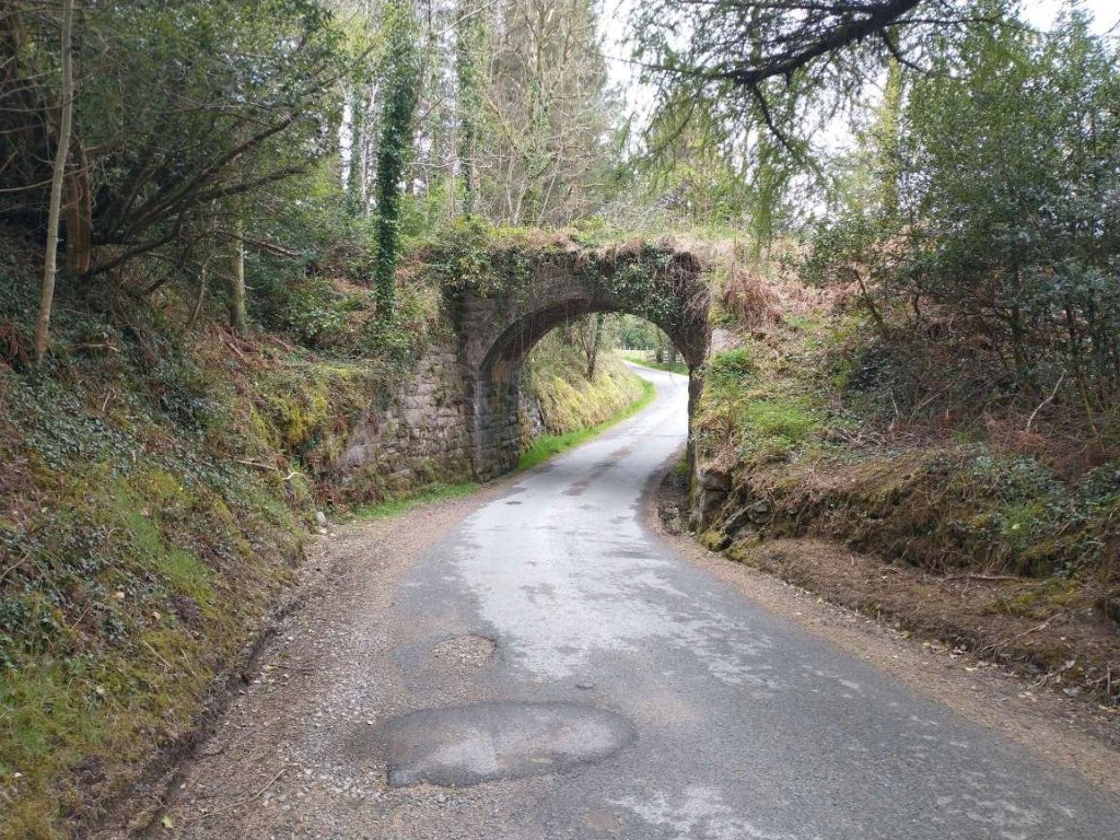
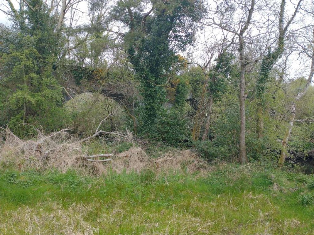
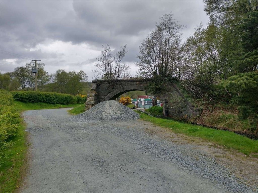
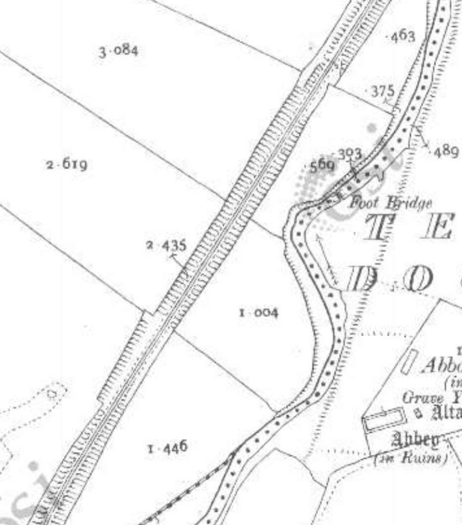
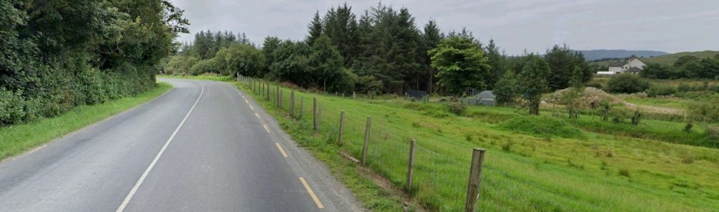
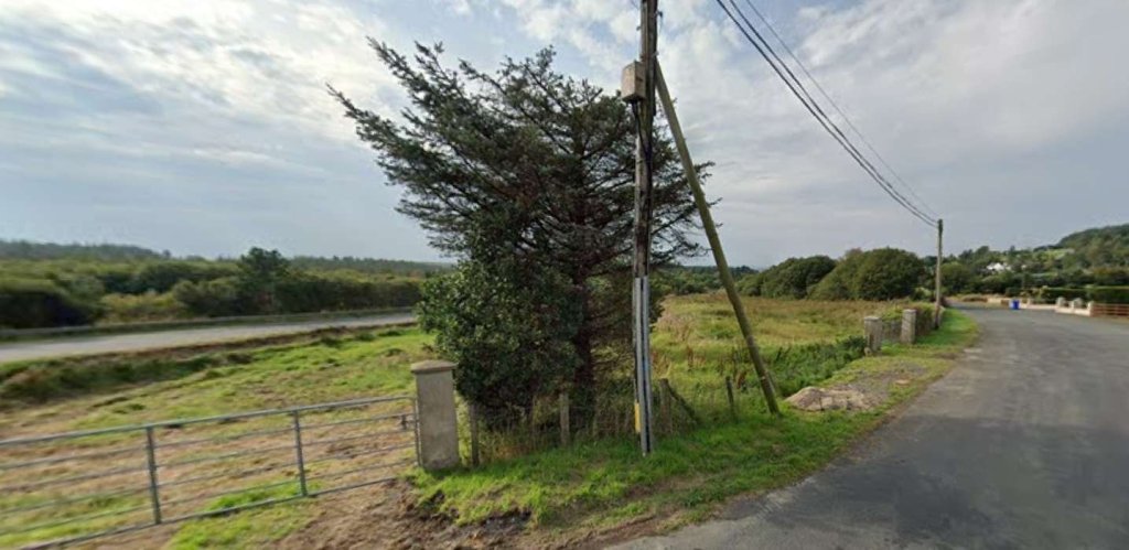
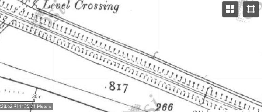
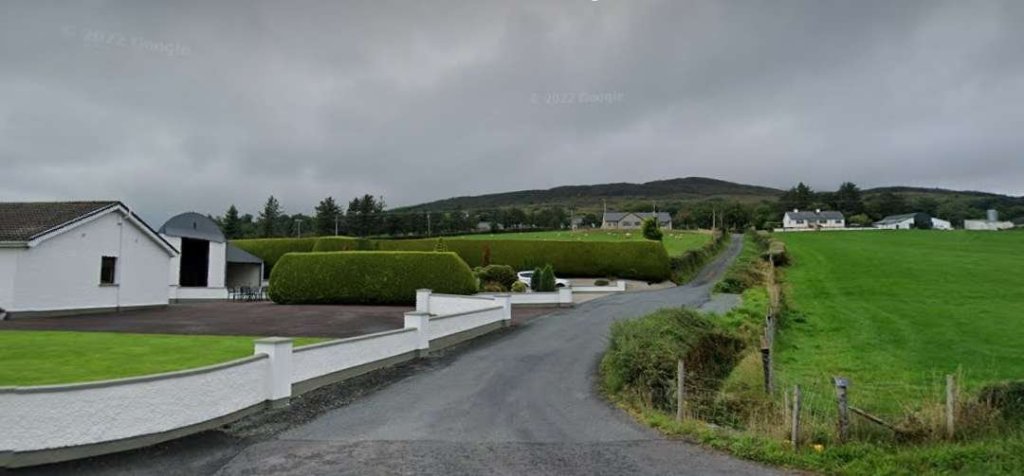
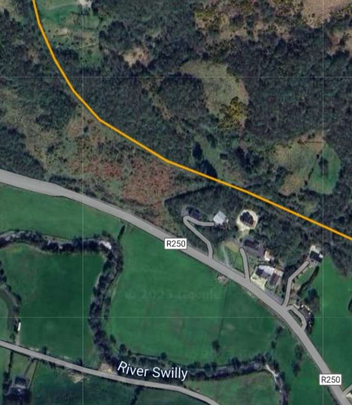
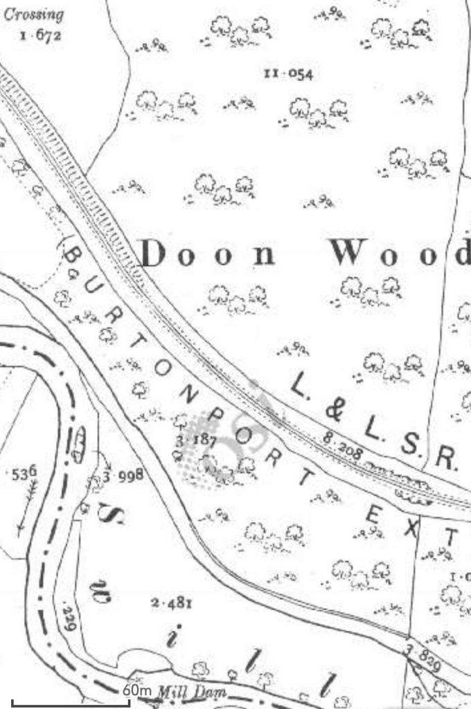
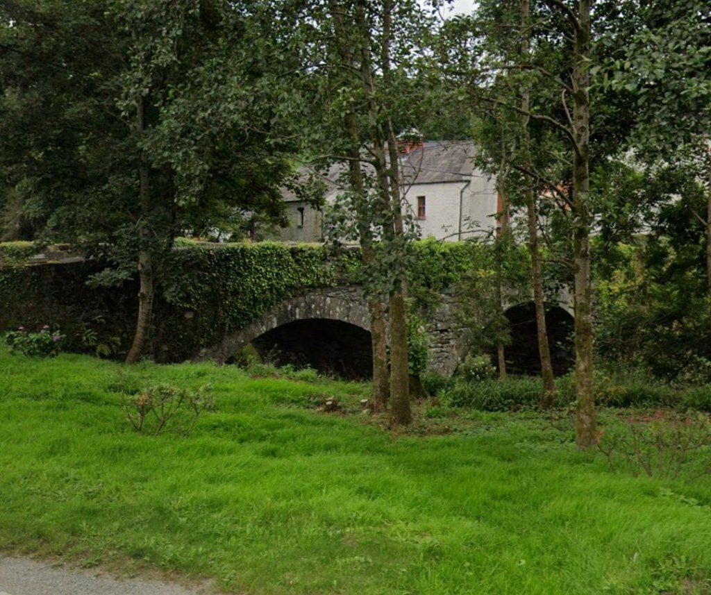
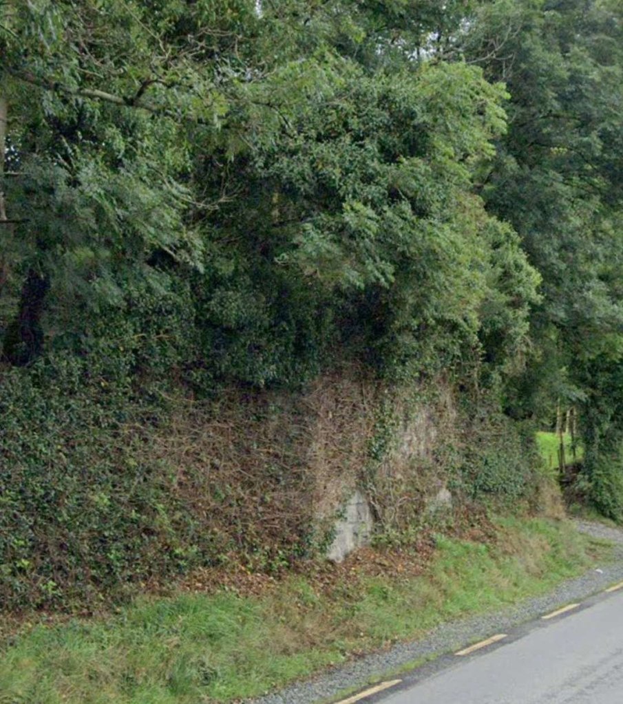
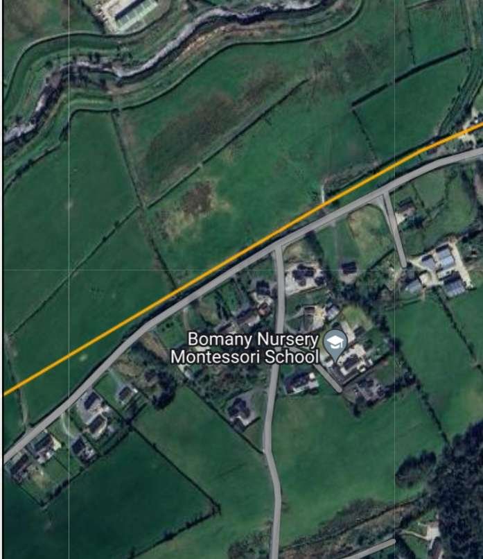
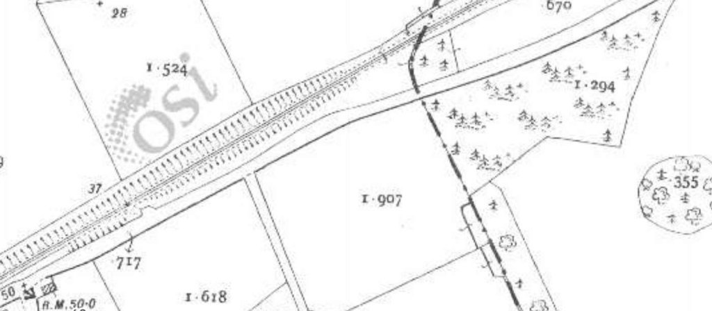
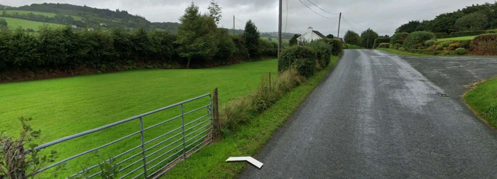
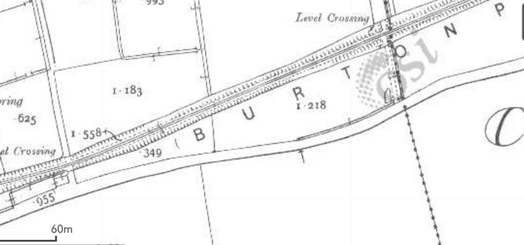
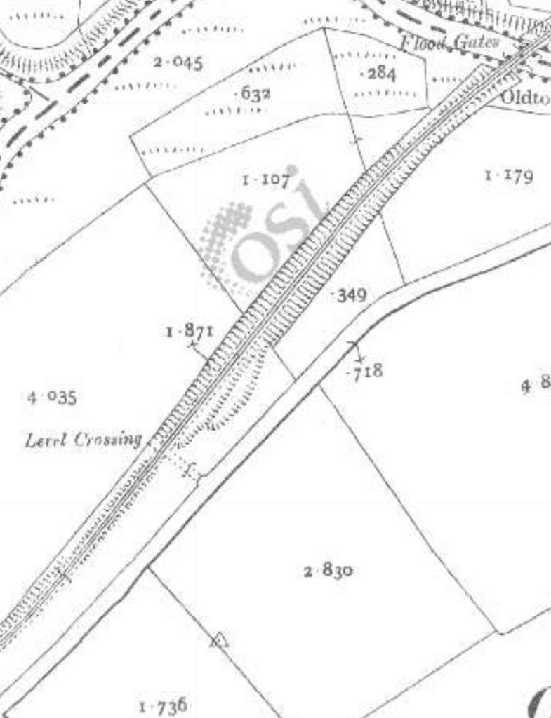
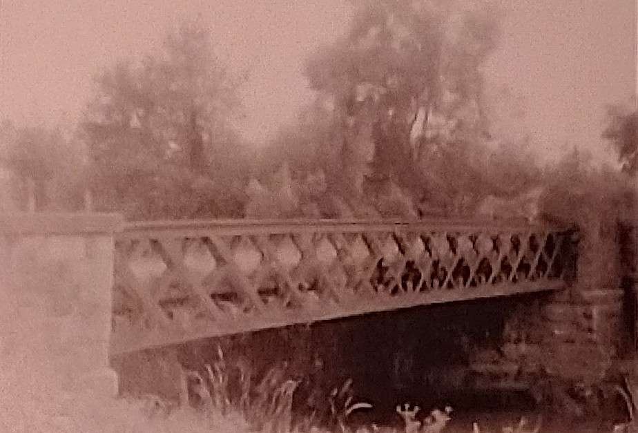
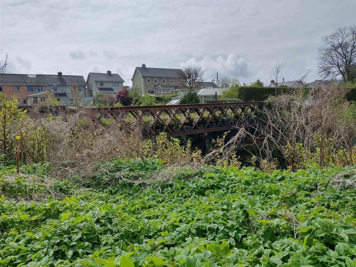
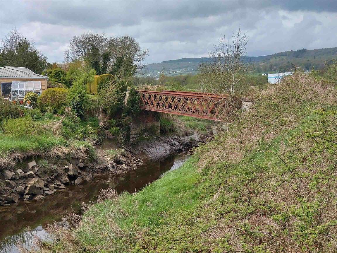
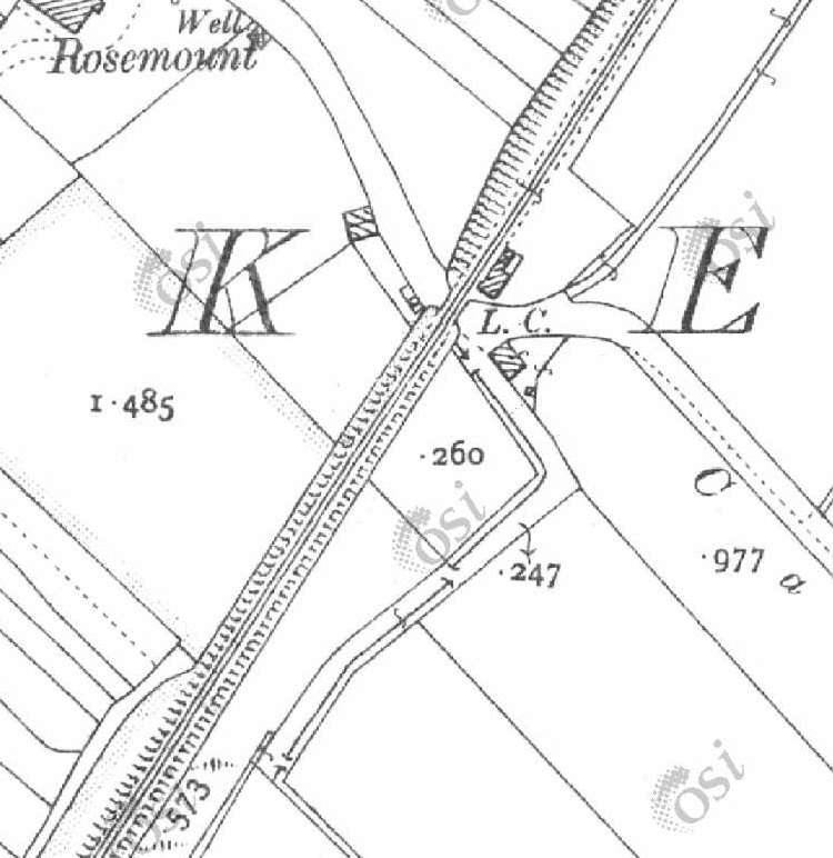
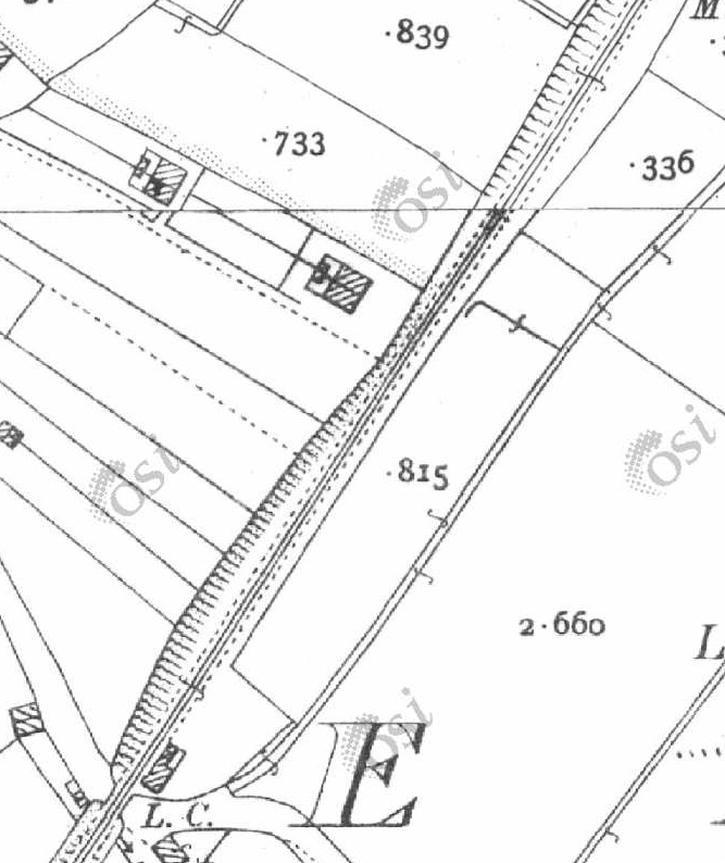
A little further to the South the line crossed a different minor road by means of a stone arch bridge.
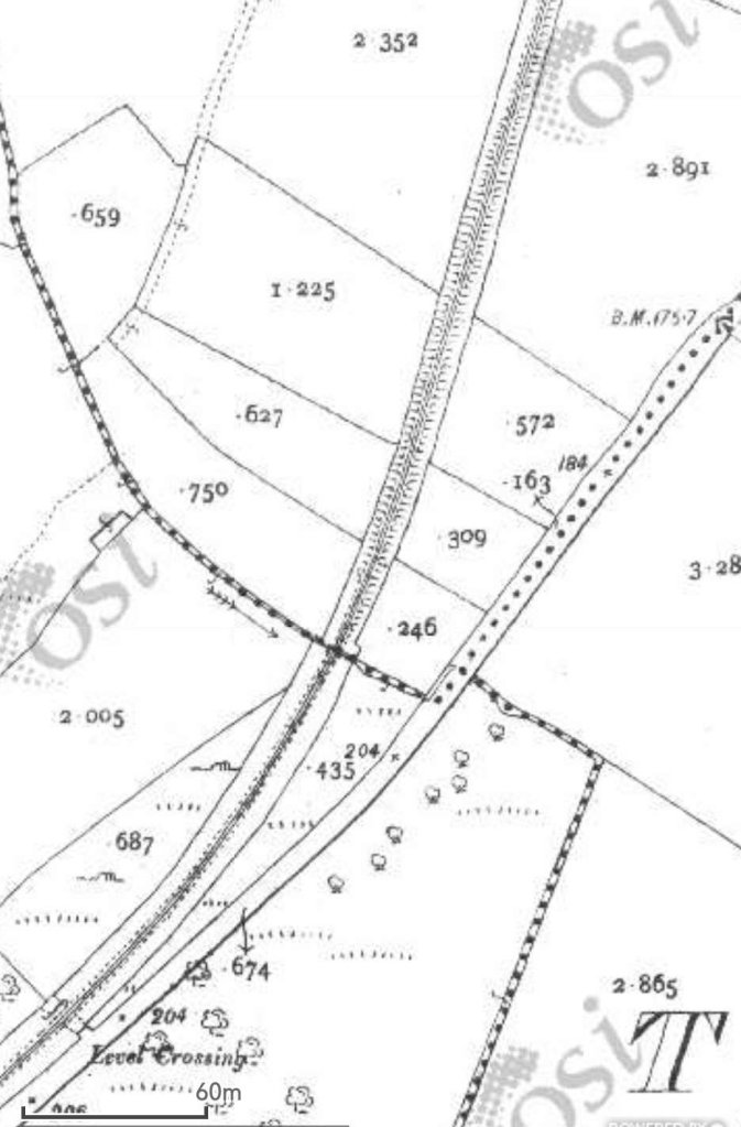

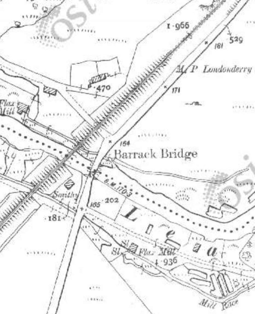
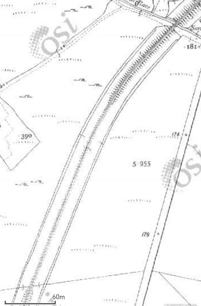
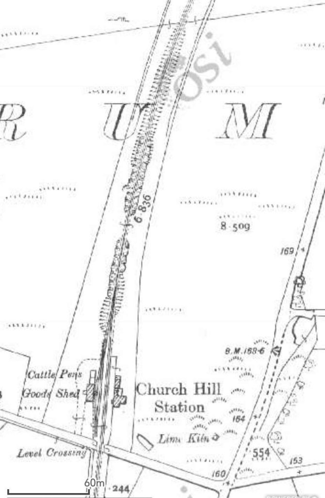
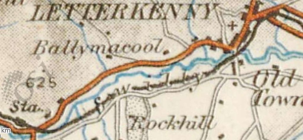
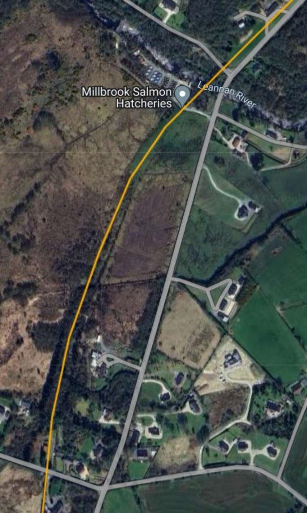
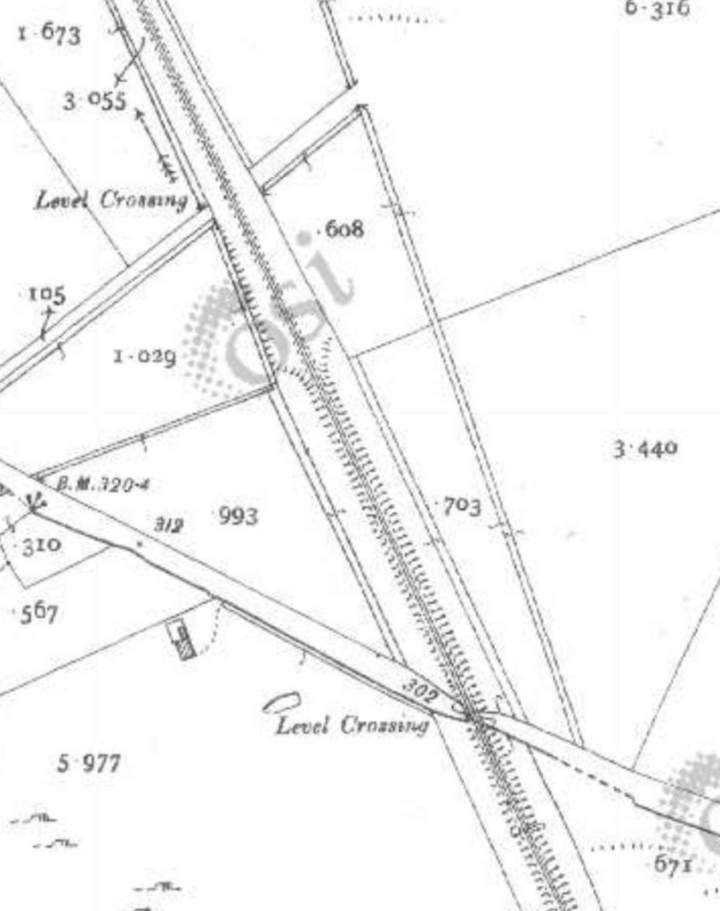
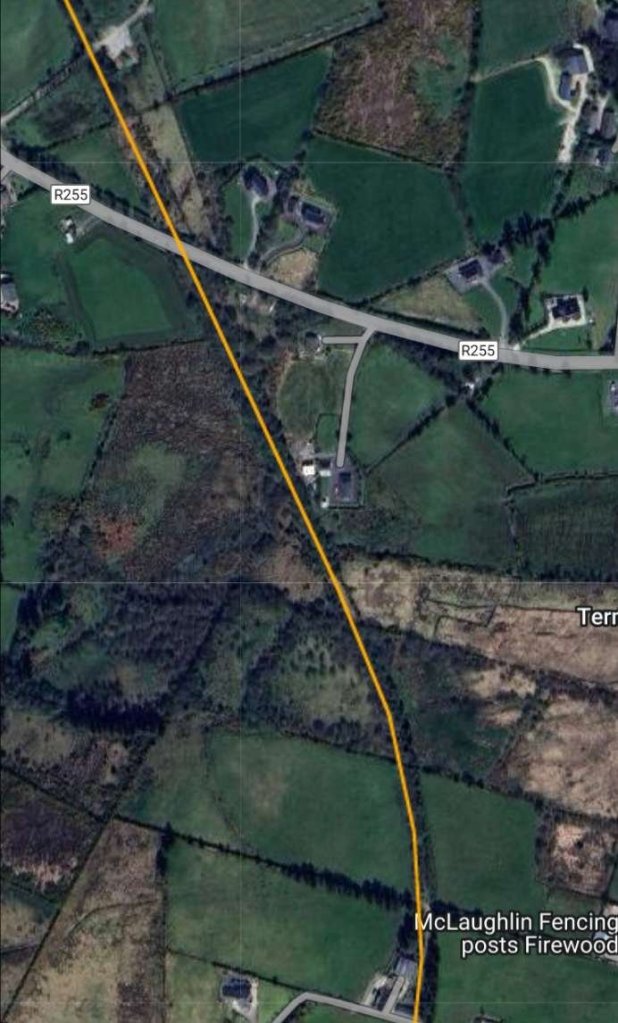
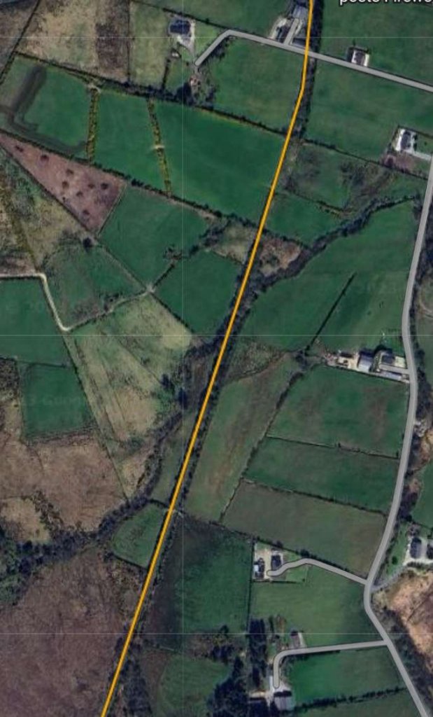
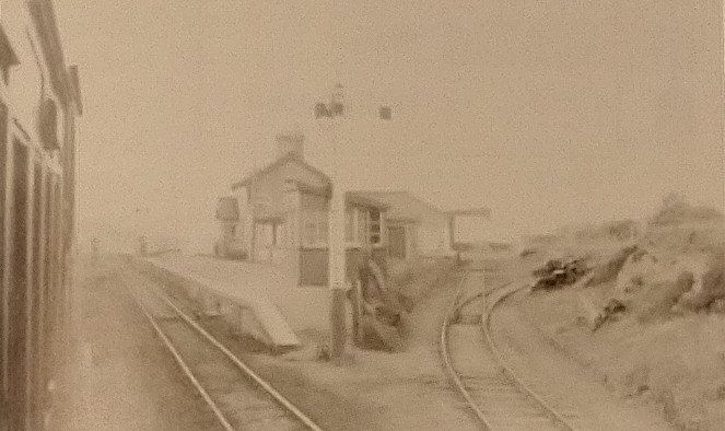
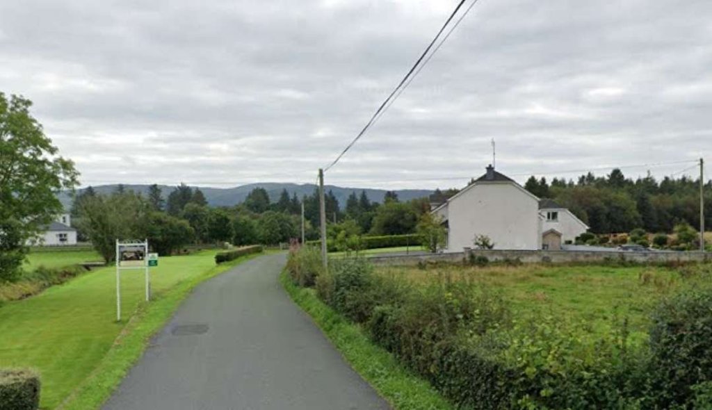
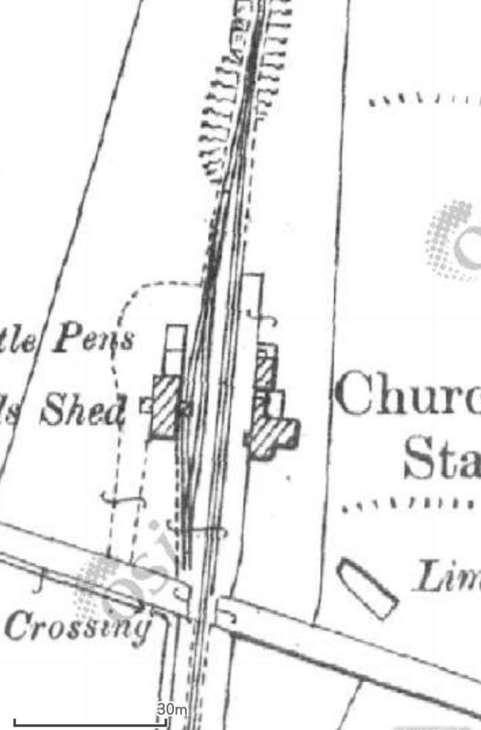
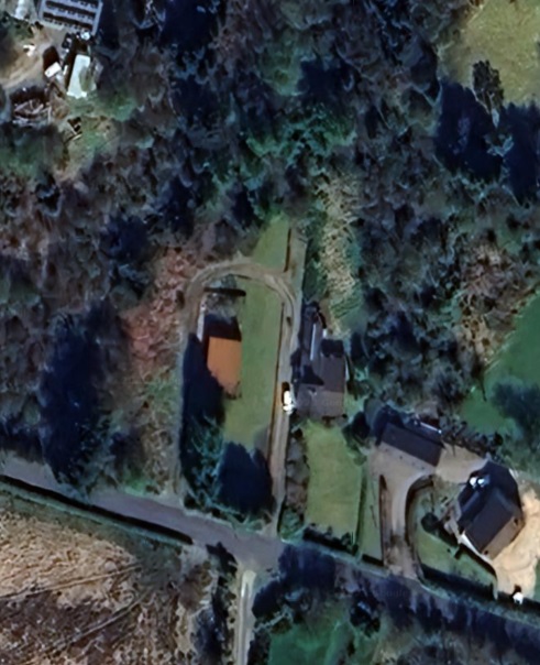
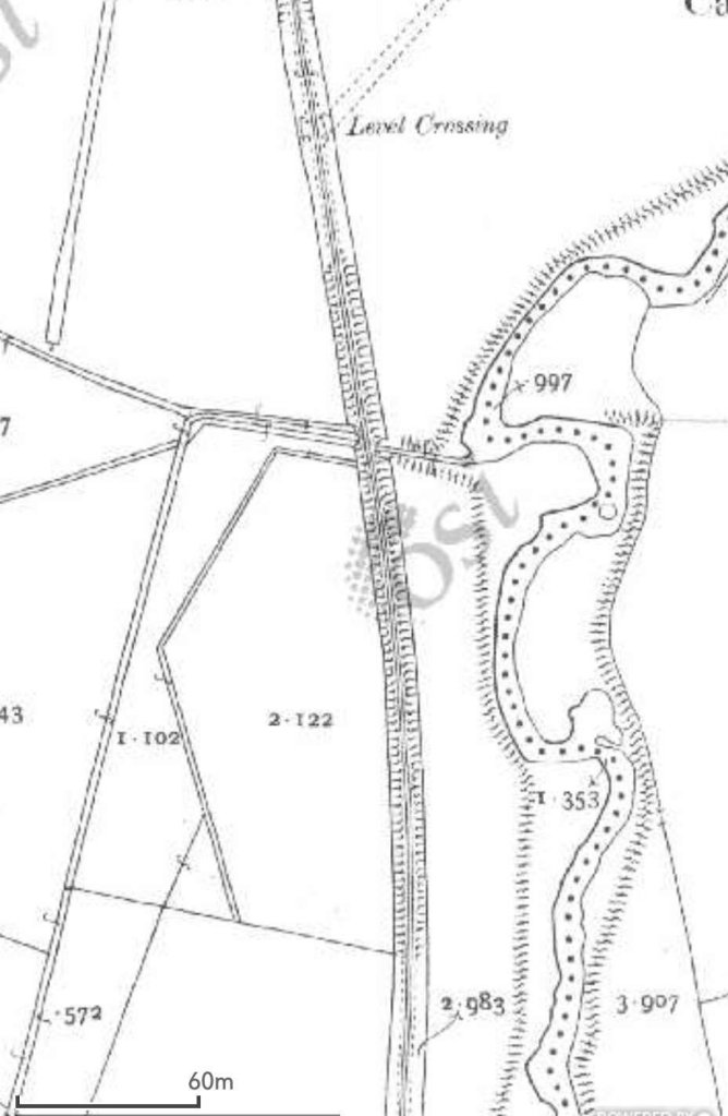
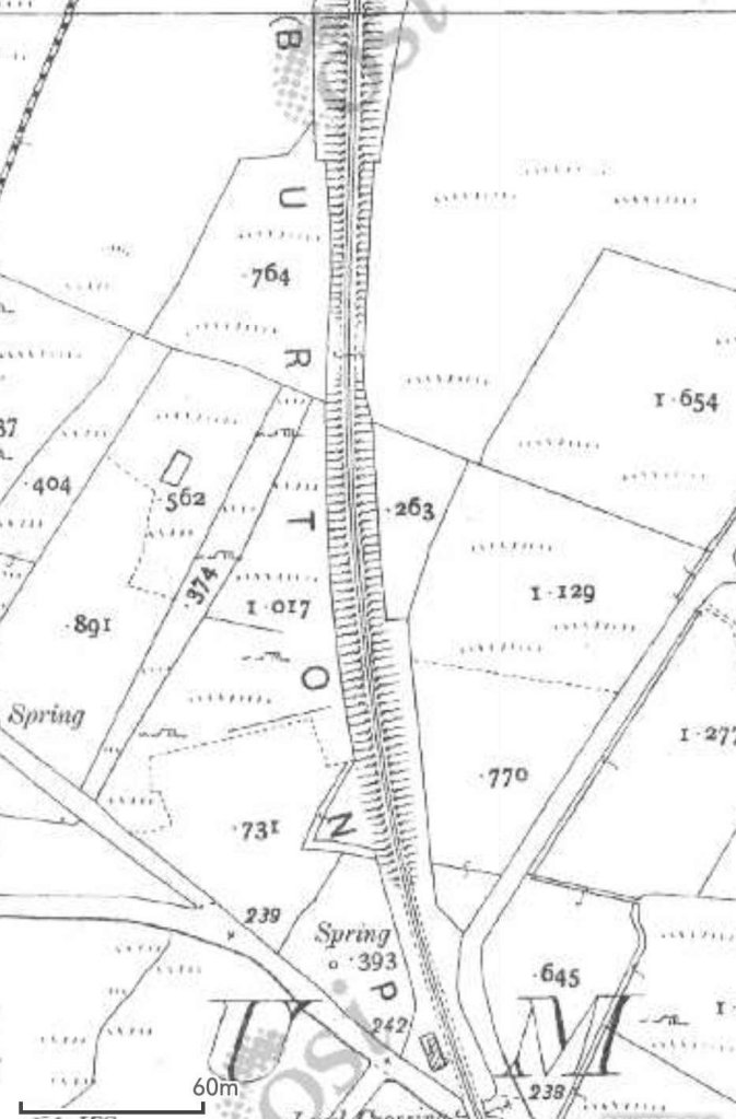
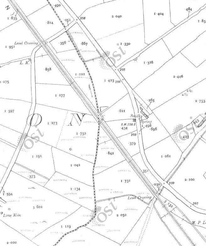
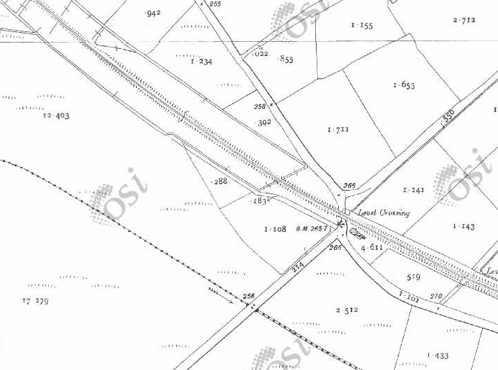
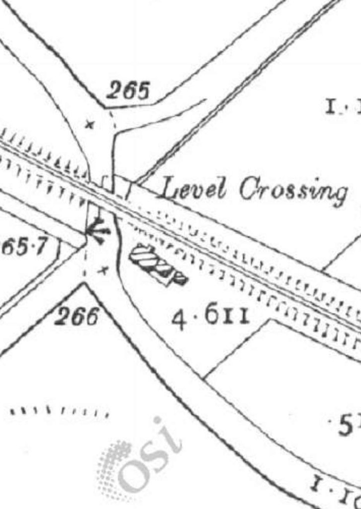
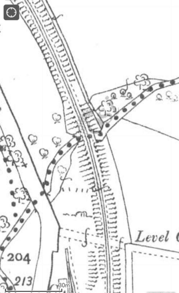
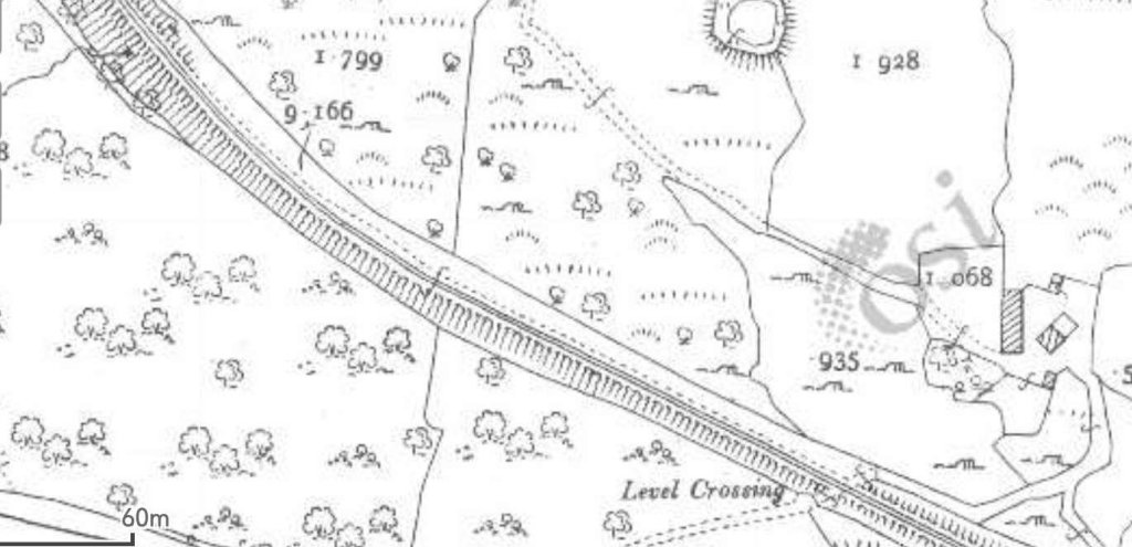
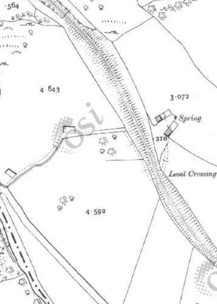
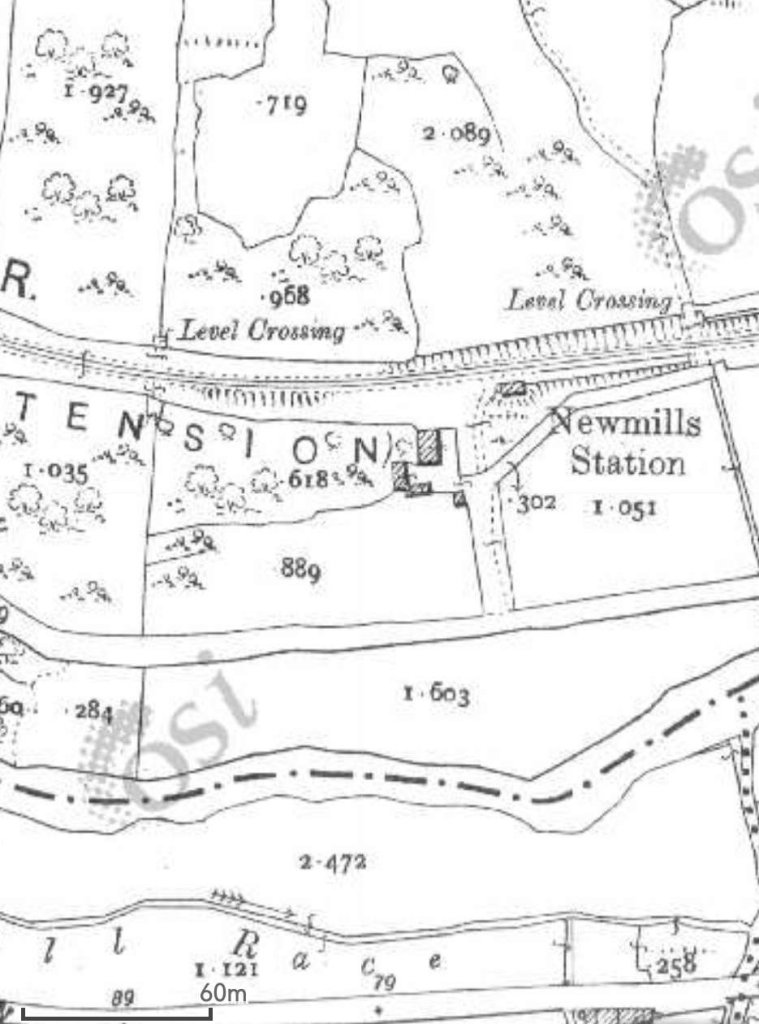
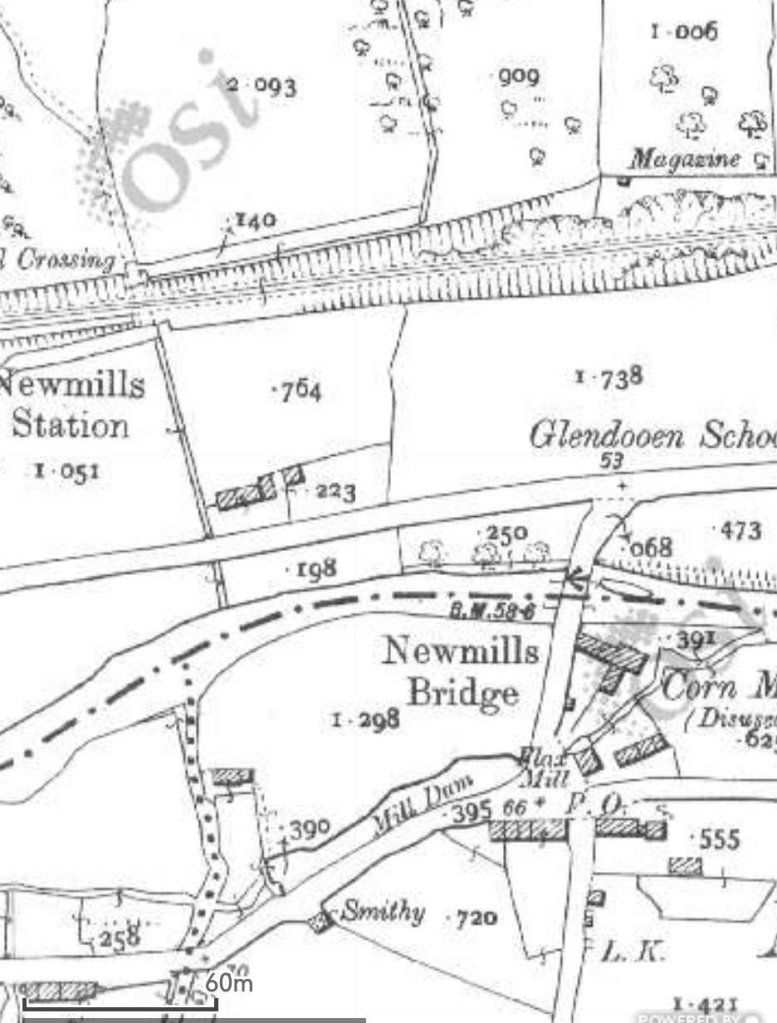
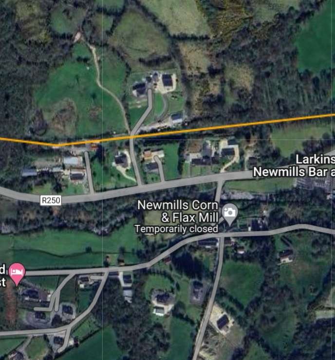
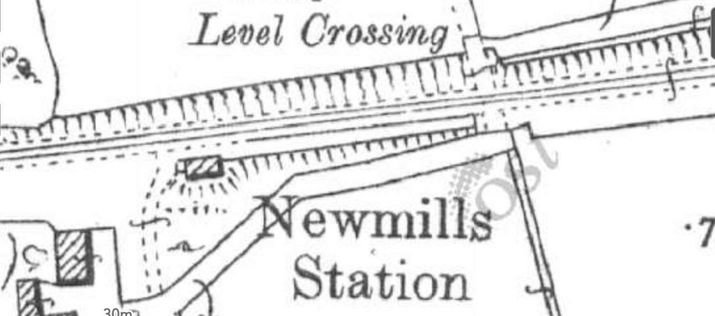
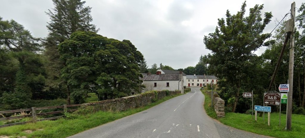
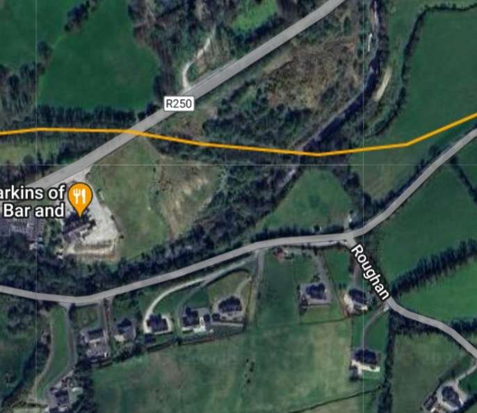
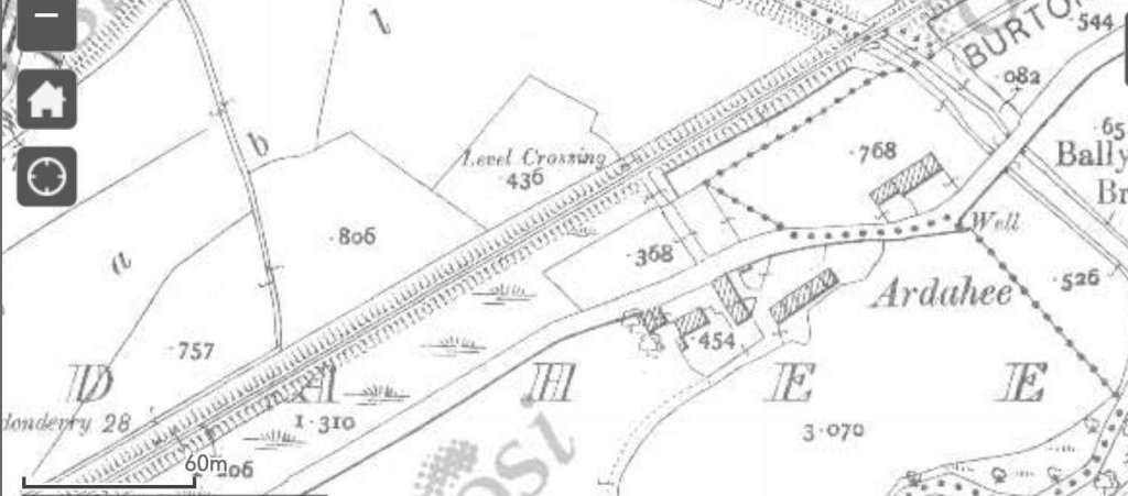
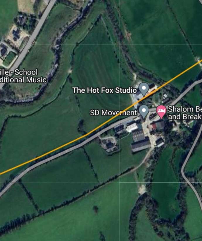
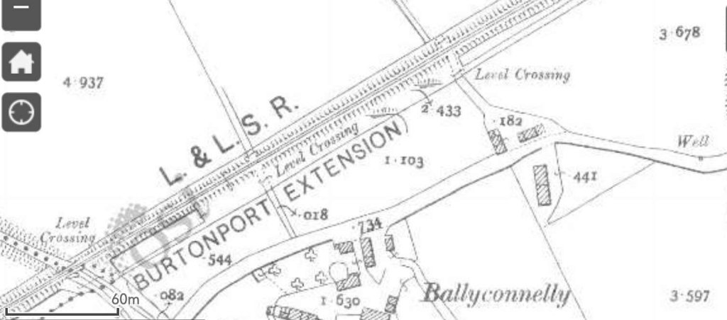
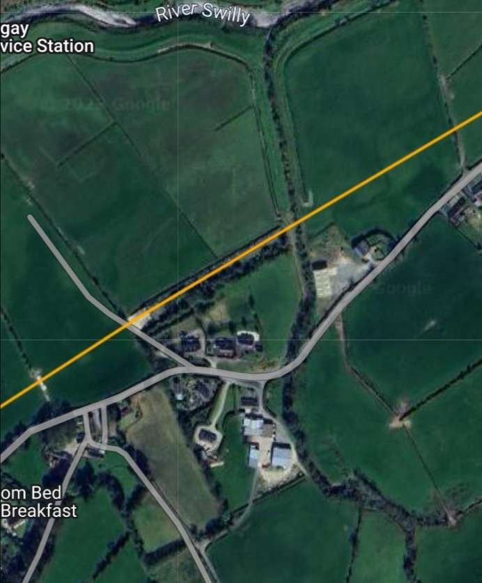
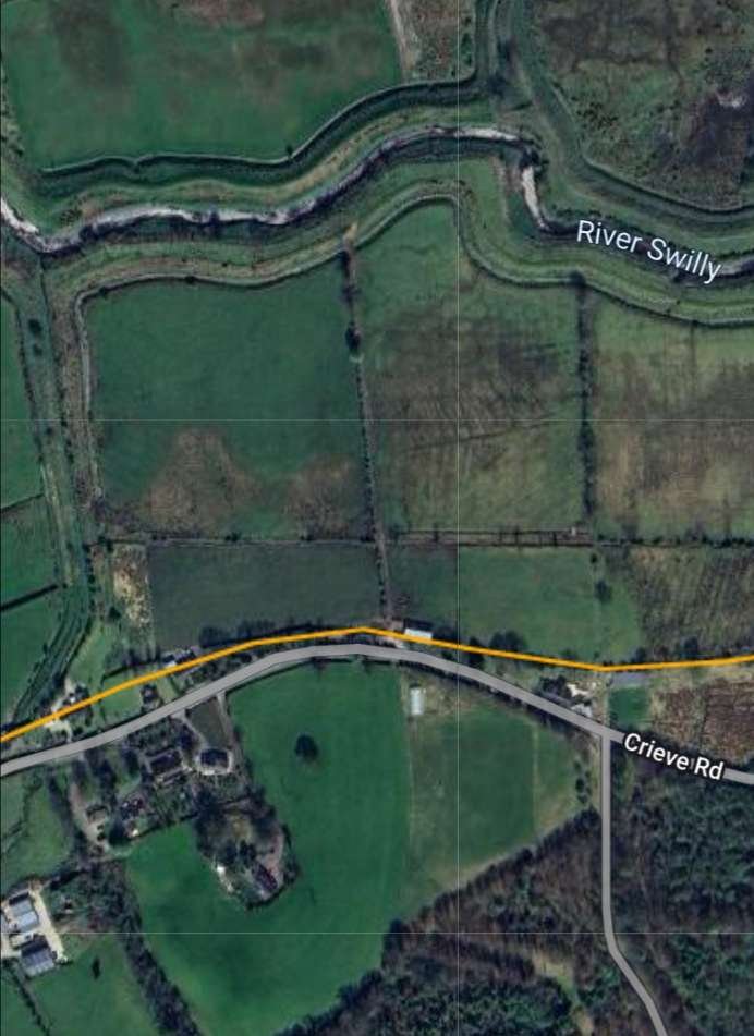
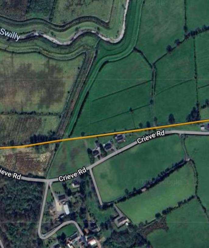
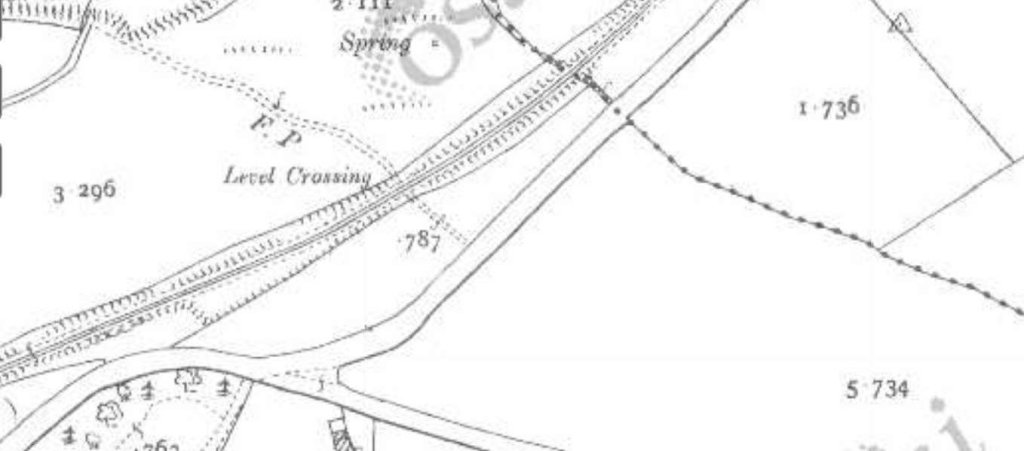
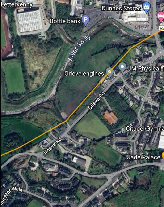
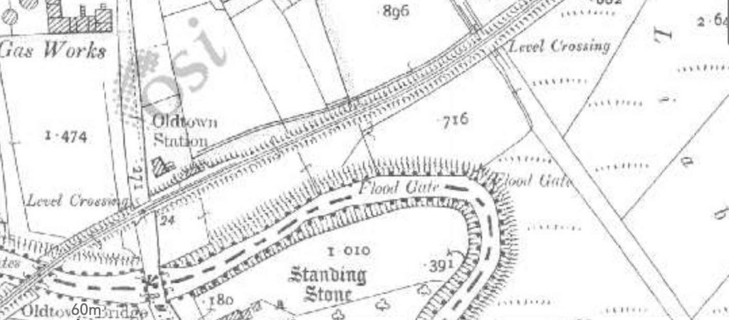
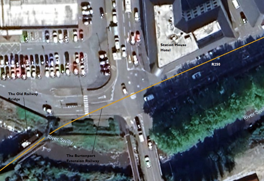
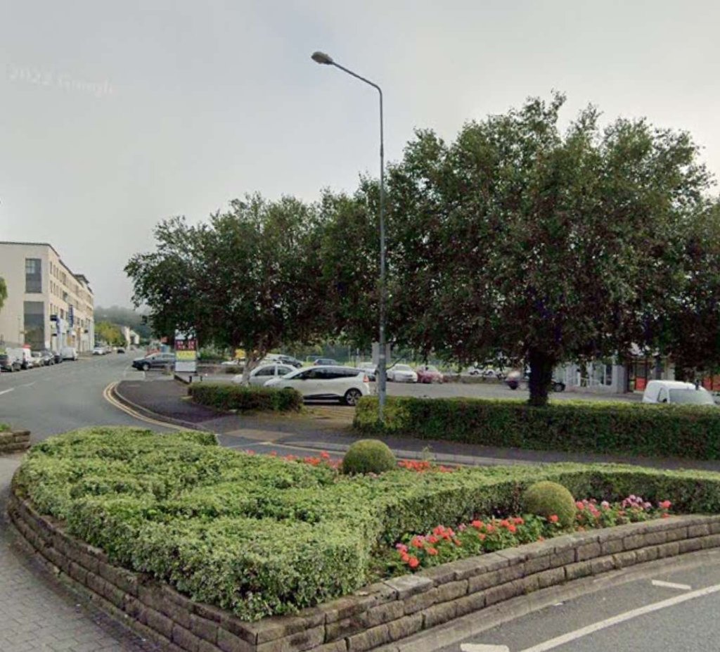
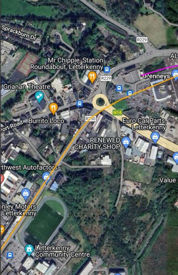
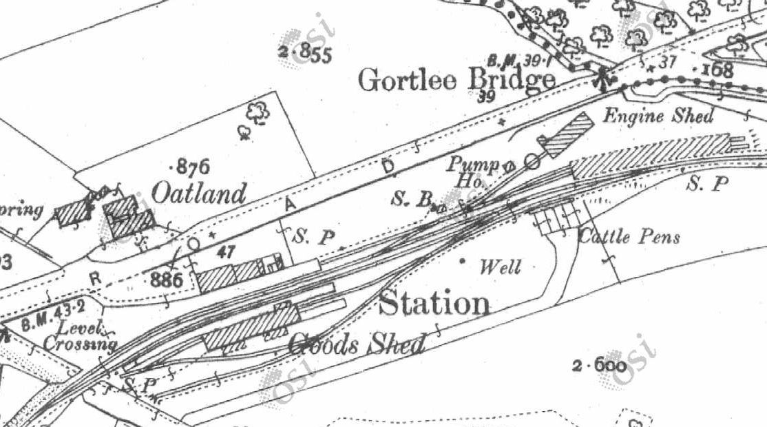
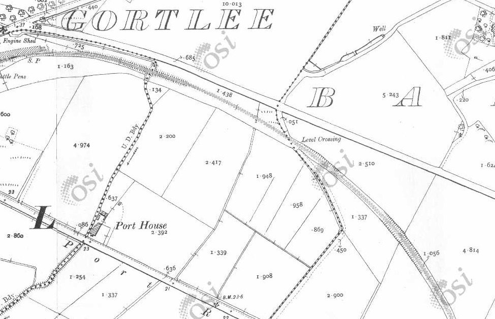
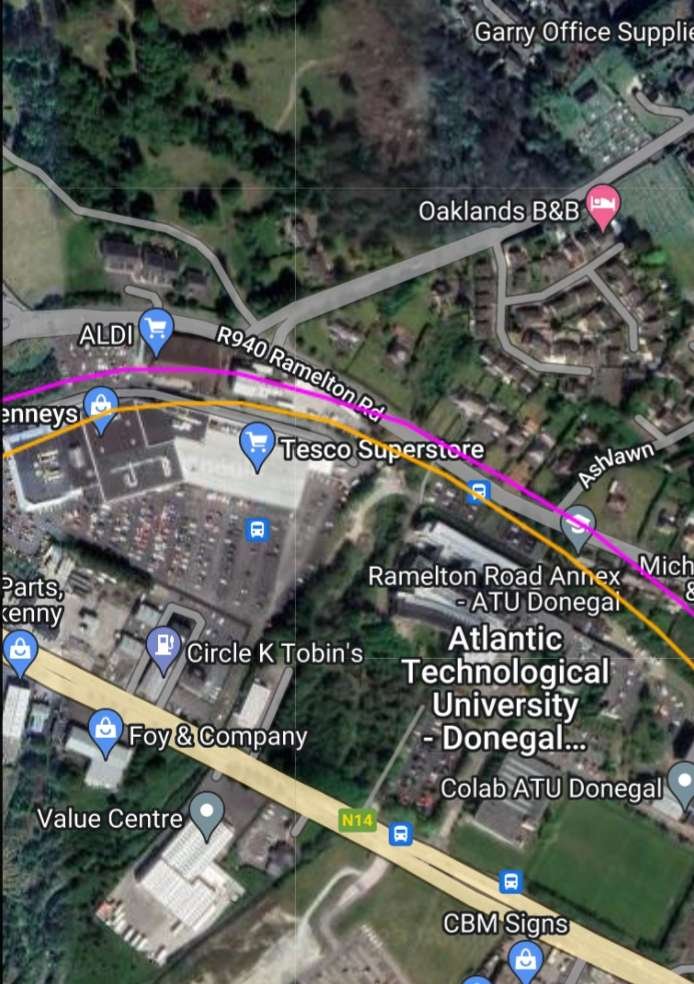
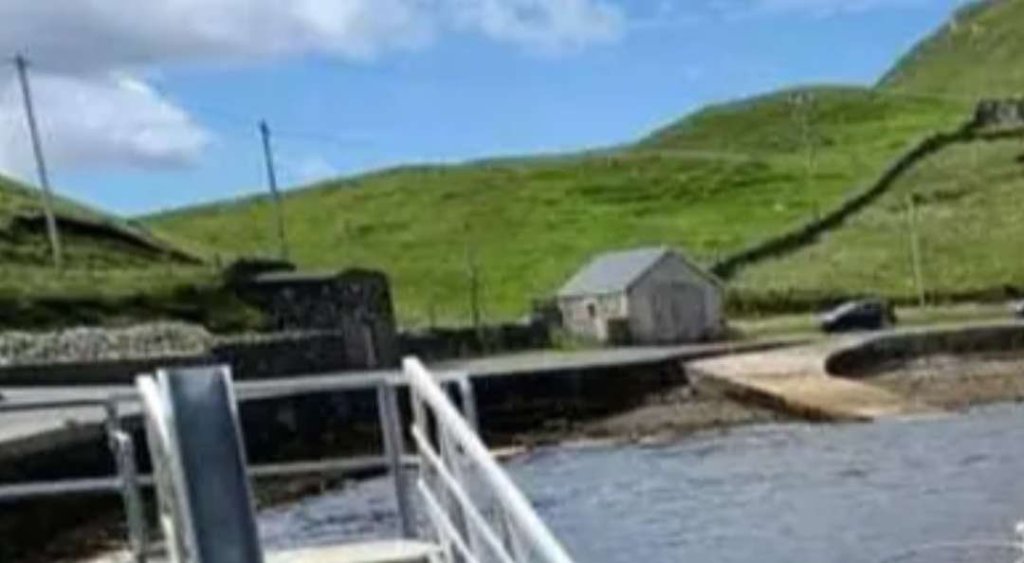
The next location that we have access to is the point at which the old railway crossed the next minor road. That location appears both at the bottom of the satellit image above and the top of the next section of the line, both on the OSi mapping and the satellite imagery below: the location of Churchill (Church Hill) Railway Station.
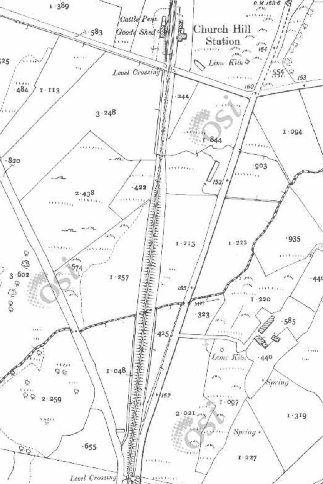
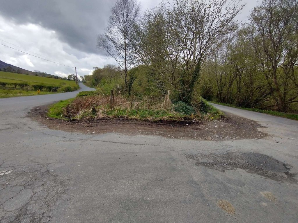
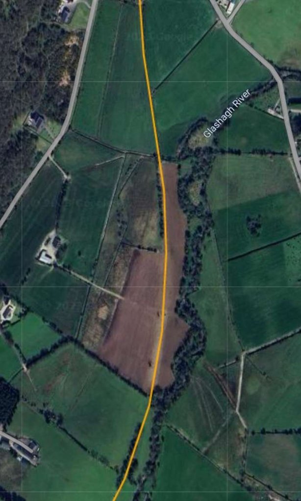
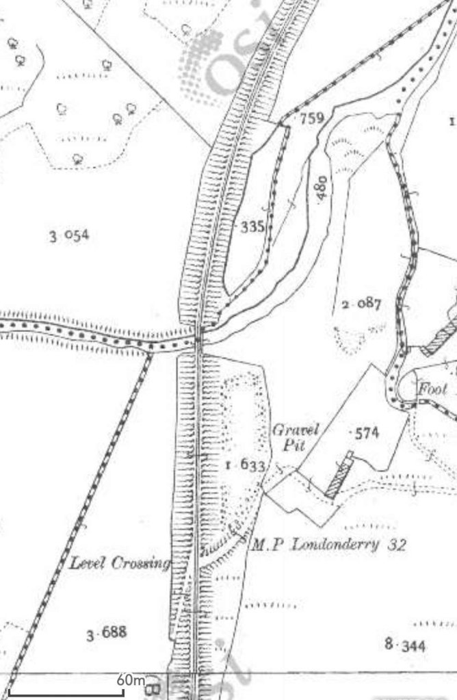
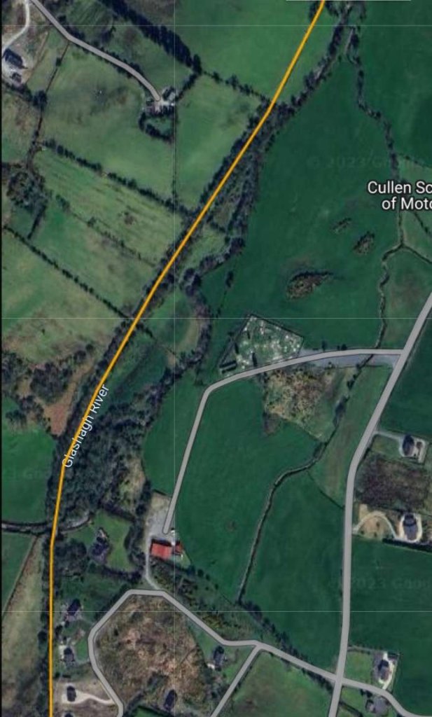
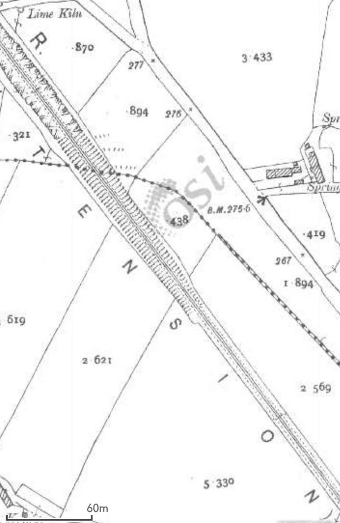
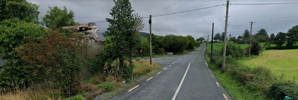
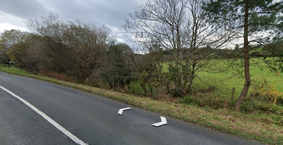
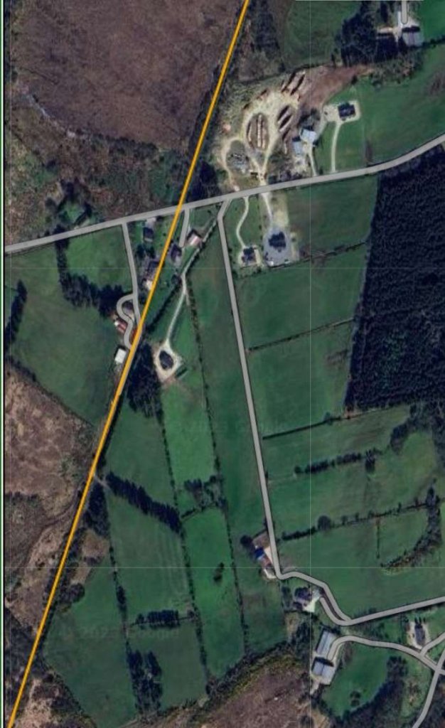
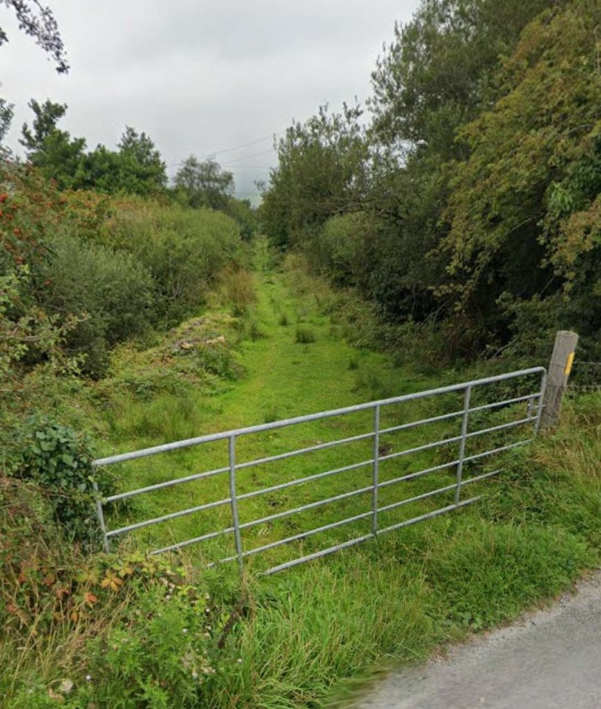
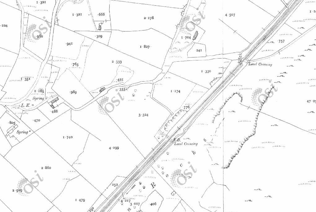
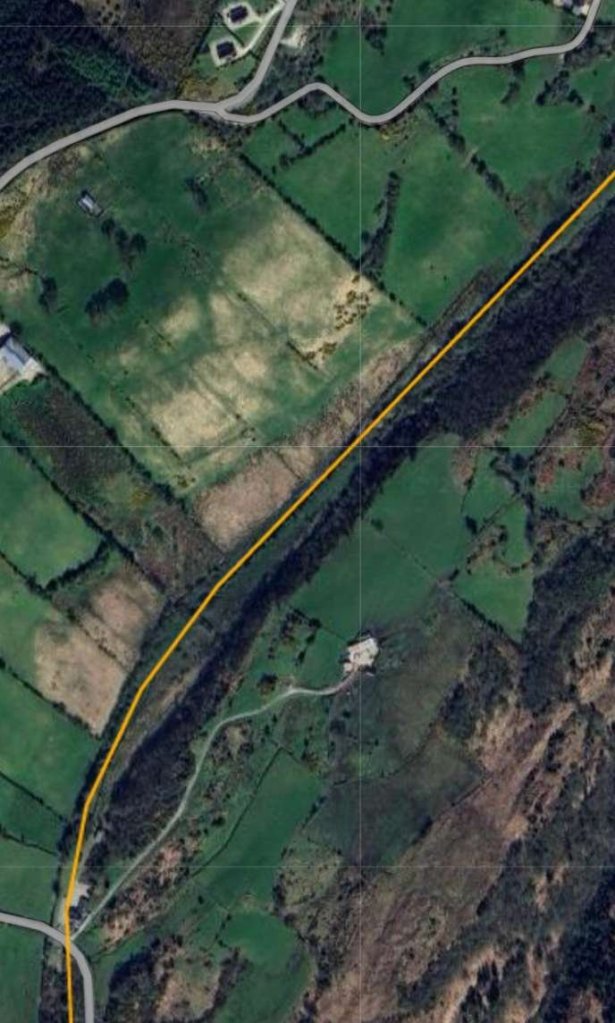
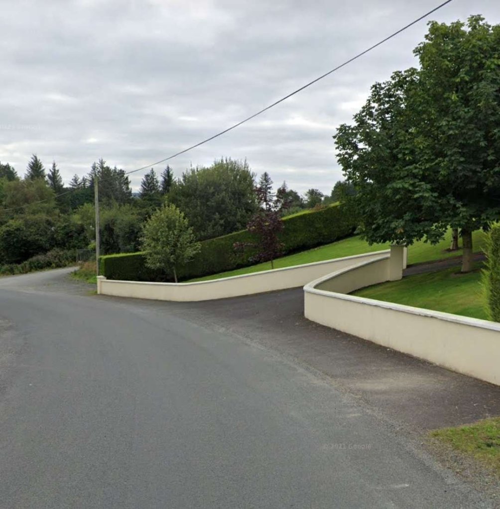
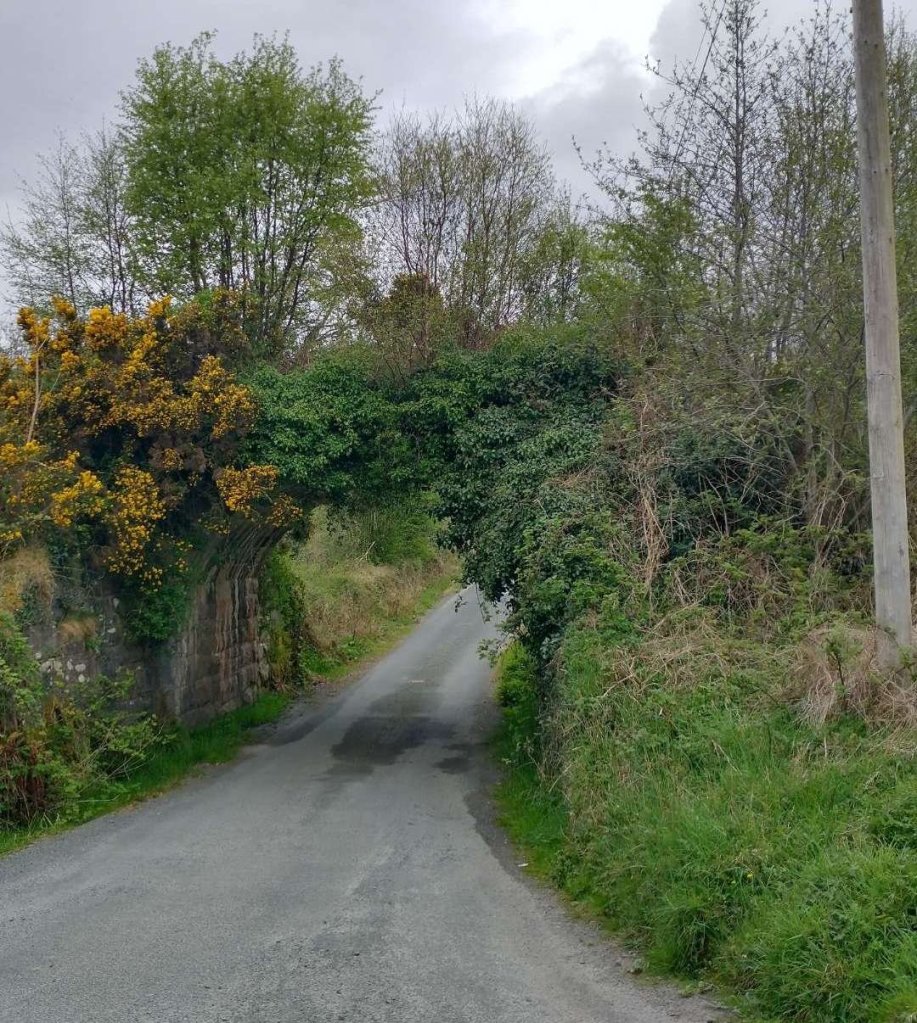
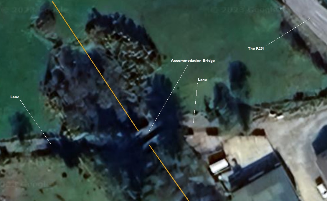
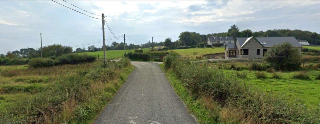
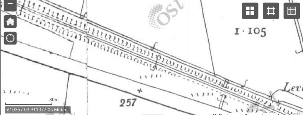
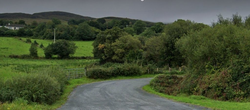
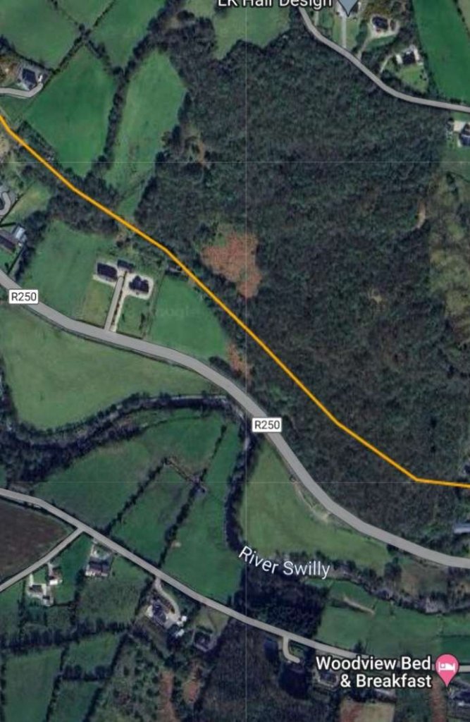
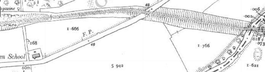
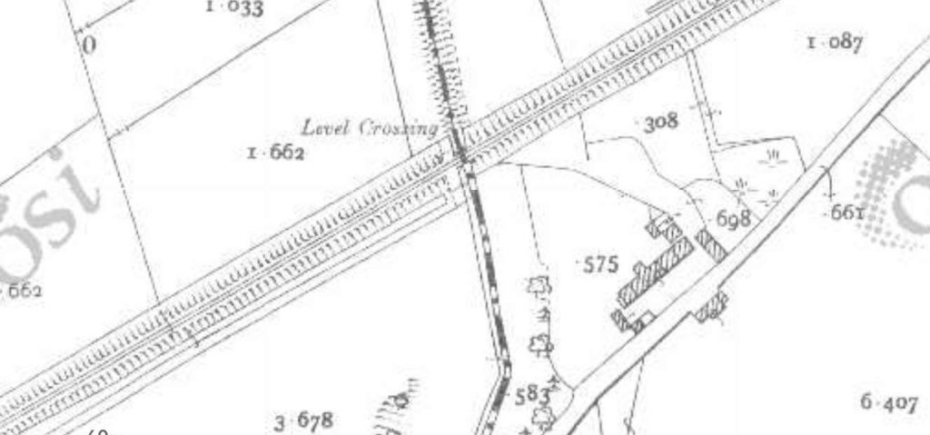
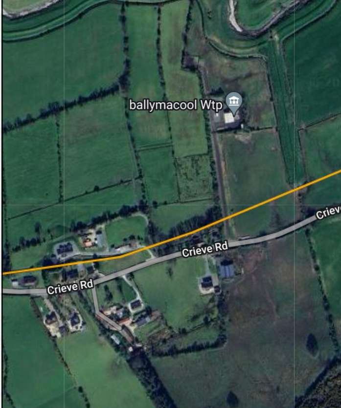
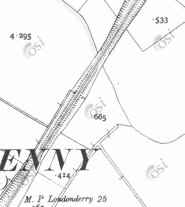
Around 200 to 300 metres Southeast of the crossing the old line entered a cutting as the land around it rose. Shortly after it entered the cutting it was bridged by a lane. Both the bridge and the lane appear to remain today.
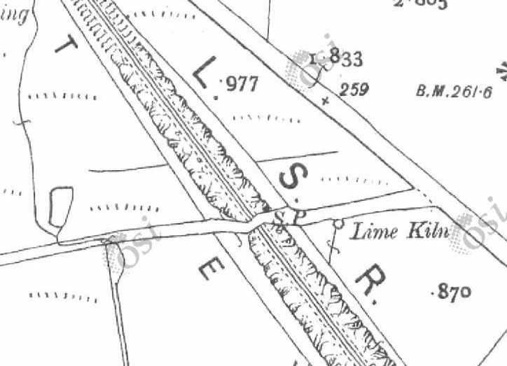
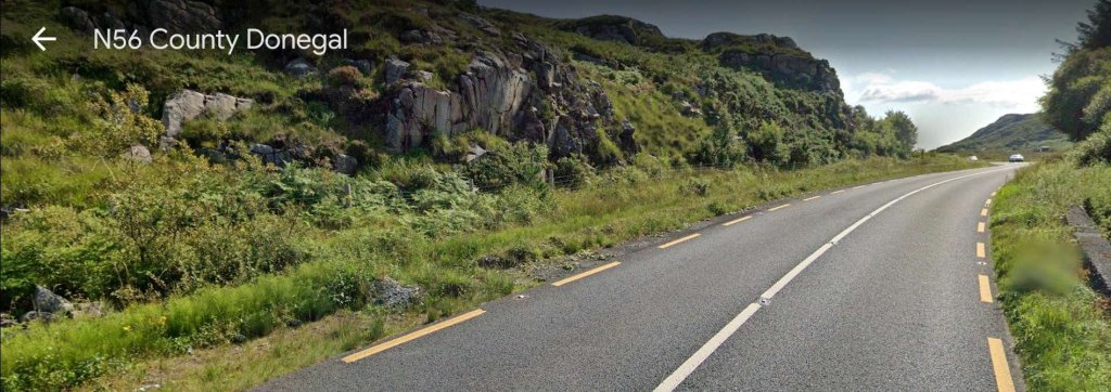
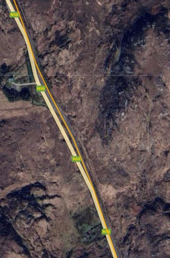
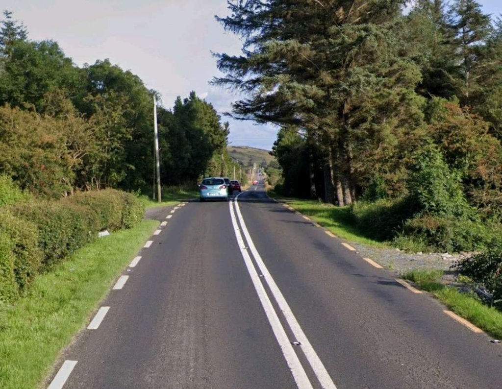
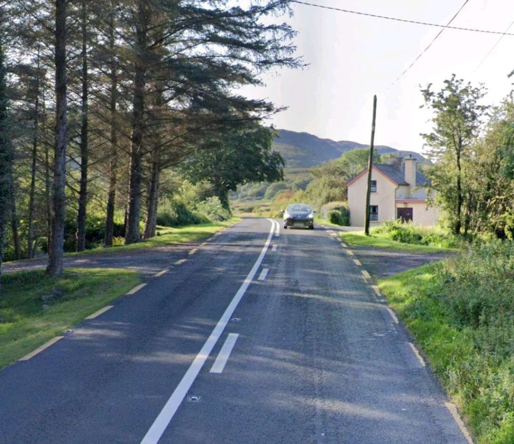
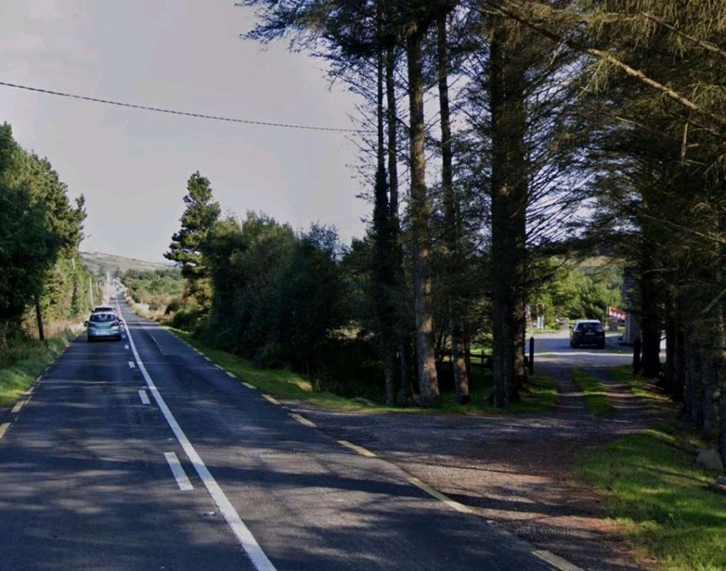
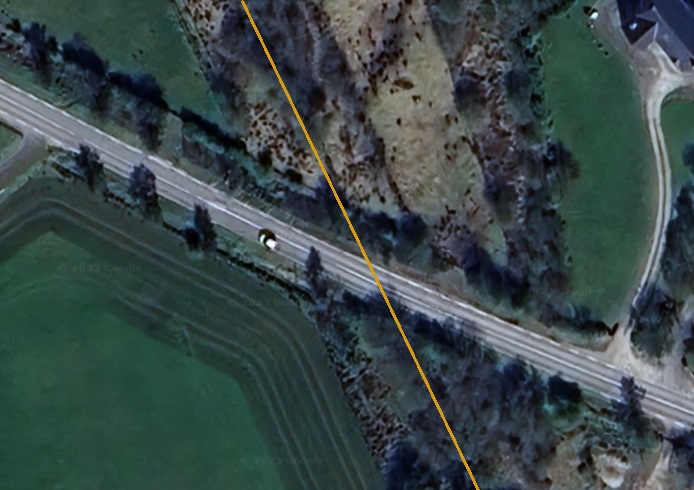
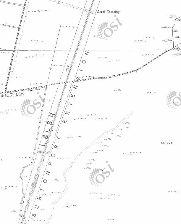
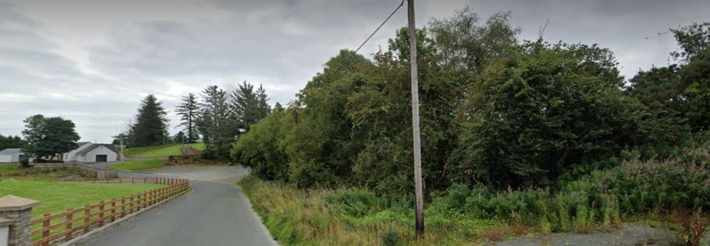
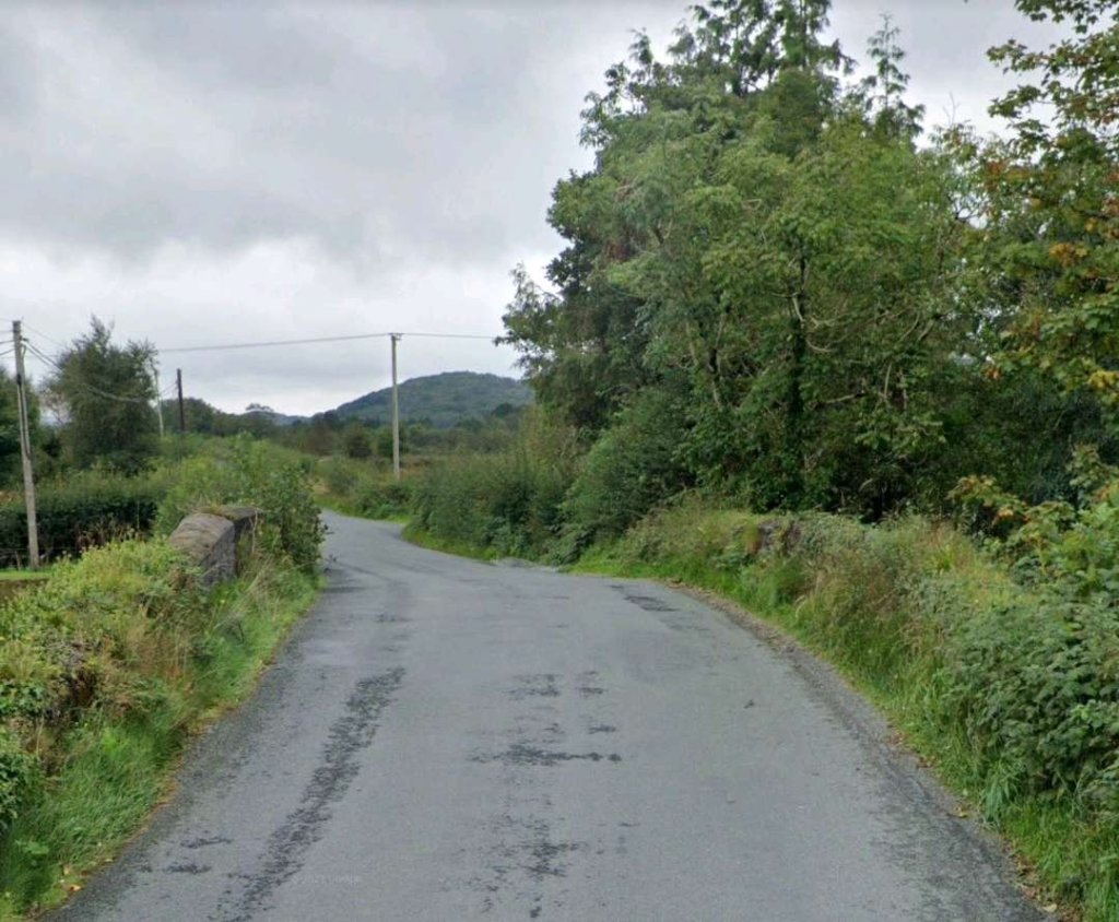
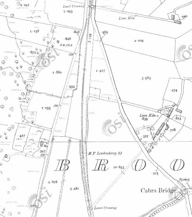
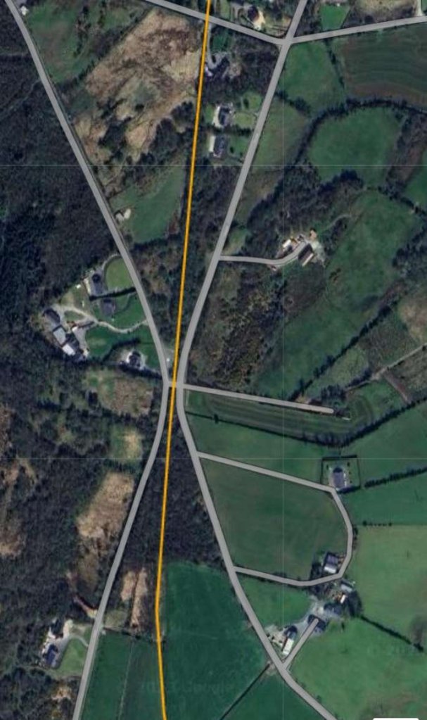
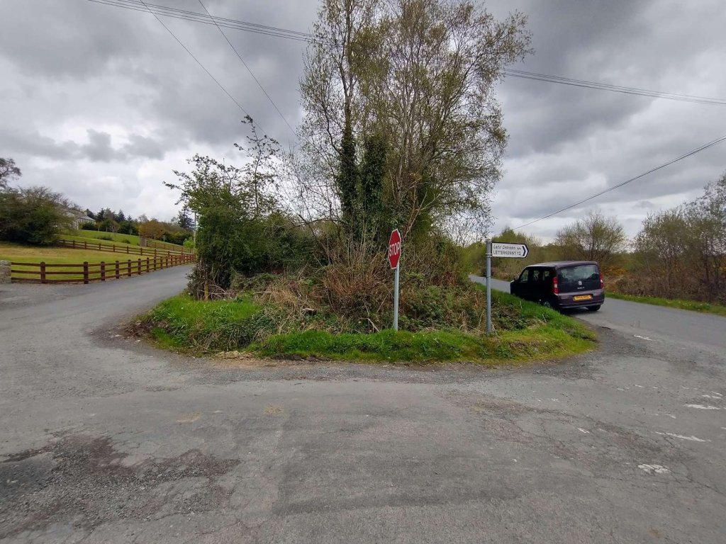
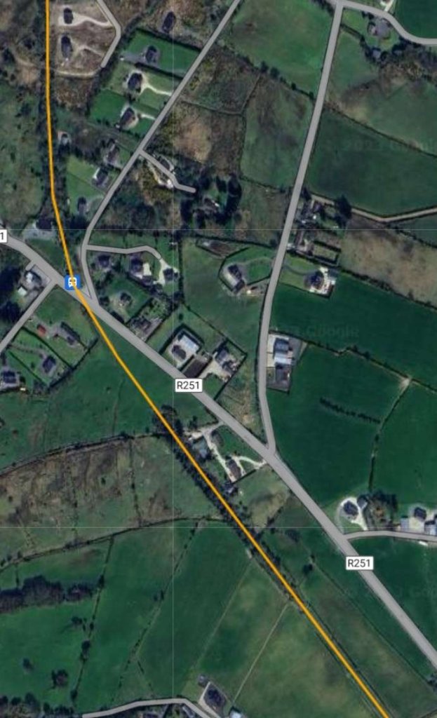
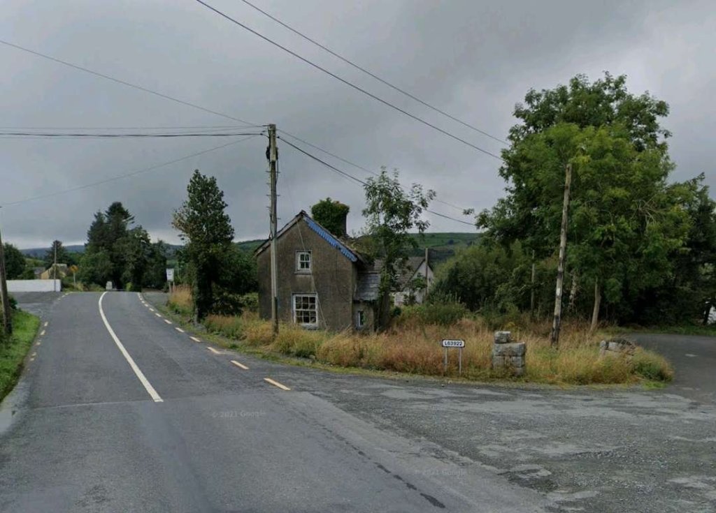
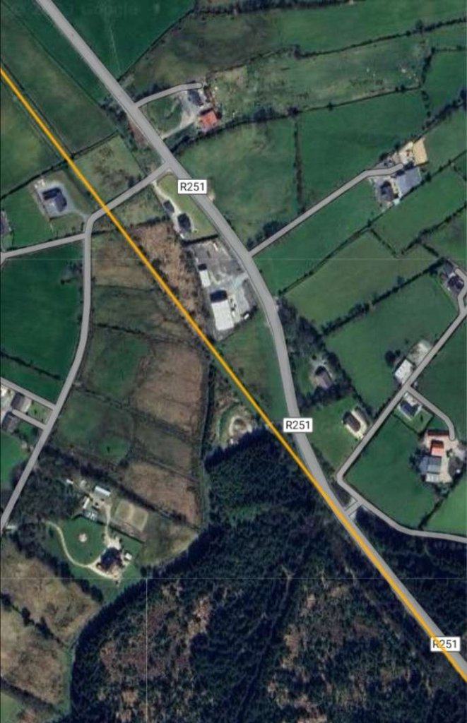
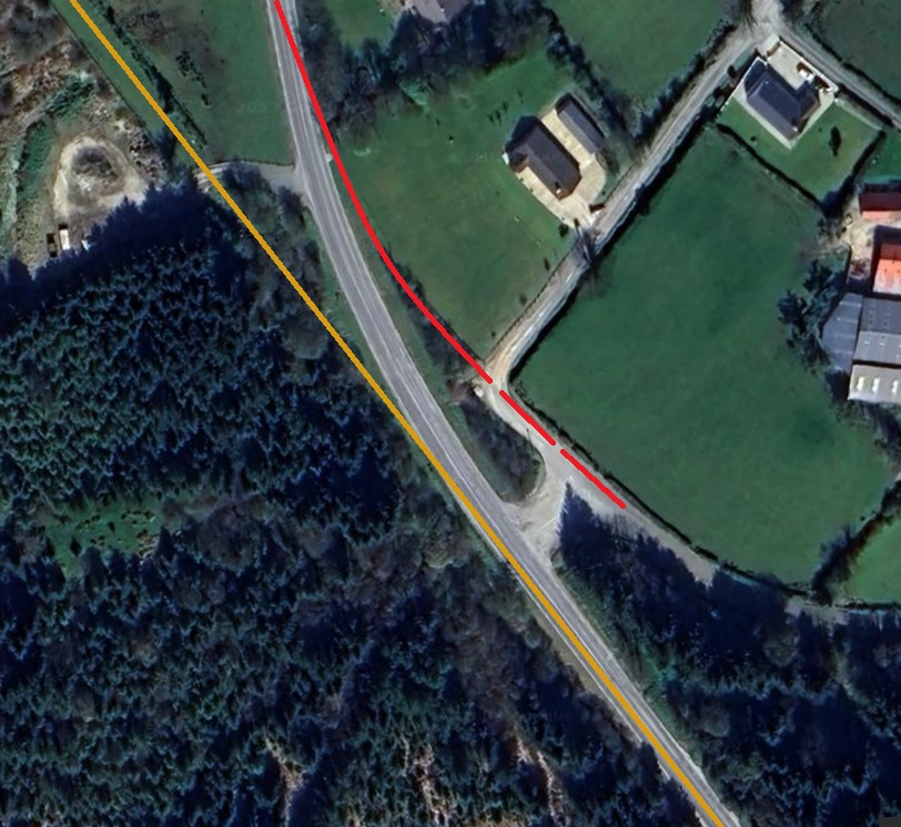
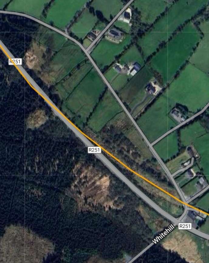
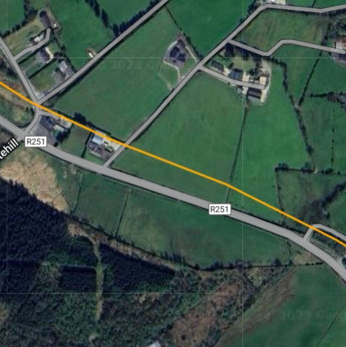
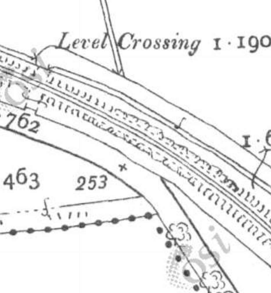
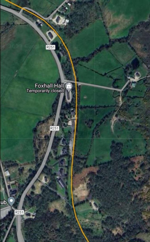
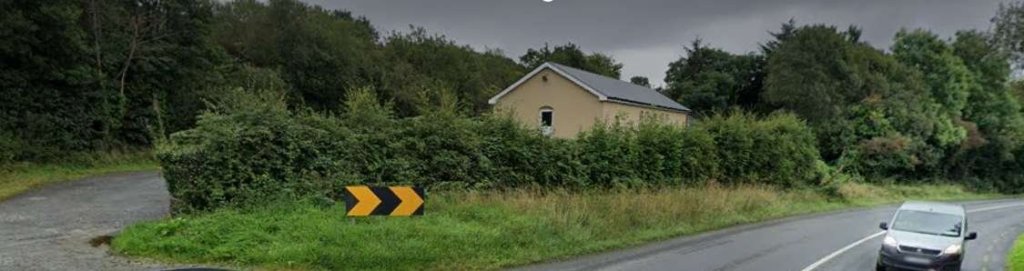
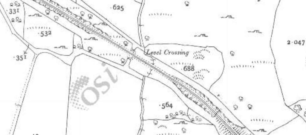
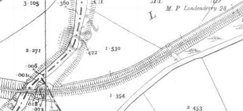
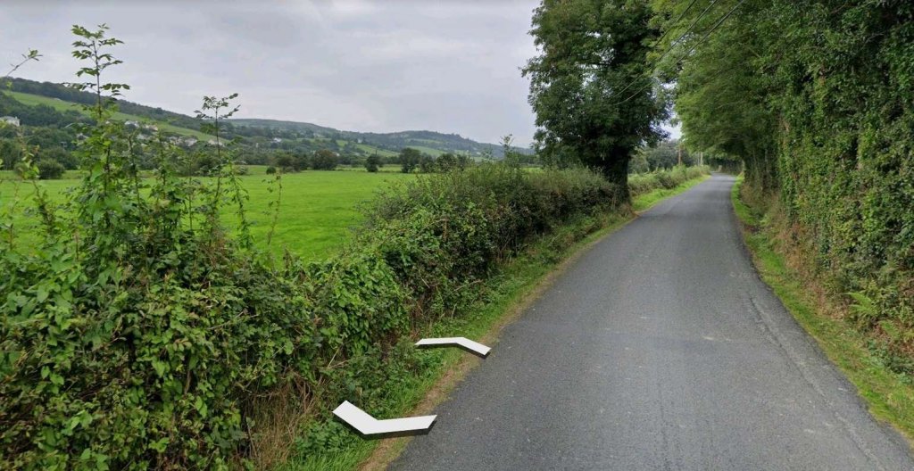
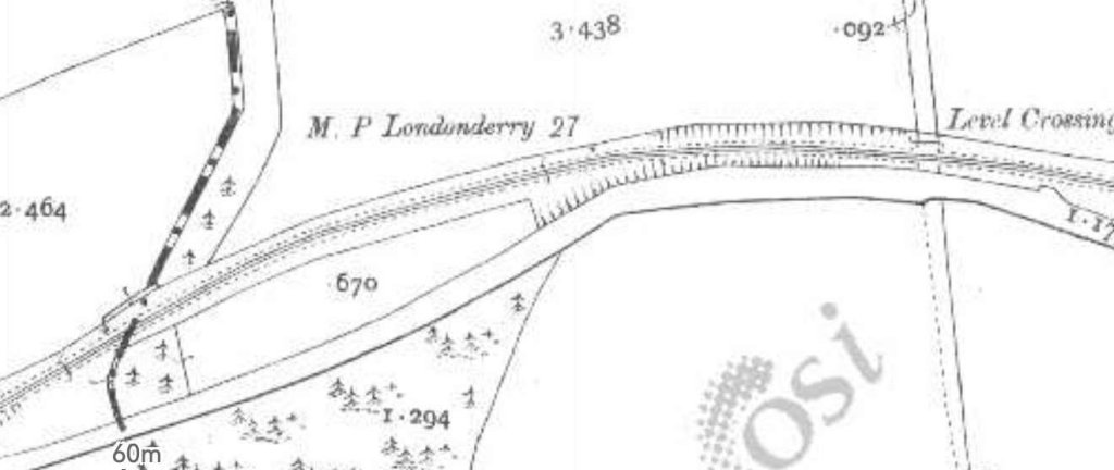
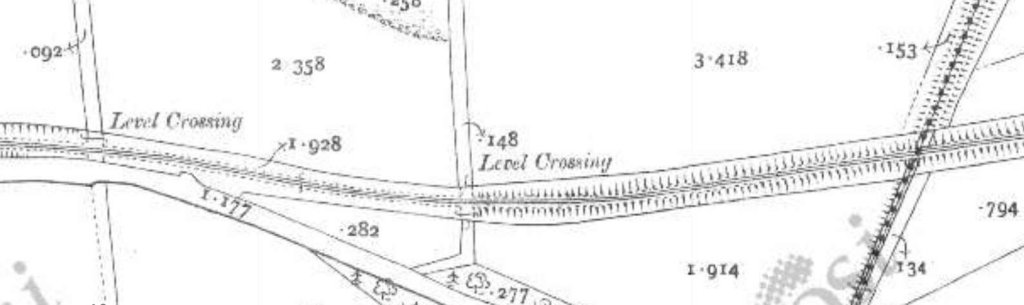
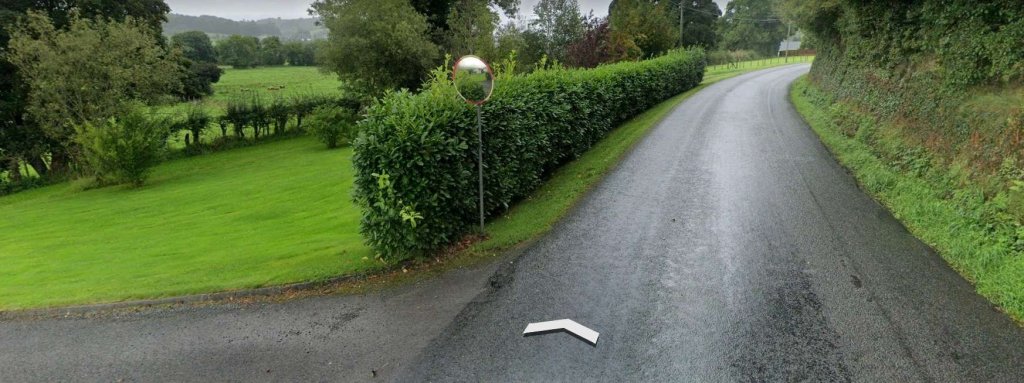
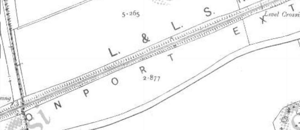
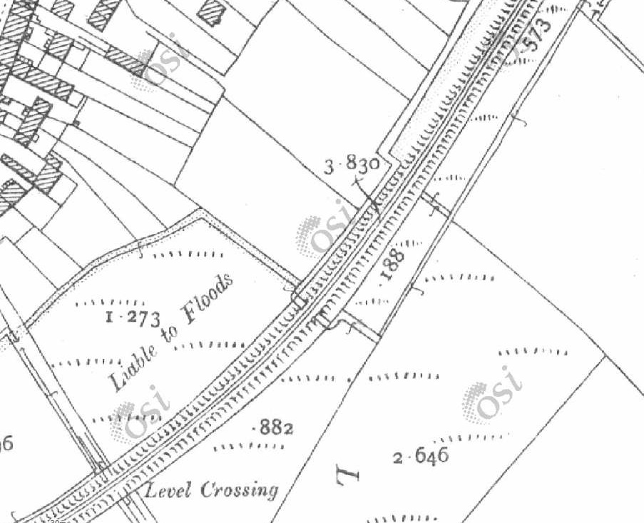
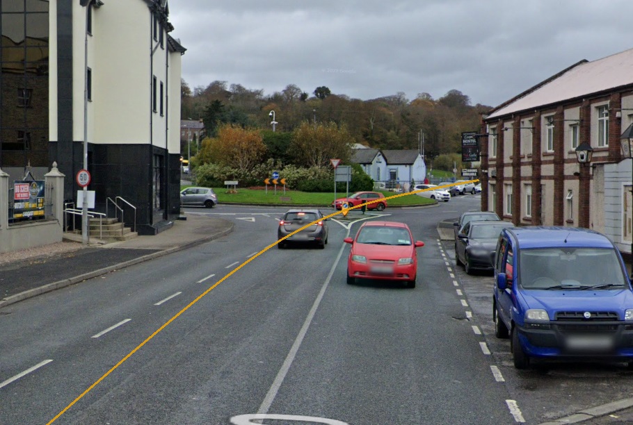
A further 700 to 800 metres to the Southeast the old railway crossed a minor road at level. This can be seen in the images below. The R251 and the old railway route run parallel to each other for a distance before the road drifts closer to the old railway and finally runs on the formation of the Burtonport Extension Railway for


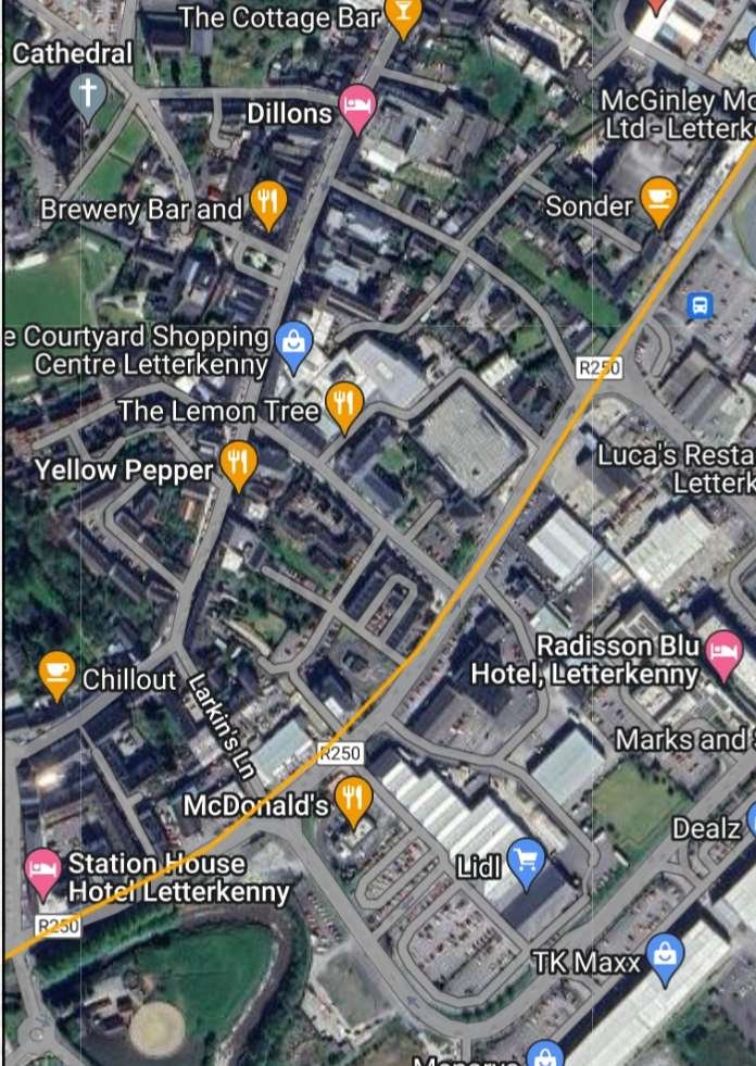
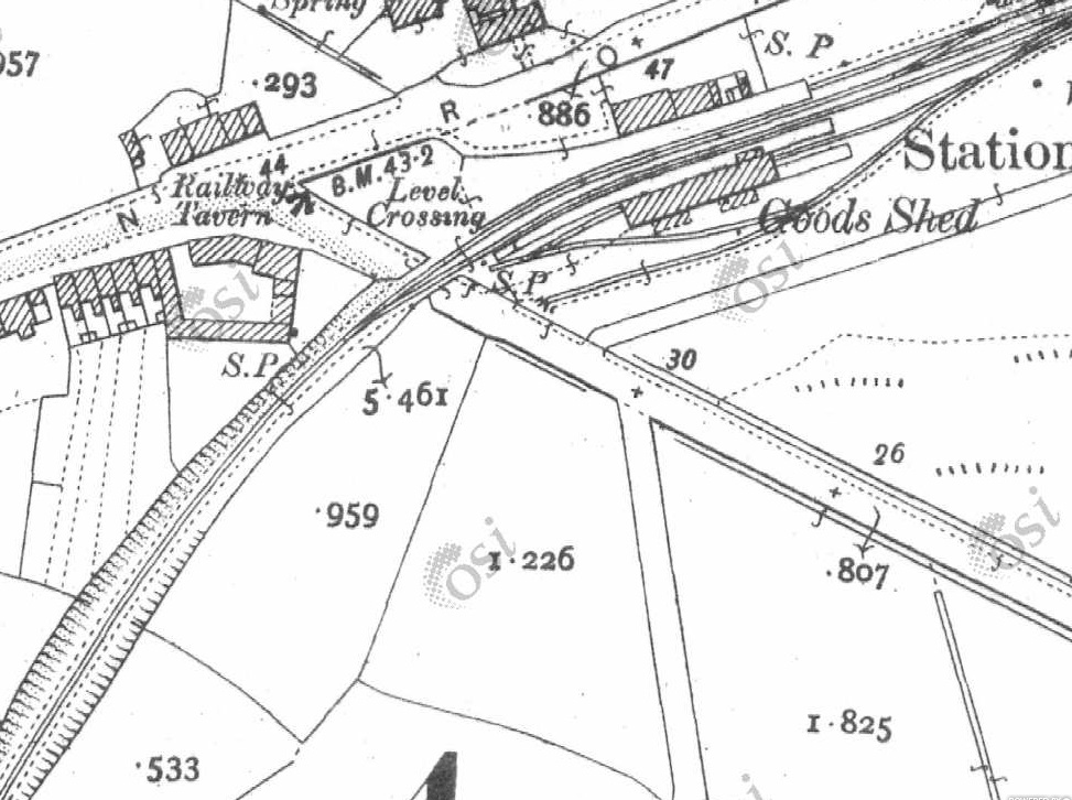
Ernie’s Railway Archive on Flickr has a range of photographs of the L&LS Letterkenny Railway Station site from the 1950s, the links are embedded here below, click on each link to see the image in Ernie’s Railway Archive on Flickr:
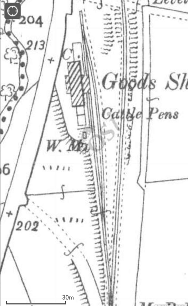
https://flic.kr/p/2nMqBvu – The L&LSR Station site from the East in 1952. The carriage shed is closest to the camera on the right of the image. The locomotive shed and turntable are hidden behind the carriage shed. At the centre-top of the image, the Goods Shed can be seen.
https://flic.kr/p/2nM8xYs – The Goods Yard of the L&LSR in 1952. Beyond wagons L&LSR No. 124 and L&BER No. 73 the Goods Shed and the passenger station building can be seen.
https://flic.kr/p/2nWyB5y – The L&LSR Goods Yard in 1952. The side elevation of the Goods Shed is visible beyond the wagons in the yard. Prominent in the picture is L&LSR Wagon No. 71.
https://flic.kr/p/2nCR8dg – L&LSR No. 12 is featured in this image from 1952. No. 15 is just poking its nose into the shot on the left.
https://flic.kr/p/2kHNdD9 – L&LSR No. 8 is being turned on Letterkenny’s turntable on 27th June 1952.
https://flic.kr/p/JoWHRY – L&LSR No.15 sits in front of Letterkenny WaterTower in 1953.
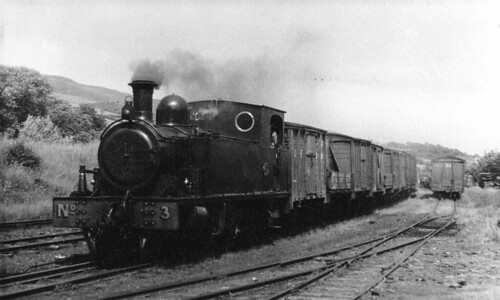
https://flic.kr/p/BWoyiF – L&LSR No3 at Letterkenny. On the left, the image is framed by the wall of the Goods Shed. The crossing gates at the West end of the station are visible beyond No. 3’s train. The passenger facilities are on the right. Note the coach acting as a brake van for the train. (c) JW Armstrong/ARPT
https://flic.kr/p/BvajsP – L&LSR No. 12 in the Engine Shed at Letterkenny, (c) JW Armstrong/ARPT
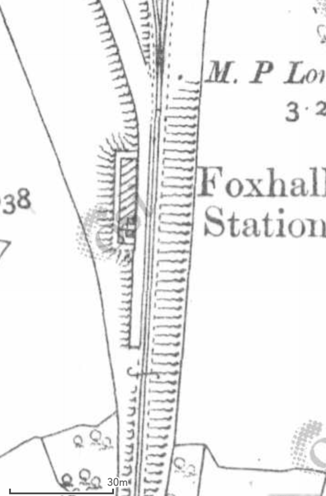
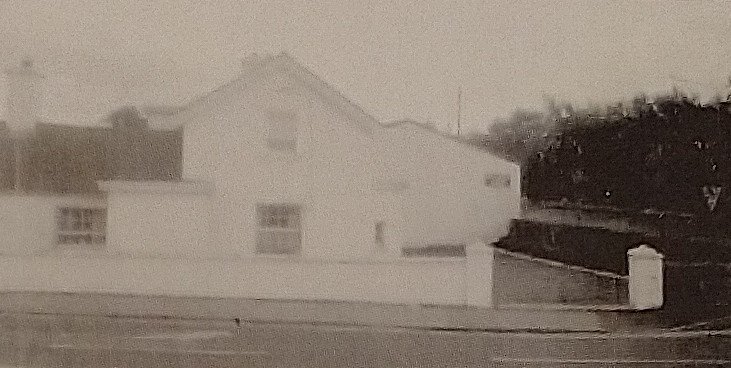
https://flic.kr/p/2ma5Lo3 – The L&LSR Station at Letterkenny on 1st July 1959 after the rails had been lifted. The Goods Shed door is closed (on the left) and the station buildings are on the right.
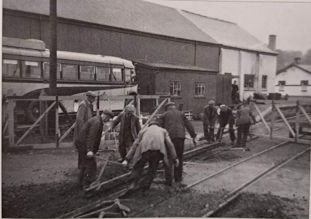
https://flic.kr/p/2k1hGvQ – The L&LSR operated a daily goods service by lorry after the closure of the line. A company rail lorry bearing the number plate IB7024 is shown standing where trains would once have passed, adjacent to the station building at Letterkenny. The photograph was taken on 23rd August 1954.
Other photographs of Letterkenny’s L&LSR railway station can be found on Flickr or elsewhere on line:
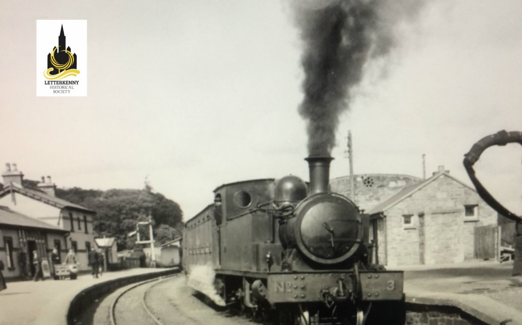
This image shows 4-6-0T No. 3, probably, in the Yard at Letterkenny station. No. 3 was built by Barclay in 1902. The image was shared by ‘Trainiac’ on Flickr and noted as being in the Public Domain. [12]


References
- Dave Bell & Steve Flanders; The Londonderry & Lough Swilly Railway: A Visitor’s Guide; County Donegal Railway Restoration Society, The Donegal Railway Heritage Centre, Donegal.
- https://osi.maps.arcgis.com/apps/webappviewer/index.html?id=bc56a1cf08844a2aa2609aa92e89497e, accessed on 25th June 2023.
- https://www.mediastorehouse.co.uk/sq/164/gap-barnes-beg-north-west-donegal-14354902.jpg.webp, accessed on 21st June 2023.
- https://www.railmaponline.com/UKIEMap.php, accessed on 25th June 2023.
- https://en.m.wikipedia.org/wiki/Barnes_Halt_railway_station, accessed on 28th June 2023.
- http://industrialheritageireland.info/Gazetteer/Locations/Railways/Stations/Donegal/Kilmacrenan.html, accessed on 30th June 2023.
- https://m.facebook.com/groups/788818974978955/permalink/963801157480735, accessed on 30th June 2023.
- https://m.facebook.com/story.php?story_fbid=pfbid0RLpwpZQ1twFb7s58W7yk8UwVaTyVLT7r2HtevhDnQ33MYCHh2rzNjNteKYKkwHU9l&id=1223882780981294, accessed on 30th June 2023.
- https://m.facebook.com/story.php?story_fbid=pfbid0FGE3fgJSLLmR48wHpqLpi5AWimZcYrZkZDiFK9xv14Li6j5TZBehRx73NBqx3Hezl&id=1223882780981294, accessed on 30th June 2023.
- Joe Begley, Steve Flanders, Dr E.M. Patterson; The Lough Swilly Railway; Colourpoint Books, Newtownards, 2017.
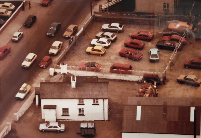
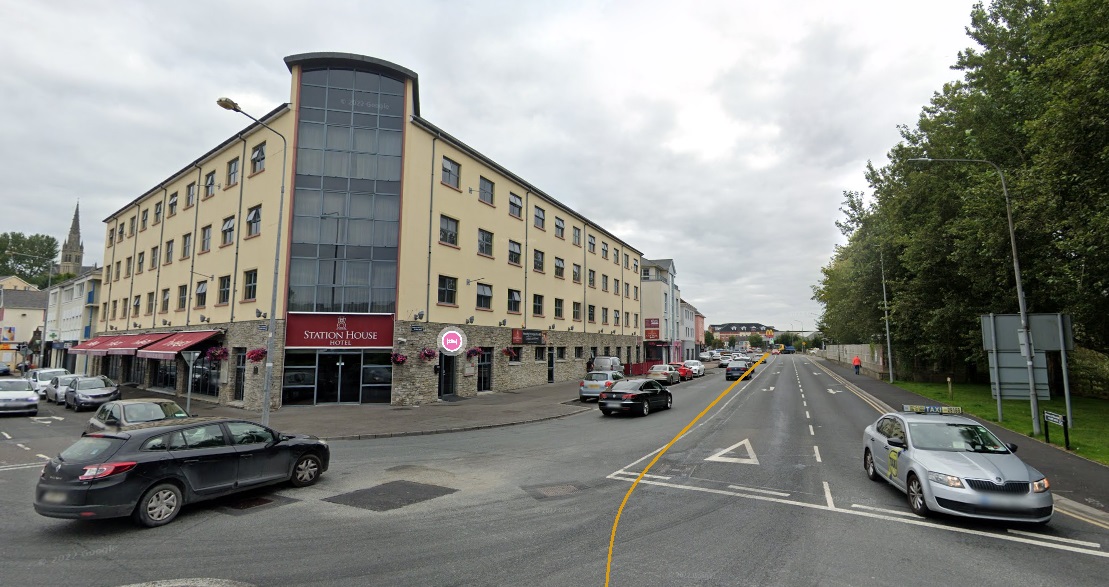
- https://www.facebook.com/profile/100071054418742/search/?q=railway & https://www.facebook.com/stationhousehotelletterkenny, accessed on 10th July 2023.
- https://flic.kr/p/2eroVcS, accessed on 13th July 2023.
- https://m.facebook.com/groups/788818974978955/permalink/1011585592702291, accessed on 13th July 2023.
- https://www.letterkennyhistory.com/the-railways, accessed on 13th July 2023.
- https://m.facebook.com/groups/788818974978955/permalink/1572230879971090, accessed on 13th July 2023.
- https://www.ebay.co.uk/itm/293669517301?mkcid=16&mkevt=1&mkrid=711-127632-2357-0&ssspo=vFhrxofnRnO&sssrc=4429486&ssuid=afQhrar7TGK&var=&widget_ver=artemis&media=COPY, accessed on 13th July 2023.


