
The first three articles in this series covered the network as it was established by the beginning of the First World War. These articles can be found here, [1] here [2] and here. [3]

We have already noted that there were changes to the network above which occurred before WW1, particularly the second line to Piazza Sturla in the East, the additional line to Sampierdarena in the West and the Municipal line to Quezzi in the Northeast.
In this article we look at the network from World War 1 to the beginning of World War 2.
After WW1 and into early WW2
In 1923, driving on the right was imposed on roads throughout the country (until then, individual cities had discretion over the matter). Genoa complied on 31st August 1924. The change did not cause major upheavals in the tram service as it had always been undertaken by bidirectional carriages with doors on both sides. [19][21: p56]
In the mid 20s the autonomous municipalities between Nervi and Voltri along the coast, up to Pontedecimo in Val Polcevera and up to Prato in Val Bisagno, were annexed to the capital and a ‘Greater Genoa’ was formed. The entire tram network fell within the new municipal area. [19]
During this time UITE remained as a private company but the City acquired a majority of shares. [19][20: p223] and began to direct the development of the company and the network. [19][21: p62]
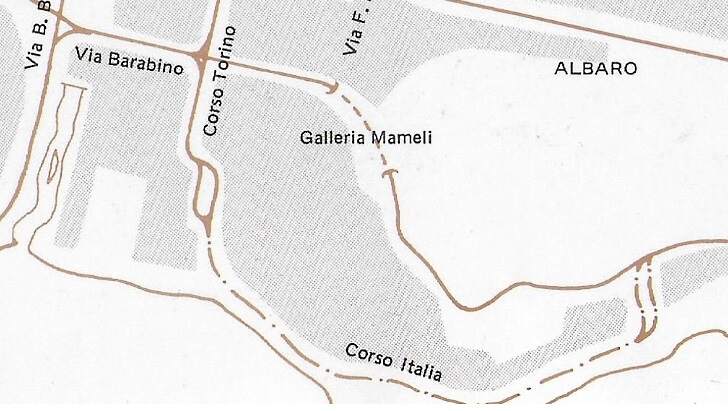
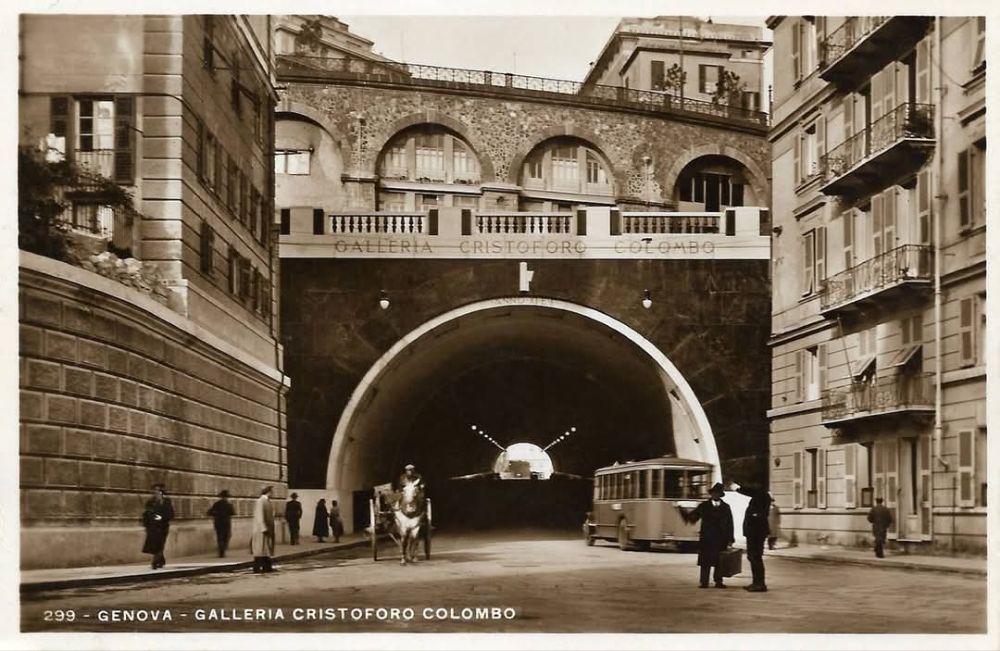
In 1934, major reform of the network took place. Trams ceased to use Via Roma, Via XX Settembre, and Piazza de Ferrari. The piazza saw major change – the lifting of the ‘tramway ring’ allowed, first, the planting of a large flower bed, and later (in 1936) the construction of a large fountain designed by Giuseppe Crosa di Vergagni. The trams were diverted through Piazza Dante and Galleria Colombo which was newly opened. [20: p224] At the same time new lines crossing the city were activated, with the aim of better distributing passengers in the central areas. [19][21: p62] The following year the trams also abandoned Corso Italia, in favour of a new route further inland which also included the new Galleria Mameli. [19][21: p125]
The modernization of the network included renewal of the fleet of trams. That renewal commenced in 1927 with the introduction of ‘Casteggini’ (trolley/bogie trams – named after the UITE engineer who designed them). These were followed in 1939 by modern ‘Genoa type’ trams, [20: p657] built first as single units and then, from 1942, in an articulated version. [19][20: p660]
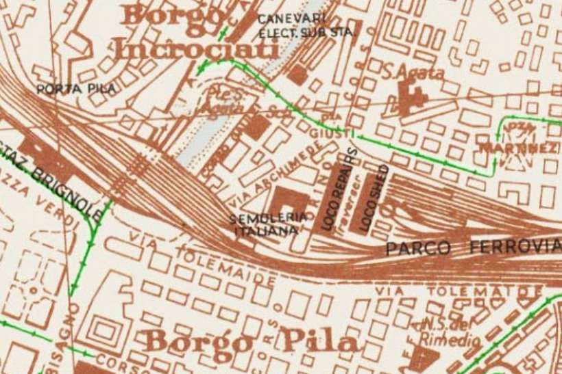
In 1935, the large Littorio depot near Ponte Carrega (Val Bisagno) came into operation. In 1940, workshop facilities were opened at the depot. [20: p237-238]
Italian Wikipedia tells us that after the changes made in 1934, the following list covers the tram routes on the network: [19][21: p125]
1 Banco San Giorgio – Voltri
2 Banco San Giorgio – Pegli
3 Banco San Giorgio – Sestri
4 Banco San Giorgio – Sampierdarena
5 Banco San Giorgio – Sampierdarena – Rivarolo
6 Banco San Giorgio – Sampierdarena – Bolzaneto
7 Banco San Giorgio – Sampierdarena – Pontedecimo
8 Banco San Giorgio – Sampierdarena – Campasso
9 Banco San Giorgio – Galleria Certosa – Rivarolo
10 Banco San Giorgio – Galleria Certosa – Bolzaneto
11 Banco San Giorgio – Galleria Certosa – Pontedecimo
12 Banco San Giorgio – Galleria Certosa – Certosa – Sampierdarena – Banco San Giorgio
13 The reverse of Line 12
14 Banco San Giorgio – Cornigliano
15 Banco San Giorgio – Pra
16 Brignole – Corvetto – Pegli
18 Marassi – Bolzaneto
21 Dinegro – Manin – Staglieno
22 Manin – Corvetto – Piazza Santa Sabina
23 De Ferrari – Marassi – Quezzi
24 Corso Dogali – Manin – Corvetto – Principe – Corso Dogali (circulating clockwise through the hills)
25 The reverse of Line 24 (circulating anti-clockwise through the hills)
26 Dinegro – Principe – via Napoli
27 Corso Dogali – Manin – Corvetto – Tommaseo
28 Principe – Corvetto – Via Atto Vannucci – Banco San Giorgio
30 De Ferrari – Foce
31 Banco San Giorgio – Staglieno – Prato
32 Banco San Giorgio – Molassana – Giro del Fullo
33 De Ferrari – Piazza Verdi – Staglieno
34 Piazza della Vittoria – Staglieno – San Gottardo – Doria
35 Piazza della Vittoria – Staglieno
36 Piazza della Vittoria – Ponte Carrega
37 De Ferrari – Piazza Verdi – San Fruttuoso
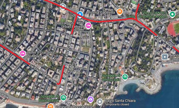
38 De Ferrari – Via Barabino – Boccadasse
39 De Ferrari – Sturla – Nervi
40 Banco San Giorgio – De Ferrari – Albaro – Quinto
41 Piazza Cavour – Via Barabino – Corso Italia – Priaruggia
42 De Ferrari – San Francesco d’Albaro – Sturla
43 De Ferrari – San Francesco d’Albaro – Lido
44 Banco San Giorgio – De Ferrari – Borgoratti
45 De Ferrari – San Martino – Sturla
46 De Ferrari – Tommaseo – San Martino
47 De Ferrari – San Francesco d’Albaro – Villa Raggio
48 Piazza Cavour – Piazza della Vittoria – San Fruttuoso
49 De Ferrari – Tommaseo – ‘Ospedale San Martino
50 San Martino – Brignole – Corvetto – Sampierdarena – Campasso
51 Quezzi – Brignole – Principe – Galleria Certosa – Rivarolo
52 San Giuliano – Brignole – Principe – Dinegro
53 Tommaseo – Brignole – Principe – Sampierdarena – Campasso
54 Sturla – Albaro – De Ferrari – Banco San Giorgio – Dinegro
55 Foce – Brignole – Principe – Dinegro
56 Marassi – Brignole – Principe – Dinegro
After 1934, Piazza Banco di San Georgio became the centre of the altered network (it was referred to originally as Piazza Caricamento). This was facilitated by earlier alterations to the network which included:
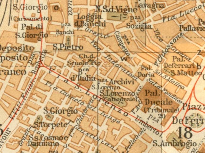
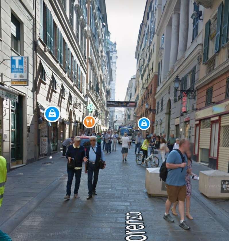
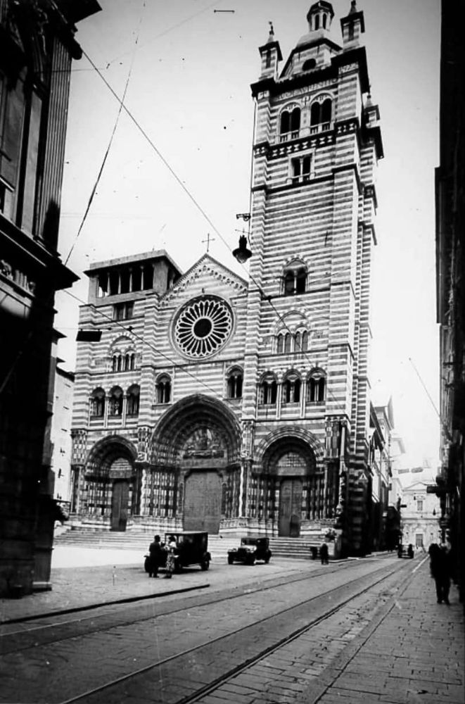
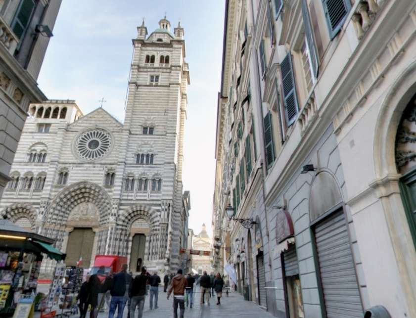
Piazza Railbetta, Piazza di San Georgio, Via San Lorenzo and Piazza Umberto 1
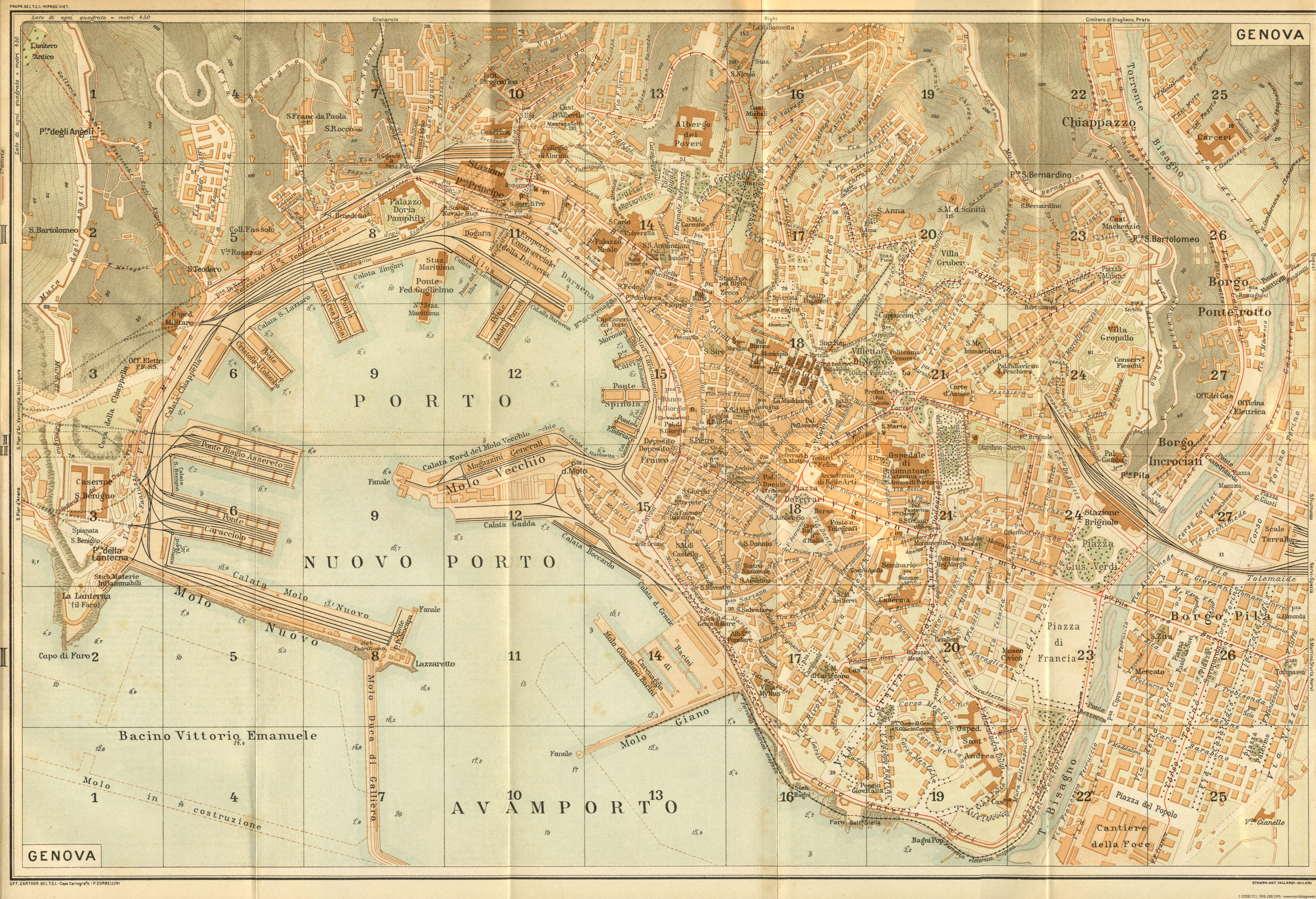
These earlier alterations included a very short line, shown on the Baedecker 1916 map of Genova, connecting Piazza Banco di San Georgio and Piazza Raibetta. In addition, a line along Via San Lorenzo and Piazza Umberto 1 made a connection from that short line to Piazza Raffaele de Ferrari which at the time was at the heart of Genova’s tram network. This three-way length of connecting tramways opened up the possibility of the significant revisions to the network which occurred in 1934. The 1916 Baedeker map is the first I have found which shows these links, early Baedeker maps available online do not show these lines. There is photographic evidence of these lines being in use by 1906.
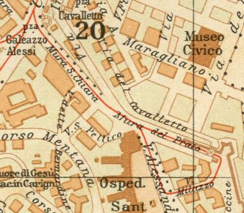
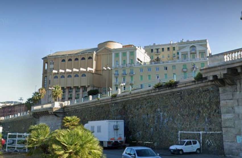
Ospidal Sant Andrea
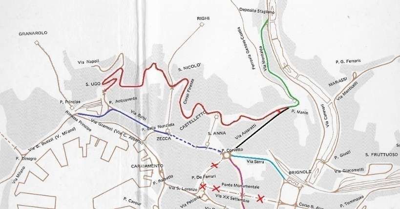
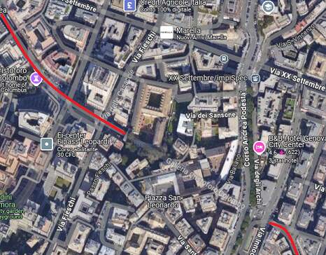
An additional short line was provided from Piazza Galeazzo Alessi at the top of Via Corsica along Mura Sant Chiara, Mura del Prato, Viale Milazzzo and Via Alessandra Volta, as shown below.
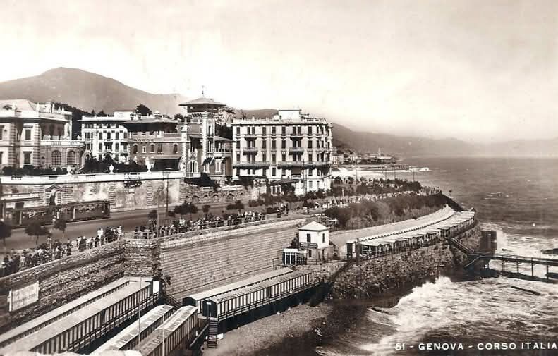
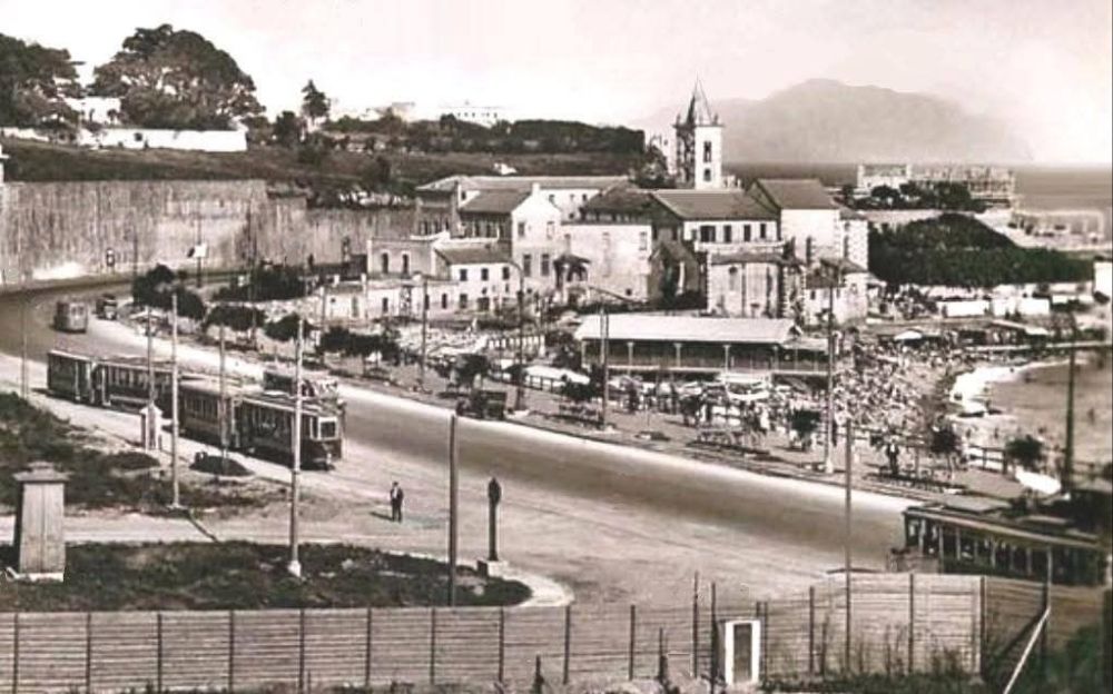
Corso Italia
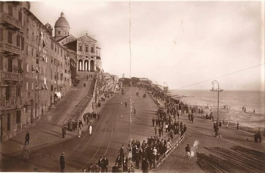
Corso Italia was built between 1909 and 1915 [6] and the tram line to Foce was extended along Corso Italia sometime in the early 1920s. The tram line can be seen (dotted) on the map extract below.

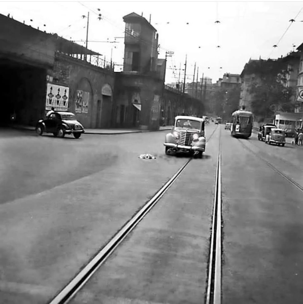
Other links were added such as a line between Piazza Brignole and Piazza Giuseppi Verdi (outside Brignole Station). With the culverting of the Bisagno River in 1930/31, a link along Via Tolemaide from Piazza Verdi to meet the existing tramway which ran Northeast/Southwest on Via Montevideo and continued East towards San Martino, became possible.
Piazza Raffeale de Ferrari, Piazza Dante and routes East
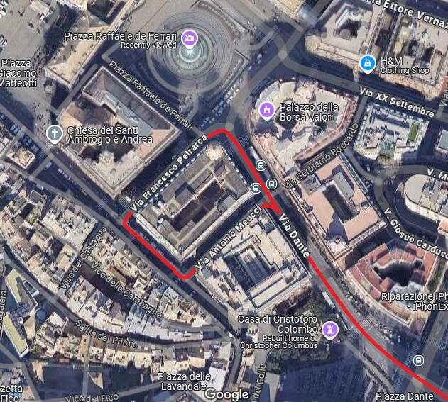
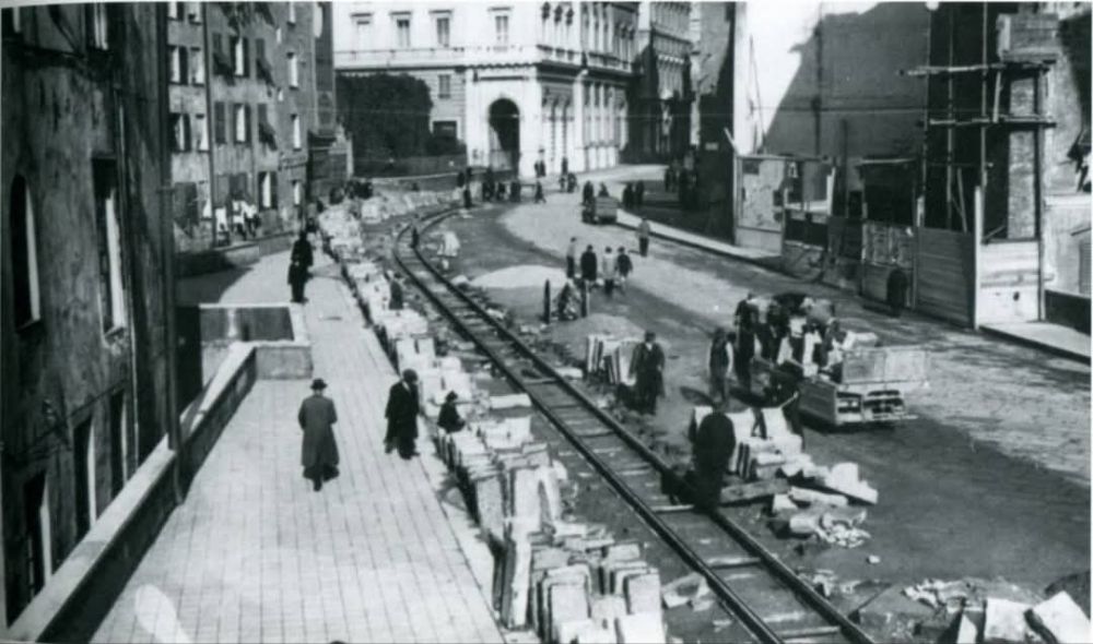
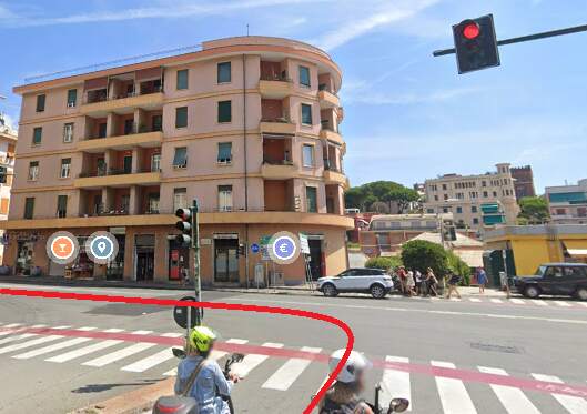
We have already noted that Piazza Raffaele de Ferrari ceased to be the main focus of the network in 1934 and that trams were removed from Via XX Settembre and Via Roma at the time. What remained in the vicinity of Piazza de Ferrari was a single loop line were 11 lines from the East and Valbisagno terminated. The terminus was on Via Petrarca with a return loop through Via Porta Soprana and Via Antonio Meucci to
Piazza Dante and then on to their destinations. The first image below shows the revised arrangements on the South corner of Piazza Raffaele de Ferrari.
Trams which originally entered Piazza Raffaele de Ferrari from the north along Via Roma were diverted from Piazza Corvetto along Via Serra toward Piazza Brignole. More about this further down this article.
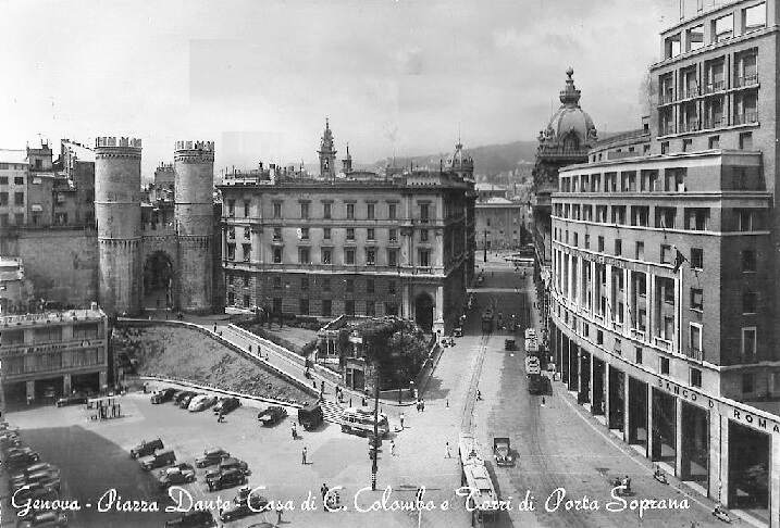
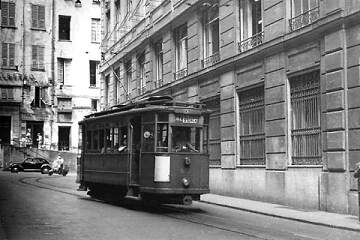
A 600 series tram in Via Meucci on the return loop. The tram is approaching Via Dante where it will turn right to head East out of the centre of Genova, (c) Public Domain. [13]
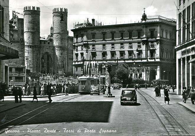
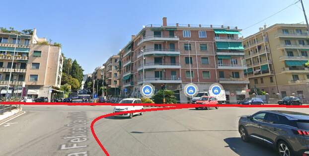
Trams travelled up and down Via Dante and through Galleria Cristoforo Colombo to serve the East of the city and the coast.
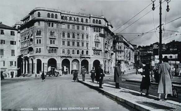
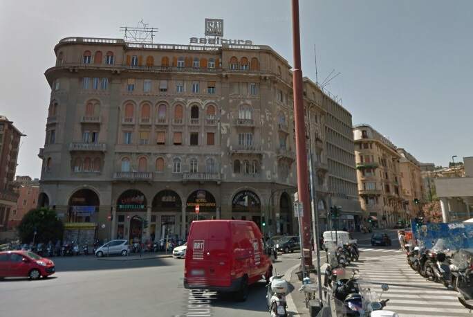
Via Edmondo de Amicis
When trams were diverted away from Piazza De Ferrari, those which used to travel down Via Roma were diverted along Via Serra and Piazza Brignole. A new length of tramway was built along Via Edmondo de Amicis to link Piazza Brignole with Piazza Verdi and Brignole Railway Station.
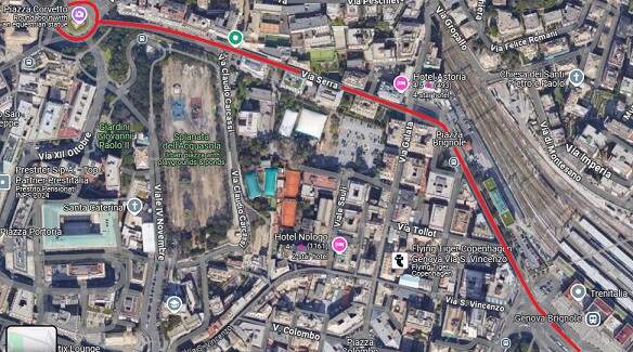
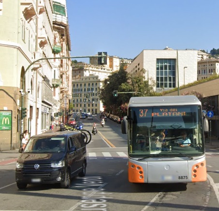
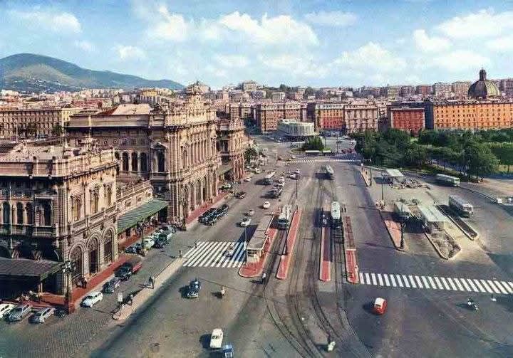
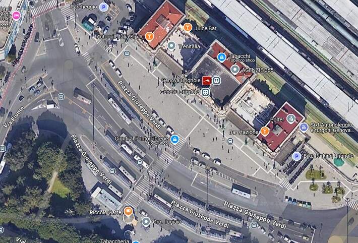
Piazza Giuseppe Verdi
The station forecourt of Brignole Railway Station and the North side of Piazza Giuseppe Verdi became a significant hub within the new network inaugurated in 1934.
East from Piazza Verdi (Via Tolemaide)
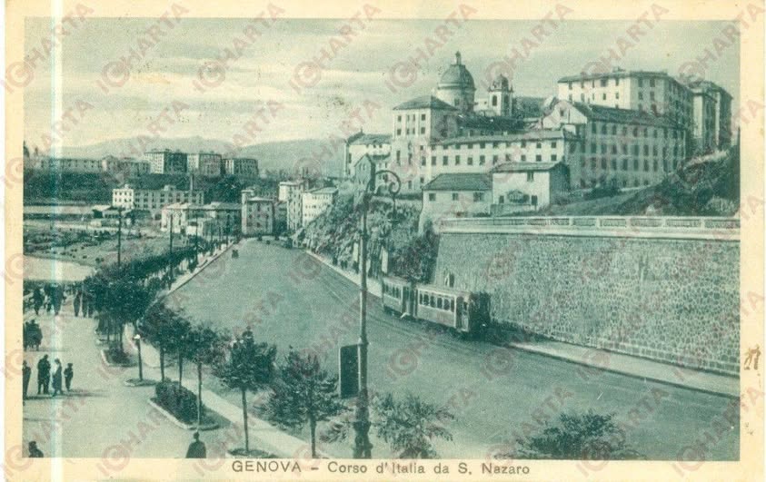
Major work was undertaken in the 1930s along the length of the River Bisagno from the railway to the sea shore. That full length of the river was converted and a broad boulevard was created.
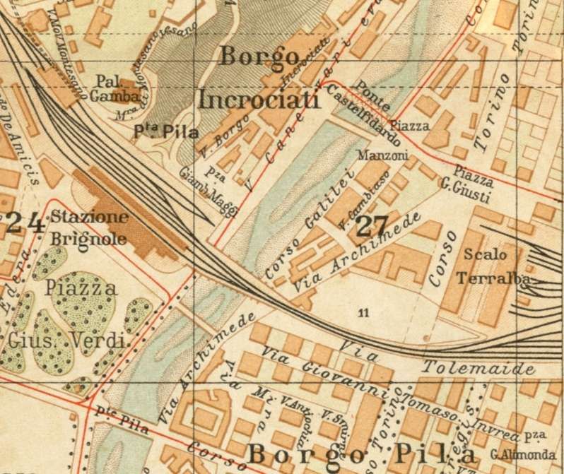
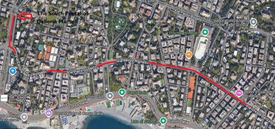
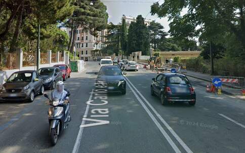
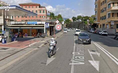
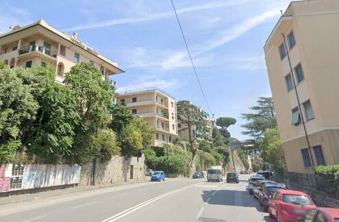
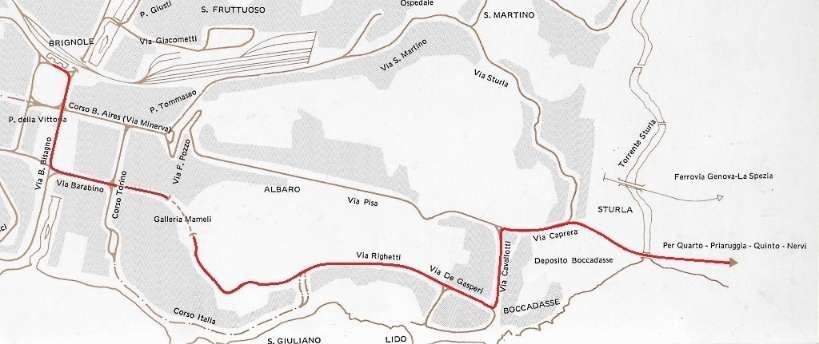
Piazza Verdi (Brignole Railway Station), Viale Brigata Partigiane/Viale Brigata Bisagno, Via Barabino, Galleria Mameli, Via Carlo e Nello Rosselli and further East
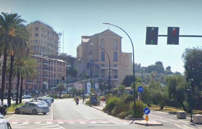
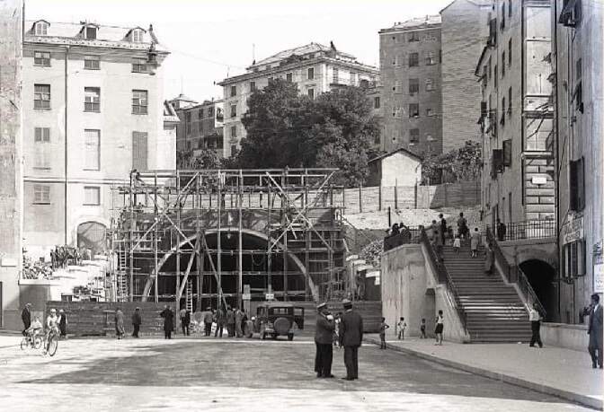
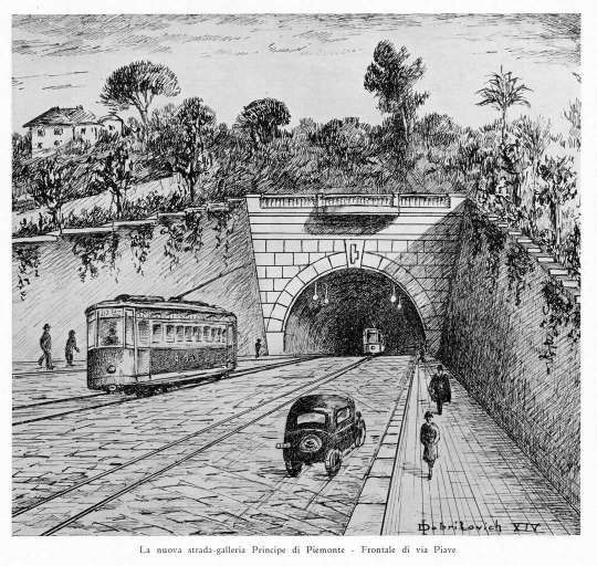
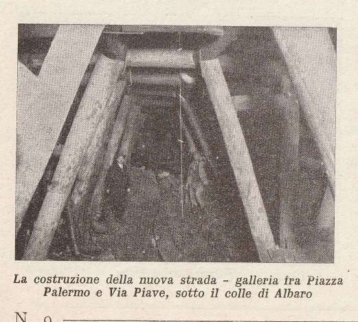
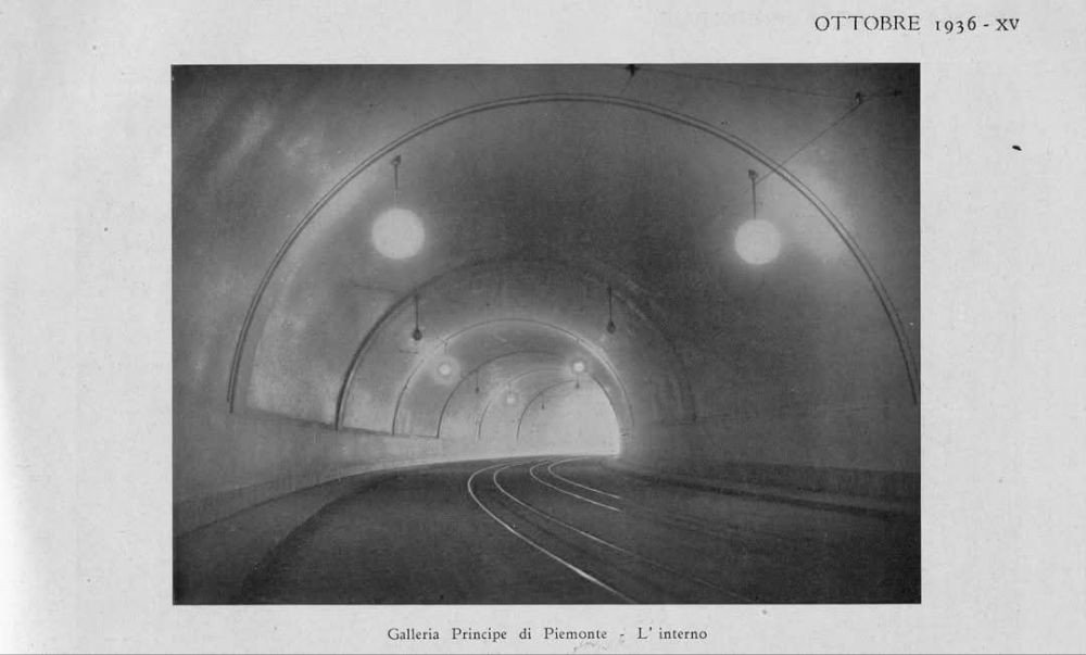
The construction of Galleria Principe di Piemonte (later Galleria Mameli) allowed a further route East from the city centre to be exploited.

References
- https://rogerfarnworth.com/2024/12/03/genoas-early-tram-network-part-1-general-introduction-tunnels-the-years-before-world-war-one-and-the-early-western-network.
- https://rogerfarnworth.com/2024/12/08/genoas-early-tram-network-part-2-the-western-half-of-the-eastern-network
- https://rogerfarnworth.com/2024/12/14/genoas-early-tram-network-part-3-the-remainder-of-the-eastern-network-before-the-first-world-war
- https://www.stagniweb.it/mappe/GE1916.jpg, accessed on 16th December 2024.
- https://www.facebook.com/photo/?fbid=2049286151810128&set=gm.1668899133209243, accessed on 16th December 2024.
- https://it.wikipedia.org/wiki/Corso_Italia_(Genova), accessed on 16th December 2024.
- https://www.facebook.com/share/p/71MjBp5D22S7ibme, accessed on 16th December 2024.
- Paolo Gassani; Fotostoria del tramway a Genova; Nuova Editrice Genoves; accessed via https://www.marklinfan.com/f/topic.asp?TOPIC_ID=4530&whichpage=2, on 16th December 2024.
- https://www.facebook.com/share/p/53eQsSsDqVQihPtB, accessed on 16th December 2024.
- https://www.facebook.com/share/p/5HCMHKXdKRJQy5JG, accessed on 16th December 2024.
- https://www.facebook.com/share/p/aDJ5a49FpFsVZrT5, accessed on 16th December 2024.
- https://www.facebook.com/share/p/5b2Si6VYvDKM3CWT, accessed on 16th December 2024.
- https://www.marklinfan.com/f/topic.asp?TOPIC_ID=4530&whichpage=1, accessed on 17th December 2024.
- https://www.facebook.com/share/p/WEFm8bEAFcWph8Dk, accessed on 17th December 2024.
- https://www.stagniweb.it/foto6.asp?File=tram_ge&InizioI=1&RigheI=50&Col=5, accessed on 17th December 2024.
- https://en.m.wikipedia.org/wiki/AMT_Genova, accessed on 15th November 2024.
- Storia [History] (in Italian). AMT Genova; https://www.amt.genova.it/amt/amt-istituzionale/storia, accessed on 15th November 2024.
- http://www.uwrbancenter.comune.genova.it/sites/default/files/quaderno_arch_2011_03_21.pdf, accessed on 16th November 2024.
- Rete tranviaria di Genova; https://it.wikipedia.org/wiki/Rete_tranviaria_di_Genova, accessed on 26th November 2024.
- AMT (ed.); History of public transport in Genoa; Genoa, SAGEP Editrice, 1980.
- Paolo Gassani; Photo history of the tramway in Genoa , Genoa, Nuova Editrice Genovese, 1982.
- https://www.facebook.com/photo?fbid=10232797184498995&set=pcb.7130967057002396, accessed on 17th December 2024.
- https://www.facebook.com/share/p/JybARrWm7GmtDD9W, accessed on 17th December 2024.
- https://www.facebook.com/share/p/AayVX3X524jLgmi7, accessed on 17th December 2024.
- https://www.facebook.com/share/p/pJjBuUeF81f3LL3i, accessed on 17th December 2024.
- https://www.facebook.com/share/p/BsjLWDmoNQw4QjWb, accessed on 17th December 2024.
- https://www.facebook.com/share/p/fVjRbNsa8RPk2SE1, accessed on 17th December 2024.
- https://www.facebook.com/share/p/Crw7Lje3ZcHMr4KX accessed on 17th December 2024.
- https://www.facebook.com/share/p/4GTuSwY8RrCxGQJh, accessed on 18th December 2024.
- https://www.stagniweb.it/foto6.asp?File=mappe_ge&righe=1&inizio=5&InizioI=1&RigheI=50&Col=4, accessed on 18th December 2024.
- https://www.facebook.com/share/p/JmLna6oRqU8HmRbg, accessed on 18th December 2024.
- https://www.facebook.com/share/p/s3G2sL6e8hFGfeCX, accessed on 18th December 2024.
- https://www.facebook.com/share/p/dkNJ4yB1F1nkHLjD, accessed on 18th December 2024.
- https://www.facebook.com/share/p/GwXxfKHcemQQxj9T, accessed on 18th December 2024.
- https://www.facebook.com/share/p/Q34Q5GXXoamj1XhX, accessed on 18th December 2024.

Pingback: Genoa’s Early Tram Network – Part 5 – World War 2 to its decline and closure in the 1960s and the Rolling Stock used on the Network. | Roger Farnworth