I am reading a book by Bill Laws: “Fifty Railways that Changed the Course of
History” published by David & Charles, Newton Abbot, UK, 2013 ISBN-13:978-1-4463-0290-3.
The Sheffield, Ashton-under-Lyne and Manchester Railway features as the 17th of these and particularly for the construction of the Woodhead Tunnel. This was a project that exposed one particular company’s shocking attitude to the safety of its workers and it provided some significant impetus to campaigns for better working conditions for navvies.
“When the early transport ships bearing British miscreants to New South Wales landed in Australia, hundreds had perished during the voyage. The prisoners, including a few of those disreputable railway labourers, notorious for their hard drinking and fighting, were so crammed into the ships’ holds that they died. The British government ordered that, in future, the charterers be held responsible for the convicts’ well-being. It produced immediate results. The transporters, paid a bonus for every prisoner safely landed, now took care of their cargo,” (p72).
 However, this principle of responsibility for one’s workers was usually ignore by Victorian entrepreneurs and business leaders: “What use had a mill owner for some eight-year-old girl who, through her own carelessness, lost her hand in a machine? Why should a railway company be responsible for a navvy’s family, when the man died, dead drunk, in a tunnel collapse? And why should the shareholder, risking his capital on such a brave enterprise as the Sheffield, Ashton-under-Lyne and Manchester Railway Company’s plan to tunnel under the Pennines, have to mollycoddle workers who were being paid to do their job?” (p72/73).
Wellington Purdon, who was assistant engineer on the tunnel, was asked by a government enquiry if it was not wiser to use safety fuses while blasting rock He replied, “Perhaps it is: but it is attended with such a loss of time, and the difference is so very small, I would not recommend the loss of time for the sake of all the extra lives it would save, ” (p73).
Purdon’s comments revealed how little the railway companies valued their workers. The enquiry and Purdon’s comments should have changed the course of industrial history. Instead, Parliament shelved the enquiry’s report.

Edwin Chadwick
In 1845 the first train through the completed Woodhead Tunnel was met by a celebration. However, the social reformer Edwin Chadwick did not celebrate for he had calculated that the rate of attrition on the contract to build the tunnel was the equivalent of losses incurred in war. “With 32 killed and 140 injured, the casualty rate was higher than in the Battles of Waterloo” (p73).
The navvies on the Woodhead Tunnel paid to keep their own doctor on hand, Henry Pomfret. “The chief engineer, Wellington Purdon’s boss was Charles B. Vignoles who was also a shareholder in the railway company. When the contract ran over time and over budget, the job bankrupted him. The pioneering engineer Joseph Locke took over as more than a thousand labourers hewed away at the muck and mud from seven different shafts, one at each end and five vertical shafts from above, with pick, shovel and explosives. It was obvious to Locke that the only way to complete the project was to drive the men like animals and, if questioned, lie” (p73/74).
The job took six years to complete. When it came to an end Dr. Pomfret talked to his friend Dr. Roberton, who, inturn talked to Edwin Chadwick. “In January 1846 Chadwick delivered a paper to the Manchester Statistical Society: The Demoralization and Injuries Occasioned by Want of Proper Regulations of Labourers Engaged in the Construction and Works of Railways. Despite the exhausting title, the contents were as volatile as navvies’ explosives. They revealed how injured men were forced to fend for themselves, how most workers lived in homemade hovels (occasioning an outbreak of cholera) through the worst of the Pennine winters. Chadwick exposed the practice of not paying wages for several weeks and then paying them in public bars. The pubs encouraged the navvies to drink their wages, while delayed payments forced them onto the truck system, a version of the company store principle that kept the men and their families in hock to the railway company. (The truck was already outlawed in Britain, but the statute, laid down before the railway rush, had not specified railway workers.) Chadwick showed how the reputation of the average navvy as a feckless, reckless drunk was a direct result of the industry plying him with booze instead of providing him with proper food and housing” (p75).
“The rail company and the engineers denied the charges against them. Nevertheless, the government inquiry in July 1846 recommended extending the Truck Act to the railways, making the companies responsible for the health, welfare and accommodation of their navvies and, most important of all, putting the liability for deaths or injuries on the company. The Members of Parliament also insisted that men should be paid weekly, and in cash, not in tokens for the truck. The inquiry report was never even debated” (p75).
 However, “although no railway man was censured over the Wood-head Tunnel scandal, Chadwick’s efforts were not in vain. His correlation between losses on the battlefield and those on the railways caught the public imagination and in future, when navvies were killed, the press was quick to take up the story” (p75).
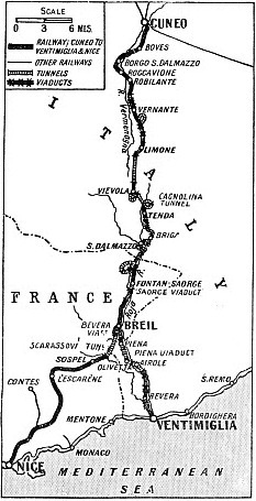
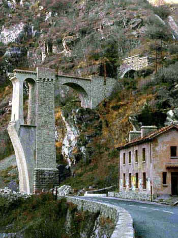
Woodhead Tunnel is infamous for the loss of life during its construction, but it is nothing compared to the massive loss of life associated with many colonial railways in Asia, Africa and South America.

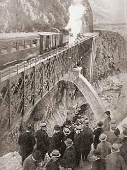
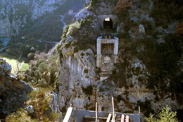
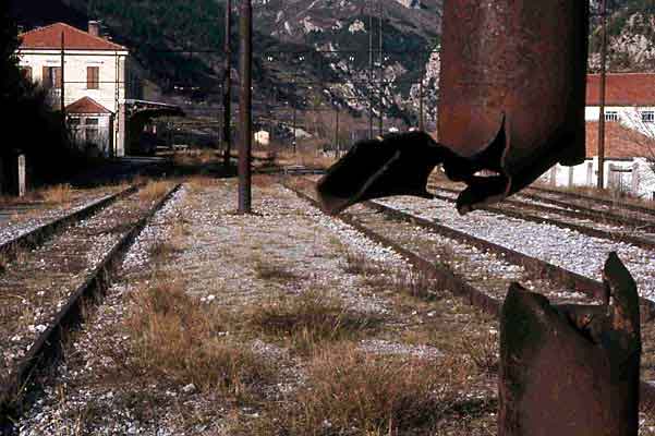
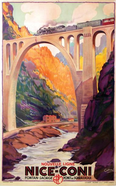
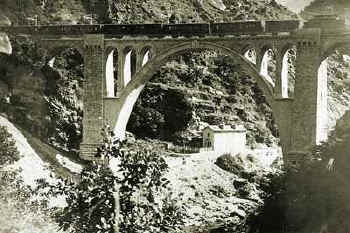 It survived for little more than 20 years before it became a casualty of the Nazi withdrawal from southern Europe in 1945. When the bridge was blown the tracks where left hanging over the river.
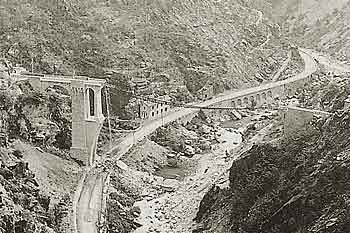
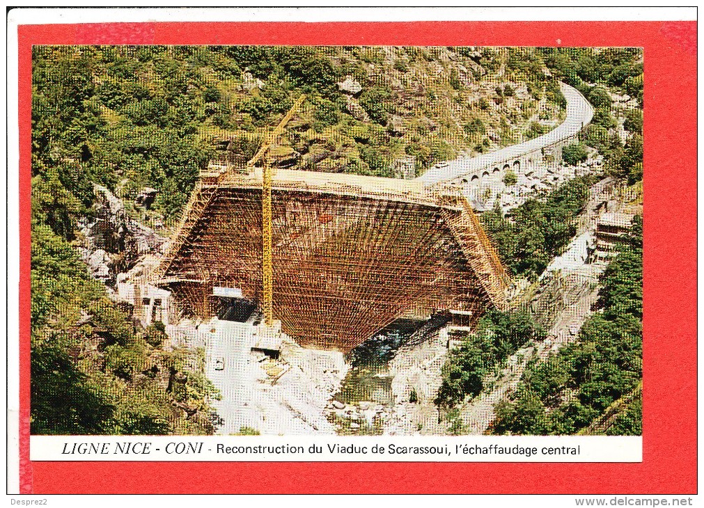


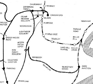
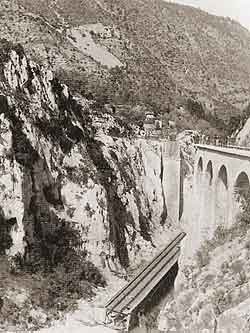
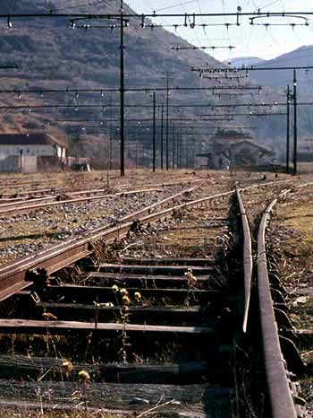
 Some lengths of the formation remain, as do some of the structures. Part of the Blakeney Viaduct is still extant as is the Blackpool Bridge.
 The following are links to information about the line which became part of the