

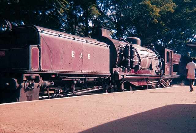
In 1977 the East African Railways Corporation (EARC), formerly the East African Railways and Harbours Corporation (EAR&H) was broken up. The three countries which made up the East African Community were unable to agree about many things and it became necessary for them to go their own ways. Three railway companies were formed: Kenya Railways Corporation; [1] Uganda Railways Corporation; [2] and Tanzania Railways Corporation. [3] In this post we will focus on the first two of these and on later arrangements with Rift Valley Railways which ended in 2017 when the two Corporations were reformed. At the end of the post, which is essentially about narrow-gauge railways we will highlight developments relating to the new standard-gauge lines which may well dominate the future in Kenya and Uganda.
- Kenya Railways Corporation
- Uganda Railways Corporation
- Rift Valley Railways
- Chinese Standard-Gauge Lines
In 1977 the East African Community (EAC) collapsed. The East African Community (EAC) is now an intergovernmental organization composed of six countries in the African Great Lakes region in eastern Africa: Burundi, Kenya, Rwanda, South Sudan, Tanzania, and Uganda. John Magufuli, the president of Tanzania, is the EAC’s chairman. The organisation was founded in 1967, collapsed in 1977, and was revived on 7 July 2000. [4]
In 2008, after negotiations with the Southern Africa Development Community (SADC) and the Common Market for Eastern and Southern Africa (COMESA), the EAC agreed to an expanded free trade area including the member states of all three organizations. The EAC is an integral part of the African Economic Community.
Kenya, Tanzania, and Uganda have cooperated with each other since the early 20th century. The customs union between Kenya and Uganda in 1917, which Tanganyika joined in 1927, was followed by the East African High Commission (EAHC) from 1948 to 1961, the East African Common Services Organization (EACSO) from 1961 to 1967, and the East African Community (EAC) from 1967 to 1977. [5] Burundi and Rwanda joined the EAC on 6 July 2009. [6]
Inter-territorial co-operation between the Kenya Colony, the Uganda Protectorate, and the Tanganyika Territory was formalised in 1948 by the EAHC. This provided a customs union, a common external tariff, currency, and postage. It also dealt with common services in transport and communications, research, and education. Following independence, these integrated activities were reconstituted and the EAHC was replaced by the EACSO, which many observers thought would lead to a political federation between the three territories. The new organisation ran into difficulties because of the lack of joint planning and fiscal policy, separate political policies, and Kenya’s dominant economic position. In 1967, the EACSO was superseded by the EAC. This body aimed to strengthen the ties between the members through a common market, a common customs tariff, and a range of public services to achieve balanced economic growth within the region. [7]
In 1977, the EAC collapsed. The causes of the collapse included demands by Kenya for more seats than Uganda and Tanzania in decision-making organs, [8] disagreements with Ugandan dictator Idi Amin who demanded that Tanzania as a member state of the EAC should not harbour forces fighting to topple the government of another member state, and the disparate economic systems of socialism in Tanzania and capitalism in Kenya. [9] The three member states lost over sixty years of co-operation and the benefits of economies of scale, although some Kenyan government officials celebrated the collapse with champagne.[10]
The EAC was revived on 30 November 1999, when the treaty for its re-establishment was signed. It came into force on 7 July 2000, 23 years after the collapse of the previous community and its organs. A customs union was signed in March 2004, which commenced on 1 January 2005. Kenya, the region’s largest exporter, continued to pay duties on goods entering the other four countries on a declining scale until 2010. A common system of tariffs will apply to goods imported from third-party countries. On 30 November 2016 it was declared that the immediate aim would be confederation rather than federation. [11]
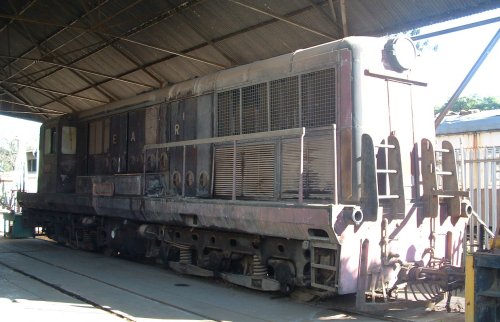
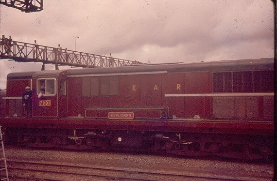
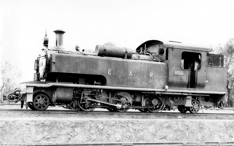
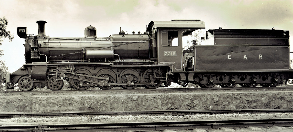
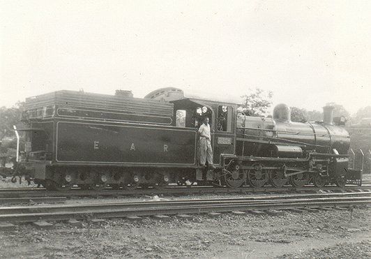
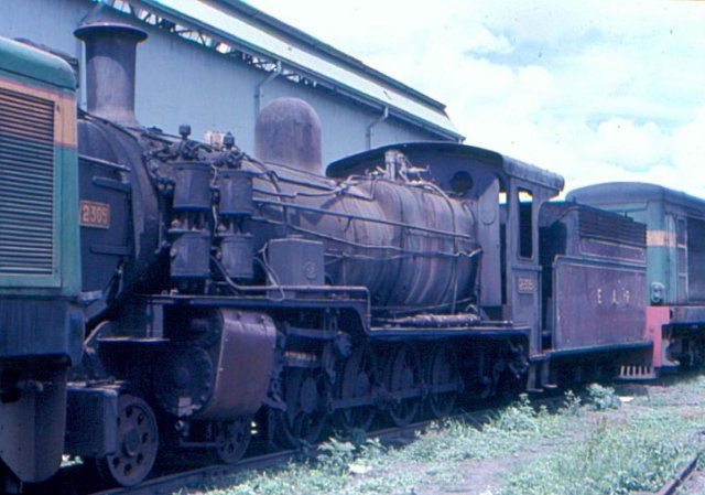
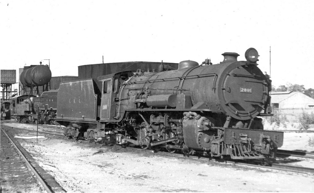
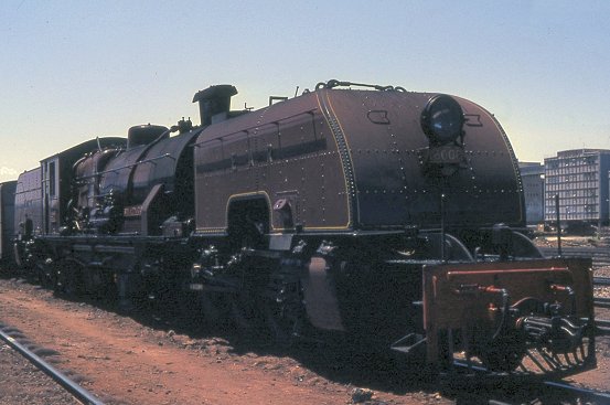
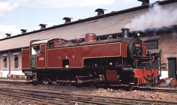
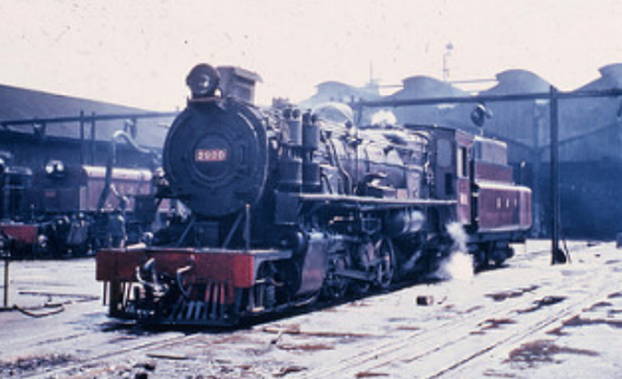
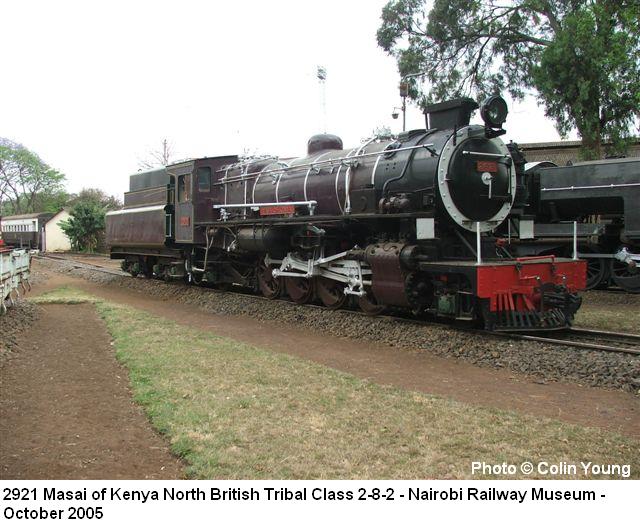
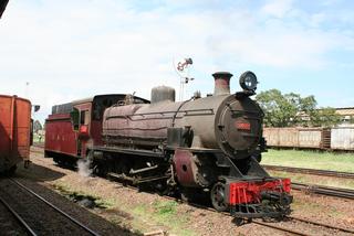
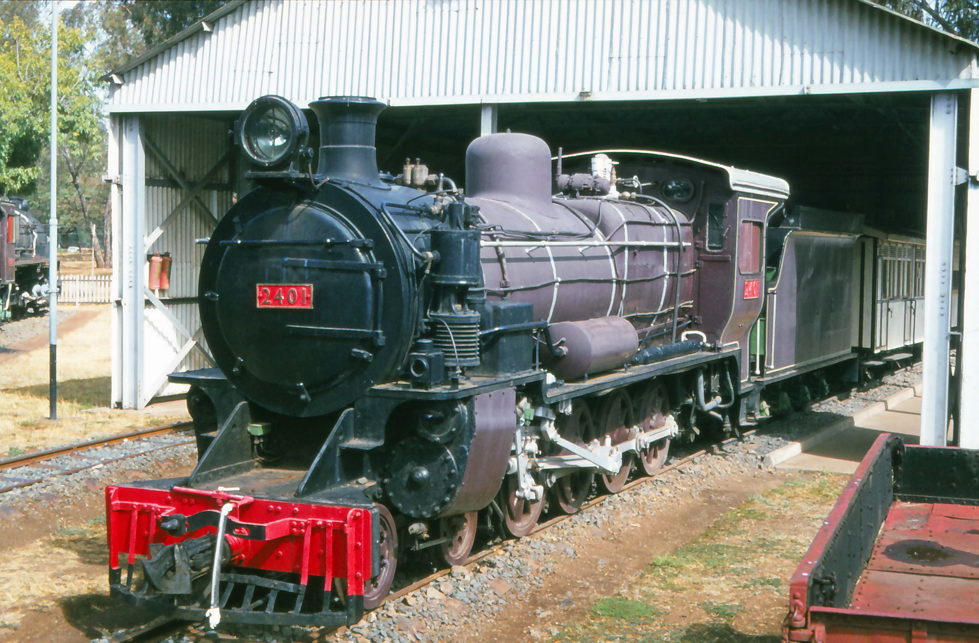
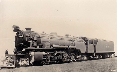
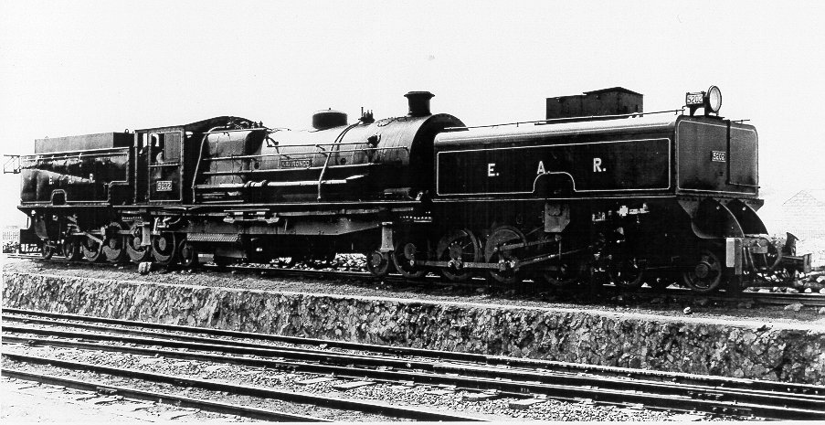
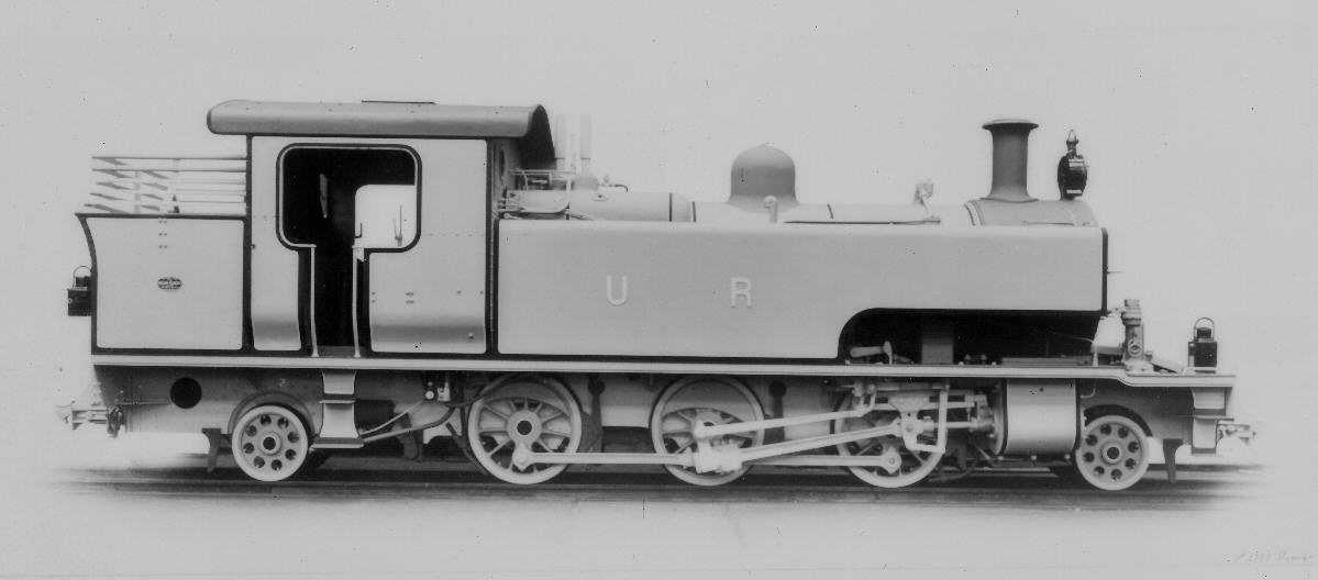
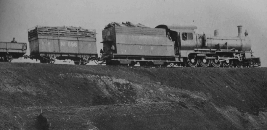
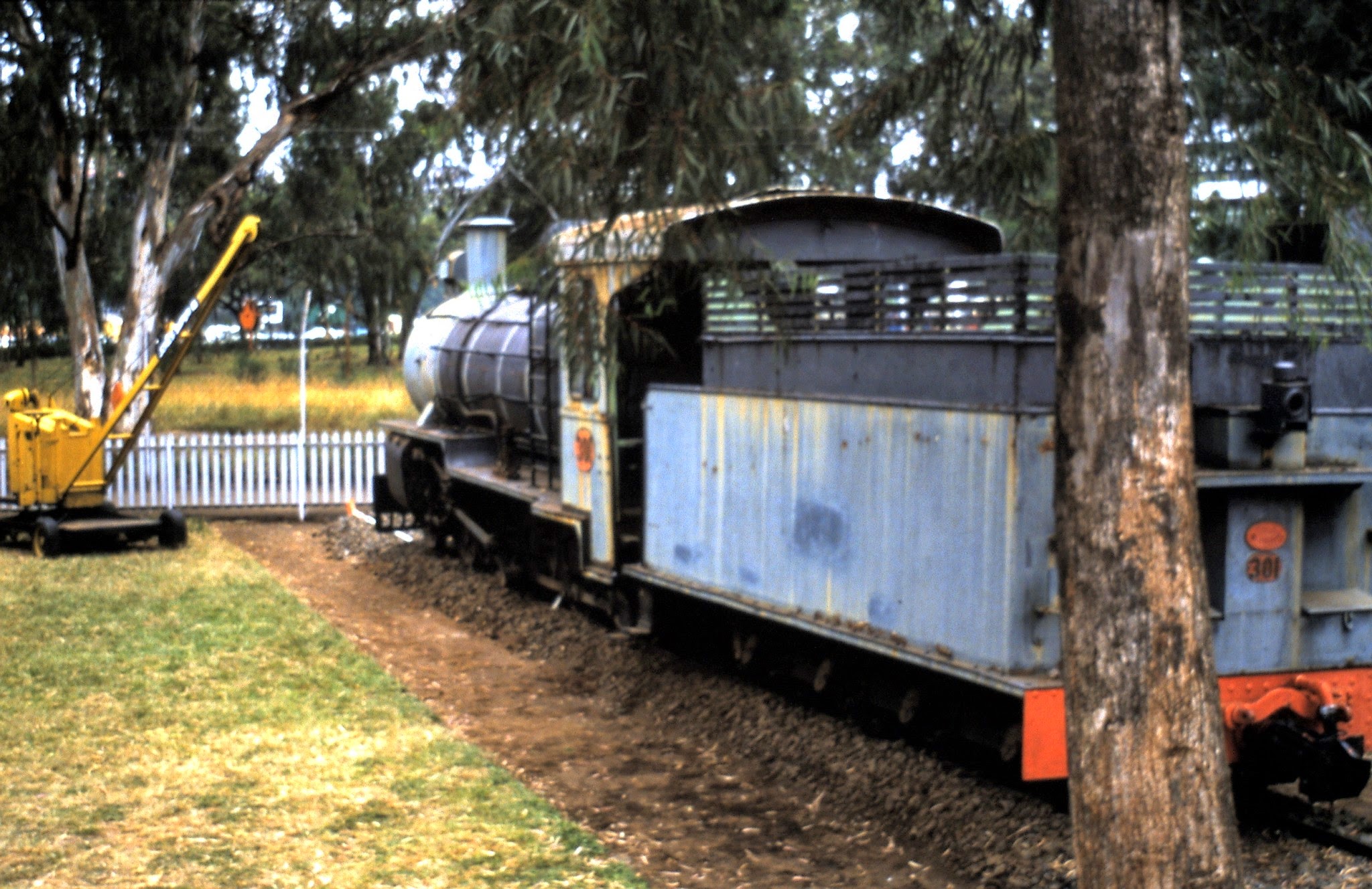
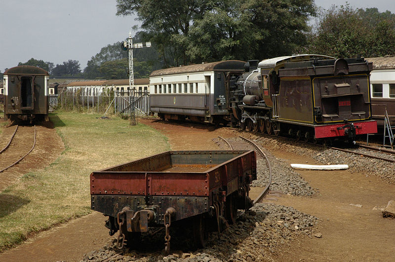
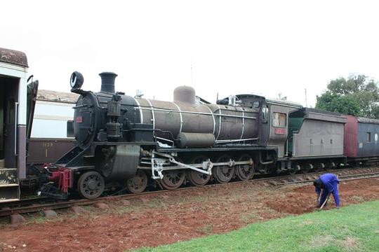
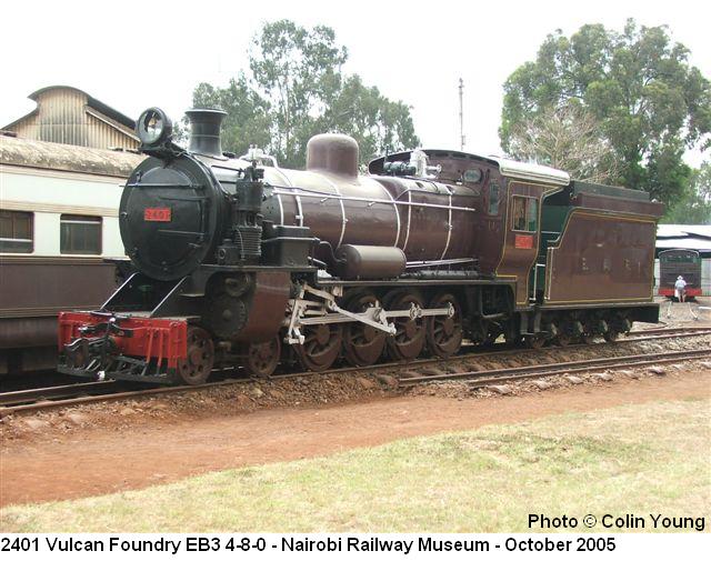
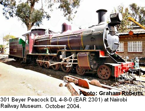
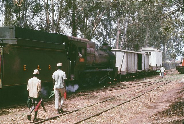
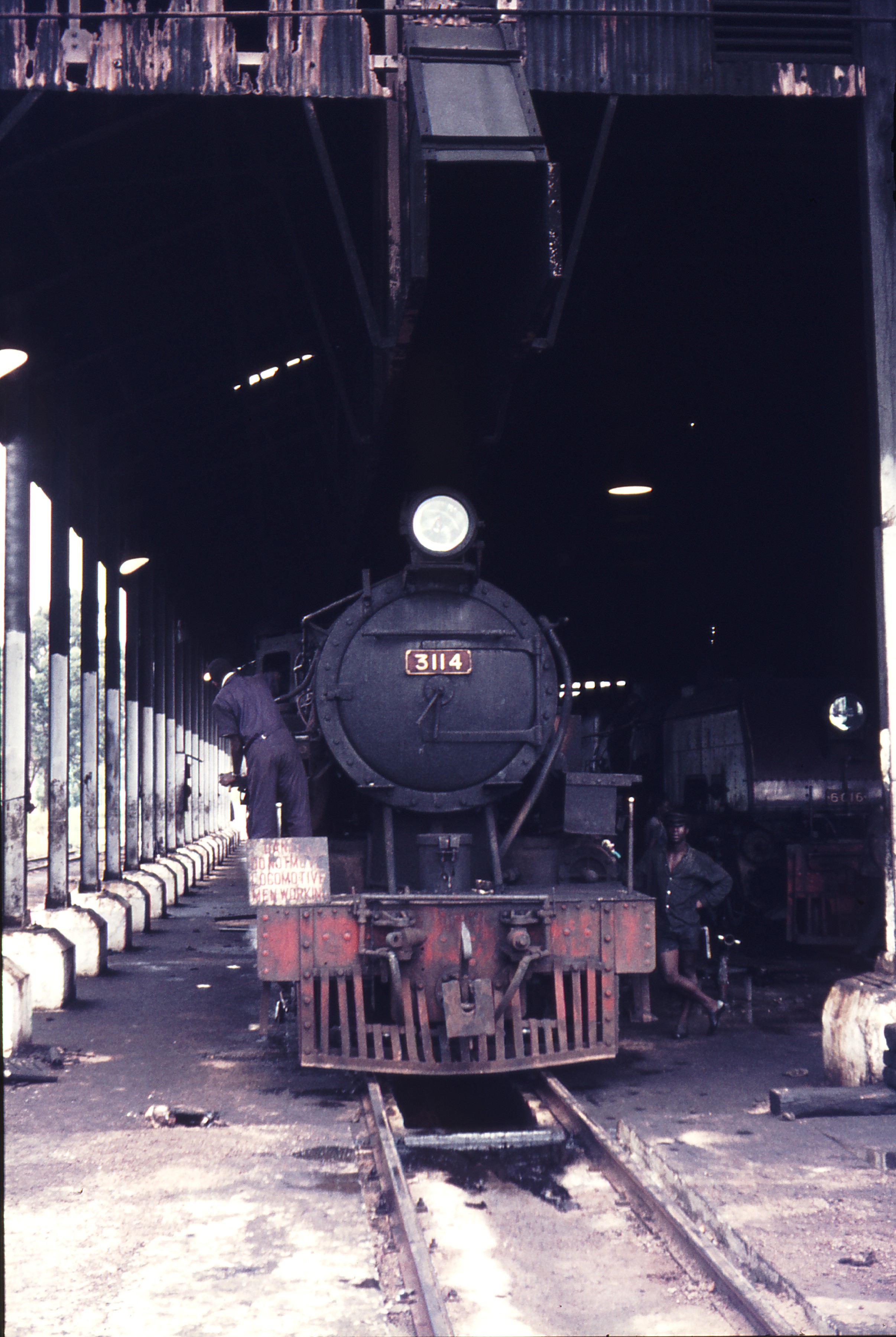
The collapse of the East African Community saw the railways split three ways and the stock was similarly dispersed. Inevitably stock was renumbered. A typical example is 4-8-0 steam locomotive No. 2401 which ended up in Uganda and can still be found at Tororo in a dilapidated state. Kenya took No. 2412 and renumbered it for the class leader No. 2401. It is this renumbered loco which can be seen at Nairobi Railway Museum.
From 1977 onwards existing classes of locomotive were supplemented by others.
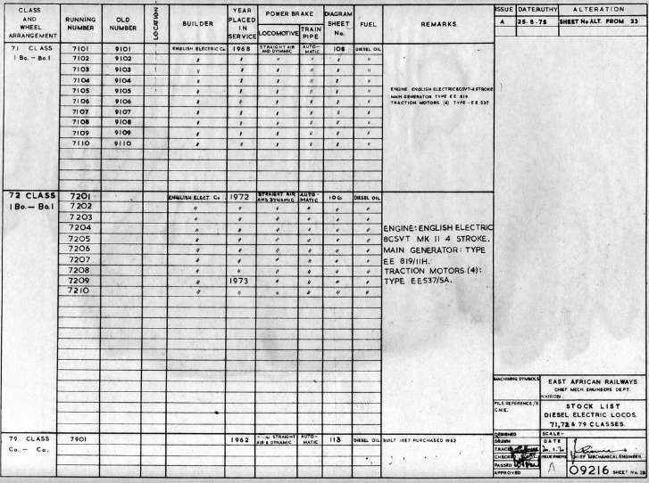
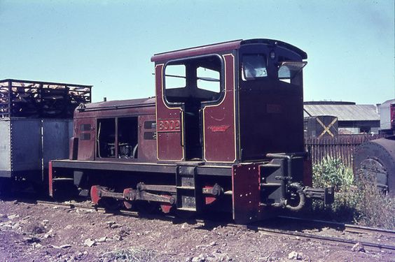
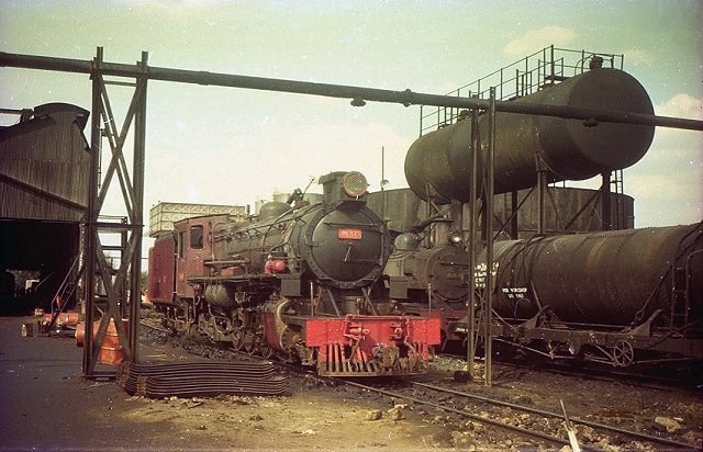
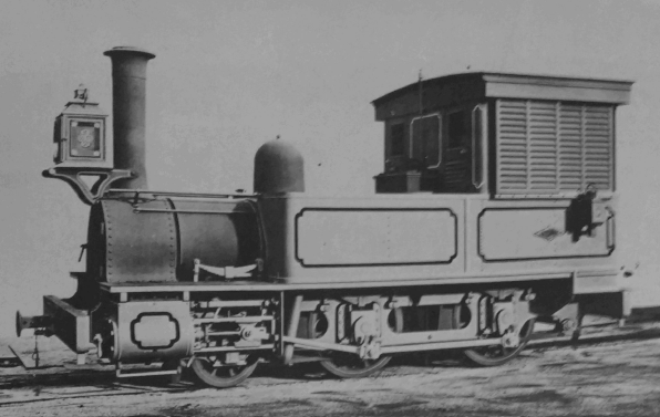
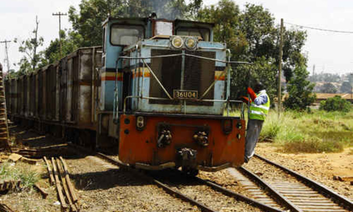
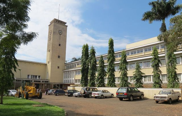
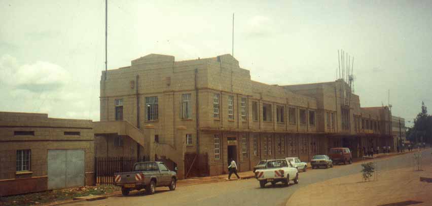
1. Kenya Railways Corporation
![]()
In 1977, the Kenya Railways Corporation was formed. Over the next 30 years, Kenya’s railway network deteriorated from a lack of maintenance. By 2017, only half of Kenya’s metre-gauge railways remained in operation! [12]
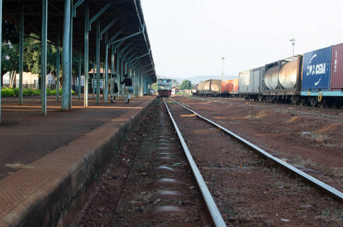
In November 2006, the Rift Valley Railways Consortium took over the operation of railways in Kenya and Uganda under a 25-year concession. [13] However, RVR was unable to turnaround railway operations, hampered by corrupt management and aging infrastructure. In 2017, the World Bank found that a $22 million loan extended for the purchase of refurbished locomotives had been diverted into a shell company controlled by RVR executives. [14] The Uganda Railways Corporation issued a notice of default to RVR in 2016, [15] and the Kenya Railways Corporation terminated the concession in April 2017. [16]
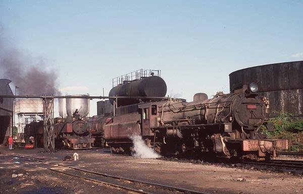
From 1977 to 2006 a number of new locomotives were purchased.
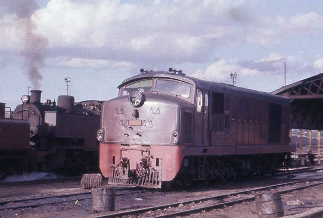
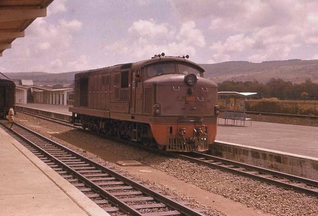
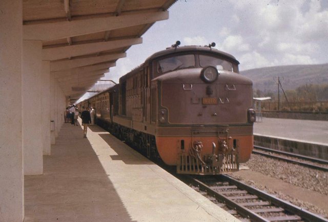
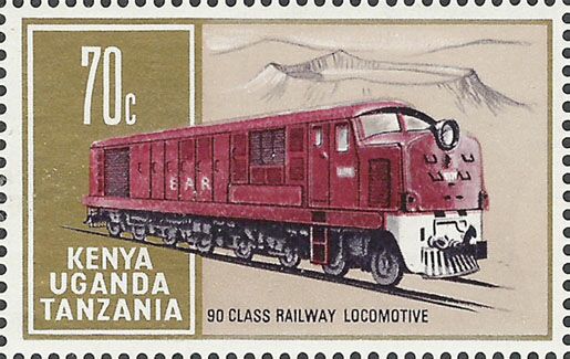
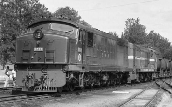
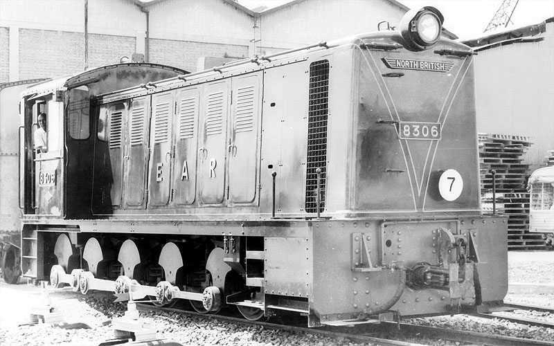
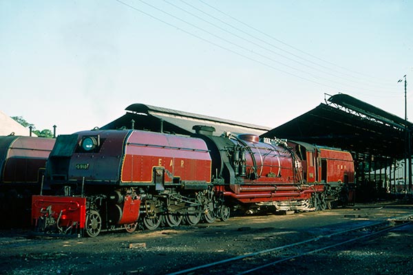
Henschel – Class 62
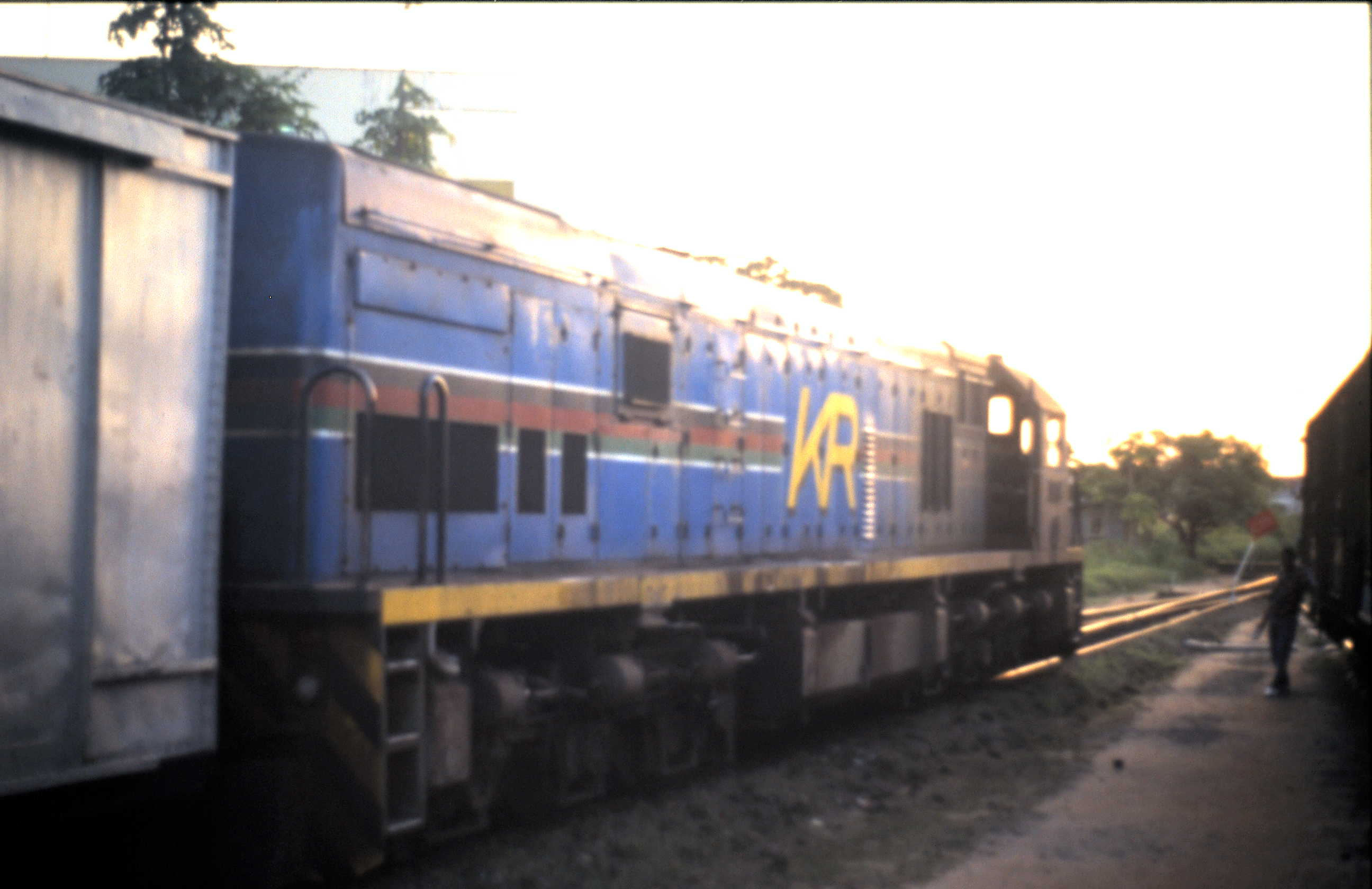
A photograph of this locomotive can be found on flickr © CPH3. It was taken in 1979 and shows a Class 62, No. 6243 diesel hydraulic & GE U26C Class 93 at Nairobi MPD. The link is provided at Reference 38 below. [38]

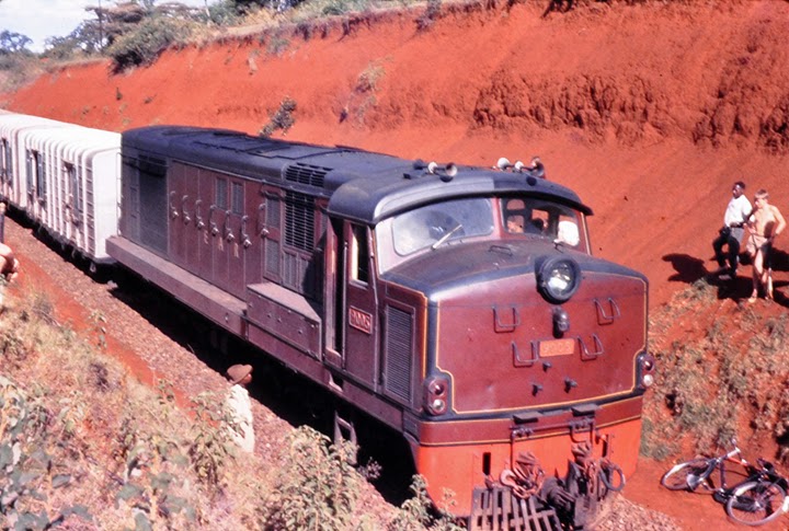
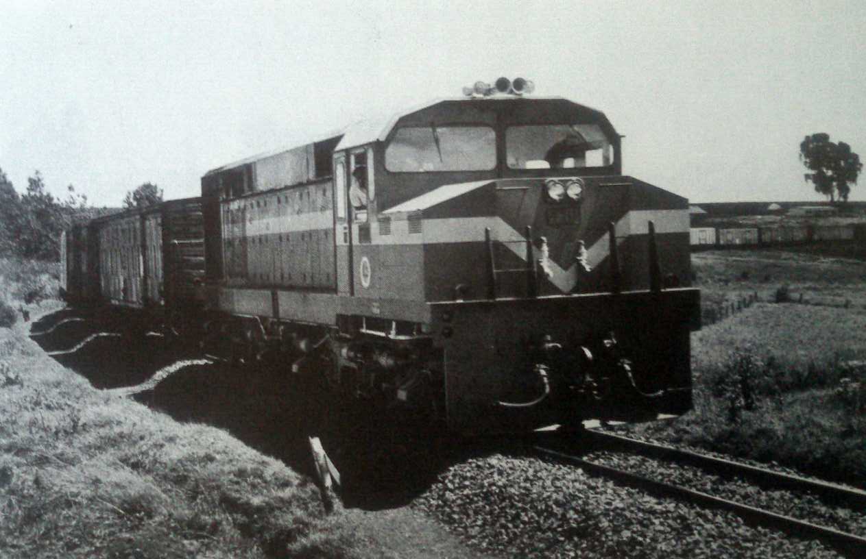
Class 62, No. 6255 Henschel has arrived at Kisumu with the through carriages from Butere, bound for the Nairobi night train. Some shunting had to be done and then No. 6255 headed off to the shed, ending the duties for today. © http://www.tanago-tours.com. [39]

A pair of 62 Class diesels at Nairobi’s old steam shed with its water crane now devoid of its hose (right), © Graham Roberts. [40]
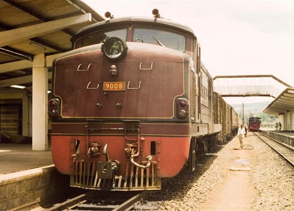
GE U26C – Class 93 and Class 94
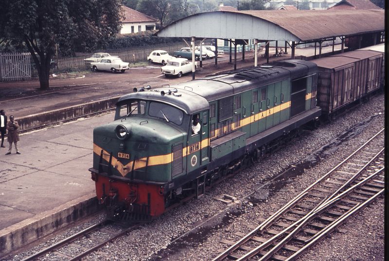
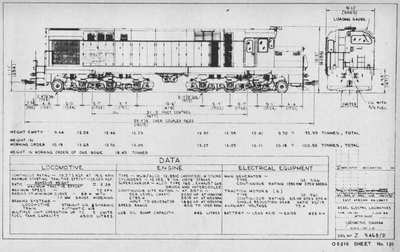
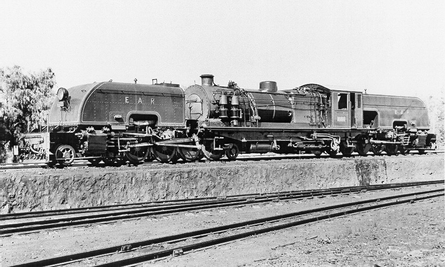
The Kenya Railways (KR) U26C locomotives have been designated as class 93 (delivery in 1977, 26 units) and 94 (delivery in 1987, 10 units). [31]
In 1998, five of the class 93 locomotives were leased to Magadi Rail, a subsidiary of the Magadi Soda Company. They were used to operate soda ash trains from Magadi along the 150 km (93 mi) branch line to Konza, which is also leased to Magadi Rail. [32]. In 2007, they were returned to their owner. [33]
As at 2011, all members of class 93 and 94 formed part of the fleet of the Rift Valley RailwaysConsortium. They were all still serviceable and suitable for rehabilitation and upgrading. [34]

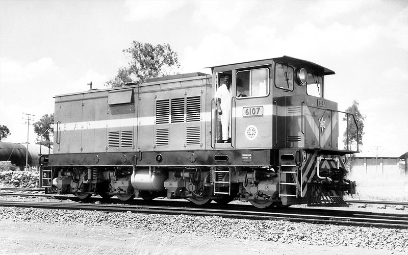
Class 93, No. 9308 [35]

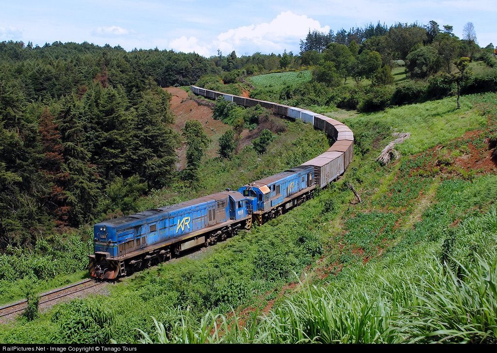
Freight train on the way to Uganda near Nakuru, © Daniel Wipf. [36]
Class 93, Nos. 9310 and 9322 double-heading a goods train at Equator, Kenya. [37]
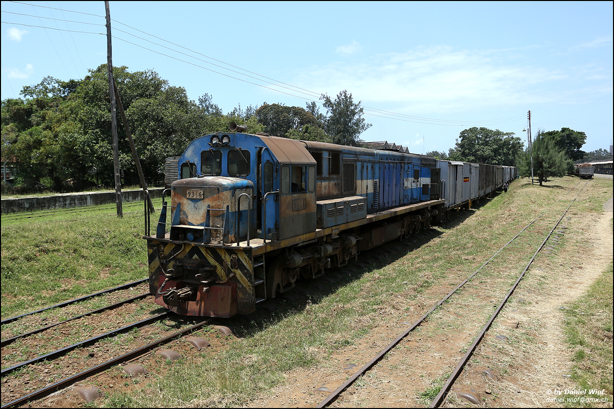
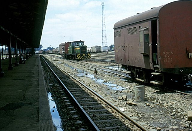
Class 93, No. 9306 at Mombasa © Daniel Wipf. [36]
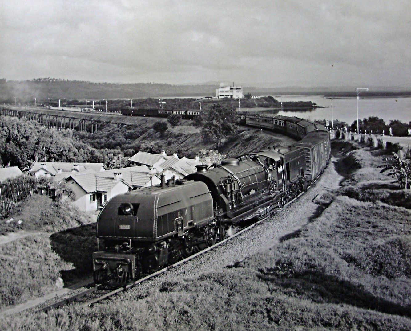
Kenya Railways Class 94 at the head of the train I travelled on from Mombasa to Nairobi in 1994, just about to leave Mombasa Railway Station.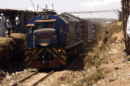
Class 94, No. 9402 [34]

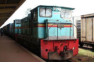
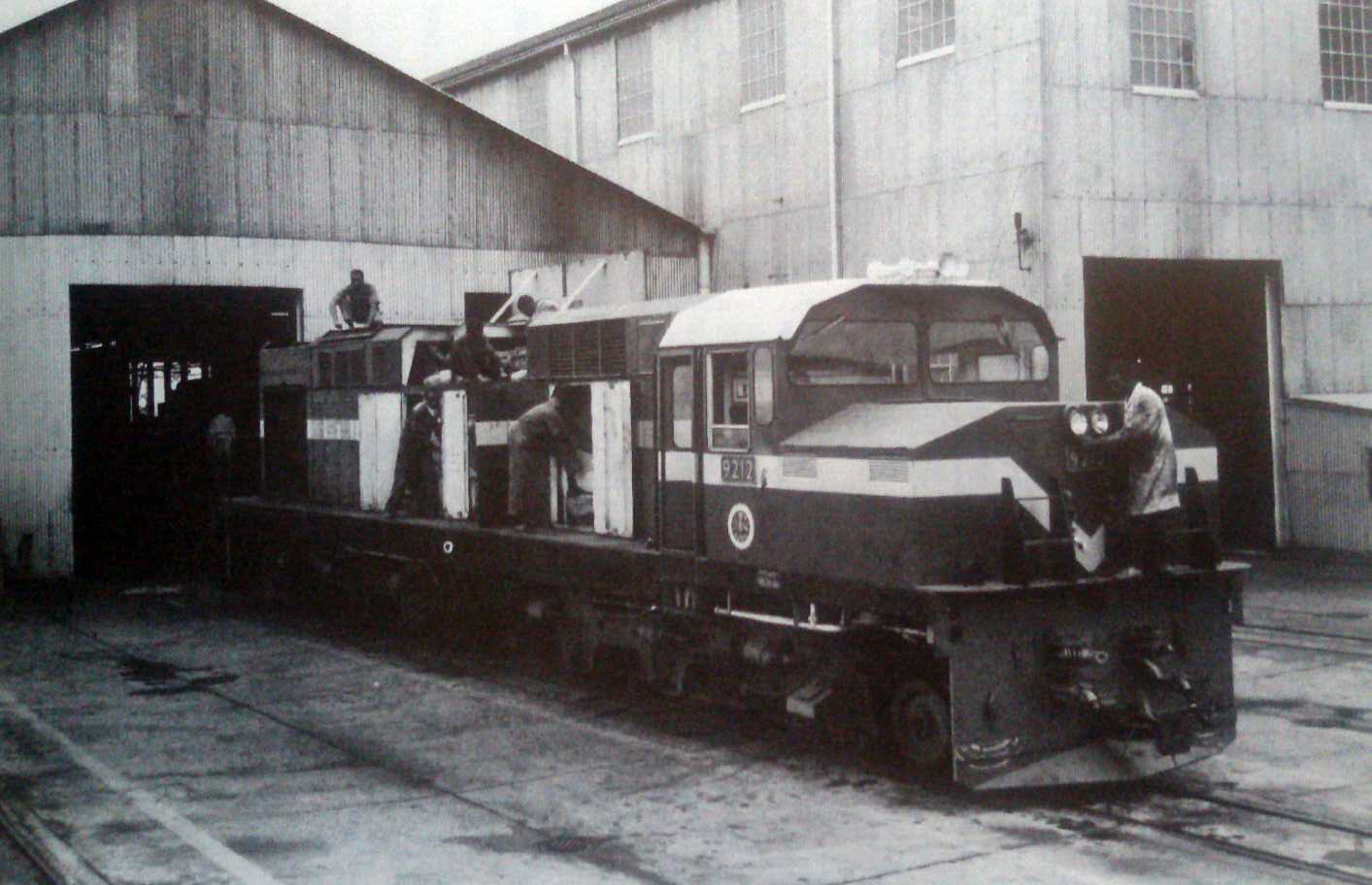
Class 94, No. 9406, one 10 U26C’s built under works numbers 45374-45383 in February 1987. Fitted with the 7FDL12 engine of 2610hp. 1.000m gauge, C-C wheel arrangement. 9406 and a sister loco in Nairobi freight yard (adjacent to Nairobi station). Train is a container train bound for Mombasa docks. Photo taken on 27 February 1998 © Dave Craik. [47]
Other Locomotives
Class 95
Class 95, No. 9509 arrives at Nairobi with train from Mombasa. Kenyan Railways had 10 Class 95 which are GE Class 34’s leased from Spoornet. Photo taken on 27 February 1998, © Dave Craik. [47]
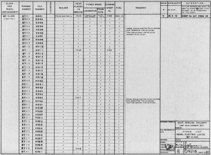
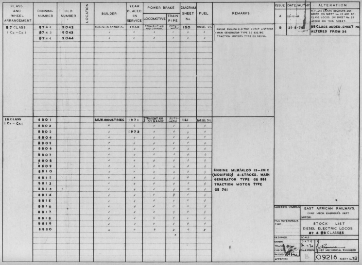
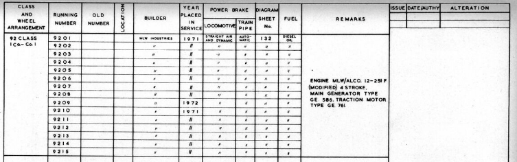
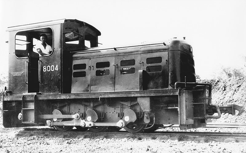
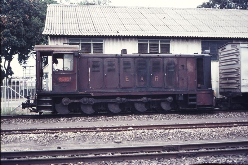
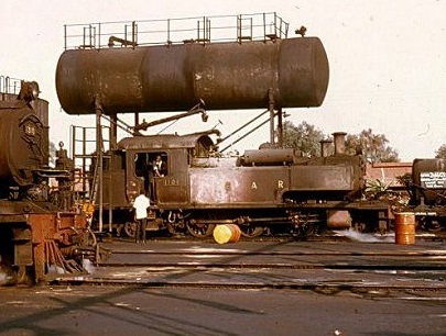
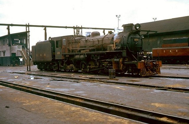
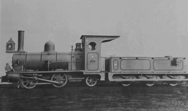
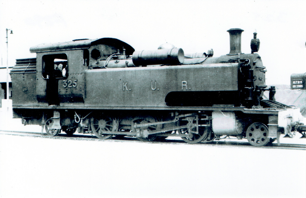
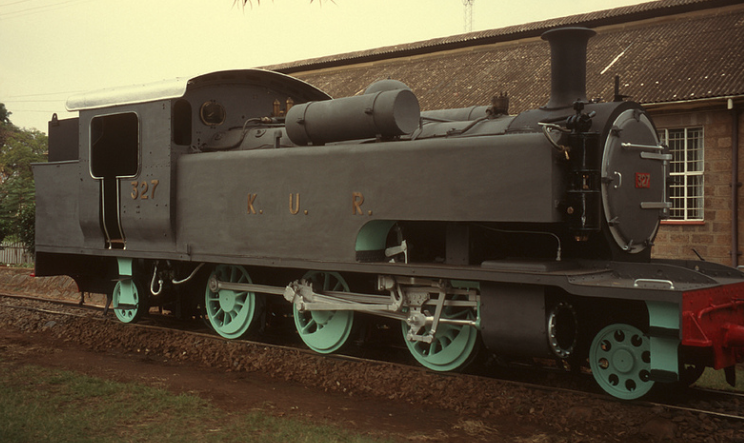
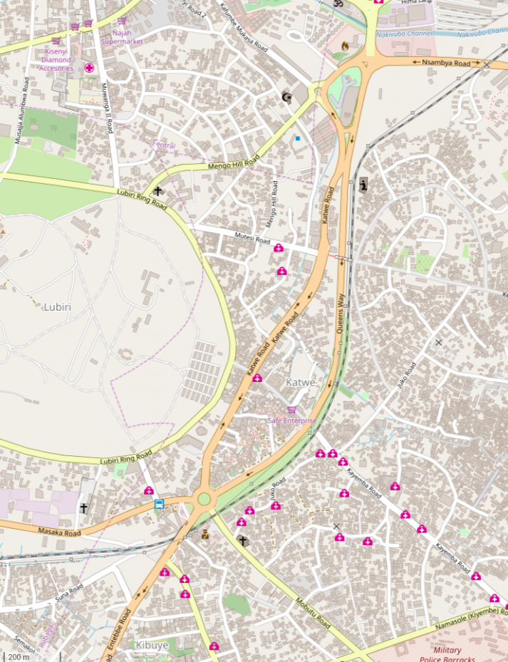
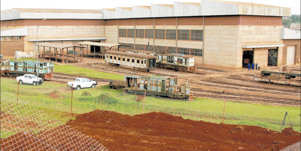
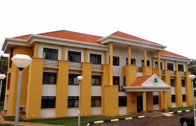
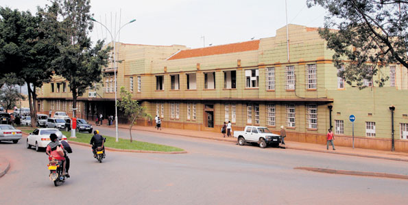
2. Uganda Railways Corporation
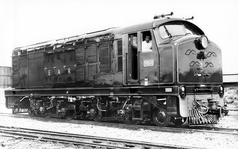
![]()
Uganda Railways Corporation was formed after the breakup of the East African Railways Corporation (EARC) in 1977 when it took over the Ugandan part of the East African railways. [20]
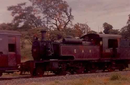
Its operation after the demise of the EARC was hampered by civil war and inefficient management in Uganda. A significant number of new locomotives were purchased in the time of Idi Amin. [59]
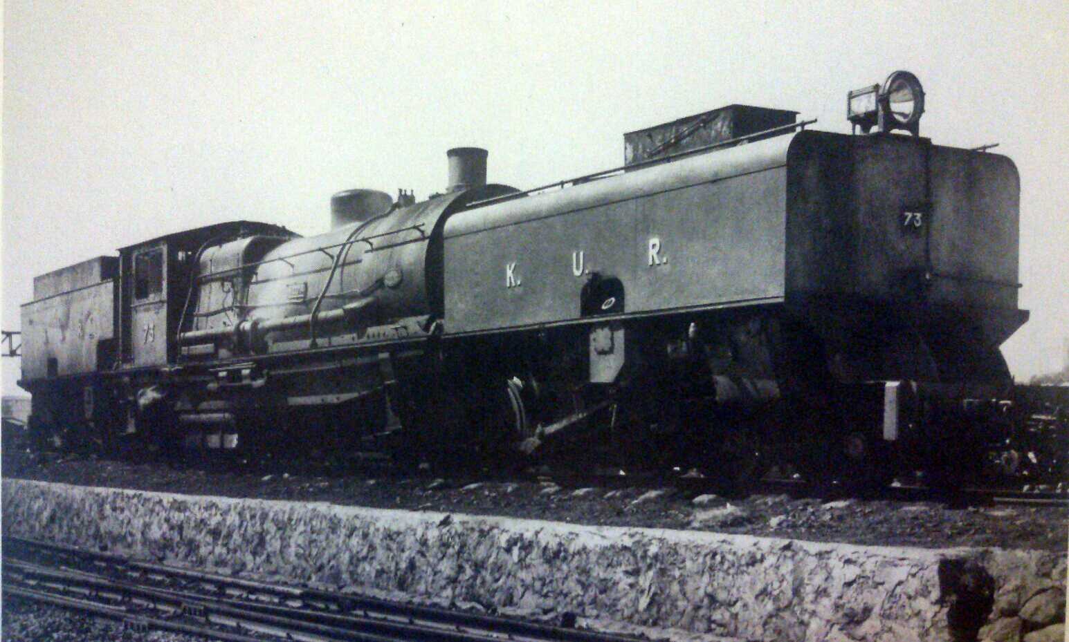
After the EAR breakup URC got the following locos:
36U01-06 Henschel DHG400 32209-14/1977-78 340 hp
62U01-10 Henschel DHG1000 32199-208/1977-78 760 hp
71U01-02 Alsthom AD12B 1986 1050 hp
73U01-20 Henschel DHG1200 32392-411/1978-83 1250 hp
73U21-33 Henschel DHG 1200 32949-61/1990 1250 hp
82U01-14 Alsthom AD20C 1979-81 2000 hp derated to 1650 hp. [59]
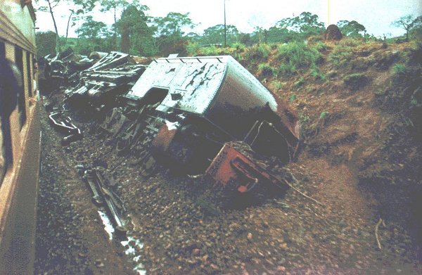
In 1989, government soldiers massacred sixty civilians at Mukura railway station.
Uganda Railways were joint recipients of the 2001 Worldaware Business Award for “assisting economic and social development through the provision of appropriate, sustainable and environmentally complementary transport infrastructure”. [21]

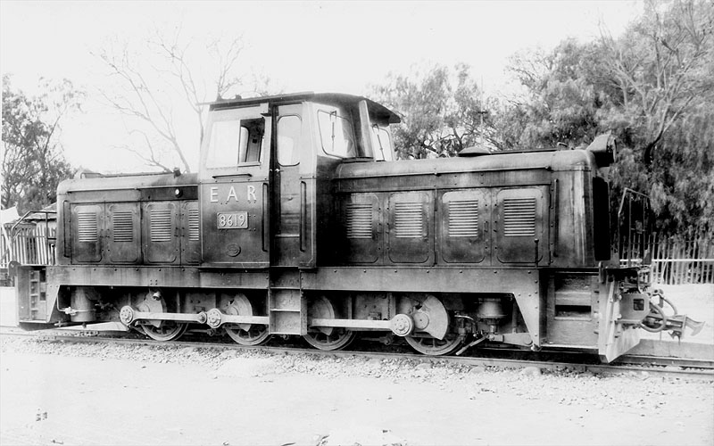
Class 36, No. 36U06, Henschel DHG400 32209-14/1977-78 340hp (c) U.S. Army. [50]

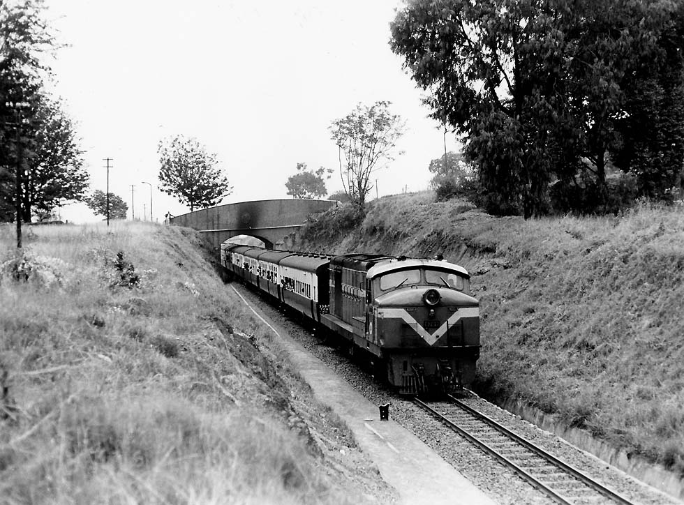
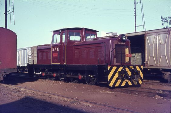
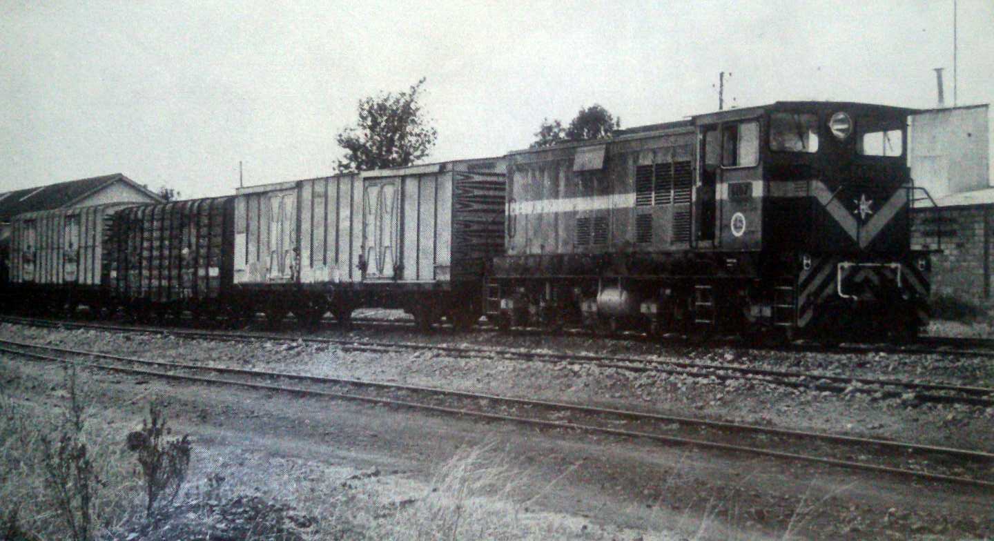
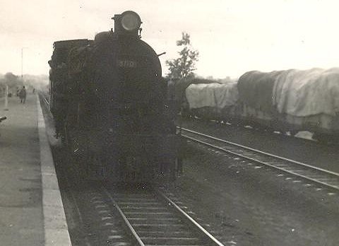
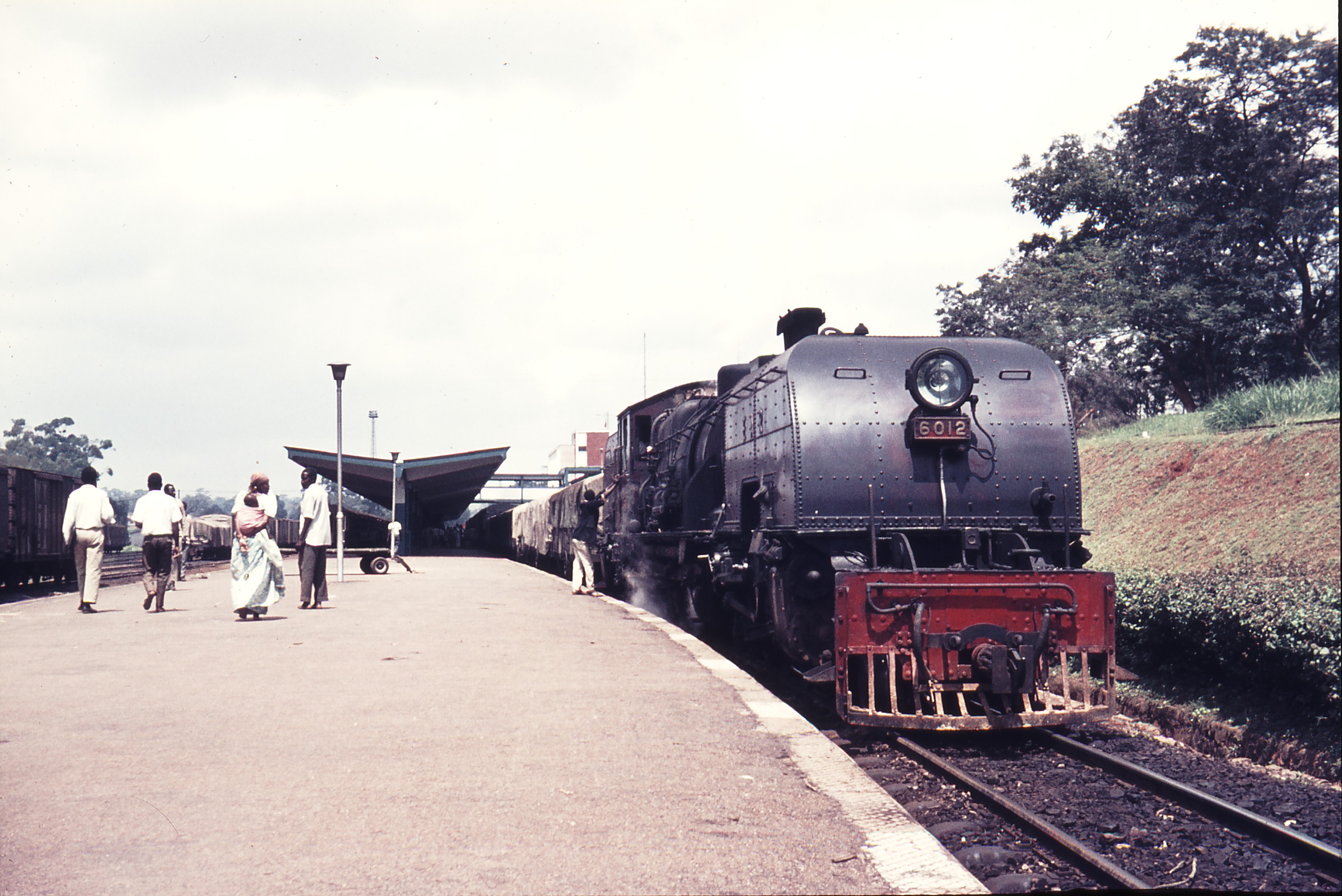
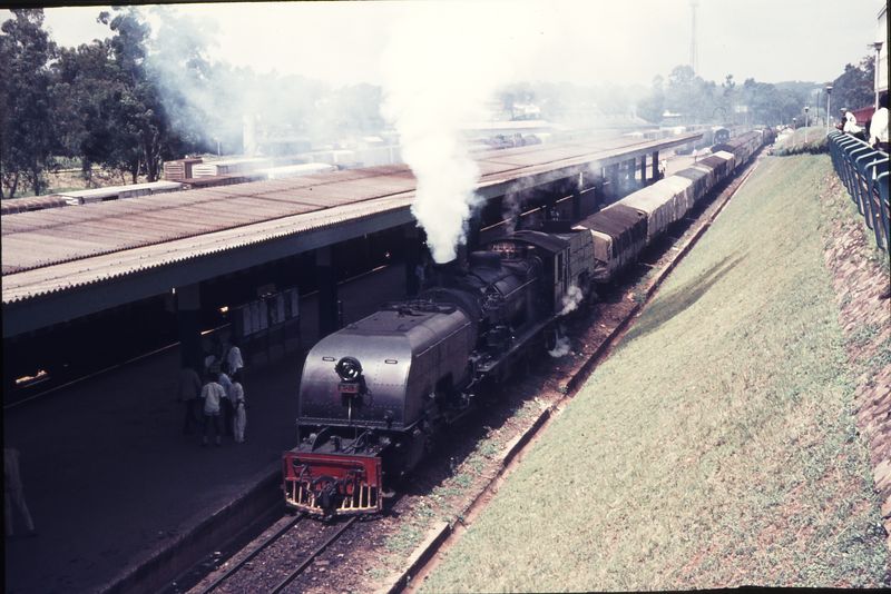
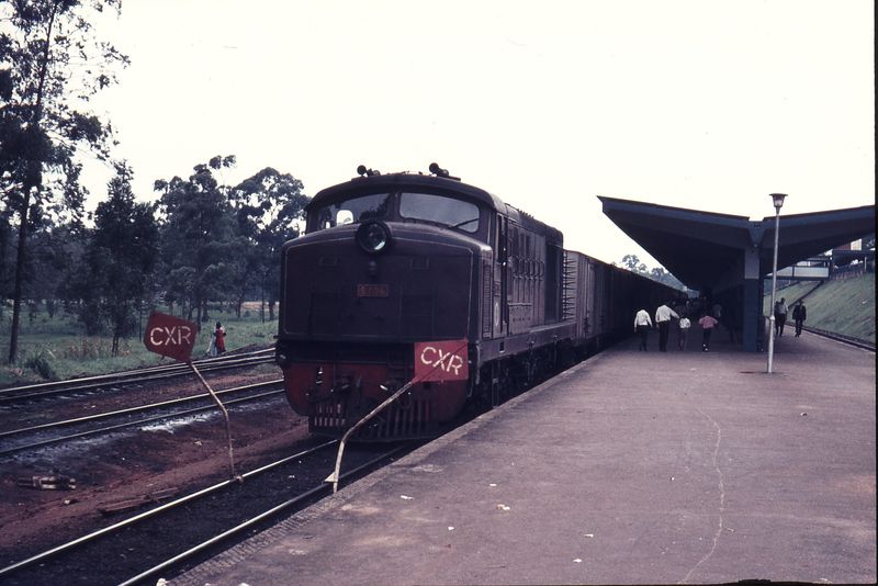
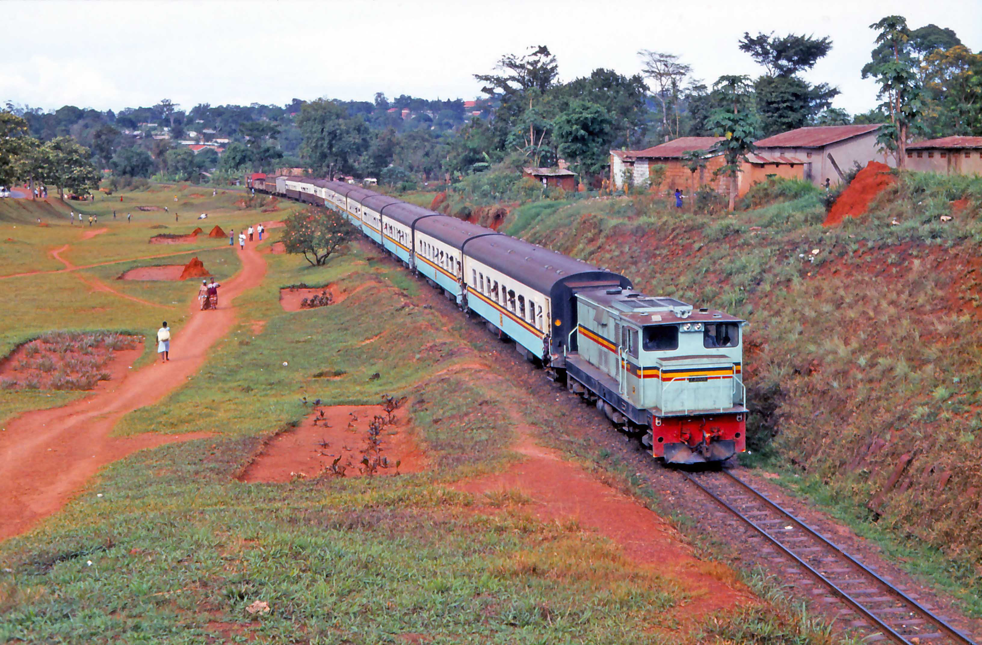
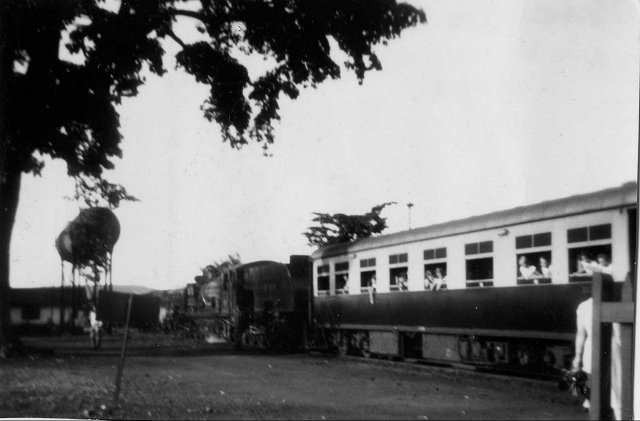
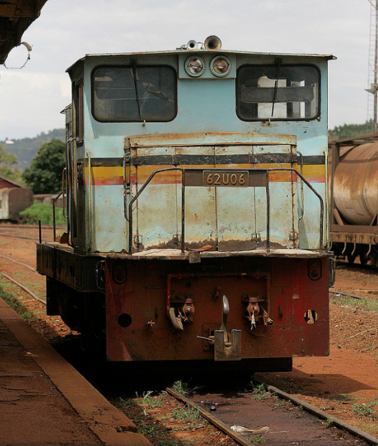
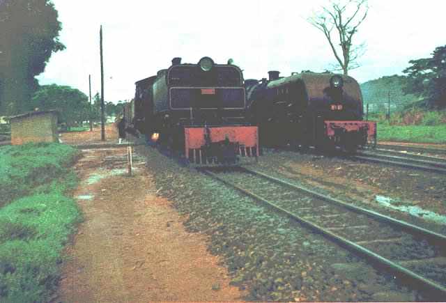
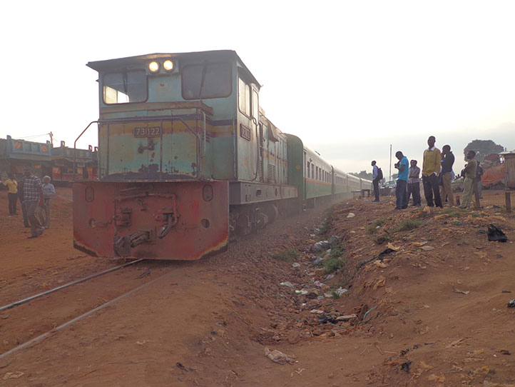
Uganda Railways Class 62 (Henschel DHG1000 32199-208/1977-78 760hp) at the head of a goods train heading from Nairobi to Kampala in 1994.

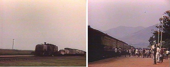
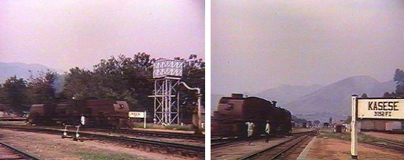
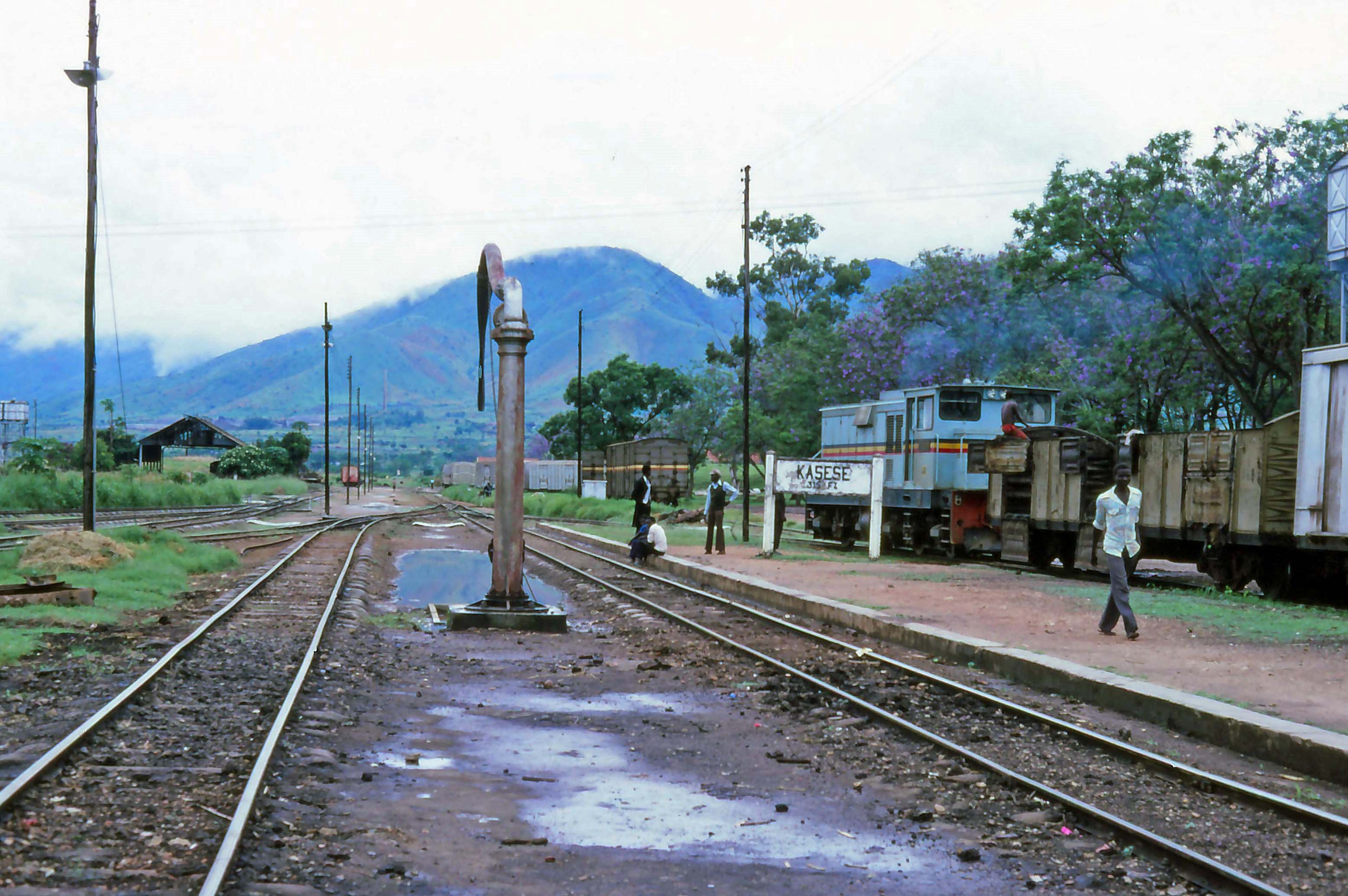
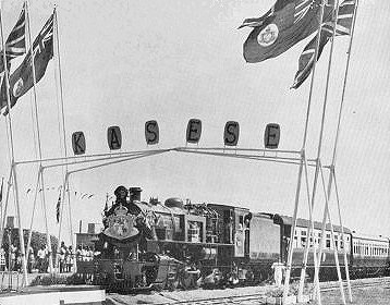
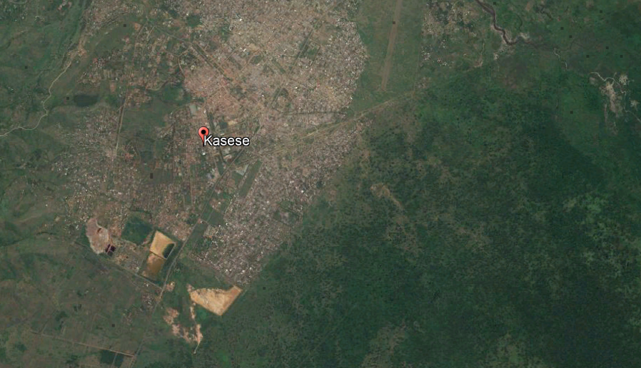
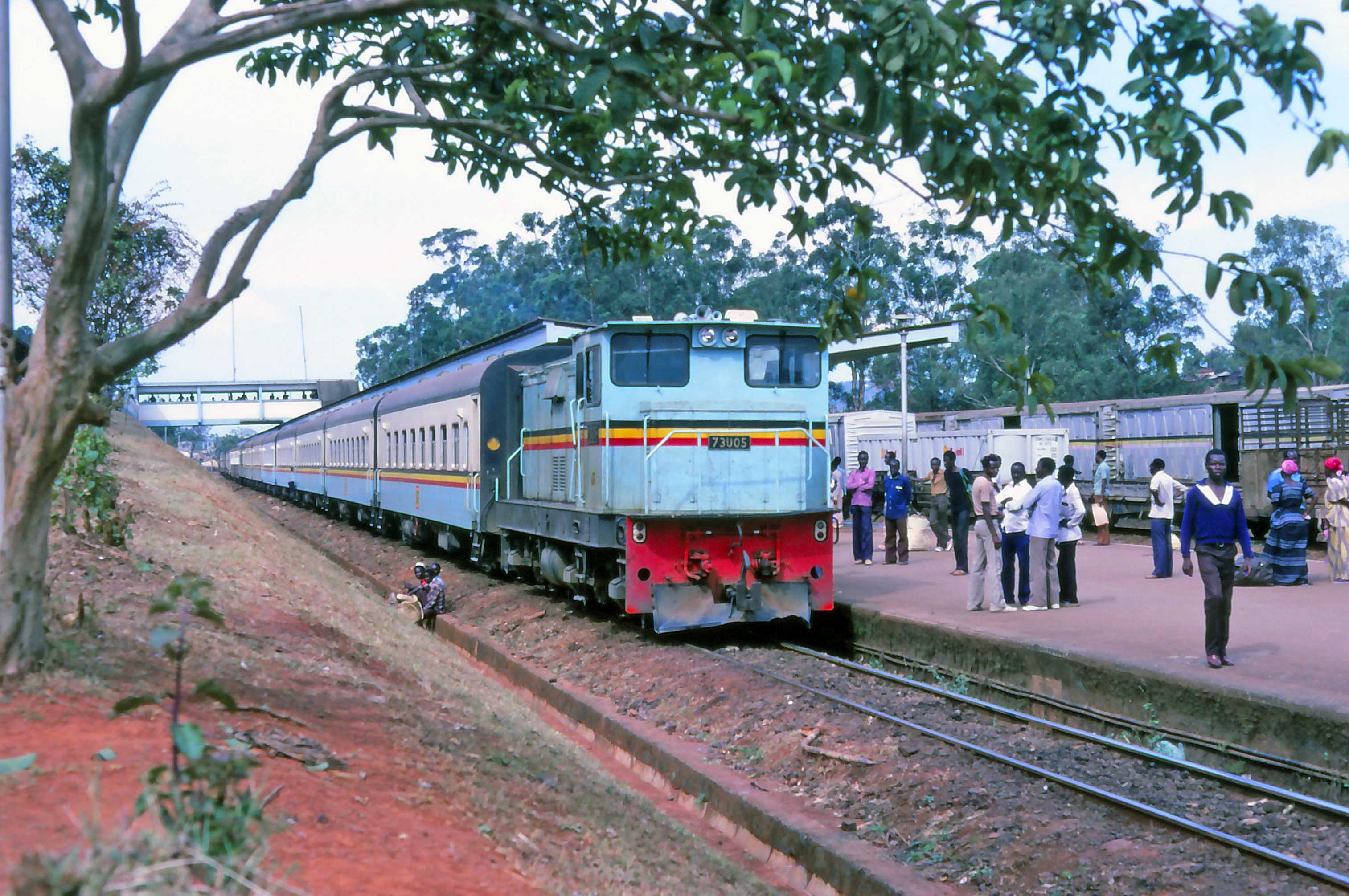
The then daily 16.00 train to Kasese stands ready in Kampala station for its overnight journey west with loco 73U05 () on 26th March 1984, (c) torgormaig on the National Preservation Forum. [52]


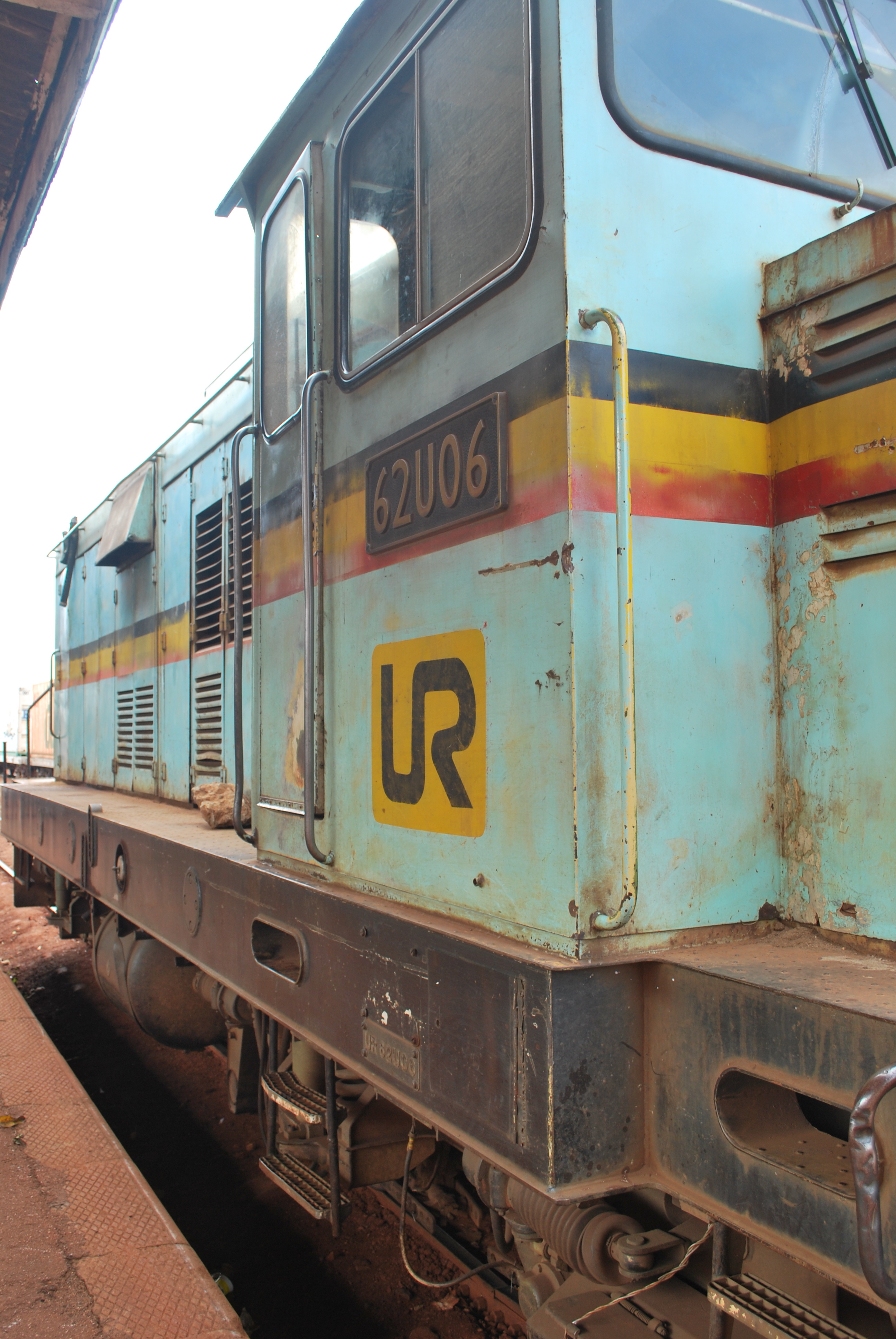
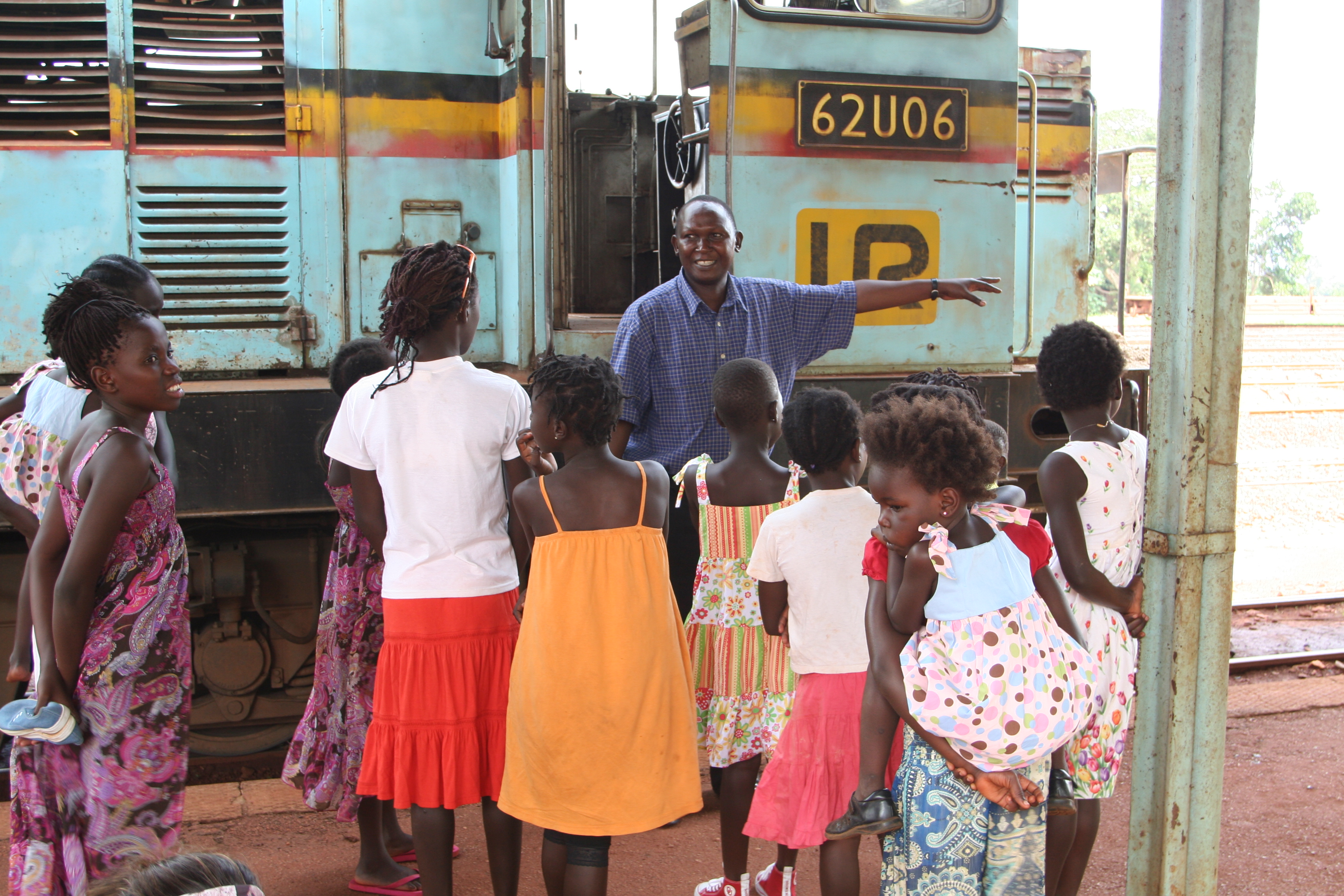
The two images immediately above show two Henschel locomotive types in Uganda Railways livery which were eventually renumbered as Class 73. The first image shows No. 73U15 [48] and a class-mate. The second shows No. 62U06. [49] The one below shows No. 73U33 (formerly No. 62U33) at Kampala Railway Station. [51]
In 2005, the Rift Valley Railways Consortium (RVRC) from South Africa was awarded a concession to manage URC and Kenya Railways. RVRC was scheduled to take over operations on 1 August 2006. However, the East African Standard reported on 28 July 2006, that the take-over was postponed until 1 November 2006. [22] It actually took place in November 2006 and was scheduled to last for 25 years. [23]

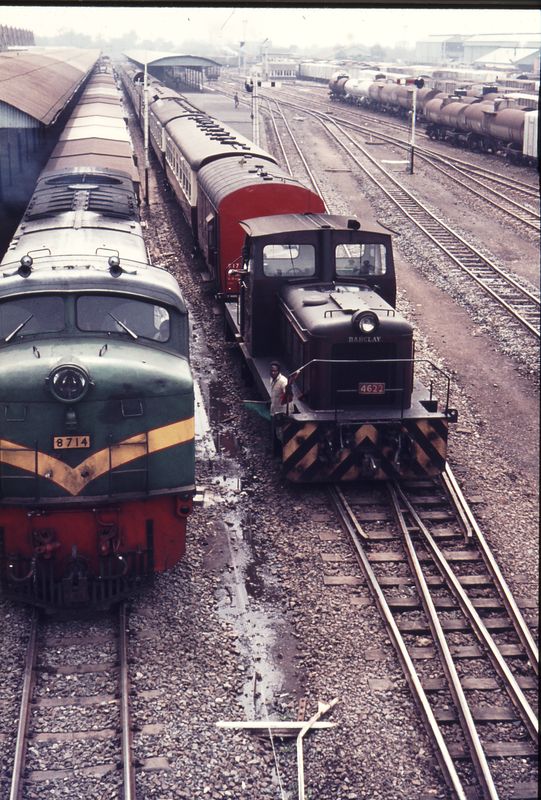
73U27 still in Uganda Railways livery but in charge of a RVR train in Kampala on 13th March 2012, the day after RVR took over local services. [53]
The 2007–08 Kenyan crisis included destructive riots that blocked and partly destroyed the rail system linking Kenya and Uganda, leading to economic difficulties in supply for Uganda. Further, destruction and loss of income led to significant financial losses. [24]
On 9 October 2008, Toll Holdings of Australia announced that it had entered into a contract to manage the Kenya-Uganda railway, replacing management by RVRC. Officers from Toll subsidiary Patrick Defence Logistics would manage the railway after the transition. [25]
Under Rift Valley Railways in August 2010 owned 3 No. ex-URC 62U and 15 No. ex-URC 73U in (with some of the 73Us renumbered into 73s), while others could be found derelict at Nalukolongo Works. [59]
Because of extensive fraud [14] the Rift Valley Railways concession was terminated and in late February 2018, URC finally took possession of the concession assets and resumed operating the metre-gauge railway system in Uganda. [20][26]
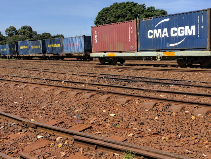
3. Rift Valley Railways Consortium [27]

The governments of Uganda and Kenya contracted RVR, majority-owned by Egyptian equity firm Qalaa Holdings, to operate the 2,353-kilometre Kenya-Uganda railway line for 25 years. Rift Valley Railways (RVR) Consortium won the bid for private management of the century-old Uganda Railway in 2005 and in 2014, RVR moved 1,334 million net tonne kilometres of rail freight, up from 1,185 million net tonne kilometres the previous year. [28]

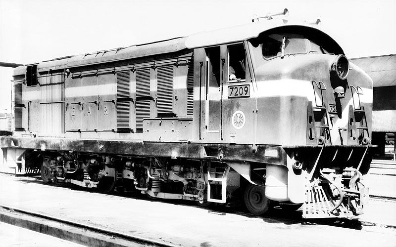
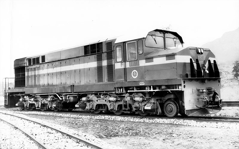
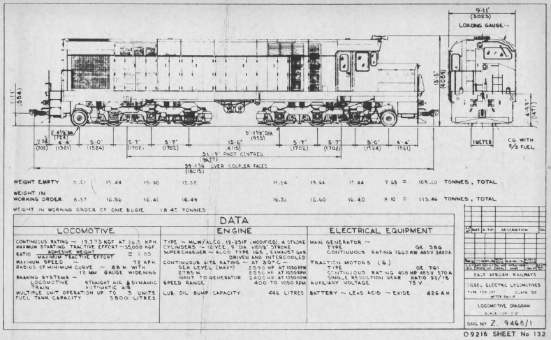
Repainted/rebranded Class 87, No. 8723. [45]

Old and new juxtaposed. A Class 93 in RVR livery passes one of the new SGR railway stations in Kenya. [46]
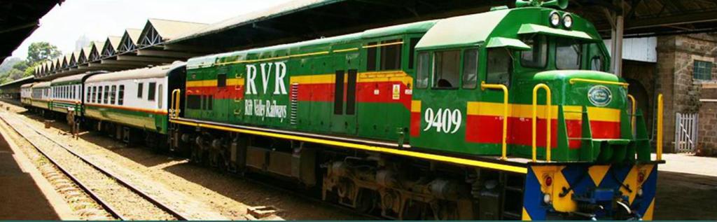
Repainted/re-branded Class 94, No. 9409 at Nairobi Railway Station. [41]

Repainted/re-branded and renumbered Class 62 locomotive, Class 73, No. 7319, at Kampala. [42]


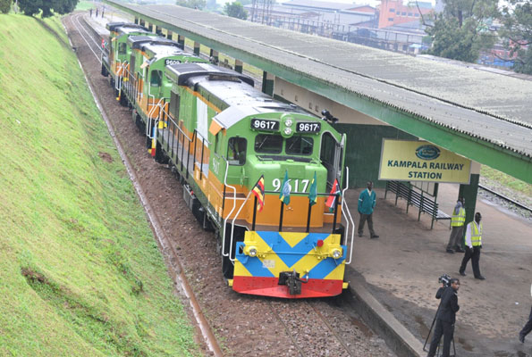
Newer locos of the Class 96 are shown in the two photos immediately above. The first is No. 9616 in charge of a goods train passing the SGR station at Mtito Andei, Kenya, (c) Jeff Angote. [43] The second shows three of the class at Kampala Railway Station, No. 9617 is easily identified and the second locomotive is probably No. 9609. [44]
Rift Valley Railways purchased a number of locomotives from General Electric in 2014 and gave them the Class No. 96. RVR held a ceremony on 18th September 2014 to mark the commissioning of the first three of 20 second-hand GE B23-7 locomotives which were acquired from the USA at a cost of US$25m (2.2 billion Kenya Shillings) and converted from standard to metre gauge. These were the first locomotives delivered to Kenya or Uganda since 1987. The remaining 17 arrived over the following five months.
By 2017 the relationship with both countries governments had soured completely. Both countries accused RVR of failing to live up to the terms of the concession, including non-payment of concession fees amounting (in the case of Uganda) to US$ 8.5 million equivalent to 31 billion Shillings. RVR is also said to be debt-ridden, owing hundreds of millions of dollars to lenders like the African Development Bank, German Development Bank, Infrastructure Crisis Facility, and Equity Bank. [29] There is evidence of corruption at the highest level in the company, as noted above, a $22 million loan extended for the purchase of refurbished locomotives had been diverted into a shell company controlled by RVR executives. [14]
The concession in both countries was terminated in the ‘winter’ months of 2017/2018.
4. Standard-Gauge Lines

In 2011, Kenya signed a memorandum of understanding with the China Road and Bridge Corporation to build the Mombasa–Nairobi Standard Gauge Railway (SGR). Financing for the US$3.6 billion project was finalised in May 2014, with the Exim Bank of China extending a loan for 90% of the project cost, and the remaining 10% coming from the Kenyan government. [17] Passenger service on the SGR was inaugurated on 31 May 2017. [18]
As of June 2018, work is underway to extend the SGR to Naivasha. [19] There are plans to broaden the network of standard-gauge lines considerably as shown below. [30]

The SGR in Kenya currently runs from close to Mombasa to close to Nairobi. The style of the line and its stations is/are futuristic. A few images give a good impression of the line. It has not been universally well-received and particular concern has been expressed about access to both termini from their respective cities.

Modern SGR train. [54]

One of the many viaducts allowing wildlife free access under the new SGR railway, [55]

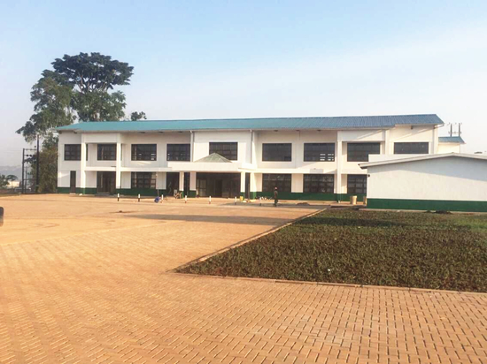
SGR Mombasa terminus. [56]
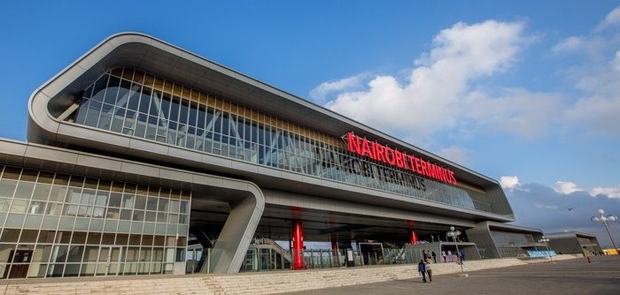
Nairobi SGR railway terminus. [57]

Mtito Andei SGR Railway Station. [58]
References
- https://en.wikipedia.org/wiki/Kenya_Railways_Corporation, accessed on 1st July 2018.
- https://en.wikipedia.org/wiki/Uganda_Railway, accessed on 29th June 2018.
- https://en.wikipedia.org/wiki/Tanzania_Railways_Limited, accessed on 1st July 2018.
- https://web.archive.org/web/20090319013530/http://www.eac.int/about-eac/quick-facts.html, accessed on 1st July 2018.
- https://web.archive.org/web/20080510054423/http://www.eac.int/history.htm, accessed on 1st July 2018.
- https://web.archive.org/web/20120426042037/http://www.news.eac.int/index.php?option=com_docman&task=doc_download&gid=48&Itemid=70, accessed on 1st July 2018.
- https://www.crwflags.com/fotw/flags/eaf-co.html, accessed on 1st July 2018.
- https://www.webcitation.org/5QVn50GvB?url=http://www.ms.dk/sw22171.asp, accessed on 1st July 2018.
- https://www.csmonitor.com/2006/0309/p04s01-woaf.html?s=hns, accessed on 1st July 2018.
- http://allafrica.com/stories/200705170023.html, accessed on 1st July 2018.
- http://allafrica.com/stories/201611300840.html, accessed on 1st July 2018.
- https://en.wikipedia.org/wiki/Rail_transport_in_Kenya, accessed on 1st July 2018.
- https://www.telegraph.co.uk/news/1507969/Kenyas-Lunatic-Express-back-on-track-to-regain-glory.html, acessed on 1st July 2018.
- https://www.nation.co.ke/news/World-Bank-audit-reveals-theft-of-billions-by-top-RVR-managers/1056-3507744-l12u3b/index.html, accessed on 1st July 2018.
- http://allafrica.com/stories/201705220131.html, accessed on 1st July 2018.
- https://www.businessdailyafrica.com/news/RVR-25-year-deal-to-run-rail-line-is-terminated/539546-3878234-intoa3z/index.html, accessed on 1st July 2018.
- https://www.nation.co.ke/news/East-Africa-China-Standard-Gauge-Railway/1056-2310836-vvl2cjz/index.html, accessed on 1st July 2018.
- https://www.bbc.co.uk/news/world-africa-40092600, accessed on 1st July 2018.
- http://www.railwaygazette.com/news/infrastructure/single-view/view/kenyan-president-launches-sgr-phase-2a-construction.html, accessed on 1st July 2018.
- http://www.monitor.co.ug/News/National/Passenger-train-services-resume-Monday/688334-4316028-5l40lxz/index.html, accessed on 1st July 2018.
- https://en.wikipedia.org/wiki/Uganda_Railways_Corporation, accessed on 1st July 2018.
- http://allafrica.com/stories/200607280144.html, accessed on 1st July 2018.
- https://www.newvision.co.ug/new_vision/news/1138005/rvr-kenya-uganda-railways, accessed on 1st July 2018.
- http://allafrica.com/stories/200802111925.html, accessed on 1st July 2018.
- https://www.theaustralian.com.au/story/0,25197,24472435-643,00.html, accessed on 1st July 2018.
- http://observer.ug/news/headlines/57044-ugandans-welcome-revamped-passenger-train-services.html, accessed on 1st July 2018.
- https://en.wikipedia.org/wiki/Rift_Valley_Railways_Consortium, accessed on 2nd July 2018.
- http://s3.amazonaws.com/inktankir2/qh/9f292a5d-ca58-400e-9b0e-aa3360c0d310.pdf, accessed on 2nd July 2018.
- http://nilepost.co.ug/2018/01/29/uganda-railways-takes-over-from-rift-valley-railways, accessed on 2nd July 2018.
- https://www.skyscrapercity.com/showthread.php?t=856442&page=56, accessed on 2nd July 2018.
- https://www.locopage.net/ge-expt-lst.doc, accessed on 2nd July 2018.
- Barrack Otieno; “Kenya’s first private railway”. African Business. IC Publications, 1998.
- https://web.archive.org/web/20120423094001/http://www.railwaysafrica.com/blog/2007/04/new-locos-at-magadi, accessed on 2nd July 2018.
- https://en.m.wikipedia.org/wiki/GE_U26C#Kenya, accessed on 2nd July 2018.
- http://www.railpictures.net/photo/138955, accessed on 2nd July 2018.
- https://www.drehscheibe-online.de/foren/read.php?30,6631799,page=all, accessed on 2nd July 2018.
- https://www.pinterest.co.uk/pin/238550111495314802, accessed on 2nd July 2018.
- https://www.flickr.com/photos/steam_locos/11595358534/in/photolist-rrHNNQ-nR3g2i-oqxDCT-GrAobd-7RpjAQ-91e7LF-WoMJTg-R1r4so-q3MKeB-nD3vLQ-iErqnD-ju6w8P-nPdgah-quPyPh-dkkxSW-iEDf7J-iEzkv9-WzrzM5-iDJaq6-d8szBb-ohHp6T-eXW5jH-nPk5Z5-iEKvWg-9Dtzzu-iESVKC-djeVYx-iFiks9-iGuMVw-iEzzrK-iEUvUK-d8qNpW-JNAGrr-d8r56b-d8T7NA-AgdaQc-xb2Do-WzrQ4S-iGpoHg-iGBtvZ-iGXsNh-ciQXu5-dXFnAv-7XKyii-mcr9ee-iFkoFj-mct3Nu-7XKNwR-dCRTbK-ciQXgA, accessed on 2nd July 2018.
- http://www.railpictures.net/photo/368900, accessed on 2nd July 2018.
- http://www.mccrow.org.uk/EastAfrica/EastAfricanRailways/KRDiesels.htm, accessed on 2nd July 2018.
- http://innov8tiv.com/kenya-boosts-railroad-fleets-9-locomotives-awaiting-11-come-april-2015, accessed on 3rd July 2018.
- http://www.theeastafrican.co.ke/news/2558-446014-vh9vbsz/index.html, accessed on 3rd July 2018.
- http://www.theeastafrican.co.ke/business/Kenya-ends-Rift-Valley-Railways-contract/2560-4040424-lofuc0z/index.html, accessed on 3rd July 2018.
- http://www.monitor.co.ug/News/National/Government-cancels-Rift-Valley-Railways-deal/688334-4129752-144xd01/index.html, accessed on 25th June 2018.
- http://www.railwaygazette.com/news/freight/single-view/view/termination-of-rift-valley-railways-concession-agreed.html, accessed on 3rd July 2018.
- https://metickets.krc.co.ke/fleet.php, accessed on 3rd July 2018.
- http://www.locopage.net/afr-pics.htm, accessed on 3rd July 2018.
- https://www.flickr.com/photos/terriblewithraisins/8946734359, accessed on 25th June 2018.
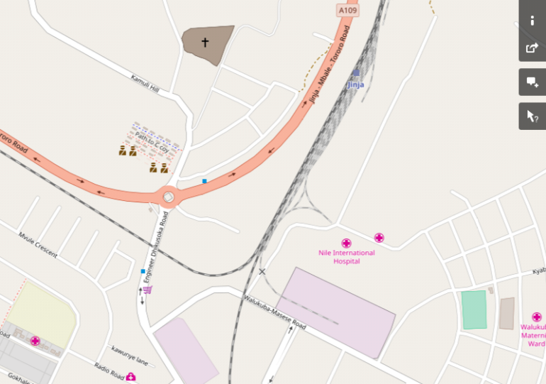
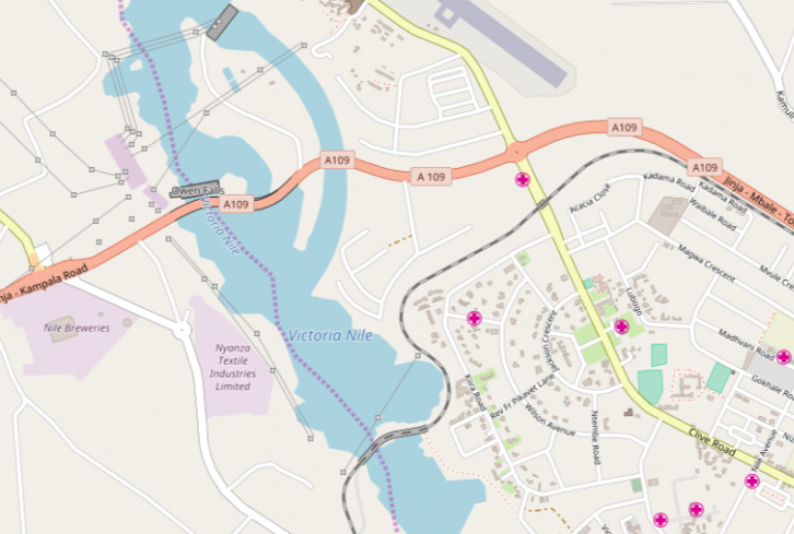
- https://rogerfarnworth.wordpress.com/2018/06/07/uganda-railways-part-19-jinja-to-kampala.
- https://www.flickr.com/photos/usarmyafrica/5117356697, accessed on 20th June 2018.
- https://www.pinterest.co.uk/pin/238268636512252863/?lp=true, accessed on 3rd July 2018.
- https://rogerfarnworth.wordpress.com/2018/06/10/uganda-railways-part-20-kampala.
- https://www.gettyimages.co.uk/detail/news-photo/vendor-stand-close-to-a-passing-train-on-the-new-service-news-photo/141220567#/vendor-stand-close-to-a-passing-train-on-the-new-service-operated-by-picture-id141220567, accessed on 3rd July 2018.
- http://krc.co.ke/madaraka-express-rates, accessed on 3rd July 2018.
- http://www.railjournal.com/index.php/africa/kenya-sgr-electrification-contract-signed.html, accessed on 3rd July 2018.
- http://allafrica.com/stories/201705310228.html, accessed on 3rd July 2018.
- https://sokodirectory.com/2017/06/chinas-imports-kenya-hits-113-billion-shillings-thanks-sgr, accessed on 3rd July 2018.
- http://antonytrivet.co.ke/sgr-photography-crbc-mombasa-nairobi-standard-gauge-railway/kenya-railways-standard-gauge-railway-sgr-nairobi-mombasa-testride-mombasa-nairobi-stndard-gauge-railway-crbc-sgr-head-office-kenyan-professional-photographers-sgr-photos-118, accessed on 3rd July 2018.
- Comments made on the first published version of this post by Thomas Kautzor.


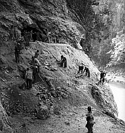

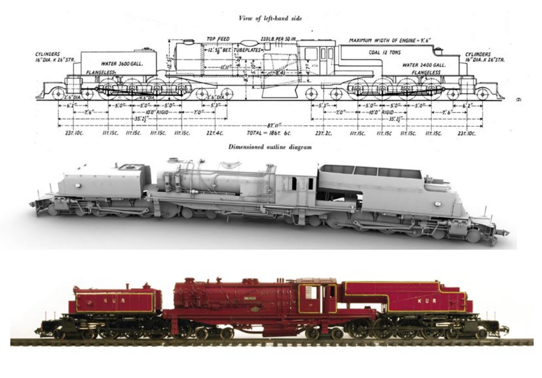
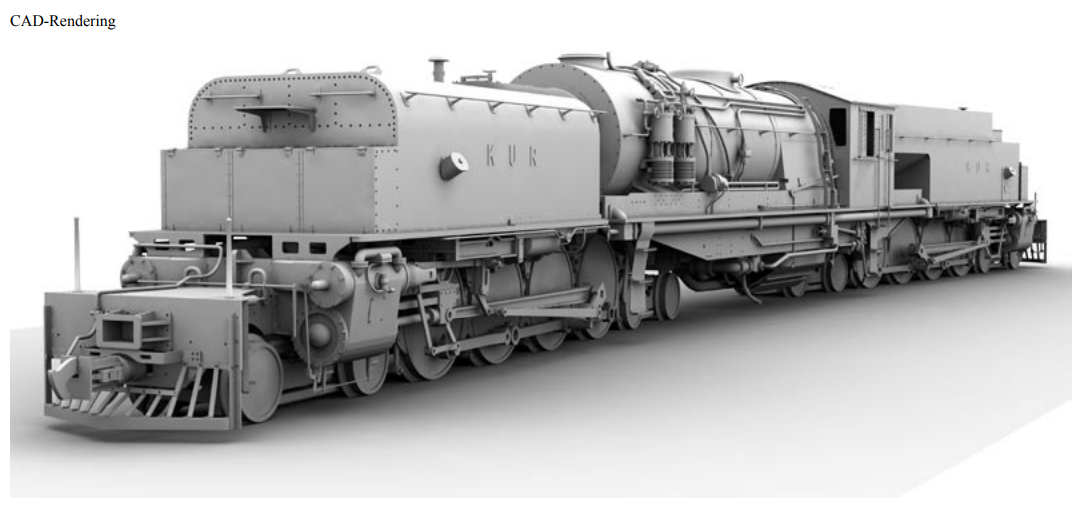

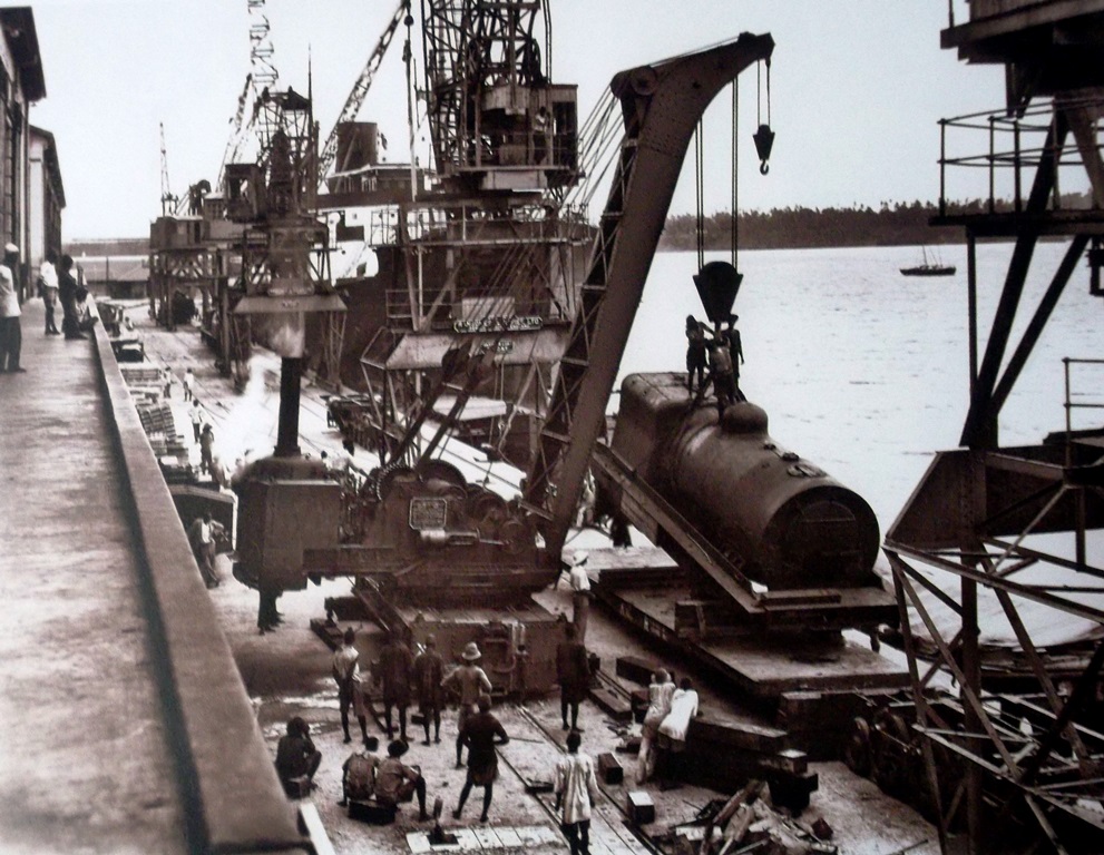
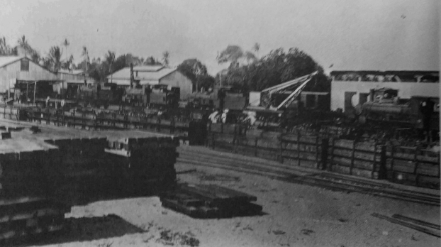
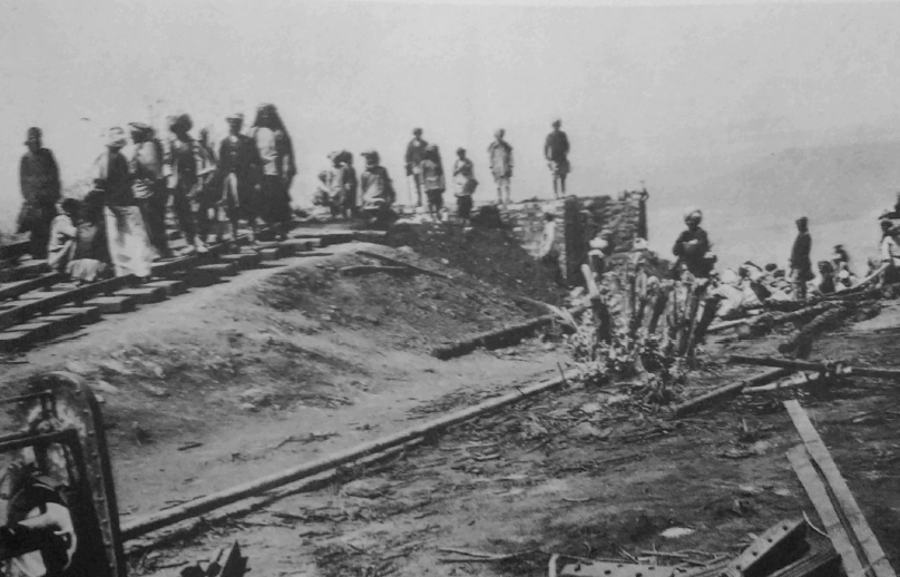
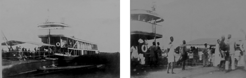
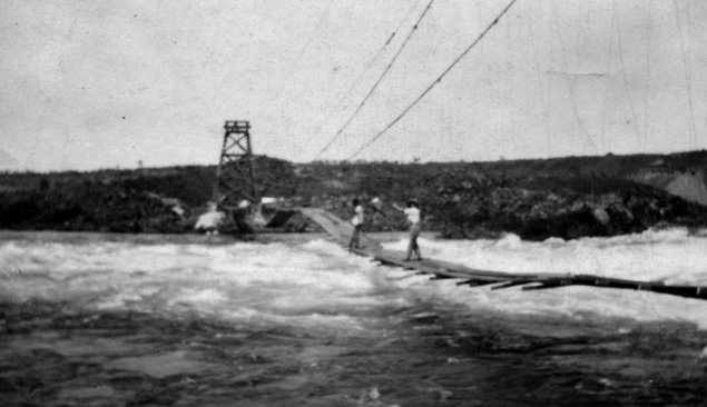
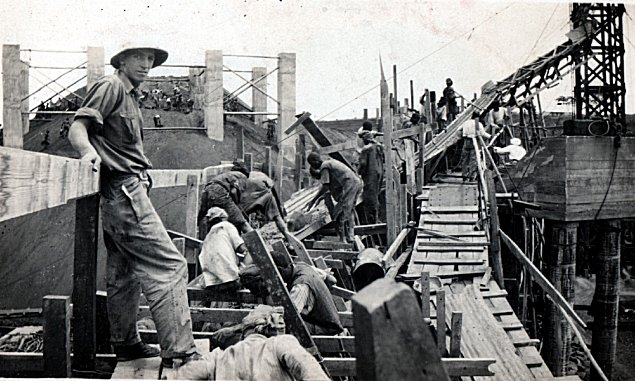
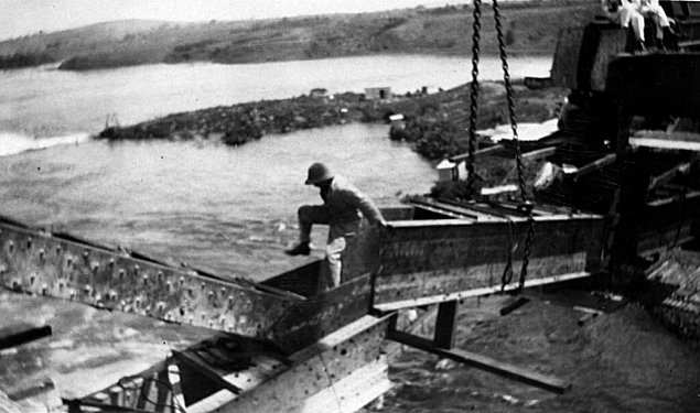
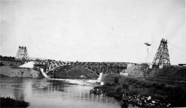
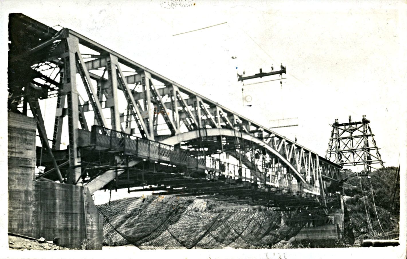
 An Incline was built to move construction materials to the valley floor, two sections of the incline were set at 45 degrees, special cars had to be constructed to carry equipment and in particular locomotives. The incline opened in May 1900 and remained in use until November 1901. Use of the incline advanced the rail-head westward by 170 miles while the line down the escarpment was being built. The pictures immediately adjacent, above and below show the top of the escarpment and two images of a locomotive being lowered to the valley floor. [2]
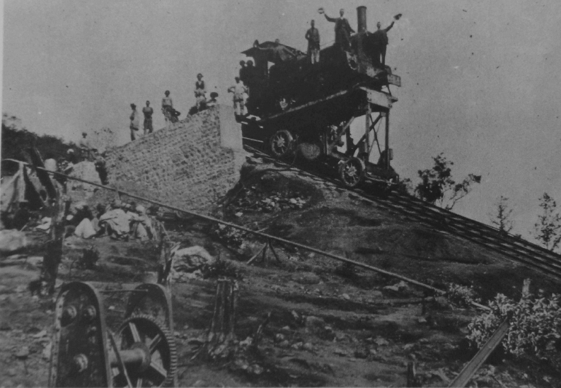


