The Billingsley Plateway
Highley, and the area immediately around, it has a long industrial history and the remains of numerous railways and tramways can be seen today. At the end of the 18th century coal mines and a blast furnace were opened in Billingsley. The story is recounted by Poyner and Evans in their history of the Wyre Coalfield: [13: Chapter 5]
“By the late 1770s, coal mining was well established in Billingsley with a water wheel being used to drain the mines … but unfortunately the owners of this colliery have not been recorded. There then follows a brief unrecorded period until the start of the 1790s, by which time much of Billingsley was owned by Sir William Pulteney, M.P. for Shrewsbury; a man with land-ownings over much of the country. Pulteney was an able politician and keen businessman; the patron of Thomas Telford, he would have been well aware of the potential value of the coal beneath his lands. As a national figure, he would have been able to obtain the advice of the best mining engineers in the country, and this must have led him to Newcastle to obtain the services of George Johnson.”
Johnson was one of the premier colliery viewers in the land, with international experience as a consultant. Thus by 1794, Johnson had put together a consortium of Newcastle-based landowners and professionals to go into partnership to lease the coal under Pulteney’s land. His backers included William Chapman, a noted engineer, Sir John Gray, an M.P. and most significantly Henry Gray MacNab, his brother-in-law. Trained at St. Andrews University as a physician, by the early 1790’s MacNab was established as an influential figure in the North-Eastern coal trade, with a number of pamphlets to his name. In June 1794 the draft leases were signed, and soon work began at Billingsley, initially using at least some men brought down especially from the North-East.
One of the first problems the partnership had to overcome was the lack of effective transport in the area. Billingsley was on the Bridgnorth-Cleobury Turnpike, but that was in no condition to take heavy coal traffic. A way had to be found to move the coal onto the River Severn. The first idea was for a canal, partly along the Borle Brook, possibly with an extension all the way to the limeworks at Oreton. It was at this point that a future thorn in the side of the works first became apparent, with the implacable opposition of William Lacon Childe to the mine. Childe’s property bordered Pultney’s estate on the south; more significantly he controlled the only practical route from Billingsley to the Severn at Highley. The canalisation of the Borle needed his wholesale co-operation, and this was not forthcoming. Childe’s motives for opposing the mines are not entirely obvious; he was not against collieries per se, as he had small working mines on his own estate. He claimed that the large mine at Billingsley could force these to close, ultimately forcing up the price of coal in the district. Childe was also a committed countryman. He was in the forefront of agricultural improvement, and also was a keen huntsman. He may have feared the impact of large-scale mining on all of this. Whatever his motives, he succeeded in killing off the canal. Instead the partners constructed a horse-operated plateway, following the line of the Borle Brook but as far as possible on the opposite side of the bank from Childe’s land. Even this was not entirely possible, for in Highley they did have to cross through a short section of his land. Childe drove a hard bargain, for he made the Partners lease the Birch Colliery and connect it to their plateway by means of a branch. As the Birch was a small mine working the Sulphur Coal (see above), it was of no value to Johnson & Co., but they had little choice in the matter.
The coal and iron were brought alongside the Borle Brook through Highley by a horse-worked tramway to the River Severn where they were sent downstream in boats. The “tramway worked for no more than 15 years, but its route can still largely be traced on the North side of Borle Brook, running via shallow embankments and cuttings. A little later the Stanley Colliery (1804-1823) opened close to the site of the present Highley Station and this was also served by tramways, as were the numerous sandstone quarries by the river.”
[13: Chapter 5 (of ‘The Wyre Forest Coalfield’) – quoted here with the kind permission of David Poyner]
As we have noted, Stanley Colliery was just to the South of Highley Station. It was worked for that short period at the beginning of the 19th century in the sulphur coal at a depth of about 100 yards; the Brooch seam worked by the Highley Colliery was a further 200 yards below this. Stanley Colliery “is partially overlain by the trackbed of the Severn Valley Railway and sidings built by the HMCo. [Highley Mining Company] There are also extensive remains of the stone quarries which worked in this area from perhaps the Middle Ages to the 19th Century.” [1]
Ray Shill also mentions the tramroad/plateway to Billingsley: “Billingsley Coal and Iron
works was … served by an iron railway laid with iron rails and sleepers. The Billingsley
railway, owned by iron master George Stokes, was about two miles long and included an incline to the Severn, a sale of 1818 mentioned the incline.”[8][9]
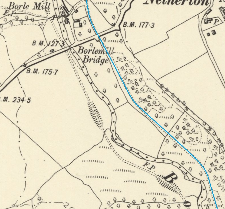
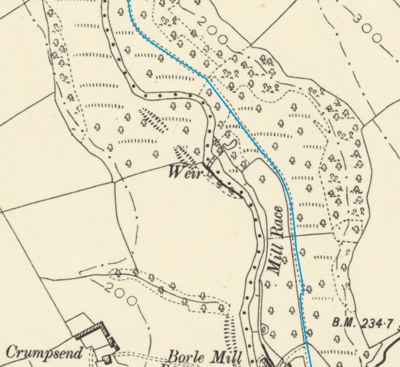
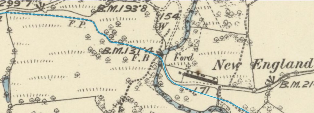
The old tramroad/plateway/tramway/railway route is shown below on a series of extracts from the 6″ Ordnance Survey revised in 1925 and published in 1929. Where possible I have also provided photographs taken on site.
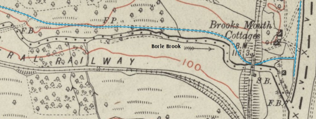
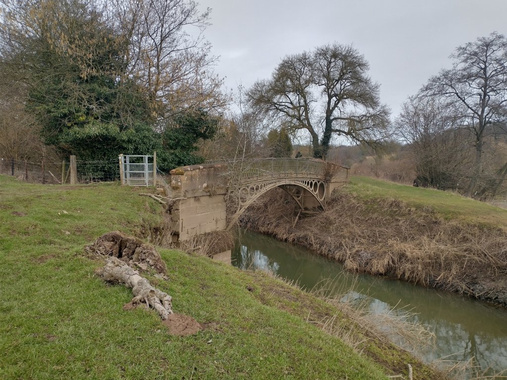
“Brooksmouth Bridge is a small cast iron footbridge, via which the towpath on the west bank of the River Severn crosses Borle Brook downstream from Borle Viaduct. It is a Grade II Listed Building under the name ‘Footbridge over Borle Brook.’” [23]
“The bridge consists of an elliptical arch with a slightly curving path, the spandrels being filled by conjoined diminishing circles. The balustrades, half of one side of which has been renewed, have an elongated diamond pattern. The stretcher bars across the main arch are inscribed ‘Coalbrookdale Company 1828’. The cast-iron foot plates appear to remain intact. The abutments are of sandstone with string courses and parapets, one side of both of the latter replaced in brick.” [23][24]
“The bridge was built by The Coalbrookdale Company of Ironbridge in 1828, pre-dating the building of the Severn Valley Railway by more than 30 years. At that time goods traffic was transported on the River Severn in barges called Severn Trows. These were hauled upstream against the current by horses, or by men known as ‘bow hauliers’, making use of the towpath.” [23]
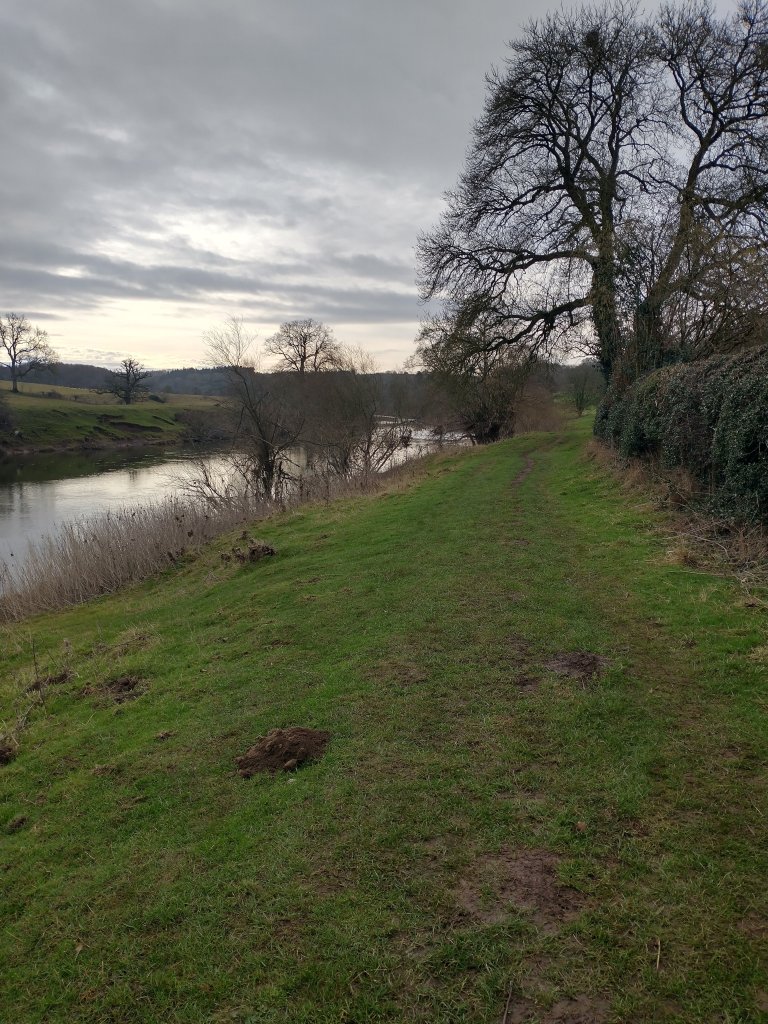
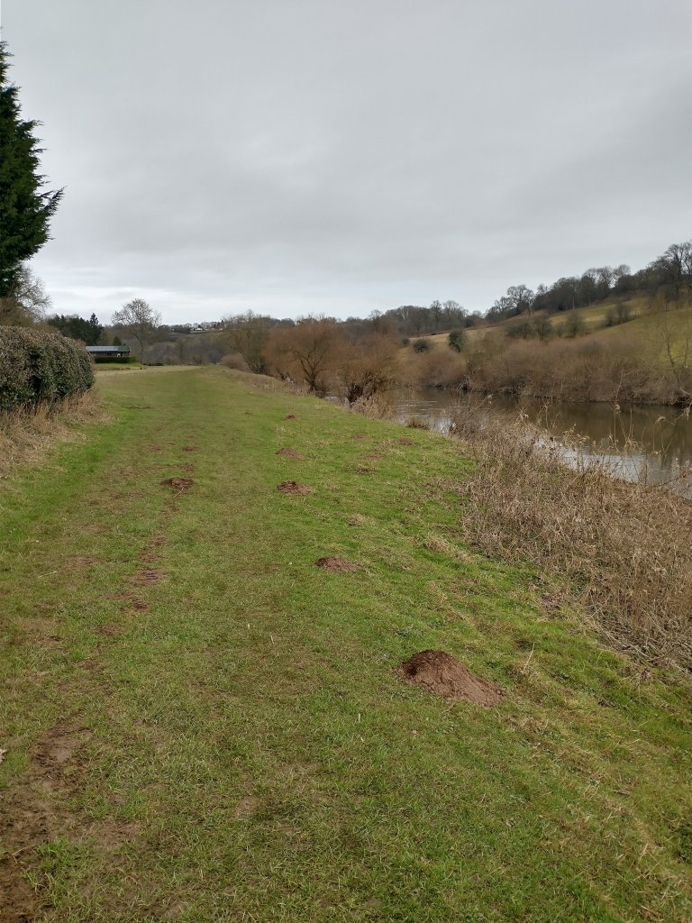
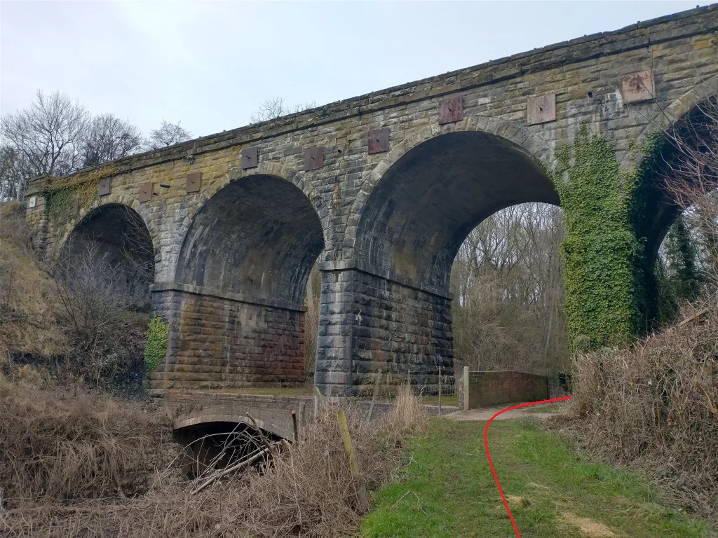
The old tramroad predated the Severn Valley Railway by many years. “Like other bridges on the Severn Valley Railway, it was built with the capacity for dual tracks but only ever installed for single line running. The viaduct is 42 yards in length, with four arches of 25ft span. Fishermen’s Crossing lies a few yards to the north, with the site of the former Kinlet and Billingsley Sidings a similar distance to the south. … The viaduct has suffered from mining subsidence over the years. Regular re-ballasting to overcome this … resulted in the line being above the original parapet walls.” [25] No edge protection on the viaduct was provided prior to preservation but post and rail fencing were added in the years after the viaduct was taken over by the preservation society. Significant maintenance was undertaken in preservation, first in 1977 and then in 2019.
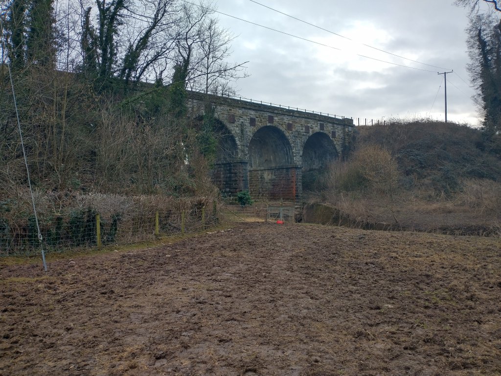
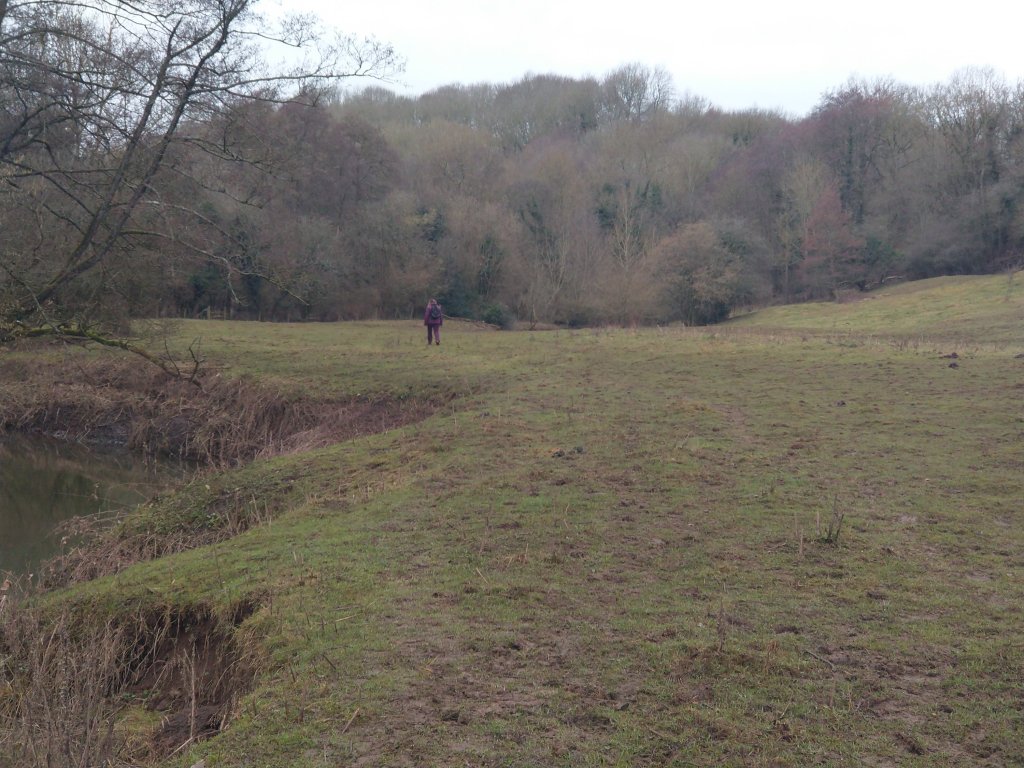
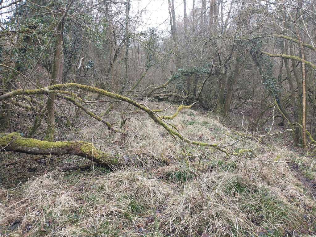
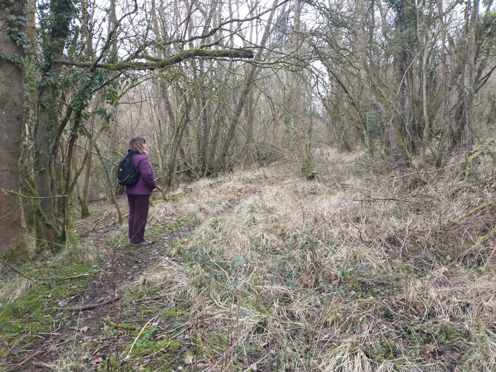
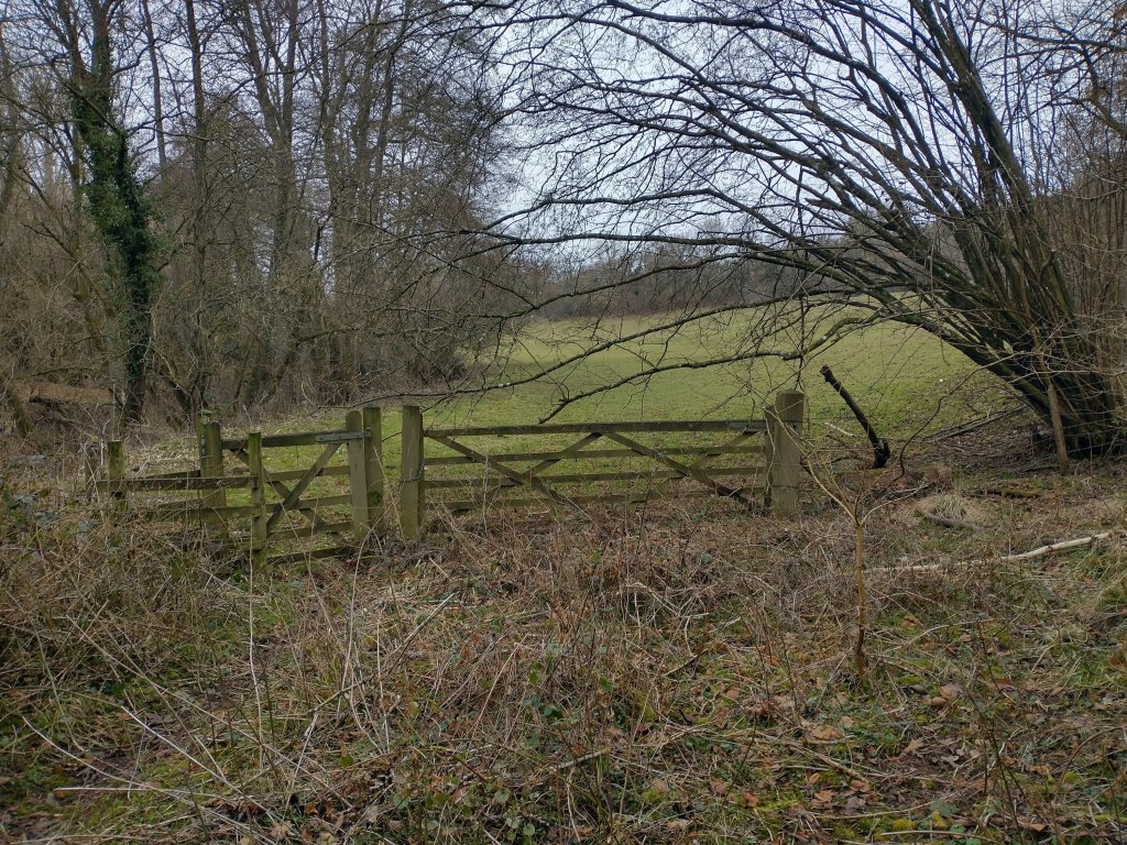
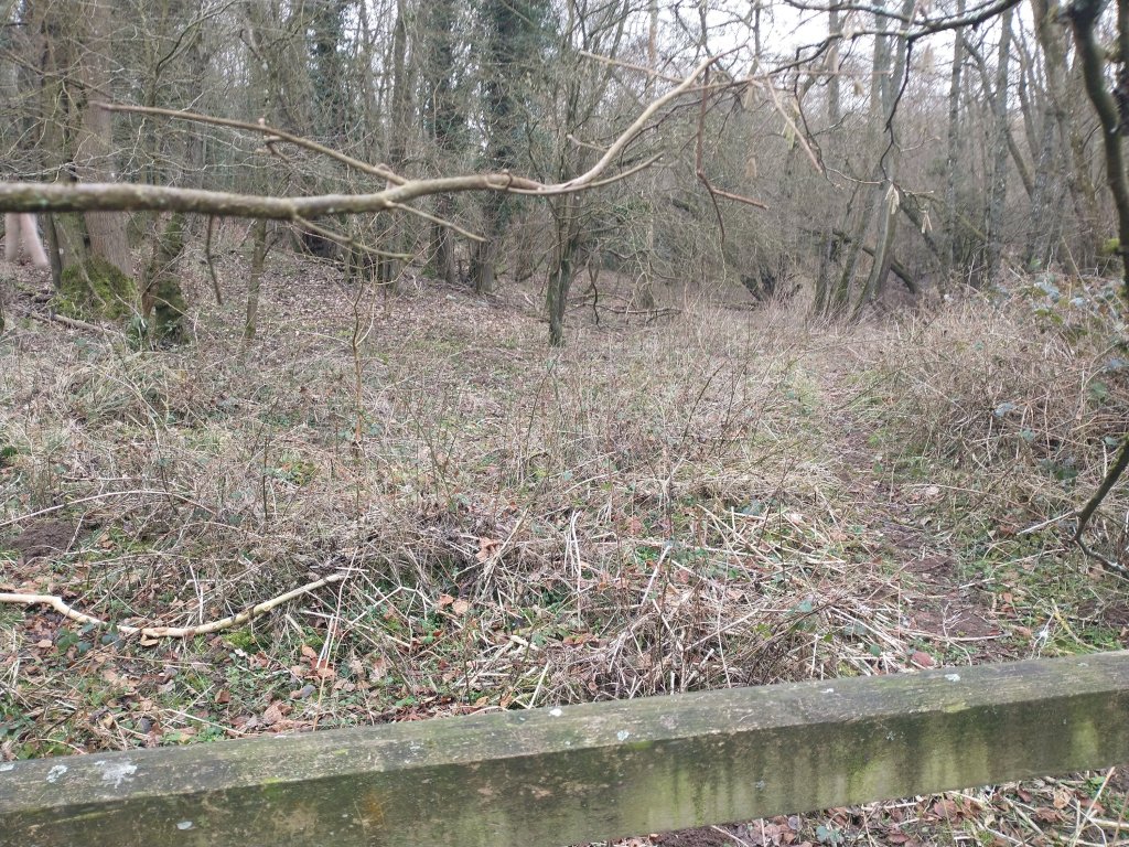
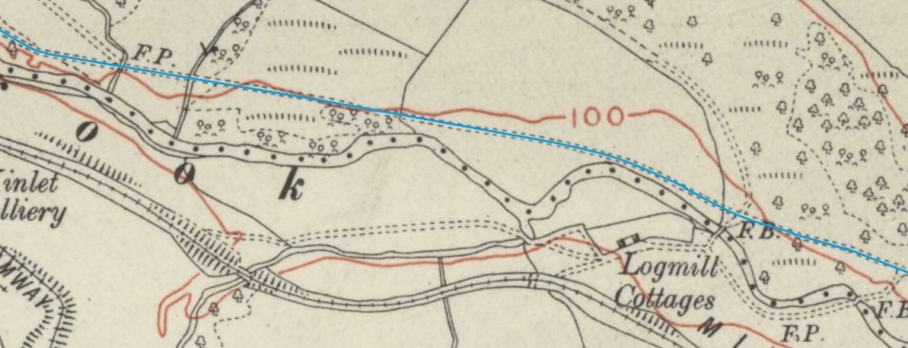
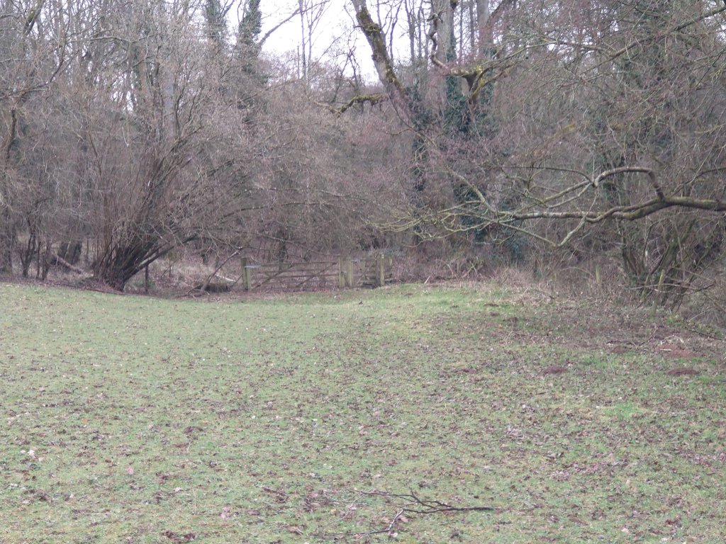
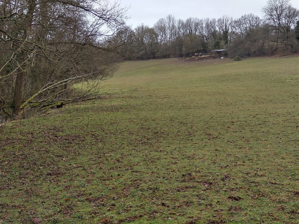
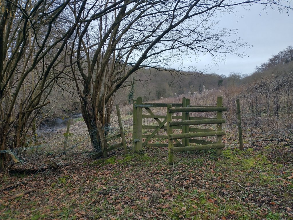
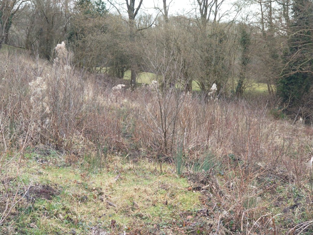
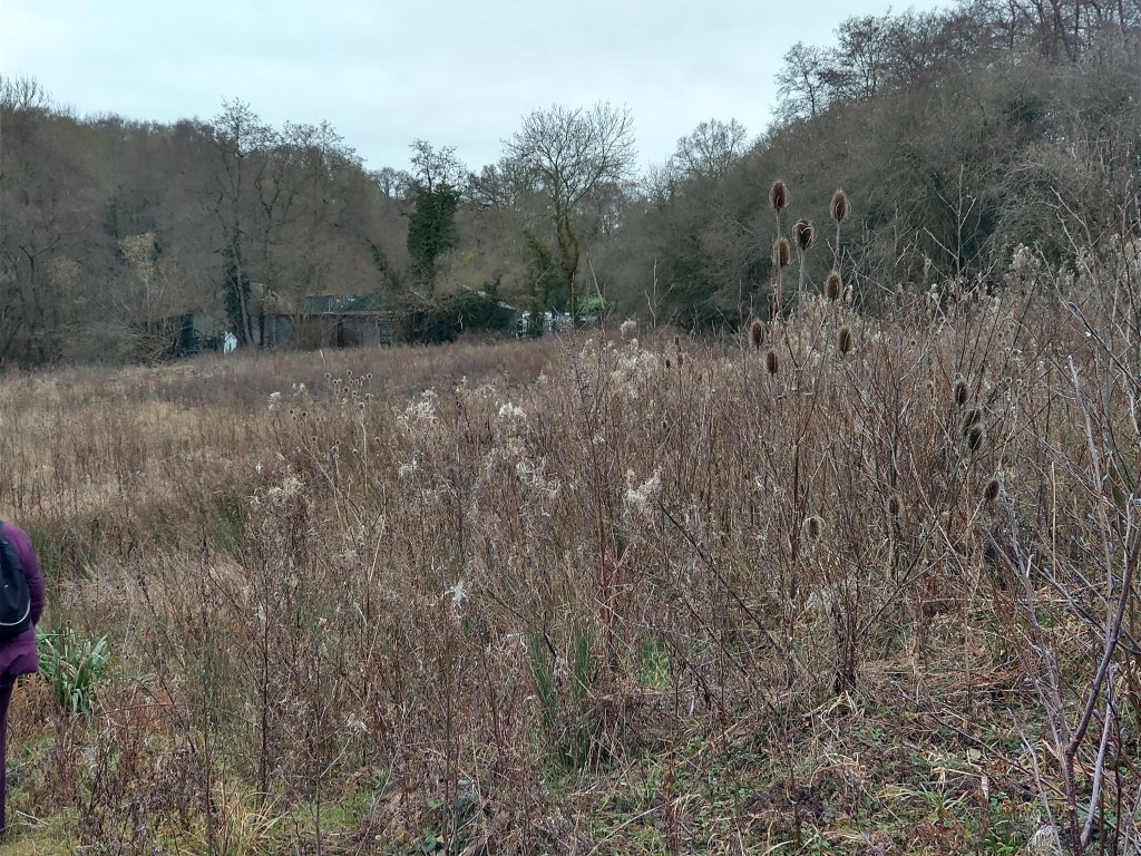
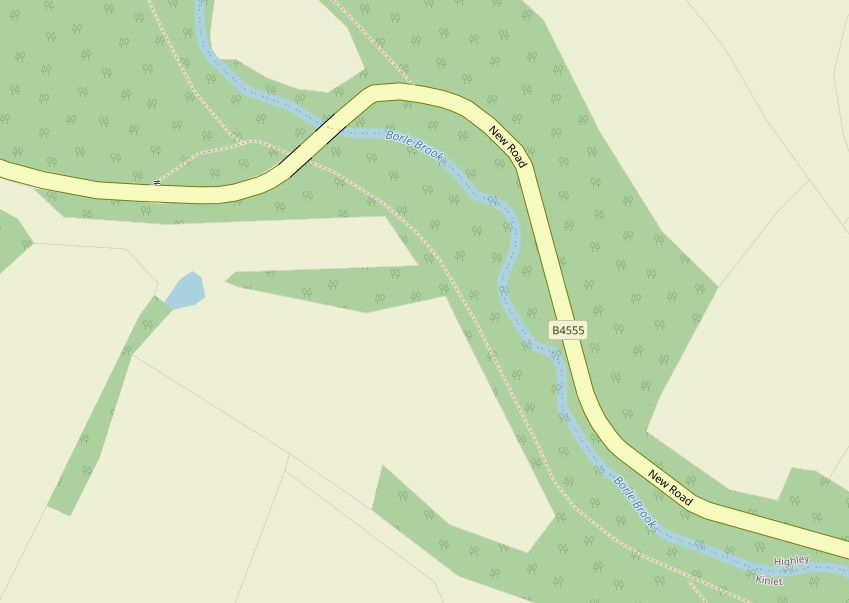
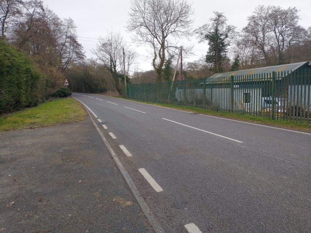
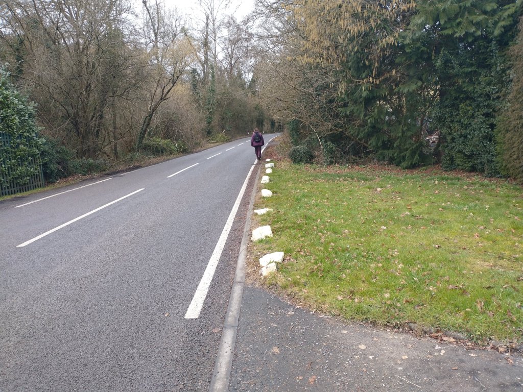
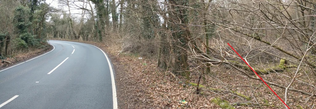
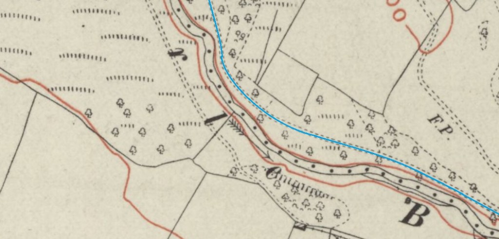
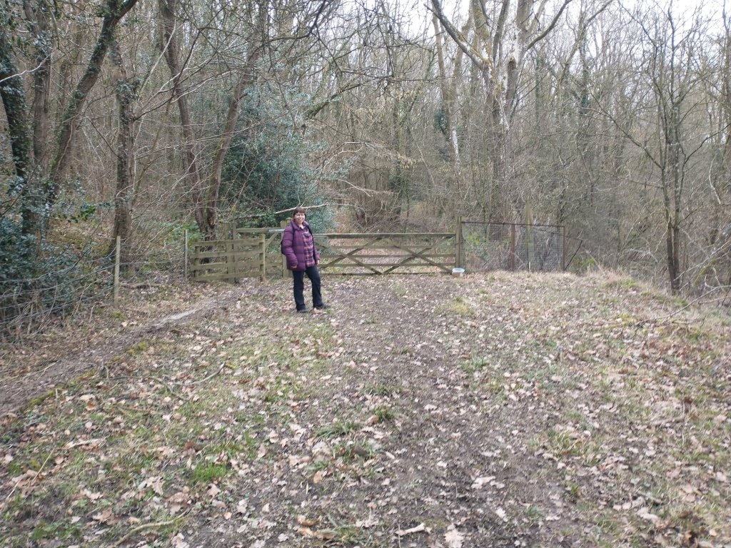
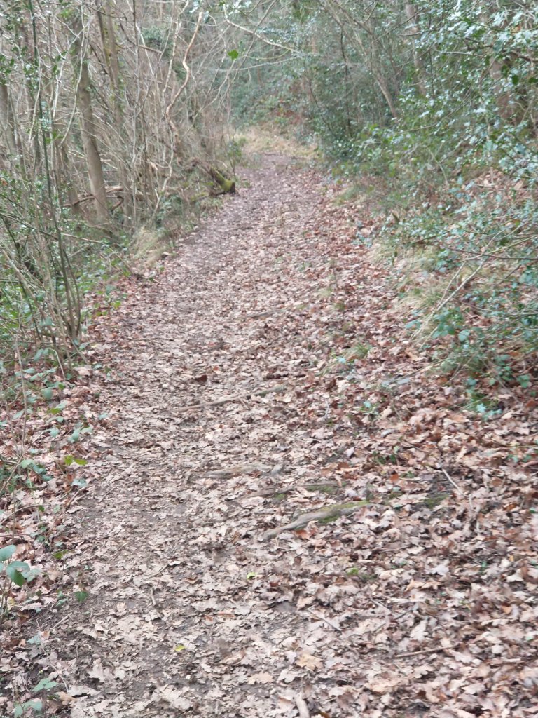
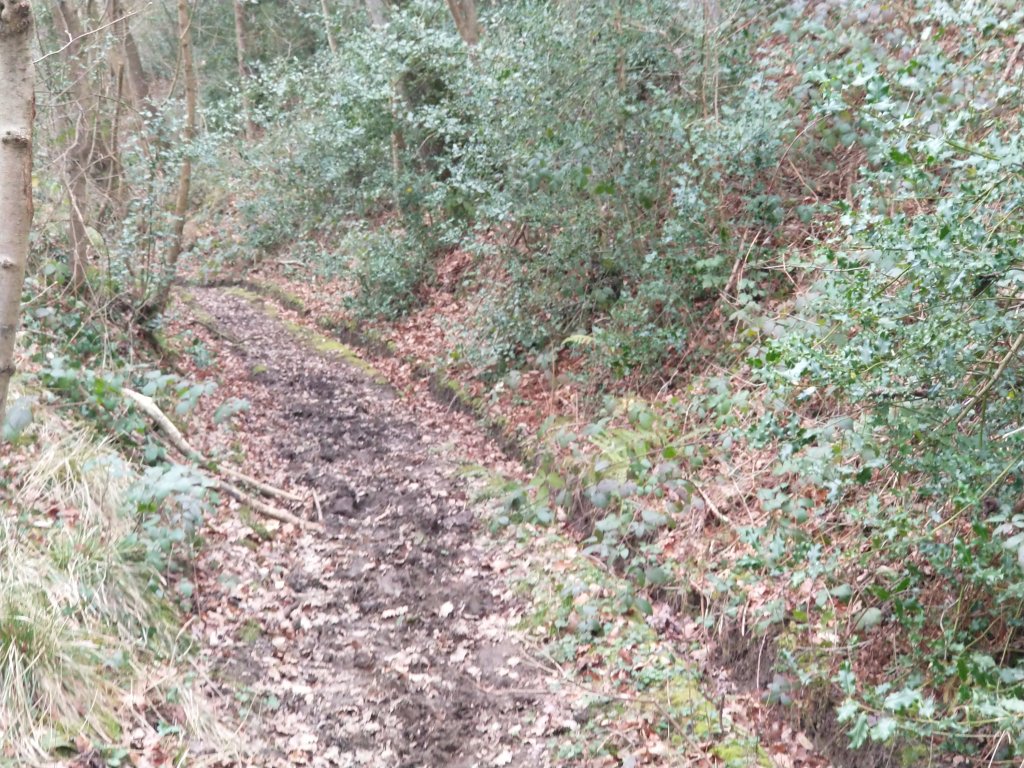
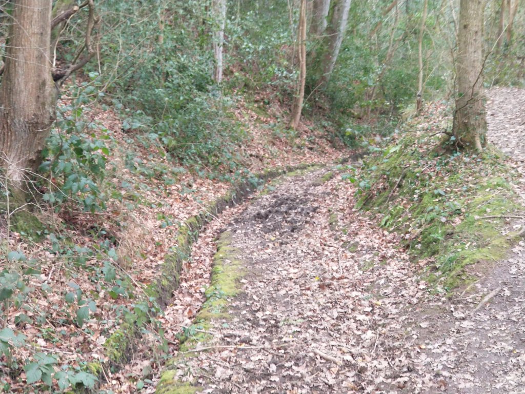
The images below show the route of the tramroad approaching Borle Mill from the Southeast.
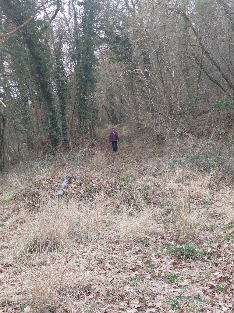
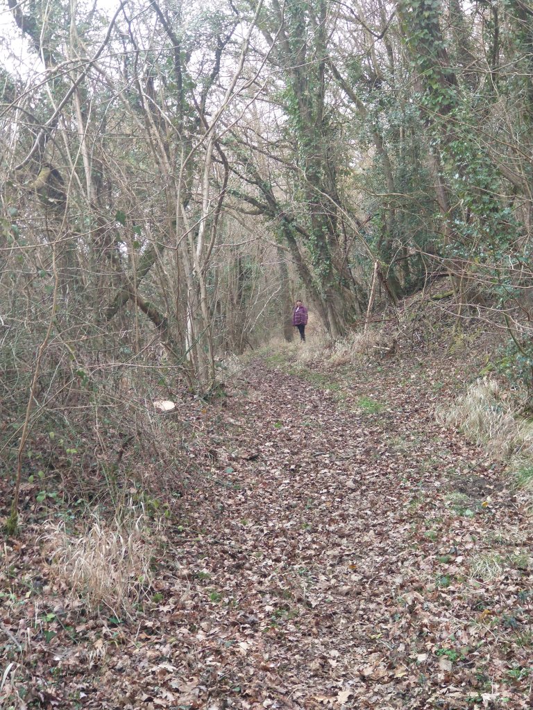
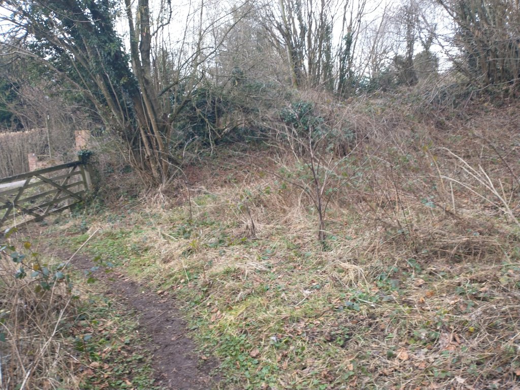
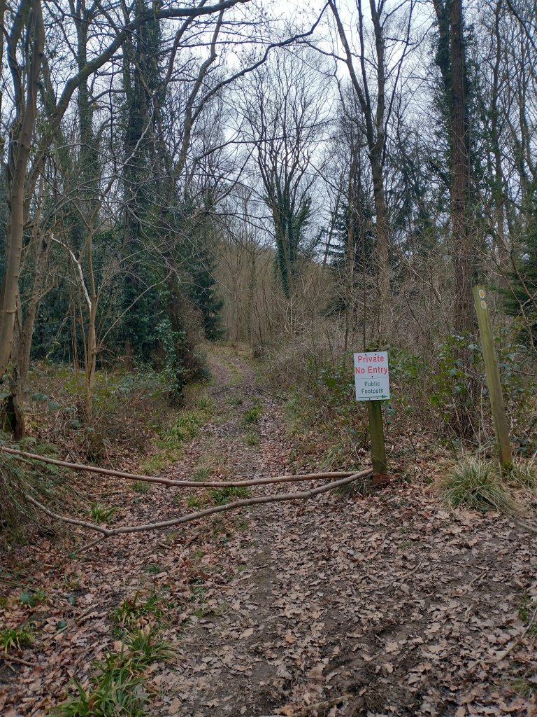
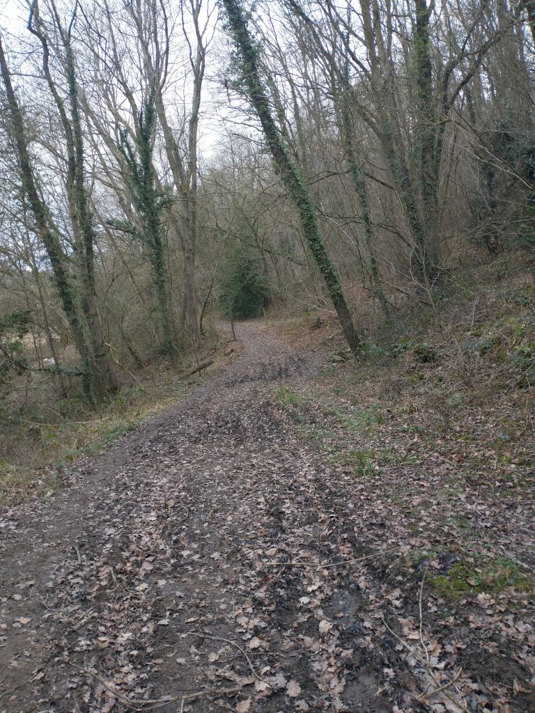
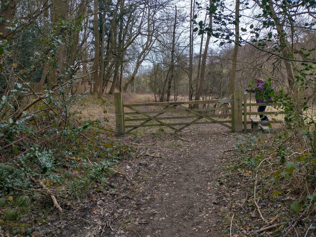
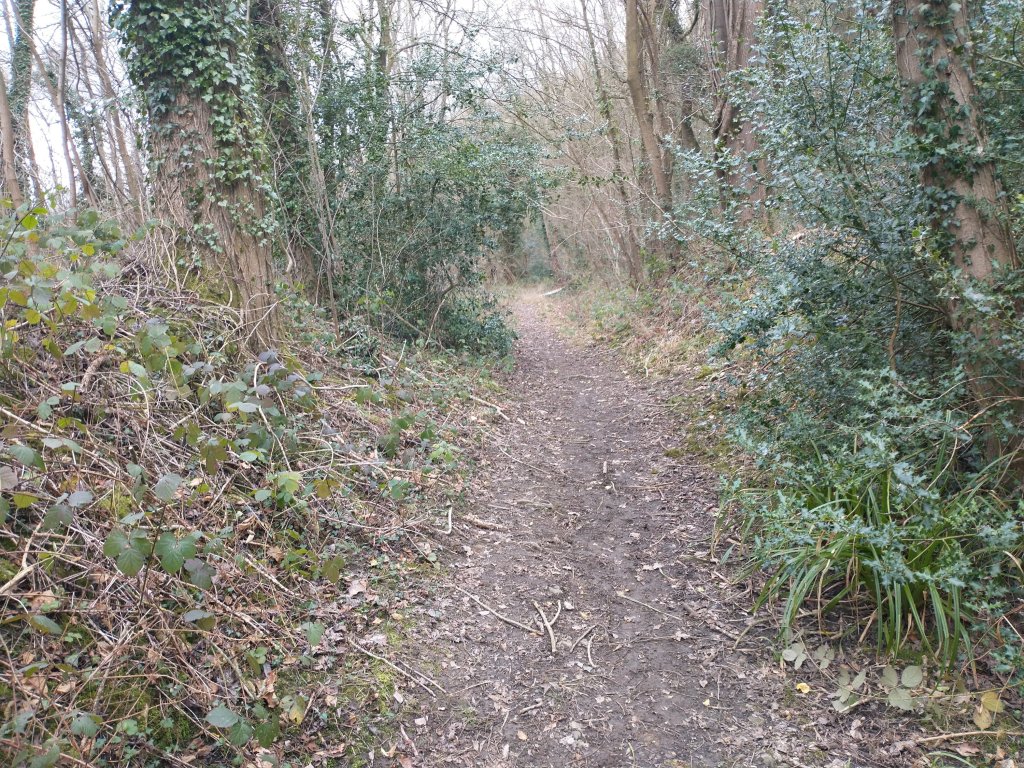
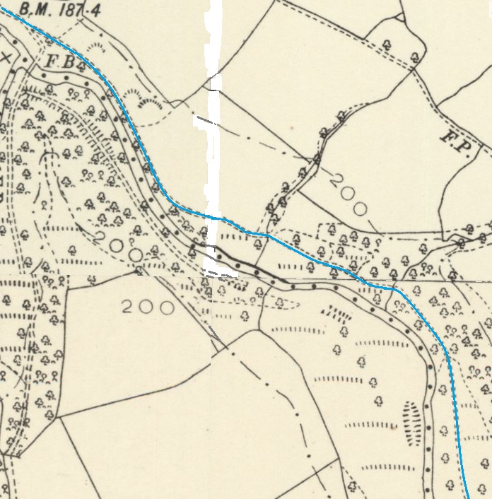
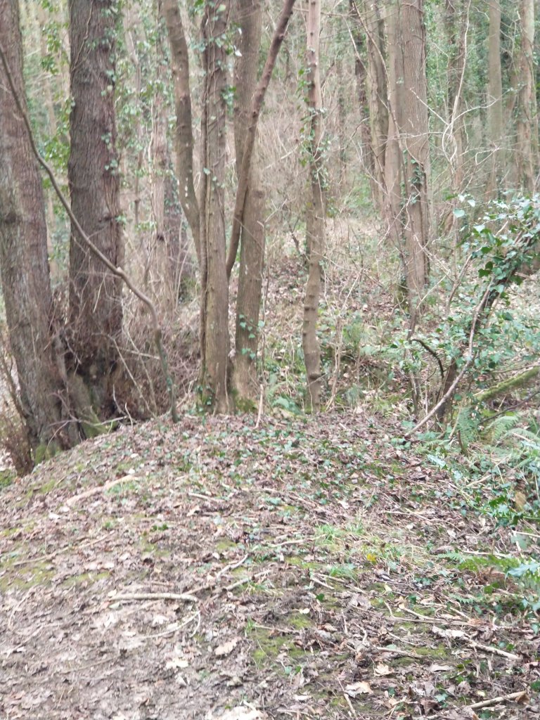
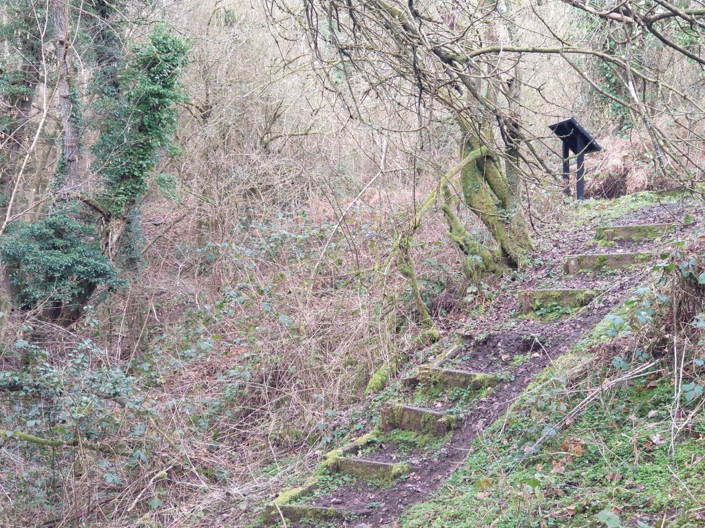
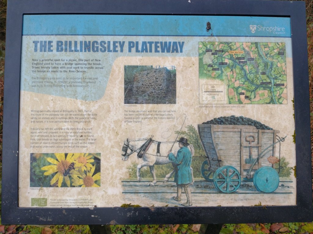
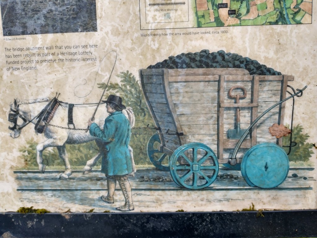
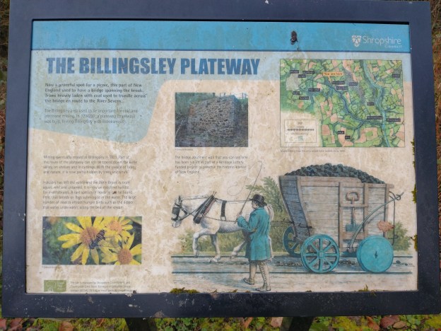
The wagon illustrated on the information board at the site of the bridge abutment has flanged wheels and the rails seem to be continuous edge- rails. A plateway would have usually been made up of short sections of rail and would in many cases in Shropshire have had L-shaped rails with wagons having flangeless wheels. during the period that the plateway/tramroad was active (circa. 1796 – 1812). This is supported by David Poyner’s discoveries along the line of the old tramroad which he reported in the journal of the Shropshire Caving and Mining Club in 2010. He first describes the plateway:
“In the Wyre Forest Coalfield, a plateway was constructed from a wharf on the River Severn in Highley to a colliery at Billingsley in 1796; about this time or shortly afterwards a spur was constructed to more mines at Birch Farm in Kinlet. … The mines had all closed by 1812 and it is unlikely that the plateway saw much use after this. It was amongst the materials of Billingsley Colliery and associated blast furnace that was offered for sale. In 1814 “about 30 tons of straight and turned iron rails, and sleepers in proportion” with 43 railway wagons were put up for auction. This sale may have been a failure as the complex was offered again in 1817; lot VII included “about 50 tons of cast iron rails, sleepers etc now upon a rail road”. This suggests that the plateway had not yet been taken up. It appears that this sale was more successful as no more is heard about the mine, furnace or plateway after this date.” [10]
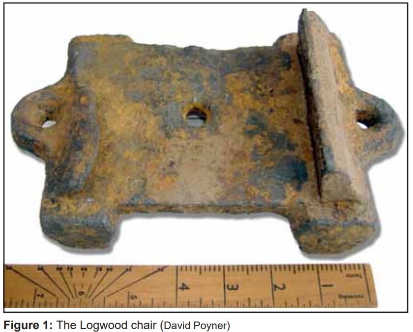
Poyner continues to describe his finds in the vicinity of the plateway – some years prior to his article, he found “a broken section of plate rail from this system whilst putting some steps into an embankment along the former track. Subsequently more pieces of rails and a chair were found by Simon Cowan and Hugh McQuade who were tracing its route.” [10] More recently, he came across a chair “from the system on the Kinlet bank of the Borle Brook at Logwood Mill. SO 740820 (Figure 1). It is cast iron, and approximately 6½” x 5″. At the one end there is 1″ high flange: at the other is a curled lip about ½” high which extends for only half the length of the plate; however, it is extended as a slight ridge in the casting which terminates in an inverted L-shape. There is a ½” diameter hole in the centre of the chair and two in projecting lugs at either end. There are also 4 lugs which extend beneath the chair.” [10]
The rail he found “from the plateway is 3½” x 24″; the casting is ½” thick. It has clearly been broken at the one end and may also have been fractured at the other.” [10]
The Birch Branch
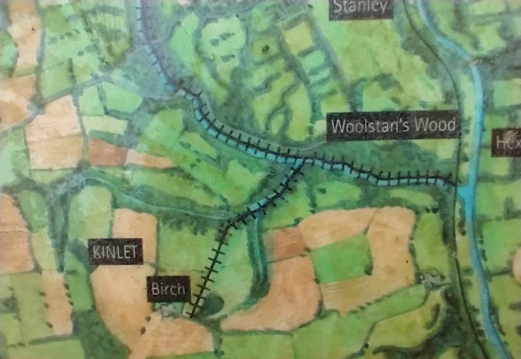
The thematic or sketch map on the information board at New England shows a branch extending to Birch Farm, South of Borle Brook. For this line to form a junction with Borle Brook it would have needed to bridge the ‘river’. It then followed a tributary to Borle Brook before striking off to the South towards Birch Farm. The line was unnecessary in purely engineering and mining terms. It was constructed as part of a ‘quid-pro-quo’ arrangement between the Colliery Company and William Lacon Childe who owned all the land on the South side of Borle Brook and a parcel of land to the North of the Brook which the Colliery Company needed for wharves alongside the River Severn. Ultimately he granted access to the River Severn, conditional upon the Colliery Company building a plateway link to one of his small collieries, that at Birch Farm. [13: Chapter 5]
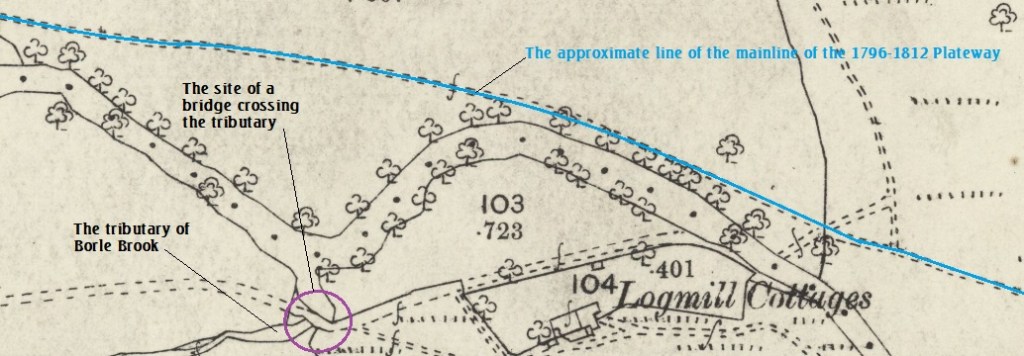
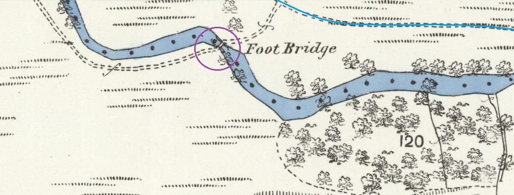
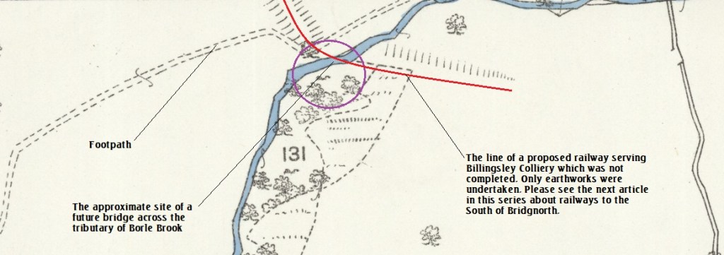
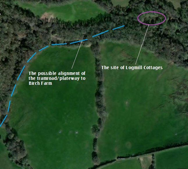
We have noted in the above map extracts that it is difficult to be specific about the route of the tramroad/plateway close to Borle Brook. The mapped details in the vicinity of Logmill Cottages show no real evidence of the tramroad.
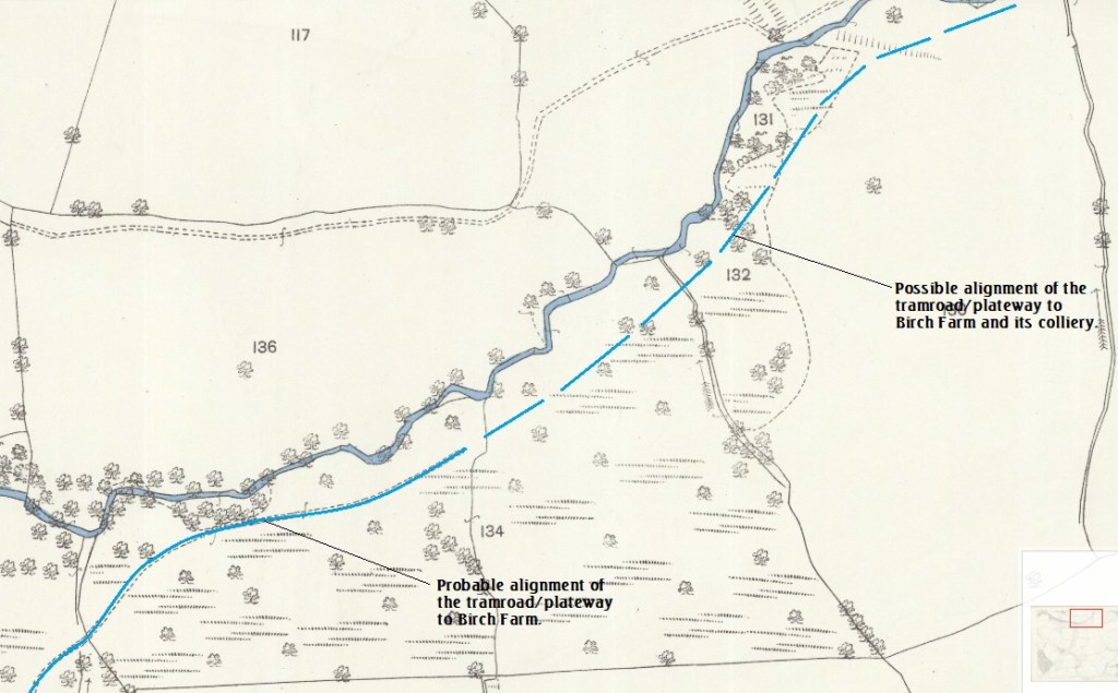
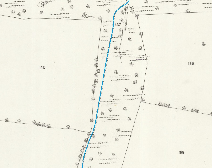
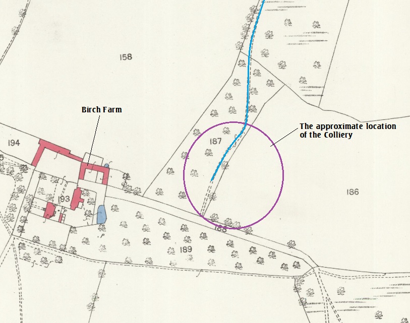
The line to Birch Farm is entirely on private land and access to its route is not possible. The best that I can offer is extracts from satellite images. These are those from the National Library of Scotland (NLS). …
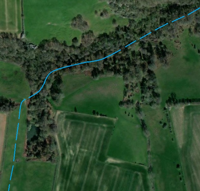
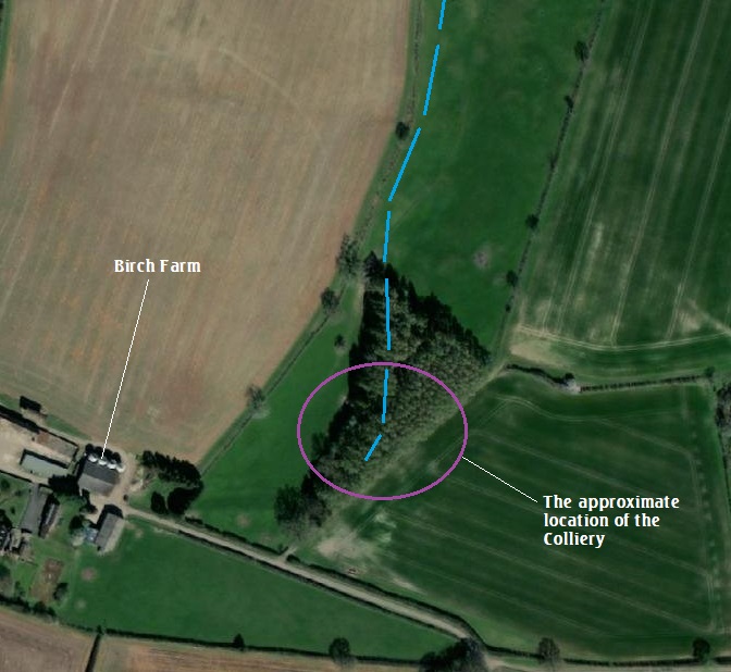
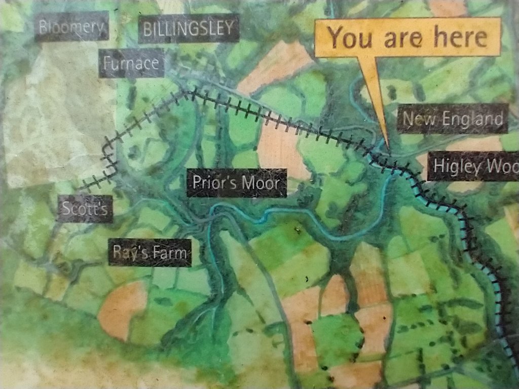
The Billingsley Area
Access to the length of tramroad/plateway beyond New England is just as difficult as access to the branch to Birch Farm, although is does come close to the public highway at one location and crosses it at another. Immediately to the West of Borle Brook there was an incline which brought the tramroad/plateway out of the valley and into the open fields above its scope. All of this, through to ‘Scot’s’ (the spelling on the OS Mapping) is on private land.
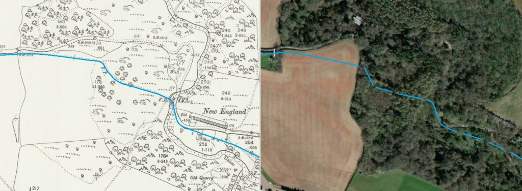
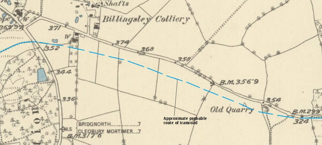
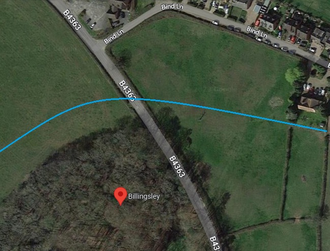
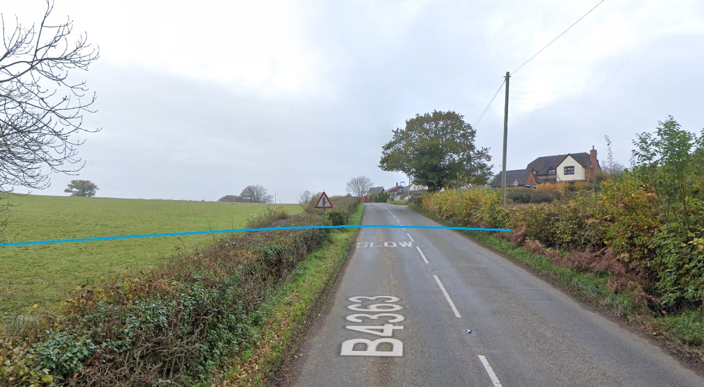
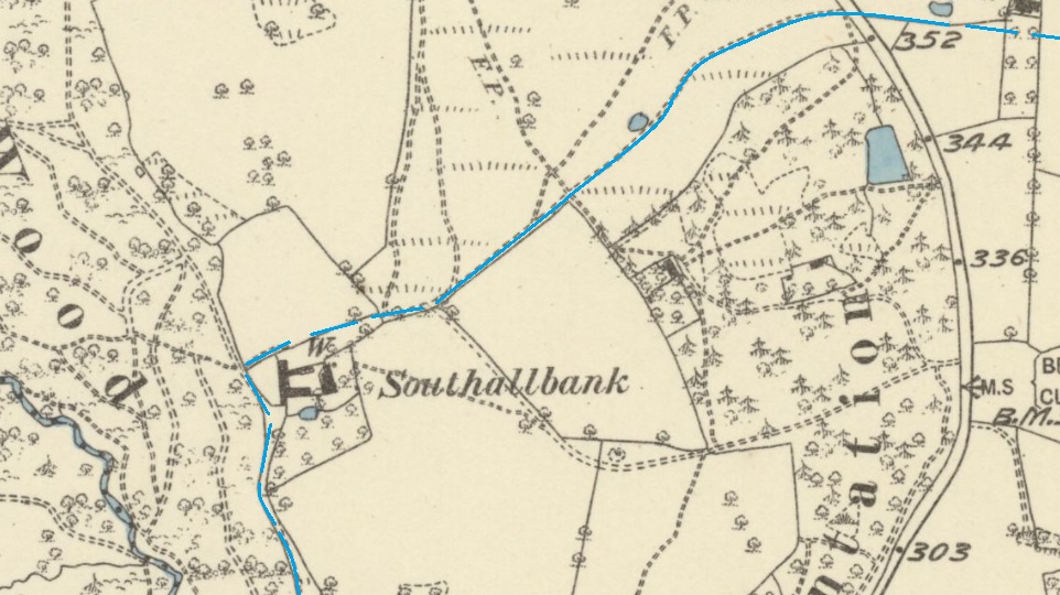
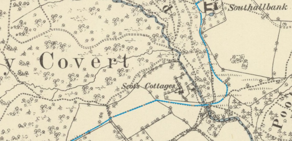
From the tentative line of the tramroad shown on the information board near the bridge abutment at New England (above) it appears that the old tramroad ran in a roughly Southwesterly direction as far as Southhallbank Farmhouse as suggested on the 1882 6″ Ordnance Survey map extract below.
Britishlistedbuildings.co.uk lists the Farmhouse. as a Grade II listed building predominantly constructed in the 17th century, perhaps with earlier origins, and with some 19th century rebuilding. It is “Timber-framed with red-brick infill and red brick. Plain-tile roofs.” [20]
If the tramroad ran as close to the farmhouse as is suggested in the map extract below, It is very likely that the owner of the building at the turn of the 19th century had a strong interest in the tramroad.
Looking Forward
The tramroad was the first transport venture alongside the Borle Brook. It was some time before industrial development at Billingsley warranted the construction of another railway. The later history of railways in and around Borle Brook can be found in an article about the railway connections to the Severn Valley Railway in the area South of Bridgnorth. … To view this article please follow this link. …
Railways Around Bridgnorth – Part 2
References
- https://www.shropshirecmc.org.uk/below/2004_1w.pdf, accessed on 26th January 2023.
- http://www.highley.org.uk/railhist.html, accessed on 26th January 2023.
- https://maps.nls.uk/view/101585827, accessed on 28th January 2023.
- https://maps.nls.uk/geo/explore/#zoom=17.0&lat=52.44044&lon=-2.39178&layers=6&b=1, accessed on 29th January 2023.
- https://maps.nls.uk/geo/explore/#zoom=17.0&lat=52.44495&lon=-2.39508&layers=6&b=1, accessed on 29th January 2023.
- https://maps.nls.uk/geo/explore/#zoom=17.0&lat=52.44910&lon=-2.40330&layers=6&b=1, accessed on 29th January 2023.
- https://maps.nls.uk/view/101595139, accessed on 29th January 2023.
- Aris’s Gazette April 18th, 1814 and Aris’s Gazette 20/04/1818.
- Ray Shill; The Long Road to the Permanent Way [part 9]; RCHS Occasional Paper 23 from the Railway History Research Group, the Railway & Canal Historical Society, Newsletter No. 33, December 2021.
- David Poyner; An Early Chair from the Billingsley Colliery Plateway; in ‘Below’, the Quarterly Journal of the Shropshire Caving and Mining Club, Volume 2010.2, Summer 2010, p8-9.
- https://maps.nls.uk/view/121153529, accessed on 6th February 2023.
- https://maps.nls.uk/view/121153547, accessed on 6th February 2023.
- David Poyner & Dr. Robert Evans; The Wyre Forest Coalfield; The History Press Ltd, Cheltenham, Gloucestershire, 2000.
- https://maps.nls.uk/geo/explore/side-by-side/#zoom=17.0&lat=52.43311&lon=-2.37885&layers=168&right=ESRIWorld, accessed on 6th February 2023.
- https://maps.nls.uk/geo/explore/side-by-side/#zoom=17.0&lat=52.43112&lon=-2.38544&layers=168&right=ESRIWorld, accessed on 6th February 2023
- https://maps.nls.uk/geo/explore/side-by-side/#zoom=17.0&lat=52.42708&lon=-2.38963&layers=168&right=ESRIWorld, accessed on 6th February 2023.
- https://maps.nls.uk/geo/explore/side-by-side/#zoom=17.0&lat=52.45254&lon=-2.40705&layers=168&right=ESRIWorld, accessed on 6th February 2023.
- https://maps.nls.uk/view/101595139, accessed on 7th February 2023.
- https://www.google.co.uk/maps/place/Billingsley,+Bridgnorth+WV16+6PF/@52.4543135,-2.4233002,338m/data=!3m1!1e3!4m6!3m5!1s0x4870624ff705e501:0x8cfda65ba0240fb1!8m2!3d52.454348!4d-2.422812!16s%2Fg%2F1q67q74s0, accessed on 7th February 2023.
- https://britishlistedbuildings.co.uk/101367585-southallbank-farmhouse-billingsley#.Y-I3d3bP2Uk, accessed on 7th February 2023.
- https://www.shropshirecmc.org.uk/below/2019_1w.pdf, accessed on 7th February 2023.
- https://maps.nls.uk/geo/explore/#zoom=17.0&lat=52.43788&lon=-2.39153&layers=168&b=8, accessed on 31st January 2023.
- https://www.svrwiki.com/Brooksmouth_Bridge, accessed on 11th February 2023.
- https://historicengland.org.uk/listing/the-list/list-entry/1254137, accessed on 11th February 2023.
- https://www.svrwiki.com/Borle_Viaduct, accessed on 11th February 2023.

Pingback: Railways Around Bridgenorth – Part 2 | Roger Farnworth