Tag Archives: West Wales

Railways in West Wales Part 2A – The Whitland & Cardigan Railway – Cardigan to Boncath. …

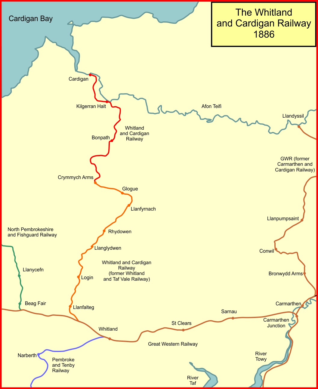
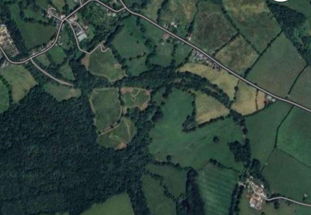
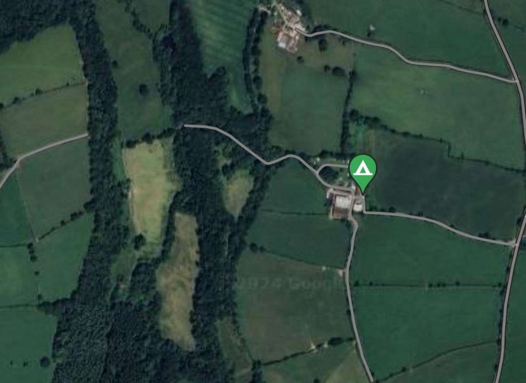
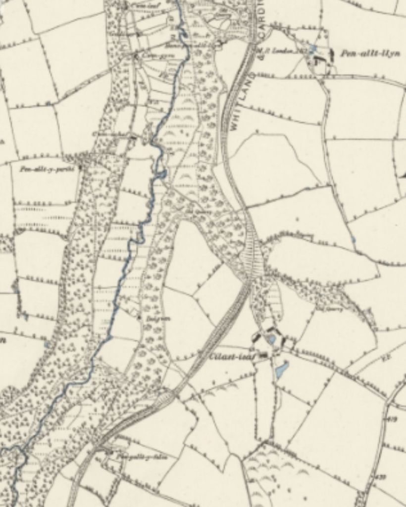
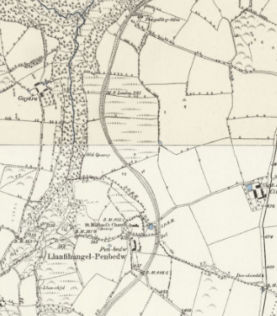
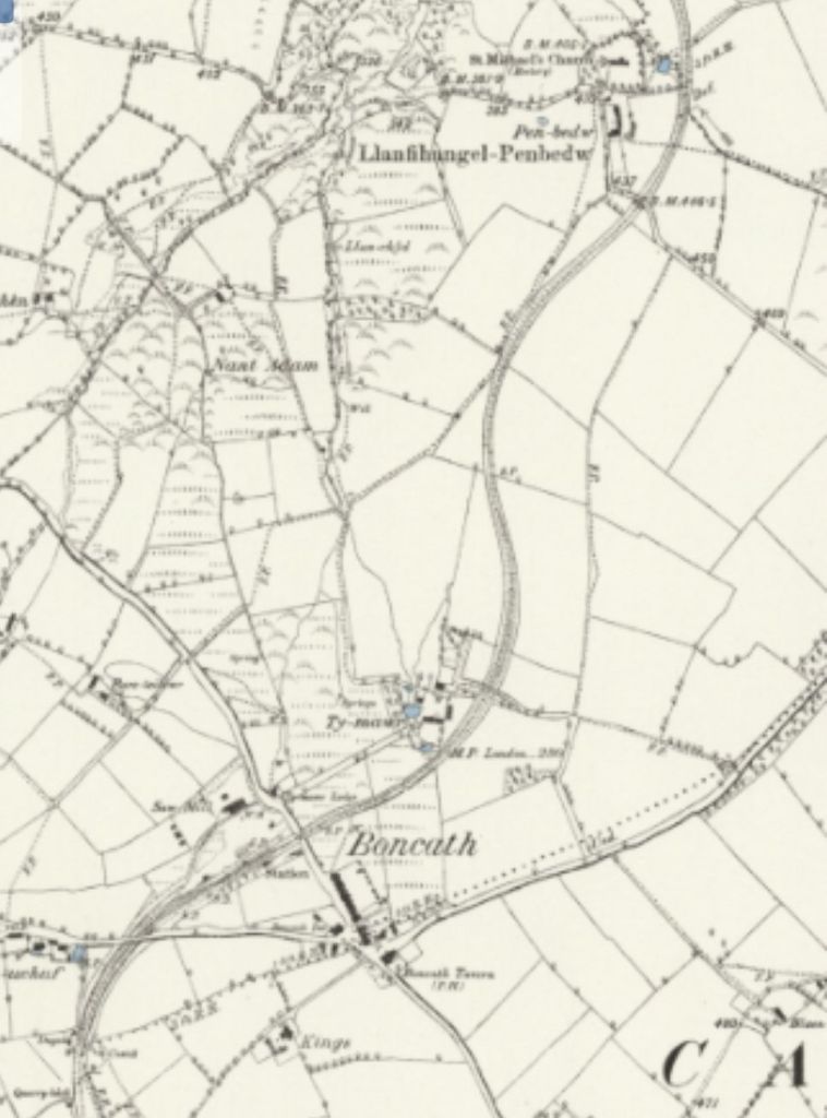
The Whitland & Cardigan Railway was a 27.5 miles (44.3 km) long branch line, “built in two stages, at first as the Whitland and Taf Vale Railway from the South Wales Main Line at Whitland to the quarries at Glogue. It opened in 1873, at first only for goods and minerals and later for passengers. The line to Cardigan opened in 1886; reflected in the company name change.” [2]

“The Company was always short of cash. Huge borrowings made it unable to pay its way; it was taken over by the Great Western Railway in 1886. Still considerably loss-making, it closed to passengers in 1962 and completely in 1963.” [2]

The route of the W&CR is shown on this schematic map. © Afterbrunel and licenced for use here under a Creative Commons Licence, Attribution-ShareAlike 4.0 International (CC BY-SA 4.0) [2]

As we have noted, the Whitland & Cardigan Railway (W&CR) opened for public traffic on 1st September 1886 after over ten years in planning and construction. “Thomas Davies, ‘Master Tom’, as managing director of [a] shipping company at Cardigan, was well aware that times were changing, and besides his shipping interests, chose to hedge his bets by investing in railways. Even though the Teifi valley had been the obvious route for a line west to Cardigan, the C&CR (Carmarthen & Cardigan Railway) never advanced beyond Llandyssil, and after the Great Western Railway abandoned the broad gauge in south Wales in 1872 it was only a matter of time before the GWR decided to extend the line as far as Newcastle Emlyn. By then, though, there was little point in taking it further on to Cardigan, because the W&CR had already reached the town by a somewhat sinuous route over the Preseli hills.” [1: p469]

After reaching Crymmych Arms in 1874 “the W&CR obtained powers for an extension to Cardigan in 1877. Construction was slow. … Thomas Davies had become a director of the railway as early as 1880, and although he was plainly interested in his own income, it seems he also aimed to do his best for his home town, too.” [1: p469]

The formal opening of the Whitland & Cardigan Railway took place on 31st August 1886, the day before the GWR was due to open the public passenger service. The arrival of the opening ‘special’ was accorded due ceremony and the occasion was presided over in part by ‘Master Tom’, Cardigan otherwise known as Thomas Davies, Bank House, the Mayor of Cardigan.” [1: p469]

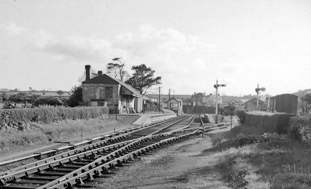
After speeches, dignitaries dined in the in “the new goods shed at Cardigan station, just to the east of Cardigan bridge, south of the river.” [1: p470]

The opening of this line was a critical moment for the commercial life of Cardigan, because thereafter influence began to move away from shipping interests towards those ready to use the railway.” [1: p470]

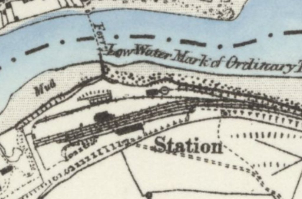
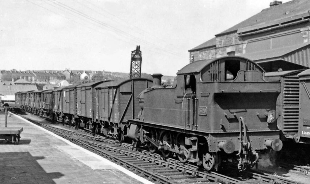
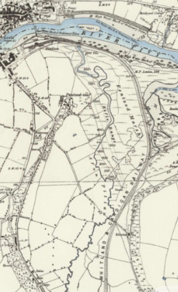
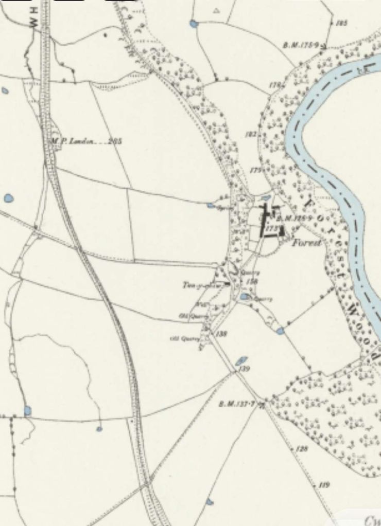
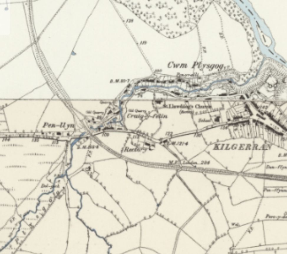
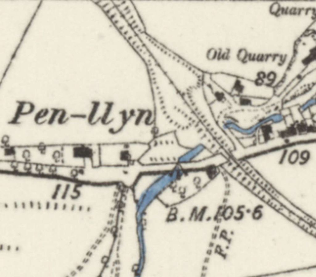
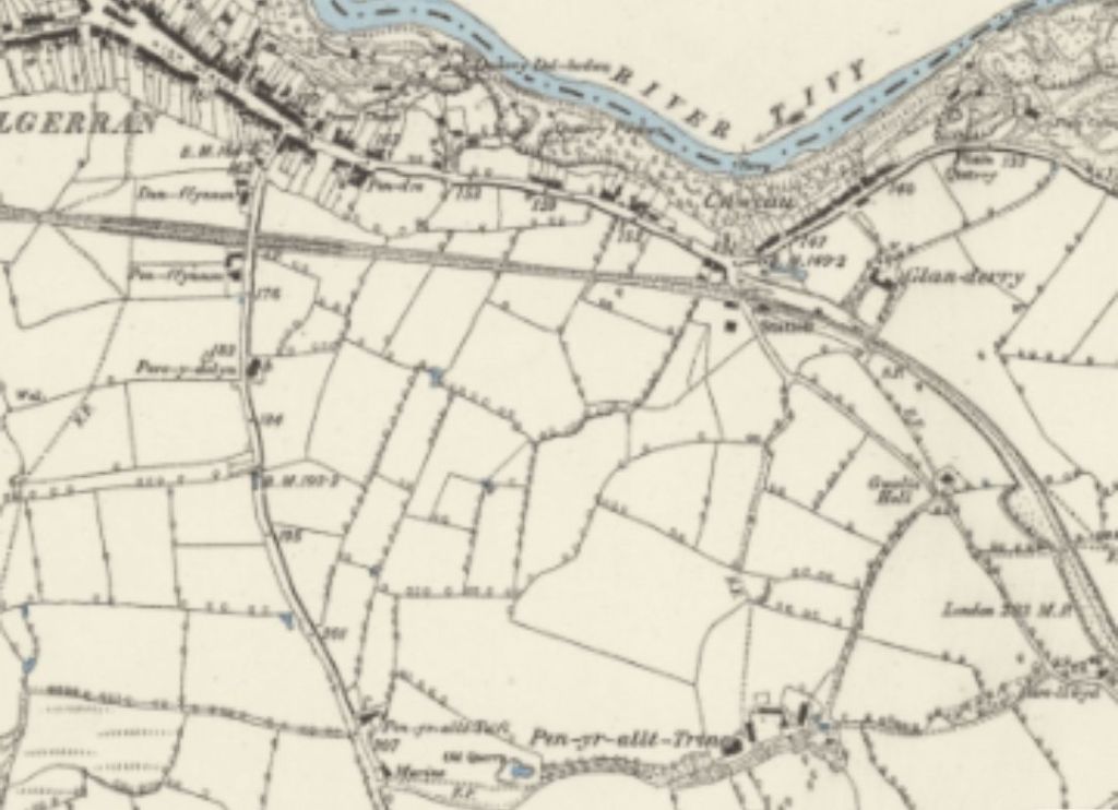
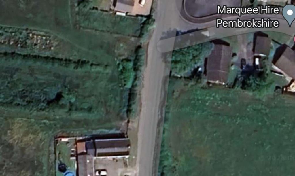
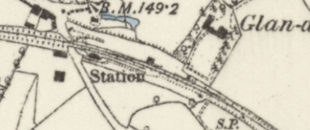
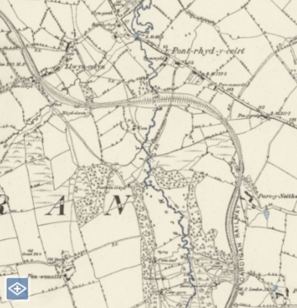
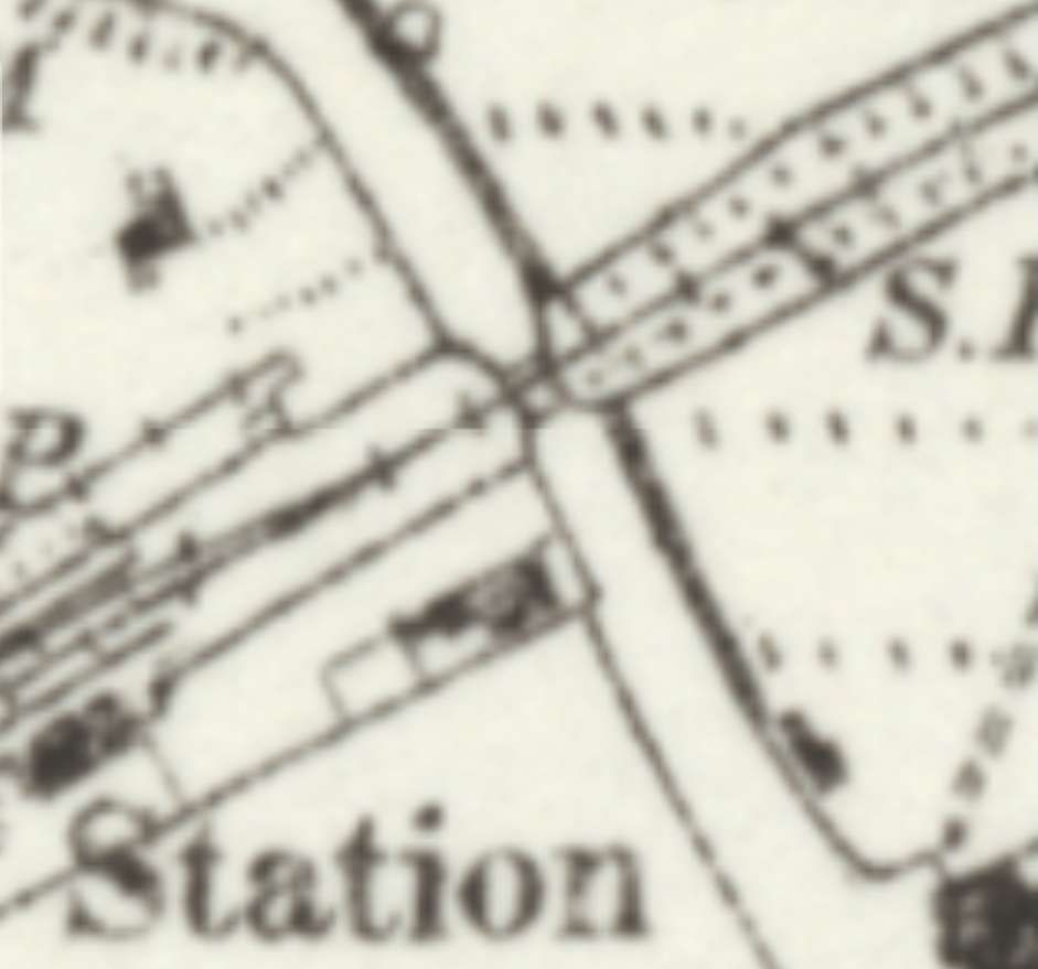
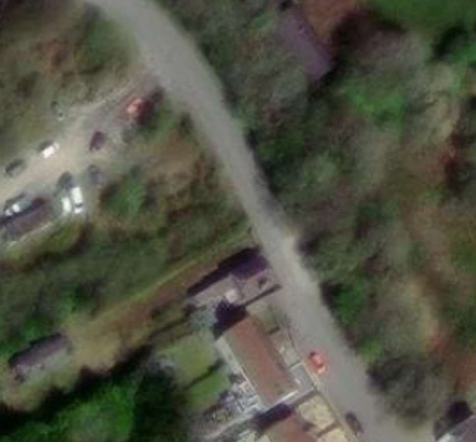
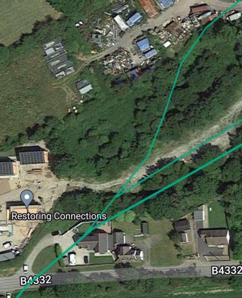
The terminus of the line in Cardigan was on the South side of the Afon Teifi, to the East of the town’s bridge across the river. The 6″ Ordnance Survey of 1887 shows the layout of the station in the later years of the 19th century.

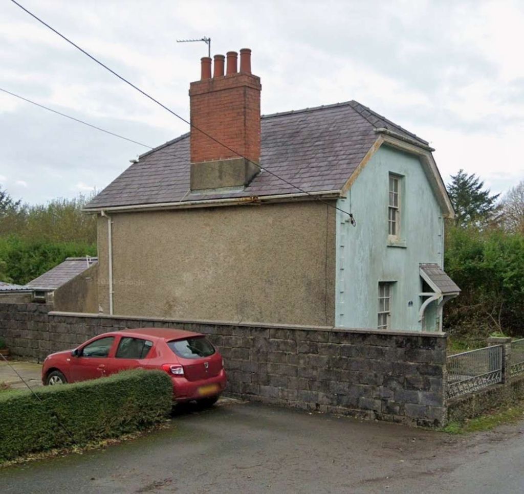
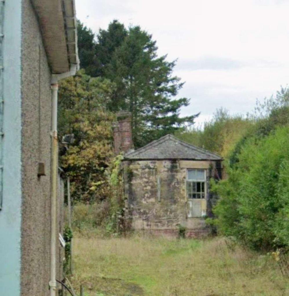
The coflein.gove.uk website carries this description of the station site: “the station had a single passenger platform on the down side and a run-round loop. There was a goods yard, with two sidings and a stone-built goods shed, on the up side and a siding served a small locomotive shed and turntable adjacent to the River Teifi. A further siding on the down side completed the track layout. … The main station building had stuccoed walls of local brick under a low-pitch hipped slated roof with brick chimneys. There were square-headed openings with chamfered stucco surrounds. The canopy projected straight out from the building on moulded cast-iron brackets with a fretted fascia. The goods shed was set on a platform and had walls of slate blocks with dressed quoins and shallow arched heads to the openings. (Source: RCAHMW Cardiganshire Industrial file, SN14NE; notes by A.J. Parkinson).” [24]

The 6″ OS Map of 1887/88 published in 1889. [5]
The 6″ OS Map of 1904, published in 1906. There are only a few changes in the station layout between this map and its antecedent above. The most significant being the absence of a turntable on the engine shed road. [3]
A ‘4575’ 2-6-2T with goods train at Cardigan station
View eastward, towards Whitland at the terminus of the ex-GW branch from Whitland. The branch was closed for passengers on 10/9/62, to goods on 27/9/63, but there seems to have been plenty of traffic around here in 6/1962. The locomotive is No. 5520 (built 12/27, withdrawn 9/62), © Copyright Ben Brooksbank and licensed for reuse under a Creative Commons Licence (CC BY-SA 2.0). [14]
Ex-GW 2-6-2T on goods at Cardigan, again looking East towards Whitland from the terminal station of the branch. The locomotive is  the same Collett ‘4575’ class 2-6-2T No. 5520 as shown in the image above, © Copyright Ben Brooksbank and licensed for reuse under a Creative Commons Licence (CC BY-SA 2.0). [15]
The train to/from Cardigan was known as Y Cardi Bach (The Cardi Bach) at Cardigan Railway Station. This image from 1910 was included in a display in the centre of Cardigan which focused on its port and transport links. This is a photograph of the picture on the display. [My photograph, 7th September 2022]
Two photographs of the goods shed  and loading dock at Cardigan Railway Station which has survived into the 21st century. [My photographs, 7th September 2022]
The view back towards the Station site from the approximate location of the station throat in the 21st century. [My photograph, 7th September 2022]

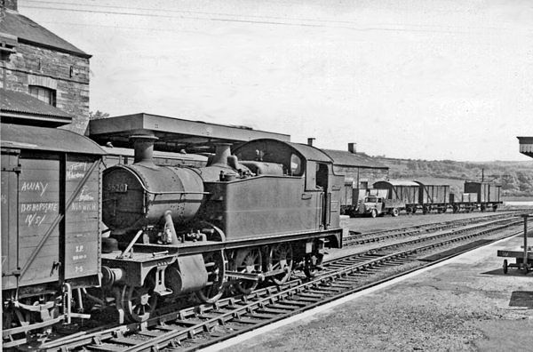
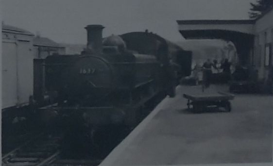
Further phots of the station site can be found here, [6] here, [25] here [26] and here. [27] A search on Facebook also found a number of images of the station, the links are provided in references [6]- [13] below.

A model of the railway station was originally held by Y Cardi Bach Museum in Login. In April 2021 it was placed on display in Cardigan Castle. The Tivyside Advertiser reported on 8th April 2021 that the layout was moved to the Castle. [29]

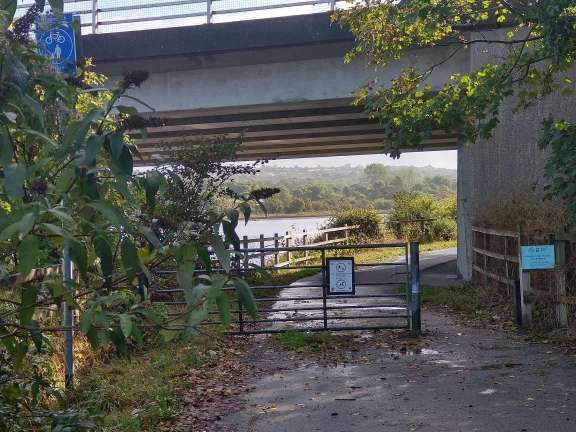
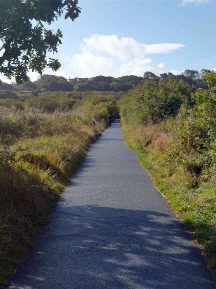
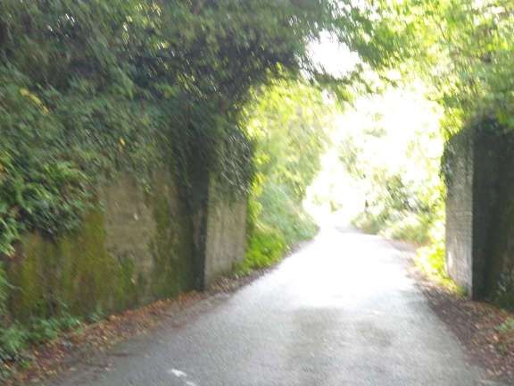
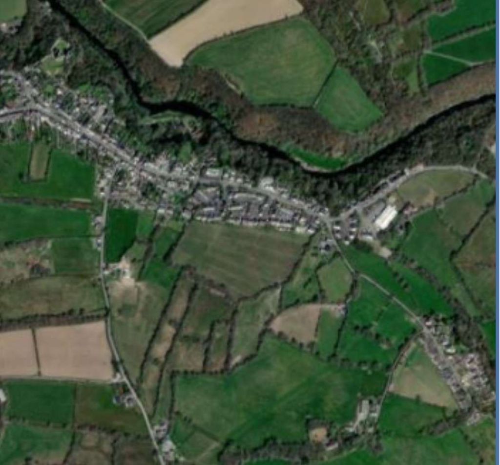
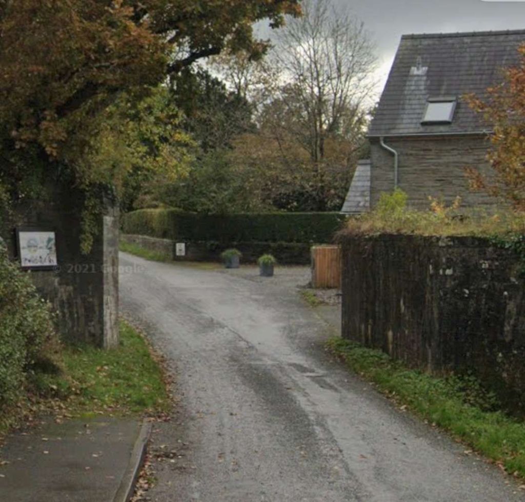
The model of Cardigan Railway Station which was on display in Castle Green House at Cardigan Castle in 2021. [29]
Turning to face East, the modern road bridge spans what was the line of the old railway. The trackbed close to Cardigan has been preserved as a footway and cycle path through Teifi Marshes and Wildlife Park, a Site of Special Scientific Interest. The River Teifi is on the left in this photo. [My photograph, 7th September 2022]

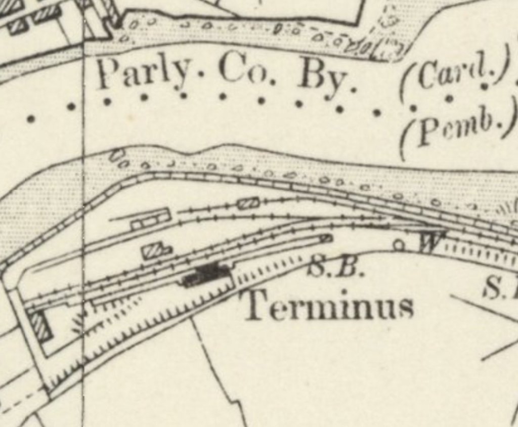
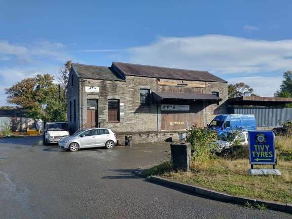
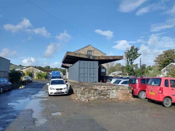
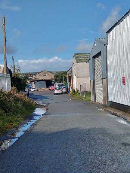
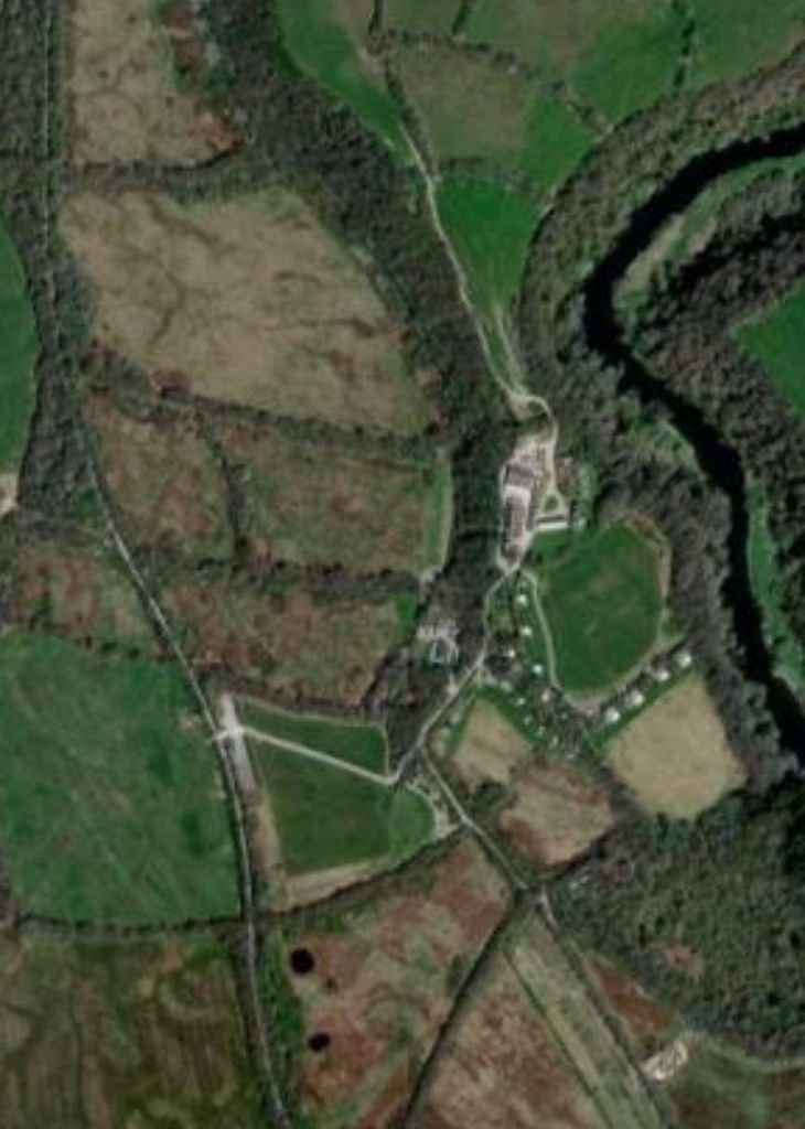
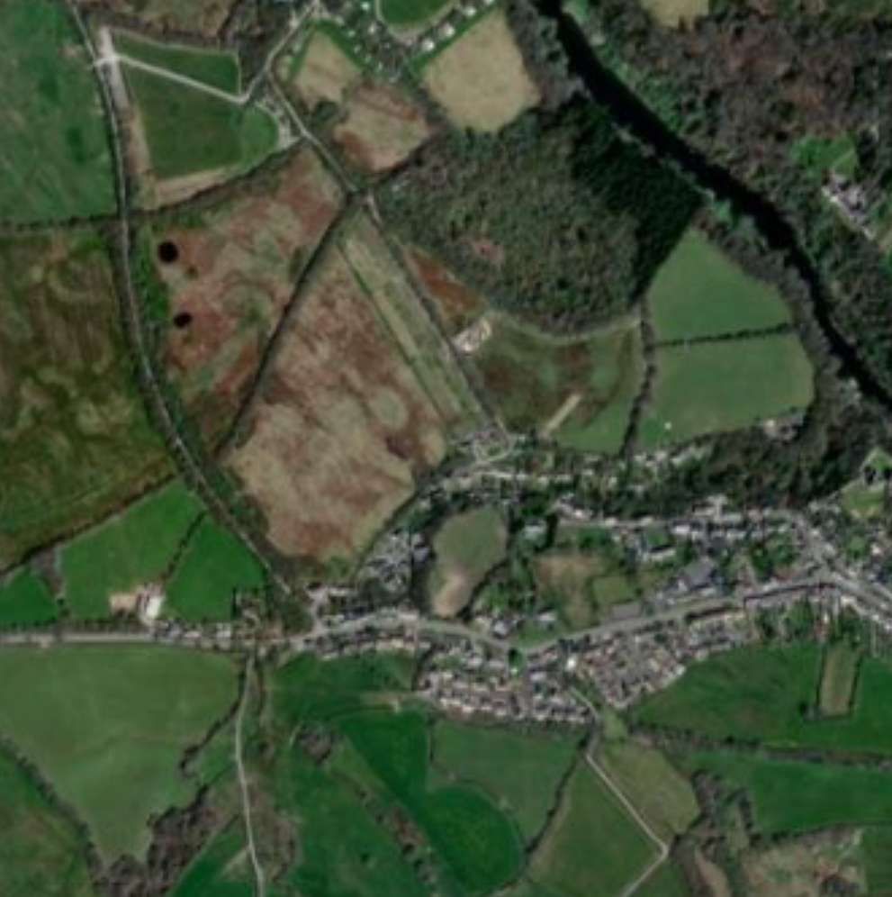
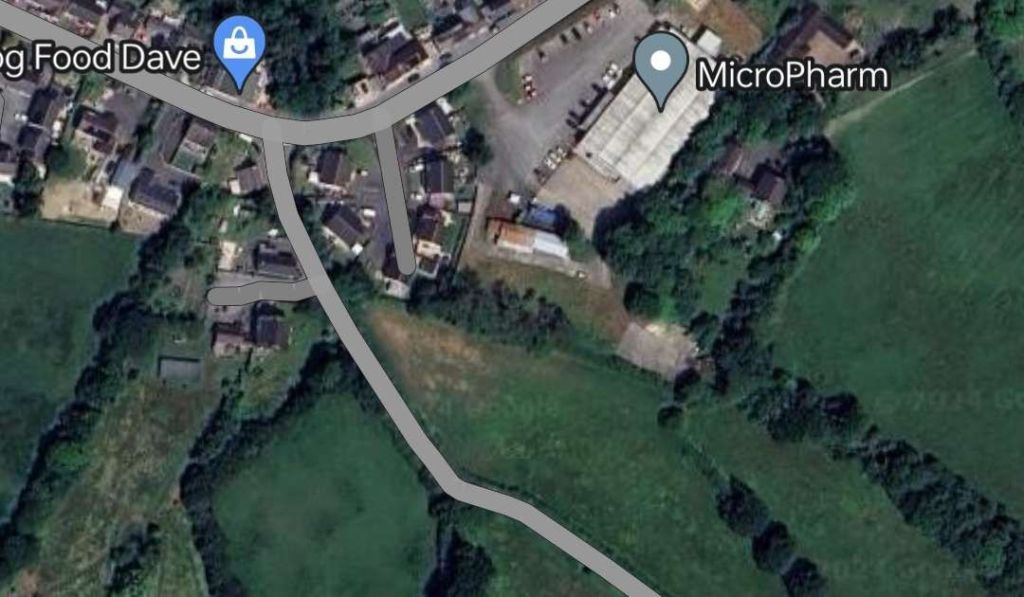
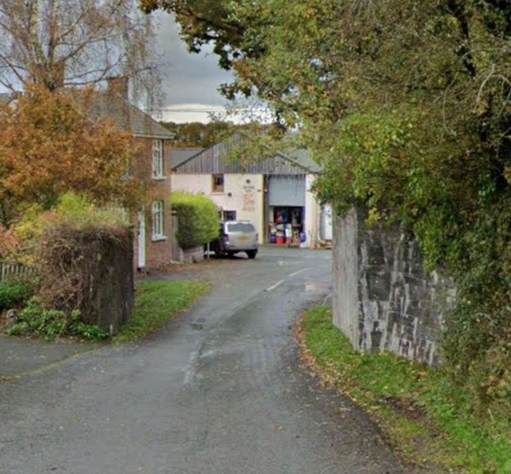
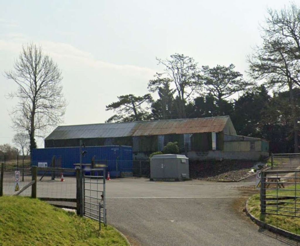
C.J. Gammell says that the Cardigan terminus was 27 miles and 38 chains from Whitland. It “is now an industrial estate and a few of the old buildings remain. The spacious layout of the former GWR station included only one platform but there was a goods shed, an engine shed, and warehousing. A good walk from the town and on the other side of the River Teifi, it was very much the traditional railhead.” [4: p233]

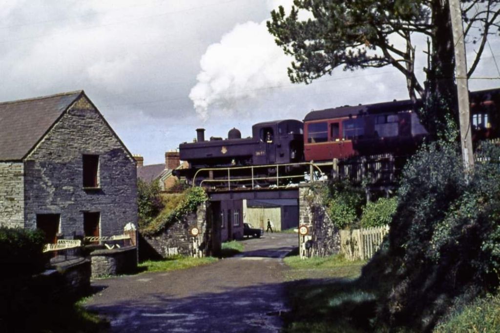
Gammell goes on to note that the service from and to Whitland “was extremely leisurely and strictly for the enthusiast, for the railway twisted and turned its way [through] the Prescelly mountains on tight curves and steep gradients. Br provided four trains per weekday which was more or less the same service provided in the line’s earlier years.” [4: p233-234]

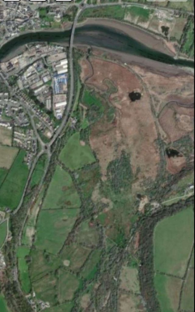
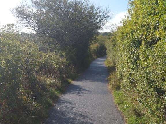
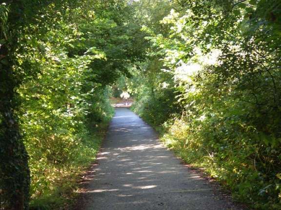
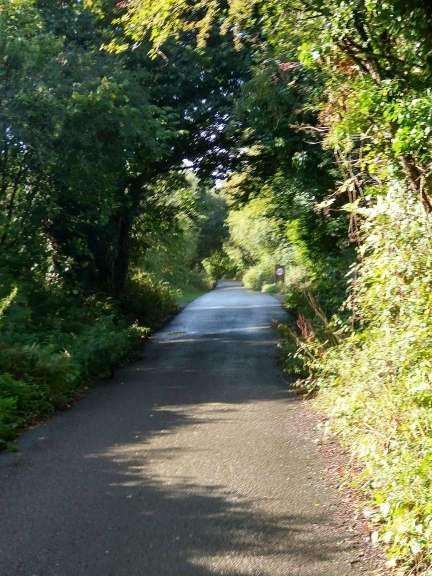
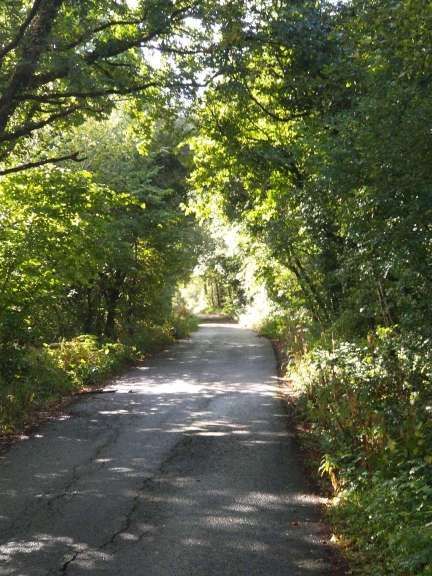
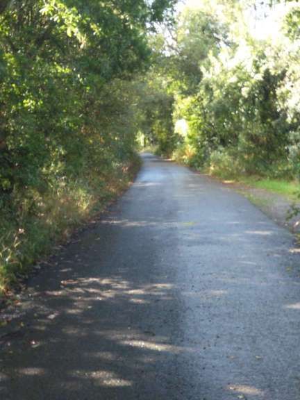
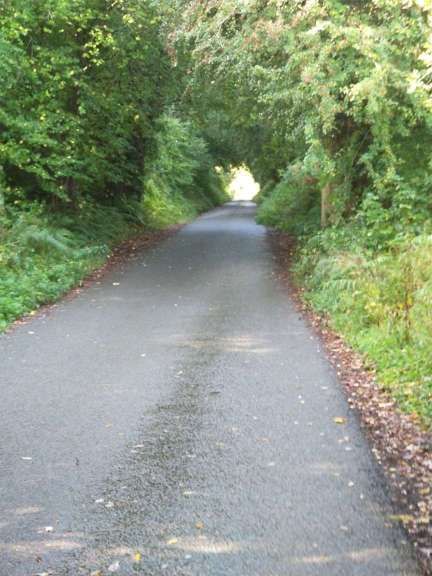
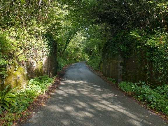
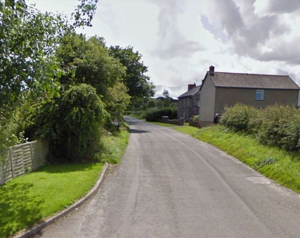
Today, the trackbed close to Cardigan has been preserved as a footway and cycle path through Teifi Marshes and Wildlife Park, a Site of Special Scientific Interest.

The first length of the branch as it left Cardigan is shown on this extract from the 6″ Ordnance Survey of 1904 (published in 1906). [16]
The same area as shown on the map extract above as it appears on the ESRI satellite imagery provided by the National Library of Scotland. Comparison of the two images will allow the route of the footpath/cycleway of the 21st century to be identified on this satellite image. [16]
The trackbed of the Whitland & Cardigan Railway was on a causeway across the river marshland. This modern footpath/cycleway follows the line of the old railway. This photo is taken looking Southeast. [My photograph, 7th September 2022]
Further along the line of the railway, approaching higher ground the route of the old railway is still marked by the modern easy access path/cycleway. This photo is taken facing South. [My photograph, 7th September 2022]
This next map extract shows the old railway heading South away from Cardigan. The River Teifi appears on the right side of the extract, the railway on the left. [17]
The same length of the old railway formation is captured on the left of this satellite image [17]
Alongside the modern footpath/cycleway are the brick remains of a platelayers hut – the chimneys and hearths of these huts were built in brick while the rest of the structure was of timber. Only the brick elements remain. [7th September 2022]
As the route of the old railway runs Southward and begins to leave the marshes tree cover increases. The gate separating the dedicated footpath/cycleway from the access road to the wildlife sanctuary can be seen ahead [My photograph, 7th September 2022]
As the route of the old railway runs on Southward it is used as the public access road to the wildlife sanctuary’s car park and welcome centre which was passed on the left close to the gates in the photo above. [7th September 2022]
Further South. [My photograph, 7th September 2022]
Further South again. … [7th September 2022]
The old railway turned from running South towards the East as it passed through Pen-llyn and to the South of Kilgerran (Cilgerran). [18]
Covering much the same area as the map extract above, this image from the ESRI satellite imagery provided by the National Library of Scotland, shows the line of the old railway running South down the left side and turning East. The housing in Kilgerran (Cilgerran) abuts the old railway boundary and the line is marked to the East by the hedge marking the field boundary. [18]
At the top right of the Ordnance Survey map extract above a footpath/lane crosses the line of the old railway. All that remains of the bridge are the abutments, seen here looking South along the line of the railway. [My photograph, 7th September 2024]
The same abutments, looking North along the line of the Whitland & Cardigan Railway. [My photograph, 7th September 2024]
Looking Southeast down from the line of the old railway to the junction at Pen-llyn. The railway crossed the road at high level. [Google Streetview, November 2021]
Two enlarged views of Pen-llyn taken from the NLS website: the 6″ Ordnance Survey and the same area on the ESRI satellite imagery. Removal of the bridge carrying the railway has allowed a spacious junction to be created. [18]
The view from the West on Feidr Faw through the location of the rail over-bridge towards Kilgerran. [Google Streetview, November 2021]
The view from the East looking along Cemaes St. through the location of the railway bridge. [Google Streetview, November 2021]
Another extract from the 6″ Ordnance Survey from the turn of the 20th century. It shows the line running West to East on the South side of Kilgerran (Cilgerran) before turning away South again. [19]
The route of the old railway is identified by the hedgerows which mark the boundaries of what were railway land. The Southern edge of the housing estate also marks the Northern boundary of railway land. [19]
The road South from Kilgerran (Cilgerran) crossed the old railway at this location. [Google Maps, 11th July 2024]
Looking South through the location of the level-crossing. [Google Streetview, June 2009]
This image looks from a location South of the level-crossing and adjacent to the house in the photo above. It looks Northwest from the road, through the field gate. The old line ran between the two parallel hedges ahead of the camera. [Google Streetview, November 2021]
The view East along the line of the Whitland & Cardigan Railway from the location of the level-crossing. [Google Streetview, November 2021]
Kilgerran (Cilgerran) Railway Station was at the East end of the village. This enlarged extract from the 6″ Ordnance Survey shows the bridge at the West end of the Station site. [18]
This extract from Google Maps shows a similar area to the enlarged map extract immediately above. A small housing estate sits over part of the old station site. At the centre of the image, the station goods shed can still be seen. [Google Maps, 11th July 2024]
The view North along the road which passed under the railway adjacent to Kilgerran (Cilgerran) Railway Station. The stone abutments of the bridge remain. [Google Streetview, November 2021]
The same location, the bridge at Cilgerran. The station is to the right of the image. This photo was shared by Bro Chris Youett on the Railways of Wales Facebook Group on 9th February 2023 and is included here with his kind permission. [30]
The view South along the same road with the bridge abutments either side. Note the small display board on the Eastern abutment. [Google Streetview, November 2021]
A closer, if oblique and slightly obscured, view of the display board which commemorates ‘Y Cardi Bach’ and Kilgerran (Cilgerran) Railway Station. [Google Streetview, November 2021]
The view into the eastern half of the station site from the road to the North. [Google Streetview, November 2021]
Although the line turned away to the South beyond the station throat, it quickly switched back to the East before turning South again. [20]
These two extracts from Google Maps cover much the same length of the old railway as the map extract above. Although the second satellite image extends South, beyond the bottom edge of the map extract. Google Maps shows the route of the old line as being used as a track in the 21st century over a section in the top-right of the first of these two images (but see the images below), otherwise hedge and tree  lines mark the route, except for a short length at the bottom of the second image. [Google Maps, 12th July 2024]
The old railway crossed the road here at high level. In this view from the Southwest the abutments of the old bridge can easily be seen. There is no evidence of a track joining the road at this point. [Google Streetview, November 2021]
The same location seen from the Northeast, the bridge abutments can be seen but no track appears on the right of the image. [Google Streetview, November 2021]
The old railway wandered is way Southward through landscape formed of a patchwork quilt of small plots of land. [21]
This modern satellite image takes us as far South down the line as the bottom of the map extract above. The old railway formation is marked by the narrower line of trees about a quarter in from the left near the bottom of the image. [21]
The Whitland & Cardigan Railway followed the contours on the east side of the Afon Mogeau, limiting gradients as much as possible [22]
This extract is taken from the railmaponline.com satellite imagery. The green line marks the spinous route of the Whitland & Cardigan Railway. This image takes us beyond the South of the map extract above. [31]
This next extract from the 6″ Ordnance Survey from the turn of the 20th century takes the Whitland & Cardigan Railway south to just beyond Boncath. [23]
Railmaponline.com’s satellite imagery shows the route of the railway over a very similar length to that shown on the OS Map extract immediately above. [31]
The station at Boncath sat between two roads in Boncath. The Eastern half of the site is shown here on railmaponline.com’s satellite imagery. The Station House is on the right of this image. The platform building is on the South side of the line, the ‘up’ side, close to the centre of the image. [31]
An enlarged extract from the Ordnance Survey showing the East end of the station site. The level-crossing is close to the centre of the extract with the Station House to the South. The platform building is on the left edge of this image. [23]
This extract from the ESRI satellite imagery from the National Library of Scotland shows a similar area. The old railway either side of the crossing location is overgrown and there is nothing to see on Streetview at that location. The station house and the platform can easily be made out. The building to the North of the platform building is the Goods Shed which does not appear on the map extract from 1887. [23]
The Station House at Boncath was on the South side of the line at the level crossing which trains from Cardigan crossed as they entered Boncath Railway Station. The running line was on the far side of the building as it is seen here. [Google Streetview, November 2021]
Looking Southwest through the station site from adjacent to the level-crossing. The station building is on the left with the signal cabin beyond. The goods shed is just off the right side of the image © Public Domain. [32]
The station platform building seen from alongside the Station House. [Google Streetview, November 2021]
The Western half of the site is shown here on railmaponline.com’s satellite imagery. [31]

References

  1. M.R. Connop Price; Before the Railways: The Early Steamers of Cardiganshire; in the RCHS  Journal, Vol. 40 Part 8 No. 244 July 2022, p471-477.
  2. https://en.wikipedia.org/wiki/Whitland_and_Cardigan_Railway, accessed on 11th August 2022.
  3. https://maps.nls.uk/view/101608630, accessed on 7th September 2022.
  4. C.J. Gammell; Slow Train to Cardigan; in British Railways Illustrated Volume 4 No. 5, February 1995, p228-235.
  5. https://maps.nls.uk/view/101608633, accessed on 8th July 2024.
  6. https://www.facebook.com/100063462605830/posts/pfbid0dbn1BseMCKJ4WMKqGxK3WyMJuDU49pMvekXv42TnCqdpcG6rSLw3iVQpY2yrgnRkl/?app=fbl, accessed on 8th July 2024.
  7. https://www.facebook.com/916129491754537/posts/pfbid02oXK76iCUGiq1eny5xvAm3dgTWPdgp2DKw5Sdh6XbmtZc8H5gBDSbe3uYE5vpWq1tl/?app=fbl, accessed on 8th July 2024.
  8. https://www.facebook.com/photo.php?fbid=770319585093455&set=a.225680399557379&type=3&app=fbl, accessed on 8th July 2024
  9. https://www.facebook.com/100063462605830/posts/pfbid0D65bGn9MX4kQ6Gwpat68S11FmBqB7kTeDaGRTf9ojWKJ5QTGAf32xMFdkjkZzTdDl/?app=fbl, accessed on 8th July 2024
  10. https://www.facebook.com/photo.php?fbid=803180548474025&set=a.225680399557379&type=3&app=fbl, accessed on 8th July 2024.
  11. https://www.facebook.com/100063462605830/posts/pfbid02eWJiHNQt9a9NmF4fj15DBtxuwNwJcxfQz5GXwArMBqMTbRHwc5R56ie2XyR4Pe1Kl/?app=fbl, accessed on 8th July 2024.
  12. https://www.facebook.com/photo.php?fbid=870804975044915&set=a.225680399557379&type=3&app=fbl, accessed on 8th July 2024.
  13. https://www.facebook.com/100057429220696/posts/pfbid037cVf8yaQxaeEcjmXH78PLSAwZyJreZmJ3y7pKJMn19QNkUYfJE4Y1EMGXiCj1WMql/?app=fbl, accessed on 8th July 2024.
  14. https://commons.m.wikimedia.org/wiki/File:Cardigan_station_geograph-2555883-by-Ben-Brooksbank.jpg, accessed on 9th July 2024.
  15. https://www.geograph.org.uk/photo/2935649, accessed on 9th July 2024.
  16. https://maps.nls.uk/geo/explore/#zoom=14.8&lat=52.07525&lon=-4.65372&layers=257&b=1&o=100, accessed on 9th July 2024.
  17. https://maps.nls.uk/geo/explore/#zoom=15.0&lat=52.06169&lon=-4.64719&layers=257&b=1&o=4, accessed on 9th July 2024.
  18. https://maps.nls.uk/geo/explore/#zoom=14.8&lat=52.05759&lon=-4.64239&layers=257&b=1&o=100, accessed on 11th July 2024.
  19. https://maps.nls.uk/geo/explore/#zoom=14.8&lat=52.05331&lon=-4.62830&layers=257&b=1&o=100, accessed on 11th July 2024.
  20. https://maps.nls.uk/geo/explore/#zoom=14.8&lat=52.05063&lon=-4.61435&layers=257&b=1&o=100, accessed on 11th July 2024.
  21. https://maps.nls.uk/geo/explore/#zoom=14.8&lat=52.04004&lon=-4.60957&layers=257&b=1&o=100, accessed on 11th July 2024.
  22. https://maps.nls.uk/geo/explore/#zoom=14.8&lat=52.02848&lon=-4.61359&layers=257&b=1&o=100, accessed on 11th July 2024.
  23. https://maps.nls.uk/geo/explore/#zoom=14.8&lat=52.01901&lon=-4.61835&layers=257&b=1&o=100, accessed on 11th July 2024.
  24. https://coflein.gov.uk/en/site/41370, accessed on 15th July 2024.
  25. https://www.urban75.org/photos/wales/cardigan-railway-station.html, accessed on 15th July 2024.
  26. https://www.facebook.com/photo?fbid=1270227259678090&set=, accessed on 15th July 2024.
  27. http://www.disused-stations.org.uk/c/cardigan/index.shtml, accessed on 15th July 2024.
  28. Not used.
  29. https://www.tivysideadvertiser.co.uk/news/19215810.model-cardigan-railway-station-brought-town, accessed on 15th July 2024
  30. https://www.facebook.com/share/p/QsSwqaQQjxDkhrAG, accessed on 12th July 2024.
  31. https://railmaponline.com/UKIEMap.php, accessed in July 2024.
  32. https://www.wikiwand.com/en/Boncath_railway_station#Media/File:Boncath_railway_station_1849673_12a2910c.jpg, accessed on 13th July 2024.