
 Our journey on the metre-gauge lines of the Tramways de l’Aude continues from the station at Caunes-Minervois. As the plan above shows, the route was tortuous, it certainly wasn’t the quickest route to Lezignan. It ran through a good number of the villages in the Occitanie region, including the canton of Les Haut-Minervois, in Hérault and in the Corbières wine region of i’Aude.
The shorter and faster route would have been to travel from Caunes-Minervois down the standard gauge line to Moux and then along the mainline to Lezignan.
Nonetheless we are going to enjoy the bucolic journey by the slower metre-gauge tramway through the French countryside!
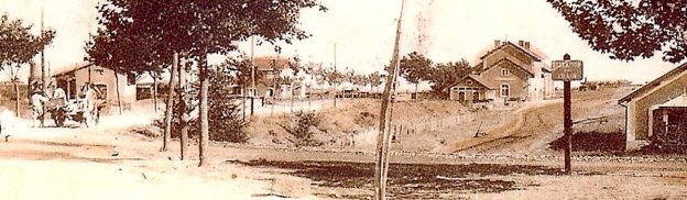
The Featured Image at the top of this post shows the buildings of both stations in Caunes-Minervois. The tramway buildings are to the left of the image, the standard-gauge terminal is featured int he centre-right of the image.
Wikipedia describes the village’s railways in a section about the marble quarries which brought some prosperity to the village:
“The marble quarry brought prosperity and kudos to Caunes and a railway spur was run across the plain from Moux in 1887 to transport passengers, quarried marble and the region’s wine. The station was finally closed to passengers in 1939 and to goods in 1965. Some station buildings still retain a link with the past as a marble carving workshop.”
“During the first part of the 20th century, and operating via a second station almost opposite the first, there was a 1-metre gauge tram line from Caunes connecting the town to Lezignan and Carcassonne. This tramway was closed down in 1932. This additional station may be seen in old postcards but is still in use as a private home today.” [1]
The tramway arrived at Caunes-Minervois on the southern shoulder of the GC8 (today’s D620) and then, just before the centre of the village dropped down towards the standard gauge station, before turning to run parallel to the standard gauge railway for a few hundred metres on its eastern side. The postcard immediately below the map shows the two stations. It is taken from the village and shows the Gare du Midi with the Tramways de l’Aude station behind. [2] The large building on the right of the photograph is the goods shed for the standard-gauge line.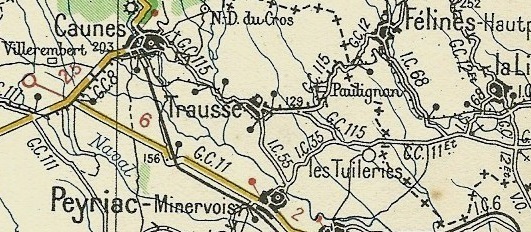

 The two pictures above are taken of the Gare du Midi from a similar vantage point to the southwest of the station buildings. [2][3]
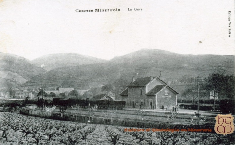 An early view of the Gare du Midi from the same angle but from a greater distance. [2]
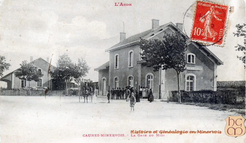 This view shows the same building but from the station yard rather than trackside. [2]
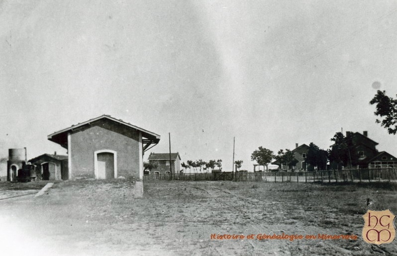 This view is taken from the village looking towards both stations. The Gare du Midi and its goods-shed are almost hidden by the trees but the facilities at the Tramways de l’Aude station and much more in evidence. The goods-shed is in the foreground with the passenger station building to the right and the engine shed and water tower to the left. [2]
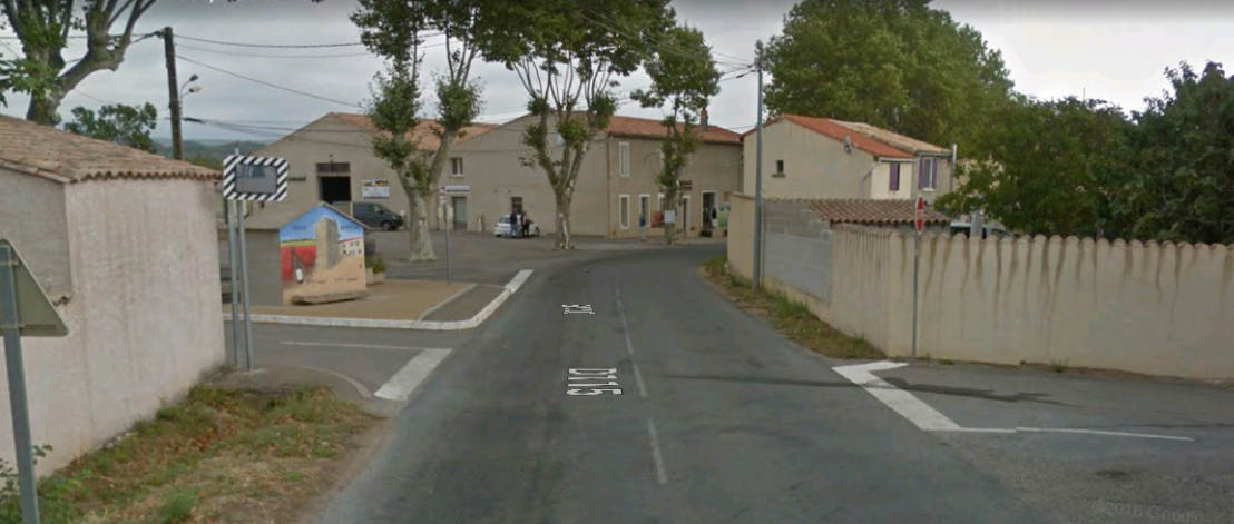
 This modern image from Google Streetview is taken from the North and shows the two station buildings still in use. On the right is the Gare du Midi used now as a marble workshop. On the left is the Tramways de l’Aude station building in use as a private home.
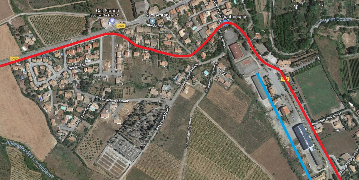 Here we have an approximate alignment for the route of the Tramways de l’Aude line through Caunes-Minervois (in red) and the standard-gauge Ligne du Midi which terminated in the village (in blue).
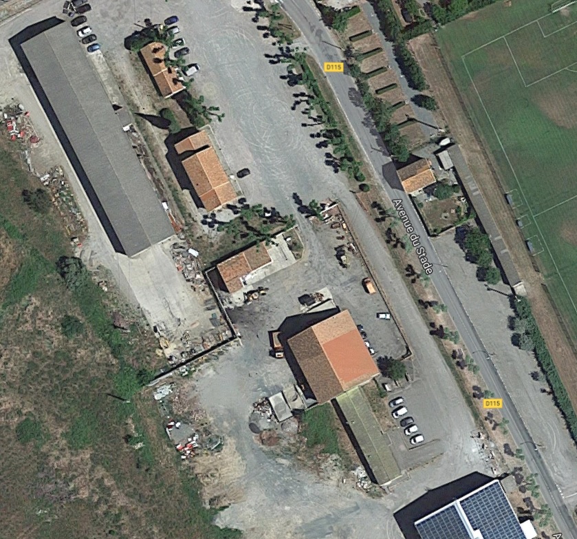 The satellite image above shows the proximity of the two station buildings. The present D115 follows the line of the old tramway.
The tramway route can easily be picked out on the 1930s Michelin map above. After finding its own way through the countryside, it joined the GC115 about halfway between Caunes and Trausse. On the modern OpenStreetMap image below its formation is under the D115, Avenue due Stade heading south of the village before it follows what is now a minor road and bridges the River Argent Double travelling East to join another arm of the D115.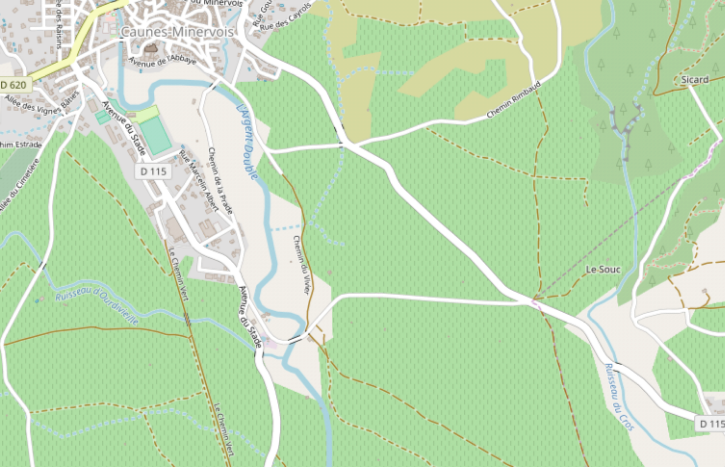
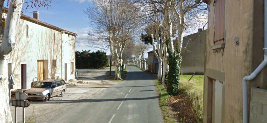
 The tramway left the shoulder of the western arm of the modern D115 and turned down the minor road in the image above.
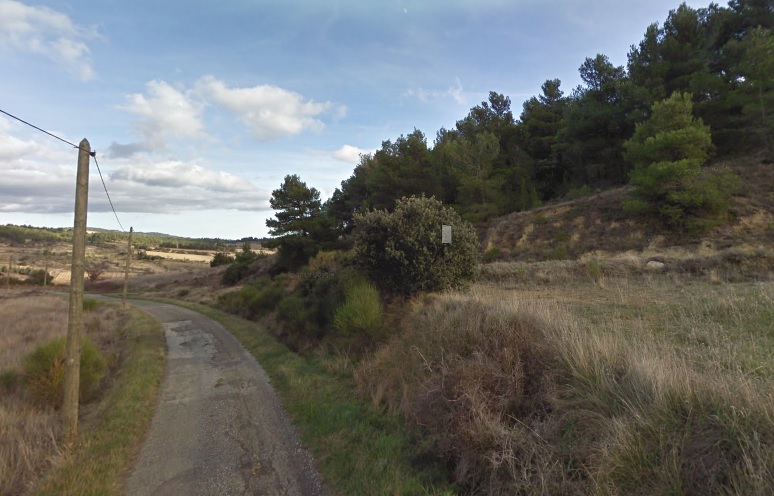
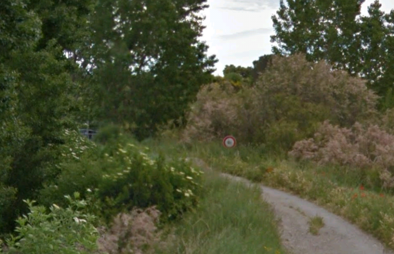 This is as far down the minor road that that has replaced the tramway that Google Streetview will take us. The bridge over l’Argent Double can just be glimpsed ahead. The sign is a weight restriction sign.
 The pink line approximates to the tramway alignment.
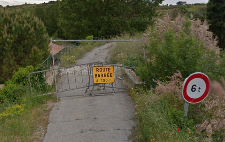
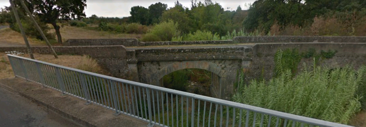
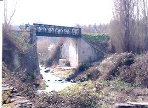 The bridge which used to carry the tramway has gone – it appears that this has been due to neglect and flooding. Historic satellite images on Google Earth show that the route was eroded to the East of the bridge before the bridge itself failed! The view above is from the tramway route to the East. The adjacent image shows the bridge before it was lost and appears to have been taken from the South. [4] The image below shows the two bridges at this location from the North. [2]
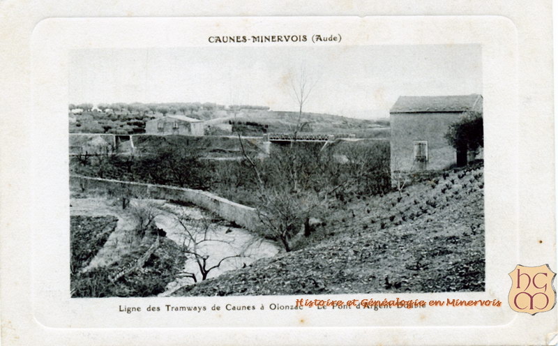 The tramway formation has been used to create a minor road which runs from the bridge to the eastern arm of the D115. The old formation is only lightly tarmacked.
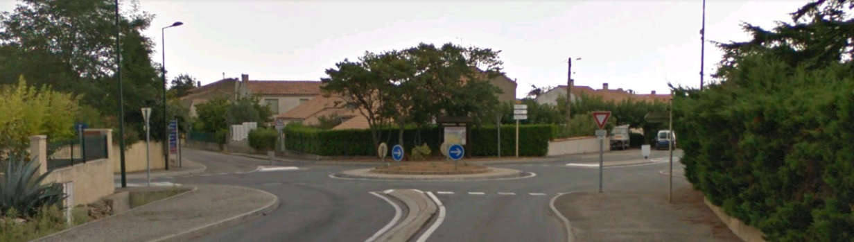
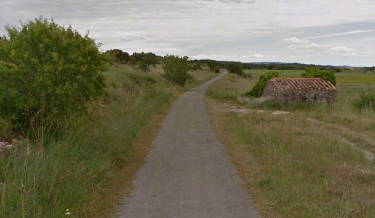 At the junction with the D115 the modern road forms a right-angled junction but the tramway route curves to the right. and follows the D115.
 There is one deviation from the modern D115 before we reach Trausse. It is shown below. The old rad/tramway cross the Ruisseau du Cros almost at right-angles on an old arch bridge. The newer road has its own bridge.
 In this image the road bearing to the left is the route into the village and that bearing right is the modern D115 and the route of the old tramway. The tramway ran round the south side of Trausse.
The village of Trausse is pleasantly set in the middle of vineyards close to the boundaries of the Aude and Herault, in the foothills of the Cevennes. The village was once fortified. There are still many vestiges of the 9th century ramparts.
The tramway ran round the outskirts of the village and the station was on the southeast of the village. There is no evidence of the station nowadays. It was on the length of the D115 shown in the pictures below.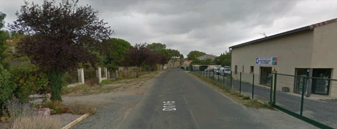
 The tramway left town East along the D115. Of the pictures below, the first looks back toward the village centre with the tramway entering stage left. The second shows the route ahead.
 Travelling East from Trausse the tramway headed for Felines-Hautpoul in Herault. The tramway followed the old GC115 to the departement boundary where the road number changed to the GC12. Modern raod numbers are different. The GC115 is numbered D115 for the first few kiloemetres fraom Trausse. It then becomes the D55 as far as the departement boundary. En-route the raod/tramway crosses the Ruisseau du Canet and then passes to the Southwest of Le Chateau de Paulignan.
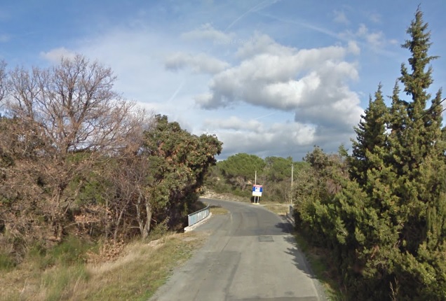
 At the departement boundary, as the D55 becomes the D12, the tramway left the route of the old road. In our direction of travel there is a significant climb and the tramway needed to find its own route as road gradients were too steep. Its route is now a minor road linking the D55/D12 with the D168 and running across vineyards to the South of Felines-Hautpoul.
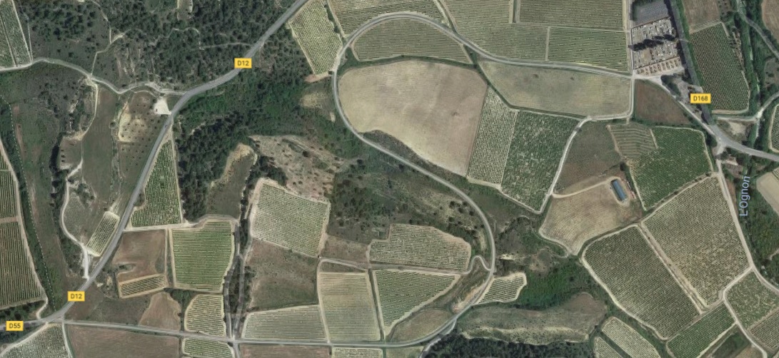
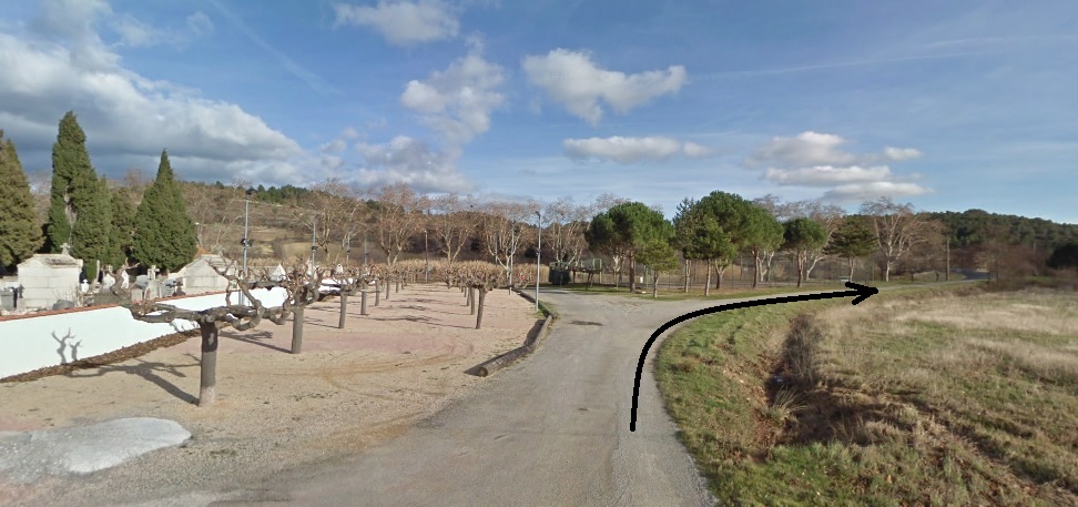
 Felines-Hautpoul station was adjacent to the Cemetery where the tramway curved away to the South and joined the D168.
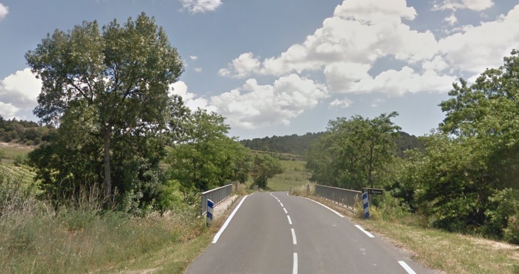
 As the tramway travelled southwards is crossed L’Ognon. The modern D168 was once the IC68. The tramway ran along the western shoulder of the IC68.
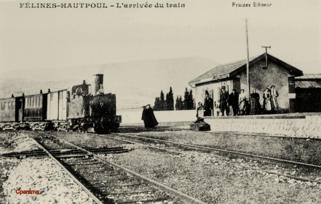 The station at Felines-Hautpoul no vestiges remain. [5]
The tramway left the IC68 (D168) along the route of what is now another minor road and headed for La Liviniere. The route is shown turning of the D168 to the left and then can be followed on the satellite image below for a couple of kilometres. It then meets the D168(D168E1) once again.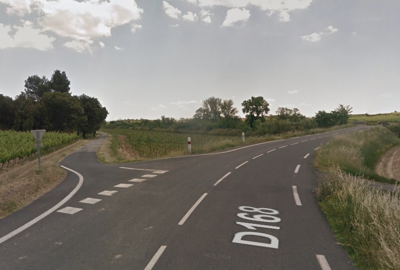
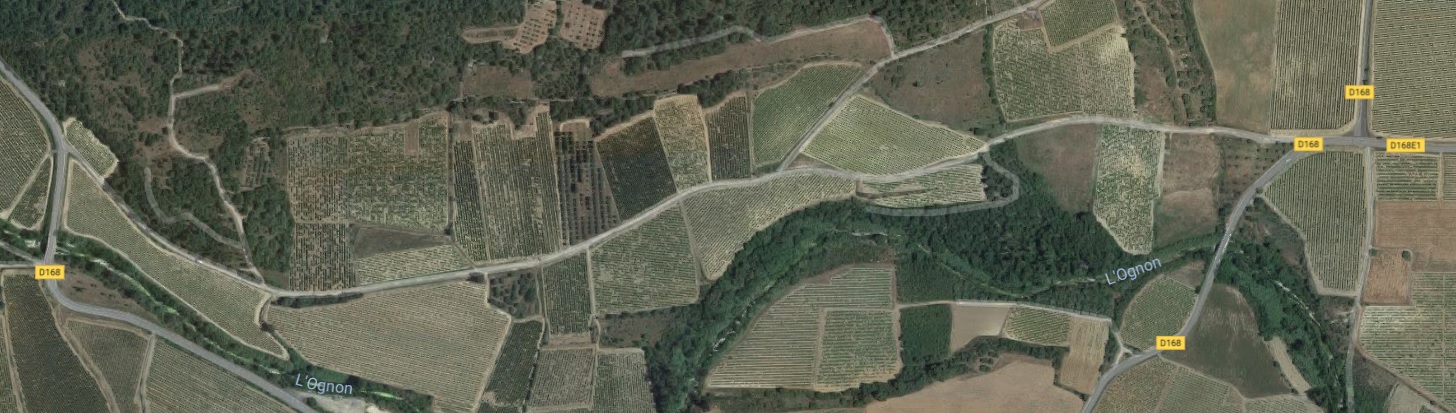
 La Liviniere was, and is, a small village alongside the main-road. There was a small halt to the South of the village, its station building is shown in the adjacent image. [4]
The halt was close to the Notre-Dame du Spasm church which was protected from the tramway by a large masonry retaining wall. [4]
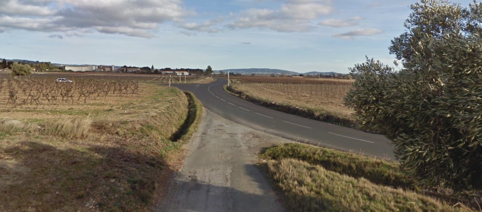
The tramway continues along the IC68 until the road approaches Siran. Siran has grown since the days of the tramway and its route is now underneath the modern D168E4.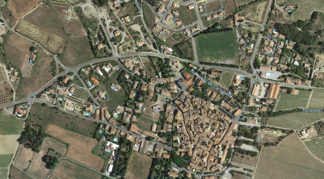

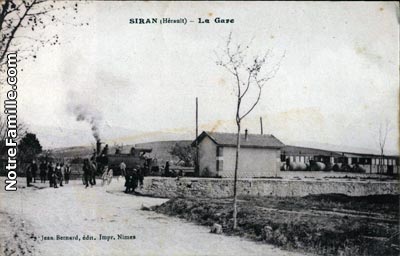 The image above shows the passing loop at Siran Station. [6] The adjacent image shows the station at Siran taken from the South. [7]
References
- https://en.m.wikipedia.org/wiki/Caunes-Minervois, accessed on 7th October 2018.
- http://album.minervois-gen.org/index.php?/categories/posted-weekly-list-any-35-6/start-120, accessed on 8th October 2018.
- https://www.cparama.com/forum/caunes-minervois-aude-t24644.html, accessed on 8th October 2018.
- http://cahiers.de.minerve.pagesperso-orange.fr/HTML/cdf_lezignancarcassonne.html, accessed on 24th September 2018.
- https://www.cparama.com/forum/felines-hautpoul-ou-olonzac-t26747.html, accessed on 9th October 2018.
- https://www.delcampe.net/fr/collections/cartes-postales/france/autres-communes-34/siran-gare-de-siran-tres-rare-train-locomotive-animation-minervois-minerve-olonzac-pepieux-azille-386933772.html, accessed on 9th October 2018
- https://www.communes.com/cartes-postales-anciennes-siran-34, accessed on 9th October 2018.
